|
|
|
Directions (From USFS Website): From Boulder, head five miles north on US Highway 36 towards Lyons. Turn west onto Lefthand Canyon, signed for Ward and Jamestown. Five miles west, follow the right fork for Jamestown. Continue on this road through Jamestown. Once the road changes from paved to gravel, look for the Ceran Saint Vrain TH sign in approximately 0.5 miles.
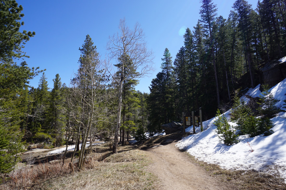
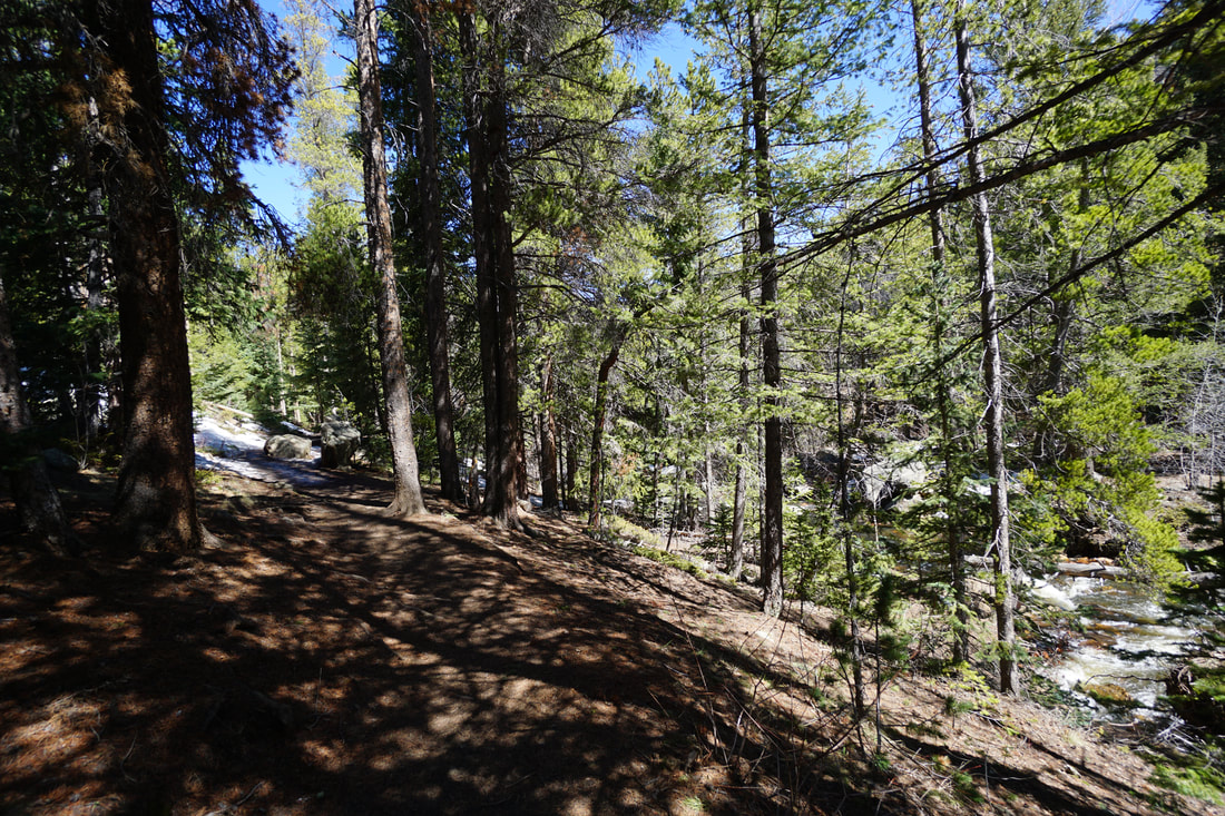
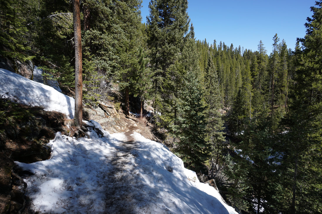
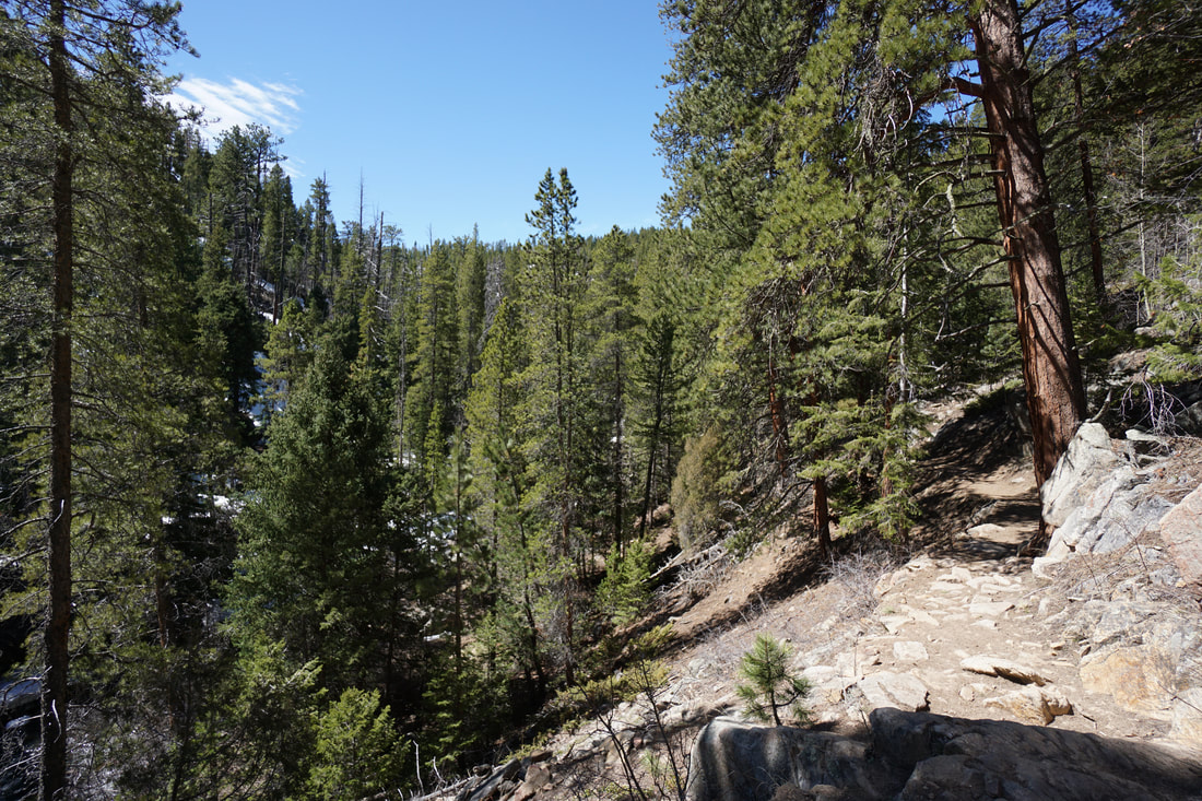
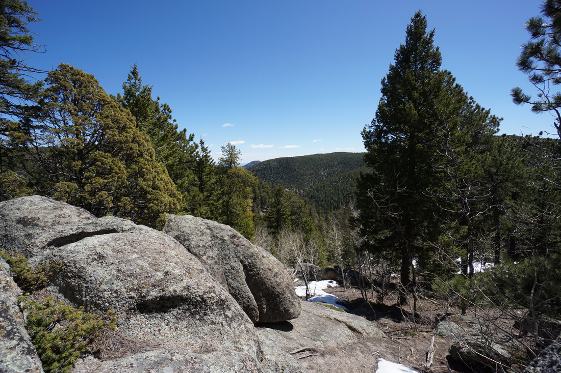
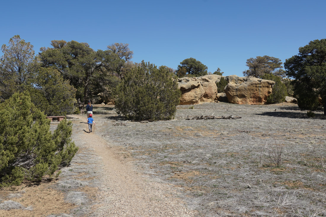
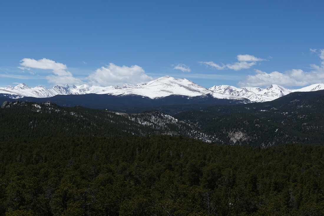
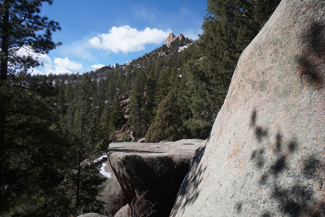
The Ceran St. Vrain Trail is a popular and wonderful hike, adding on the option to climb up to Miller Rocks is the icing on the cake. The hike provides a nice mix of beautiful pine forest, riverside relaxation, and a short scramble to incredible mountain views.
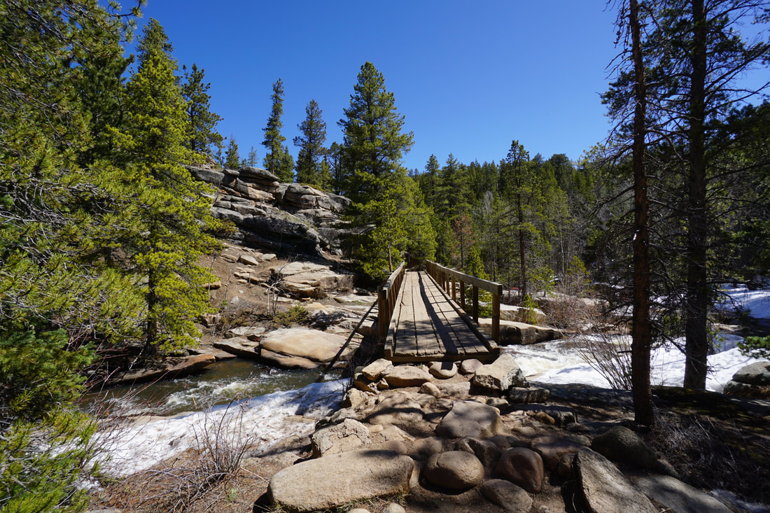
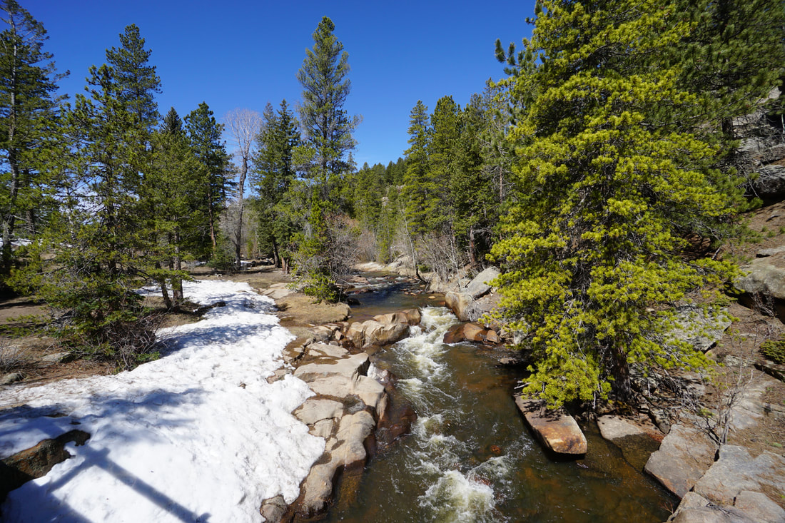
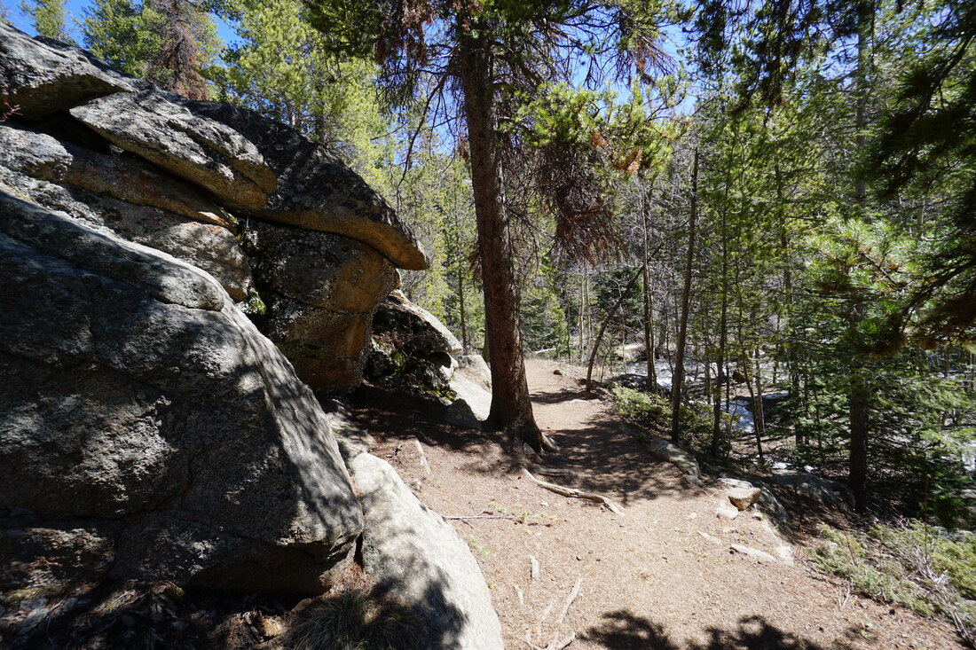
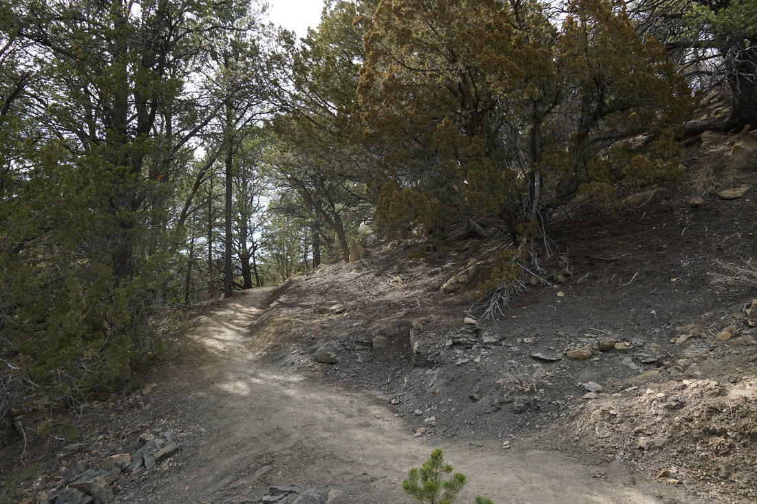
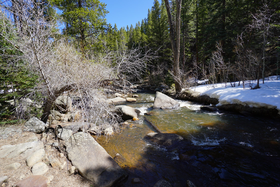
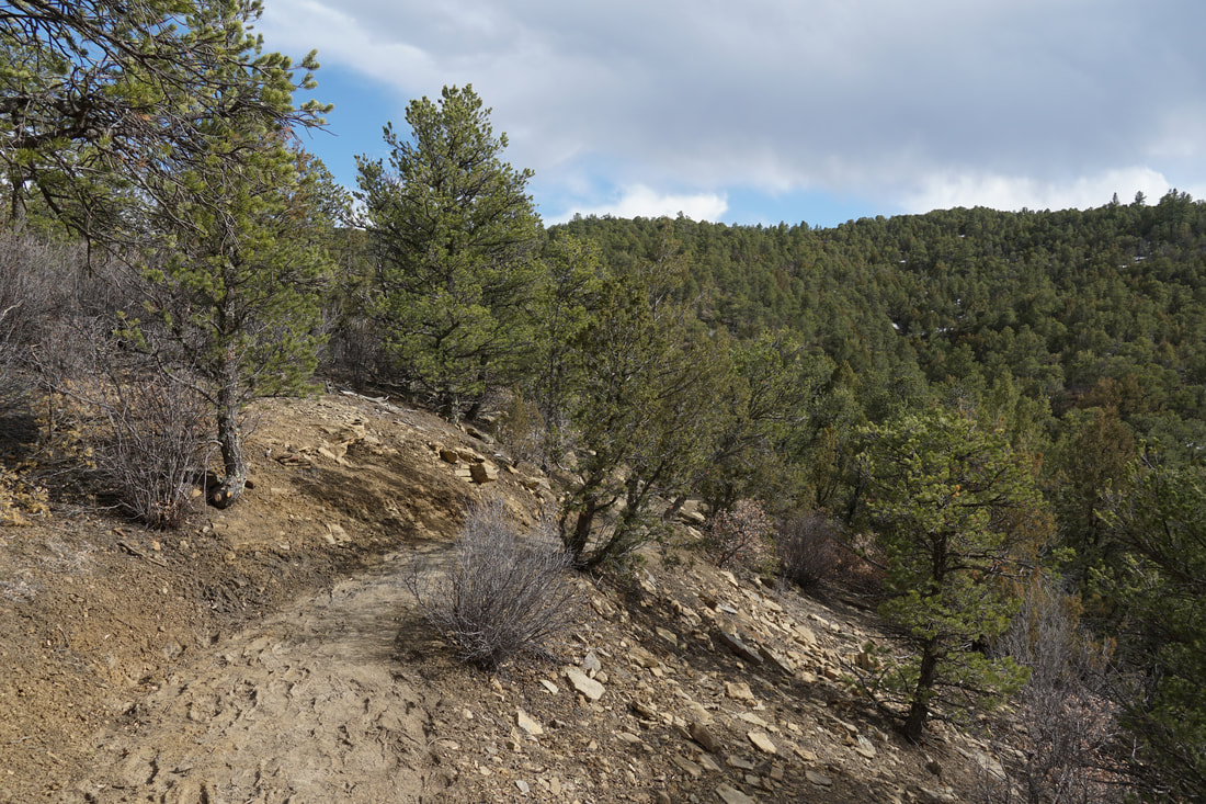
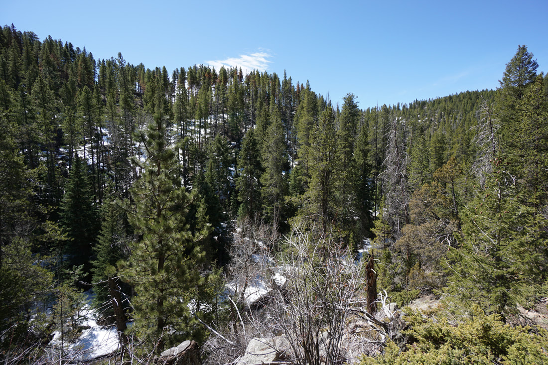
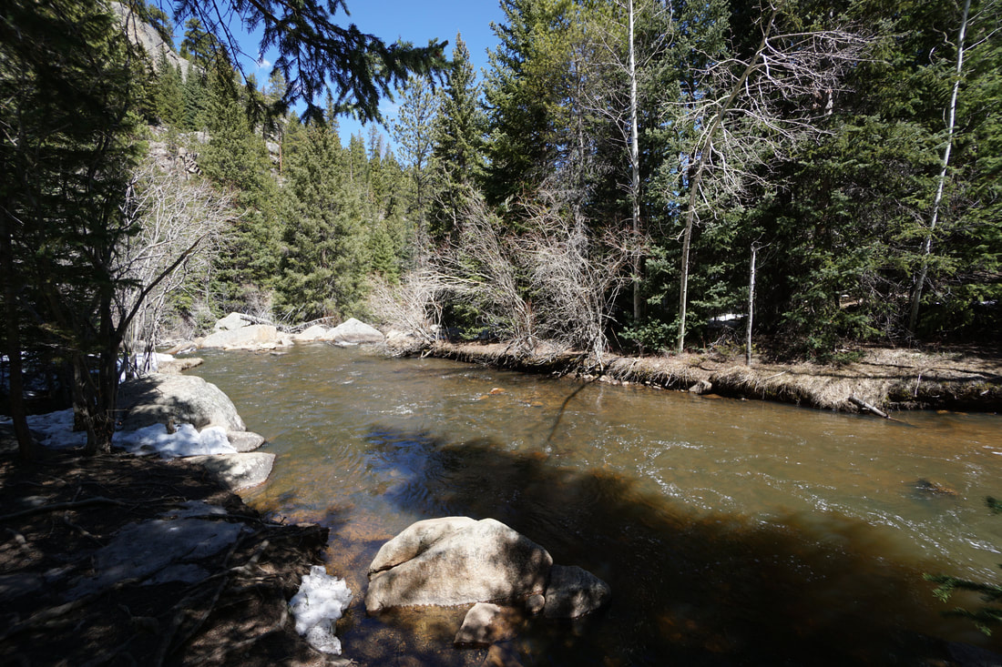
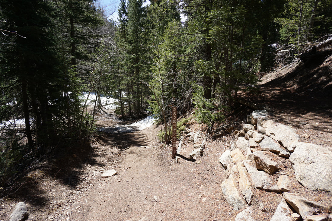
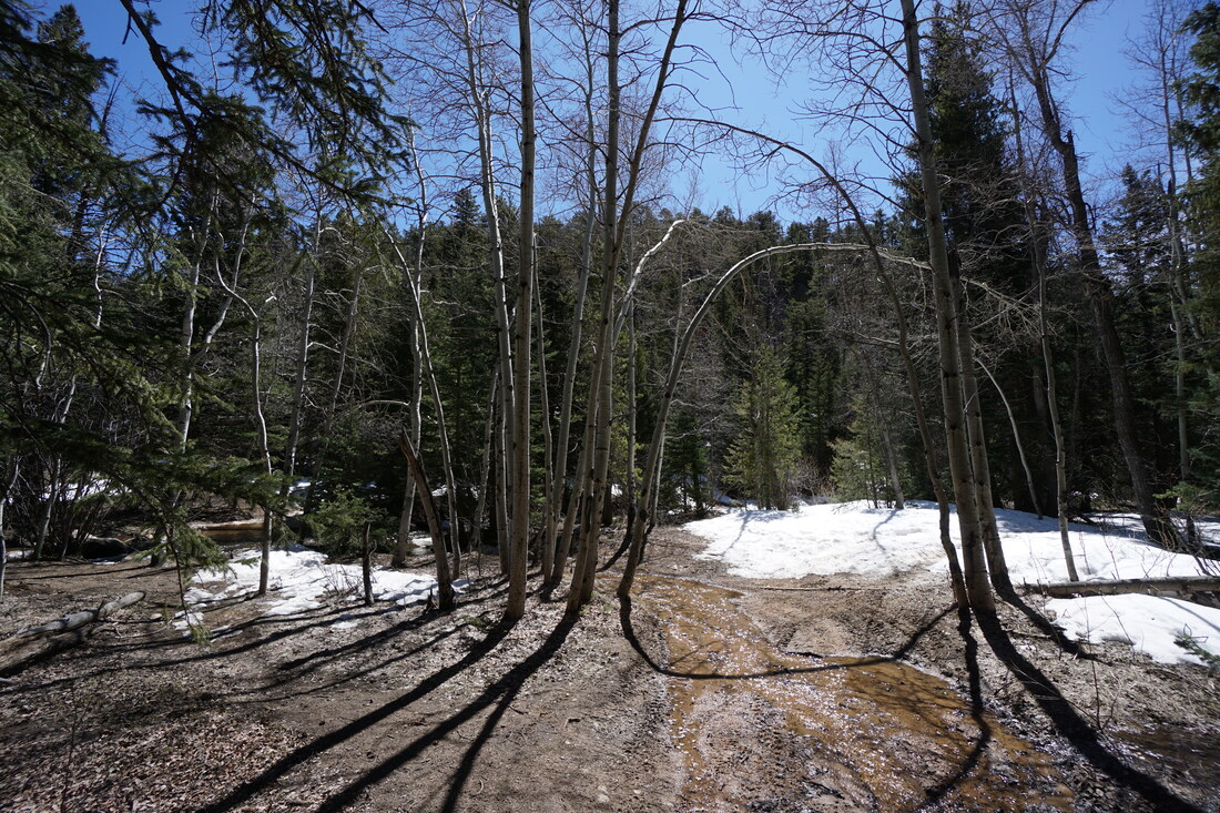
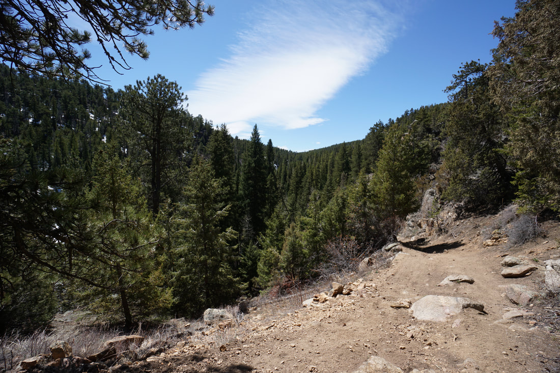
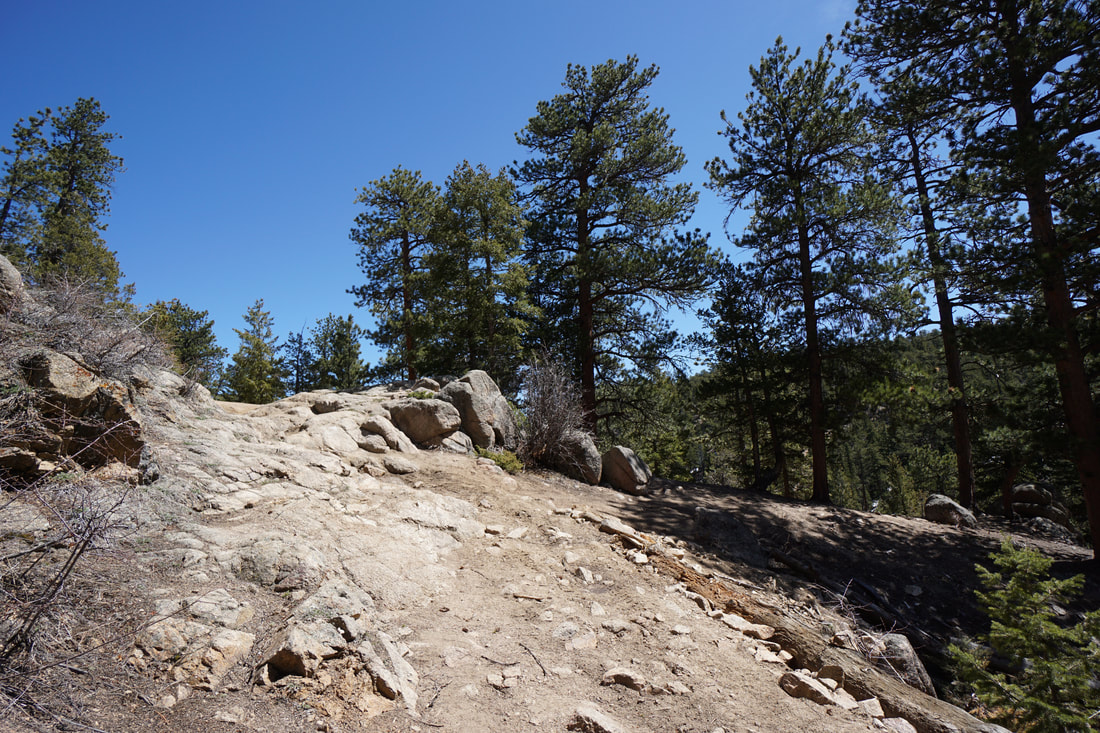
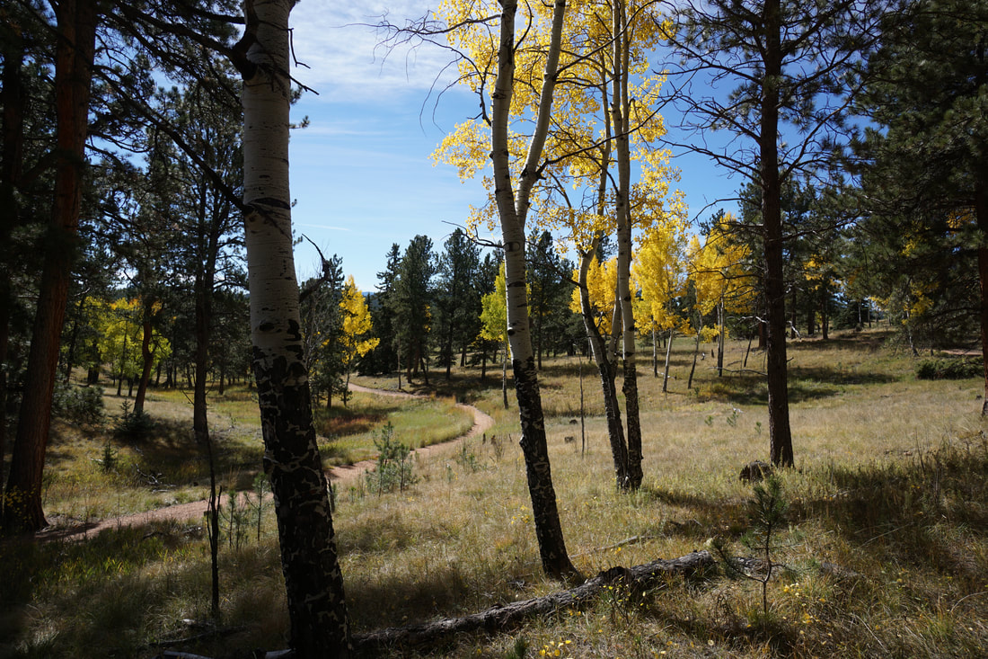
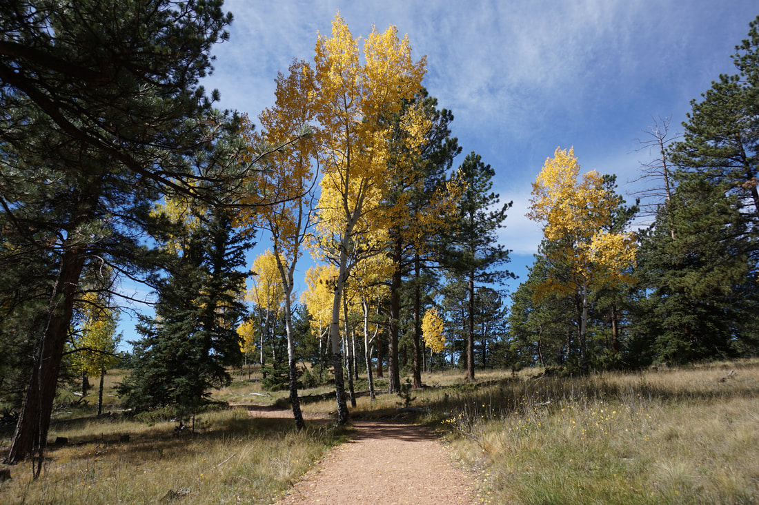
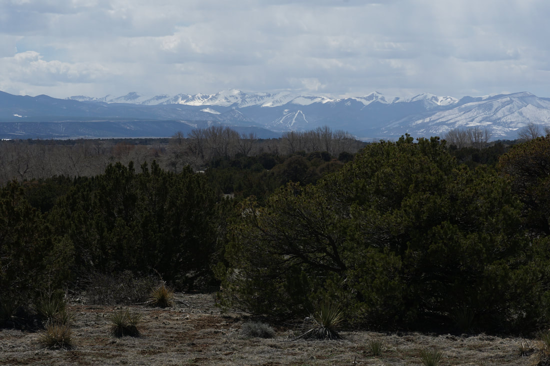
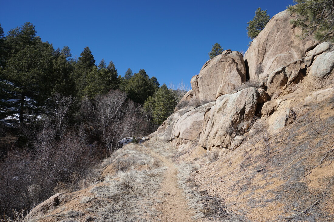
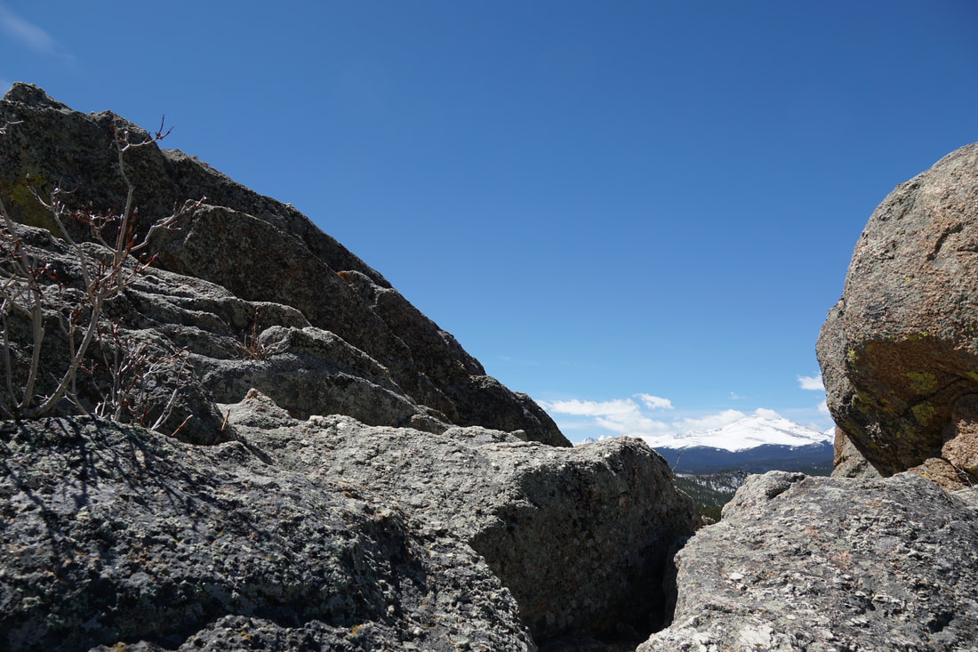
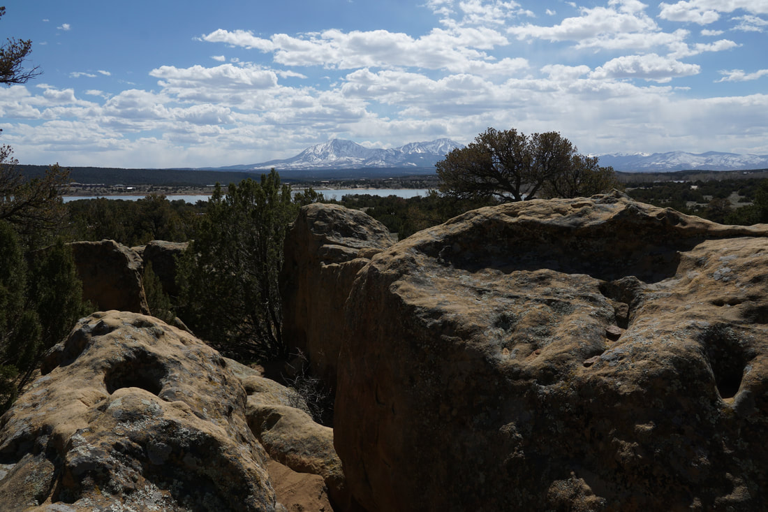
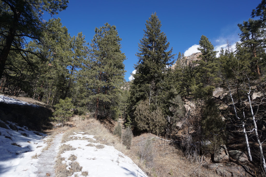
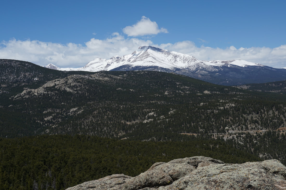
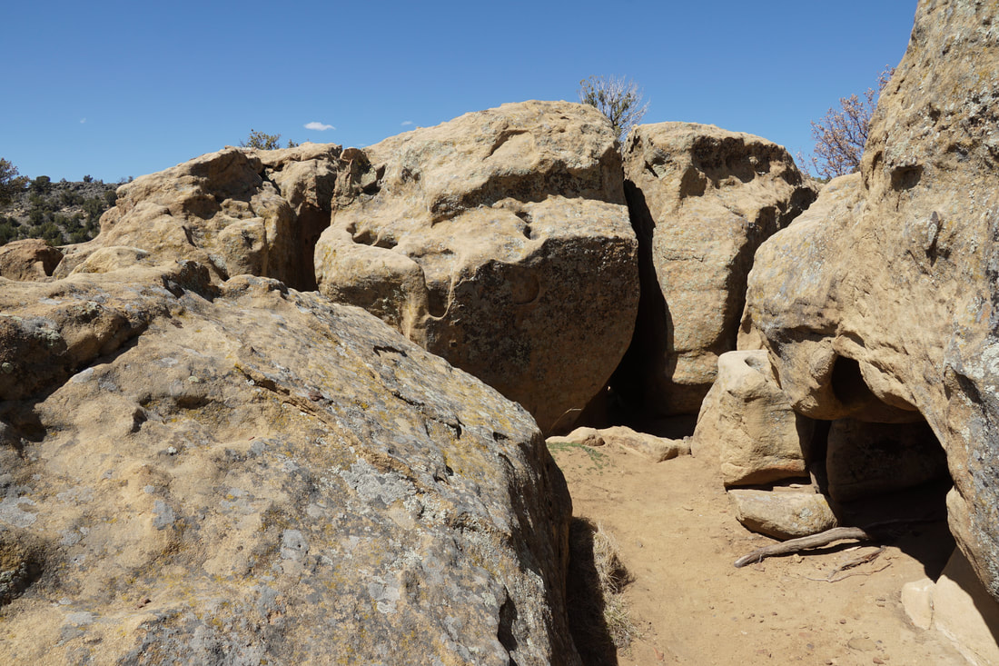
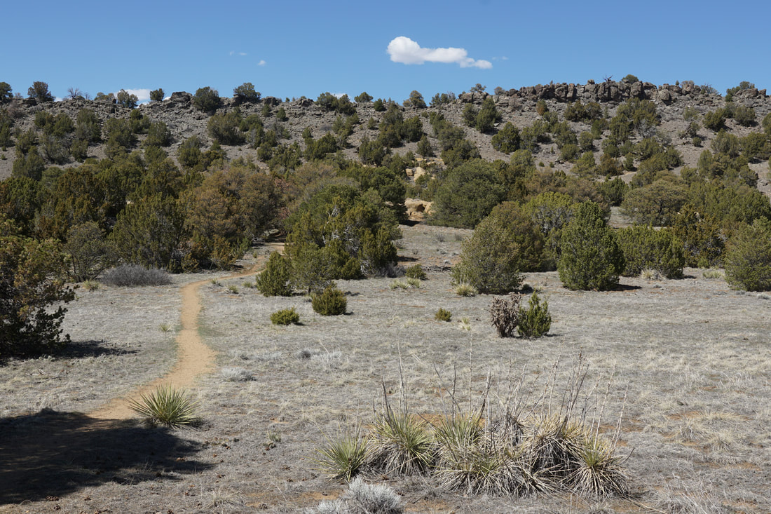
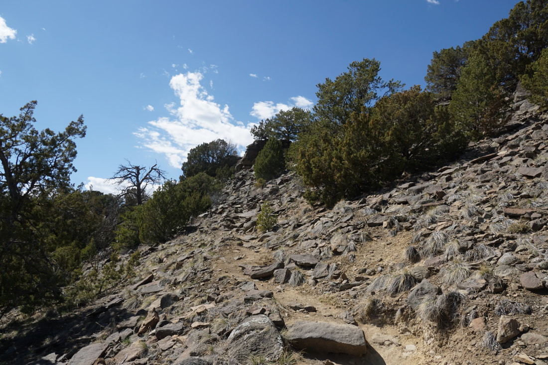
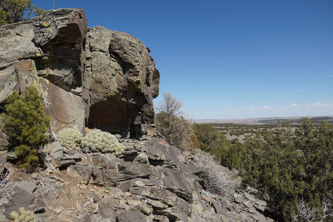
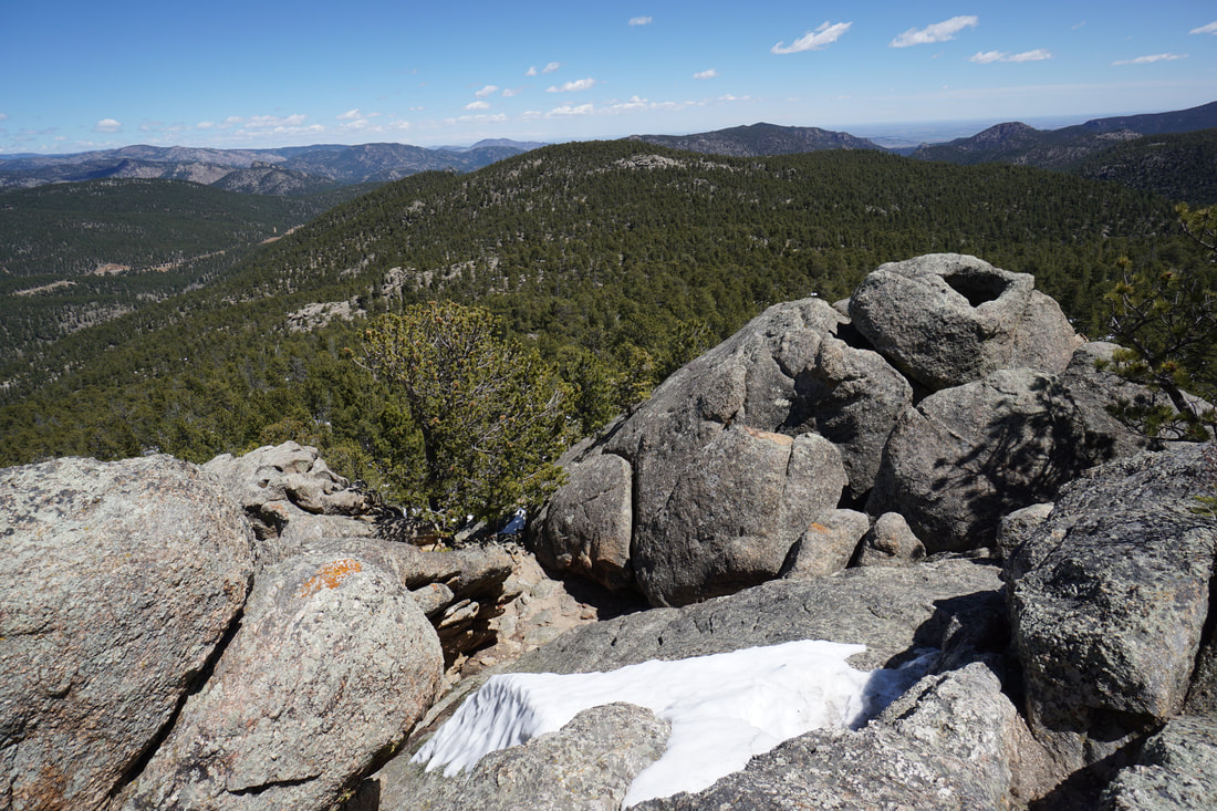
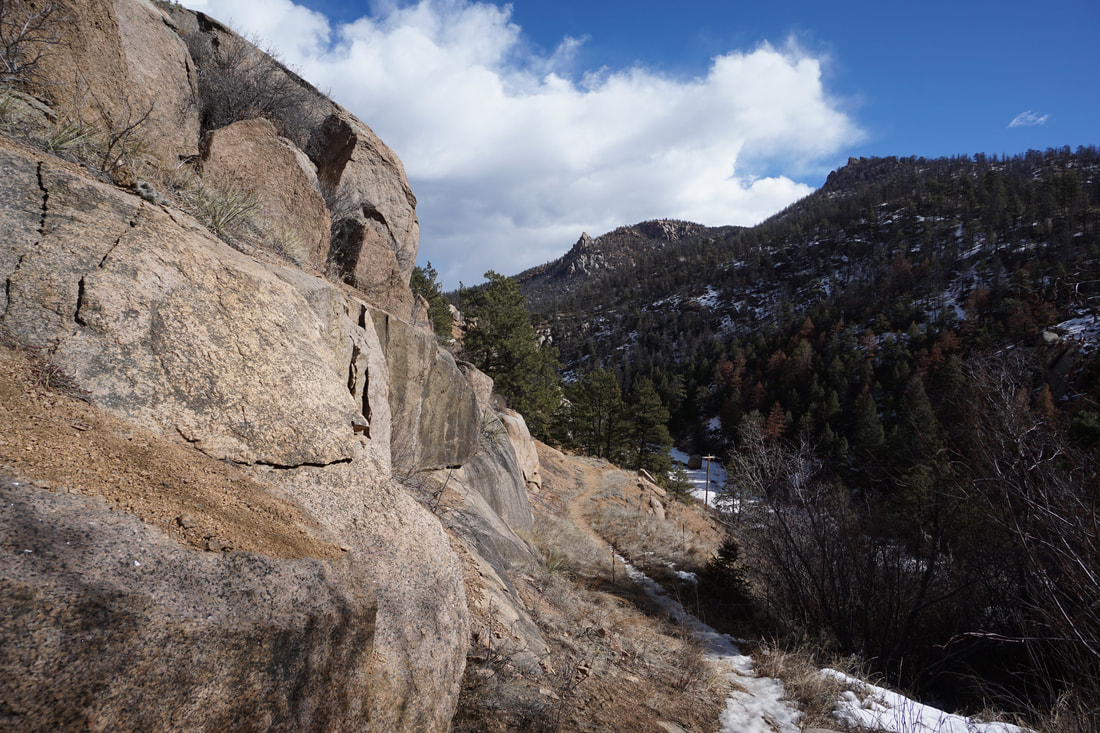
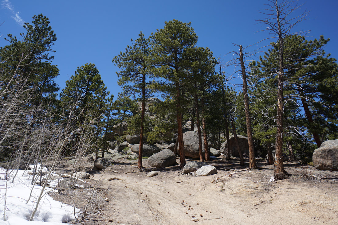
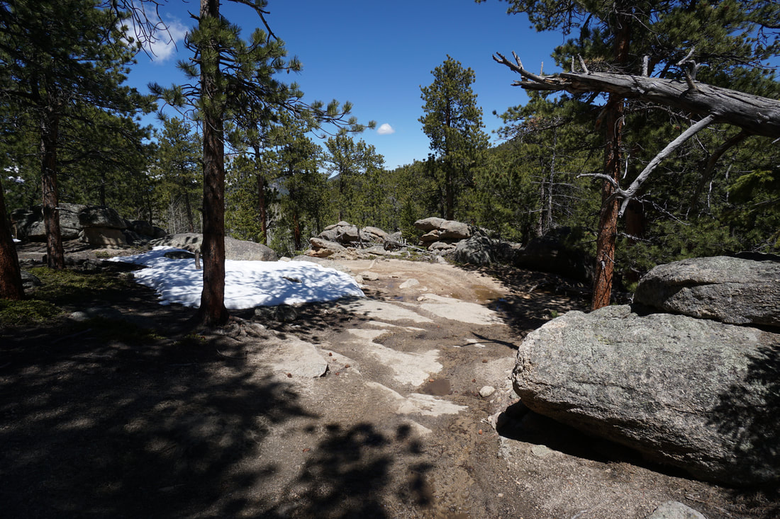
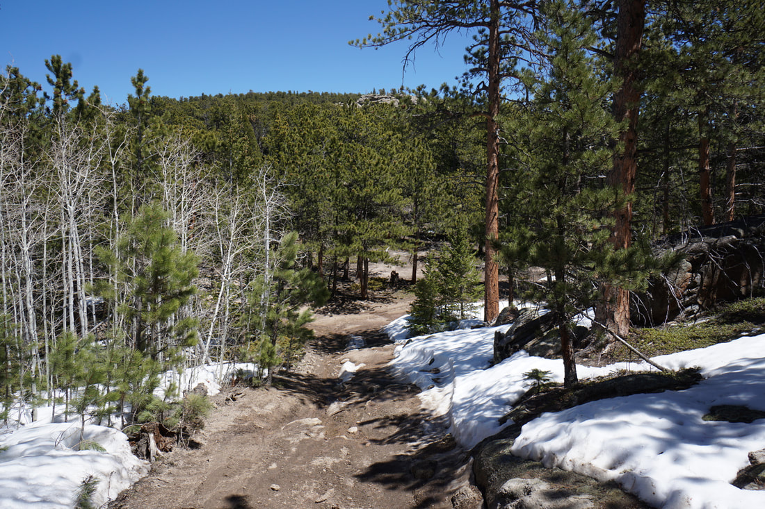
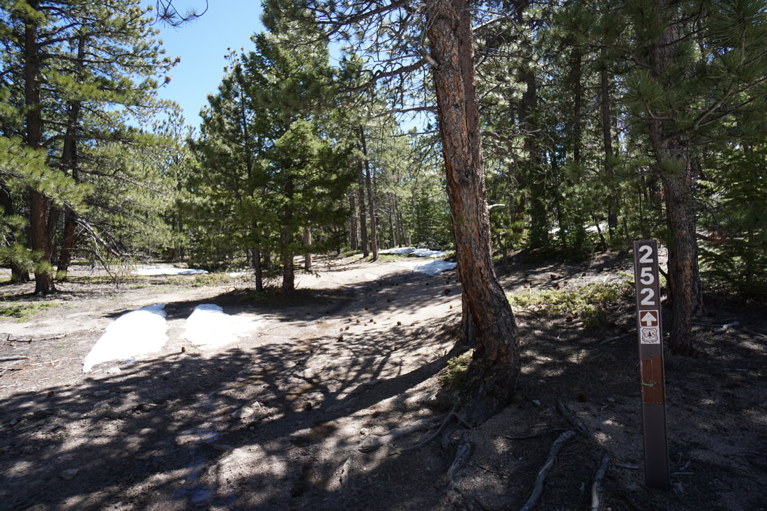
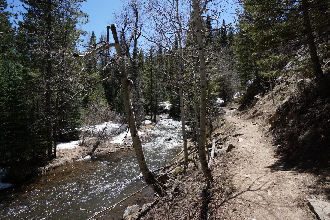
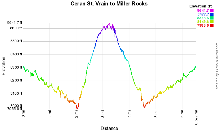
From the trailhead you cross the St. Vrain River on a picturesque footbridge and then begin the descent, following the cascading river as you go. Sometimes the river will be far below on steep hillsides, other times the trail leads right down to the river. Along the way are nice areas for fishing and camp sites perfect for a short backpacking trip with the kids. The peaceful forest portion of this hike lasts for 2 miles and is wonderful hike in itself. The Ceran St. Vrain Trail ends at Forest Service Road 252. There is a trail/road marker pointing uphill and downhill. Turning right (downhill) takes you down to the river and a very peaceful area. Staying straight (uphill), takes you up a steep incline, eventually leading to Miller Rocks. As you climb the rocky road, look behind you for nice views of the St. Vrain River and the forested hillsides. The road soon tops off and levels out, then climbs slightly to a saddle. From the Saddle you have two options and can make a nice loop out this section of the hike. At the saddle, the road continues straight and veers to the left as it heads slightly downhill. To the left is a wide trail (unmarked) that heads uphill, more directly towards Miller Rocks. I suggest taking this trail. The trail is narrower and rock and probably sees less ORV use than Rd 252. This road is not on the maps but it is well defined and easy to follow...this is not bushwhacking. After the first incline, there are some rocks providing nice views to the southeast. Continue up the trail where is levels off and passes through an old wooden gate. The trail winds through the woods and soon skirts the base of a large rock outcropping, this outcropping is easily climbed for more views. Continue around the outcropping and the trail soon intersects Rd 252A. At this point you'll have overshot Miller Rocks a little so turn right on 252A and head to the northeast. After a few minutes of easy hiking you'll see Miller Rocks. Miller Rocks is a large rock formation obscured by the forest. There are all sorts of routes to the top of the formation, some very difficult. For the easiest way up, head over to the easternmost side of the formation. Climbing from this side still requires a few class III scrambling moves but it's relatively easy to navigate, be careful on slick rock in the spring when the snow is still melting off. From the top, you are rewarded with a 360 degree view of the Boulder area and Eldorado Canyon to the east, and the Indian Peaks and peaks of Rocky Mountain National Park to the west. Stunning views! On your way down, I recommend taking the forest service roads to complete the loop, but you can also return the way you came to avoid ORVs. Descend from the rocks and head east along 252A as it gently descends. This area is used by ORVs so keep a look out and stay out of their way for safety. Descend the rocky road to the junction with Rd 252, turn right (downhill). Along the way there are endless rock outcroppings that you can explore. A few steps after the 252 junction is another junction with Rds 253 and 252A (not sure how this road connects...). Stay straight on 252 and keep heading downhill. Before long you return to the saddle and back down 252 to the Ceran St. Vrain trail. From there its a pleasant return trip through the forest and along the river with a gentle climb back up to the trailhead. By the end of the trail you'll have hiked about 6.3 miles (using the loop described here), not a bad day hike. |
|