|
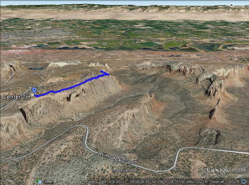
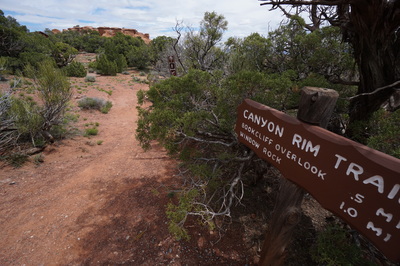
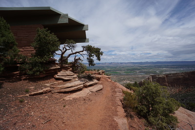
Directions: The Canyon Rim Trail starts from either the Visitor Center or the Bookcliff Overlook. Once you enter the park from Fruita, follow Rim Rock Road to the Visitor Center and parking area, it will be obvious. The Trail starts behind the VC. Alternatively, you can turn east towards the campground and park at the Bookcliff Overlook, less parking, the trail begins at the covered overlook shelter.
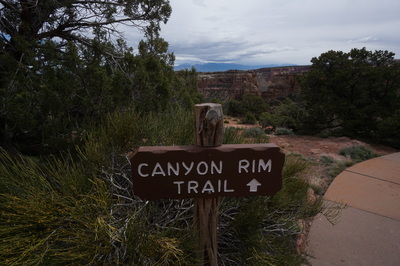
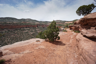
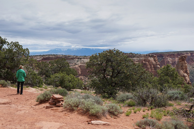
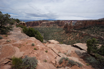
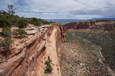
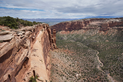
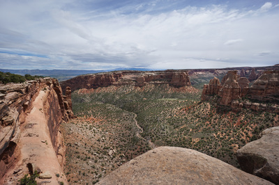
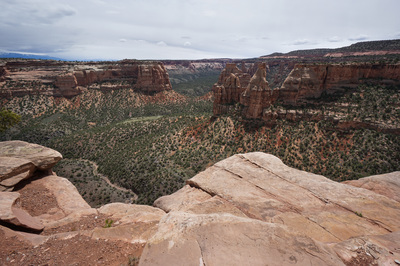
The Canyon Rim Trail is possibly the most popular trail in Colorado National Monument. It starts at the Visitor Center and is easy enough for hikers of all skill levels. That being said, the trail is absolutely worth hiking. The views are amazing and if you have only a hour or so to visit the park, then this is the trail to hike. It is also a great hike in the evening if you are staying at the Saddlehorn campground.
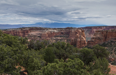
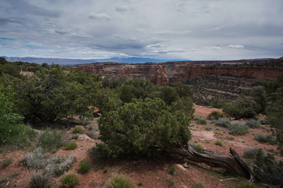
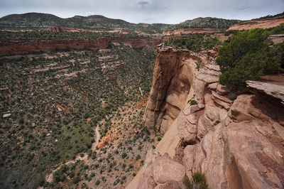
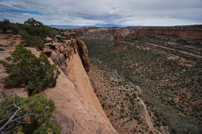
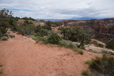
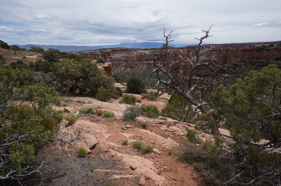
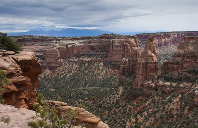
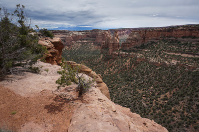
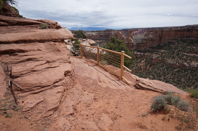
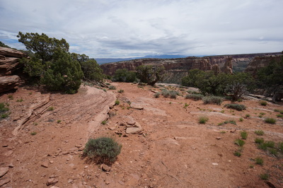
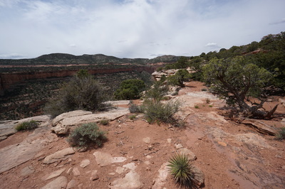
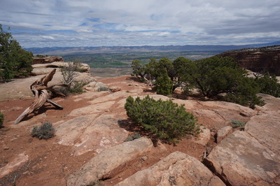
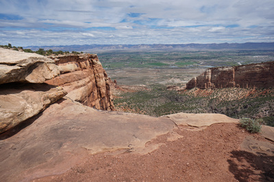
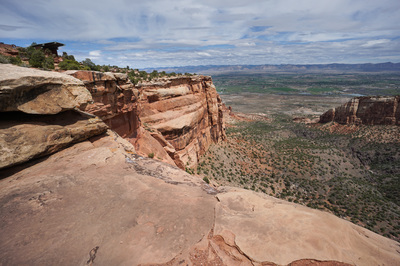
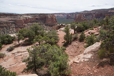
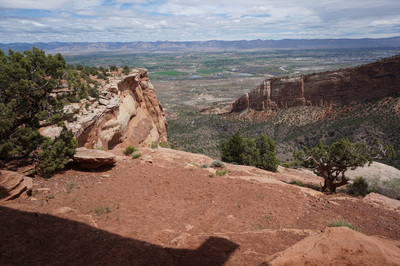
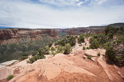
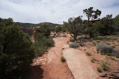
The hike follows the canyon rim over a nice mix of sandy soil and slickrock. There are many viewpoints along the way but be careful as the drop from the rim is tremendous. Along the way you are treated to views of famous rock formations such as Sentinel Spire, the Pipe Organ, and Independence Monument. When you reach the Bookcliffs overlook you are presented with a northeastern view of the canyons, the Grand Valley, and the Bookcliffs and Grand Mesa in the distance. The Canyon Rim Trail is truly a great hike and the perfect introduction to Colorado National Monument. |
- HOME
- ABOUT
-
HIKES BY REGION
-
NATIONAL PARK HIKES
- BENT'S OLD FORT NATIONAL HISTORIC SITE
- BLACK CANYON OF THE GUNNISON NATIONAL PARK
- COLORADO NATIONAL MONUMENT
- CURECANTI NATIONAL RECREATION AREA
- DINOSAUR NATIONAL MONUMENT
- FLORISSANT FOSSIL BEDS NATIONAL MONUMENT
- MESA VERDE NATIONAL PARK
- ROCKY MOUNTAIN NATIONAL PARK
- GREAT SAND DUNES NATIONAL PARK
- HOVENWEEP NATIONAL MONUMENT
- SAND CREEK MASSACRE NATIONAL HISTORIC SITE
- YUCCA HOUSE NATIONAL MONUMENT
- HIKES BY CATEGORY
- NEWS
- WEBCAMS
- $UPPORT GHC
- INTERACTIVE MAP
Canyon Rim Trail
Colorado National Monument
Date Hiked: May 1, 2016
Distance: 1 mi (RT)
Elevation Gain: 180 ft
Elevation Min/Max: 5,613 to 5,764 ft
Trailhead Lat/Long: 39º 06' 03" N; 108º 44' 04" W
Managing Agency: National Park Service
Fee: Yes

