GO HIKE COLORADO
Get in Touch:
  • HOME
  • ABOUT
  • HIKES BY REGION
    • DENVER AREA >
      • Denver Mountain Parks
      • Jefferson County Open Space
      • Lakewood Parks
      • Denver Area Greenways
    • BOULDER AREA
    • DOUGLAS COUNTY
    • FORT COLLINS AREA
    • COLORADO SPRINGS AREA
    • FRONT RANGE
    • TENMILE & MOSQUITO RANGES
    • GORE RANGE
    • SANGRE DE CRISTO MOUNTAINS
    • PARK RANGE
    • SAWATCH RANGE
    • ELK MOUNTAINS
    • SAN JUAN MOUNTAINS
    • THE FLAT TOPS
    • GRAND MESA
    • COLORADO PLATEAU
    • EASTERN PLAINS
  • NATIONAL PARK HIKES
    • BENT'S OLD FORT NATIONAL HISTORIC SITE
    • BLACK CANYON OF THE GUNNISON NATIONAL PARK
    • COLORADO NATIONAL MONUMENT
    • CURECANTI NATIONAL RECREATION AREA
    • DINOSAUR NATIONAL MONUMENT
    • FLORISSANT FOSSIL BEDS NATIONAL MONUMENT
    • MESA VERDE NATIONAL PARK
    • ROCKY MOUNTAIN NATIONAL PARK
    • GREAT SAND DUNES NATIONAL PARK
    • HOVENWEEP NATIONAL MONUMENT
    • SAND CREEK MASSACRE NATIONAL HISTORIC SITE
    • YUCCA HOUSE NATIONAL MONUMENT
  • HIKES BY CATEGORY
    • HIKES TO ALPINE LAKES
    • HIKES TO PEAKS & PASSES
    • HIKES THROUGH CANYONS
    • HIKES WITH FALL COLORS
    • HIKES ALONG THE I-70 CORRIDOR
    • HIKES ON PAVED TRAILS
    • HIKES FOR KIDS
    • HIKES TO WATERFALLS
    • HIKES ALONG RIVERS
    • HIKES WITH ROCK FORMATIONS
    • HIKES WITH WILDFLOWERS
    • WINTER HIKES
  • NEWS
  • WEBCAMS
  • $UPPORT GHC
  • INTERACTIVE MAP

Buffalo Burn Loop
​Buffalo Creek Recreation Area
Pike National Forest

Date Hiked: November 14, 2015

Distance: 3 mi (RT)
Elevation Gain: 350ft
Elevation Min/Max: 7,645 to 7,812 ft
Trailhead Lat/Long: 39º 21' 22" N; 105º 14' 51" W​ 
Managing Agency: U.S. Forest Service
​Fee: None

Buffalo Creek Rec. Area Map & Info (USFS)
Picture

Directions:  From Denver, take Hwy 285 south to Pine Junction and turn south on 126, Pine Valley Road.  Follow 126 south through the towns of Pine and Buffalo Creek to the trail crossing for the Colorado Trail.  Park on the west side of the road just before the gate.

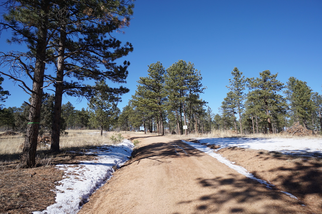
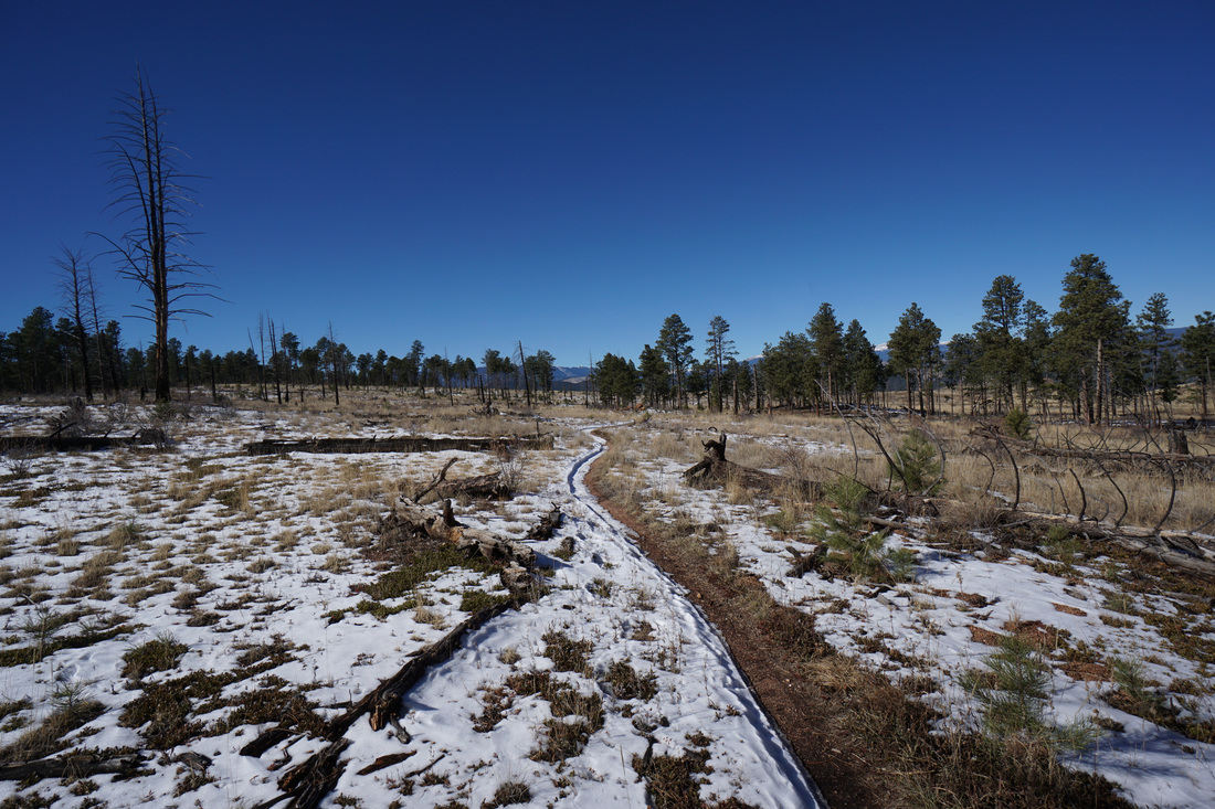
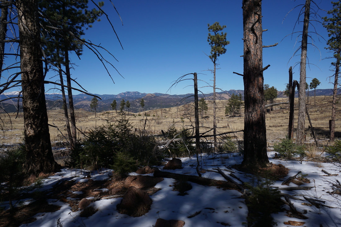
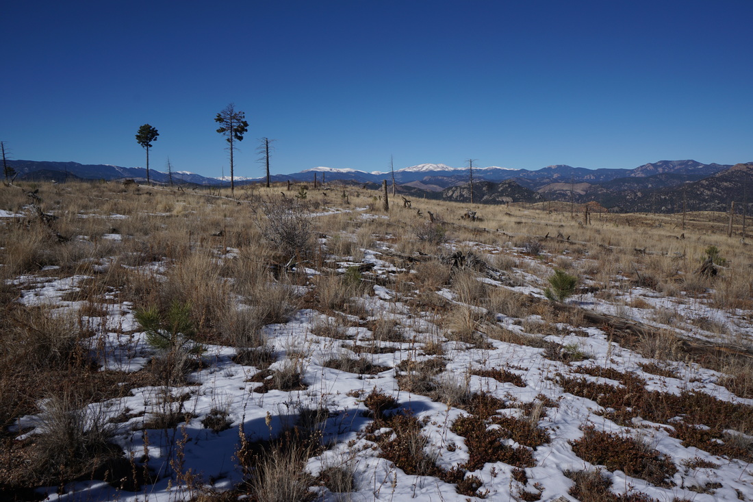
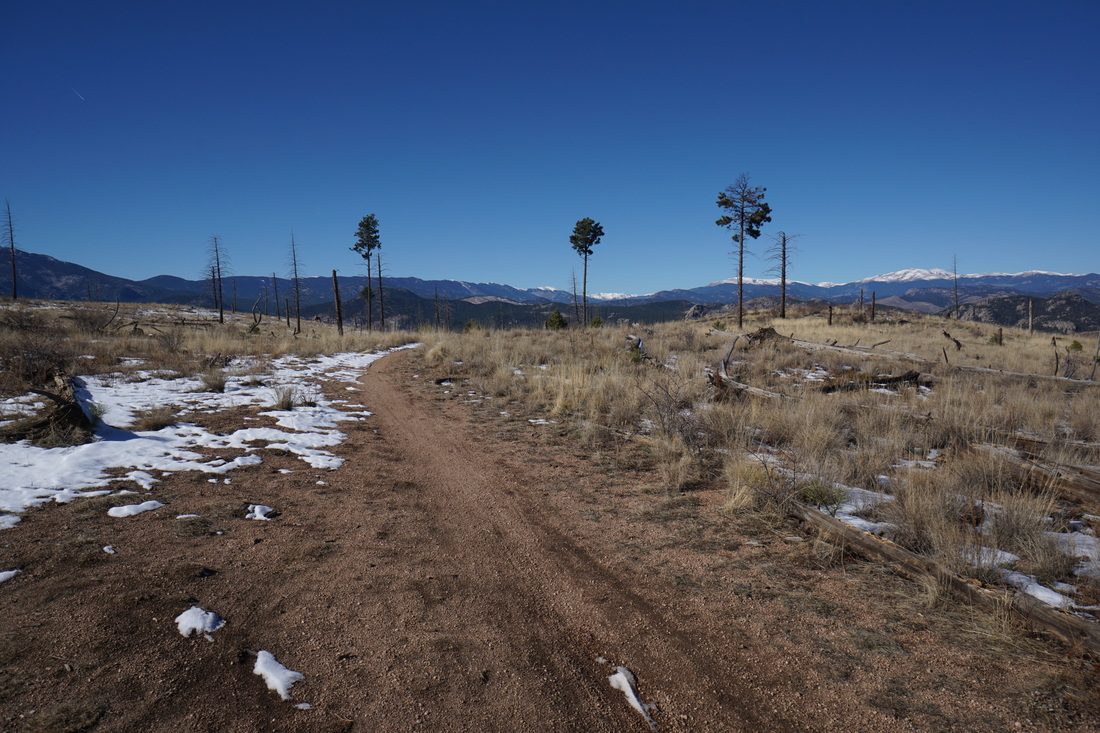
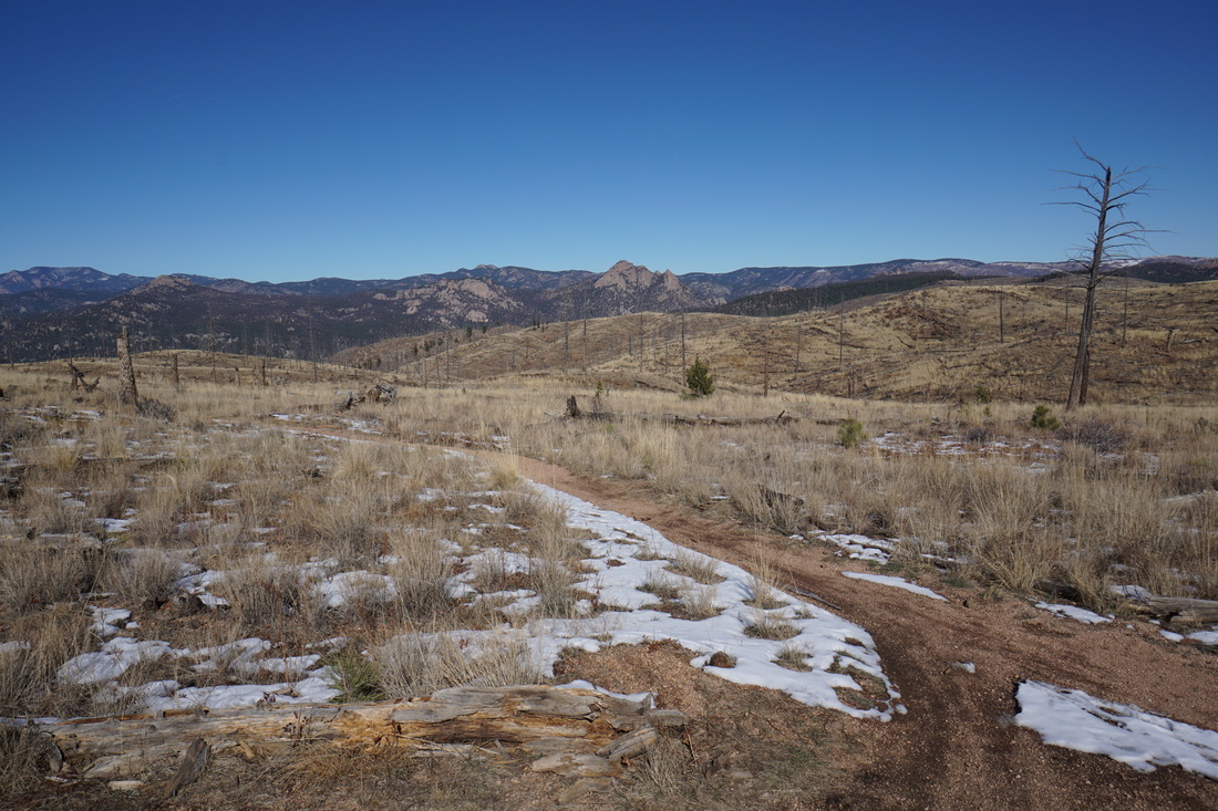
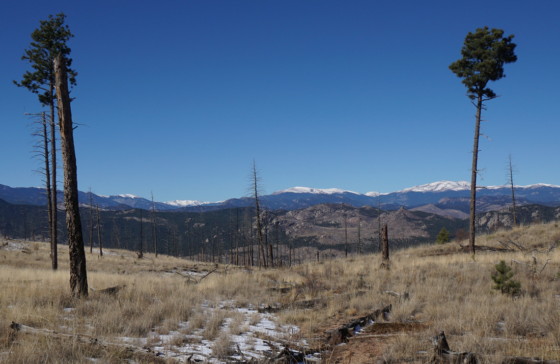
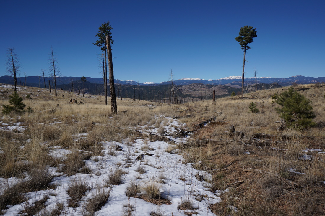
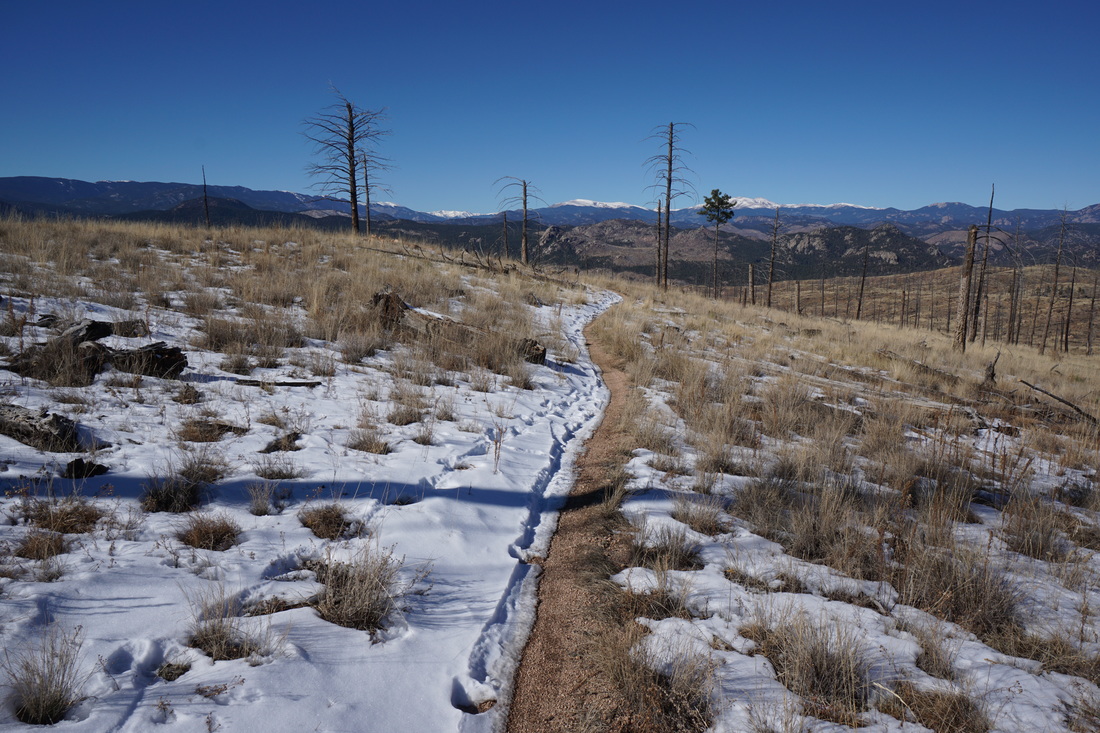
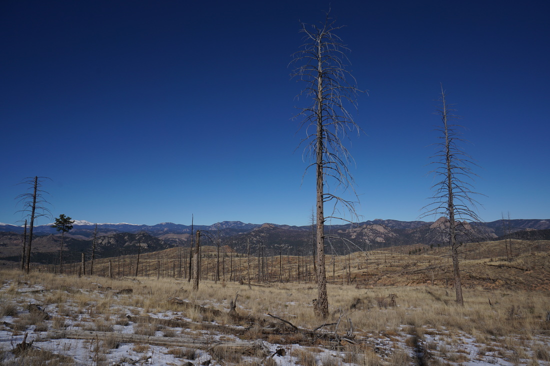
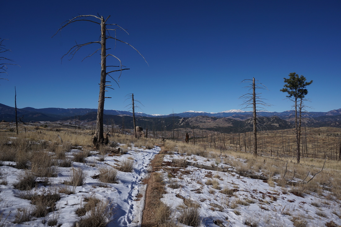
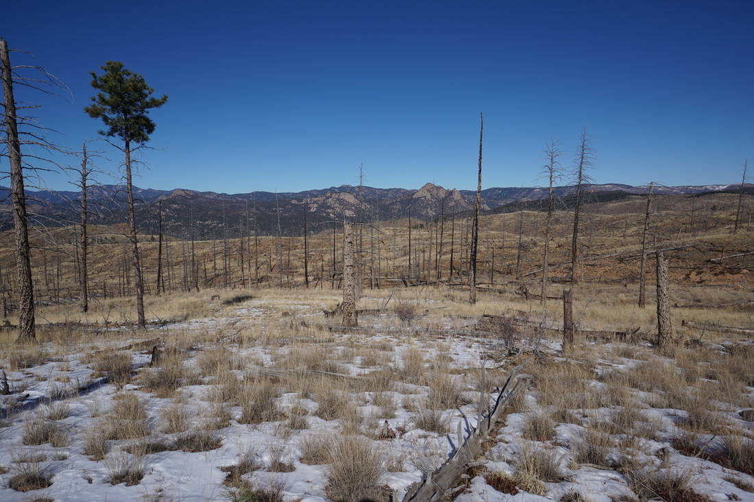
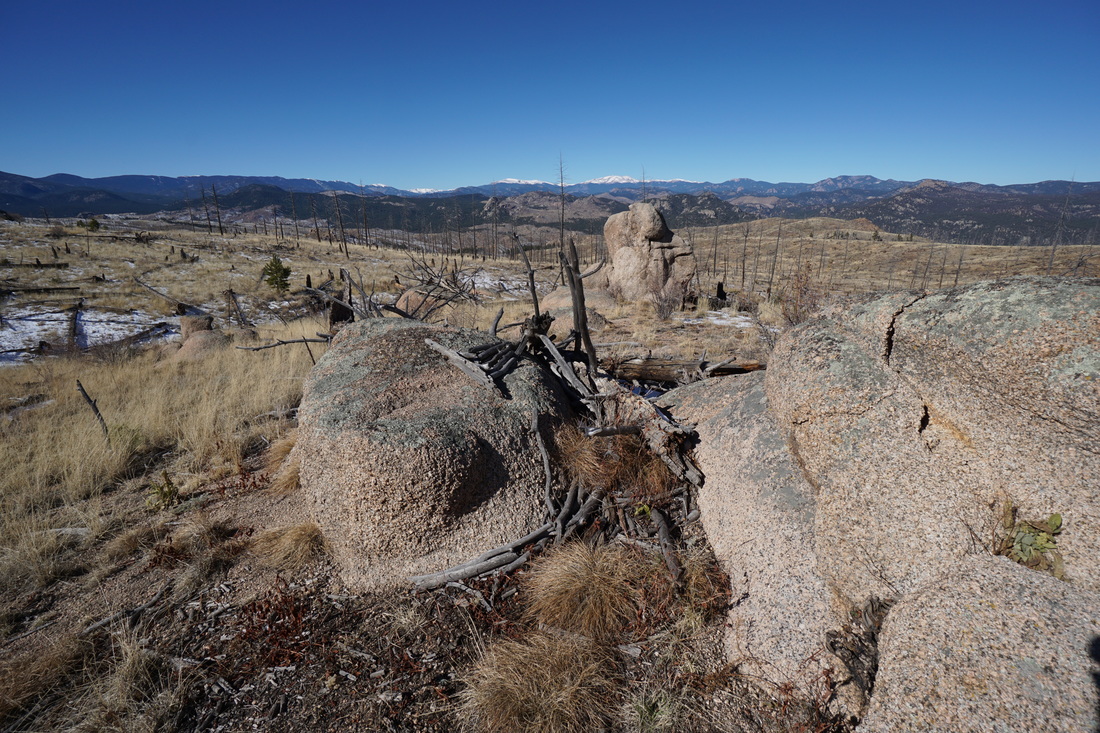
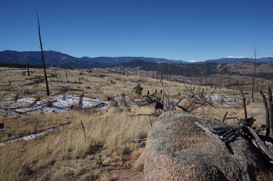
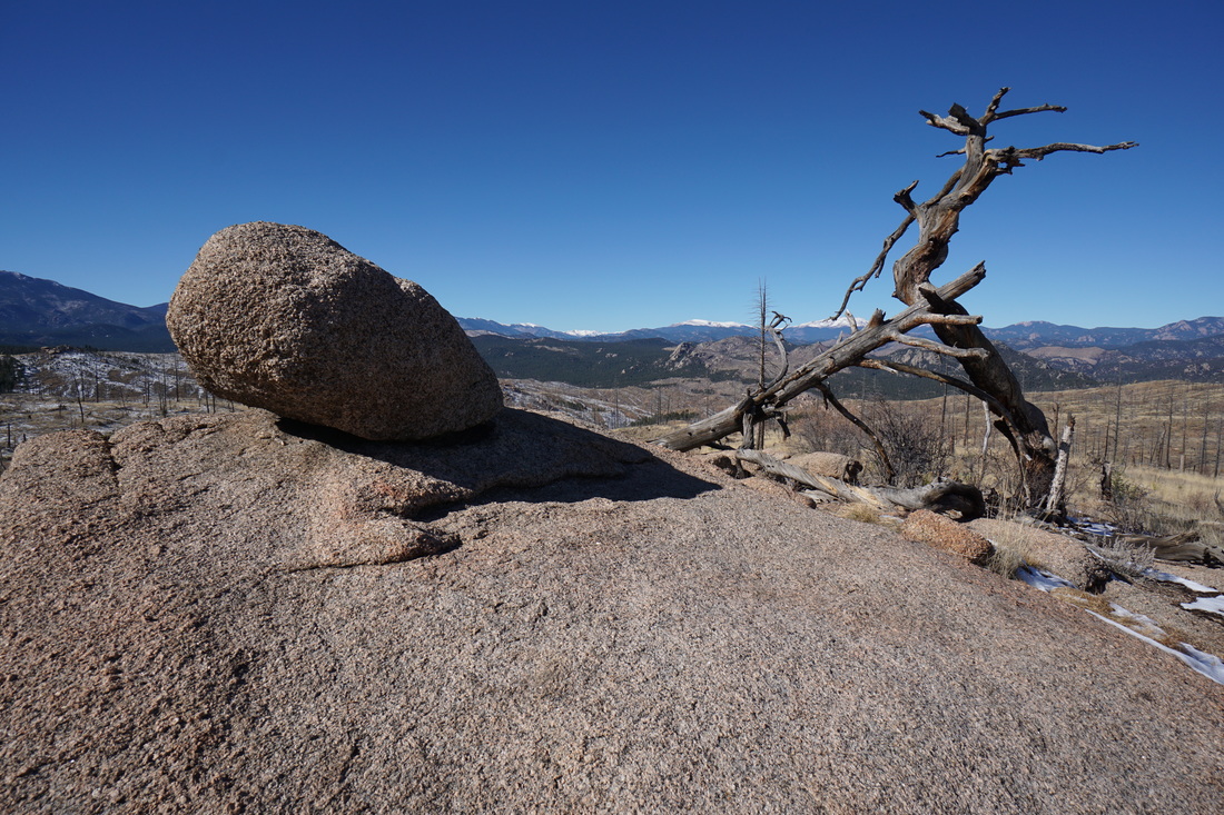
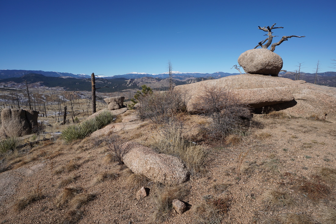
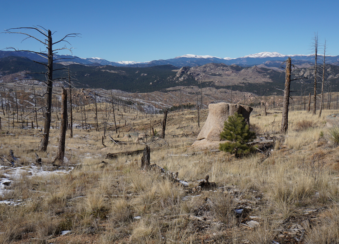
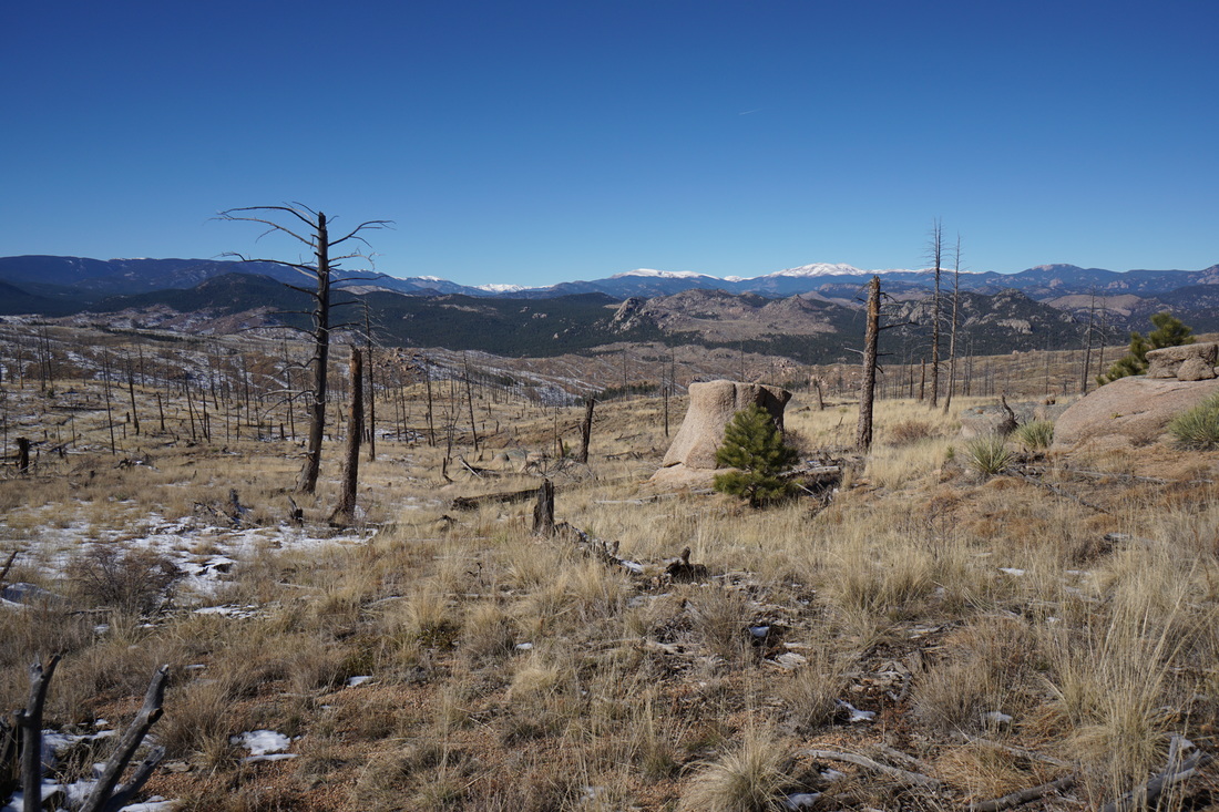
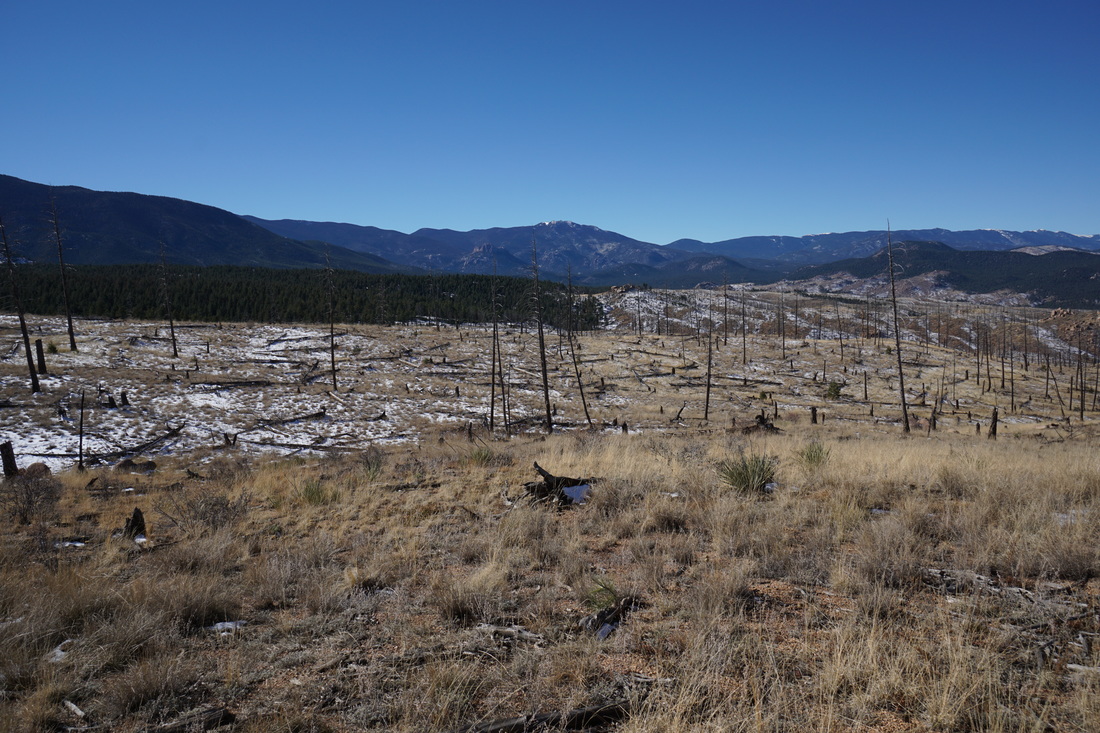
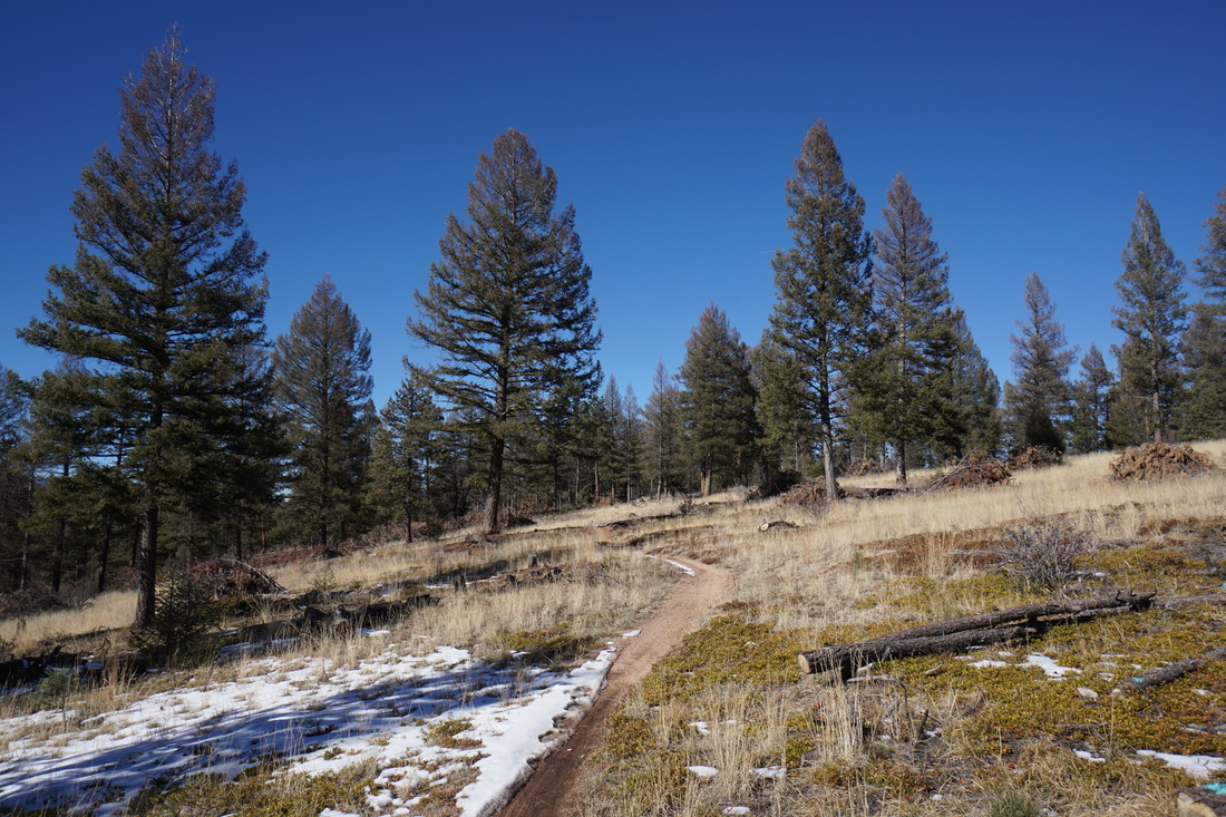
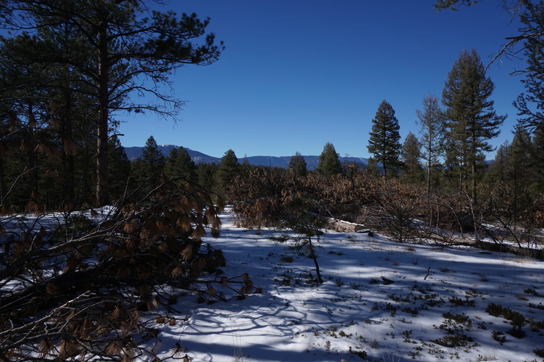
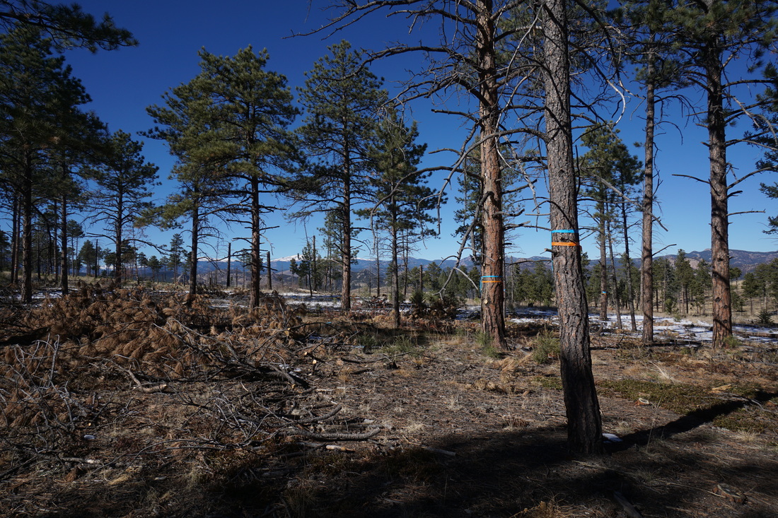
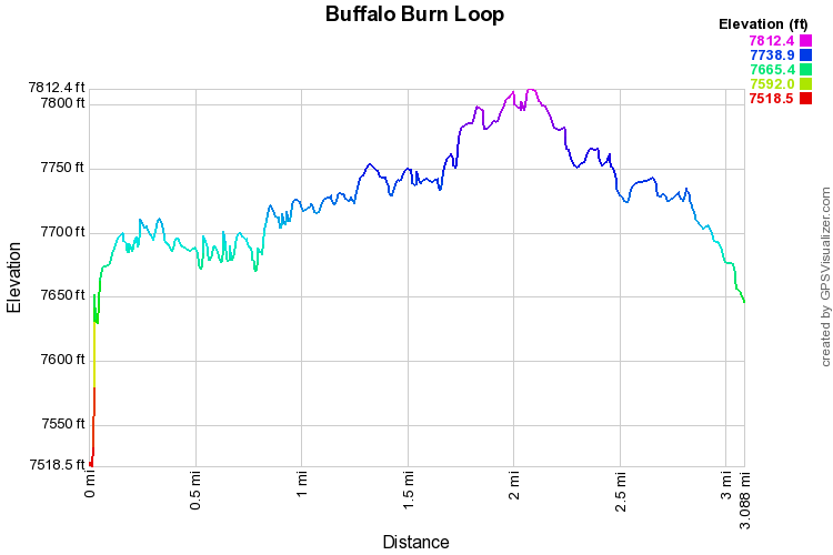
The Buffalo Burn Loop is a quick and easy 3 mile loop in the Buffalo Creek Recreation Area.  The hike provides a quick taste of the Buffalo Creek wildfire recovery area with fantastic views of the nearby rock formations and snowy peaks in the distance.

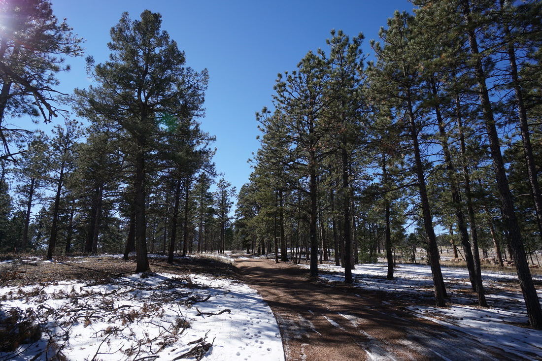
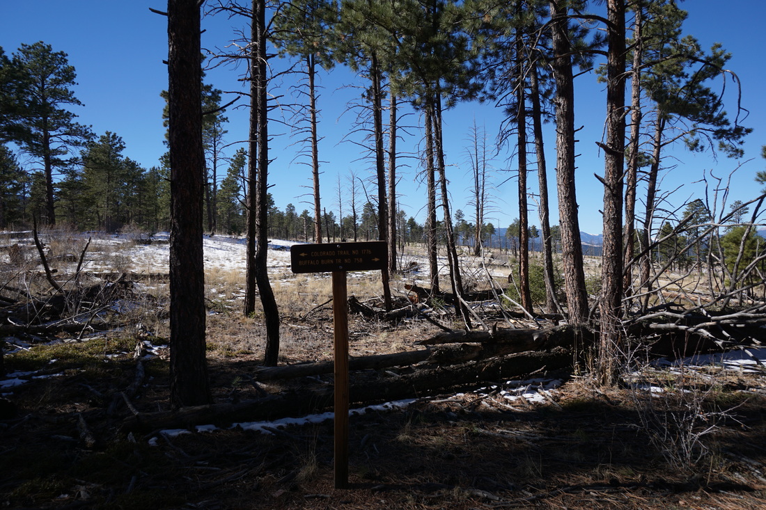
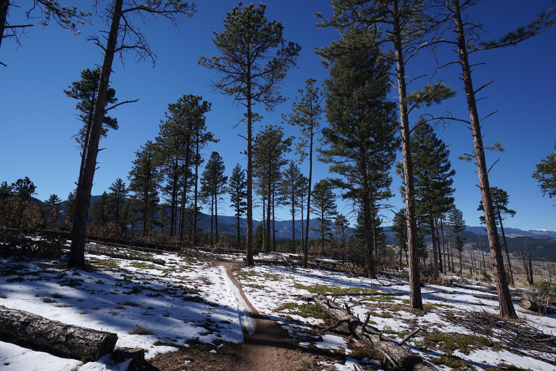
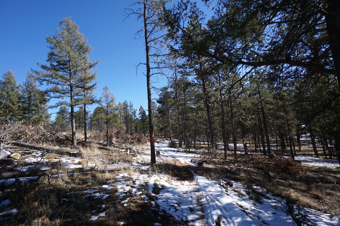
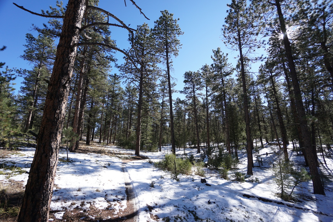
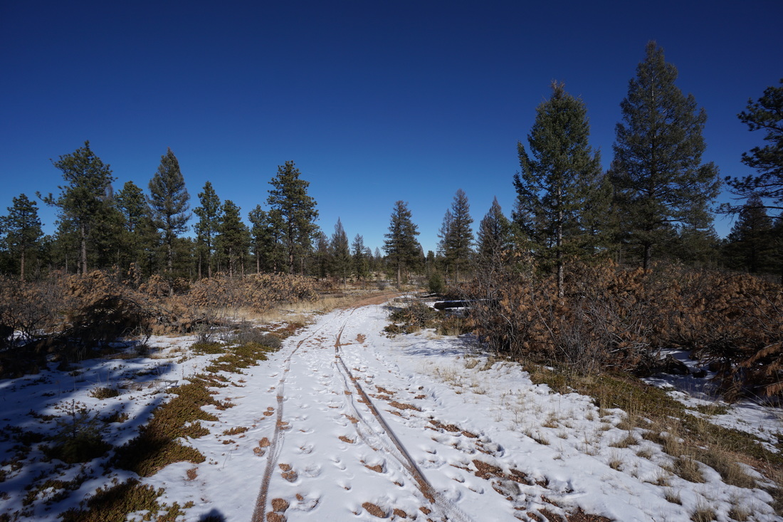
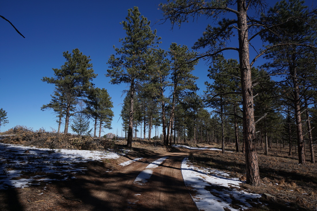
The trail begins along a dirt road that serves as the Colorado Trail in this area.  At the first trail sign turn right and follow the Buffalo Burn Trail out of the forest and into the burn area.  From here you enjoy the views as the trail winds around the rolling terrain through burnt trees.  In the spring this area is highlighted by green grasses and wildflowers but in the early winter the trail serves as a respite from the snowy forests nearby.   

After about a mile, the trail re-enters the forest for the remainder of the trail.  The trail winds through the pleasant quite forest for another mile and rejoins the CO Trail at the 2 mile mark.  Turn left here and follow the wide road/trail back to the beginning.  

All in all, this is a wonderful hike but be aware that it is mostly used by mountain bikers so keep an eye (and ear) out around the curves.    
Powered by Create your own unique website with customizable templates.