|
|
|
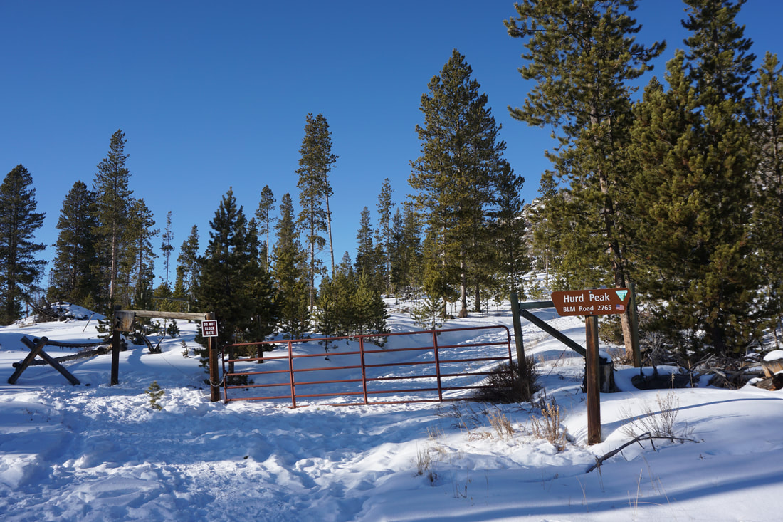
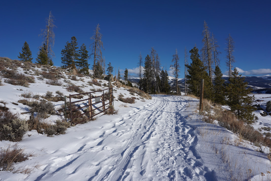
DIRECTIONS: From Hwy 40 north of Fraser, turn right (east) on 83 at the sign for Devils Thumb Ranch. Follow 83 and turn left onto 84. 84 leads north to a BLM road, turn left. This road is dirt but well maintained and plowed in the winter. Follow the BLM road past the trailhead for Phase .25 Trail to the large parking area across from the gated Hurd Peak Road.
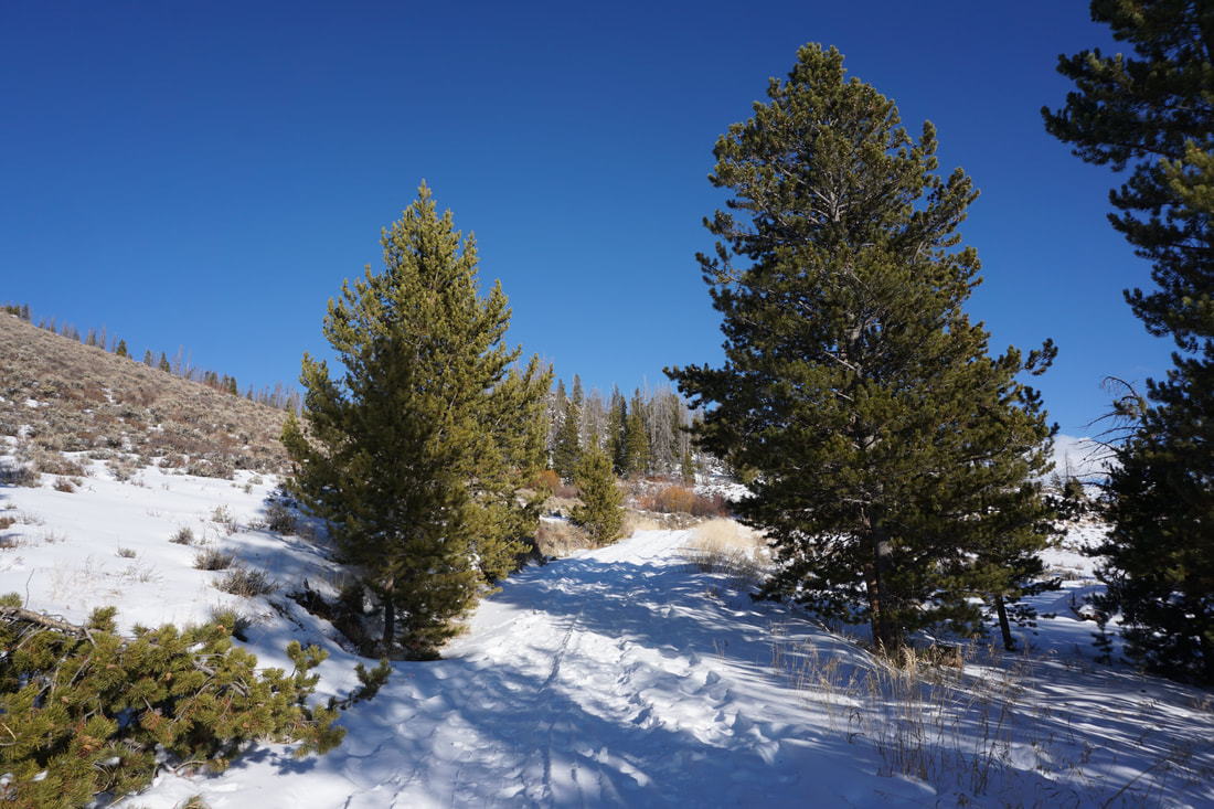
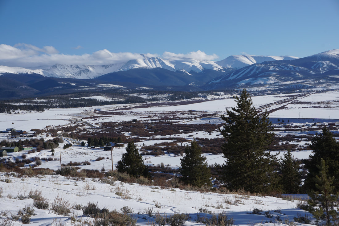
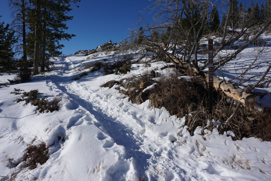
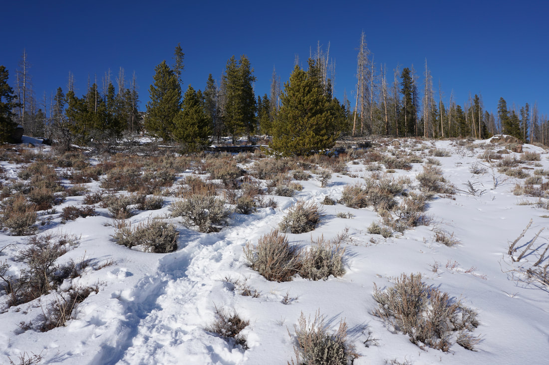
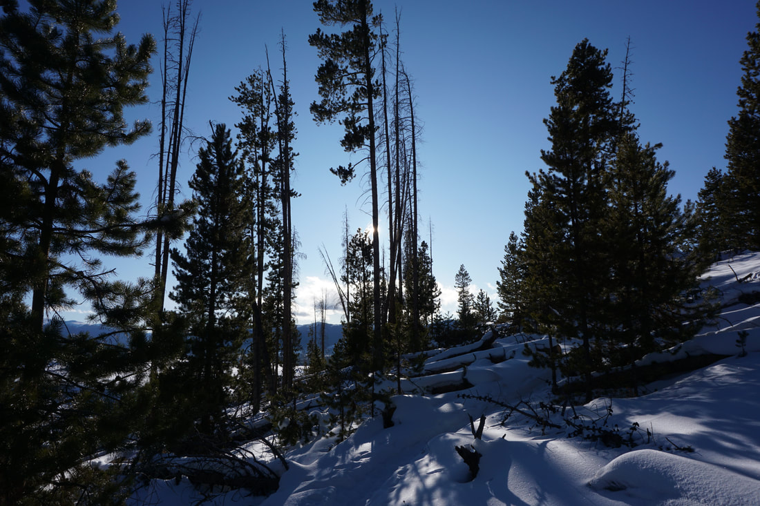
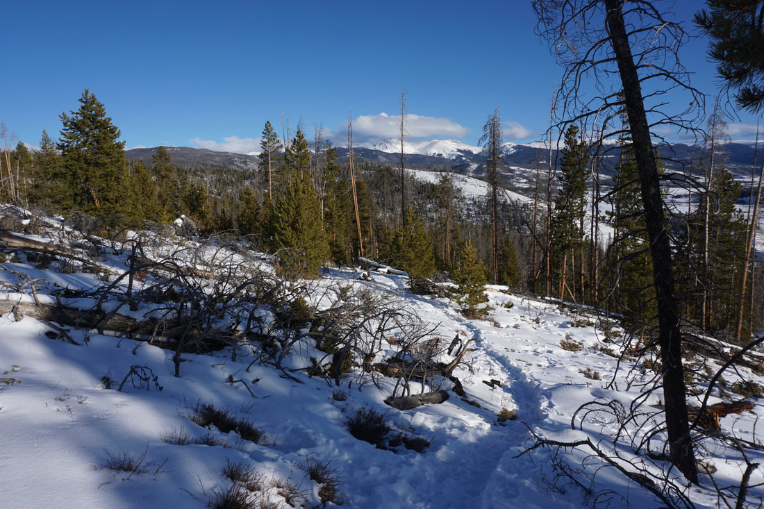
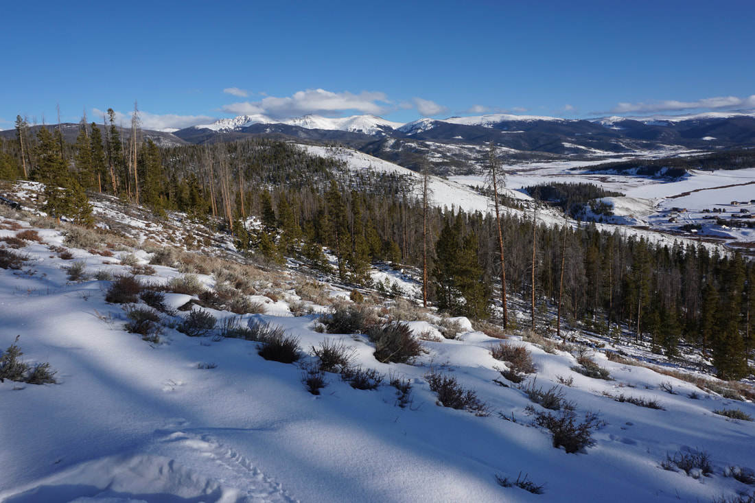
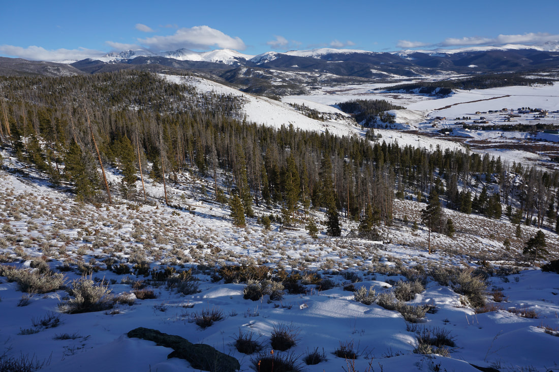
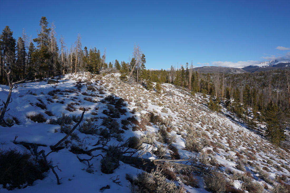
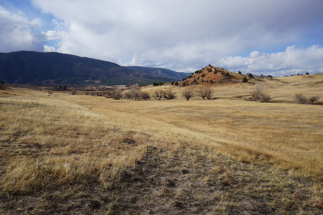
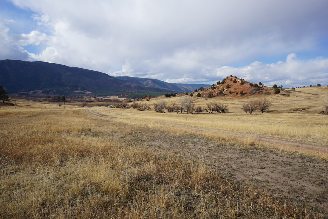
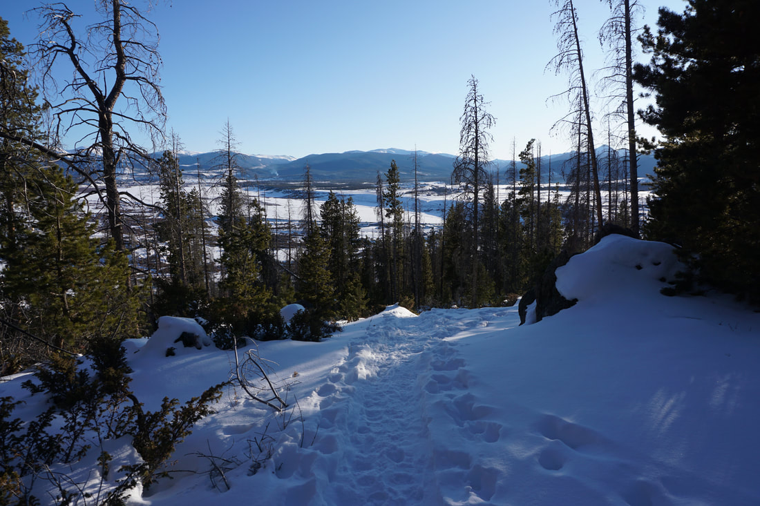
The BLM's Strawberry Recreation Management Area contains a system of trails on the eastern edge of the Fraser River Valley known as "The Phases." The Phases were created primarily for mountain biking however, in the winter, these trails become perfect for winter hiking. The trails maintain snow but not deep snow. While snowshoes may be useful after a big storm, the trails should be suitable for hiking boots...and maybe some microspikes...
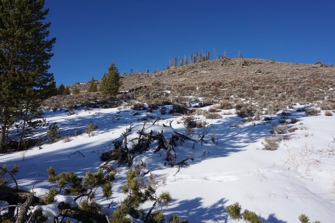
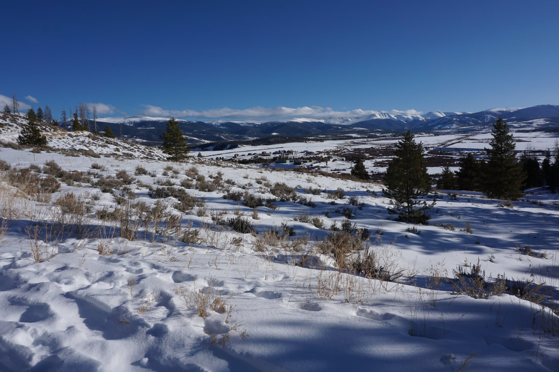
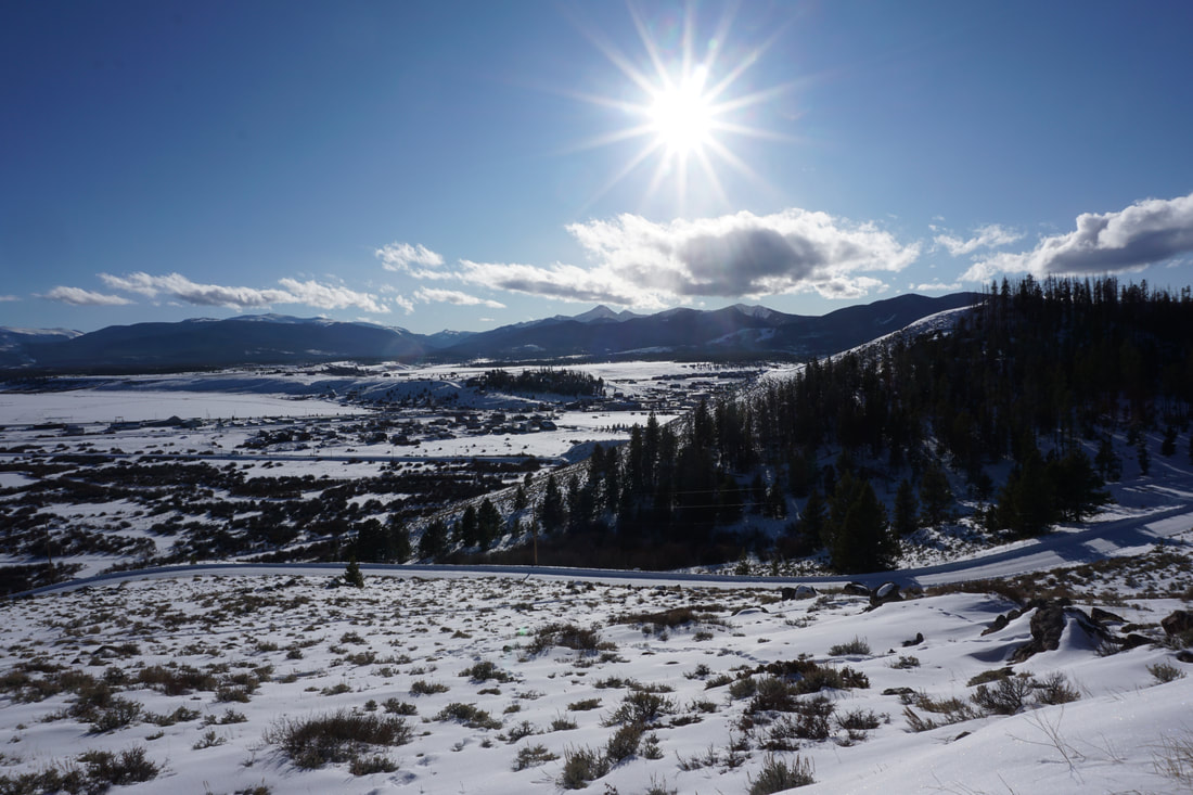
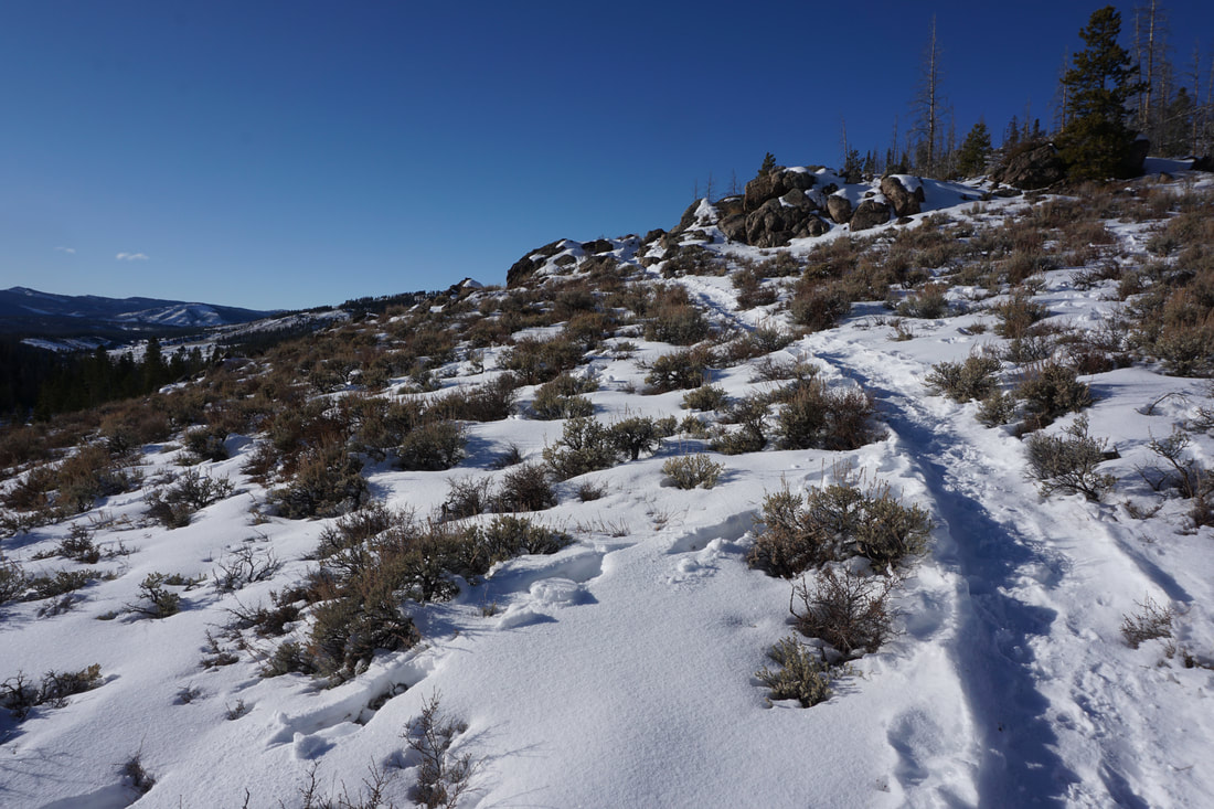
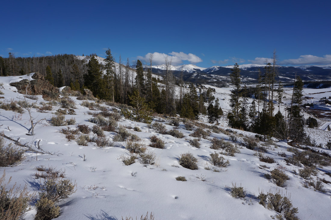
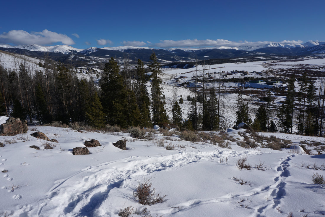
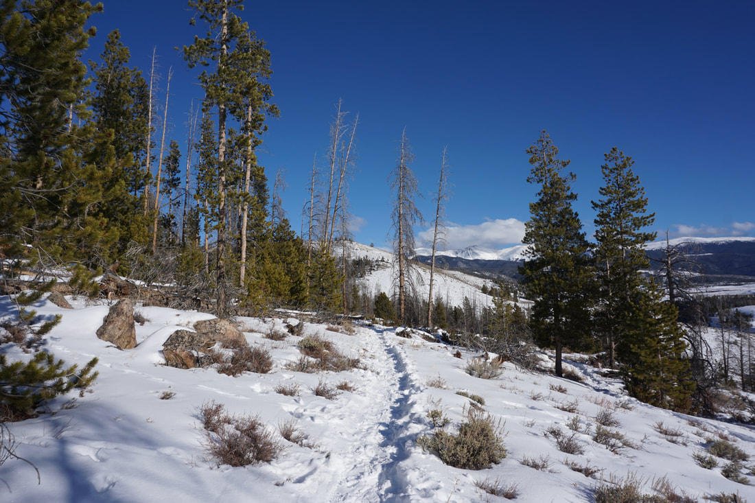
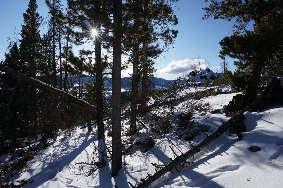
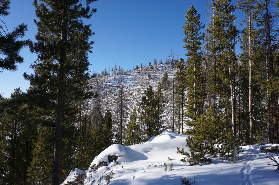
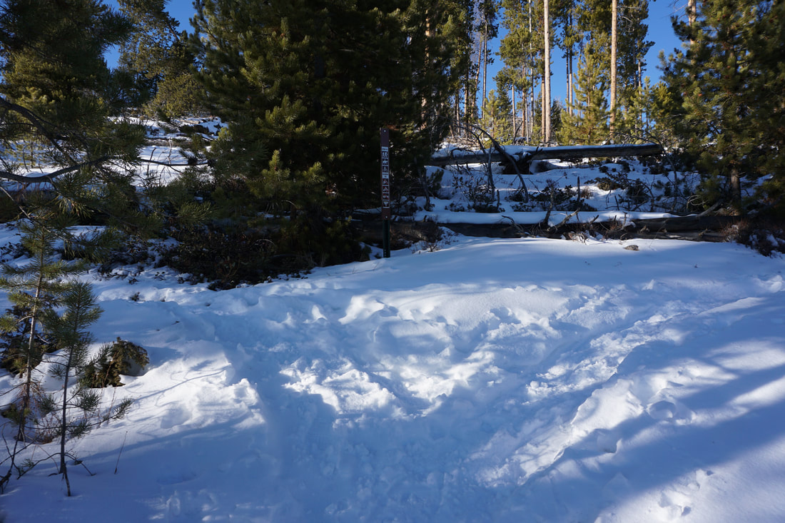
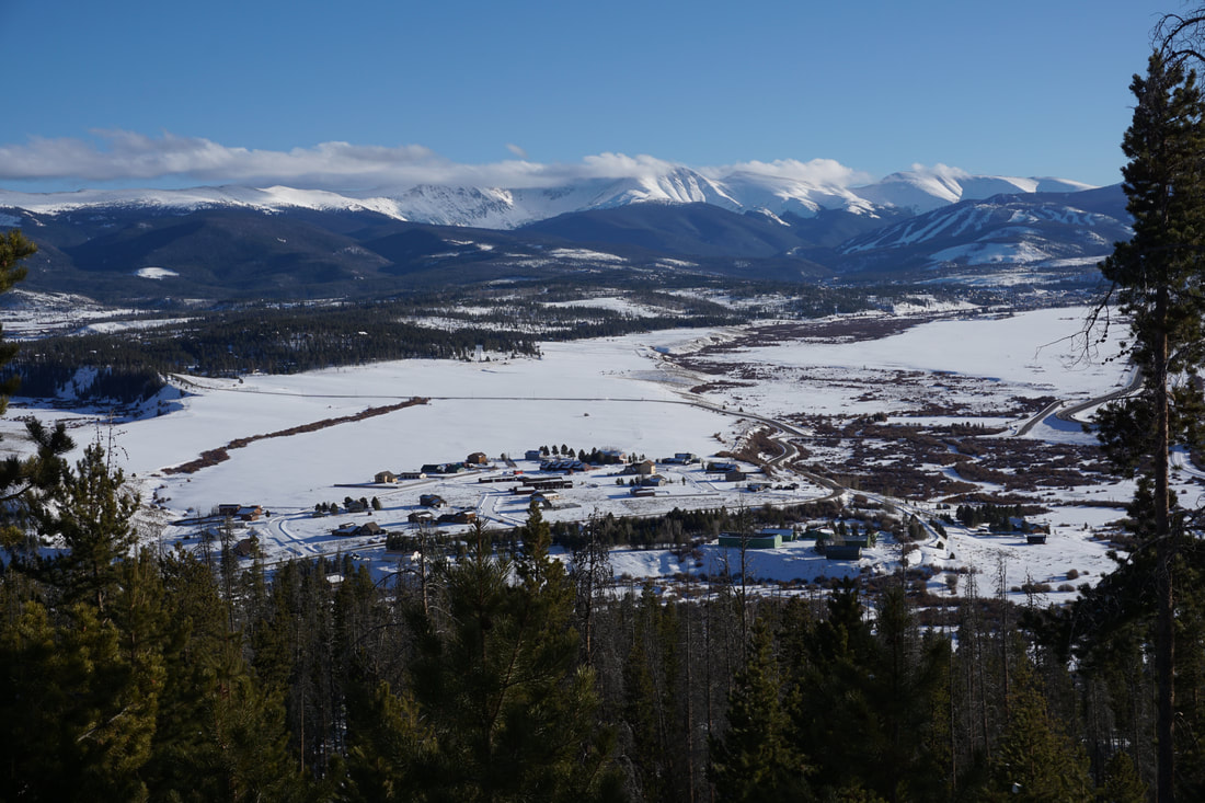
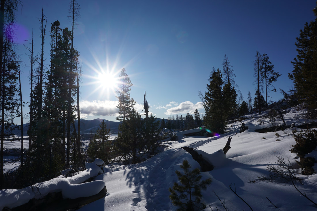
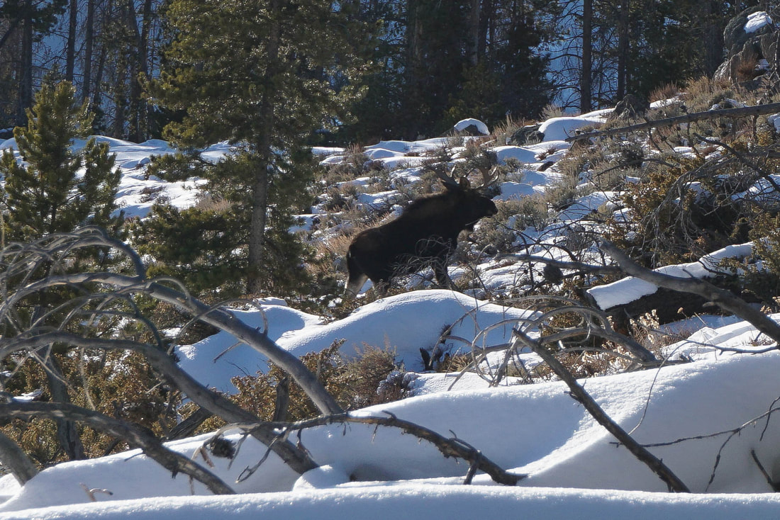
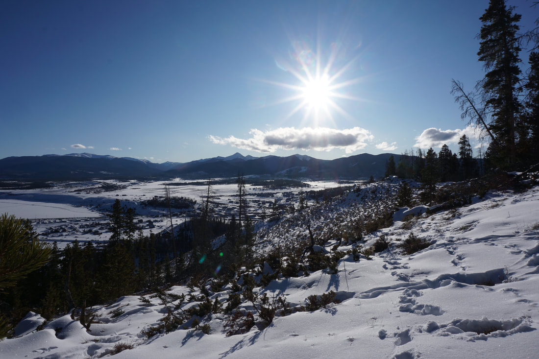
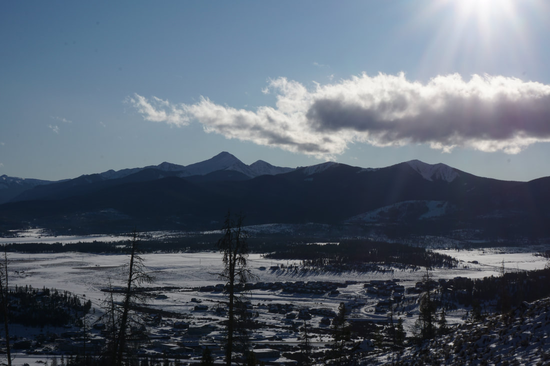
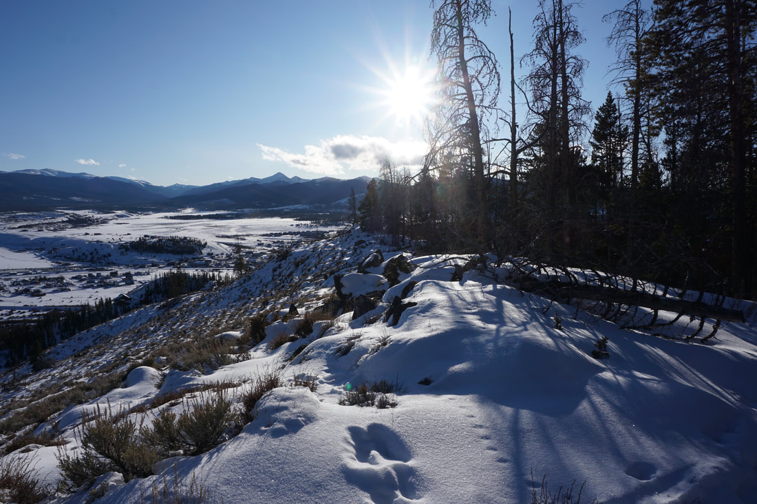
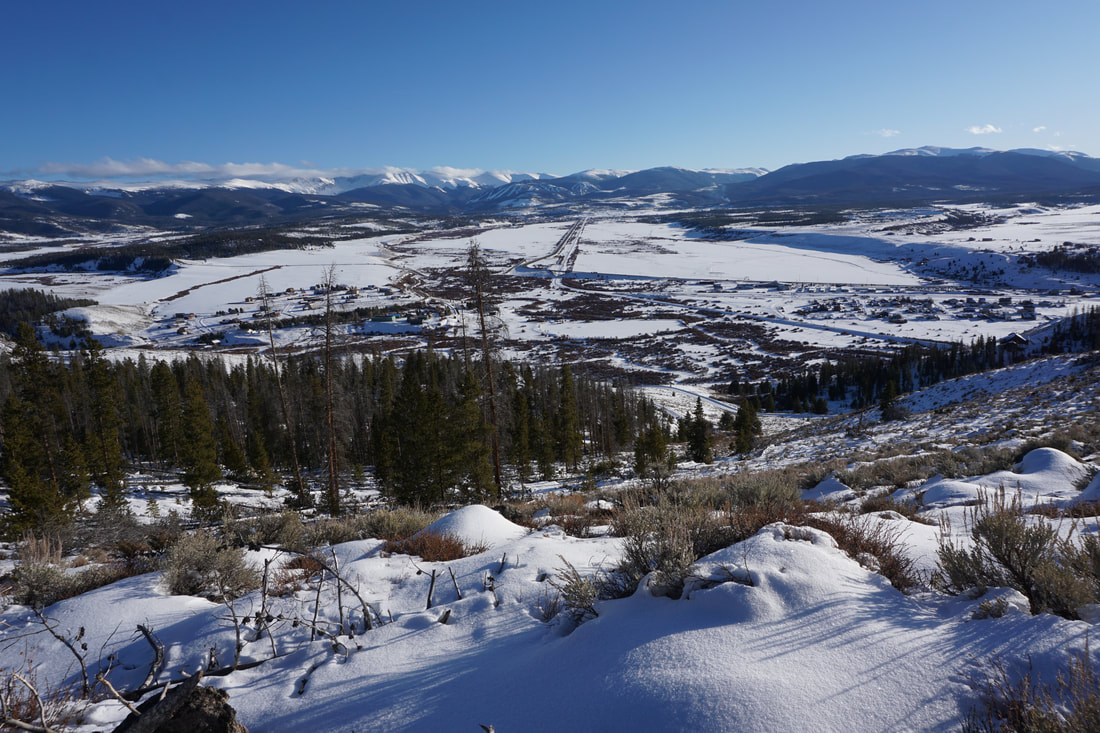
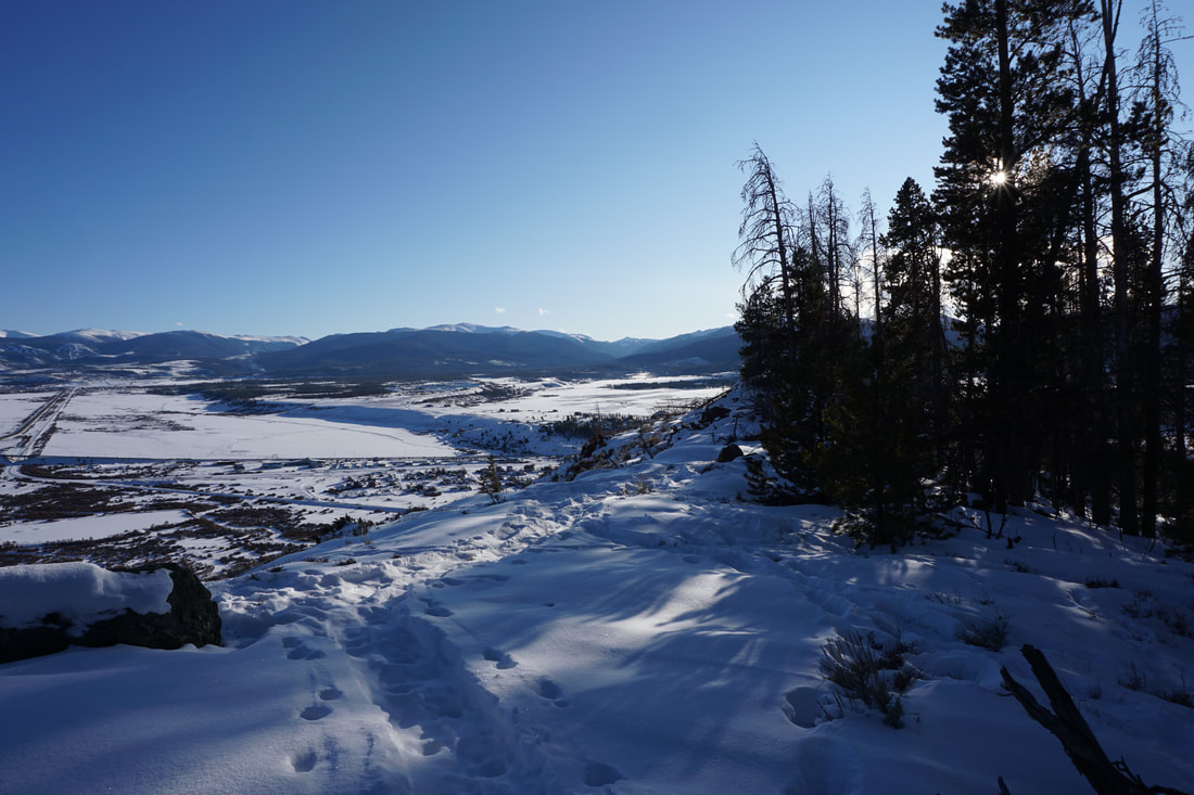
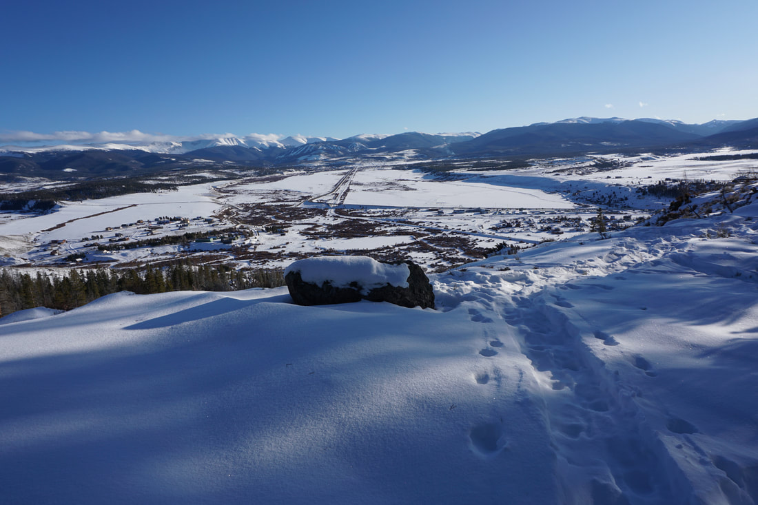
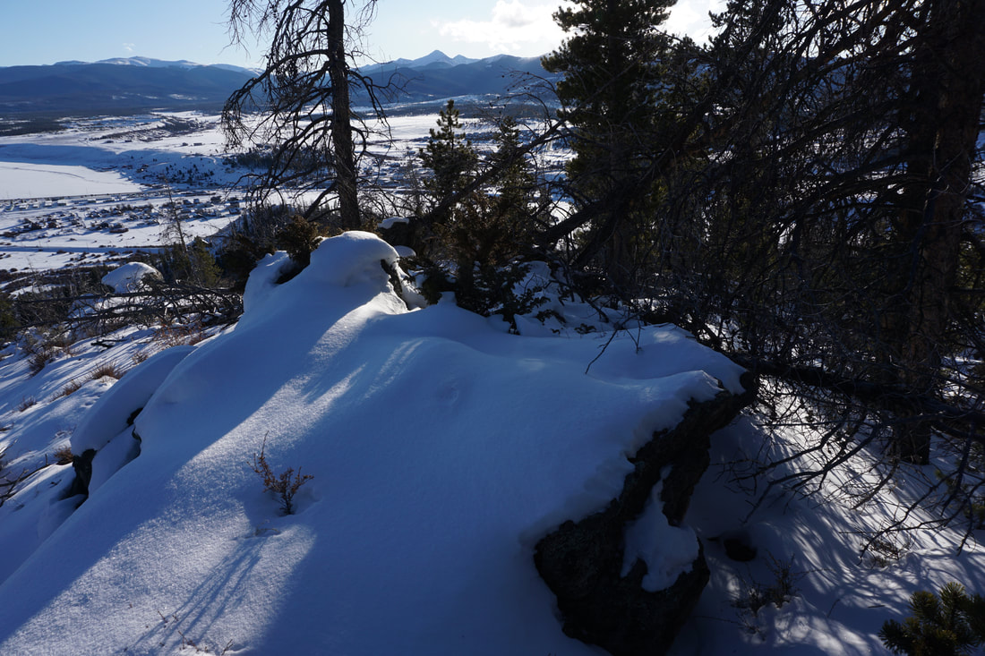
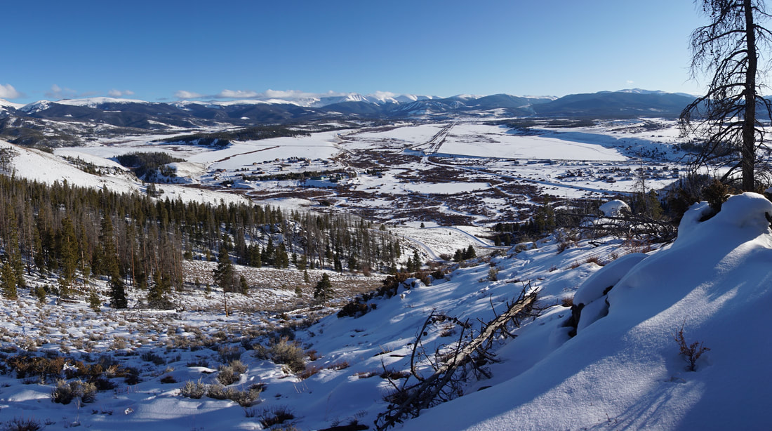
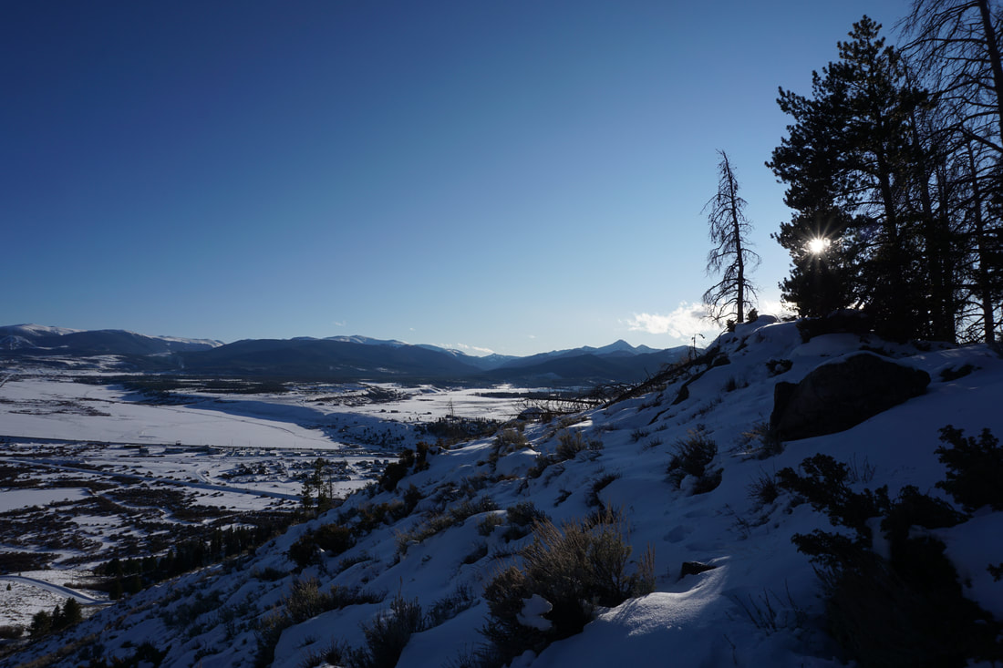
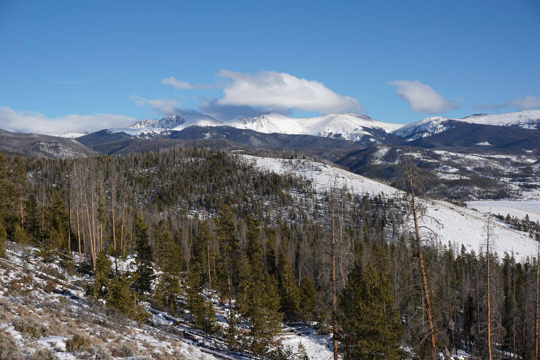
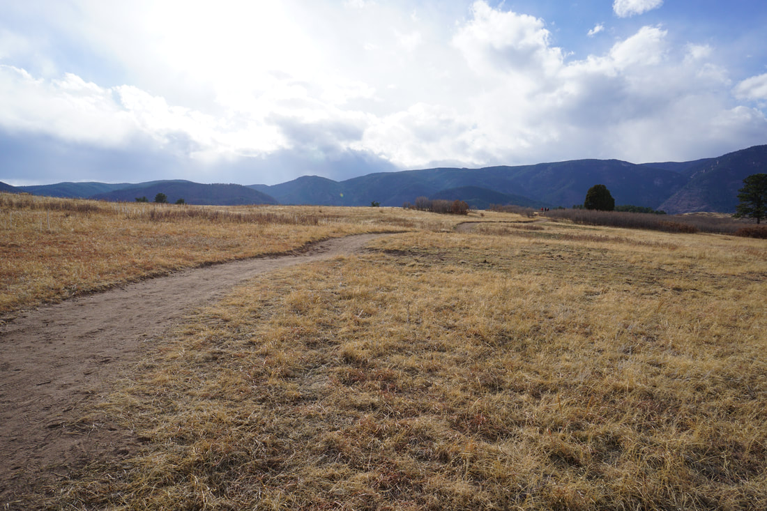
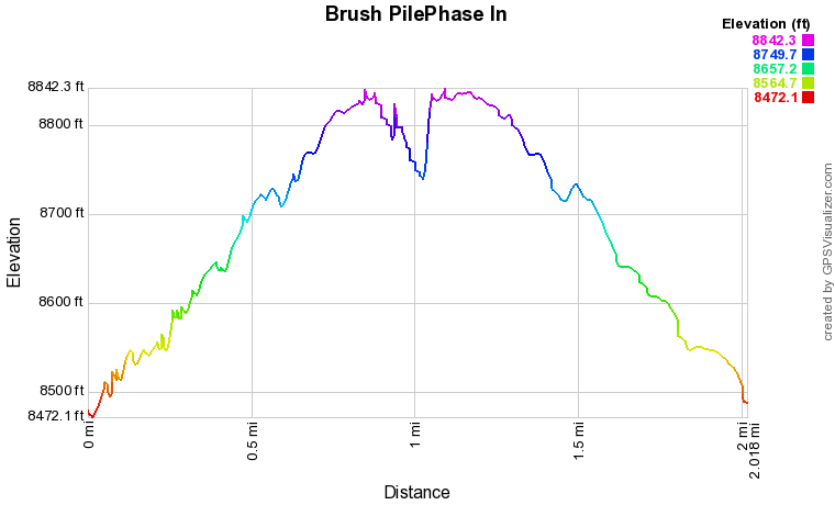
As you follow the BLM dirt access road, you'll first pass the trailhead for Phase. .25 Trail. Continue up the road to a large parking area and the trailhead for Hurd Peak Road. This road is gated but open to hikers. Hike up the road for just a few minutes to the small Brush Pile trailhead on the left. The open views of the entirety of the Fraser River Valley are immediate and just get better as the trail climbs higher. The trail weaves through evergreen forest and open hillsides as it switchbacks uphill. After about 1 mile of hiking you reach the start of the Phase In Trail loop. For the best views turn left (west) and climb a little higher. Before long you'll be hiking along a ridge to a rocky point. The views from the point are some of the best you'll find along the trail. If you looking for a quick 2 mile hike, turn around here. If you want to continue following the loop, the trail turns and heads downhill. The loop continues for about a mile before linking back to the Brush Pile Trail. This small, locals trail system, is wonderful year round but a true resource in the winter. Enjoy the views...oh and look out for moose...you may not expect it, but they are around... |
|