|
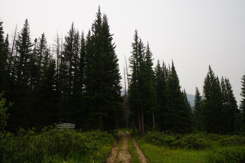
DIRECTIONS: The trailhead is located just past the Ruby Mountain Campground, south of Buena Vista off Hwy 285. From 285 follow the signs to Ruby Mountain Campground and follow a series of good dirt roads to the campground and a little past it where the road ends at the Browns Canyon Trailhead.
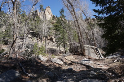
Browns Canyon National Monument (managed by the Bureau of Land Management rather than the National Park Service) was created by the Obama Administration to protect an area of rock formations and canyons carved by the Arkansas River as it runs between the Sawatch and Southern Front Range Mountains. The result is an area of spires, towers, and canyons that truly needs to be explored by raft for a full experience. That being said, you can get a taste of this area by hiking the system of trails starting at Ruby Mountain.
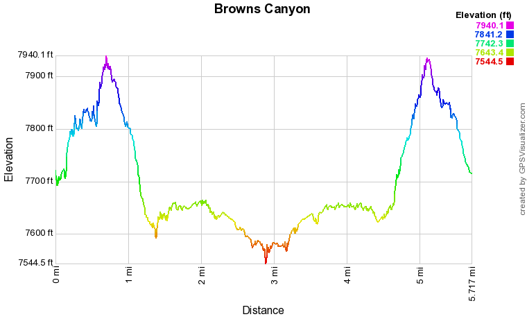
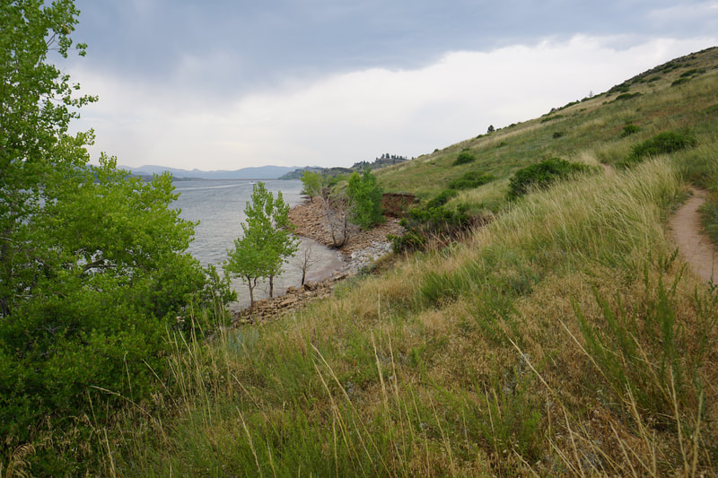
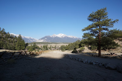
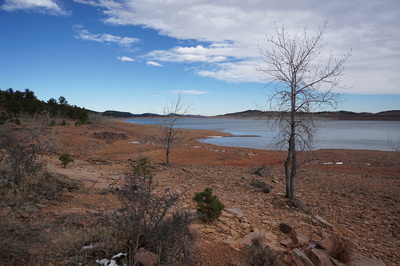
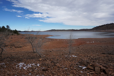
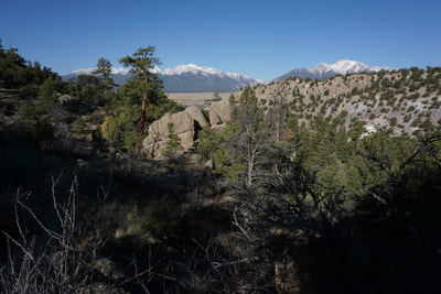
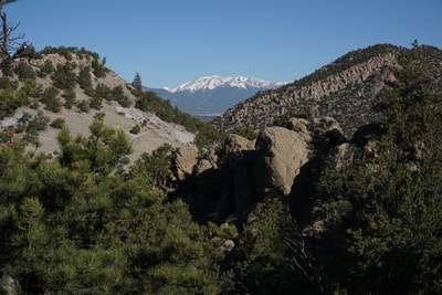
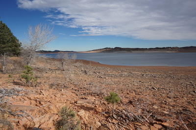
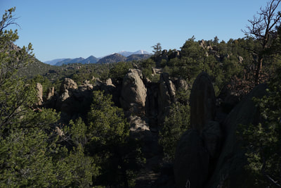
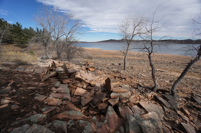
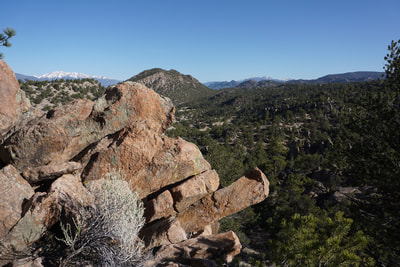
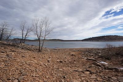
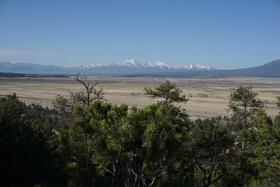
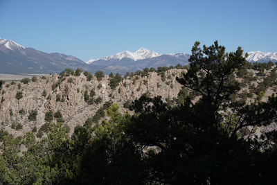
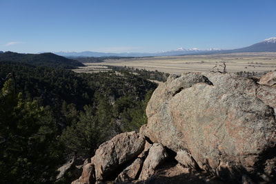
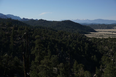
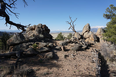
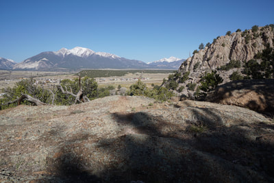
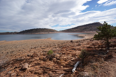
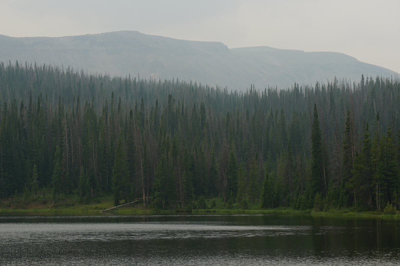
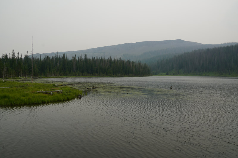
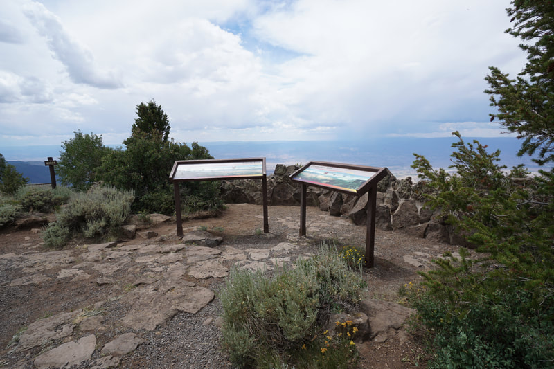
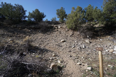
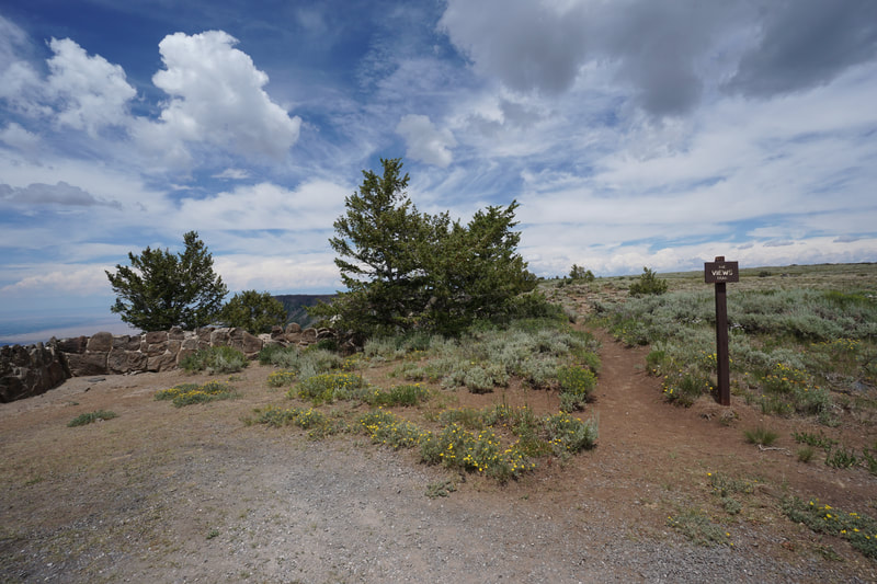
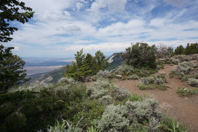
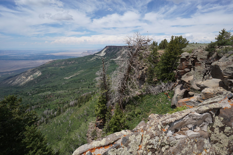
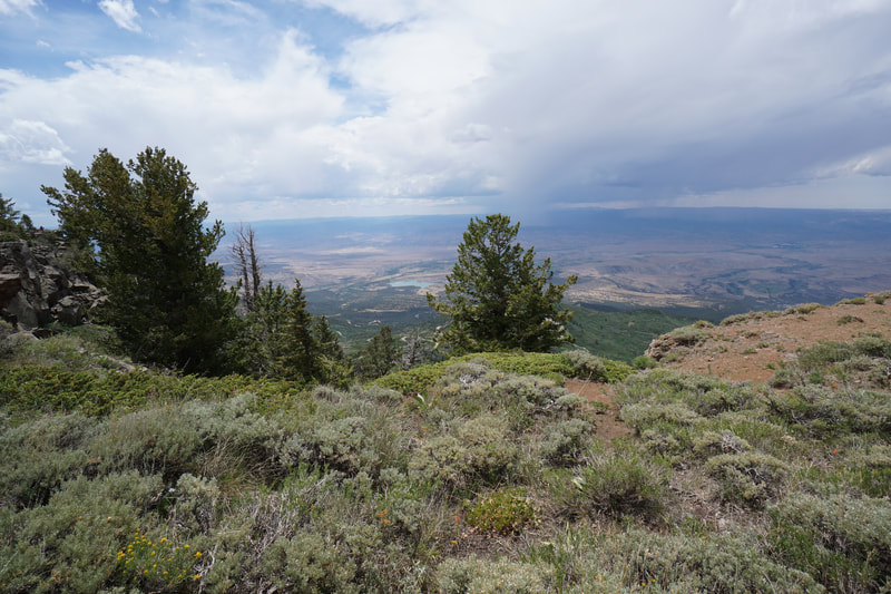
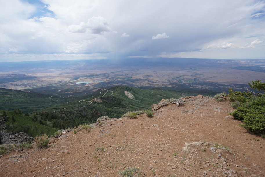
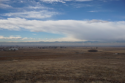
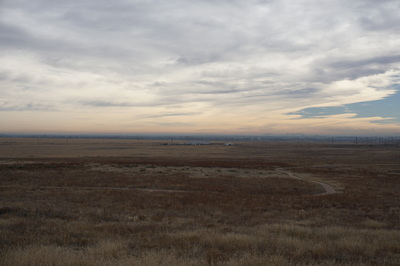
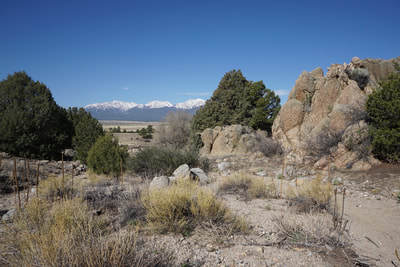
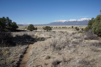
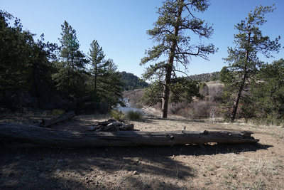
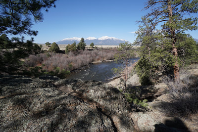
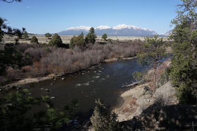
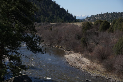
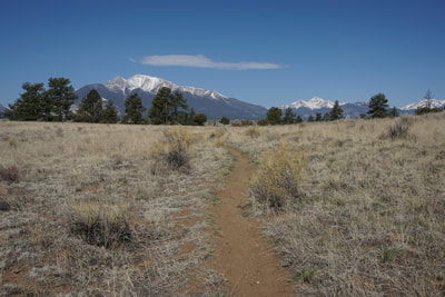
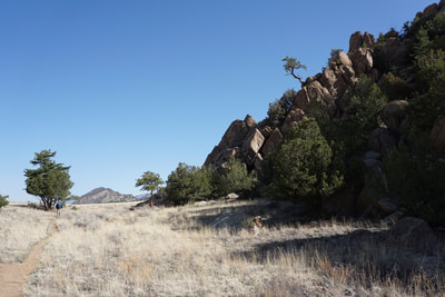
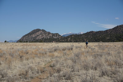
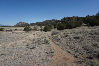
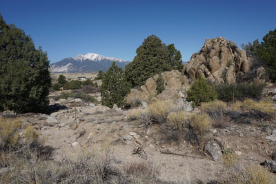
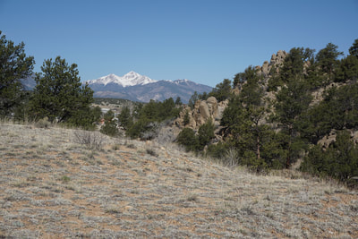
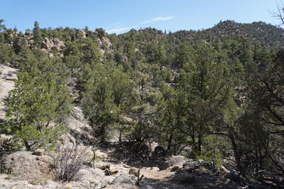
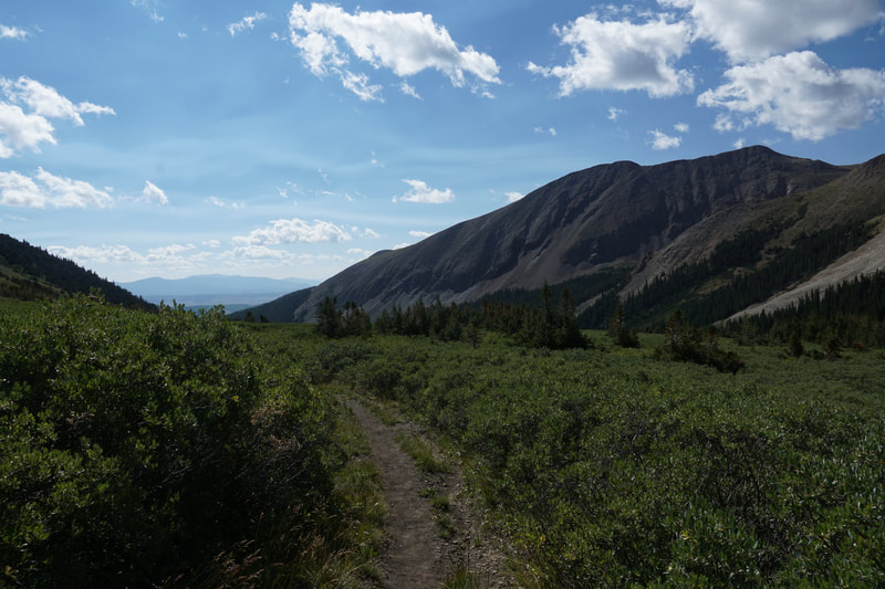
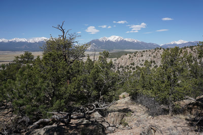
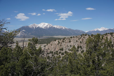
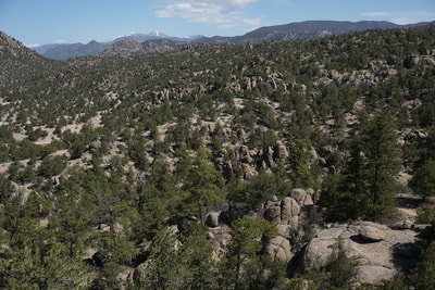
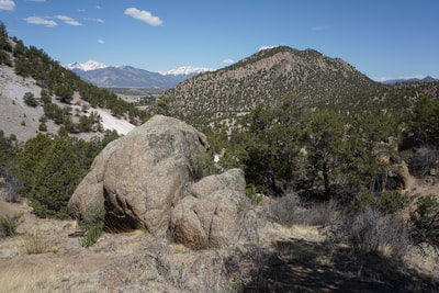
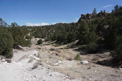
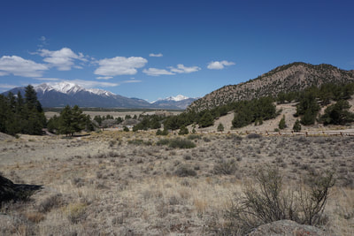
Your hike begins by following the Turret trail past limestone formations as you climb up a 400 ft hillside of brushy vegetation and towering rock formations. A few minutes into your hike you'll see a trail marker for 6045. This is the Turret Trail, turn left. The first part of the hike travels up and over the hill with amazing views in every direction. Most notably of course are the string of 14ers to the west known as the Collegiate Peaks. For almost the entirety of the hike you get phenomenal views of Mt. Princeton, Mt. Harvard, Mt. Antero, and Mt. Shavano and Tabeguache Peak to the south-western horizon. Also of note are the Buffalo Peaks to the north towering over the multitude of rock formations. As you drop down from the hills, you'll soon reach a dry river bed. Turn right, to the west, and follow the river bed for a few minutes until you see a trail sign pointing to the left. This trail takes you up and out of the river bed. The next leg of the journey crosses the open plains of the Arkansas River Valley. The views of the Collegiates are of course wonderful here as are the views of rock formations to the east. Soon you'll reach the junction for the River Bench Trail. If you stay straight on the Turret Trail you'll get to explore more of the interior of the monument along the Cattail Trail. However, the Cattail Loop results in a 12 mile hike. By all means go explore, however, I chose a shorter trip and followed the River Bench Trail down to a view of the Arkansas River heading south into the canyon. The viewpoint is peaceful and serene and on a clear day you can just make out the Sangre De Cristo Mountains rising in the distance to the south. The return trip re-visits the same terrain that you crossed on your way out, but traveling north instead of south tends to give you a different perspective on the scenery. This area is starting to gain in popularity but you are unlikely to run into hordes of visitors. The proximity to a major campground does result in more hikers along the first portion of the trip but the further into the monument you travel, the more solitude you'll find. Luckily this park escaped the recent attacks on our National Monuments and remains the same size as it was originally designated. Let's hope it stays that way. |
- HOME
- ABOUT
-
HIKES BY REGION
-
NATIONAL PARK HIKES
- BENT'S OLD FORT NATIONAL HISTORIC SITE
- BLACK CANYON OF THE GUNNISON NATIONAL PARK
- COLORADO NATIONAL MONUMENT
- CURECANTI NATIONAL RECREATION AREA
- DINOSAUR NATIONAL MONUMENT
- FLORISSANT FOSSIL BEDS NATIONAL MONUMENT
- MESA VERDE NATIONAL PARK
- ROCKY MOUNTAIN NATIONAL PARK
- GREAT SAND DUNES NATIONAL PARK
- HOVENWEEP NATIONAL MONUMENT
- SAND CREEK MASSACRE NATIONAL HISTORIC SITE
- YUCCA HOUSE NATIONAL MONUMENT
- HIKES BY CATEGORY
- NEWS
- WEBCAMS
- $UPPORT GHC
- INTERACTIVE MAP
Turret Trail to River Bench Trail
Browns Canyon National Monument
Date Hiked: April 28, 2018
Distance: 5.7 mi (RT)
Elevation Gain: 800 ft
Elevation Min/Max: 7,544 to 7,940 ft
Trailhead Lat/Long: 38º 45' 09" N; 106º 03' 55" W
Managing Agency: Bureau of Land Management (BLM)
Fee: None

