GO HIKE COLORADO
Get in Touch:
  • HOME
  • ABOUT
  • HIKES BY REGION
    • DENVER AREA >
      • Denver Mountain Parks
      • Jefferson County Open Space
      • Lakewood Parks
      • Denver Area Greenways
    • BOULDER AREA
    • DOUGLAS COUNTY
    • FORT COLLINS AREA
    • COLORADO SPRINGS AREA
    • FRONT RANGE
    • TENMILE & MOSQUITO RANGES
    • GORE RANGE
    • SANGRE DE CRISTO MOUNTAINS
    • PARK RANGE
    • SAWATCH RANGE
    • ELK MOUNTAINS
    • SAN JUAN MOUNTAINS
    • THE FLAT TOPS
    • GRAND MESA
    • COLORADO PLATEAU
    • EASTERN PLAINS
  • NATIONAL PARK HIKES
    • BENT'S OLD FORT NATIONAL HISTORIC SITE
    • BLACK CANYON OF THE GUNNISON NATIONAL PARK
    • COLORADO NATIONAL MONUMENT
    • CURECANTI NATIONAL RECREATION AREA
    • DINOSAUR NATIONAL MONUMENT
    • FLORISSANT FOSSIL BEDS NATIONAL MONUMENT
    • MESA VERDE NATIONAL PARK
    • ROCKY MOUNTAIN NATIONAL PARK
    • GREAT SAND DUNES NATIONAL PARK
    • HOVENWEEP NATIONAL MONUMENT
    • SAND CREEK MASSACRE NATIONAL HISTORIC SITE
    • YUCCA HOUSE NATIONAL MONUMENT
  • HIKES BY CATEGORY
    • HIKES TO ALPINE LAKES
    • HIKES TO PEAKS & PASSES
    • HIKES THROUGH CANYONS
    • HIKES WITH FALL COLORS
    • HIKES ALONG THE I-70 CORRIDOR
    • HIKES ON PAVED TRAILS
    • HIKES FOR KIDS
    • HIKES TO WATERFALLS
    • HIKES ALONG RIVERS
    • HIKES WITH ROCK FORMATIONS
    • HIKES WITH WILDFLOWERS
    • WINTER HIKES
  • NEWS
  • WEBCAMS
  • $UPPORT GHC
  • INTERACTIVE MAP

Discovery & Challenger Trails
Bonfils-Stanton Foundation Outdoor Center

​Date Hiked: August 7, 2016

Distance: 1.4 mi (RT)
Elevation Gain: 350 ft
Elevation Min/Max: 9,143 to 9,350 ft
Trailhead Lat/Long: 39º 52' 55" N; 105º 45' 17" W
Managing Agency: National Sports Center for the Disabled
Fee: None

Bonfils-Stanton Foundation Website
Picture

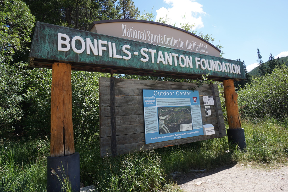
Directions:  The parking area and trailhead is located on US40 just across from the main entrance to the Winter Park ski area.  Look for the large Bonfils-Stanton sign.  The trails start near the sign.

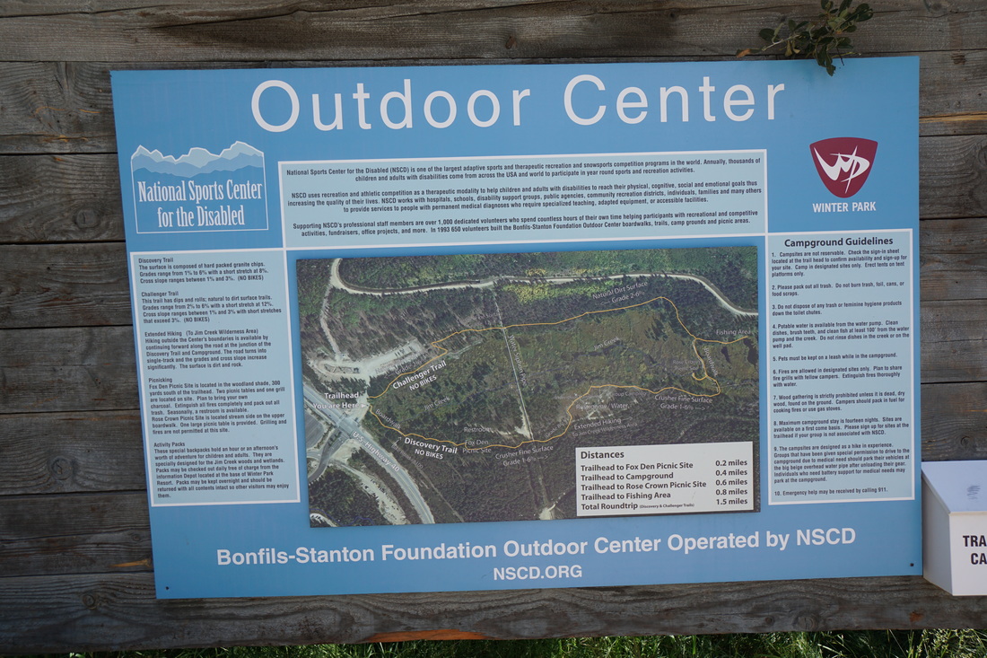
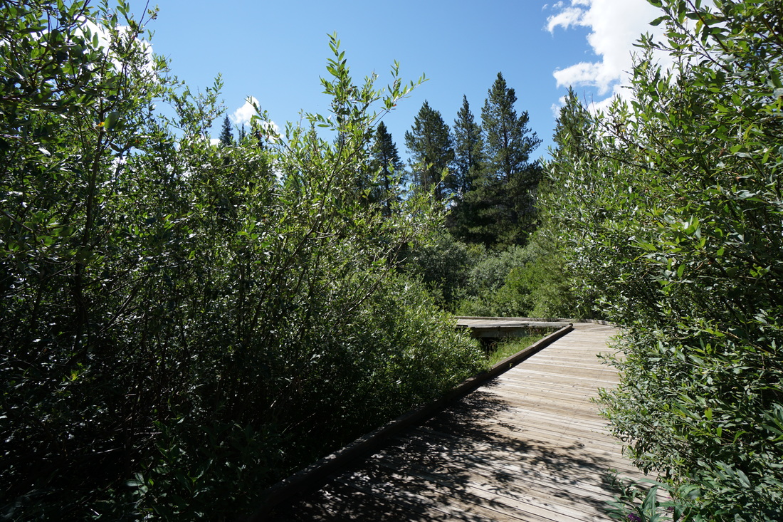
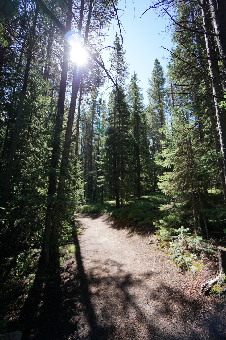
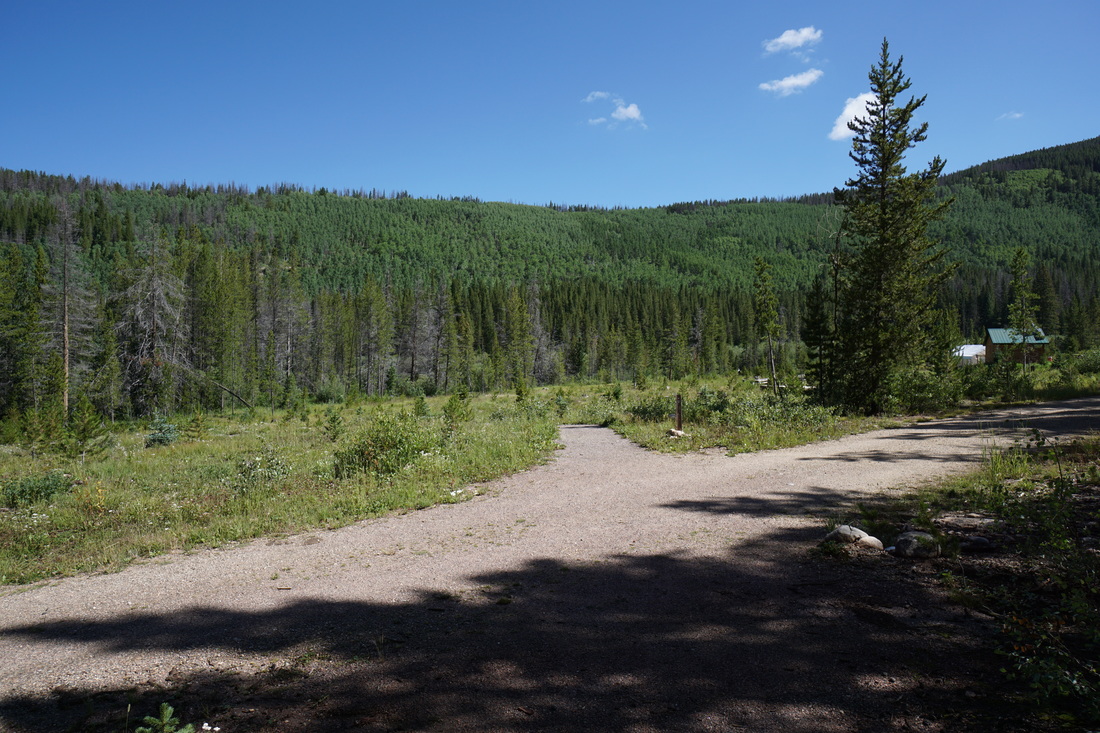
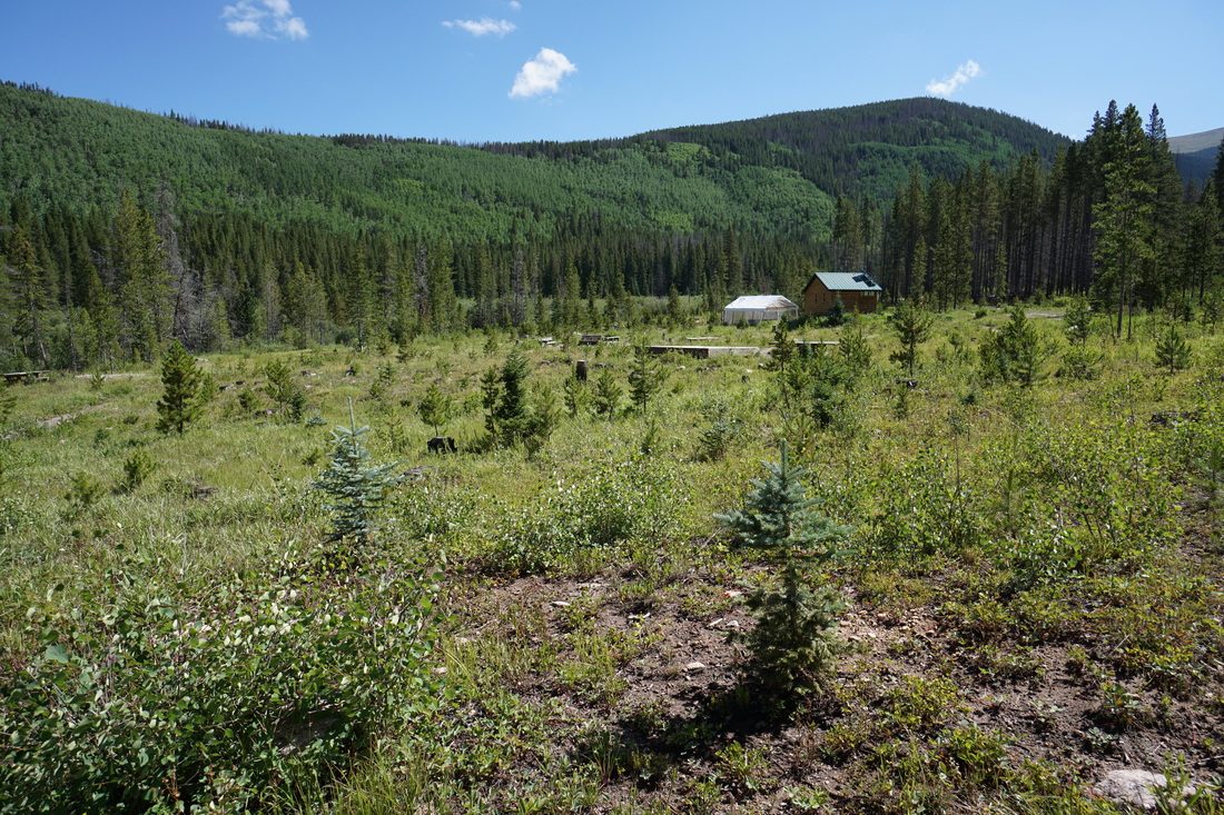
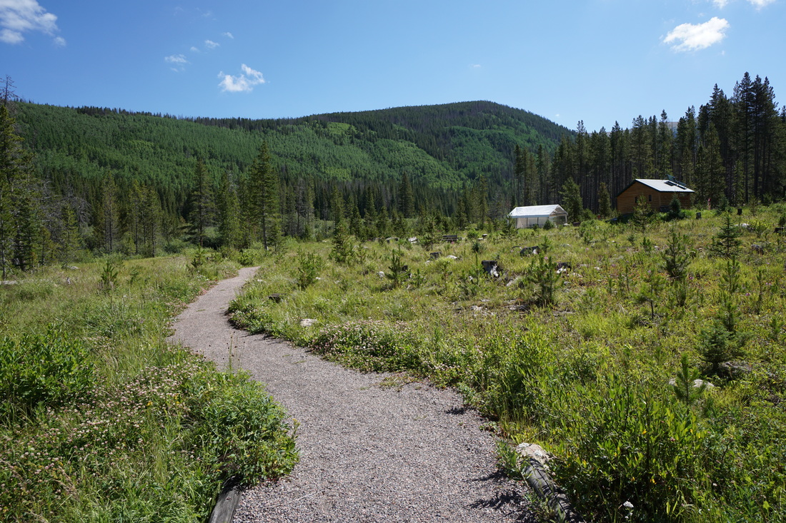
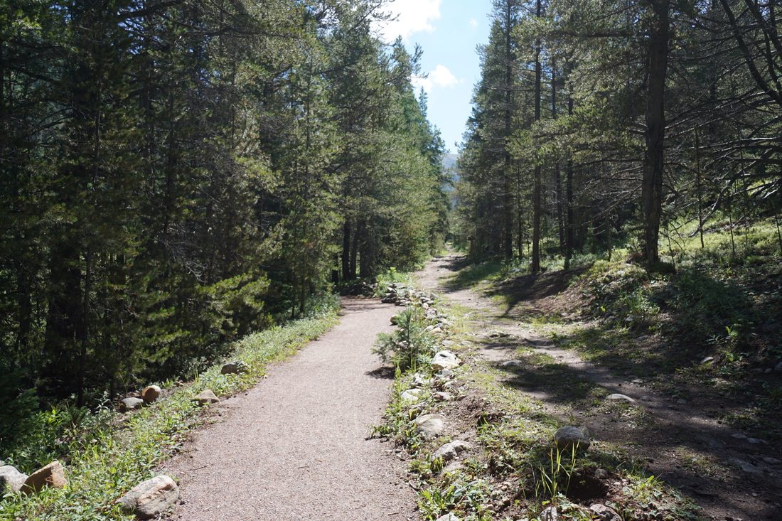
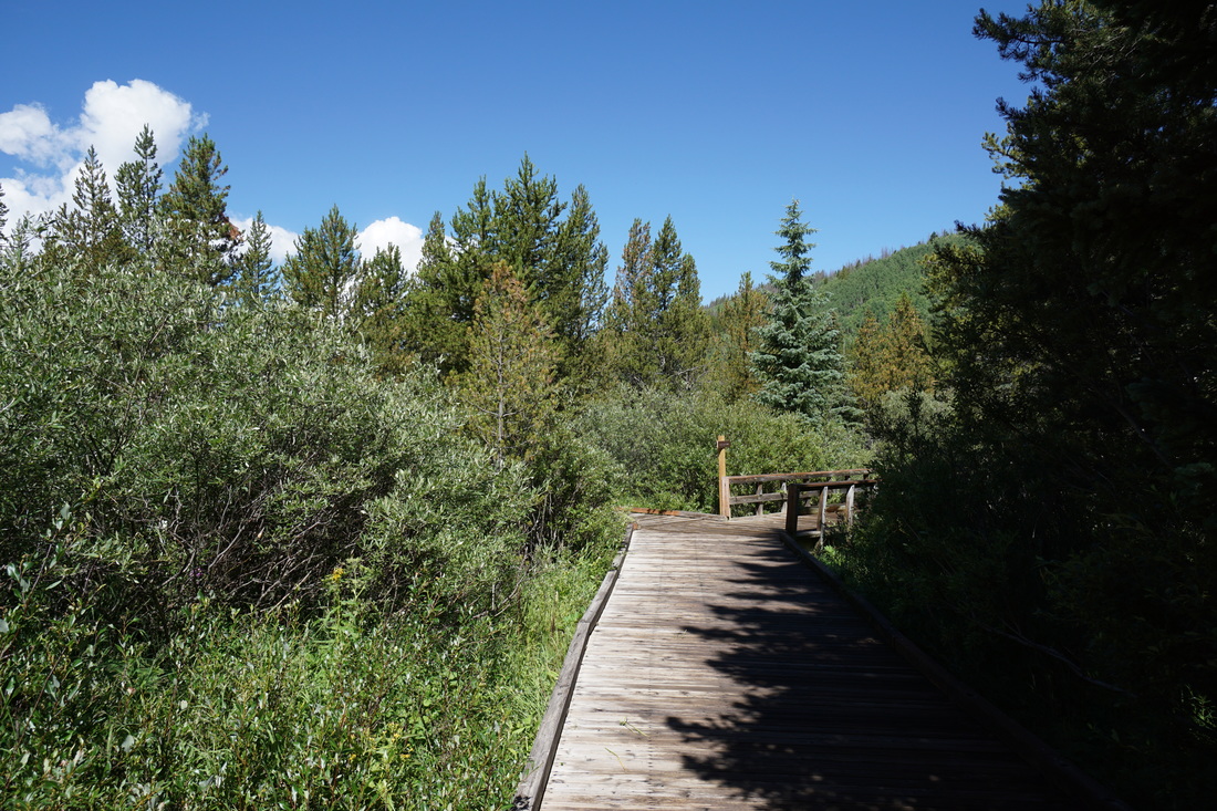
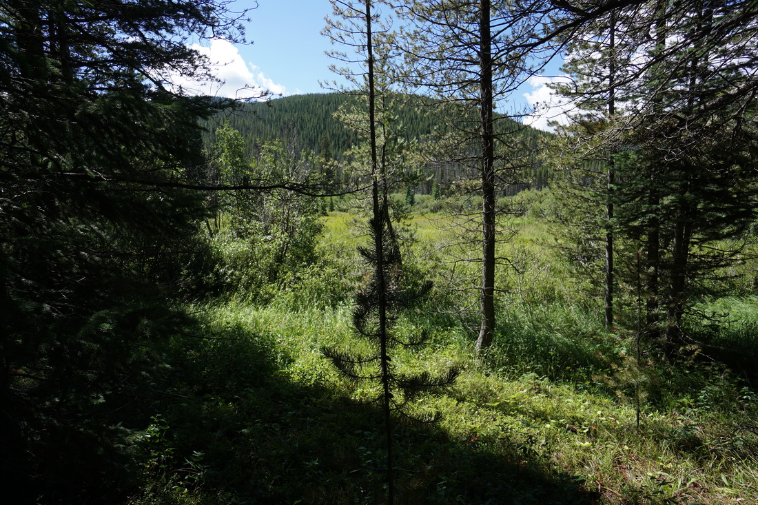
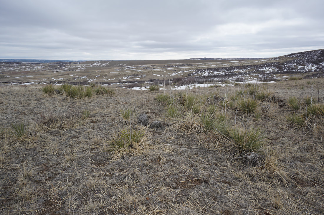
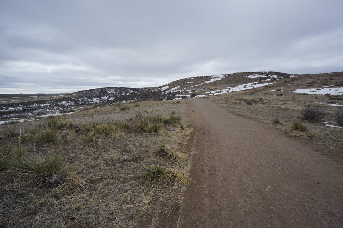
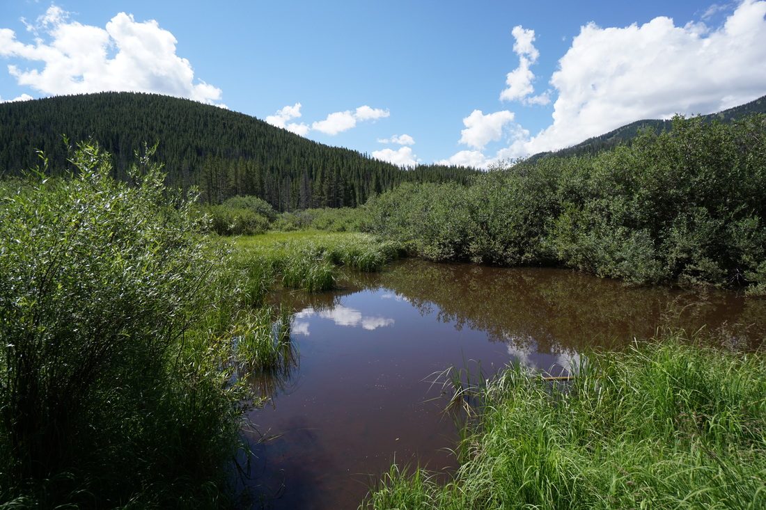
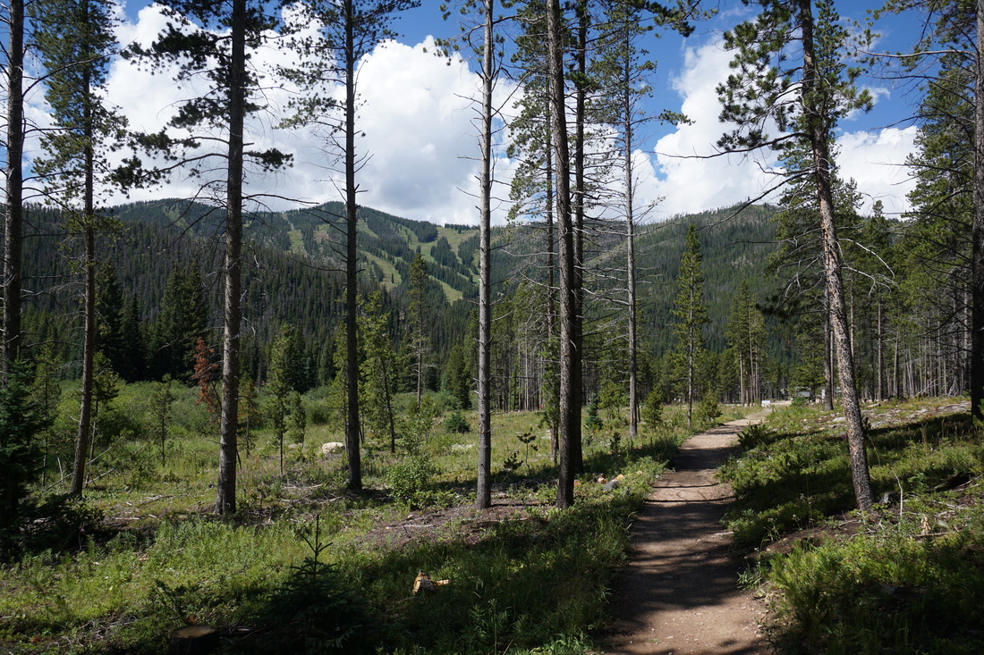
The Discovery/Challenger loop is an easy and scenic loop through pine forest and across open meadows.  The trail is easy and good for kids and is meant to provide access and outdoor education to disabled children and families.  

There are segments of trail that follow wooden boardwalks over wetlands and the remainder of the trail is on well maintained soft surfaces.  While the majority of the hike is through dense forest you do get nice views of the Continental Divide along the way and the Winter Park Ski Mountains across the valley.  

The trailhead for the Jim Creek Trail is located at the far end of the loop and provides access up into the mountains for another 2 miles if you want to add some exploration to the hike.


Powered by Create your own unique website with customizable templates.