GO HIKE COLORADO
Get in Touch:
  • HOME
  • ABOUT
  • HIKES BY REGION
    • DENVER AREA >
      • Denver Mountain Parks
      • Jefferson County Open Space
      • Lakewood Parks
      • Denver Area Greenways
    • BOULDER AREA
    • DOUGLAS COUNTY
    • FORT COLLINS AREA
    • COLORADO SPRINGS AREA
    • FRONT RANGE
    • TENMILE & MOSQUITO RANGES
    • GORE RANGE
    • SANGRE DE CRISTO MOUNTAINS
    • PARK RANGE
    • SAWATCH RANGE
    • ELK MOUNTAINS
    • SAN JUAN MOUNTAINS
    • THE FLAT TOPS
    • GRAND MESA
    • COLORADO PLATEAU
    • EASTERN PLAINS
  • NATIONAL PARK HIKES
    • BENT'S OLD FORT NATIONAL HISTORIC SITE
    • BLACK CANYON OF THE GUNNISON NATIONAL PARK
    • COLORADO NATIONAL MONUMENT
    • CURECANTI NATIONAL RECREATION AREA
    • DINOSAUR NATIONAL MONUMENT
    • FLORISSANT FOSSIL BEDS NATIONAL MONUMENT
    • MESA VERDE NATIONAL PARK
    • ROCKY MOUNTAIN NATIONAL PARK
    • GREAT SAND DUNES NATIONAL PARK
    • HOVENWEEP NATIONAL MONUMENT
    • SAND CREEK MASSACRE NATIONAL HISTORIC SITE
    • YUCCA HOUSE NATIONAL MONUMENT
  • HIKES BY CATEGORY
    • HIKES TO ALPINE LAKES
    • HIKES TO PEAKS & PASSES
    • HIKES THROUGH CANYONS
    • HIKES WITH FALL COLORS
    • HIKES ALONG THE I-70 CORRIDOR
    • HIKES ON PAVED TRAILS
    • HIKES FOR KIDS
    • HIKES TO WATERFALLS
    • HIKES ALONG RIVERS
    • HIKES WITH ROCK FORMATIONS
    • HIKES WITH WILDFLOWERS
    • WINTER HIKES
  • NEWS
  • WEBCAMS
  • $UPPORT GHC
  • INTERACTIVE MAP

Peregrine > Red Squirrel Loop
Blodgett Peak Open Space

Date Hiked: February 7, 2021

Distance: 1.4 mi (RT)
Elevation Gain: 485 ft
Elevation Min/Max: 7,066.9 ft, 7,418.0 ft
Trailhead Lat/Long: 38.94886, -104.88612
Managing Agency: City of Colorado Springs
​Fee: None

Blodgett Peak Open Space Website
Picture

DIRECTIONS:  From I-25, take exit 149 for Woodmen Road and head west.  Follow Woodmen Road for 2 3/4 miles and turn left on Orchard Valley Road.  Turn right on W. Woodmen Road and the trailhead will be on your left. 

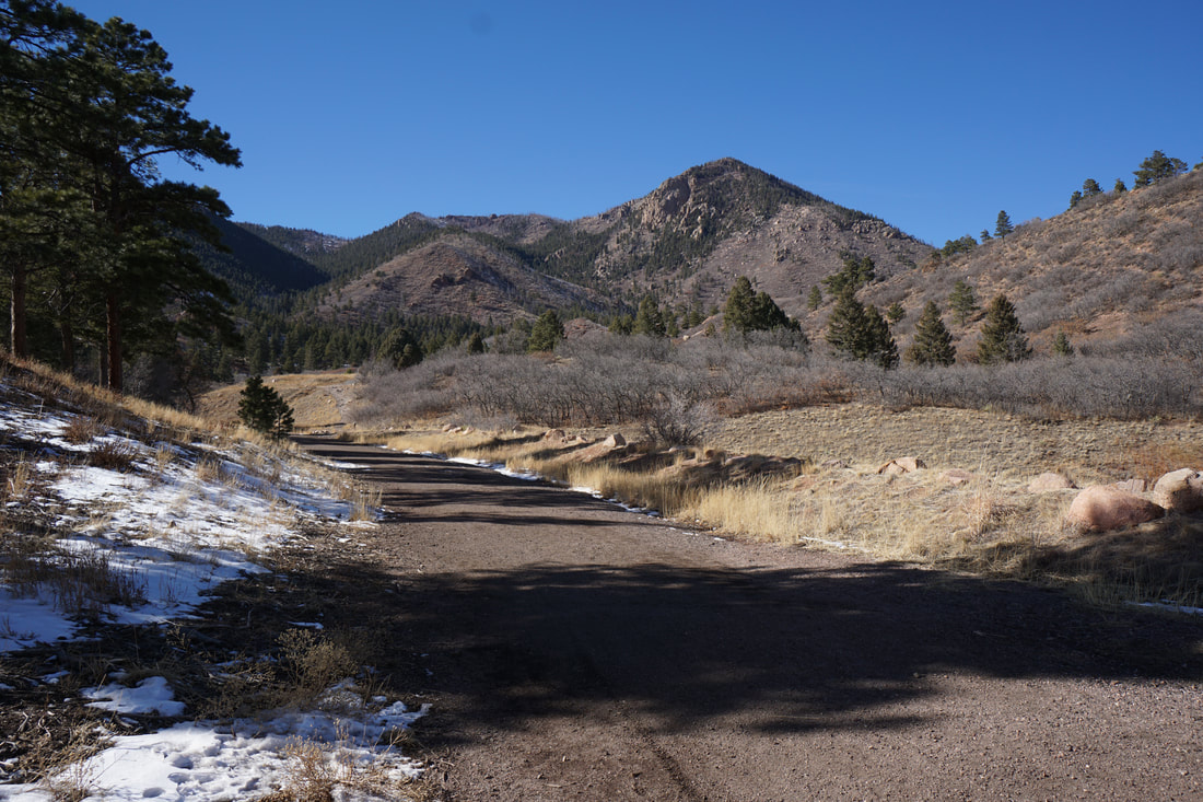
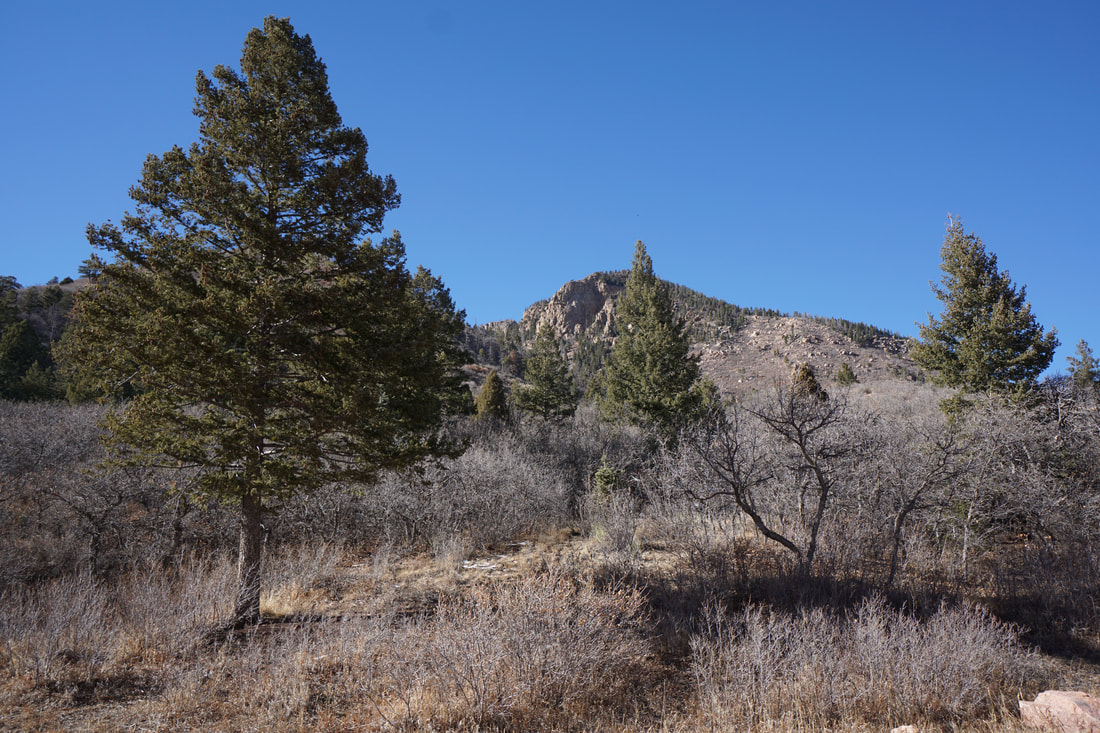
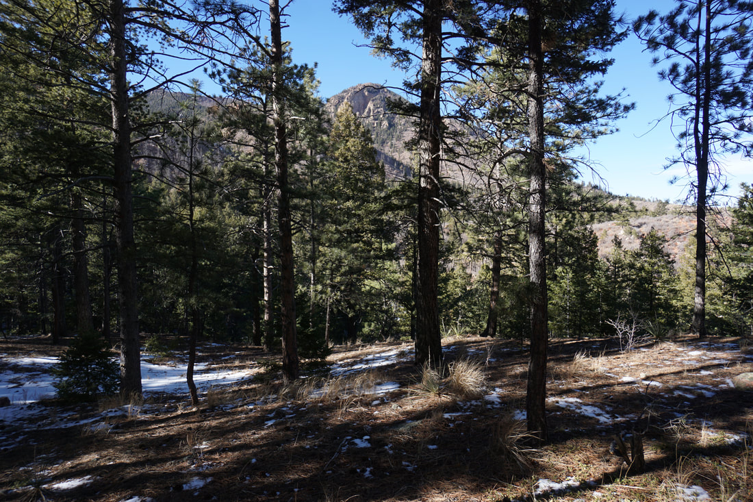
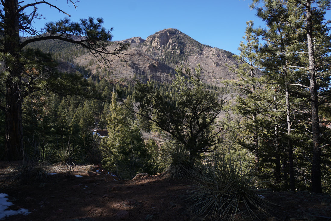
Blodgett Peak Open Space is a fun little natural area nestled up against Blodgett Peak in the northern Colorado Springs foothills.  Just south of the Air Force Academy Grounds this parks sees a fair amount of visitation by locals and neighborhood hikers.  The park has two trailheads, this hike begins at the North Blodgett Trailhead. 

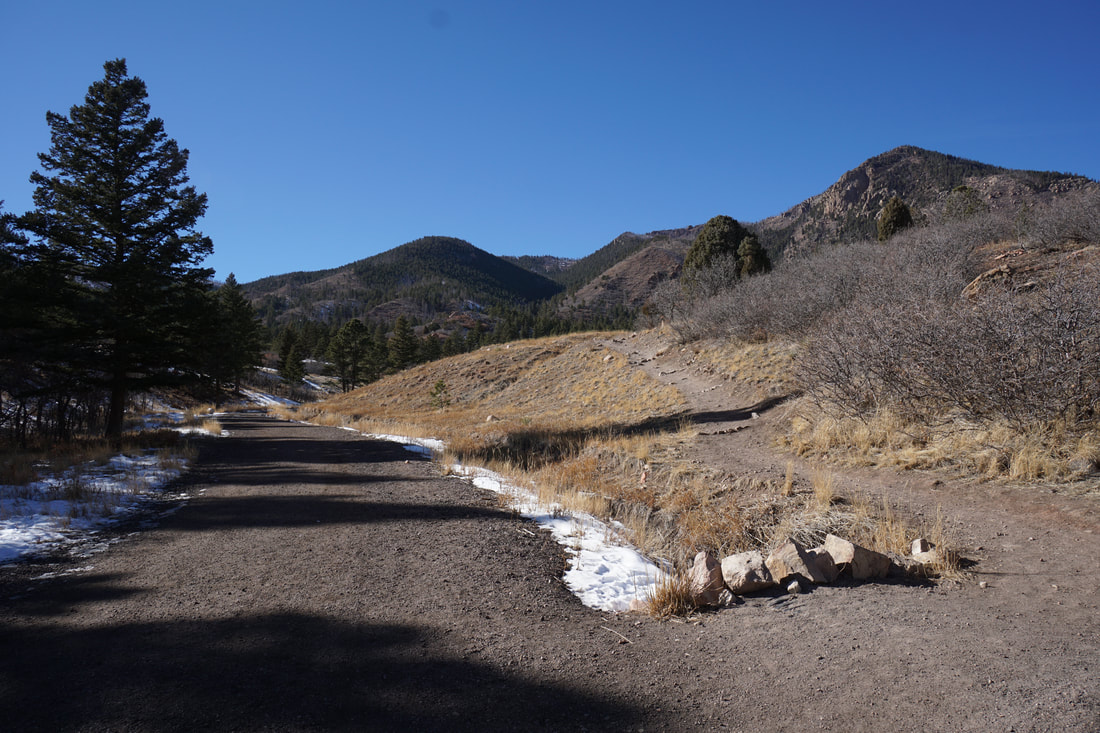
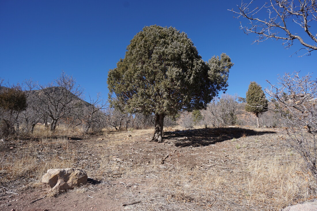
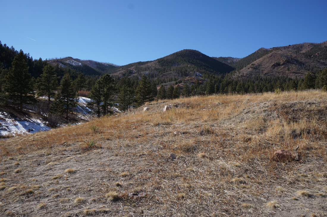
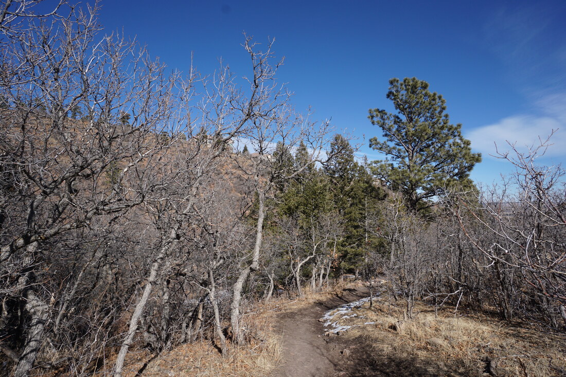
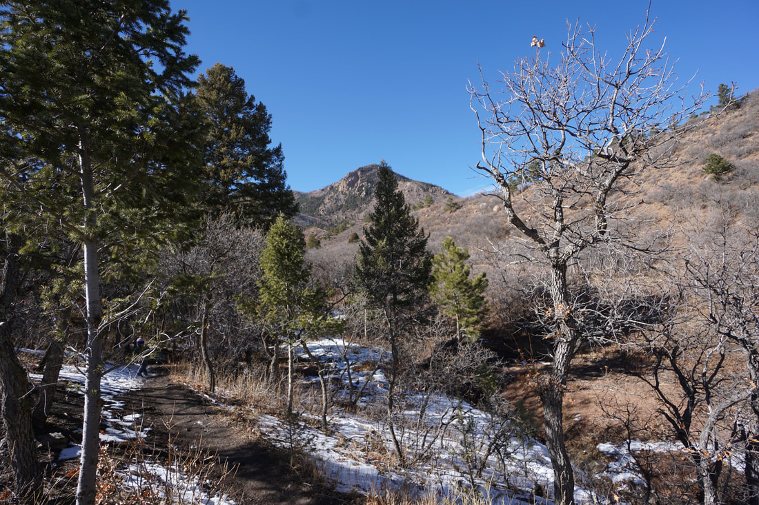
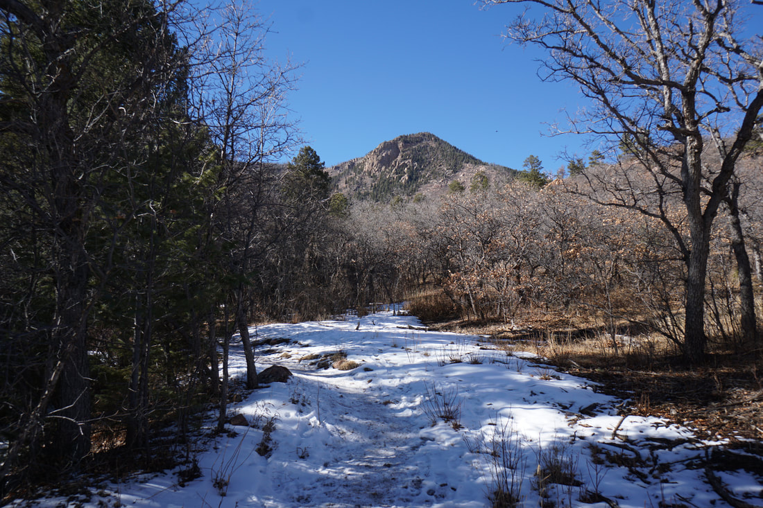
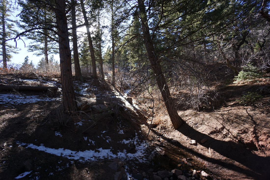
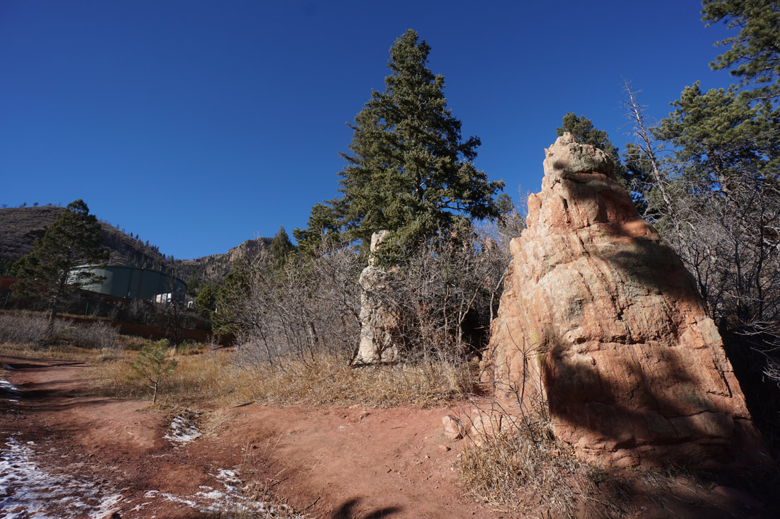
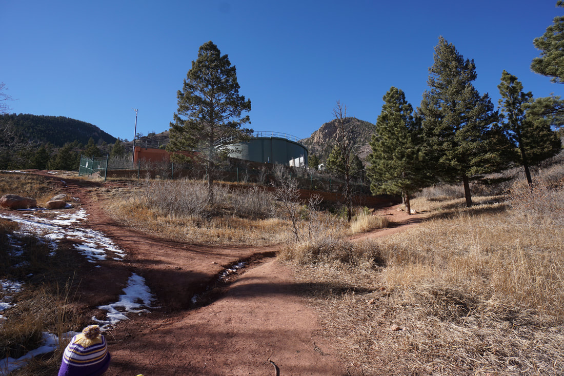
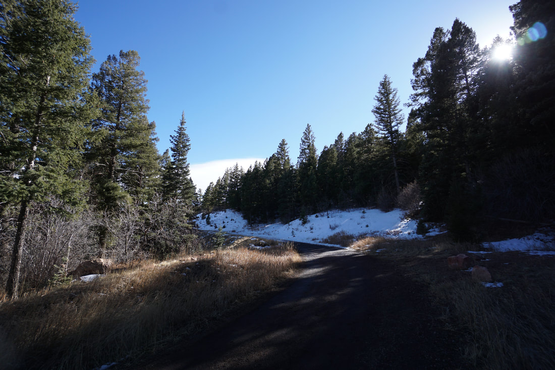
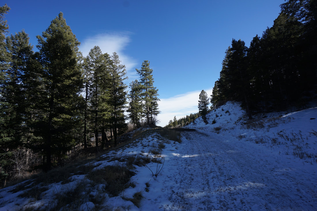
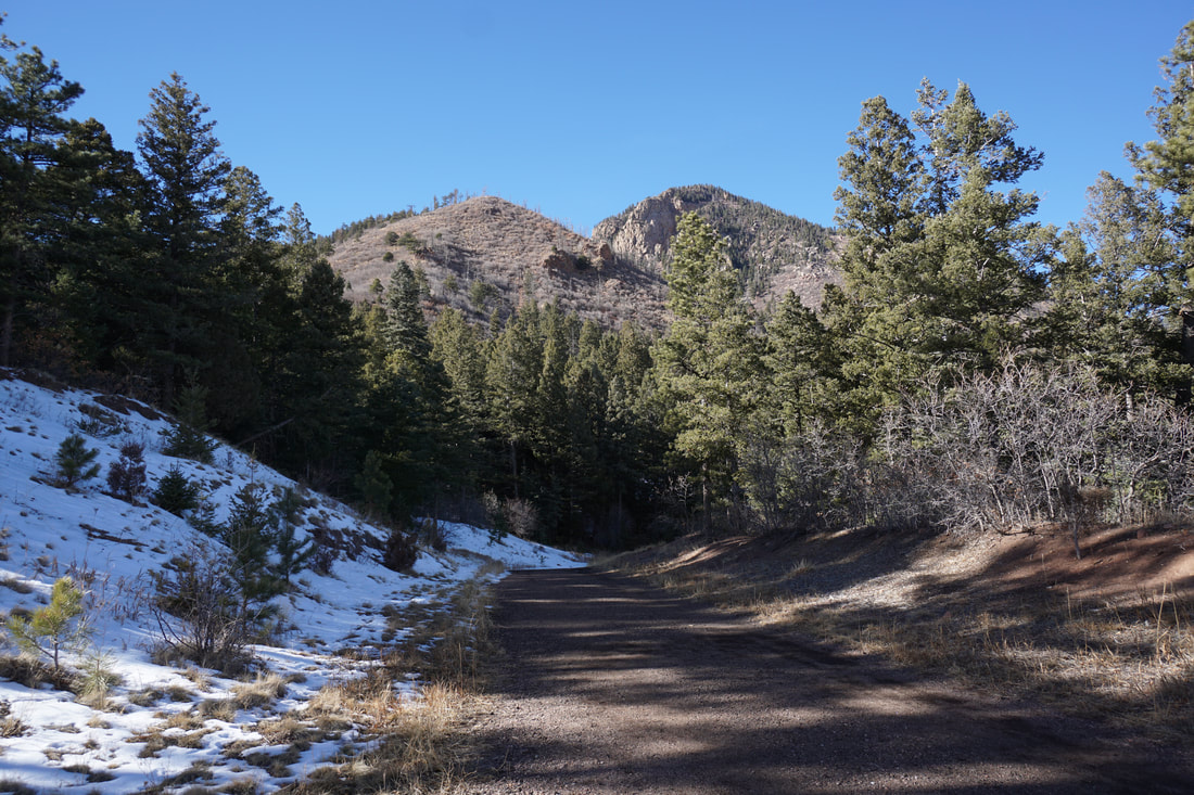
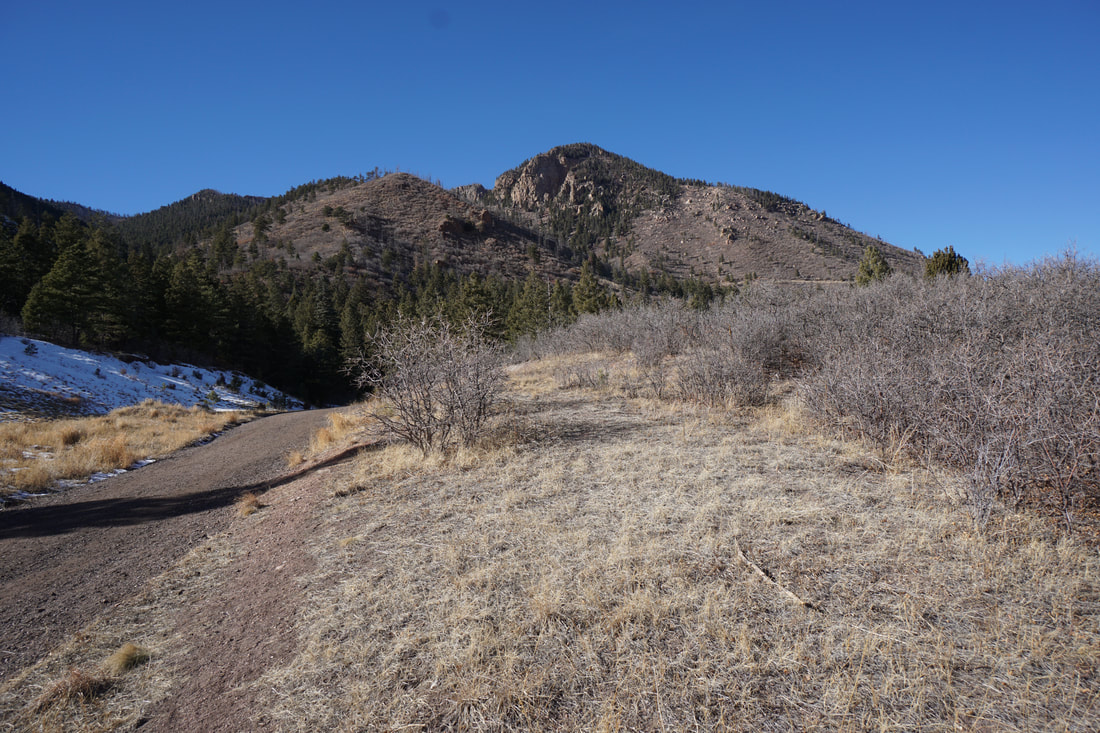
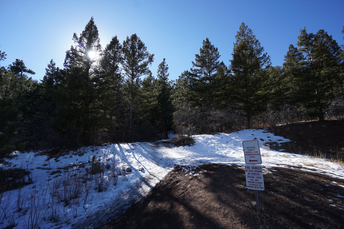
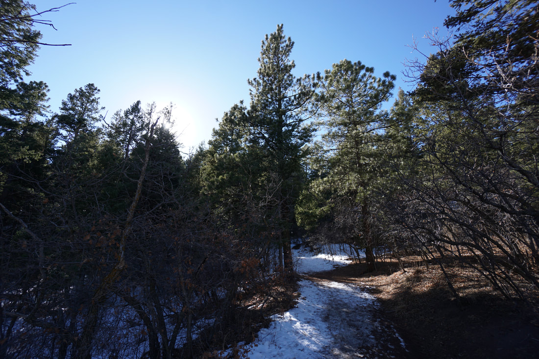
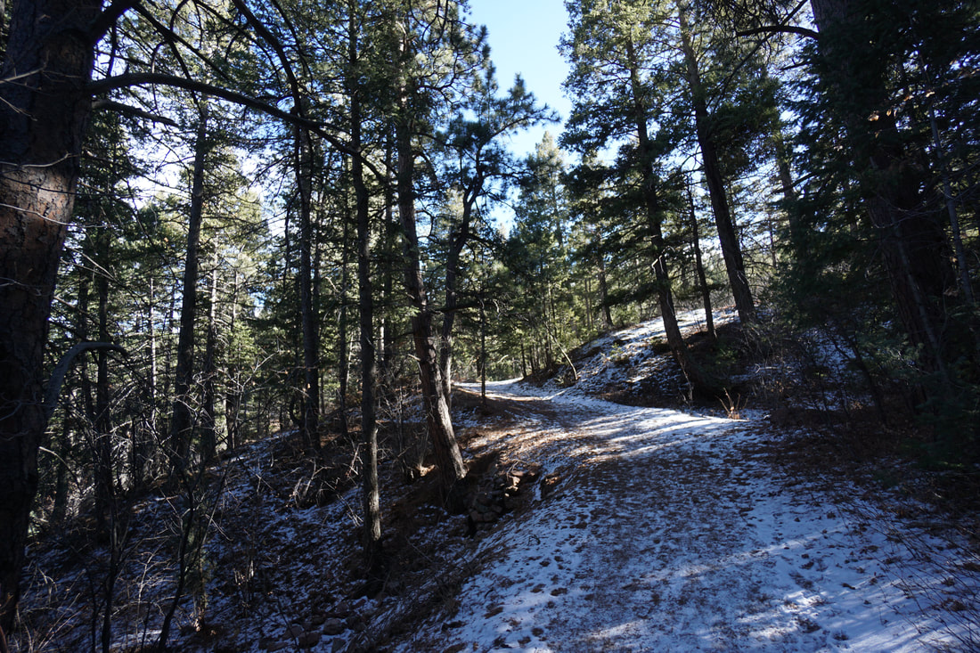
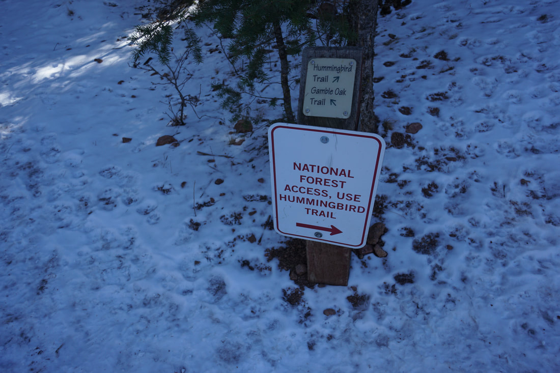
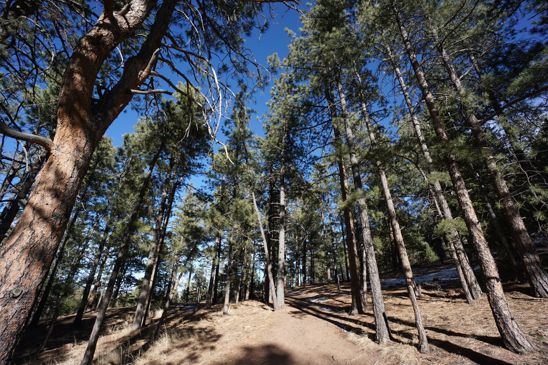
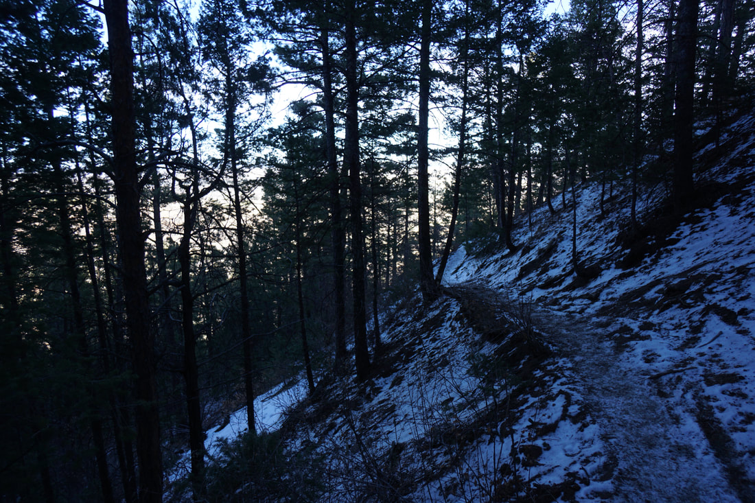
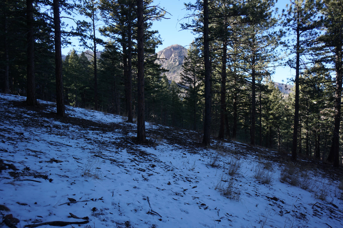
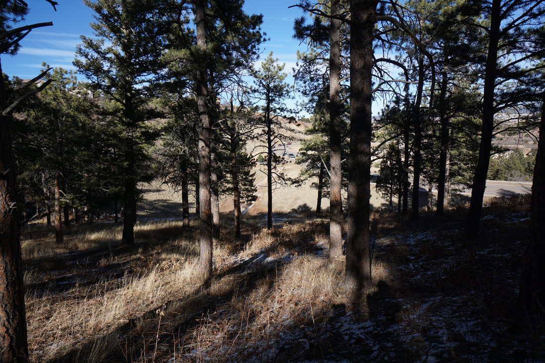
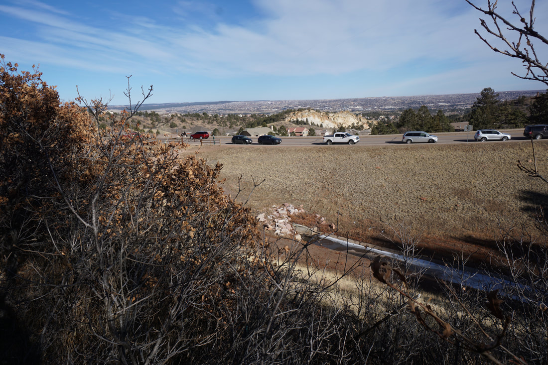
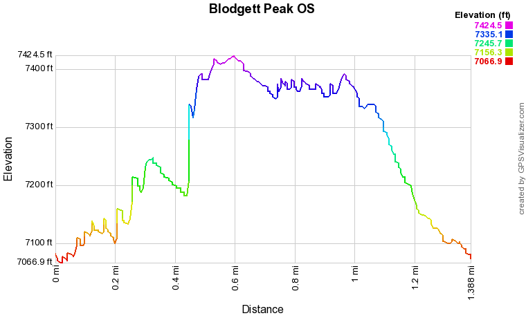
From the parking area you start off on the park's main trail, the Blodgett Trail.  This wide trail snakes up the center of the park.  After a few minutes of hiking, turn right onto the Ponderossa Trail.  This short trail follows a creek through Gamble Oaks and evergreen trees with the occasional view of Blodgett Peak in the background.  Before long you'll intersect with the Peregrine Trail, continue up-hill. 

When you break out of the forest you'll see municipal water tank off to the right.  The trail continues turning left and becomes the Blodgett Trail as it heads south.  You could continue along the Blodgett Trail back to the trailhead but if you want to explore a bit more, turn off onto the Hummingbird Trail, then the Red Squirrel Trail.  The Red Squirrel Trail carves through the forest and can be icy and slippery in the winter.  The trail weaves downhill, eventually meeting the Dry Creek Trail.  Make a right and a quick left to stay on the Red Squirrel trail and return to the North Blodgett Trailhead.

The Blodgett Peak Open Space is a nice open space park, good for hiking in all seasons and with enough options to make long hiking loops or shorter excursions.  At 1.5 miles the Peregrine/Red Squirrel Loop is good for kids but interesting enough for adults looking for a quick neighborhood hike.  
© Go Hike Colorado, 2020.  All Rights Reserved. 
Use of photographs without prior authorization is
​strictly prohibited.


Contact us at:
[email protected]
Legal Disclaimer - Information provided on this site is based upon our own observations, always double check information with the appropriate land management agency before heading into the backcountry.  Backcountry travel is inherently dangerous, please take all proper precautions.  Go Hike Colorado is not responsible for injury or incident.