|
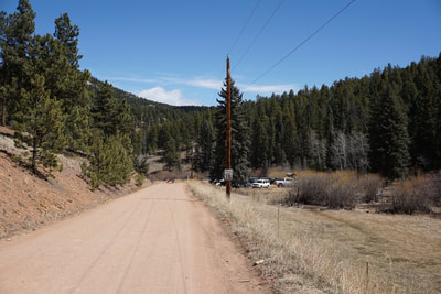
Directions: From Hwy 285 in Conifer, exit at Foxton Road and head south. The park is on the right (west) with a sign that reads "Conifer Community Park." When you enter the park drive on good dirt road, past the event field and park information station to the Frisbee Golf and Trailhead parking area on the left.
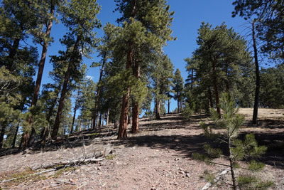
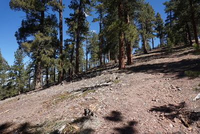
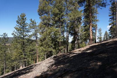
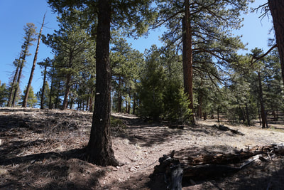
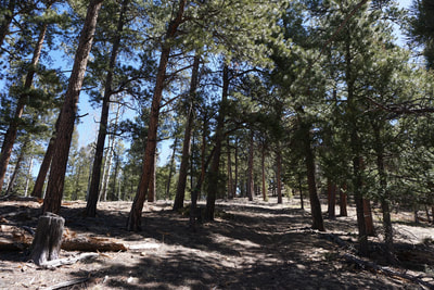
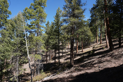
Beaver Ranch Park (Conifer Community Park) is primarily known for it's disc golf course and zip lines but it also hosts campsites, church services, and community events. Tucked away in the park's exterior is a trail system. The trails are established but signage is intermittent and some of the trails have been obscured if not destroyed by logging and forestry. That being said, it is a beautiful area with dense pines, stands of old growth aspens (great for fall hiking), and tremendous views of the surrounding foothills. The best part of the park is that few people even know that it exists. If you can put up with some route finding, and the occasional frustrating dead end on a trail that you thought would be a loop, then check out Beaver Ranch Park.
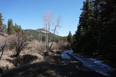
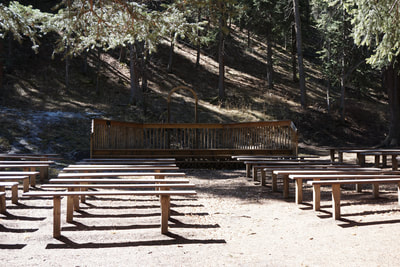
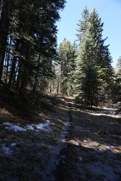
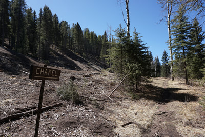
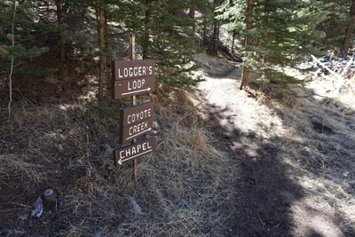
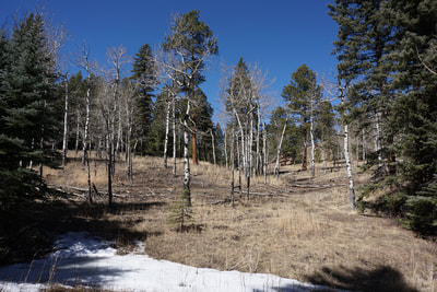
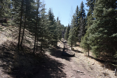
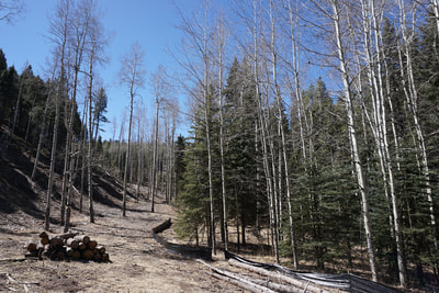
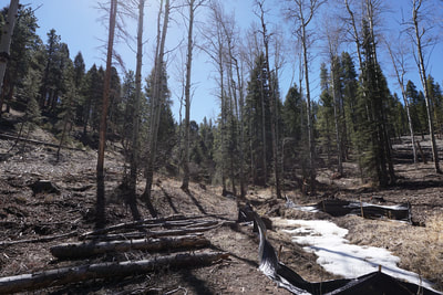
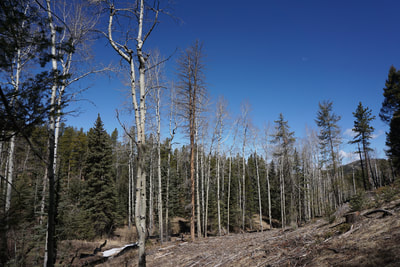
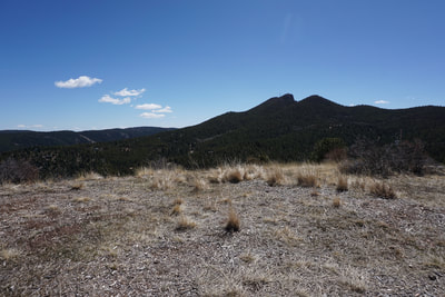
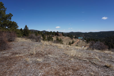
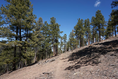
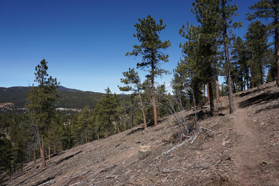
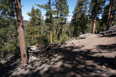
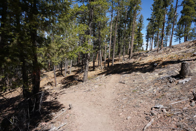
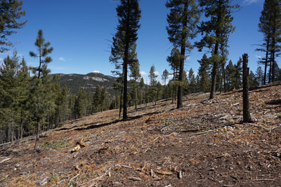
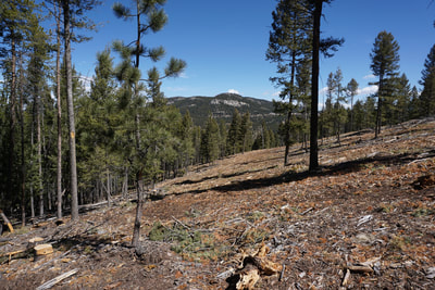
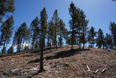
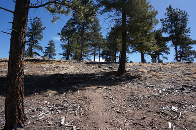
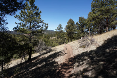
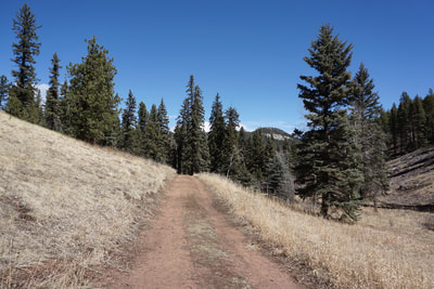
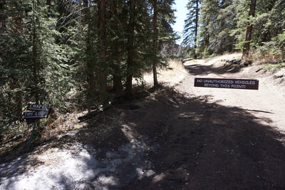
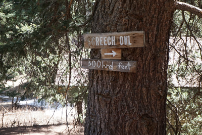
The Elk Ridge Trail climbs up a steep (but short) slope to the top of (what I am assuming is named) "Elk Ridge" to a wonderful viewpoint and ridge walk. However, what seems like the official maintained trail dead ends at a zip line platform and you need to retrace your steps, back up the hill. There is an unofficial (?) trail at the top of the ridge allowing you to form a loop along the ridge. From the disc golf and trail parking lot, walk past the disc golf shop and follow the sign for the Chapel Trail. This trail follows Coyote Creek to an outdoor chapel. Continue past the clearing where the trail fades and pick it up again on the far end. Walk past the cabins through a clear cut area to a footbridge with trail signs for the Chapel Trail, The Coyote Creek Trail, the Loggers Loop, the Screech Owl Trail, and the Tipi Loop. Continue straight, without crossing the bridge, soon you will come to a stand of tall old aspen trees. This spot should be incredible in the fall at peak. There is currently some trail work being done here, with a black plastic barrier protecting the banks of Coyote Creek. Follow the black plastic barrier to another footbridge. On the ground near the bridge is a broken trail sign that says "Elk Ridge" with an arrow but there is no way of knowing which way the arrow should be pointing. Continue straight, do not cross the bridge. Follow the black plastic until it stops and the trail gets steep. Before too long, you'll come to a junction with a sign for Elk Ridge pointing to the left. There is also a trail heading straight up-hill. I recommend first heading straight, then returning to this spot. Continue up the trail to a "summit" along the ridge with a wonderful view of the saddle-like Riley Peak. To your right you'll see a private residence. Hopefully this trail is not running across private land but if hikers are not supposed to be here, there are no indications of it. A faint trail heads off to the left, more on this later... Return to the signed junction and take the Elk Ridge Trail as it undulated across a steep slope and again heads up towards the ridge. Again, you'll come to an unsigned junction. The maintained and obvious trail switchbacks down while a fainter trail heads straight. Your instinct will tell you that the Elk Ridge Trail heads downhill following the switchback. However, this trail will only take you down to zip line platforms where it dead ends requiring you to re-climb the slope back to this junction. Instead, head straight on the fainter trail. After a minute or so, there will be another faint trail junction with a metal pole sticking out of the ground. If you go straight you'll reach a viewpoint where the trail gets lost among wood chips that cover the ground. There is also a trail marker arrow but it is not obvious as to where it is leading. Head back to the faint junction and take the faint trail leading uphill. This will take you to a "summit" and viewpoint along the ridge. A faint trail leads to the right and if you follow it and the ridge it will lead you back to the first viewpoint near the private residence. It might be tough to find the return trail which is why I recommended hiking up to this viewpoint first (so you will know what it looks like) before continuing on the Elk Ridge Trail. From the summit, head back down and reconnect with the Elk Ridge Trail, the black plastic, and the Chapel Trail. On your way back you can follow the same trail to the disc golf shop, or cross the footbridge at the junction with many signs, and return to the parking area along the Screech Owl (?) Trail and the dirt road. This park is still a work in progress. In 2017 they released a Master Plan that calls for re-working the trail system. It looks like they intend to re-route the Elk Ridge Trail which would not include the viewpoints along the ridge, not sure why... However, the system would be more complete if the plan is ever implemented. Until then, probably a few years, there is an existing "system" of trails in a beautiful foothills setting, that is likely to have less visitors then the surrounding Jeffco parks. Go in the fall and explore. |
- HOME
- ABOUT
-
HIKES BY REGION
-
NATIONAL PARK HIKES
- BENT'S OLD FORT NATIONAL HISTORIC SITE
- BLACK CANYON OF THE GUNNISON NATIONAL PARK
- COLORADO NATIONAL MONUMENT
- CURECANTI NATIONAL RECREATION AREA
- DINOSAUR NATIONAL MONUMENT
- FLORISSANT FOSSIL BEDS NATIONAL MONUMENT
- MESA VERDE NATIONAL PARK
- ROCKY MOUNTAIN NATIONAL PARK
- GREAT SAND DUNES NATIONAL PARK
- HOVENWEEP NATIONAL MONUMENT
- SAND CREEK MASSACRE NATIONAL HISTORIC SITE
- YUCCA HOUSE NATIONAL MONUMENT
- HIKES BY CATEGORY
- NEWS
- WEBCAMS
- $UPPORT GHC
- INTERACTIVE MAP
Elk Ridge Trail
Beaver Ranch Park aka Conifer Community Park
Date Hiked: April 9, 2018
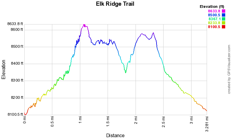
Distance: 3.3 mi (RT)
Elevation Gain: 800 ft
Elevation Min/Max: 8,100 to 8,634 ft
Trailhead Lat/Long: 39º 30' 22" N; 105º 17' 54" W
Managing Agency: Elk Ridge Ranch Inc.
Fee: None

