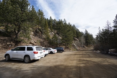
Directions: The northern trailhead for the Beaver Brook Watershed Open Space is hidden away between I-70 and Squaw Pass Road. From Denver take I-70 west to exit 248 - Beaver Brook. Exit the highway and turn left onto US-40 (Frontage Road) and head west. Turn left to cross over I-70 on the bridge and turn left on Hyland Drive. Stay on Hyland Drive as it becomes Beaver Brook Canyon Road. Once the pavement ends, continue for 1.7 miles to the Clear Creek County Open Space sign on the right. The parking area is .1 miles past this sign. After the pavement ends the dirt road begins. In good weather this road should be fine for most vehicles but if the weather is wet or the road is snowy and damp, then you may want to exercise caution and take an AWD or 4WD vehicle.
|
The Beaver Brook Watershed Open Space is just starting to get developed as a recreational open space area by Clear Creek County. While the southern trailhead has been around for a long time, the northern trailhead has recently been improved by some more signage around Beaver Brook Canyon Road.
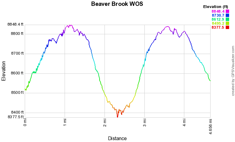
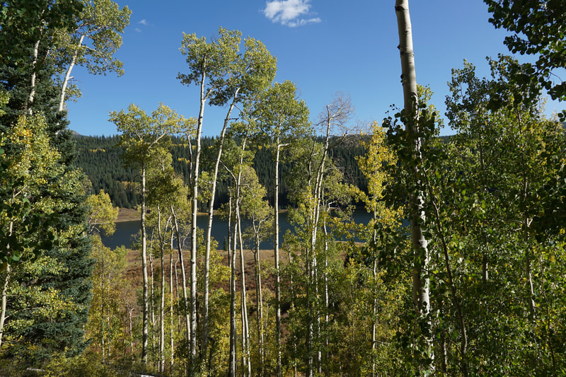
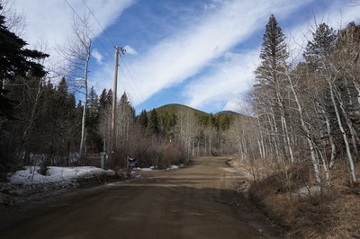
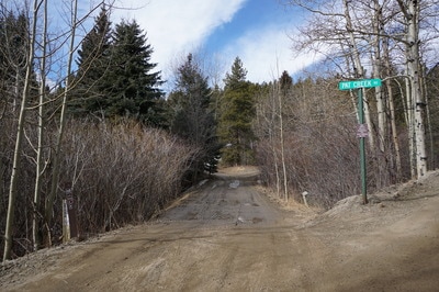
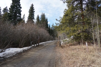
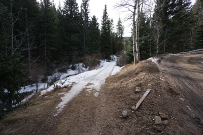
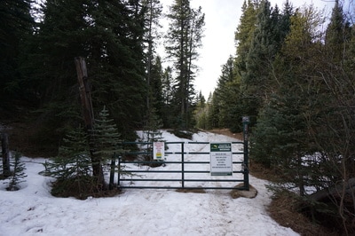
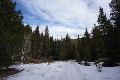
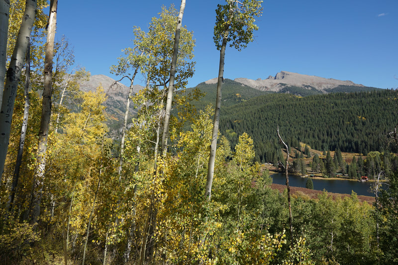
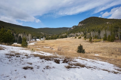
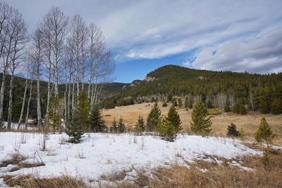
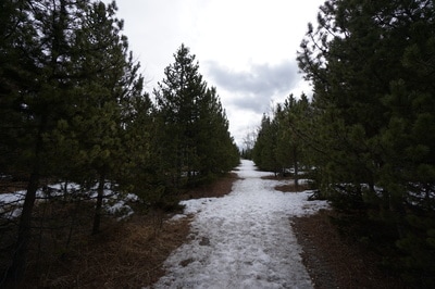
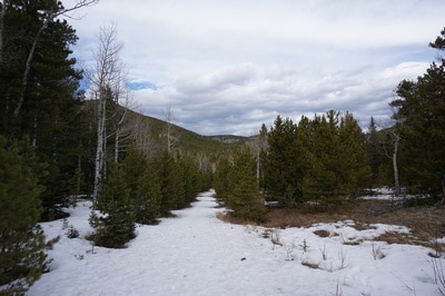
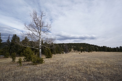
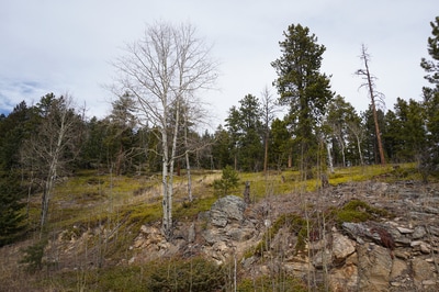
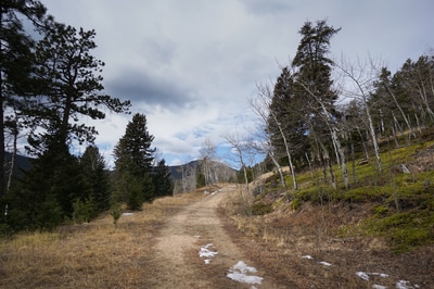
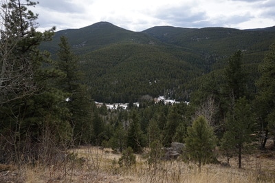
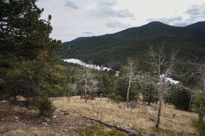
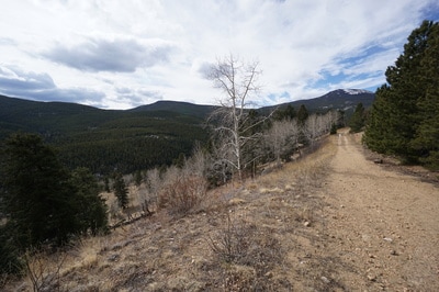
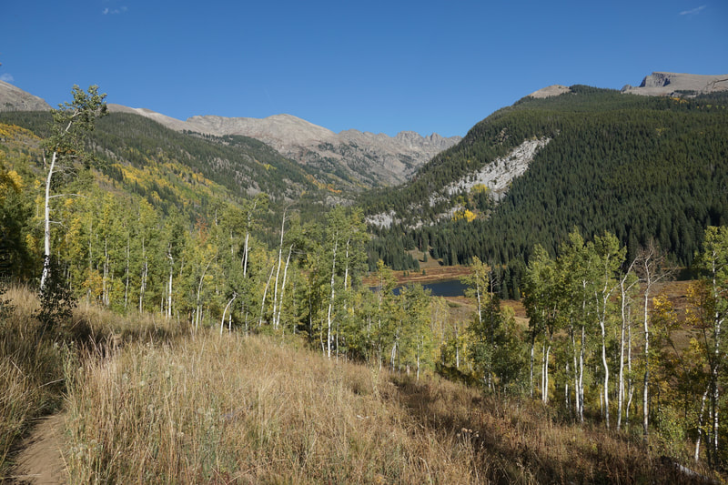
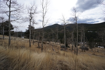
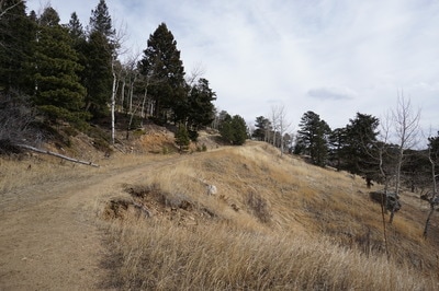
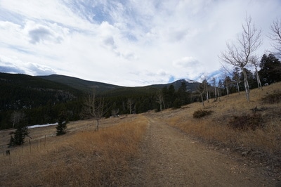
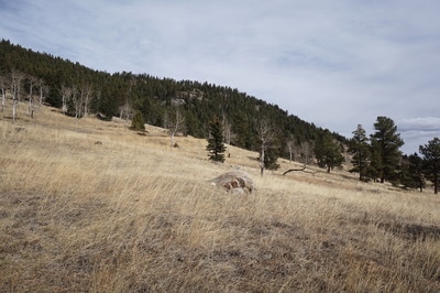
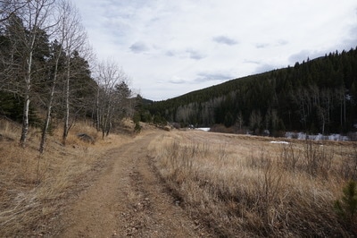
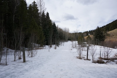
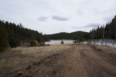
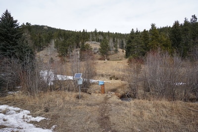
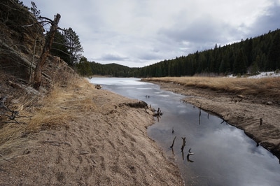
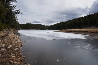
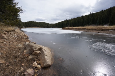
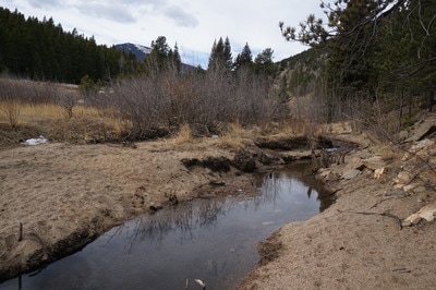
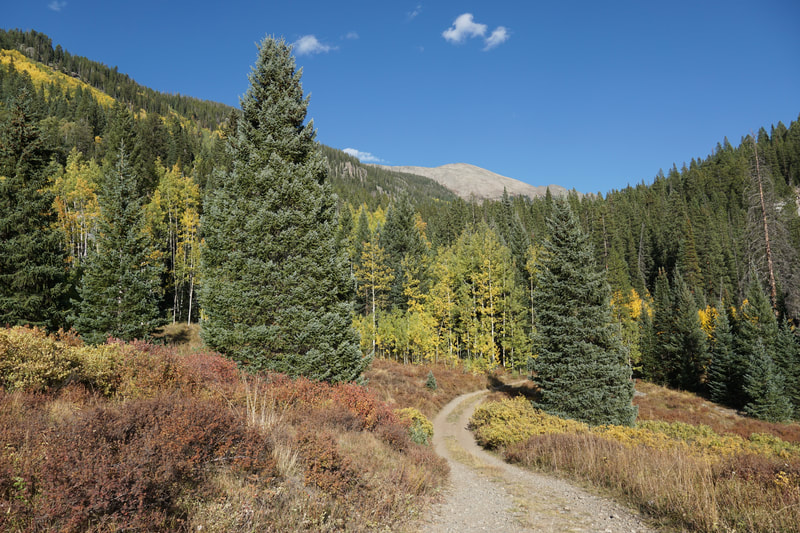
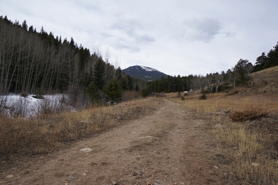
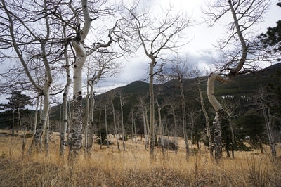
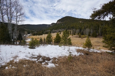
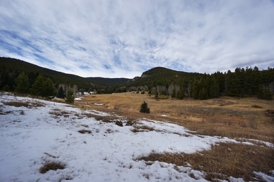
The main draw of the open space is the Upper Beaver Brook Reservoir but the open space also provides access to Santa Fe Mountain which is located on the Arapaho National Forest just west of the open space, as well as some other trails that explore the eastern sections of the area. Stay tuned for more hike descriptions as we explore this area further. This description covers the main trail for the open space that runs from the northern trailhead over the ridge and down to the reservoir. From the parking area, head west on Beaver Brook Canyon Road and bear left onto Pat Creek Road following the small trail markers. Continue through the open gate and at the fork in the road bear left again heading downhill to the closed open space gate and walk around the gate to enter the open space. Now within the open space you'll be on dirt roads that are closed to motor vehicles. Continue along the road to a serene meadow with great views to the west of Santa Fe Mountain and the rocky outcrops along the ridge. At the southern end of this meadow is a dirt road that follows a Natural Gas Pipeline, this is the route to Santa Fe Mountain, but stay straight on the main road to crest the ridge and head down to the reservoir. Before the ridge crest, there is another road/trail heading east to the eastern portions of the open space. At the ridge crest you'll be treated to your first views of the valley with the Reservoir at the east and Squaw Mountain to the west. Head downhill and follow the outer reaches of another serene meadow and hillside to the bottom of the valley. At the bottom of the valley the trail meets up with Beaver Brook and the Beaver Brook trail which follows the valley floor to the west, not to be confused with the Beaver Brook Trail in Genesee and Windy Saddle Parks to the east in Jefferson County. Continue to the East until you reach the marshy area west of the Reservoir. When you come to a trail intersection, stay to the left and look for a small monitoring station along Beaver Brook. Cross and make your way to the shore of the reservoir, depending on the water levels, you should be able to reach the reservoir shore without too much trouble. The reservoir is your destination and return the same way by hiking back over the ridge. This area is popular with locals but not known by the public at large therefore the crowds are far less than those on the surrounding trails leading up to Mt. Evans. |

