|
|
|
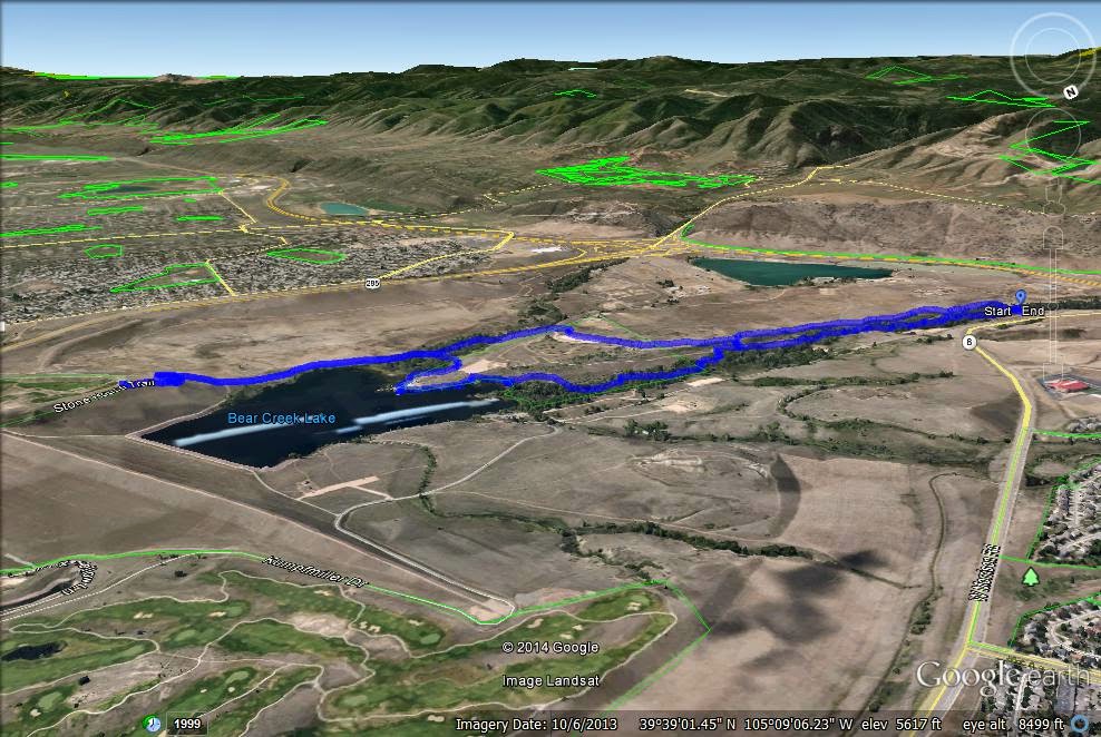
Directions: From Denver take I-70 or 6th Ave west to C-470 south. Get off at the Morrison exit and turn left (east) on Morrison Road. The park entrance will be off to your right. Once in the park, park at the Skunk Hollow Parking Lot and start the Cottonwood Trail from the east part of the lot, crossing the street.
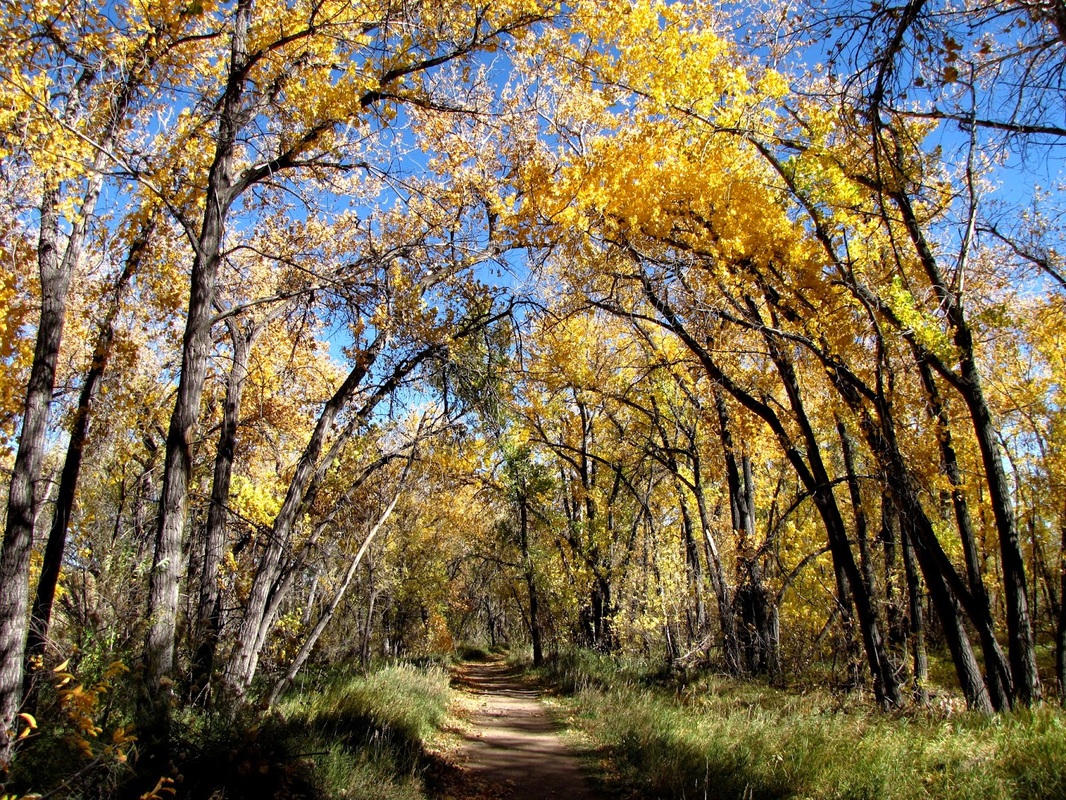
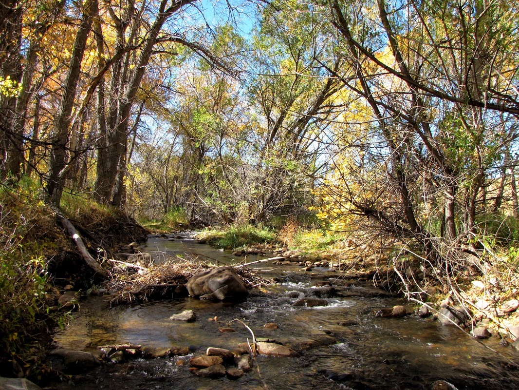
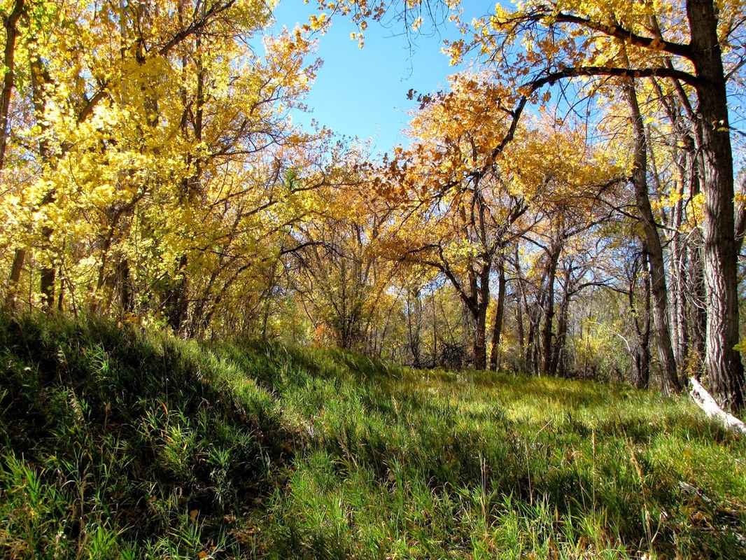
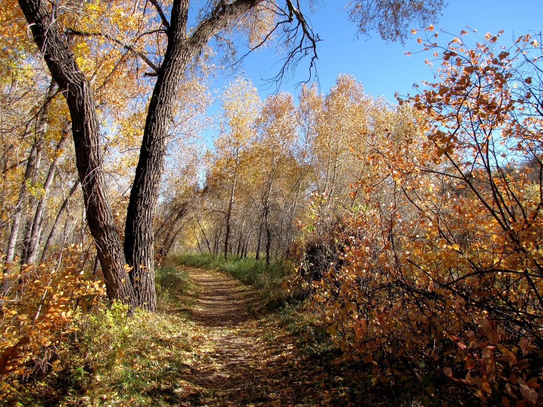
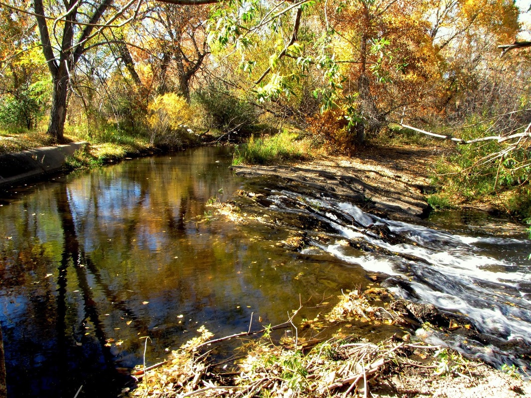
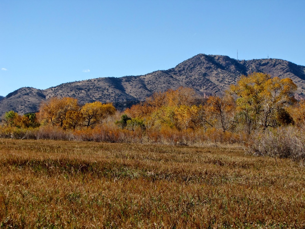
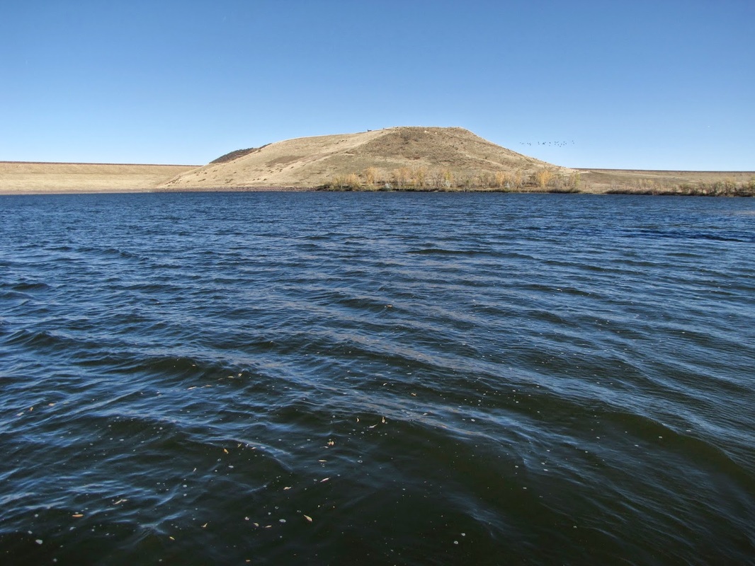
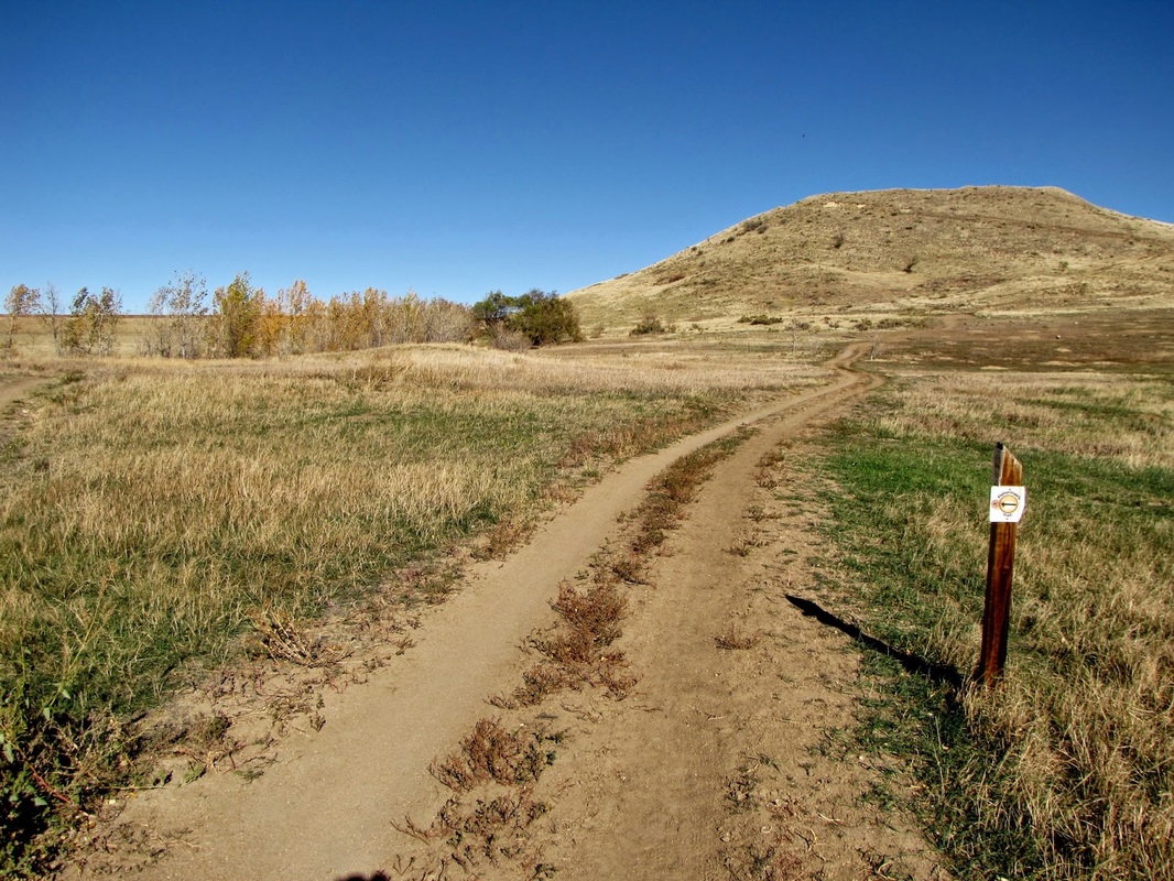
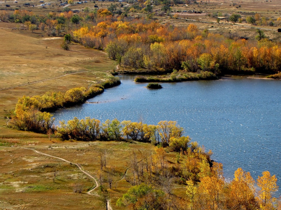
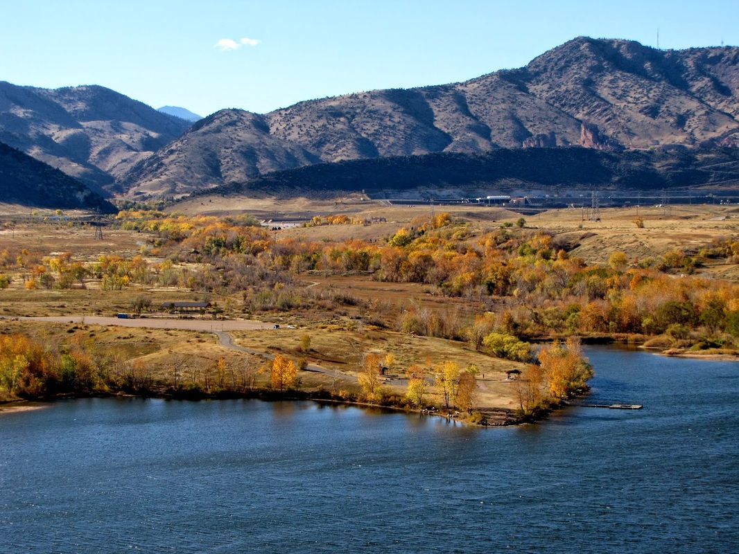
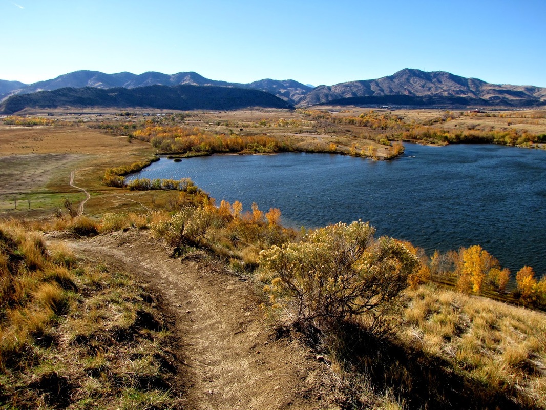
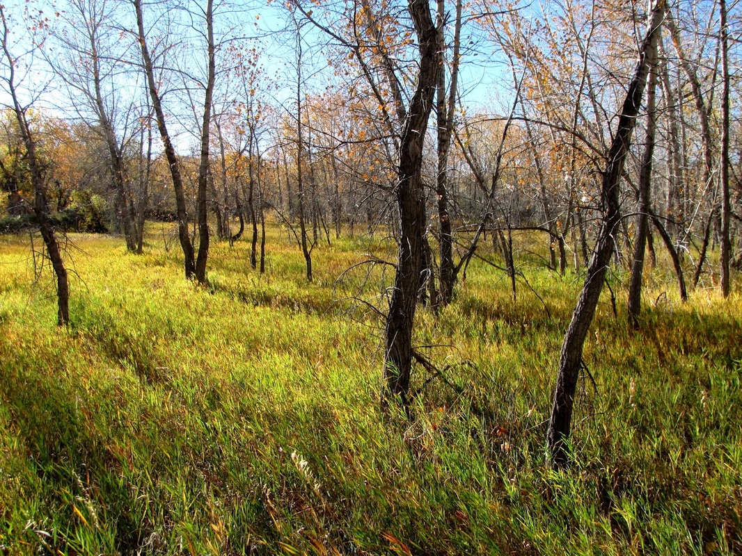
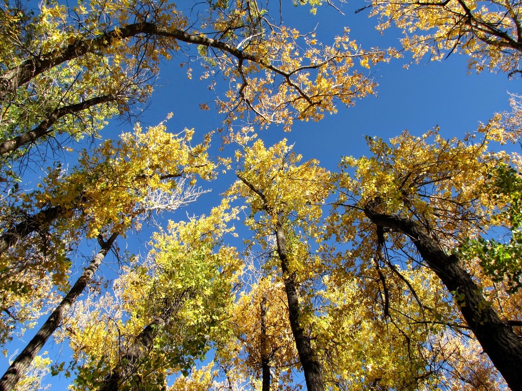
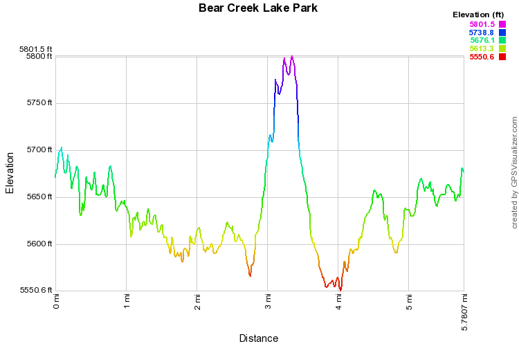
Bear Creek Lake Park is a hidden gem...out in the open... The park doesn't look like much from the highway driving by, but hike in the park on an autumn afternoon and you'll be stunned. Unfortunately, the park was hit hard by the 2013 floods and the cottonwood groves were almost destroyed. Interestingly, you can see how the trees have not grown back leaves where the water stood, some 10-15 feet high. This year's autumn may be much different from the pictures below. However, if not, you're in for a treat! Your destination is Mt. Carbon and there are many ways to get there, but following the Cottonwood Trail in the Fall is stunning. The Cottonwood Trail follows Bear Creek all the way from the western boundary to the shores of Bear Creek Lake and it is a beautiful trail. The hiking is easy and it won't take long to reach the lake, once you do, follow the shoreline through the picnic and camping spots until you reach the Mt. Carbon Loop. Take this trail across the meadow to the only steep part of the hike, the final push up Mt. Carbon. Mt. Carbon is not that high but you'll feel like it is when you are standing on the summit. The views are spectacular. On your way down, you can follow a more direct route on the Mt. Carbon loop back to Skunk Hollow. The park is pleasant year round, but I don't think people have caught on to just how impressive the cottonwoods are in the fall. While everyone else is in the mountains looking for aspen groves, you can have the whole park to yourself and see colors rivaling the mountain gold...and this just a 20 minute drive from Denver... |
|