|
| ||
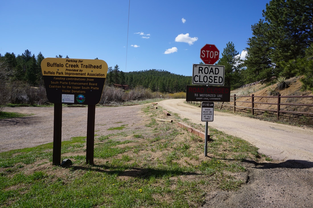
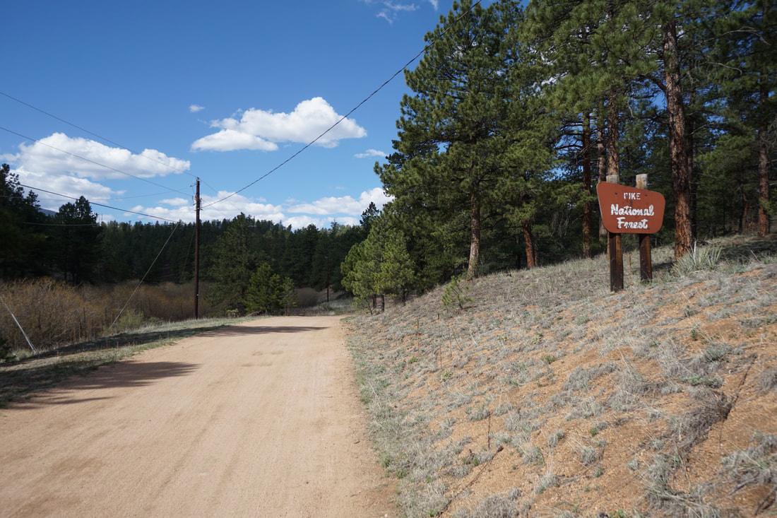
Directions: From Denver, take Hwy 285 south to Pine Junction. Turn left (south) onto Pine Valley Road (126) and take 126 south through Pine into the town of Buffalo Creek, where 126 becomes Deckers Road. Turn right (west) onto S. Buffalo Creek Road to the large parking area for the Buffalo Creek Recreation Area. The trail starts by hiking along the dirt road (closed to motor vehicles) to the west of the parking area.
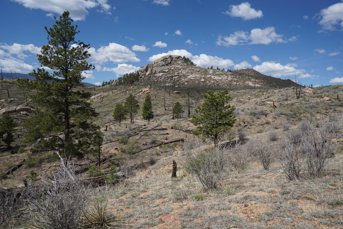
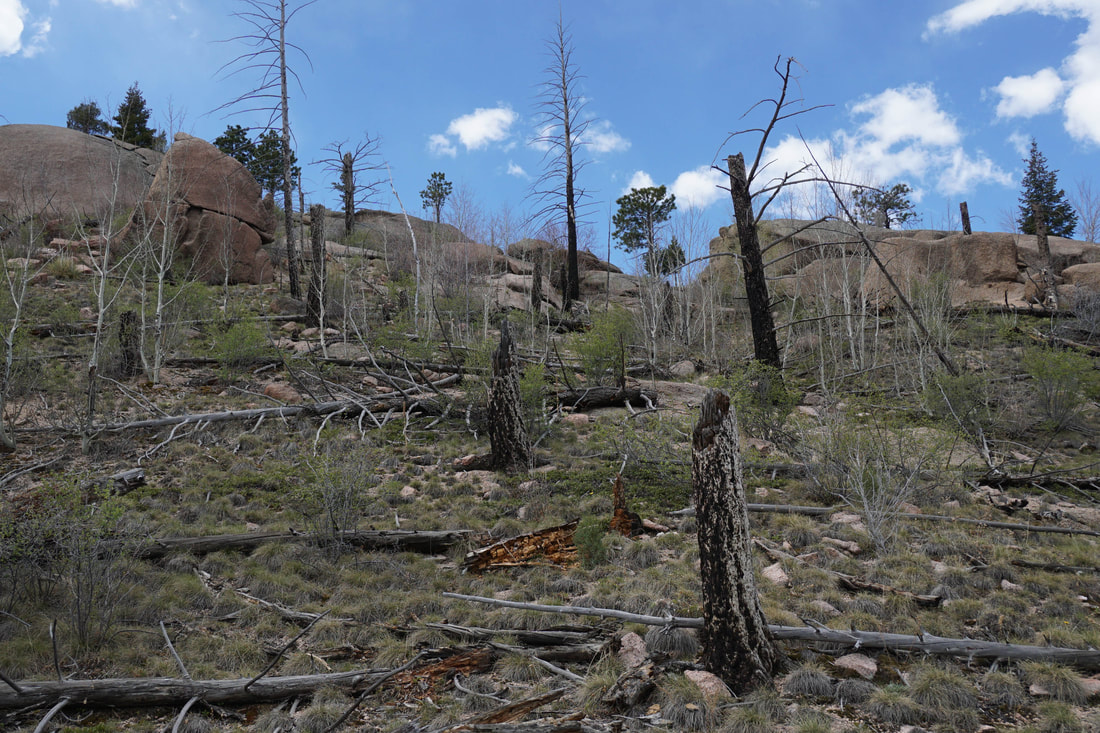
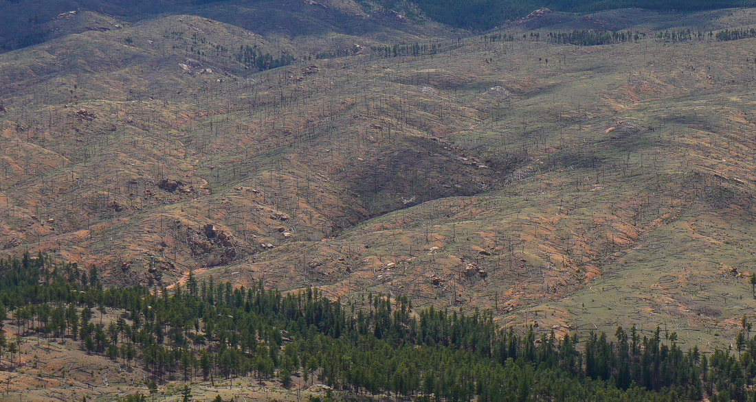
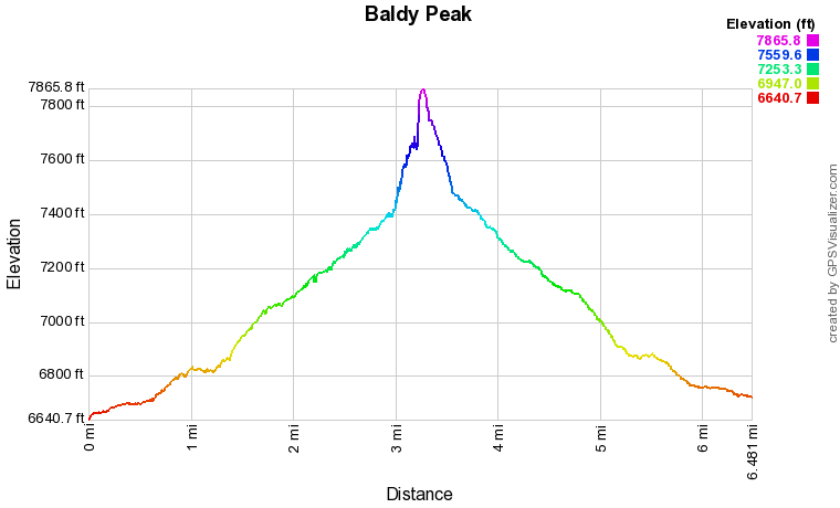
There are many Baldy Peaks in Colorado. This one is relatively small topping out at 7,872 feet but it has a view to rival the higher Baldy Peaks. The peak is located in the Buffalo Creek Recreation Area, an area that is slowly recovering from the devastating Buffalo Creek Fire of 1996. This area has become a haven for mountain biking, and to a smaller extent hiking, with a system of long, well maintained trails. The loops are generally too long for most day hikes (12+ miles) but there are a few destinations that make for terrific hikes. Baldy Peak is one of the best.
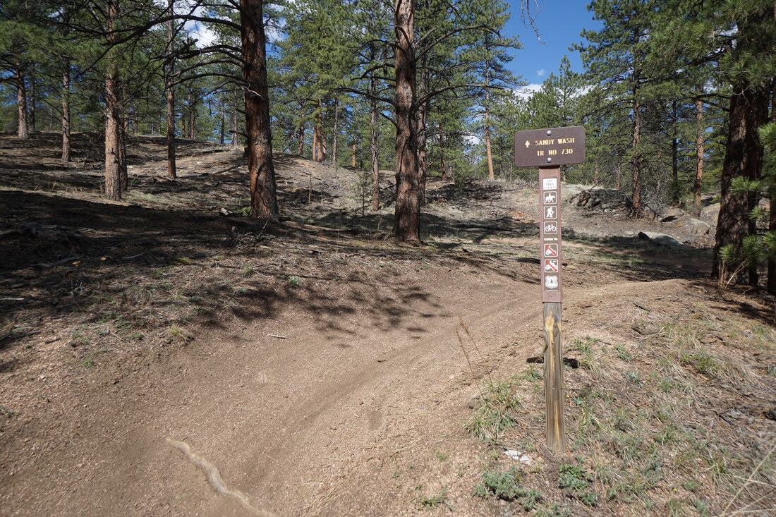
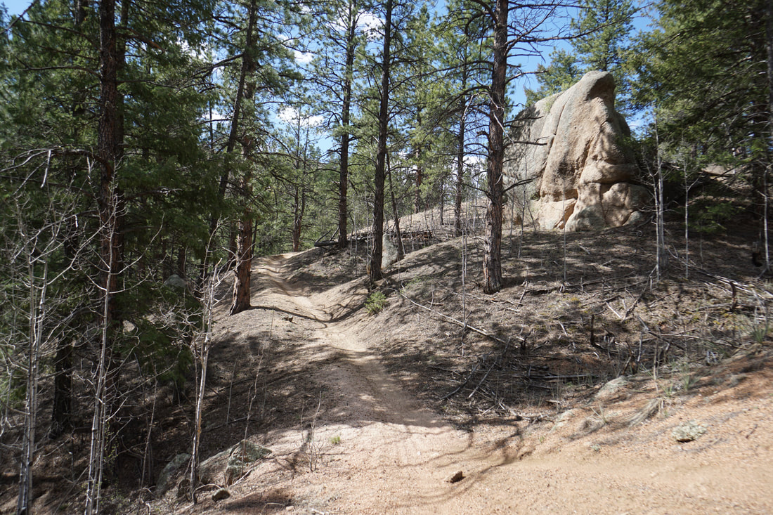
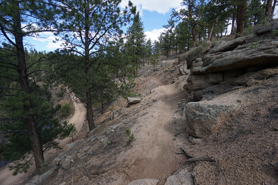
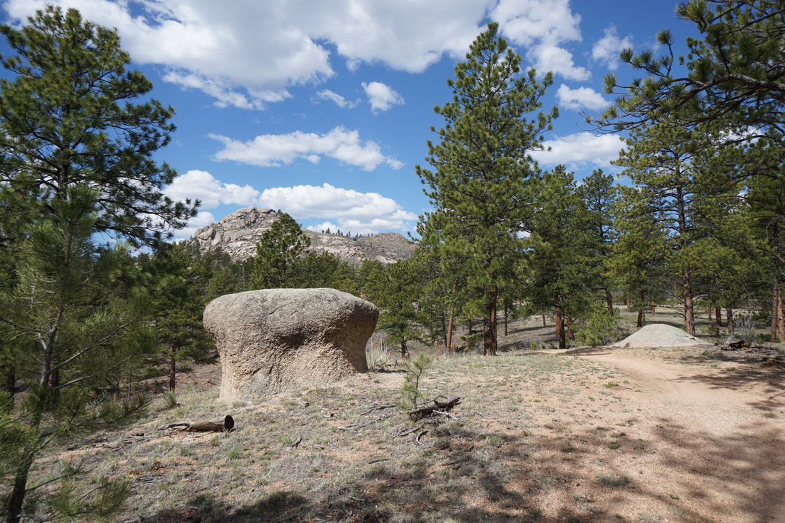
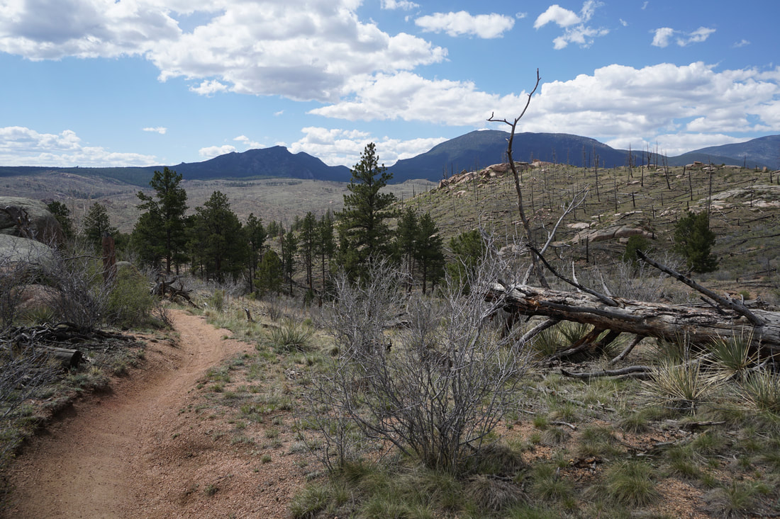
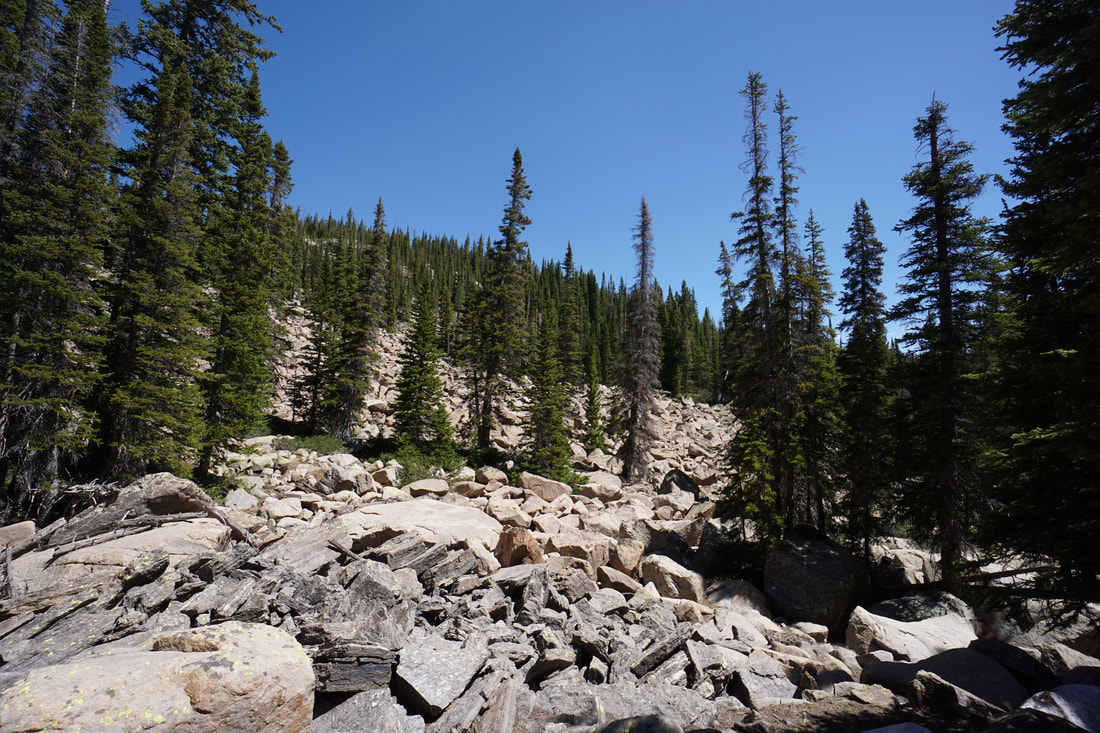
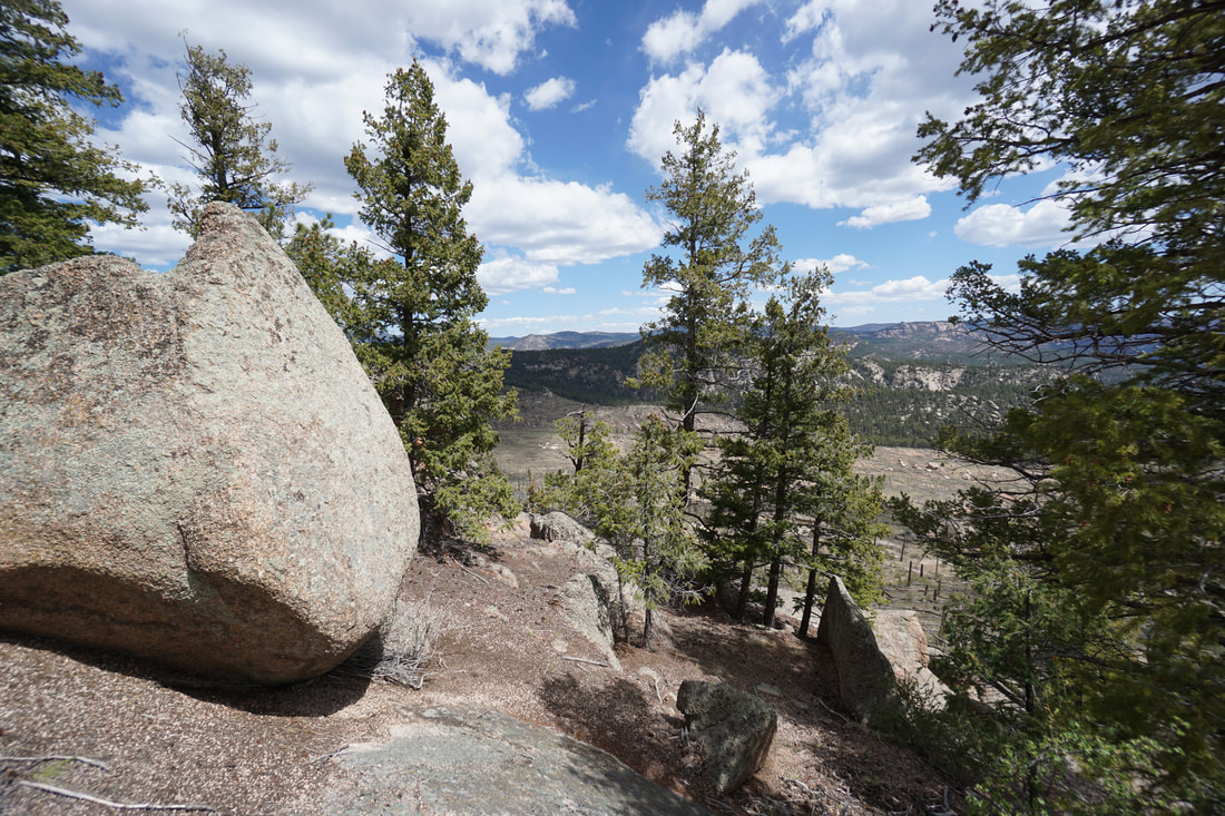
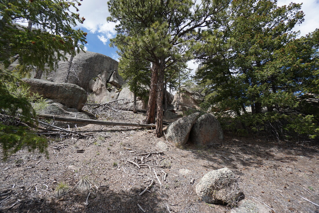
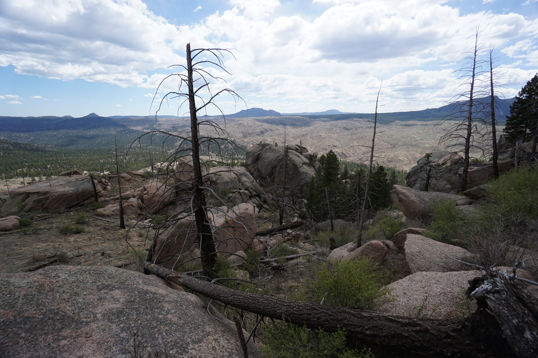
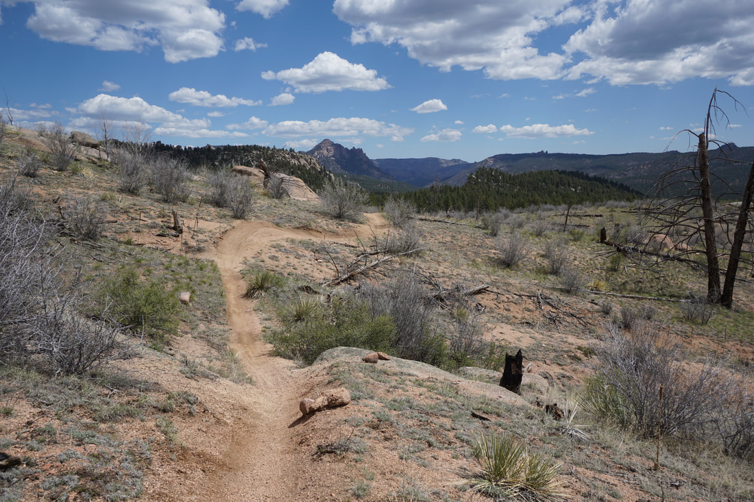
From the large parking area on S. Buffalo Creek Road, start out hiking west along the road that is now closed to motor vehicles. After .6 miles you'll reach the trailhead for the Sandy Wash Trail. The Sandy Wash trail rolls gently through the sparse pine forest paralleling the road for a little while before gaining elevation. Along the way you'll hike past towering boulders and rock formations, with the occasional views of the surrounding area.
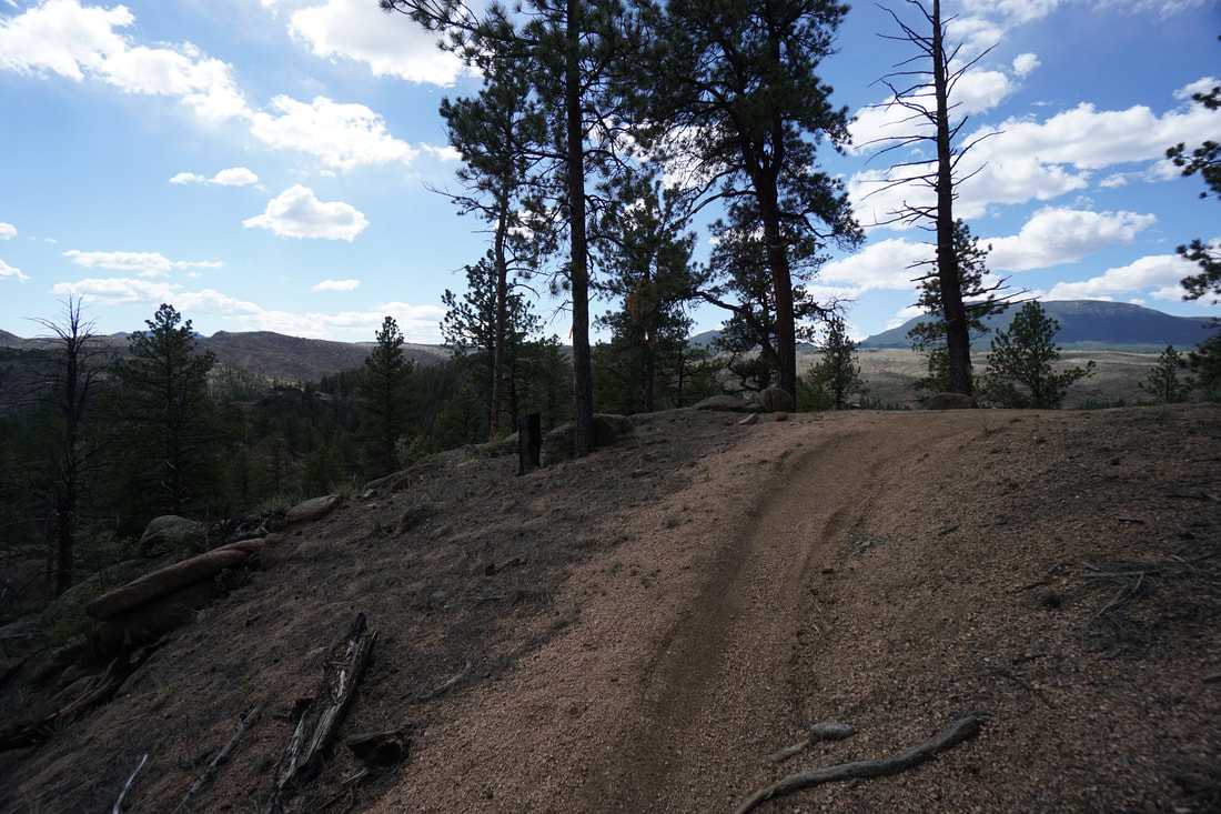
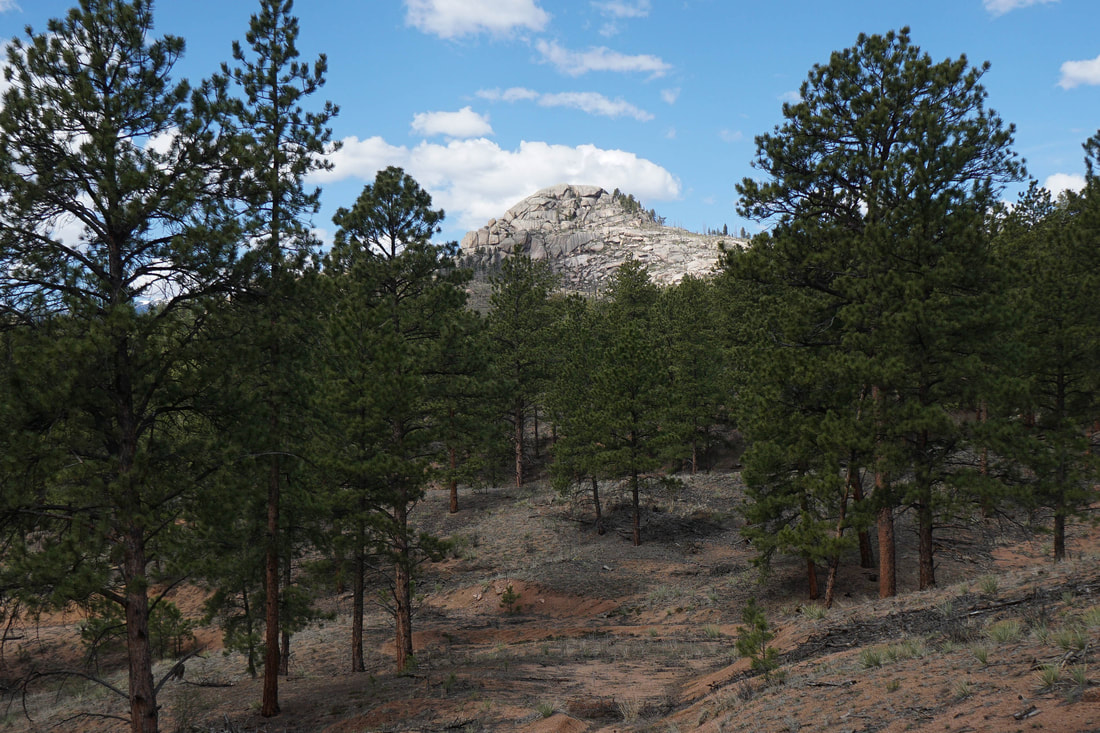
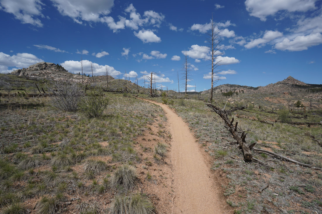
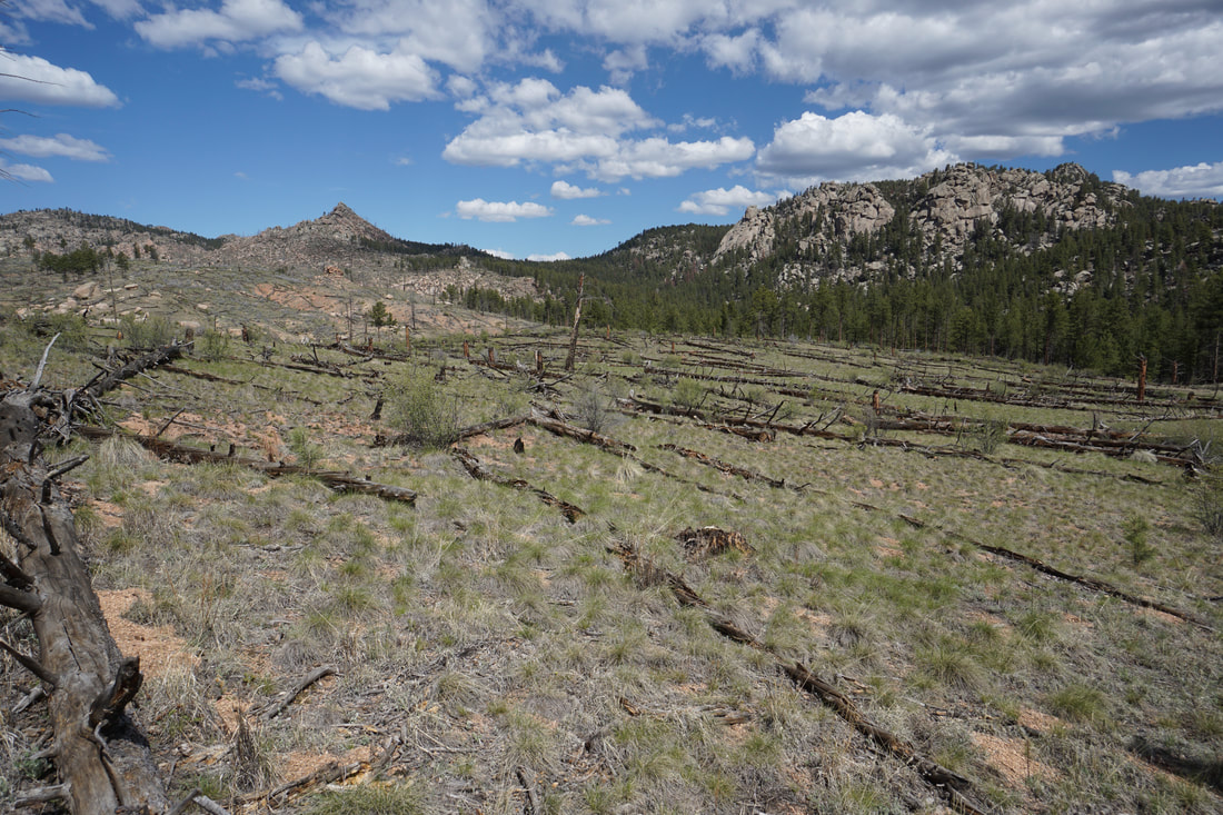
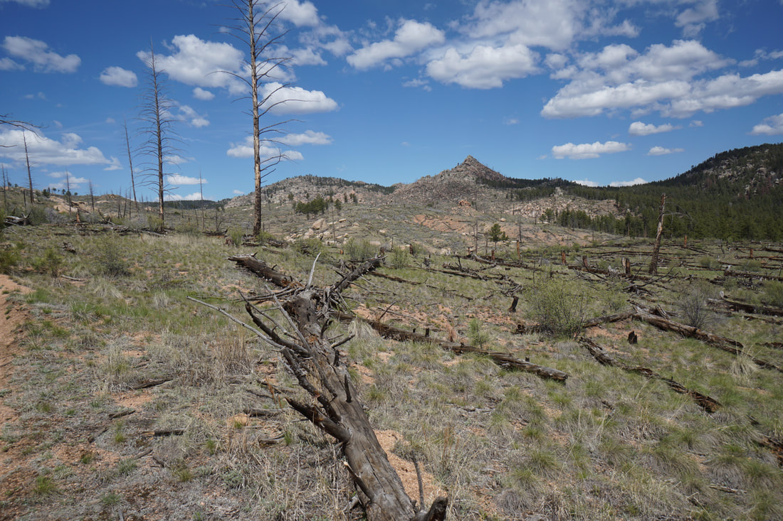
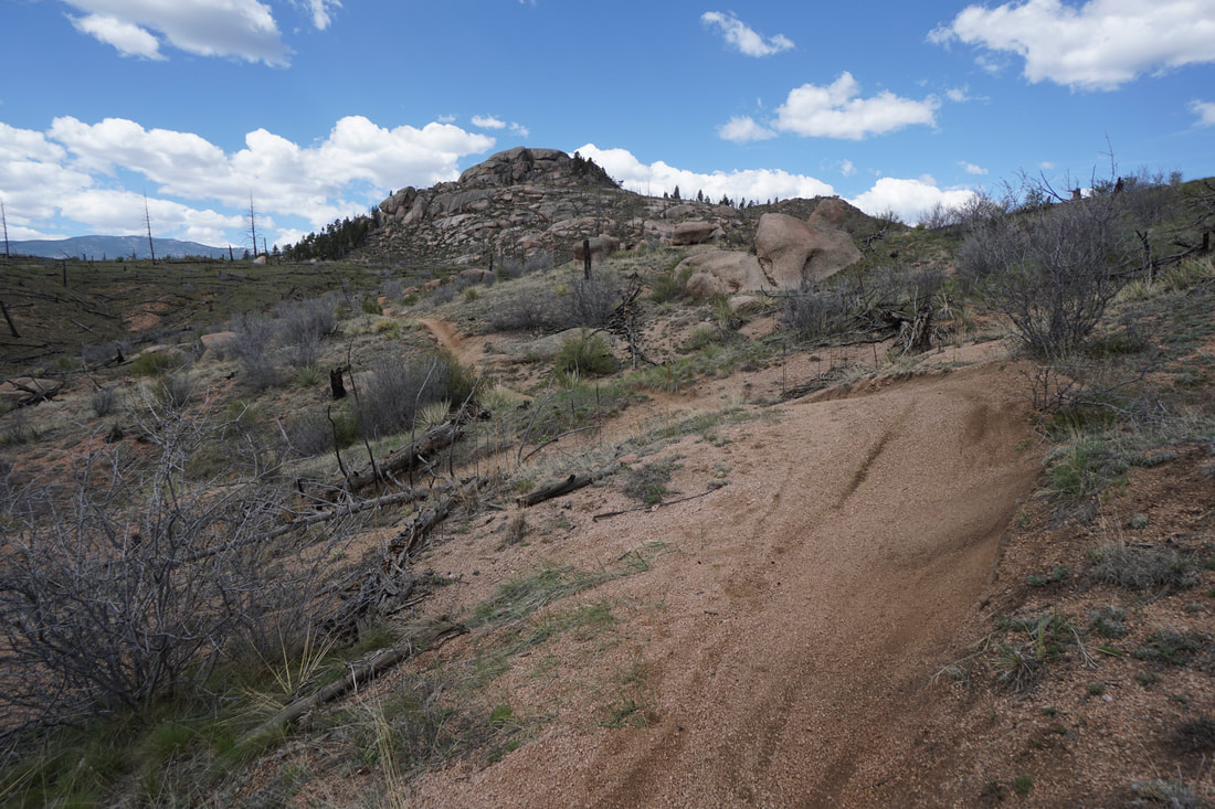
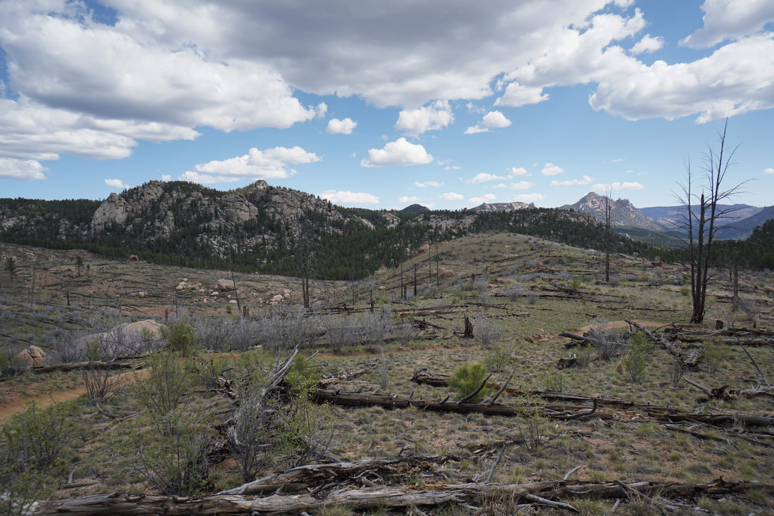
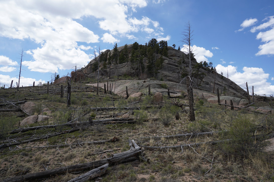
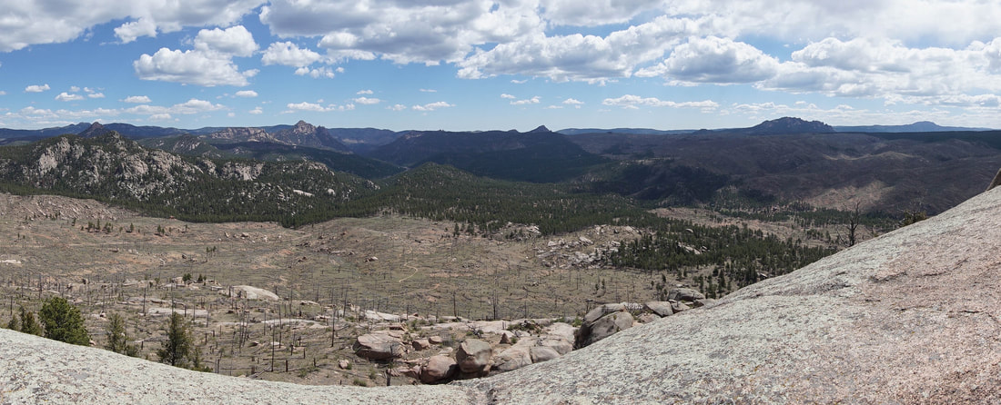
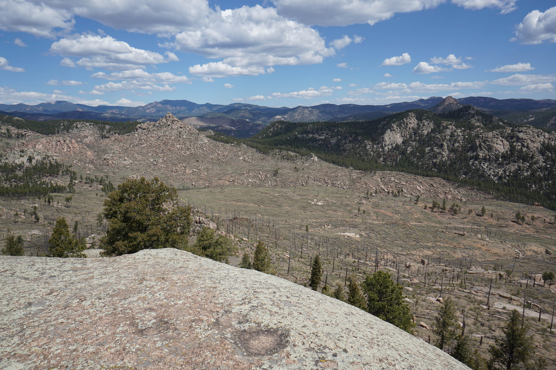
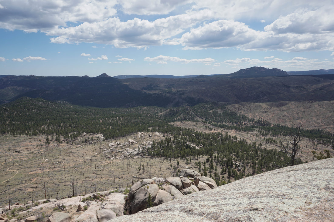
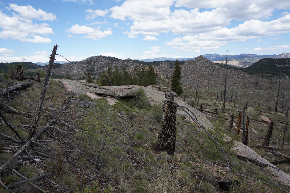
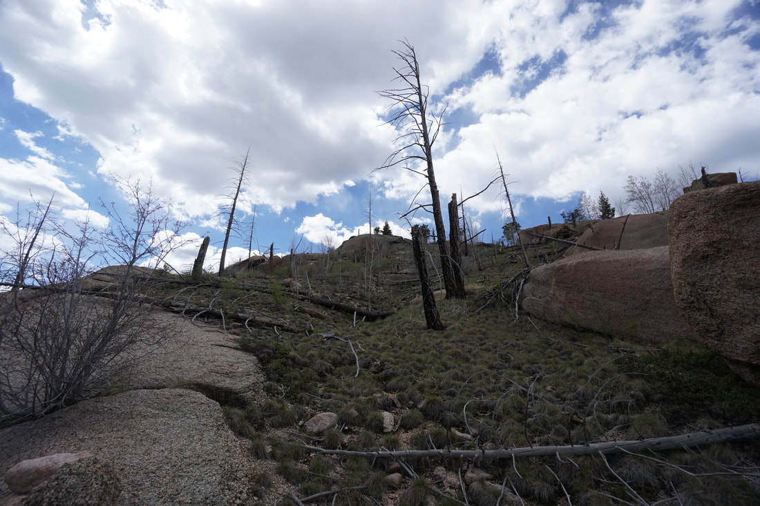
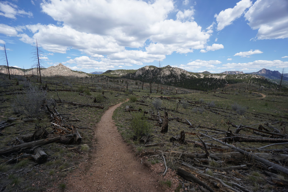
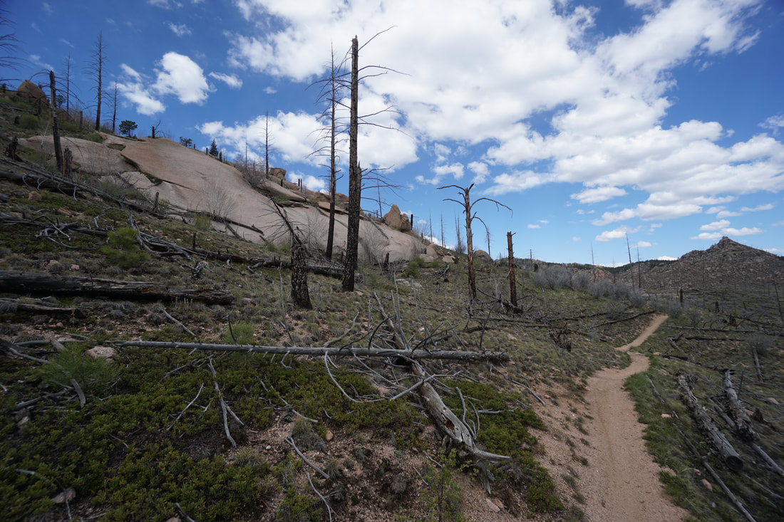
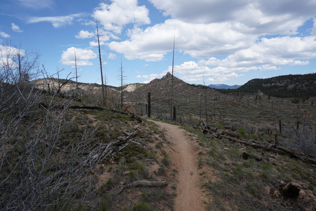
After about 2 miles the trail tops out and enters the burn area. Your first views of Baldy Peak can be seen while you are still in the pine forest and the peak looks intimidating at first glance. Once you are in the burn area and can clearly see the entirety of the peak your task will seem far more doable. The burn area is spectacular, in the distance you'll be able to make out all the various iconic rock formations that make this area so unique. As you get closer and closer to Baldy Peak you should start thinking about your off-trail route.
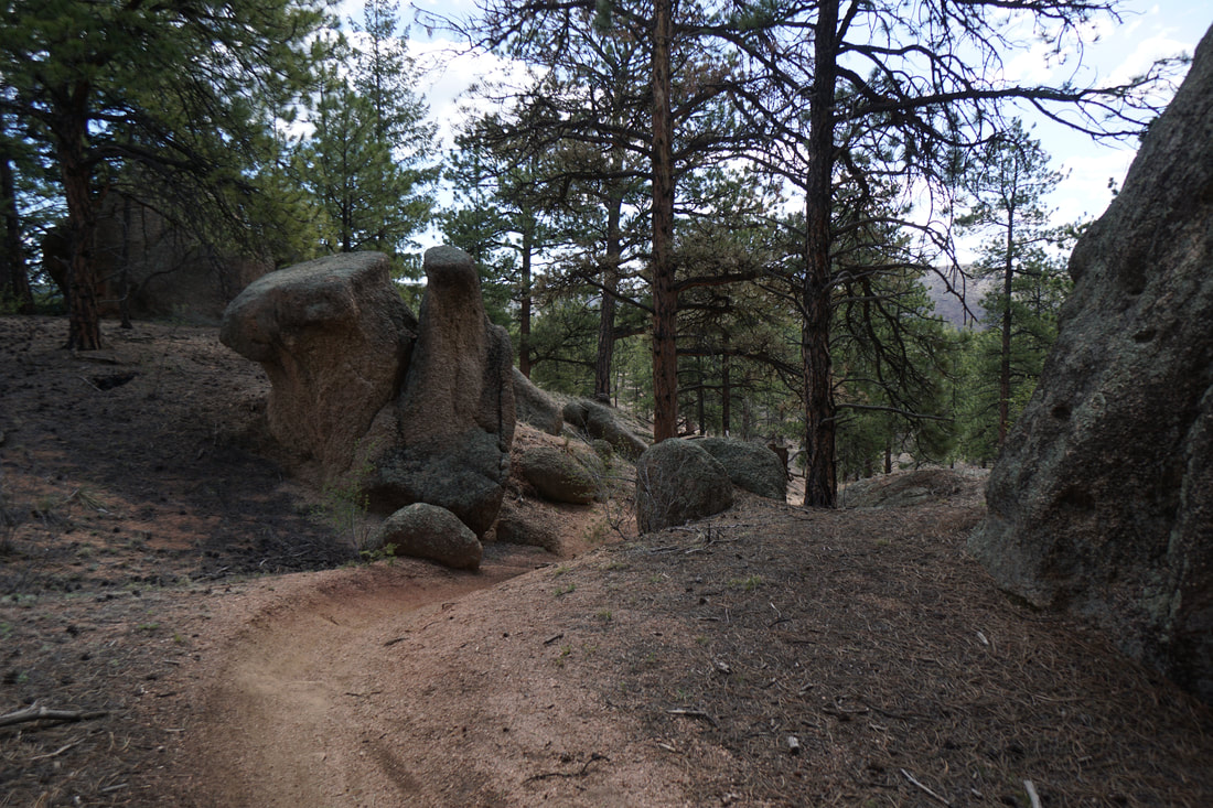
Getting to the top of Baldy Peak requires you to leave the trail and bushwhack your way up to the top of the dome. As far as bushwhacking goes, it's pretty easy and if you find the right route, you can make it with just a few easy class three moves at the top. I'll try to walk you through it, but really this is a choose your own adventure situation. I've attached a kmz file above that you can download to help with route finding.
If you are running a GPS (and I suggest you do), leave the trail at 2.9 or 3.0 miles from the parking area. This should bring you to a gully northeast of the peak.
From the large parking area on S. Buffalo Creek Road, start out hiking west along the road that is now closed to motor vehicles. After .6 miles you'll reach the trailhead for the Sandy Wash Trail. The Sandy Wash trail rolls gently through the sparse pine forest paralleling the road for a little while before gaining elevation. Along the way you'll hike past towering boulders and rock formations, with the occasional views of the surrounding area.
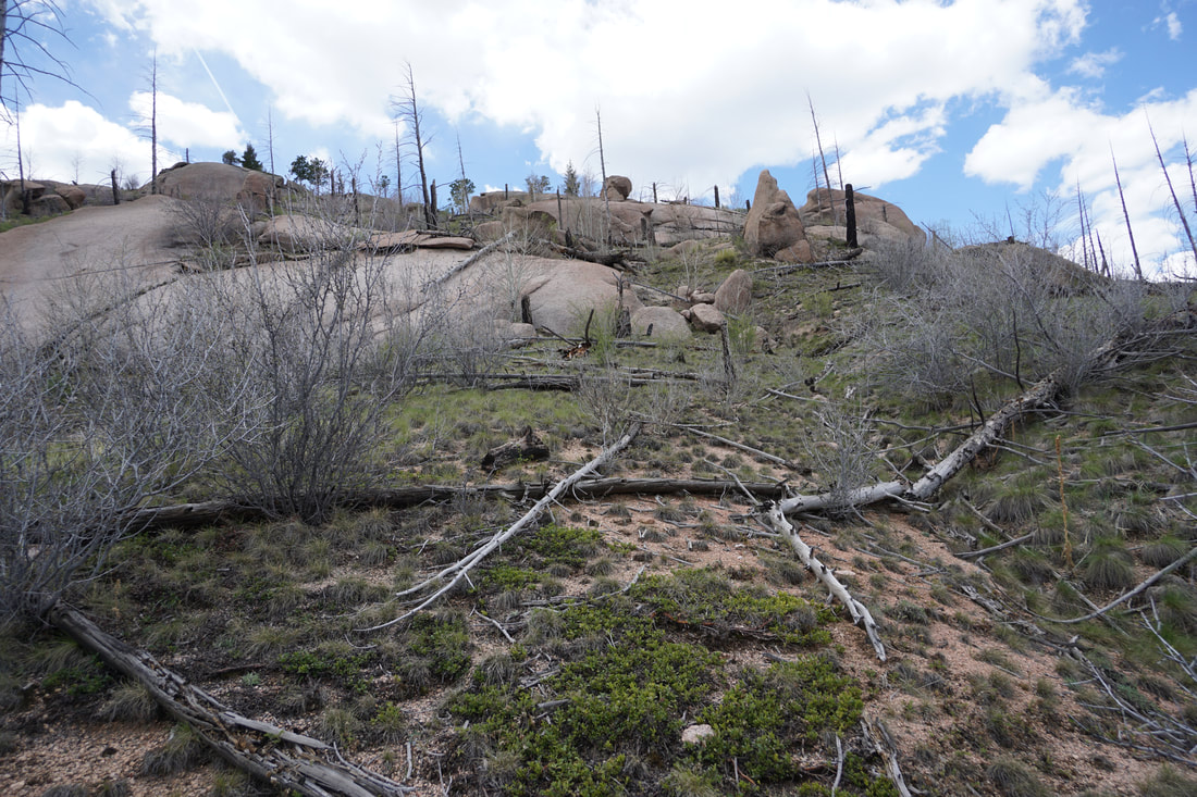
After about 2 miles the trail tops out and enters the burn area. Your first views of Baldy Peak can be seen while you are still in the pine forest and the peak looks intimidating at first glance. Once you are in the burn area and can clearly see the entirety of the peak your task will seem far more doable. The burn area is spectacular, in the distance you'll be able to make out all the various iconic rock formations that make this area so unique. As you get closer and closer to Baldy Peak you should start thinking about your off-trail route.
Getting to the top of Baldy Peak requires you to leave the trail and bushwhack your way up to the top of the dome. As far as bushwhacking goes, it's pretty easy and if you find the right route, you can make it with just a few easy class three moves at the top. I'll try to walk you through it, but really this is a choose your own adventure situation. I've attached a kmz file above that you can download to help with route finding.
If you are running a GPS (and I suggest you do), leave the trail at 2.9 or 3.0 miles from the parking area. This should bring you to a gully northeast of the peak.
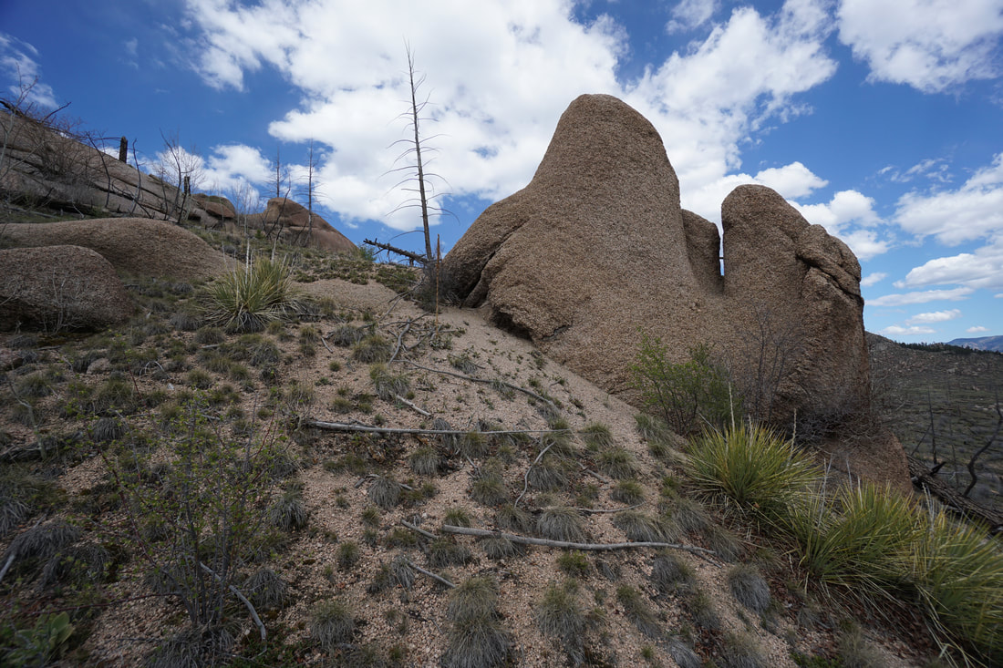
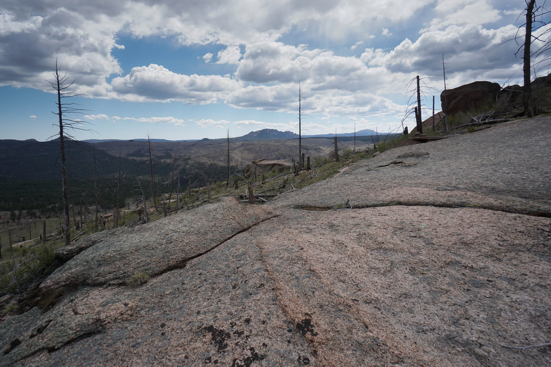
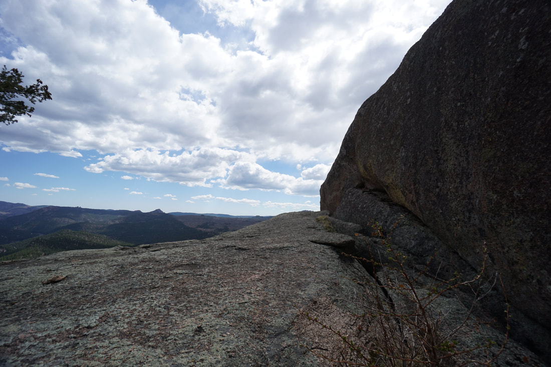
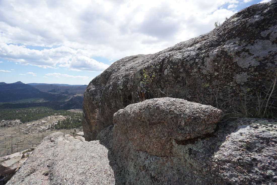
The gully is just beyond the large slickrock slab shown in this photo:
The view when you leave the trail looks like this:
The gully that you should hike up looks like this. Stay in between the rock formations on the left, and the rock formations on the right.
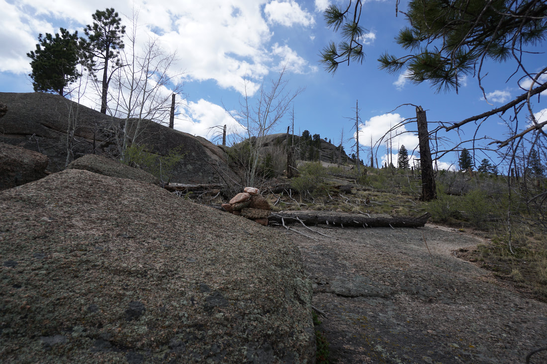
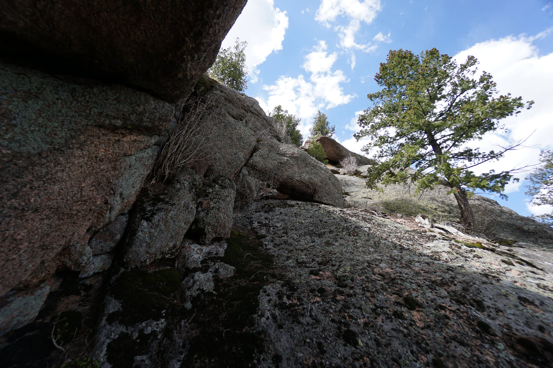
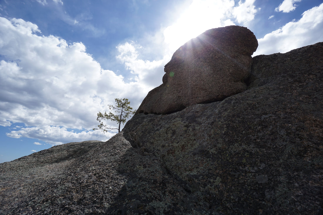
As you hike up the gully, look for this rock formation and stay to the left of it. At the top of the gully you should see this cairn on a rock slab near the obvious tree to the left of a short rock wall.

|
|
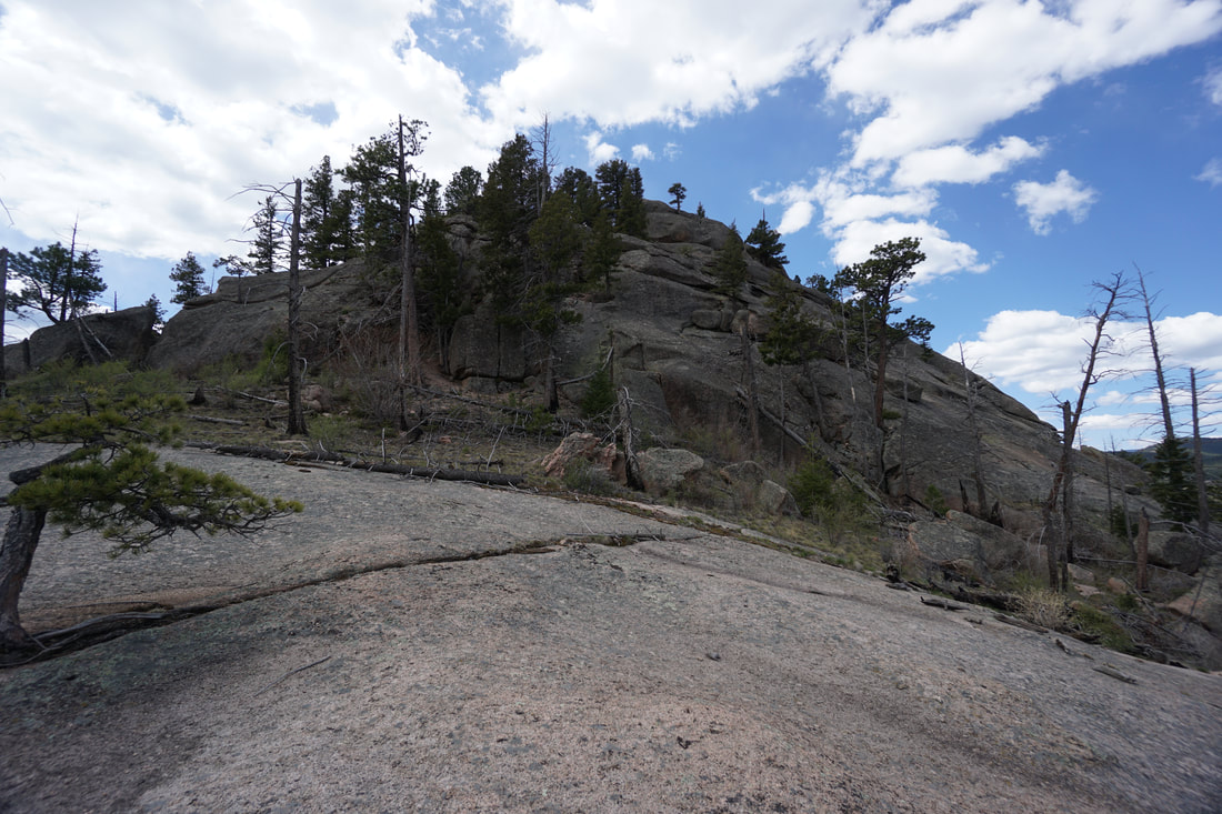
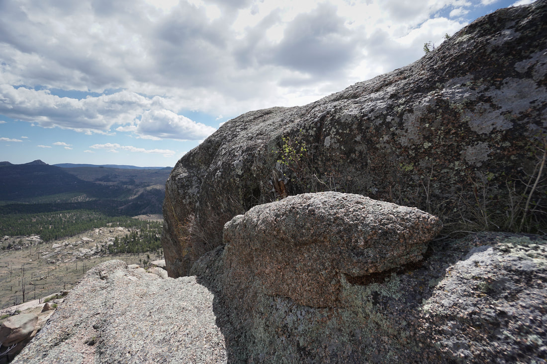
After this cairn, there is another on the wide flat slab shown below the peak in this photo. Looking at this photo, you want to aim for the left side of the slickrock and then head towards the stand of trees heading to the left side of the peak dome. Aiming towards the trees in the center of the dome is doable, but requires some class three scrambling, the trees to the left provide a dirt ramp to hike up.

If you reach the trees to the left, you should find yourself on this route, just follow the trees in between the boulders until you are standing next to bare rock.

Above the trees, you have no choice but to make a few easy class three moves to climb up to the summit. Follow the rocks shown below and the climbing should be relatively easy. Before you know it, you'll be on the summit.
|
|
|
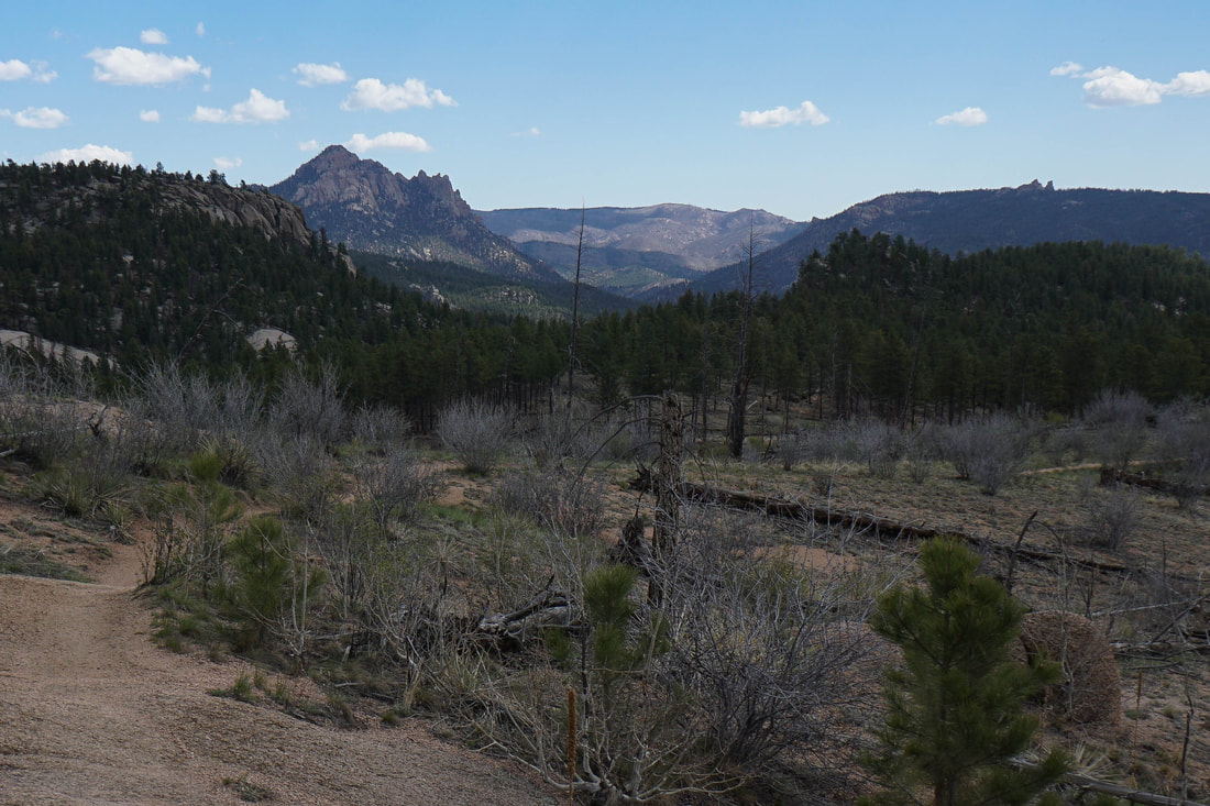
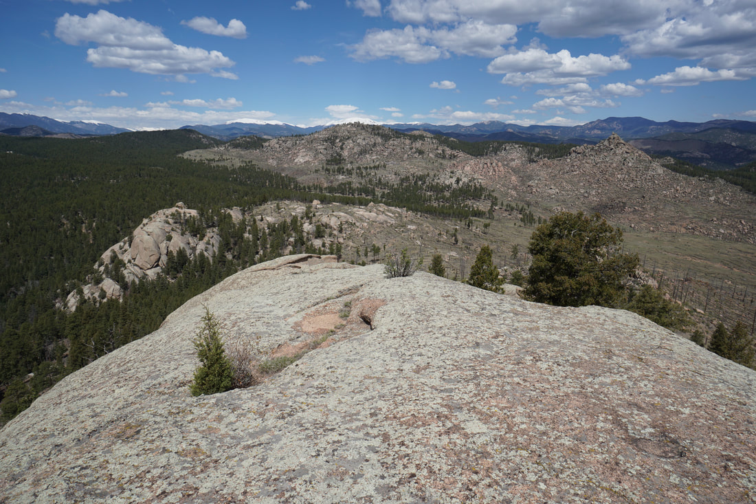
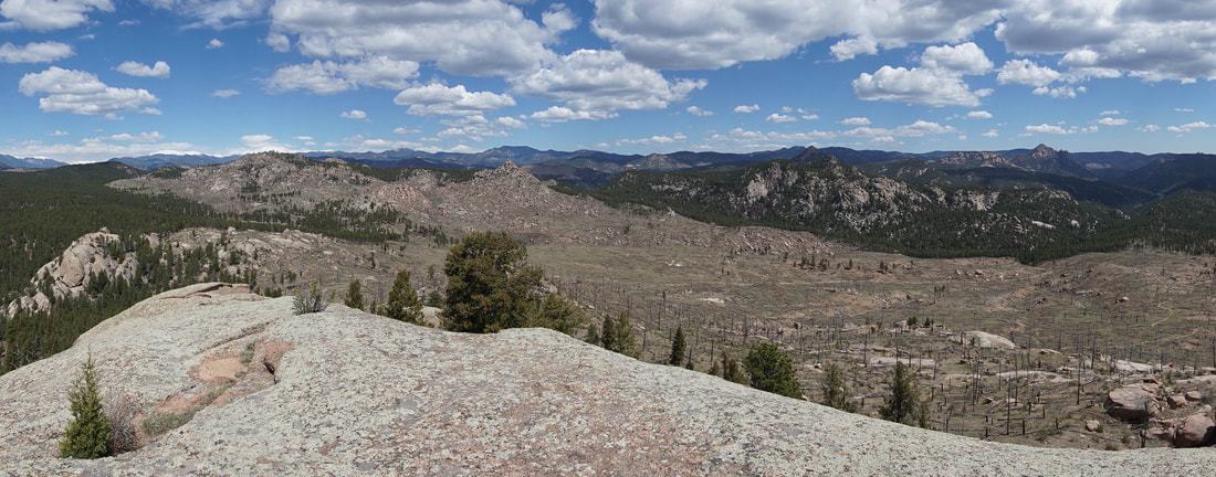
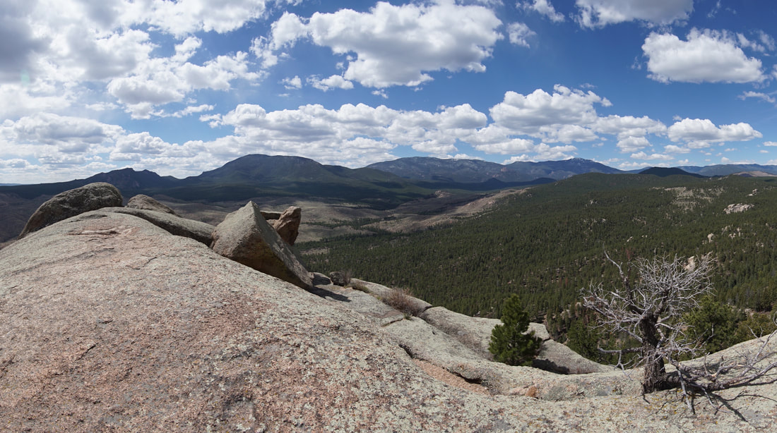
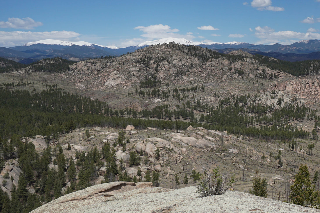
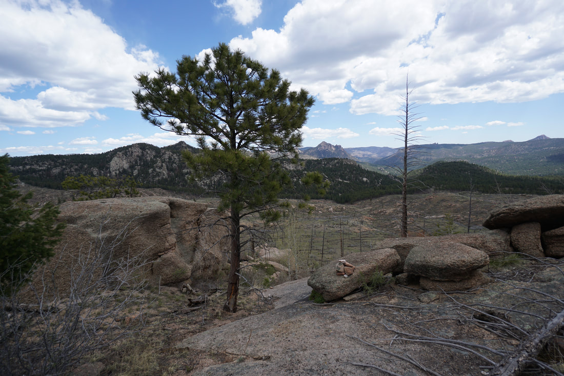
Once on the summit, you'll be treated to 360 degree views of the Buffalo Creek Area and beyond. Notable mountains include Long Scraggy Peak, the Cathedral Spires, Chair Rocks, Raleigh Peak, and Green Mountain. To the northeast you'll even be able to spot Rosalie Peak and Mt. Evans. The view is spectacular. When you're satisfied, work your way back down the same route to the gully and the trail. If you lose your way just remember that the trail is to the northeast of the peak.
Once back to the Sandy Wash Trail, just follow it back to the parking area, nothing to it. However, please be cautioned. This area is very popular with mountain bikers, and the weekends can get busy. You must keep constantly aware of mountain bikes, especially when you are heading downhill. They come around corners very quickly. On these trails, bikes are kings, be sure to step off the trail as soon as you hear them coming. That being said, don't let mountain bikes stop you from exploring this area. It is fantastic for spring and early winter hiking and is worthy of exploration.
Once back to the Sandy Wash Trail, just follow it back to the parking area, nothing to it. However, please be cautioned. This area is very popular with mountain bikers, and the weekends can get busy. You must keep constantly aware of mountain bikes, especially when you are heading downhill. They come around corners very quickly. On these trails, bikes are kings, be sure to step off the trail as soon as you hear them coming. That being said, don't let mountain bikes stop you from exploring this area. It is fantastic for spring and early winter hiking and is worthy of exploration.