|
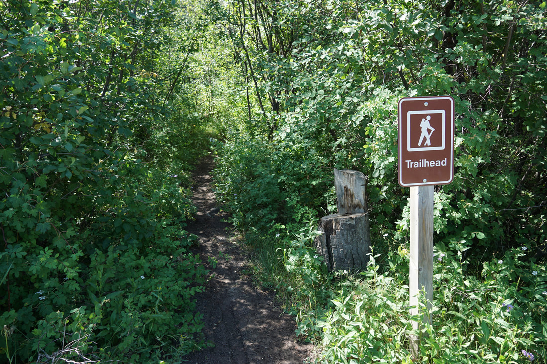
DIRECTIONS: From Collbran, CO, head east on Hwy 330 following signs for Vega State Park. After about 6.5 miles, Hwy 330 turns to the south and heads into the park after another 3 miles. Enter the park, drive over the dam and turn left (east) onto N 6 Rd. Follow this good dirt road for 1.3 miles along the south shore of the reservoir to the Cattleman Meadows Day Use Area. The trailhead is located at the western end of the parking area.
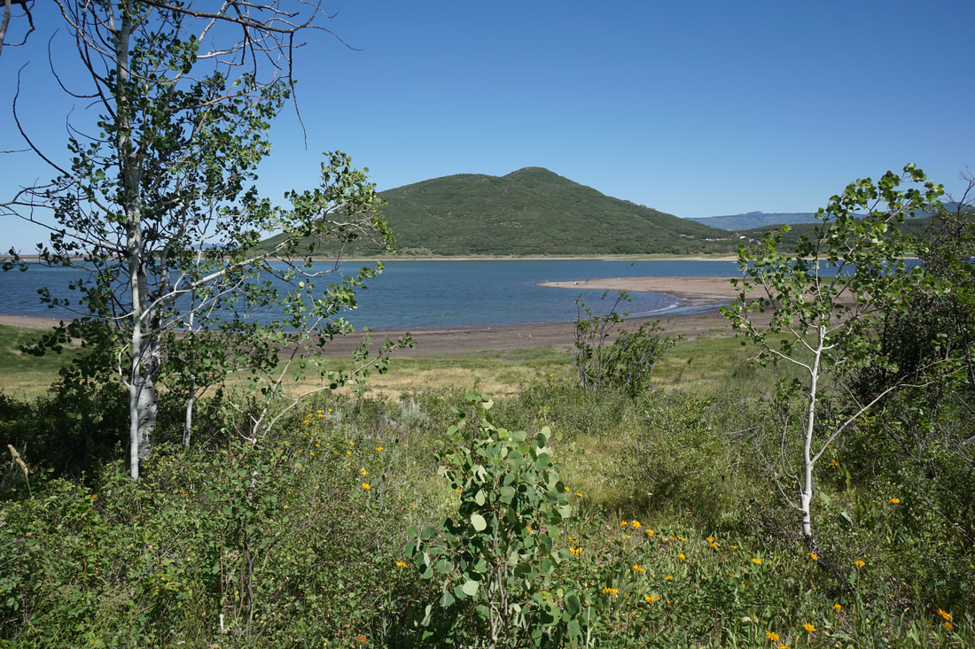
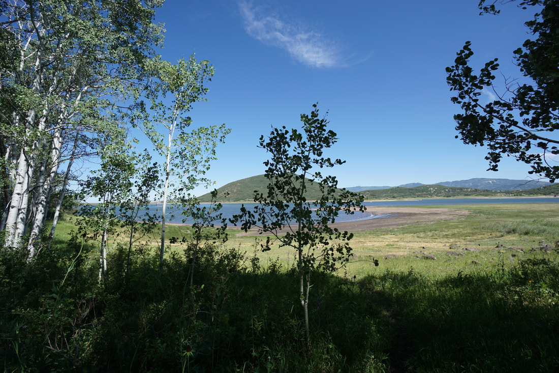
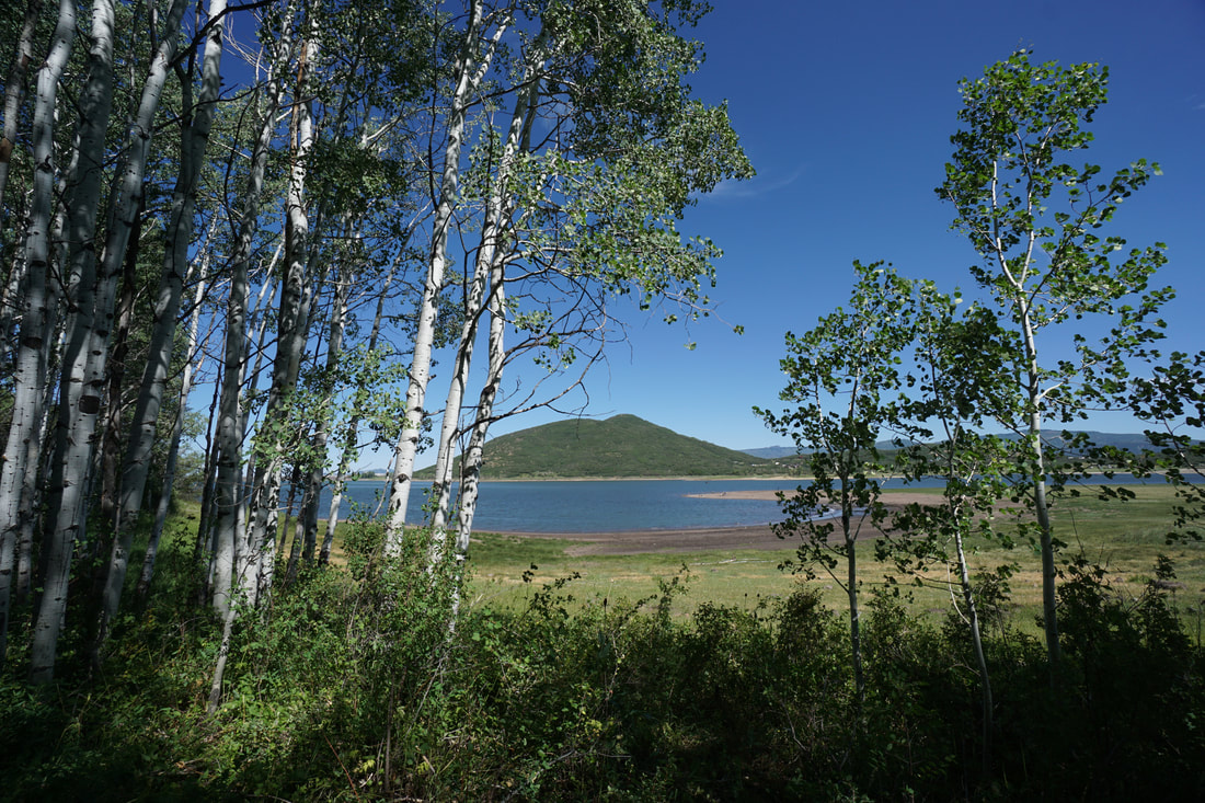
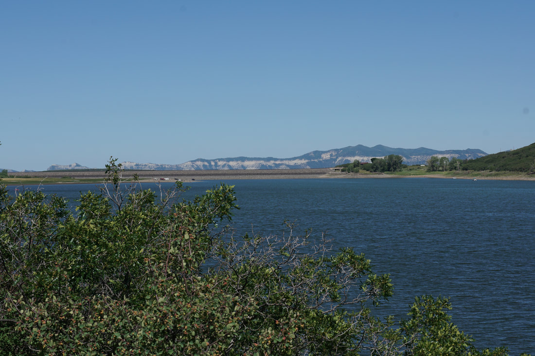
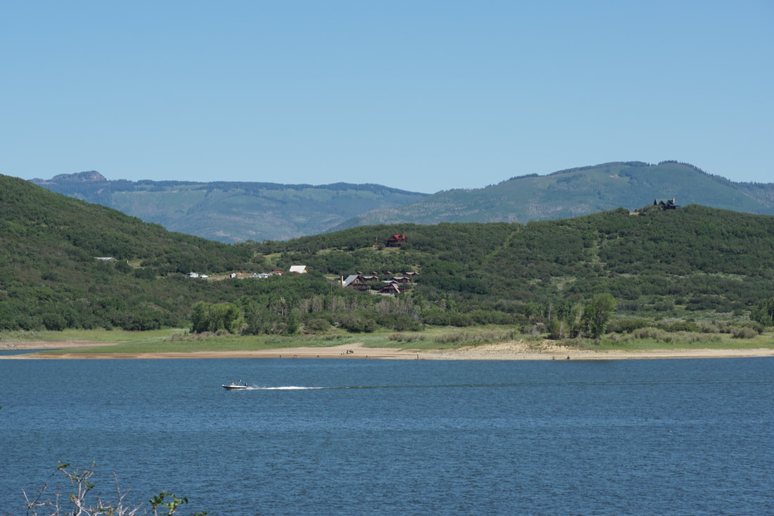
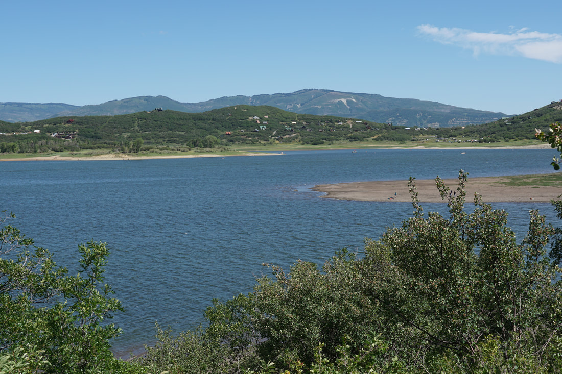
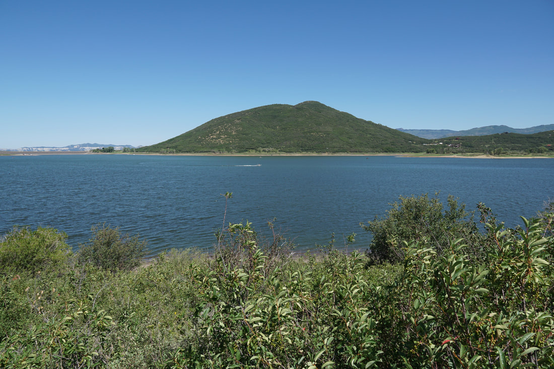
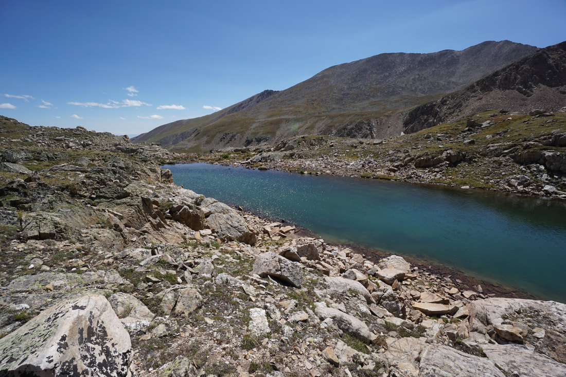
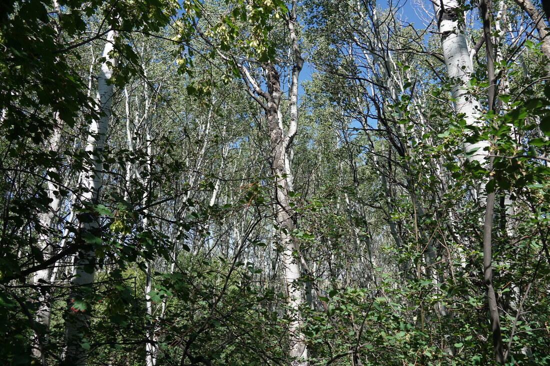
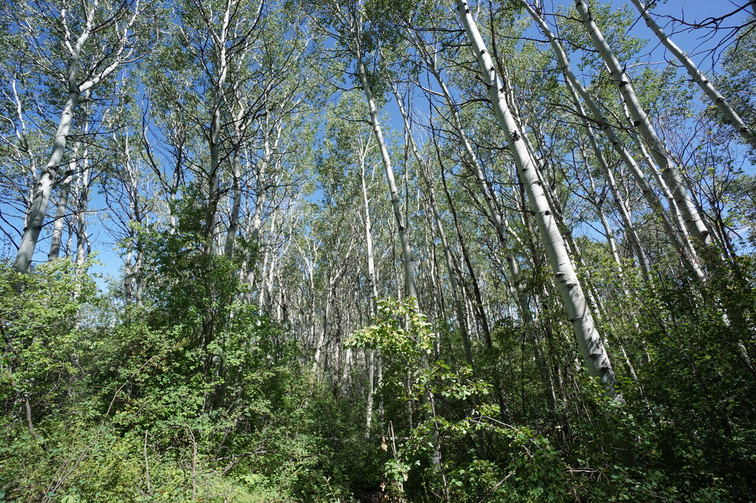
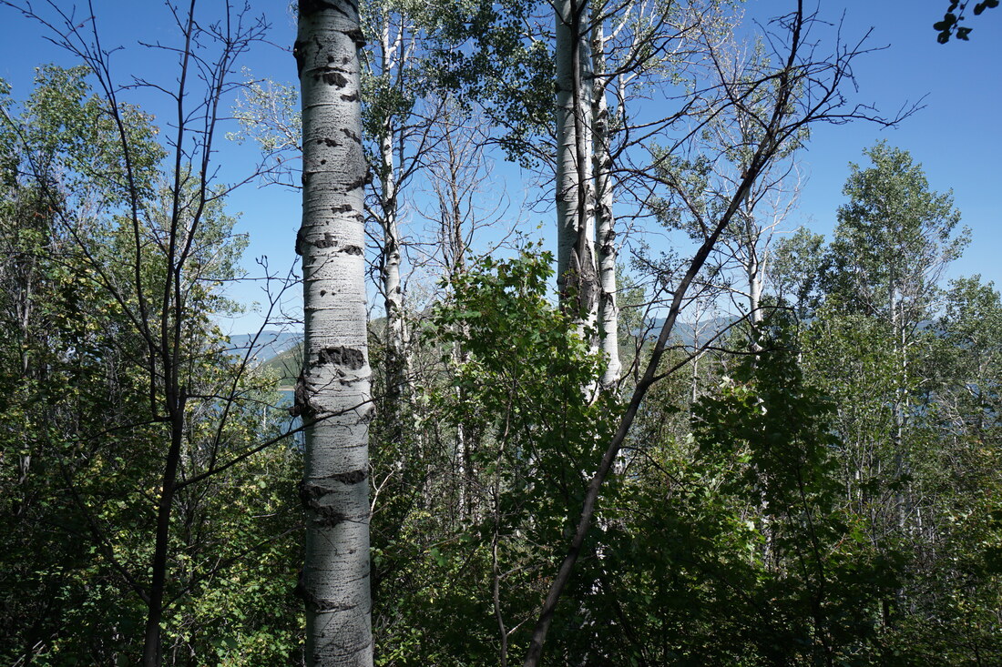
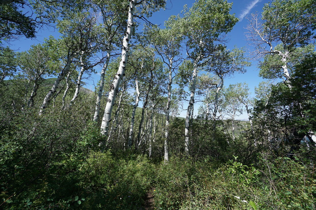
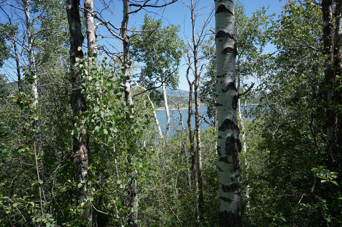
Vega State Park's primary draws are its camping, boating, and fishing. The reservoir is the main attraction but the aspen forests that dominate the southern shores are truly spectacular. The park is beautifully situated in a valley nestled between Grand Mesa to the south and Battlement Mesa to the north. This entire valley should be incredible in the fall.
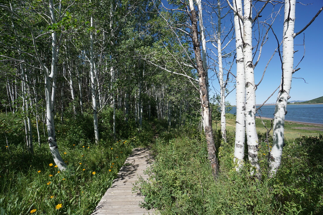
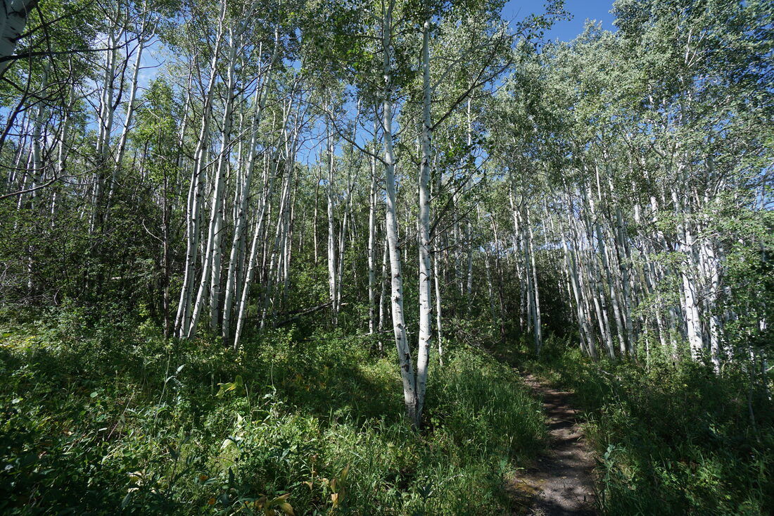
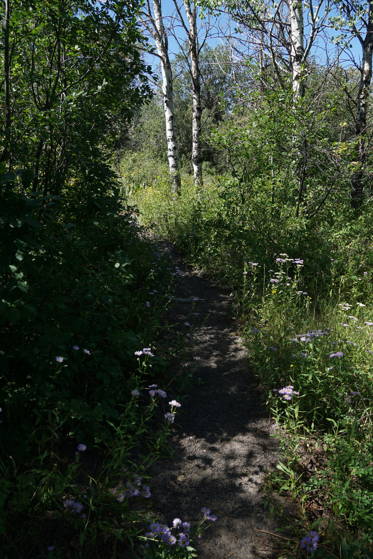
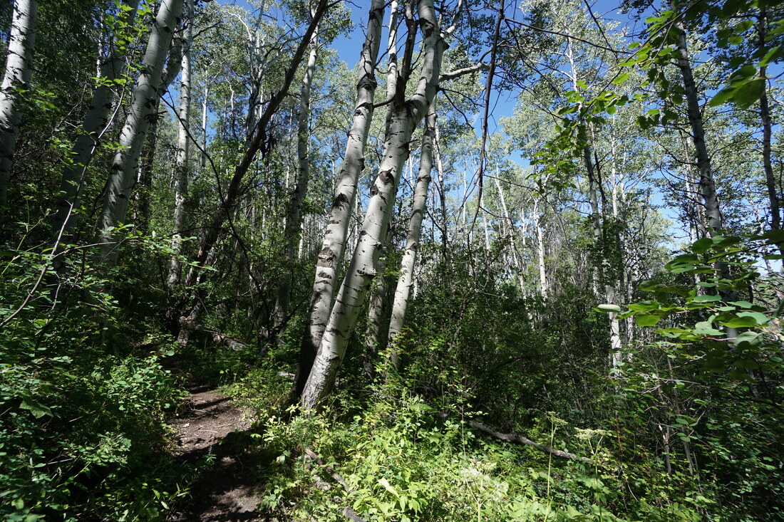
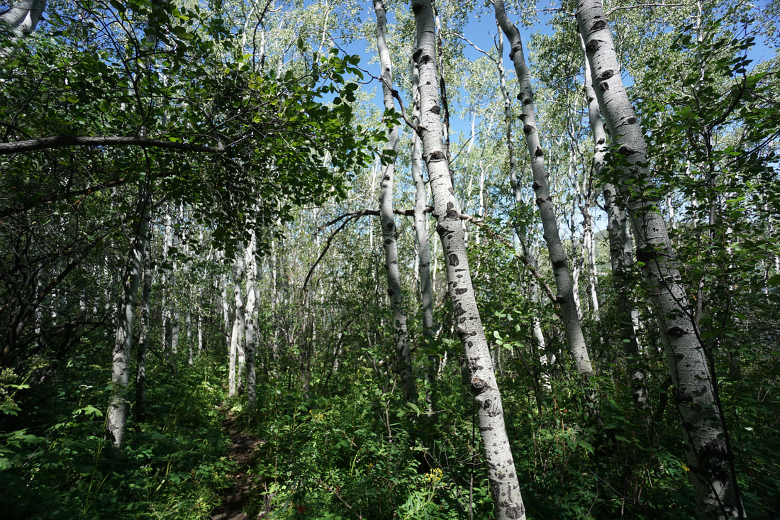
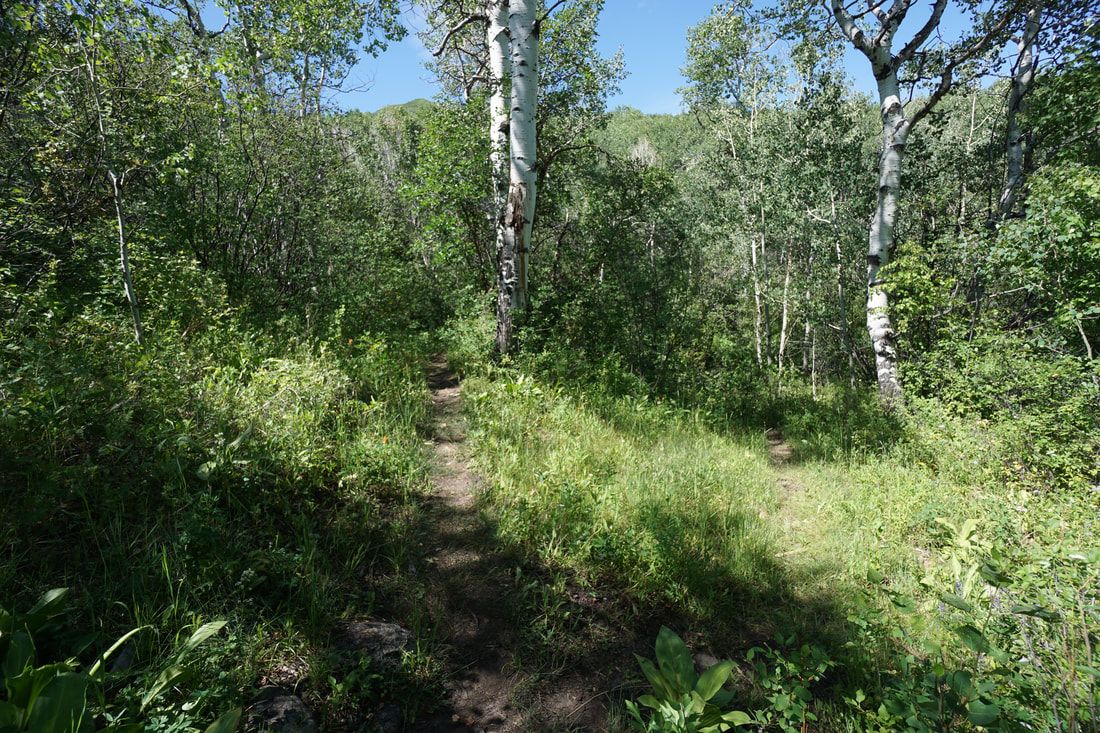
The best way to enjoy the dense aspen forest is by hiking the Aspen Nature Trail. This trail connects the Early Settlers Campground on the western end of the South shore to the Cattleman Meadows Day Use Area. According to the park map the trail extends all the way to the Aspen Grove Campground on the park's eastern end, but I was not able to find the trail in the place where the map said it should be... The trail is a real treat. It starts off easy enough as it parallels the lake and immediately enters a beautiful aspen forest. The first portion of the trail switches between aspens and oak scrub trees giving the trail a very coastal feel. As you hike the views down to the reservoir and the sandy cliffs in the distance are wonderful. Before long you'll reach the park road, the trail continues on the other side. This next portion of trail has a very different feel. The trail cuts through very dense forest and at times the trail is overgrown (not a lot of people hike this trail). The trail also starts to climb steeply. There are not many views along this section but the forest itself is very enjoyable. Along the way you'll cross a few foot bridges and visit incredible aspen groves. As you near the eastern end of the trail, at the .8 mile mark, you'll reach a junction with a trail that heads down steeply to the park road. This makes for a good turn around point. This trail is short but very sweet and although it would best be hiked in late September or early October, it should be beautiful in any season. A nice surprise in a park not typically known for its hiking trails. |
|
- HOME
- ABOUT
-
HIKES BY REGION
-
NATIONAL PARK HIKES
- BENT'S OLD FORT NATIONAL HISTORIC SITE
- BLACK CANYON OF THE GUNNISON NATIONAL PARK
- COLORADO NATIONAL MONUMENT
- CURECANTI NATIONAL RECREATION AREA
- DINOSAUR NATIONAL MONUMENT
- FLORISSANT FOSSIL BEDS NATIONAL MONUMENT
- MESA VERDE NATIONAL PARK
- ROCKY MOUNTAIN NATIONAL PARK
- GREAT SAND DUNES NATIONAL PARK
- HOVENWEEP NATIONAL MONUMENT
- SAND CREEK MASSACRE NATIONAL HISTORIC SITE
- YUCCA HOUSE NATIONAL MONUMENT
- HIKES BY CATEGORY
- NEWS
- WEBCAMS
- $UPPORT GHC
- INTERACTIVE MAP
Aspen Nature Trail
Vega State Park
Date Hiked: July 18, 2020
Distance: 1.6 mi (RT)
Elevation Gain: 270 ft
Elevation Min/Max: 7,965.9 ft, 8,169.3 ft
Trailhead Lat/Long: 39.21873, -107.79083
Managing Agency: CO Division of Parks & Wildlife
Fee: Yes