|
Directions: From Pueblo, head west on Thatcher Road (Hwy 96) for 3.8 miles to the entrance to Lake Pueblo State Park. Turn right into the park on S. Marina Road and follow the signs to the Arkansas Point Campground. Park near the covered kiosk with a basic (worthless) trail map, the trail starts to the left of this kiosk and heads off towards the cliffs, there are no signs here.
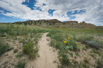
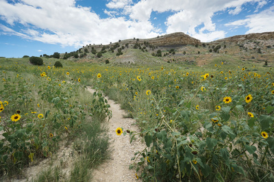
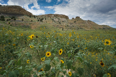
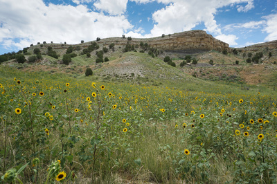
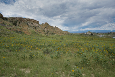
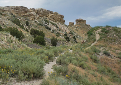
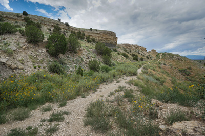
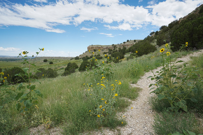
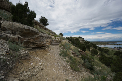
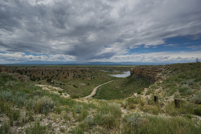
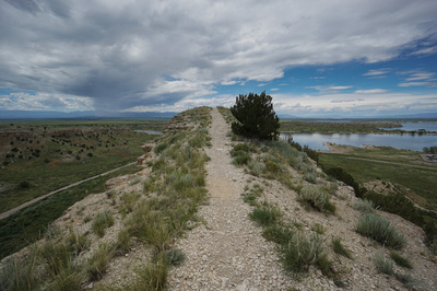
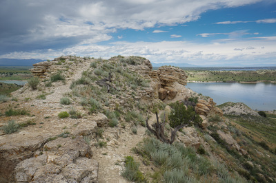
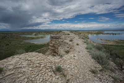
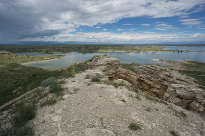
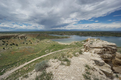
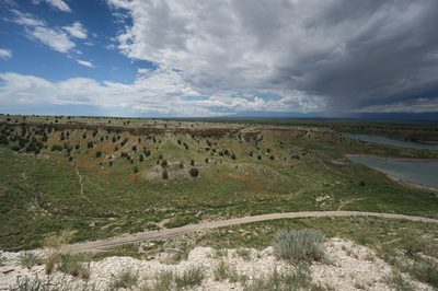
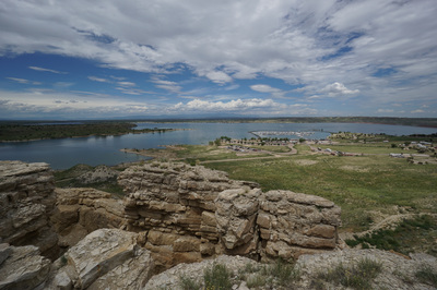
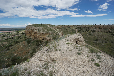
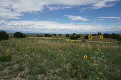
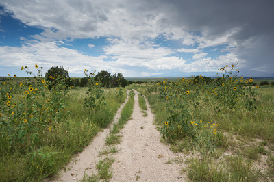
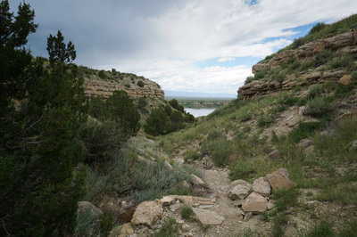
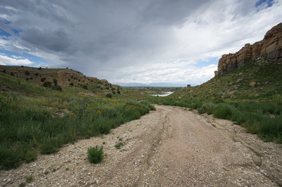
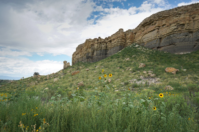
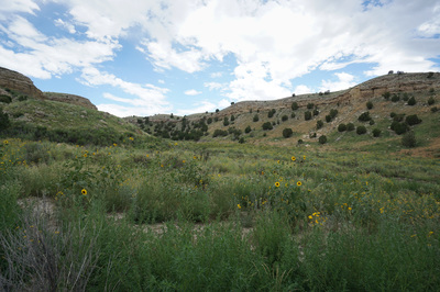
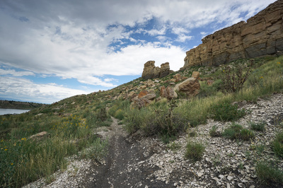
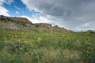
Lake Pueblo State Park is mostly known for boating on the large reservoir. However, there are two trail systems that are wonderful and worthy of exploration. The trails on the south shore are especially wonderful. The hiking here is relatively easy (except for the heat and exposure in the summer). This is desert plains hiking. From the trailhead follow the narrow sandy trail up towards the mesa top, through fields of Sunflowers in the summertime. The views of the mesa with it's soaring cliffs against the backdrop of Lake Pueblo, Pike's Peak, and the Wet Mountains provides the wow factor. The initial trail soon comes to an intersection, turn left (east) onto the unsigned Conduit Trail and quickly turn right onto the Staircase Trail. The Staircase Trail gets a bit steep but takes you up to the top of the mesa. Turn right and follow the obvious trail along the ridge to the Arkansas Point. This part of the trail is a ton of fun and the main attraction of this loop. The ridge leads to the rocky point overlooking the lake. On either side are steep 200 foot cliff walls and crumbly rock so watch your footing. After enjoying the view head back towards the Staircase Trail and turn right onto the Arkansas Point Trail. The Arkansas Point Trail, as far as I can tell, is the main thoroughfare for the southern shore trail system with many many trails branching off down into side canyons. You could spend a whole day exploring these trails (far more intricate then the park trail map would suggest). For this hike description, you want to turn right (west) onto the Watertower Trail and head down the wash/canyon hiking along slabs of slickrock down to the Watertower. Continue down the canyon along the wide dirt road and keep an eye out for the Conduit Trail on the right. Take this trail back up towards the Arkansas Point Ridge and hike along the base of the Cliffs to another lookout and back to the Trailhead. For a park that pays almost no attention to their hiking trails, Lake Pueblo State Park is a terrific place to hike. Many organizations and user groups have published their own trail maps and I certainly suggest doing some research to pick a route before your head out. |
- HOME
- ABOUT
-
HIKES BY REGION
-
NATIONAL PARK HIKES
- BENT'S OLD FORT NATIONAL HISTORIC SITE
- BLACK CANYON OF THE GUNNISON NATIONAL PARK
- COLORADO NATIONAL MONUMENT
- CURECANTI NATIONAL RECREATION AREA
- DINOSAUR NATIONAL MONUMENT
- FLORISSANT FOSSIL BEDS NATIONAL MONUMENT
- MESA VERDE NATIONAL PARK
- ROCKY MOUNTAIN NATIONAL PARK
- GREAT SAND DUNES NATIONAL PARK
- HOVENWEEP NATIONAL MONUMENT
- SAND CREEK MASSACRE NATIONAL HISTORIC SITE
- YUCCA HOUSE NATIONAL MONUMENT
- HIKES BY CATEGORY
- NEWS
- WEBCAMS
- $UPPORT GHC
- INTERACTIVE MAP
Arkansas Point
Lake Pueblo State Park
Date Hiked: July 19, 2015
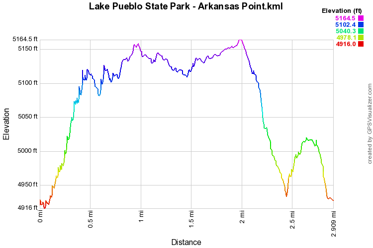
Distance: 2 mi (RT)
Elevation Gain: 400ft
Elevation Min/Max:4,916 to 5,165ft
Trailhead Lat/Long: 38º 15' 04" N; 104º 44' 09" W
Managing Agency: CO Parks and Wildlife
Fee: Yes ($7)

