|
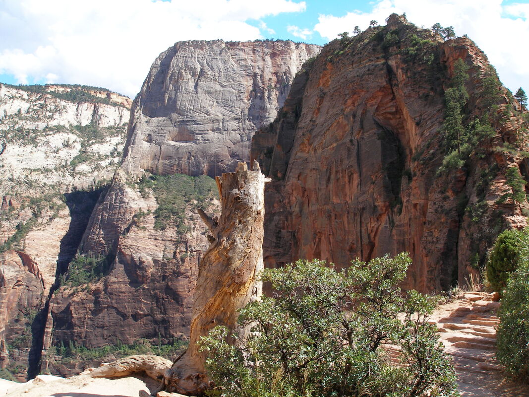
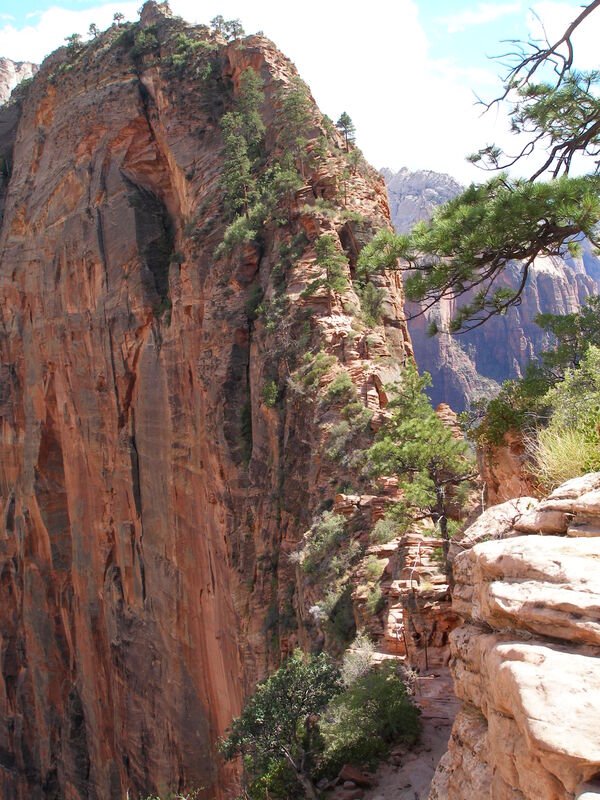
Angel's Landing is an infamous hike known across the world as one of the most dangerous hikes in the National Park System. I don't think it's quite that dangerous although a fall from the trail would not be pleasant... The hike is thrilling and rewarding and surely one of the best hikes in the National Park System. Only the last portion of the hike is difficult but if you take is slow and concentrate (and don't have a crippling fear of heights) then you should be fine.
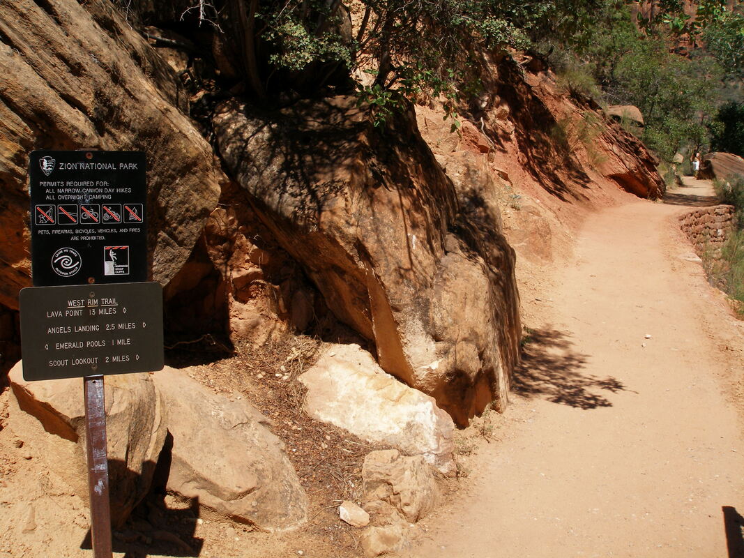
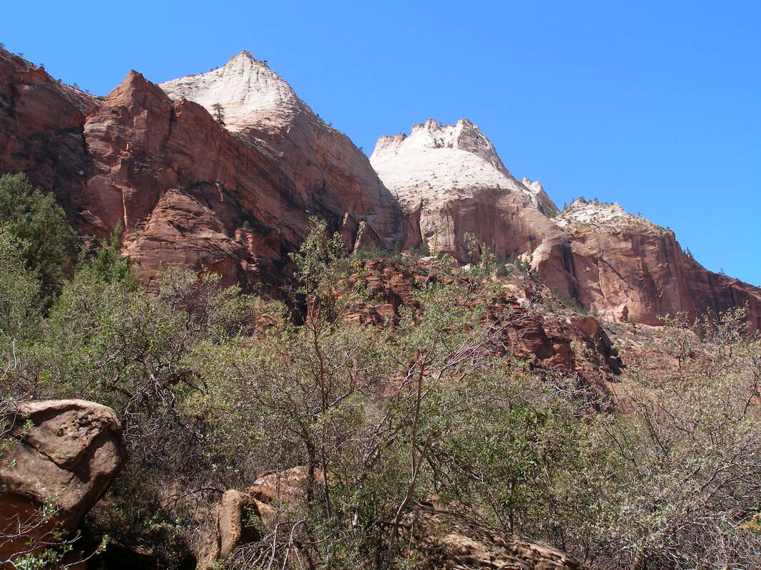
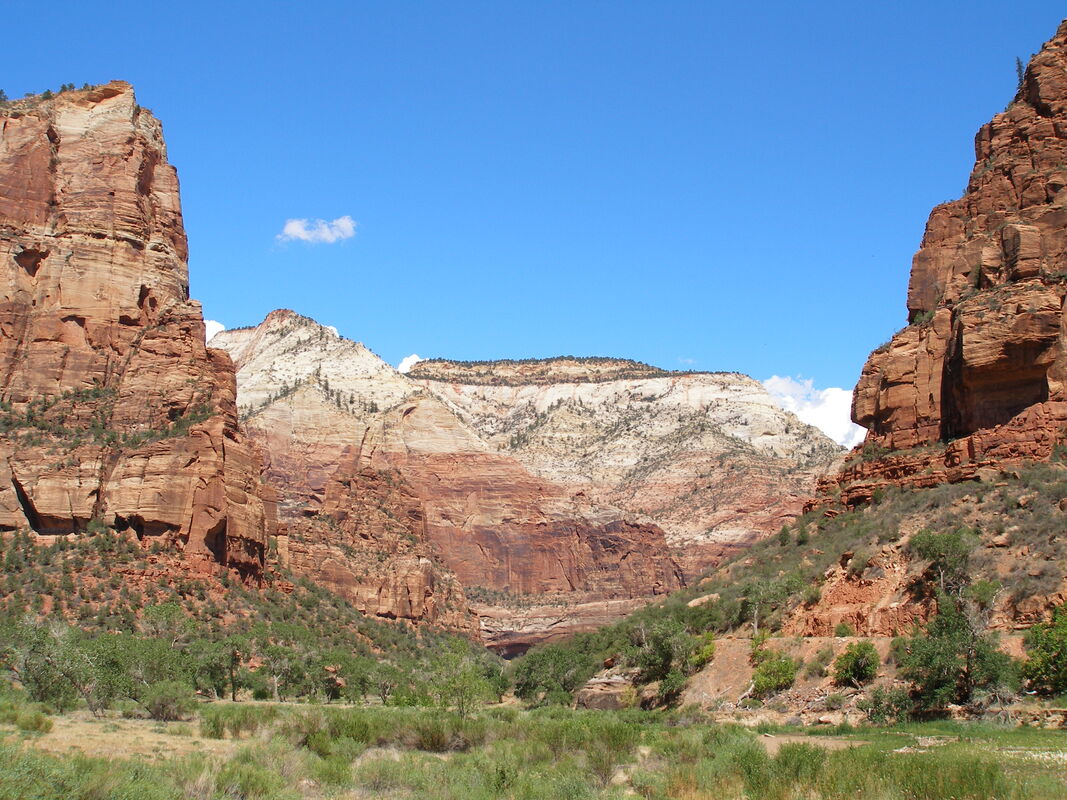
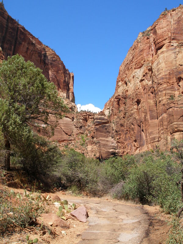
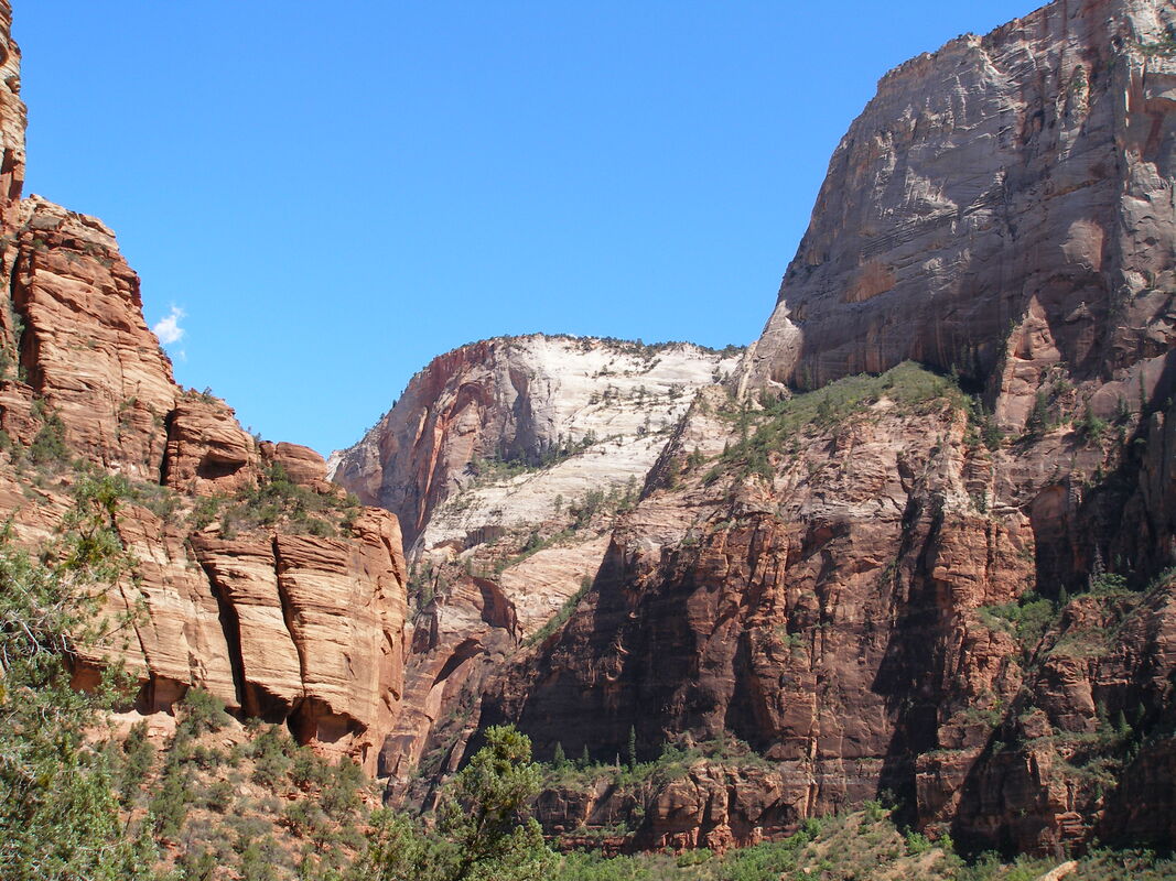
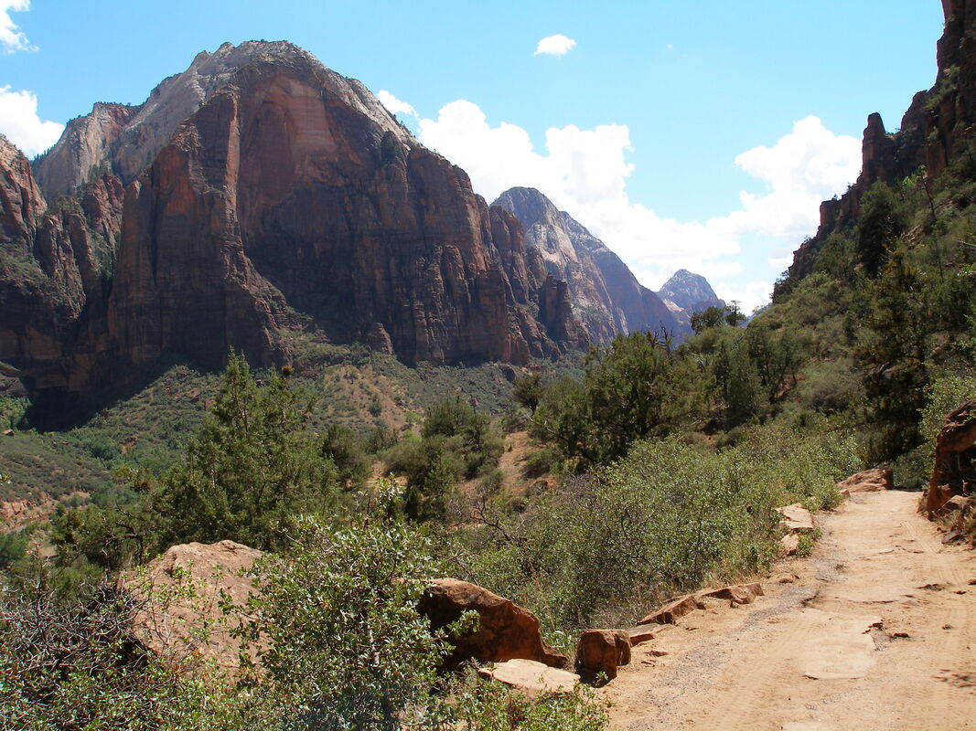
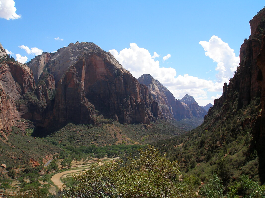
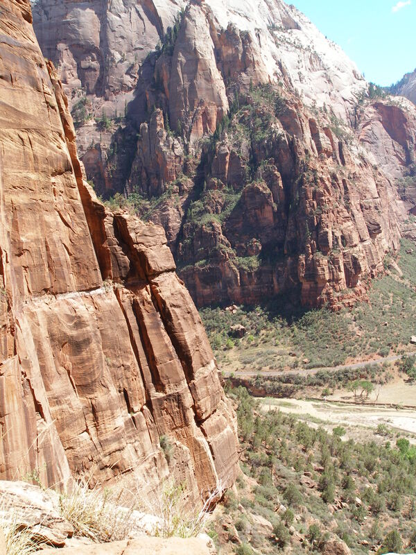
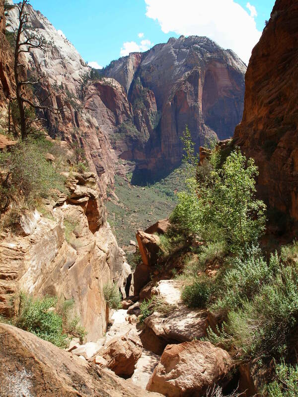
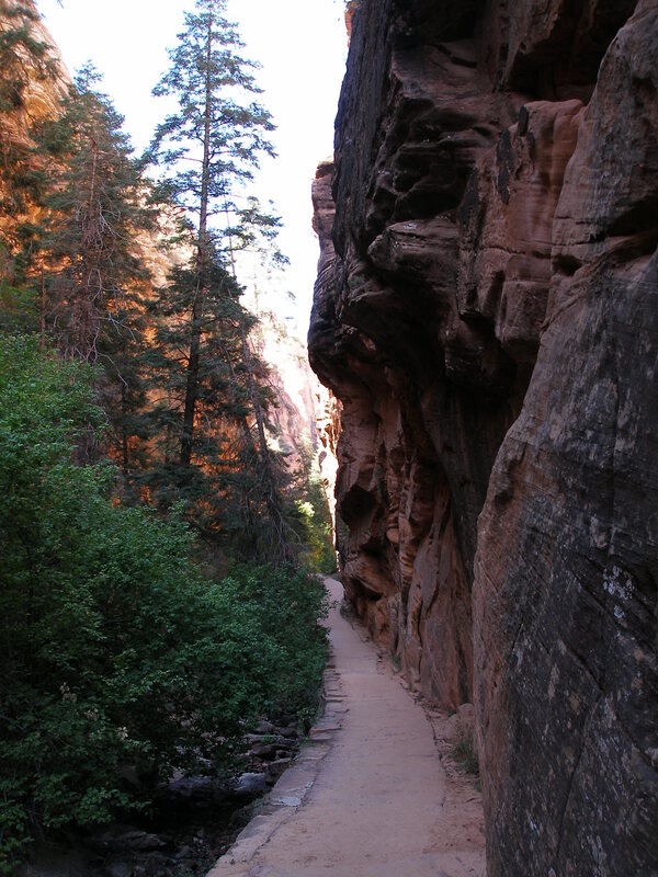
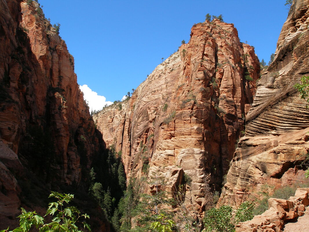
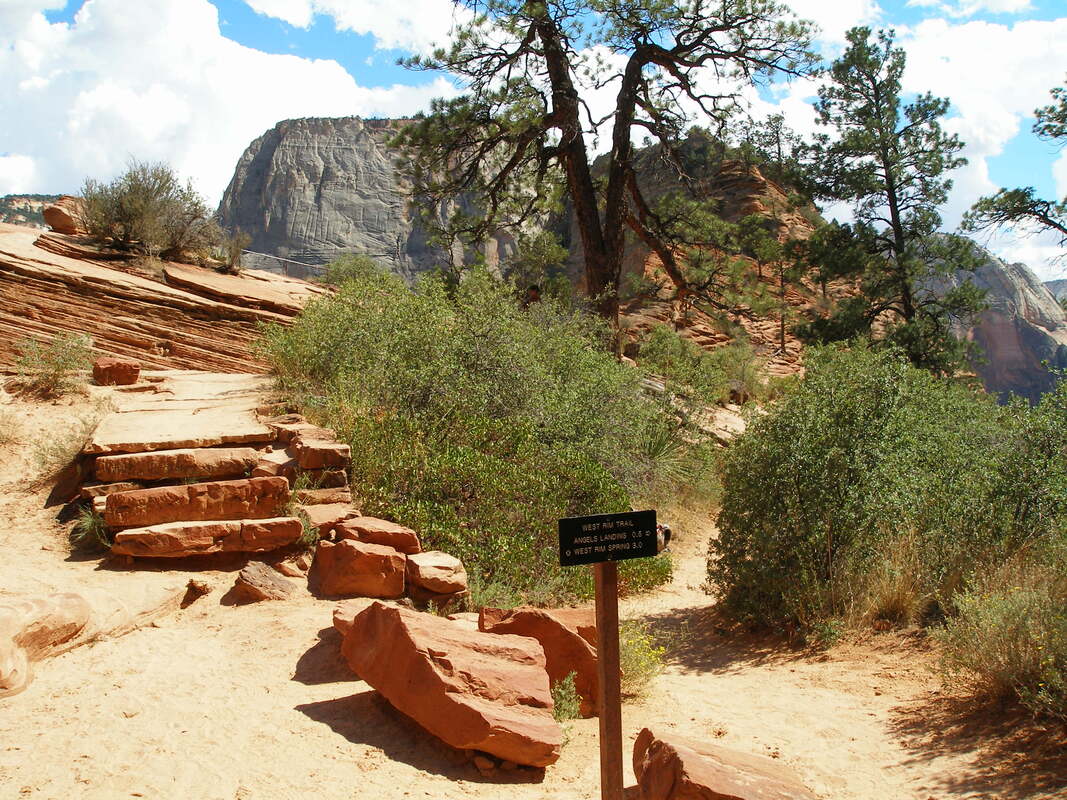
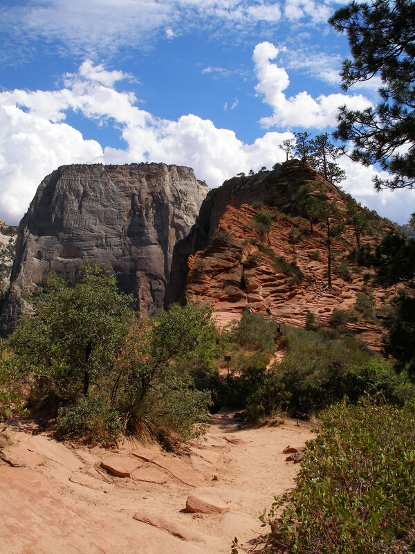
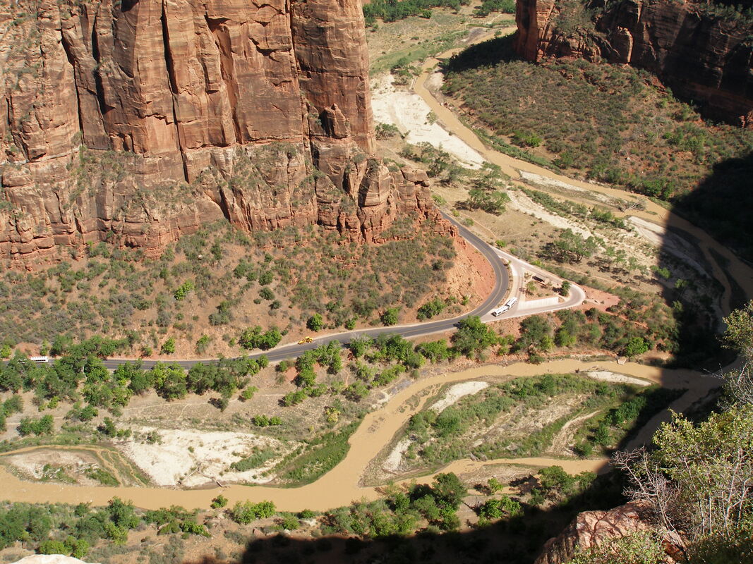
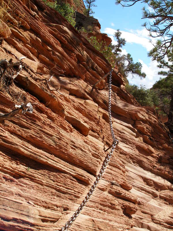
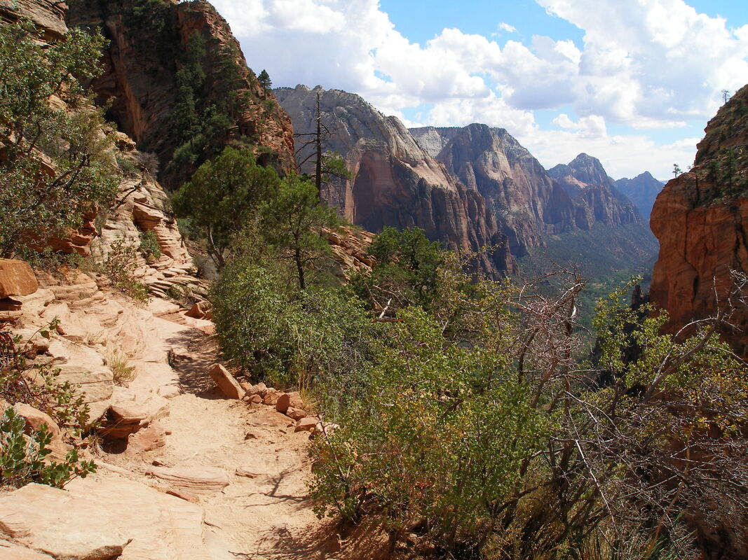
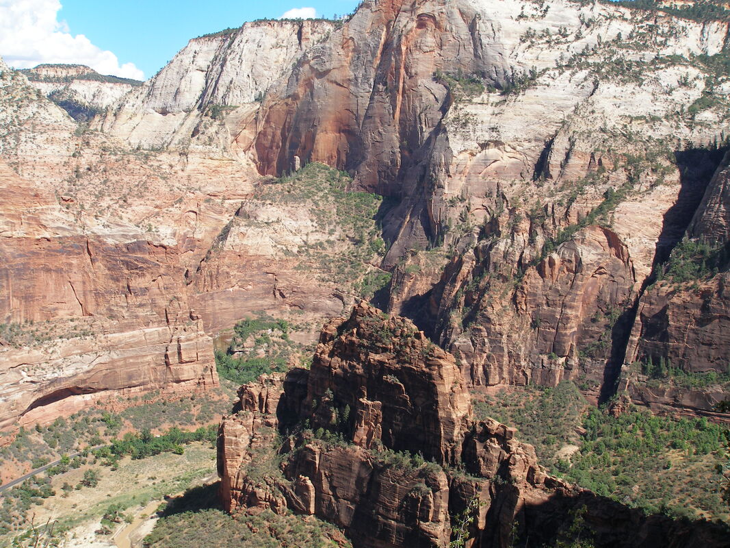
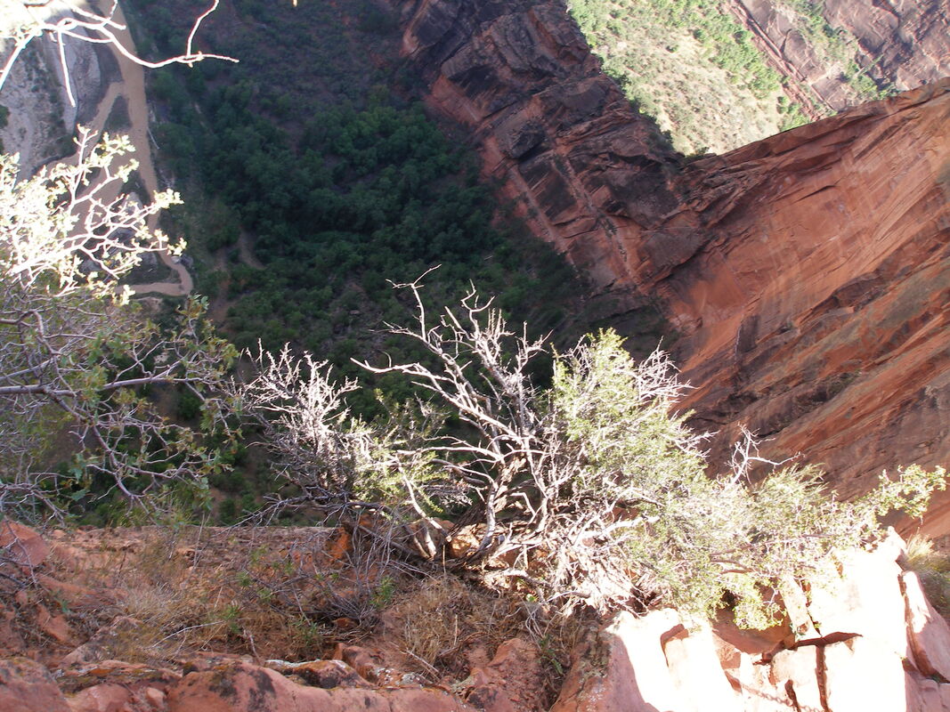
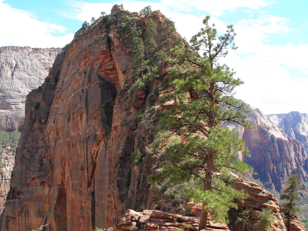
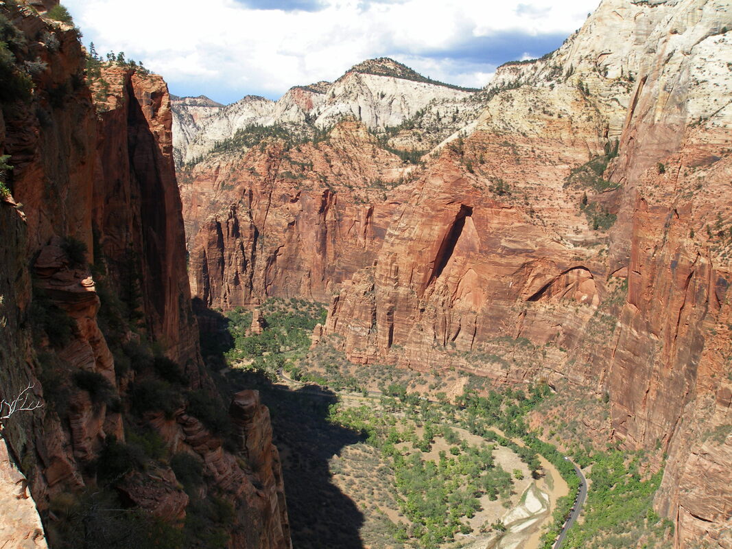
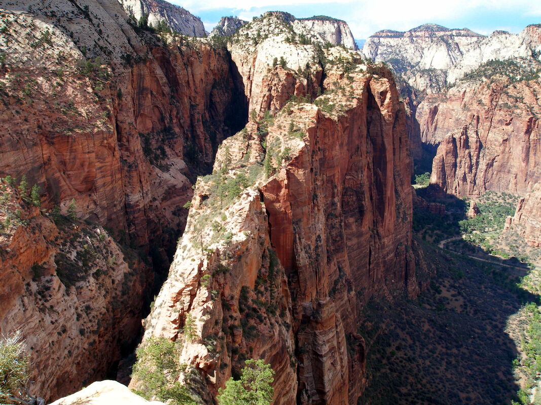
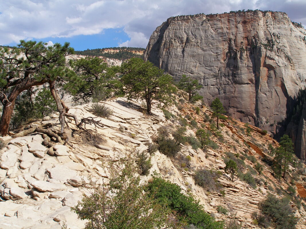
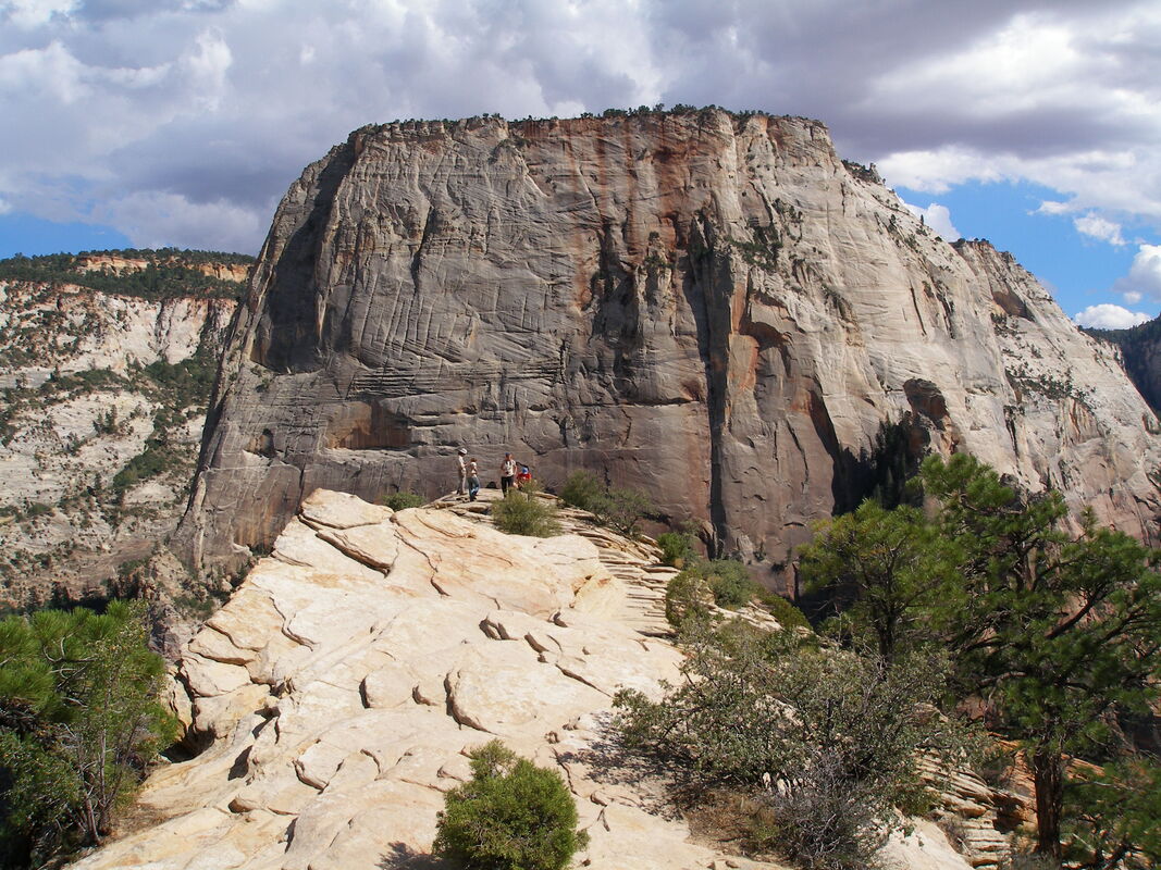
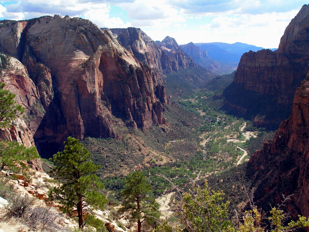
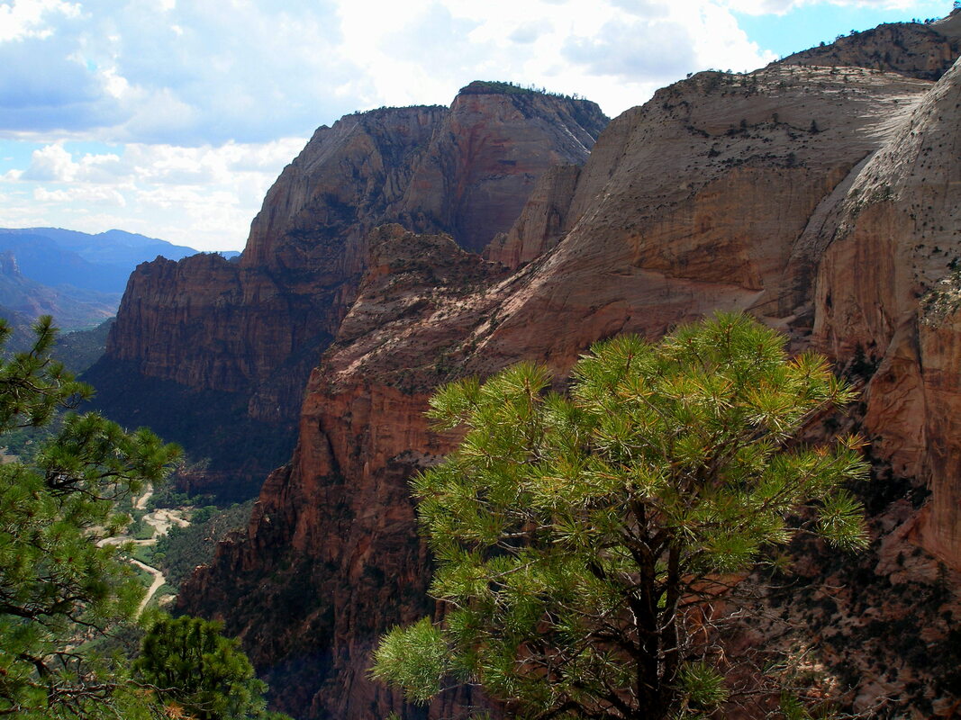
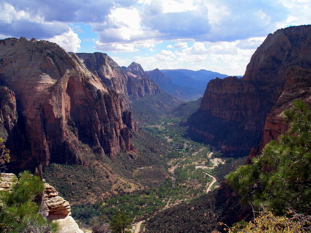
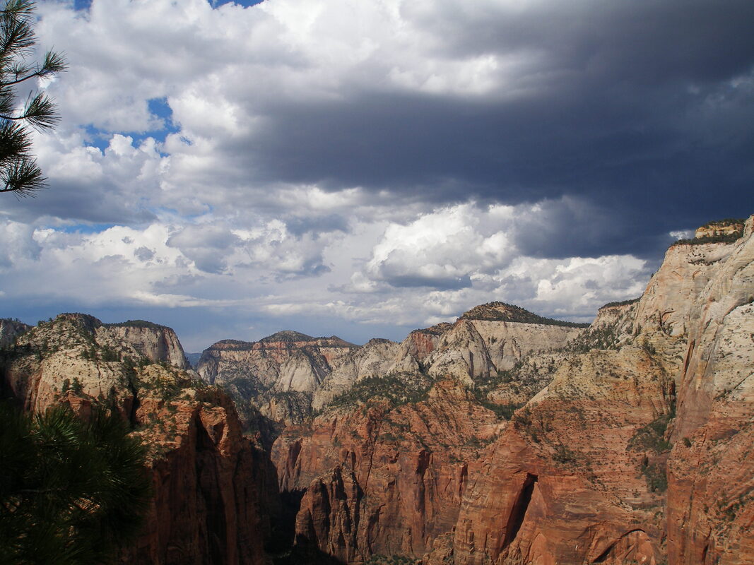
The hike starts on the canyon floor by crossing a foot bridge across the Virgin River. As with all hikes in Zion, the views of the canyon are immediately incredible. The hardest part about the start of the trail is taking your eyes off the amazing towering canyon walls and rock formations long enough to not step off the trail. There's nothing to the trail; the path is mostly paved, the switchbacks are moderate and the incredible views keep you moving and not thinking about the 1,000 feet or so of elevation gain in the hot desert climate. Before you know it, you'll arrive at the saddle and trail junction that marks the start of the craziness. Turning left (north) at this junction leads to the West Rim Trail, but you want to curve to the south to follow the ridge to Angel's Landing. As you proceed, the trail gets narrower and narrower until you are standing at the base of the spine. The trail has chains to help you ascend and it gets really really narrow... Keep breathing, move slowly, try not to take too many pictures, and you'll make it to the top. The summit of Angels Landing is truly amazing. The views of Zion are breathtaking with the Great White Thrown prominent across the canyon. Stay here as long as you can and try to take it all in. This is one of America's most scenic spots, enjoy it. Don't forget to keep an eye out for weather as you still need to descend the ridge and you don't want to have to do that in a storm. Slowly descend the narrow ridge and then enjoy the easy path back down to the canyon floor. Congratulations, you just survived one of America's most dangerous hikes...wasn't so bad...right? |
|
- HOME
- ABOUT
-
HIKES BY REGION
-
NATIONAL PARK HIKES
- BENT'S OLD FORT NATIONAL HISTORIC SITE
- BLACK CANYON OF THE GUNNISON NATIONAL PARK
- COLORADO NATIONAL MONUMENT
- CURECANTI NATIONAL RECREATION AREA
- DINOSAUR NATIONAL MONUMENT
- FLORISSANT FOSSIL BEDS NATIONAL MONUMENT
- MESA VERDE NATIONAL PARK
- ROCKY MOUNTAIN NATIONAL PARK
- GREAT SAND DUNES NATIONAL PARK
- HOVENWEEP NATIONAL MONUMENT
- SAND CREEK MASSACRE NATIONAL HISTORIC SITE
- YUCCA HOUSE NATIONAL MONUMENT
- HIKES BY CATEGORY
- NEWS
- WEBCAMS
- $UPPORT GHC
- INTERACTIVE MAP
Angel's Landing
Zion National Park
Date Hiked: August 2007
Distance: 5 mi (RT)
Elevation Gain: 1,630 ft
Elevation Min/Max:
Managing Agency: National Park Service
Fee: Yes