GO HIKE COLORADO
Get in Touch:
  • HOME
  • ABOUT
  • HIKES BY REGION
    • DENVER AREA >
      • Denver Mountain Parks
      • Jefferson County Open Space
      • Lakewood Parks
      • Denver Area Greenways
    • BOULDER AREA
    • DOUGLAS COUNTY
    • FORT COLLINS AREA
    • COLORADO SPRINGS AREA
    • FRONT RANGE
    • TENMILE & MOSQUITO RANGES
    • GORE RANGE
    • SANGRE DE CRISTO MOUNTAINS
    • PARK RANGE
    • SAWATCH RANGE
    • ELK MOUNTAINS
    • SAN JUAN MOUNTAINS
    • THE FLAT TOPS
    • GRAND MESA
    • COLORADO PLATEAU
    • EASTERN PLAINS
  • NATIONAL PARK HIKES
    • BENT'S OLD FORT NATIONAL HISTORIC SITE
    • BLACK CANYON OF THE GUNNISON NATIONAL PARK
    • COLORADO NATIONAL MONUMENT
    • CURECANTI NATIONAL RECREATION AREA
    • DINOSAUR NATIONAL MONUMENT
    • FLORISSANT FOSSIL BEDS NATIONAL MONUMENT
    • MESA VERDE NATIONAL PARK
    • ROCKY MOUNTAIN NATIONAL PARK
    • GREAT SAND DUNES NATIONAL PARK
    • HOVENWEEP NATIONAL MONUMENT
    • SAND CREEK MASSACRE NATIONAL HISTORIC SITE
    • YUCCA HOUSE NATIONAL MONUMENT
  • HIKES BY CATEGORY
    • HIKES TO ALPINE LAKES
    • HIKES TO PEAKS & PASSES
    • HIKES THROUGH CANYONS
    • HIKES WITH FALL COLORS
    • HIKES ALONG THE I-70 CORRIDOR
    • HIKES ON PAVED TRAILS
    • HIKES FOR KIDS
    • HIKES TO WATERFALLS
    • HIKES ALONG RIVERS
    • HIKES WITH ROCK FORMATIONS
    • HIKES WITH WILDFLOWERS
    • WINTER HIKES
  • NEWS
  • WEBCAMS
  • $UPPORT GHC
  • INTERACTIVE MAP

Addenbrooke Park

Date Hiked: March 8, 2013

​Distance: 1.4 mi (RT)
Elevation Gain: 150ft
Managing Agency: City of Lakewood
Fee: None

Addenbrooke Park Website
Picture

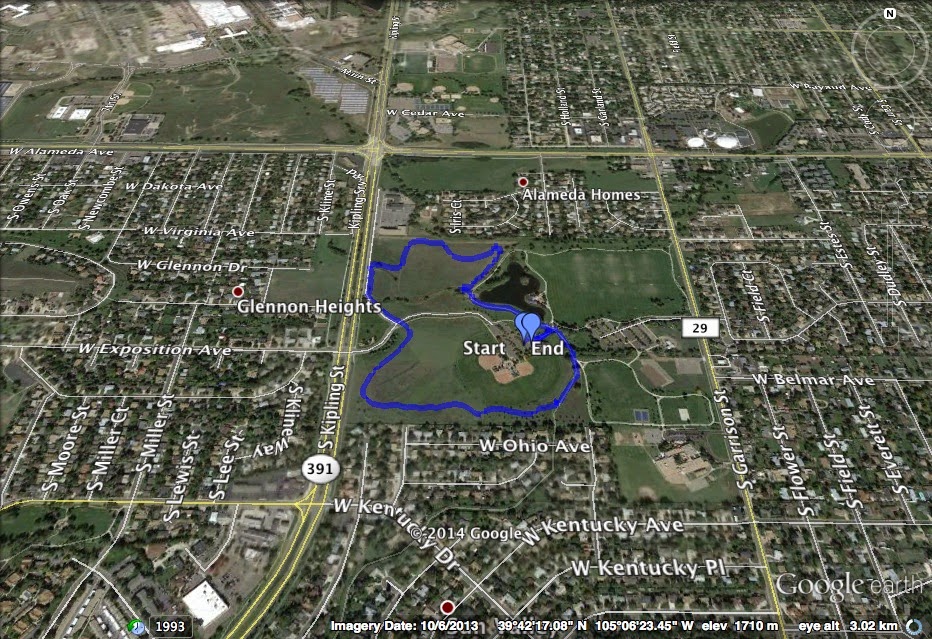
Directions:  Addenbrooke Park is located off of Kipling in between West Virginia Ave and Kentucky Drive.  The trailhead and parking area is located across from Exposition Ave.

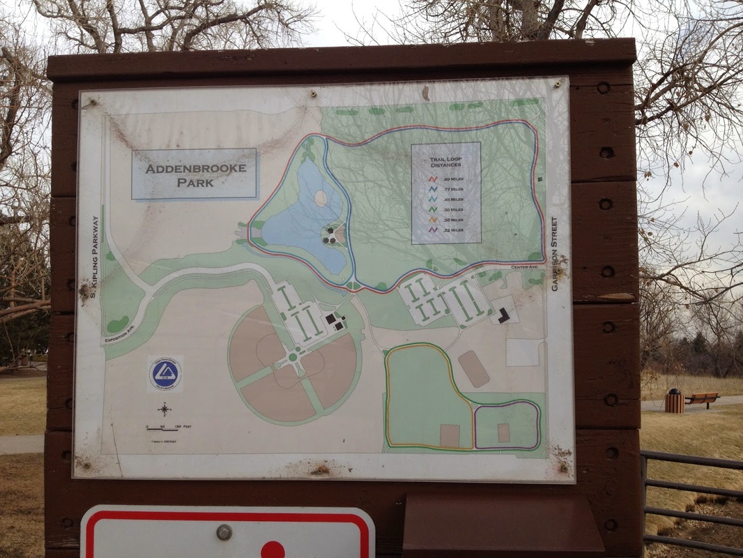
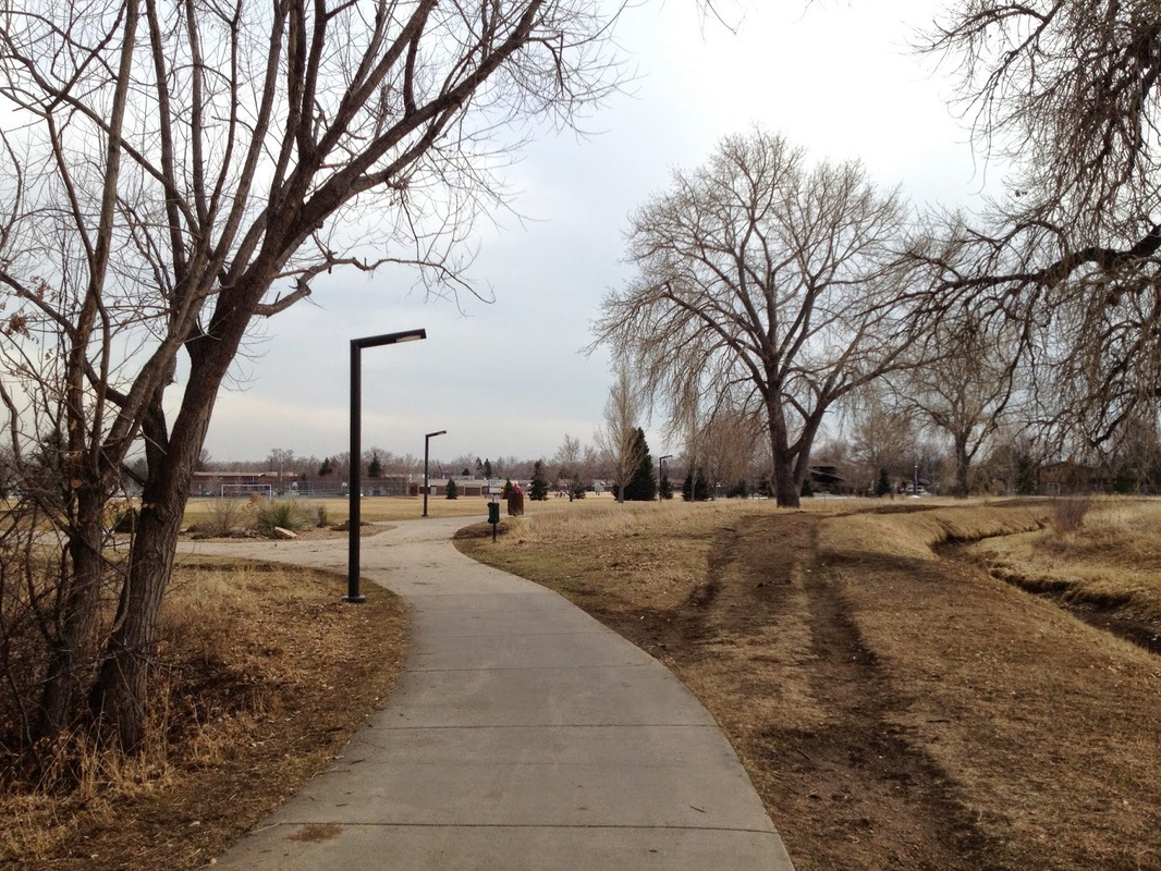
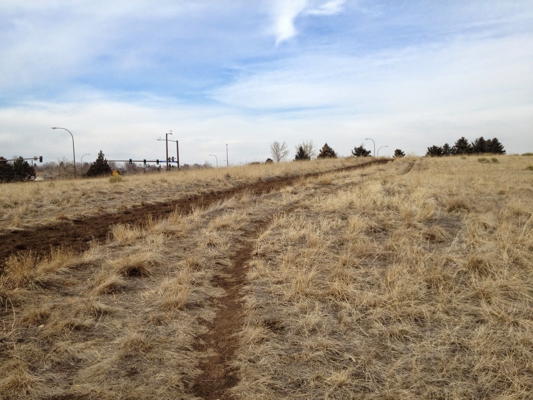
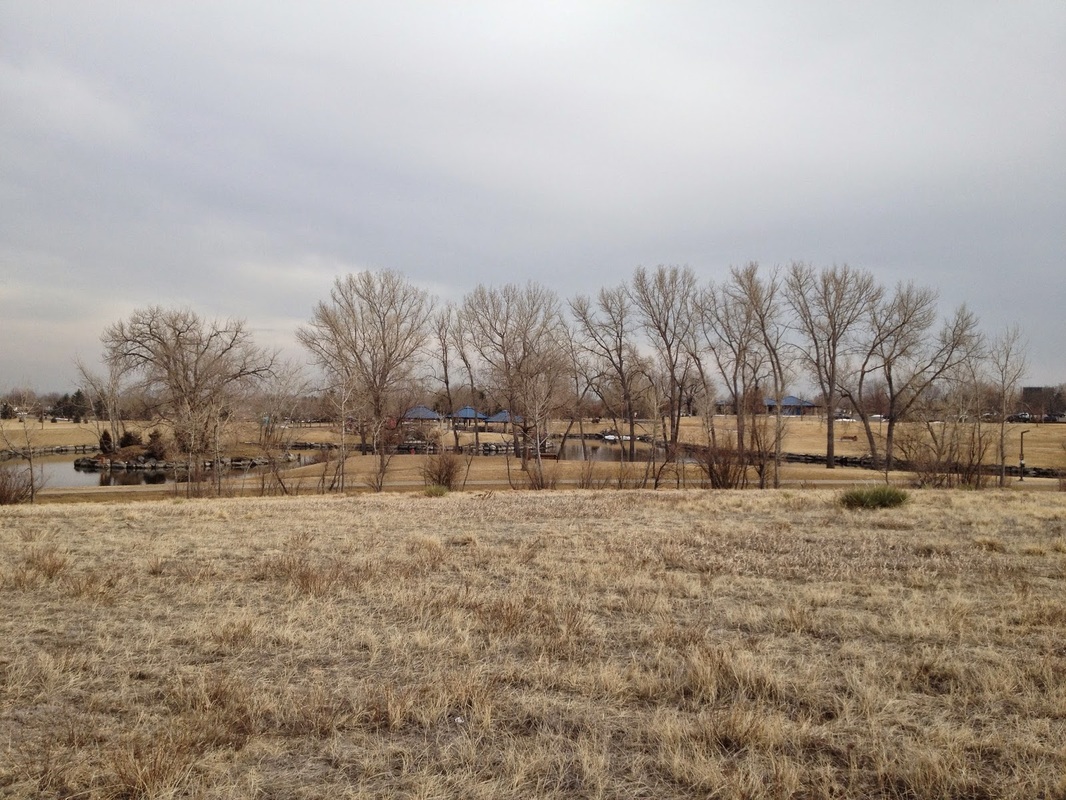
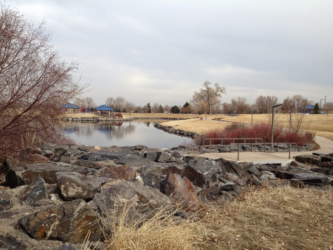
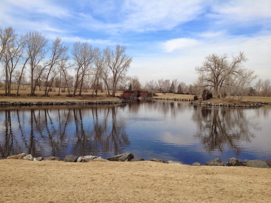
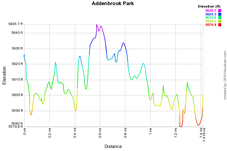
Addenbrooke Park consists mainly of playing fields, picnic spots, and a scenic lake.  However, it also contains a 1.4 mi equestrian trail that makes for a pleasant soft surface stroll or jog along the perimeter of the western portion of the park.  A hard surface trail, not described here, encloses the eastern side of the park’s playing fields and can be added to this hike for additional mileage.

There is a park map near the parking lot and field houses, which makes a good starting point for the hike.  Head south-east along the paved trail from this sign, make a quick right onto the dirt horse trail, and follow the trail clockwise until you return to the center of the park and a bridge leading across the artificial stream leading into the lake.  Cross the bridge and pick up the paved trail which will lead you back to the map and your ride home.
Powered by Create your own unique website with customizable templates.