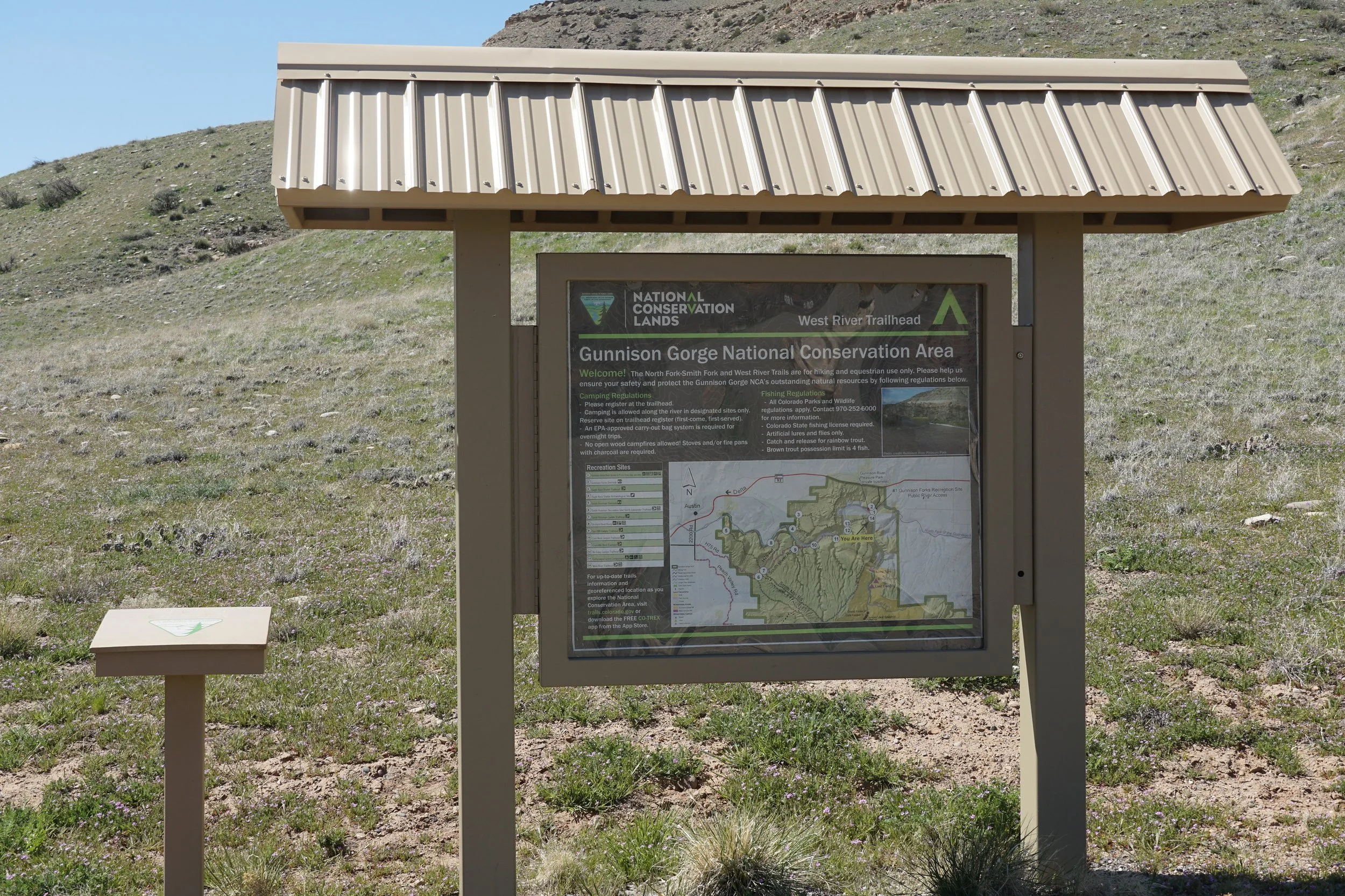
West River Trail
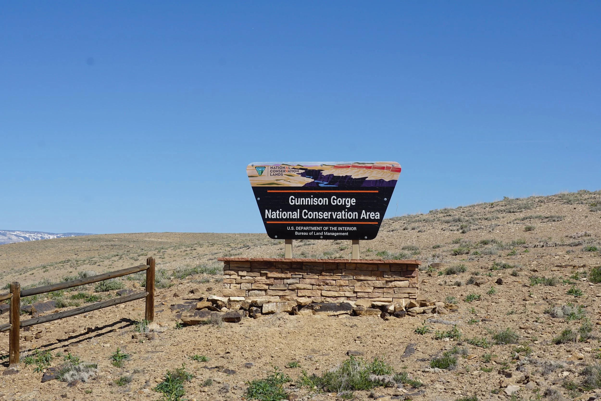
Gunnison Gorge National Conservation Area
Date Hiked: April 30, 2023
Distance: 5.2 mi (RT)
Elevation Gain: Minimal
Elevation Min/Max: 5,126 to 5,152 ft
Trailhead Lat/Long: 38.78077, -107.83666
Managing Agency: Bureau of Land Management (BLM)
Fee: None
Description:
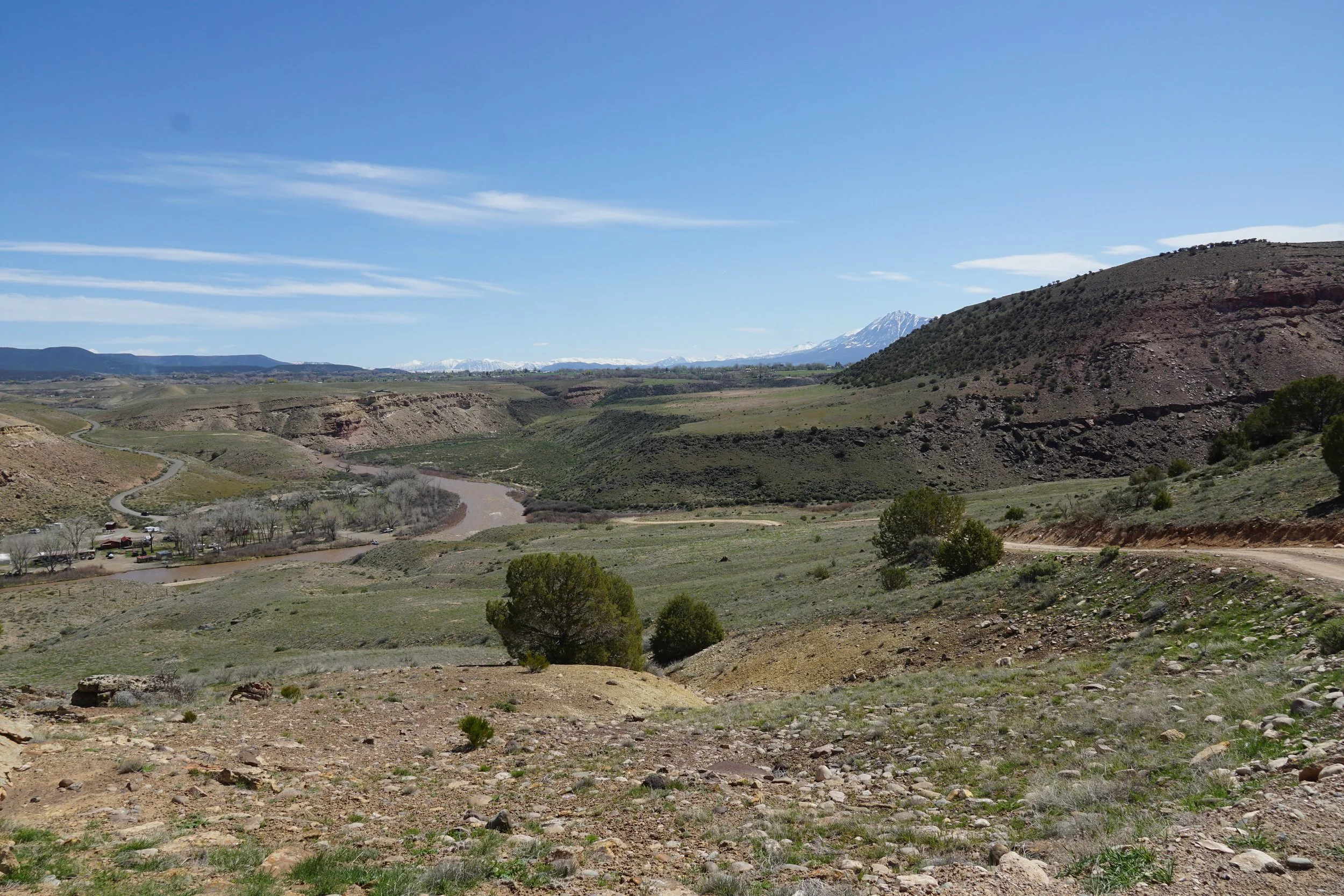
Getting to the West River Trailhead may just be more difficult than the hike itself. Make sure you have a car with decent clearance and make sure the weather conditions are favorable. My Toyota Highlander did fine, no need for 4WD. From Delta, CO, follow CO Hwy 92 East and exit onto H75 Road. Follow H75 for about 4 miles where it enters the National Conservation Area and reaches the Sidewinder Trailhead and the Smith Mountain Saddle. At this point the road splits, take the right fork onto South River Road. At this point the road descends down towards the Gunnison River and into a narrow canyon. The road gets a bit rougher and narrower here, but still passable for most vehicles. After another 4 mile stretch through the canyon, you reach the Cottonwood Grove Campground and the end of South River Road. The next mile follows an unimproved road that requires some clearance and good weather conditions. There is a parking lot at the trailhead.
Hike Description:
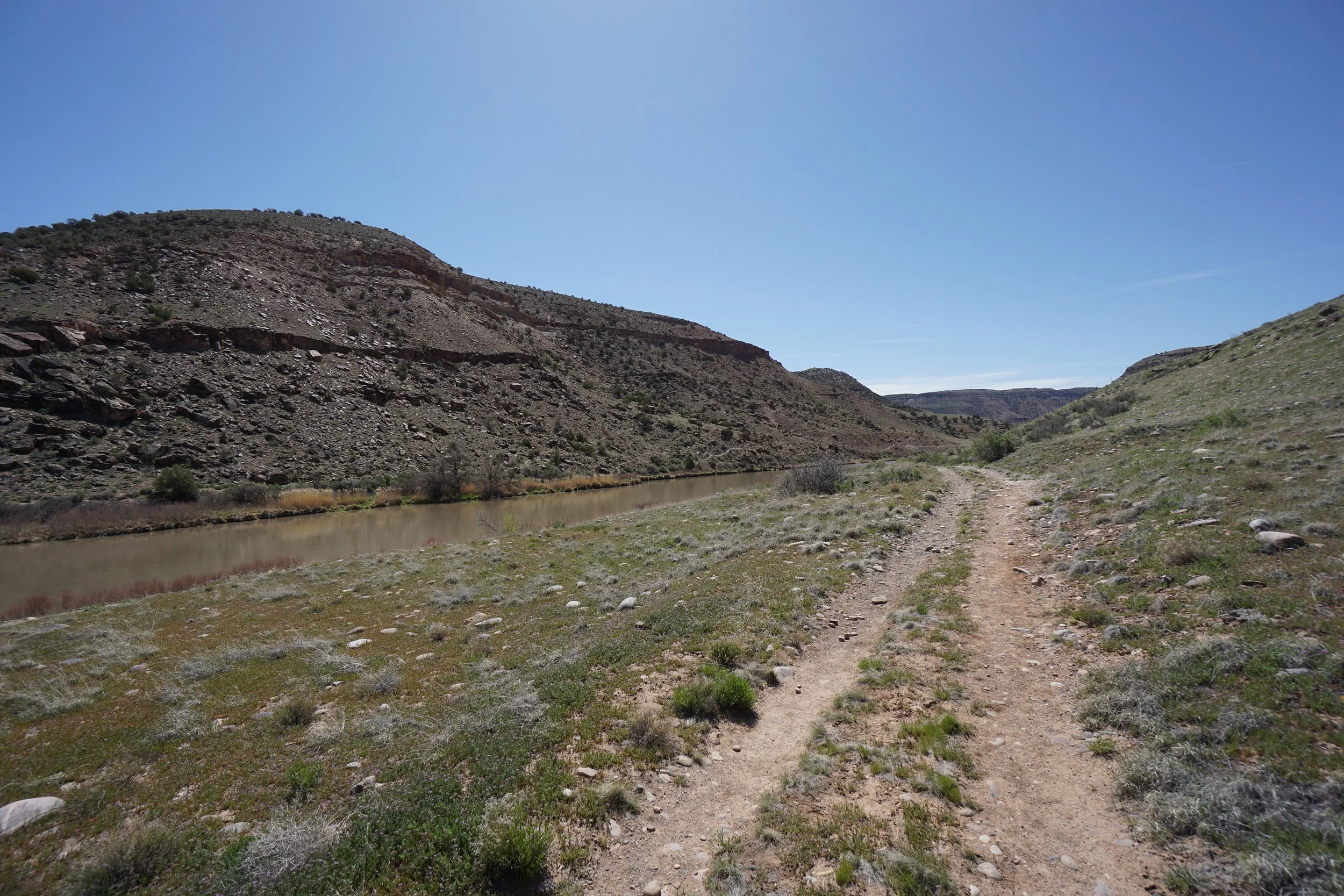
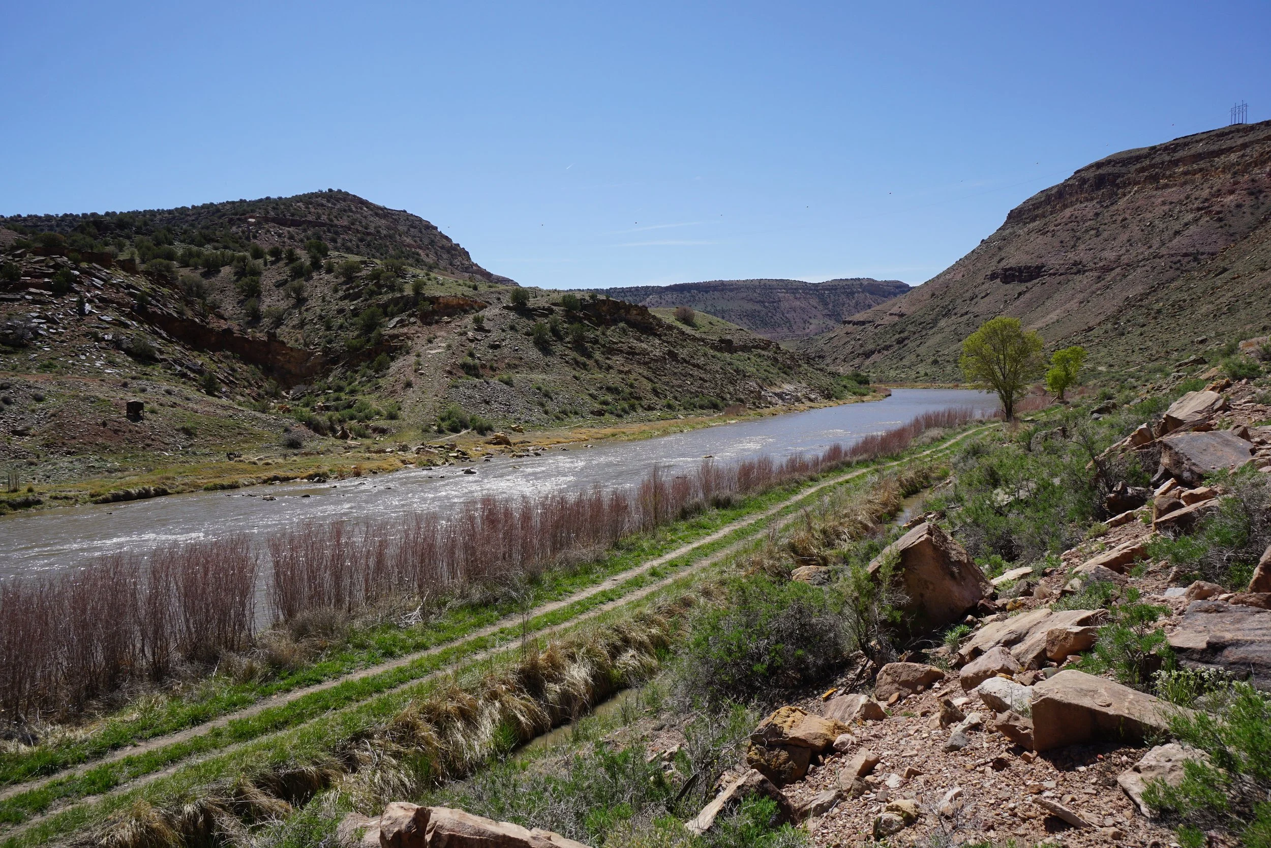
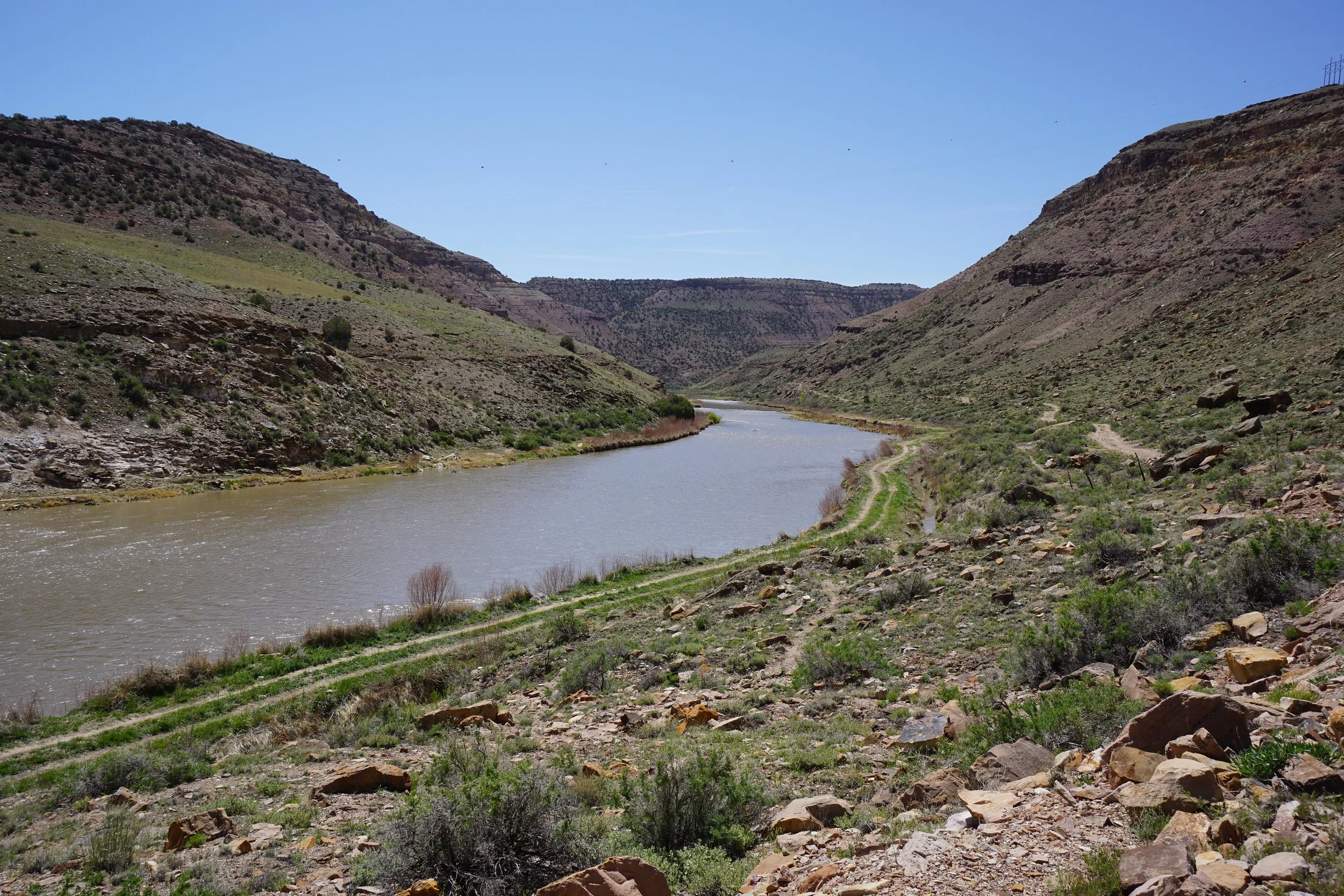
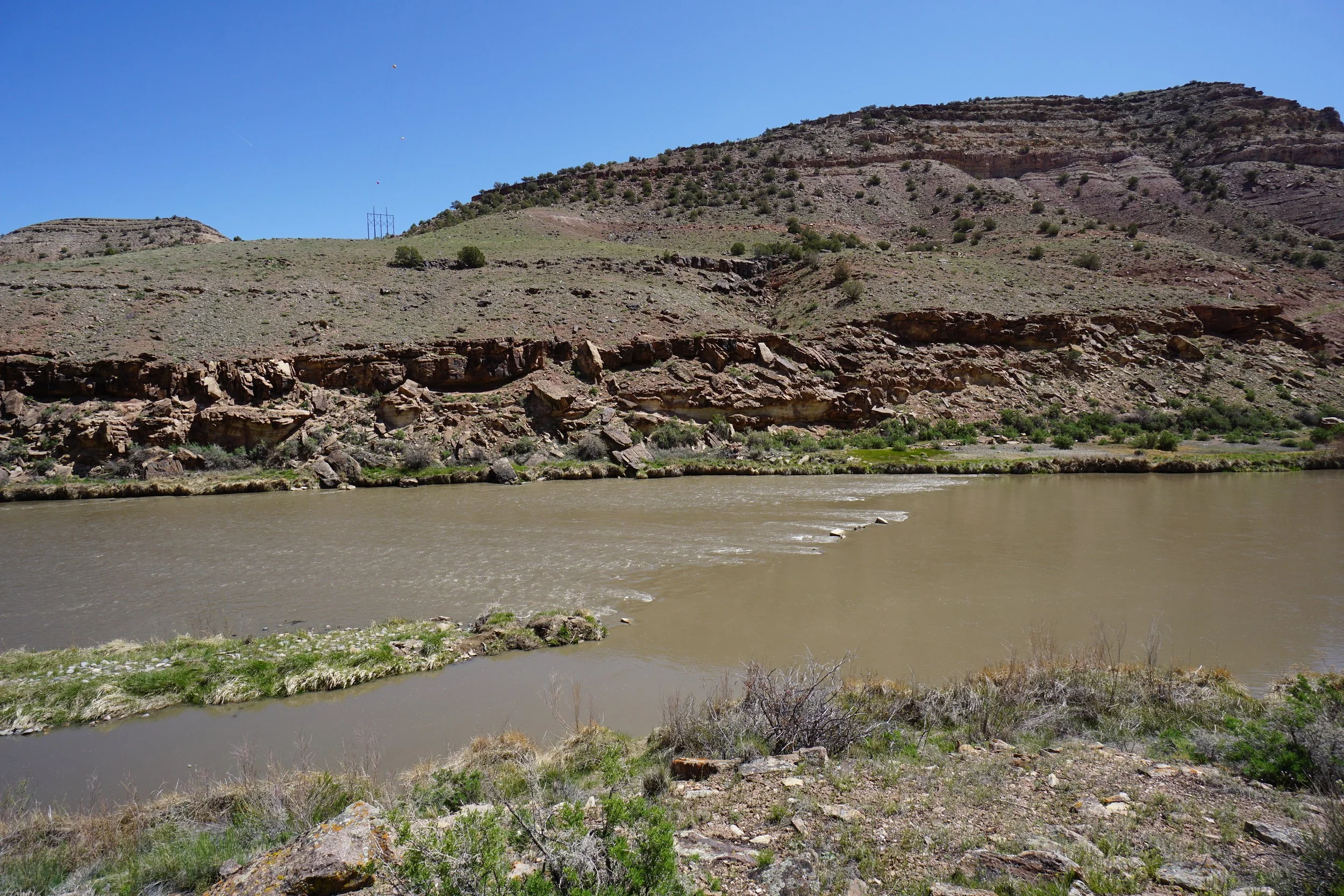
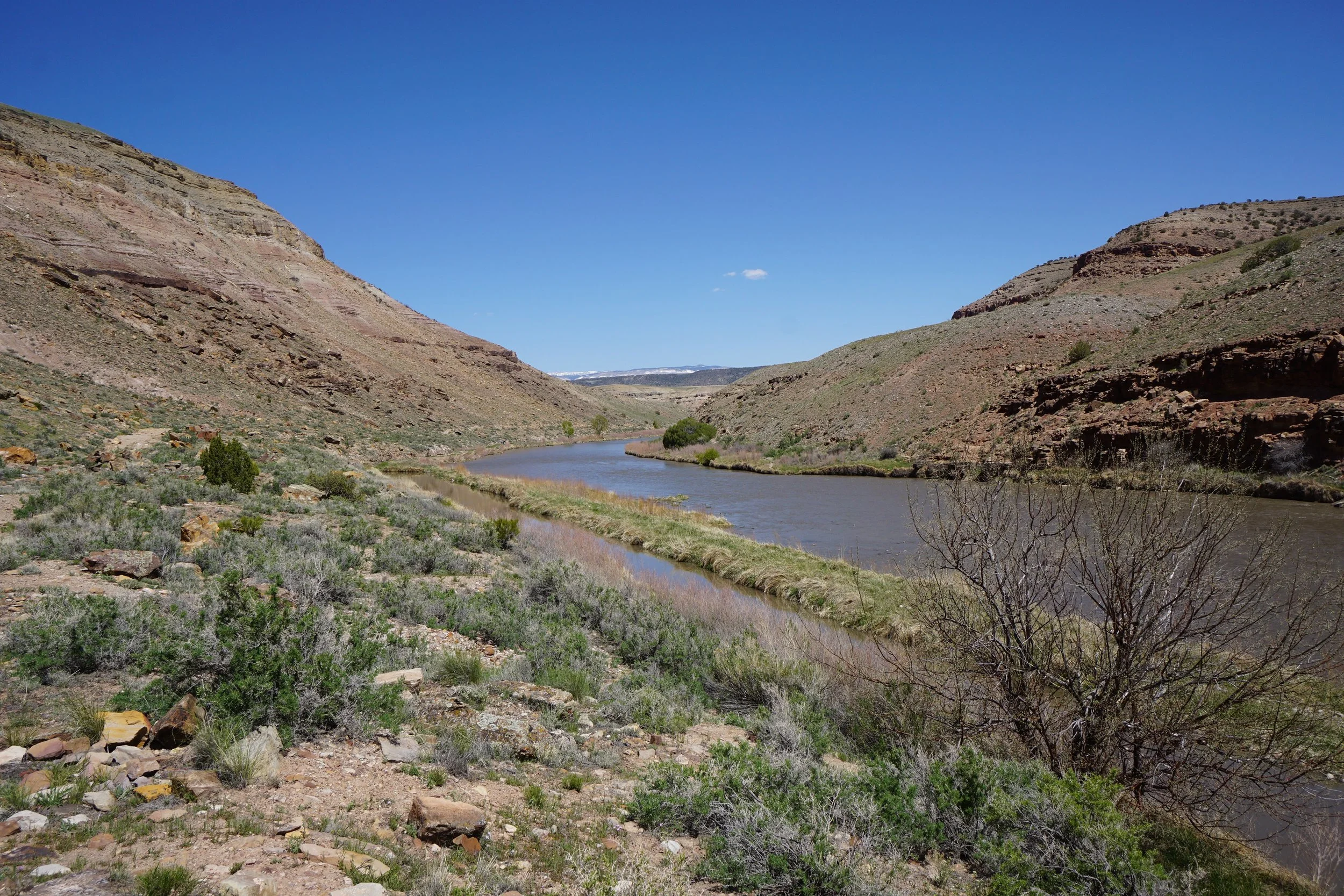
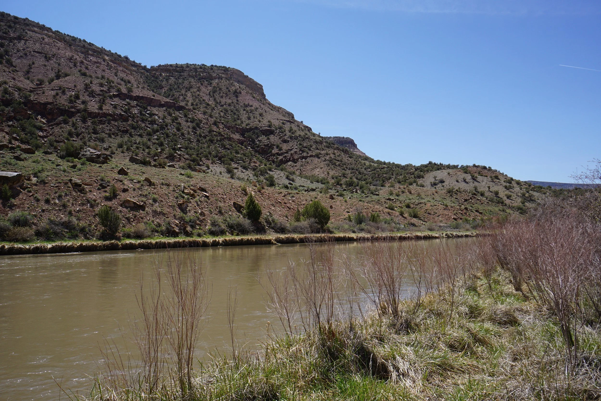
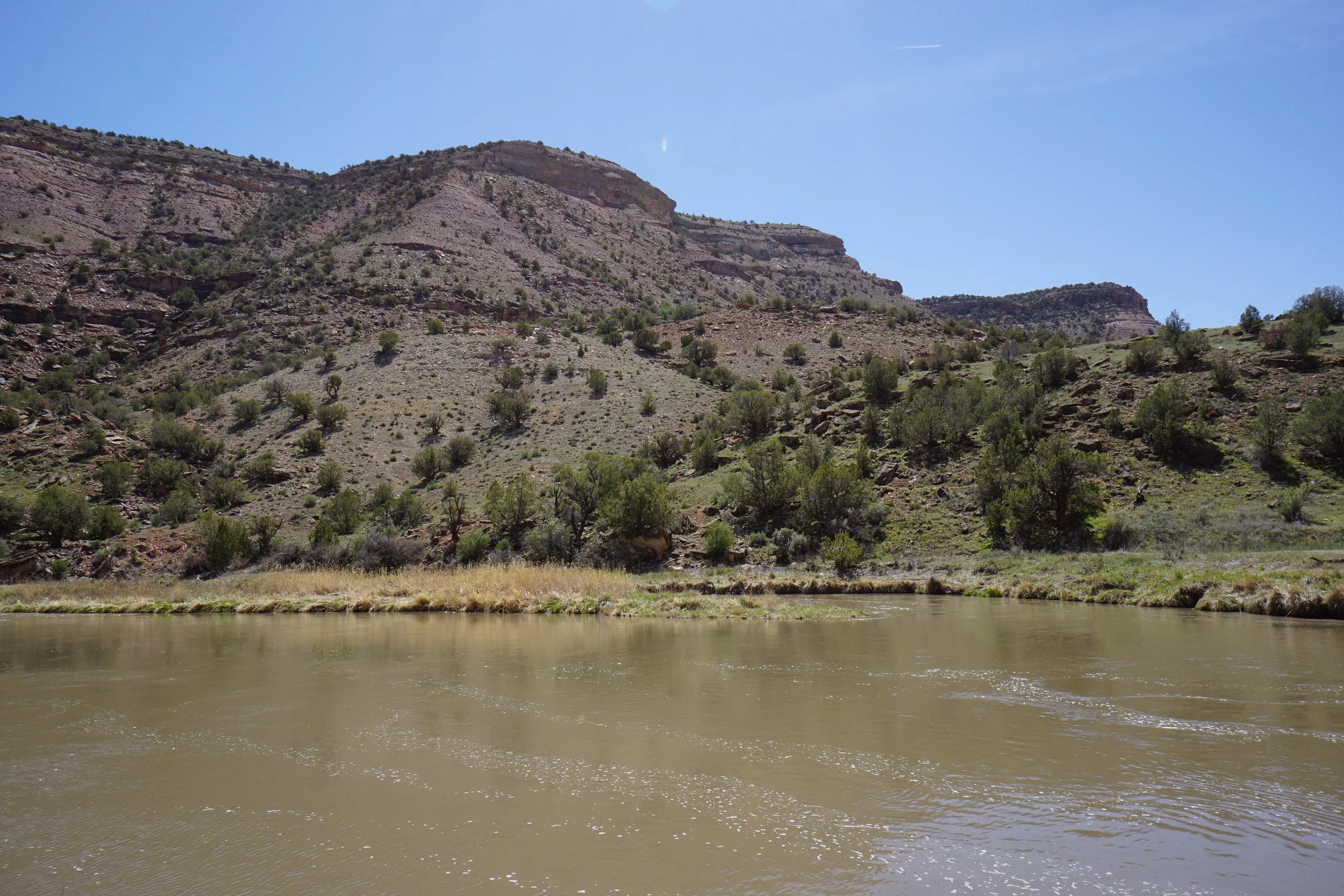
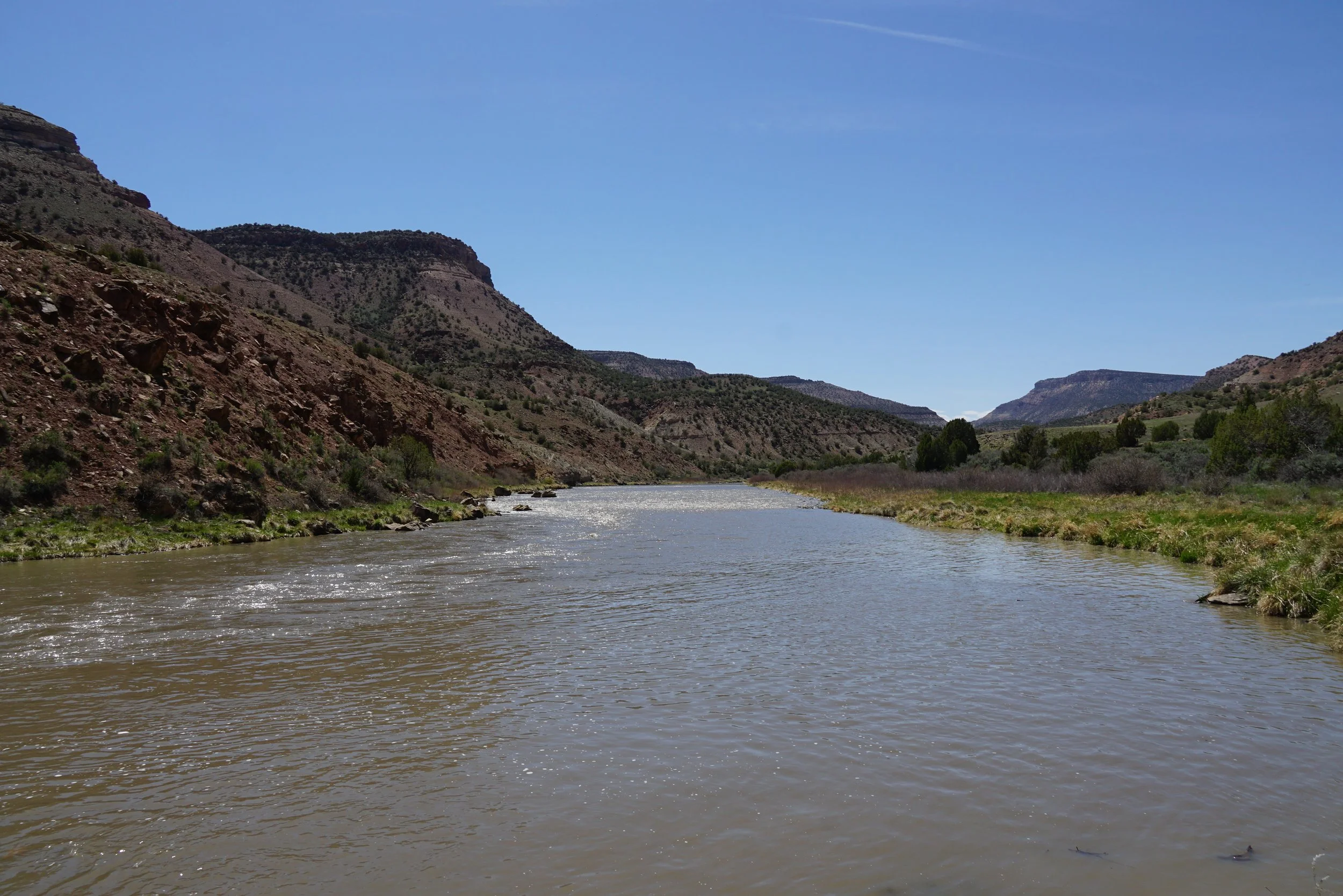
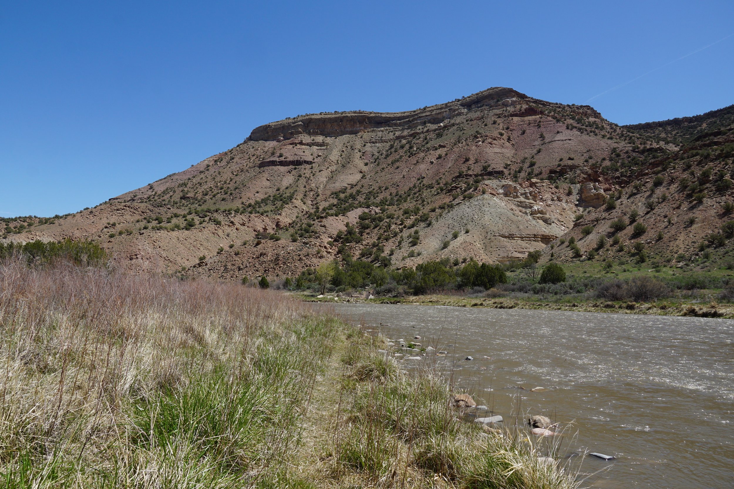
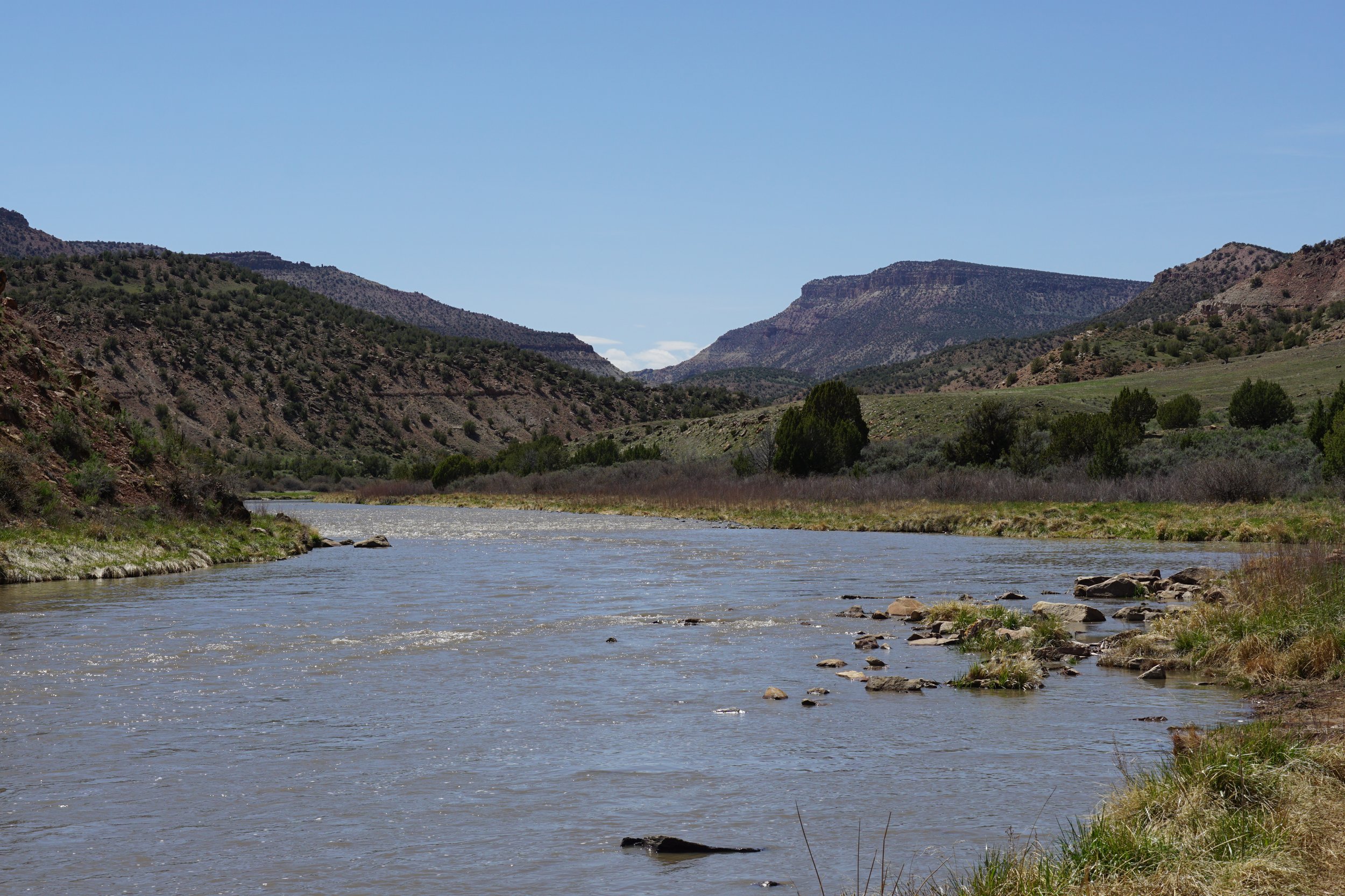
The Black Canyon of the Gunnison is one of the most impressive canyons in Colorado, in fact, it’s one of the most impressive canyons in the entire U.S. The Gunnison River carves this massively deep and incredibly narrow canyon from the intersection of the Elk Mountains and the San Juan Mountains, down to the Colorado Plateau at the base of the Grand Mesa. The West River Trail is scenically beautiful but it is also impressive because it allows you to explore the very end of the Black Canyon….
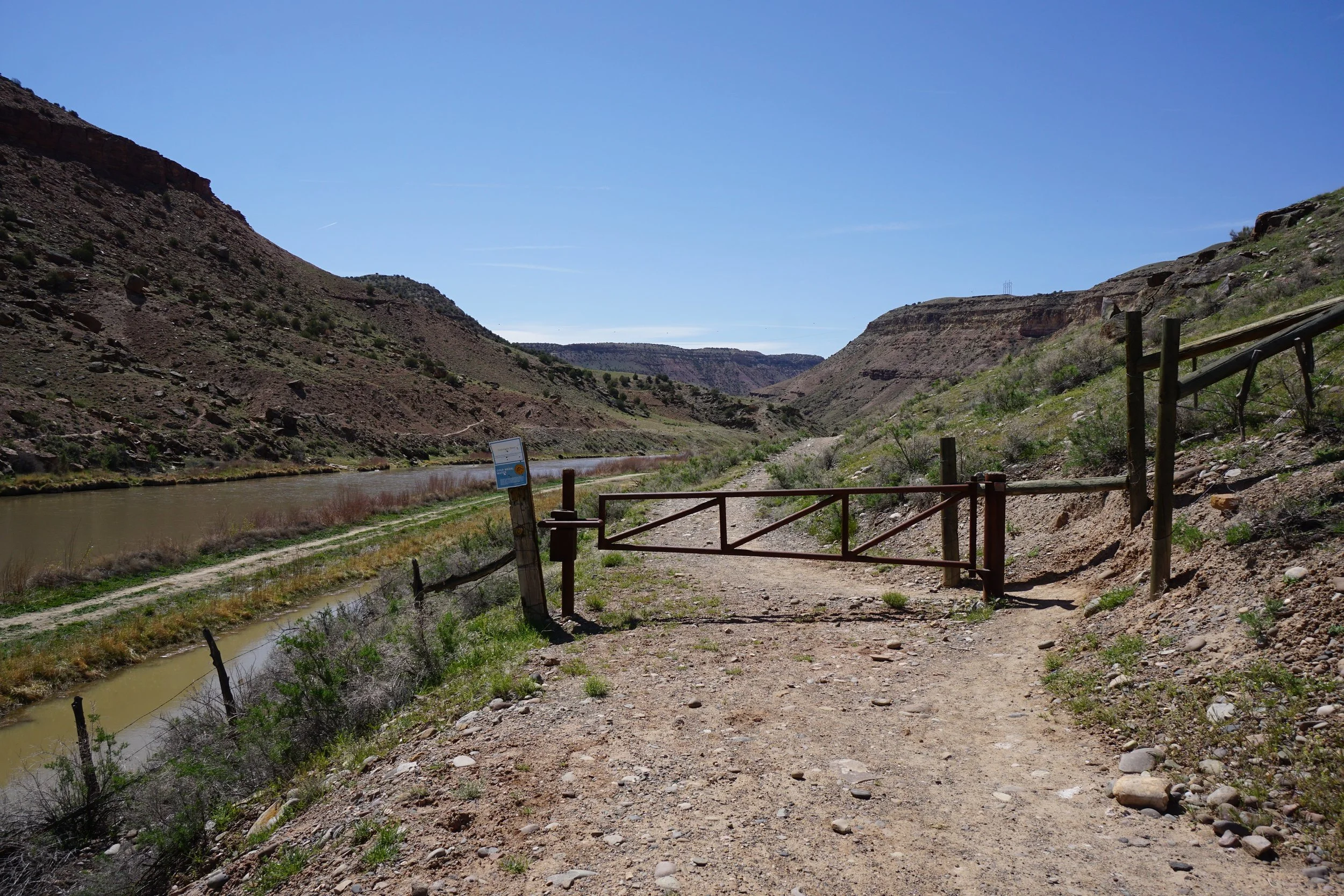
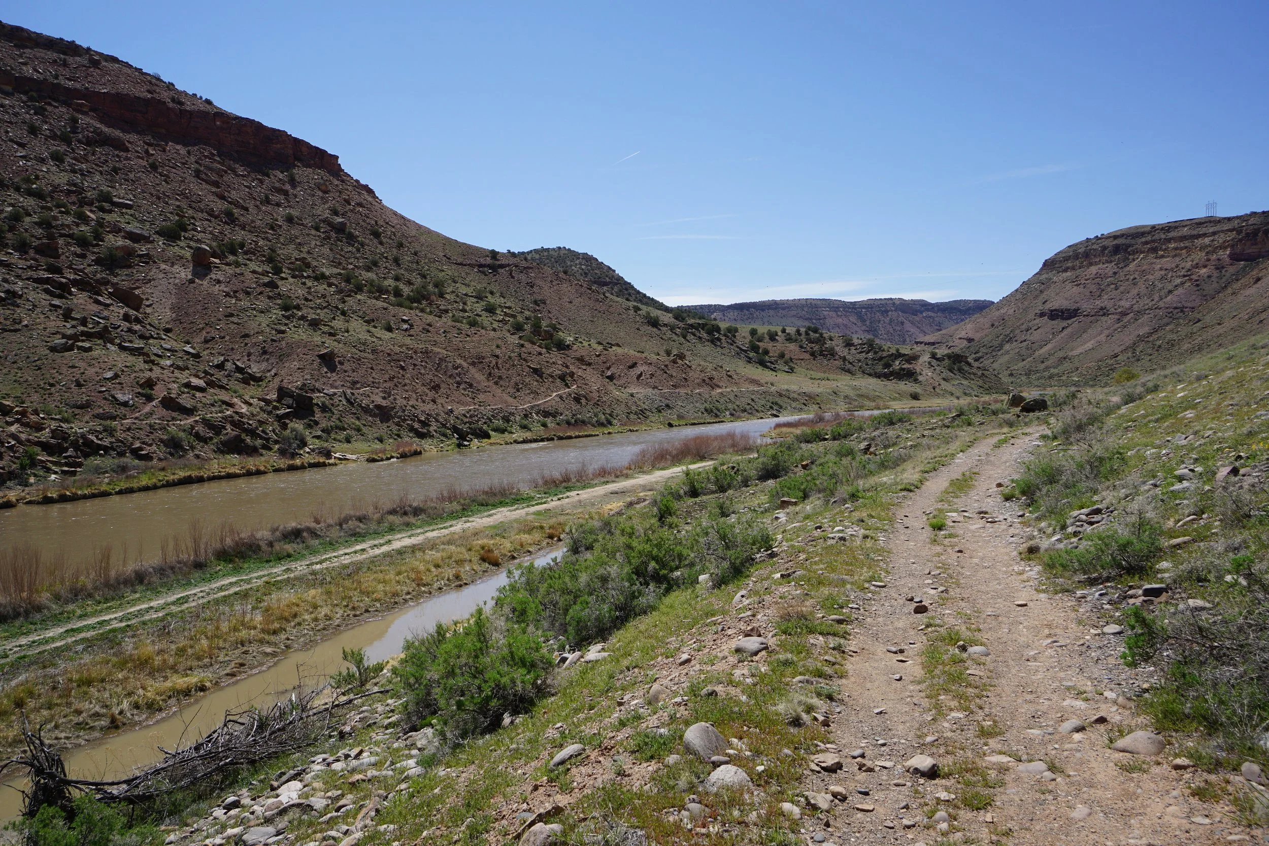
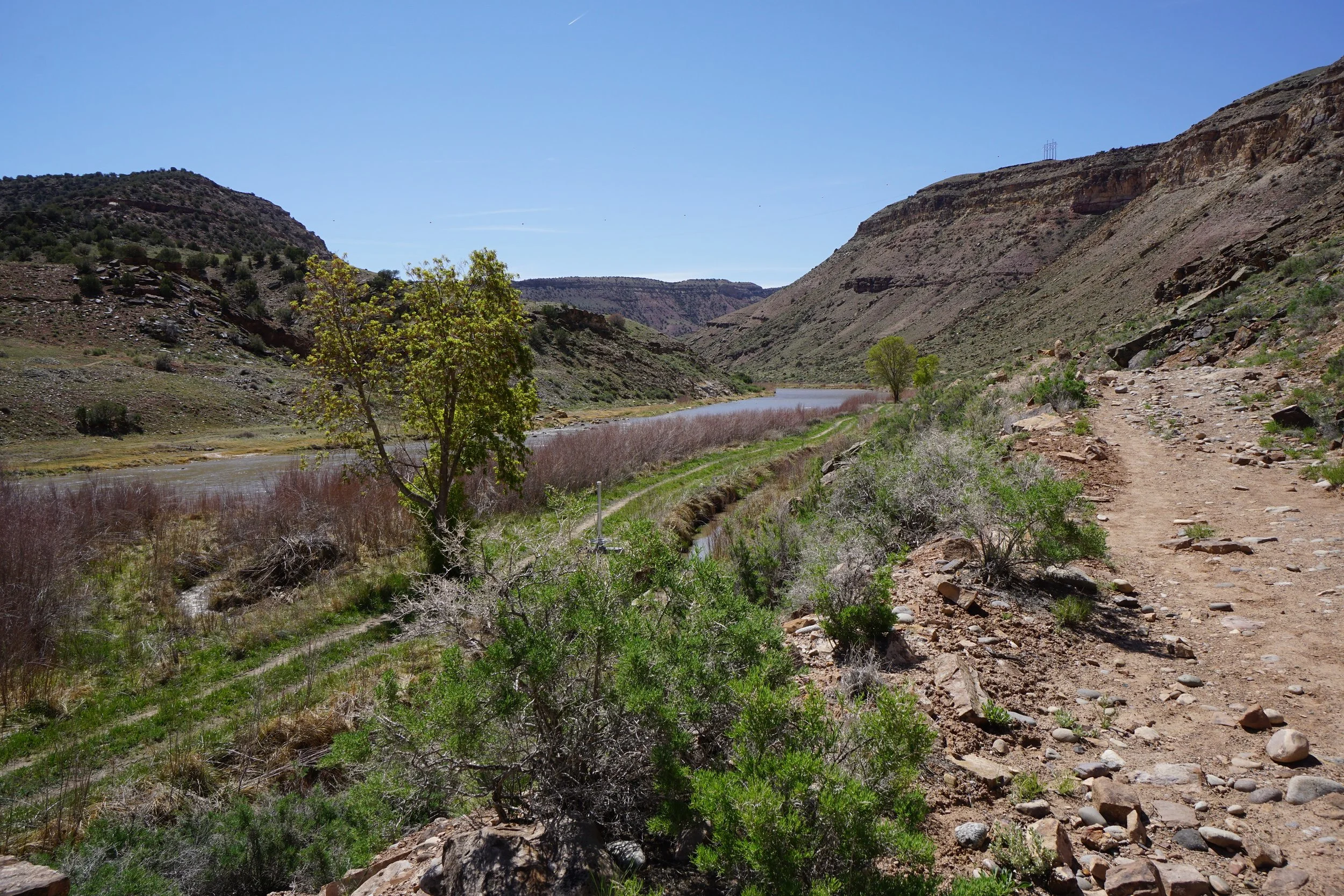
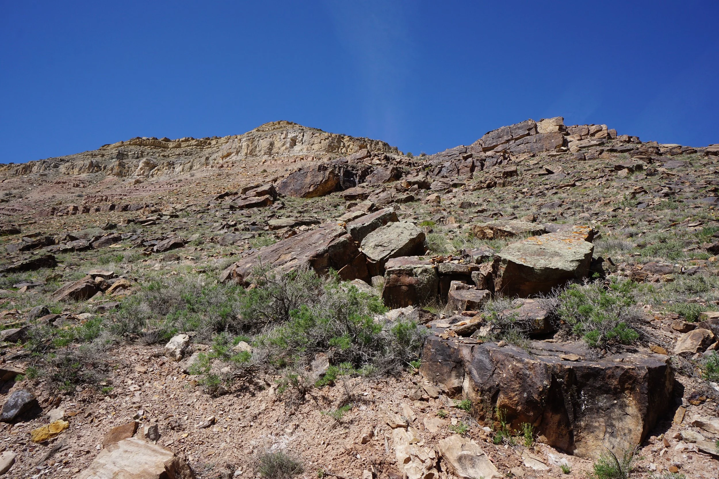
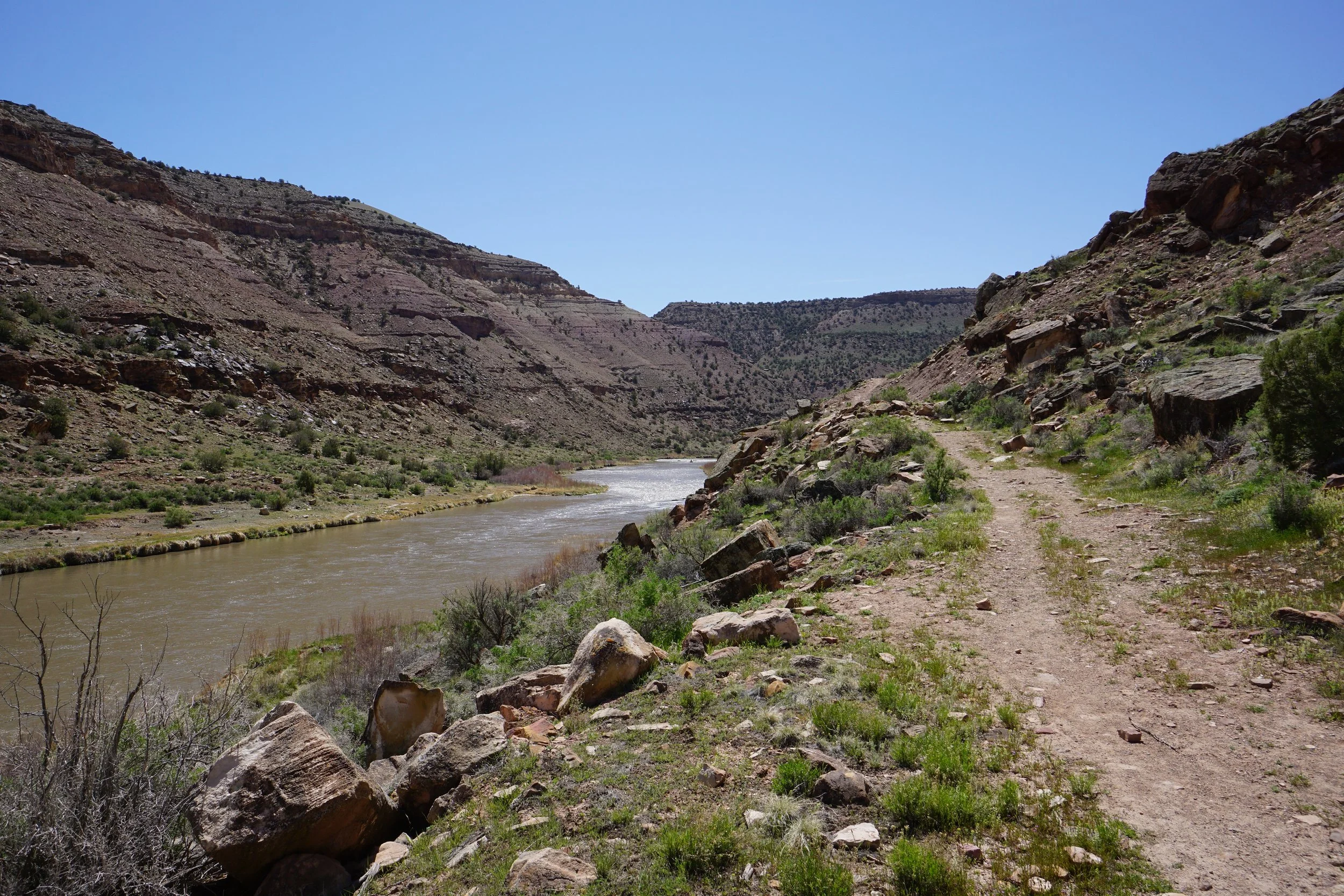
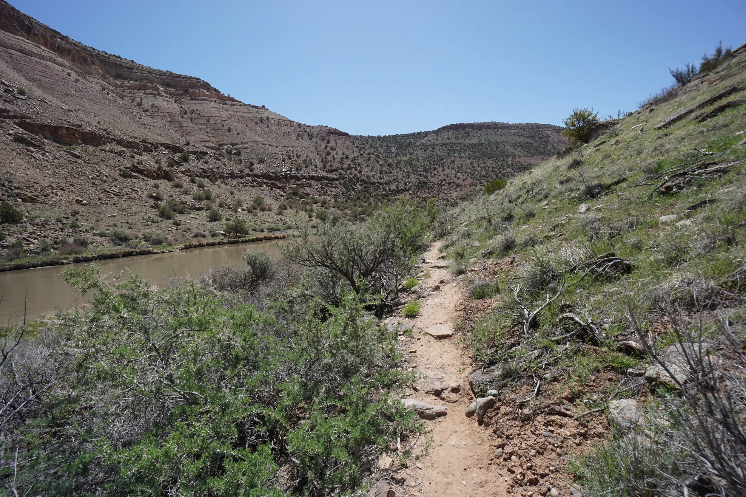
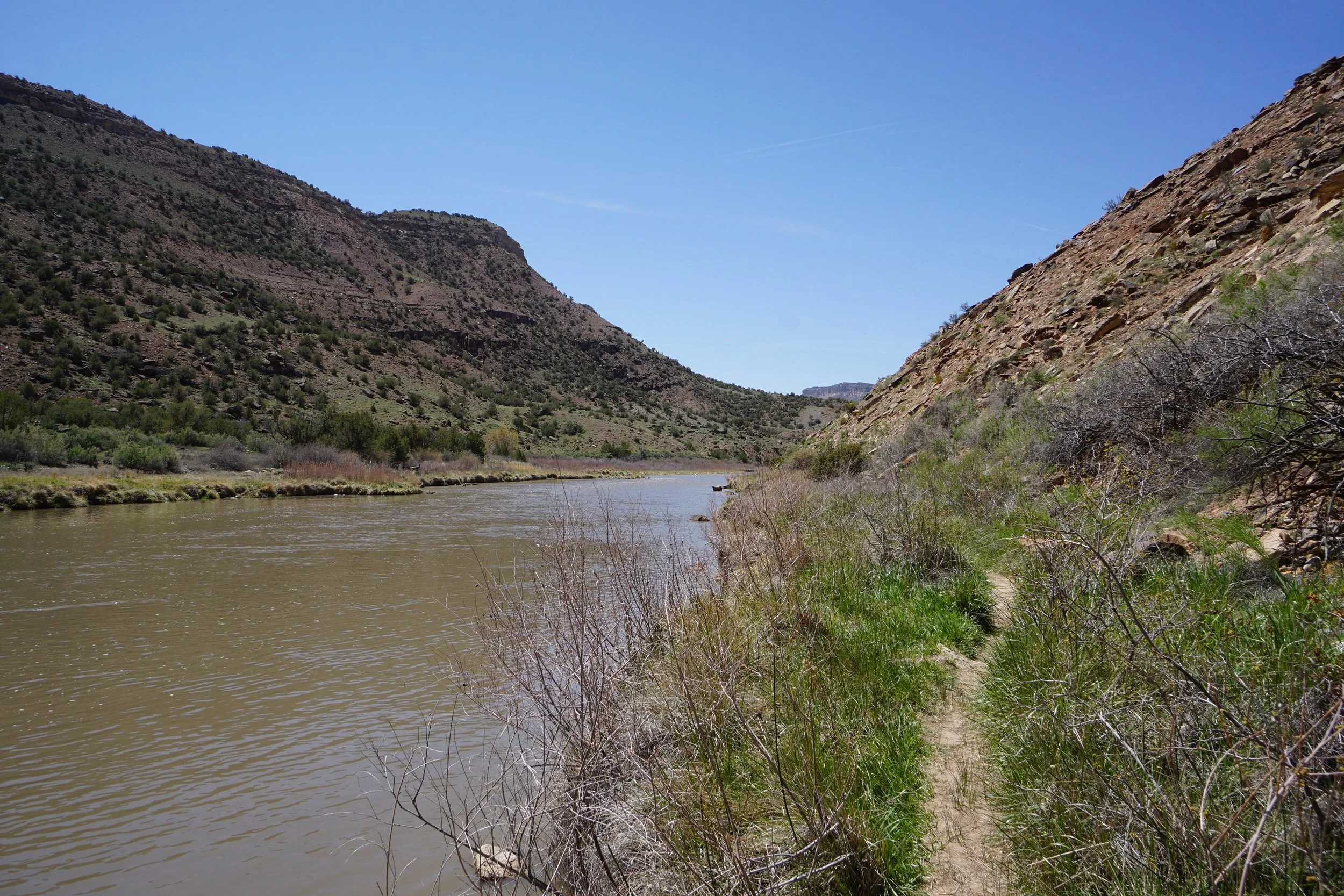
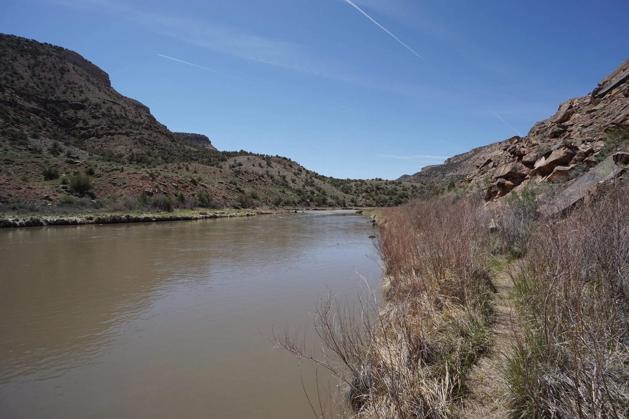
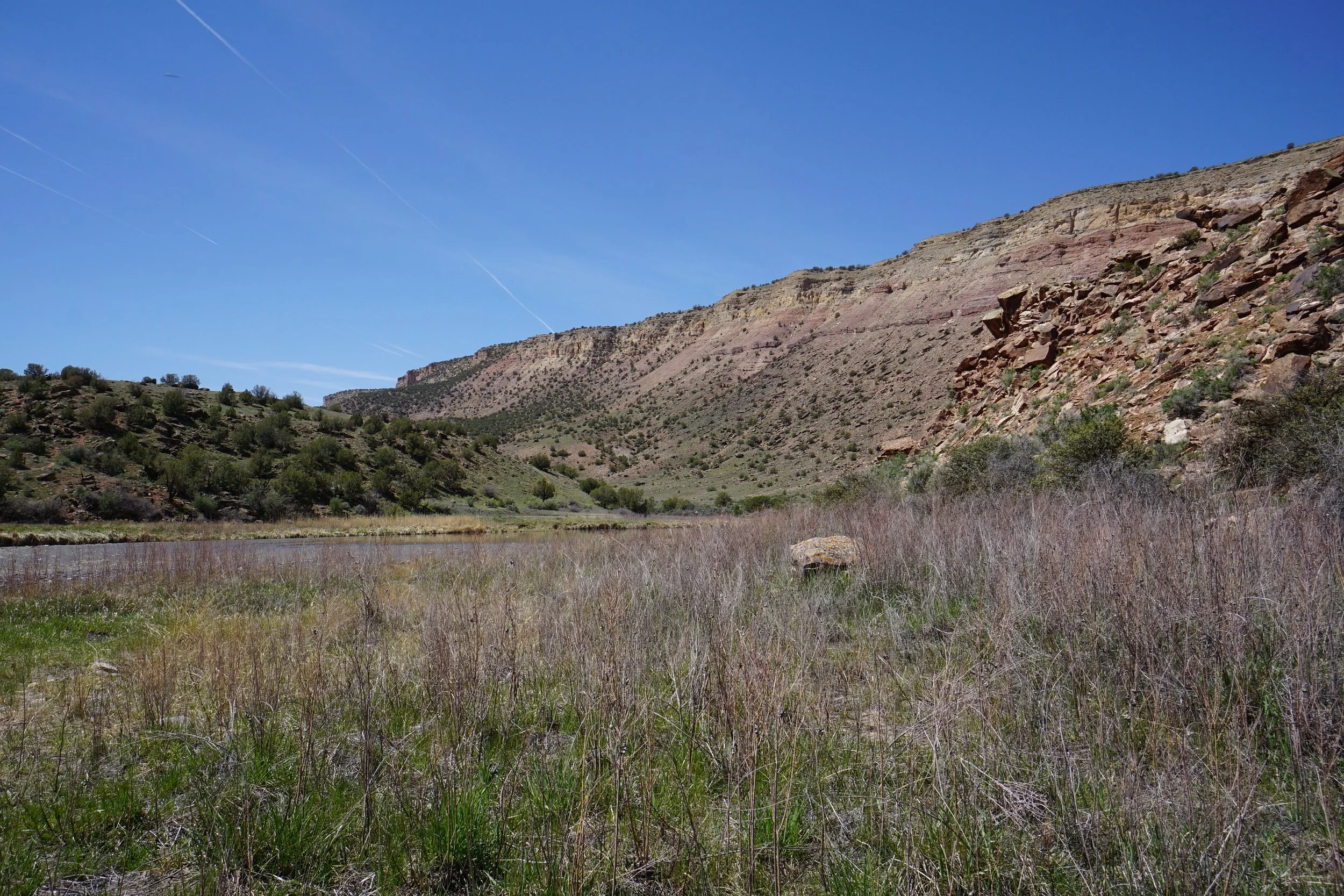
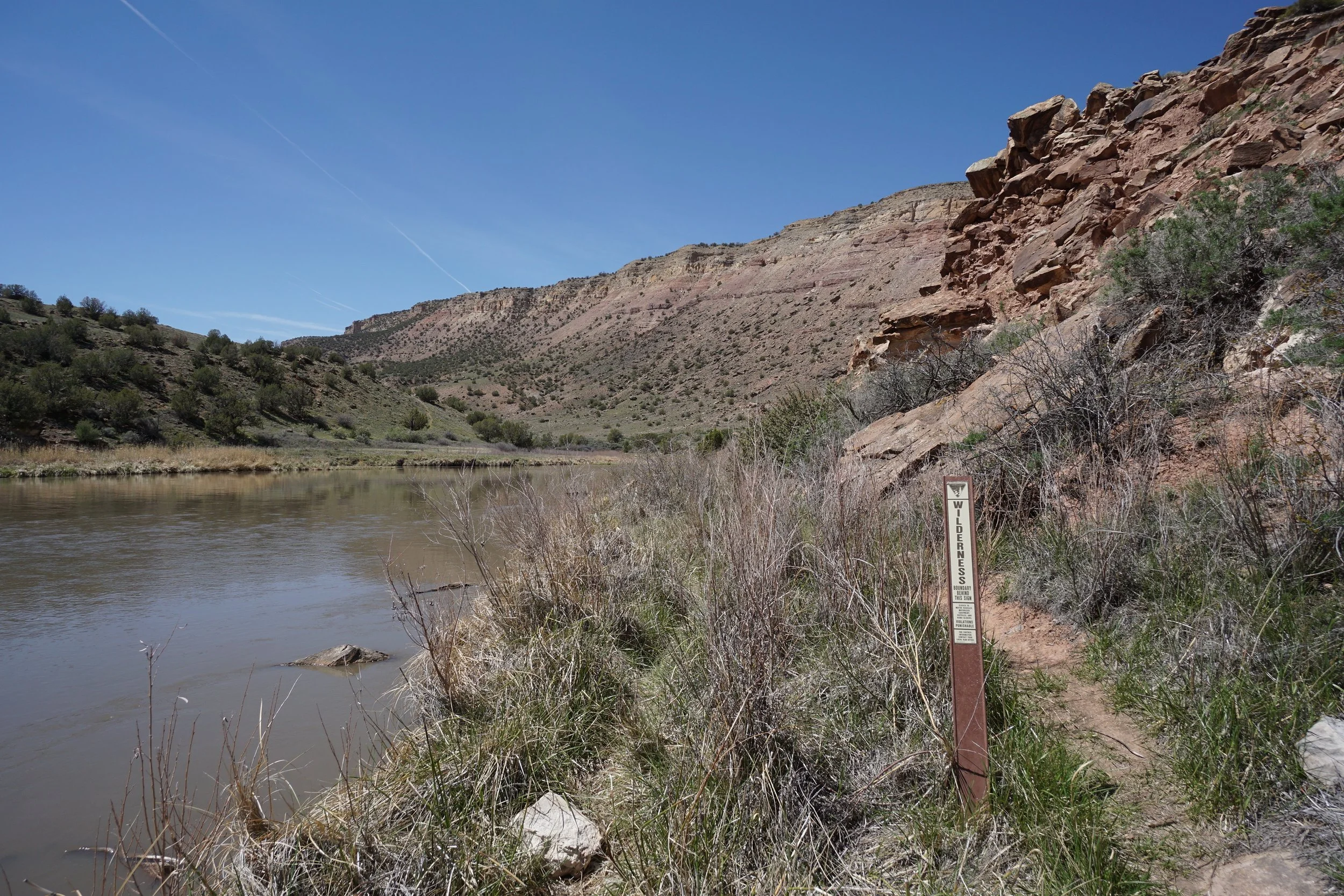
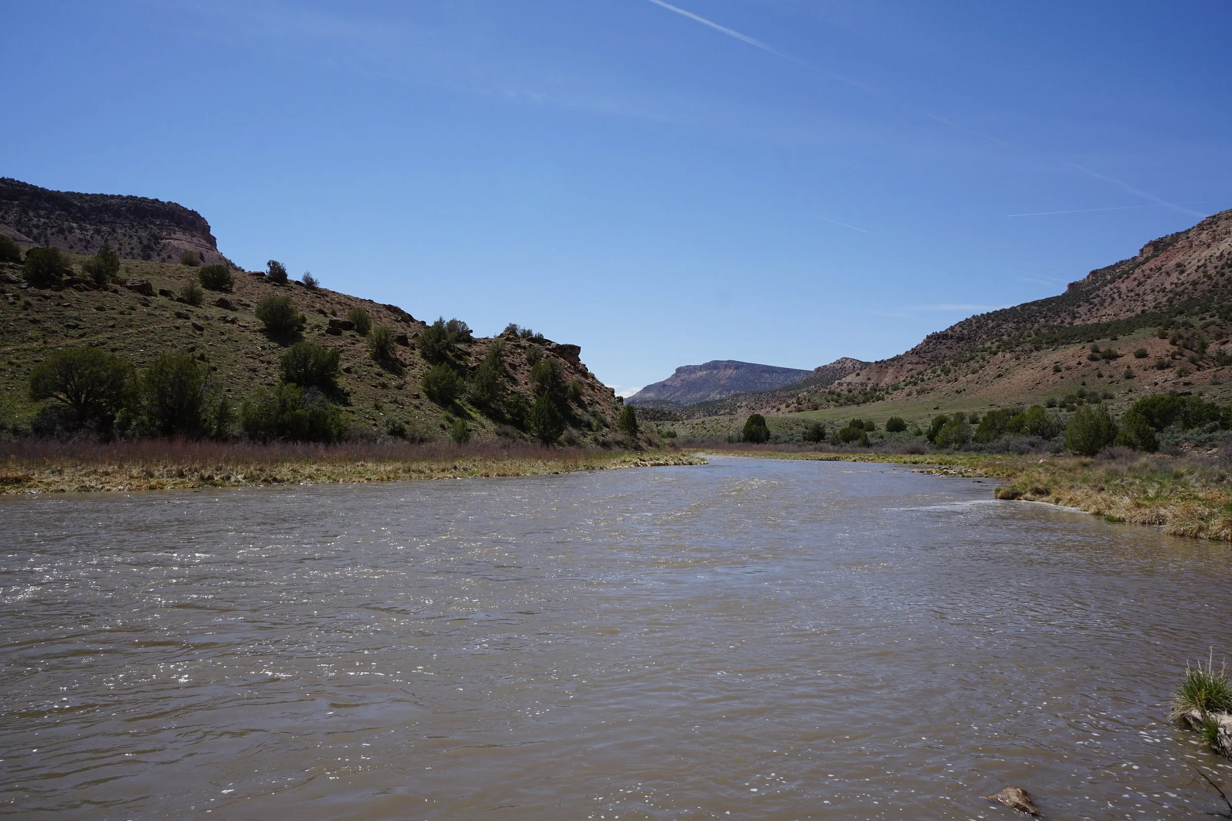
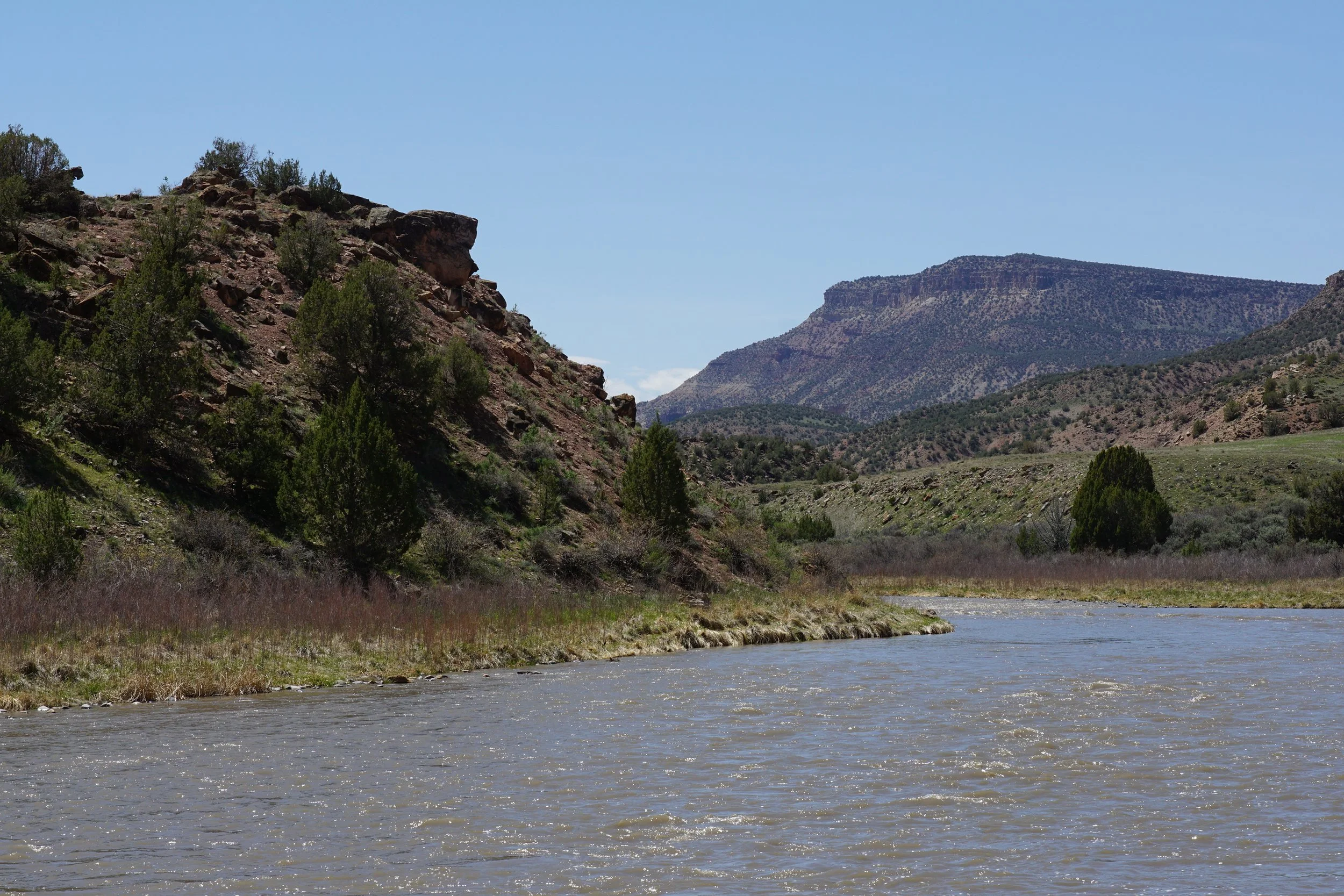
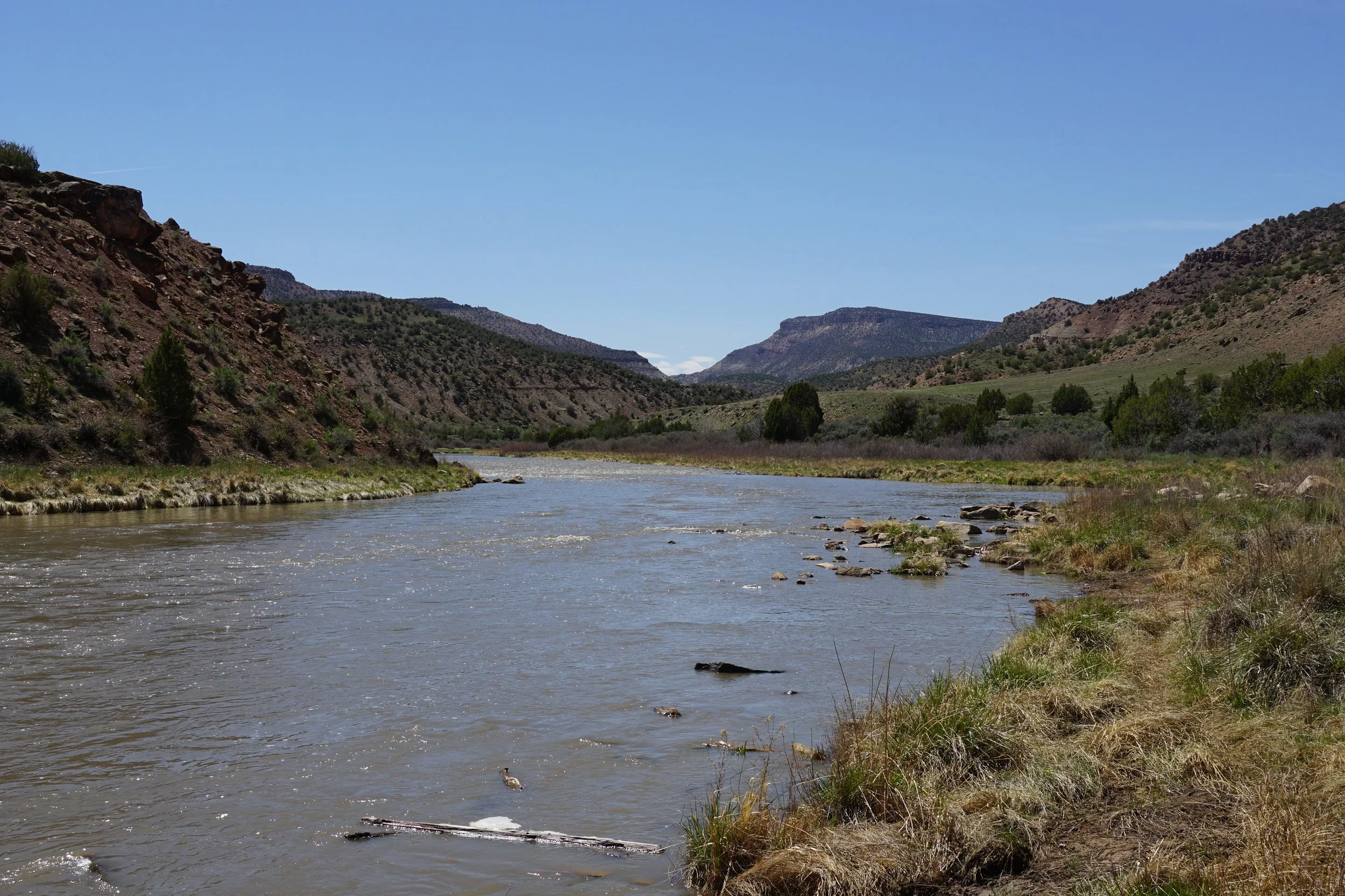
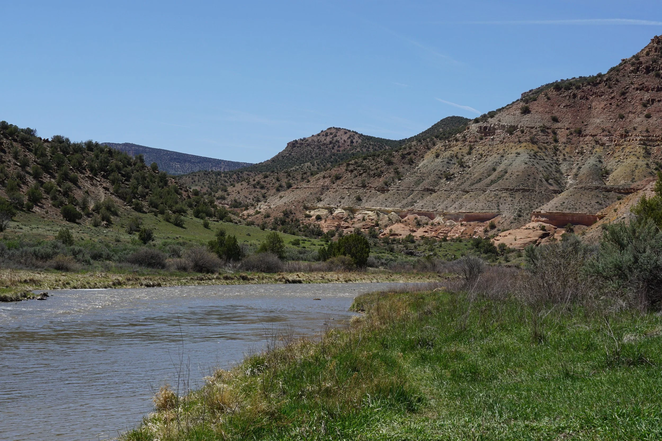
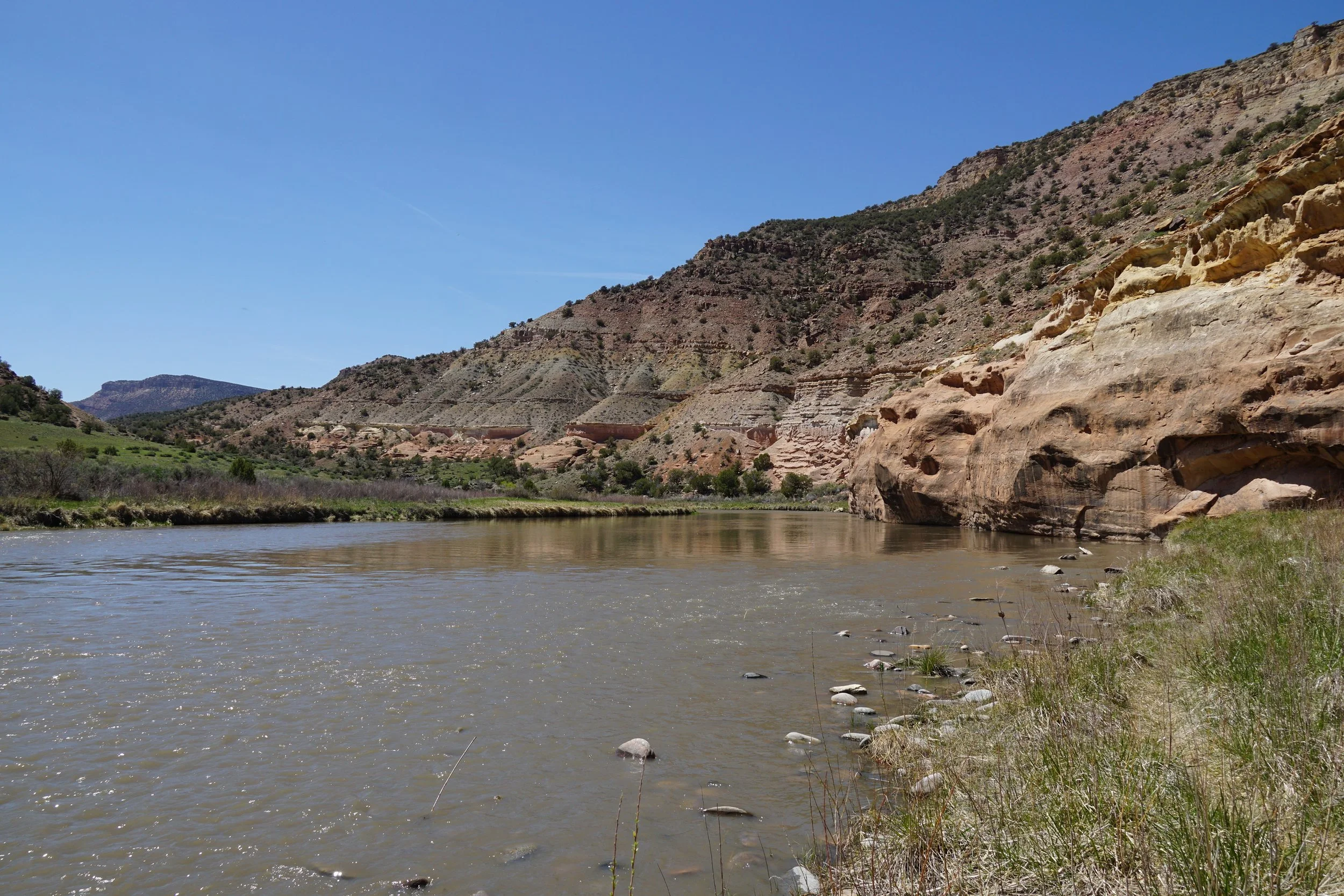
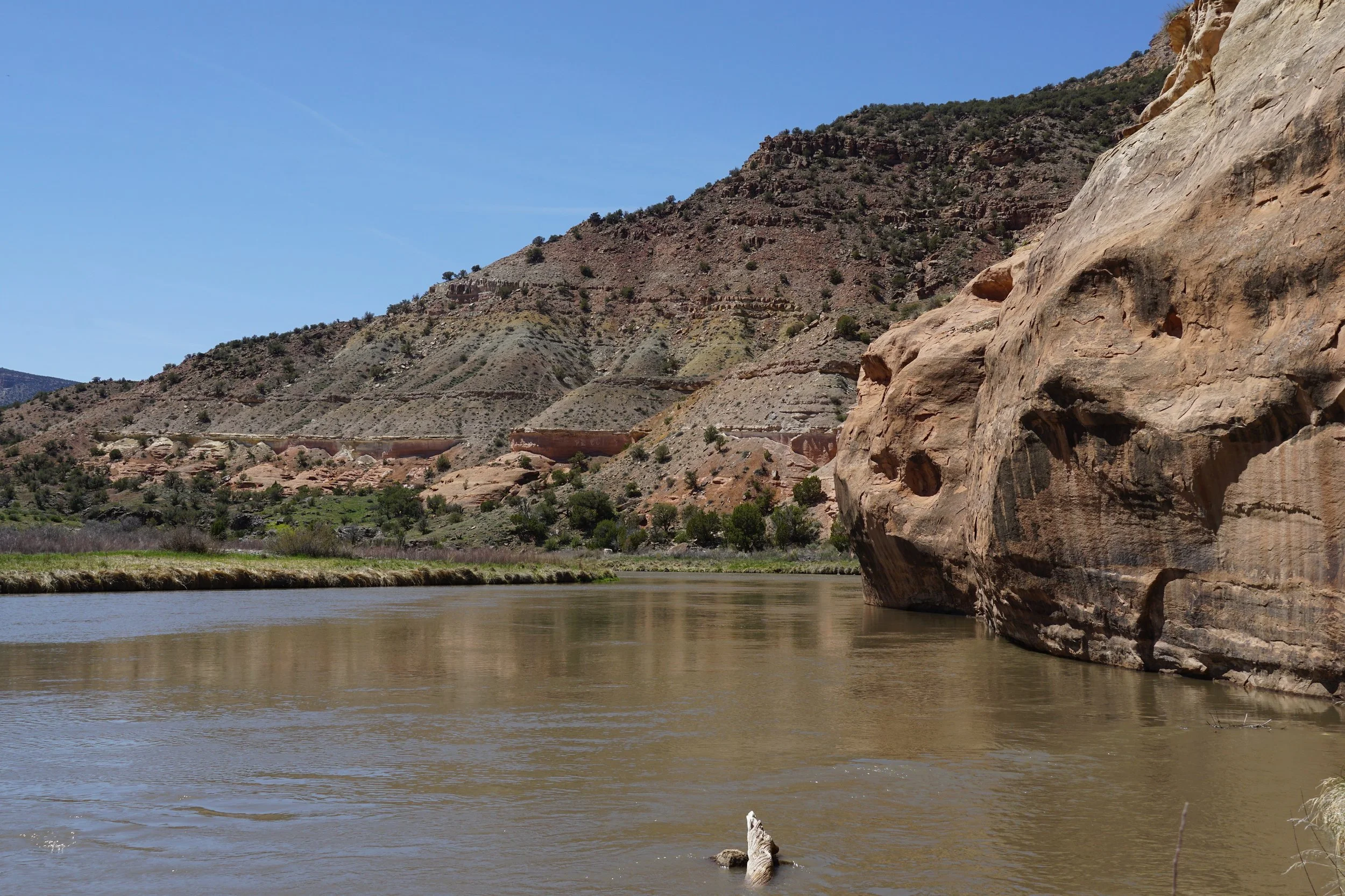
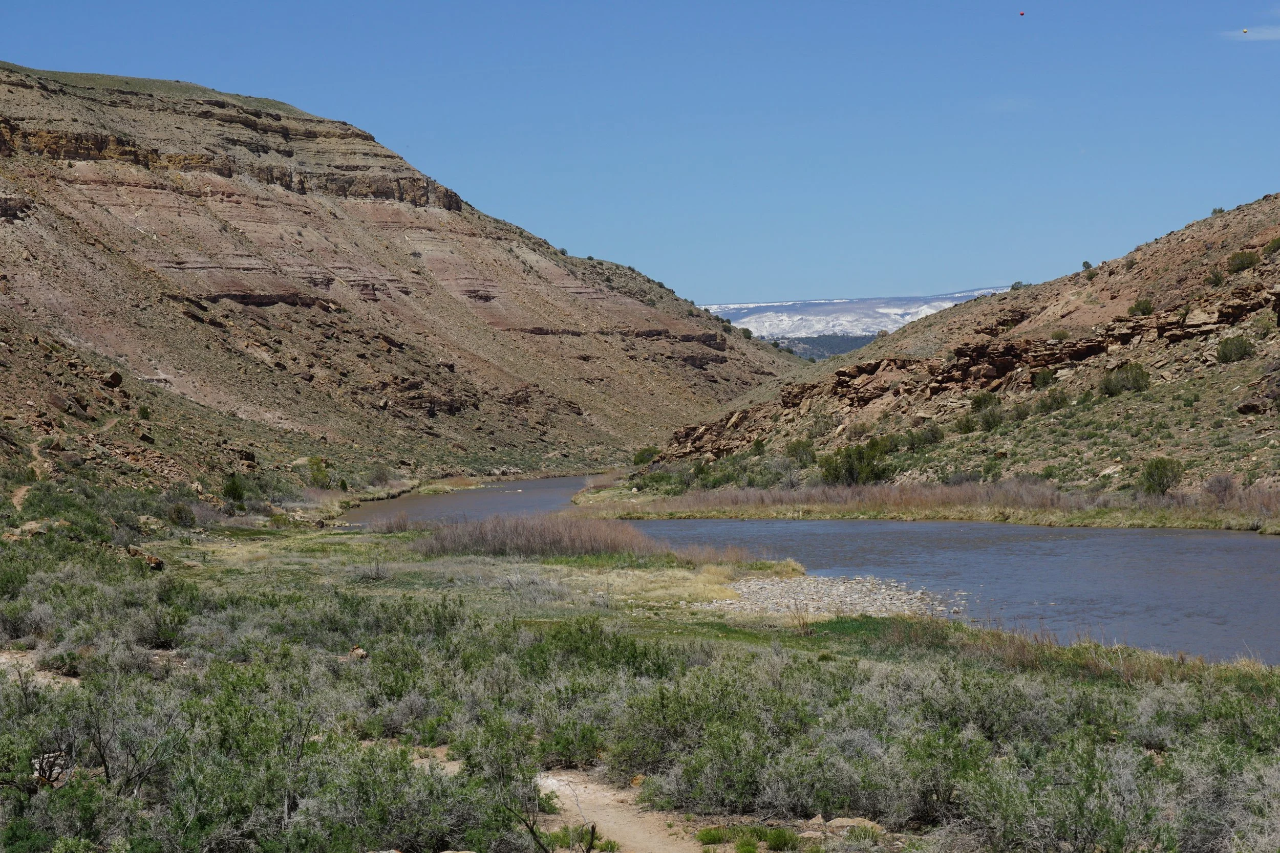
The trail is mellow, gaining little elevation, as it follows the Gunnison River into Black Canyon and into the Gunnison Gorge Wilderness Area. The trail only lasts for about 2.6 miles and ends abruptly at a cliff base and a backcountry/rafting campground. The hike begins following a double track road, closed to vehicles. The road follows a ledge above the river and another trail exists closer to the river, mostly used for fishing and river access. Eventually, the old road meets up with the other trail and becomes a narrow single track trail. Once the trail enters the Wilderness Area, it becomes fainter and may be difficult to follow, depending on the water levels. As you near the trail’s end and the campground the trail cuts through a grassy/marshy area and ends when the cliffs become too shear to navigate. The entire time, you are surrounded by desert canyon beatuty as the canyon walls become narrower and narrower.
This trail doesn’t provide the immense, towering, narrow canyon that the Black Canyon of the Gunnison is famous for…this part of the canyon is more subdued. But the peaceful nature of the river tells a geologic and hydrologic story…the Gunnison River is tired after carving the Black Canyon, this place represents the end of the River’s work, it’s energy has been spent and it’s earned the chance to relax and enjoy some peace and quiet, meandering into the Grand Valley and soon joining with the Colorado River.