Legacy Trail
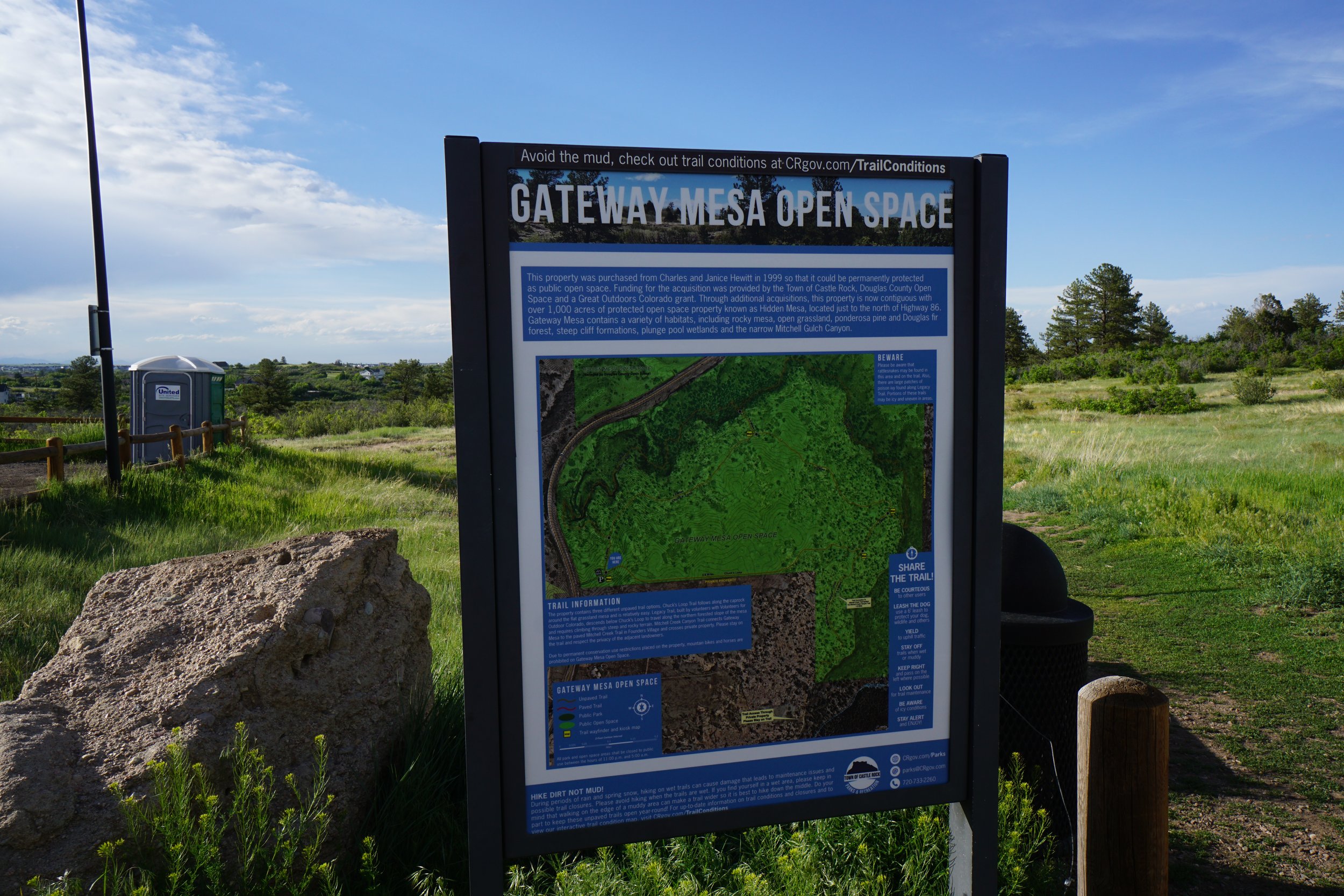
Gateway Mesa Open Space
Date Hiked: May 30, 2024
Distance: 2.8 mi (RT)
Elevation Gain: 230 ft
Elevation Min/Max: 6,412 to 6,530 ft
Trailhead Lat/Long: 39.38778, -104.80231
Managing Agency: City of Castle Rock Parks & Recreation
Fee: None

DIRECTIONS: (from the open space website)
From I-25 “Take the Founders Parkway/Meadows Parkway exit, Exit 184. 2. Turn east at the ramp and follow Founders Pkwy for 4.4 miles. 3. Turn left onto Highway 86 and follow for approx. 2.0 miles. 4. Turn right onto the dirt driveway and drive in towards the trailhead parking lot.”
HIKE DESCRIPTION:
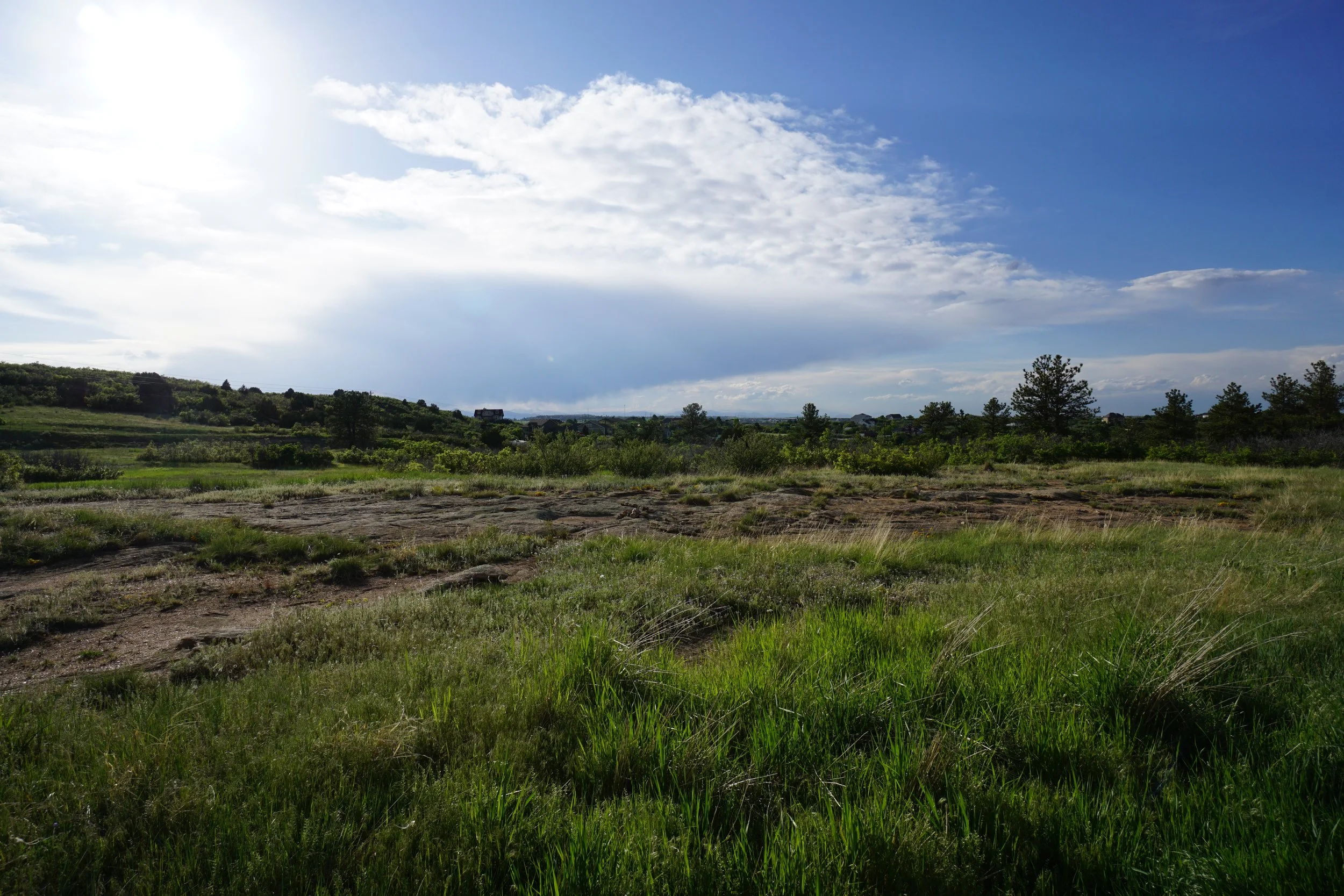
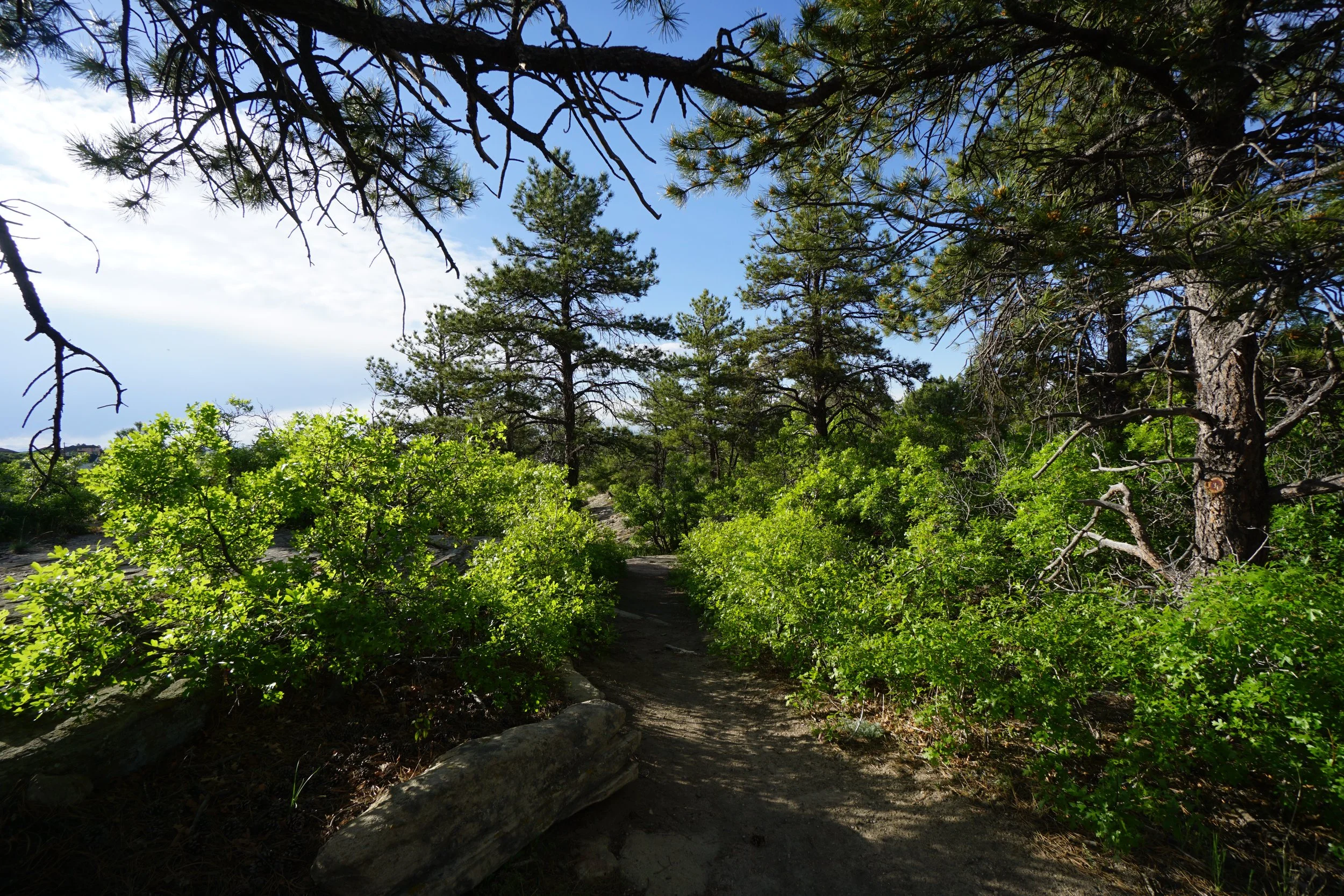
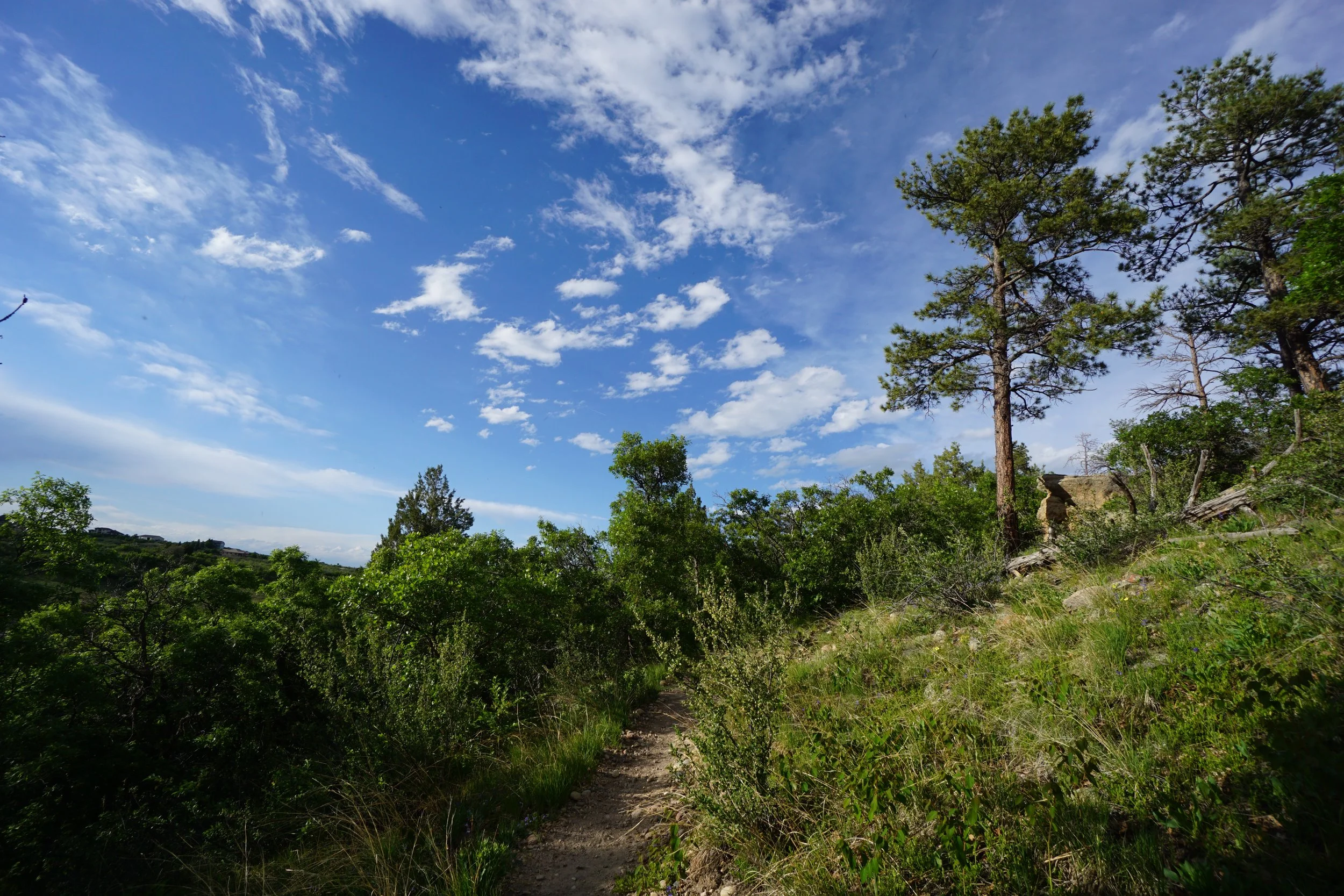
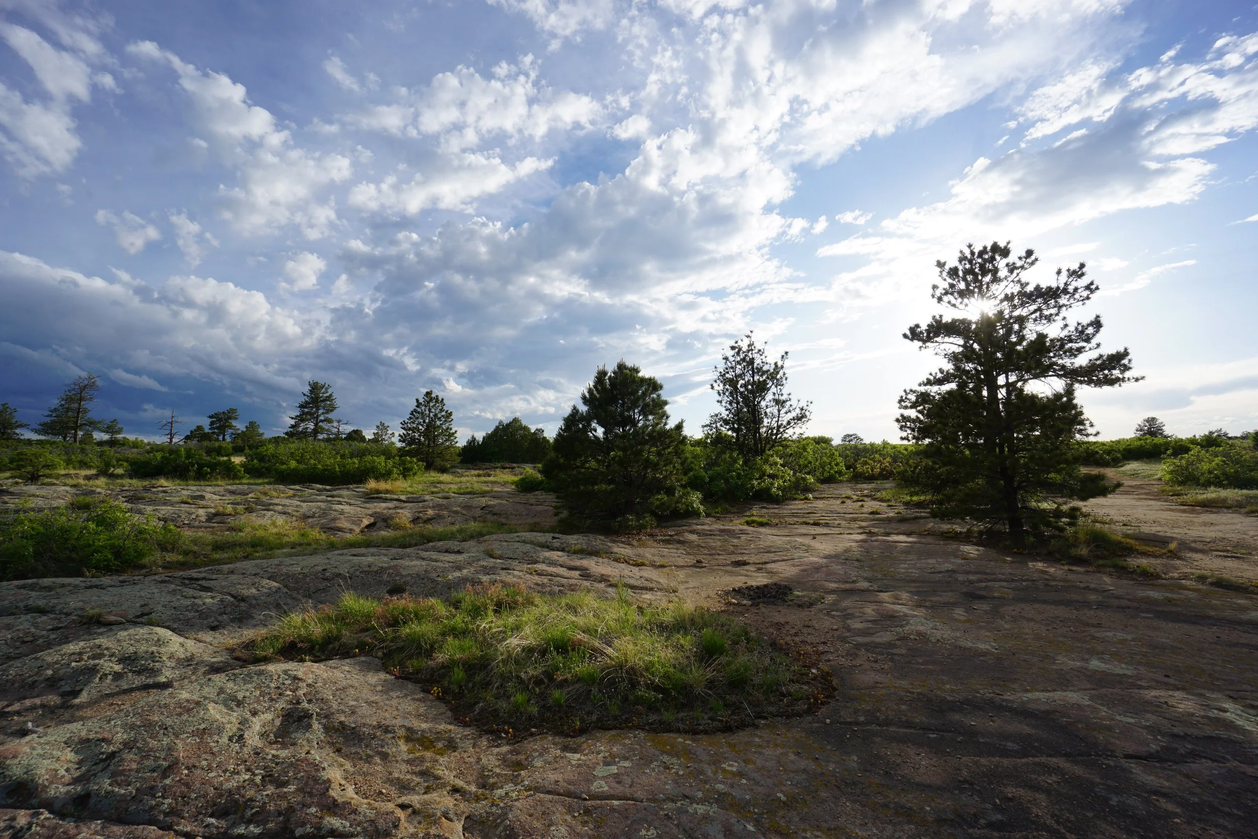
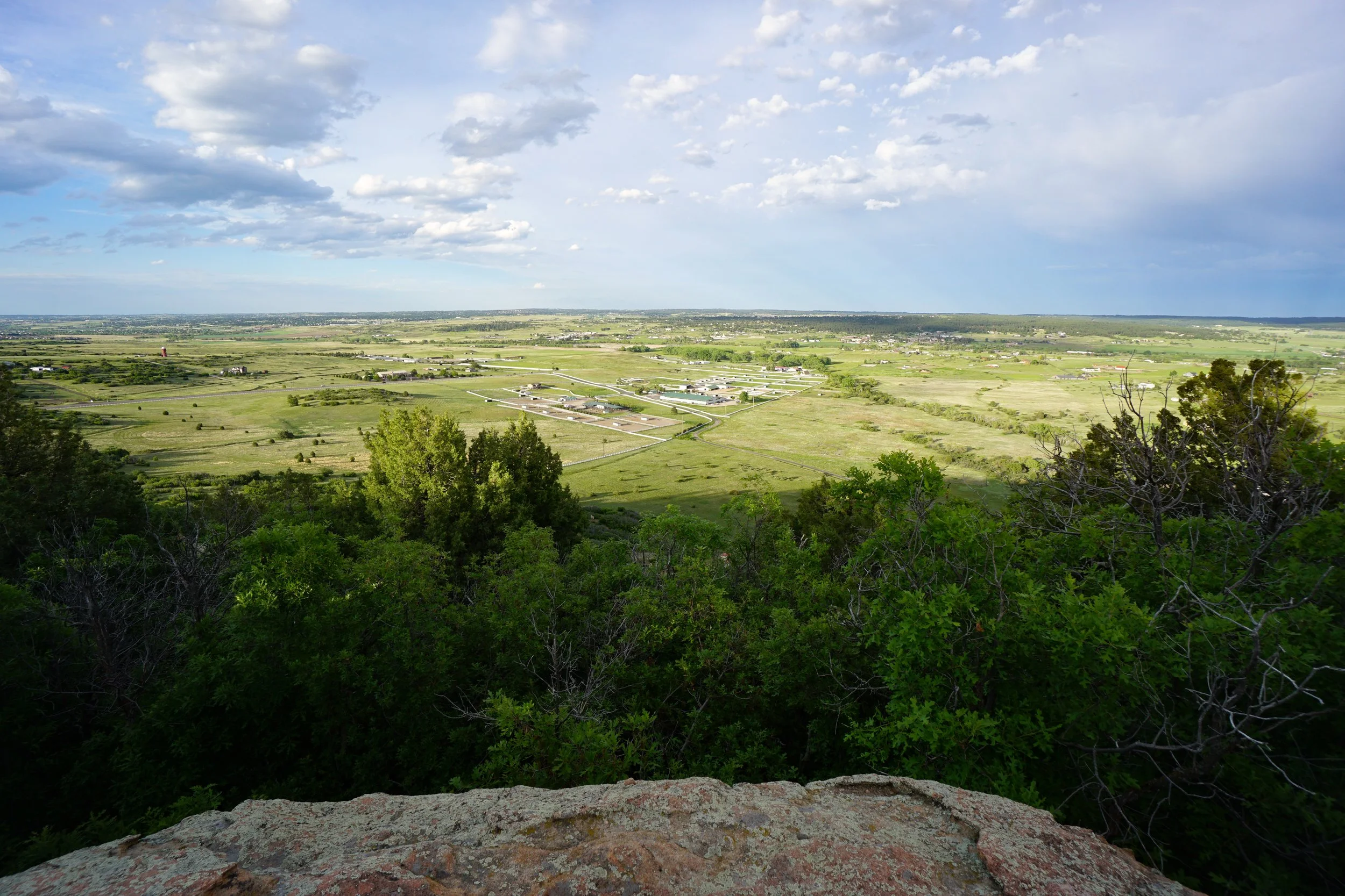
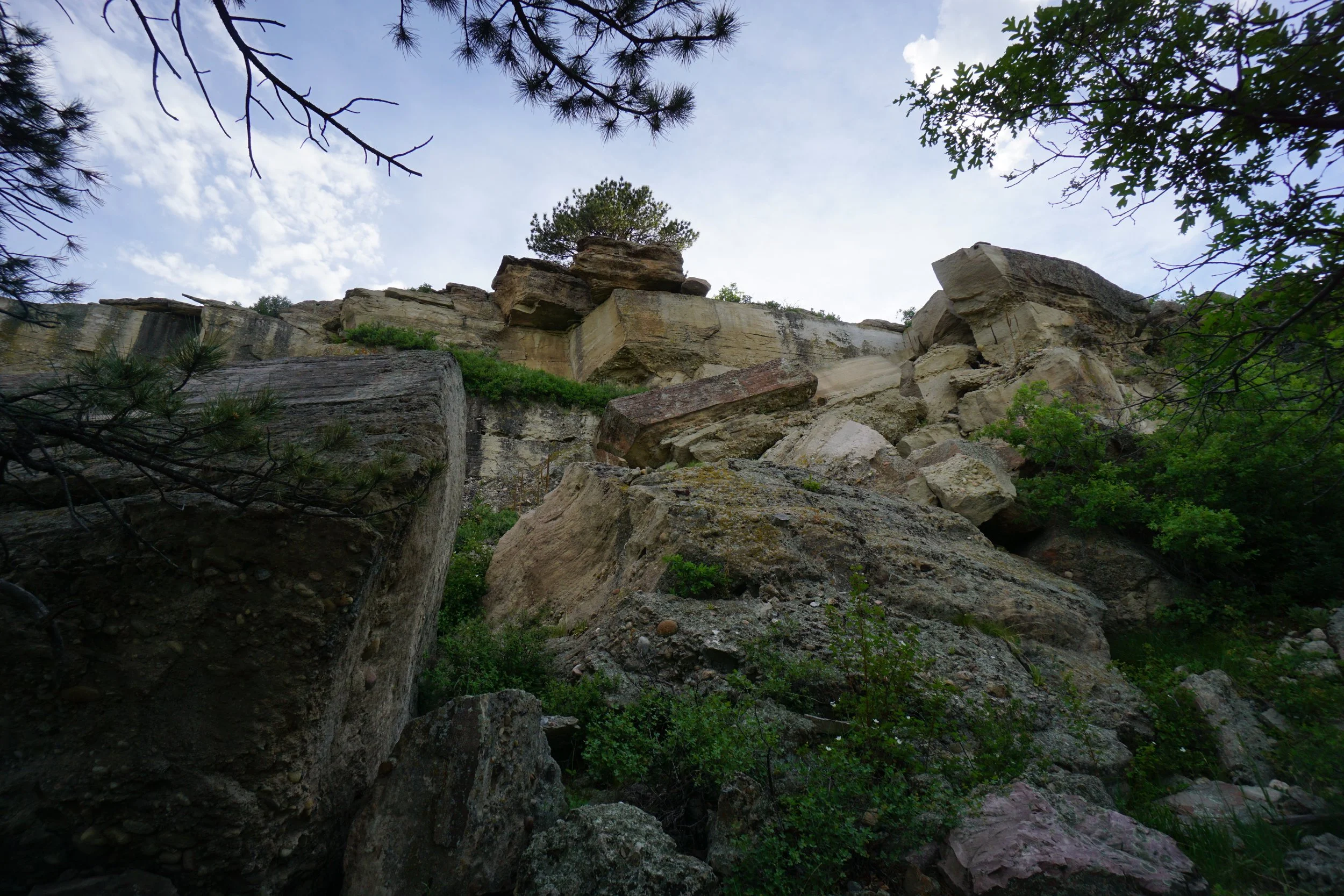
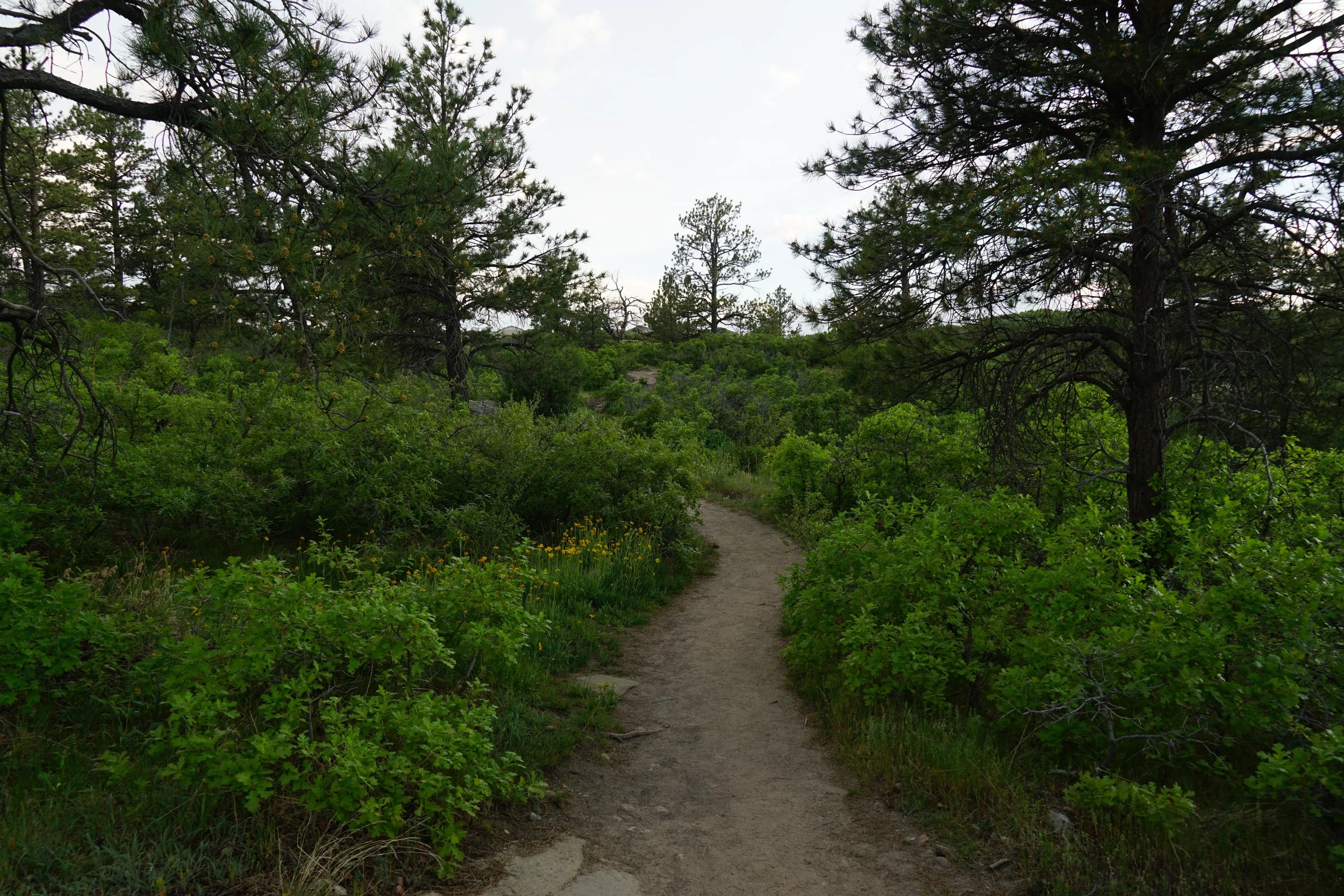
The Legacy Trail is a relatively new trail constructed at Gateway Mesa Open Space, east of Castle Rock. The Legacy Trail is meant to provide an adventurous hike, almost like a hiking terrain park. The trail is purposely built leaving through tight rock squeezes, up and down steep slopes, and across rocky ravines. The result is a short hike that is extremely fun and physically taxing…in a good way.
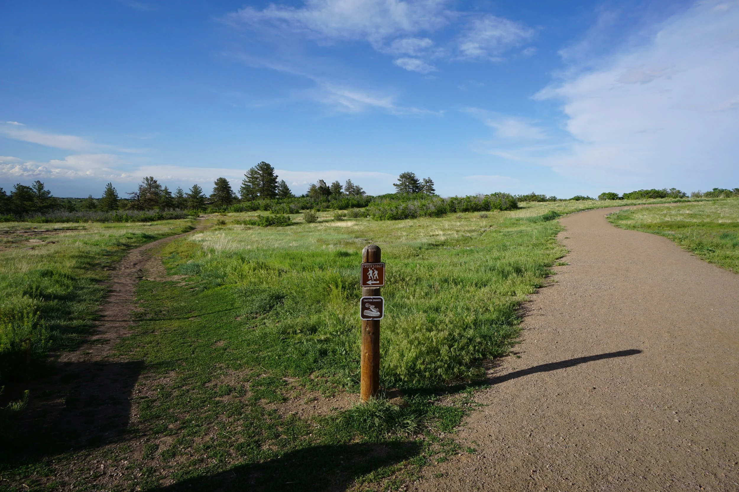
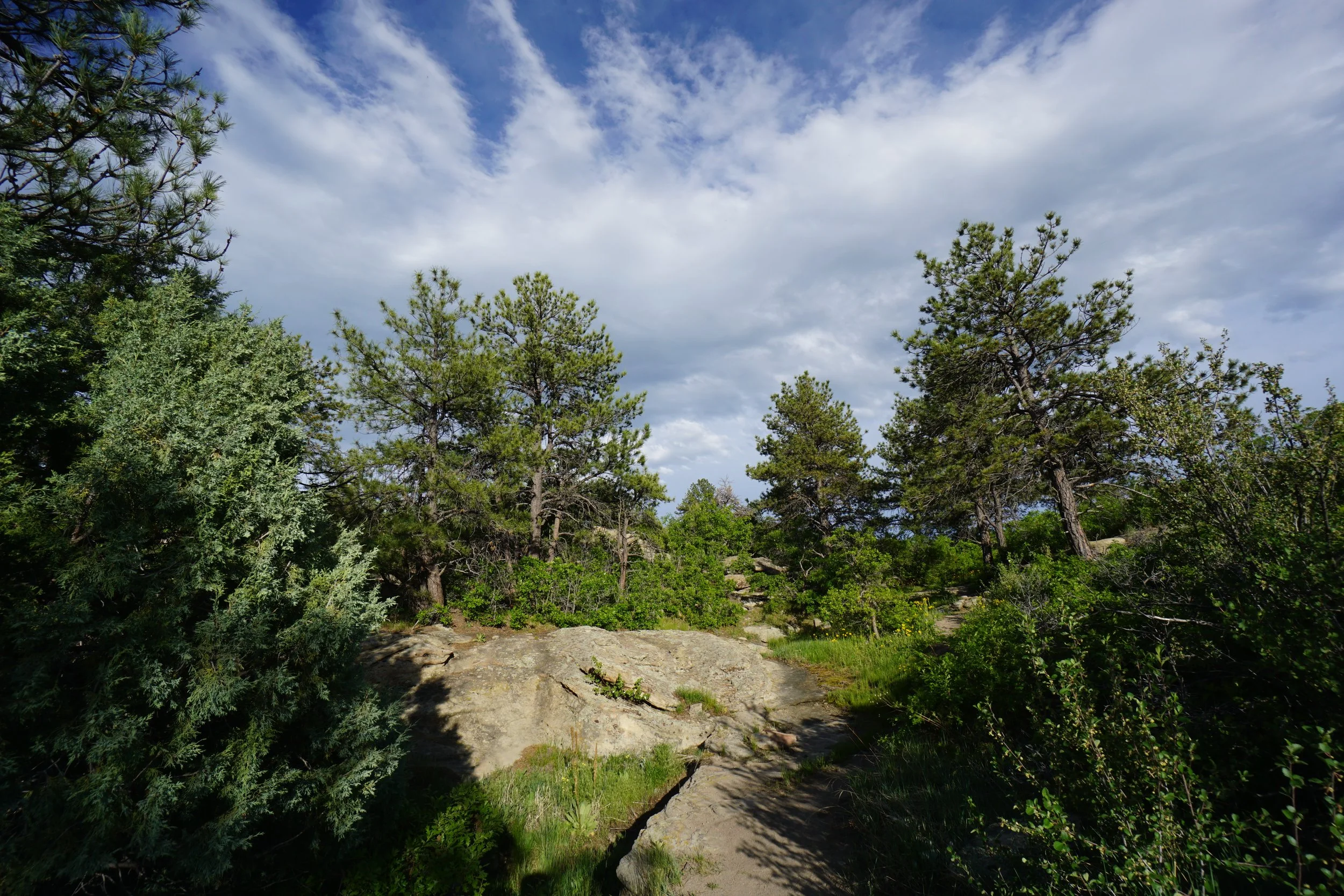
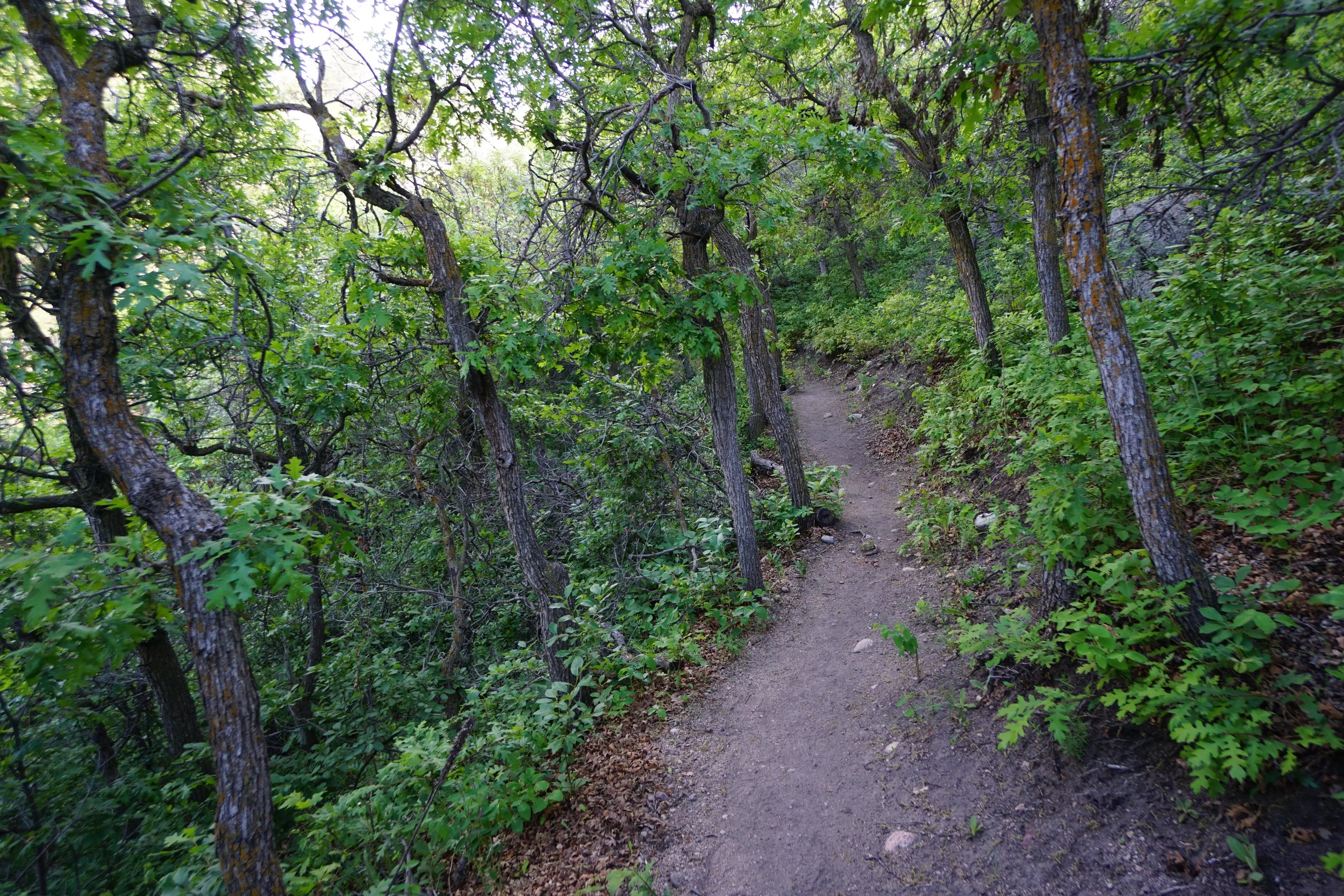
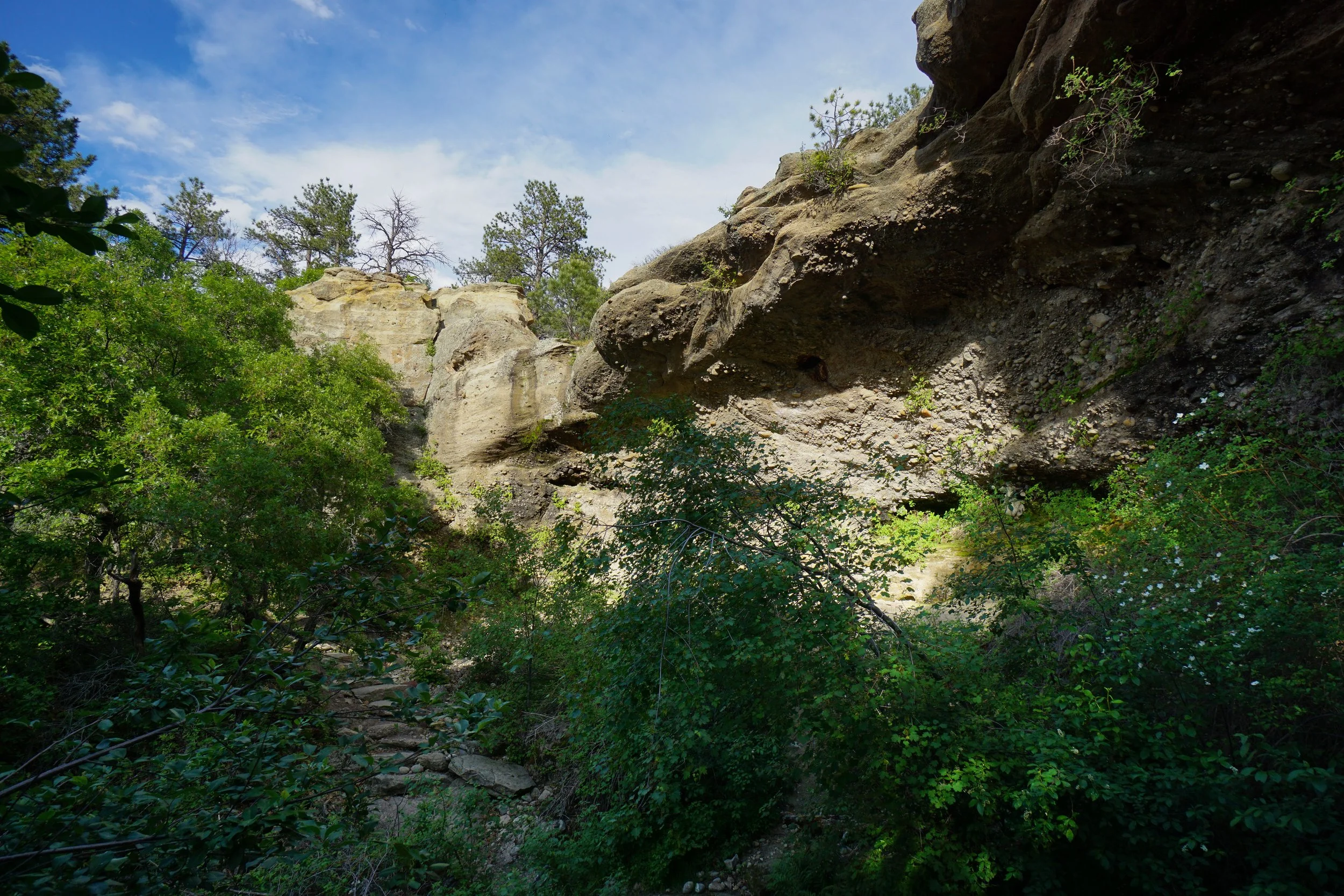
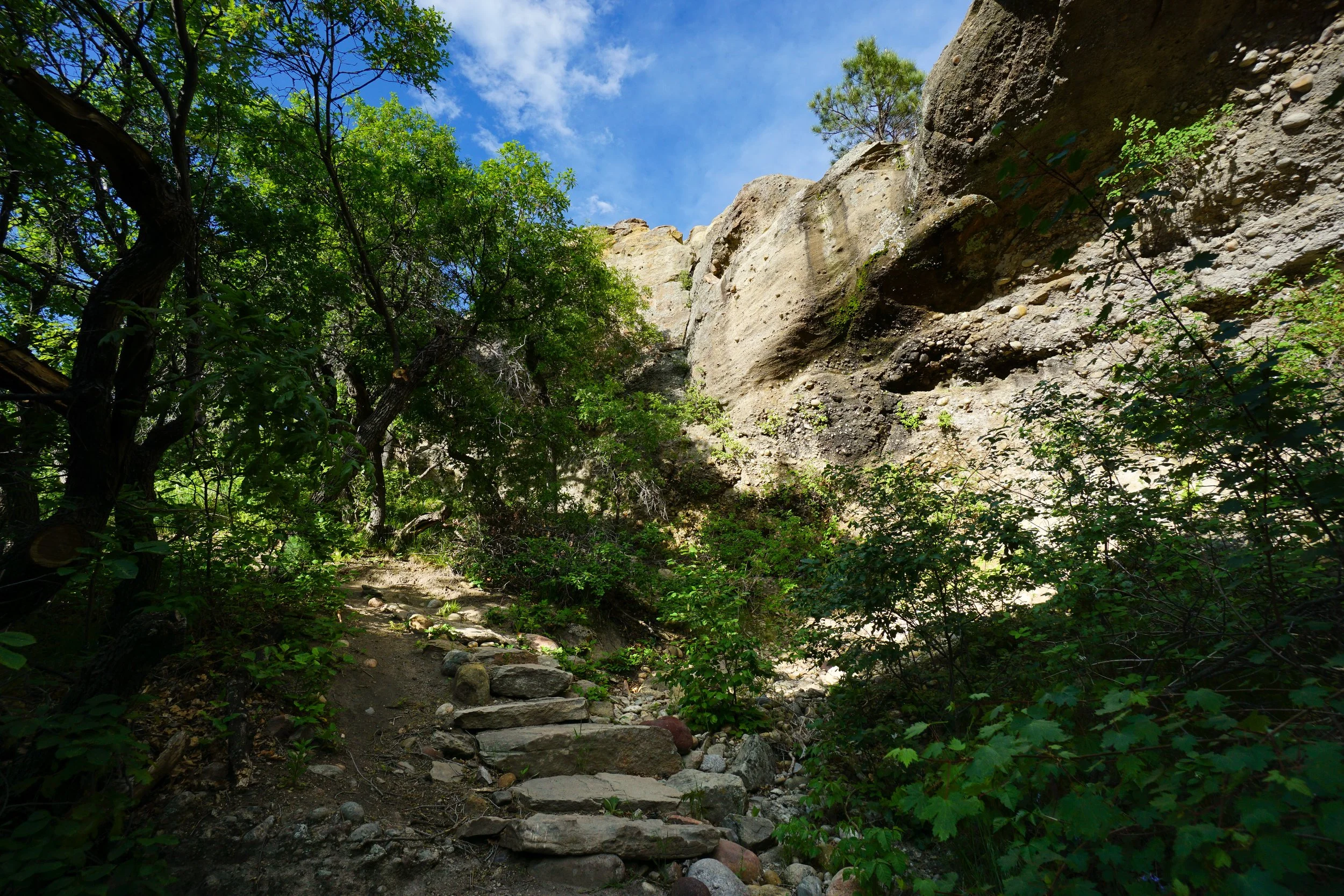
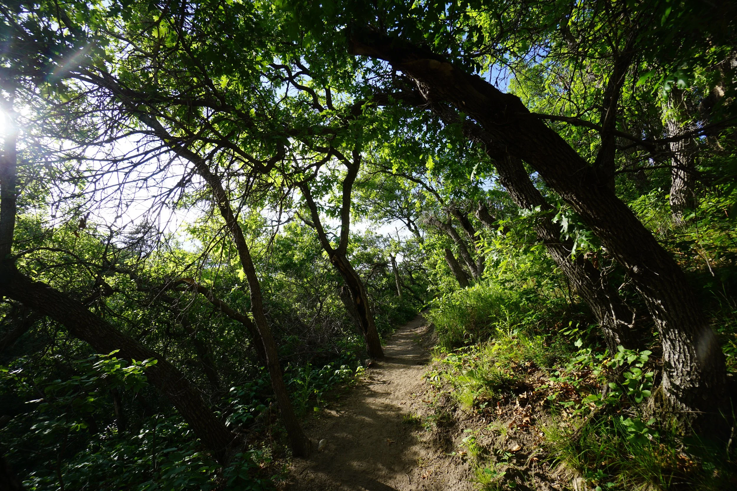
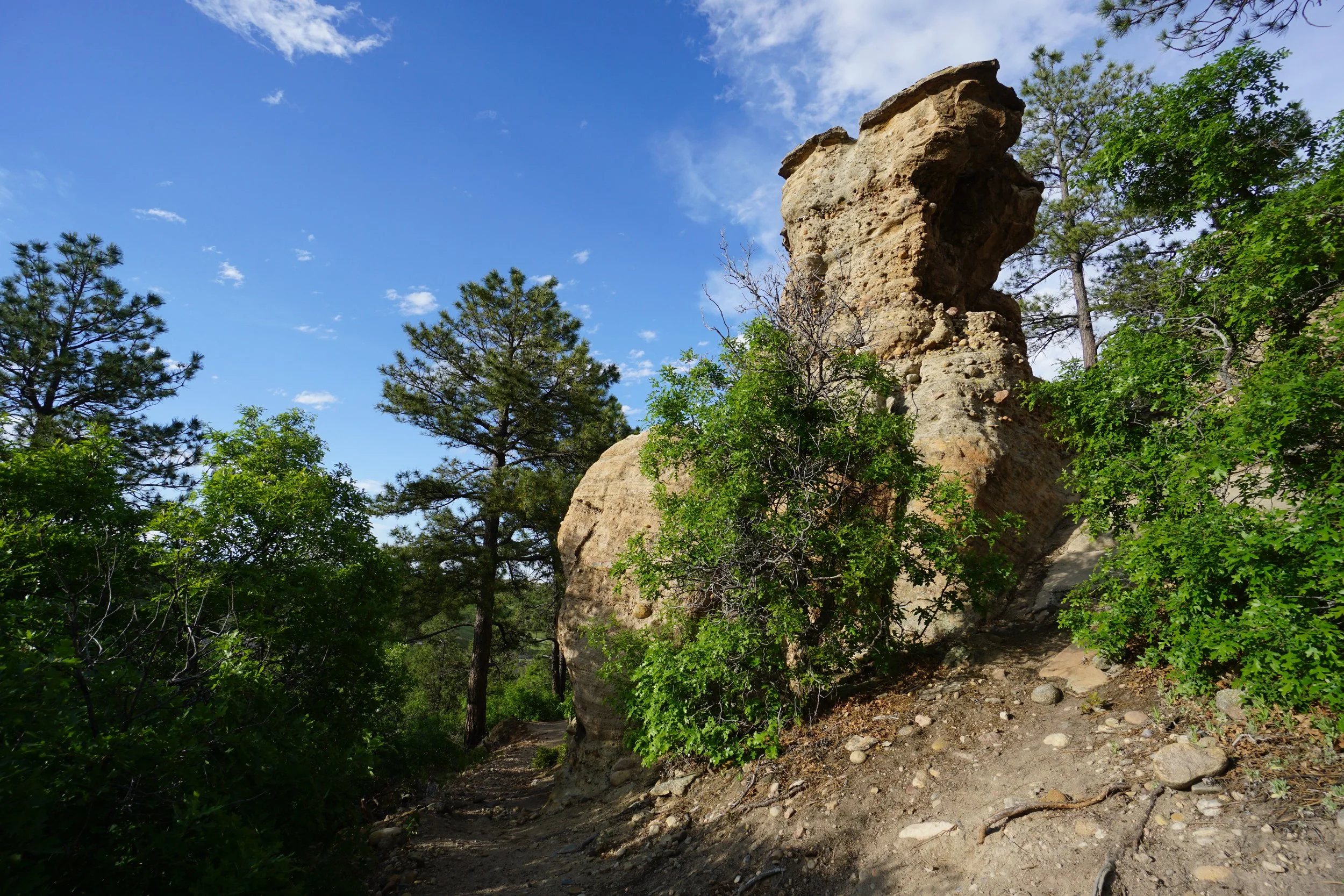
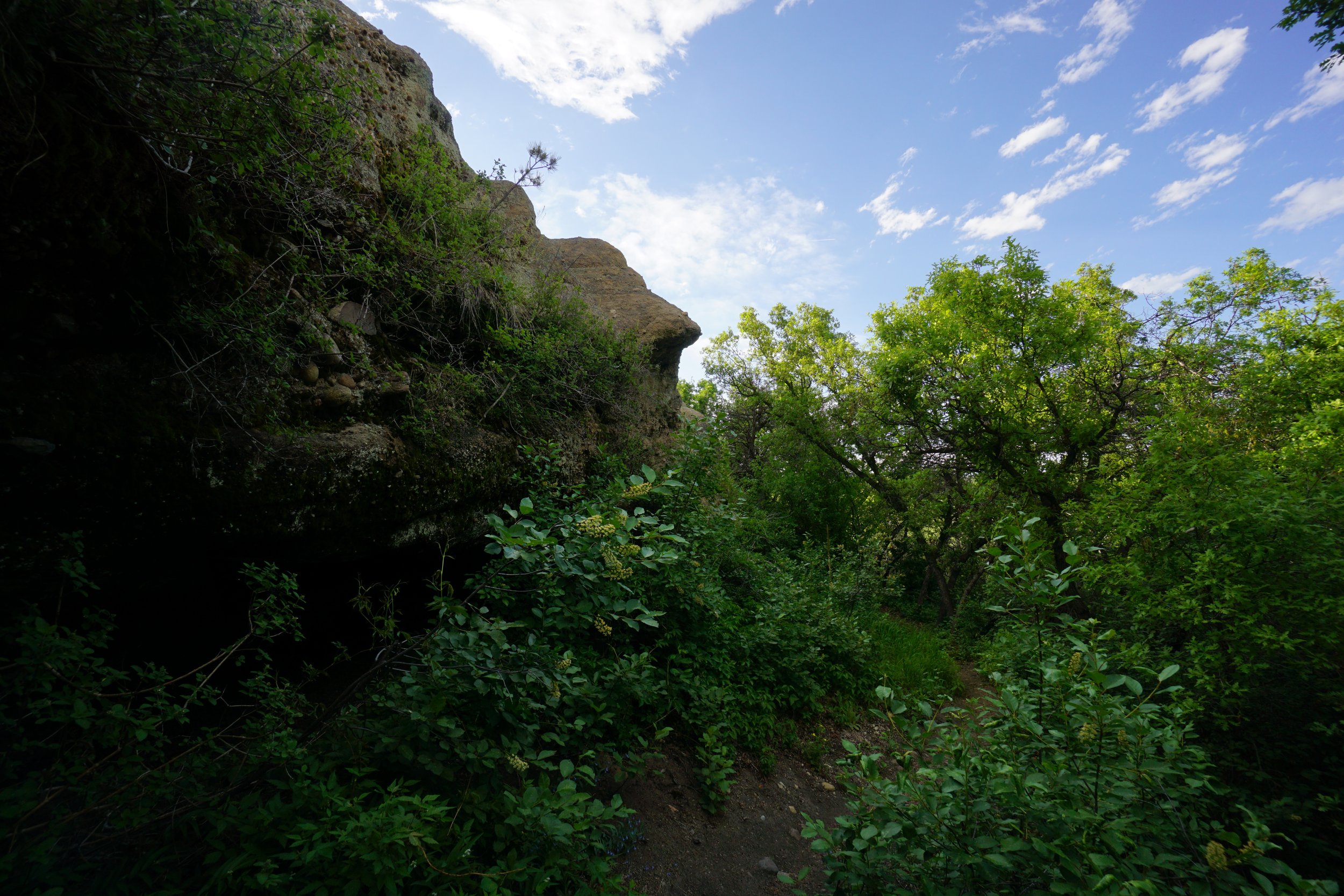
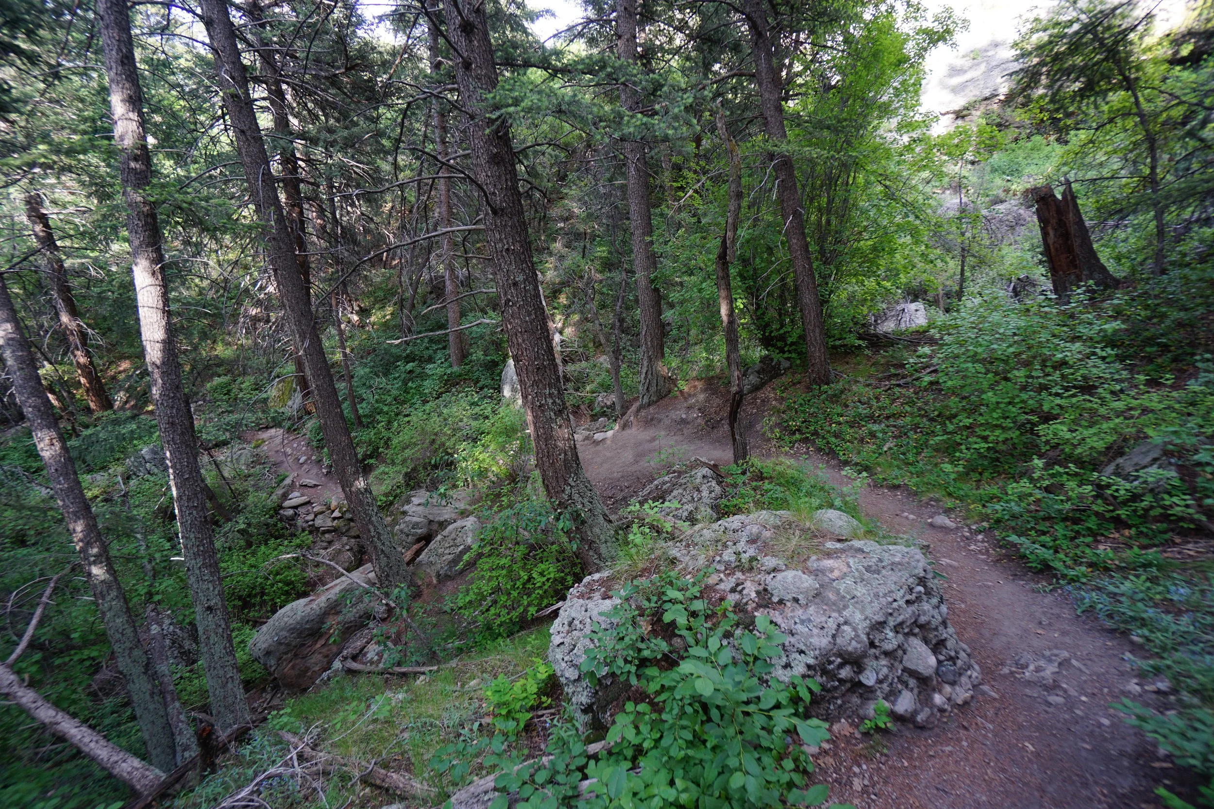
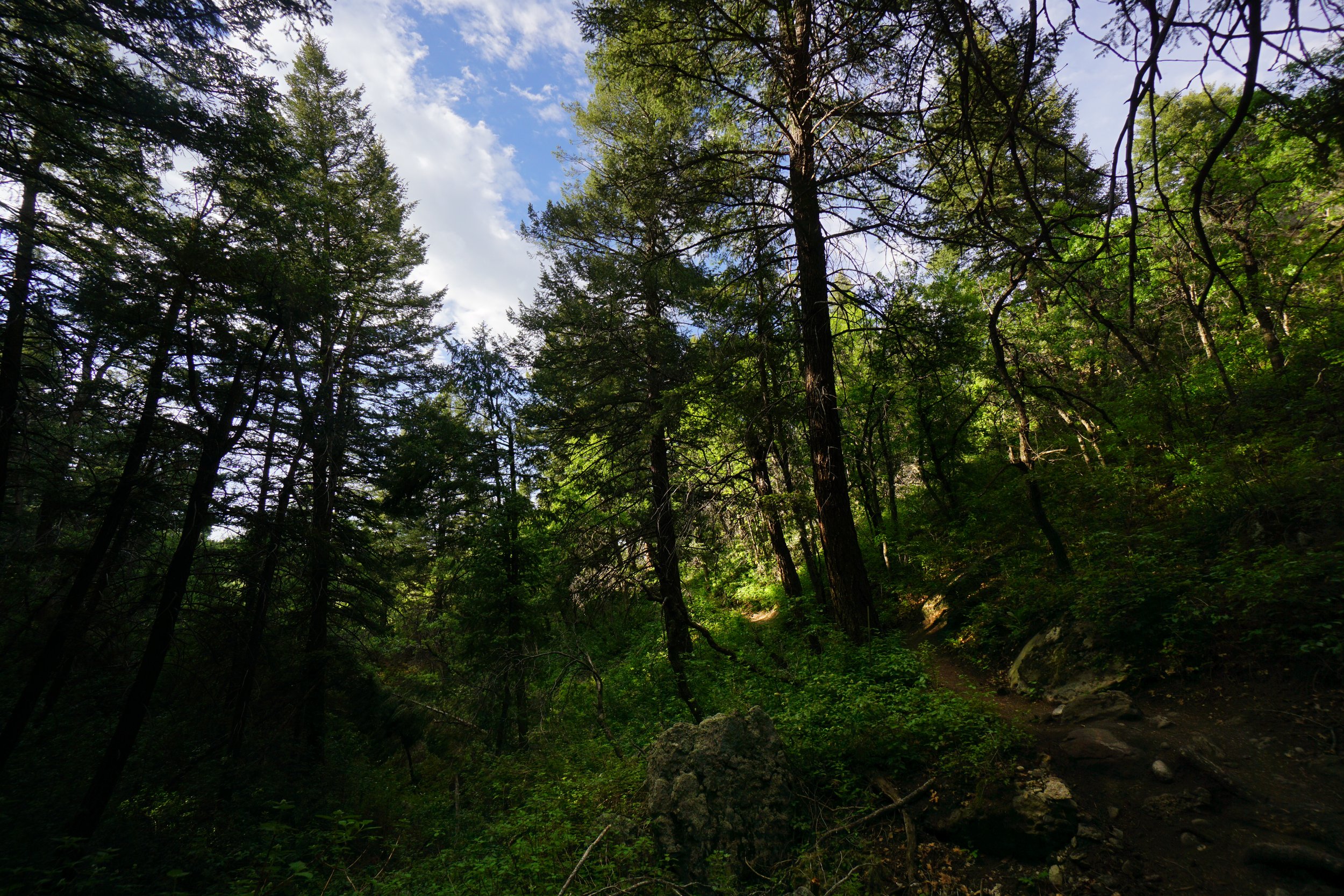
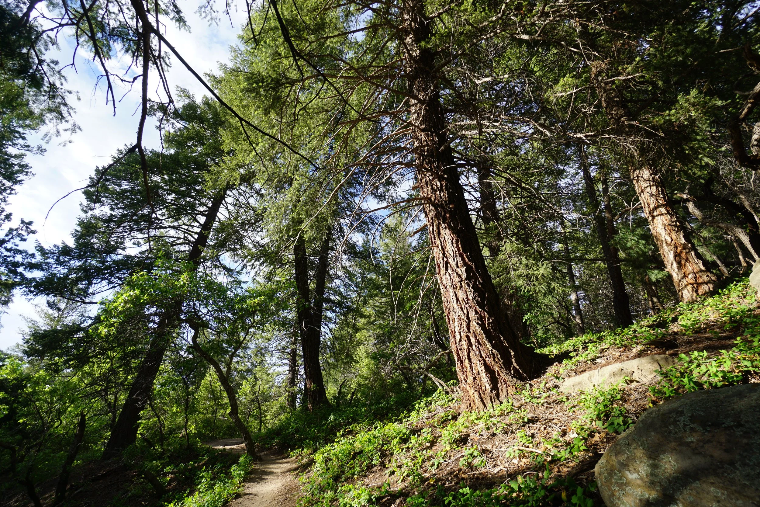
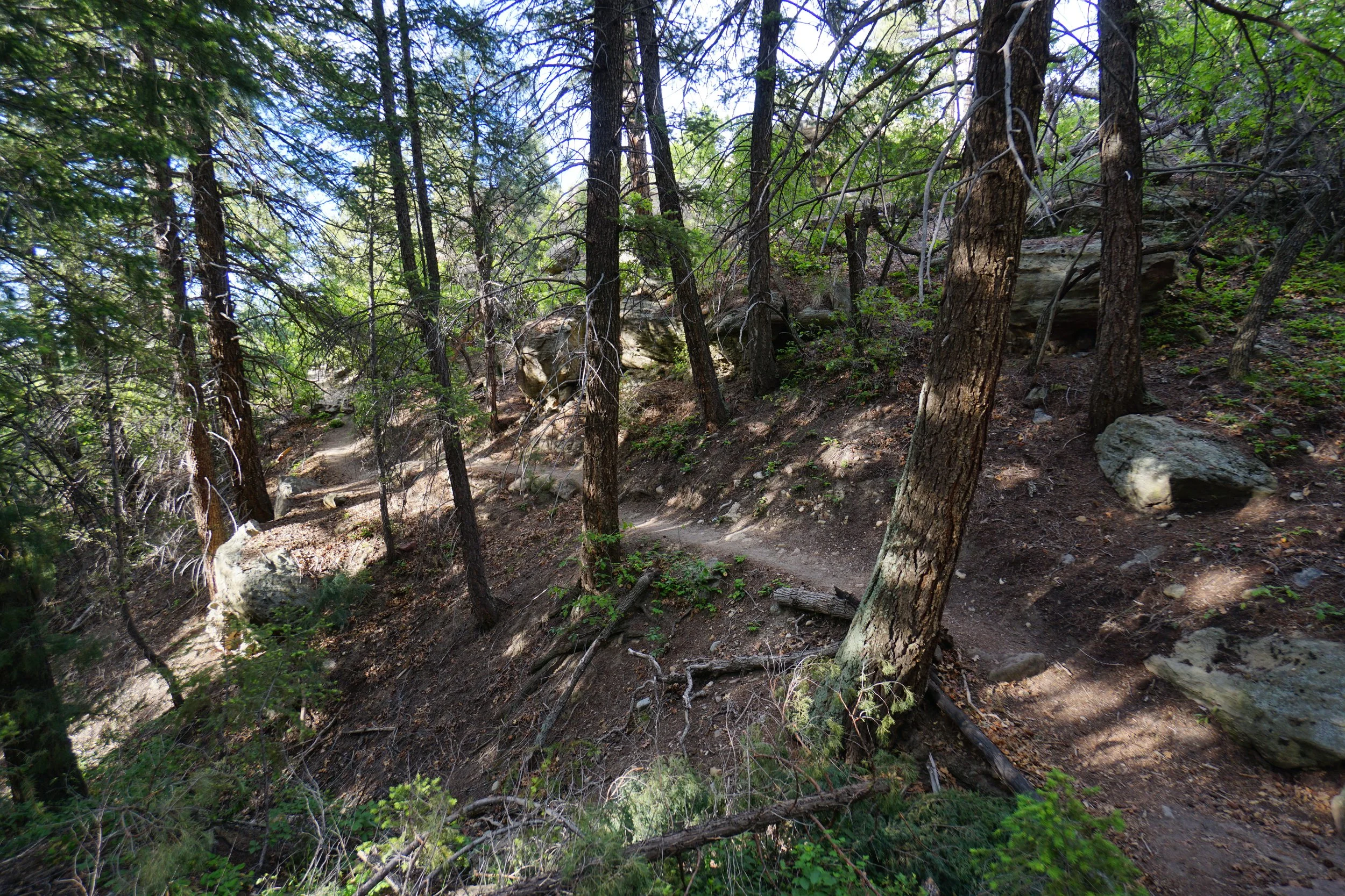
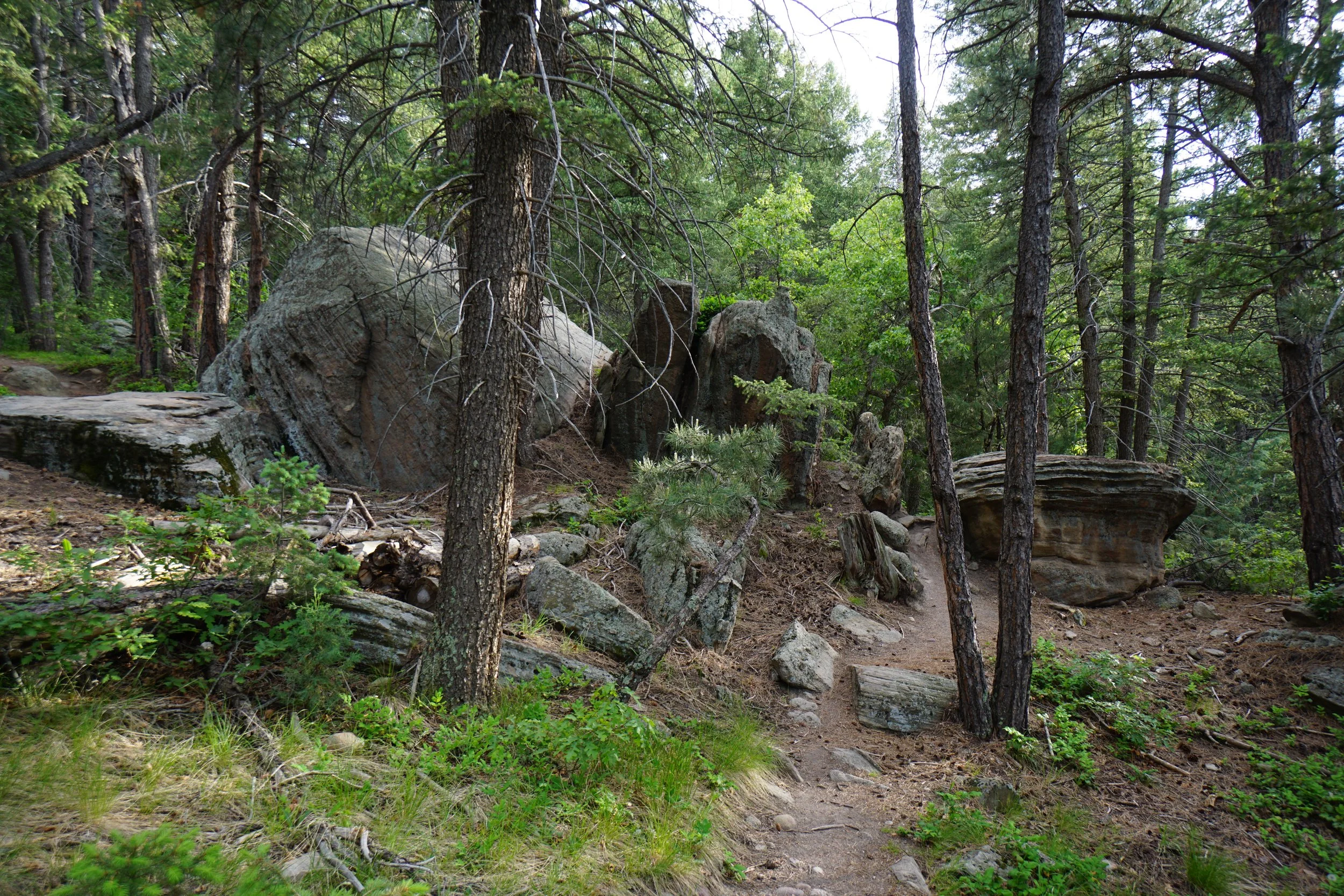
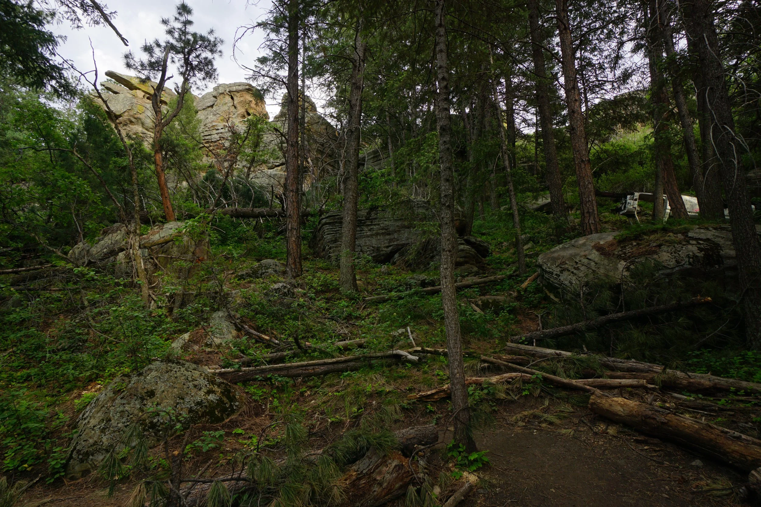
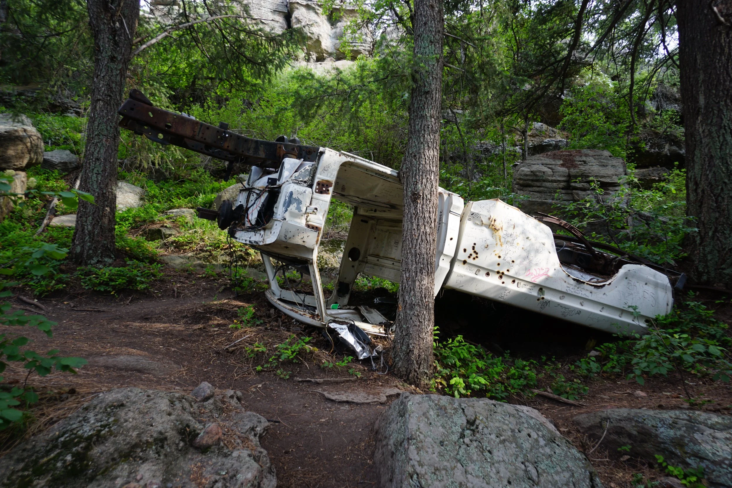
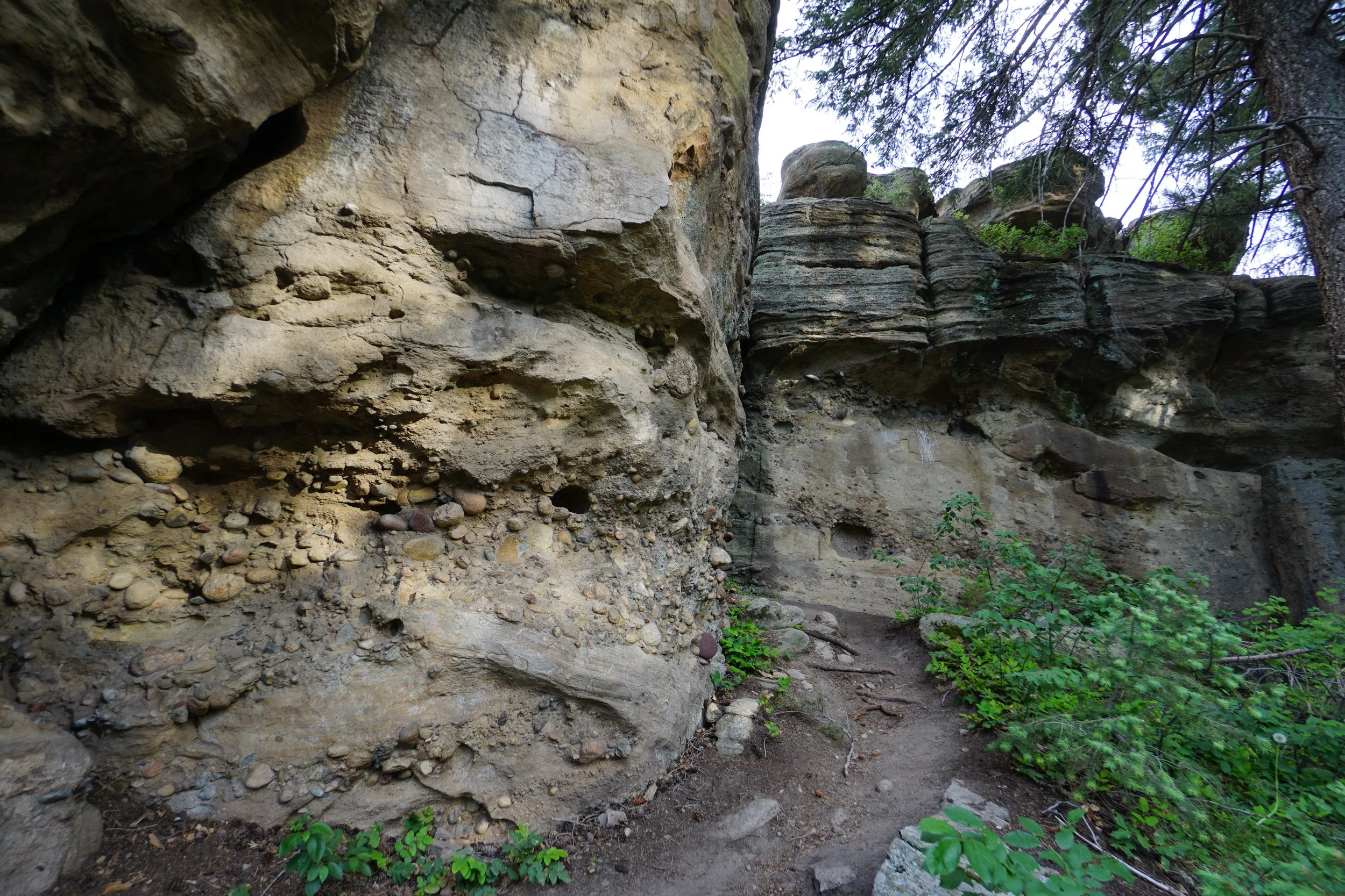
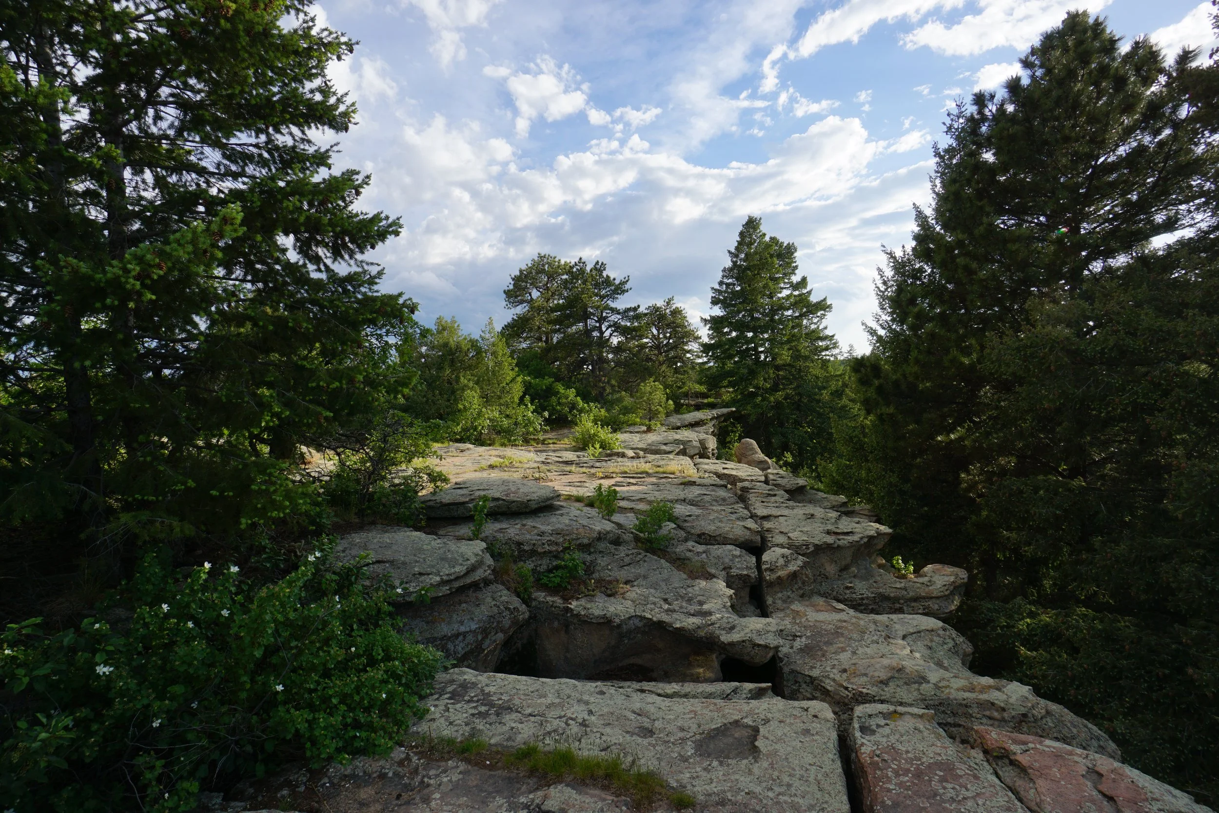
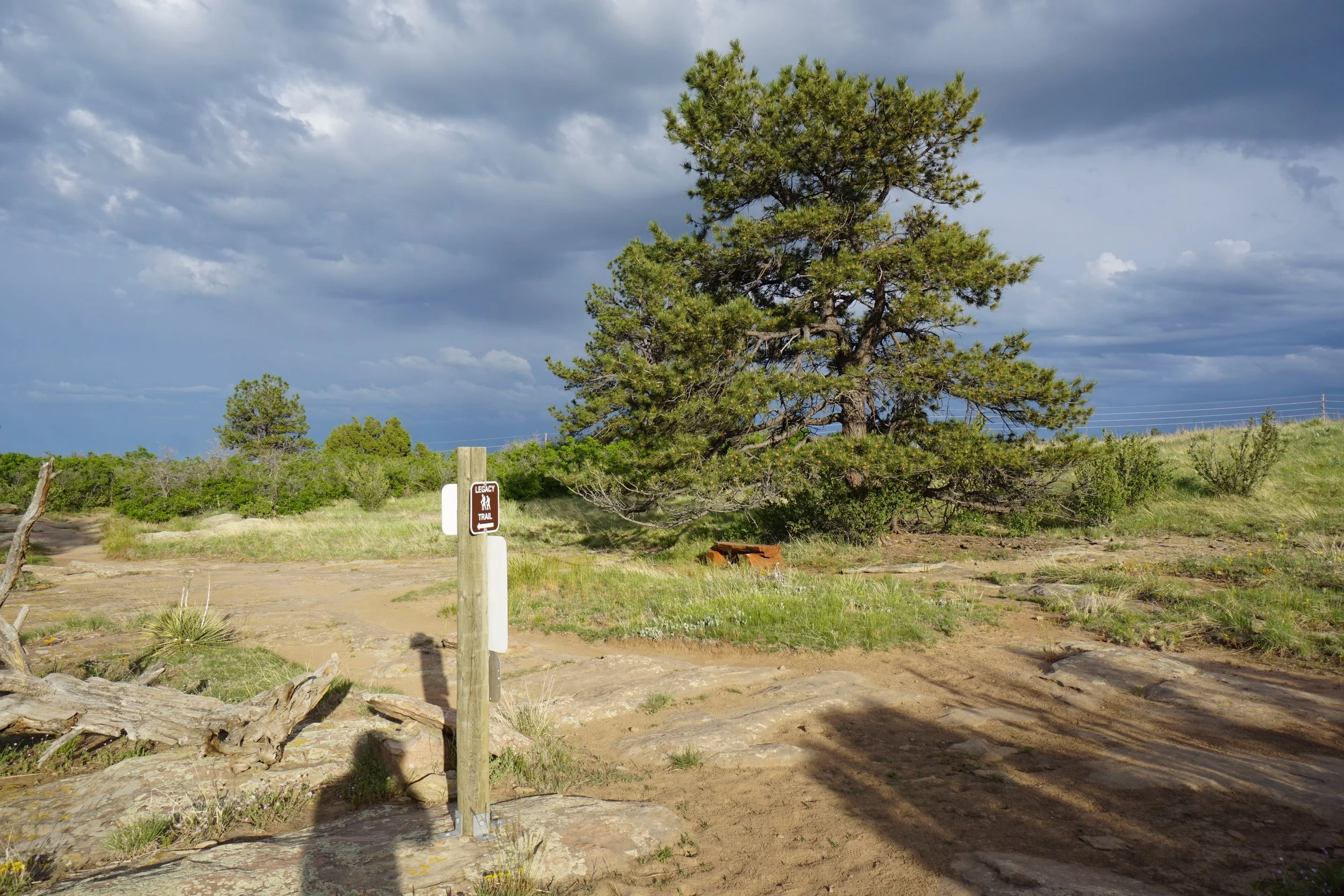
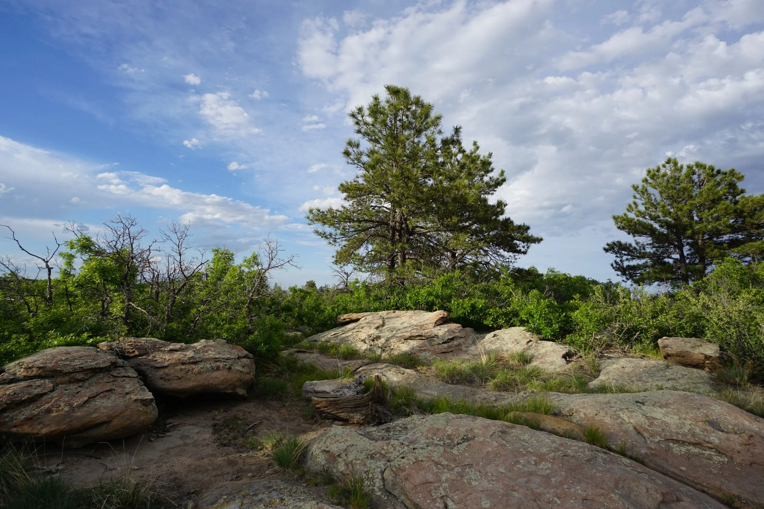
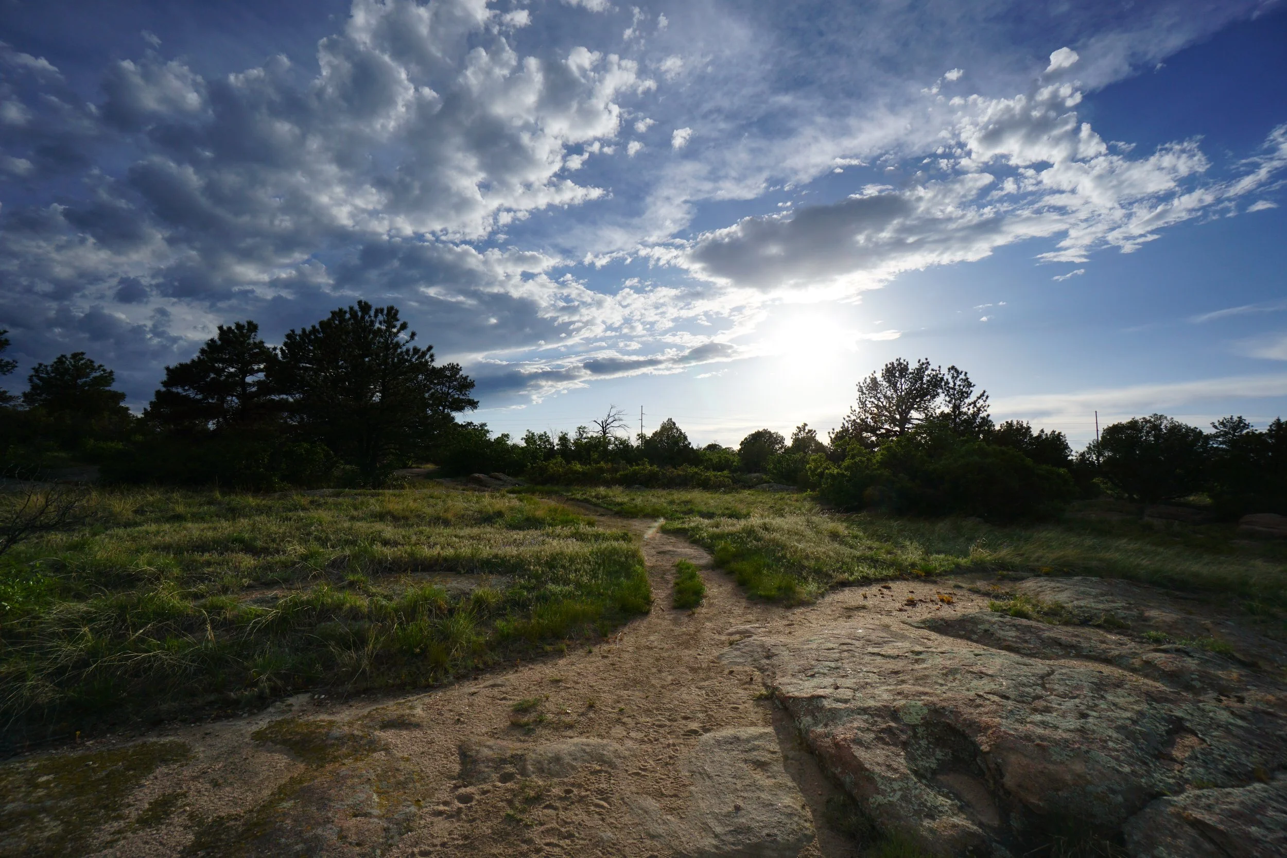
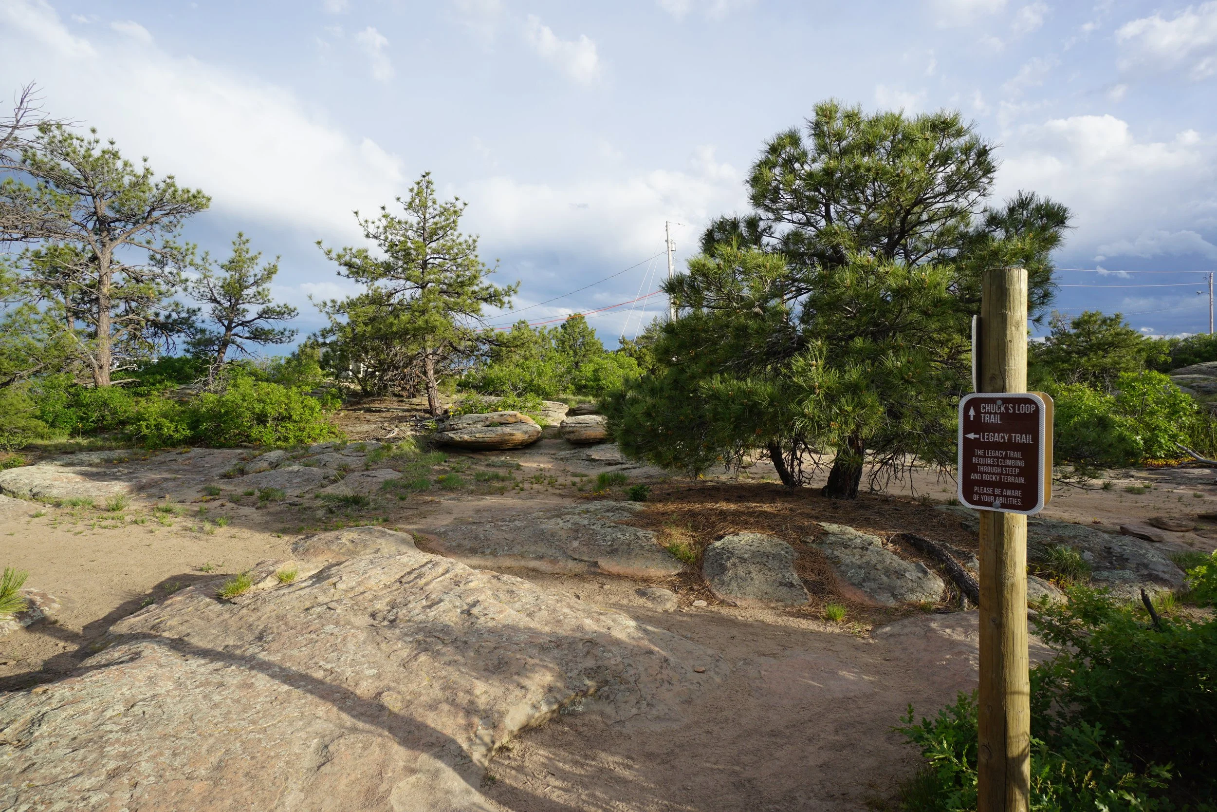
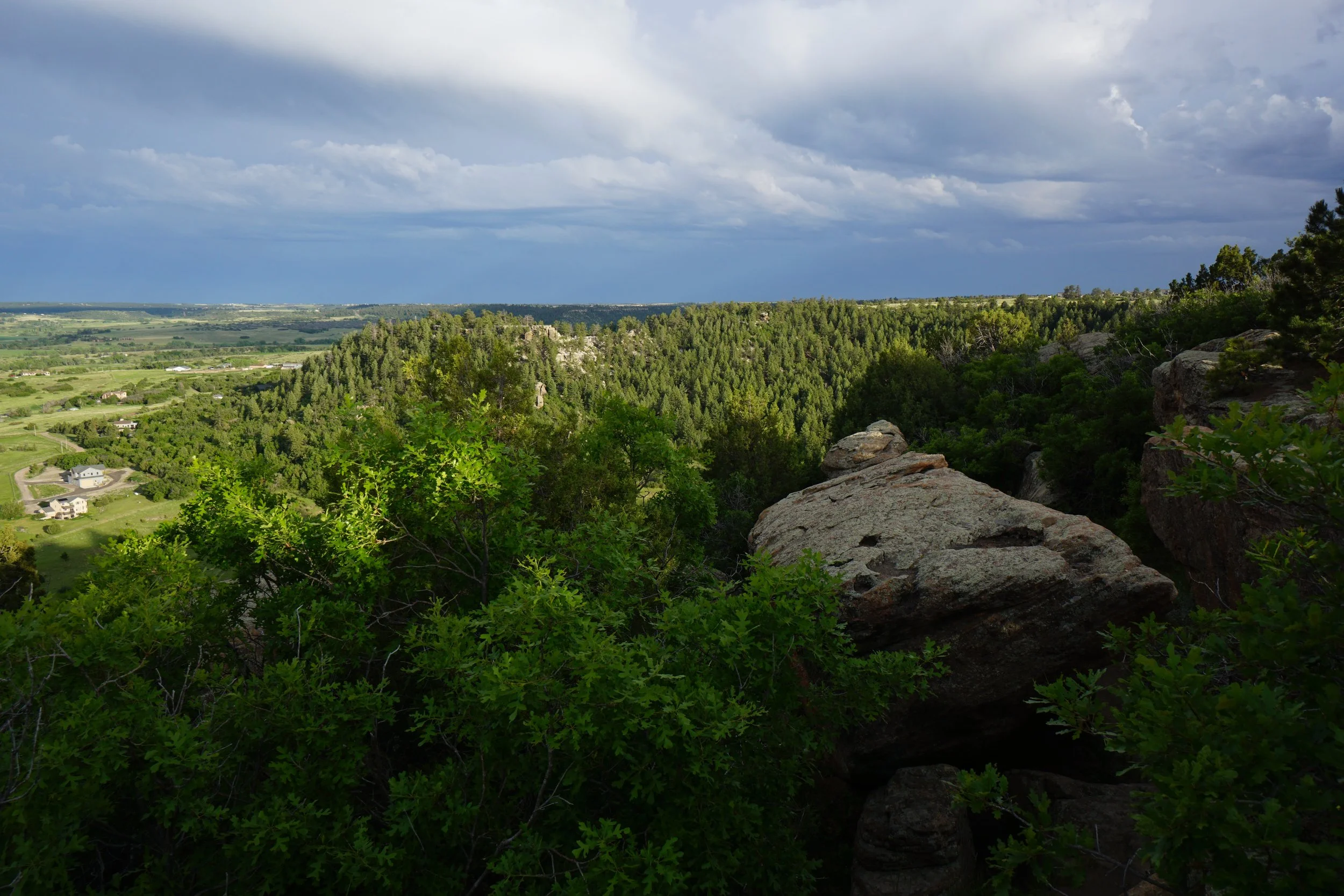
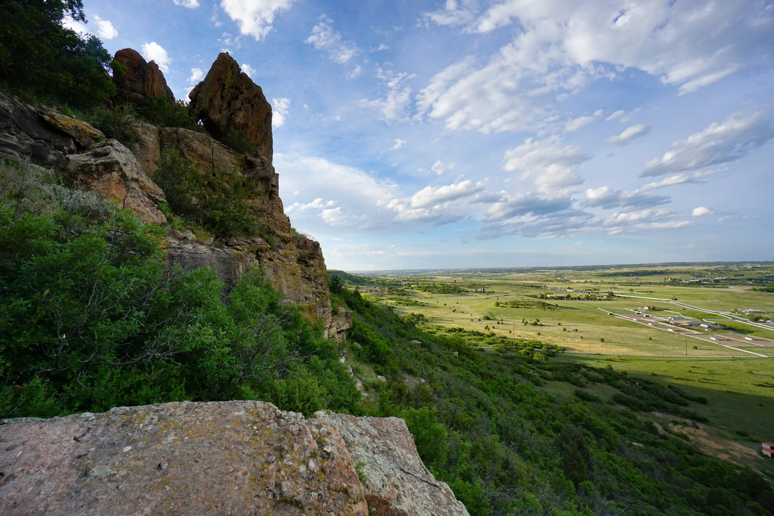
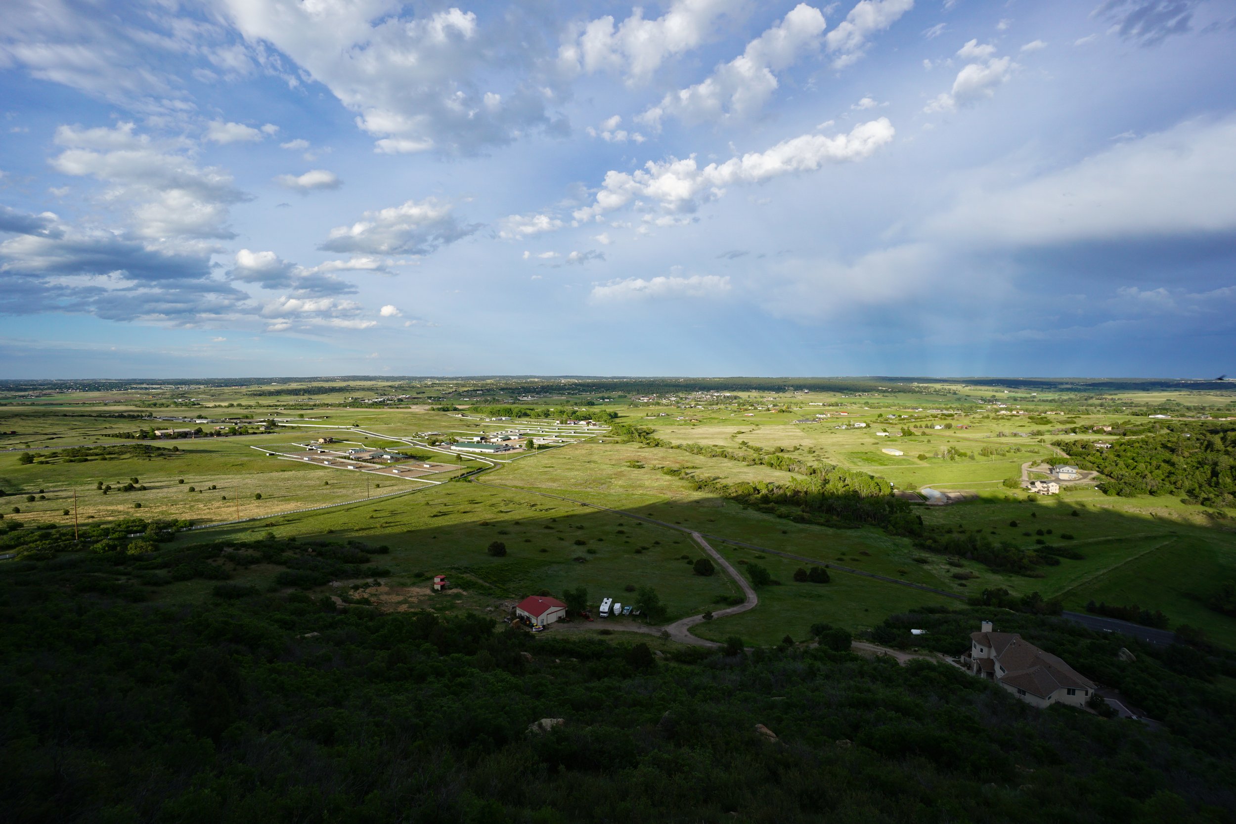
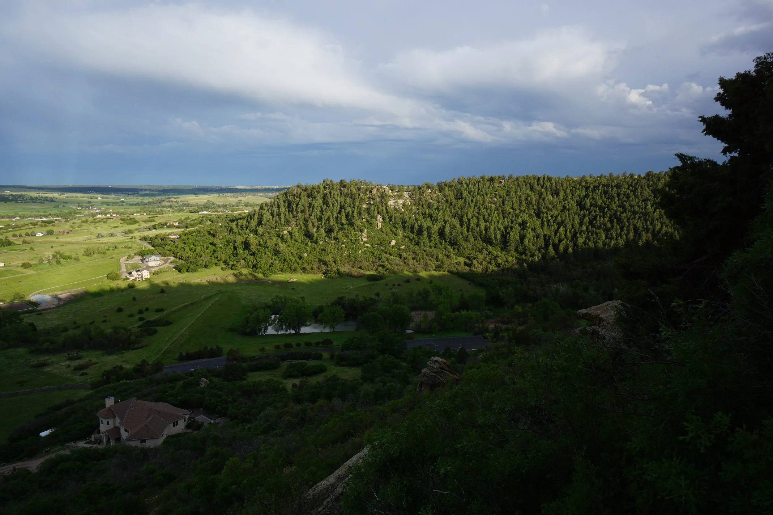
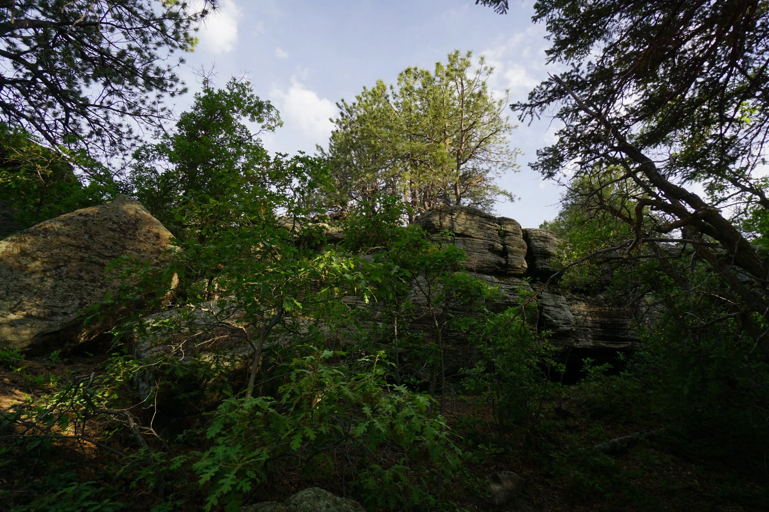
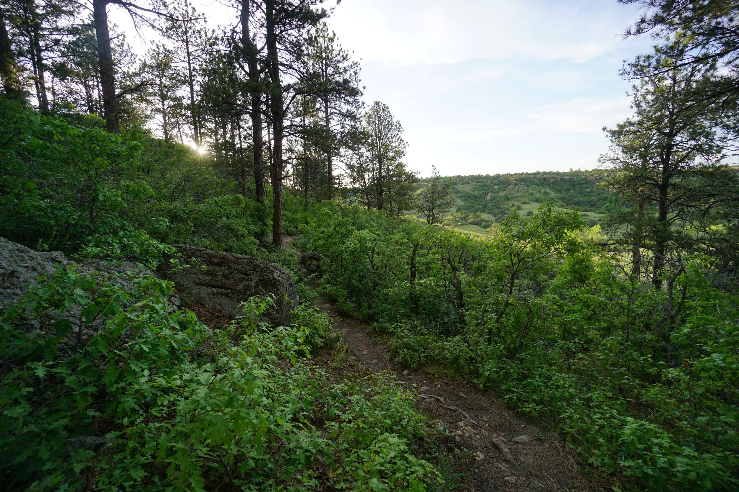
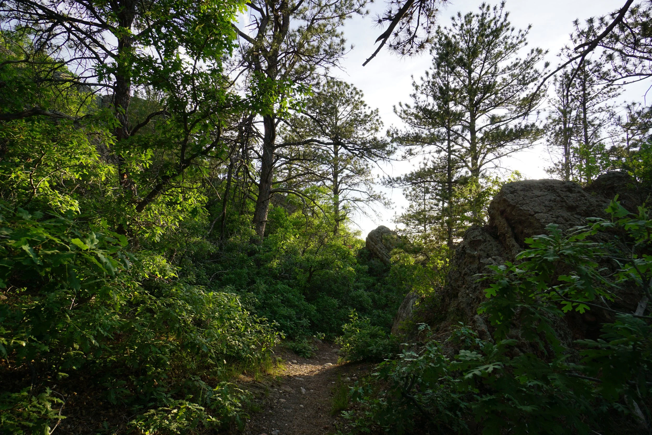
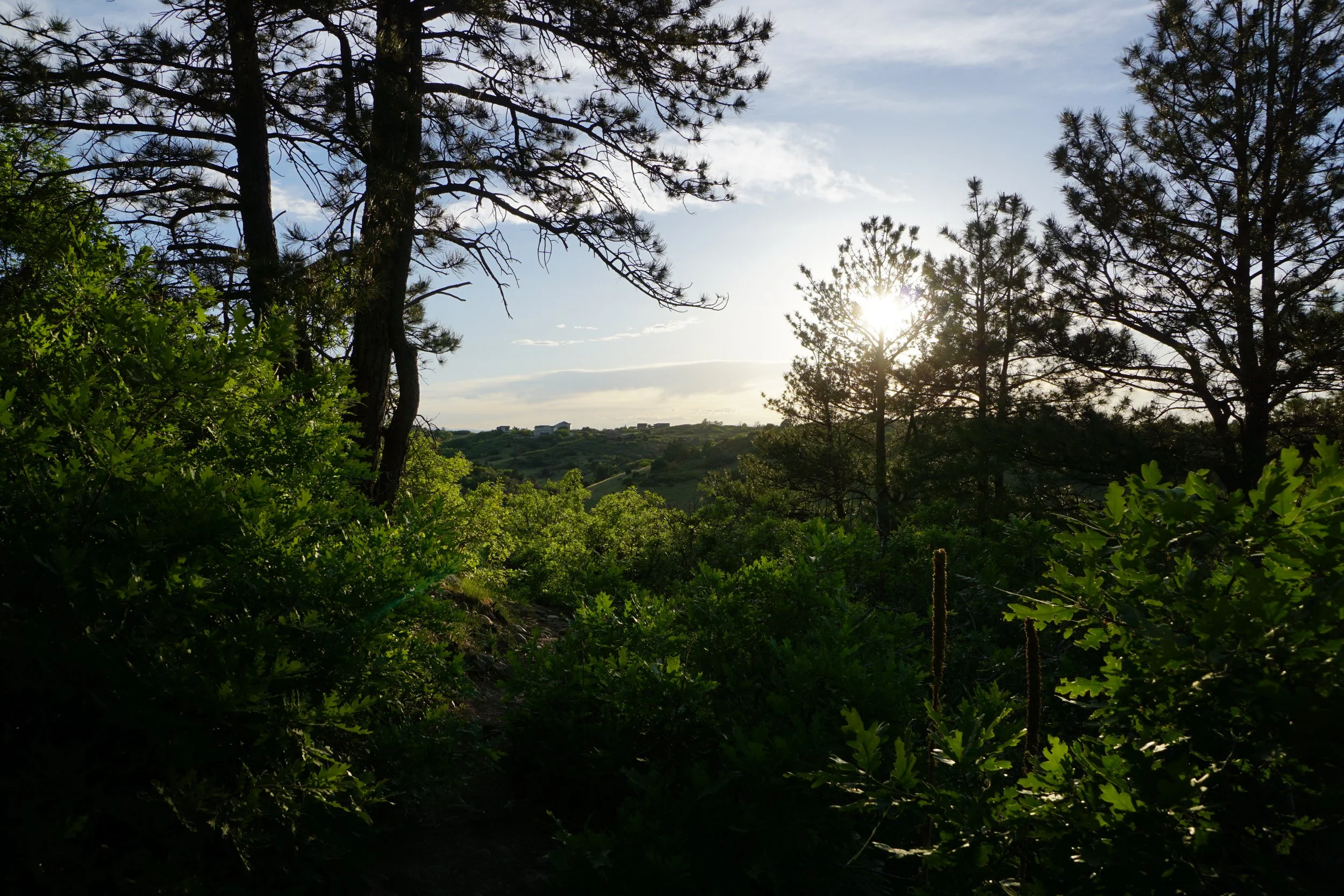
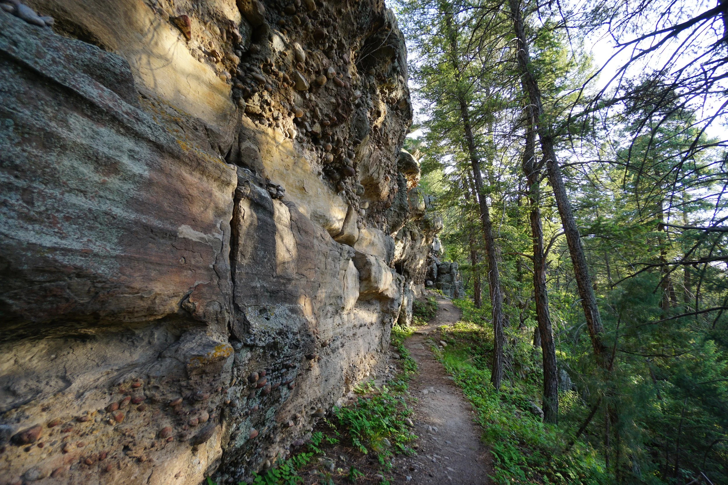
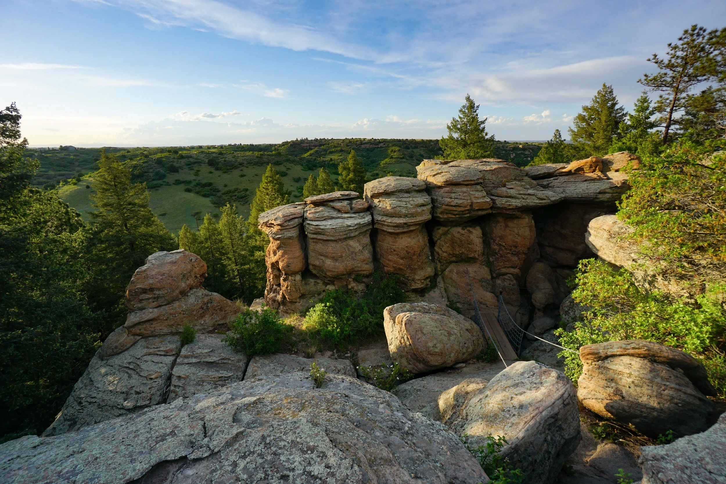
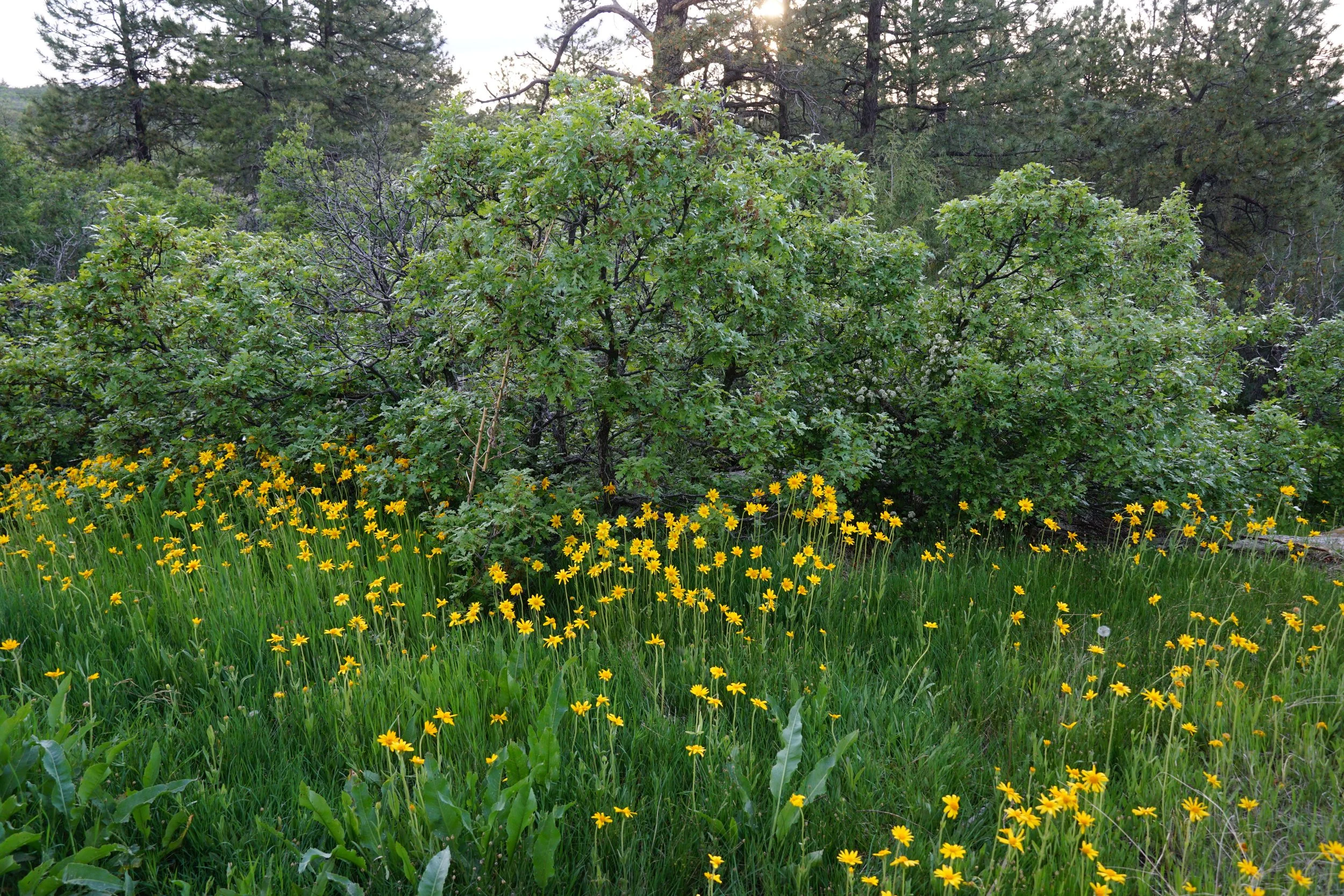
The hike starts by turning onto the Chuck’s Loop Trail at the traihead and shortly thereafter turning left onto the Legacy Trail. The trail skirts the rocky rim of the mesa before descending down into a lush oak forest (with plenty of poison ivy) to the base of the cliffs. The trail then follows the cliff base past towering rock formations and through forests. The forest transitions from oak to pine and this part of the forest is surprisingly epic. Everything seems larger on this part of the trail than it should be. The trees are huge, the boulders strewn across the landscape are huge, the cliffs are huge, and the gully’s that you cross seem to extend forever. After you pass the remains of an old pickup truck, you come to an important crossroads to be aware of.
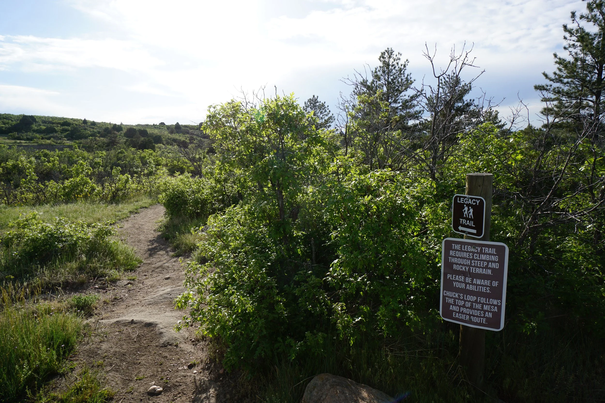
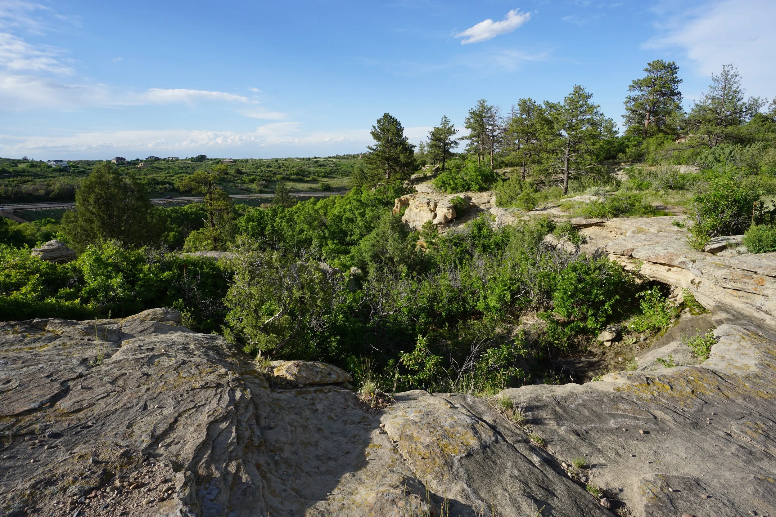
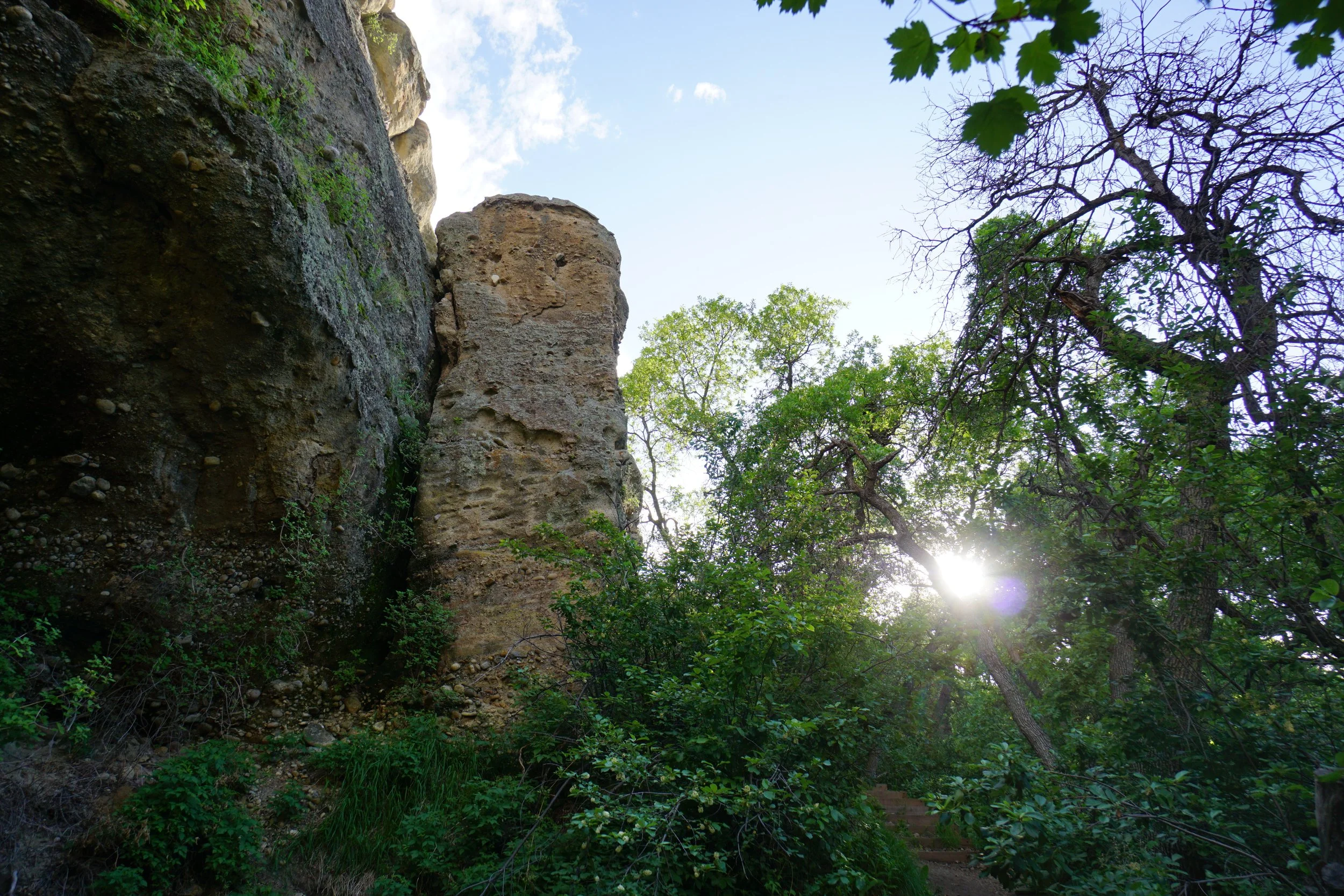
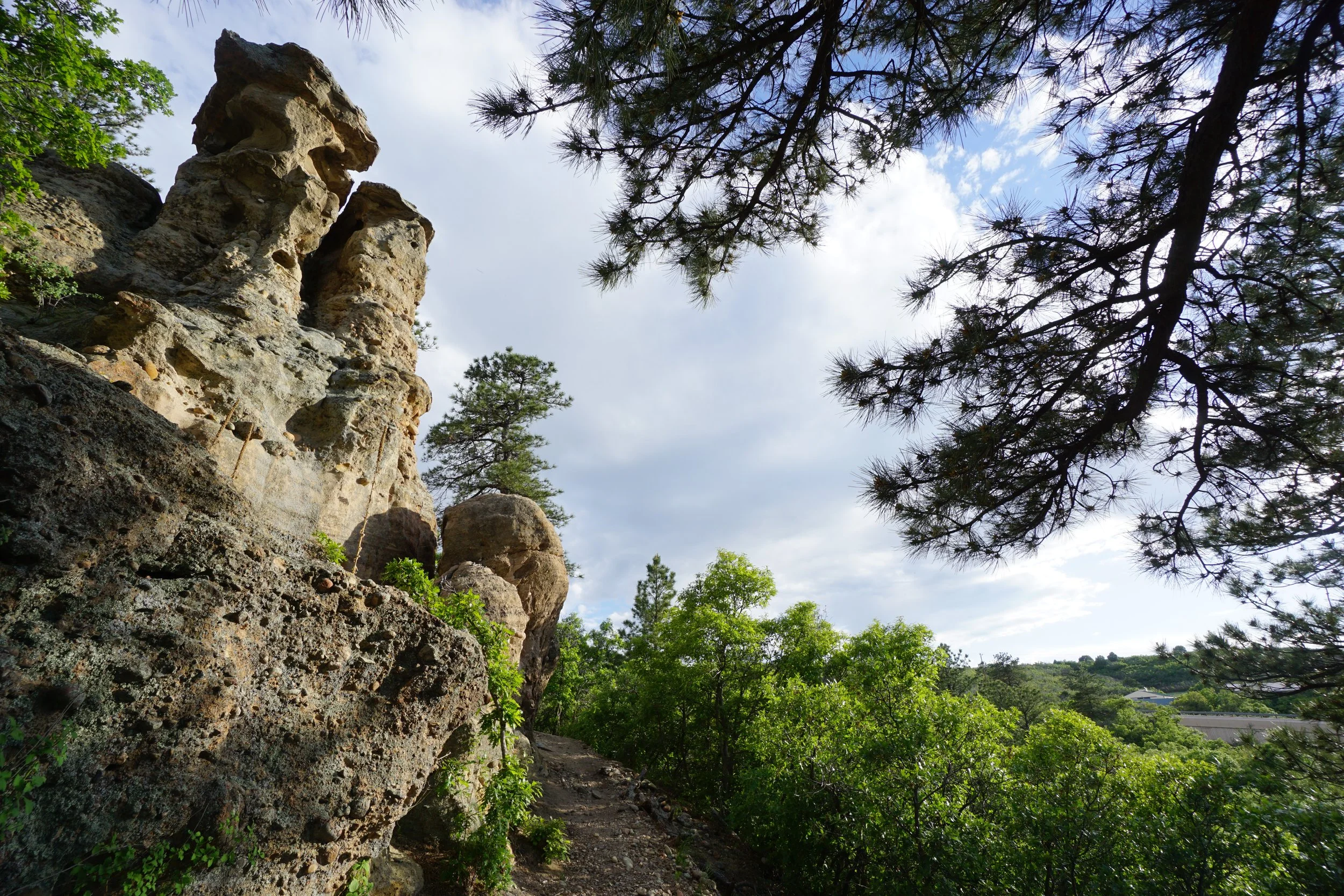
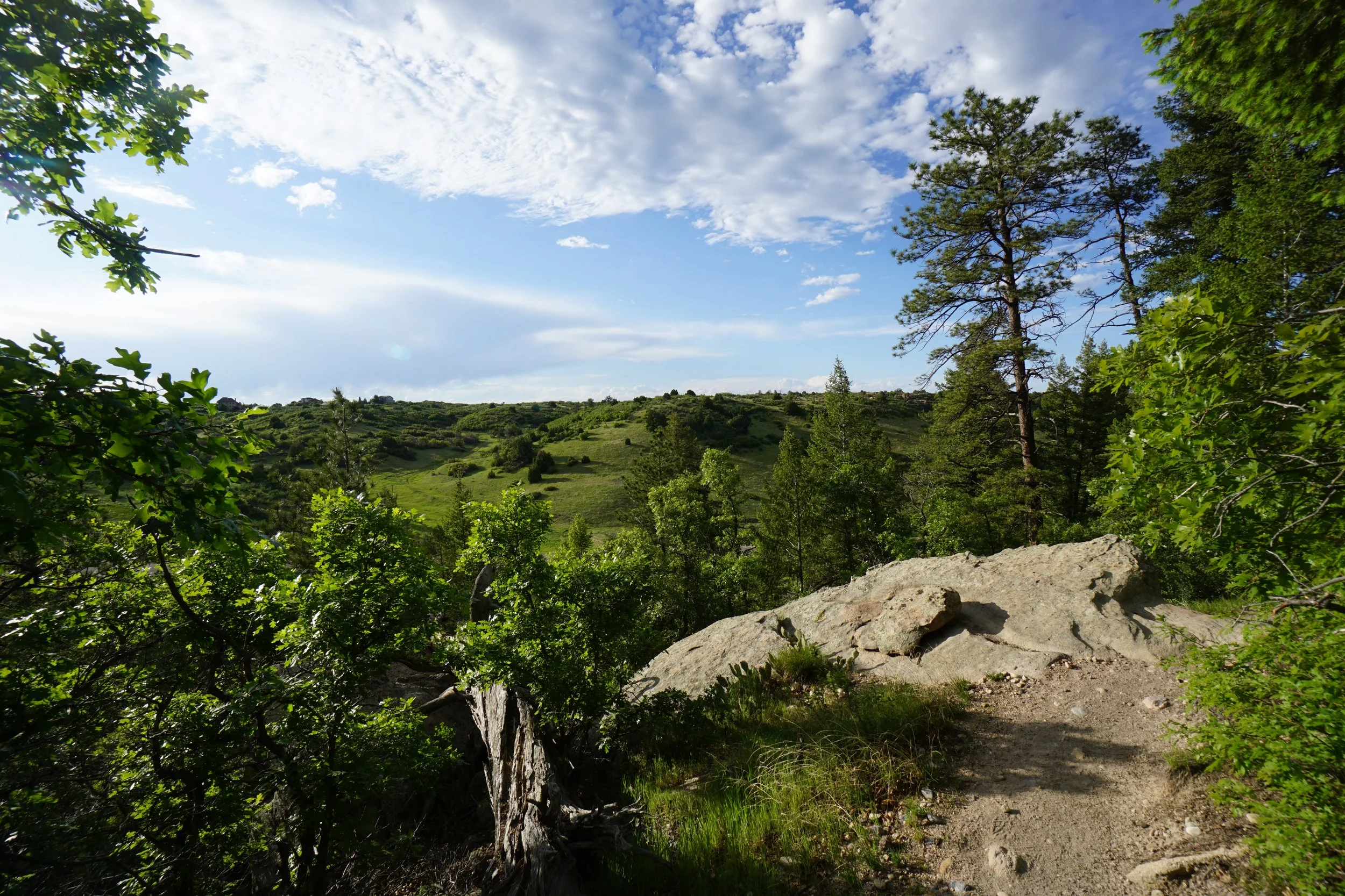
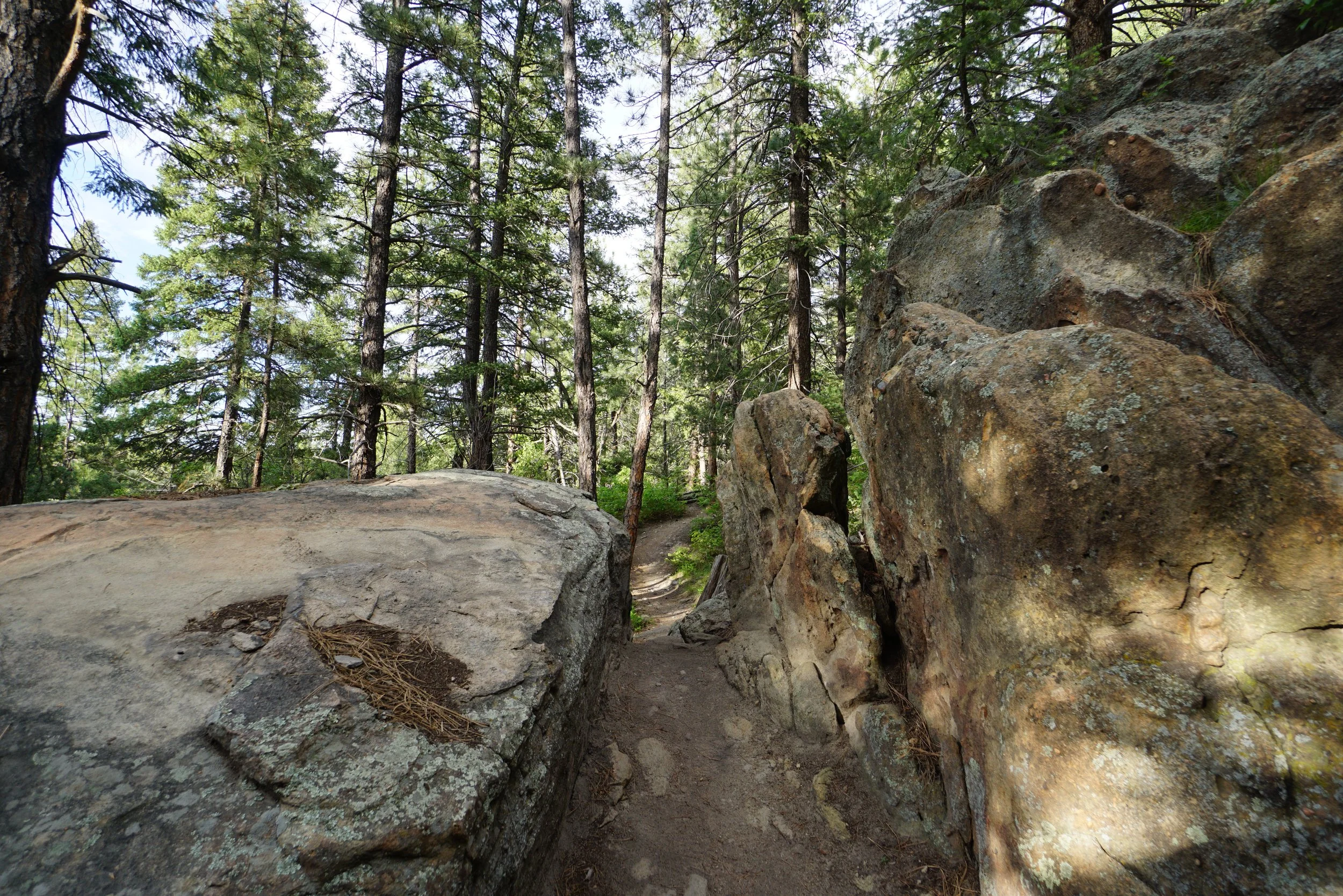
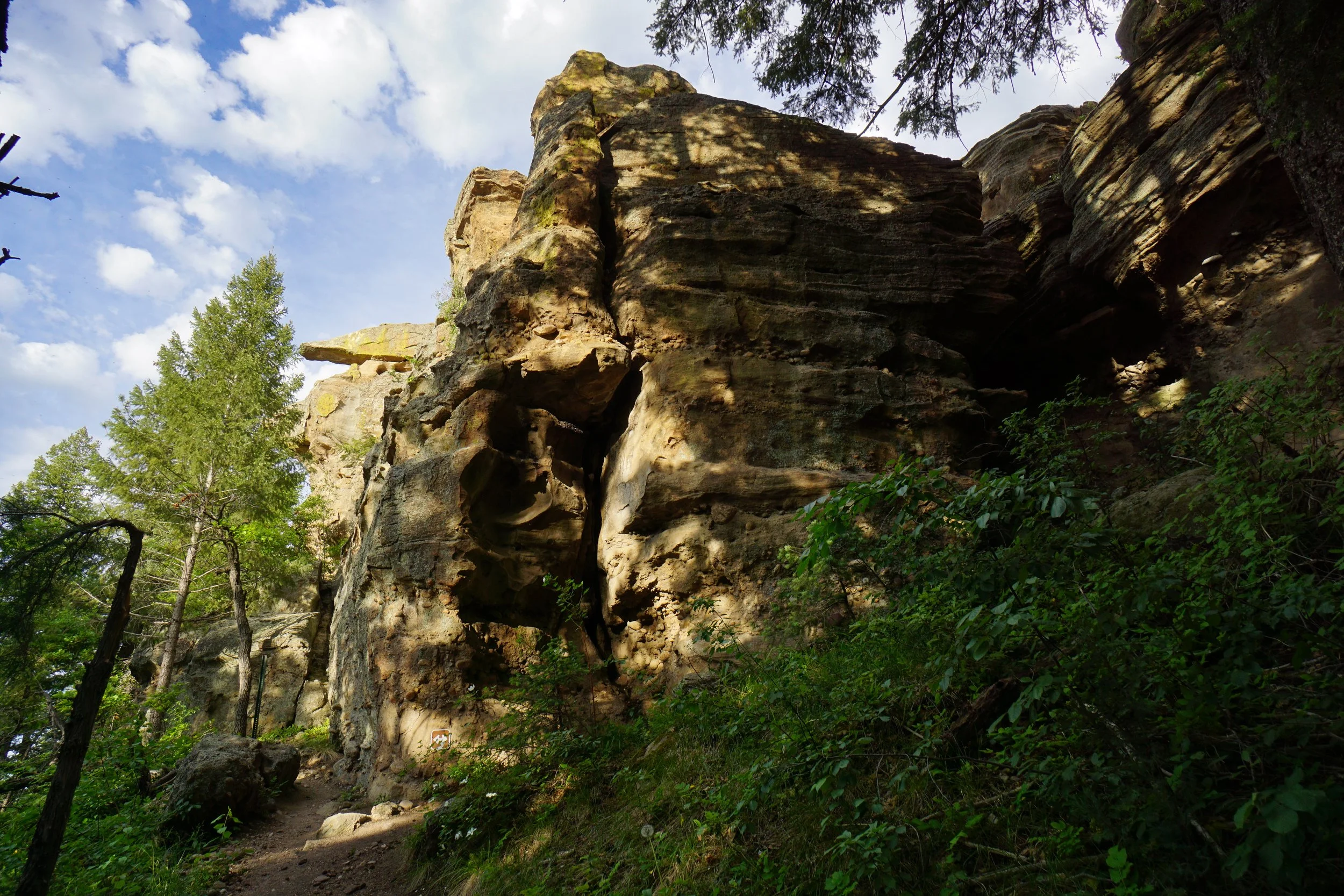
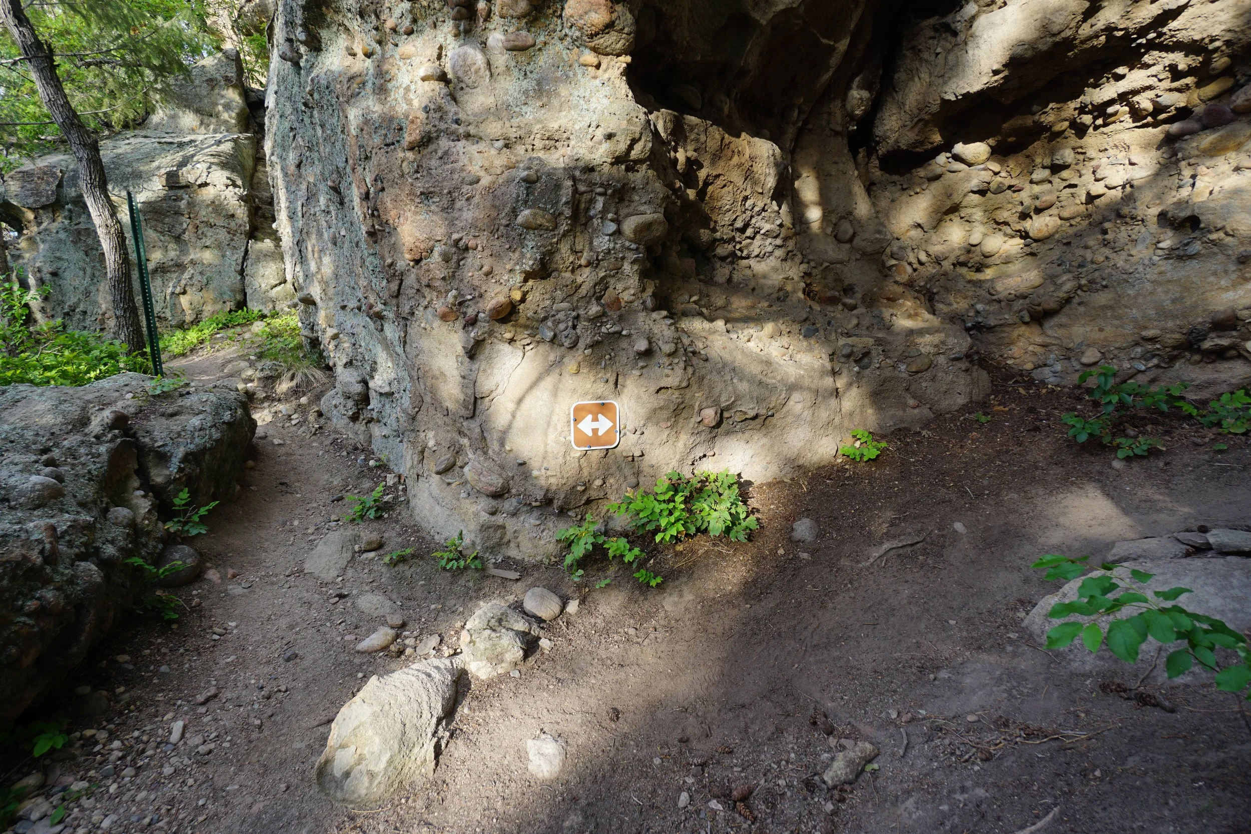
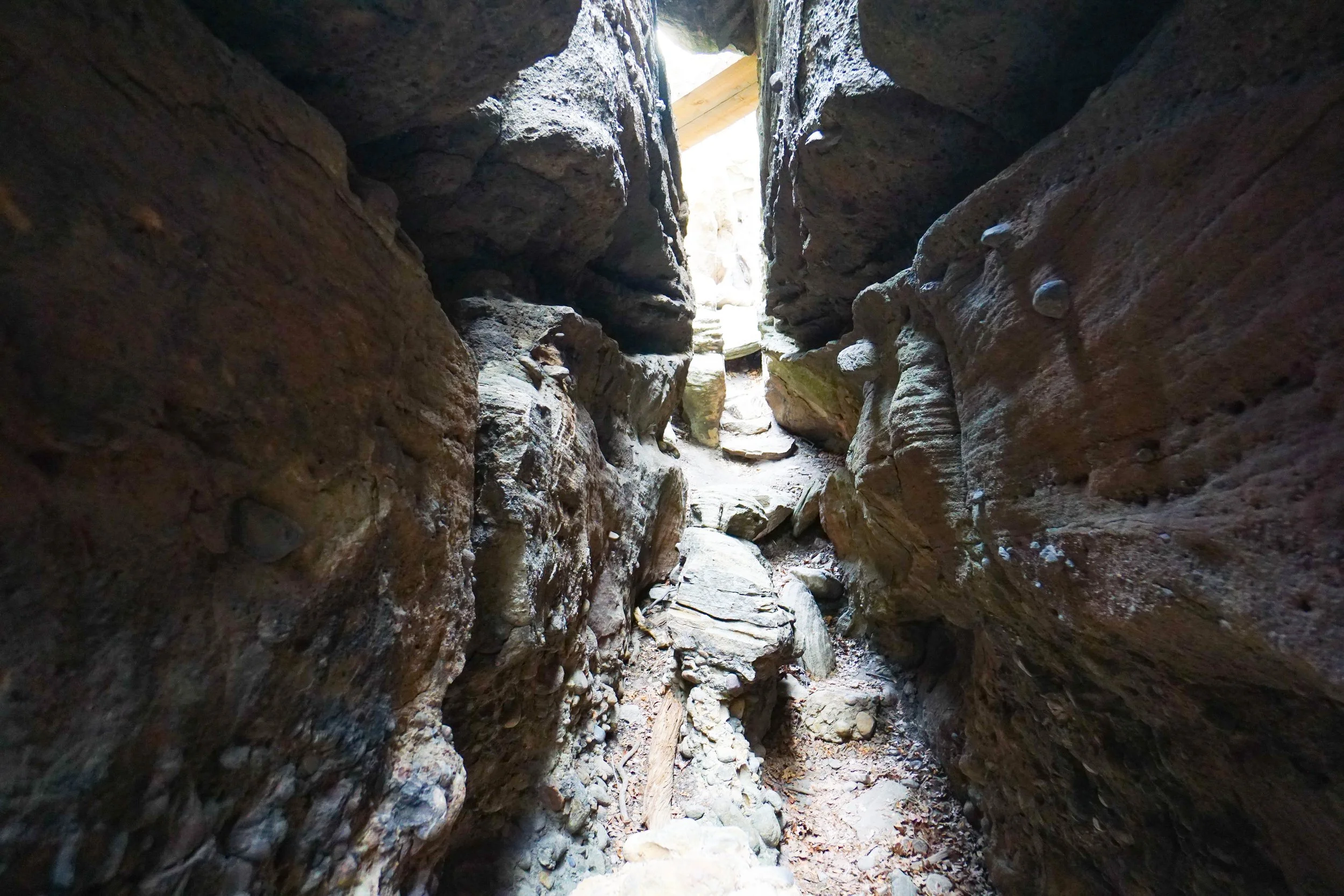
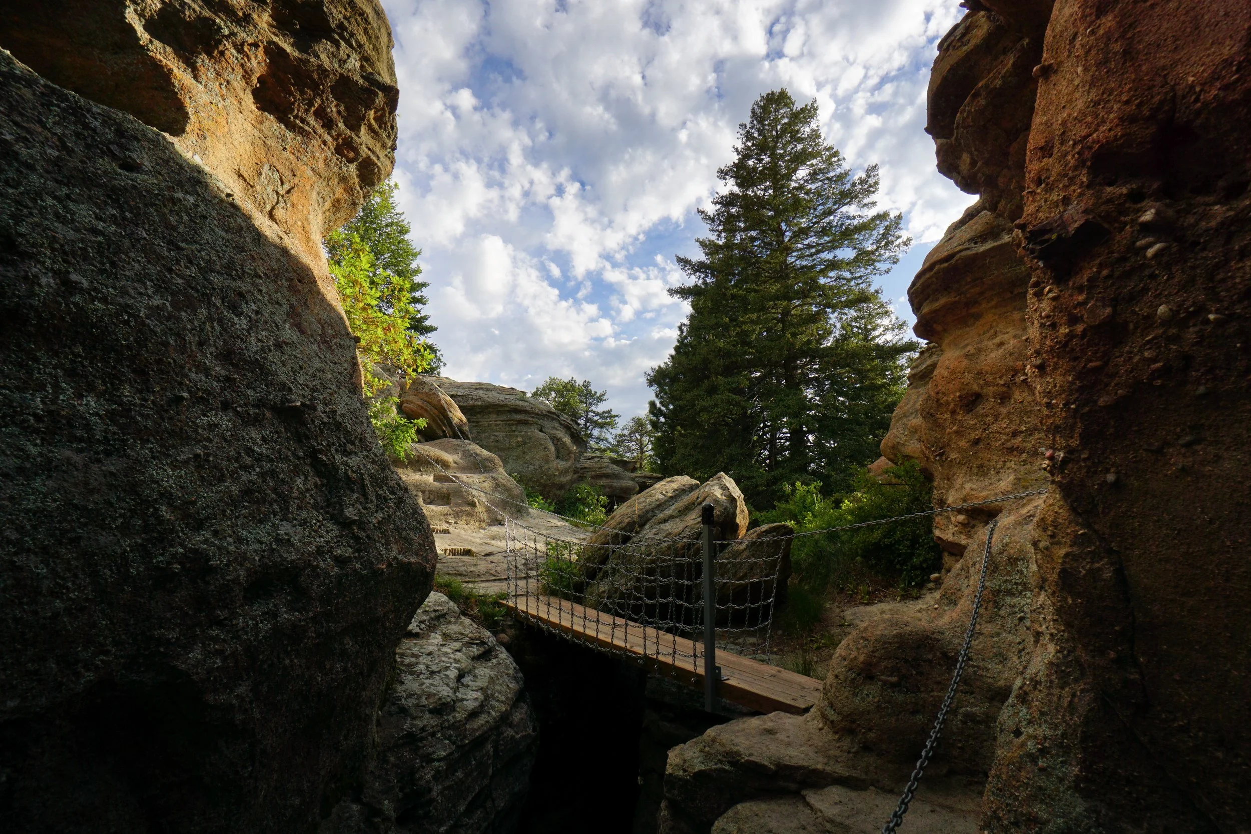
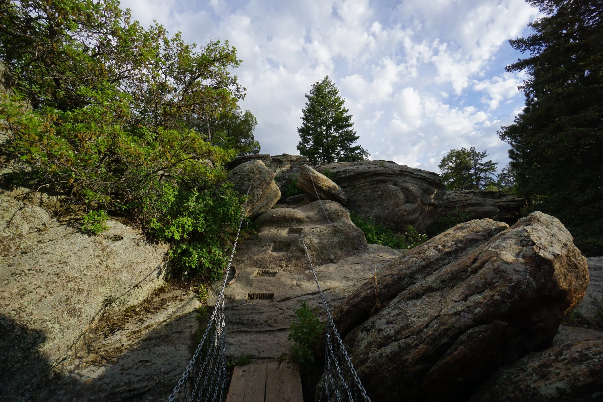
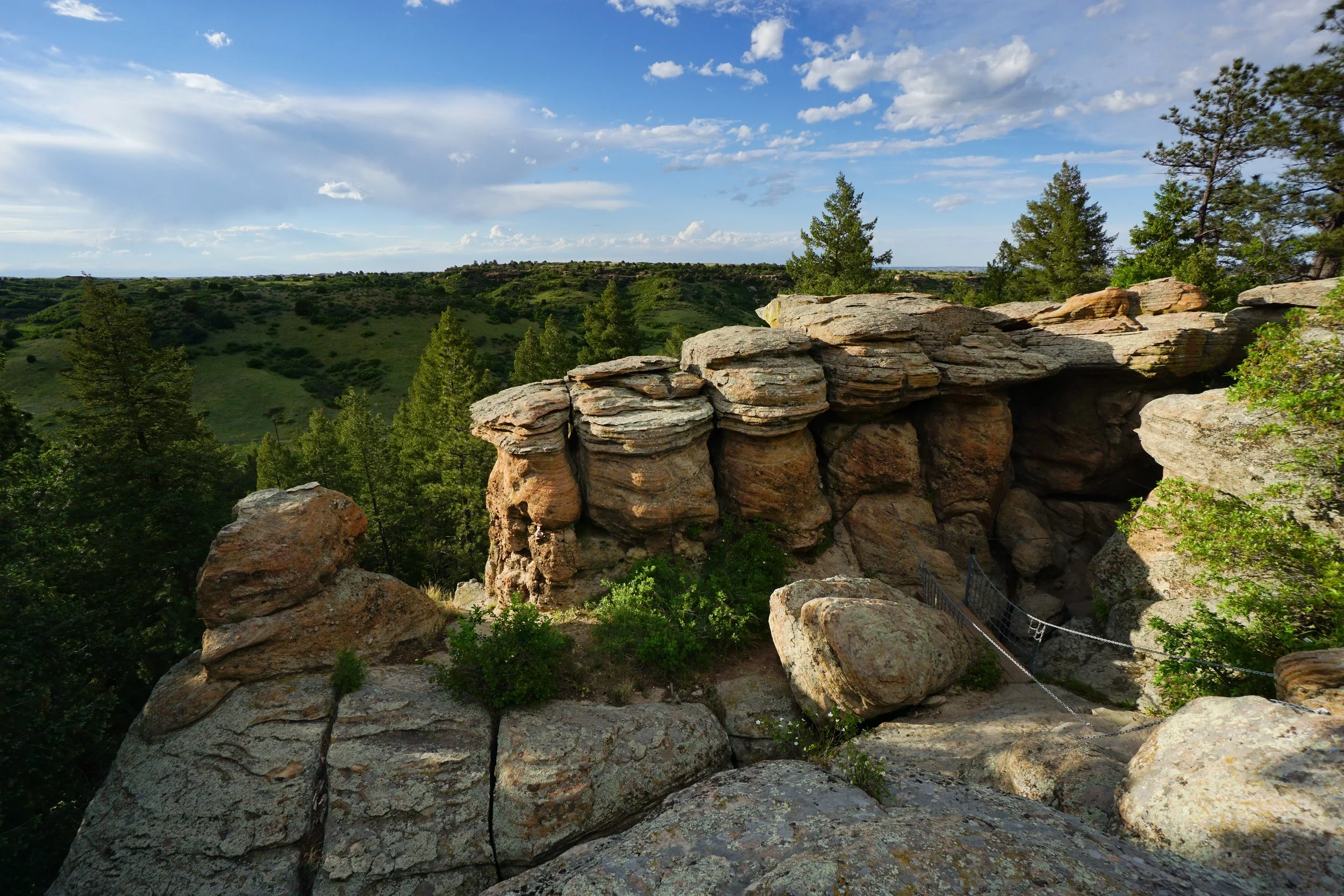
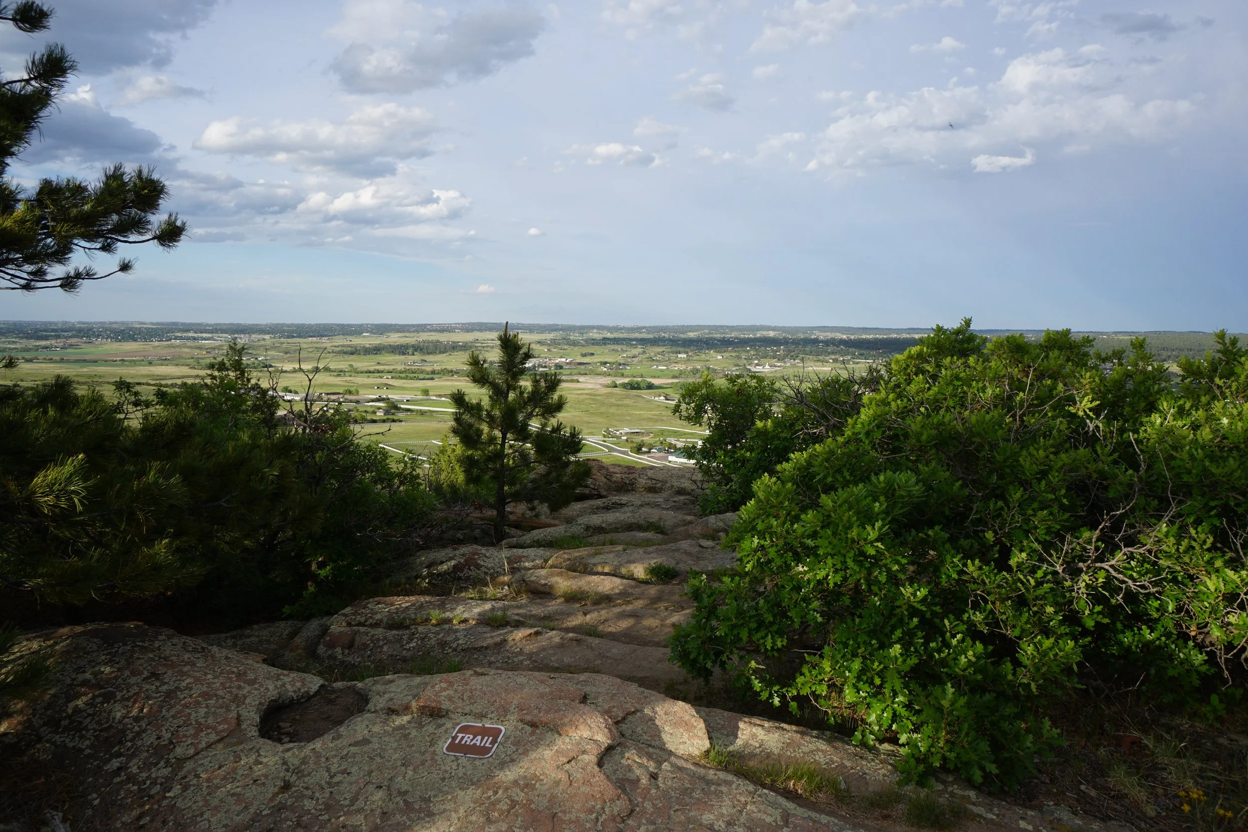
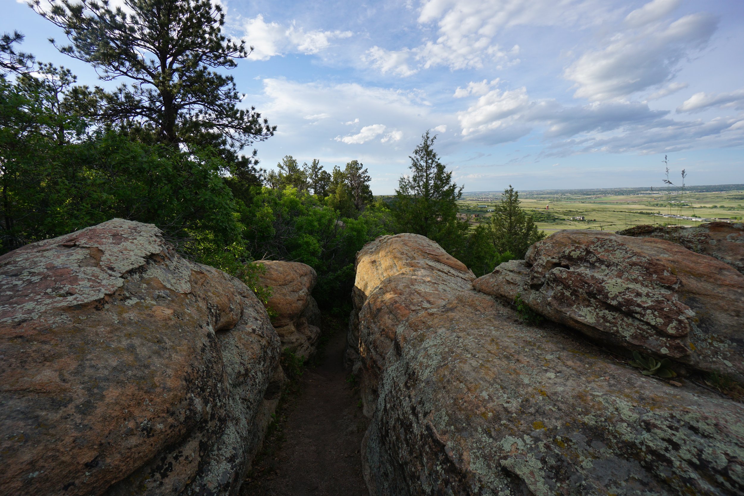
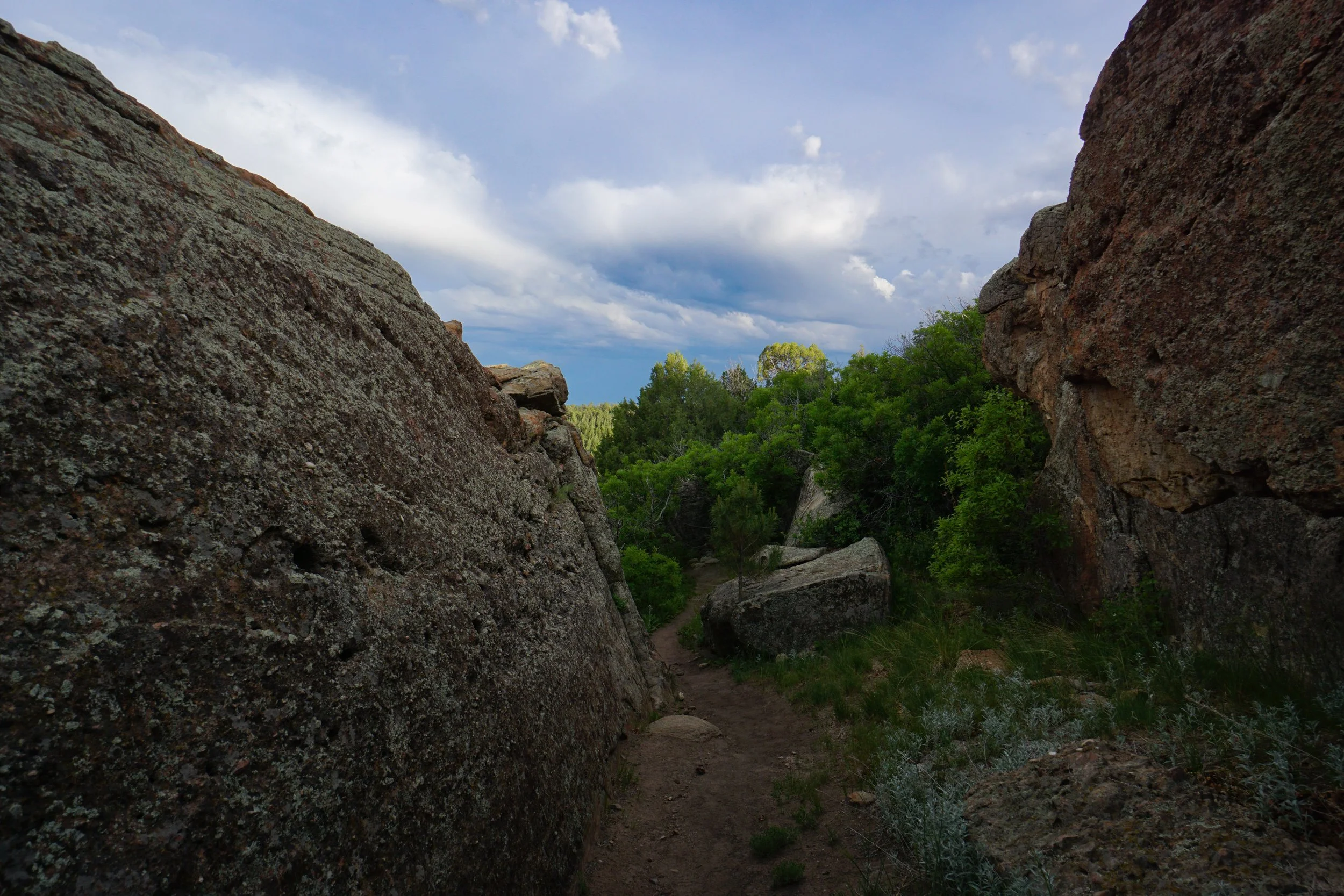
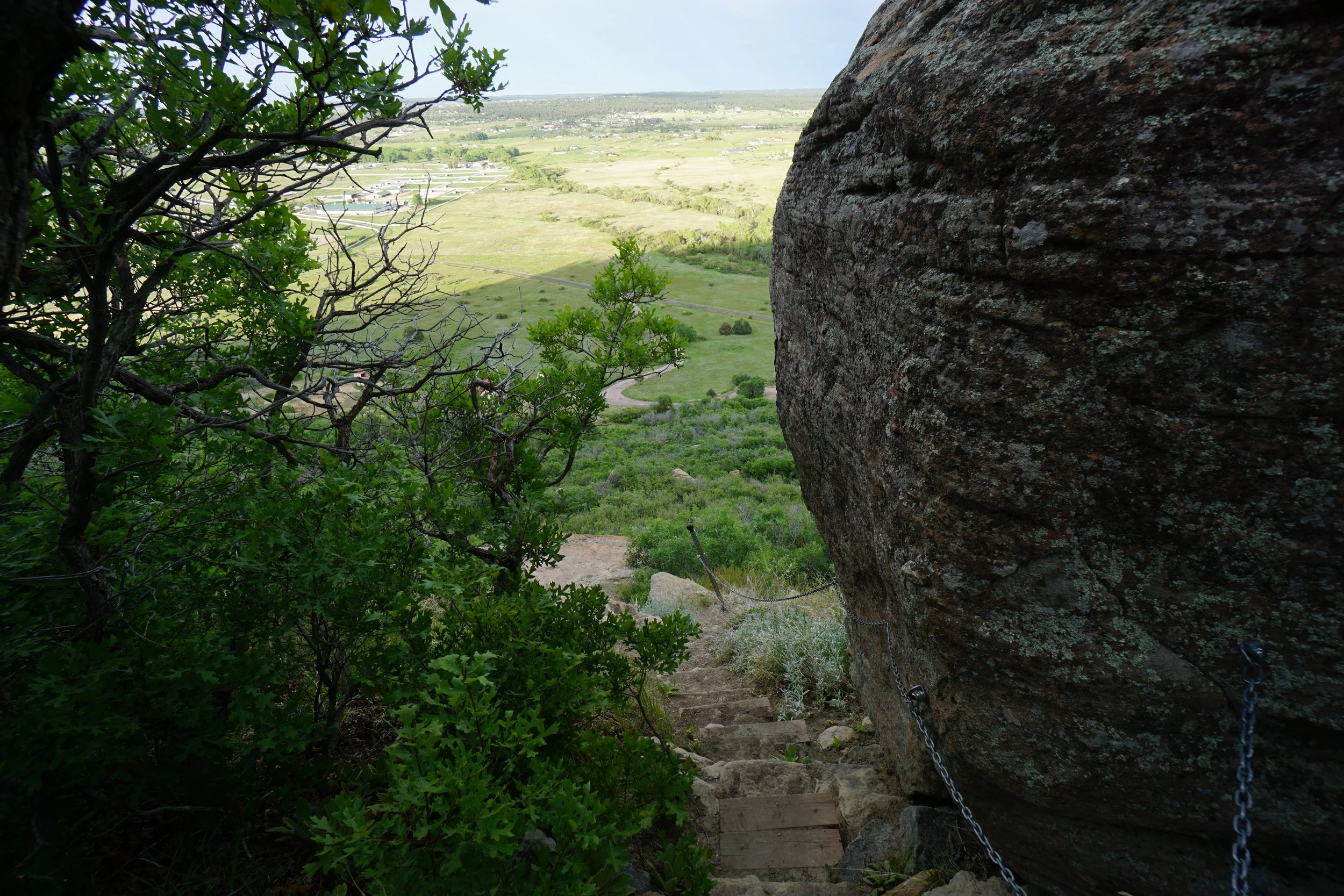
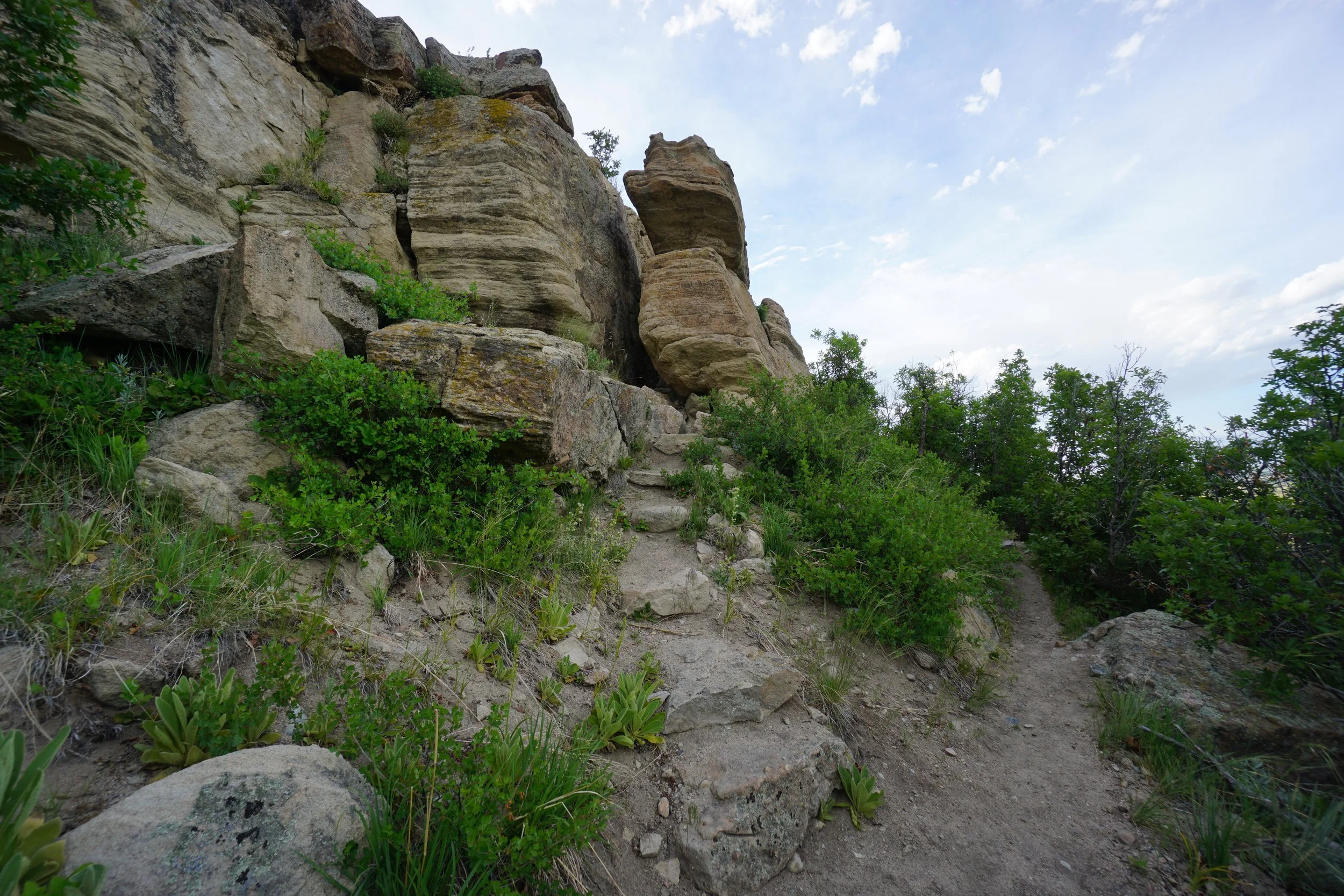
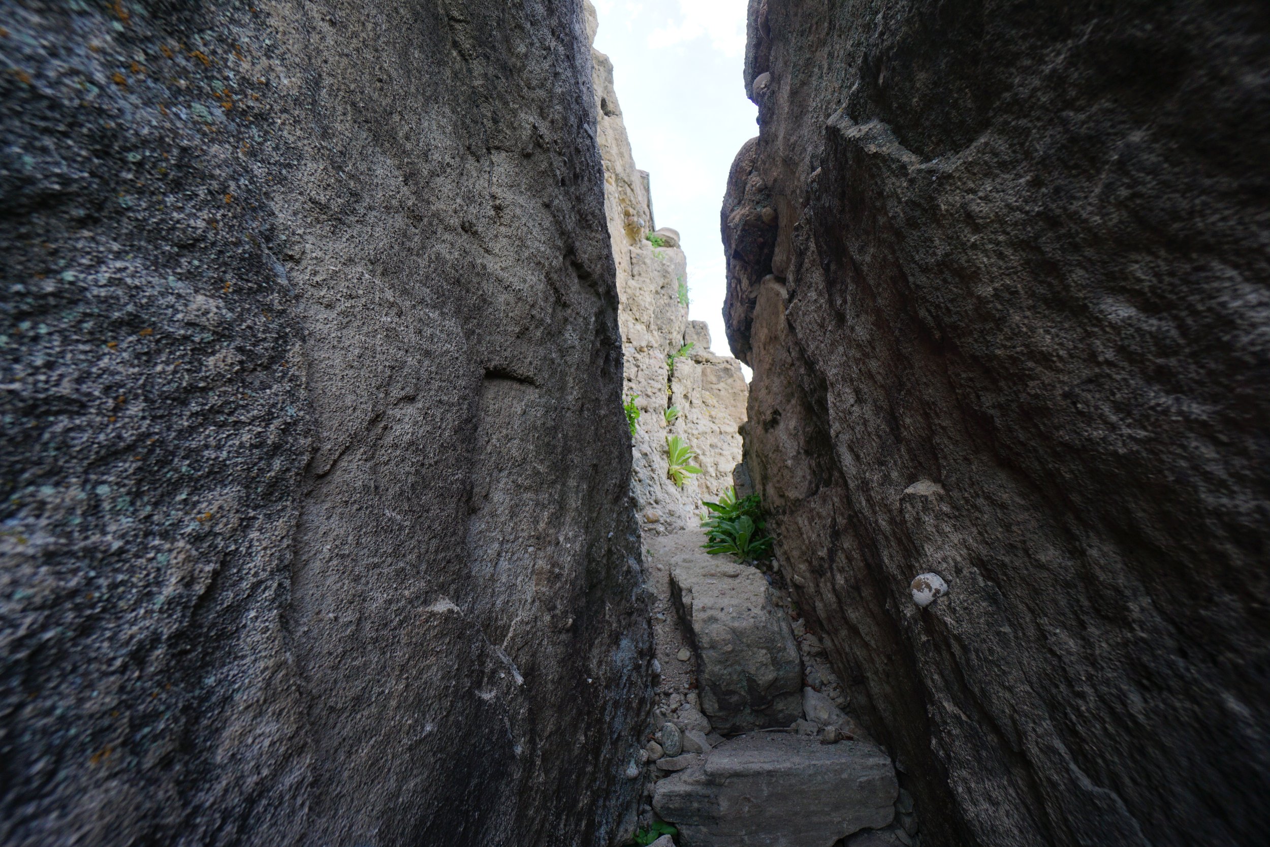
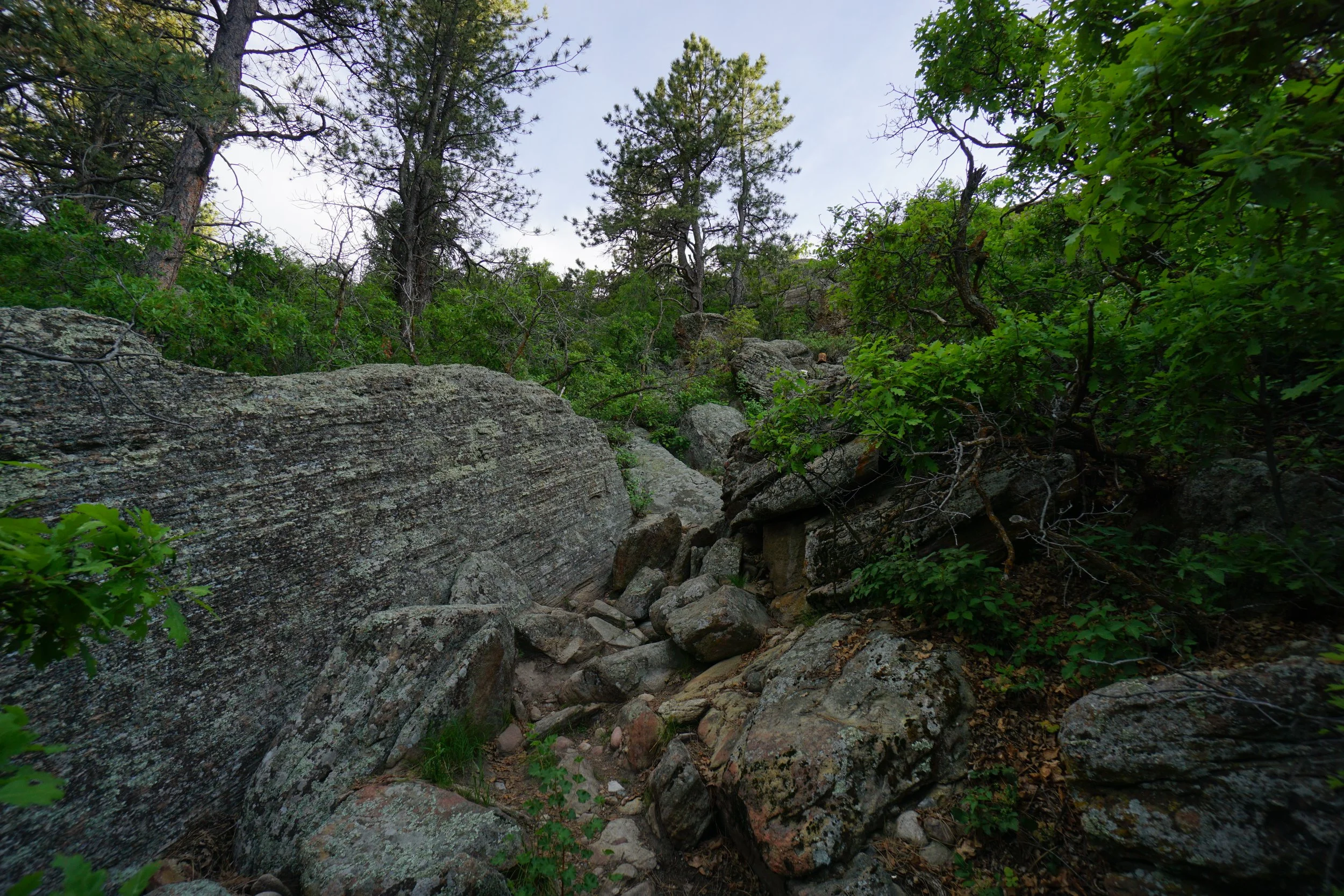
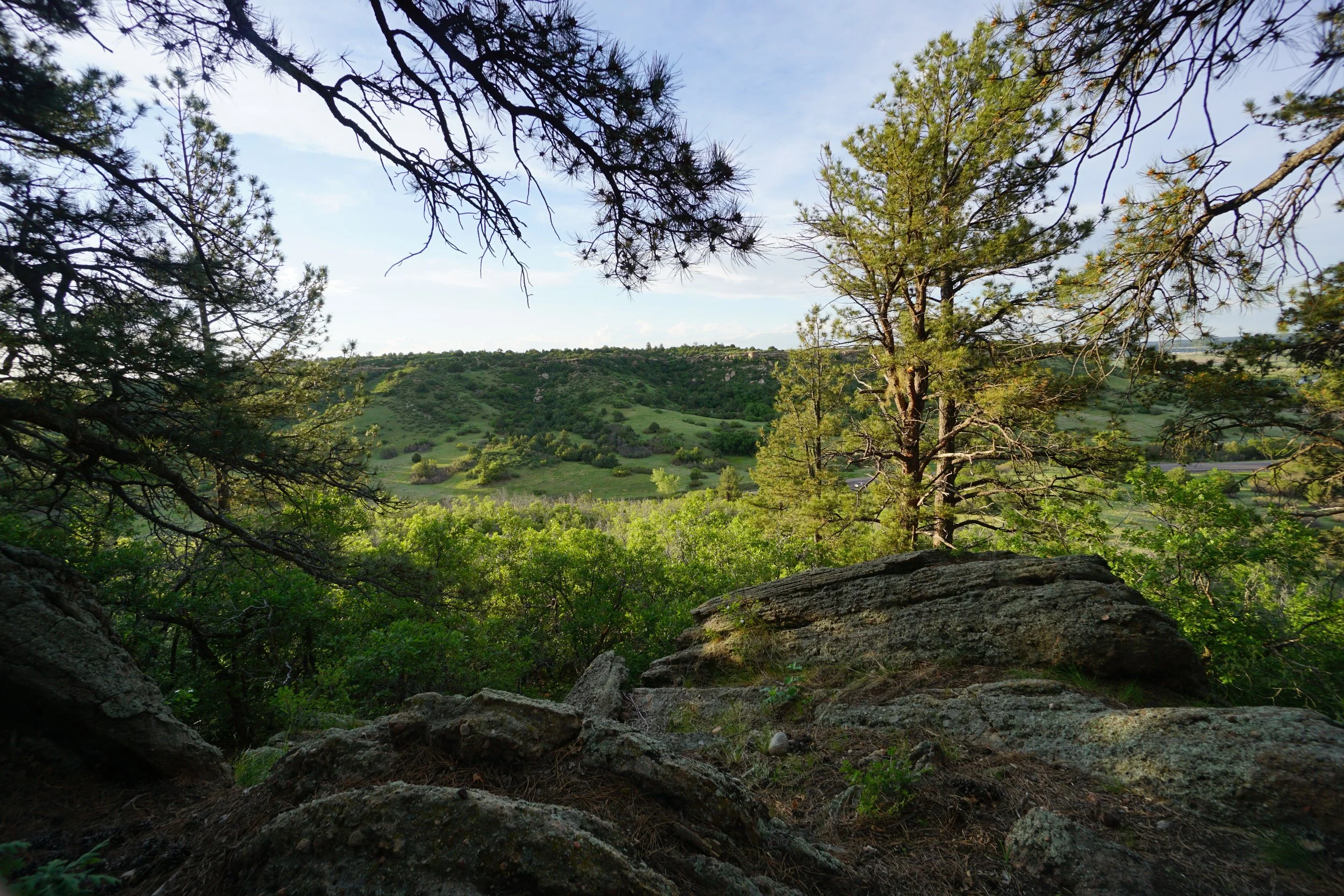
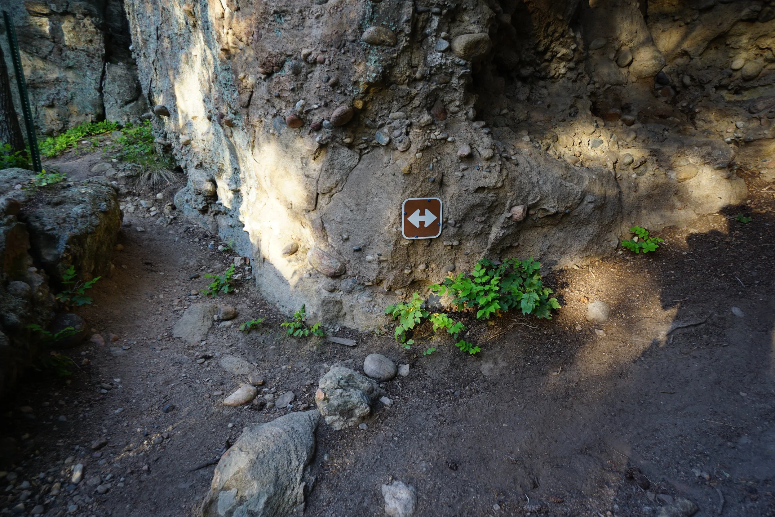
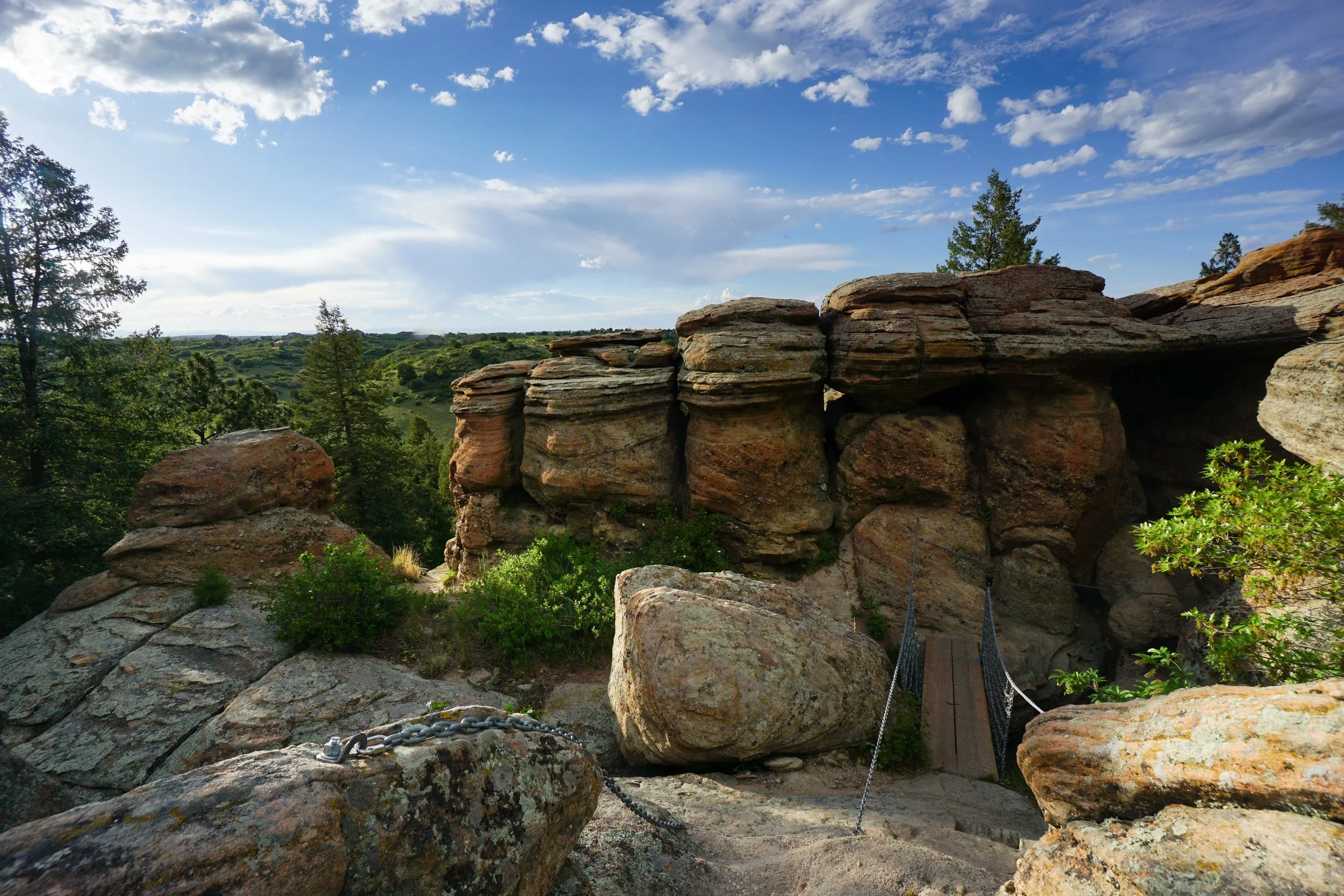
At about the 1 mile mark. You’ll see a two way arrow on a cliff. The Legacy trail continues if you take the left fork. If you take the right fork, you pass through the highlight of the trail, and connect with the Chuck’s Loop Trail. If you go left and stay on the Legacy Trail, you skip the highlight, so I suggest turning right and making this a figure eight loop hike. Turn right and follow the cliff to a narrow crack in the rock face, the trail squeezes through the crack (it is very narrow) crosses under a footbridge and scrambles up some boulders to reach the footbridge, cross the bridge and climb out of the crevice for a wonderful view. The trail then continues to the south and connects with the Chuck’s Loop Trail.
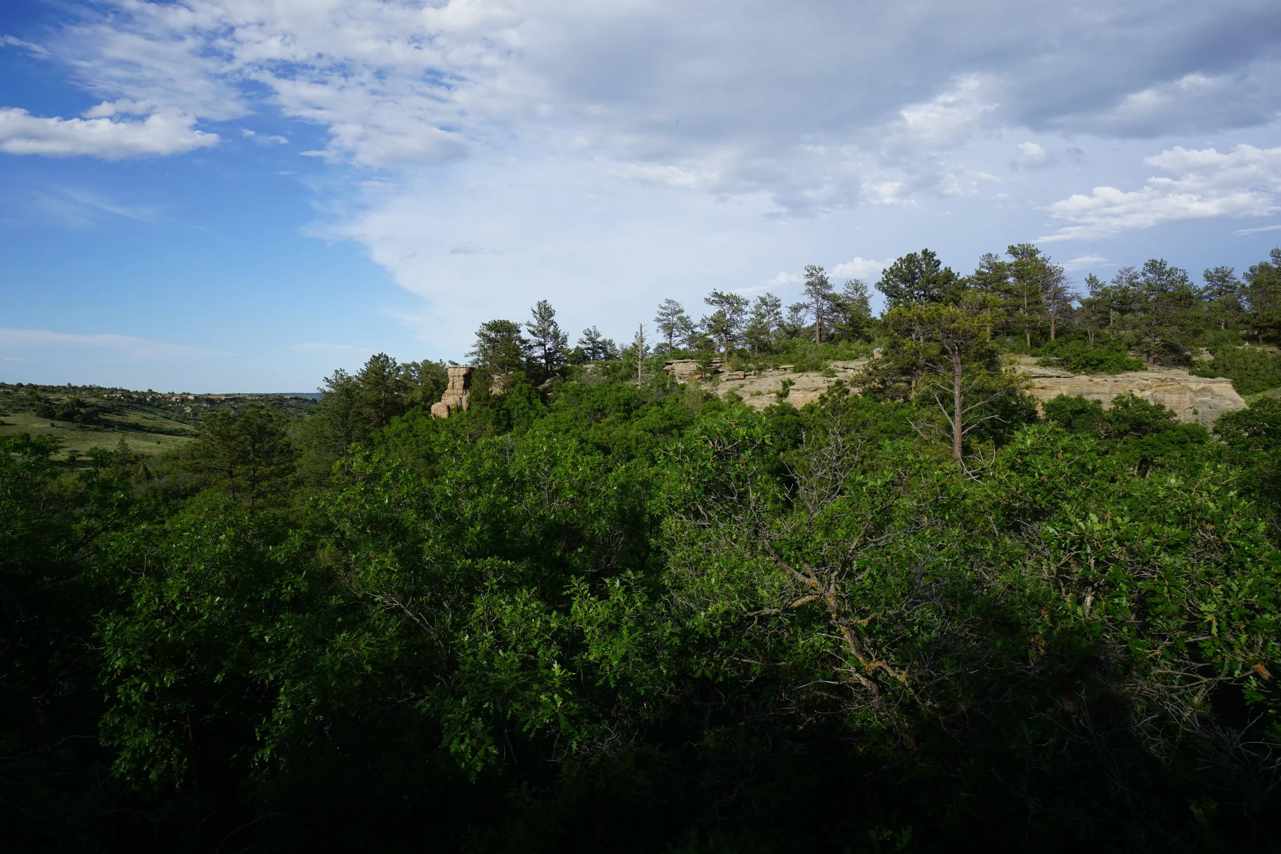
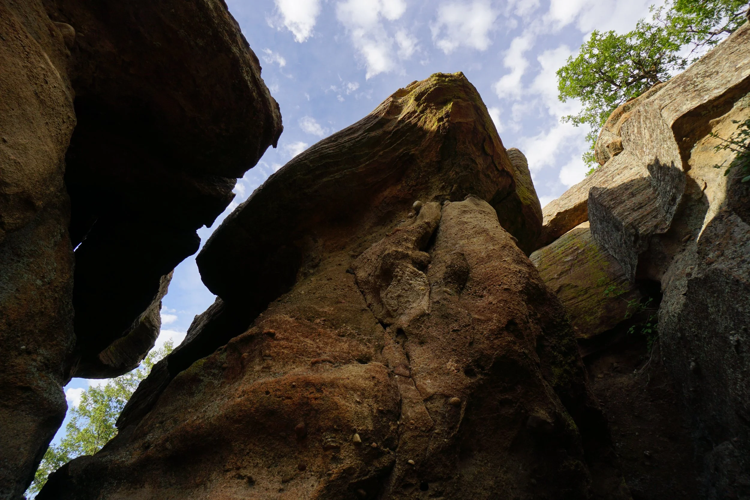
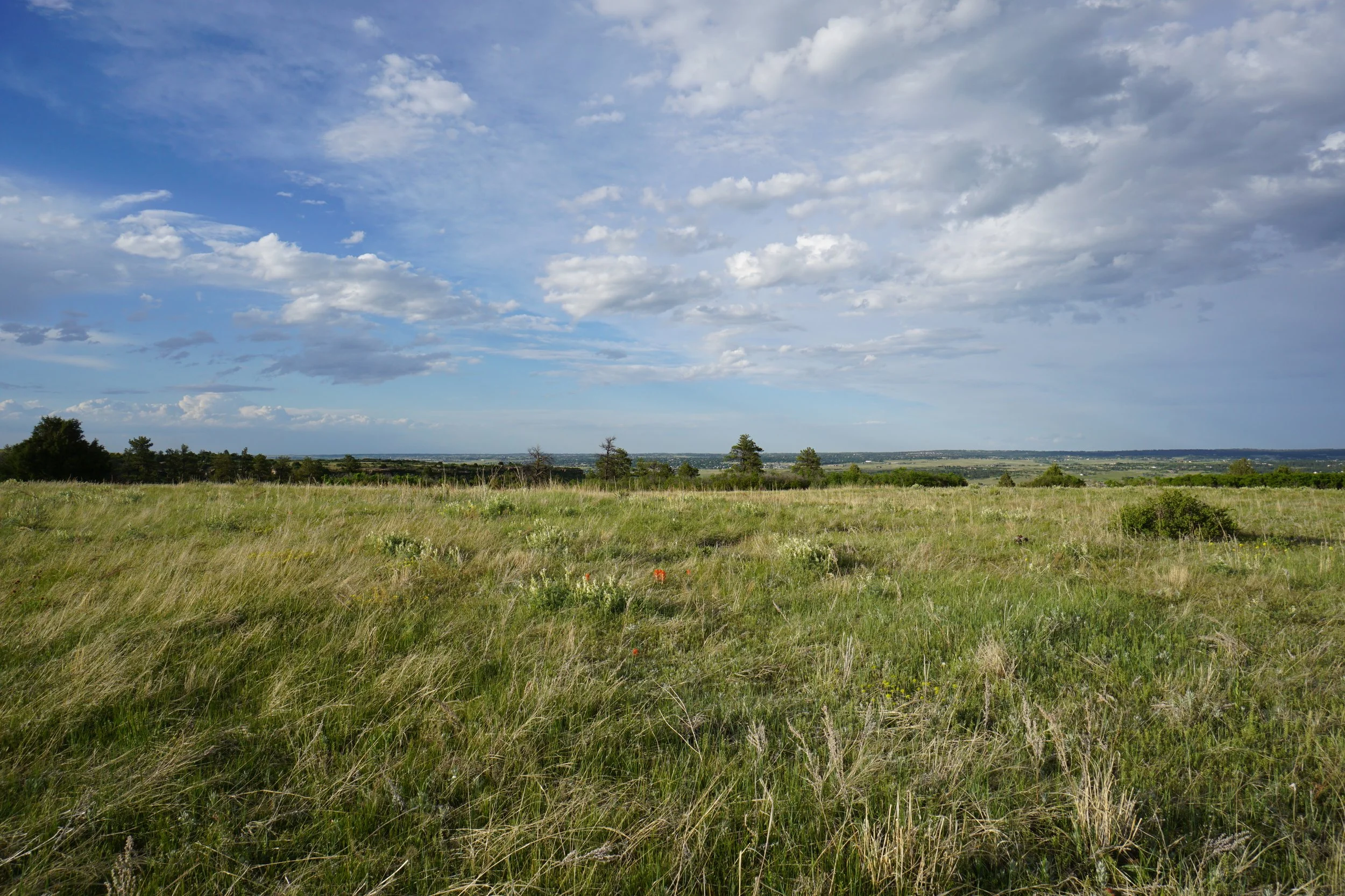
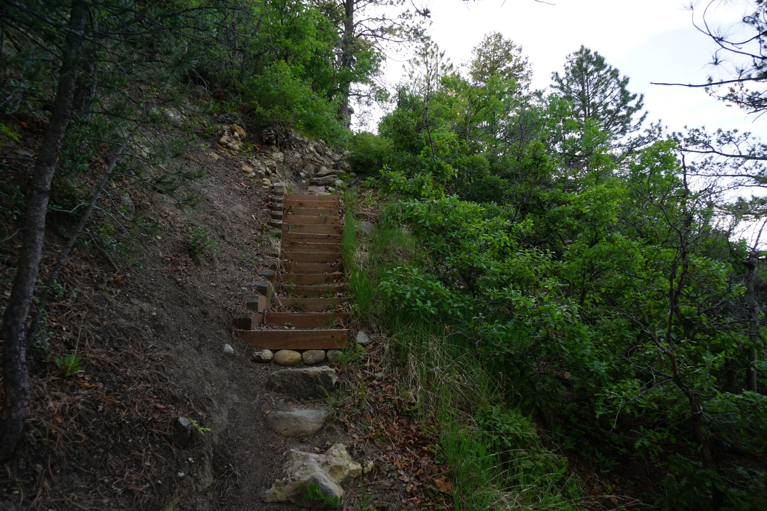
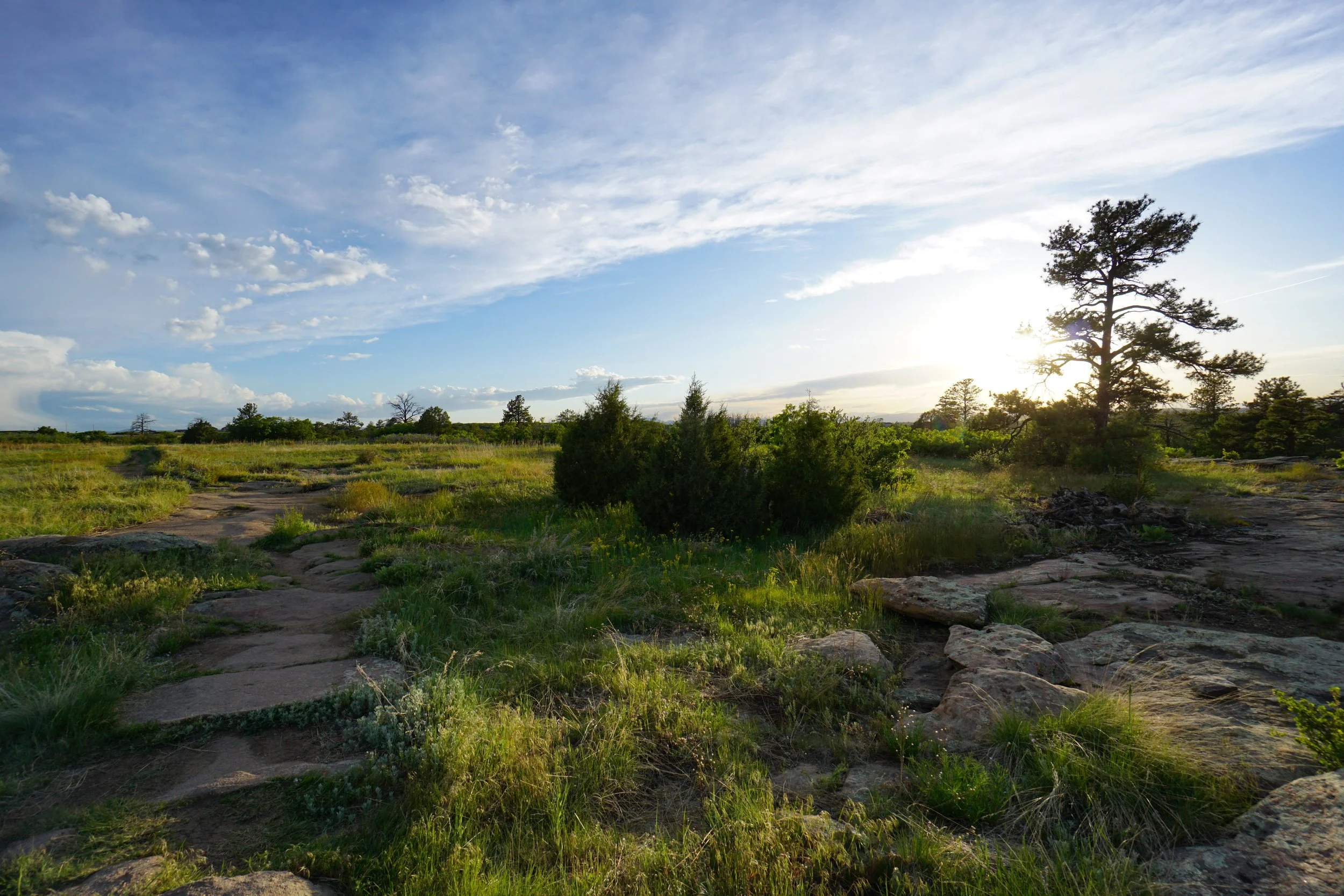
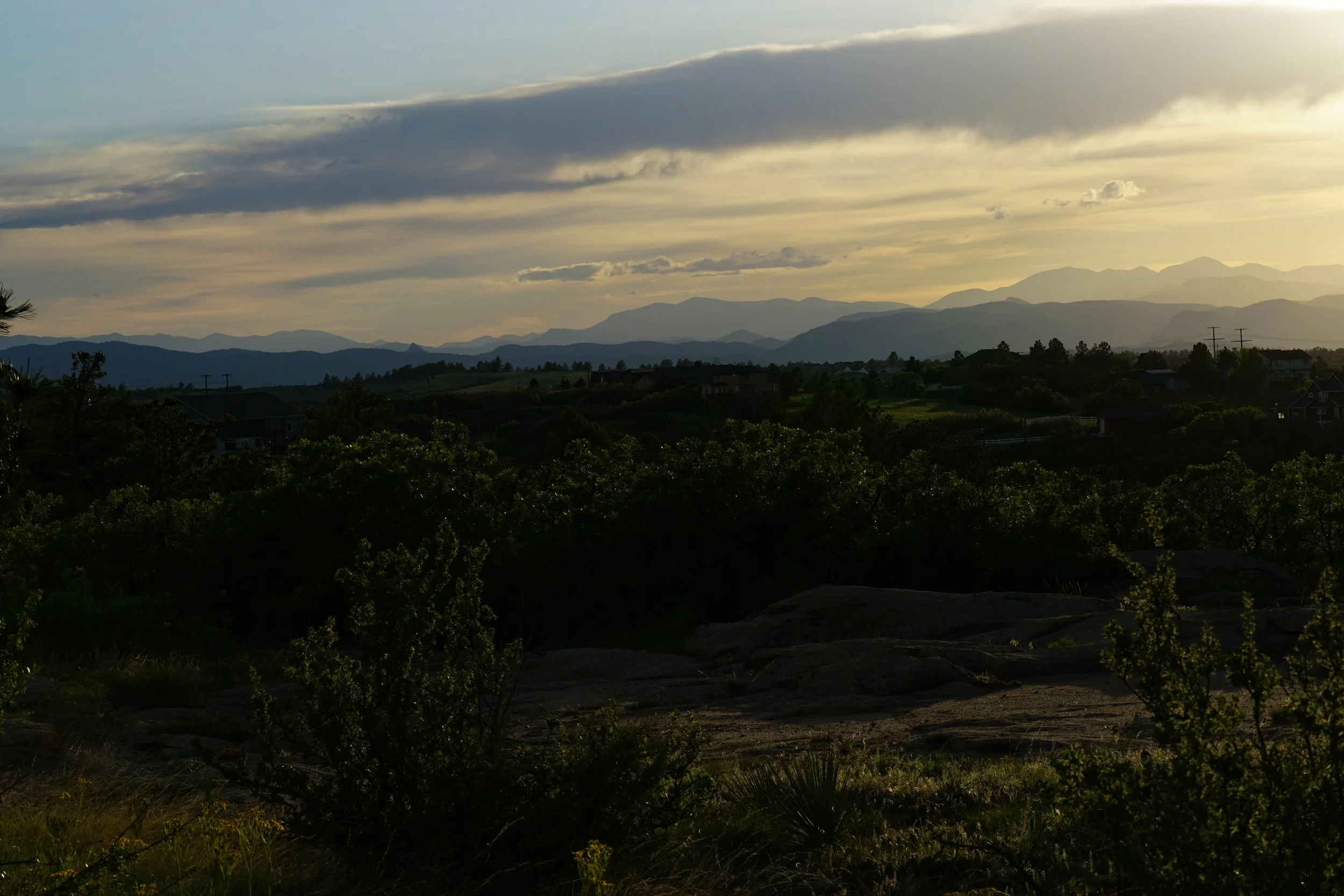
Turn left onto the Chuck’s Loop trail and head east along the top of the mesa. After about 1/2 mile you’ll see another sign for the Legacy Trail. This is where the trail would exit if you continued at the trail fork earlier. Turn left onto the Legacy Trail and you are immediately rewarded with a killer easterly view and a tight descent through narrow rock cracks to a steep descent with chains and steps to help. The trail then winds its way back to the north along the eastern edge of the mesa. The trail returns to the rocky, wooded, landscape for a mile to the trail fork. Re-do the tight crack, scramble, footbridge, view part of the Legacy and return to the Chuck’s Loop. Turn right this time and cut across the mesa top for 1/2 mile back to the trailhead.
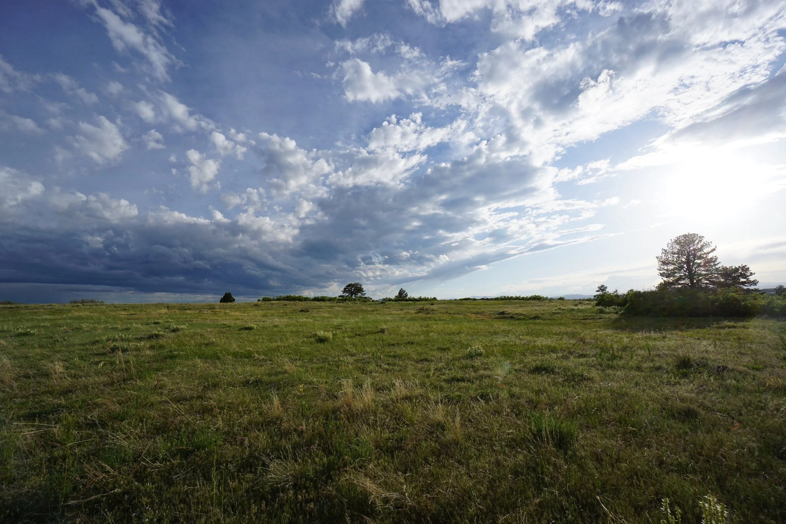
Although short, at a bit less than 3 miles, this trail packs a punch. The hiking is not easy but it is rewarding. The views are great, the obstacles are fun, and the forrest is comforting. The City of Castle Rock did a great job with this trail making it exciting but not overly built out, it retains a natural feel rather than feeling like a construction attraction. I hope more land management agencies take note and follow suit.