Sugarloaf Mountain
Boulder County Open Space
Date Hiked: April 6, 2013
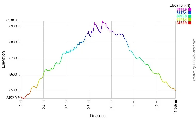
Distance: 1.4 mi (RT)
Elevation Gain: 500ft
Elevation Min/Max: 8,453 to 8,939ft
Managing Agency: Boulder County Open Space
Fee: None
Directions:
From Boulder take 119 West, make a right (north) on Sugarloaf Road (122). Take this road for a long while until you see Sugarloaf Mountain on the right, make a right on Sugarloaf Mountain Road and take this to the parking area, a wooded spot with a number of dirt roads branching off. The trail starts on the east side of the parking area.
Hike Description:
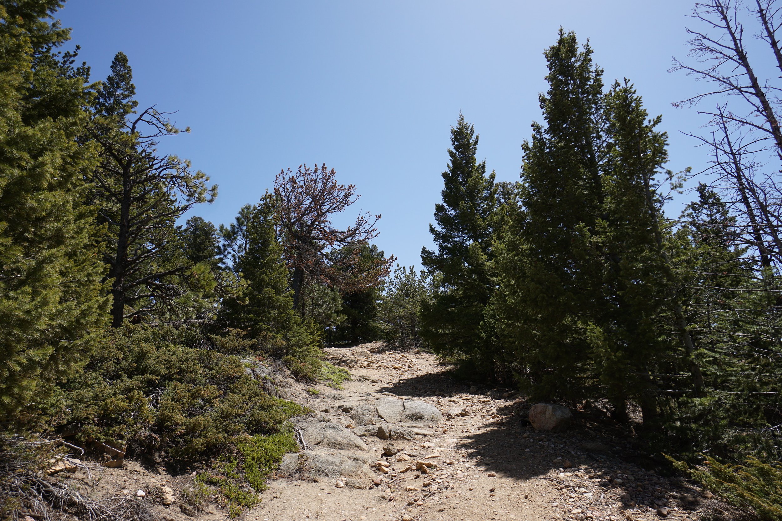
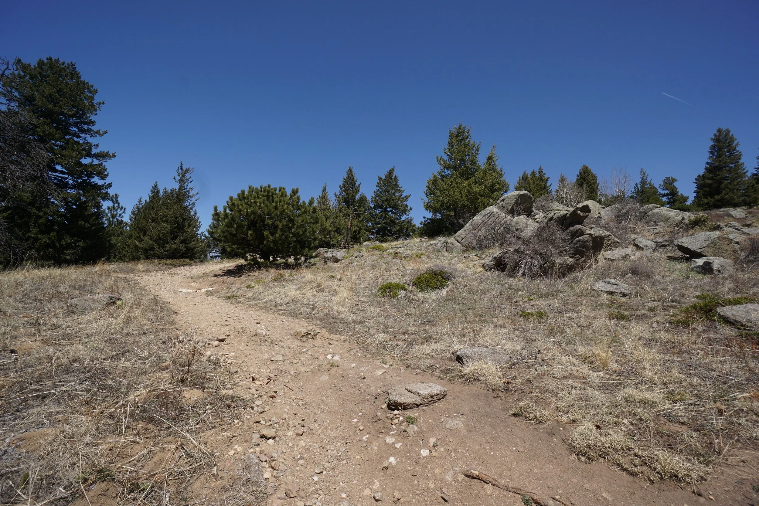
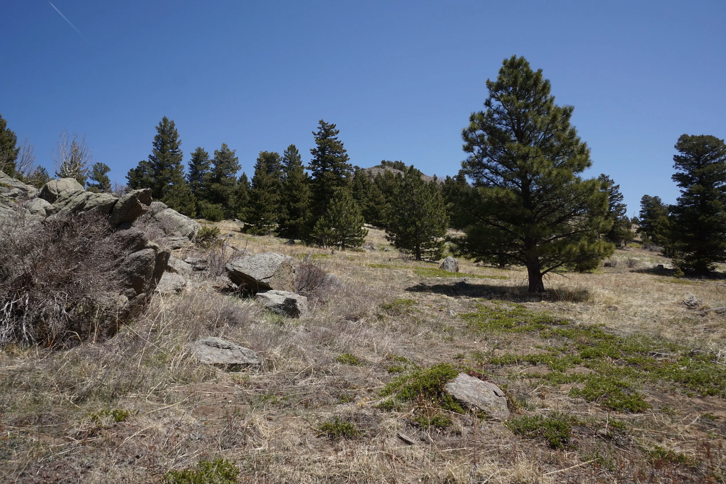
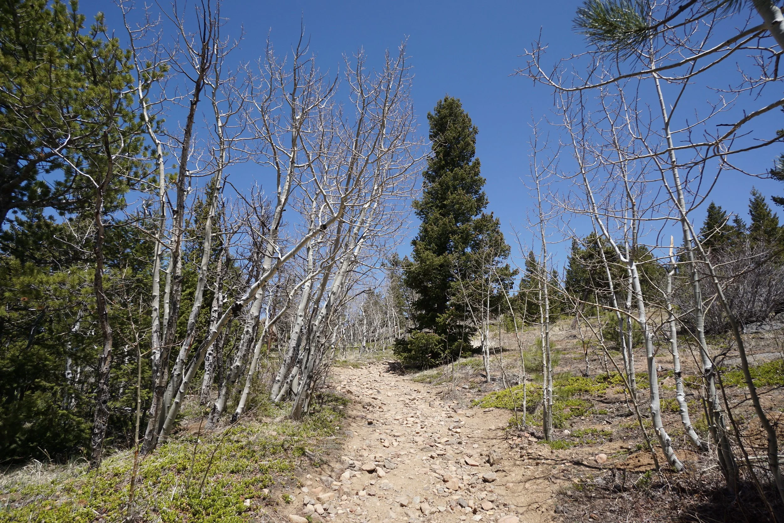
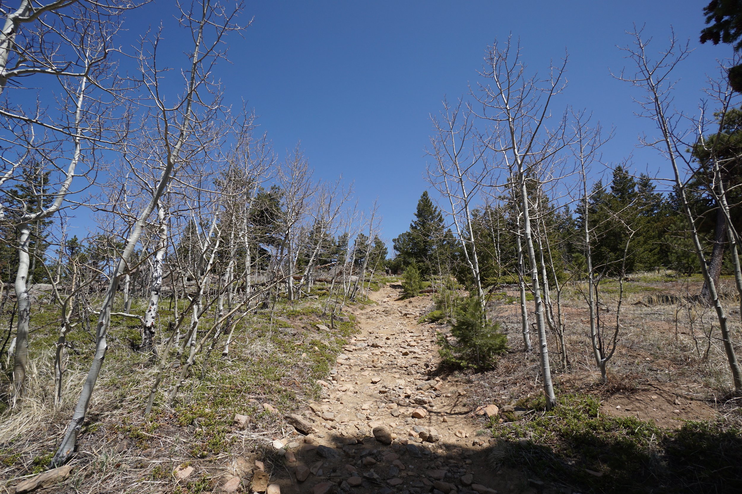
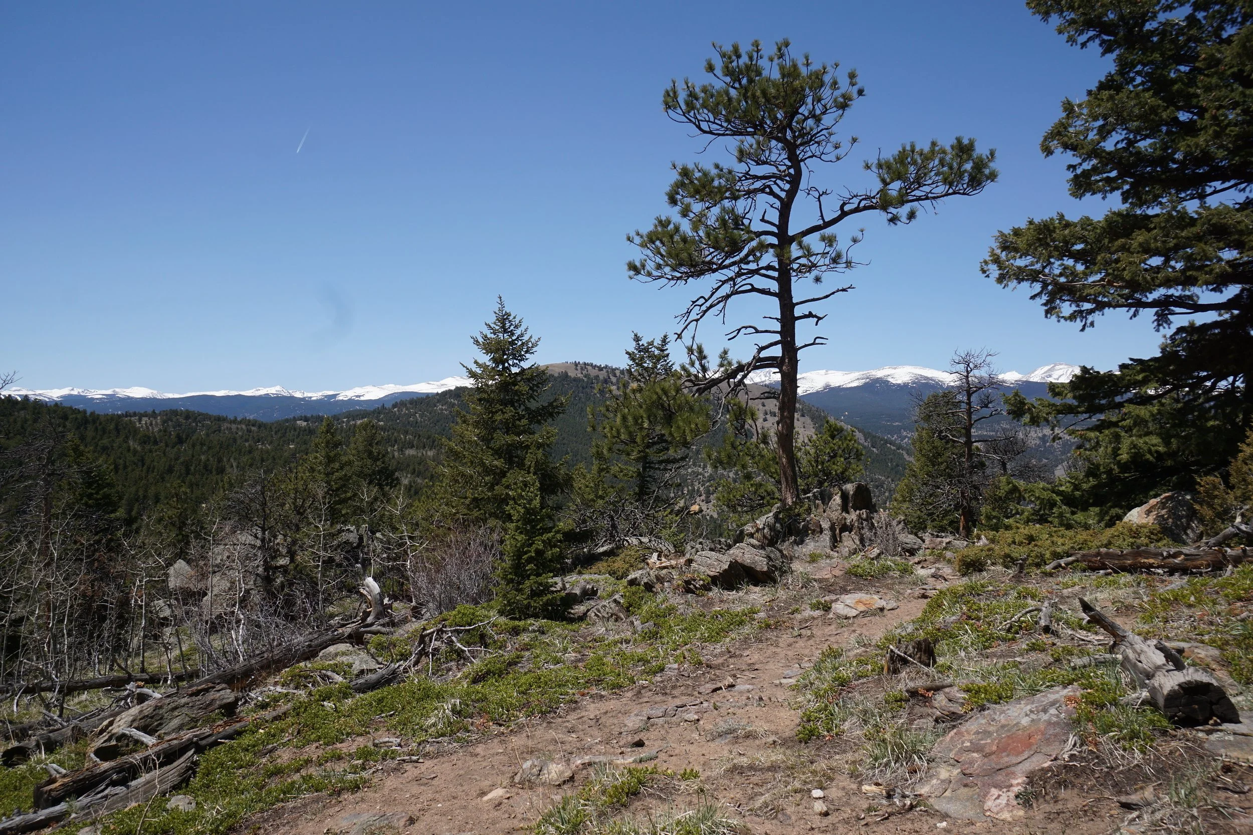
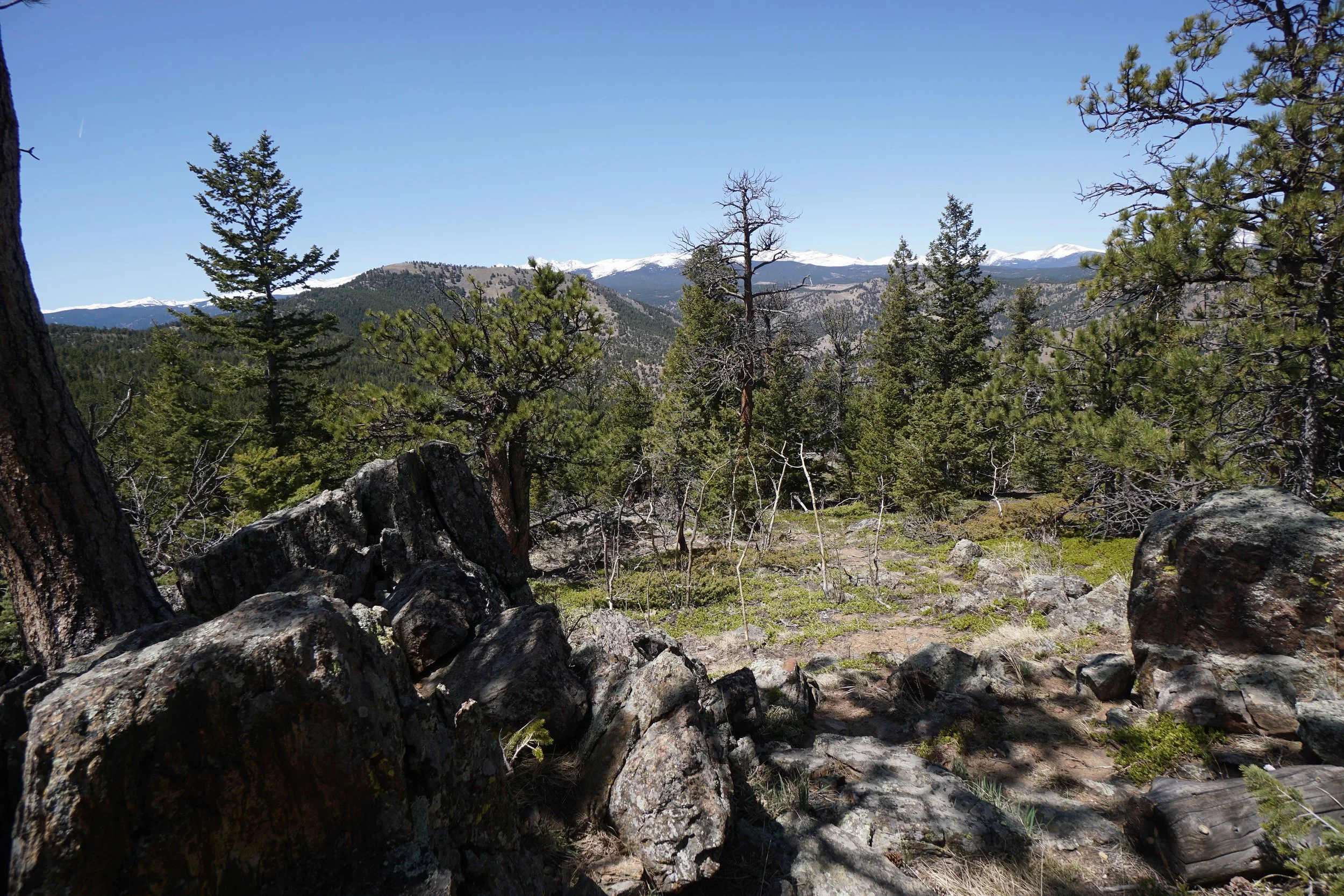
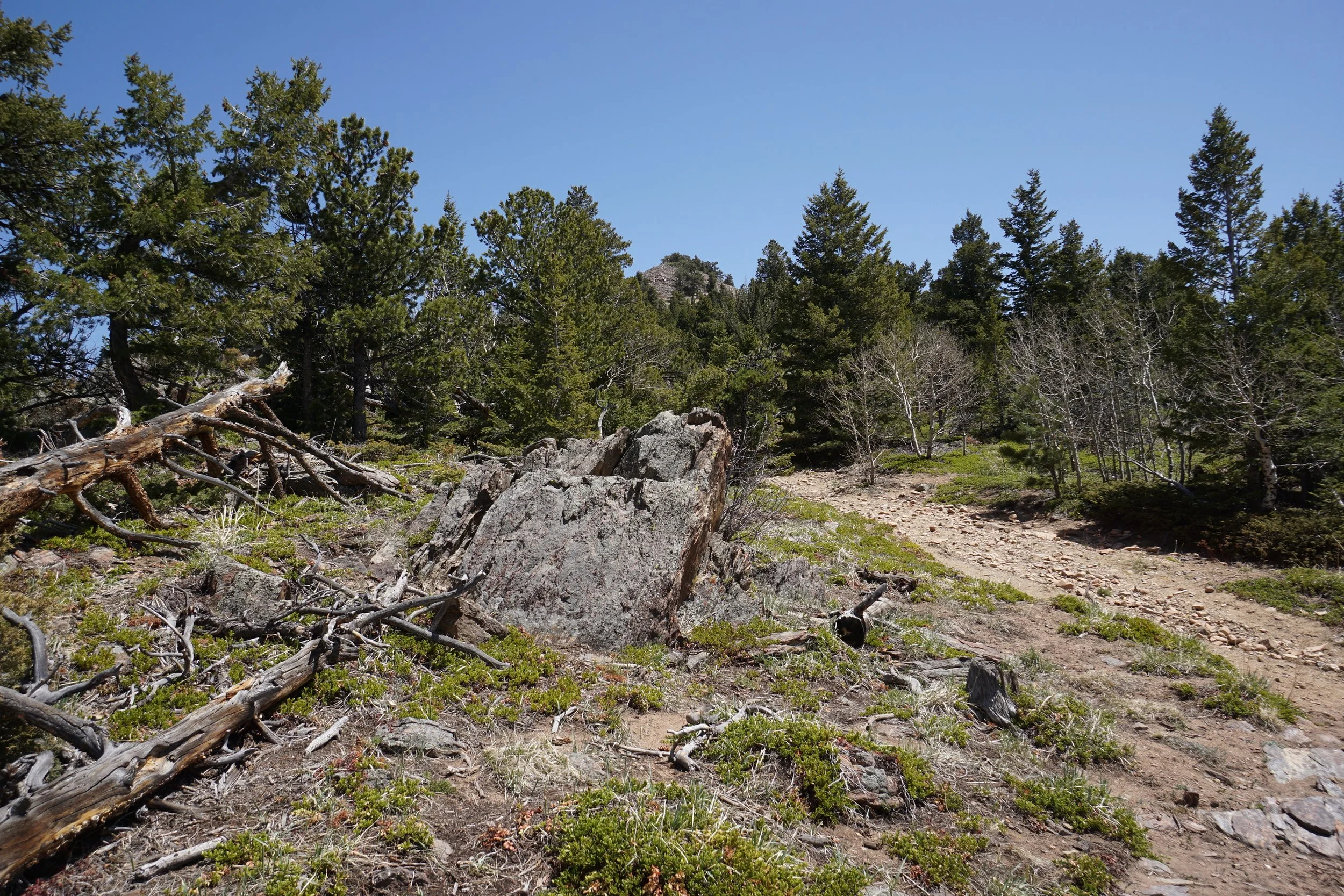
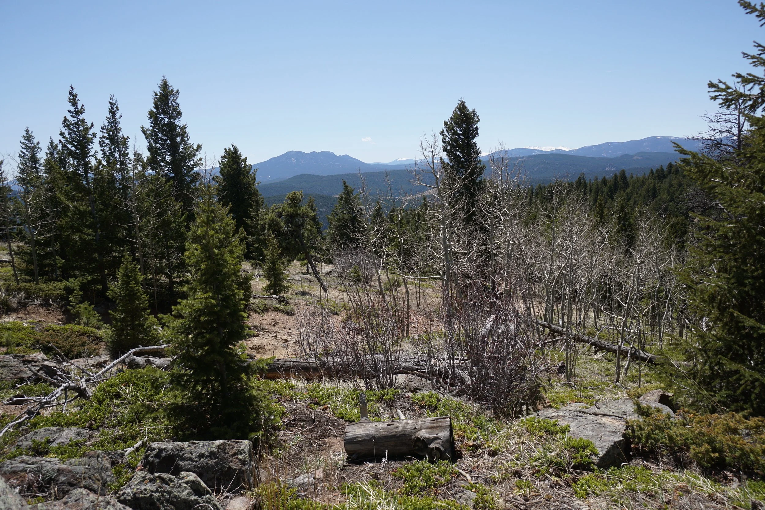
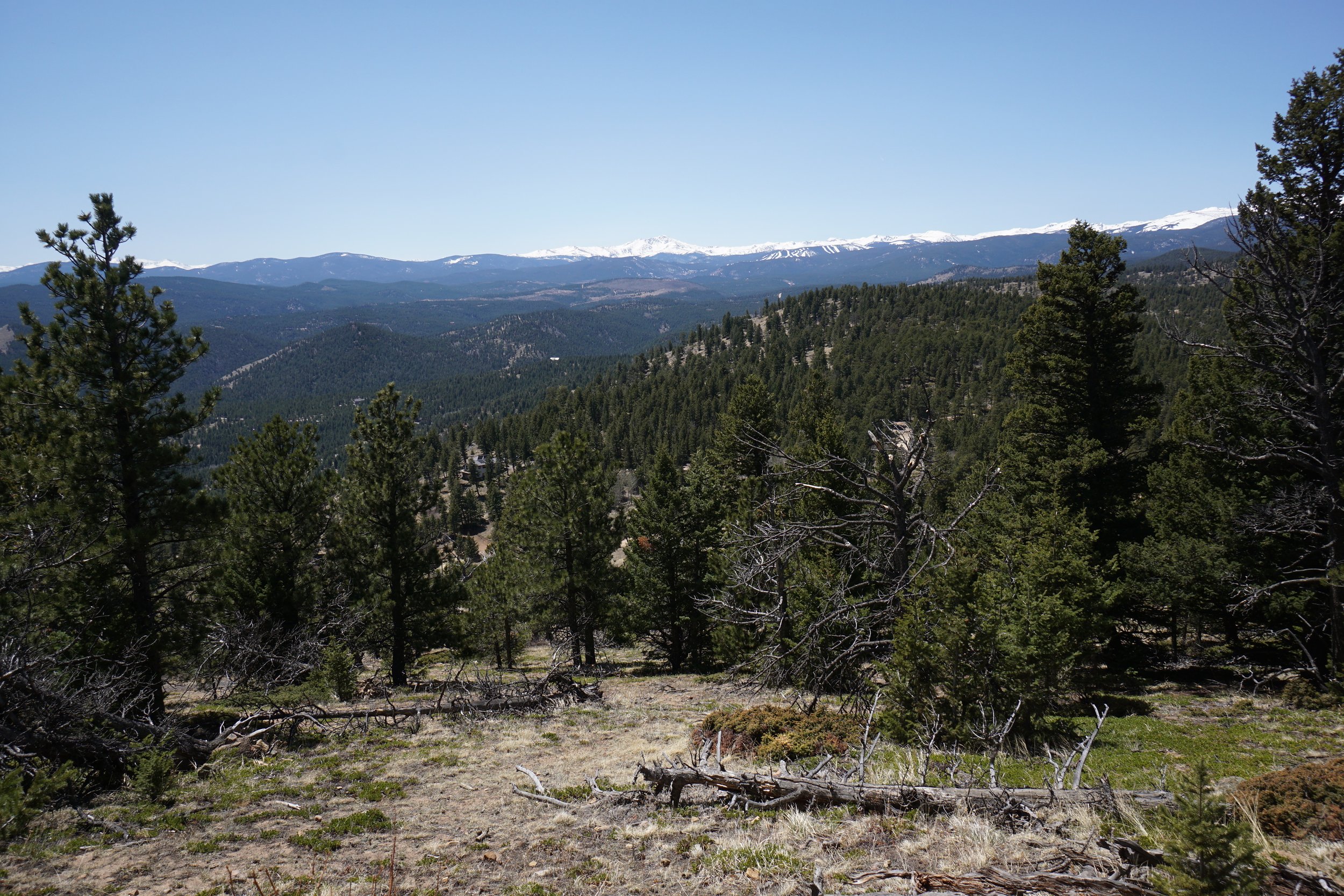
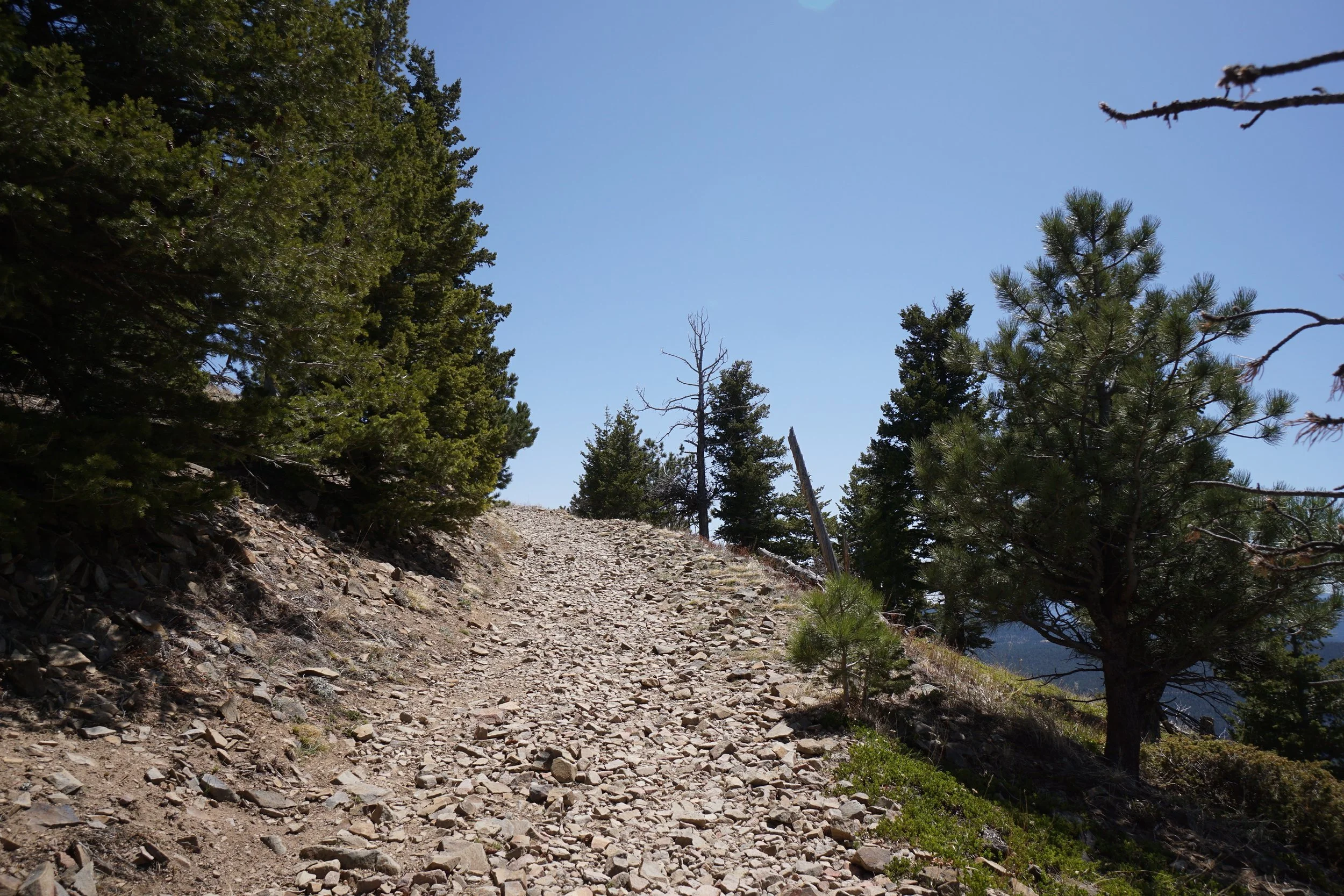
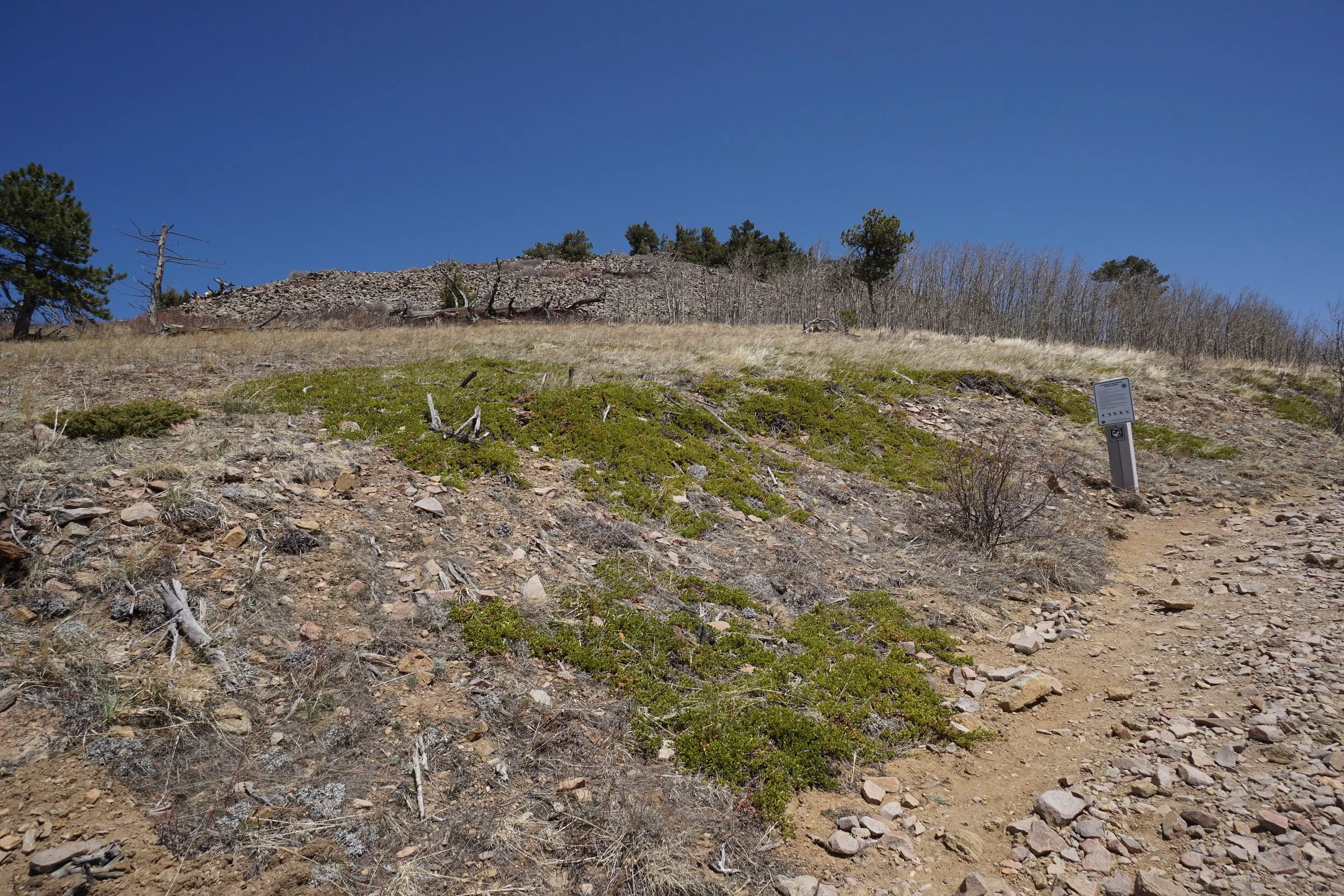
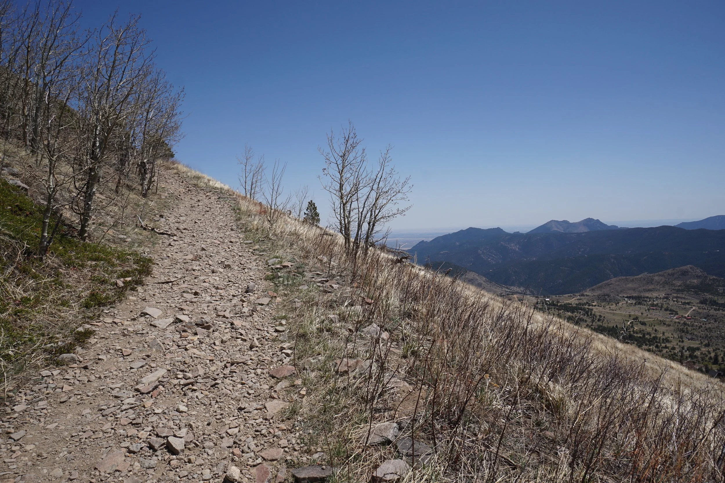
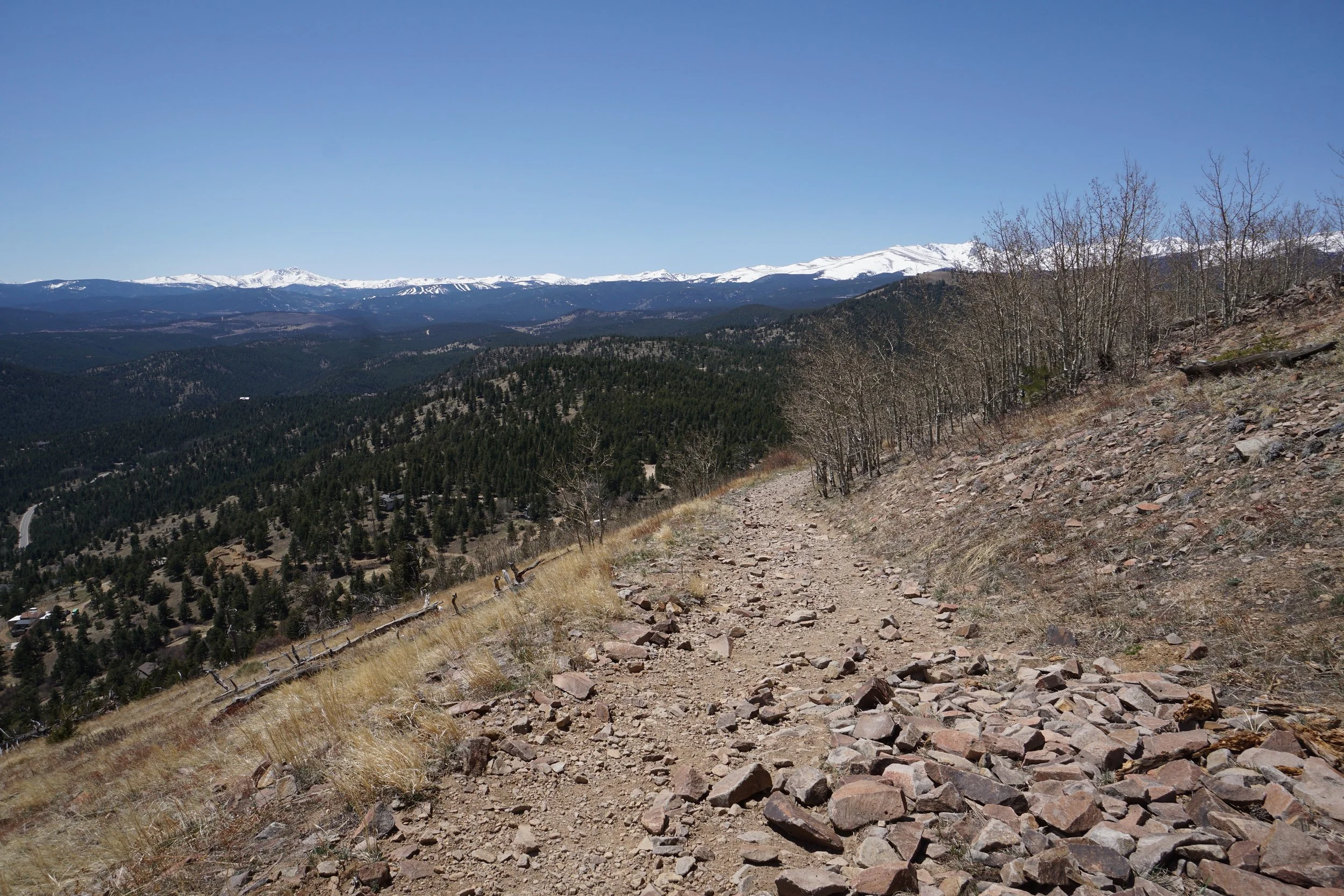
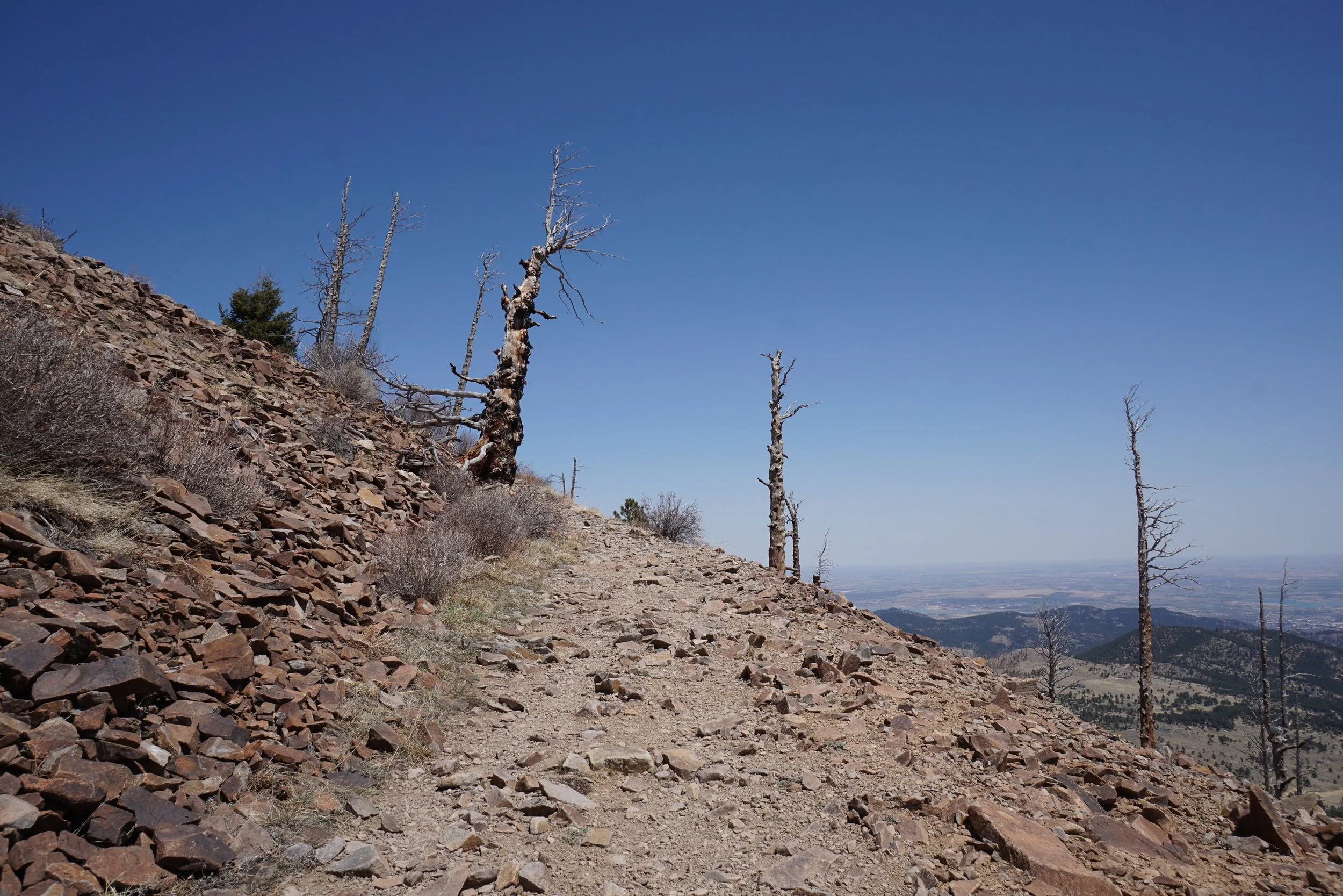
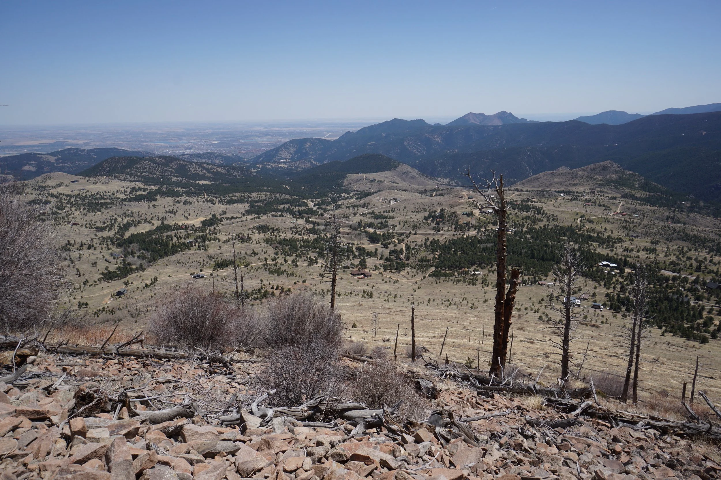
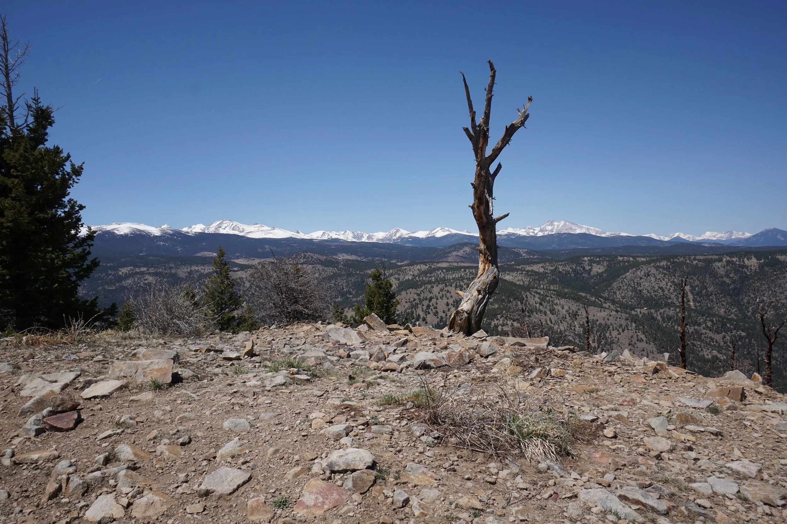
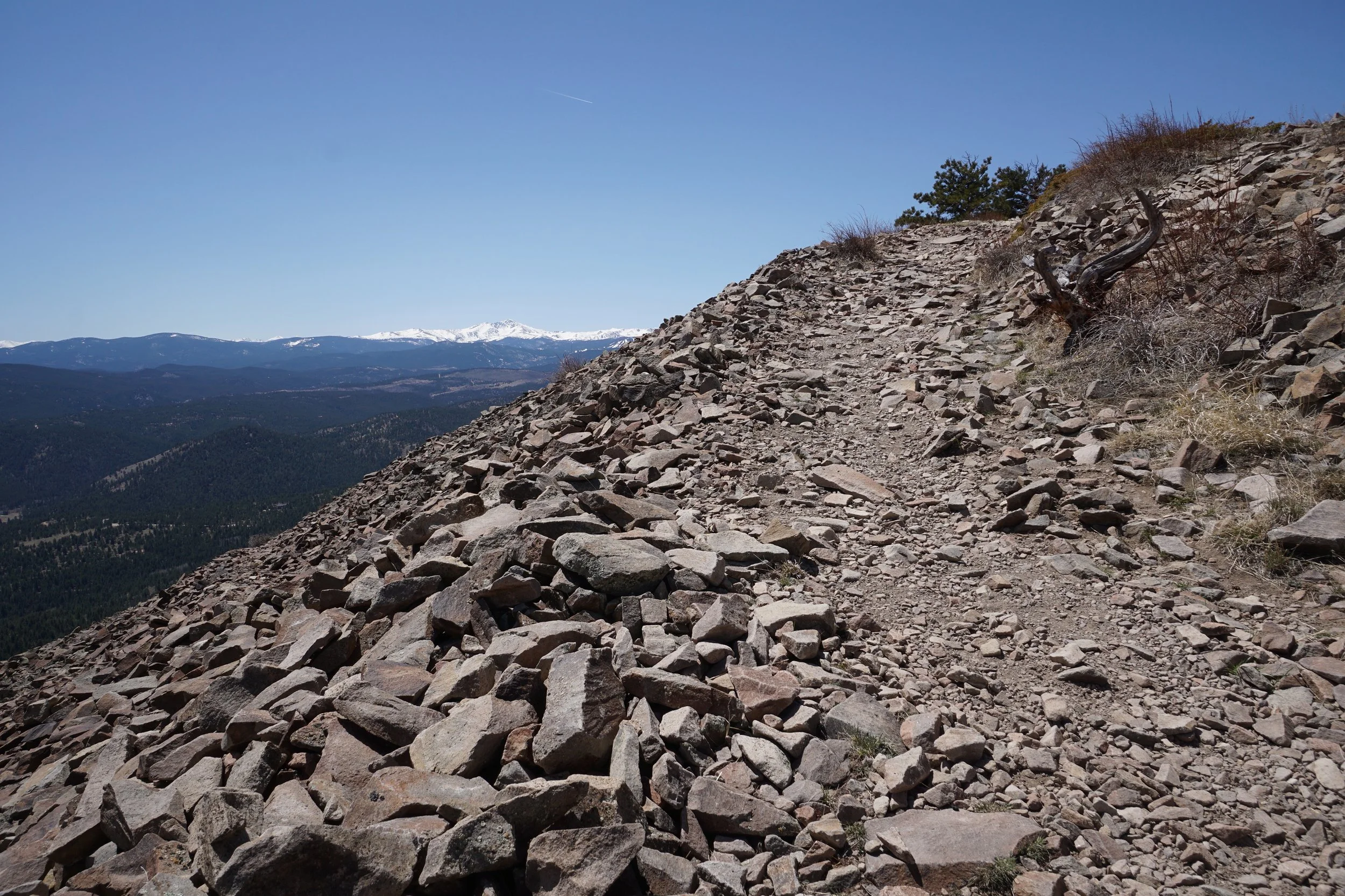
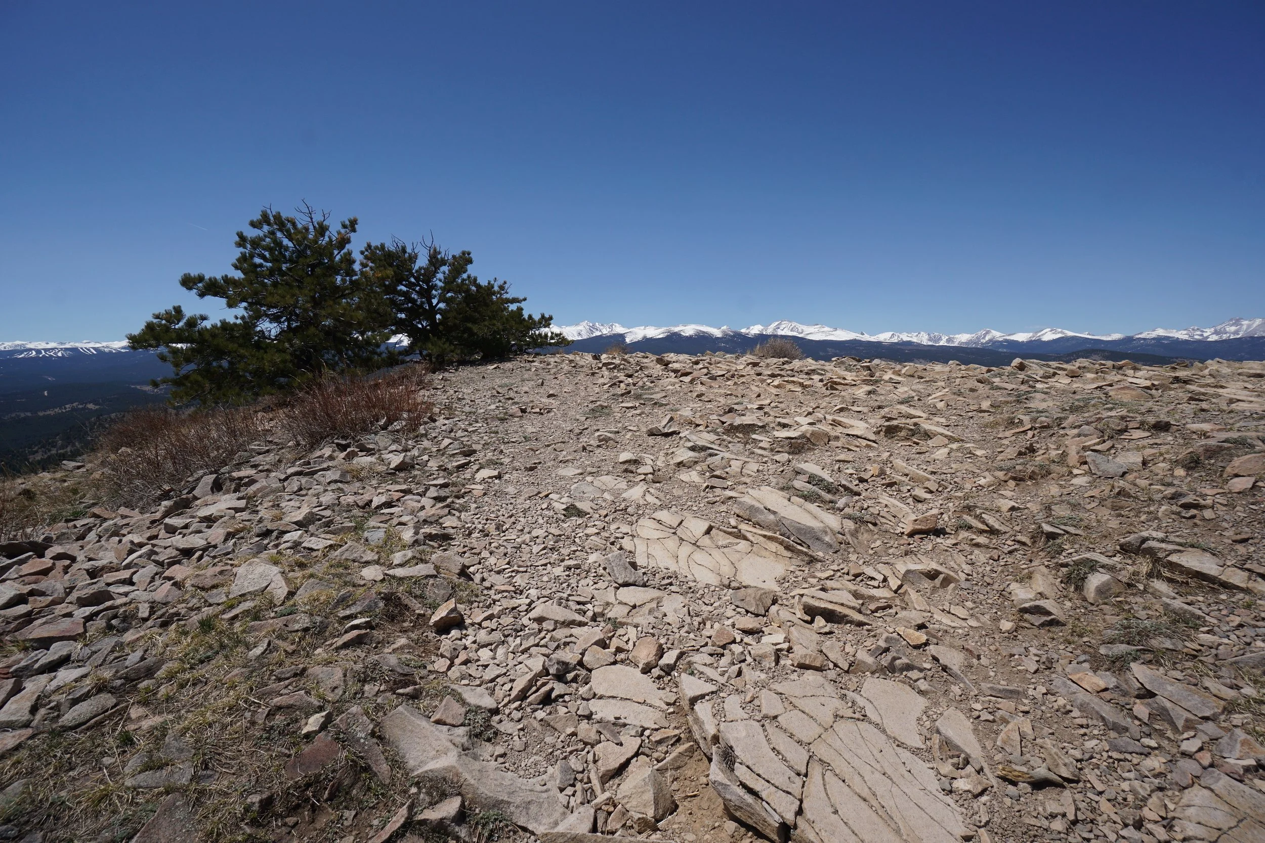
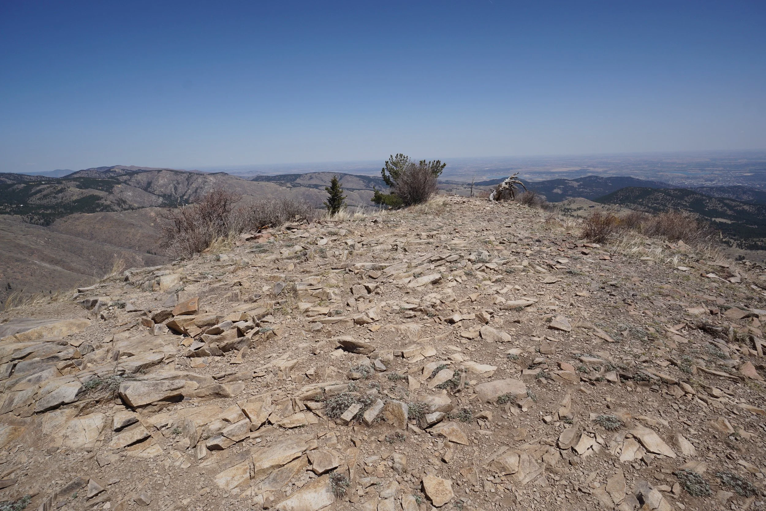
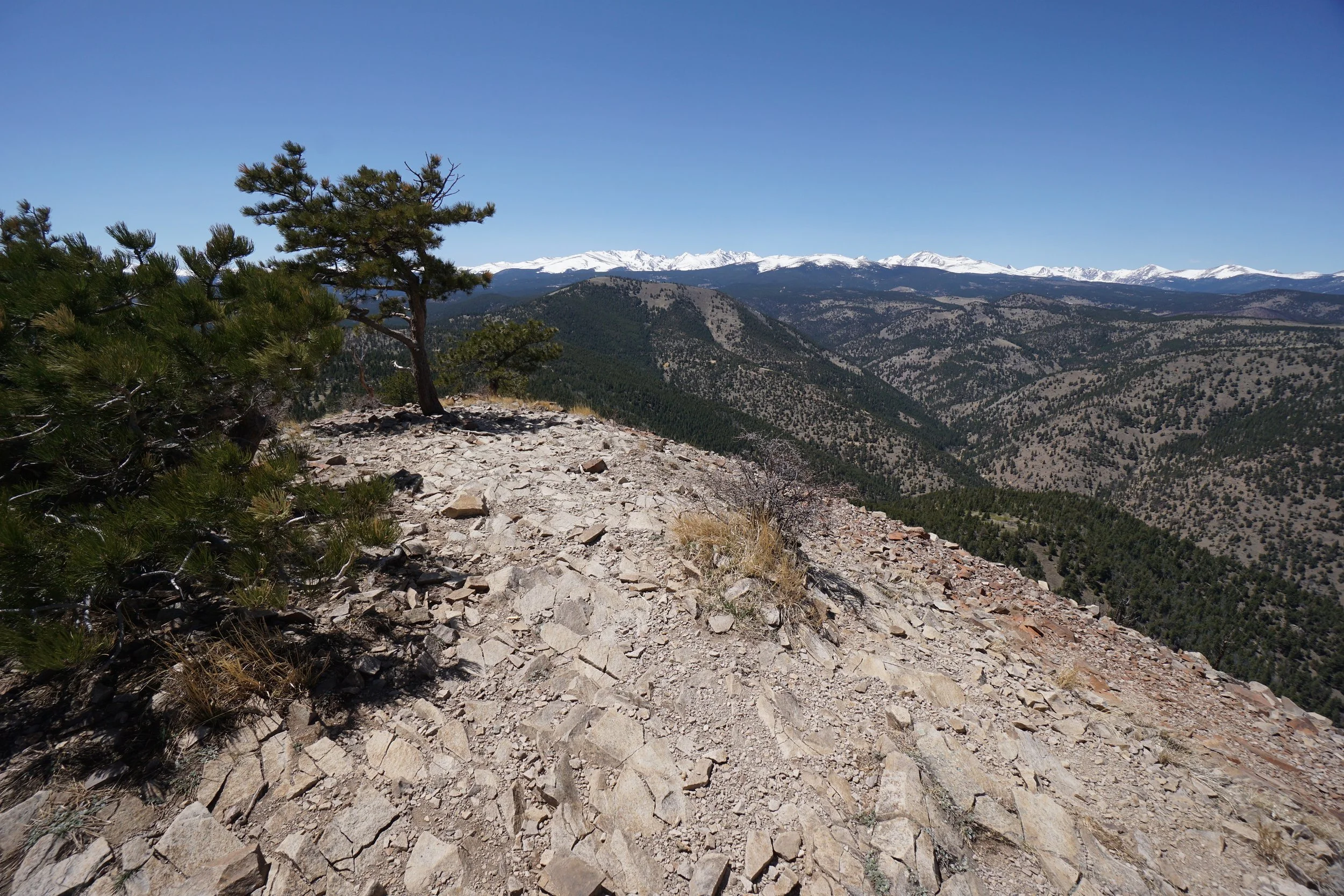
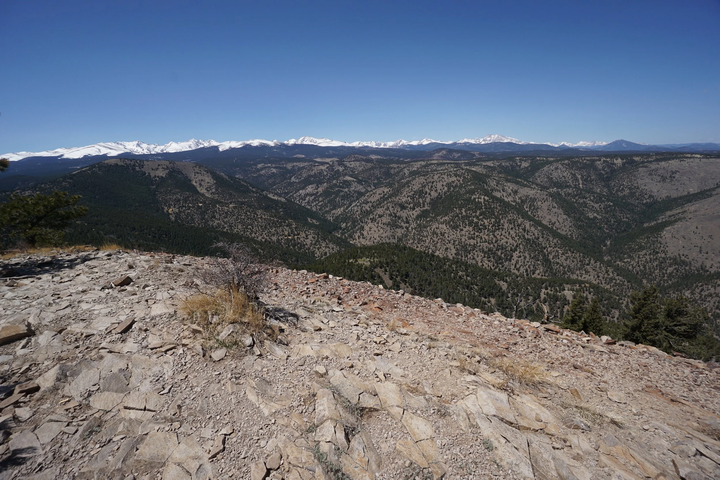
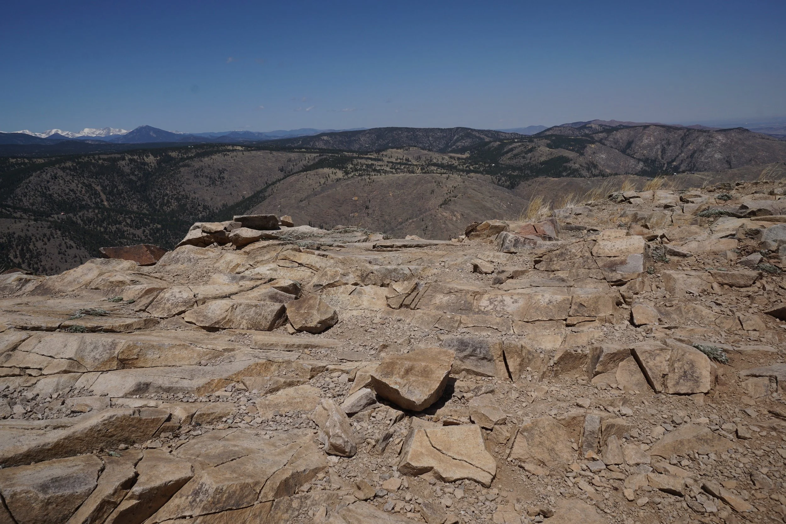
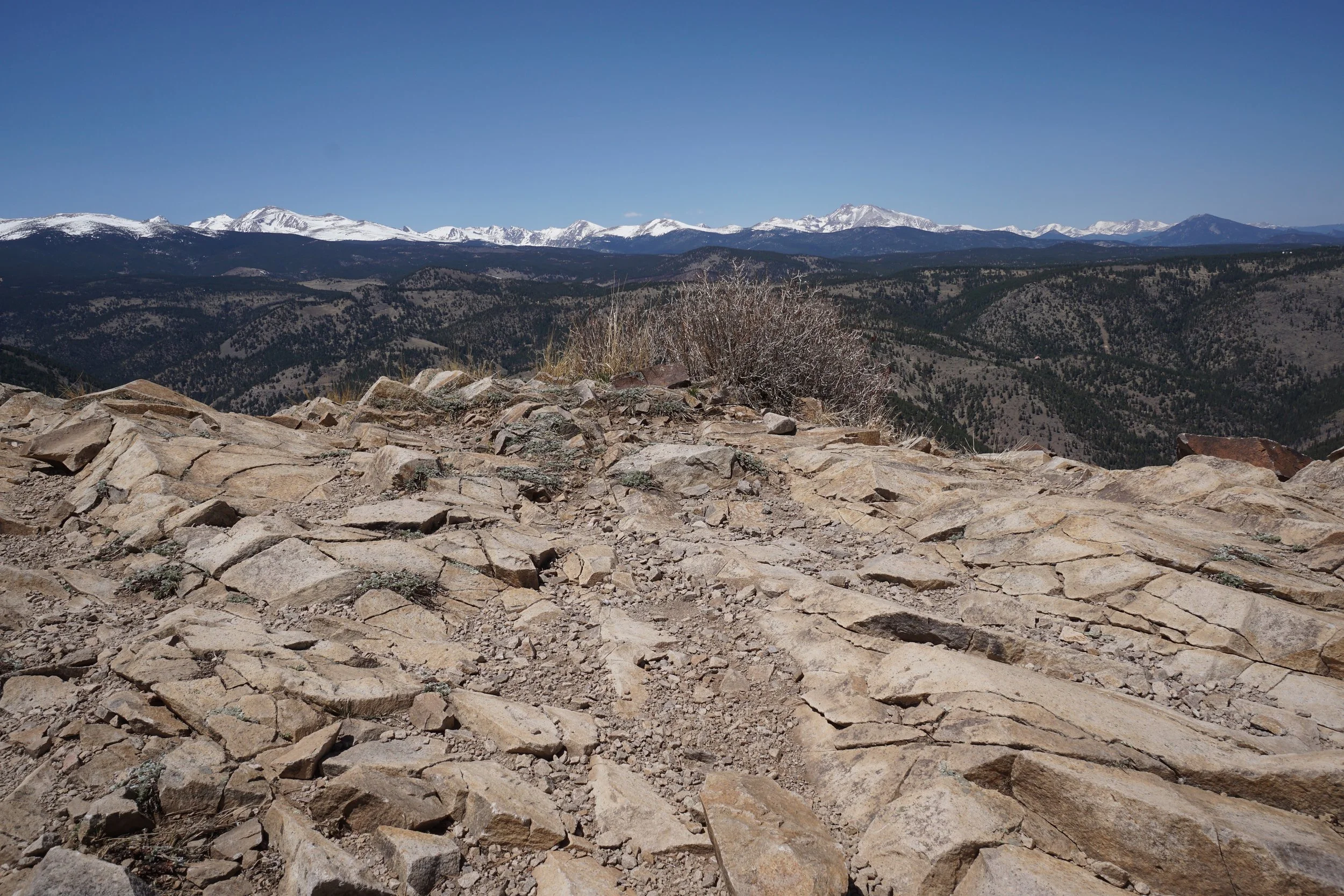
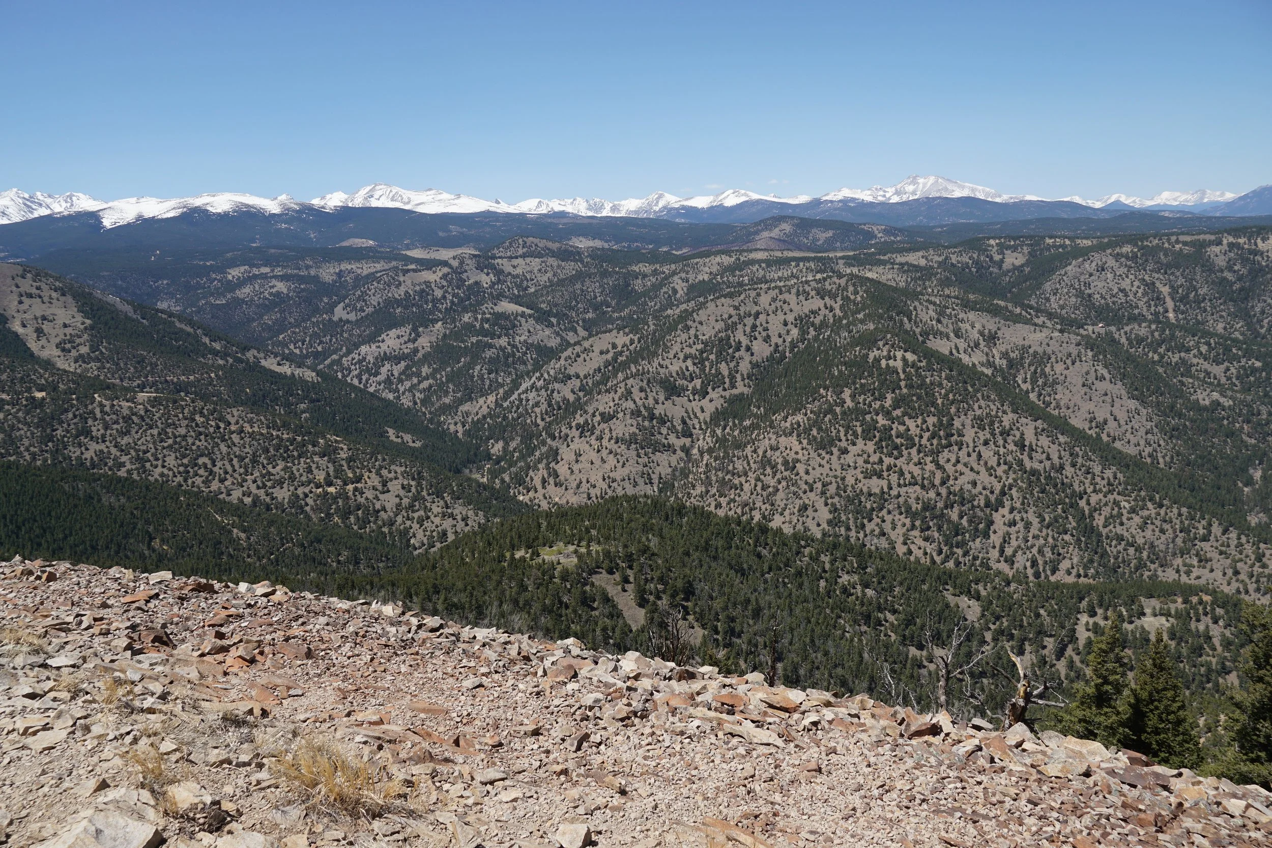
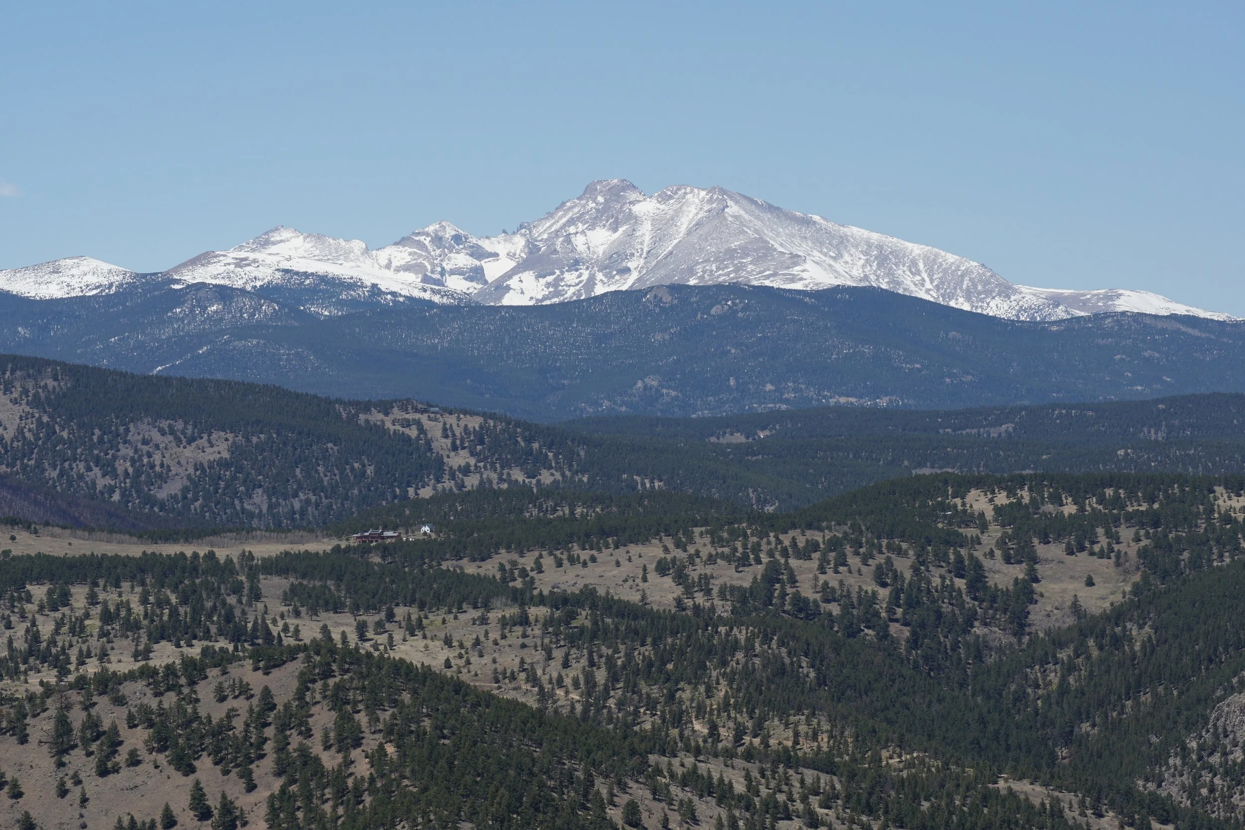
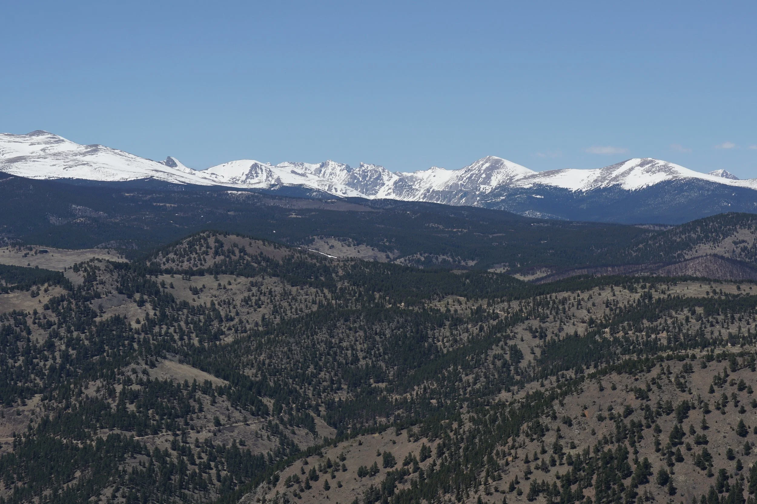
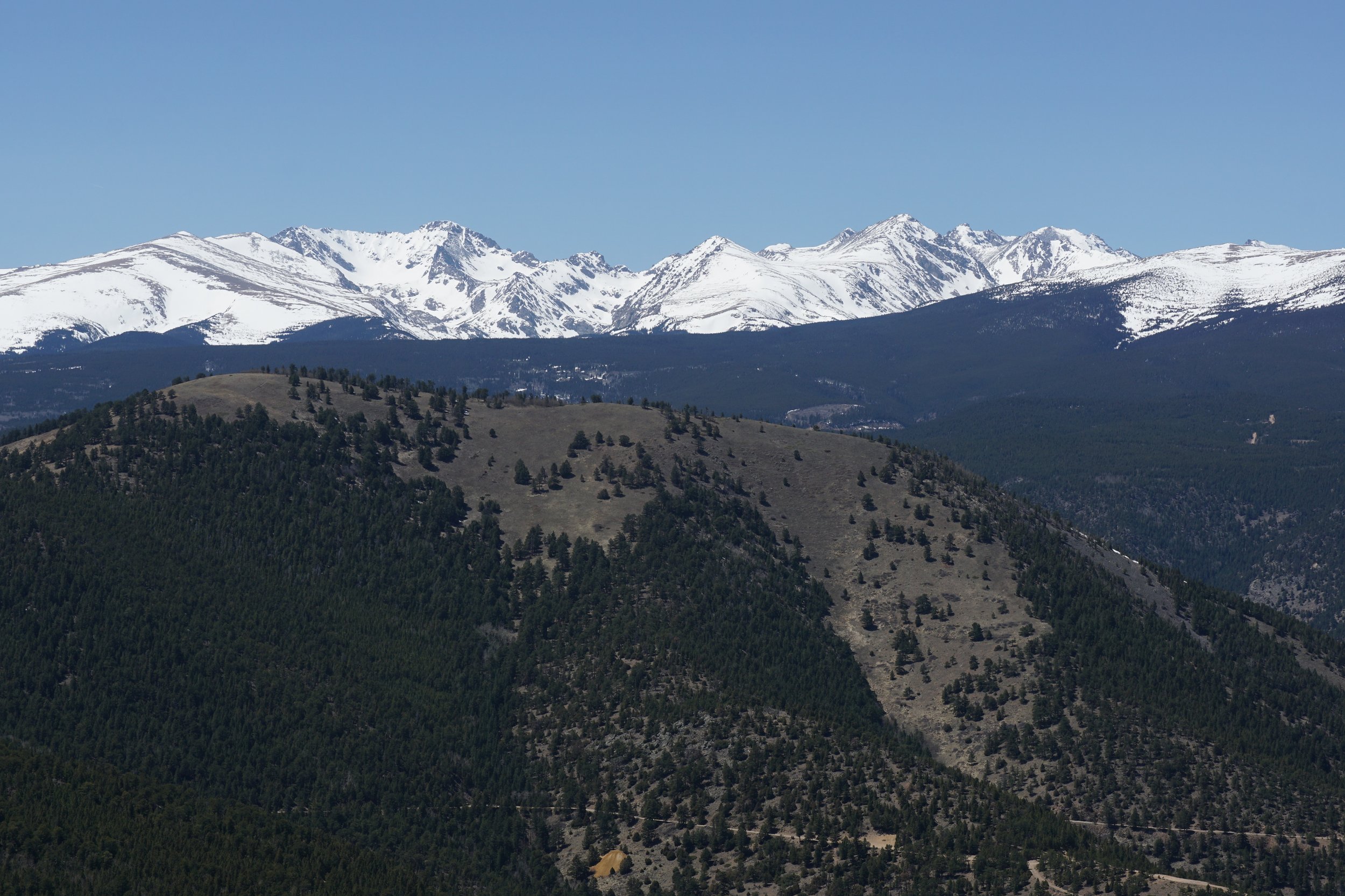
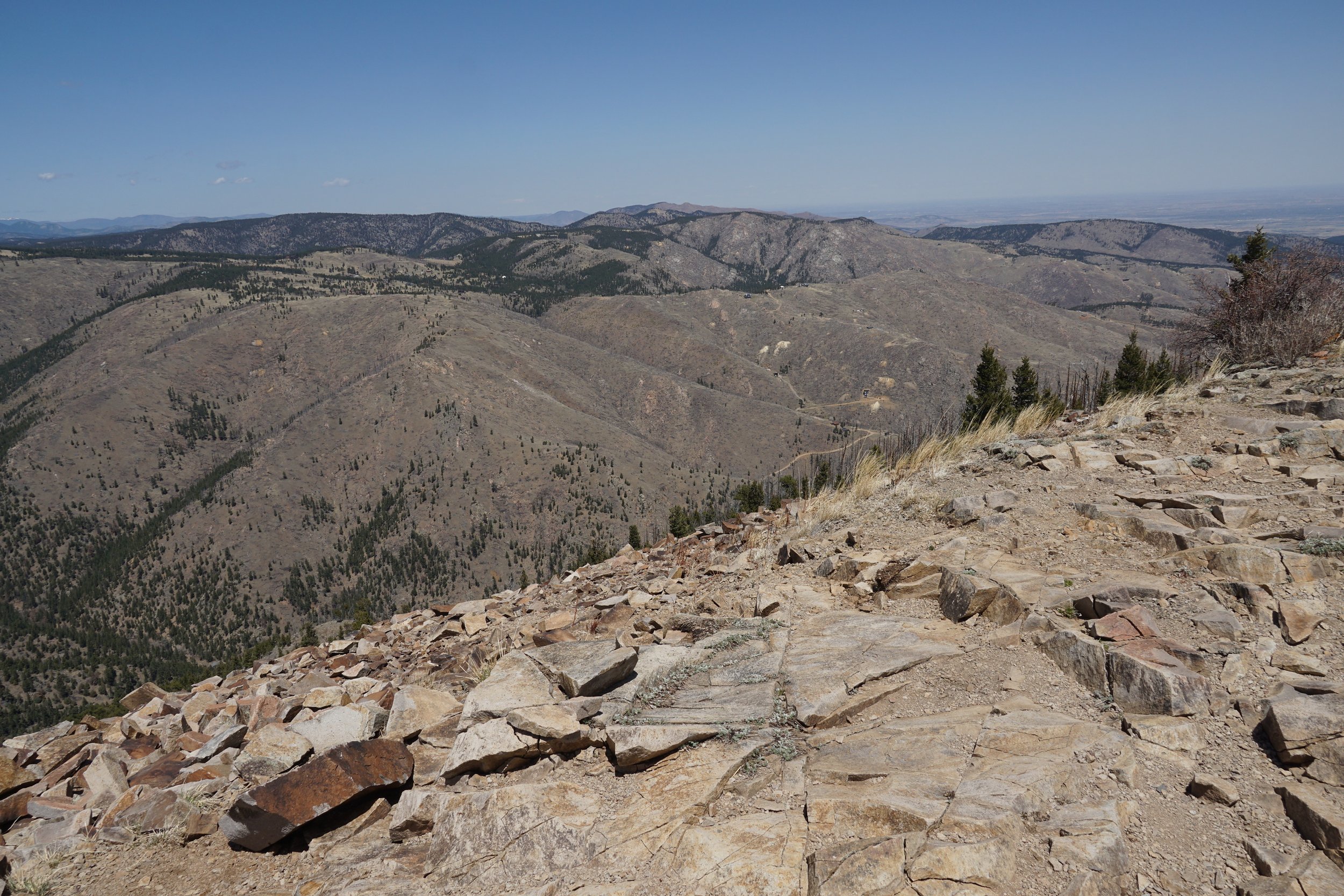
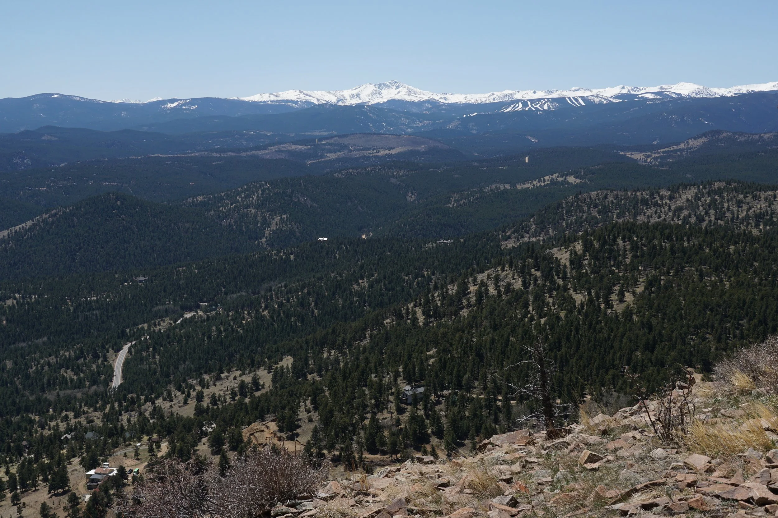
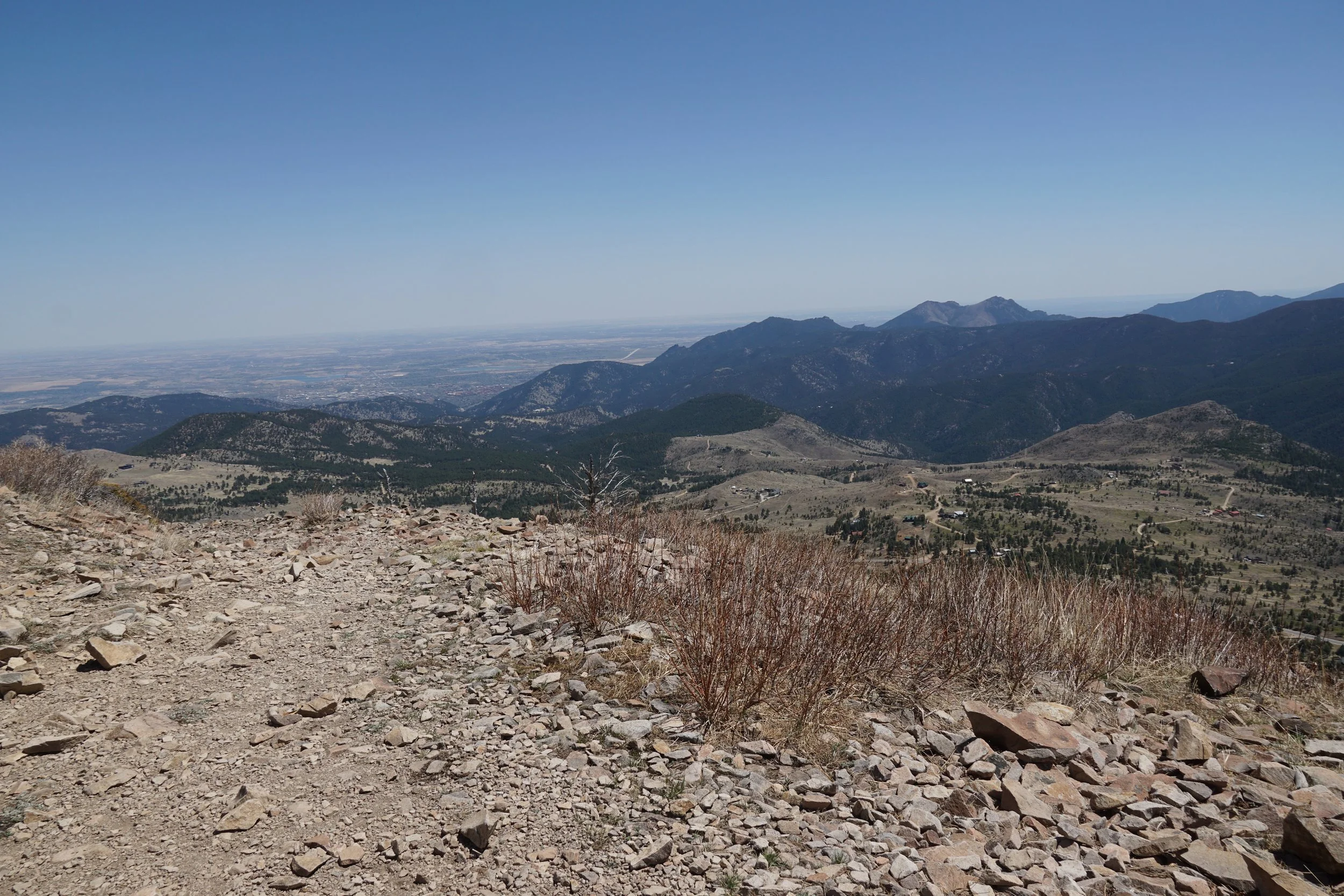
The hike up Sugarloaf Mountain, west of Boulder, is a short hike with a tremendous view. The hike is relatively simple. From the parking area, head up the trail as it switchbacks up through increasingly thinning forest. When you break through tree line, the trail curves around the back of tge summit and deposits you atop the rocky, barren summit for some incredible views of the Indian Peaks, Rocky Mountain National Park, and the Continental Divide.
The rocky trail rises for 500 ft in less than a mile, so it does have a steady uphill grade. For the effort, you are rewarded with one of the best 360 degree views in the front range foothills.