Streamside Trail
Eldorado Canyon State Park
Date Hiked: February 18, 2024
Distance: 1 mi (RT)
Elevation Gain: 120 ft
Elevation Min/Max: 5,845 to 5,964 ft
Trailhead Lat/Long: 39.93152, -105.28154
Managing Agency: Colorado Division of Parks & Wildlife
Fee: Yes
DIRECTIONS
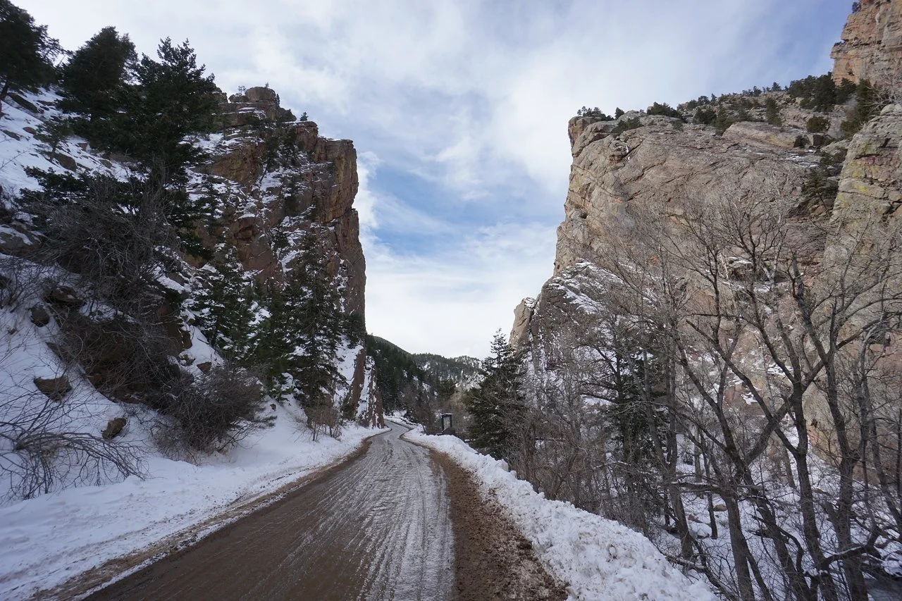
Eldorado Canyon State Park is located at the western end of Eldorado Springs Drive in the town of Eldorado Springs. From Boulder or Denver, take Hwy 93 to the Eldorado Springs Drive junction and turn west onto Eldorado Springs Drive. Head west through the town and into the park.
HIKE DESCRIPTION
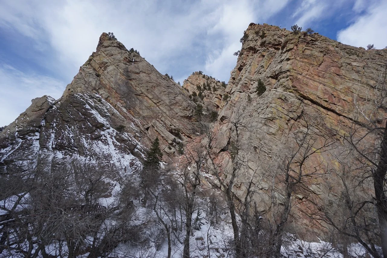
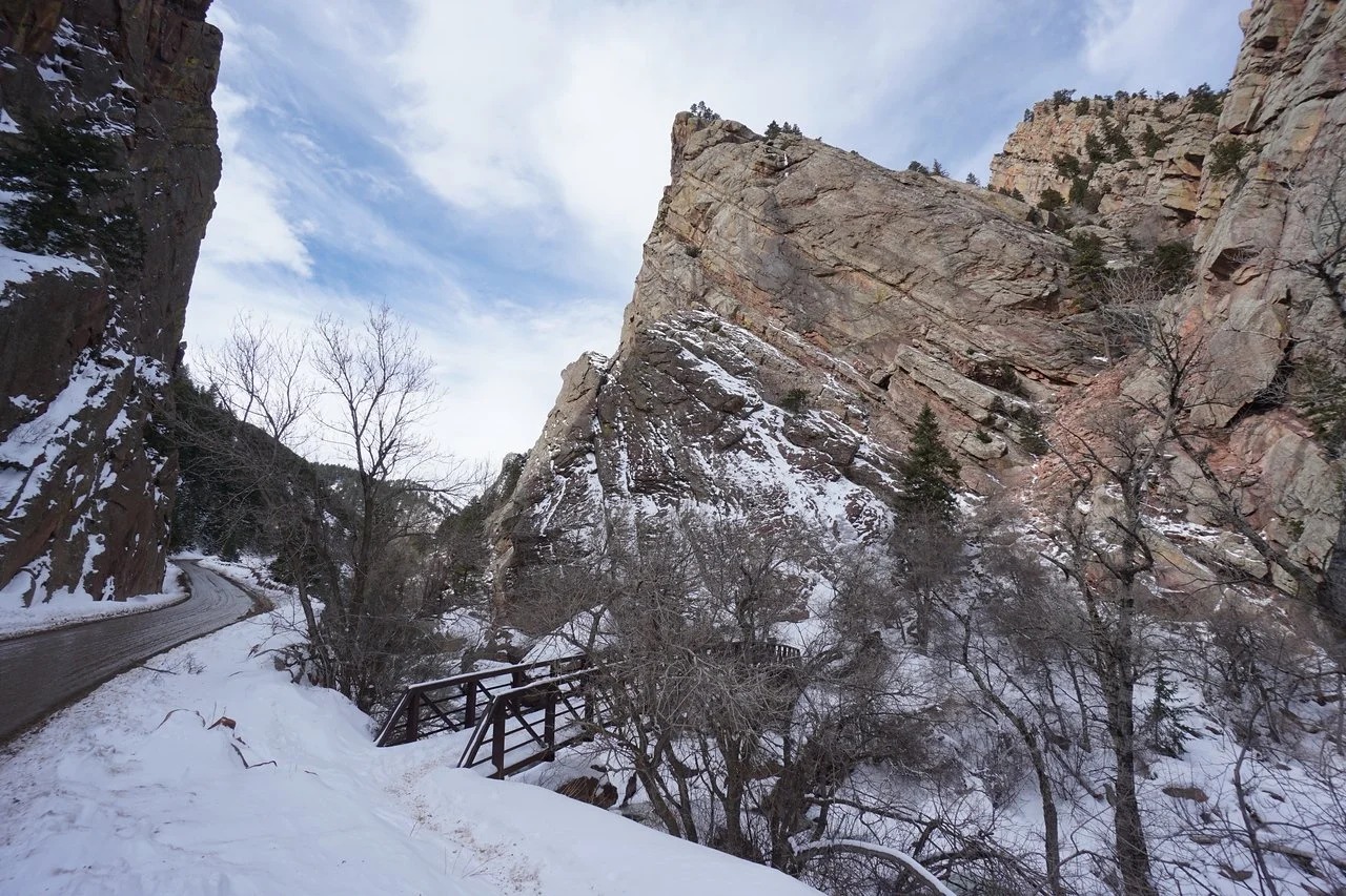
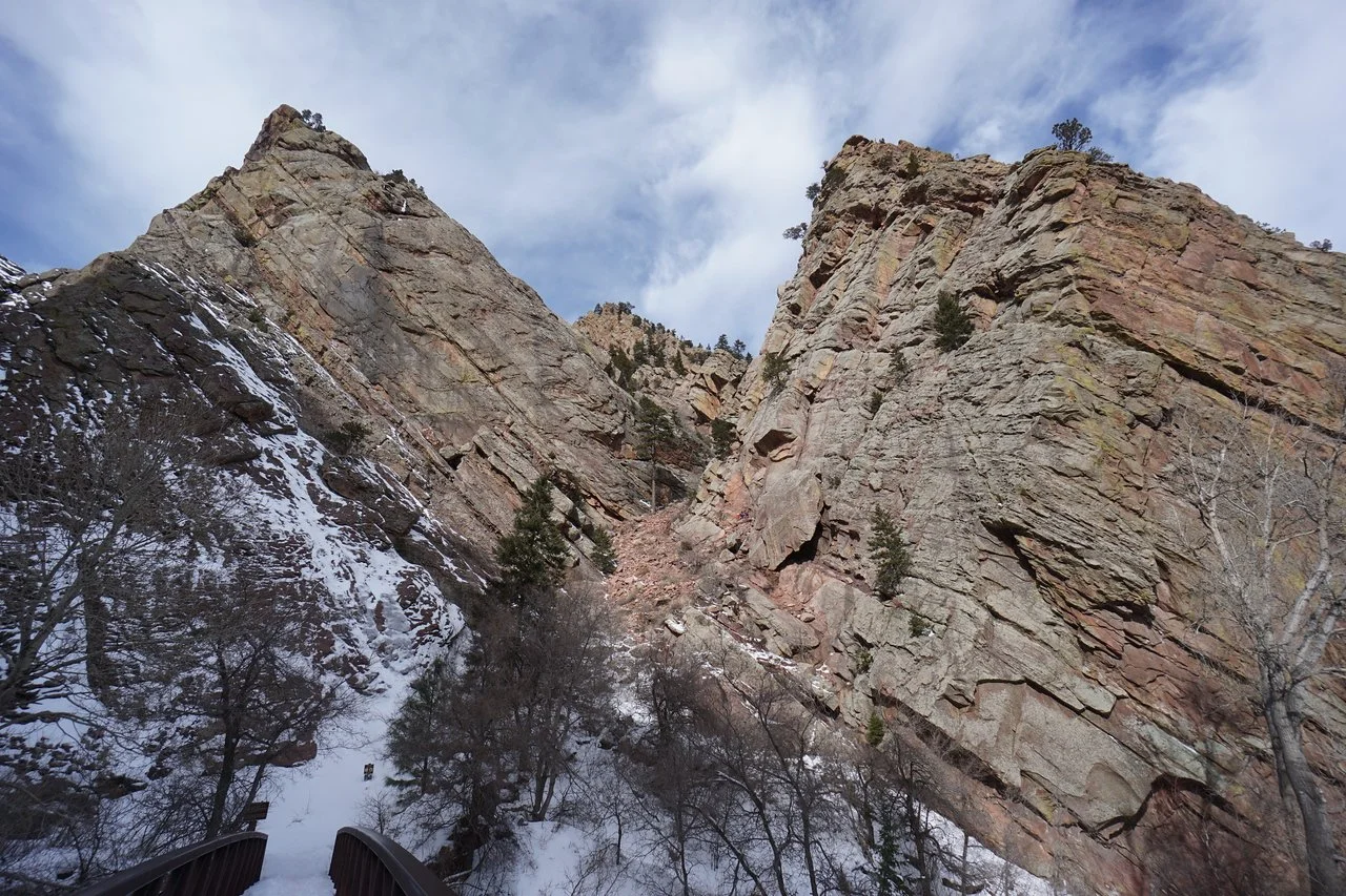
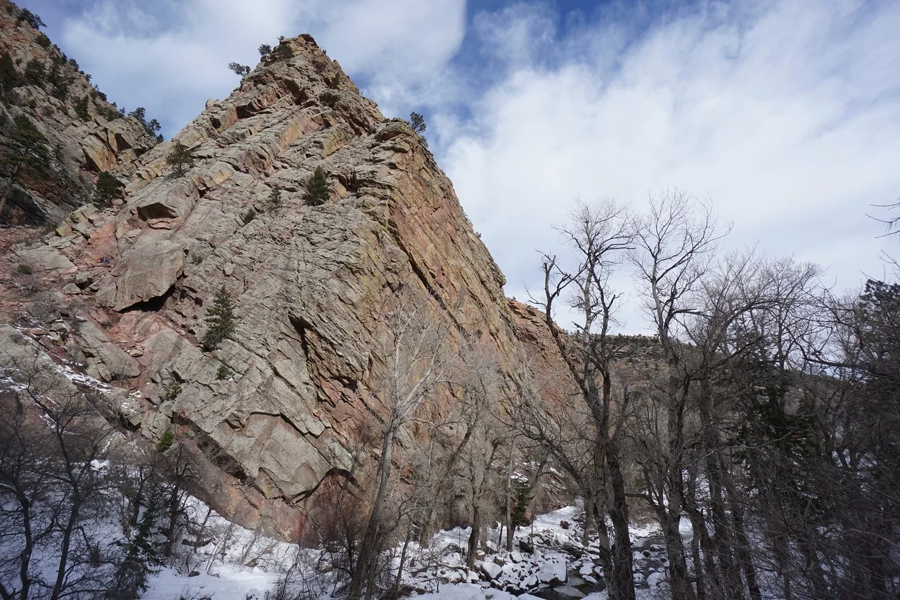
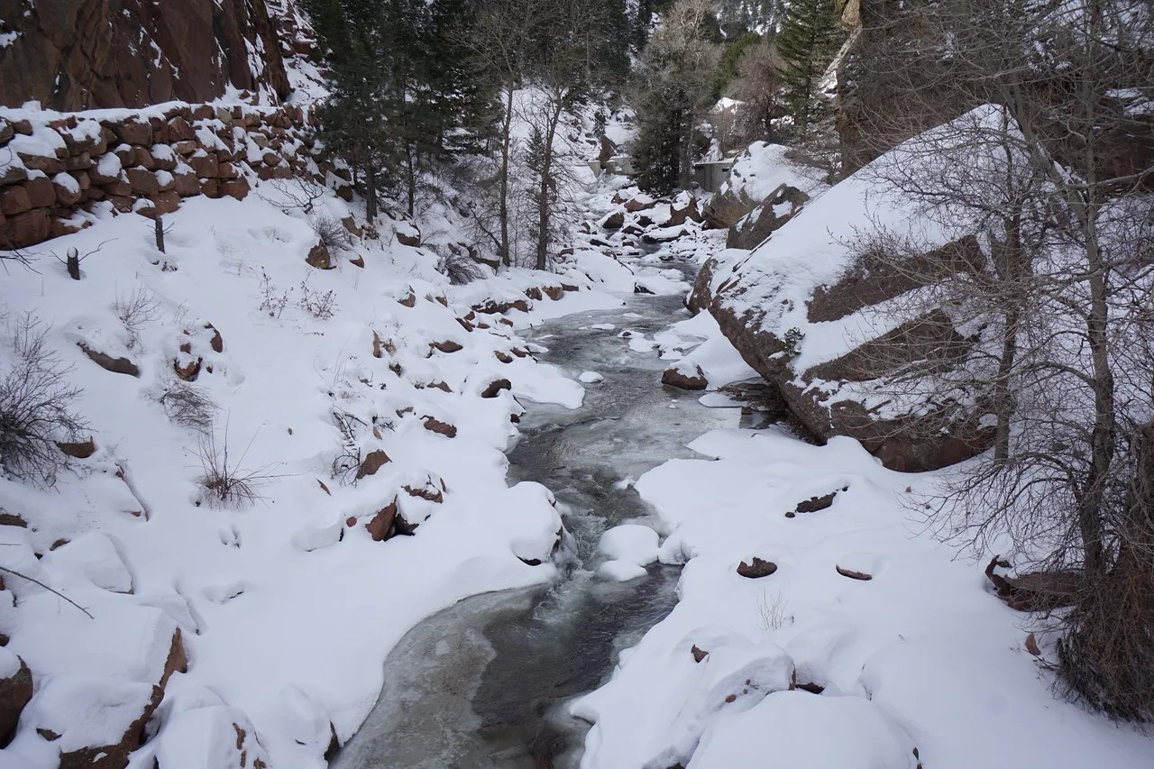
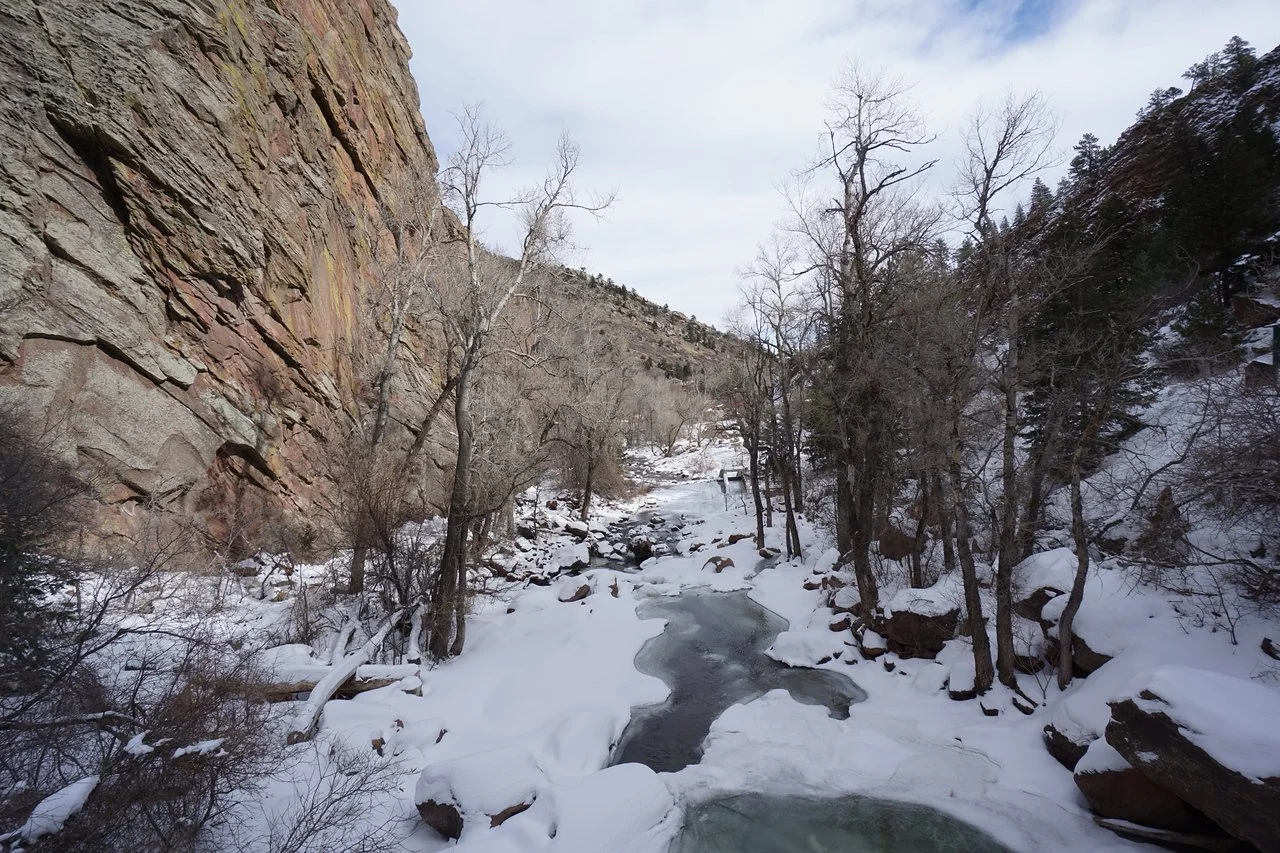
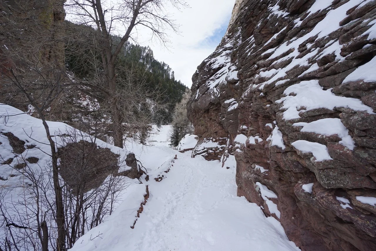
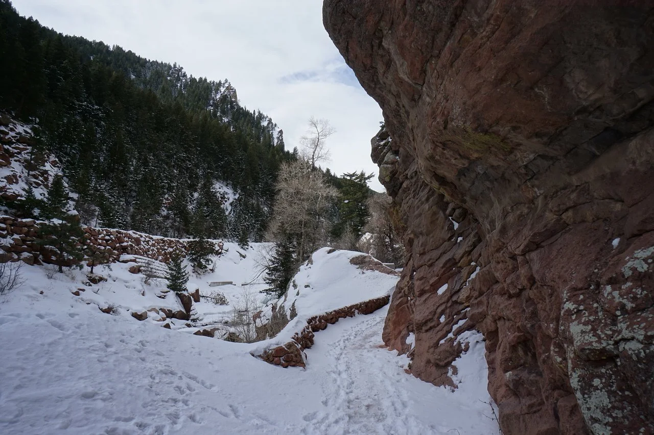
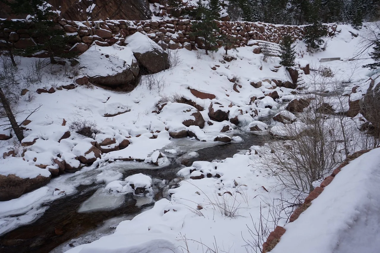
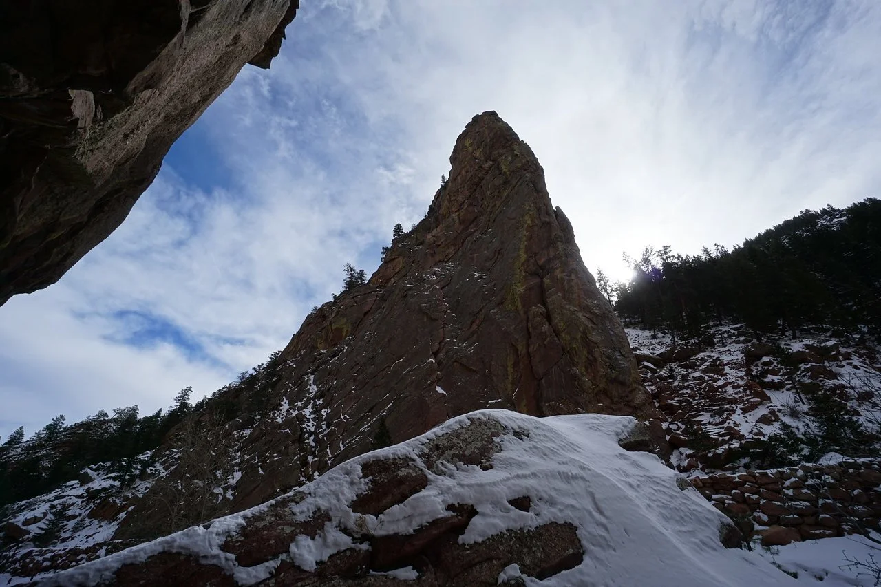
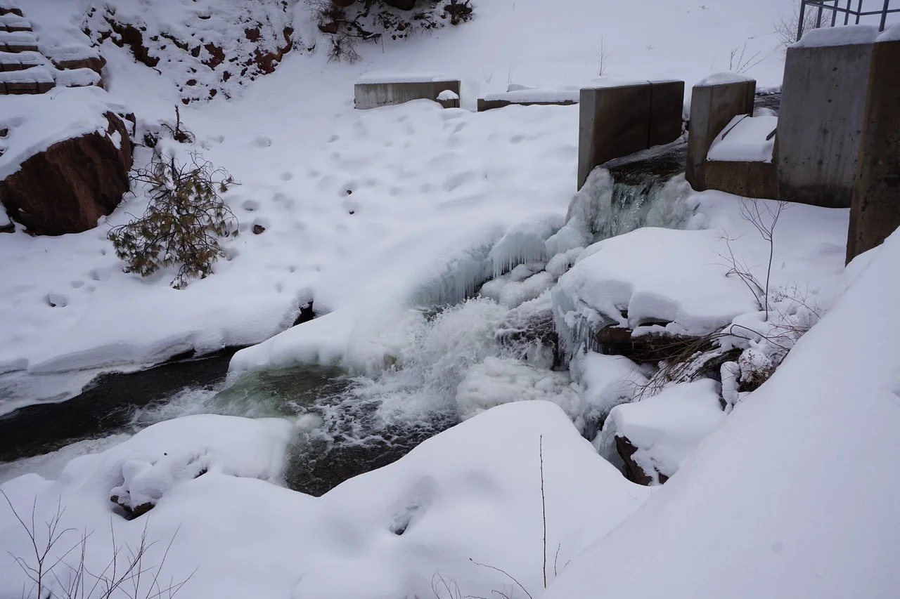
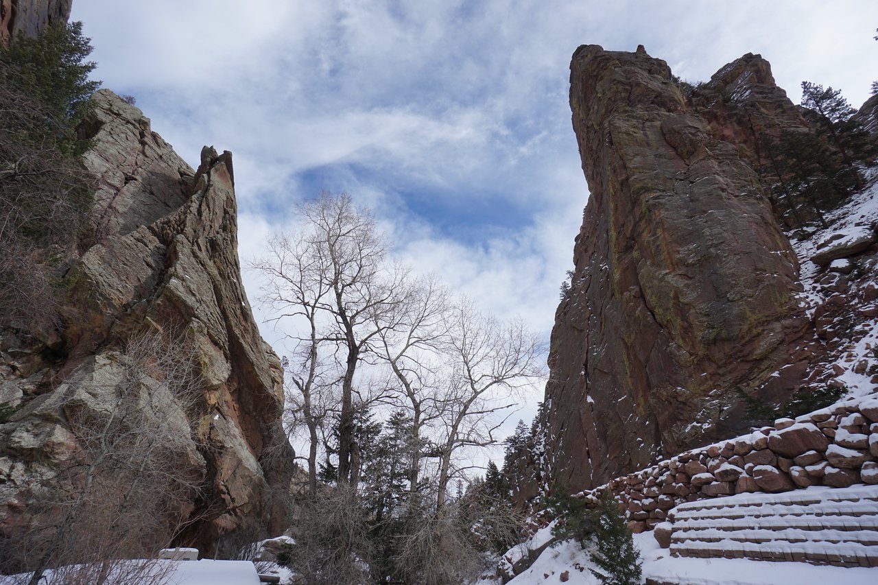
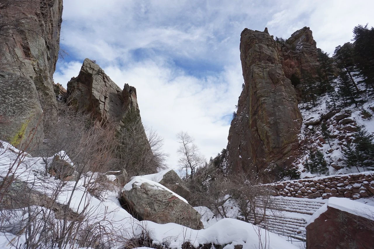
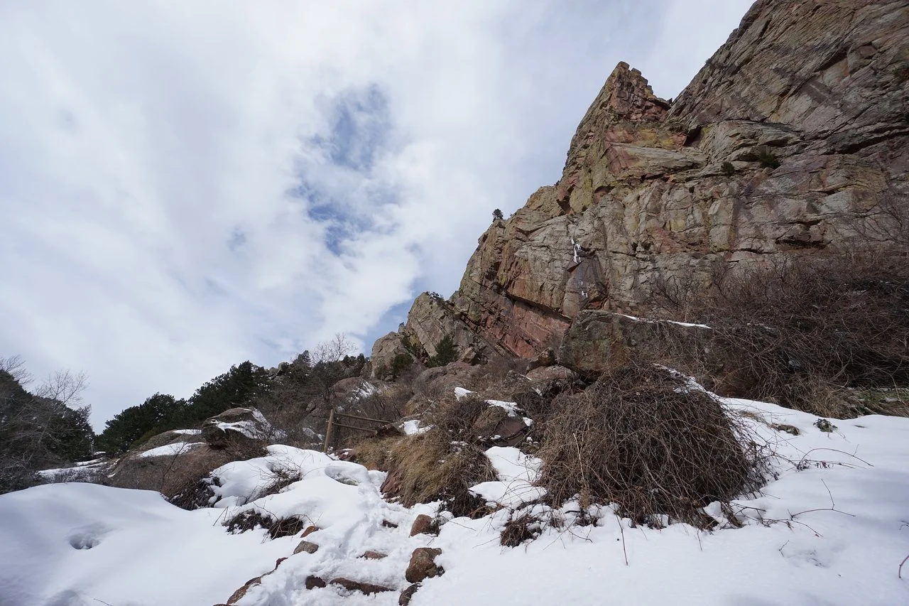
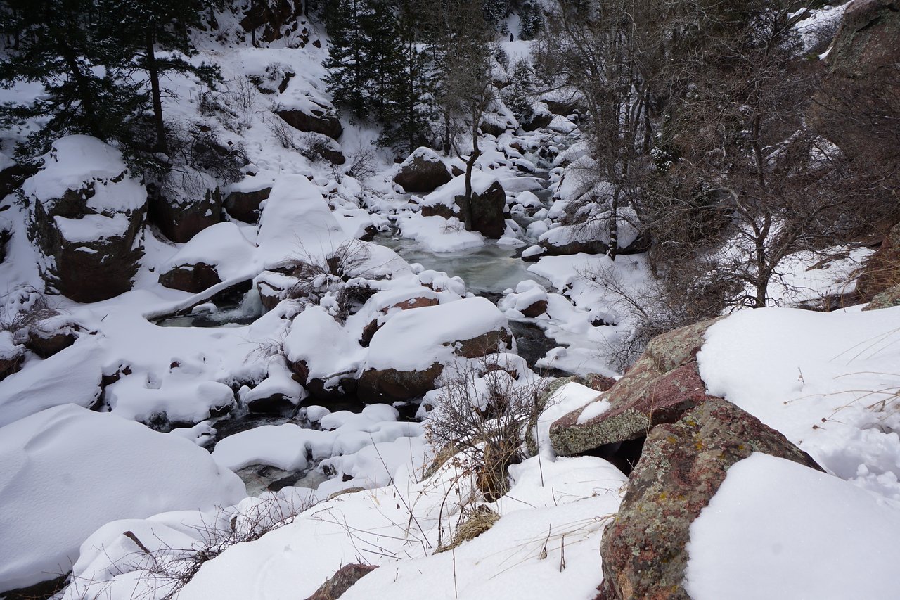
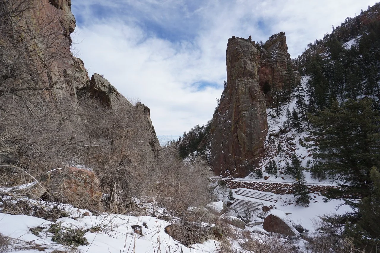
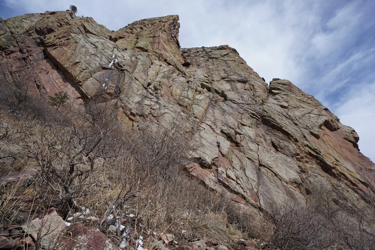
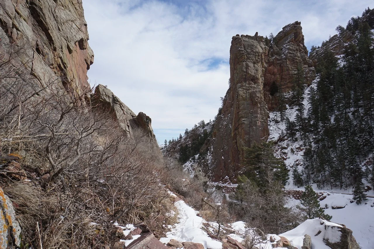
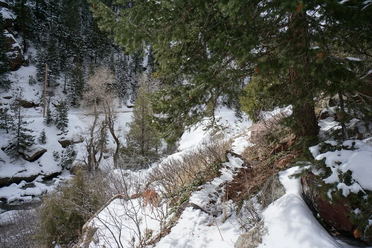
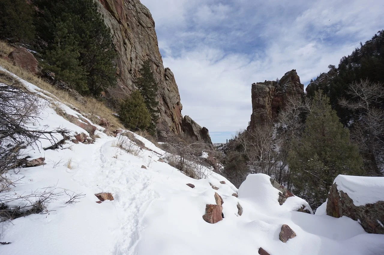
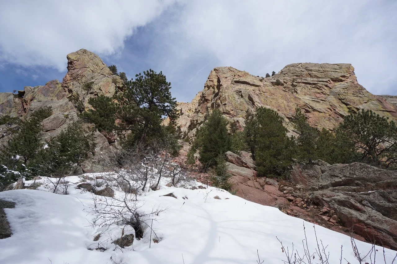
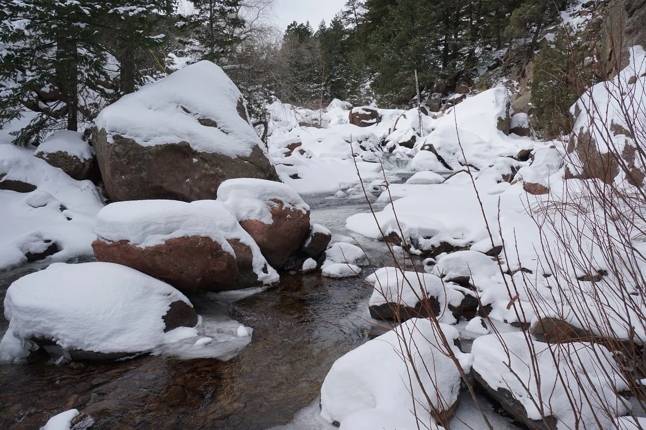
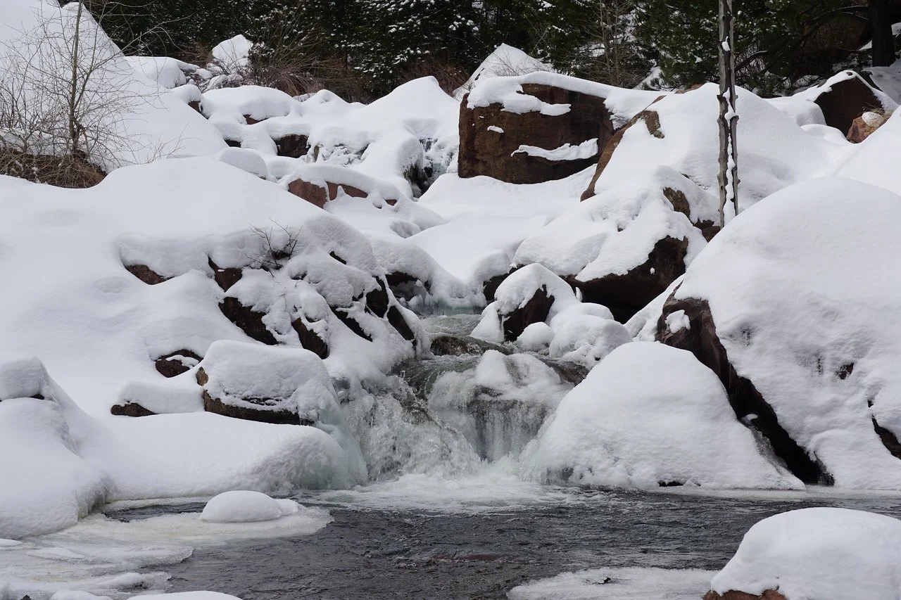
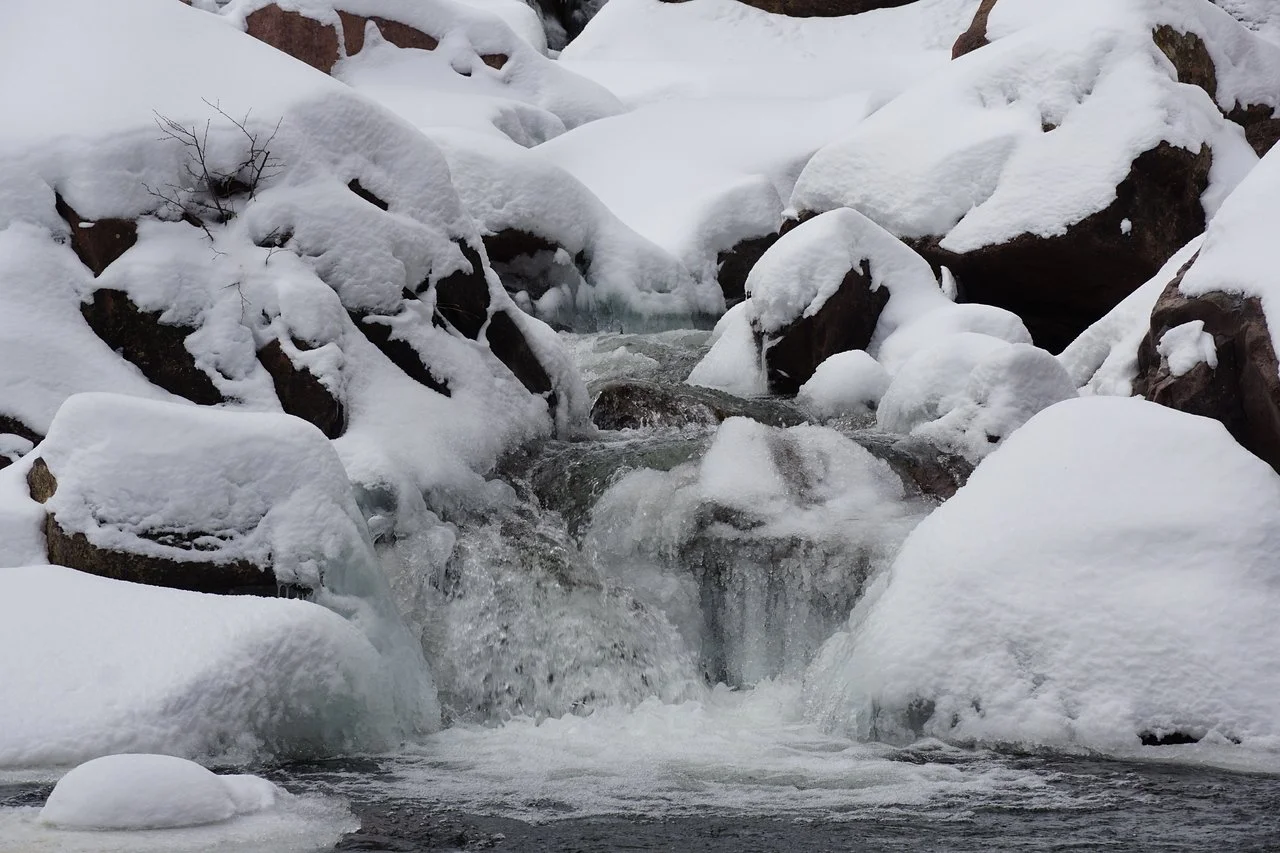
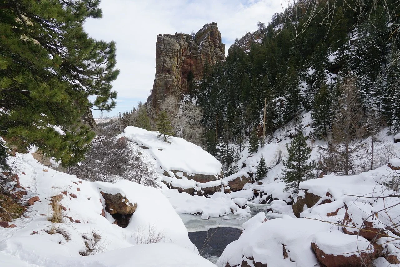
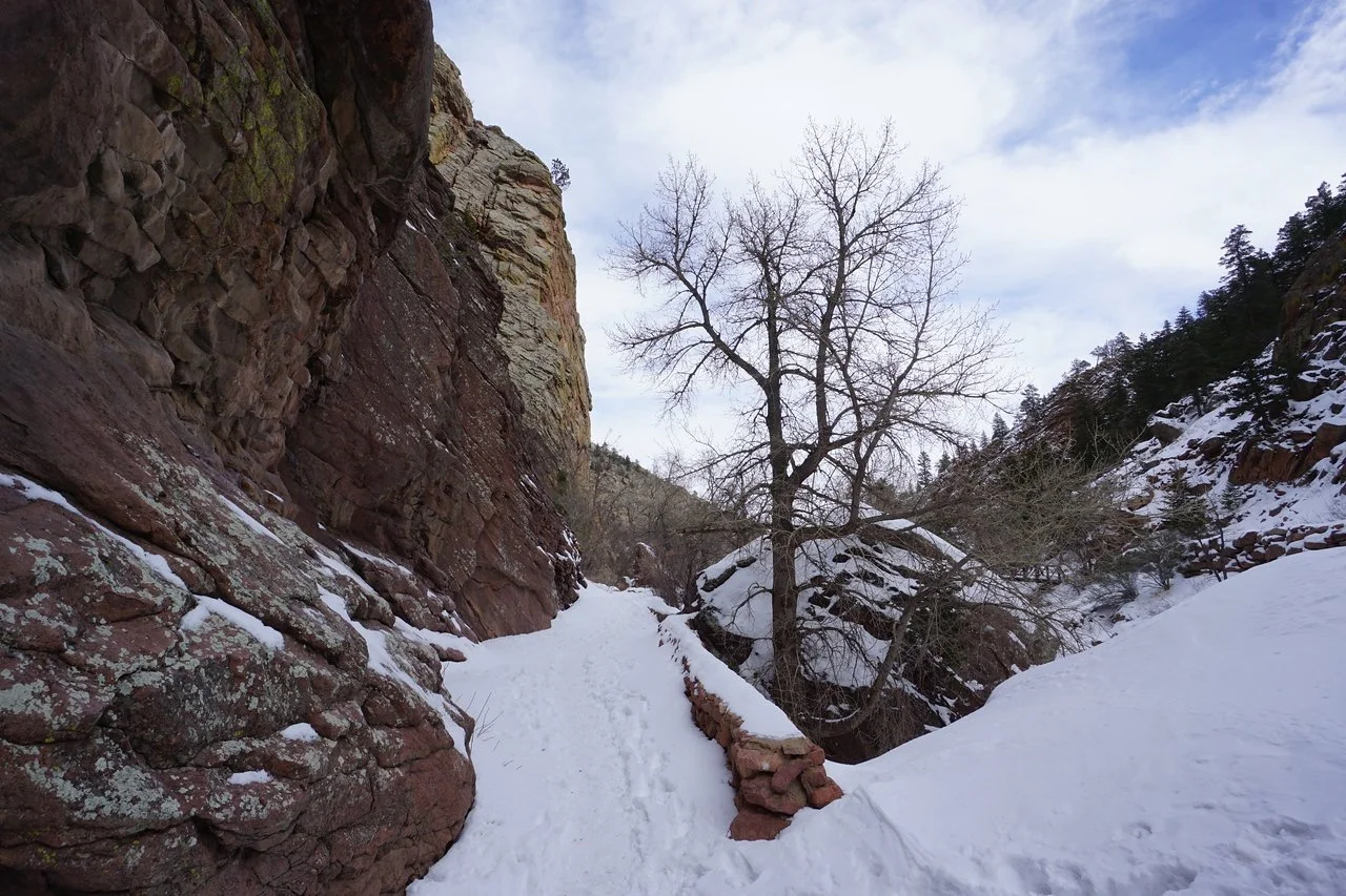
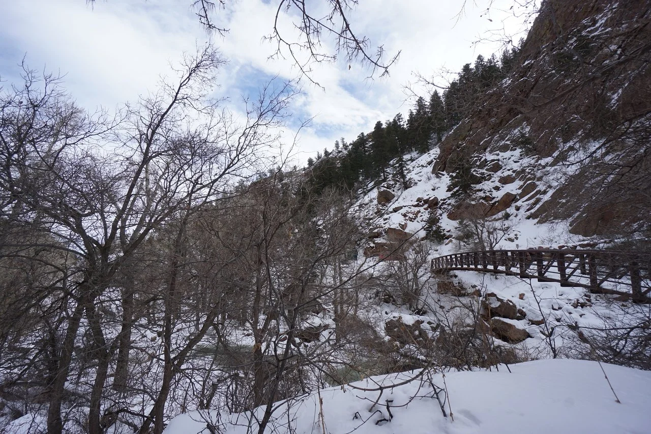
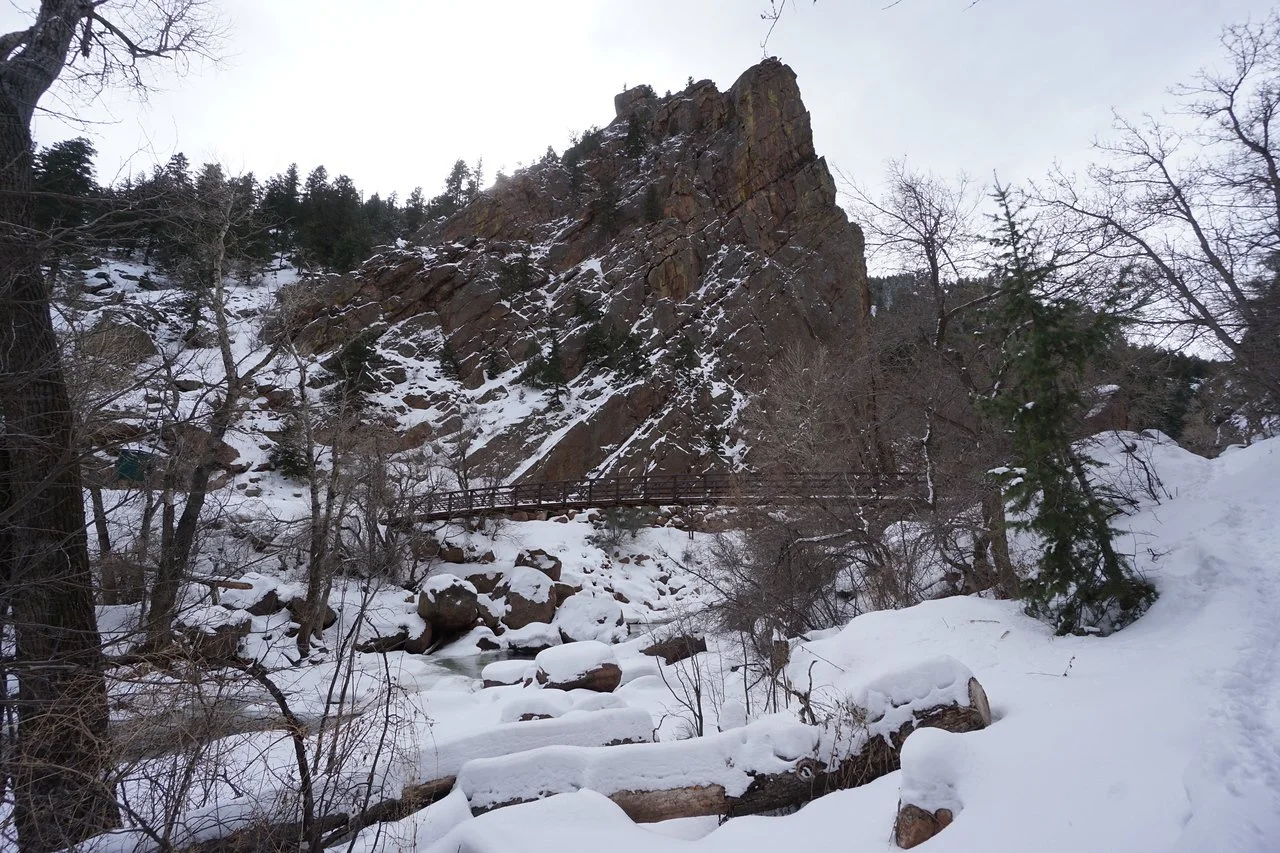
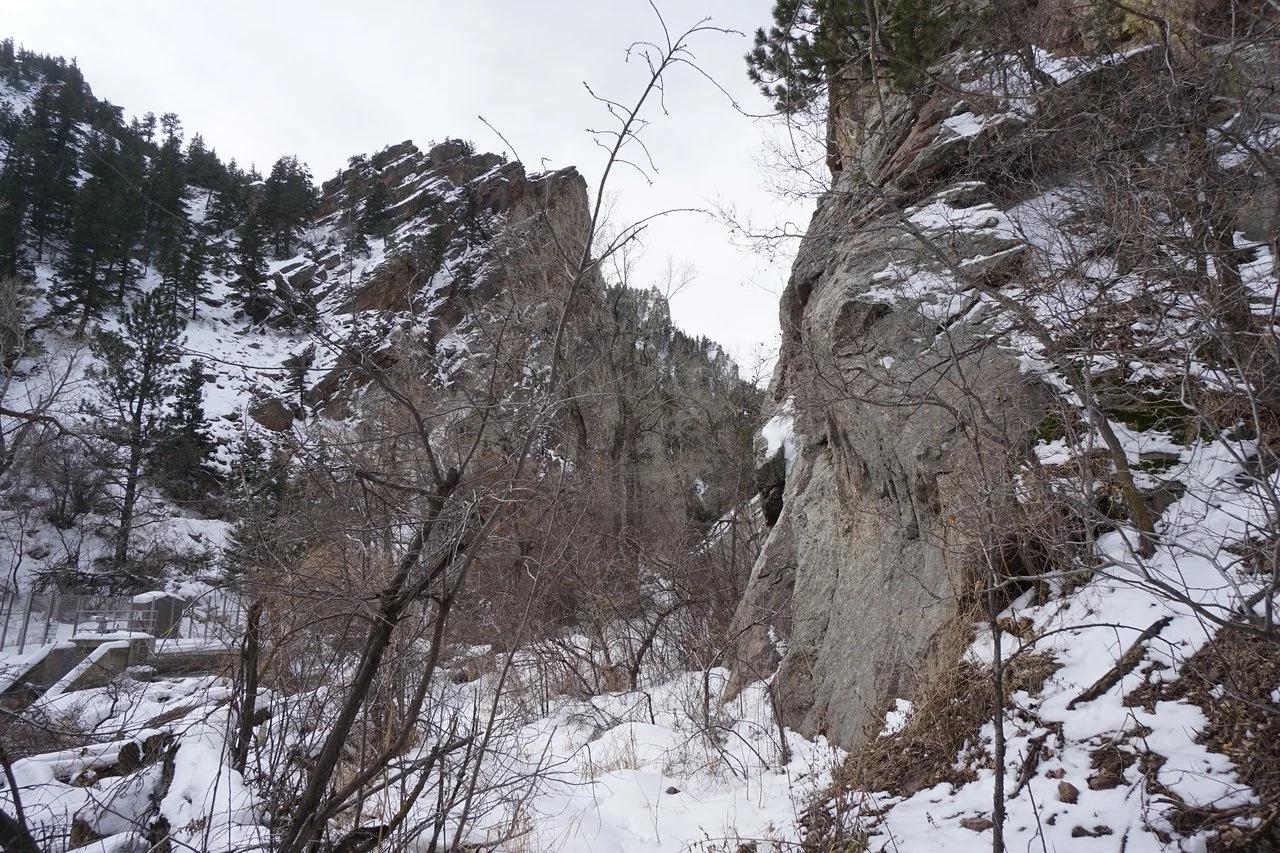
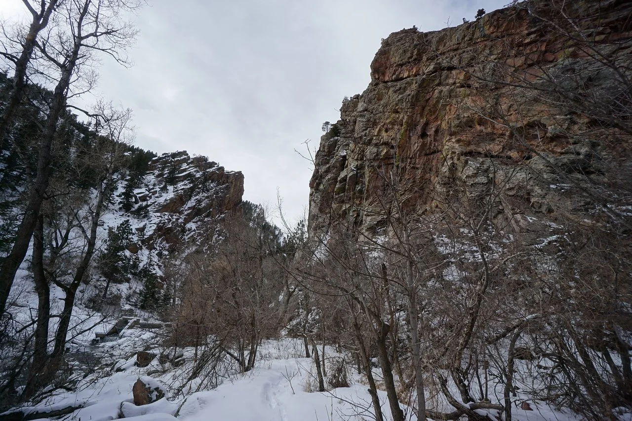
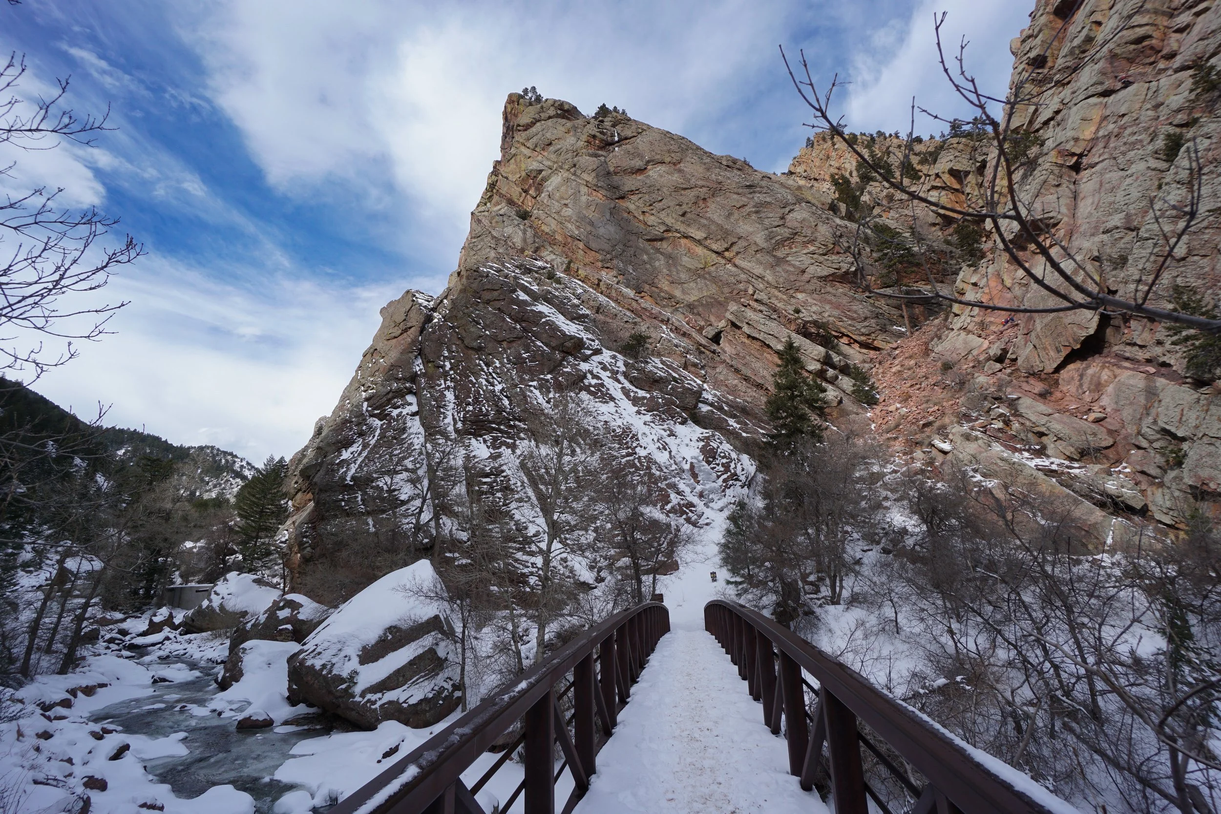
Eldorado Canyon State Park’s Streamside Trail is a short but sweet hike that is mostly used for access to rock climbing routes. The trail crosses a footbridge from the main park road and follows a rocky trail east and west along the bottom of the canyon. For hikers, this trail provides an easy way to take in the awesome canyon views from the bottom looking up. The jagged canyon walls are truly spectacular when you are standing at the base of them and the force of the South Boulder Creek carving the canyon is as majestic as the canyon itself.
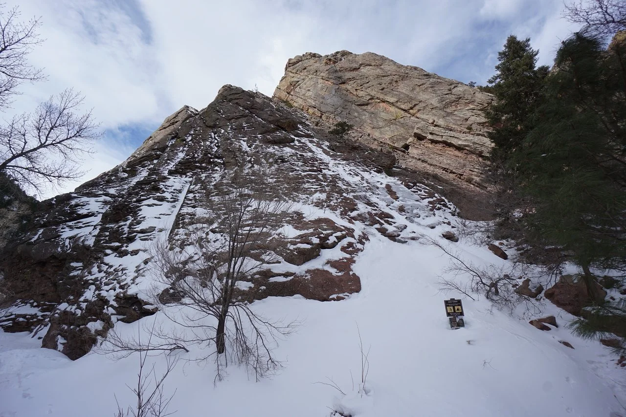
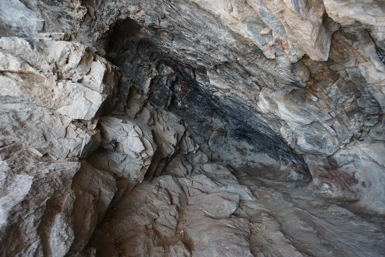
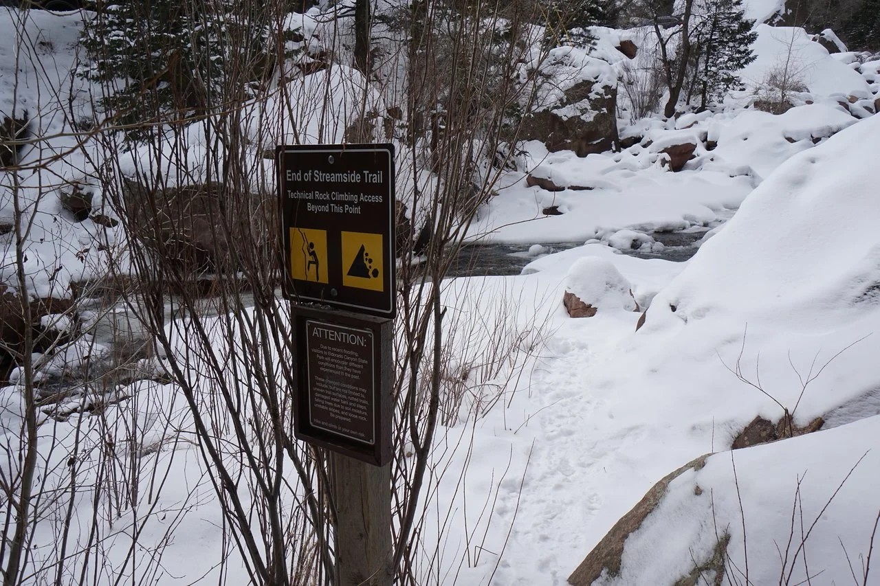
The hike is only about 1 mile roundtrip so there is not much needed in the way of direction. The trail west of the bridge is the more spectacular leg of the trail, keep an eye out for an alcove cave, and pay attention to the Streamside Trail end sign. Any trail past this point is purely for climbing access. For a longer hike along the bottom of the canyon, try the Fowler Trail and for canyon views from above, check out the Rattlesnake Gulch Trail.
Eldorado Canyon State Park gets very busy in the spring, summer, and fall so plan ahead as reservations are often required. Check the state park website for more information. Alternatively, do this hike in the winter for a more peaceful experience.