Spring Creek Trail
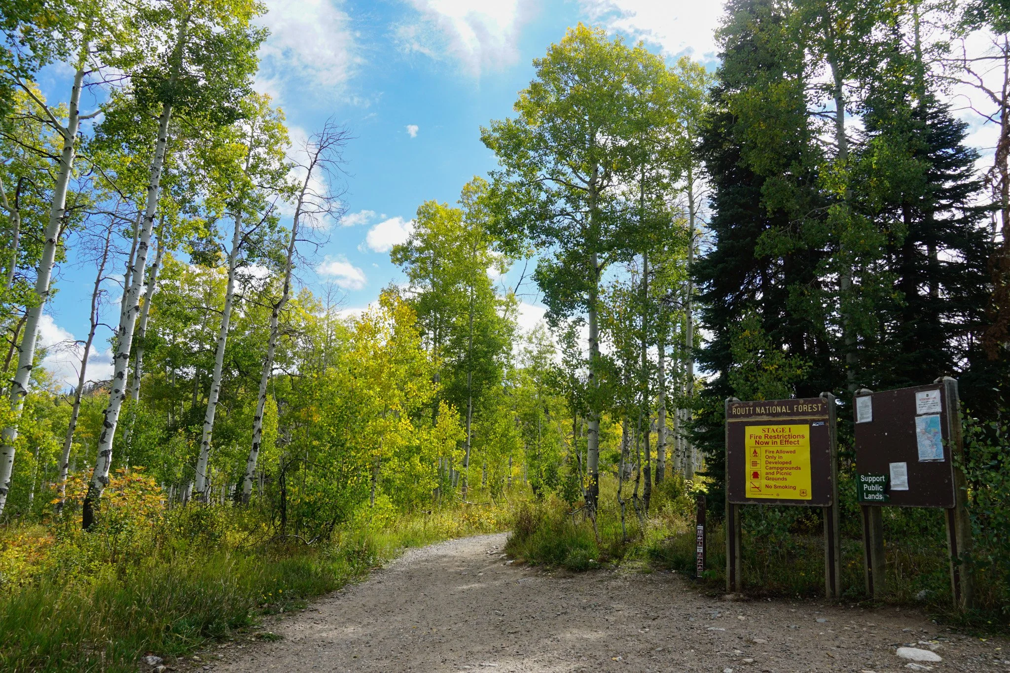
Routt National Forest
Date Hiked: September 21, 2025
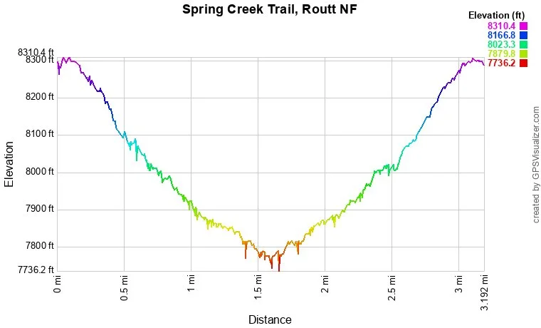
Distance: 3 mi (RT)
Elevation Gain: 520 ft
Elevation Min/Max: 7,771 to 8,294 ft
Trailhead Lat/Long: 40.53447, -106.78446
Managing Agency: U.S. Forest Service
Fee: Yes
Directions:
From Hwy 40 in Steamboat Springs, head north on 5th ave and bear right onto Maple Street. Turn left onto Amethyst Drive which becomes Routt County Road #36. Turn right onto Routt County Road #38, Buffalo Pass Road, for 3.5 miles to the Dry Lake Trailhead and large parking area. The Trailhead is located to the south of the road.
Hike Description:
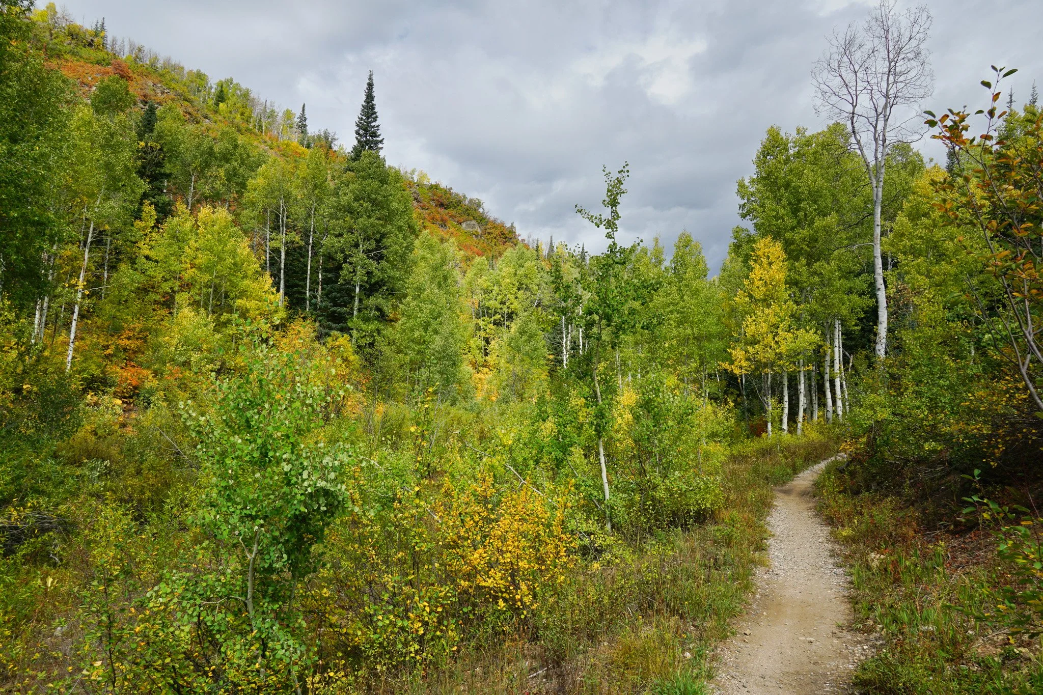
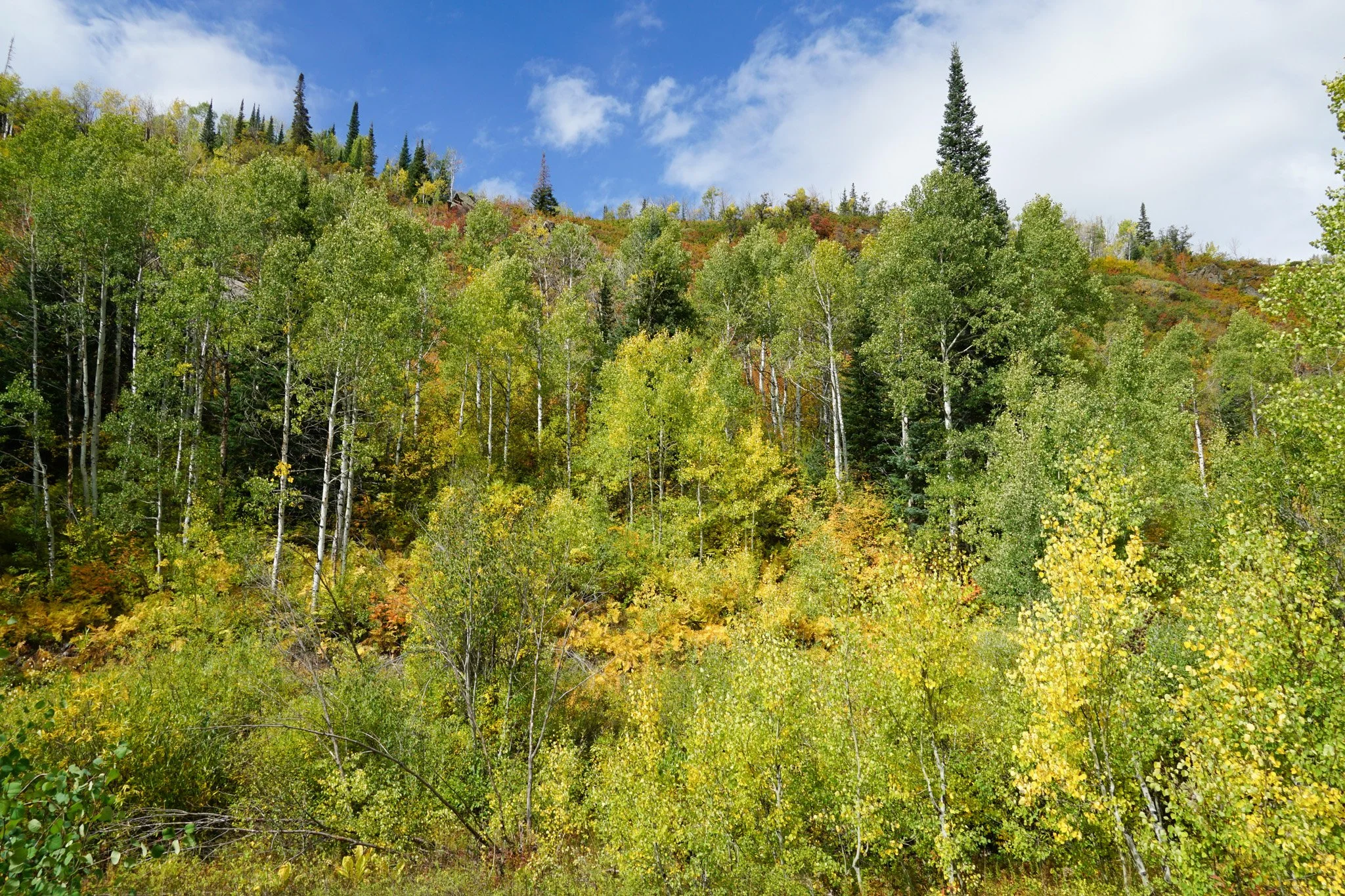
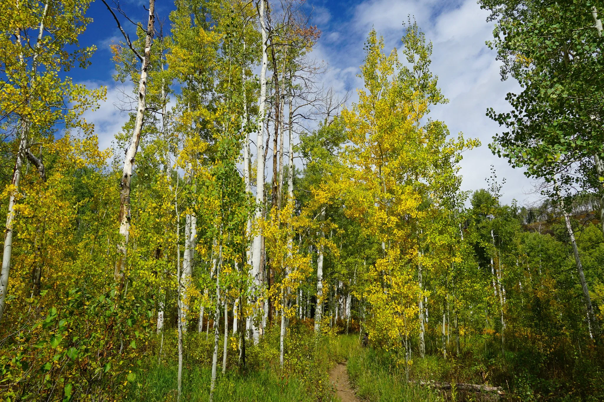
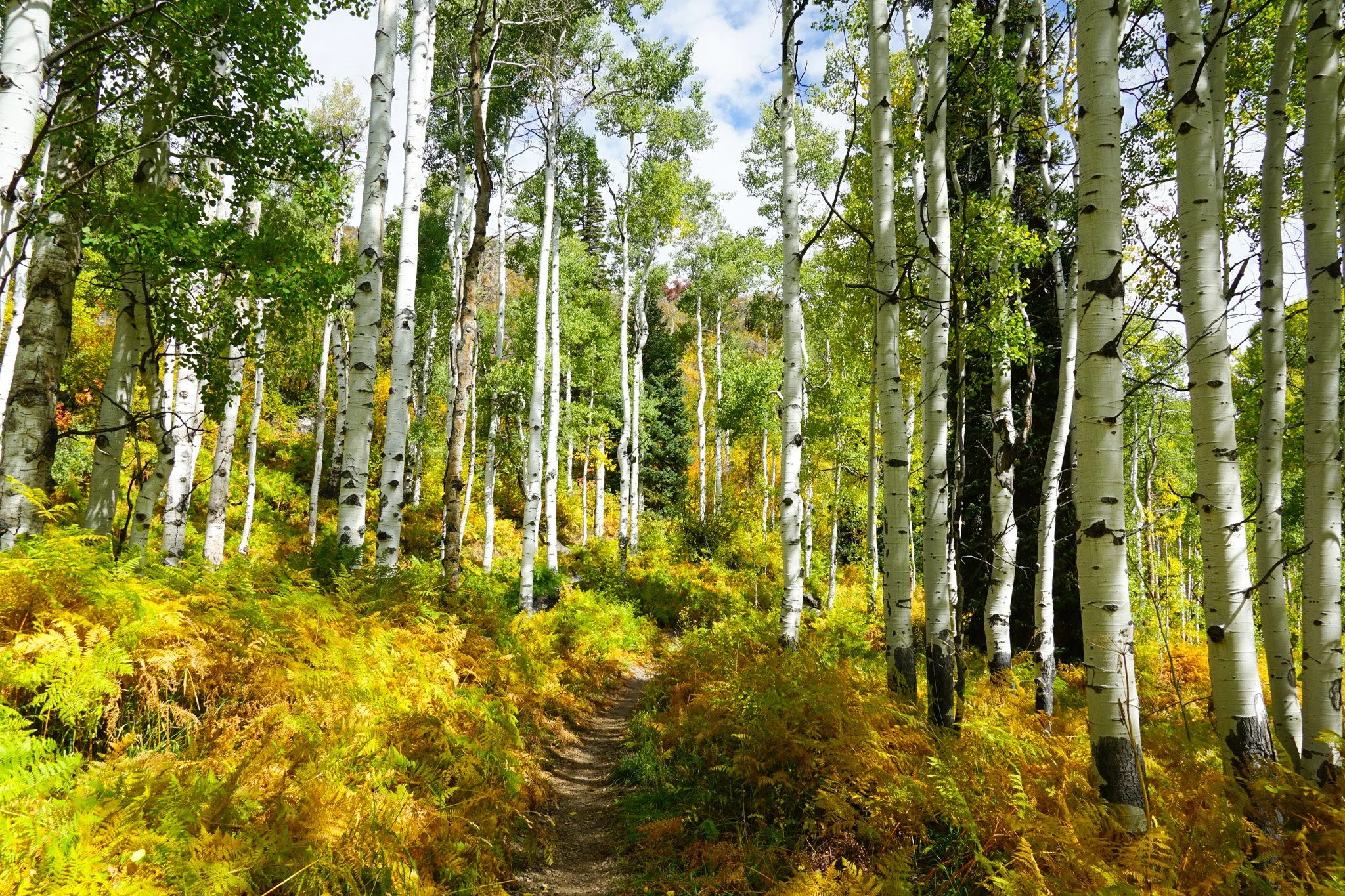
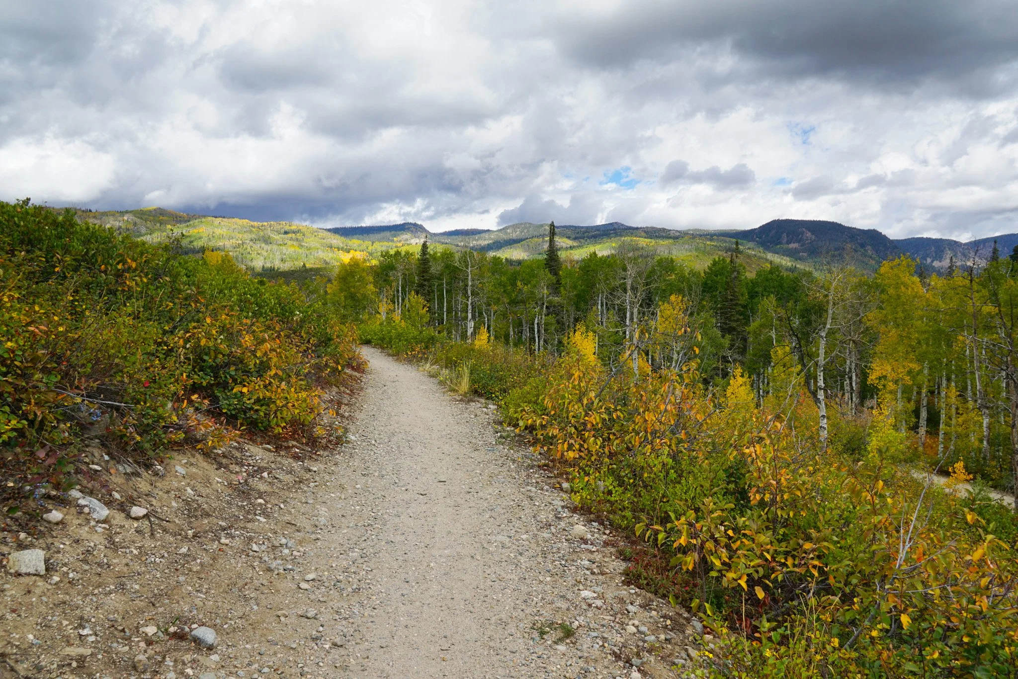
The Spring Creek Trail is a popular recreational trail linking Steamboat Springs proper to the Buffalo Pass area, a hotbed of fall colors, hiking, and biking, with separate paralell trails for hiking and biking! You can tackle this trail either by parking at the lower trailhead and hiking up 4.5 miles to Buffalo Pass, or you can drive up to Buffalo Pass and hike down the trail. Many locals go up and down this trail as part of their daily fitness routine…impressive…
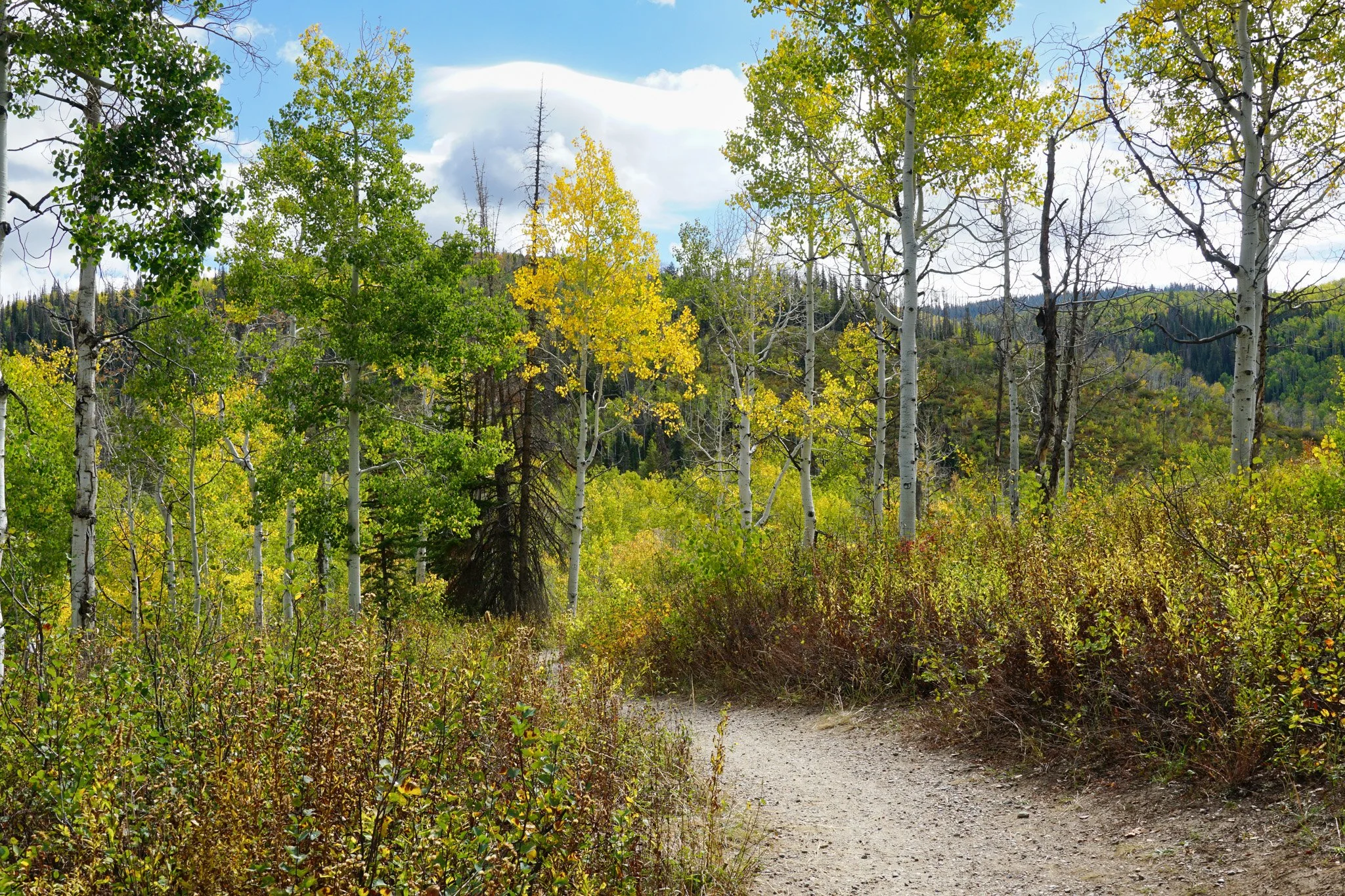
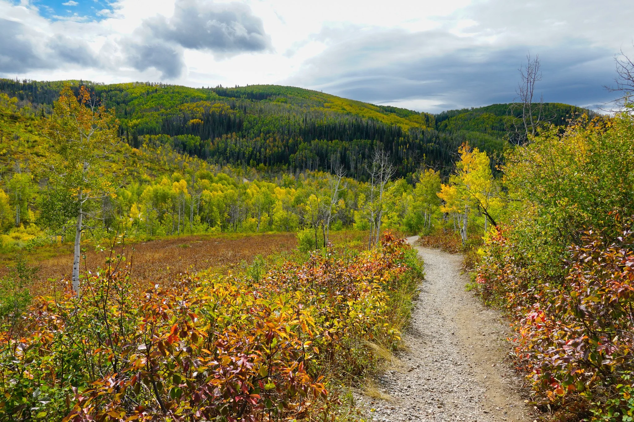
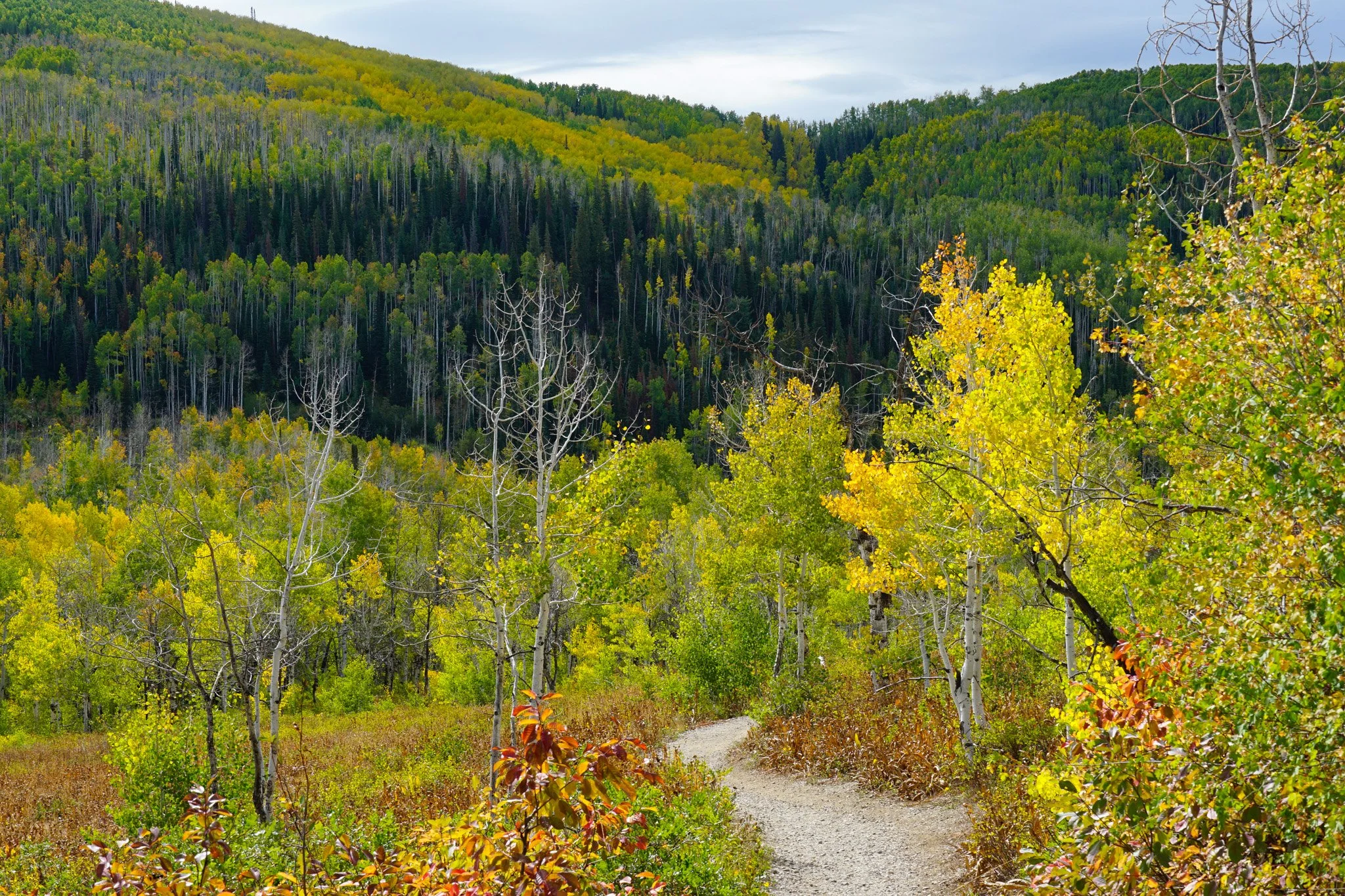
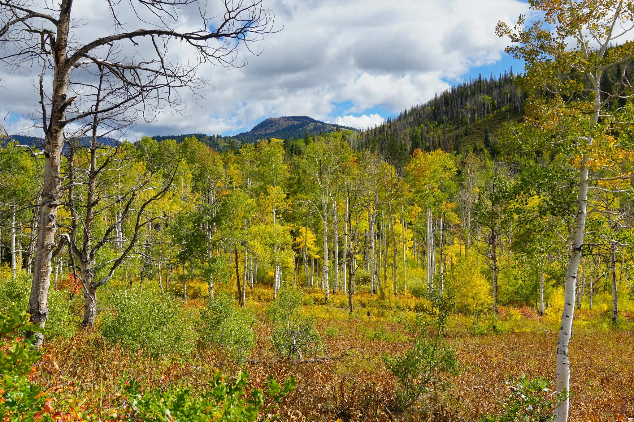
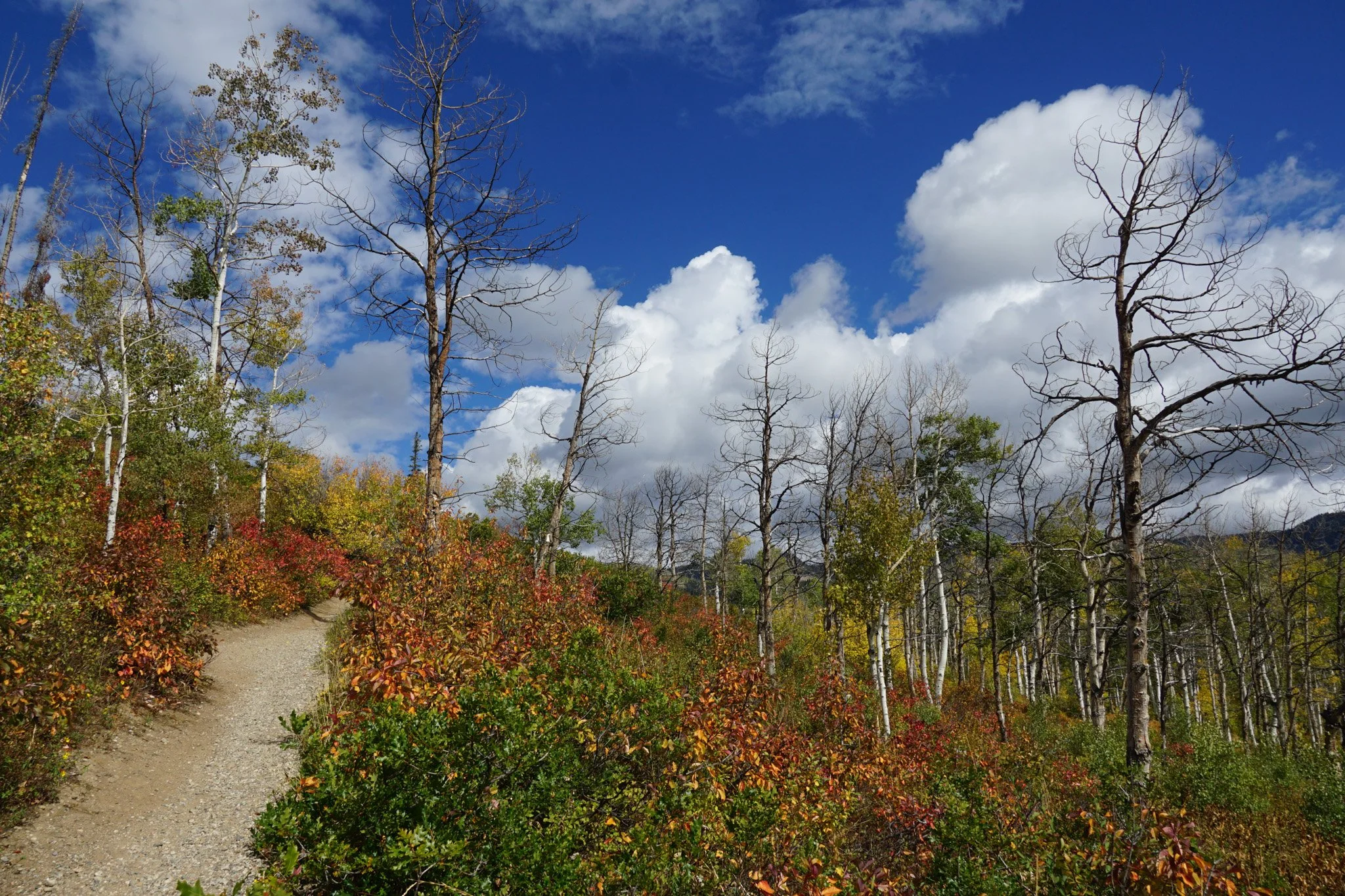
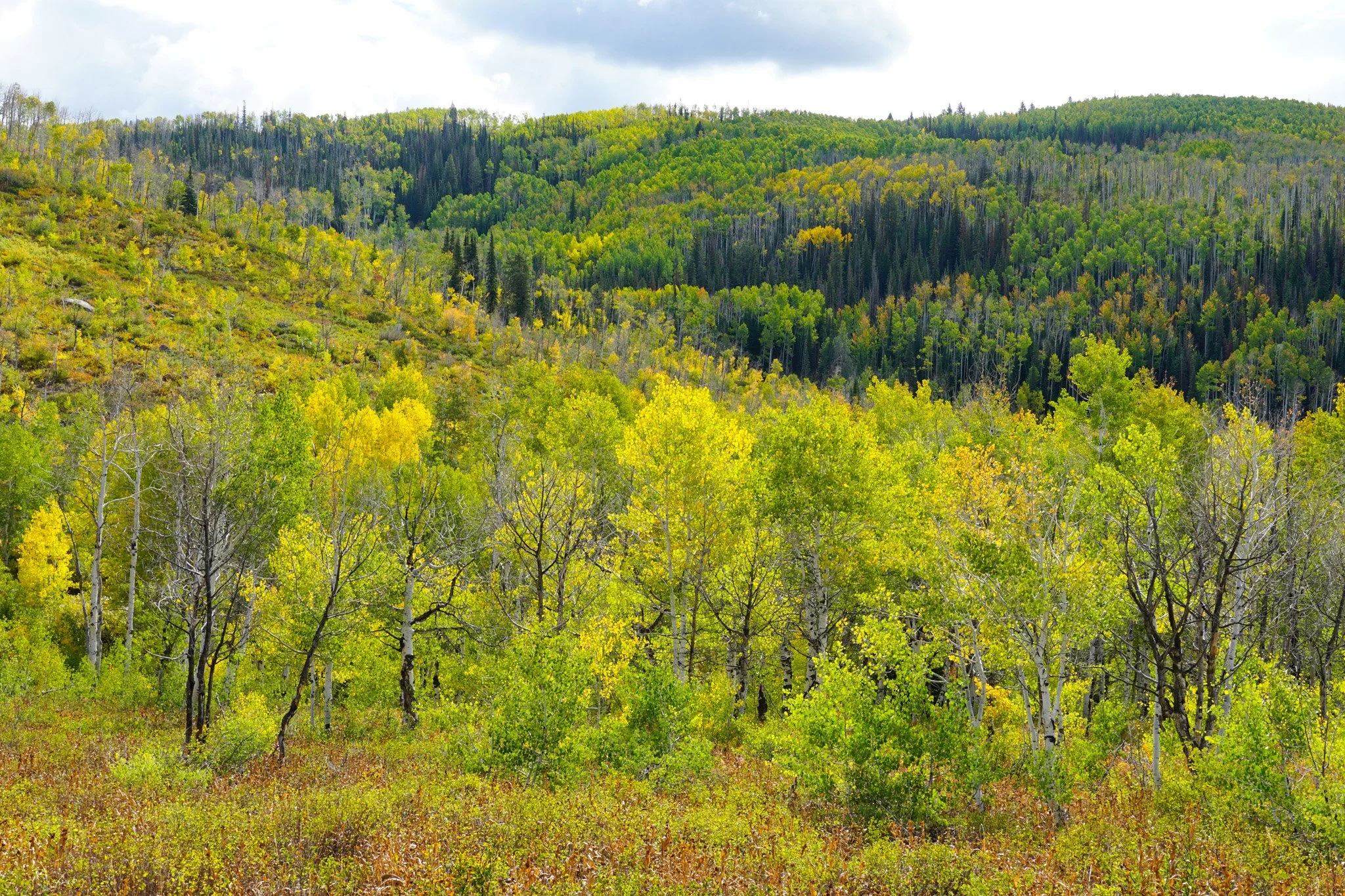
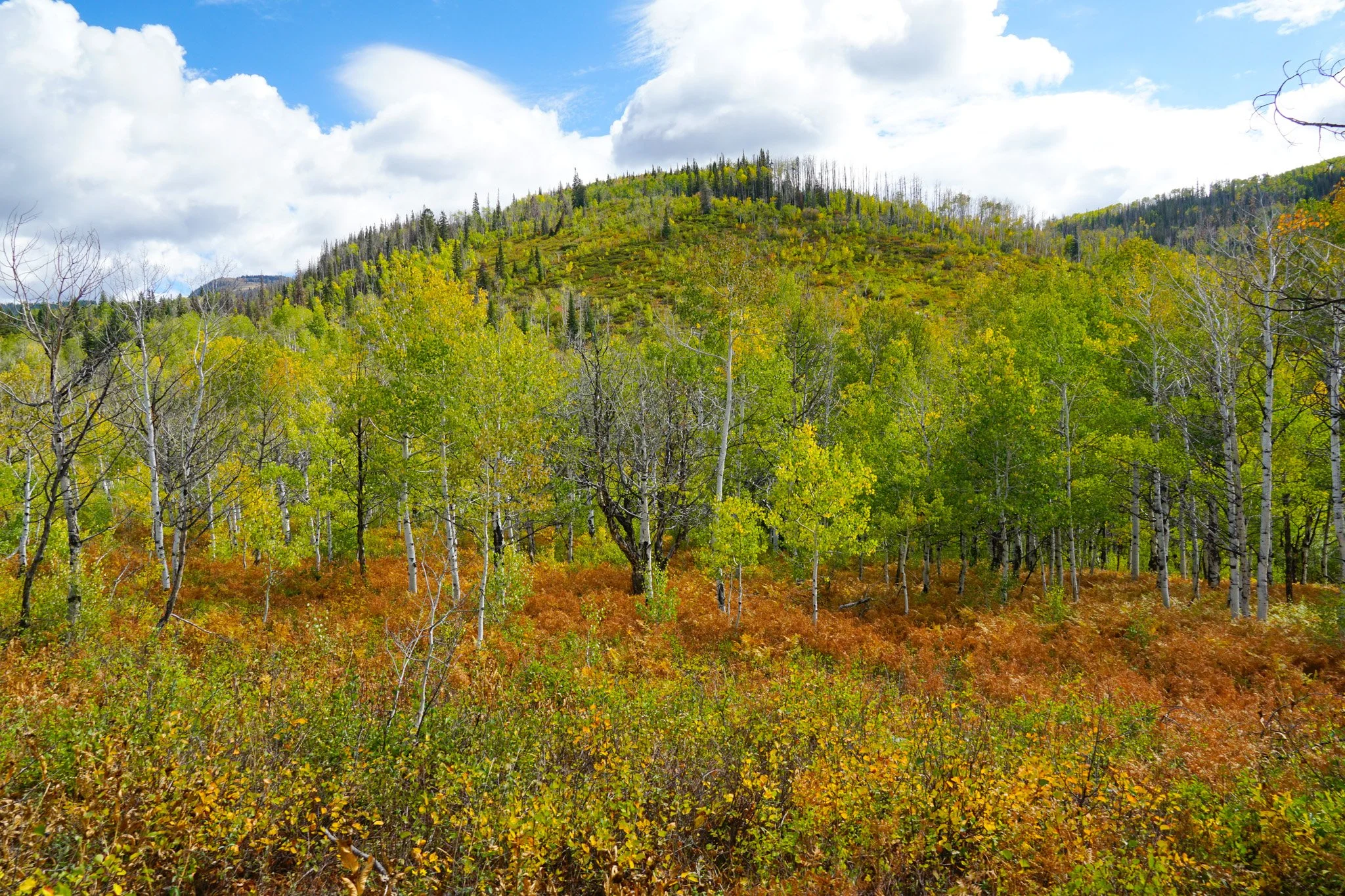
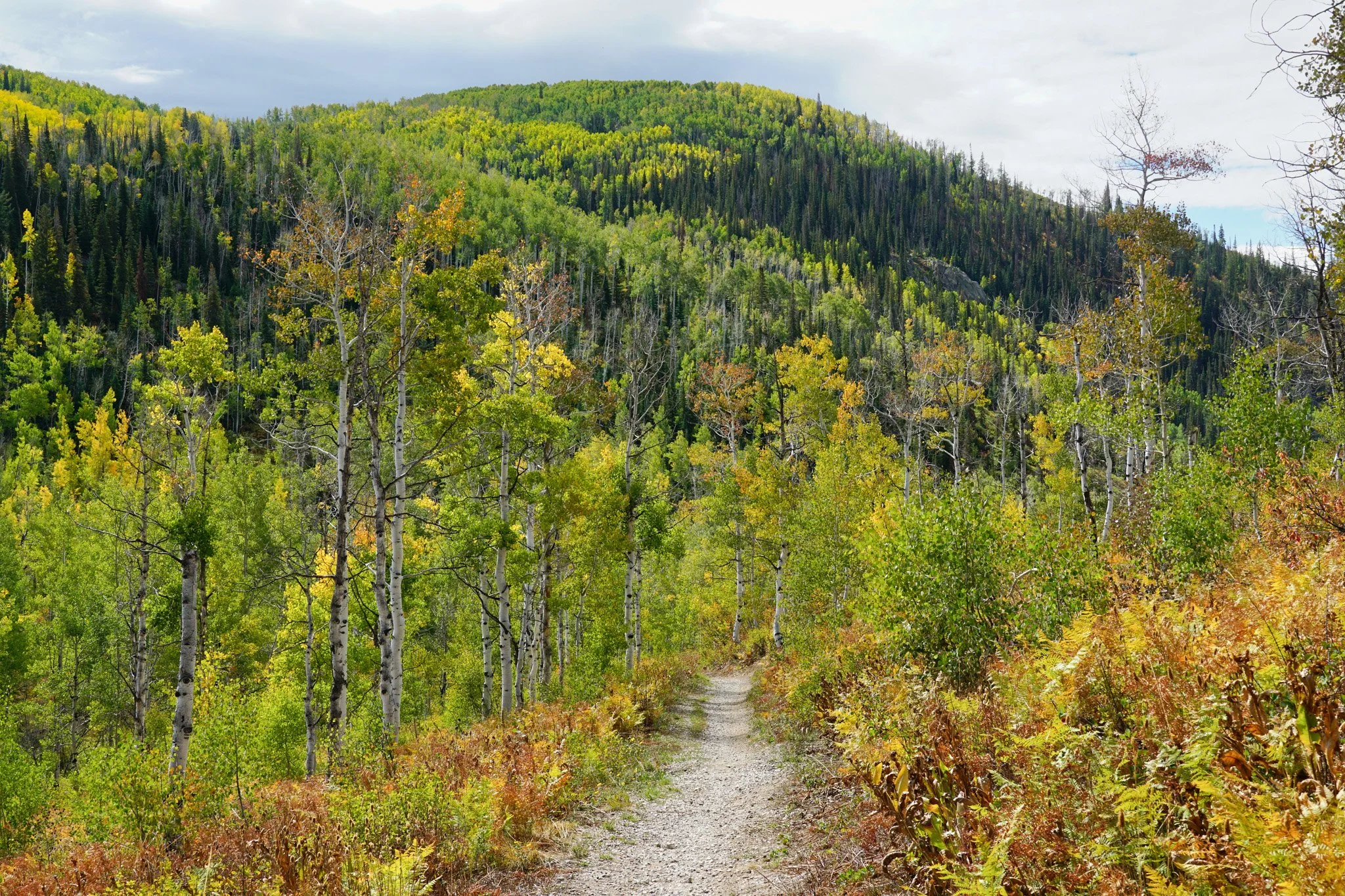
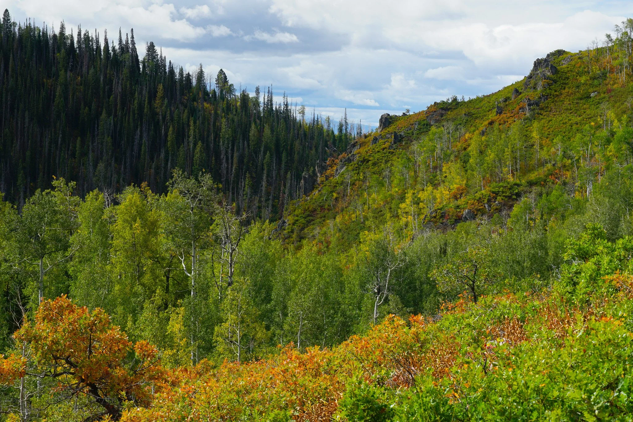
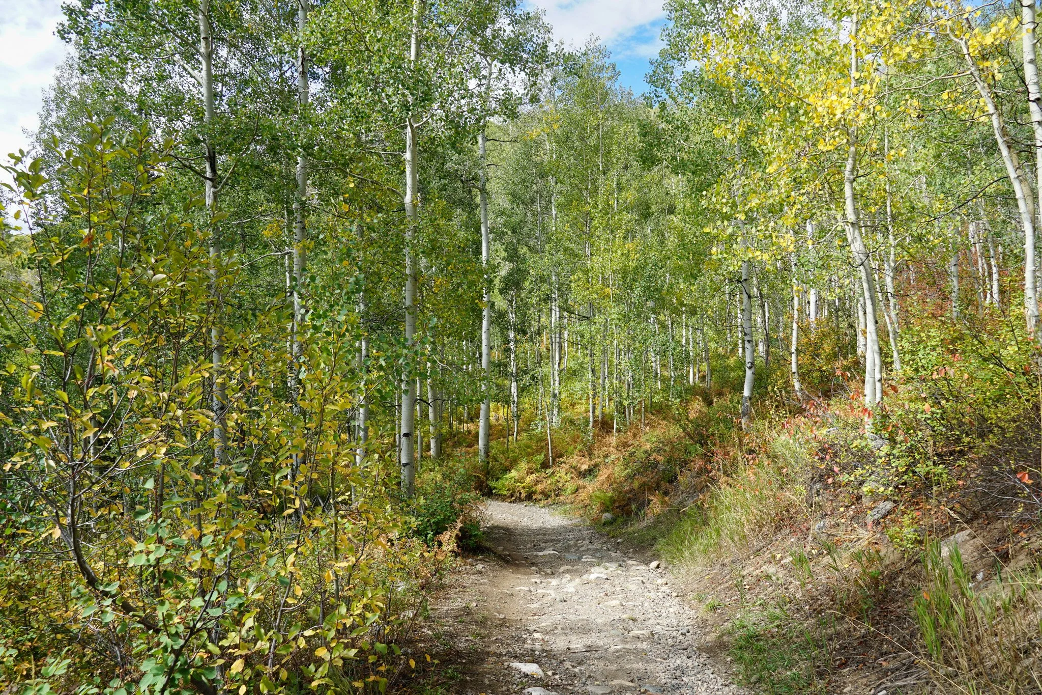
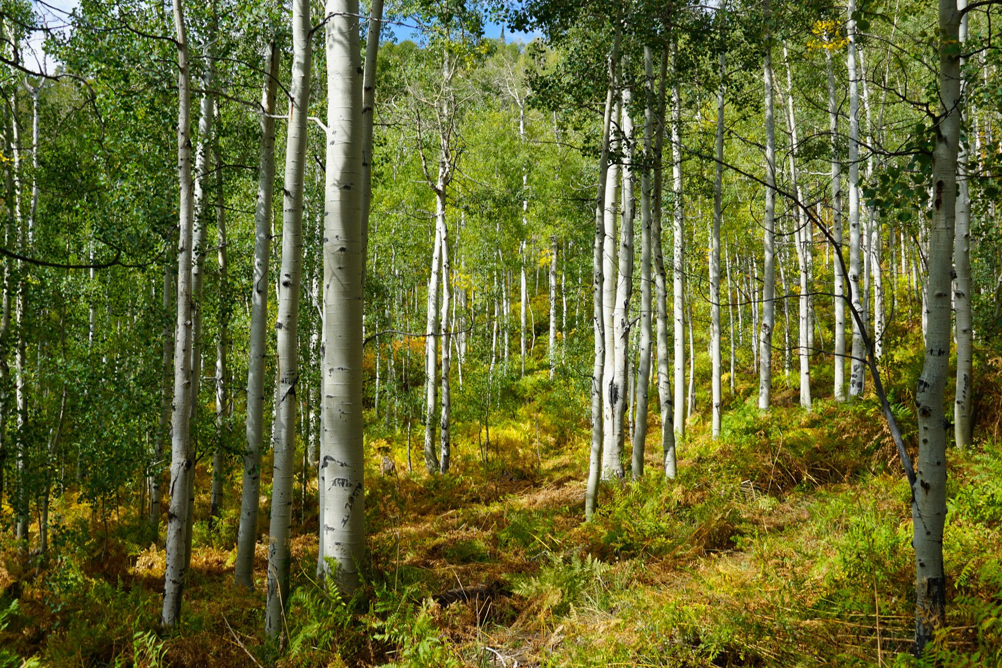
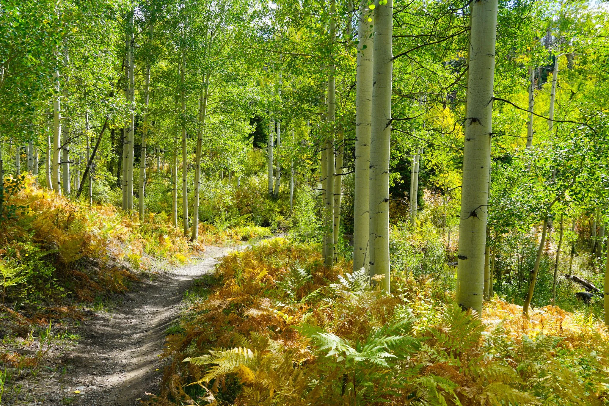
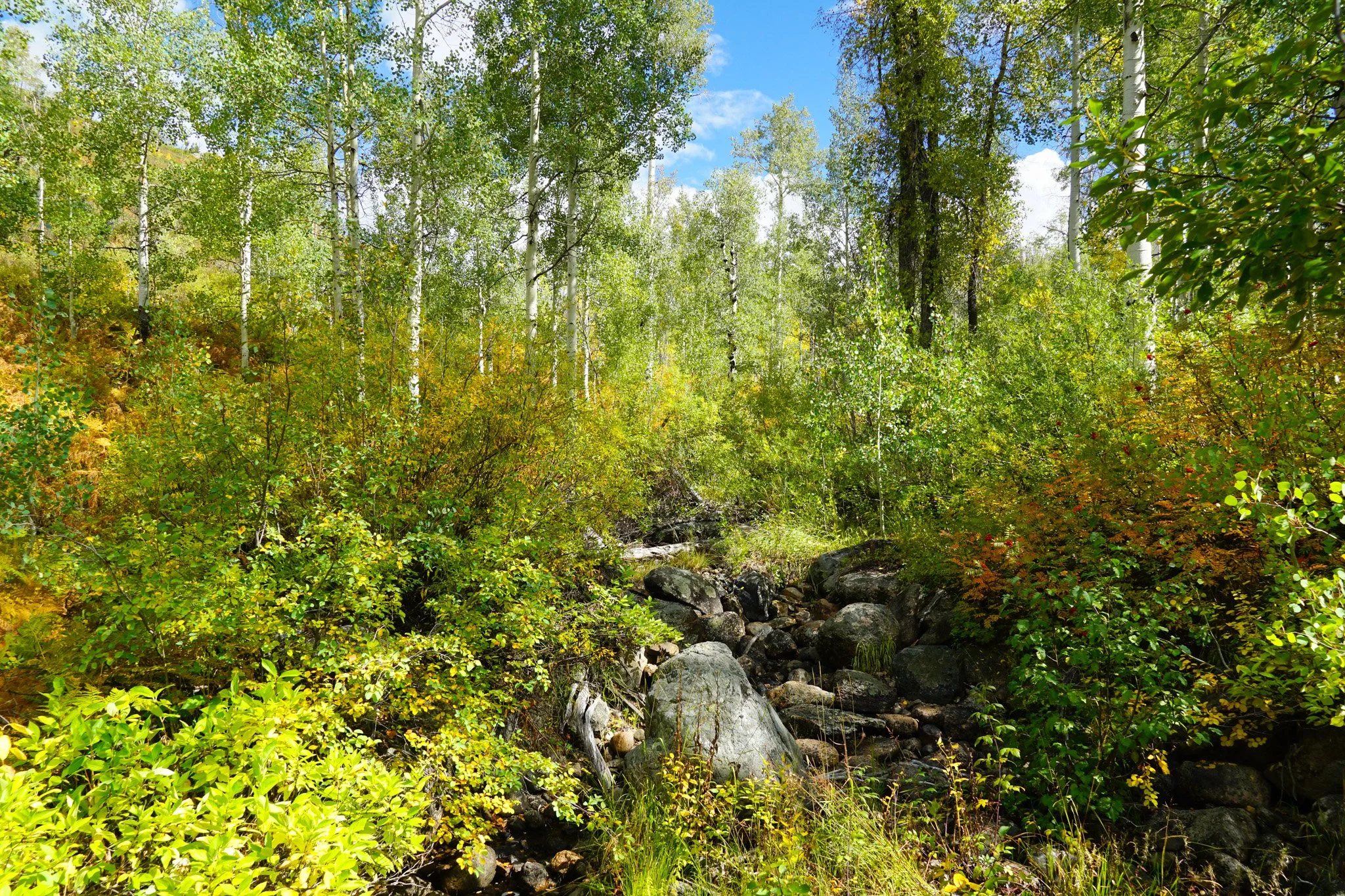
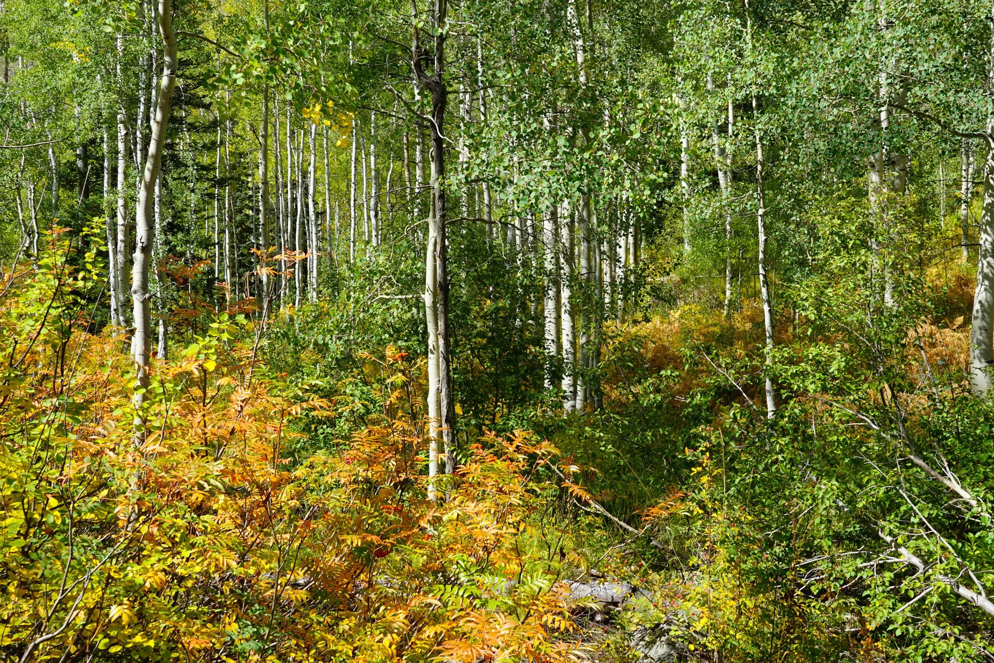
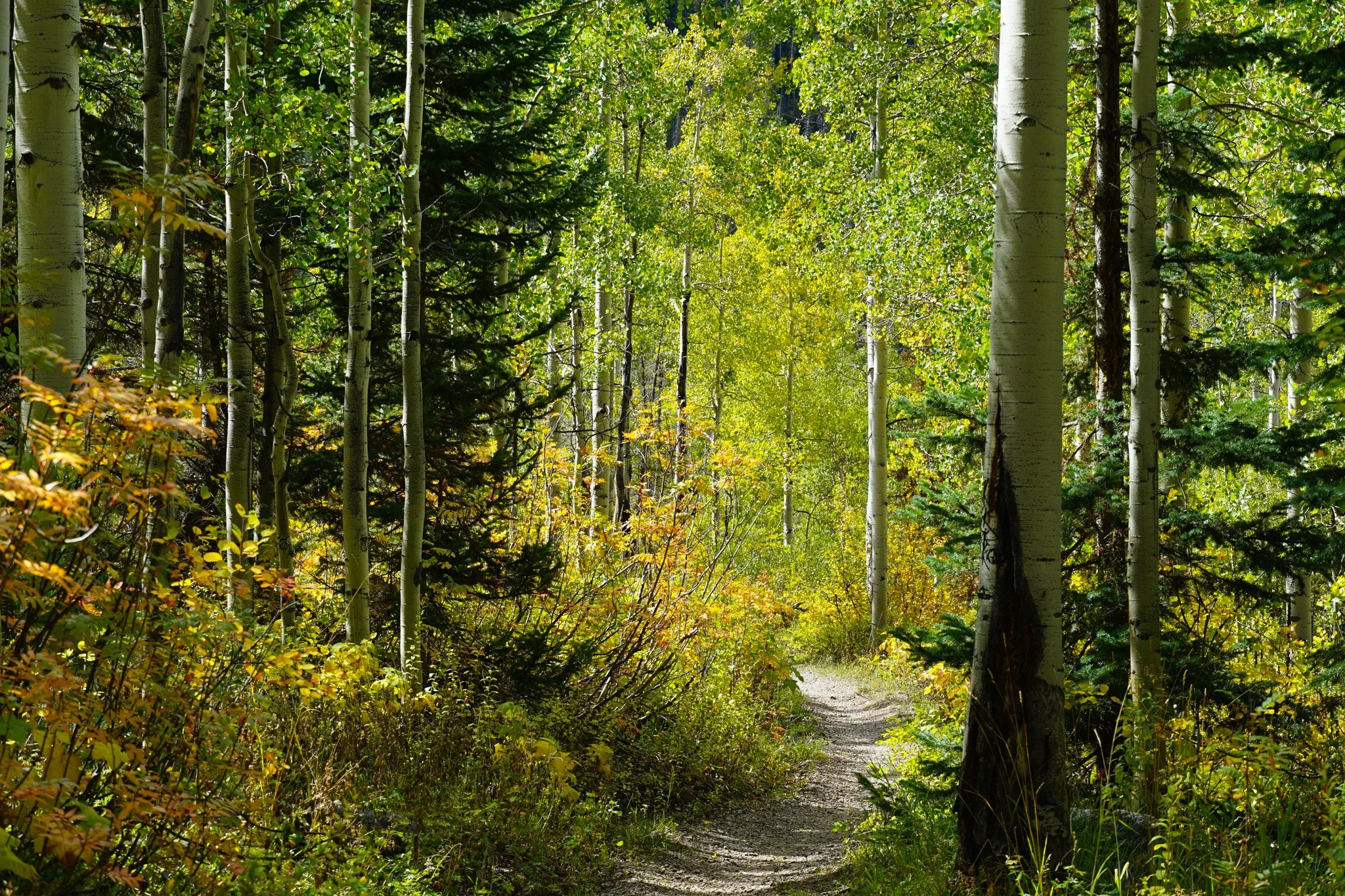
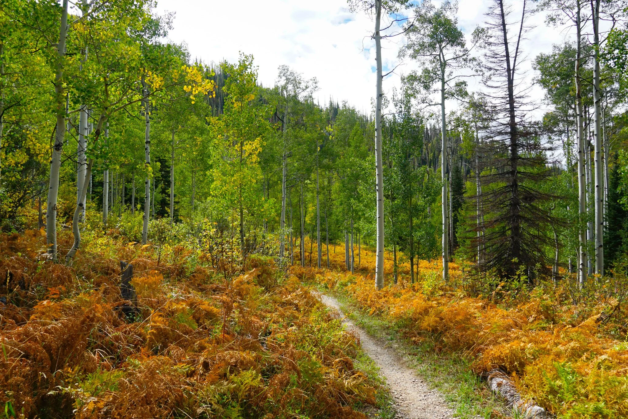
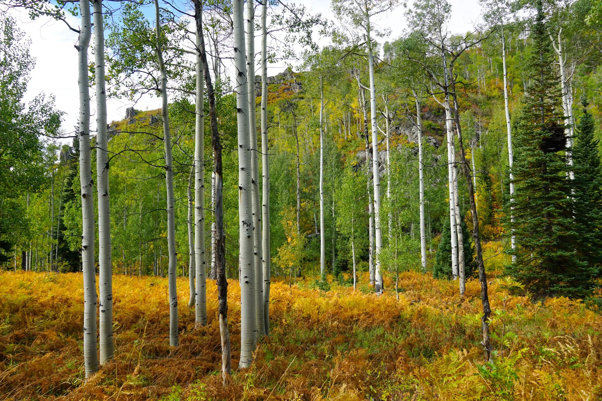
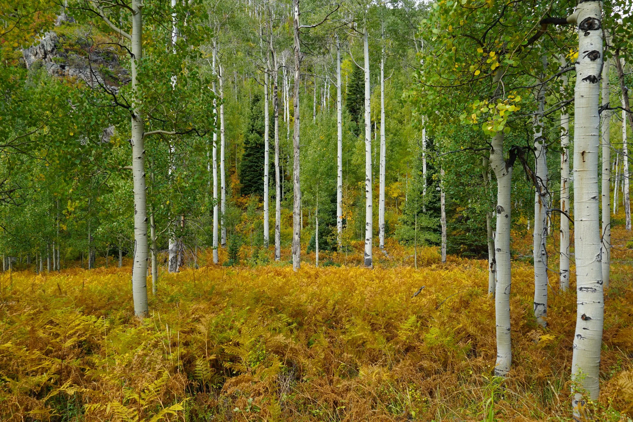
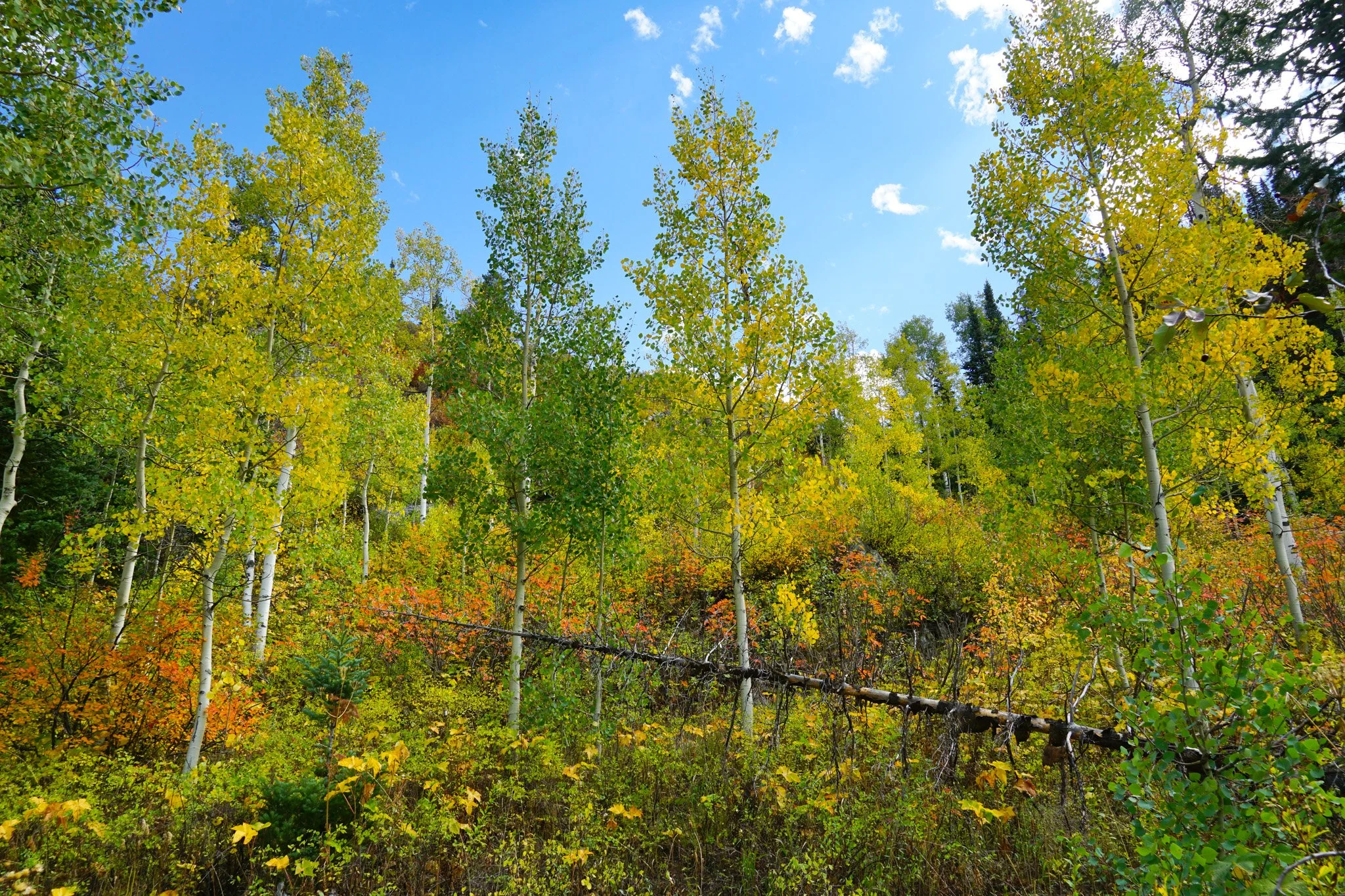
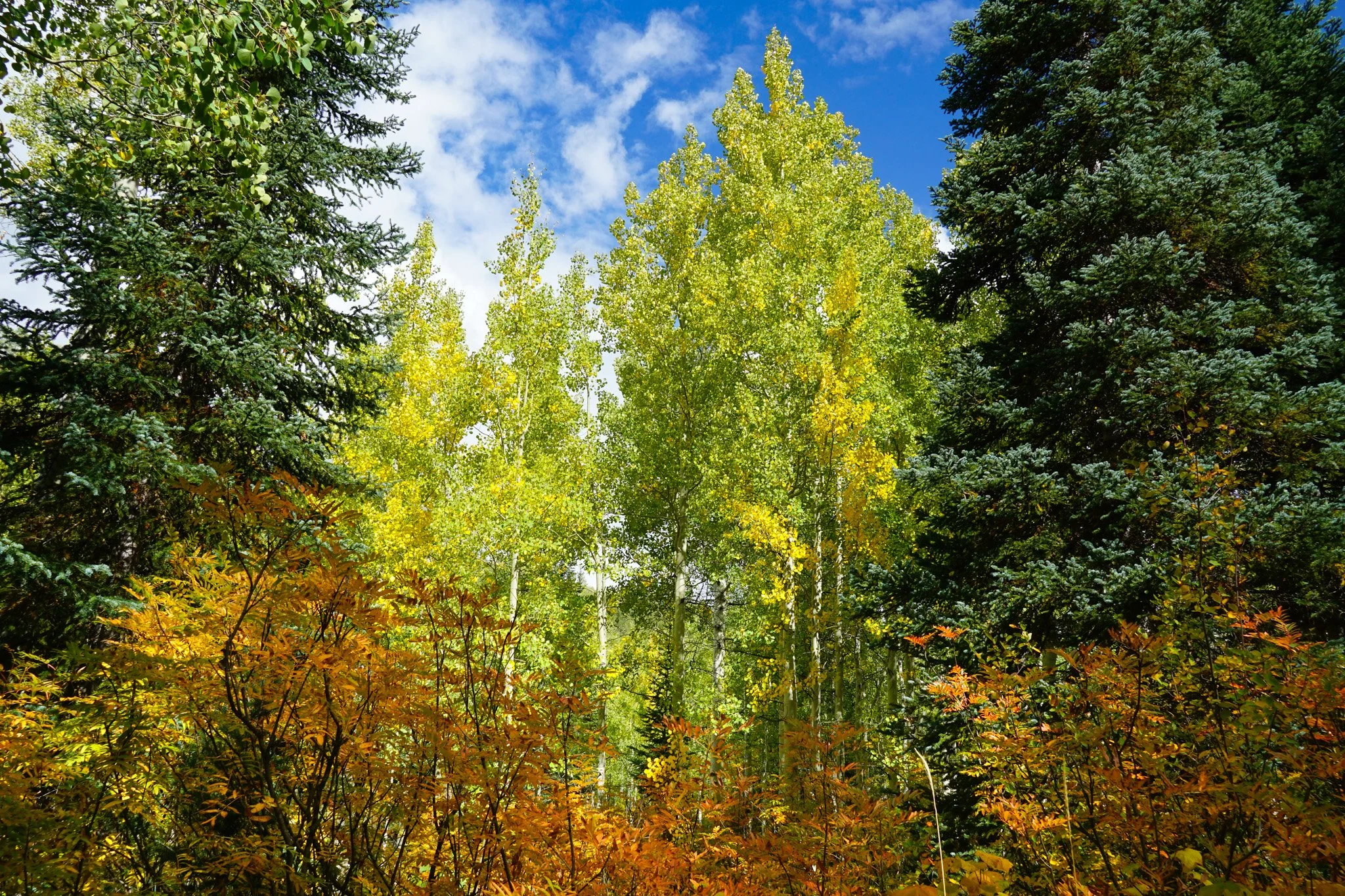
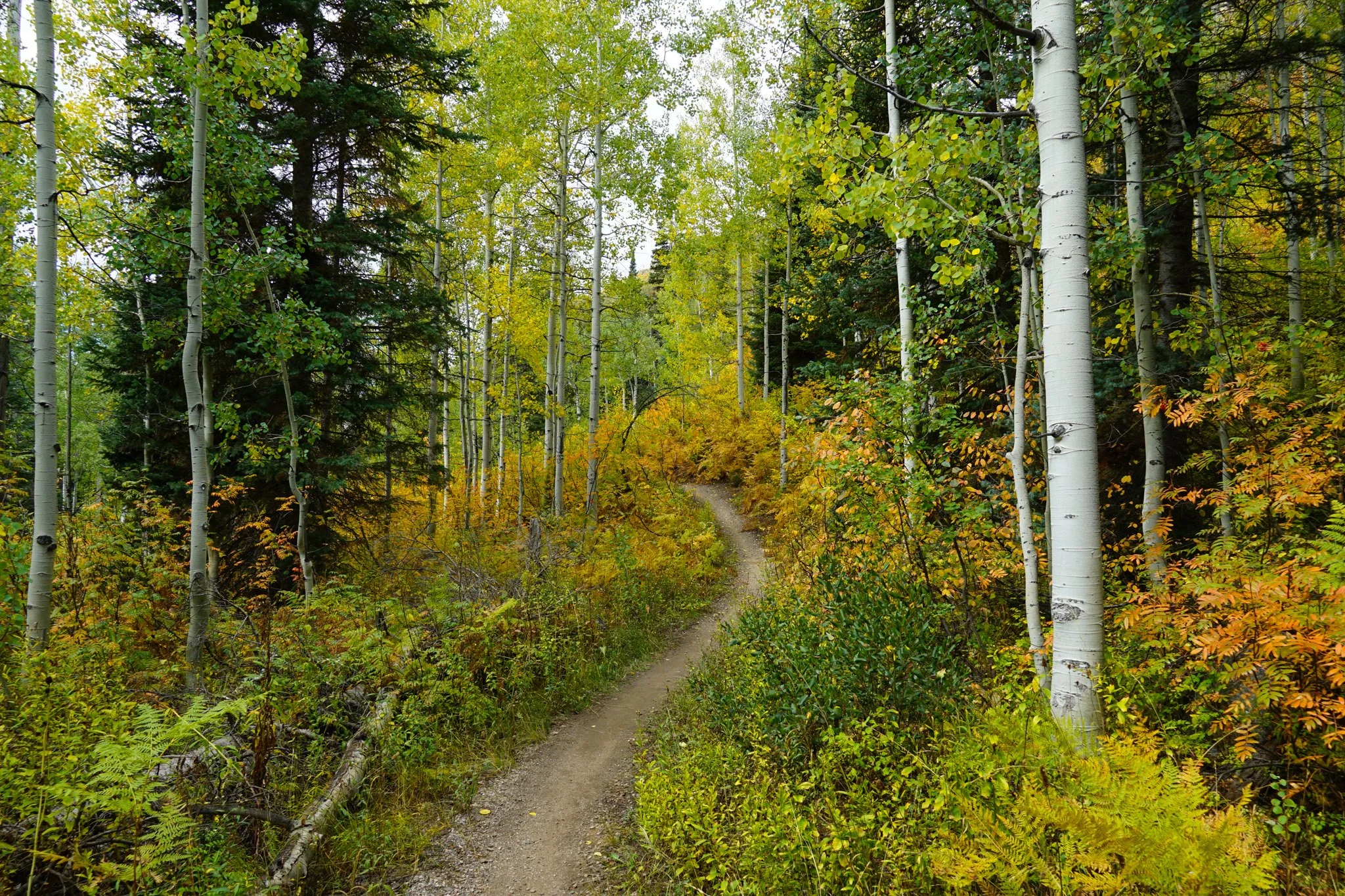
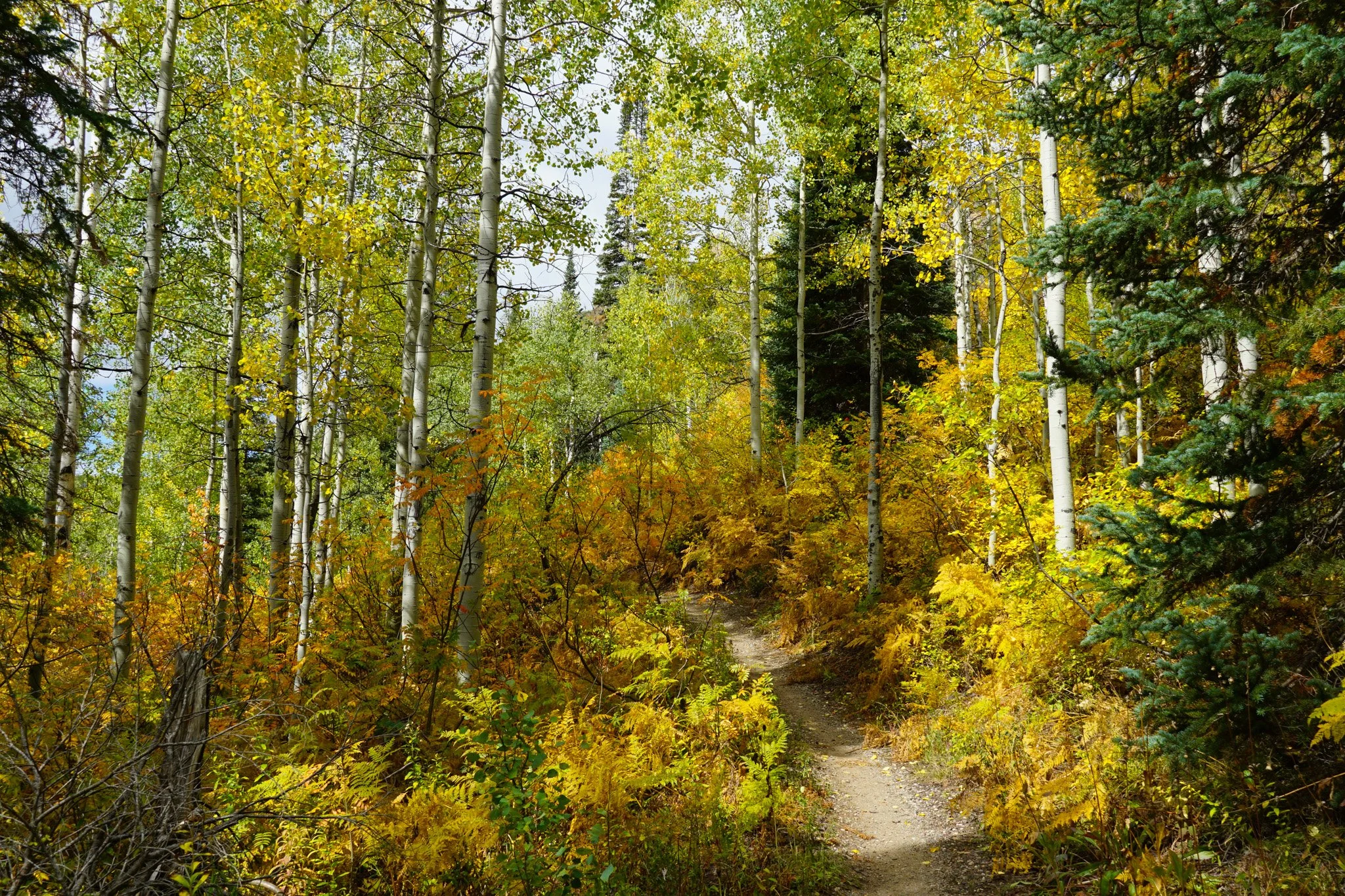
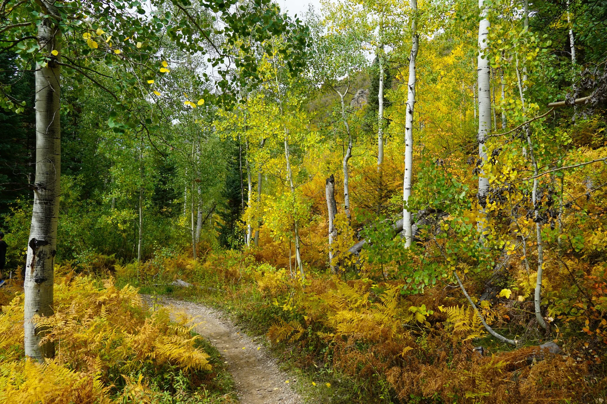
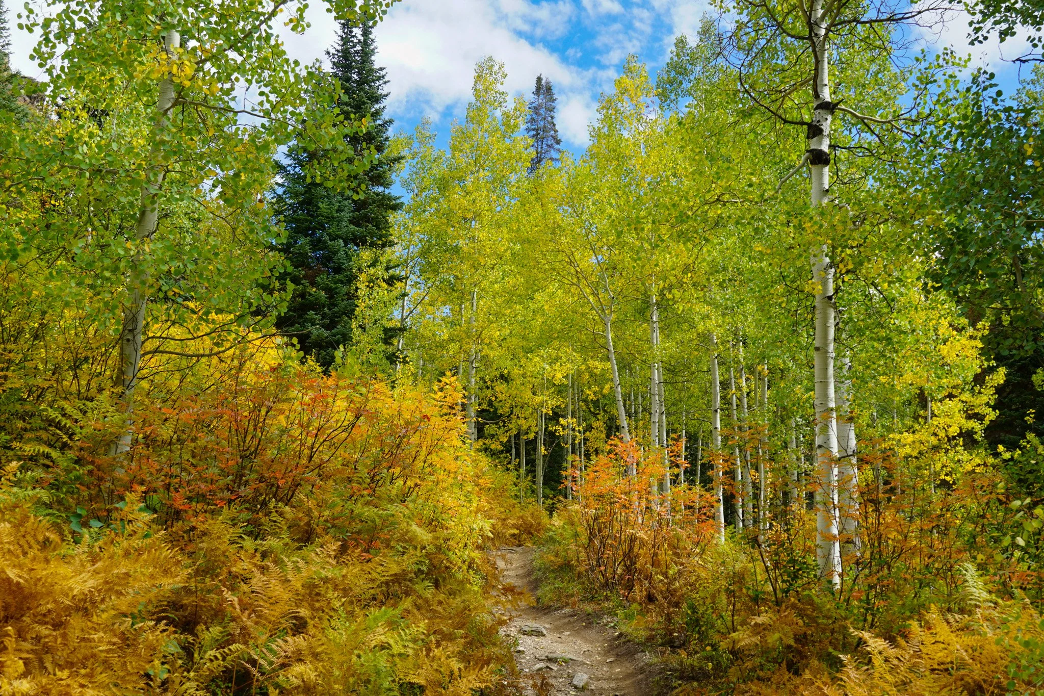
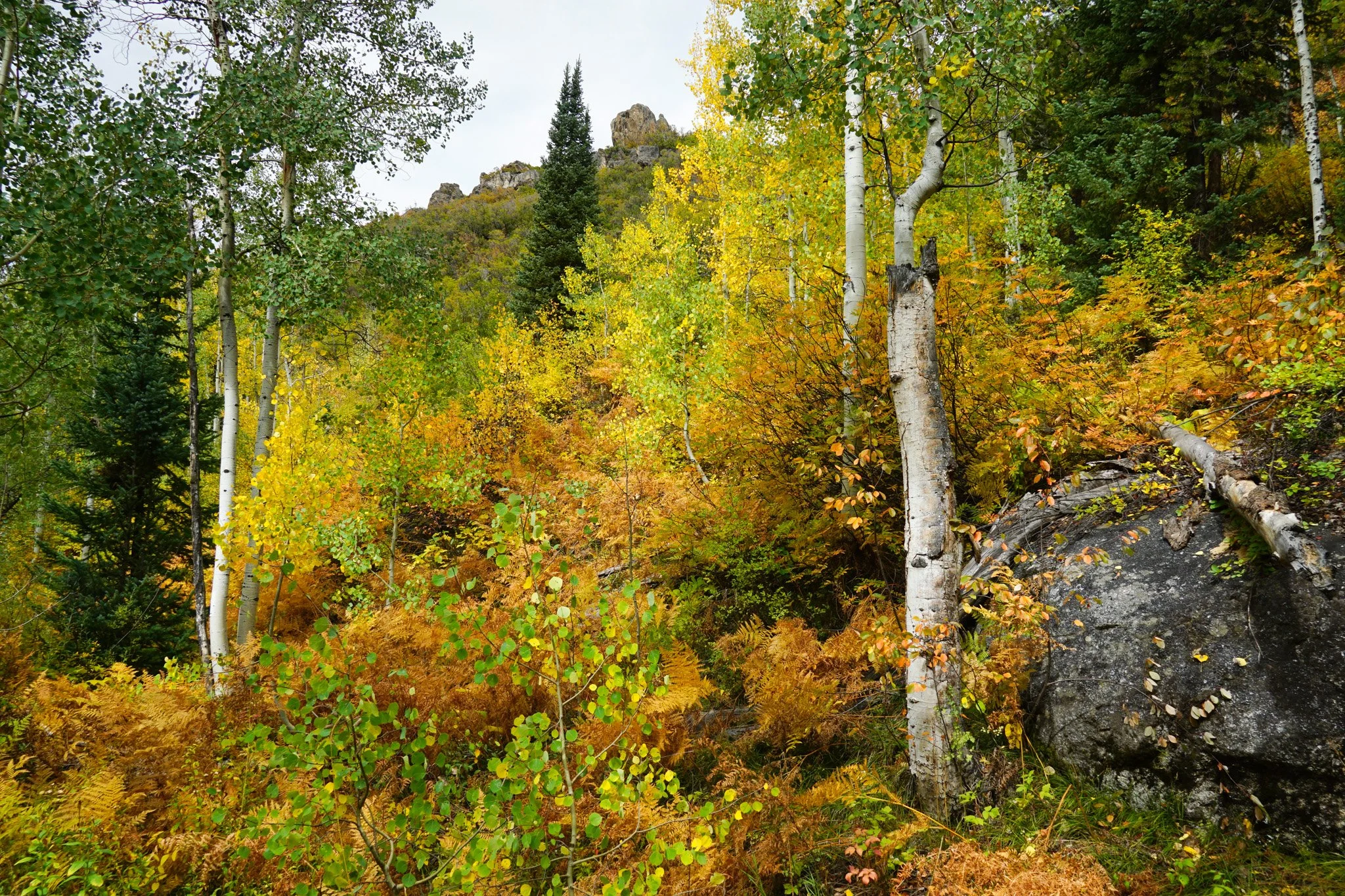
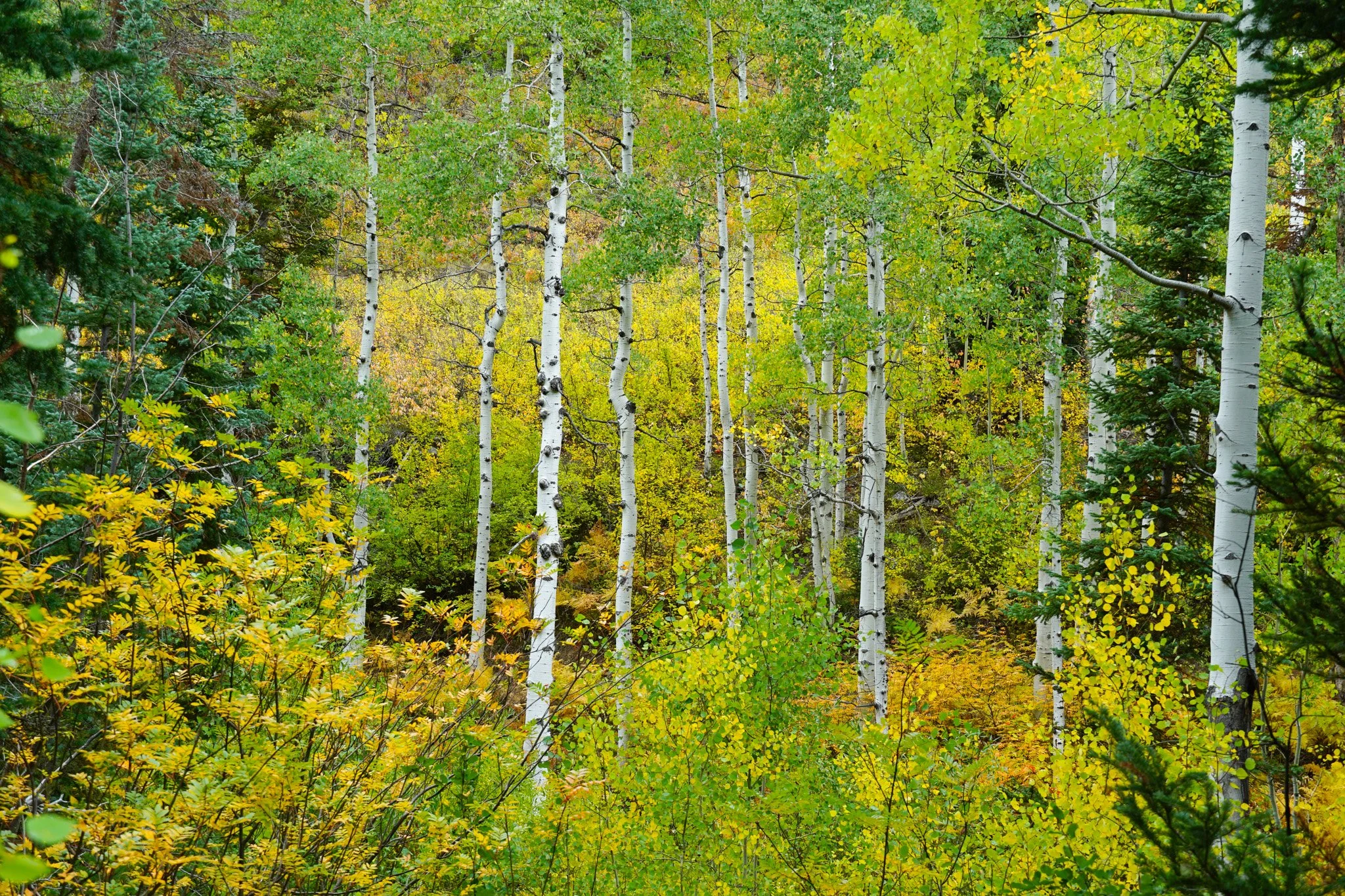
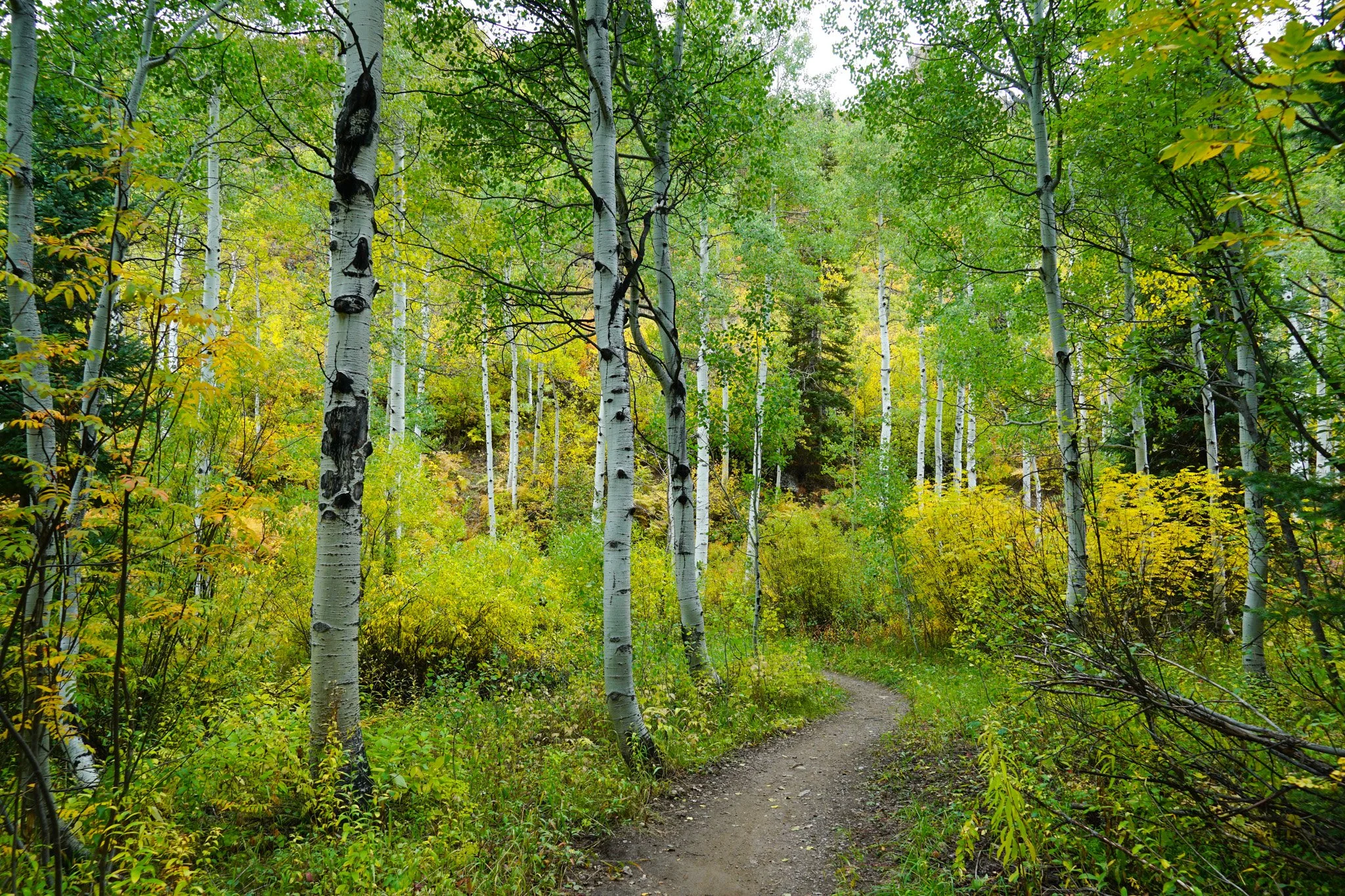
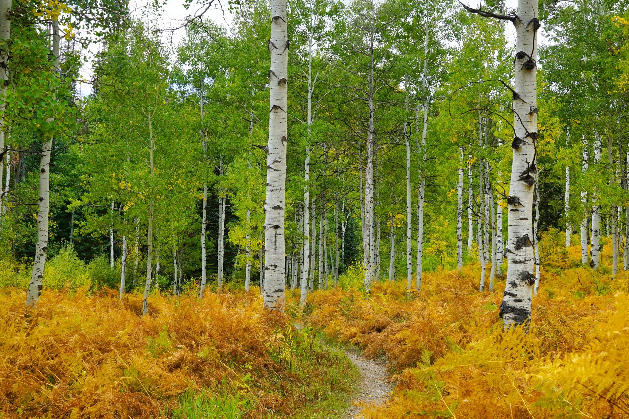
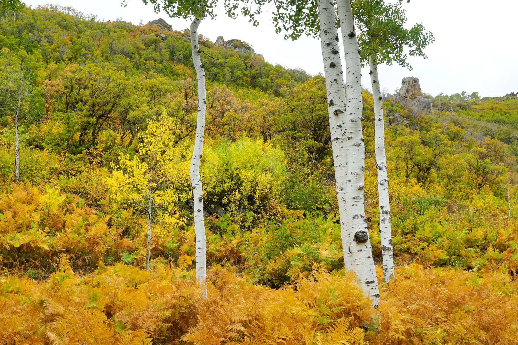
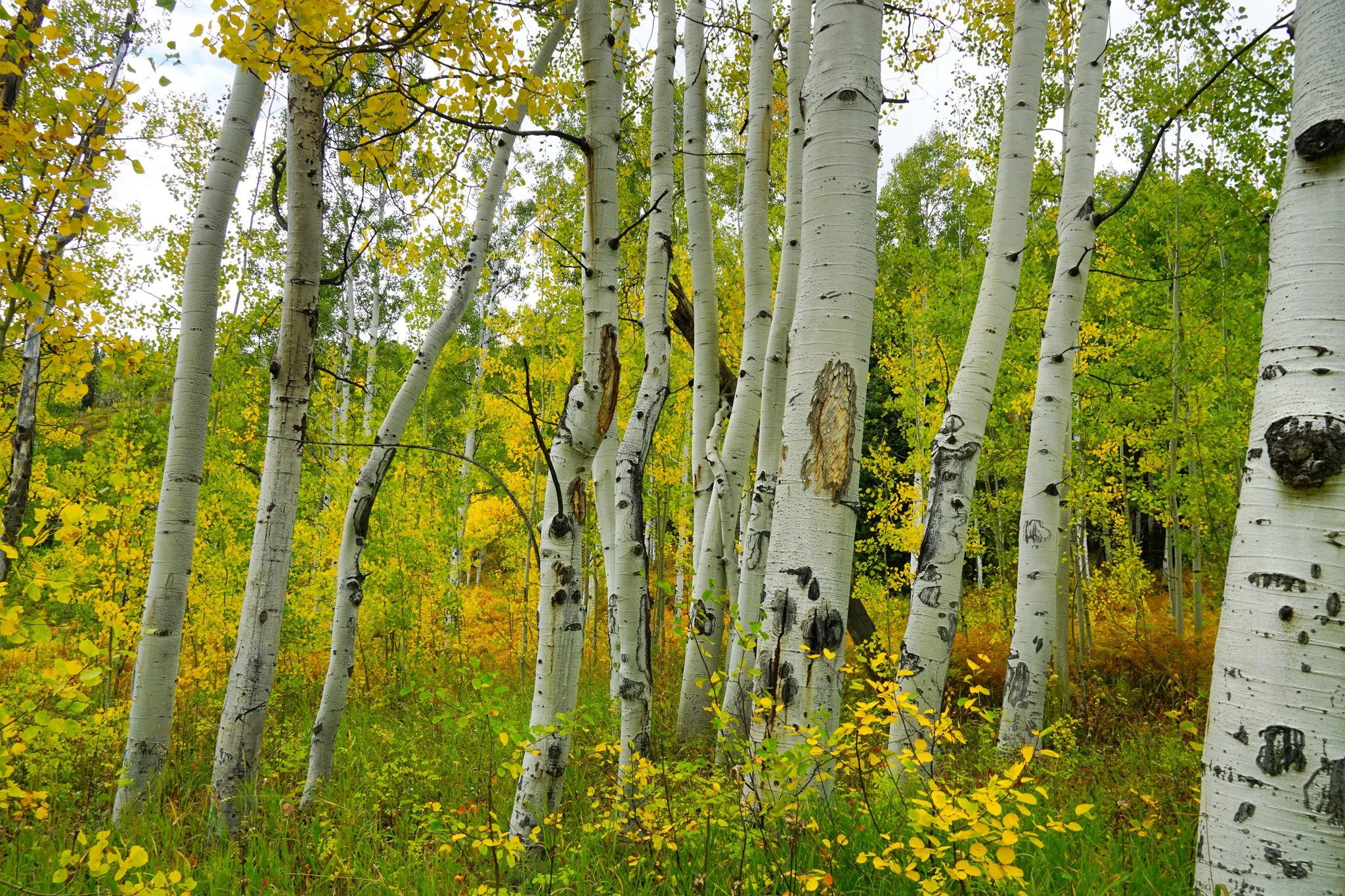
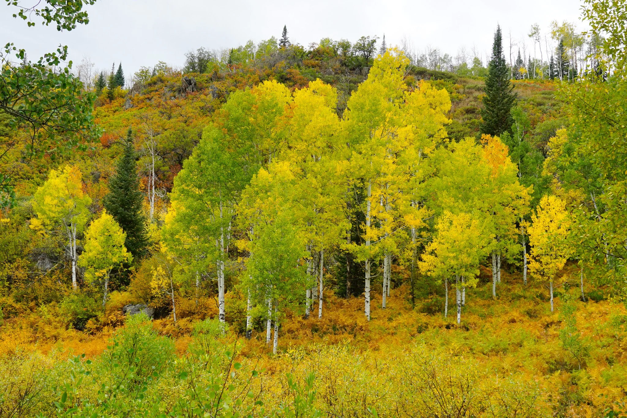
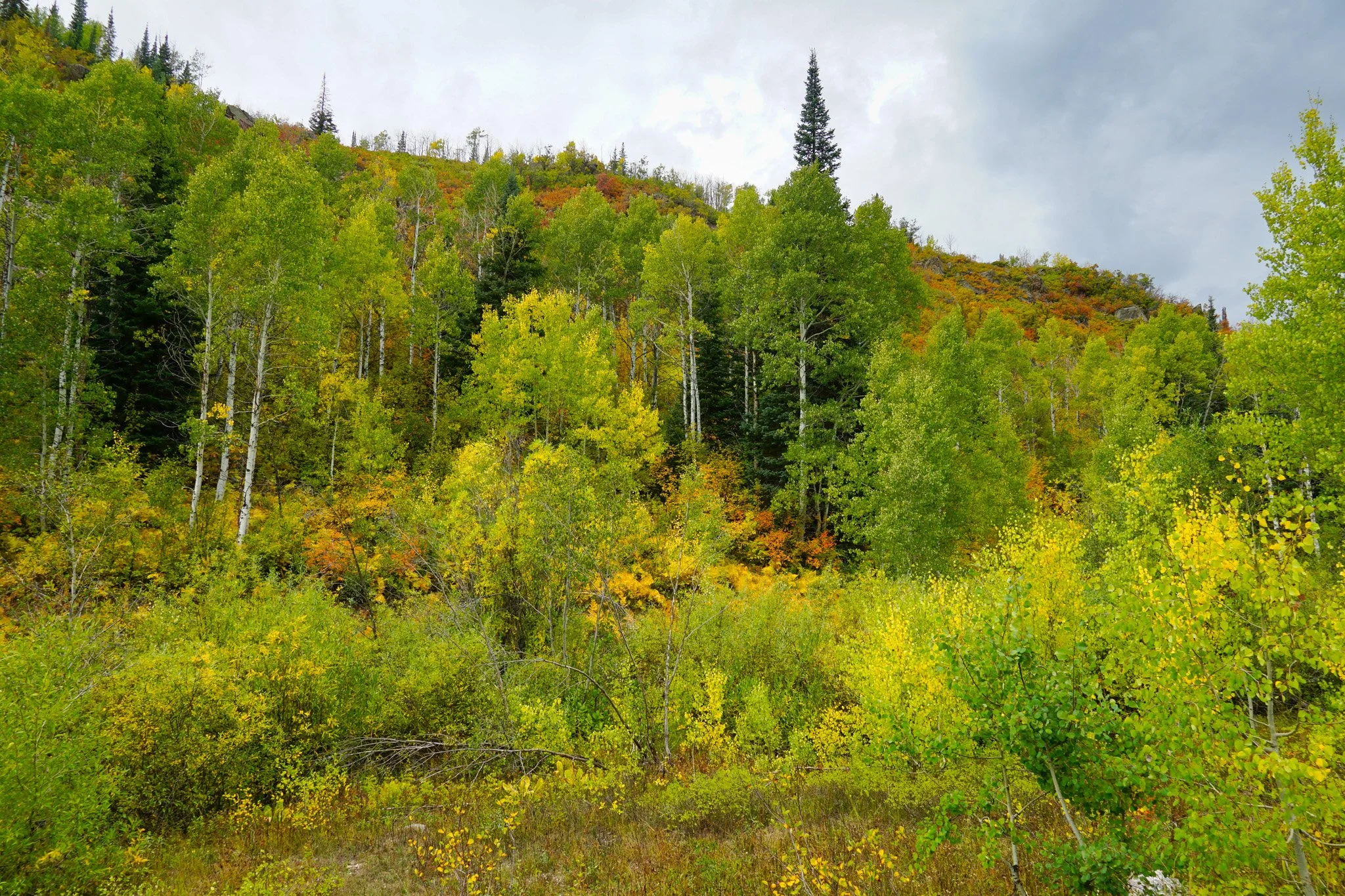
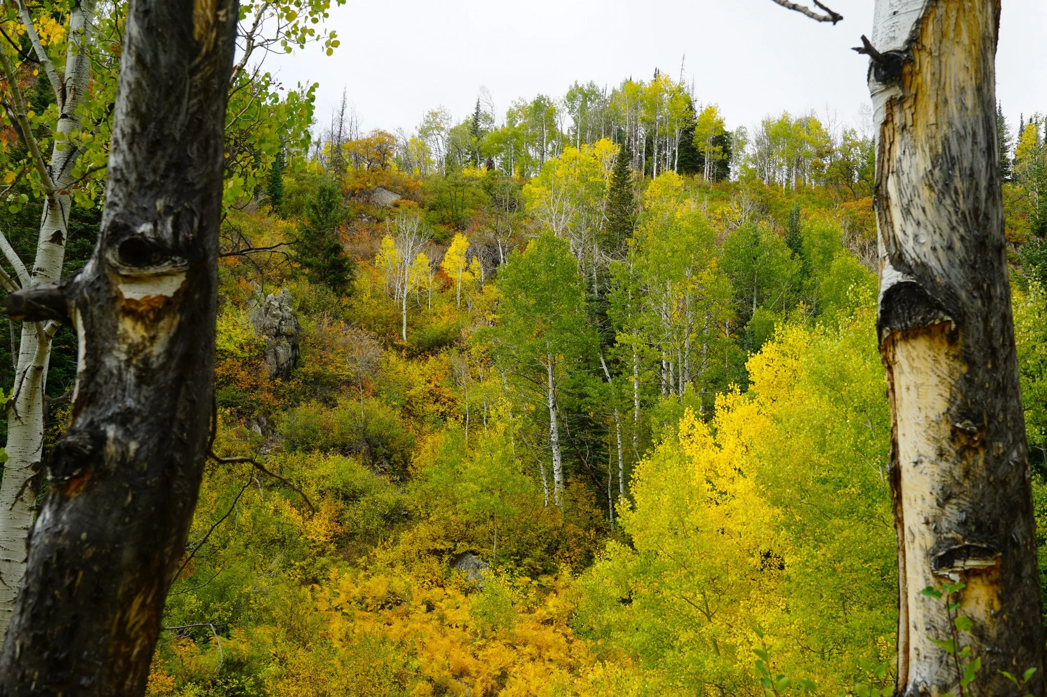
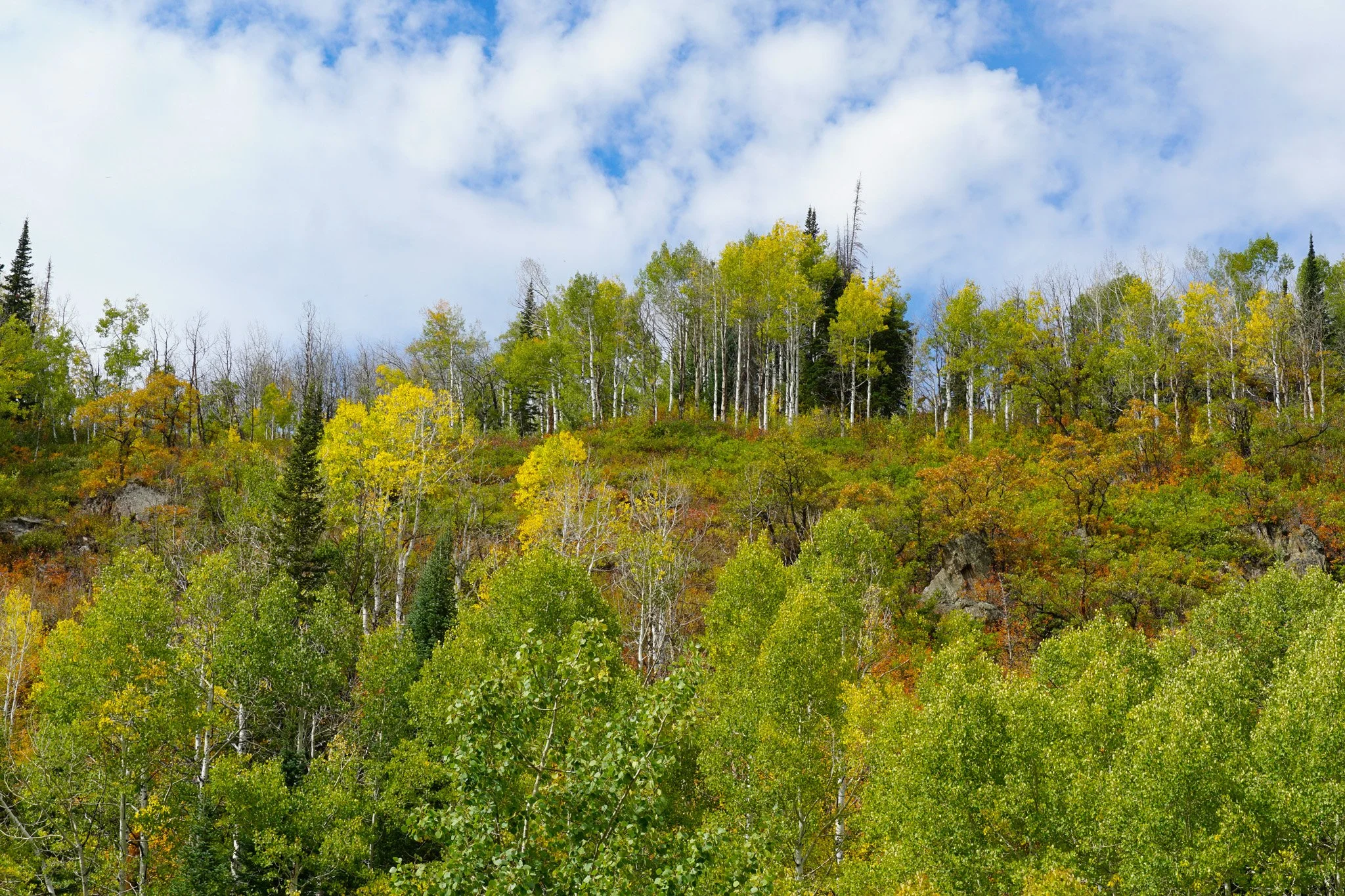
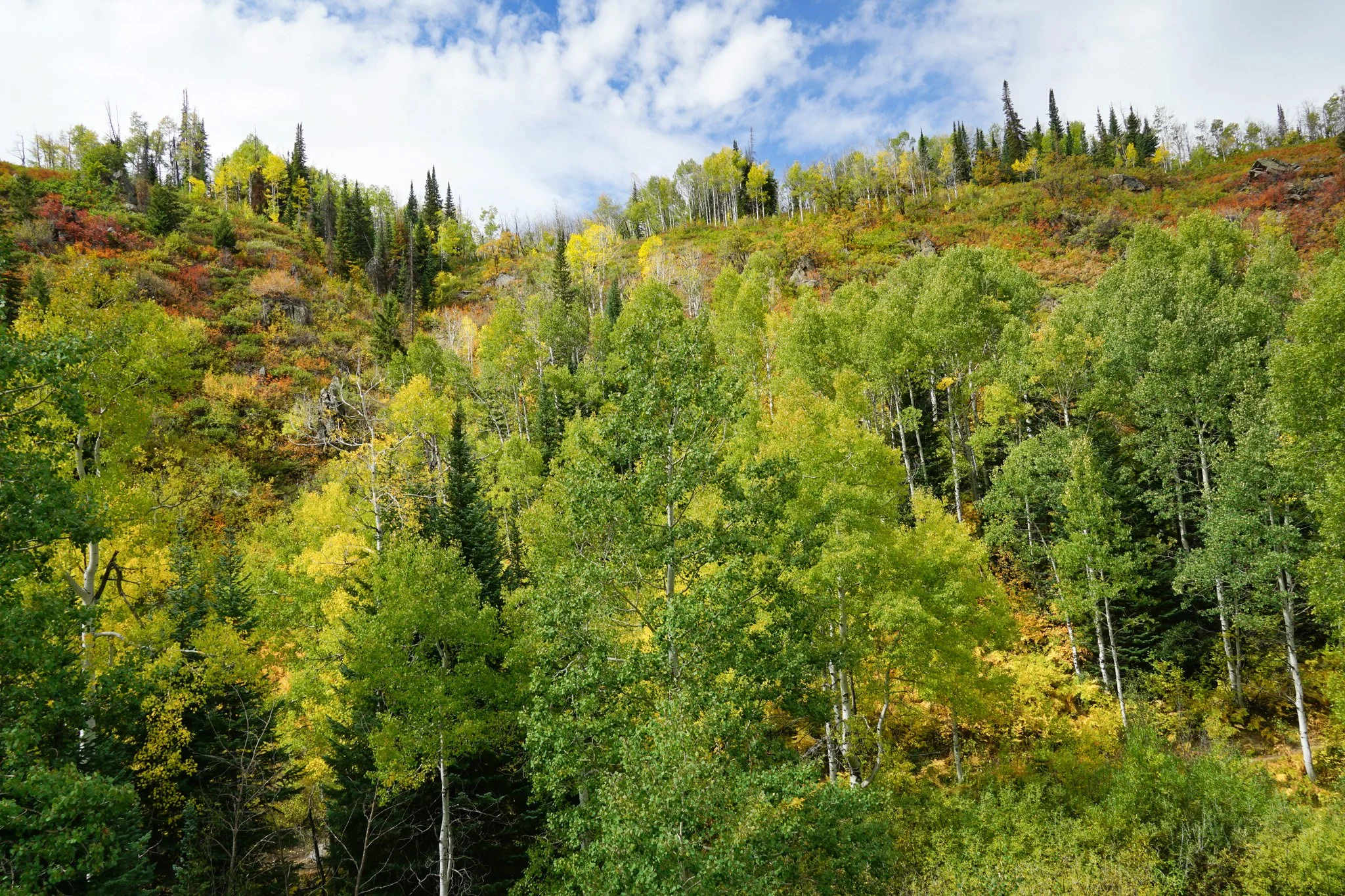
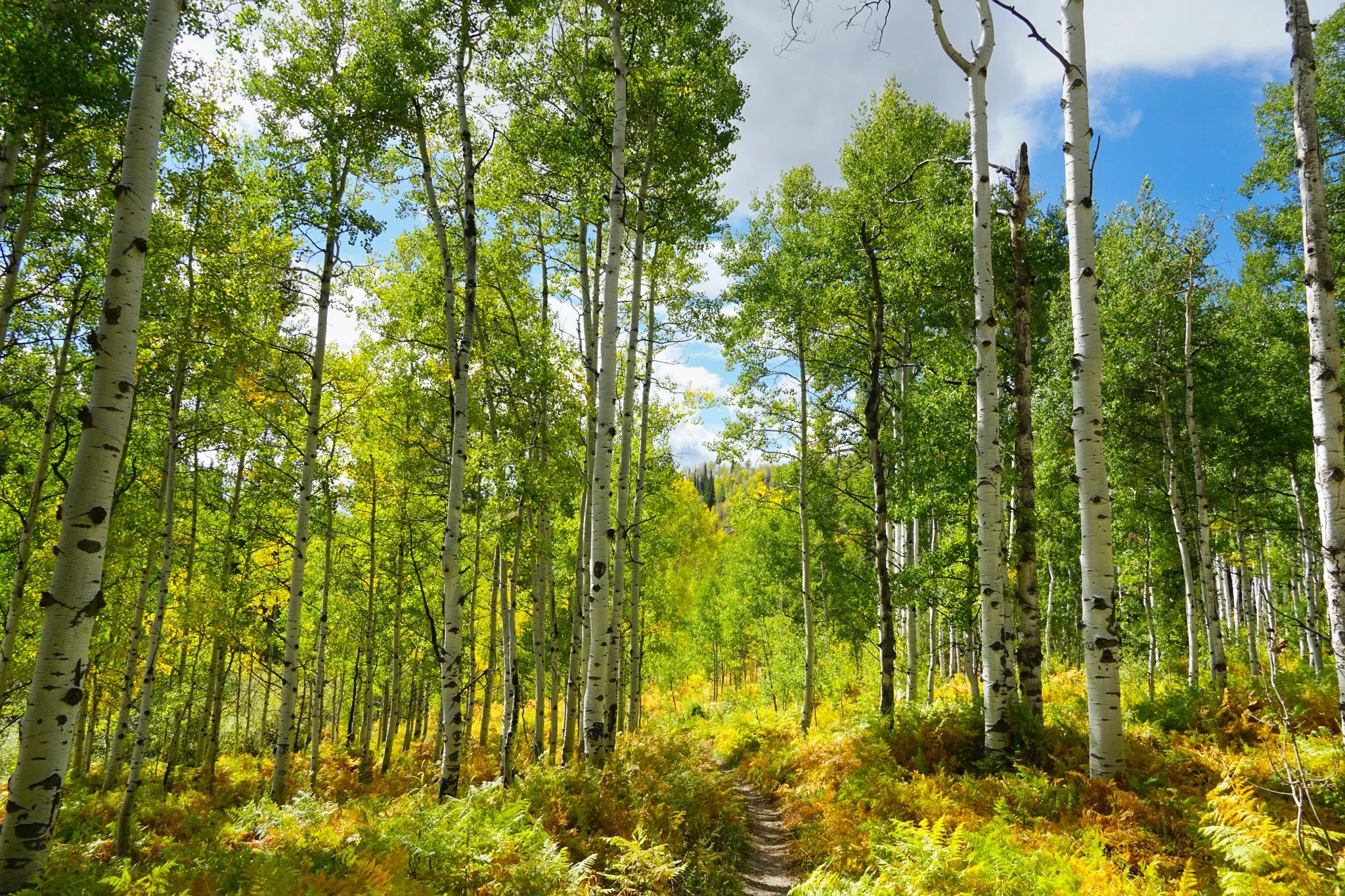
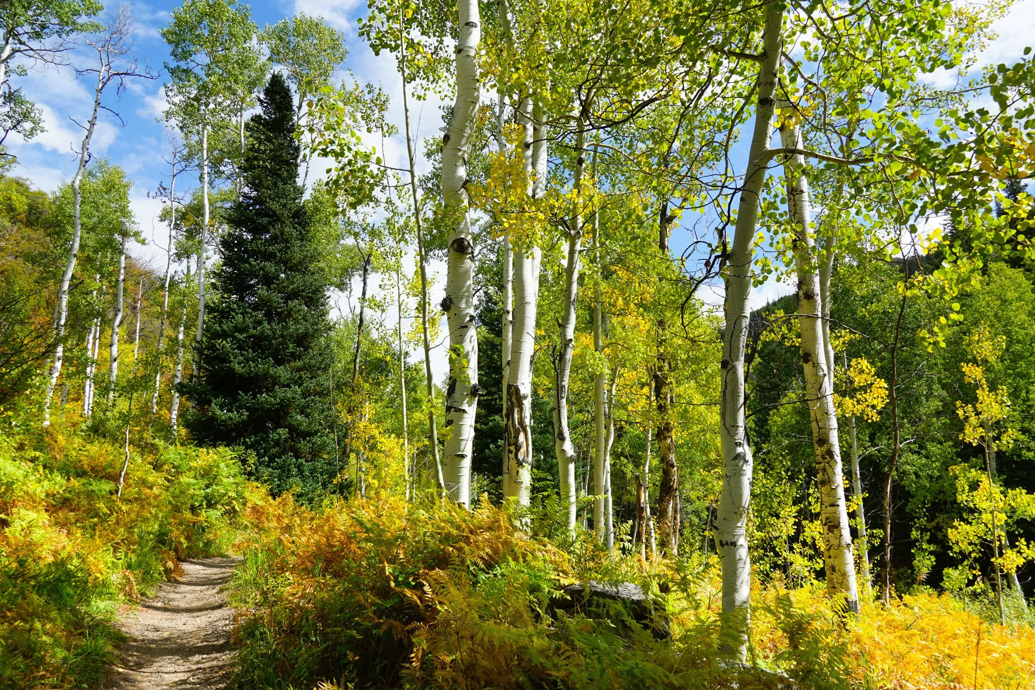
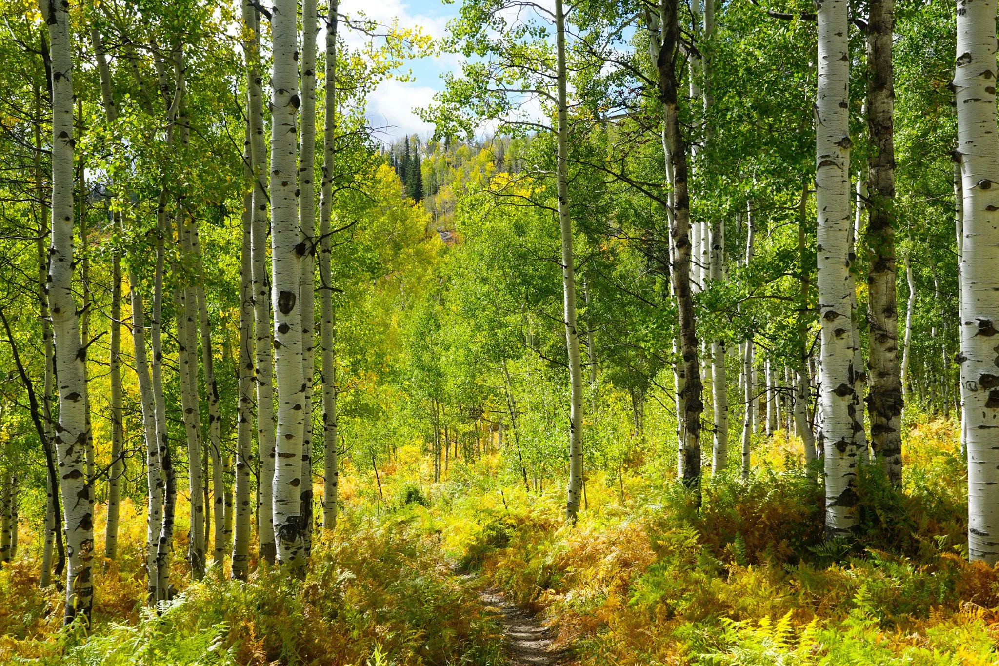
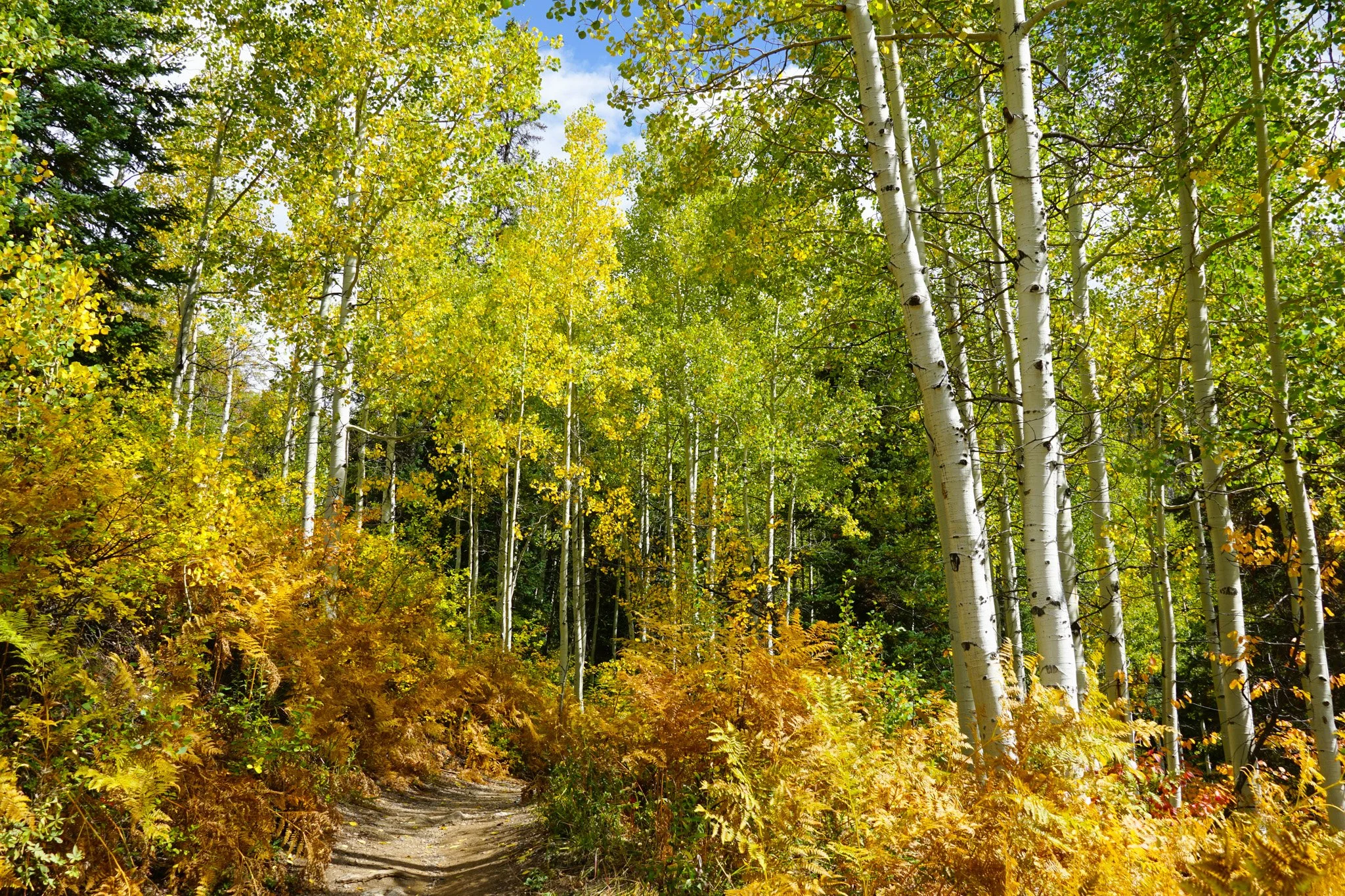
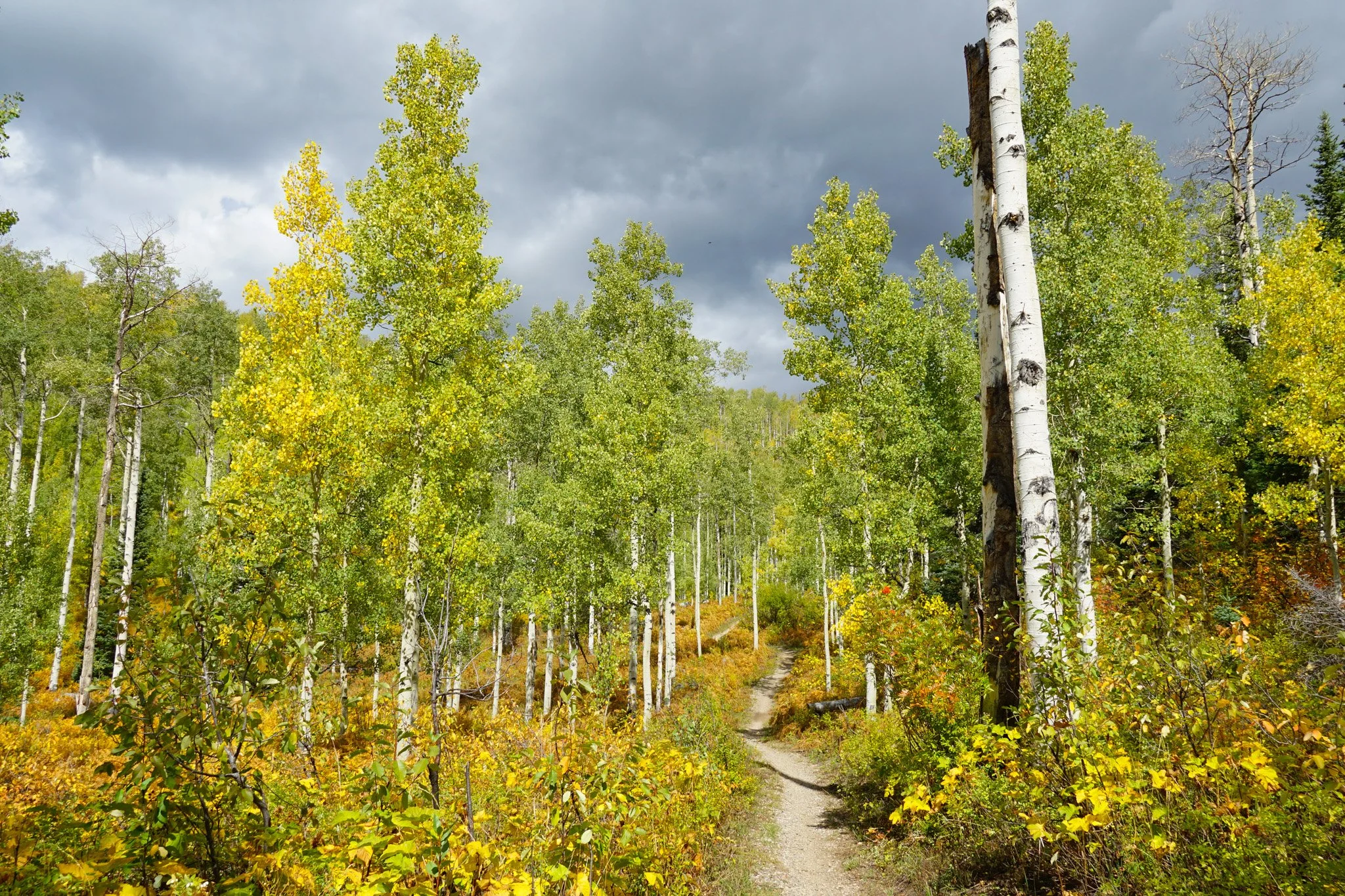
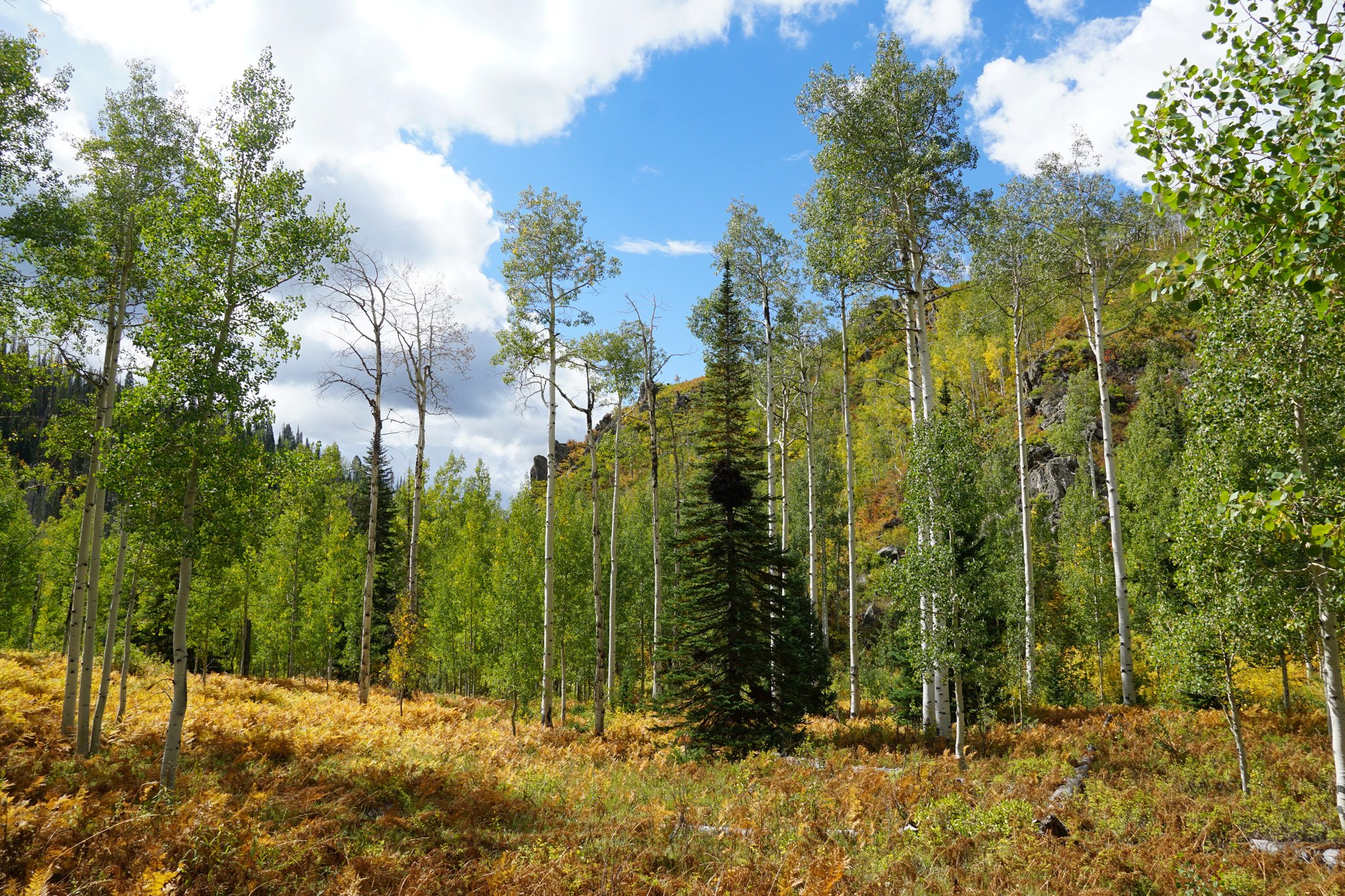
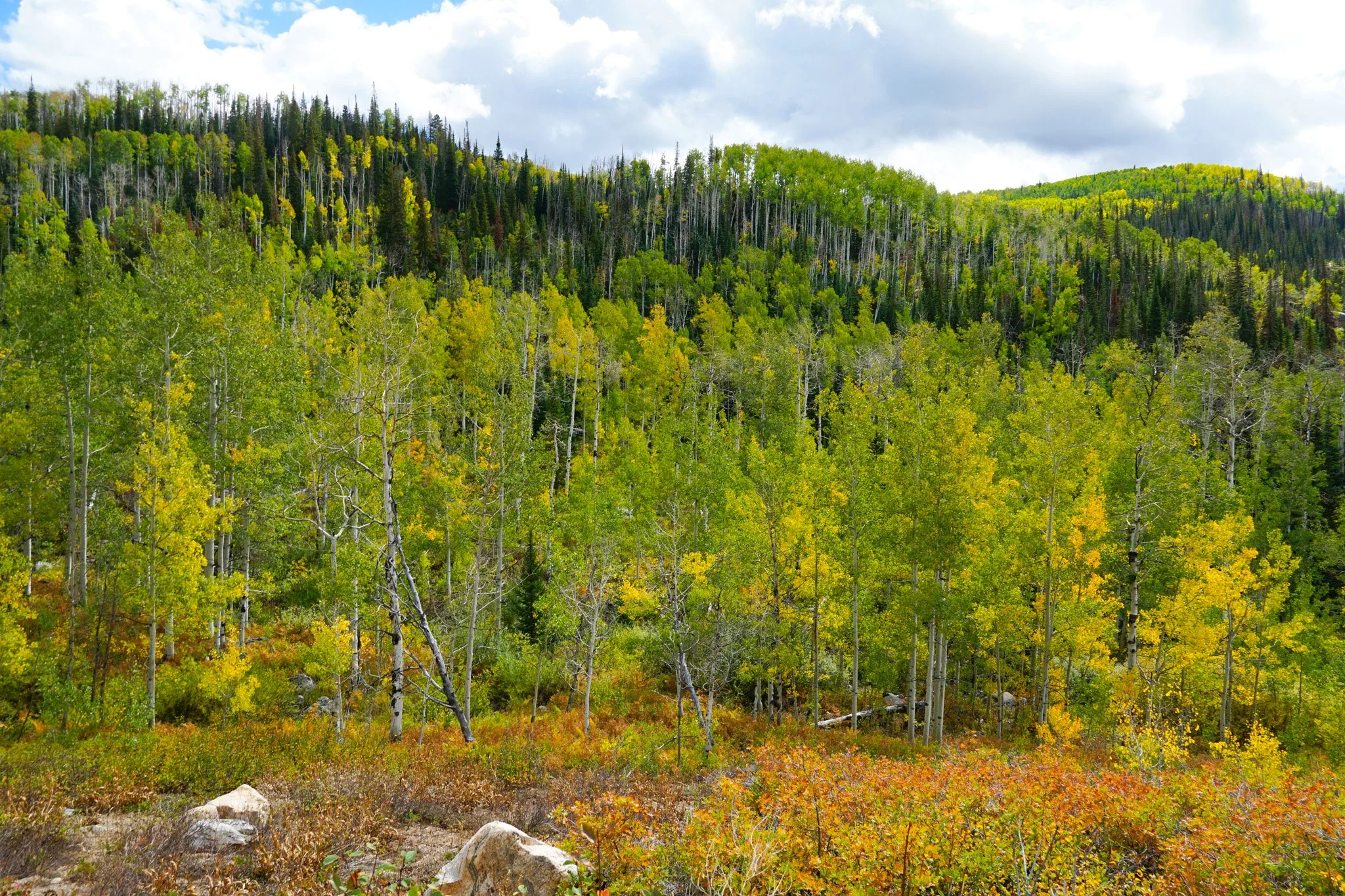
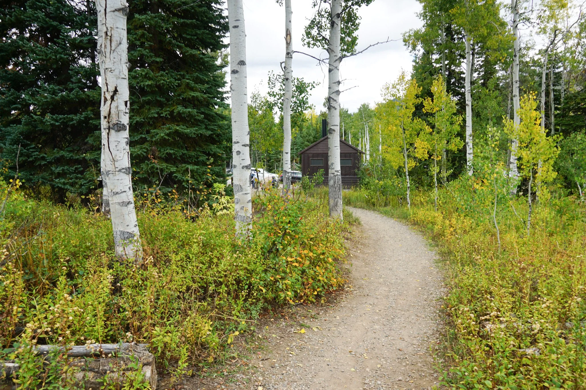
We hiked the first mile and a half from Buffalo Pass with our kids and it was a splendid fall colors hike. The trail starts at the Dry Lake Trailhead and parking area and crosses the open meadow, with great views of the surrounding hillsides (covered in aspen) before dropping down into thick forest along Spring Creek. The trail crosses picturesque footbridges, passes under steep canyon walls, and cuts through beautiful forests. In the fall, this whole environment pops with color from the aspens and the ferns. Go as far as you want, but remember, what goes down, must come up…
Of the three trails starting at the Dry Lake Trailhead (Spring Creek, Fiddlehead, and Panorama Loop) the Spring Creek Trail is, in my opinion, the prettiest. There is something extra special about this canyon in the fall. It feels a bit otherworldly and at times, overwhelming, in the best sense of the word. The perfect display of my favorite season of the year.