Shaw Lake Loop Trail
Rio Grande National Forest
Date Hiked: August 19, 2024
Distance: 1.5 mi (RT)
Elevation Gain: Minimal
Elevation: 9,866 ft
Trailhead Lat/Long: 37.55906, -106.79774
Managing Agency: U.S Forest Service
Fee: None
Directions:
From Route 160 head west from South Fork, CO on your way up to Wolf Creek Pass, head past the Lake Fork Trailhead, and turn onto Big Meadows Road (140). This is a generally good dirt road with some rough sections but should be passable for most vehicles in good weather, SUV recommended. Shaw Lake is 4 miles up the road.
Hike Description:
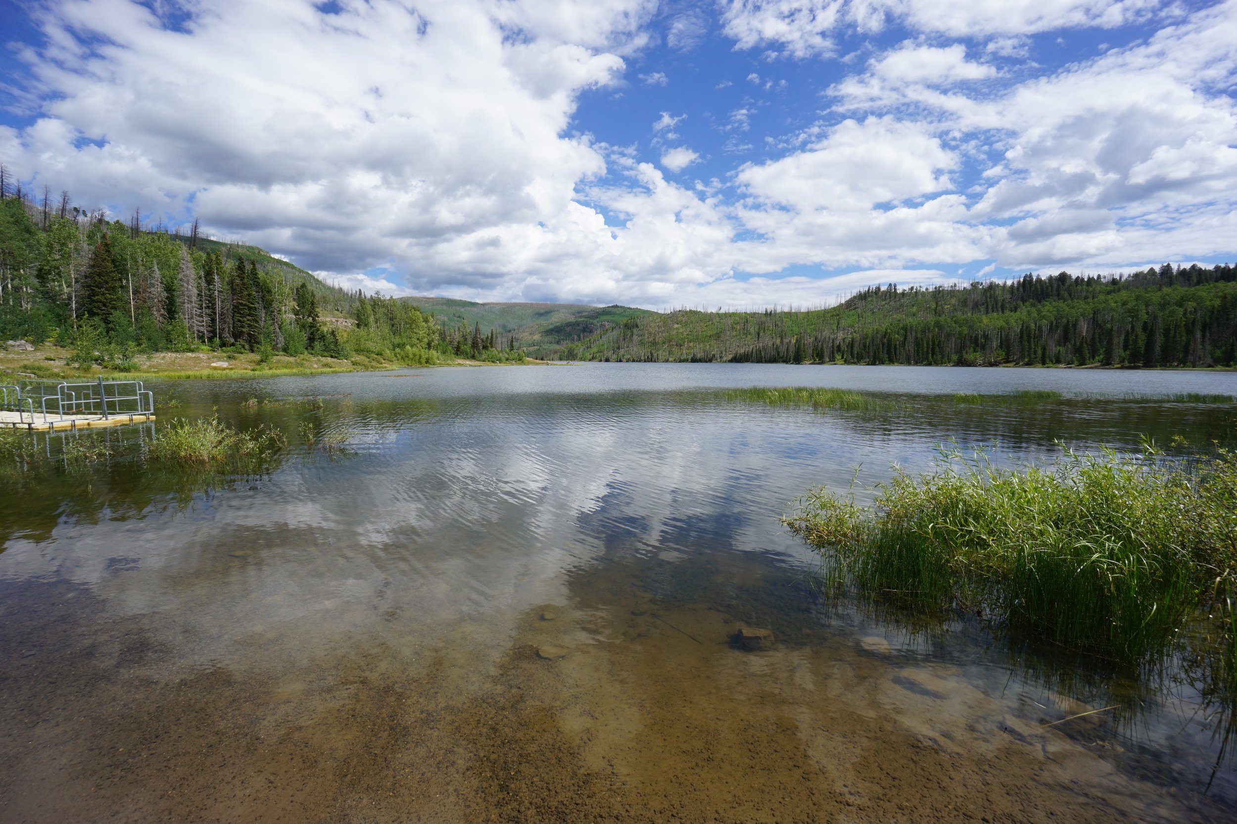
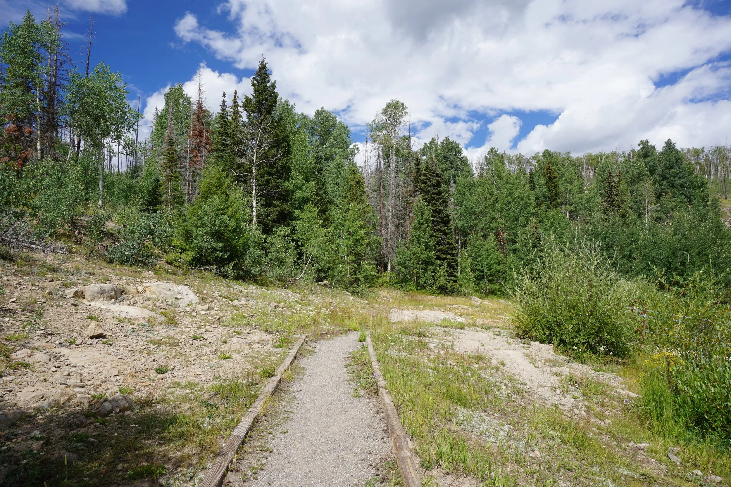
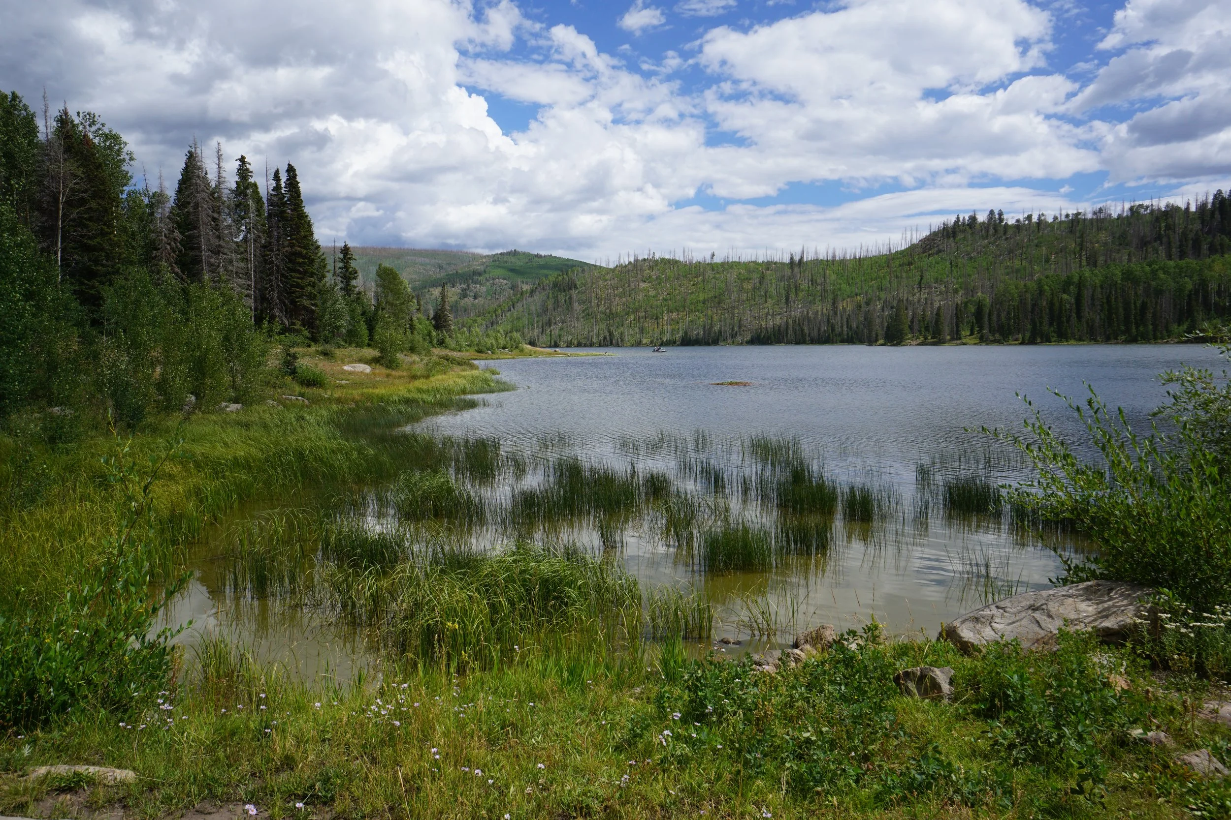
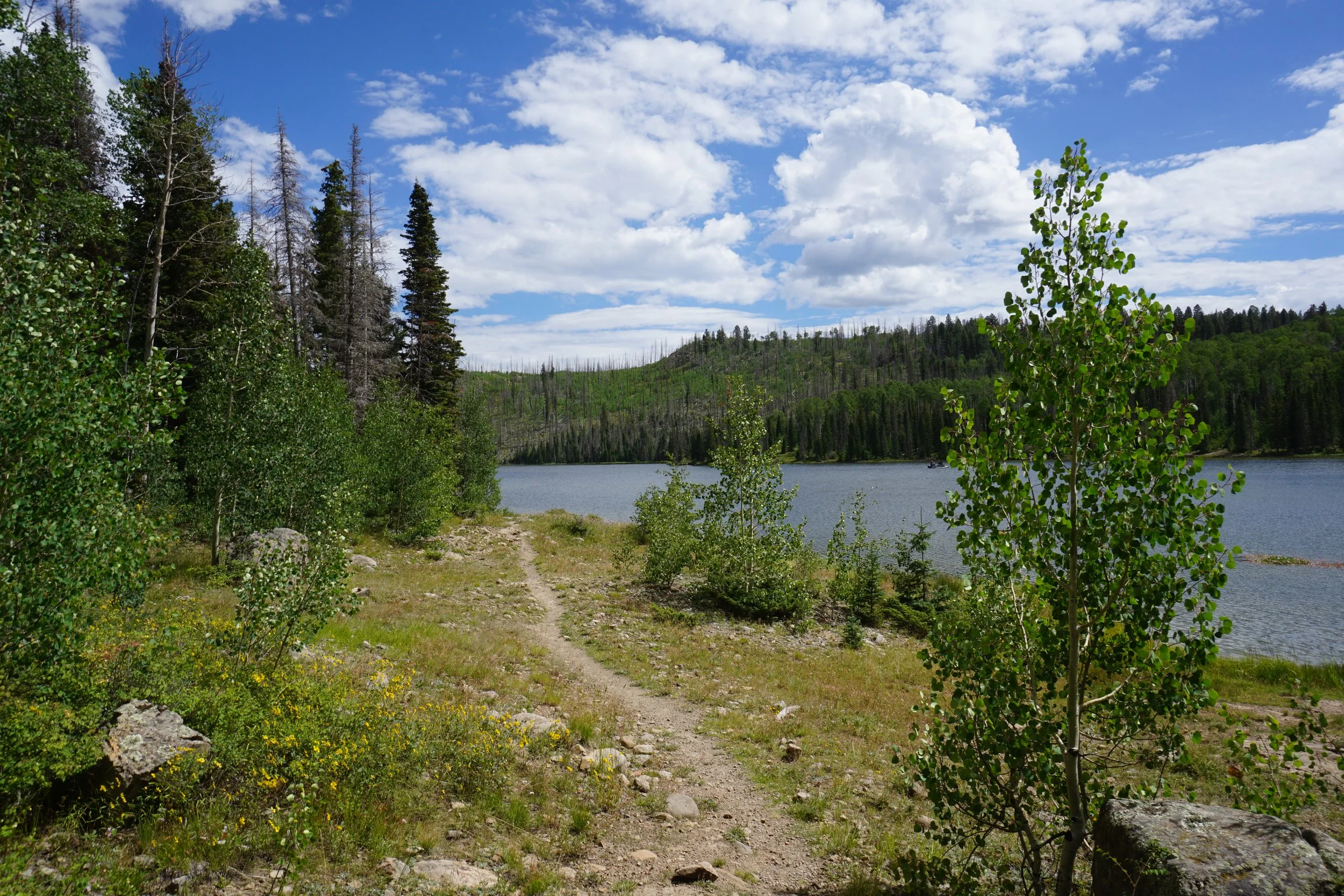
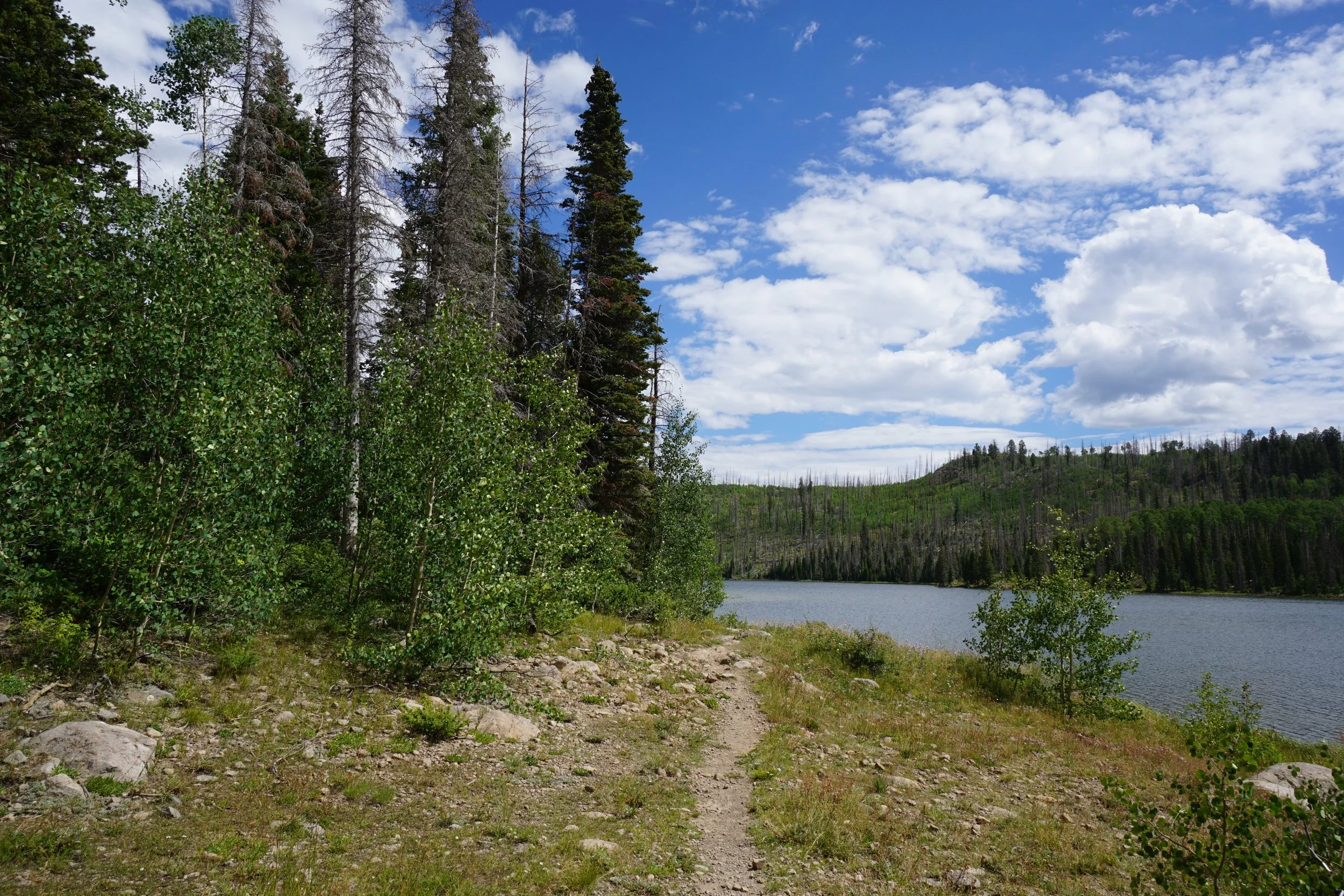
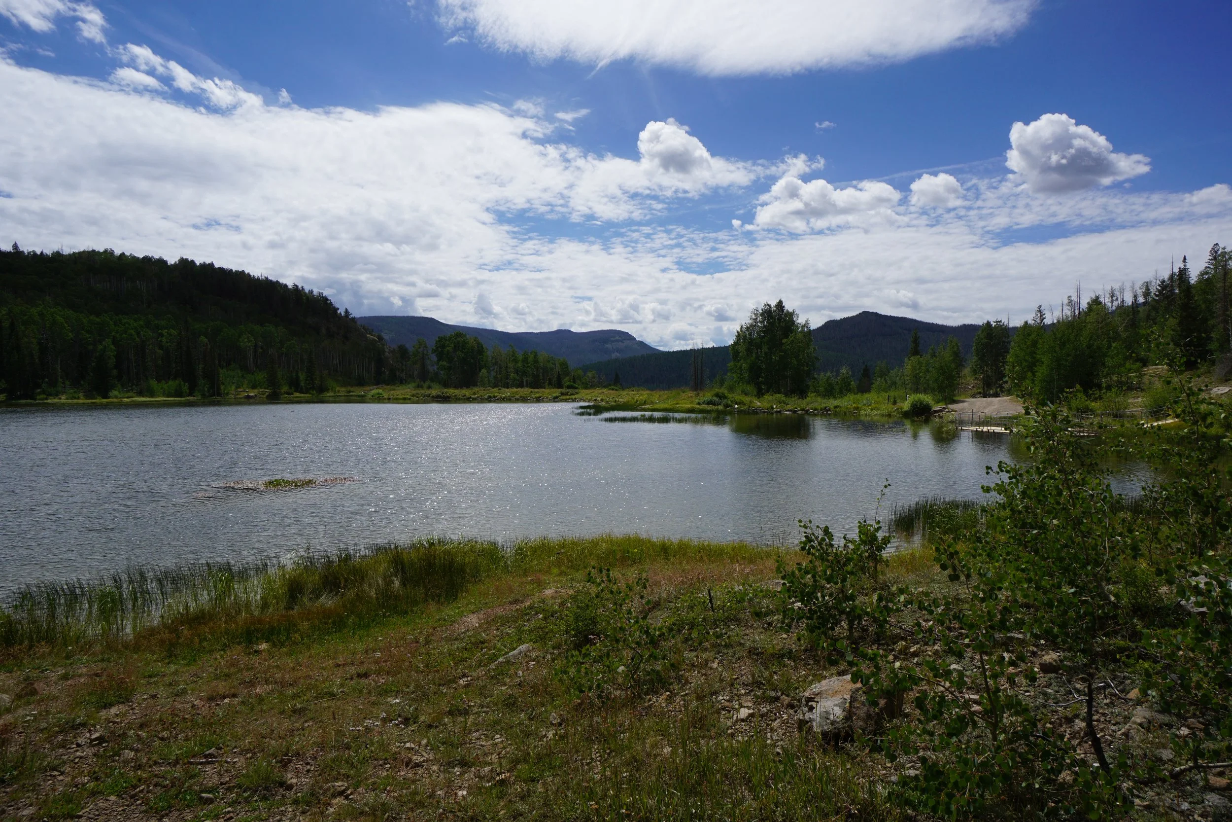
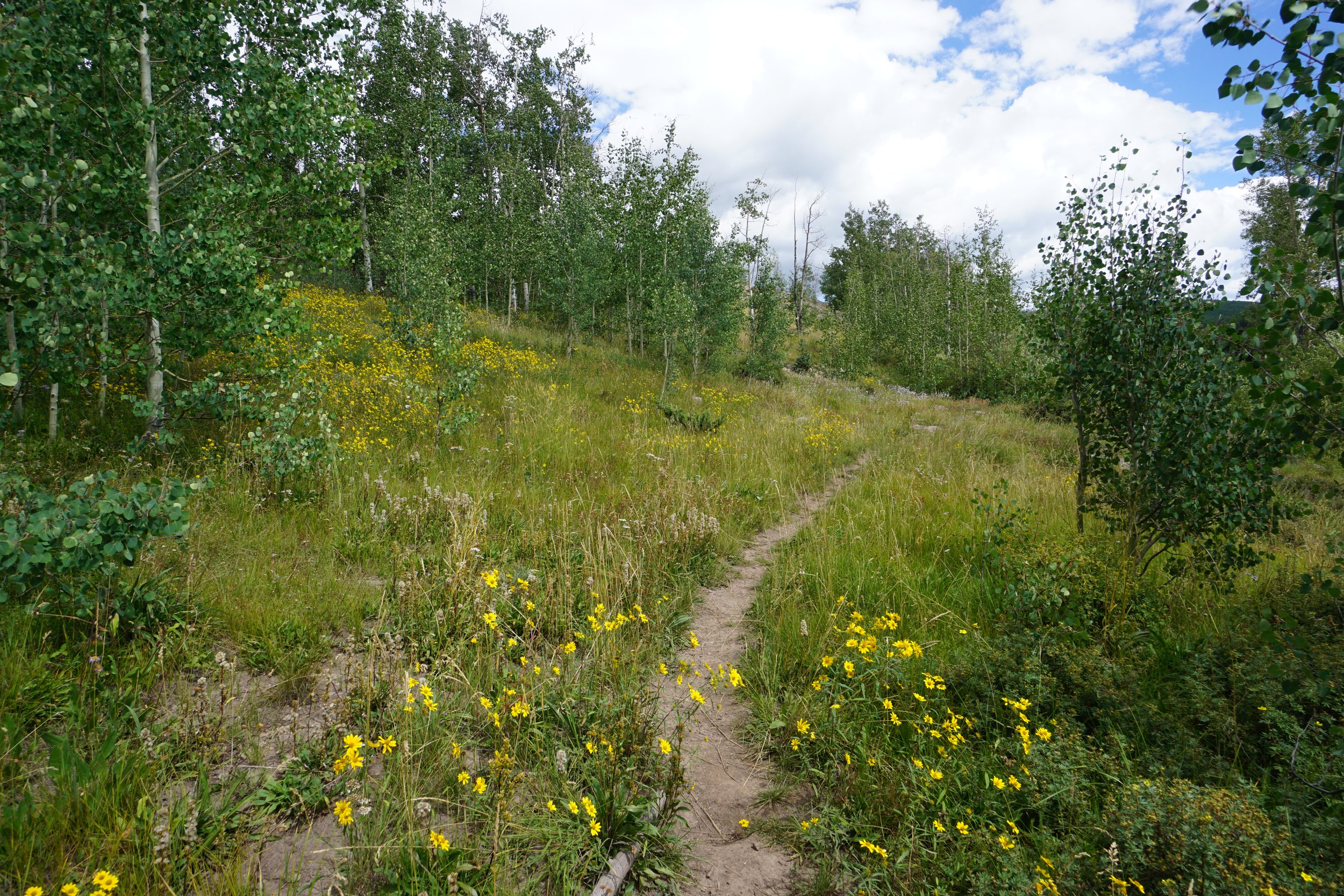
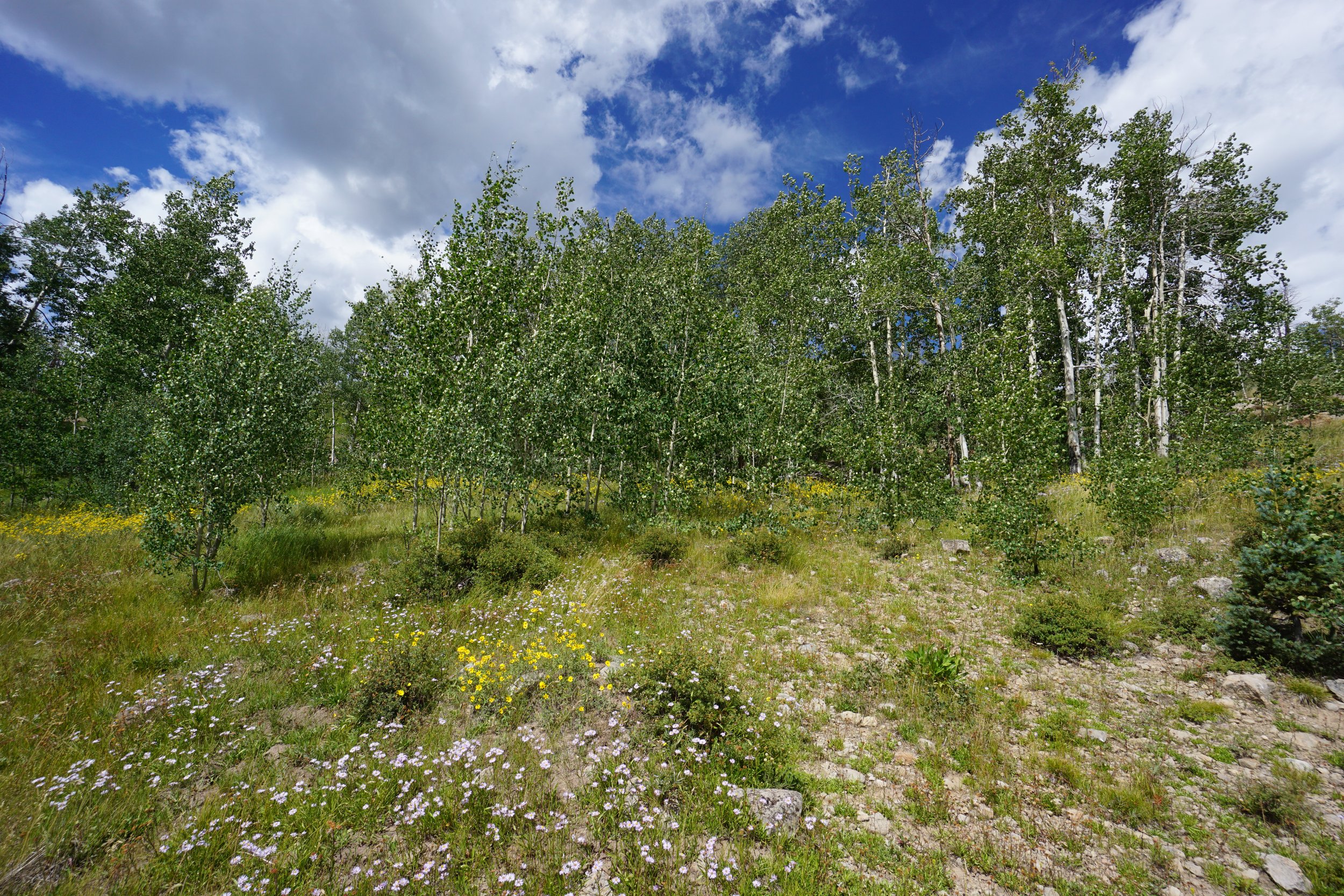
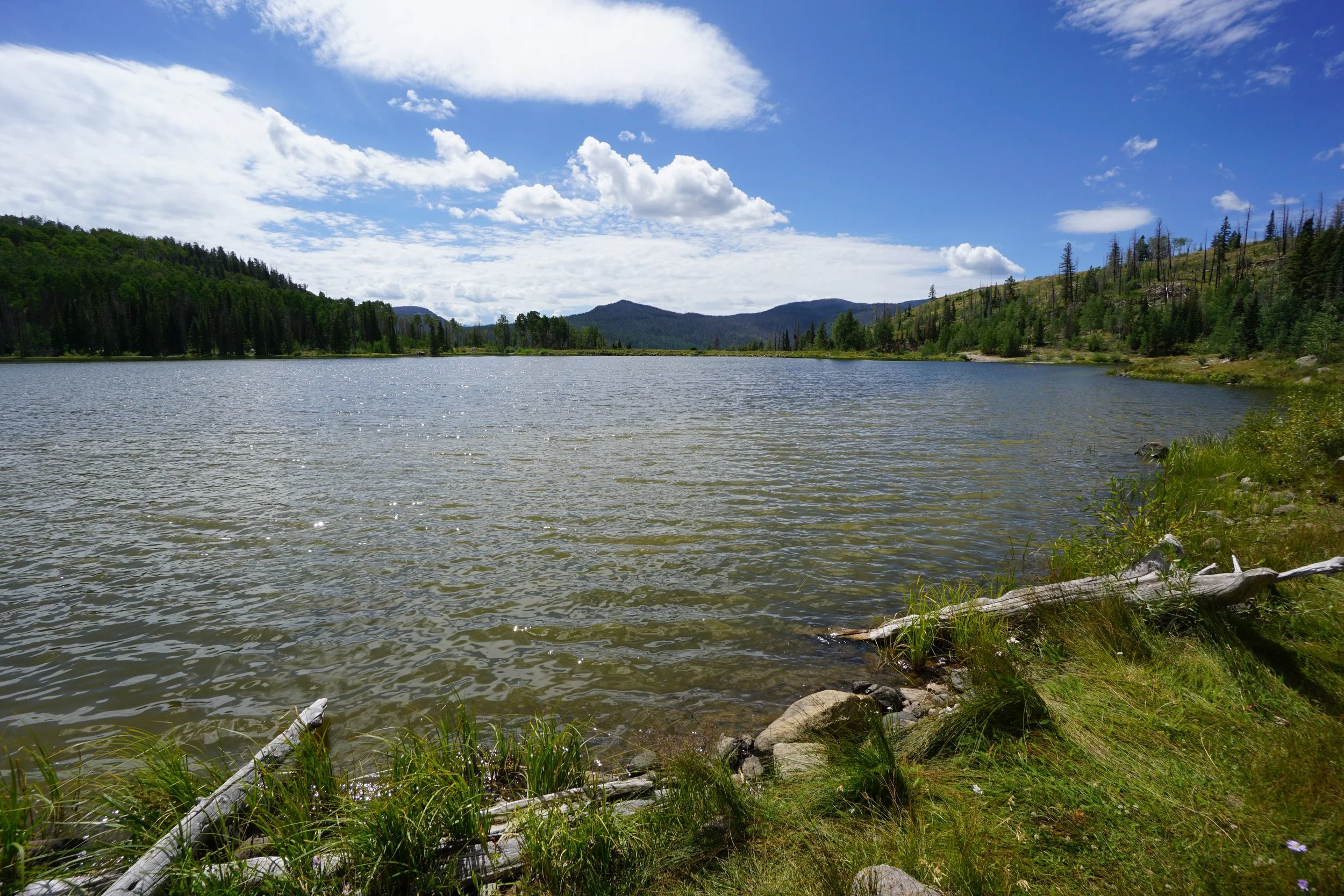
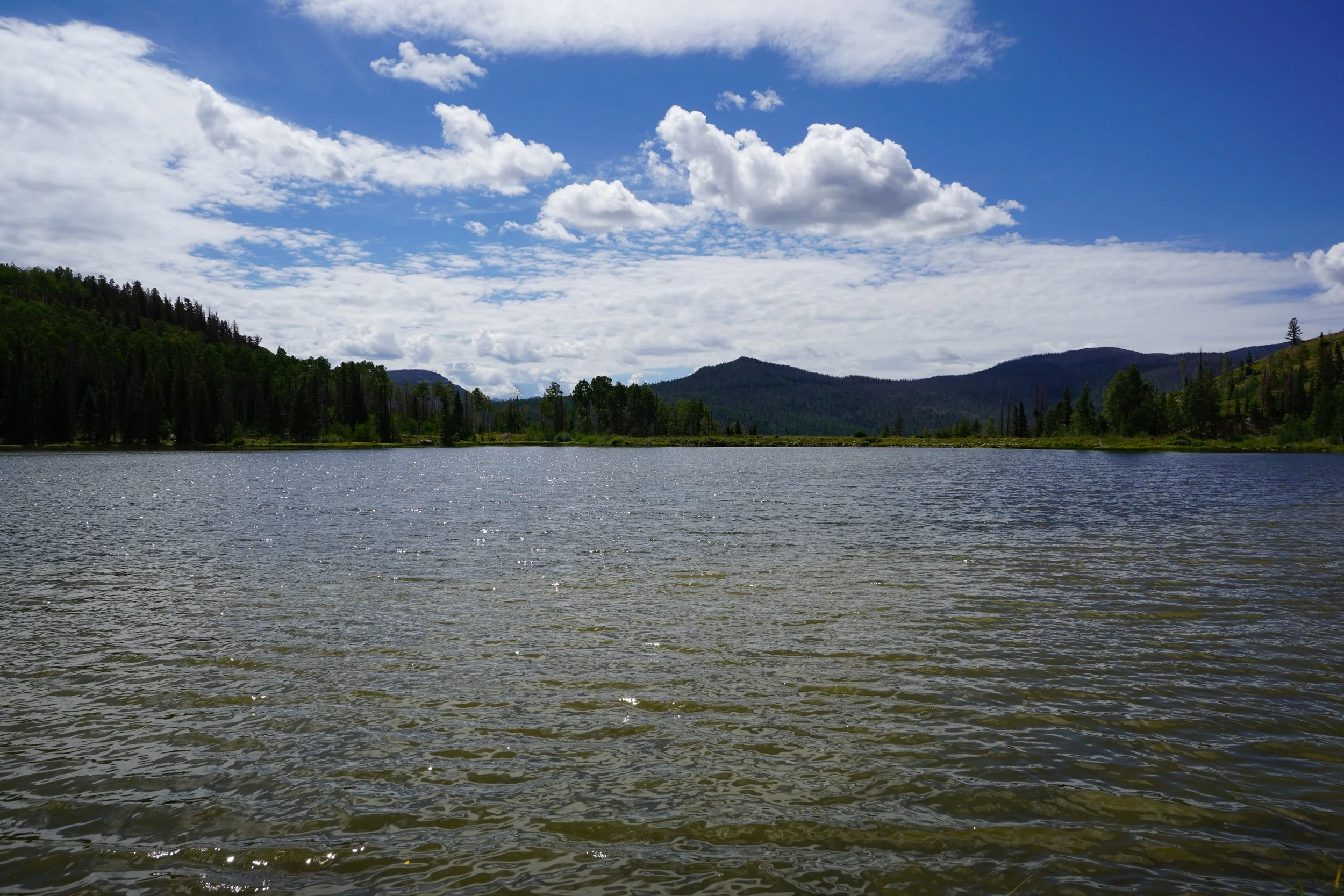
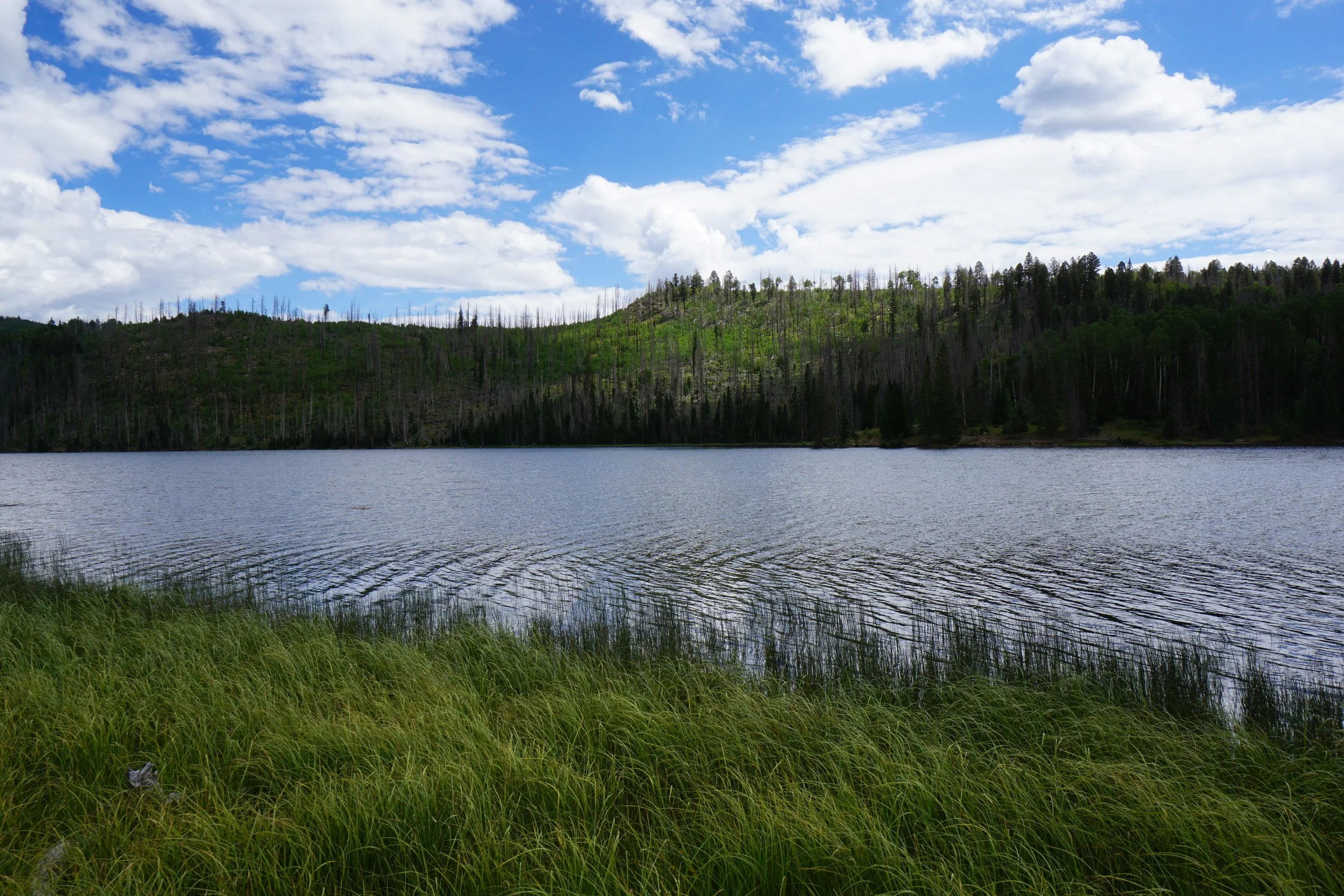
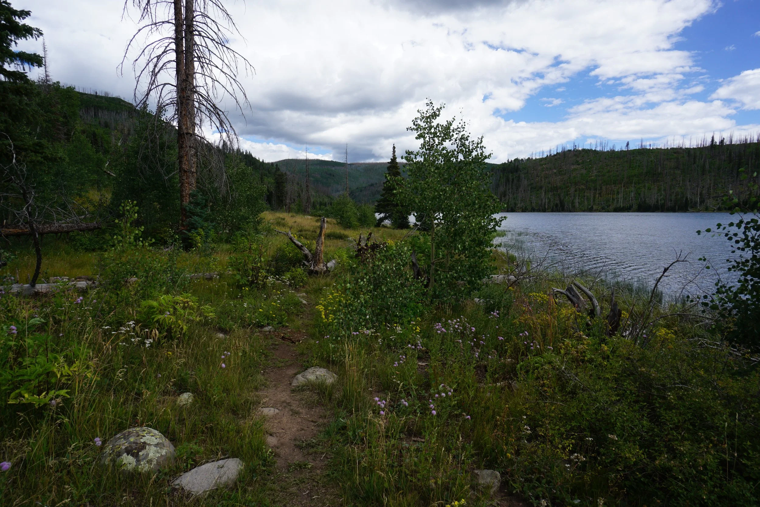
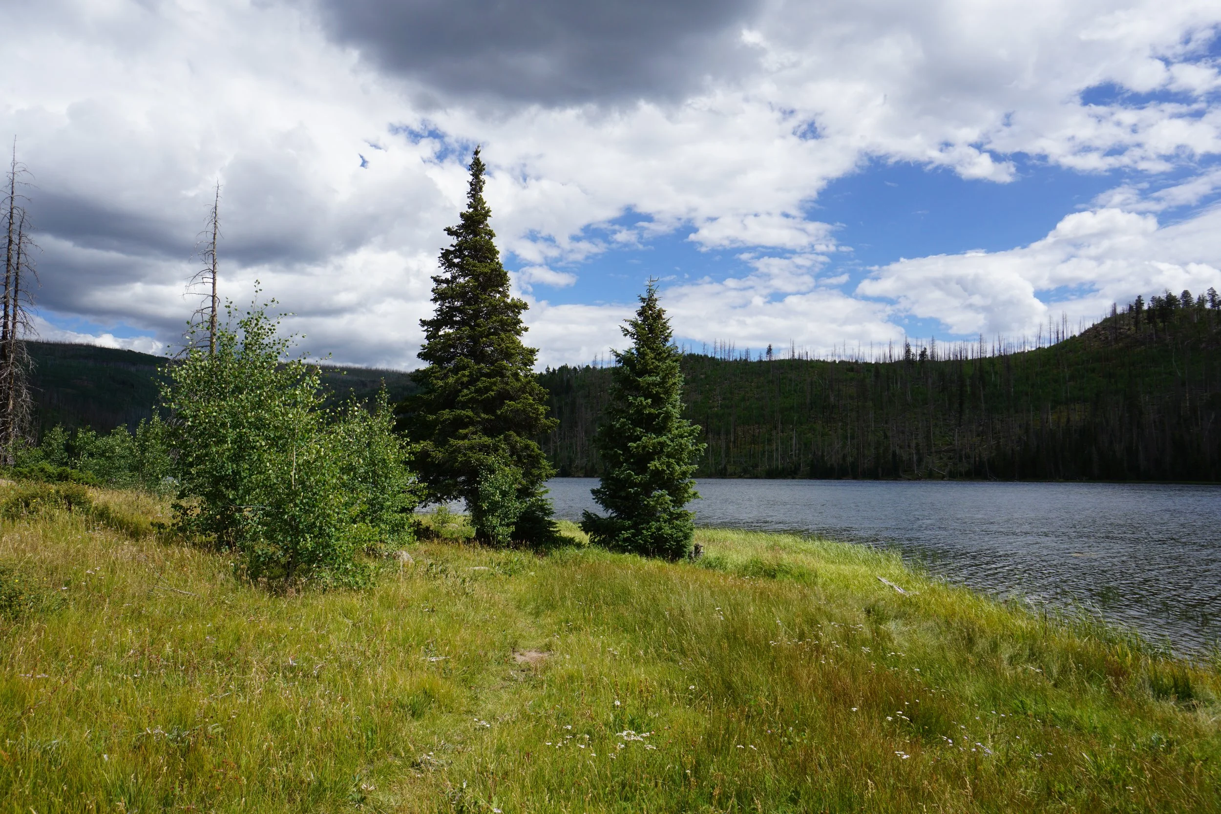
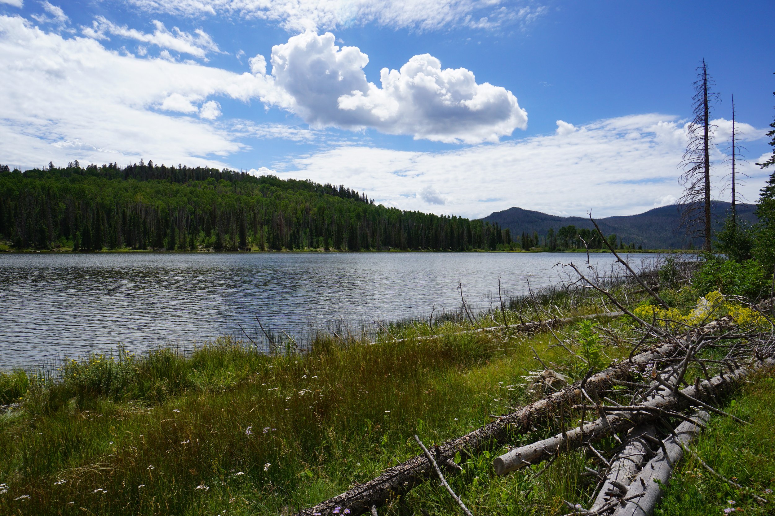
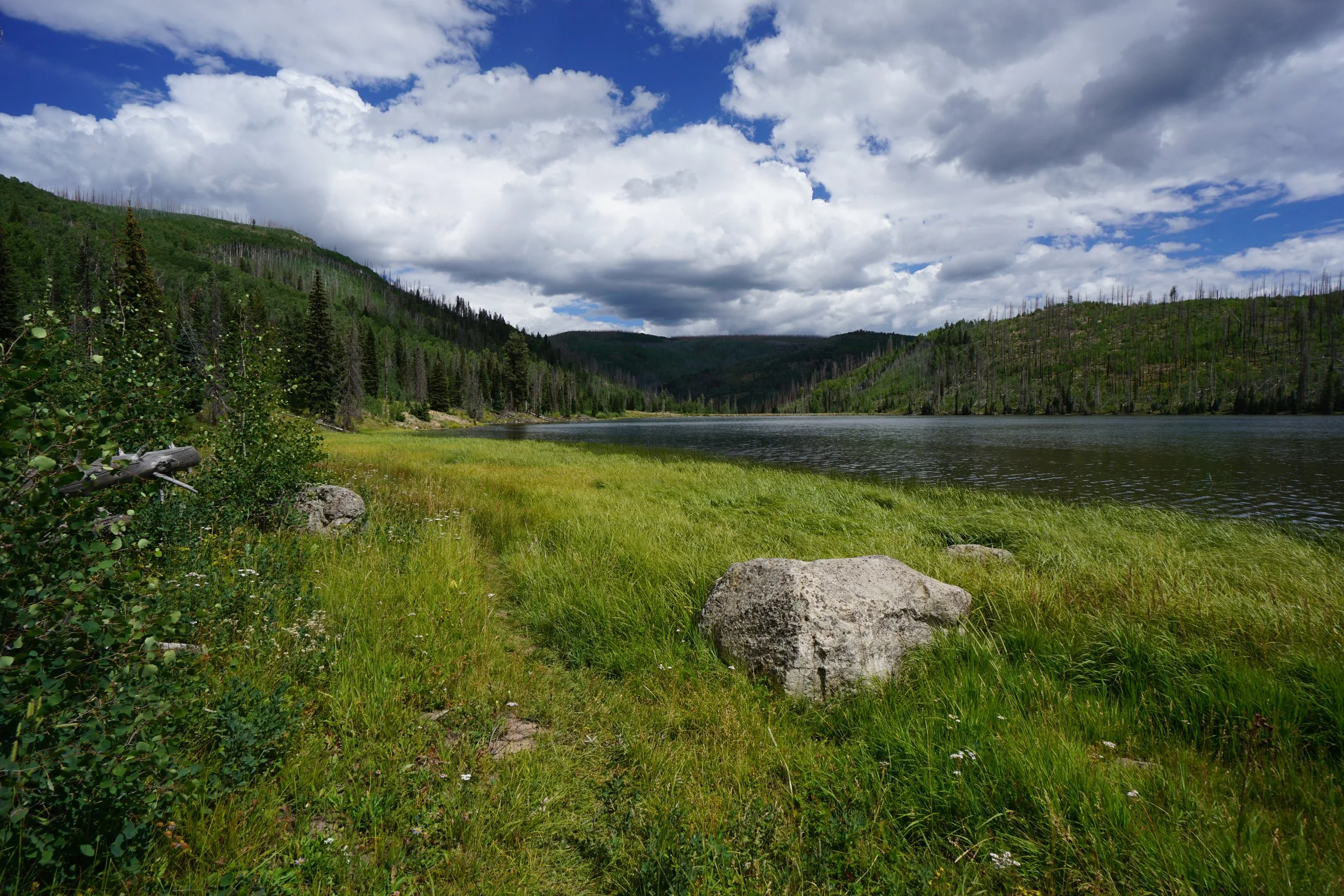
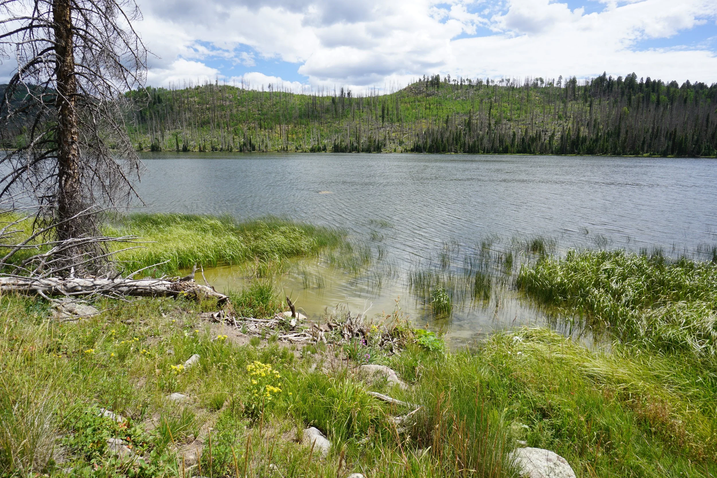
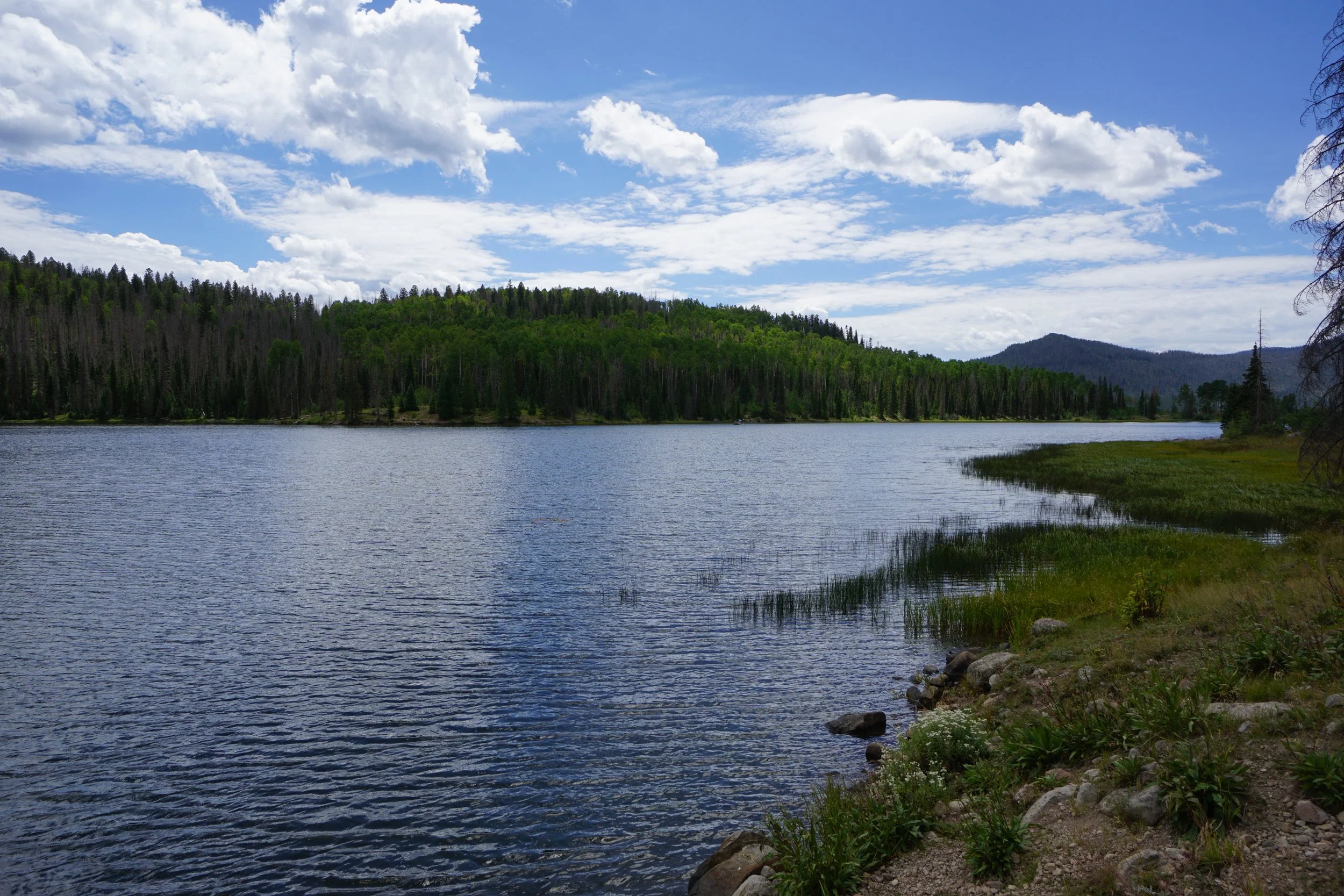
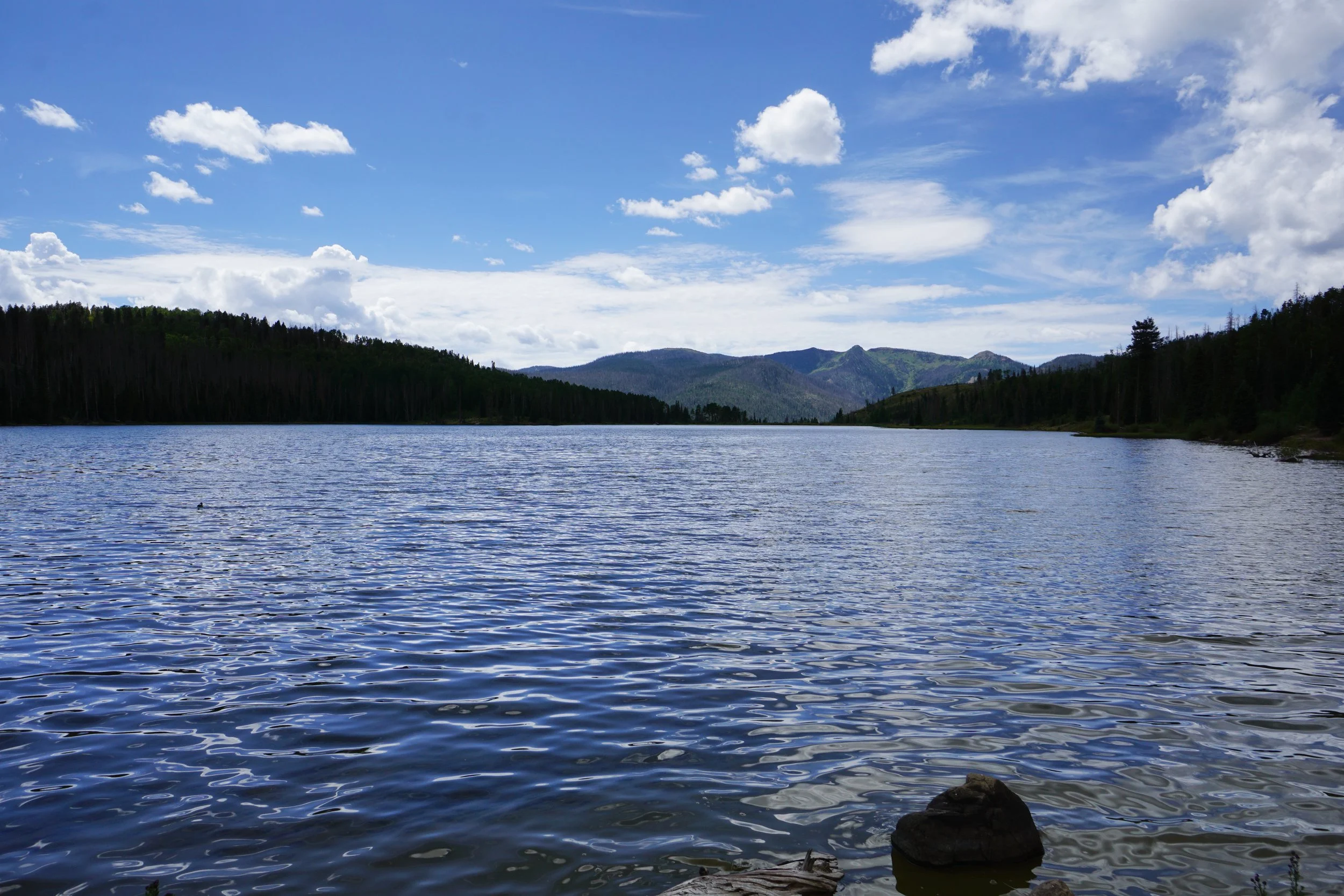
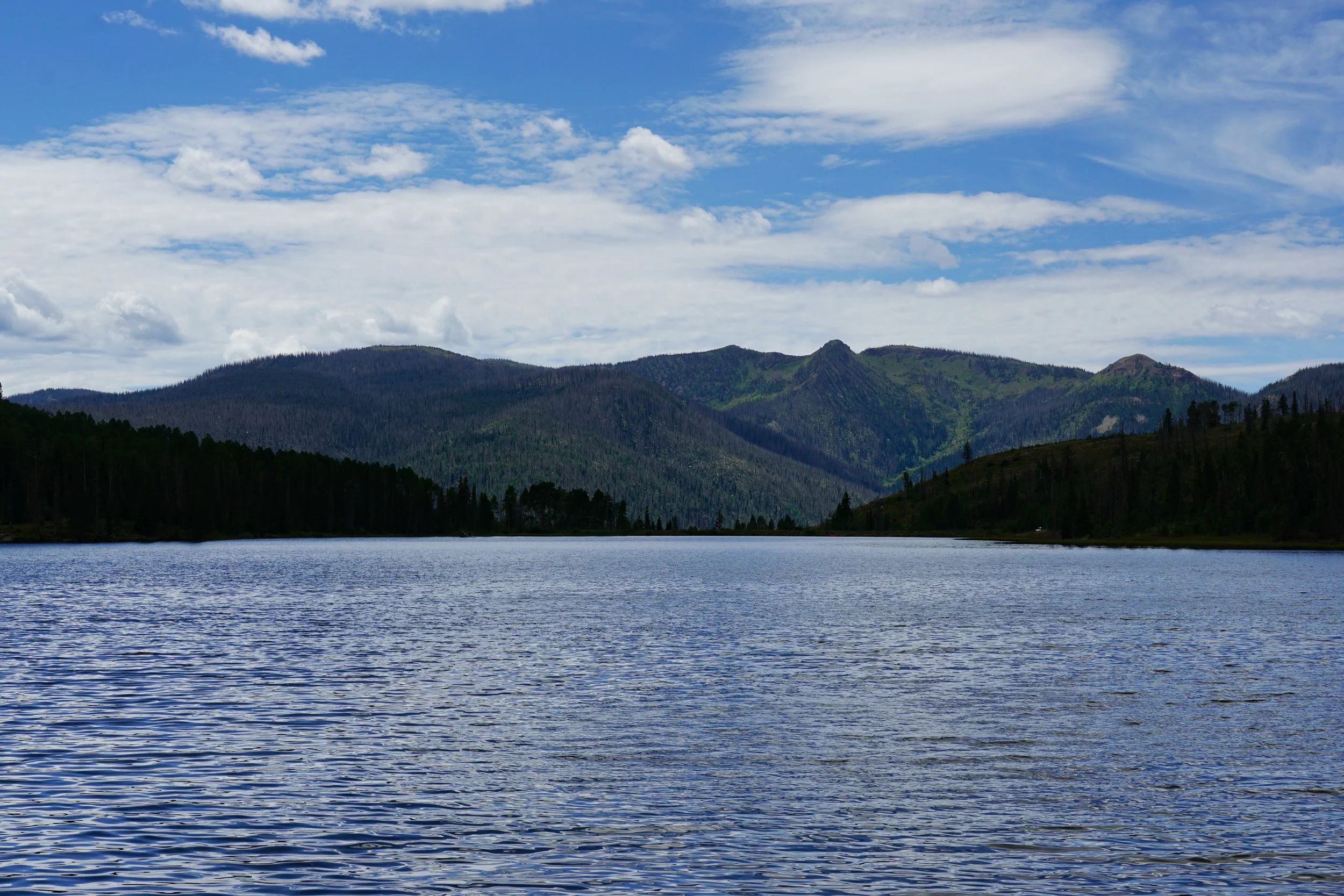
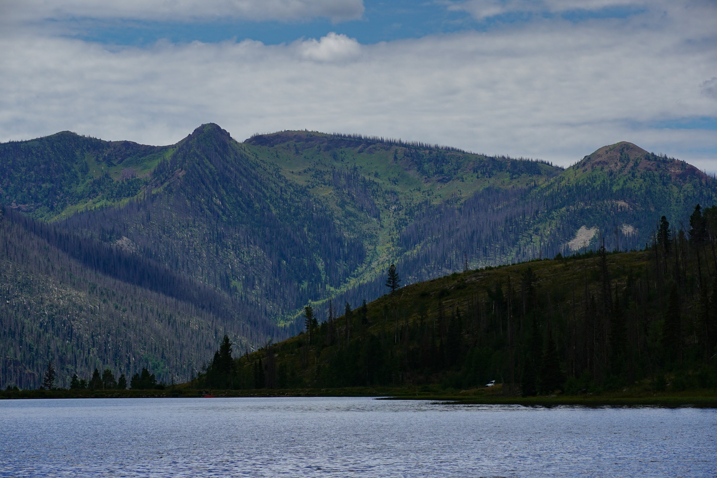
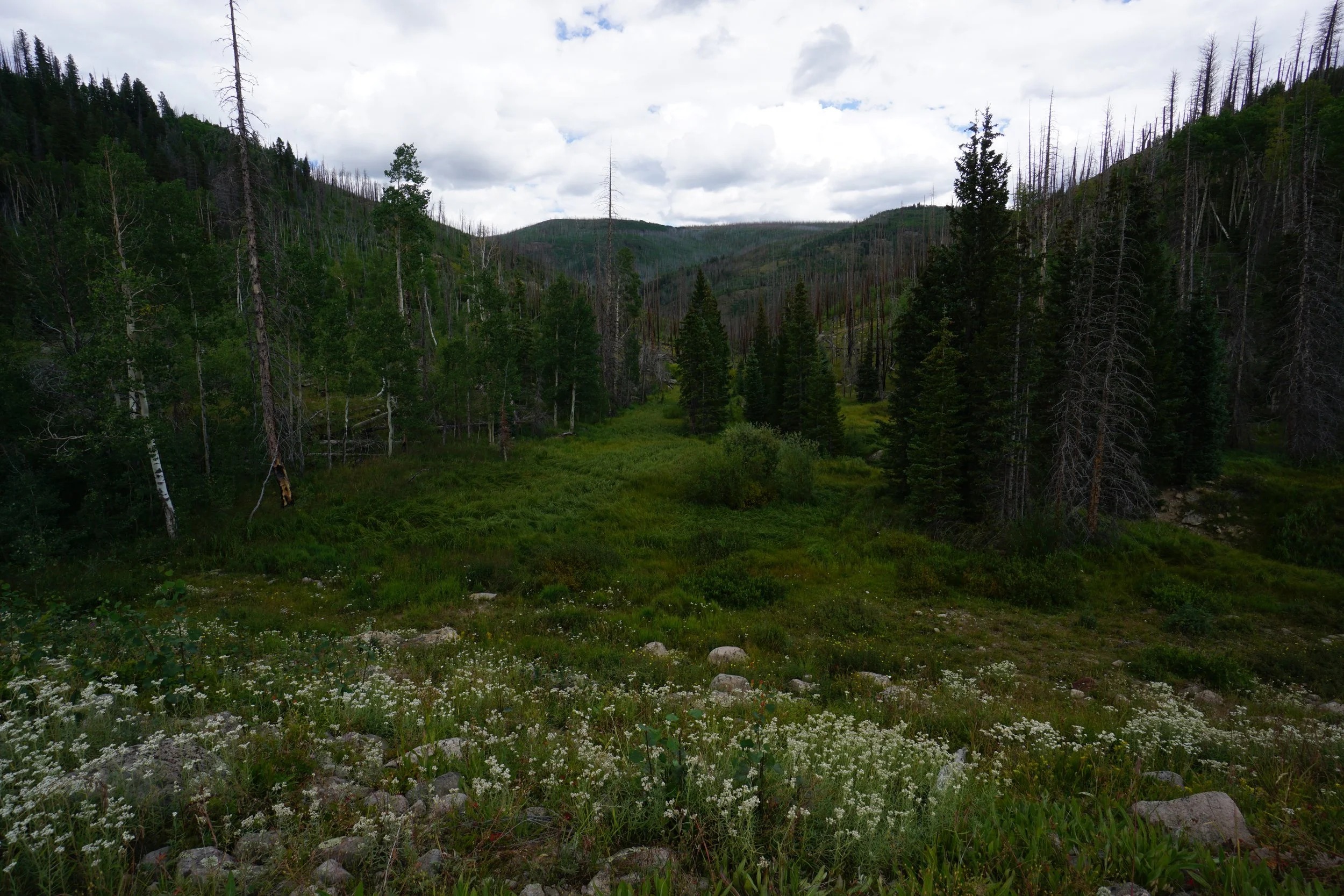
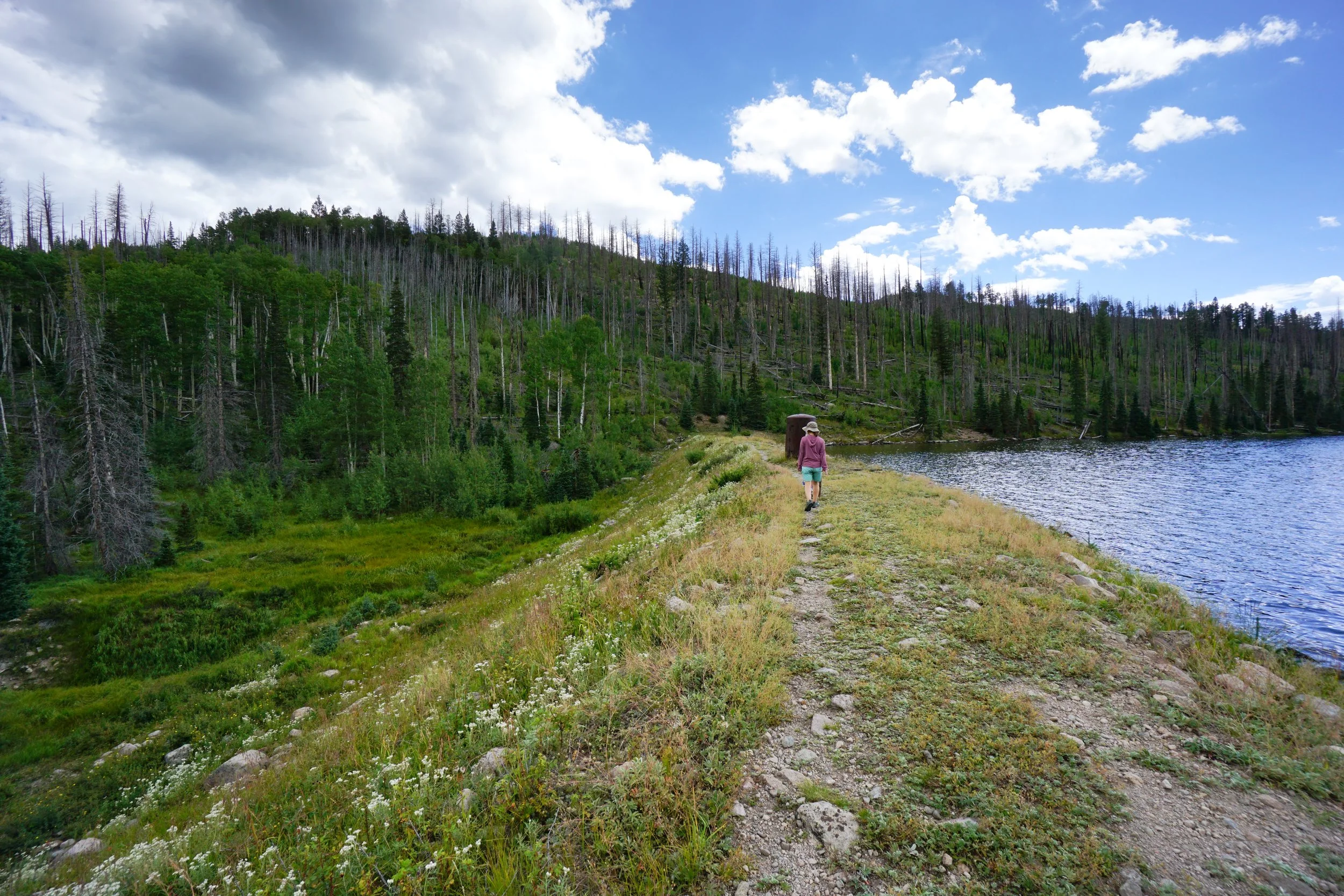
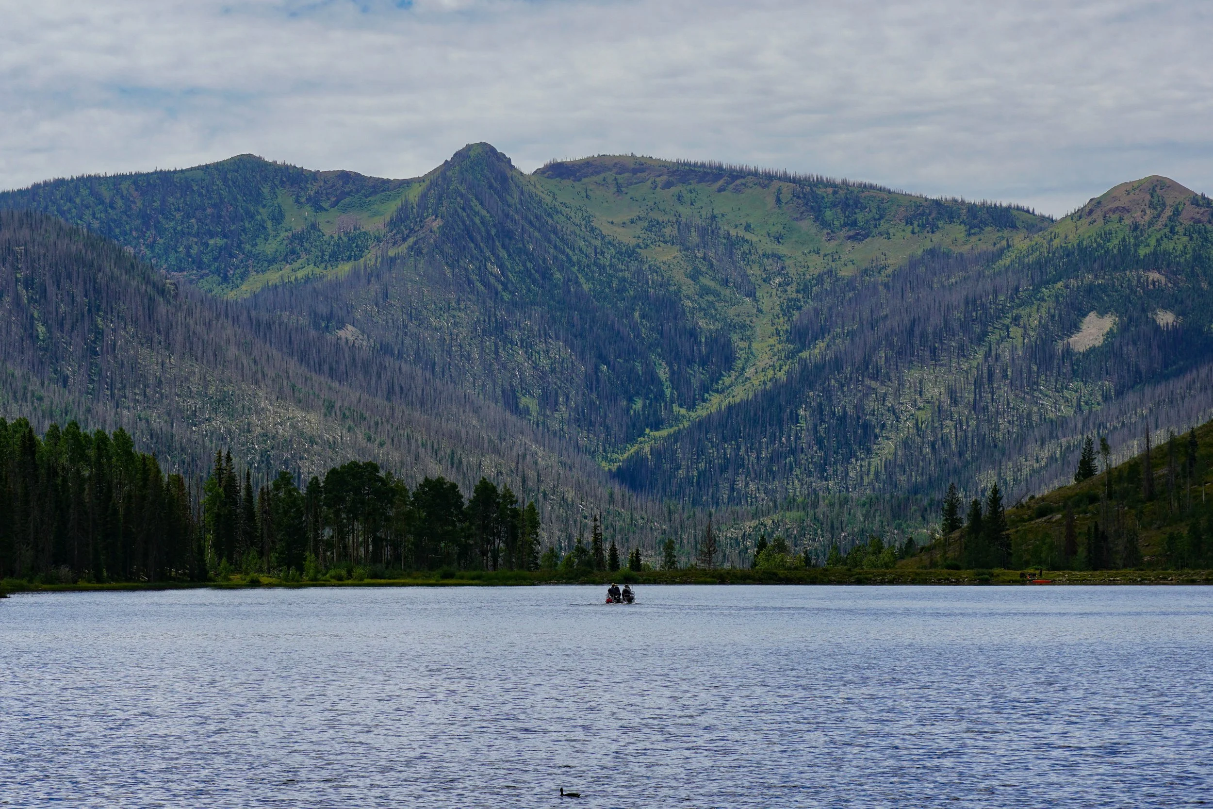
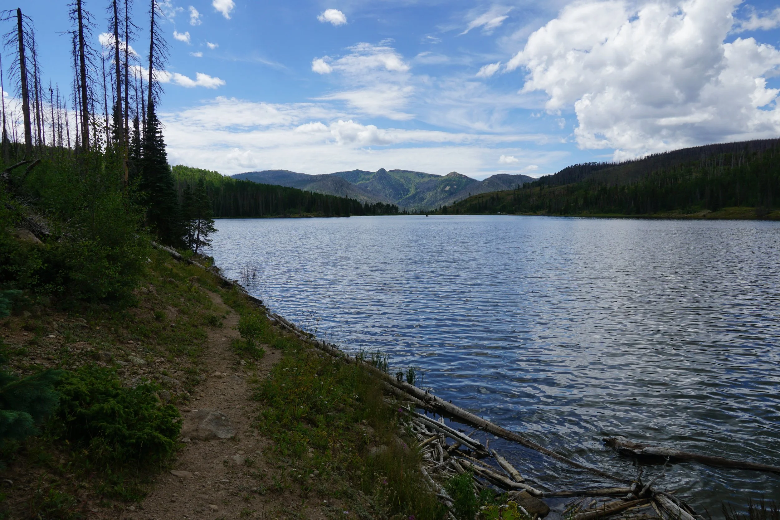
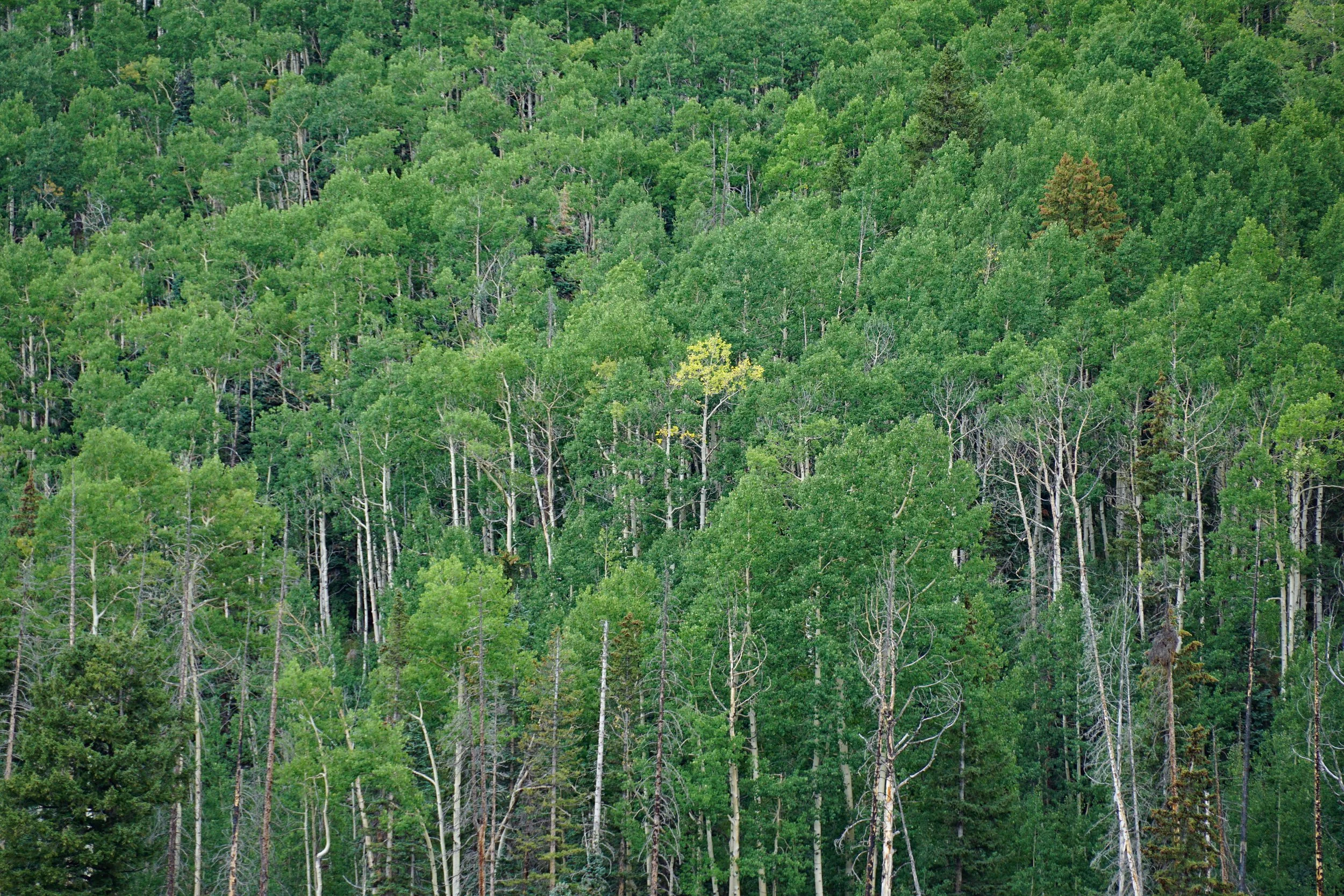
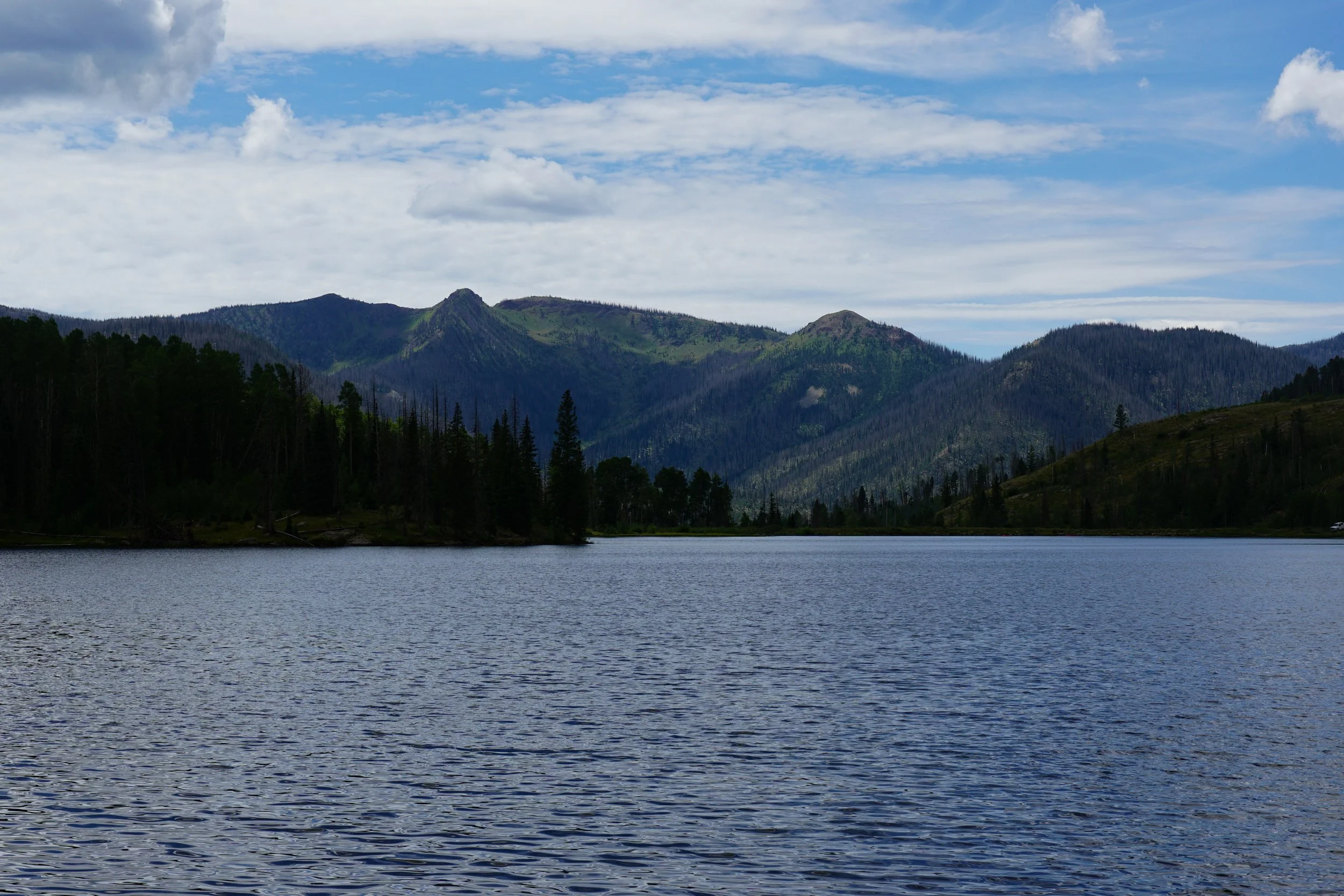
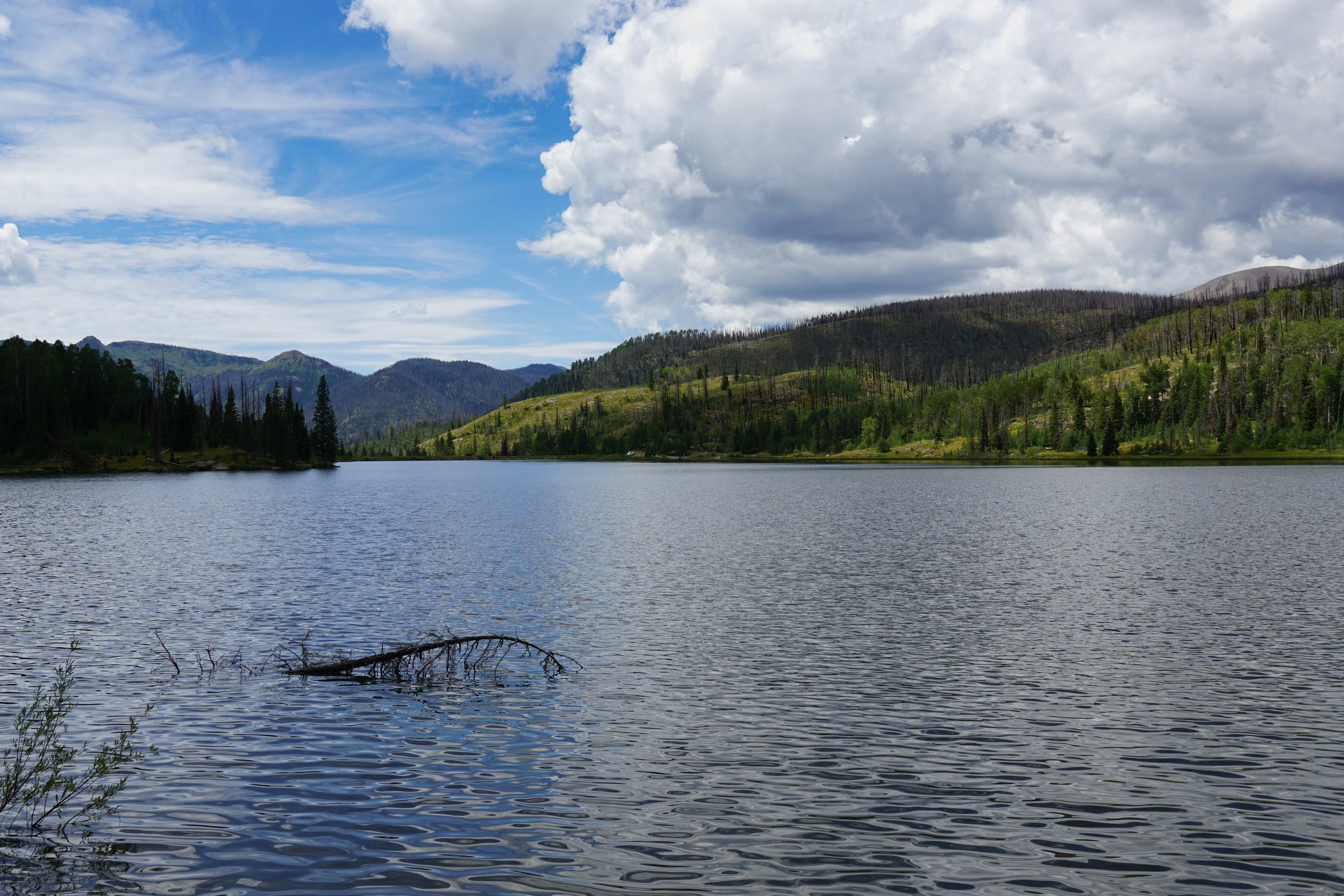
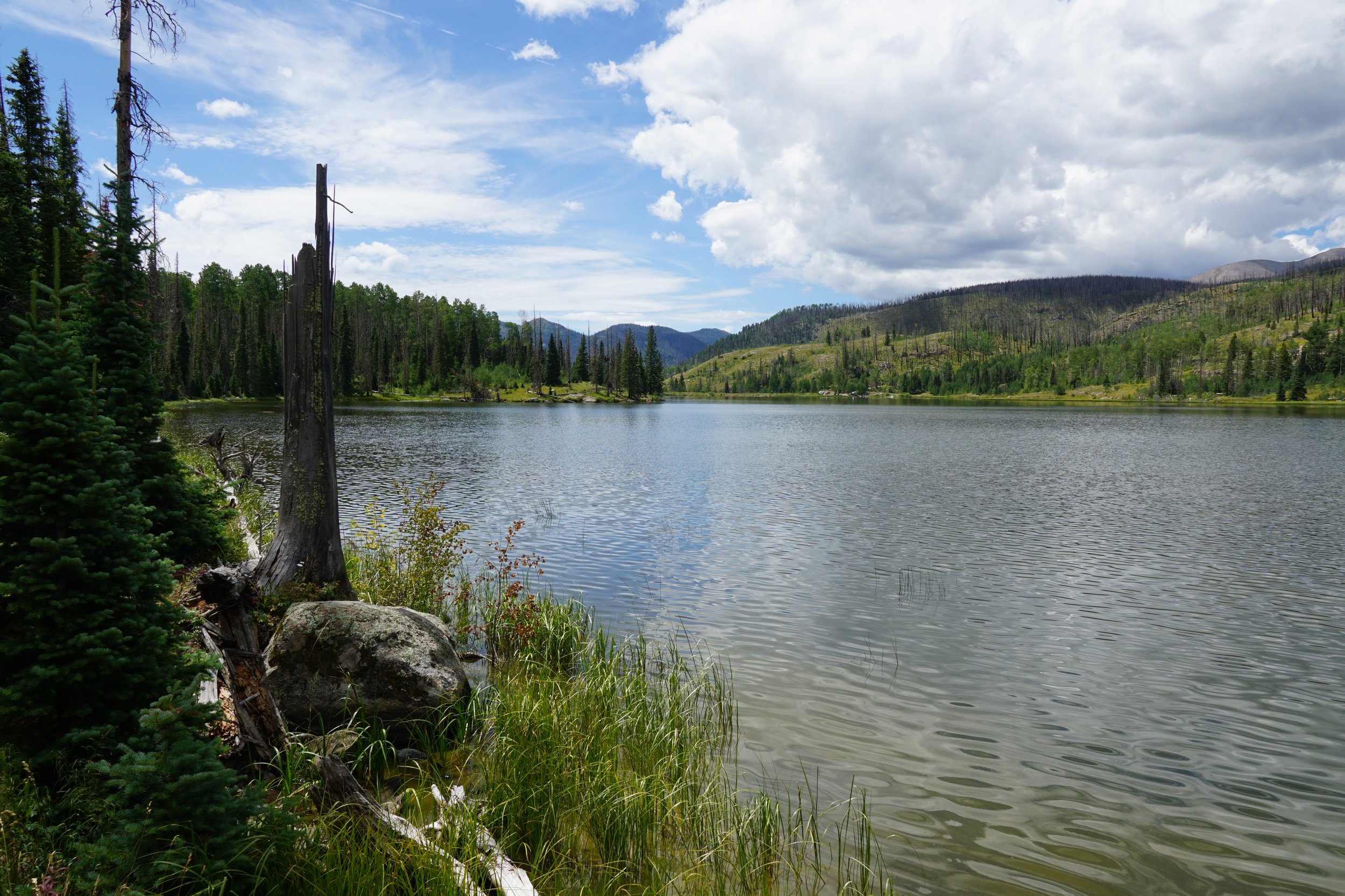
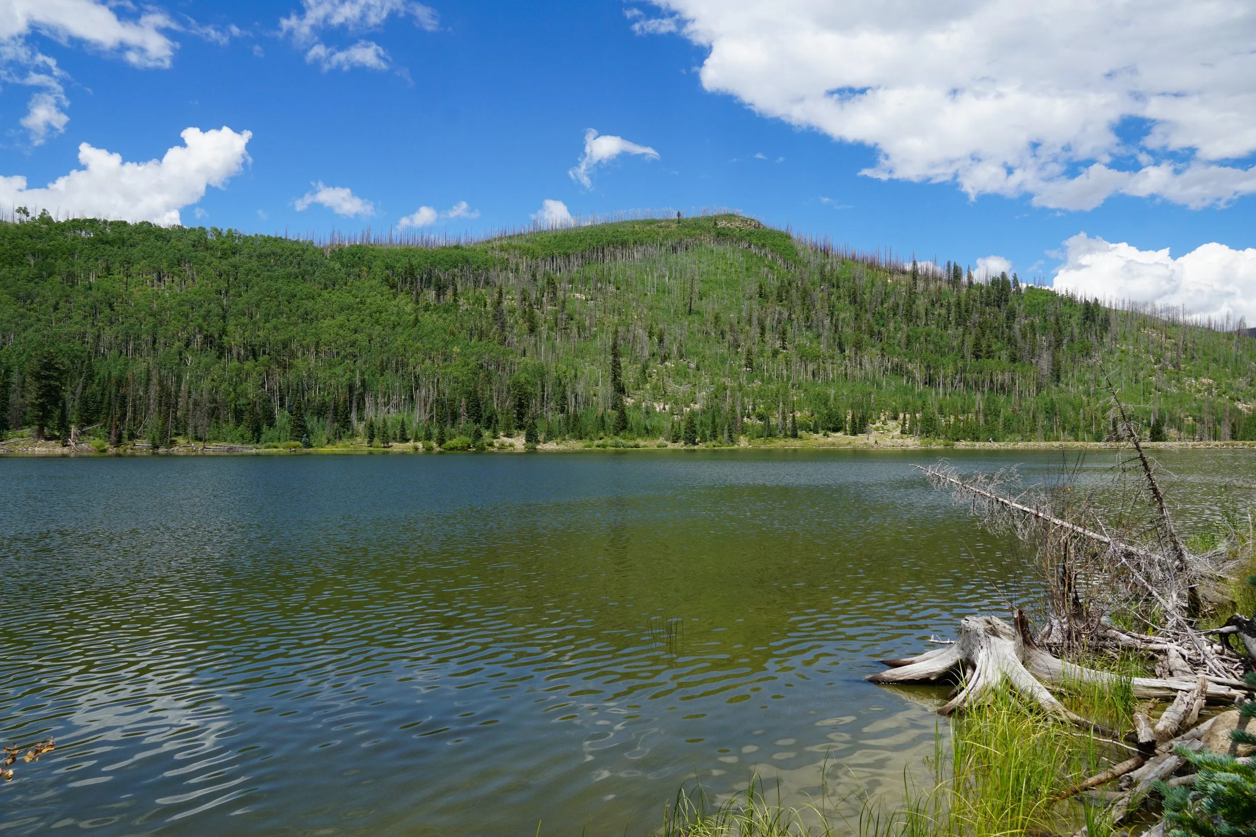
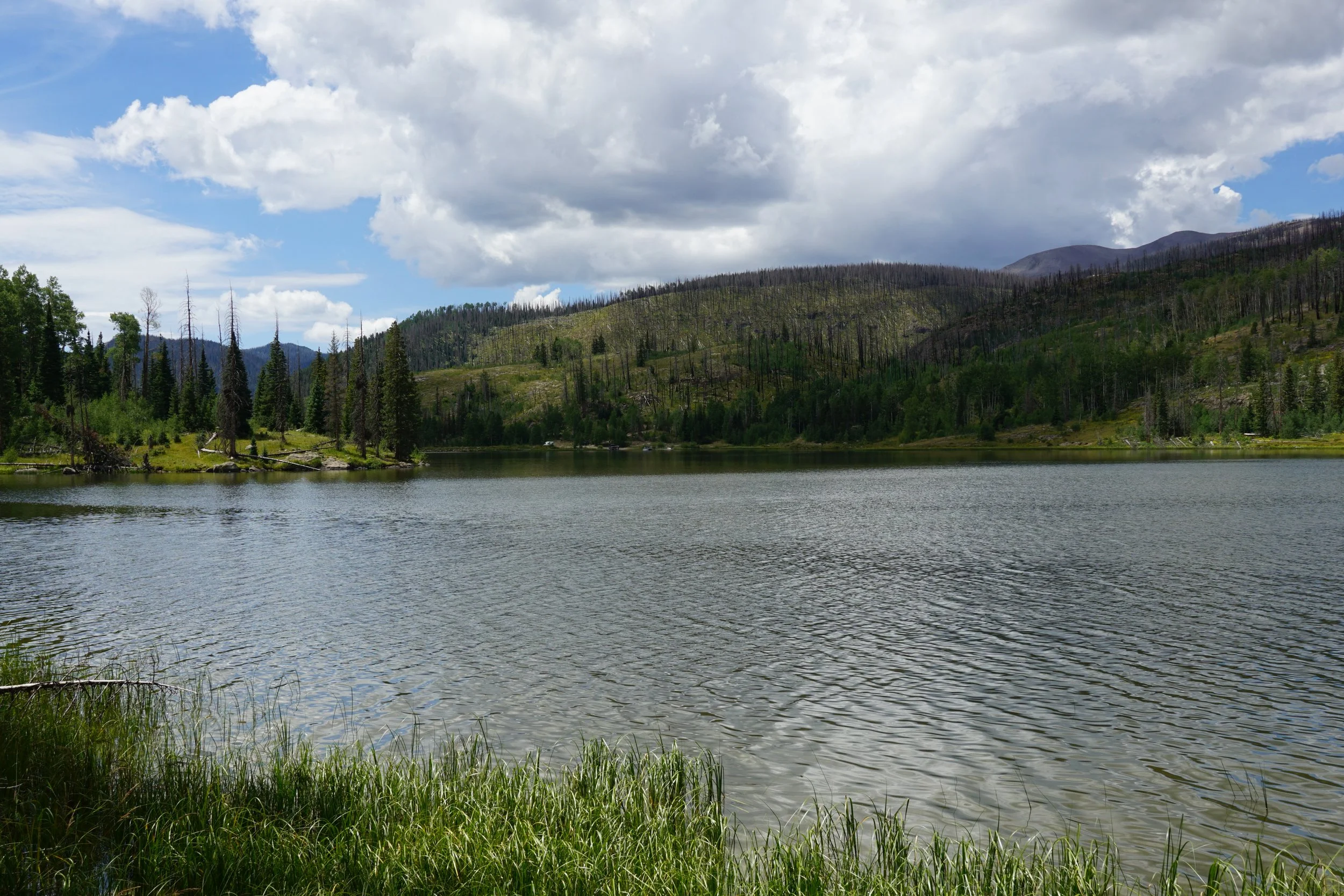
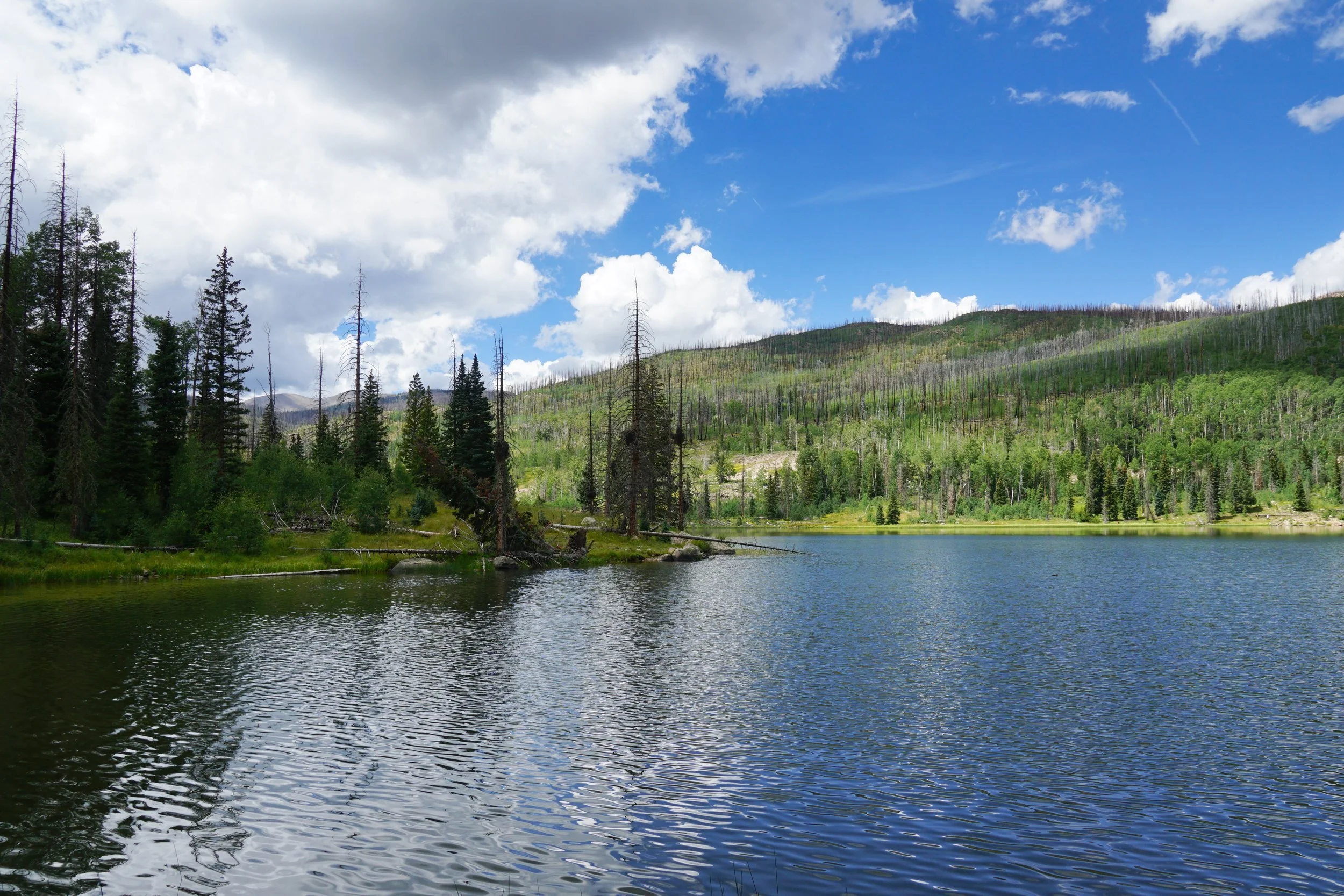
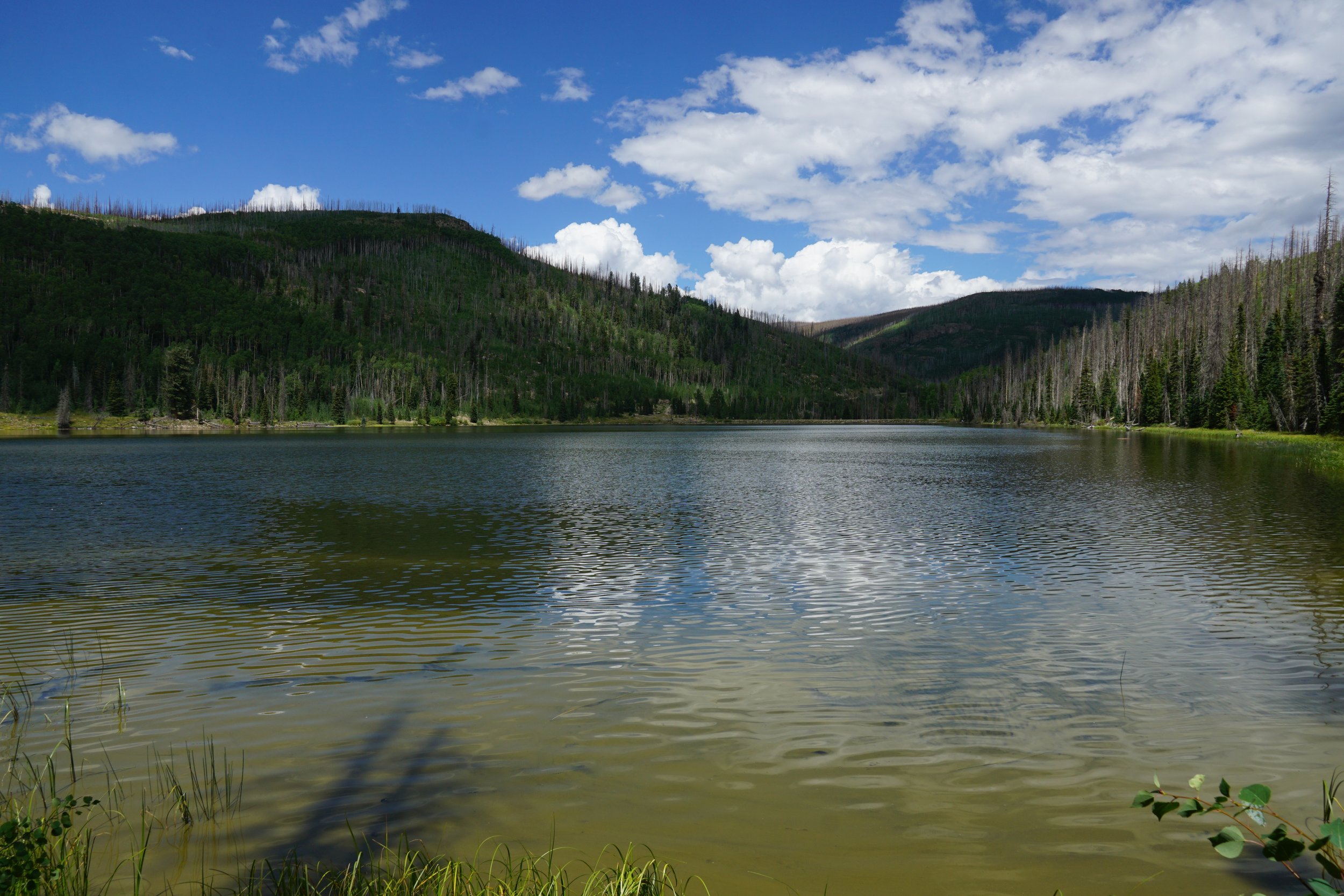
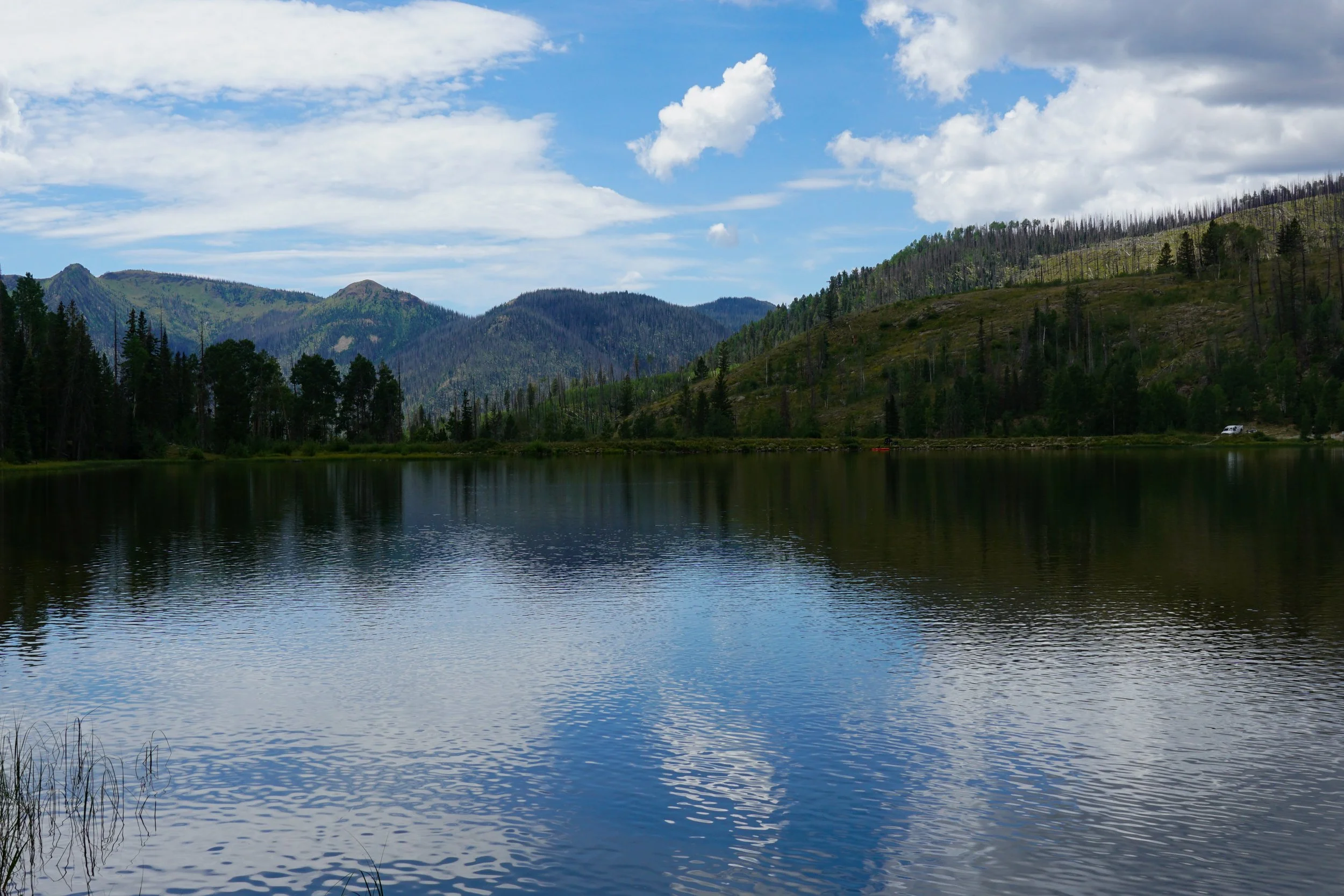
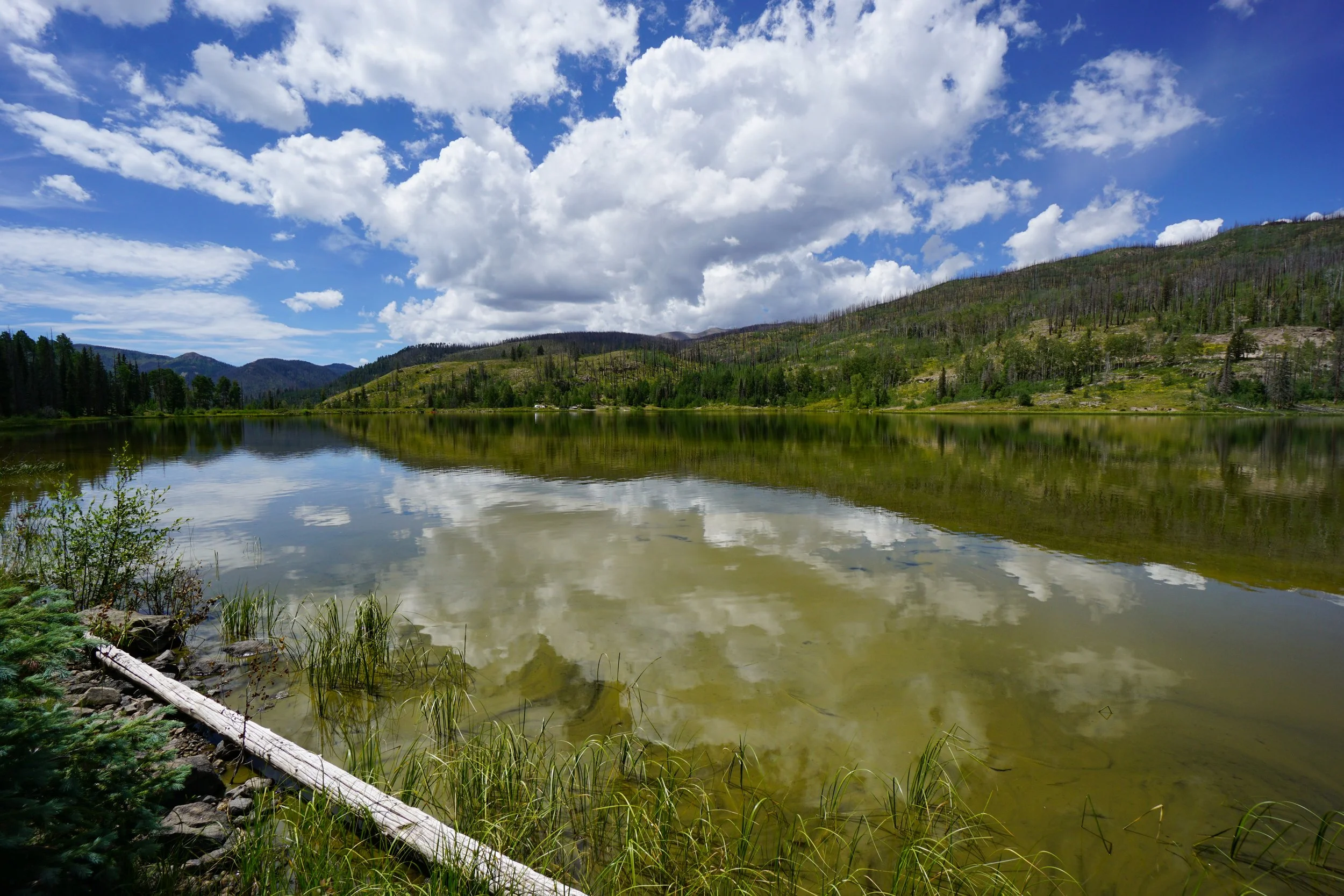
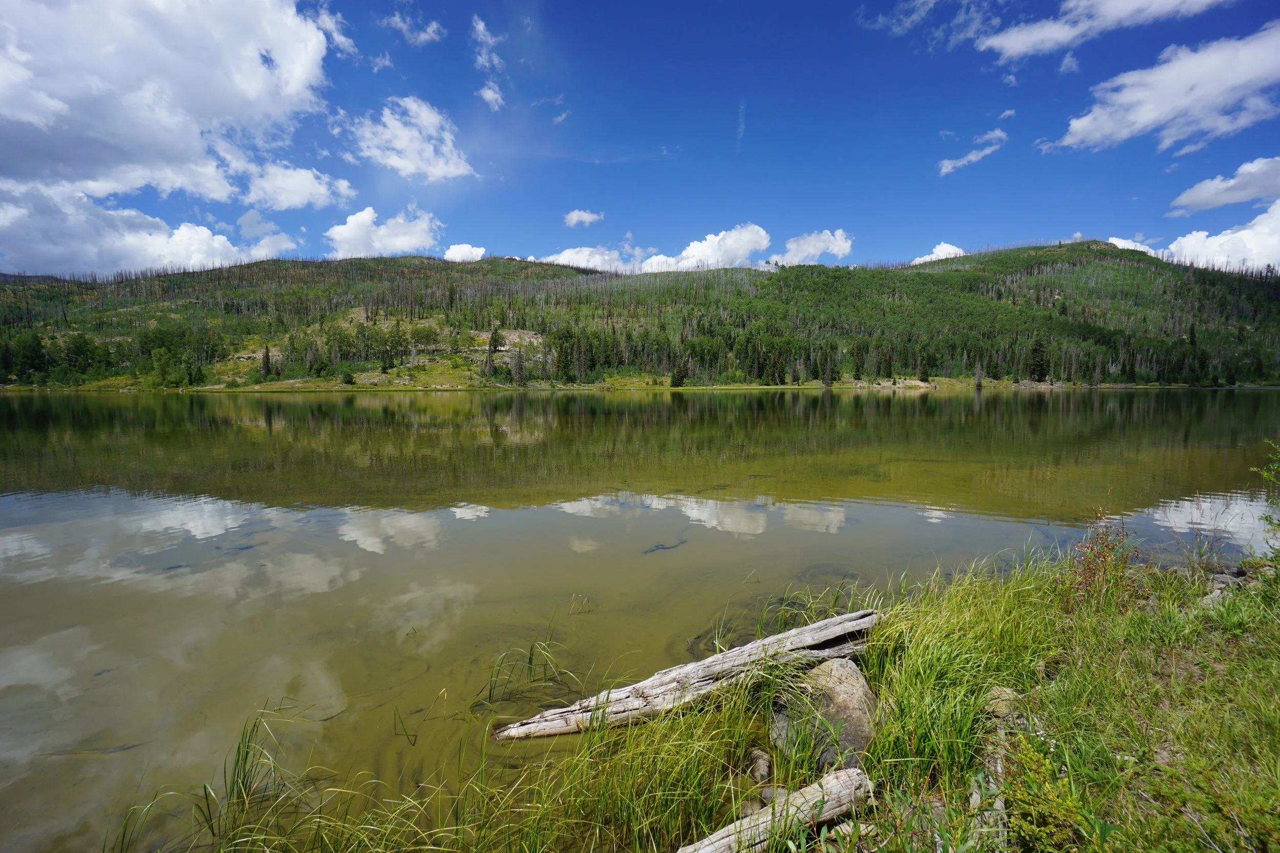
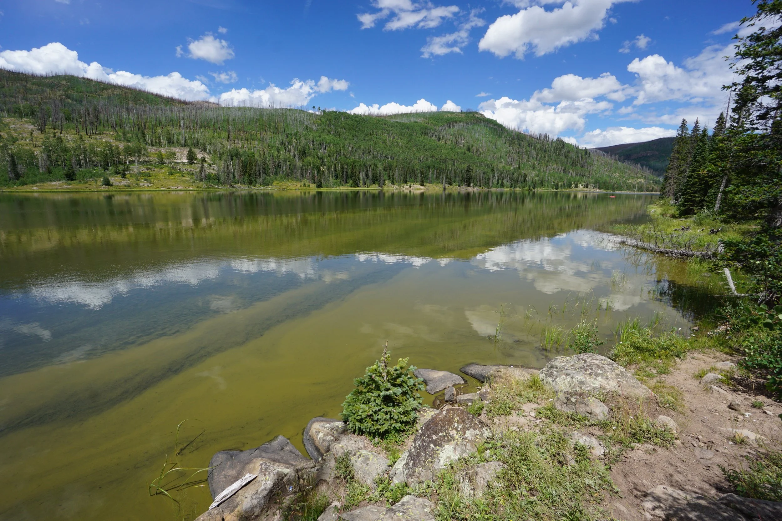
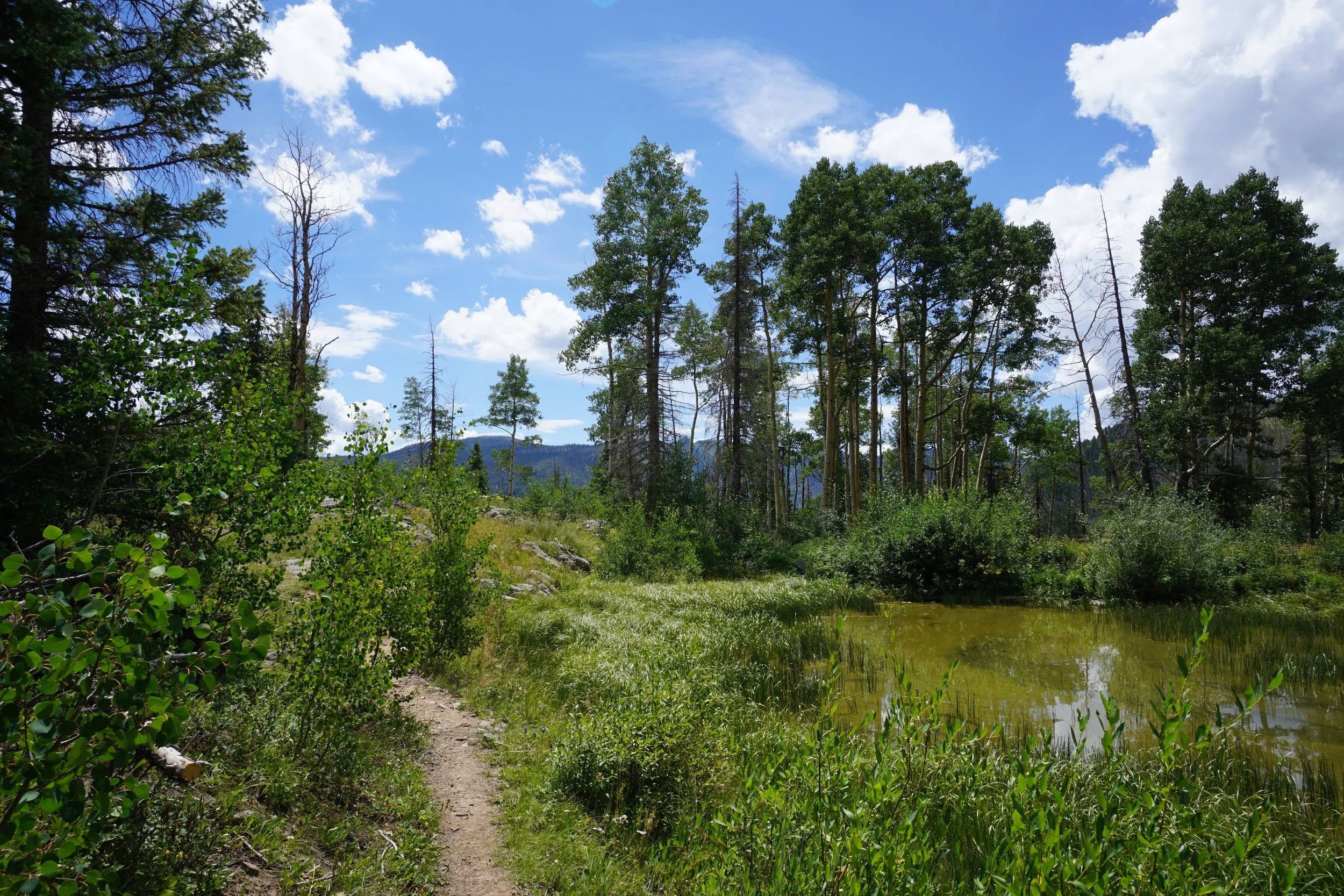
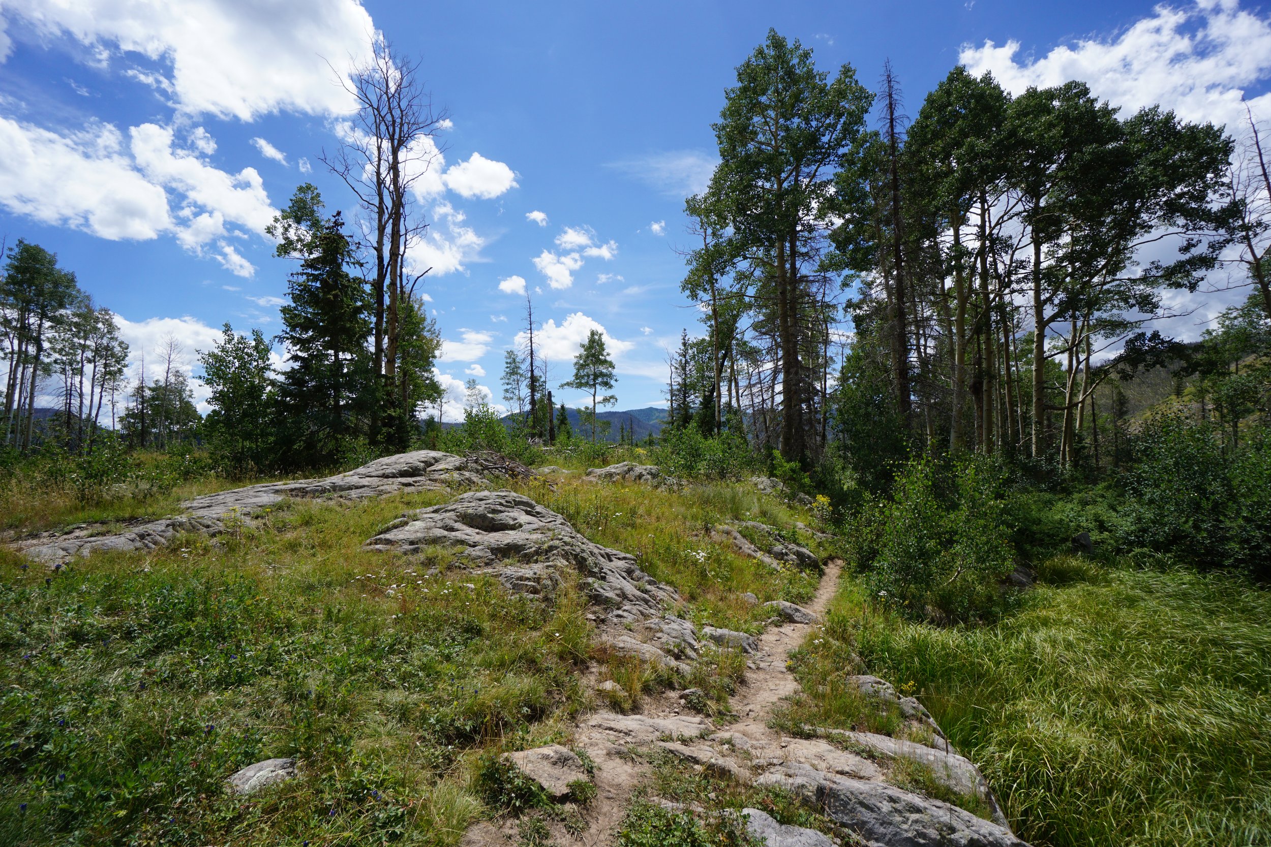
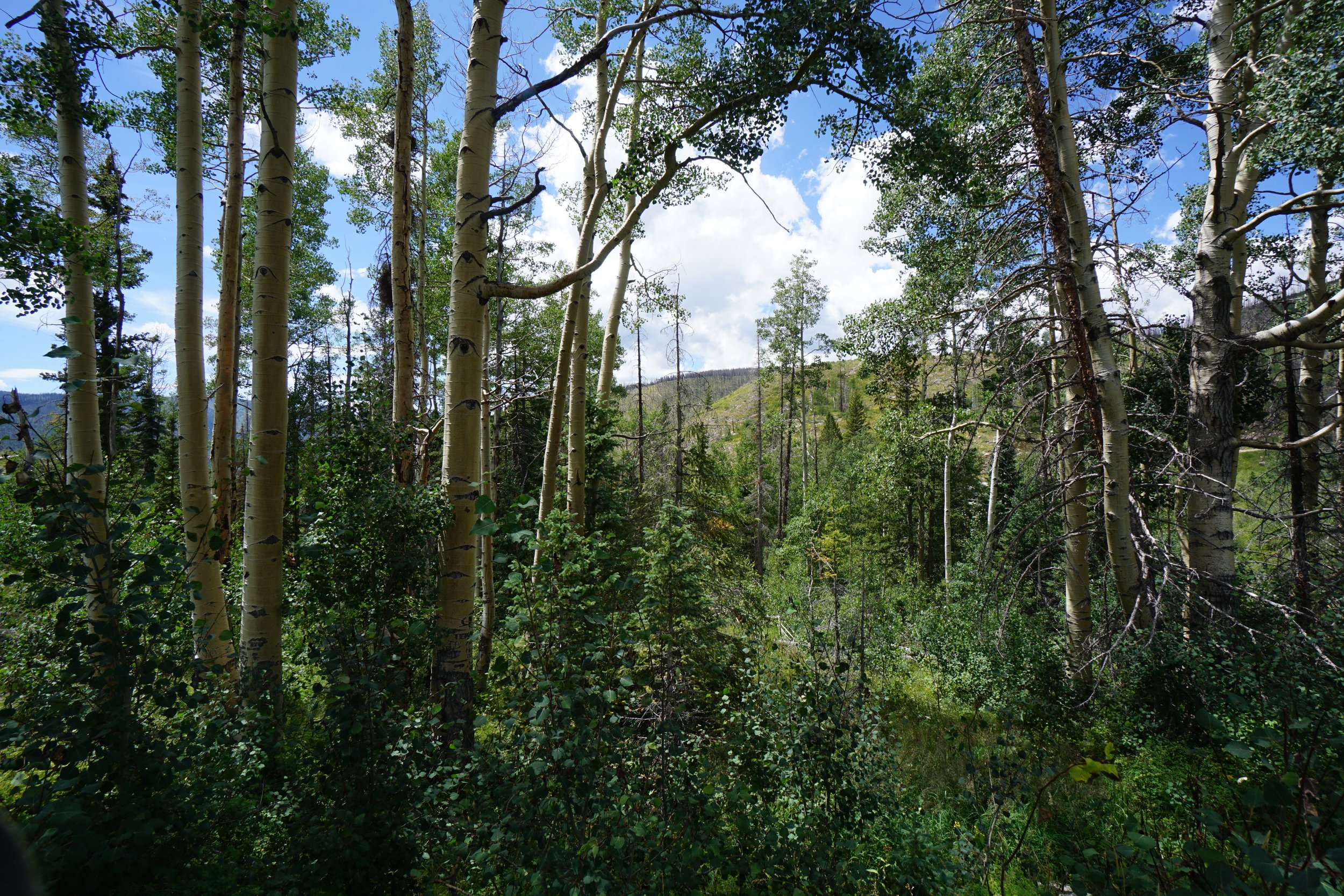
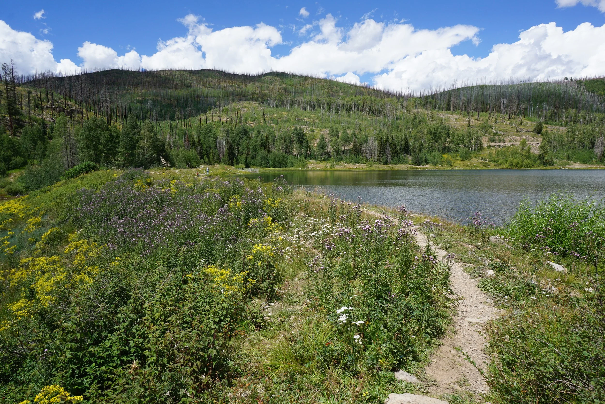
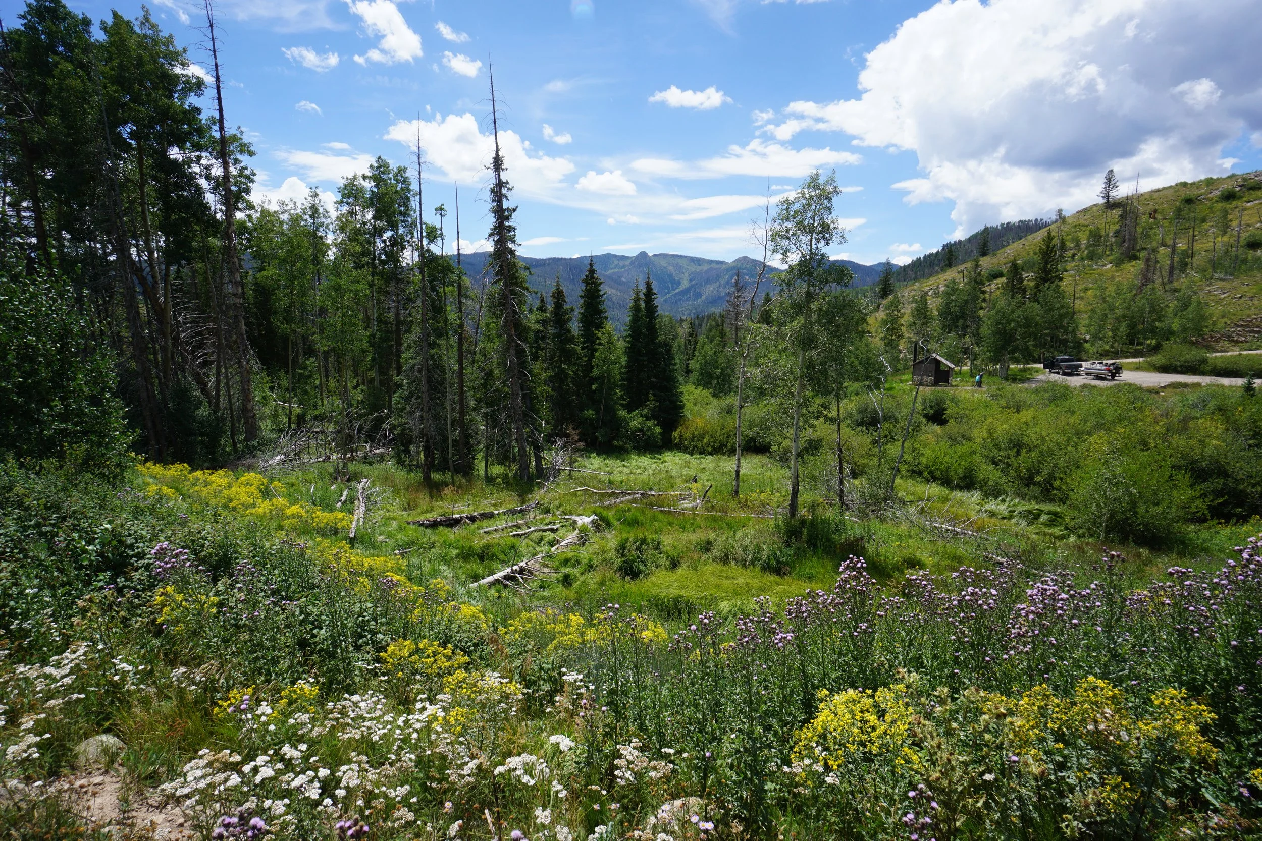
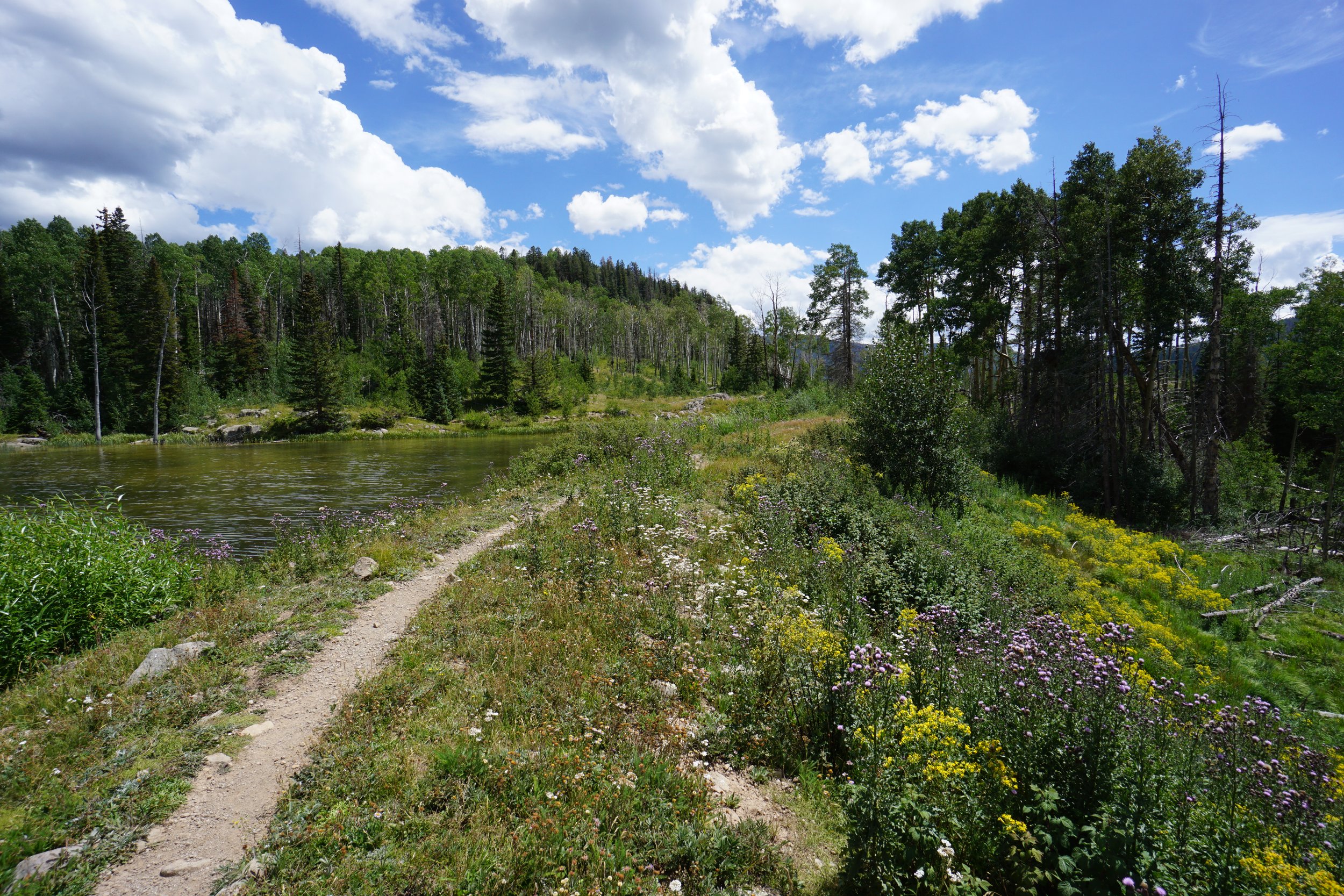
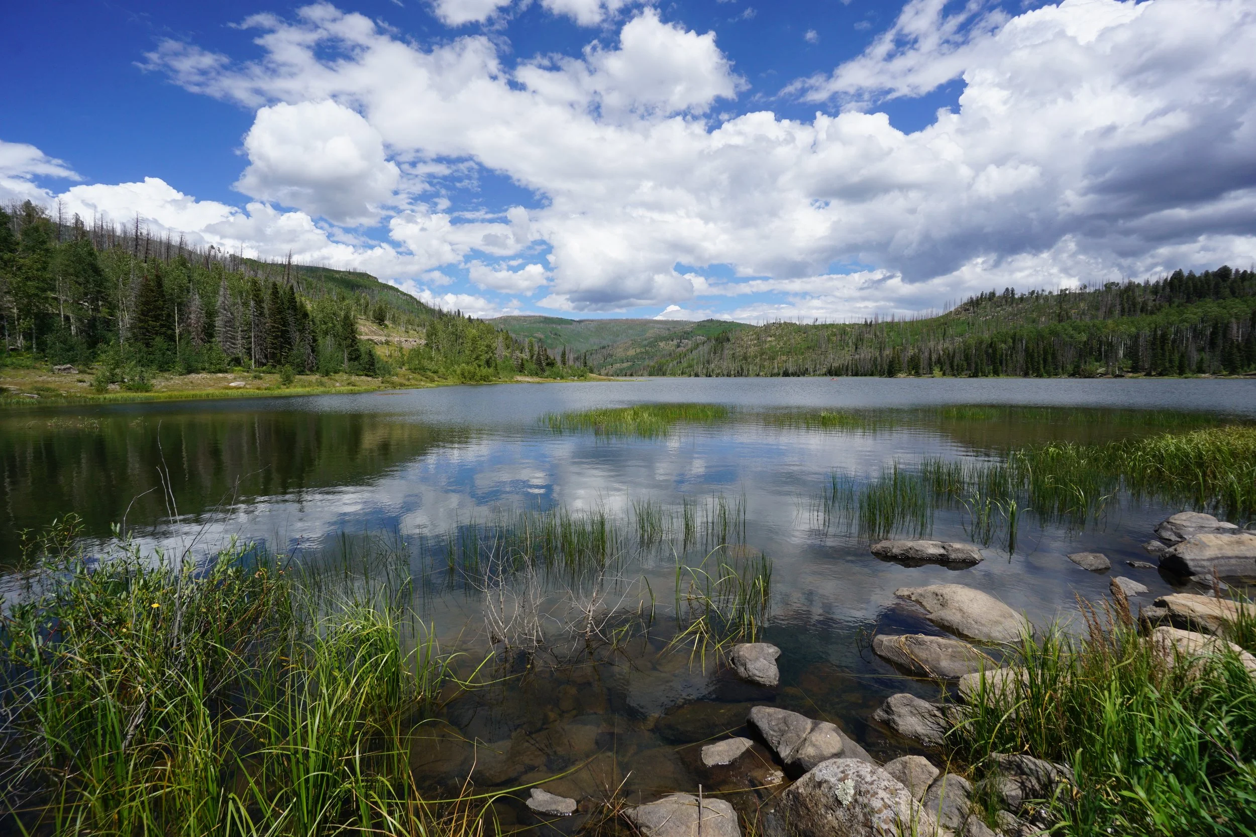
Shaw Lake sits nestled in the San Juan Mountains, northeast of Wolf Creek Pass. The small lake has a picturesque trail circling the lake. The hike passes through pine and aspen forest, crosses two dams and provides recreational access to the lake. The hike is easy but at 2.5 miles, it still feels like a hike rather than a stroll around a lake. The western shore of the lake provides an easy, unobstructed trail while the eastern shore is a bit trickier due to a large amount of downed trees and erosion. The views from the dams on the north and south shores are very scenic and the lake itself is peaceful and serene.
If you are in the area and looking for a short but scenic hike, this is a great choice.