Rifle Ice Caves (Koper’s Trail)
Rifle Mountain Park
Date Hiked: May 3, 2024
Distance: 1.3 mi (RT)
Elevation Gain: 384 ft
Elevation Min/Max: 6,902 to 7,194 ft
Trailhead Lat/Long: 39.70839, -107.69324
Managing Agency: City of Rifle
Fee: Yes
DIRECTIONS:
From the City of Rifle, head north out of town on CO State Highway 13. Turn right on 217/State Highway 325 towards Rifle Gap and Rifle Falls State Parks. Drive past Rifle Gap and through Rifle Falls State Parks. Just past Rifle Falls, the road become good dirt, passable to most cars, and enters the Rifle Mountain Park. Continue North until you see the sign for the Koper’s Trail and Ice Caves.
HIKE DESCRIPTION:
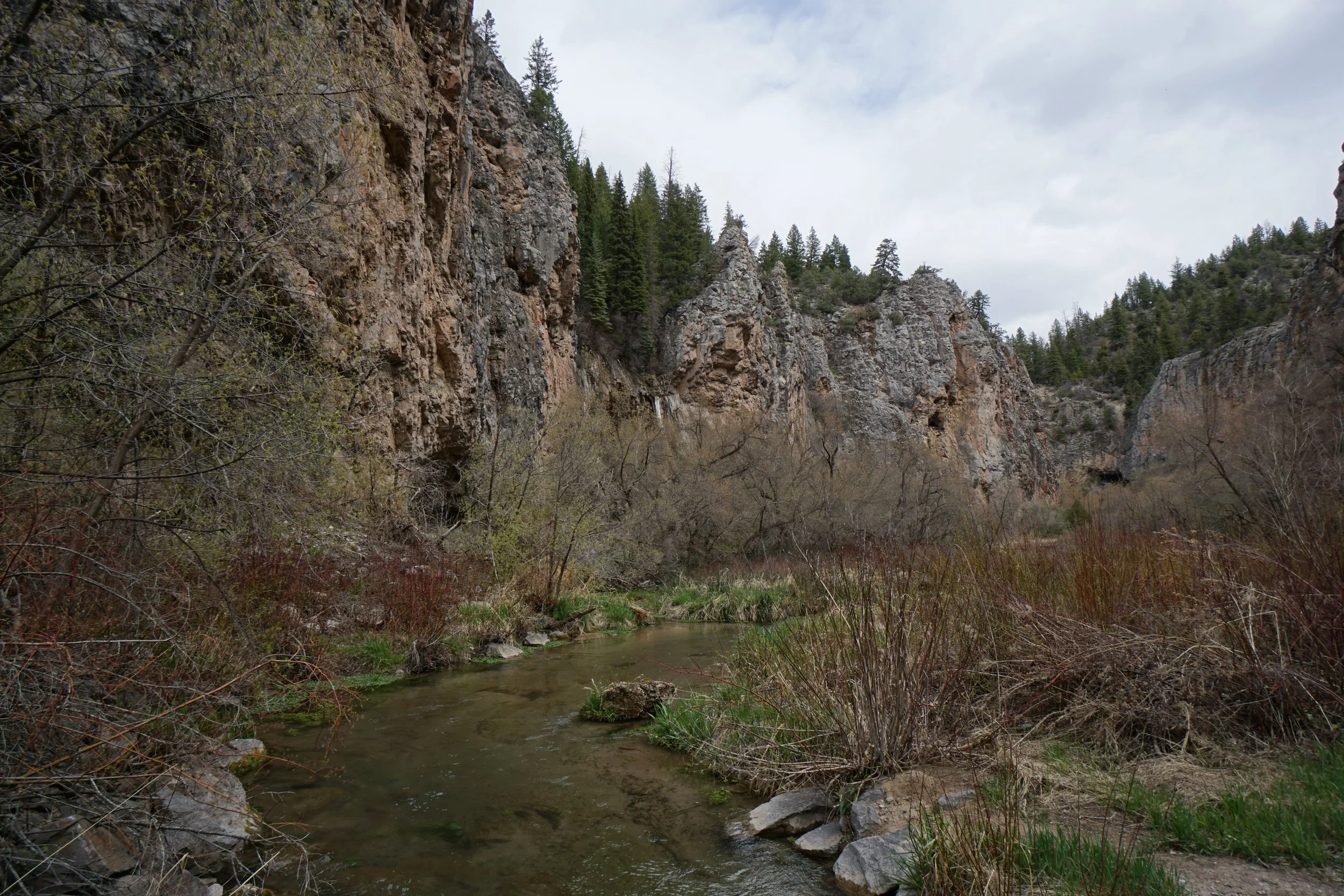
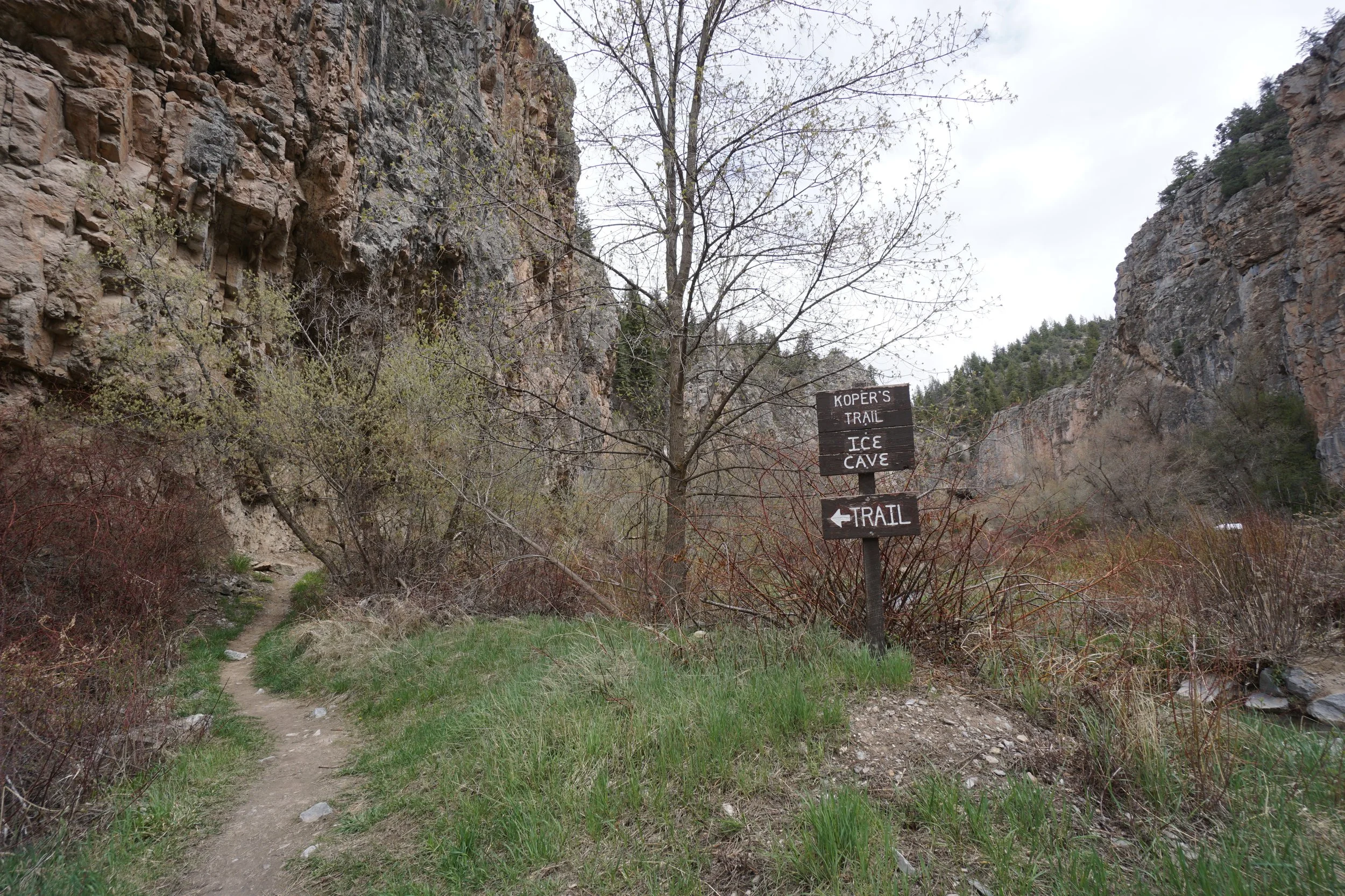
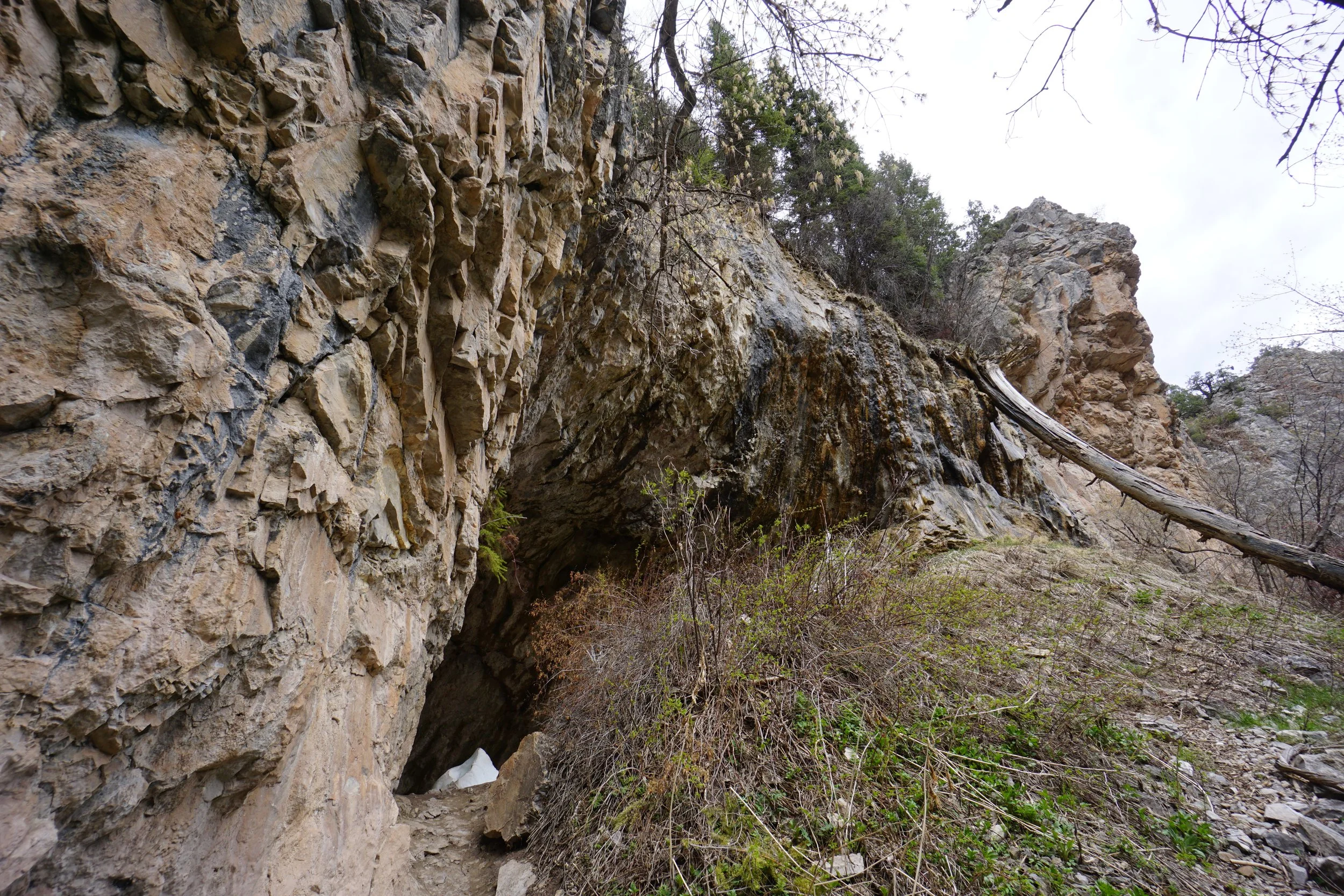
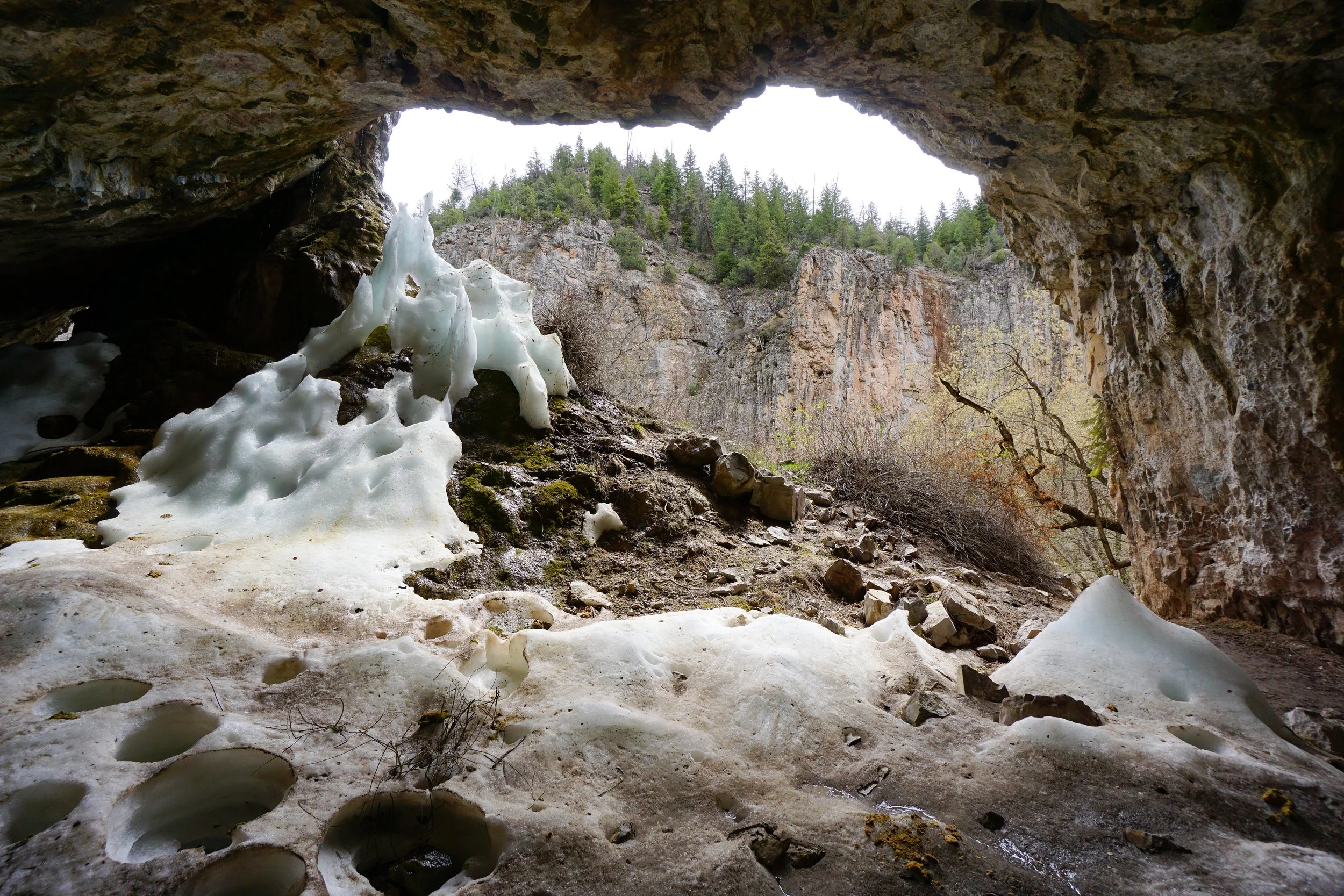
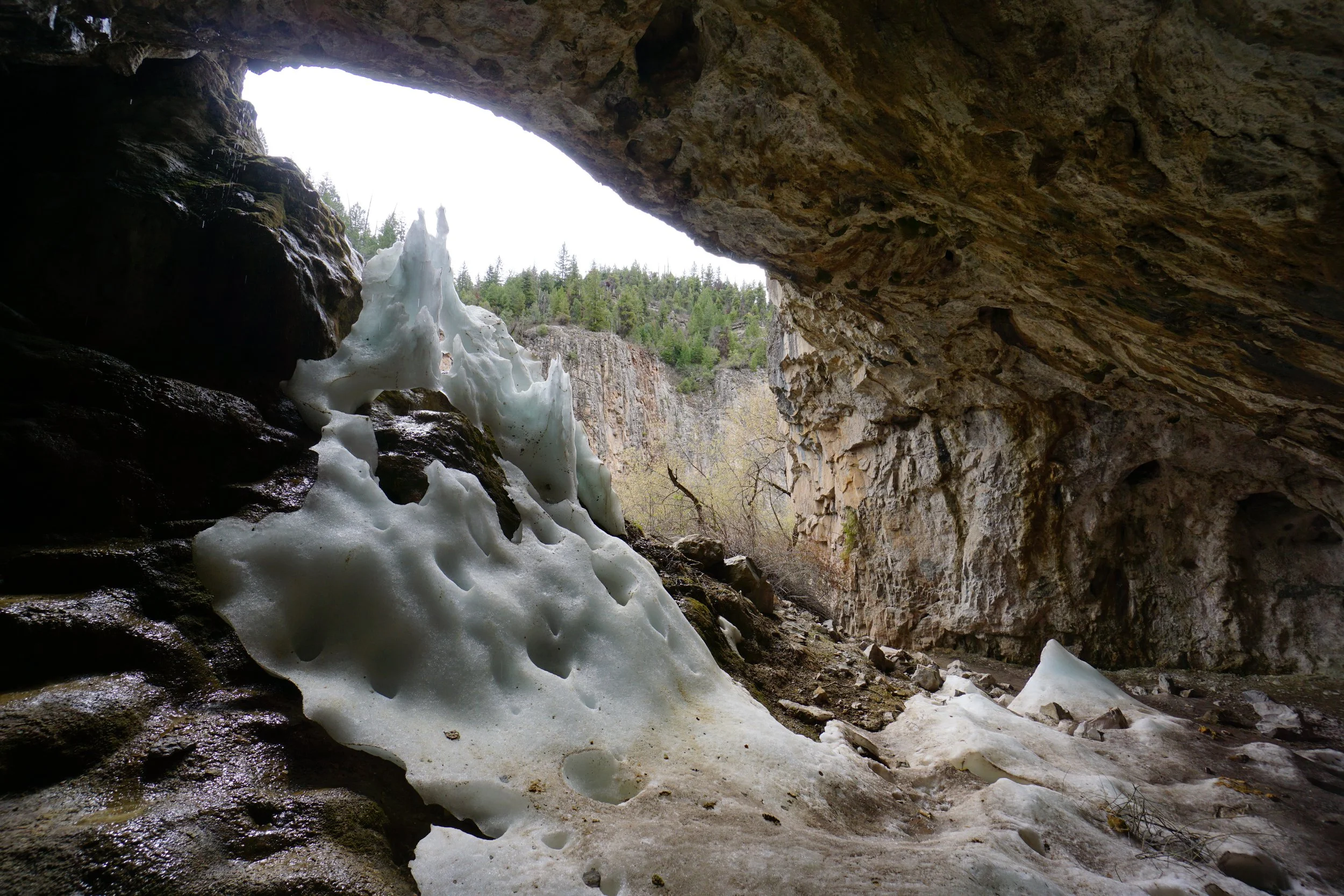
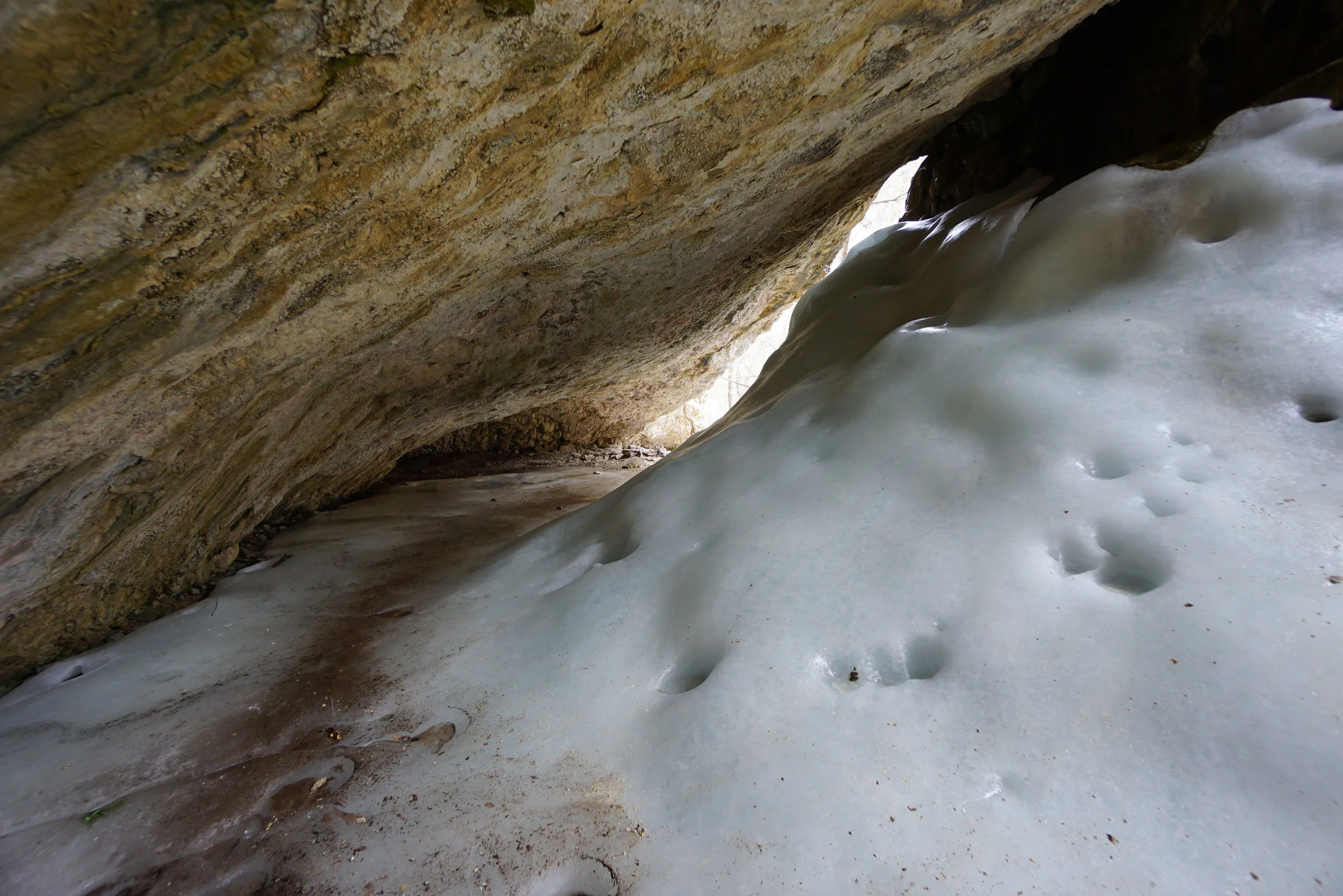
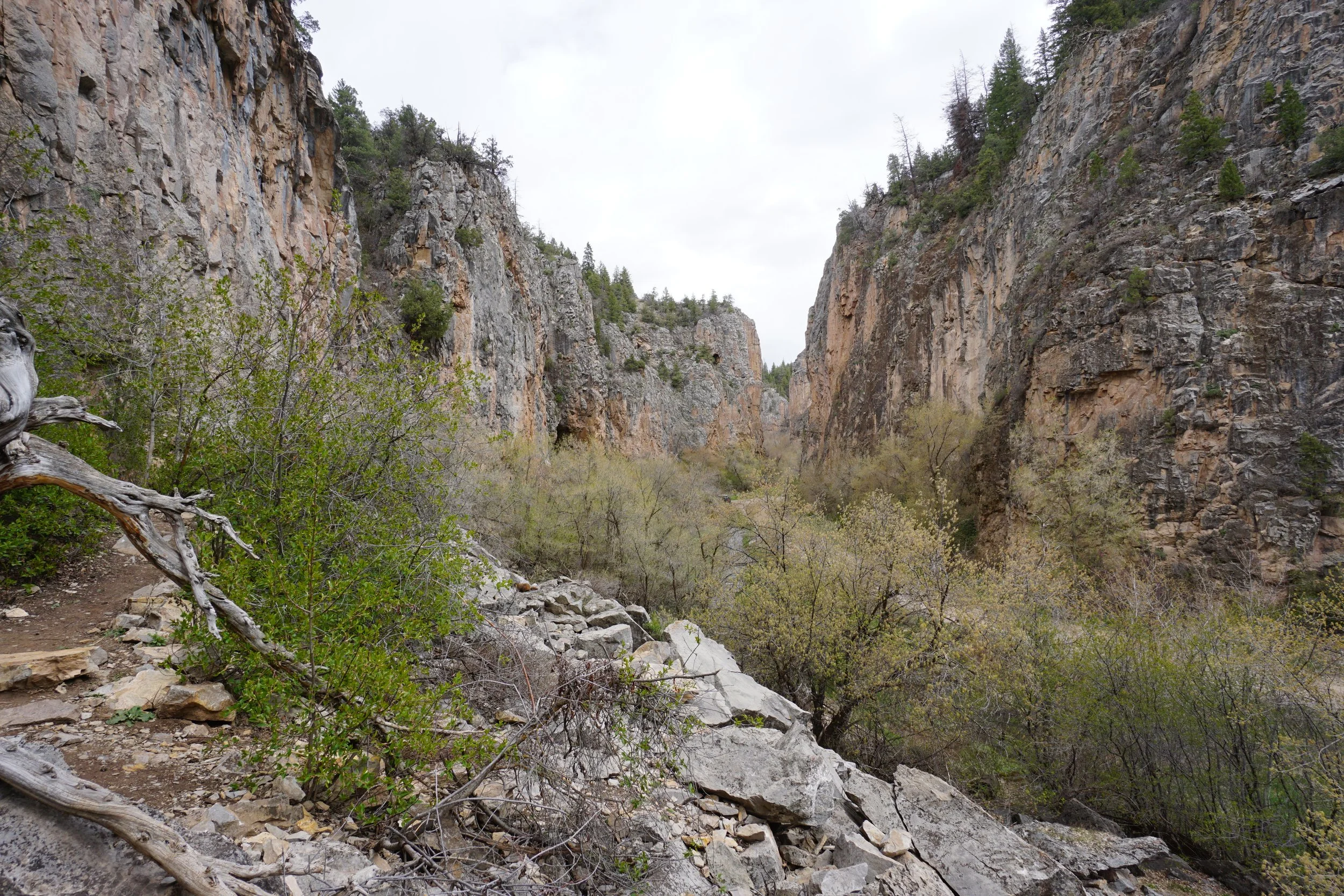
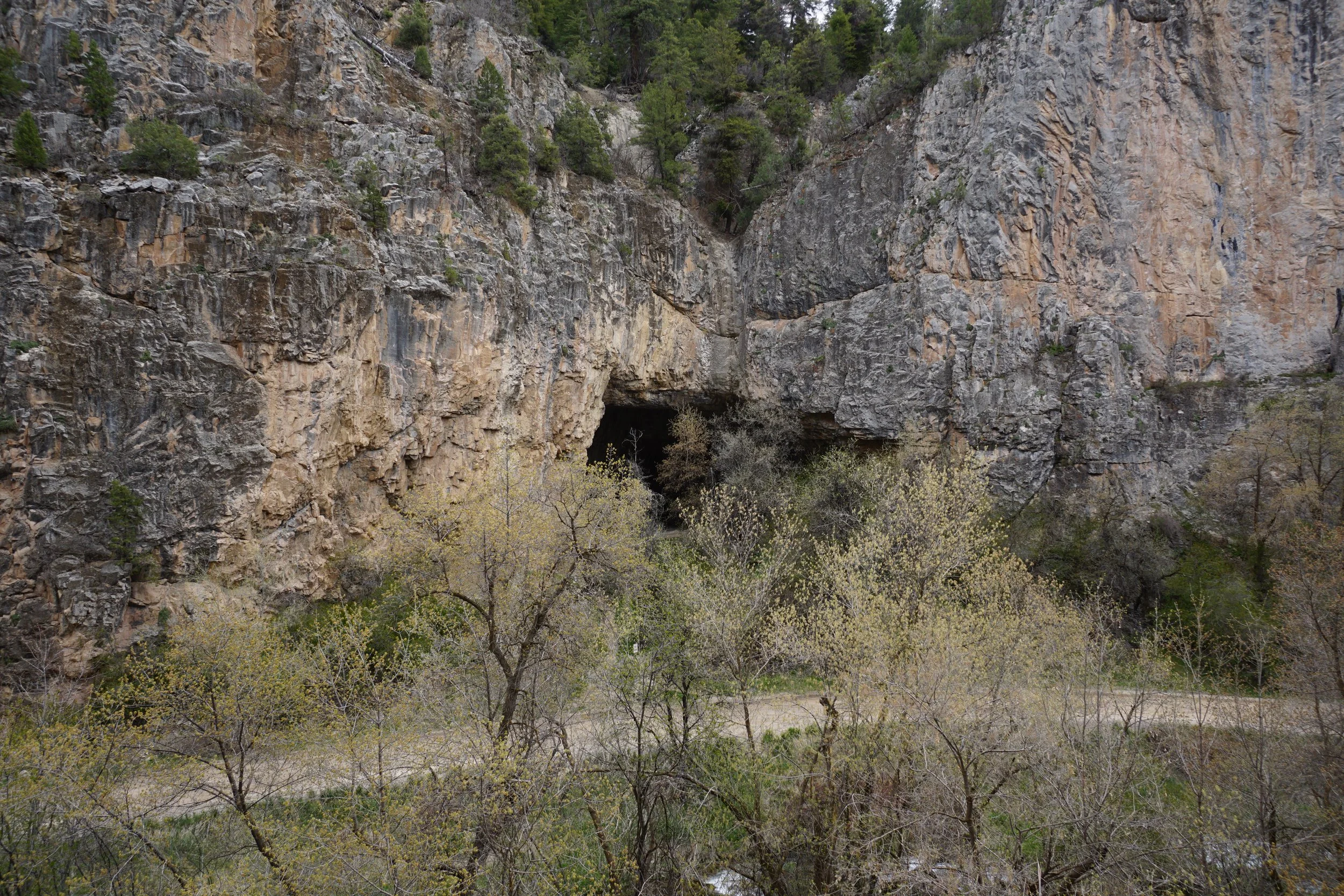
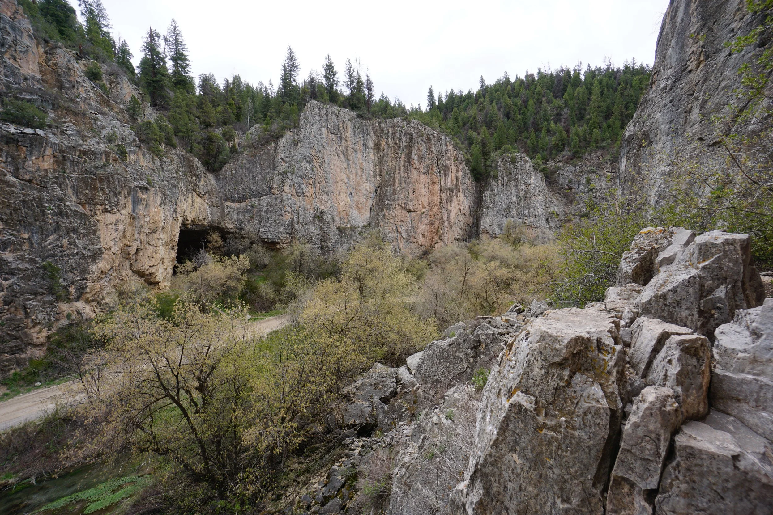
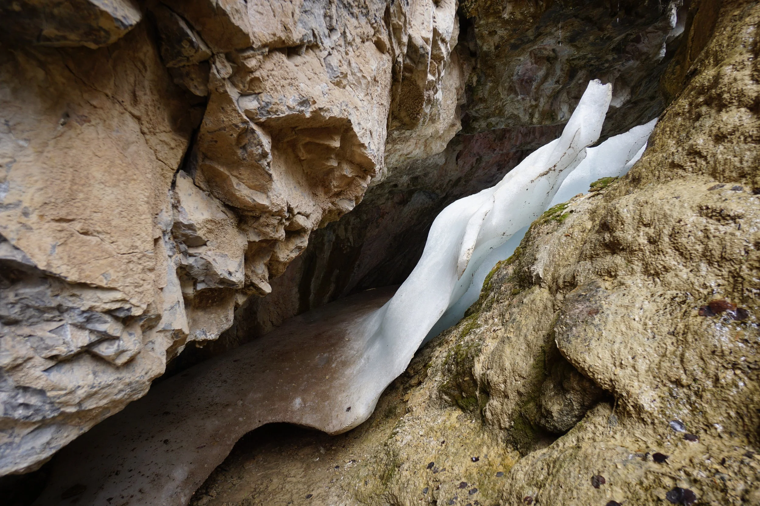
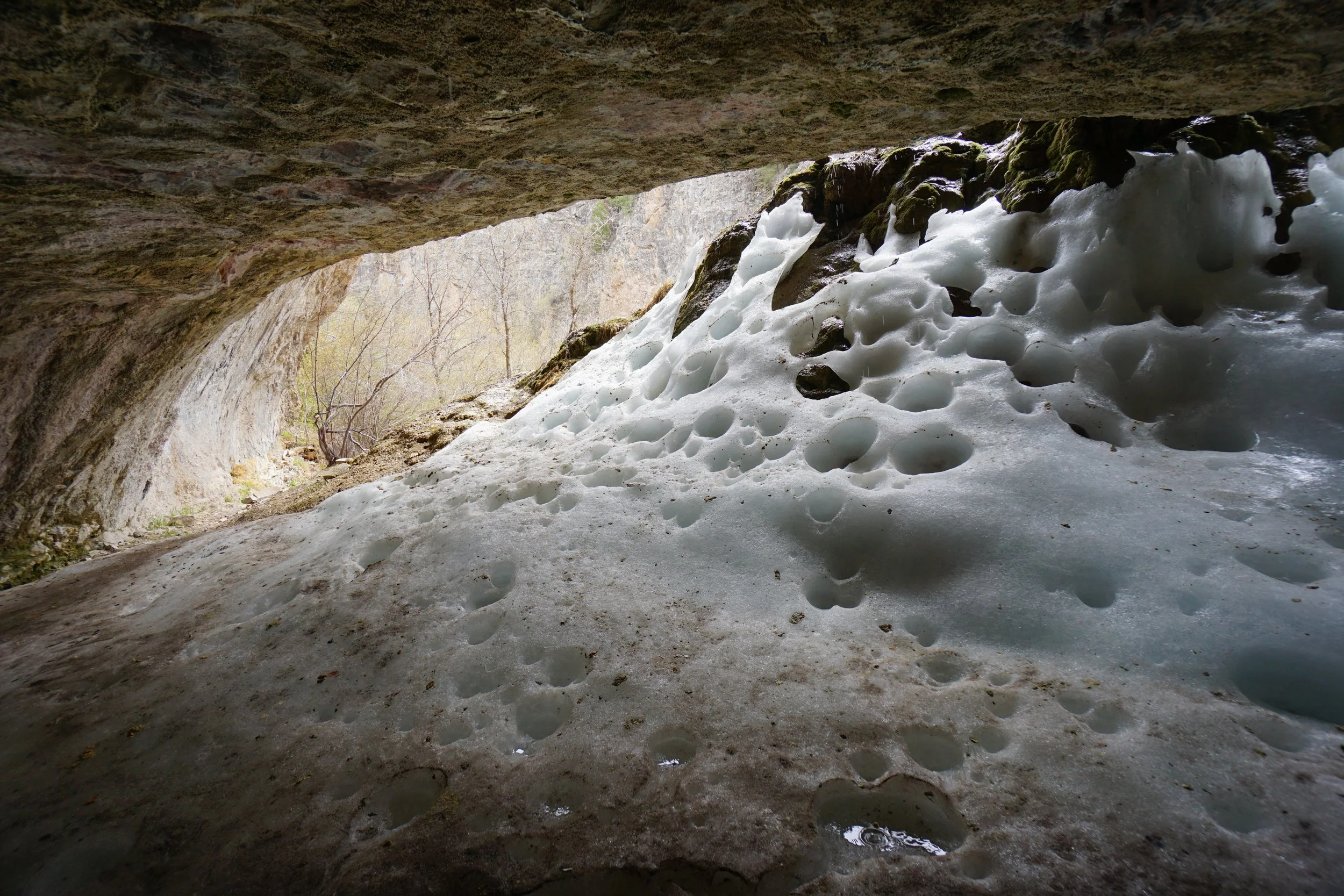
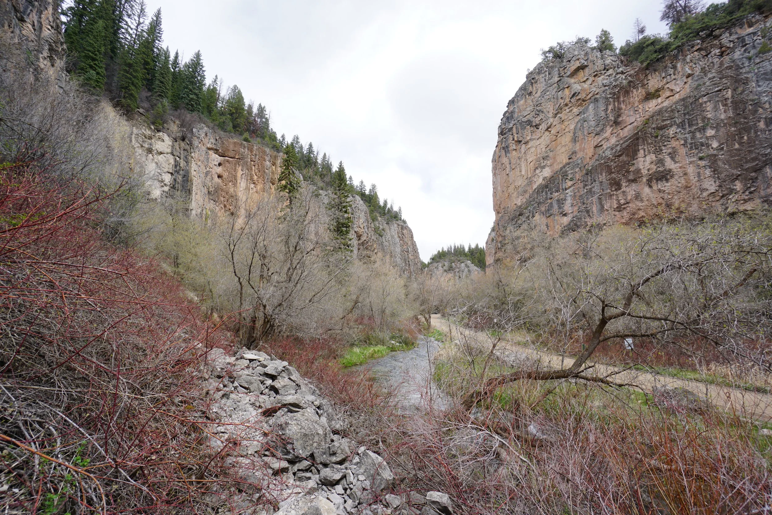
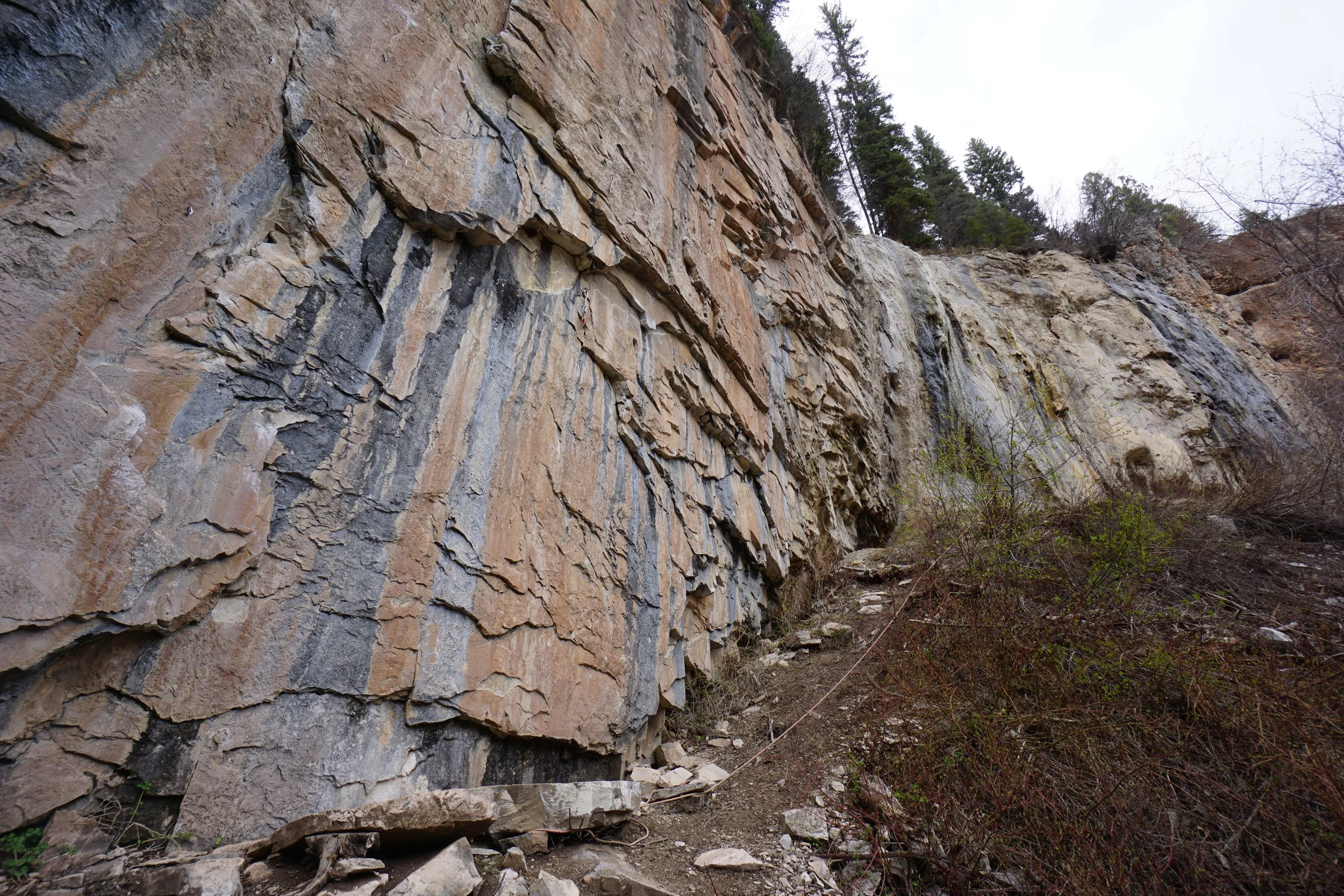
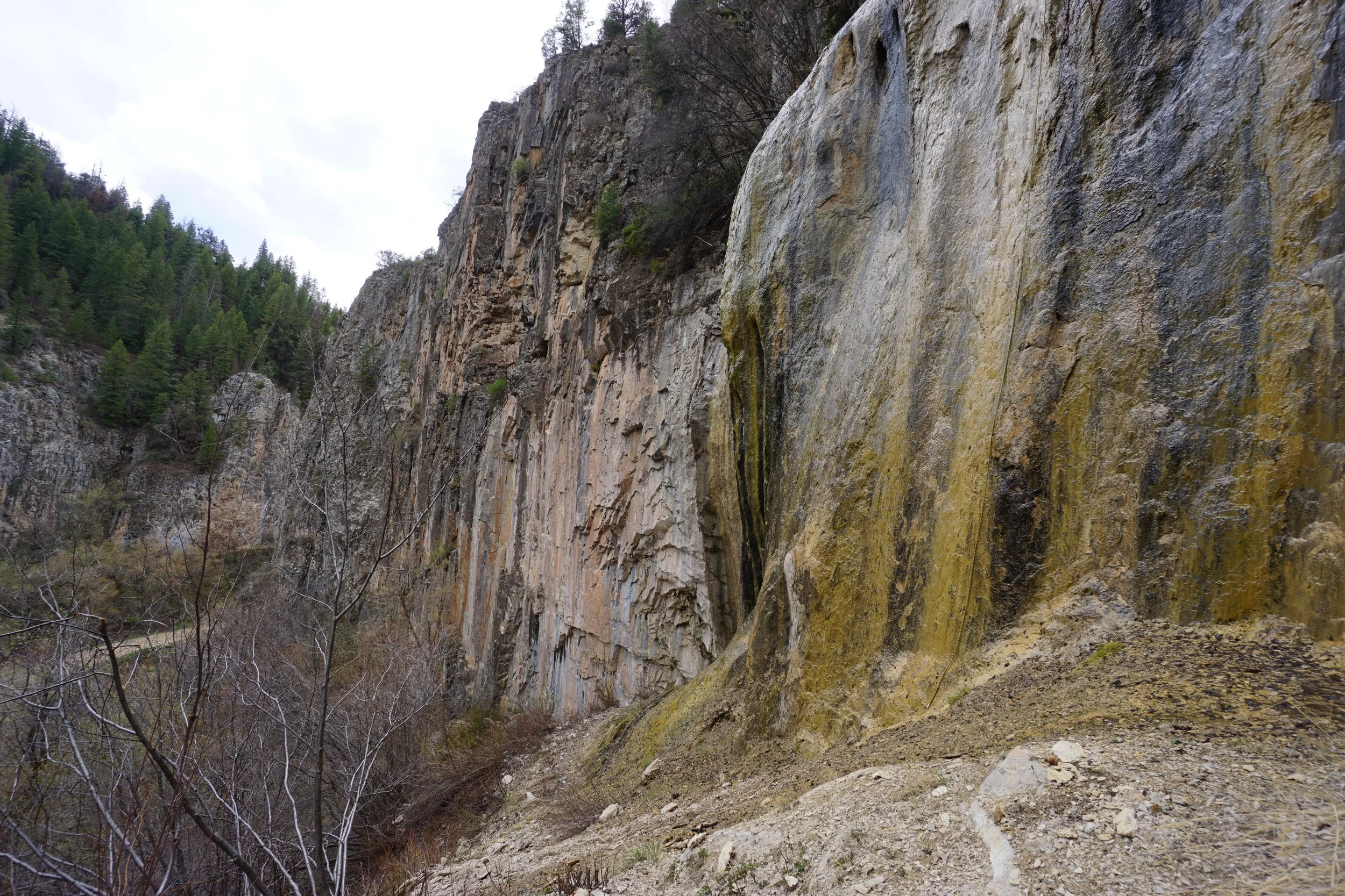
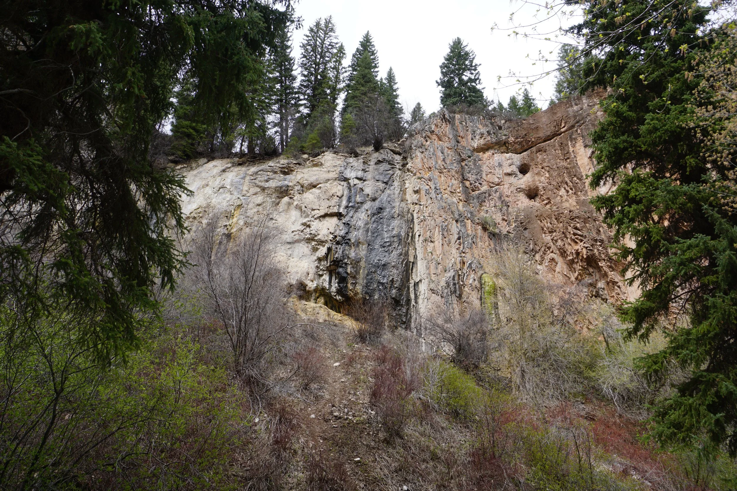
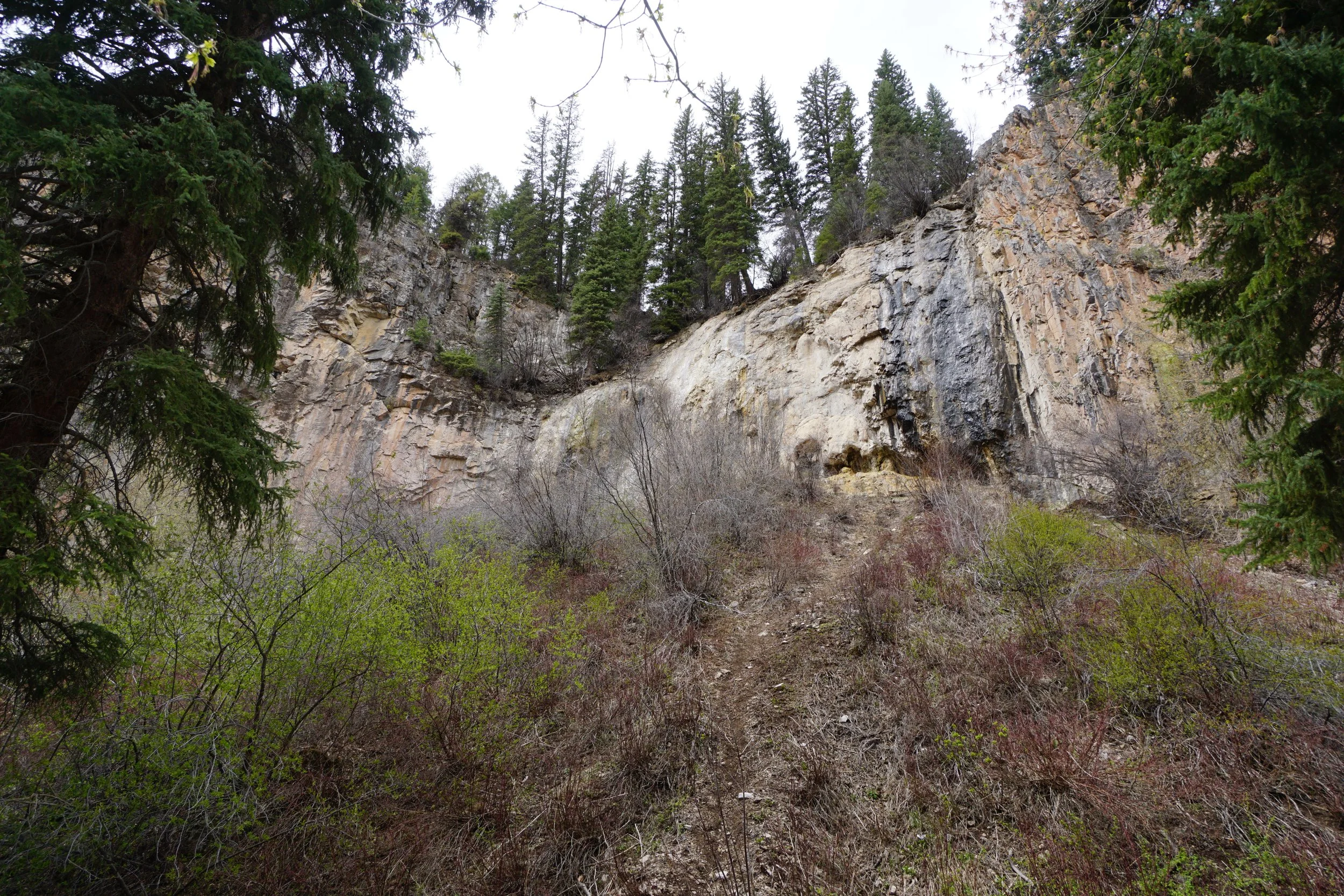
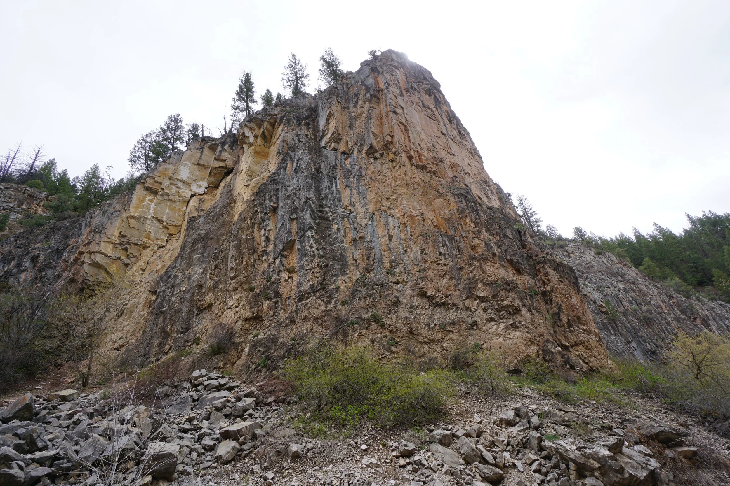
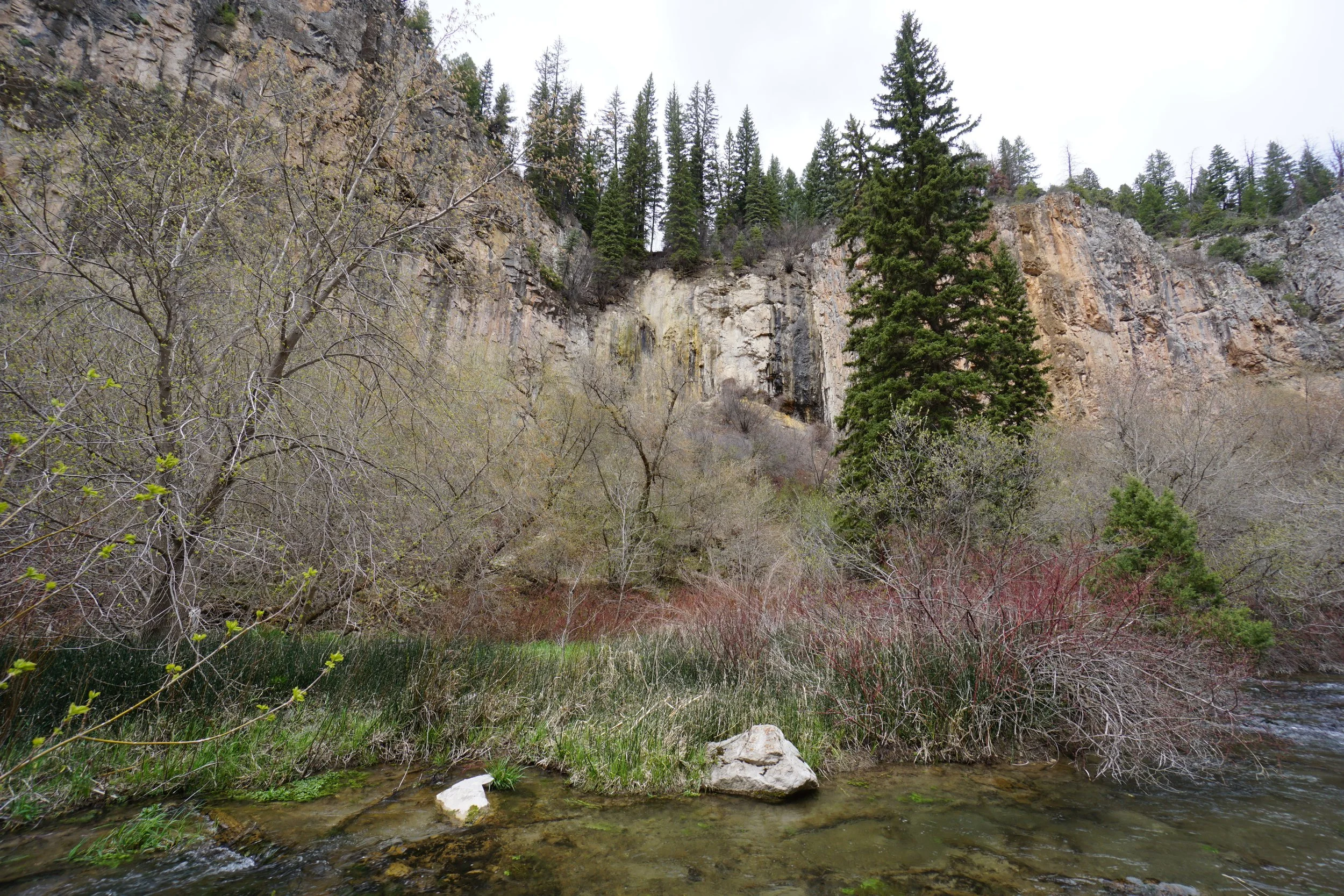
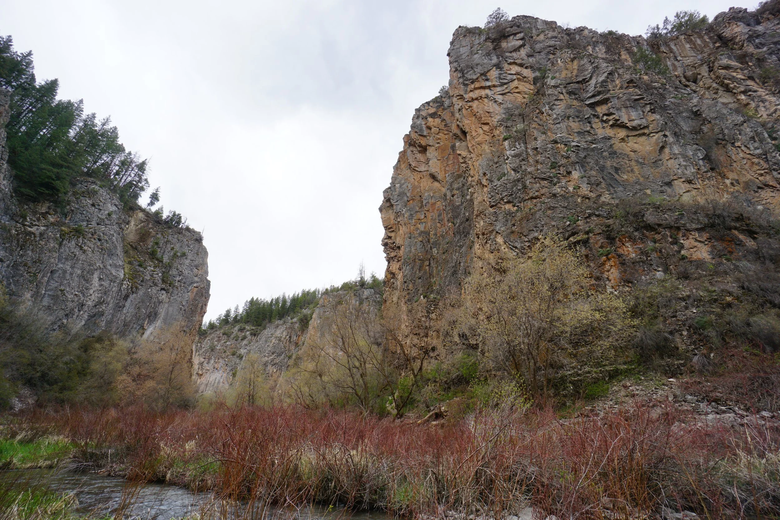
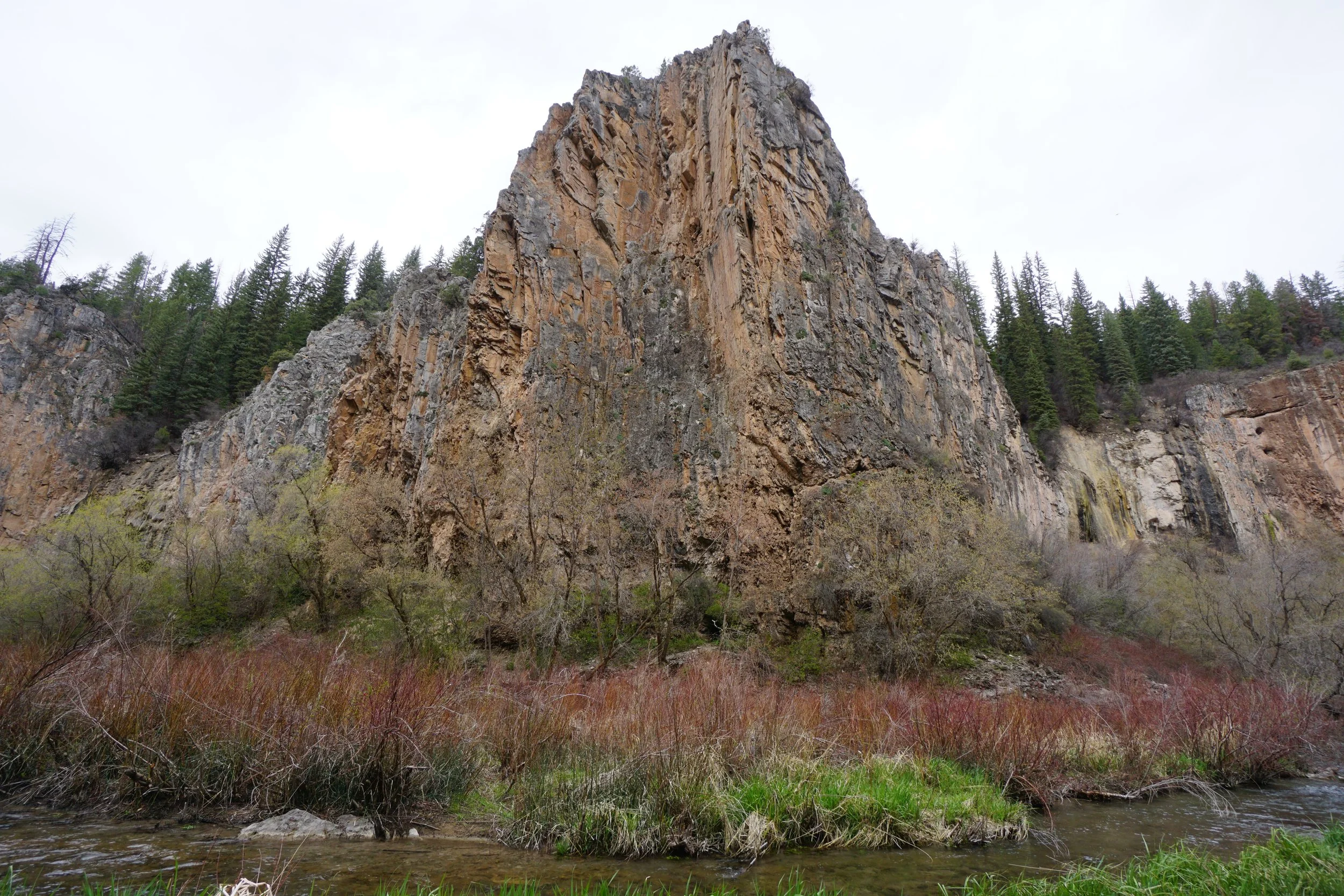
This is a cool spot. The City of Rifle Manages the Rifle Mountain Park which mainly consists of a narrow rocky canyon winding its way up towards the Flattop Mountains. The park mainly draws rock climbers, but the Koper’s Trail makes for a short, kinda easy, hike and exploration of the canyon as well as two impressive ice caves along the way.
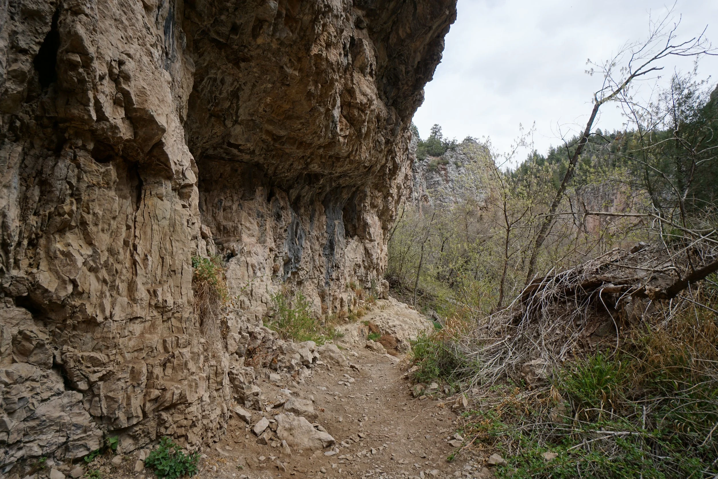
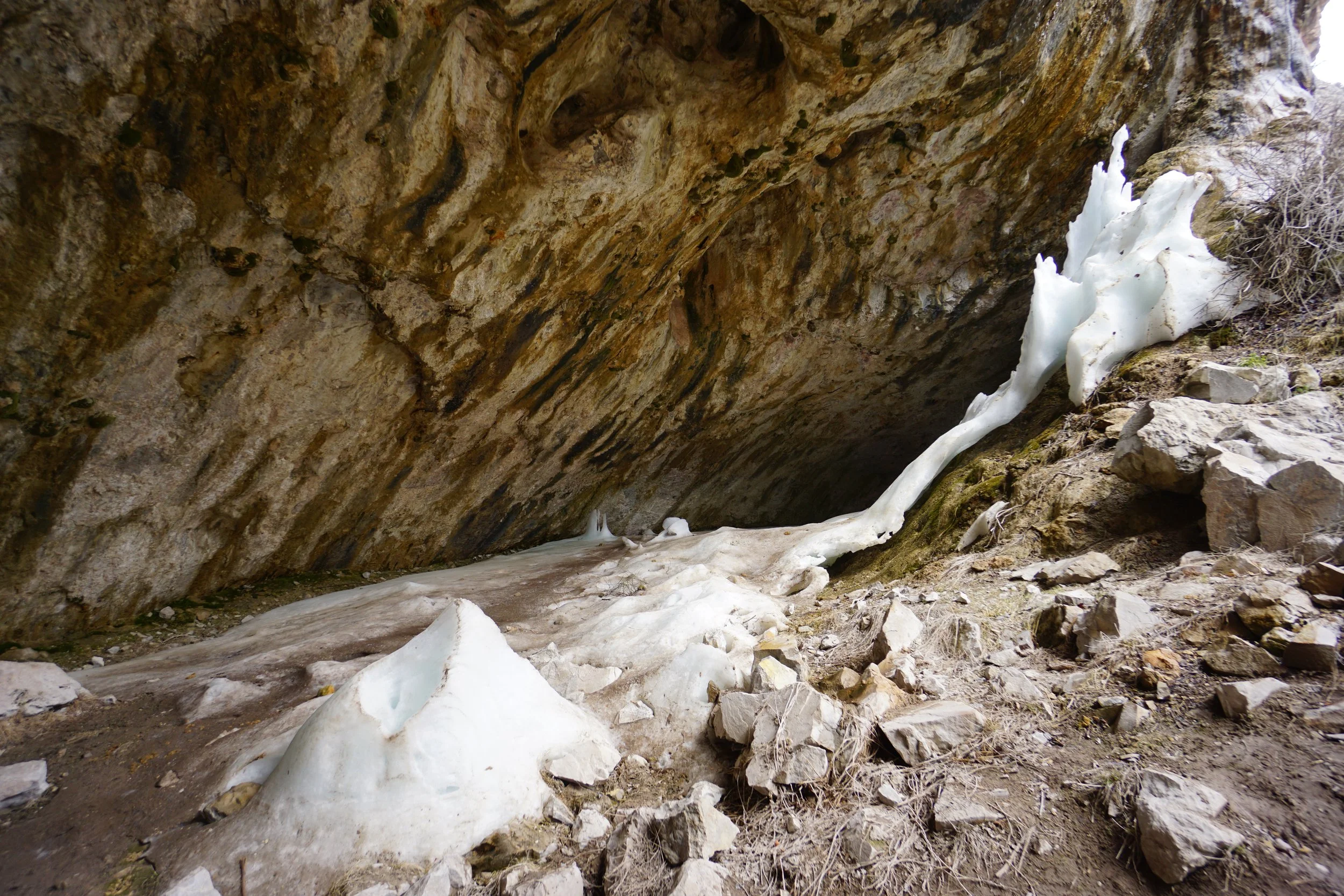
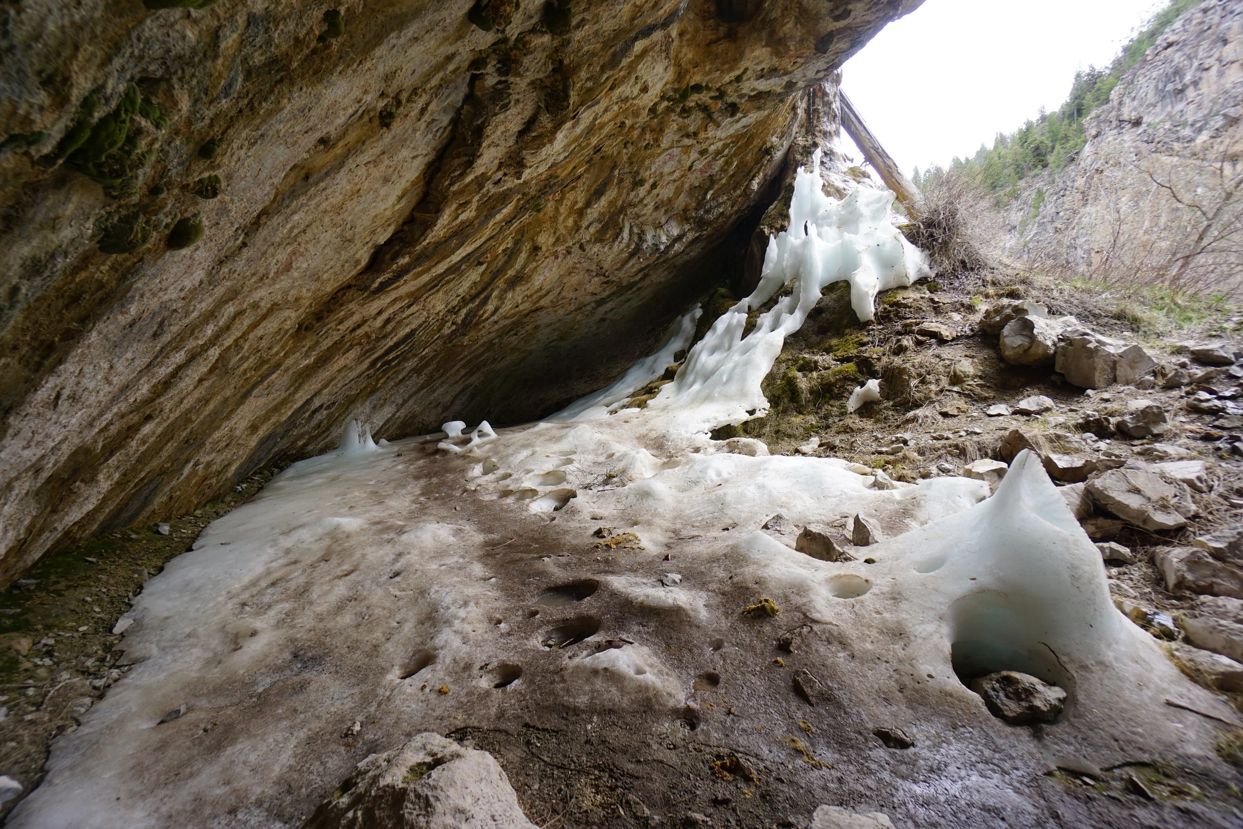
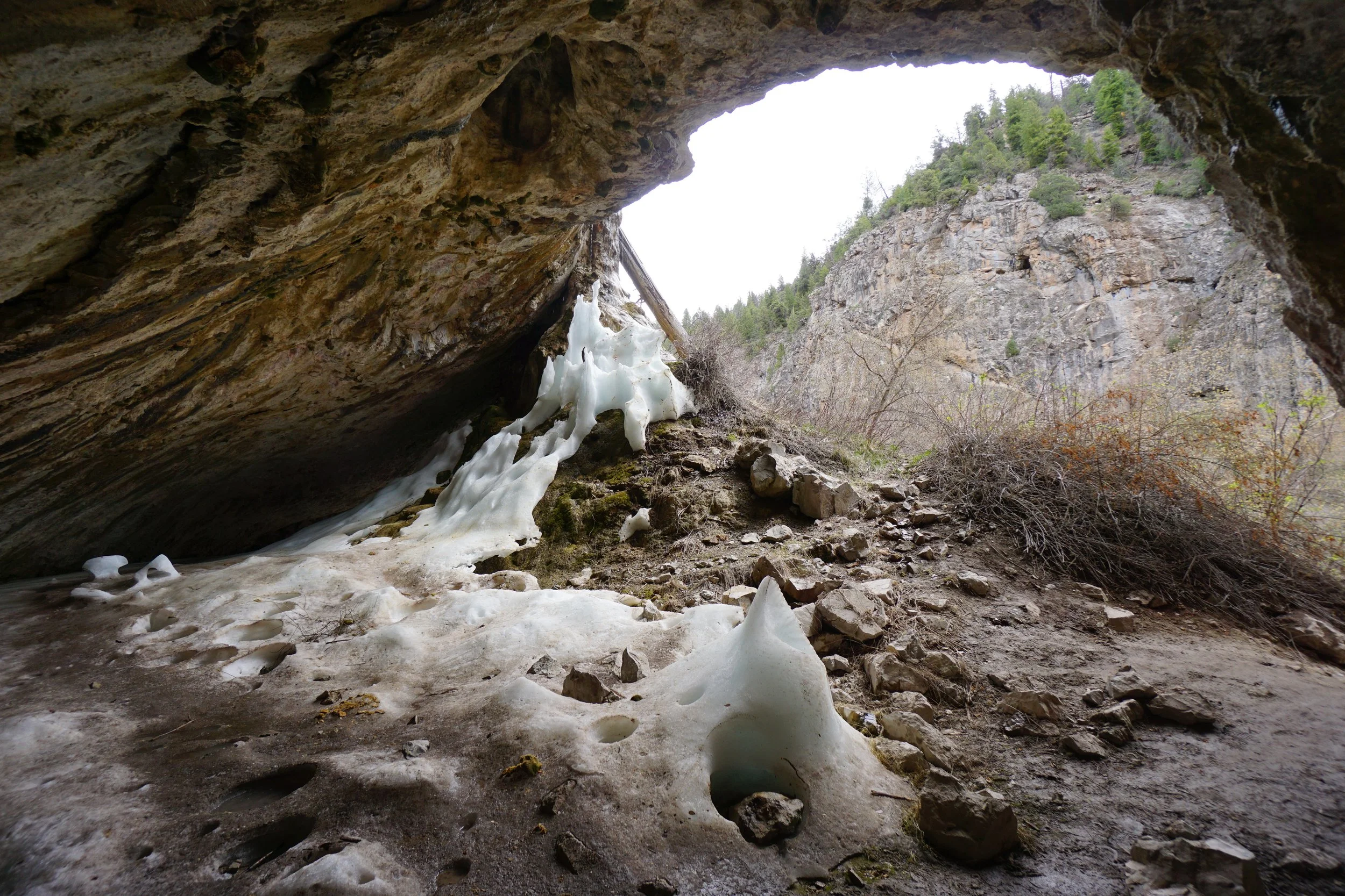
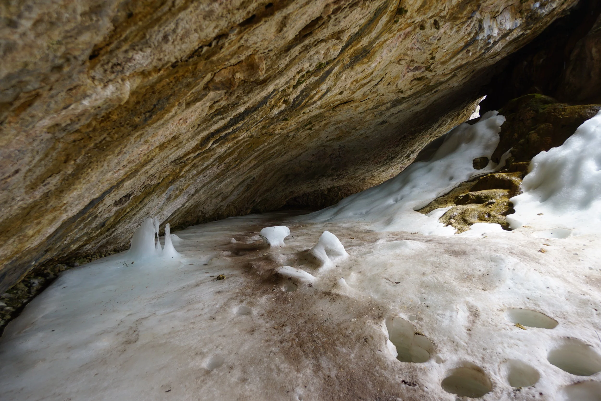
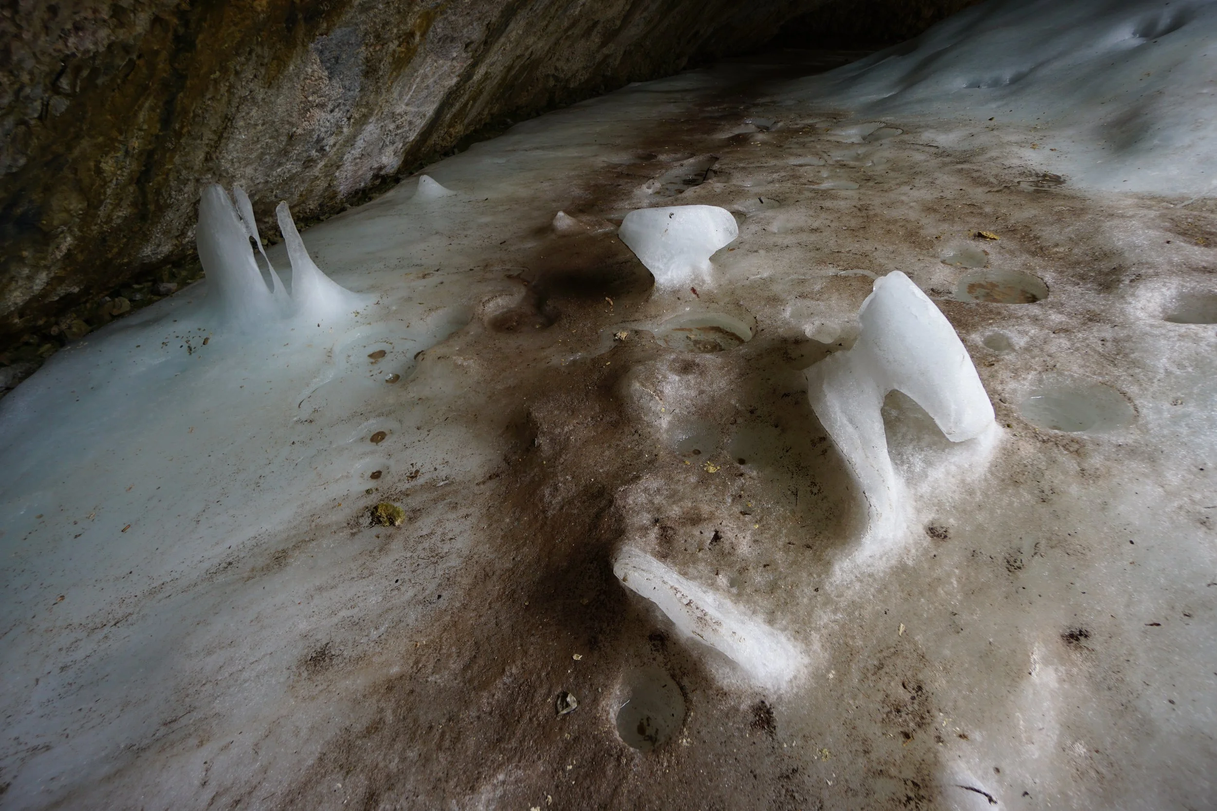
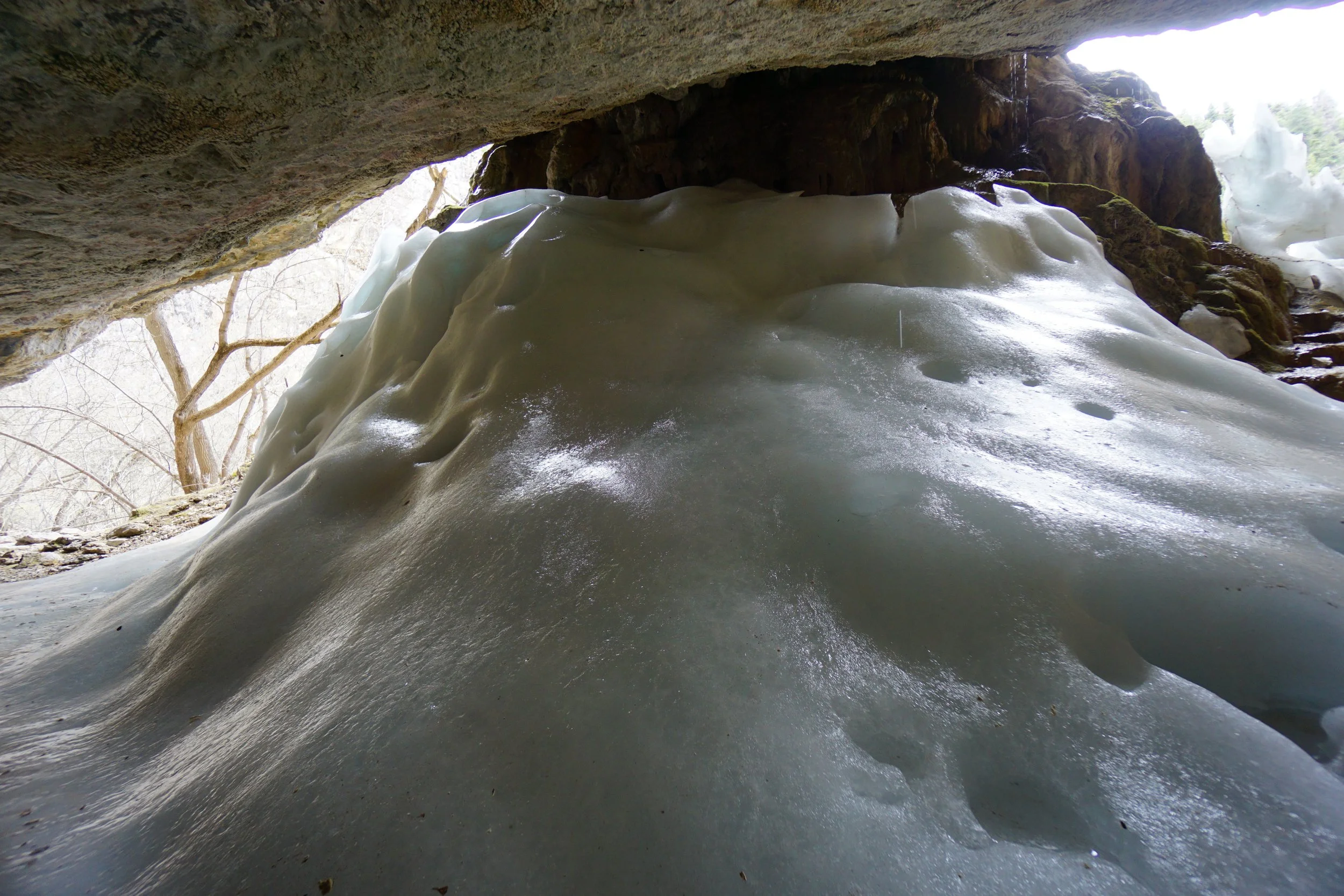
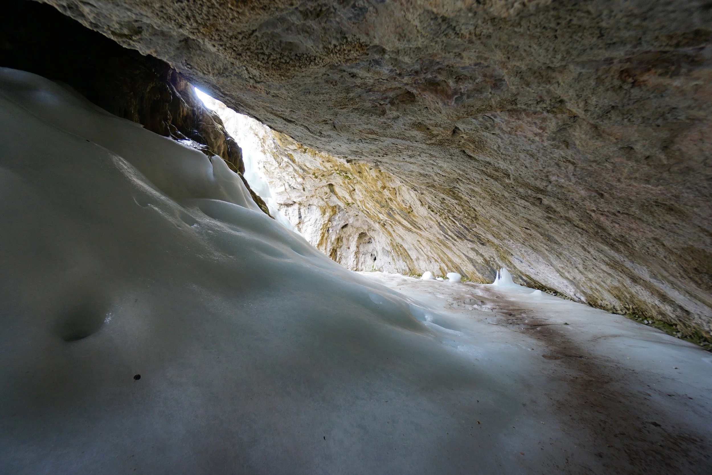
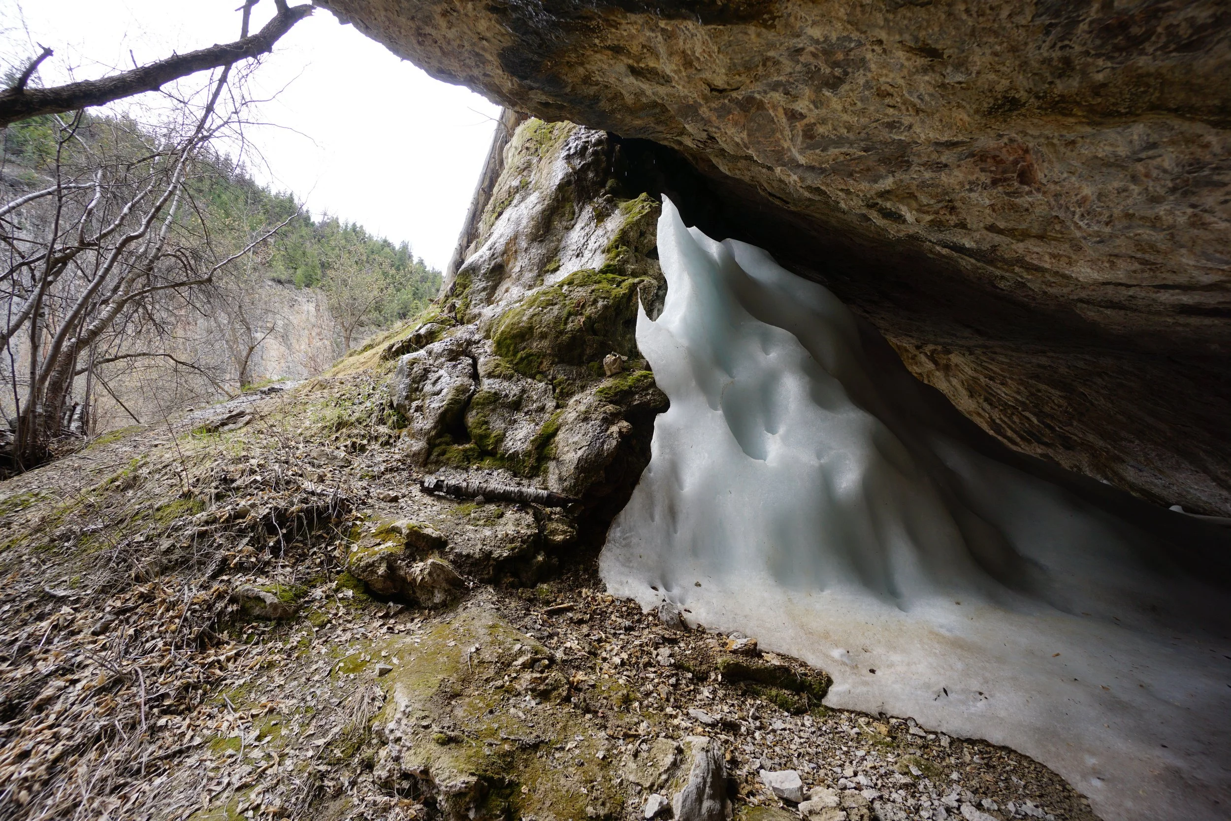
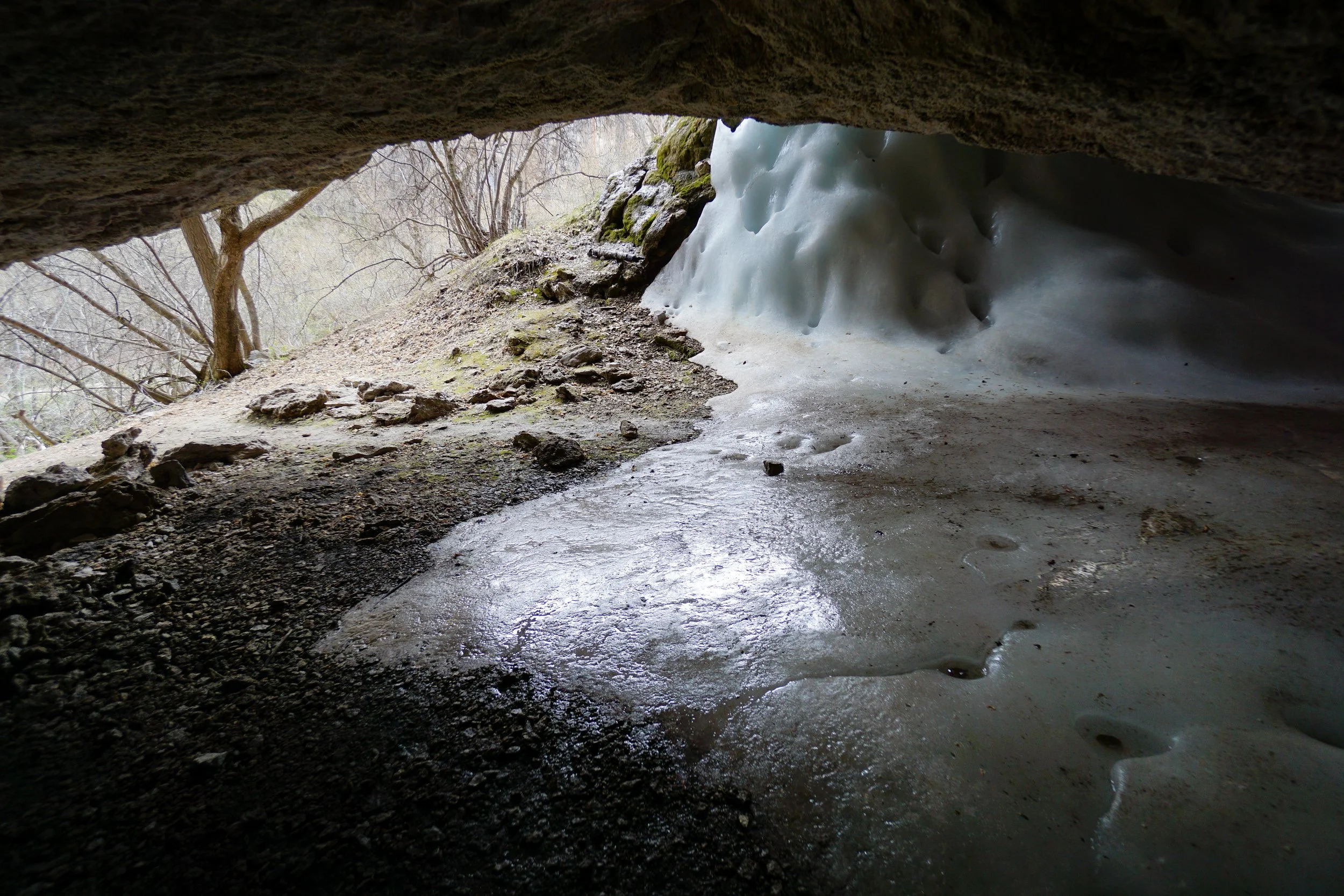
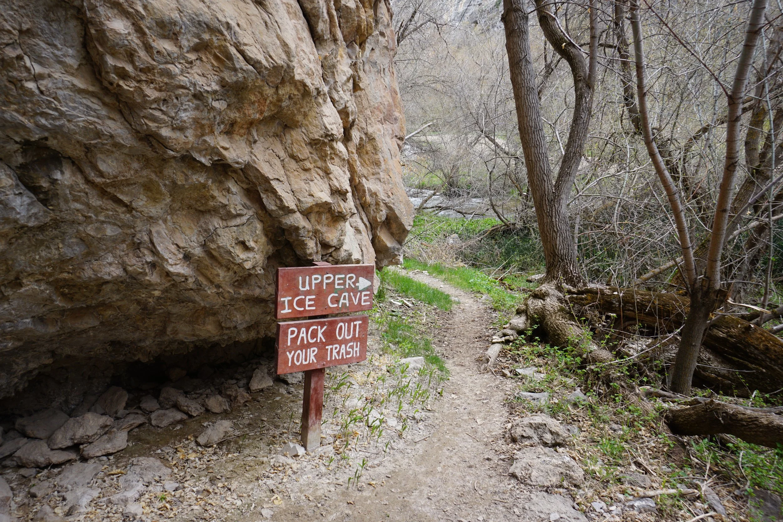
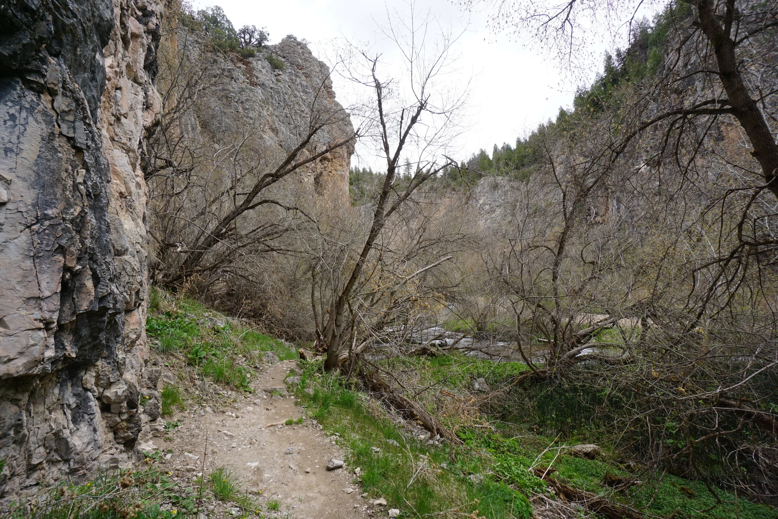
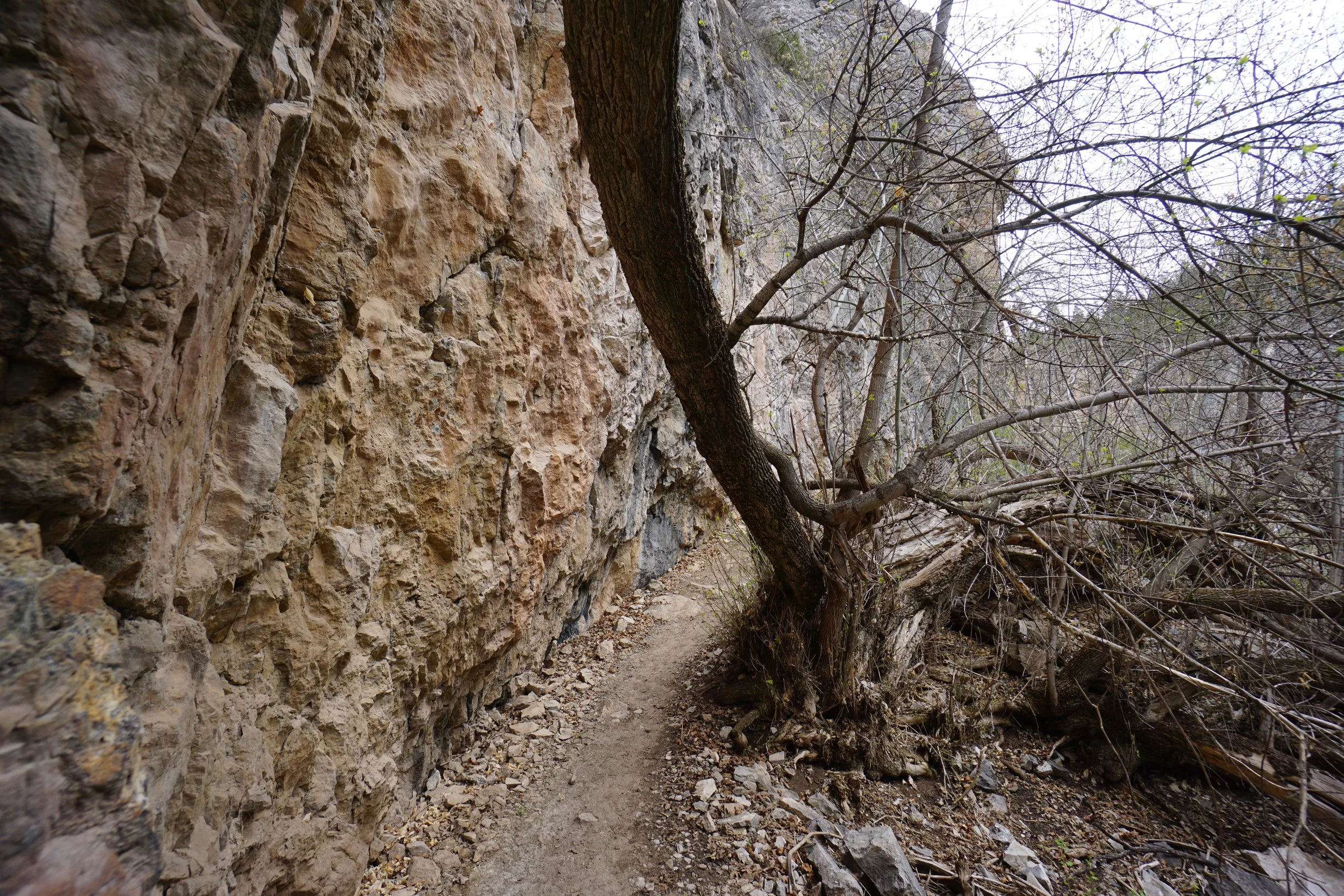
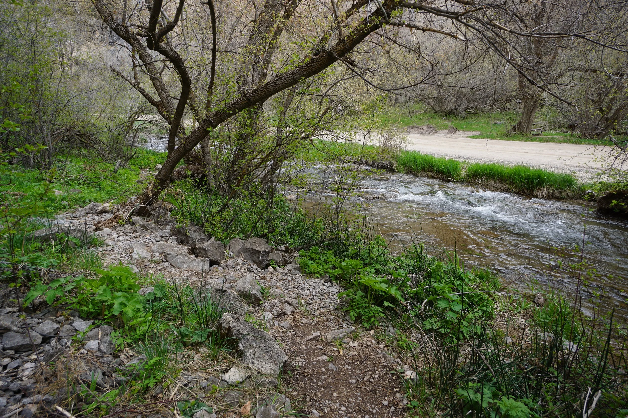
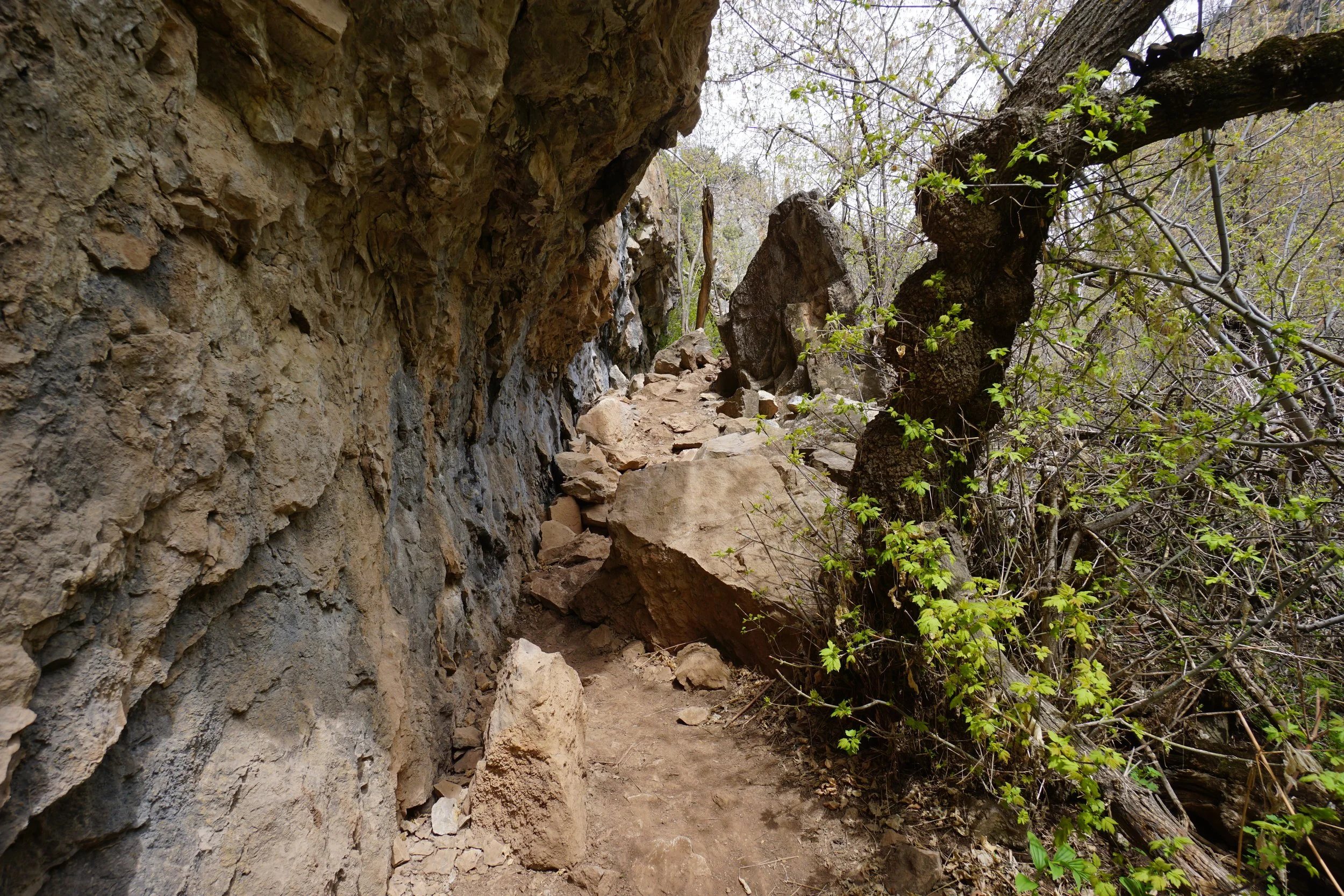
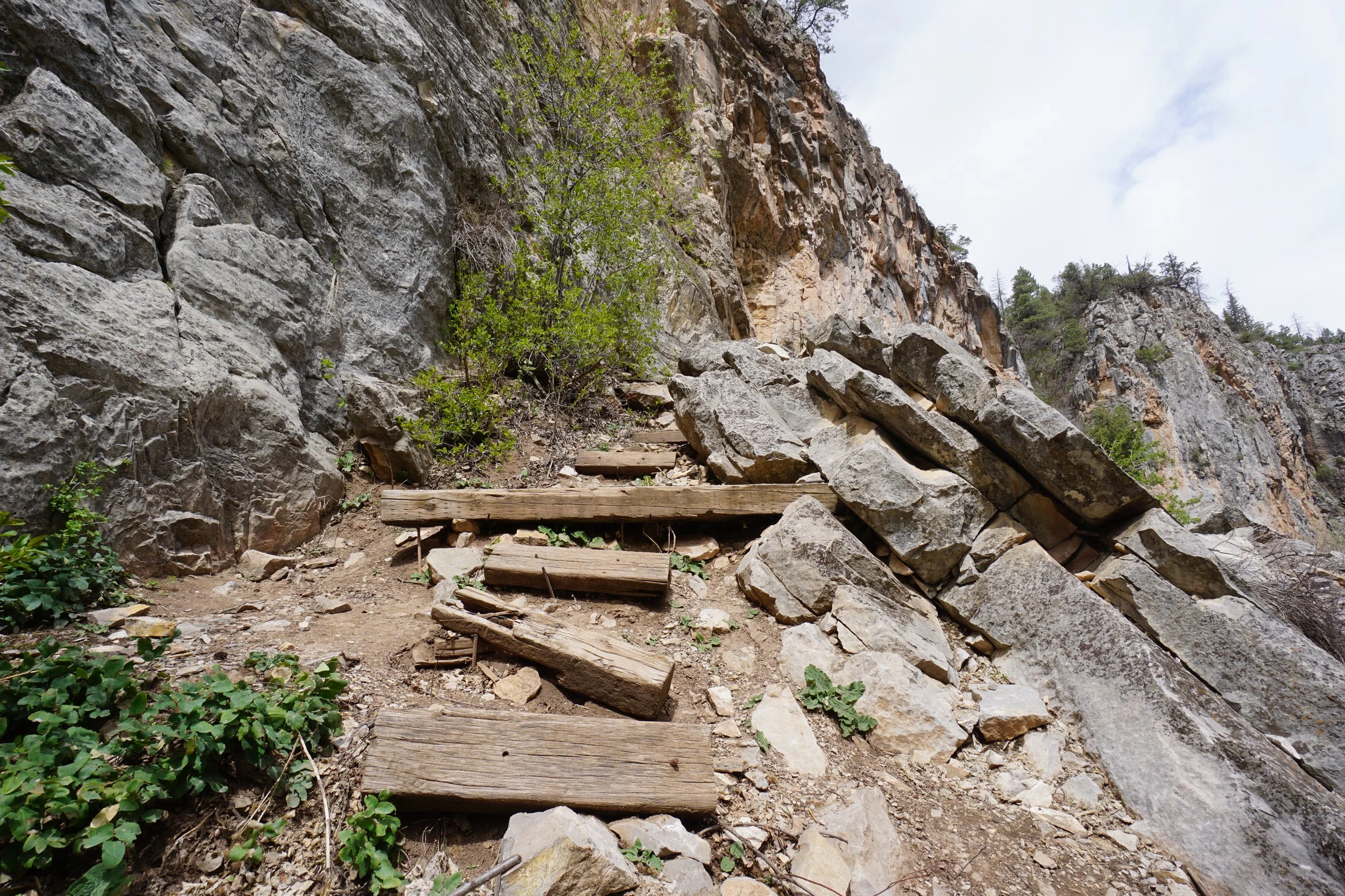
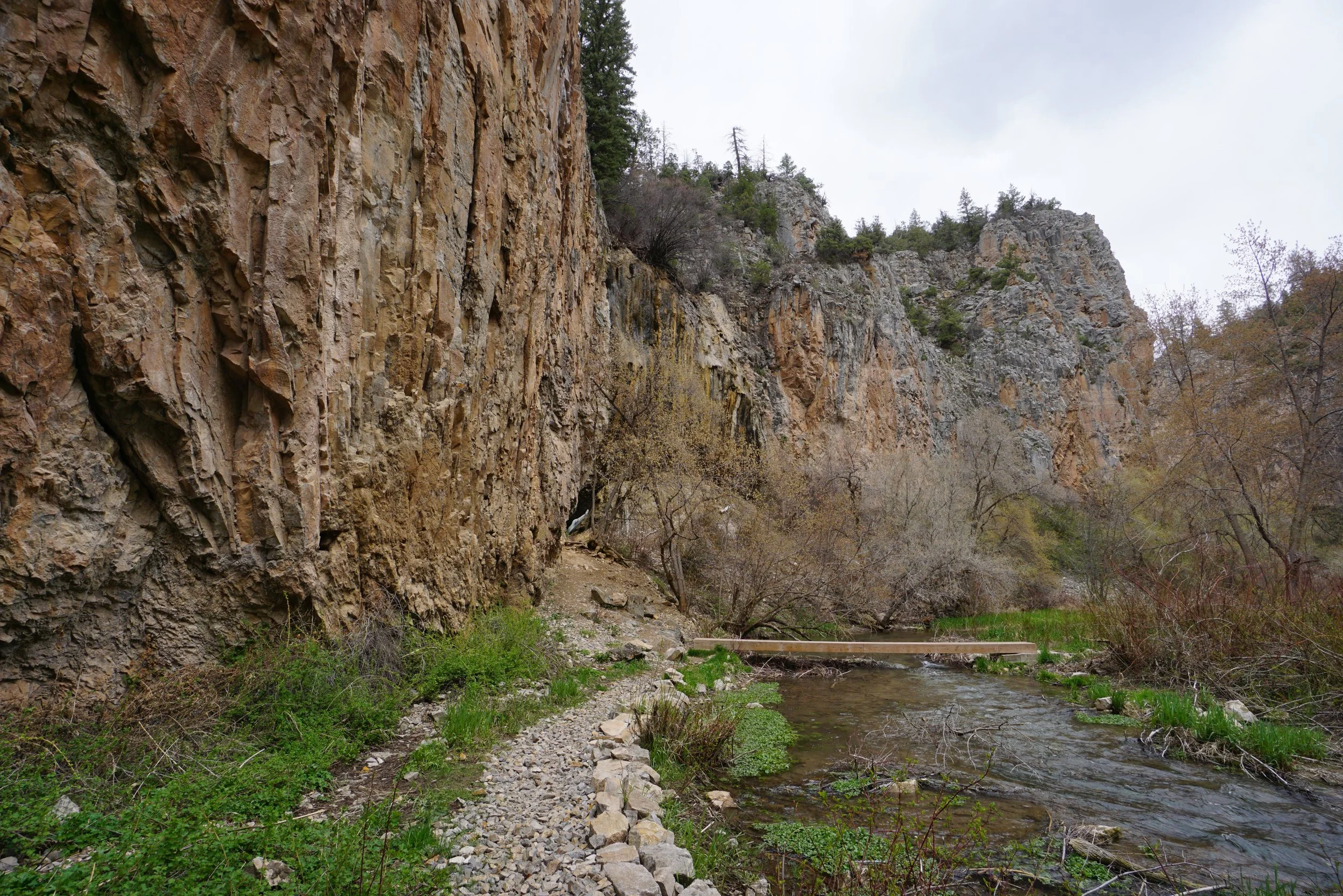
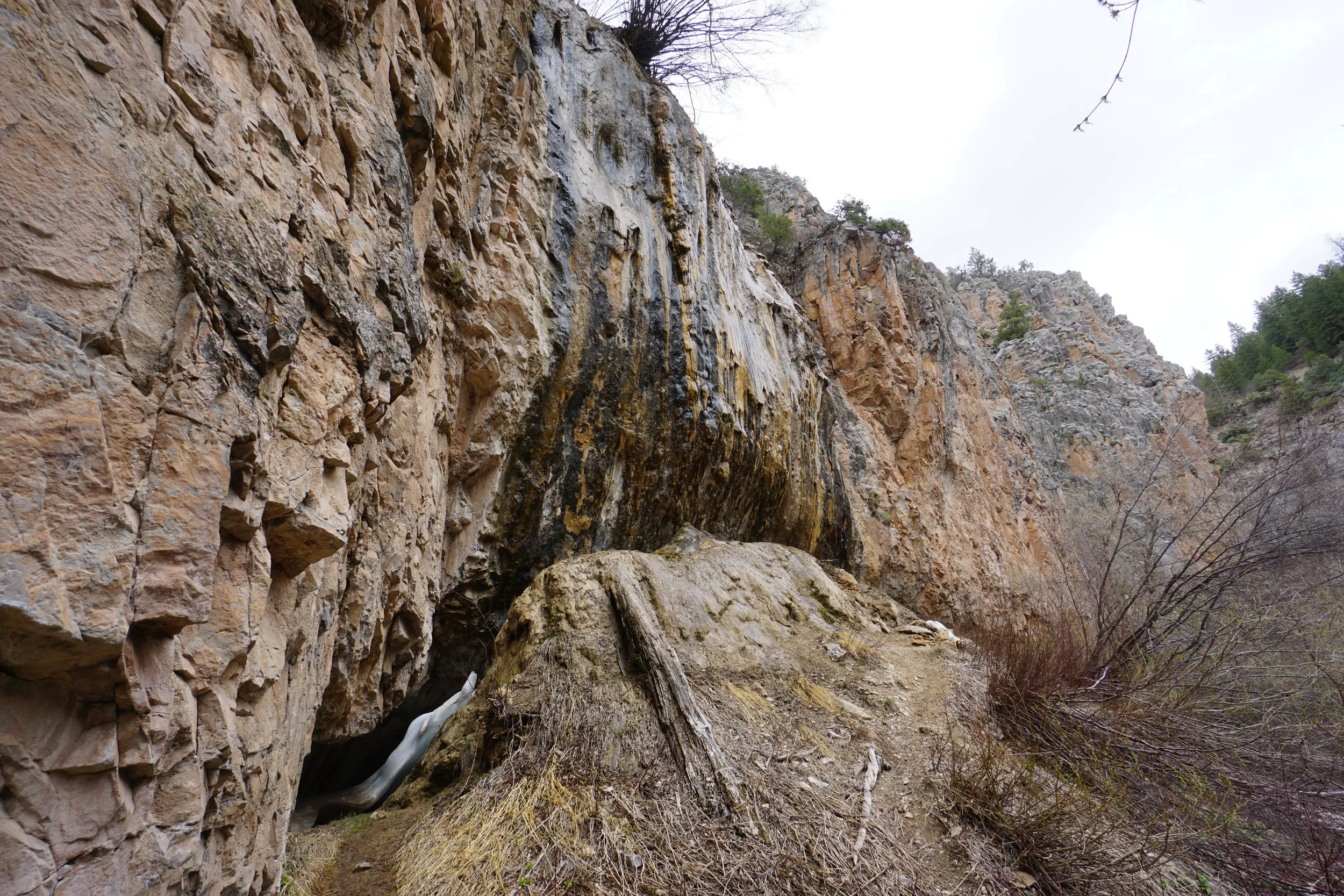
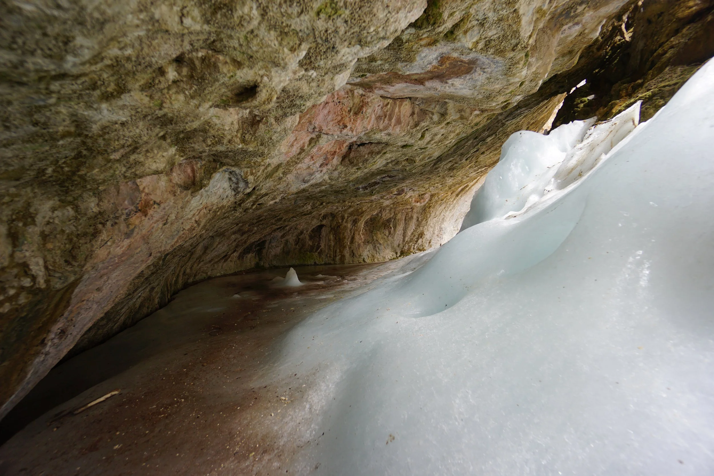
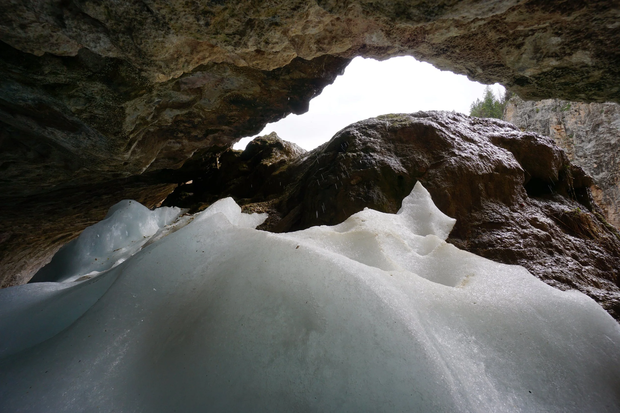
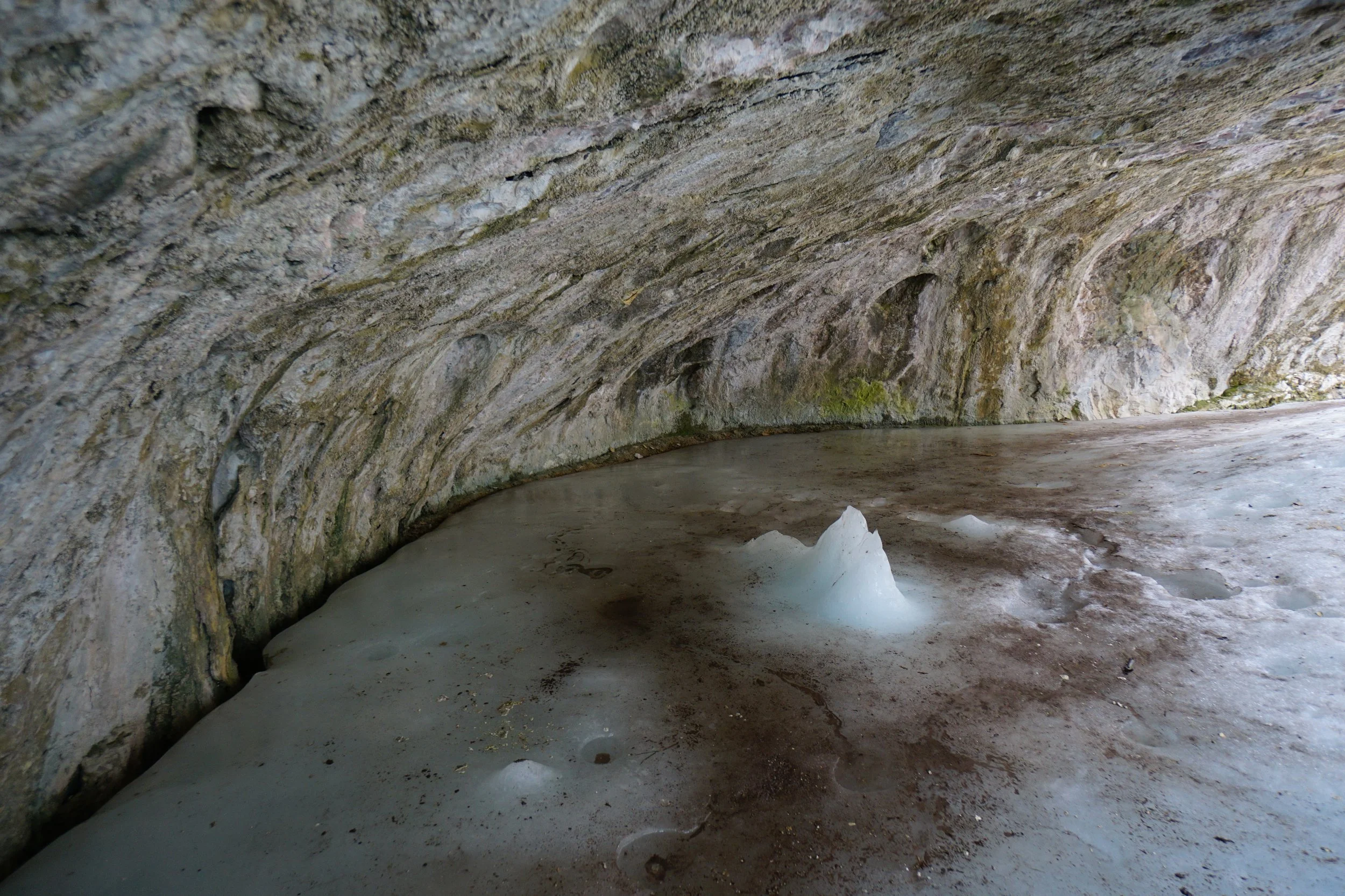
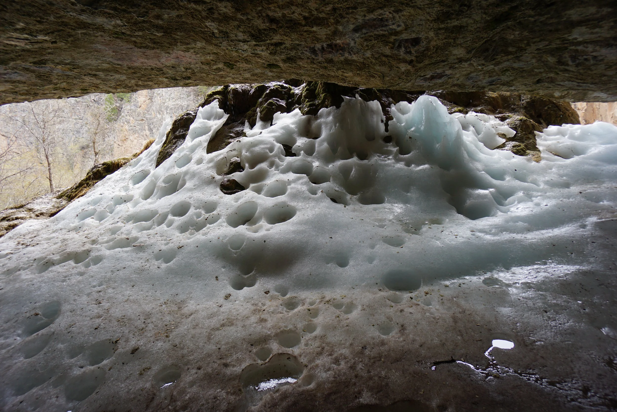
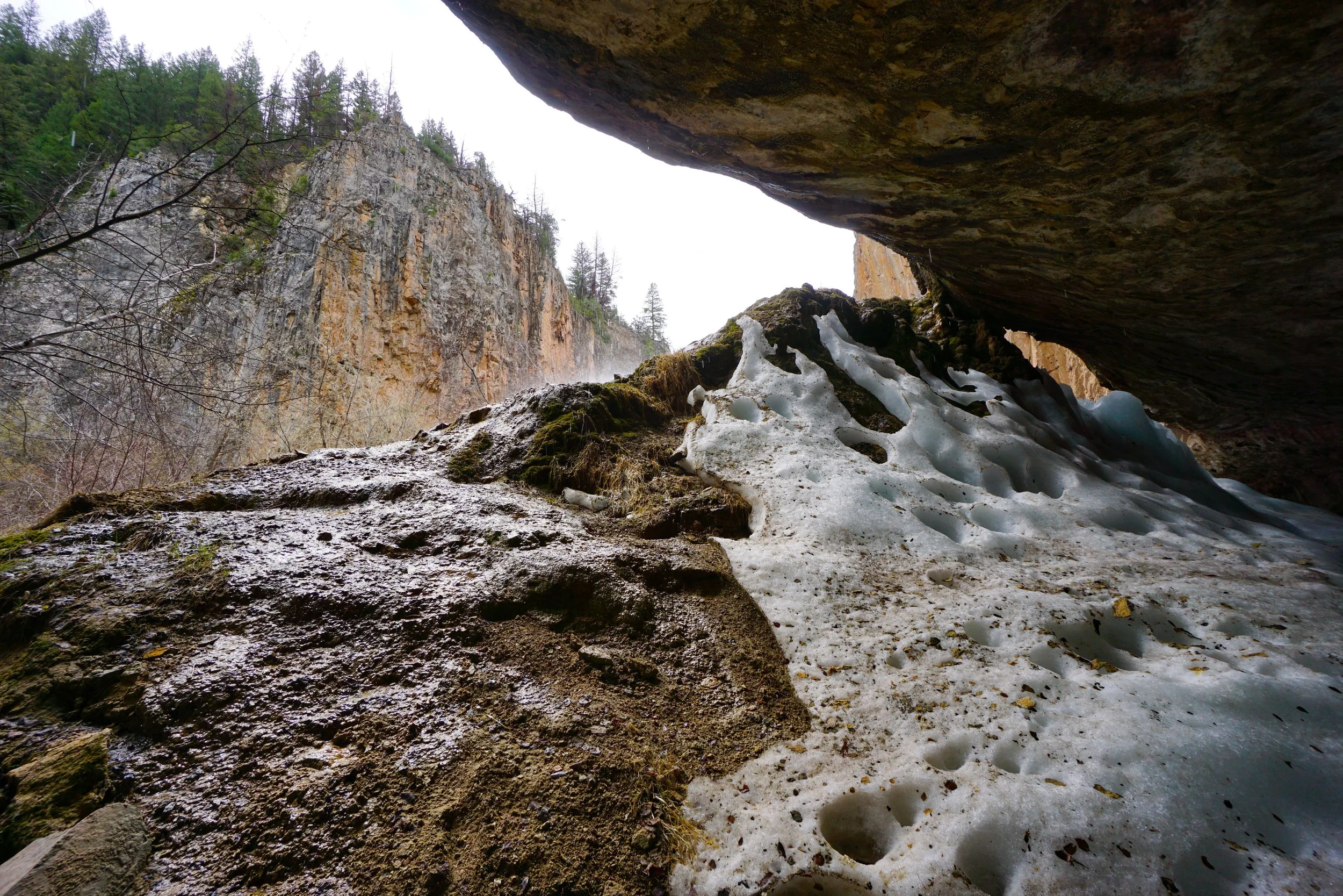
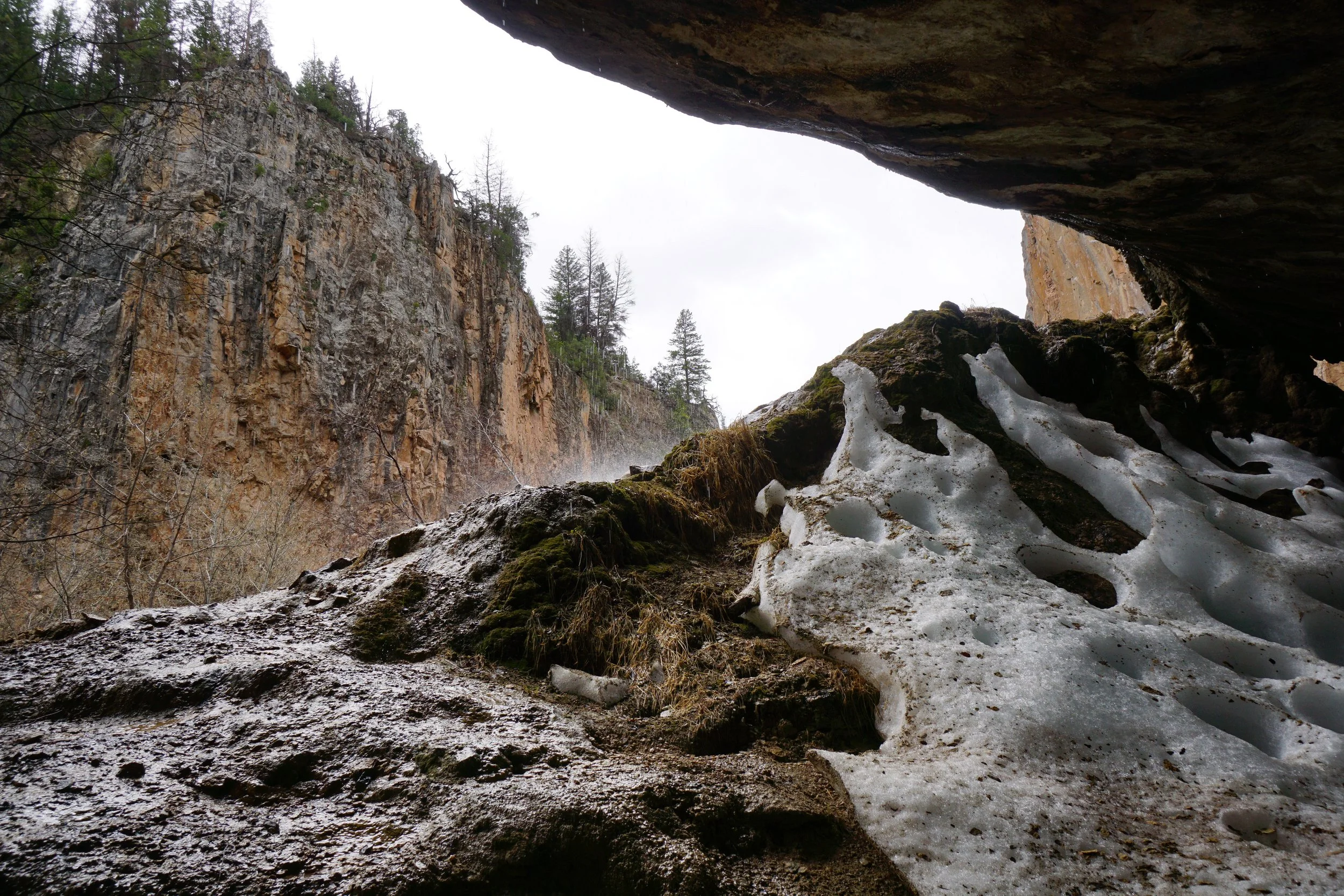
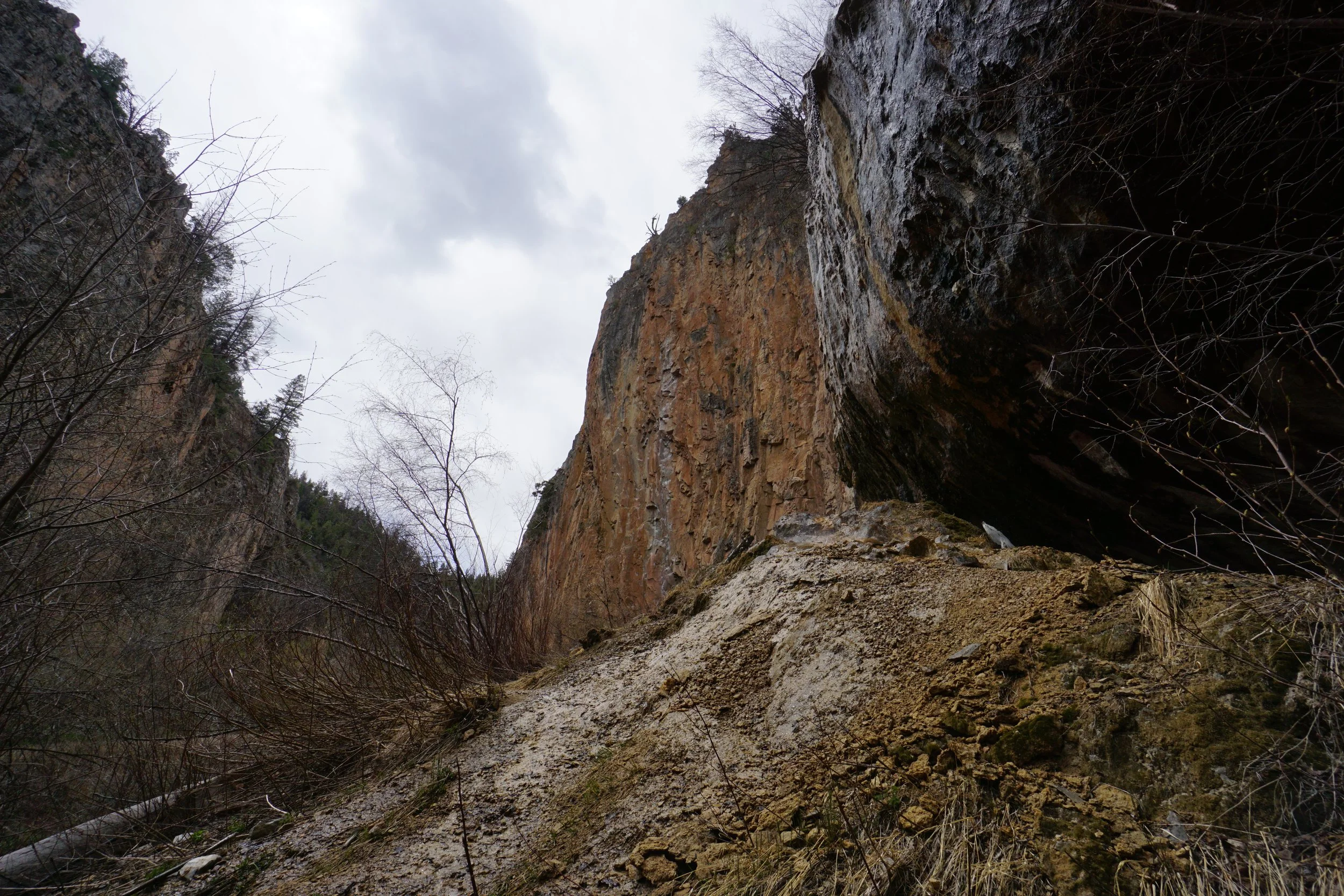
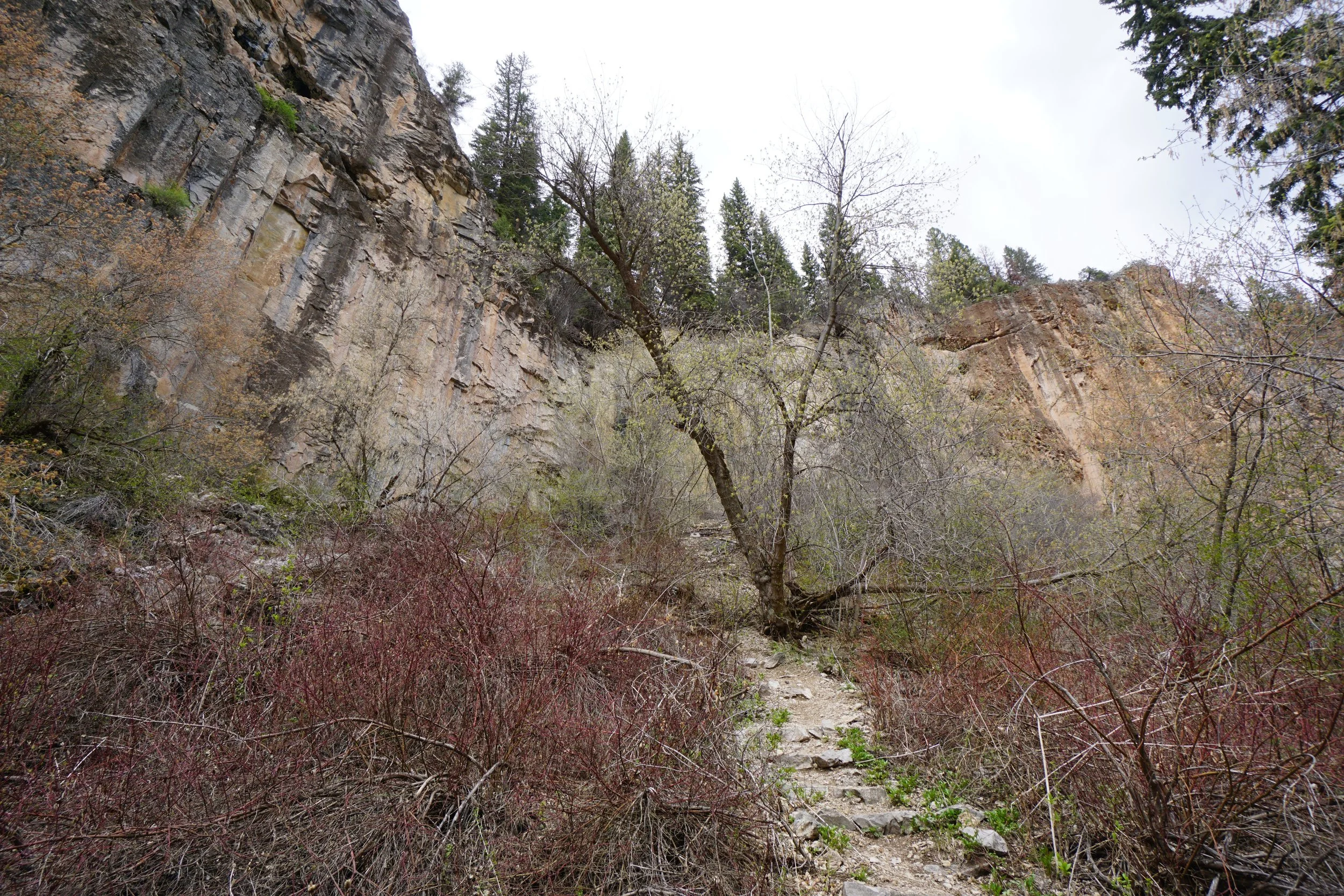
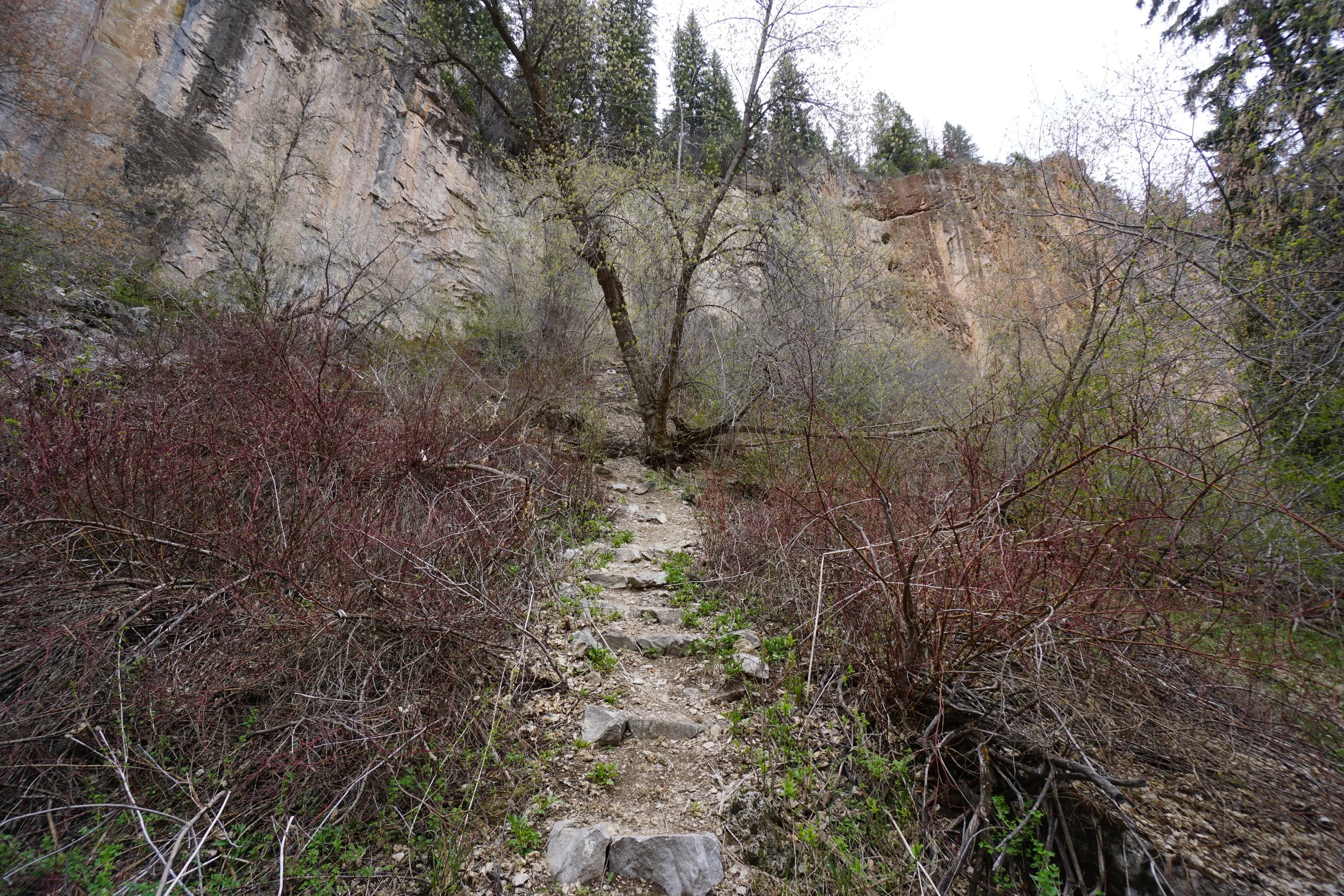
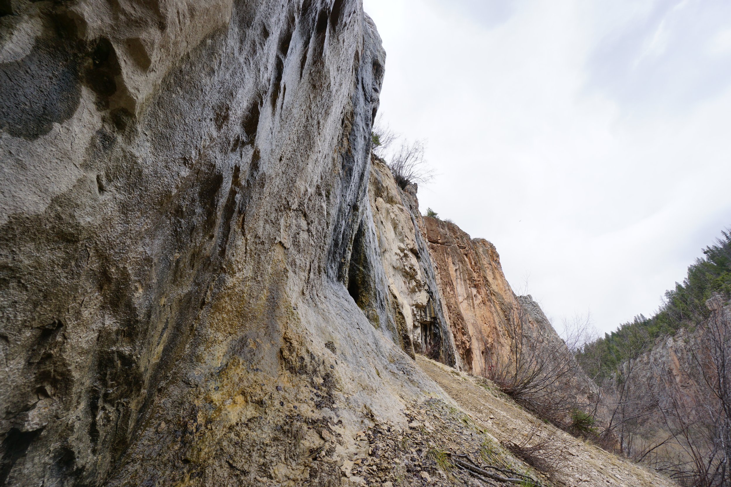
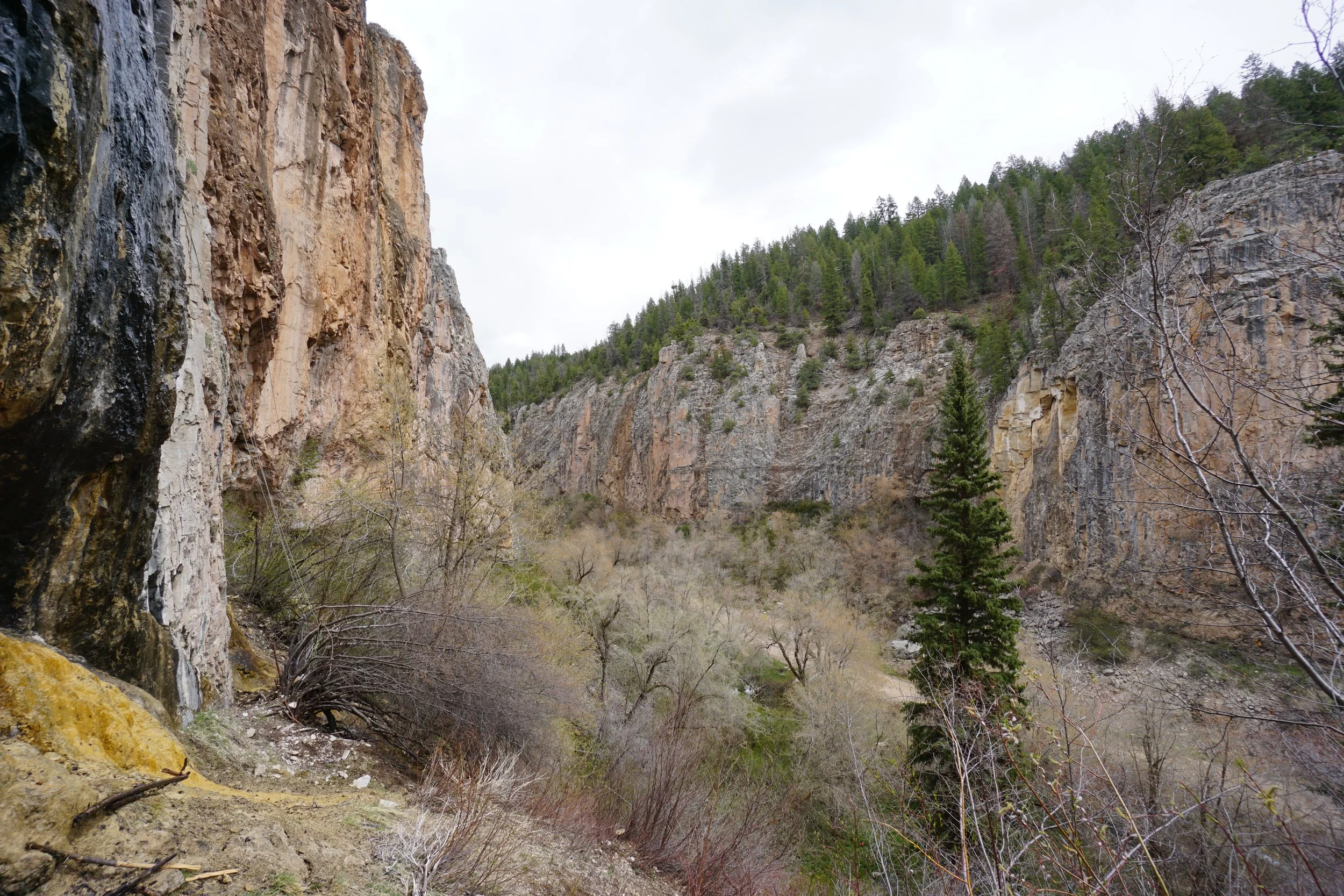
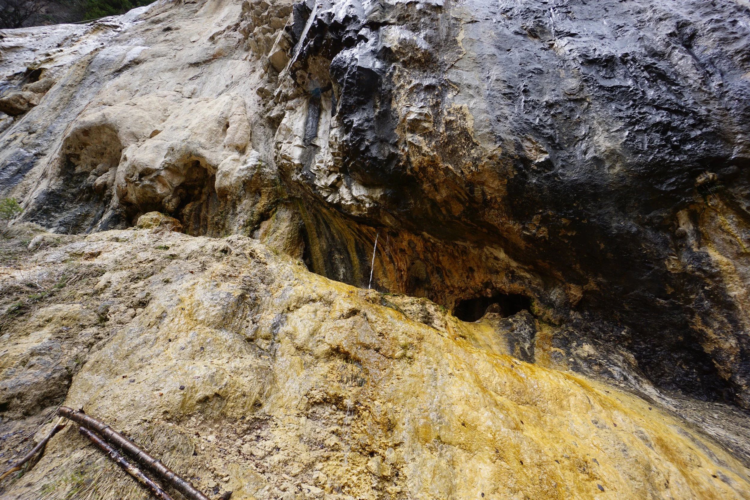
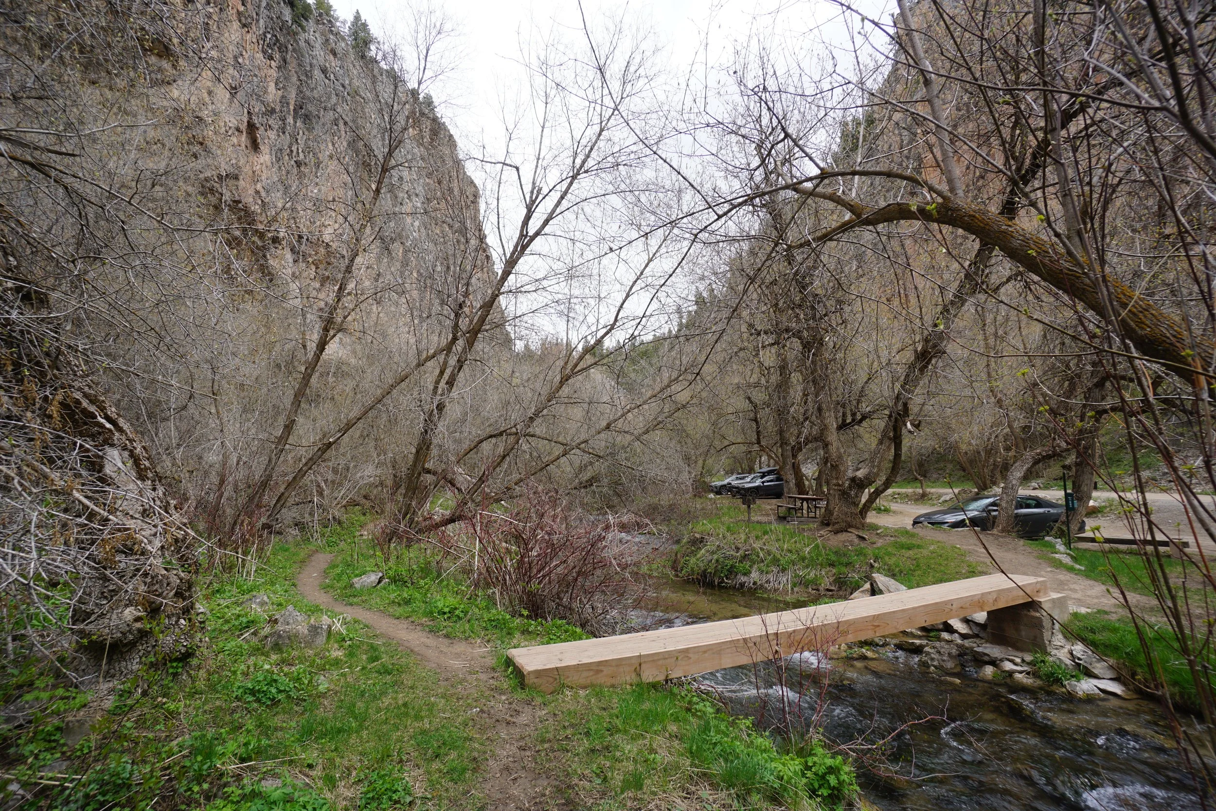
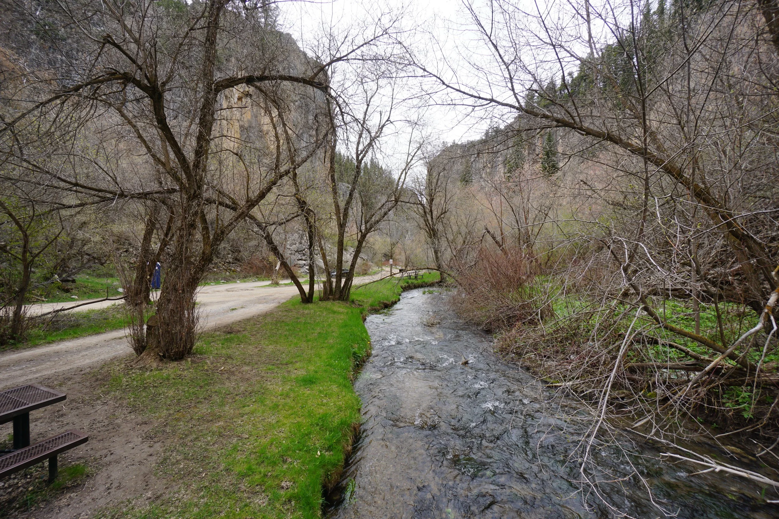
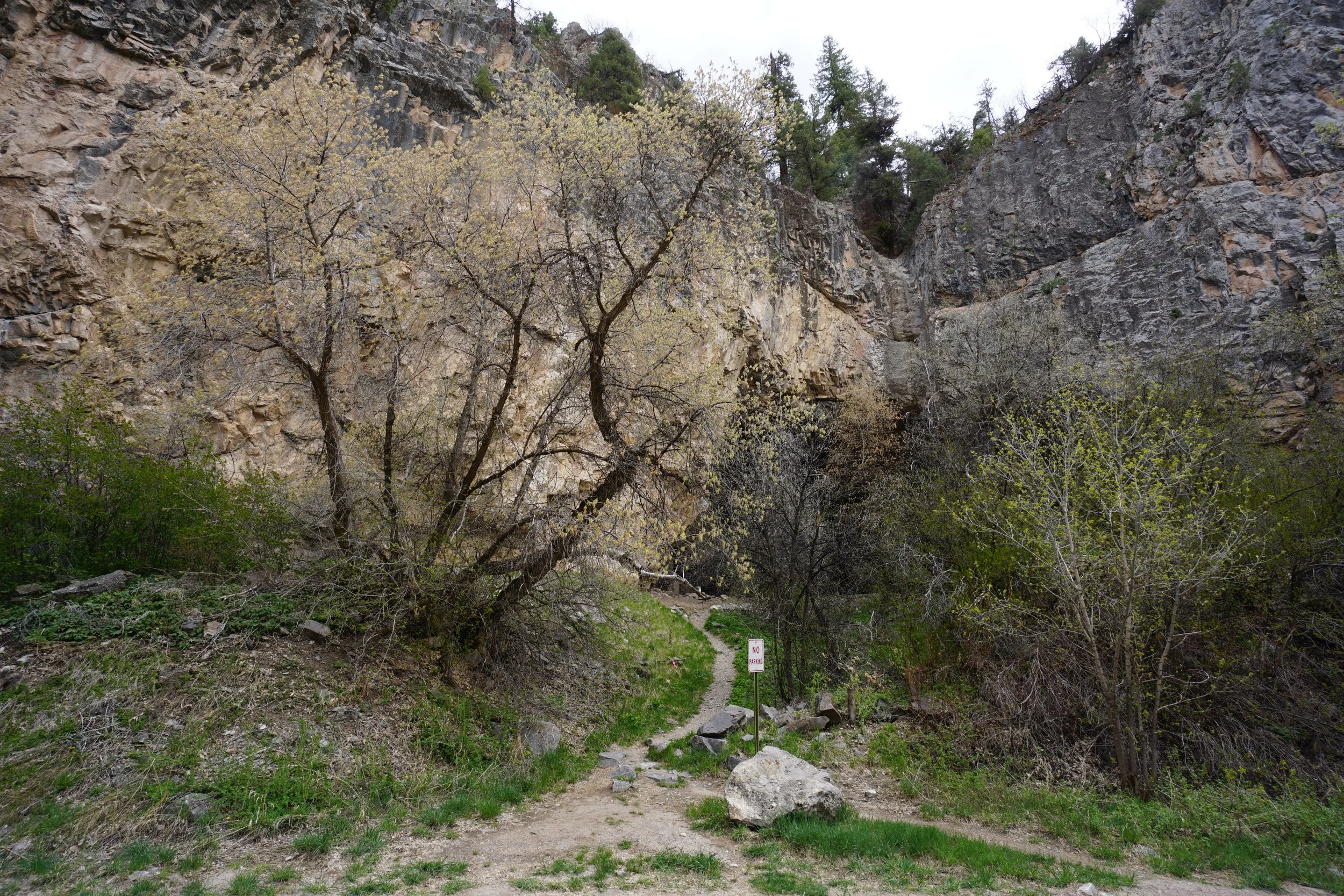
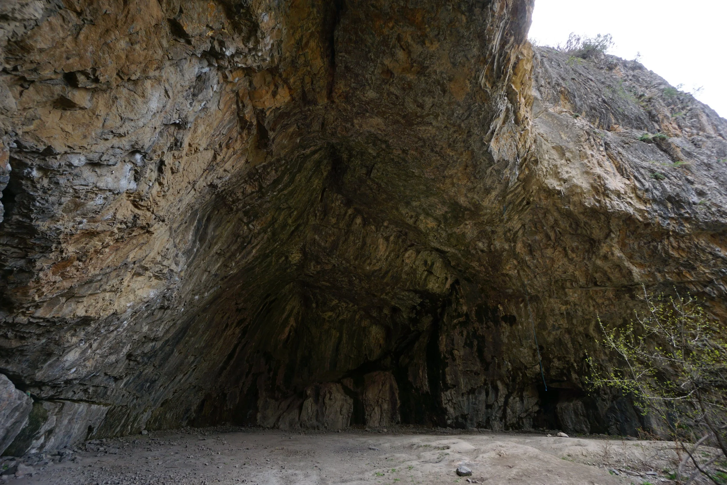
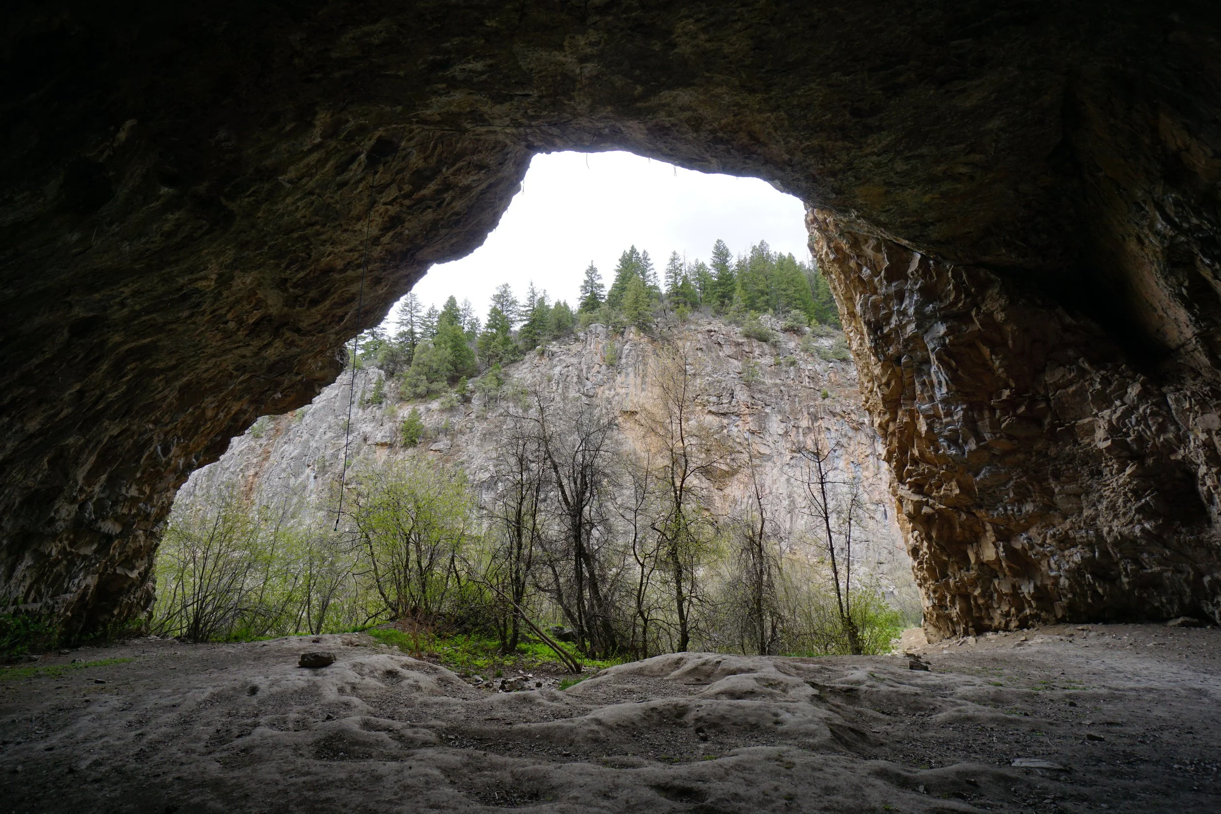
The Ice Caves stick around well into the summer, but if you want to experience ice in the caves, then spring is your best bet. The Koper’s Trail starts from a large parking area, crosses the creek and runs along the bass of the canyon wall. The 1st cave is just a few minutes walk down the trail. The trail enters the cave and runs behind the ice mound fed by a waterfall. Watch your step as you walk along the ice. When you exit the cave, the trail continues to the 2nd cave. The trail is not that difficult but it is rocky and steep in places. The trail undulates along the cliff base hugging the creek in spots. Overall this is a lovely place to spend some time.
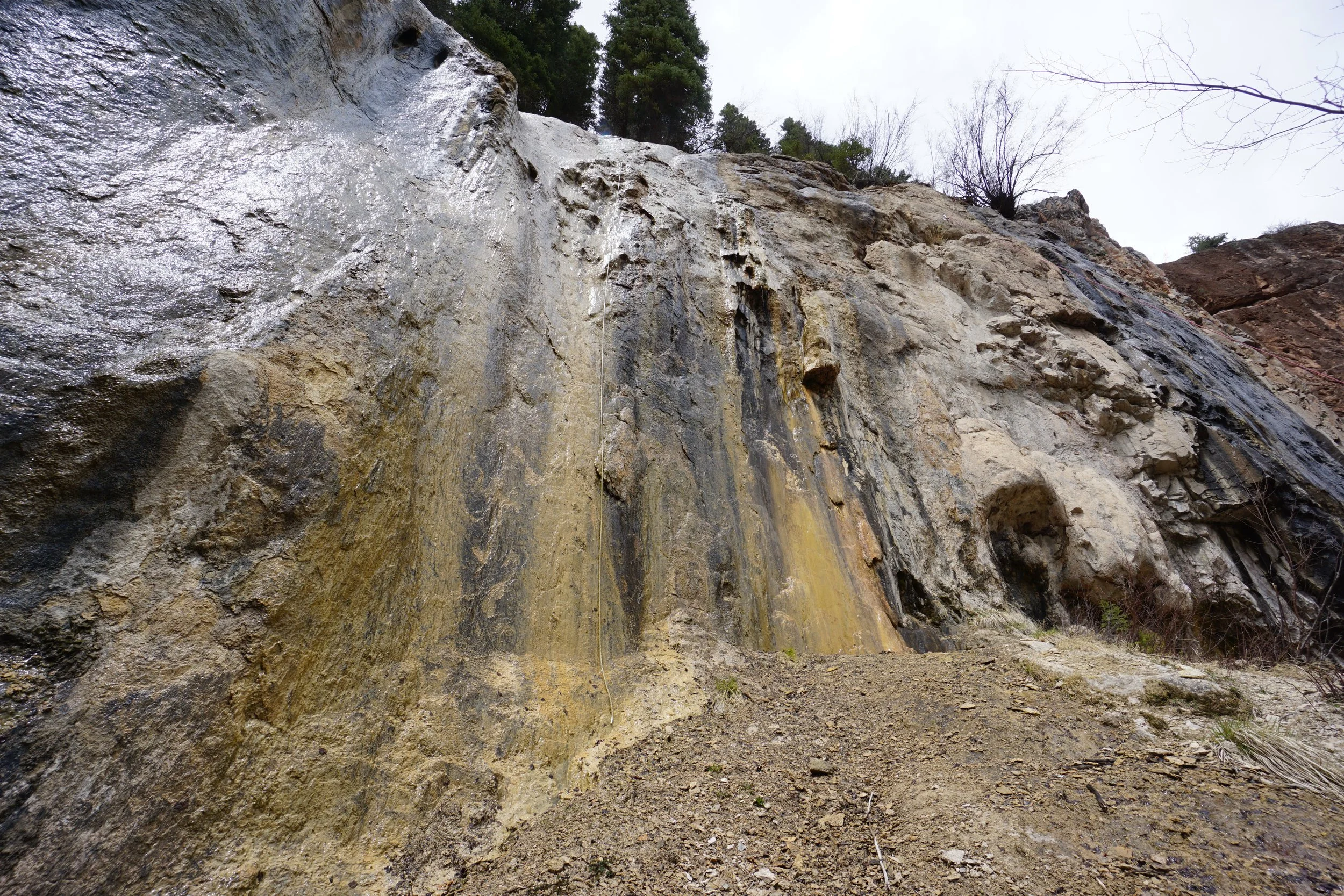
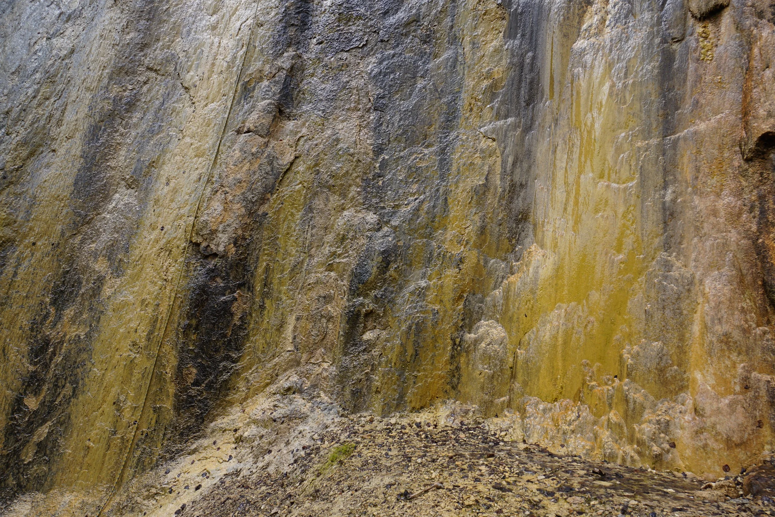
Before too long you’ll reach the second cave and again the trail ducks behind the icy waterfall and continues on the other end. As the trail continues up the canyon, you’ll reach a fork in the trail. The left fork steeply climbs loose rock to a wall of interesting lichens, algae, and watefalls. I would not be surprised if this was an ice wall in the winter. This wall is simply a detour however, go back the way you came and follow the right fork across a wetland and across the creek to a parking and picnic area. The trail continues past this point but it was closed due to rockfall during my visit.
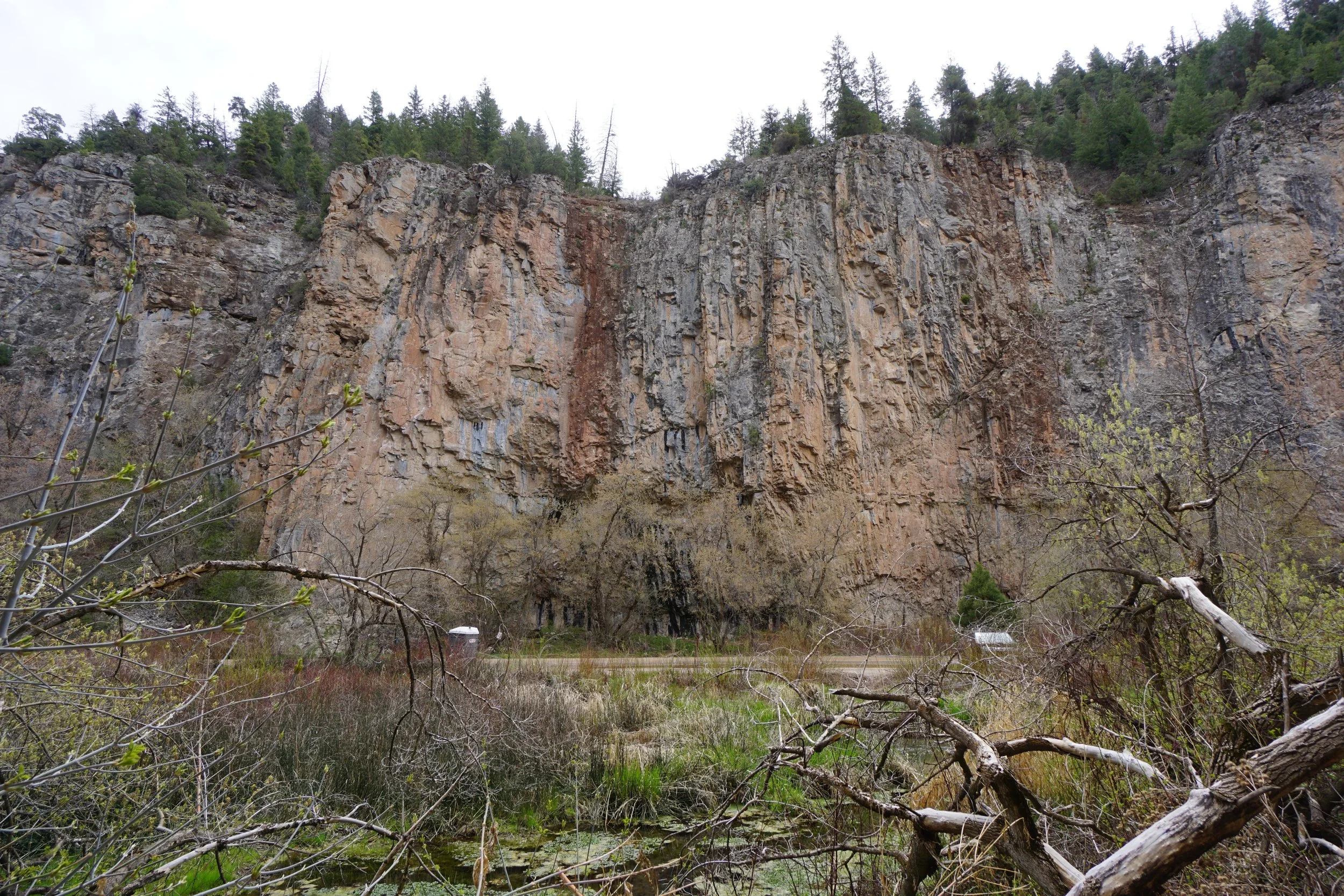
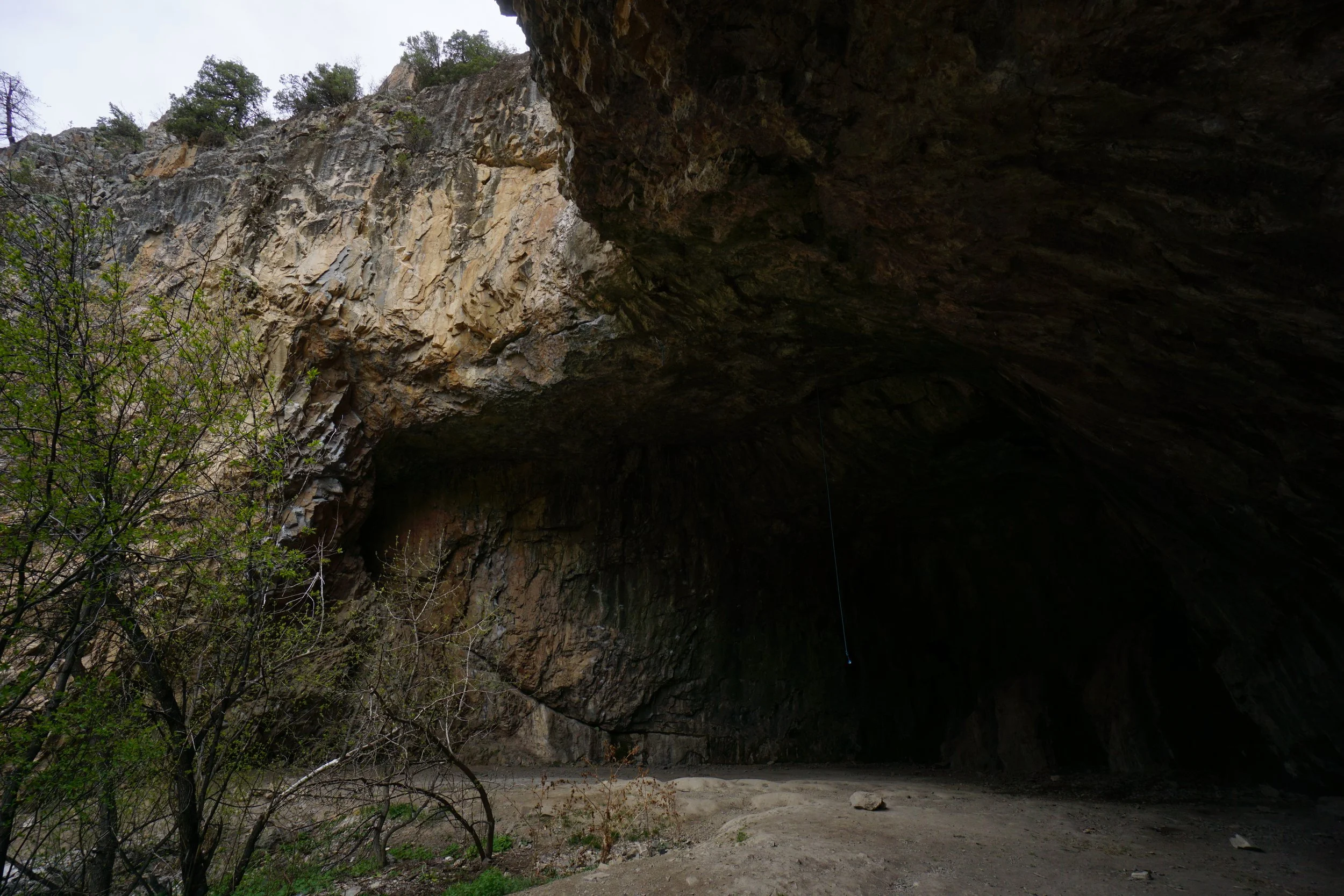
I suggest following the road back to the trailhead from this parking area. That way, you can explore a large cave on the other side of the canyon. This cave has no icy waterfalls but it is large and worth checking out. Continue back along the road to the trailhead and parking area. There are other areas of the park worth exploring north of the trail closure and various other climbing areas, picnic spots, and parking. All in all, a very cool spot.