Red Canyon Park
Cañon City Parks
Date Hiked: May 25, 2019
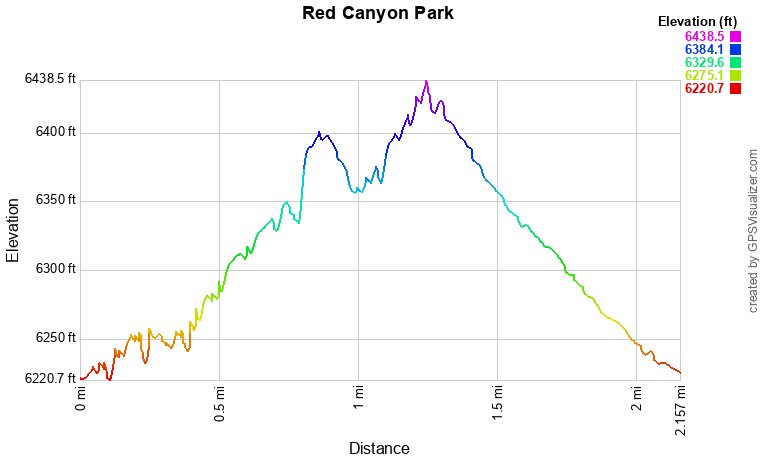
Distance: 2.1 mi (RT)
Elevation Gain: 275 ft
Elevation Min/Max: 6,221 to 6,439 ft
Trailhead Lat/Long: 38º 35' 09" N; 105º 14' 55" W
Managing Agency: Cañon City
Fee: None
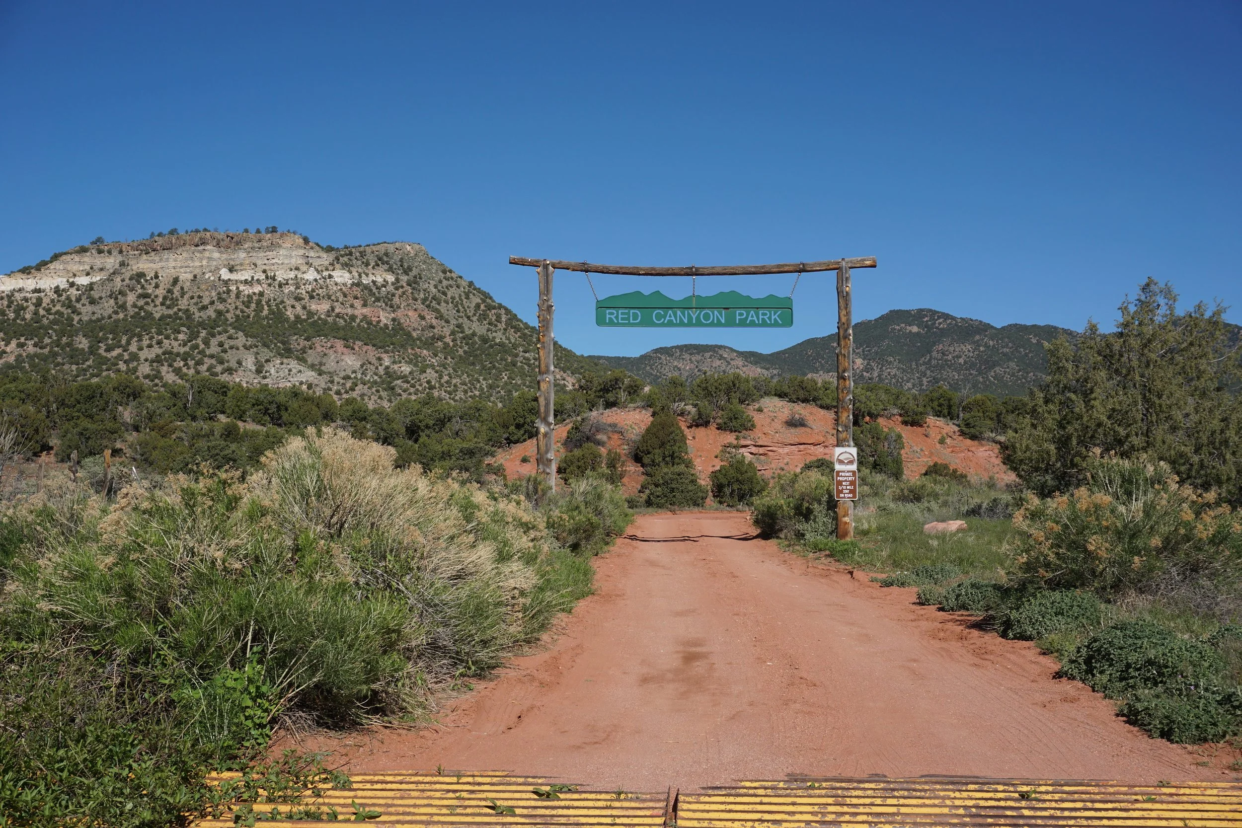
Directions:
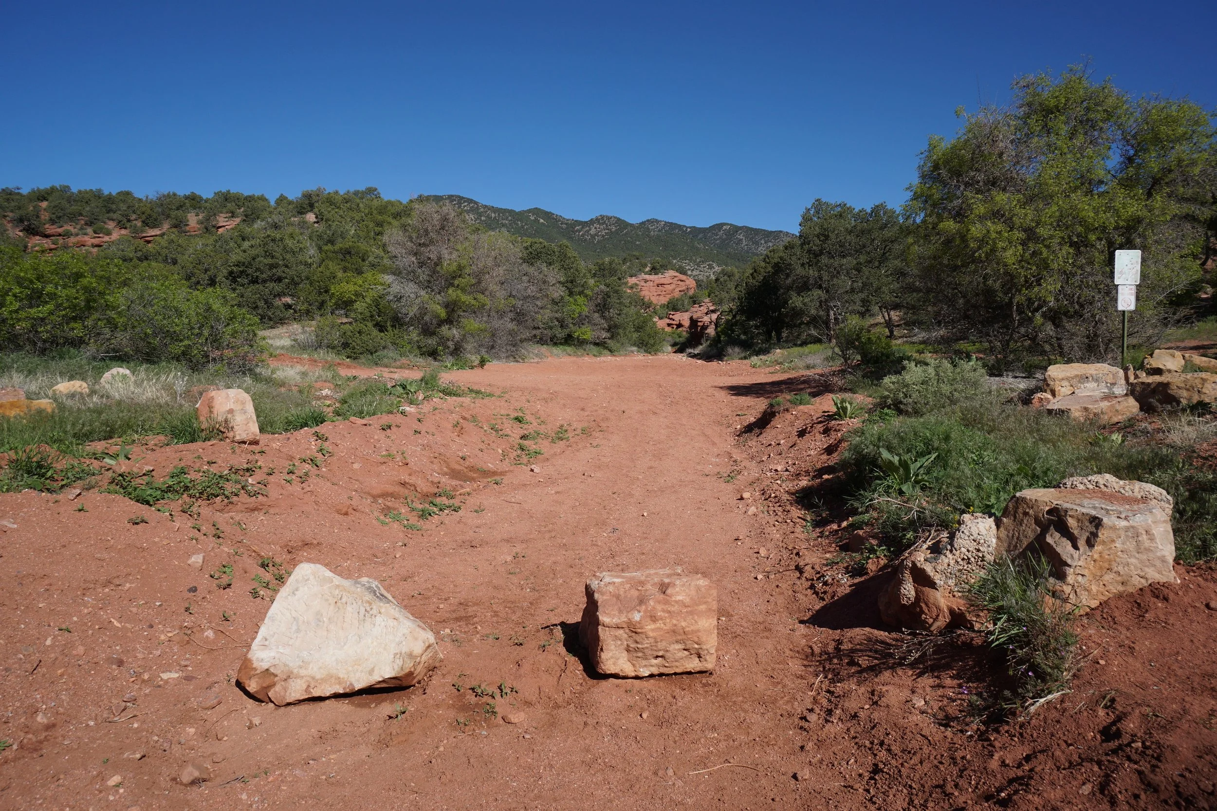
From Hwy 50 in Cañon City, go north on 15th Street, through town, and turn right on South Street, then a quick left on Red Canyon Road. Continue on Red Canyon Road until it becomes County Road 9. Follow CR 9 north to the turnoff for Red Canyon Road. Enter the park and drive for about 1 mile to the campground and parking area. The trail follows the wash towards the canyon.
Hike Description:
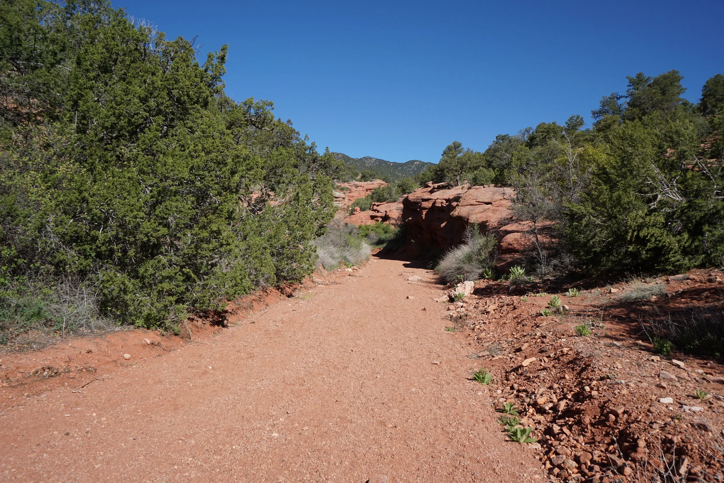
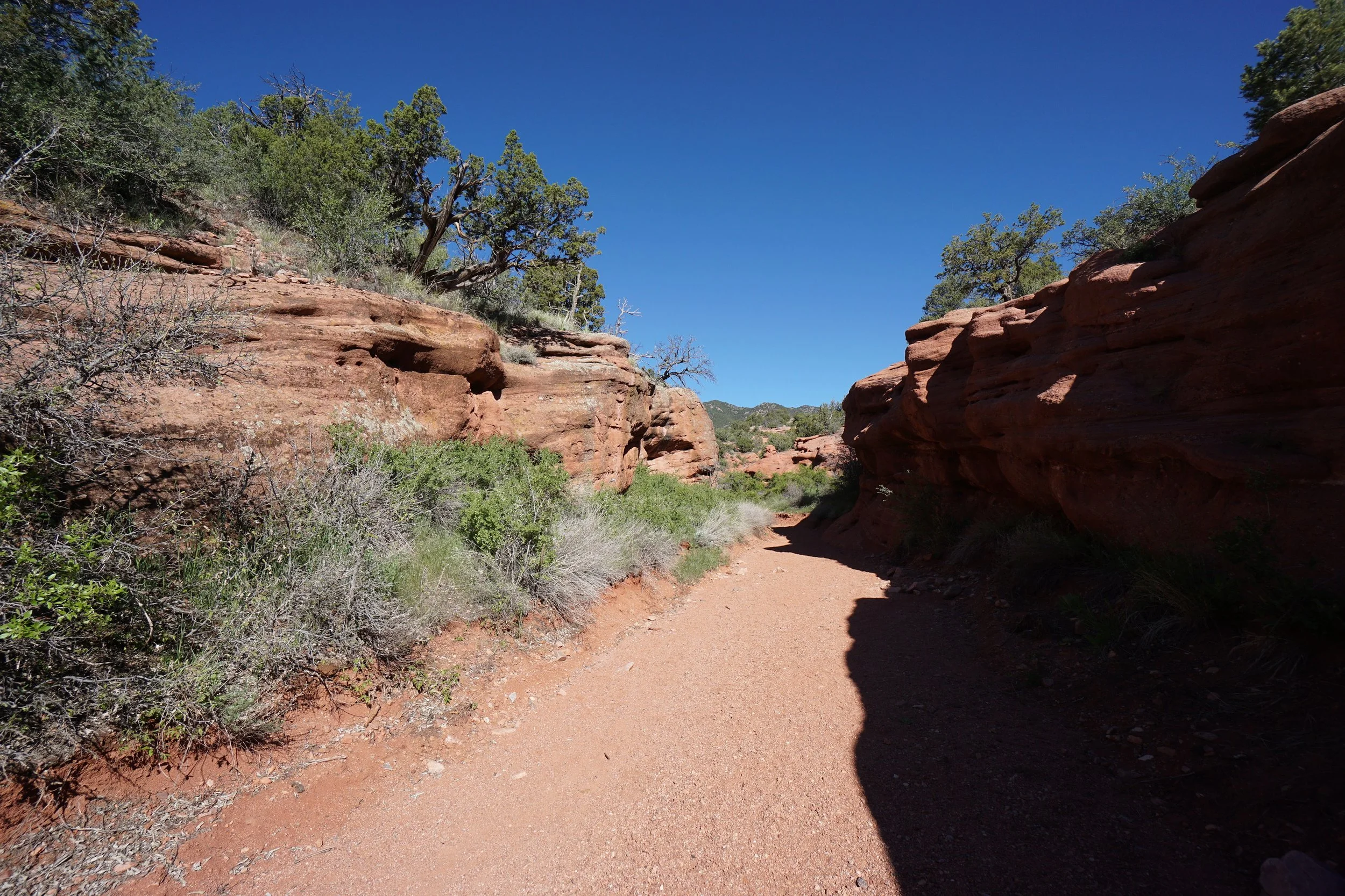
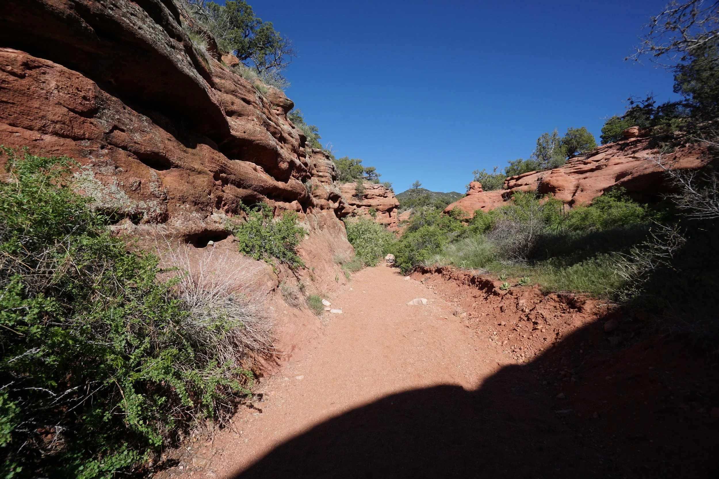
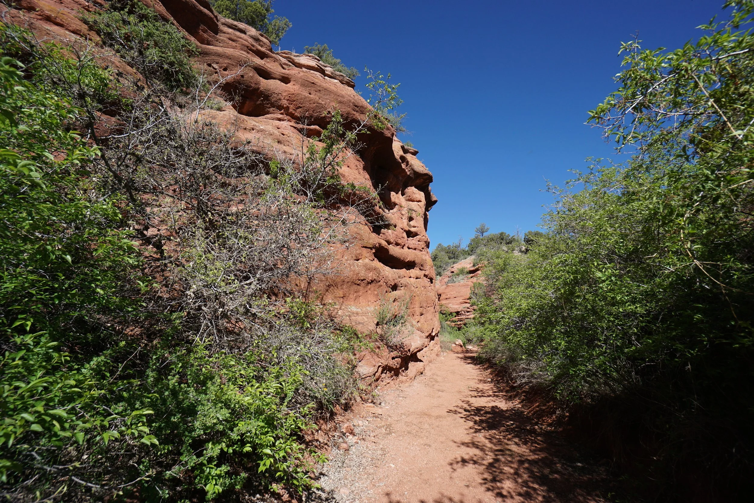
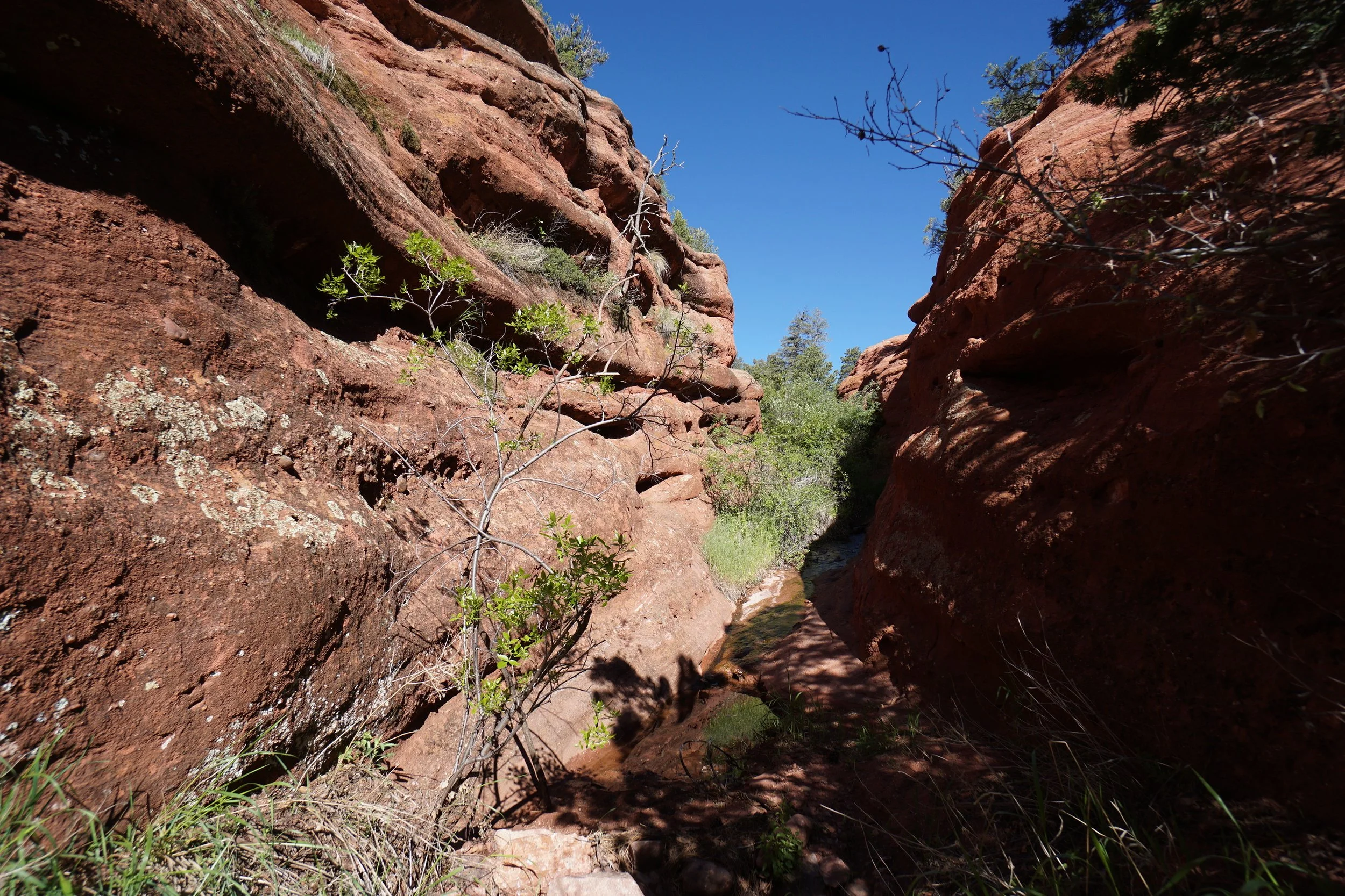
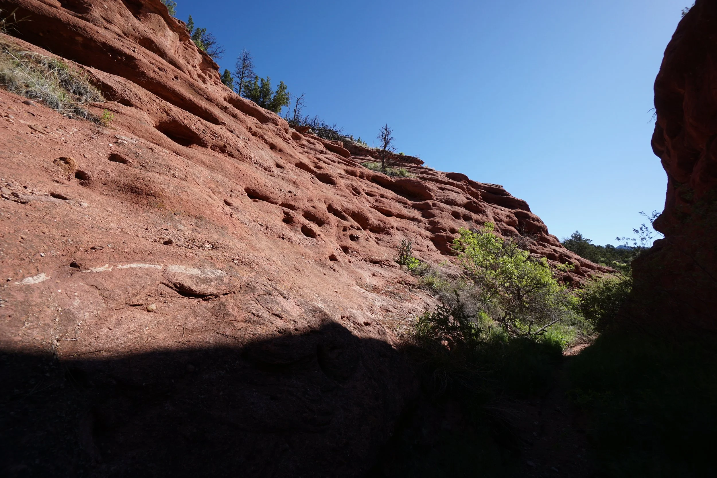
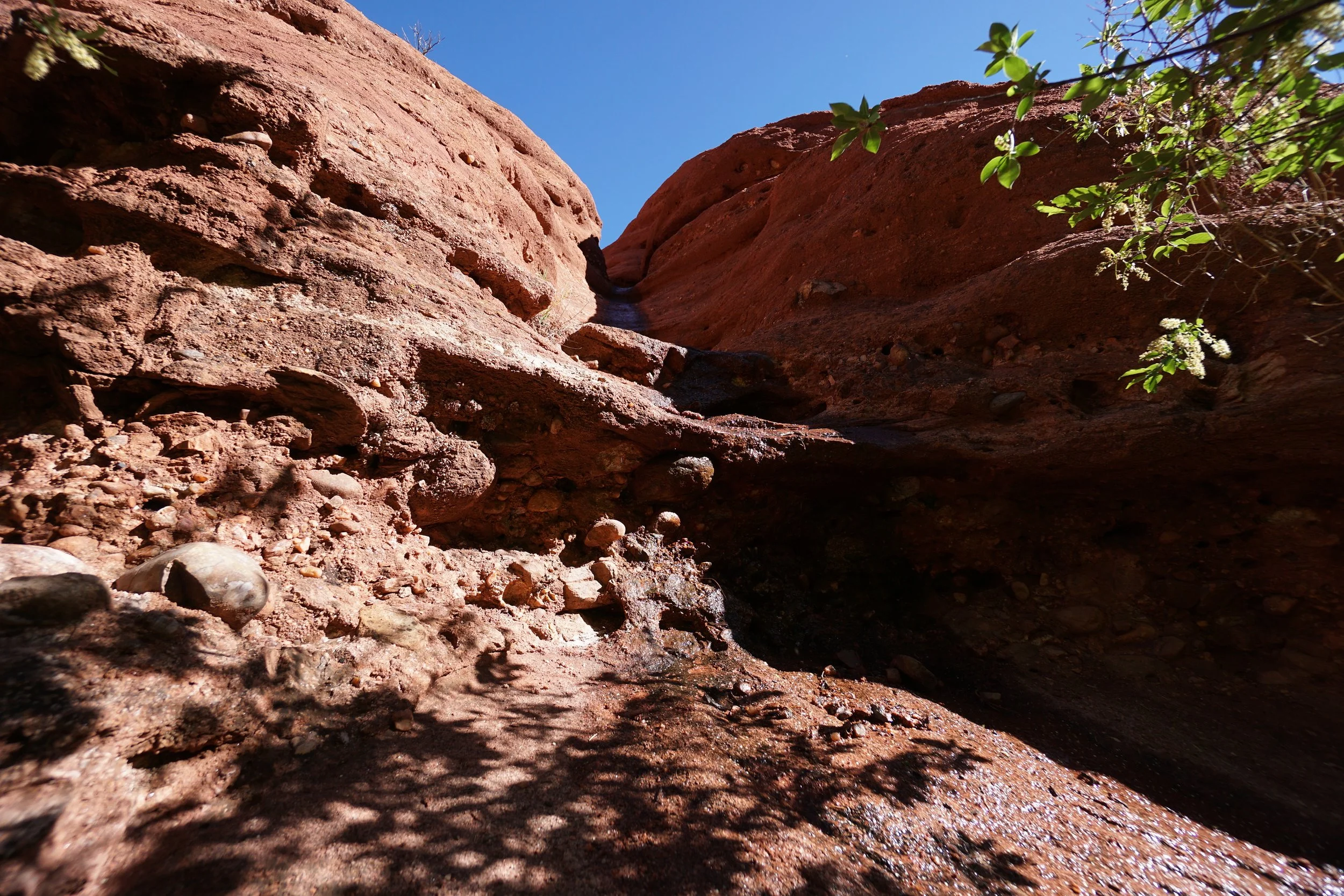
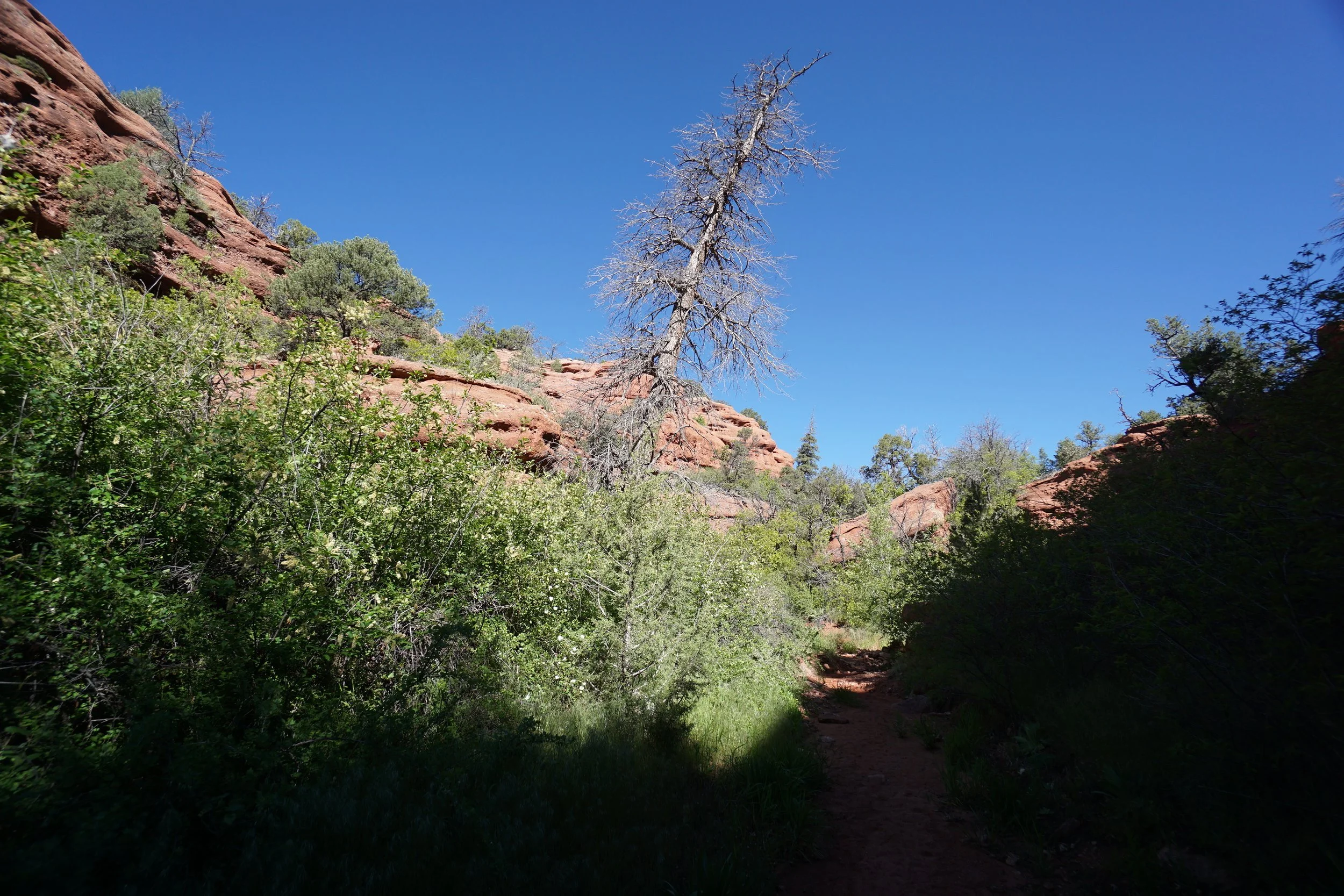
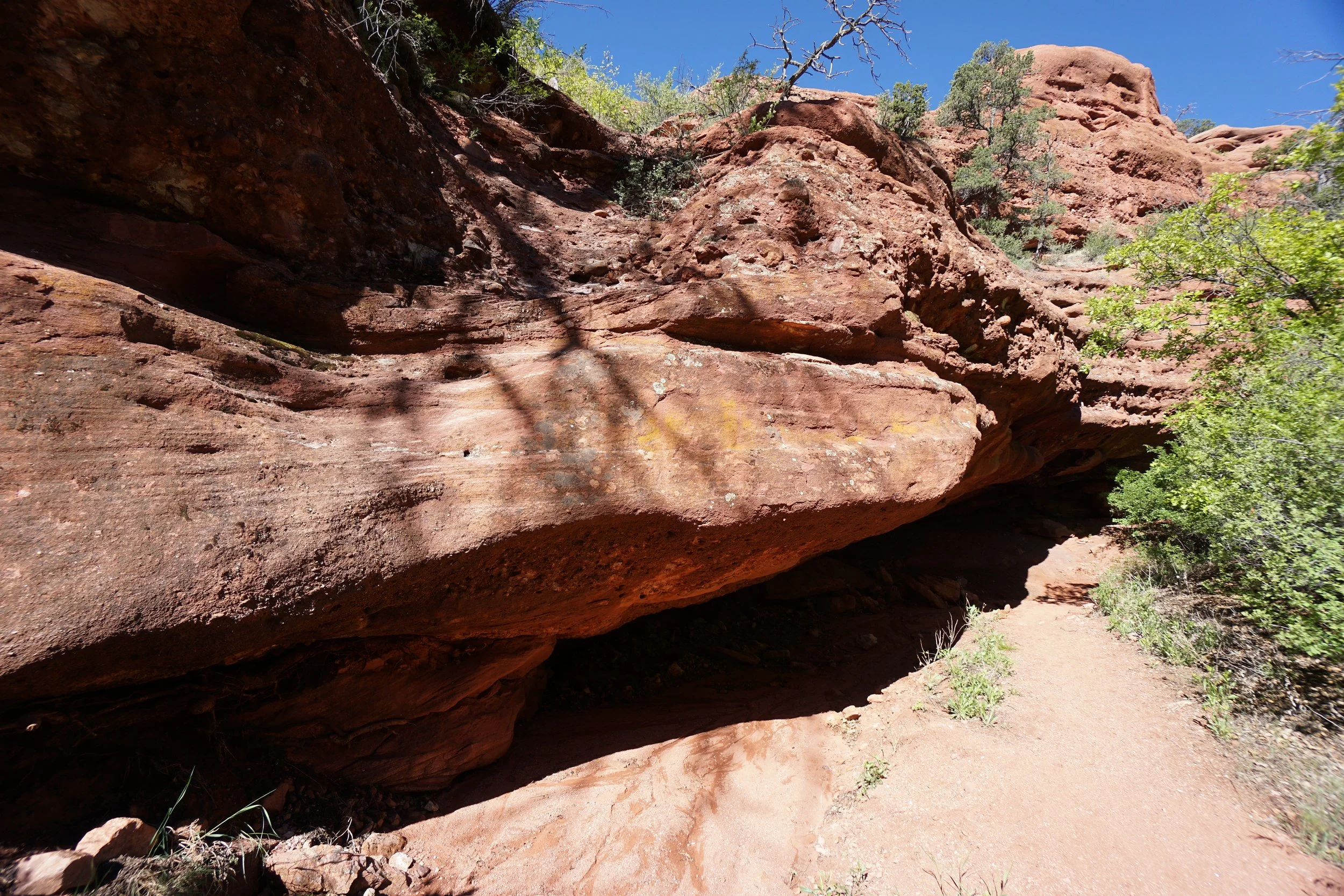
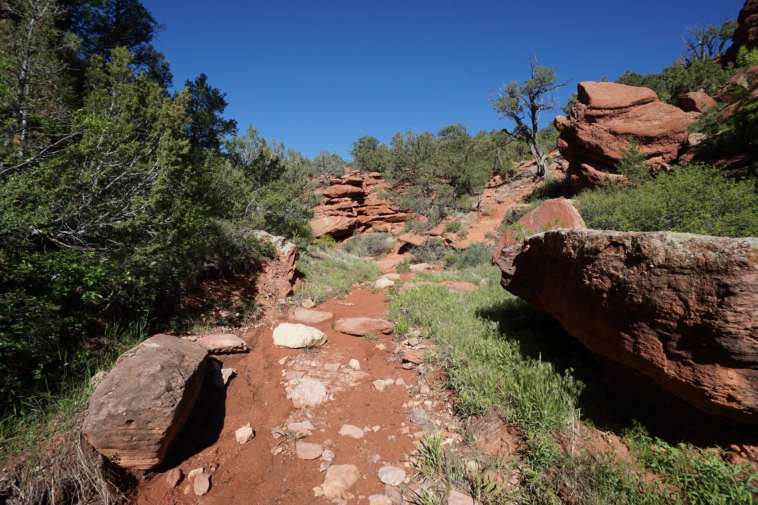
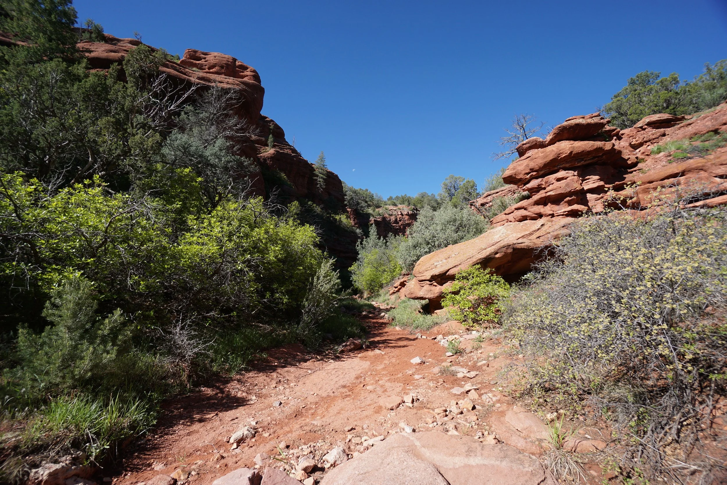
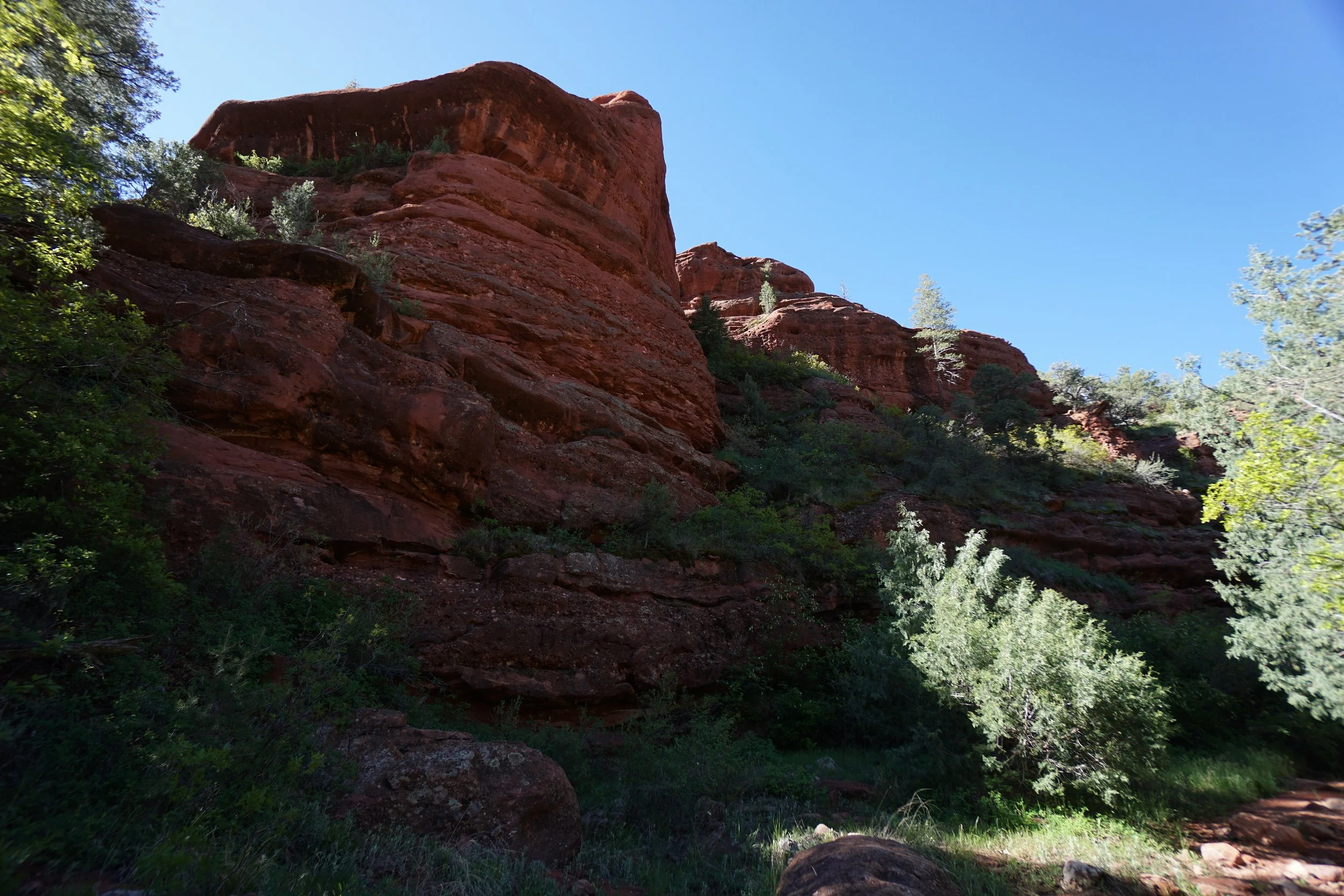
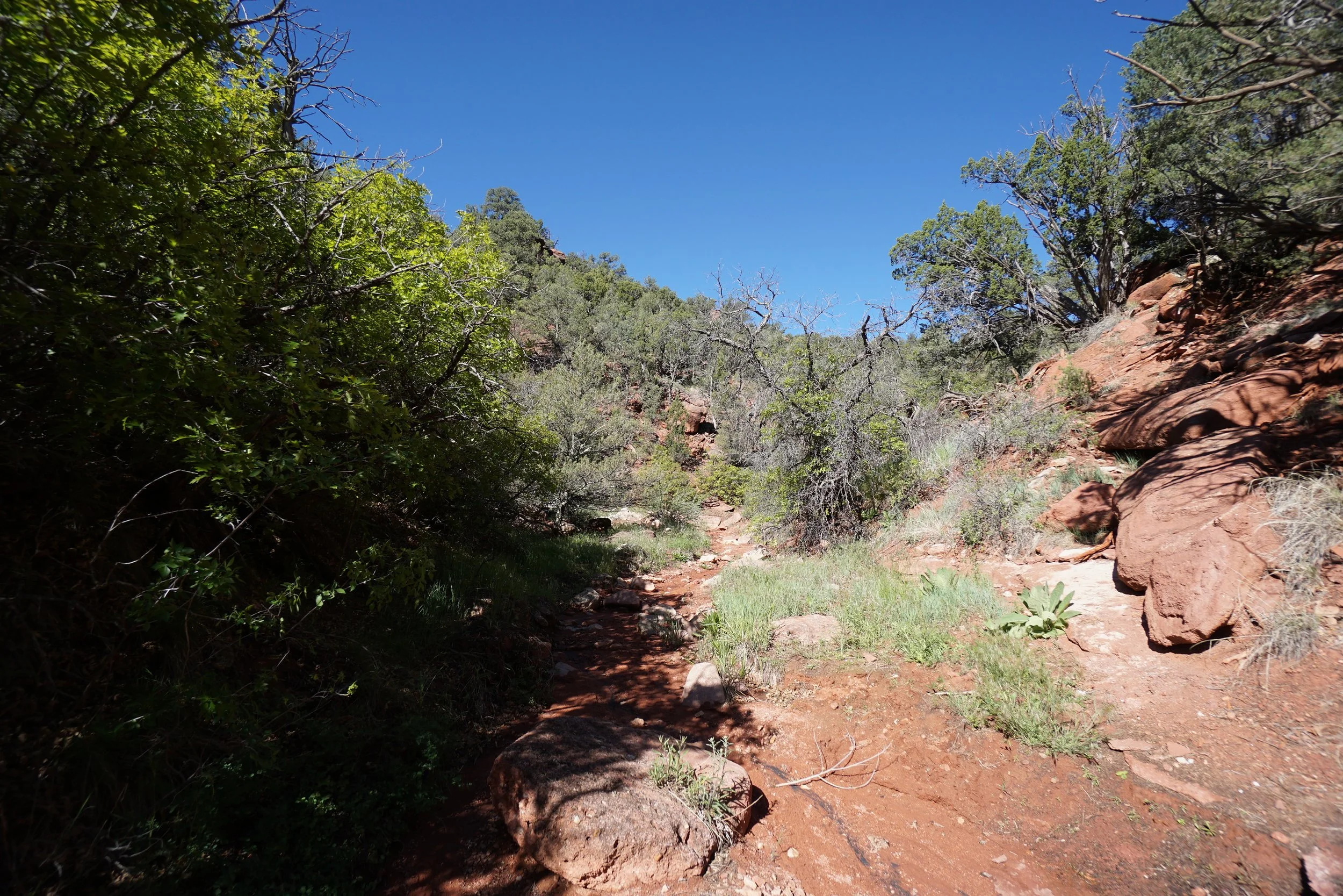
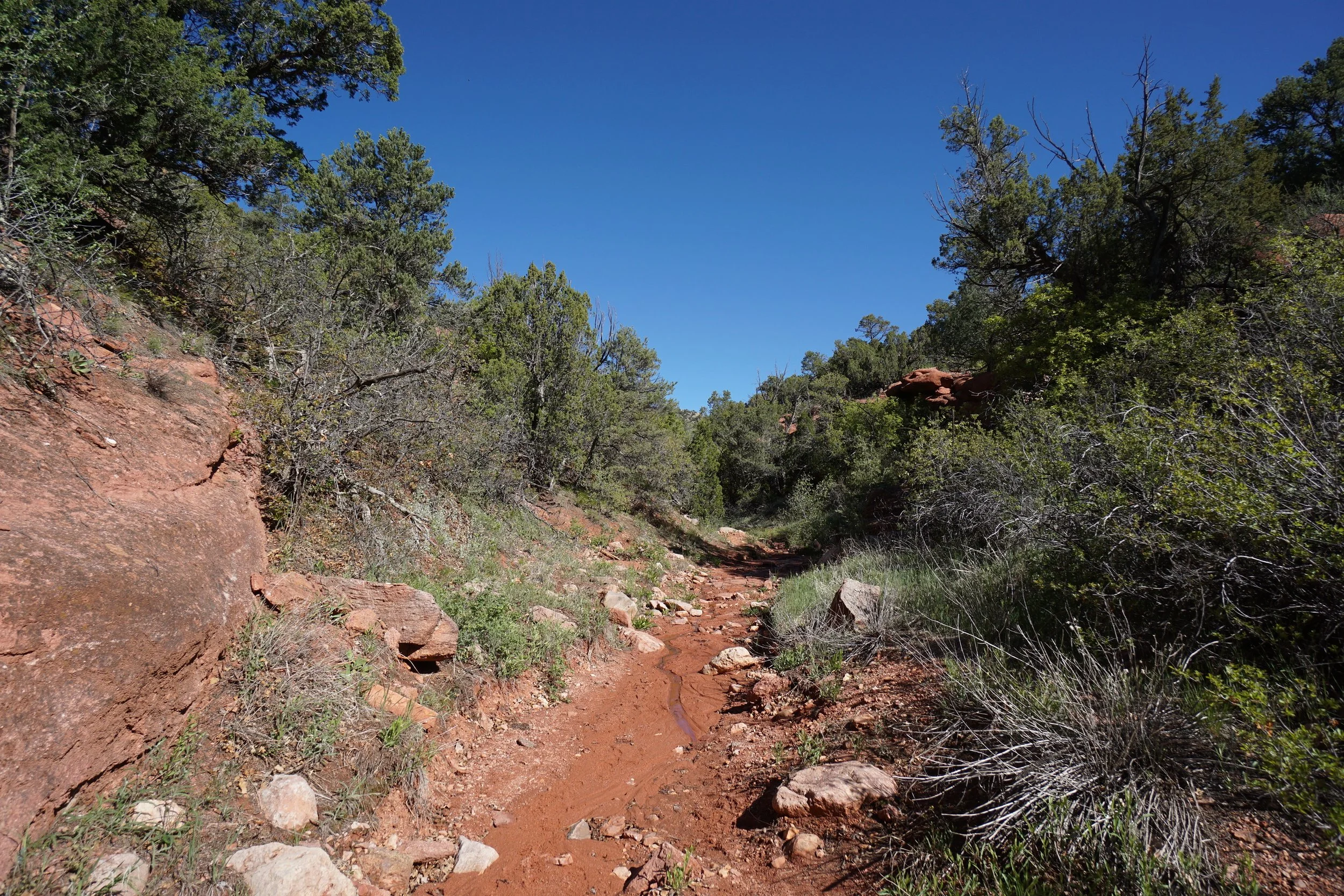
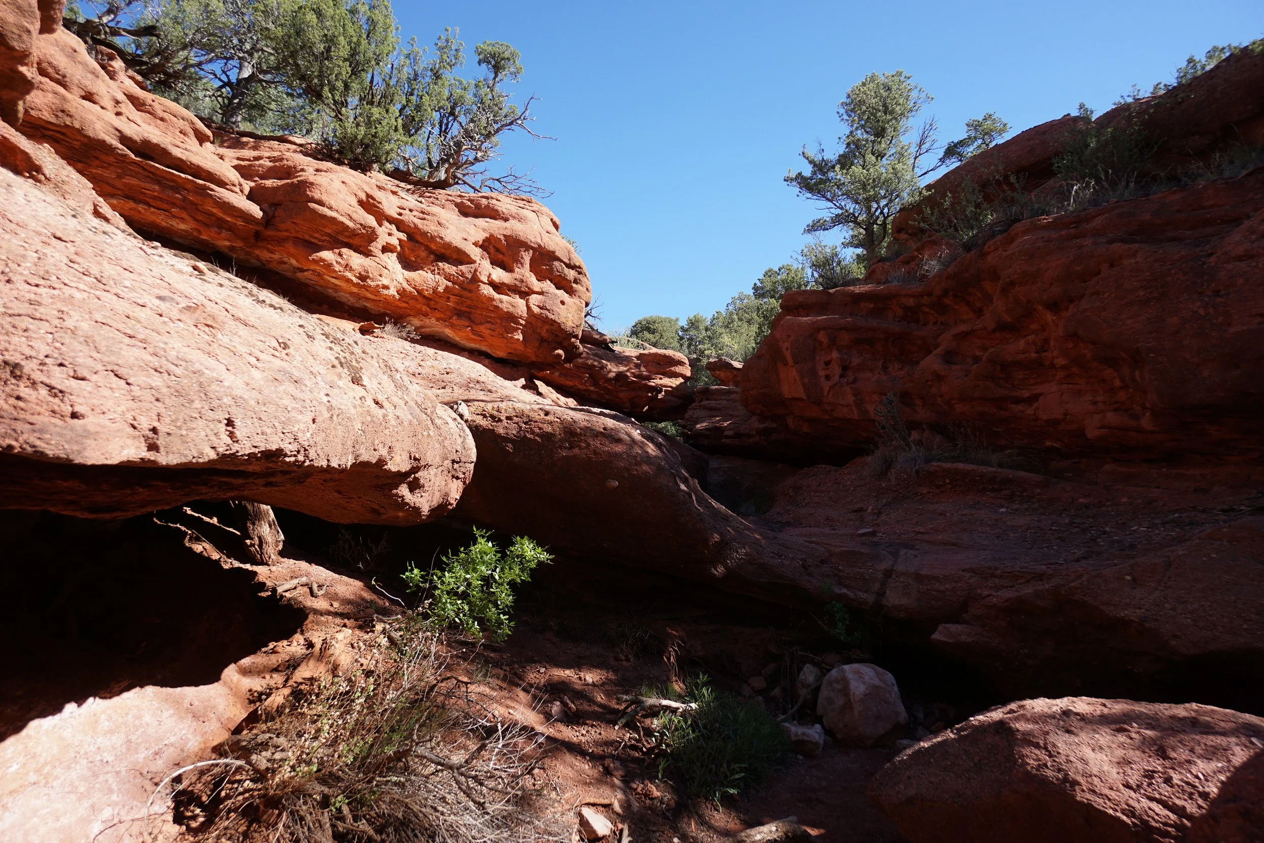
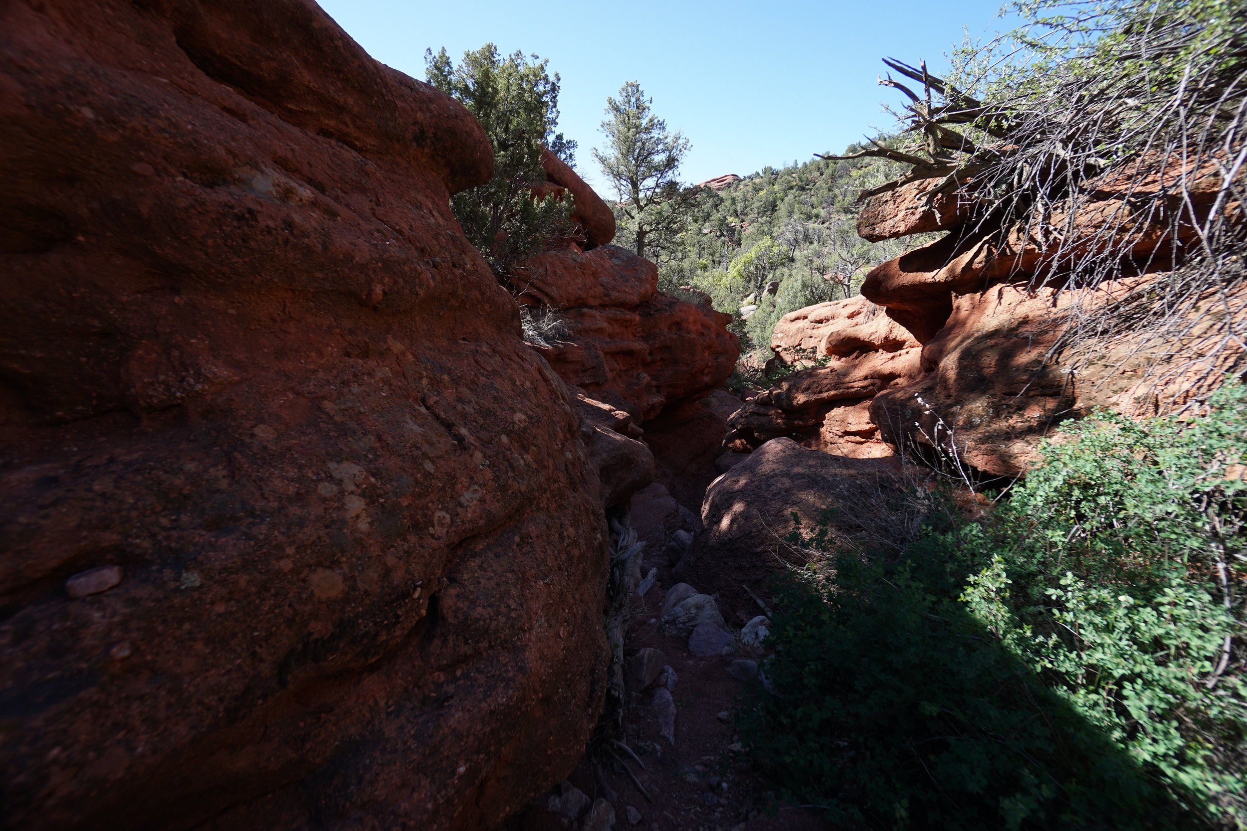
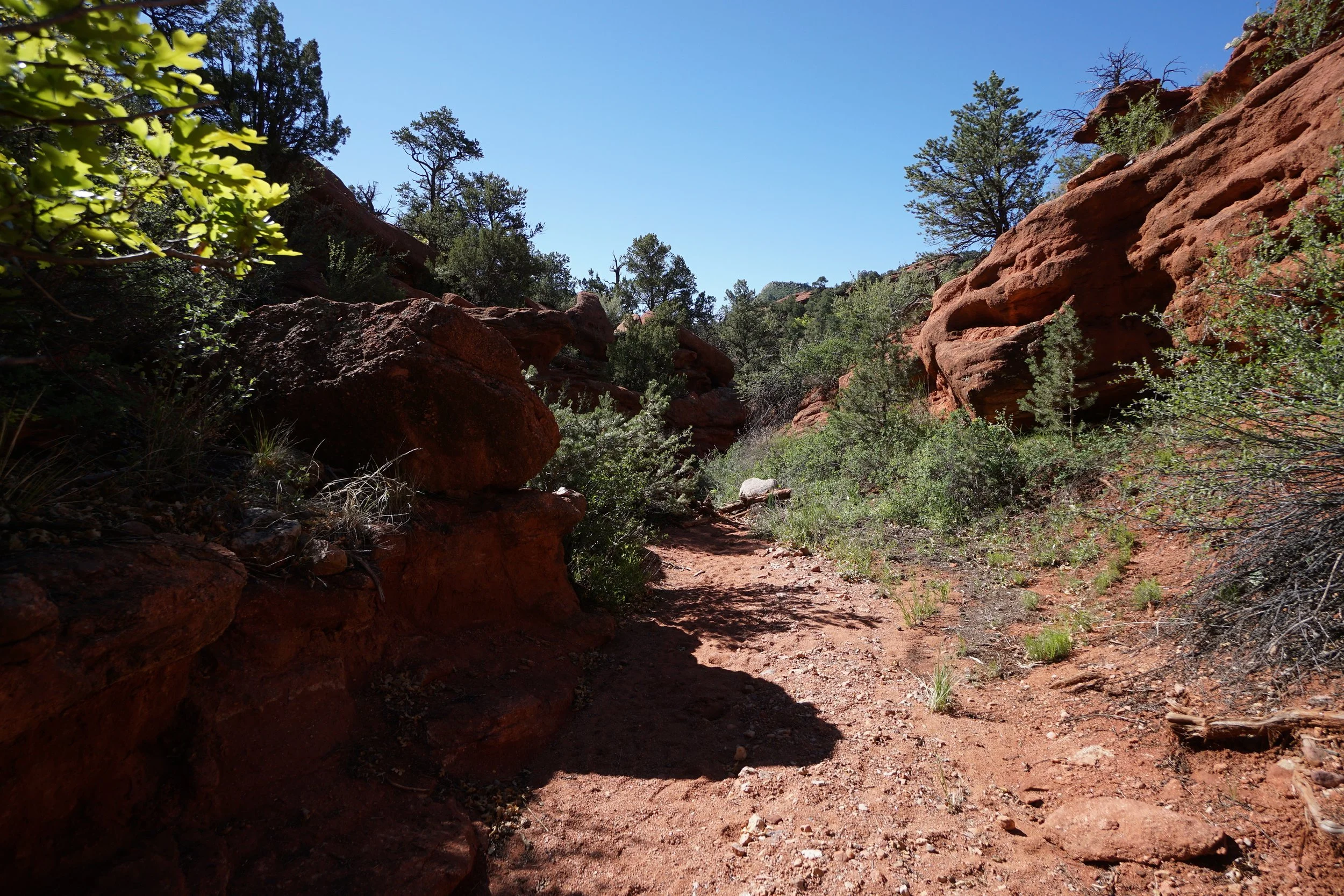
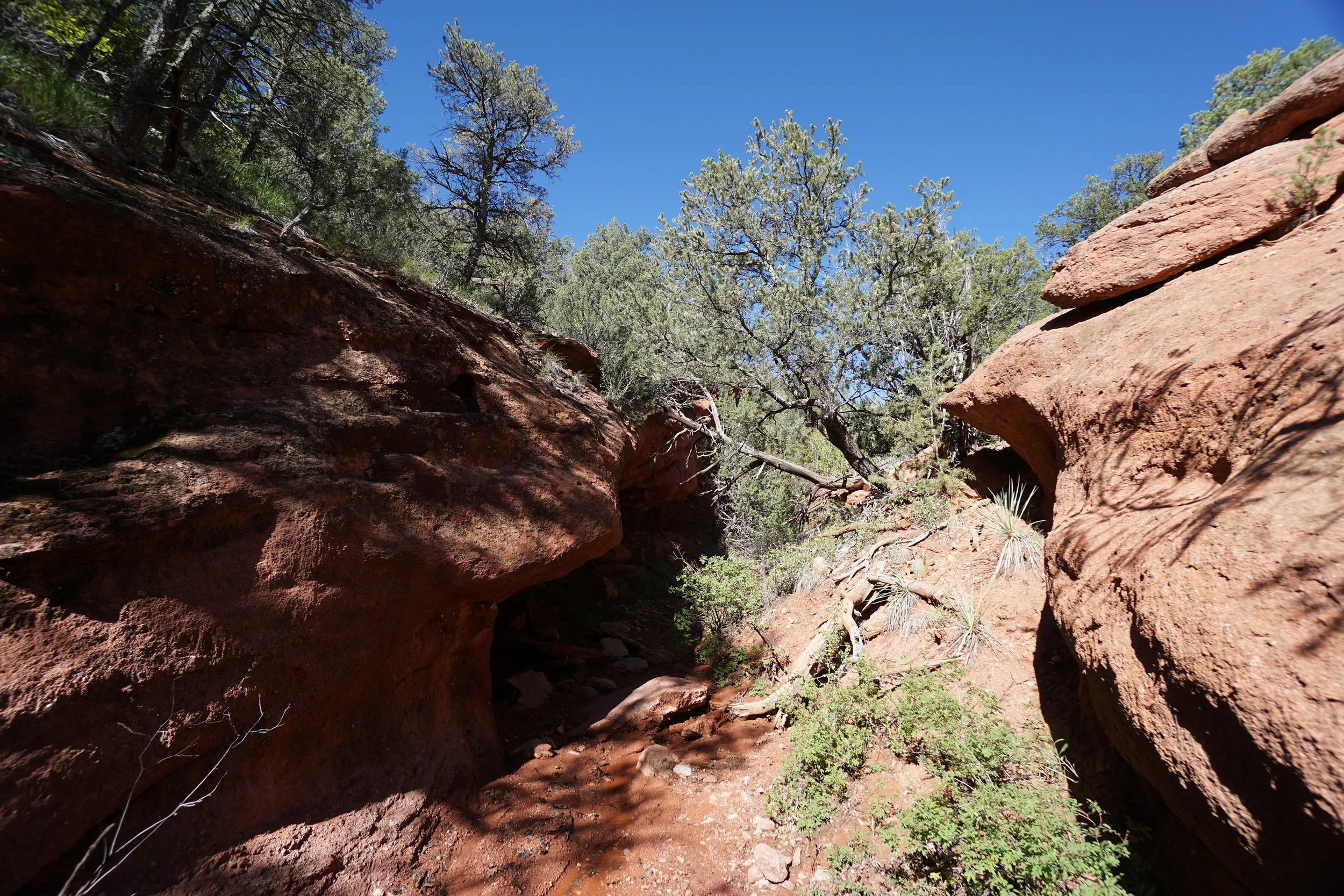
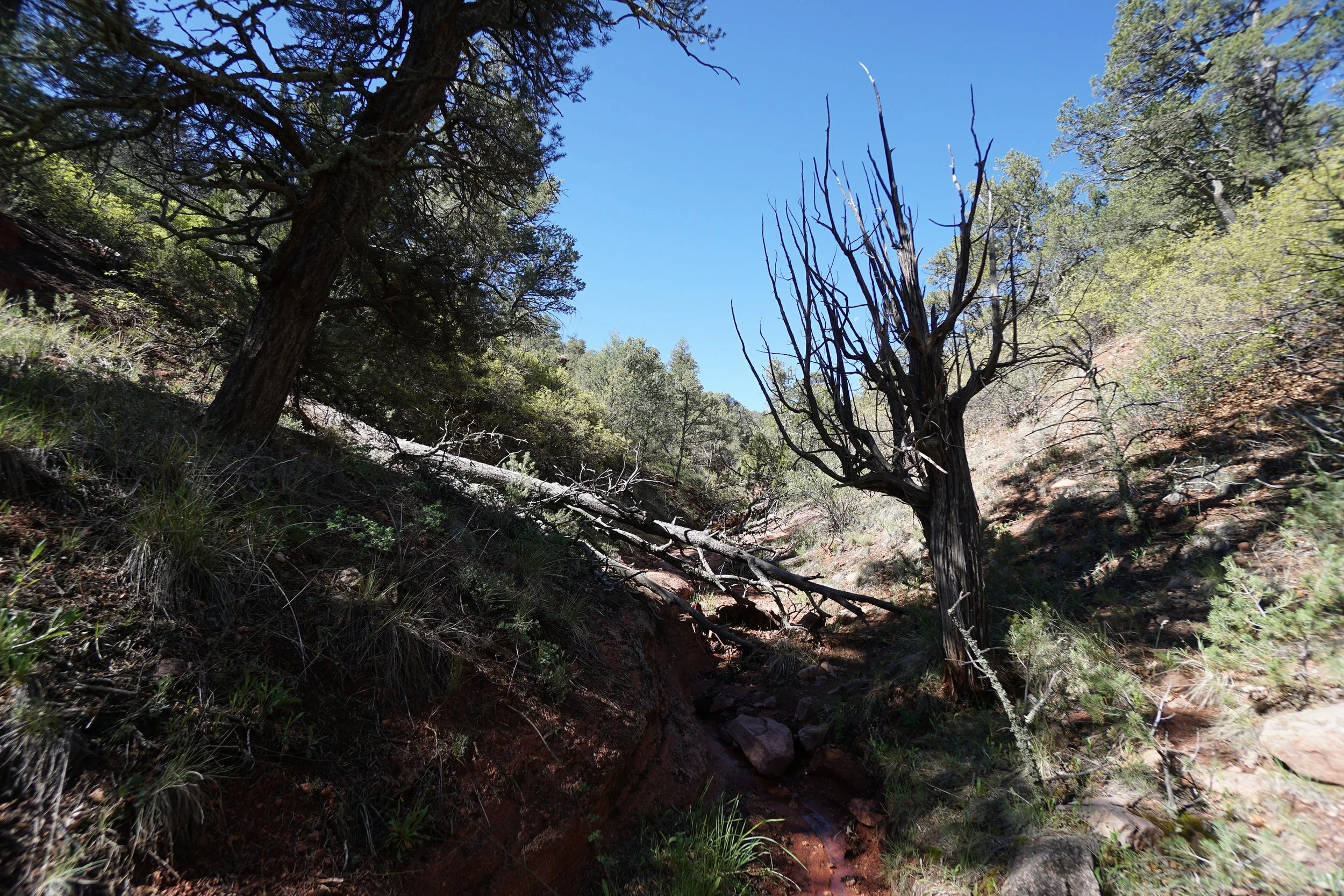
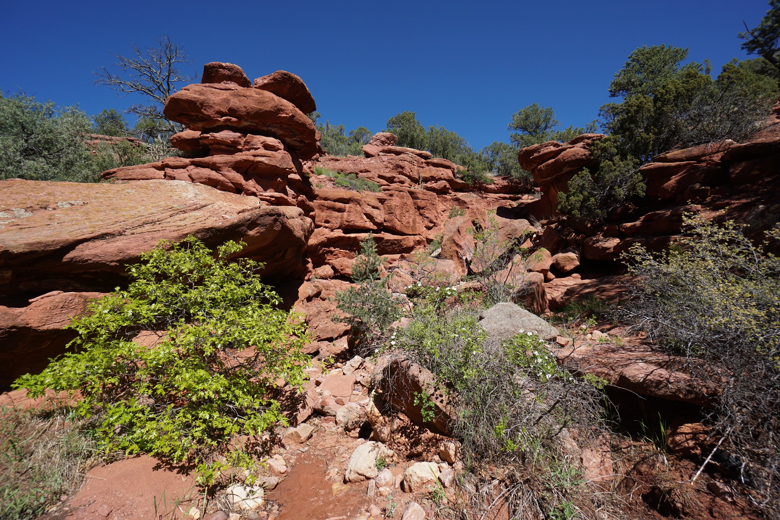
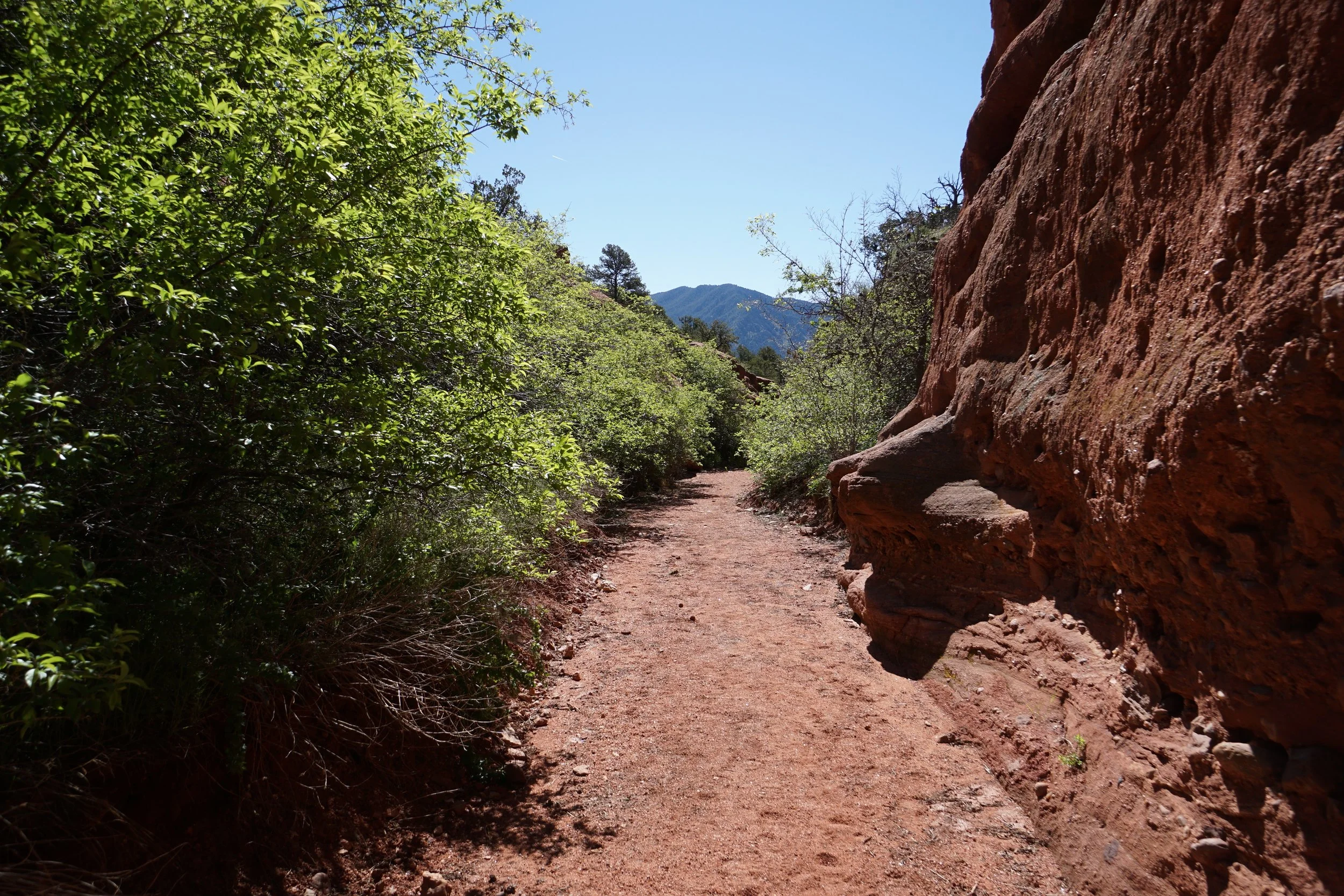
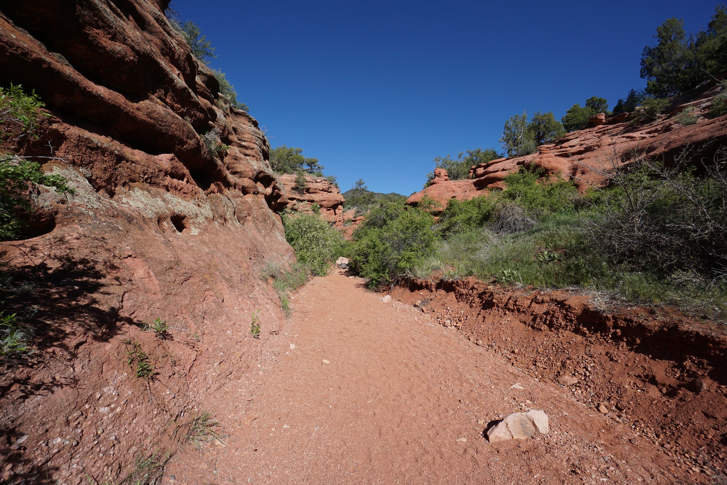
Red Canyon Park is an interesting area. The park mainly consists of a stunning red rock canyon system. There are no official trails in the park but the canyon system is open for public exploration. You can choose where you want to go but the main "trail" follows the wash through a narrow slot canyon. You can follow the main canyon for about 1 mile.
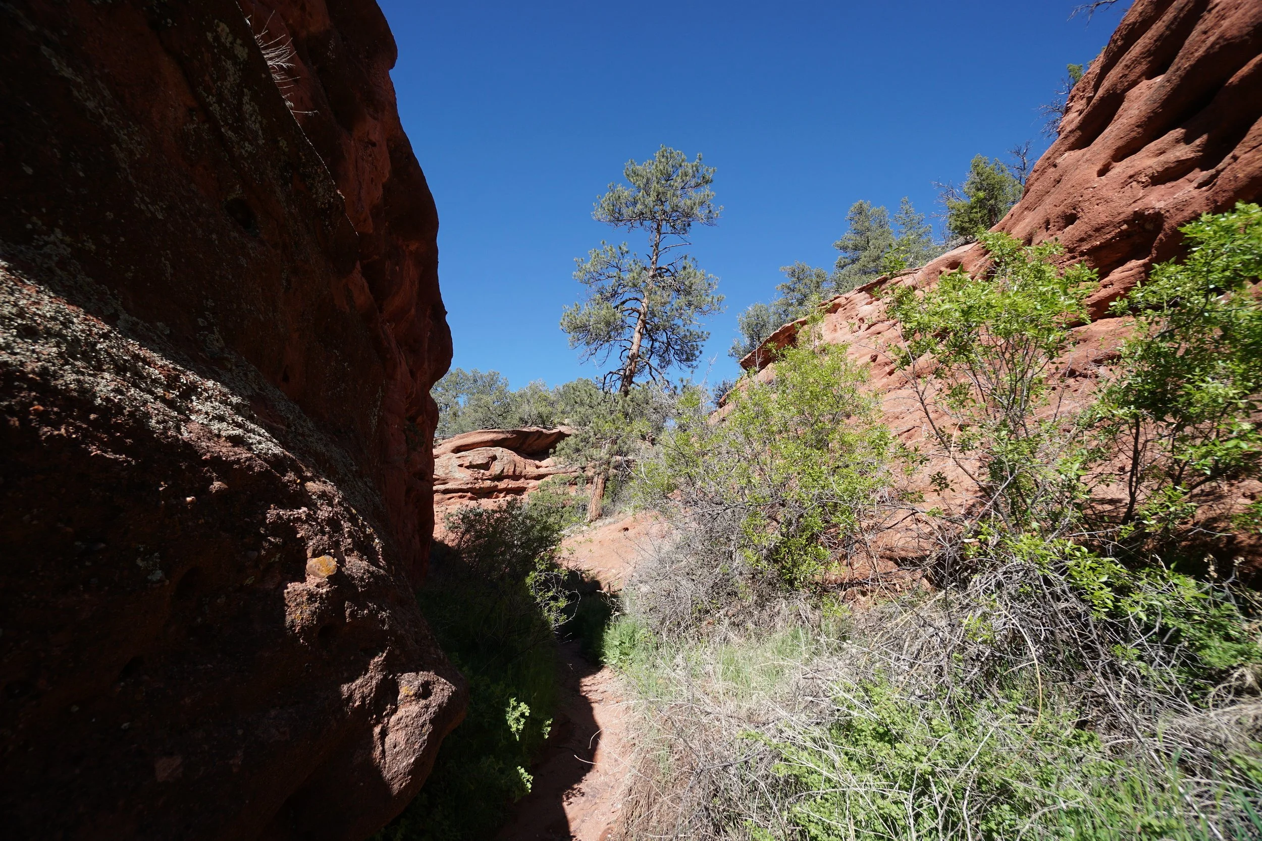
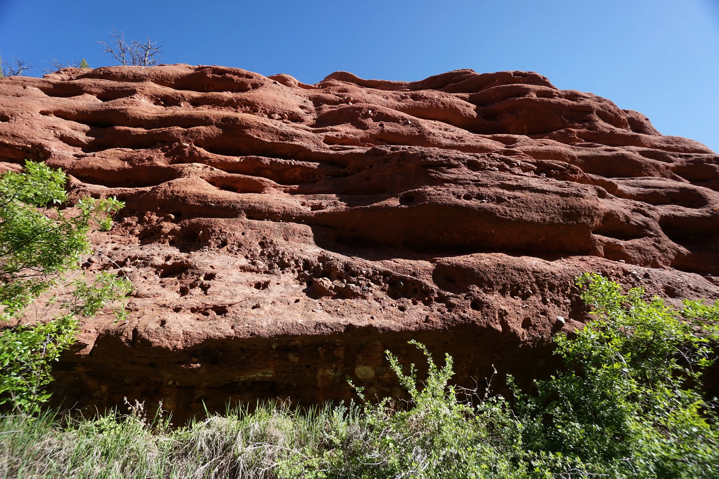
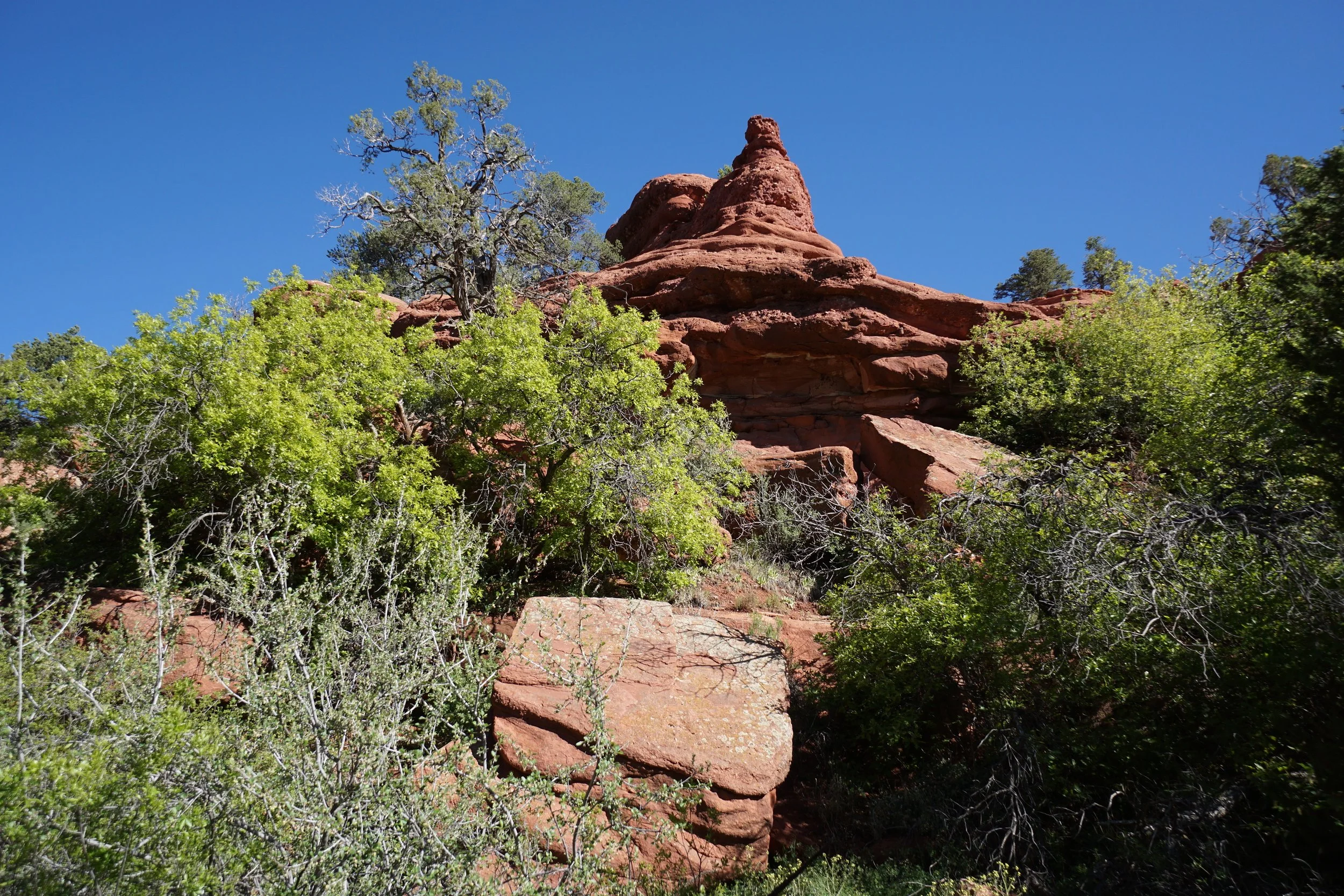
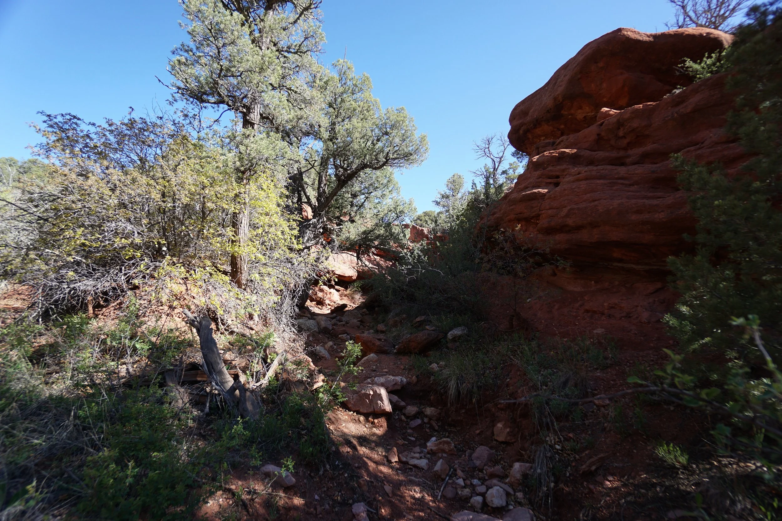
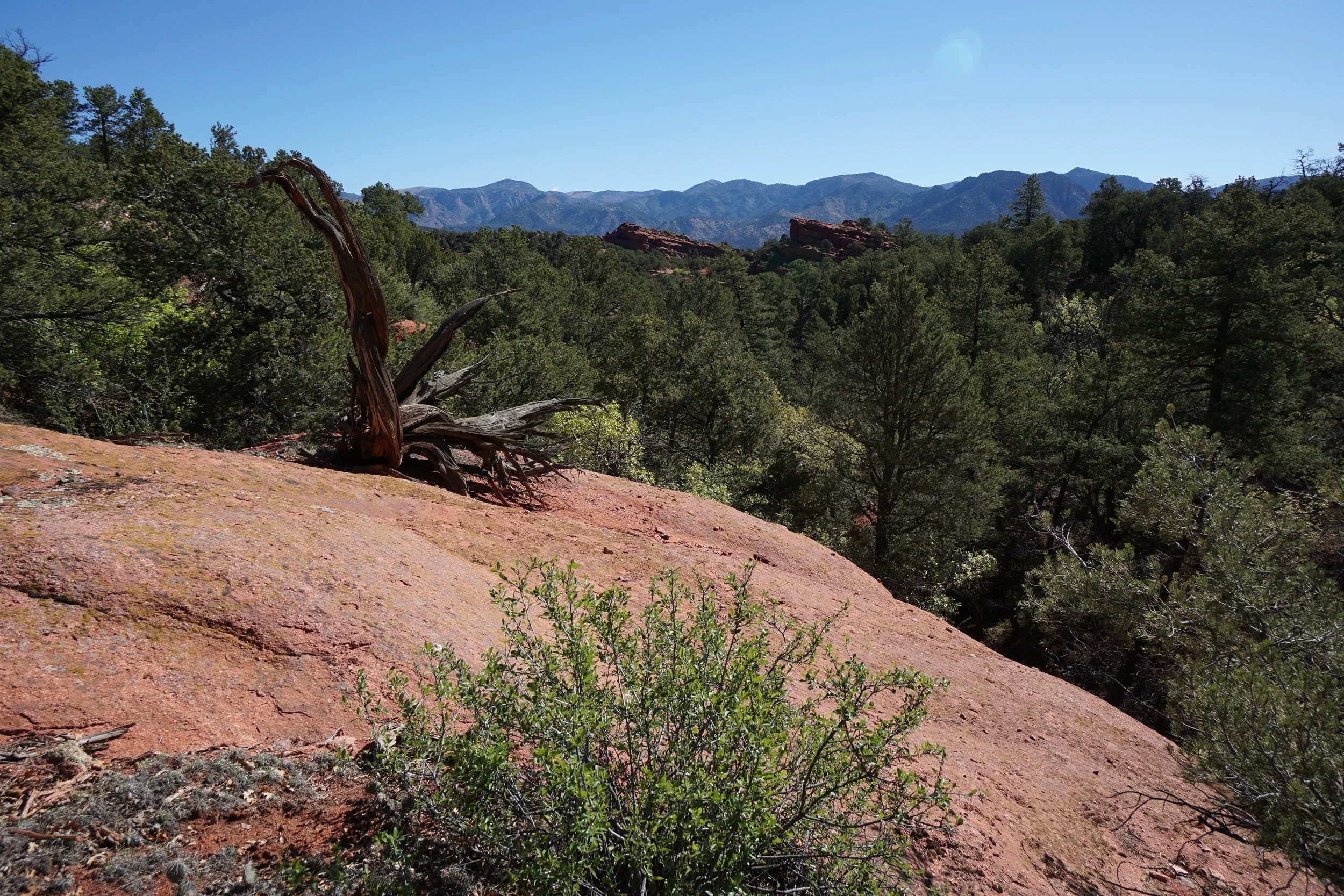
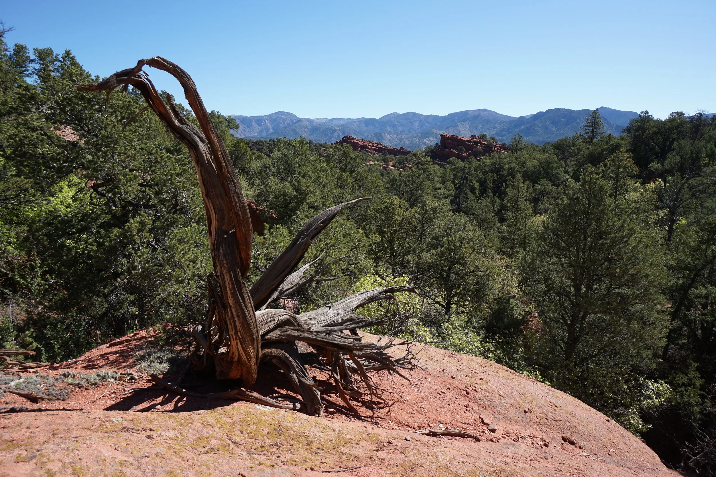
Aside from following the main canyon, you can (and should) explore the narrow side canyons. The side canyons provide opportunities for scrambling up the canyon to reach high points with views of the Fourmile Creek Valley. There are also some interesting rock formations that you can't see from the canyon floor and require exploring the side canyons to catch a glimpse. The park apparently has a natural arch but the main canyon does not lead to it. Rather, you need to continue to drive along the park road for about 2 miles to another parking area to find the arch.
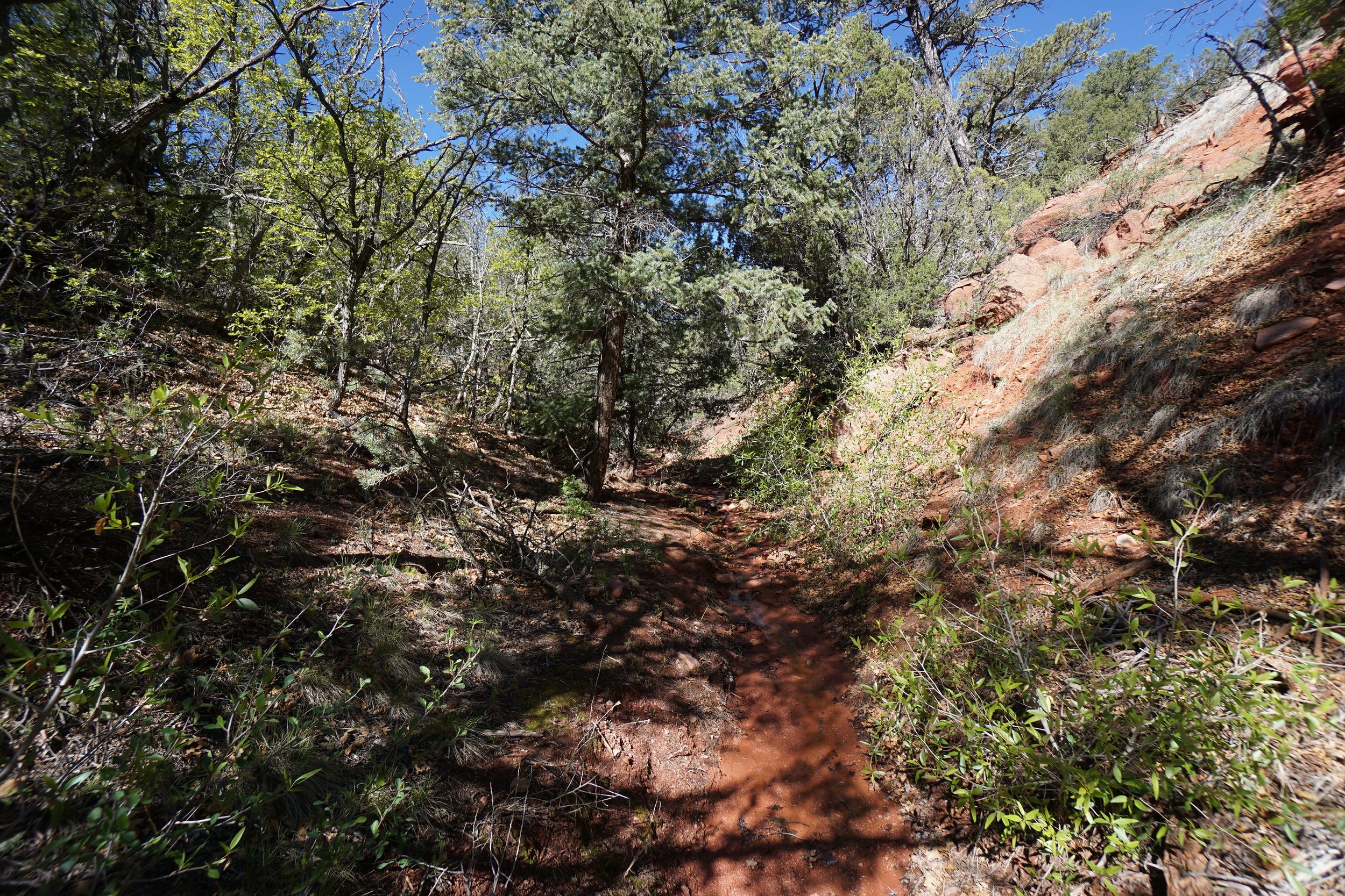
The canyon is beautiful in the springtime when the bright green vegetation makes a nice contrast to the red rock. However, certain parts of the canyon may be muddy or wet from winter snow melt. If you time it right, there may be some nice wispy waterfalls to check out along your way.