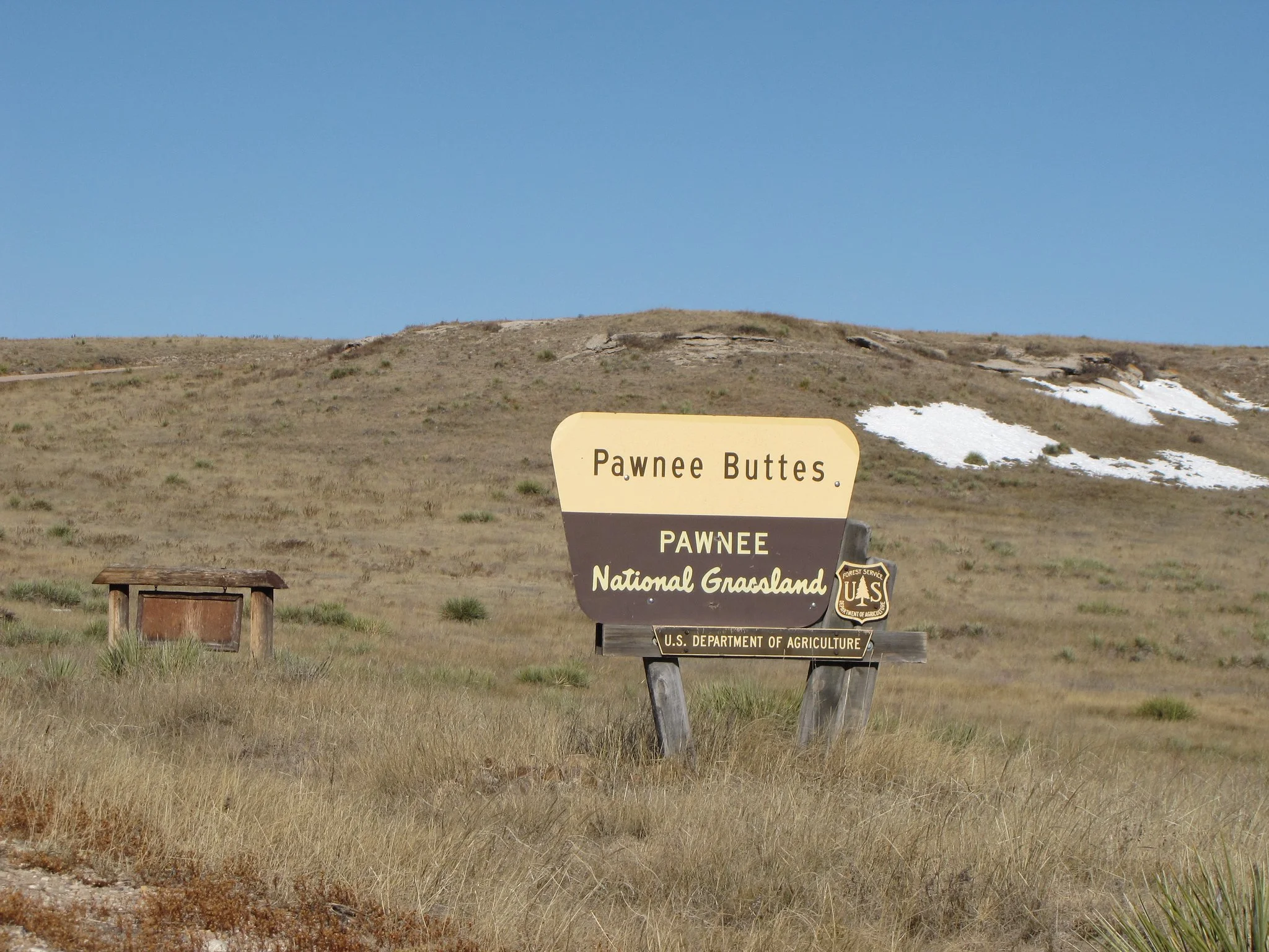
Pawnee Buttes
Pawnee National Grassland
Date Hiked: November 2009
Distance: 4 mi (RT)
Elevation: 5,425ft
Trailhead Latitude - 40.81394301370
Trailhead Longitude - 104.00075439300
Managing Agency: U.S. Forest Service
Fee: None
Directions:
The trailhead is not easy to get to and requires some driving on dirt roads, but these are good dirt roads and passenger cars should have no problem. From Fort Collins, head east on Hwy 14 through Ault and Briggsdale. Turn left on Co Rd 103, right on Roanoke, left on Co Rd 105, right on Co Rd 104, left on Co Rd 111, right on Co Rd 110, continue onto Co Rd 113, and turn left (north) onto Pawnee Buttes Trailhead Rd. There should be signs, but I wouldn't rely on them.
Hike Description:
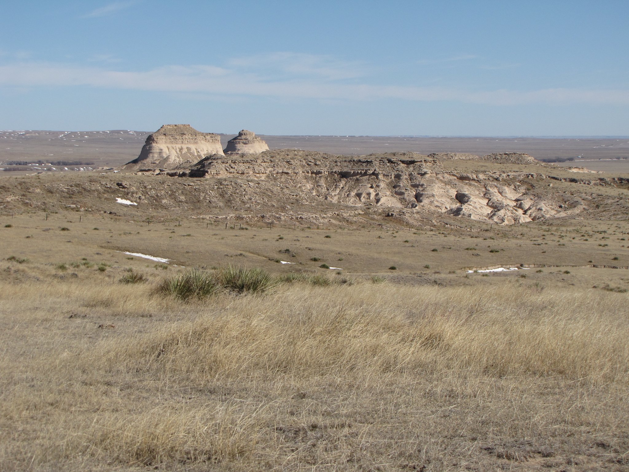
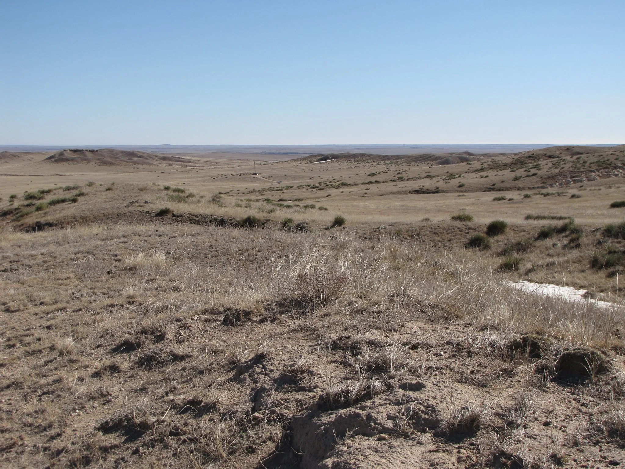
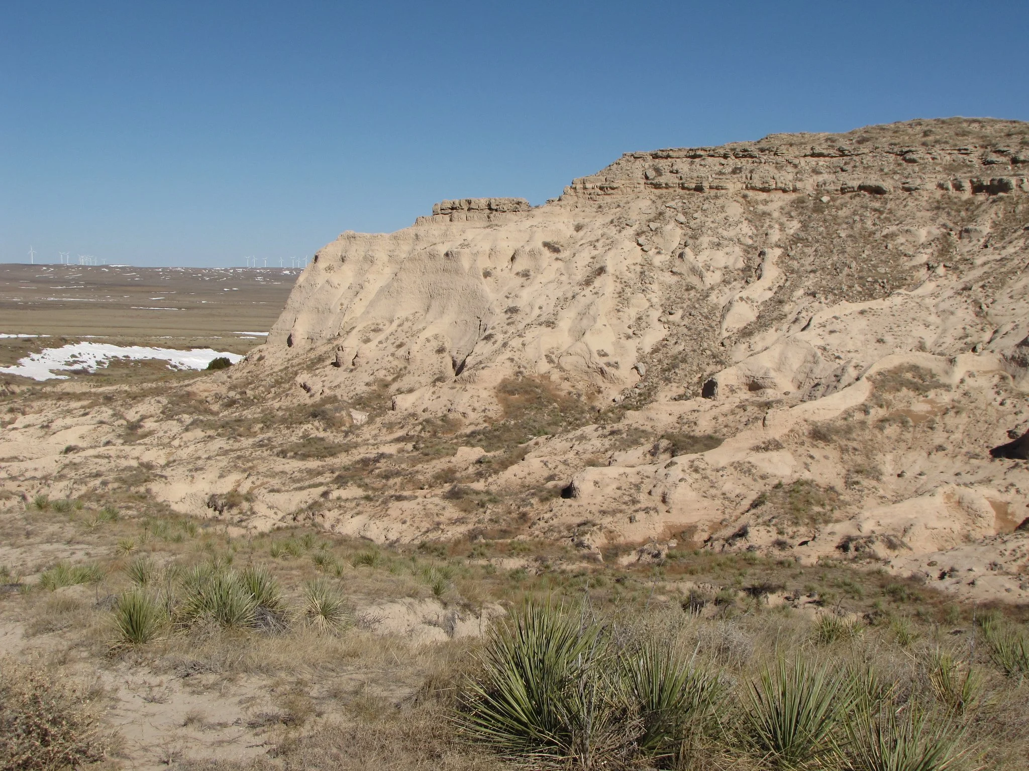
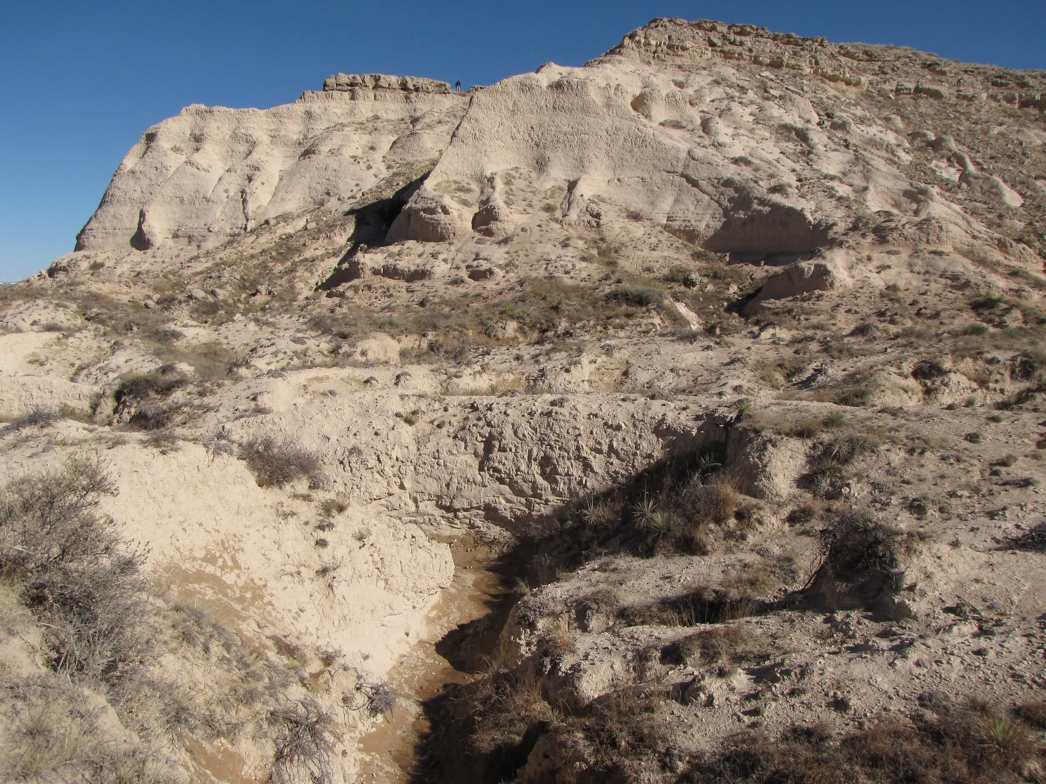
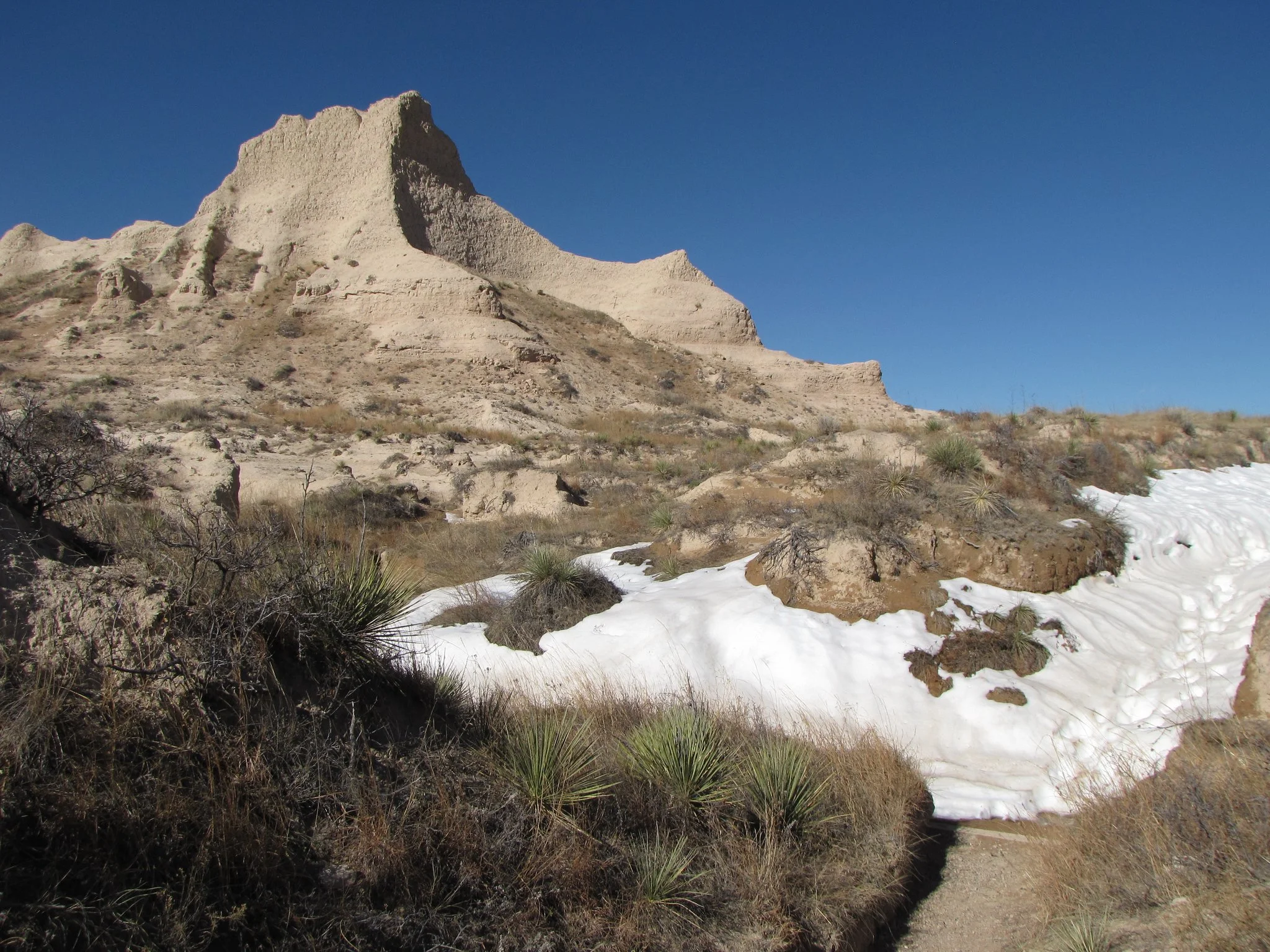
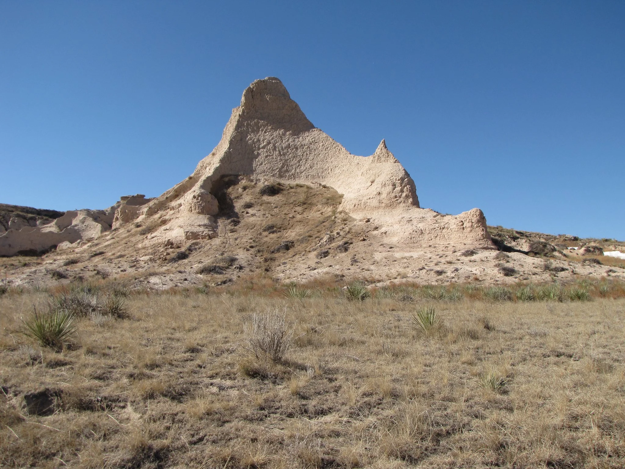
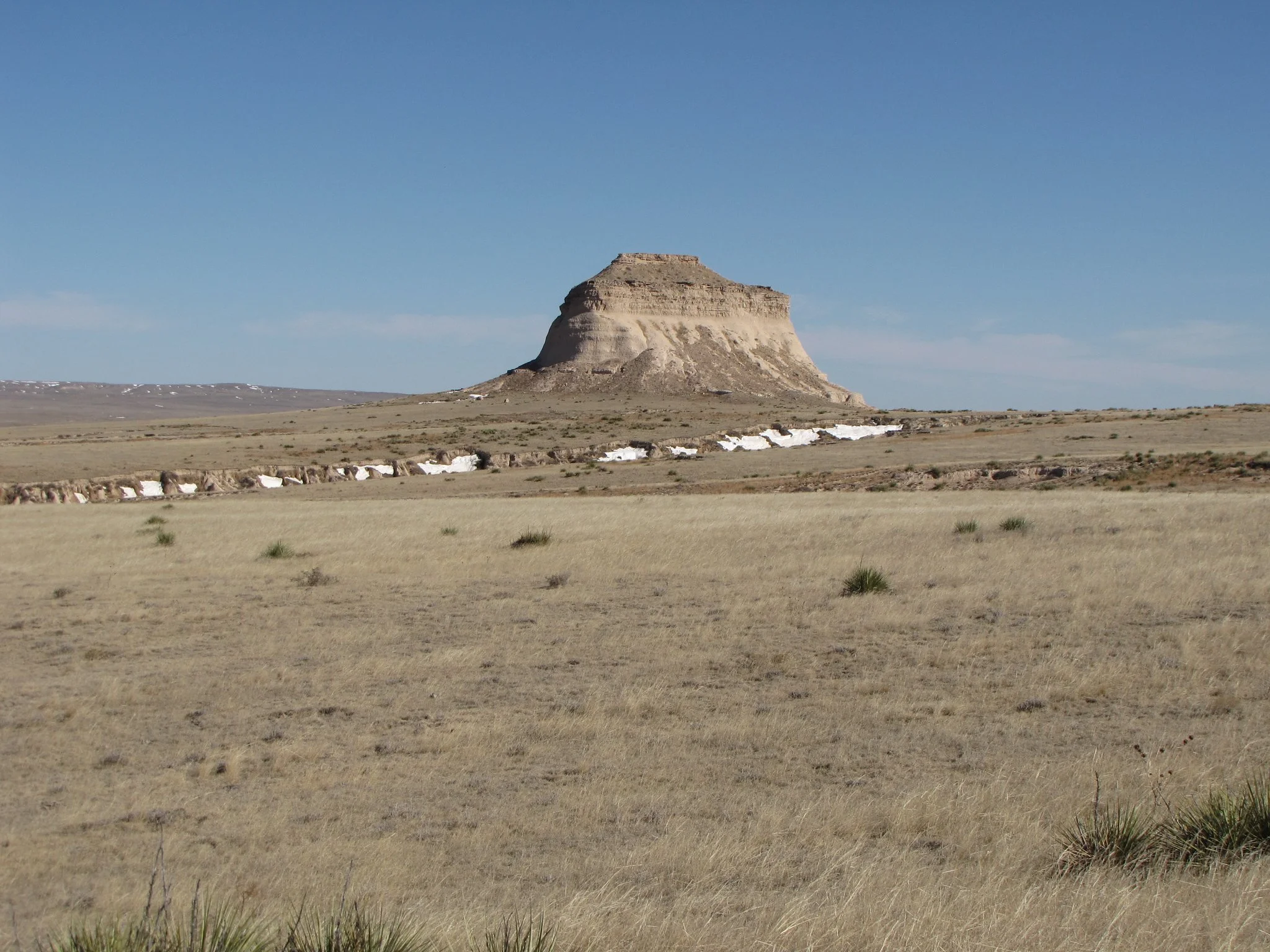
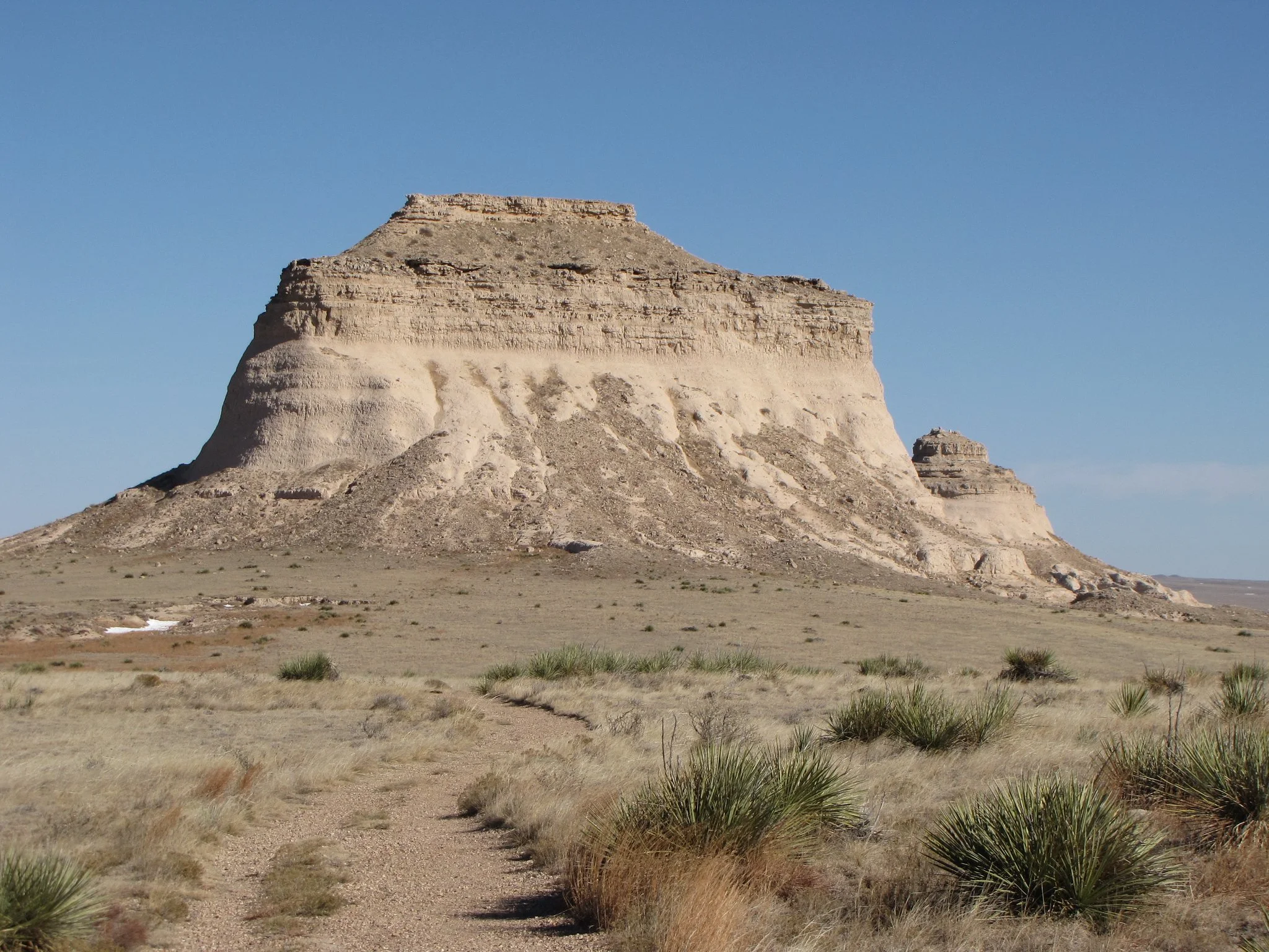
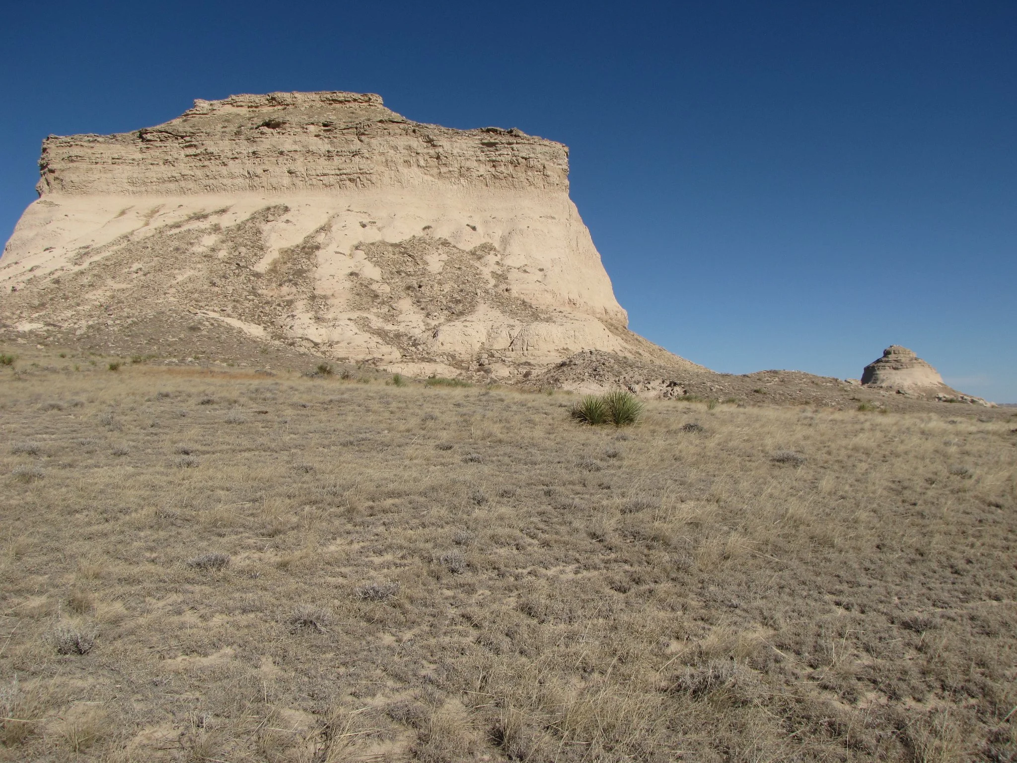
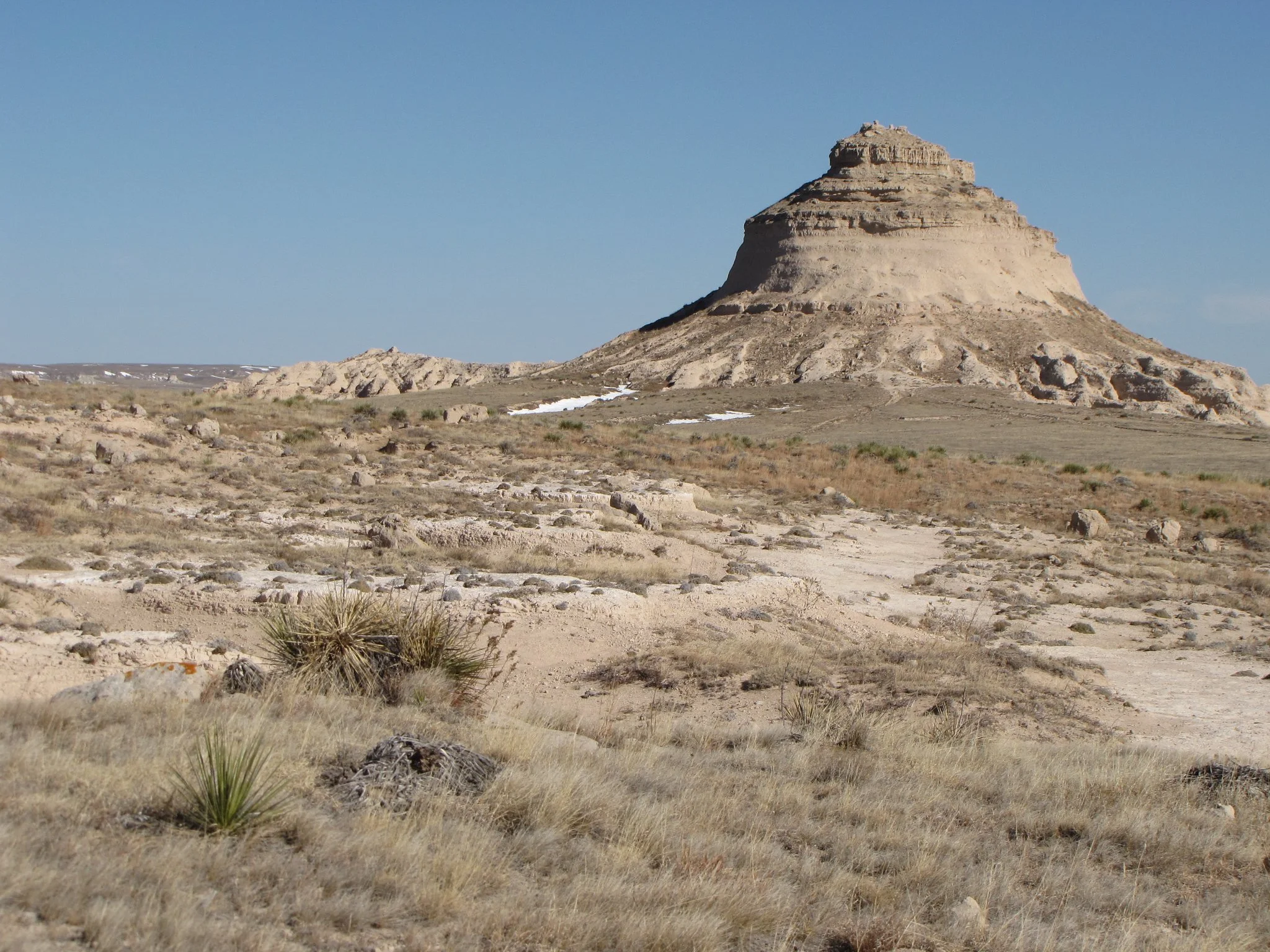
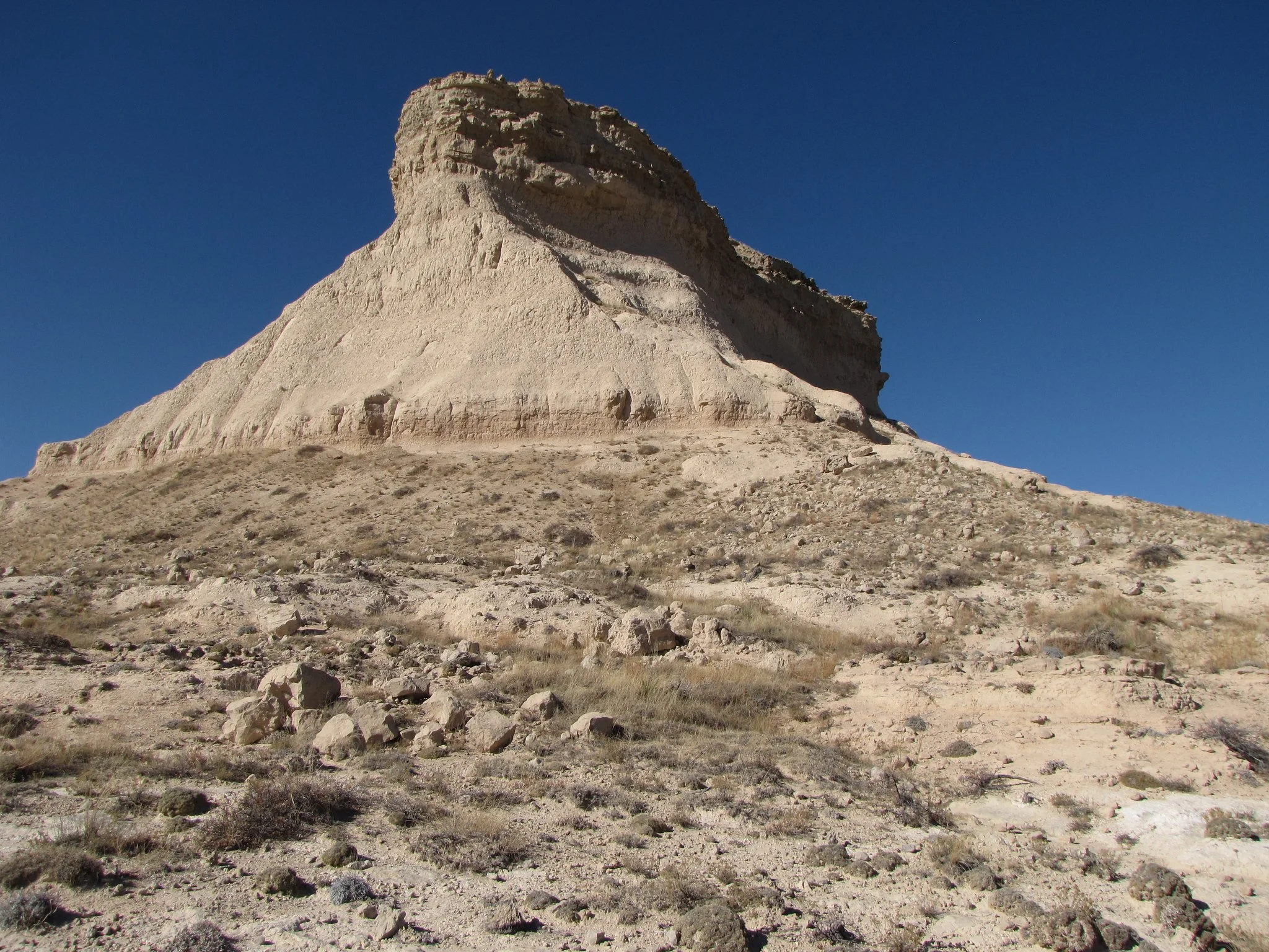
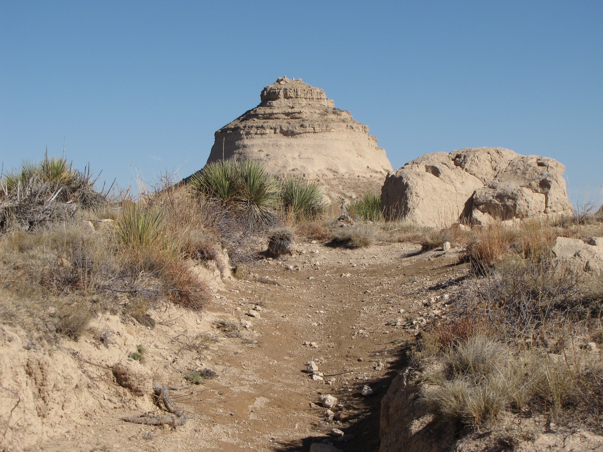
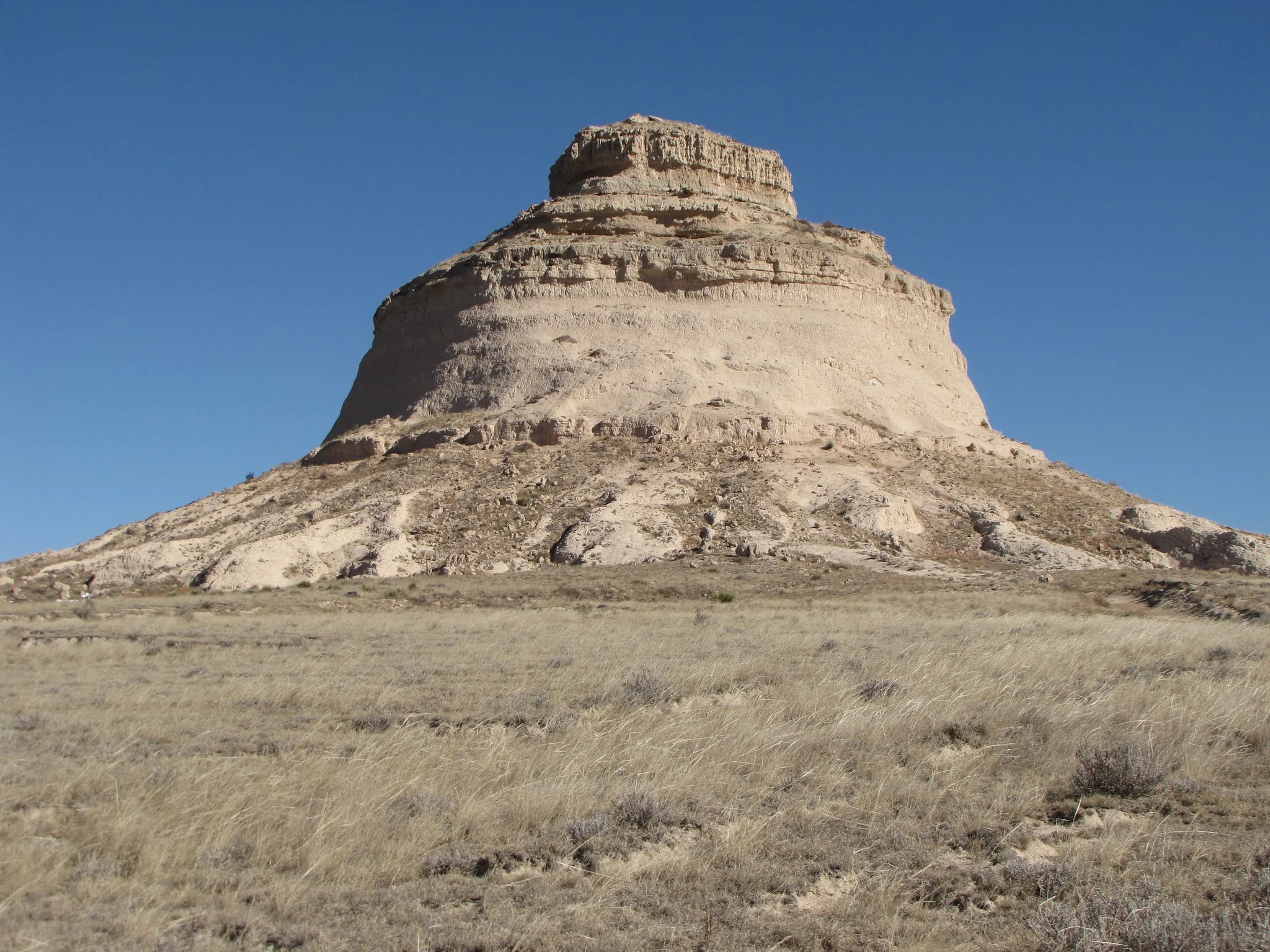
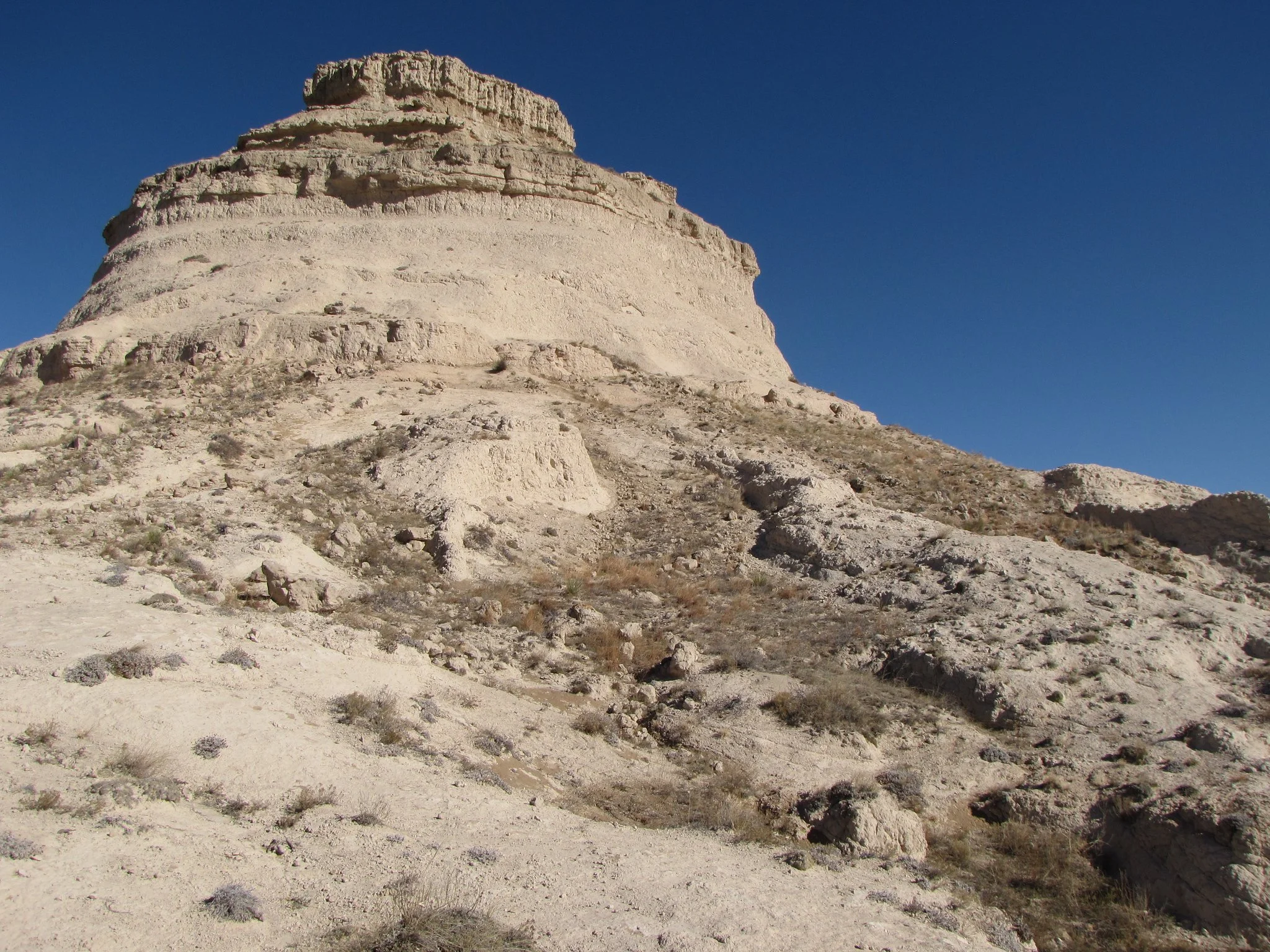
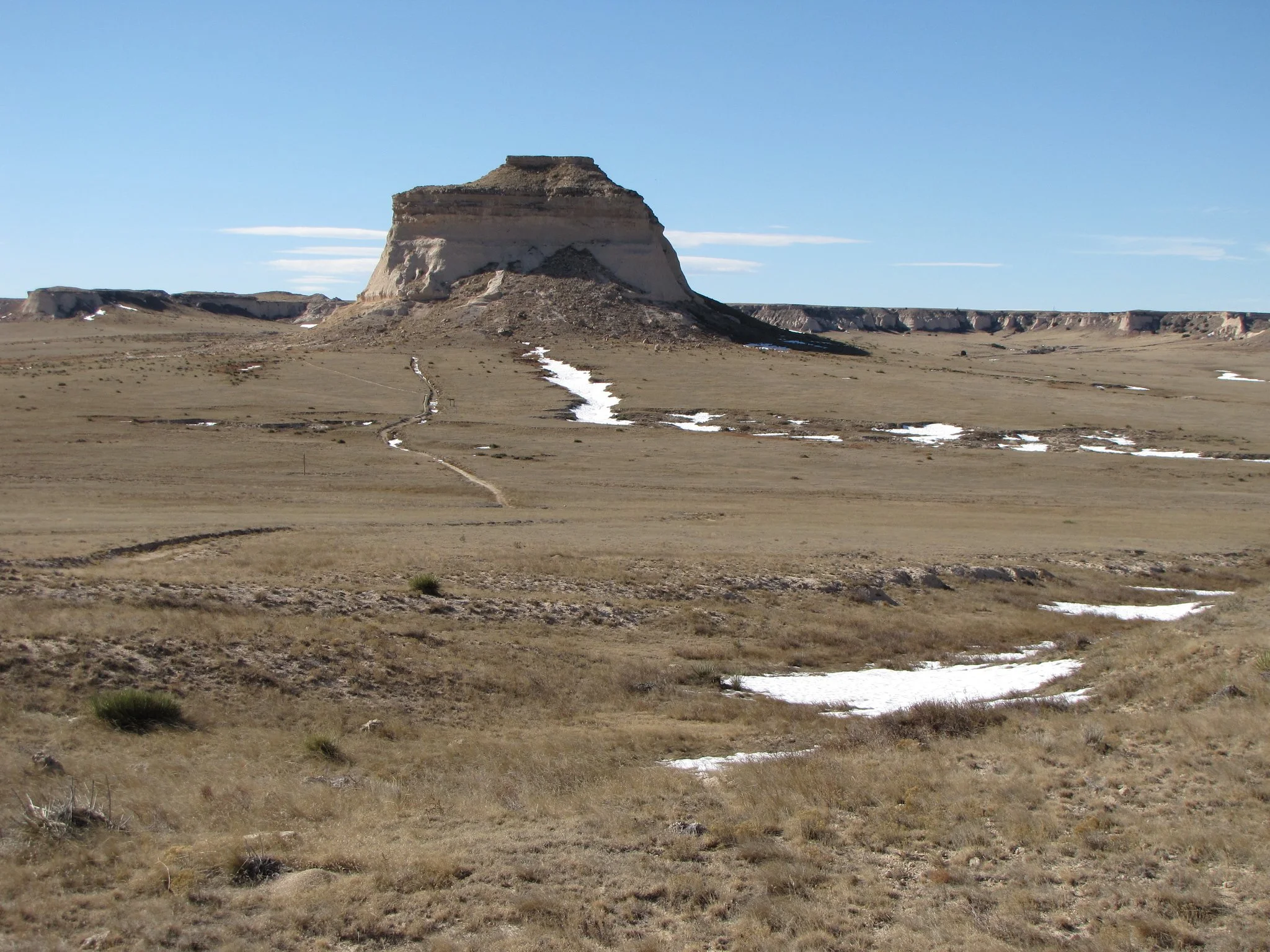
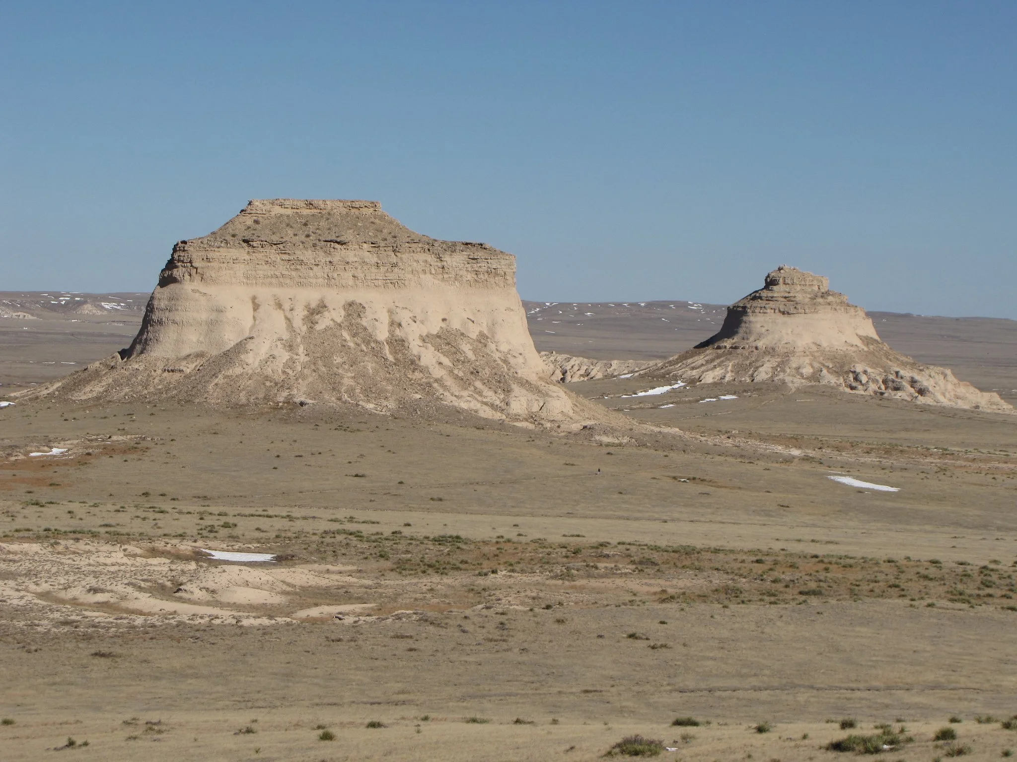
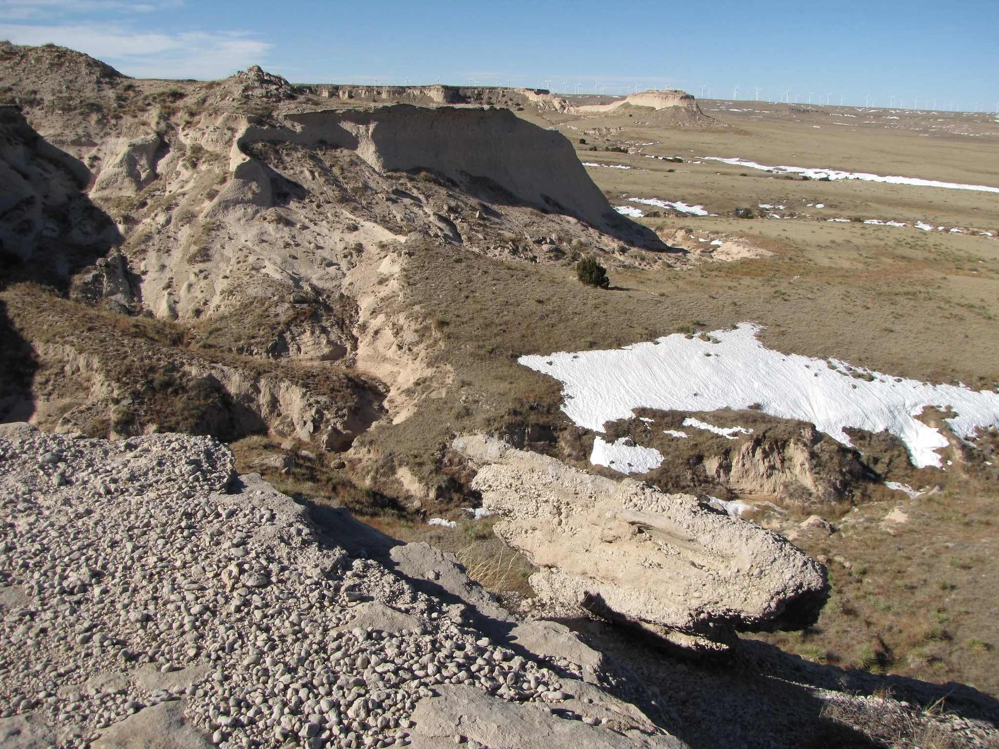
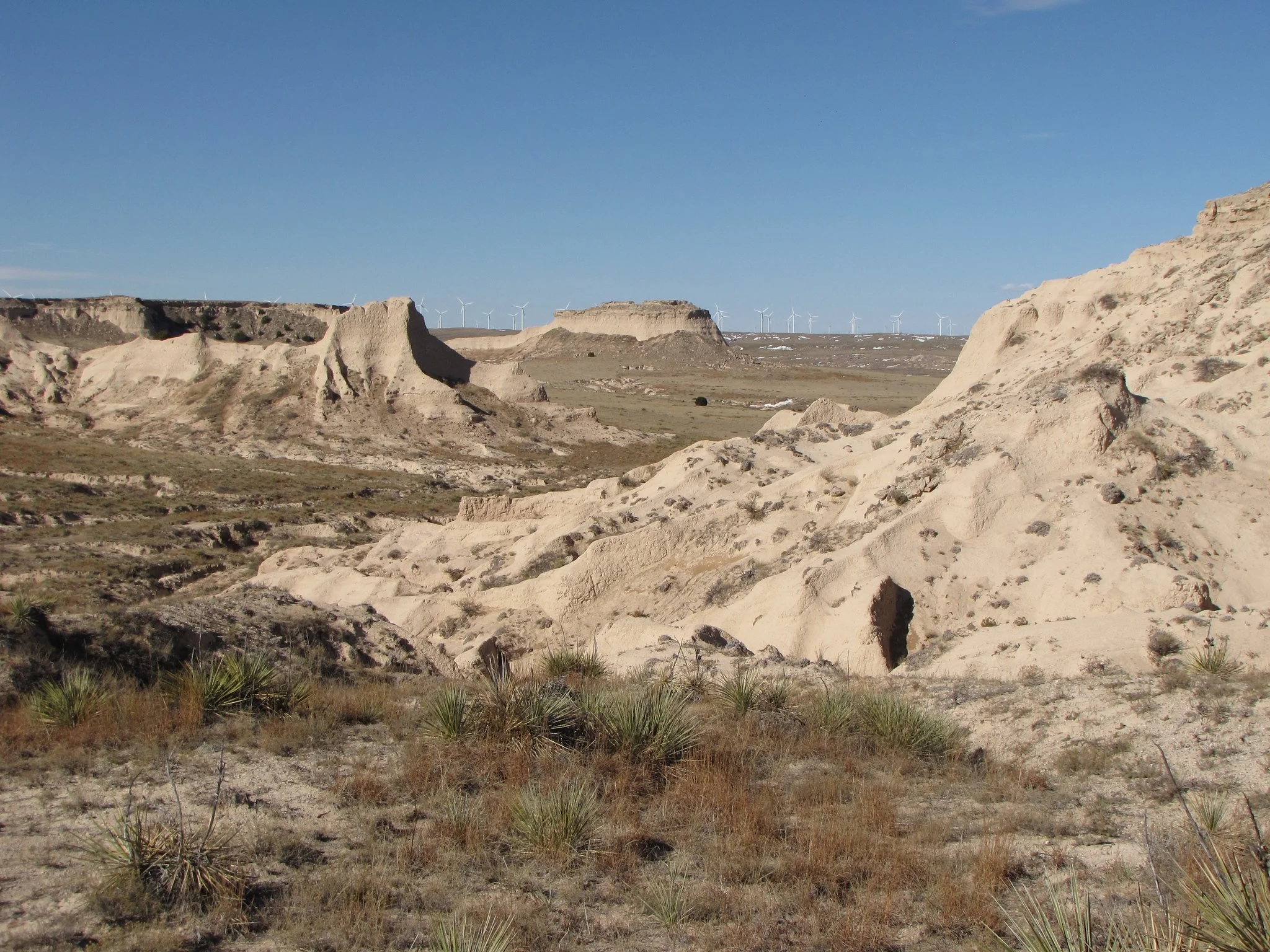
The Pawnee Buttes are a fantastic destination for a hike on the great plains. The buttes themselves are iconic and the hike is a lot of fun. The hike starts by traversing the grasslands. This is wide open, big sky country.
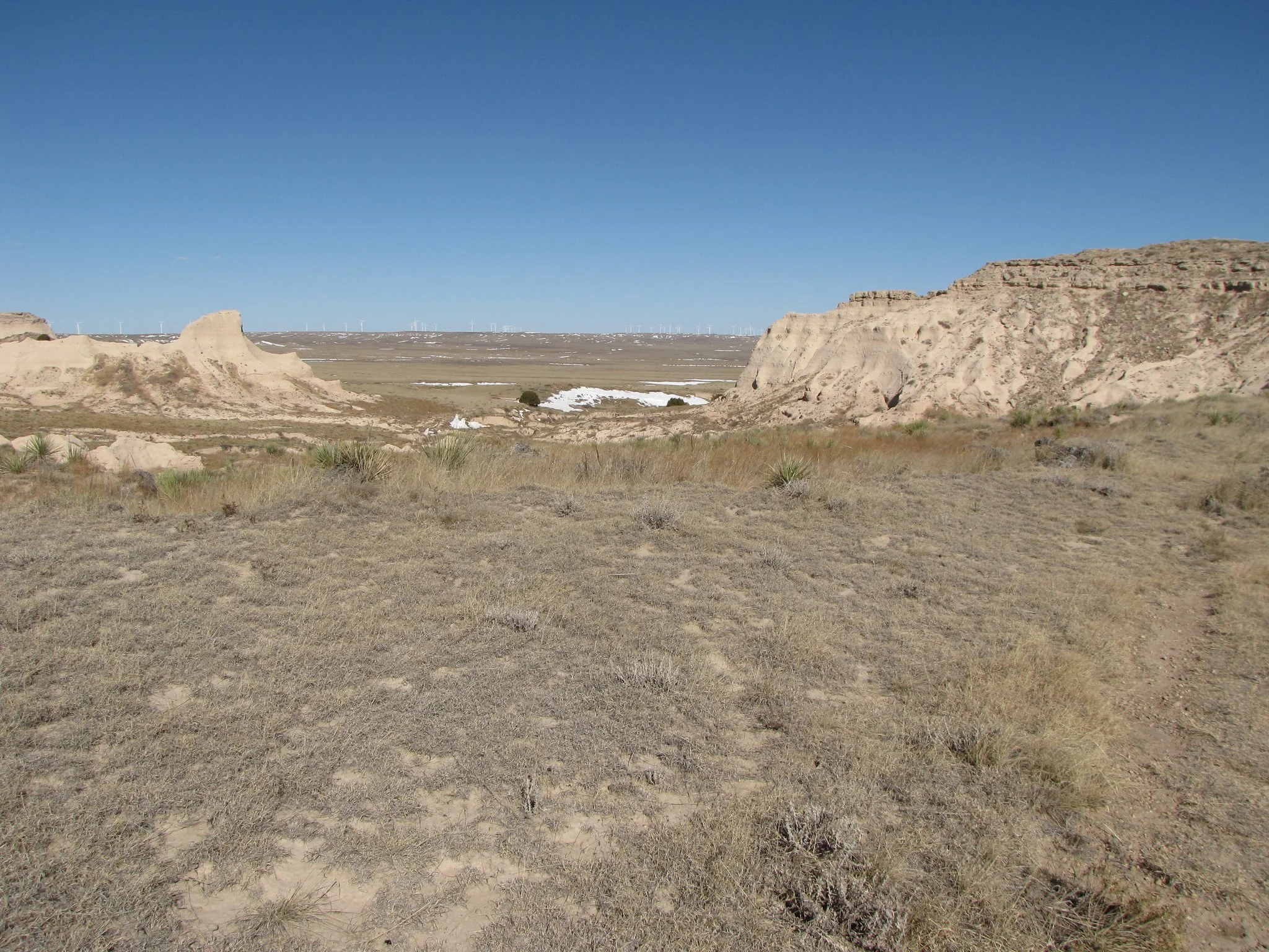
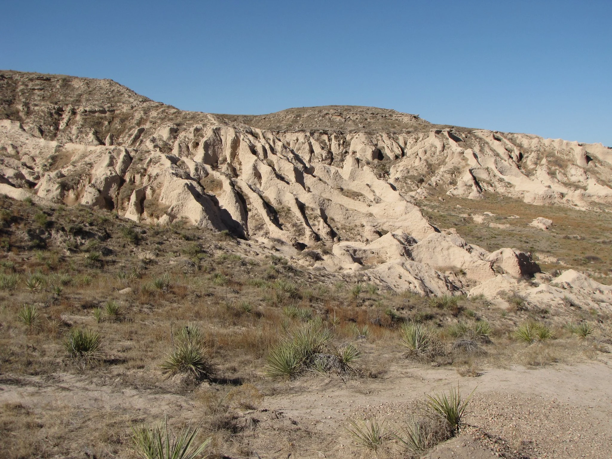
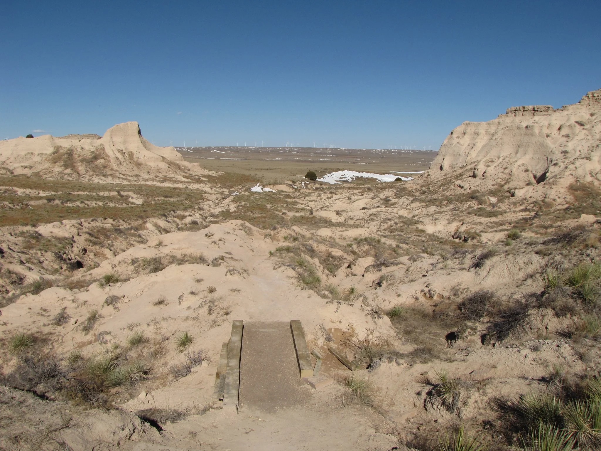
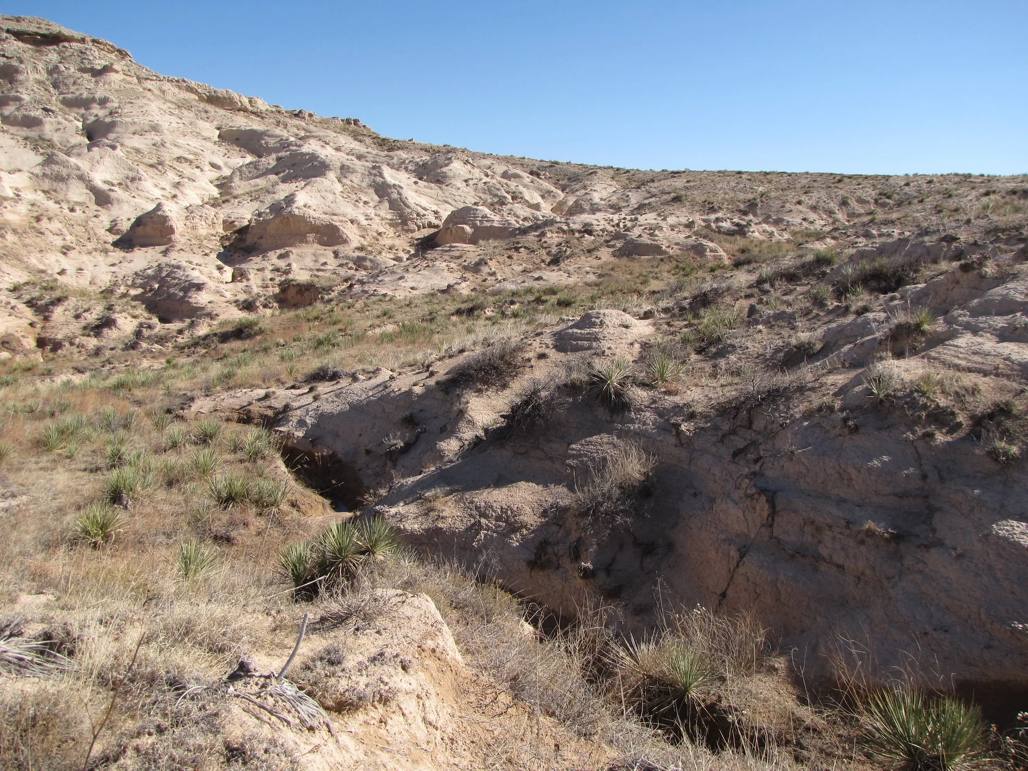
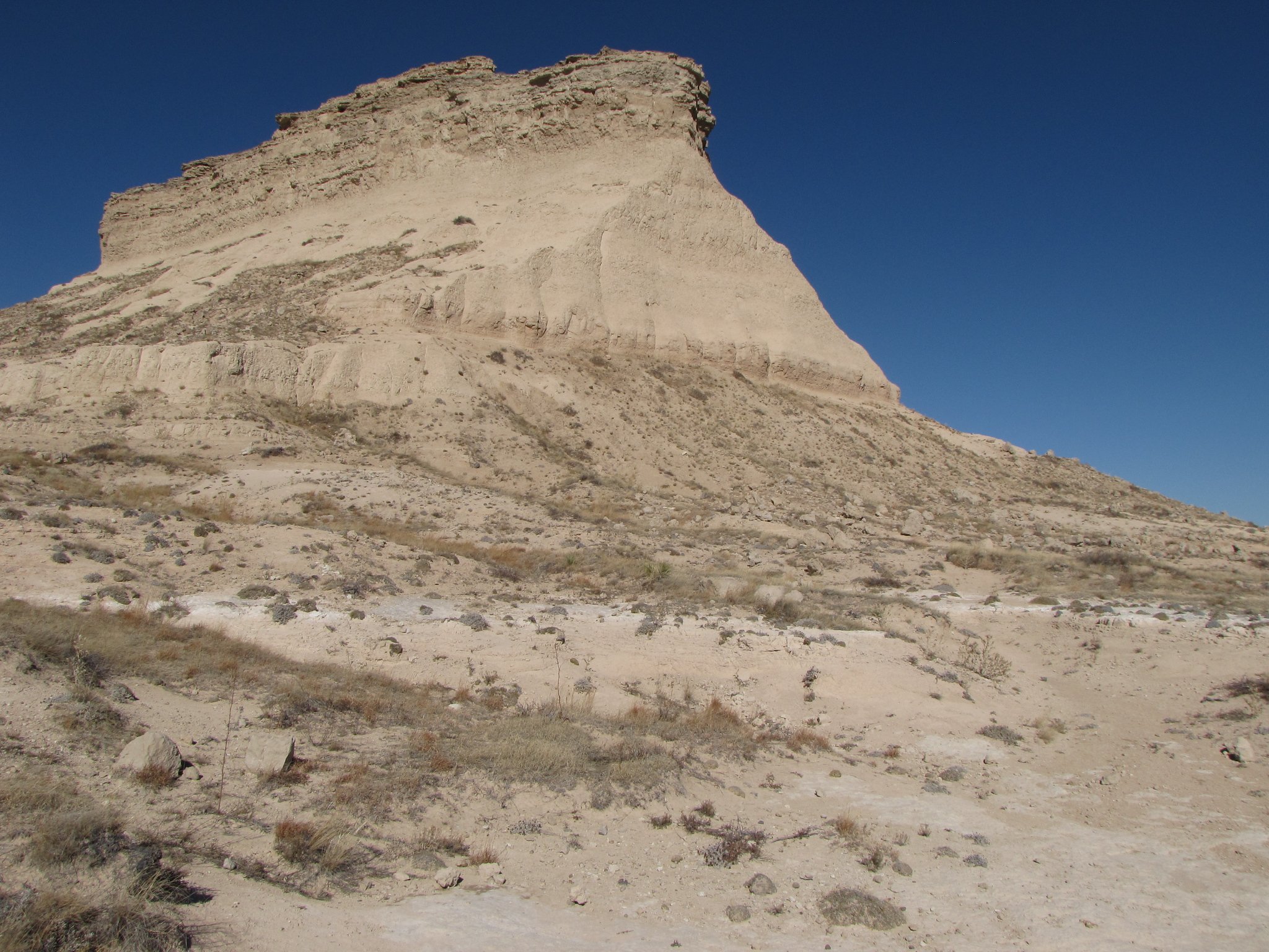
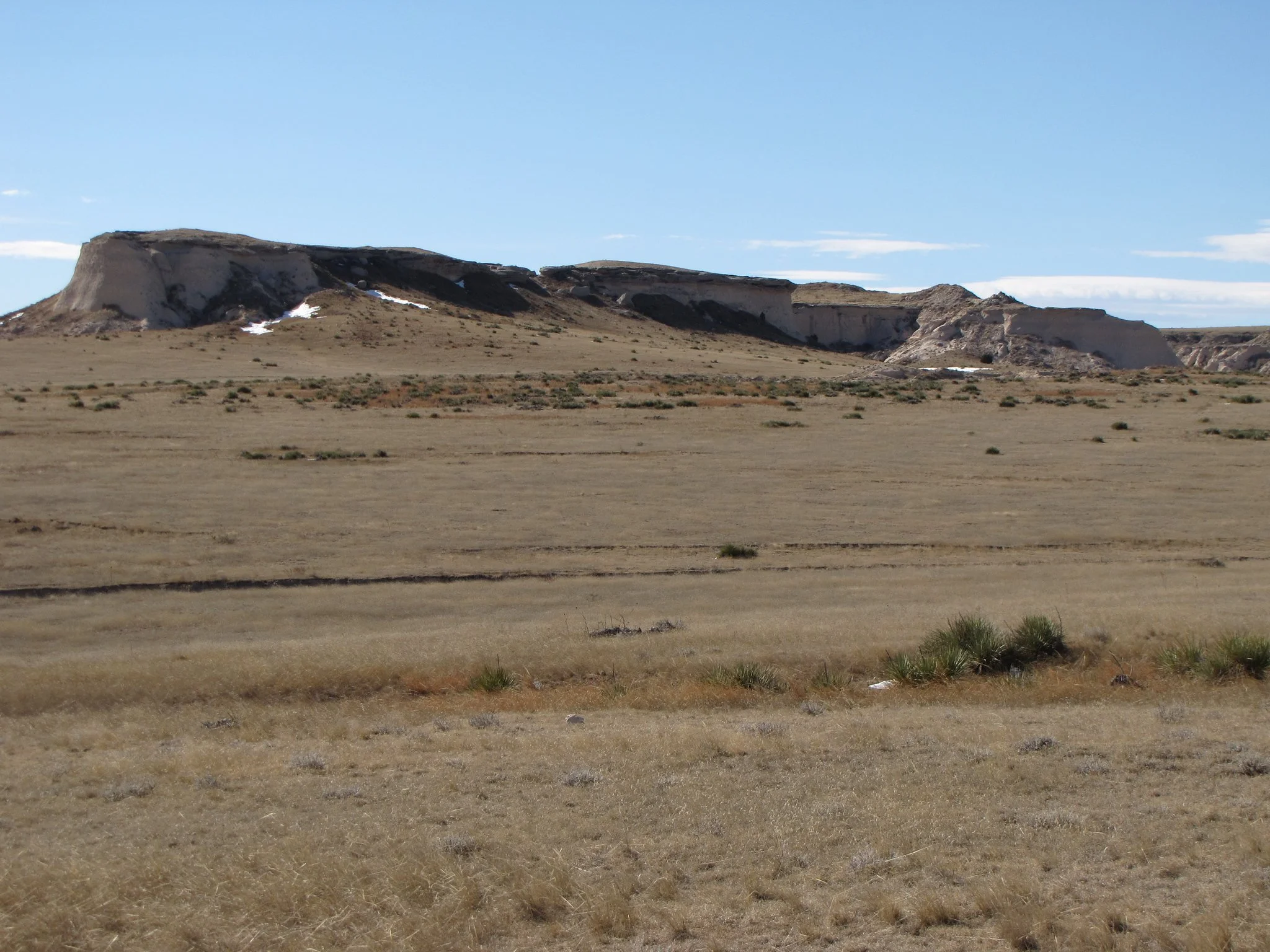
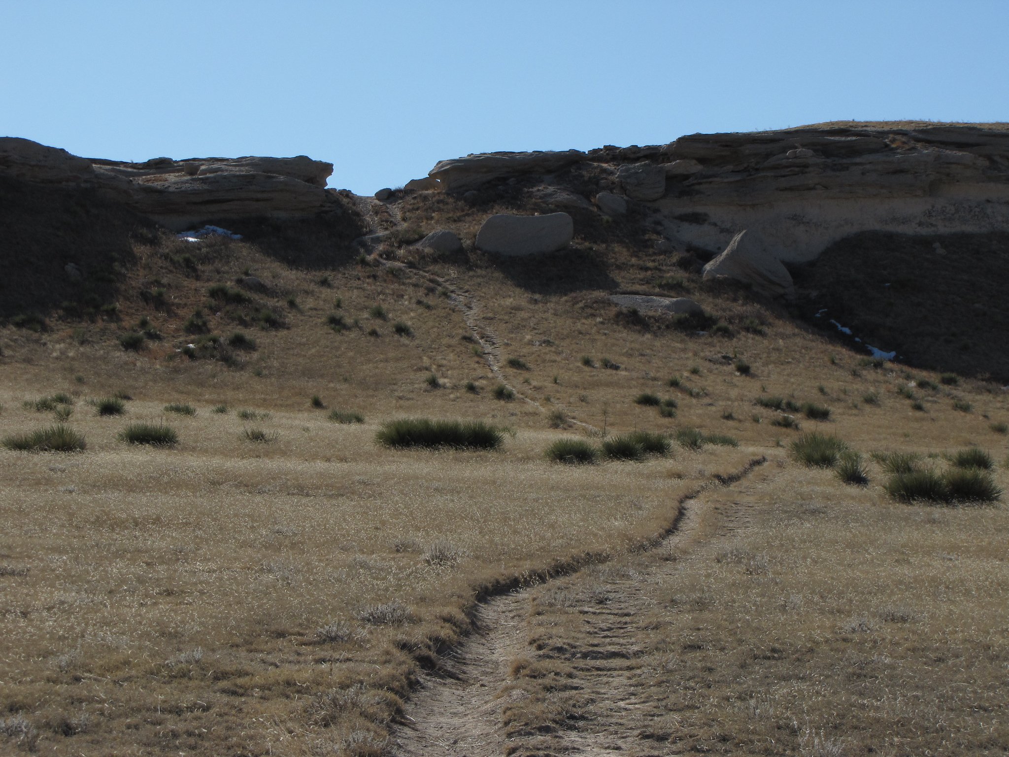
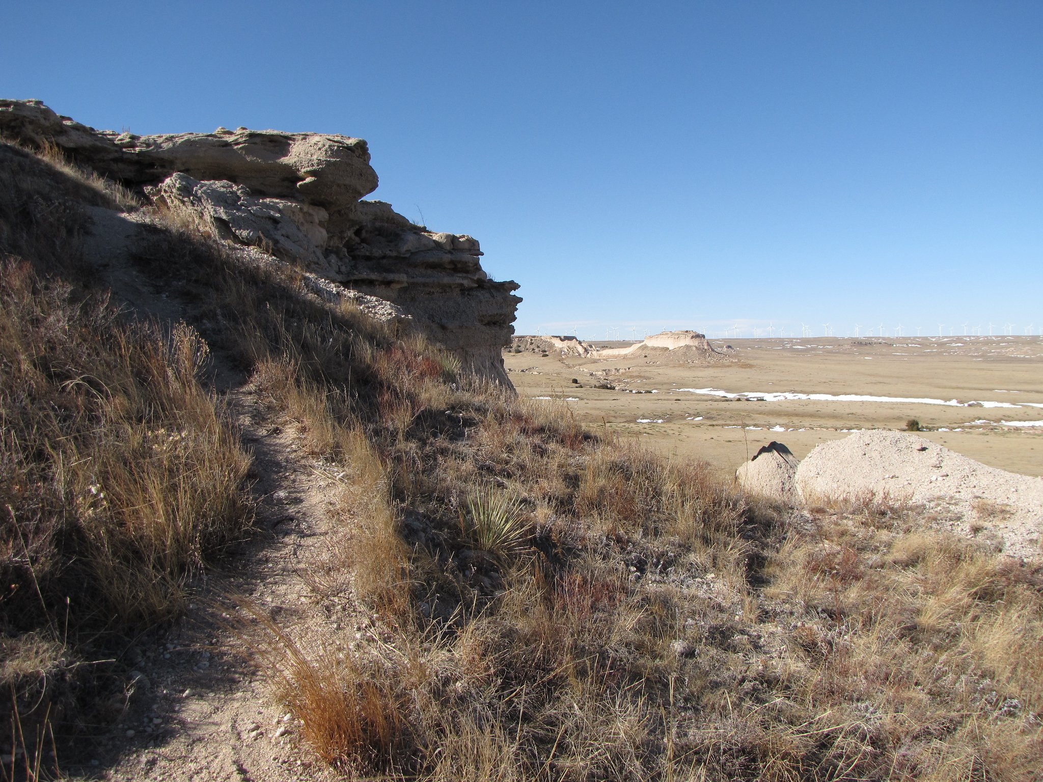
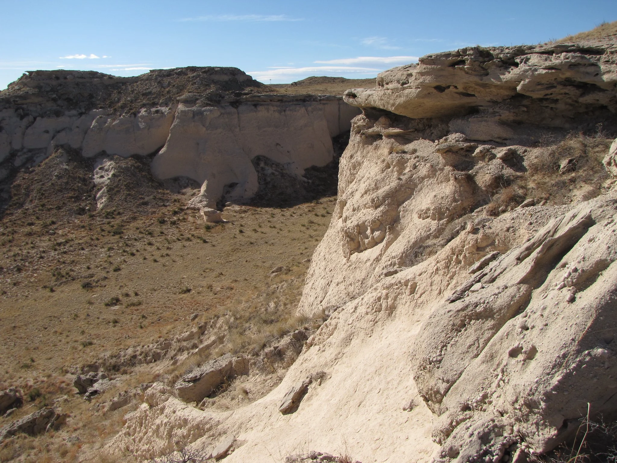
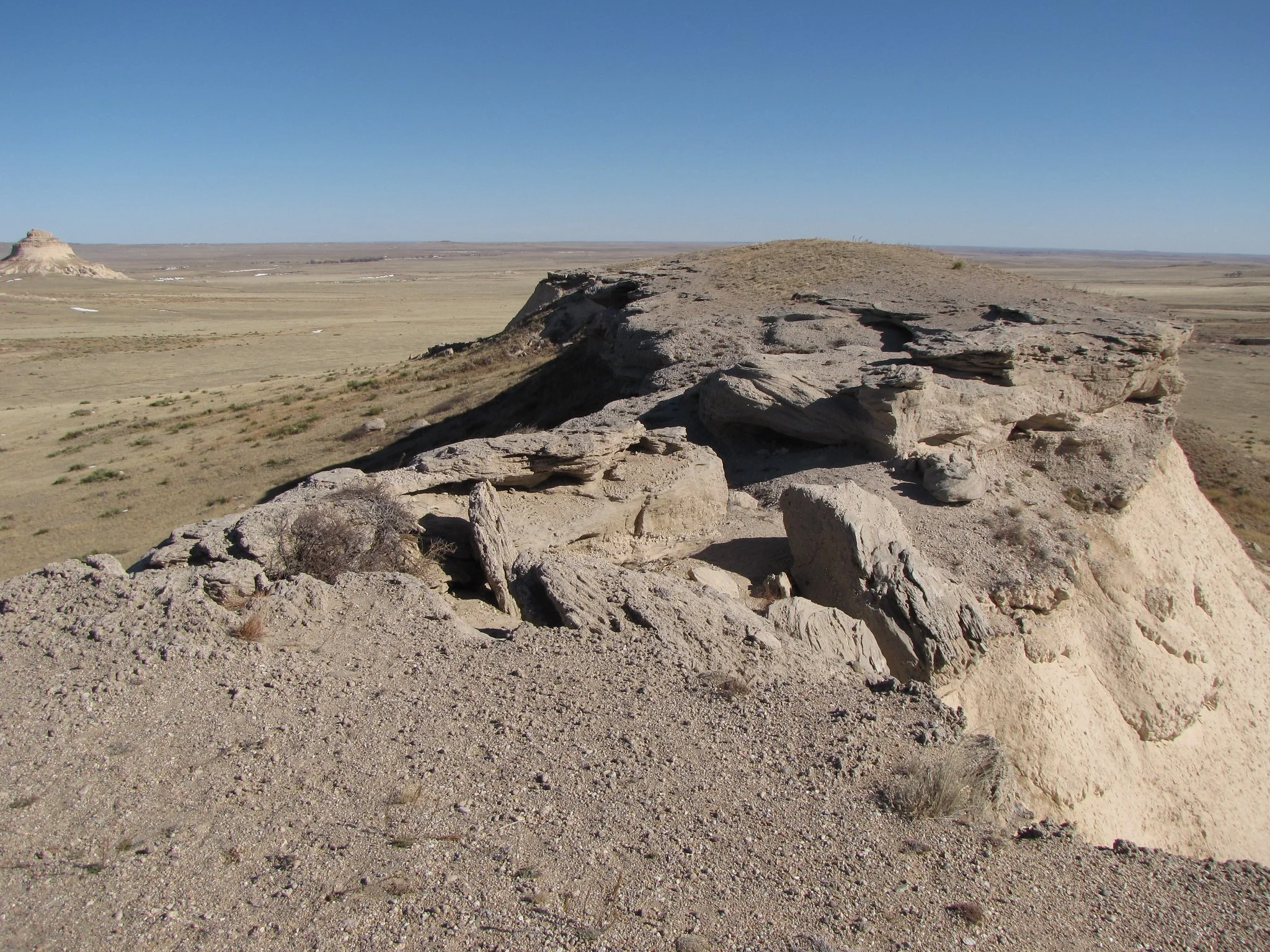
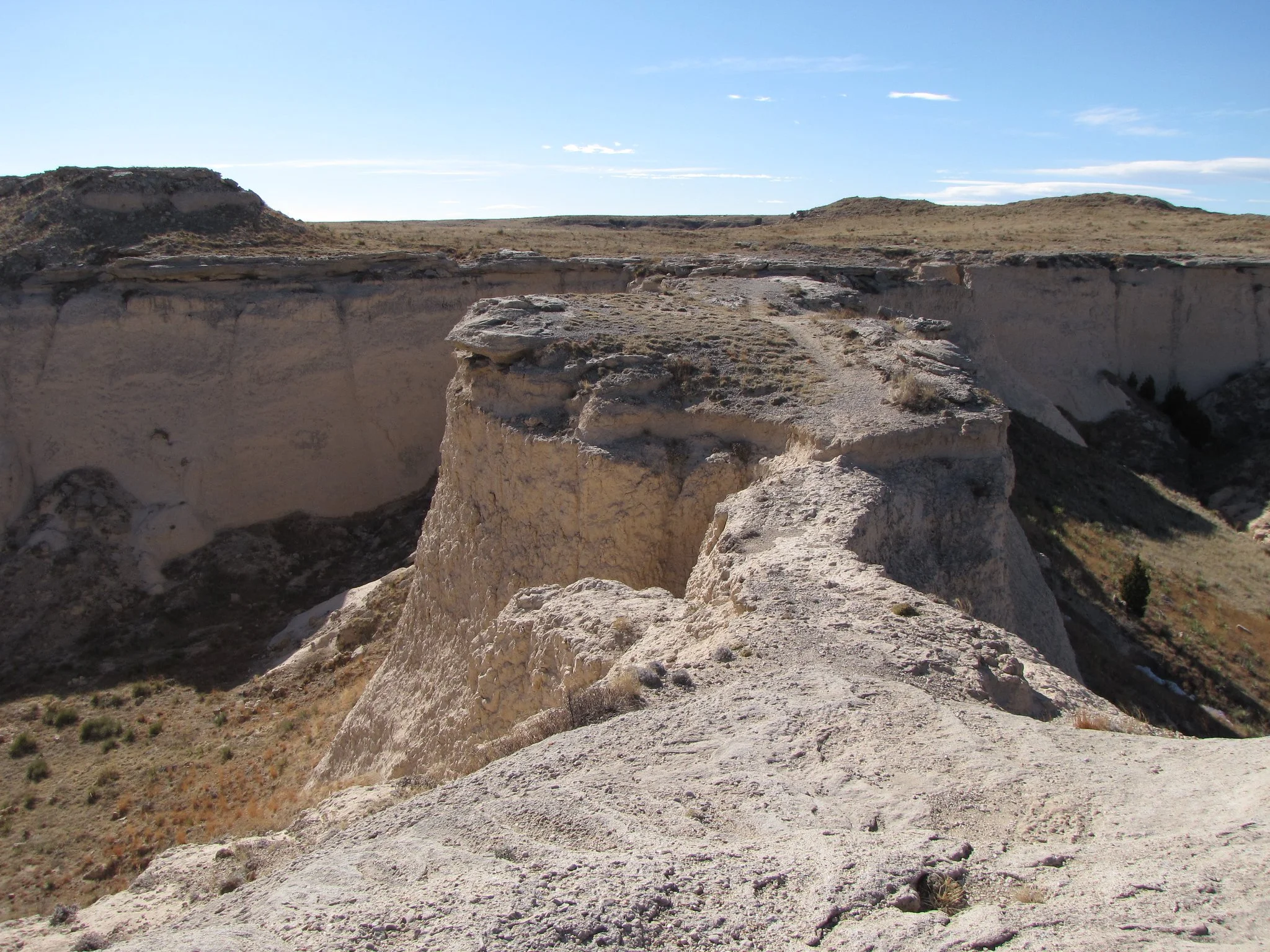
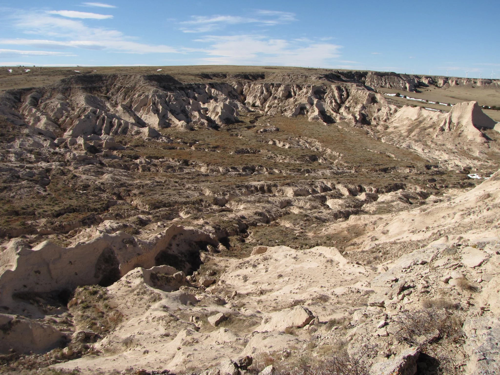
Shortly after the grasslands, the trail weaves through some badlands before returning to the grass on its way to the Buttes. The trail takes you up close and personal to West Butte, and circumnavigates East Butte. East Butte is on private land so look for signs and close all gates behind you. On the way back, be sure to make a left at the trail junction which will take you to the top of the sandstone cliffs. This part of the hike is lots of fun and provides wonderful views.
While it is a journey to get to the Buttes, it is surely worth it. Make a day of it.