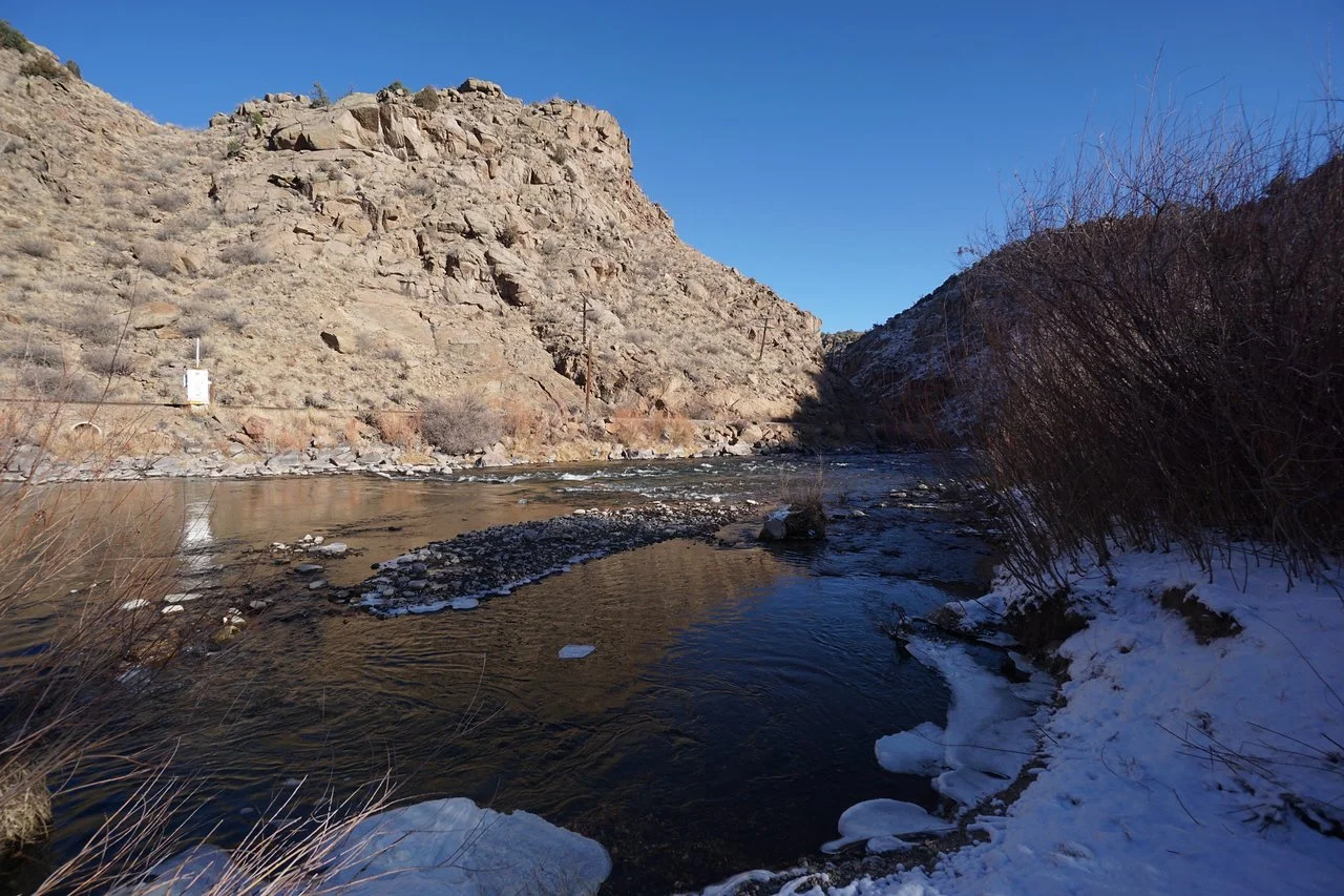
Parkdale South Trail
Arkansas Headwaters Recreation Area
Date Hiked: December 29, 2026
Distance: 1.7 mi (RT)
Elevation Gain: 150 ft
Elevation Min/Max: 5,701 to 5,826 ft
Trailhead Lat/Long: 105.376°W 38.47898°N
Managing Agency: CO Division of Parks & Wildlife & BLM
Fee: None

Directions:
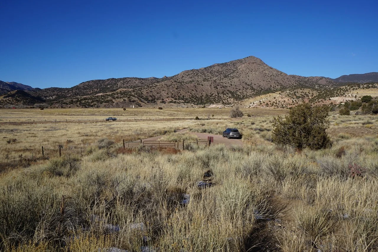
From Cañon City, head west on Hwy 50 for about 10 miles. Turn south onto County Road 3 and quickly turn left into the Parkdale South Parking Lot. As short and easy dirt road takes you to the trailhead.
Hike Description:
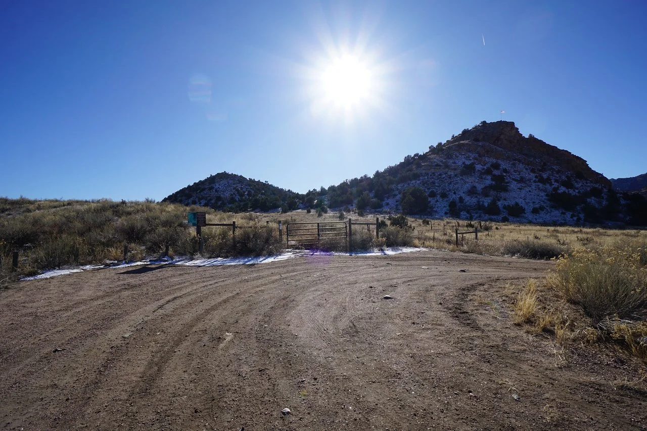
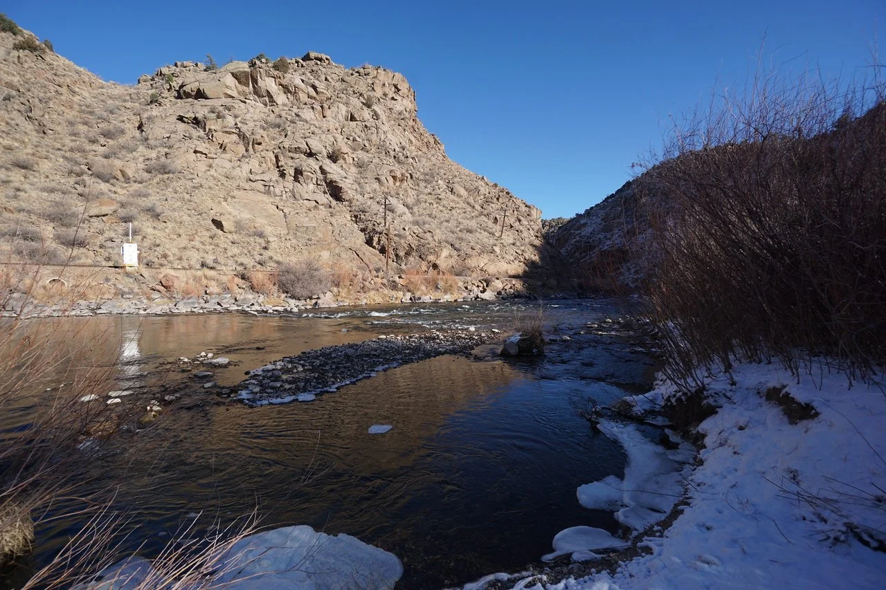
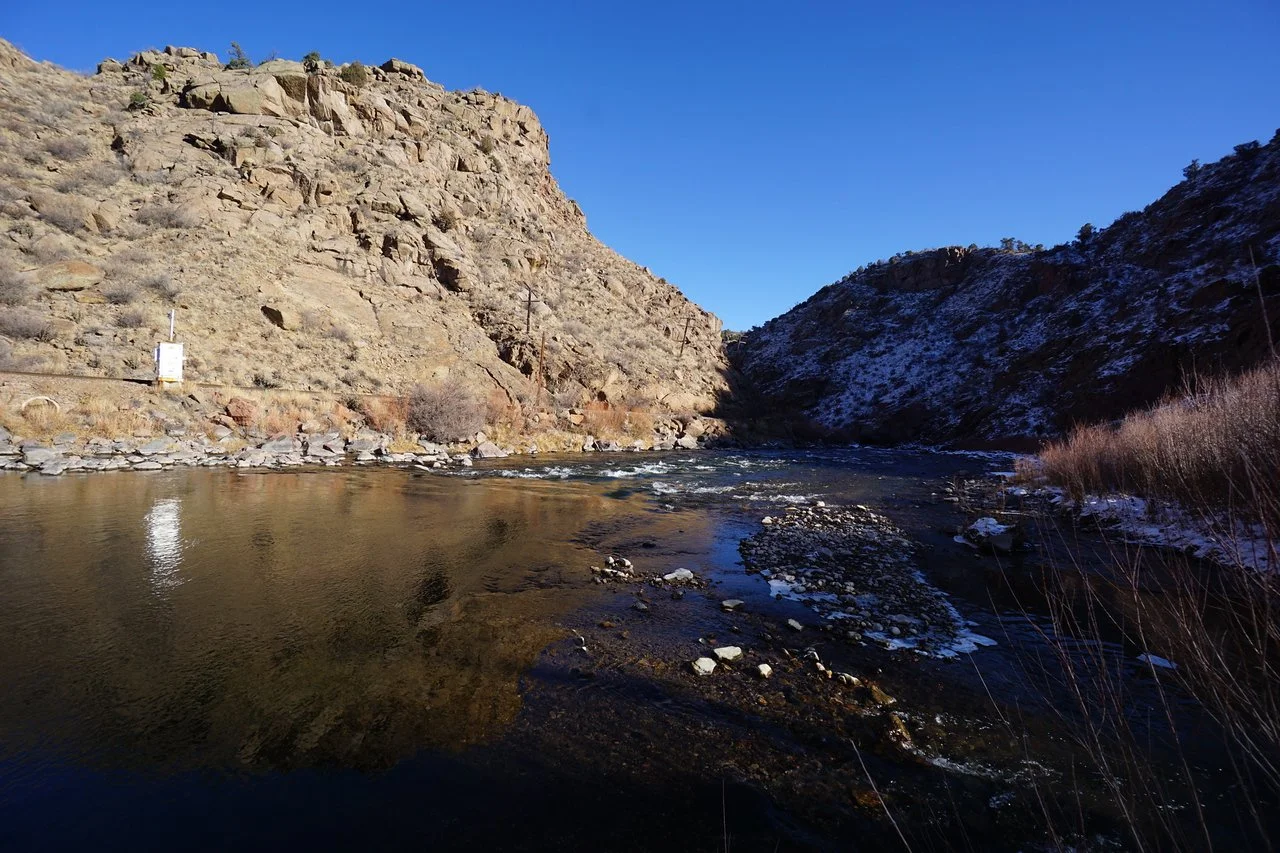
In the northern reaches of the Wet Mountains, where the Arkansas river begins its carving of the mountains into the Royal Gorge, is an easy hike that should be on everyone’s list if you are visiting or passing through the Royal Gorge / Cañon City area. The Parkdale South Trail is within the Arkansas Headwaters Recreation Area and co-managed by the CO State Parks and the Bureau of Land Management (BLM). The trail is mostly there for fishing access to the Arkansas River, but for us hikers, the trail is a great way to up close and personal with the Arkansas.
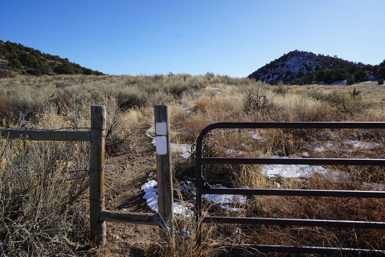
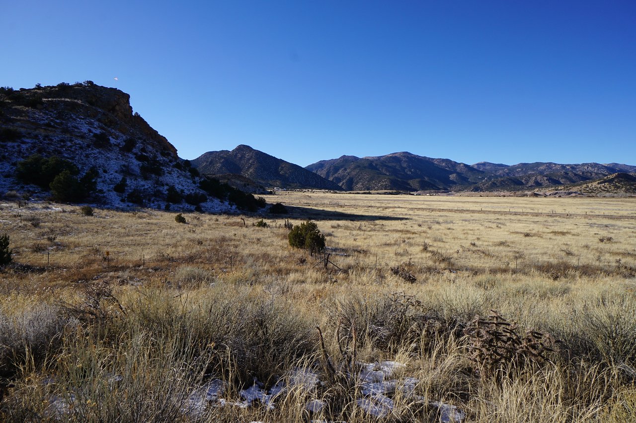
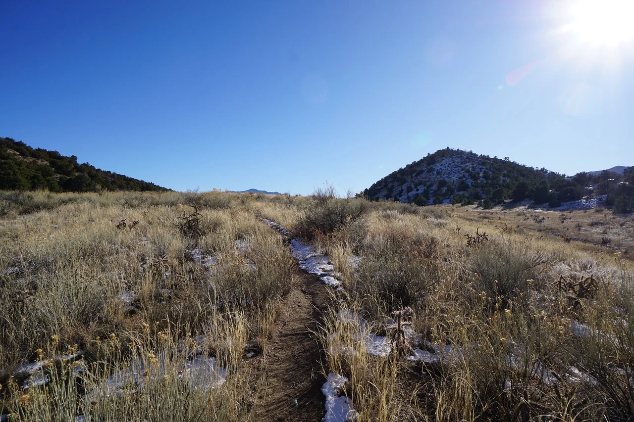
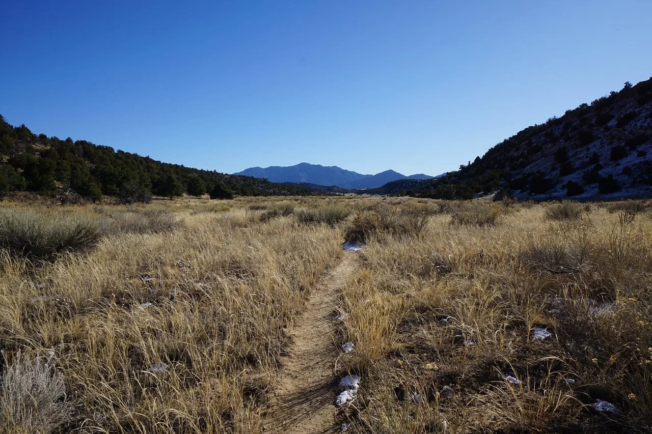
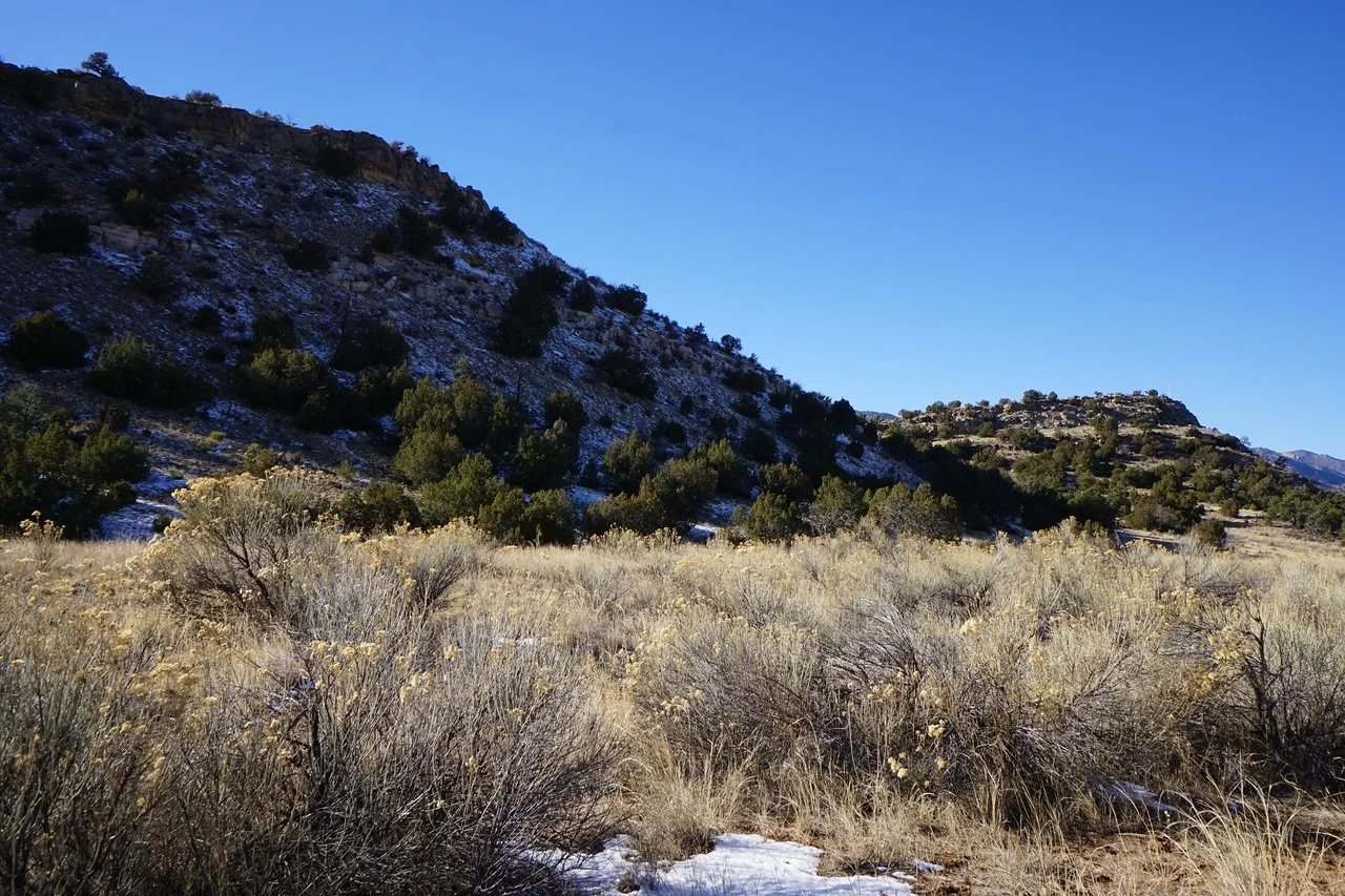
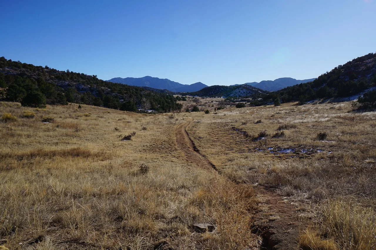
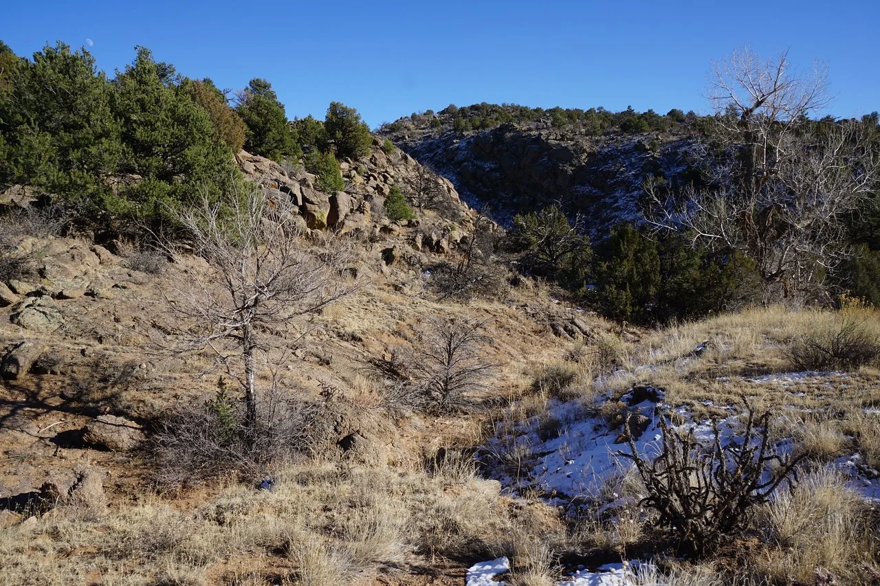
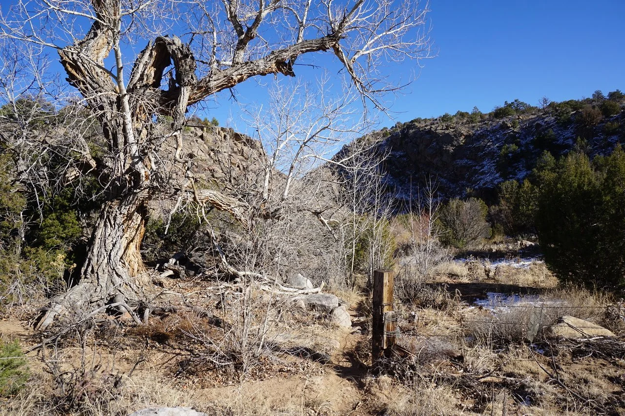
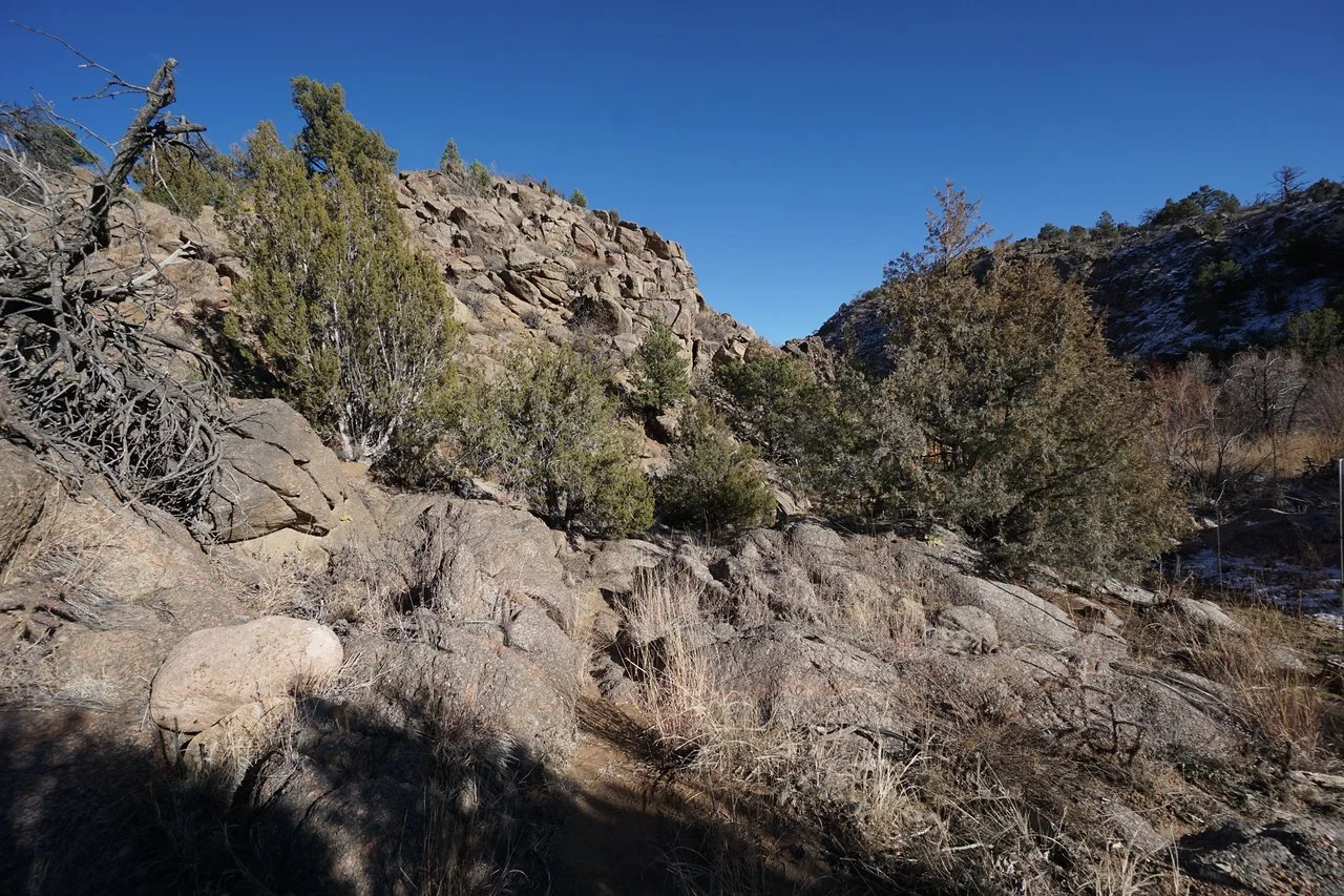
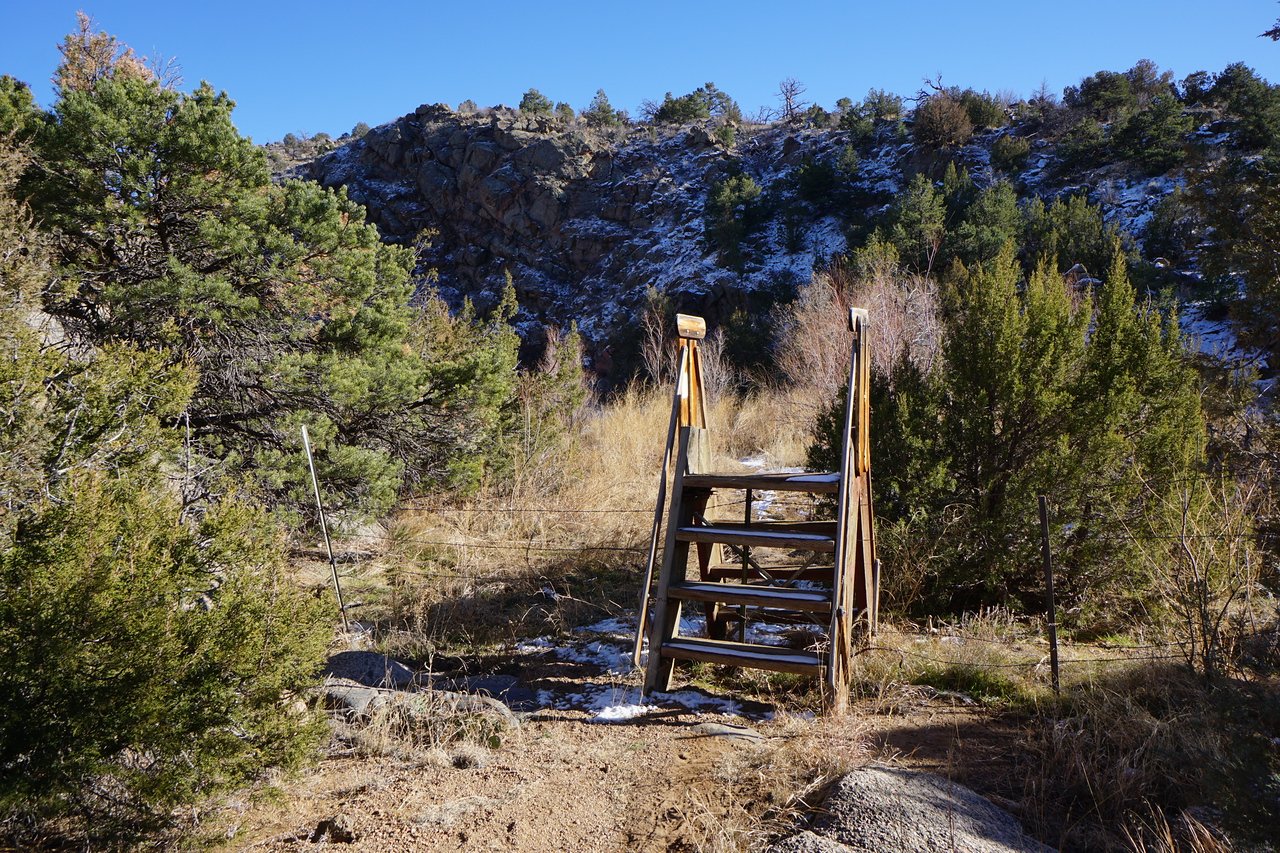
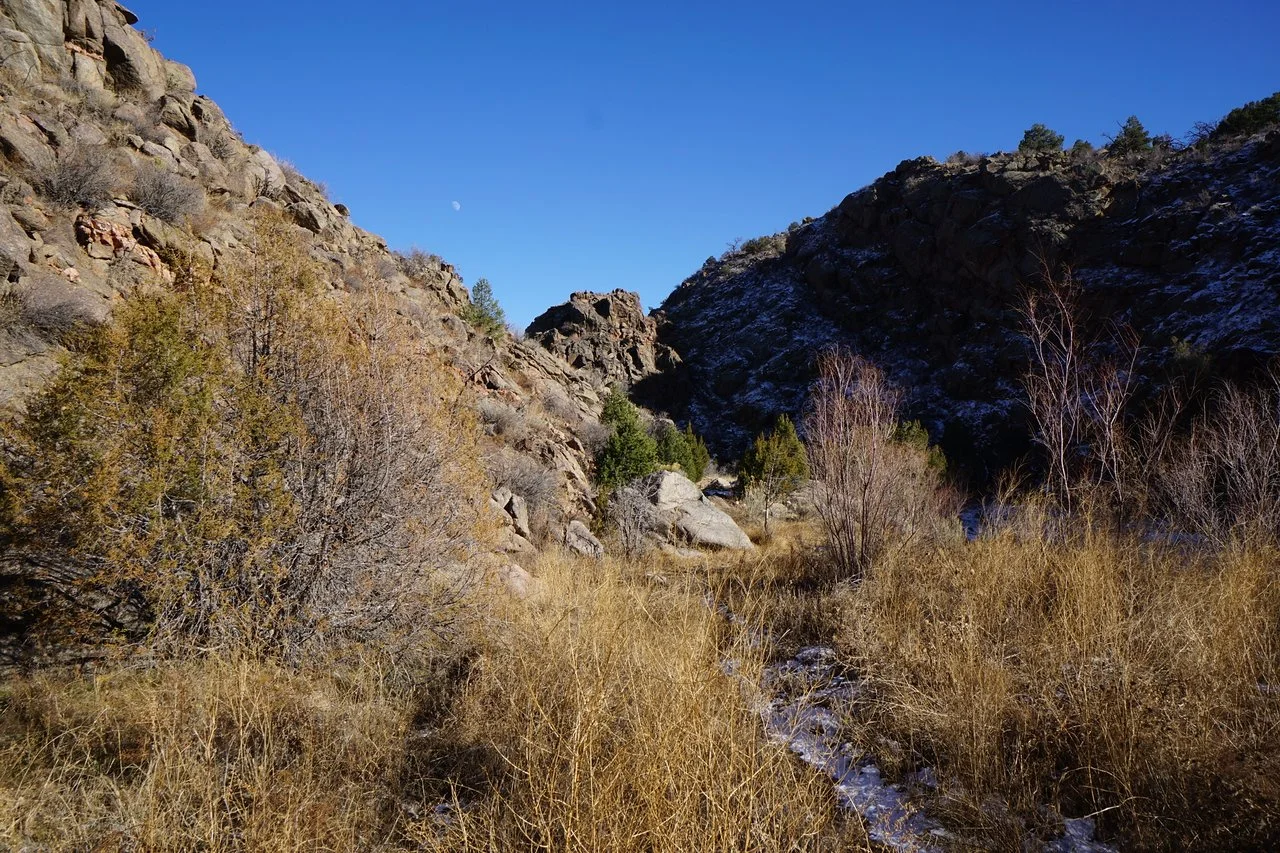
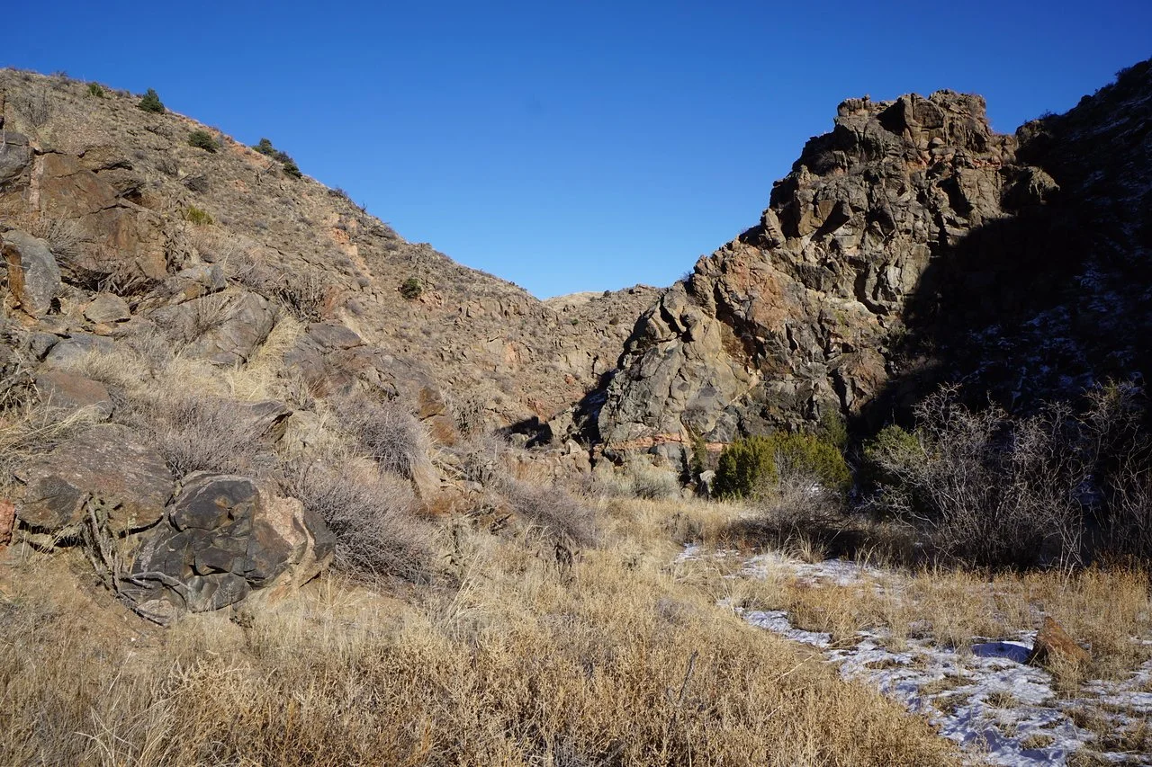
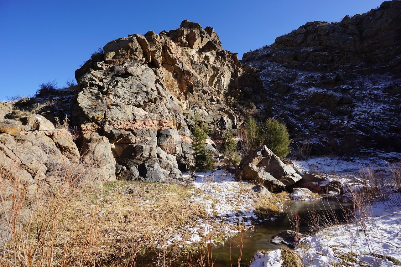
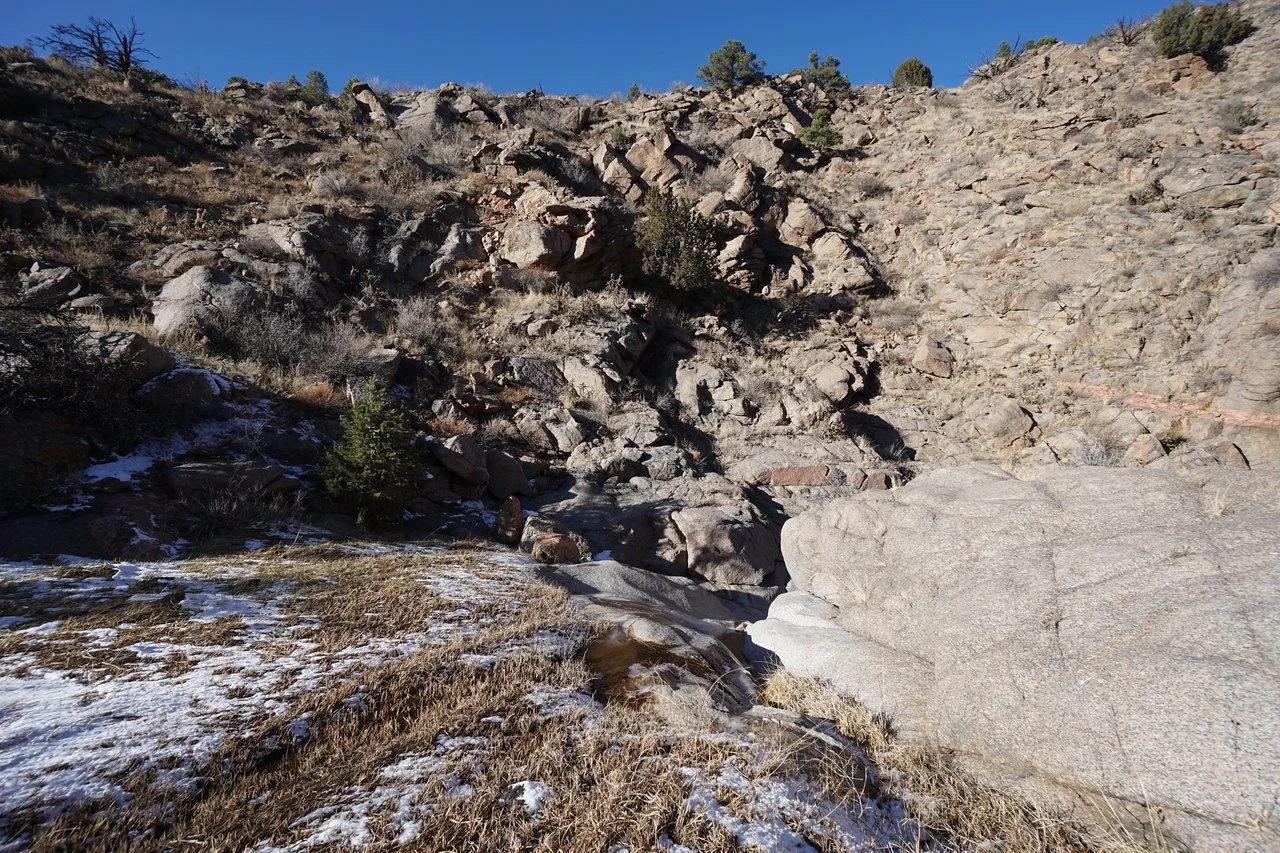
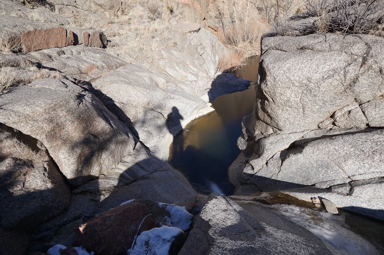
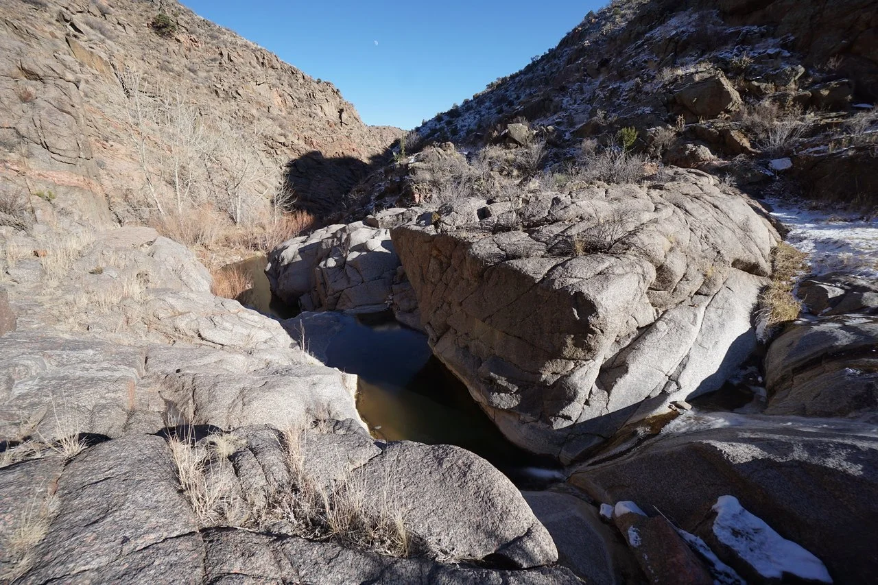
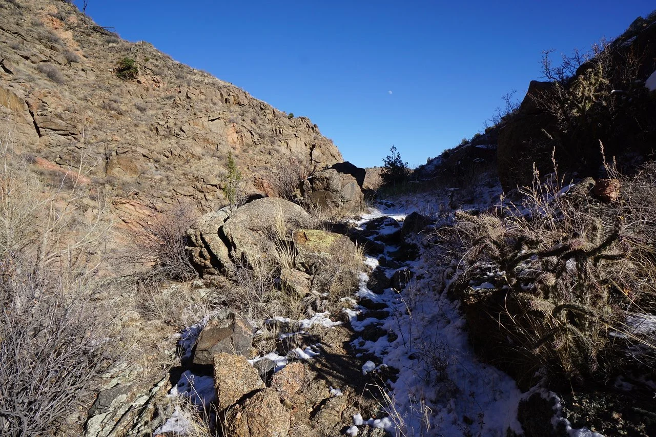
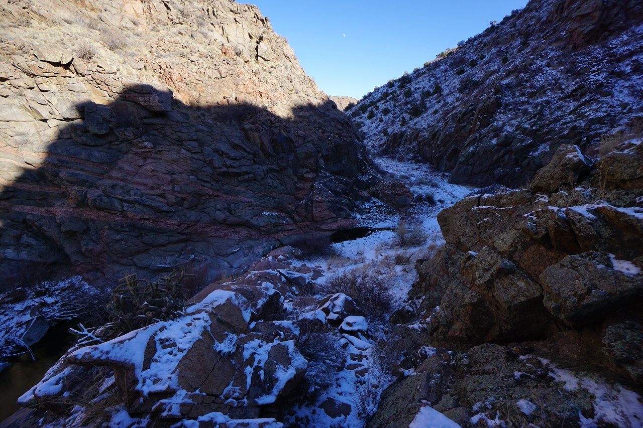
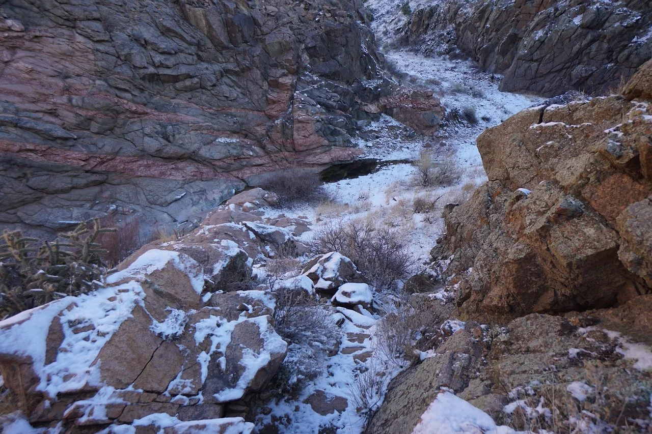
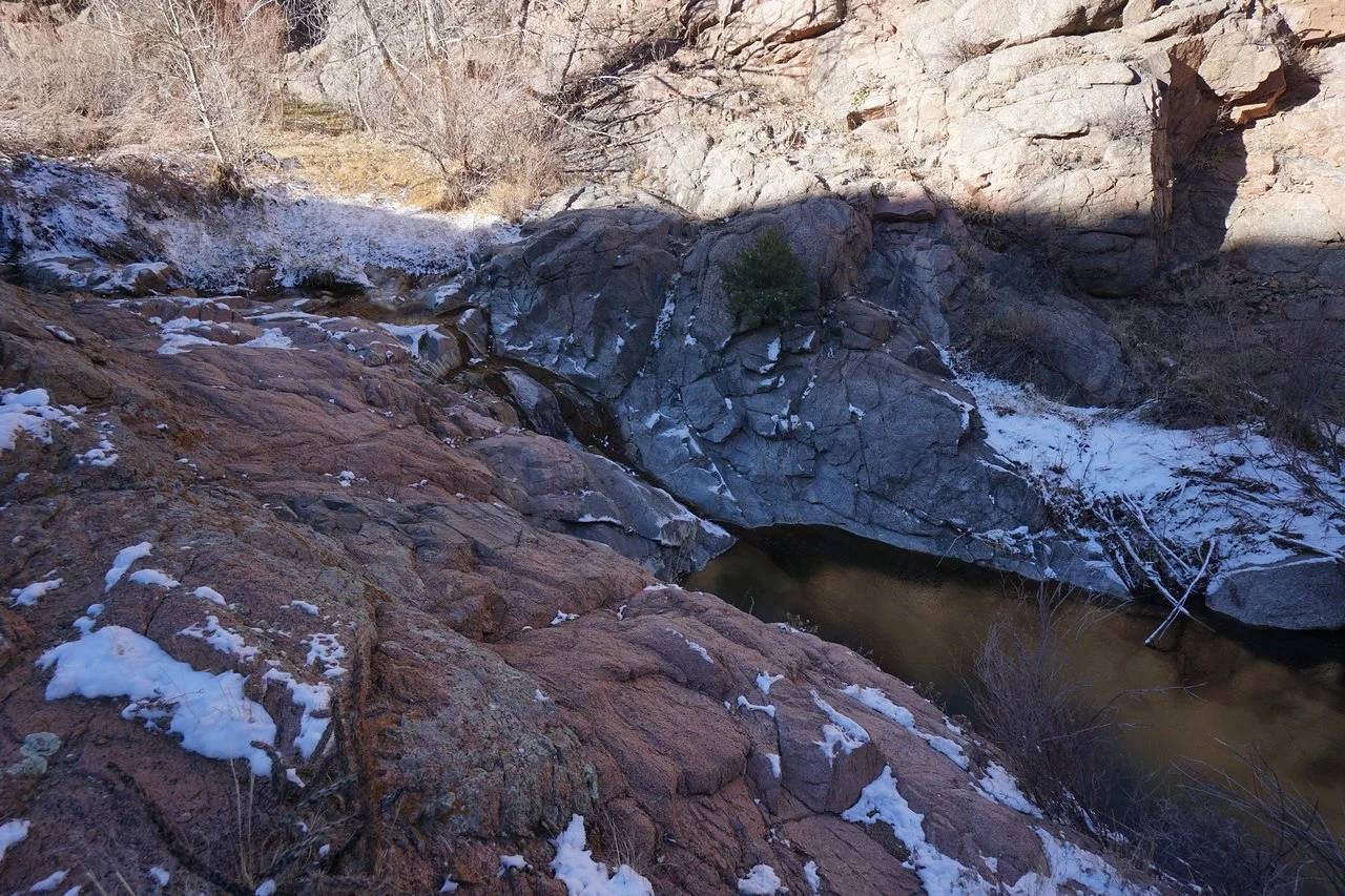
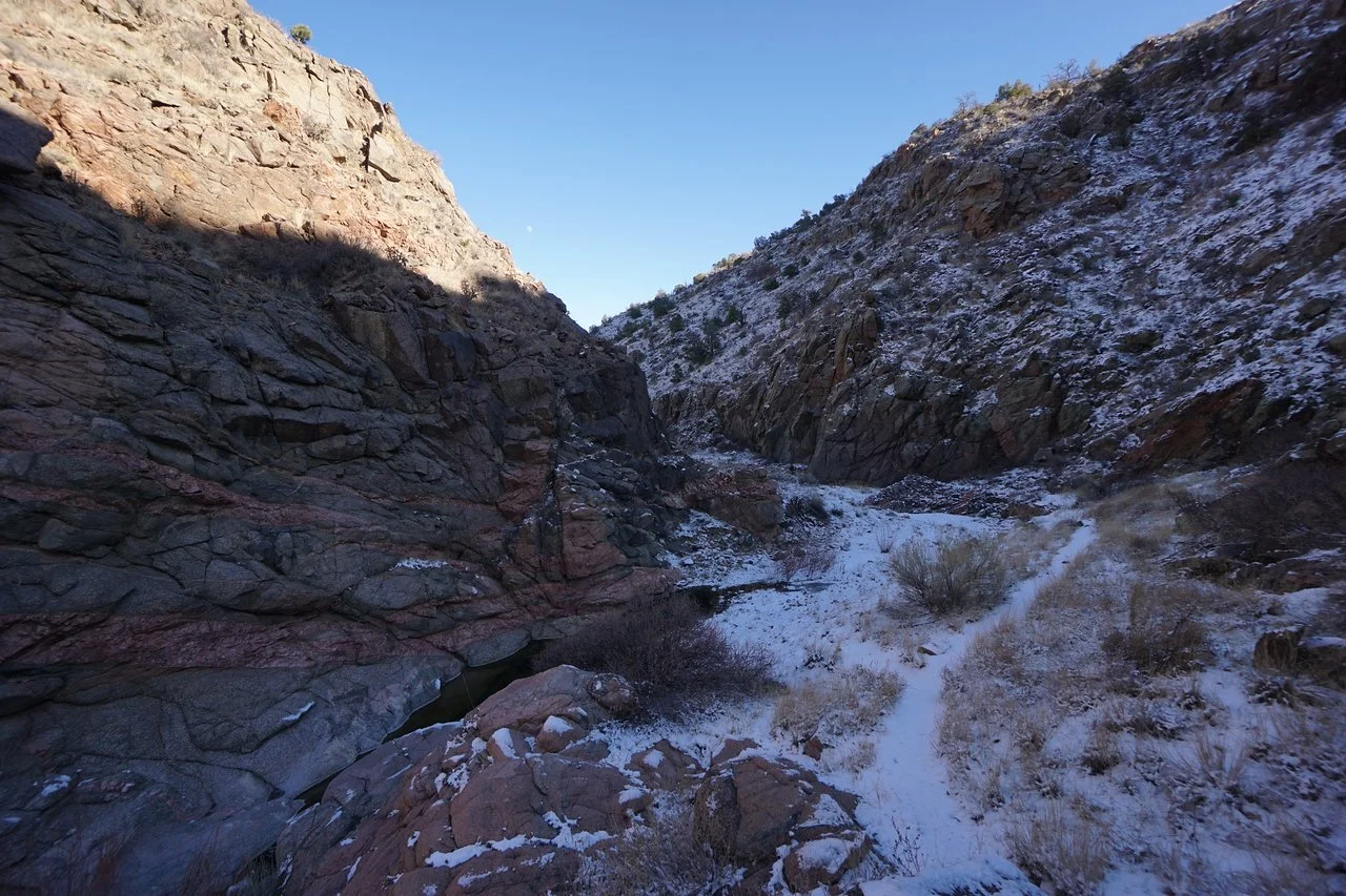
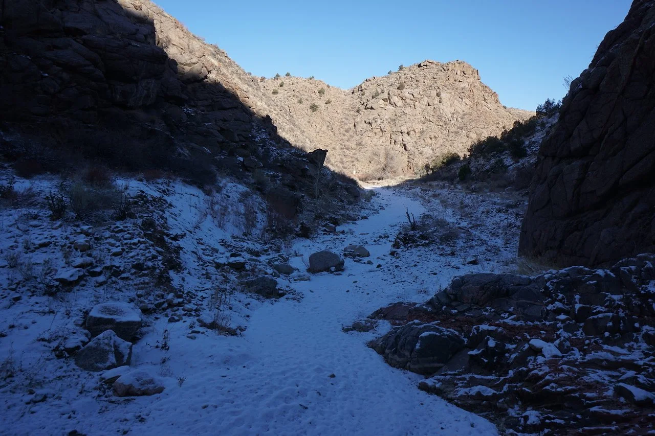
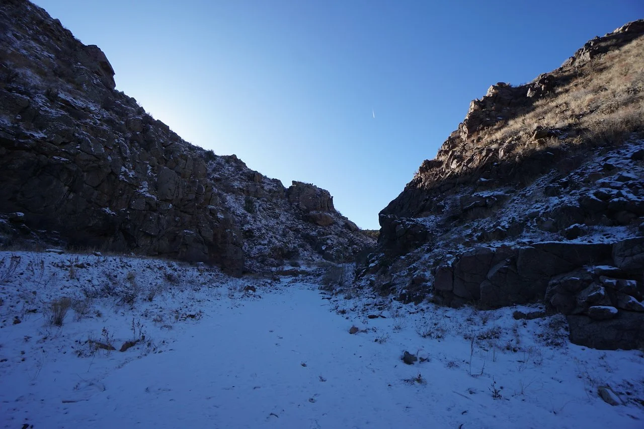
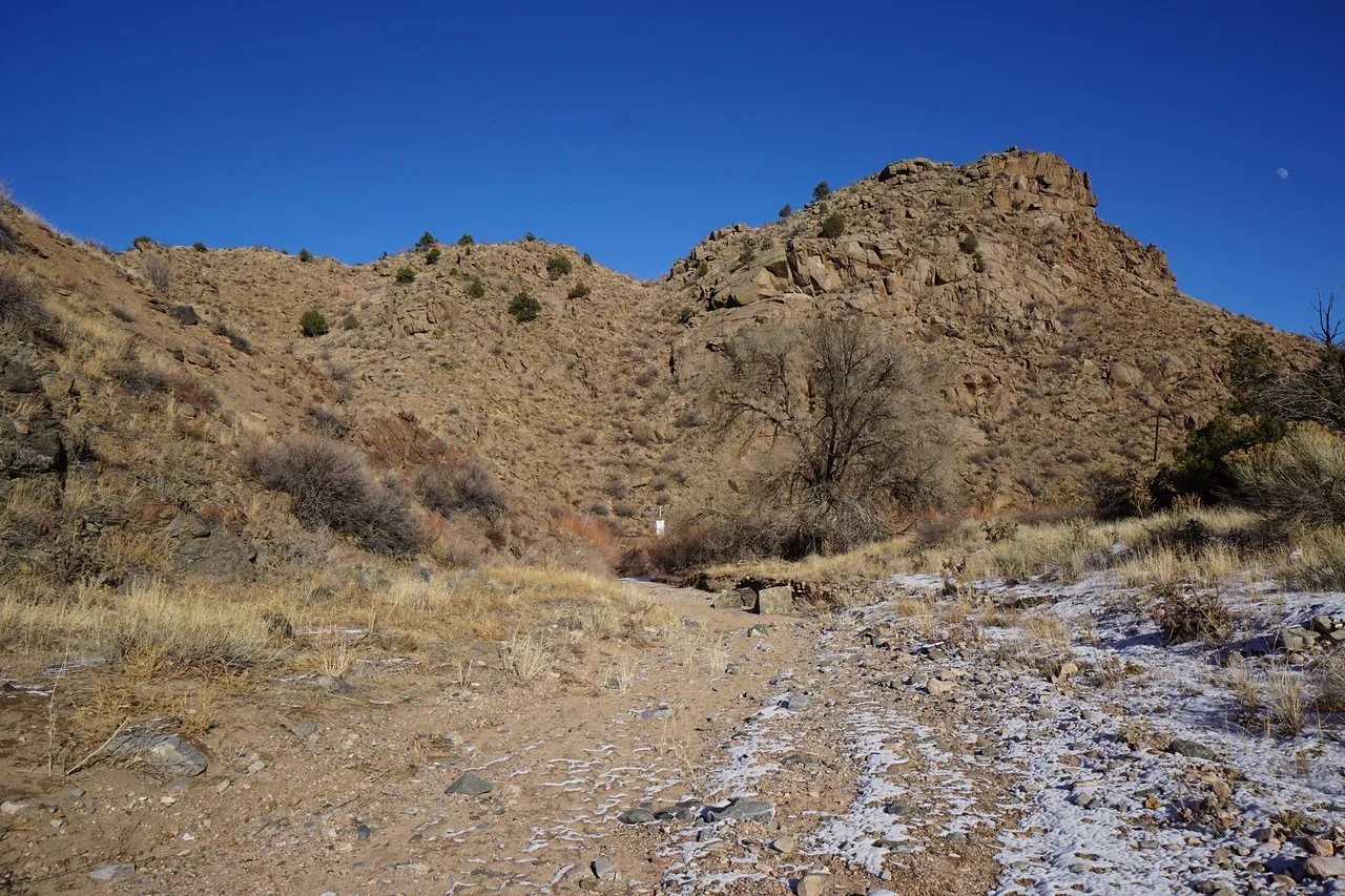
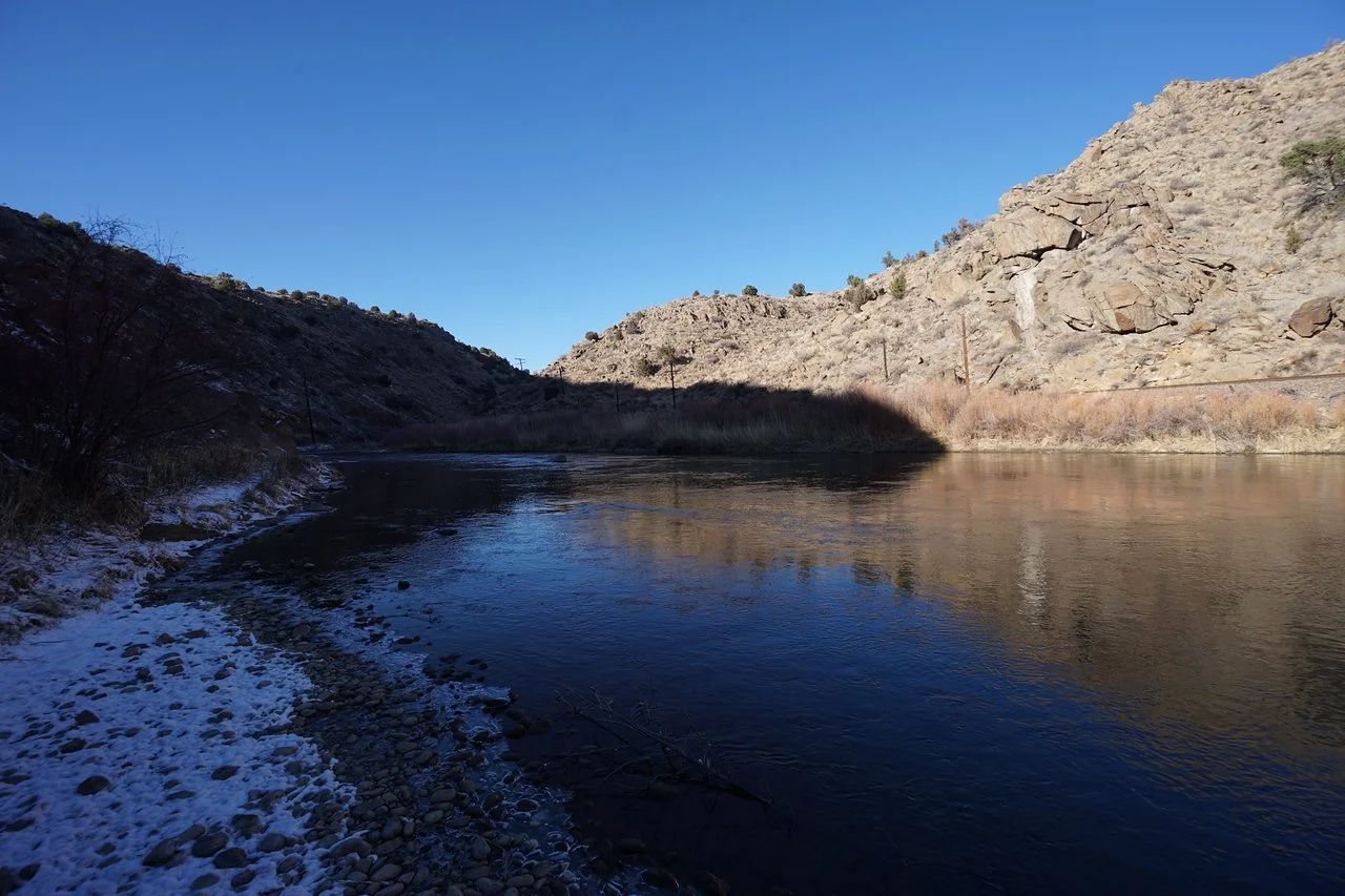
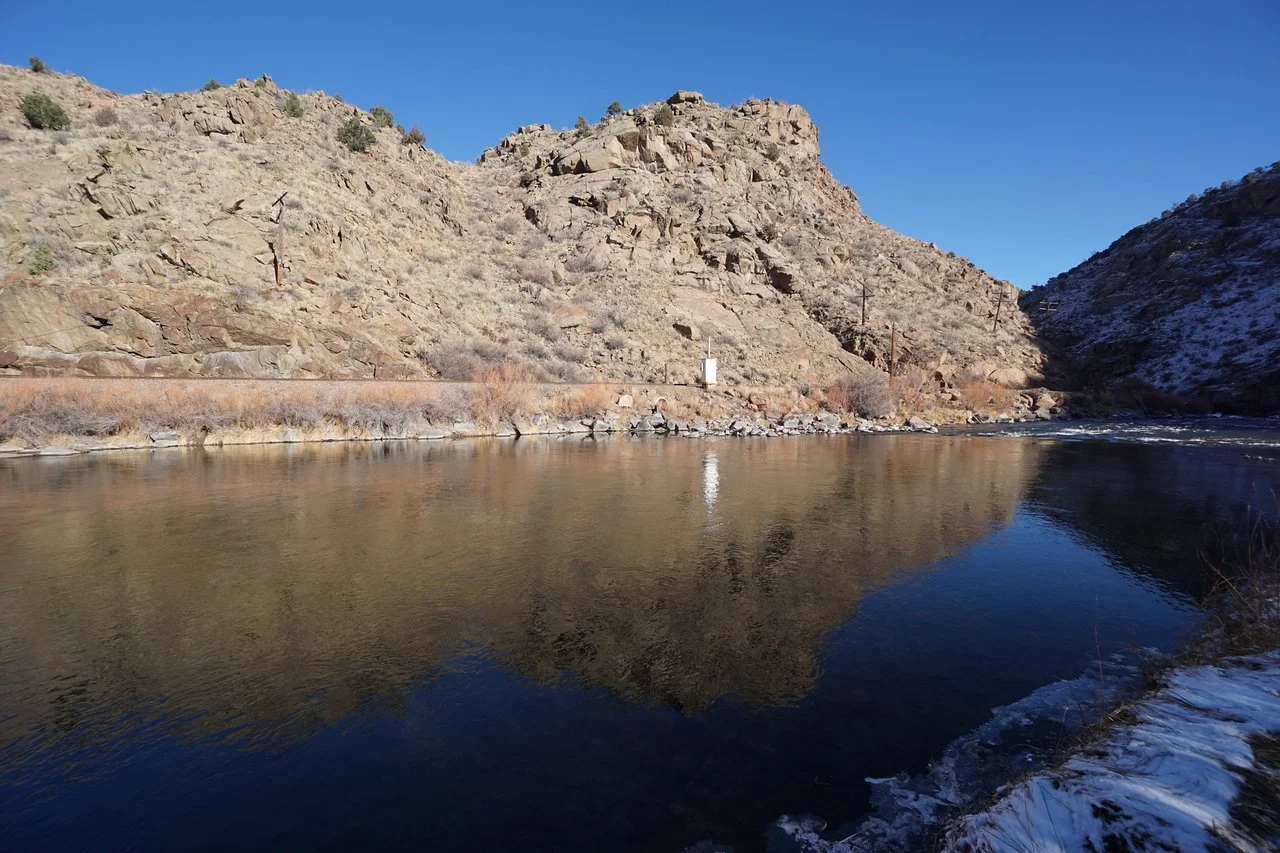
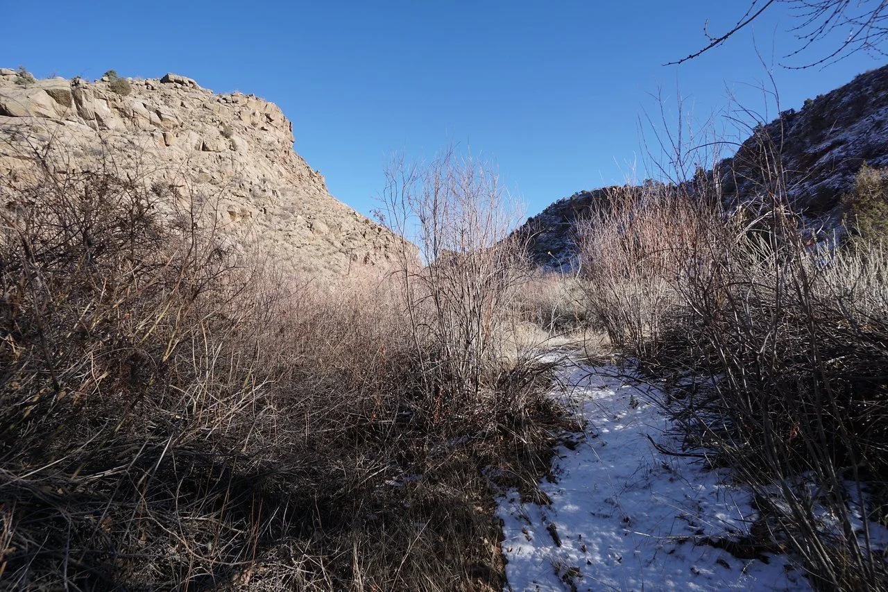
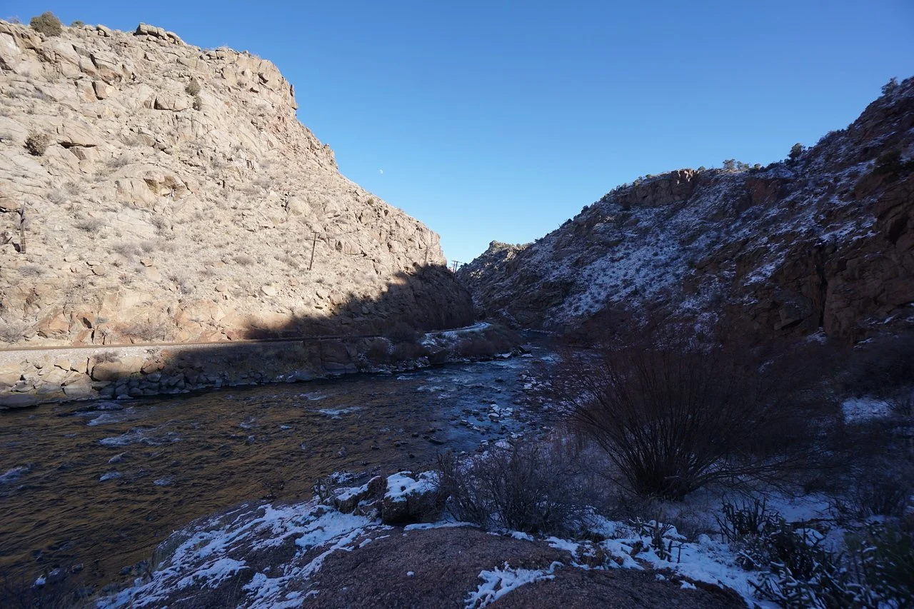
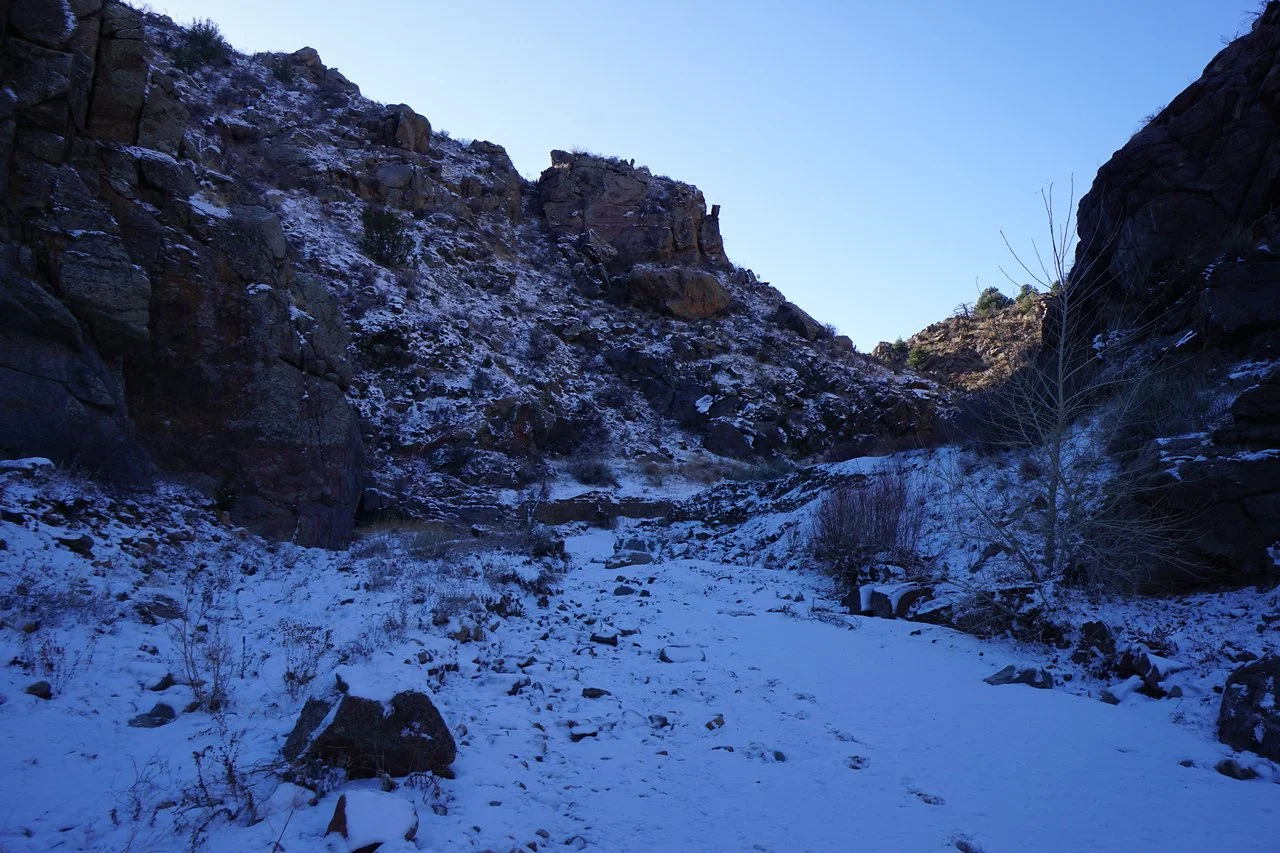
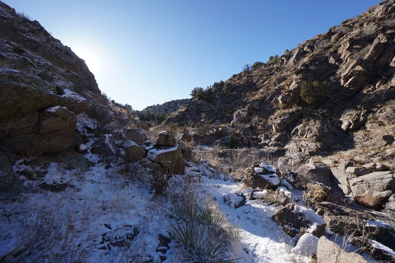
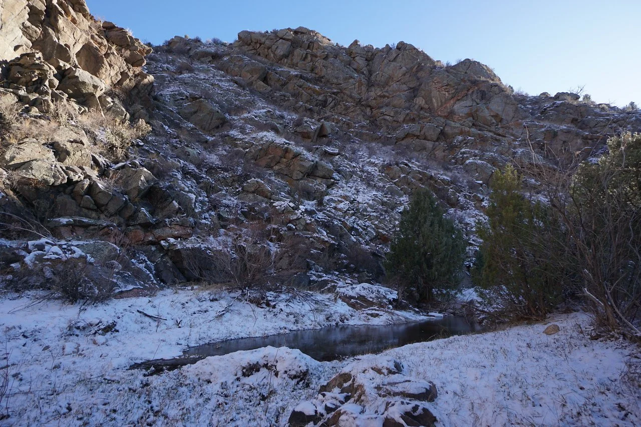
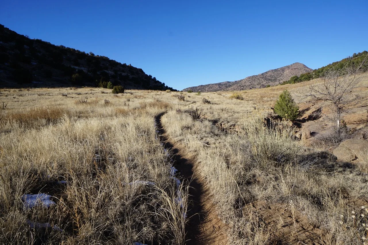
The hike starts with a steady and gently incline across sagebrush terrain with wide open views of the surrounding hillsides. After about half a mile, the hike enters a narrow canyon to the top of a waterfall. The trail crosses the creek and climbs down the canyon wall to a wide (and often dry) creekbed. Follow the creek bed to the inflow with the Arkansas River and follow social trails through the wetlands to nice viewpoints of the River and canyon that ultimately becomes the Royal Gorge. After you’ve enjoyed relaxing along the Arkansas, look out for trains…, head back the way you came and climb out of the canyon. It’s less than a mile each way so the amount of effort needed to explore the Arkansas is well worth your time.