Park Point Trail
Mesa Verde National Park
Date Hiked: March 28, 2025
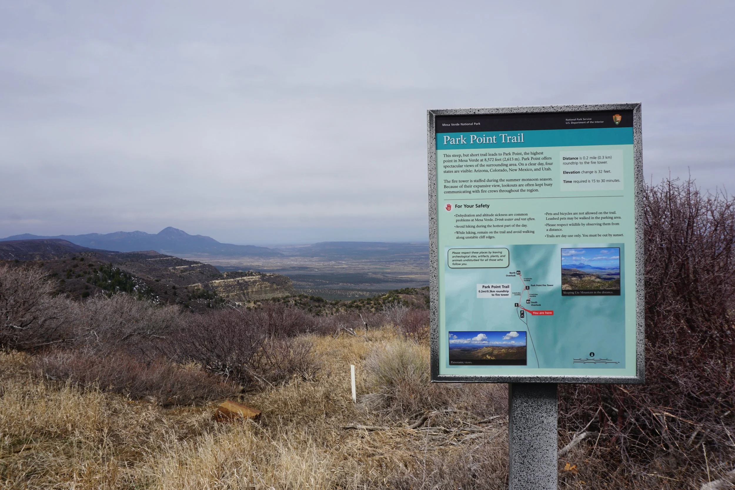
Distance: 0.5 mi (RT)
Elevation Gain: 100 ft
Elevation Min/Max: 8,522 to 8,563 ft
Trailhead Lat/Long: 37.27940, -108.46181
Managing Agency: National Park Service
Fee: Yes
Directions:
From the Park entrance, head up Mesa Verde Road for about 10 miles, past the campground, through the tunnel, and look for the signs for Park Point. Turn right onto Park Point Road and follow it to the parking area at the end of the road.
Hike Description:
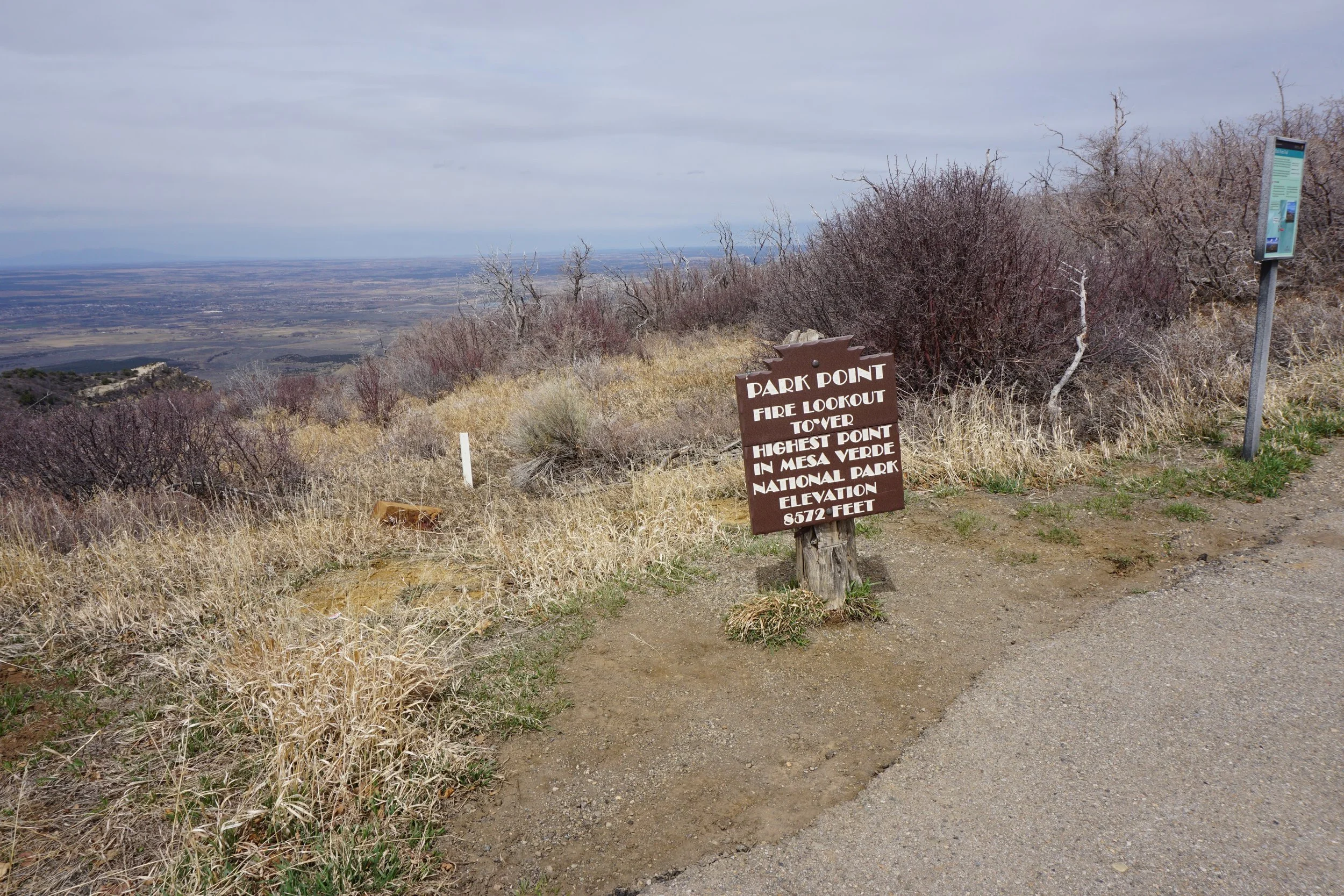
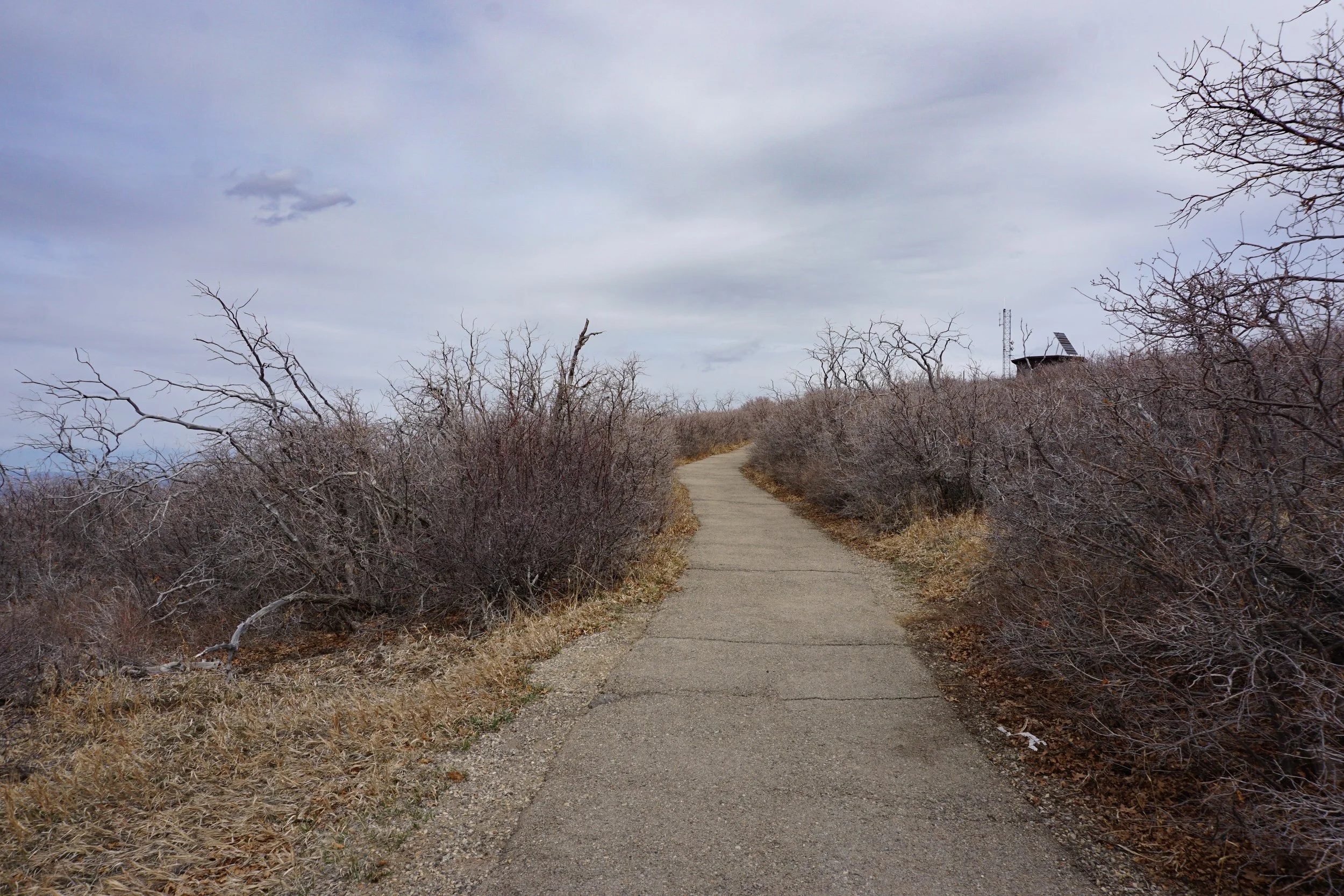
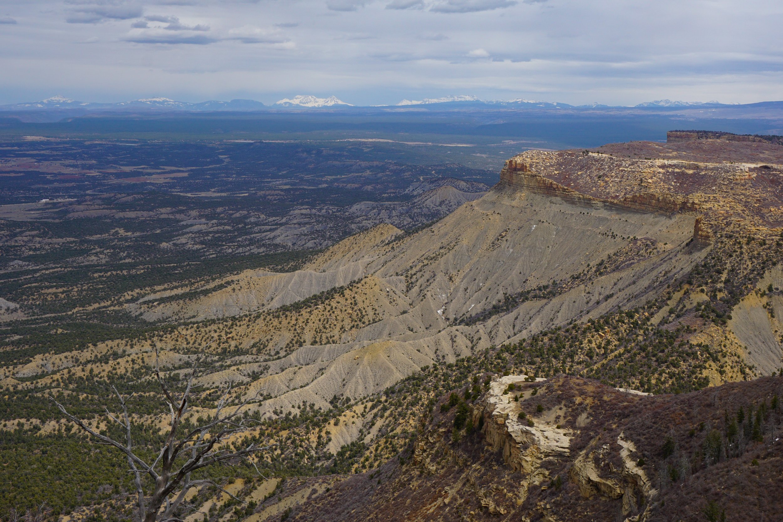
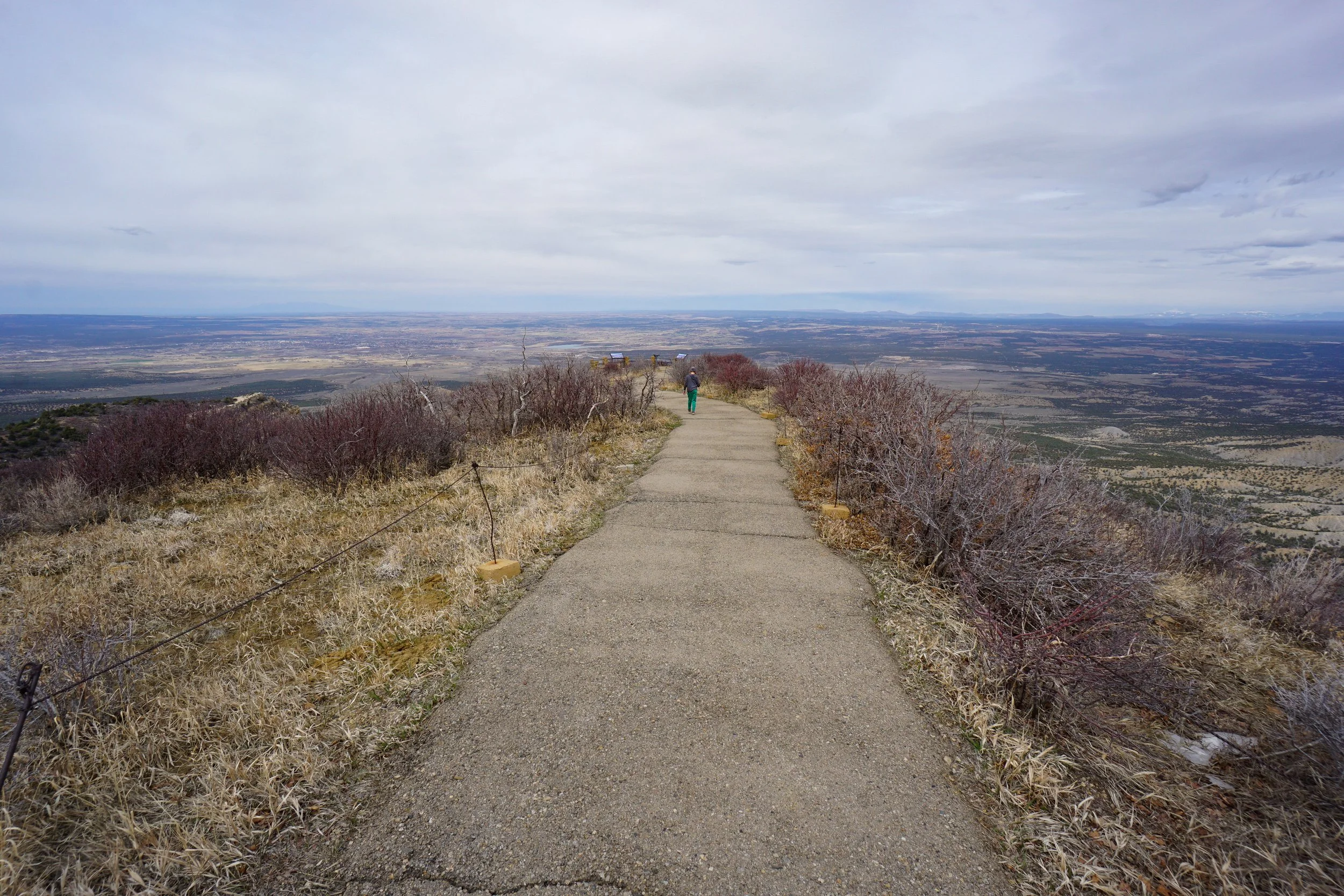
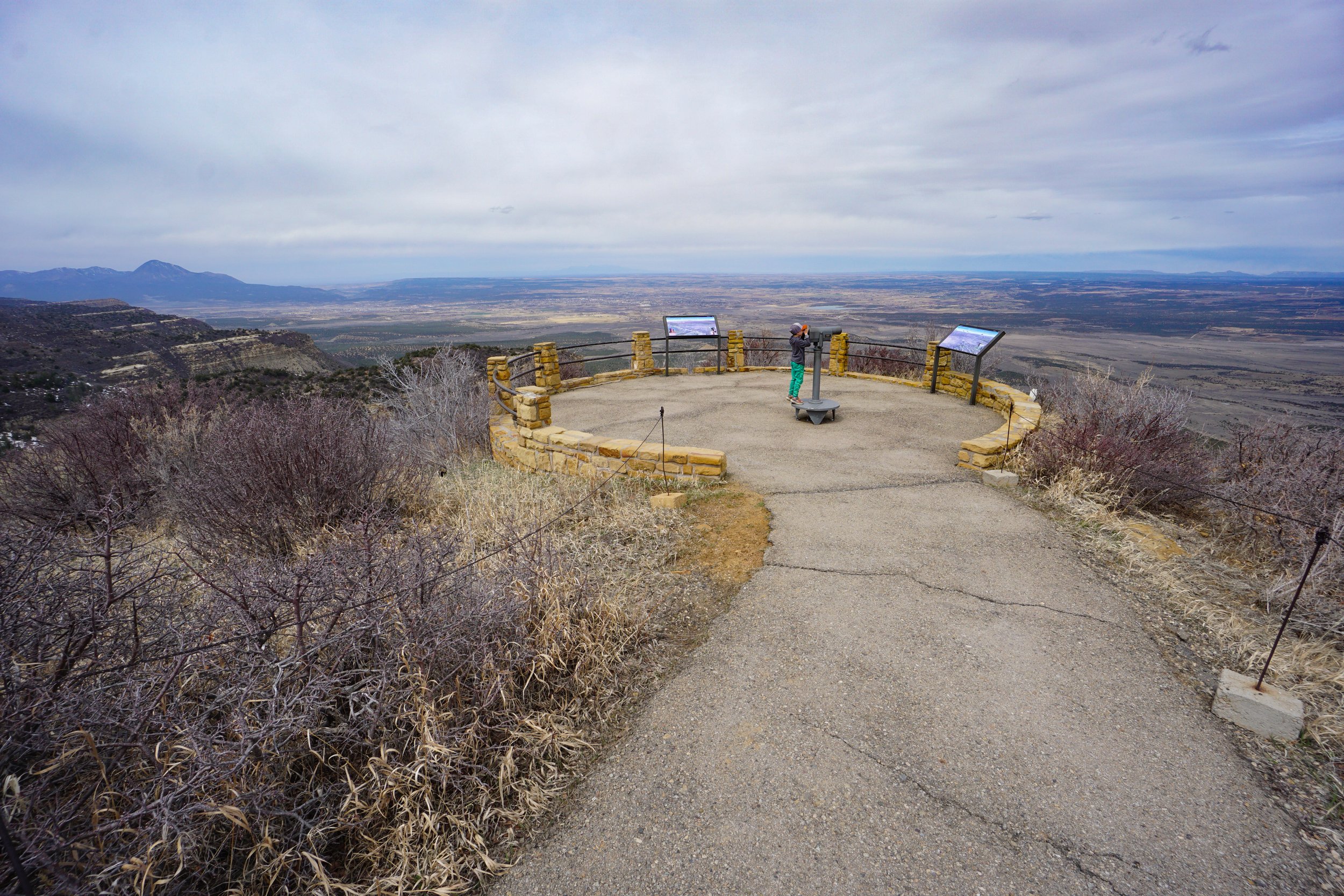
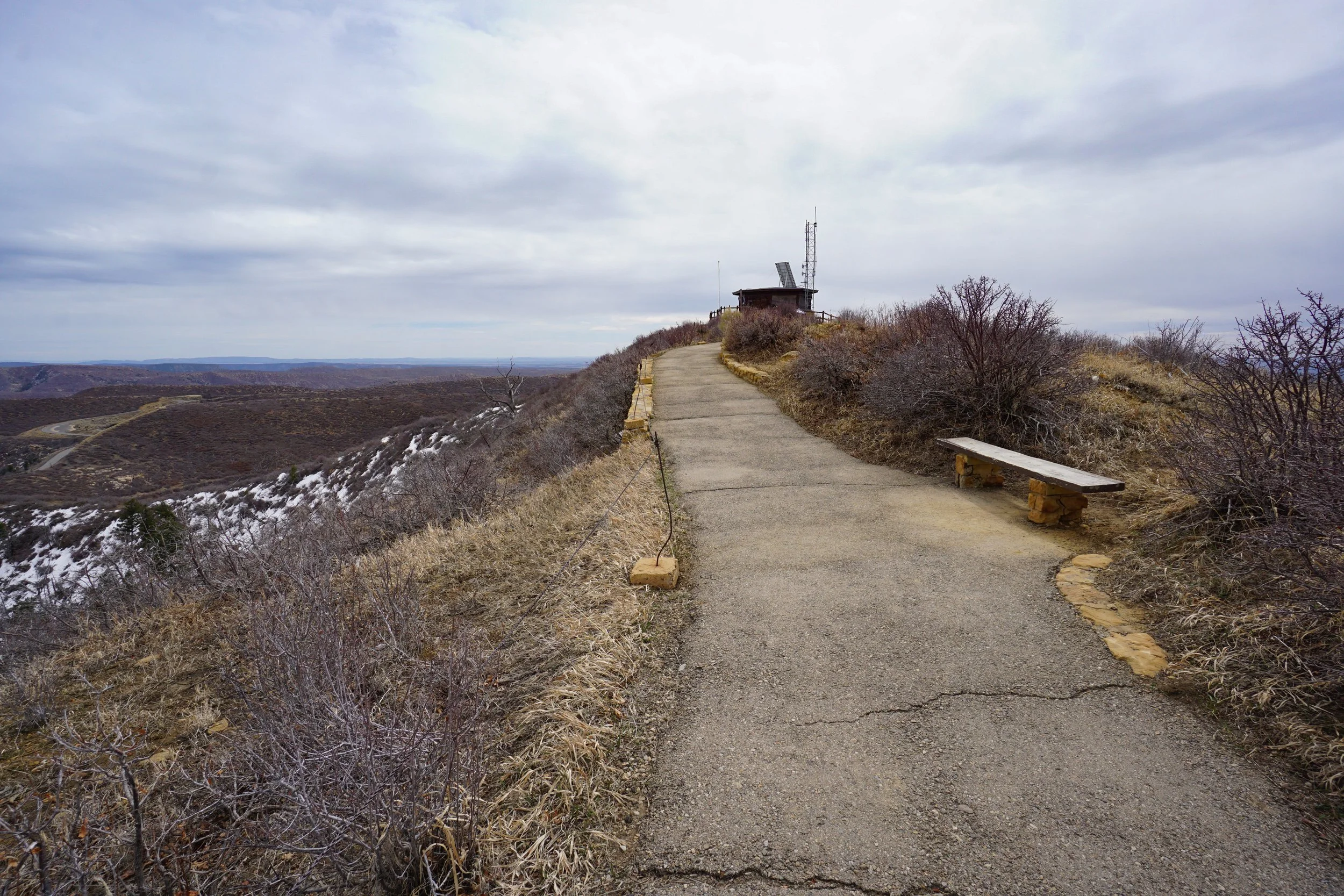
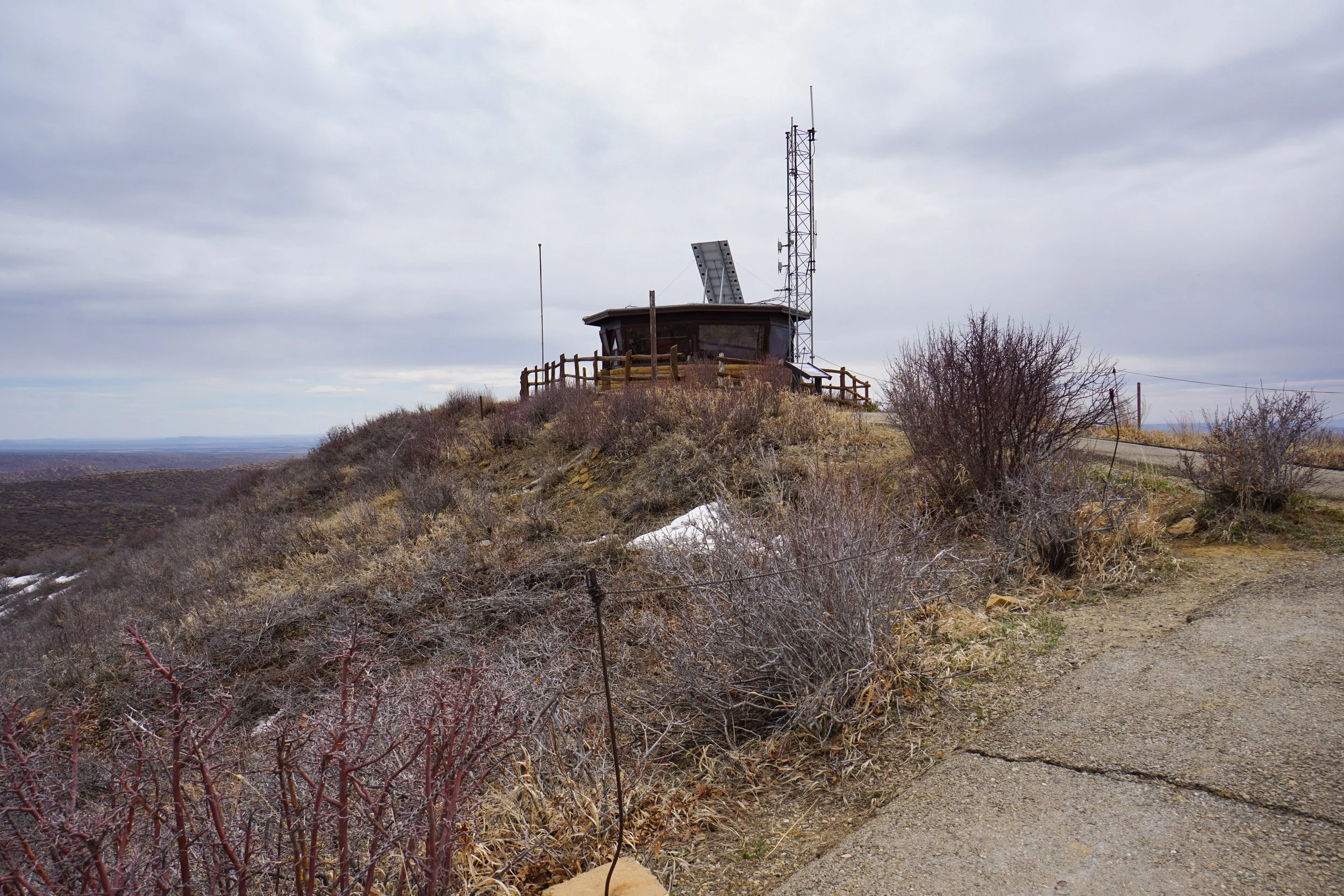
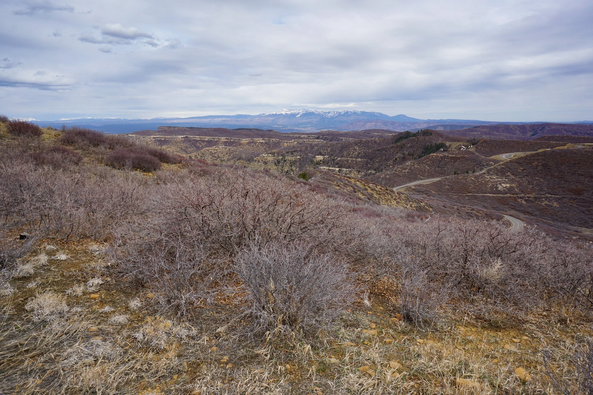
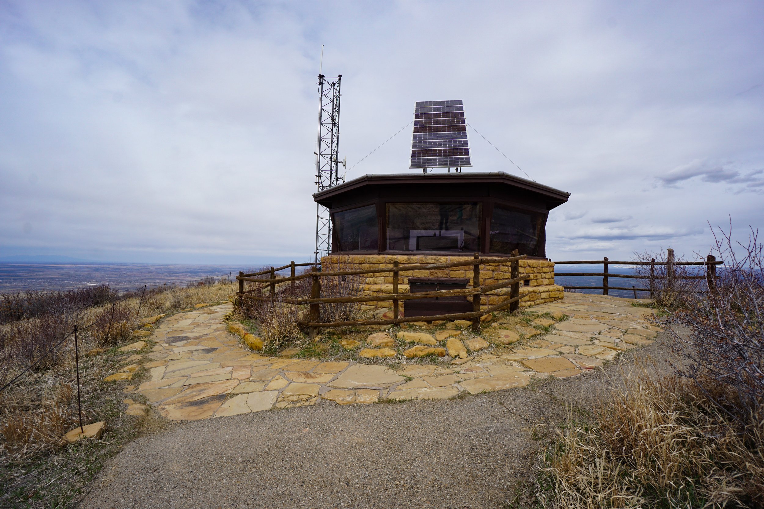
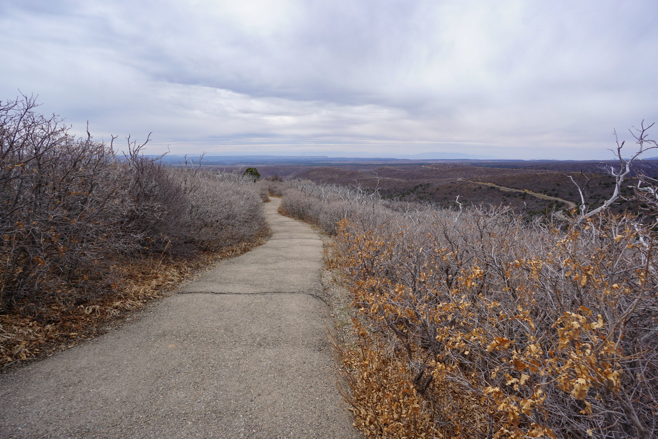
Park Point is a short hike up to a fire lookout tower and two overlooks. This hike visits the highest point in the park and the views are unbeatable. This hike is typically overlooked by park visitors but should not be slept on. The hike is short but steep, but follows paved trails and is relatively easy.
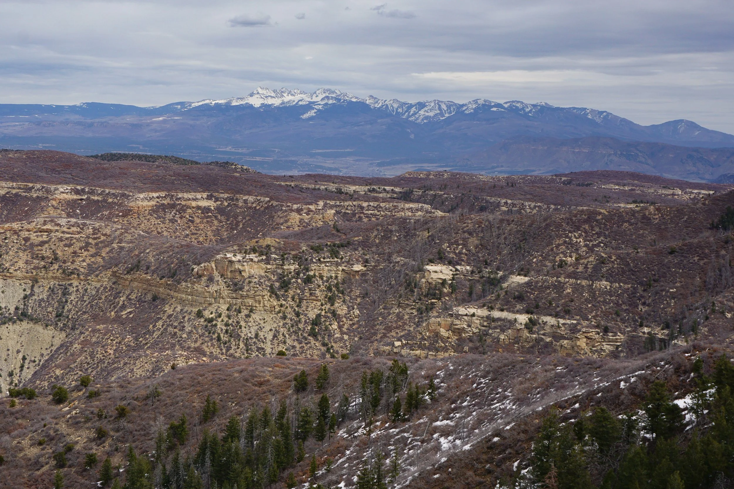
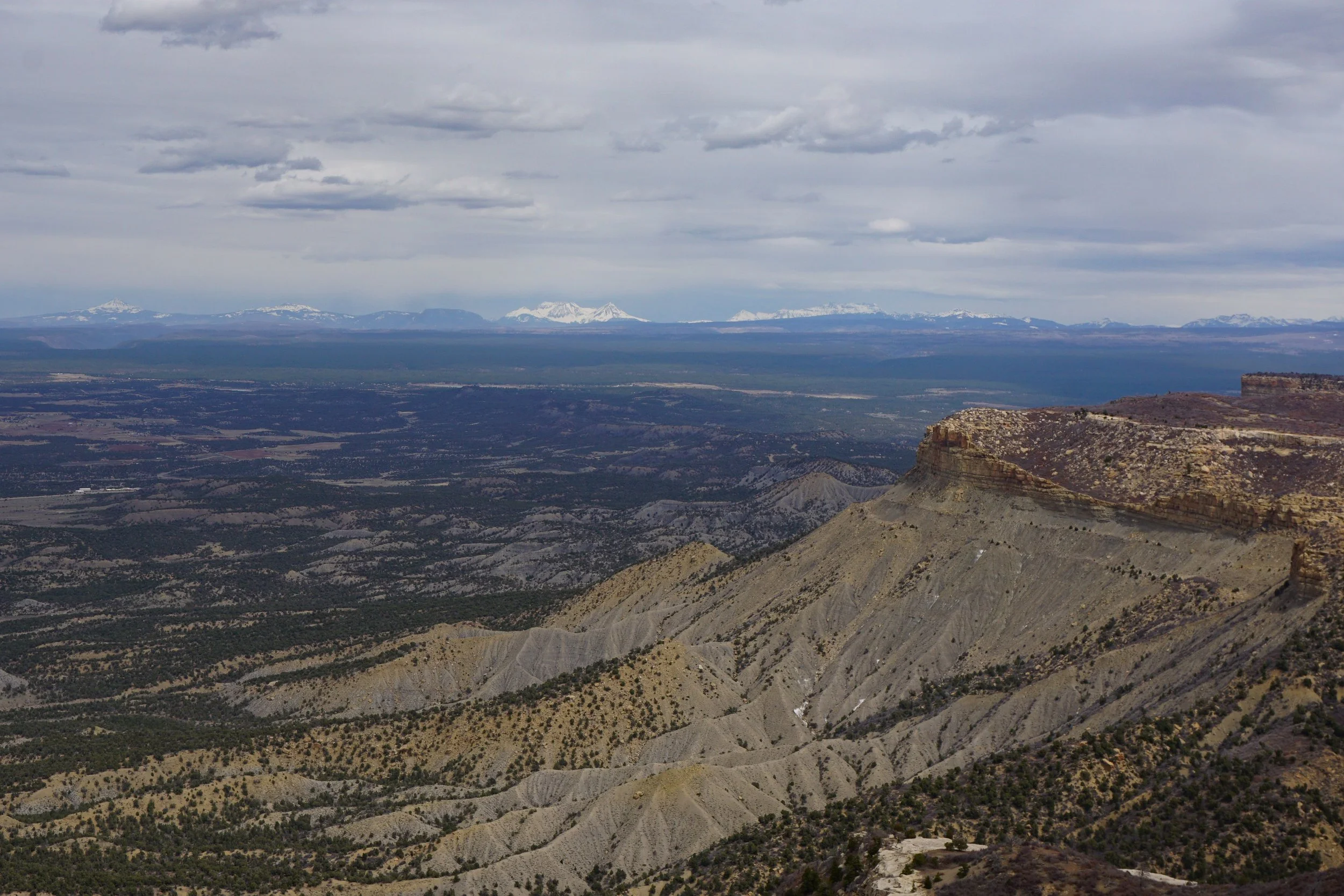
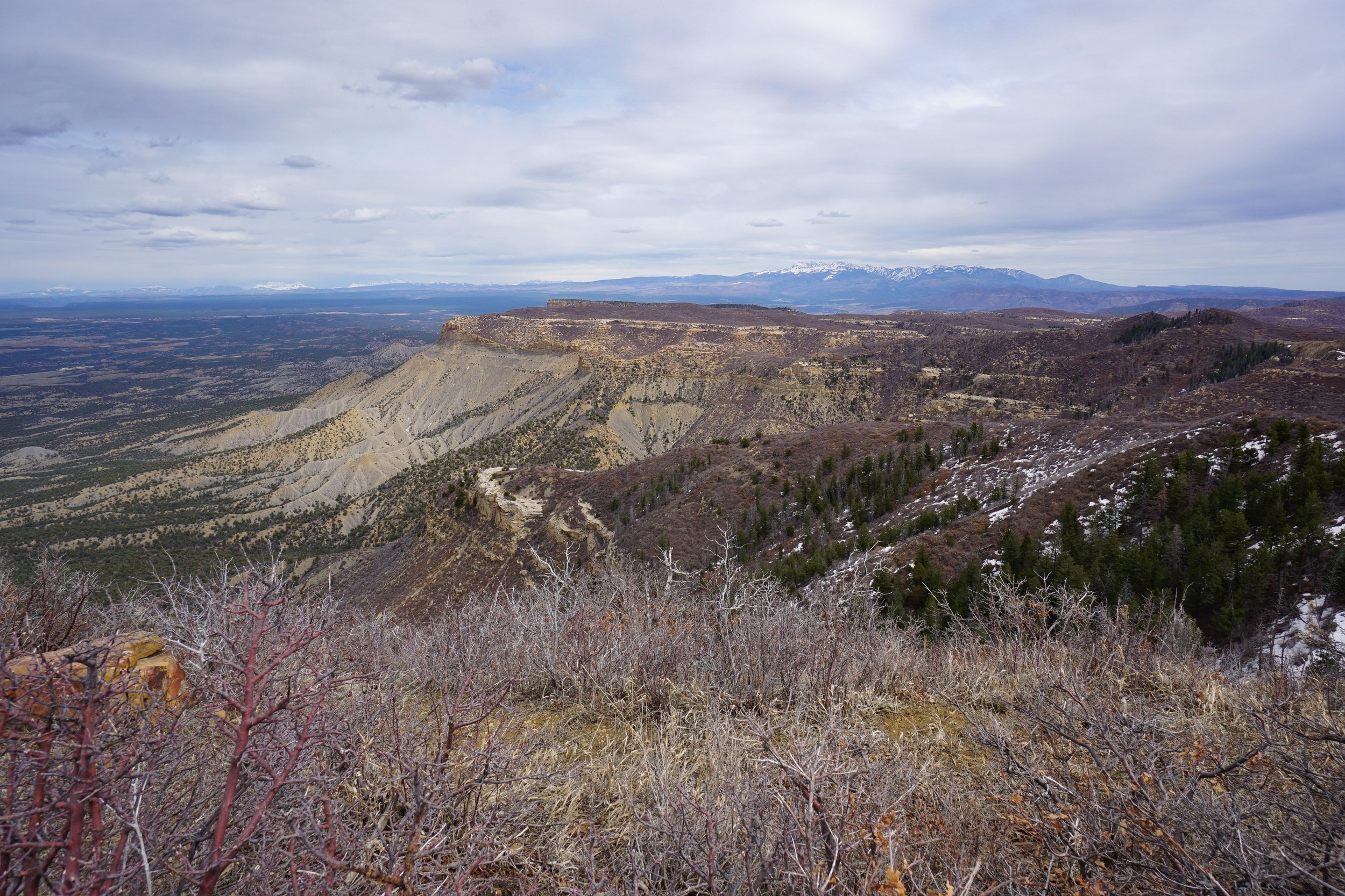
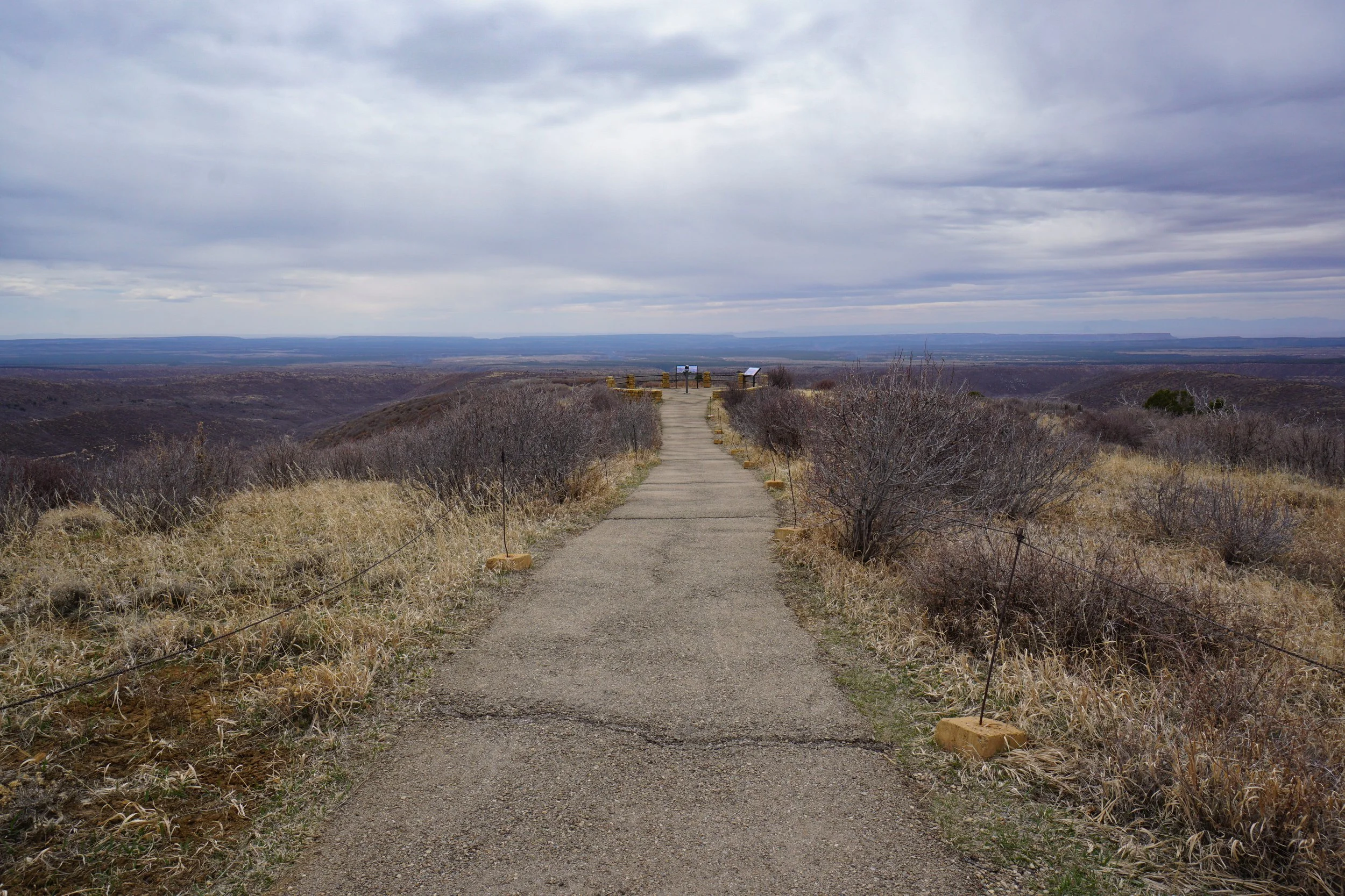
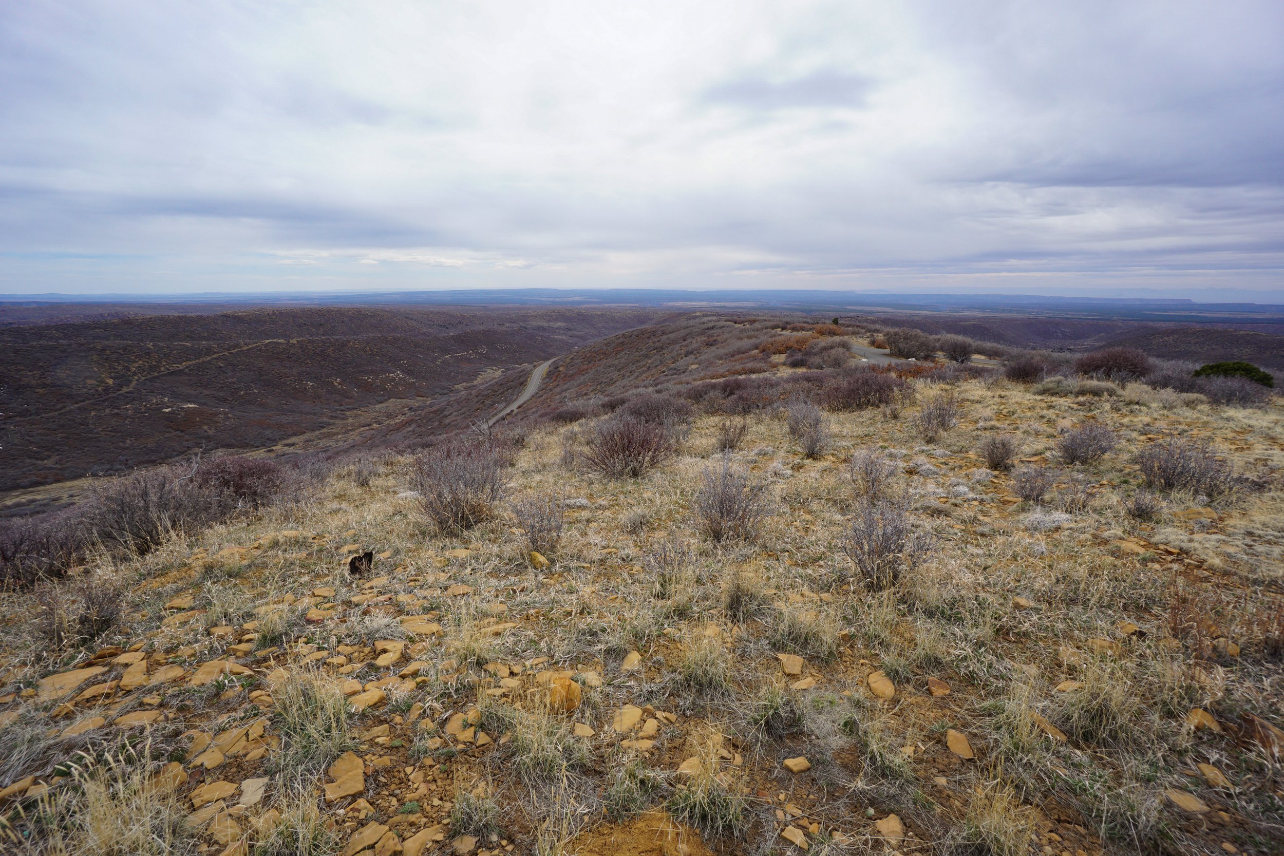
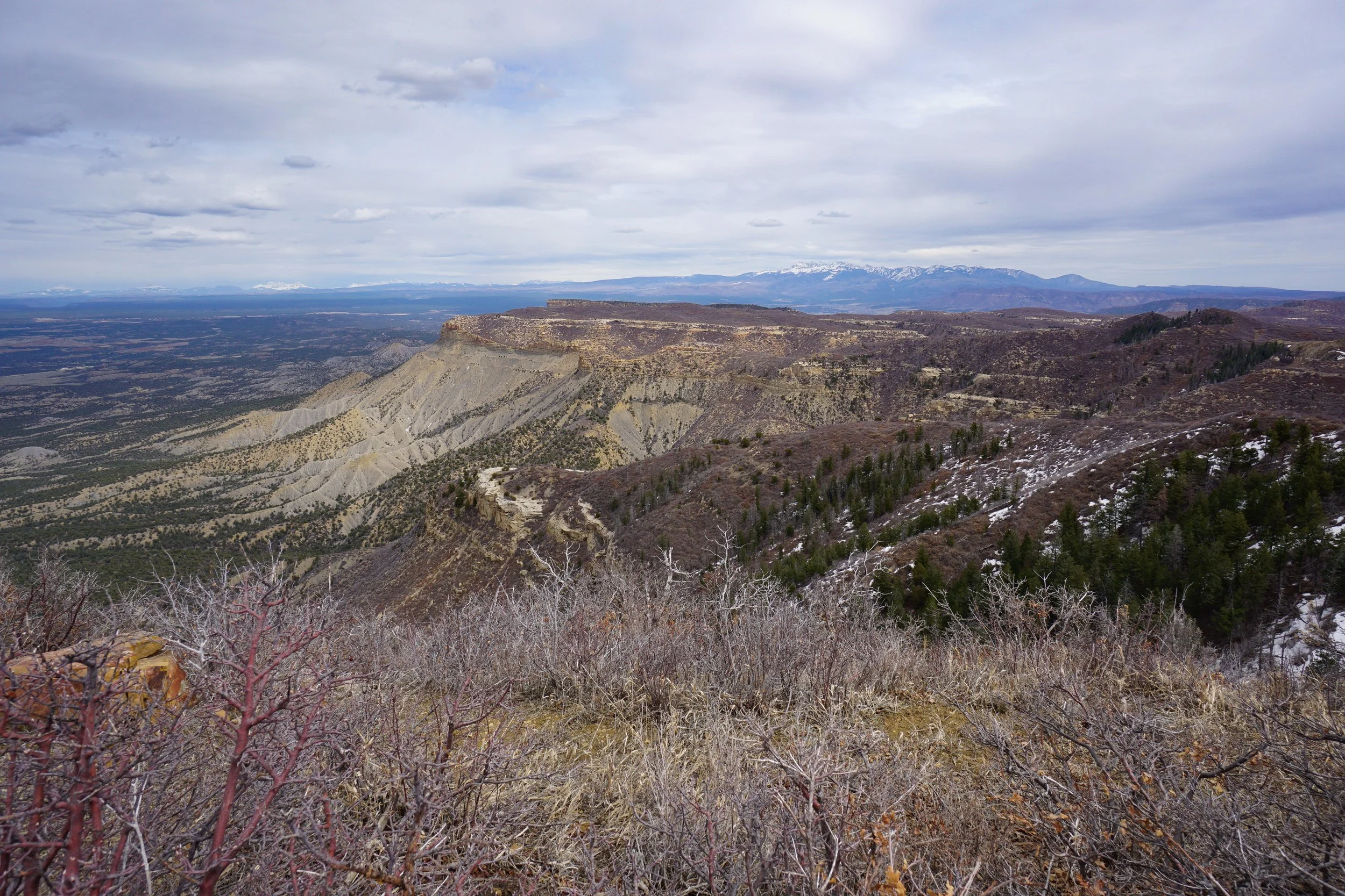
The fire tower itself is closed to the public, but still interesting to check out. The main draw is the view from the overlooks, primarily the north overlook. This overlook gives you a birds eye view down onto the Morefield Canyon area and iconic park landmarks such as the Knife Edge and Point Lookout. In the distance are the high peaks of the San Juan Mountains, Sleeping Ute Mountain, and all the glory of southern the Colorado high desert in between.
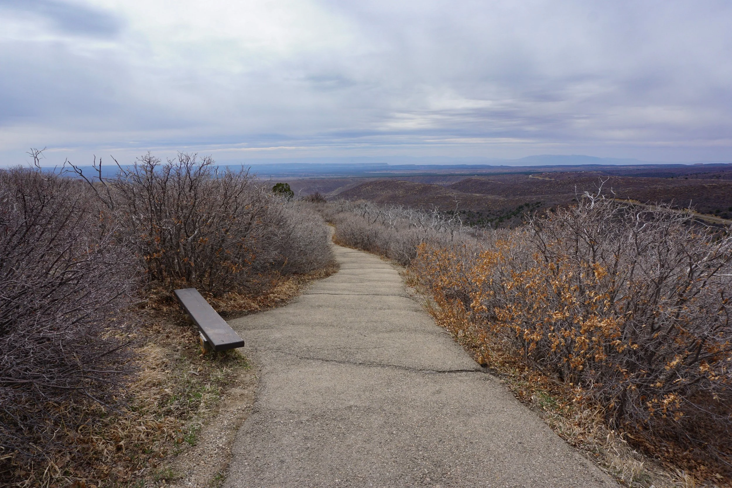
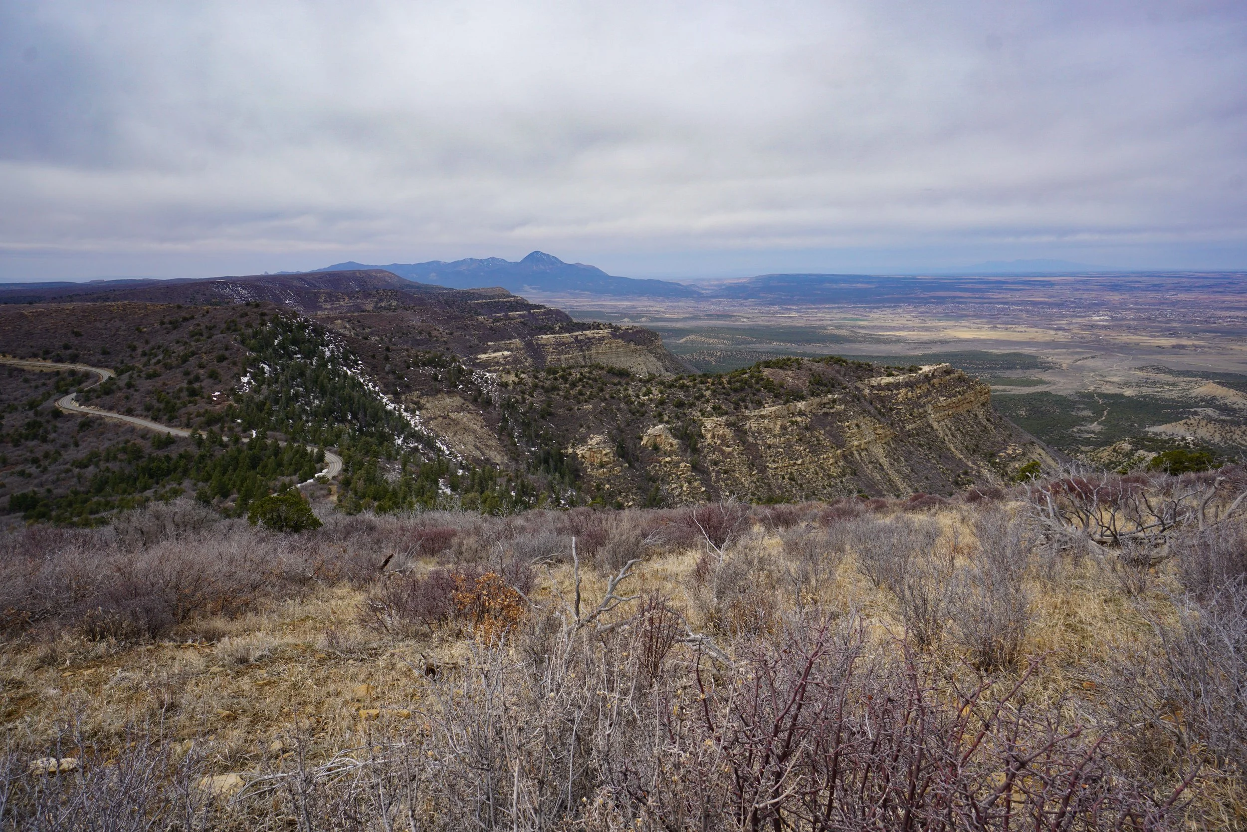
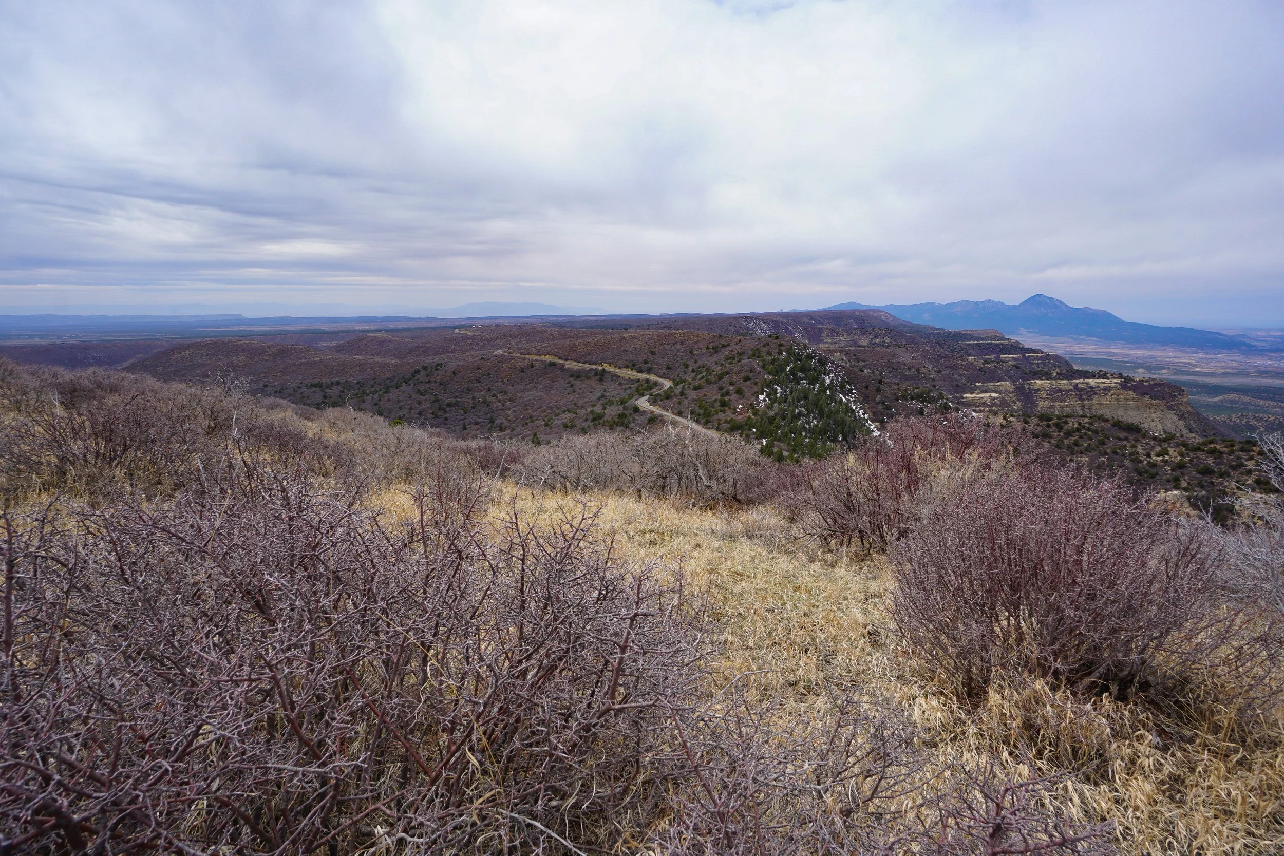
The southern overlook provides great views of Mesa Verde National Park itself. You look down on the Far View Lodge area and the road leading to the Mesa Loop and Cliff Palace area.
A short hike with a huge payoff, a great introduction to Mesa Verde National Park!