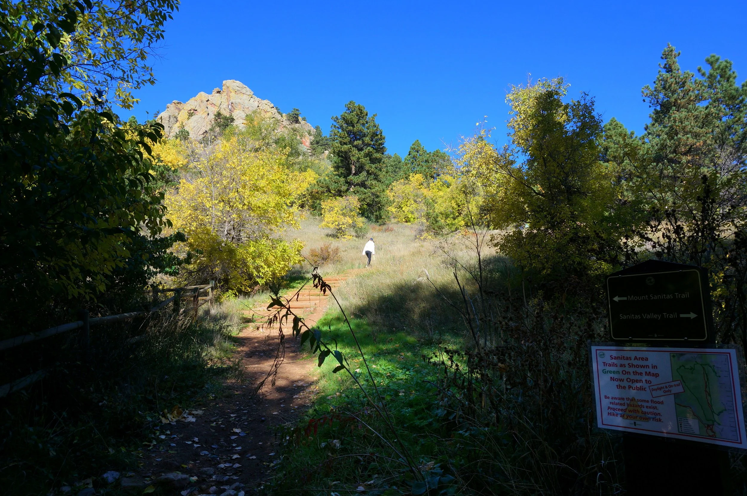
Mount Sanitas
Boulder Open Space & Mountain Parks
Date Hiked: October 16, 2013
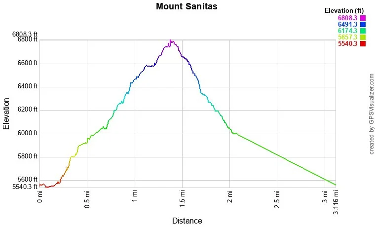
Distance: 3 mi (RT)
Elevation Gain: 1,300ft
Elevation Min/Max: 5,540 to 6,808ft
Managing Agency: City of Boulder Open Space & Mt. Parks
Fee: None
Directions:
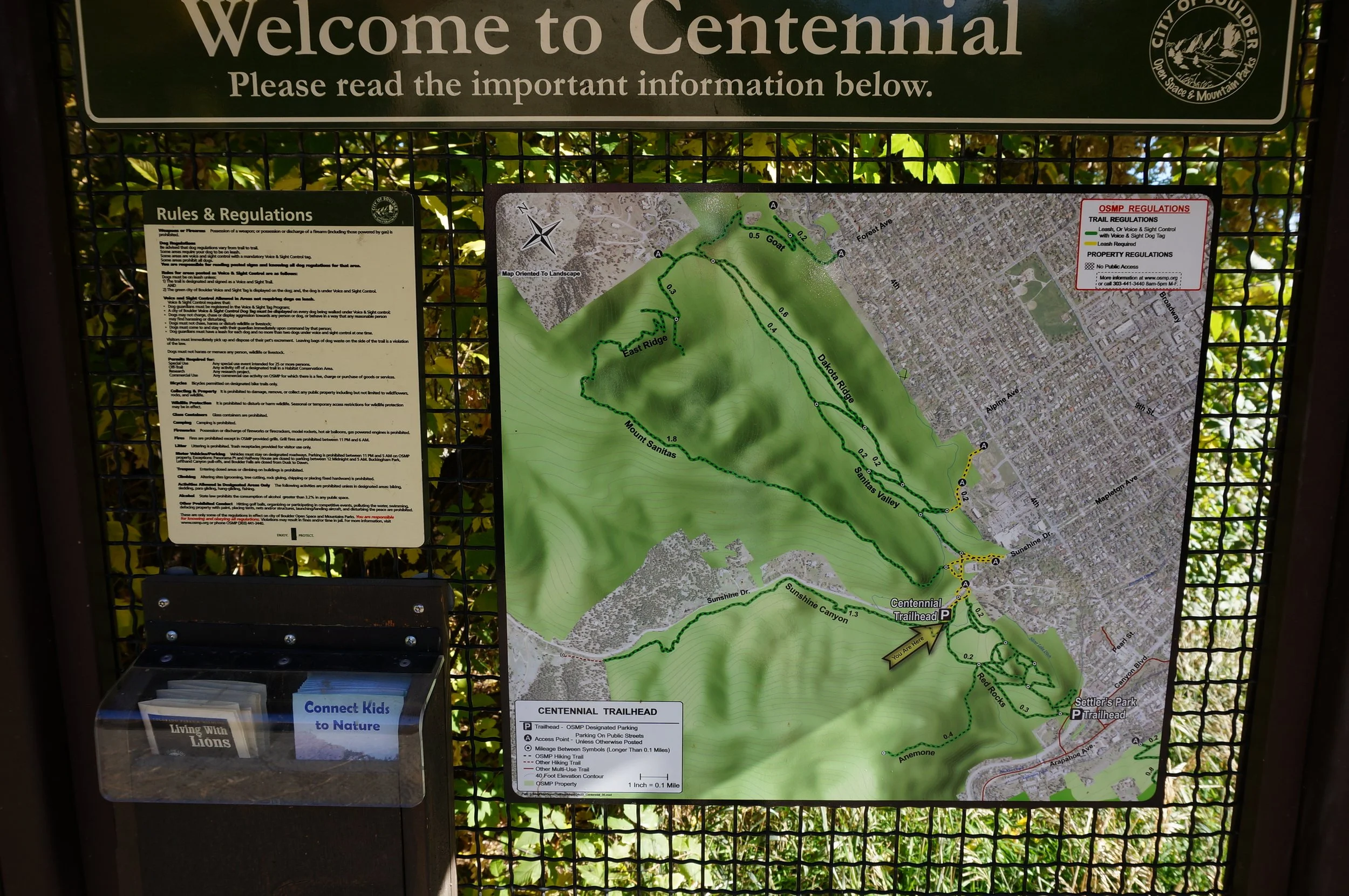
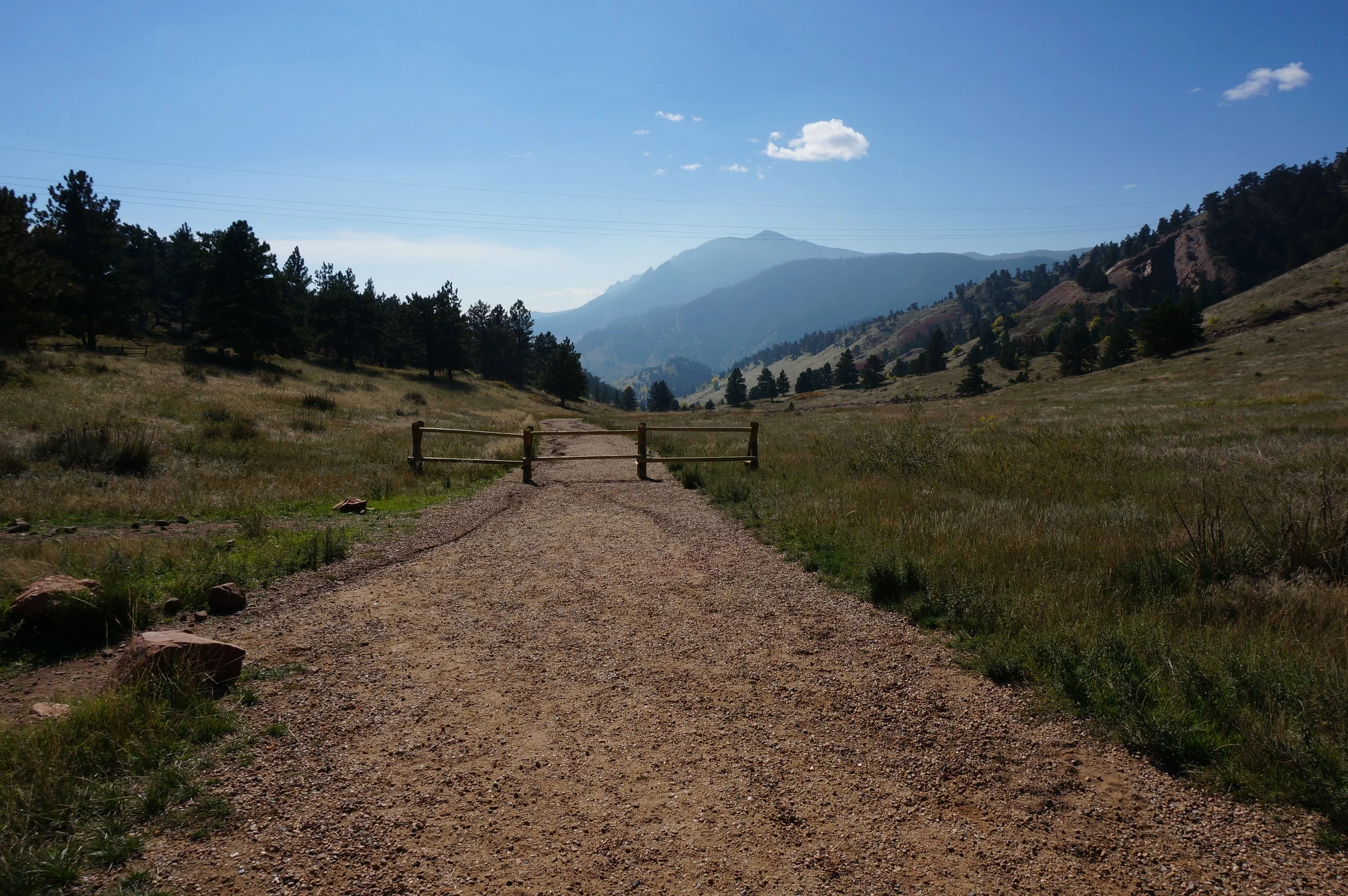
The trailhead is located on Mapleton Ave in Boulder. Head west on Mapleton and the Centennial trailhead will be on the right.
Hike Description:
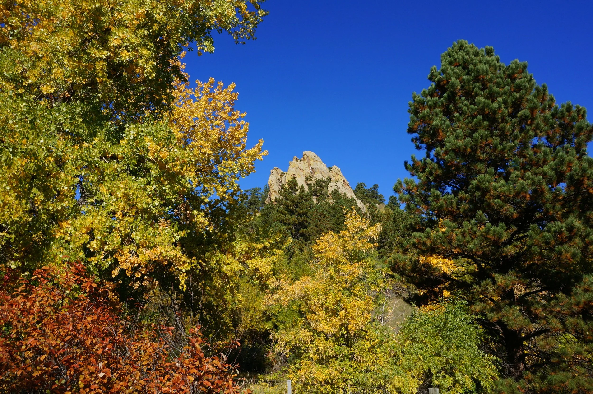
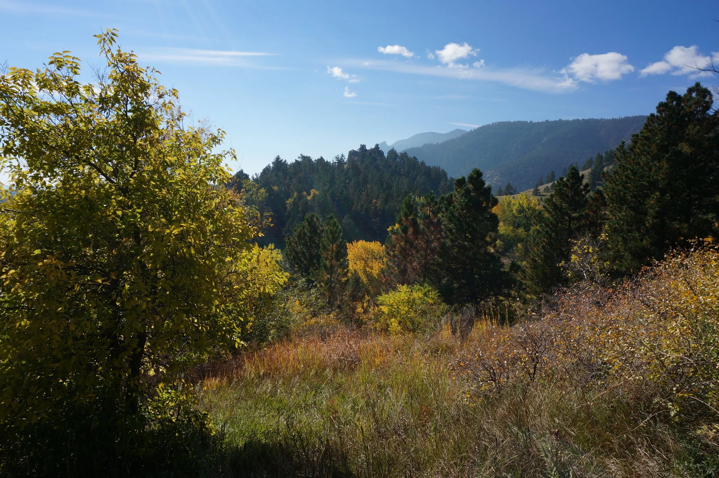
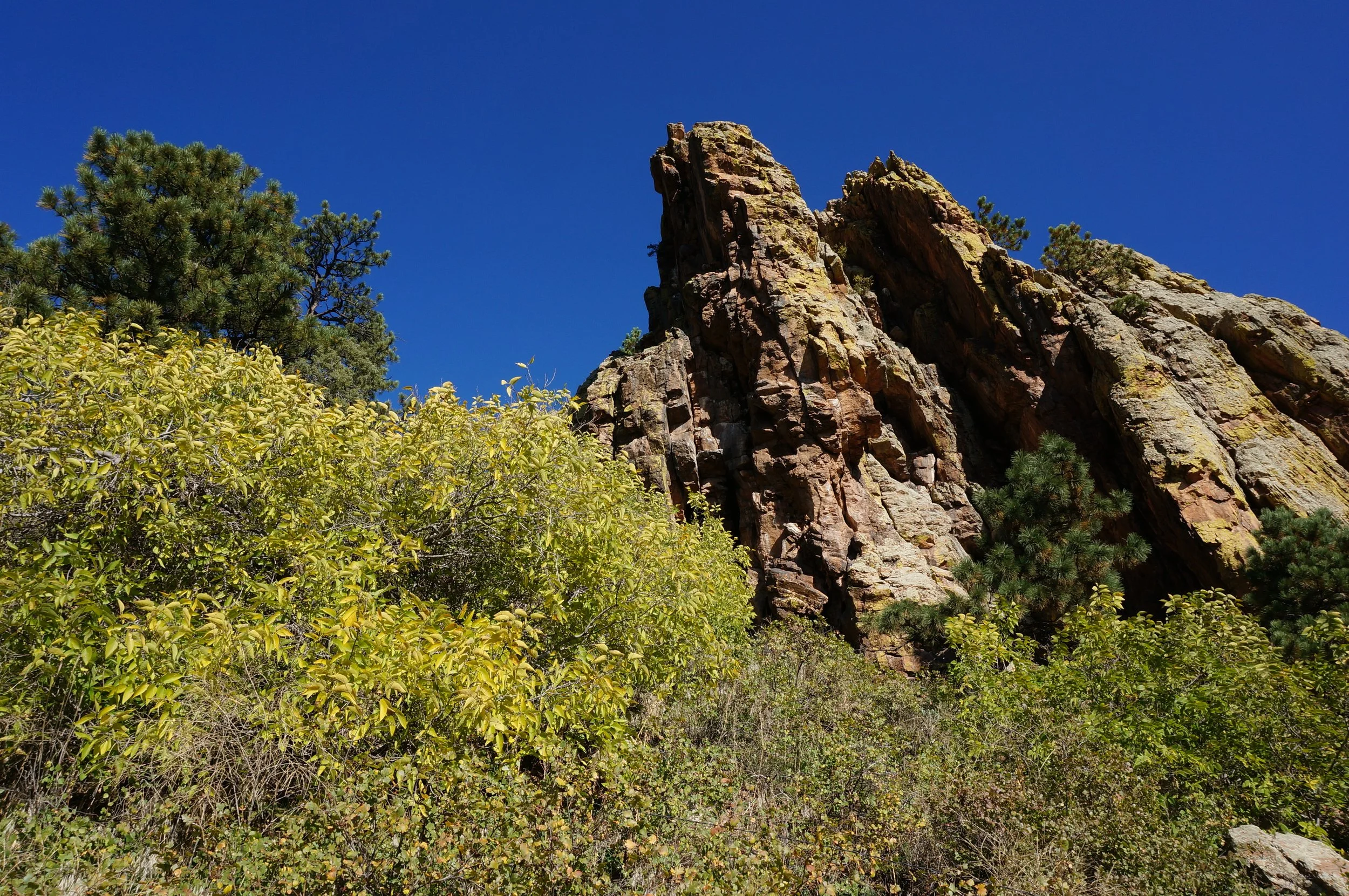
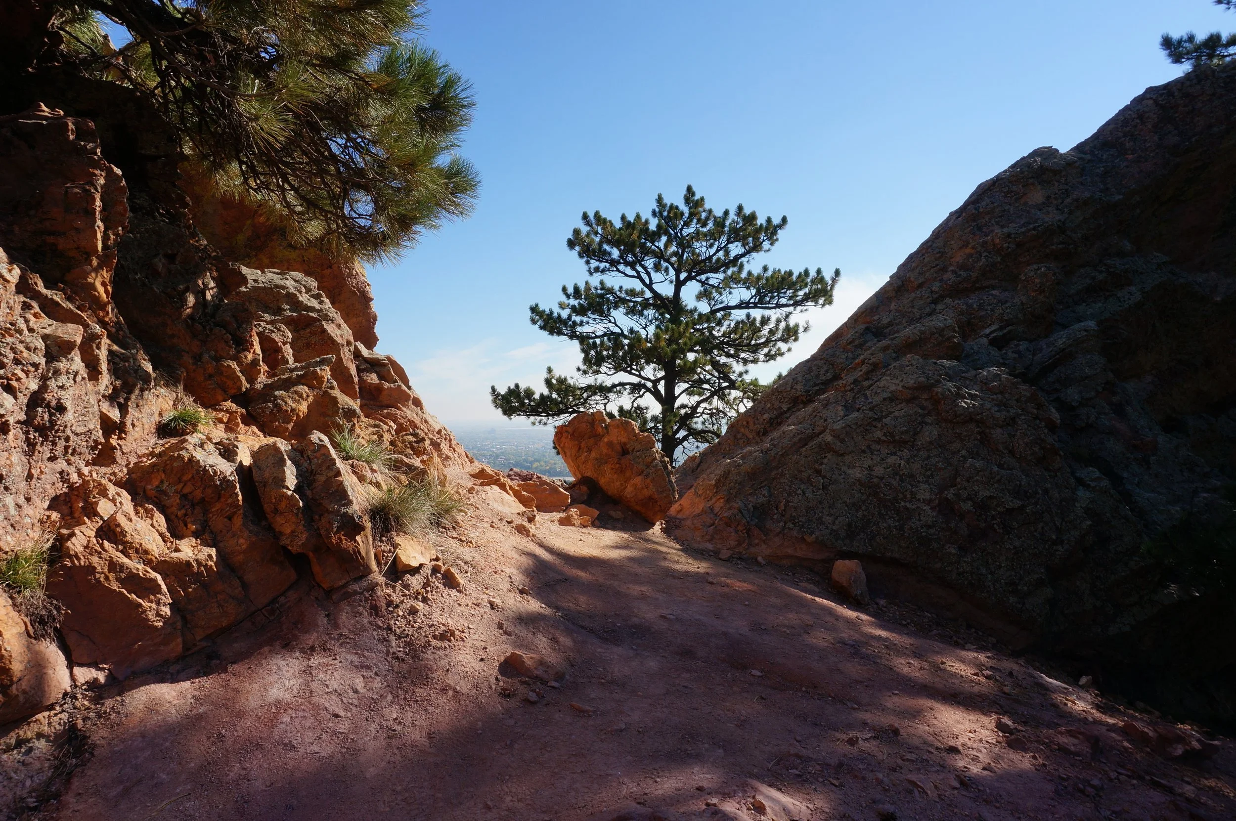
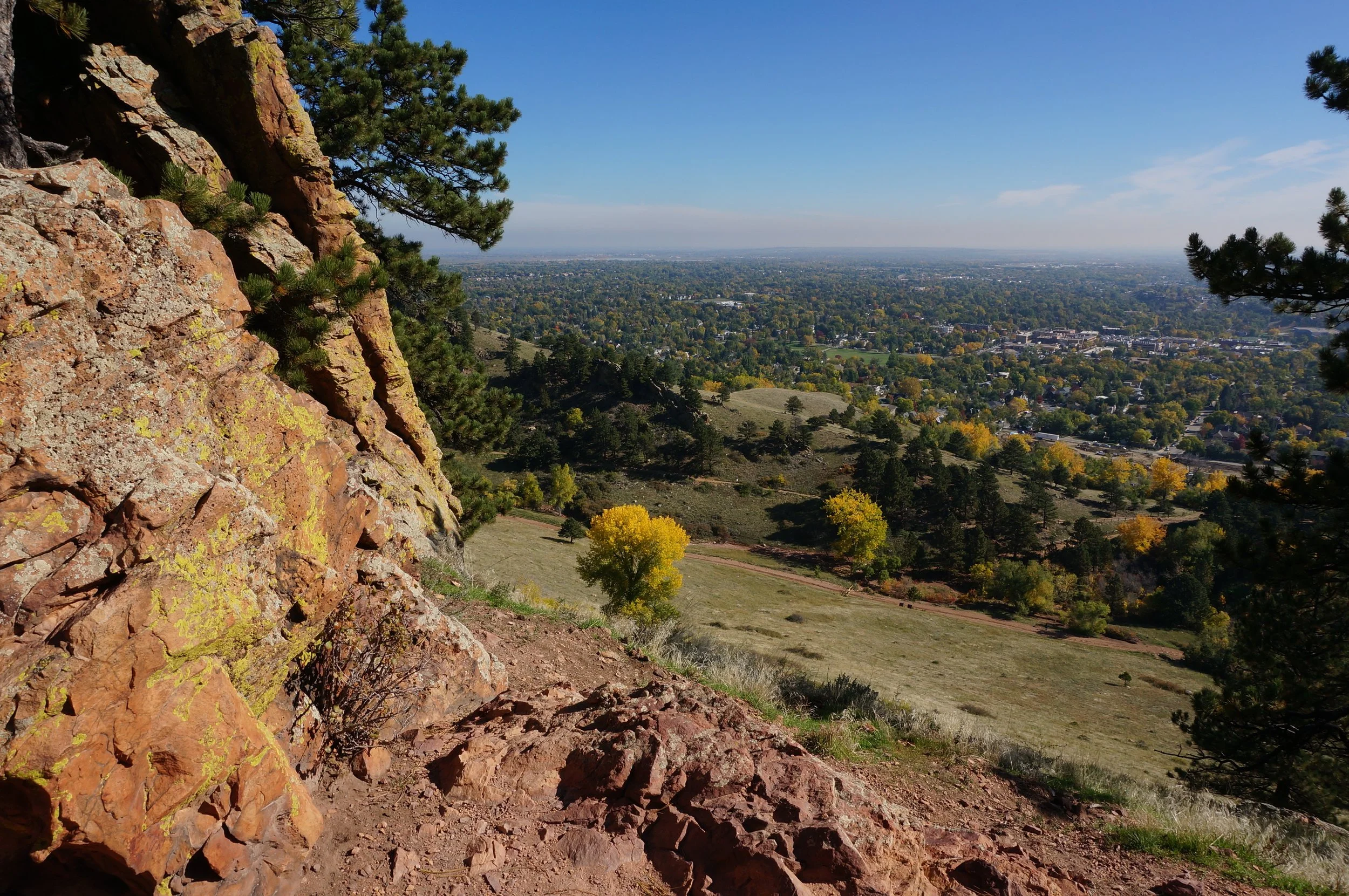
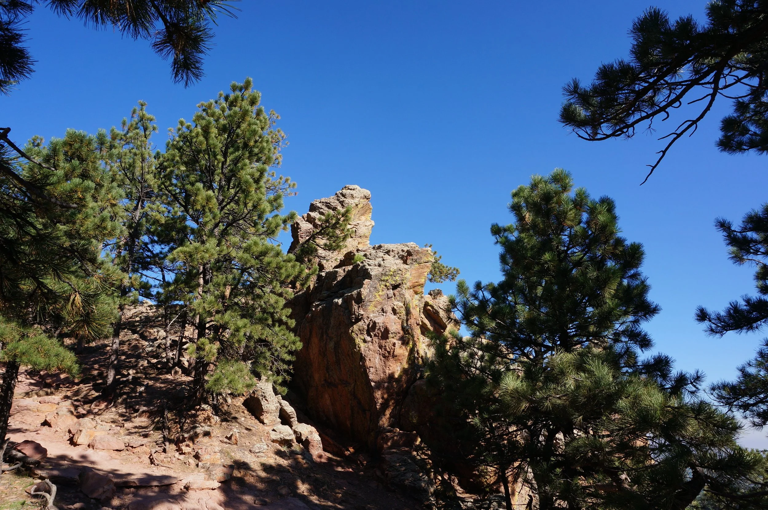
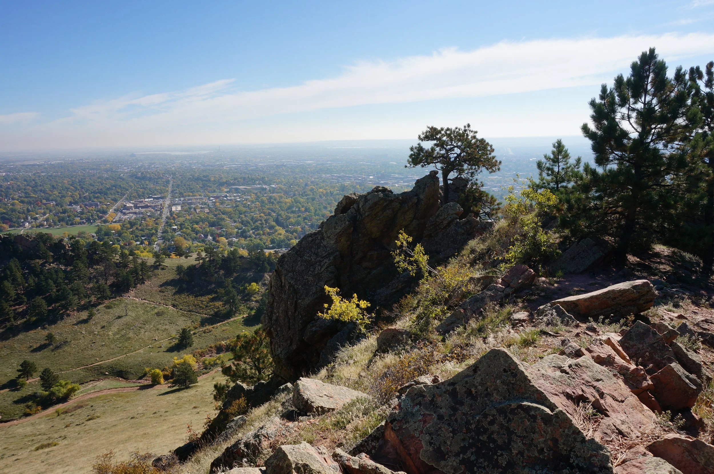
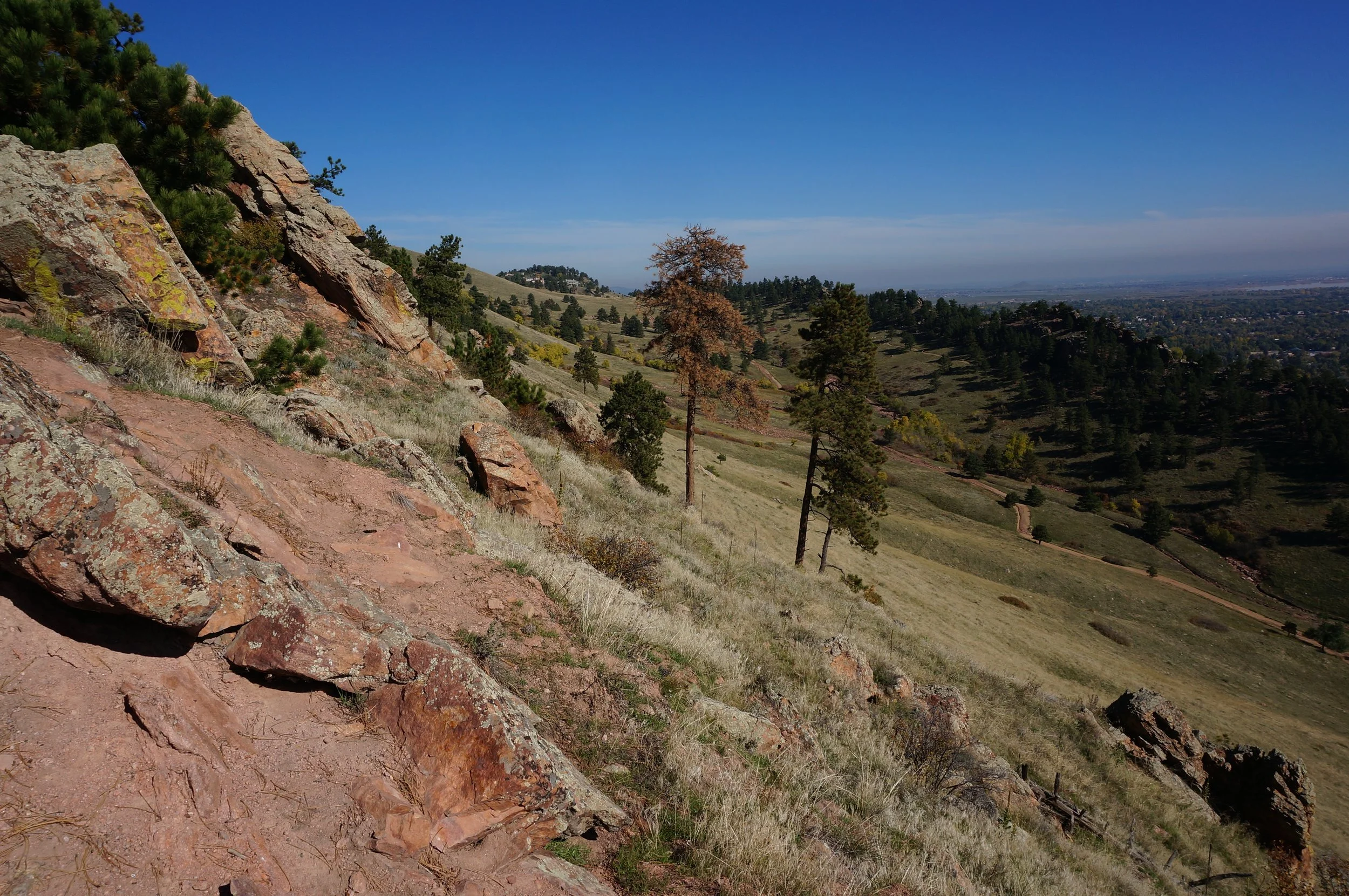
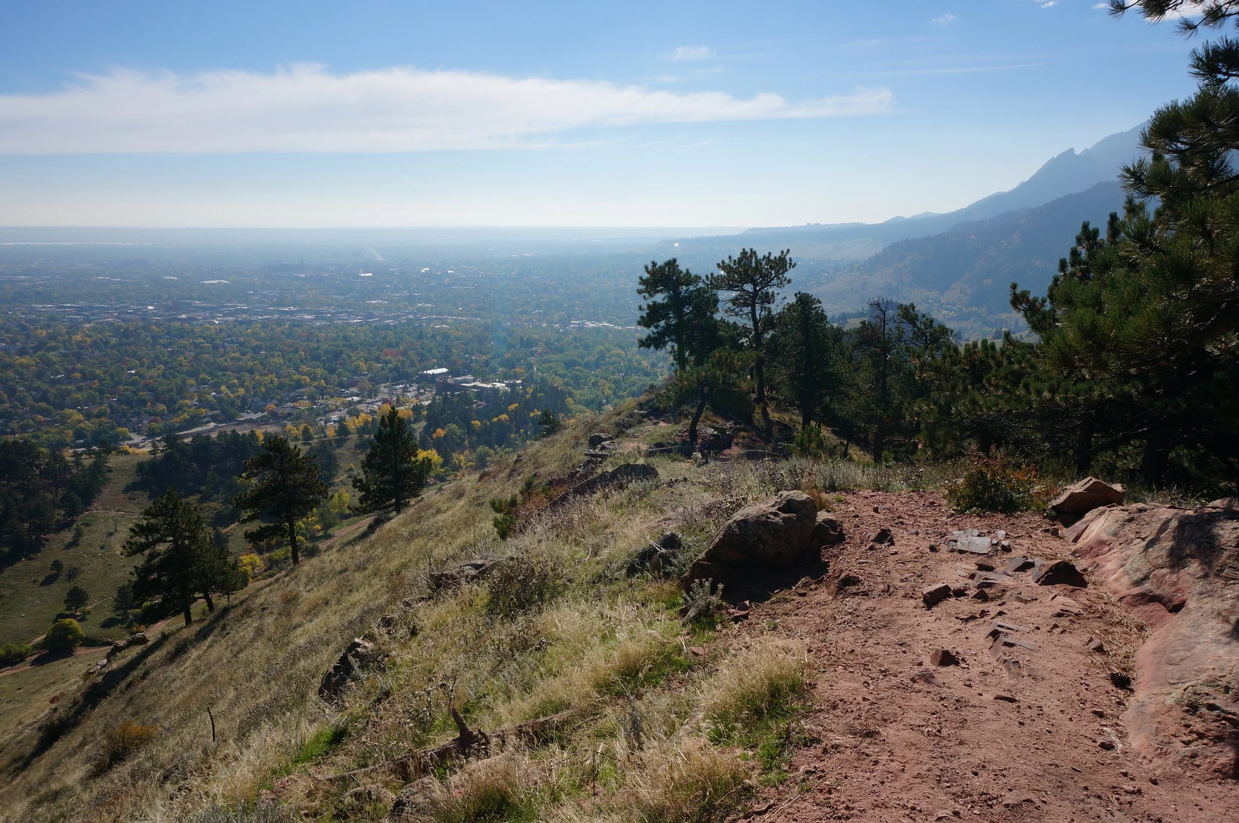
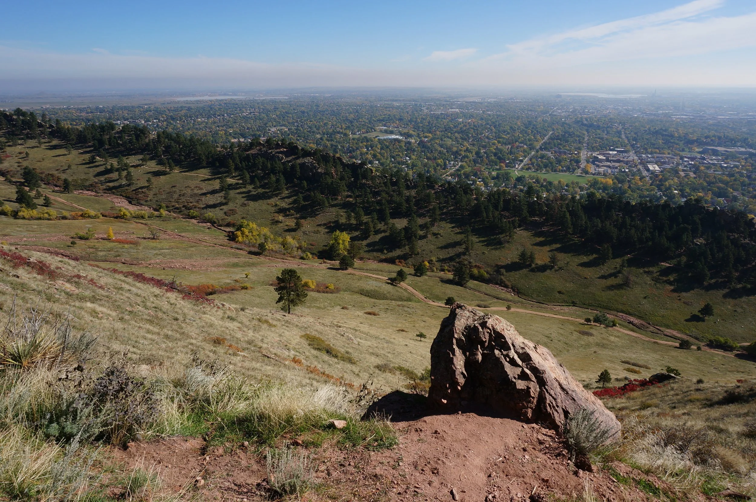
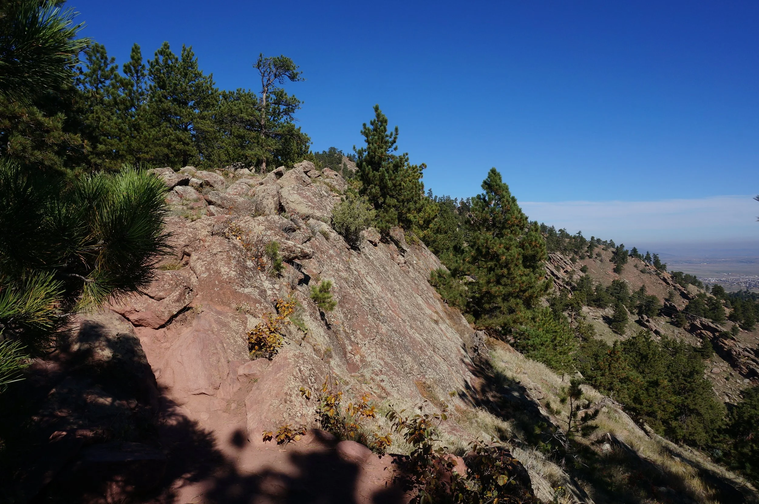
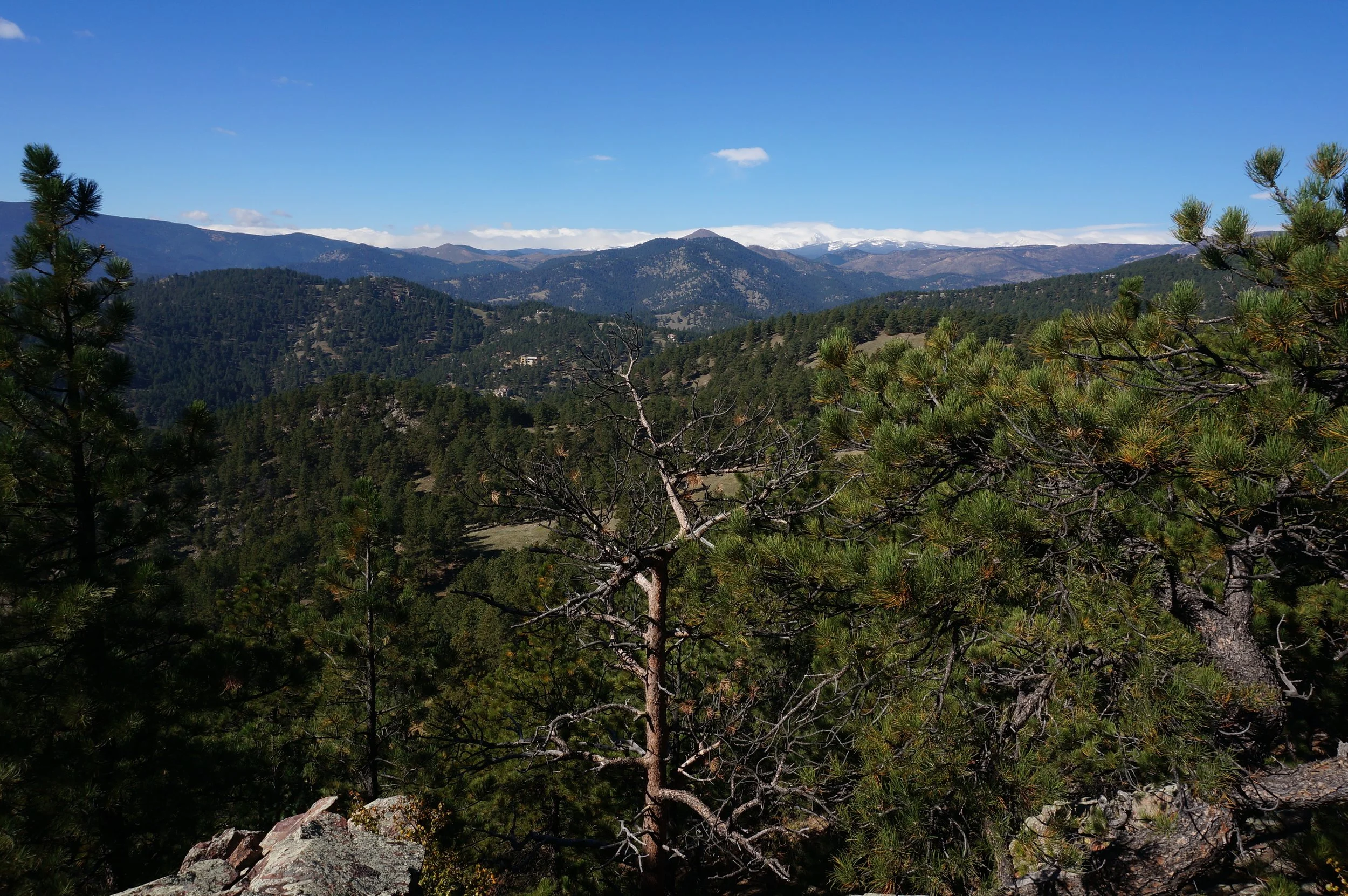
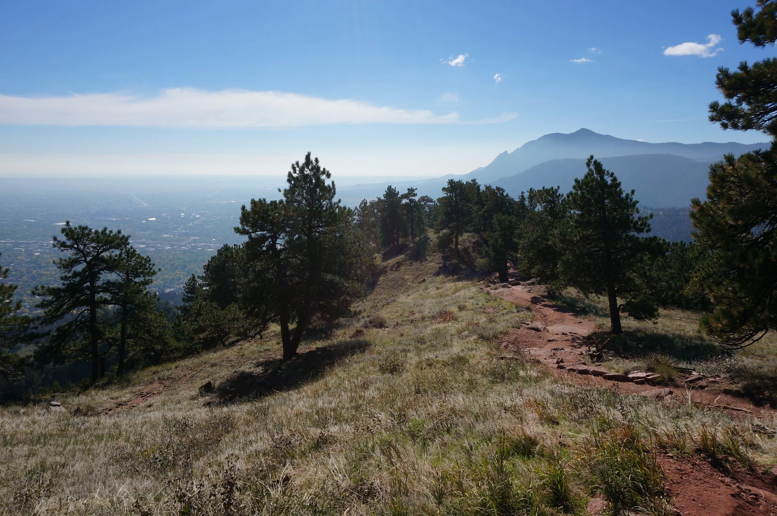
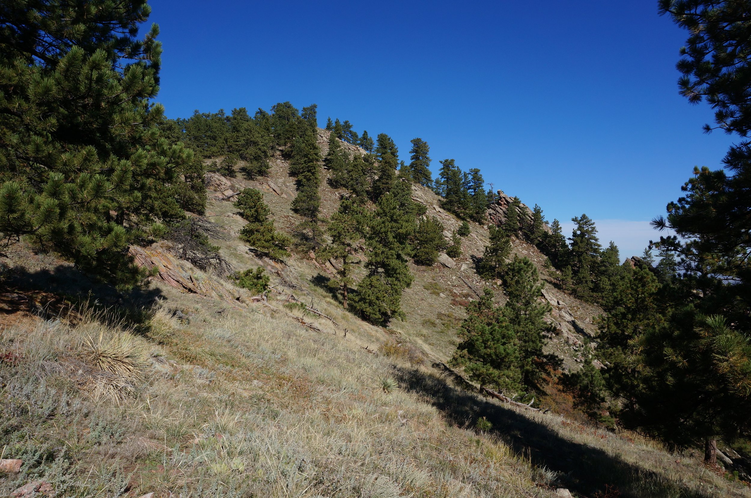
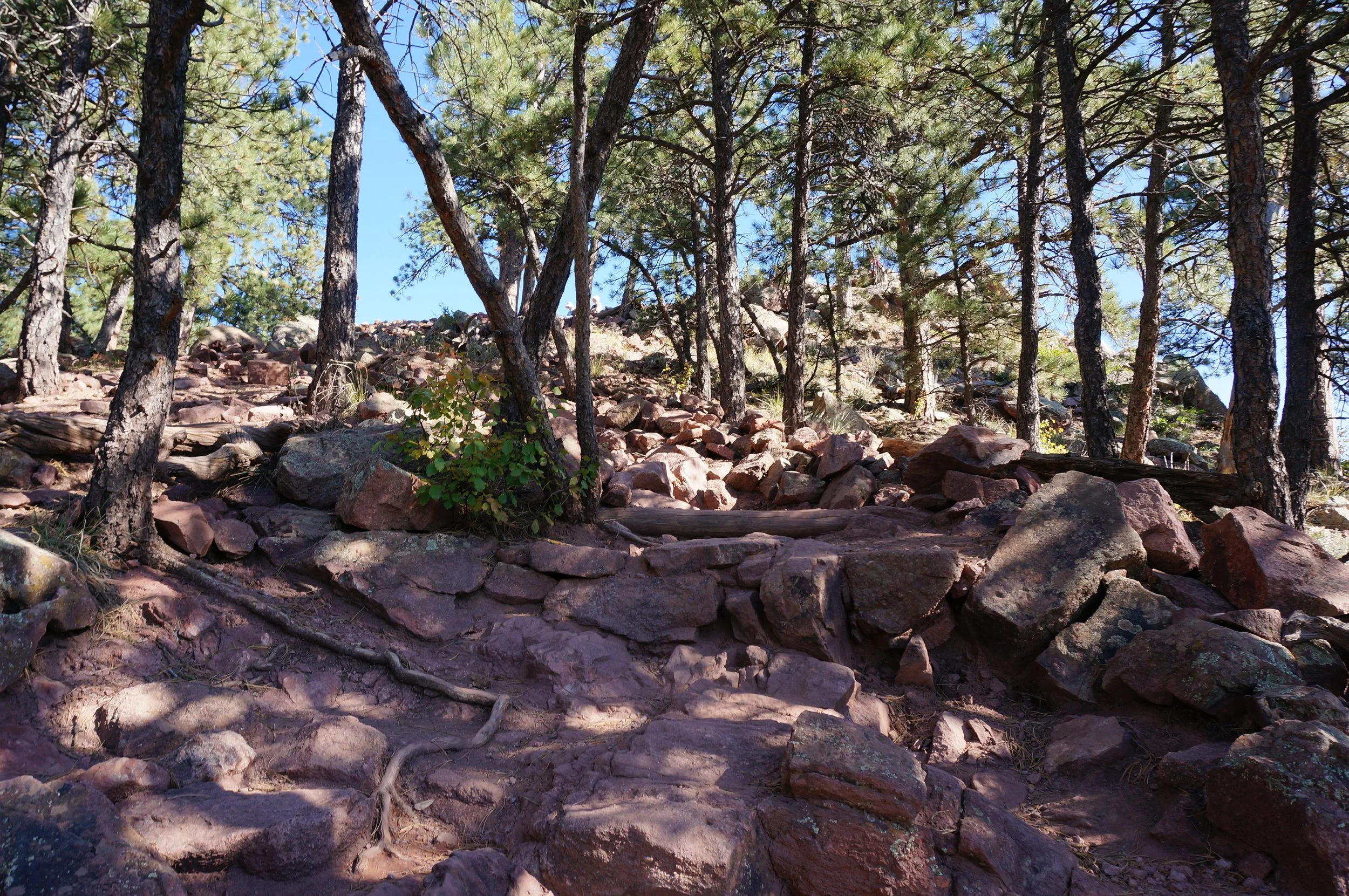
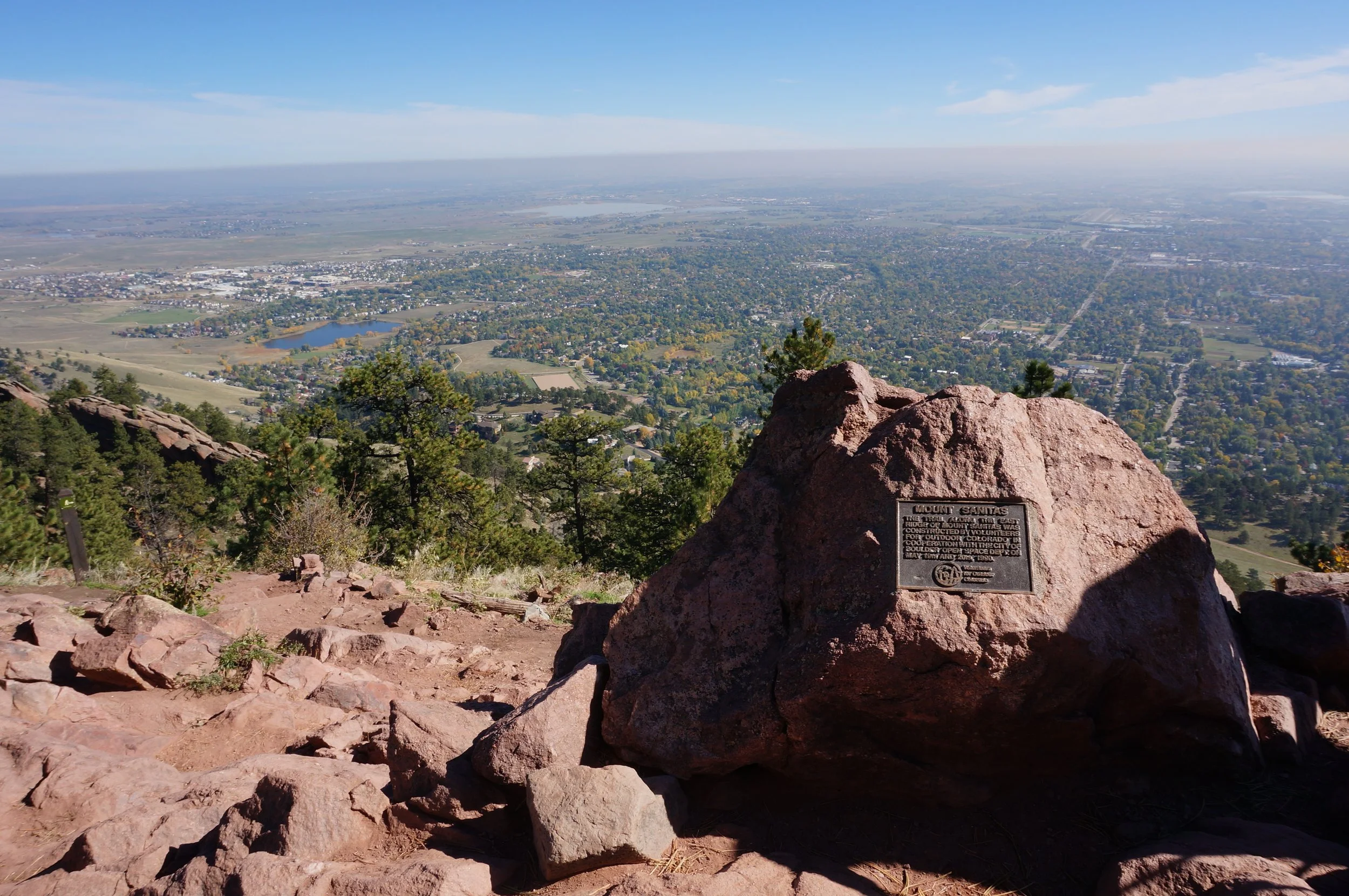
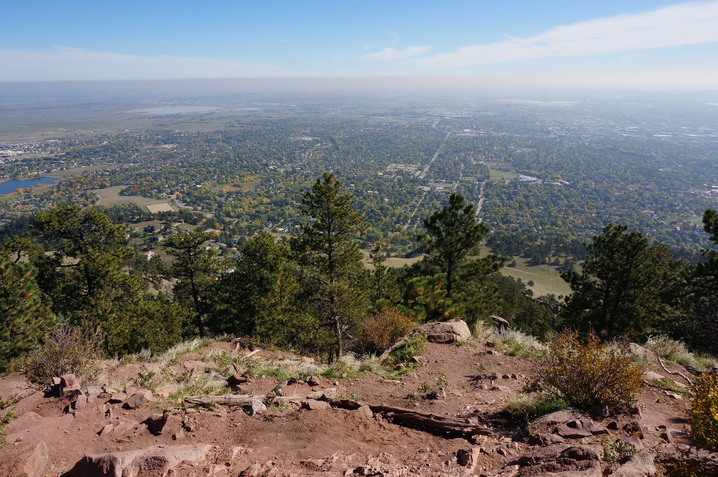
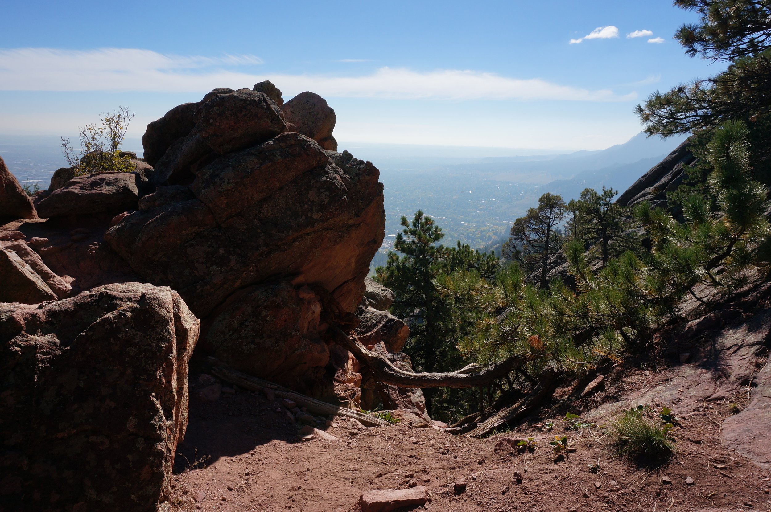
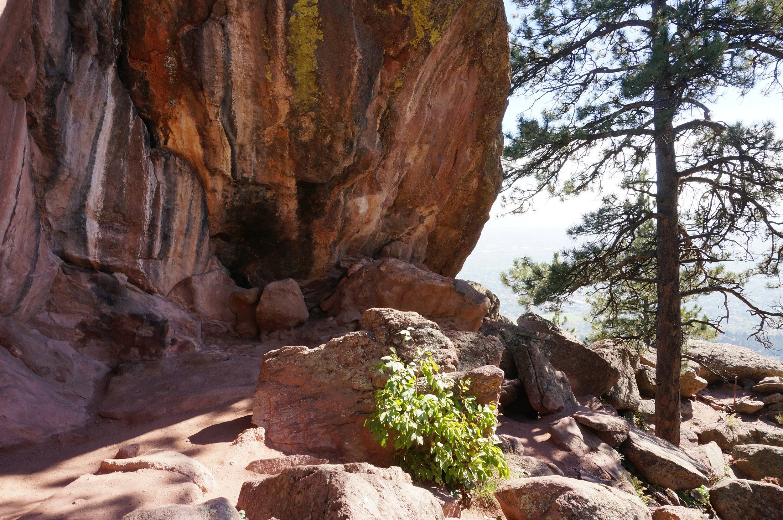
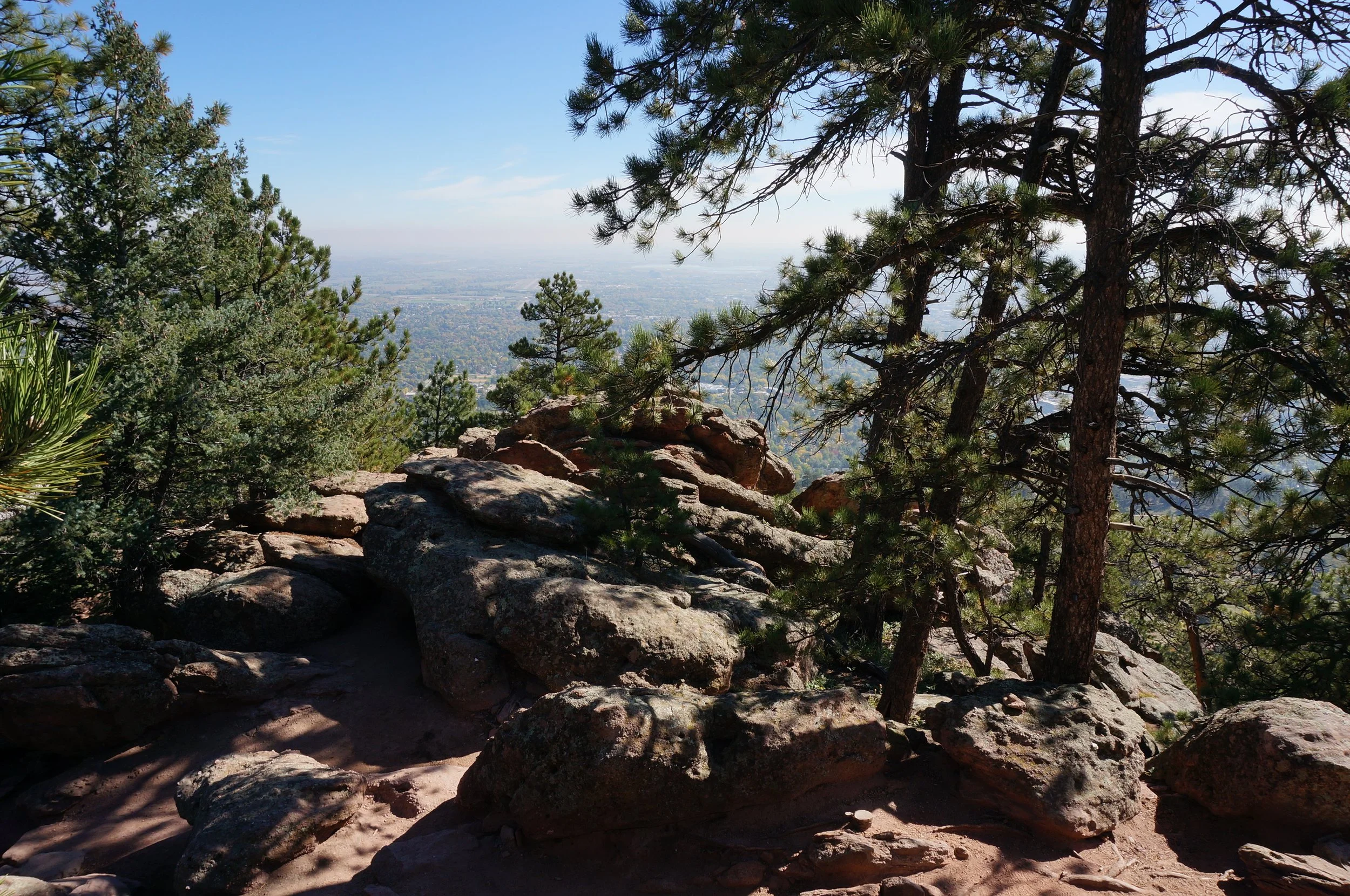
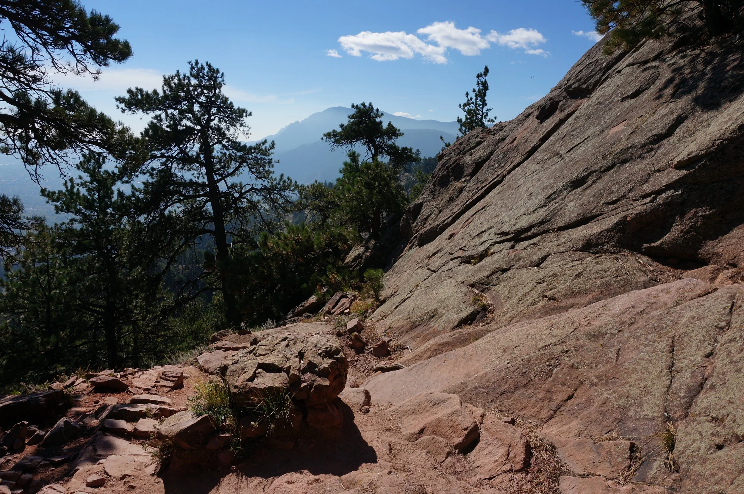
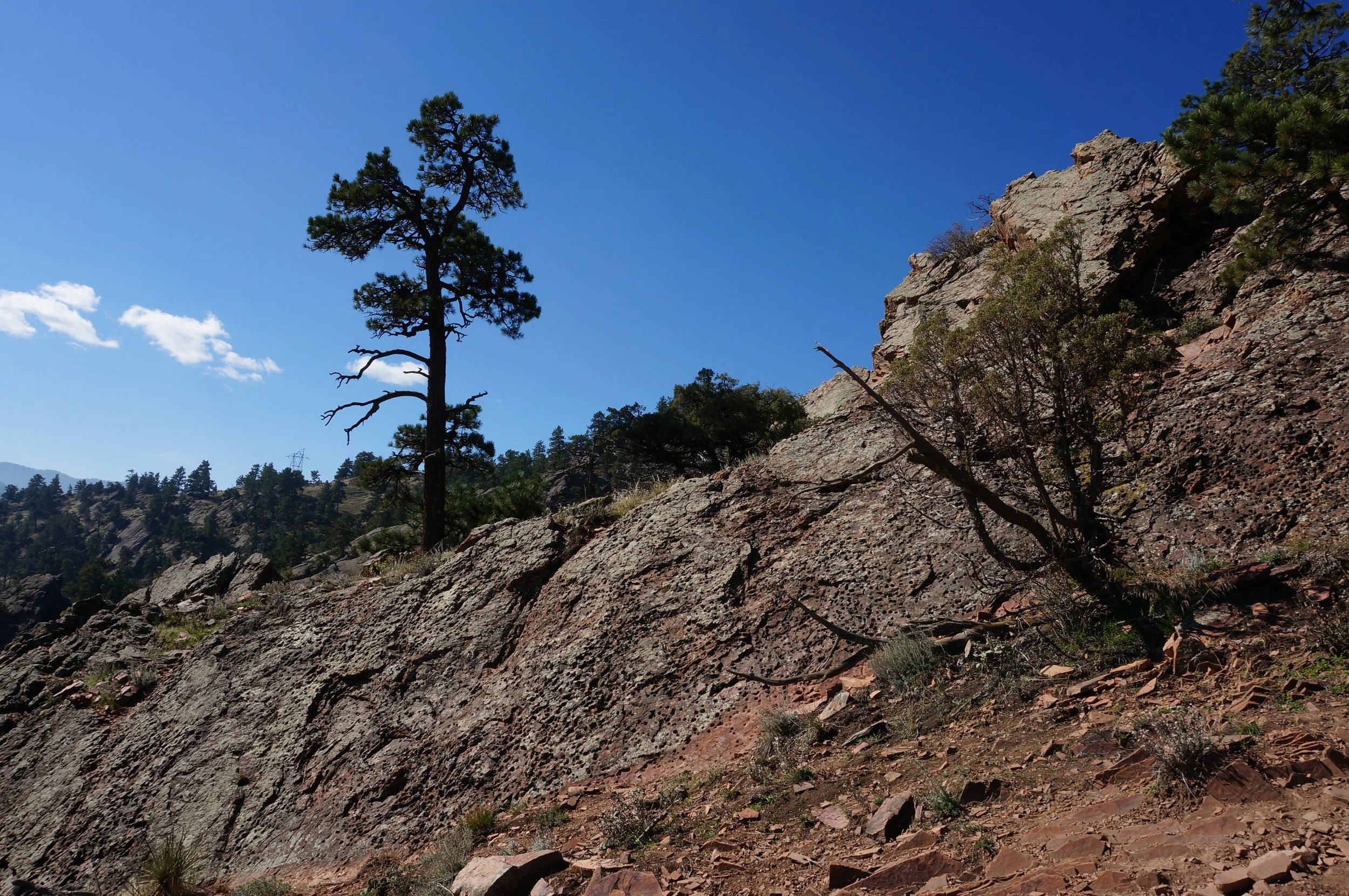
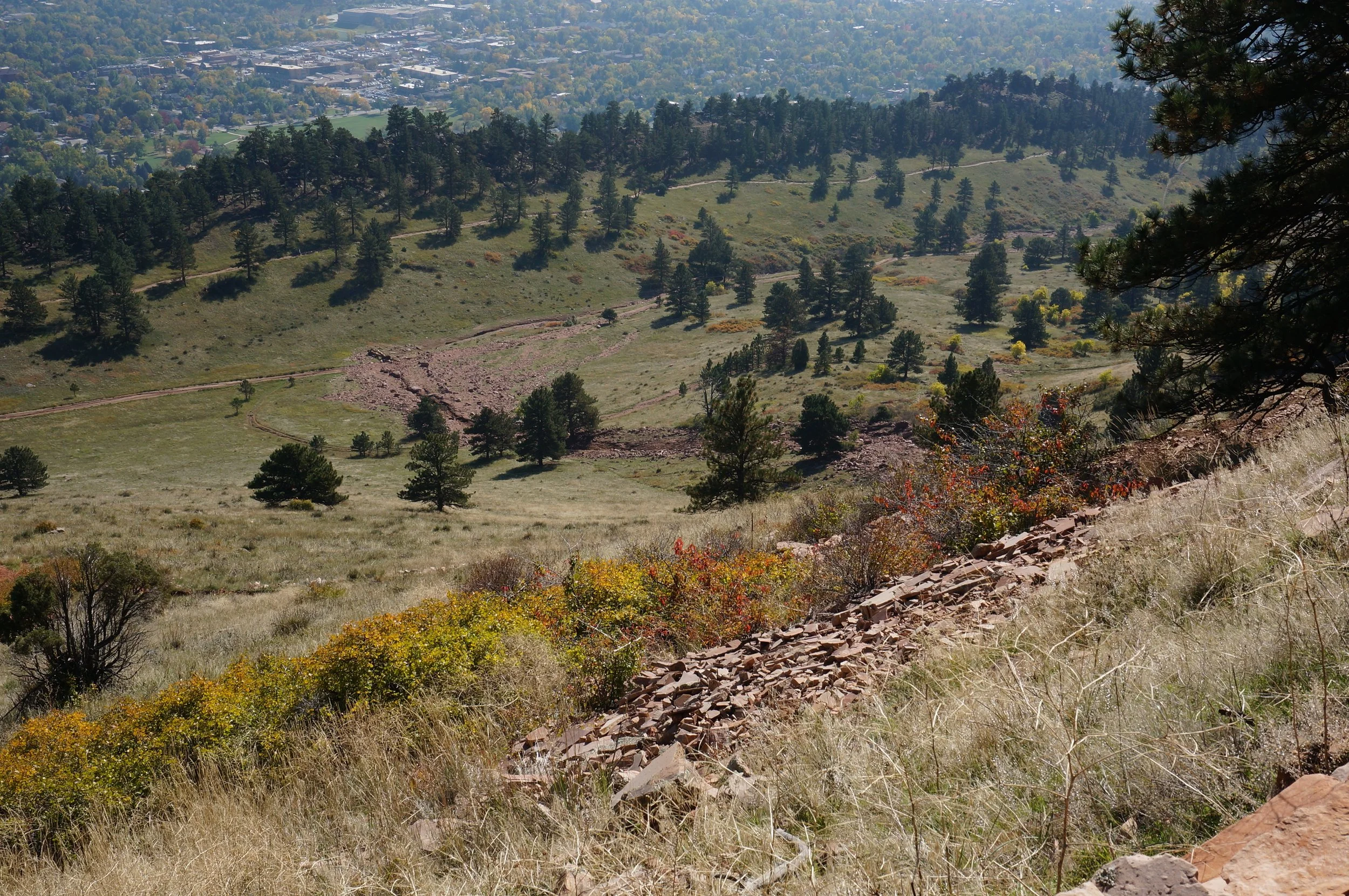
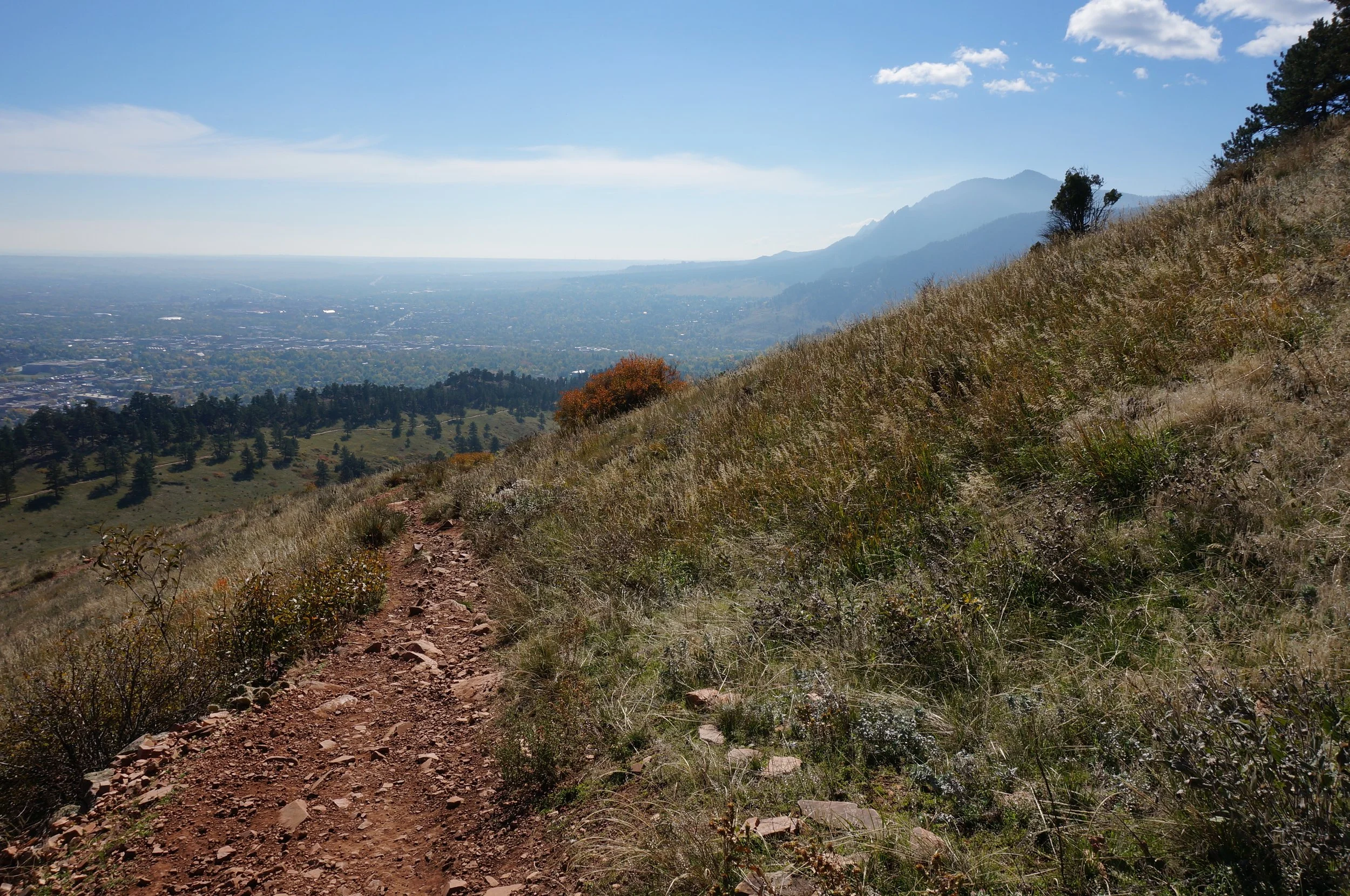
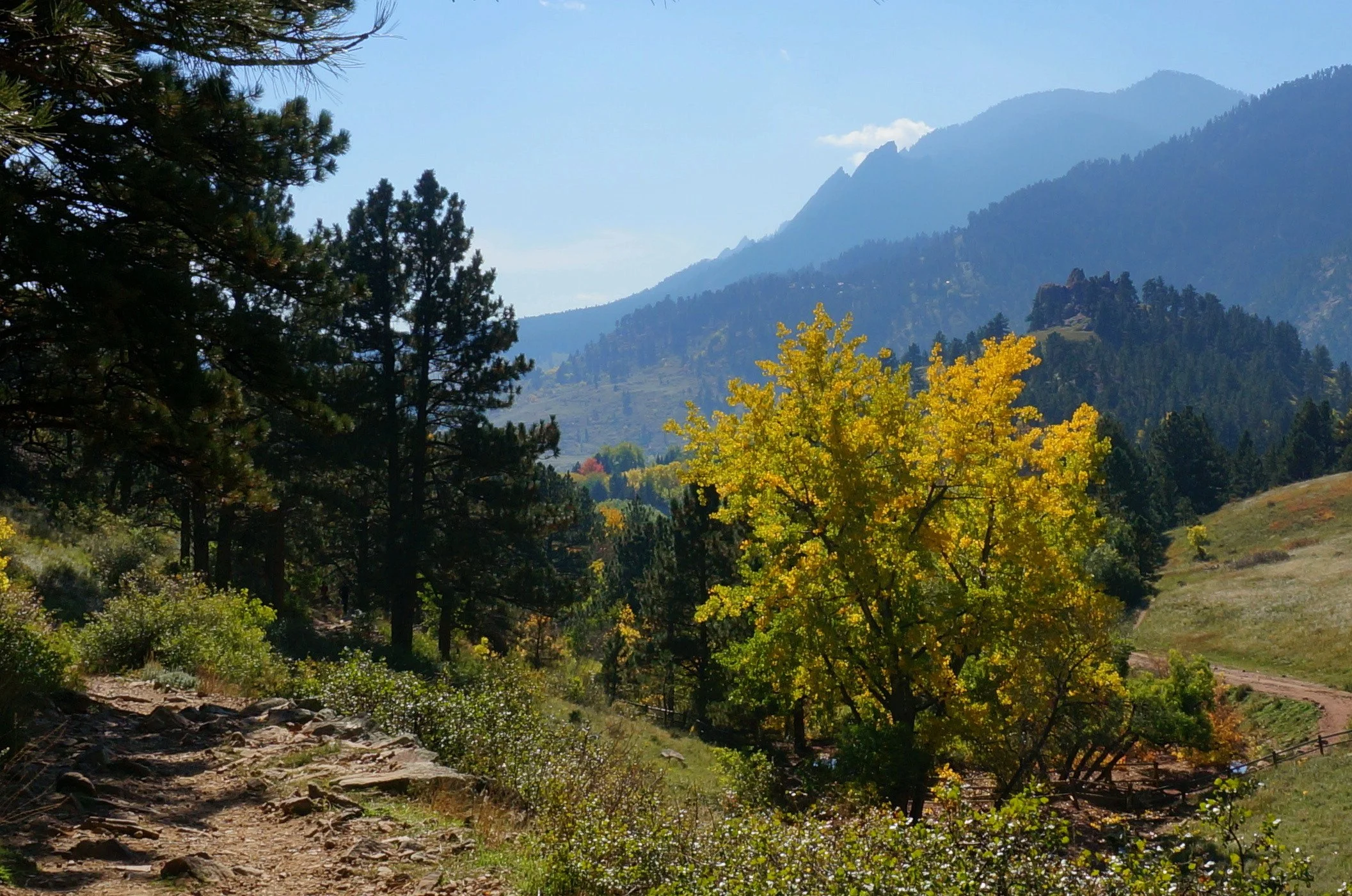
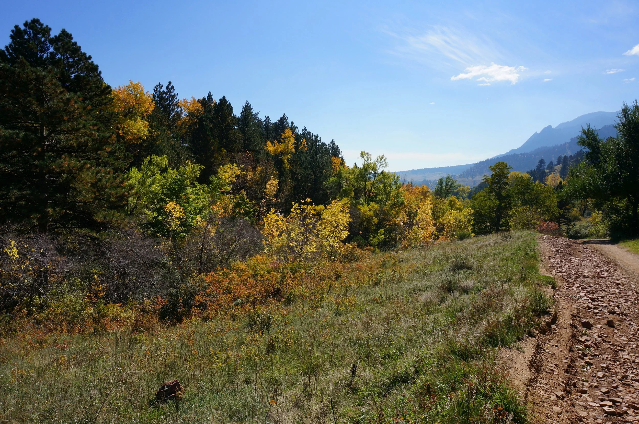
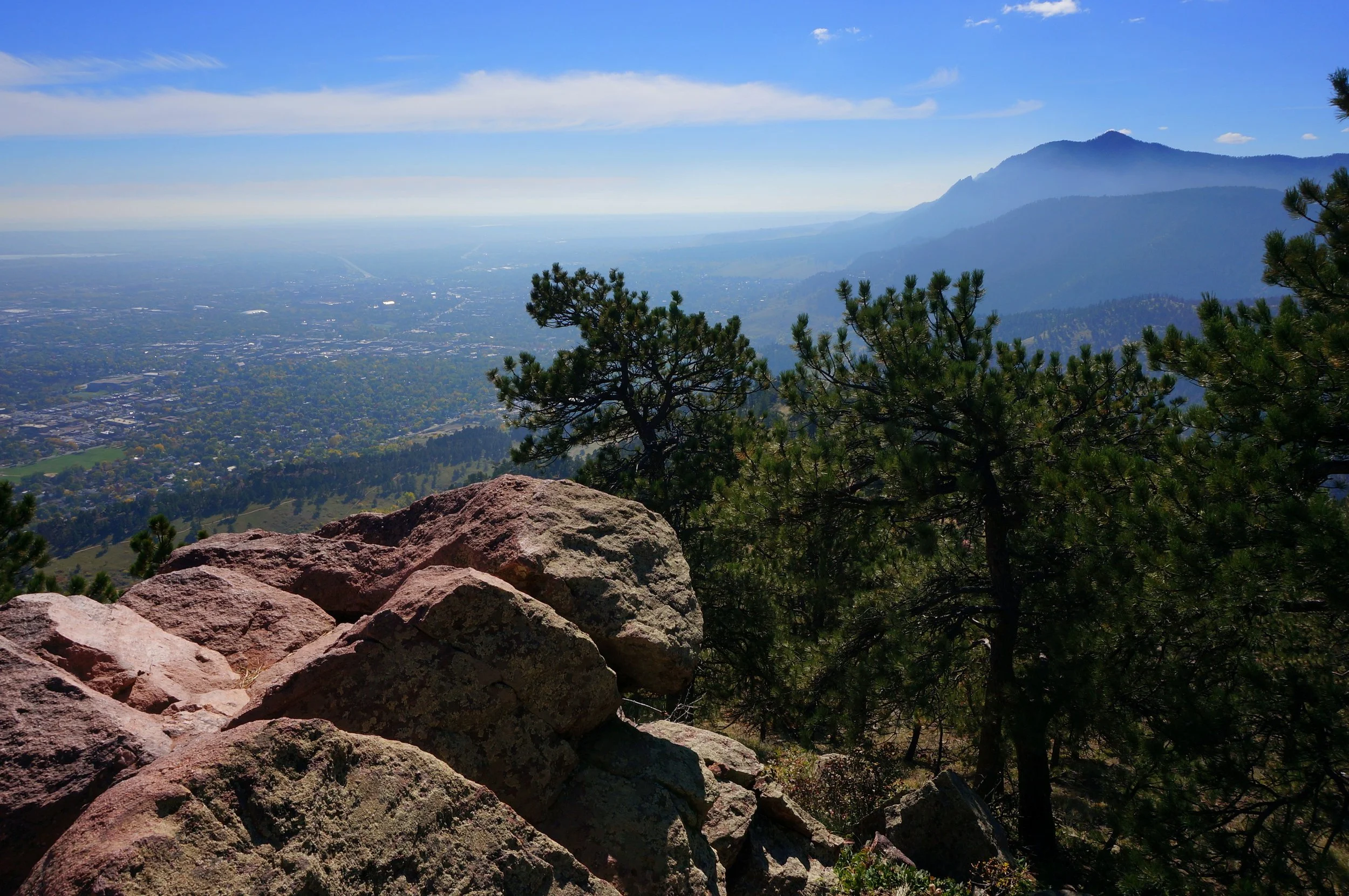
Mount Sanitas is one of the great Boulder summits. The main trail is very popular, and for good reason, it is a good workout and a truly fun hike. The trail has a steep grade and little relief on the way up as you gain about 1,300 ft in a mile and a half. Parts of the trail are rocky but it overall well designed and well maintained. As you climb up the hillside you spend a good deal of time hiking along the red rocked hogback formation. There are cool rock formations and multiple spots where you can break through the rock wall for expansive views of Boulder and Green Mountain.
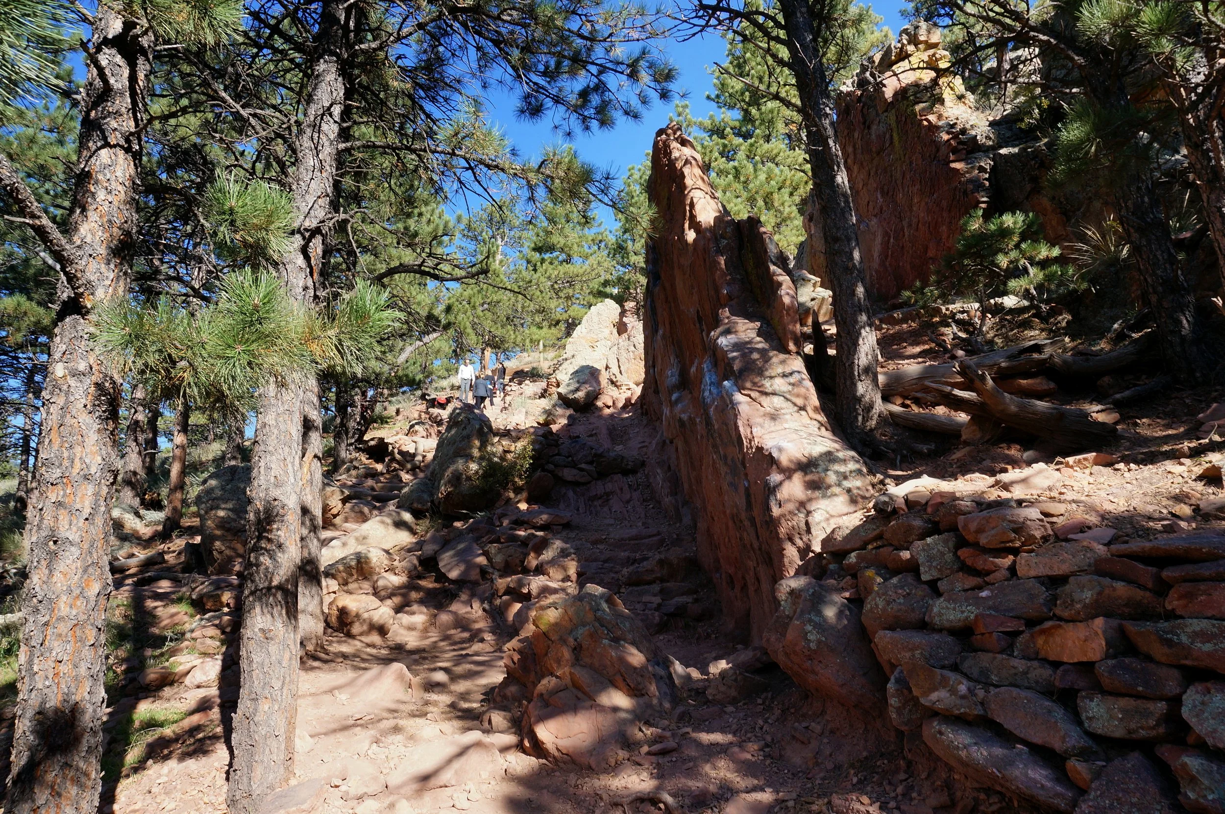
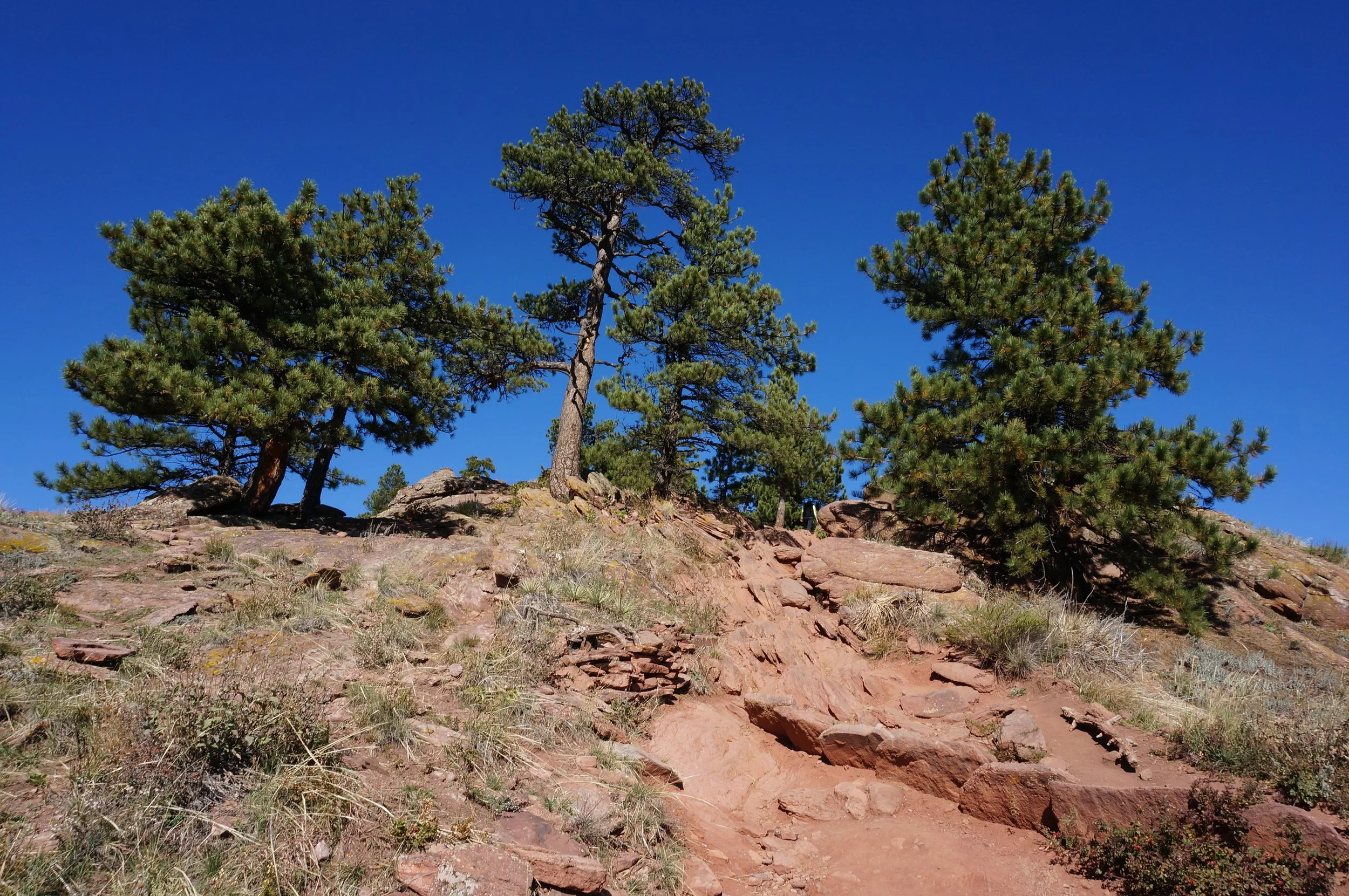
The summit is rocky but have plenty of room to find a comfy boulder and regain your wind. Climbing down the east ridge trail rocky and steep in spots but again, great fun with great views. I find it way easier to hike down this trail, then climb up it.
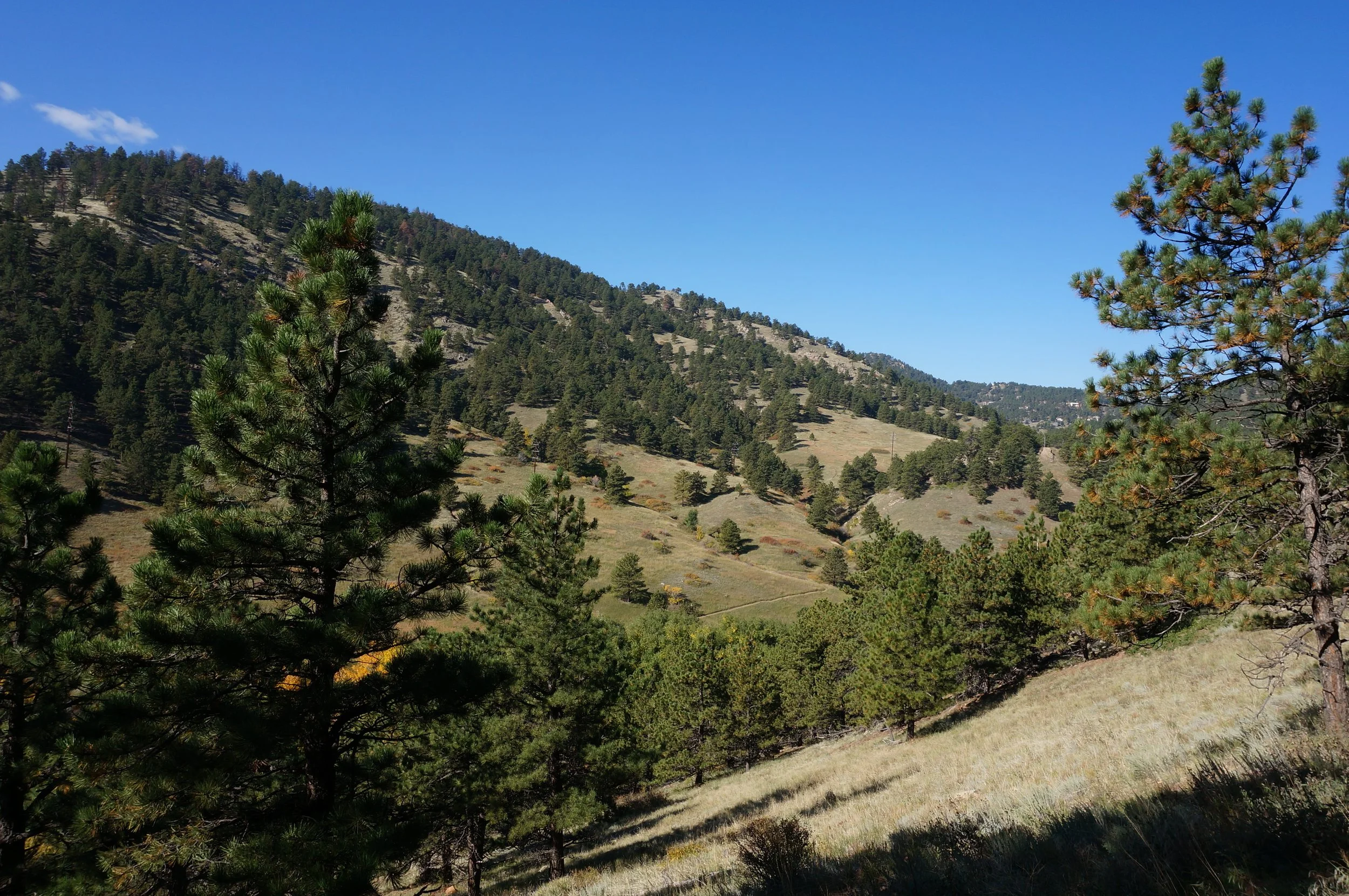
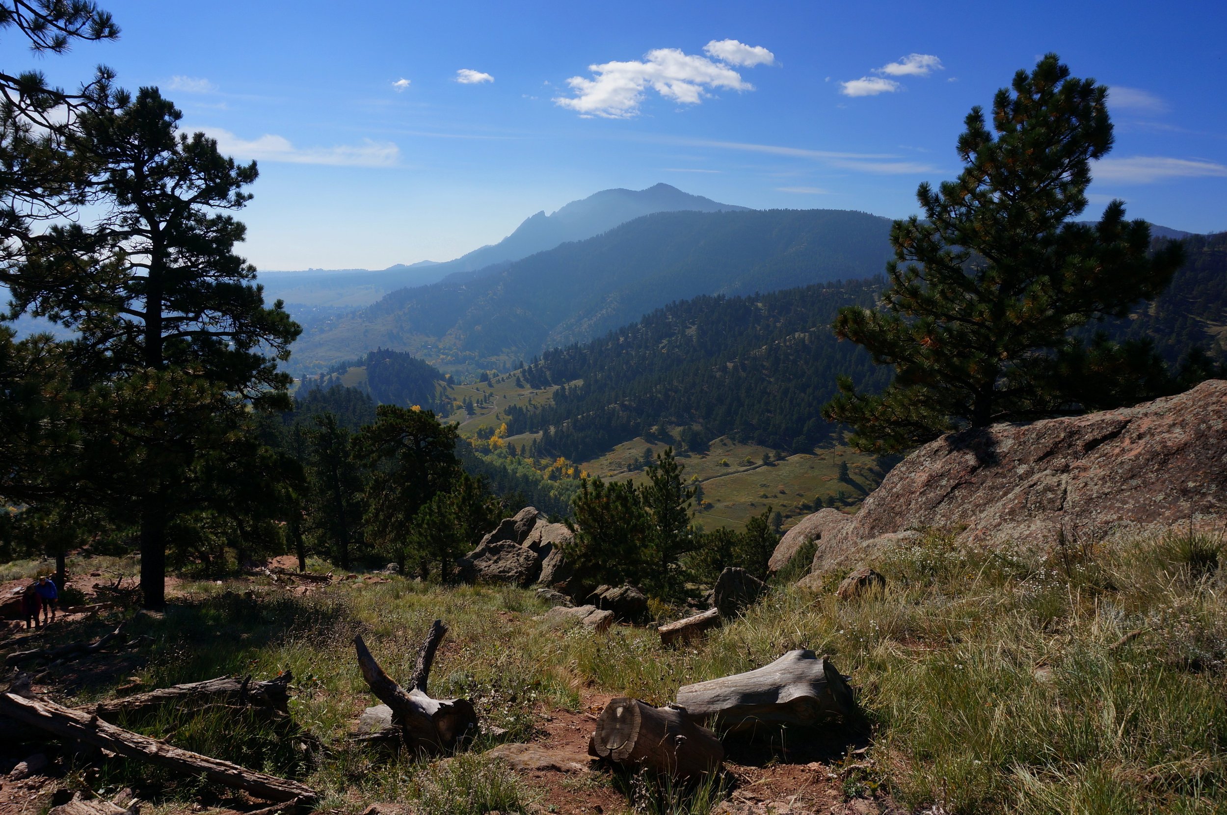
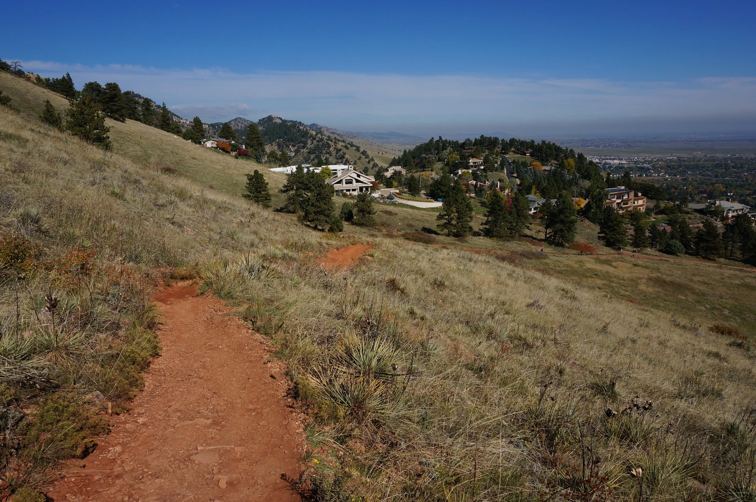
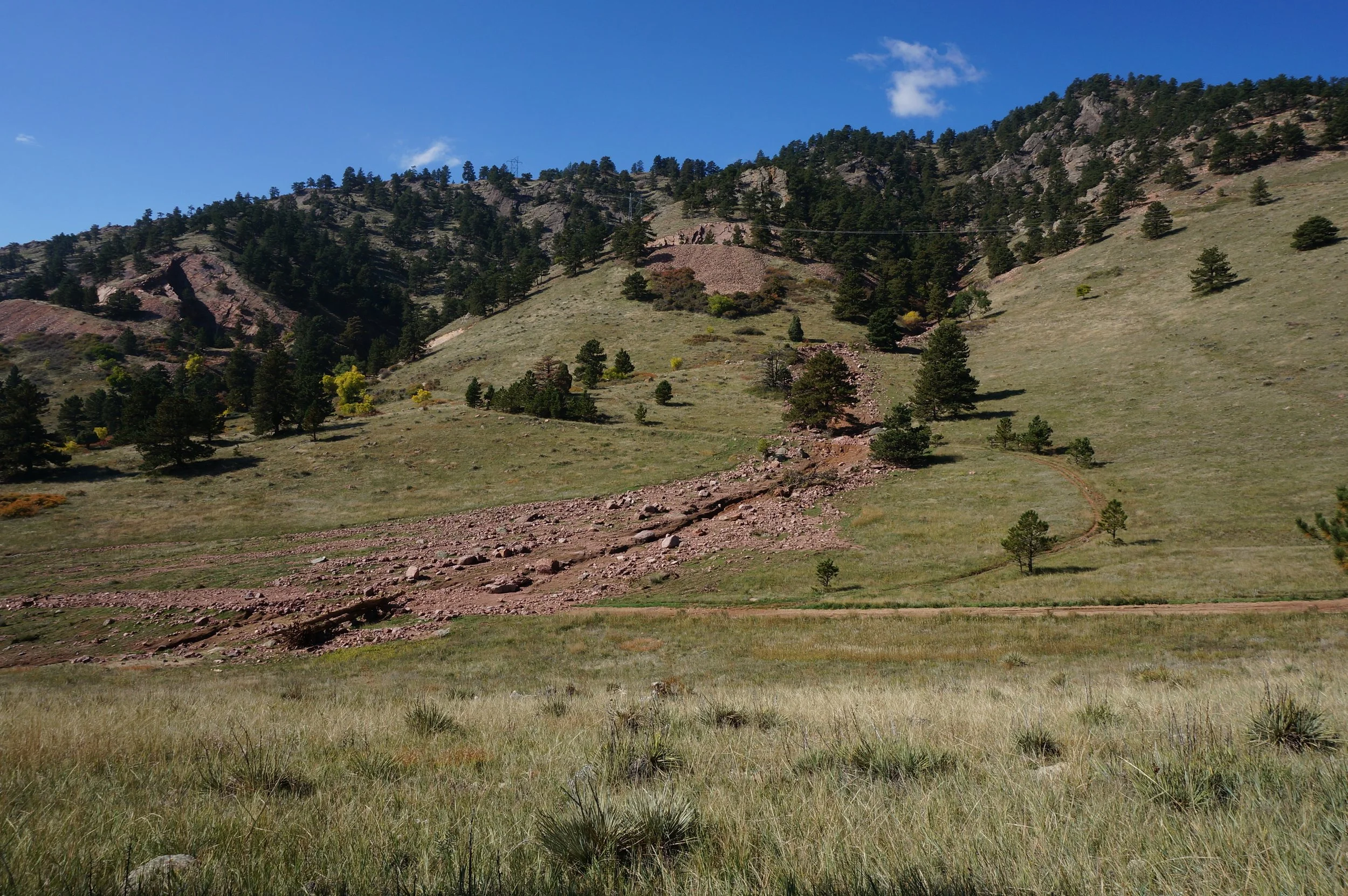
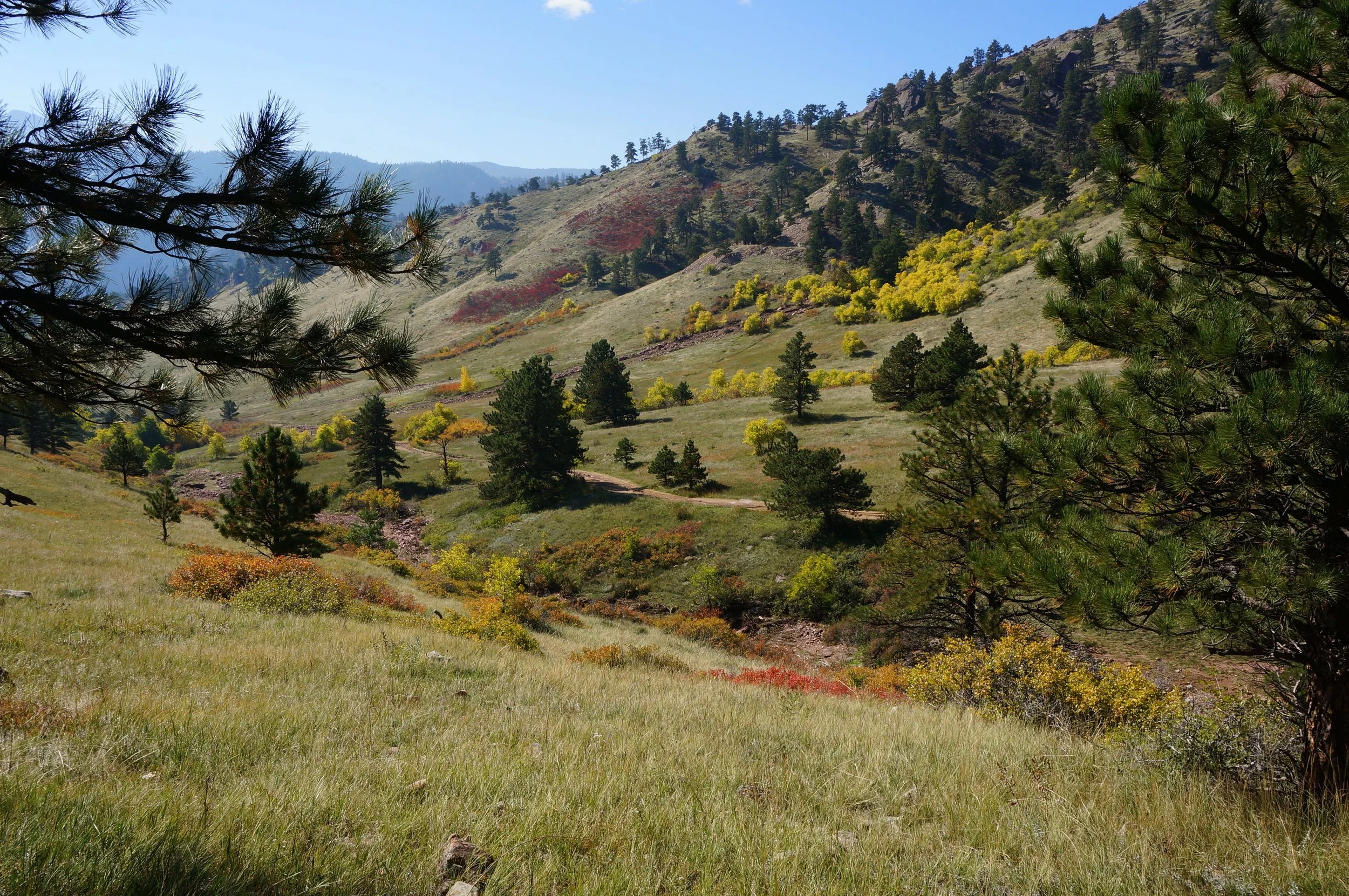
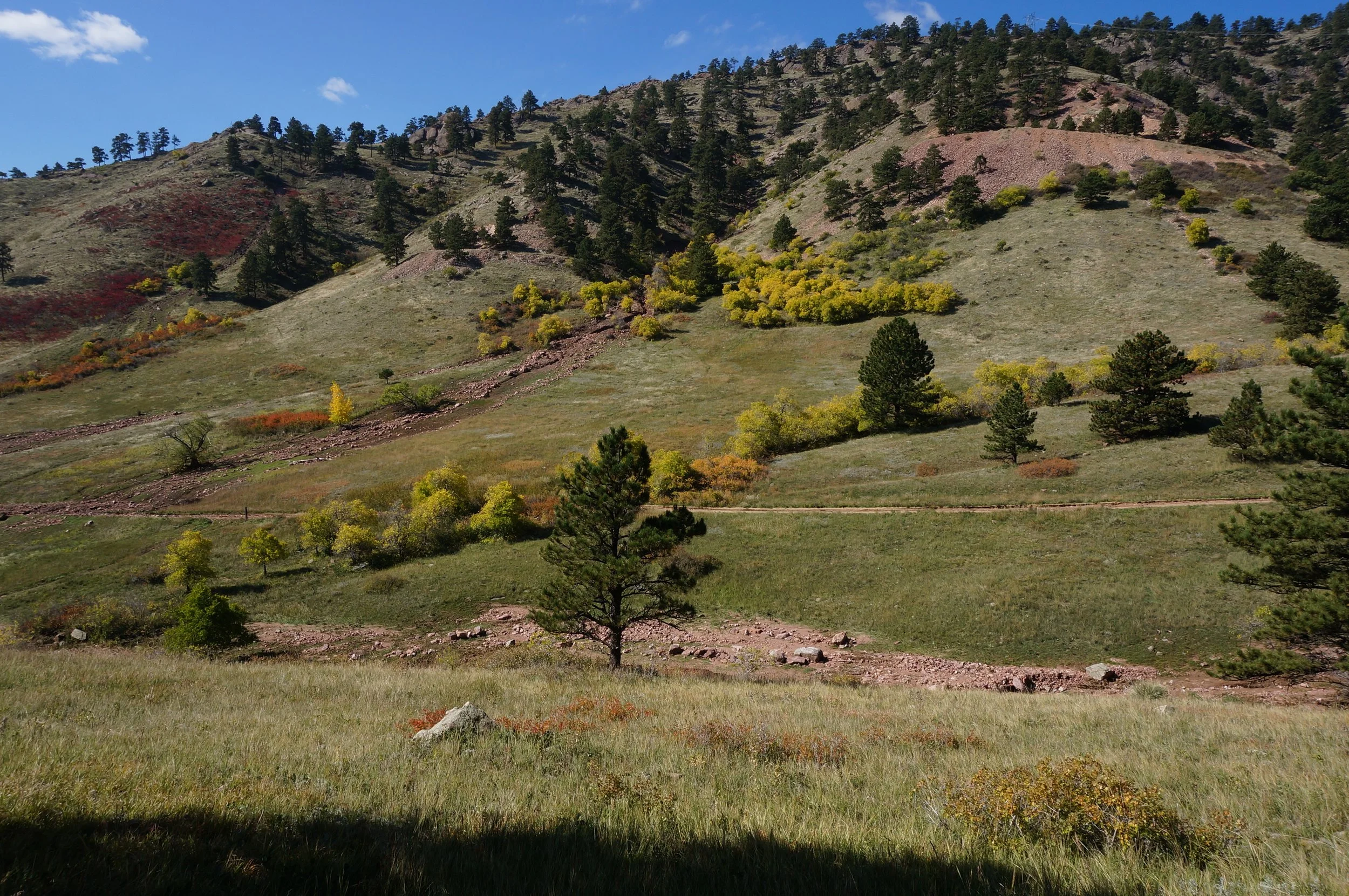
When you reach the Sanitas Valley you have two options to return to the trailhead, the Dakota Ridge Trail and the Sanitas Valley Trail. At the of this description, after the 2013 floods, the Sanitas Valley Trail leading back to the trailhead was closed for re-building (check the website for updated information). If it is closed, and even if it's not, you can, and should, take the Dakota Ridge trail instead. It gets more shade and less traffic and gives you a great view of Sanitas Valley.
Mount Sanitas is absolutely a must do for any Colorado Hiker, and if you want to take the slightly less traveled path, check out the Lions Lair Trail as an alternate route to the summit. Either way, you are in for a treat.