Miramonte Rim
Lunch Loops Area, BLM Public Lands
Date Hiked: December 28, 2024
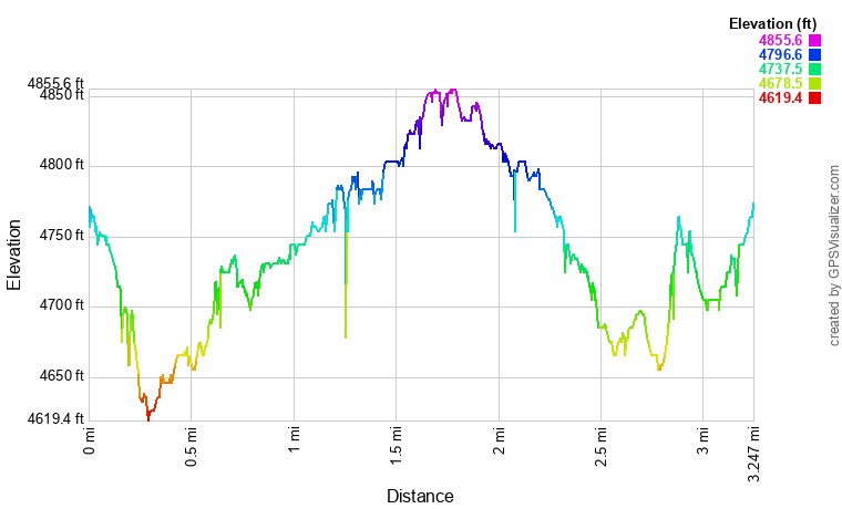
Distance: 3.2 mi (RT)
Elevation Gain: 300 ft
Elevation Min/Max: 4,636 to 4,852 ft
Trailhead Lat/Long: 39.04593, -108.58683
Managing Agency: Bureau of Land Management (BLM)
Fee: None
DIRECTIONS:
From Grand Junction, take 340 southwest out of town and cross the Colorado River on Broadway. Past the river, turn south onto Monument Road for just a minute or so. Turn south again onto D Road and follow it until it turns to the south becoming Rosevale Road. Head south and turn right onto Little Park Road. Stay on Little Park Road for only 0.4 miles and look for the narrow dirt road on the right, there is no sign on this road. This short but steep and rocky dirt road takes you up to the Mile Marker 12 Trailhead on the rim of the canyon. This road will be tricky for low clearance vehicles and muddy weather.
HIKE DESCRIPTION:
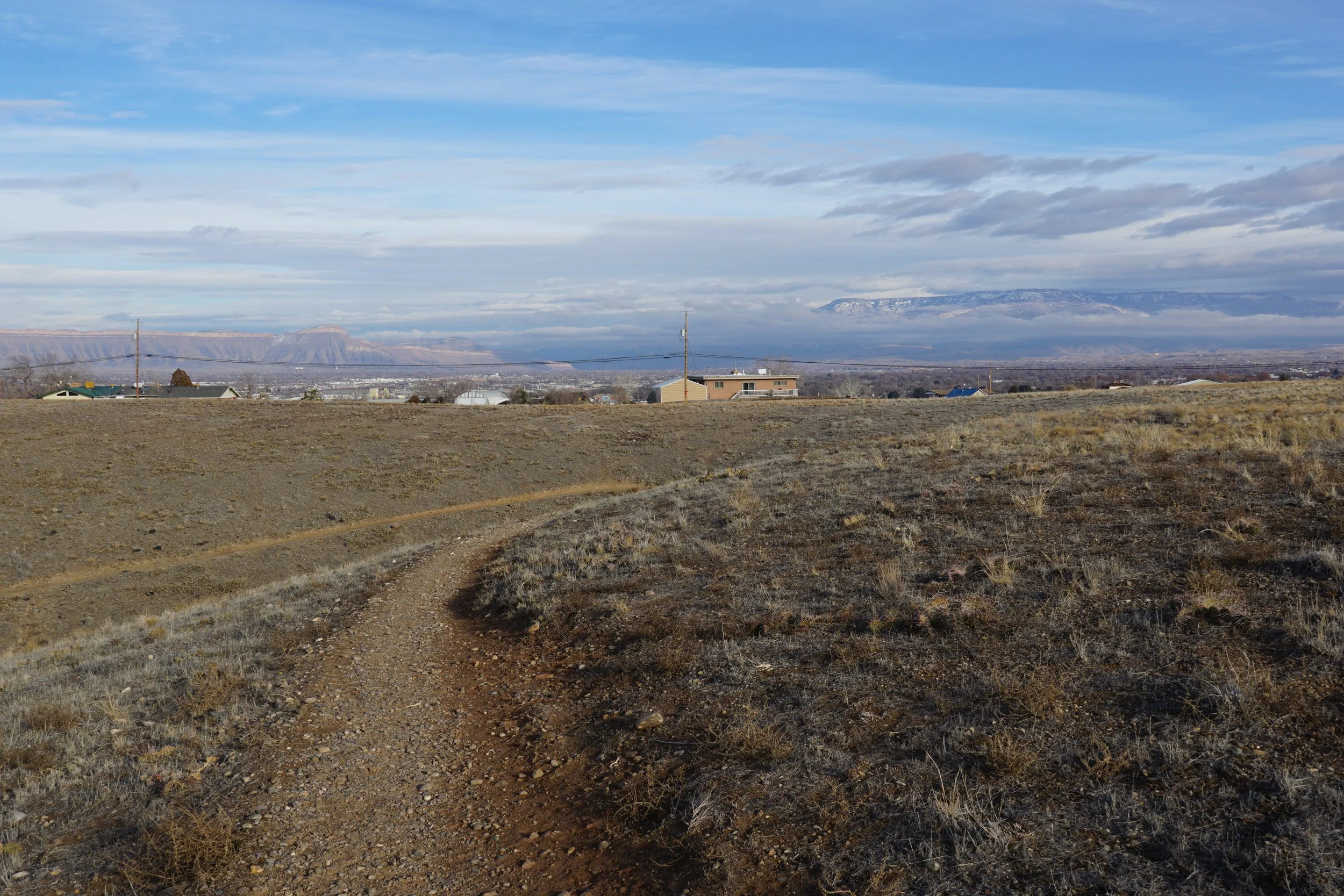
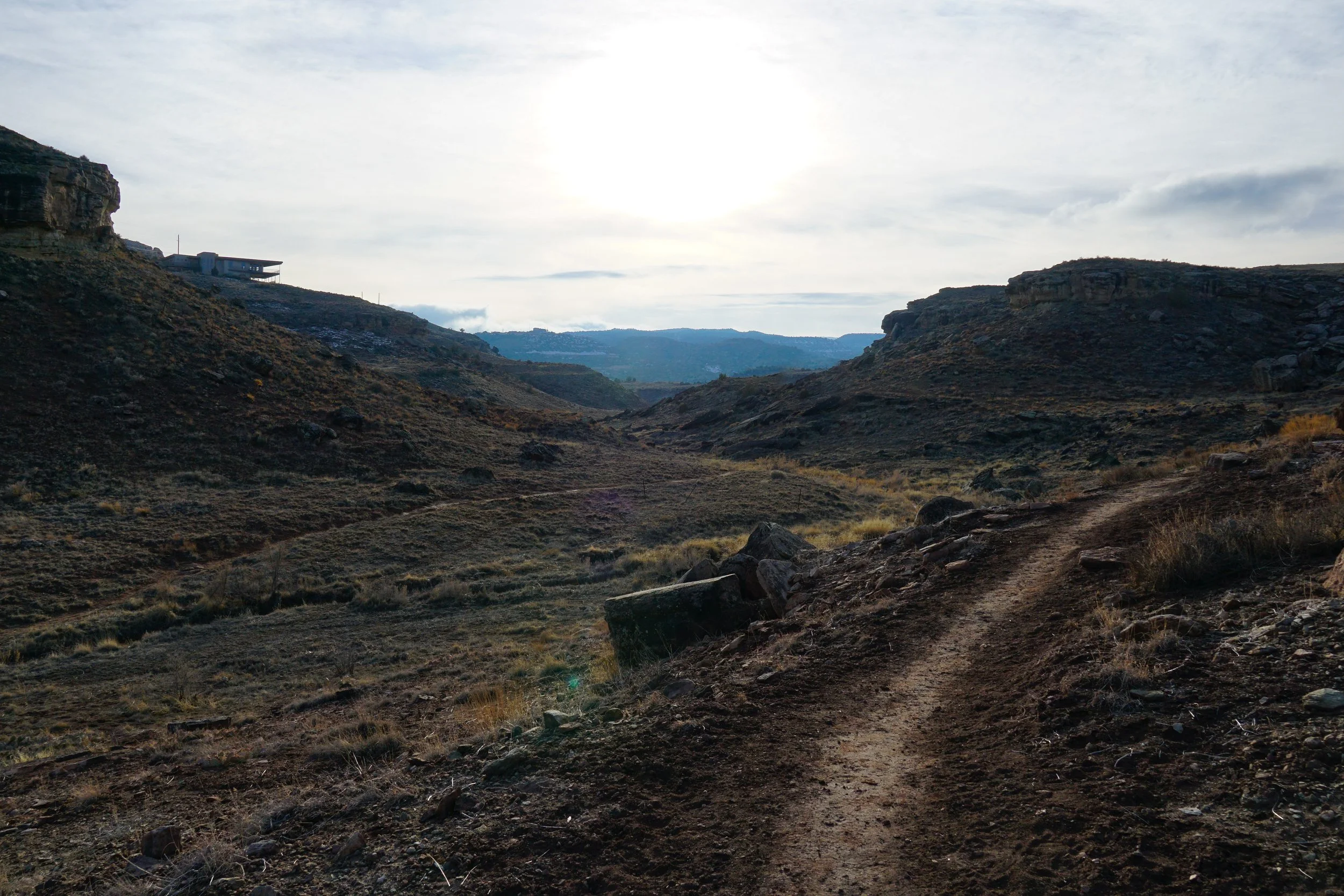
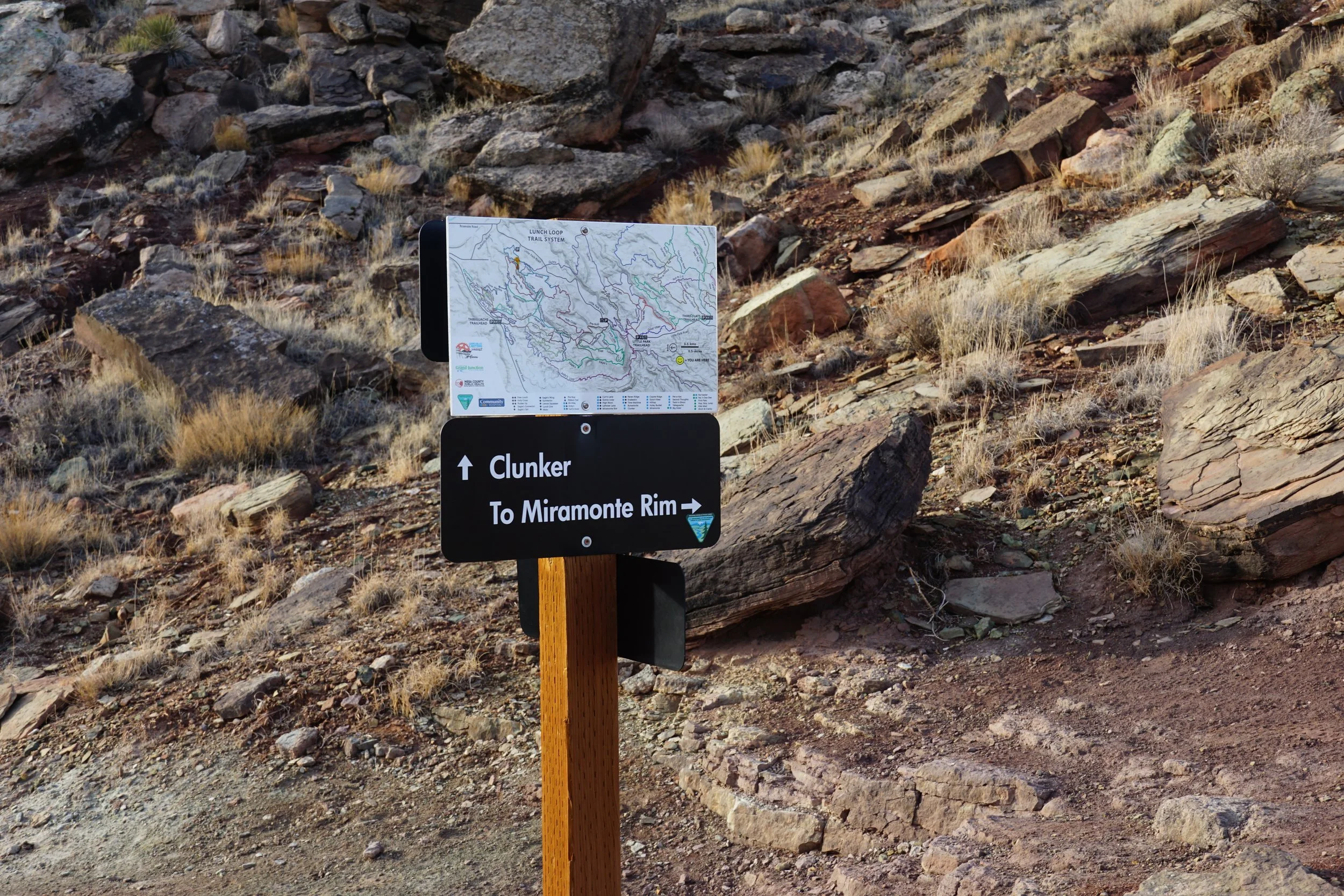
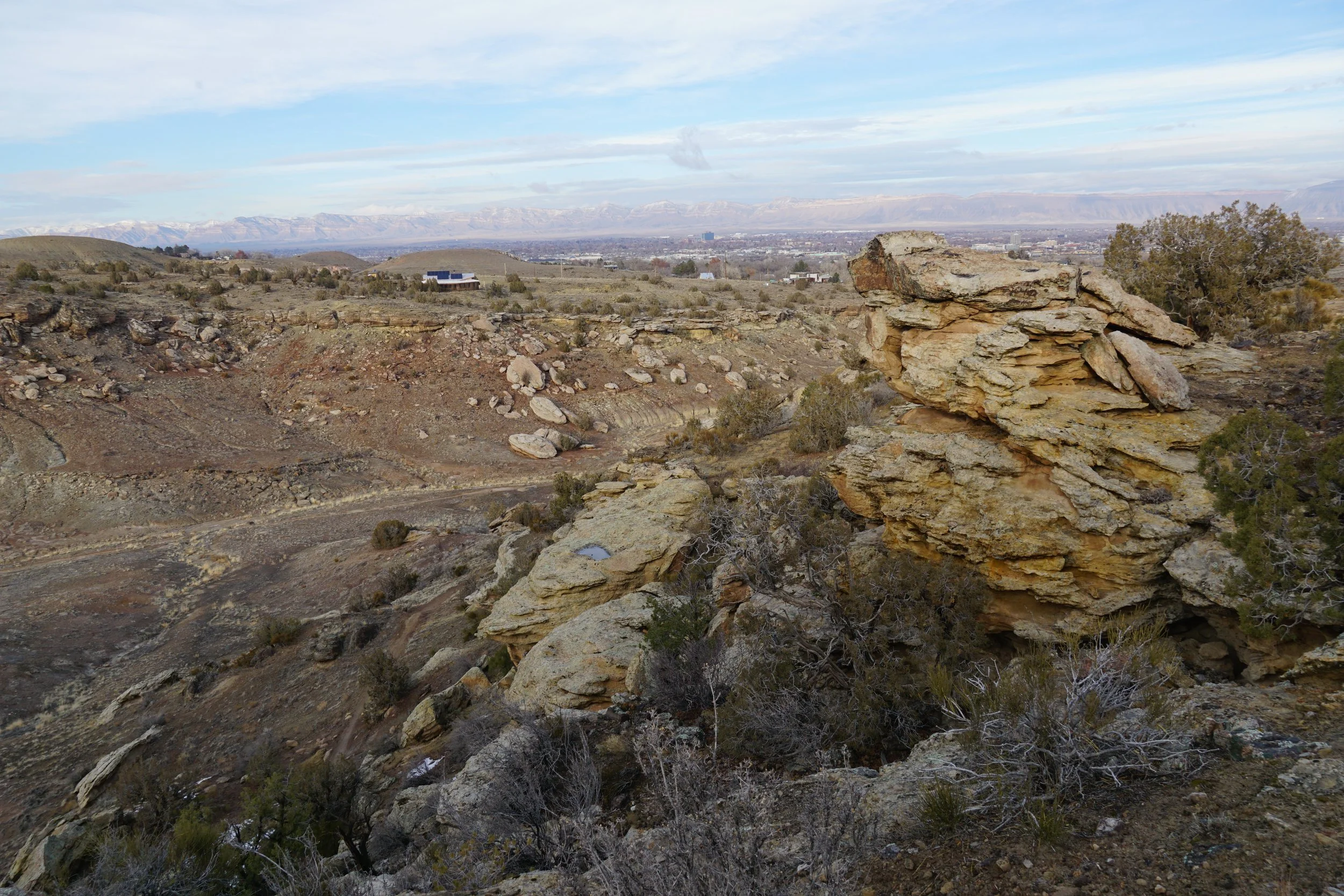
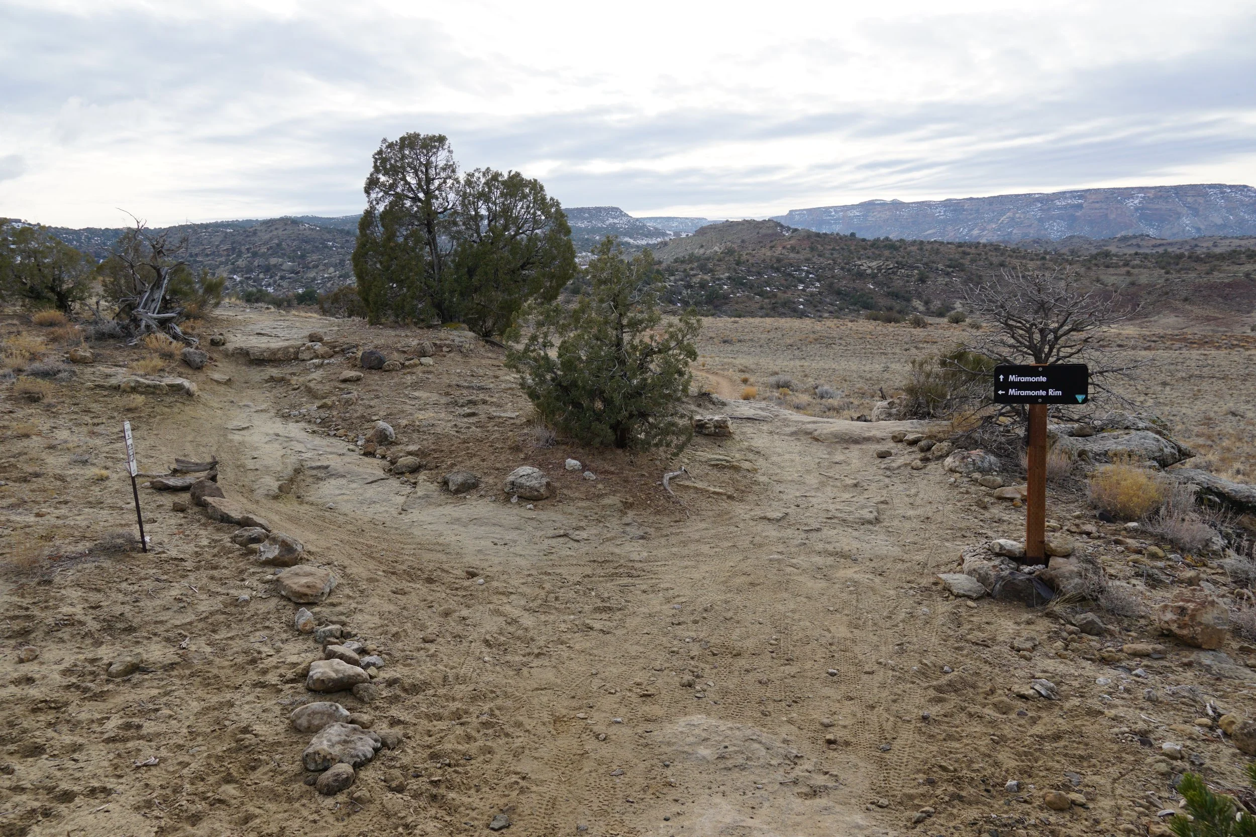
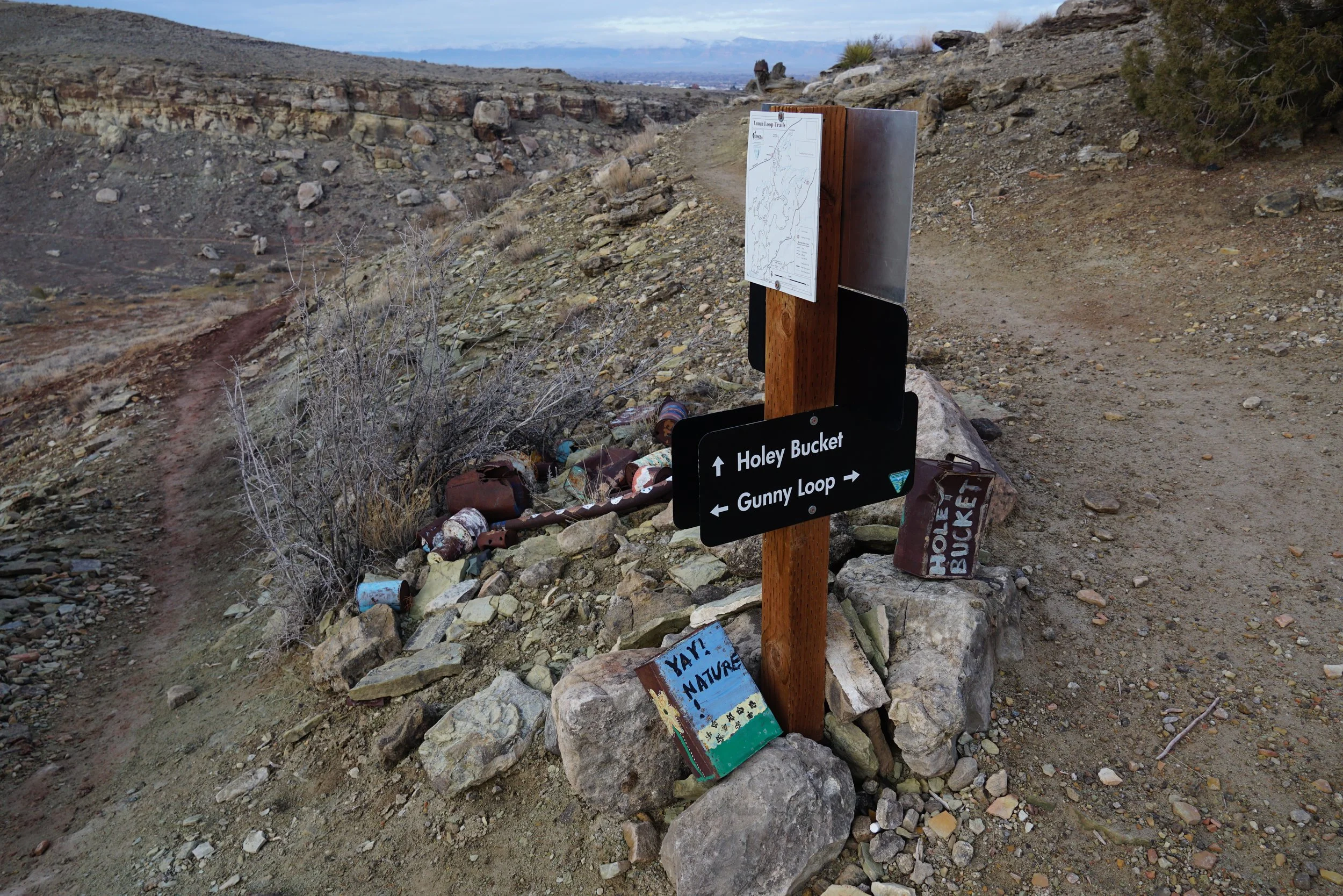
As you start to head west of Grand Junction one of the first recreation areas that you encounter is the Lunch Loops Area. This is a locals hotspot, mostly for mountain biking, but also for hiking. The main Lunch Loops Area is located off of Monument Road at the Three Sisters Bike Park. This area gets very busy…however, you can sneak in through the backdoor by finding your way to the Mile Marker 12 Trailhead. From this trailhead you can access the souther portion of the Lunch Loops and connect all trails in the area as well as the trails further to the west. The Mile Marker 12 Trailhead allows you to access the excellent Miramonte Rim Trail Loop.
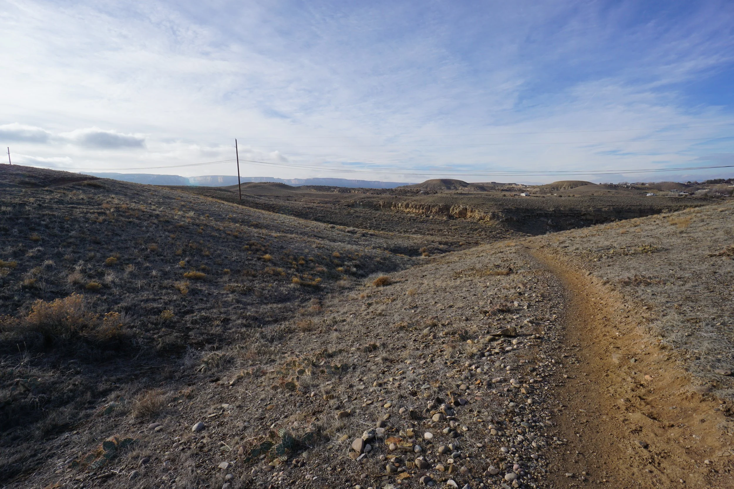
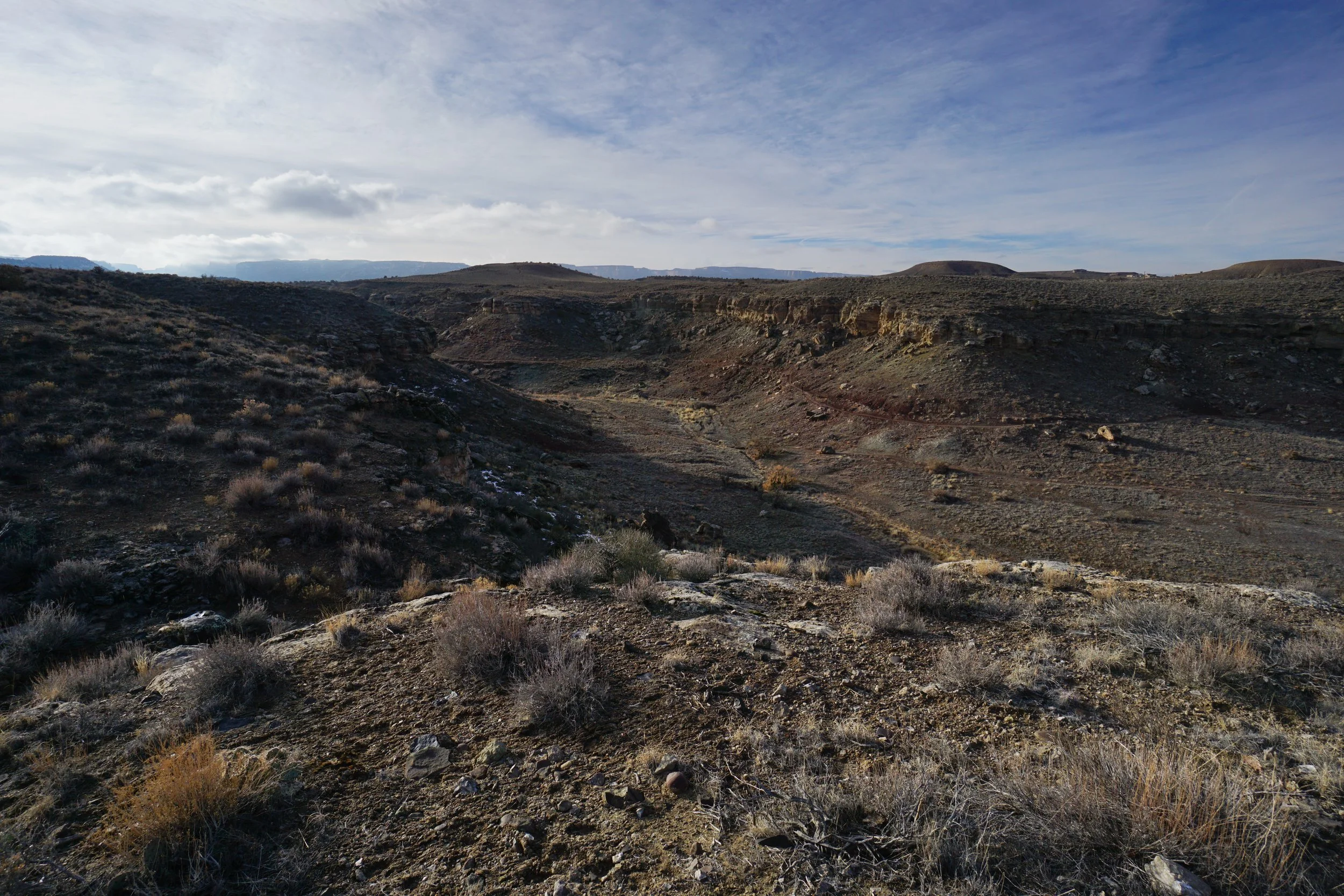
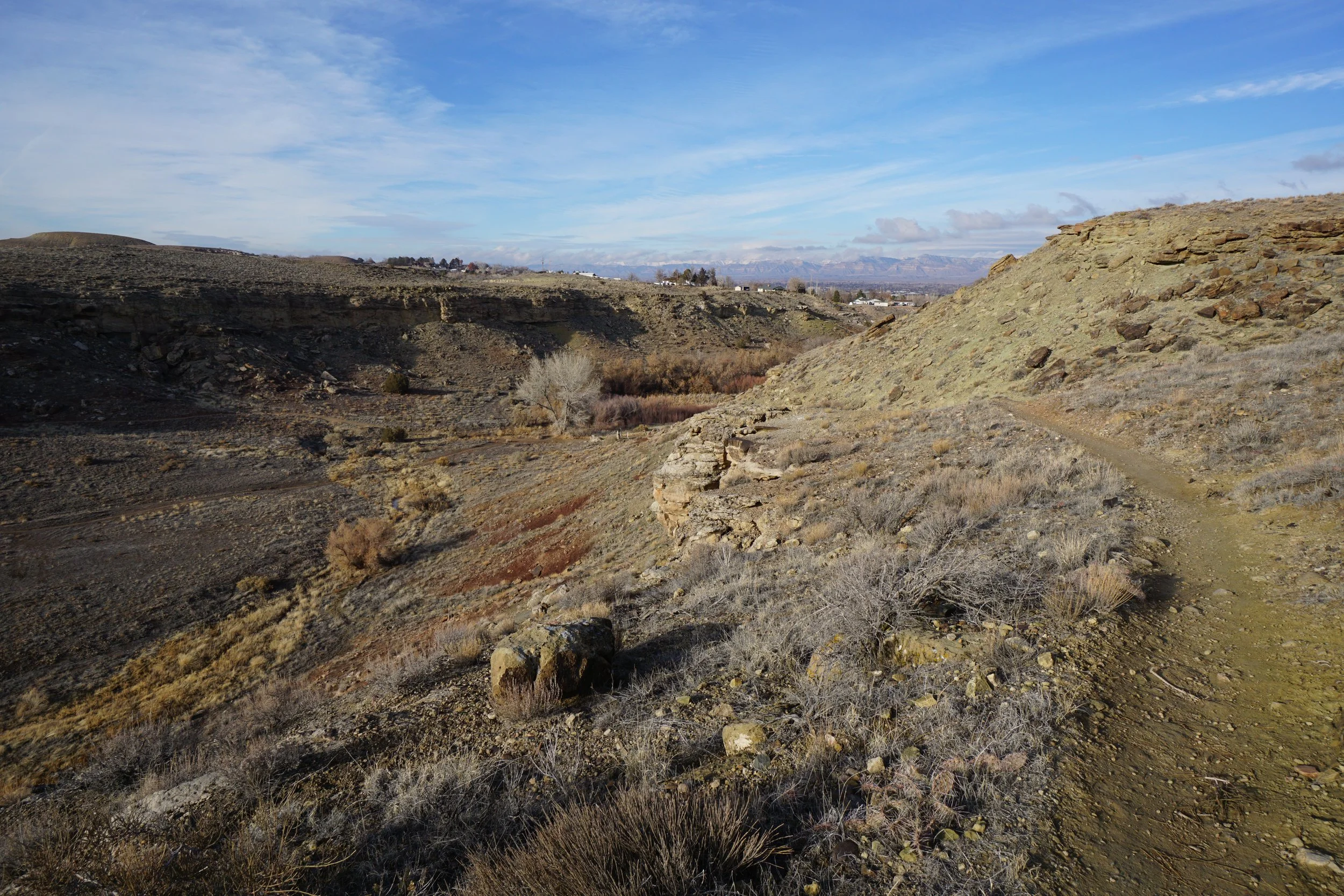
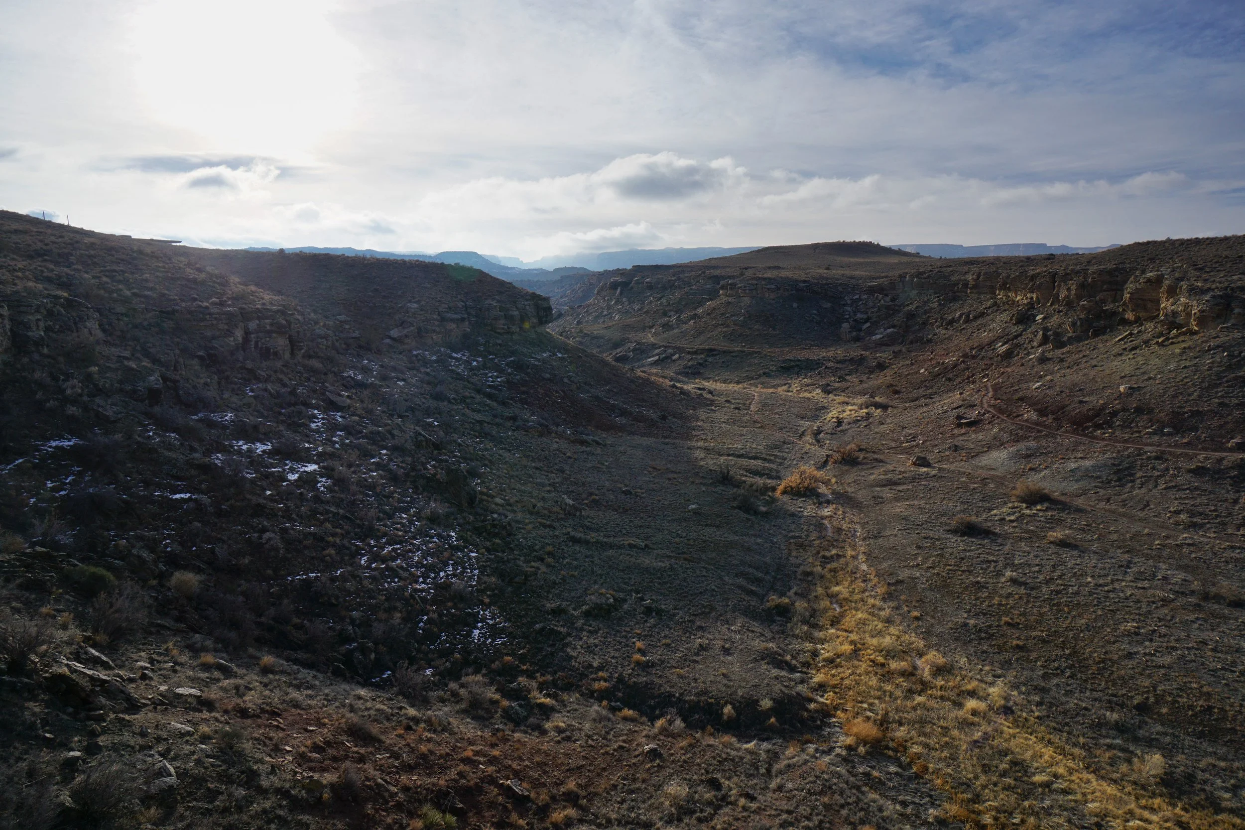
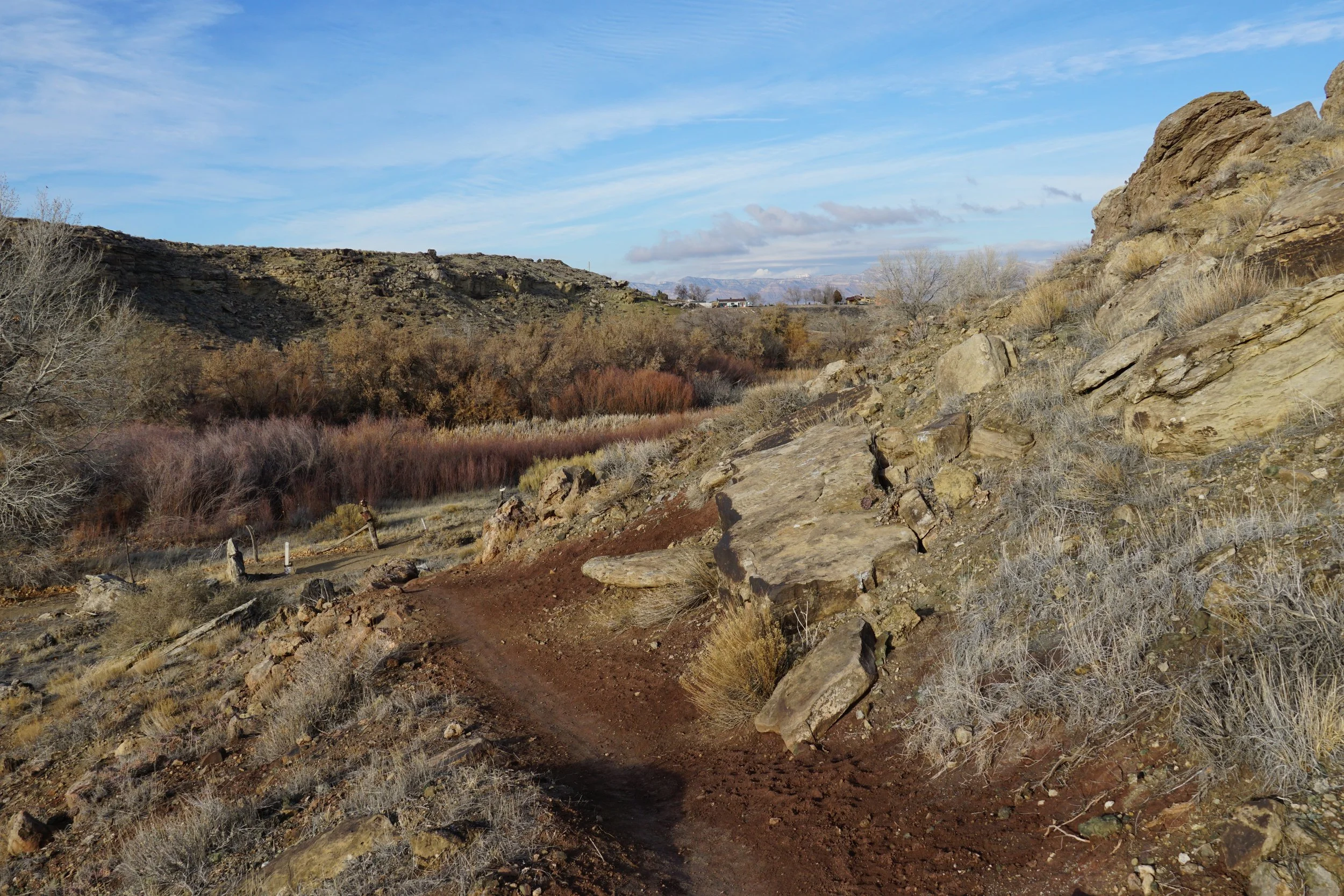
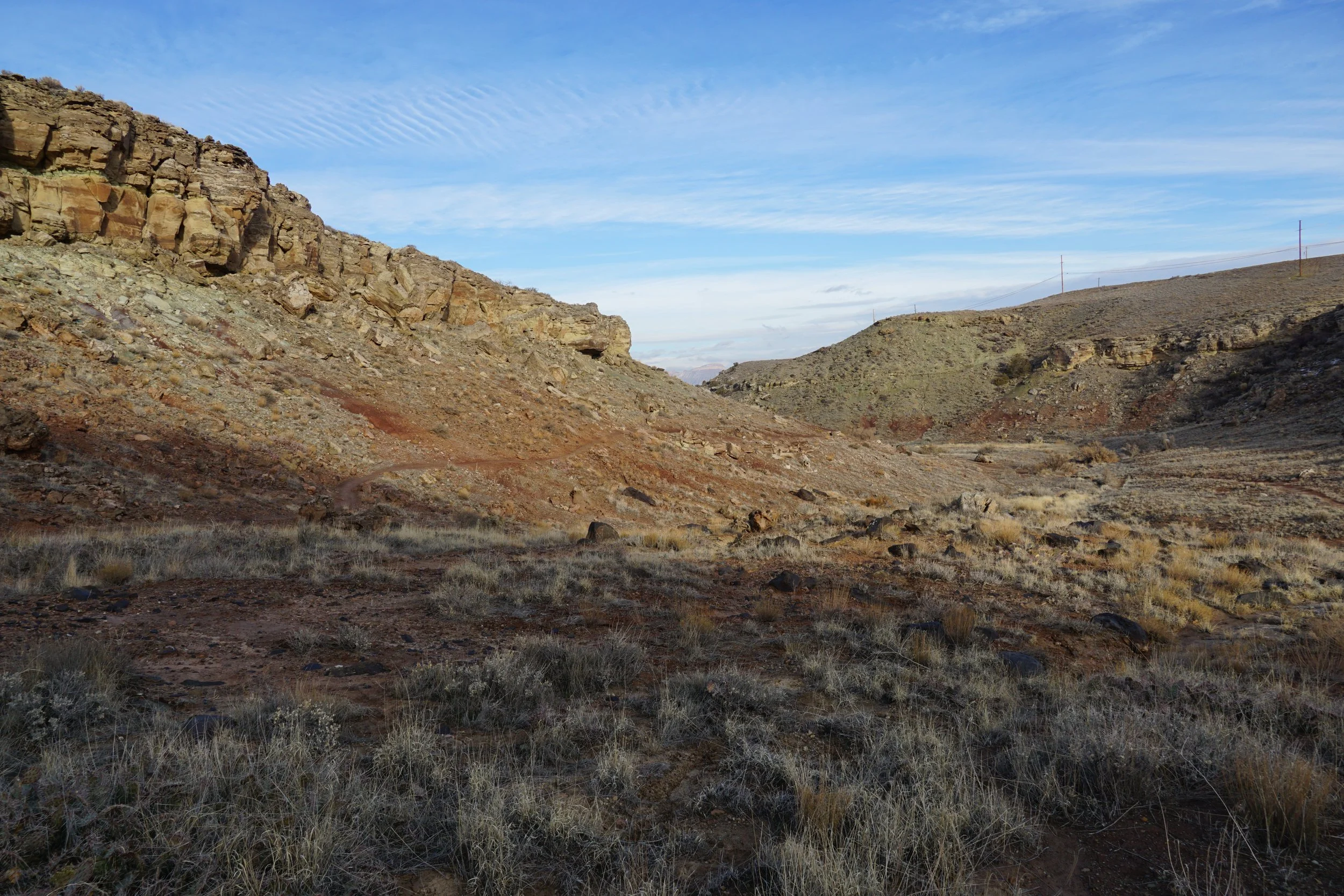
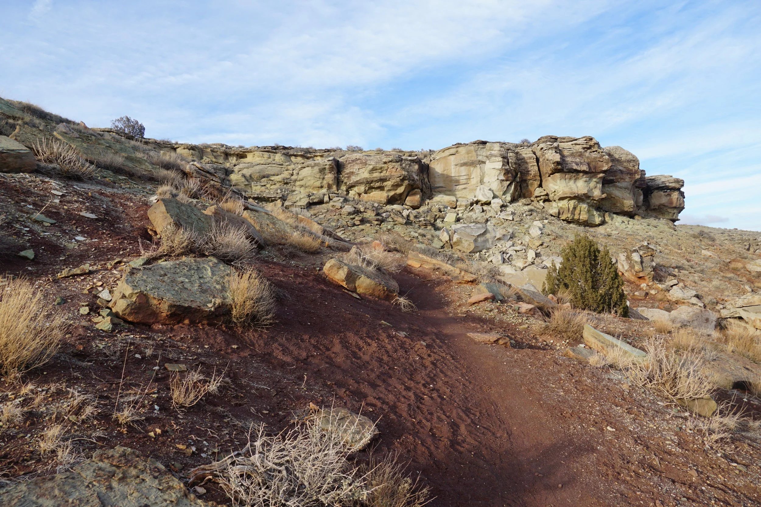
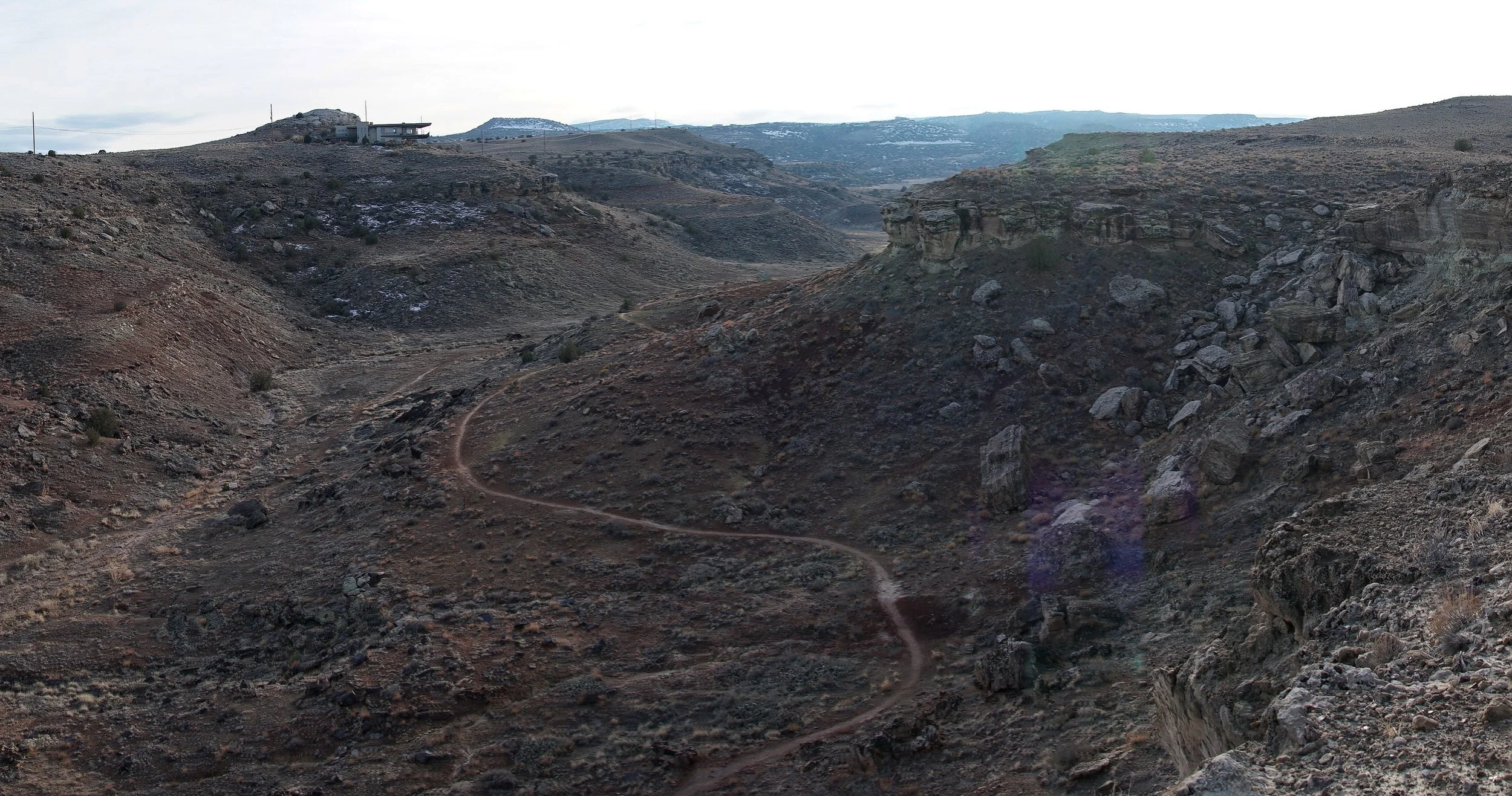
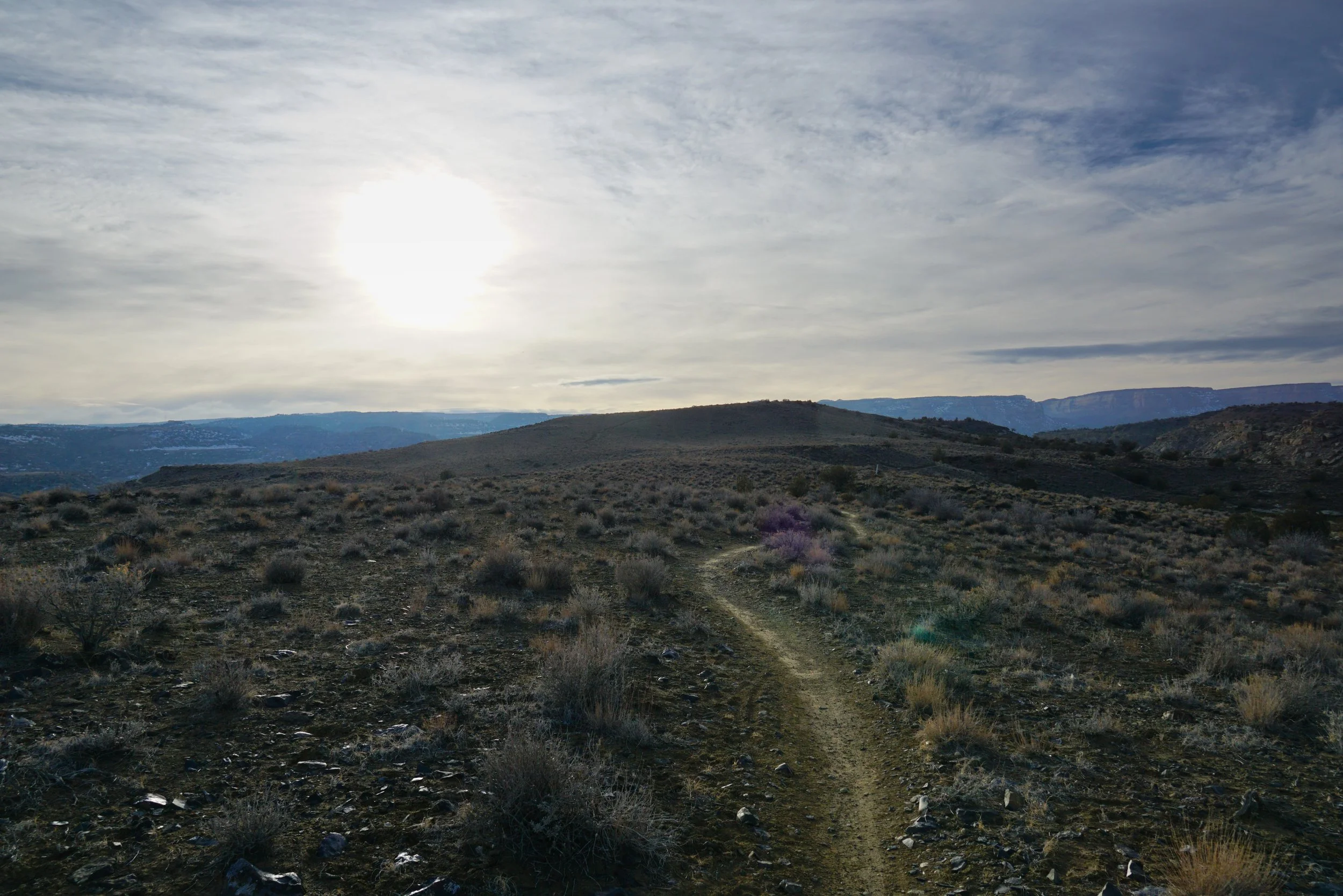
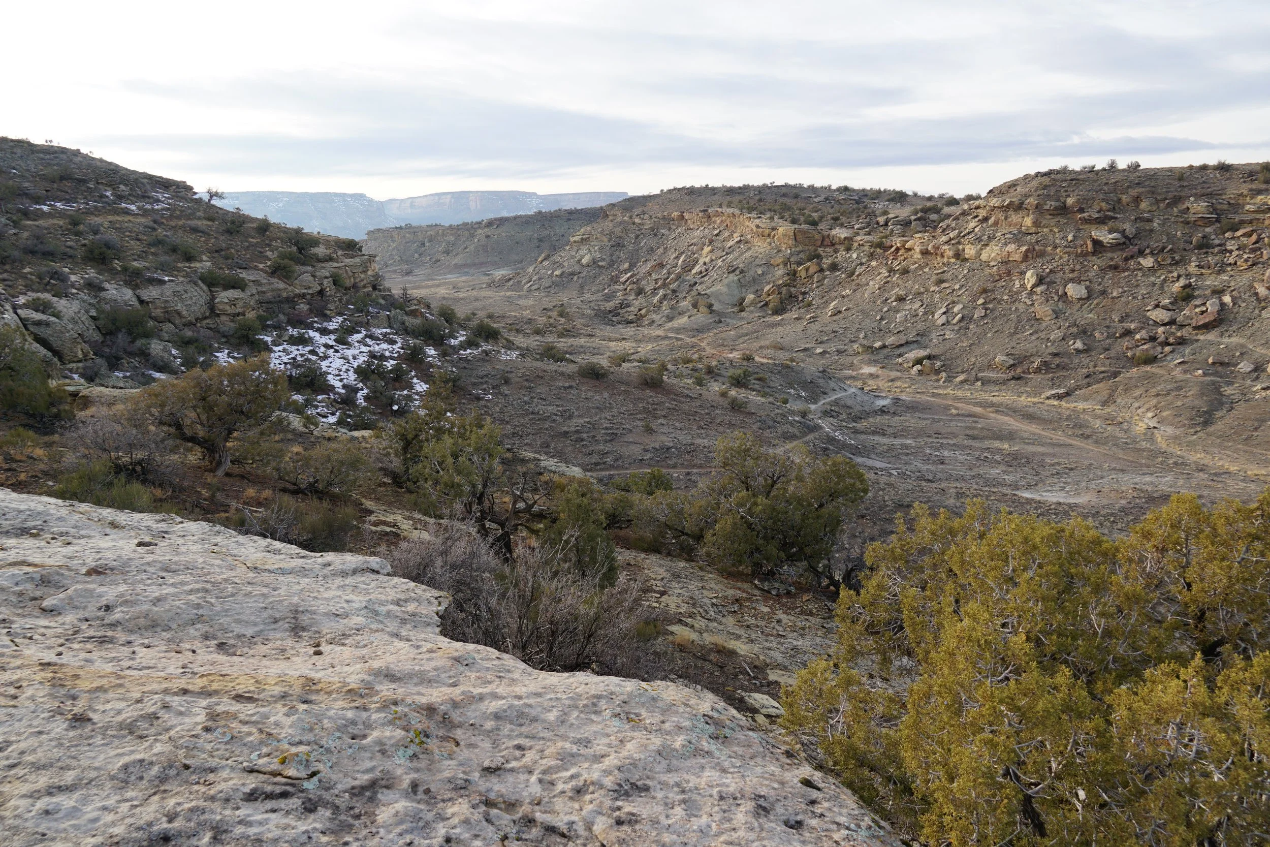
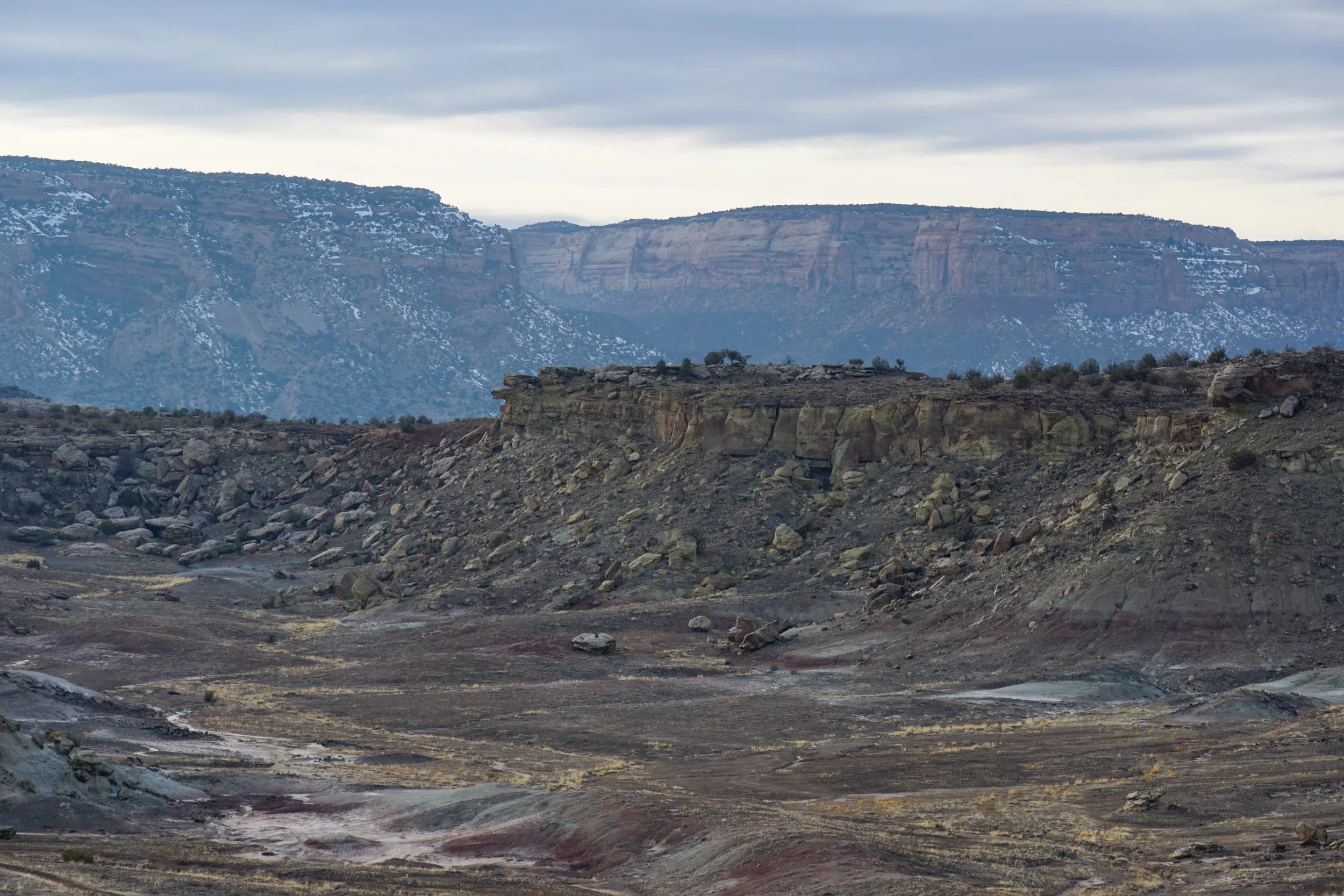
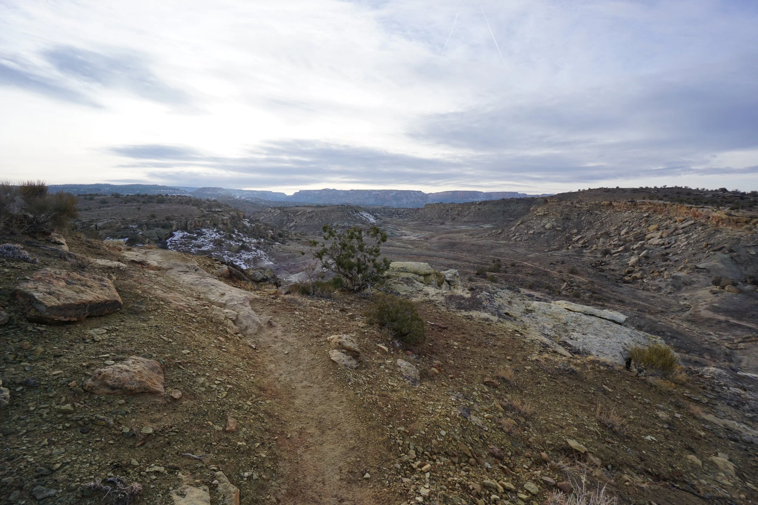
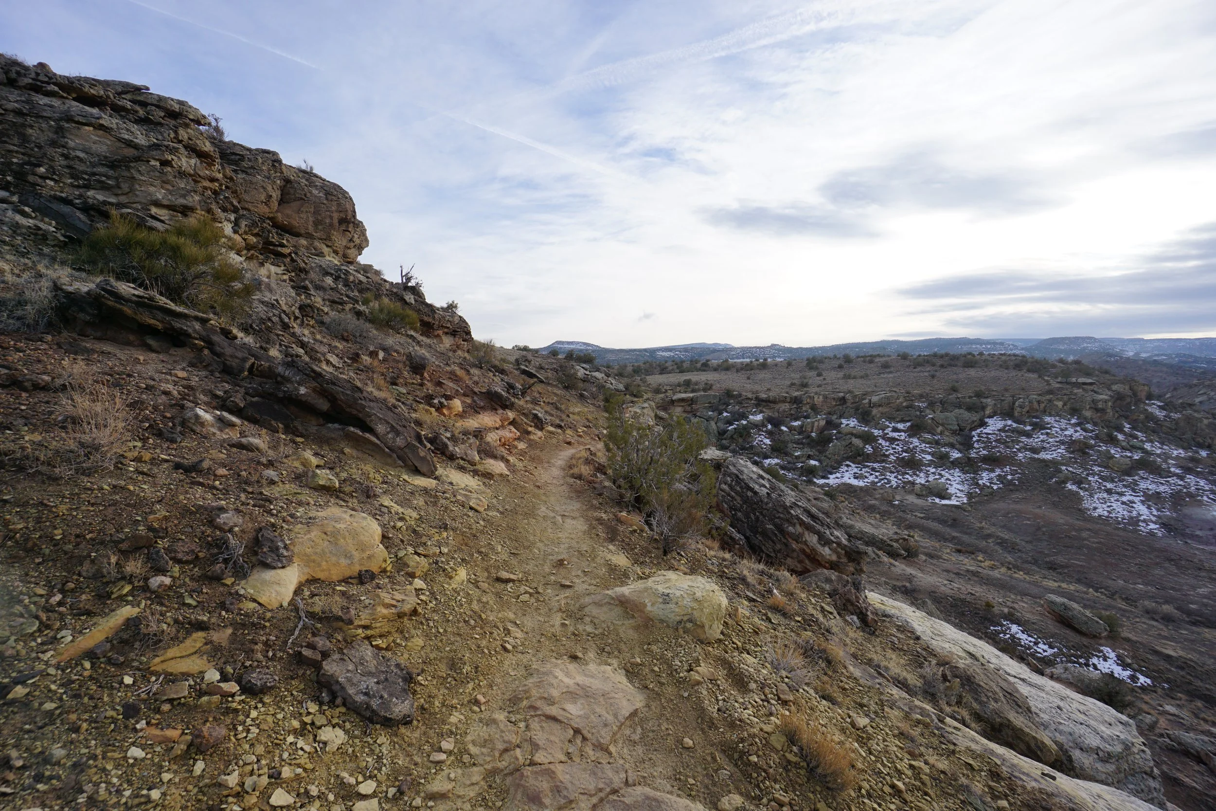
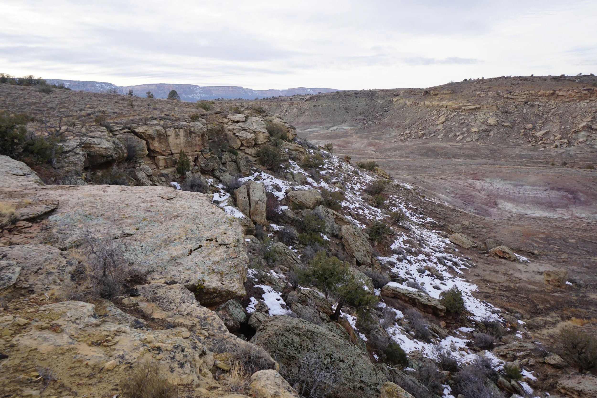
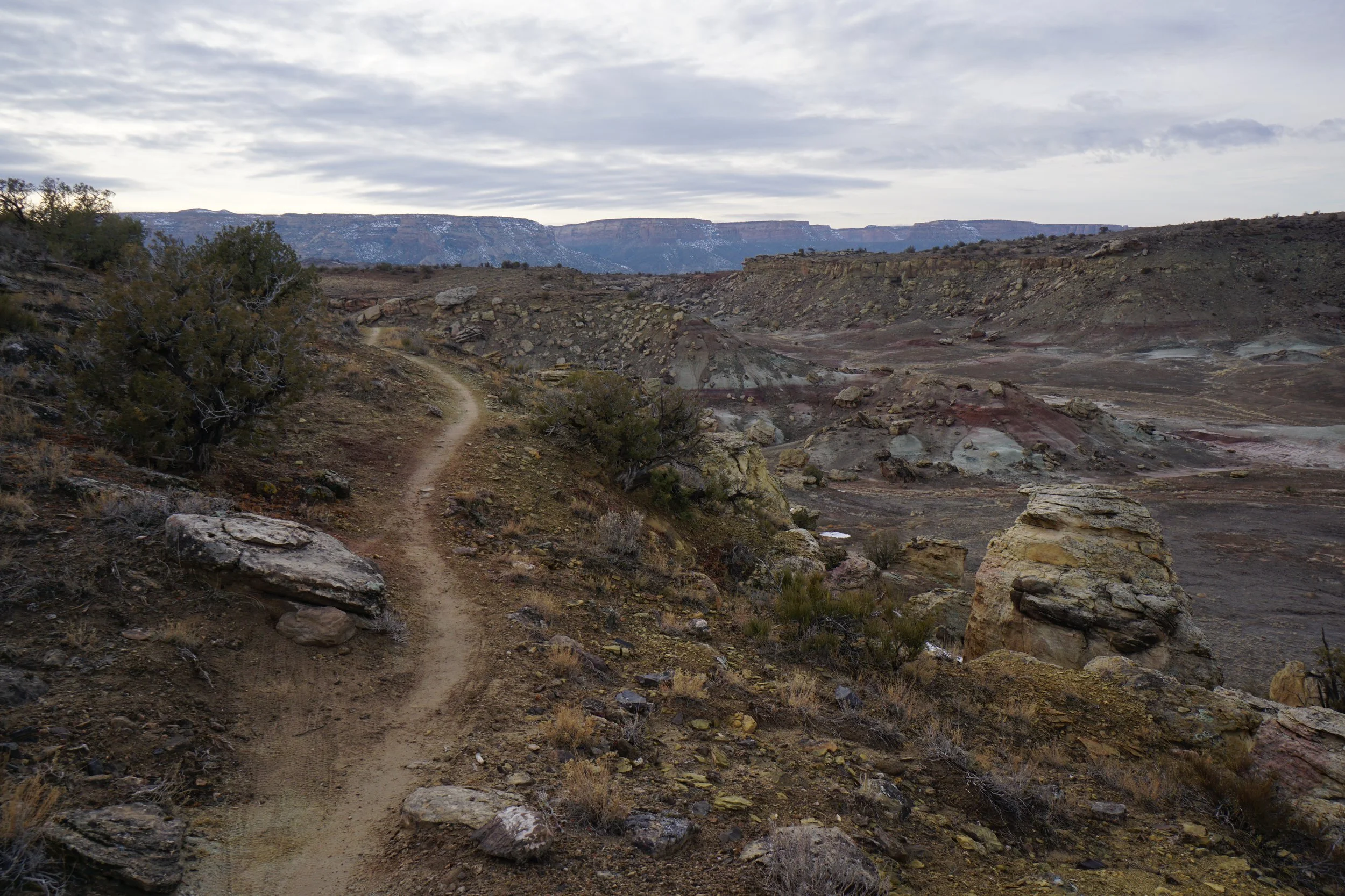
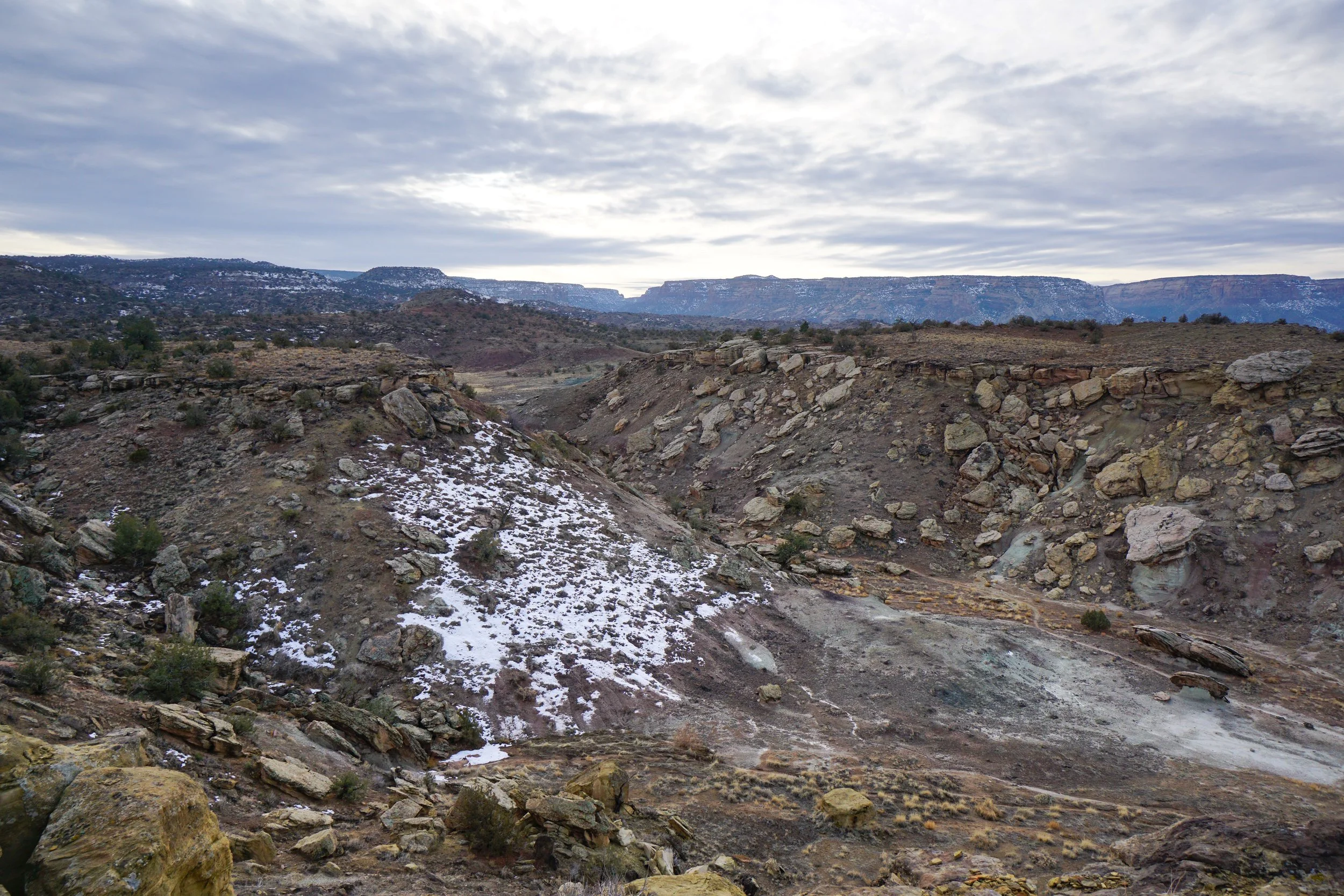
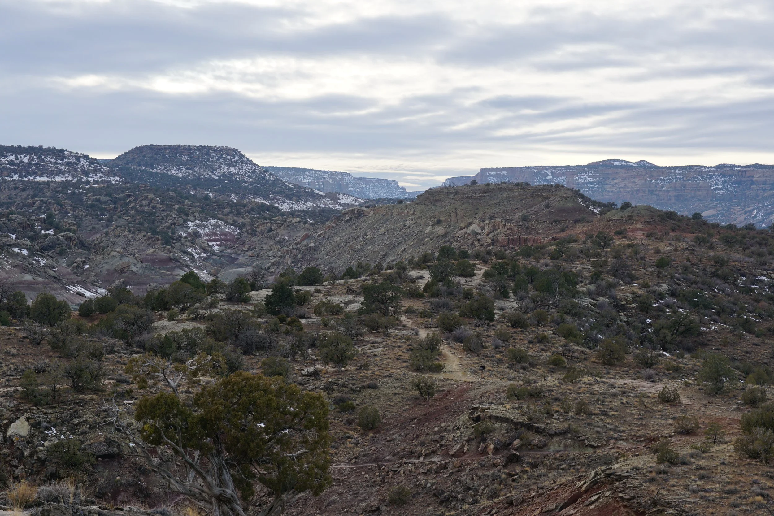
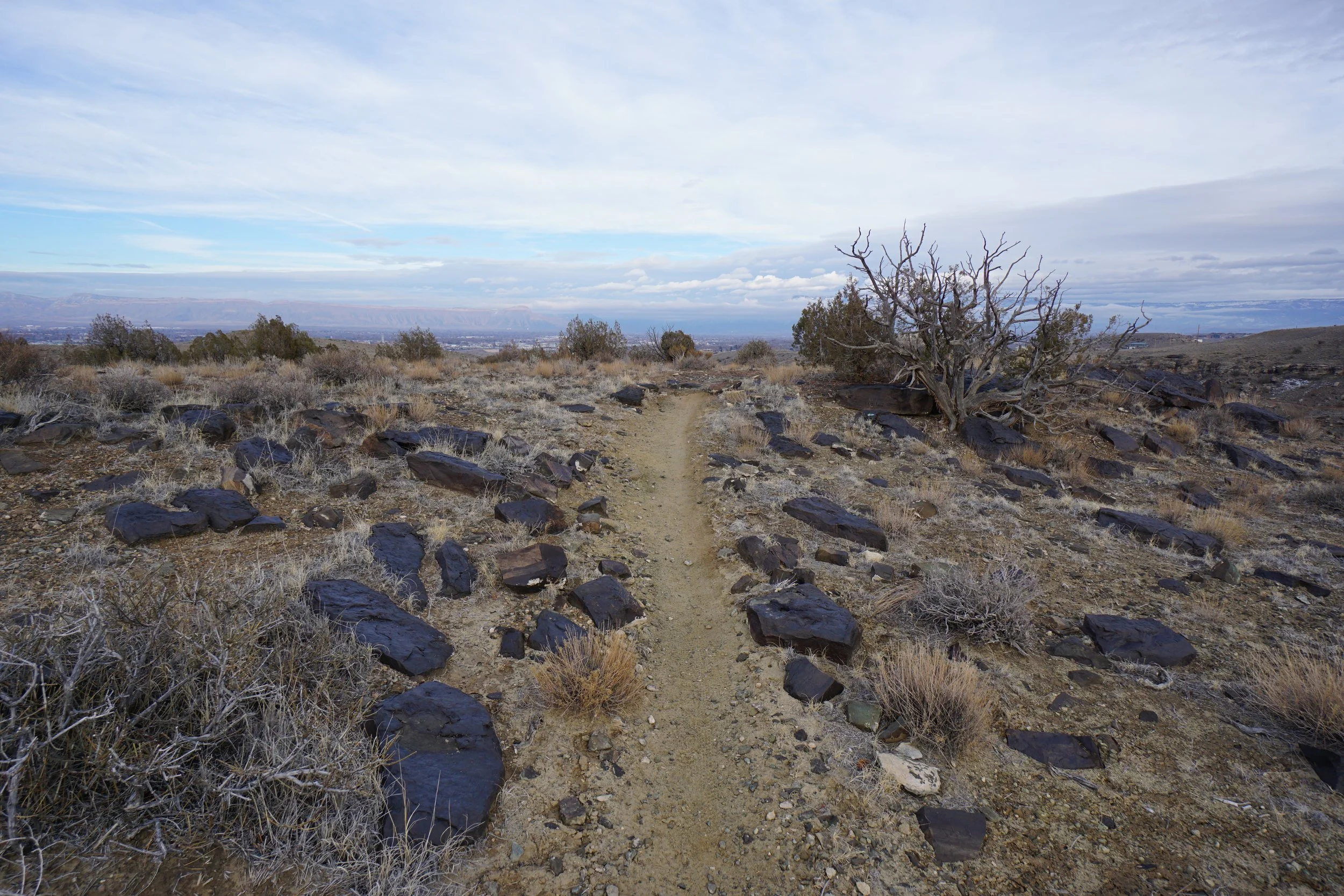
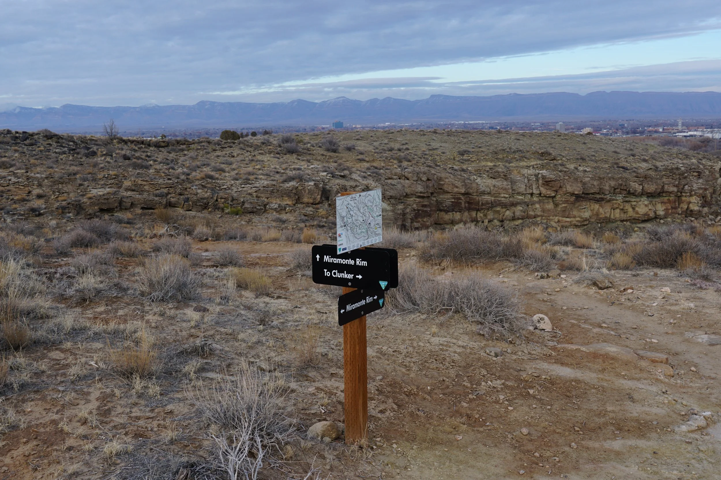
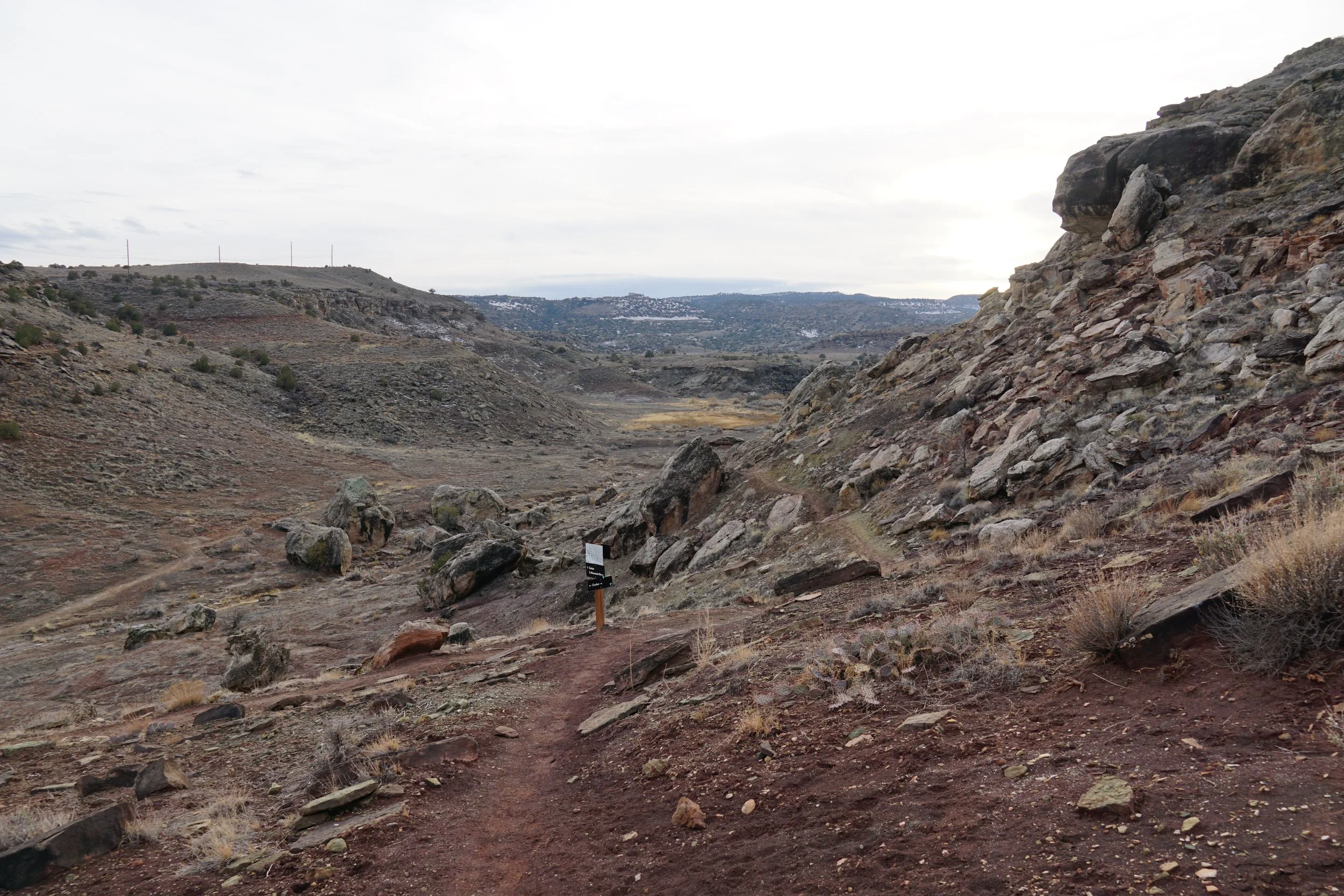
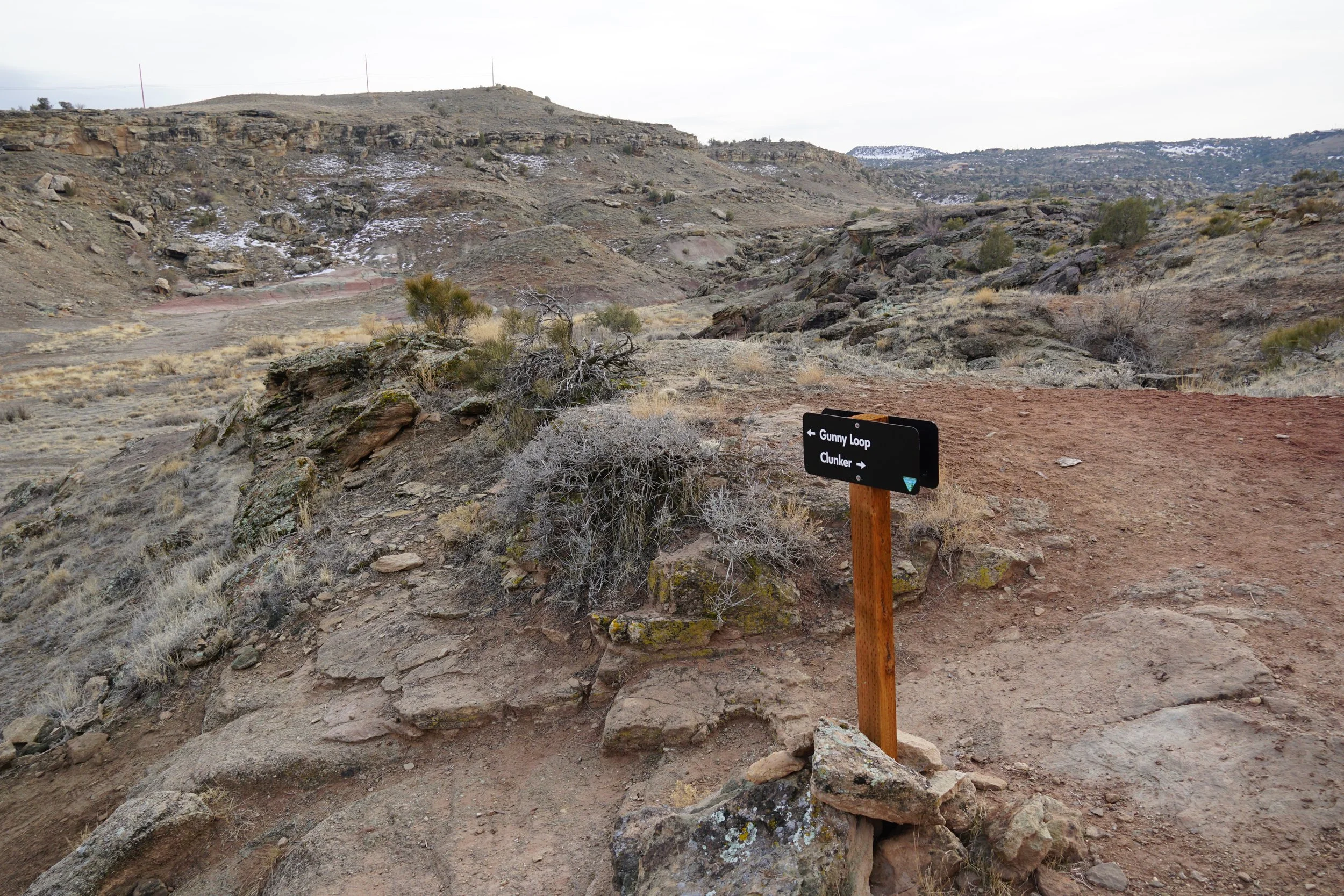
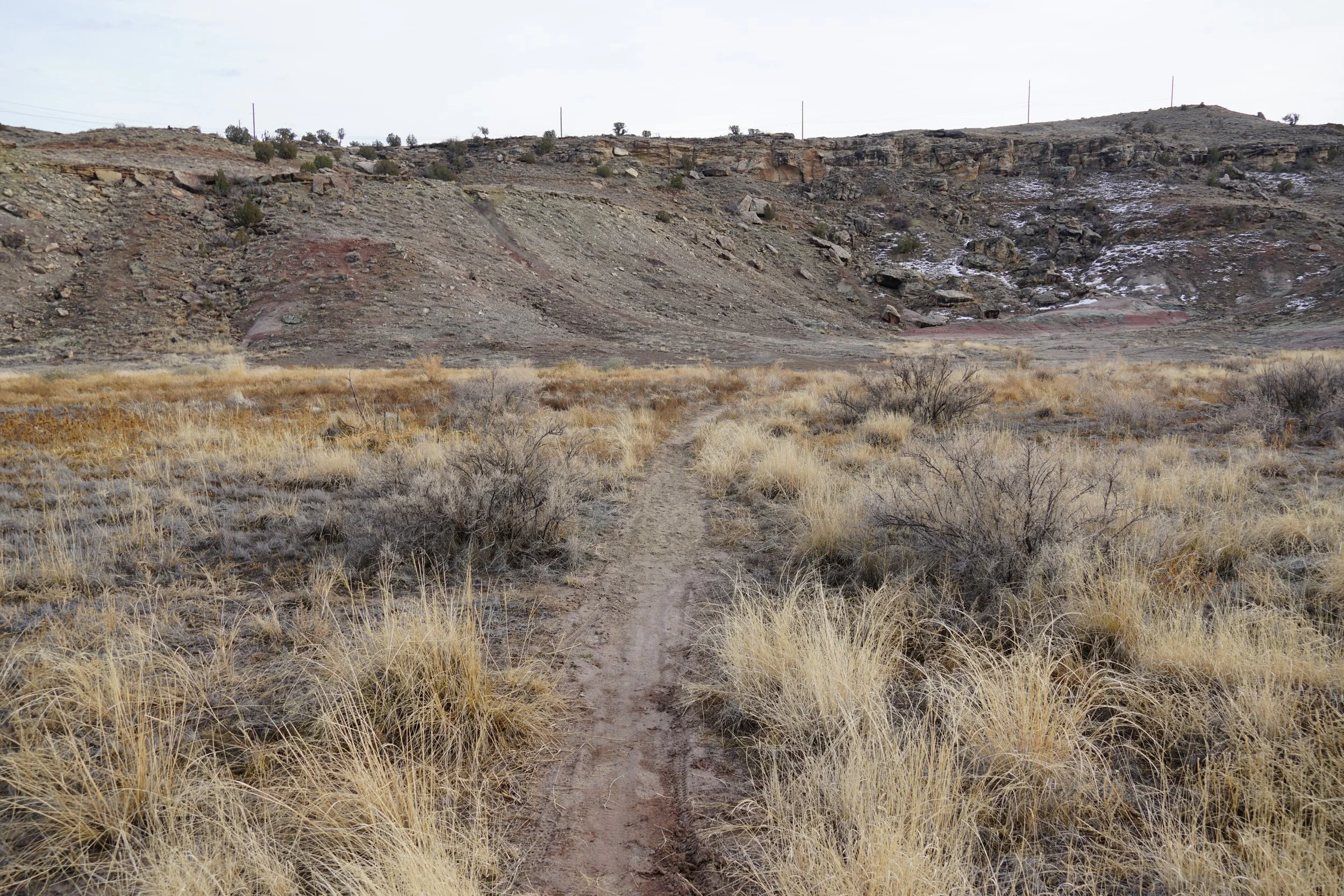
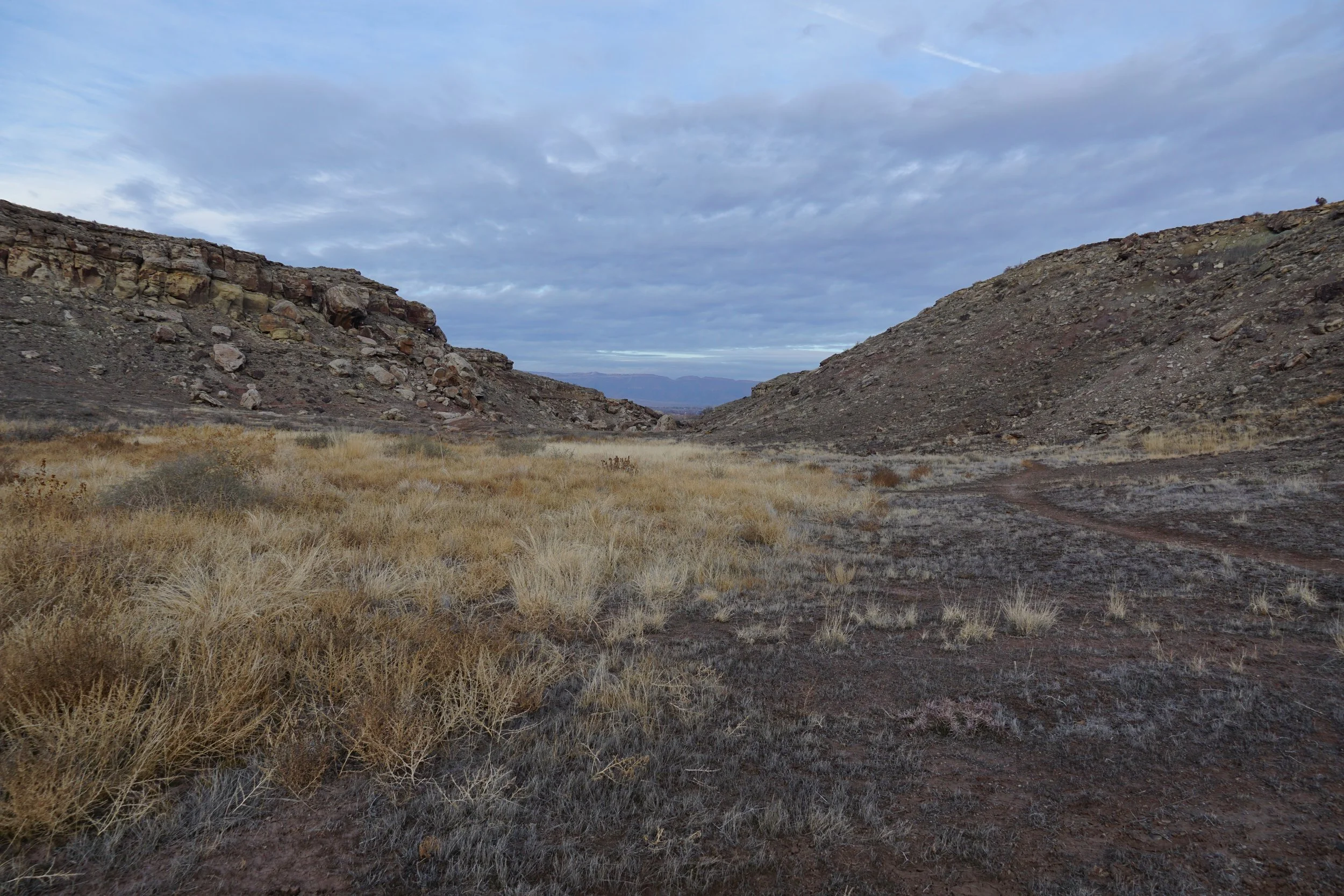
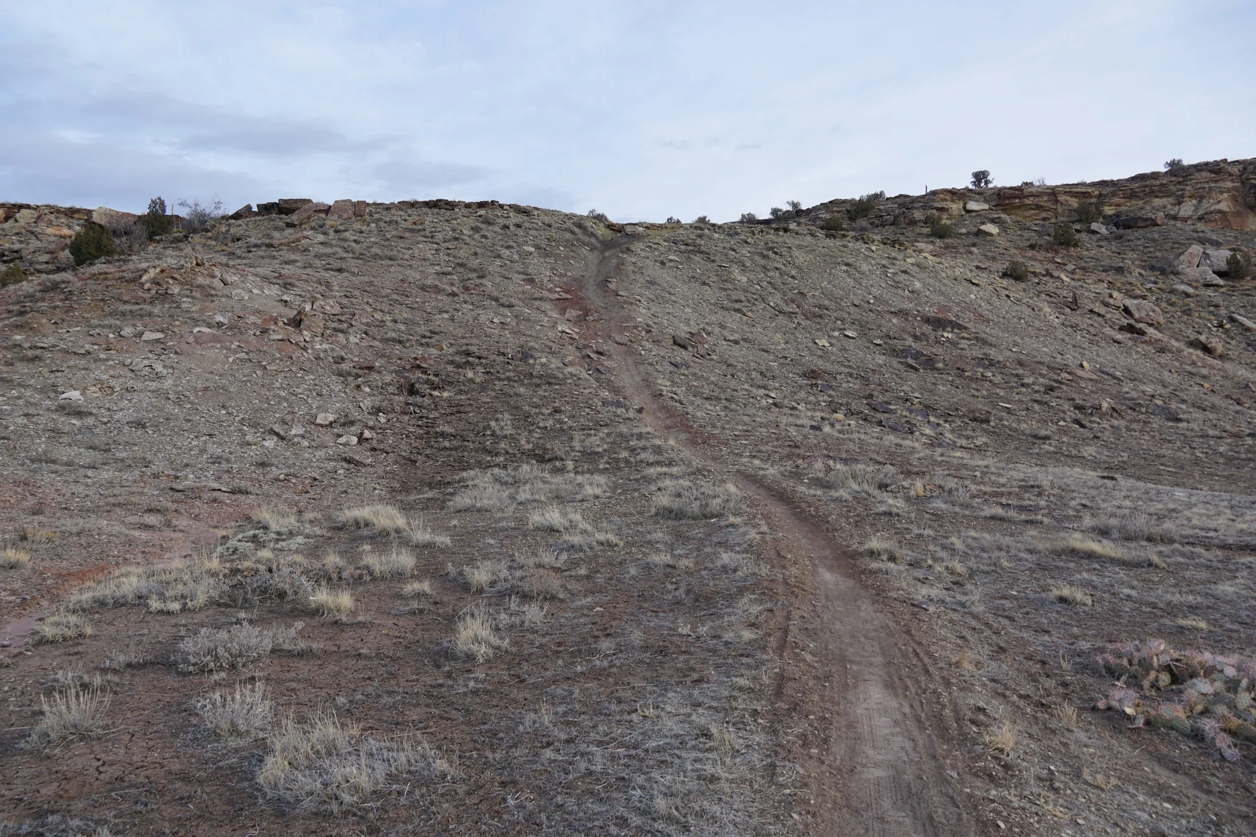
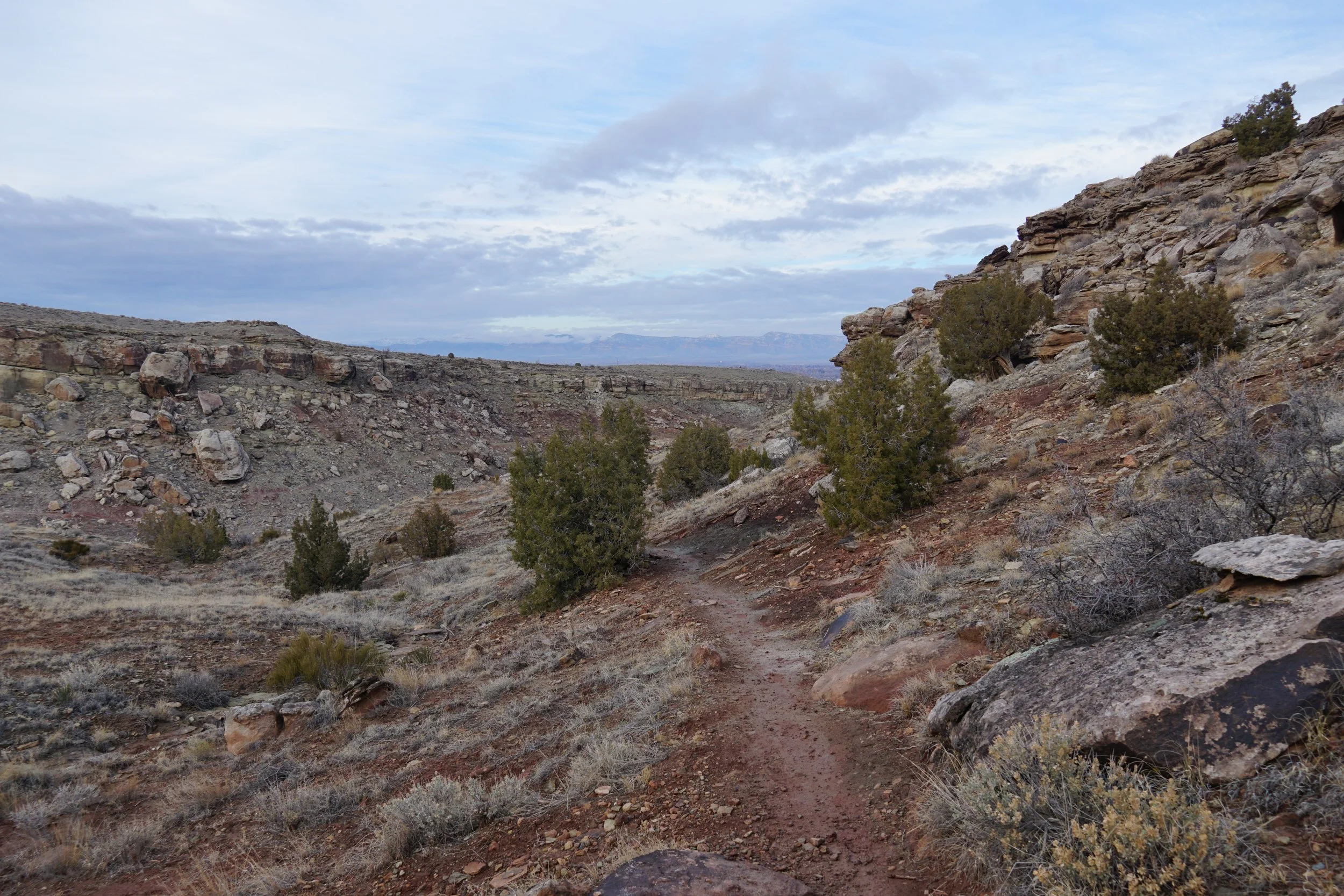
The Miramonte Rim Trail follows the rim of a mesa/ridge and offers views in all directions as you work your way around the rim. To get there, you can make another loop by starting on the Holey Buckets trail, descending to the floor of the canyon and picking up the Clunker Trail. You’ll return to the Clunker Trail after you complete the Miramonte Rim Trail and re-connect to the Holey Buckets Trail via the Gunny Loop Trail. Note that the Gunny Loop trail segment that you follow is very steep, but it only lasts for a few minutes…
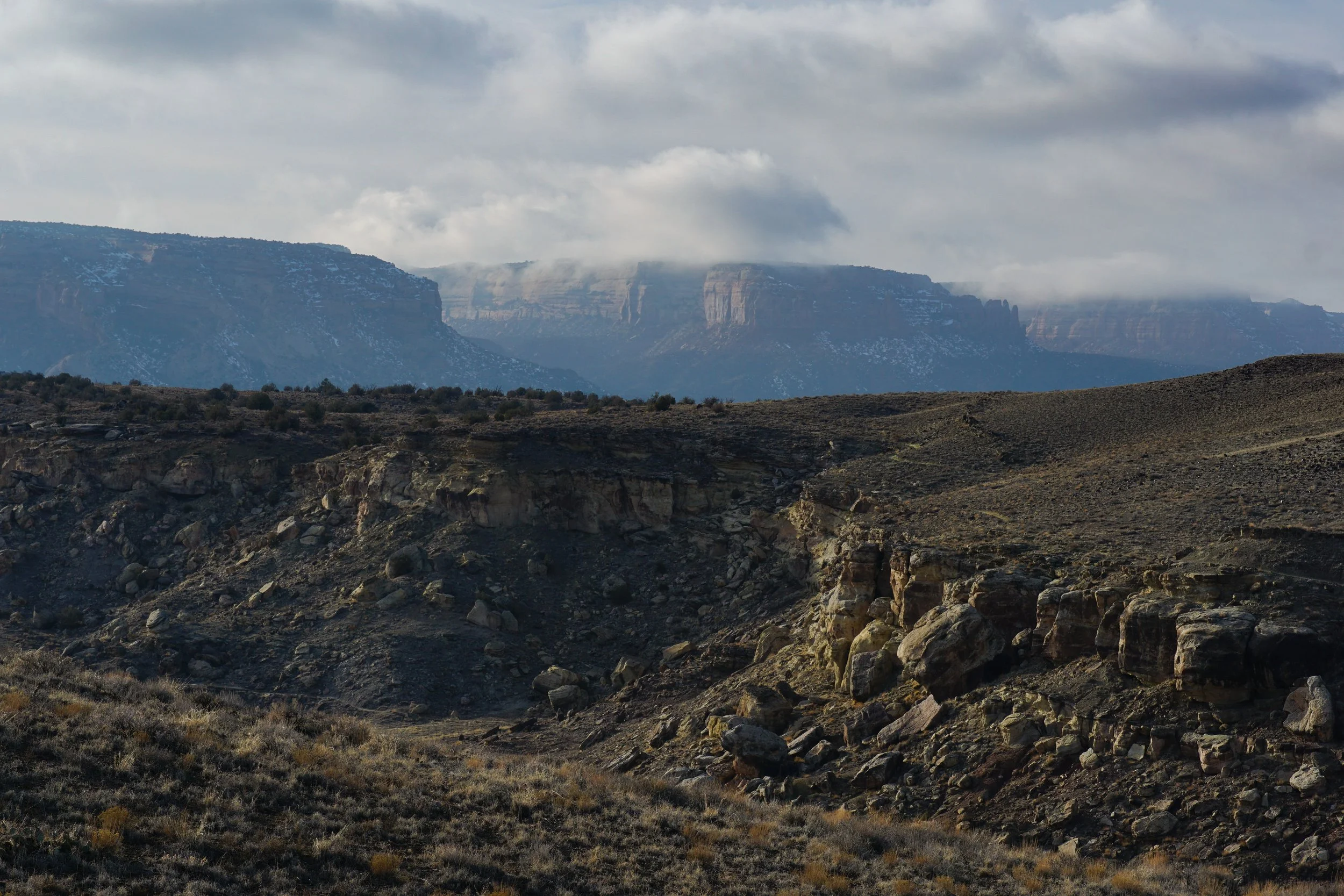
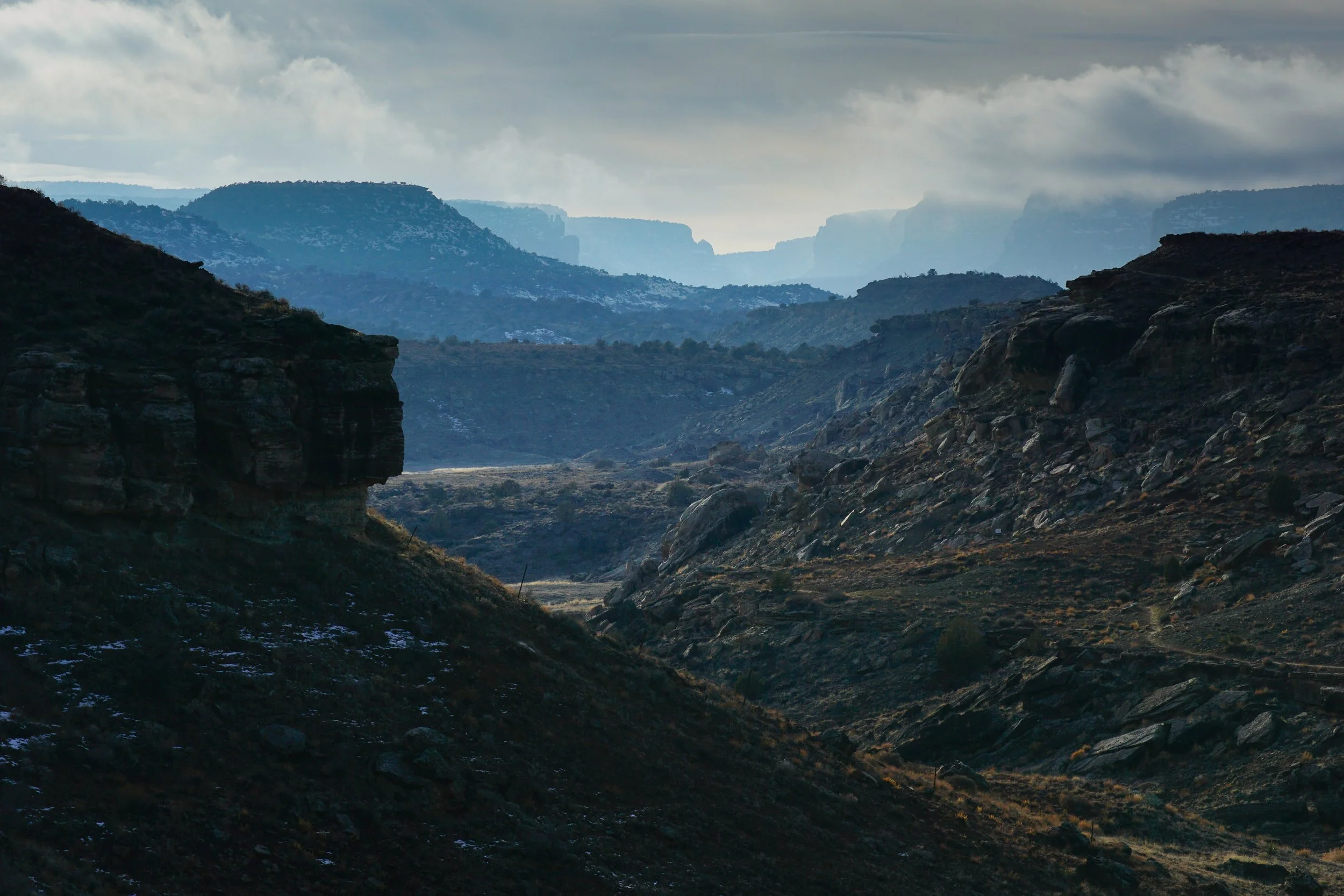
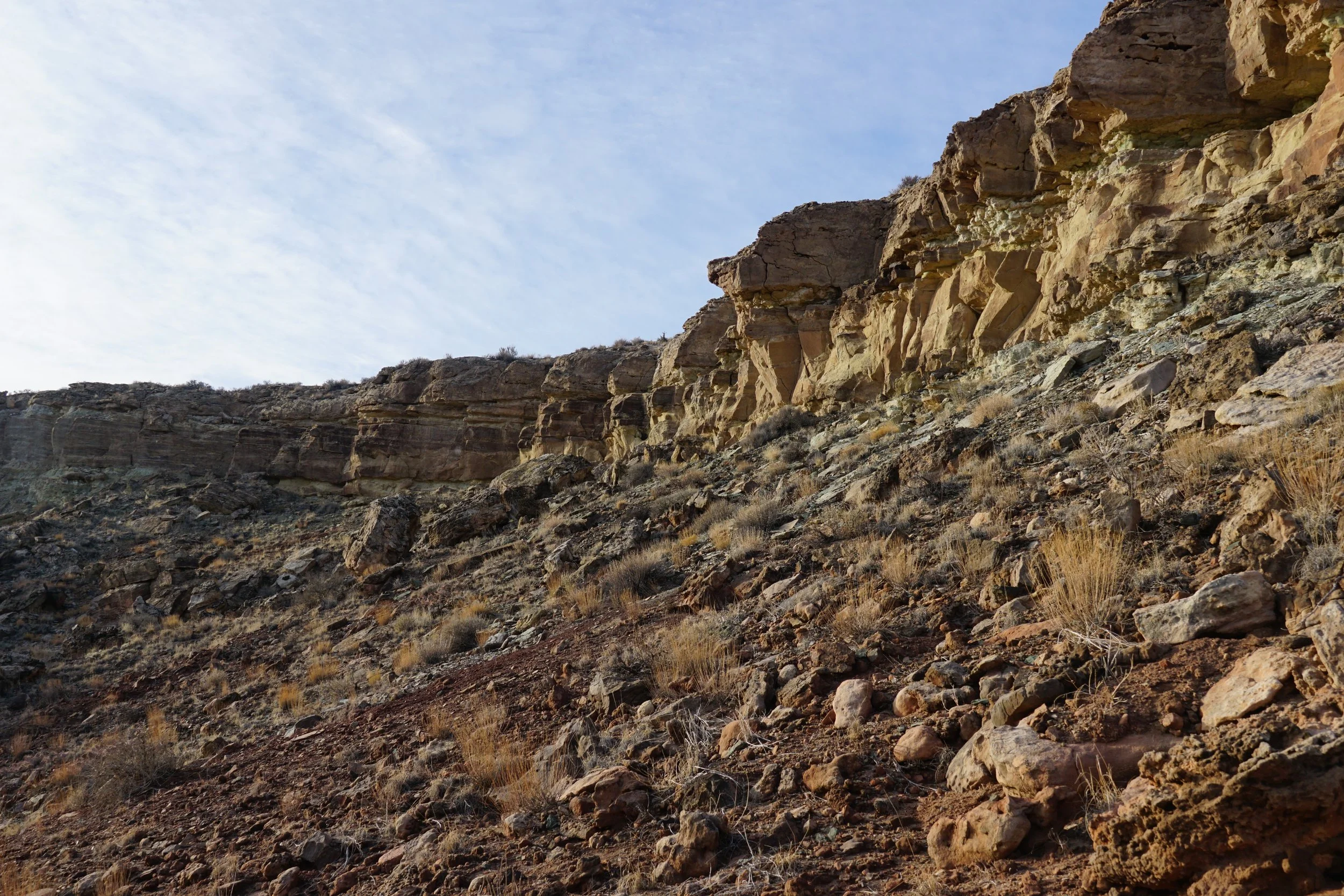
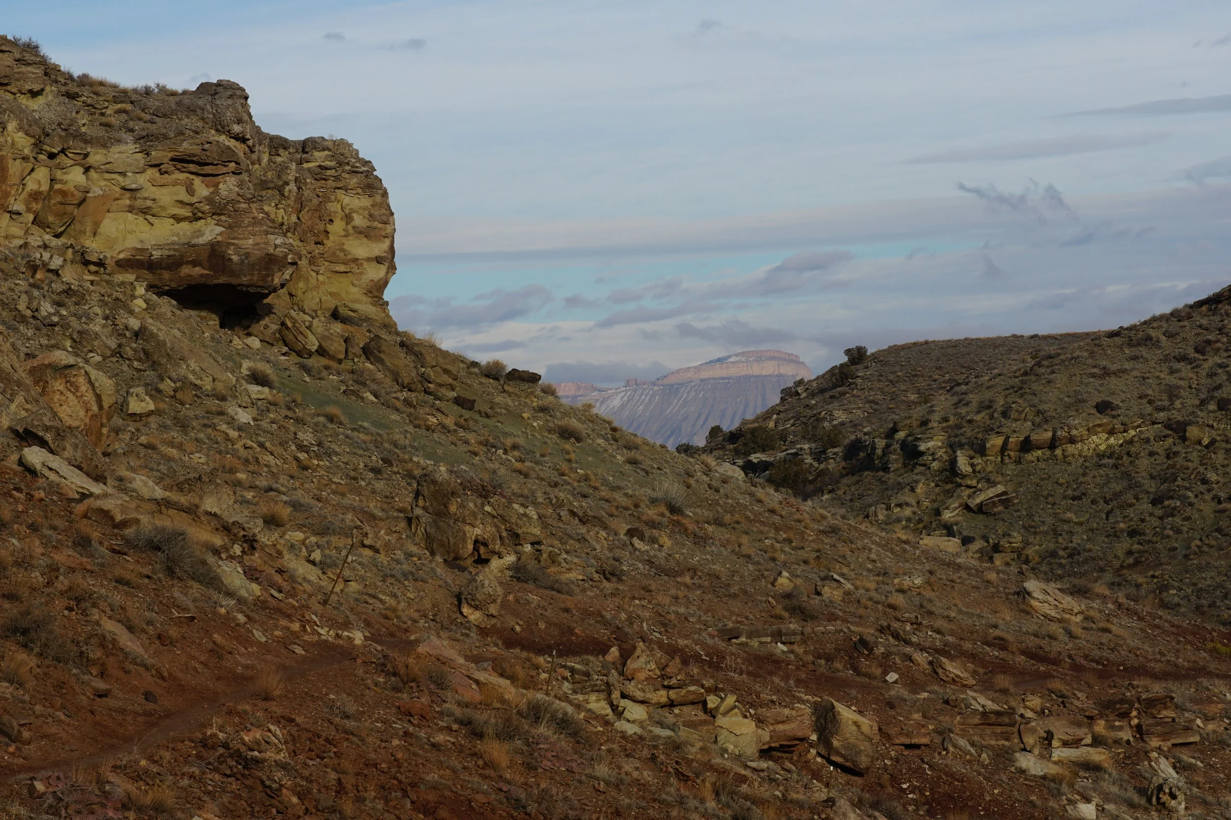
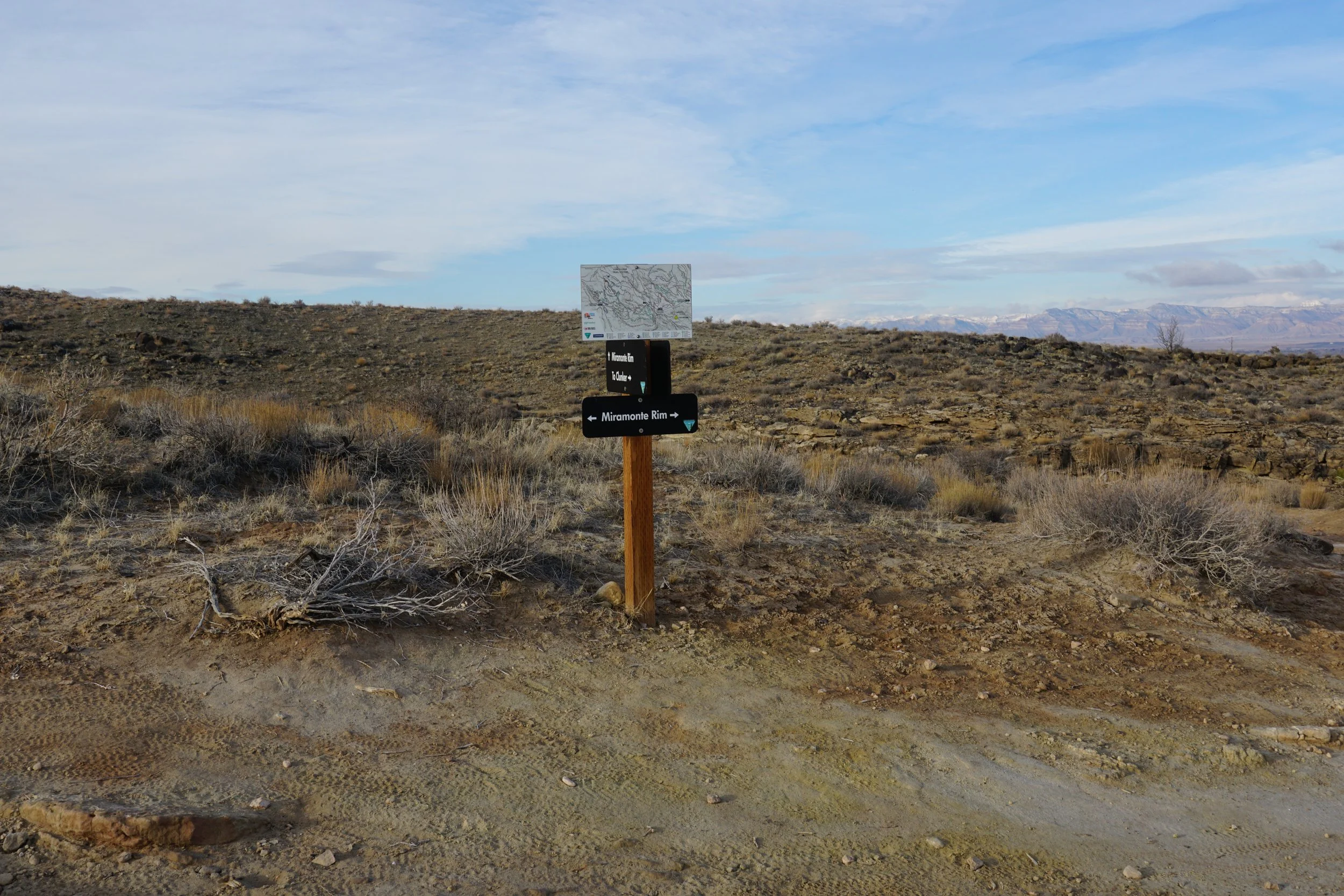
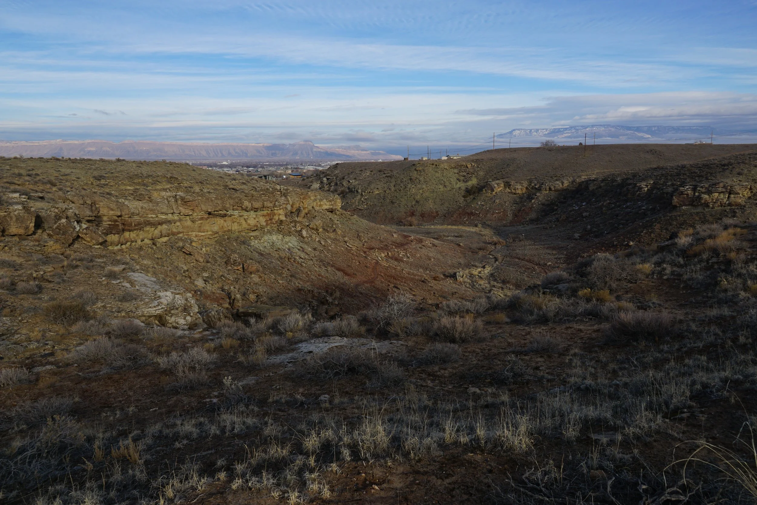
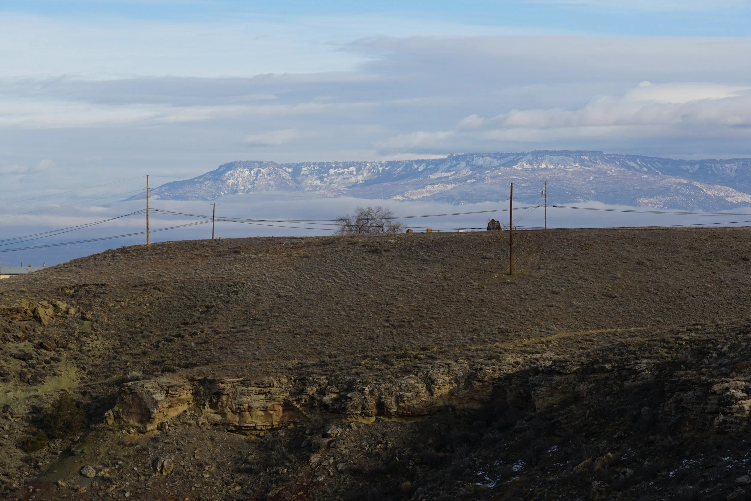
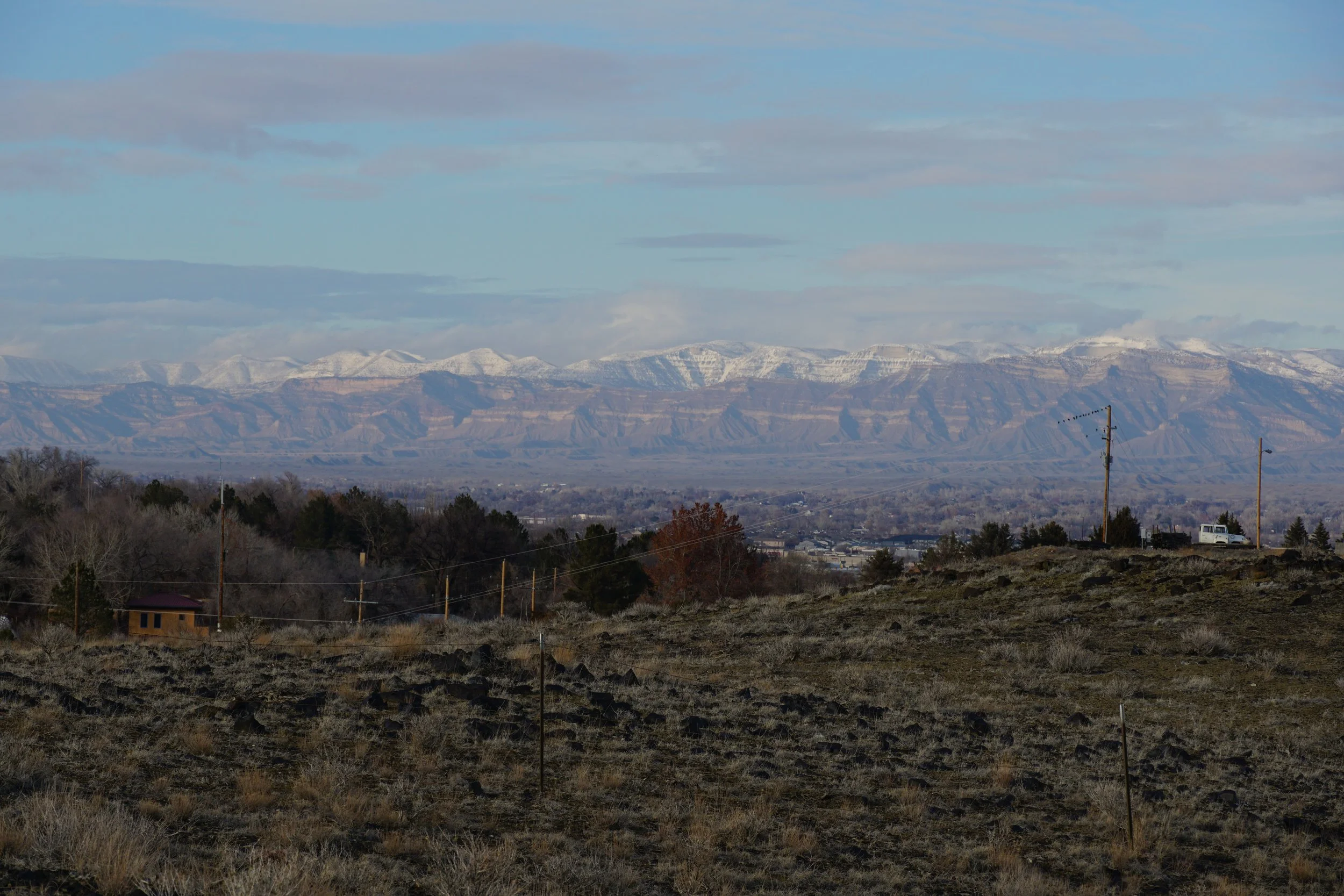
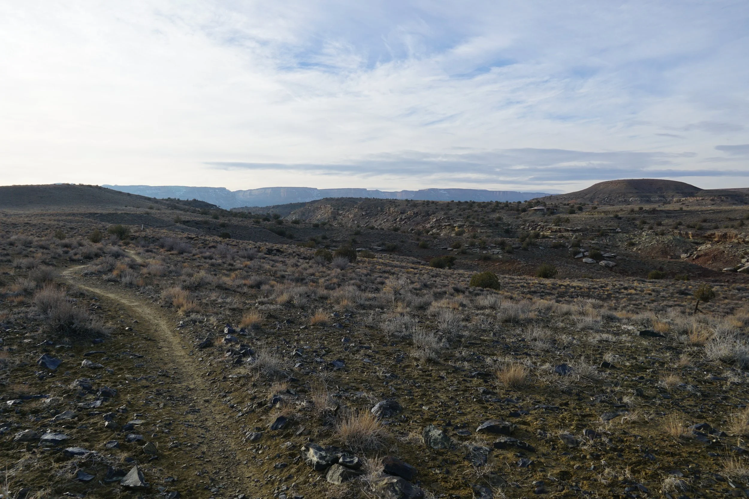
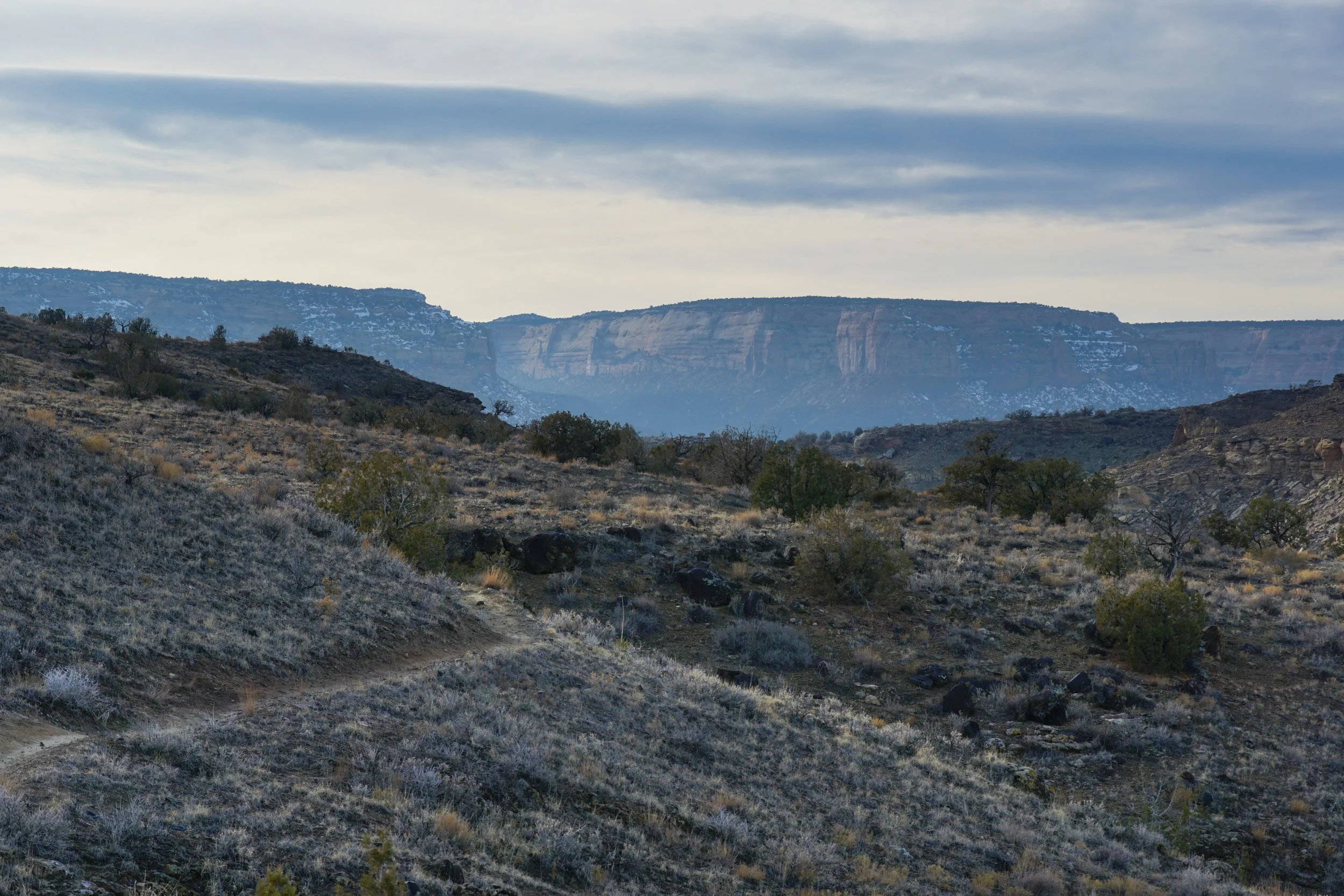
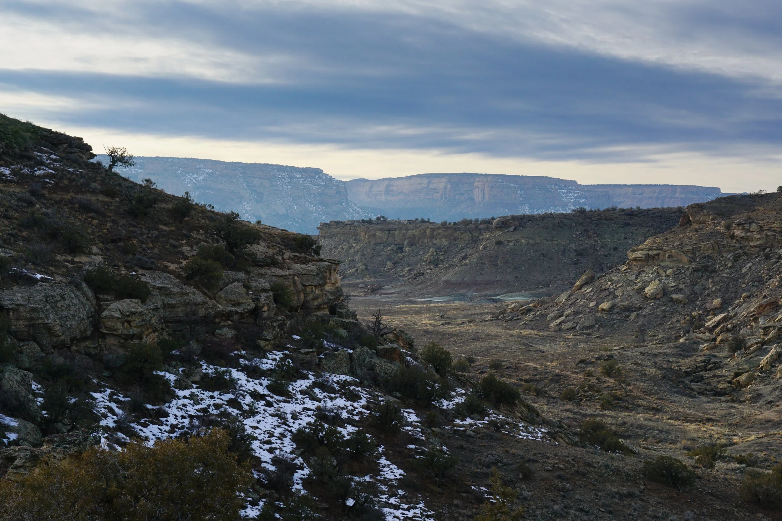
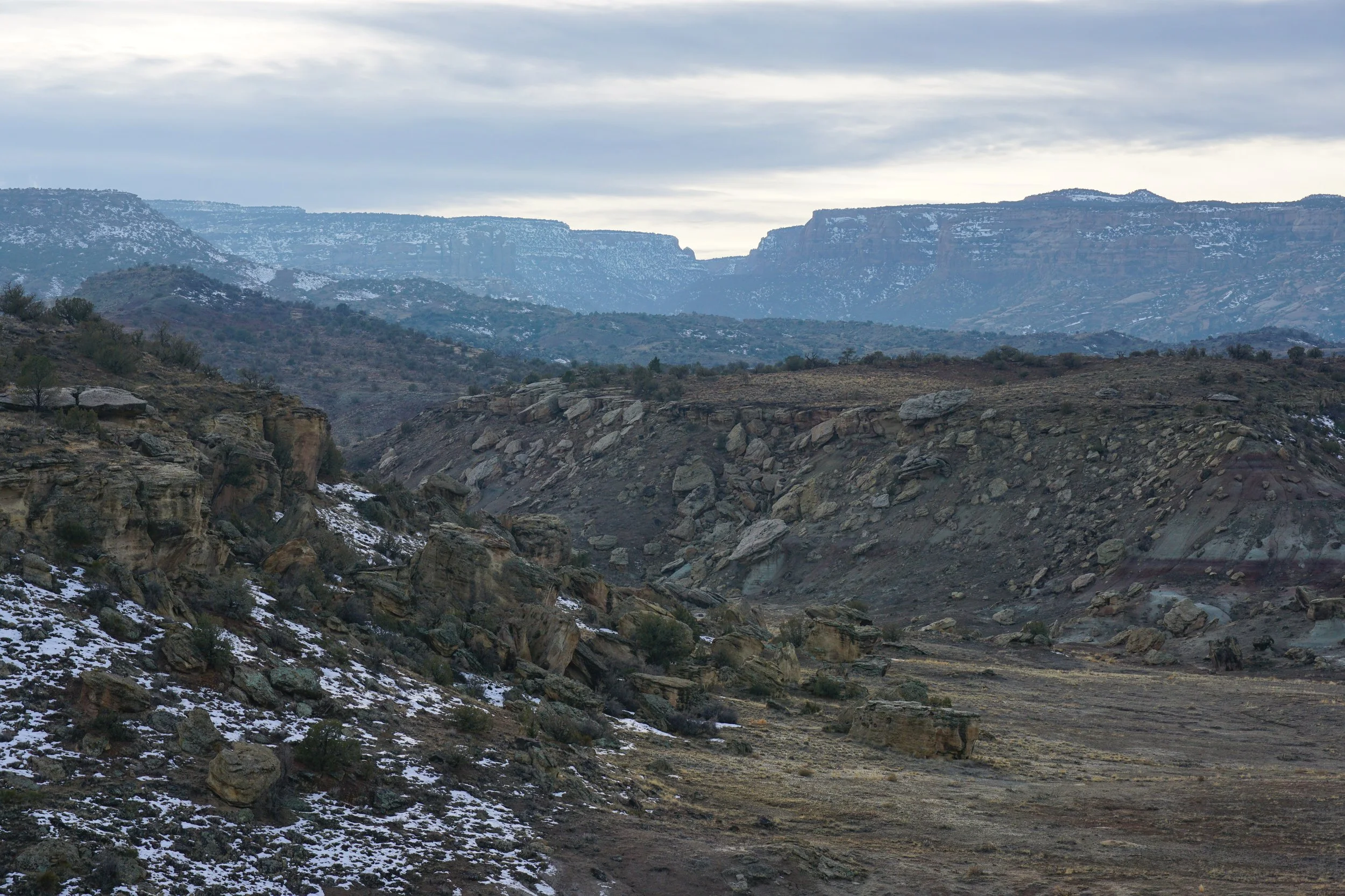
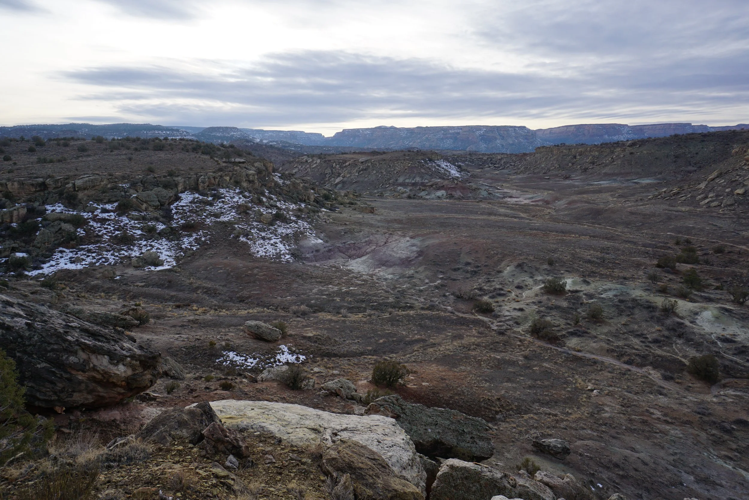
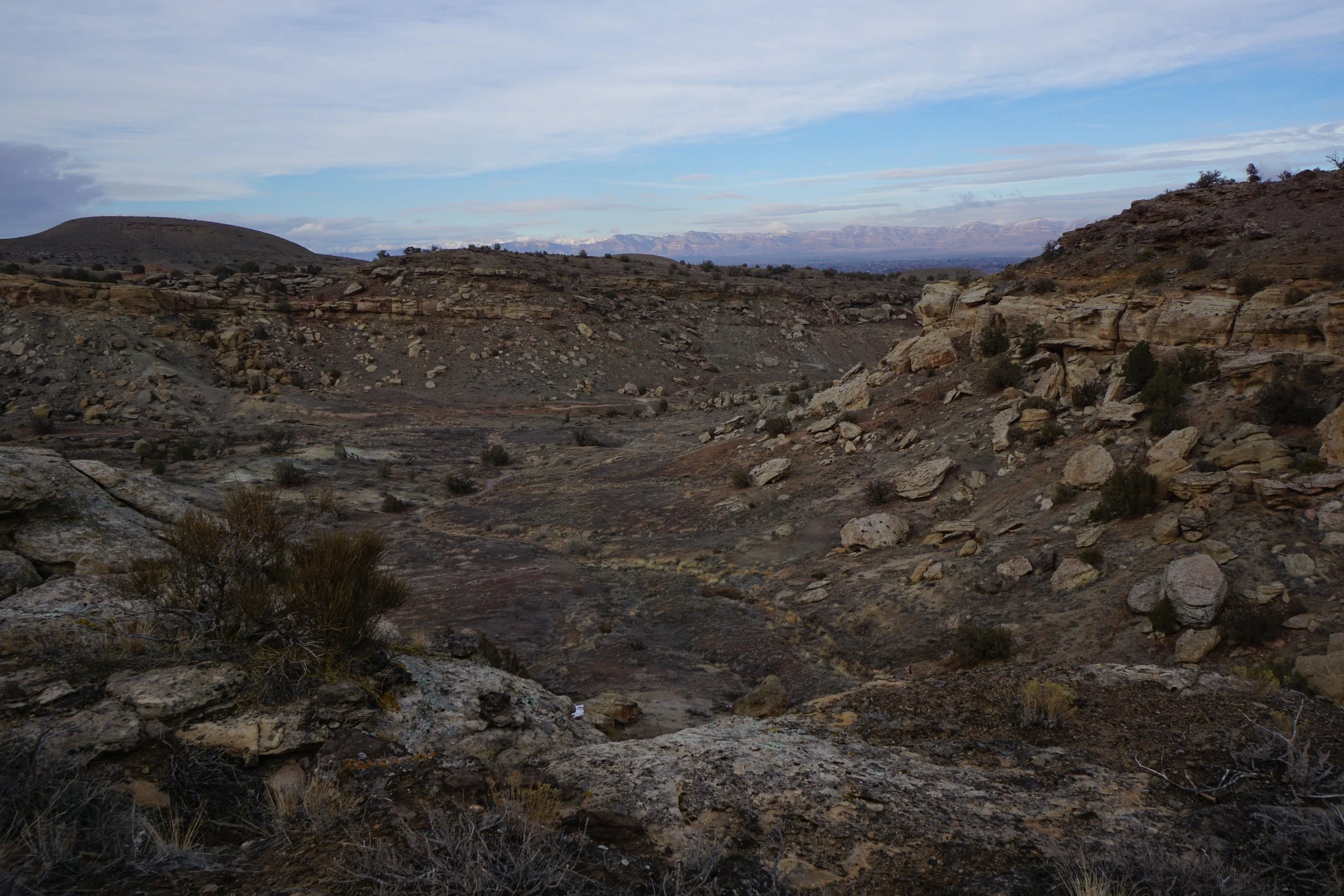
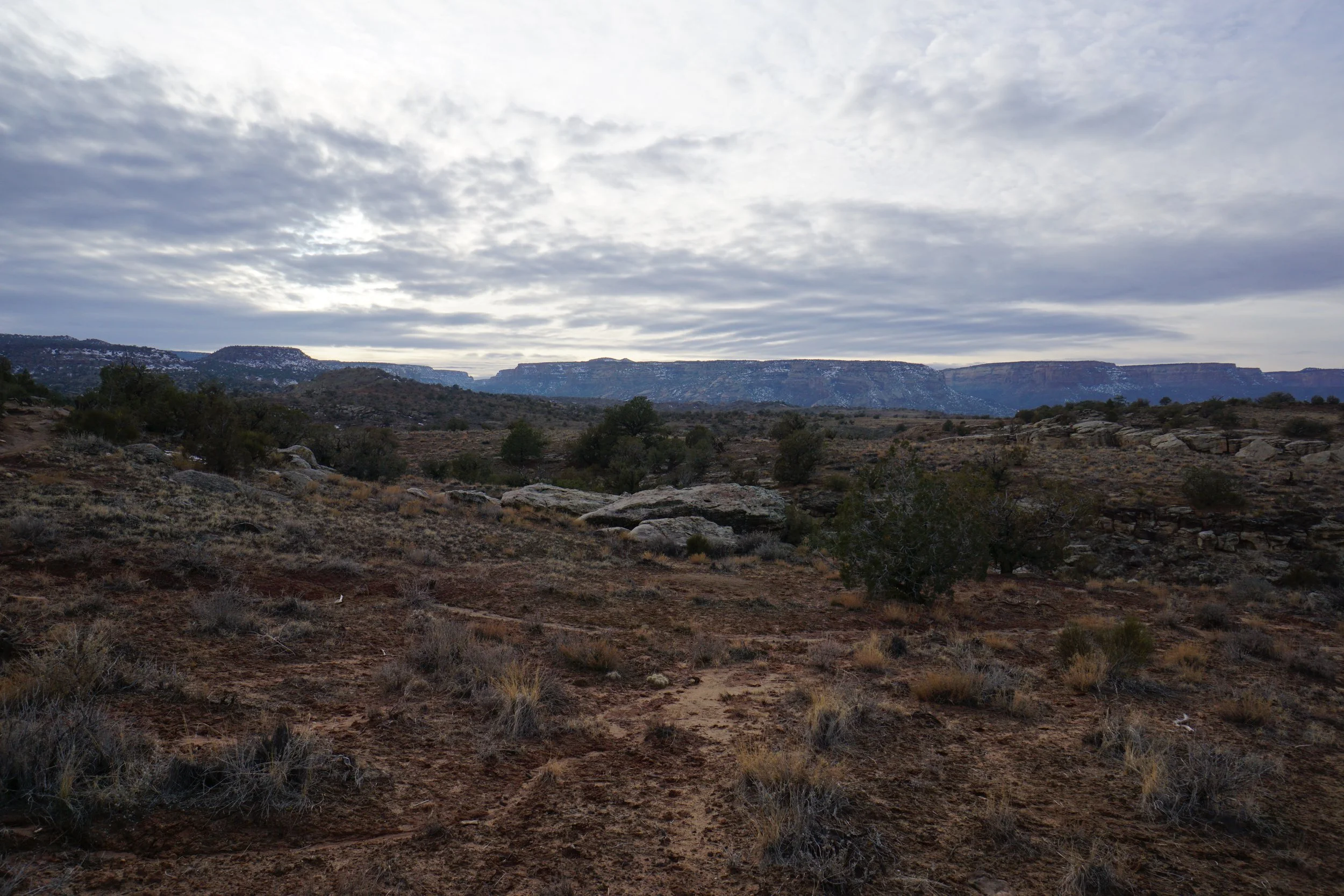
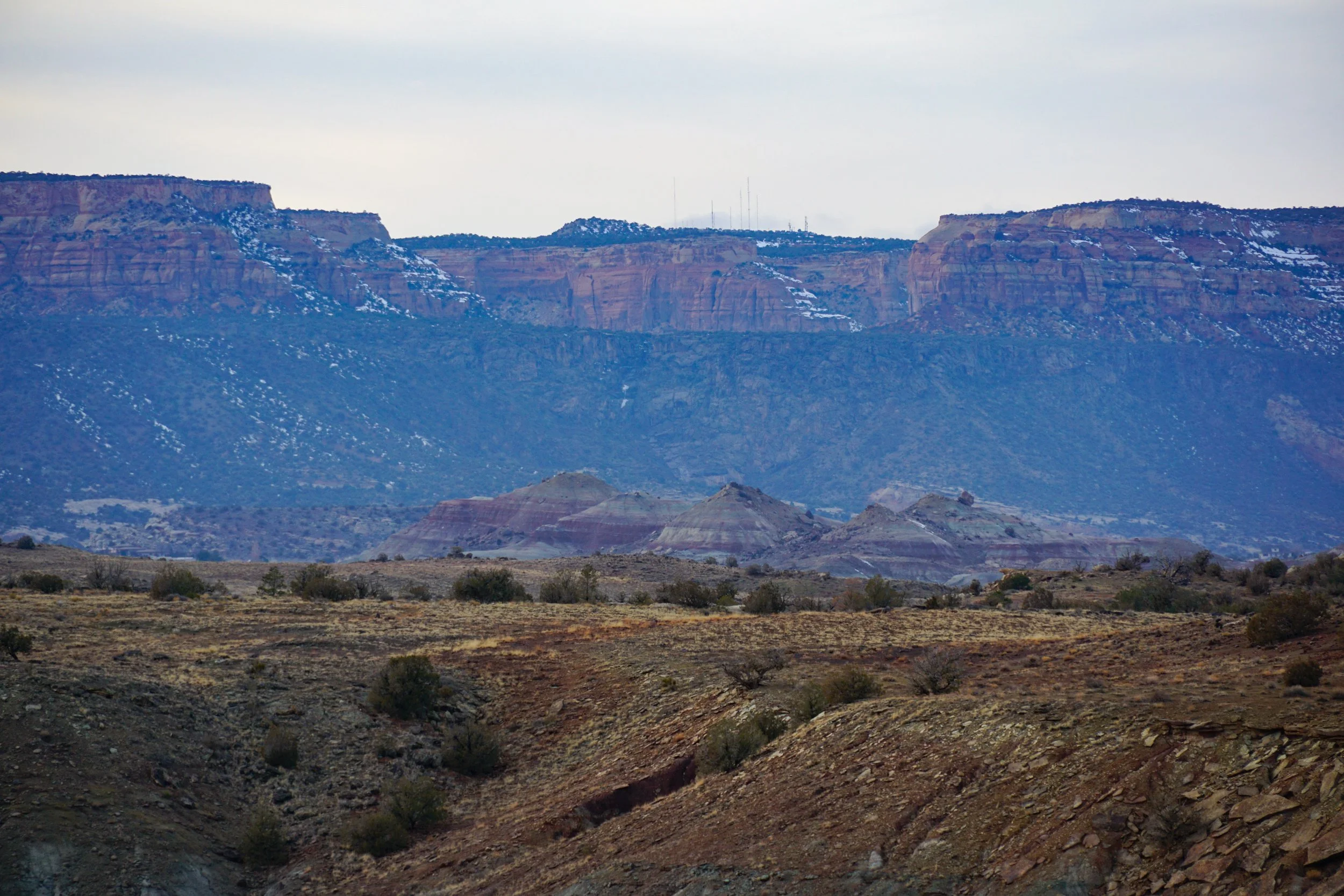
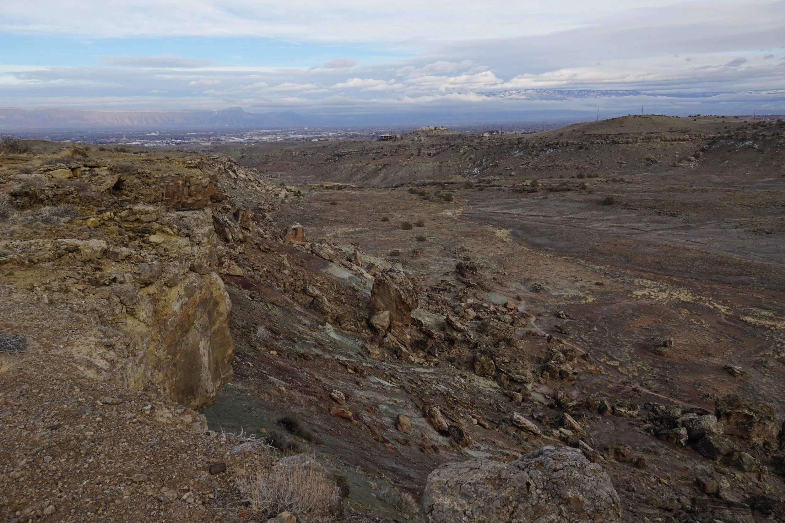
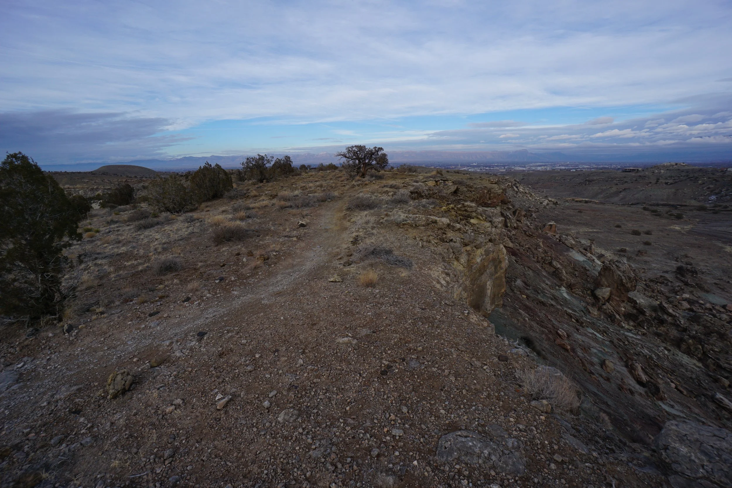
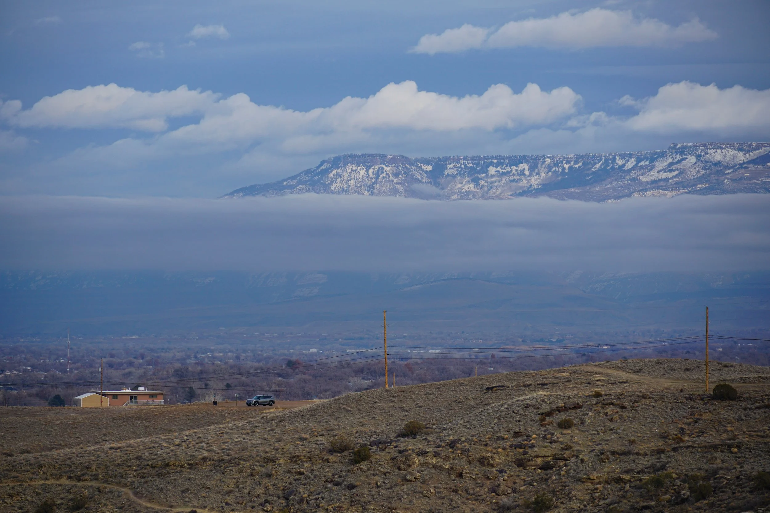
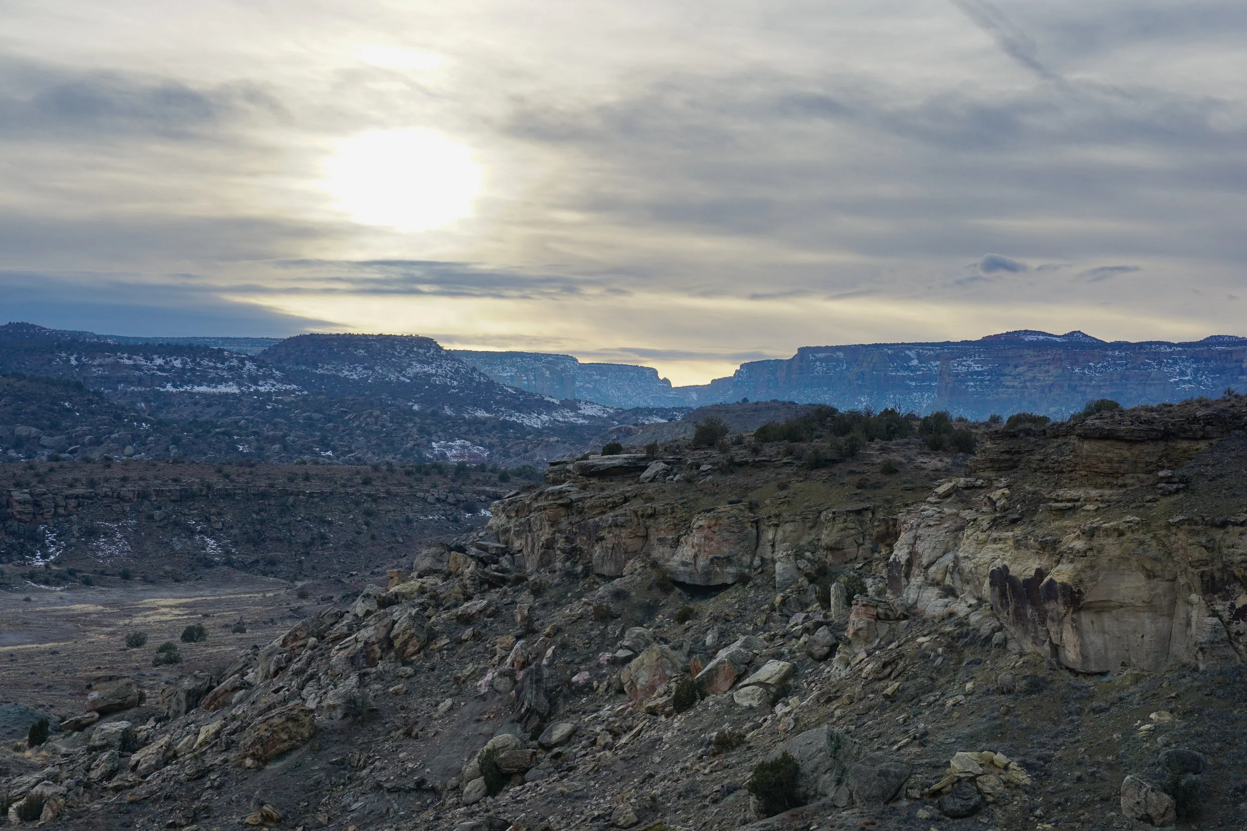
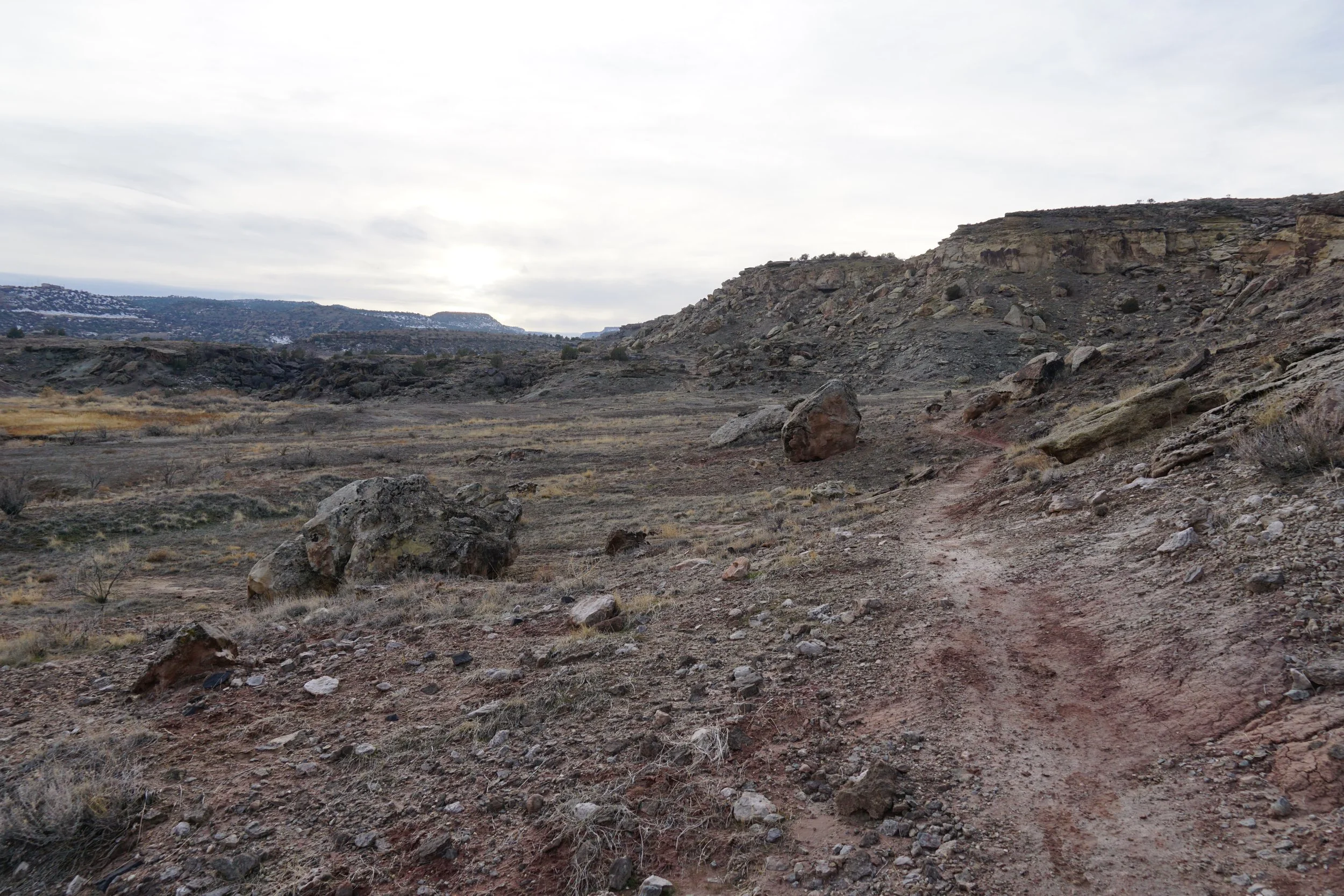
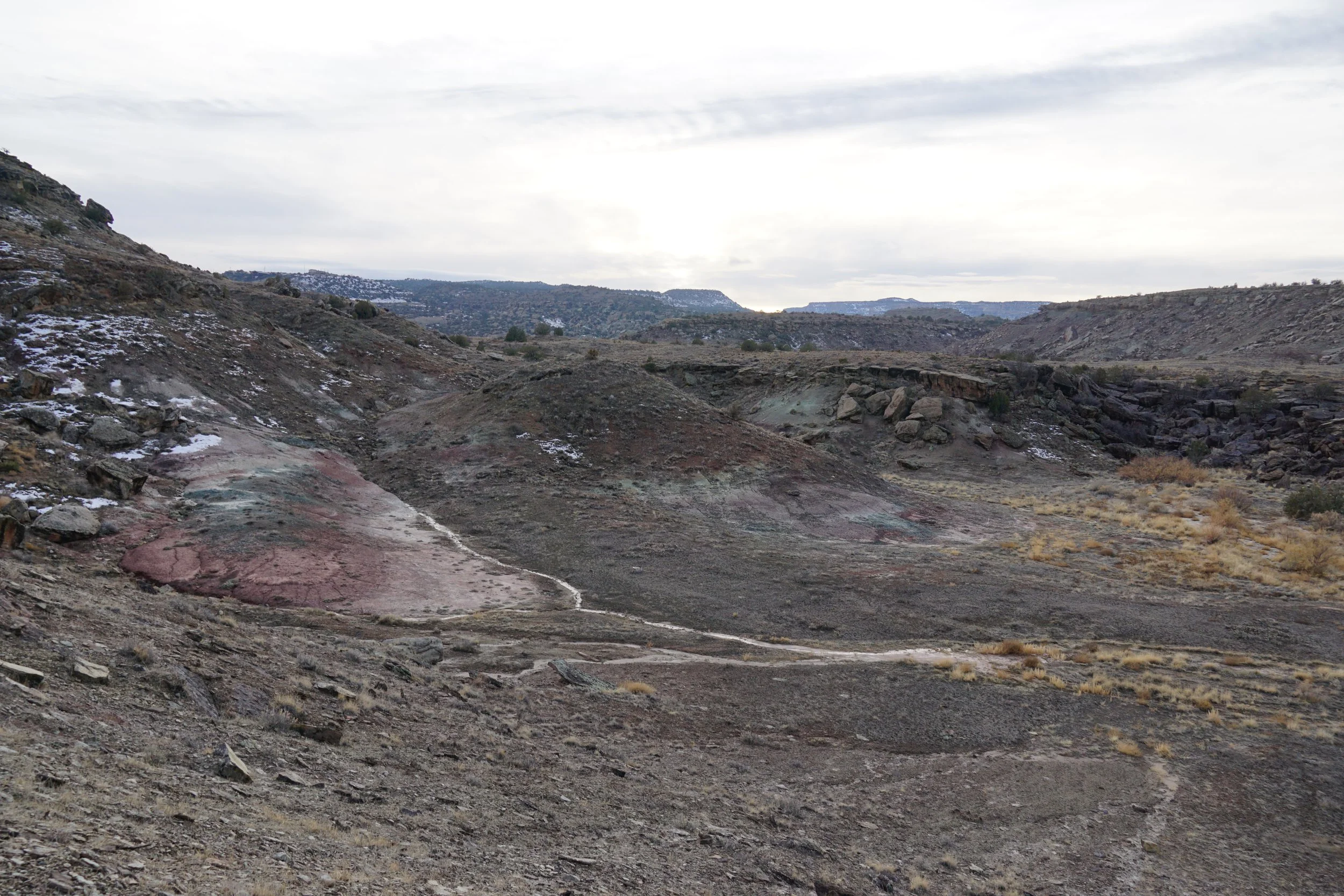
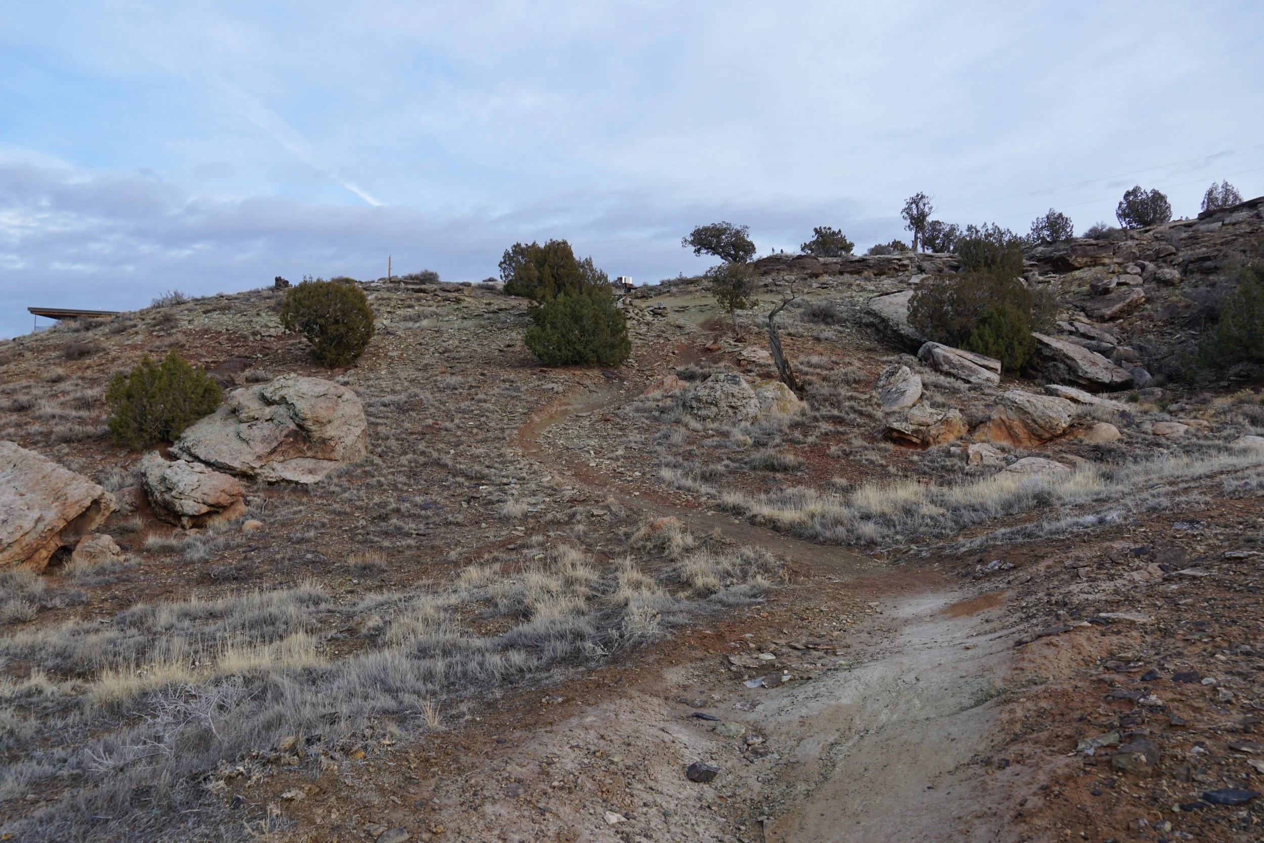
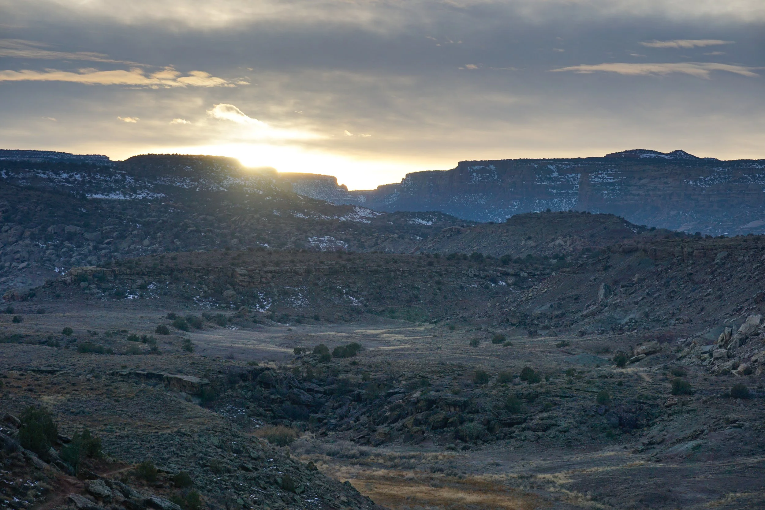
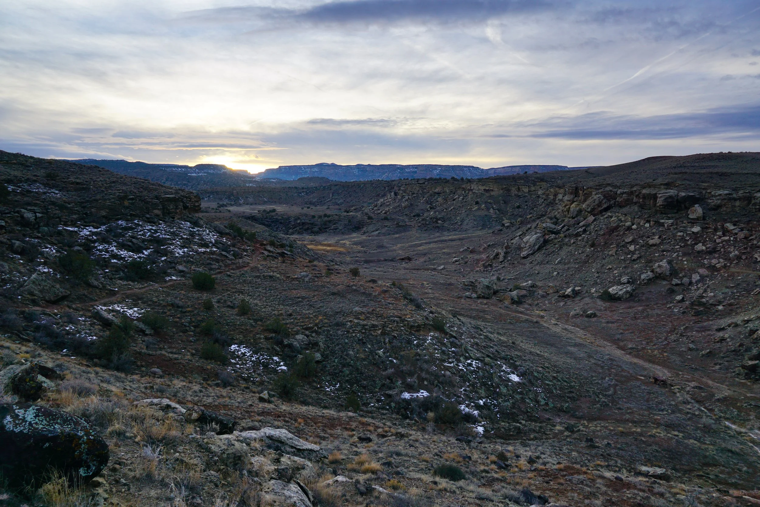
Back to the Clunker Trail…As you trace the base of the canyon walls, look to your left for the connector to the Miramonte Rim Trail which takes you up to the other side of the canyon or the top of the Miramonte Rim Mesa. Once on top of the mesa, follow the Miramonte Rim Trail…the views are stunning. You get treated to views of the Grand Mesa, Garfield Mountain and the Book Cliffs, and off in the distance to the west, the sheer walls of Colorado National Monument. The trail itself is windy and sometimes rocky, but not difficult. The views from the rim are nothing short of spectacular. When you finish the loop, head back down the connector and complete the first loop.
The Lunch Loops Area is a wonderful resource for those who like to hike in the Grand Junction area, having such a wonderful trail system so close to the city is rare and should be appreciated.