Mesa Rim Loop
Hidden Mesa Open Space
Date Hiked: July 15, 2011
Distance: 3 mi (RT)
Elevation Gain: Minimal
Elevation: 6,500ft
Managing Agency: Douglas County Open Space
Fee: None
Directions: From Castle Rock head east on 86 (Founders Parkway). Make a left Rising Sun Drive and at the traffic circle turn left onto Autumn Sage Street. Turn left on Castle Oaks Drive and a right on Pleasant View Drive. The trailhead is on Pleasant View after a sharp elbow turn.
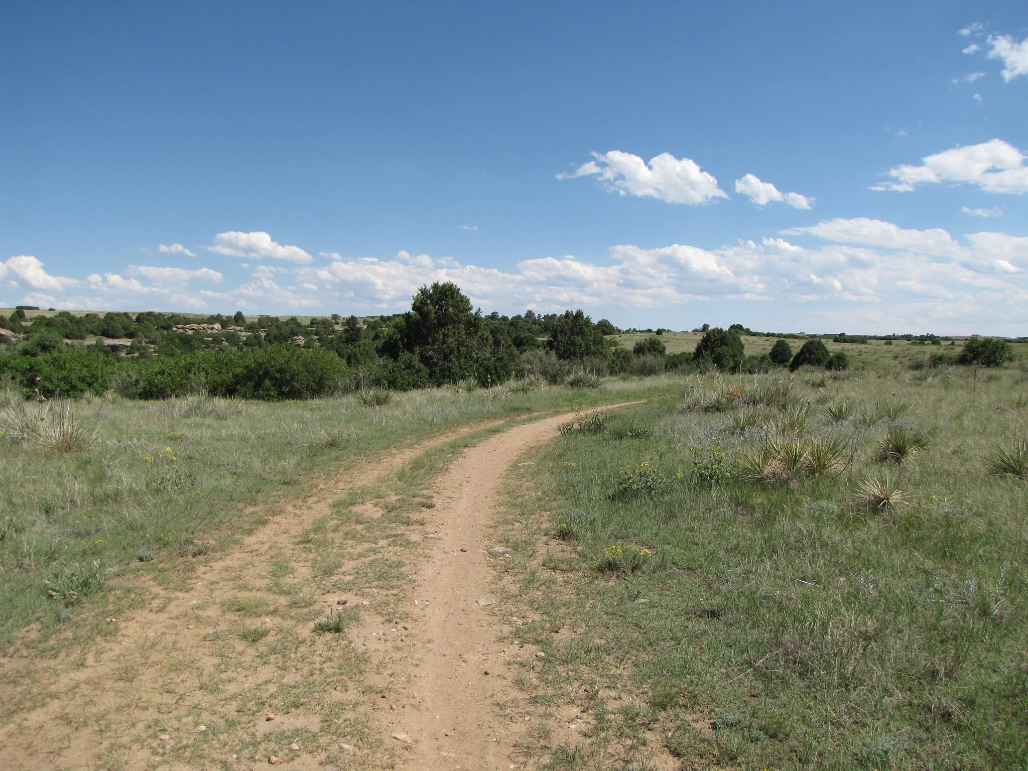
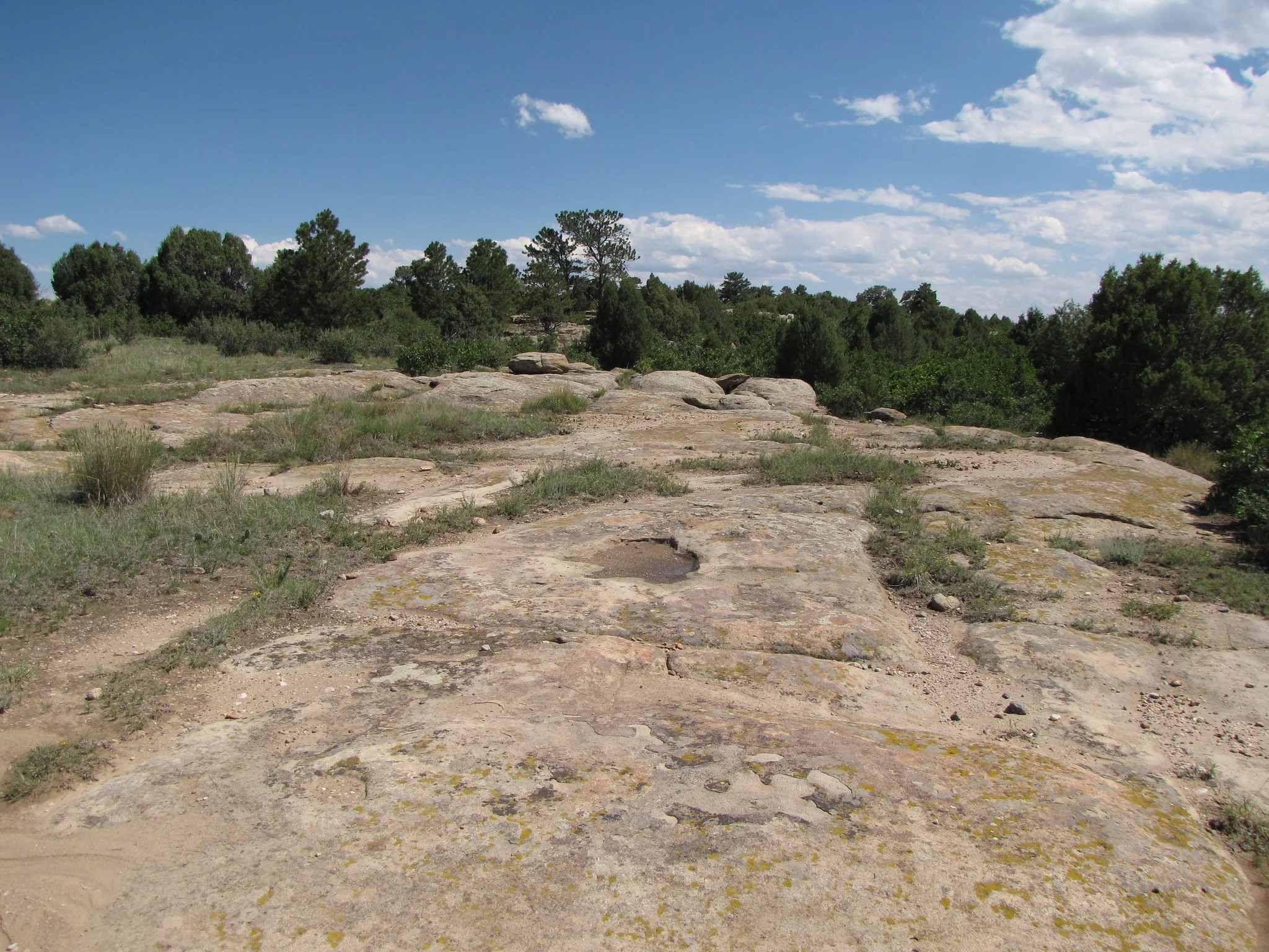
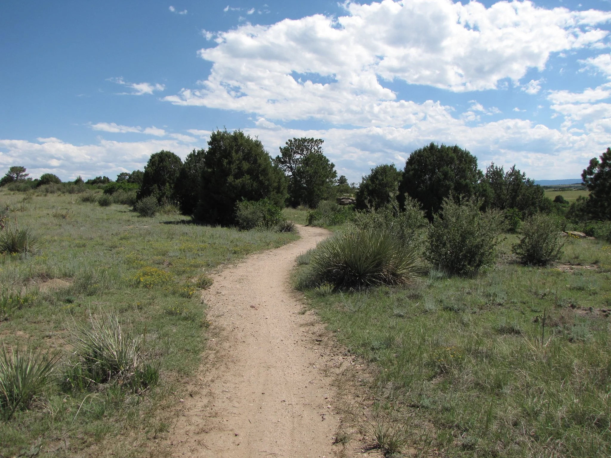
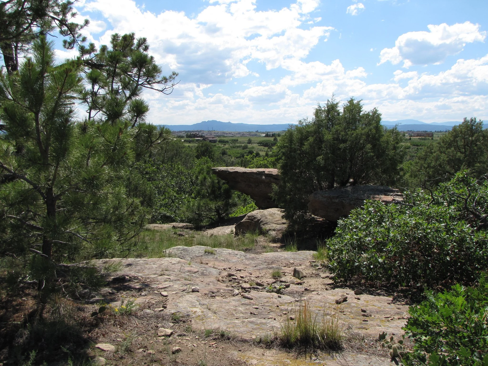
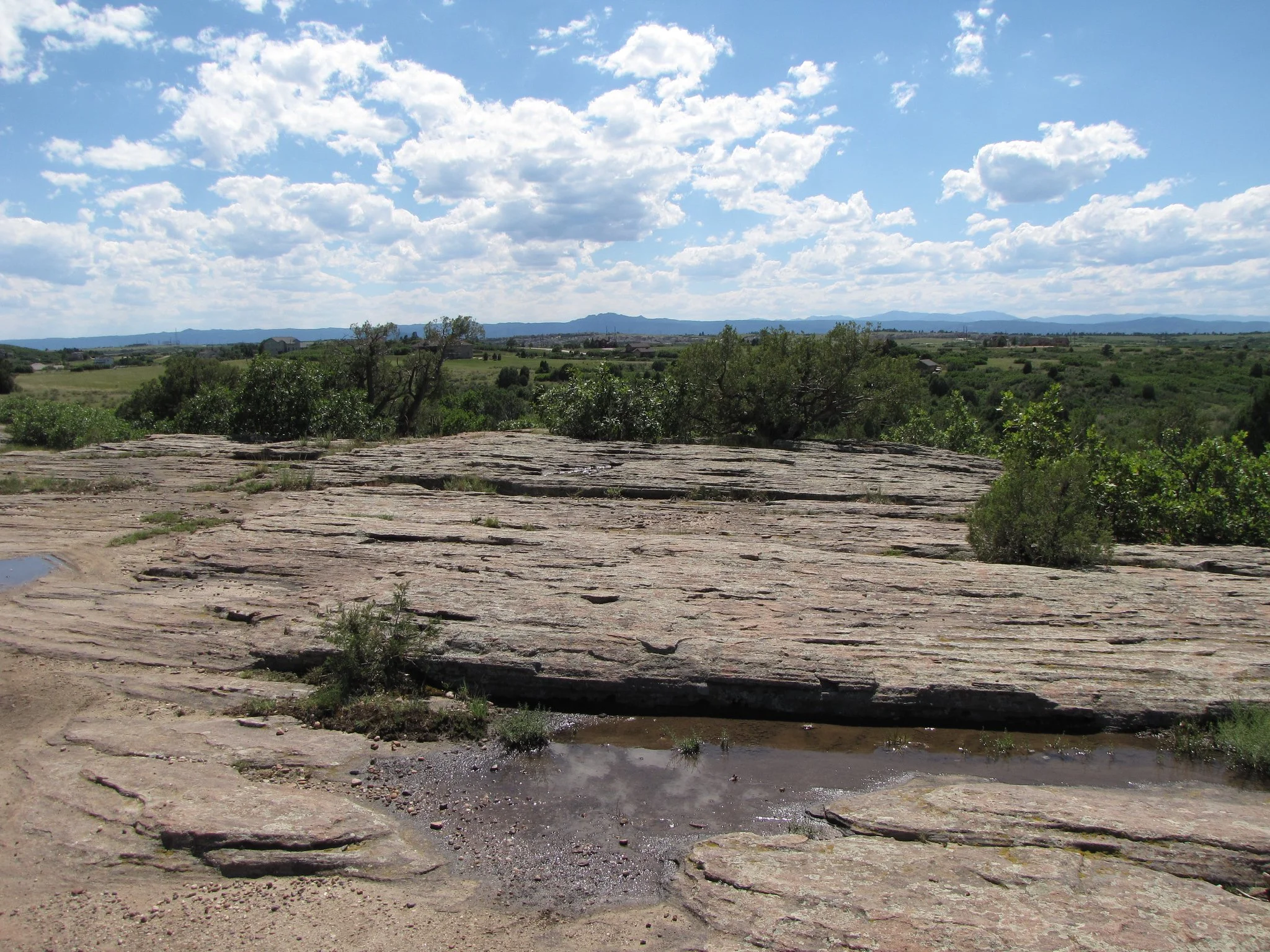
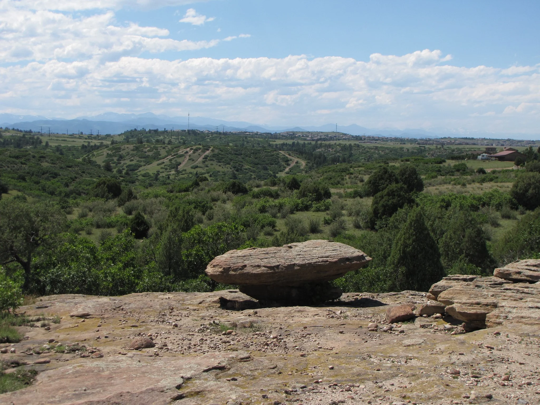
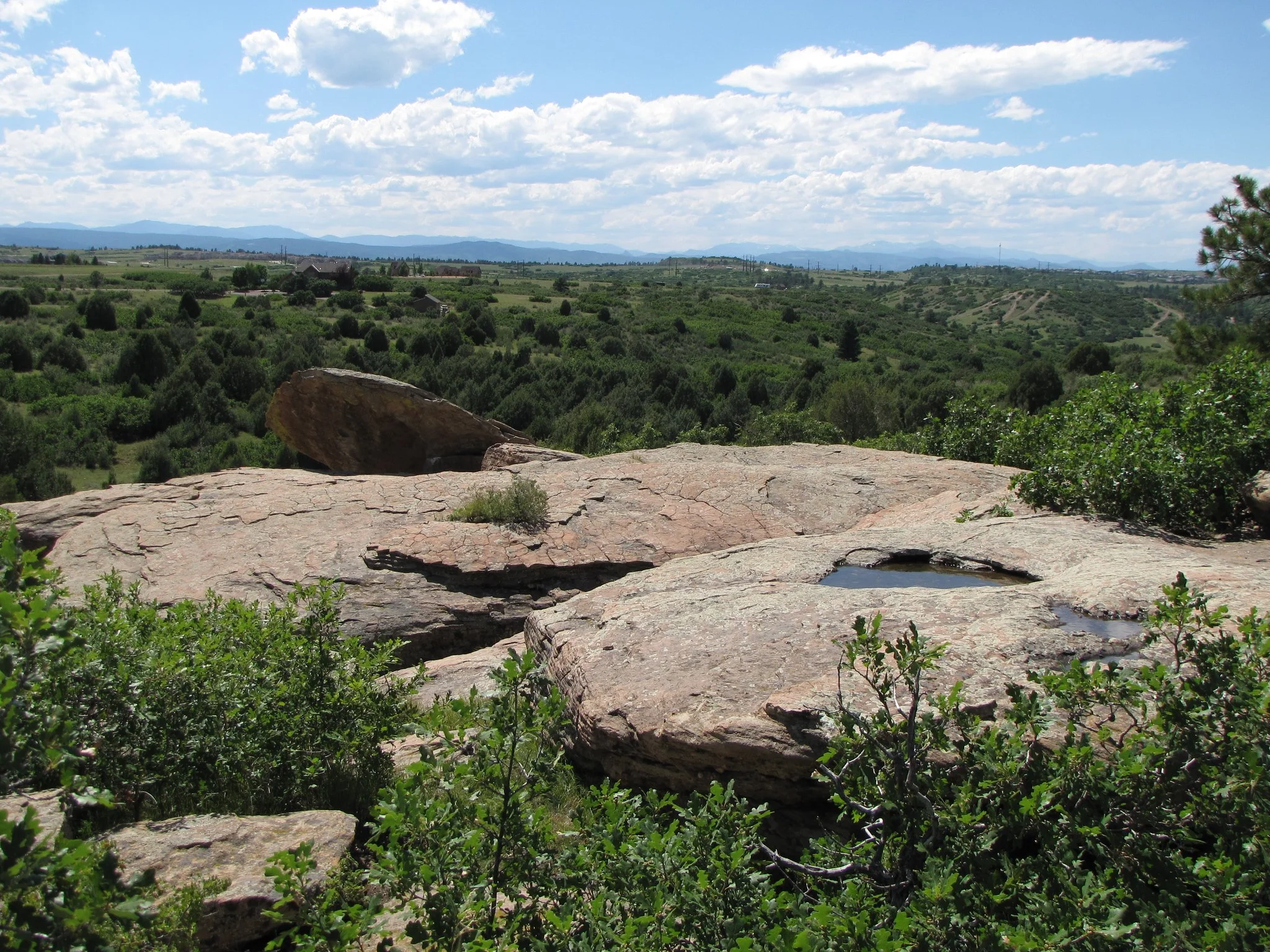
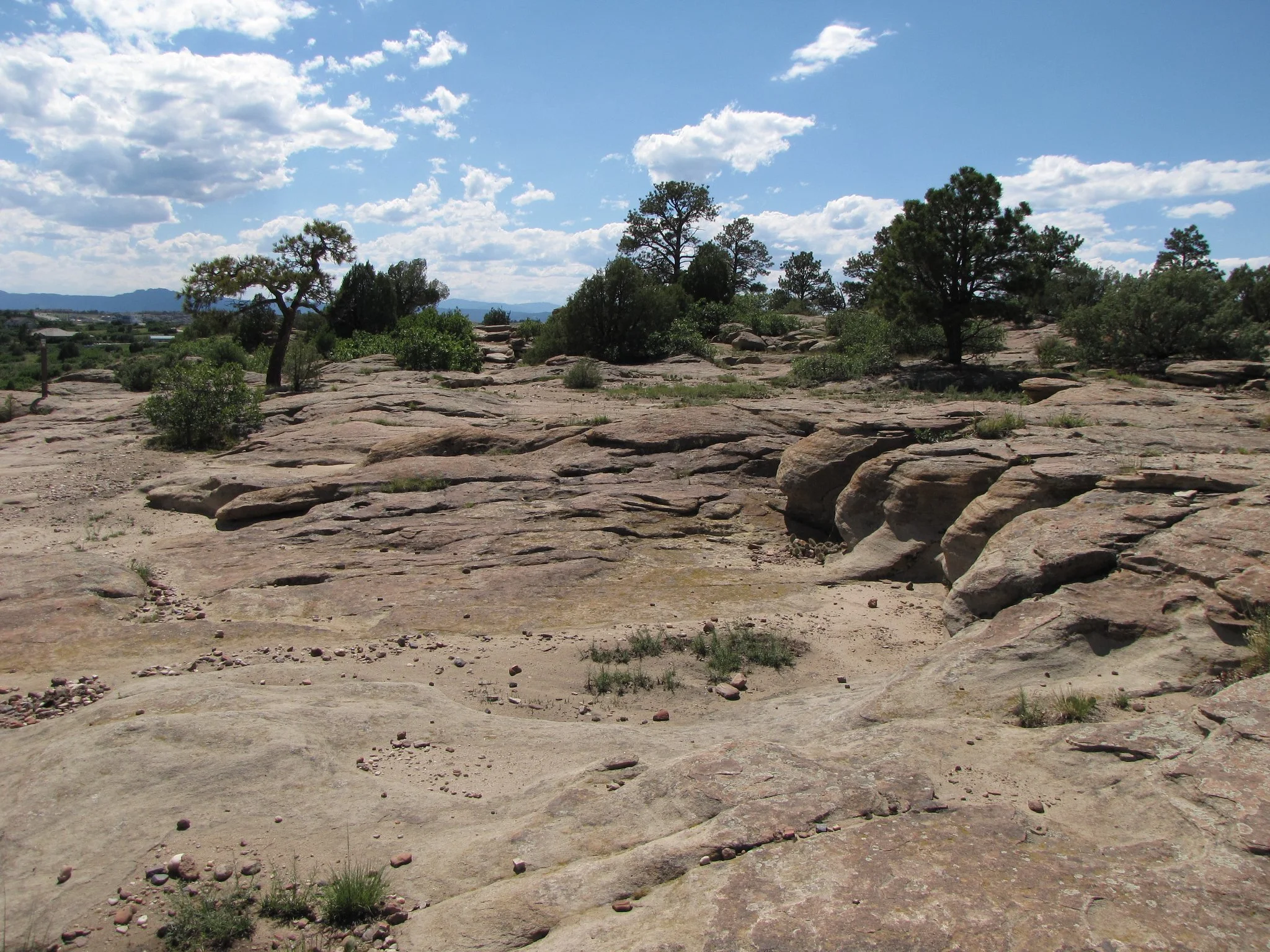
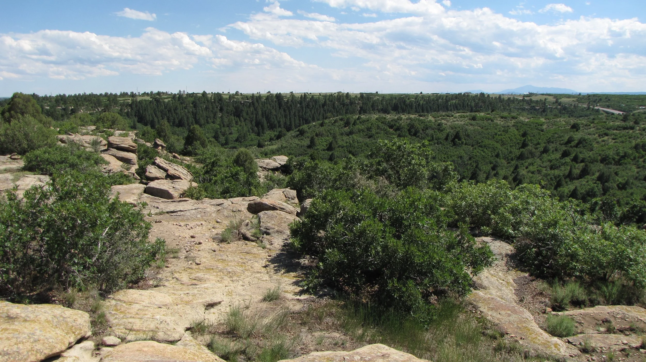
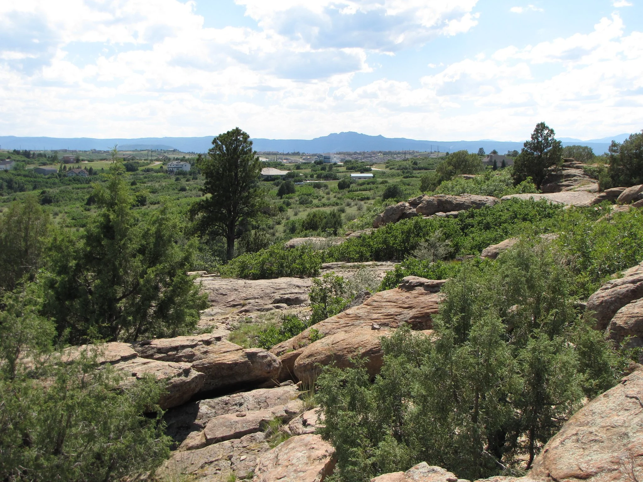
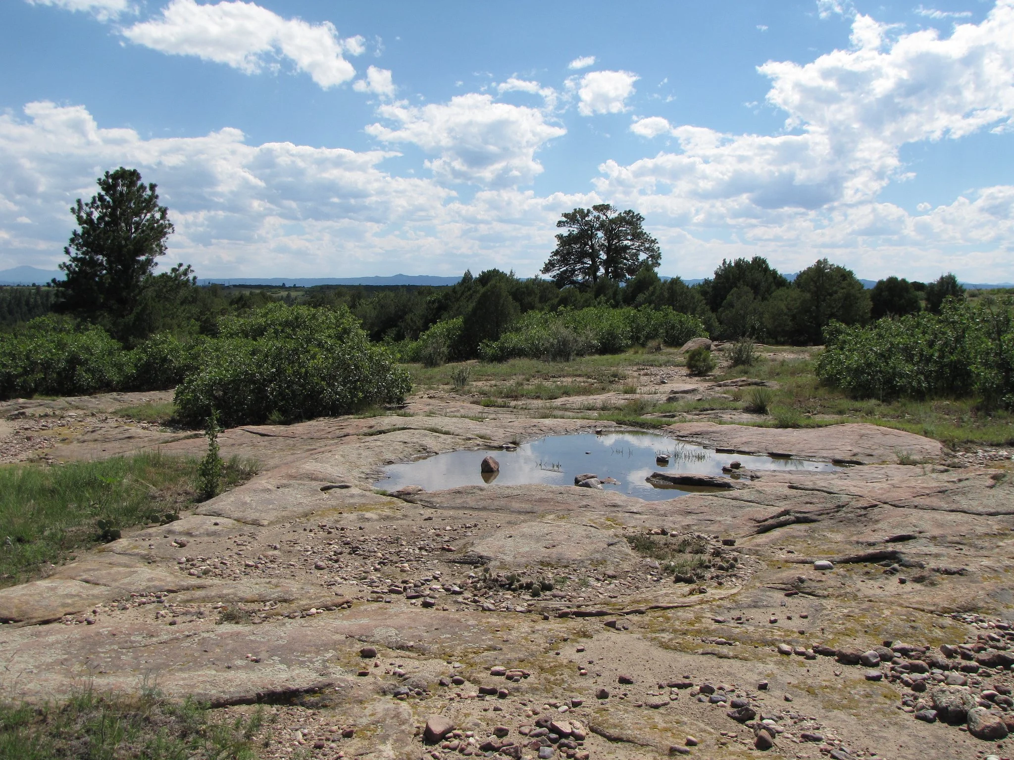
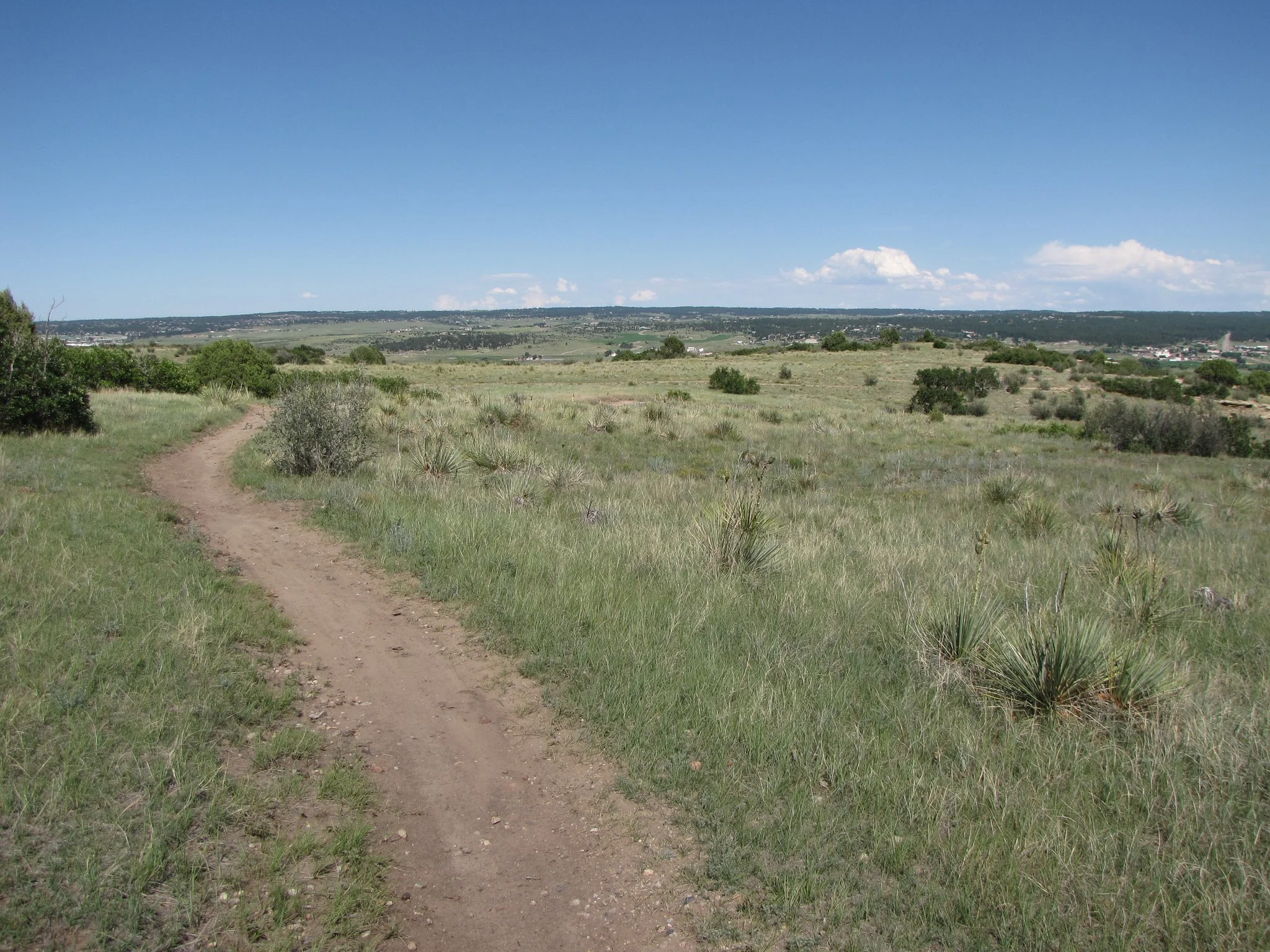
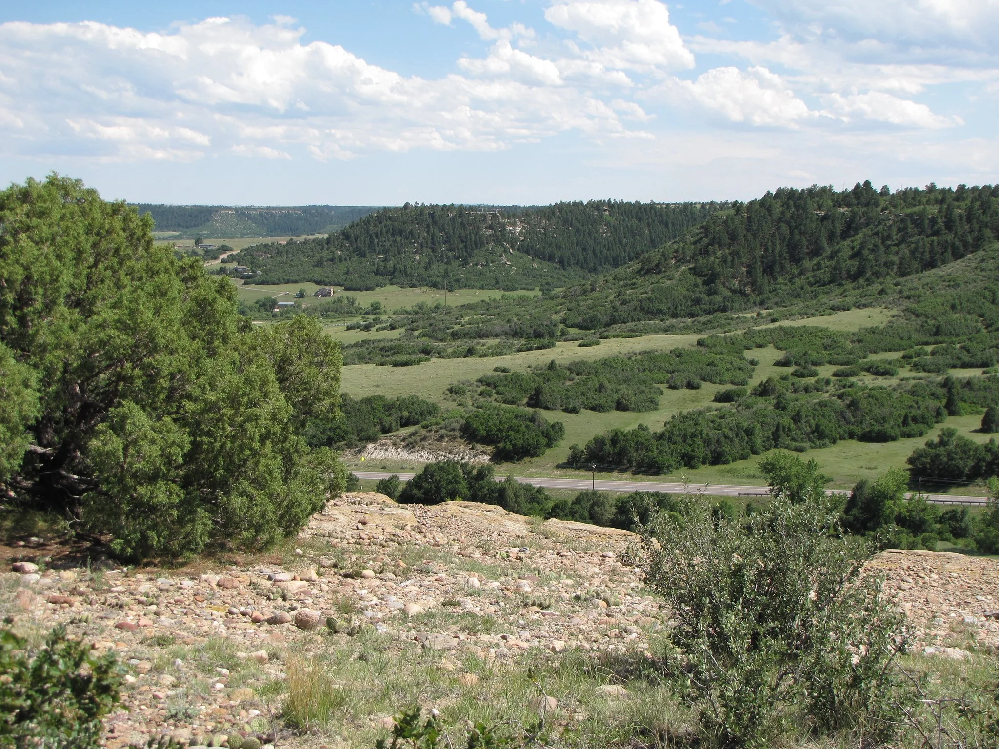
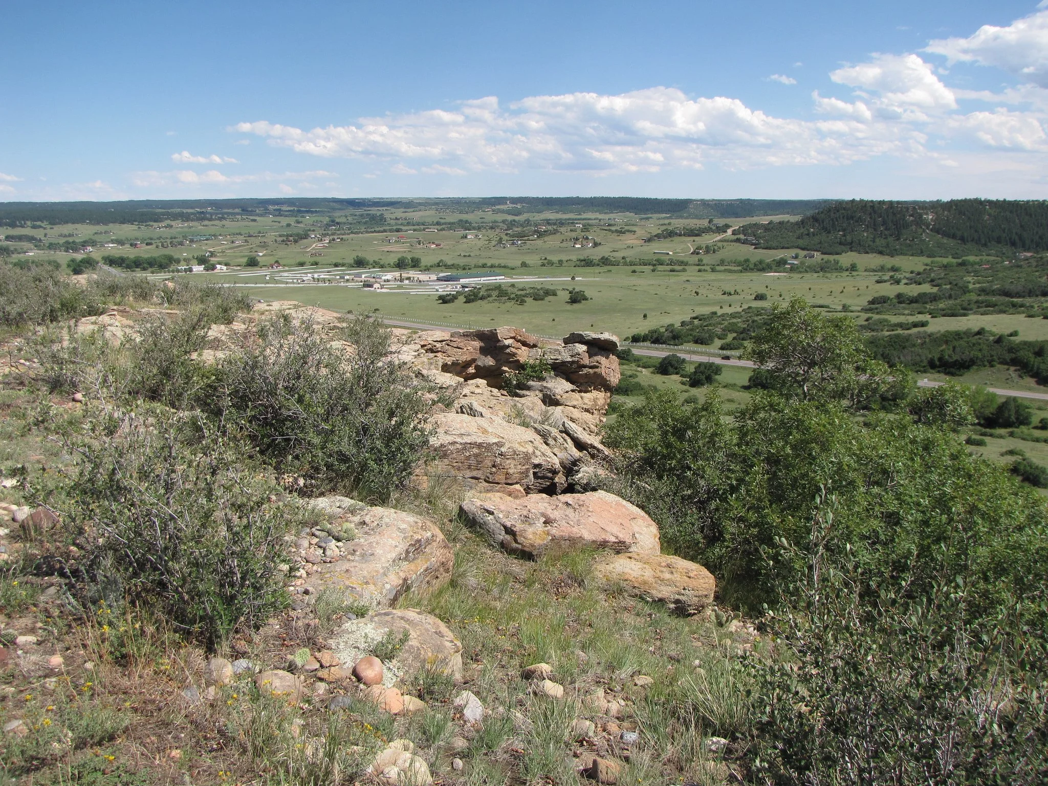
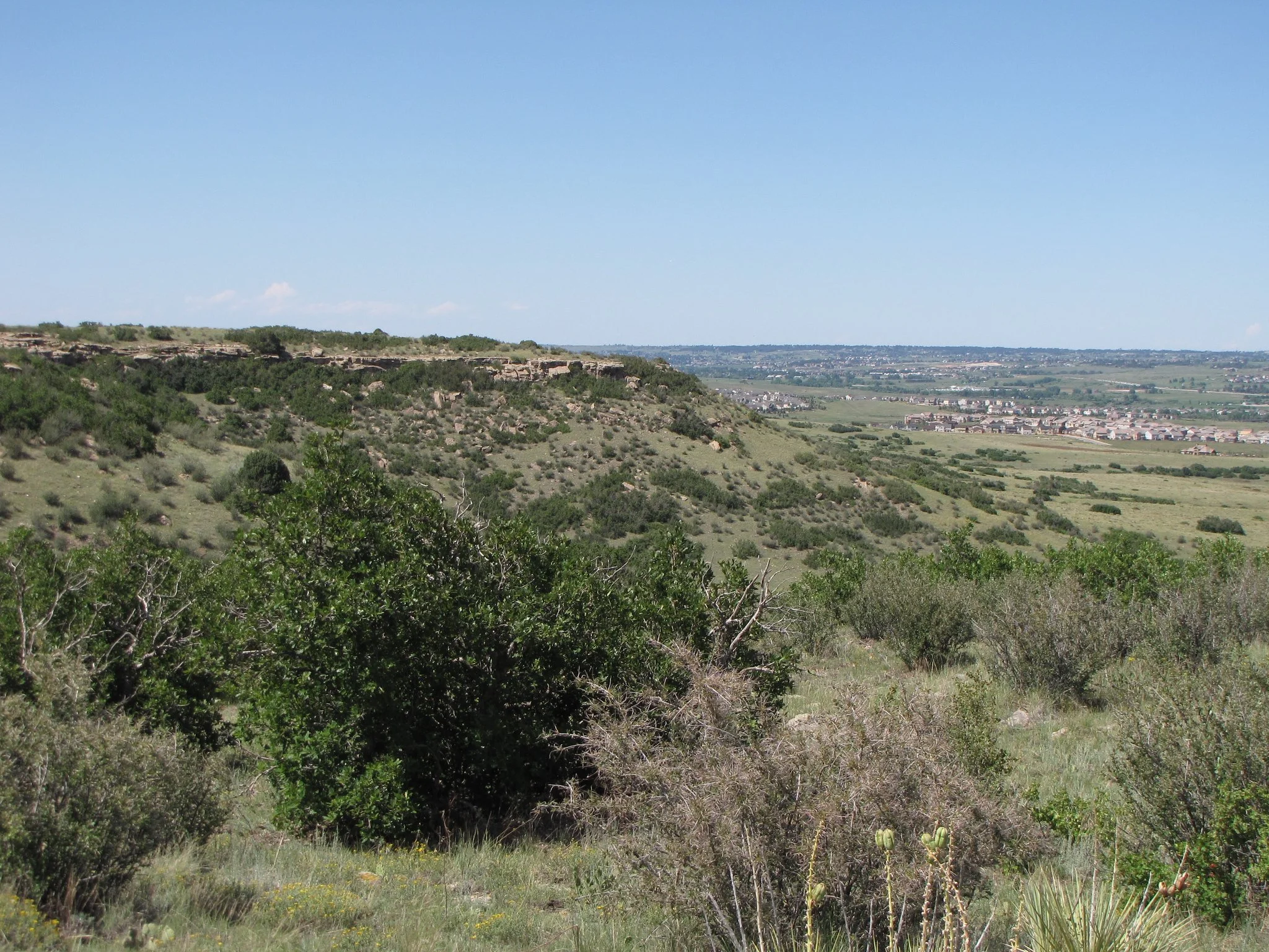
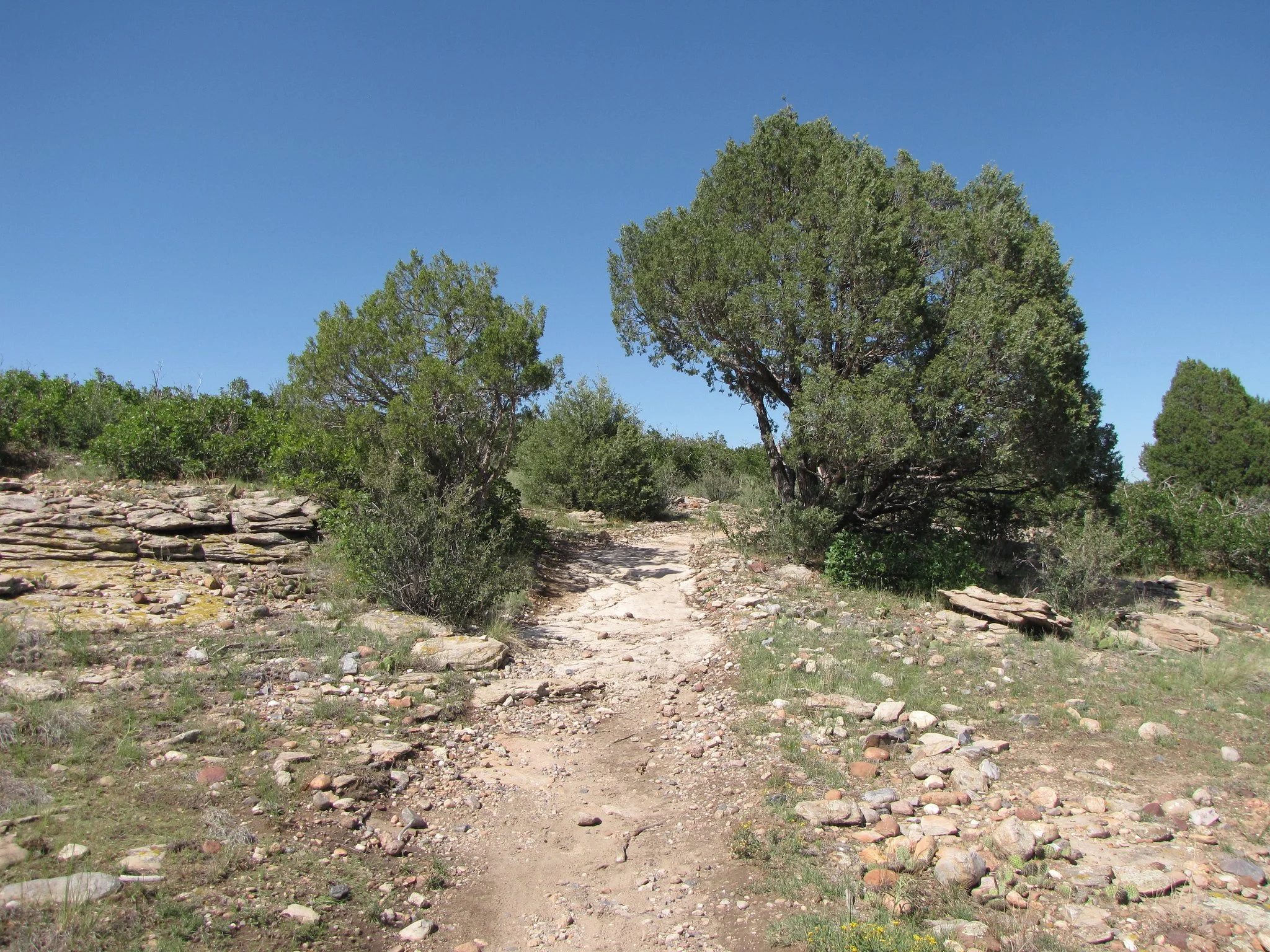
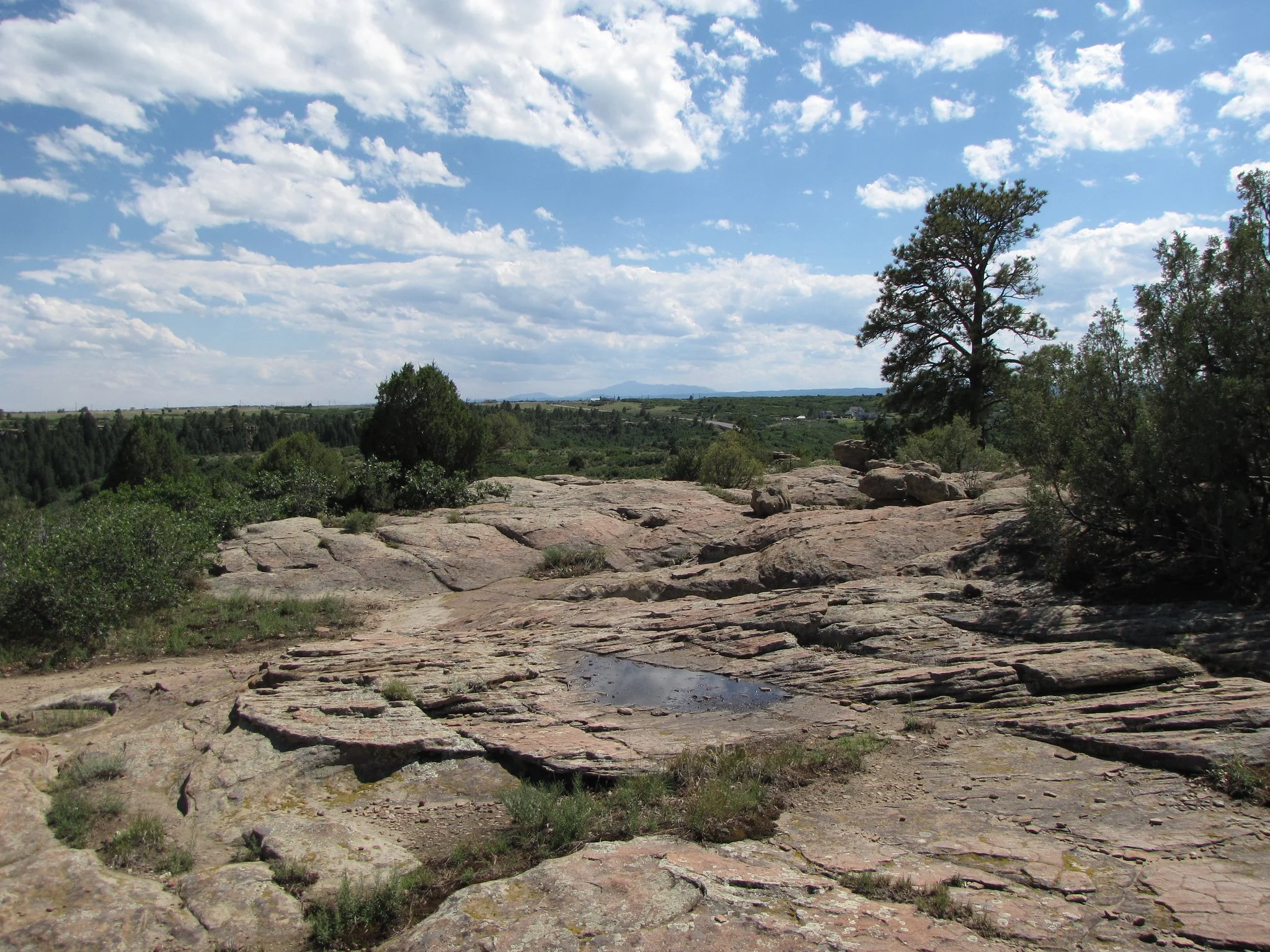
Hike Description: The Mesa Rim Loop is a beautiful hike across the plains east of Castle Rock. The trail meanders through sparse spruce forests and across large slabs of slickrock. The area is particularly beautiful after a rain as small pools will form in the rock. Across the plains, to the west, you're offered views of the Front Range mountains, including Devil's Head and Pike's Peak. Before too long you'll reach the rim of the Mesa and look down on Founders Parkway heading east towards Castlewood Canyon State Park. The trail skirts the edge of the mesa for a little ways before turn back to the north and back to the parking area. For a longer hike you can hook up with the Hidden Mesa Trail that will take you down the mesa cliffs to meet up with the Cherry Creek Trail.