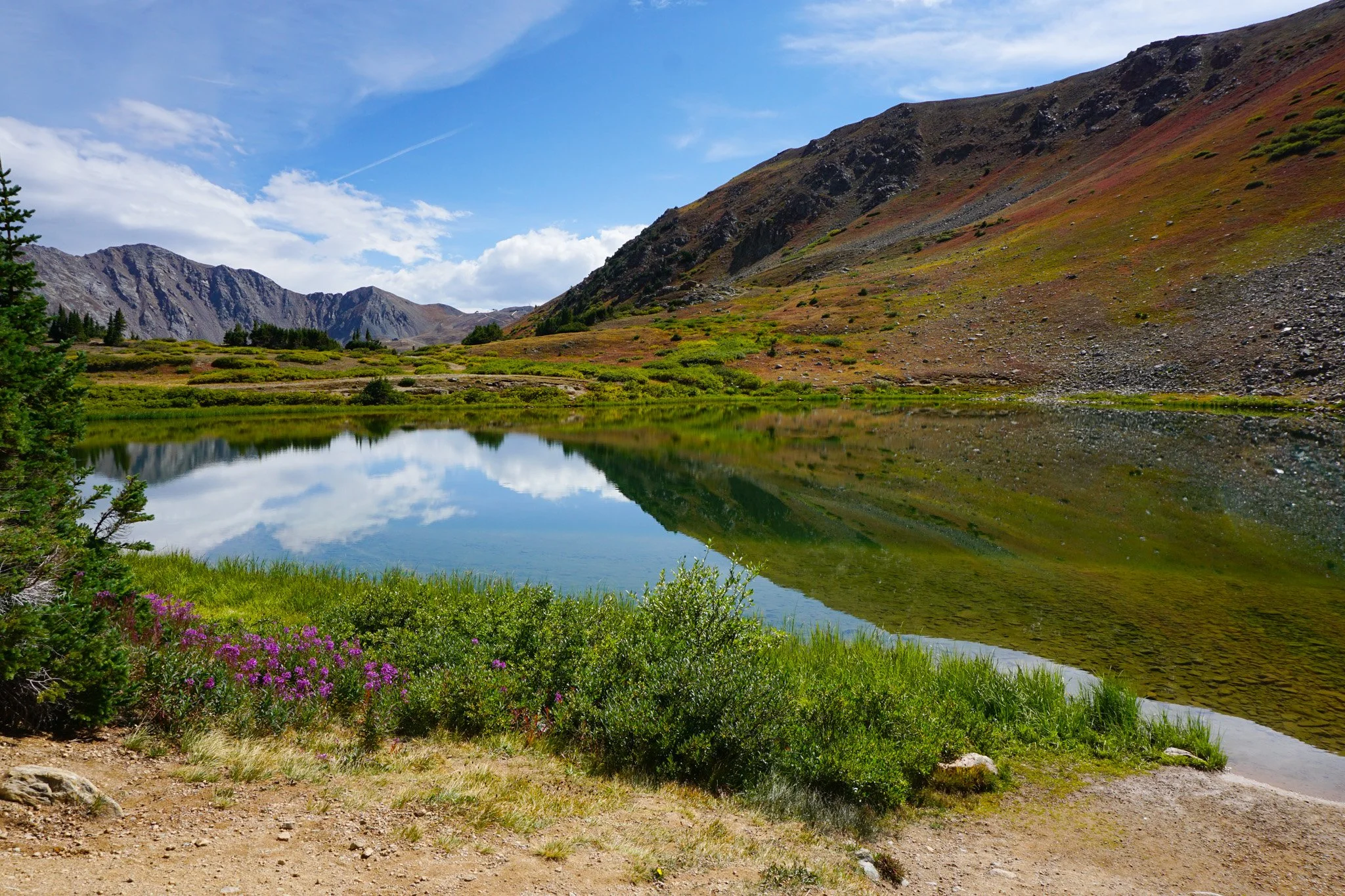
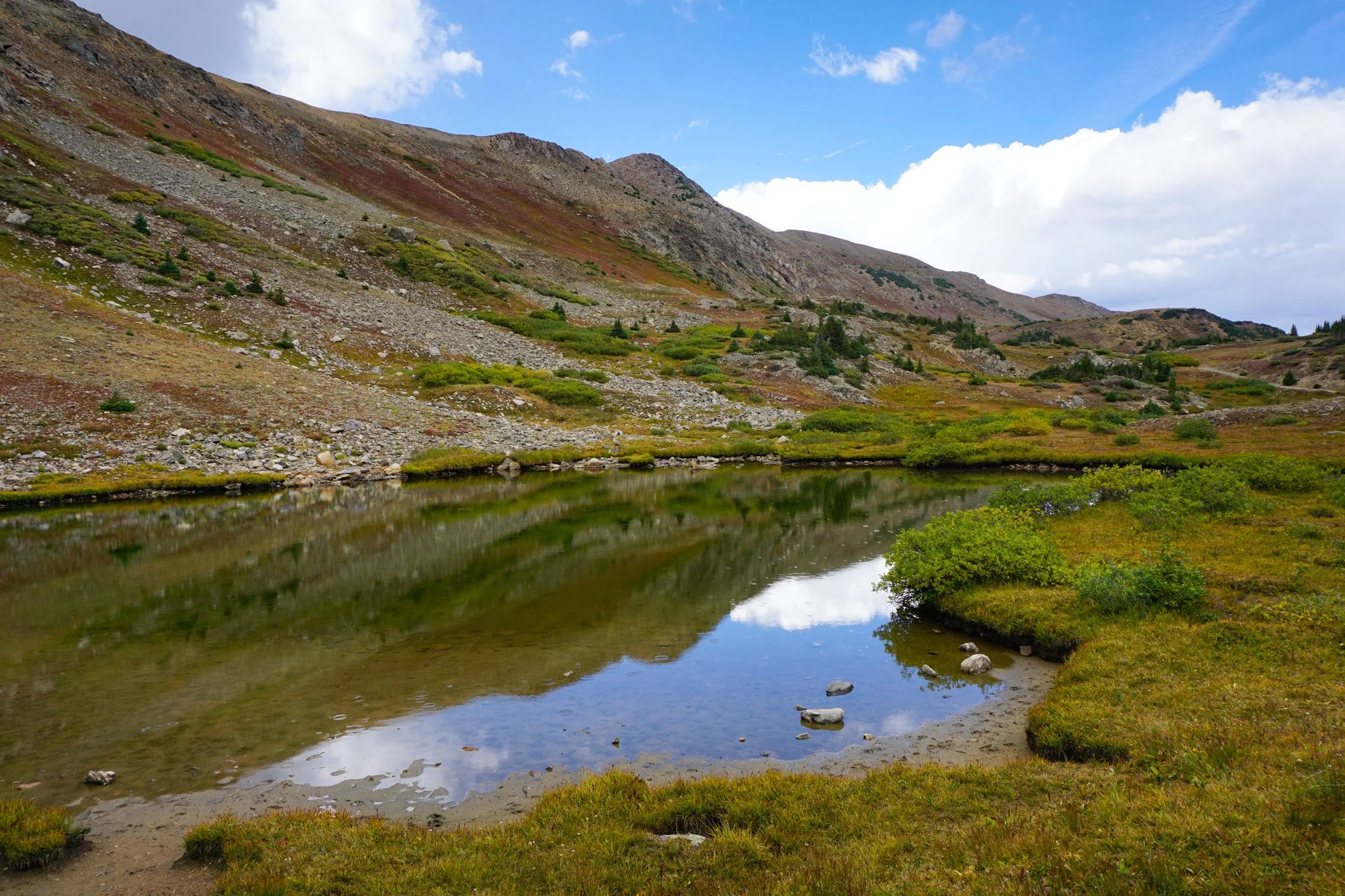
Loveland Pass Lake
White River National Forest
Date Hiked: September 7, 2025
Distance: 1 mi (RT)
Elevation Gain: Minimal
Elevation Min/Max: 11,816 to 11,850 ft
Trailhead Lat/Long: 39.65507, -105.87821
Managing Agency: U.S. Forest Service
Fee: None
Directions:
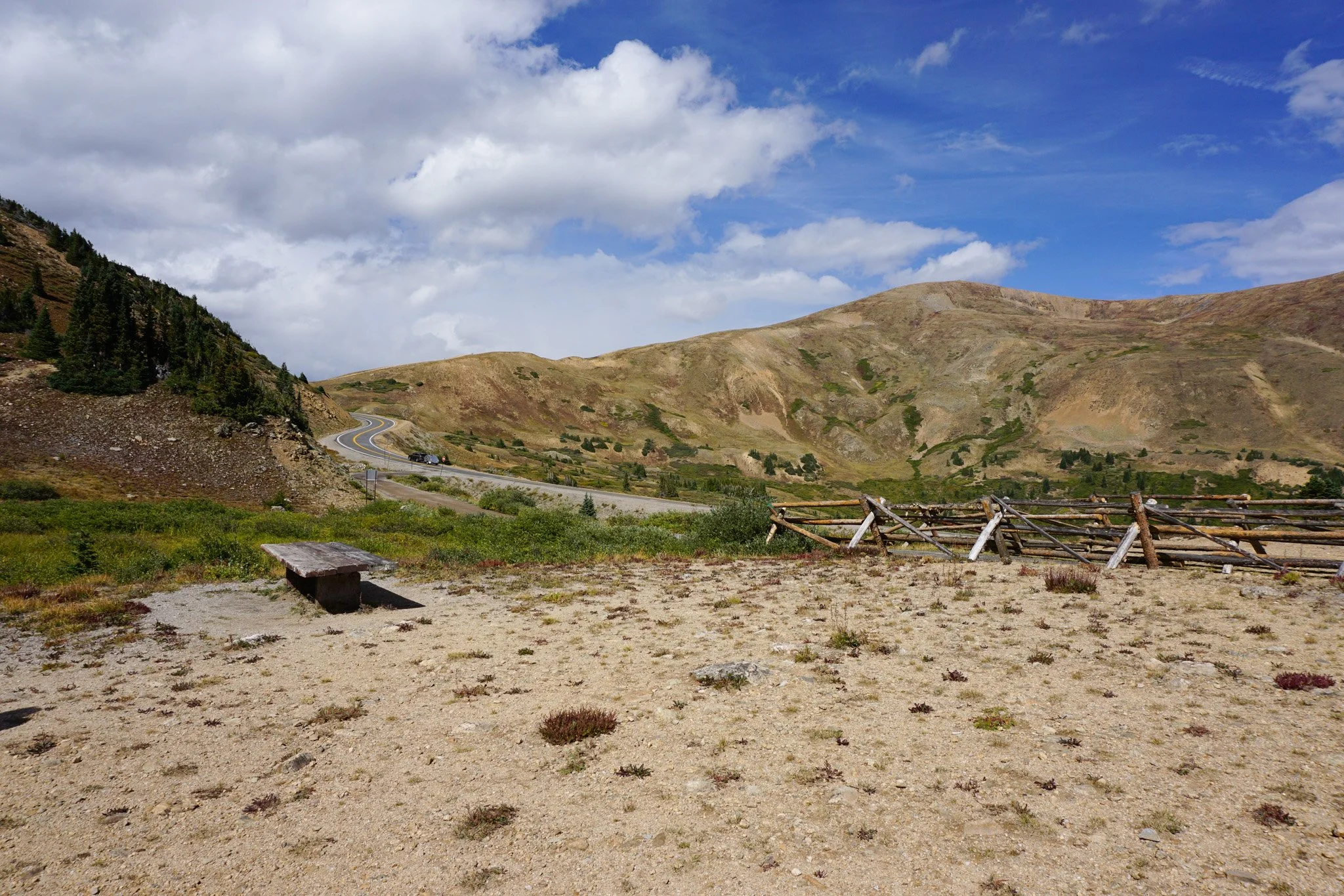
From I-70, take the Loveland Pass exit and follow Hwy 6 up to the top of Loveland Pass. The road is paved but narrow with sometimes harrowing drop offs. At the summit of Loveland Pass, continue down the far side and loop for the turn off for Pass Lake about a half mile past the pass.
Hike Description:
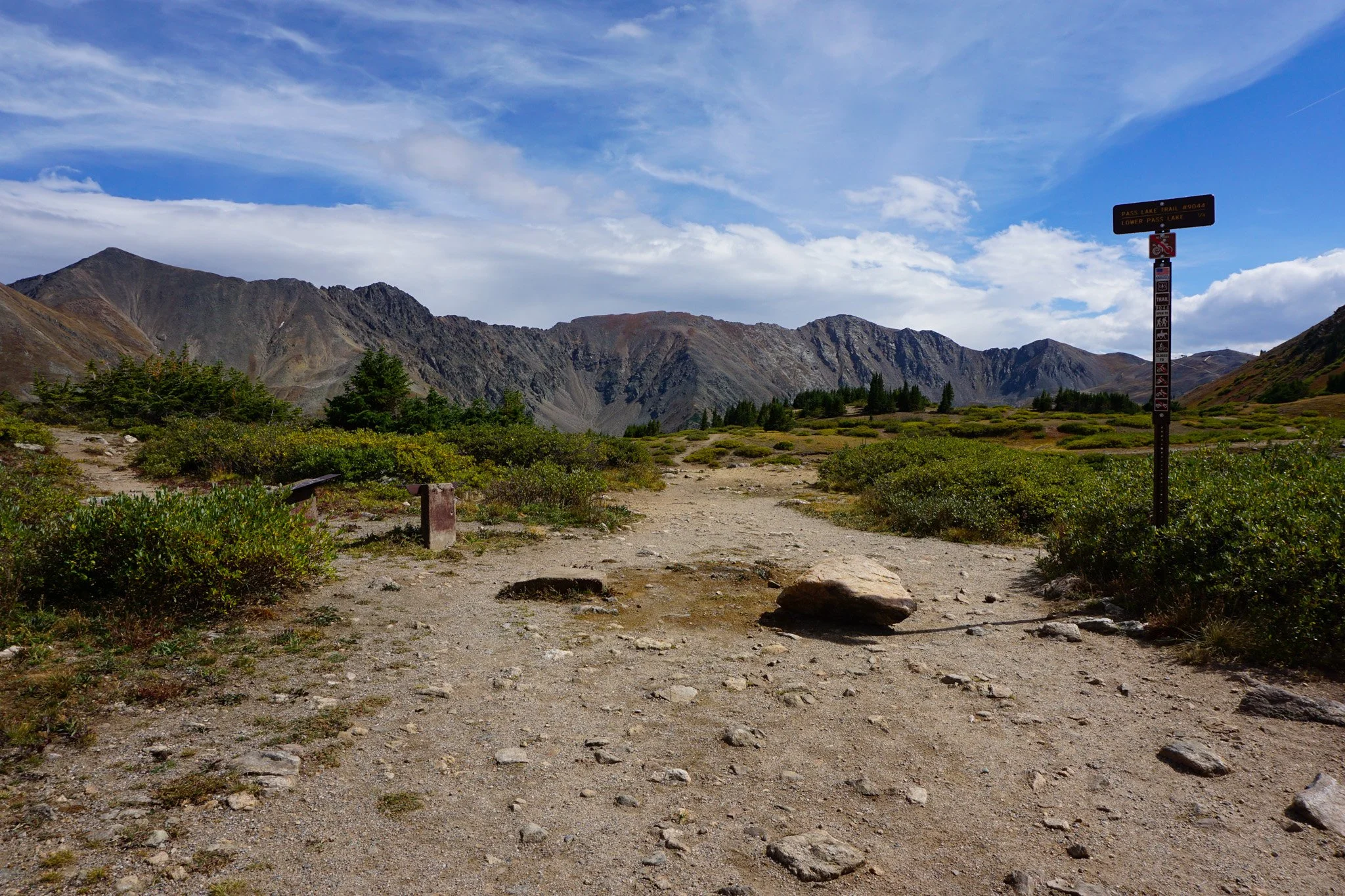
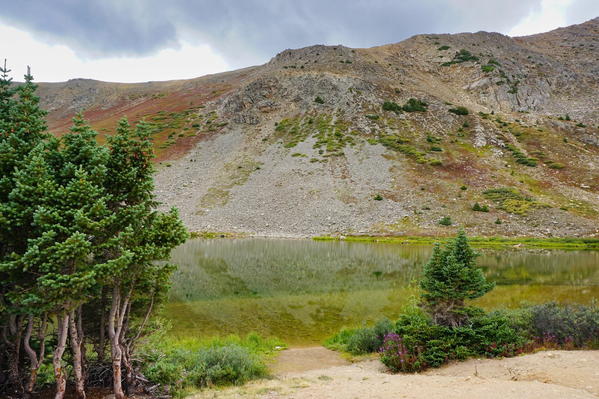
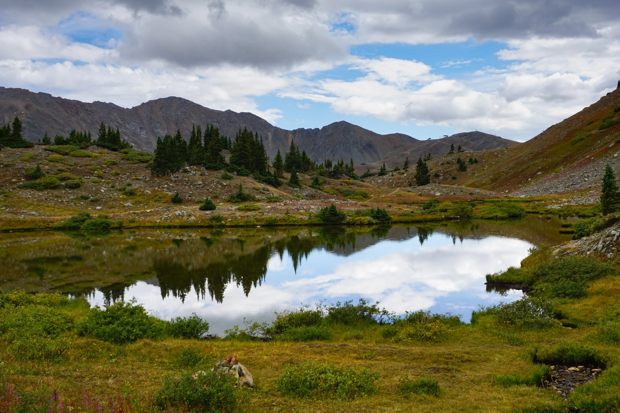
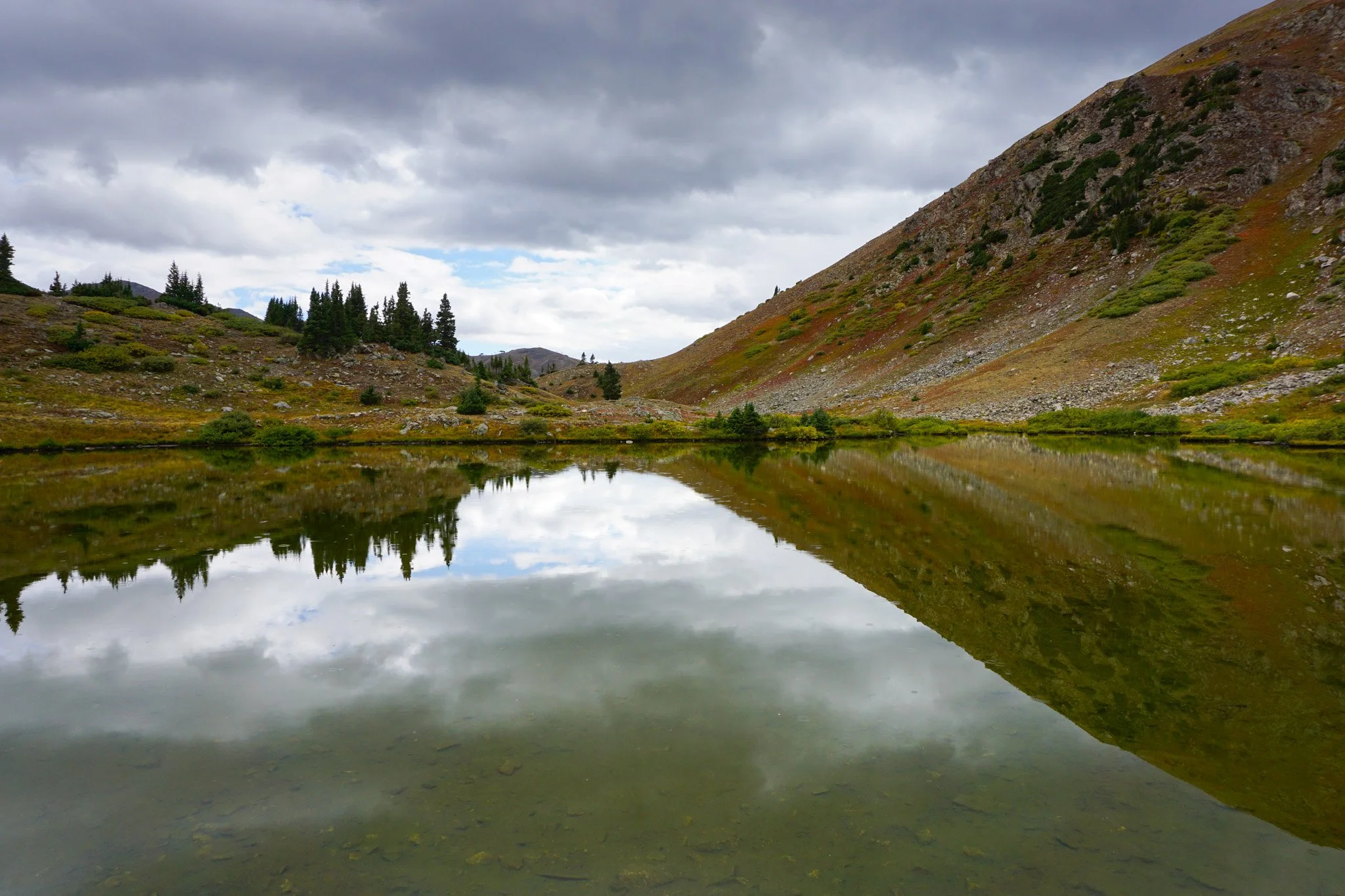
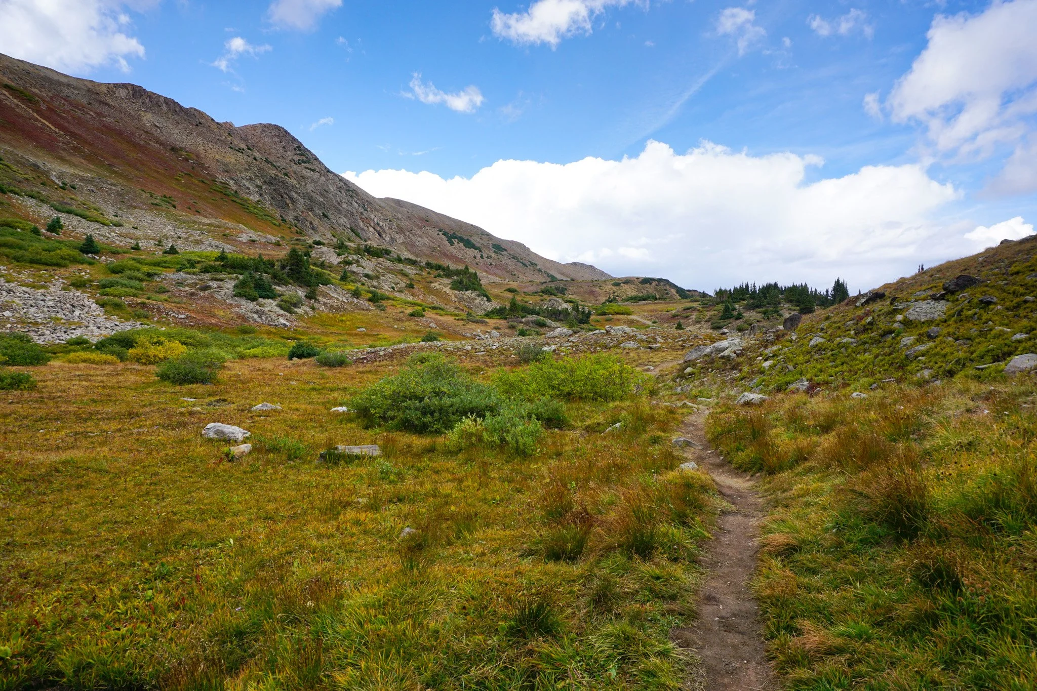
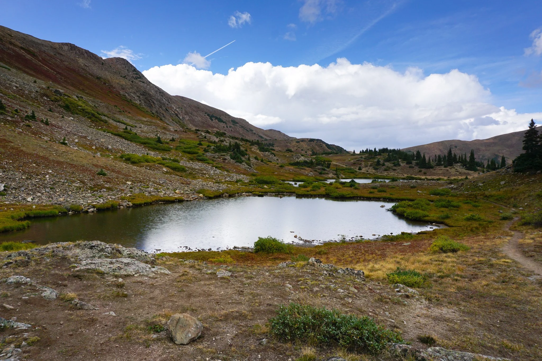
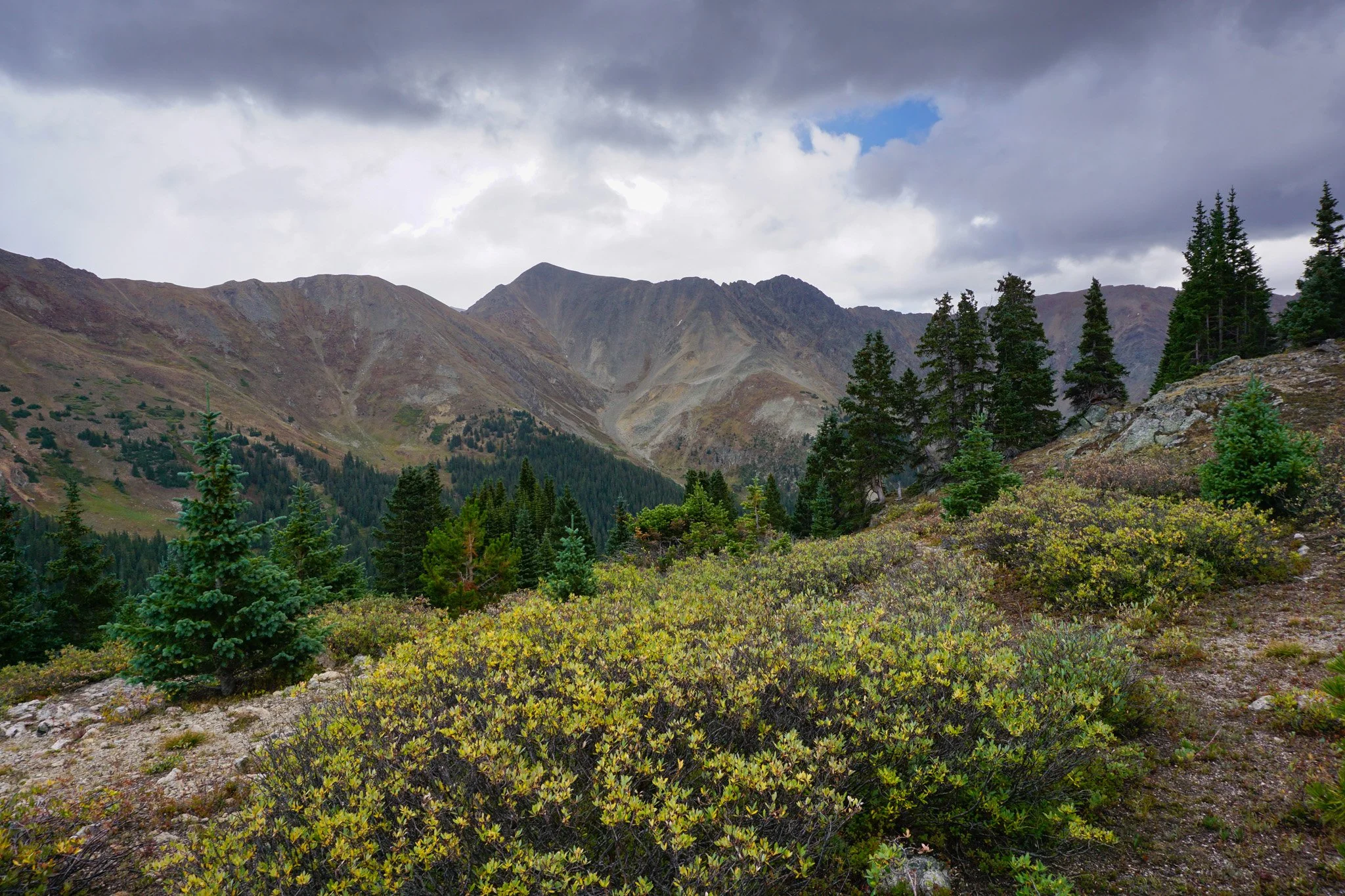
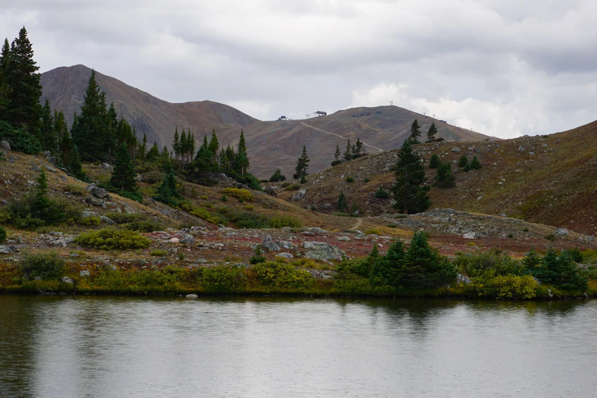
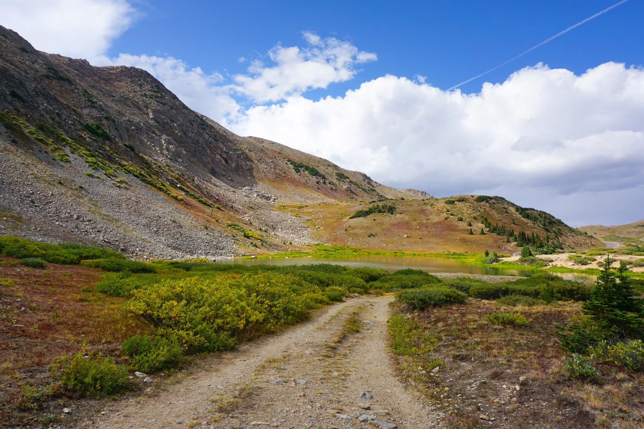
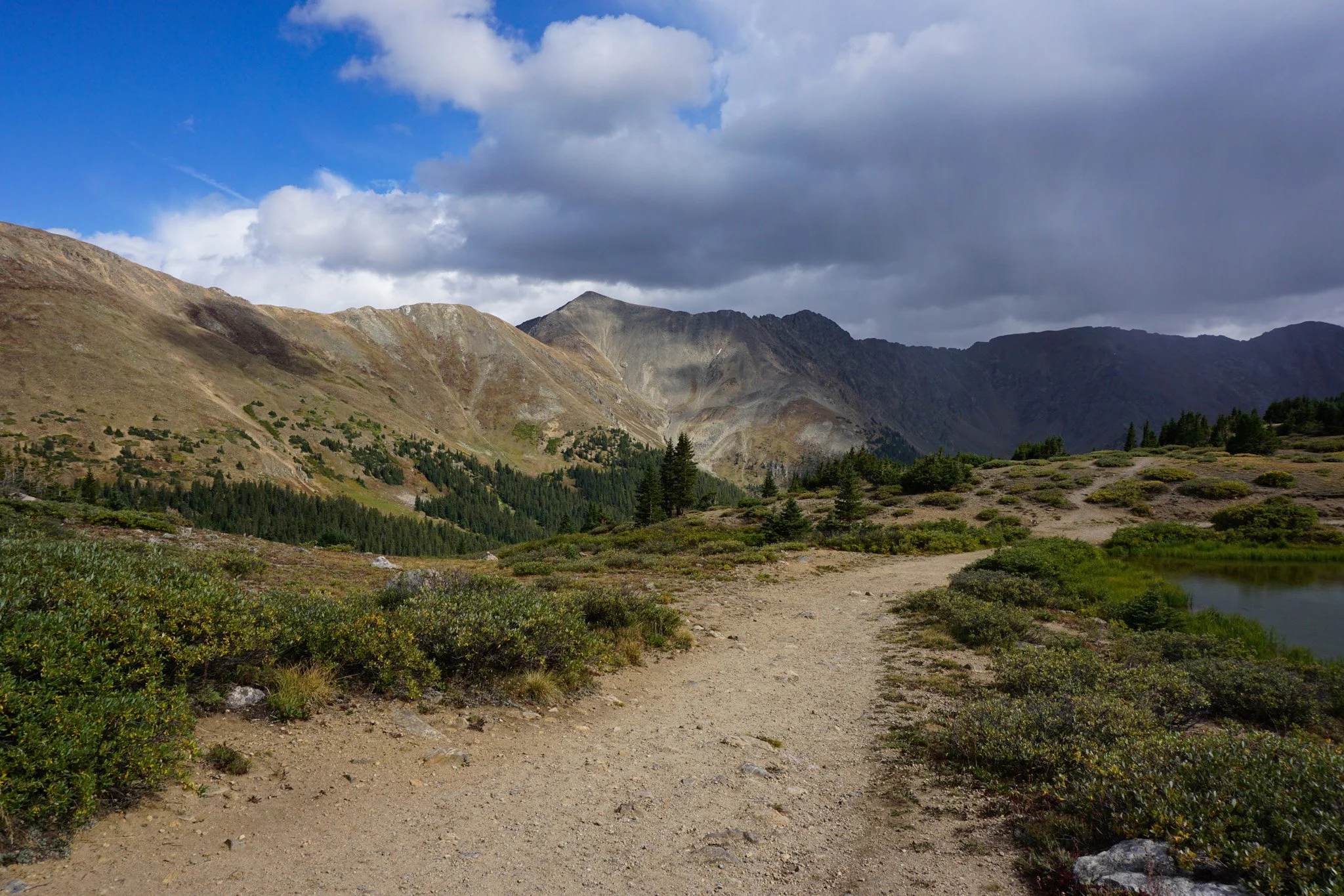
Loveland Pass is a great resource for hiking in Colorado’s Front Range. The paved road takes you up to about 12,000ft and provides access to various hikes along the Continental Divide. Just on the southern side of the pass, as you descend towards Arapaho Basin Ski Mountain, there is a small turnoff for “Pass Lake.” I’ve driven by this road many times without realizing it was there, but the Forest Service has made it a bit more obvious and improved the parking lot. Loveland Pass Lake is now a stop that you should definitely take a few minutes and explore.
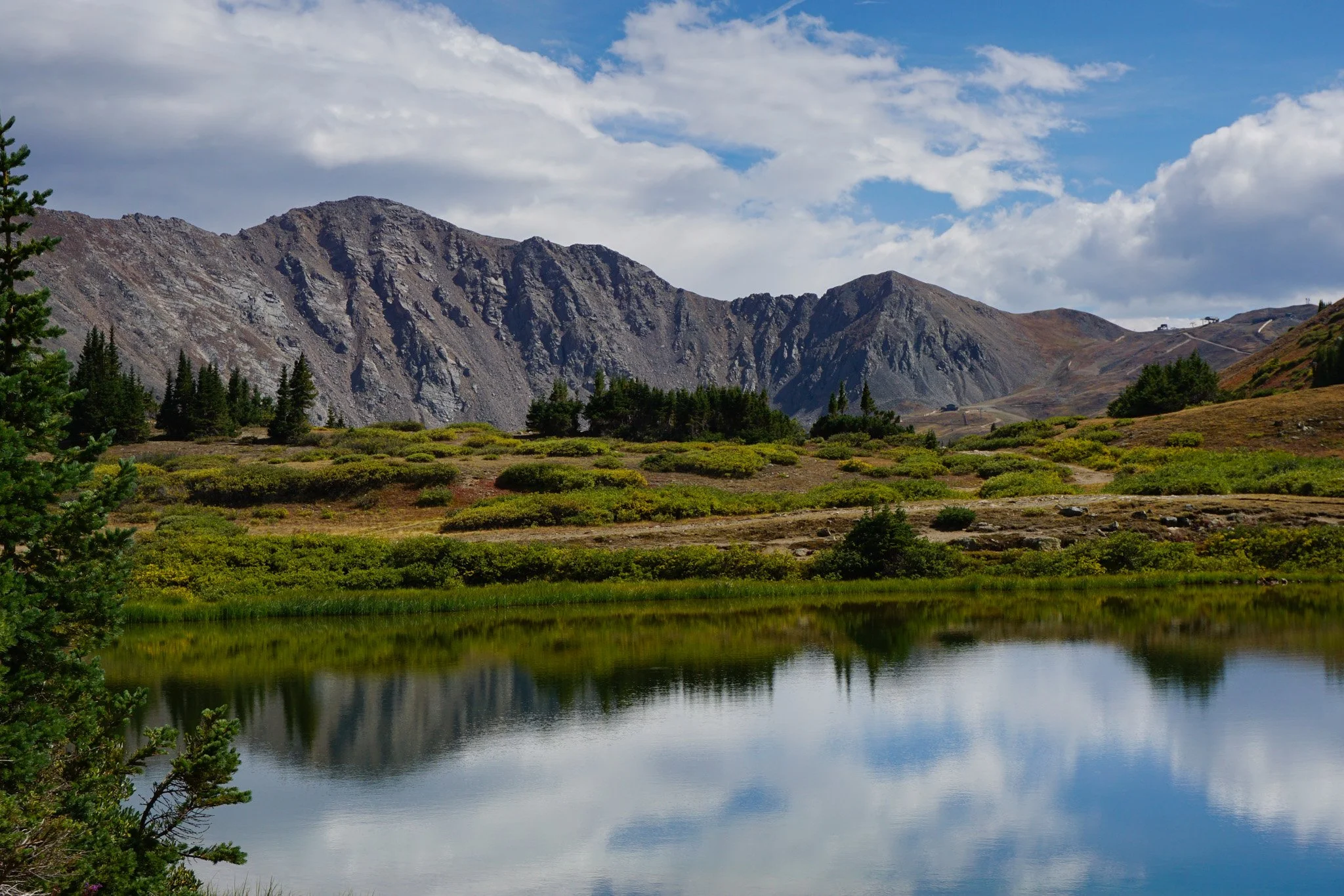
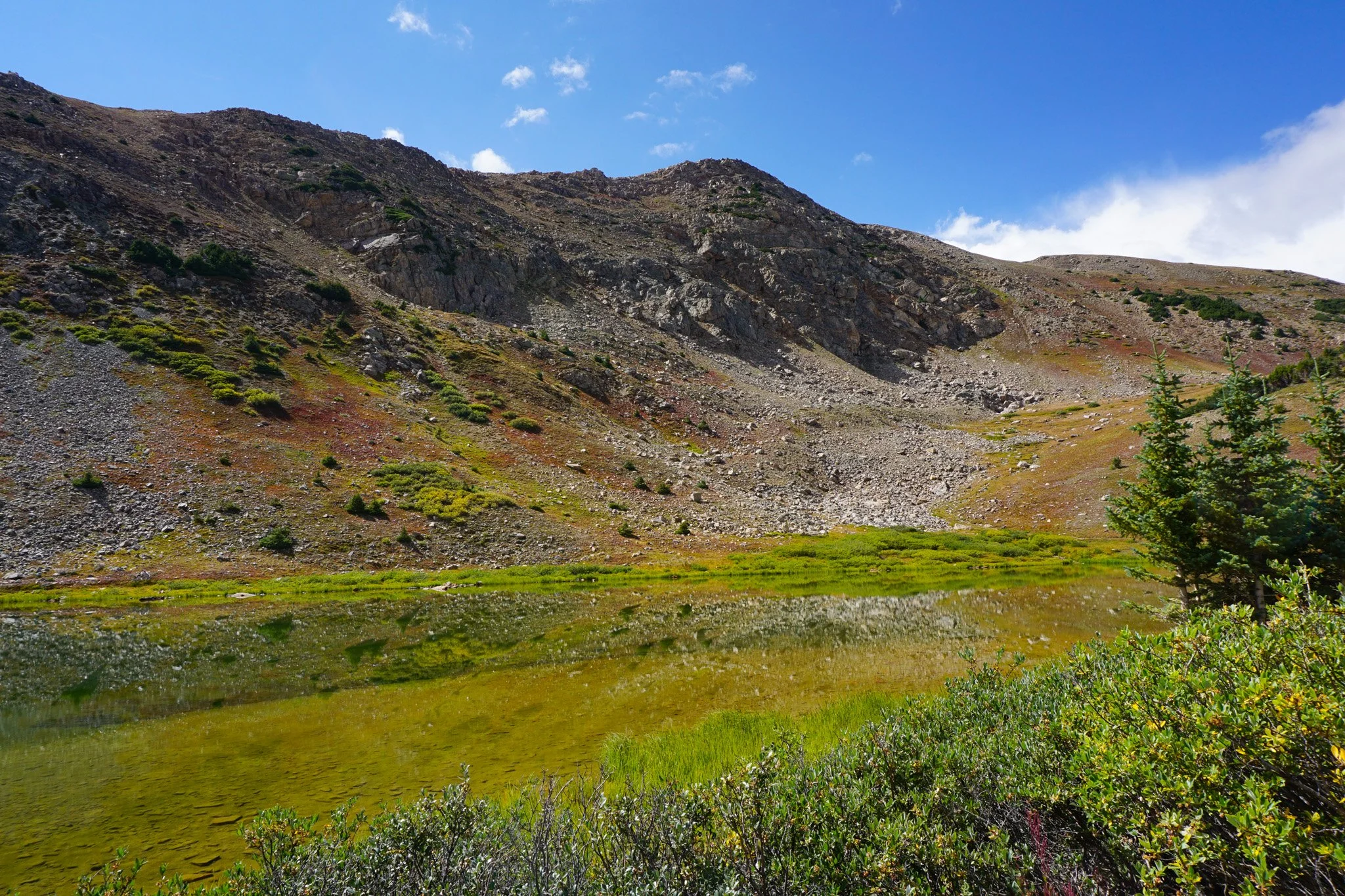
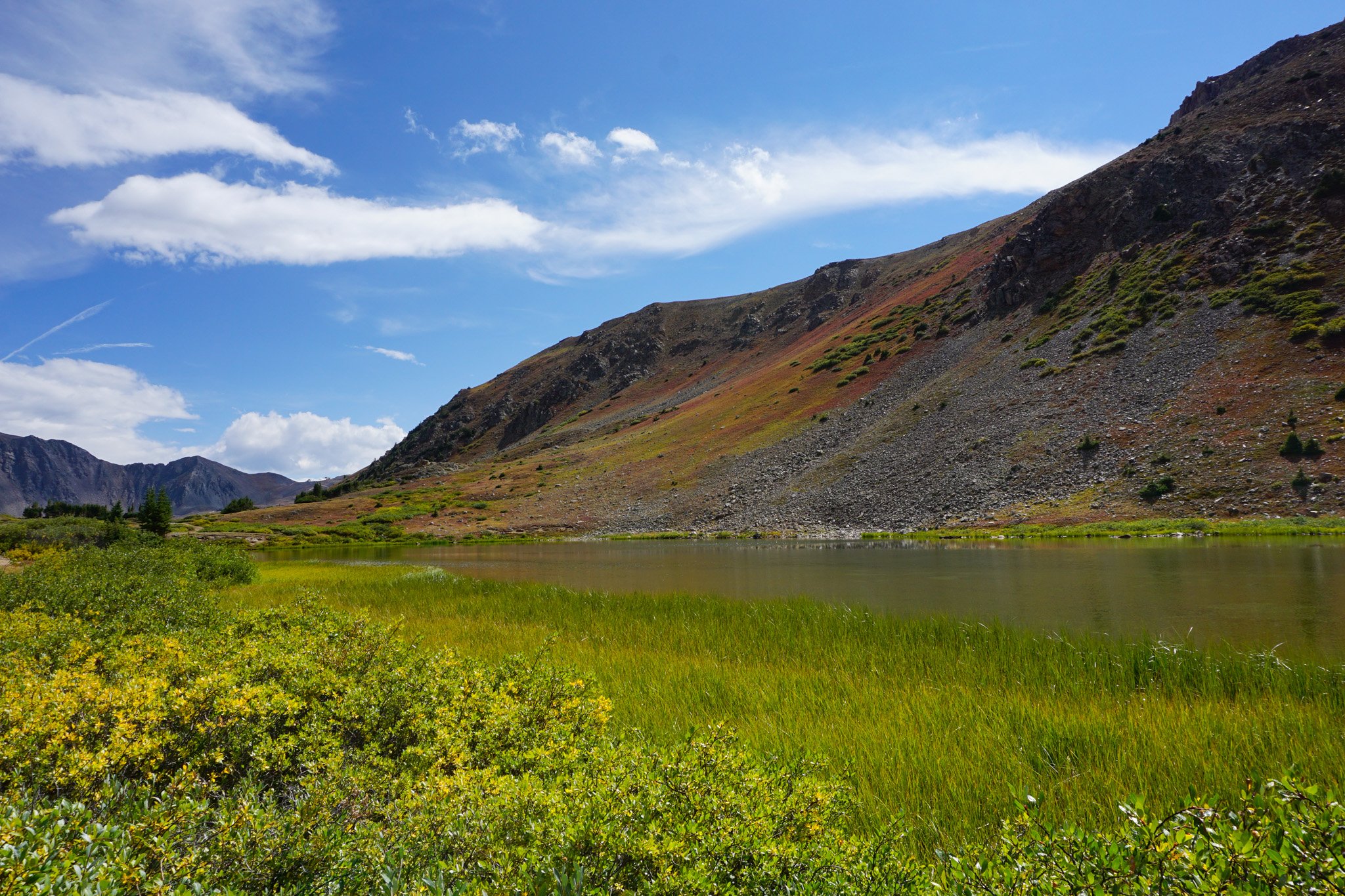
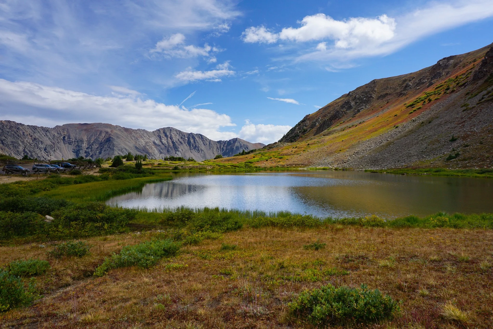
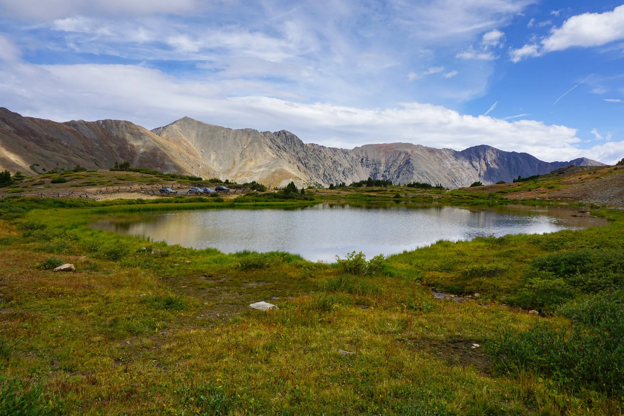
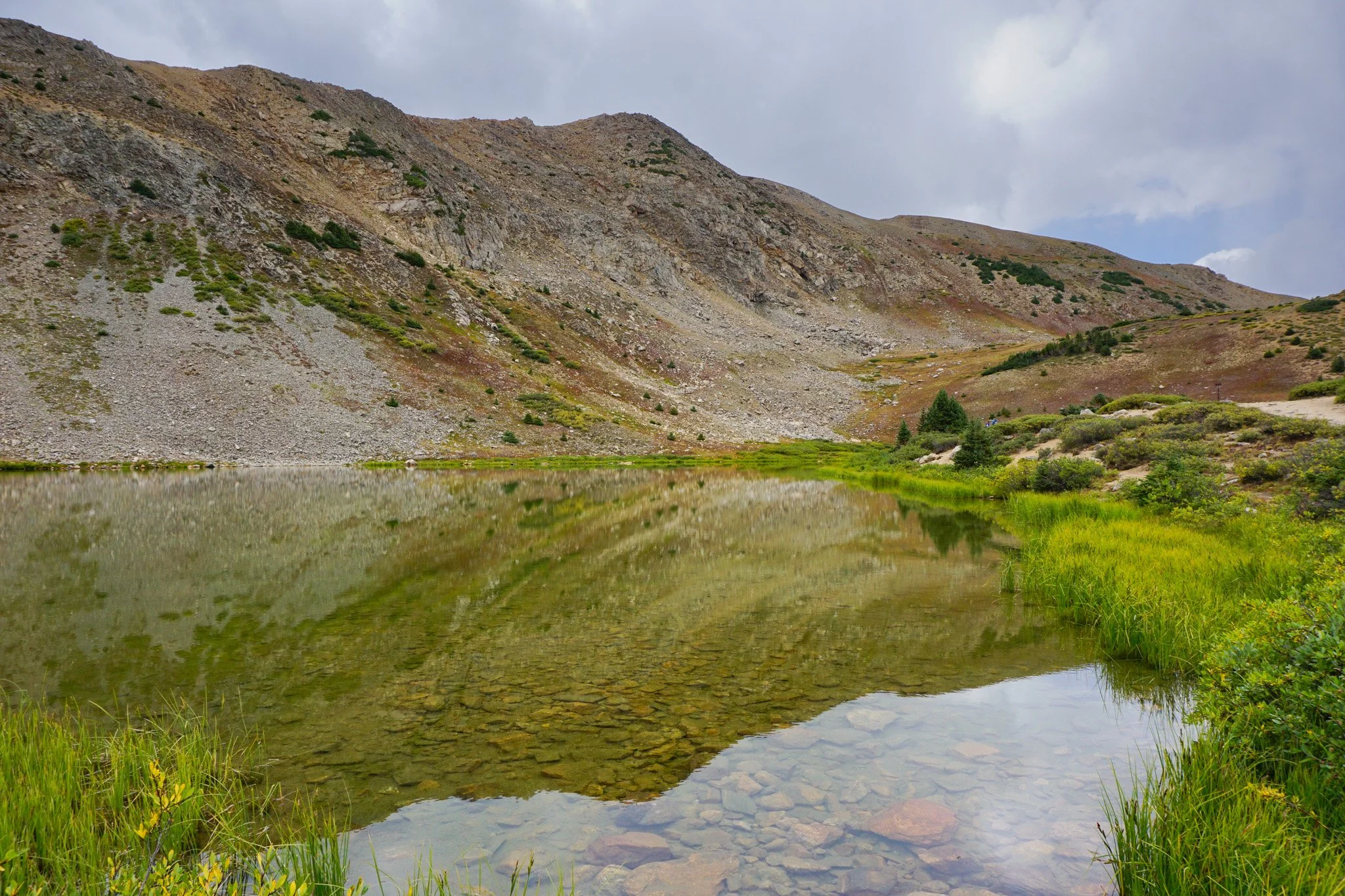
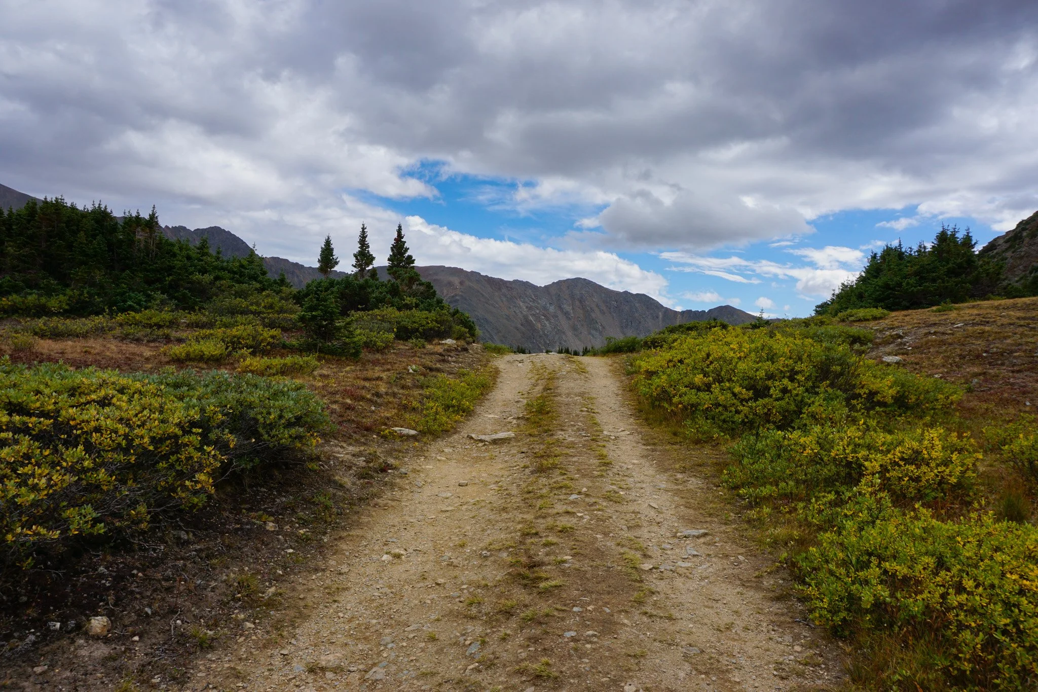
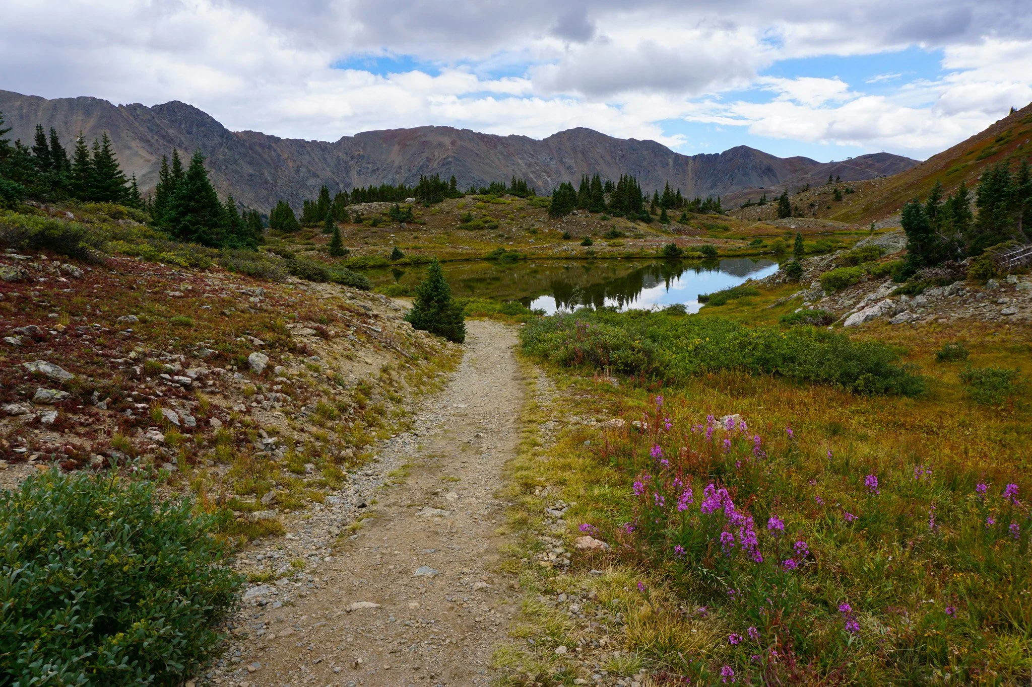
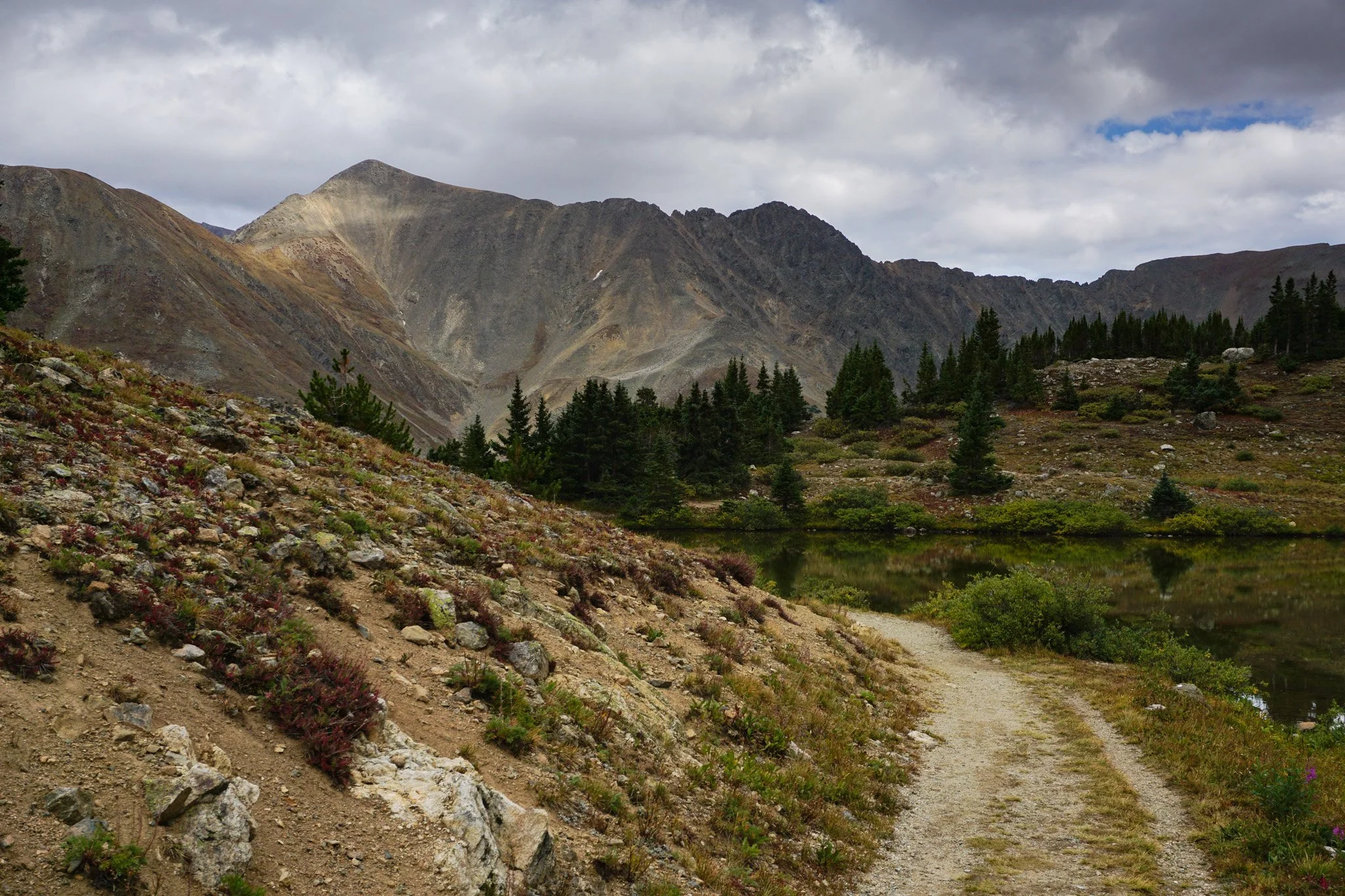
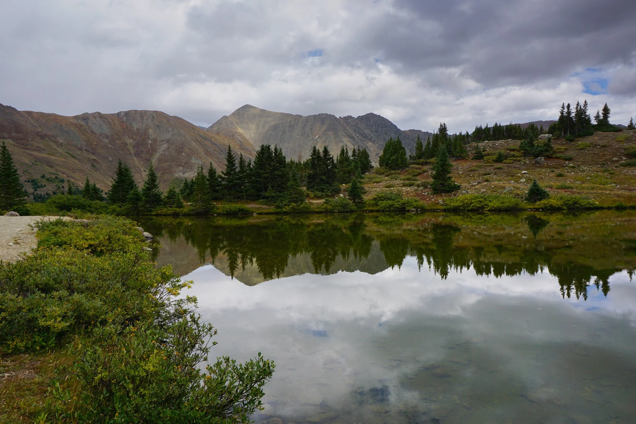
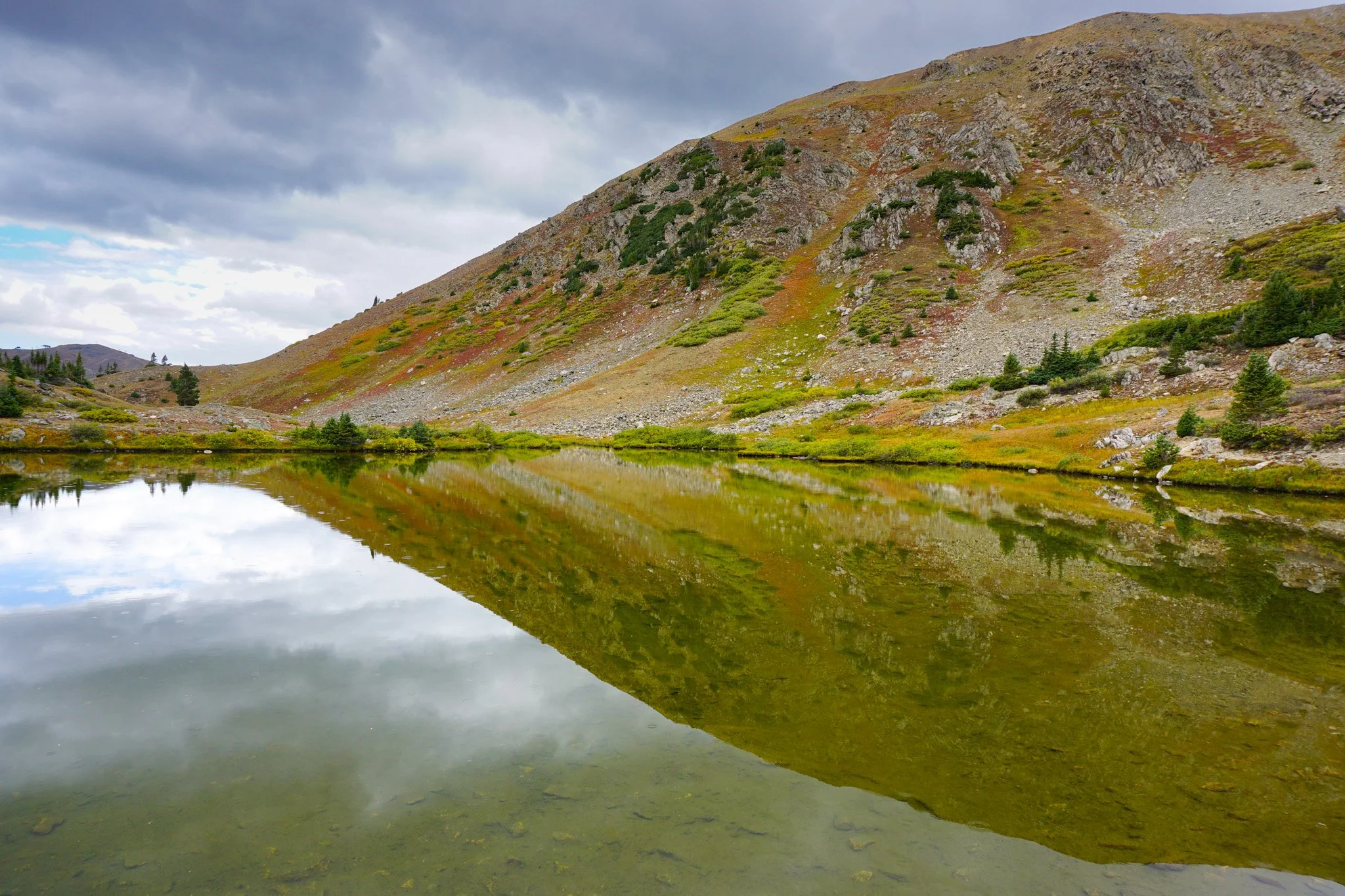
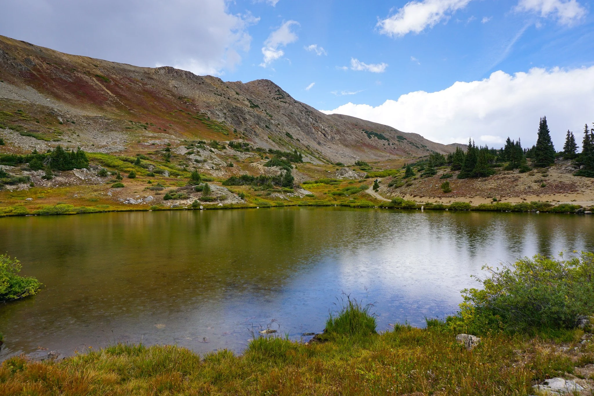
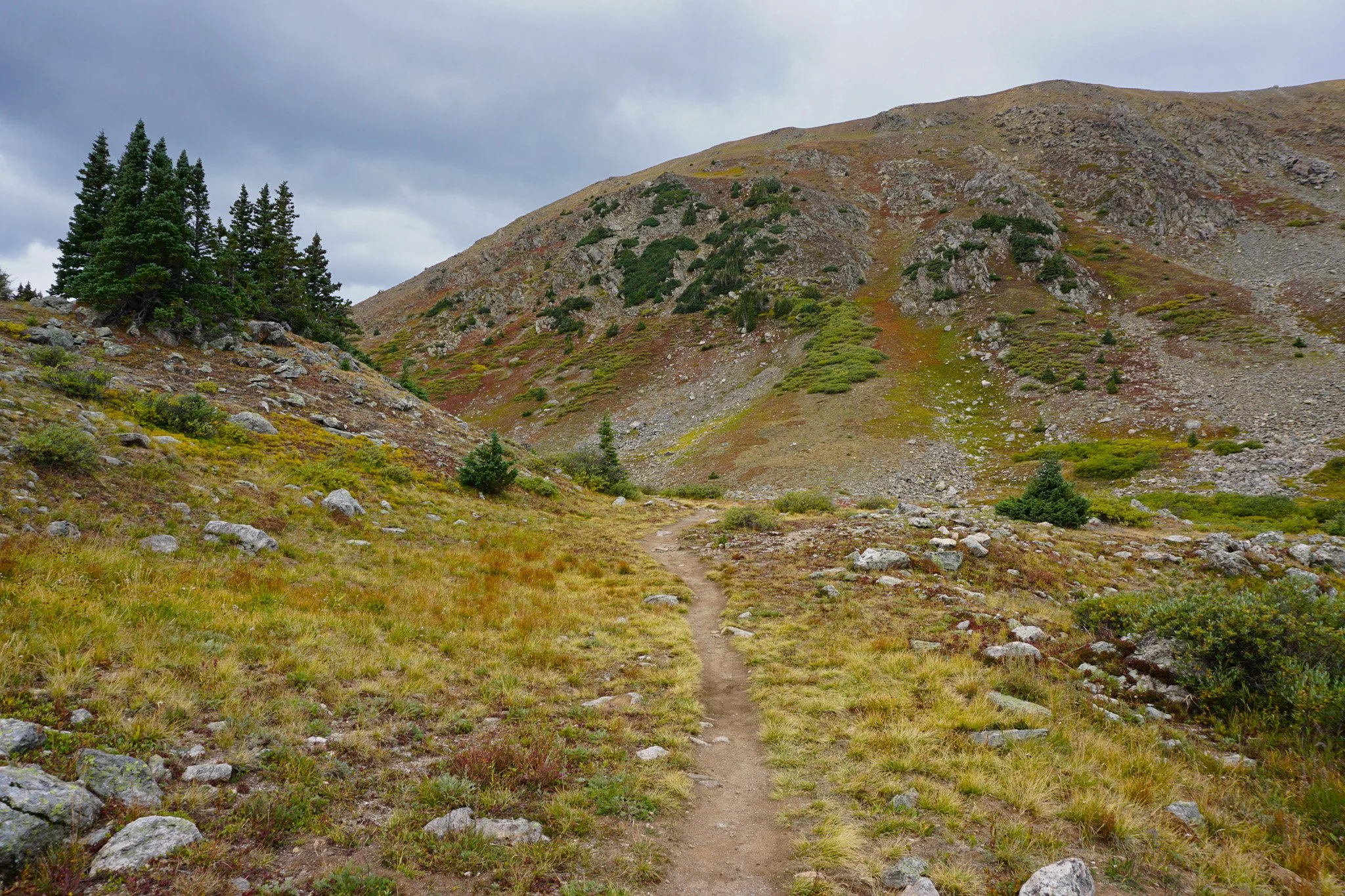
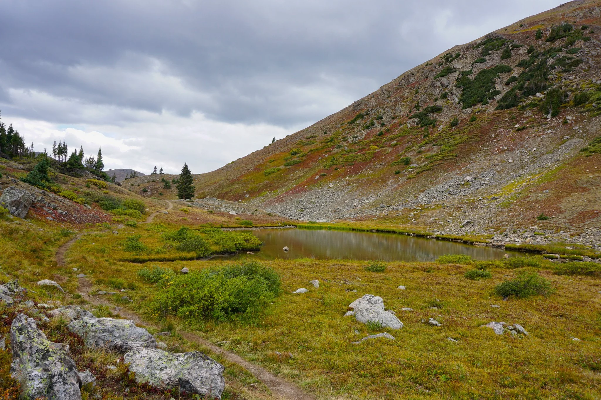
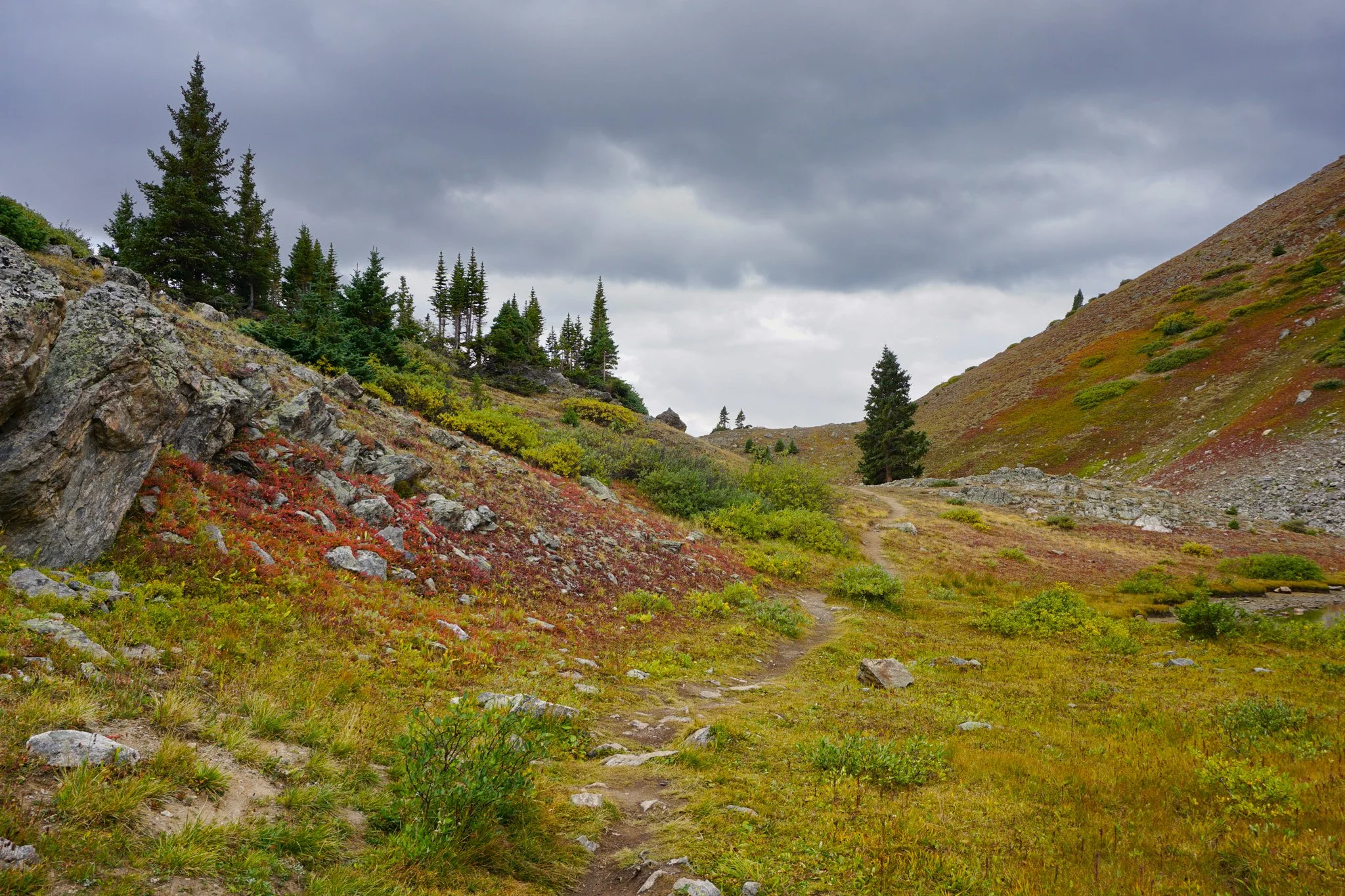
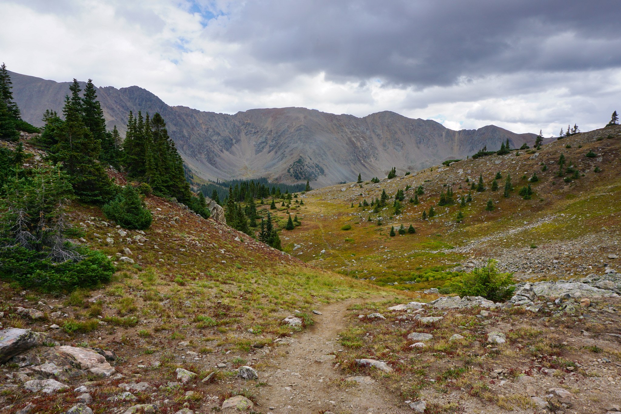
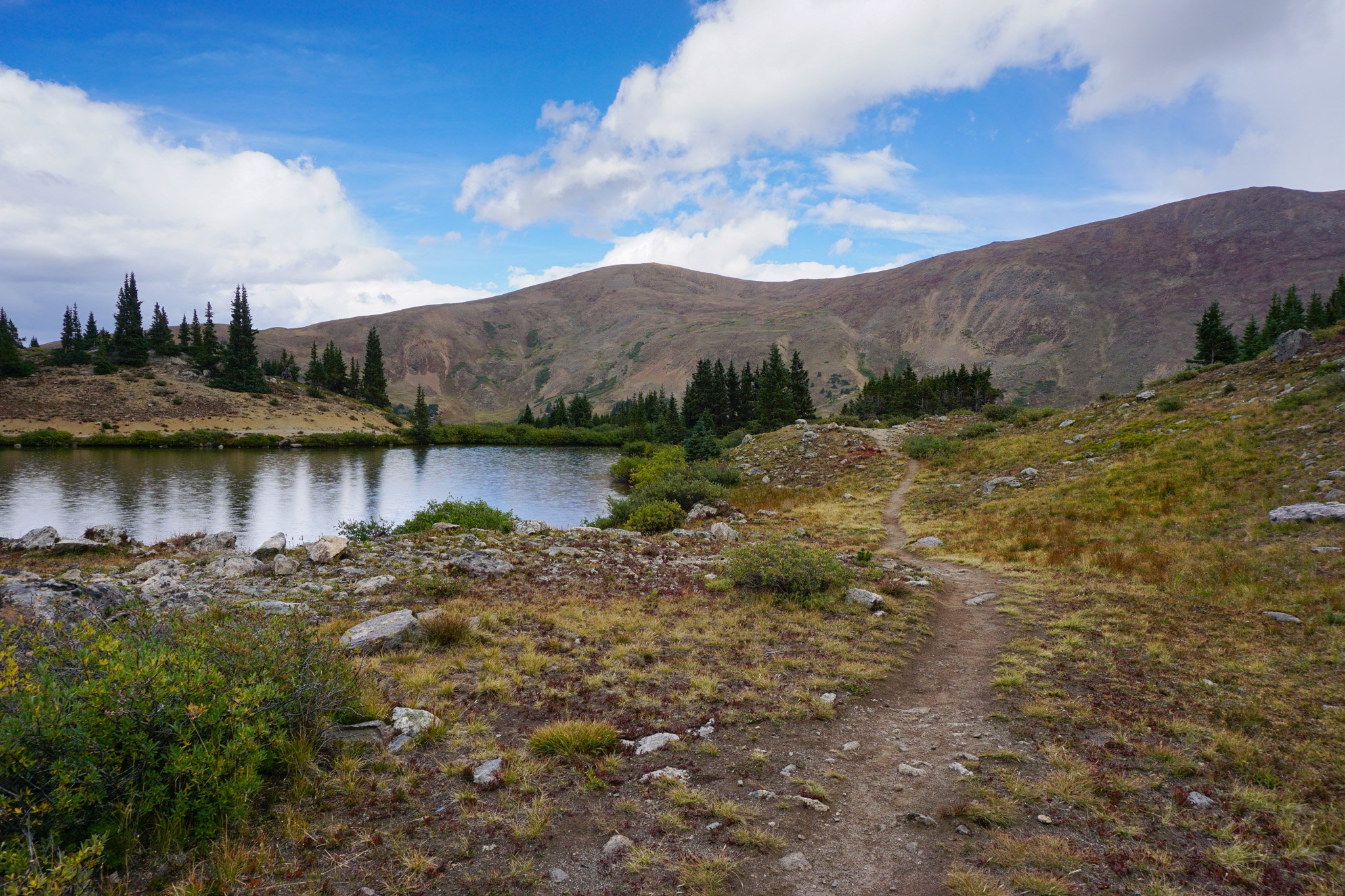
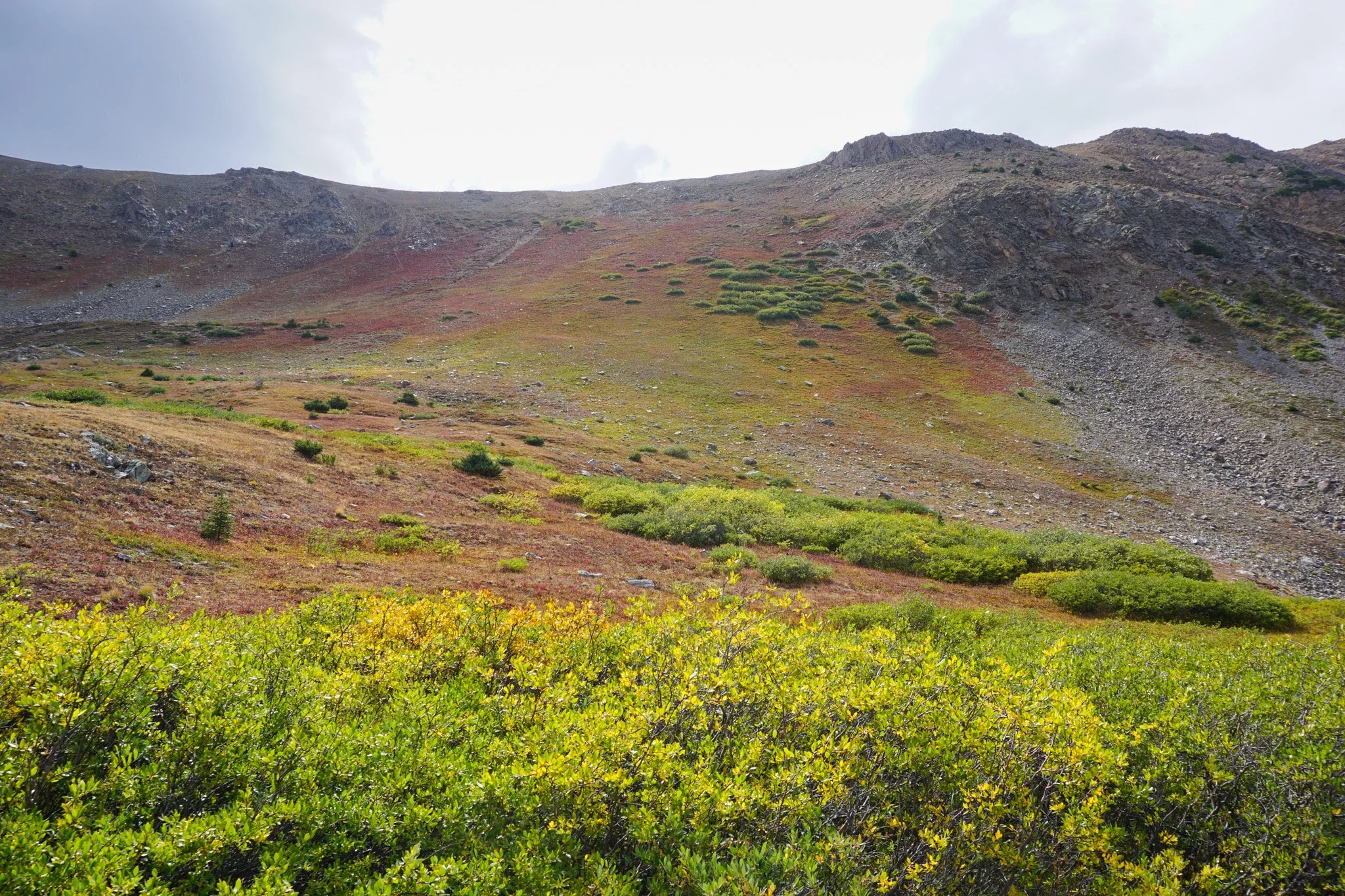
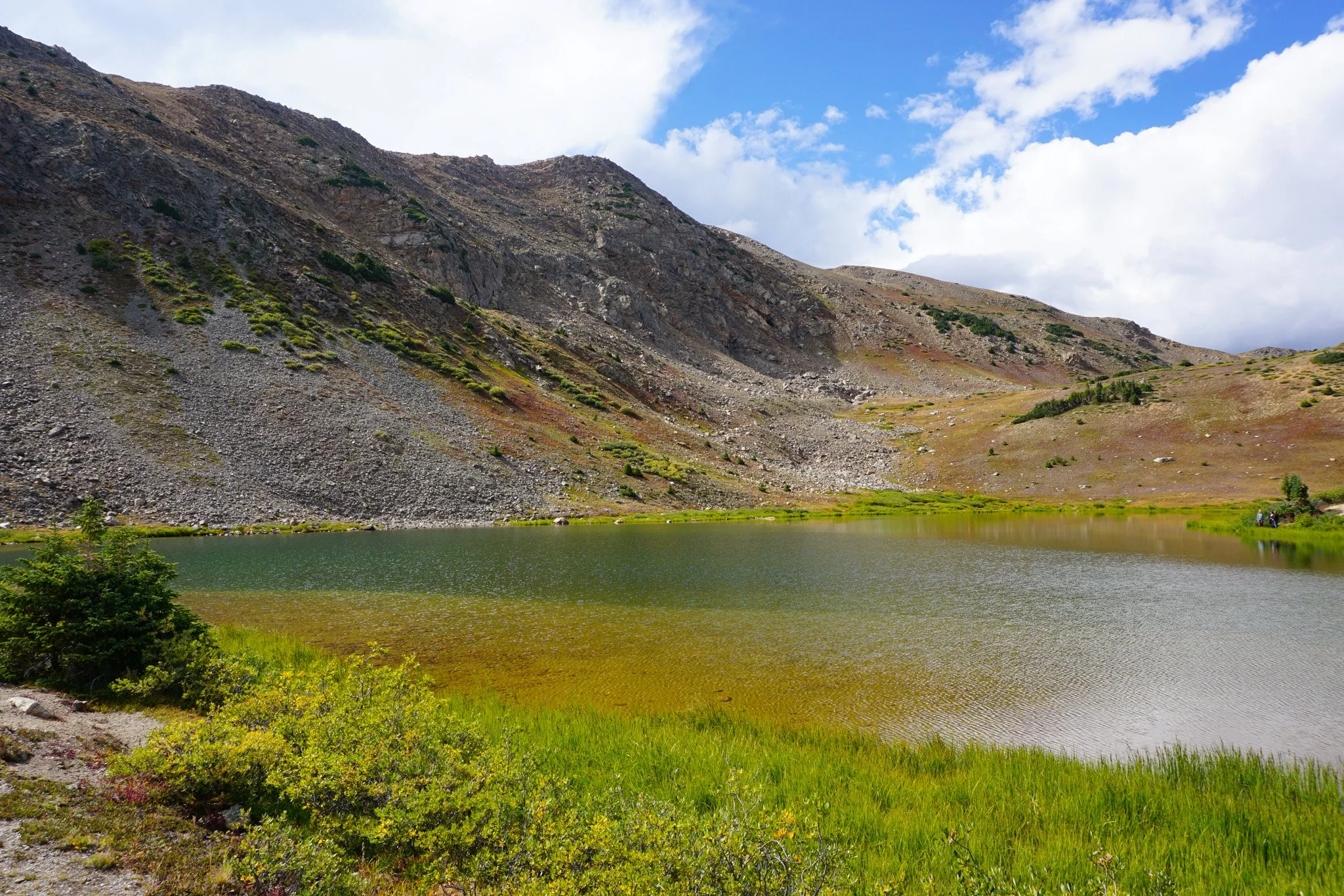
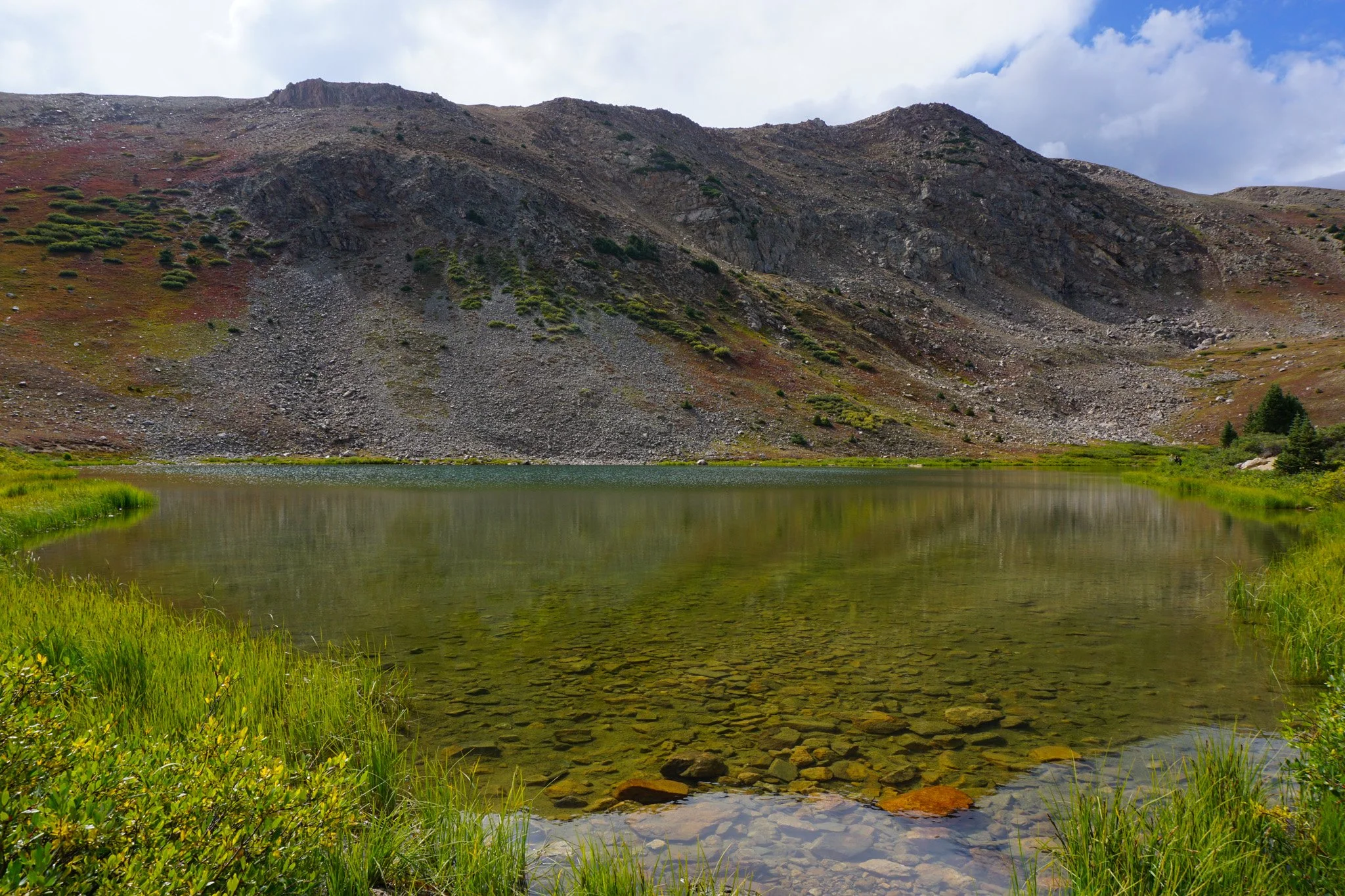
Loveland Pass Lake is absolutely amazing. It is a beautiful high alpine lake and the effort required to visit is next to nothing. Even if you just step out of your car, the experience is incredible. This is a great spot to take kids, elderly grandparents, or just a great spot to get out and stretch your legs. A short half mile trail takes you past the lake and down to Lower Pass Lake, also beautiful. As you hike, towering mountains rising over 13,000 ft are all around you. The trail seems to continue past the lower lake, but I’m not sure where it leads to. There is also a social trail that goes around Pass Lake, though it didn’t seem to fully connect.
Short and sweet Loveland Pass Lake provides the alpine lake scenery and mountain peak vistas that we all long for. It’s well worth a stop along your way to other mountain adventures.