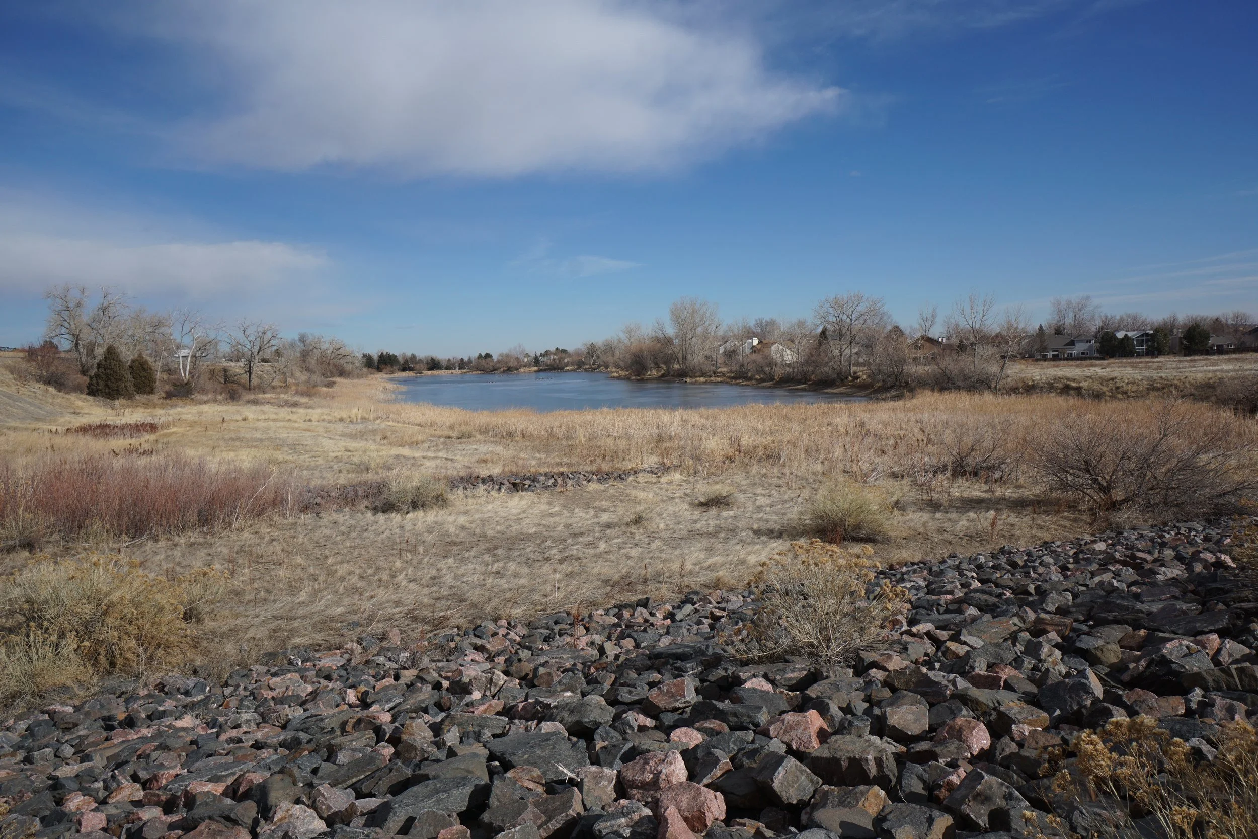
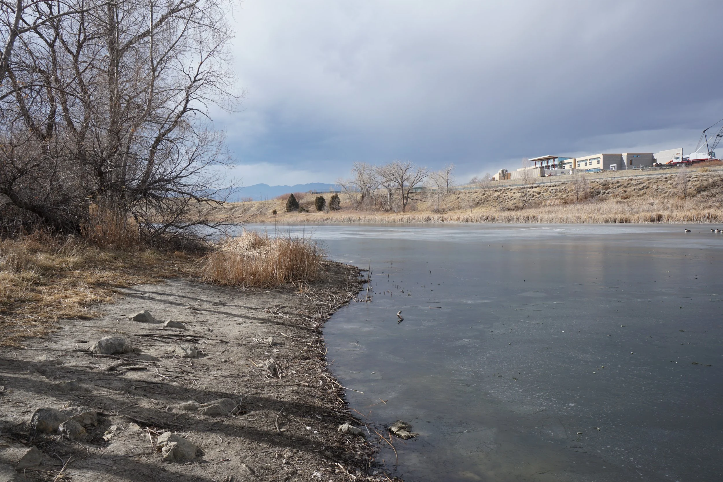
Loon Lake
Standley Lake Regional Park
Date Hiked: January 23, 2020
Distance: 2.25 mi (RT)
Elevation Gain: 100 ft
Elevation: 5,500 ft
Trailhead Lat/Long: 39.877857°N 105.122°W
Managing Agency: Westminster Parks & Recreation
Fee: None
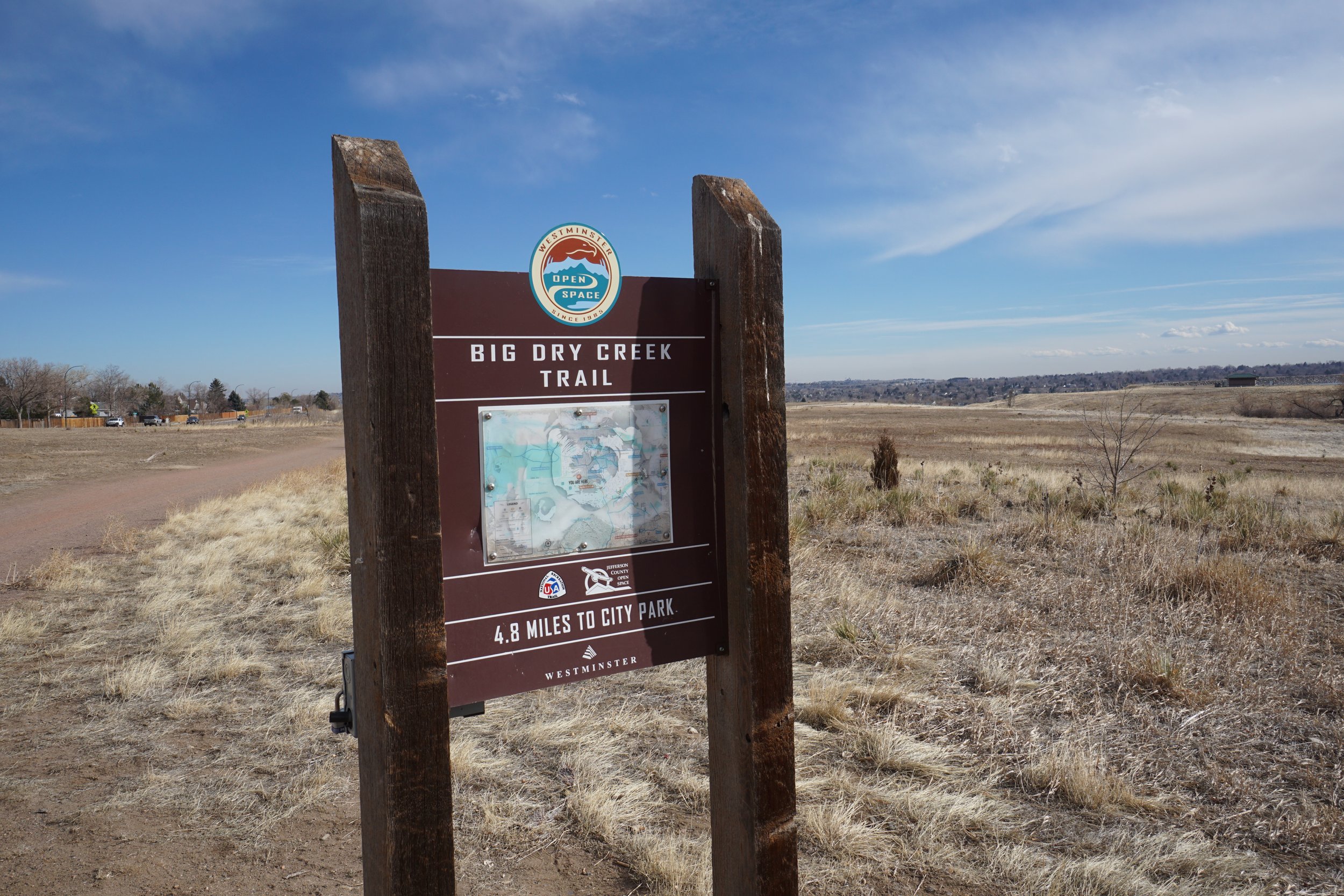
Directions:
The northern trailheads for Standley Lake Regional Park are located off of West 100th Ave in between Wadsworth Parkway (121) and North Indiana Street. The Standley Lake Nature Center is just south of the intersection of 100th Ave and North Simms St with the Greenway/Big Dry Creek Traihead just east of the nature center.
Hike Description:
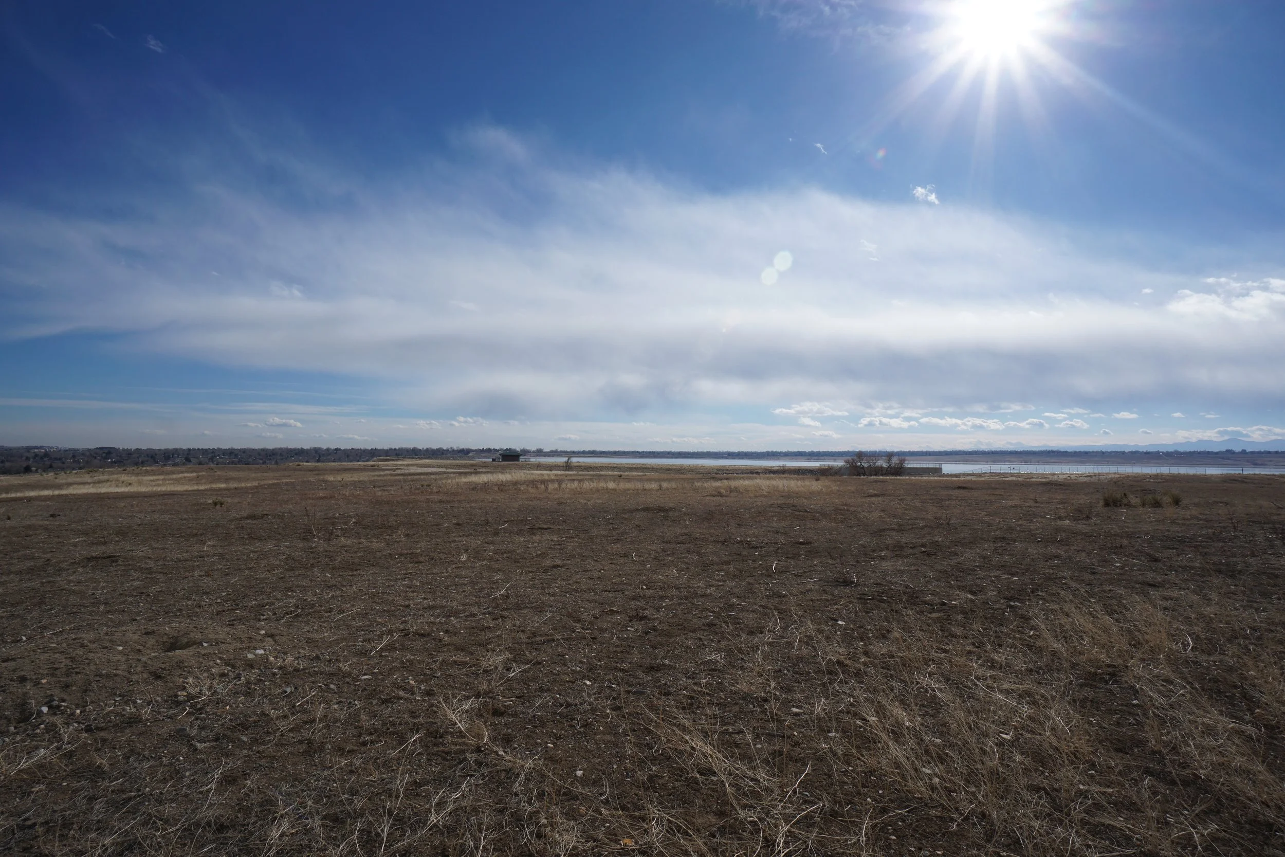
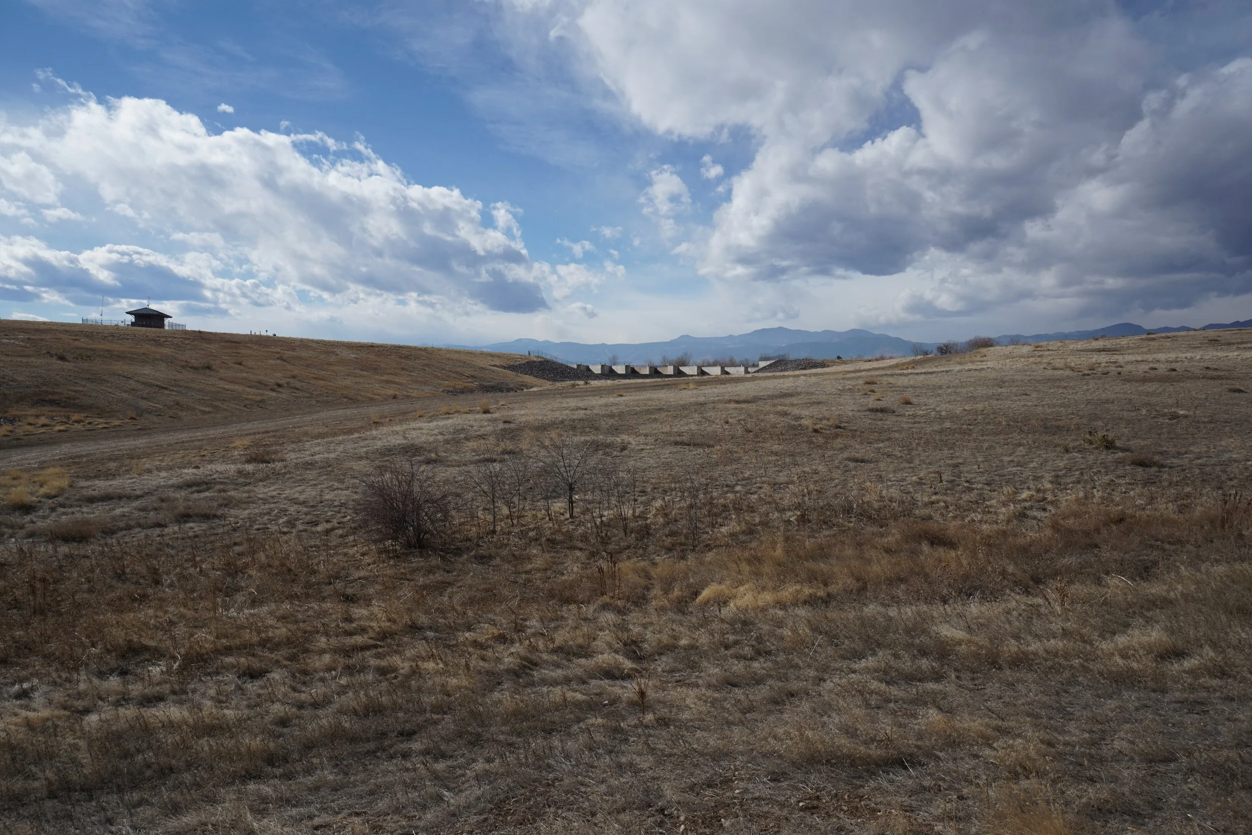
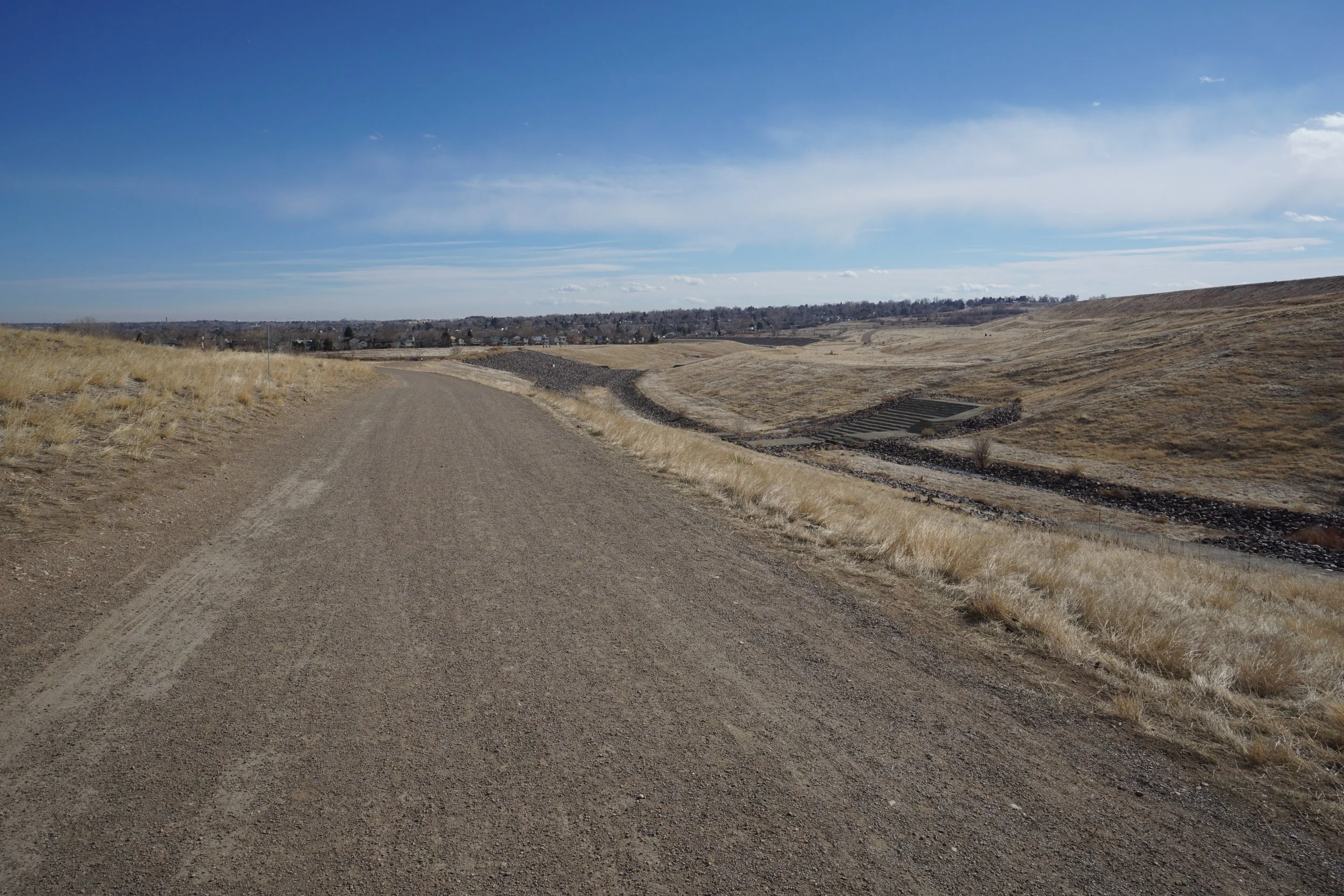
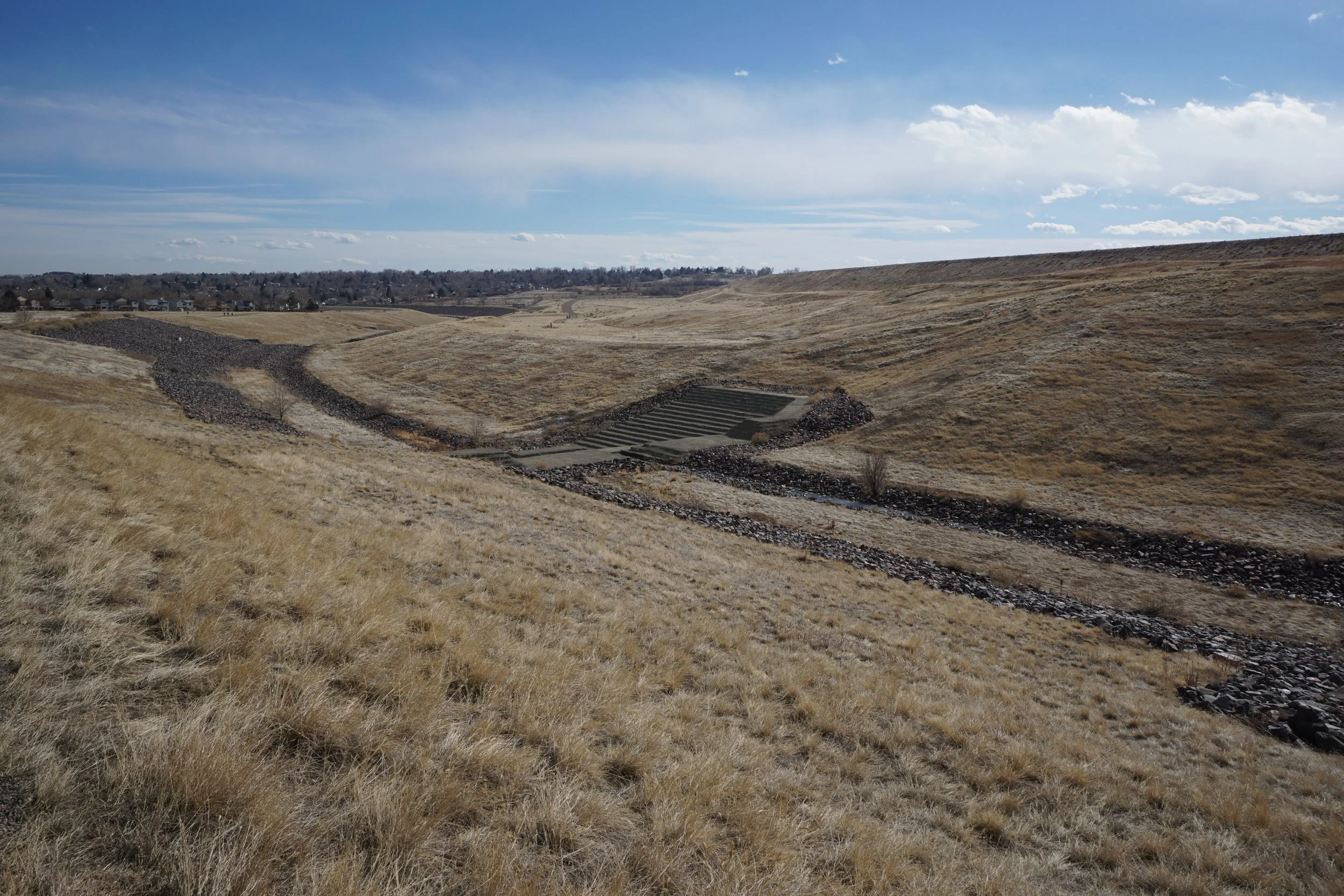
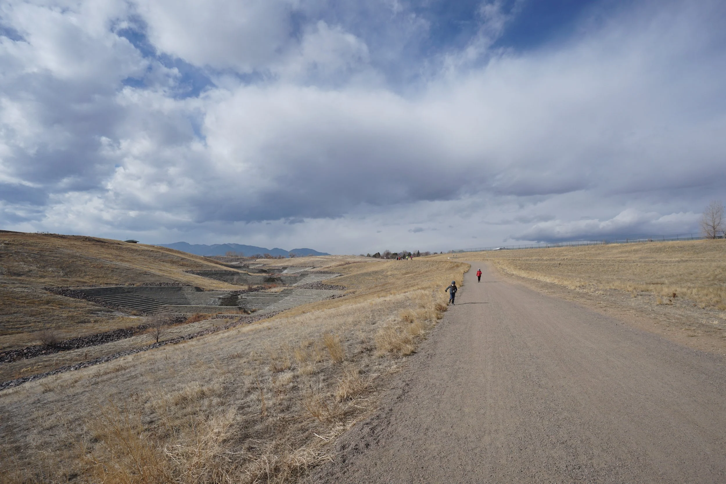
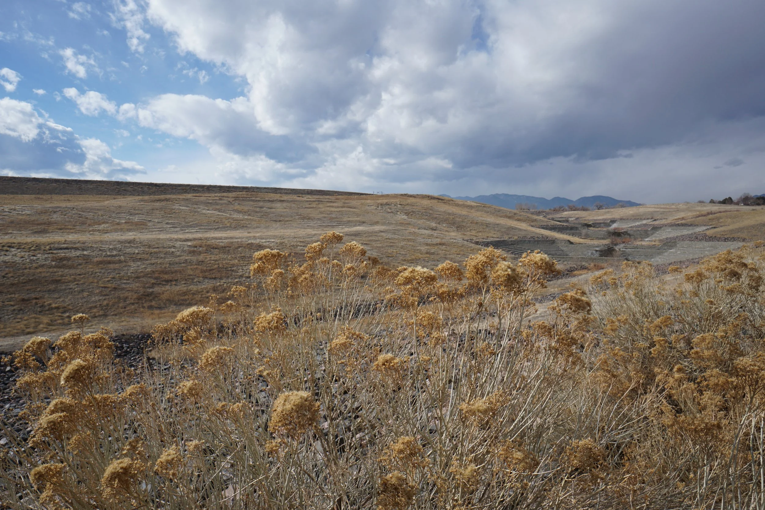
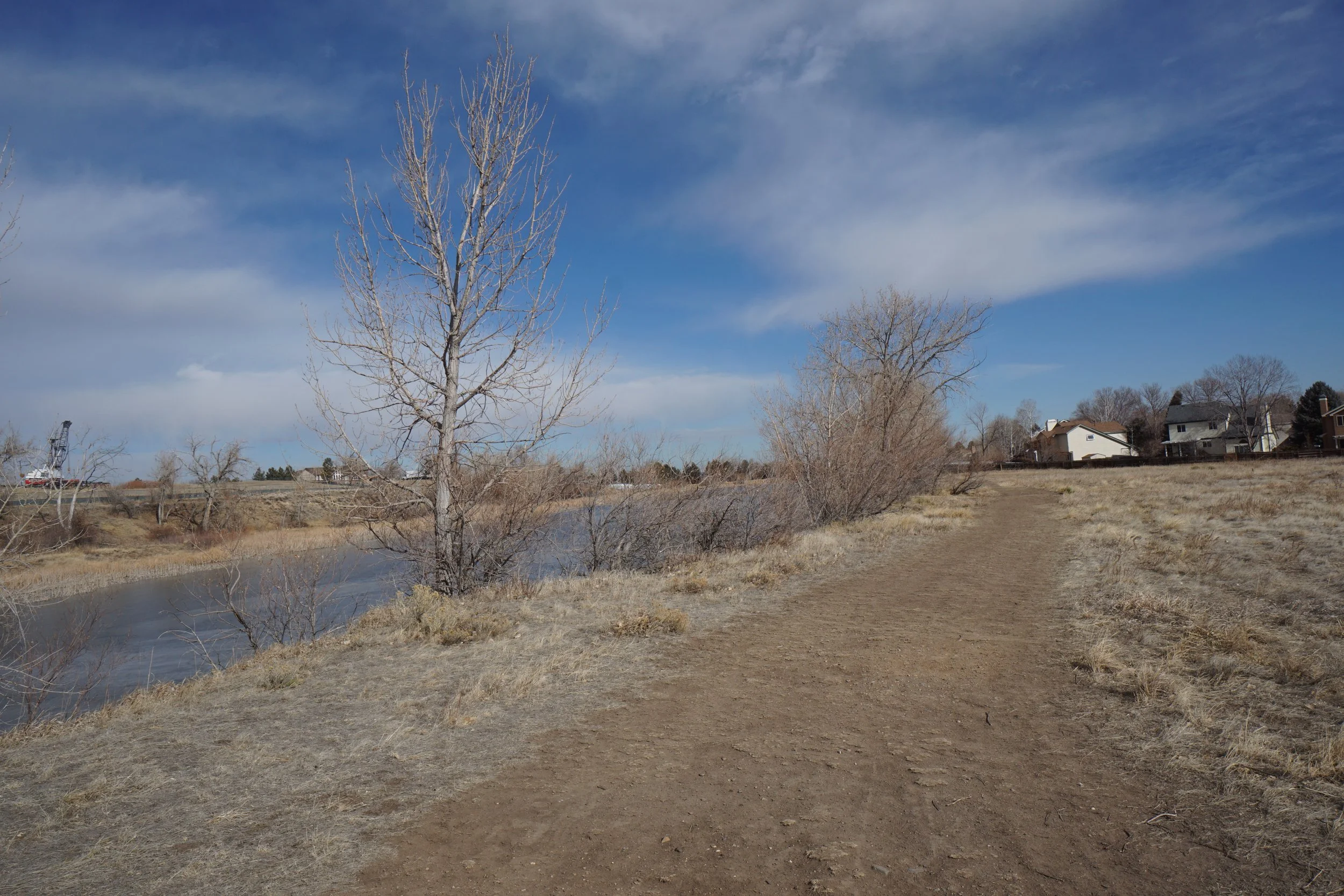
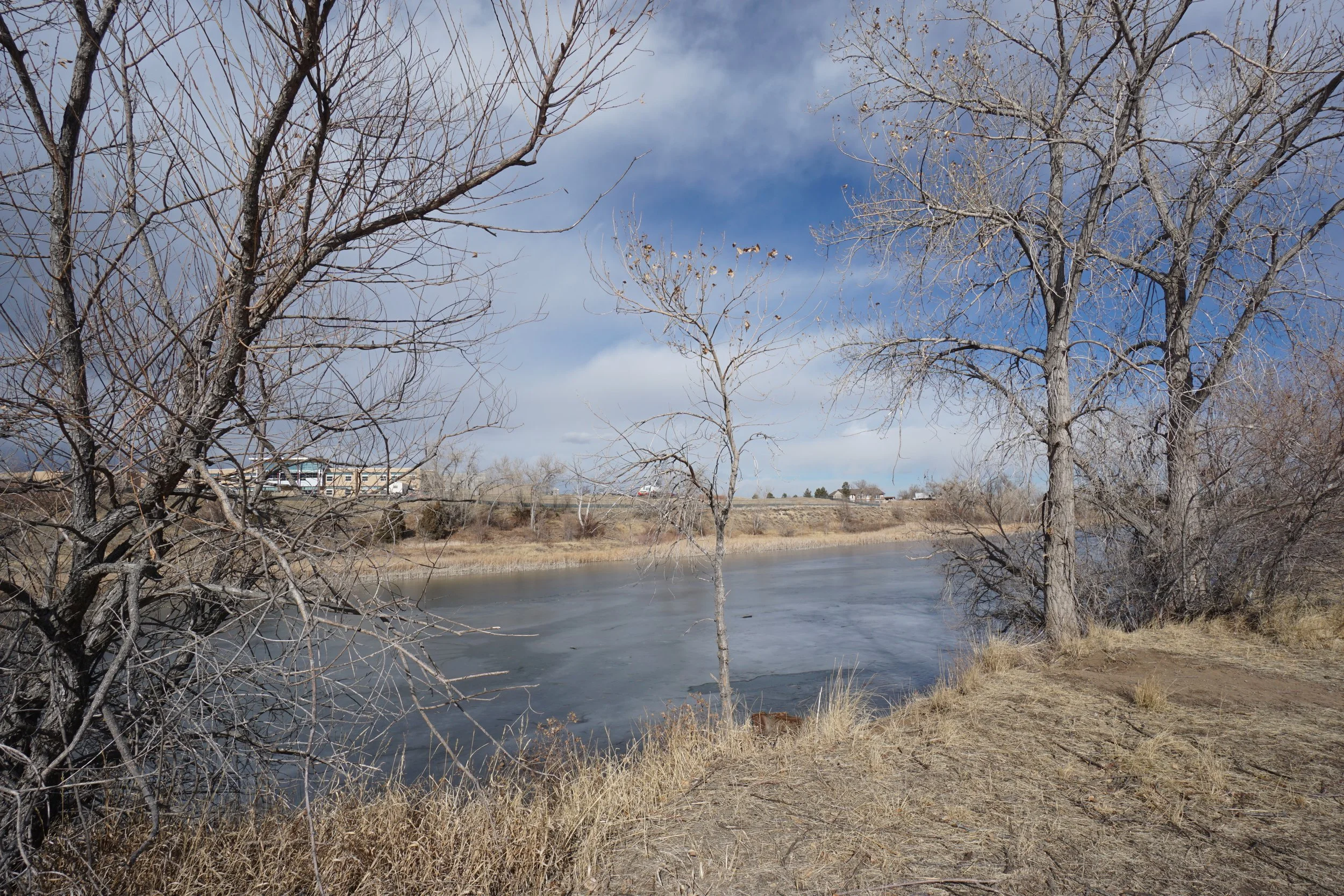
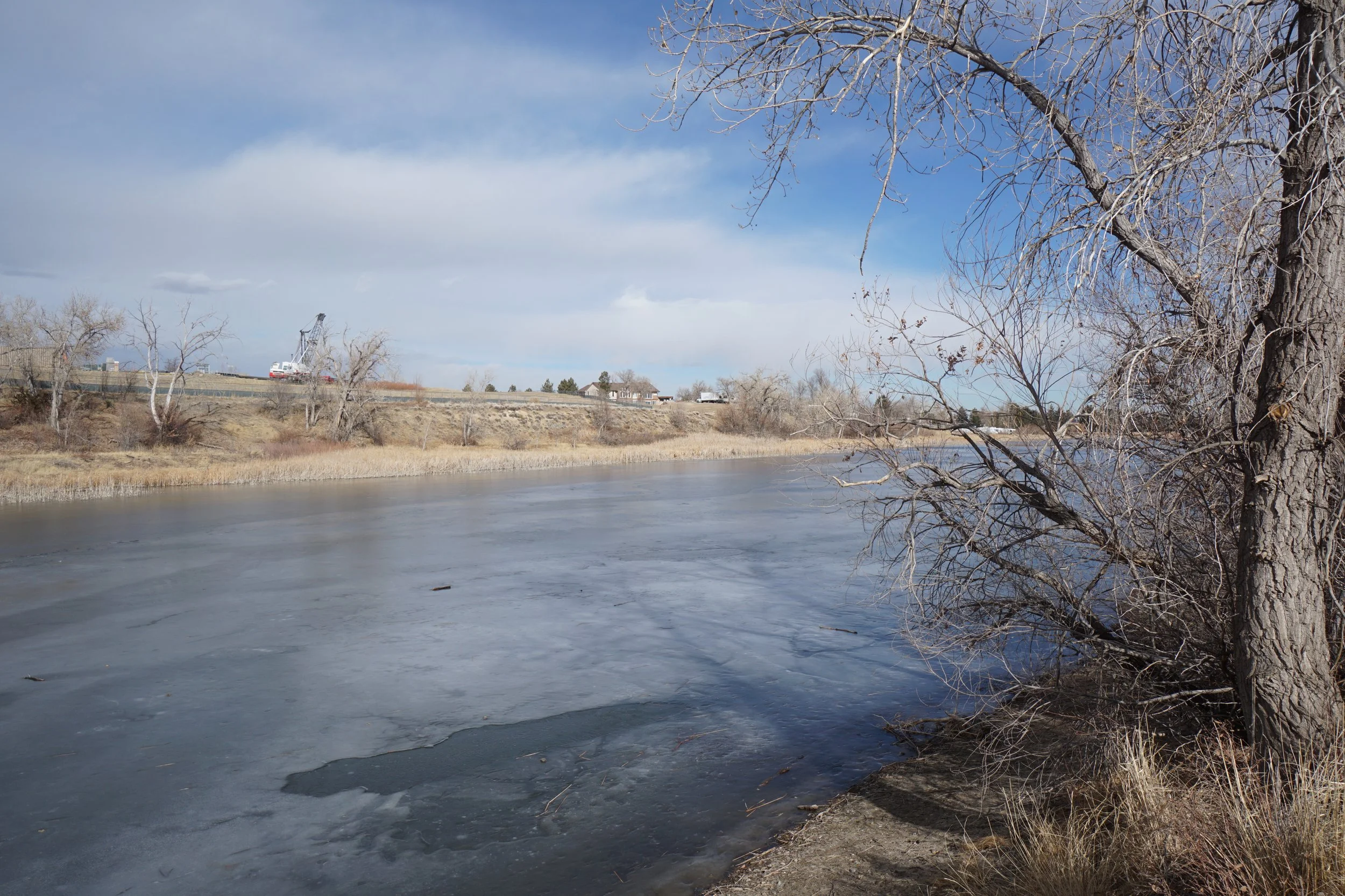
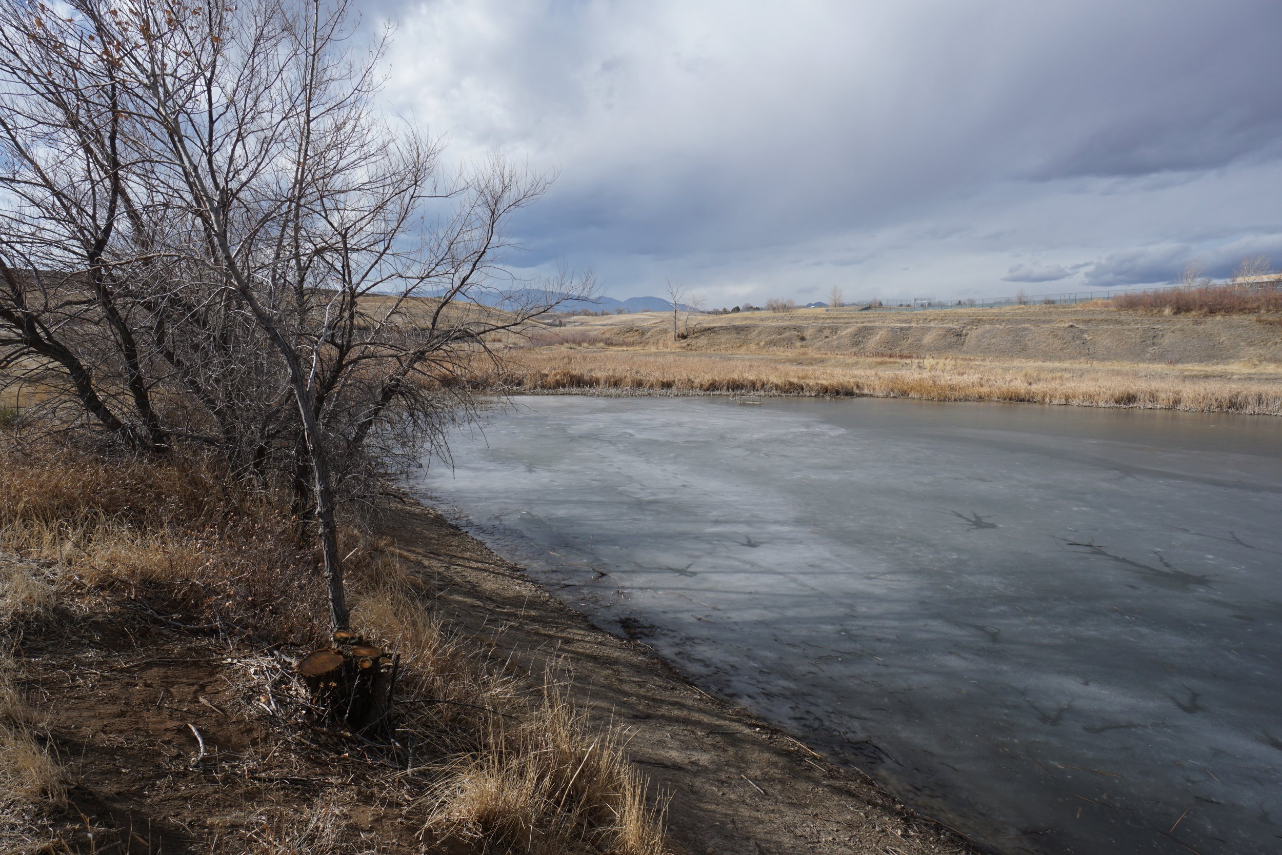
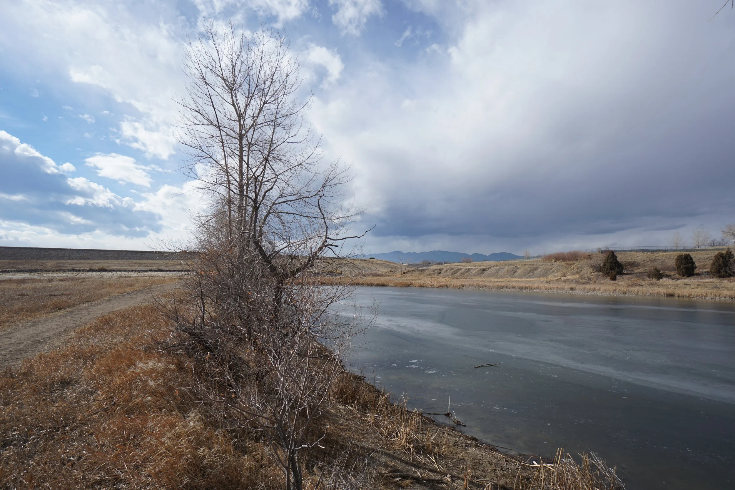
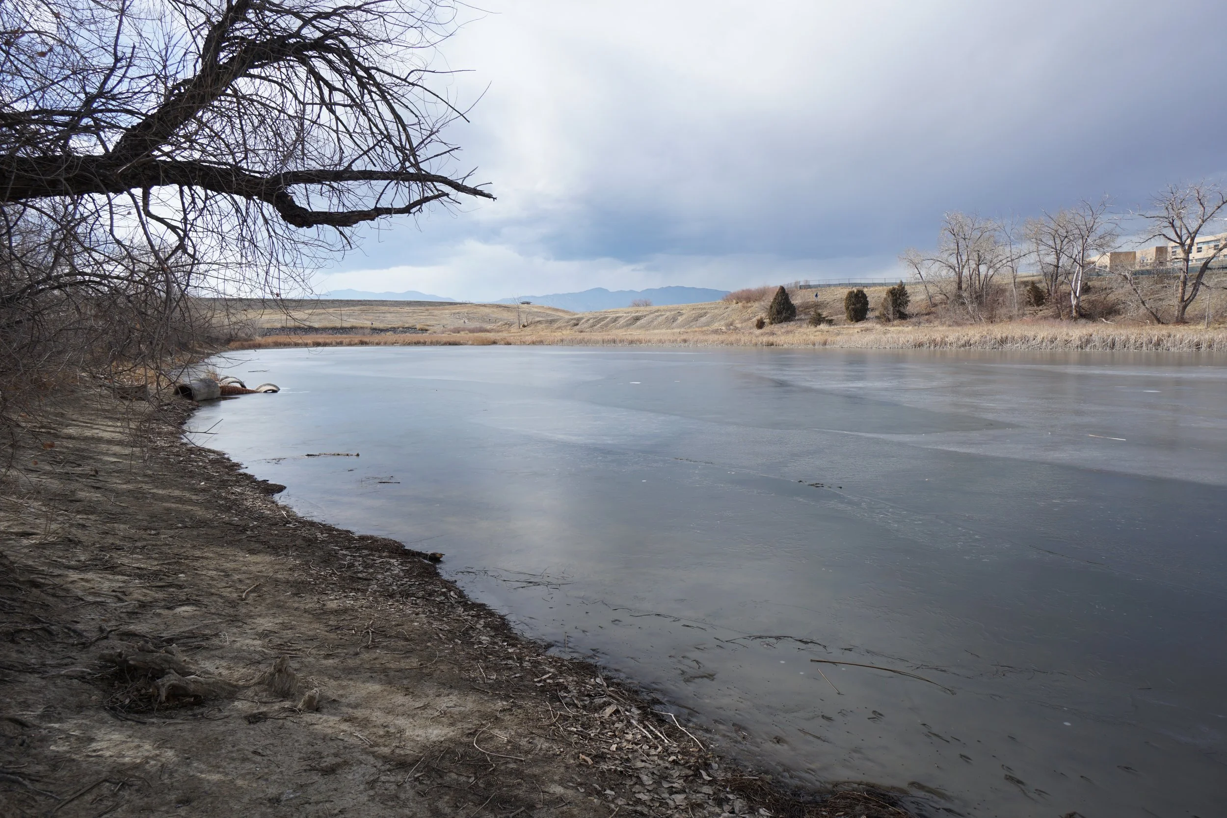
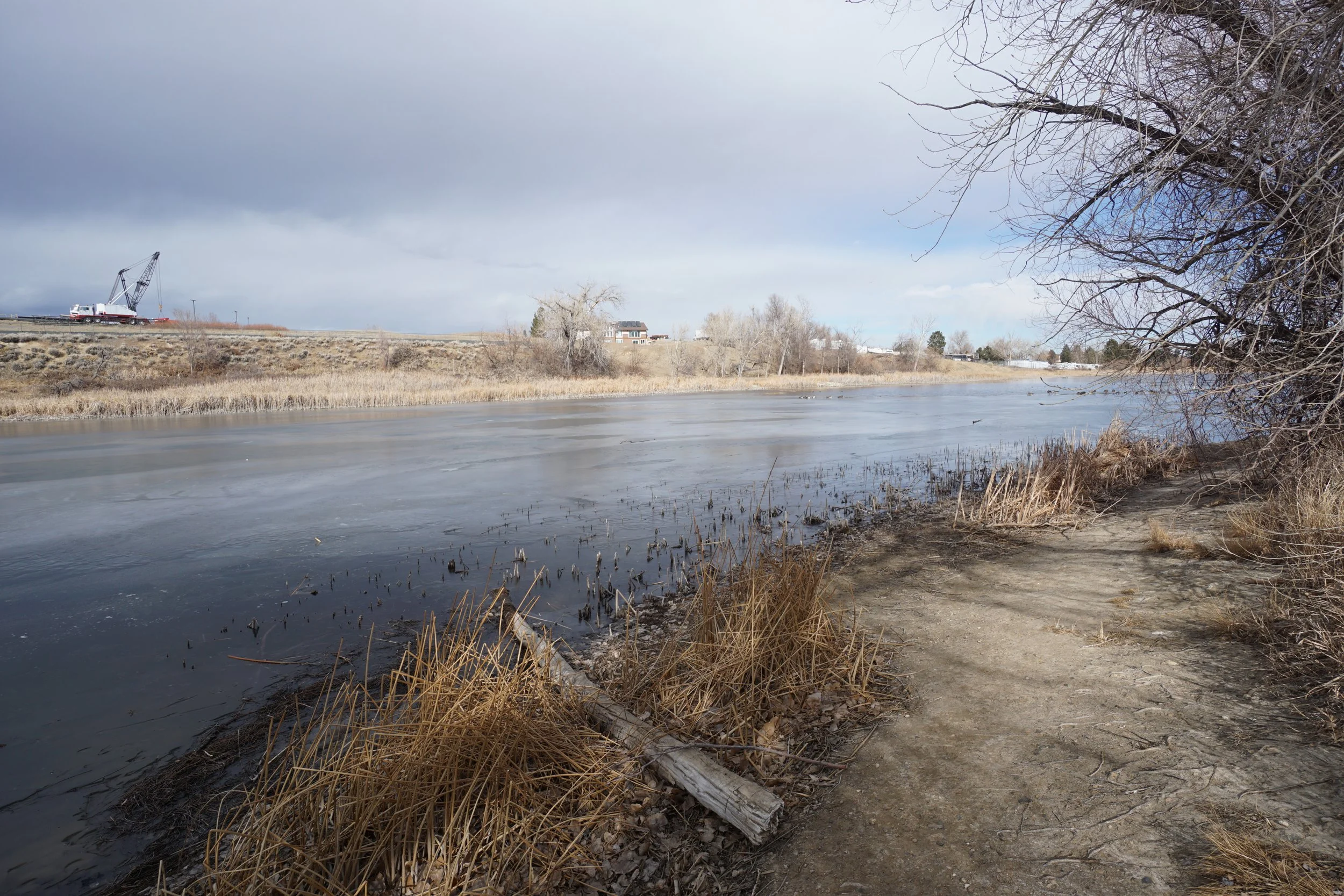
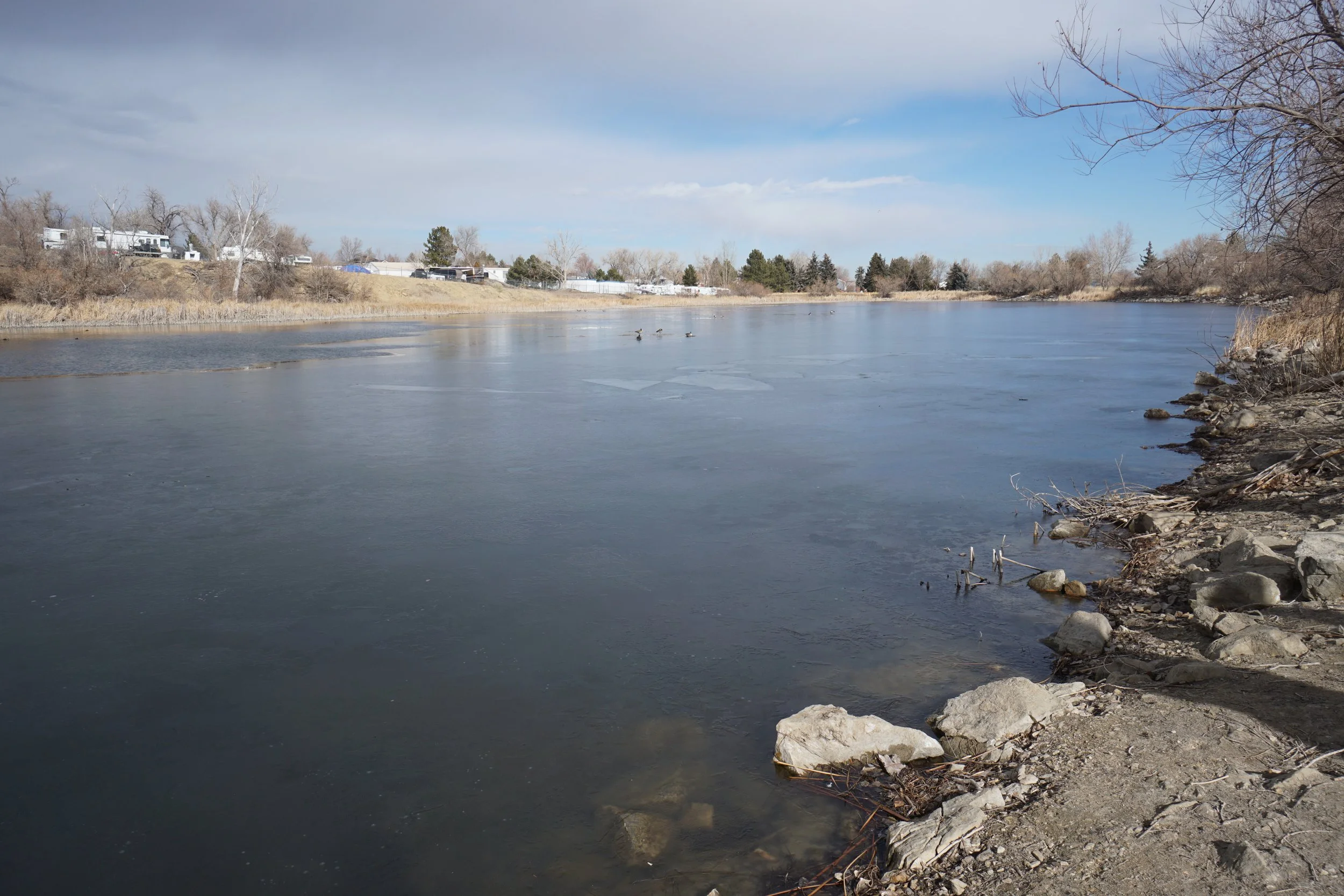
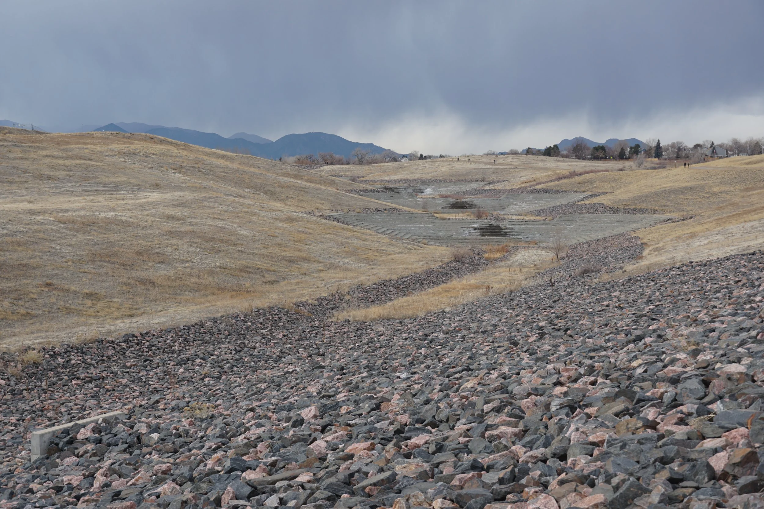
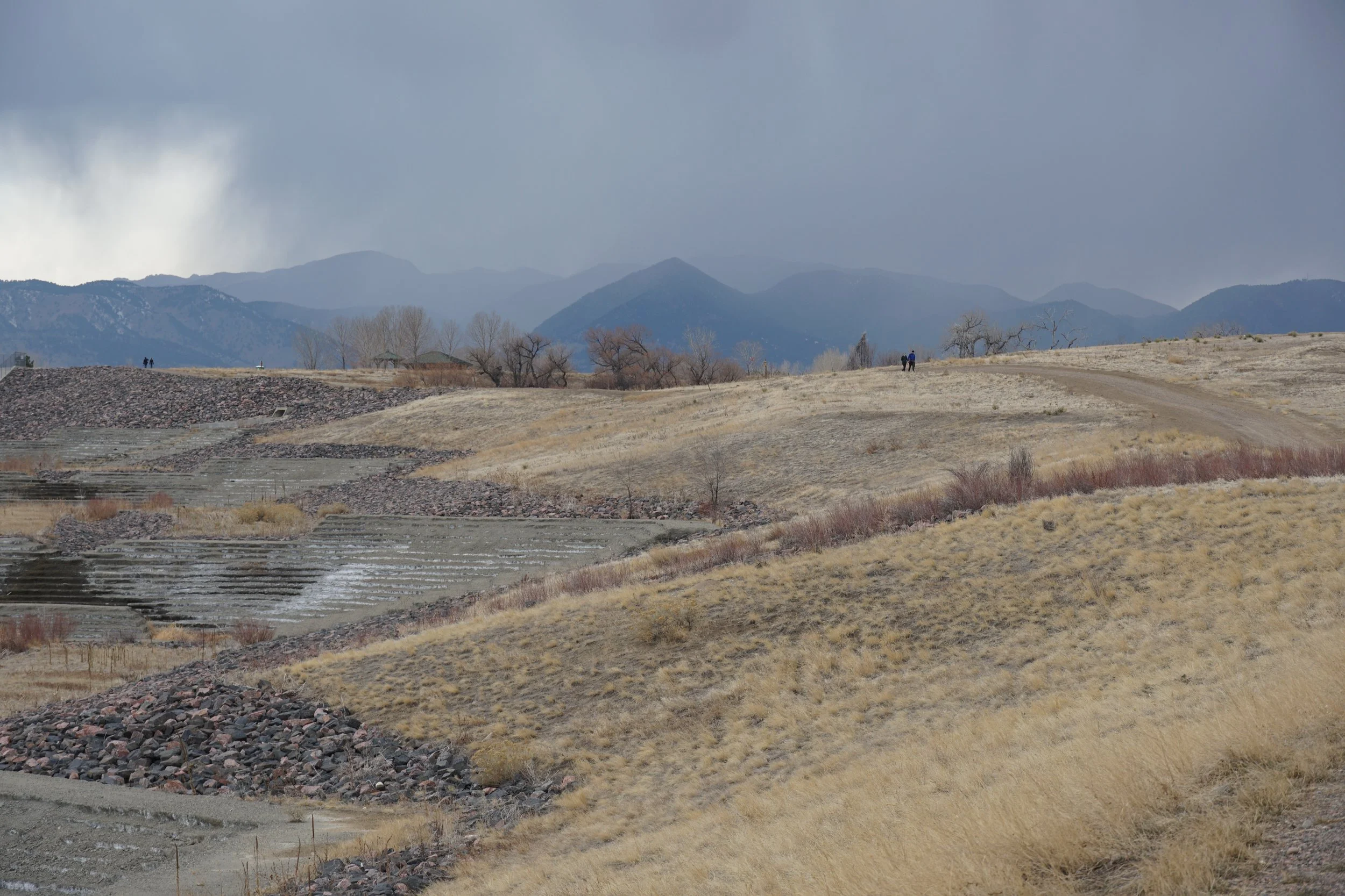
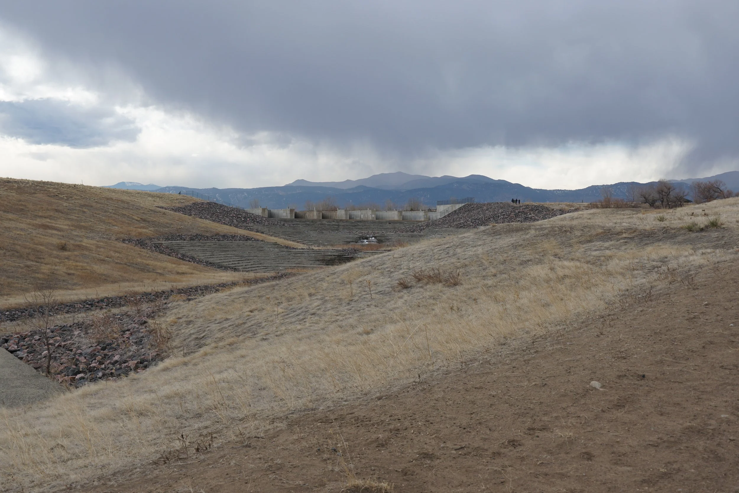
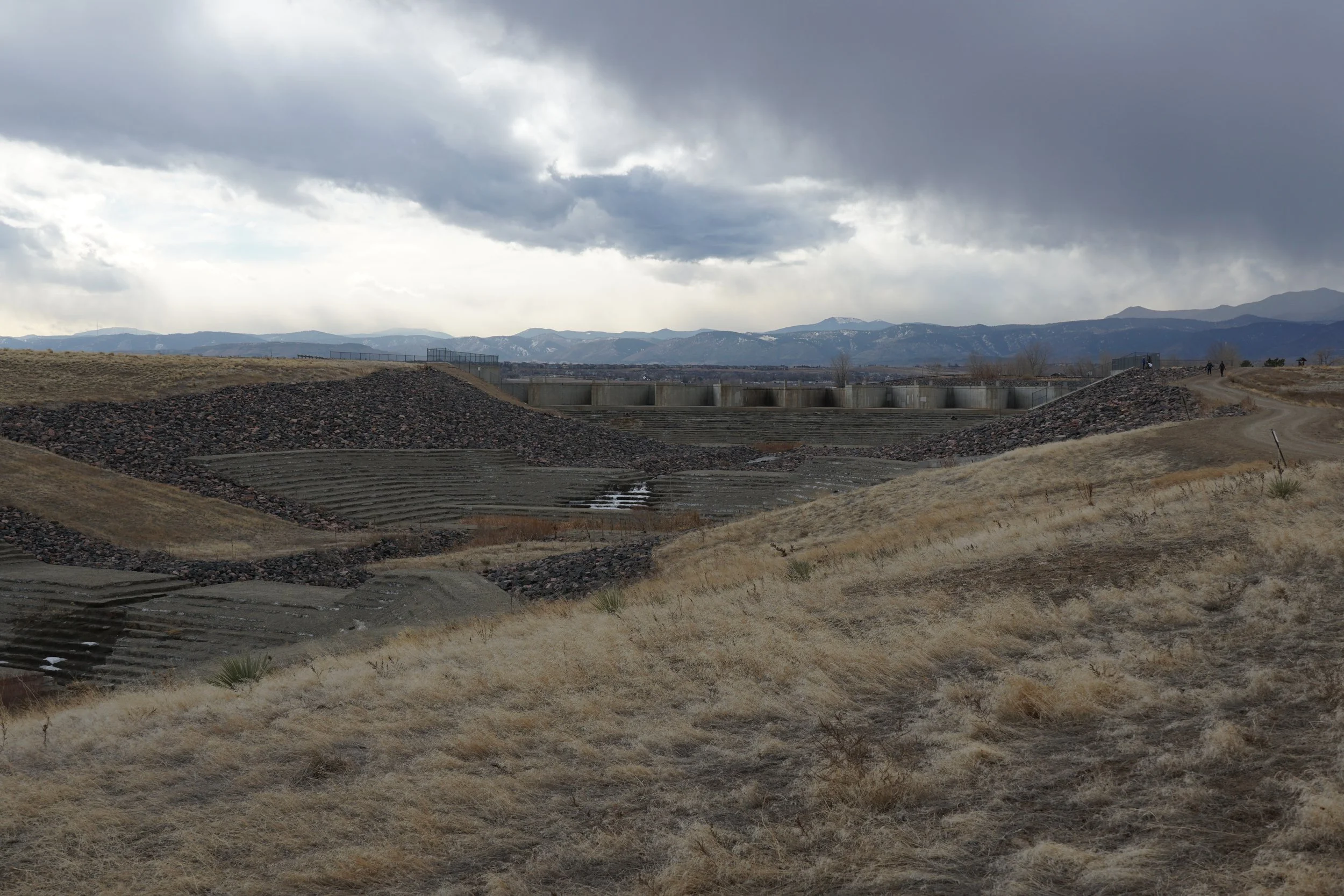
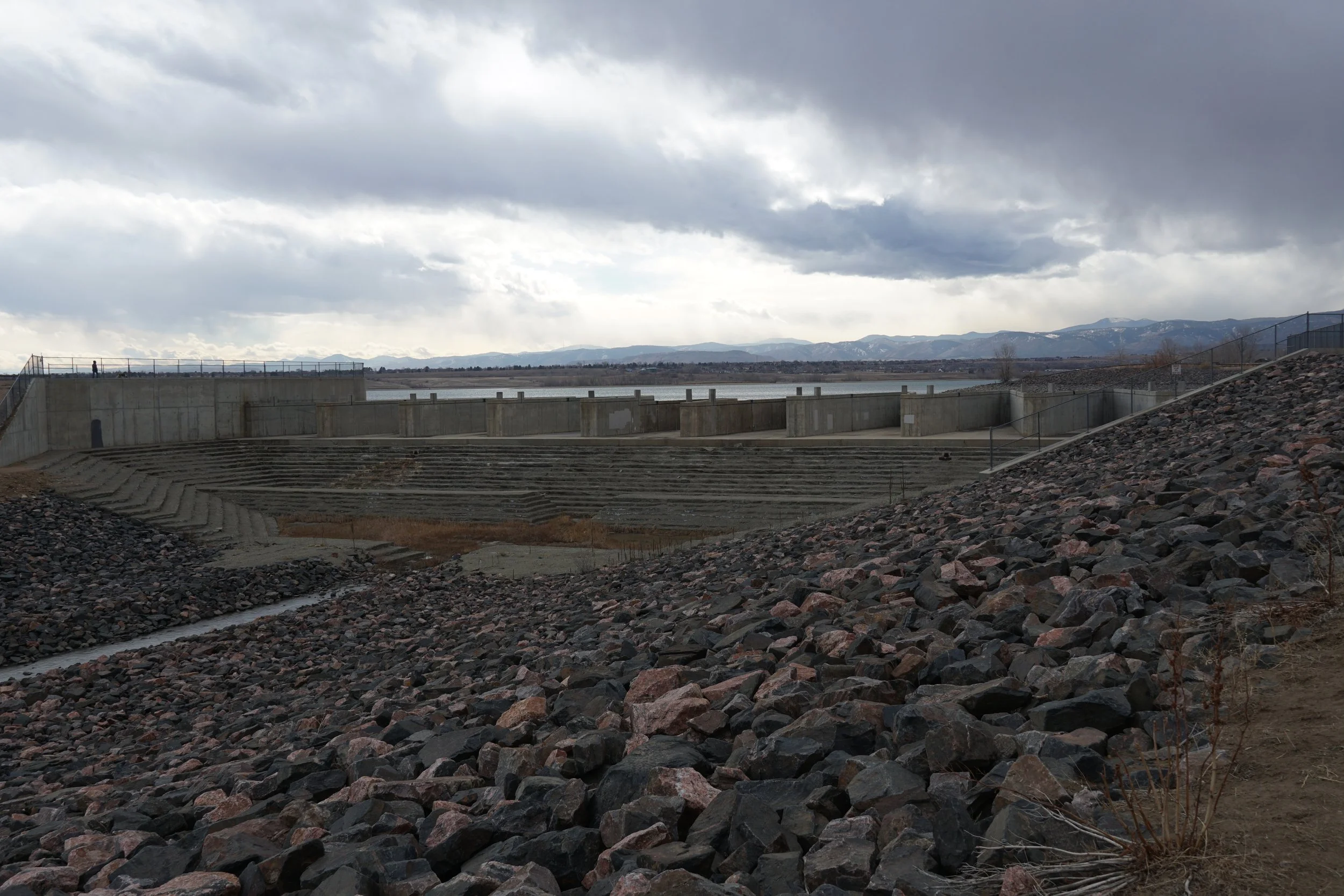
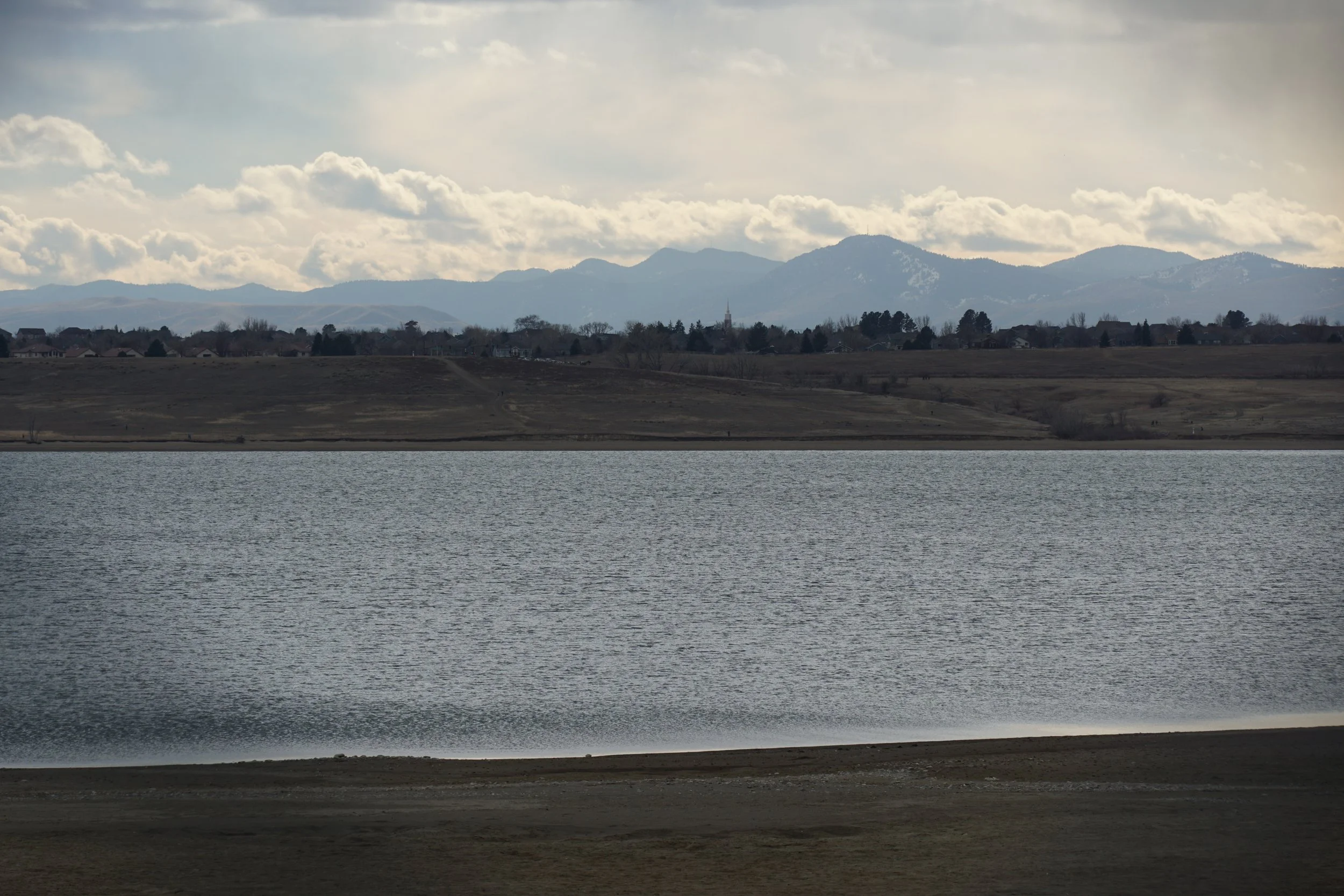
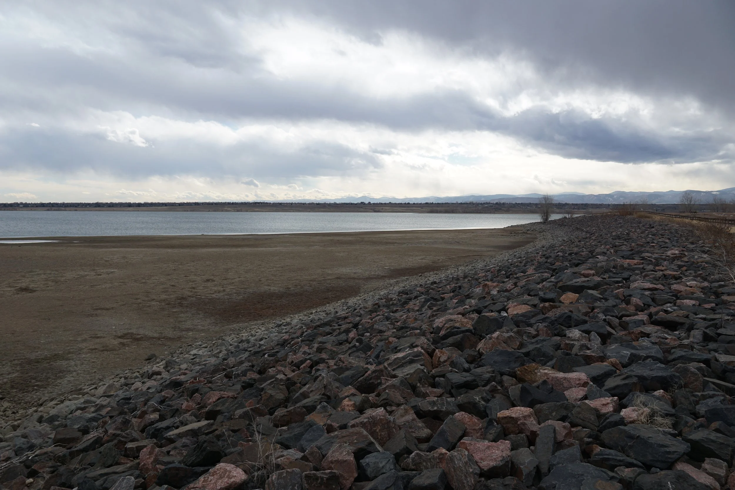
The hike to Loon Lake is a short little side-hike in the larger Standley Lake Regional Park. Rather than being centered around the shores of the reservoir or the dam, this hike explores a smaller and more personal lake on the eastern boundary of the park.
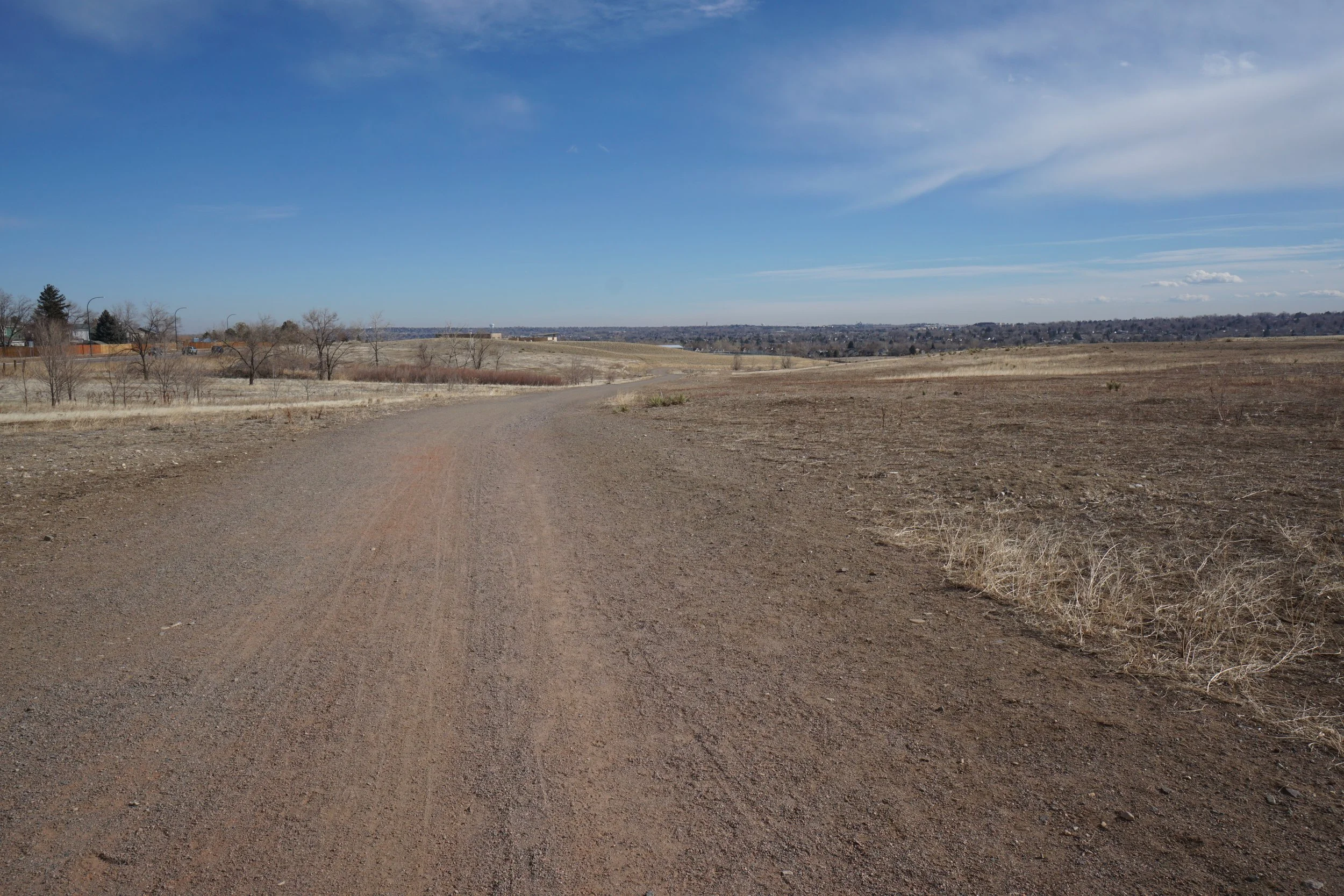
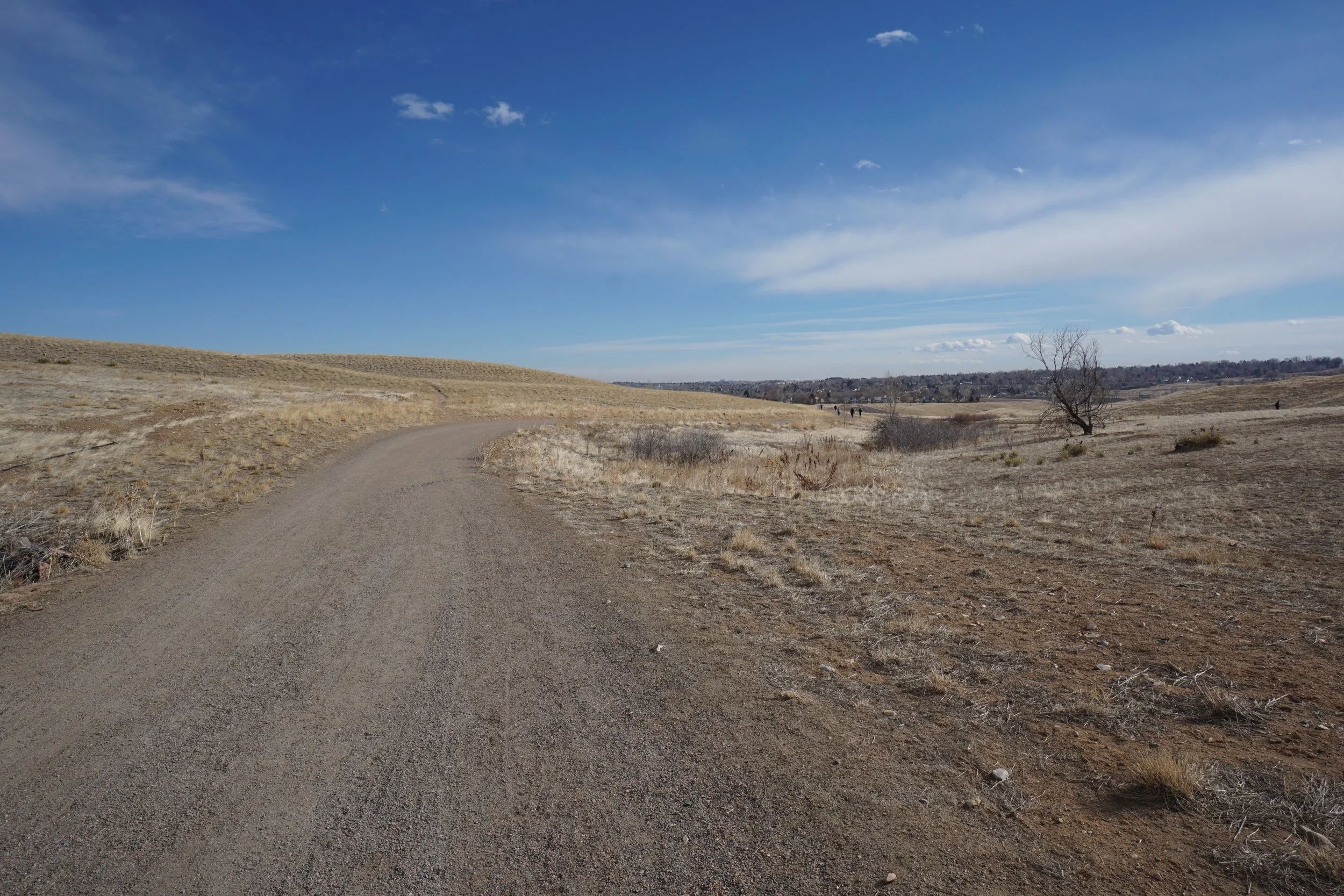
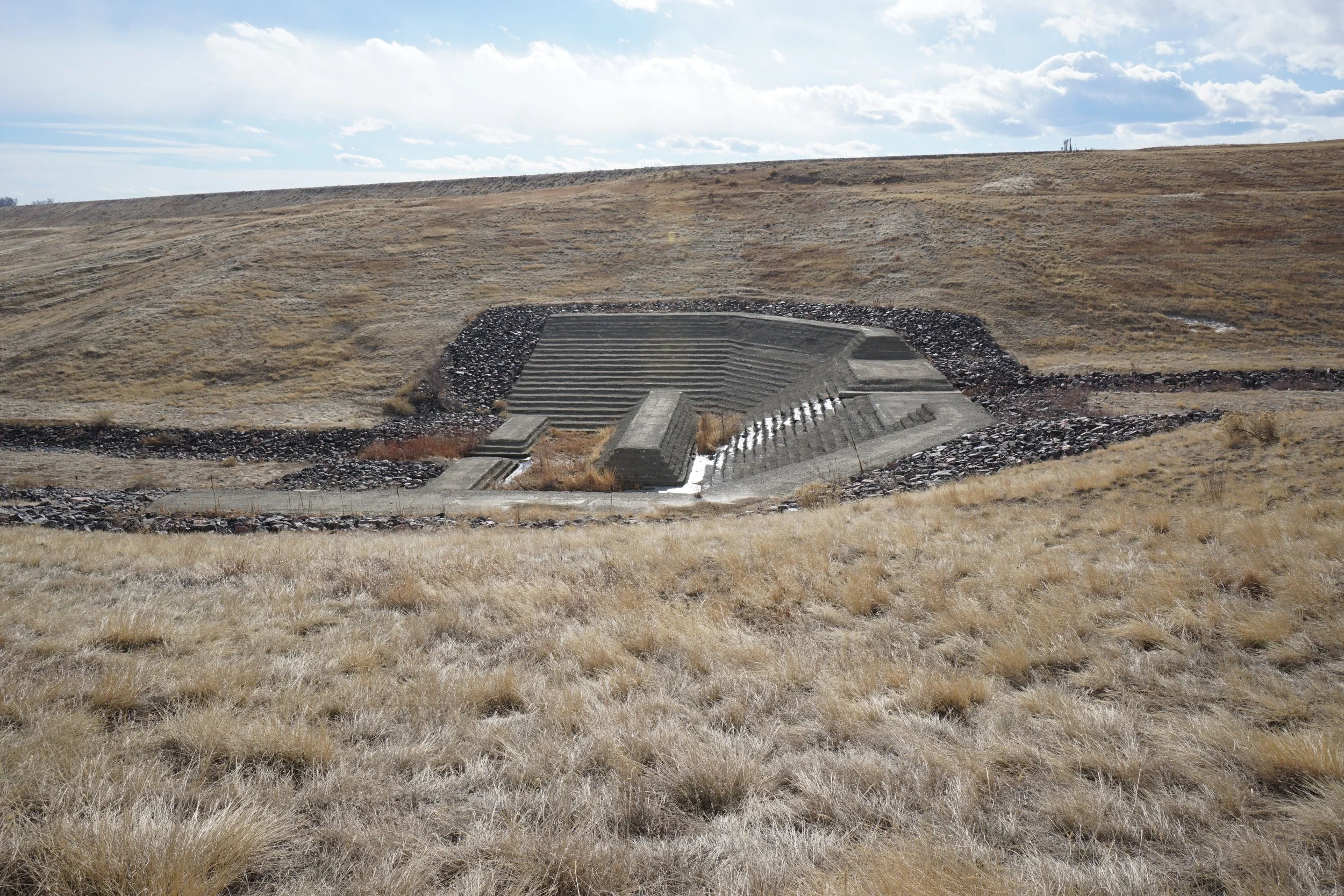
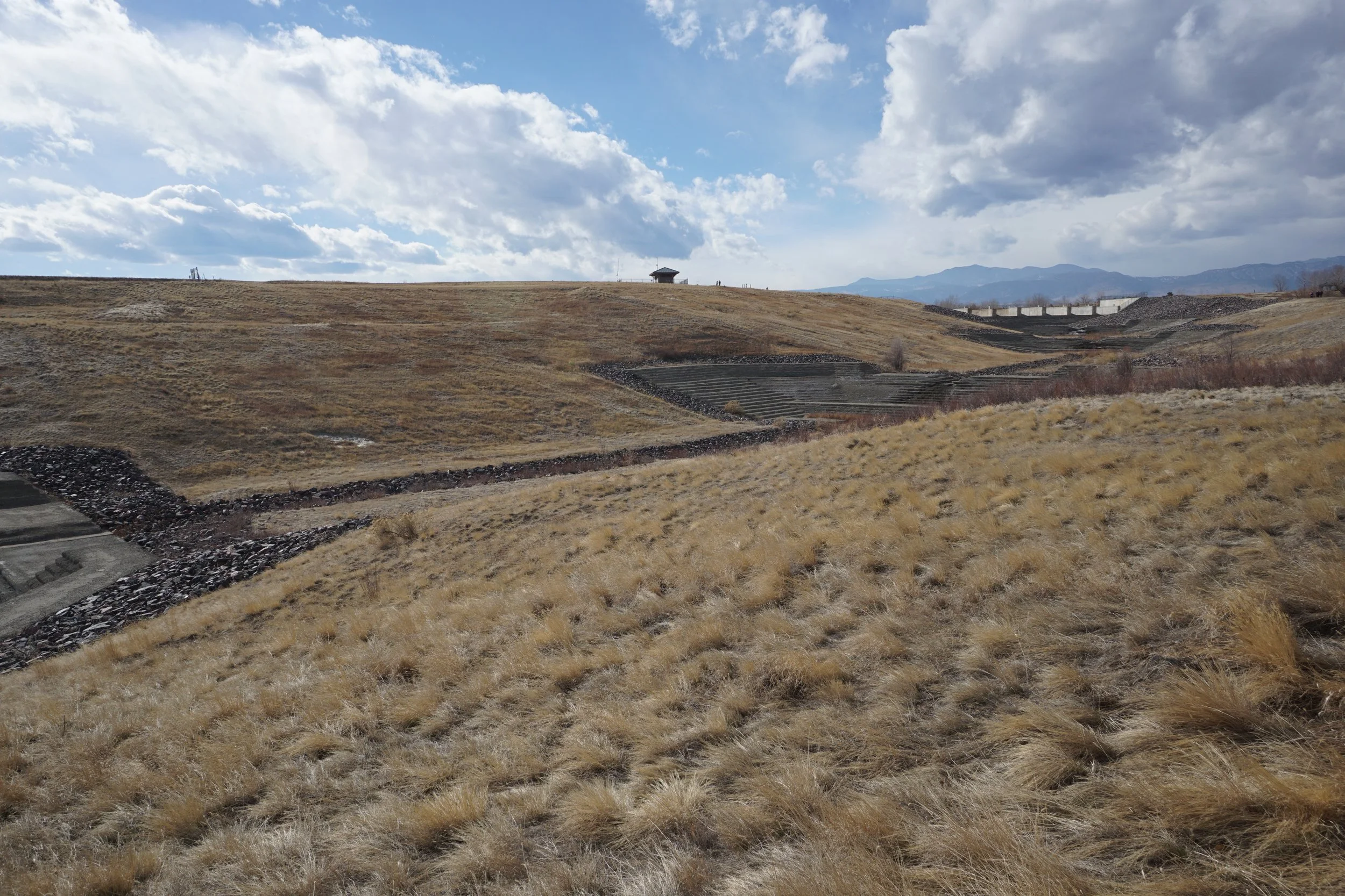
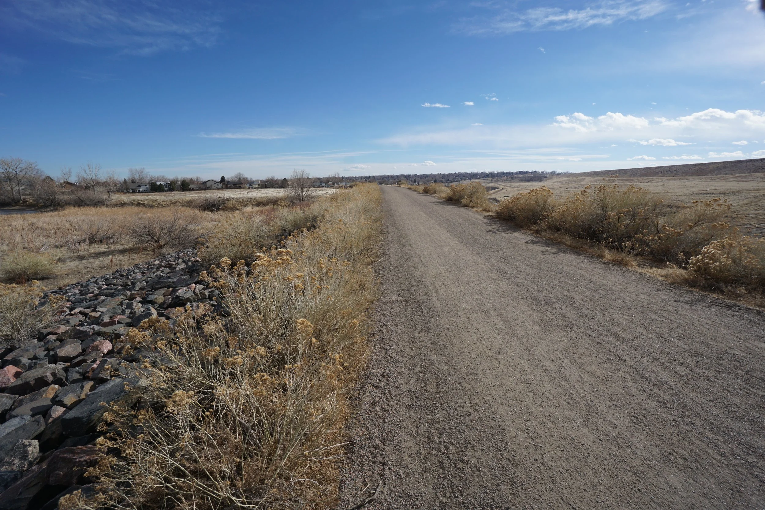
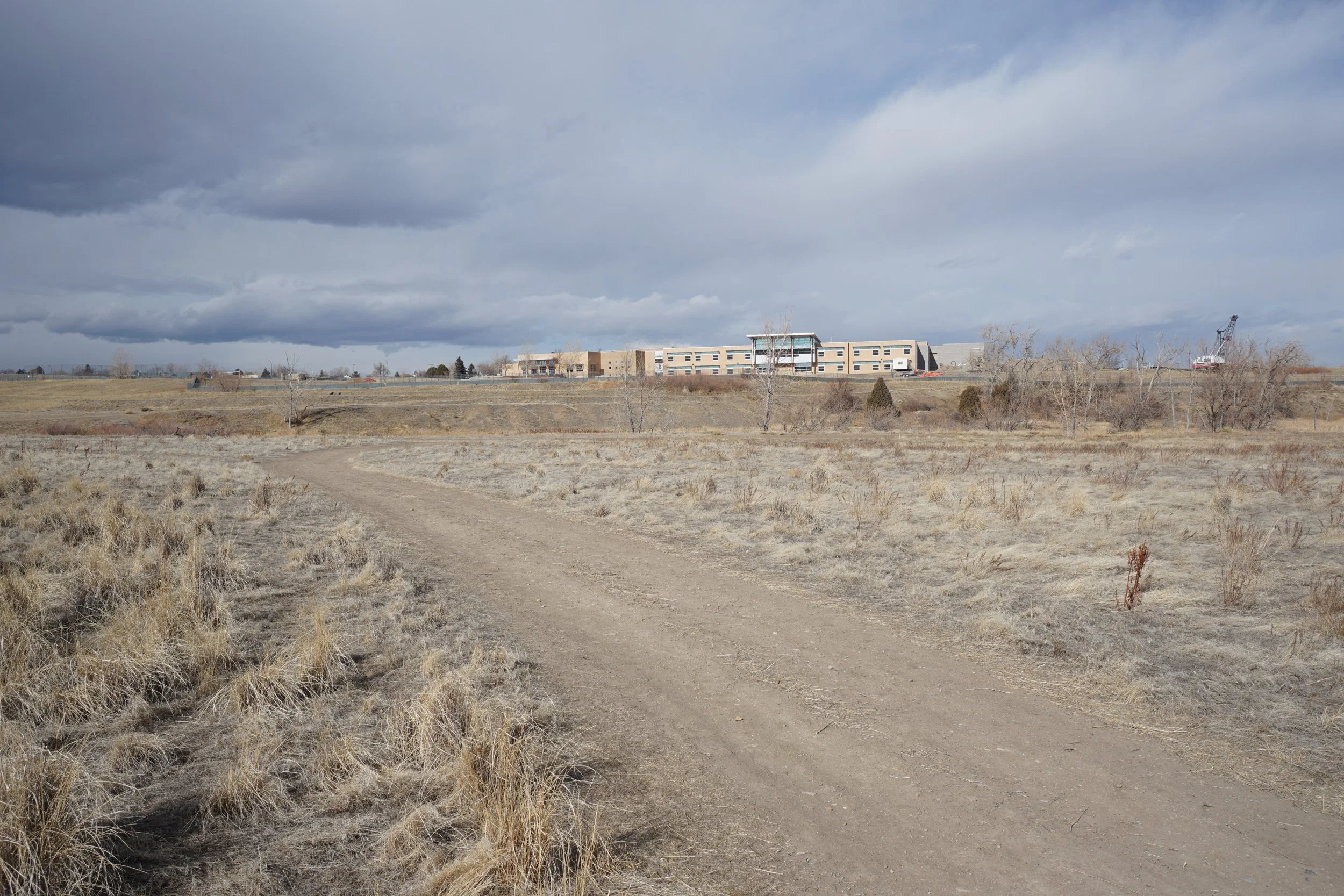
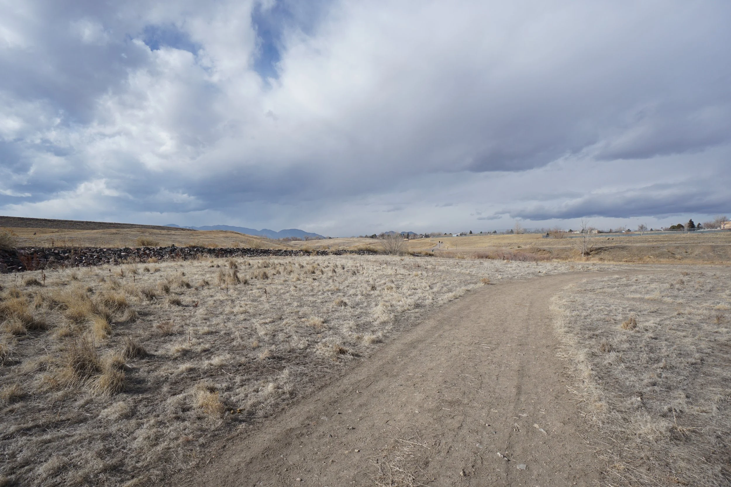
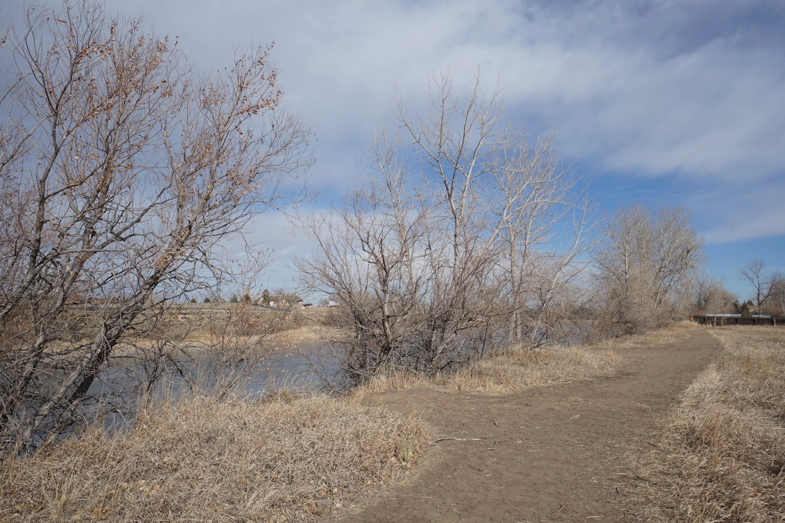
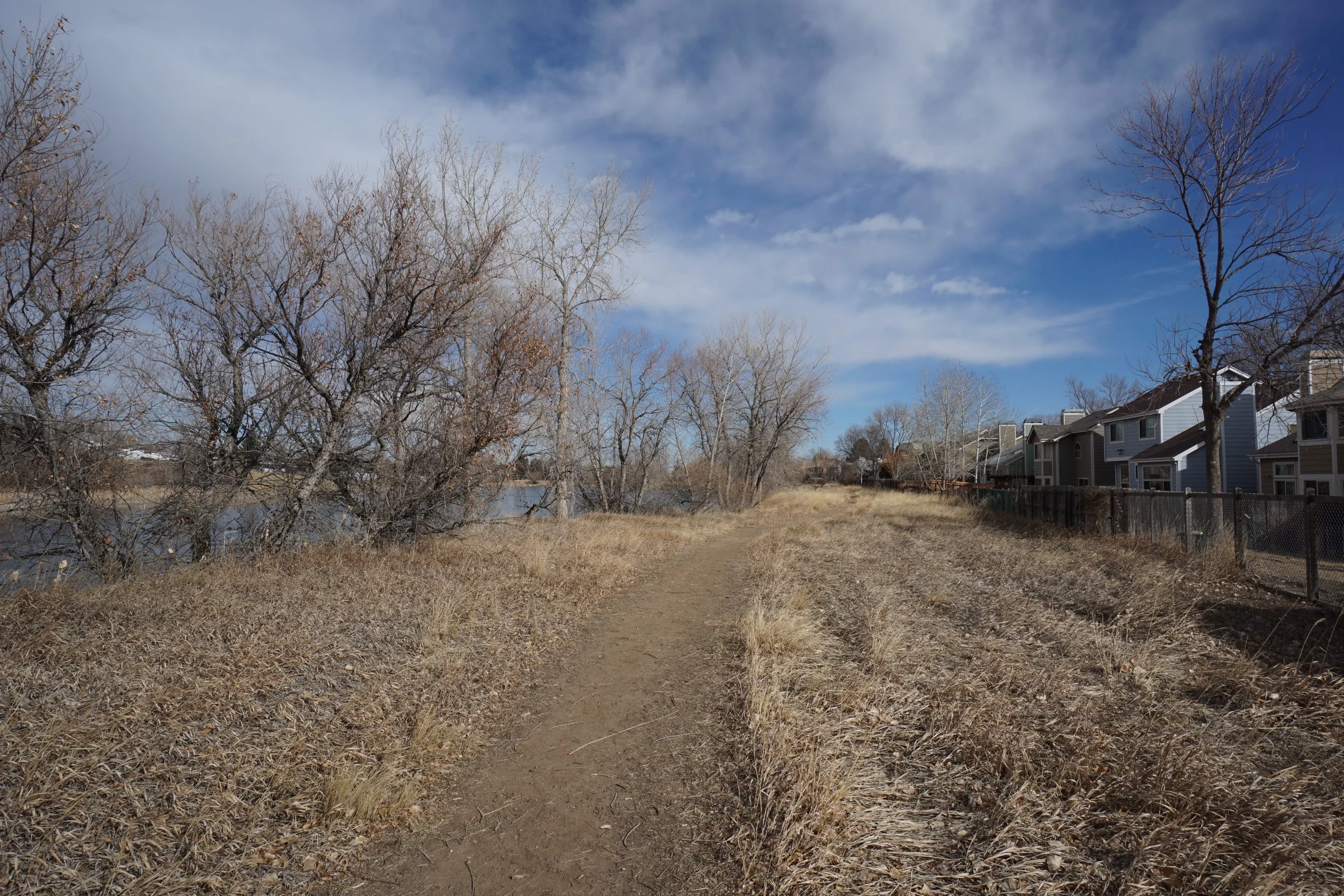
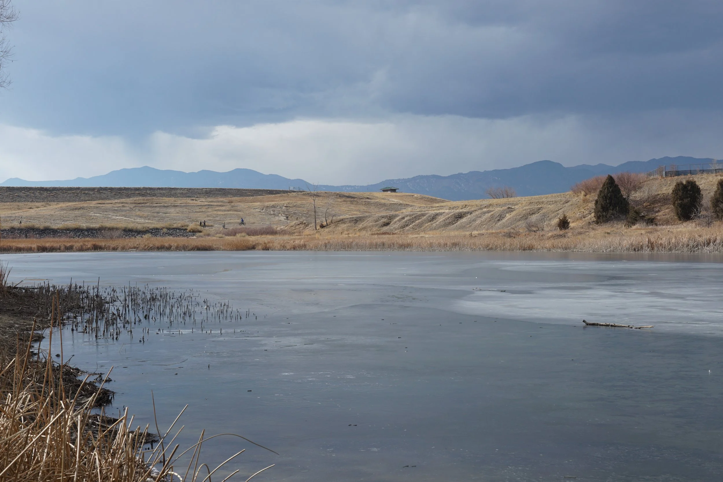
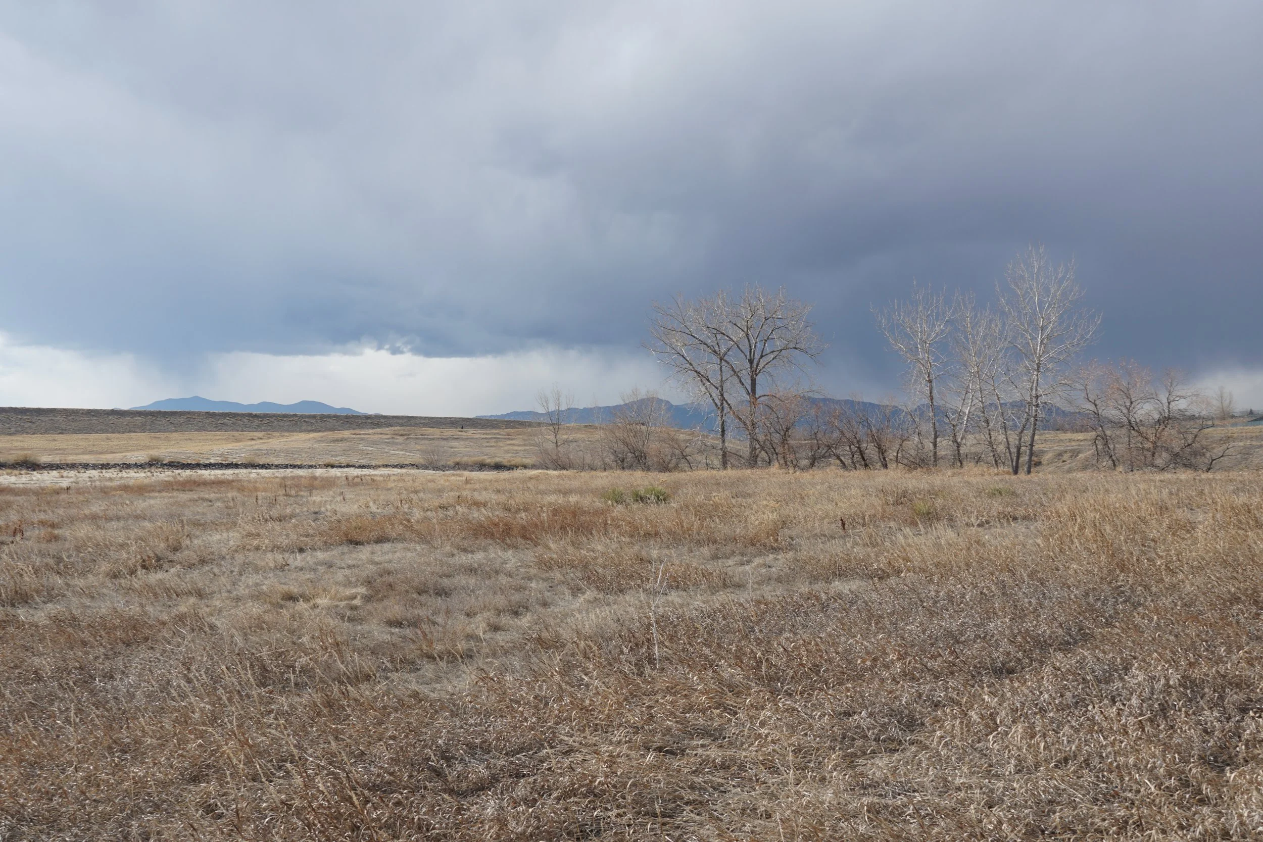
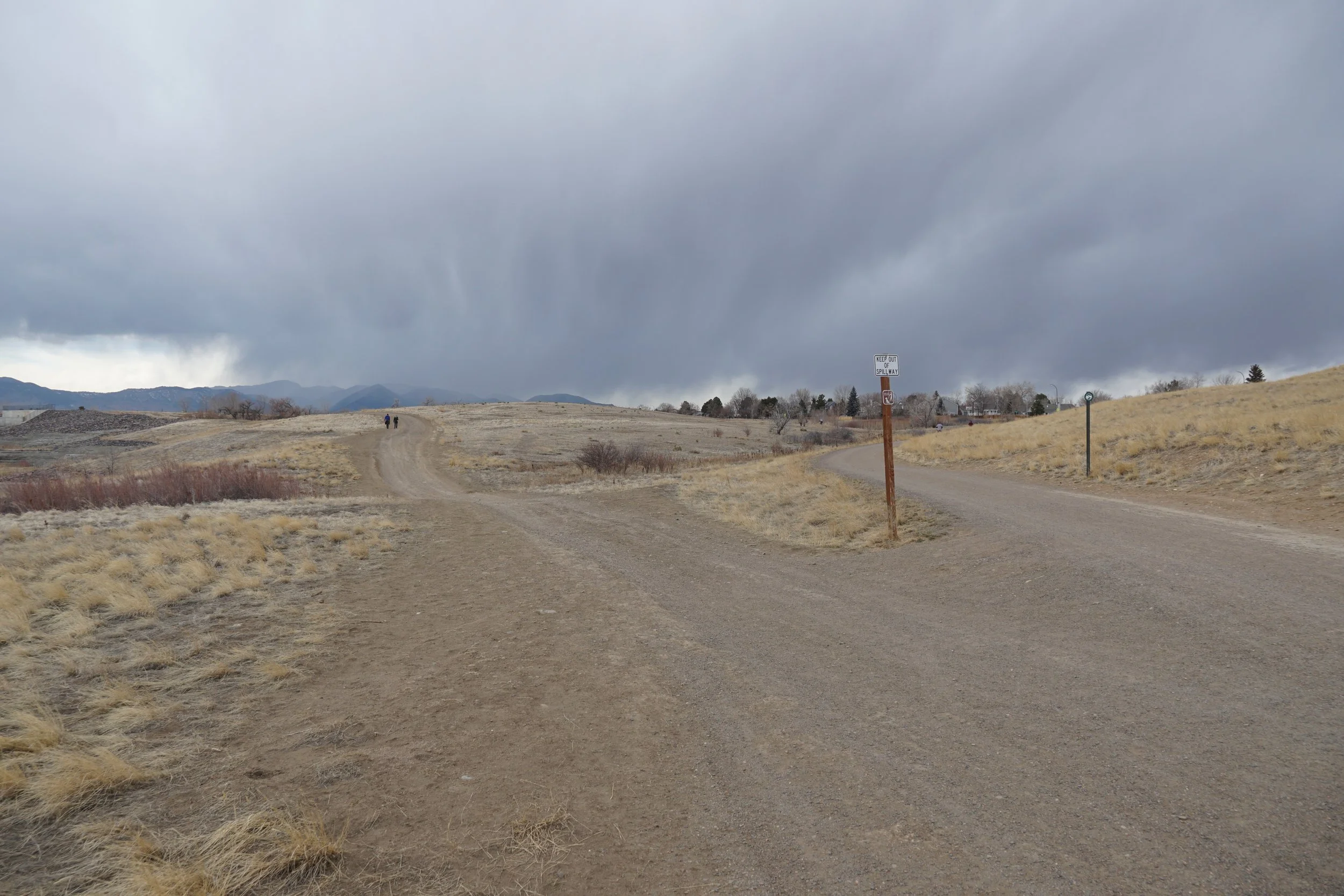
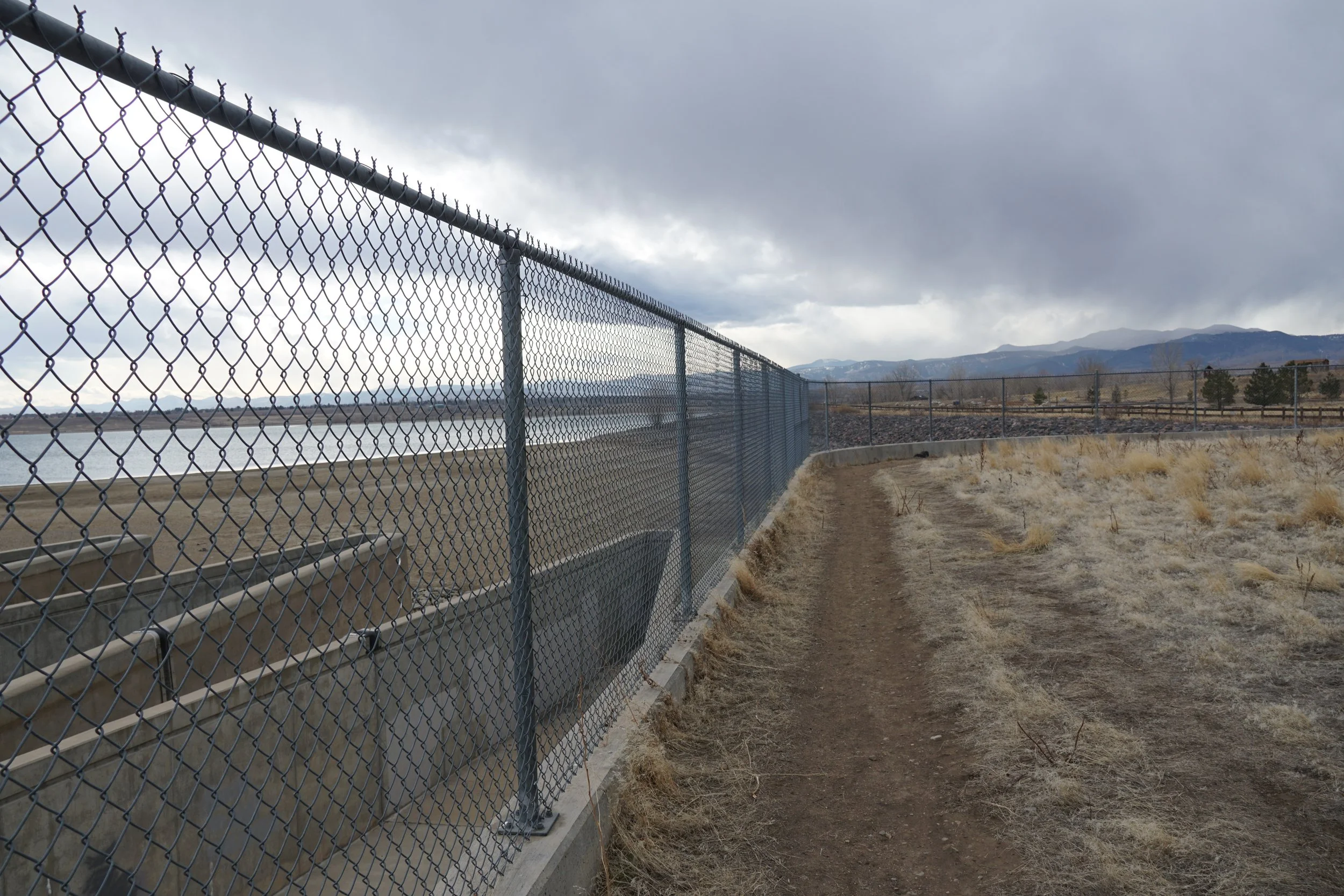
The hike starts at the Greenway/Big Dry Creek Trailhead just off of W. 100th Ave. From the trailhead head east of the Big Dry Creek Trail. The trail soon turns south and skirts the eastern edge of the spillway beneath the Standley Lake Dam. After a little more than half a mile, turn left (east) on the Loon Lake Trail which takes you along the southern shore of the small lake. There are multiple spots to sit and relax or do some fishing (if allowed) or just explore the lake shore. That’s it, there’s not much more to this hike. The return to the trailhead follows the same route but you can add a side trip to the Cottontail Campground area, and a visit to the shore of Standley Lake along the way.