Little Dolores Falls
BLM Public Lands
Date Hiked: March 28, 2026
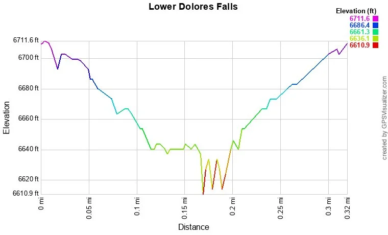
Distance: 0.25 (RT)
Elevation Gain: 60 ft
Elevation: 6,709 ft
Trailhead Lat/Long: 38.96424, -108.87395
Managing Agency: Bureau of Land Management (BLM)
Fee: None
Directions:
From Grand Junction, take Broadway (340) over the Colorado River and turn left (south) onto Monument Road. At this point you have two options. Option 1 enters Colorado National Monument which requires an entry fee. Option 2 skirts around the south of the Monument. Both options are just about the same distance and time.
For Option 1 continue on Monument Road (also known as Glade Park Road) into Colorado National Monument. Follow Monument Road up into the Monument and through the tunnel. Turn left onto D S Road at the junction for Glade Park, this is where Monument Road becomes Rim Rock Road. Now on D S Road, leave the Monument and follow D S Road for a long time to 9 8/10 Road, turn left (south) and after a few minutes turn left into the Miracle Rock Recreation Site.
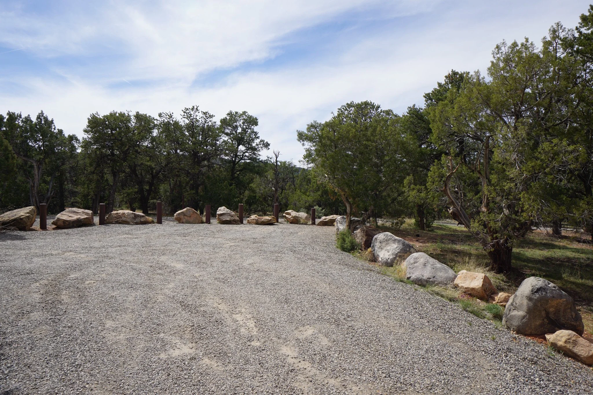
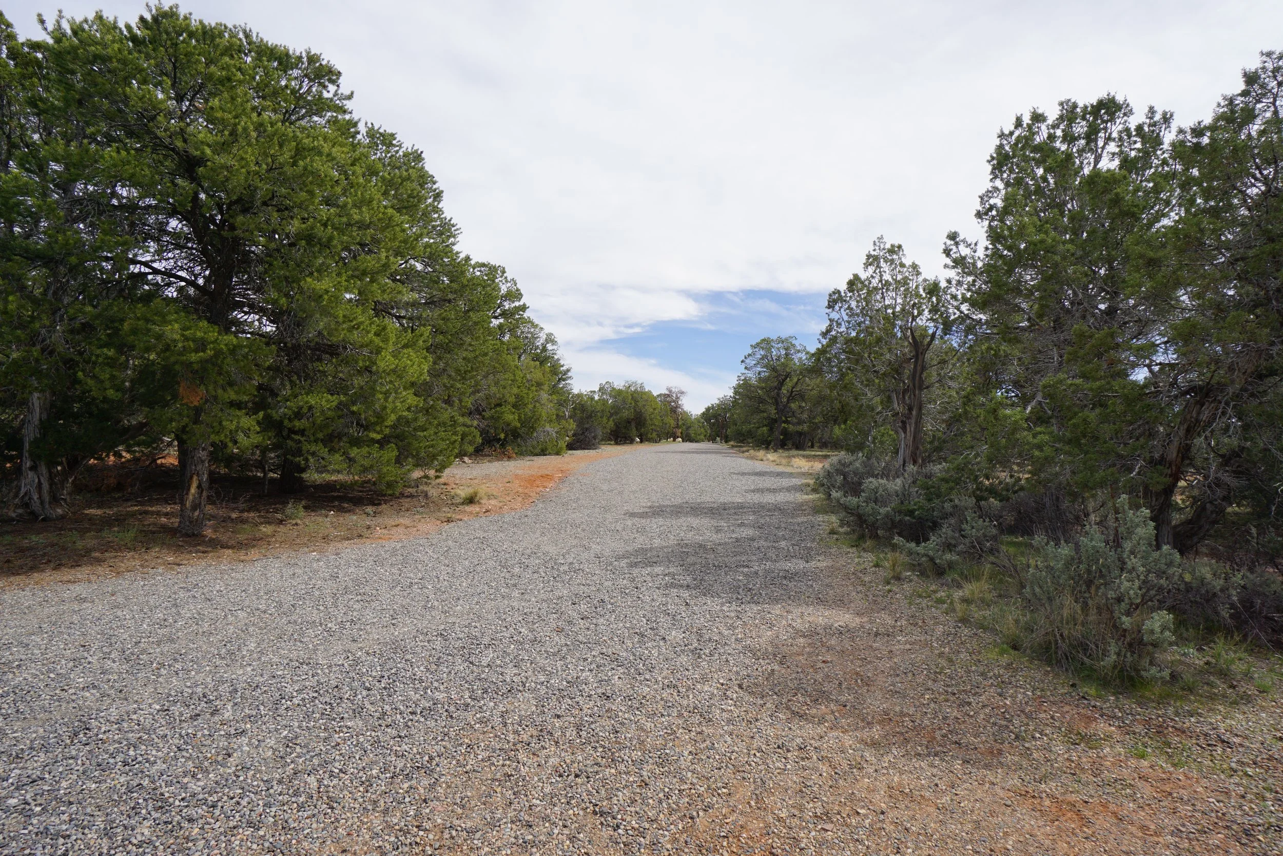
For Option 2, just after turning onto Monument Road from Broadway, make a quick left (south) onto D Road and a right onto Rosevale Road. Turn right onto Little Park Road and head through the BLM Bangs Canyon area. Keep following Little Park Road to the south and west until it reaches D S Road, turn left. From here the directions are the same as for Option 1; D S Road to 9 8/10 Road, turn left (south). In 1 mile, the Miracle Rock Recreation Site will be on the left, continue straight for another 1.3 miles to the old campground on the right. This is the parking area for Little Dolores Falls.
Hike Description:
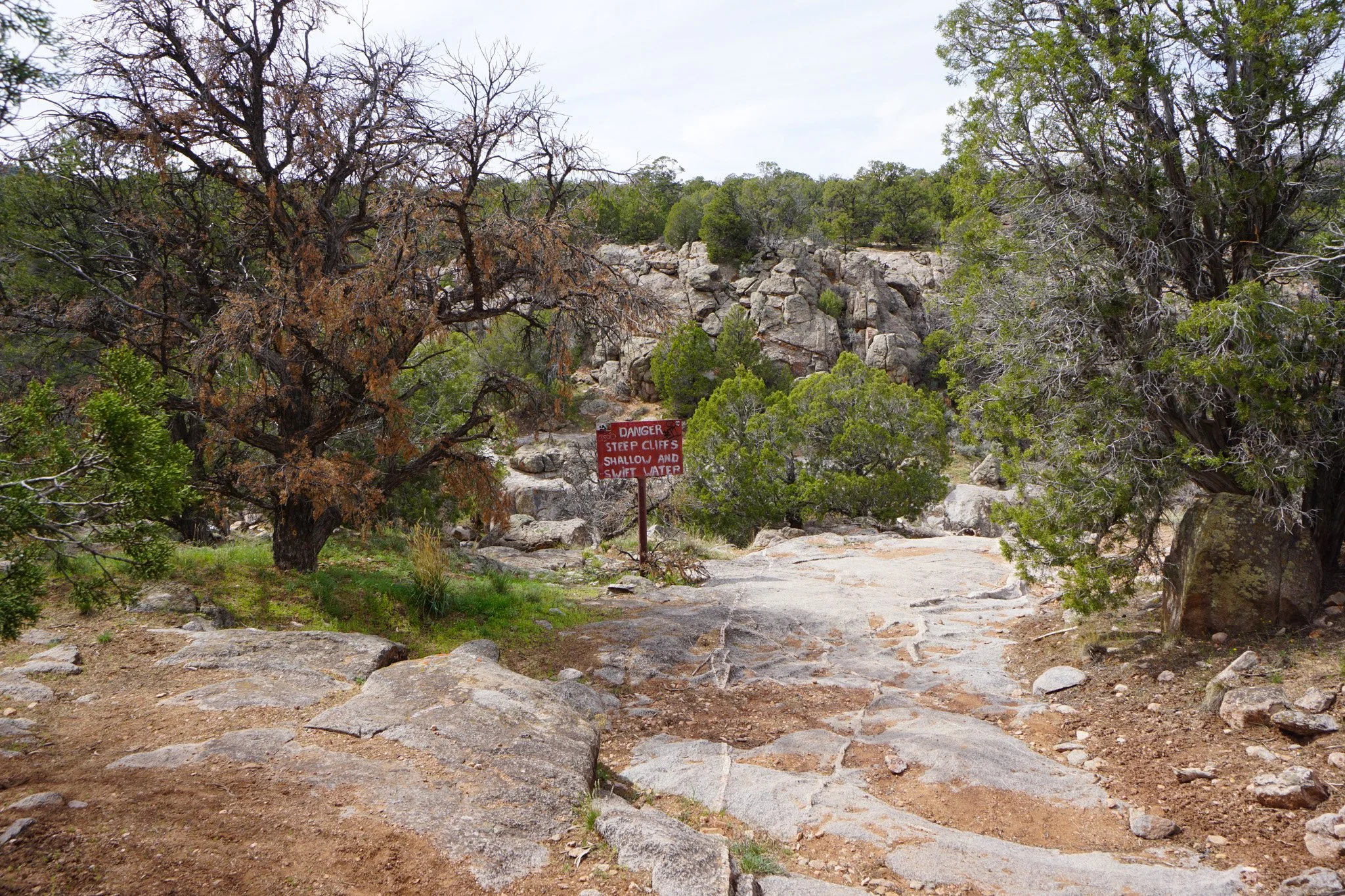
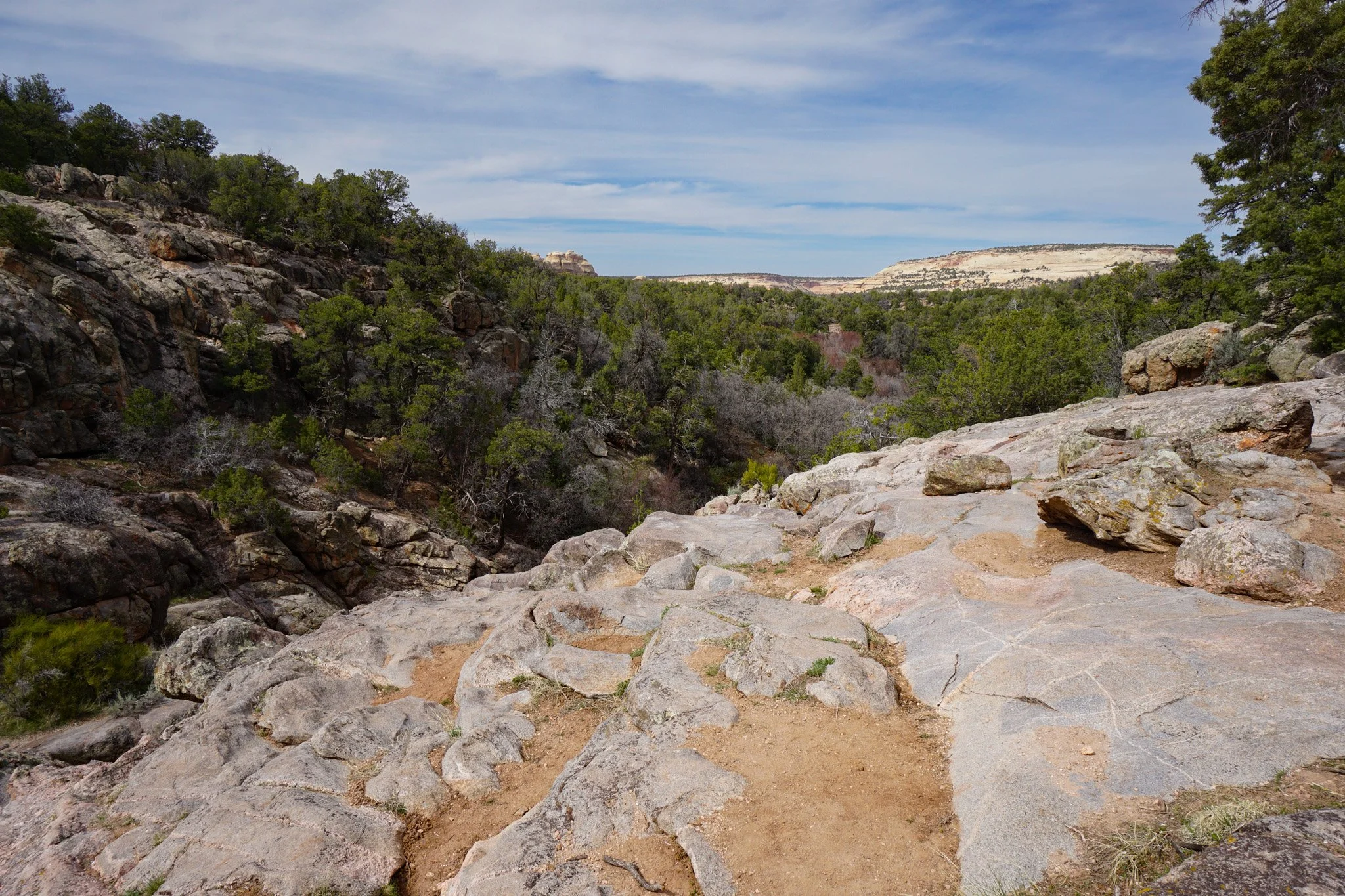
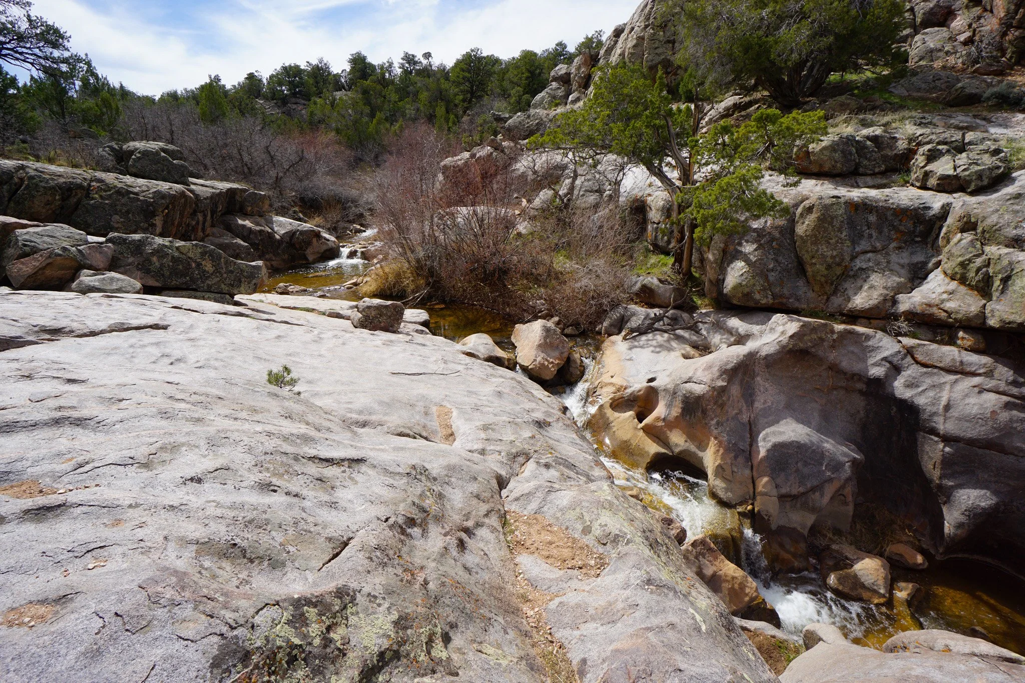
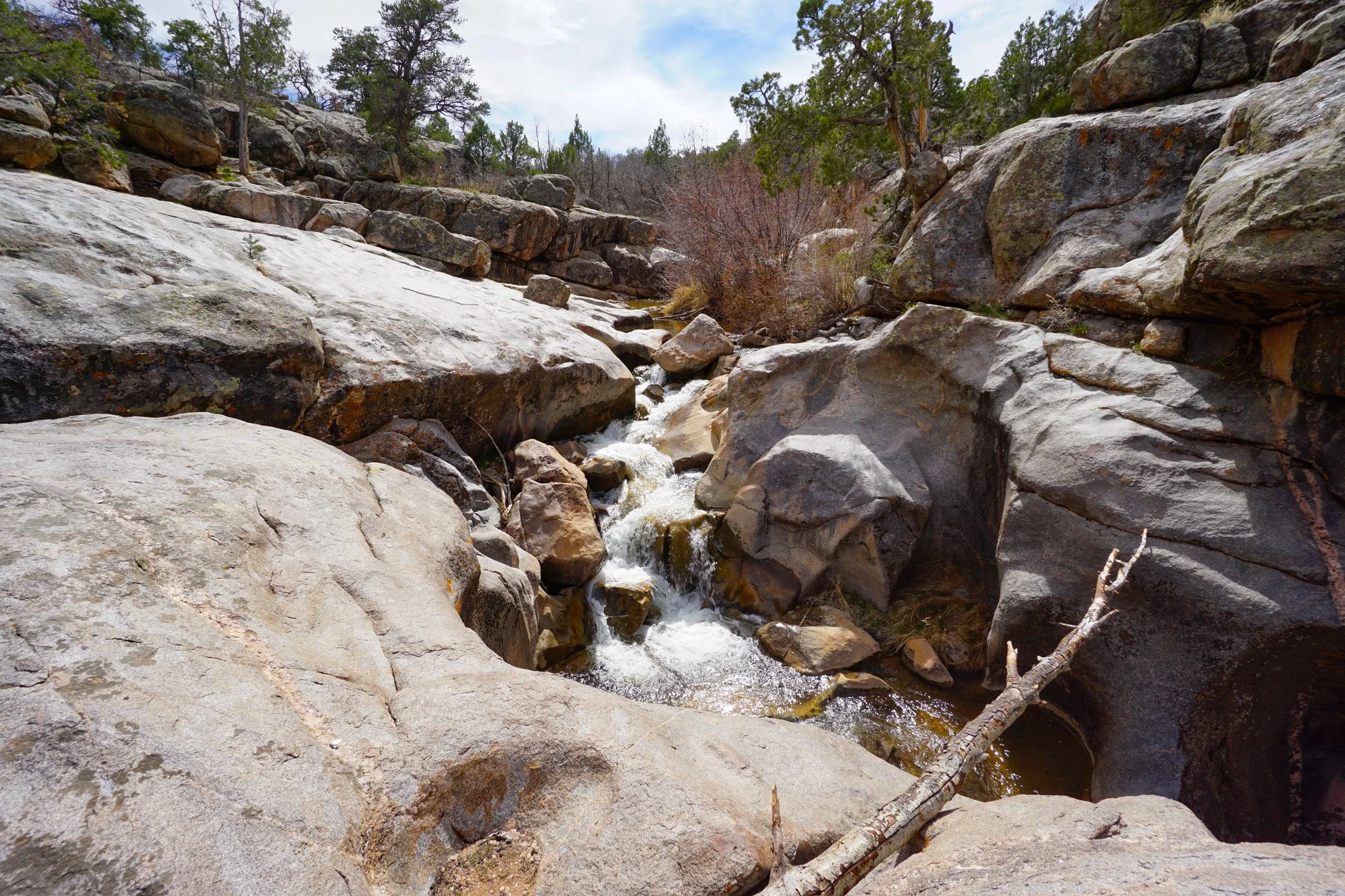
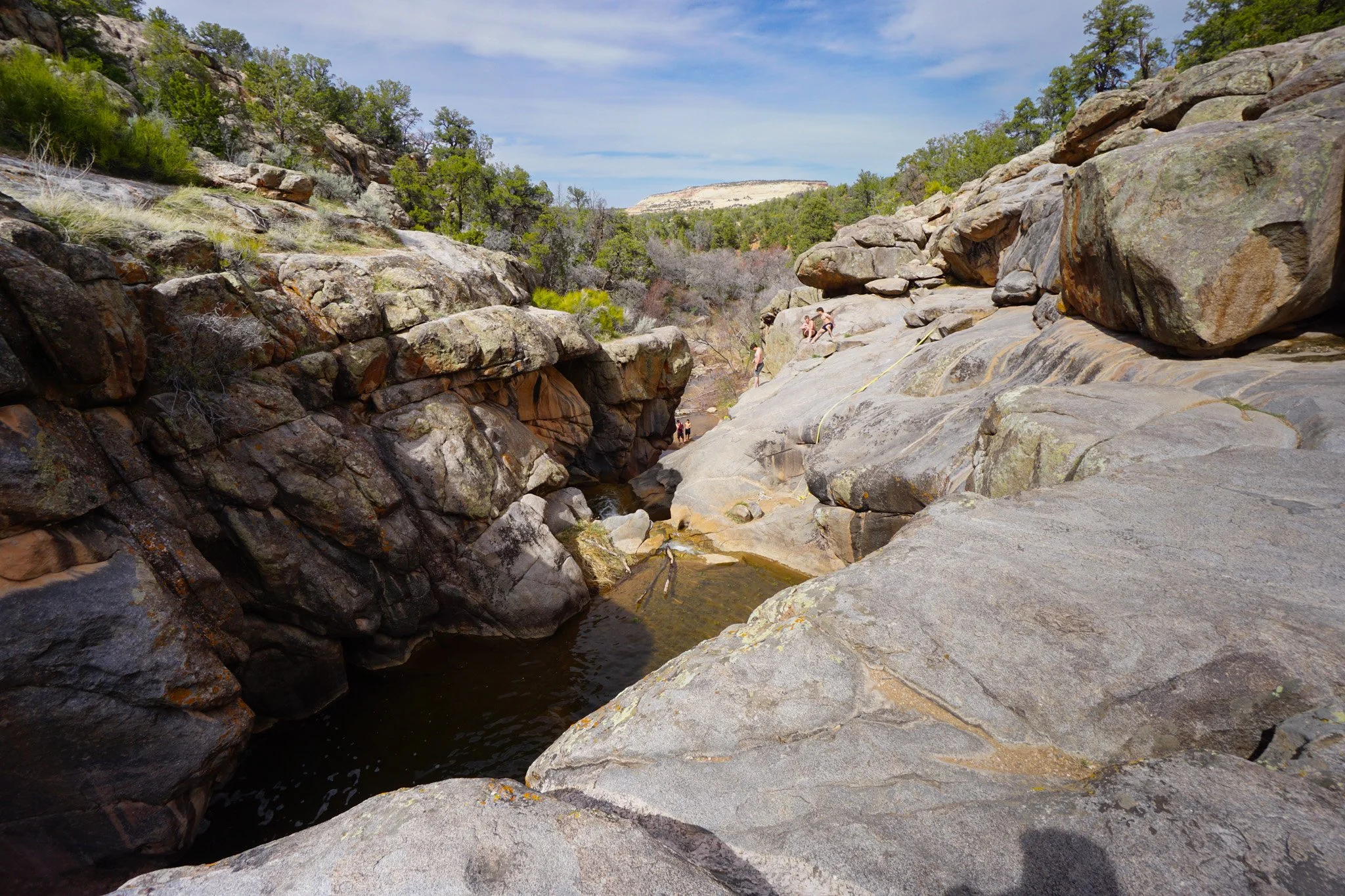
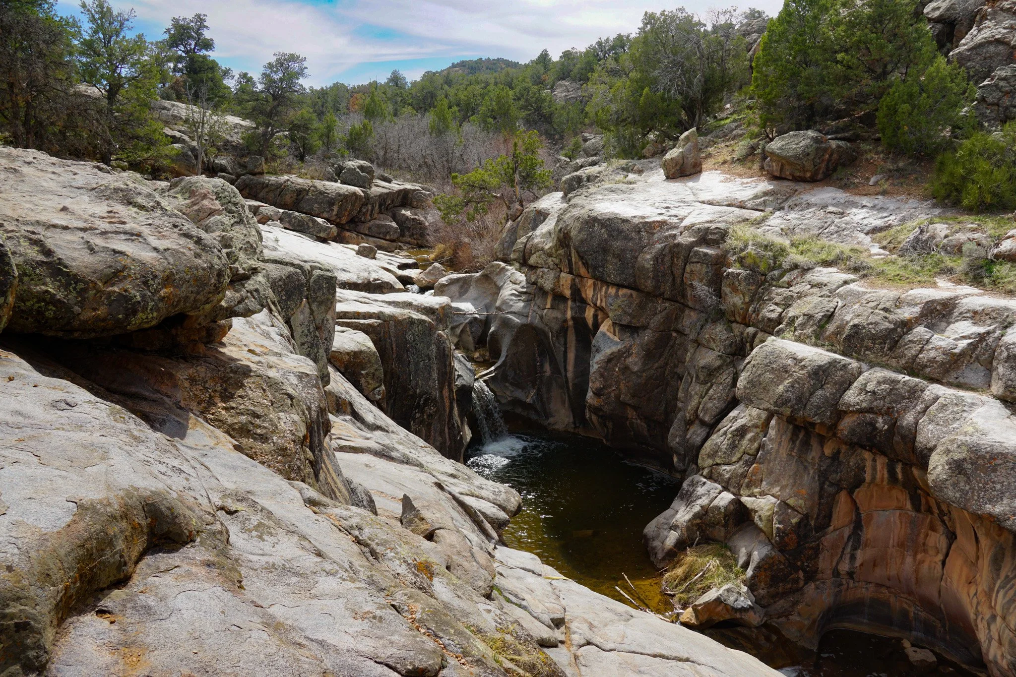
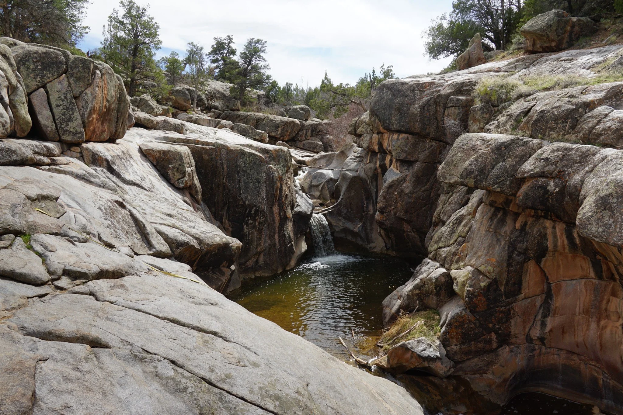
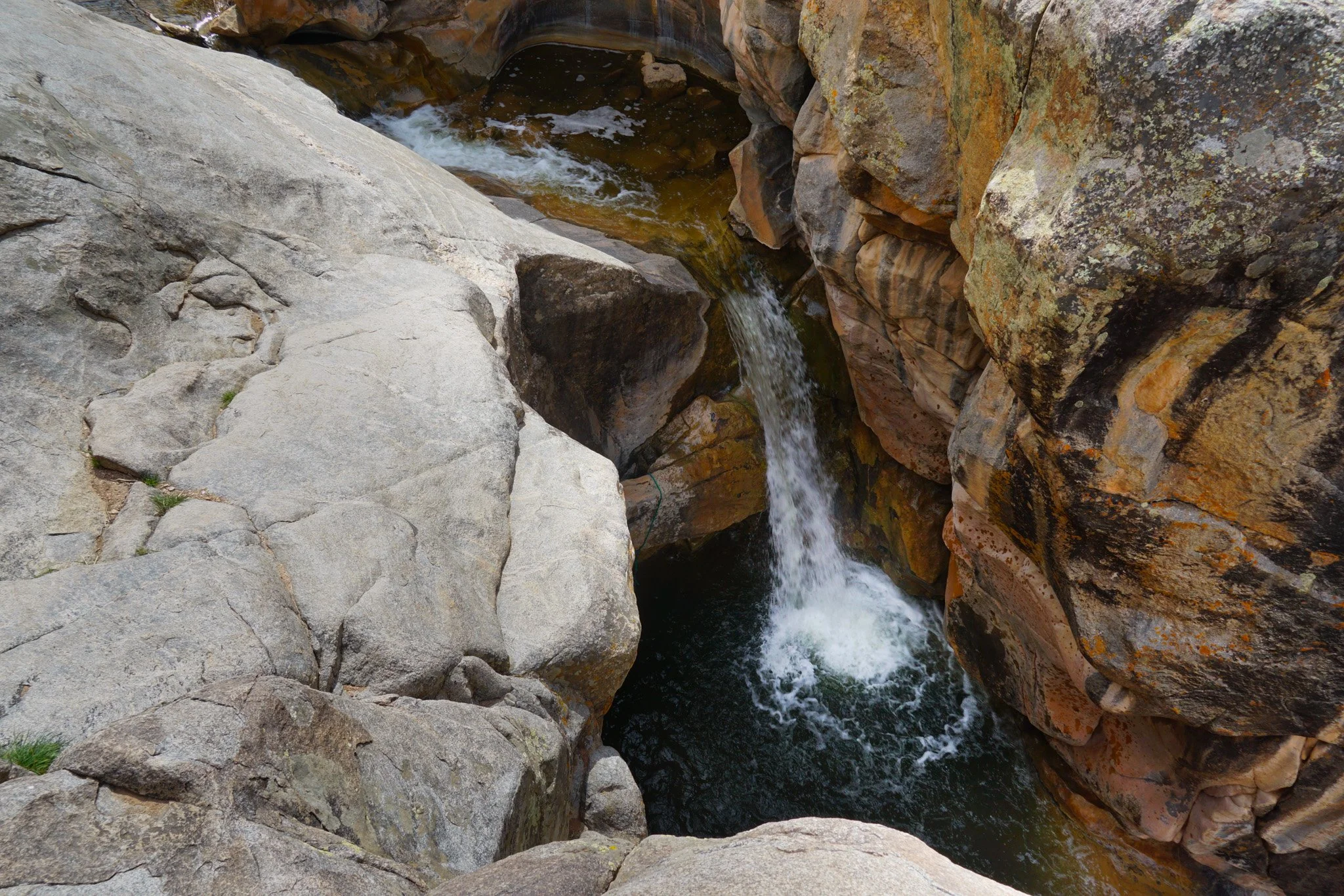
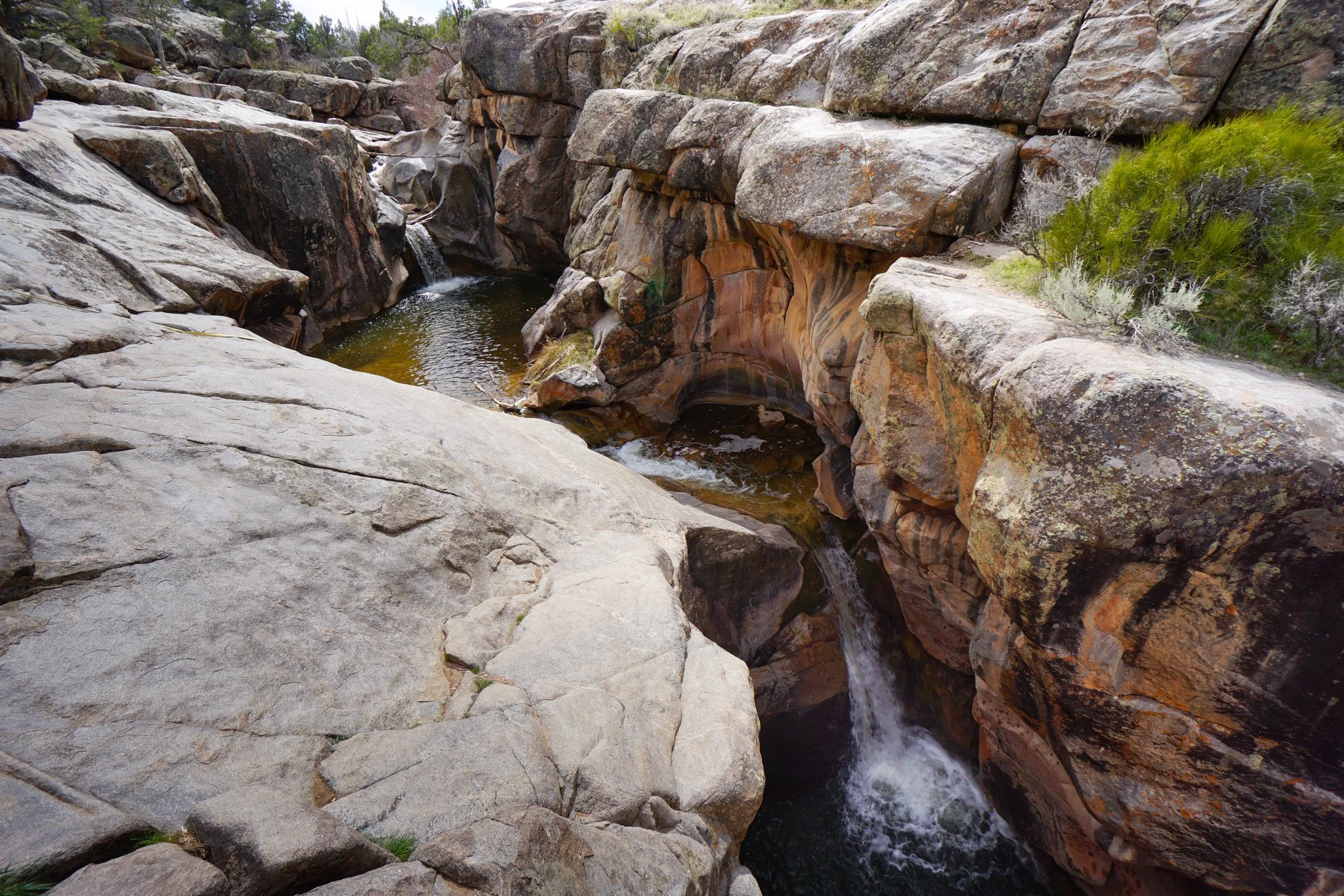
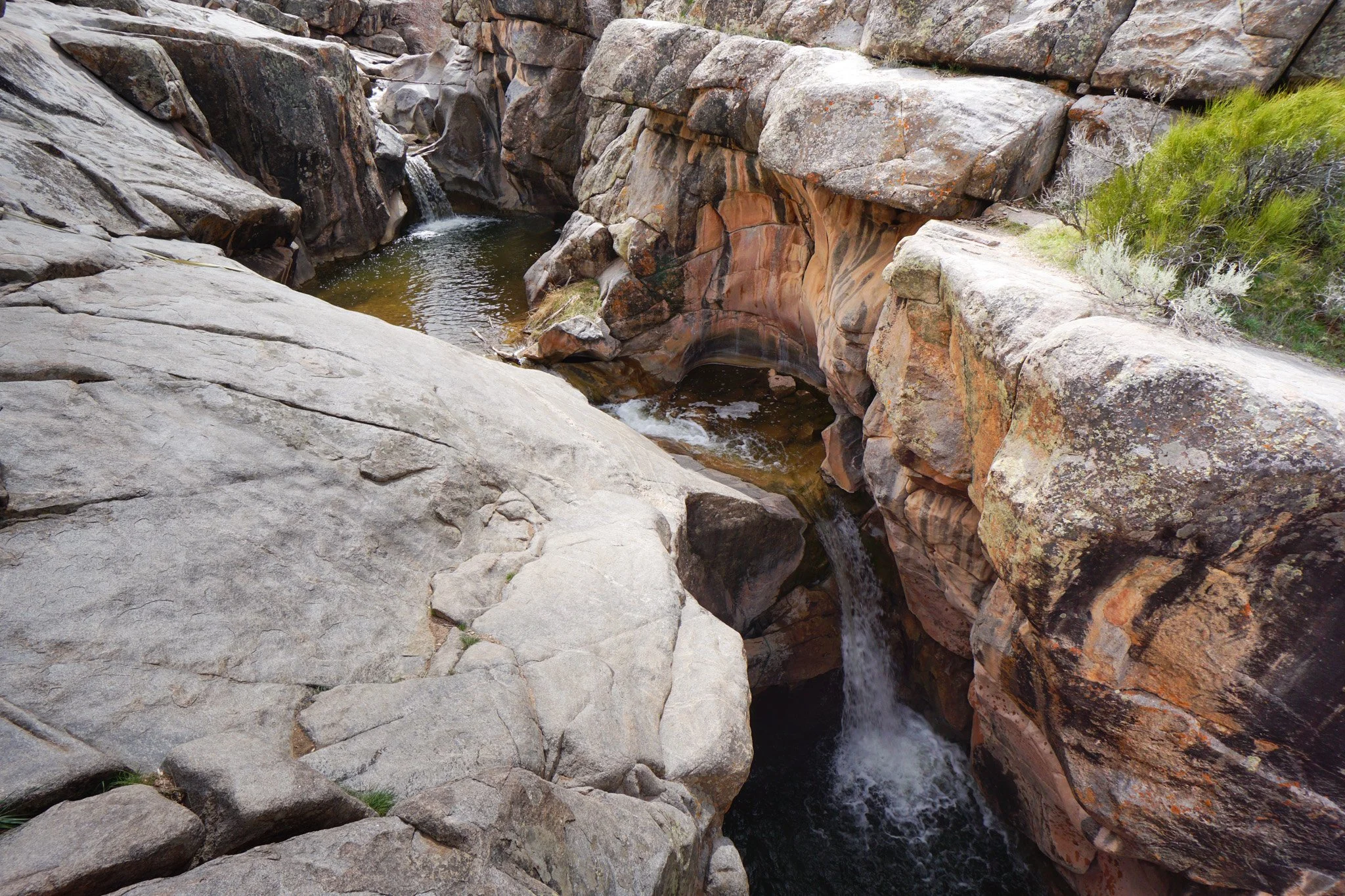
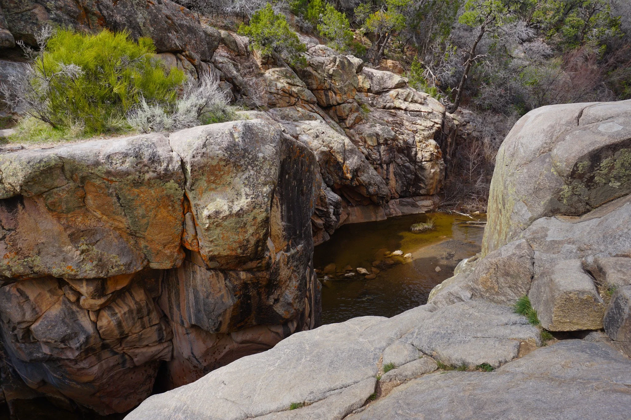
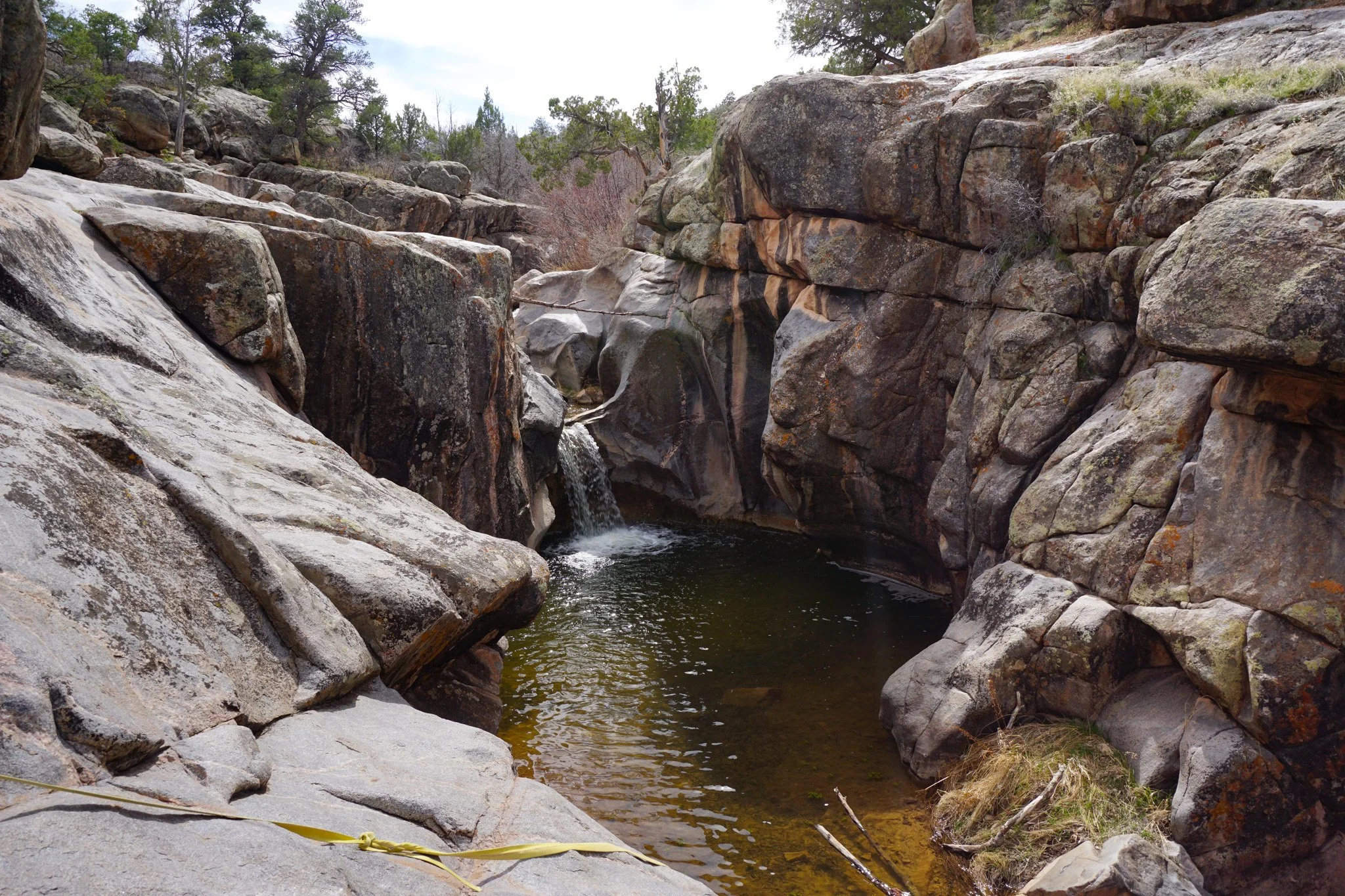
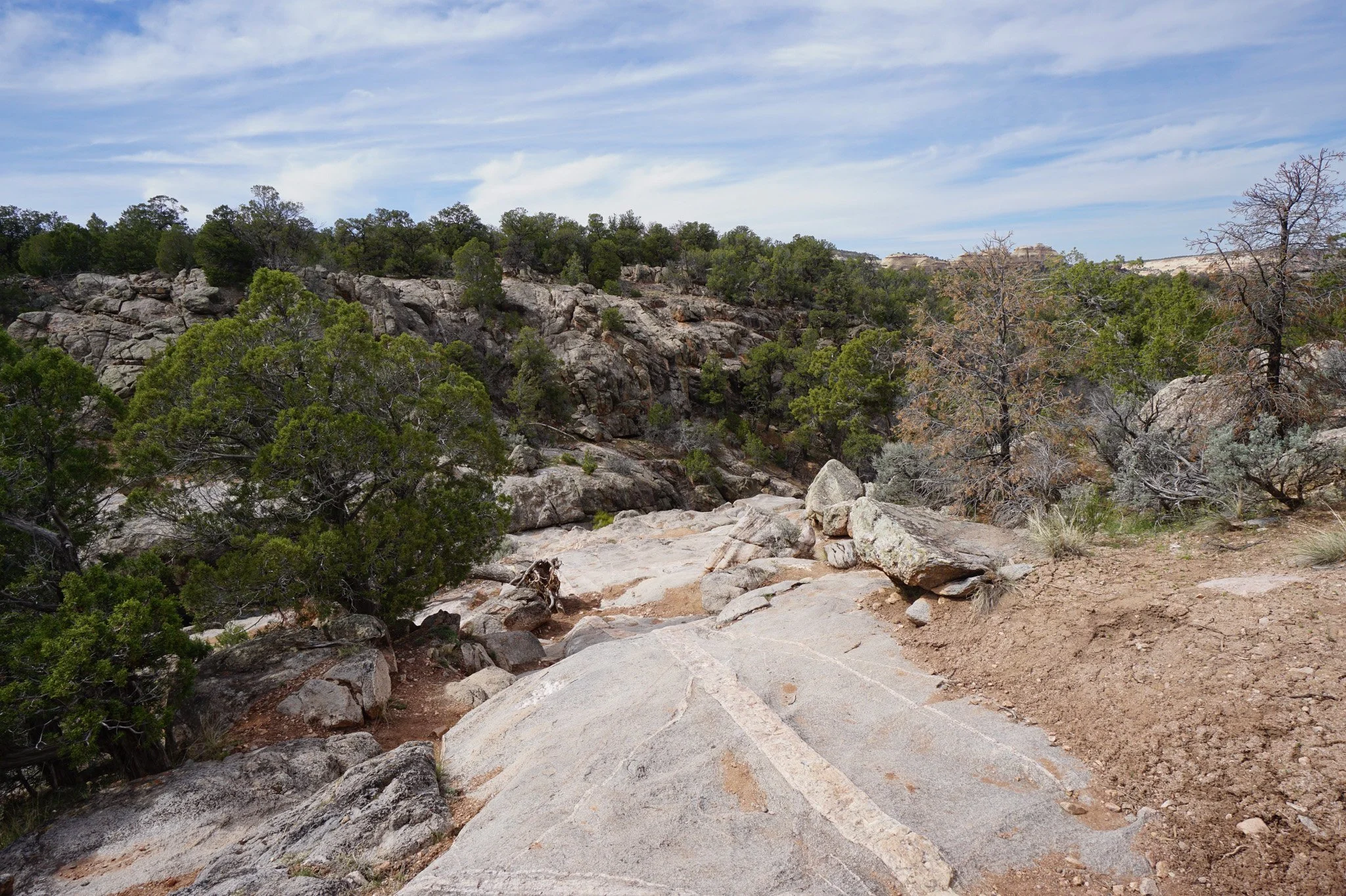
The Little Dolores River runs south to north across Glade Park, west of Colorado National Monument. In its path, it carved a series of chutes, cliffs, and waterfalls in a small but scenic gorge. This series of waterfalls is collectively known as Little Dolores Falls. The waterfalls form pools in the narrow gorge and the last pool is used by locals for cliff jumping. The gorge is beautiful and from the top of the cliffs you get good views of the waterfalls and Glade Park.
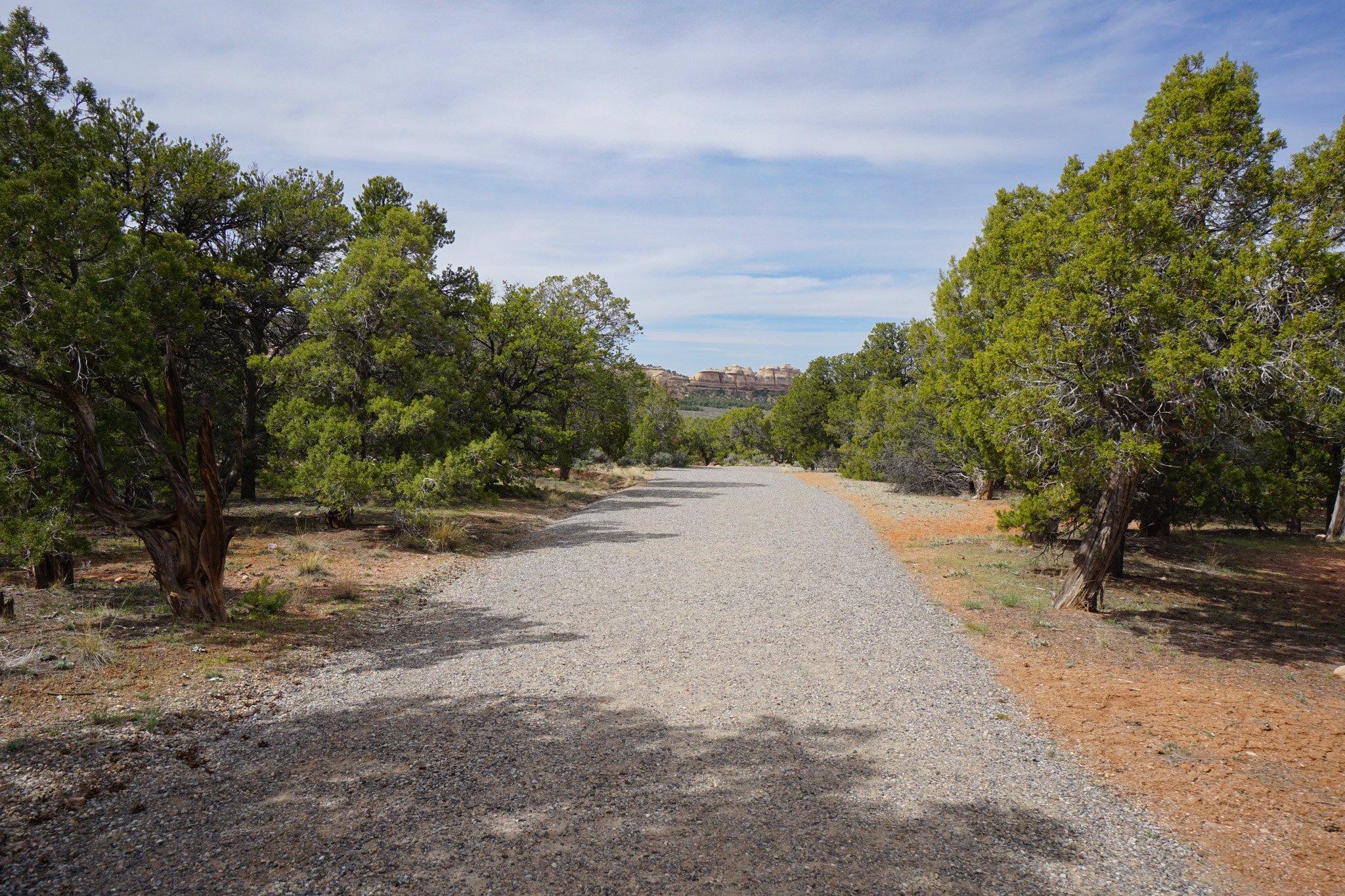
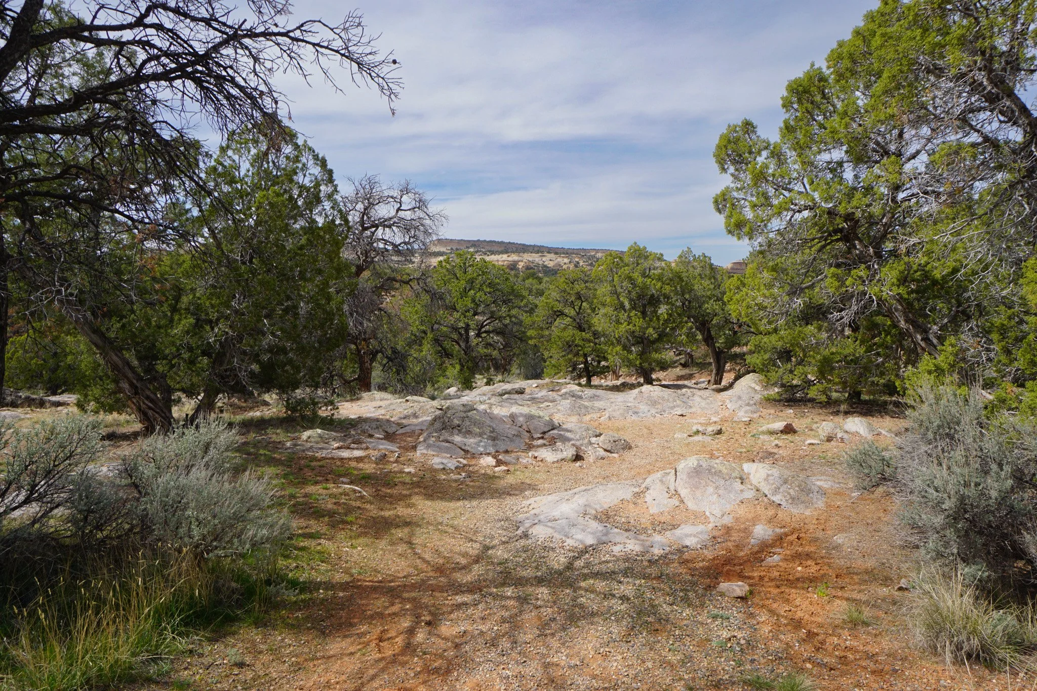
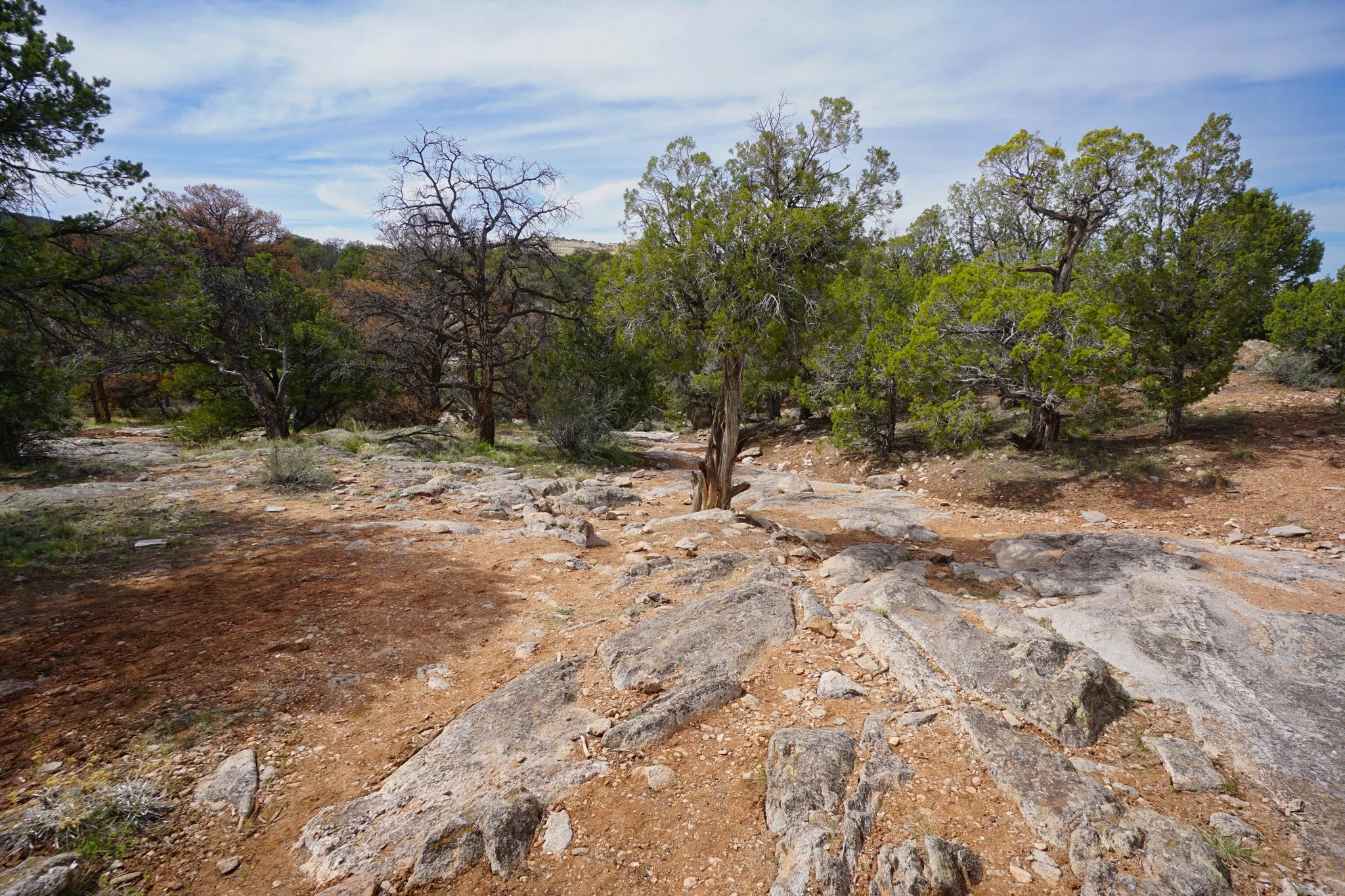
Getting to the falls is relatively easy. From the parking area, find your way to the northwestern edge of the parking lot. A dirt road leads north and as it turns to the east, you should turn west. Descend a rocky wide path and you’ll soon see a sign for the falls. The falls are just beyond the sign. Getting around to the various parts of the gorge requires scrambling across the walls of the gorge. This is generally pretty easy but some of these areas are very slick so use caution.
At only a quarter of a mile (roundtrip) this is barely a hike, but it is a worthwhile stop for some exploration and relaxation by the falls. The trailhead is only a few minutes south of Miracle Rock so this is a great add-on hike and a good place to cool off if you are visiting in the summer.