Lamphier Lakes
Fossil Ridge Wilderness, Gunnison National Forest
Date Hiked: July 25, 2026
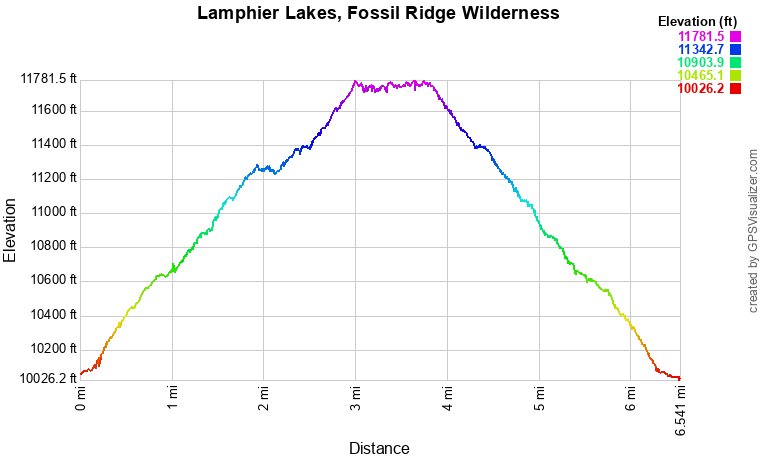
Distance: 6.5 mi (RT)
Elevation Gain: 1,680 ft
Elevation Min/Max: 10,043 ft, 11,760 ft
Trailhead Lat/Long: 38.65546, -106.57537
Managing Agency: U.S. Forest Service (USFS)
Fee: None
Directions:
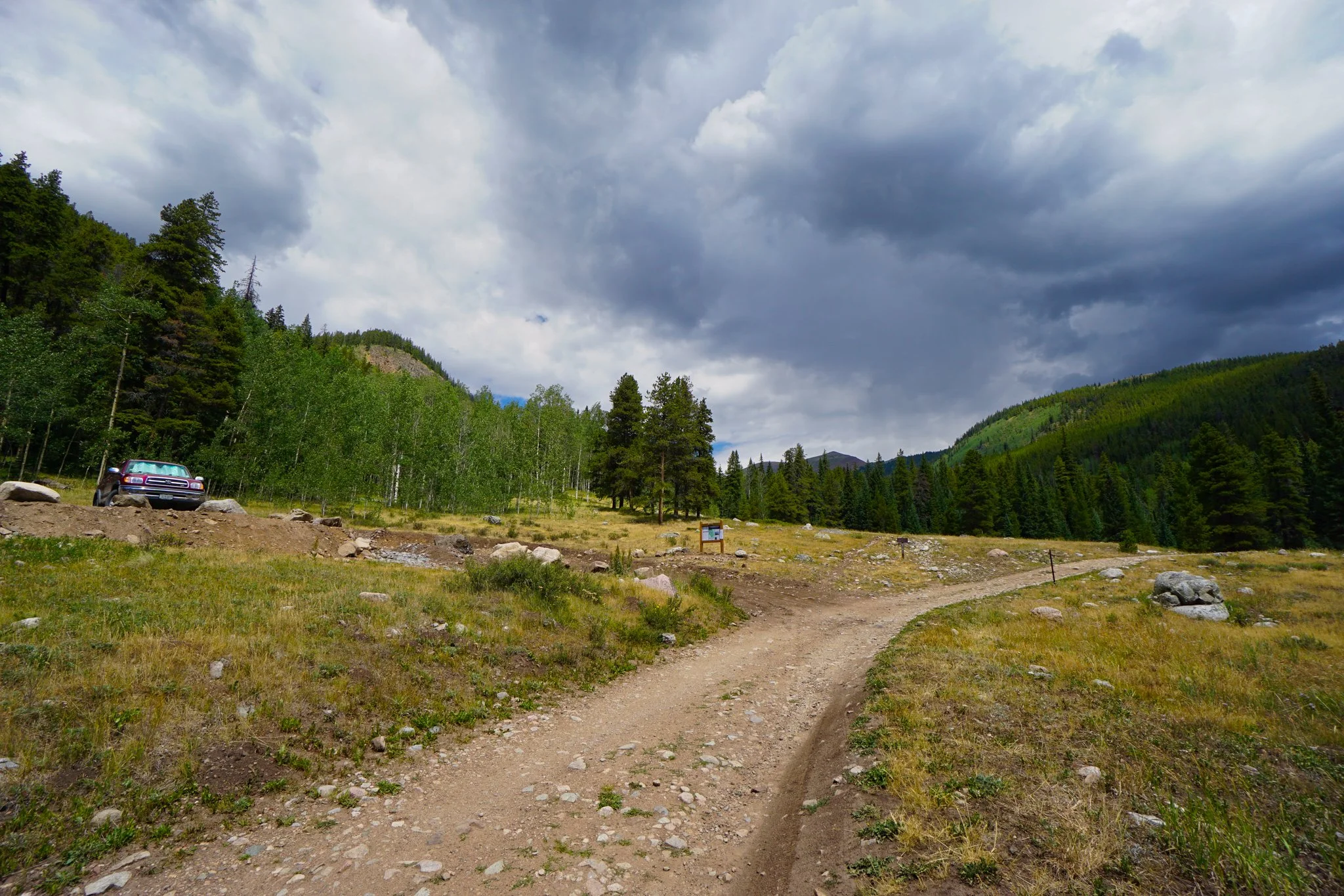
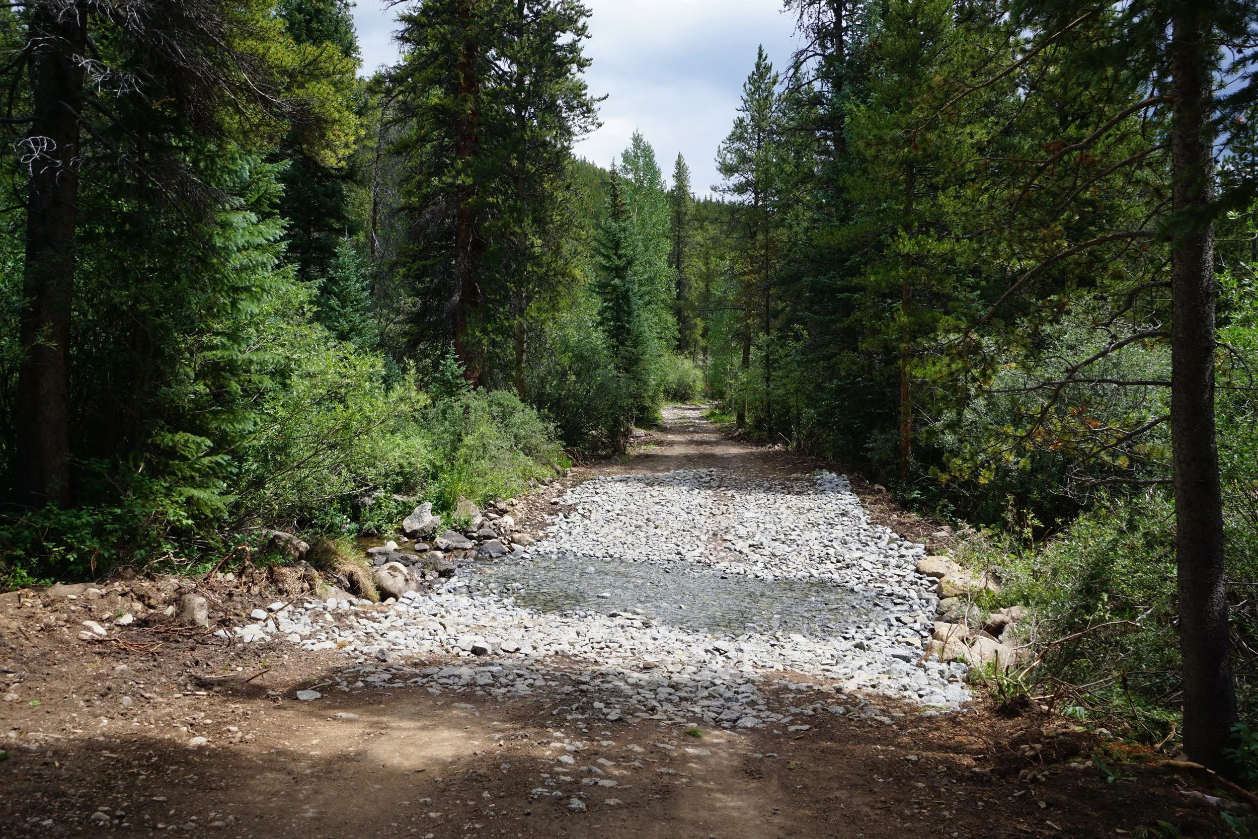
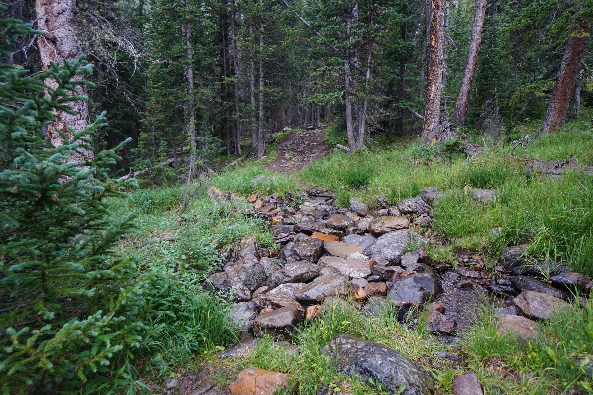
From Hwy 50 11.5 miles east of Gunnison, head north on Quartz Creek Road (76) towards Ohio City. At Ohio City turn left to again go north on Gold Creek Road. Gold Creek Road is generally a good dirt road that should be ok for most vehicles, in good conditions. The campground is 6.5 miles up the road, the last mile or so gets narrow and a bit rocky with potholes to navigate. I suggest parking in the first lot if you are not camping, you can drive to the parking lot at the trailhead but there are two small streams to cross. Most SUVs should be fine but it’s only an additional five minutes’ walk from the first lot.
Hike Description:
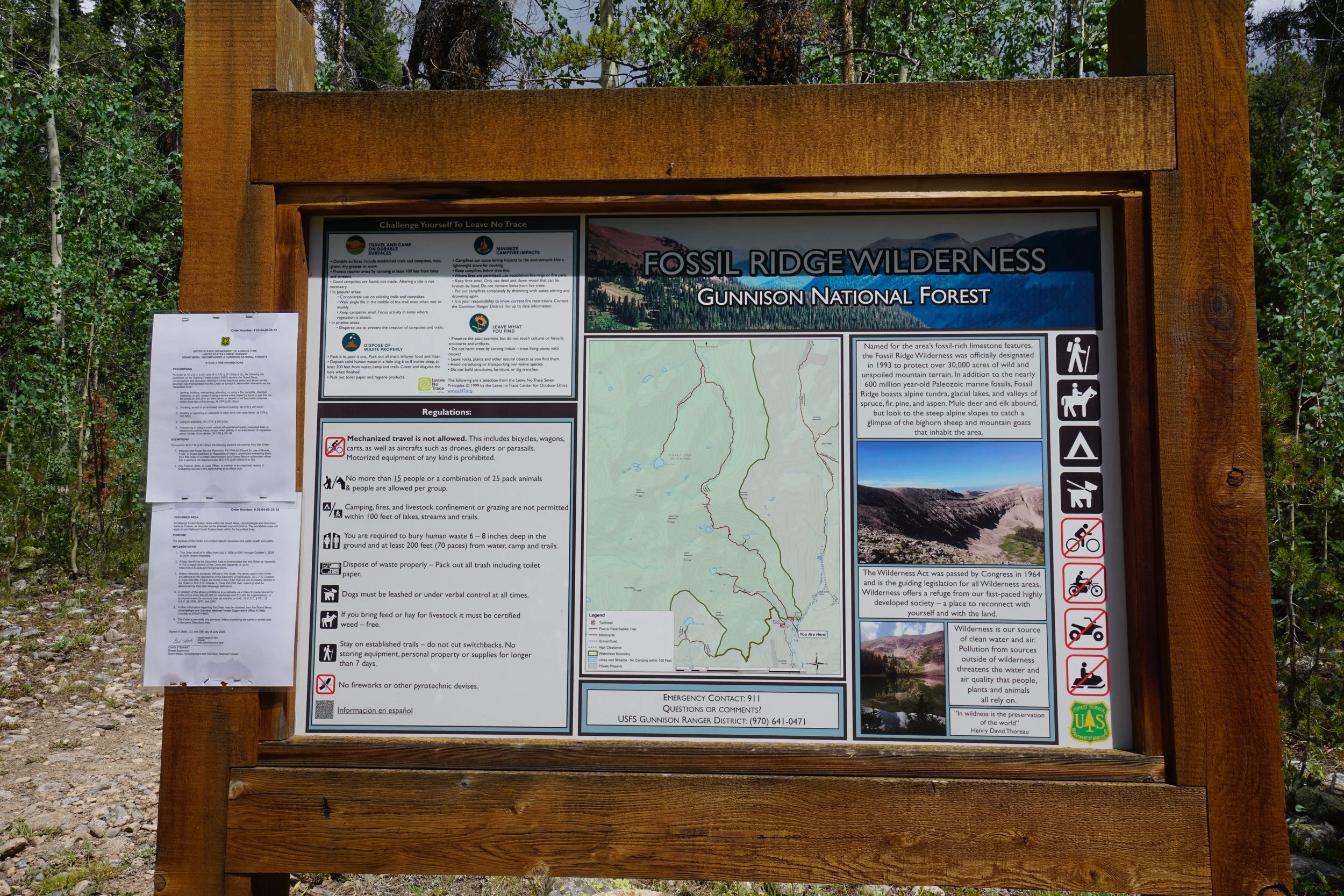
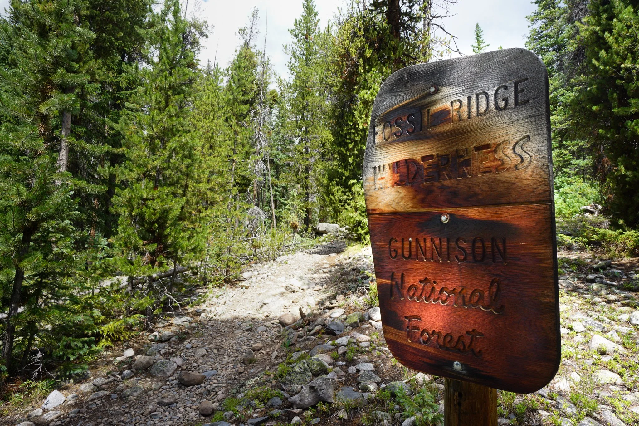
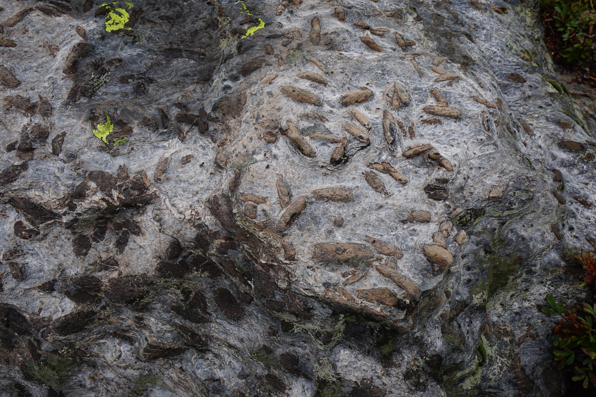
Tucked away in a quiet alpine valley about 20 miles northeast of Gunnison you’ll find the Fossil Ridge Wilderness. They are so named for the large number of aquatic fossils found on the boulders littering the lakes, basins, and drainages back when this area was an inland sea. At the southern end of the wilderness area is the Gold Creek Campground and a small series of hikes to spectacular high alpine lakes. There are two easily accessible hikes into the Fossil Ridge Wilderness; Mill Lake, and the South Lottis Trail to the Lamphier Lakes and Gunsight Pass. This whole area is most certainly a hidden gem in the southern Sawatch Mountains.
On a busy summer weekend, I was looking for a place to do a quick impromptu hiking and camping trip and I stumbled onto this area while looking at maps of the Sawatch Mountains. I’d never heard of the Fossil Ridge Wilderness before and two moderate hikes along with a free, first come first served campground at the trailhead sounded perfect for a quick weekend trip from Denver. Luckily, this area really is unknown and when I got there midday on Saturday, the campground was absolutely empty. It filled in a bit by nightfall but I was amazed to find an empty campground in Colorado in July.
Of course, clouds were building over the mountains but according to the weather report and the view of the mountains on the drive in, I was reasonably certain that the forecasted rain and thunderstorm would move through quickly. My plan was to take a nice slow hike through the forest, I don’t mind hiking in the rain on a hot summer day, and get to the lakes about the same time as the storm started to clear. I love nothing more than being at treeline just after a storm has moved through. Well, my plan kinda worked...sort of…
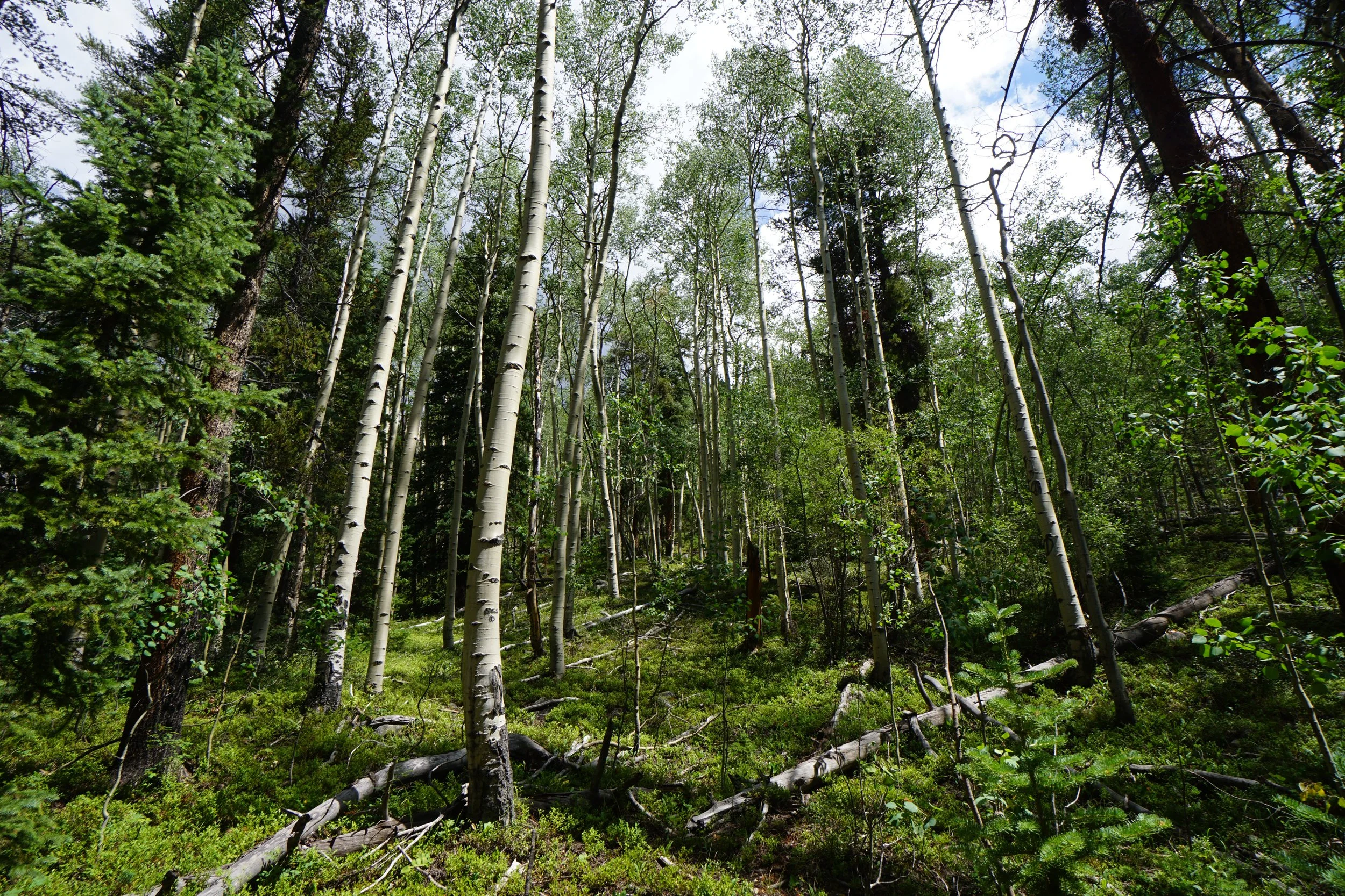
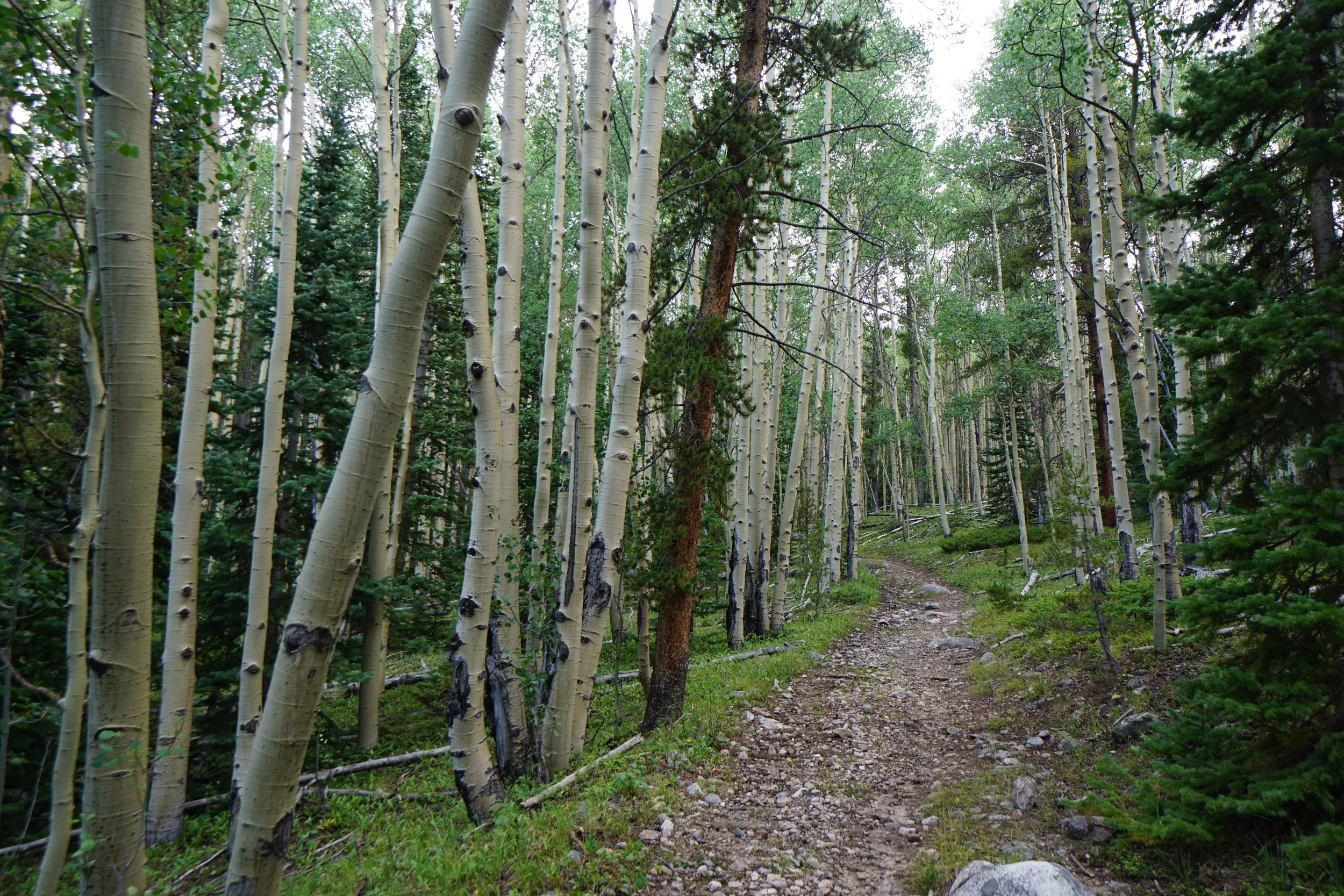
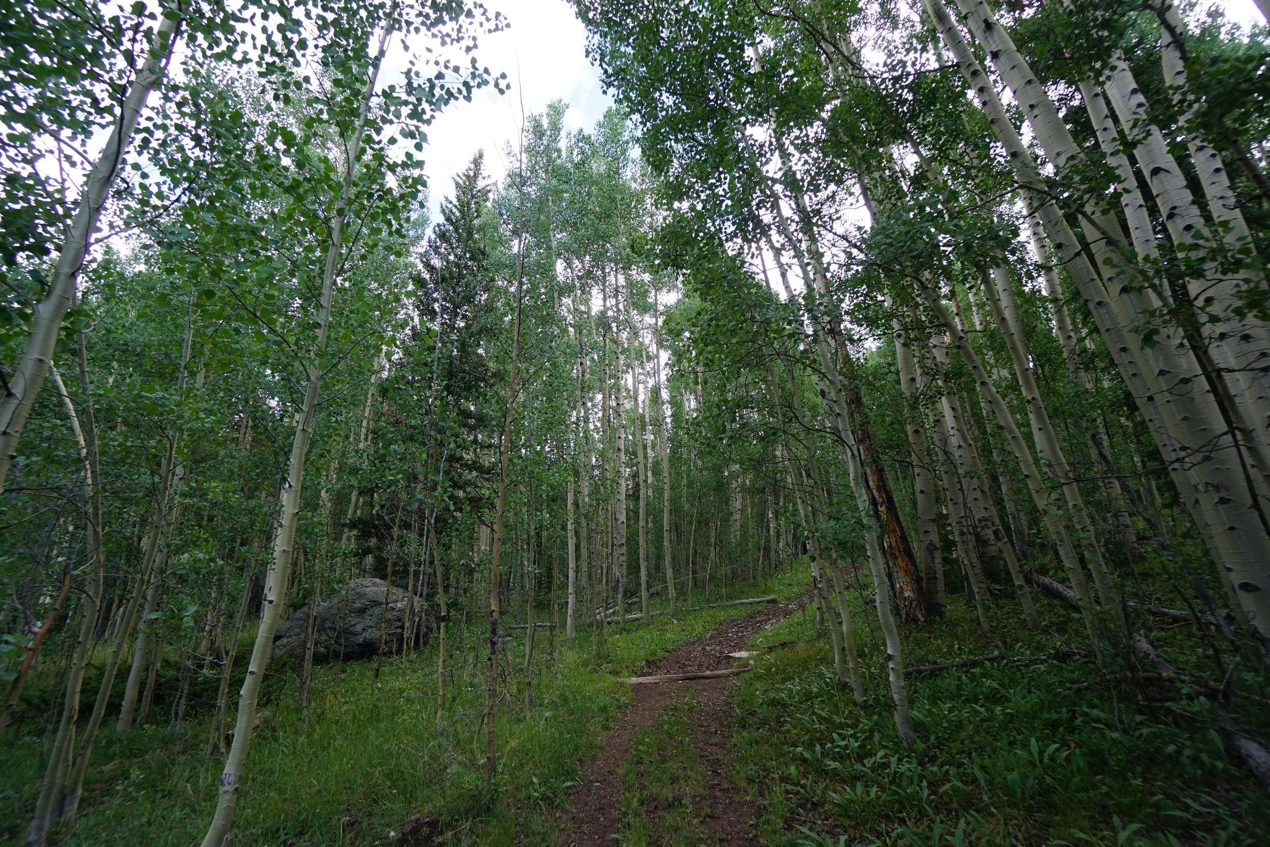
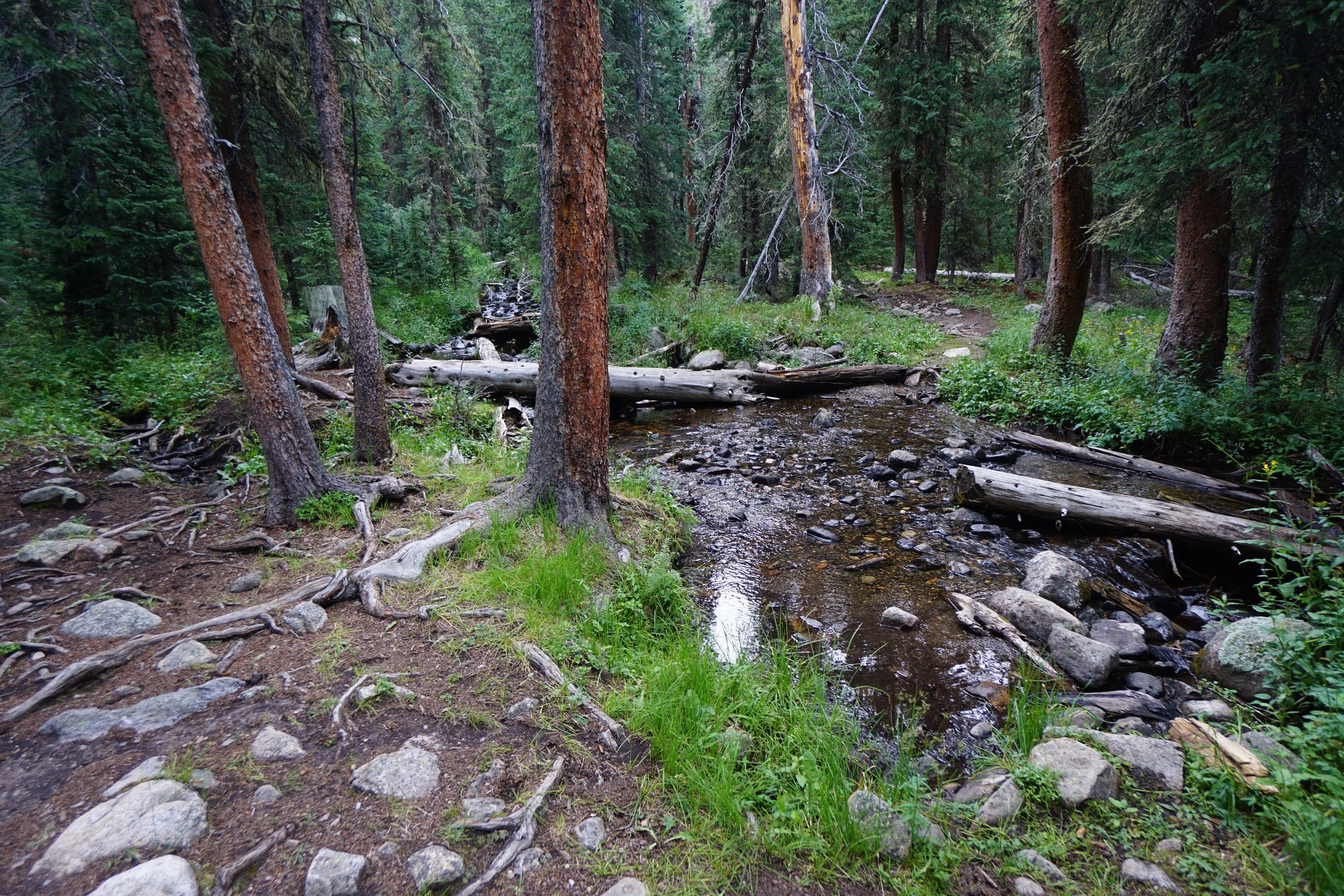
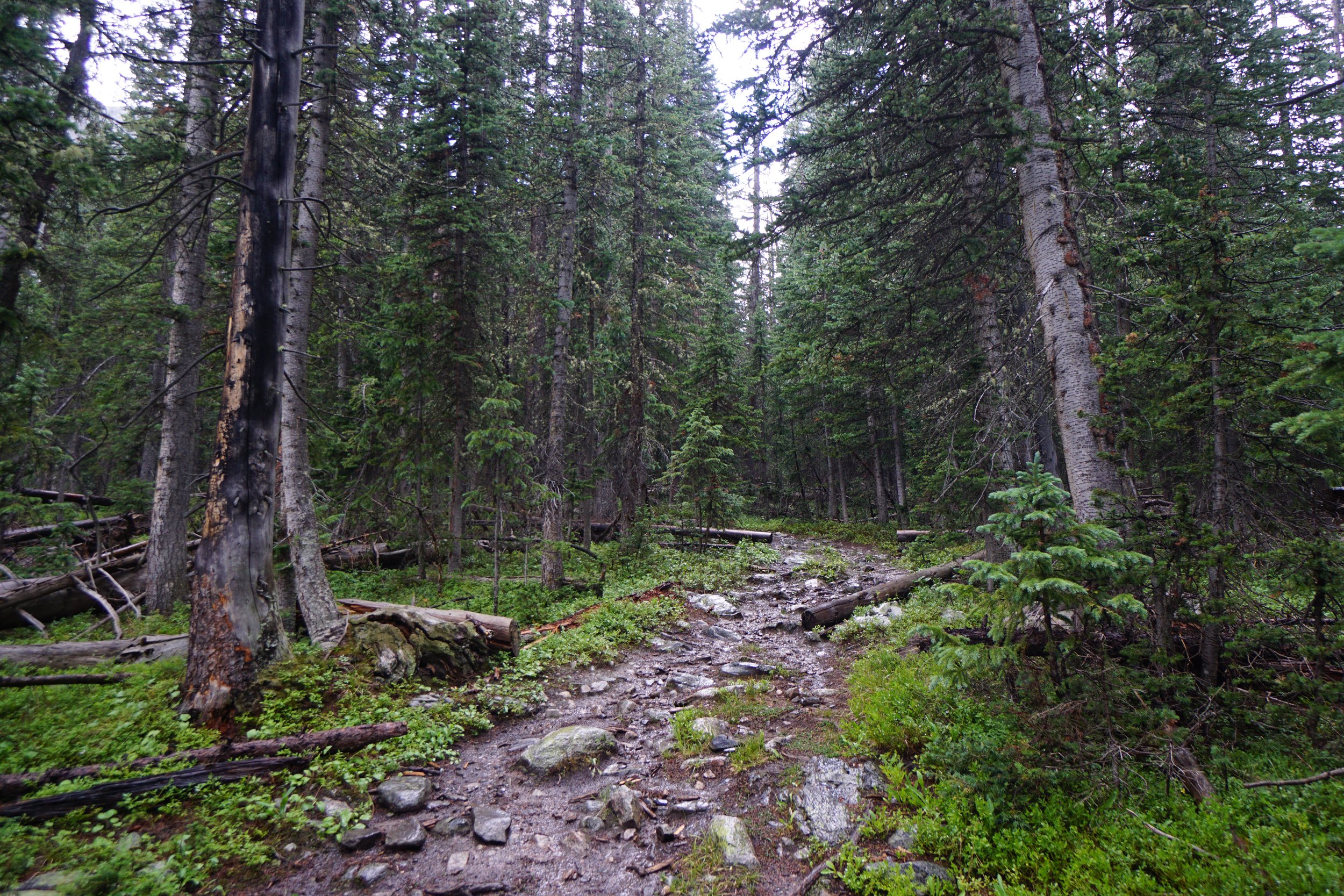
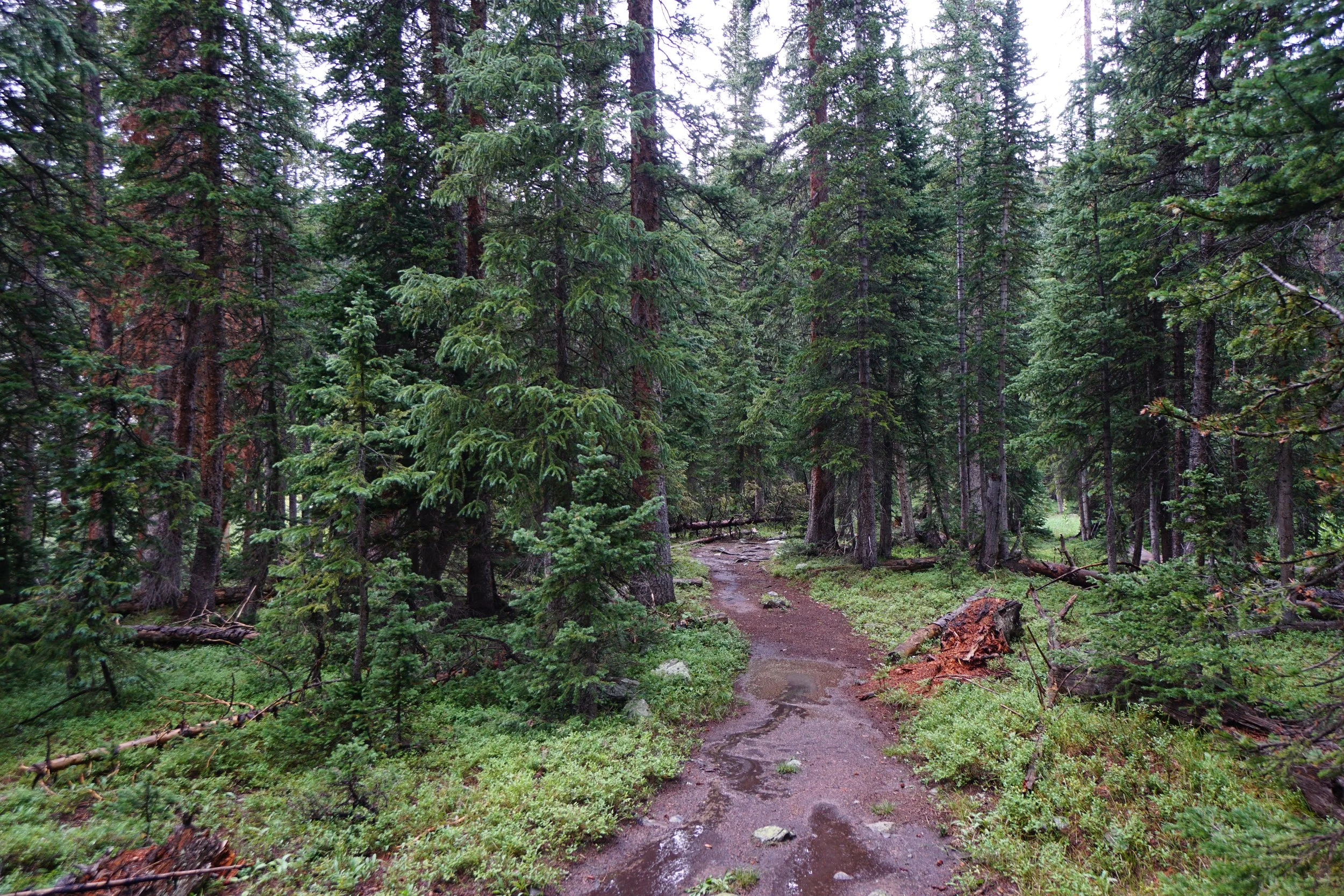
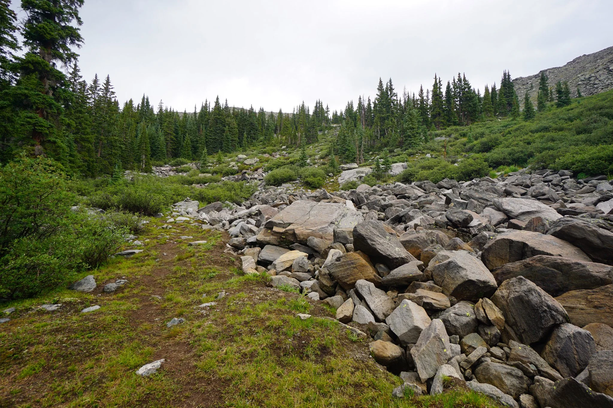
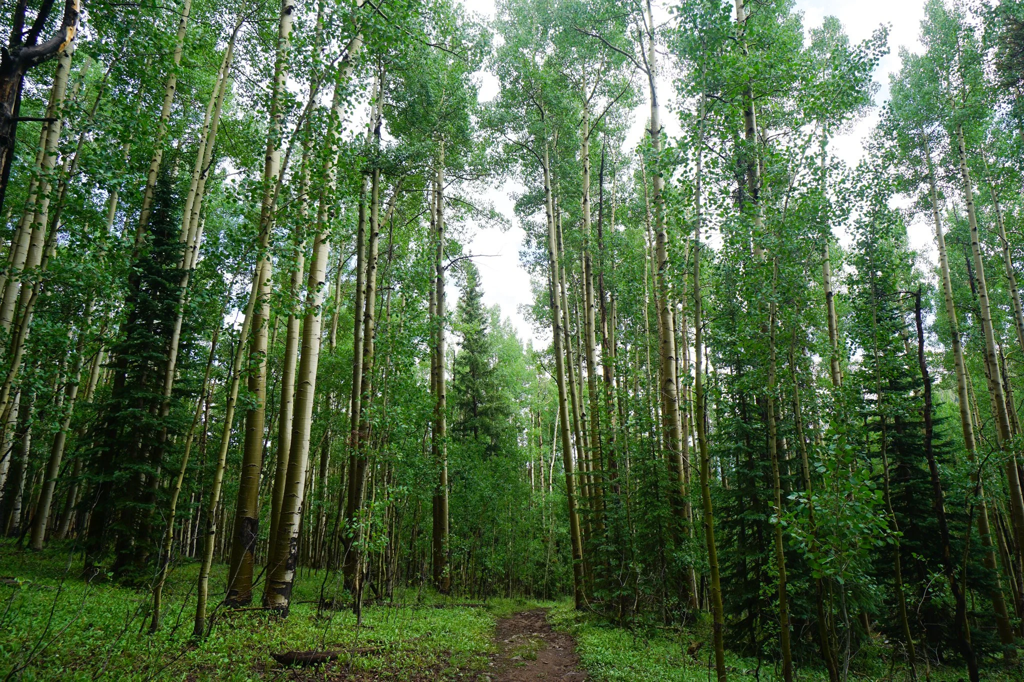
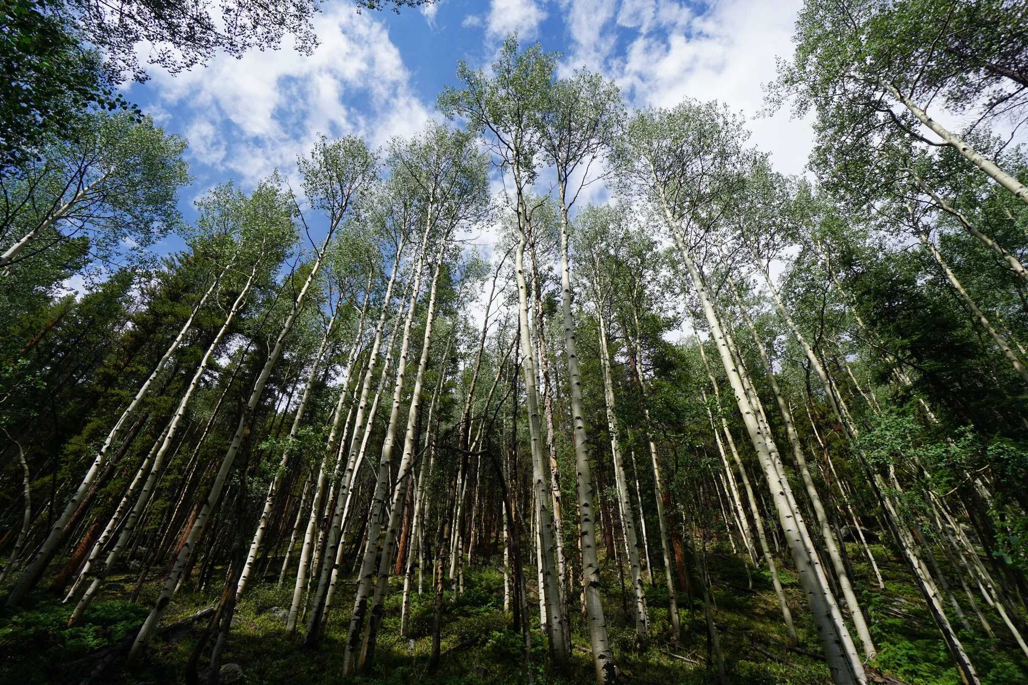
The hike up to the Lamphier Lakes is a steadily incline of 1,600 ft with some steep and rocky sections, taking it slow on a hot day was fine with me. The first mile of the hike passes through beautiful forest mostly dominated by aspen groves, this trail should be amazing in the fall.
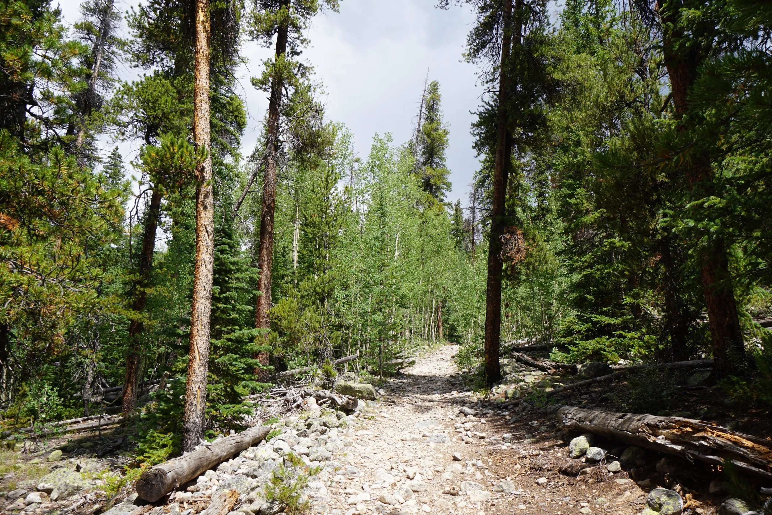
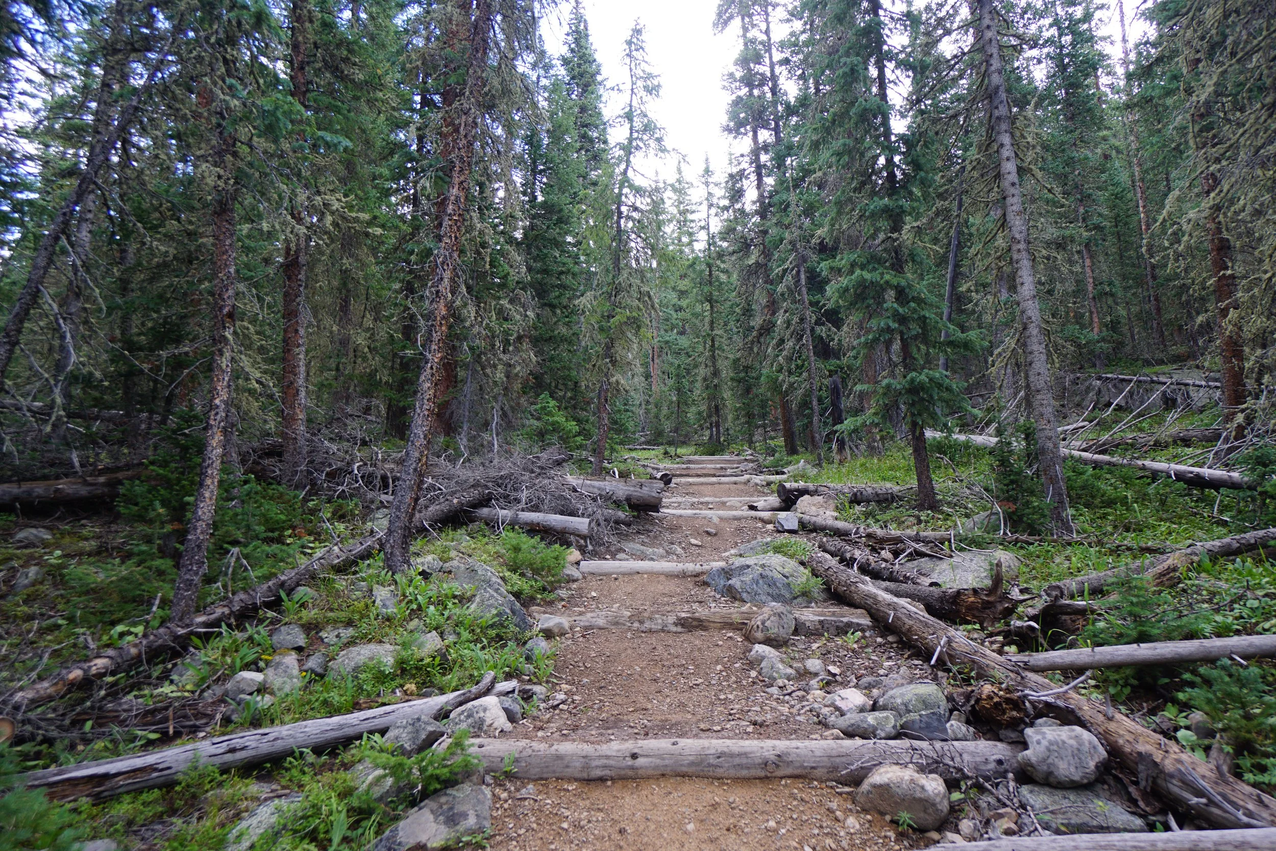
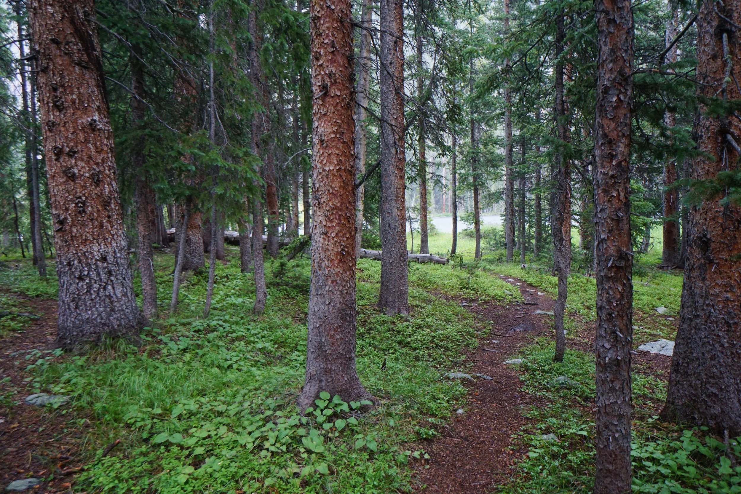
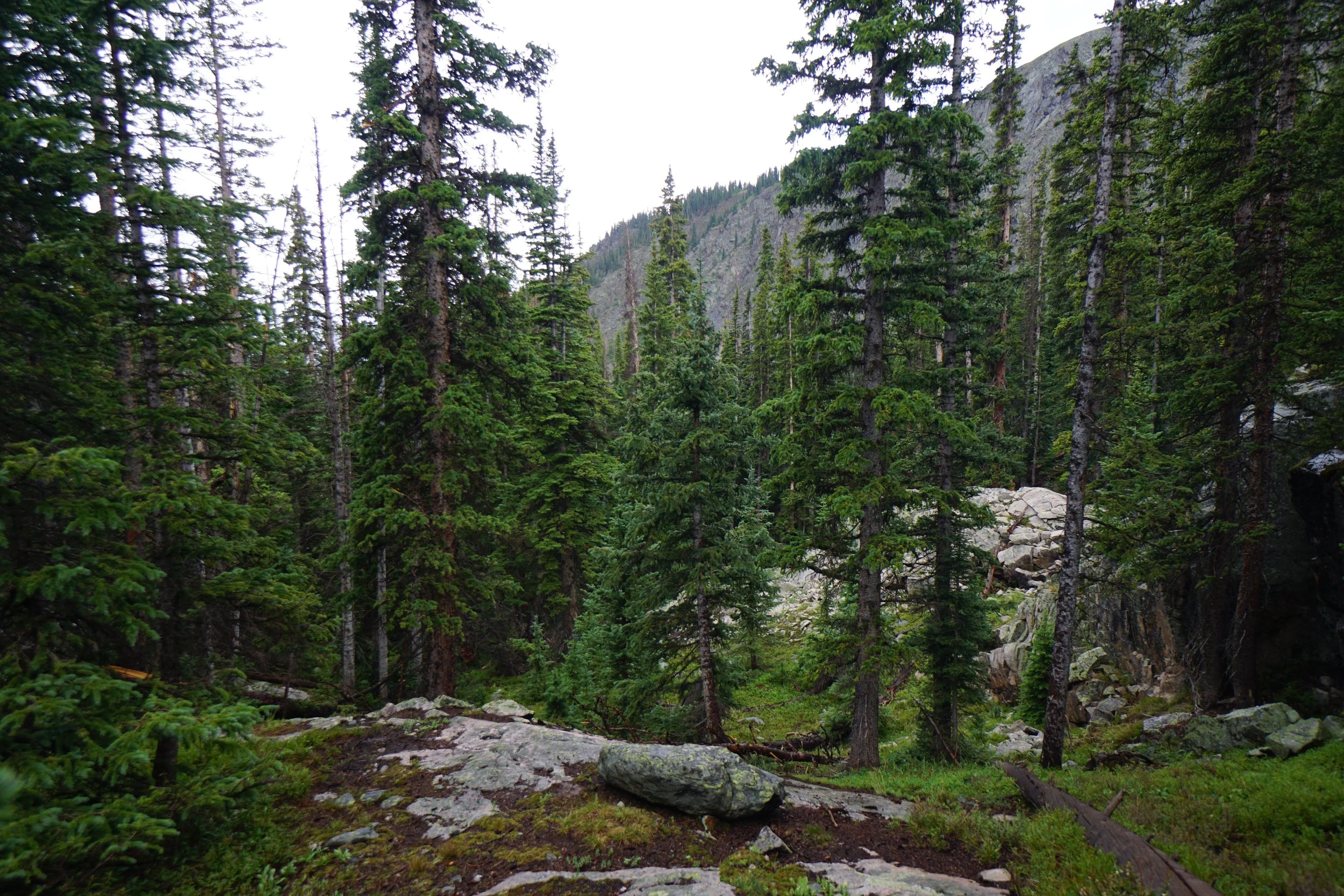
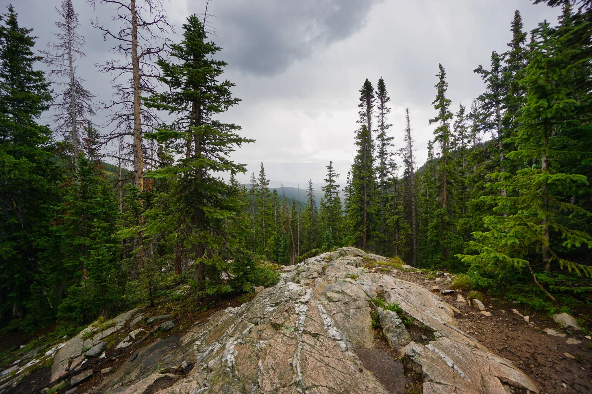
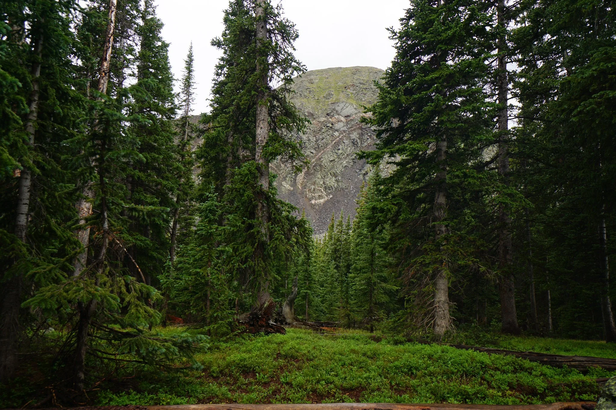
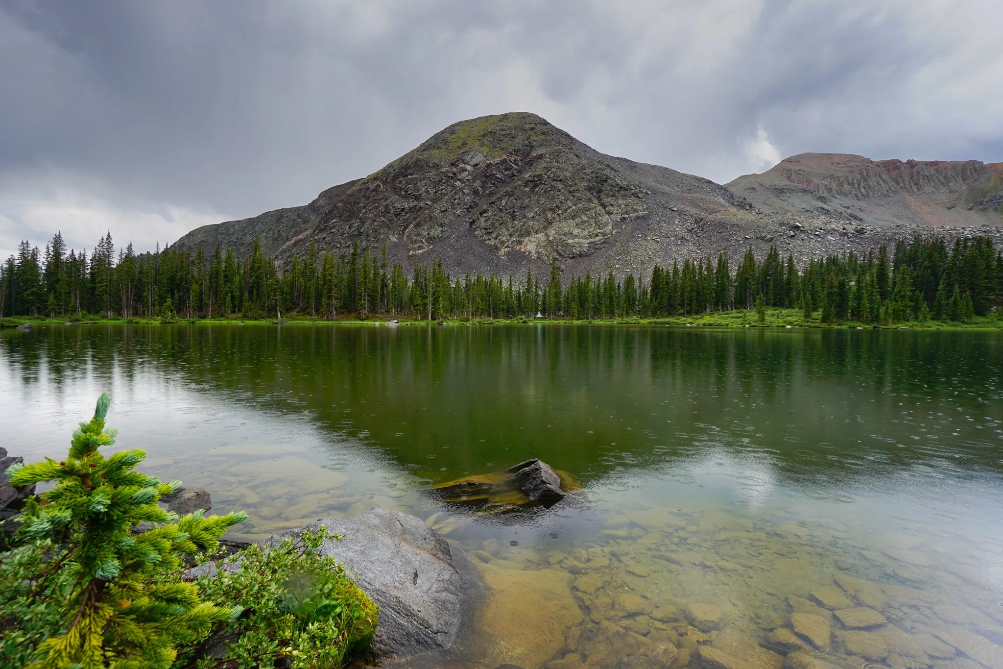
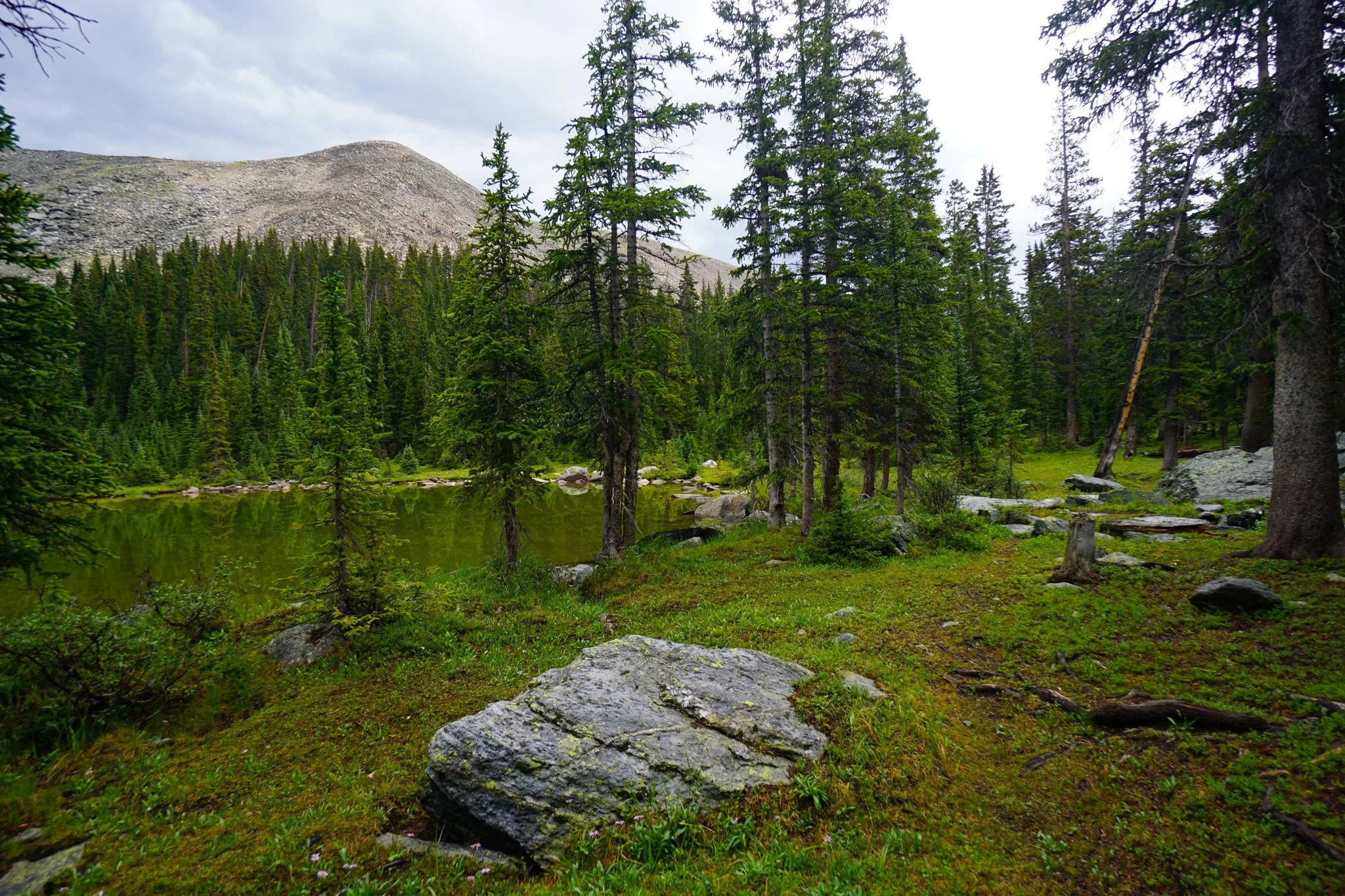
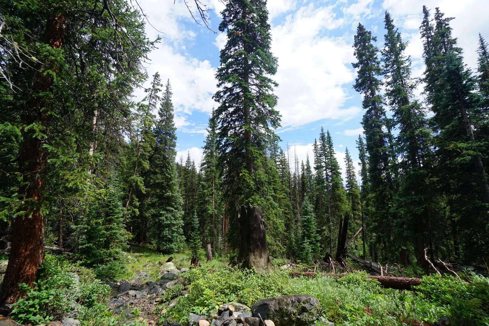
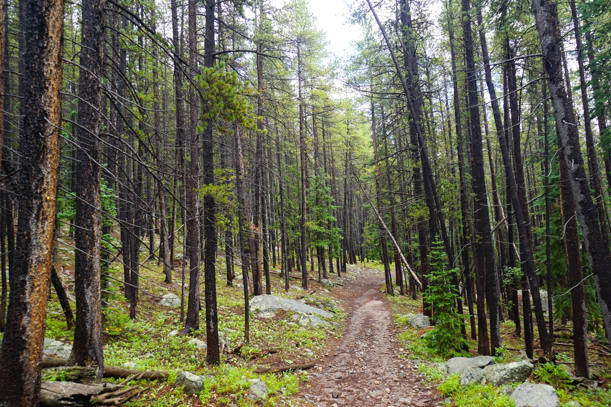
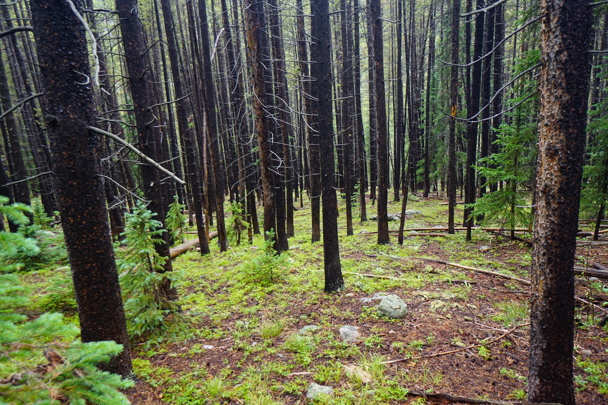
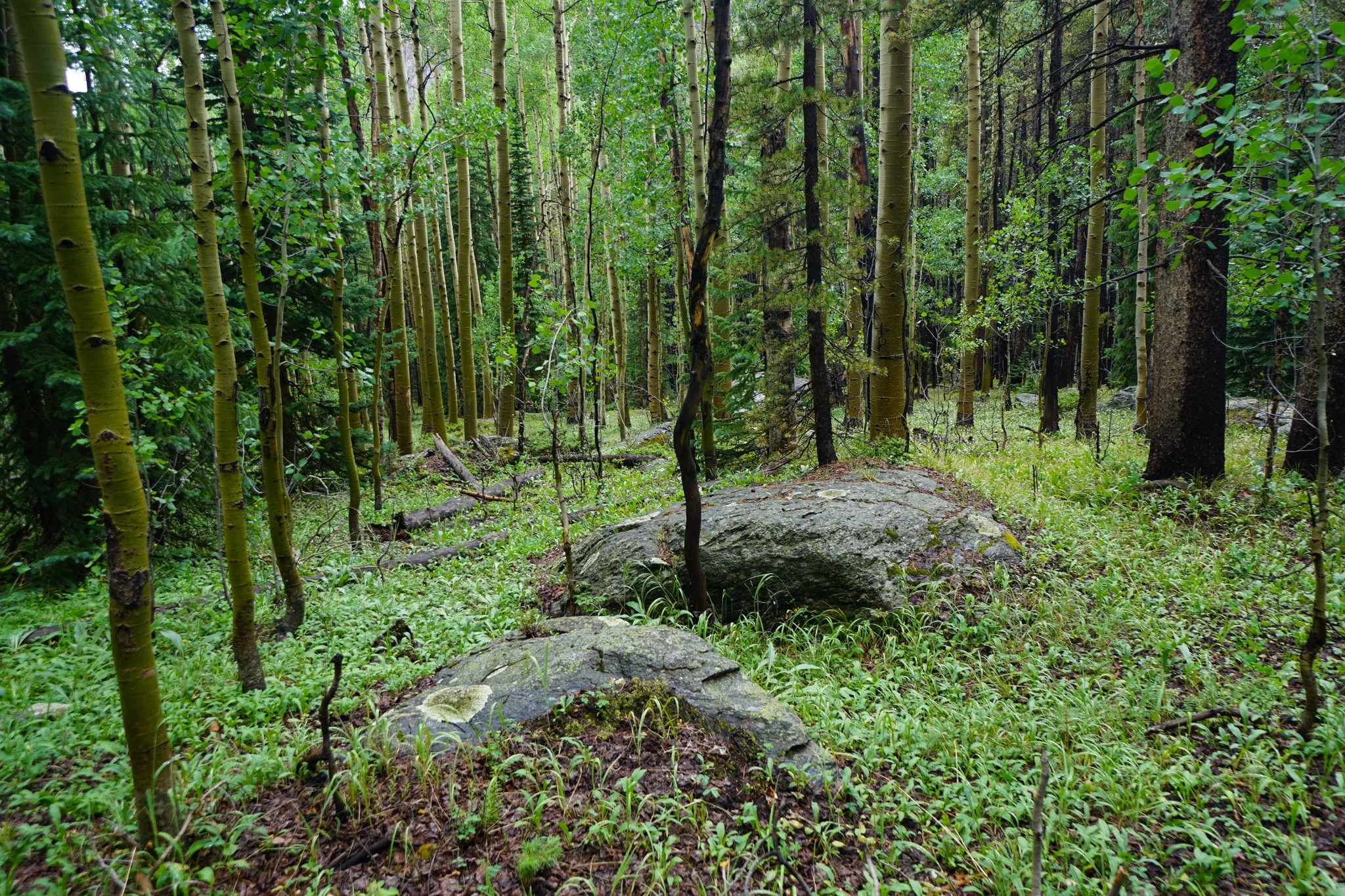
When the aspen’s fade away the pines take over the thick and verdant forest. It was about here that it started to rain steadily, it hailed for about 2 minutes, nothing major, but the rain persisted, then the thunder started. I know it’s generally not a good idea to be hiking through alpine forests in thunderstorms however, the skies up the basin were brighter than the sky behind so I took a risk and kept slowly hiking up the trail hoping to get past the storm.
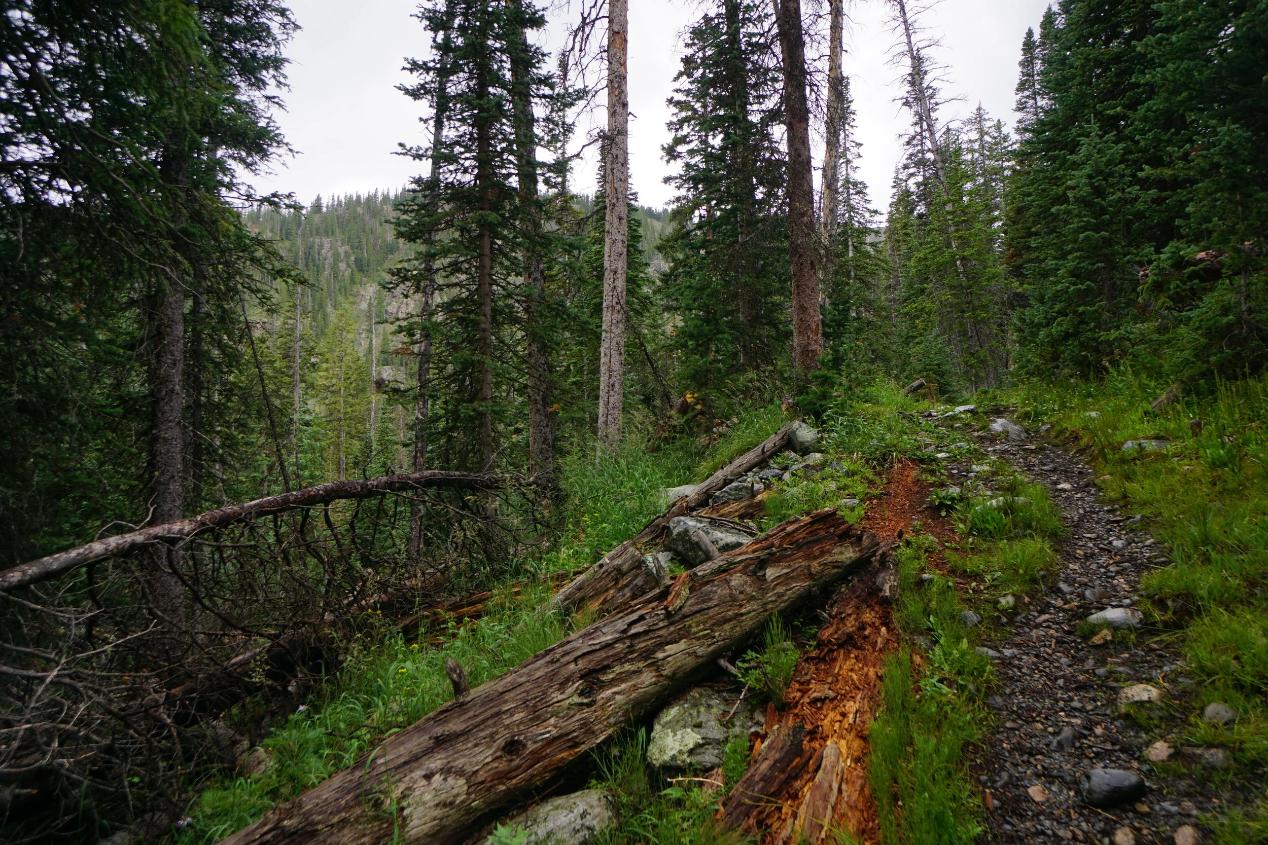
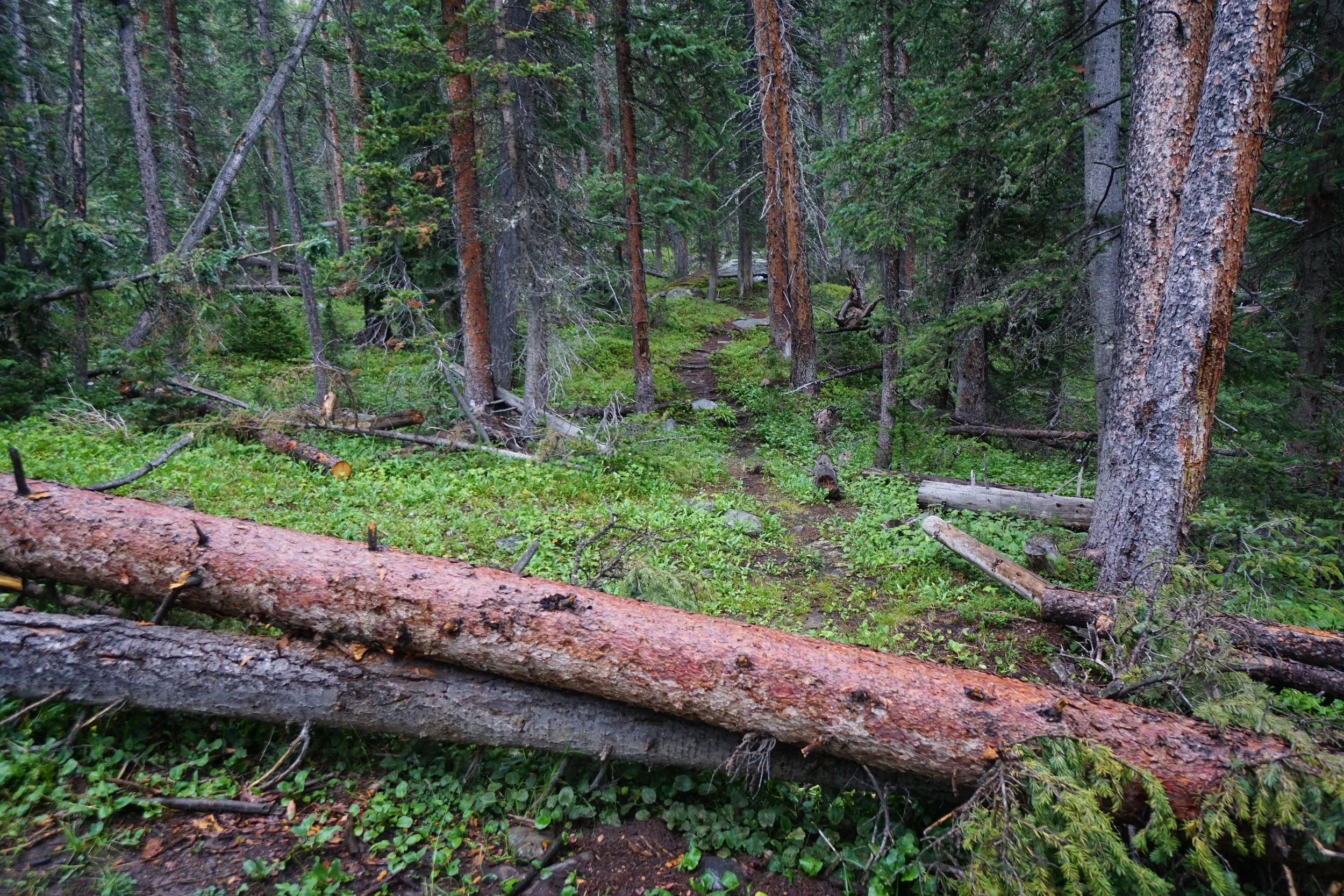
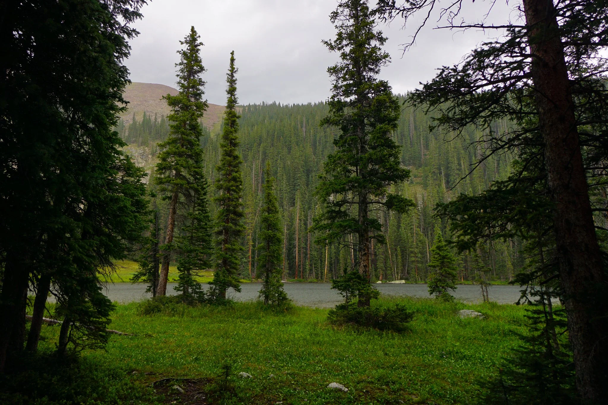
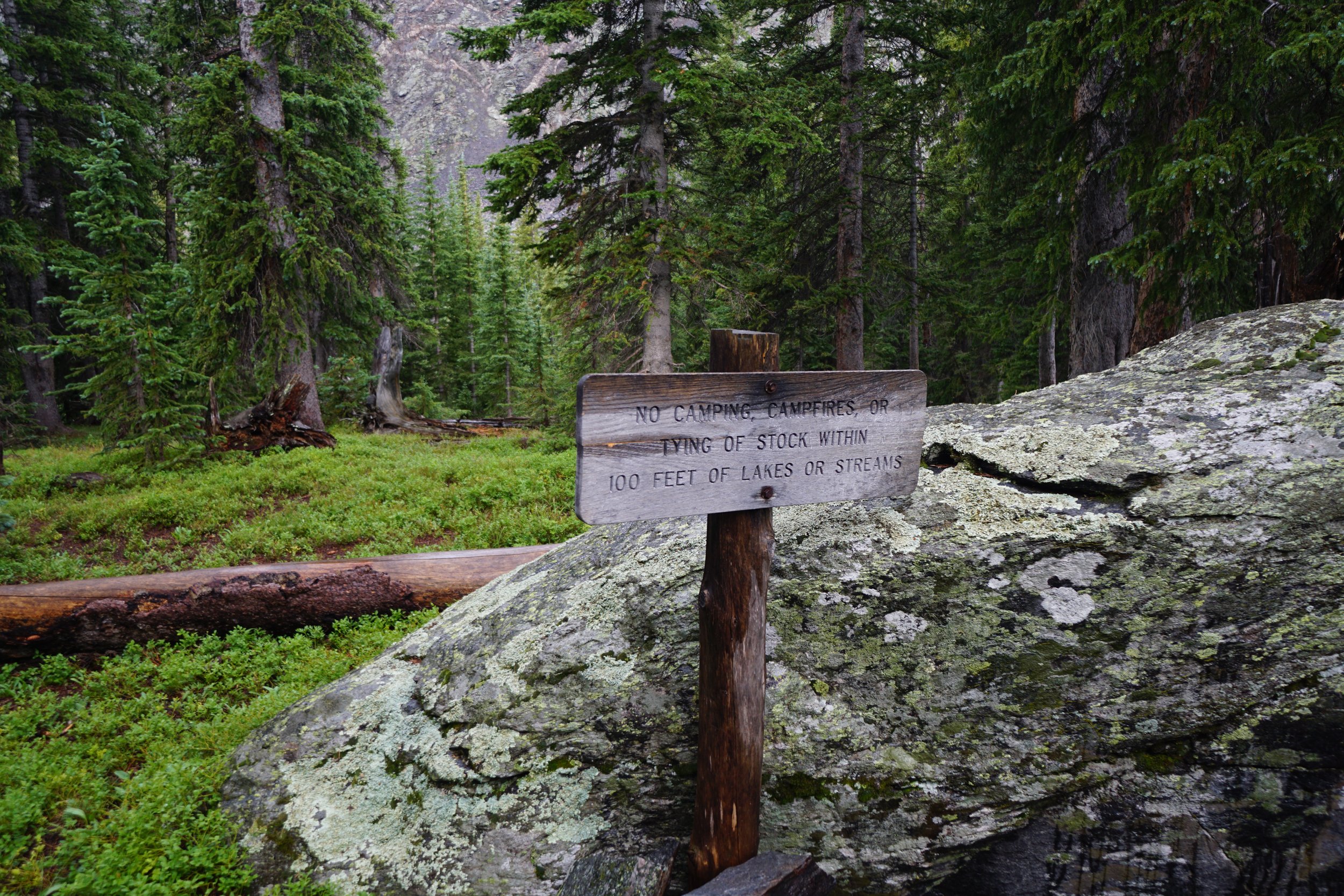
About two miles into the hike you come to a trail heading off to the right with two downed trees blocking the way, this is the short spur to Lower Lamphier Lake, well worth the visit. The rain was hard by the lower lake so I spent some time riding out the rain under some pine canopy. Still the brighter skies ahead beckoned.
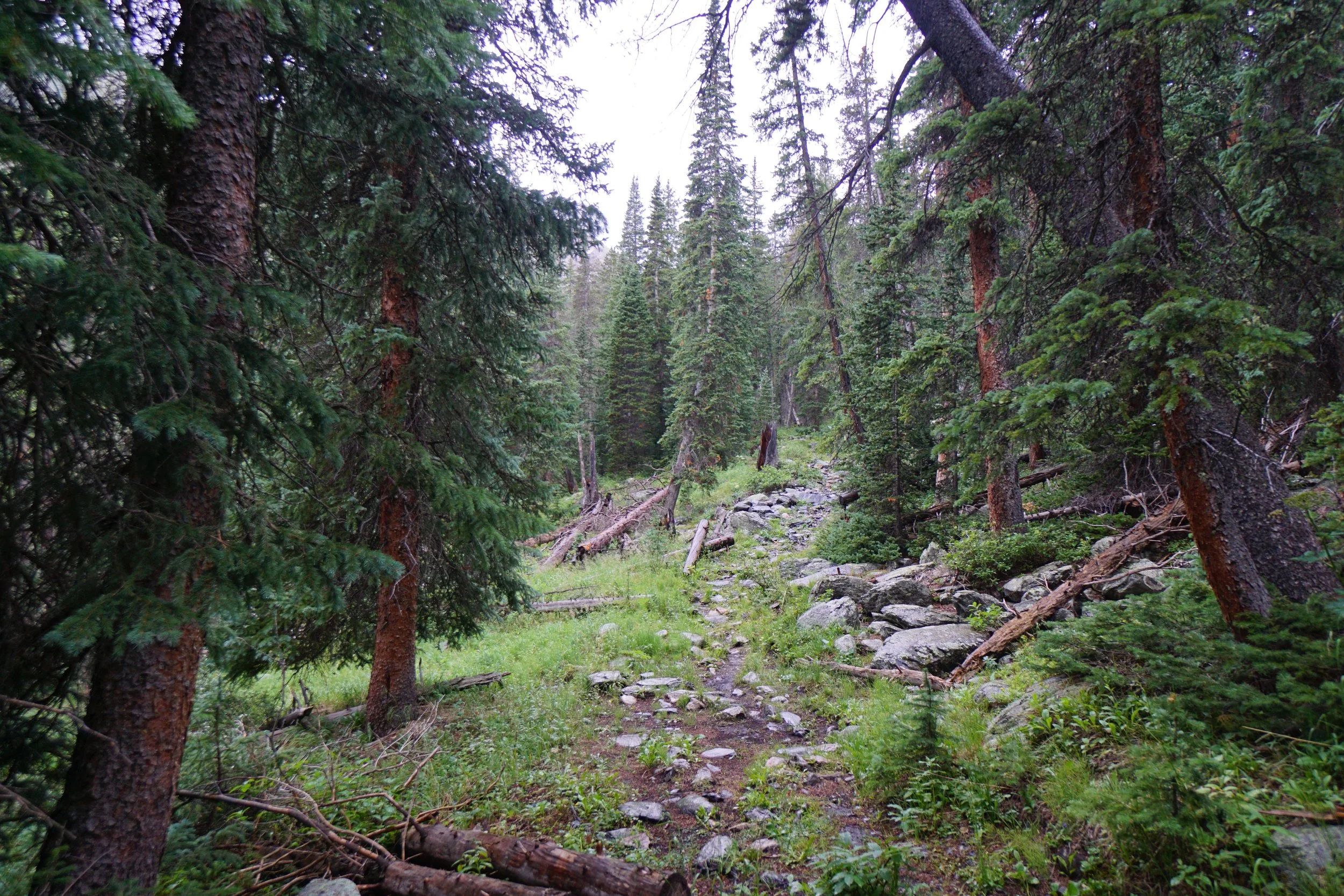
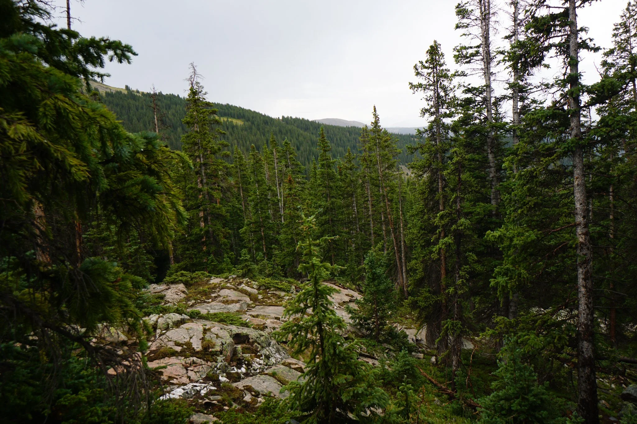
From the lower lake the trail continues through the thick forest though there are some nice cascades and rocky cliffs off to the left through the trees, easy enough to access. Just before I reached the upper Lamphier Lake, the thunder stopped, it was still drizzling but it was clear that I was going to get a small window of no/light rain even though the cloudy skies remained.
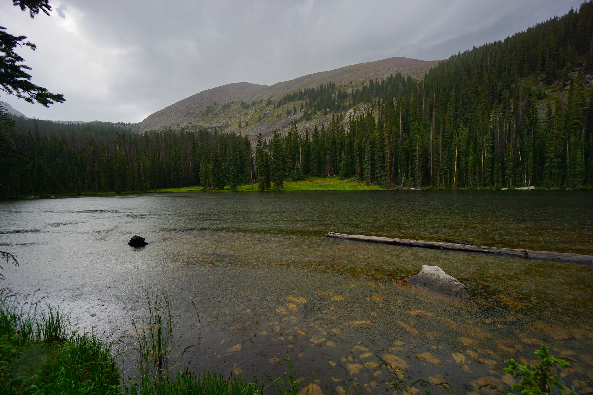
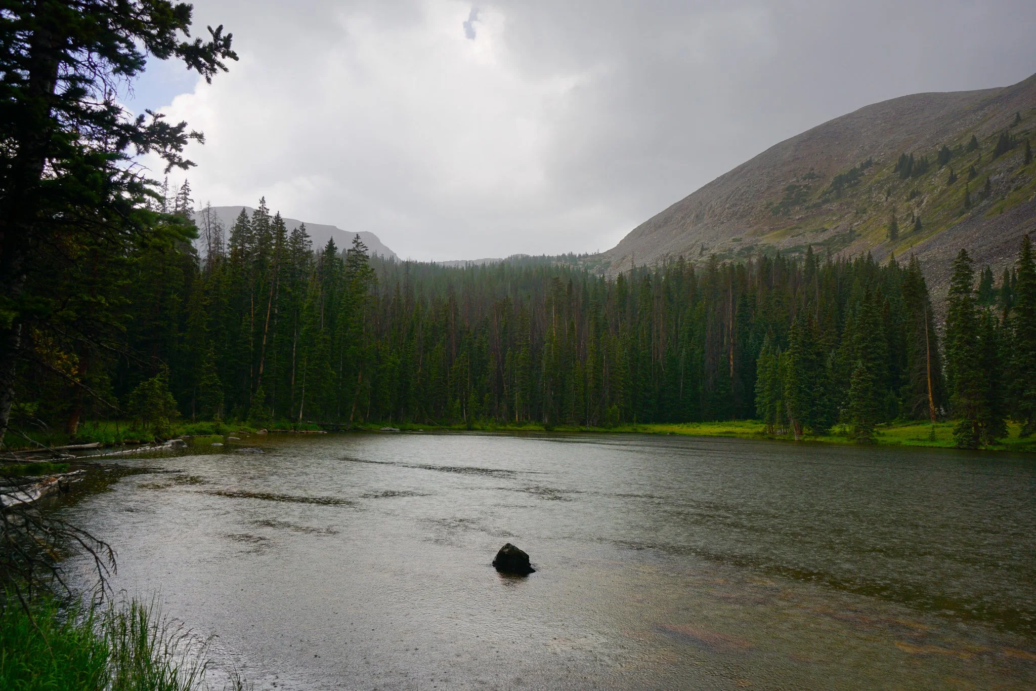
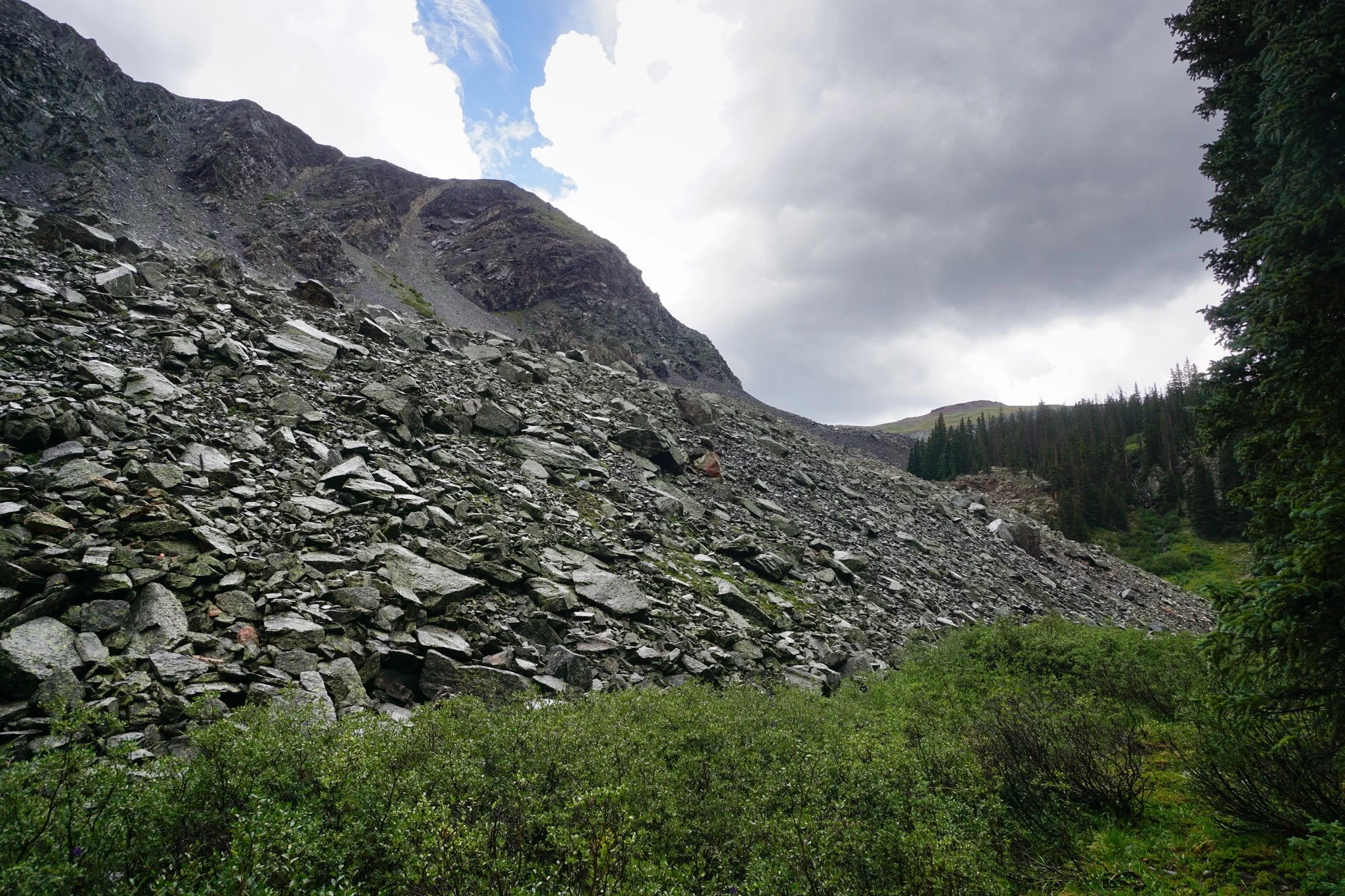
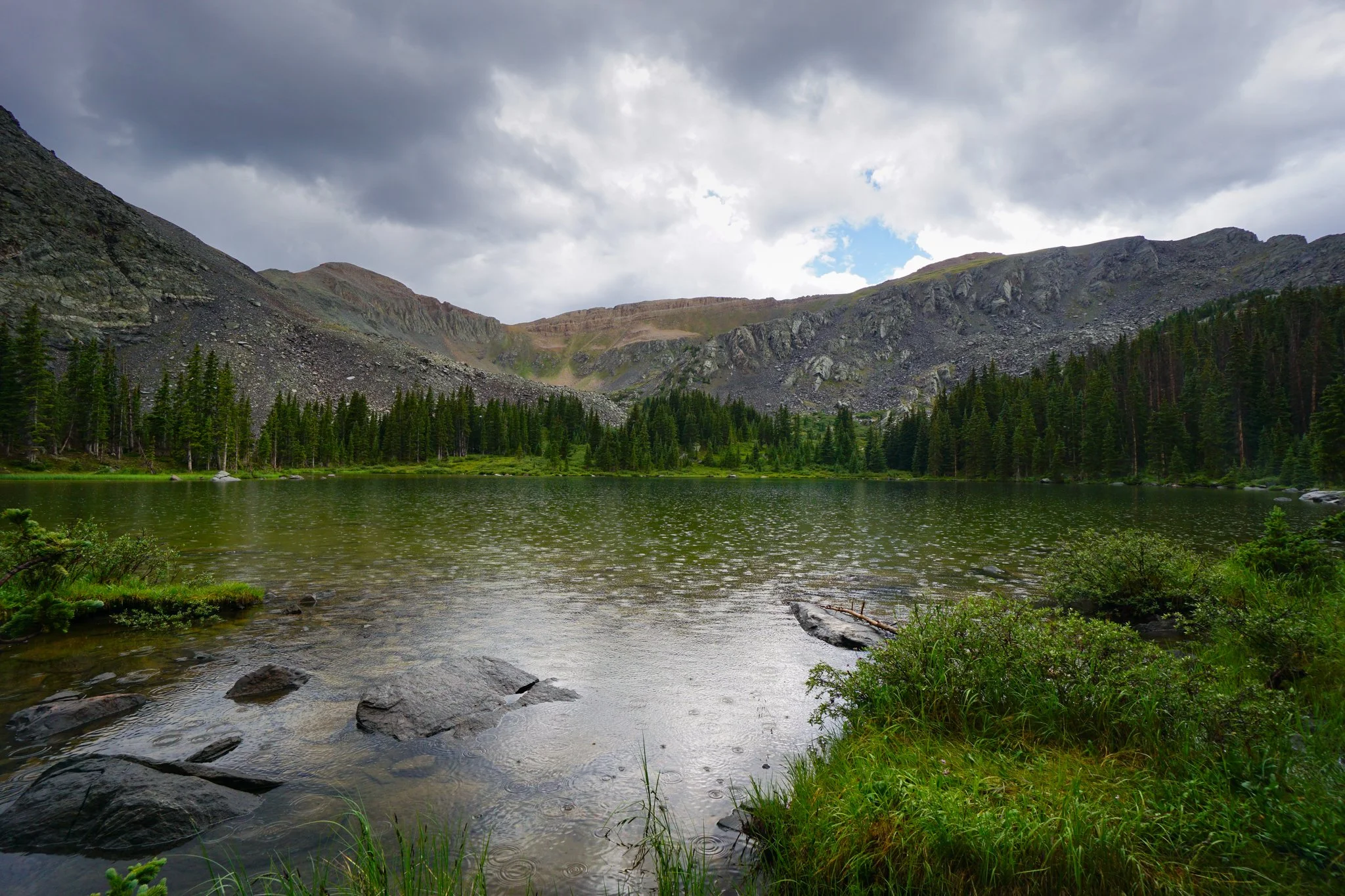
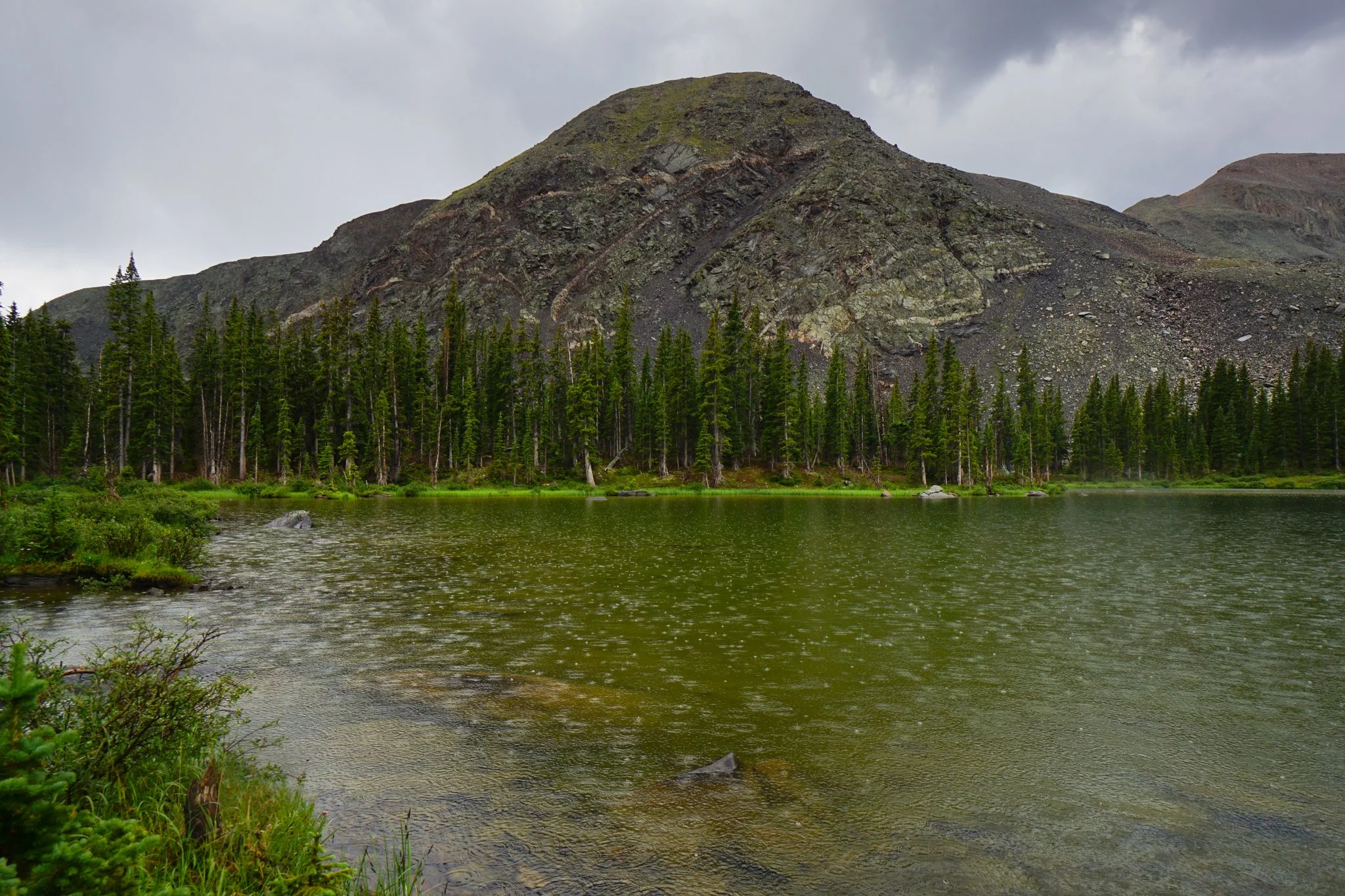
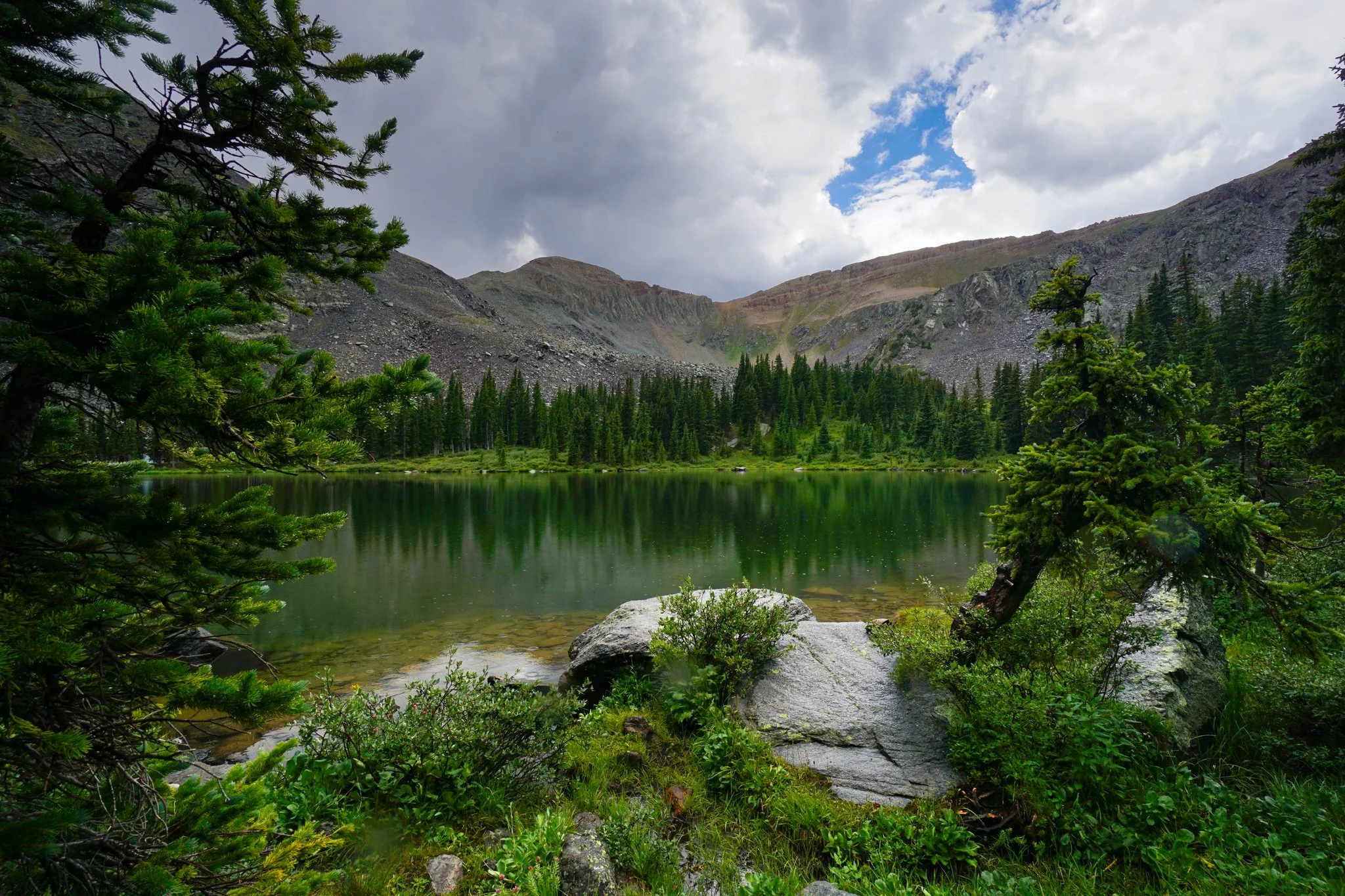
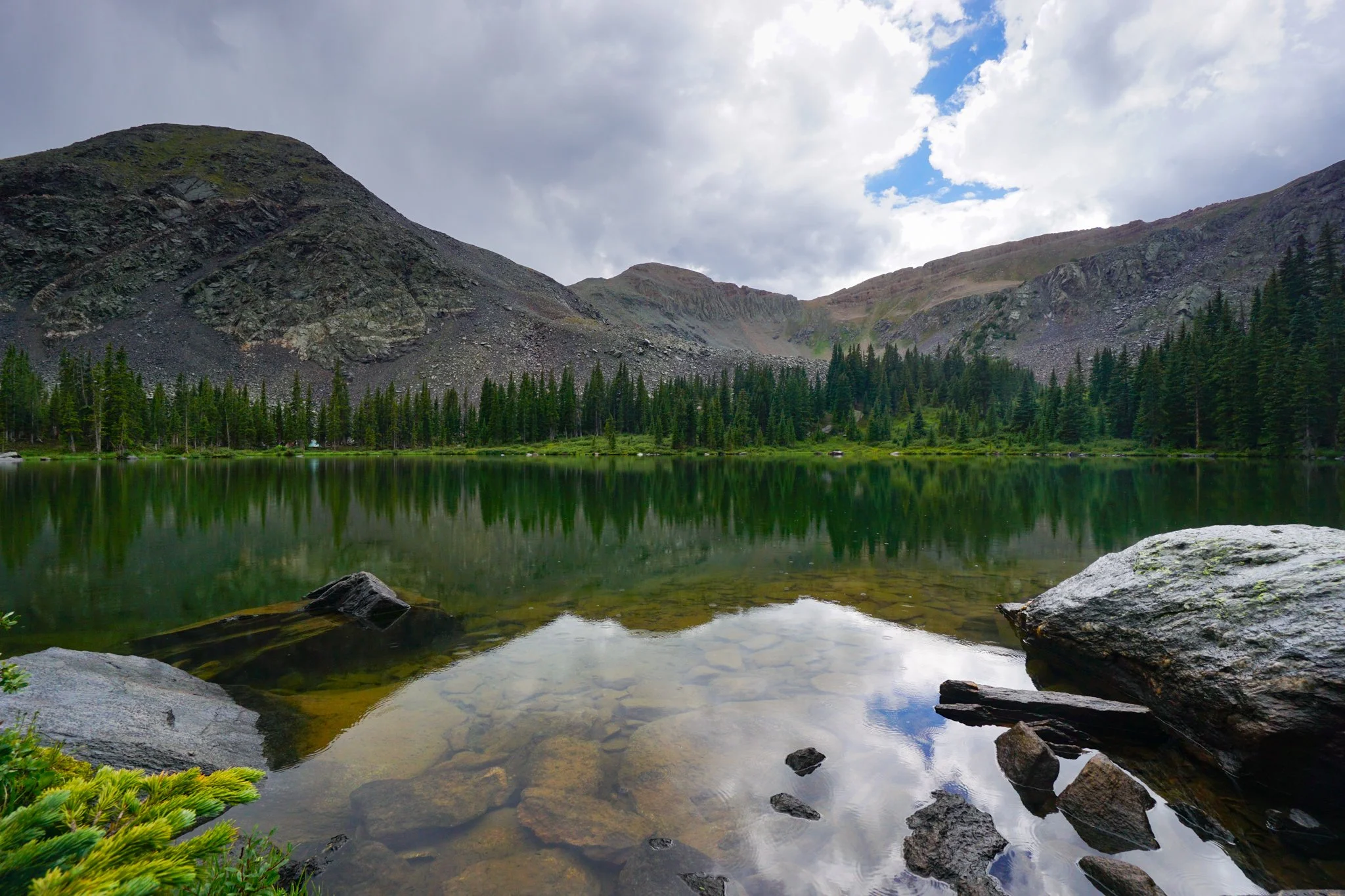
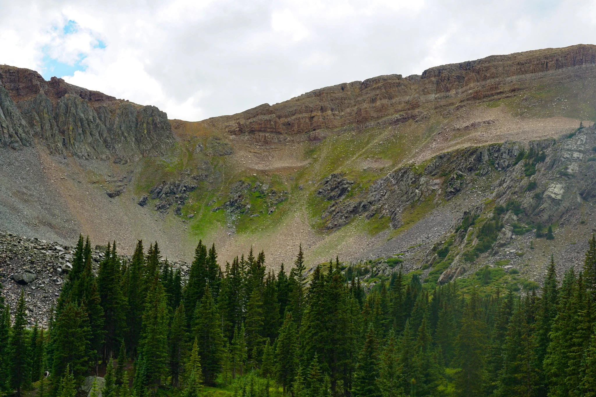
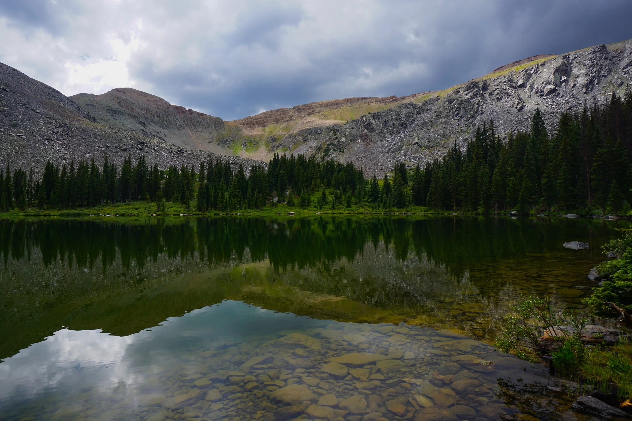
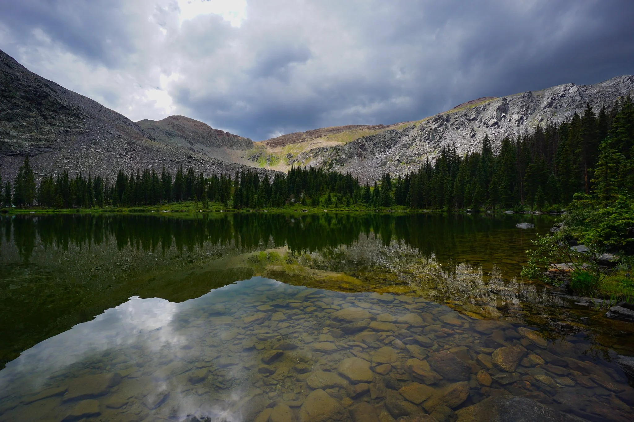
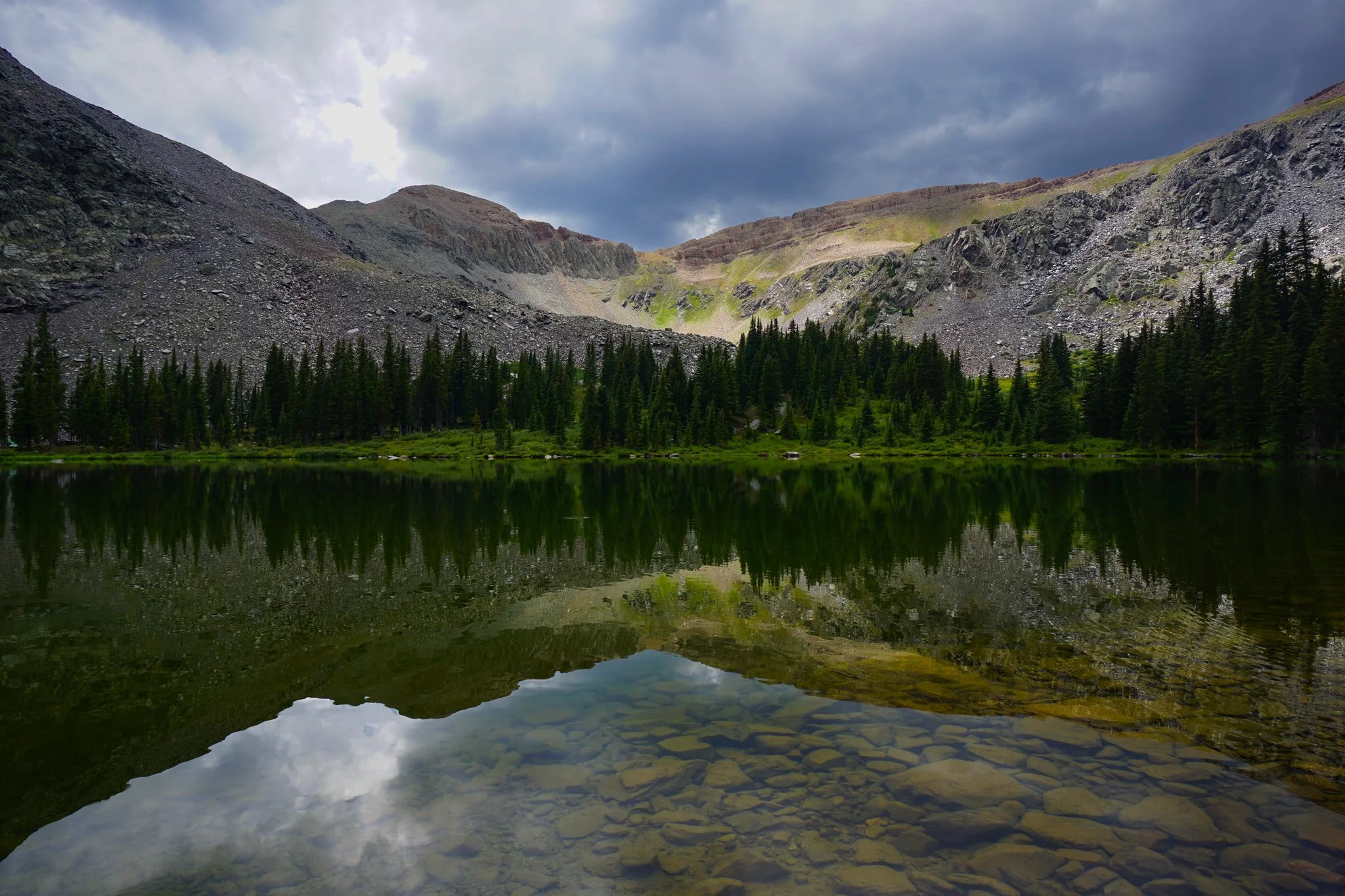
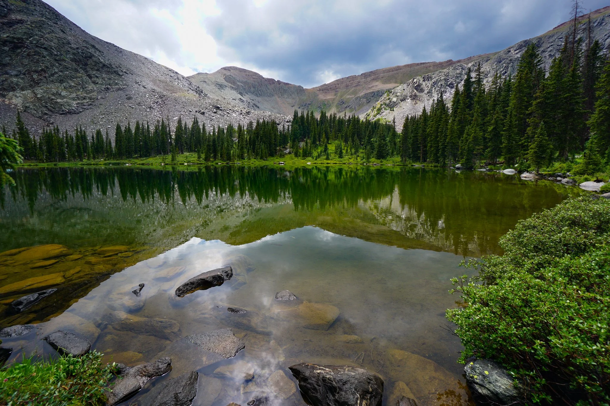
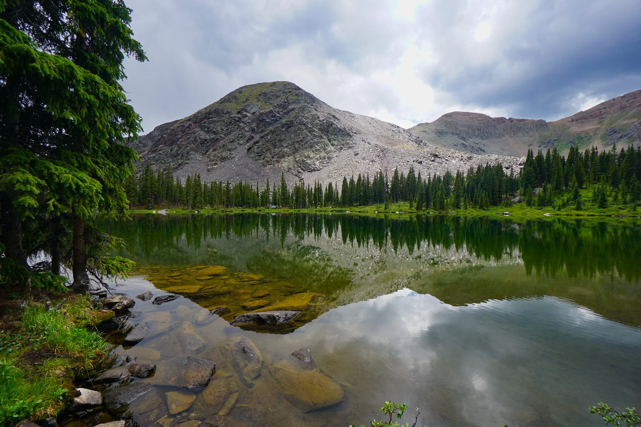
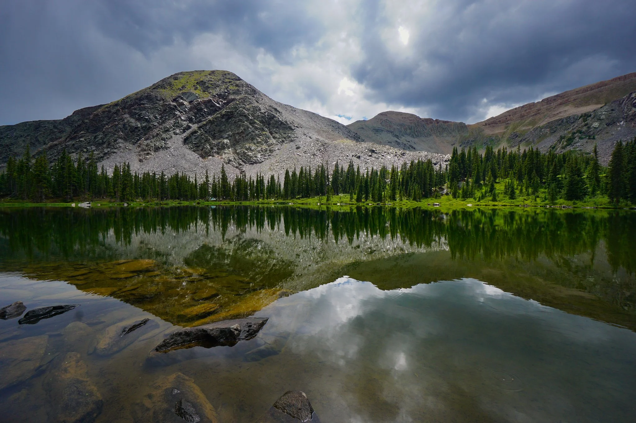
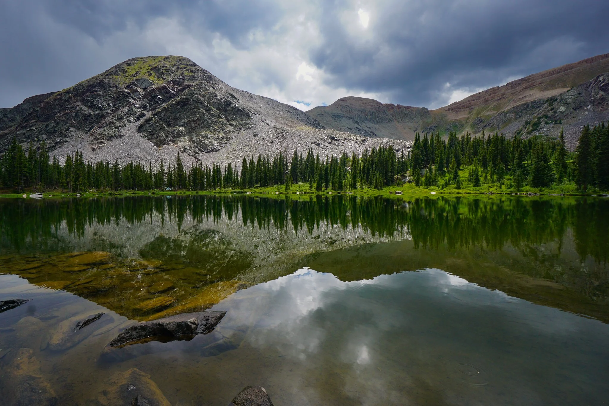
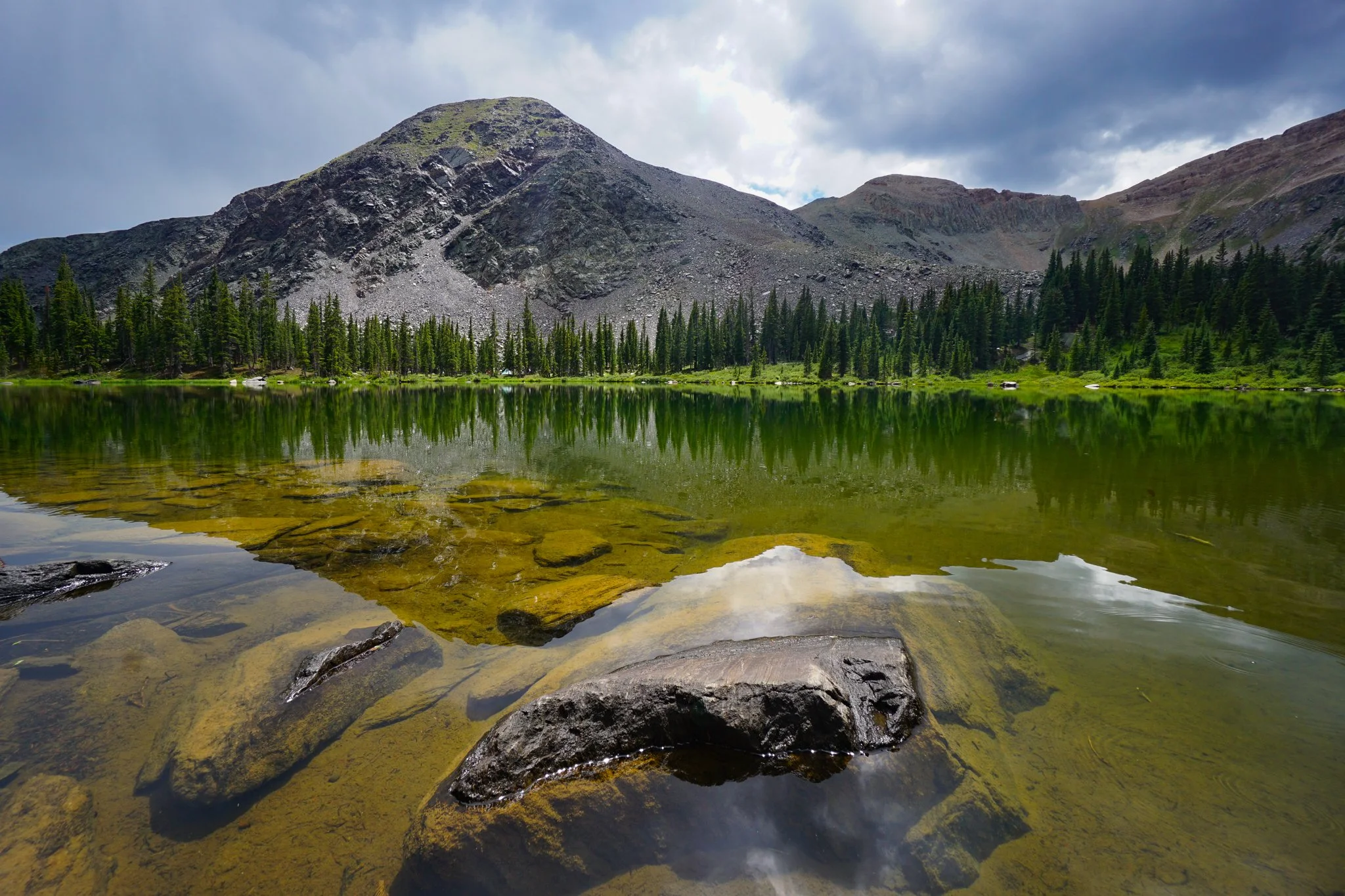
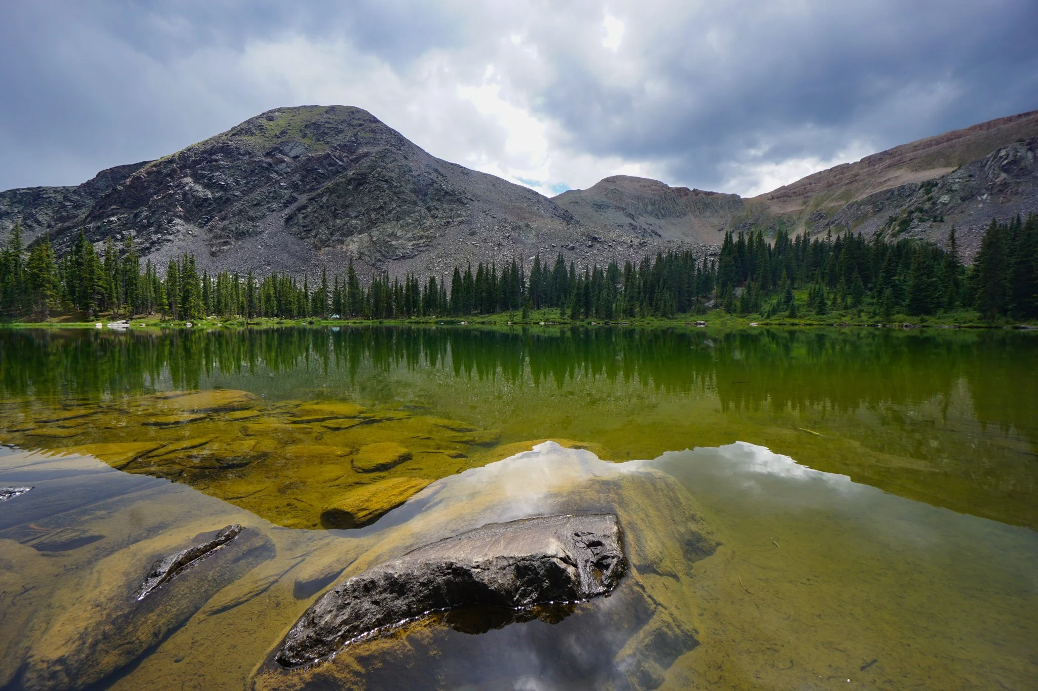
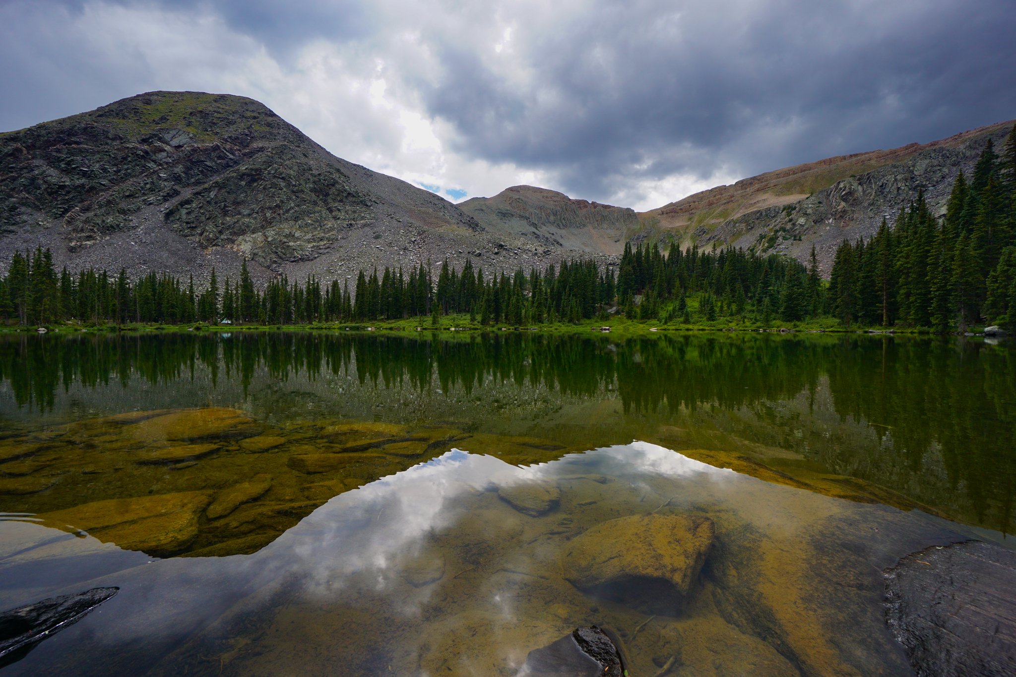
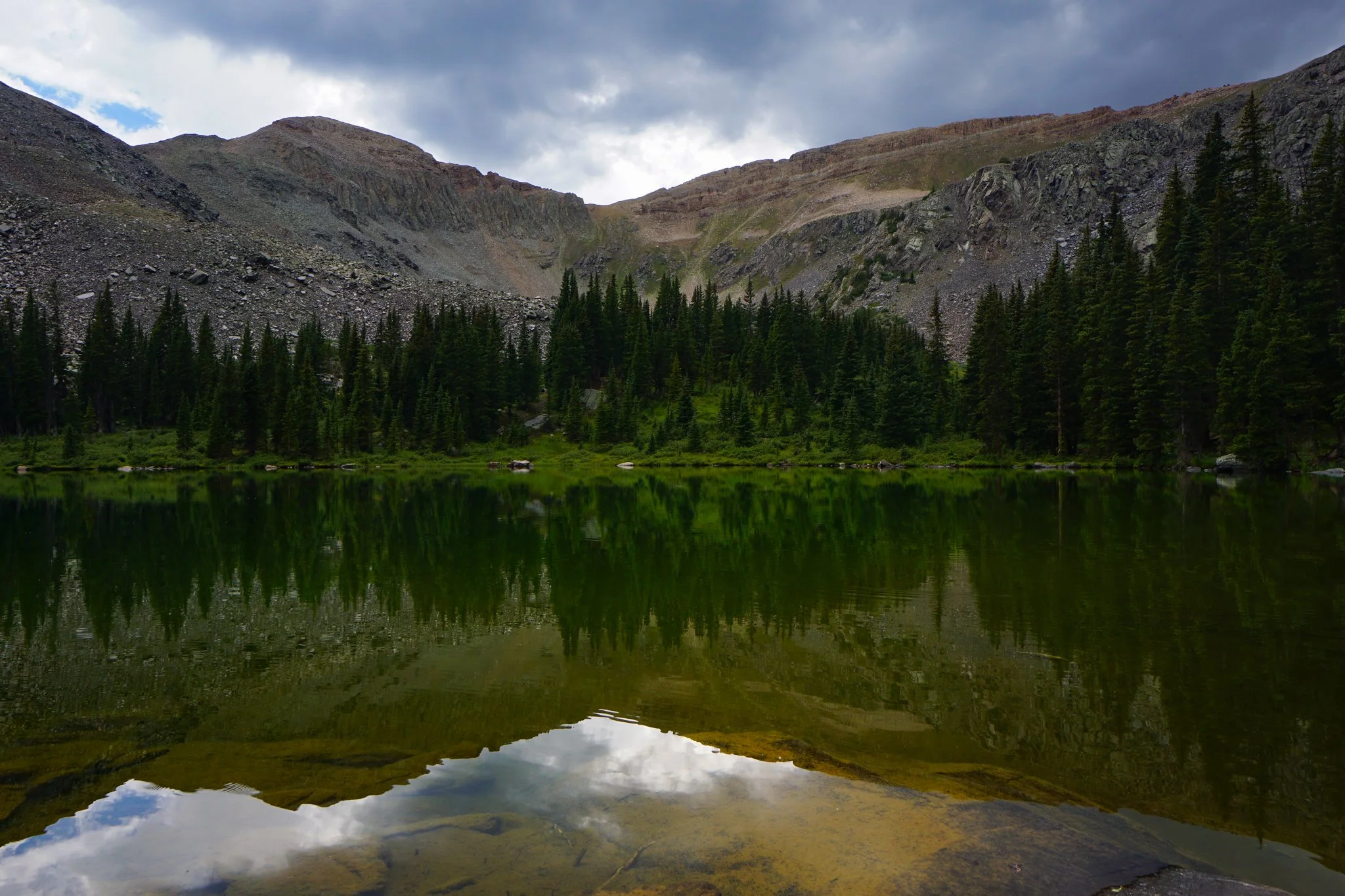
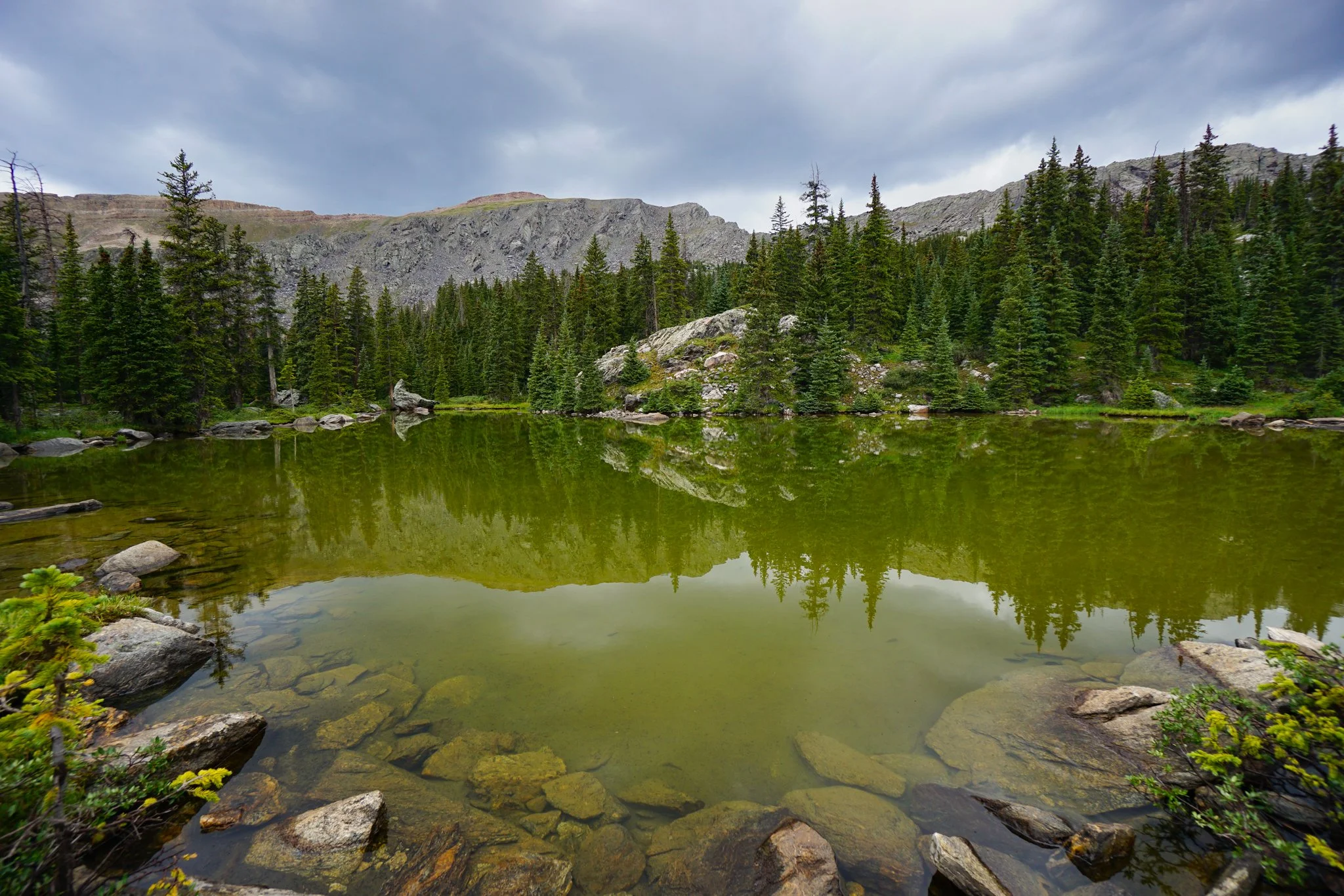
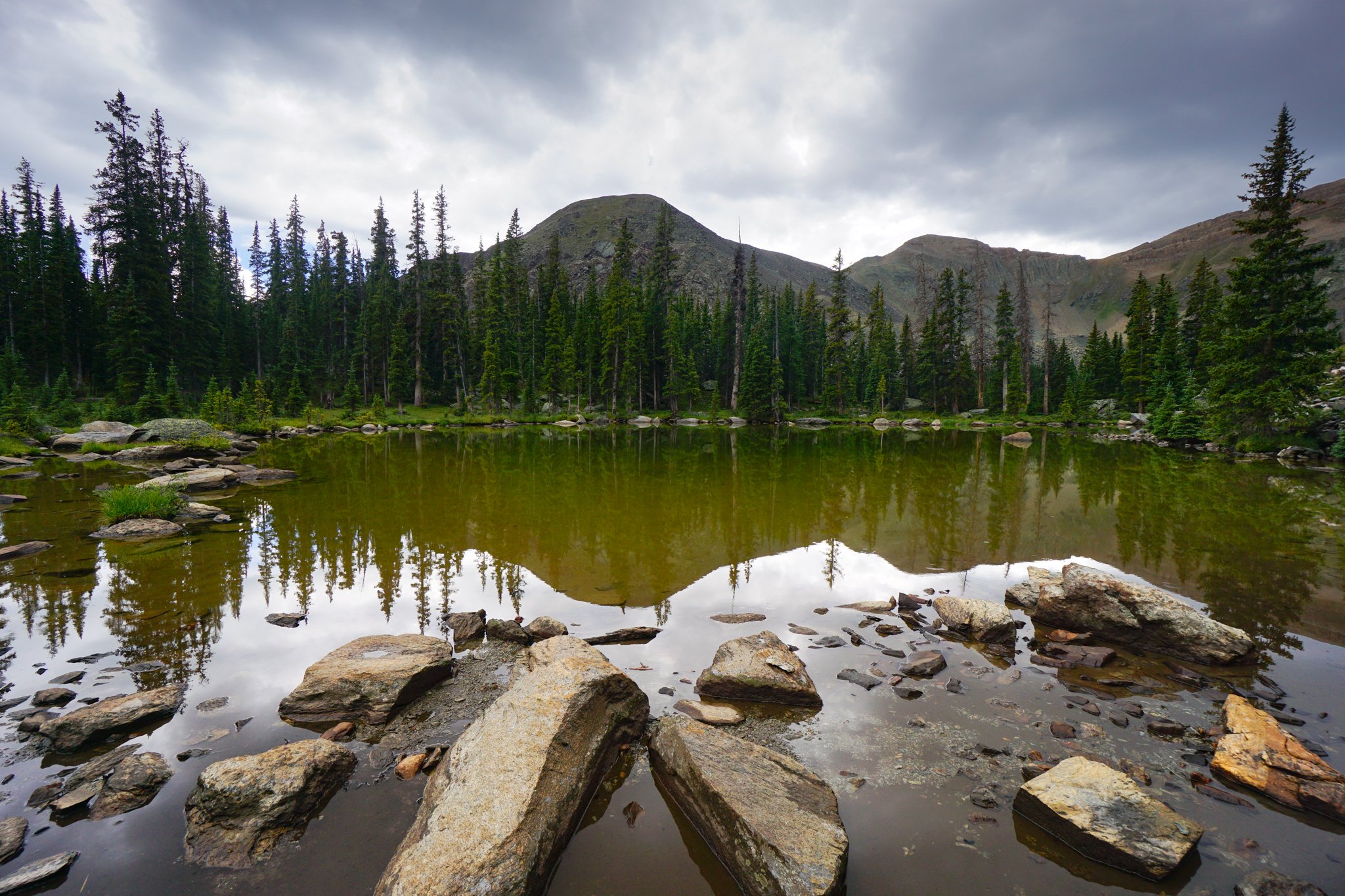
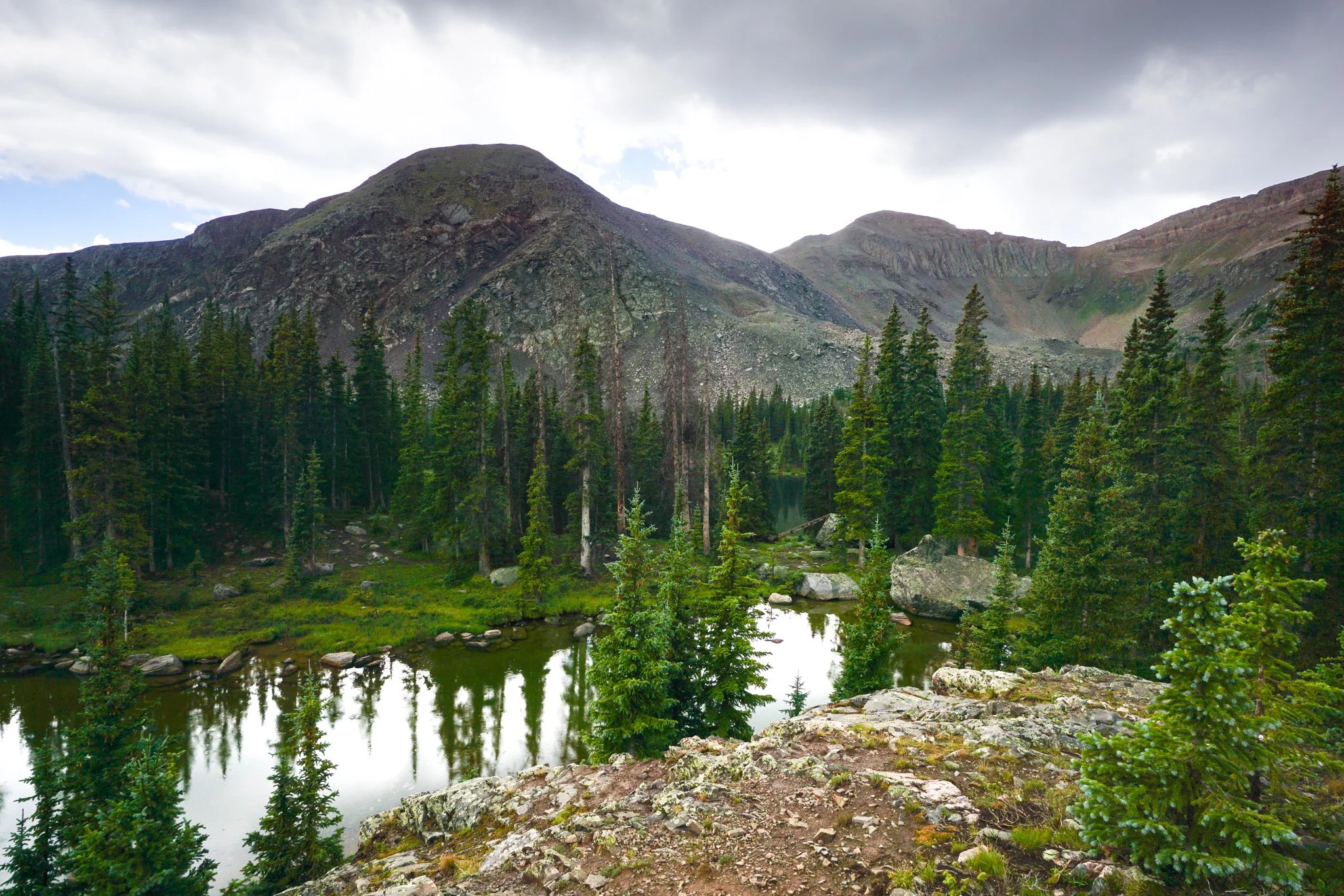
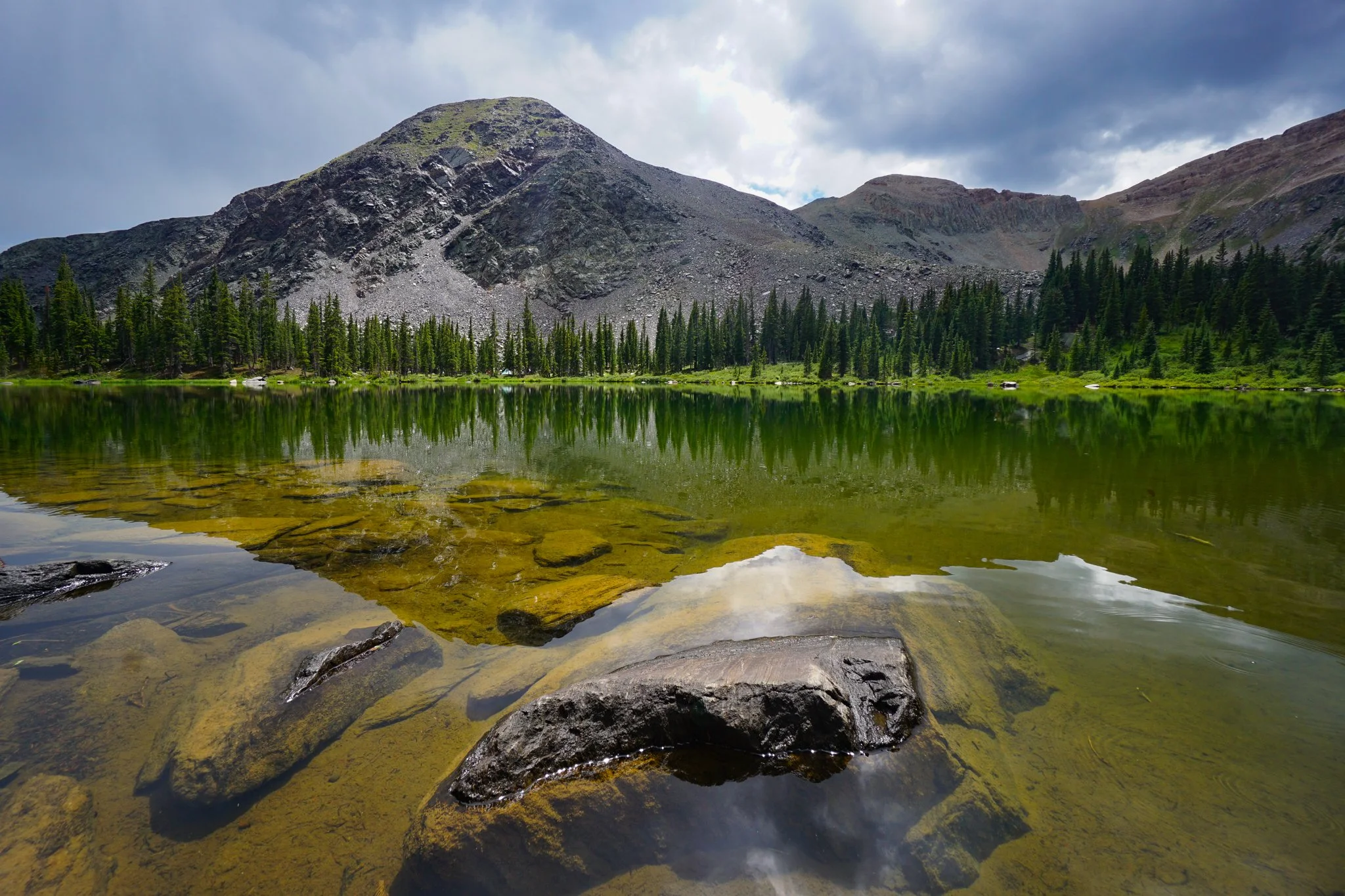
My initial goal for the day was to make it to Gunsight Pass at 12,200ft, the reality set in quickly that this was not the day for hiking above tree-line. I lingered at the lake, explored the smaller lake northeast of the main lake, and relaxed a bit hoping the skies would clear, they would not. Just about the time that I decided to head back down the trail, the sun broke through the clouds for about five minutes, providing some stunning light on the lake and a perfect window for photography.
Feeling like that was the best I was going to get, I headed back down the South Lottis Trail. As I started hiking down the rain returned and it downpoured steadily for about 30 minutes. When the rain stopped, the clouds cleared and the blue sky emerged. Looks like I missed the sunny weather at the lake by about 30 minutes, oh well…
The hike down was uneventful and I dried out, just a bit. When I returned to the still empty campground, about 4:00 in the afternoon, the blue skies above the mountains were taunting me…with five hours of daylight left, and calf muscles that were already aching, I decided to head back up into the mountains, this time, to Mill Lake in the next basin over.