Jouflas Trail
McInnis Canyons National Conservation Area
Date Hiked: April 28, 2024
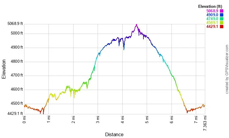
Distance: 7.2 mi (RT)
Elevation Gain: 650 ft
Elevation Min/Max: 4,451 to 5,042 ft
Trailhead Lat/Long: 39.15852, -109.03403
Managing Agency: Bureau of Land Management (BLM)
Fee: None
HIKE DESCRIPTION:
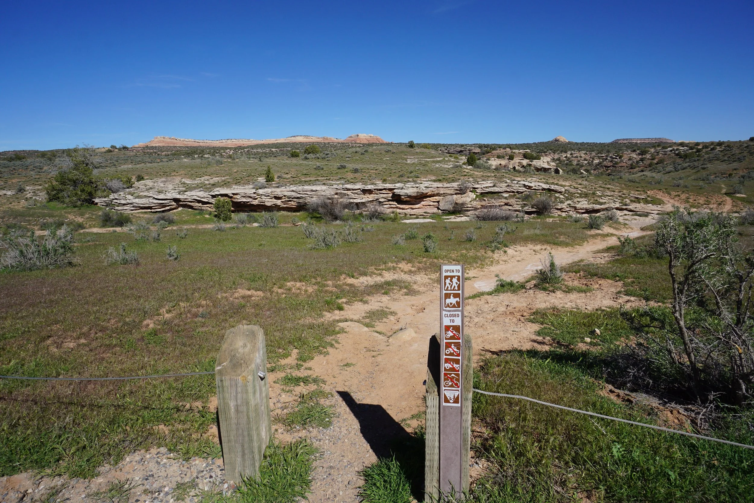
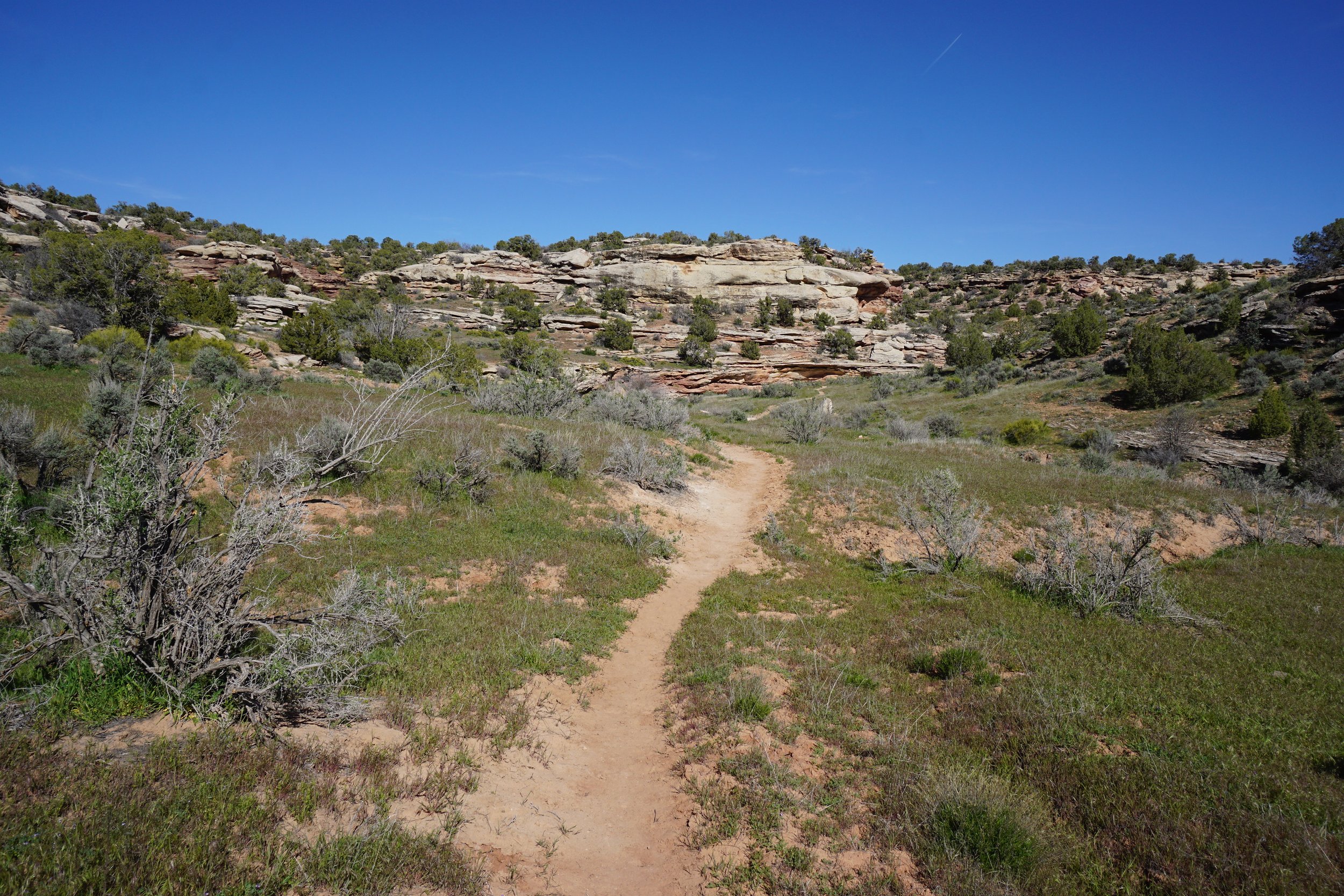
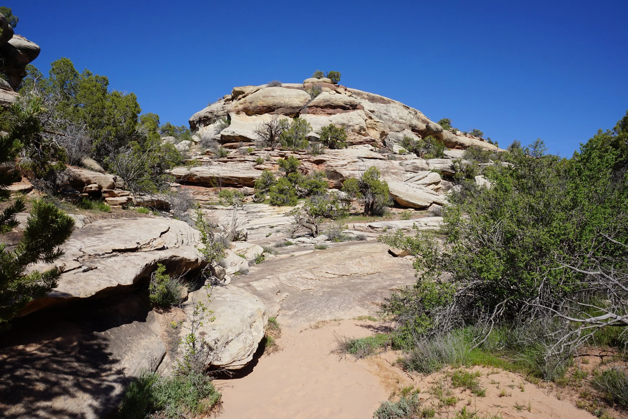
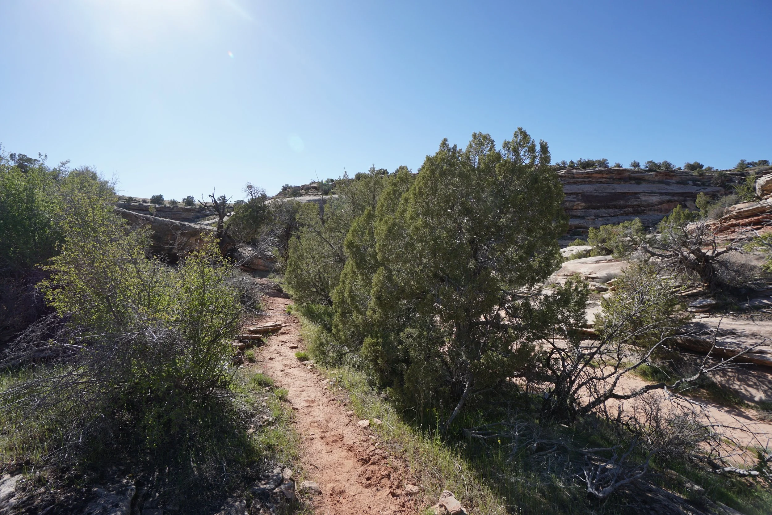
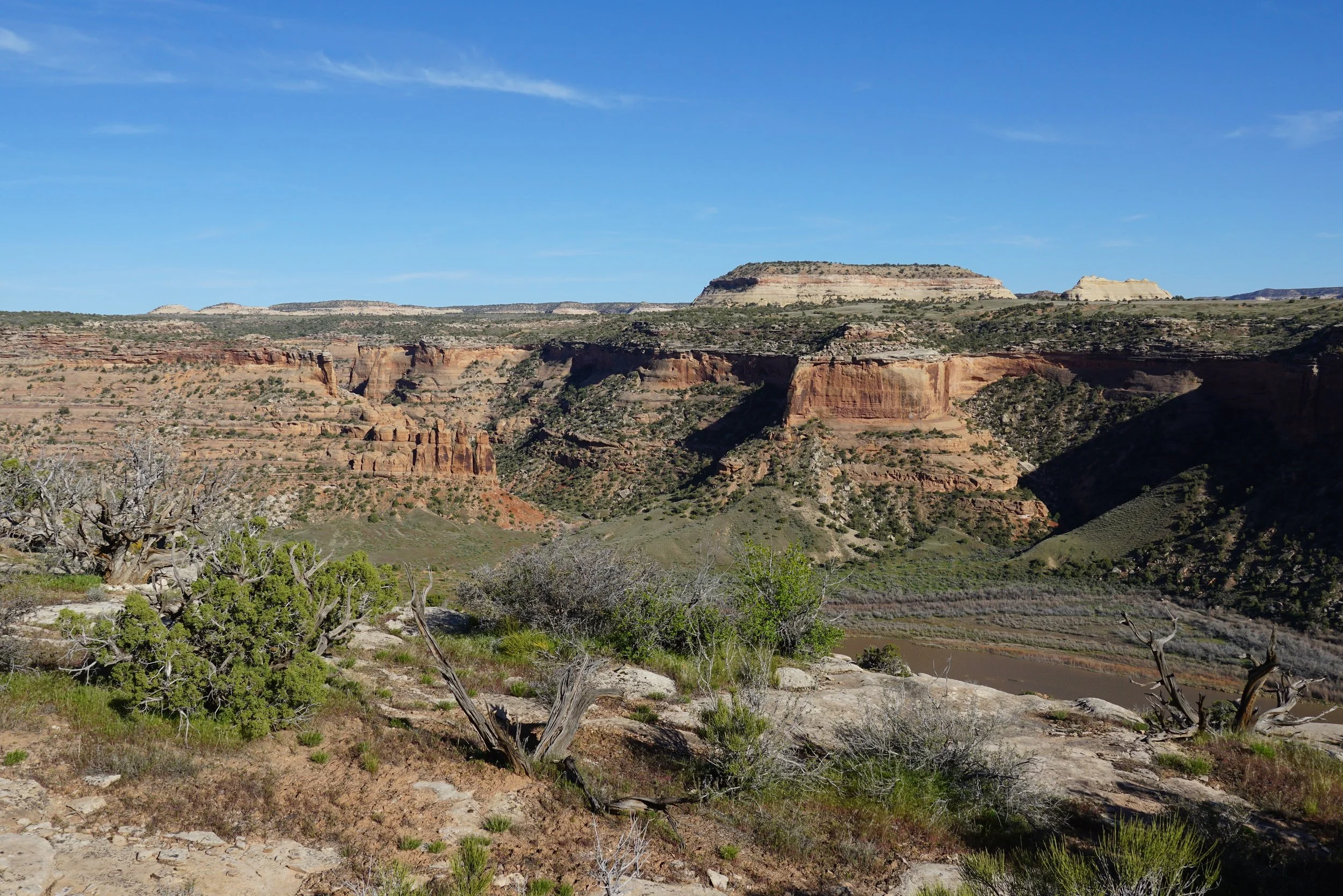
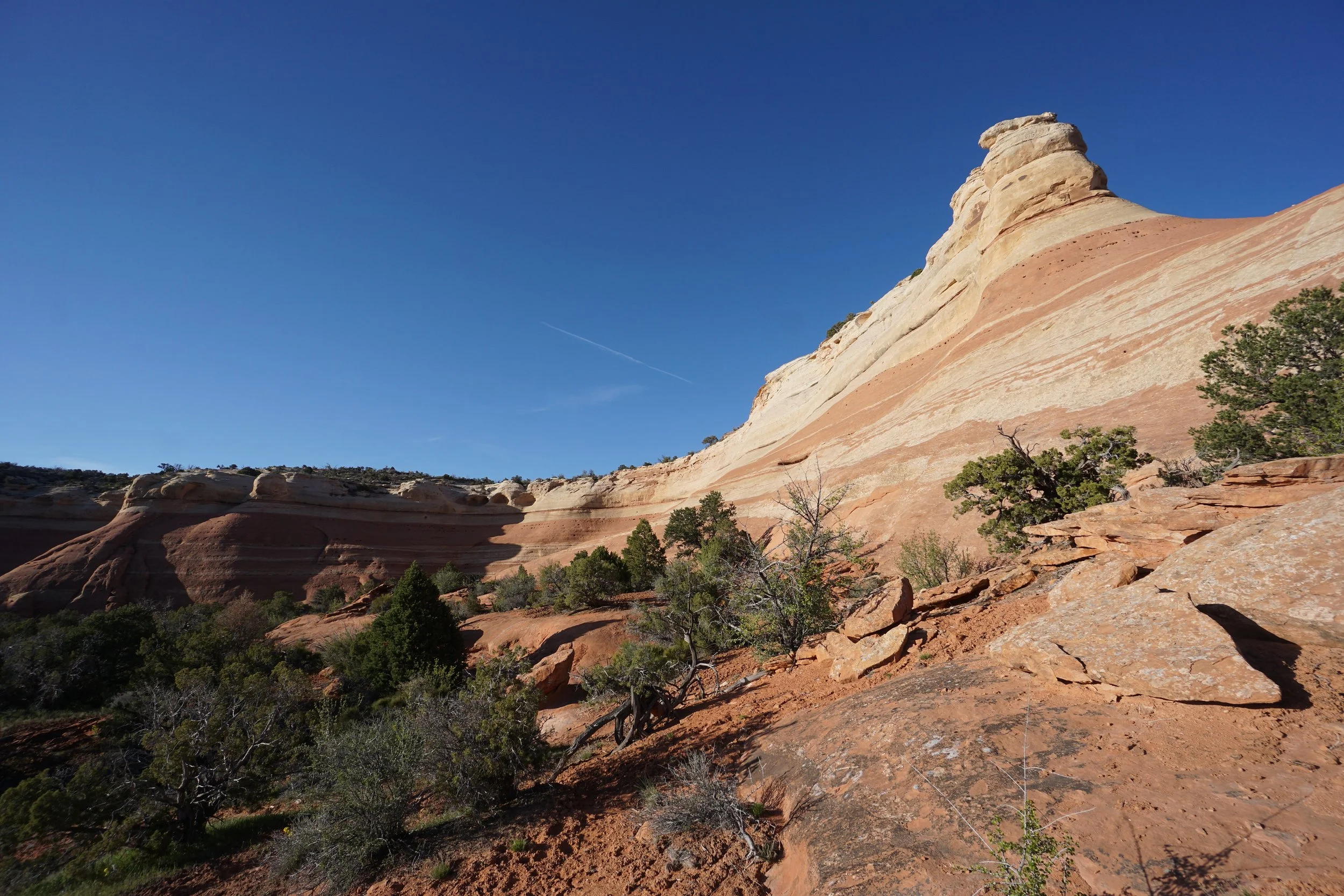
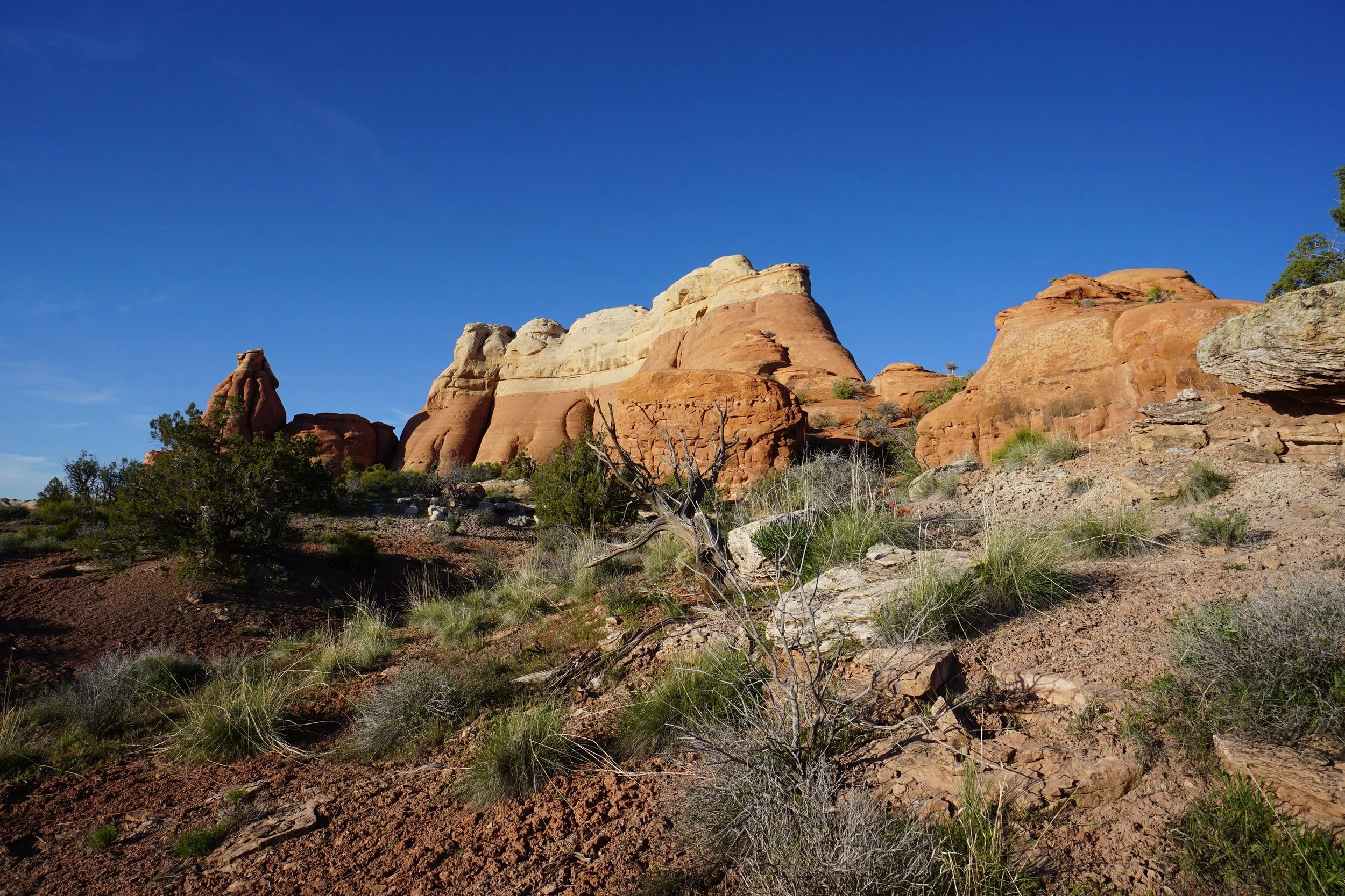
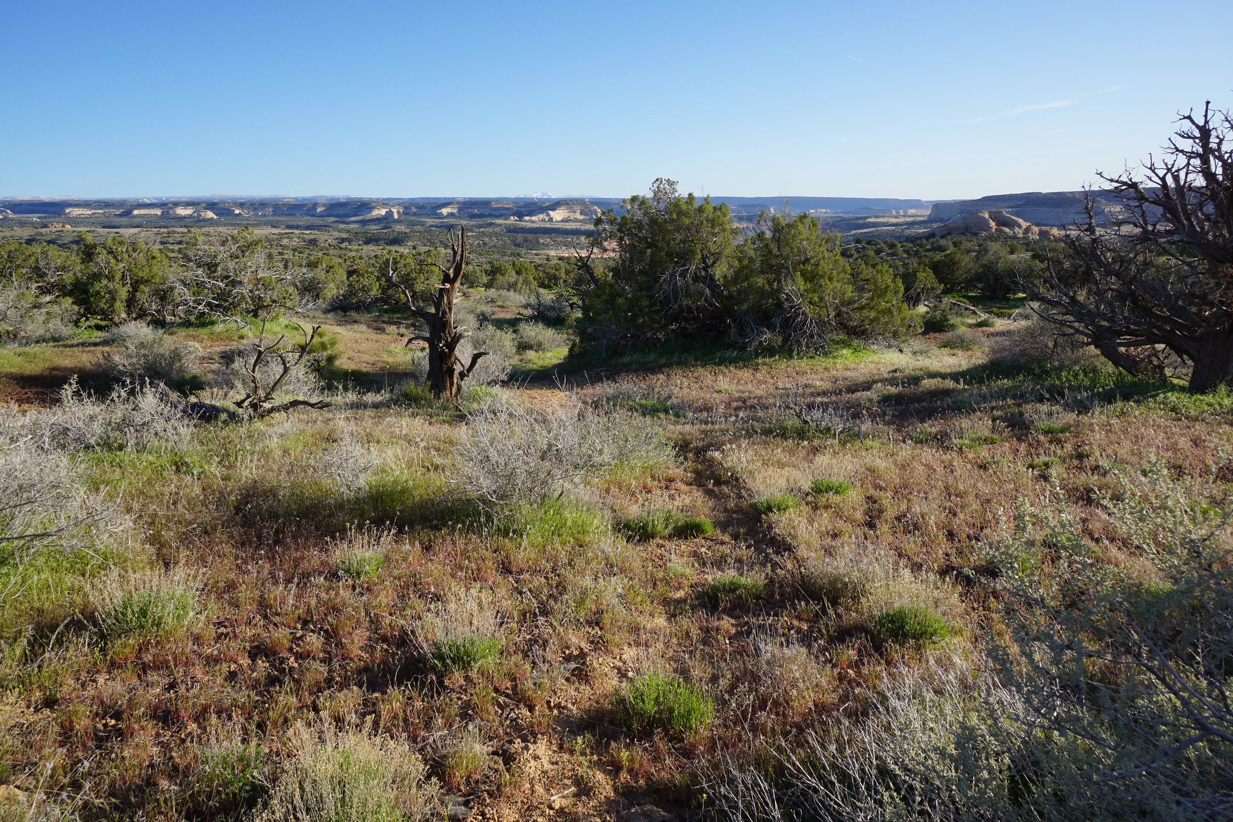
If you are looking for the road less traveled in the McInnis Canyons NCA, then the Jouflas Trail is the trail for you. The hike follows the more popular McDonald Creek Trail for the first 3/4 of a mile then branches off to explore the mesa rim. The trail split is a bit difficult to navigate so best to have a GPS with you in case you miss it. The views are incredible and nearly constant.
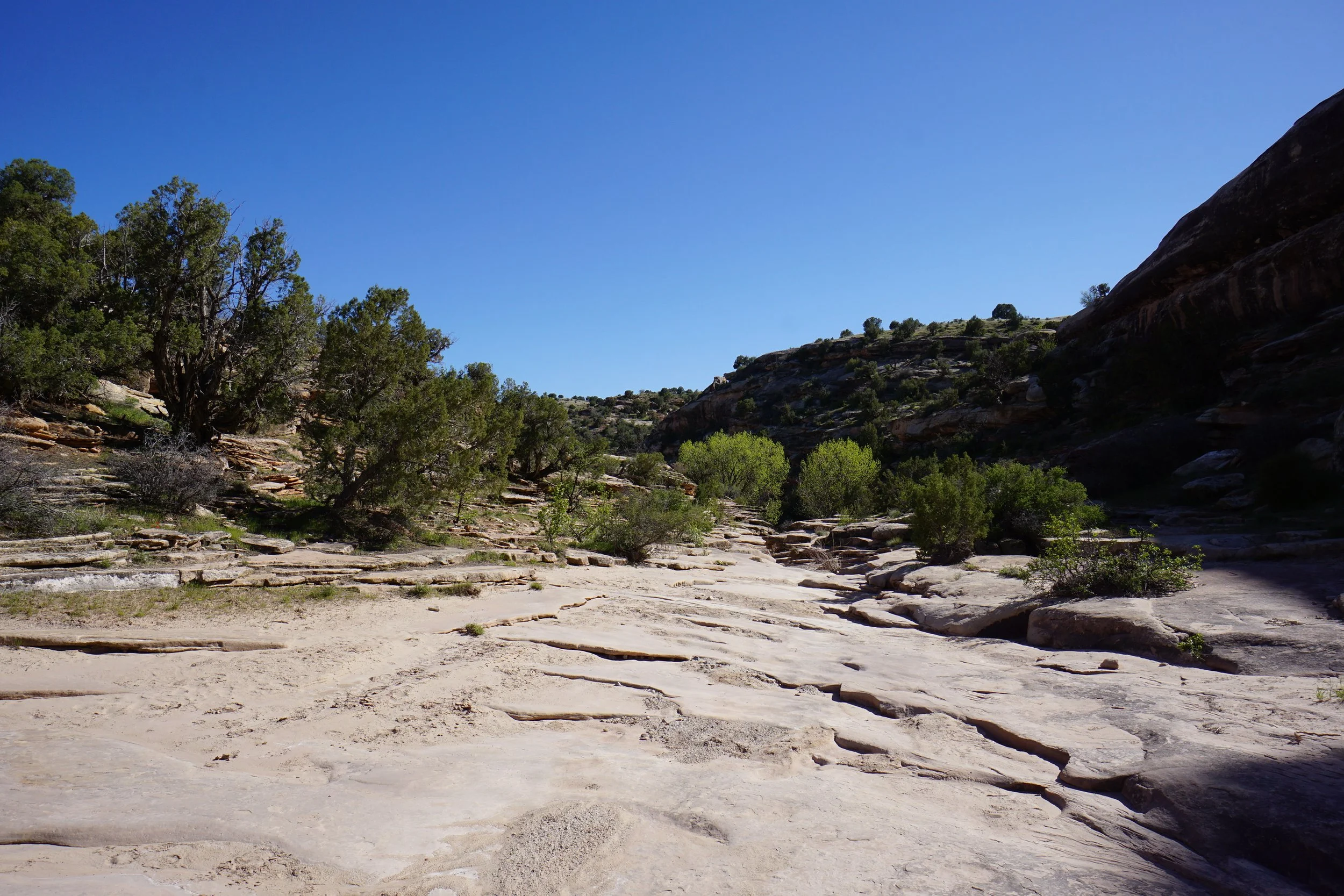
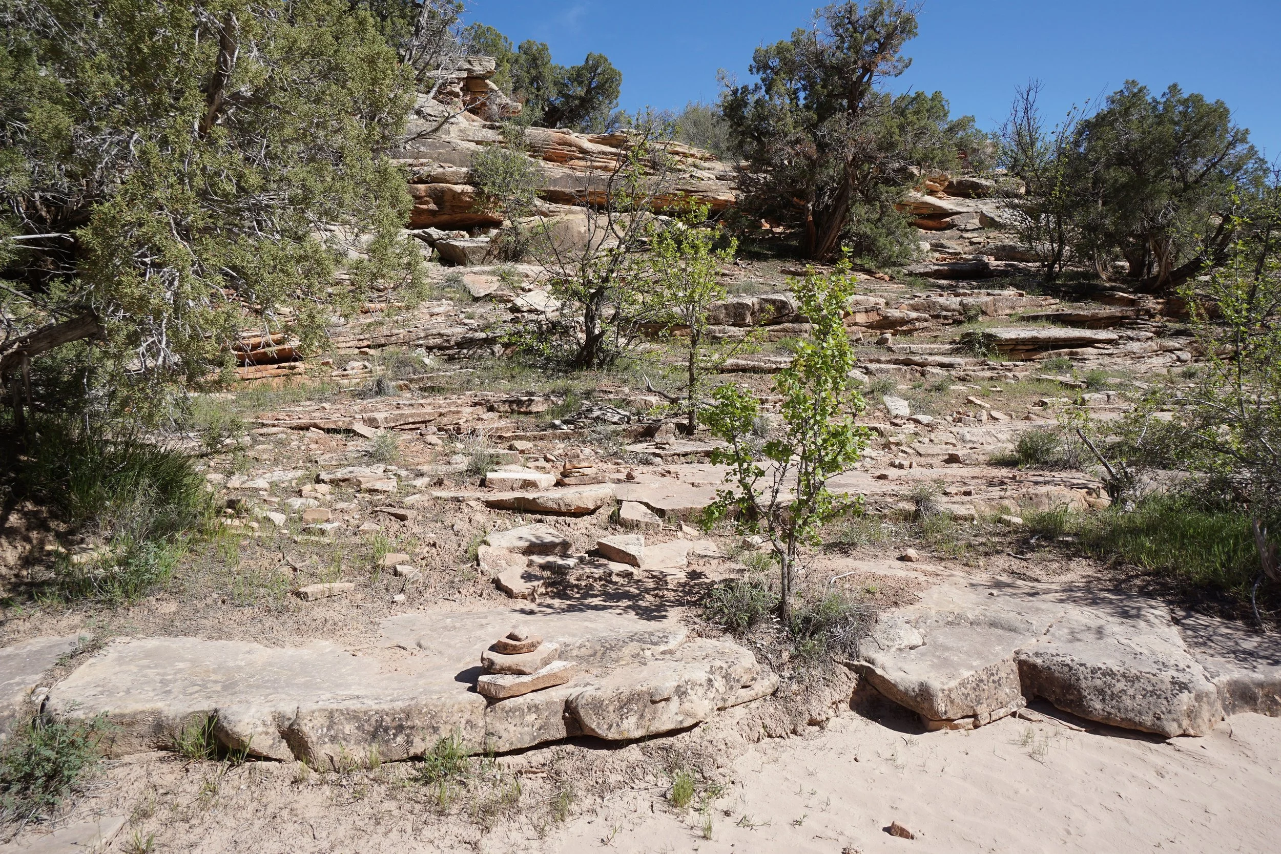
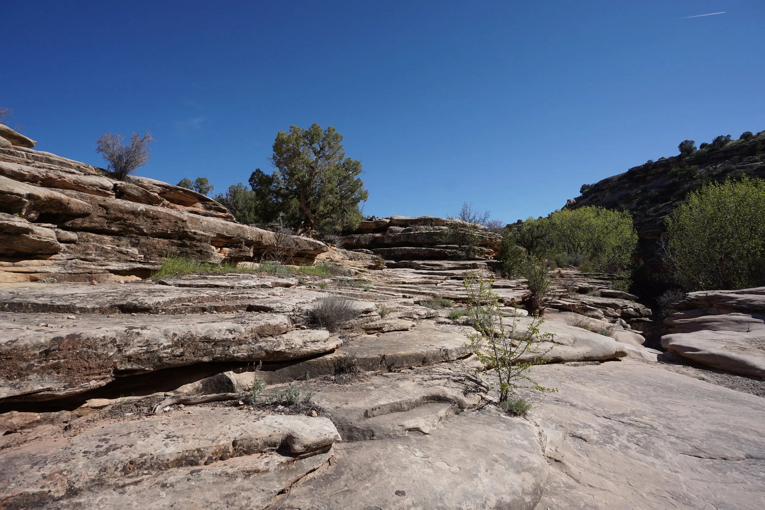
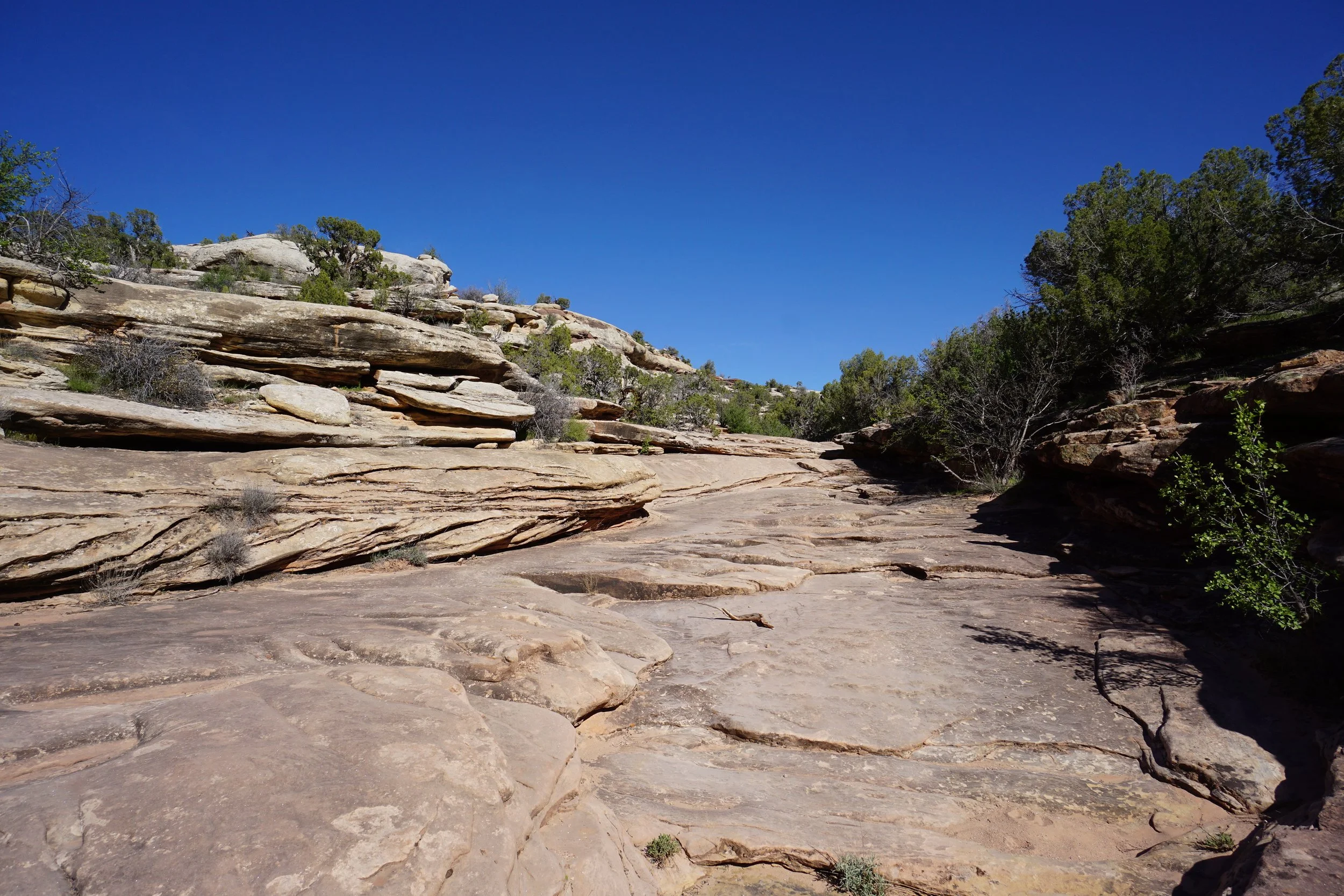
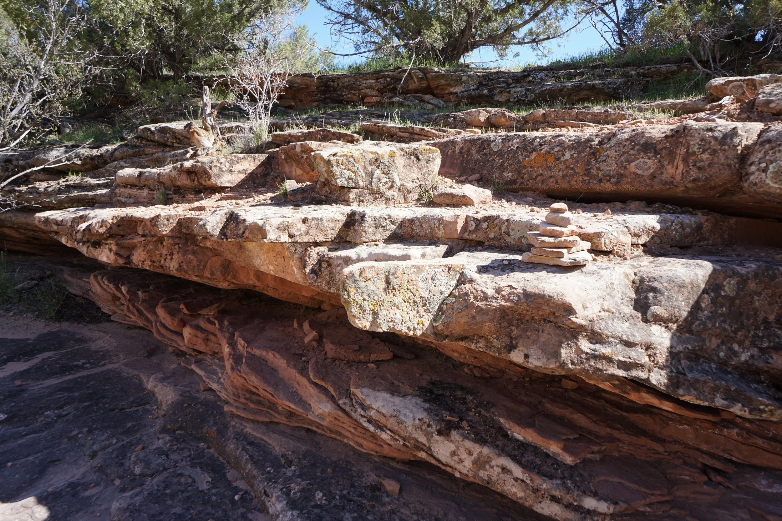
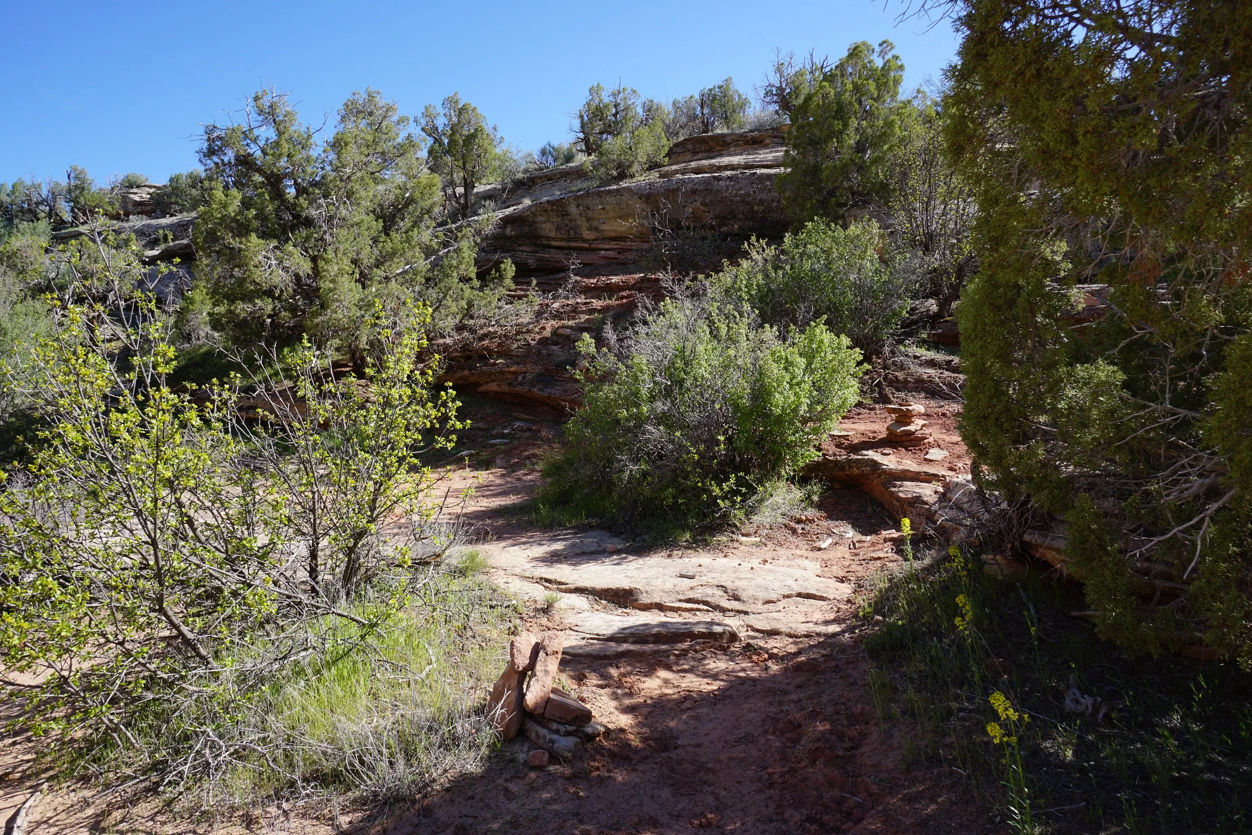
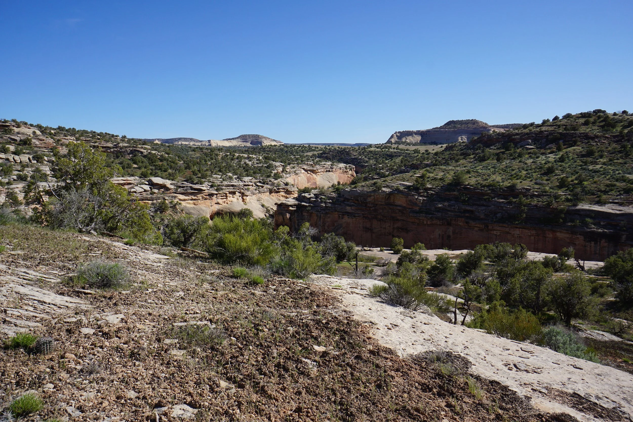
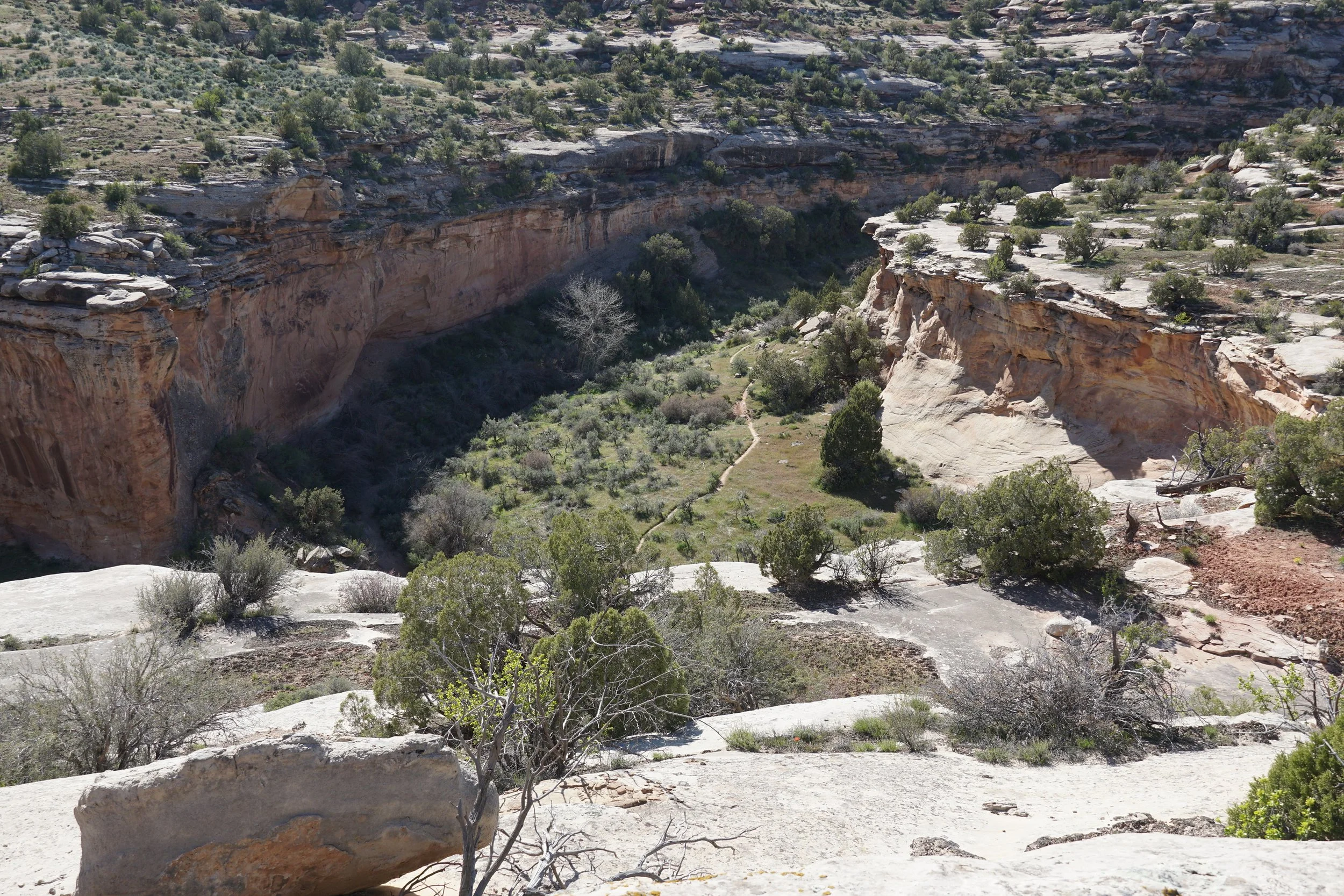
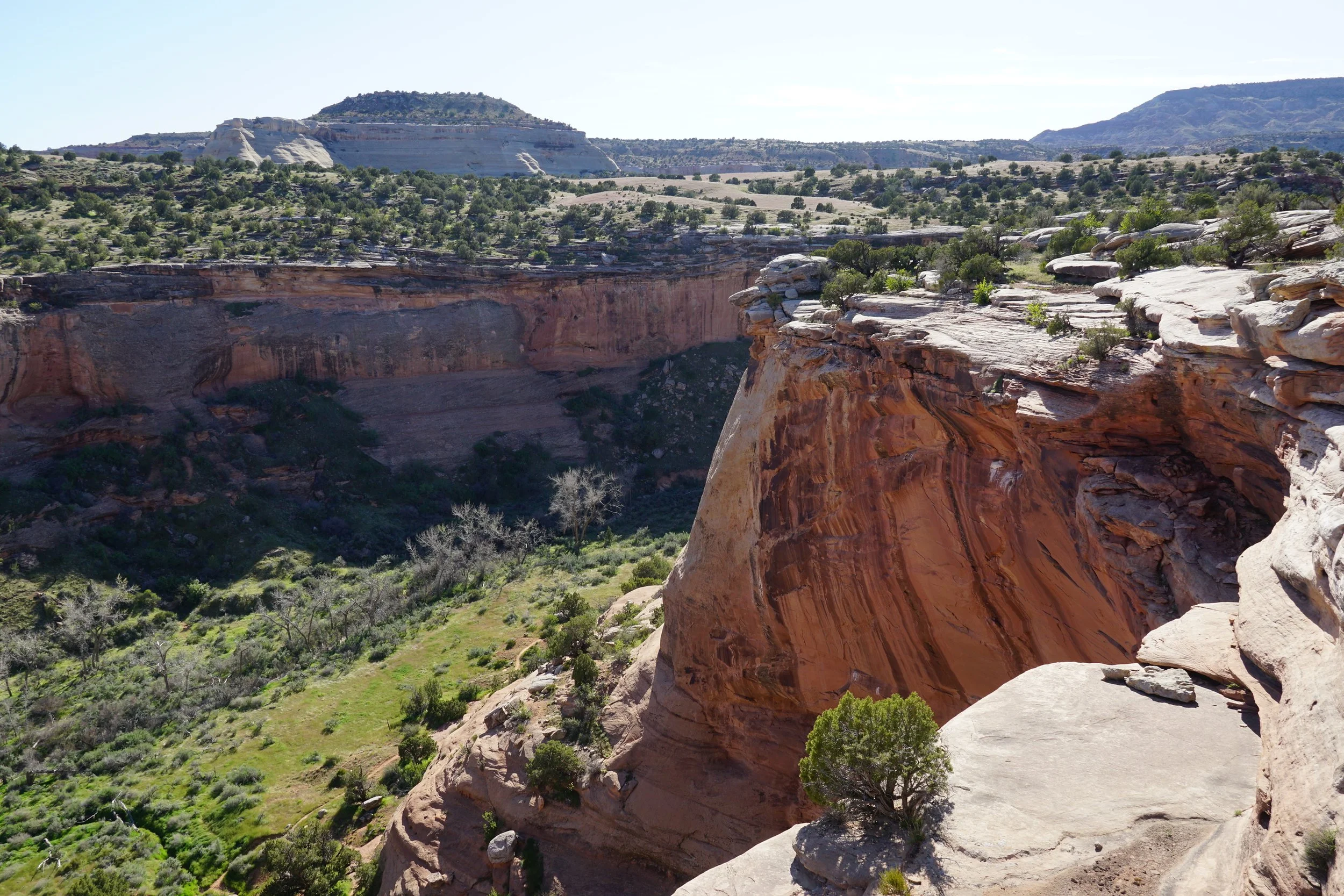
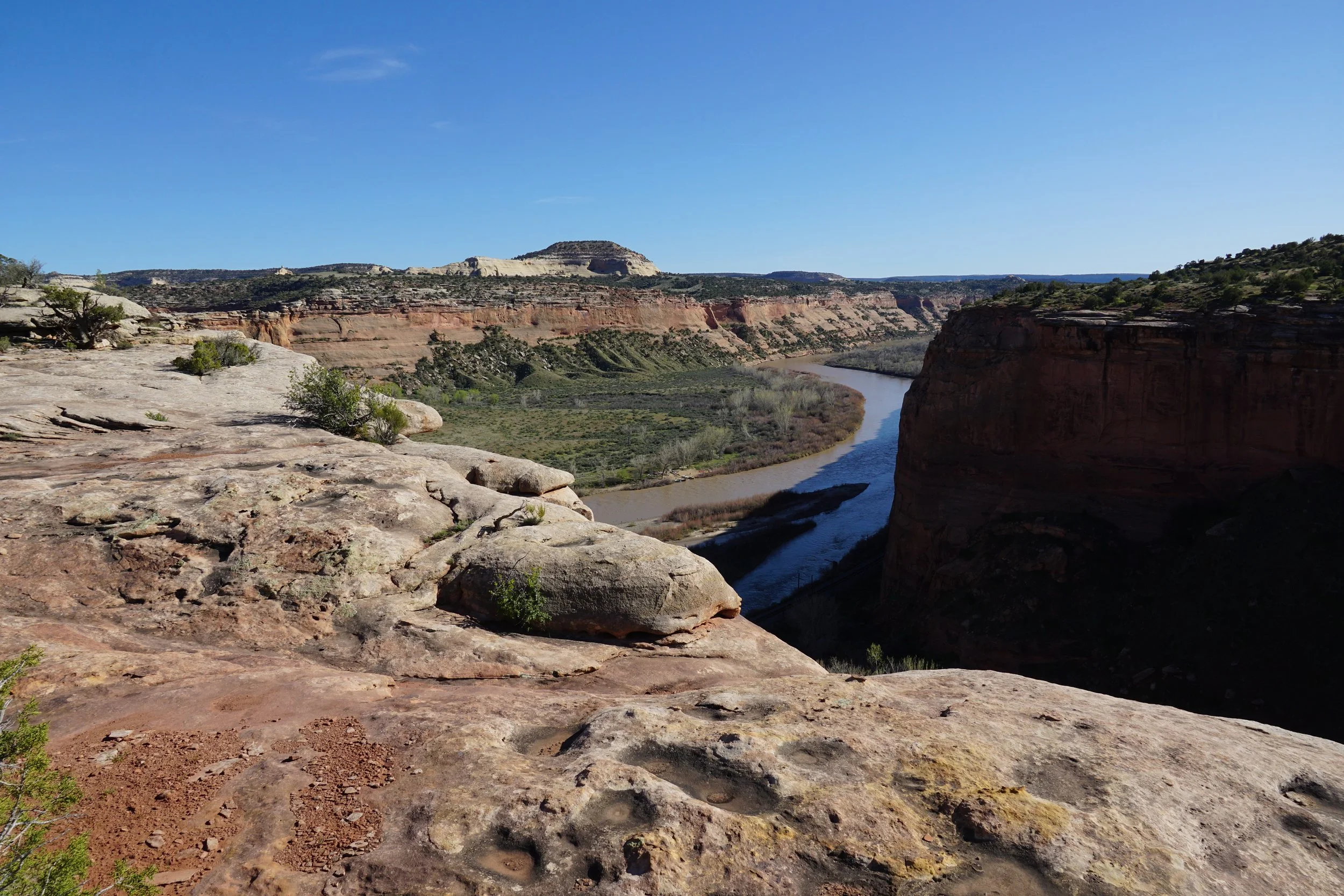
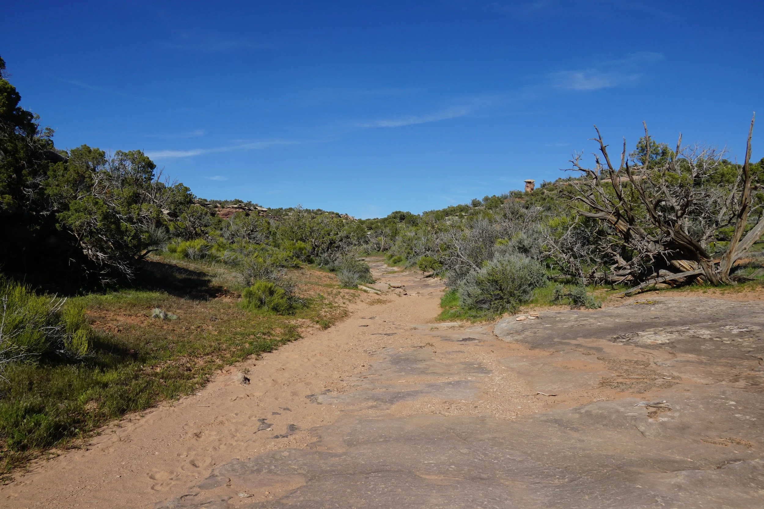
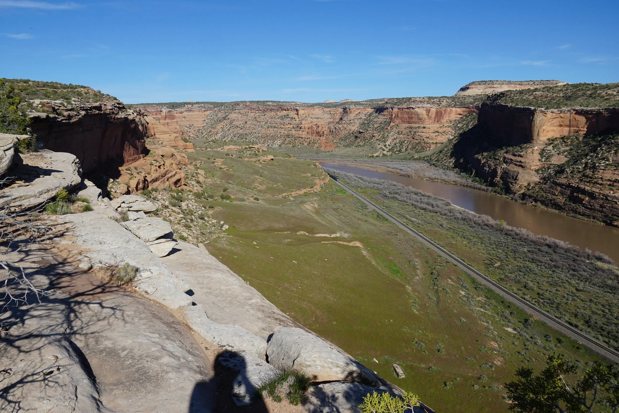
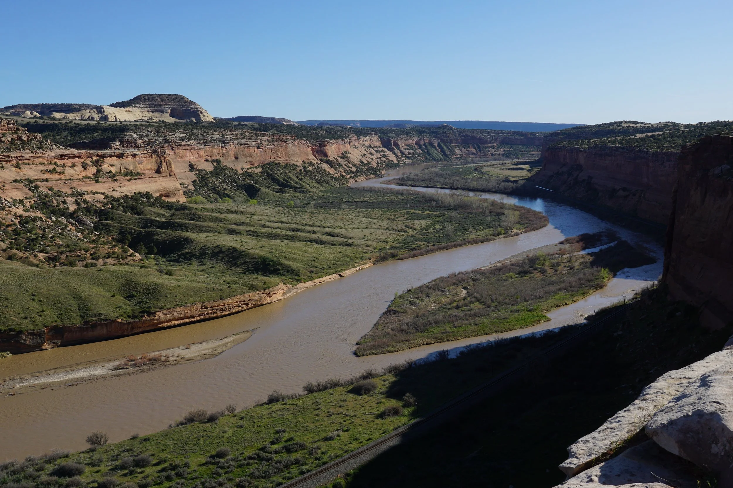
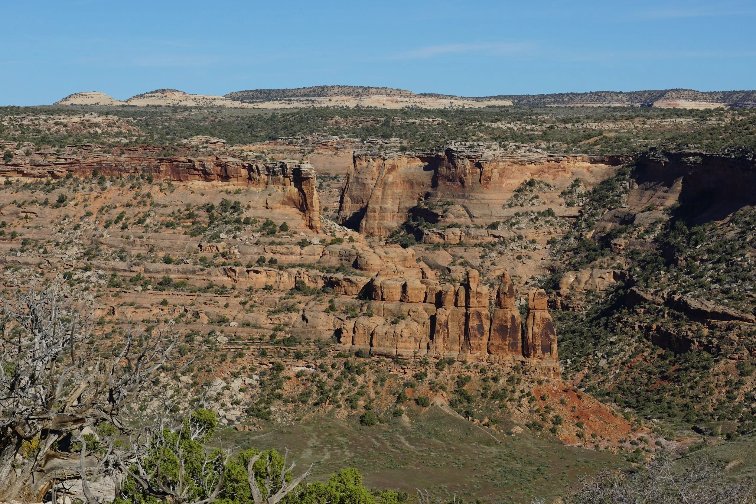
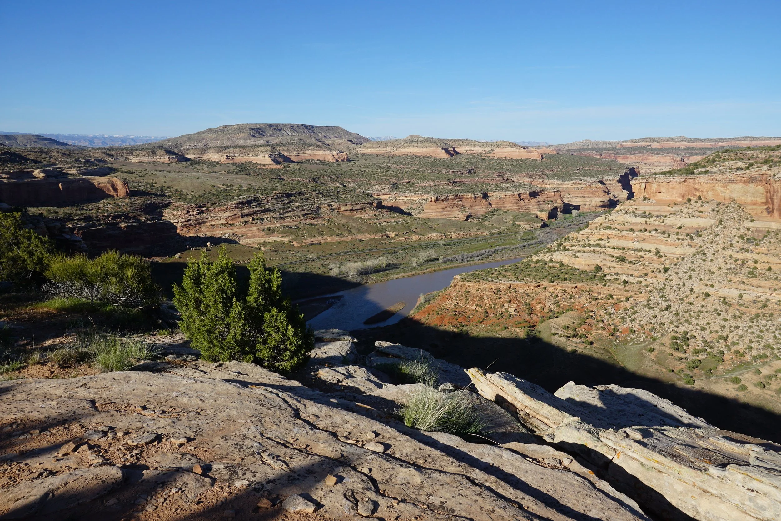
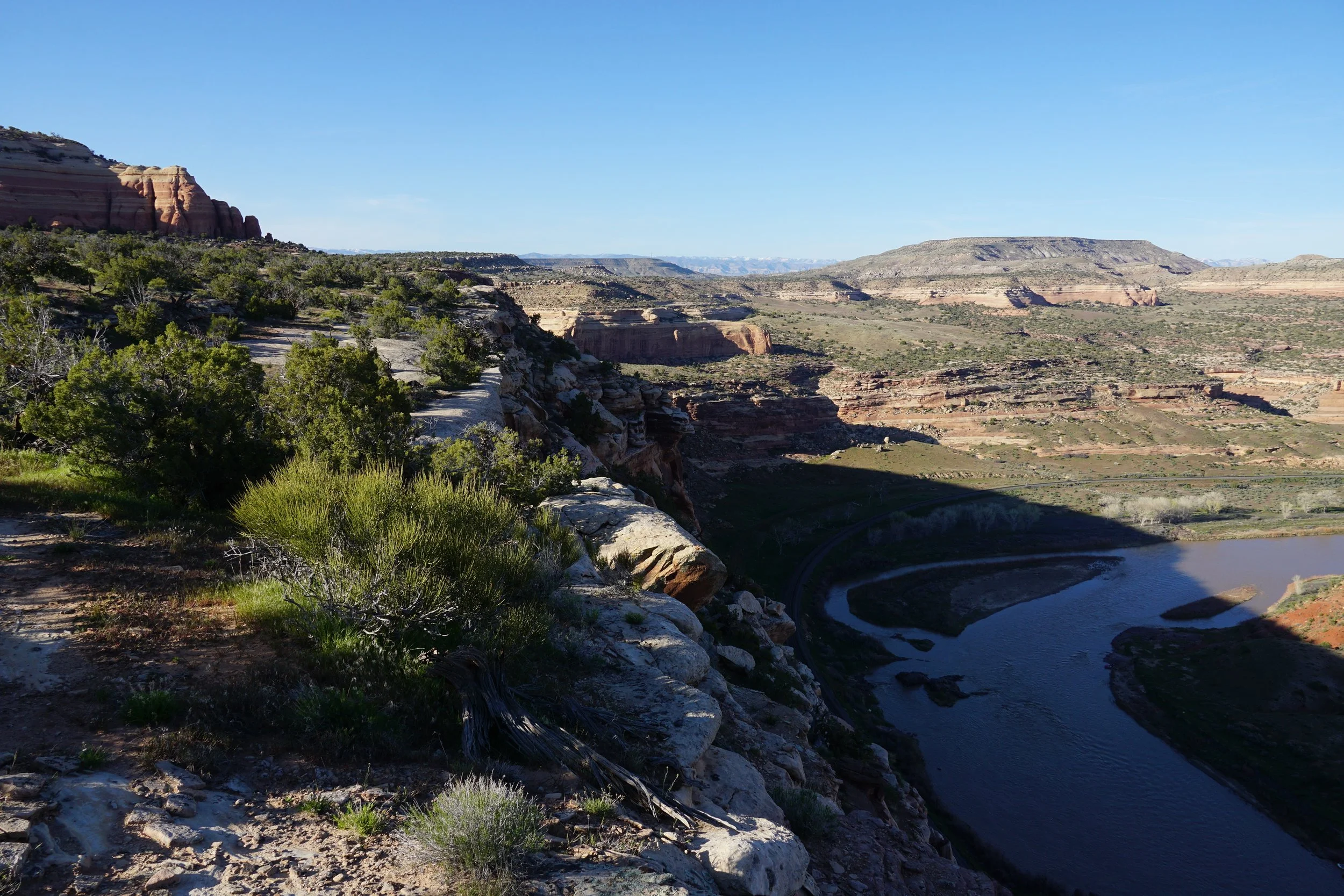
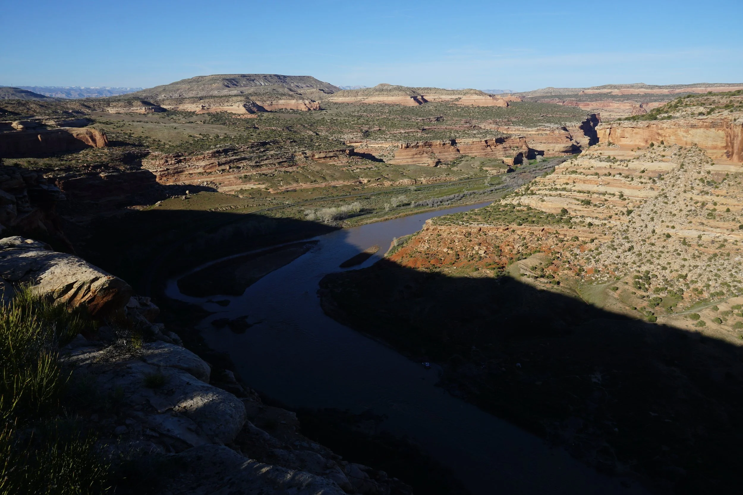
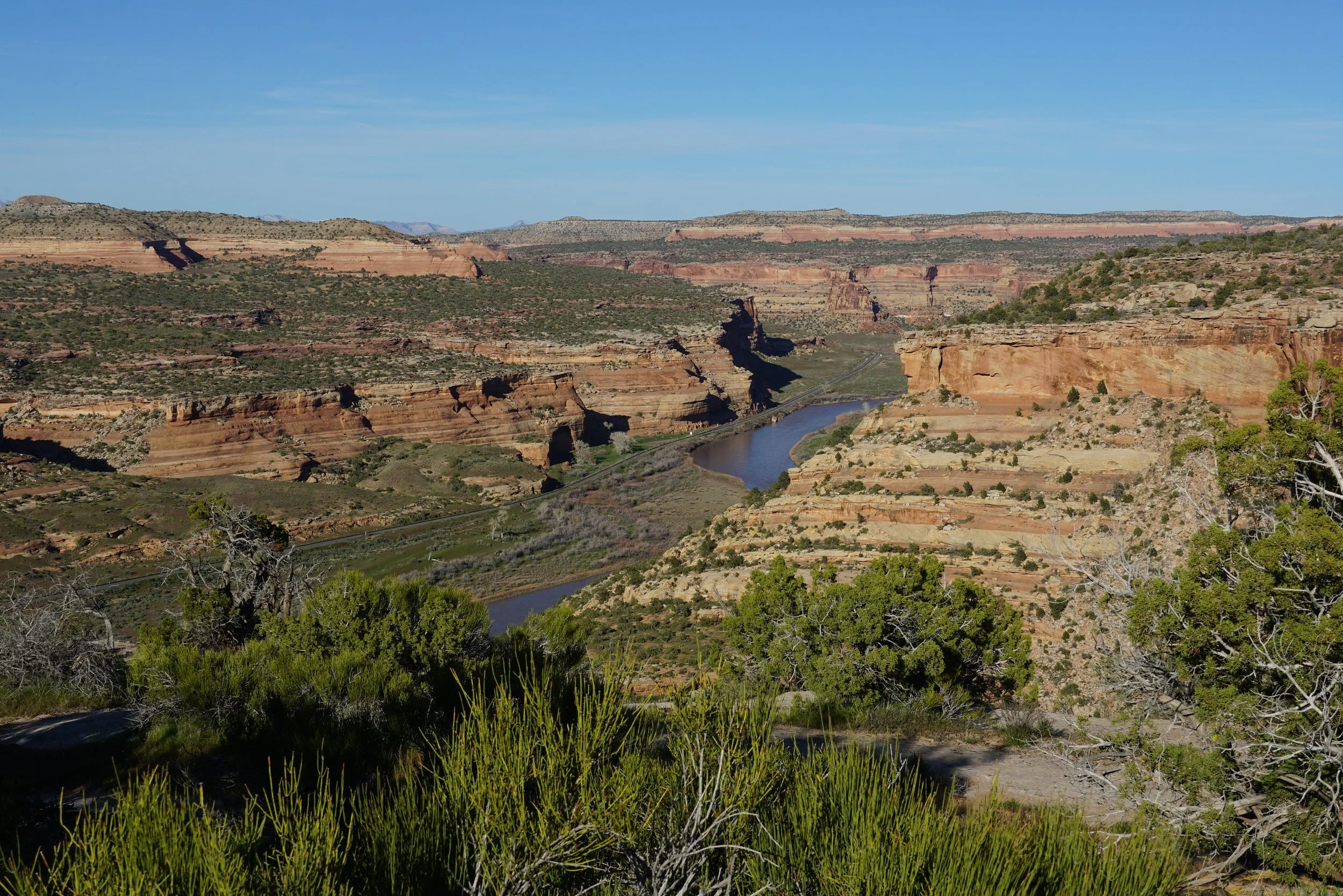
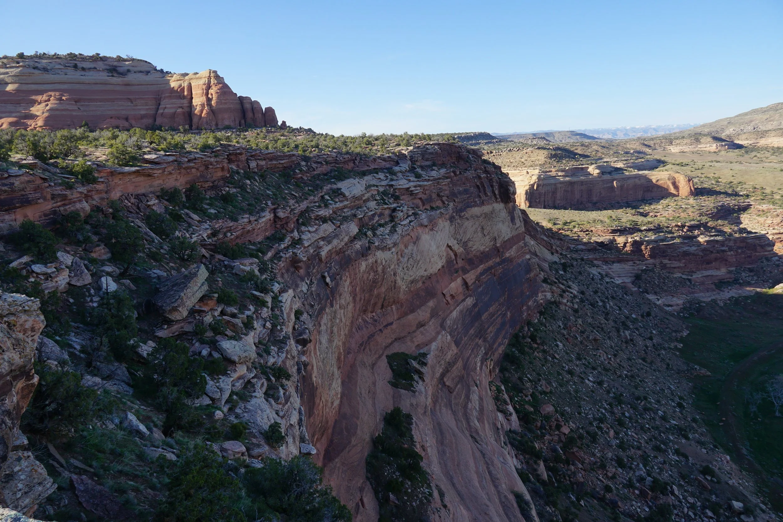
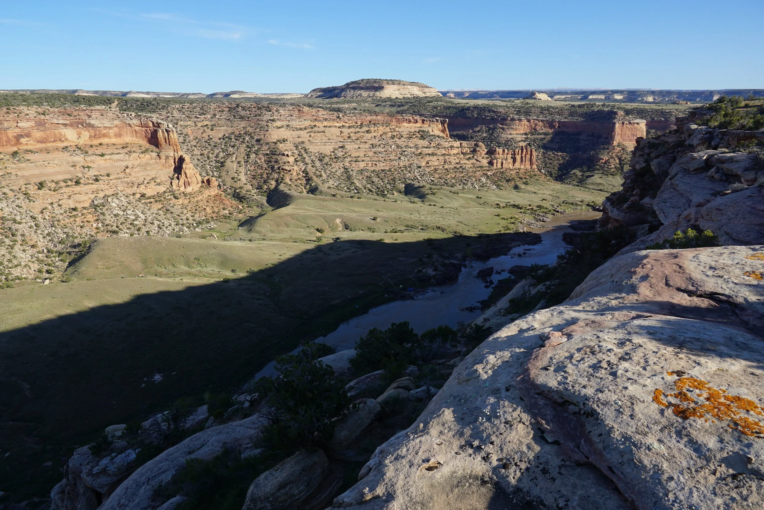
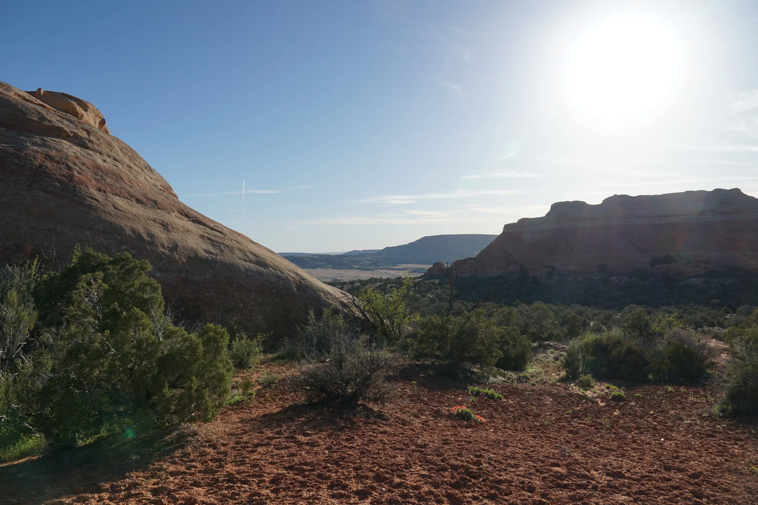
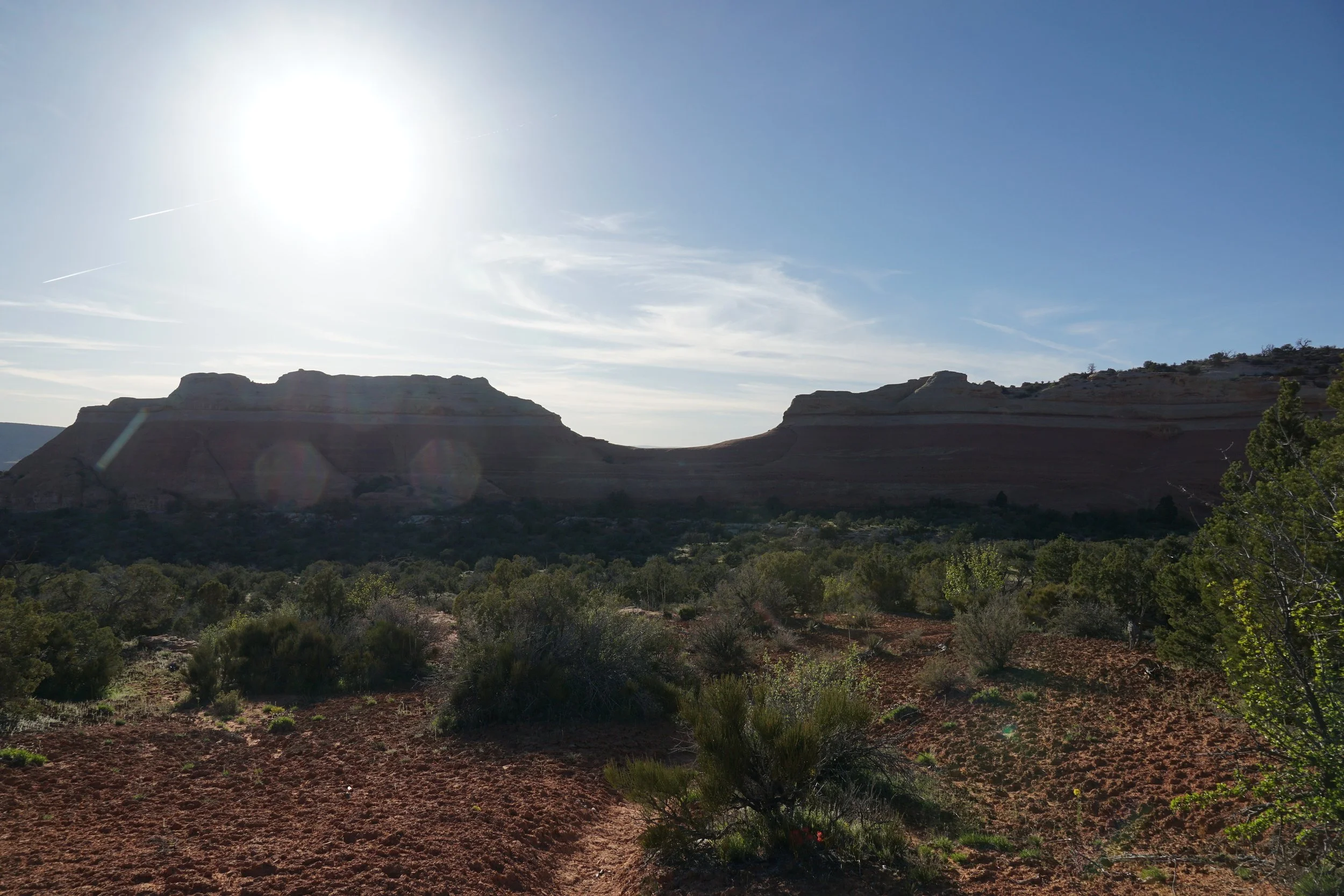
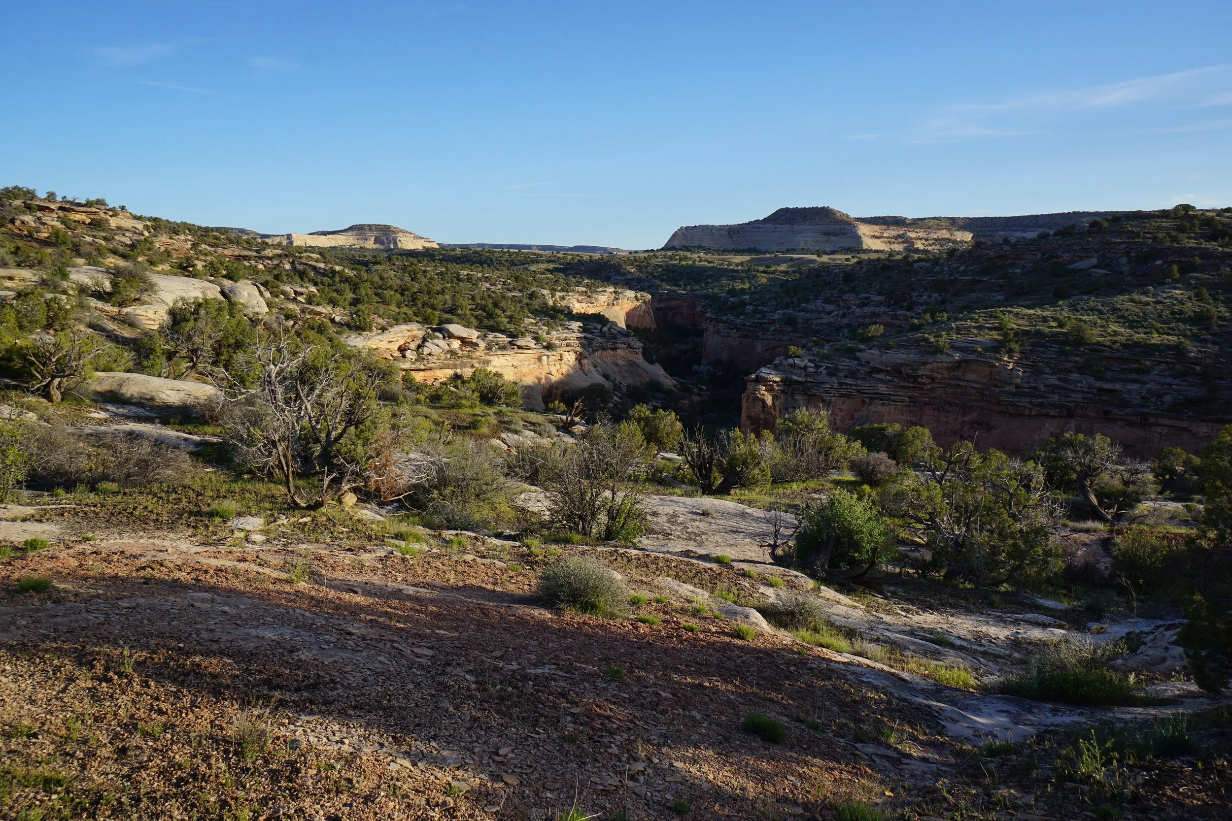
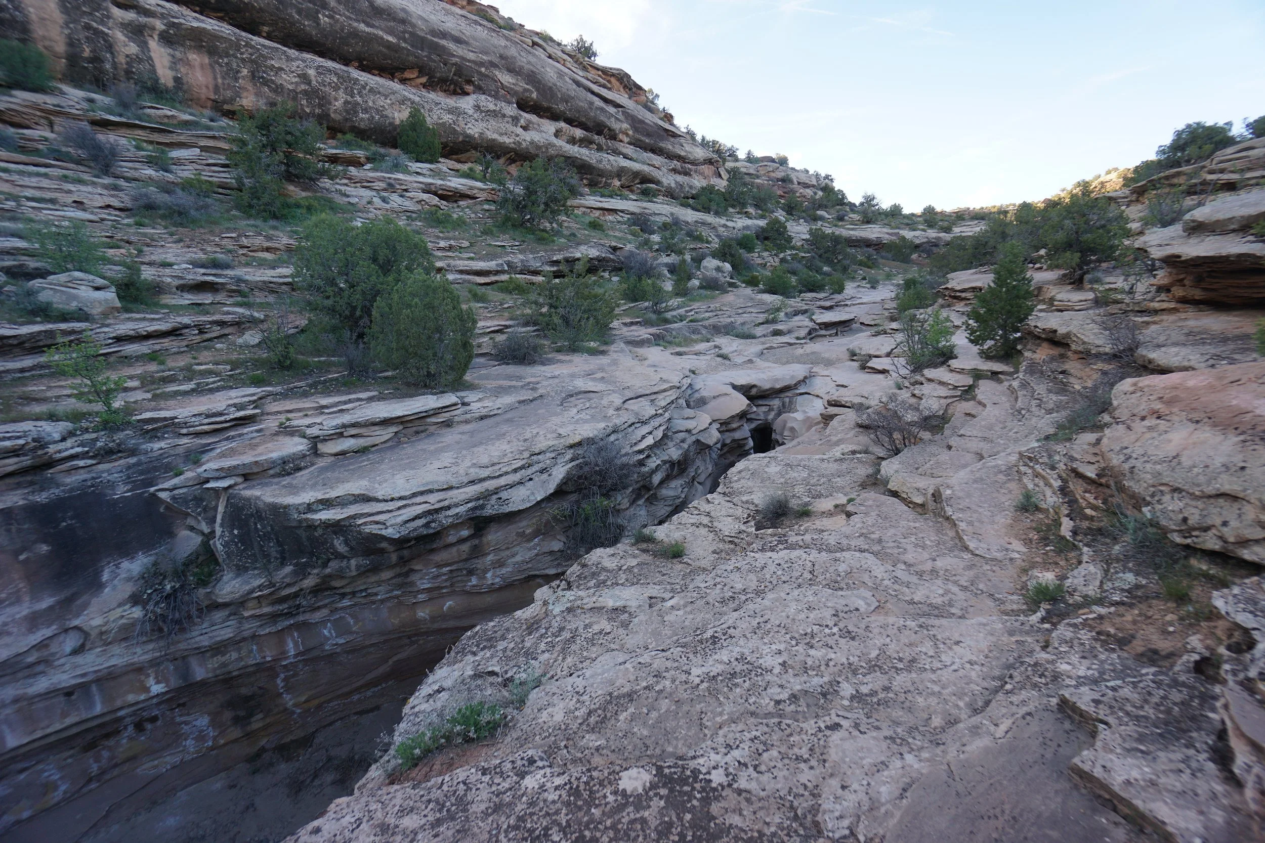
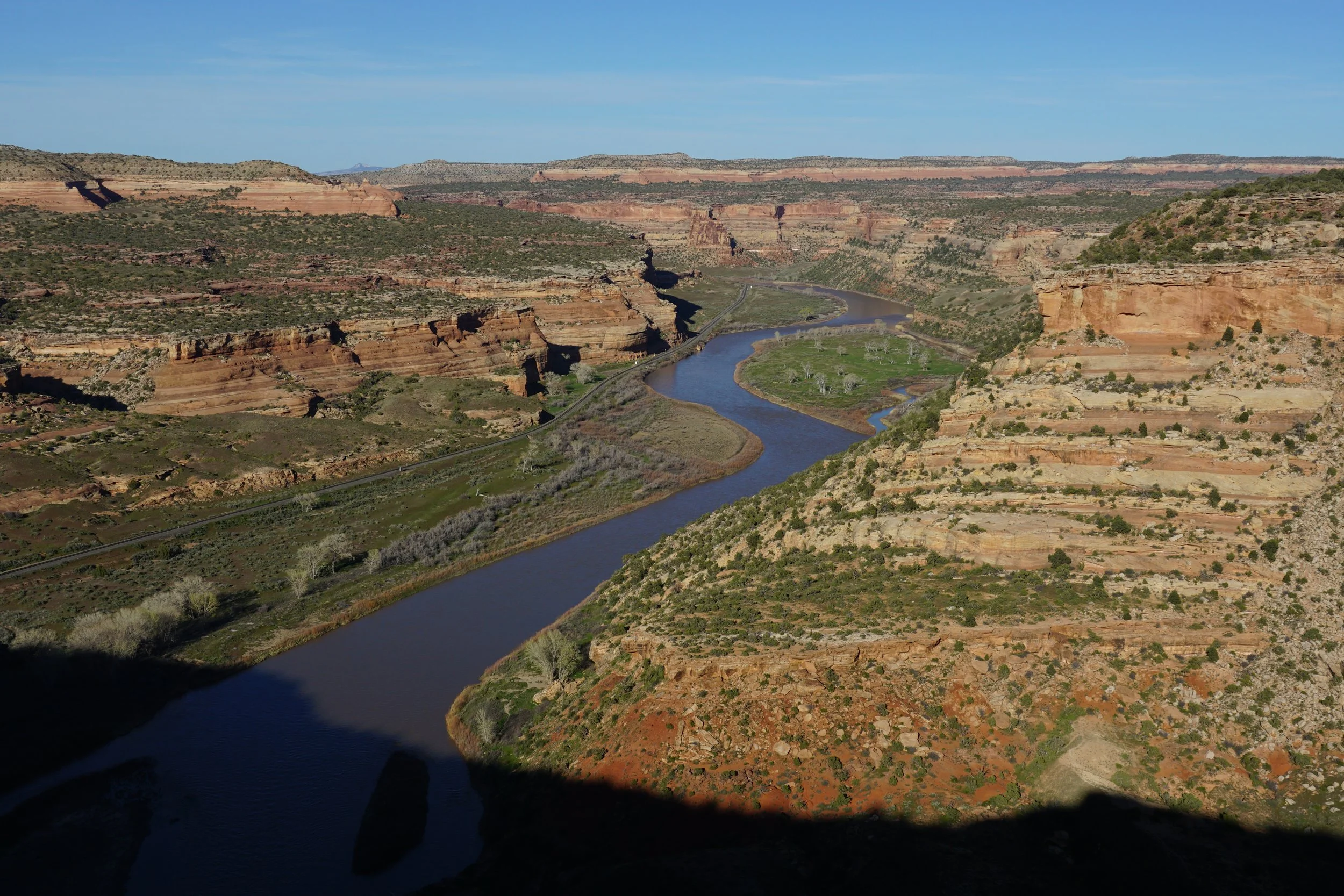
At the 3/4 of a mile point, you will be hiking down into McDonald Creek Canyon on a slick rock creek bed. Keep an eye to the left for cairns leading up the layered stone canyon walls. Follow the cairns and faint trail until you are obviously on the trail looking down into McDonald Creek Canyon. Follow the trail along the rim of the canyon until you see the mouth of McDonald Creek Canyon and the Colorado River below. From here the trail turns to the east, climbing steadily. The views only get better from here.
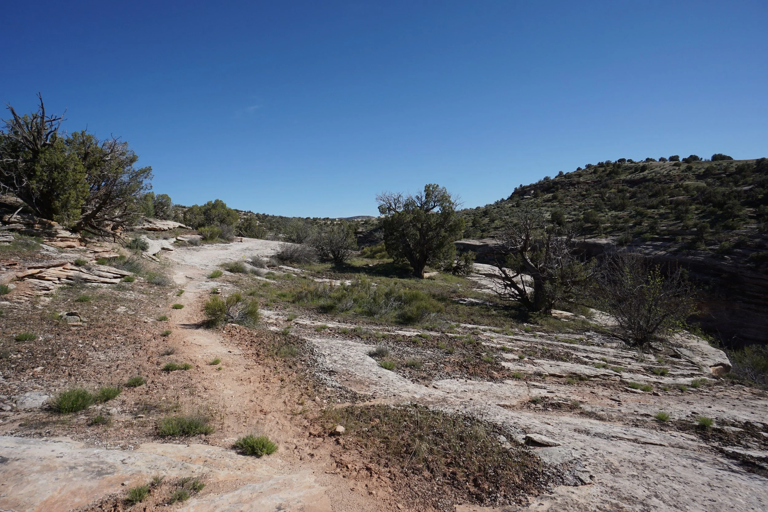
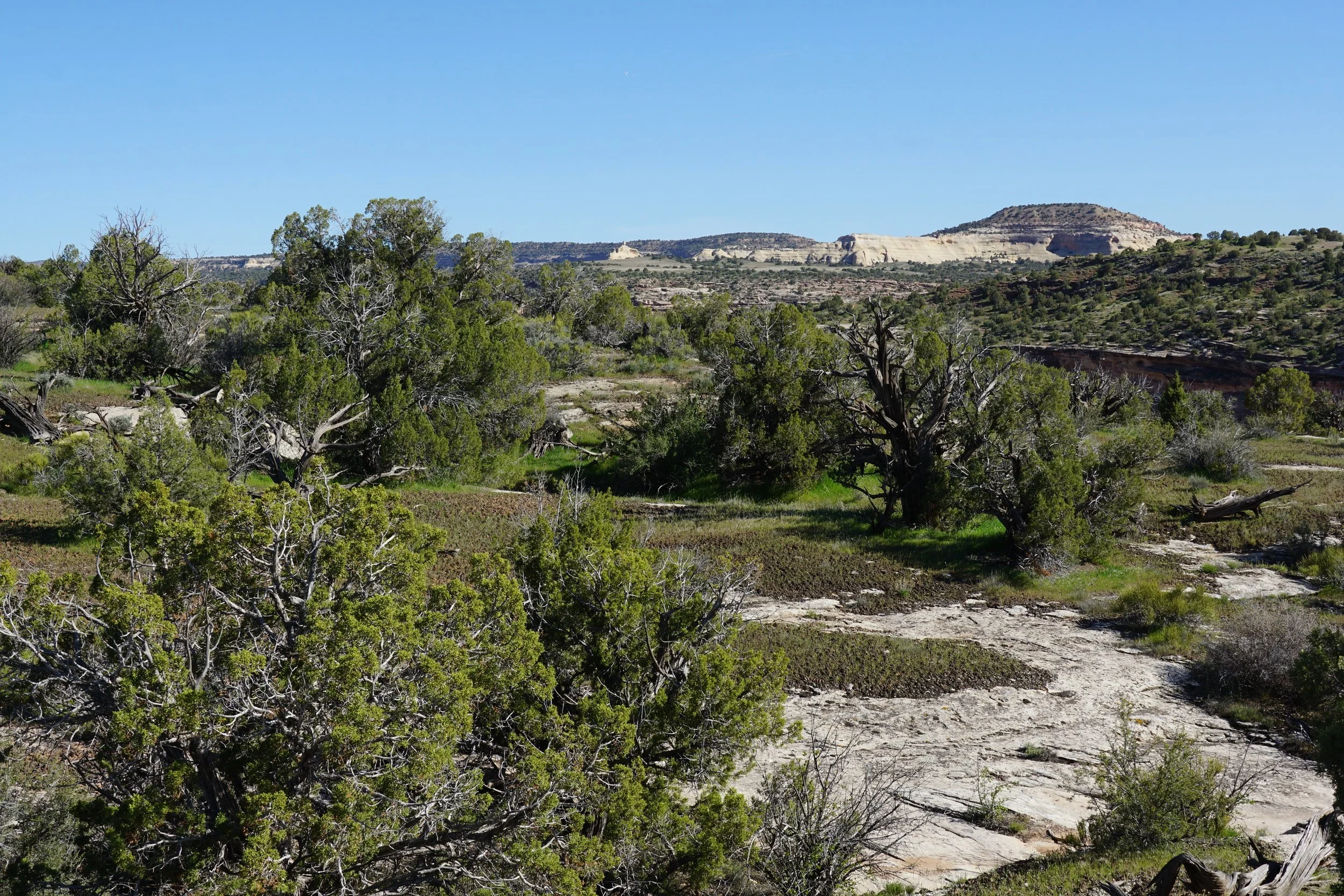
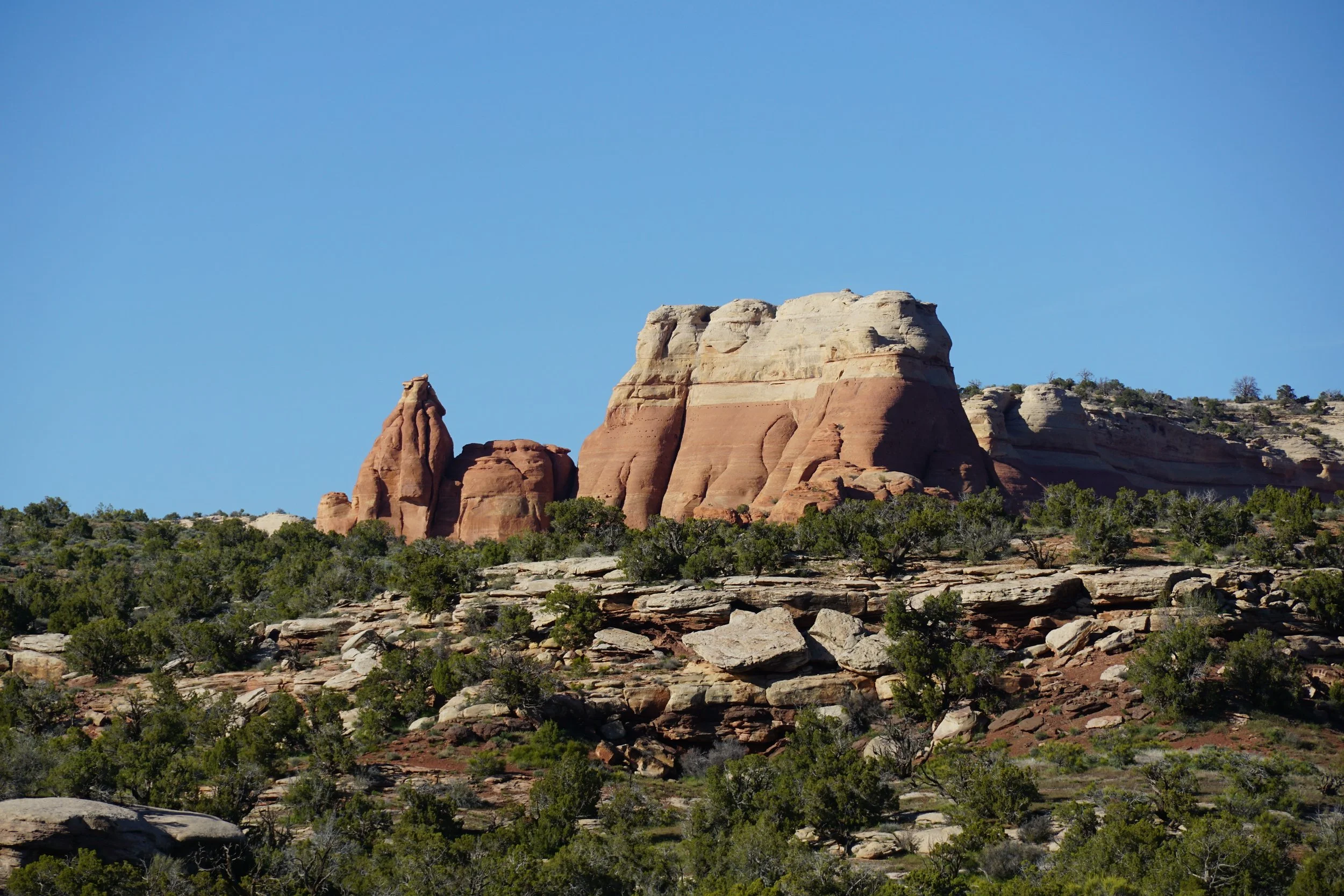
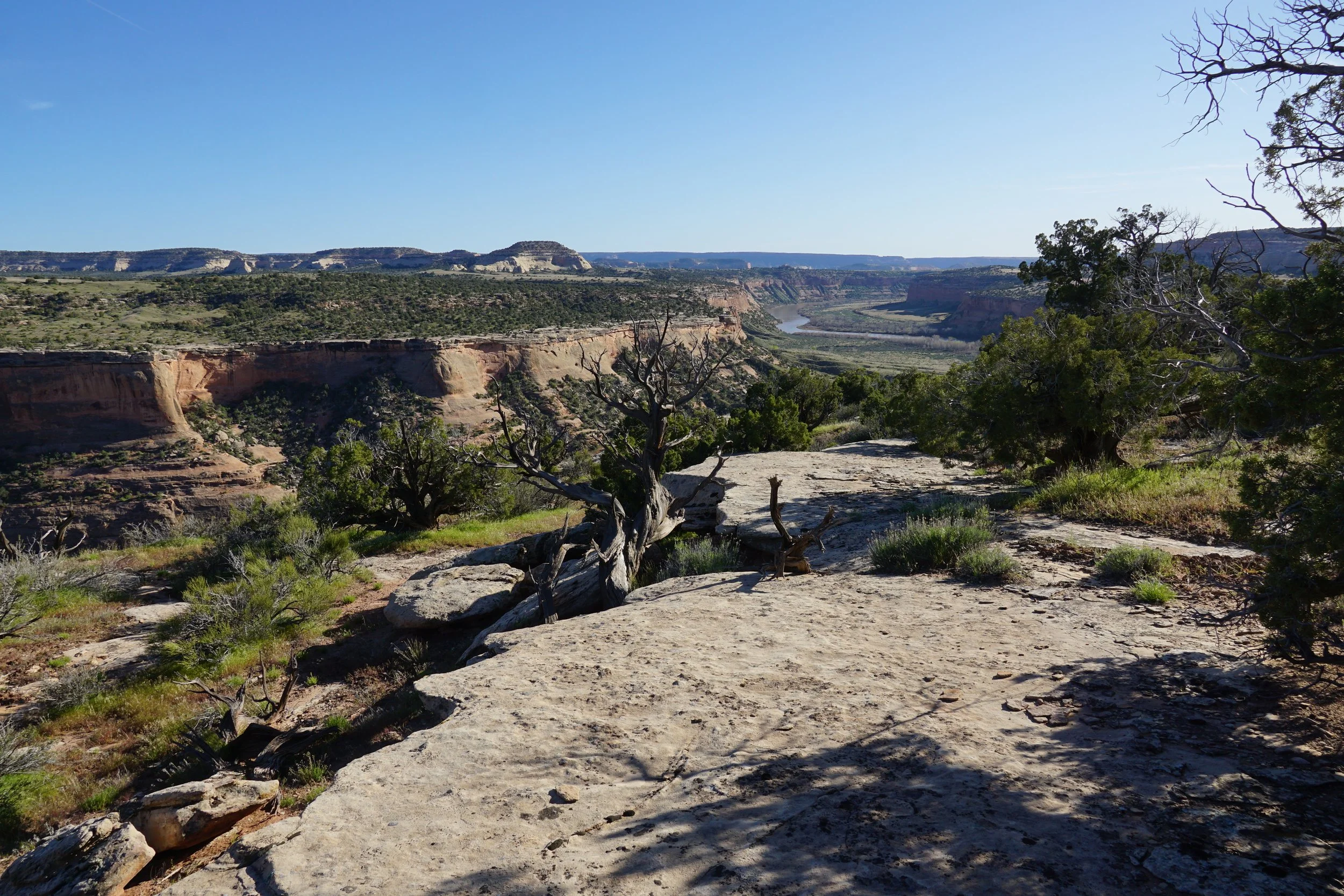
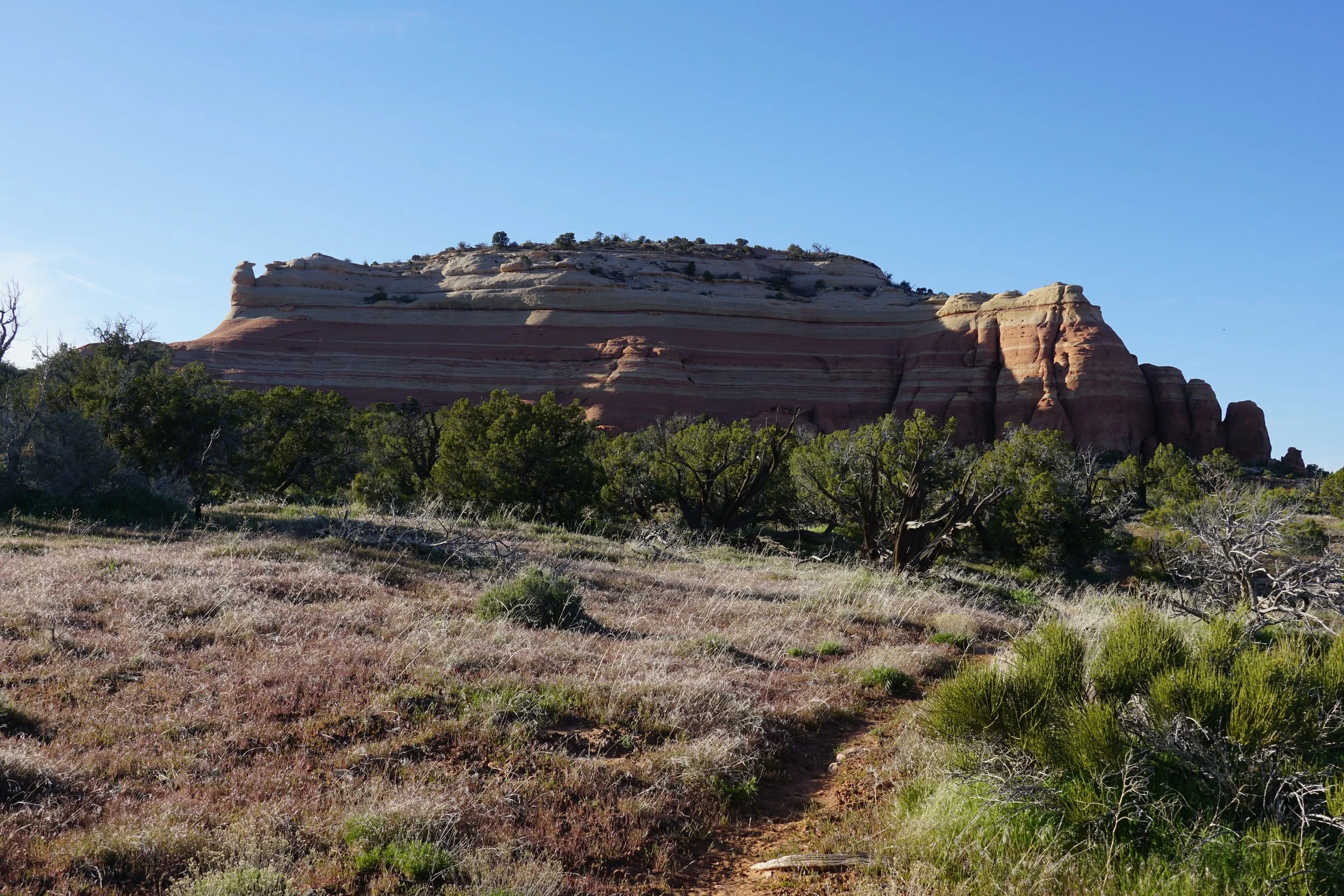
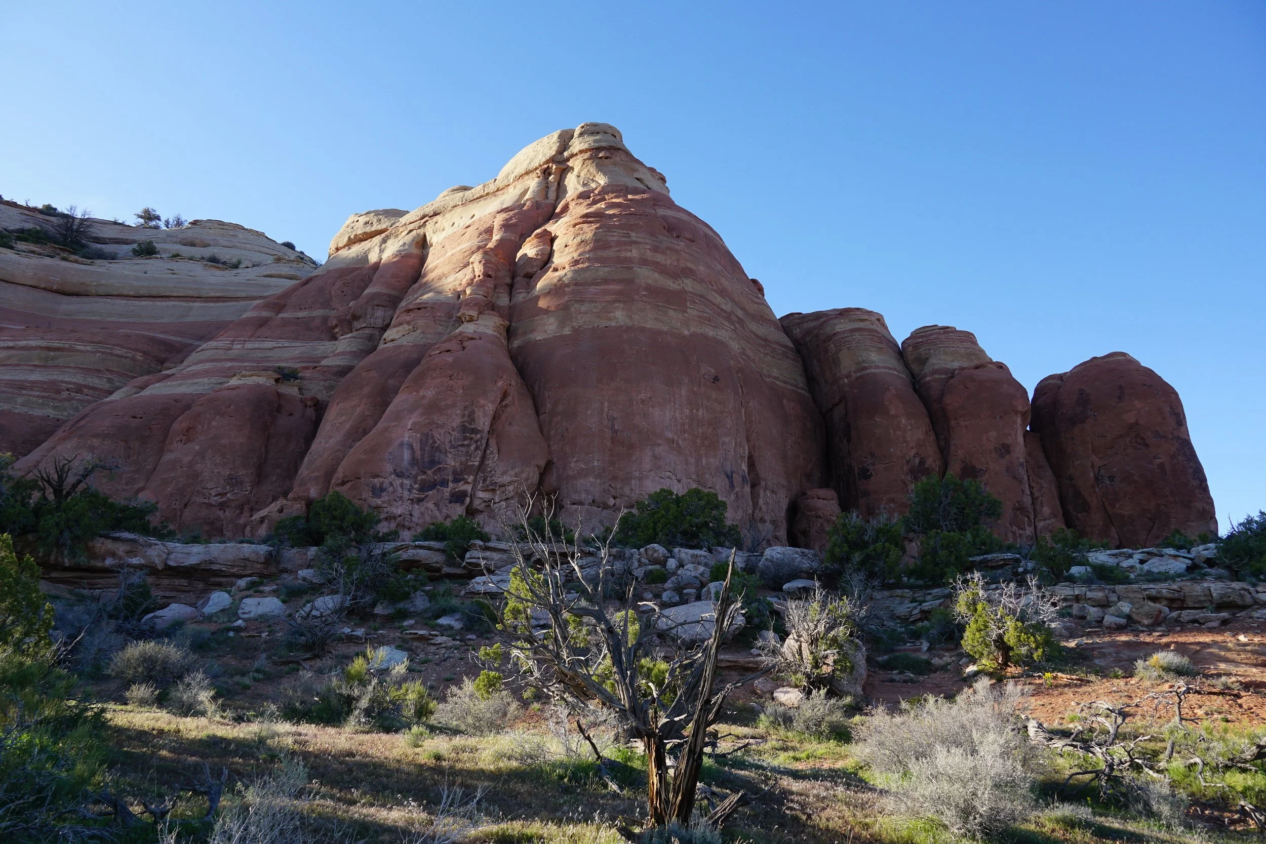
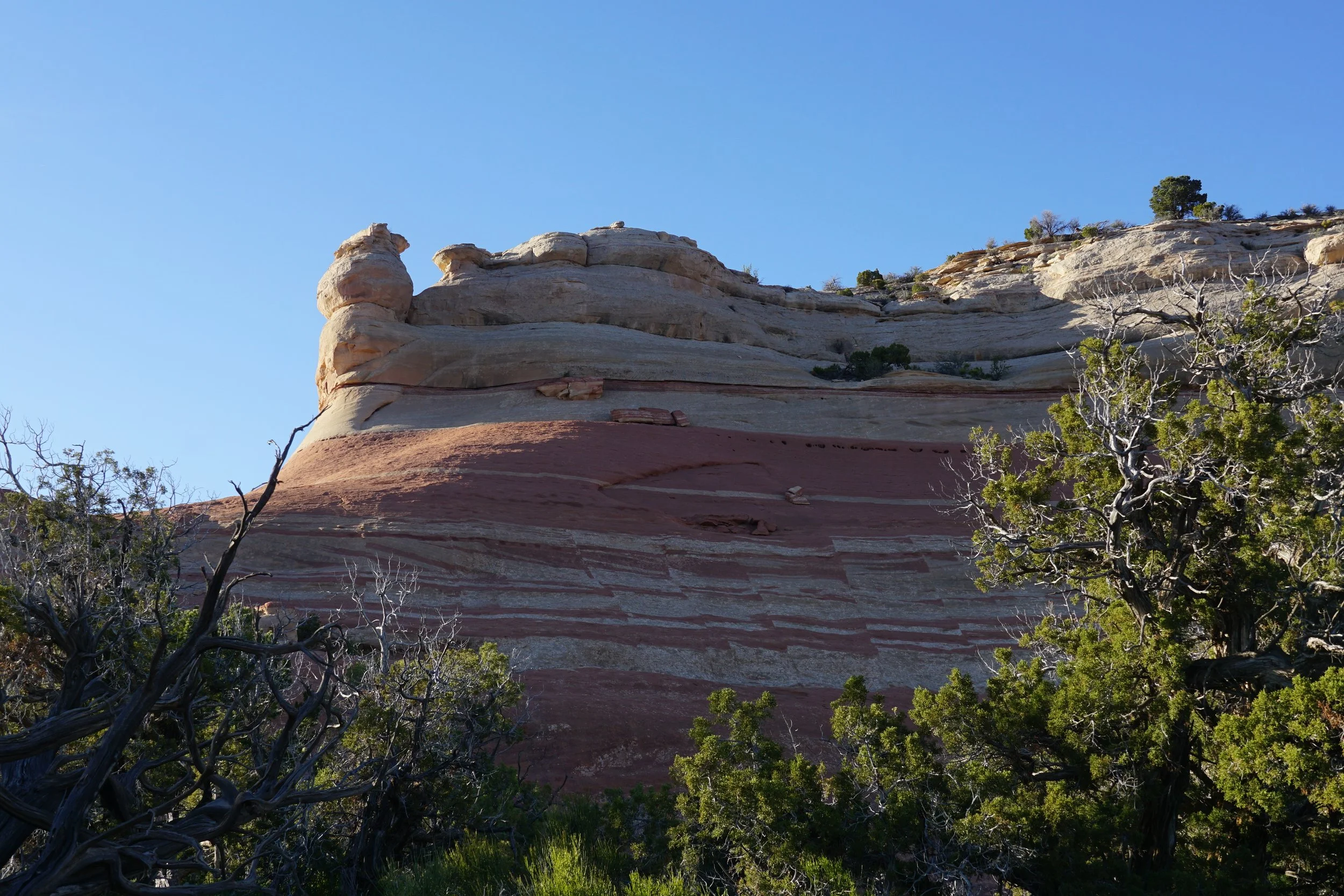
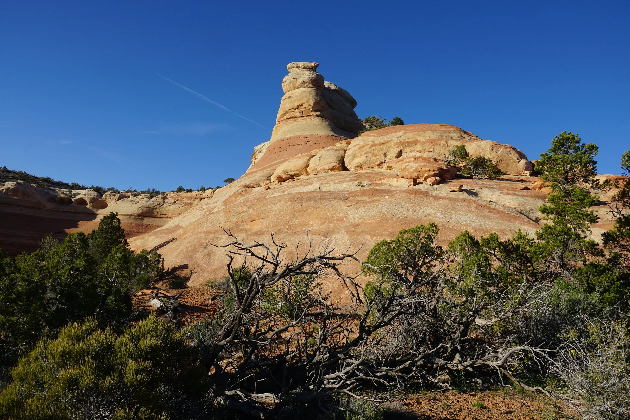
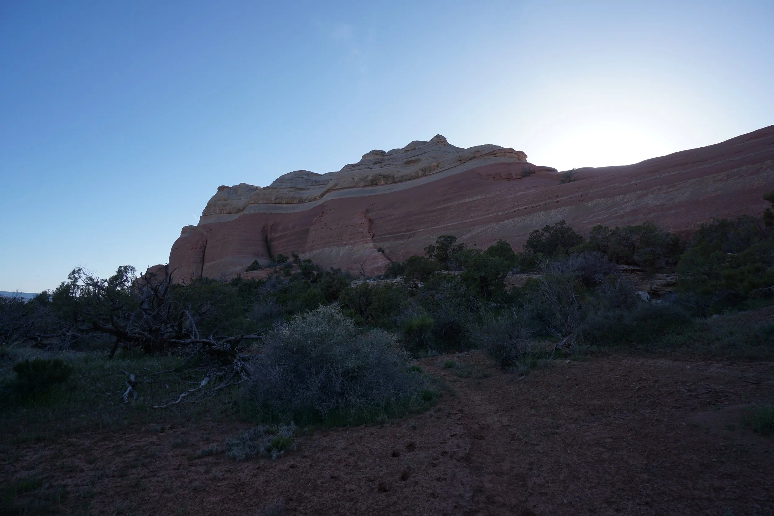
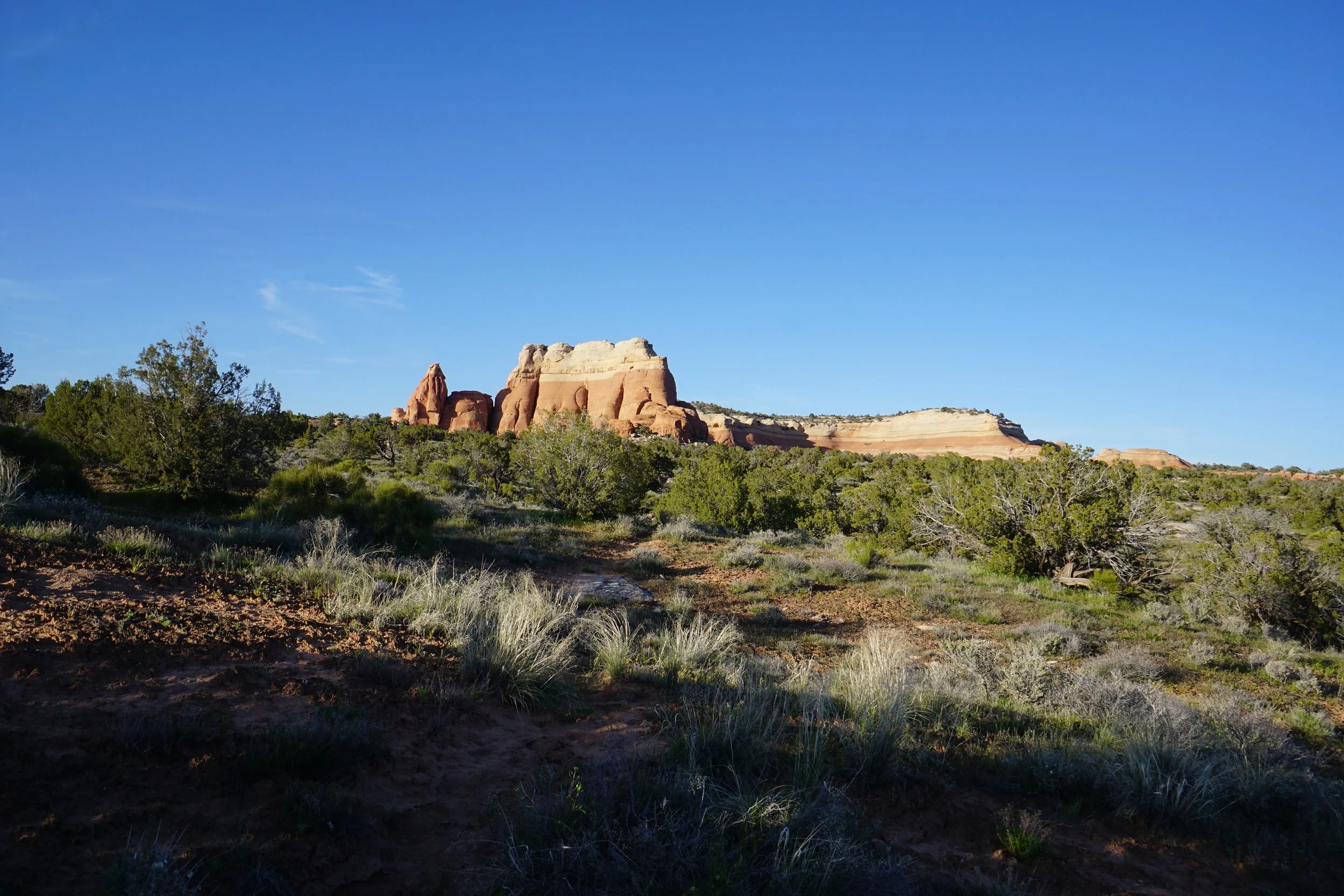
As you hike along the mesa rim, the trail will bear north at about the 3 1/2 mile mark. Enjoy the easterly views of the Colorado River and the sheer cliff faces. After this segment, the trail turns back to the west and heads towards a pink striped rock formation. As you get to the westernmost point of the rock formation, you need to be careful and have your GPS at the ready. The Jouflas Trail becomes very faint and joins with the Wild Horse Mesa Trail at an unsigned junction. If you wind up on the Wild Horse Mesa Trail and miss the Jouflas Trail, don;t fret, it’s just slightly longer back to the trailhead on the Wild Horse Mesa Trail.
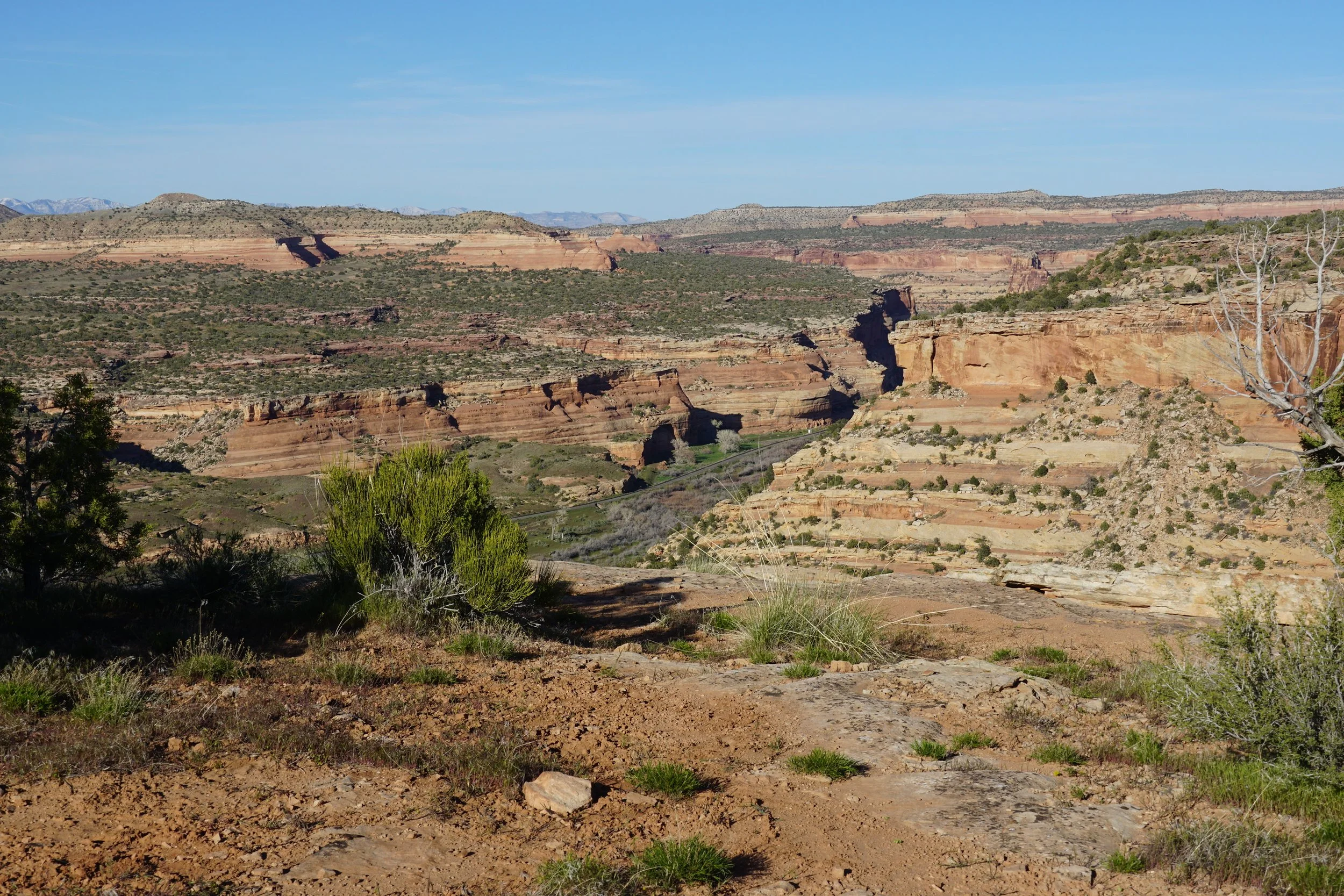
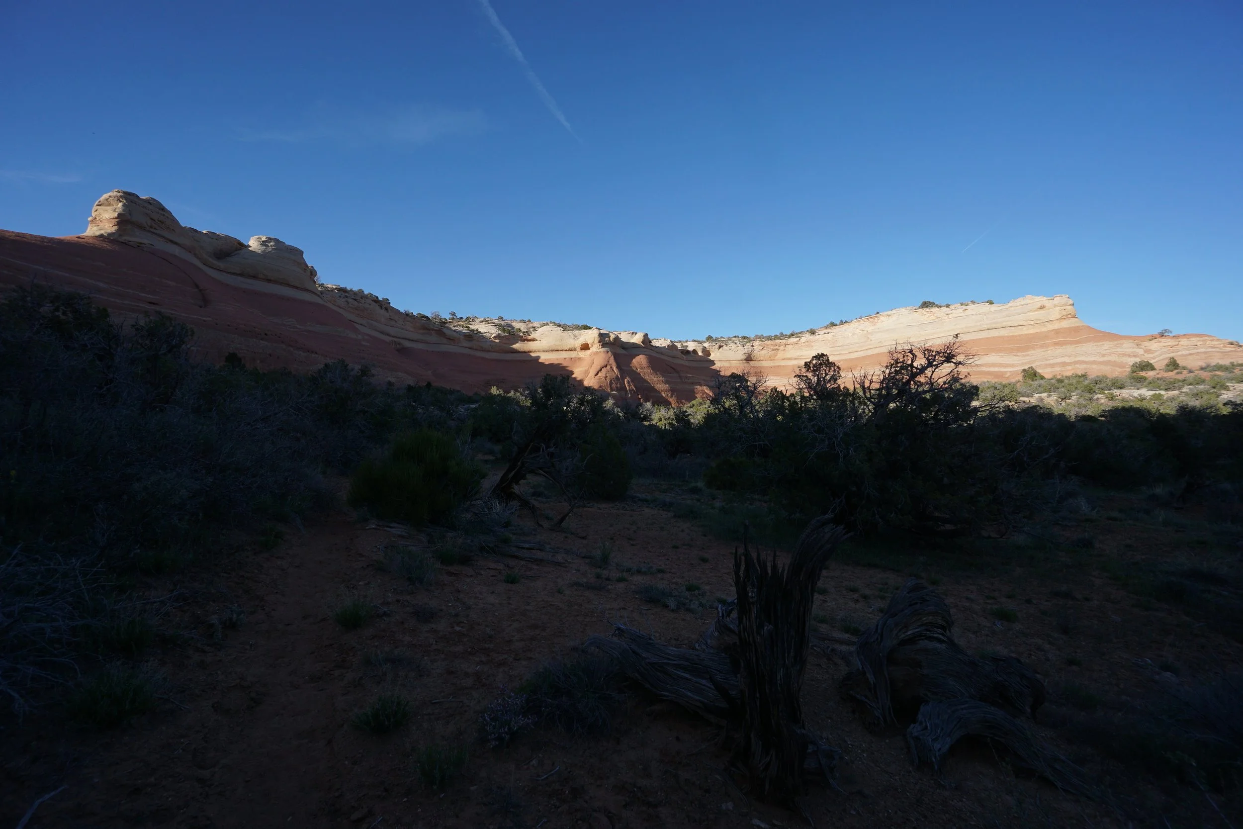
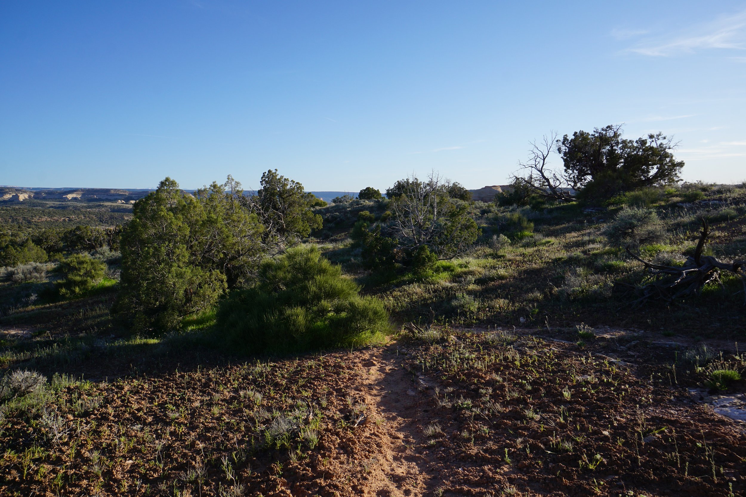
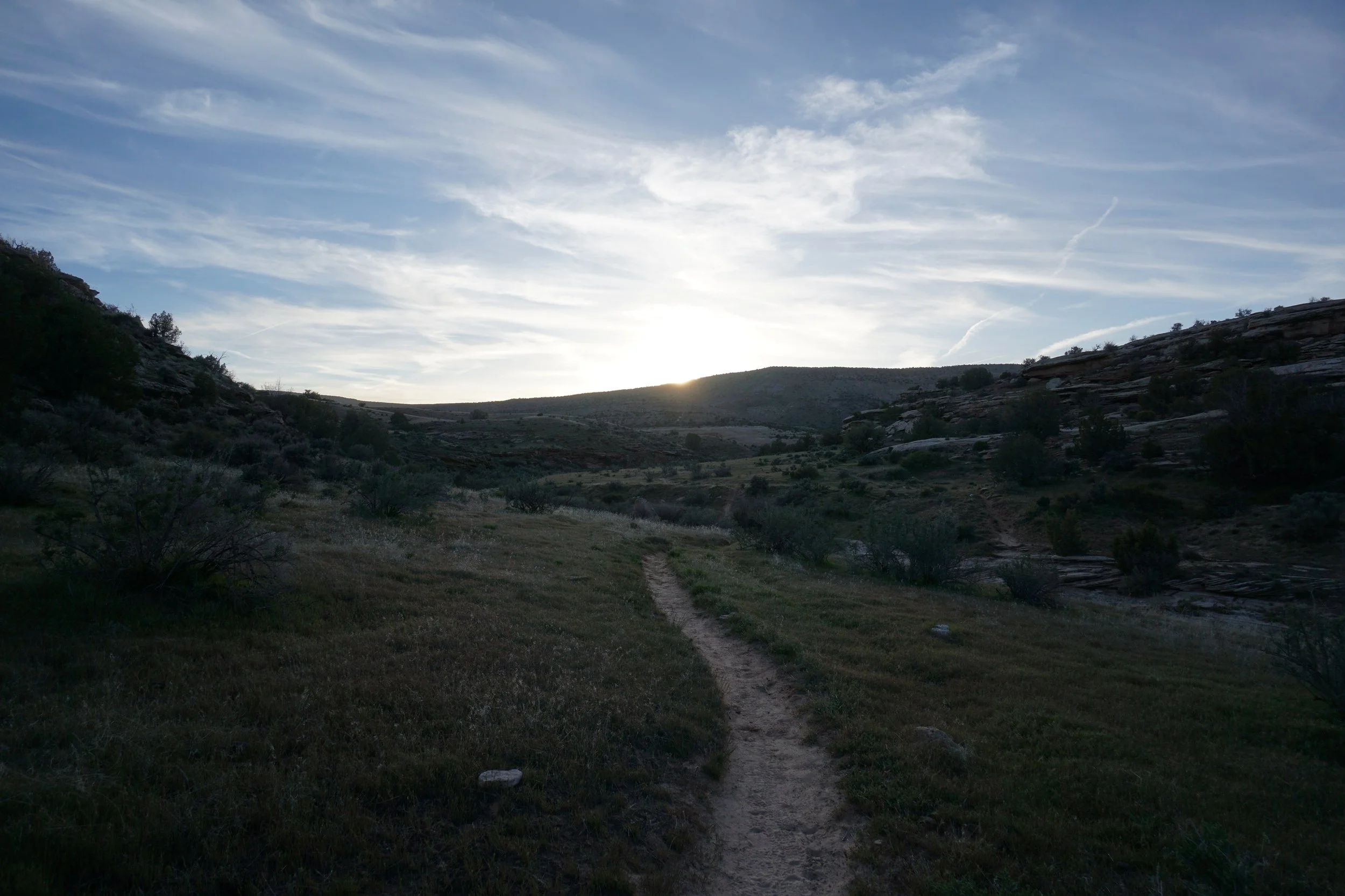
If you can find the faint Jouflas Trail, then follow the trail west across open country back to the rim of McDonald Creek Canyon and then back to the trailhead. The trail really is faint so keep your eyes peeled and have faith that the trail is indeed in front of you.
This is a tremendously beautiful hike and it would be perfect if the trail junctions were signed or marked. I strongly recommend having COTREX downloaded on your phone (https://trails.colorado.gov/map/@39.159156,-109.030084,13.24z) and follow your position relative to the trail.