Highlands Point
East-West Regional Trail
Date Hiked: February 26, 2016
Distance: 2.25 mi (RT)
Elevation Gain: 150ft
Elevation Min/Max: 6,261 to 6,334ft
Trailhead Lat/Long: 39º 30' 15" N; 104º 56' 29" W
Managing Agency: Douglas County Parks
Fee: None
Directions:
From C-470 in Highlands Ranch, exit at the University exit and head south on University. Turn right on Wildcat Reserve Parkway, left on McArthur Ranch Rd, and a quick right on Grig's Road. Grig's becomes Daniels Park Road (good dirt) and climbs up to the mesa top and the East-West Trailhead.
Hike Description:
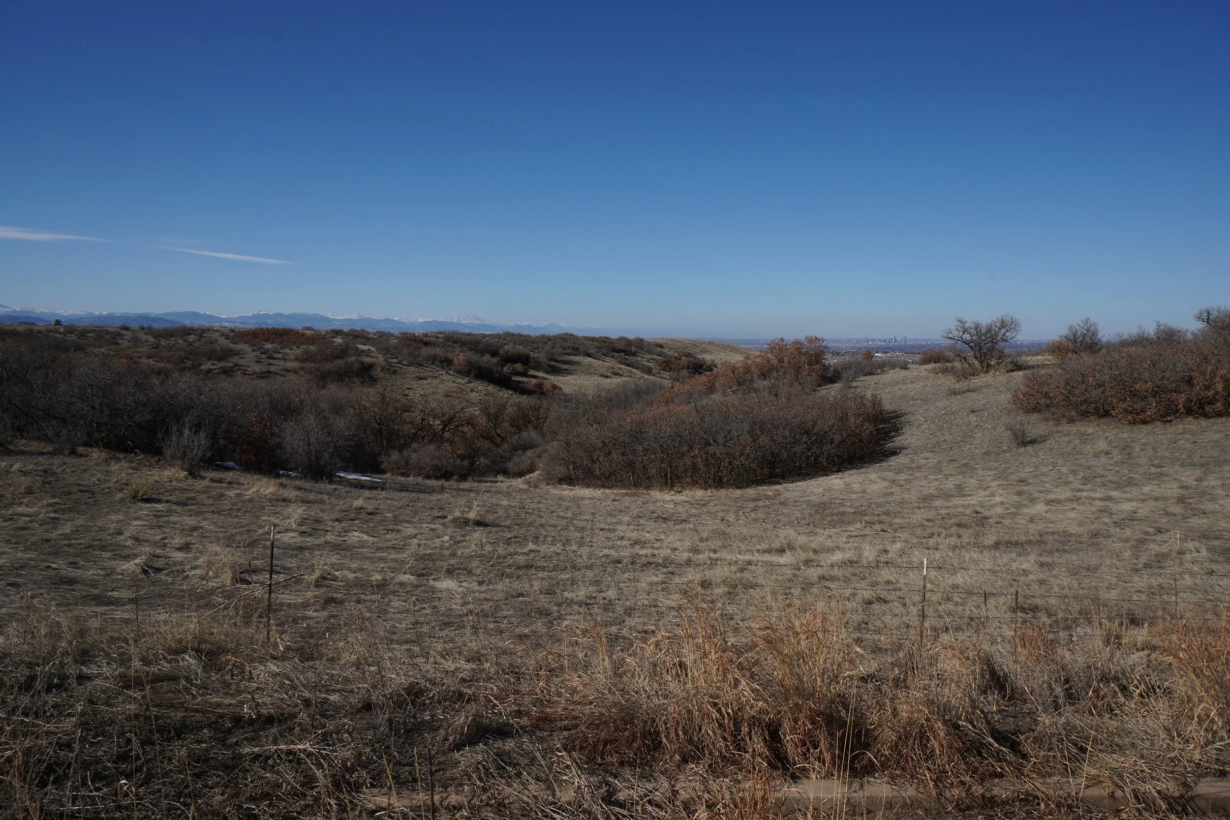
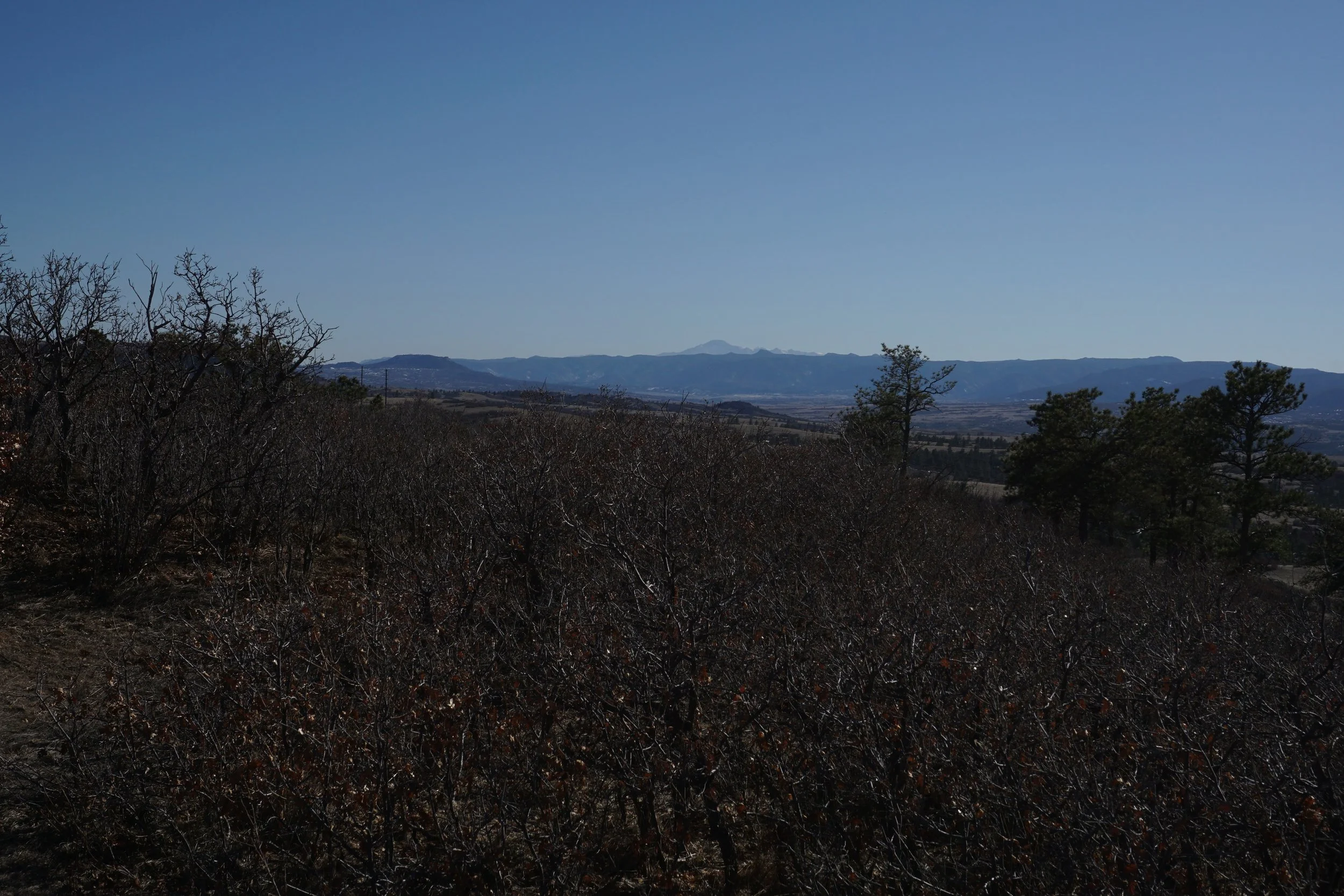
The Highlands Ranch Community has an open space area called the "Backcountry Wilderness Area." The area is largely a private trail system, there are many signs warning the general public to stay off the trails. That being said, there are some trails that the public can access and the East-West Trail is one of those.
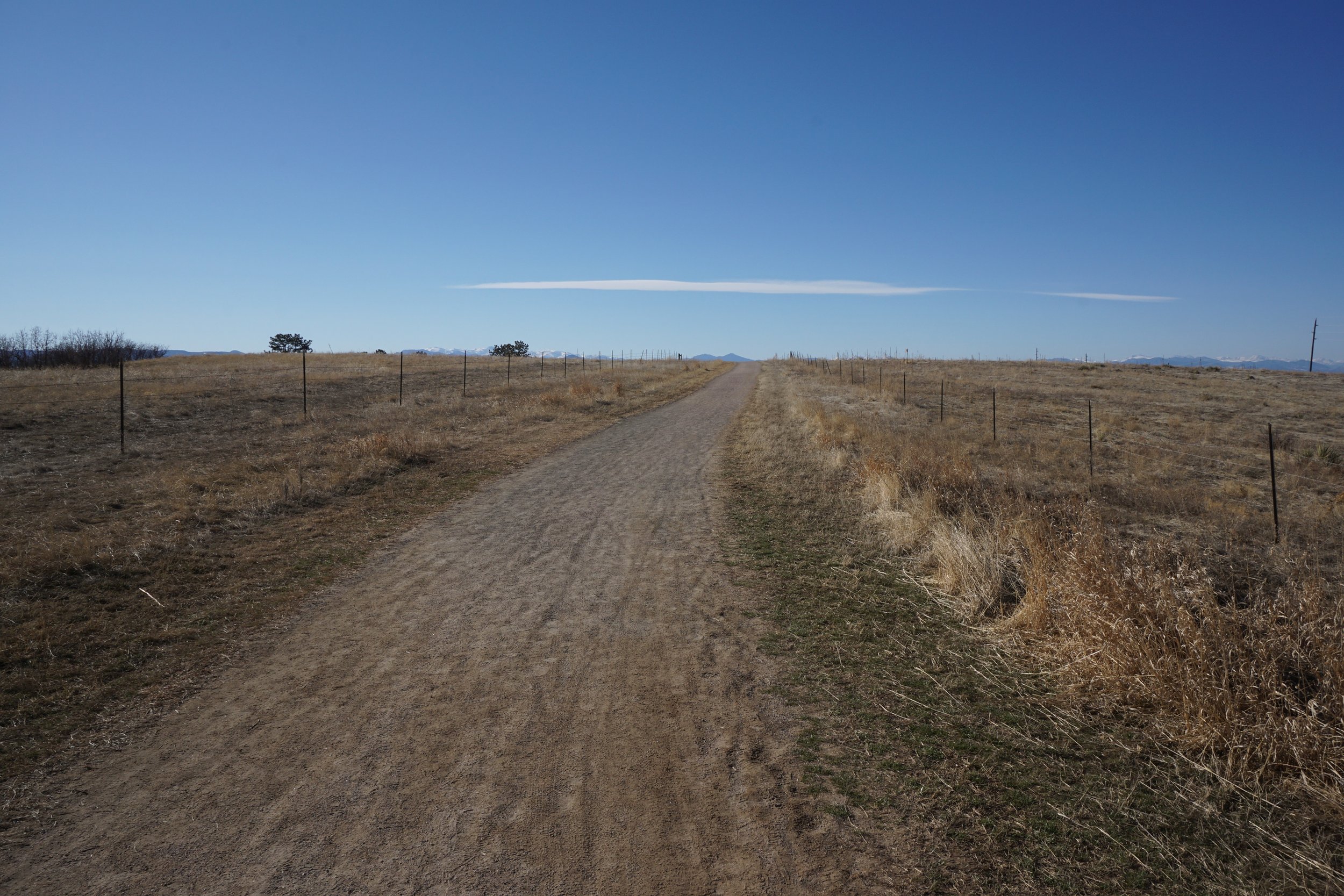
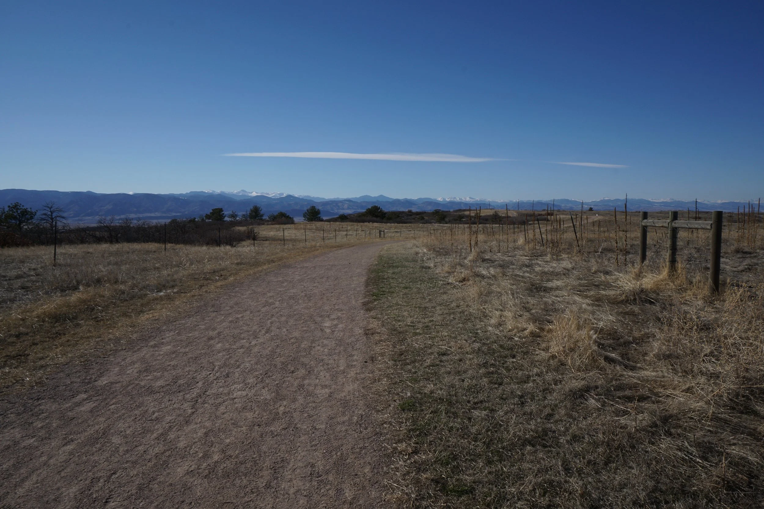
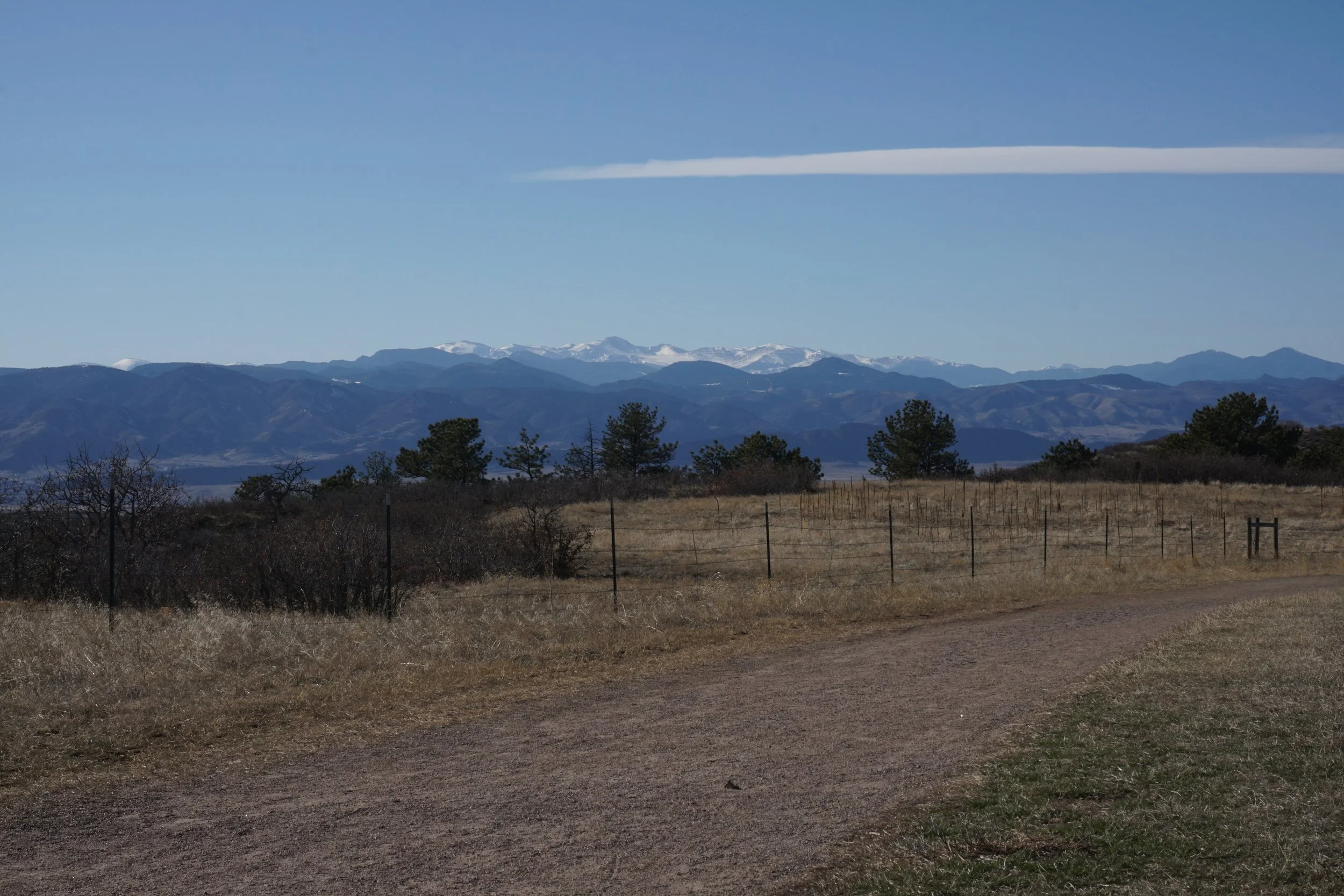
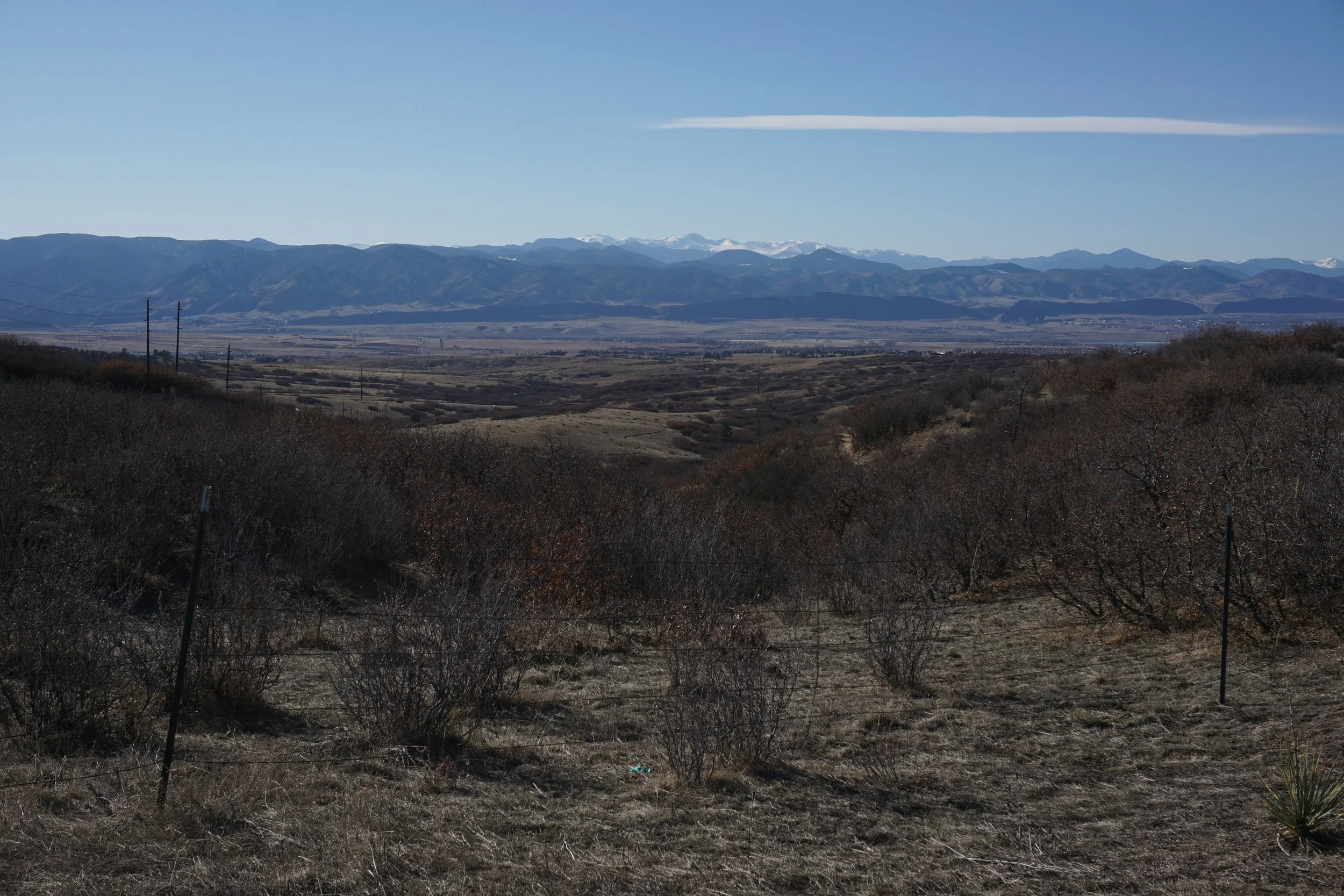
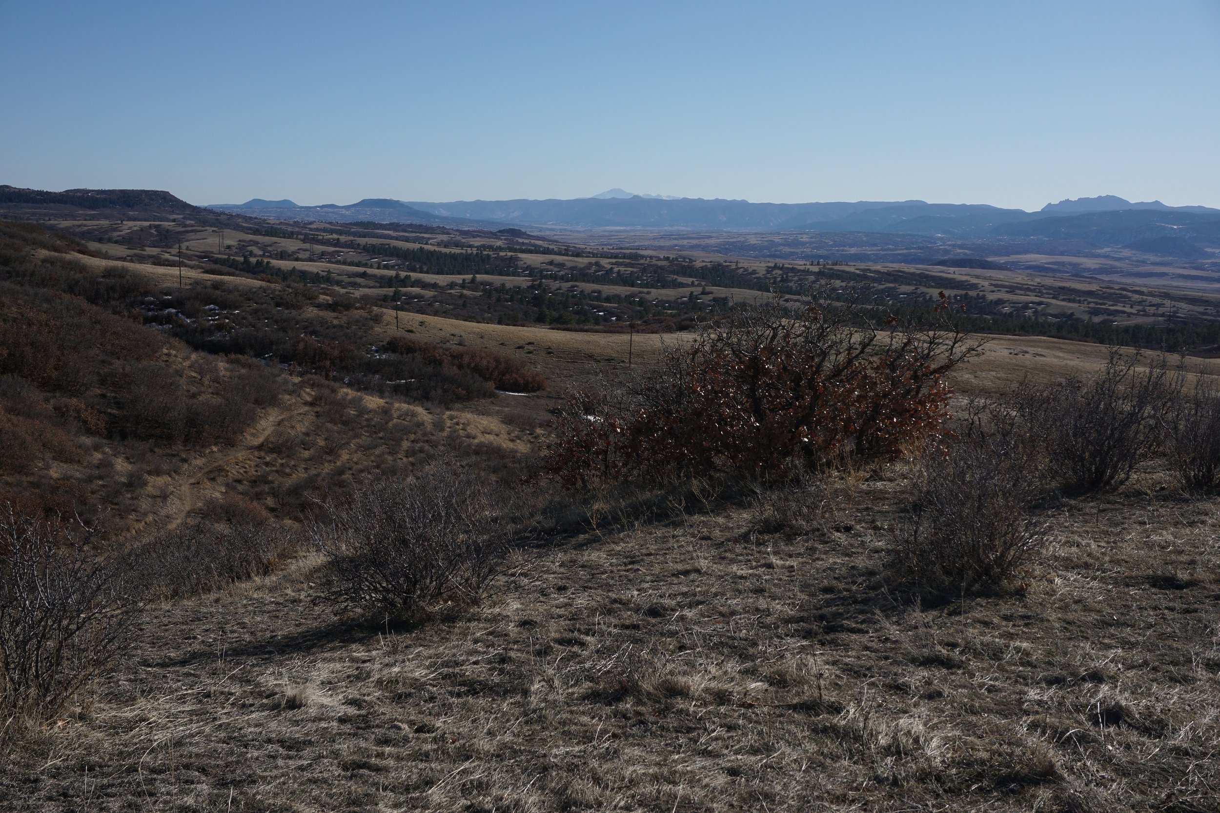
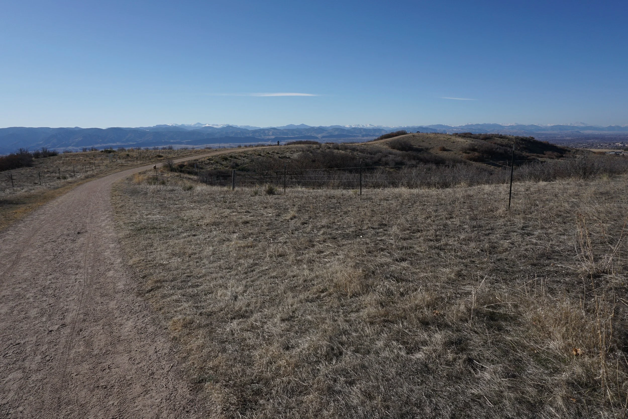
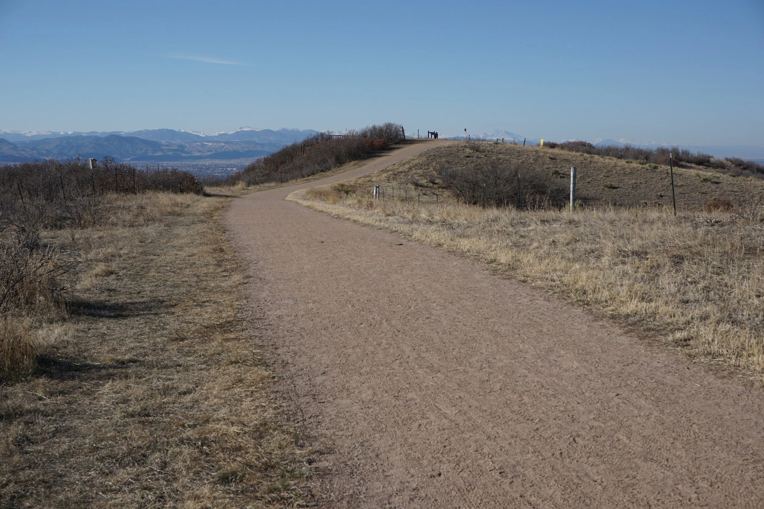
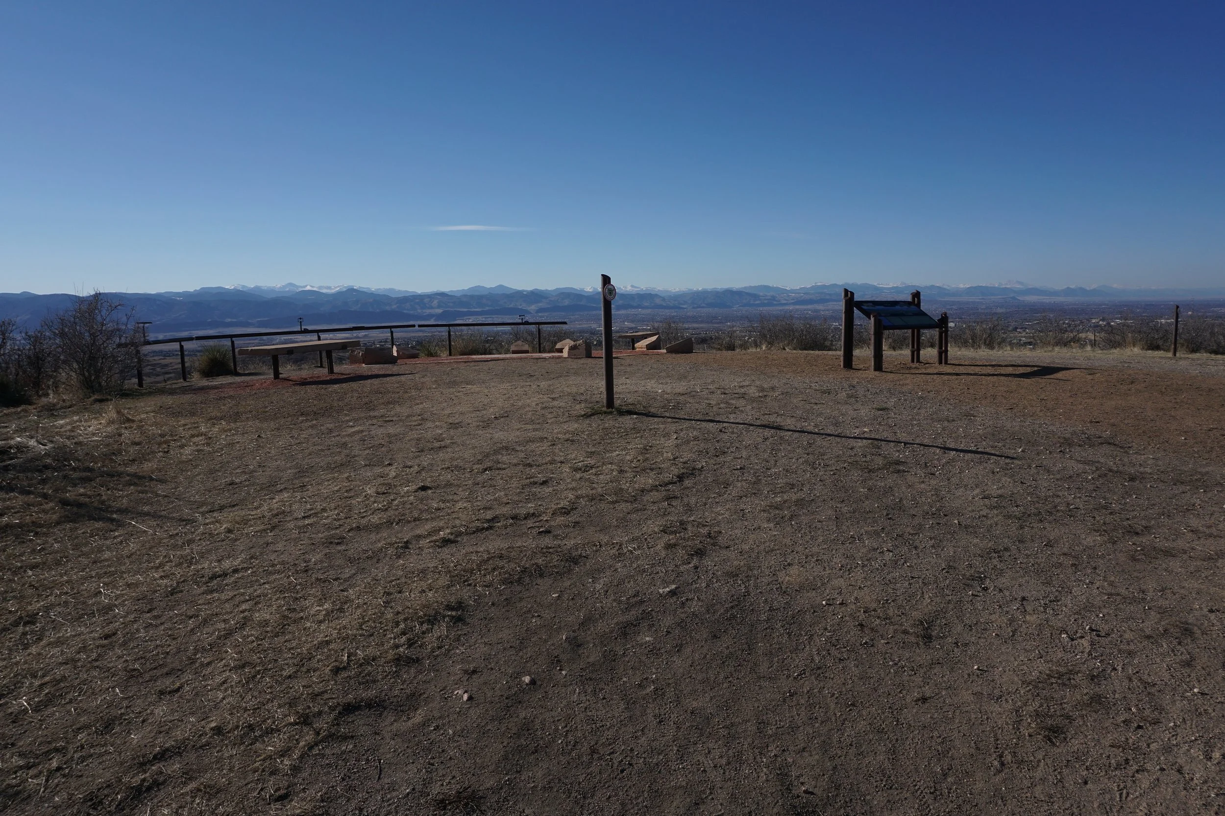
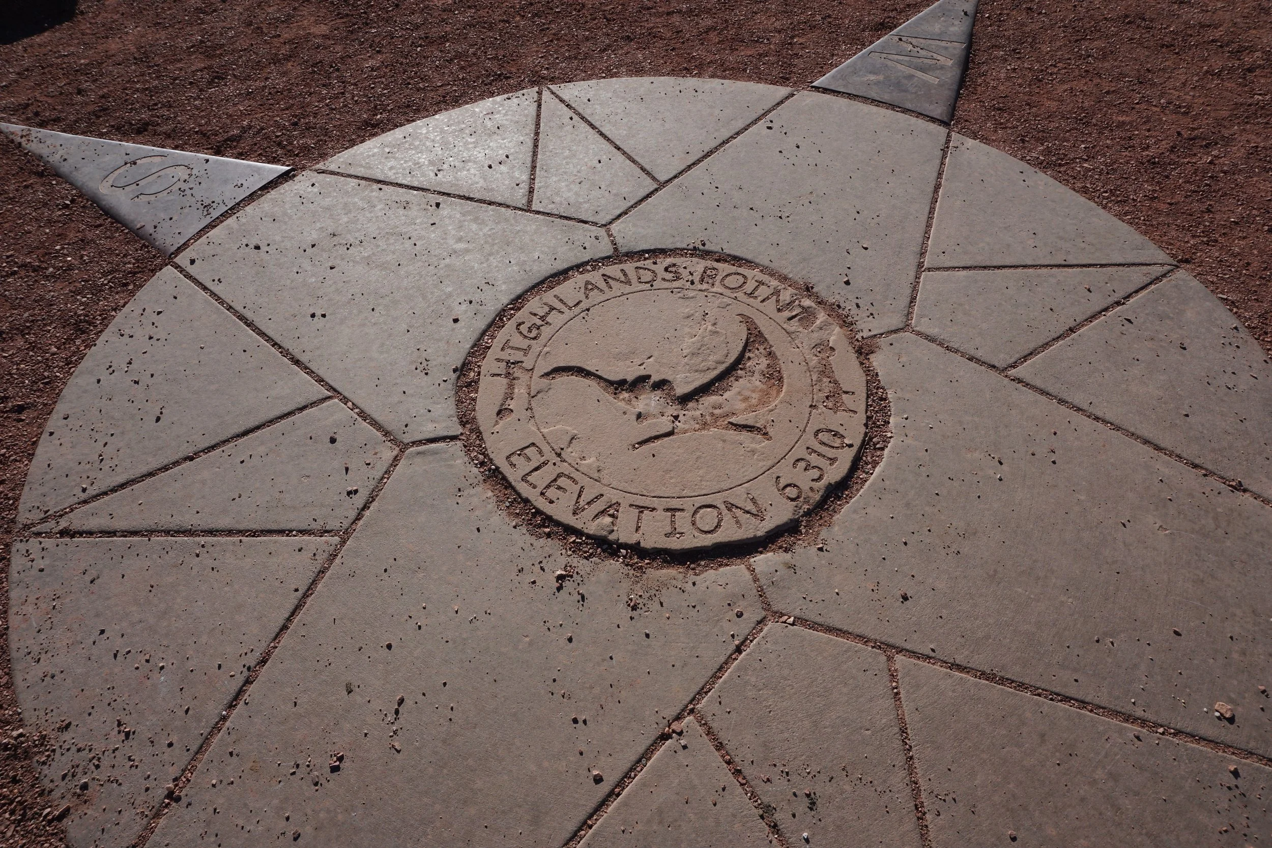
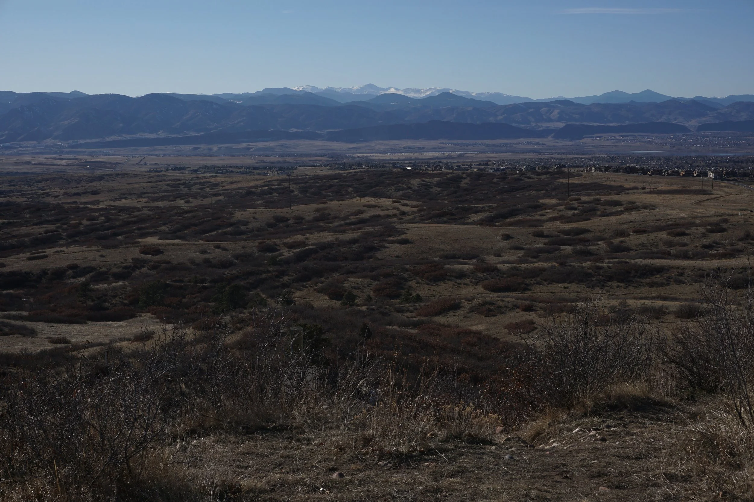
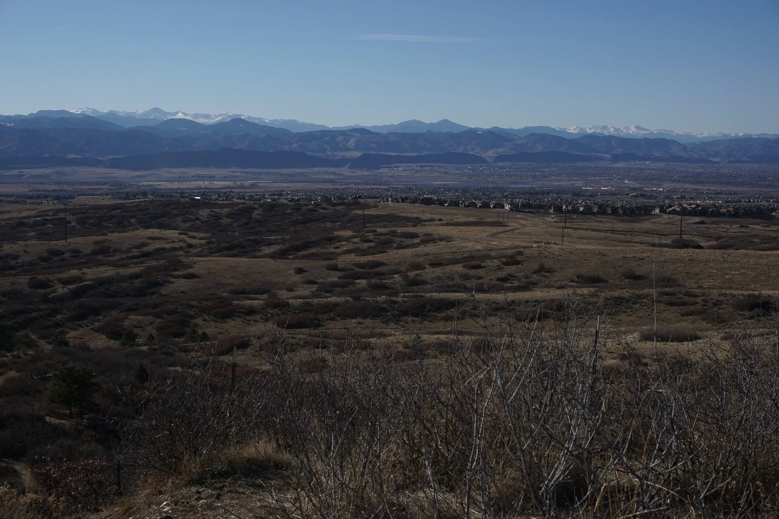
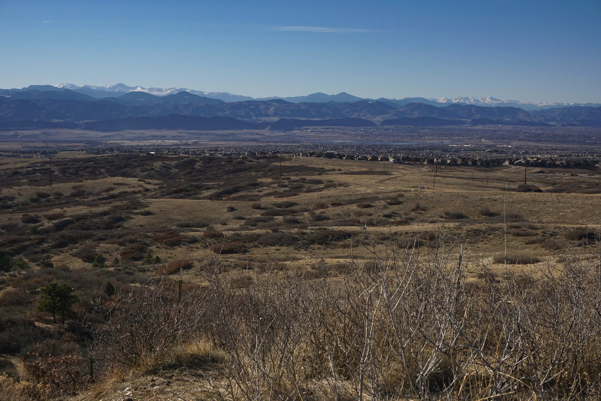
The East-West Trail is large but this short segment provides a nice little walk across a mesa top with great views of the Front Range Mountains and Foothills. From the trailhead, head west on the wide dirt path for a little over 1 mile to the Highlands Point Overlook. The overlook has interpretive signs and a large compass on the ground pointing to landmarks. The view from here is terrific and this makes for a good turnaround point. The trail continues downhill from here to connect with other trails in the private system.