High Profile Wall
Clear Creek Canyon Park
Date Hiked: May 21, 2026
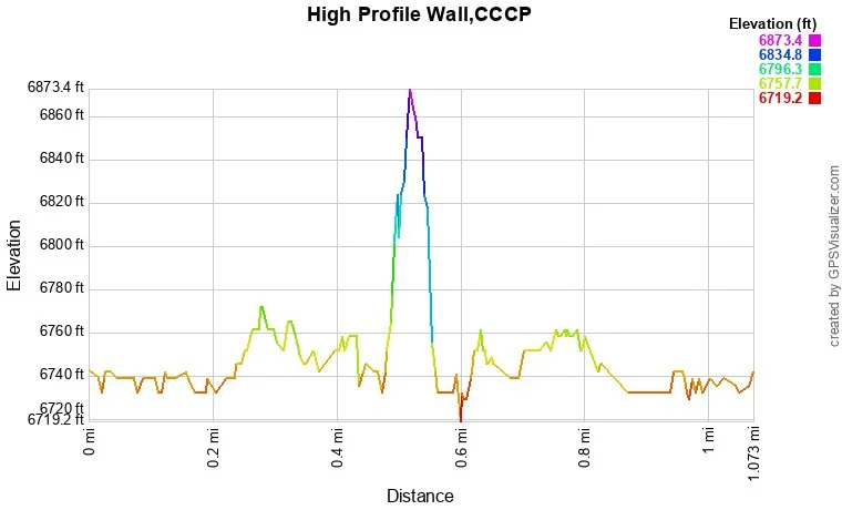
Distance: 1 mi (RT)
Elevation Gain: 30 ft
Elevation Min/Max: 6,719 to 6,873 ft
Trailhead Lat/Long: 39.73500, -105.36554
Managing Agency: Jefferson County Open Space
Fee: None
As many Denver area hikers will know, Jefferson County Open Space and CDOT have been engaged in a large construction project in Clear Creek Canyon to build the Clear Creek Trail, formerly known as the Peaks to Plains Trail, a multi-use recreation trail connecting Golden to the Front Range Mountains. As the project is constructed, it seems that Jeffco is also doing some trail work and construction that is largely flying under the radar. We’ll have to wait and see just how much of this extra work takes place but one such project is the trail to High Profile Wall. I haven’t seen this trail depicted on any of the park’s official maps but it is there and it's a great short hike or easy access to a great wall for climbers.
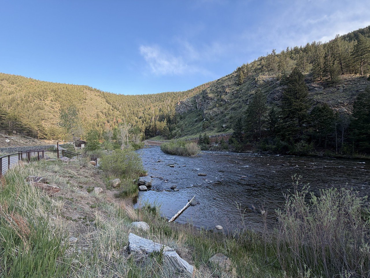
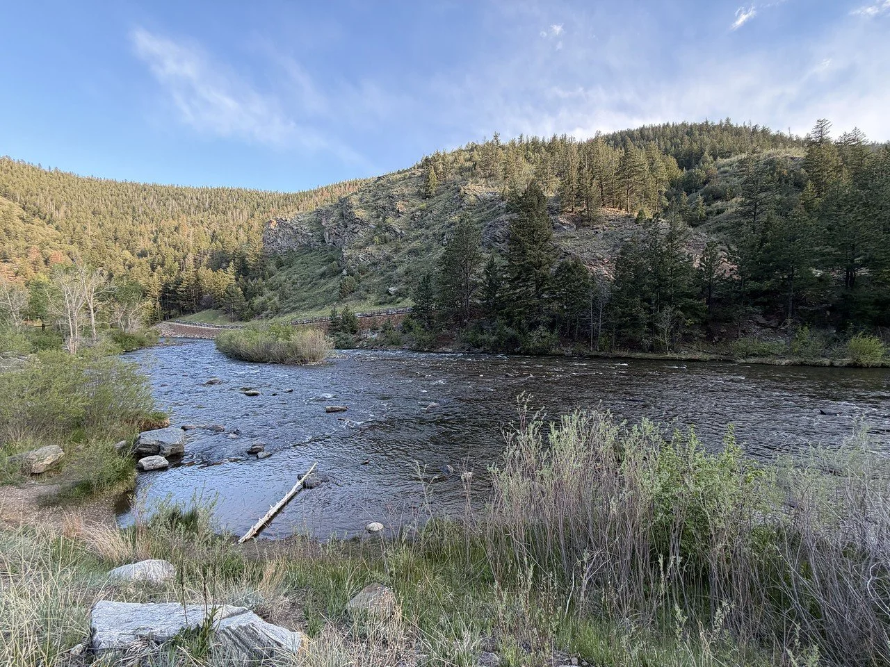
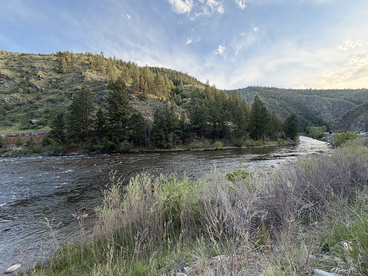
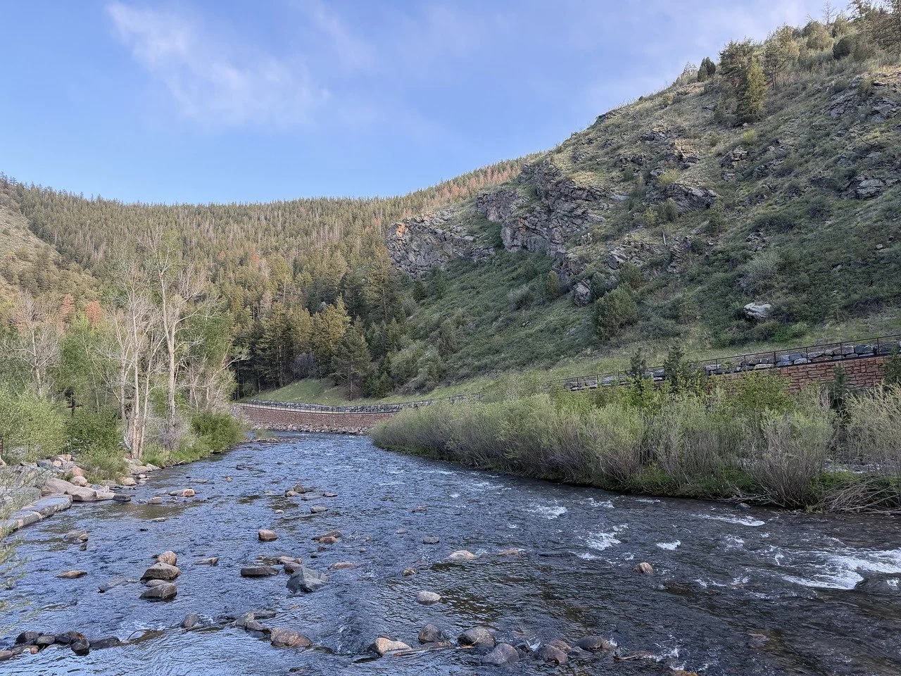
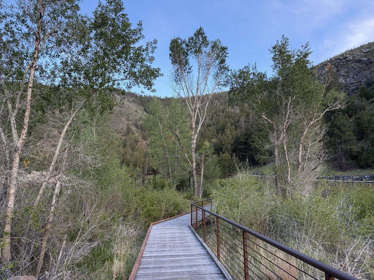
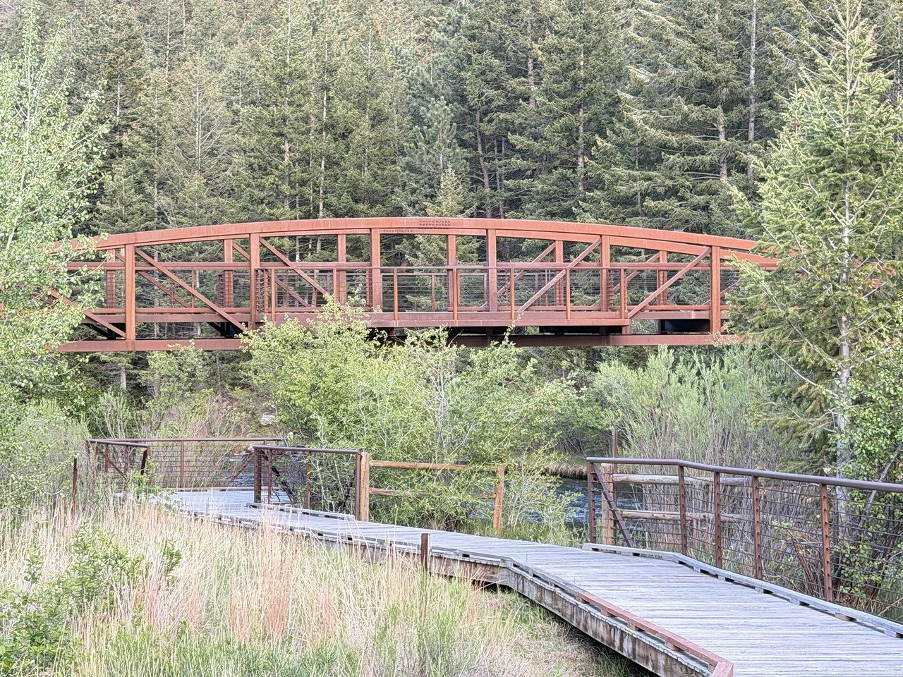
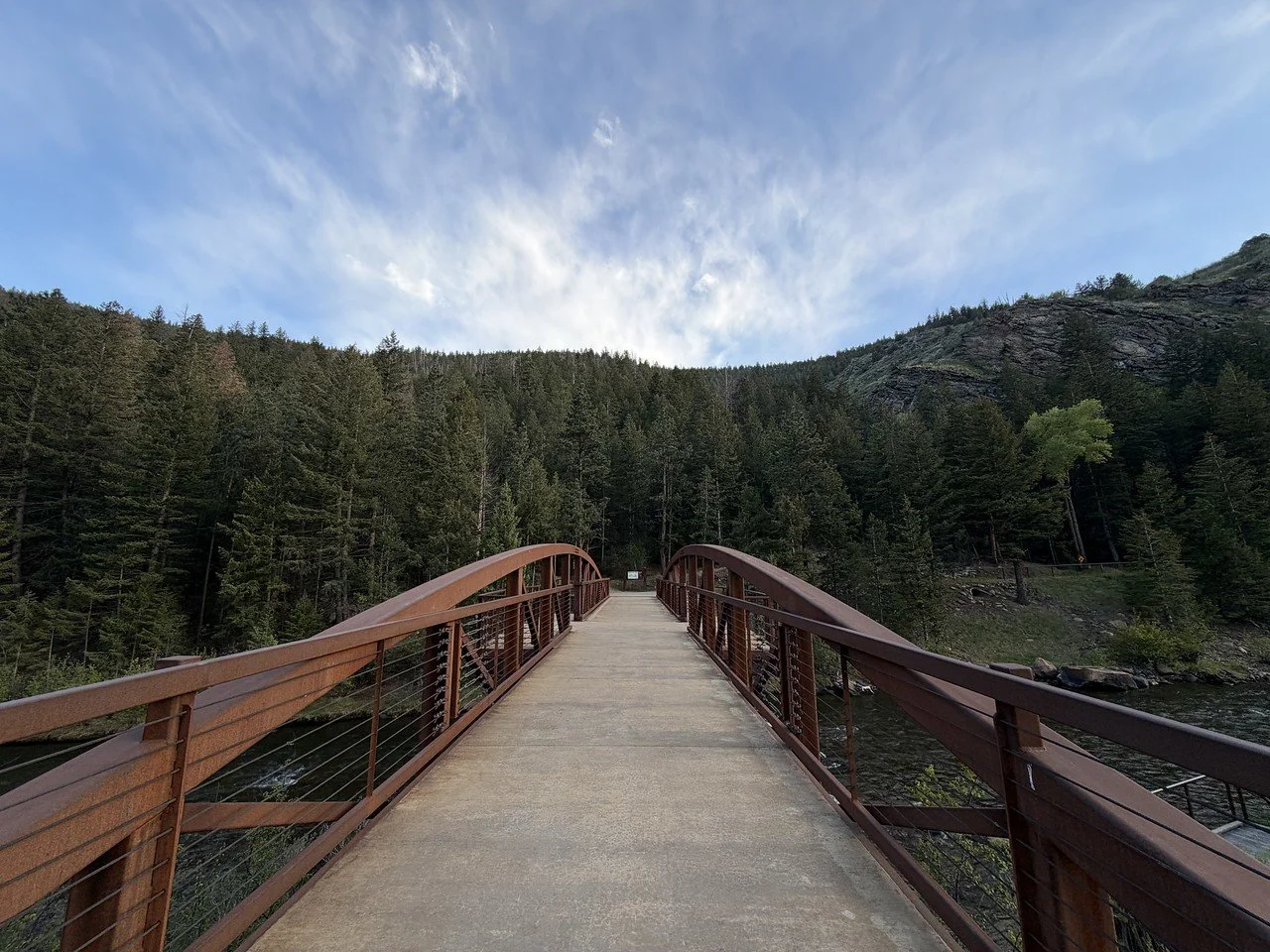
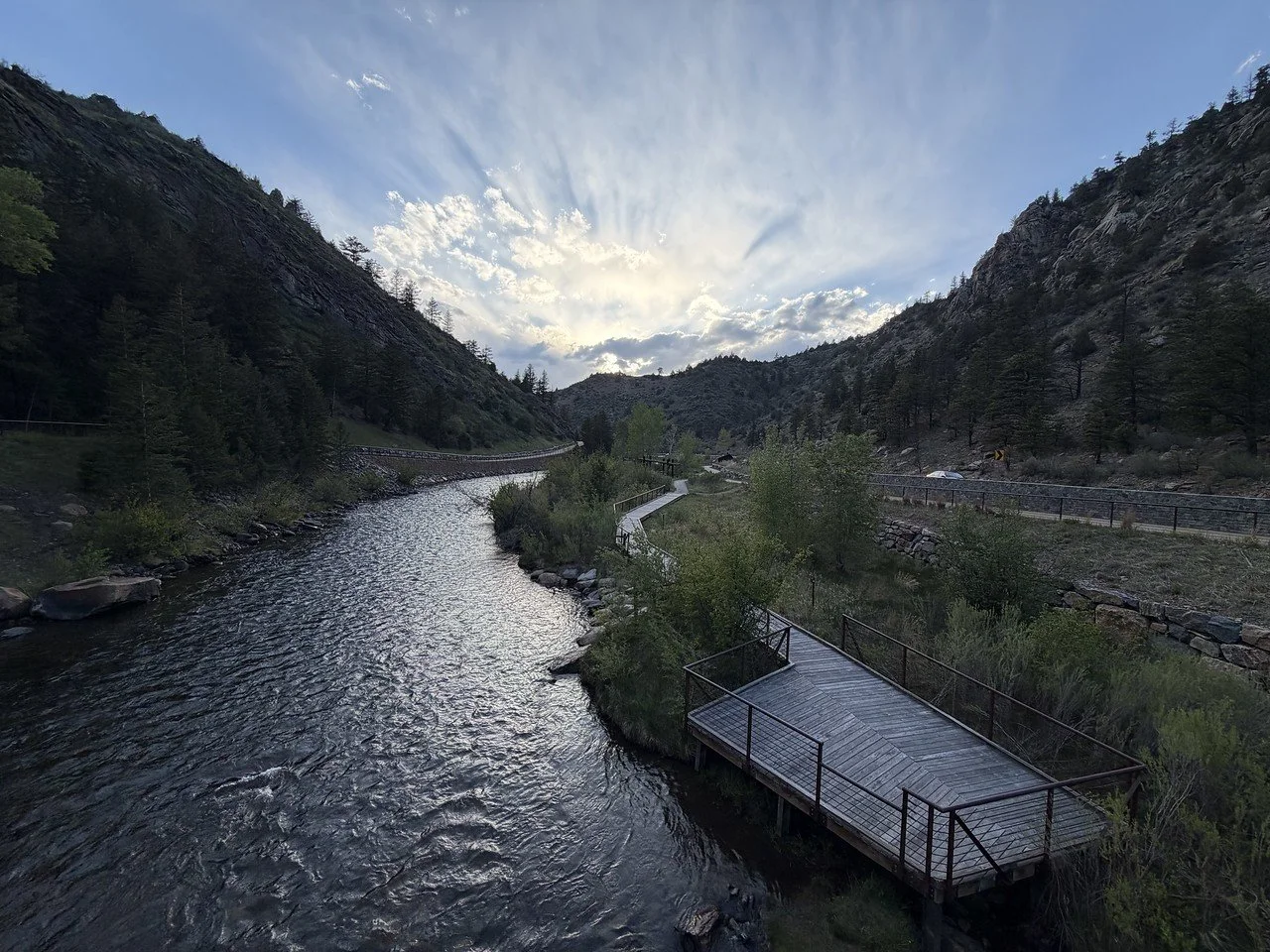
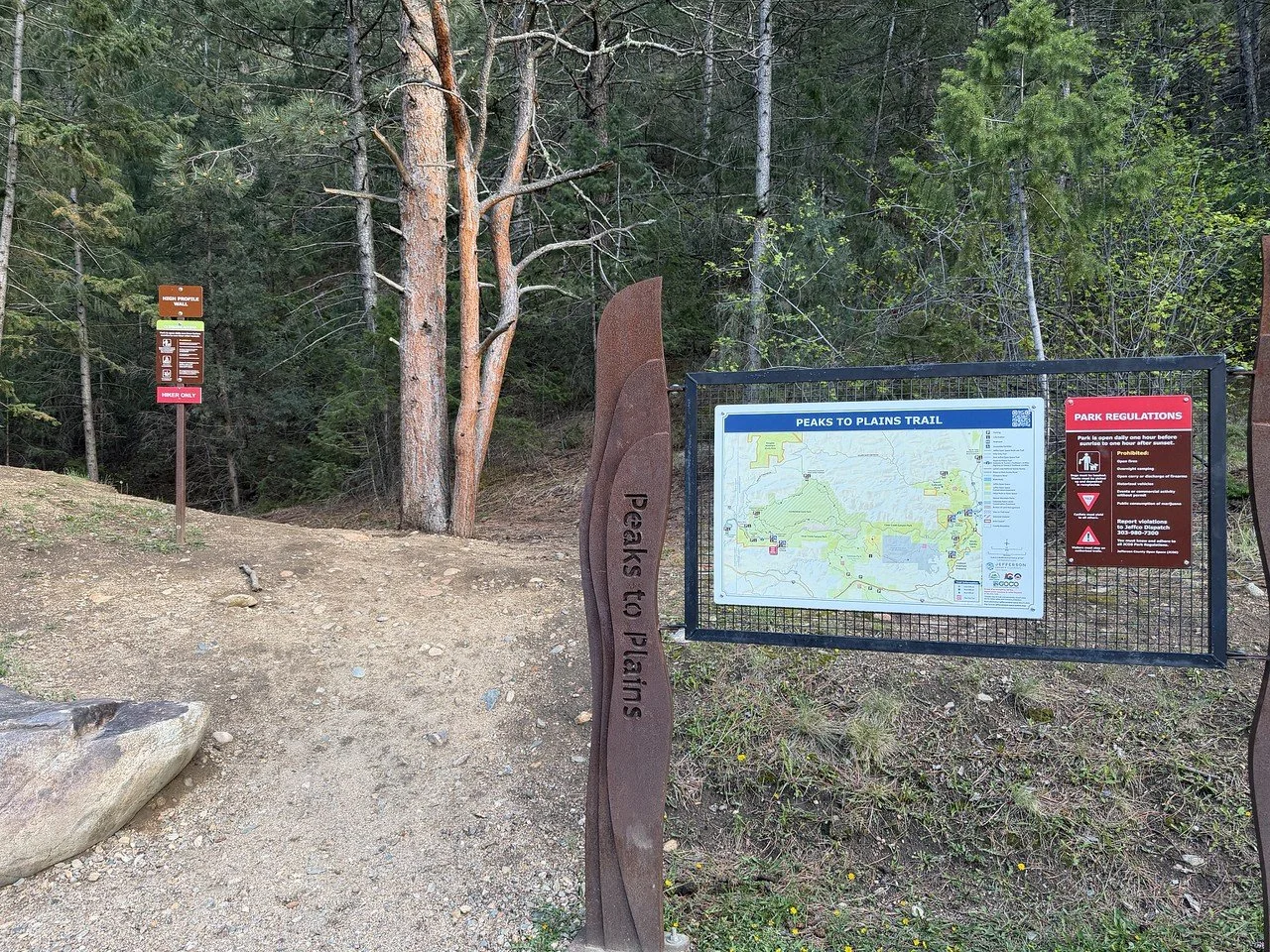
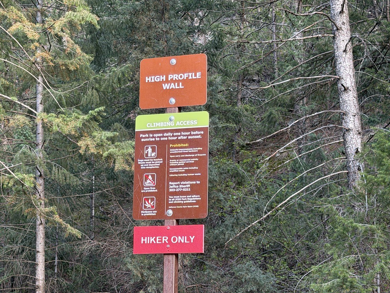
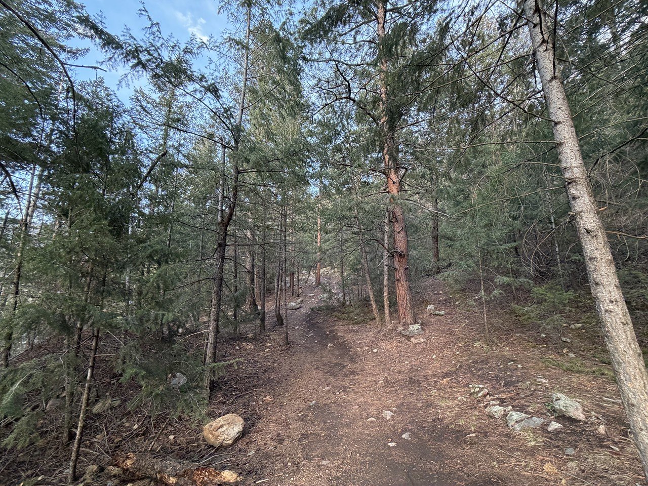
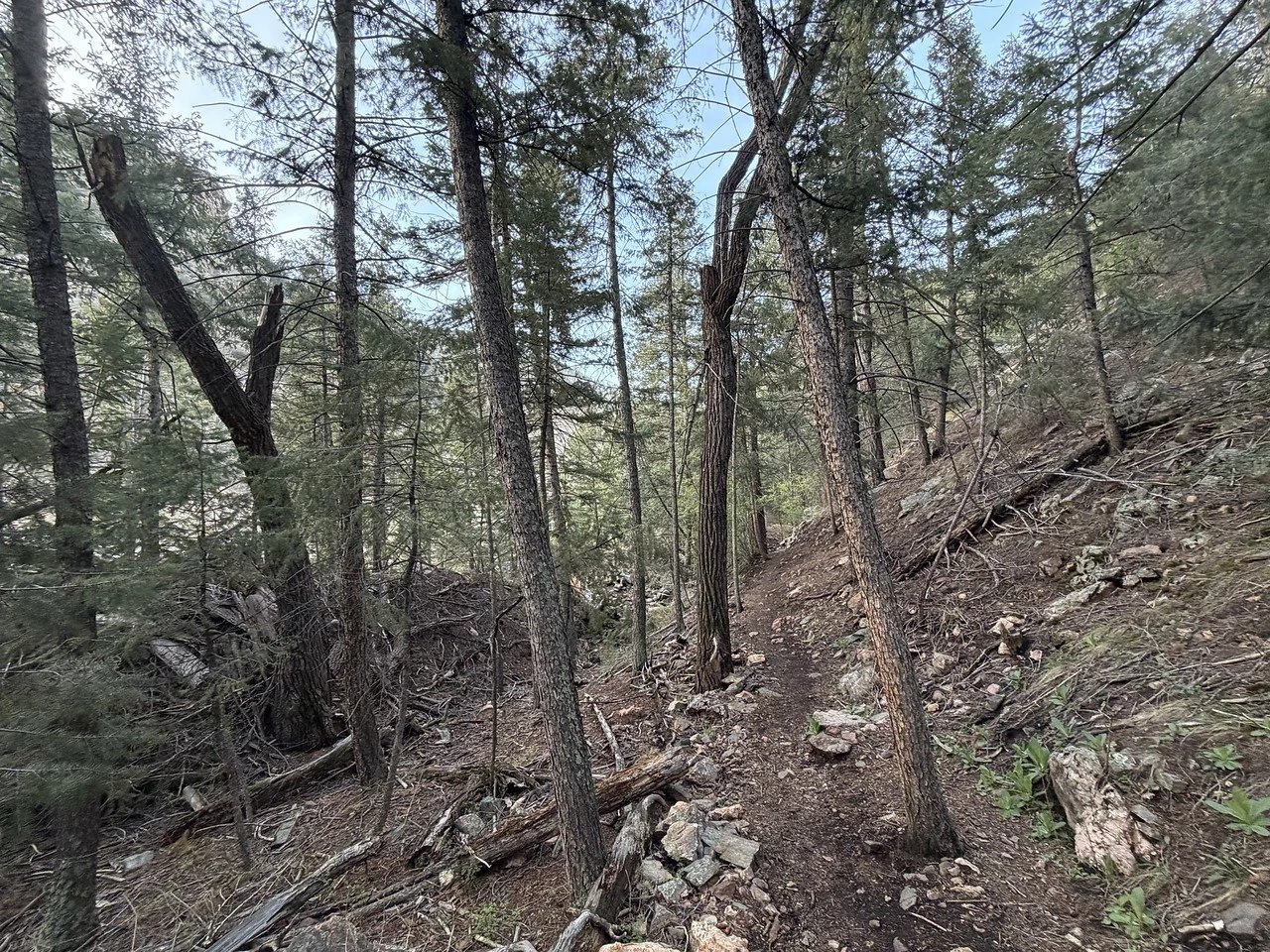
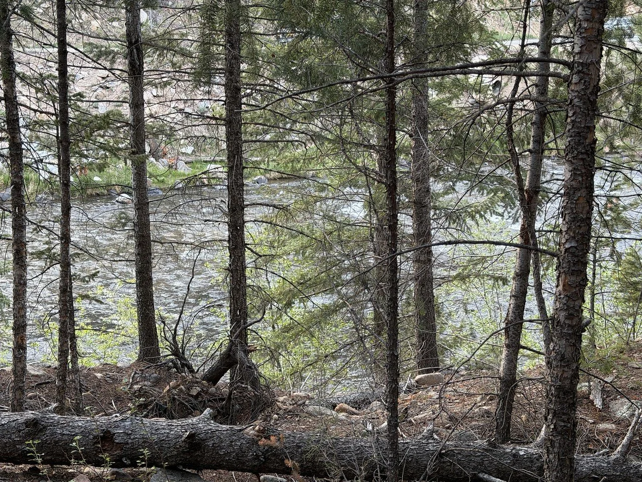
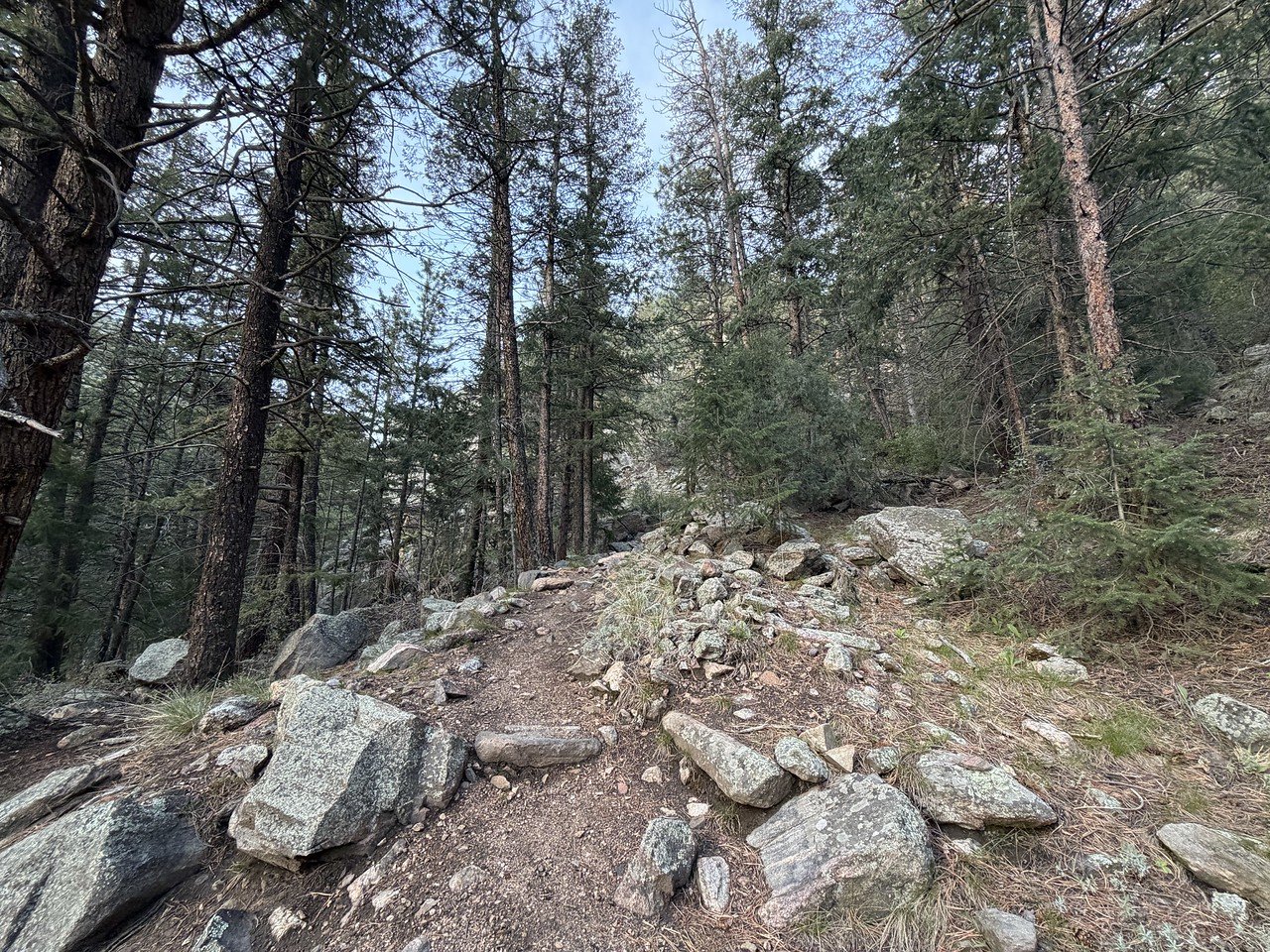
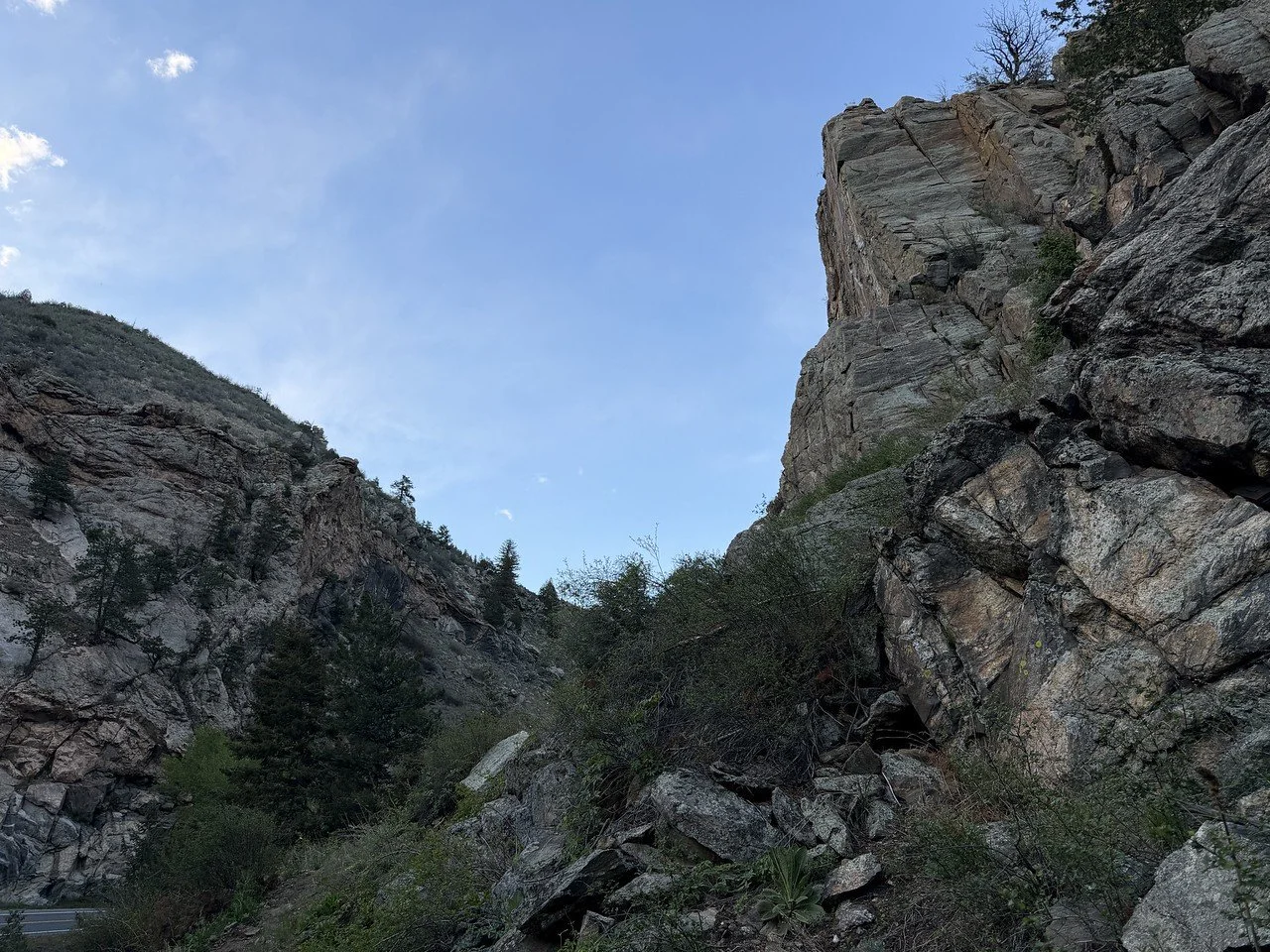
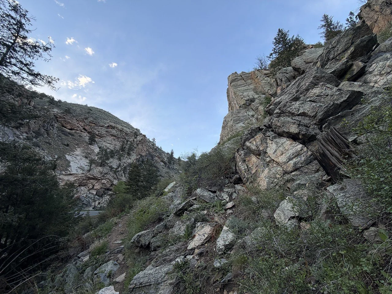
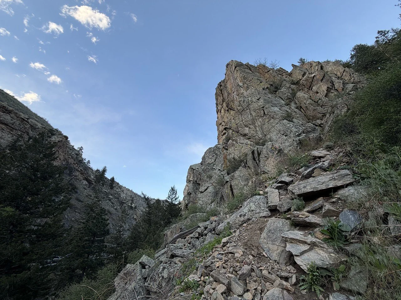
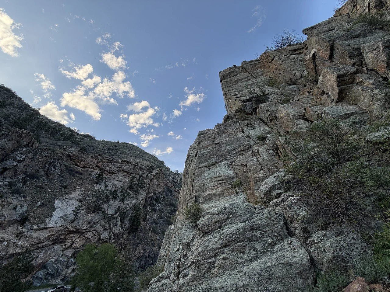
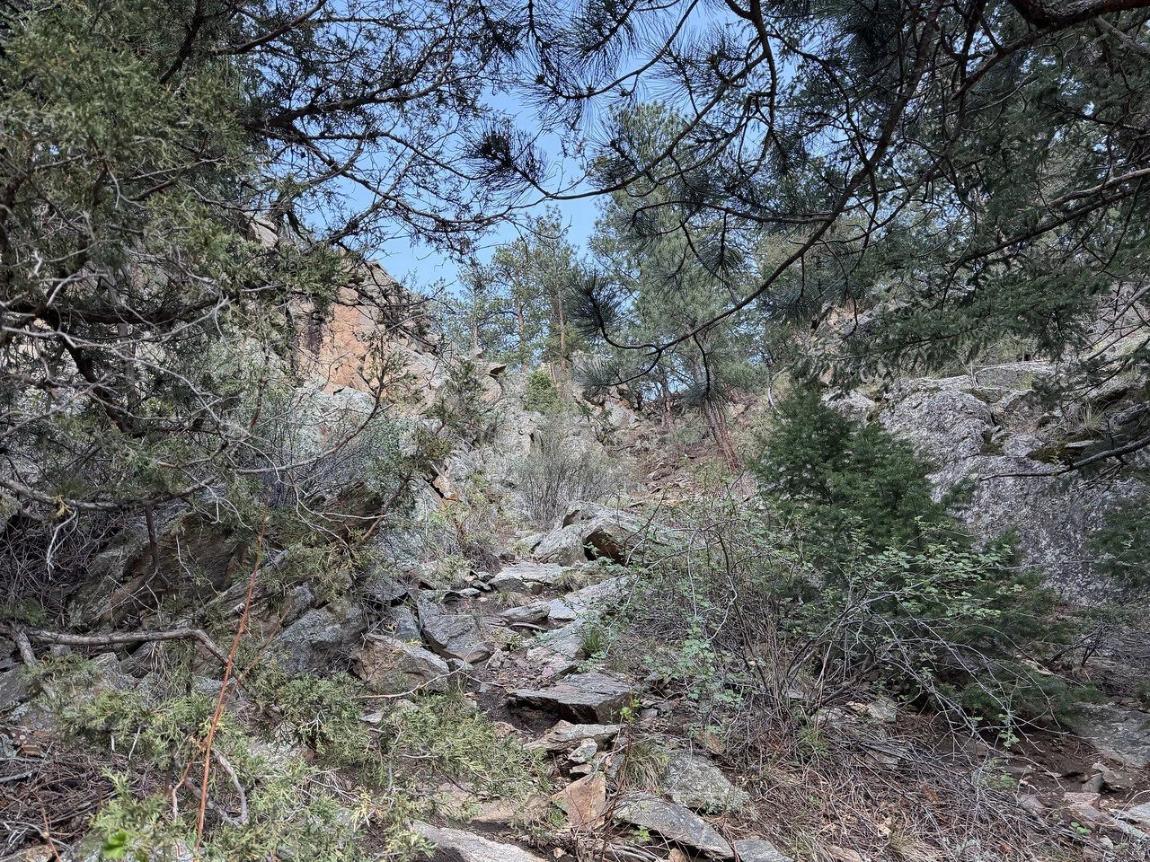
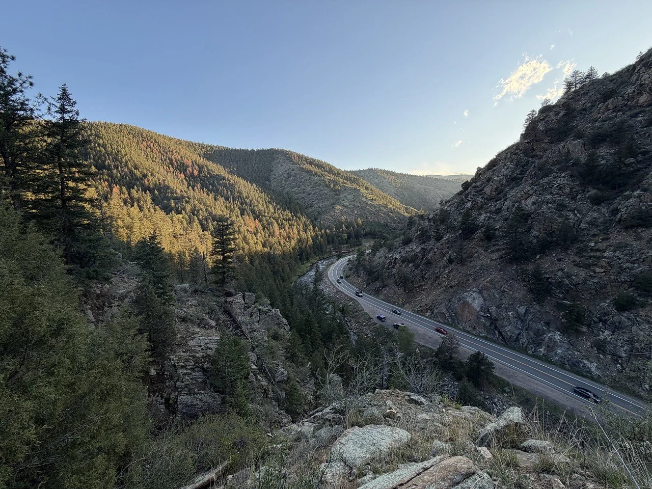
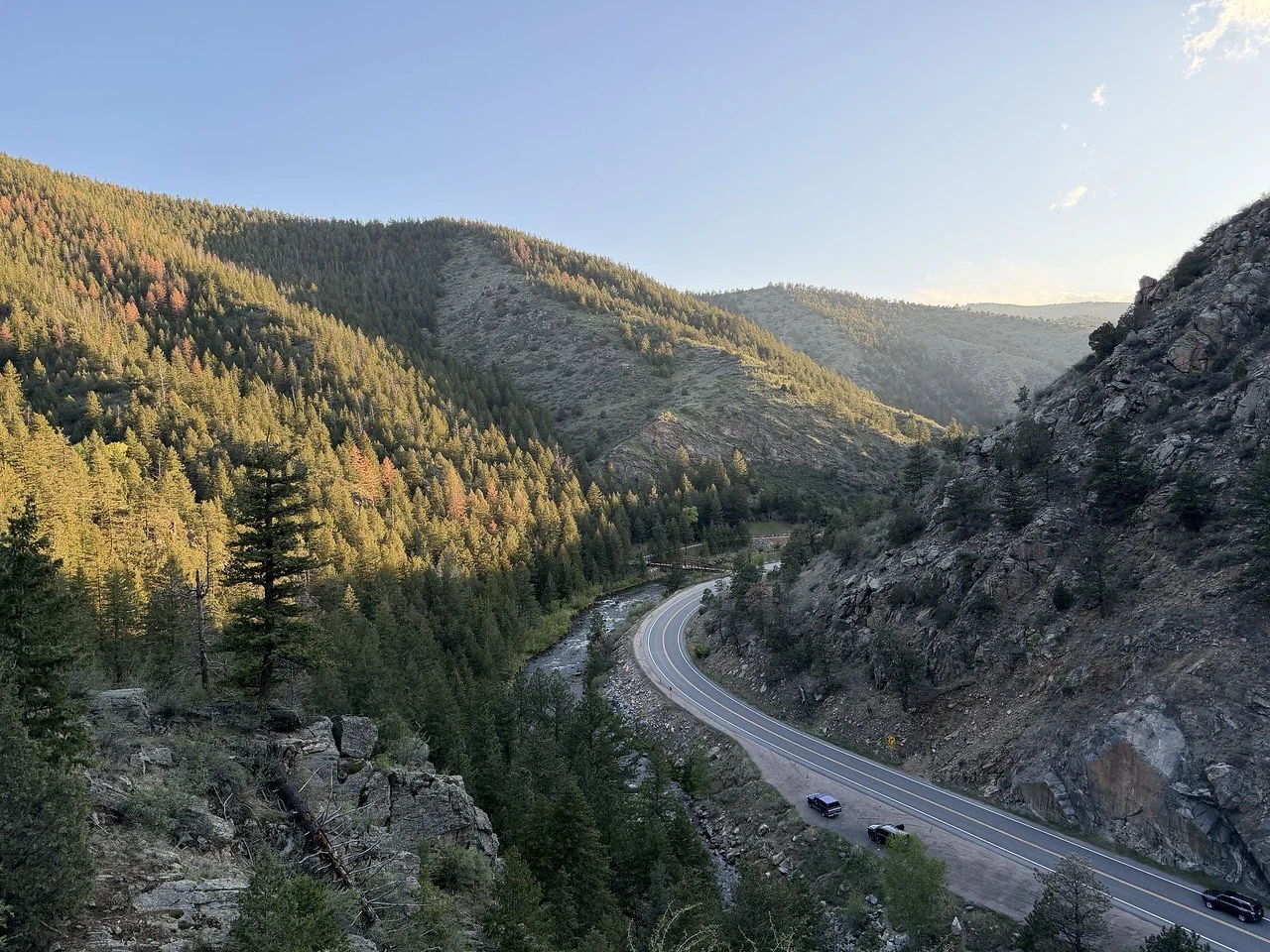
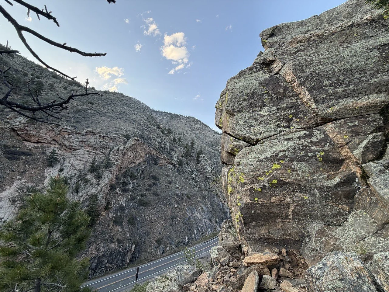
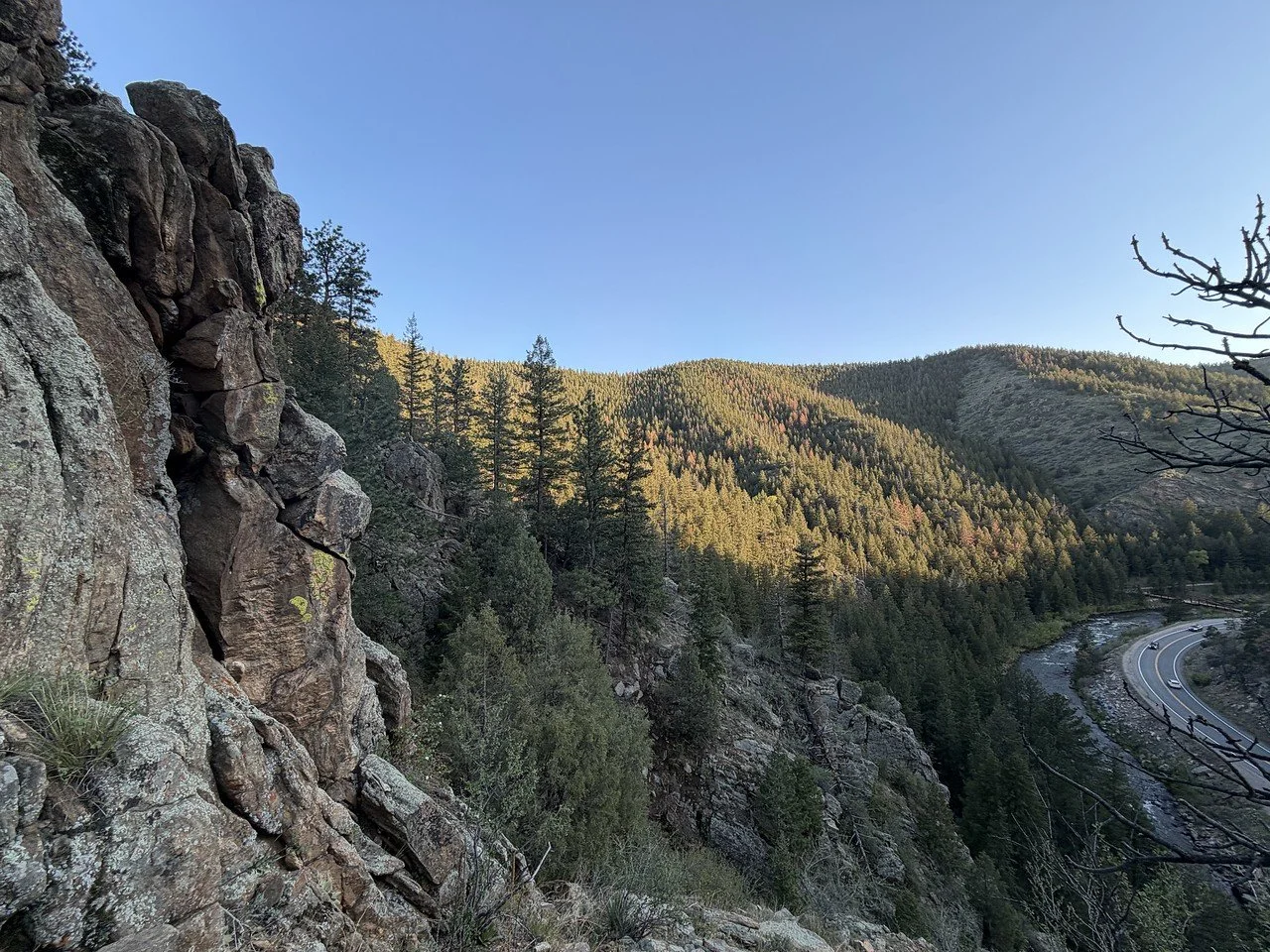
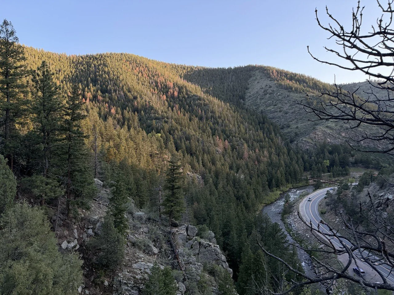
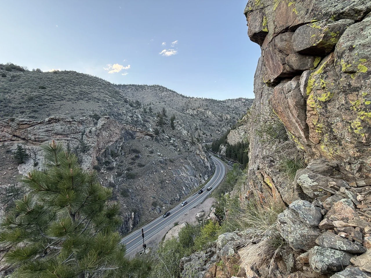
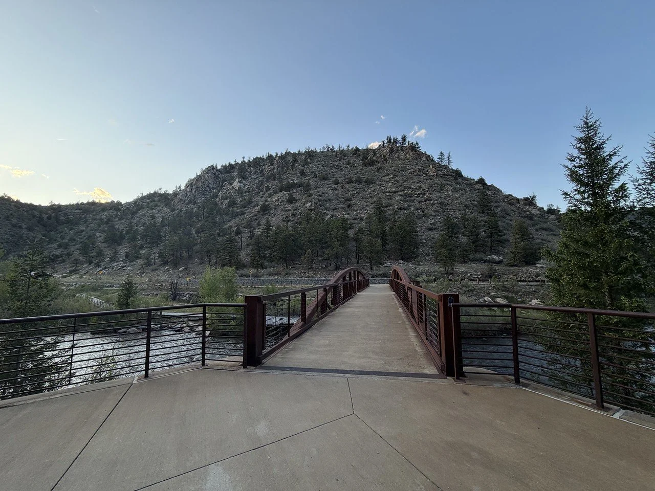
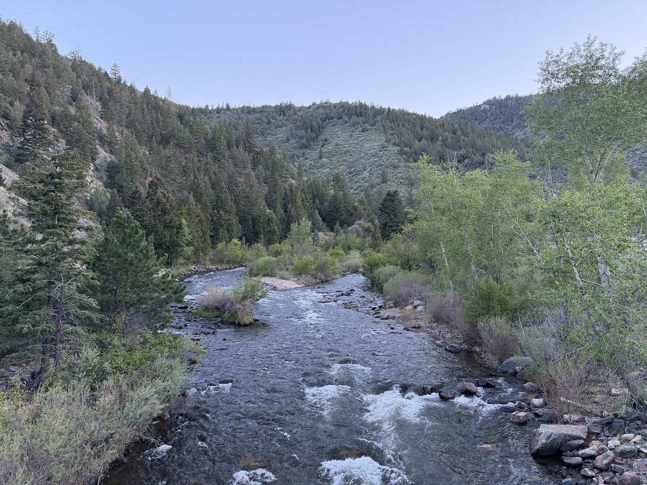
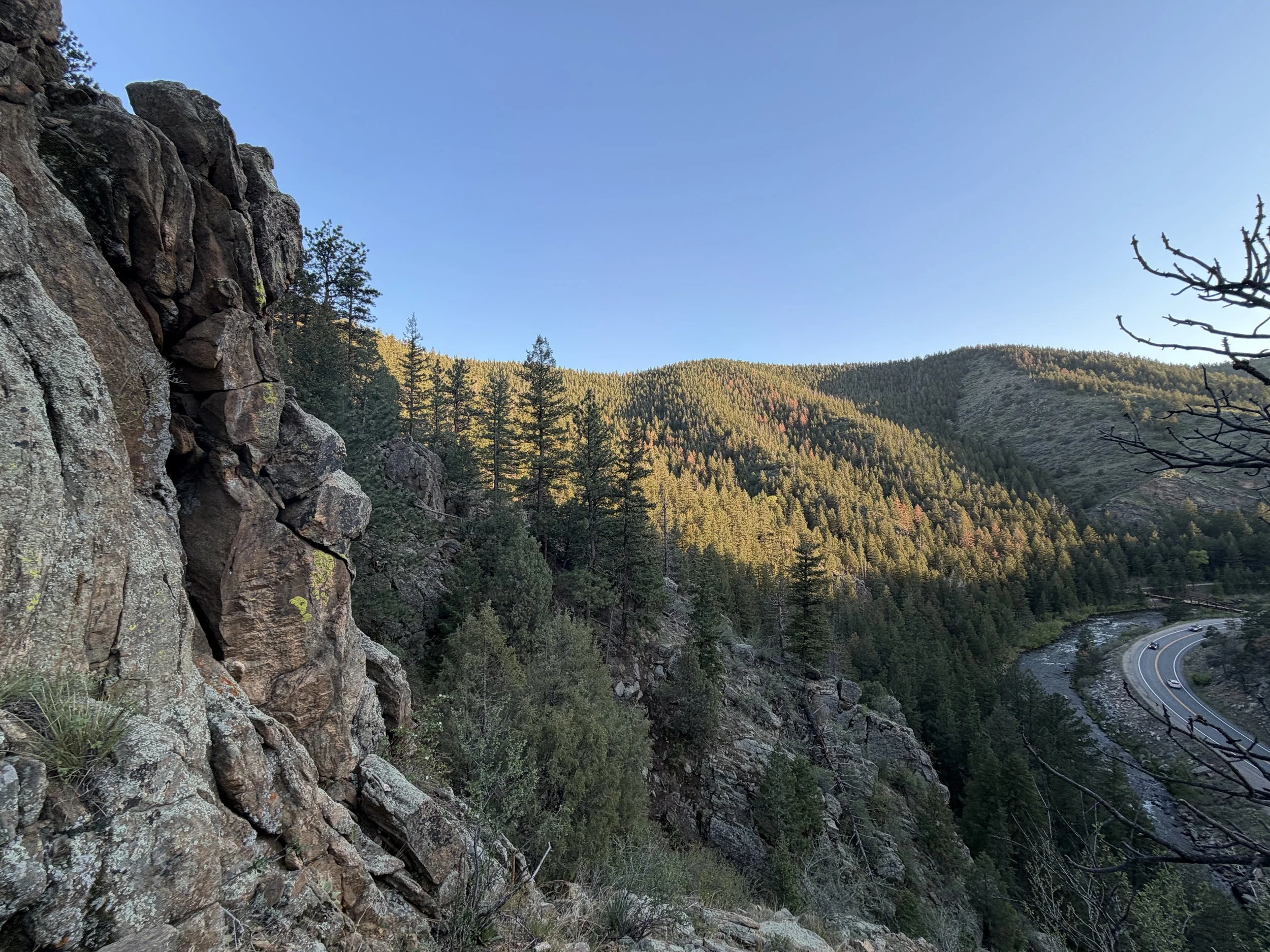
The trail starts at the far end of the bridge crossing Clear Creek from the Big Easy Picnic Area. At the far side of the bridge is a trailhead with map and sign point towards High Profile Wall. What follows is a single track trail through the forest with some access points to Clear Creek. This peaceful and shaded trail runs for just about a quarter of a mile to the base of High Profile Wall. From the base, you can climb a steep trail full of loose rock to the top (or close to it) of the wall for some terrific views of the canyon.
This hike is short, but with a lack of hiking trails branching off from the Clear Creek Trail throughout the canyon, we’ll take what we can get. Hopefully as the Clear Creek Trail is constructed we’ll get some other trail improvements as well.