Diamond Park
Routt National Forest
Date Hiked: July 2, 2022
Distance: 2.5 mi (RT)
Elevation Gain: 280 ft
Elevation Min/Max: 8,054 to 8,290 ft
Trailhead Lat/Long: 40.77211, -106.77424
Managing Agency: U.S. Forest Service
Fee: None
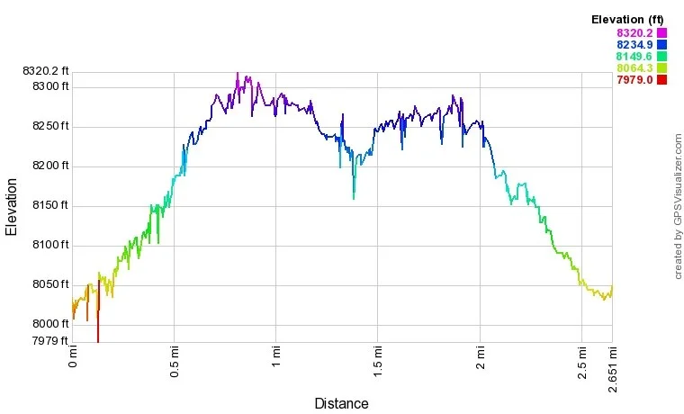
Diamond Park Trail Profile
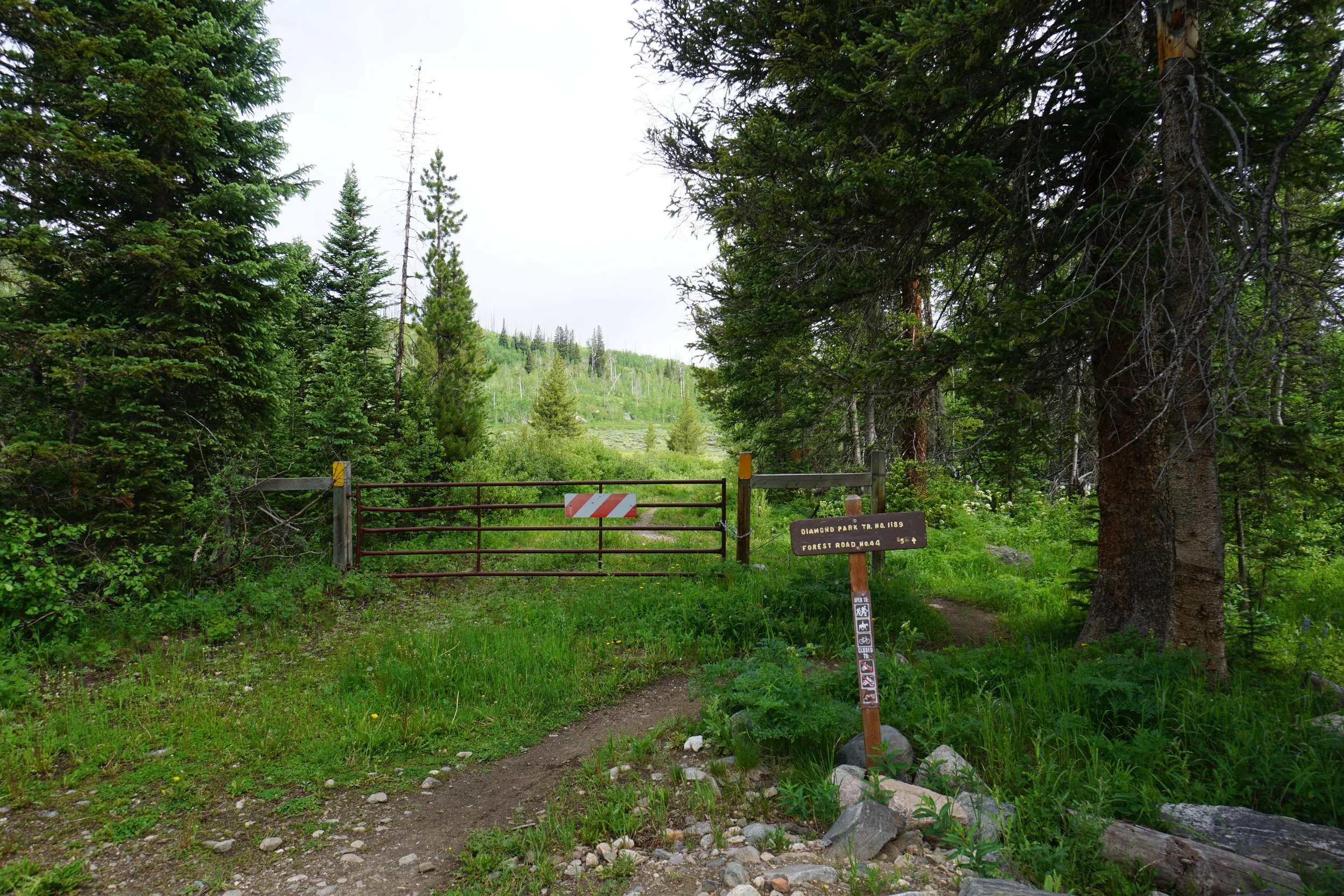
DIRECTIONS:
From Steamboat Springs, head west out of town on Hwy 40 and turn right (north) onto 129 towards Clark and Hahns Peak Village. Head north and turn right (east) on Seedhouse Road. Continue for about 11 miles of paved road and enter Routt National Forest. When the road turns to a good dirt road, drive another 3 miles and turn left into the trailhead. If you reach the Seedhouse Campground, you’ve gone too far.
HIKE DESCRIPTION:
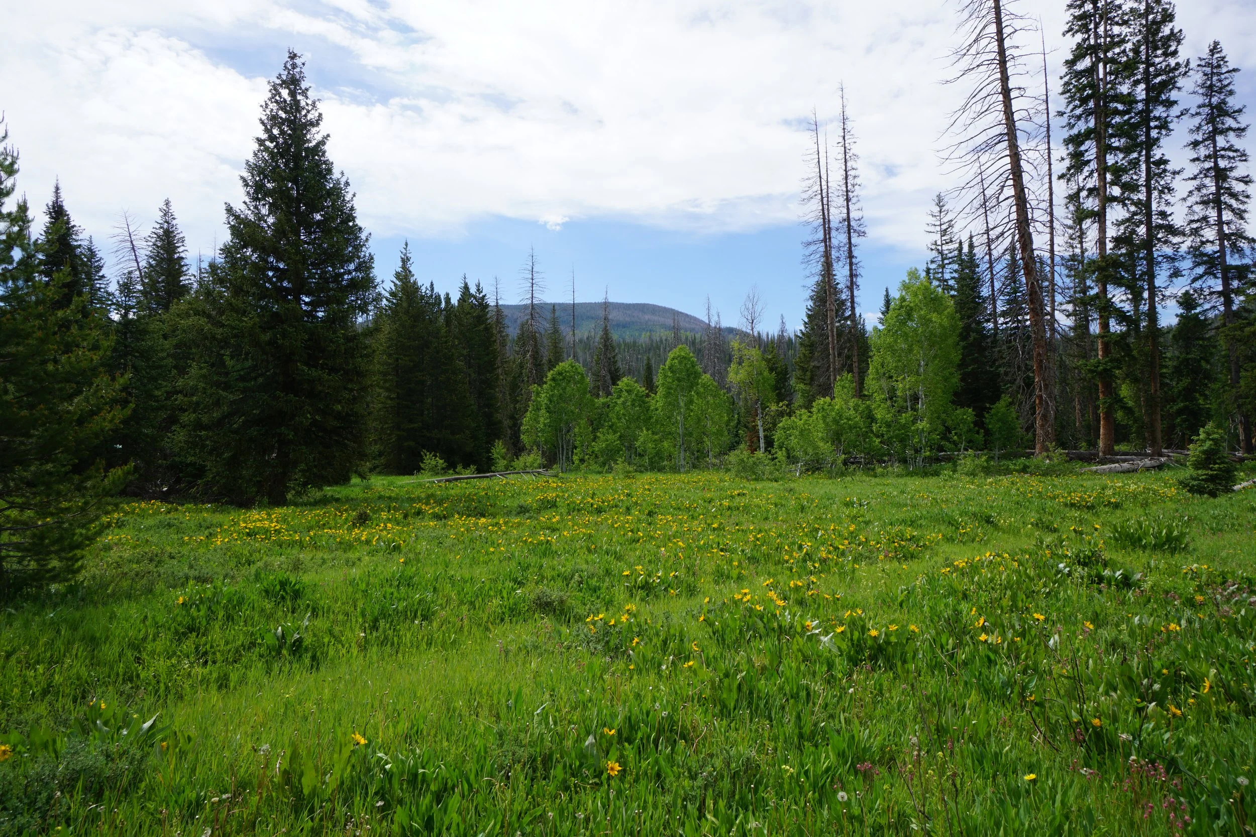
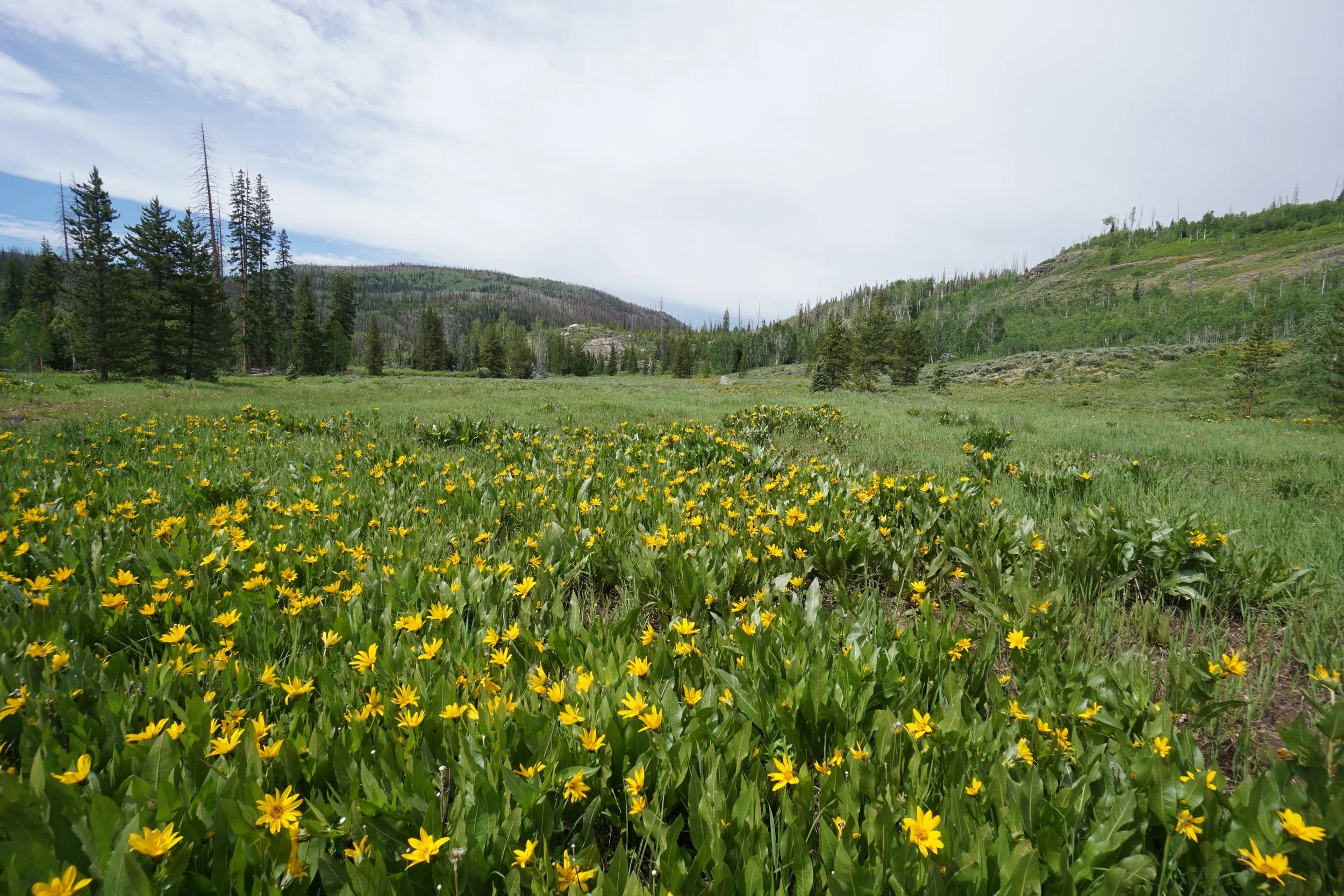
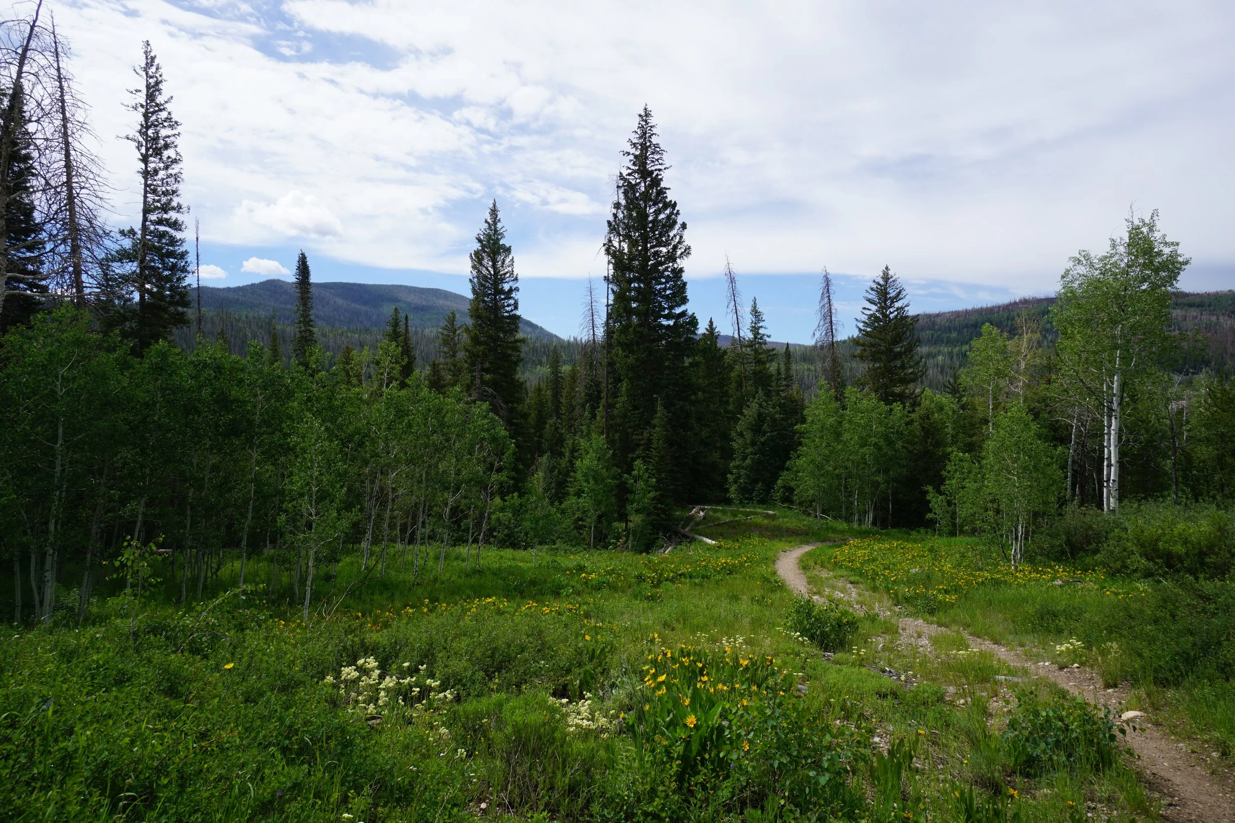
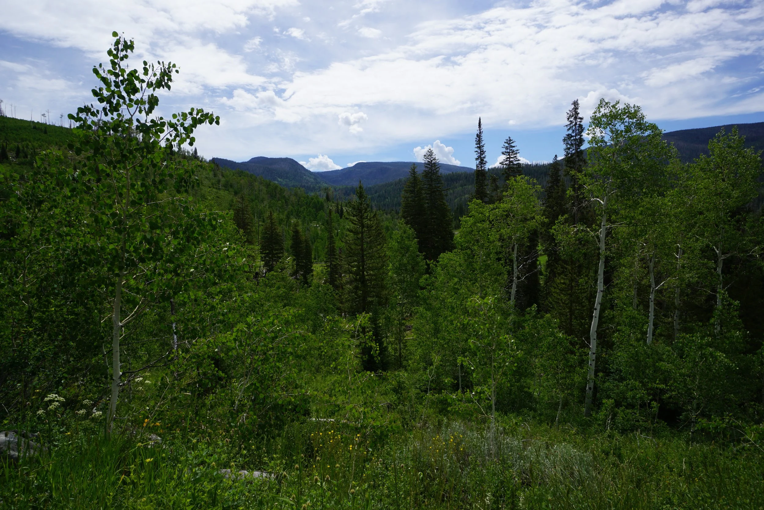
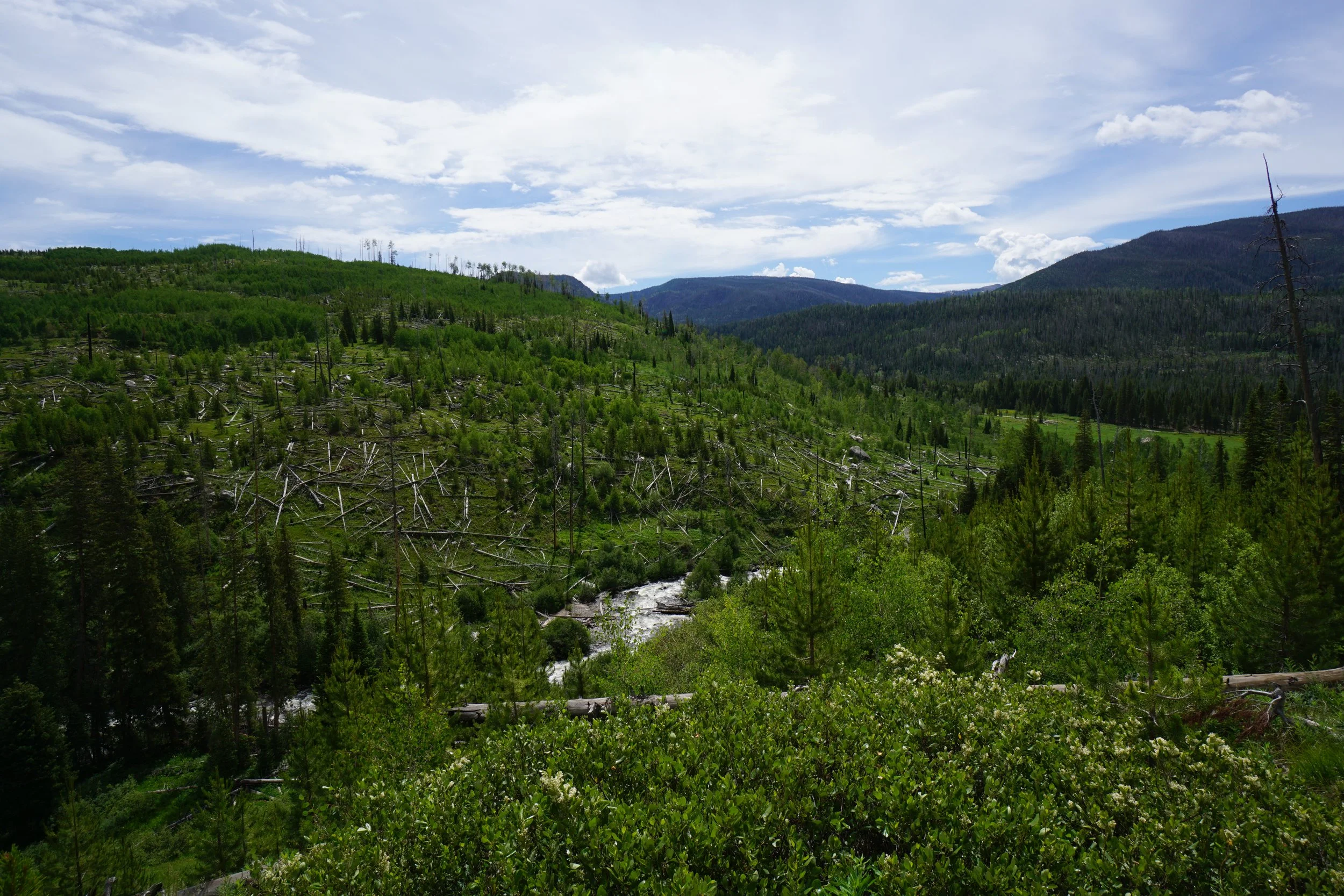
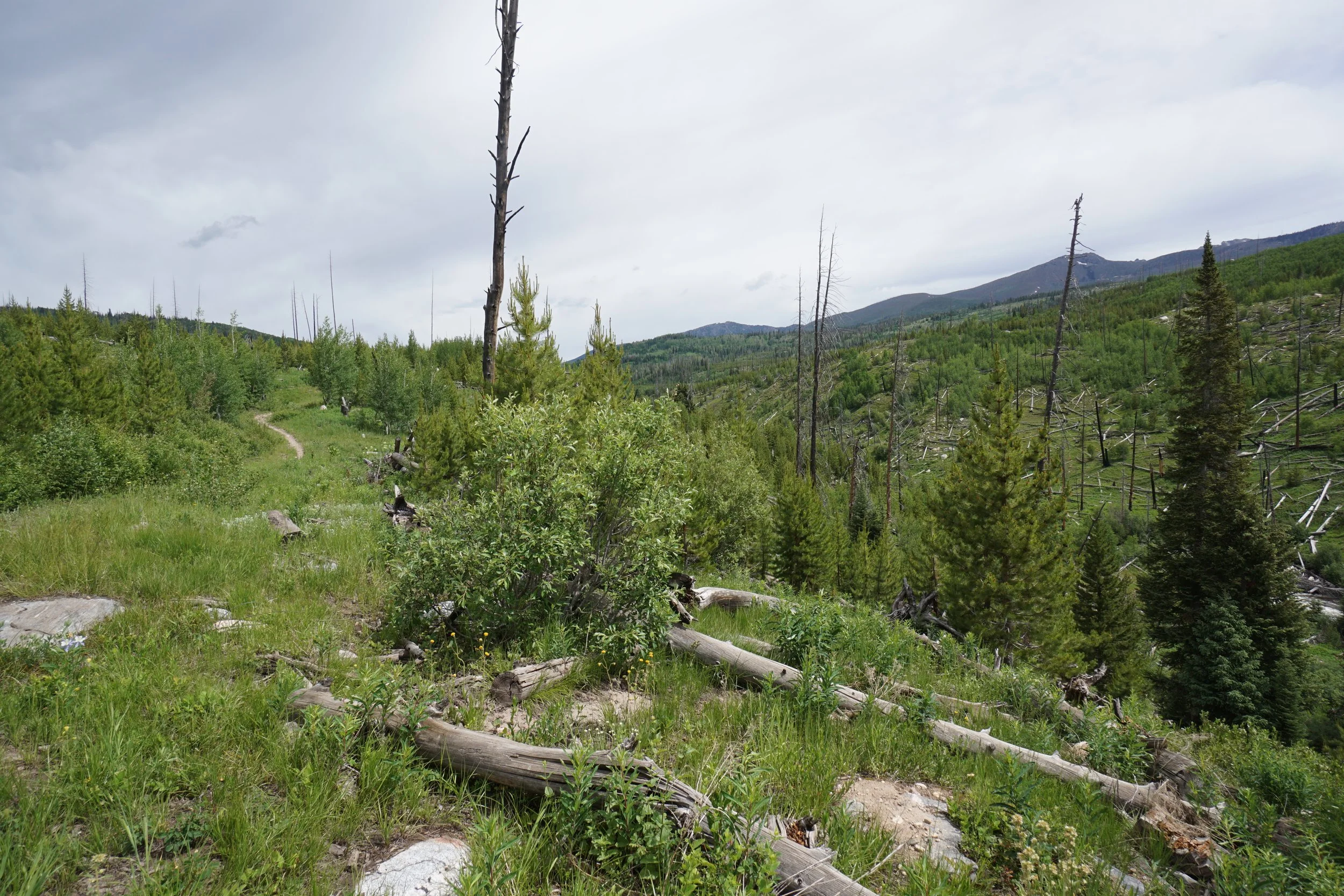
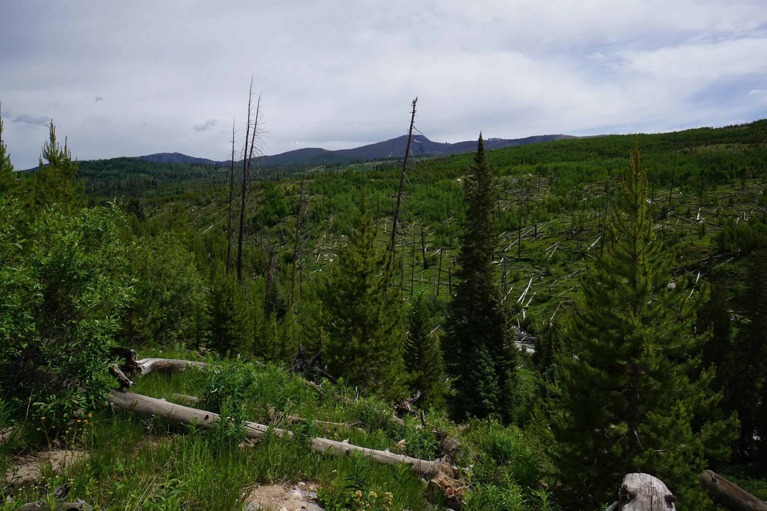
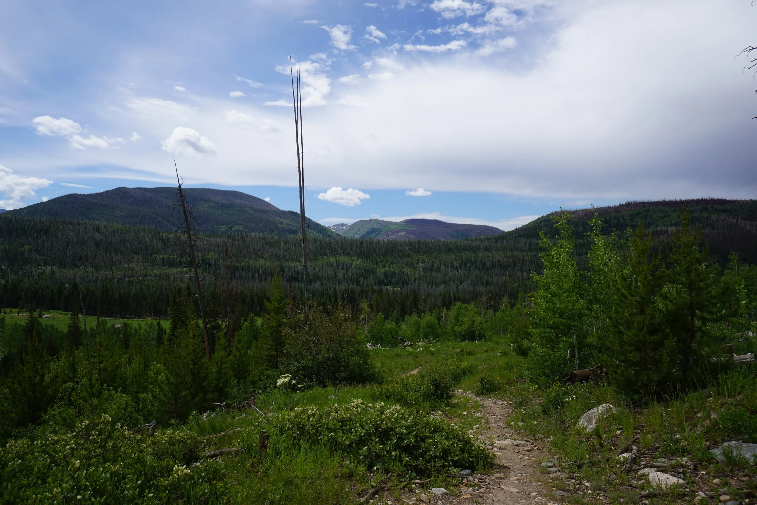
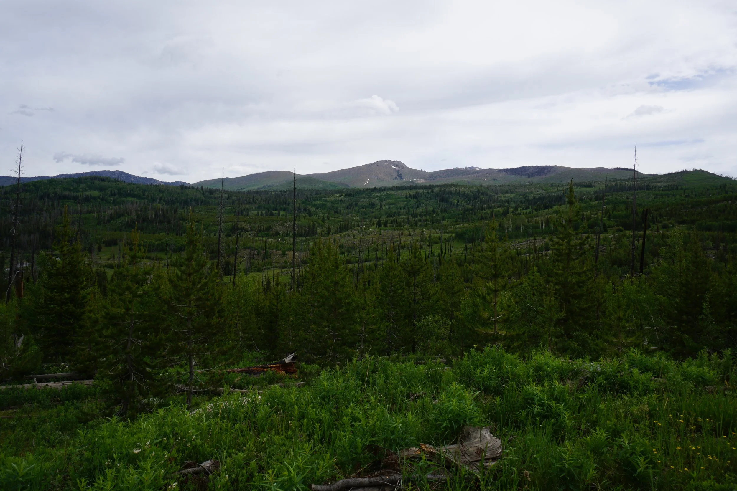
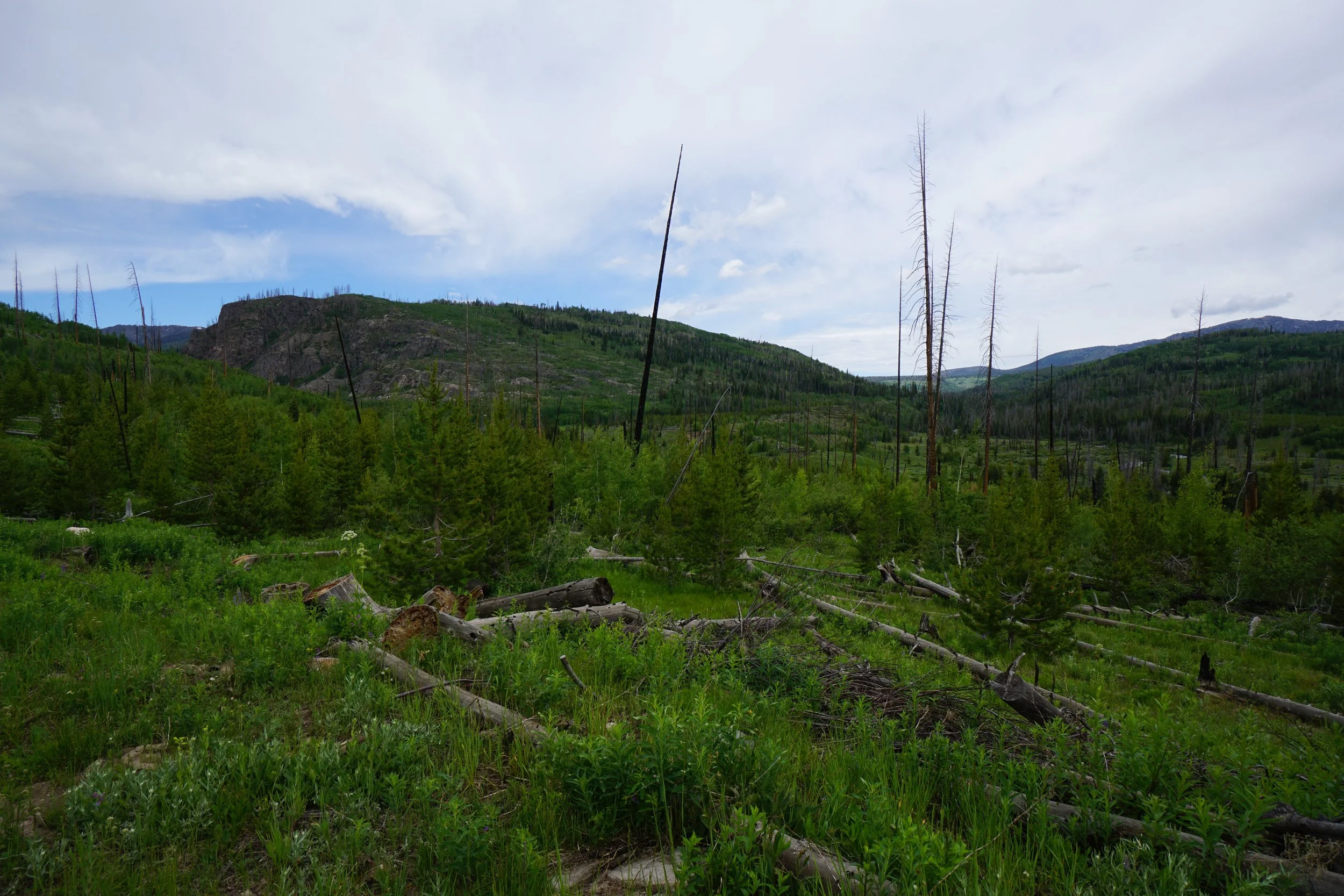
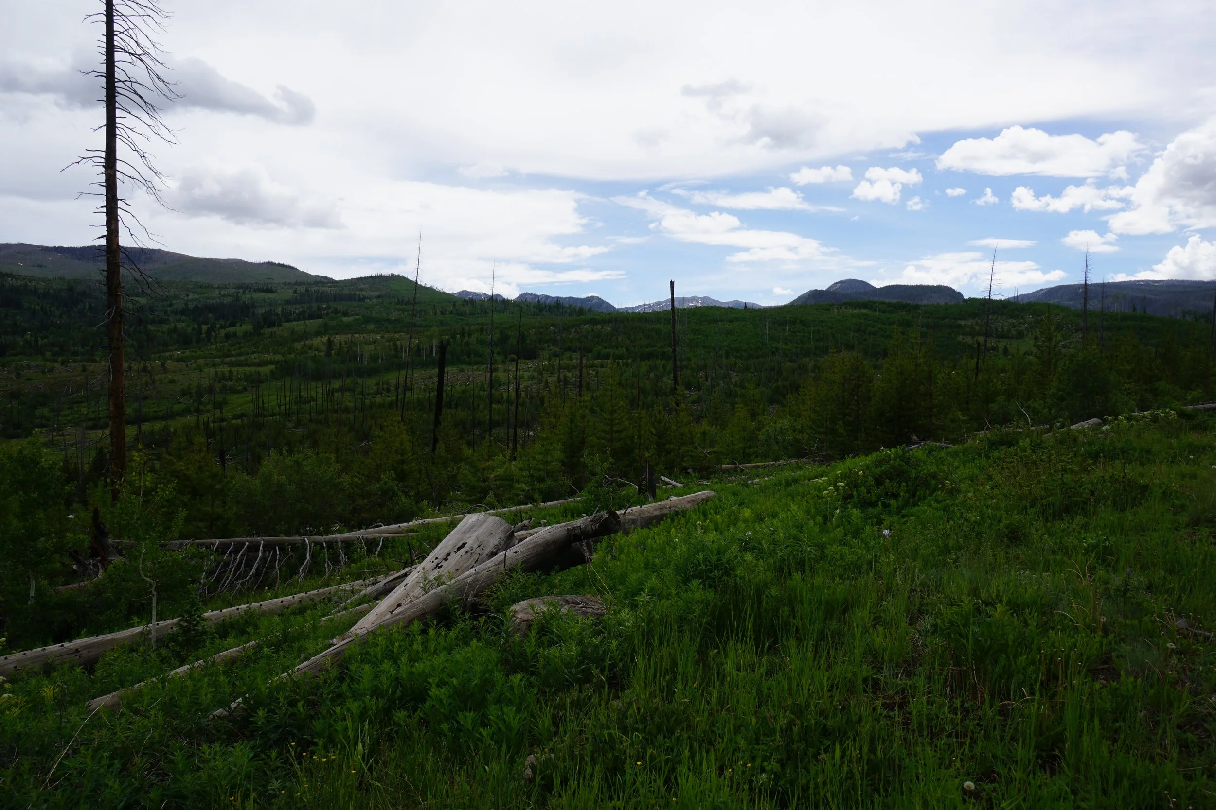
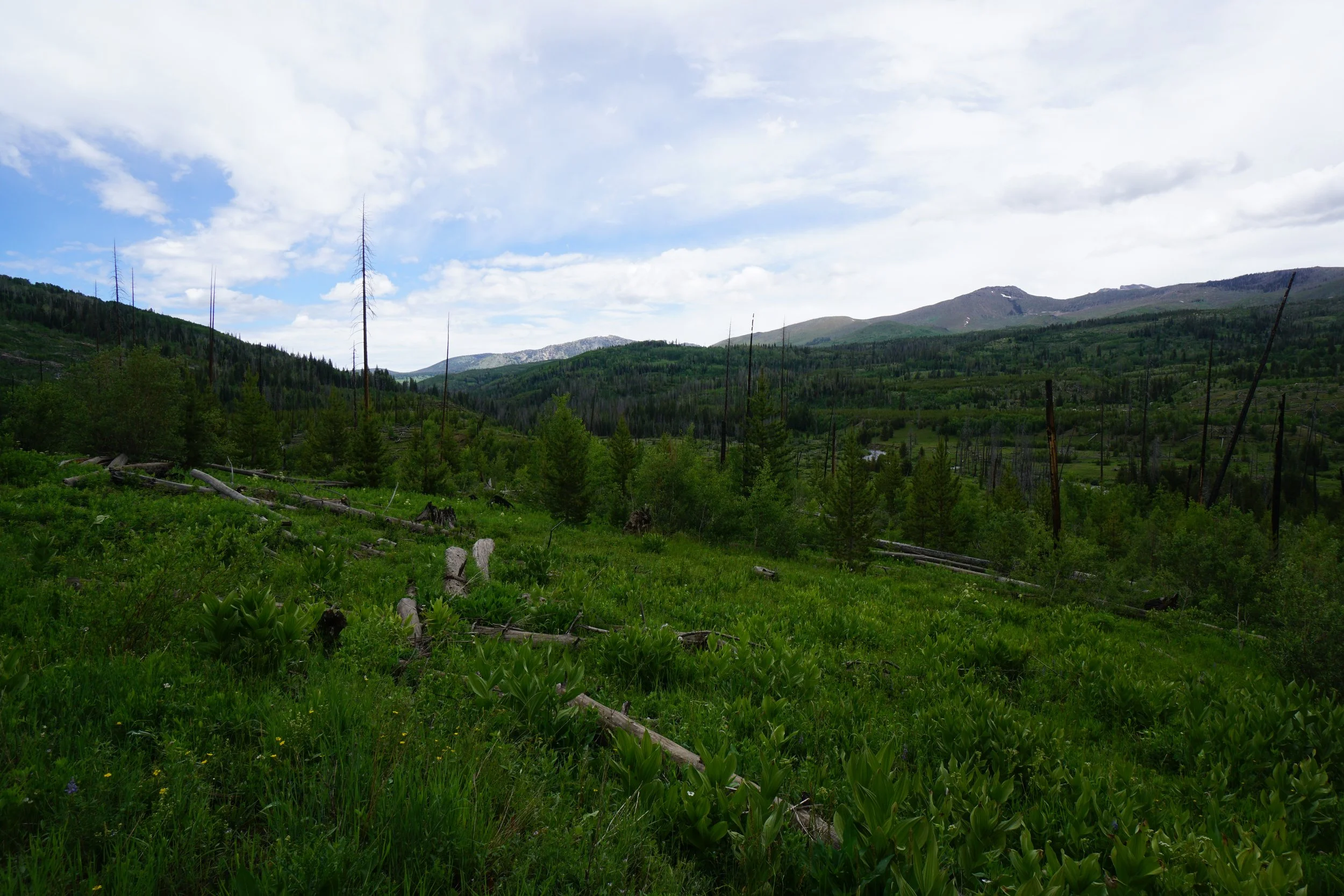
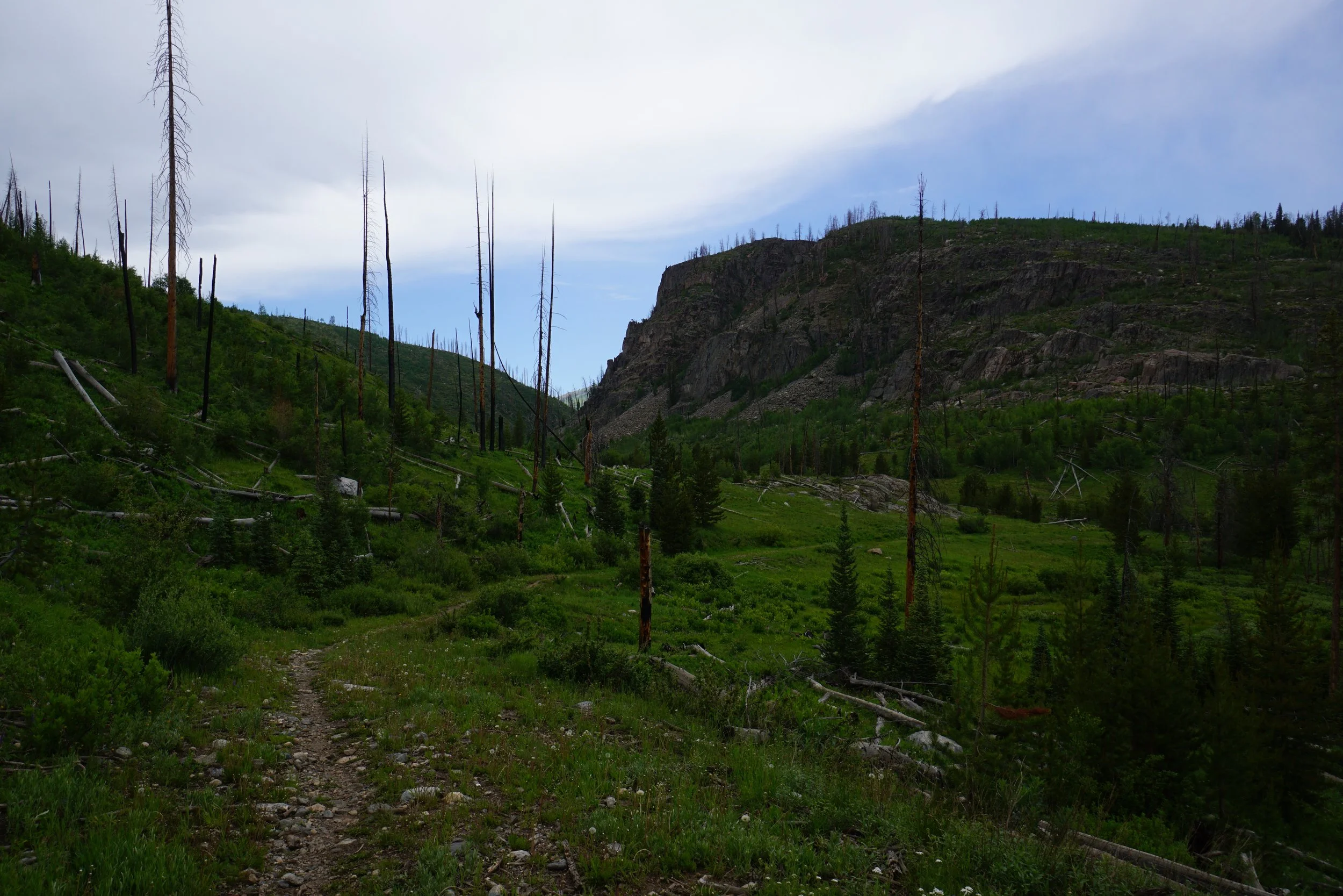
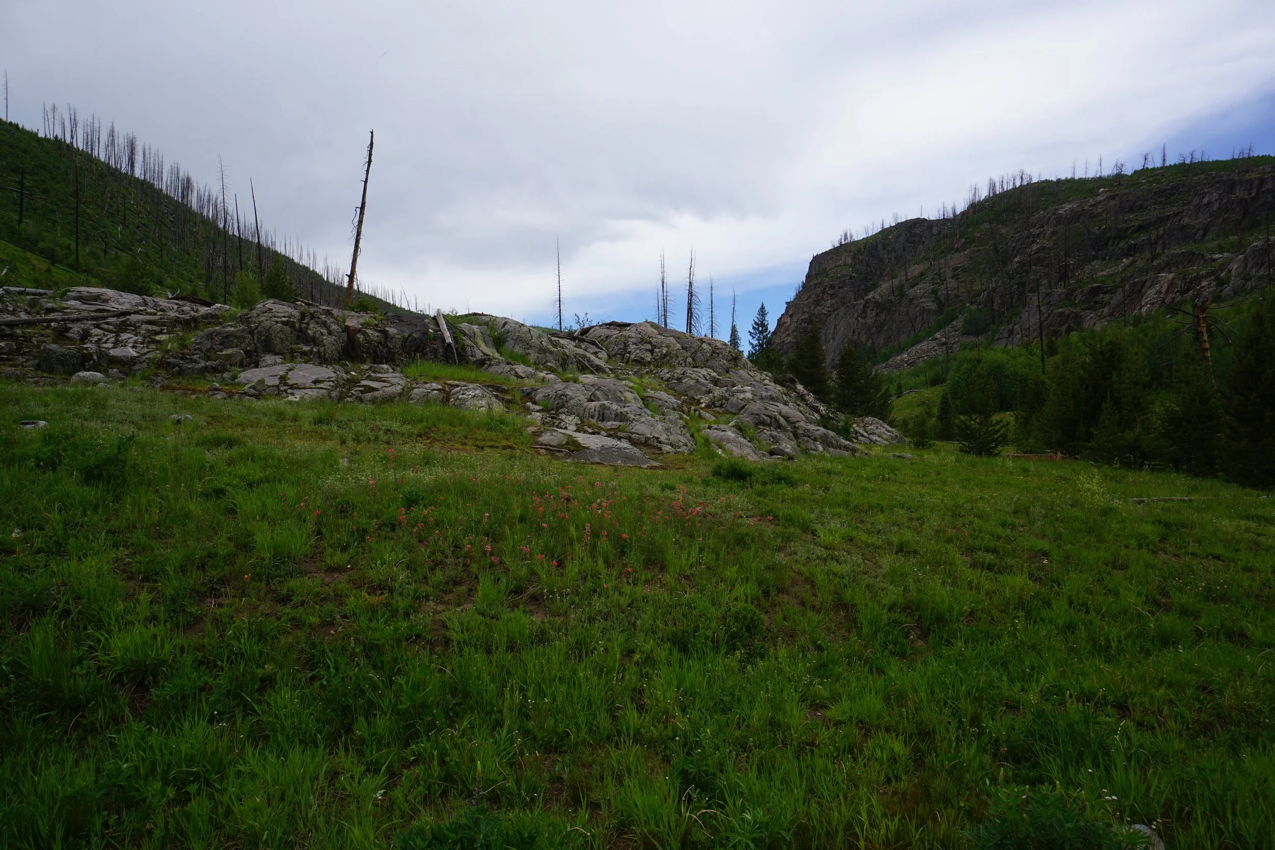
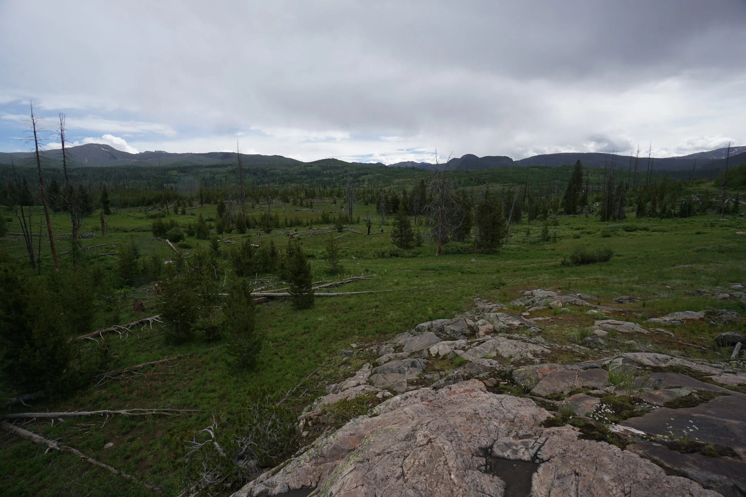
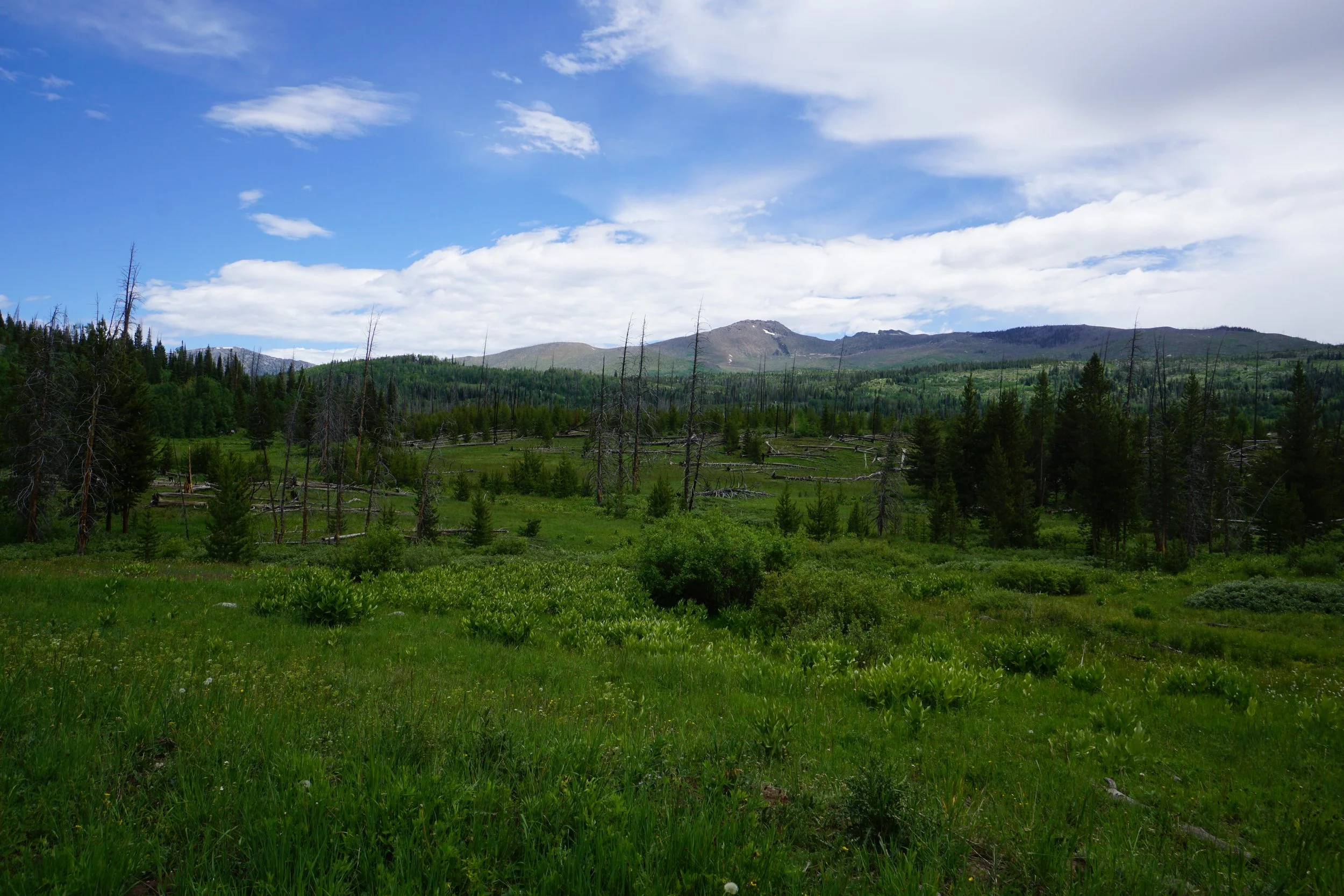
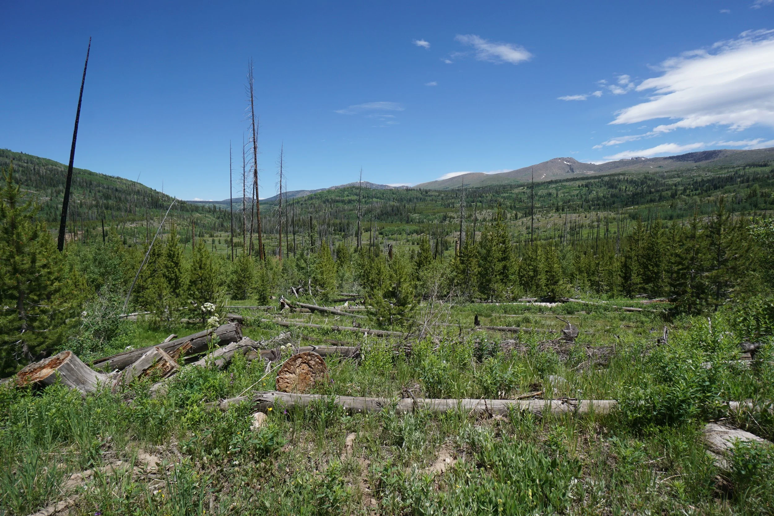
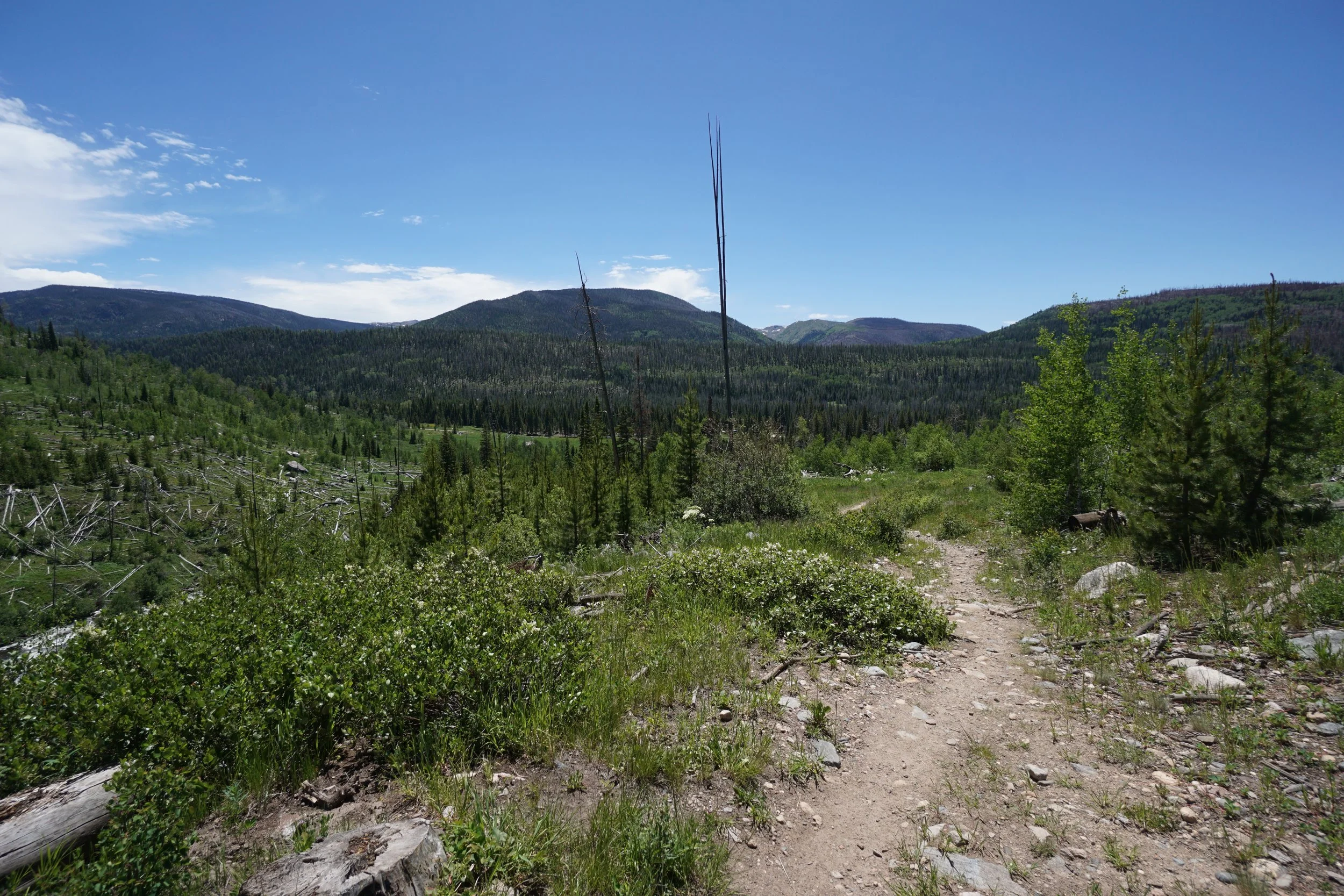
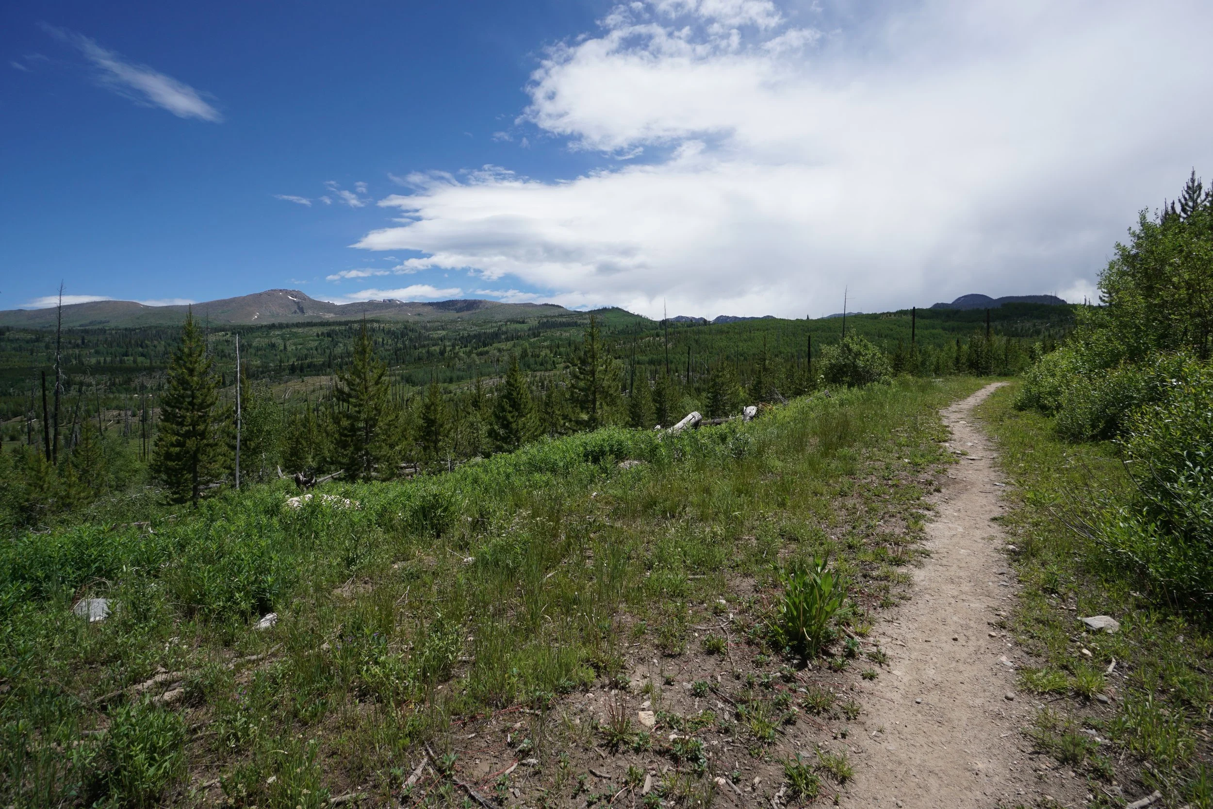
Diamond Park is a beautiful and peaceful valley nested to the west of the Park Range’s highest peaks of Little Agnes, Big Agnes, and Mount Zirkel. The trail is long trail at over 7. 5 miles one way from south to north. However, if you are looking for a nice, quick hike (good for kids) then hiking the first 1.25 miles of the trail takes you to Diamond Park with wonderful views of Little Agnes Mountain and Hole in the Wall Canyon to the west.
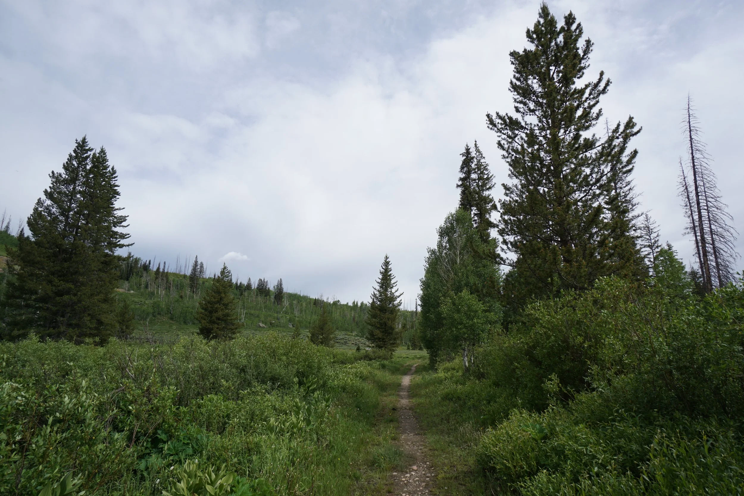
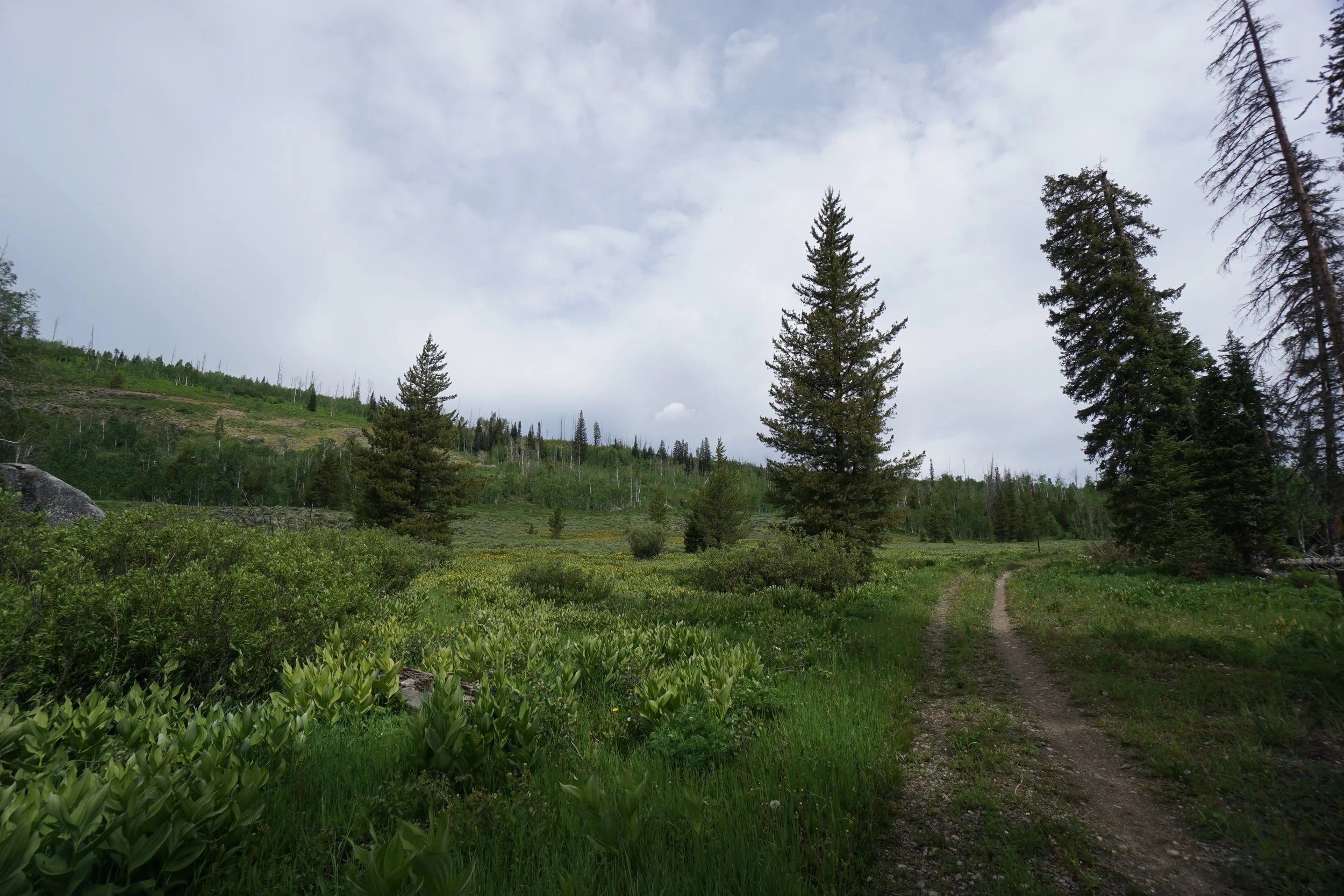
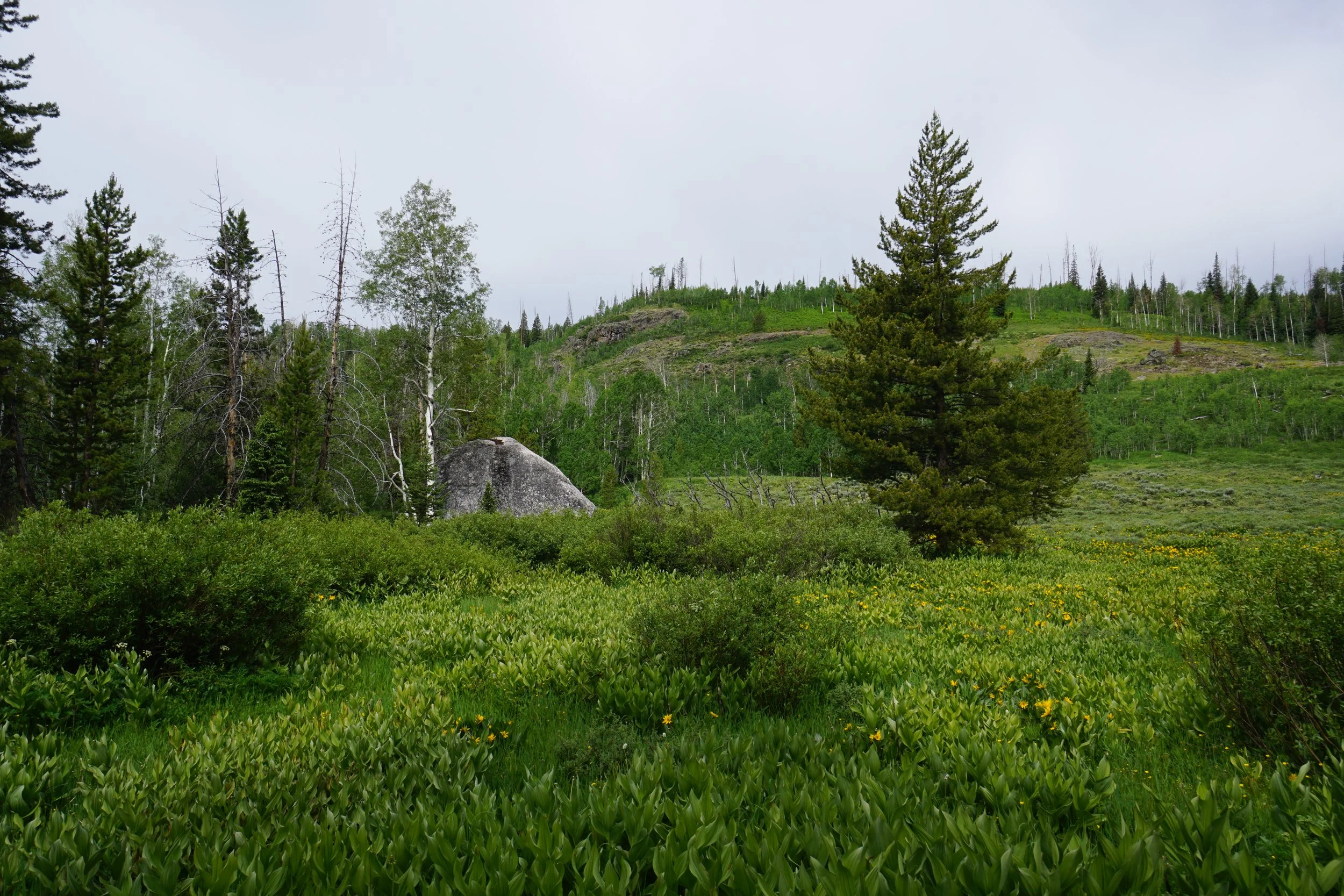
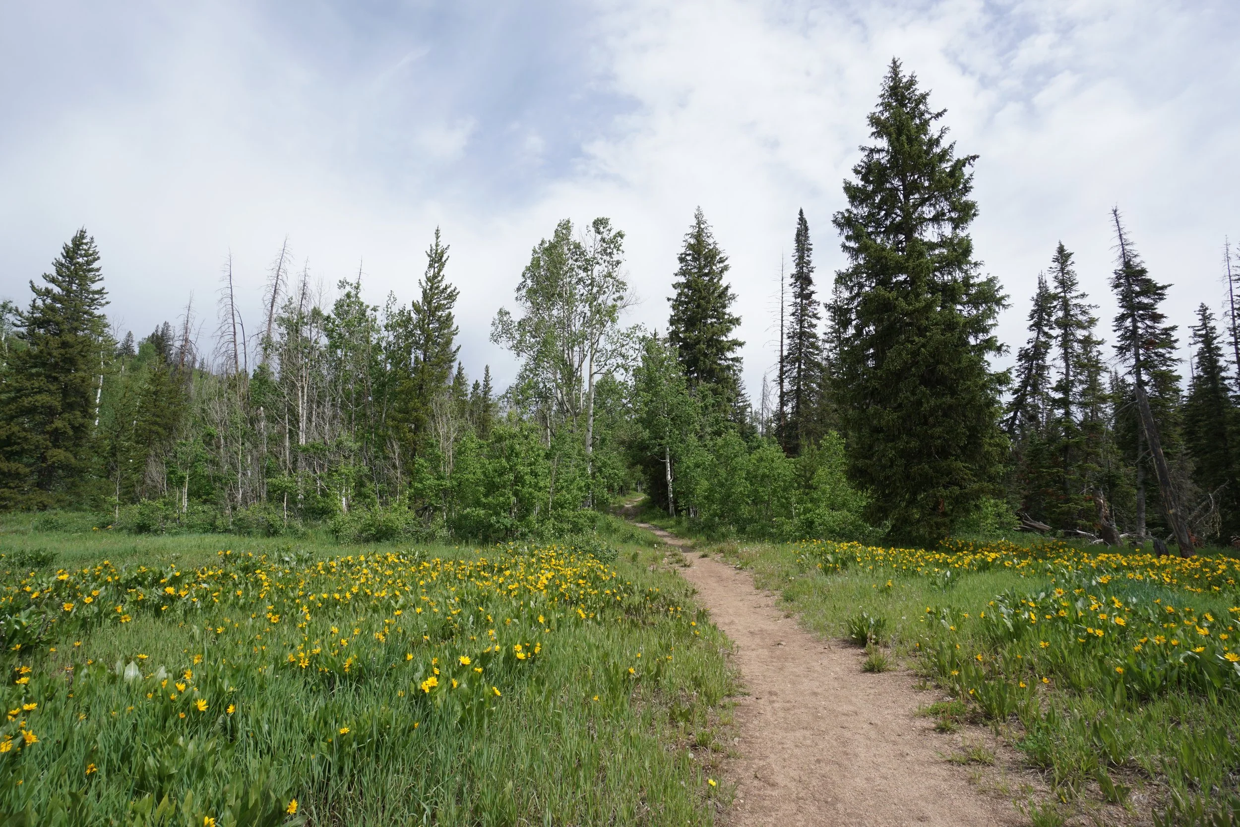
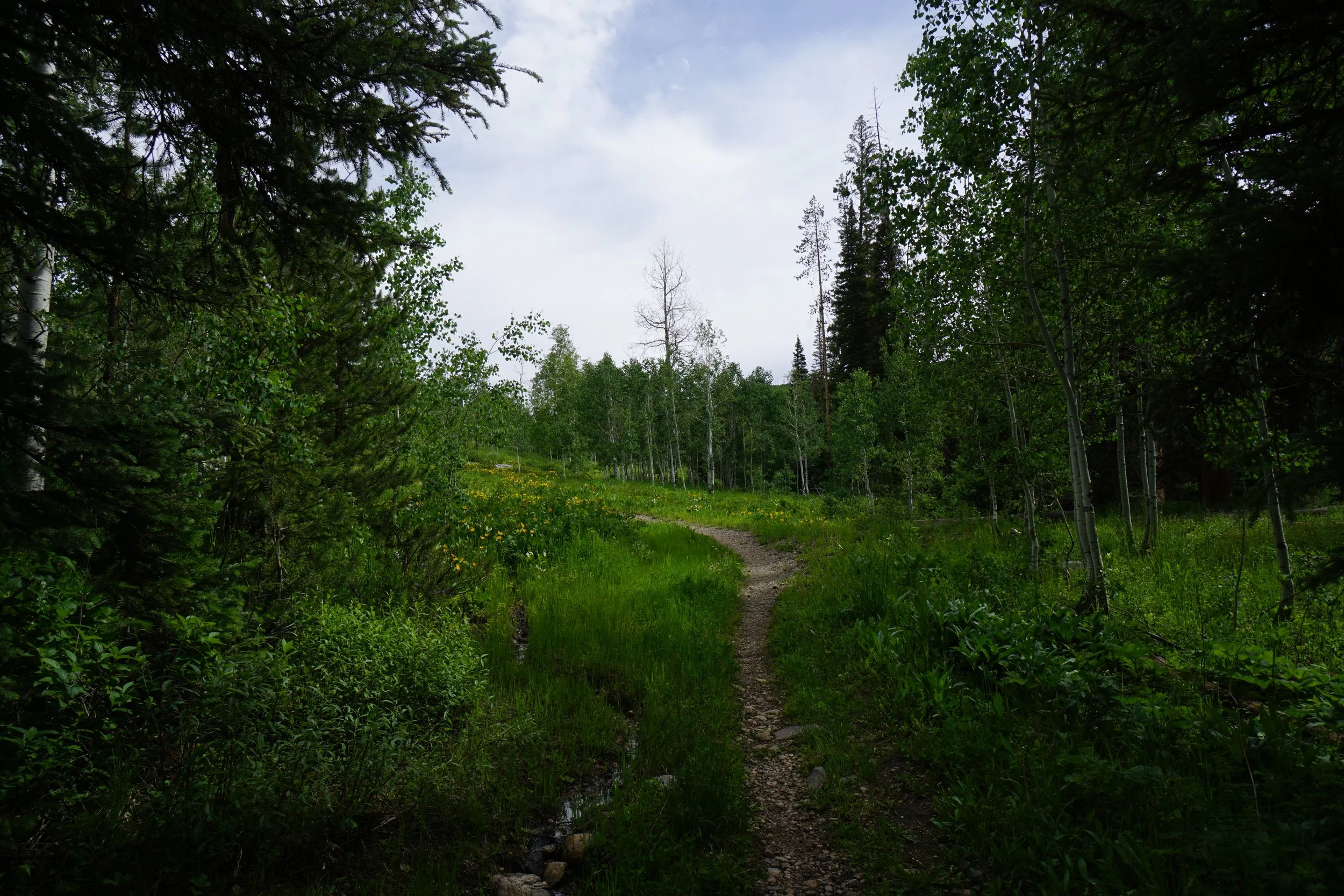
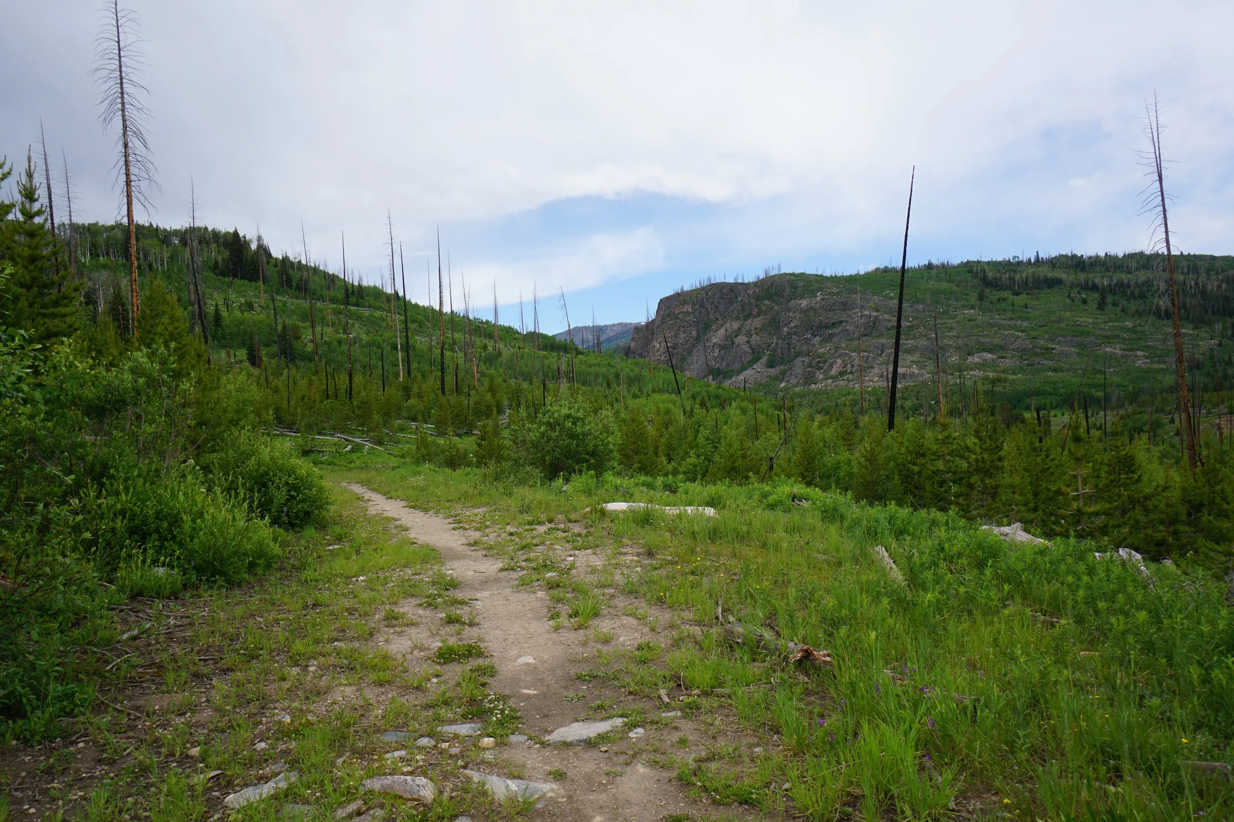
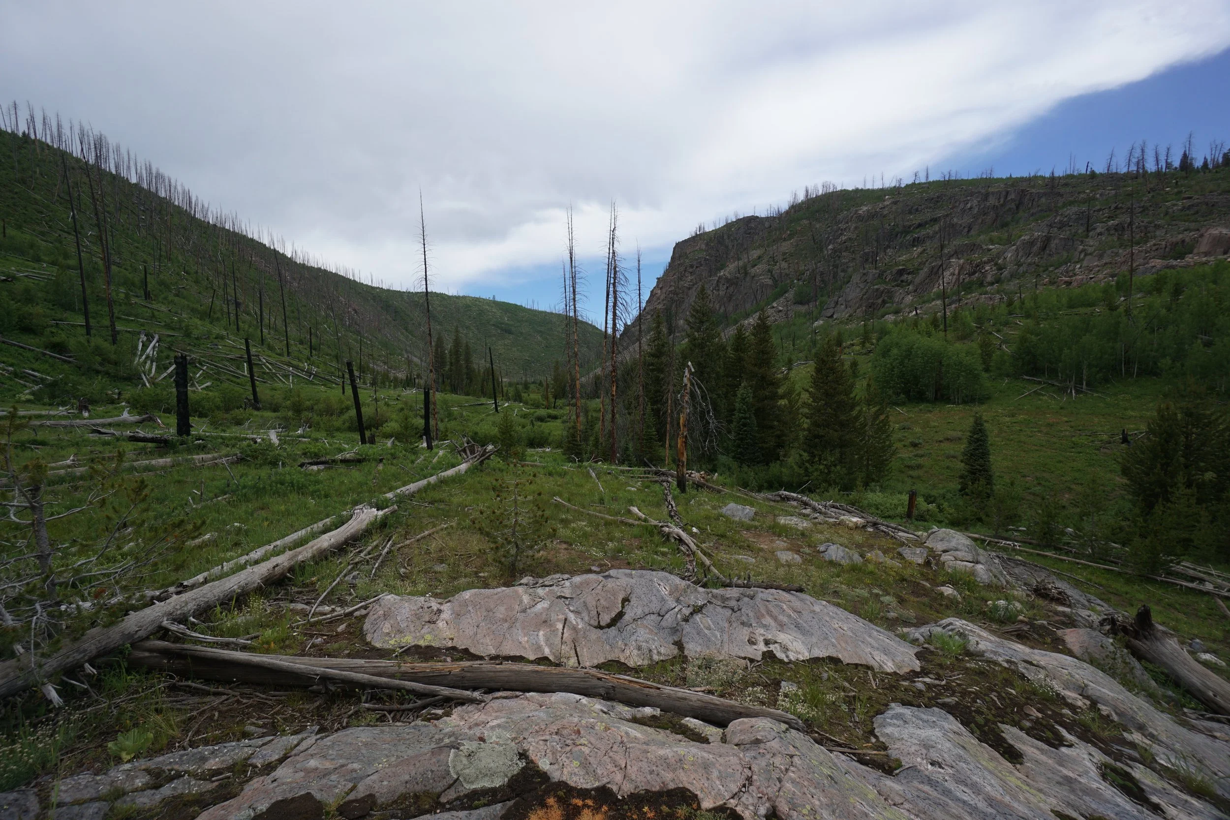
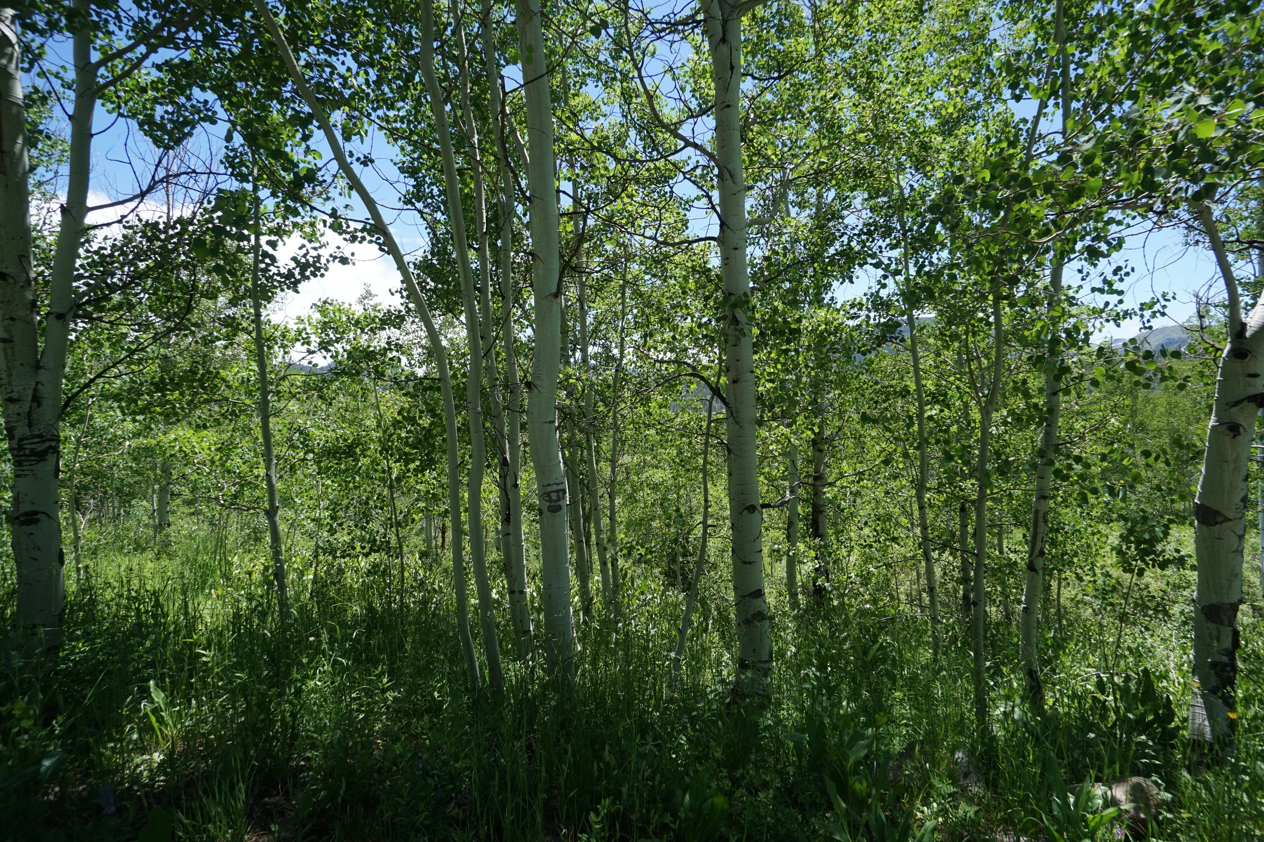
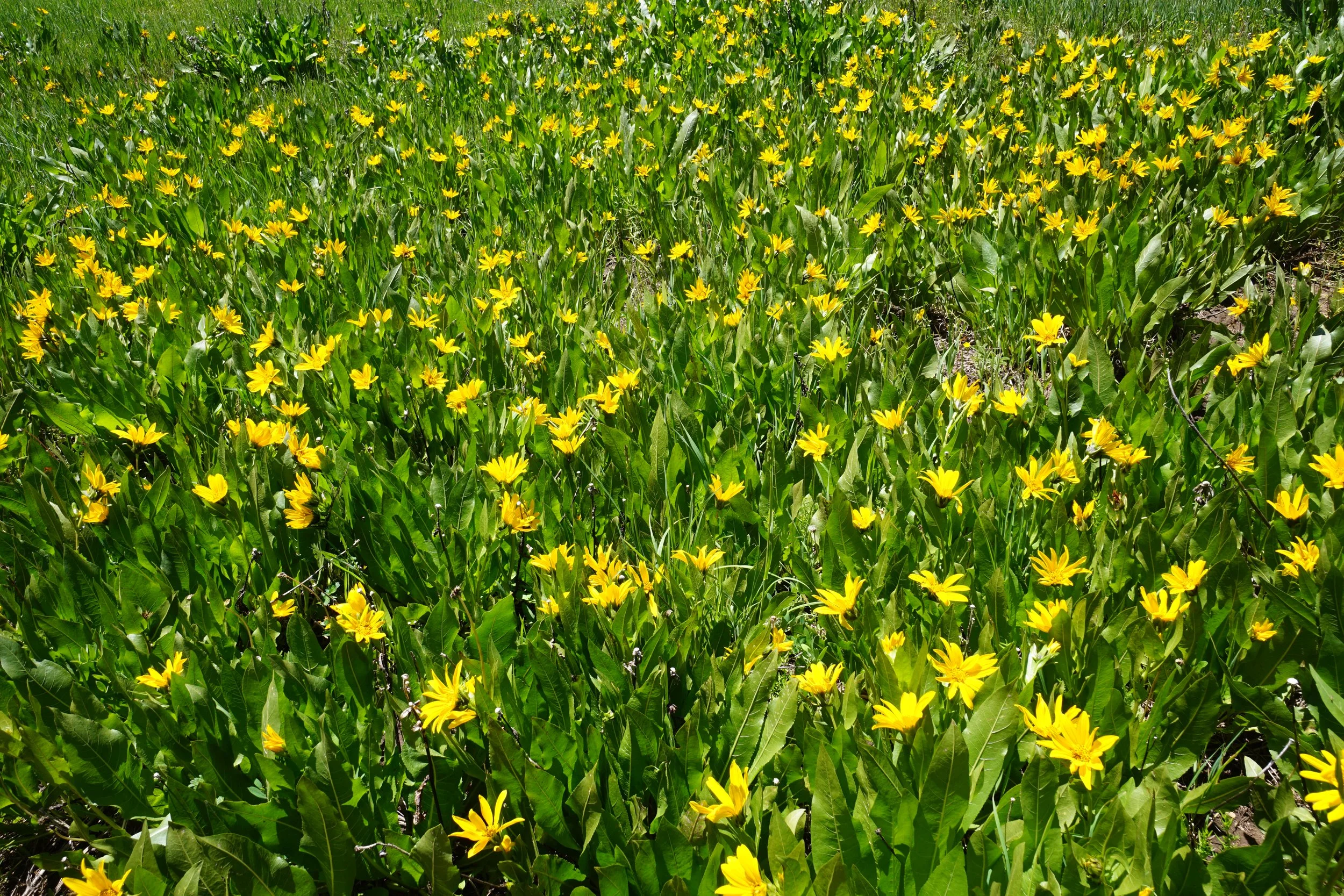
The trail begins by crossing a lovely meadow carpeted with wildflowers. Soon the trail enters Aspen forest and gently climbs a ridge. The top of the ridge provides the first mountain views and views down into Diamond Park. The trail then skirts the eastern hillsides and descends to the mouth of Hole in the Wall Canyon. There are some rock outcroppings just off the trail and climbing them makes for a great destination for relaxation.
The trail continues and by all means, continue up the trail if you wish. Otherwise, this is a great outing especially if you are camping at the Seedhouse Campground. It give a small tease of the Mt. Zirkel Wilderness and the Park Range and will leave you wanting more.
One more thing…the slopes on the far side of the valley are used for sheep grazing and if you’ve never heard the bleating screams of hungry sheep…you’ll hear them on this trail…