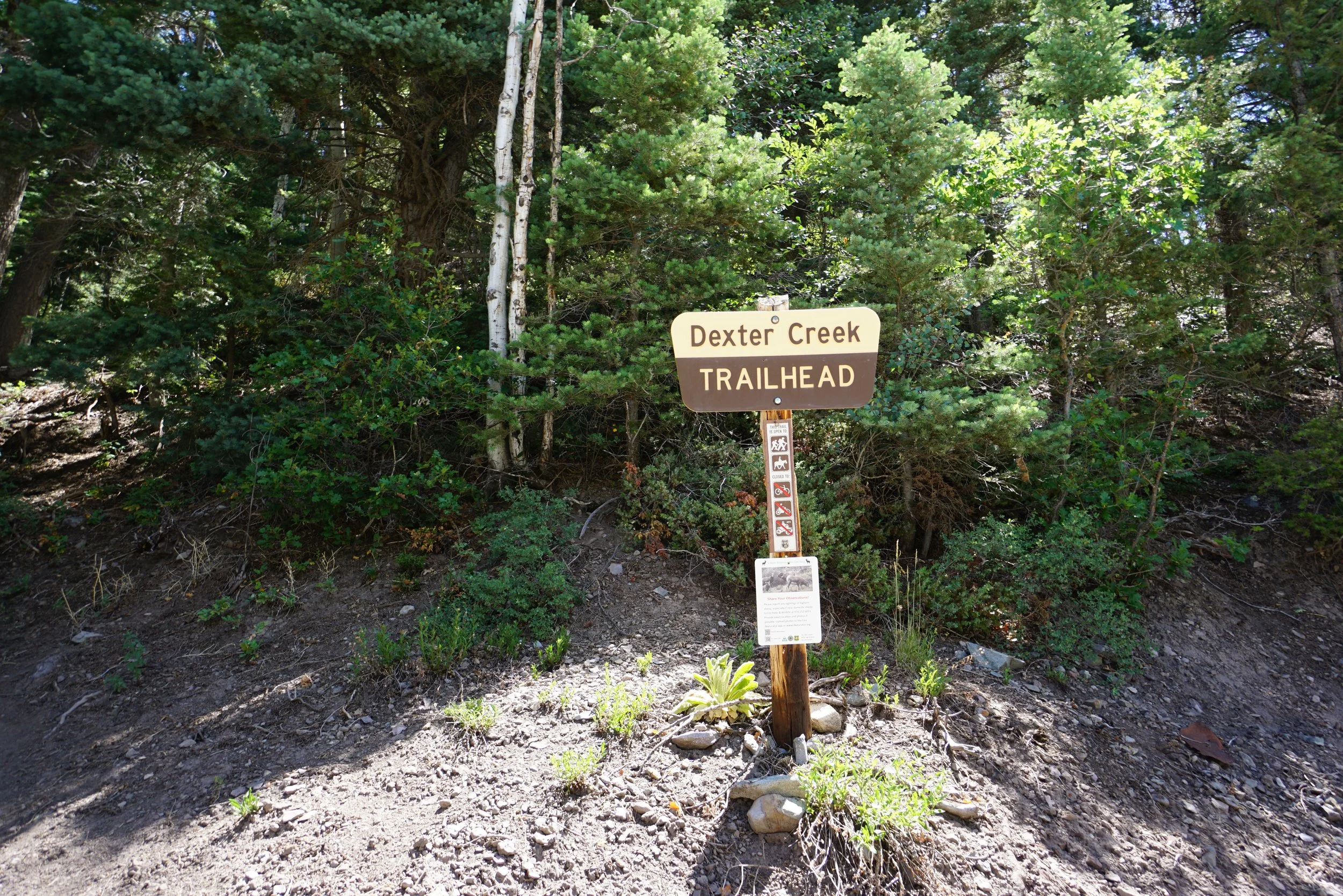
Dexter Creek
Uncompahgre National Forest
Date Hiked: July 5, 2025
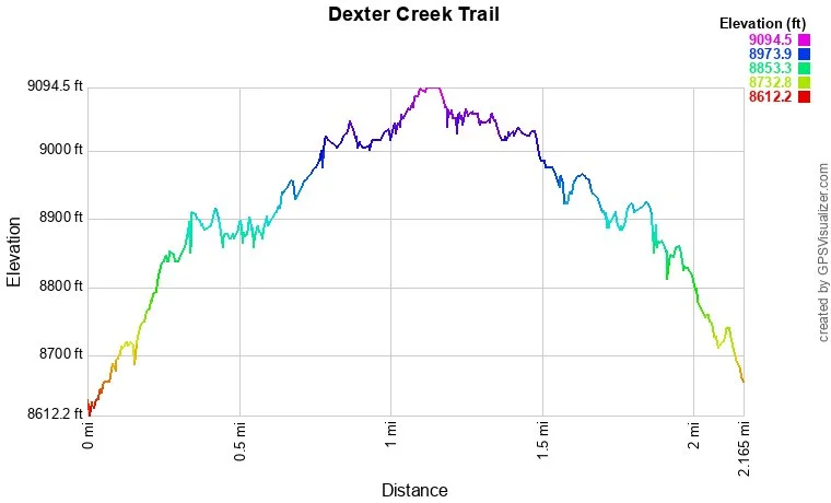
Distance: 2 mi (RT)
Elevation Gain: 430 ft
Elevation Min/Max: 8,653 to 9,072 ft
Trailhead Lat/Long: 38.06175, -107.66065
Managing Agency: U.S. Forest Service
Fee: None
Directions:
From Hwy 550 in between Ridgway and Ouray, turn east on Dexter Creek Road and drive past Lake Lenore and the turnoff for the Bachelor Syracuse Mine Tour. At this point Rd 871 becomes a bit narrow and bit rough. You’ll definitely want an SUV or Truck with some clearance, but you should be able to drive safely without too much trouble. The Dexter Creek Trailhead is 1 ¼ miles up the road right before the infamous Dexter Creek Crossing preventing all but the gnarliest off road vehicles from continuing on. That’s ok though, there is plenty of room to park before the creek and accessing the Dexter Creek Trailhead does not require crossing the creek.
Hike Description:
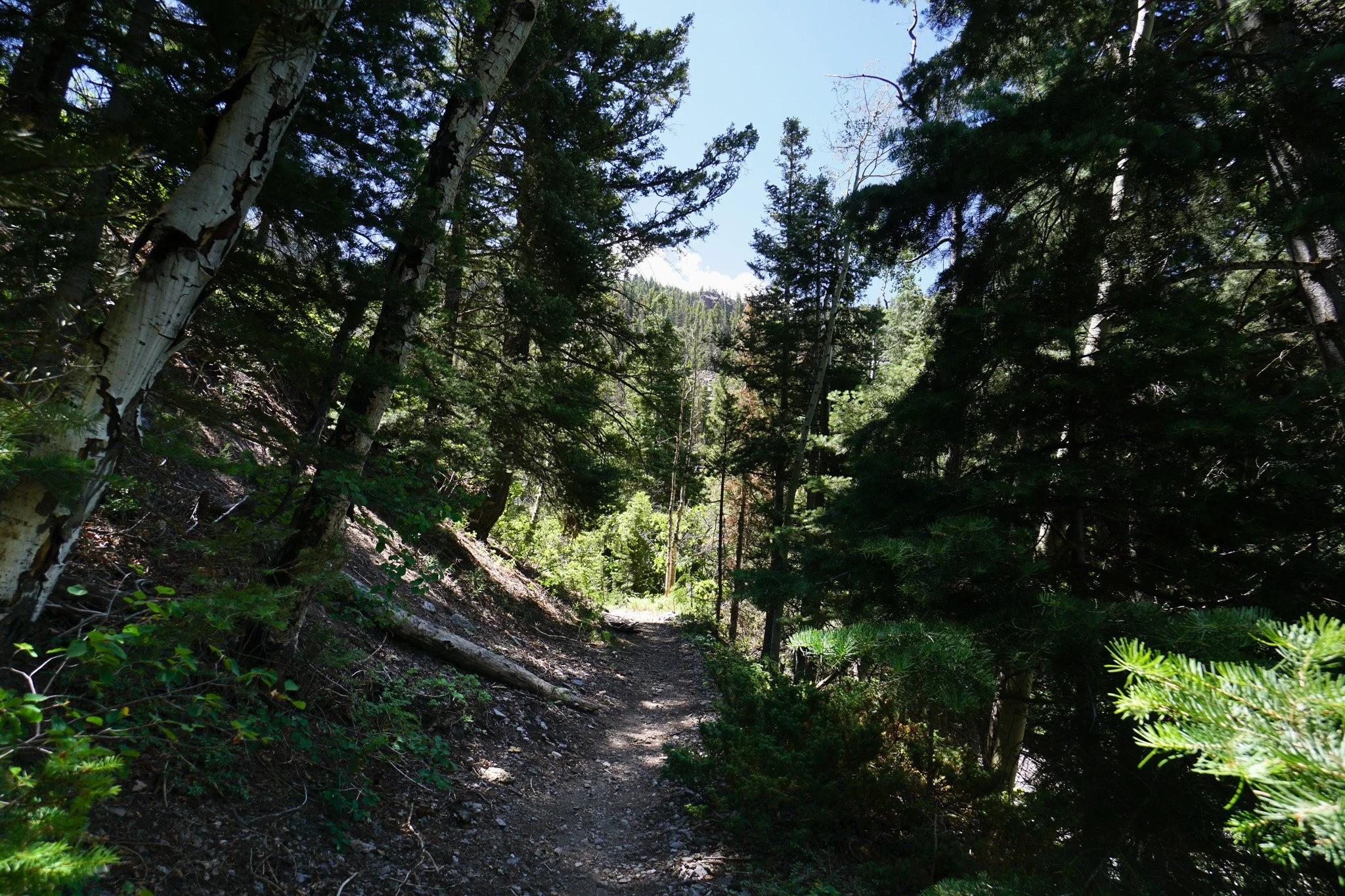
The Dexter Creek Trail is a great way to access the Uncompahgre Wilderness from the Ouray/Ridgway area. The trail enters the wilderness after only about a mile and a half of hiking. We did this hike with a group of kids in tow, so we only made it about a mile in before the youngest kids in the group decided that we hiked far enough…go figure…
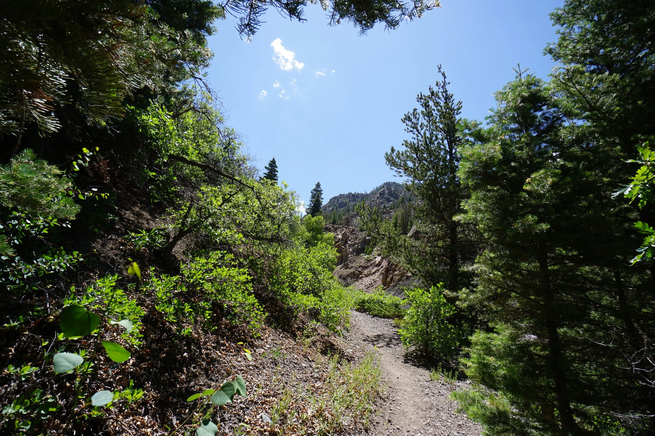
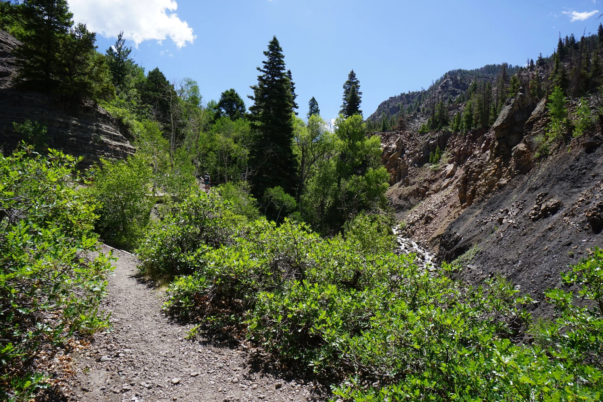
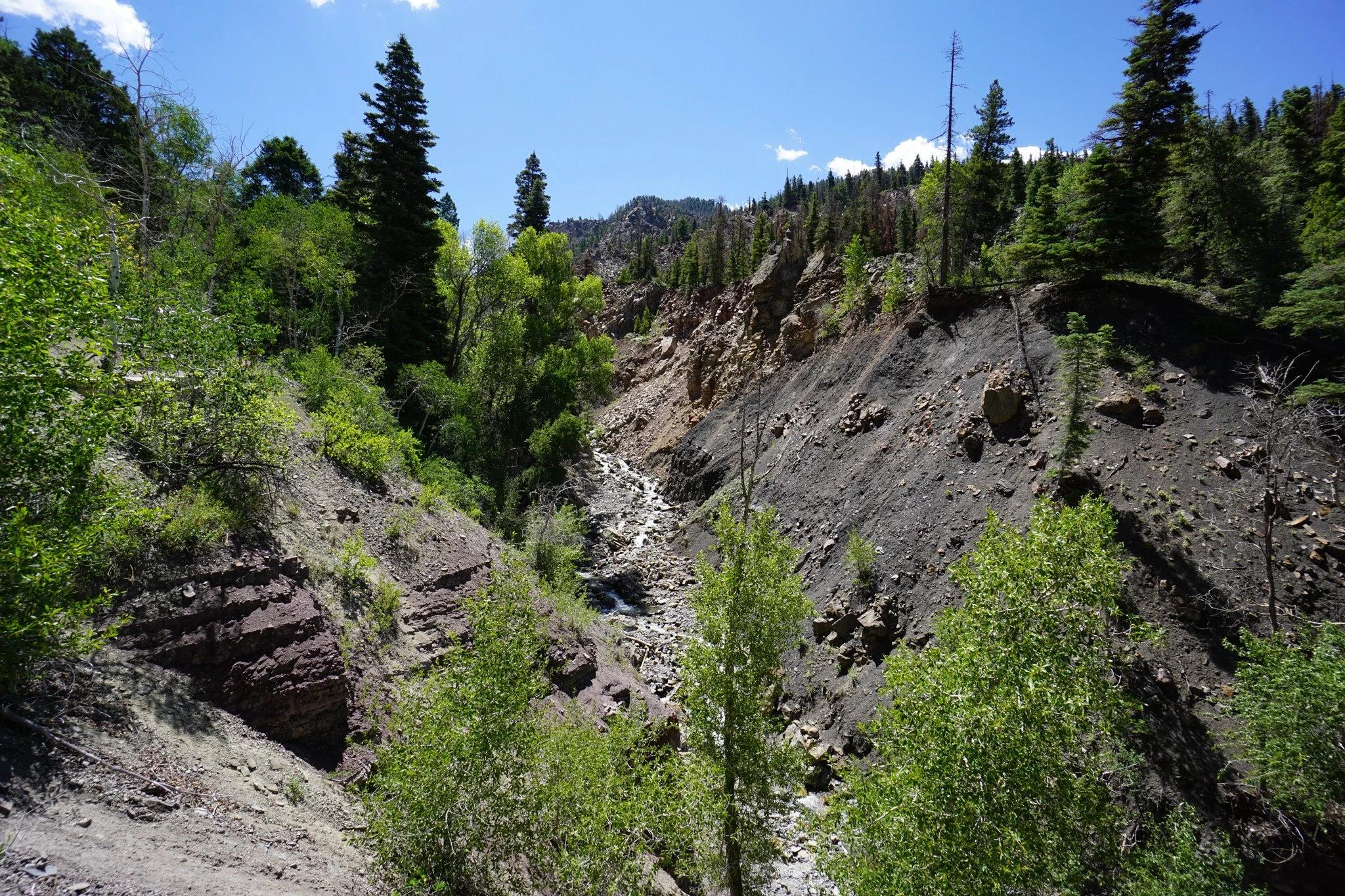
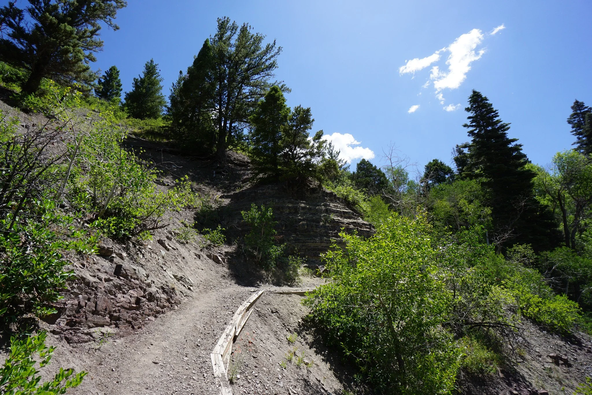
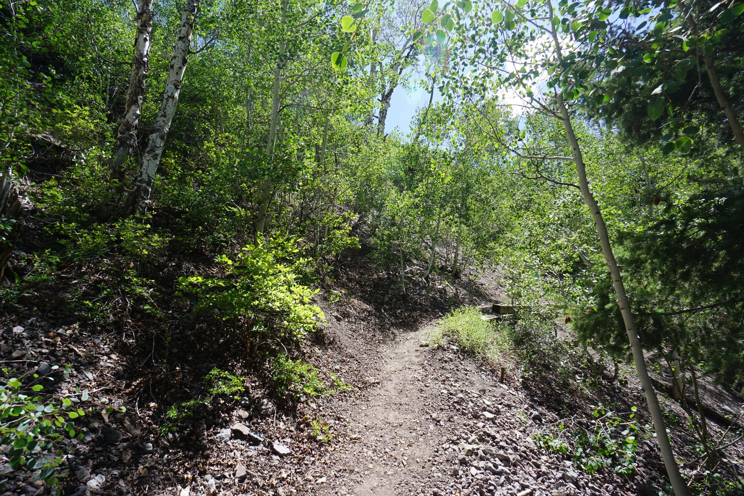
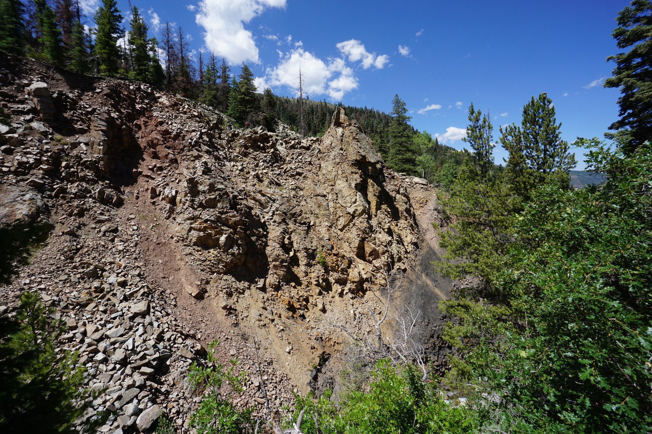
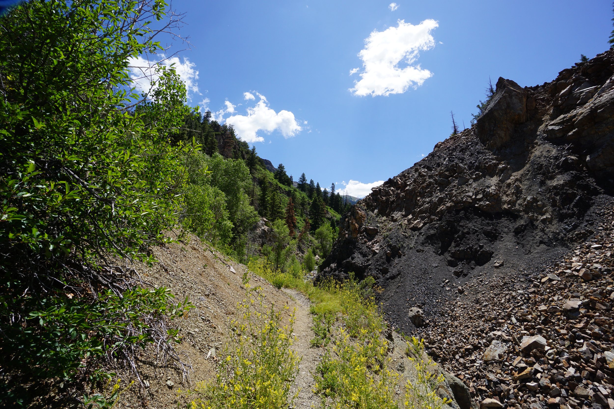
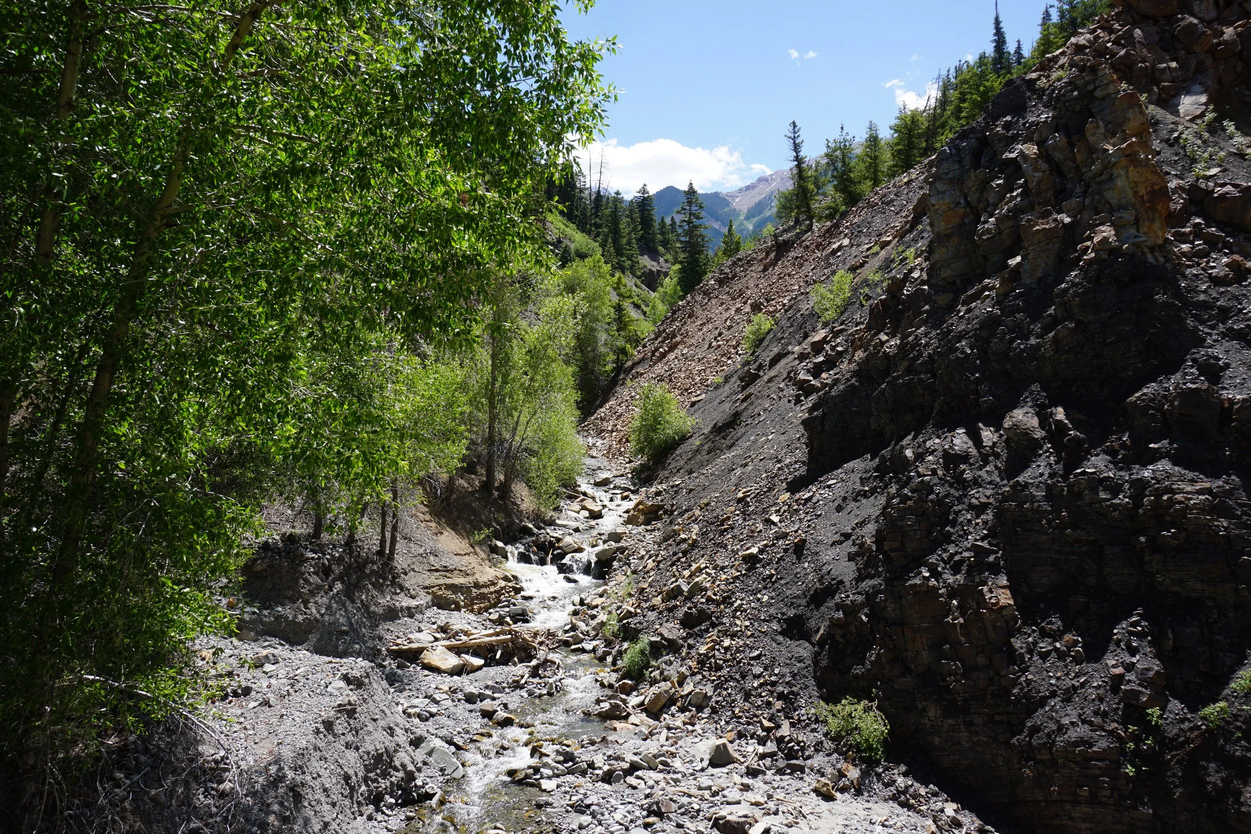
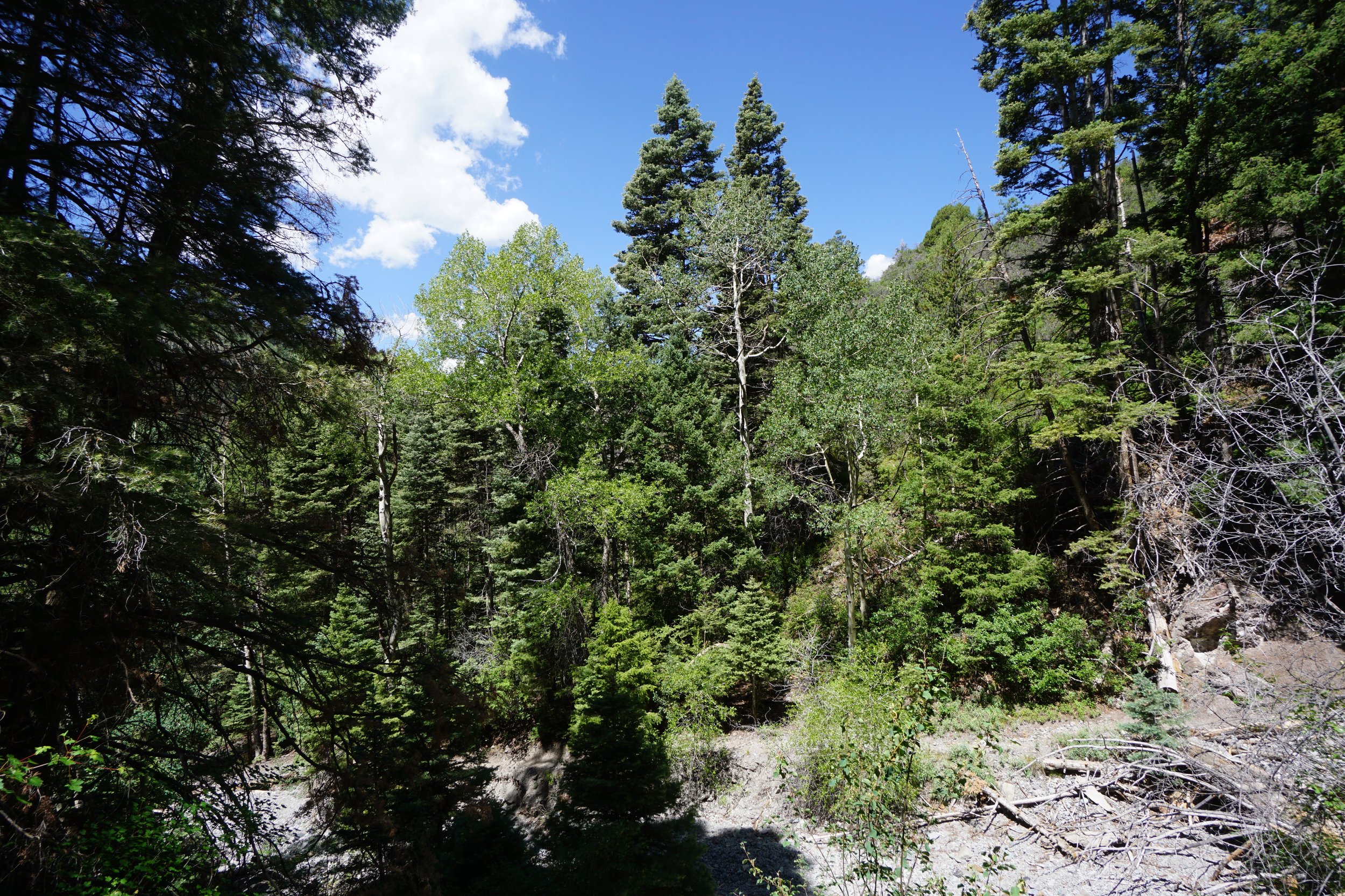
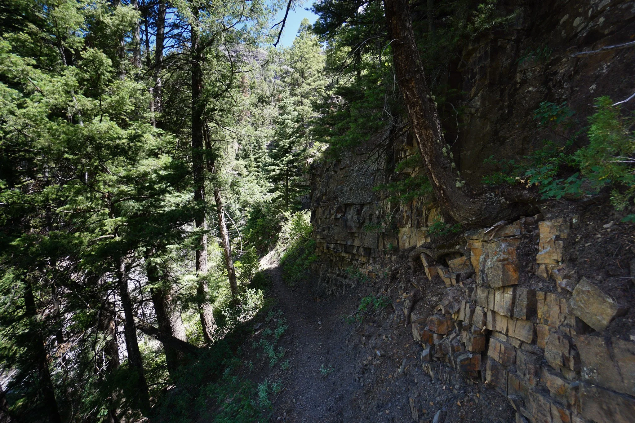
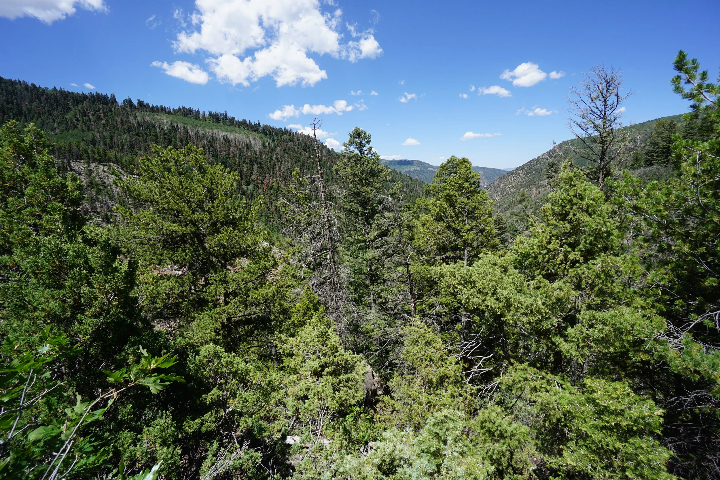
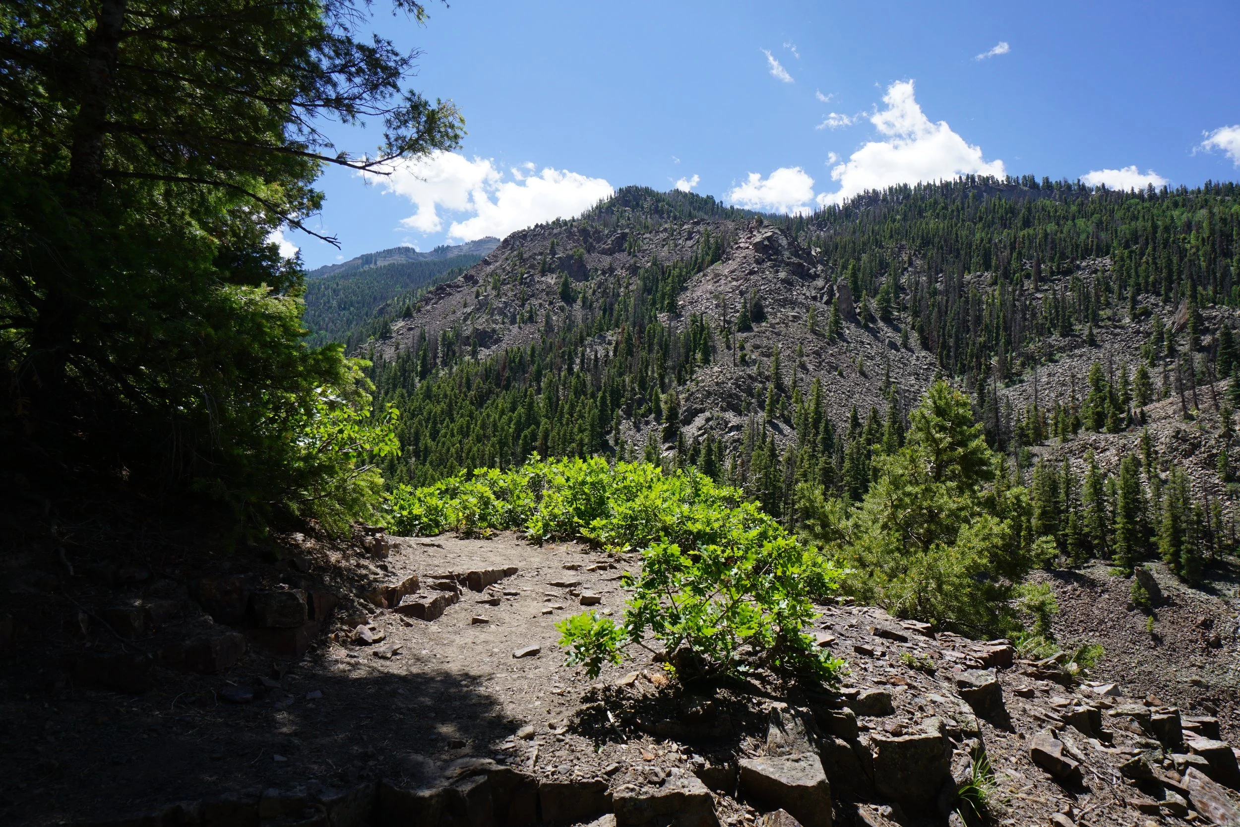
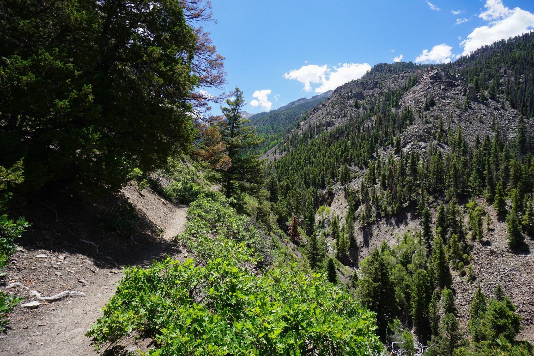
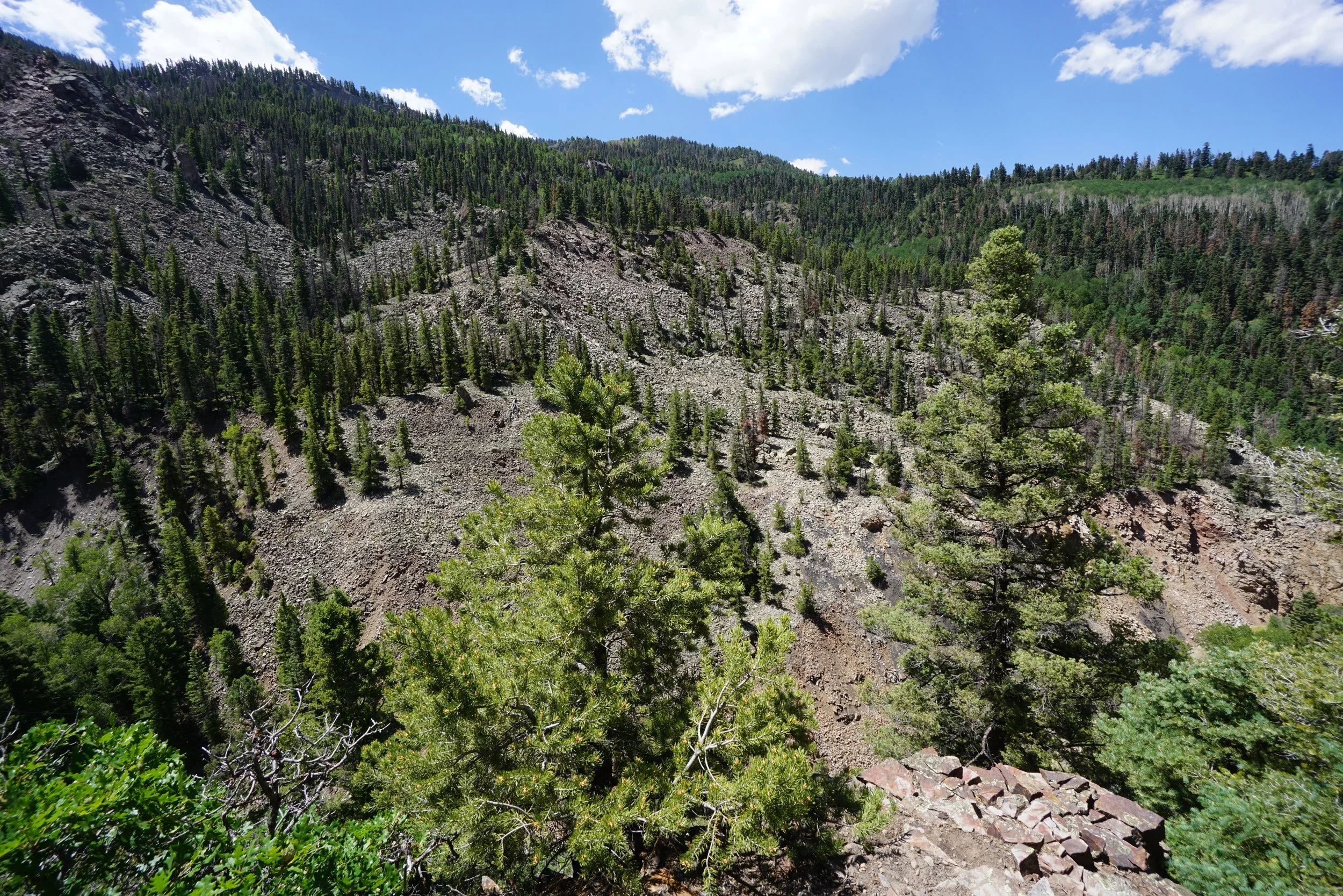
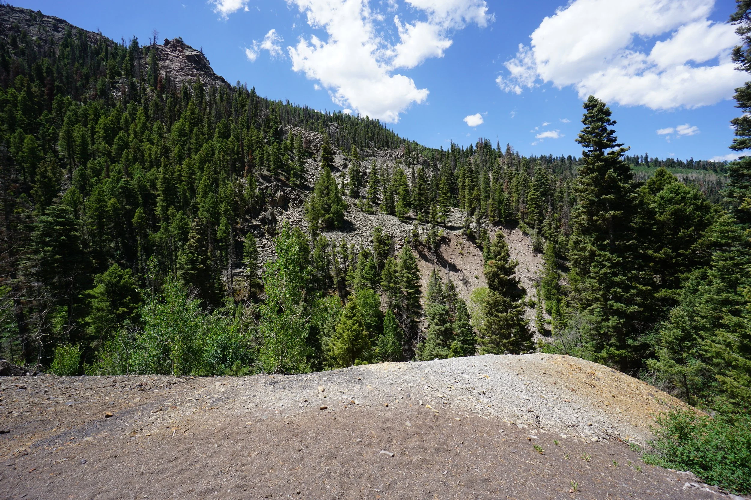
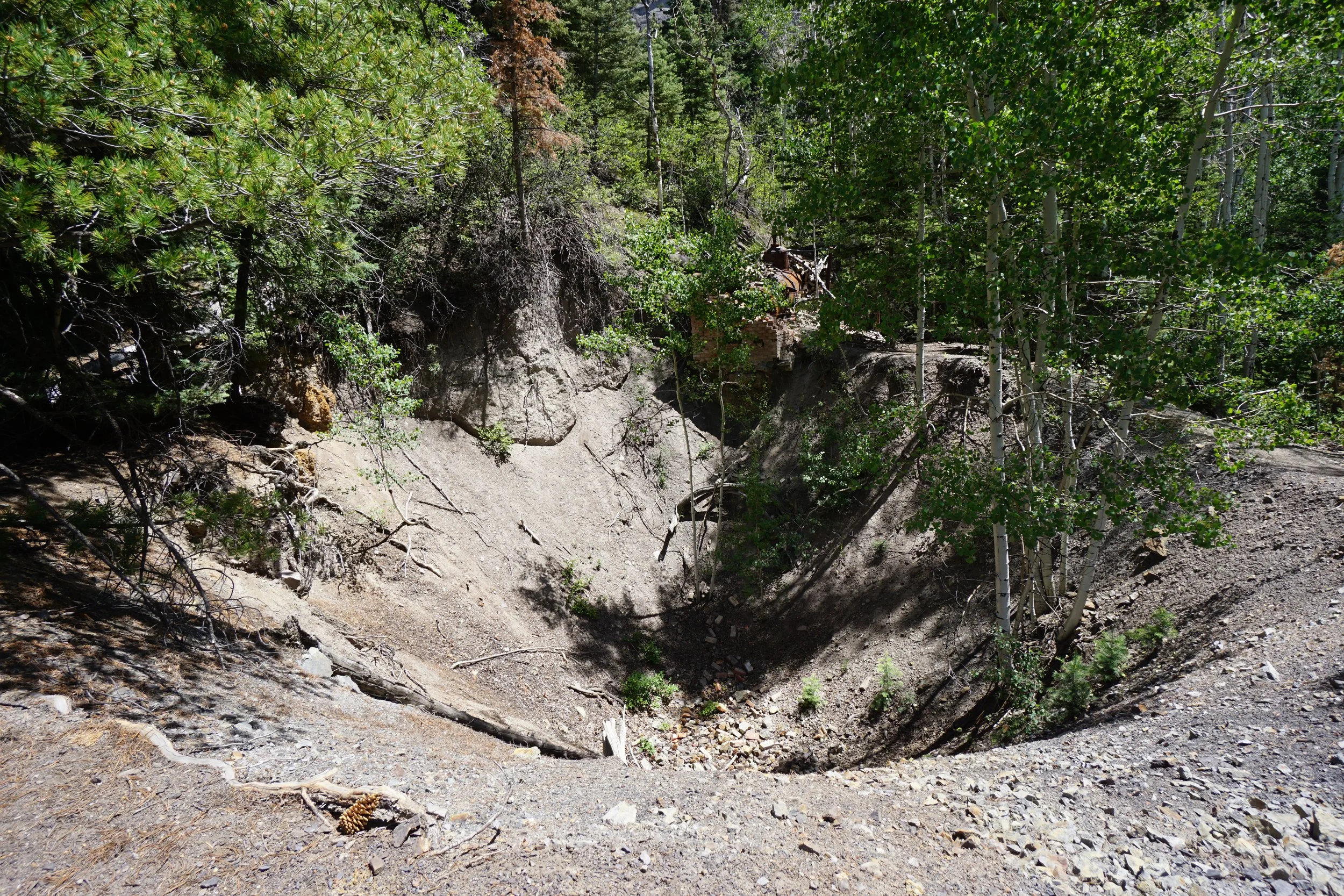
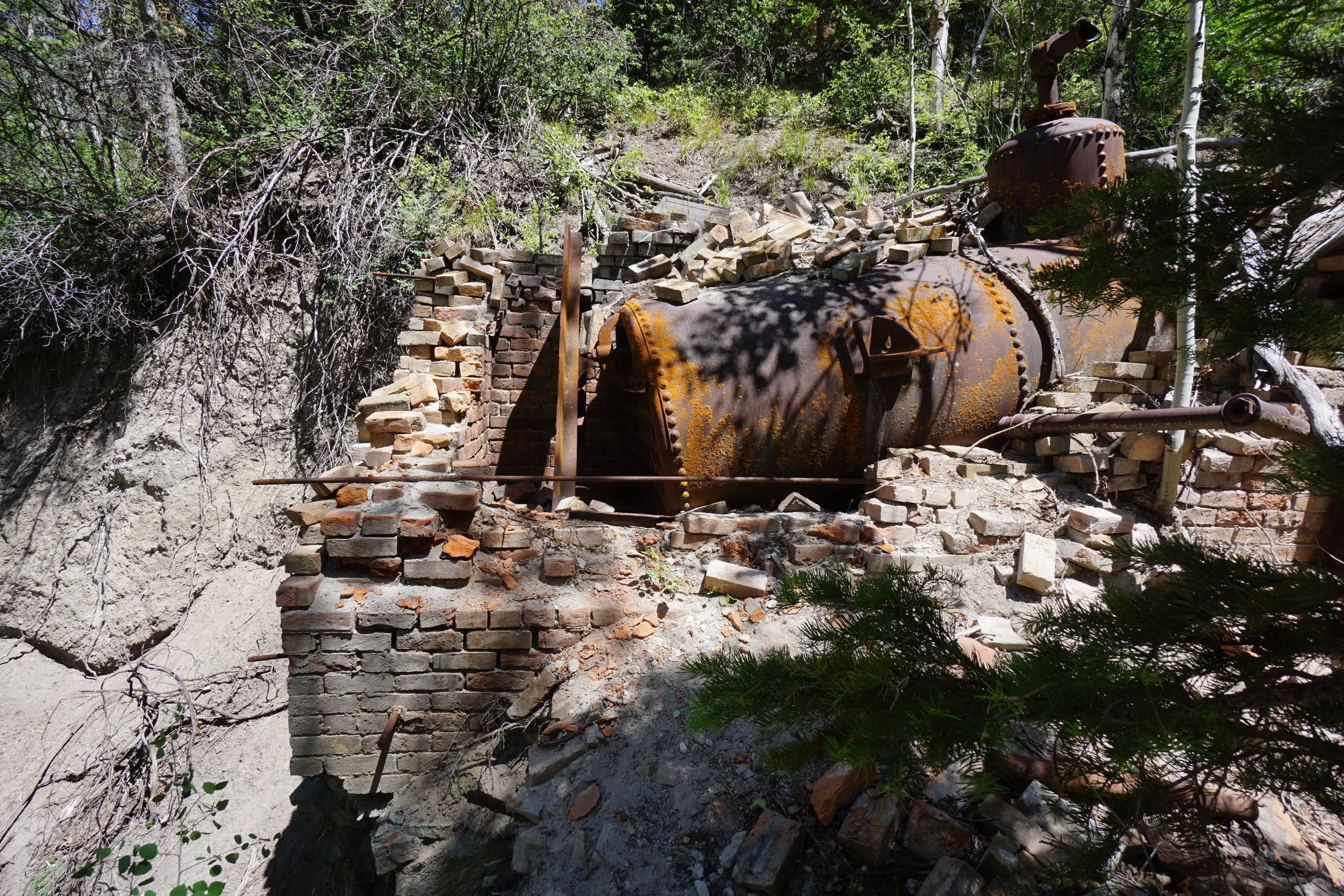
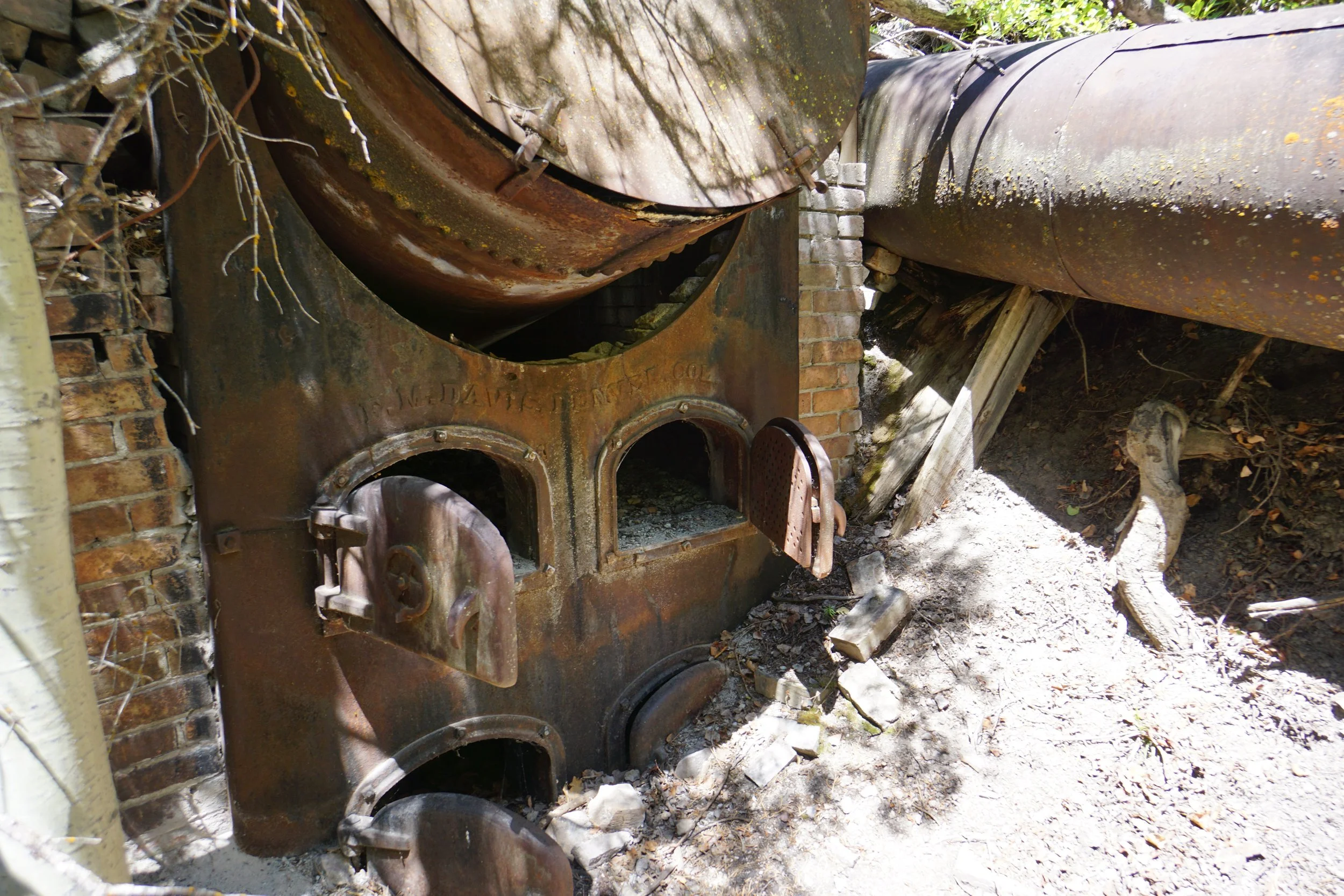
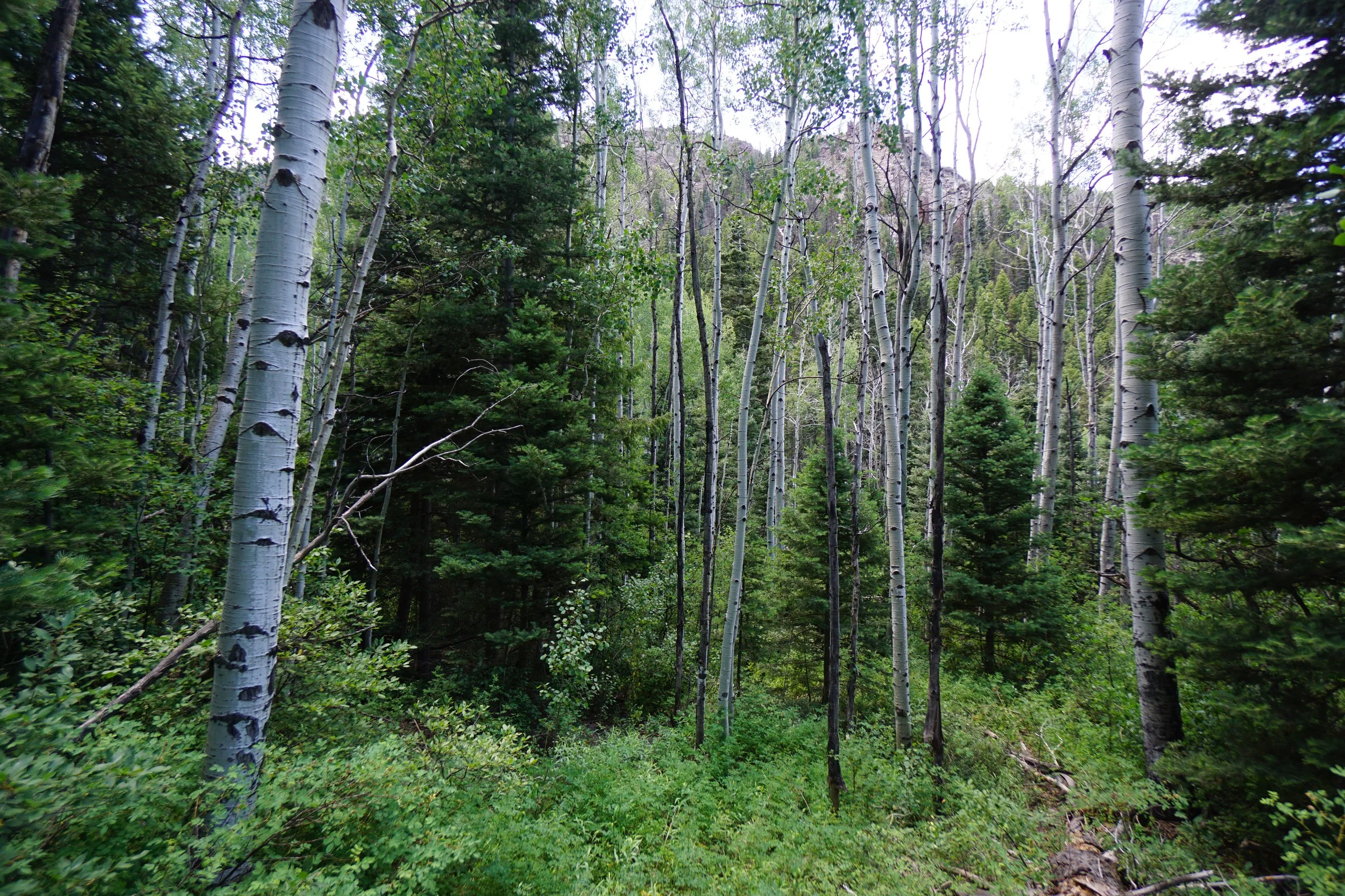
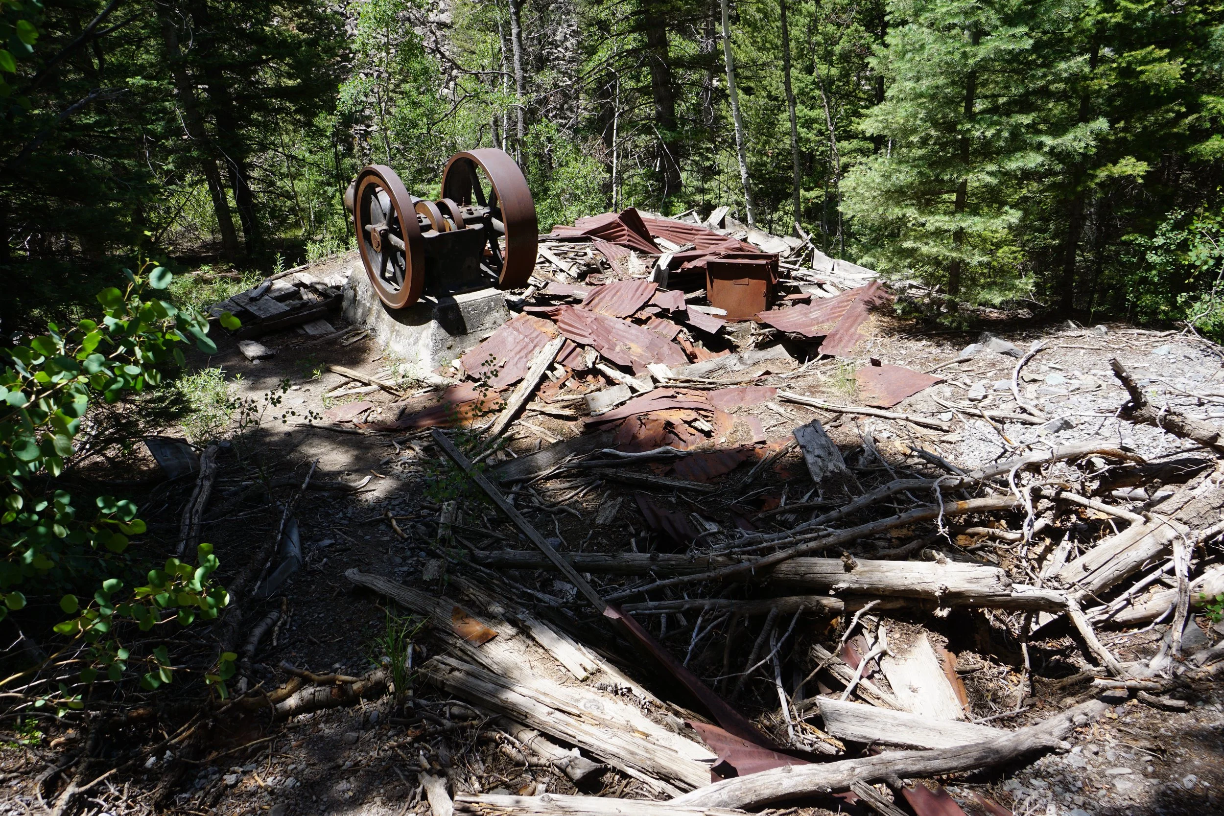
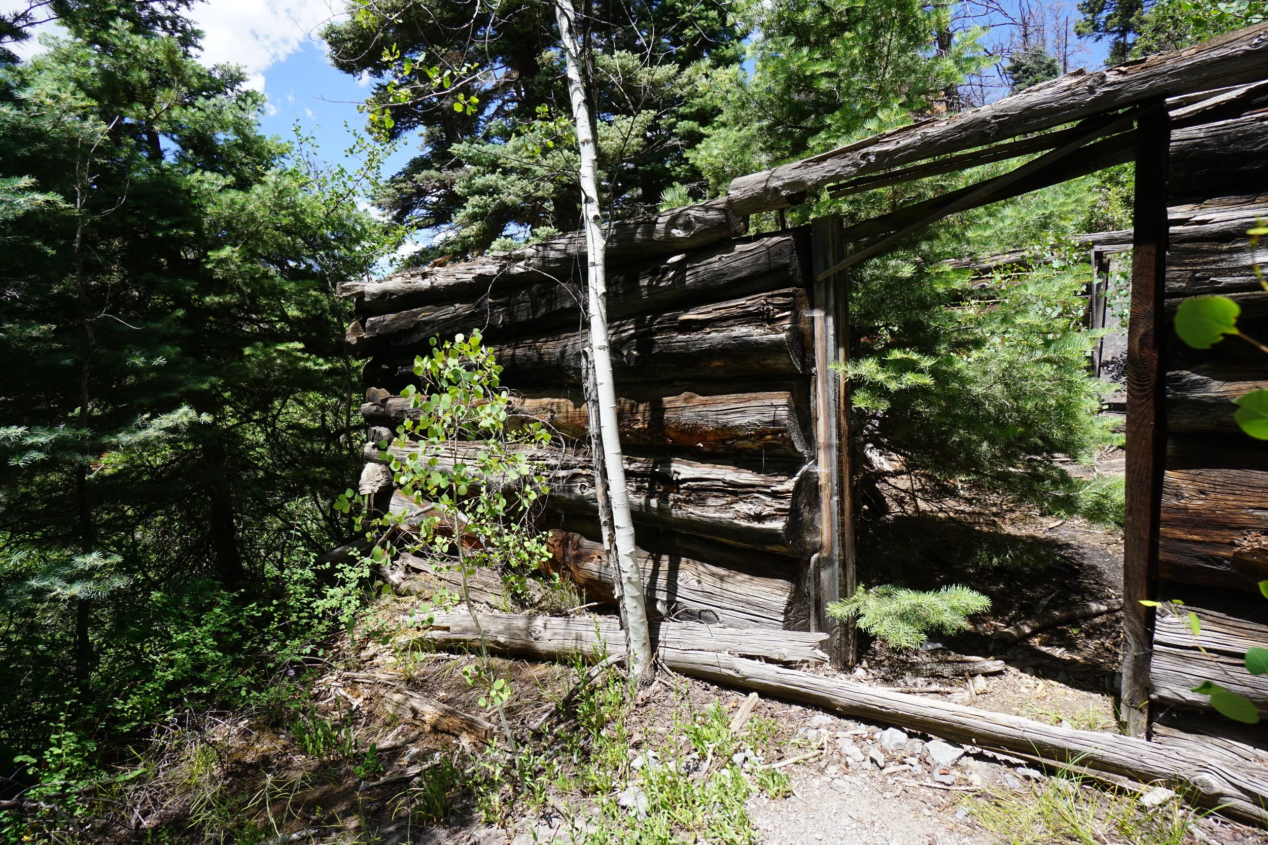
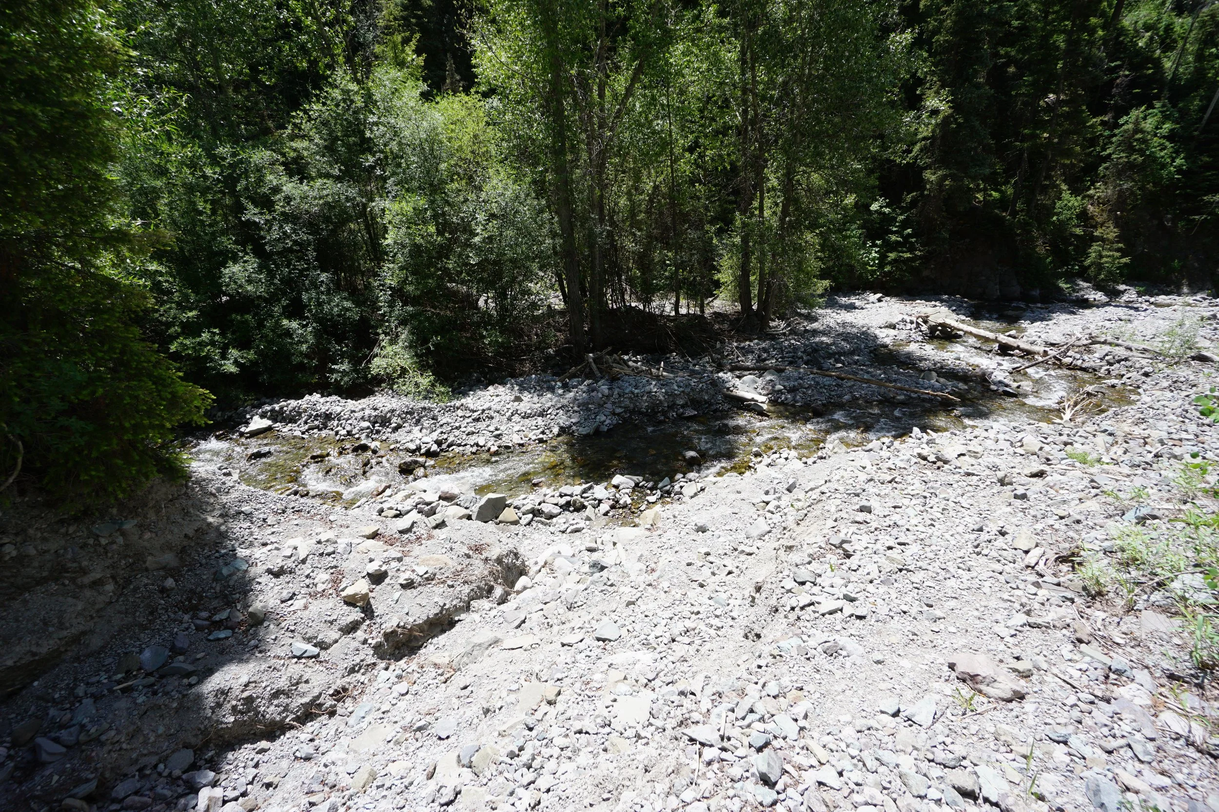
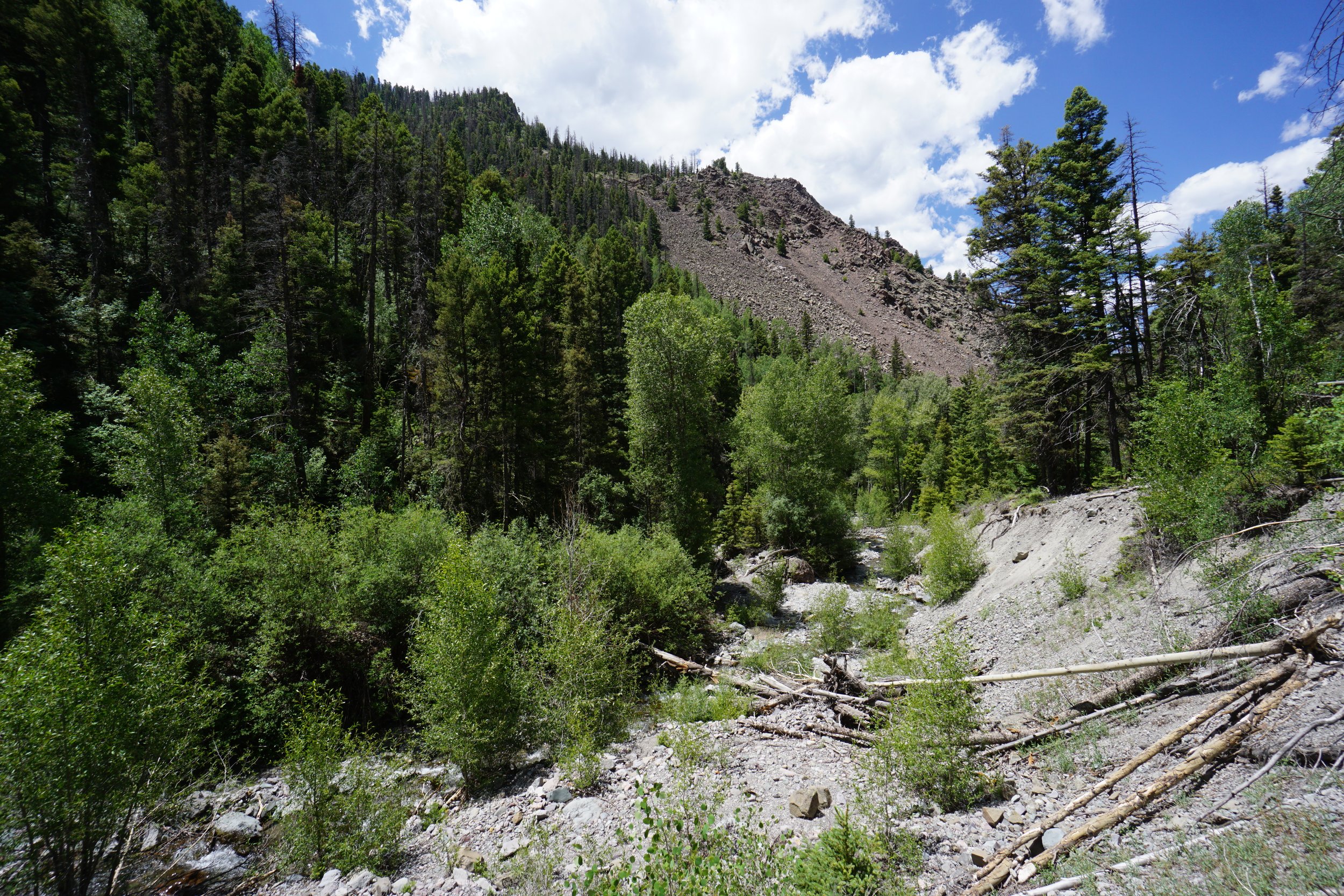
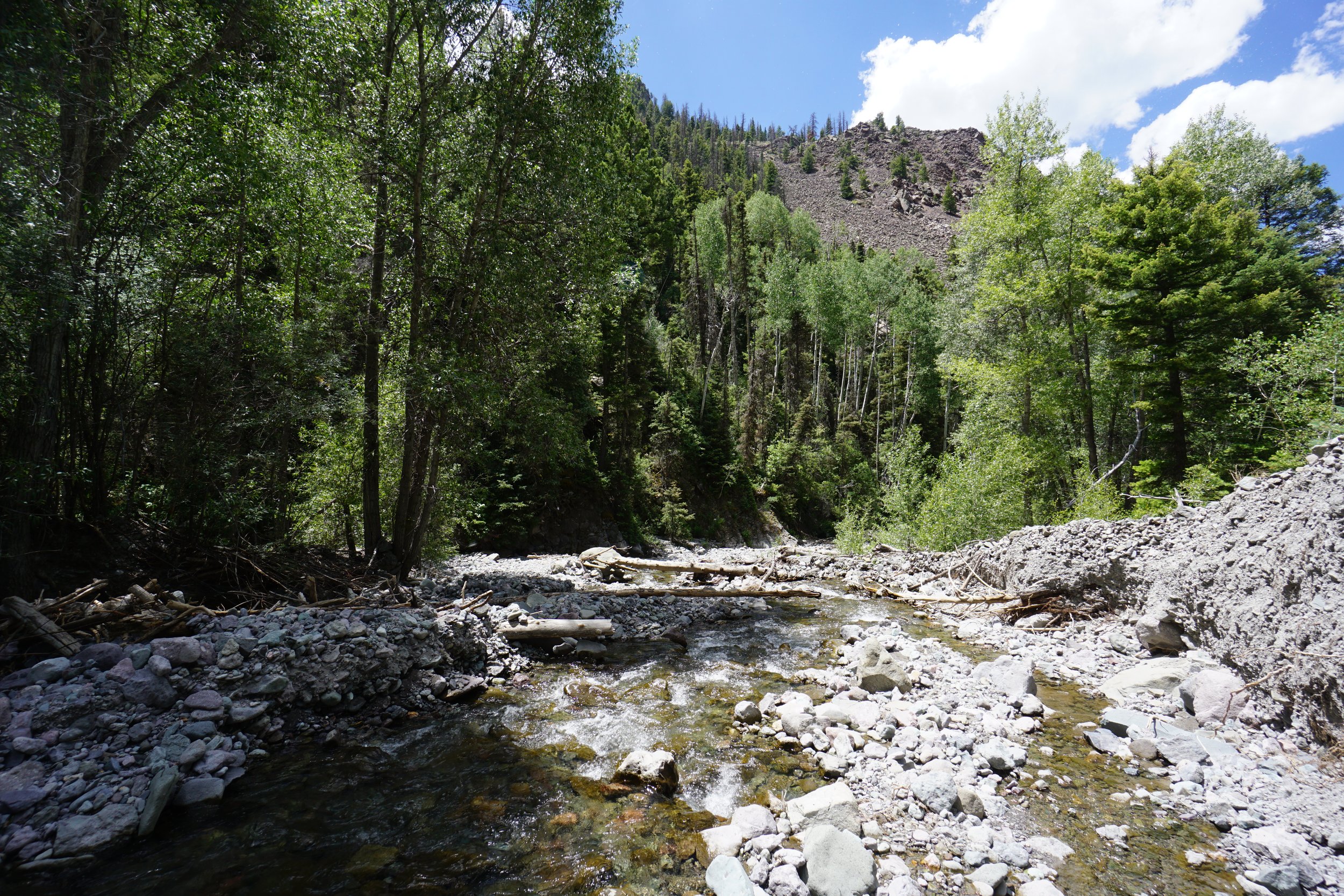
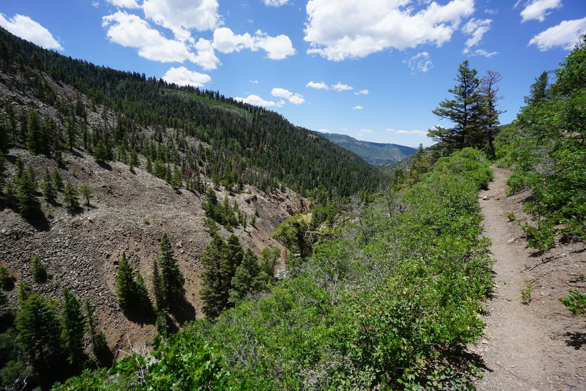
The first mile of the Dexter Creek Trail is very scenic, although a bit steeper than we initially planned for. The hike climbs through dense forest until it reaches a steep ravine cut by Dexter Creek. The next mile or so skirts the edge of the ravine with nice views down to the creek, back towards Ouray and up to the mountains in the distance. At about the ¾ of a mile point, you reach an abandoned mining area with some interesting structures and equipment still left over. At the one-mile point, the trail meets up with Dexter Creek, this is a good place to relax and turn around if you are not going to push up into the Wilderness Area.
Steep ravine, narrow trail, and abandoned mines, the perfect hike for a bunch of little kids…just kidding…keep a close eye on them…please…