Denca Trail
Dominquez-Escalante National Conservation Area
Date Hiked: April 30, 2023
Distance: 2.4 mi (RT)
Elevation Gain: minimal
Elevation Min/Max: 4,821 to 4,866 ft
Trailhead Lat/Long: 38.75706, -108.25574
Managing Agency: Bureau of Land Management (BLM)
Fee: None
DIRECTIONS:
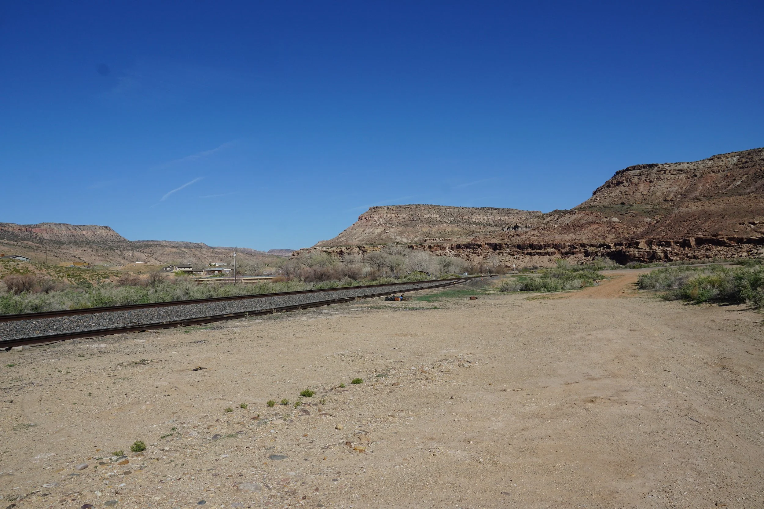
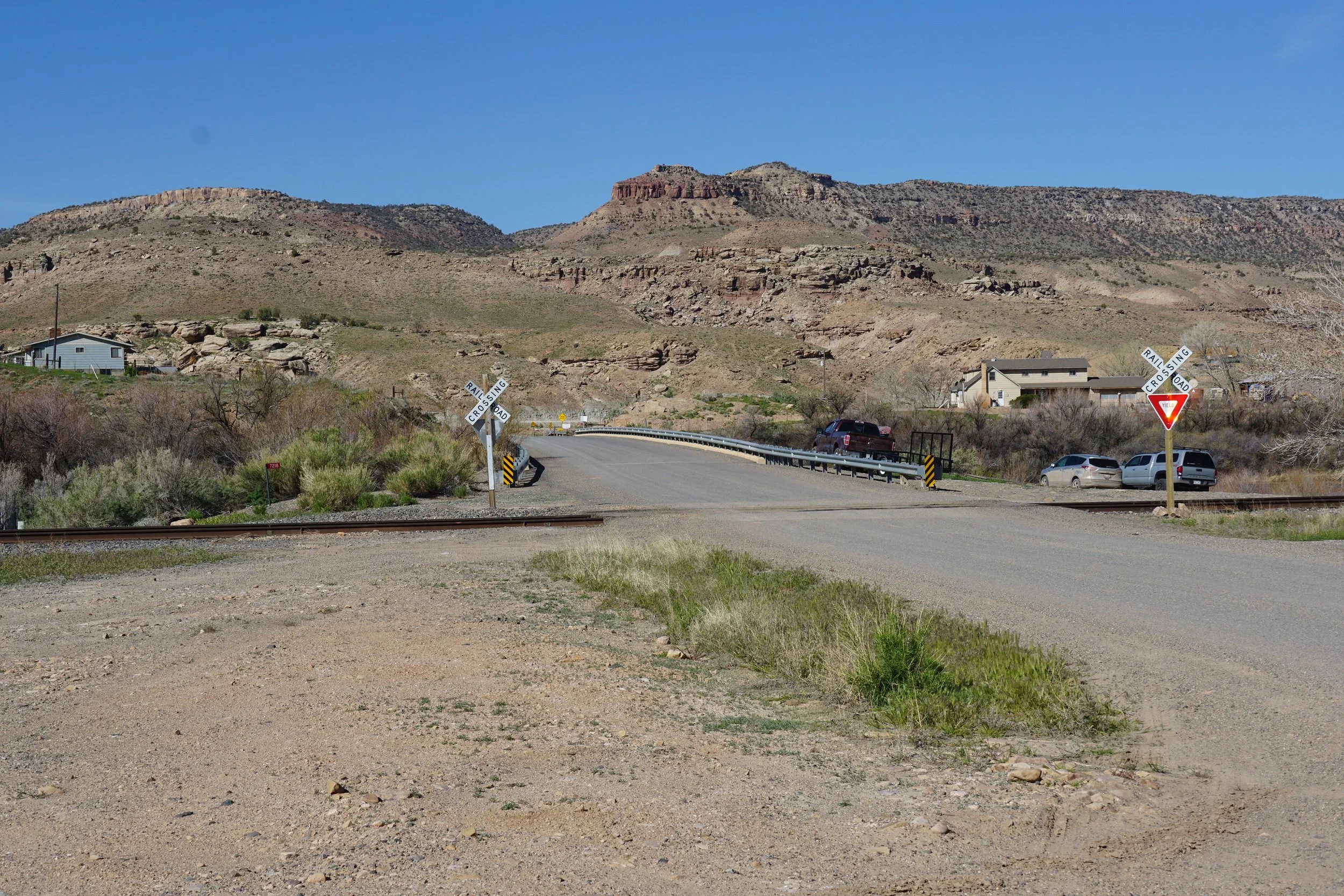
This section of the Denca Trail is located near the Town of Escalante. From Hwy 50 in between Delta and Whitewater, turn onto Escalante Canyon Road and head south to the Gunnison River. You can park north of the river and north of the train tracks.
HIKE DESCRIPTION:
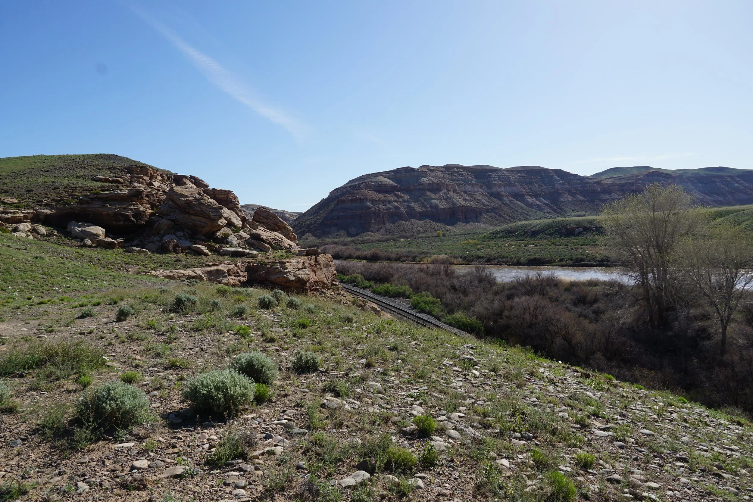
There are many “Denca Trails” in the Dominquez-Escalante NCA. This is a general name used by the BLM to denote miscellaneous trails that do not have an official name. The Denca Trail in this description is located on either side of the Gunnison River at the Town of Escalante off of Escalante Canyon Road. The map shows 2 Denca Trails, one north of the river and one south. For this hike, I explored the north trail first, then crossed the bridge and explored the second trail.
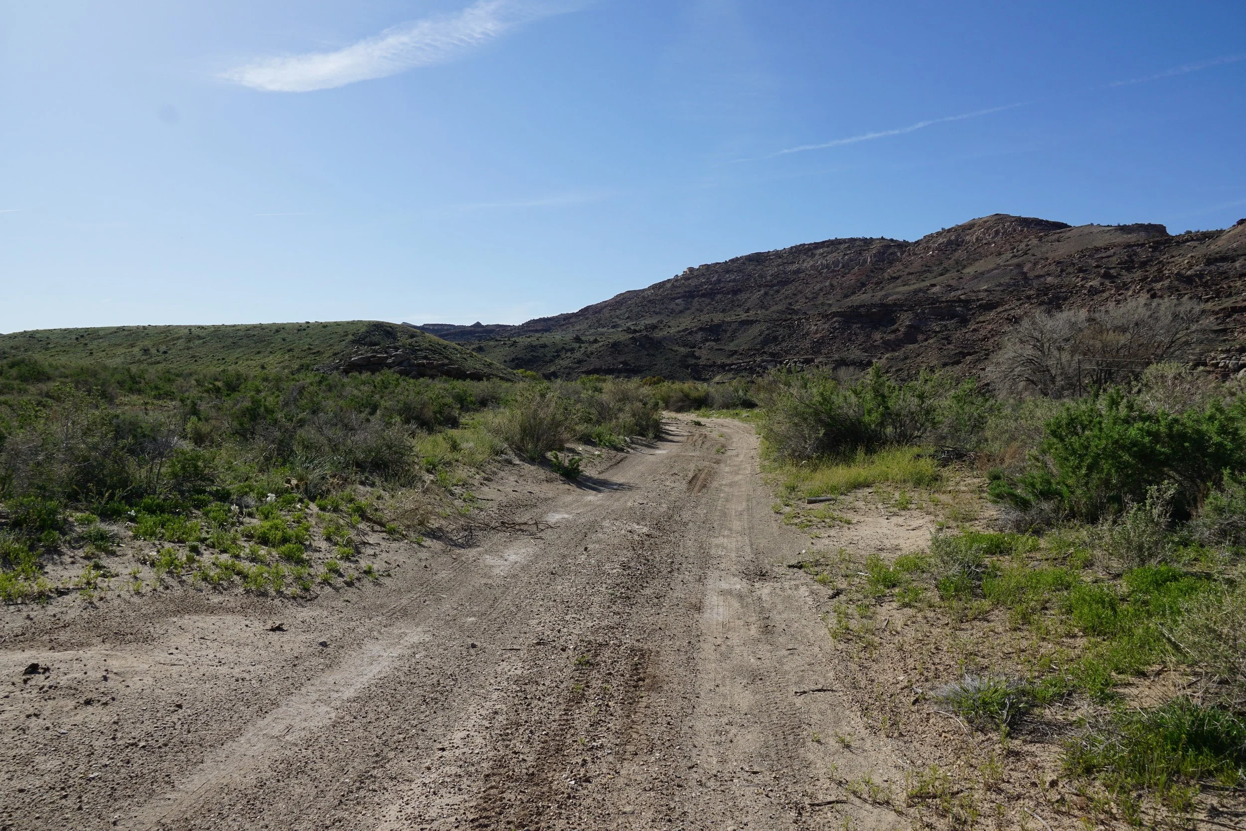
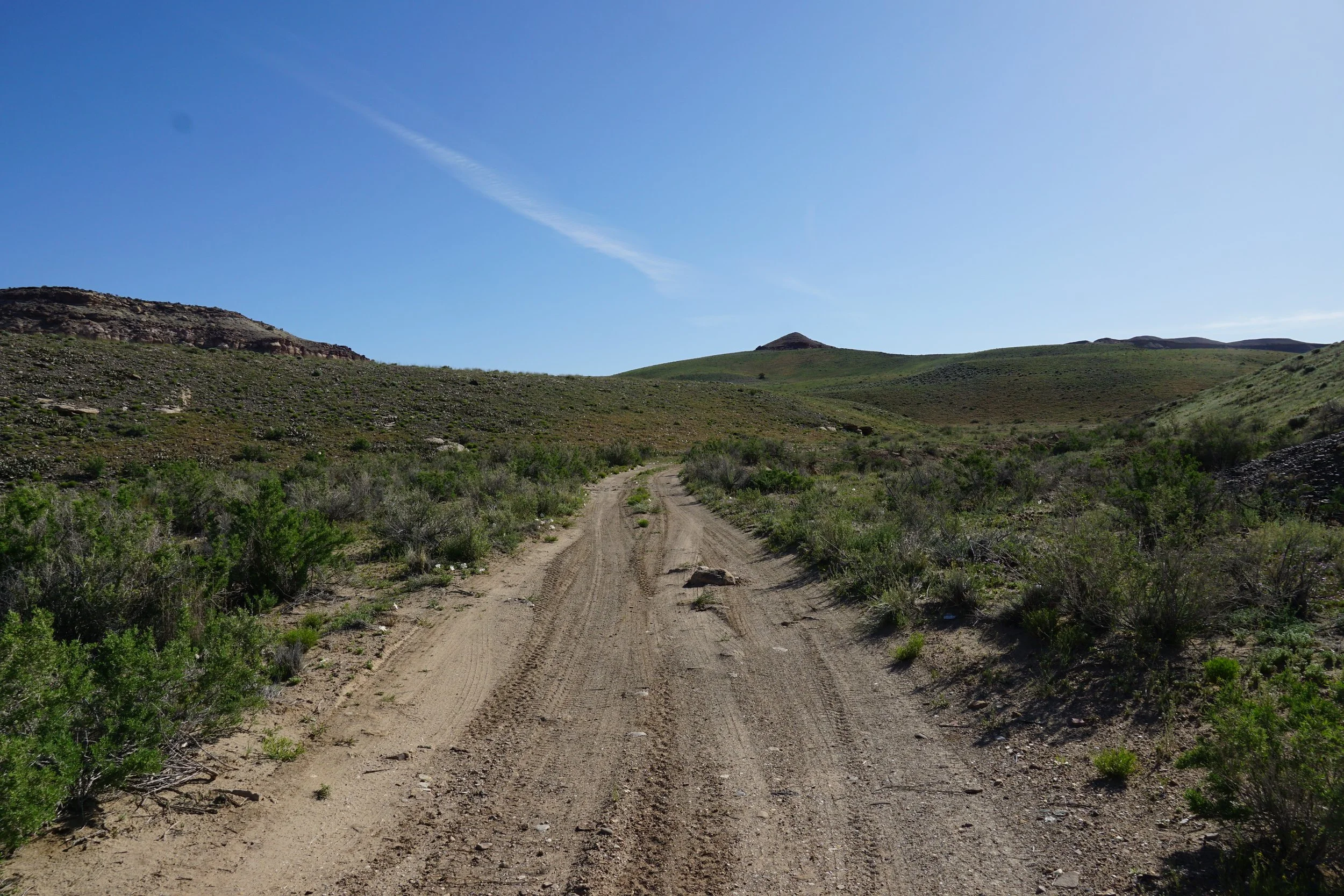
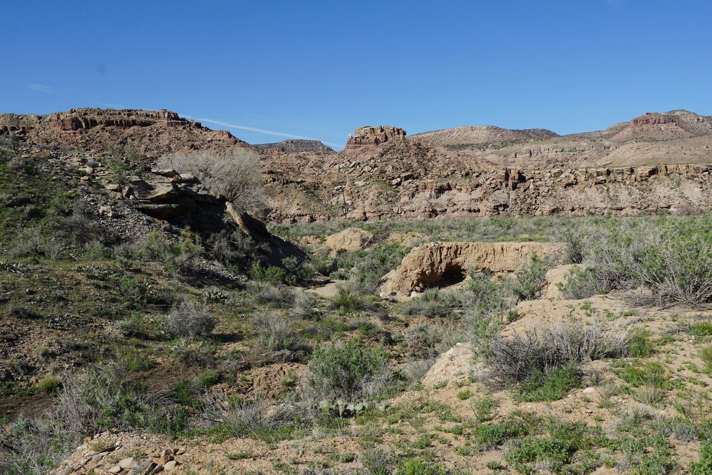
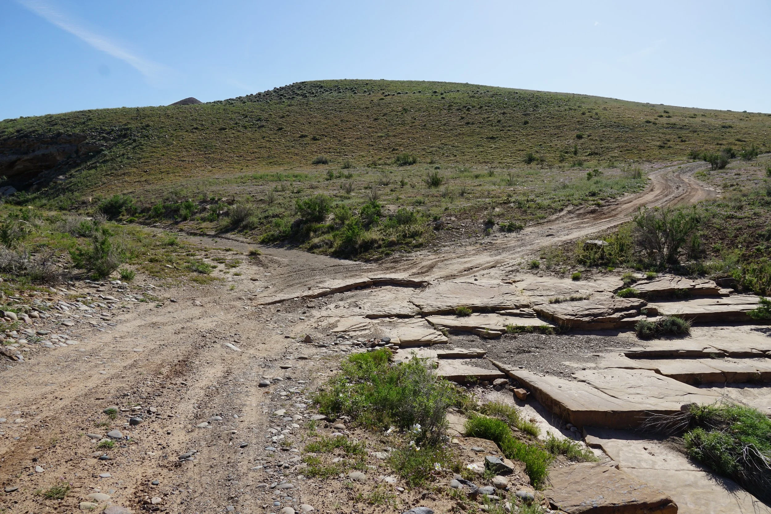
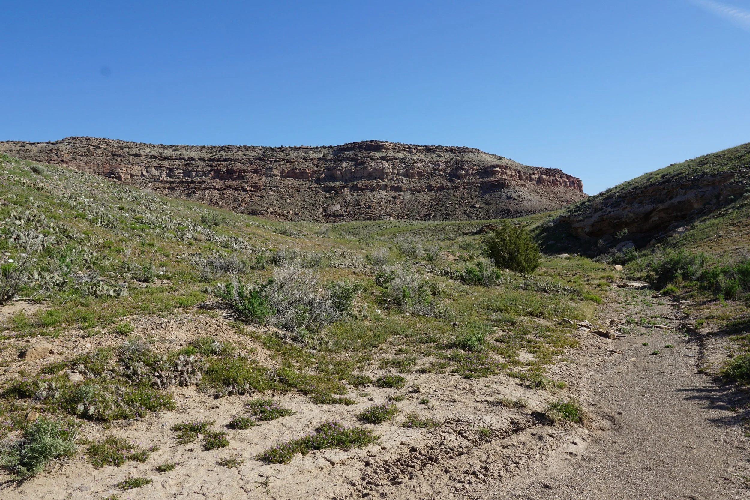
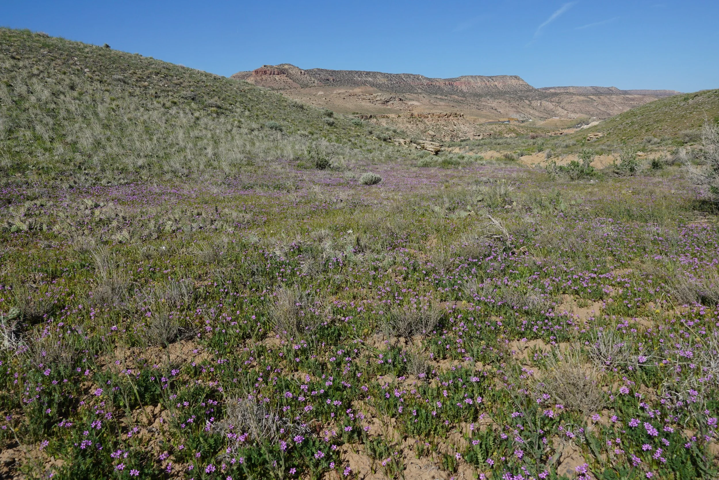
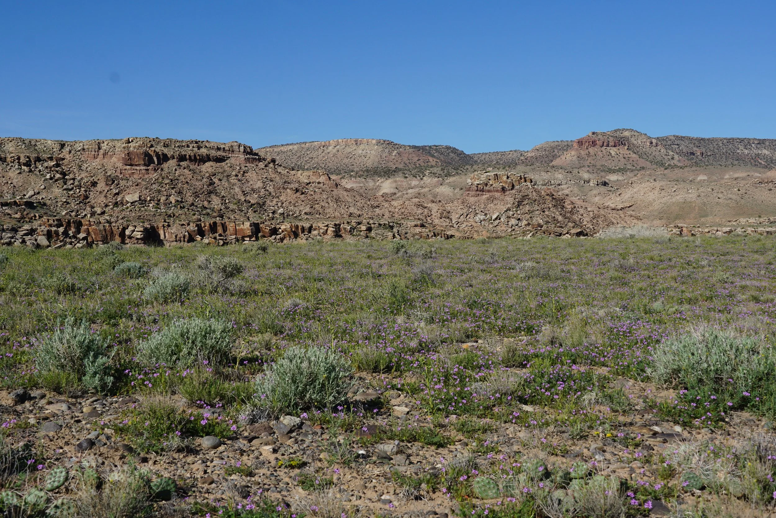
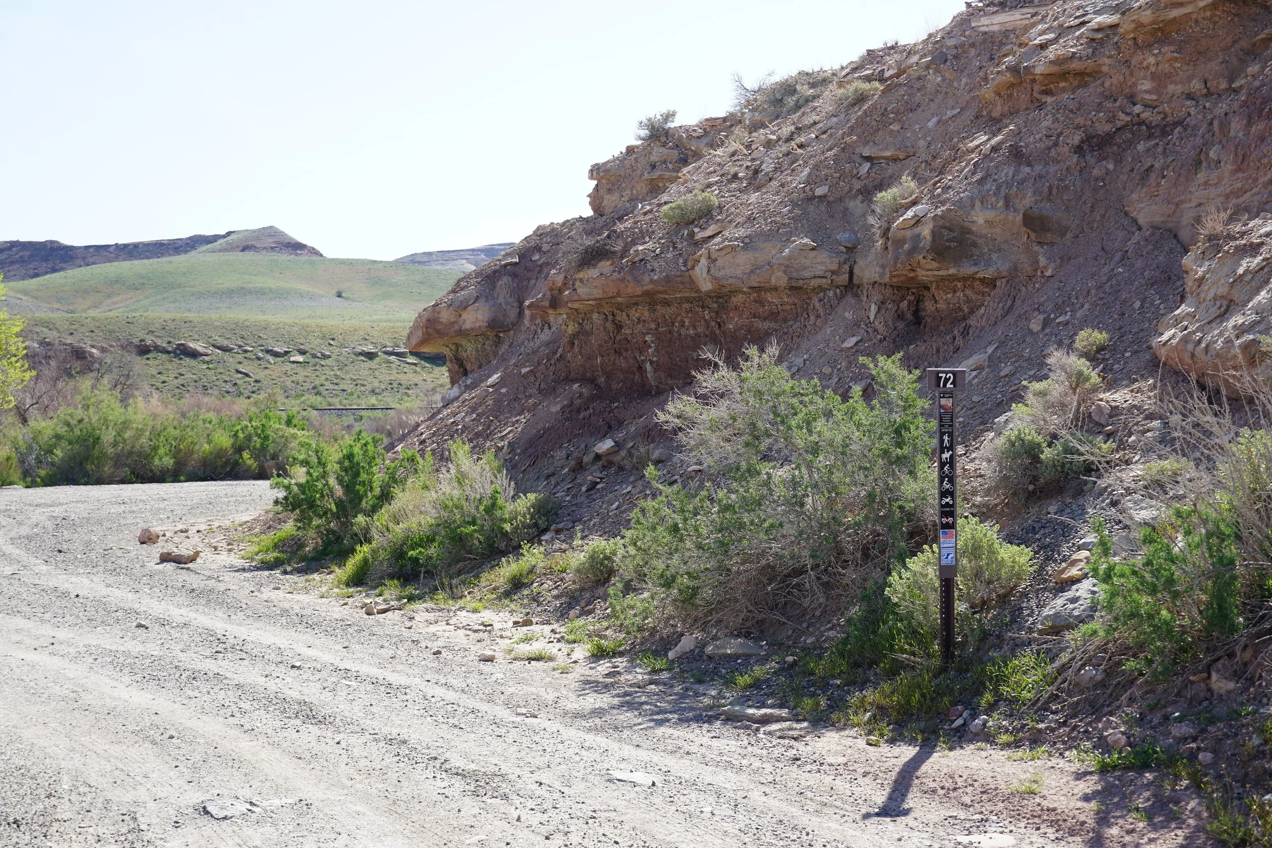
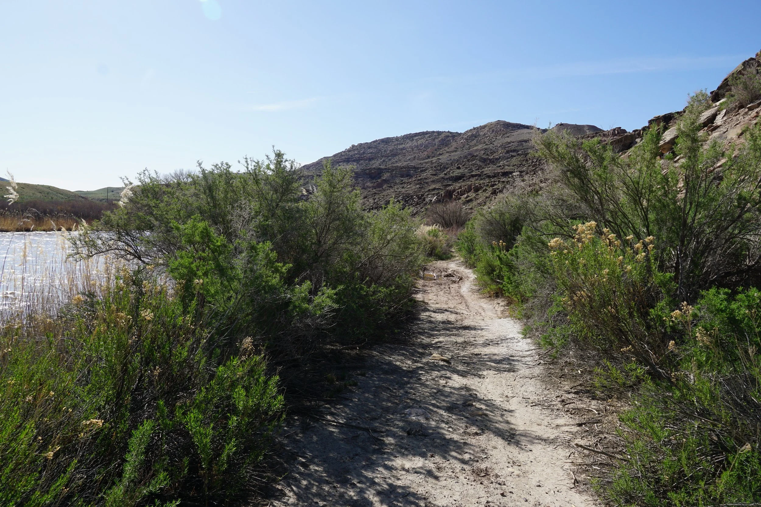
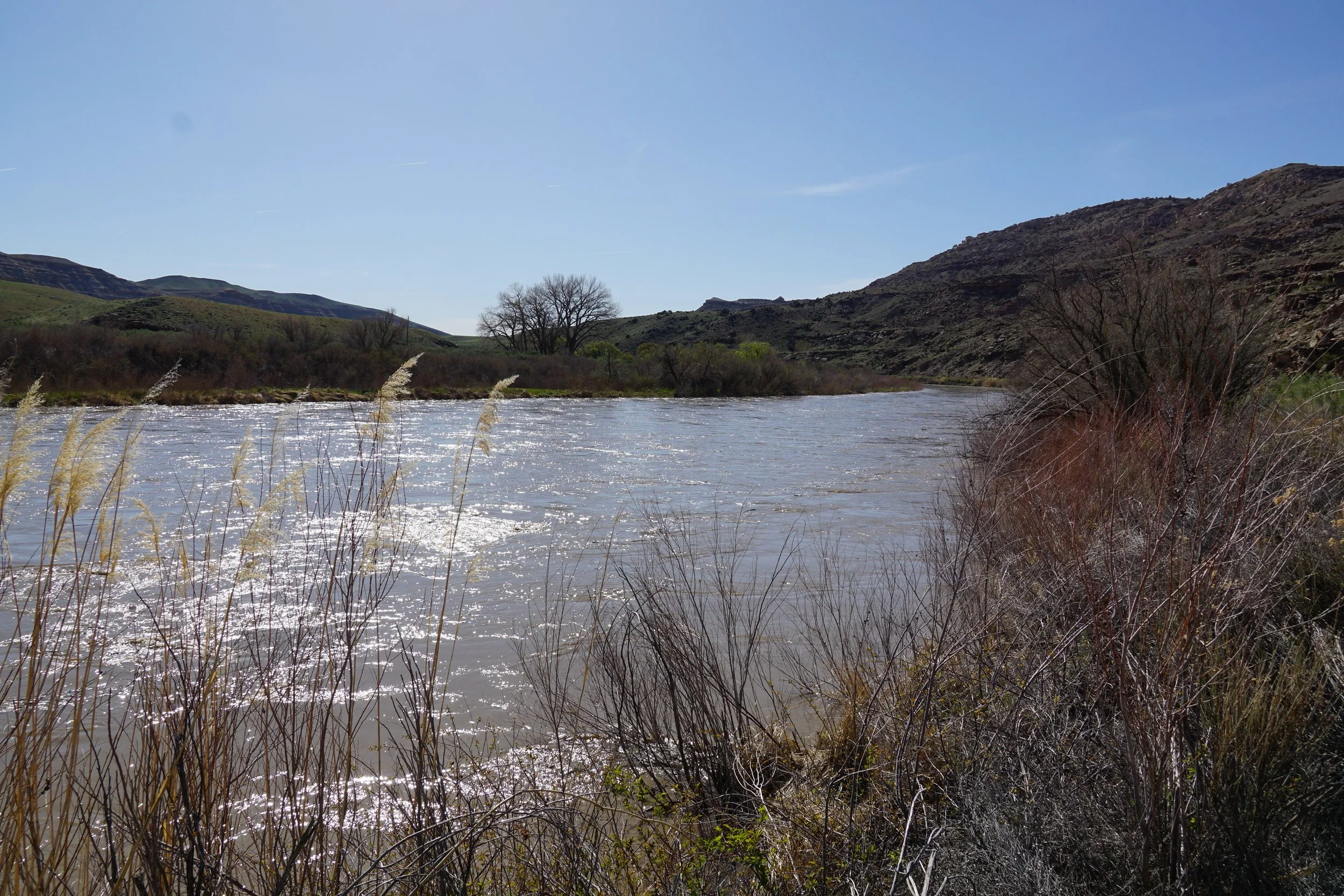
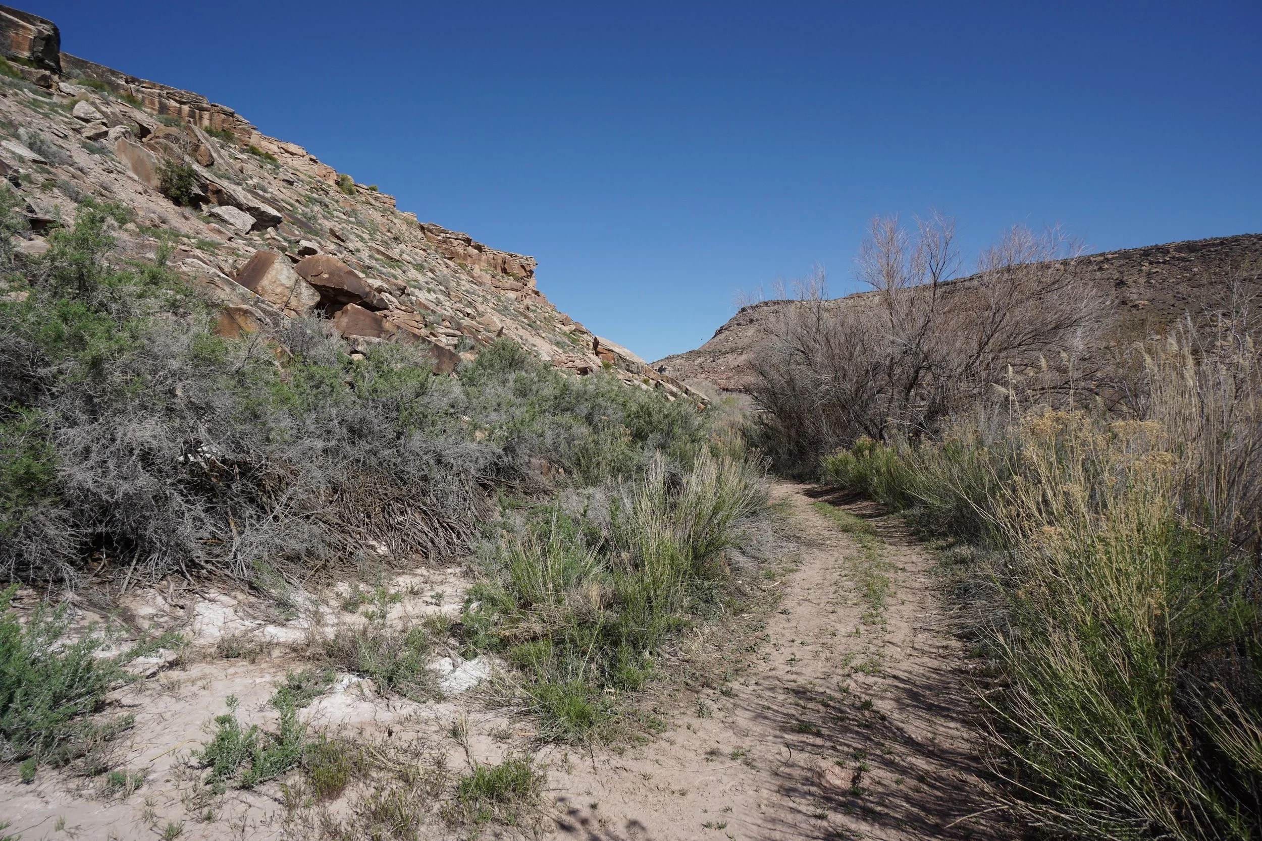
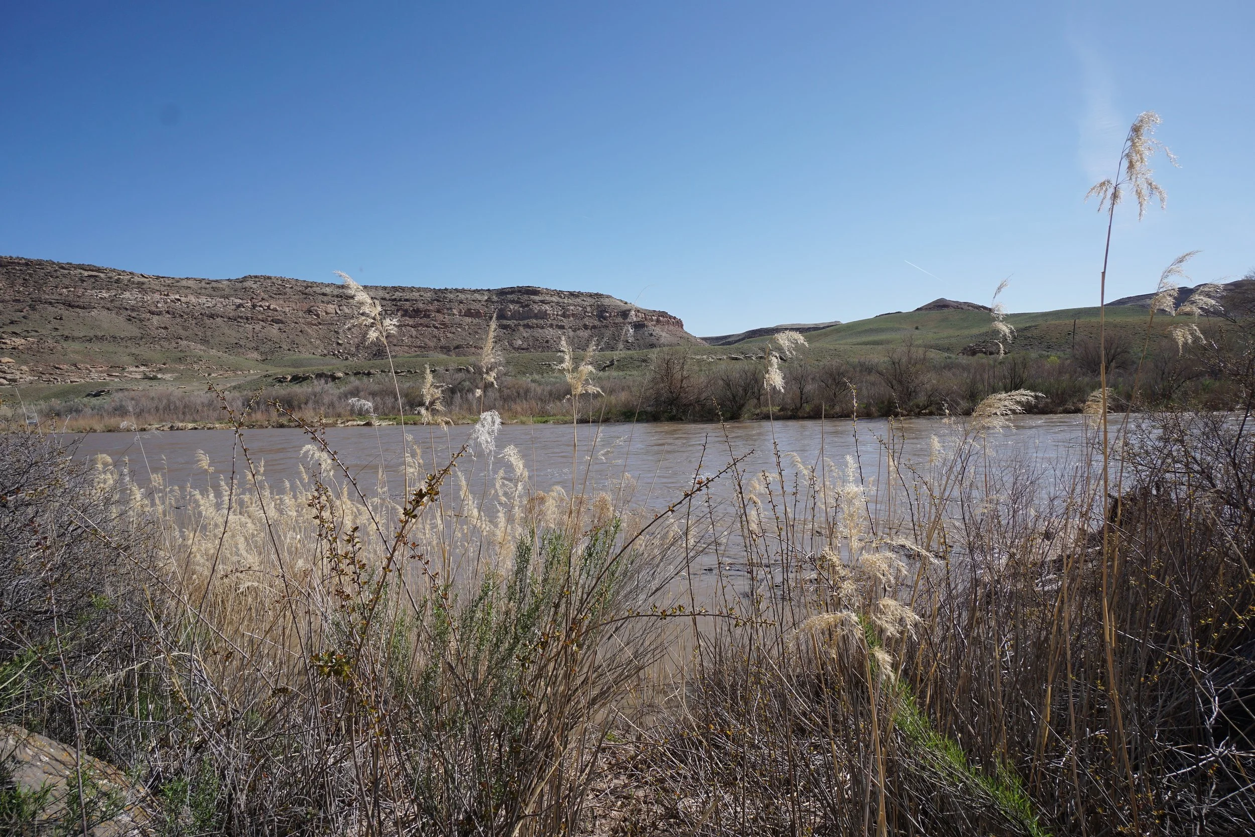
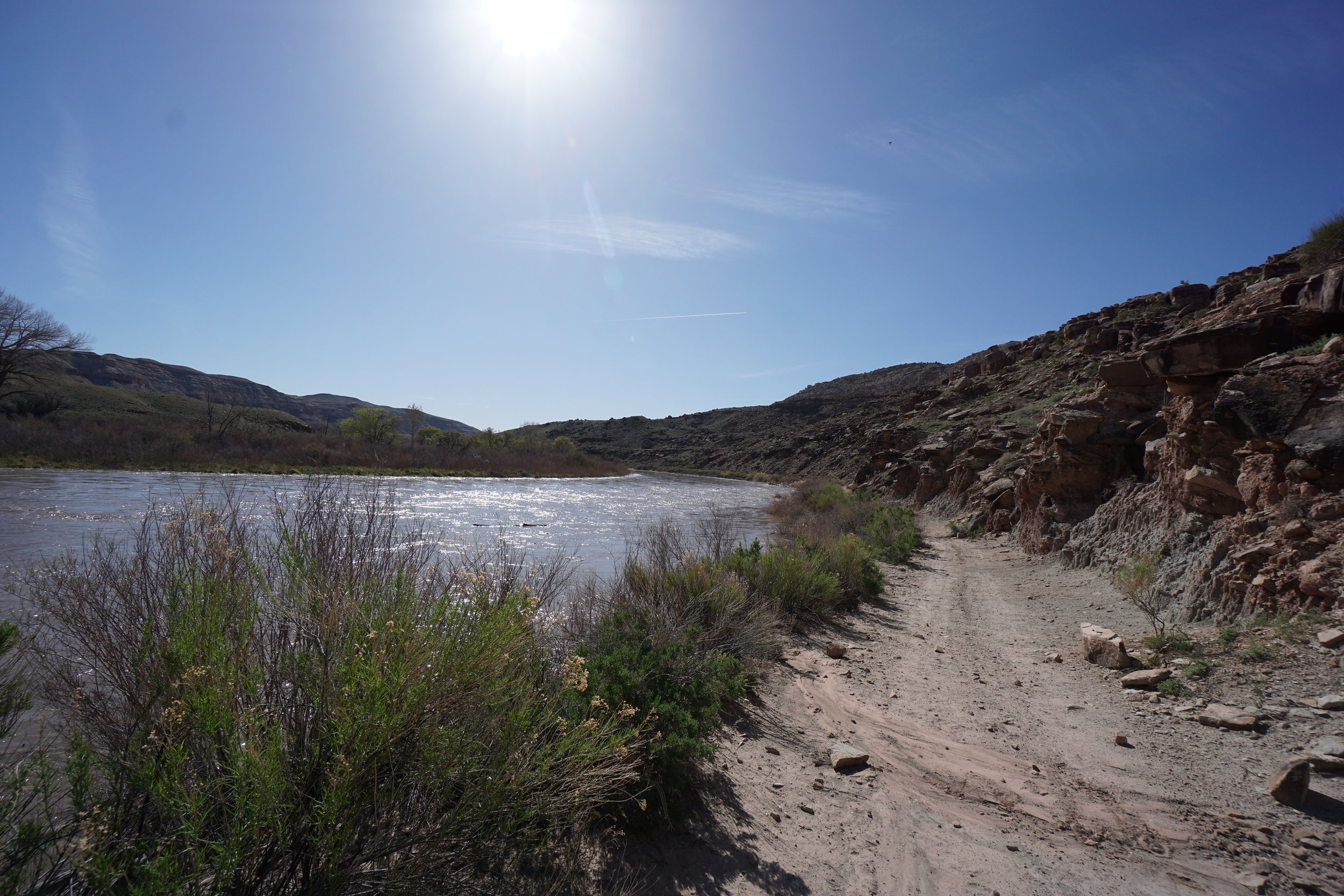
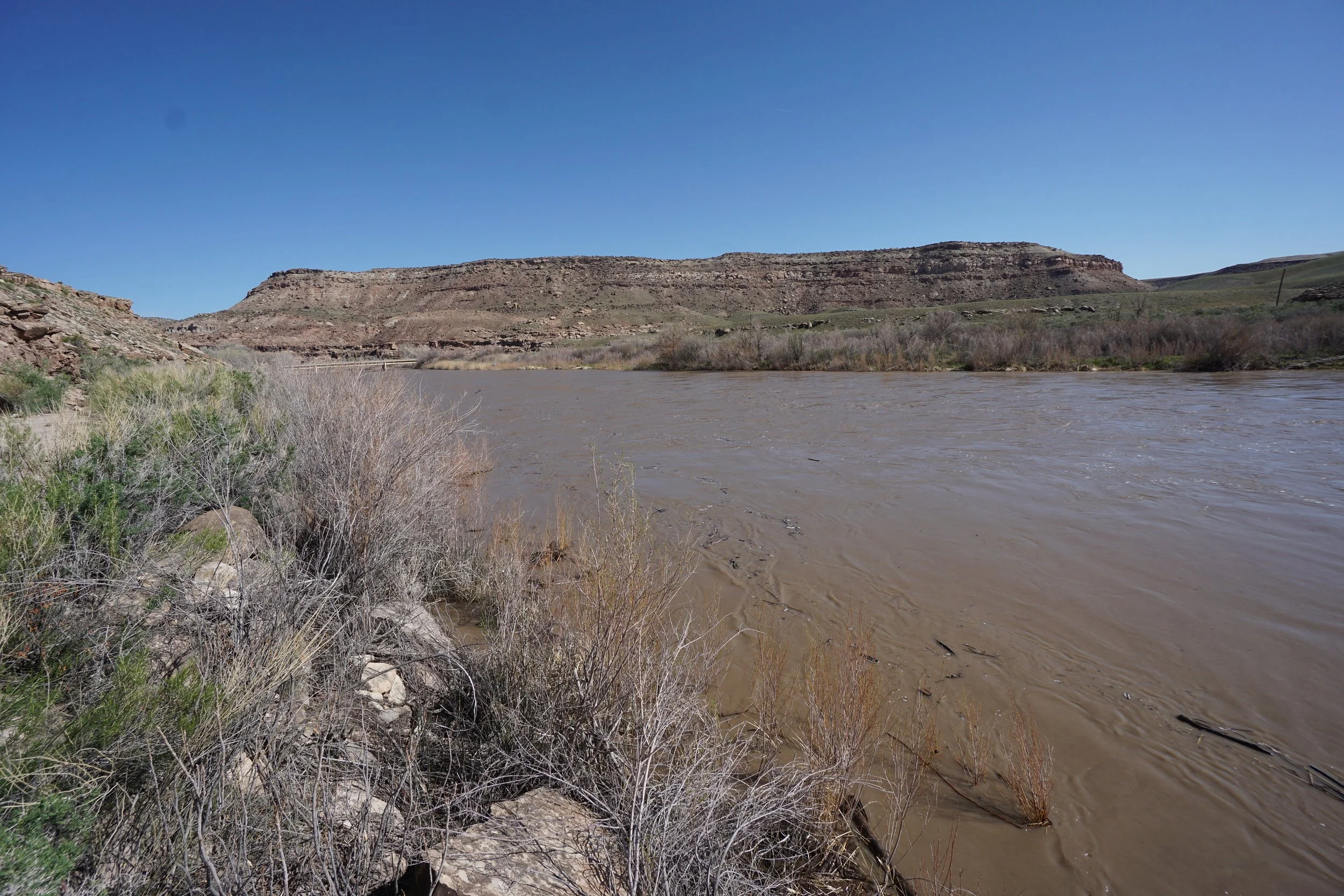
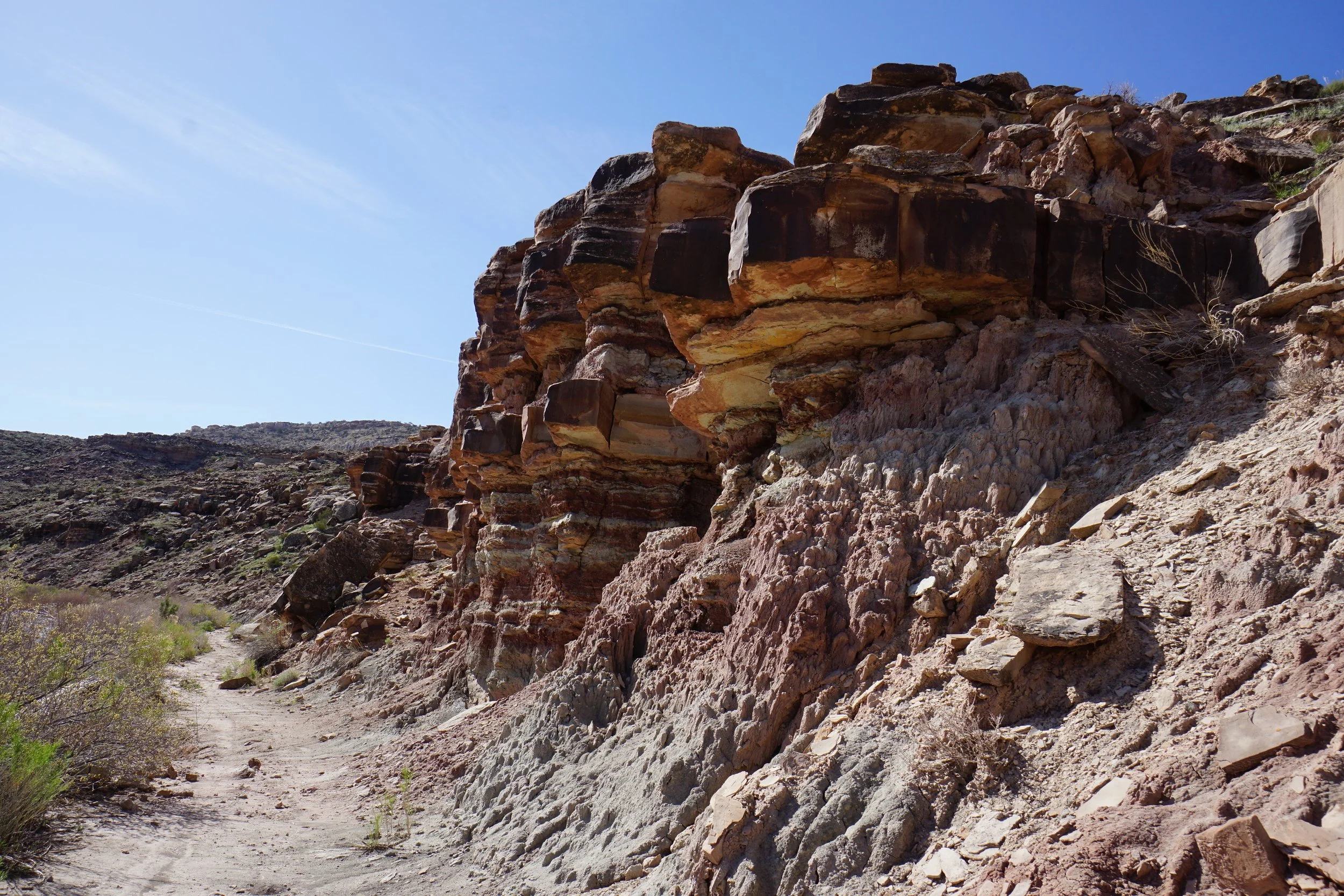
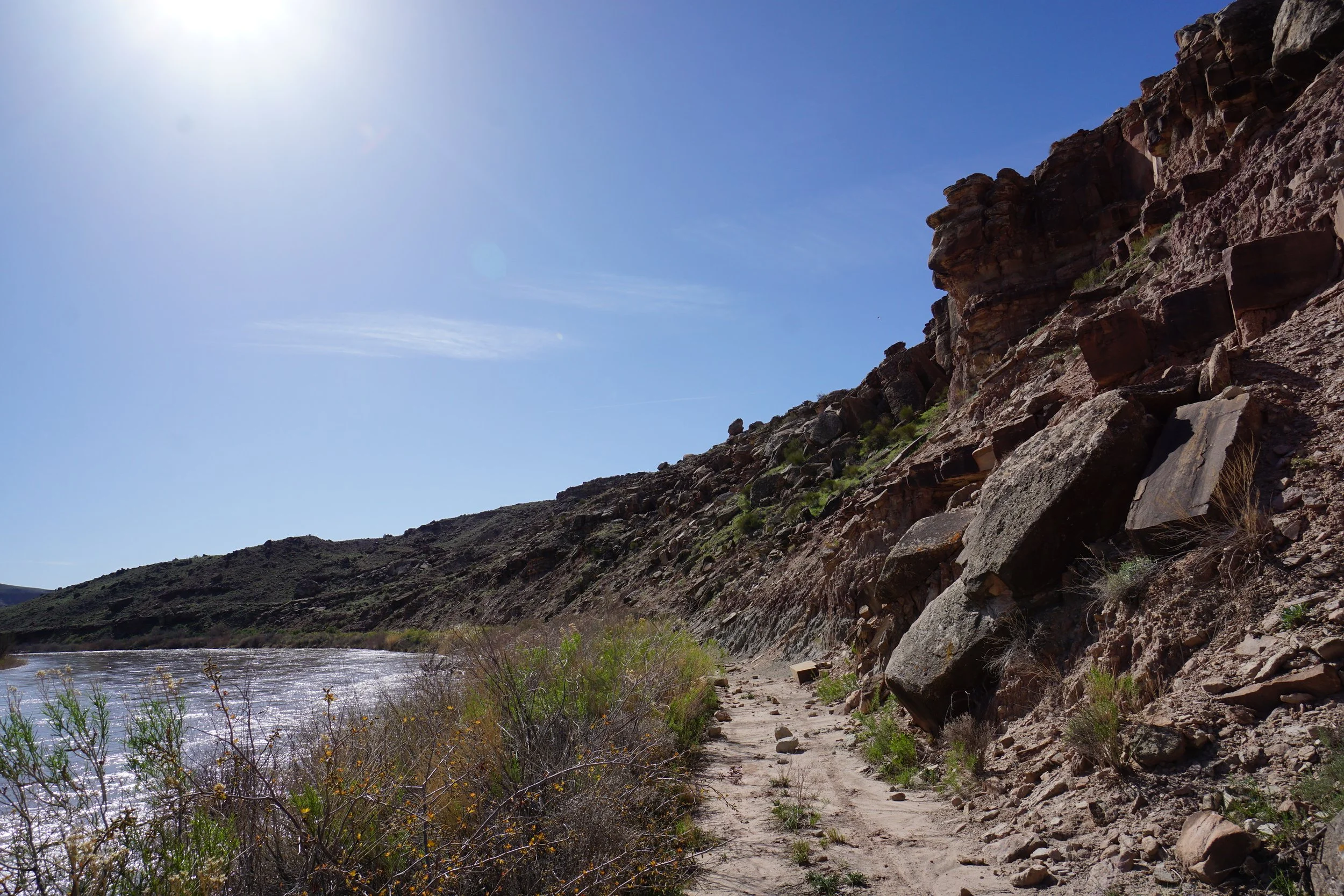
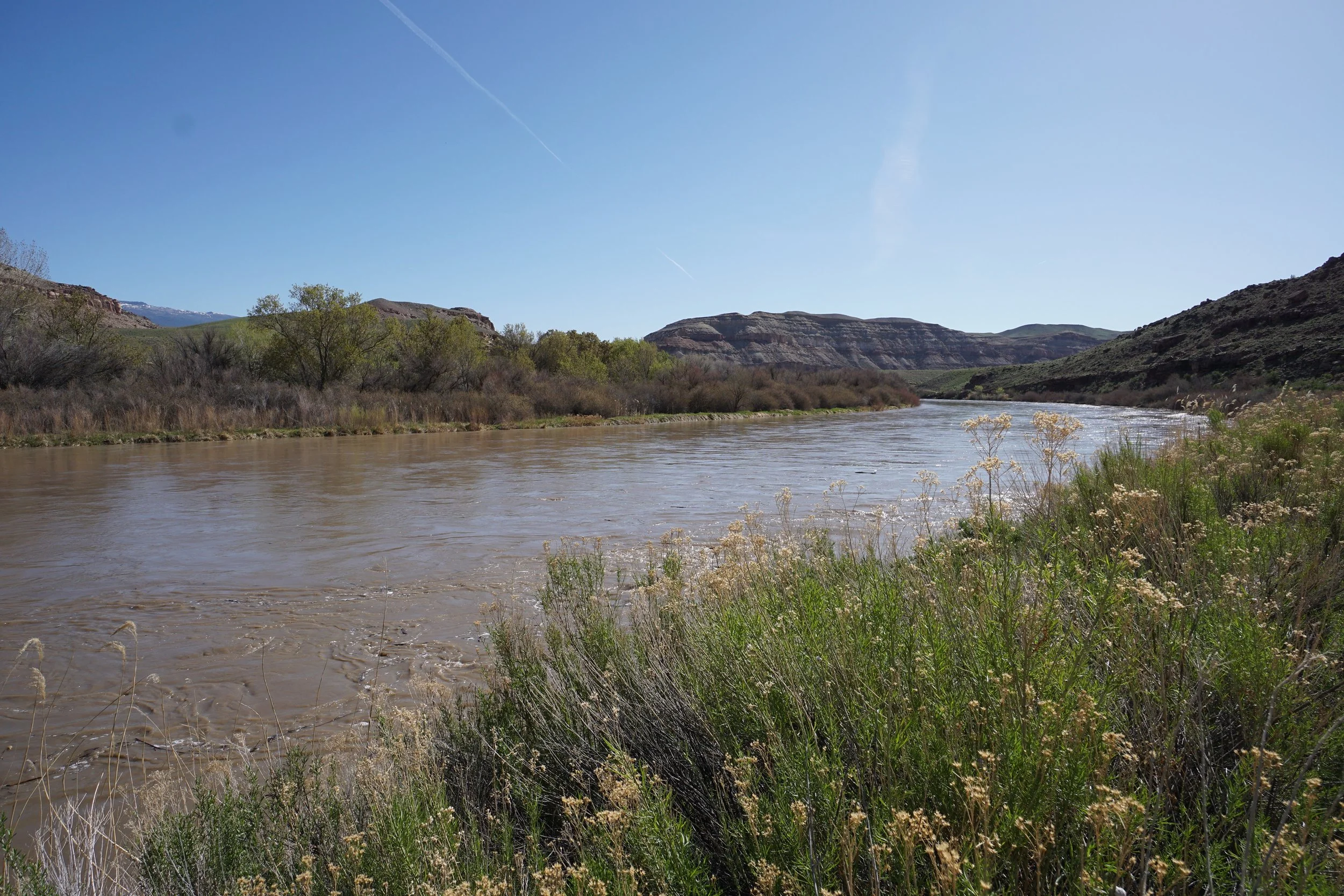
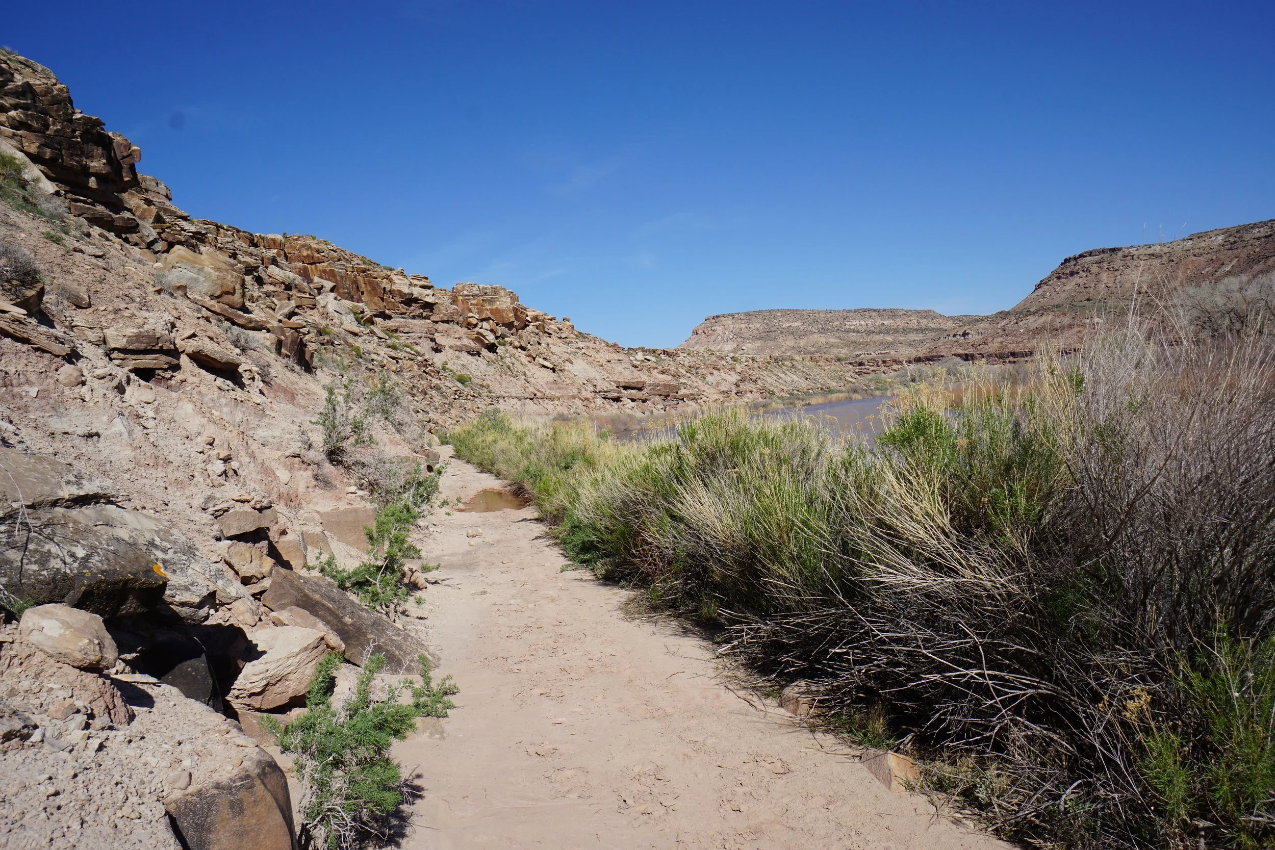
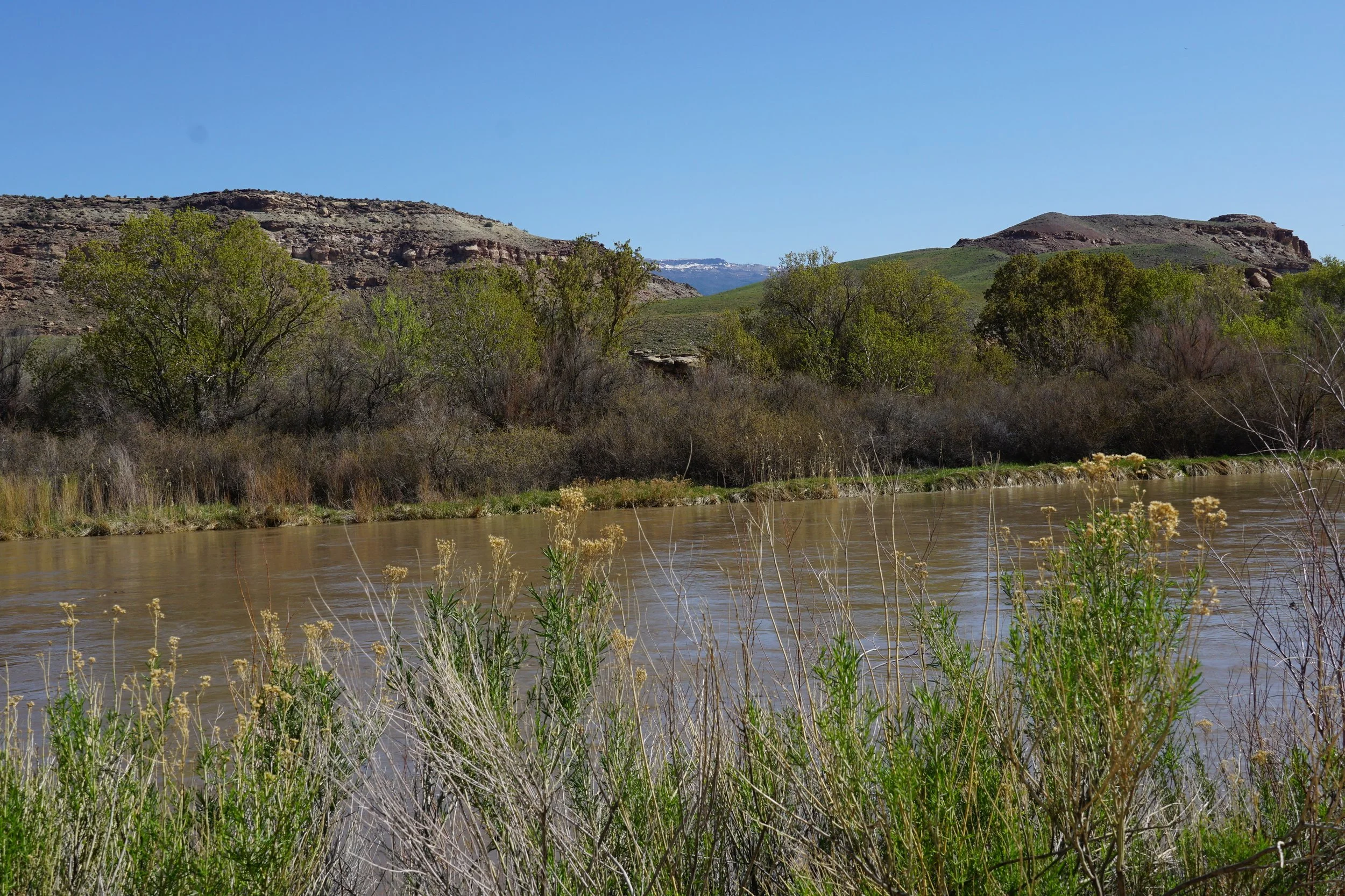
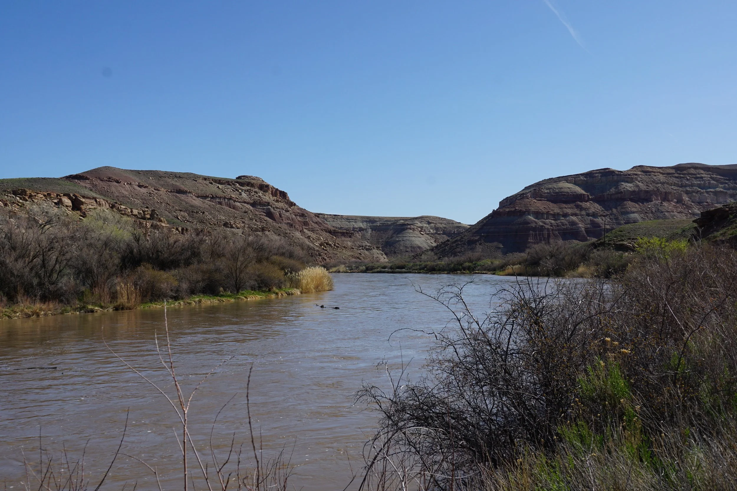
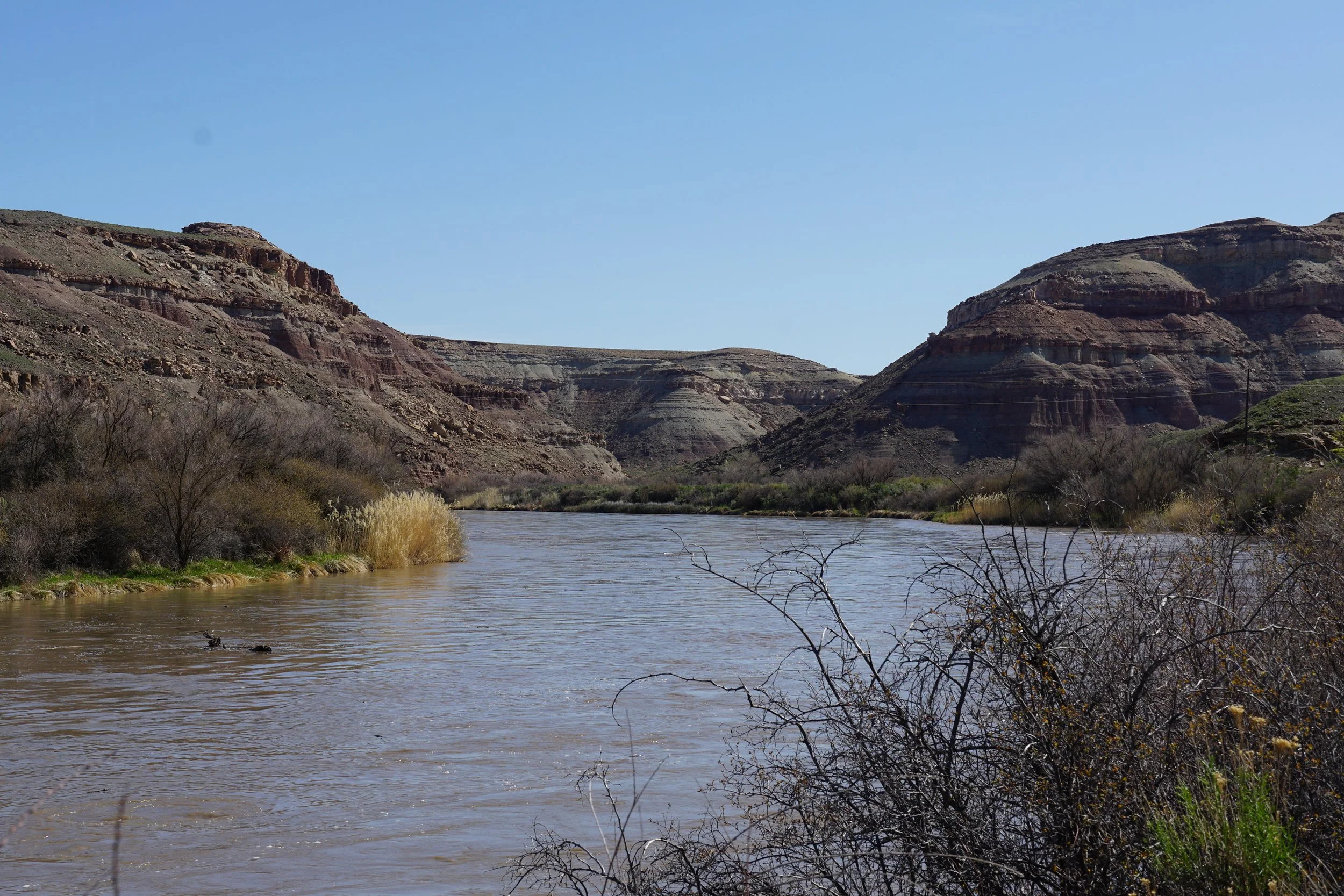
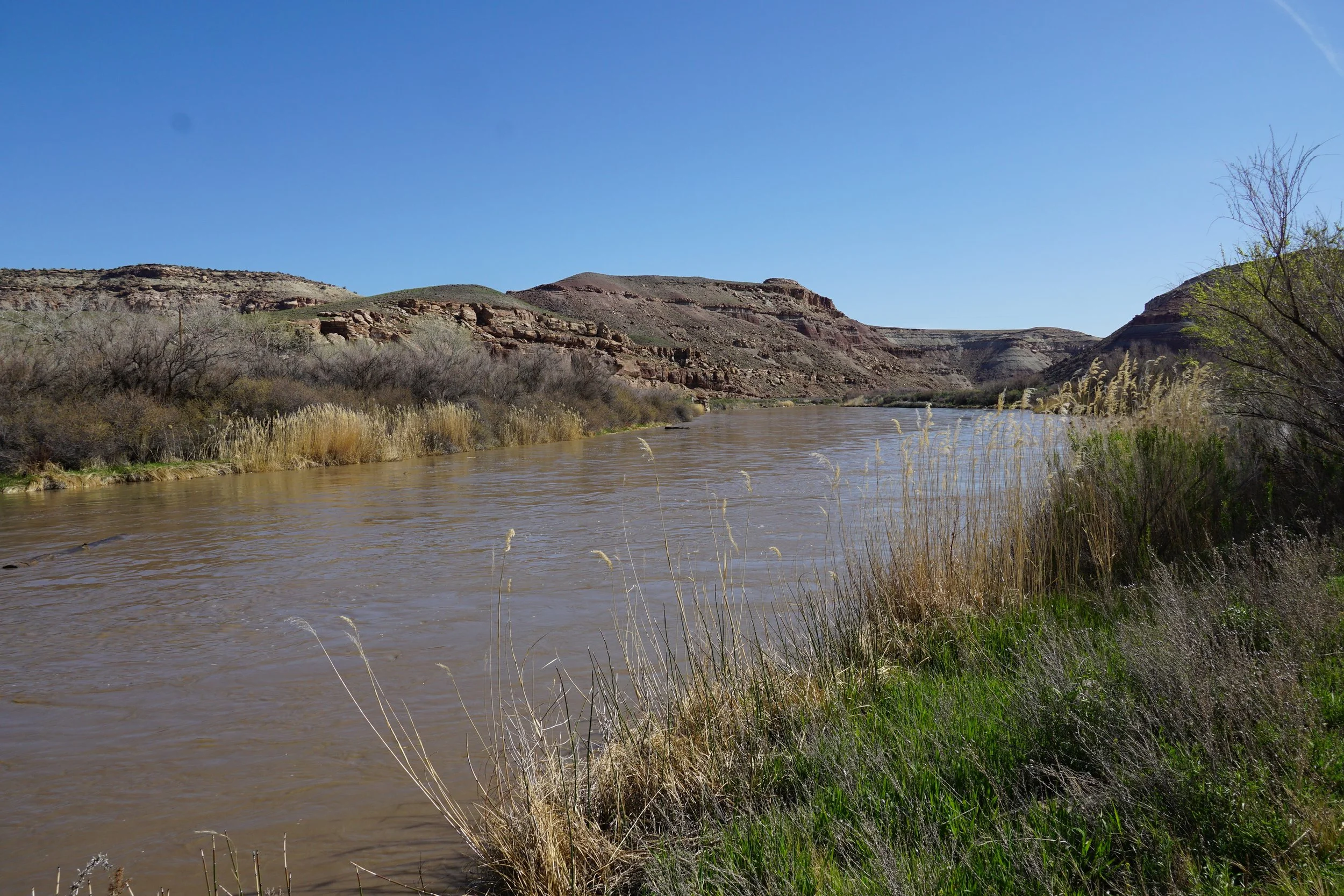
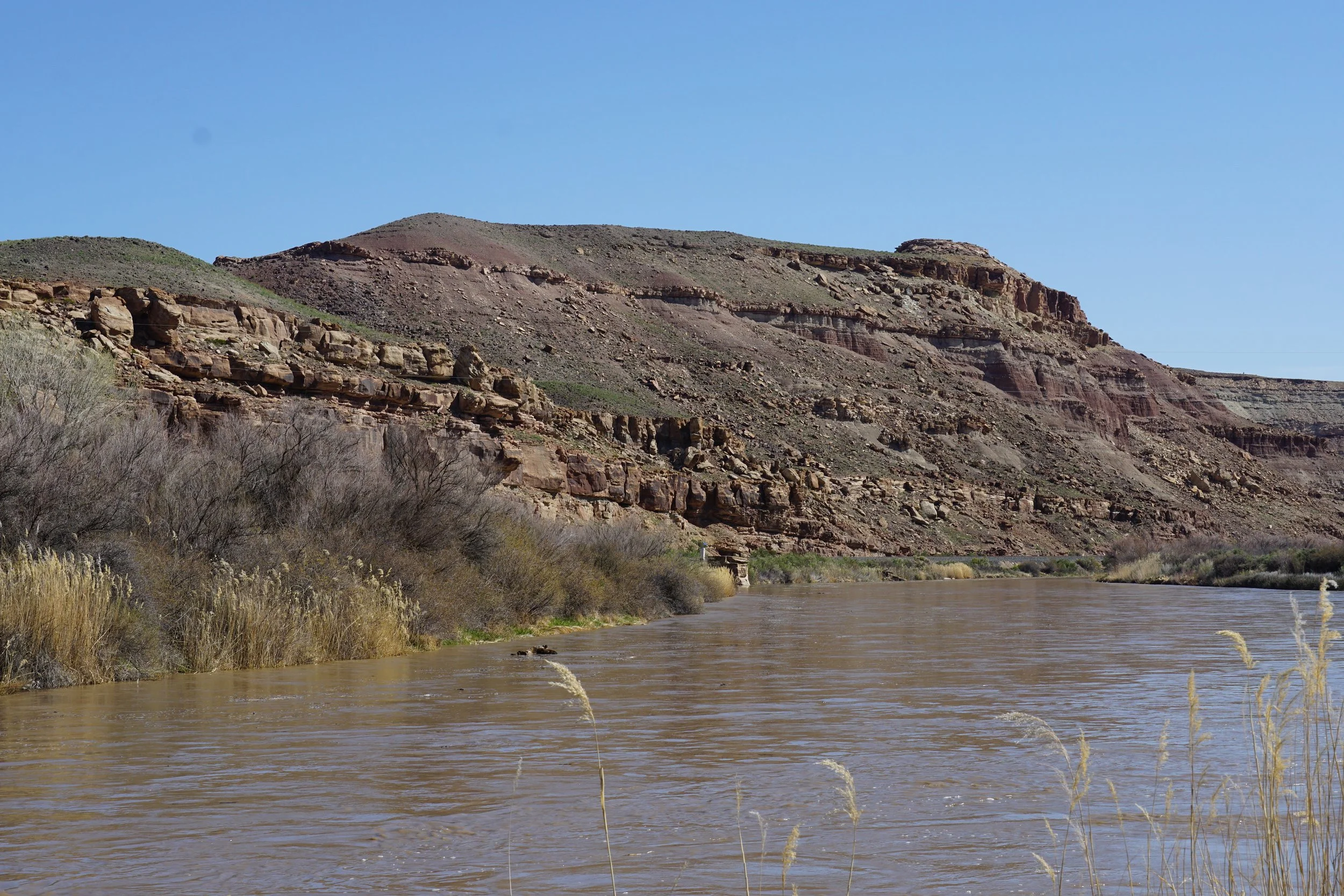
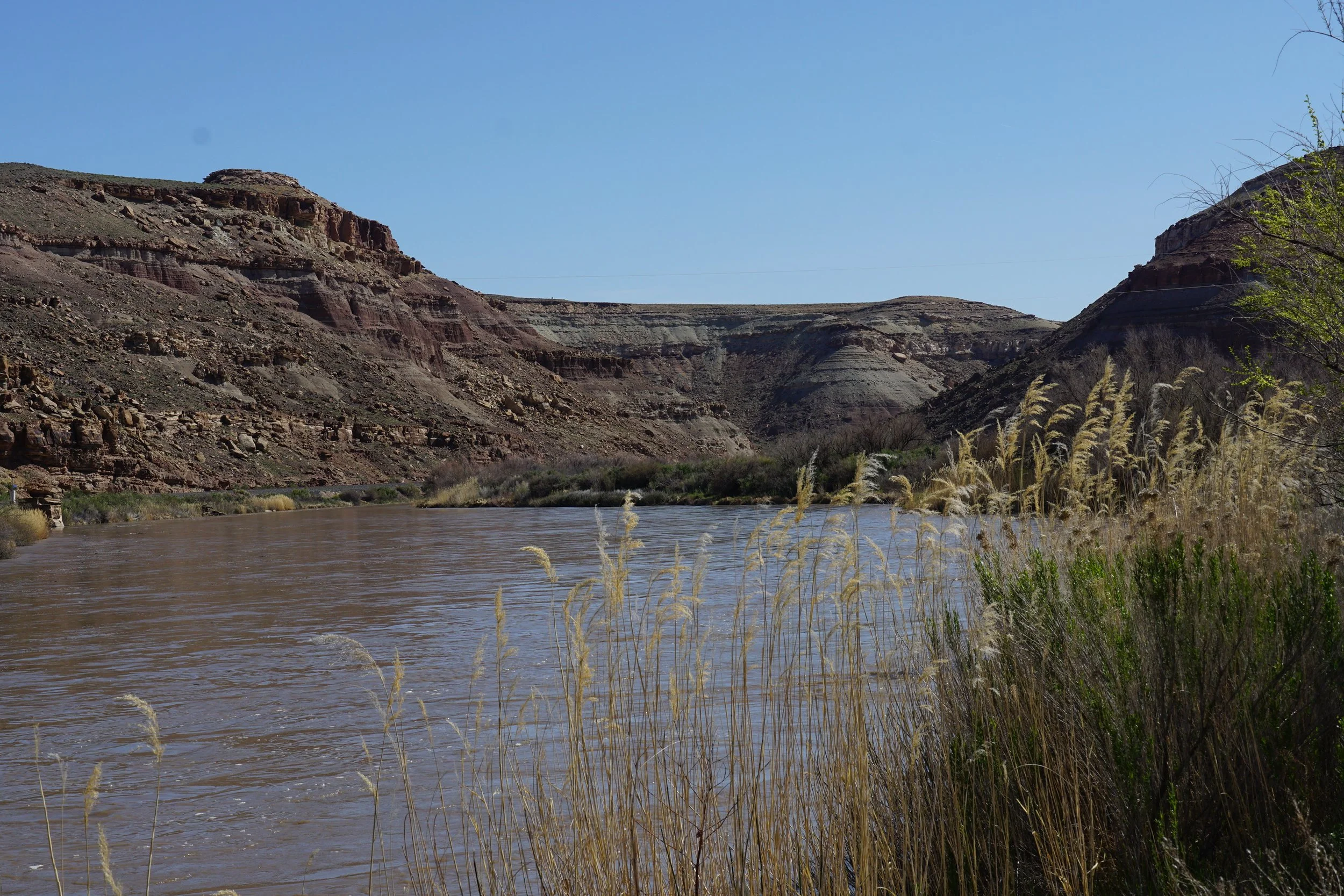
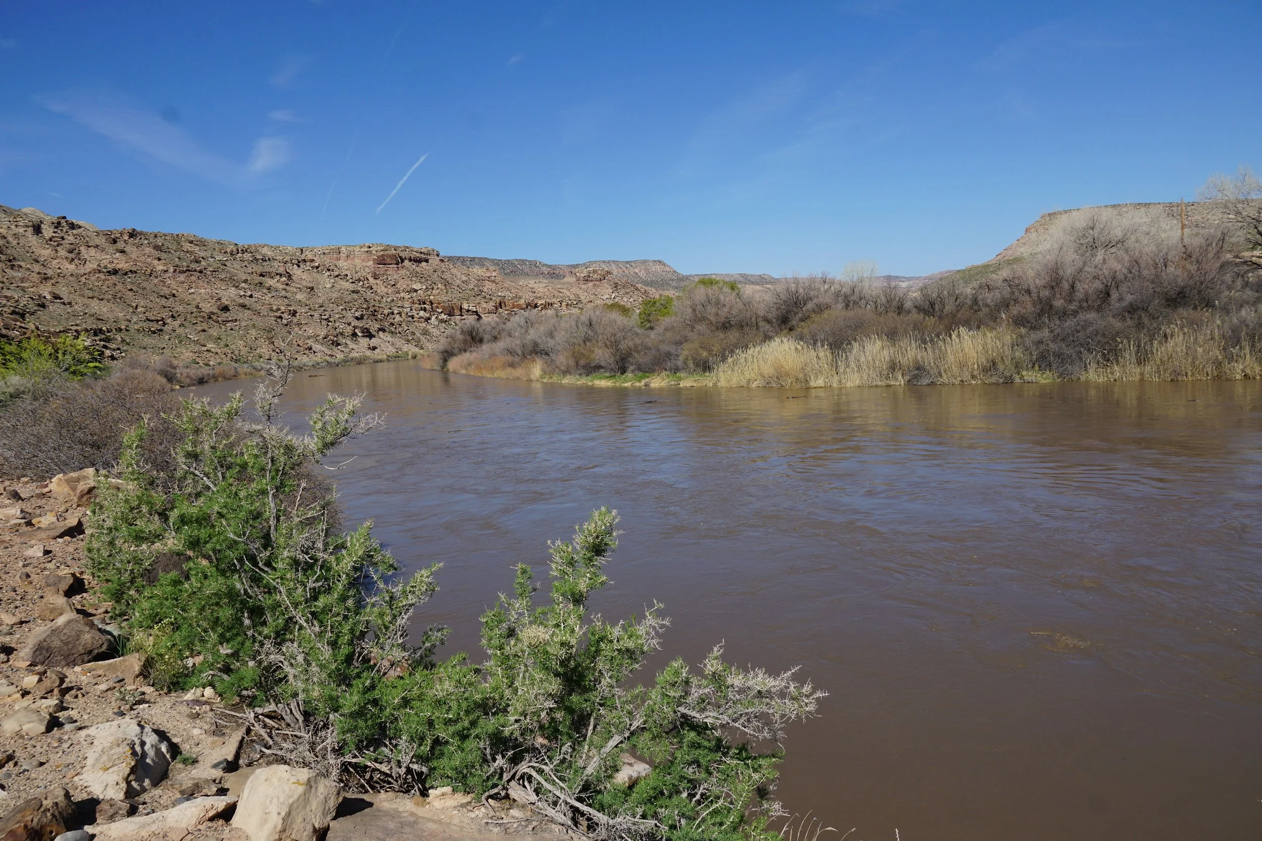
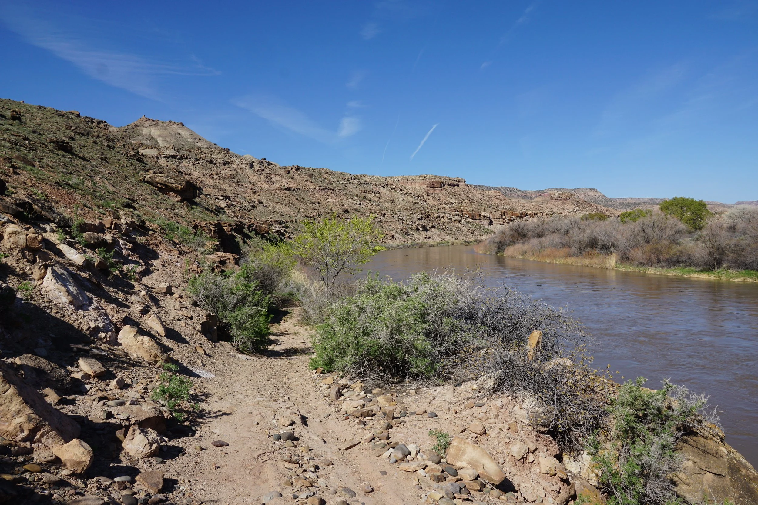
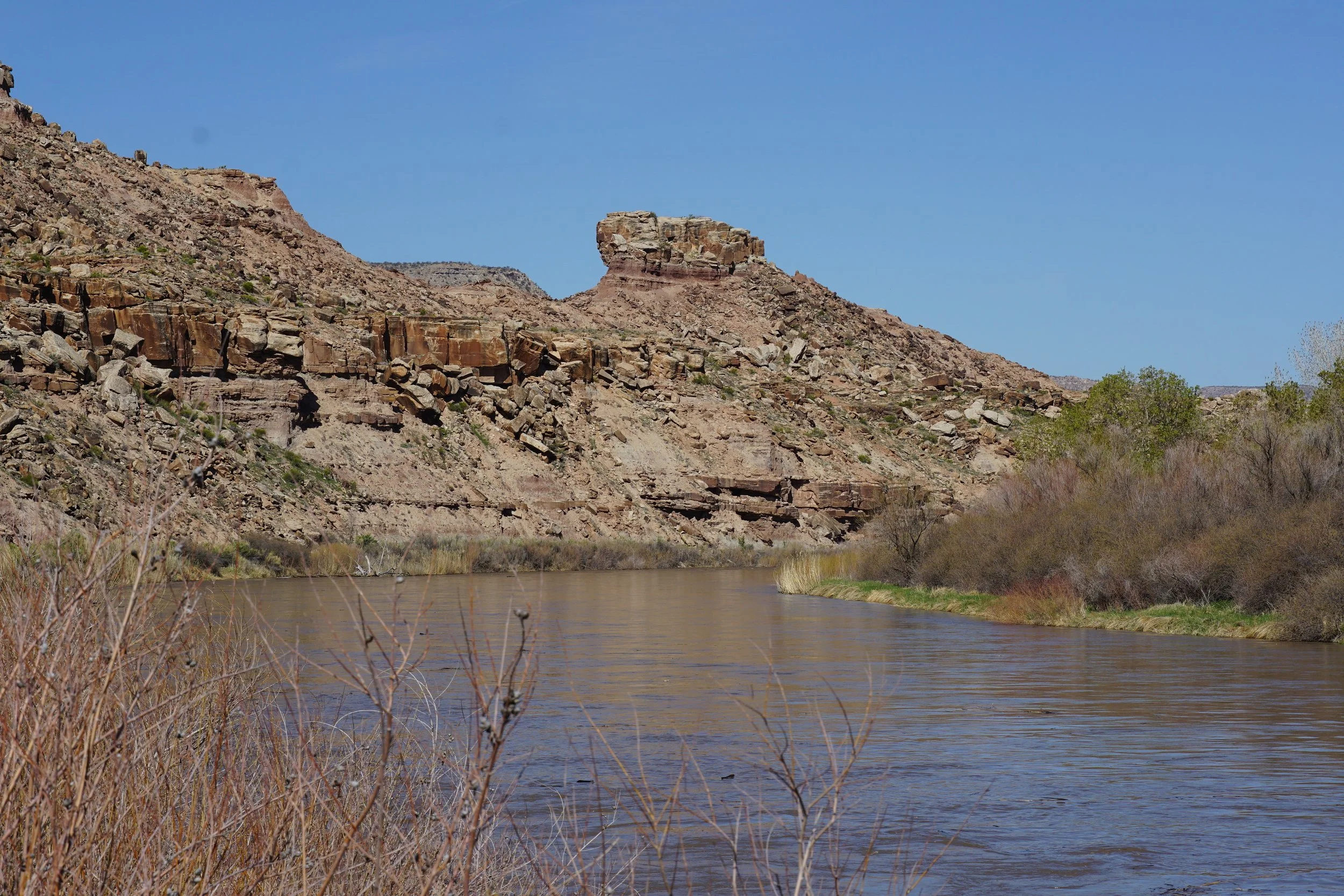
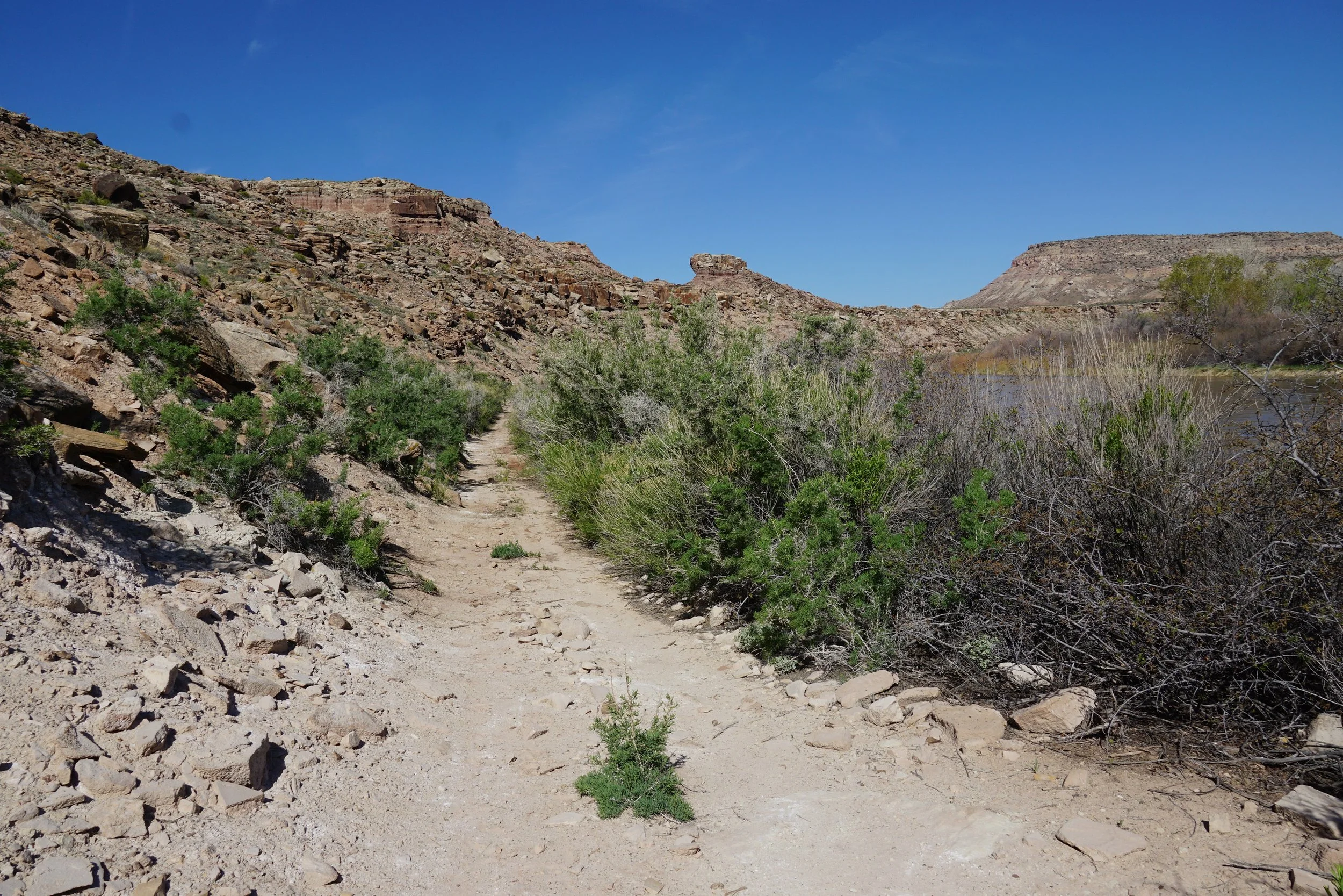
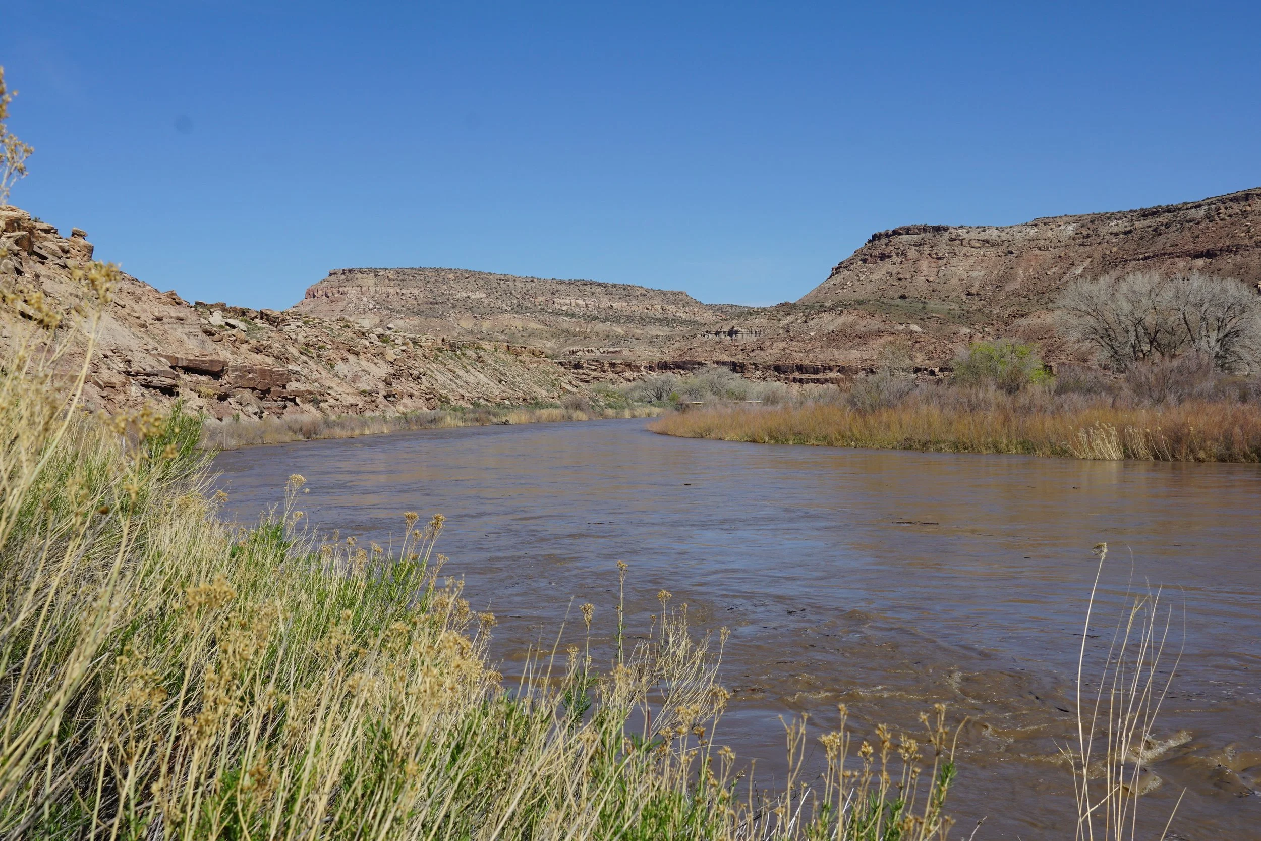
The north trail follows a dirt road through a desert scrub landscape and climbs a small hill. The trail provides decent views of the Gunnison River but is otherwise not very scenic. The south trail follows the Gunnison River and is far more pleasant. The hiking is easy and there are plenty of opportunities to access the river. The trail also follows the base of a river bluff, with some interesting geological formations worth checking out. After about 7/10ths of a mile, the trail turns to the east, away from the river and starts heading uphill. This is where I stopped and turned around, but you can explore this trail further if you are looking for a longer hike in the area.
Although, this segment of the Denca Trails is pleasant enough for a quick stroll along the Gunnison River, it is far from the most scenic trail in the Dominquez-Escalante NCA. Unless, you are in the area anyway, I wouldn’t recommend making the trip just for this hike.