Crags Crest Trail
Grand Mesa National Forest
Date Hiked: July 27, 2025
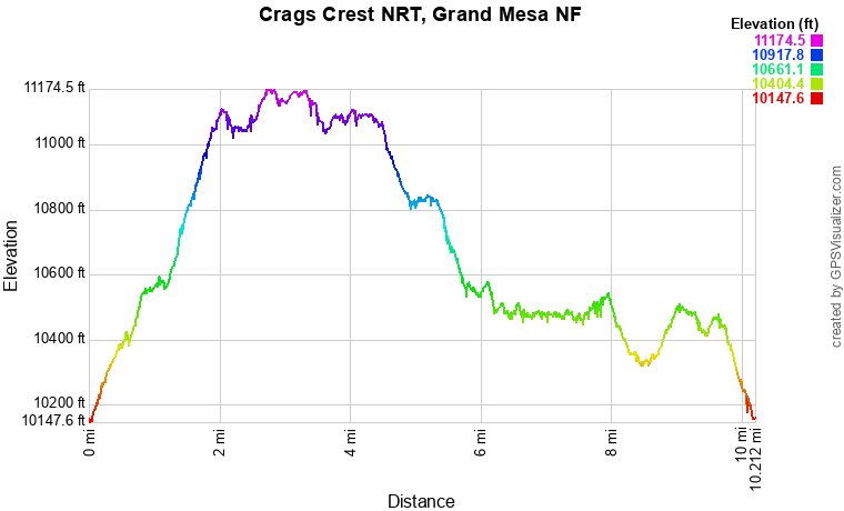
Distance: 10 mi (RT)
Elevation Gain: 1,200 ft
Elevation Min/Max: 10,208 to 11,152 ft
Trailhead Lat/Long: 39.04827, -107.93711
Managing Agency: U.S. Forest Service (USFS)
Fee: None
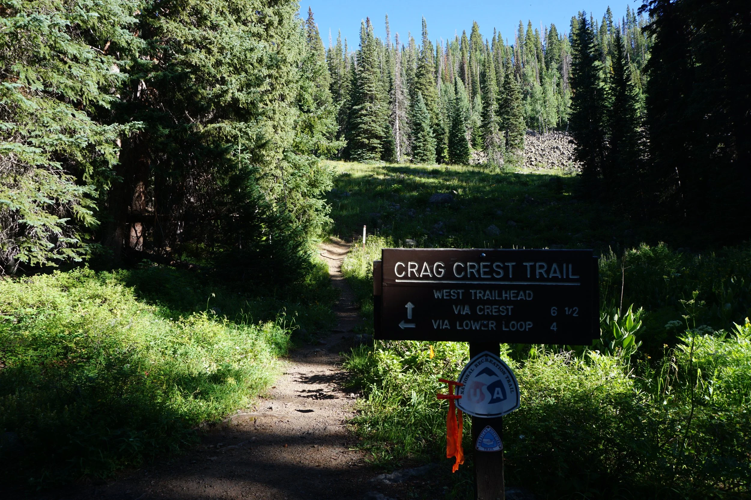
Directions:
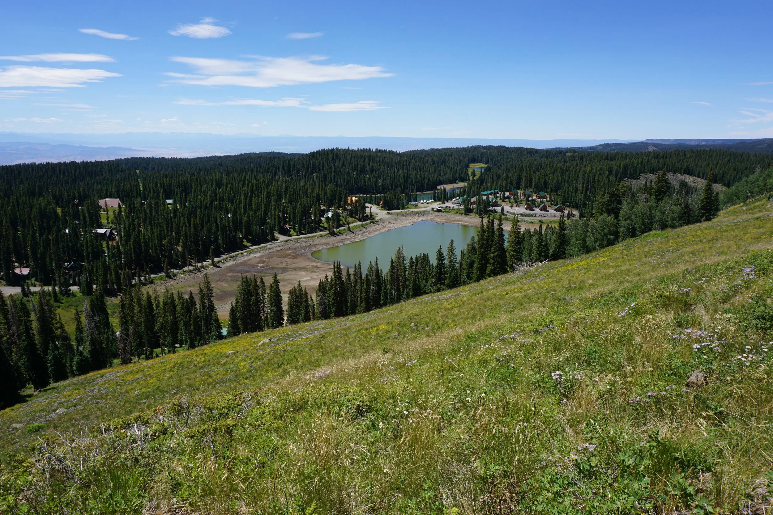
CO Hwy 65 is the main road that runs north to south across Grand Mesa and provides access to most of the hikes, lakes, and side roads. After 65 curves around Island Lake, look for the road to the left that leads to the Grand Mesa Visitor Center, FS Road 121. Follow 121 (also called Lakeshore Drive?) for three and half miles to the Crags Crest East Trailhead on the shores of Eggleston Lake. There is a small campground and large parking area at the trailhead.
Hike Description:
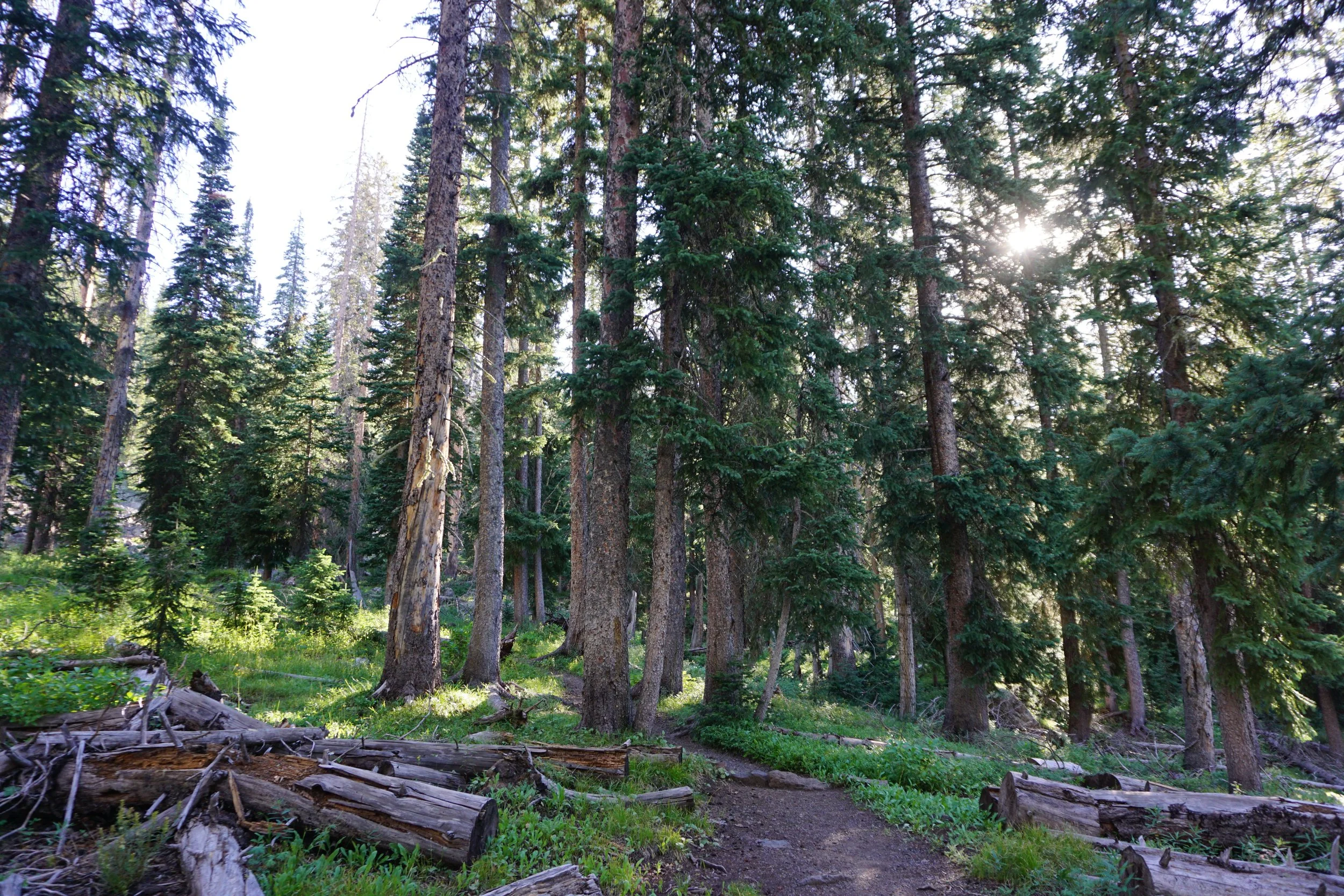
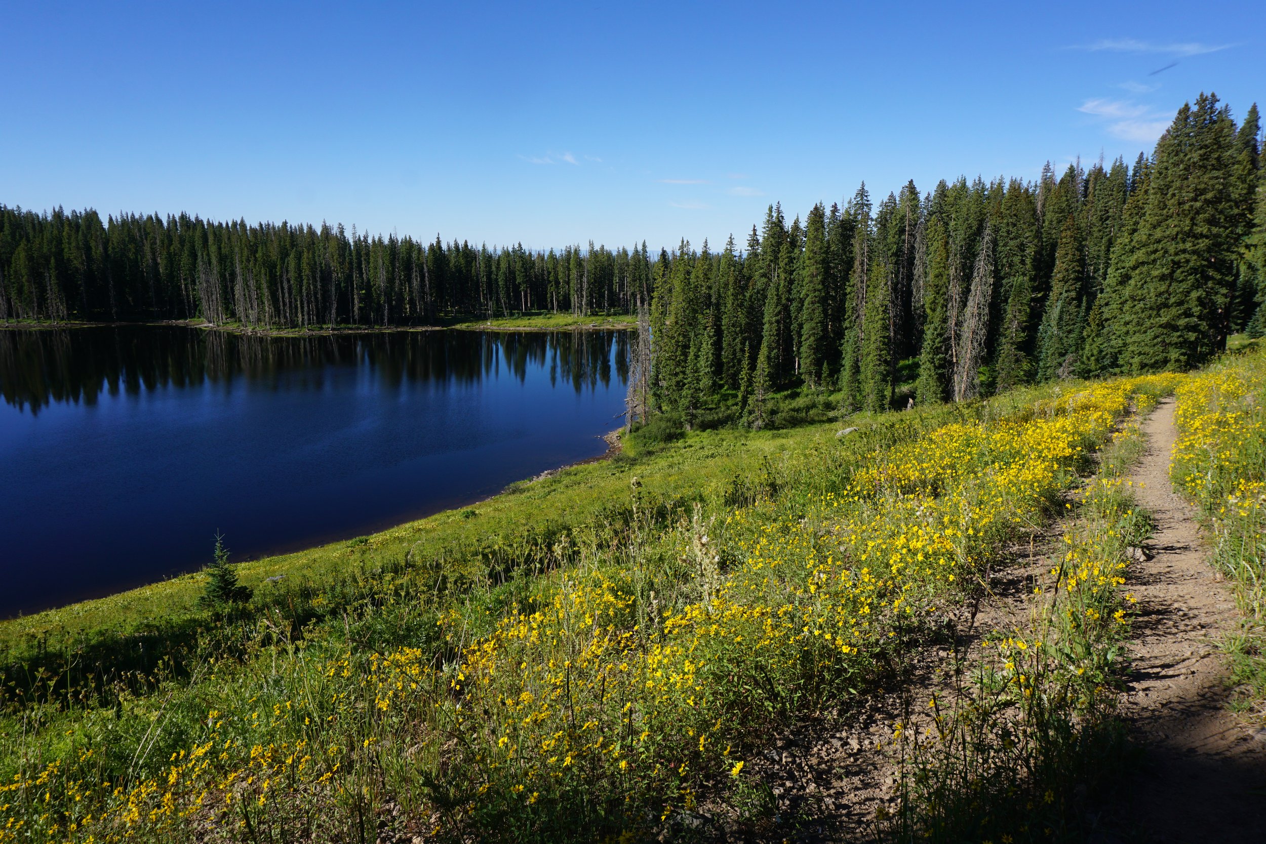
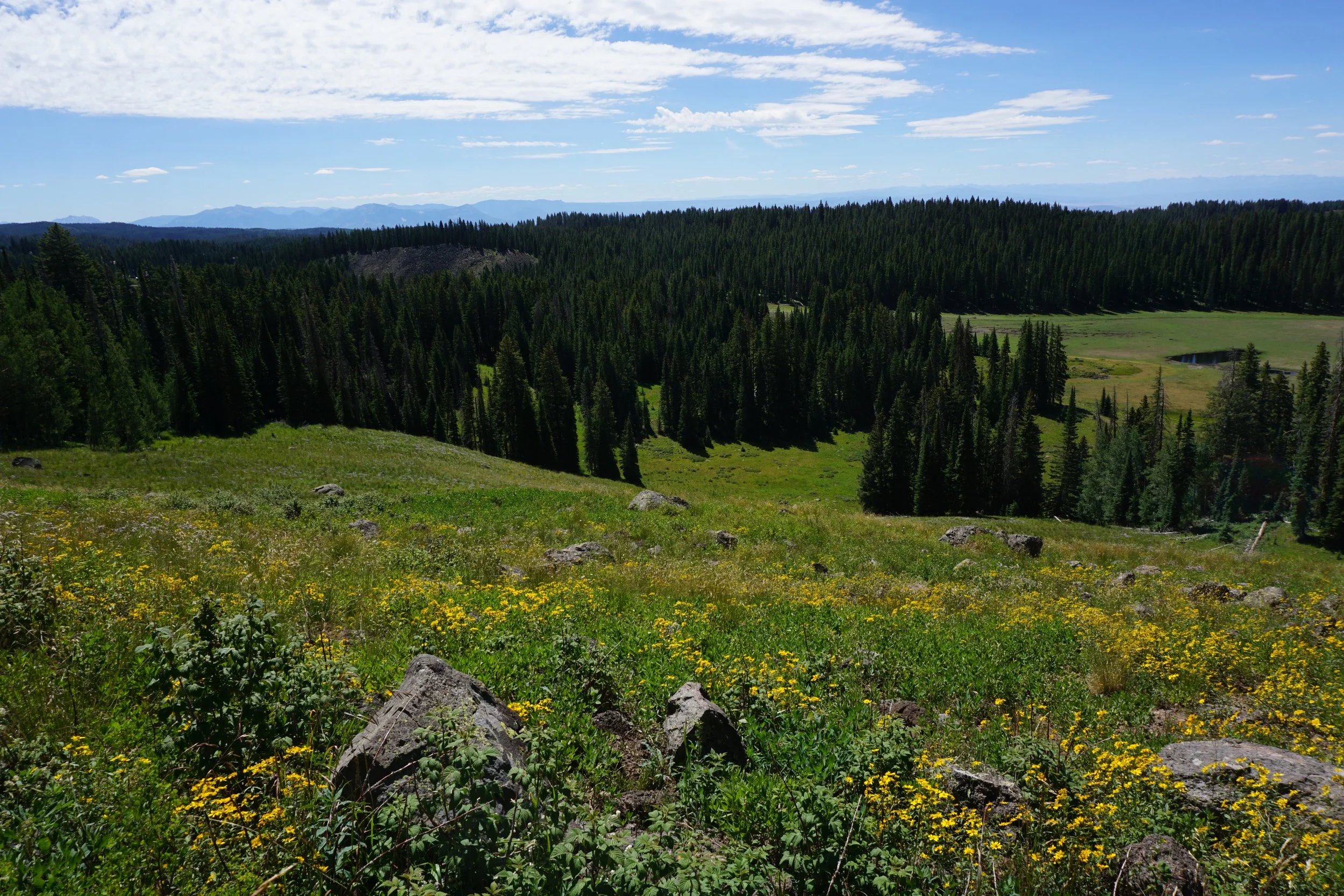
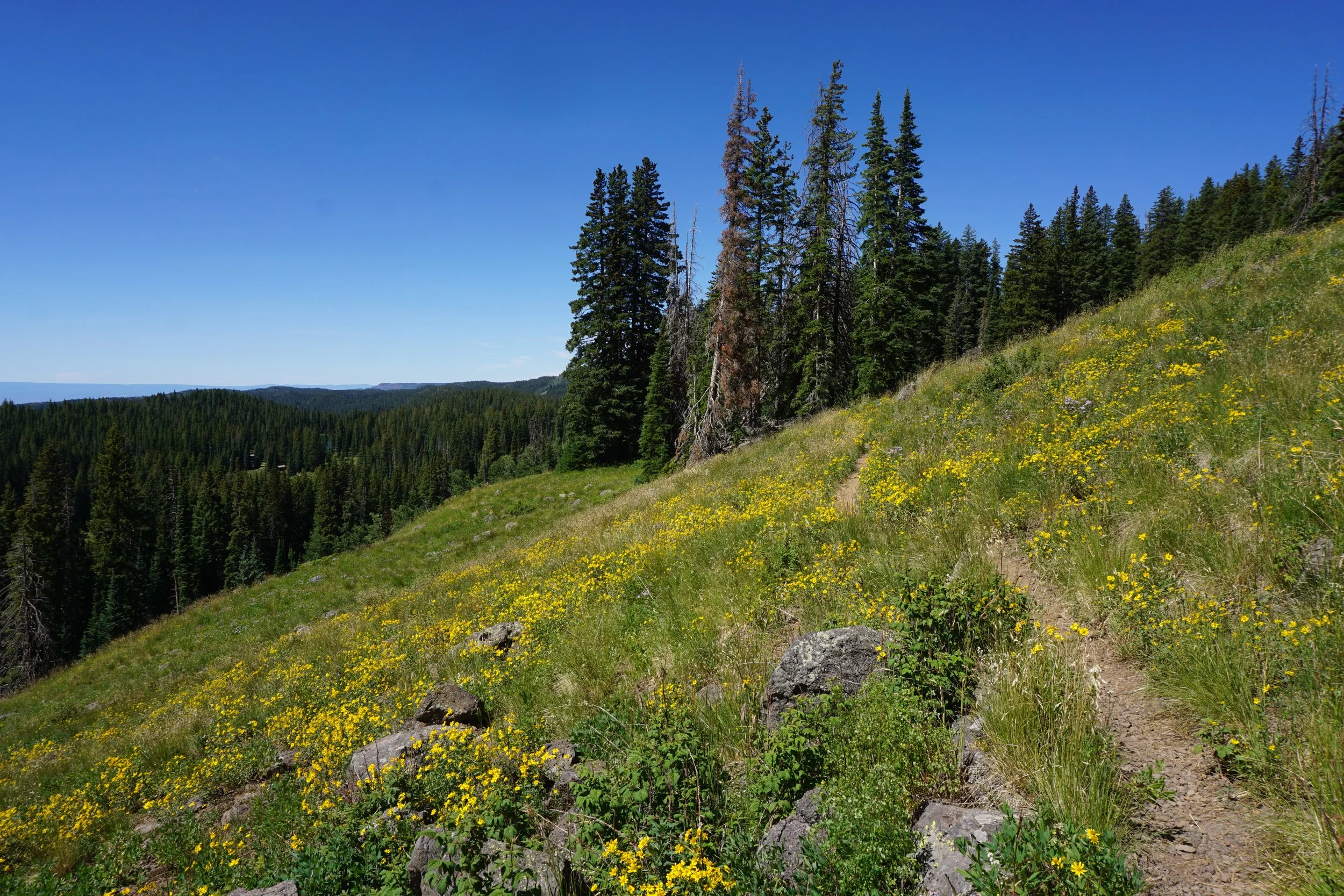
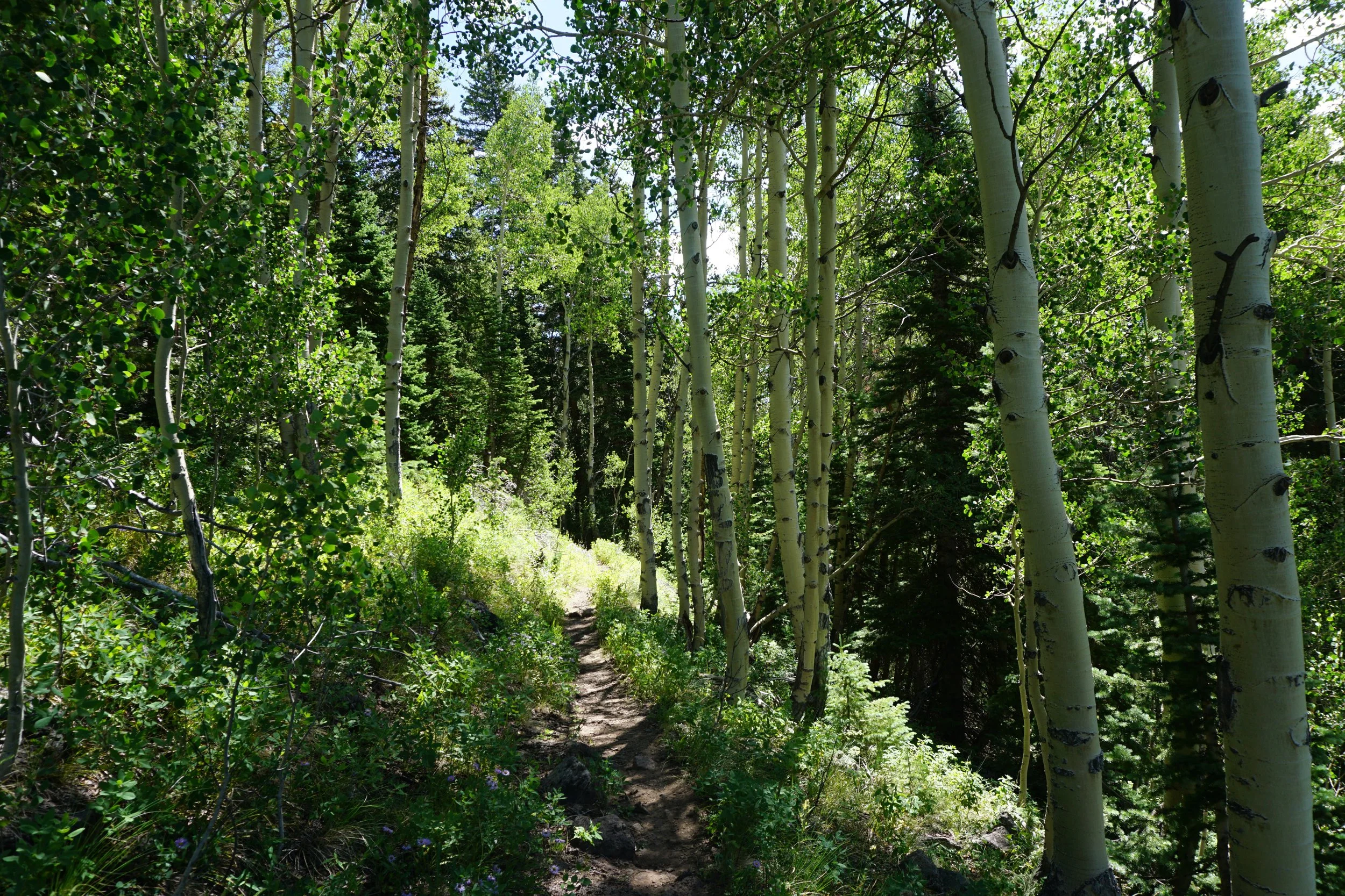
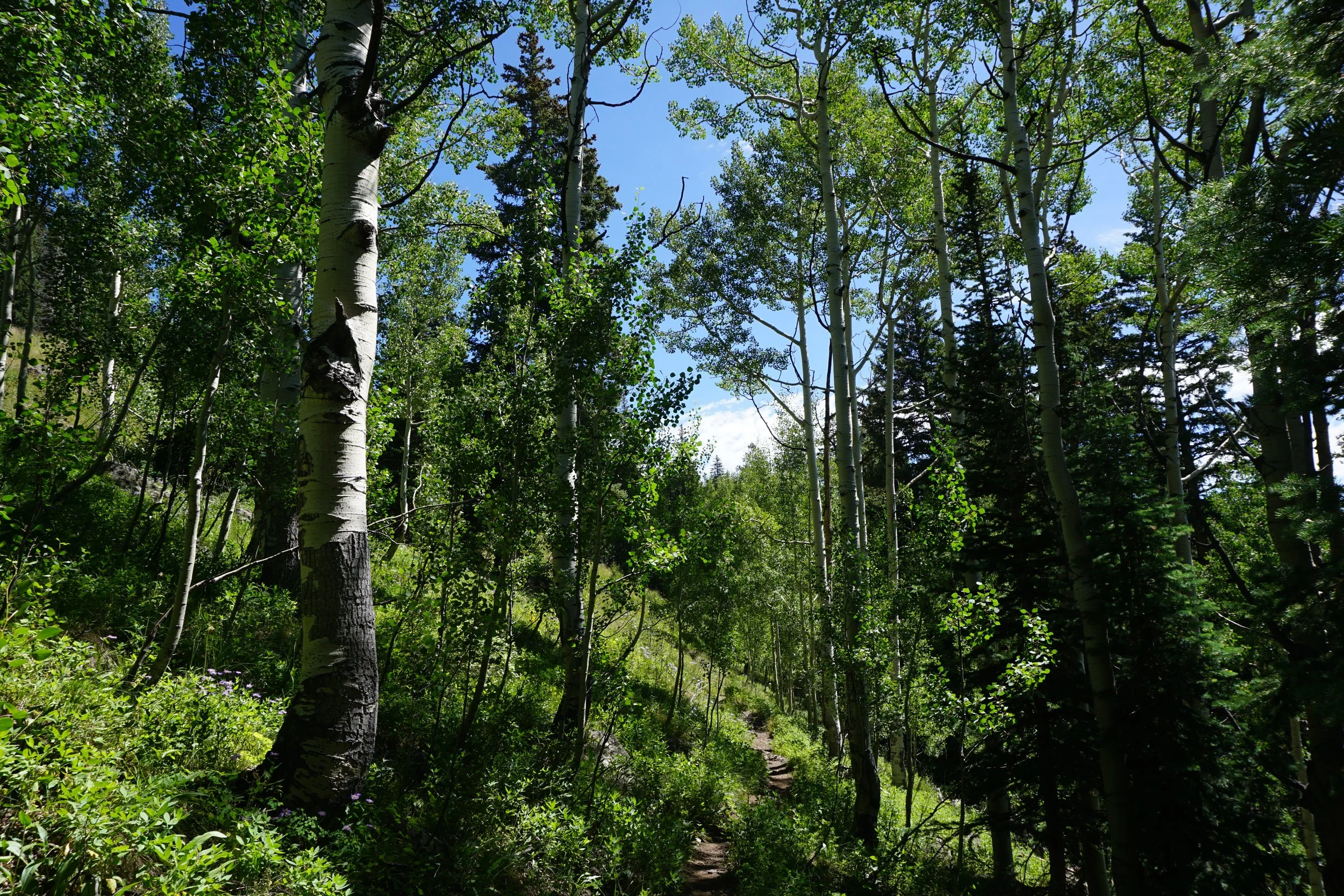
Crags Crest is the big boss hike on Grand Mesa. It’s been designated as a National Recreational Trail and at 10 miles, this is a big hike, and it feels like a big hike. That being said, it’s amazing, this is the hike to do on Grand Mesa and one of the top hikes in all of Colorado. The crest of the hike is incredible and the views are ridiculous, but that is just one small part of the overall experience. The rest of the trail has shady forests, stunning lakes, quaking aspens, and fields of colorful wildflowers and you get to experience it all on this loop. There is no technical scrambling and no unreasonably steep sections. It’s a long but doable hike.
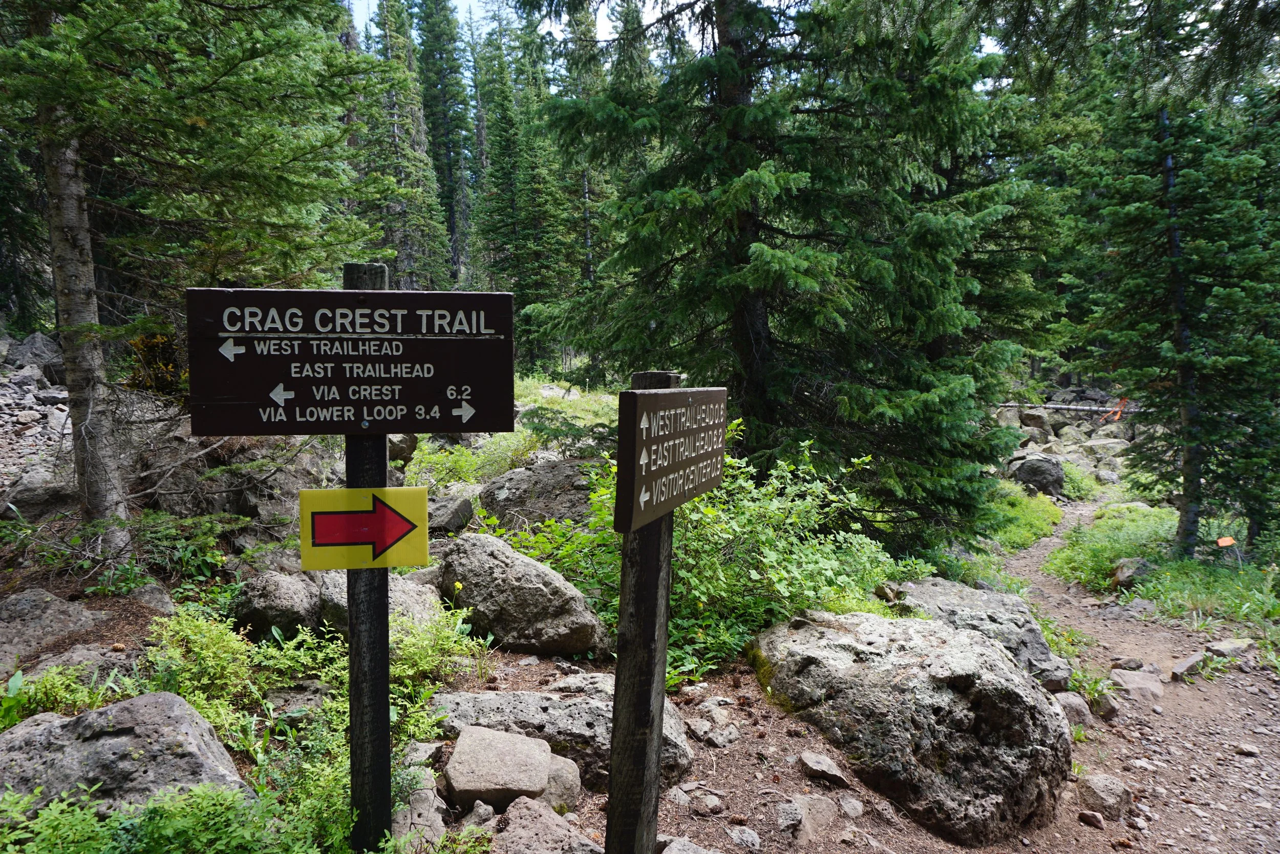
You have some options for how you tackle this hike. You can start at the eastern side (at the Crags Crest East Trailhead) which is what I recommend; you can start at the western side (at the West Crag Crest Trailhead); or you can make this a shuttle hike and park a car at both of the trailheads. Shuttling skips the lower part of the loop, which is where the wildflowers and aspens reside and really should not be missed, but, no judgement…you do you… Starting at the western trailhead adds about a ¼ mile to the hike. This description starts on the east.
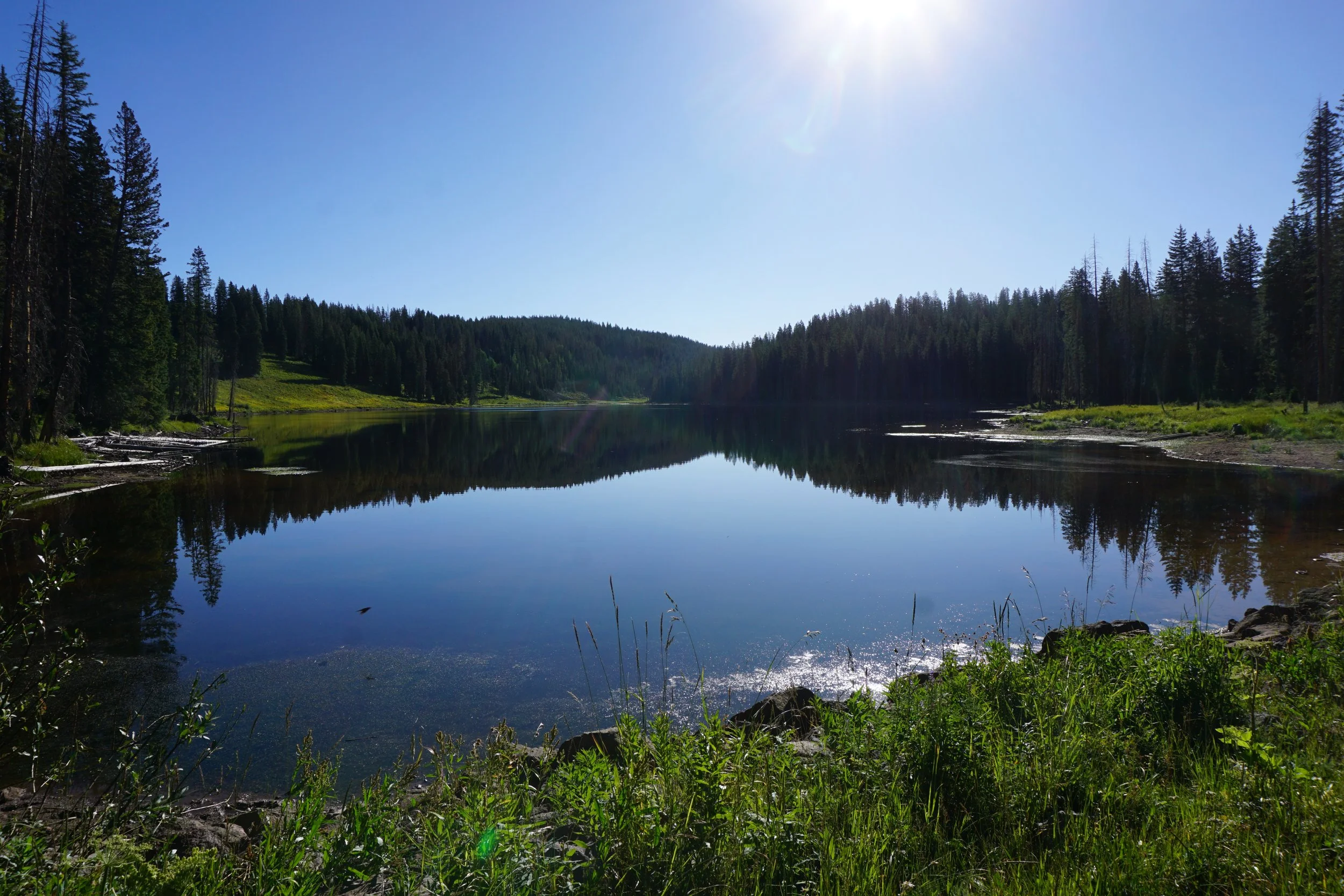
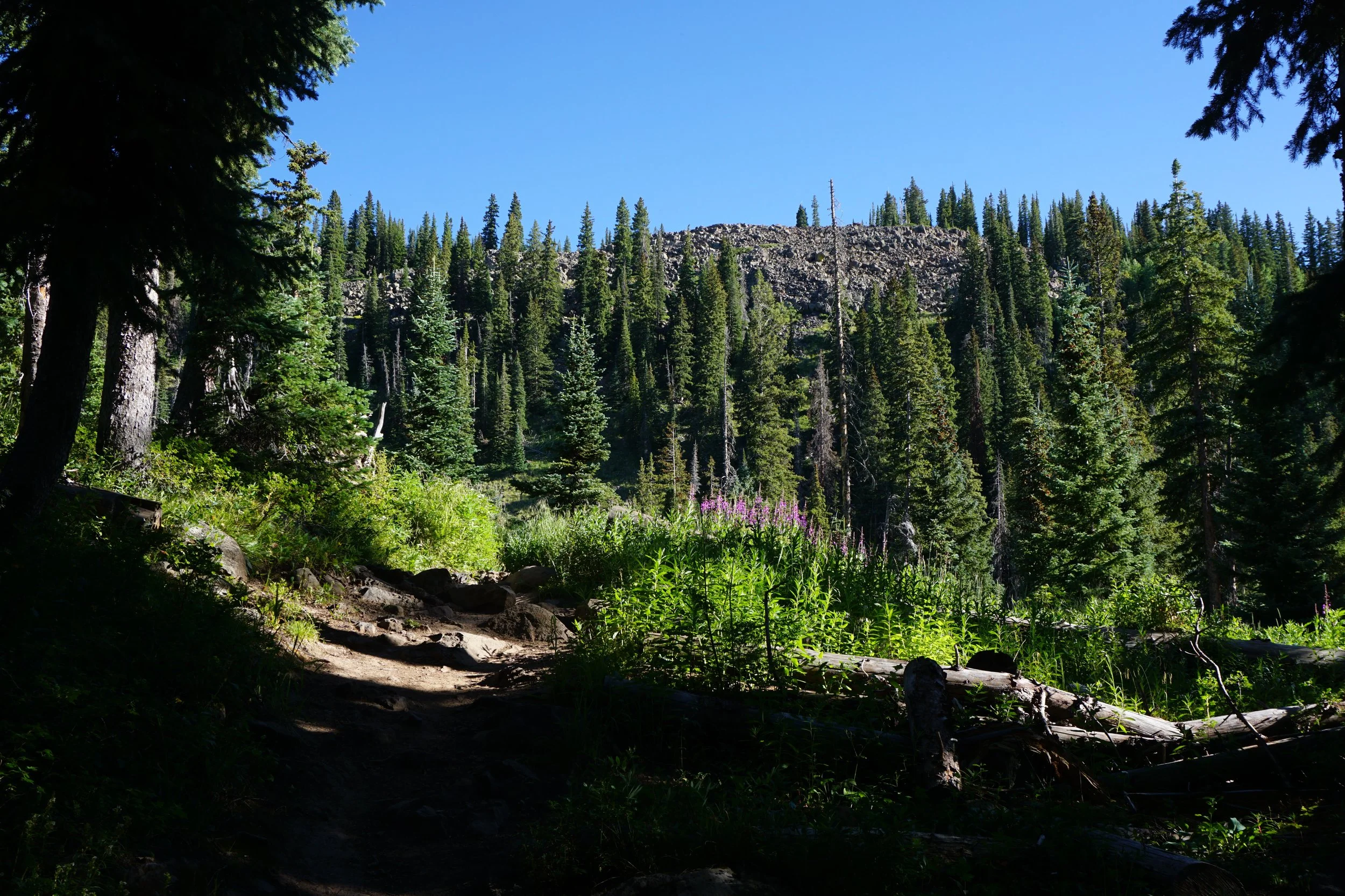
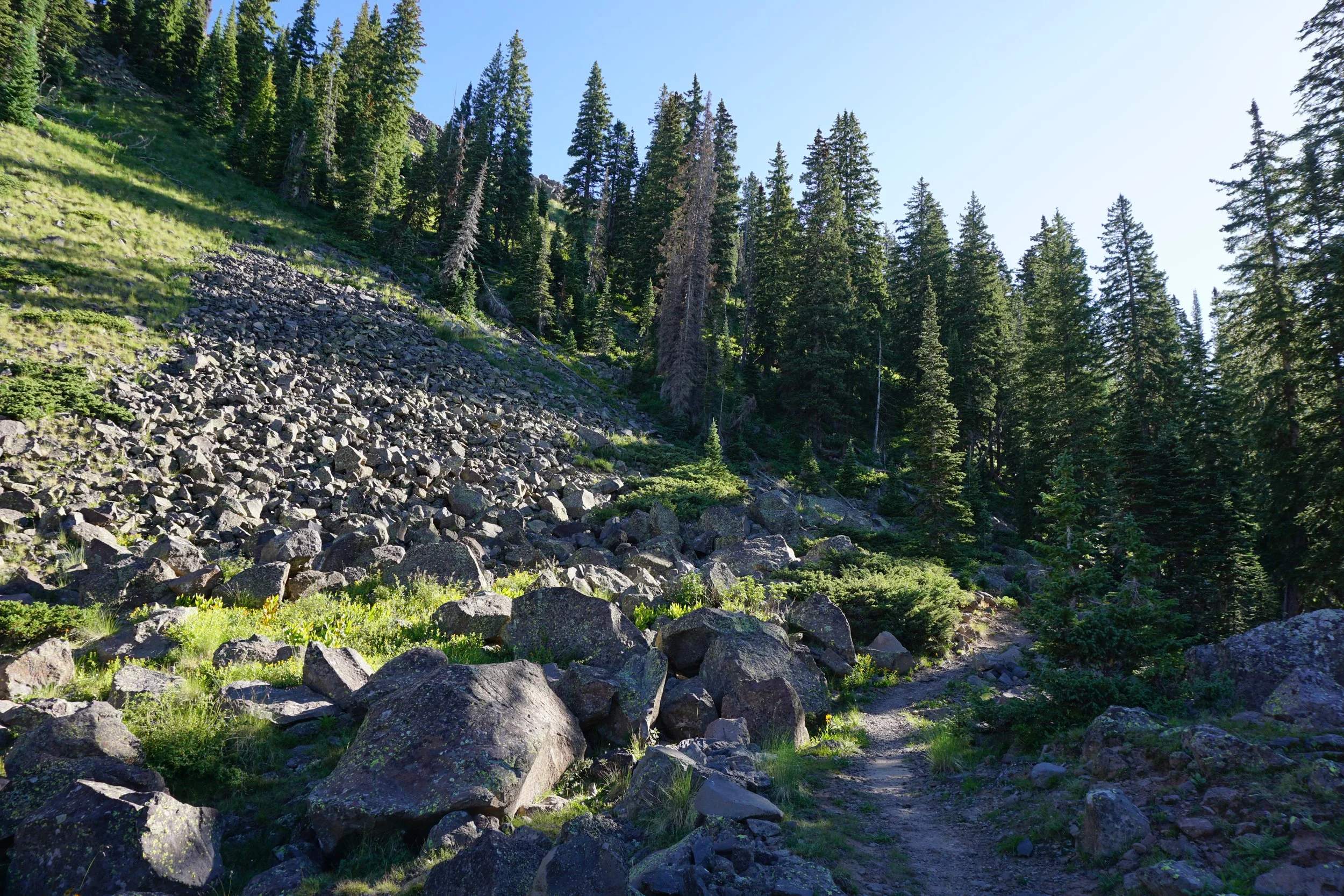
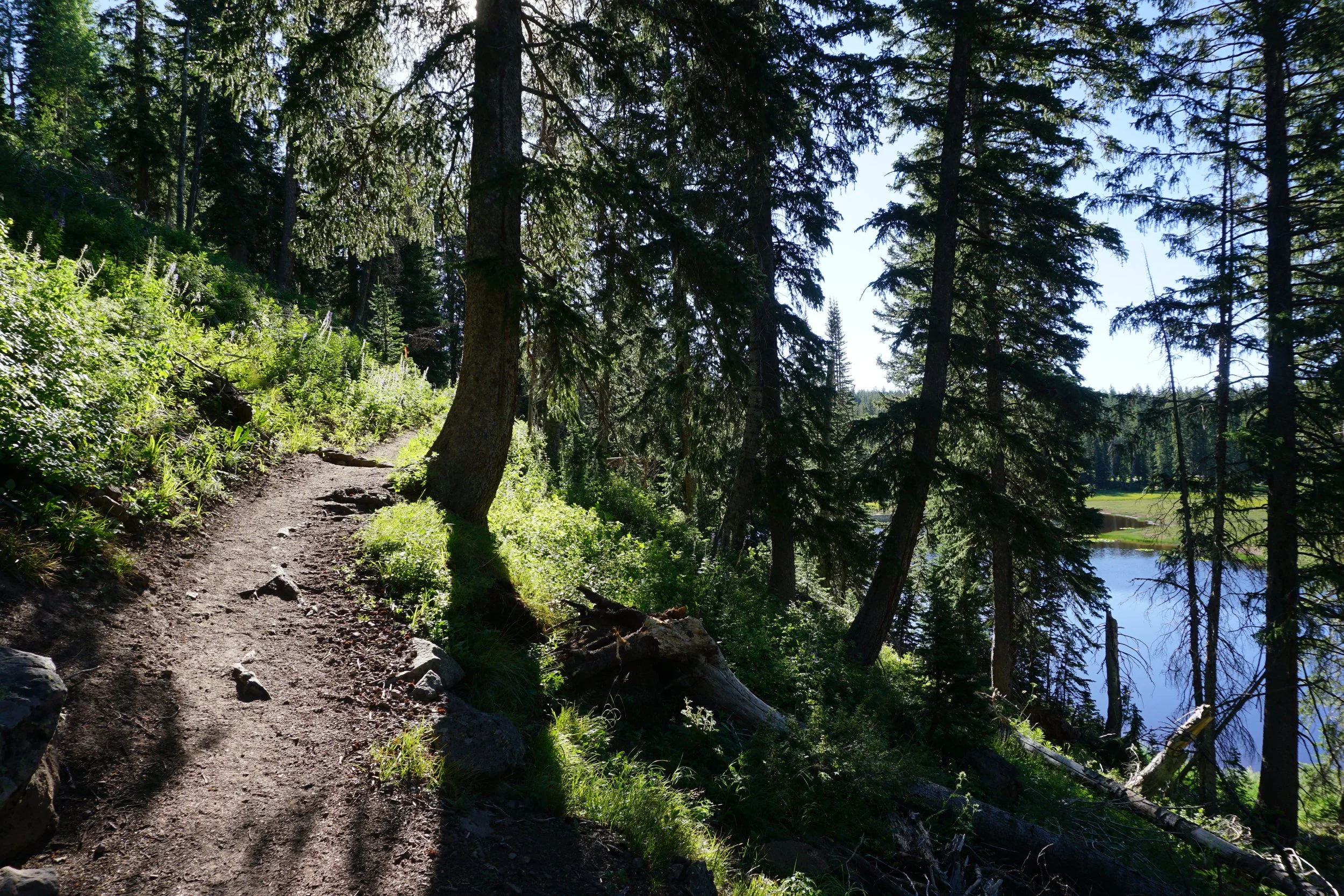
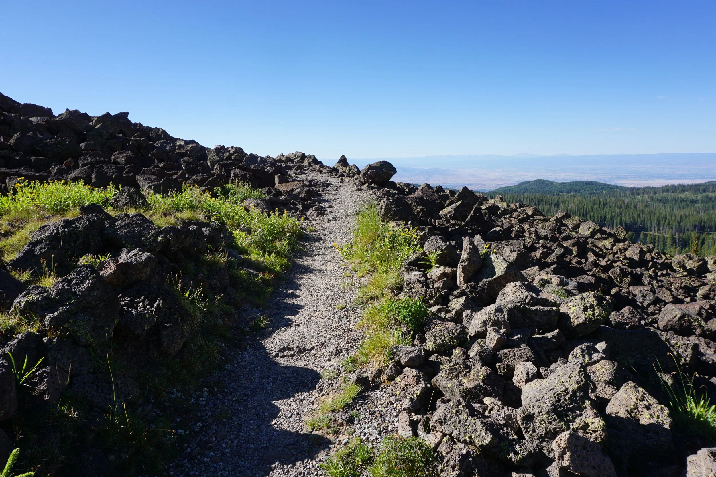
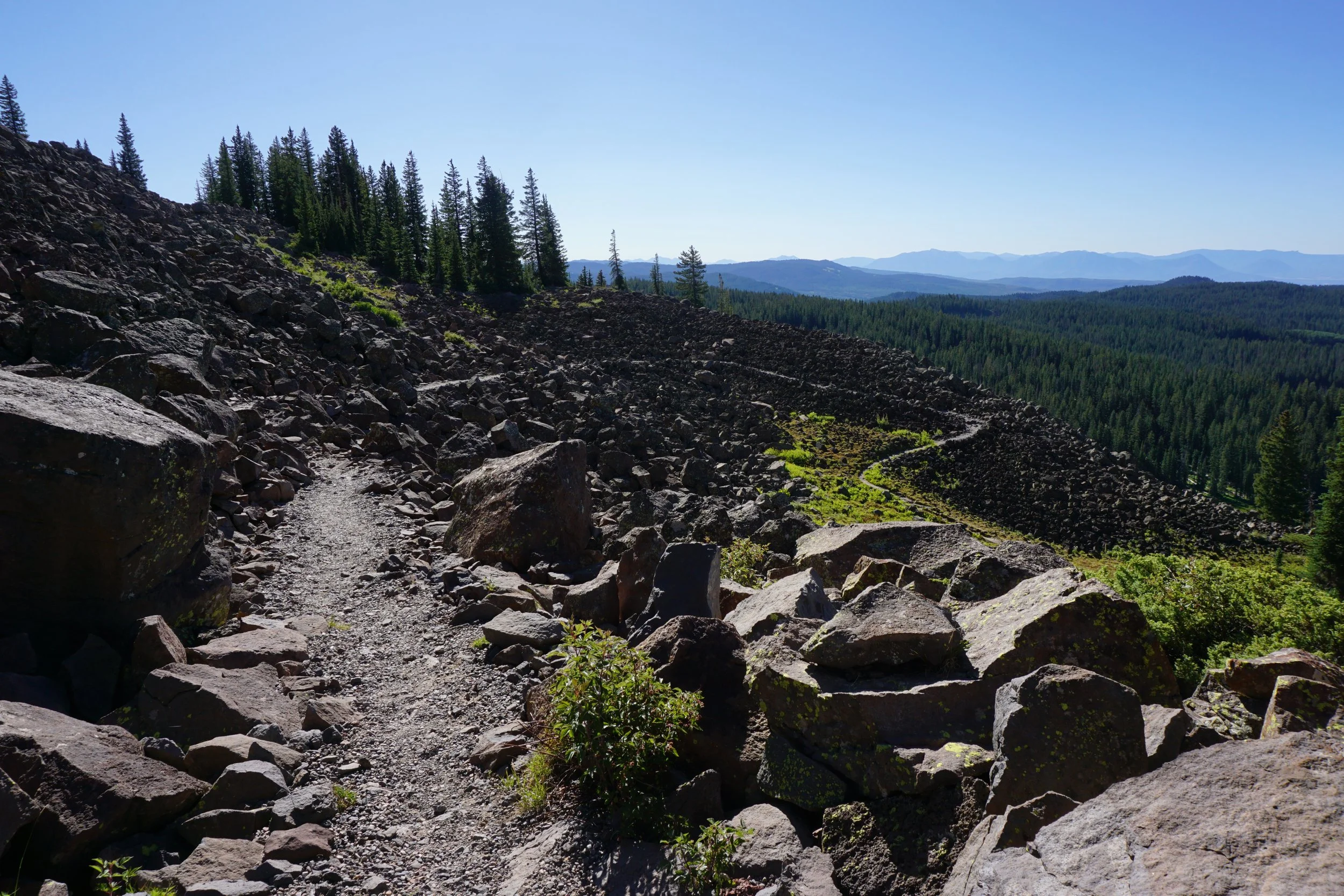
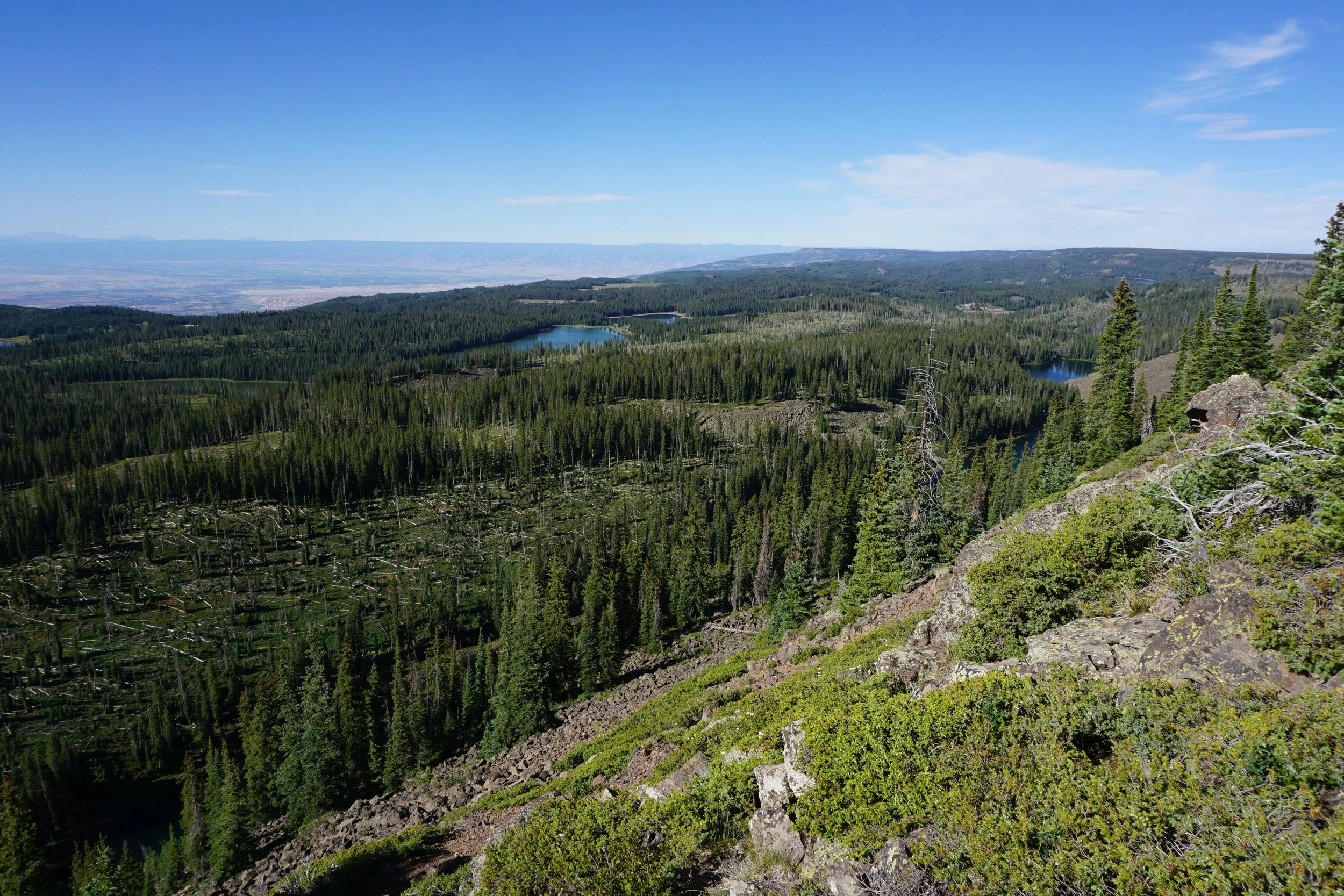
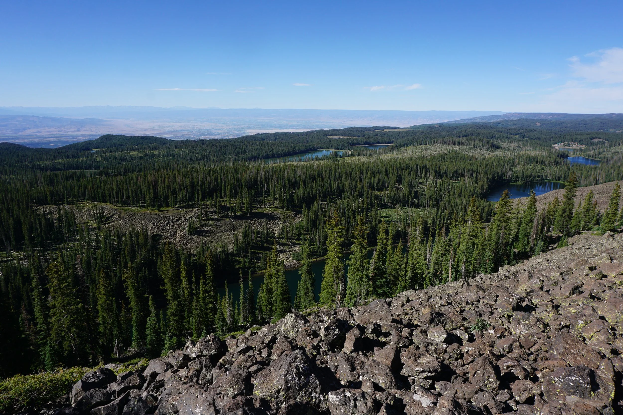
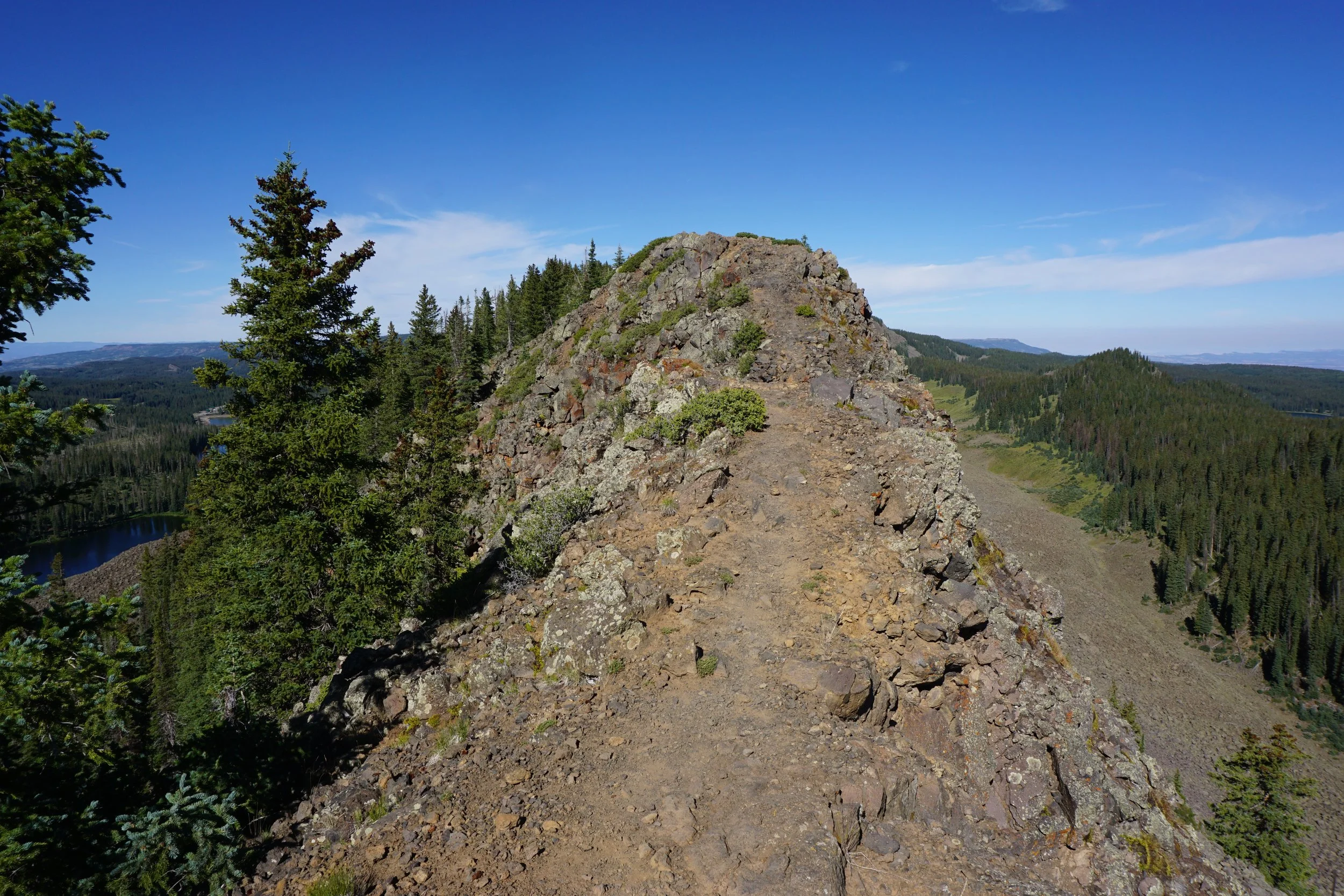
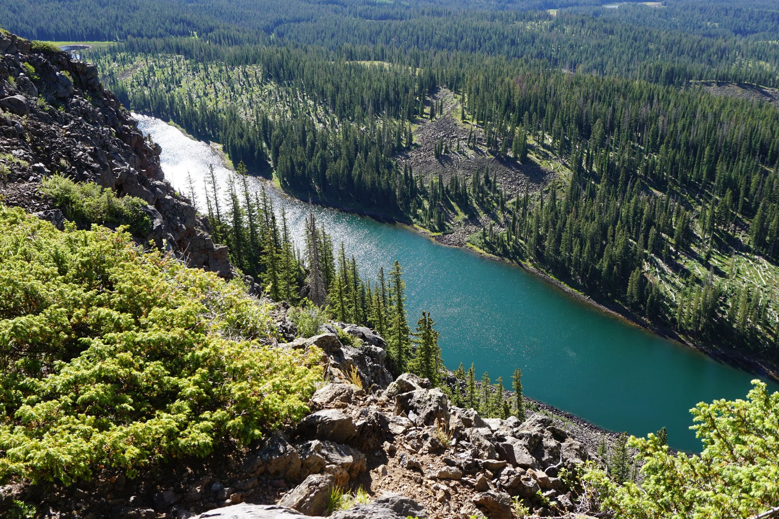
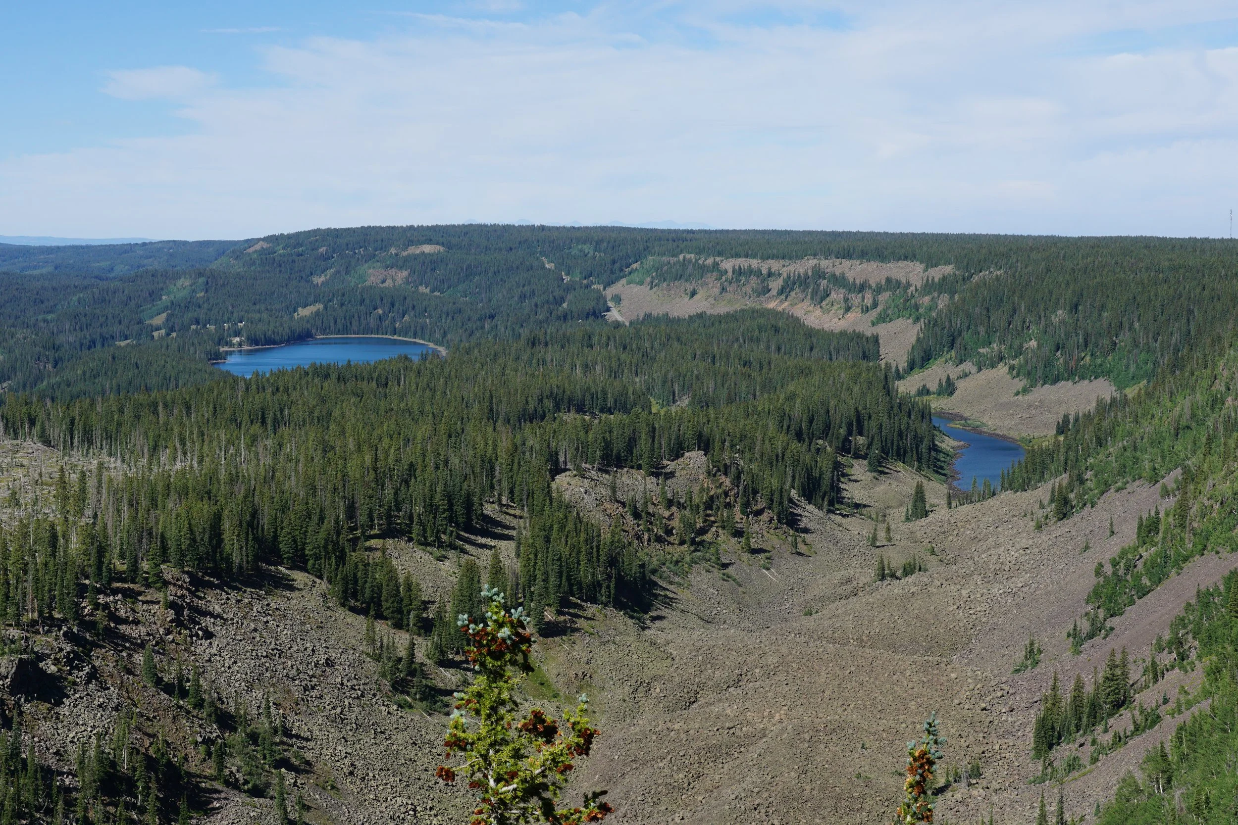
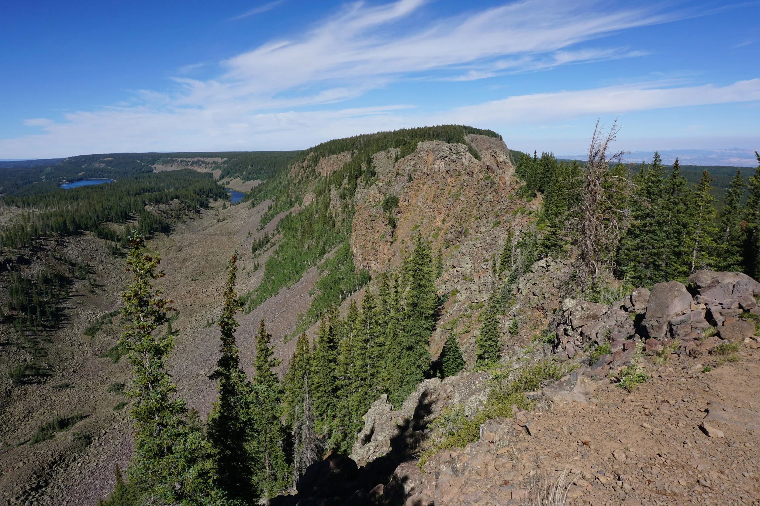
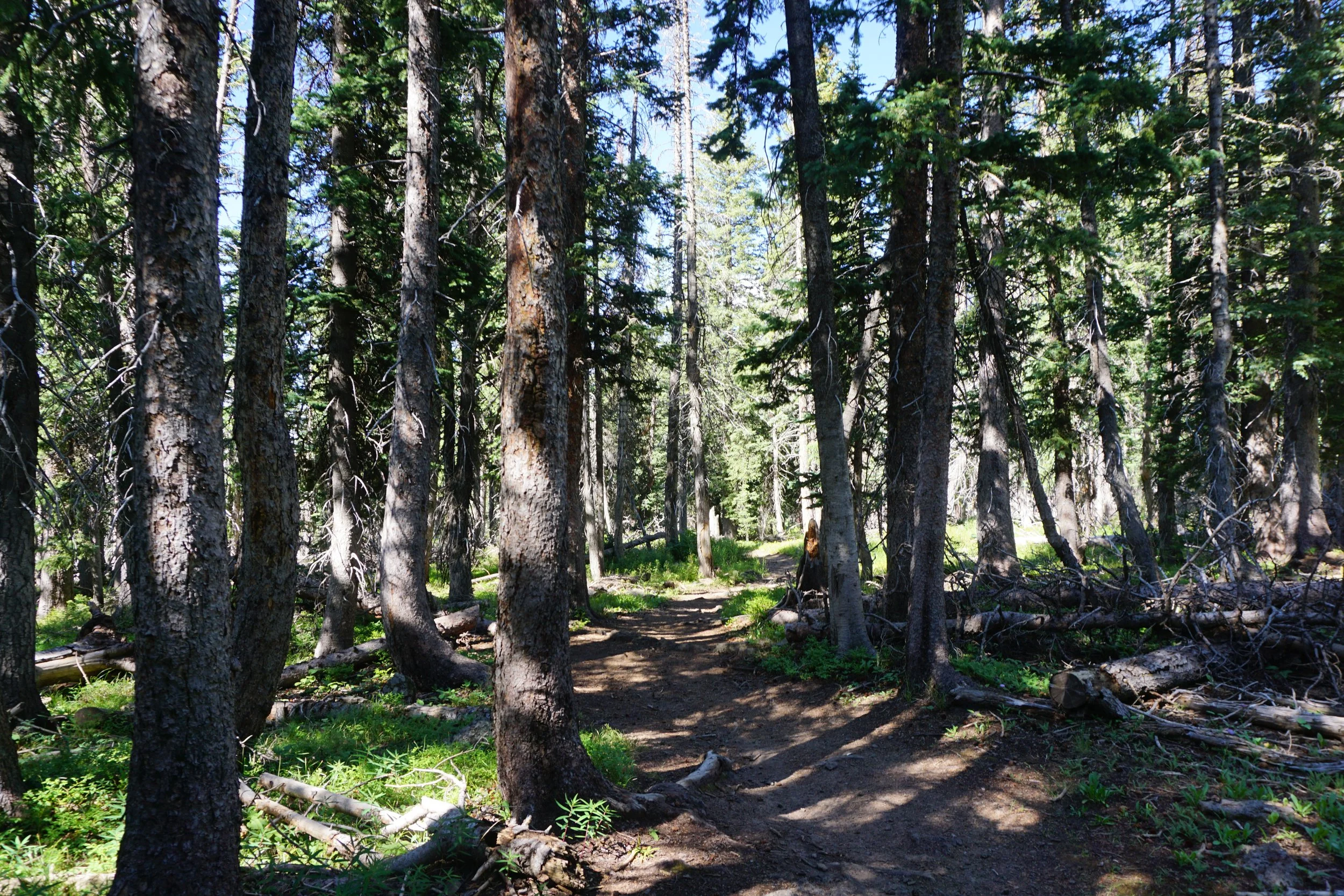
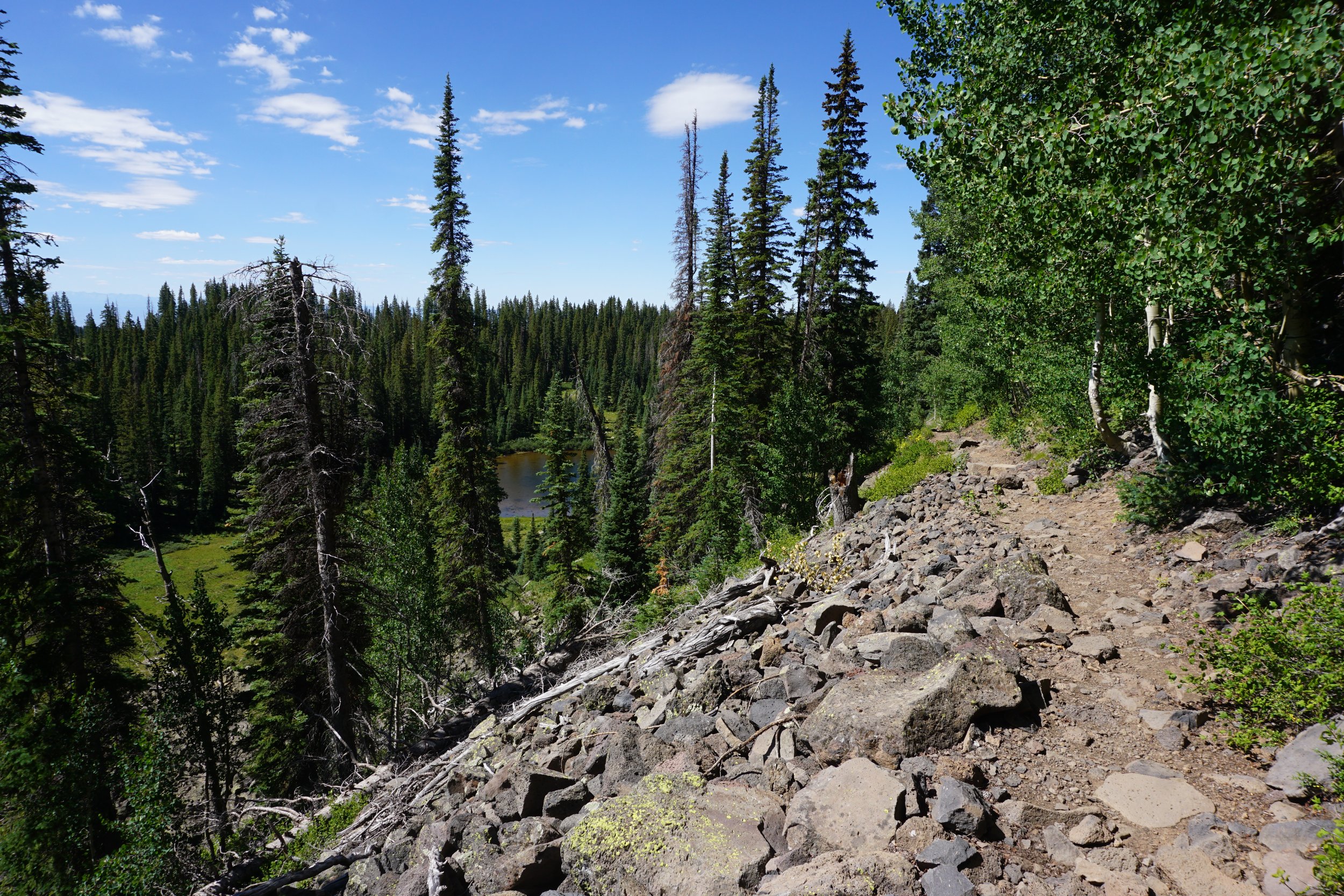
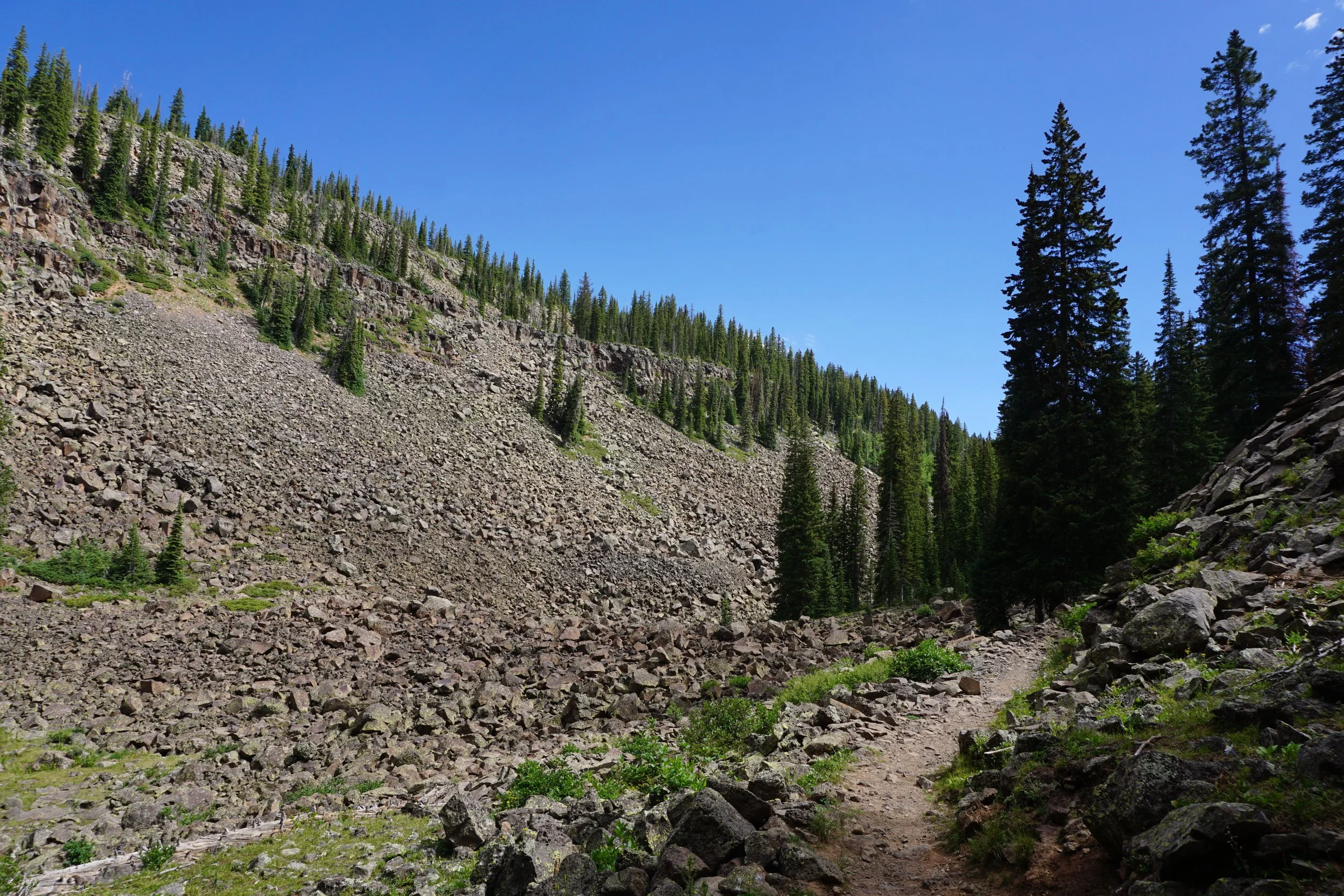
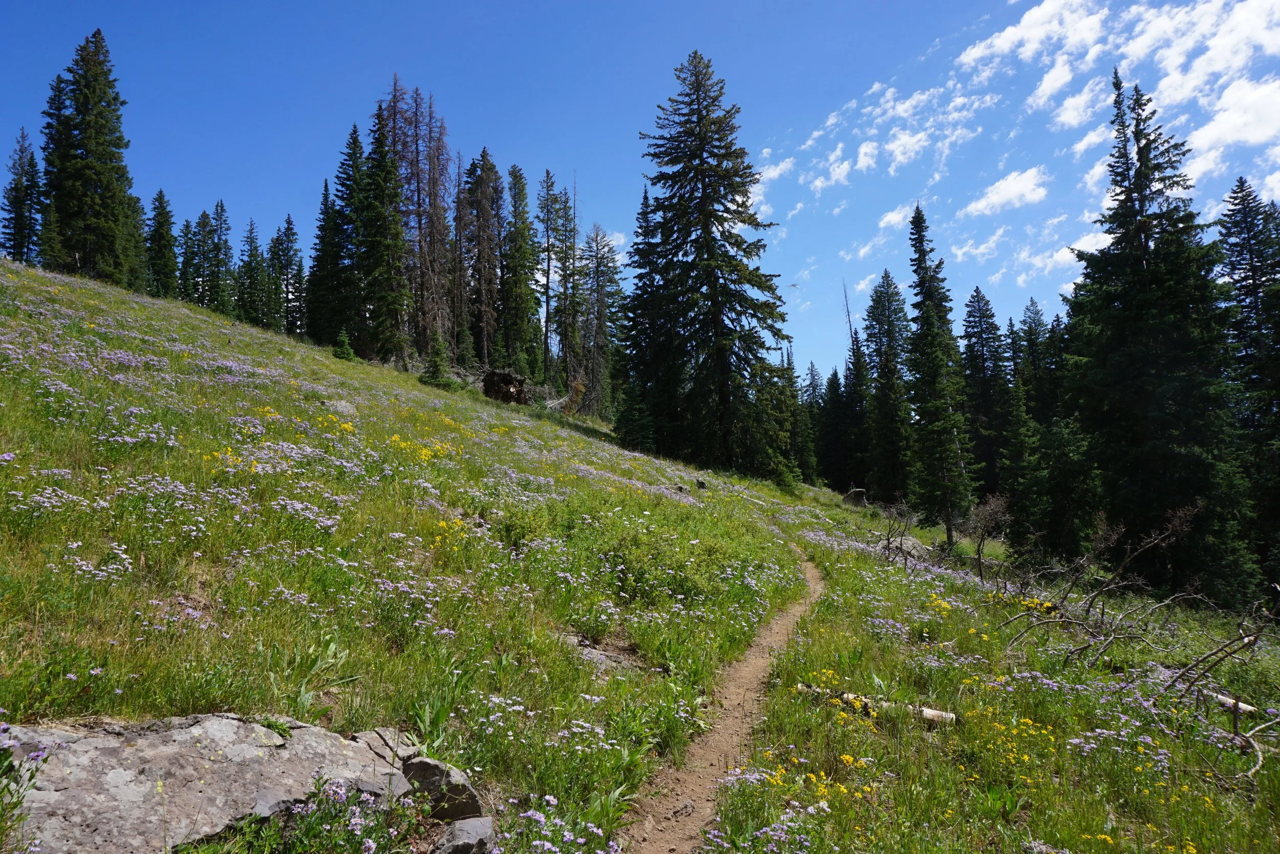
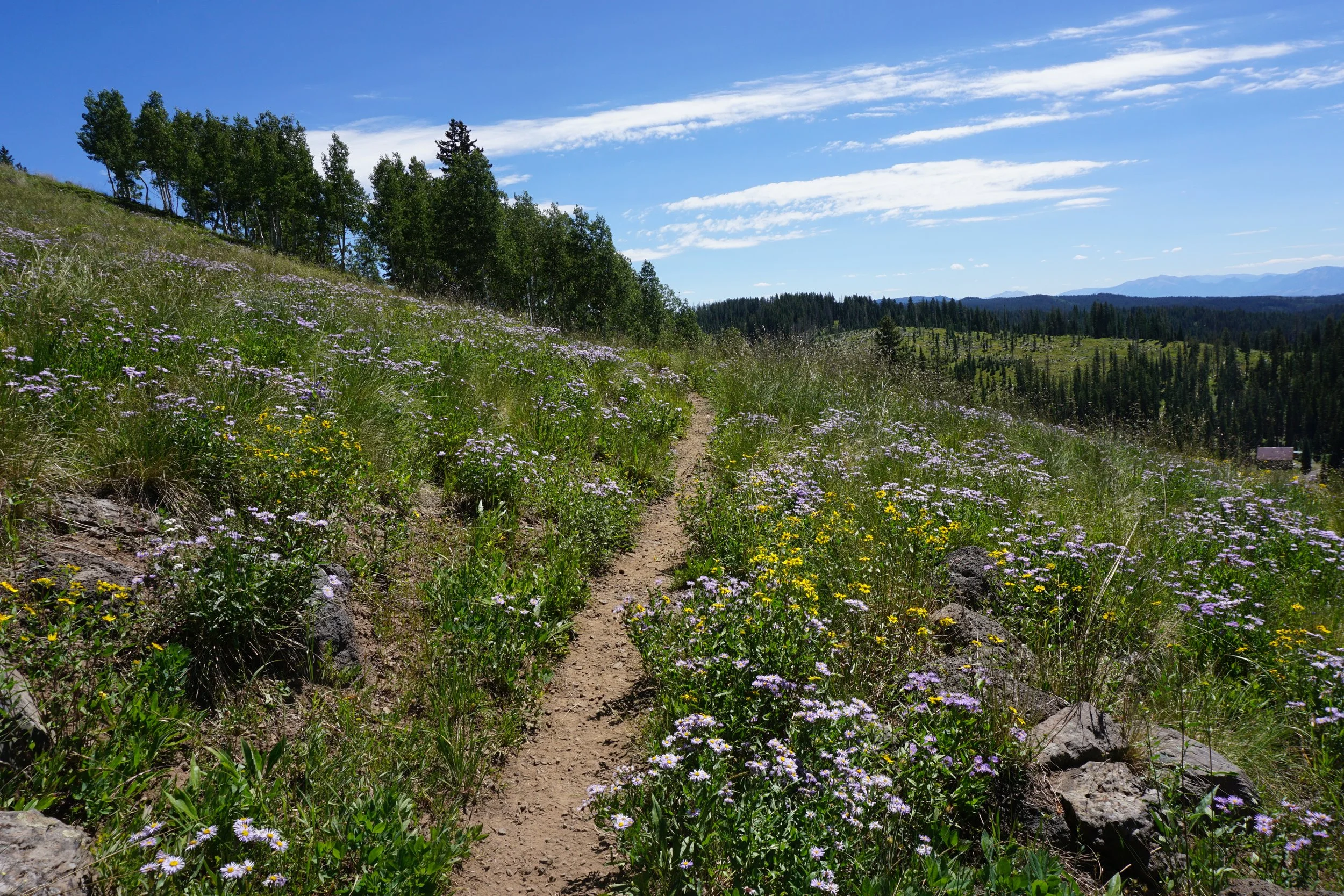
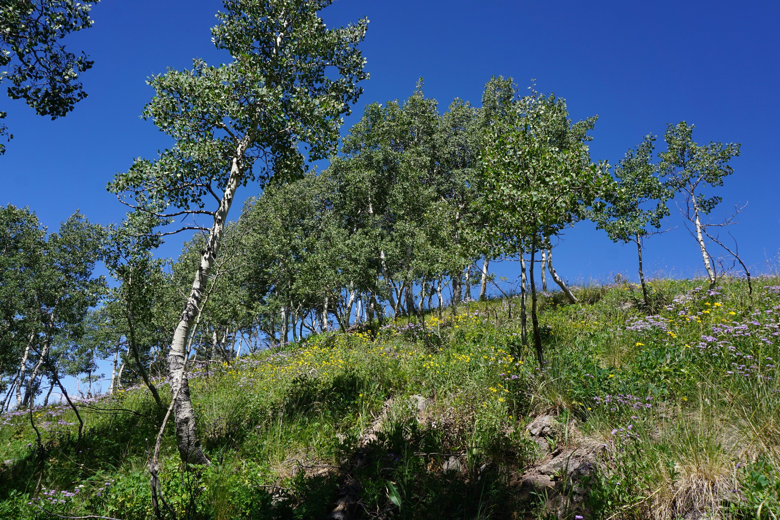
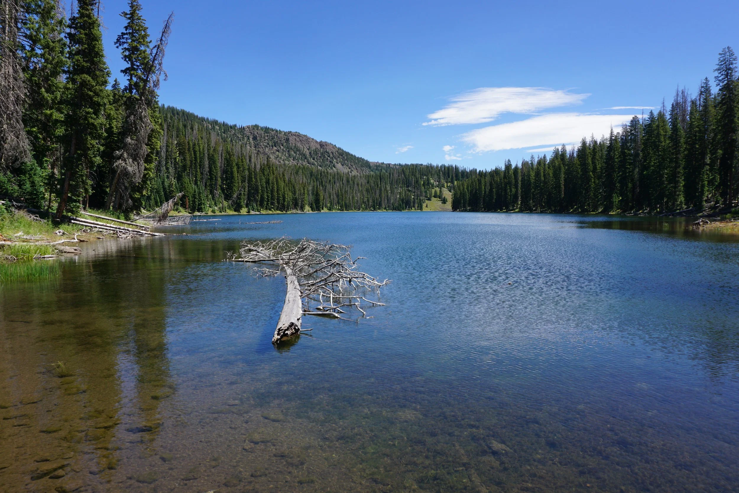
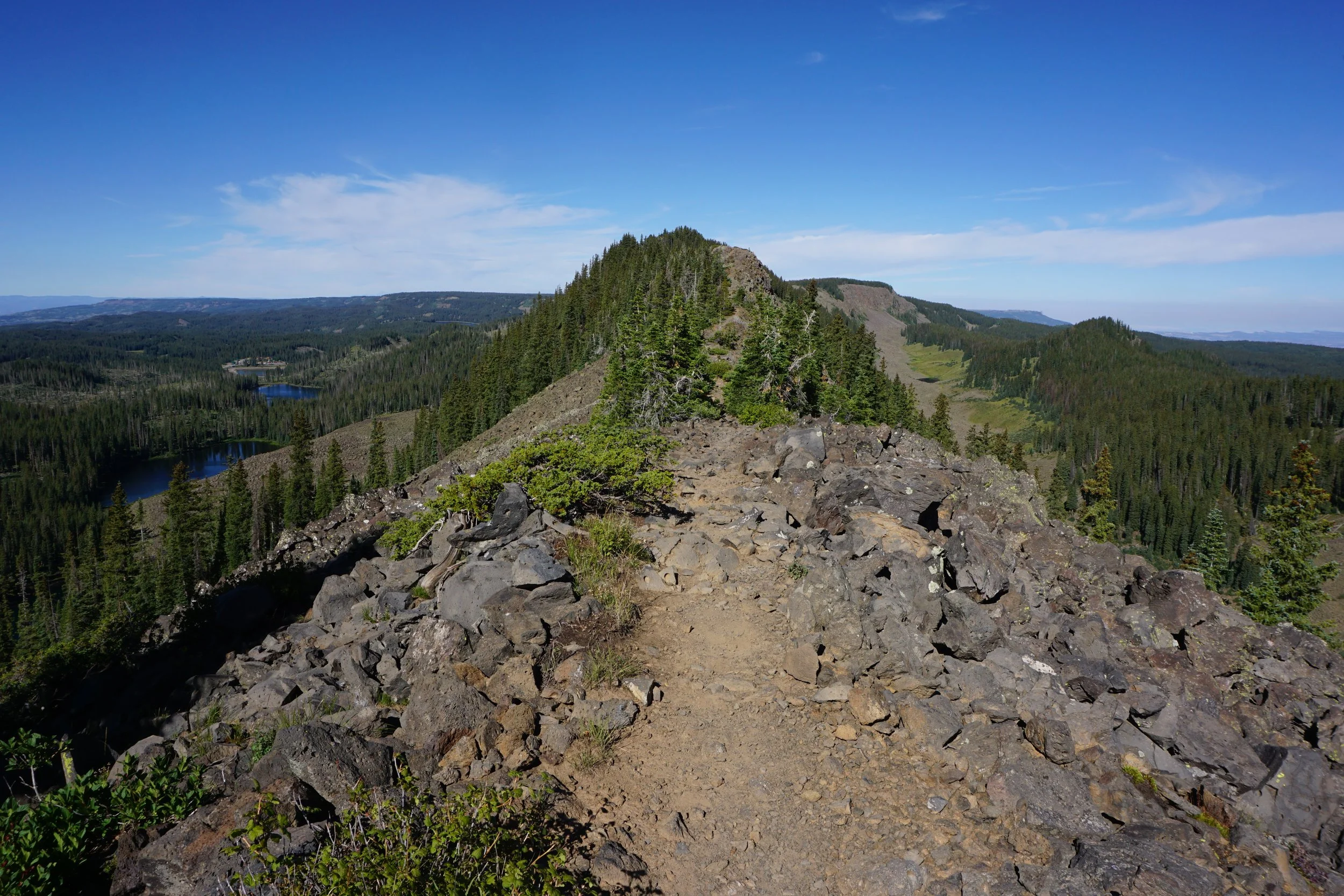
From the Eastern Trailhead, I hiked the loop counter-clockwise. This gets you up to the crest as quickly as possible…some kids just can’t wait to open their presents… There is so much to see along this hike, that this could be a 20 page hike description so I’ll try to quickly walk you through the highlights, go see it for yourself! The hike up to crest is a beautiful way to start the day, you start out in the forest, then break out onto the shores of Upper Eggleston Lake. After the lake a steep (but not too steep) trail weaves through forest and meadows before climbing up onto the ridge through a rocky boulder field. At the 1 ¾ of a mile mark, you’ll find yourself starting the crest traverse, the main event of this hike.
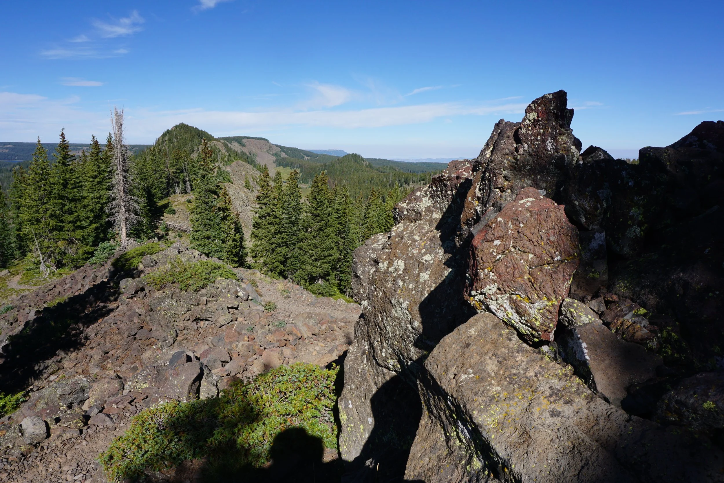
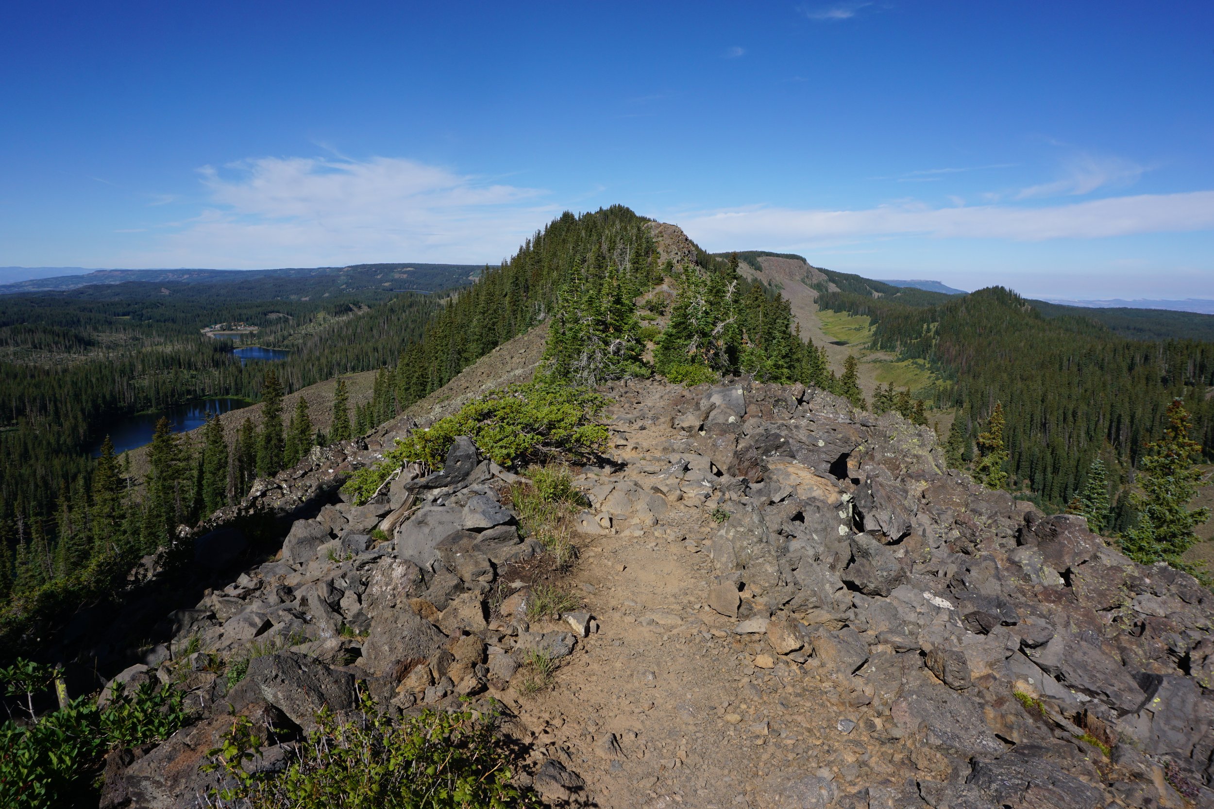
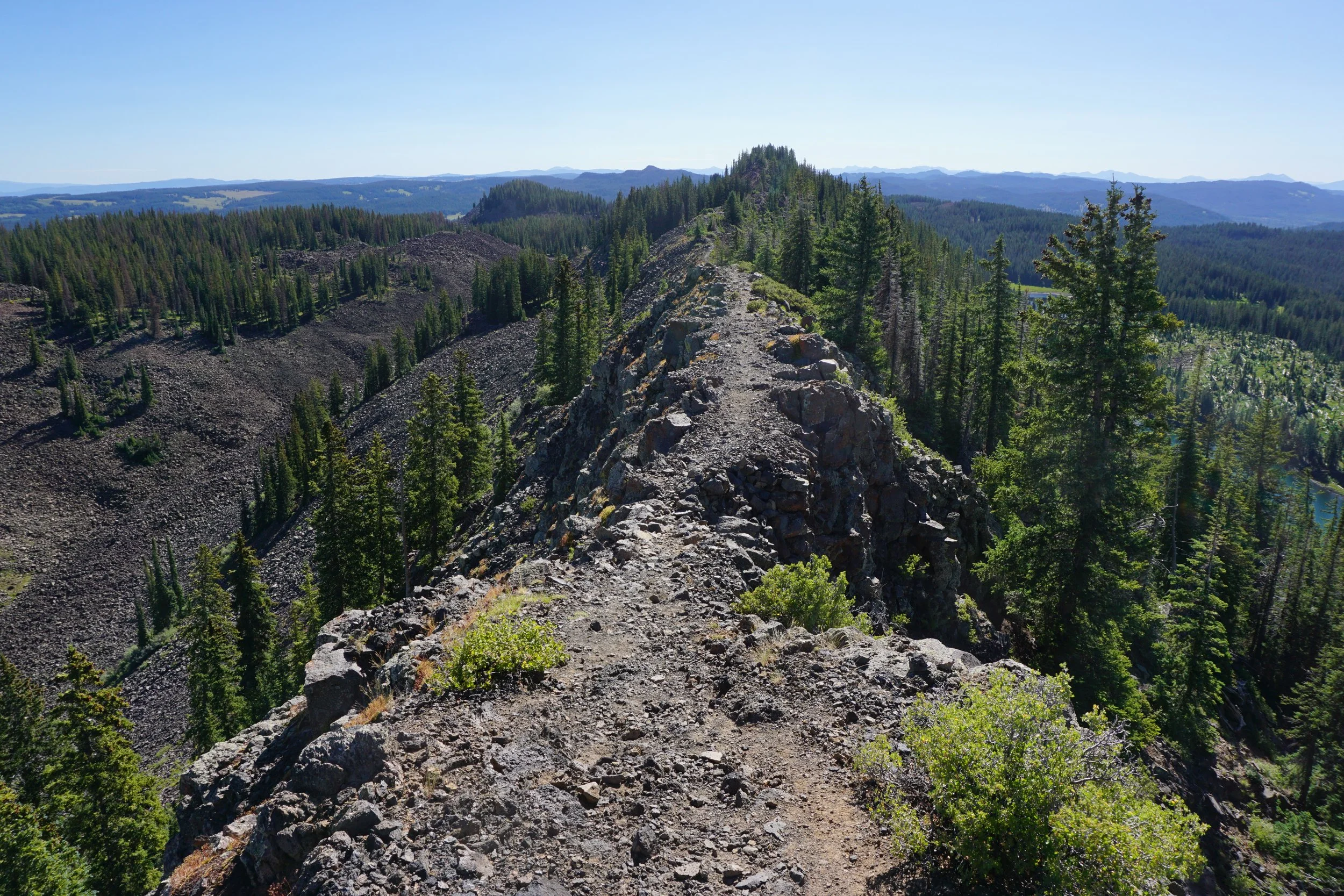
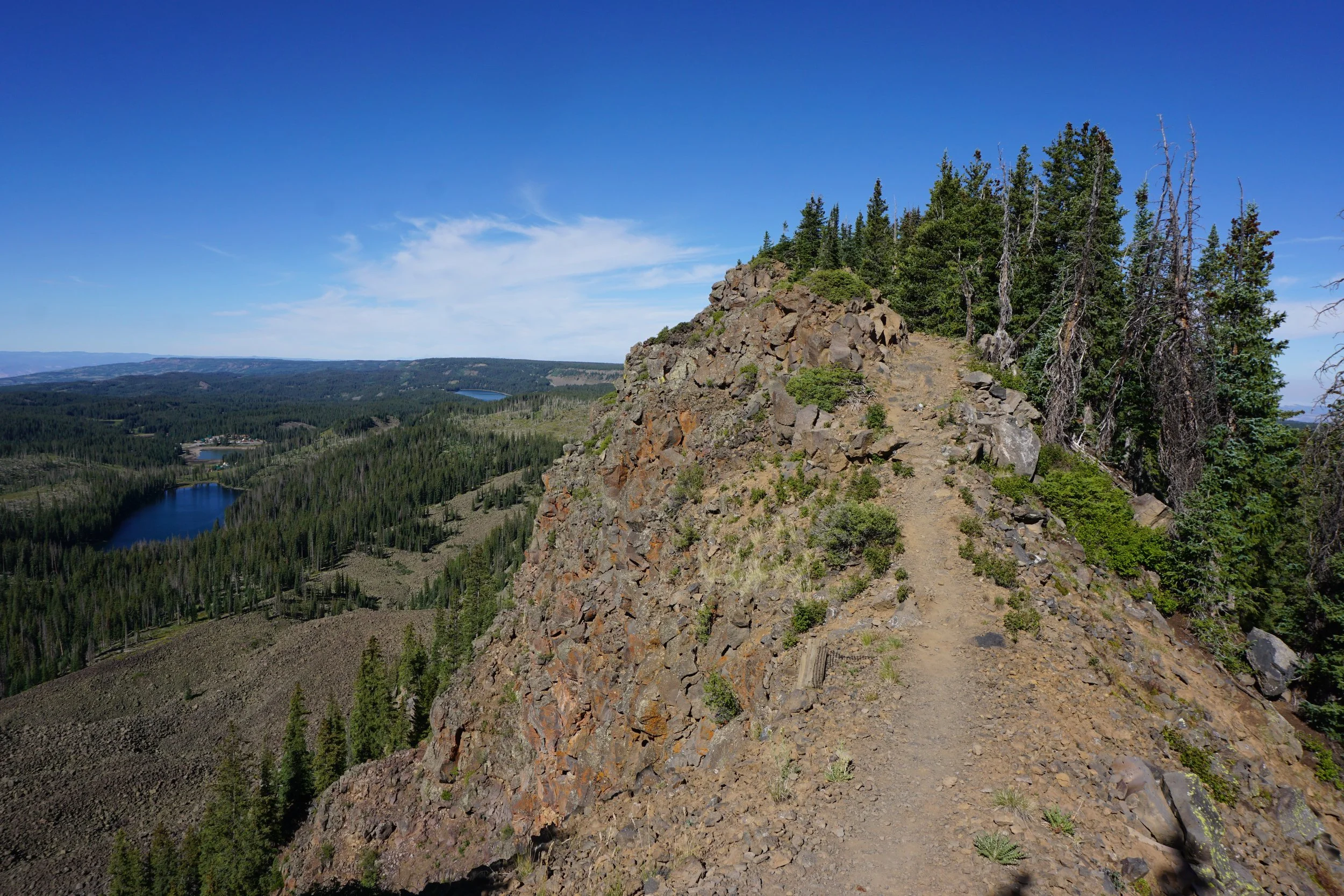
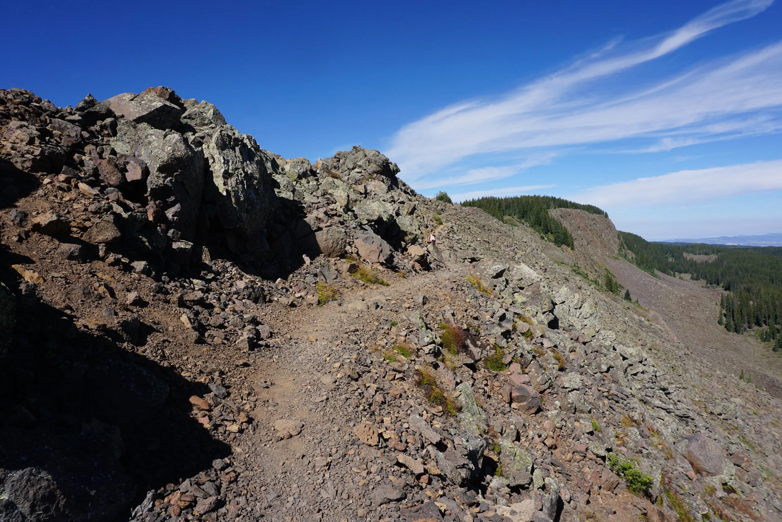
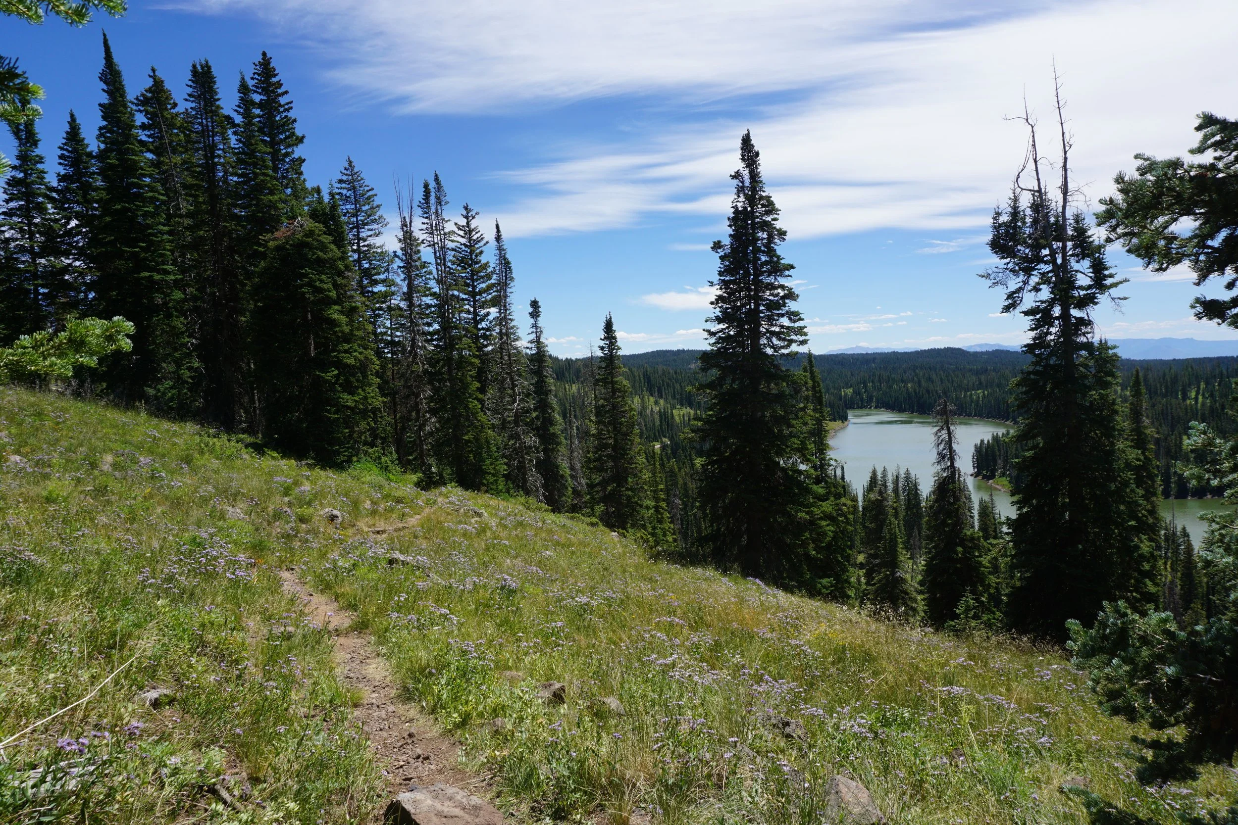
The crest is incredible. If you’ve never hiked a high alpine ridge, this is a great one to jump into. The trail is narrow in spots, with big drops on both sides, but it never feels dangerous. The trail is easy to follow and perfectly stable. The views are, of course, incredible in all directions. The crest is long, about 2 miles, and it rises and falls along the way. The hiking is not hard, but you will definitely get a good workout. In the middle of the crest you’ll pass through a forested area, don’t be fooled into thinking the crest is over, there is more to go on the other side of the forest.
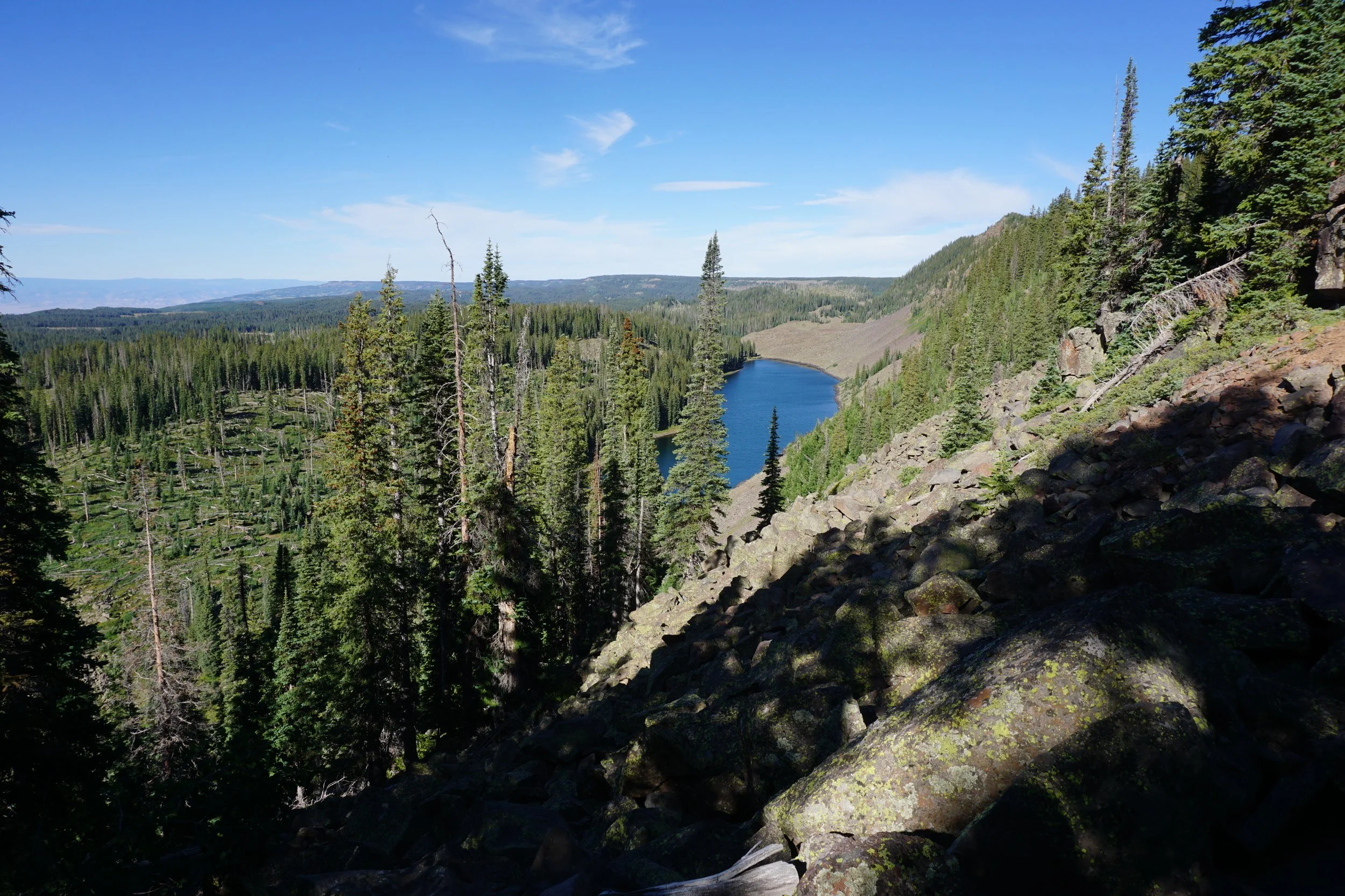
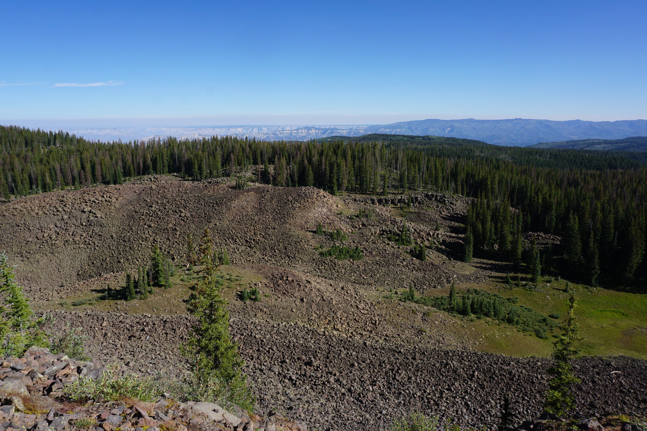
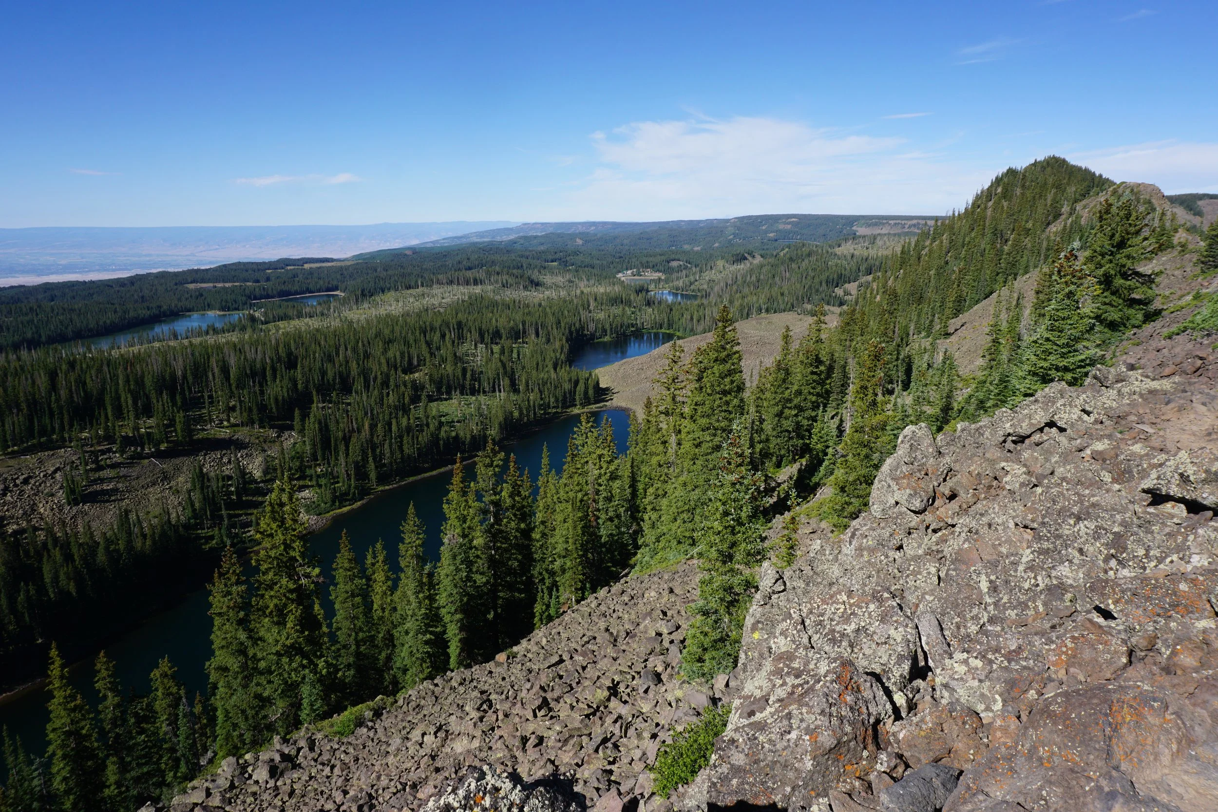
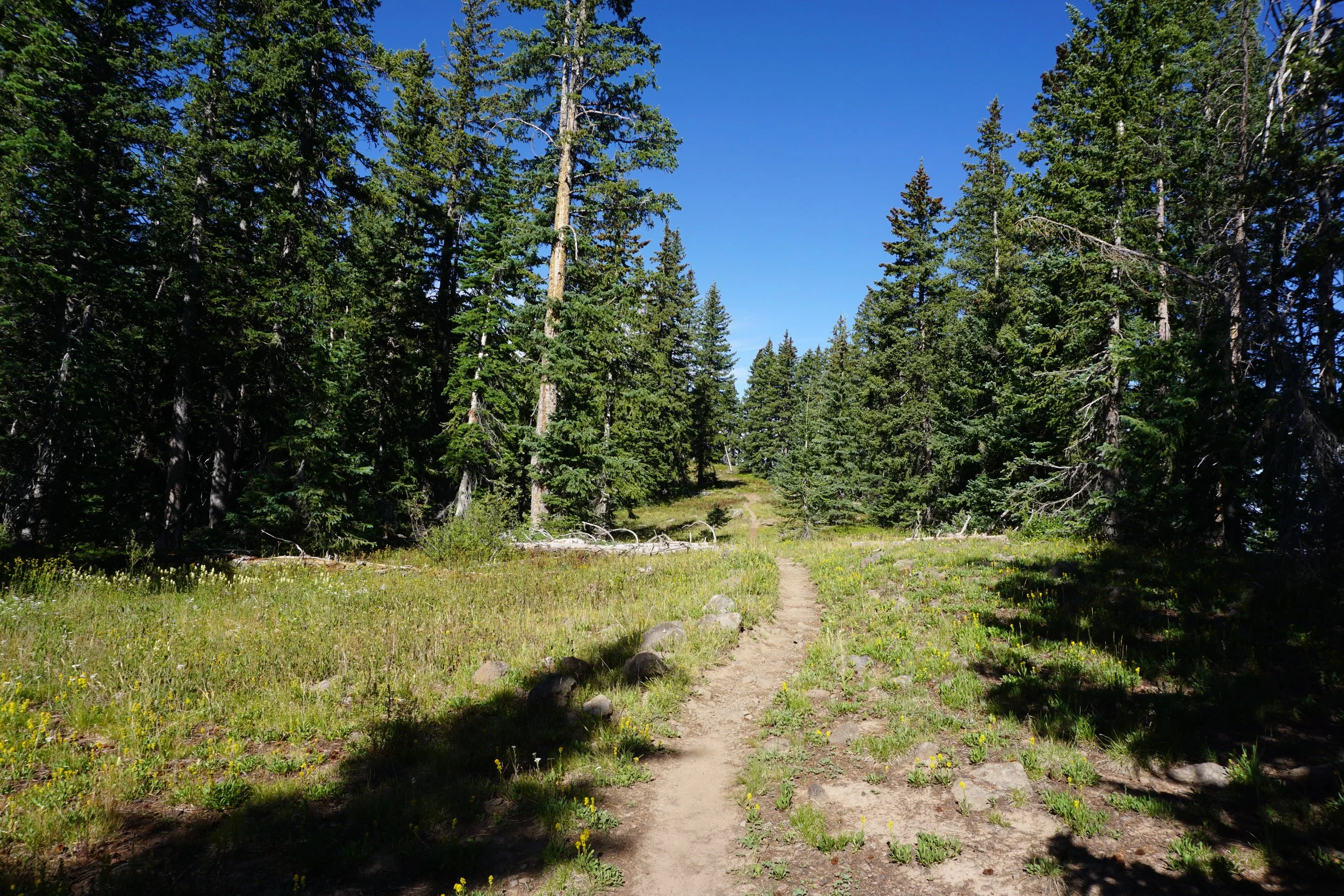
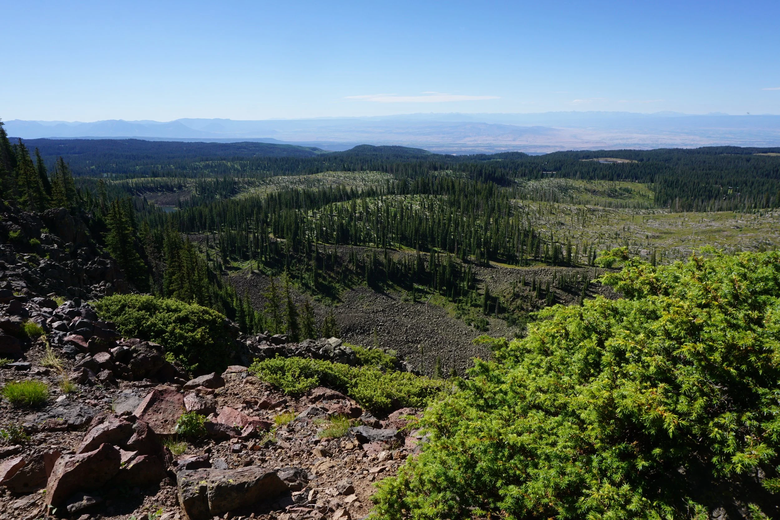
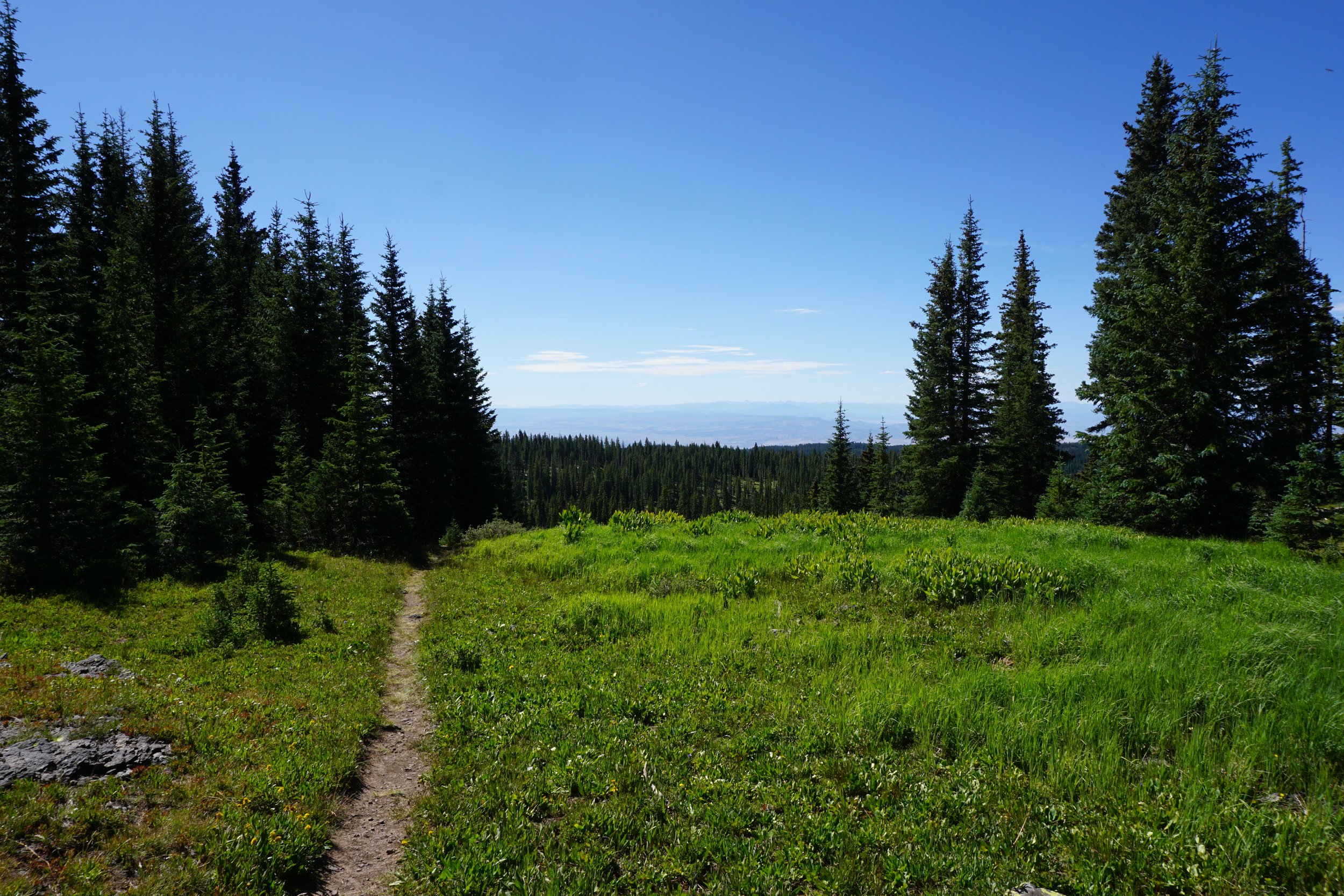
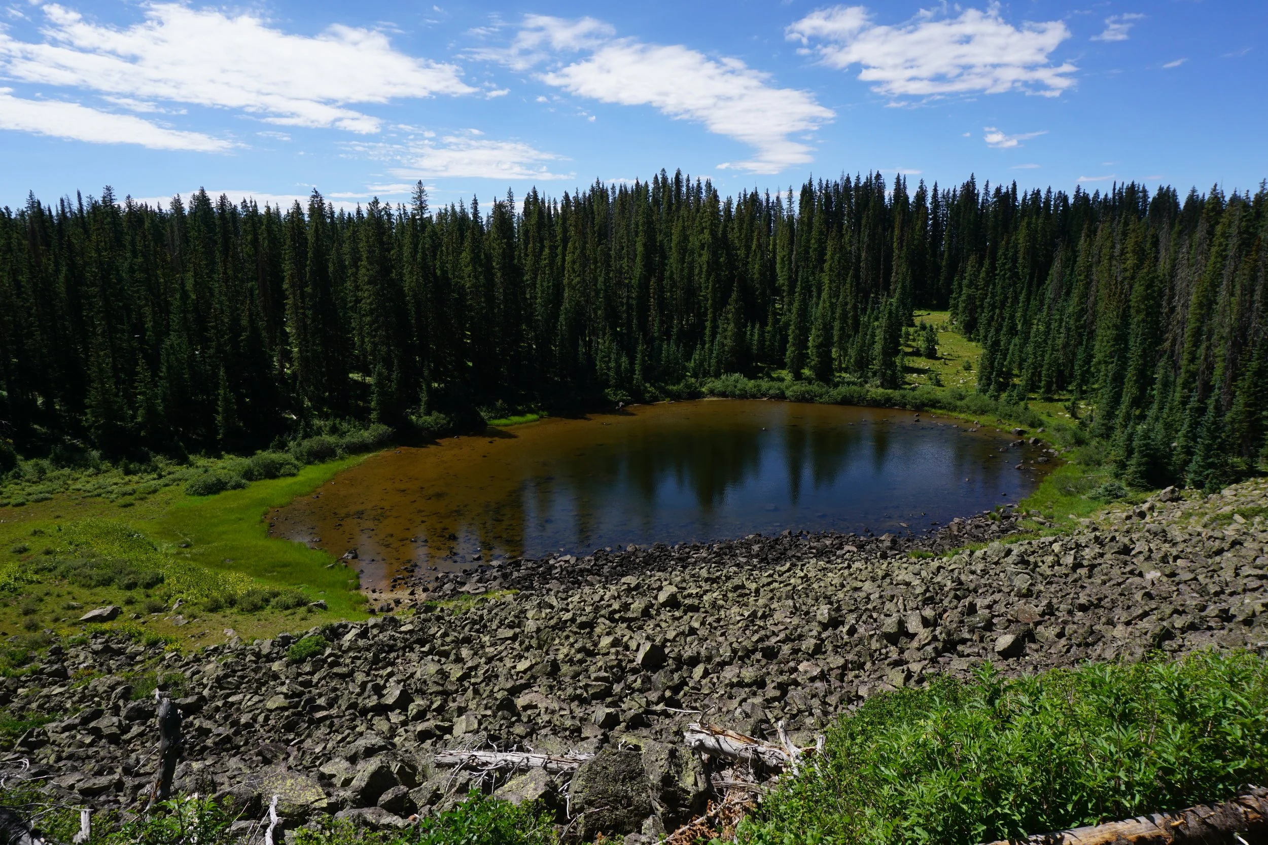
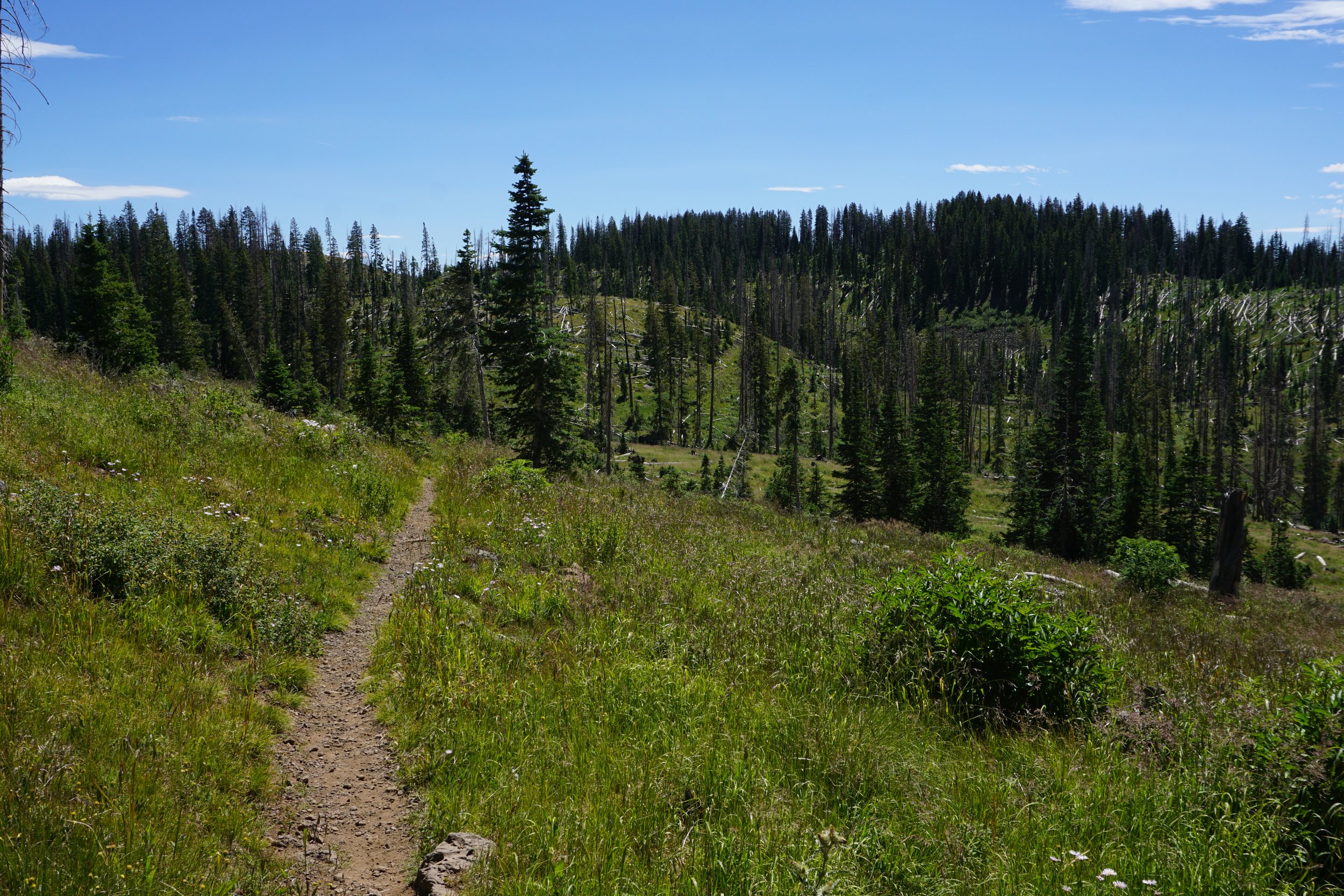
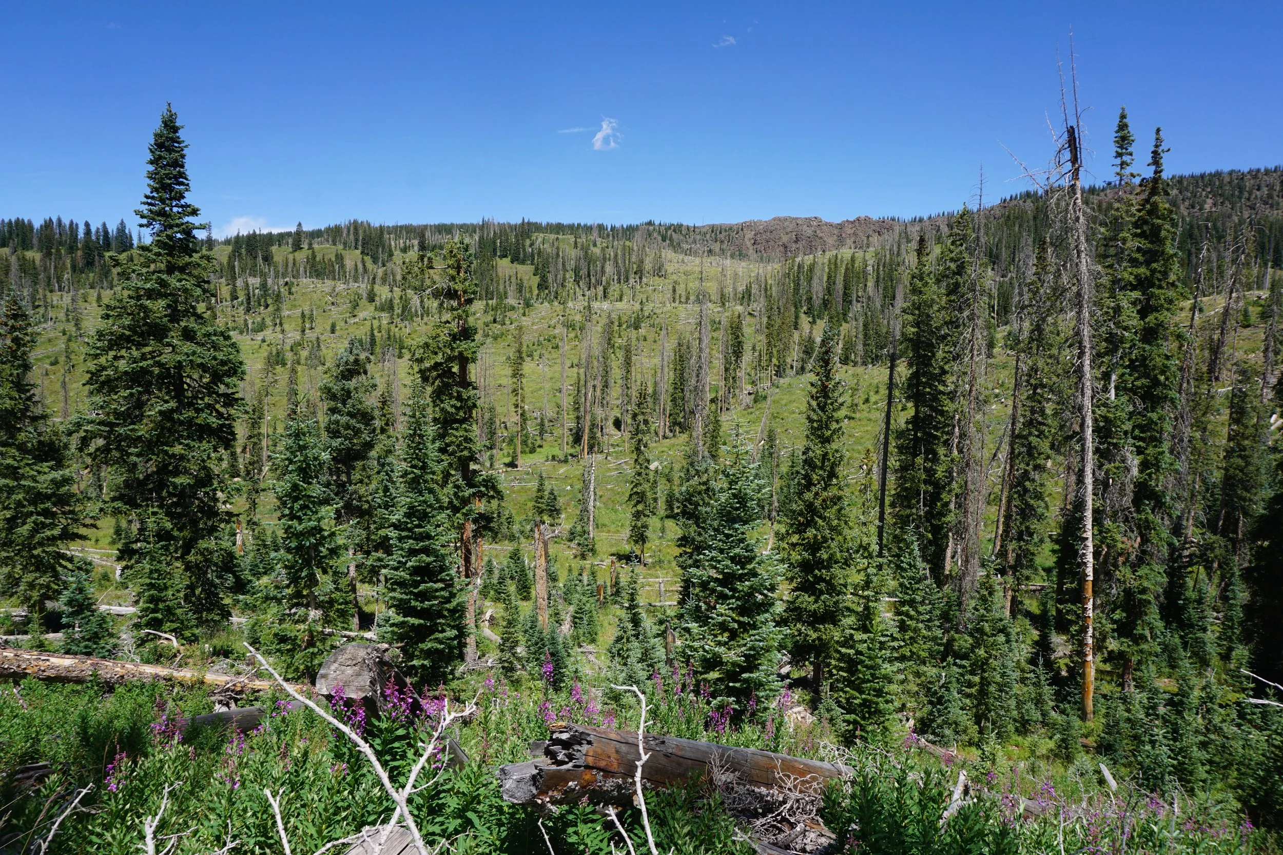
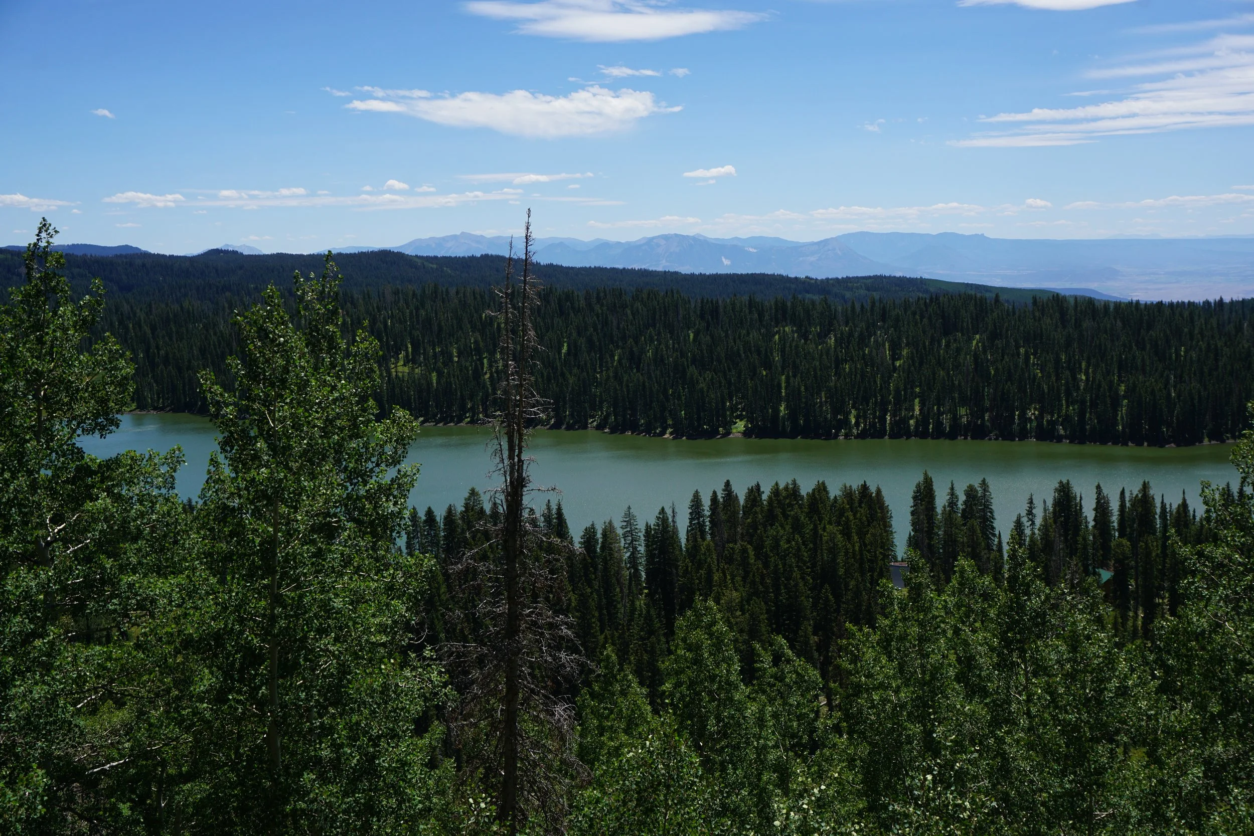
When you finally leave the crest, you’ll enter a large pine forest, typical of the Grand Mesa. This is a good spot to slow your pace and relax a bit, save some energy though, you are only about half way done, remember, this is a long hike… After the forest, you descend down off the crest with great views of Wolverine Lake and some unnamed ponds along the way. At the junction for the trail to the West Trailhead, you’ll start heading back to the east.
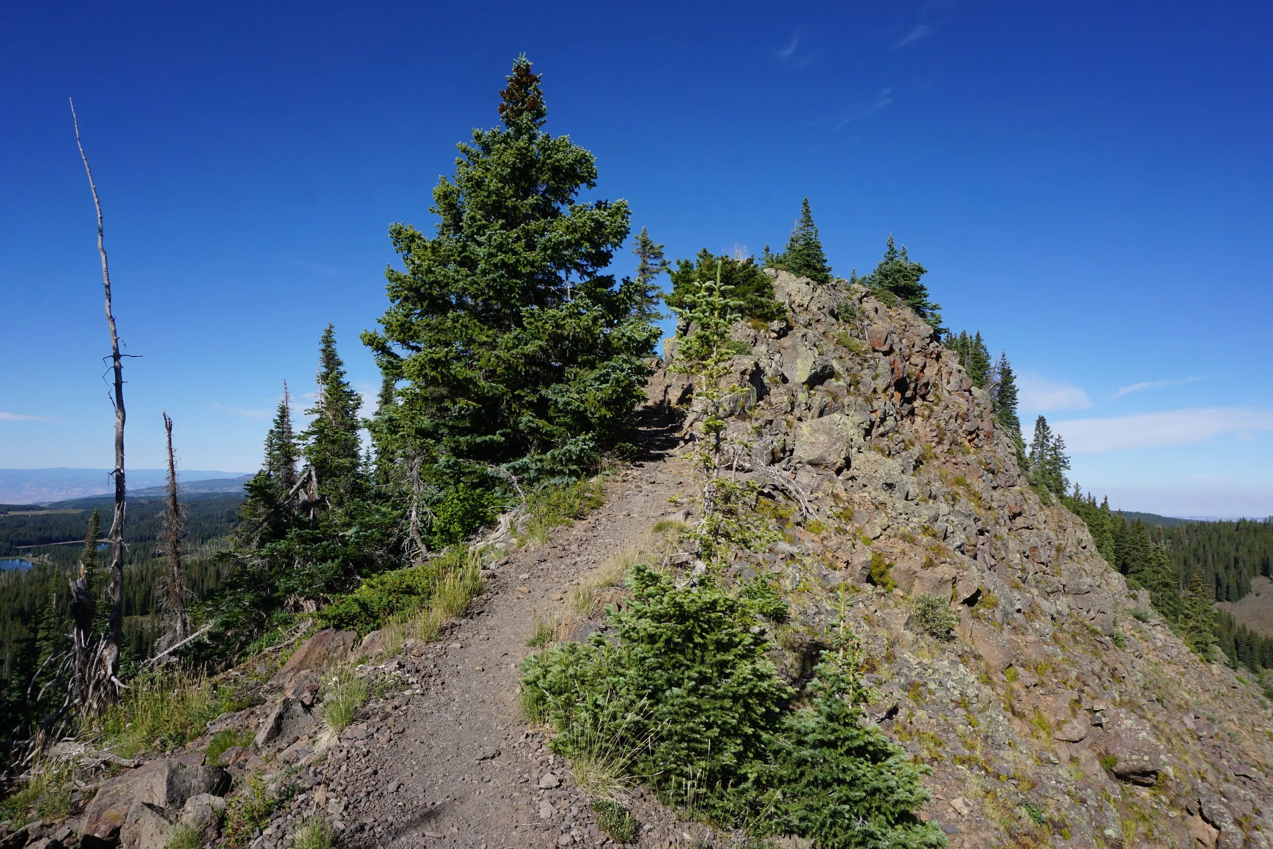
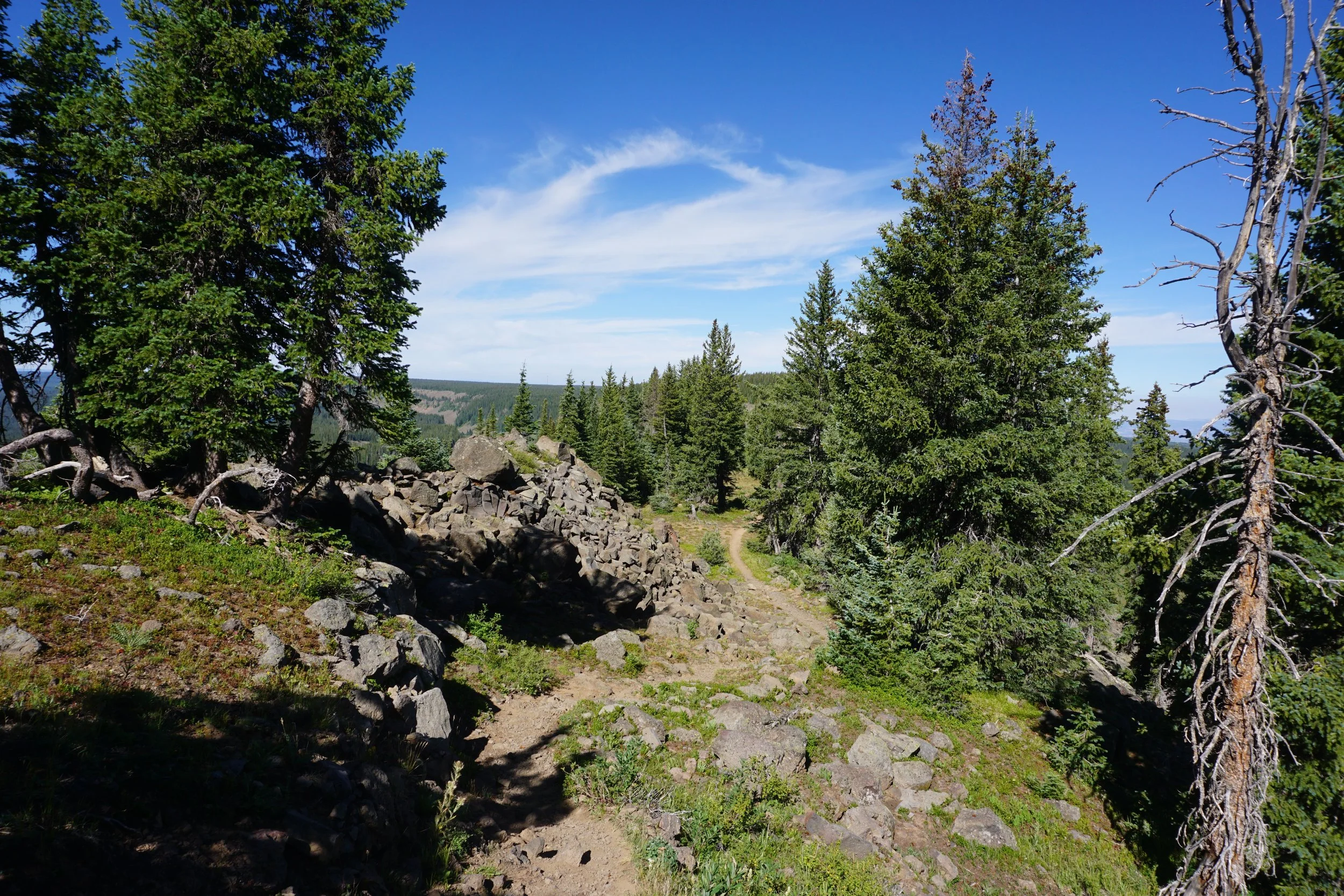
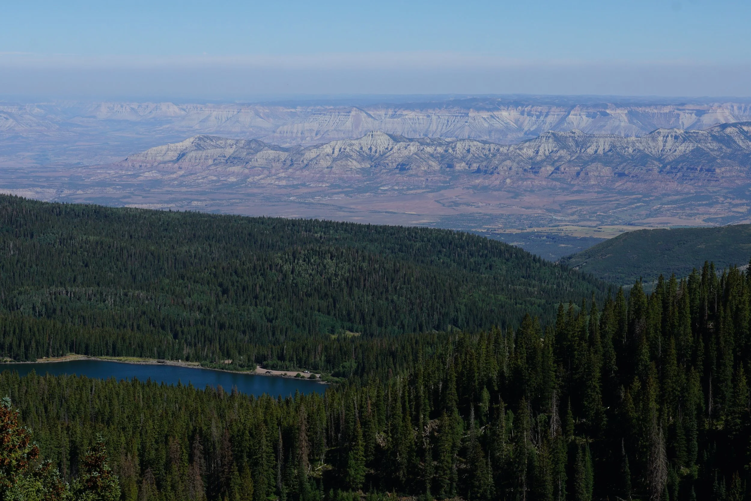
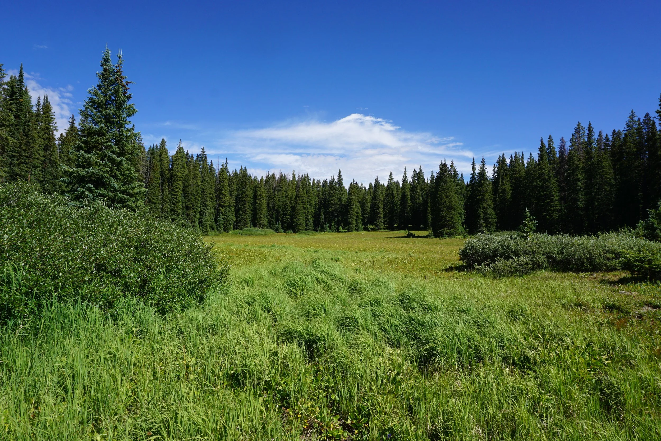
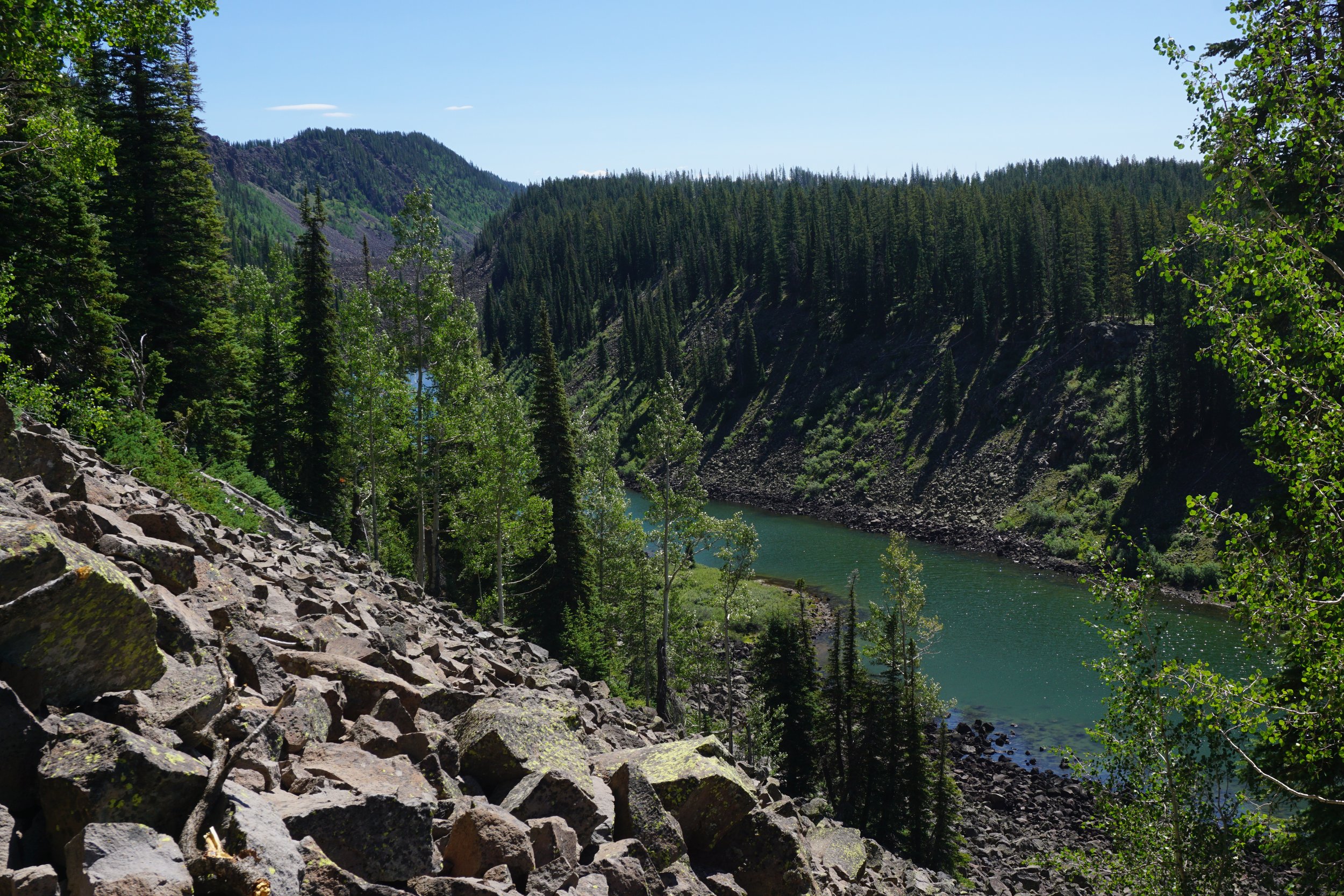
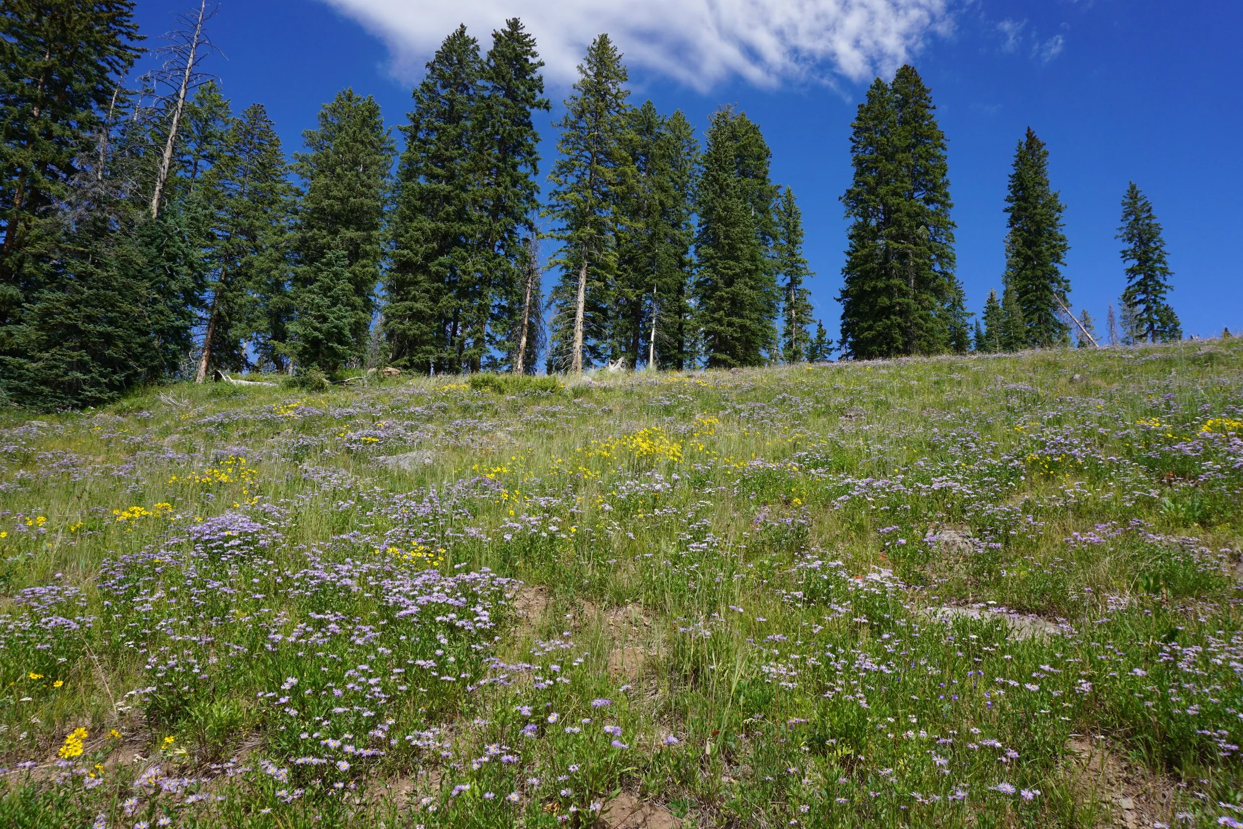
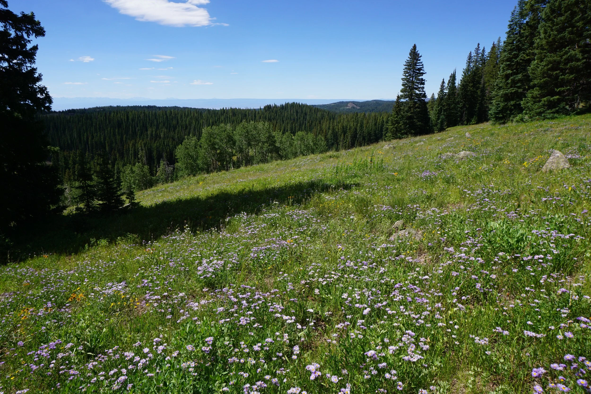
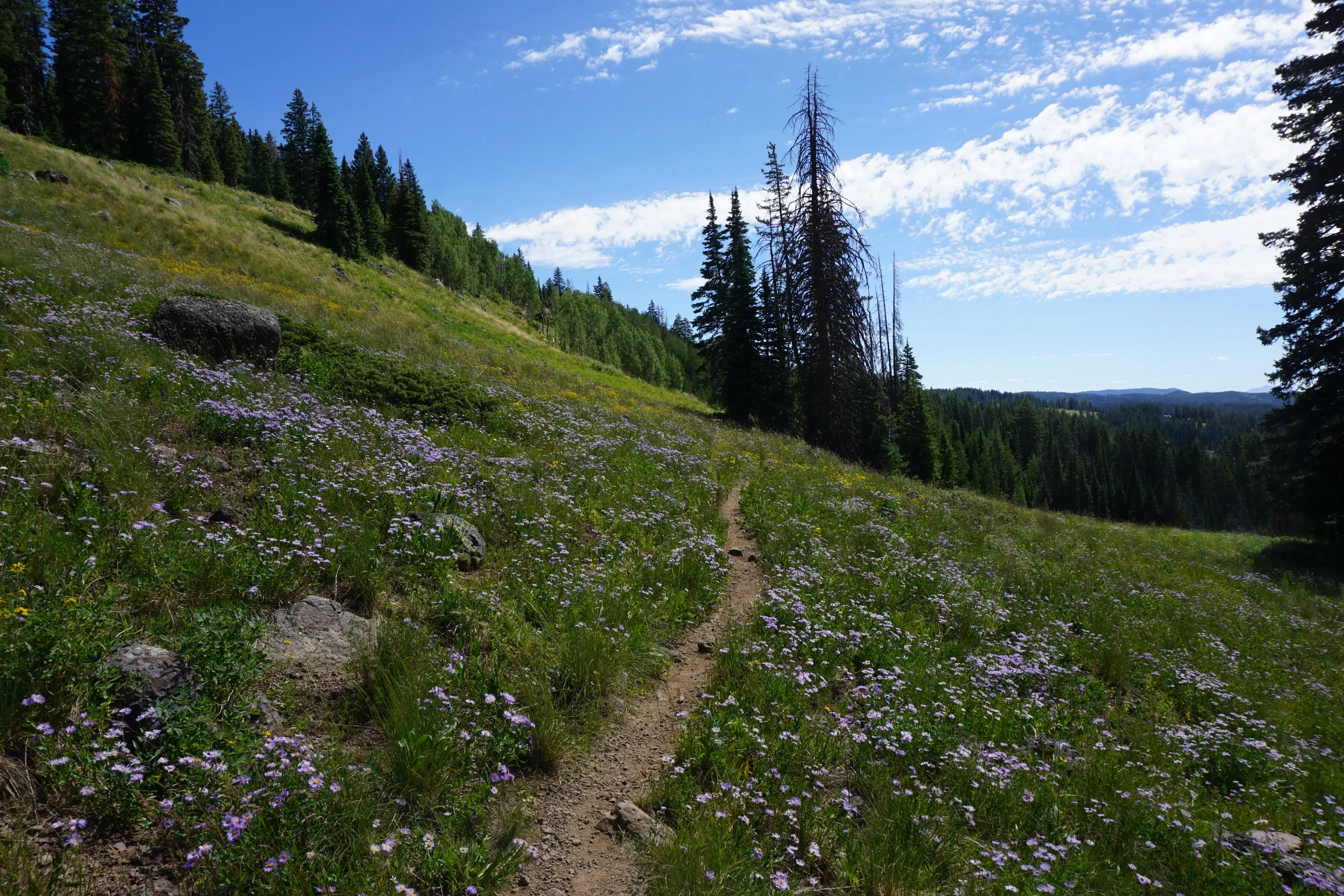
The majority of the trail heading back to the east is incredibly beautiful. This is where you weave through forests and open meadows teeming with wildflowers and aspen groves. All the while, the views stretch out to the south over the Grand Mesa. It's really amazing and worth hiking even without the crest. After about a mile and a half, you’ll reach Upper Hotel Lake, a great spot to relax and recover some energy. After the lake, you’ll be tired but need to dig deep for the last portion of the hike. The trail here is a mix of up and down across a burn area and through forests. Just when you think you are nearing the end, you hike up to a forested ridge but fear not, you are almost to the final descent back to the East Trailhead. From the forested ridge, you’ll soon see views of the huge lake where you parked, this is Eggleston Lake and a sign that you are almost done with the loop. Descend down back to the start of the loop and the short spur trail back to the trailhead.
Congratulations! You just finished the full loop of the Crags Crest National Recreation Trail. Beer and food is in your future, either at your campsite or down in Grand Junction. Revel in the accomplishment and hold tight to those memories, hopefully you took a few photos. Great job!