Cottonwood Canyon
North Table Mountain Park
Date Hiked: November 30, 2014
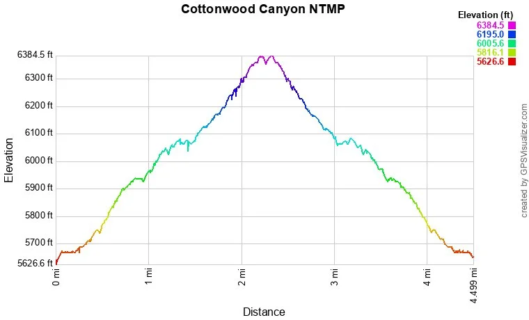
Distance: 3.7 mi (RT)
Elevation Gain: 950ft
Elevation Min/Max: 5,606 - 6,440ft
Managing Agency: Jefferson County Open Space
Fee: No
Directions:
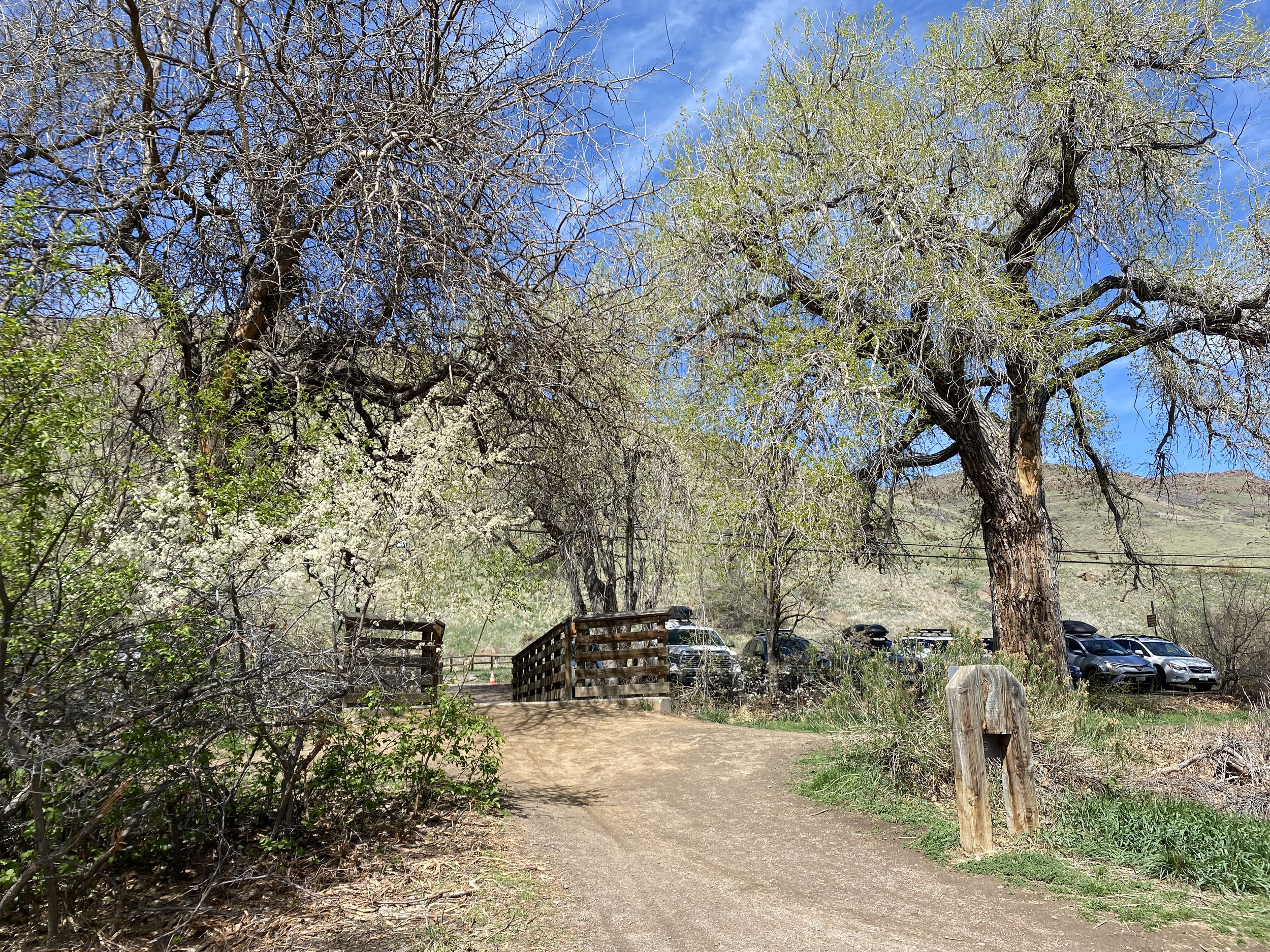
From Denver take I-70 west to Hwy 58 west. Exit onto McIntyre Street and head north. Make a left (west) onto 44th Ave, a right onto Easley Way, a right onto Easley Road, a left onto Ridge and as it turns to the east and becomes Ulysses Road, you'll find the trailhead. There is a small parking area (2-3 cars) to the left of the trailhead.
Hike Description:
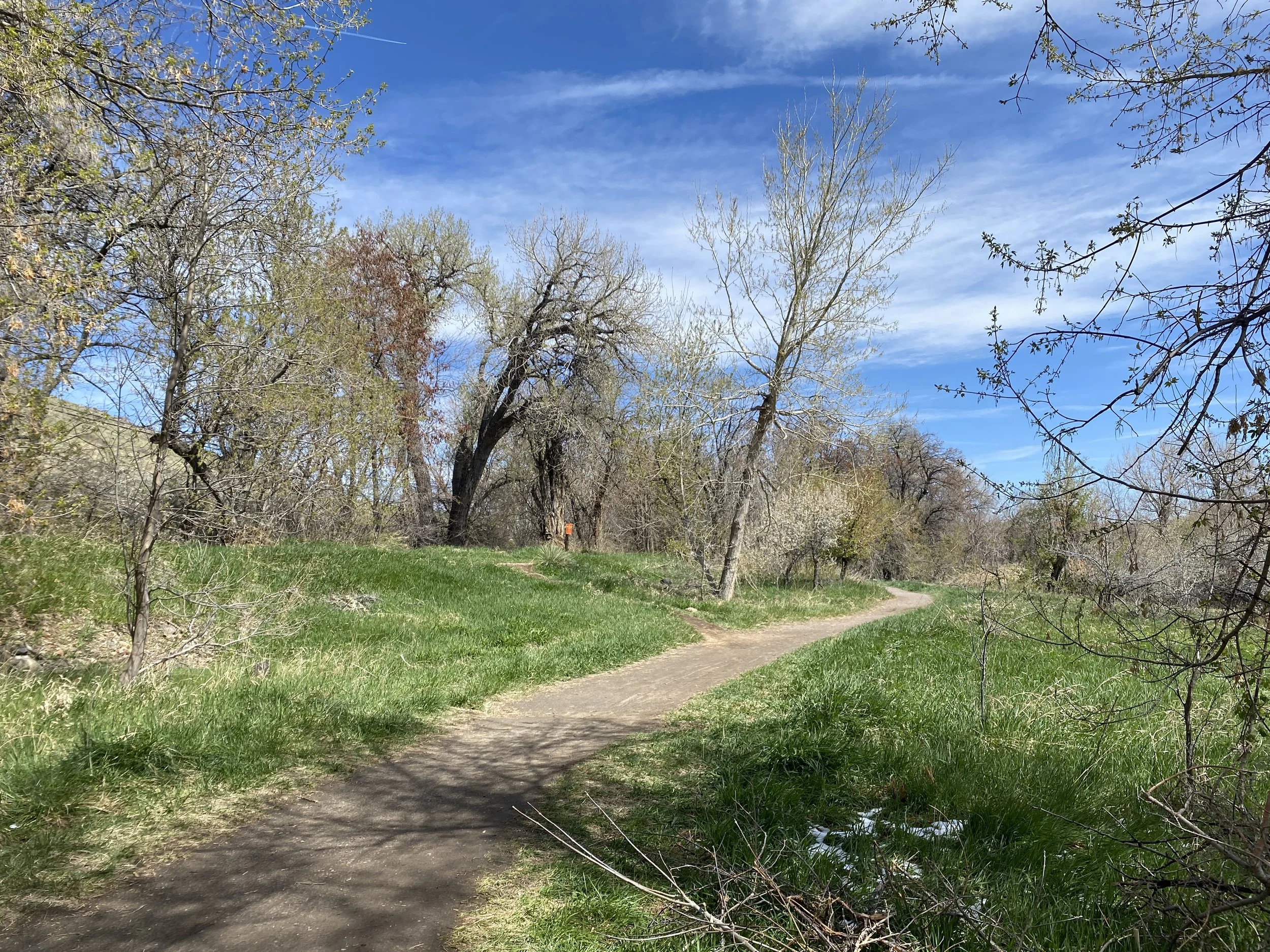
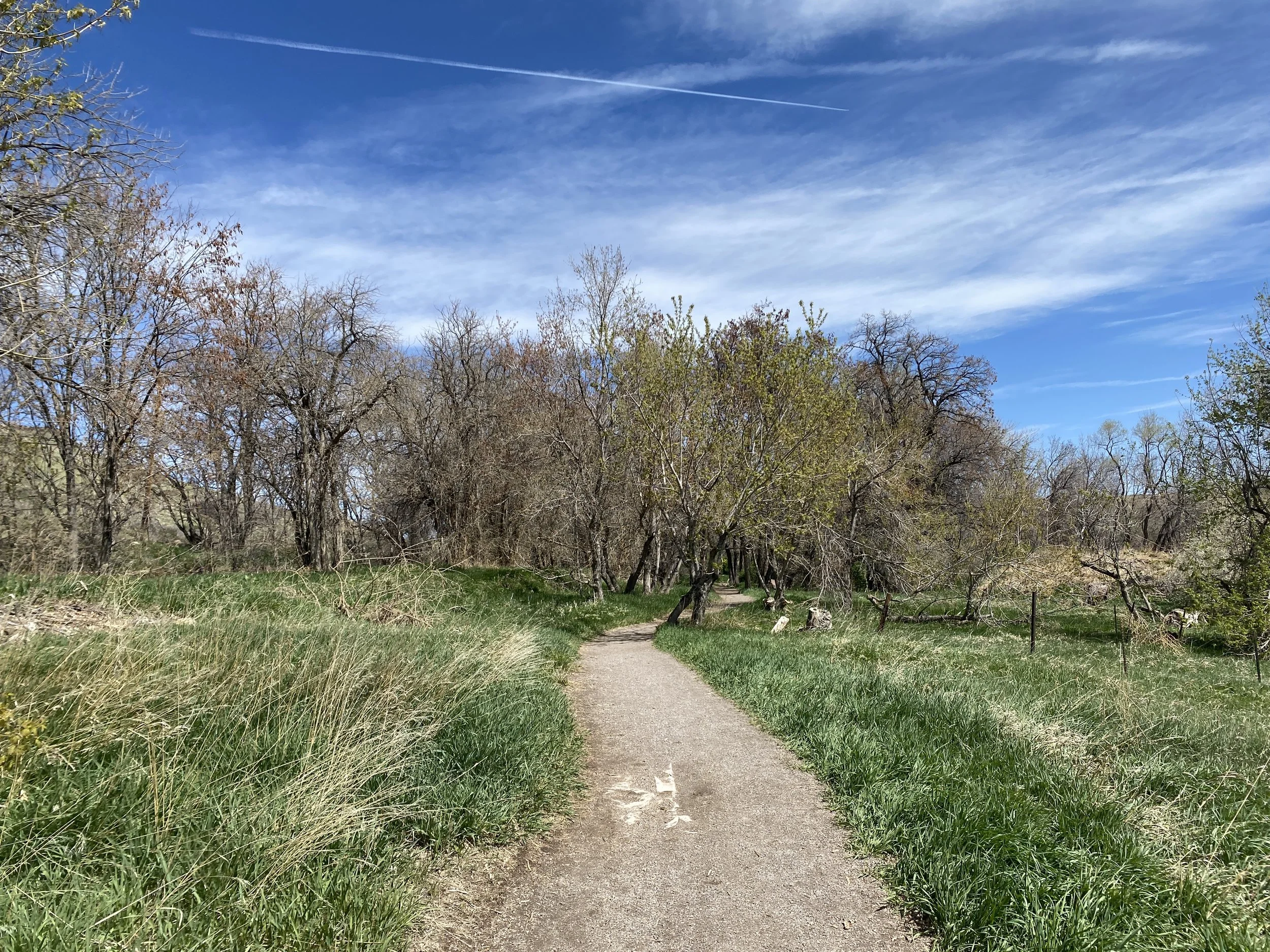
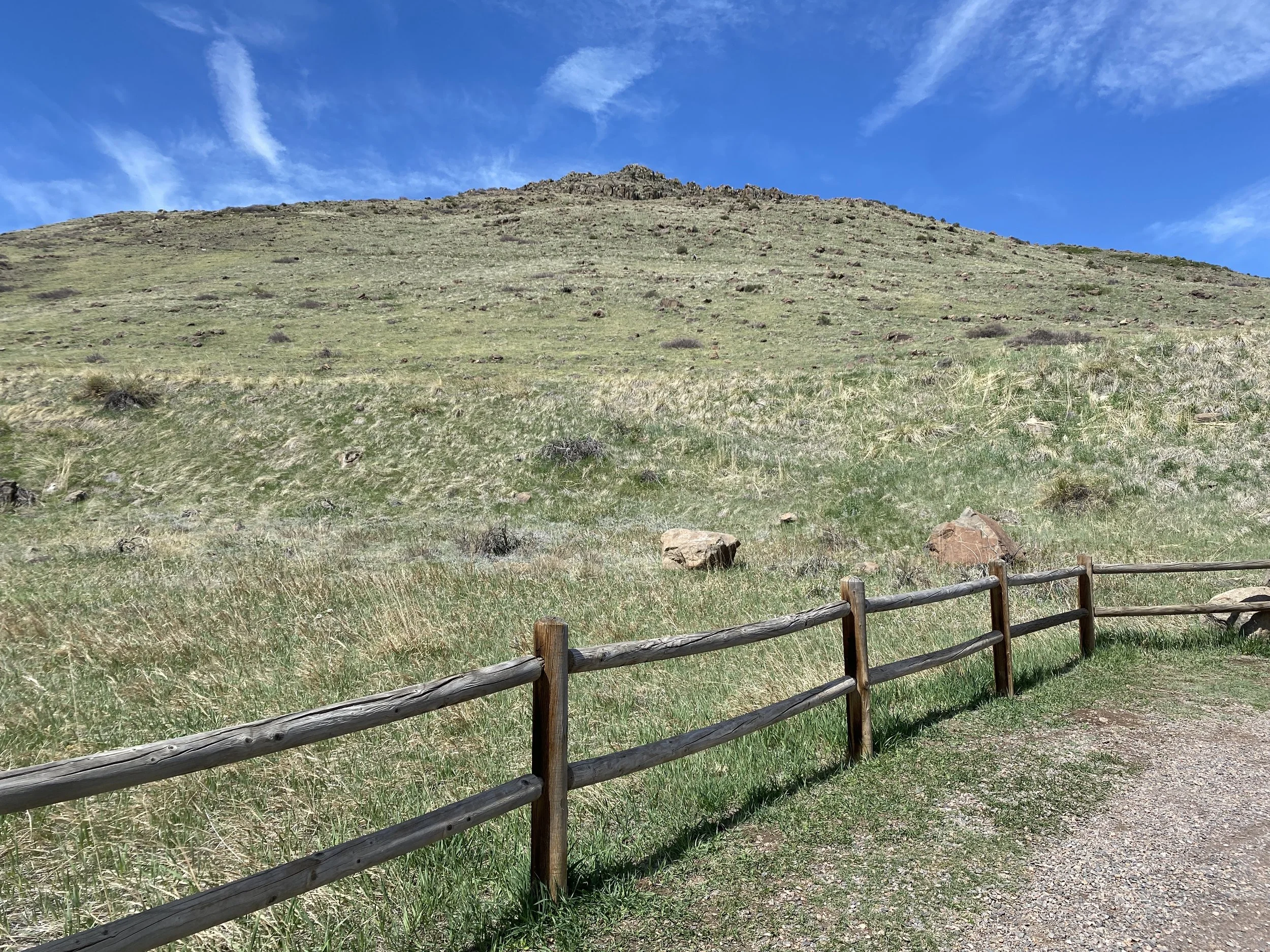
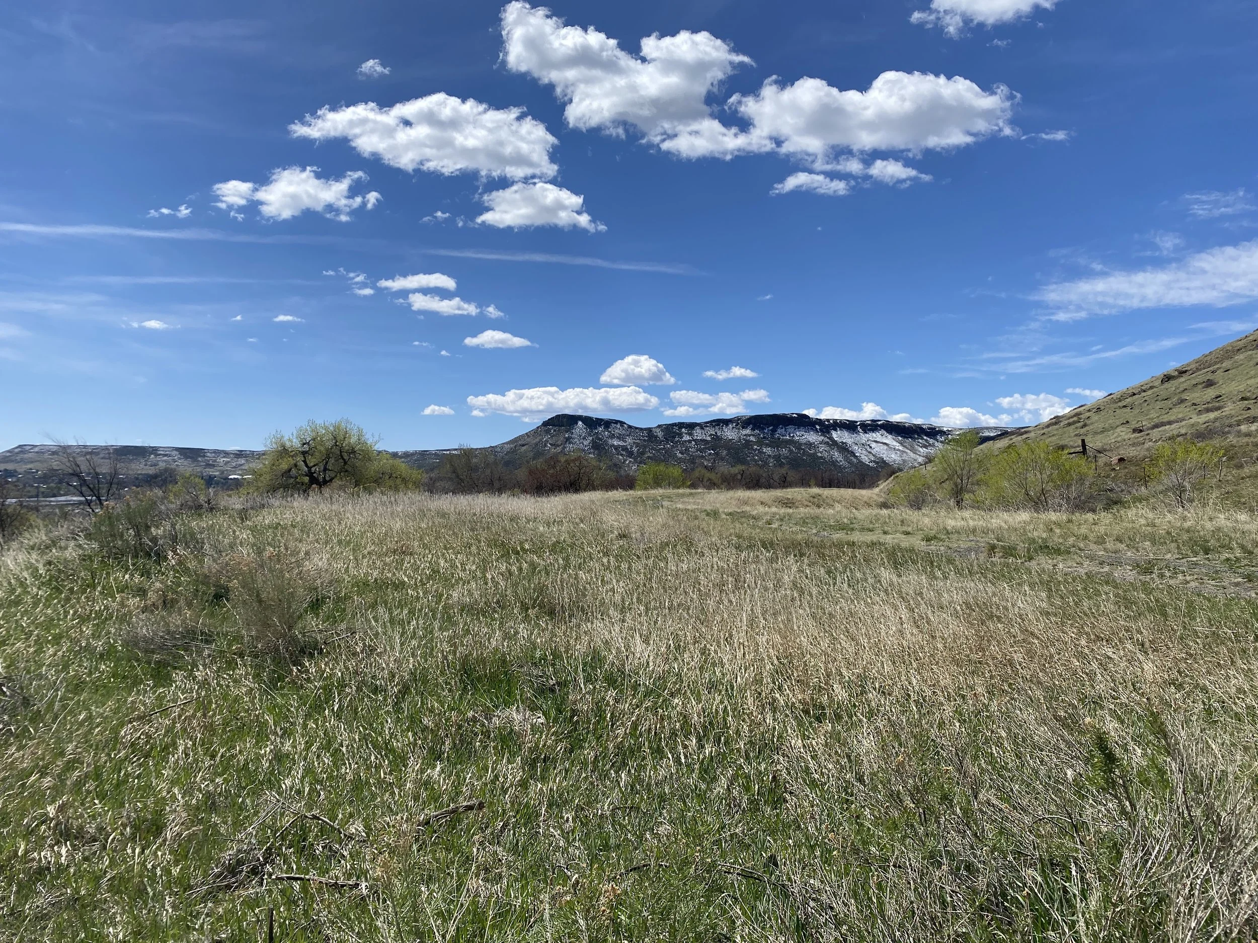
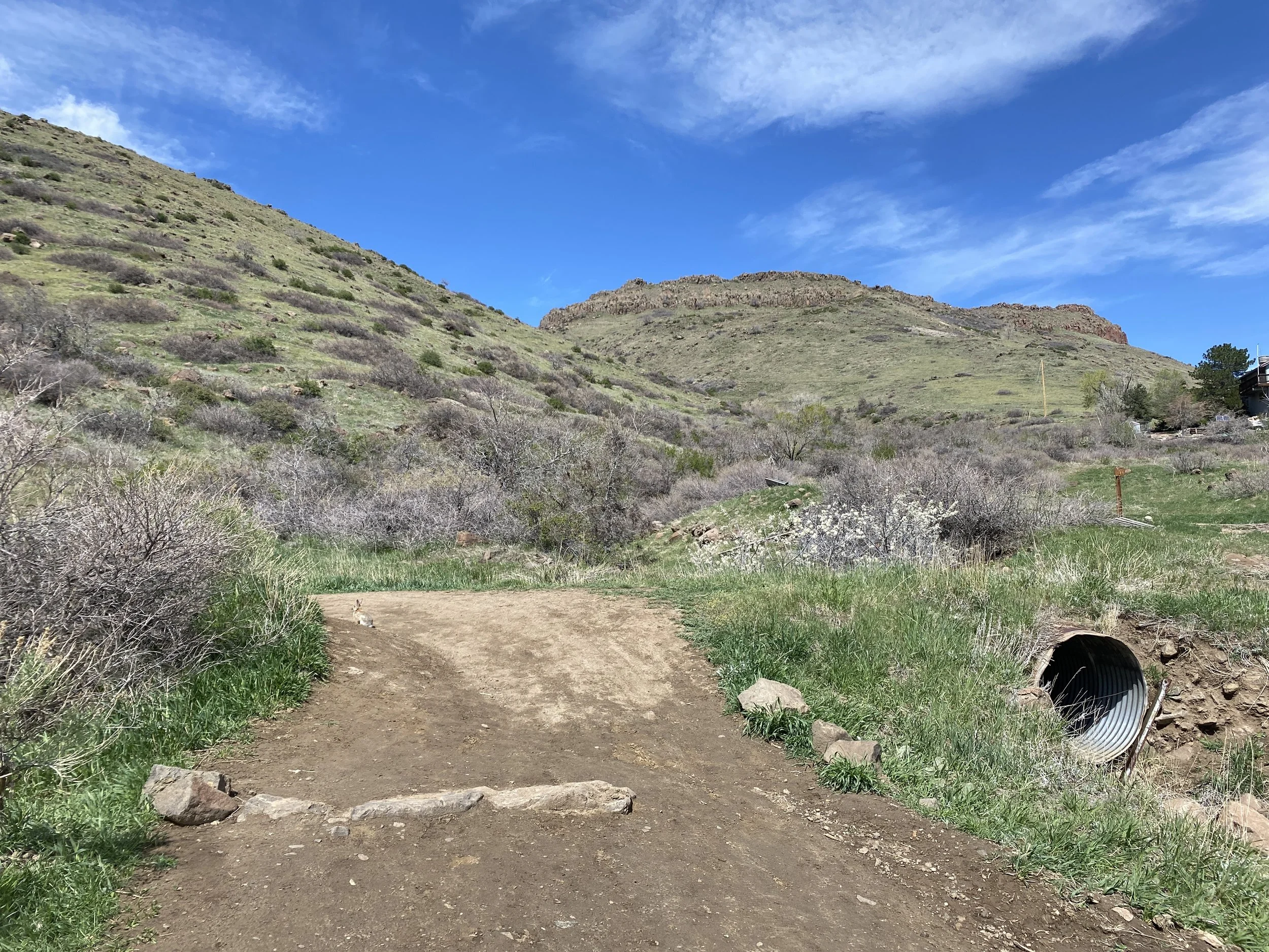
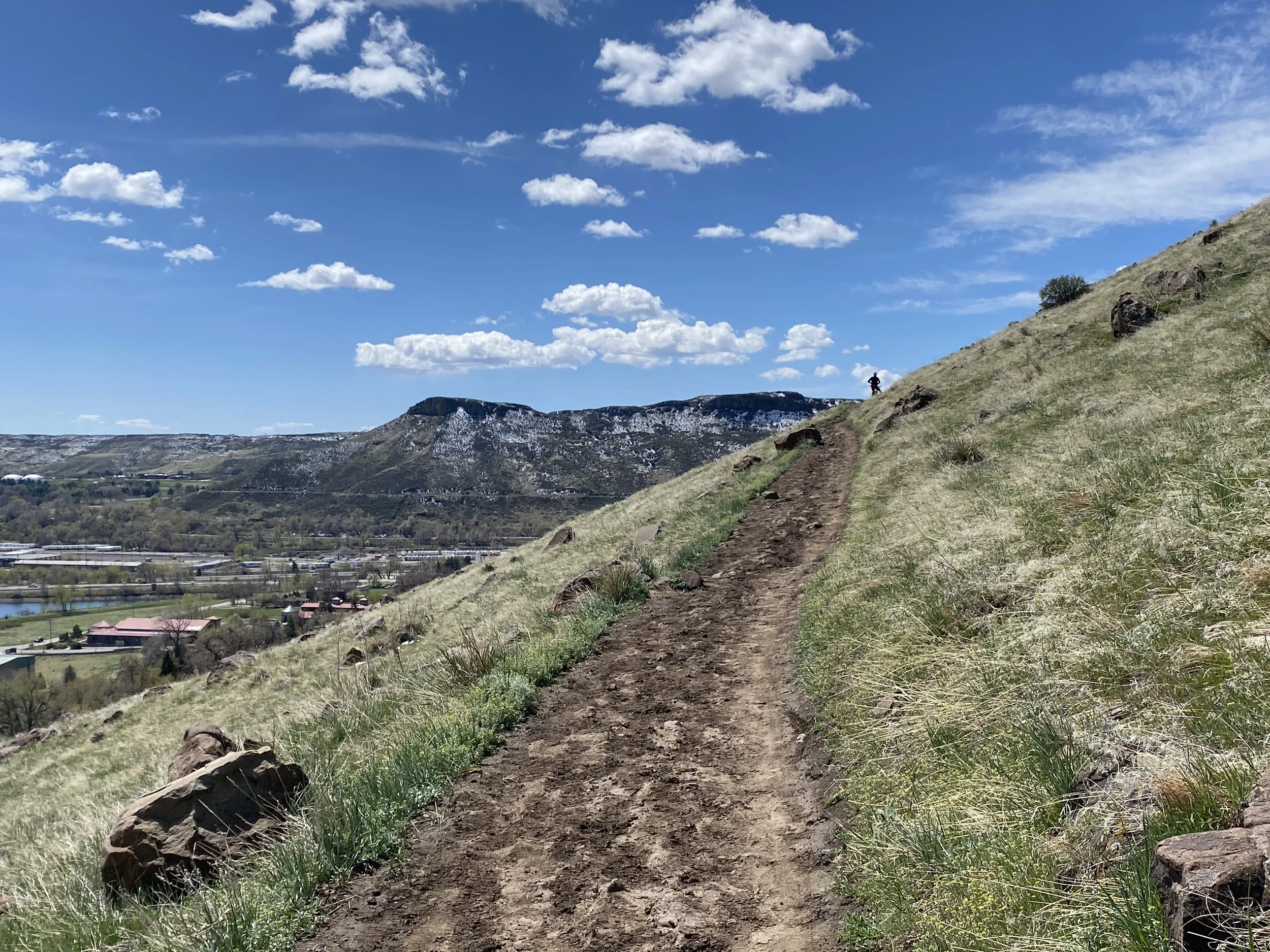
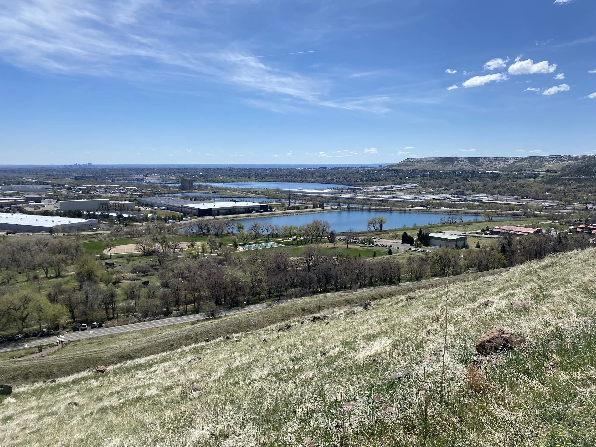
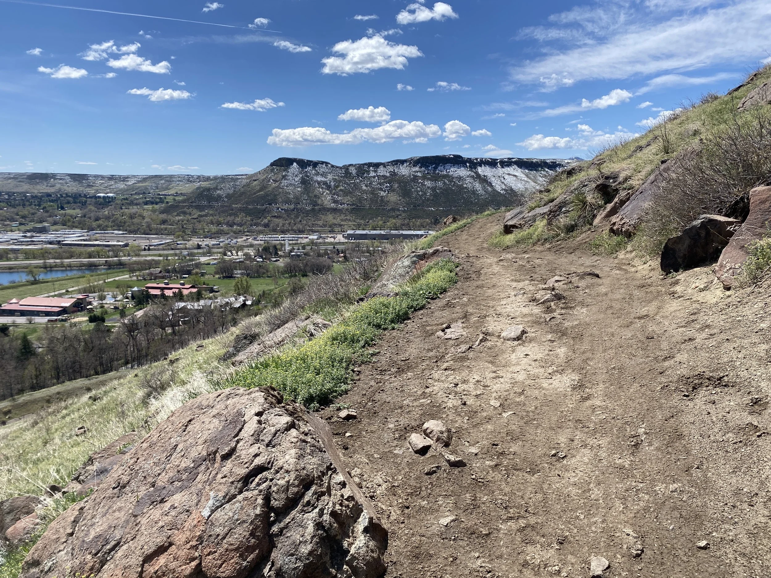
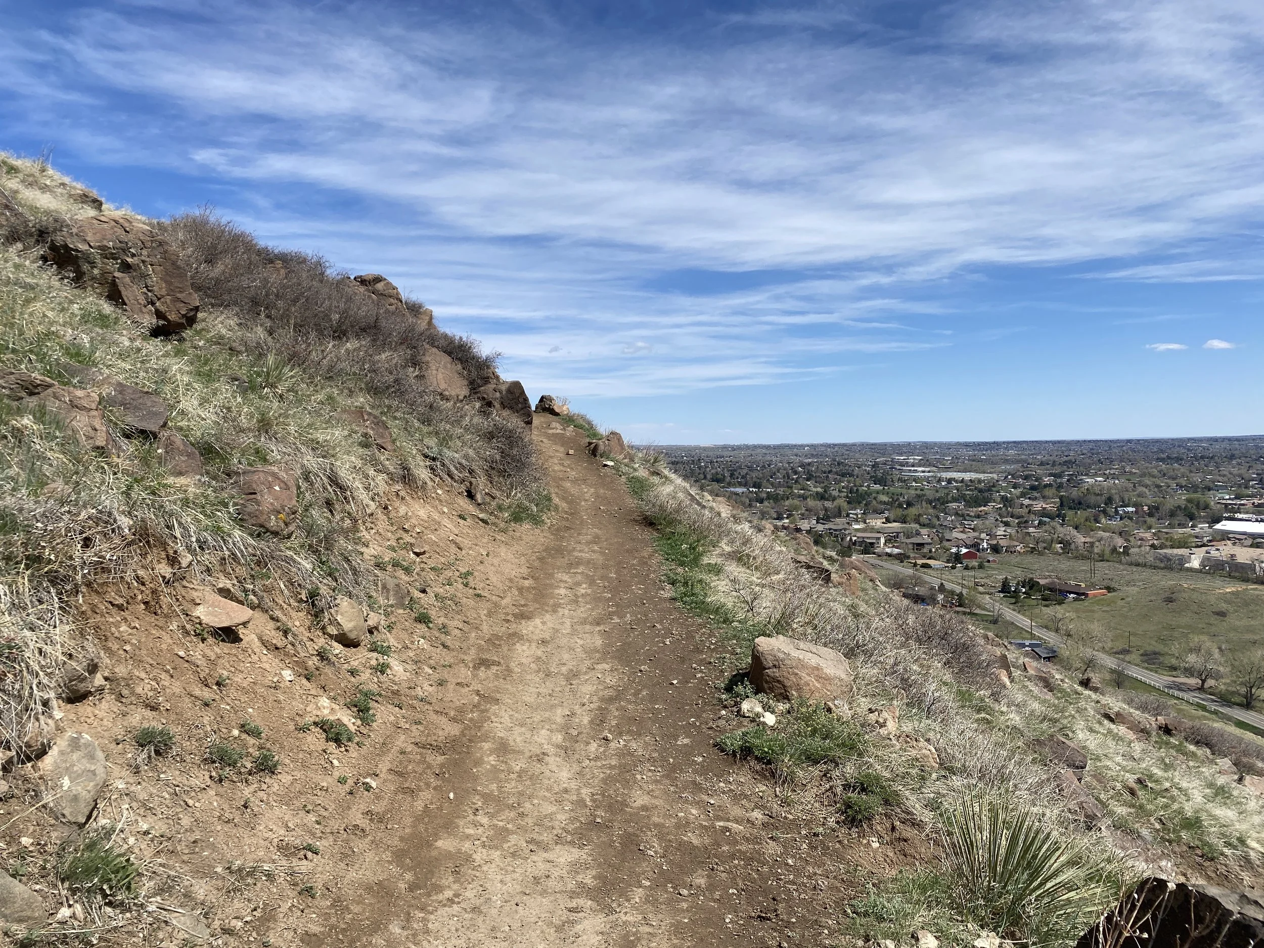
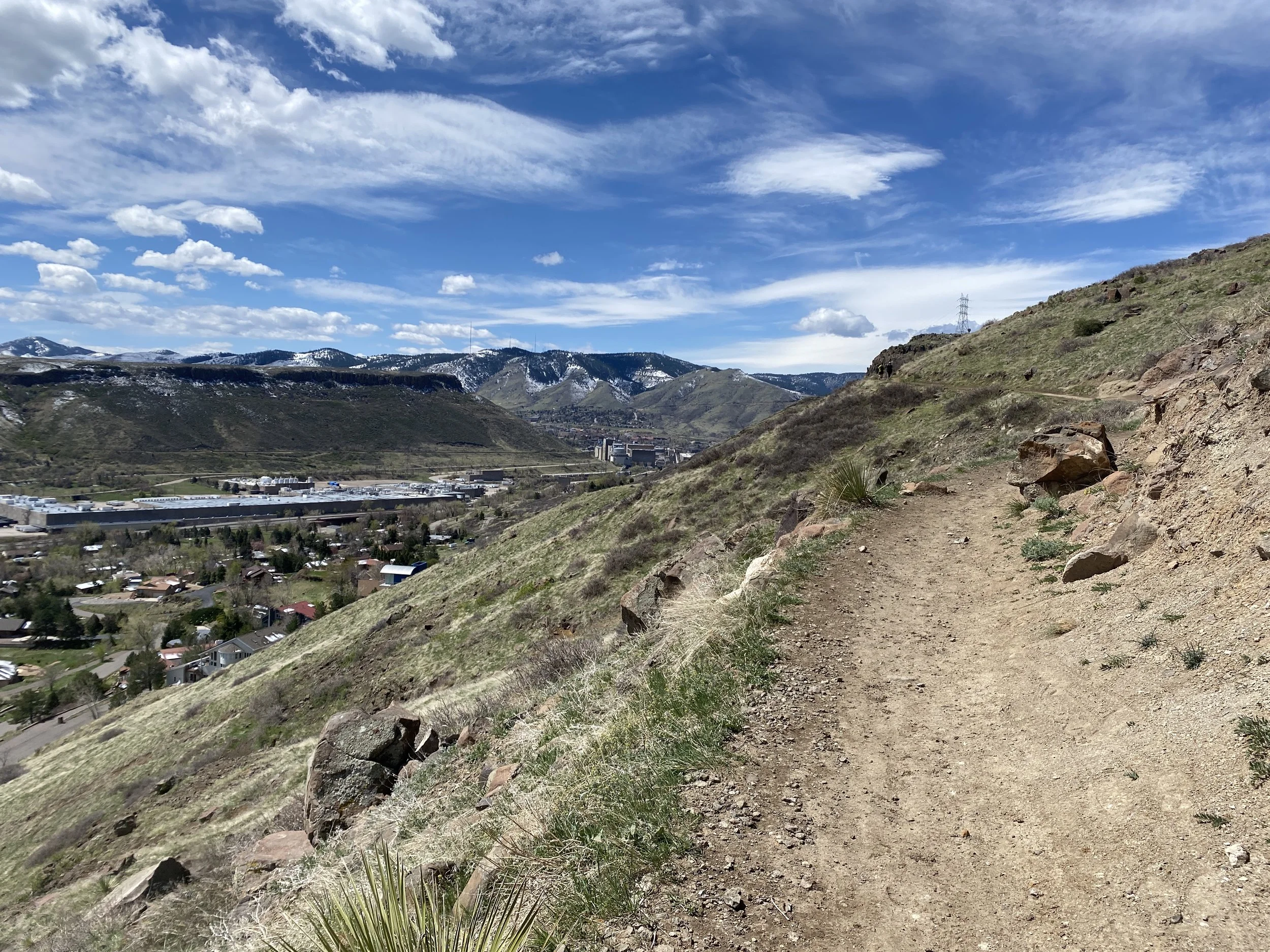
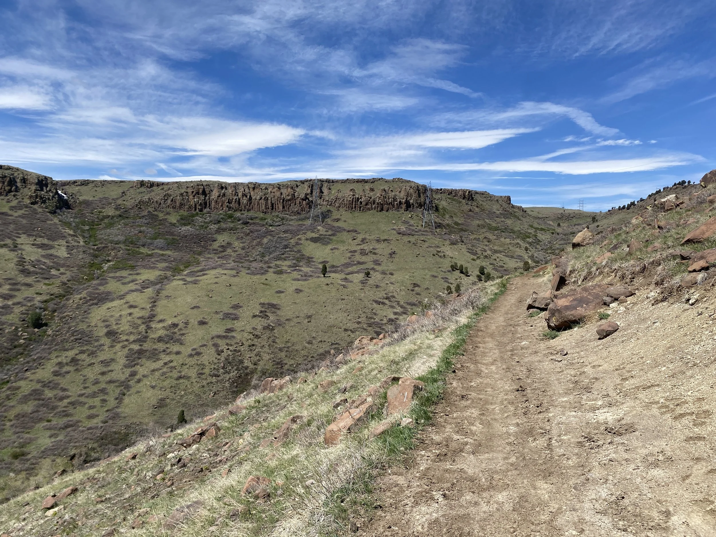
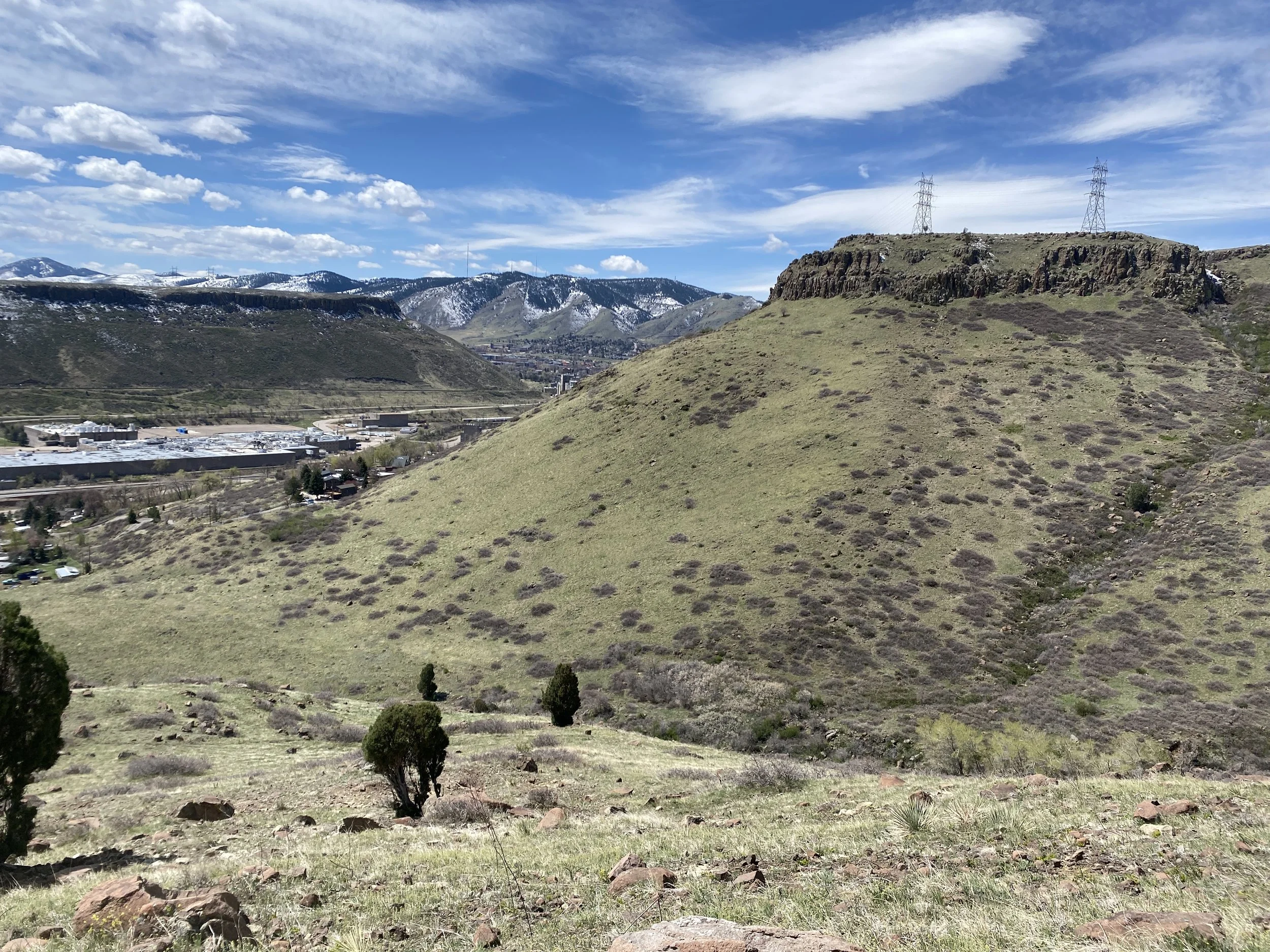
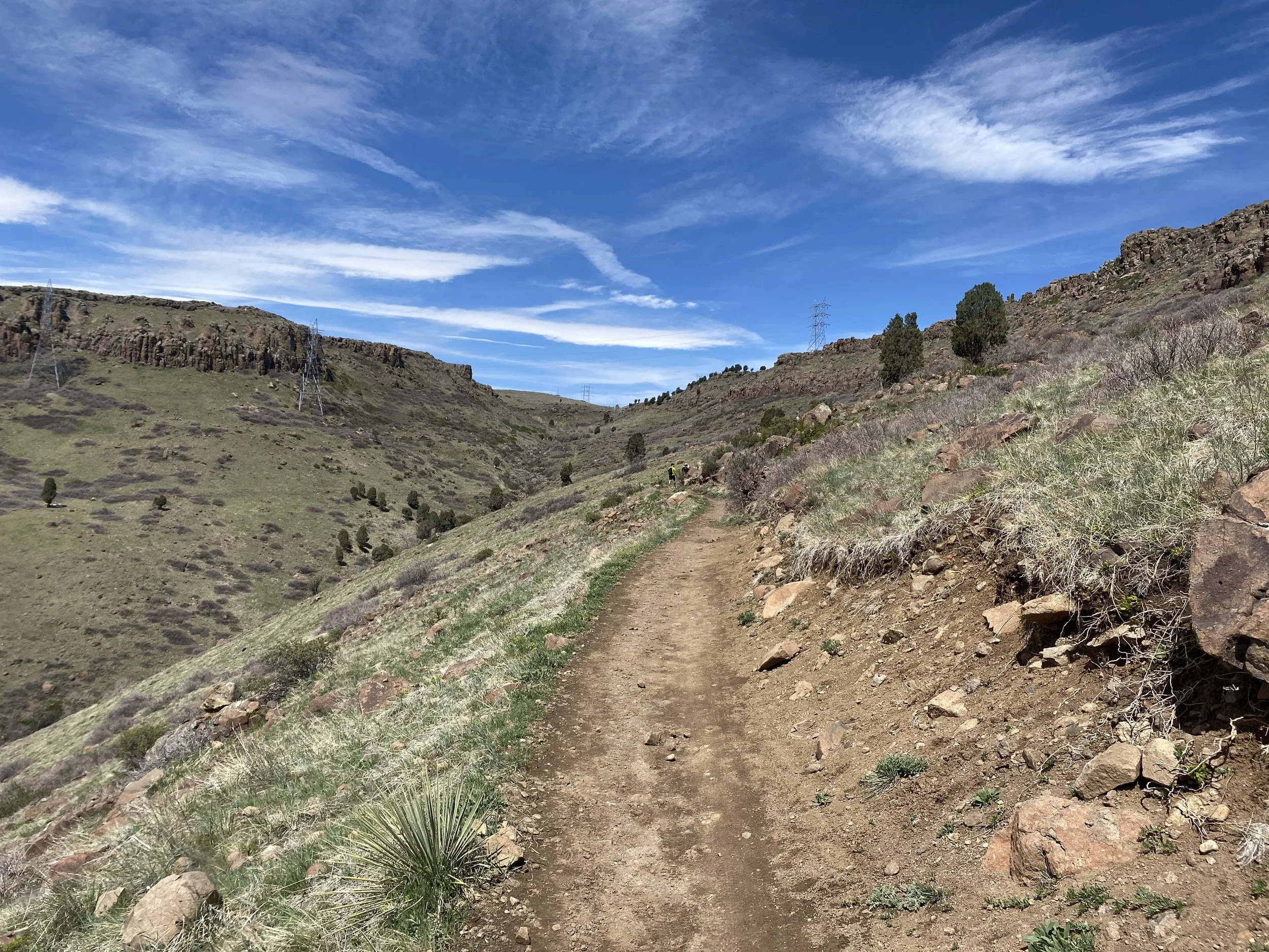
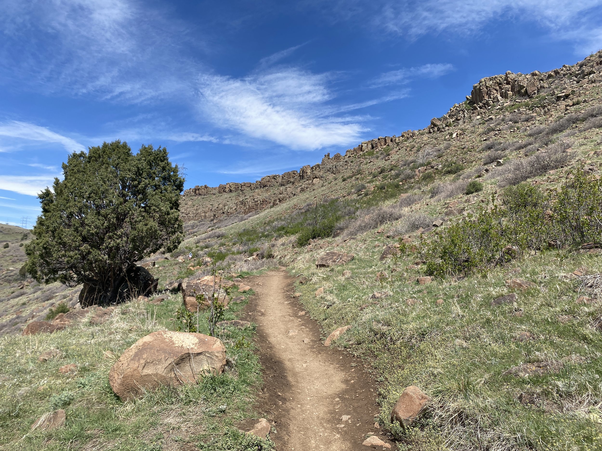
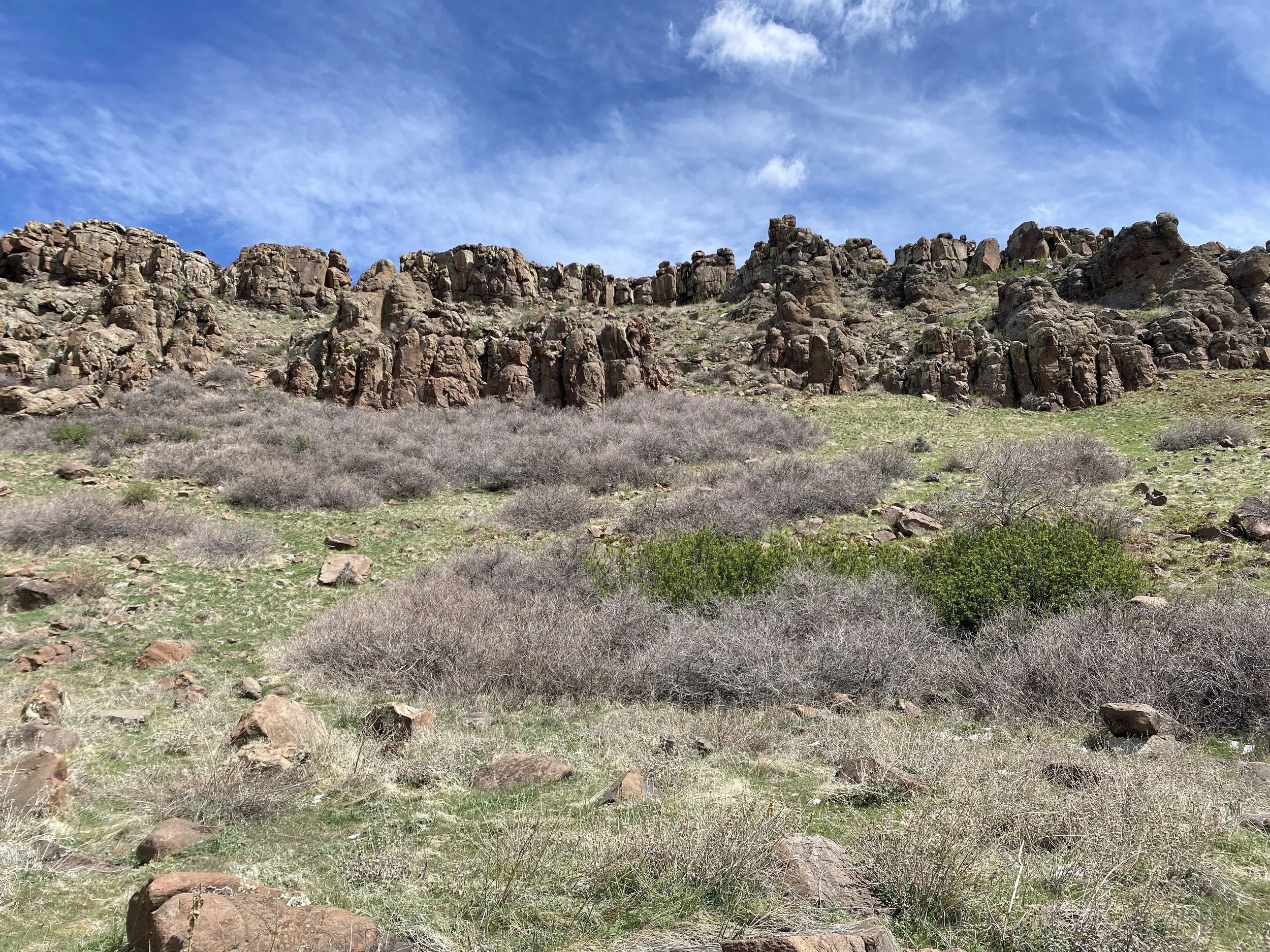
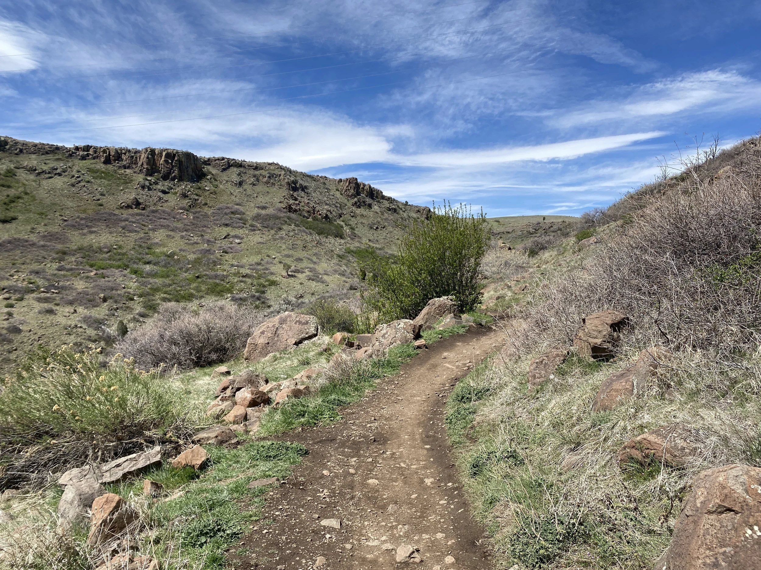
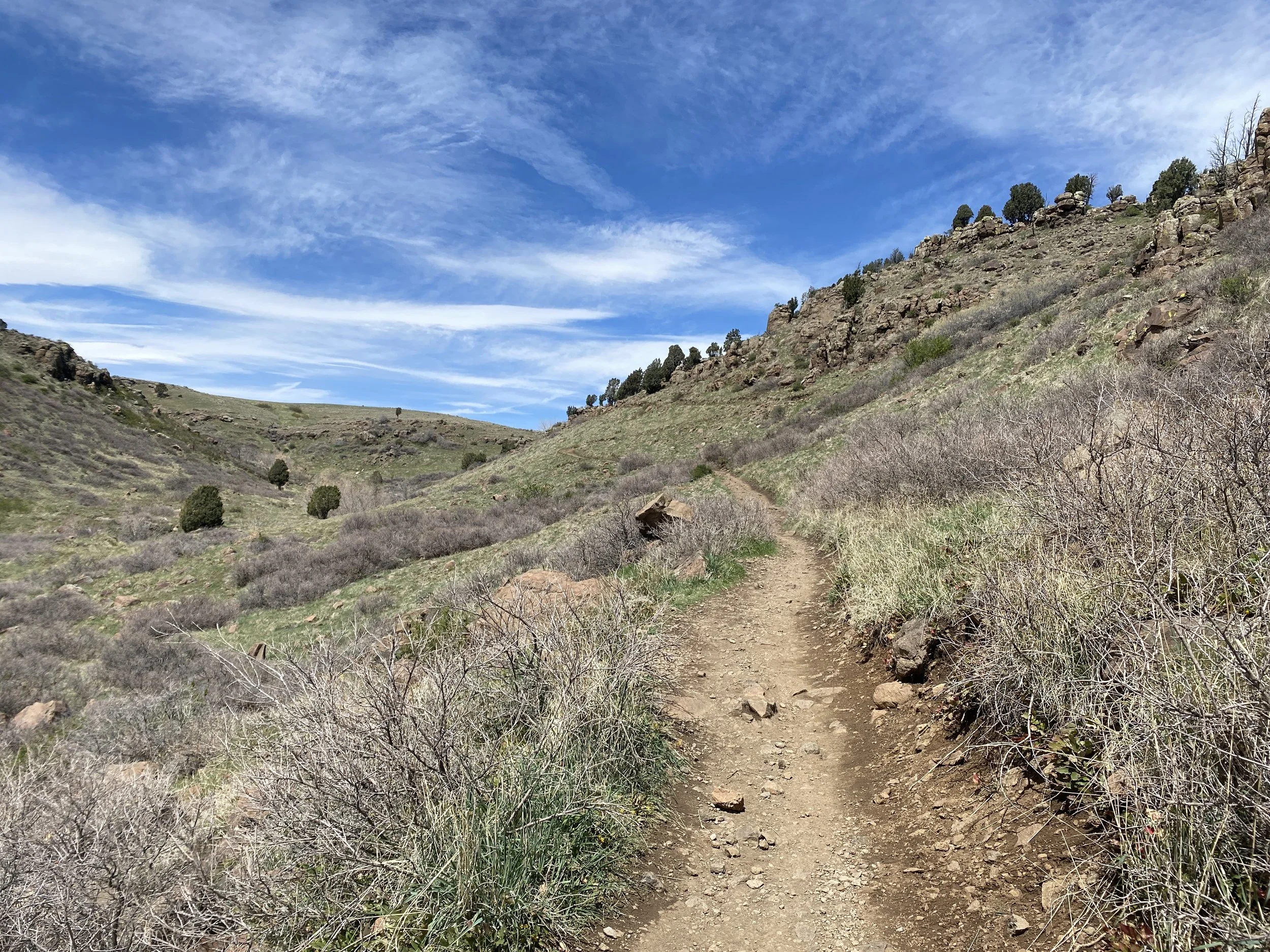
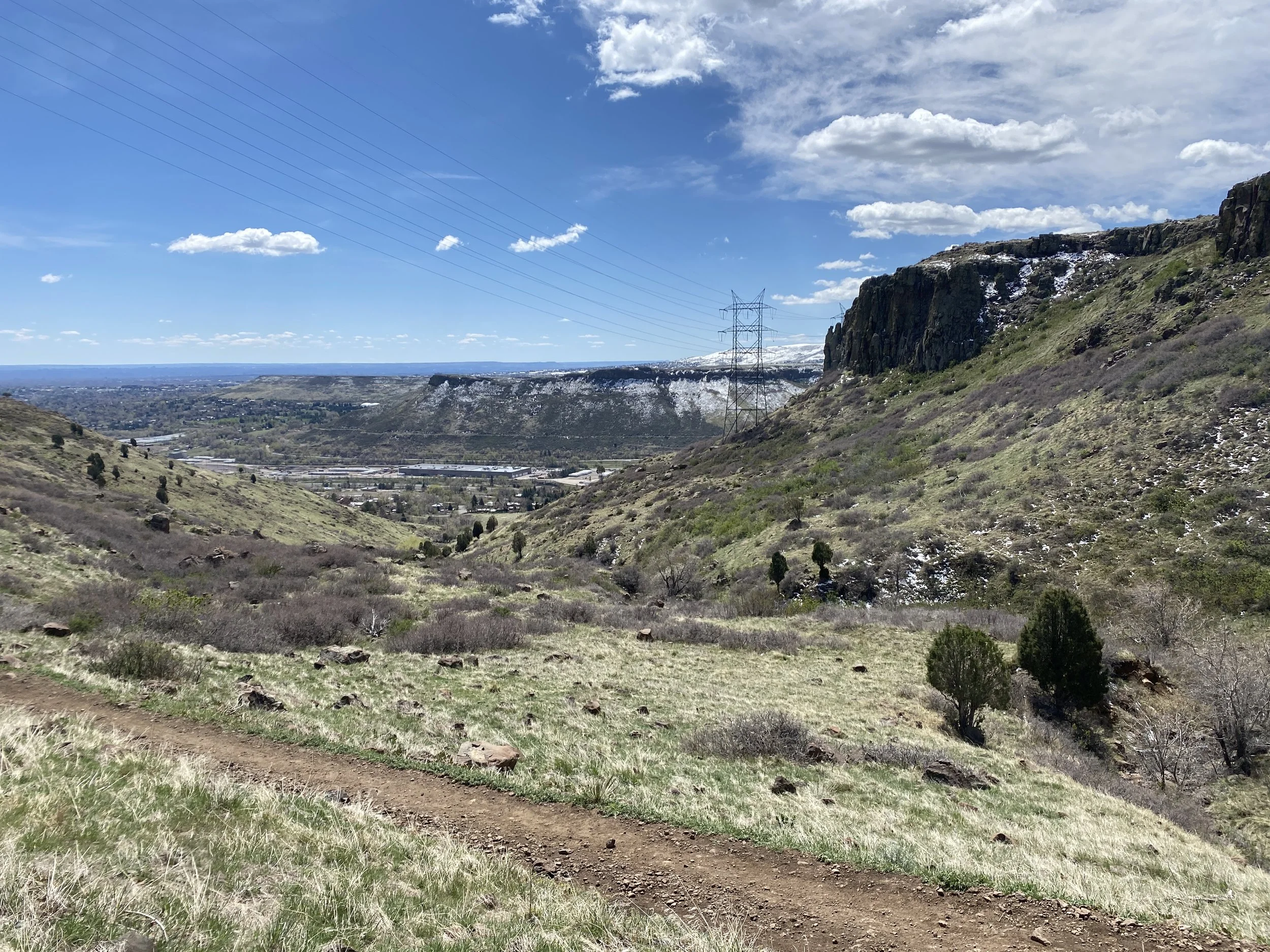
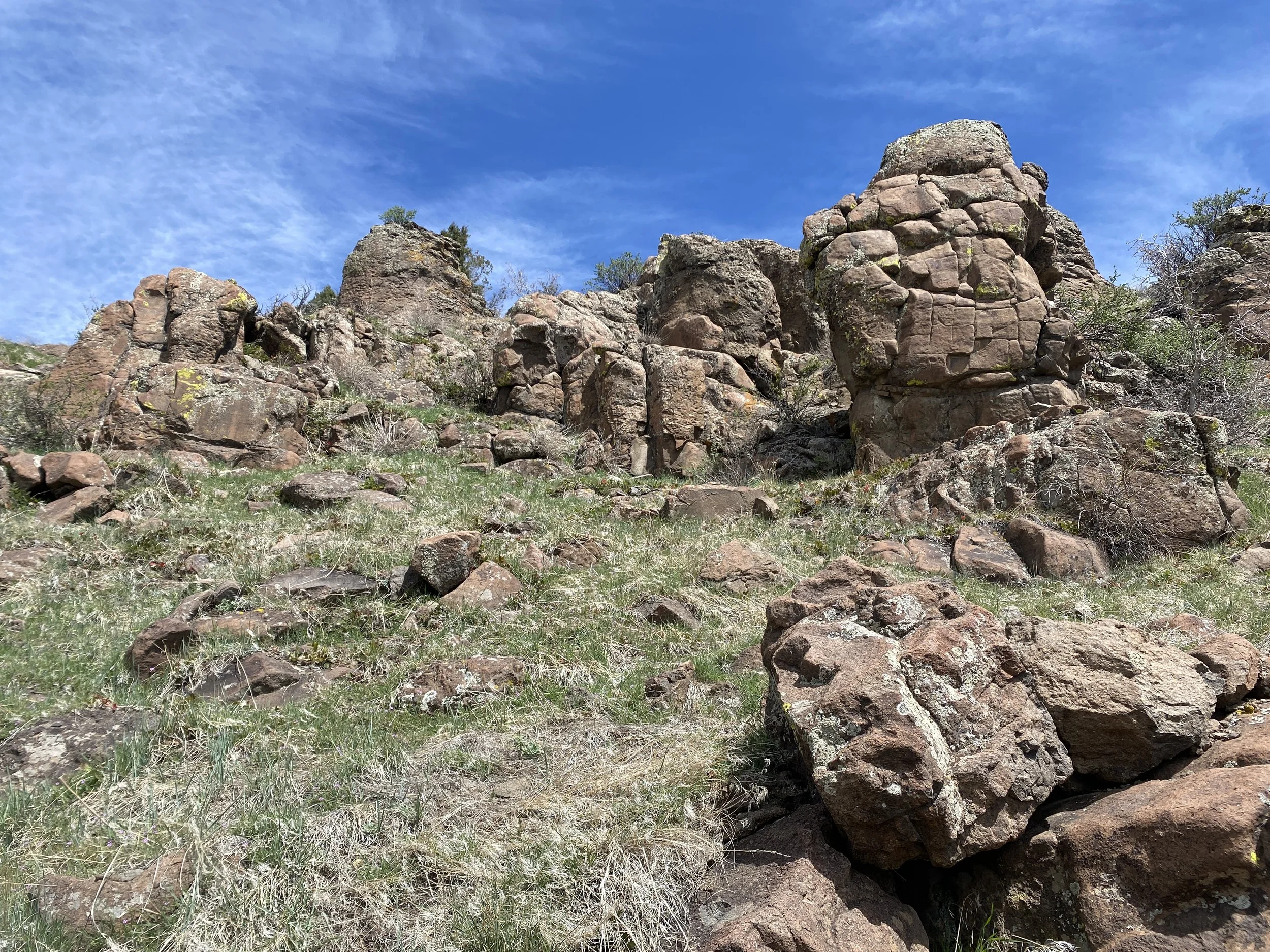
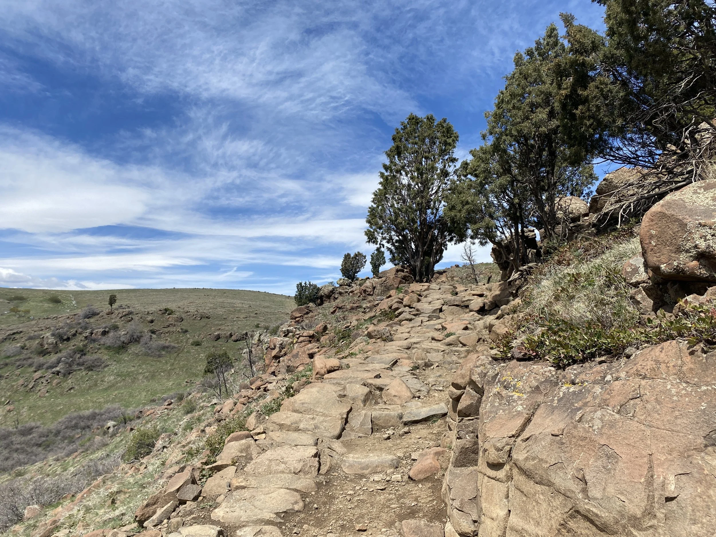
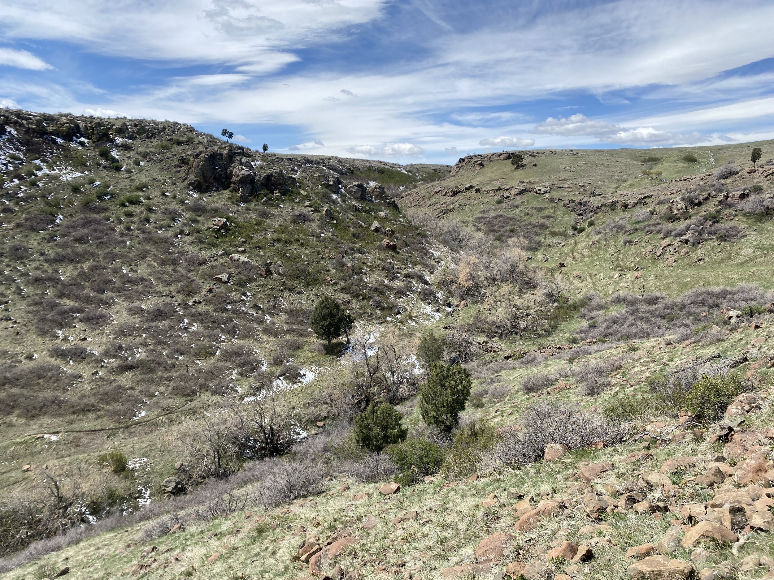
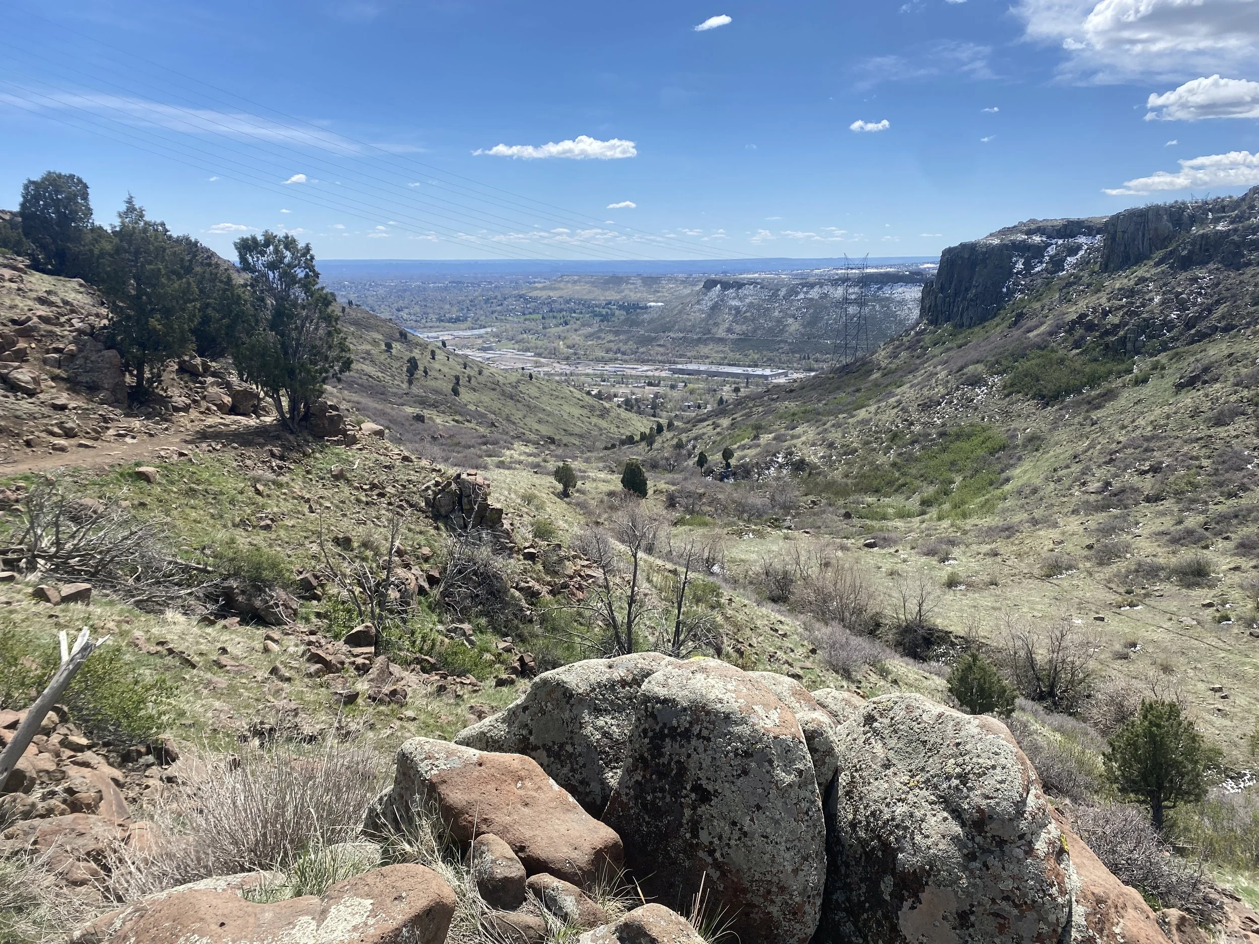
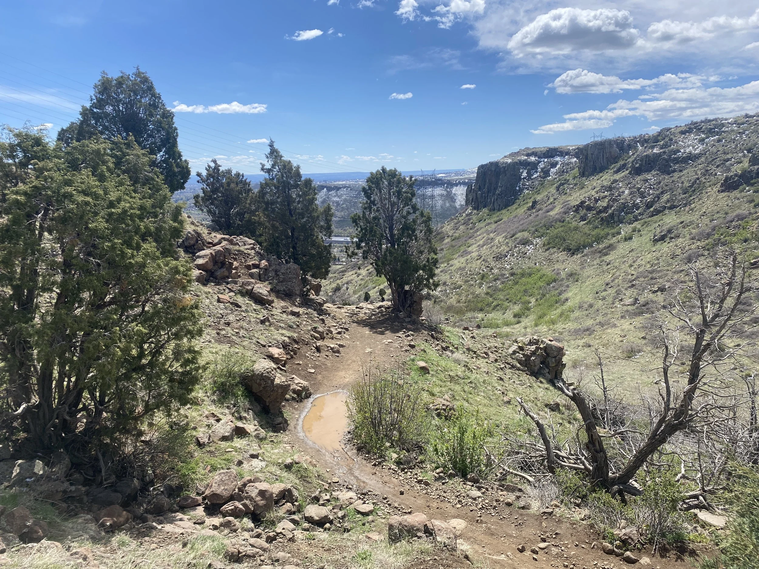
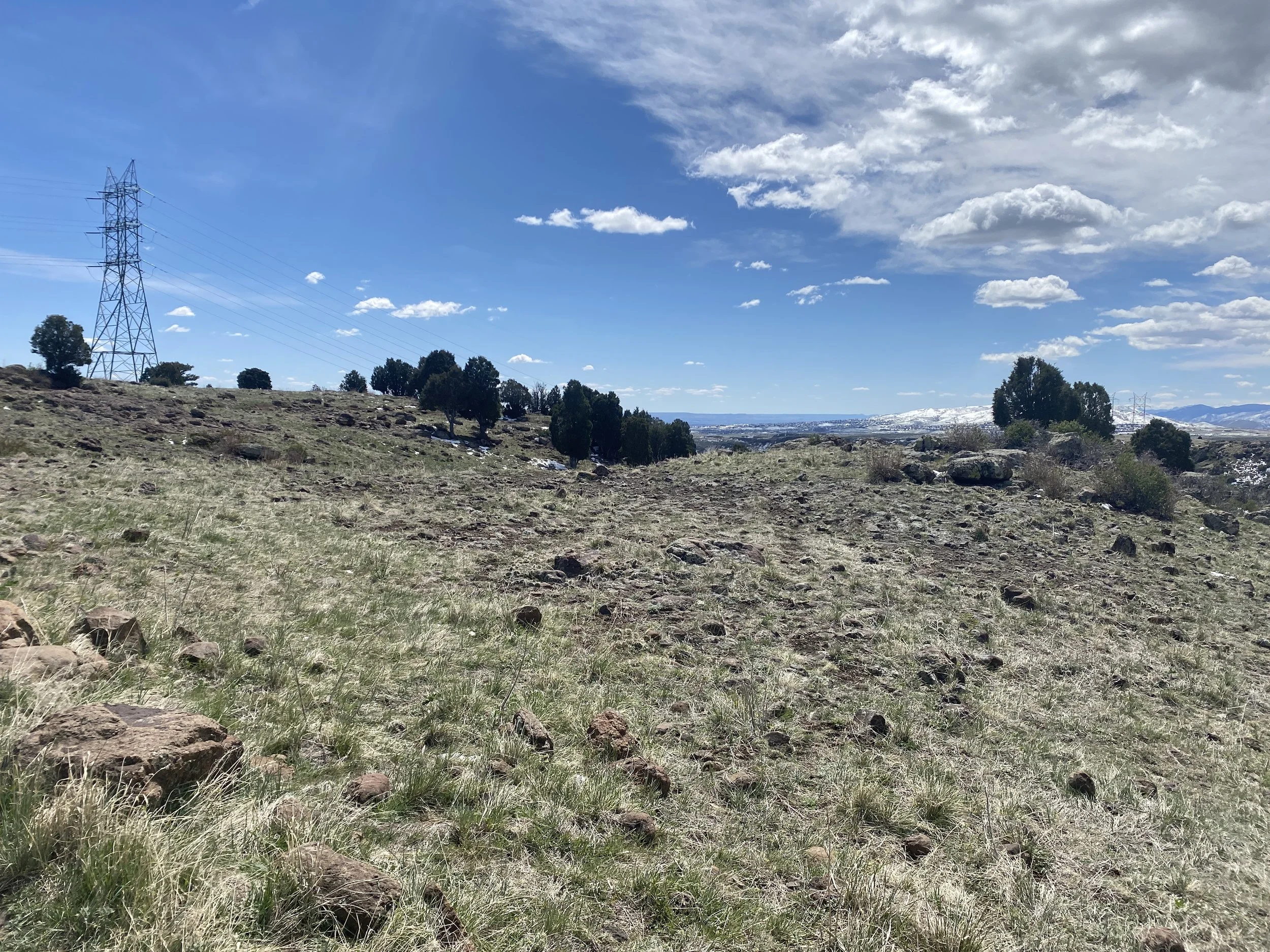
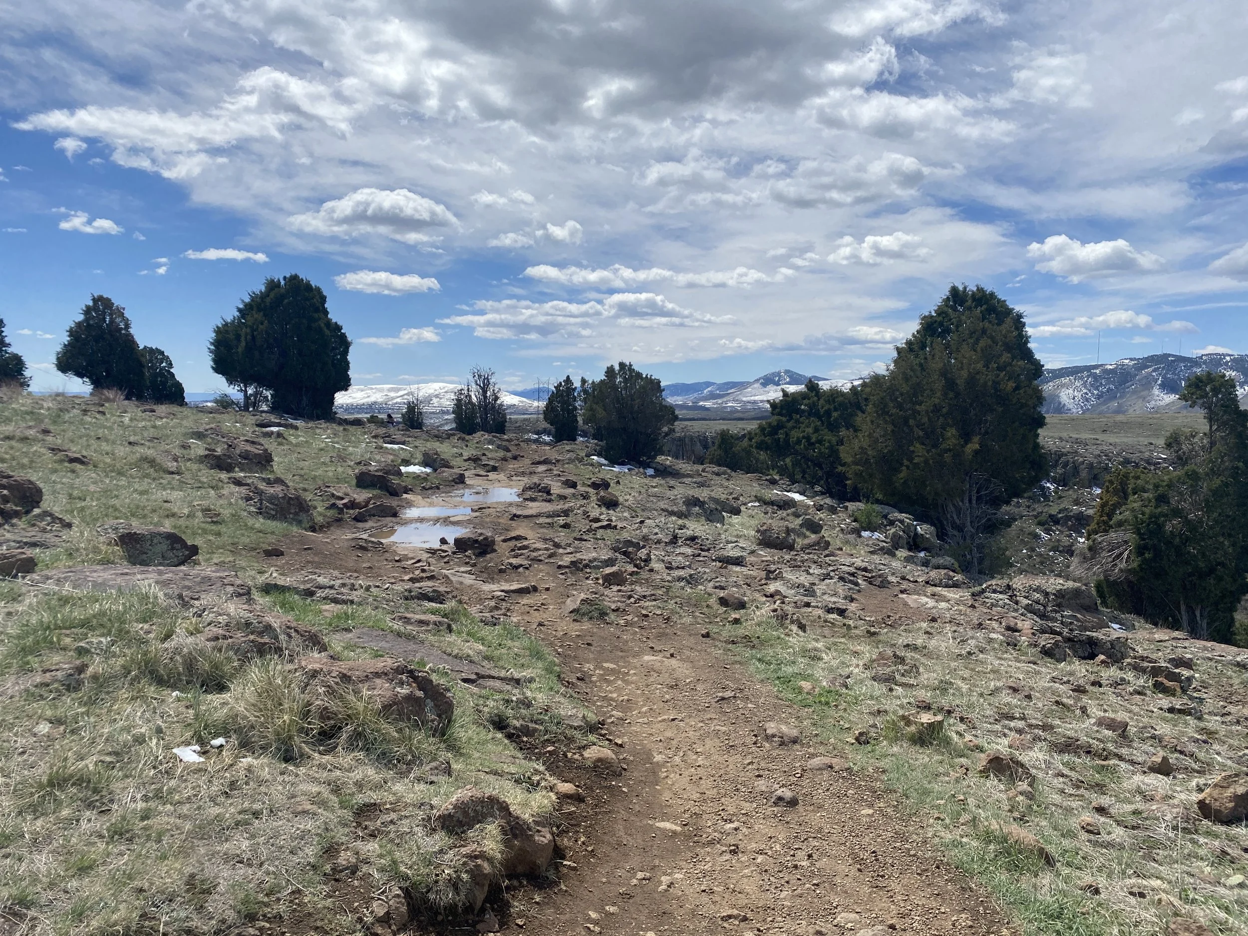
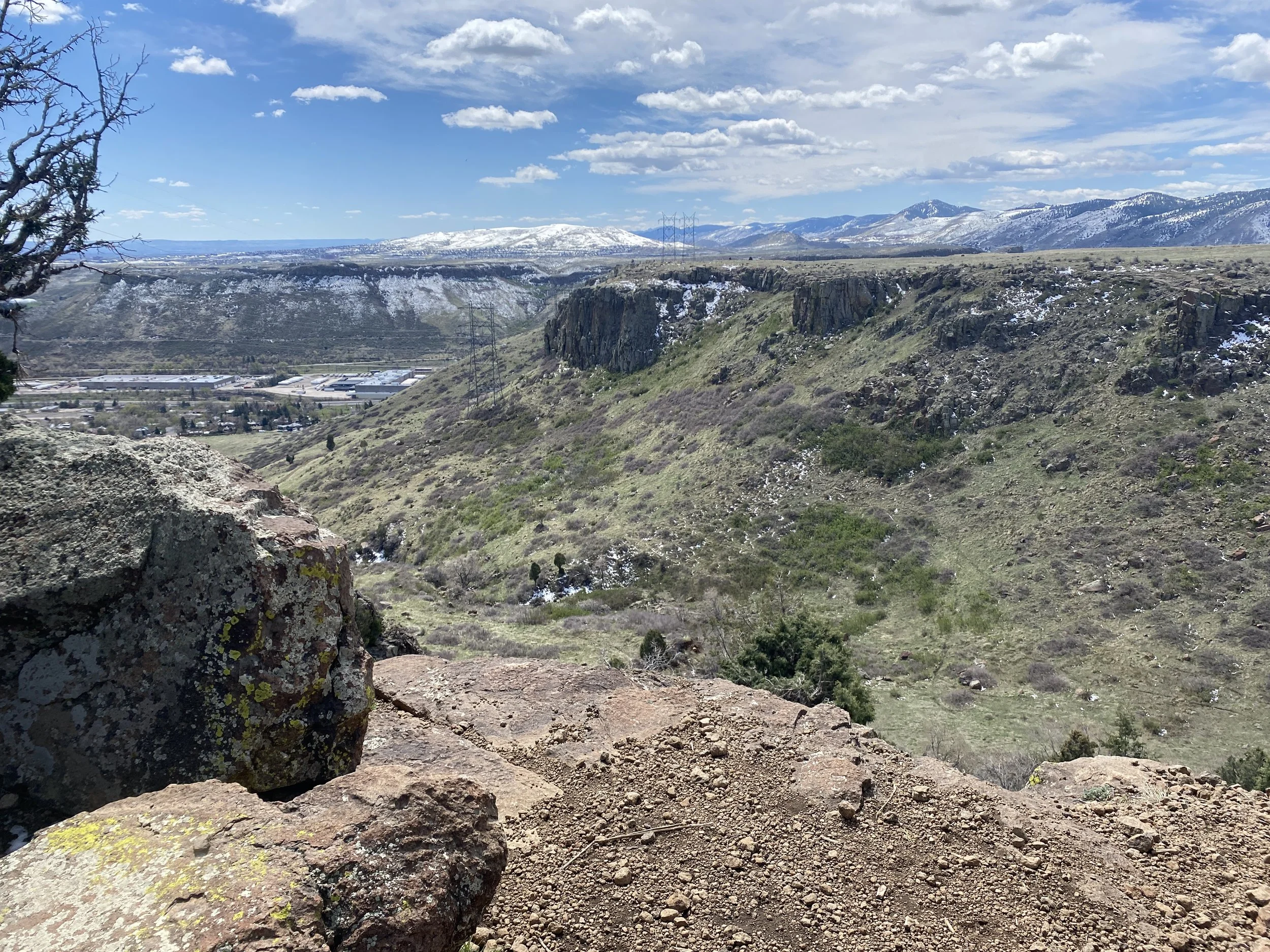
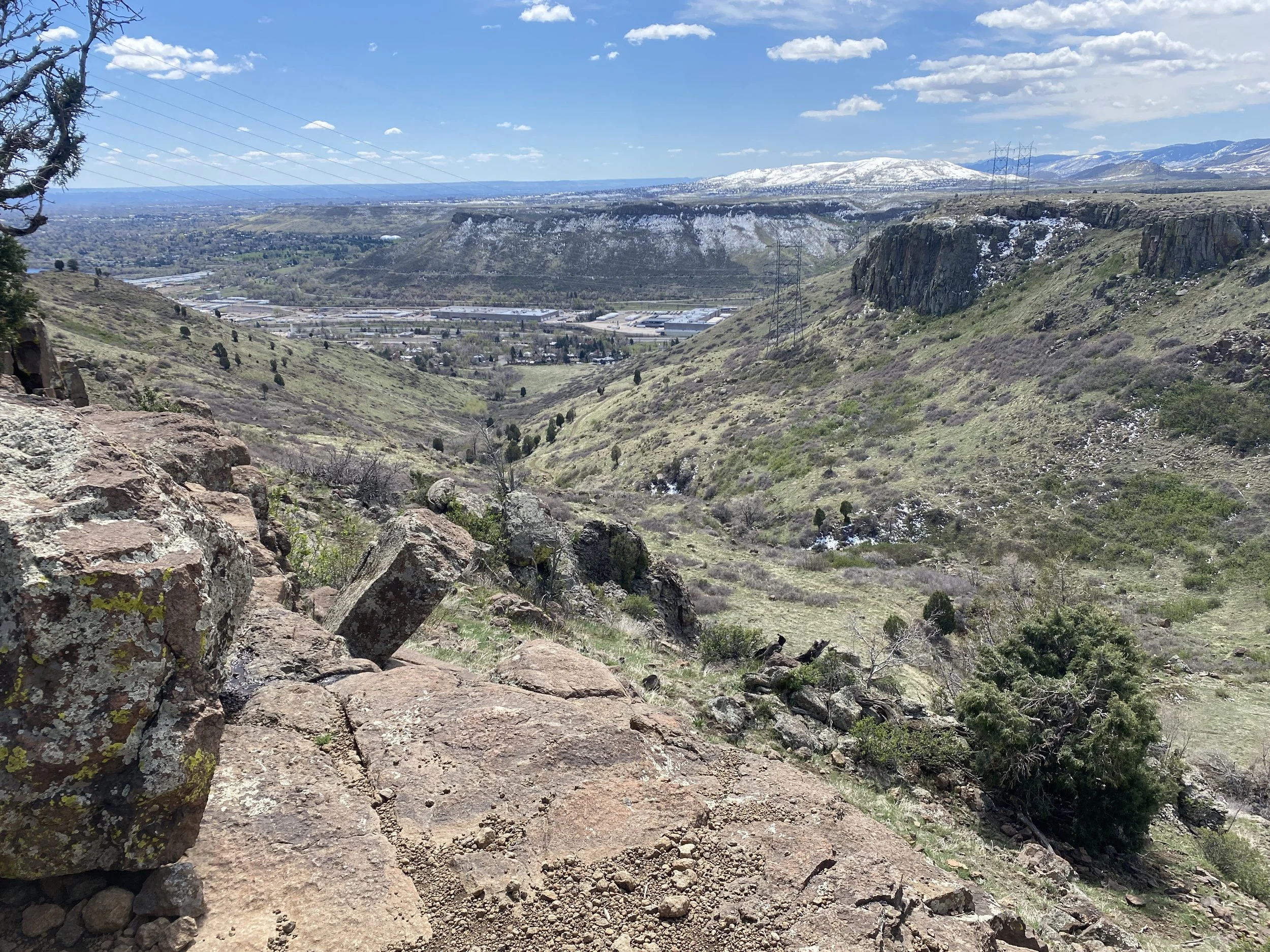
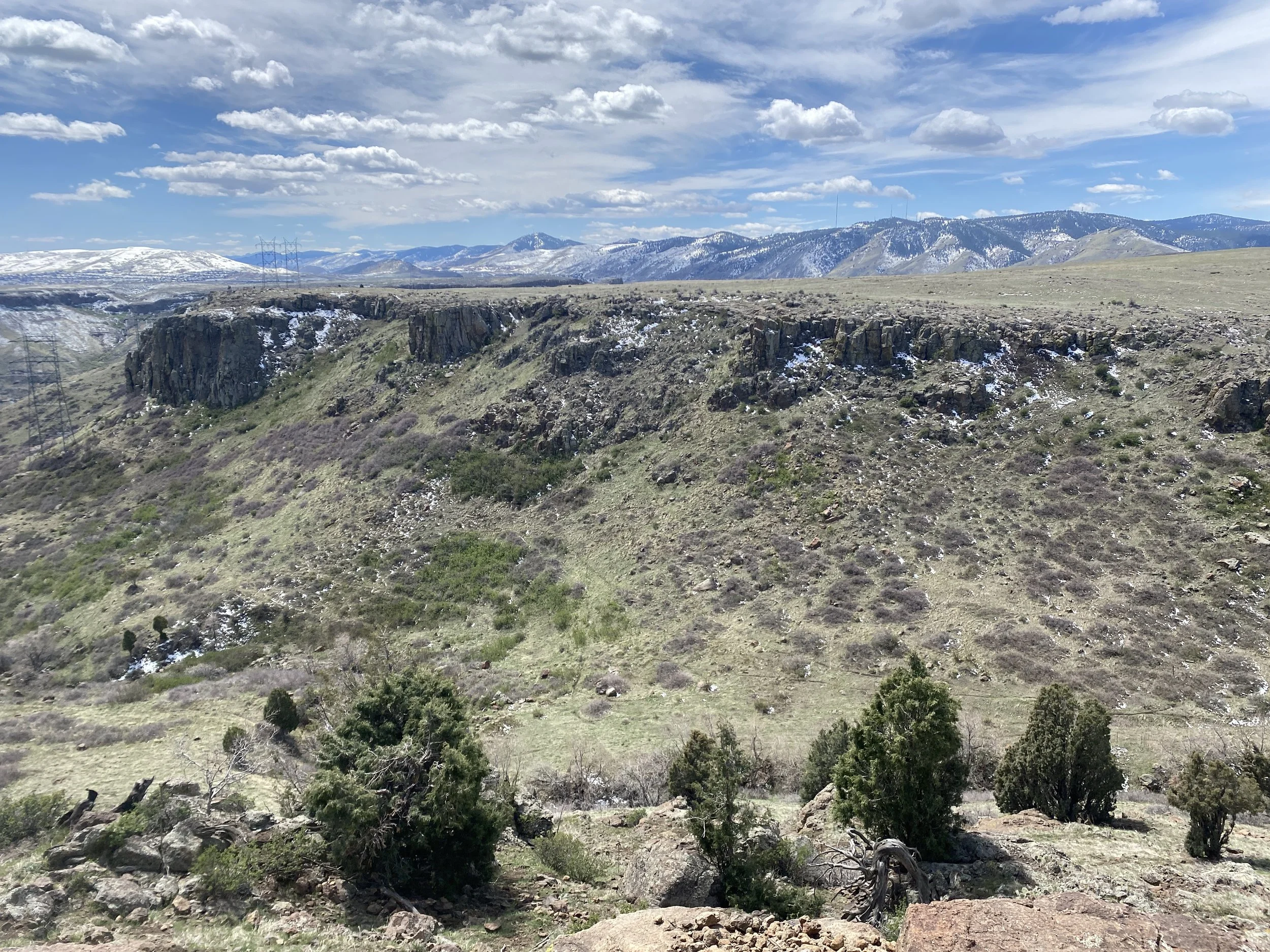
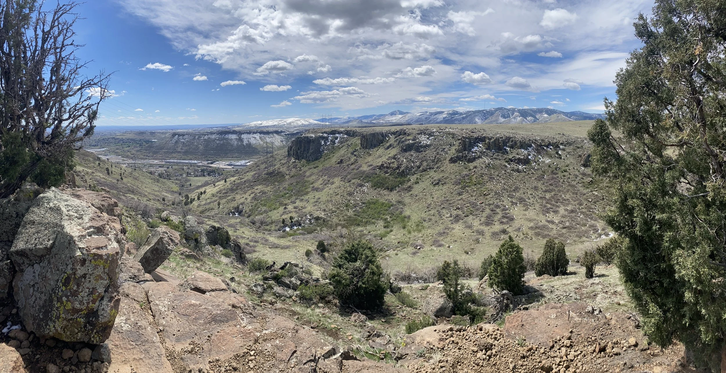
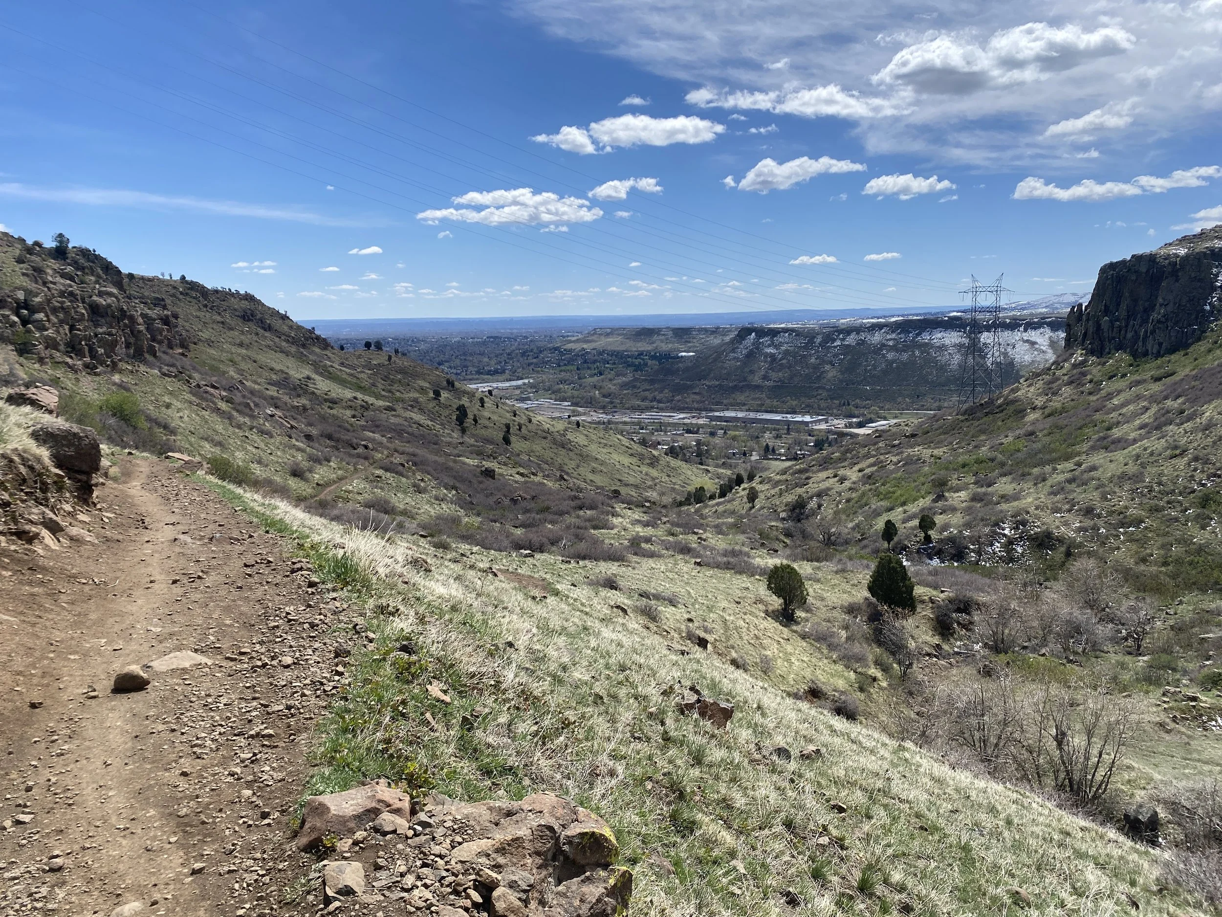
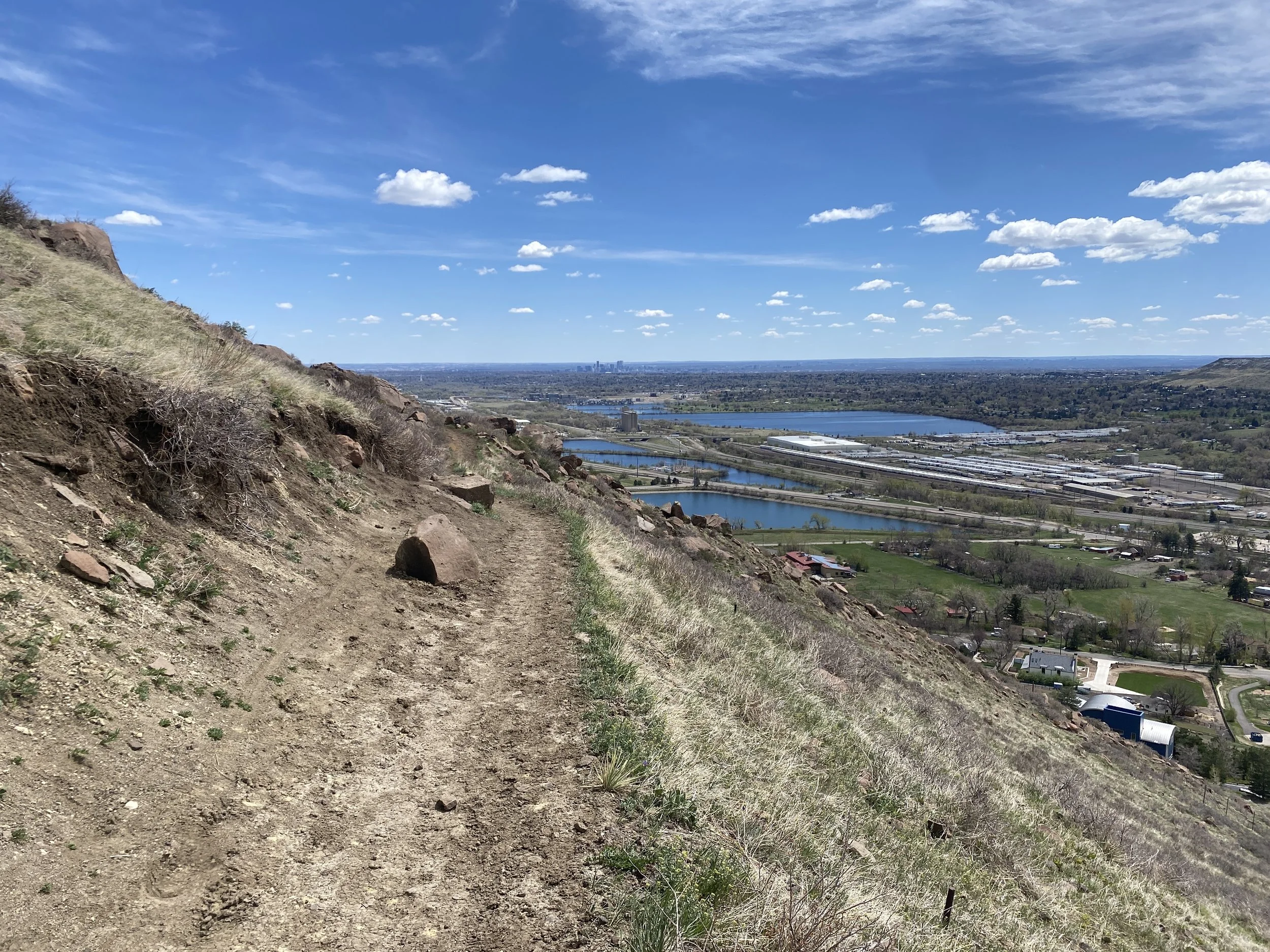
The hike up Cottonwood Canyon is a favorite of mine. The canyon is surprisingly rugged and you'll have a hard time believing that you are only 20 min from Denver. The trail starts along a dry creek bed lined with Cottonwoods and climbs nearly 1,000 feet to the top of the cliffs. The trail is steady and never too steep and the views up canyon and back towards Golden are wonderful.
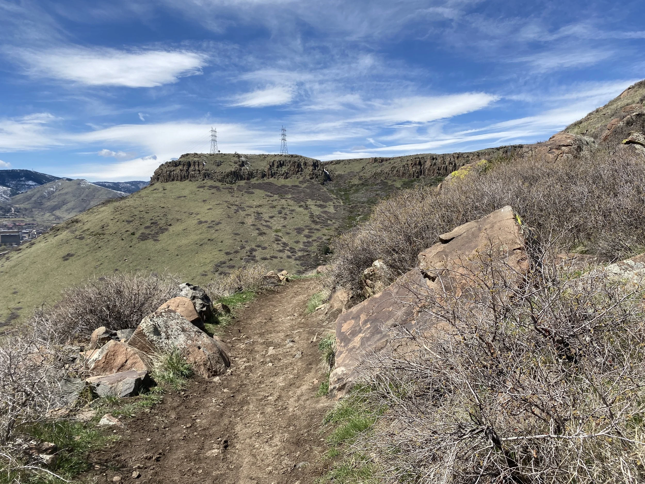
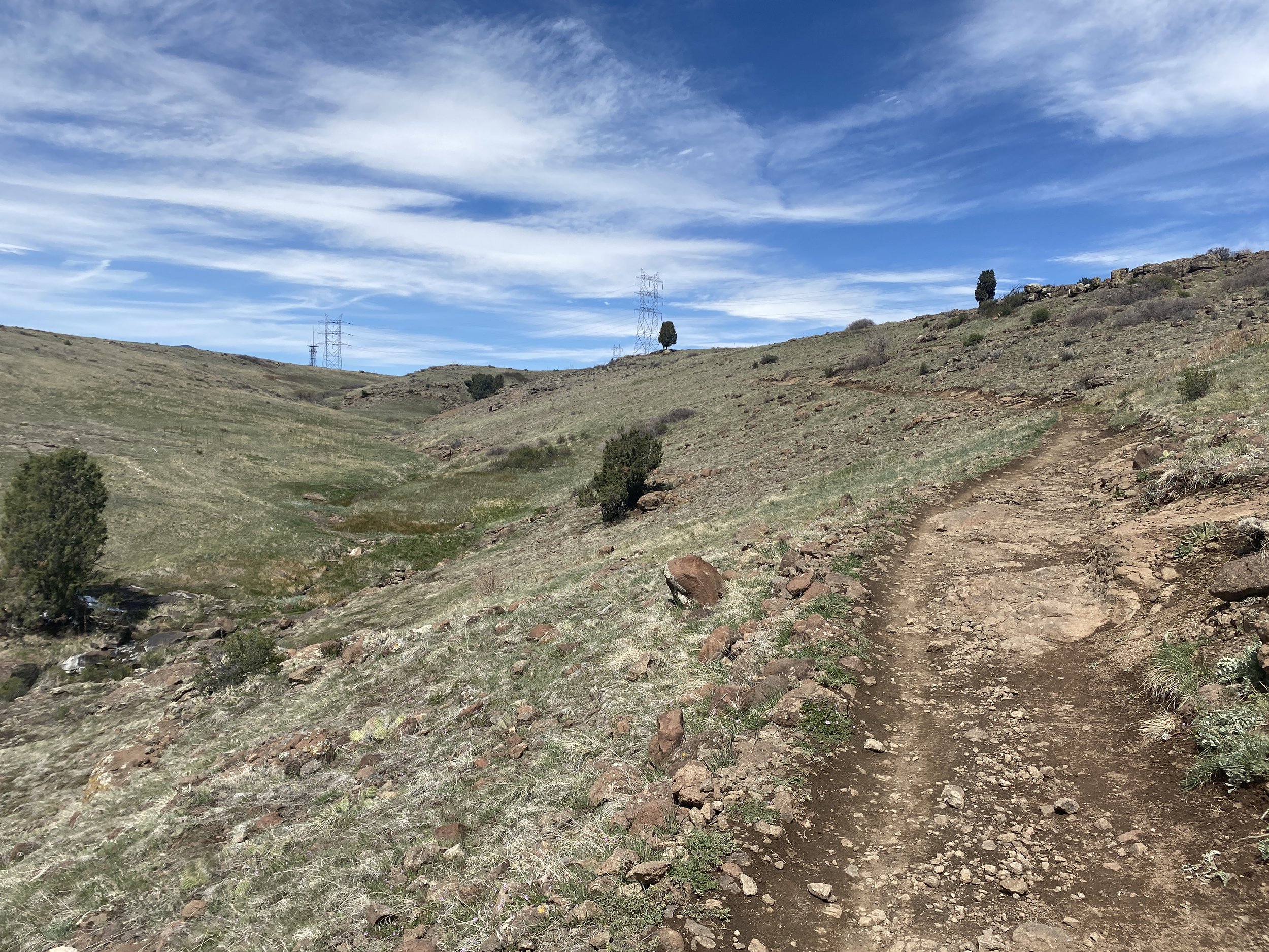
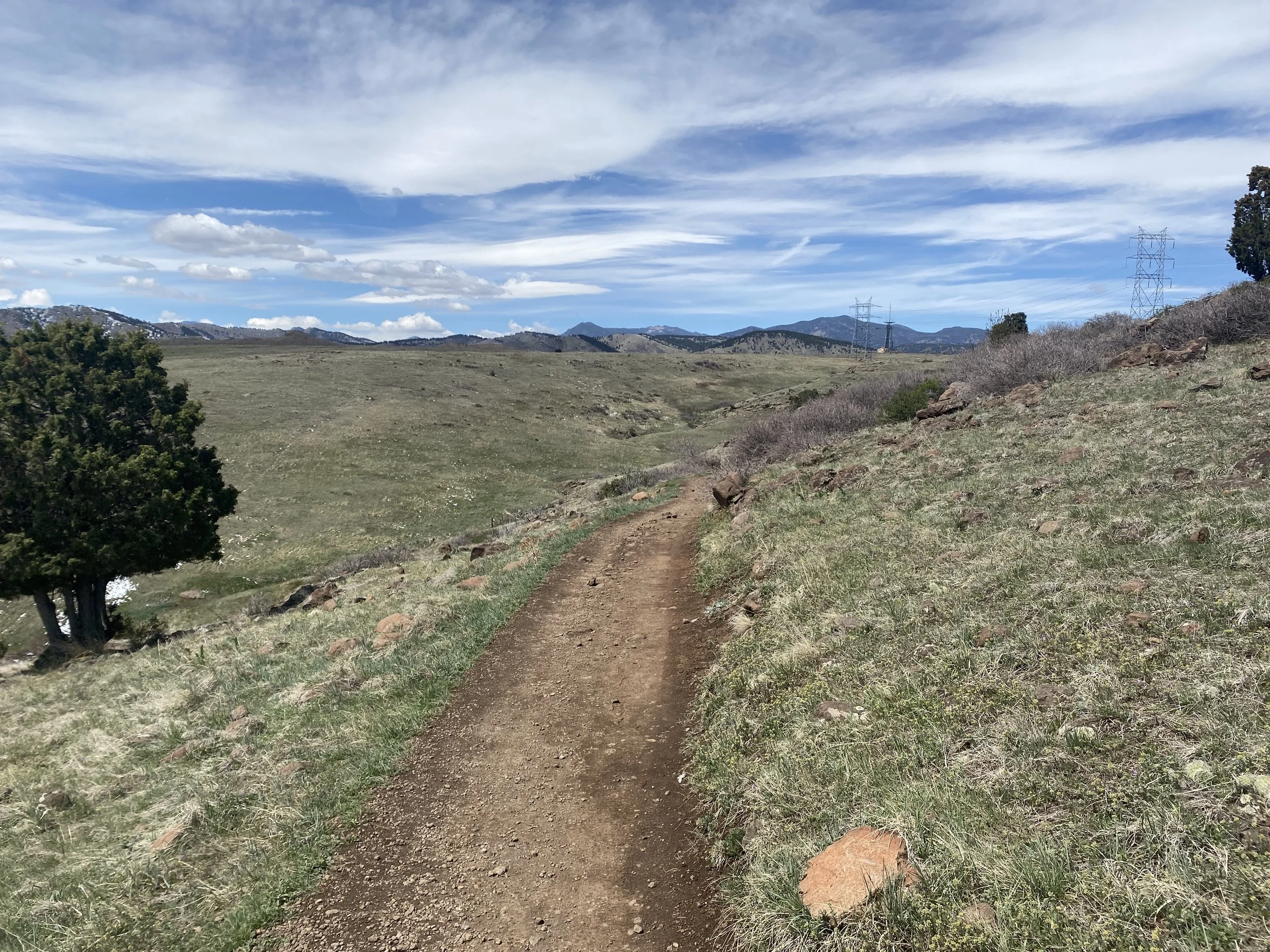
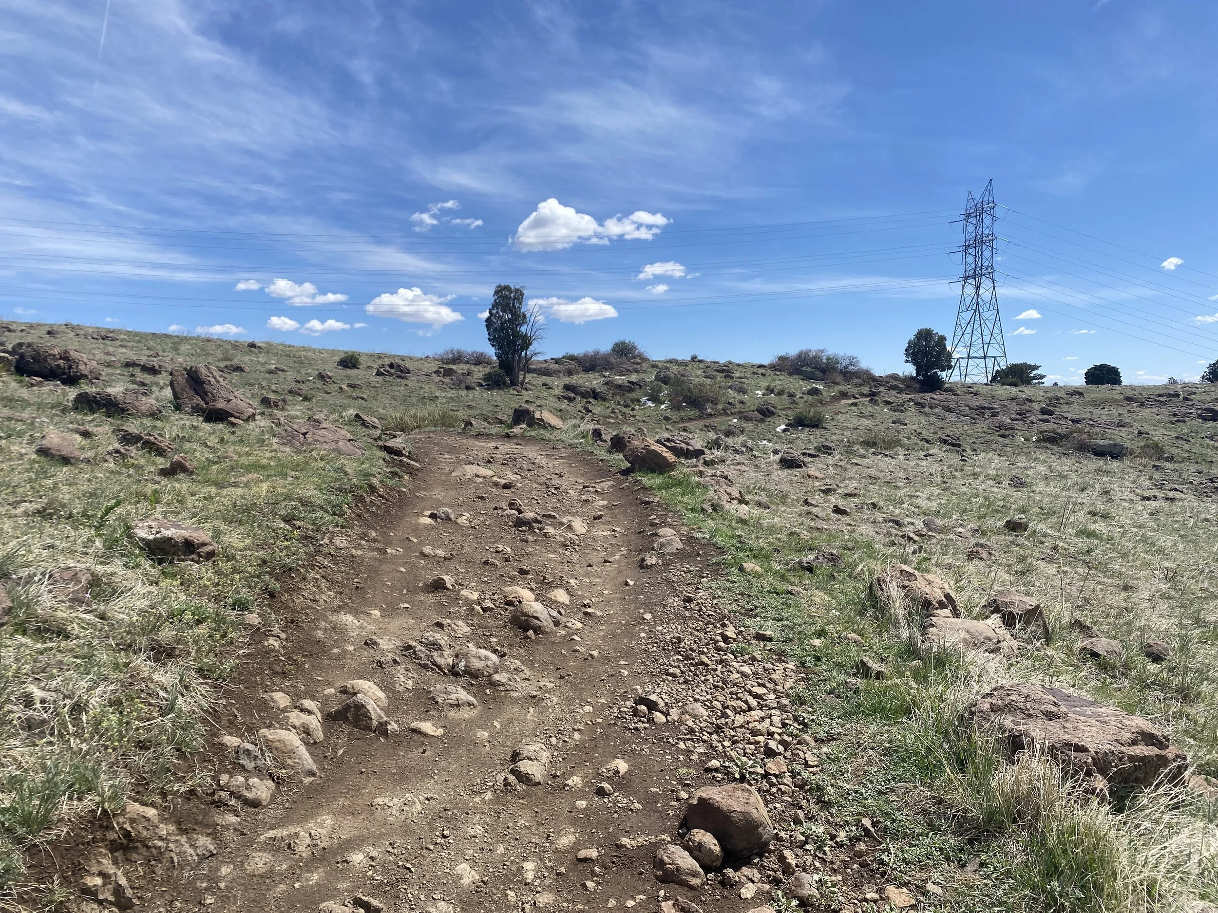
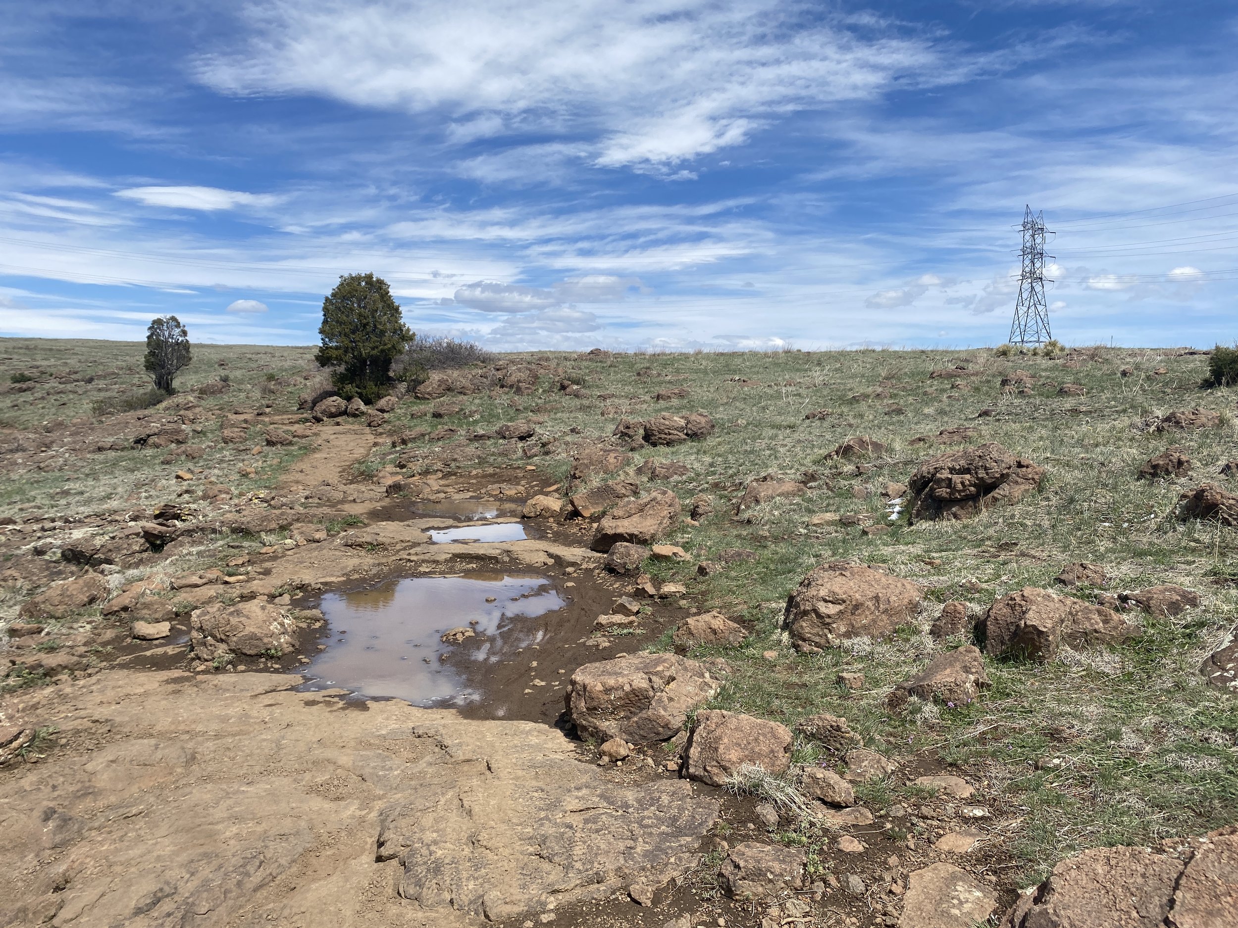
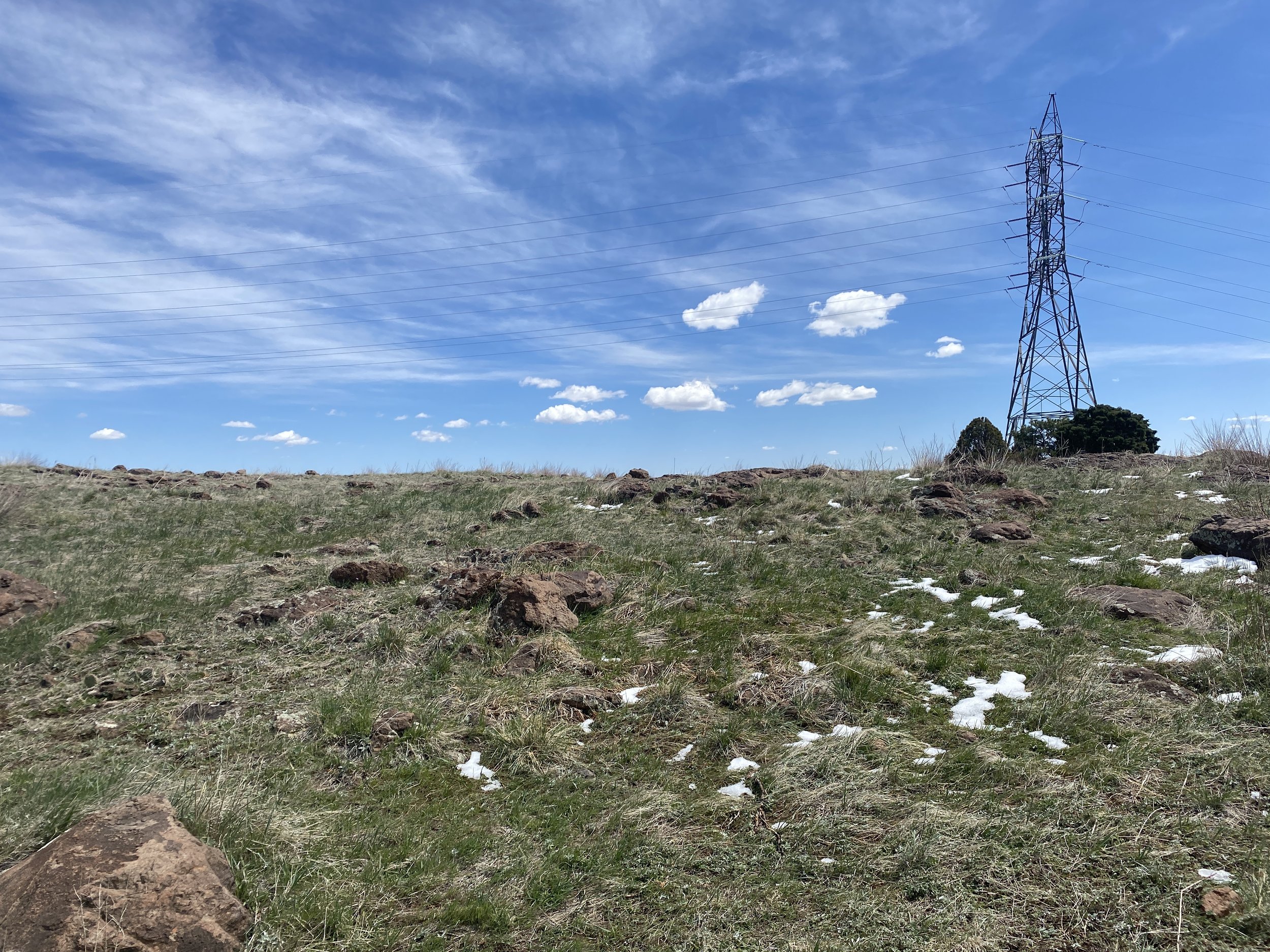
From the trailhead follow the Cottonwood Canyon Trail for .7 miles (the map says 1.7mi) to the junction with the North Table Mountain Loop. Turn right and follow the switchbacks up to the junction with the Cottonwood Canyon Trail again. Turn left here and continue up the canyon at about the 1.6 mile mark you'll break through a gap in the cliffs and find yourself on top of the mesa. There is a terrific viewpoint here. This makes for a good turnaround point but I recommend continuing for another .2 mile to the Mesa Top Trail. You'll get a little taste of the wide-open spaces of the mesa top. If not for the high tension wires, you'll think you were in a John Wayne movie. From this junction, you also have the option of exploring more trails on the mesa by turning either right or left and hooking up with the North Table Loop. You can also hook up with the Rim Rock trail, which is particularly nice.