CO Trail Seg. 11, South Elbert Trailhead
CDT; San Isabel National Forest
Date Hiked: September 6, 2026
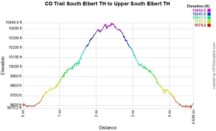
Distance: 4.5 mi (RT)
Elevation Gain: 836 ft
Elevation Min/Max: 9,587 ft to 10,440 ft
Trailhead Lat/Long: 39.09895, -106.36682
Managing Agency: U.S. Forest Service (USFS)
Fee: None
Directions:
Get yourself to the junction of Hwy 24, south of Leadville and north of Buena Vista, and CO 82. Turn onto CO 82 and travel west for 4 miles. Turn right onto County Road 24, the trailhead is 1 ¼ miles up the road. There is a small parking lot at the trailhead.
Hike Description:
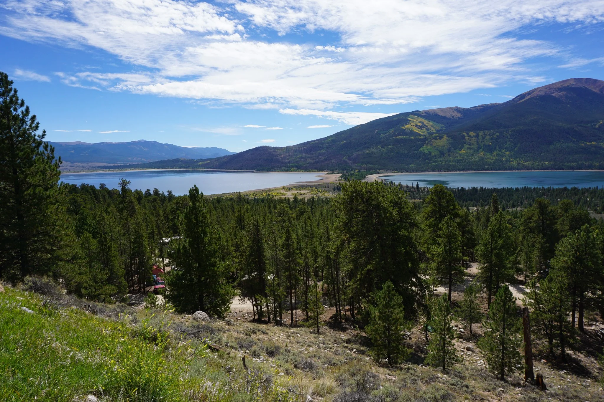
Twin Lakes…ah, Twin Lakes. Twin Lakes is one of my absolute favorite parts of Colorado and the location of a yearly Labor Day weekend camping tradition for my family and friends. The lakes are beautiful, especially the western lake, and possibly the best place to stand up paddleboard in the state. This is also a great base camp for day hikes in the area. The Trailhead for the Colorado Trail up towards Mt. Elbert is just a few minutes’ drive from the main Twin Lakes campgrounds.
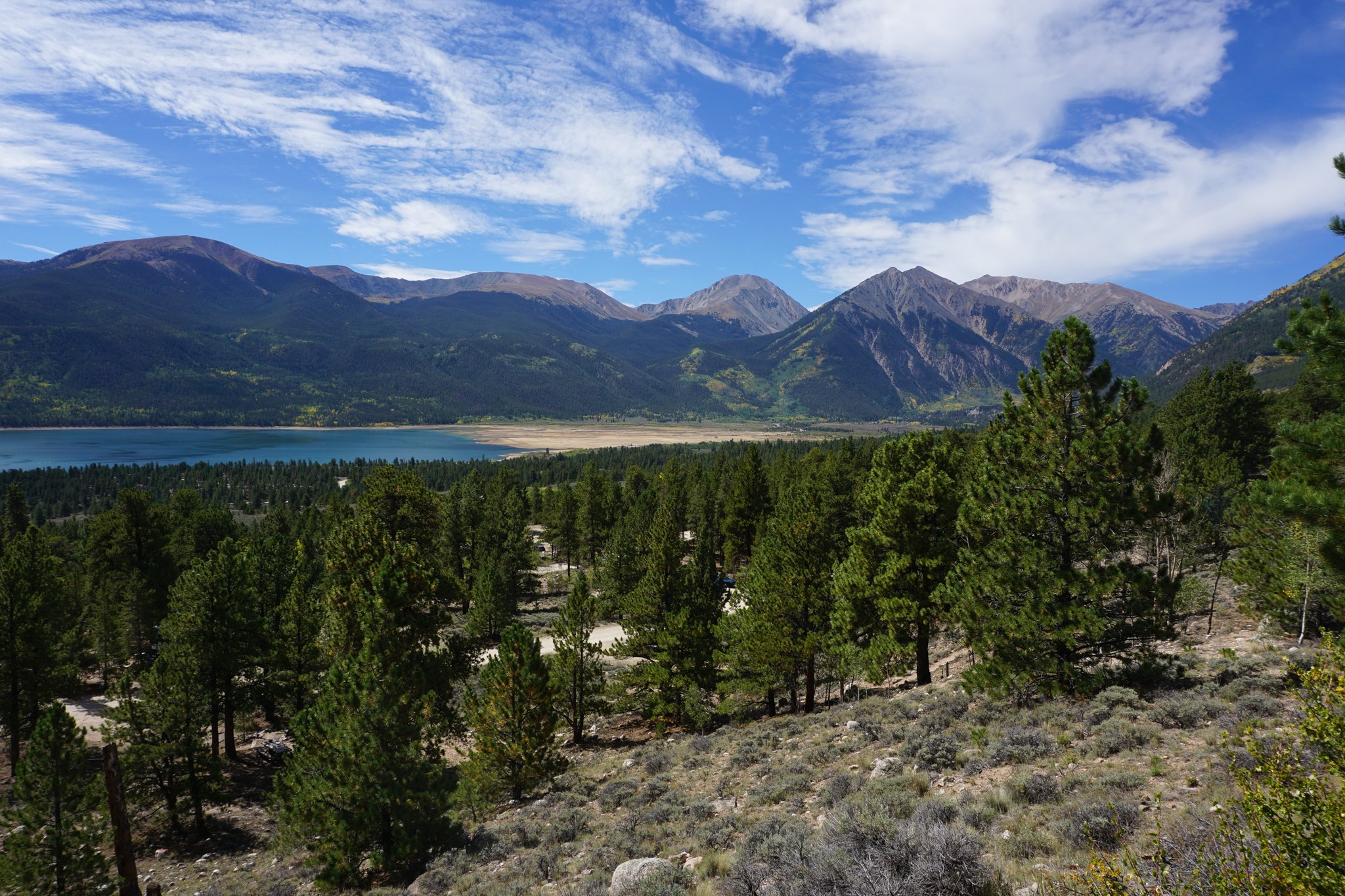
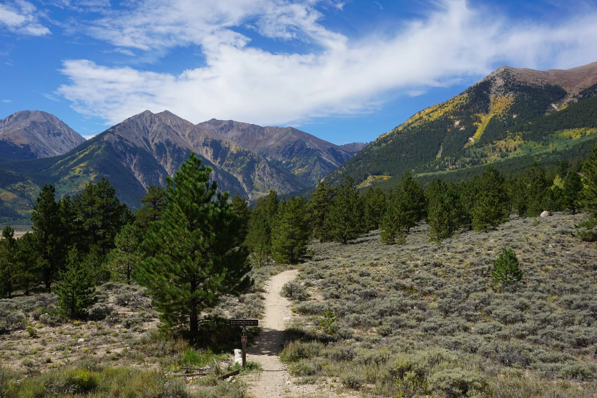
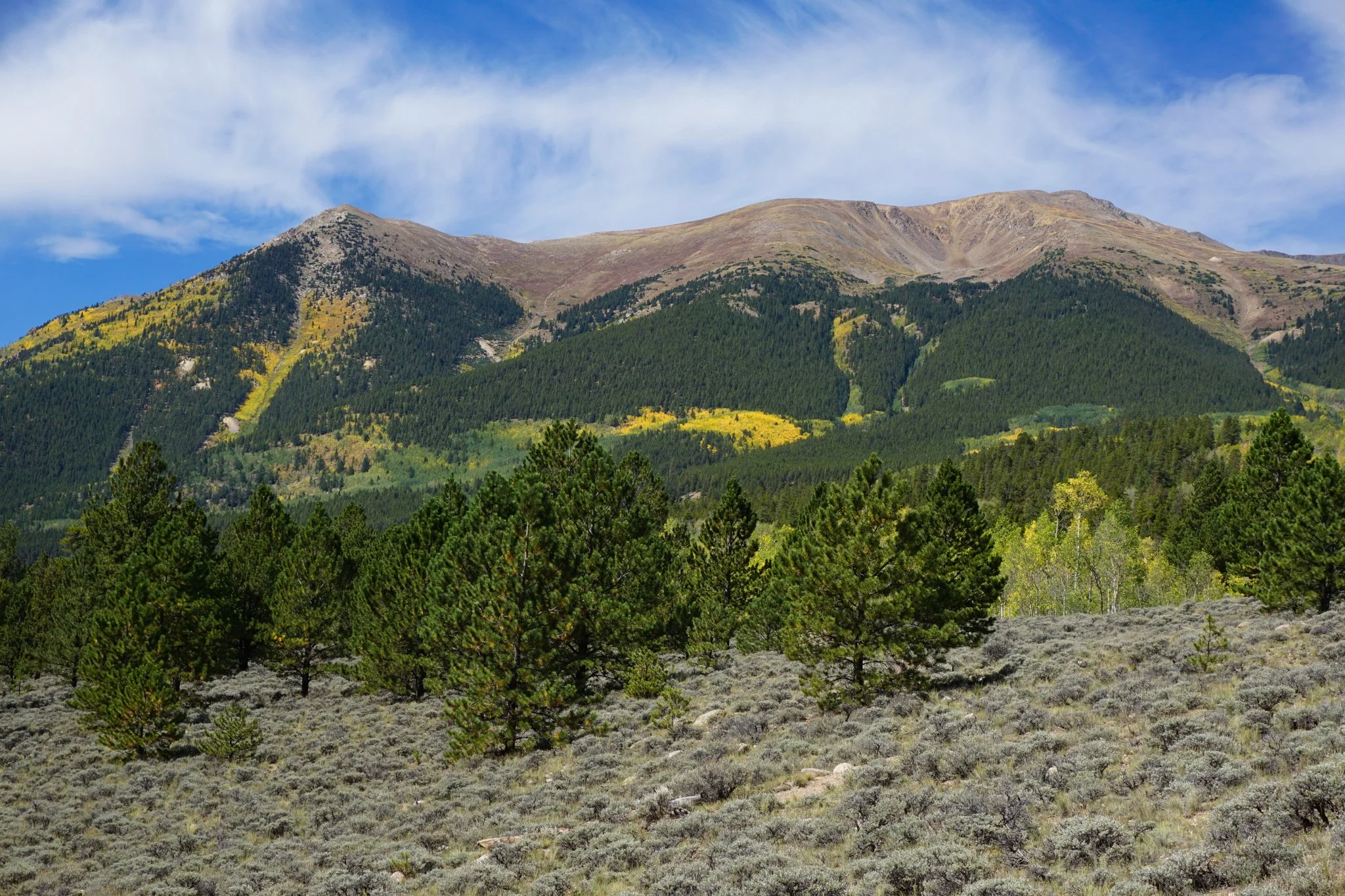
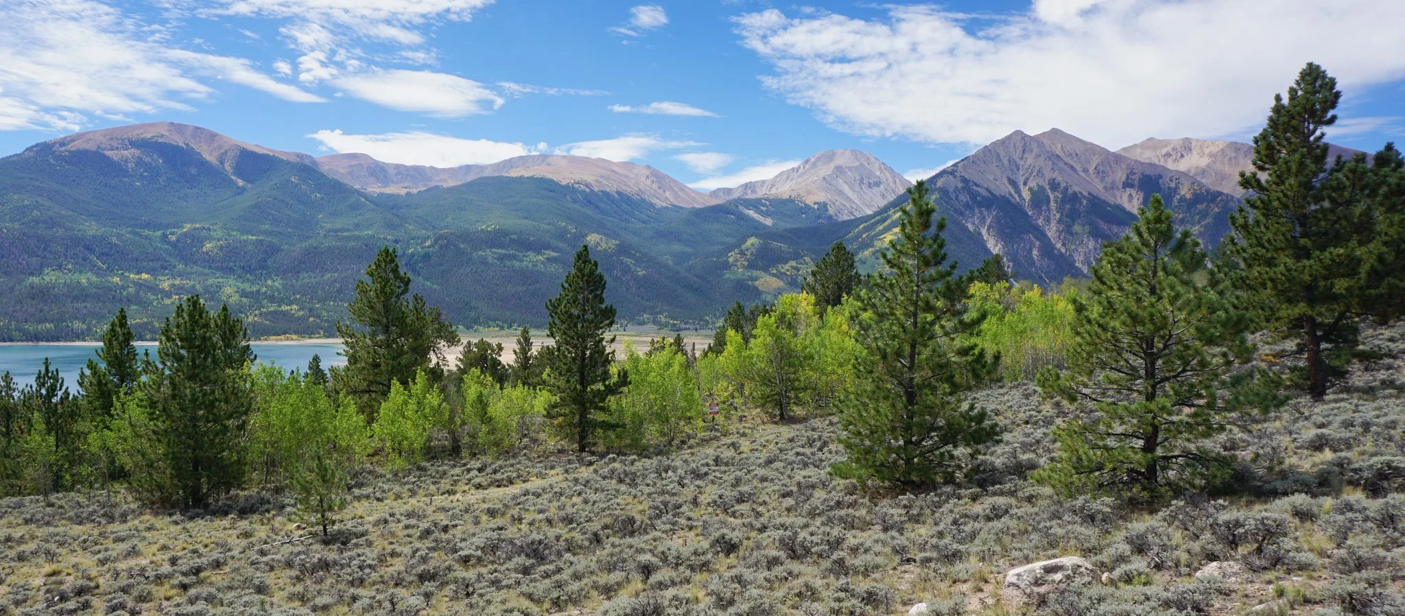
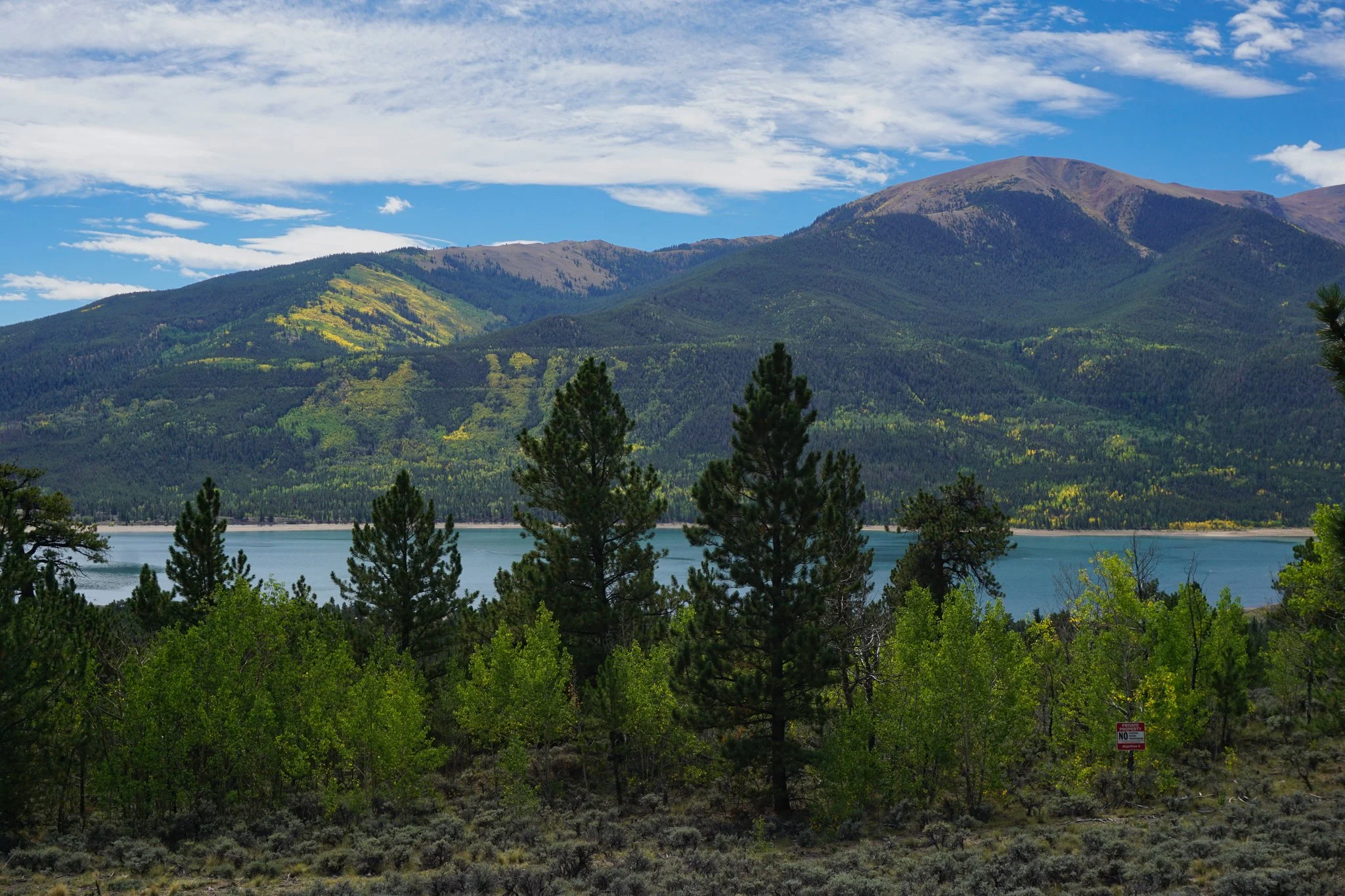
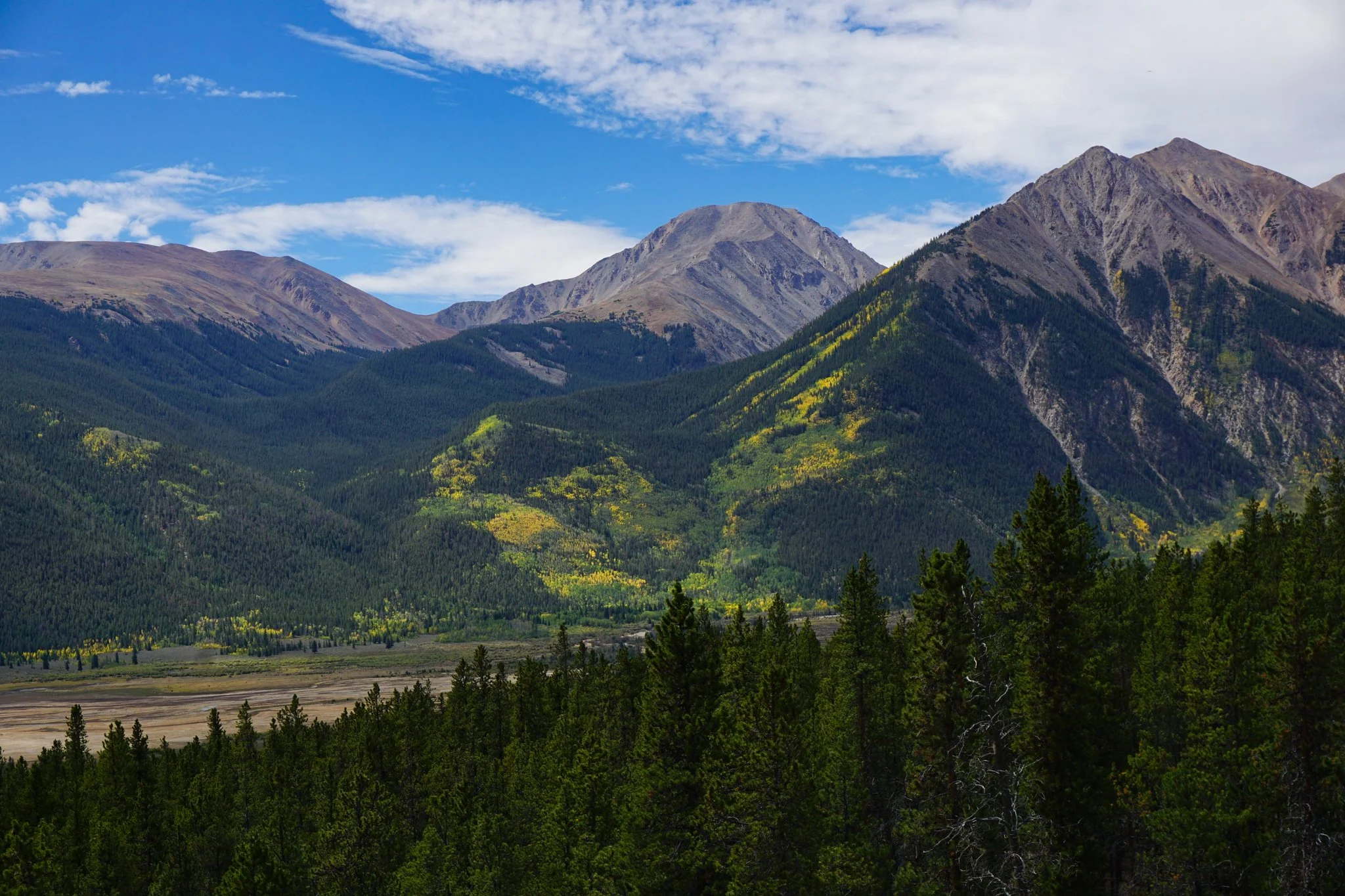
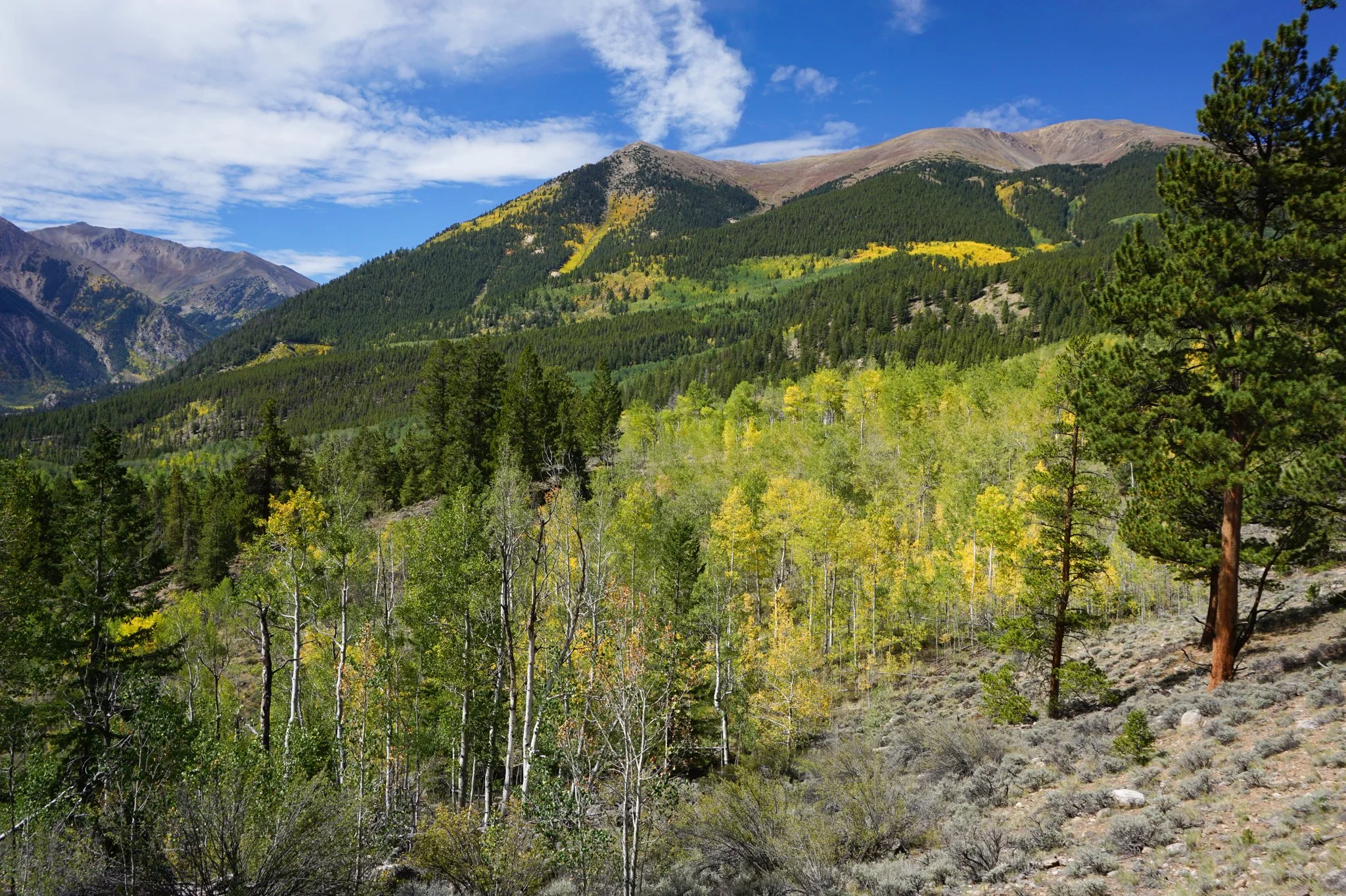
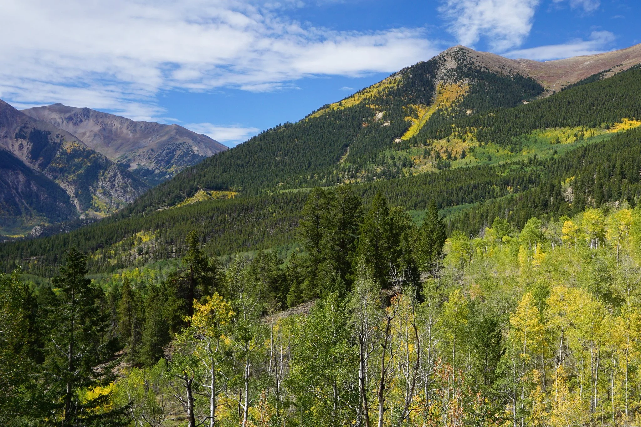
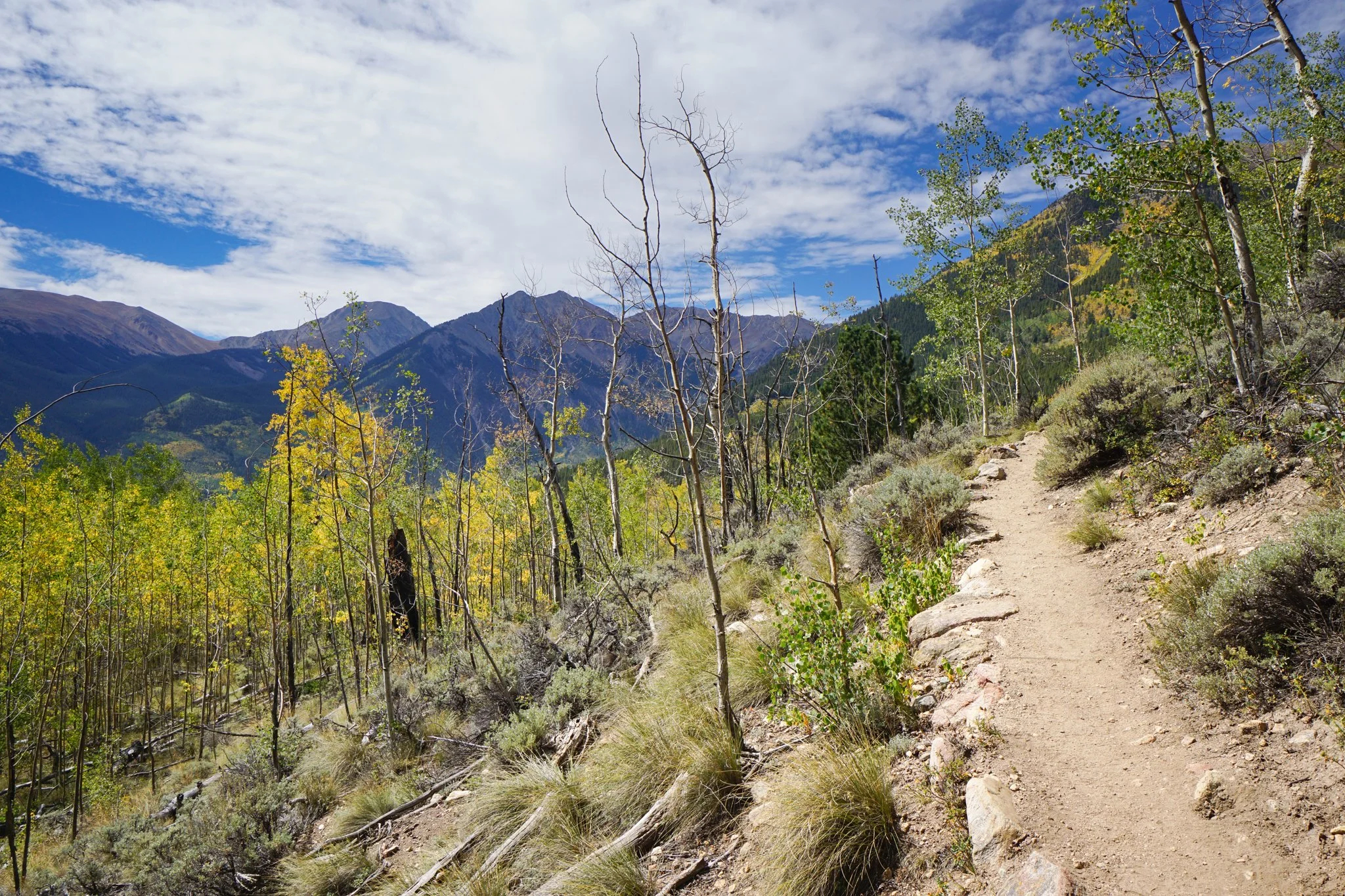
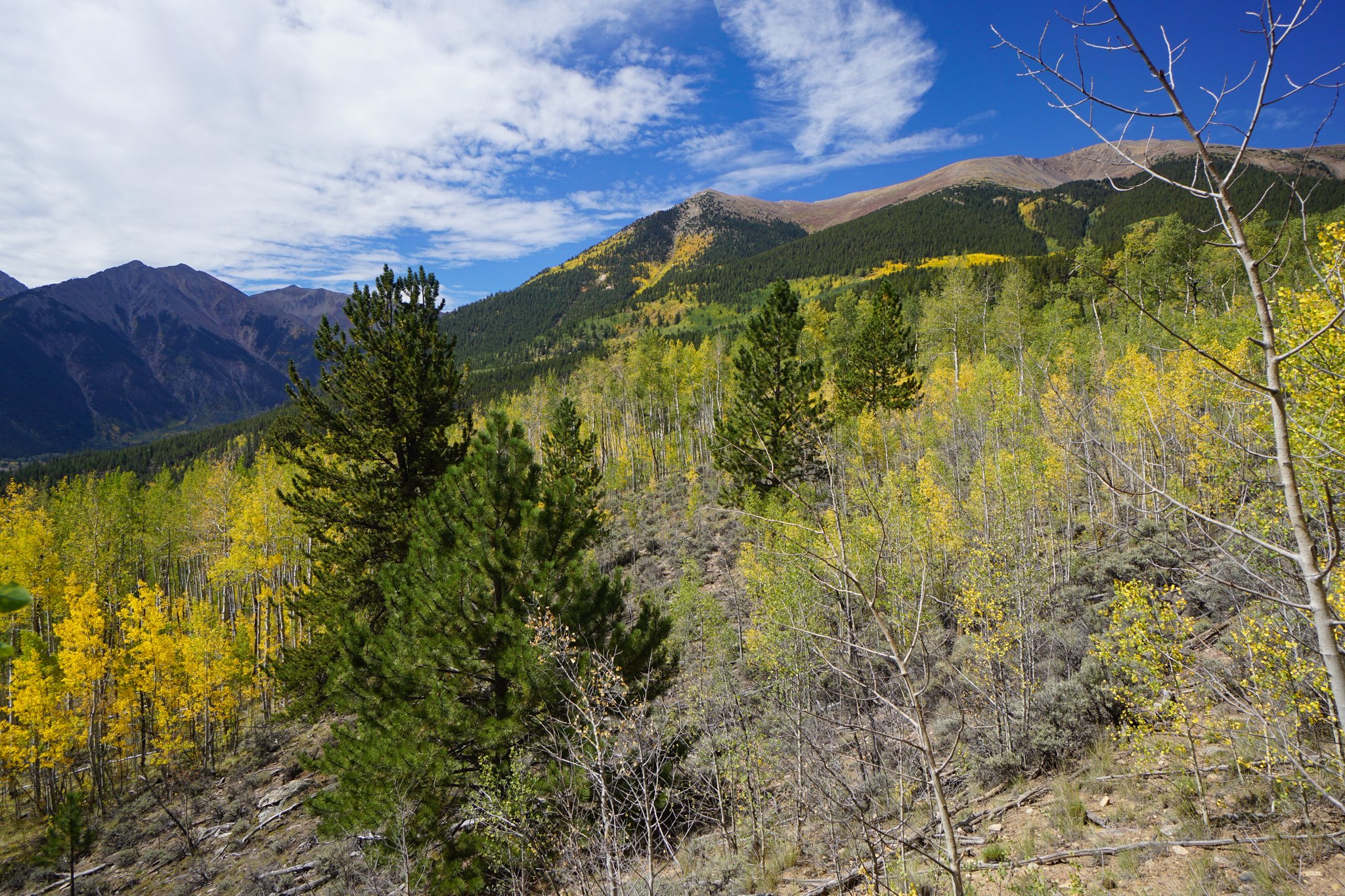
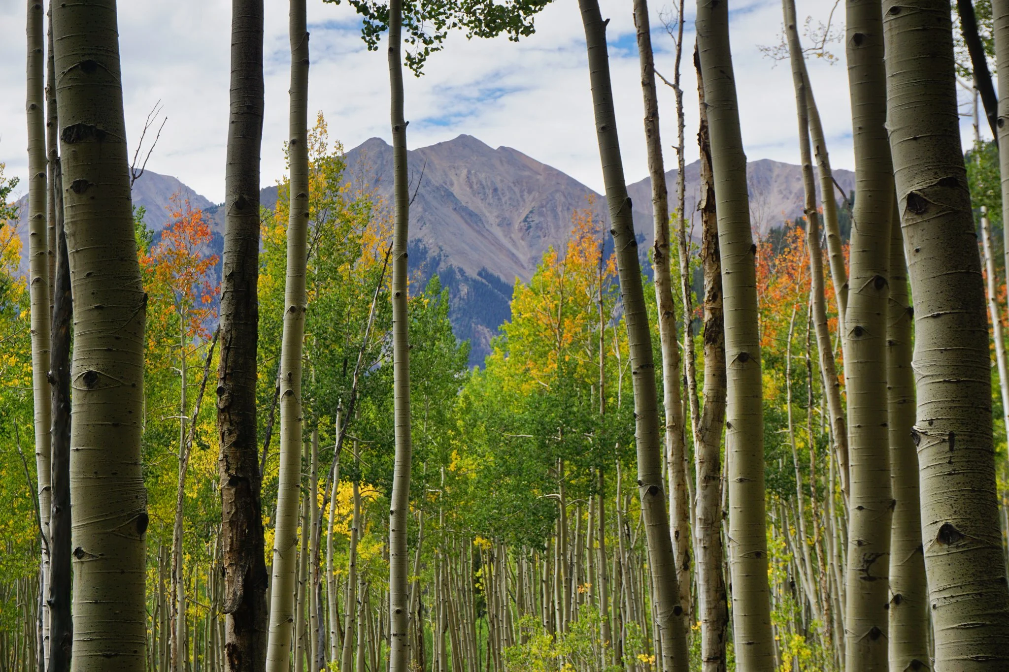
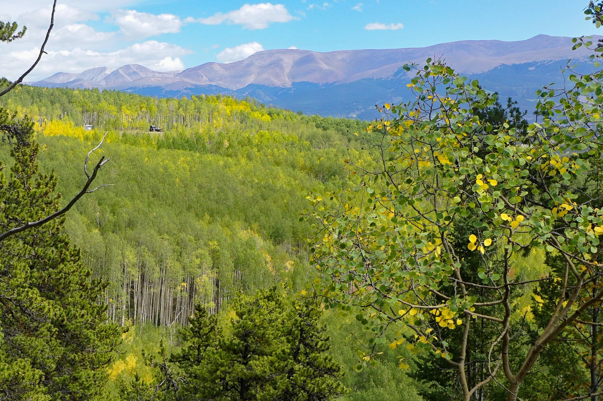
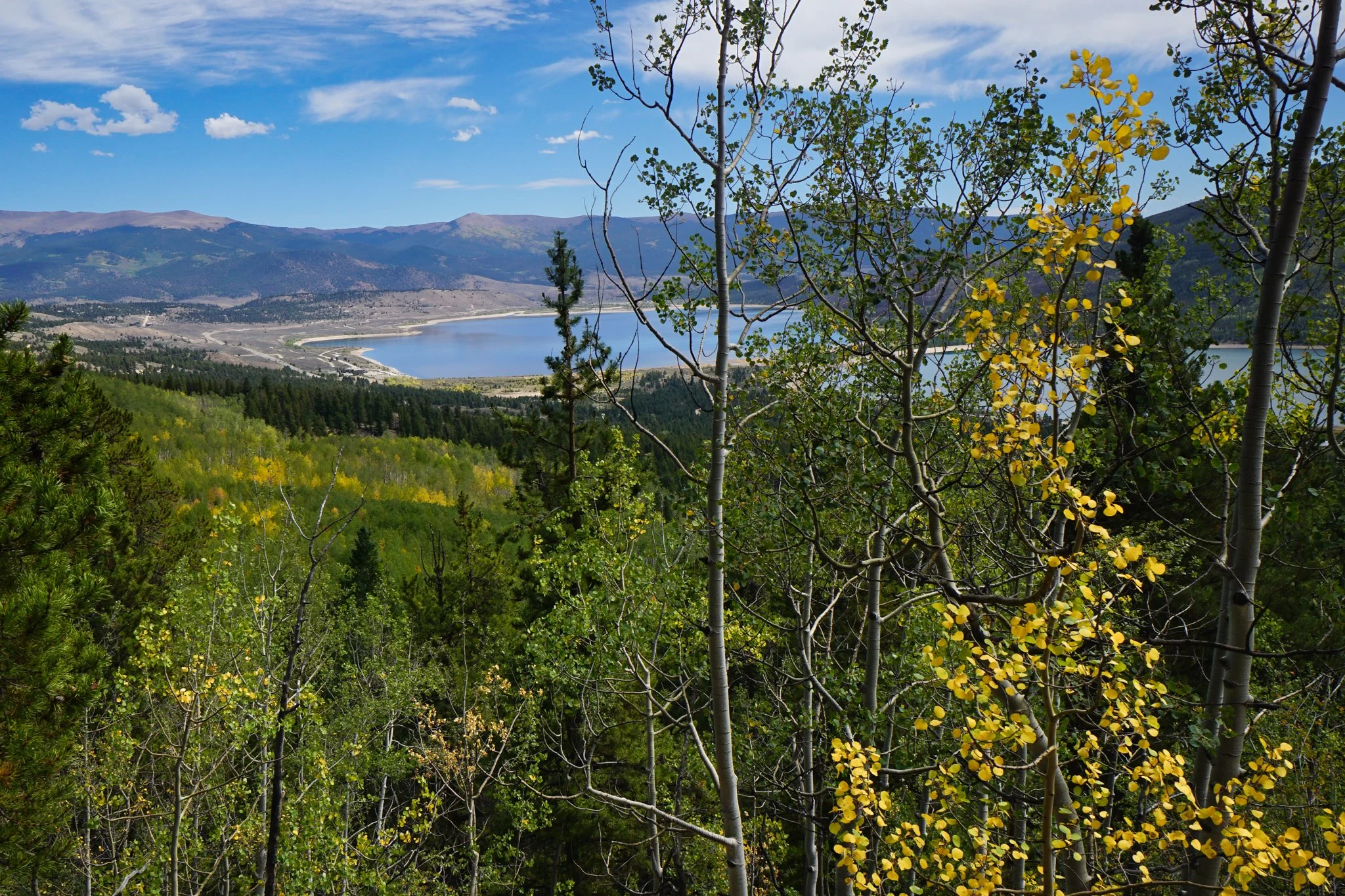
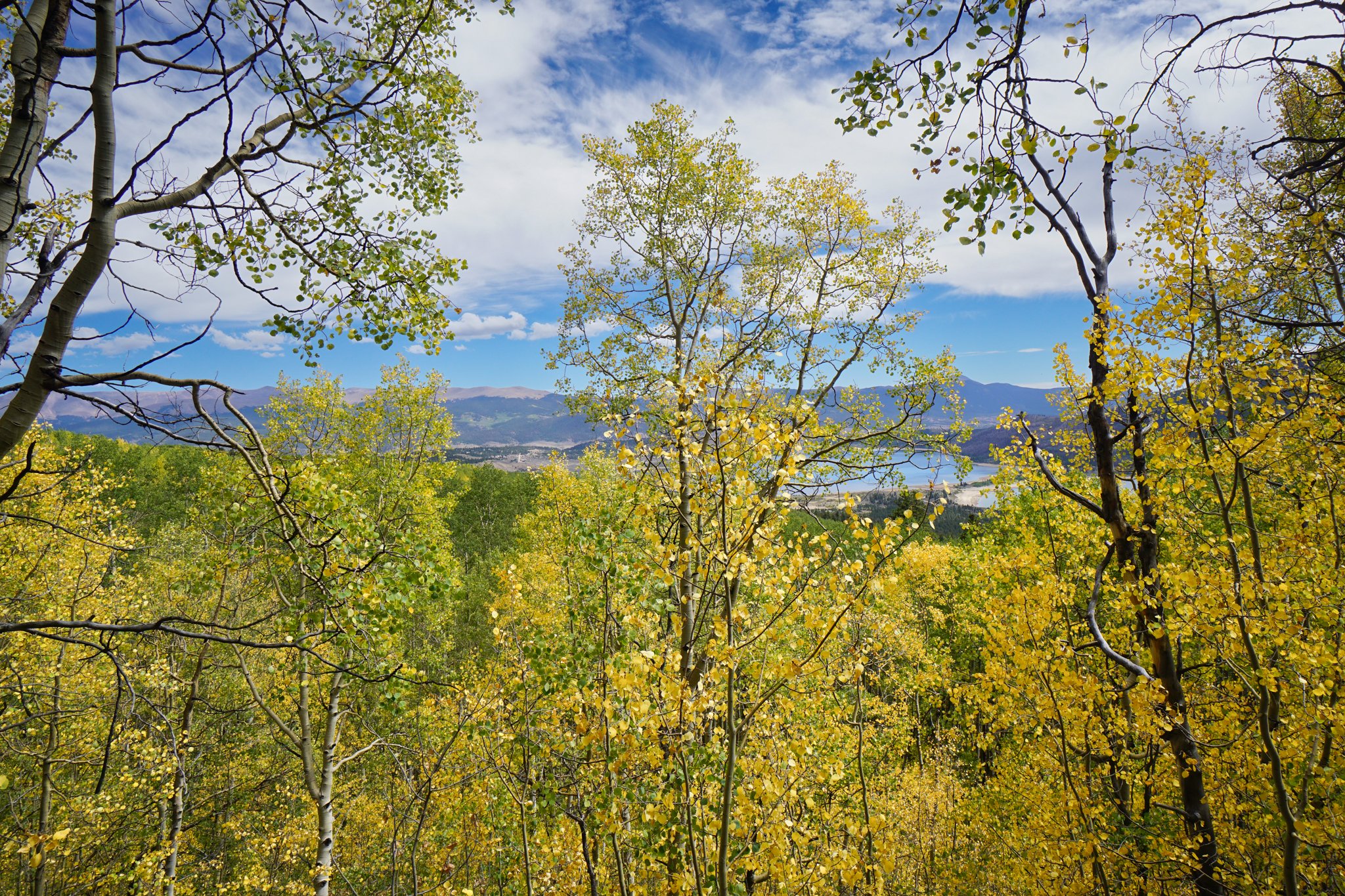
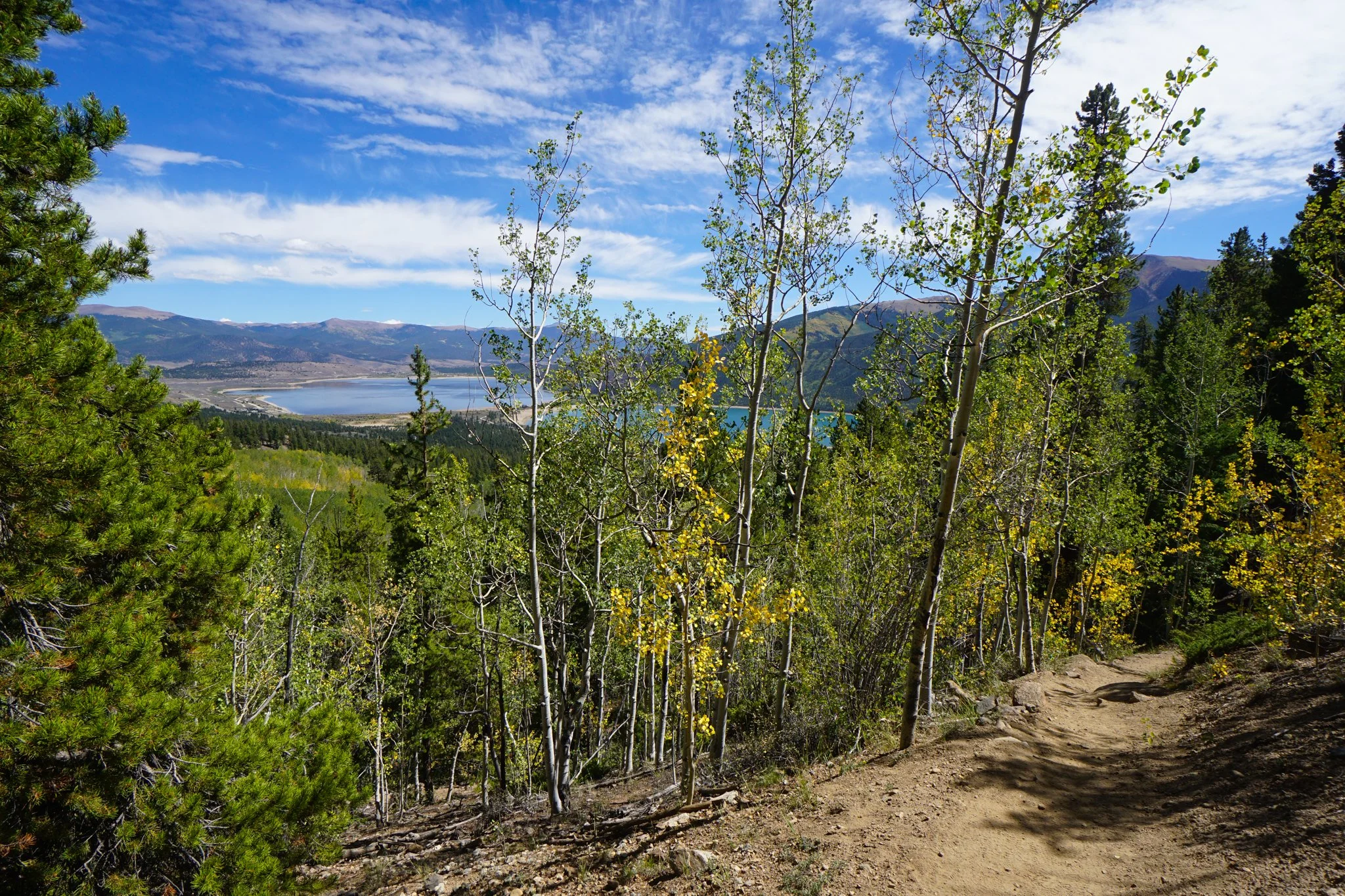
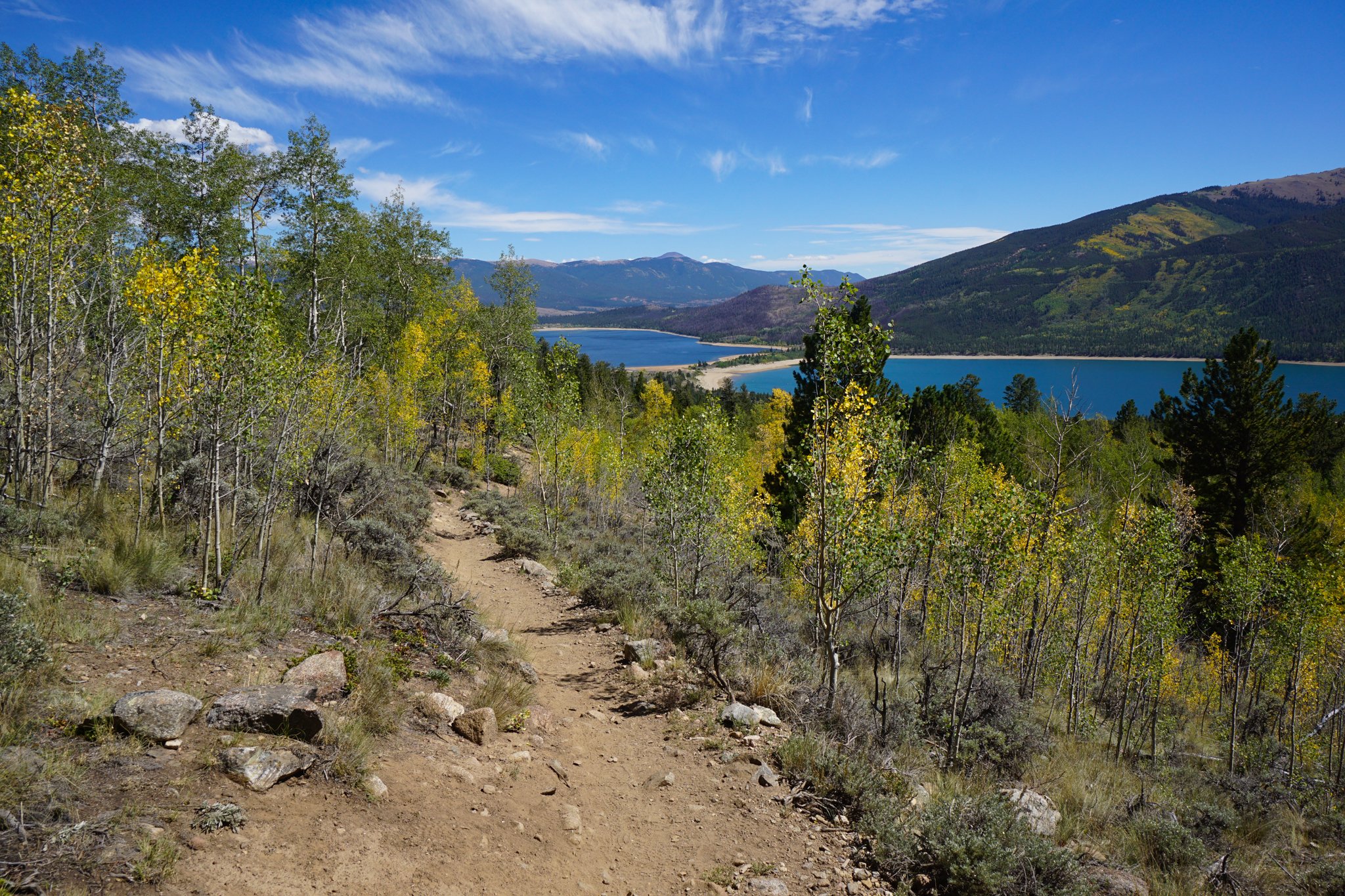
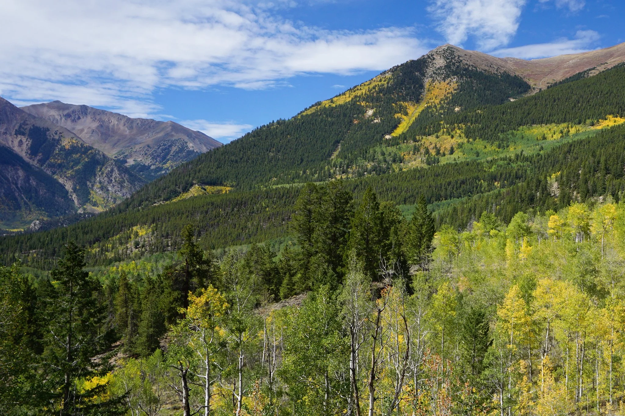
The hike is relatively easy, though there are a few steep sections. From the trailhead you cut across sage hills with tremendous views down to Twin Lakes and the jaw-dropping peaks in the background, namely: Twin Peak (12,982ft); Rinker Peak (13,730 ft); Mt. Hope (13,940 ft); and Mt. Blaurock (13,592 ft). La Plata Peak (14,360 ft) is hiding in the background for those of you with eagle eyes. Also notable from the slopes of Mt. Elbert (which you are hiking on), is Parry Peak (12,674 ft) and Mt. Cosgriff (13,566 ft), just look west…ok, Sawatch geography lesson over…for now…
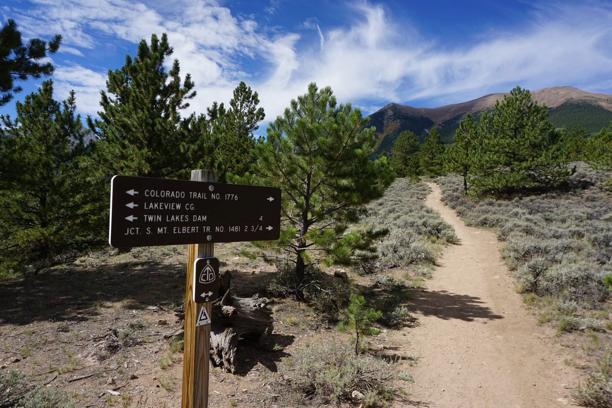
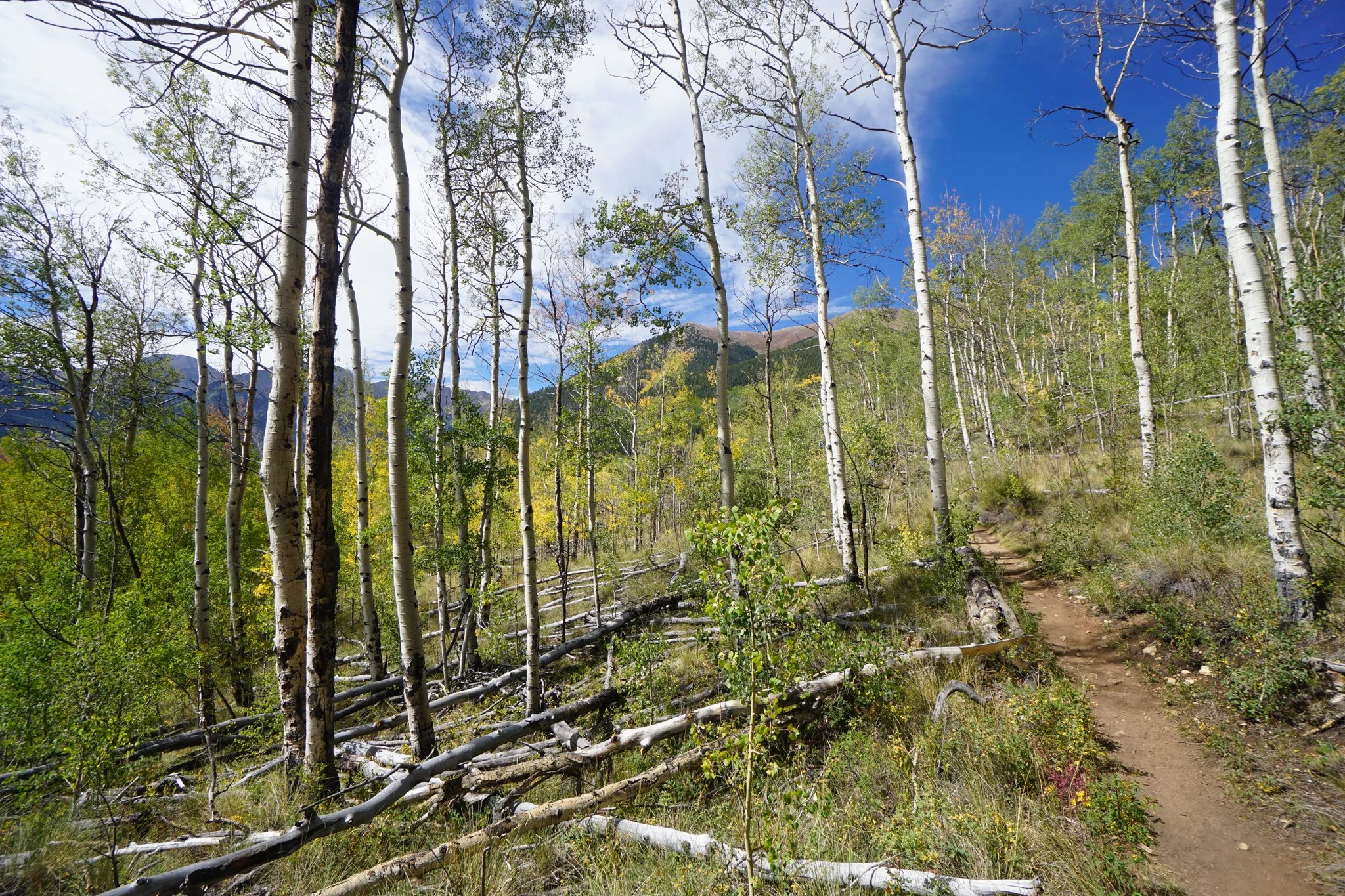
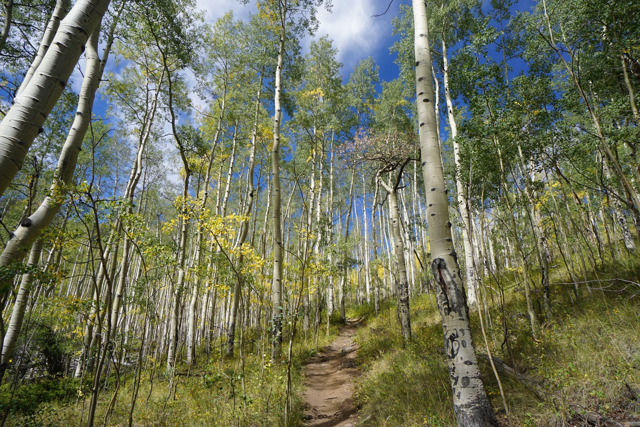
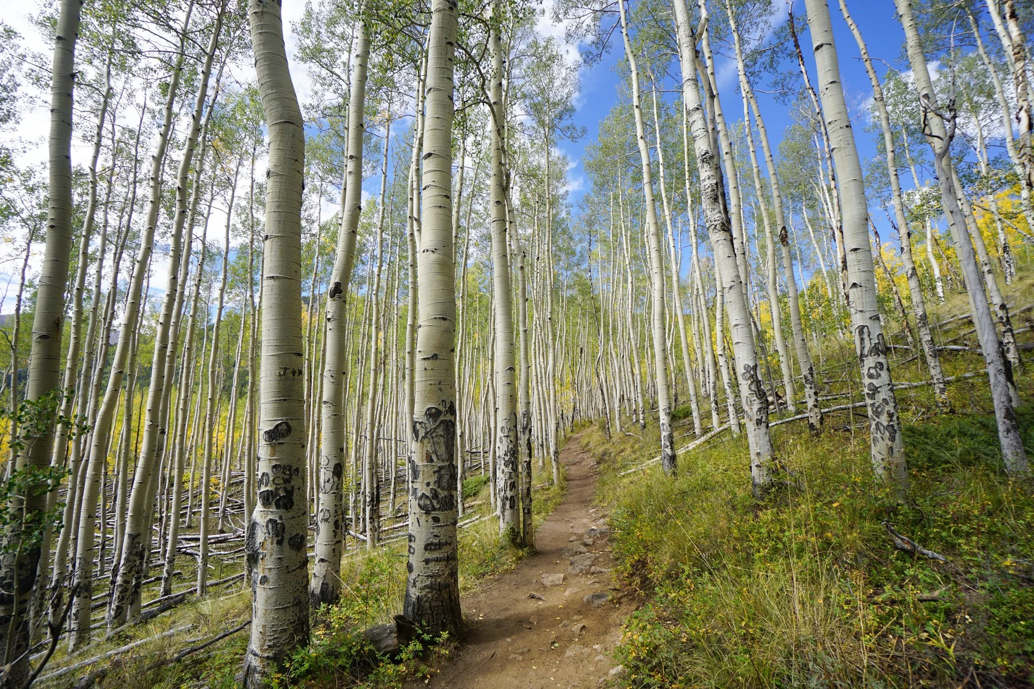
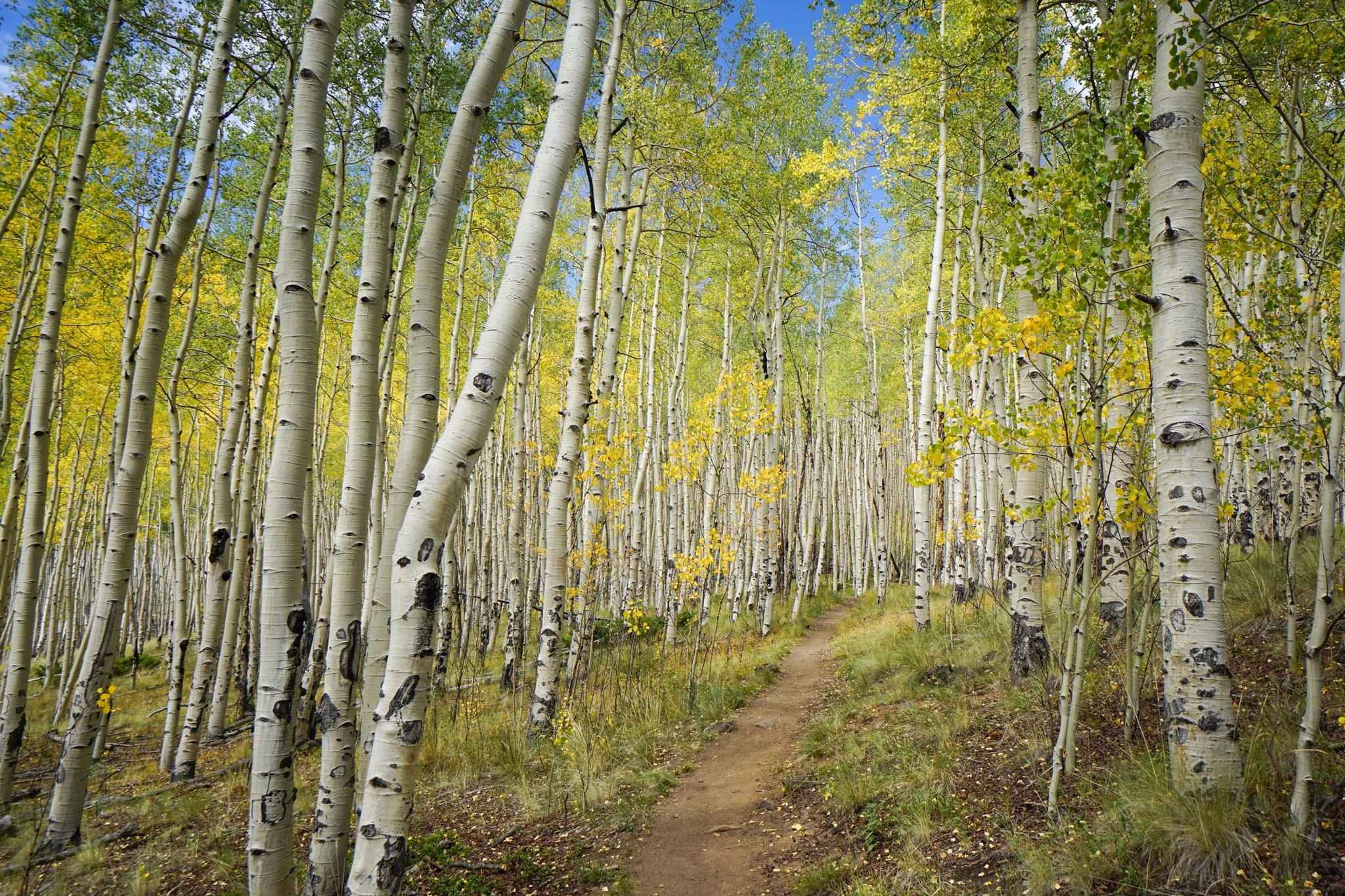
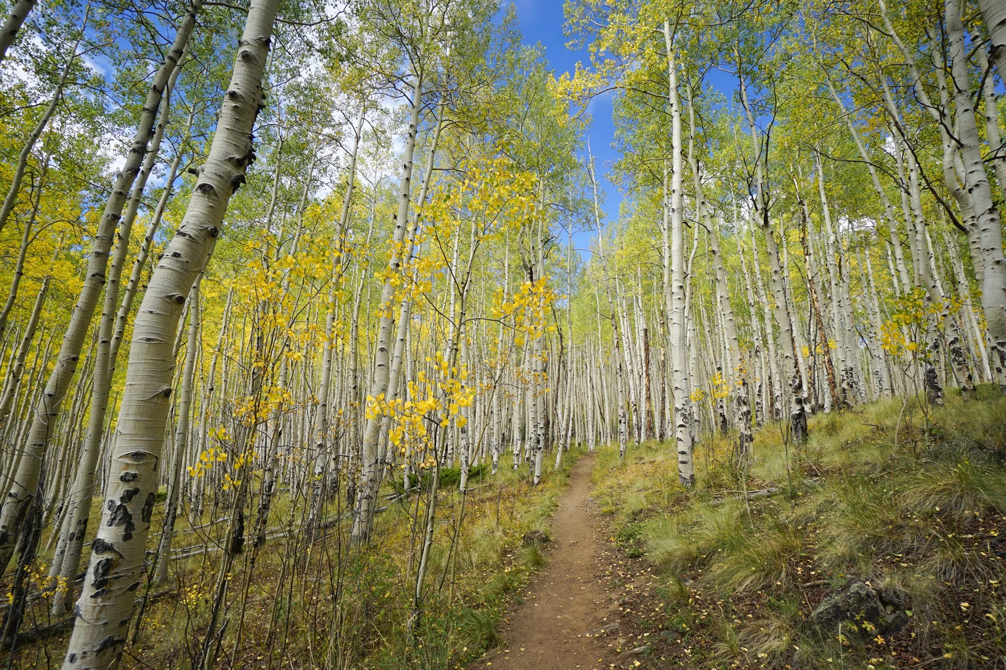
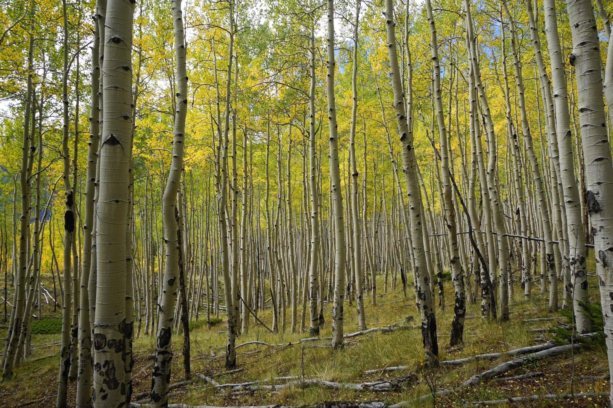
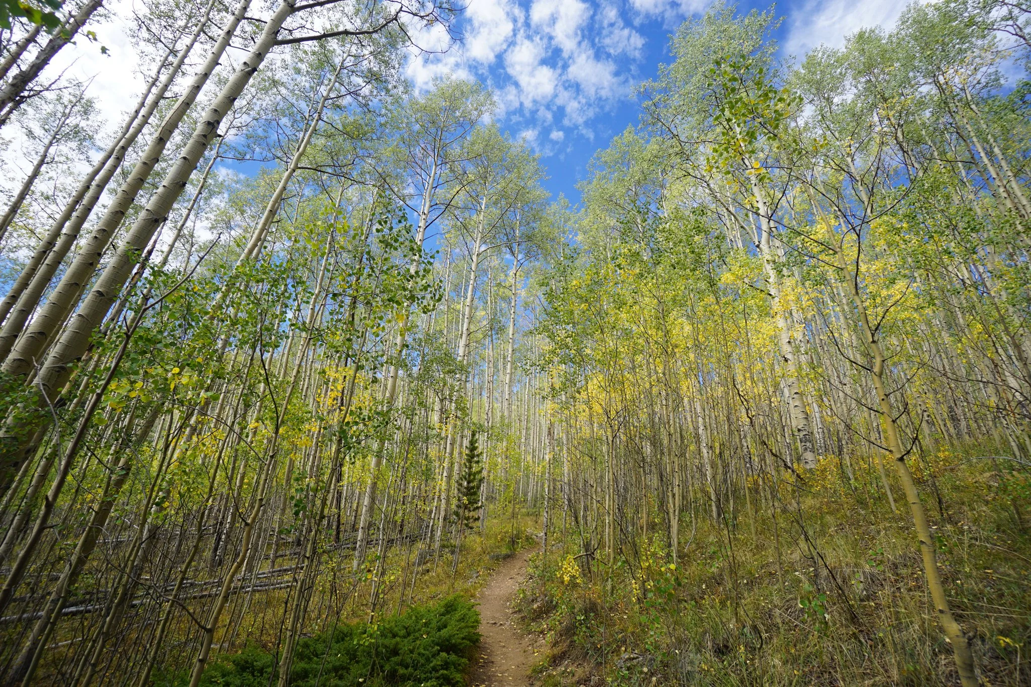
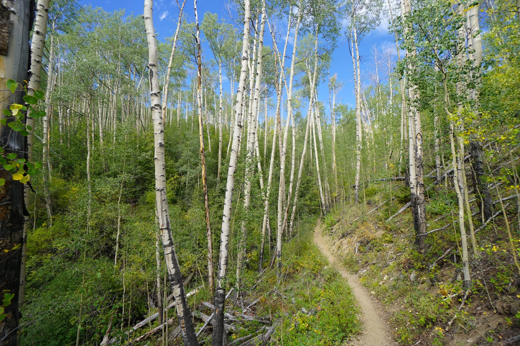
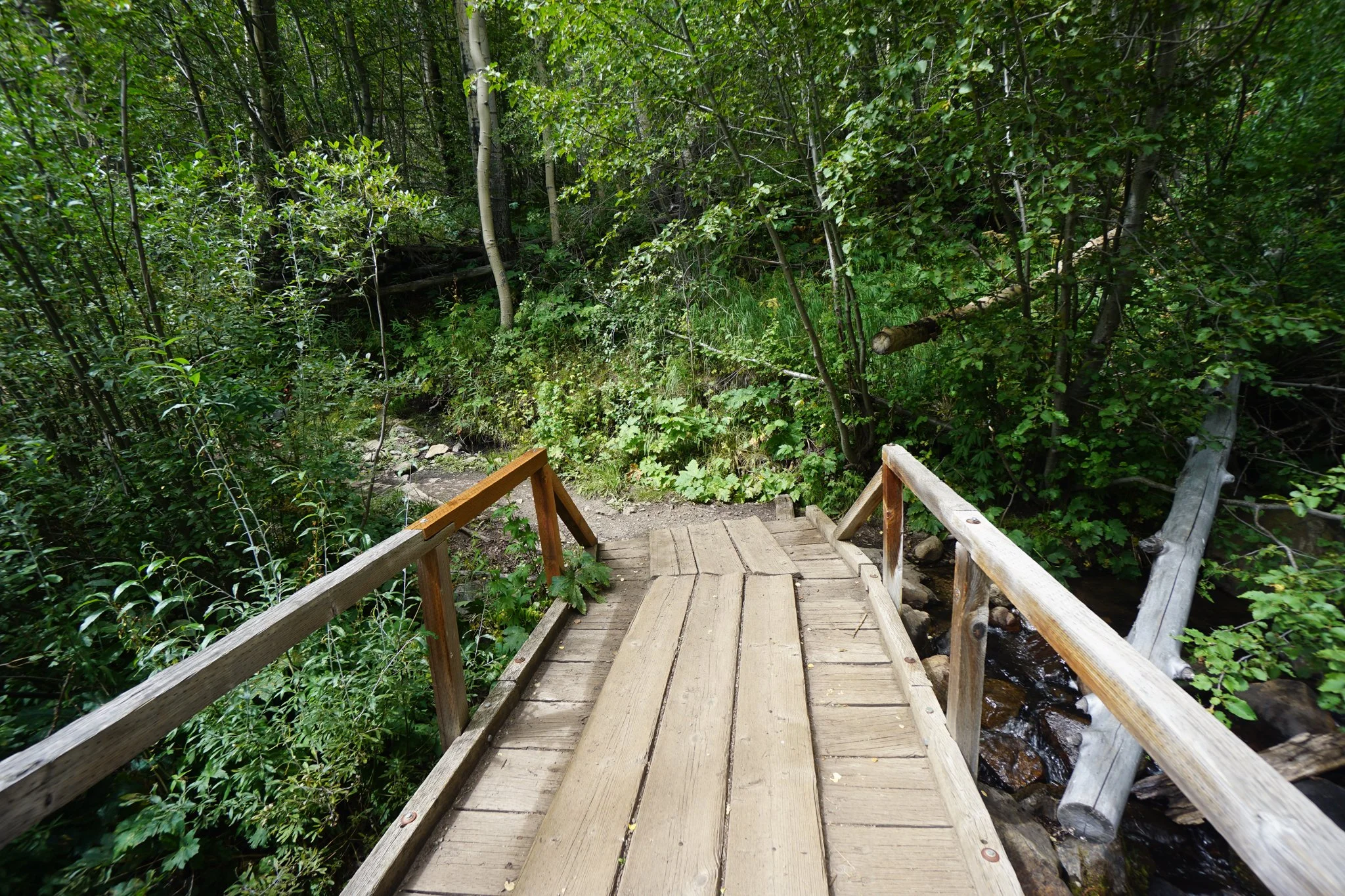
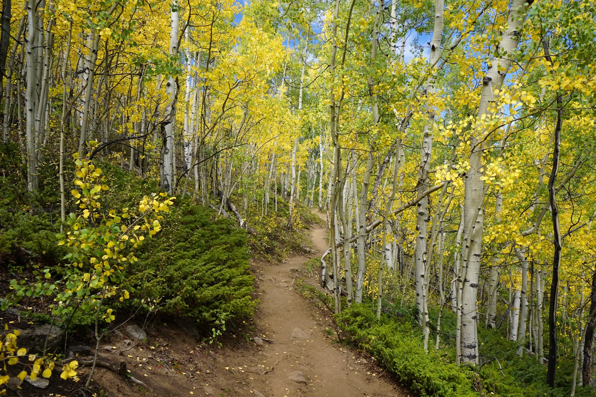
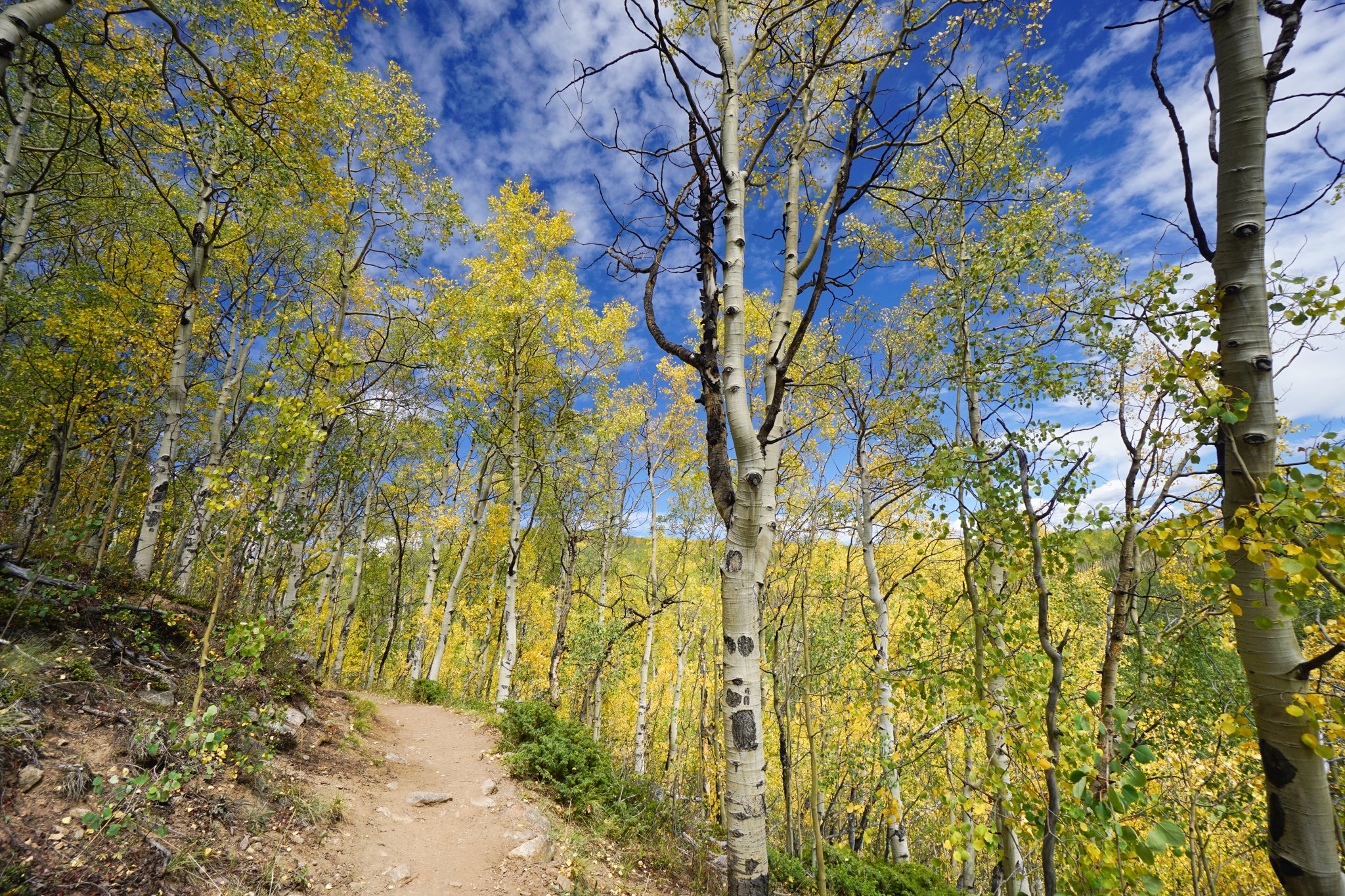
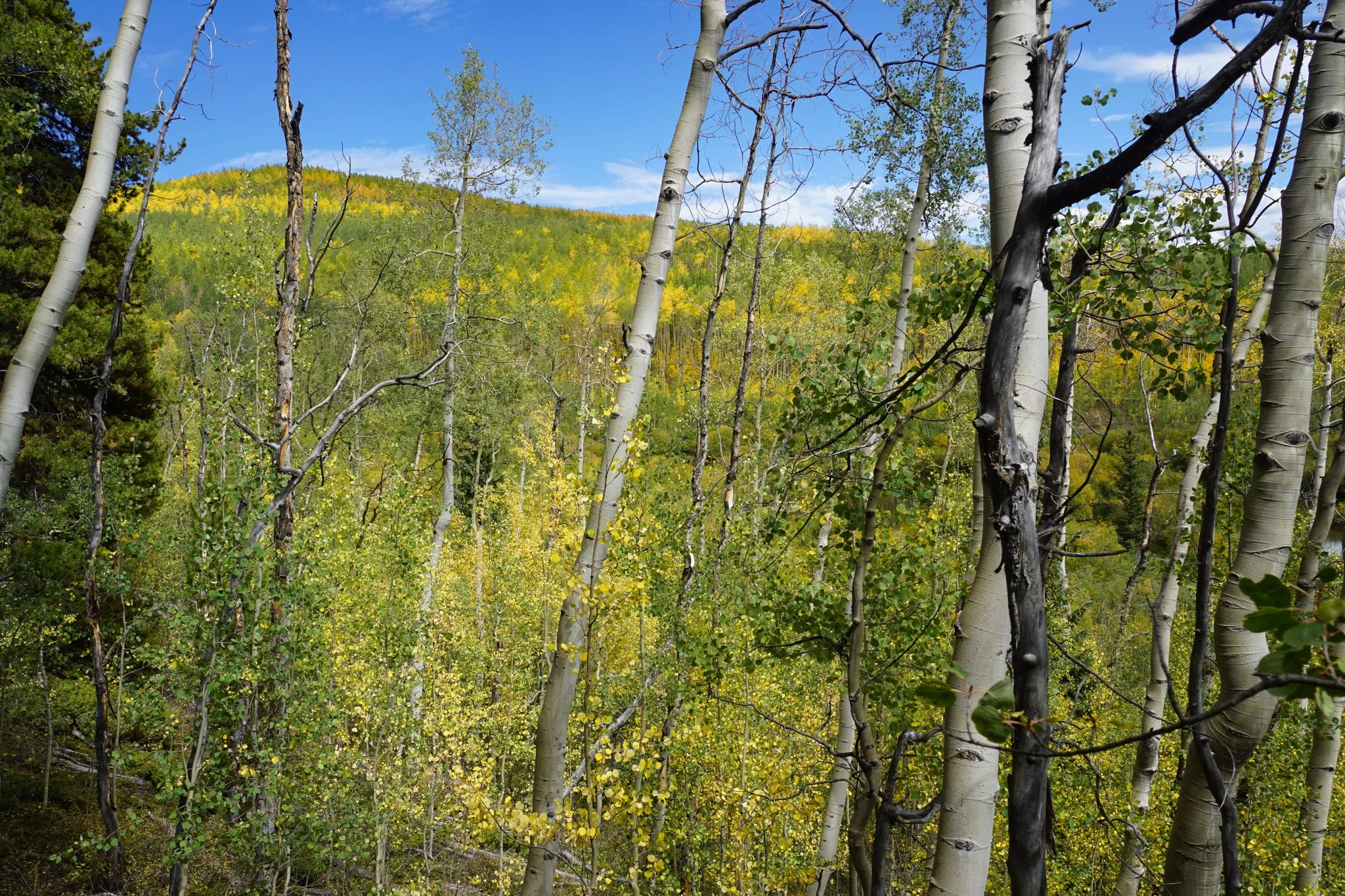
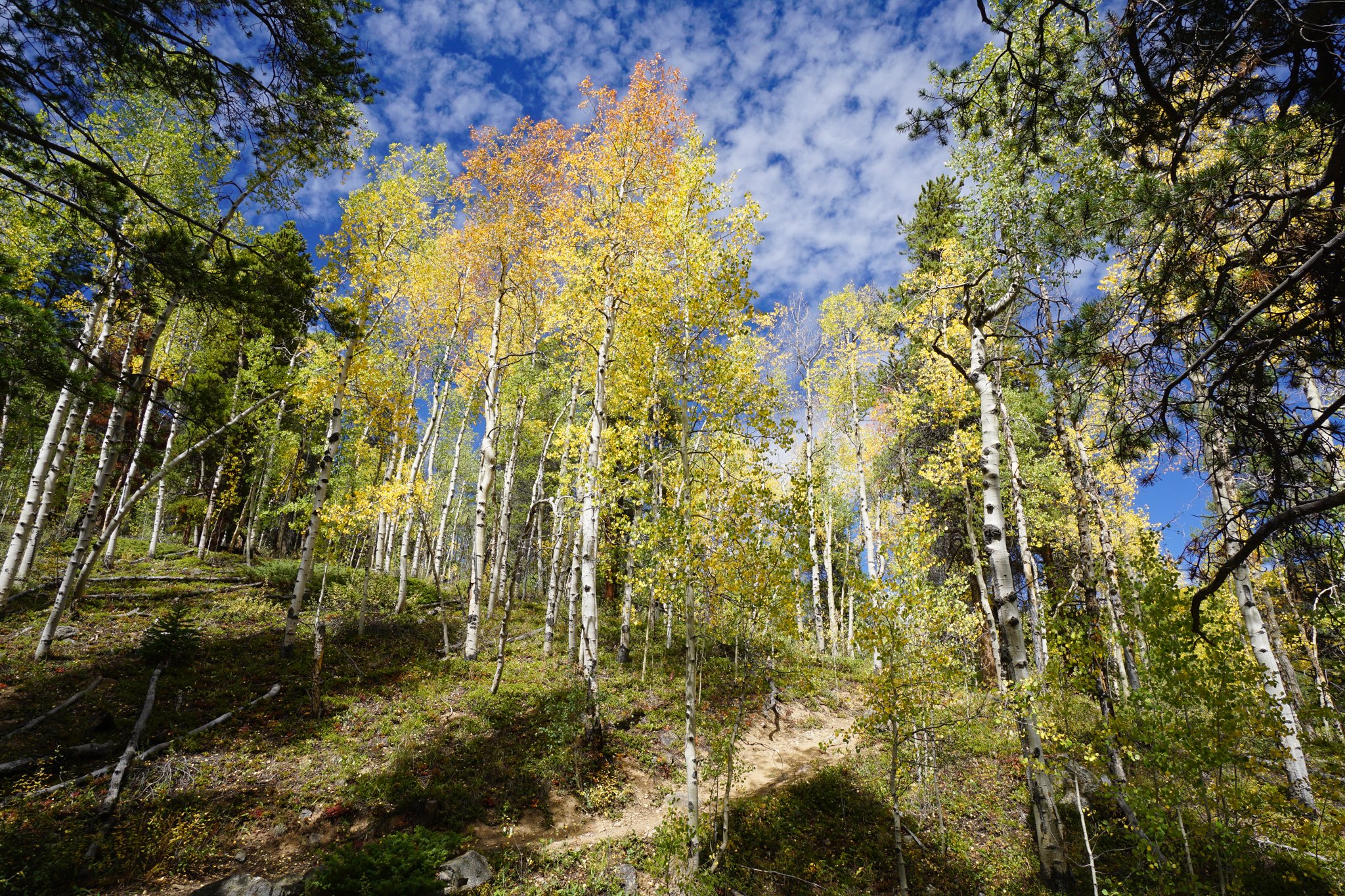
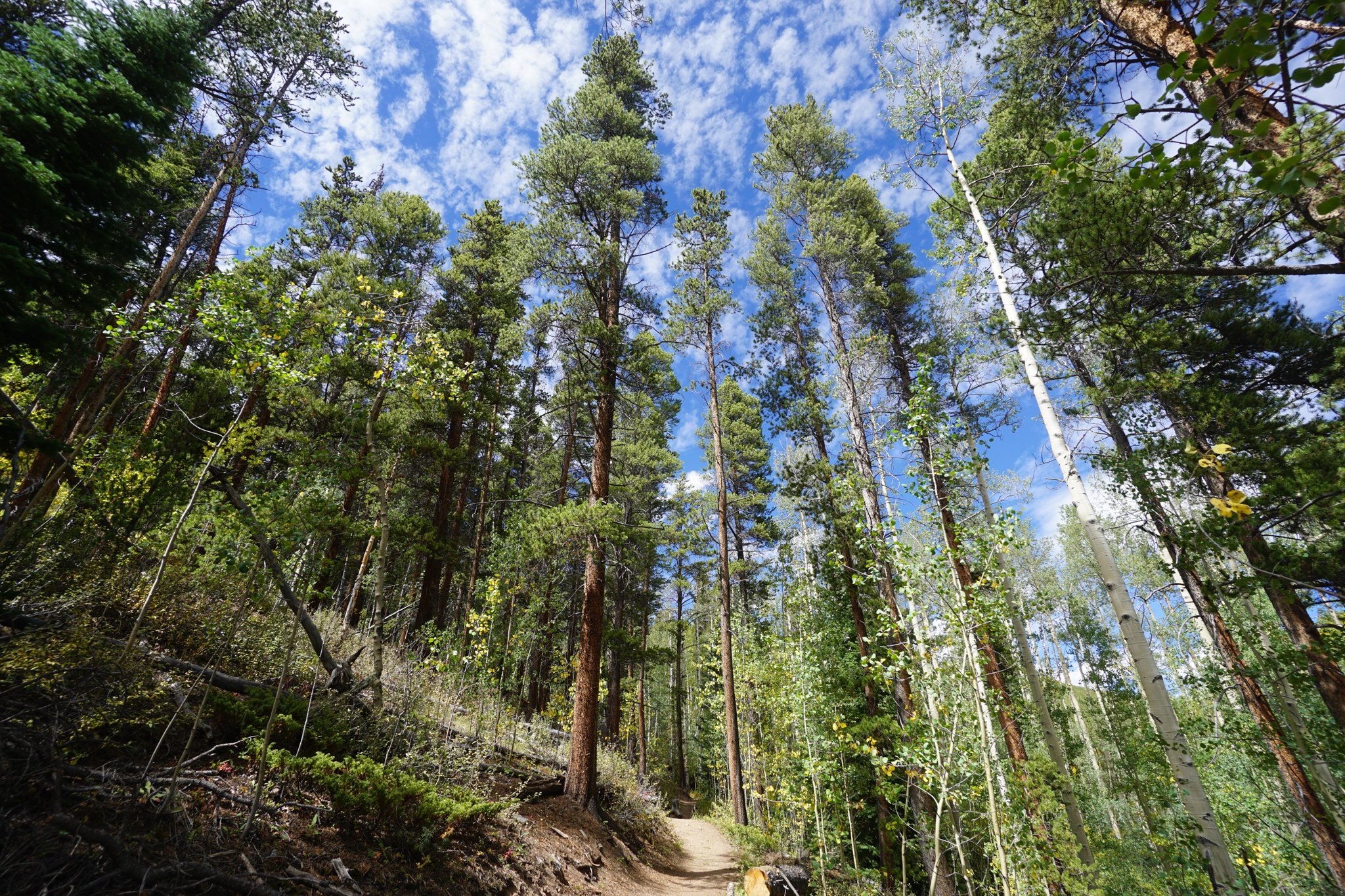
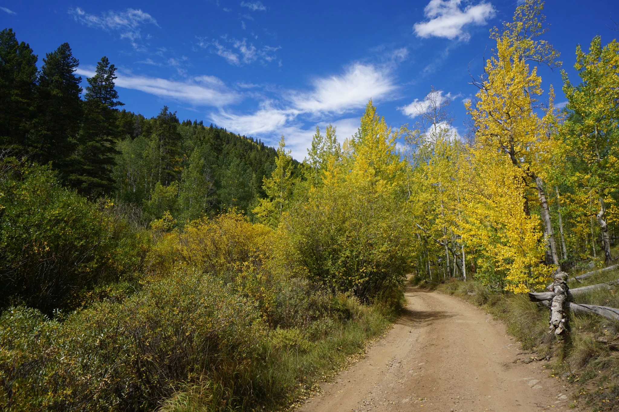
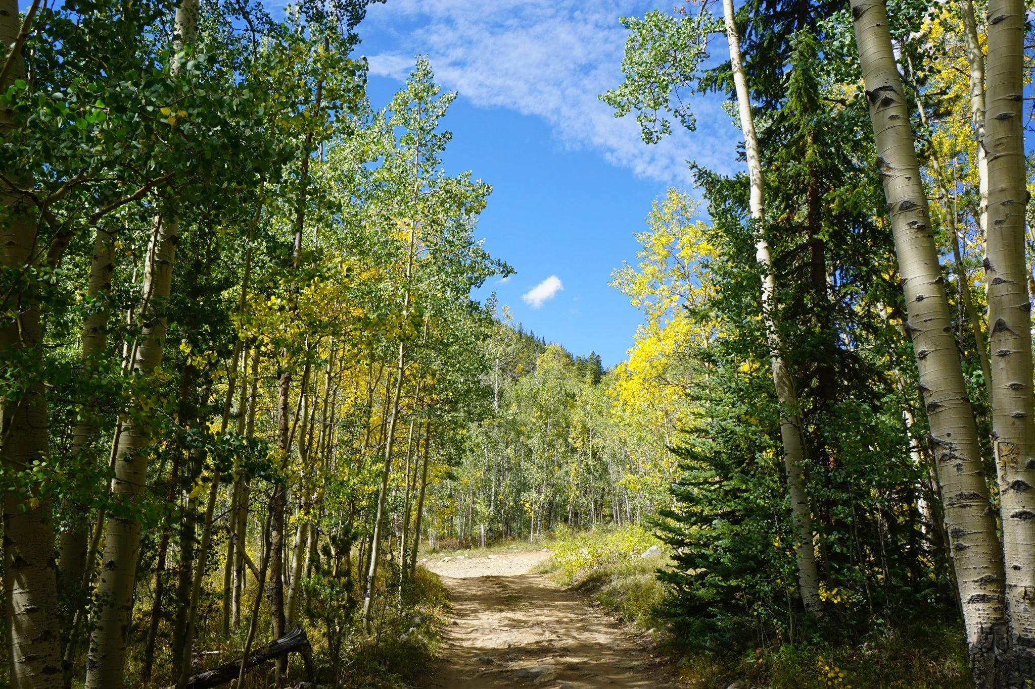
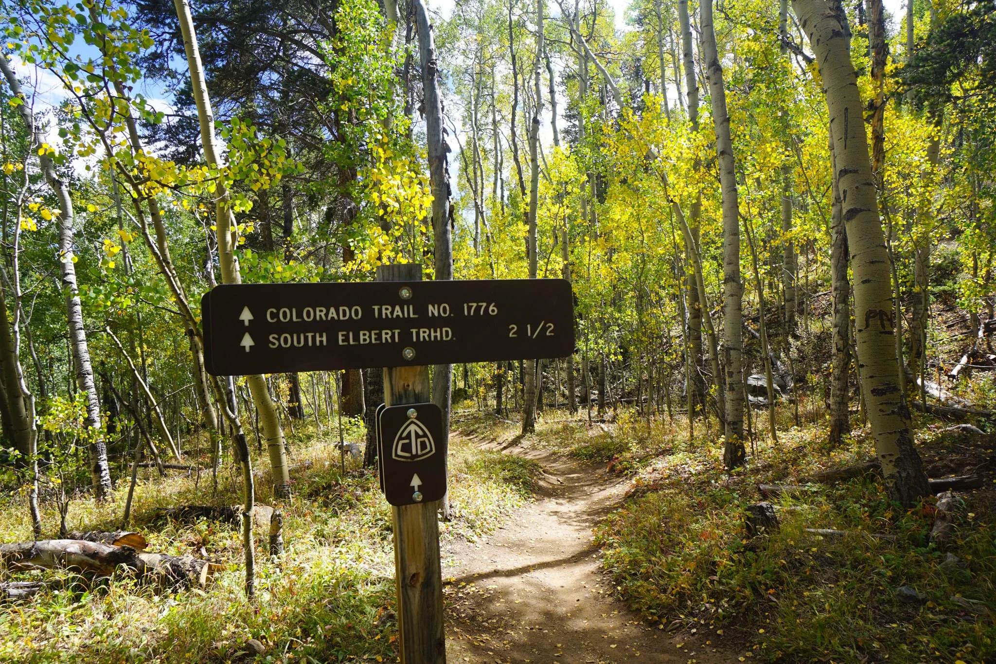
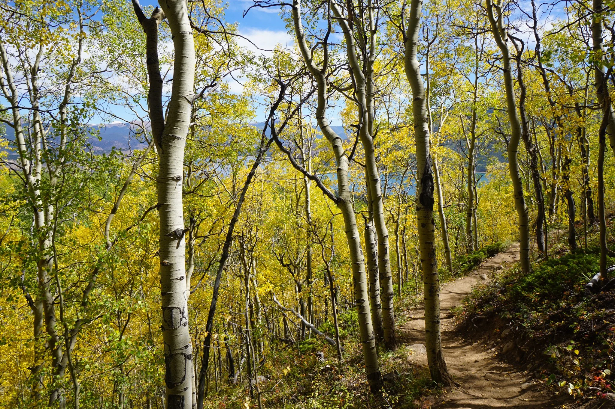
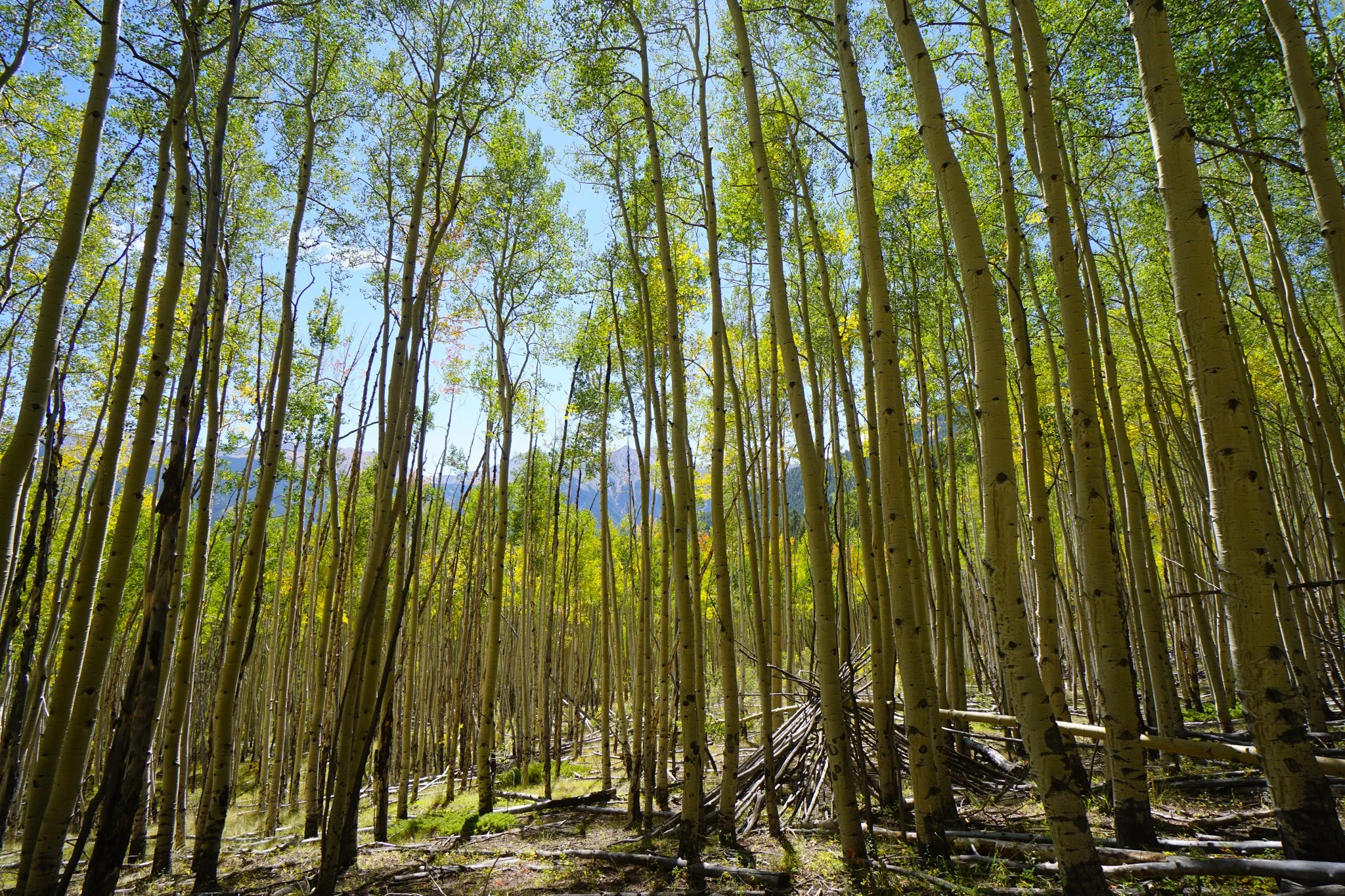
A quarter mile from the trailhead, you’ll intercept the CO Trail and start gaining some elevation along a gentle grade. If you are hiking in the fall, the aspens with Cosgriff and Parry in the background are particularly mind-blowing. Soon you enter an enormous aspen grove, a pure joy to hike through in September. You hike through the grove for about half a mile before the trial dips down a ravine and crosses a footbridge. On the other side of the creek, the trail gets a bit steeper. As you gain elevation, more views of Twin Lakes arrive, amazing with the aspens aglow.
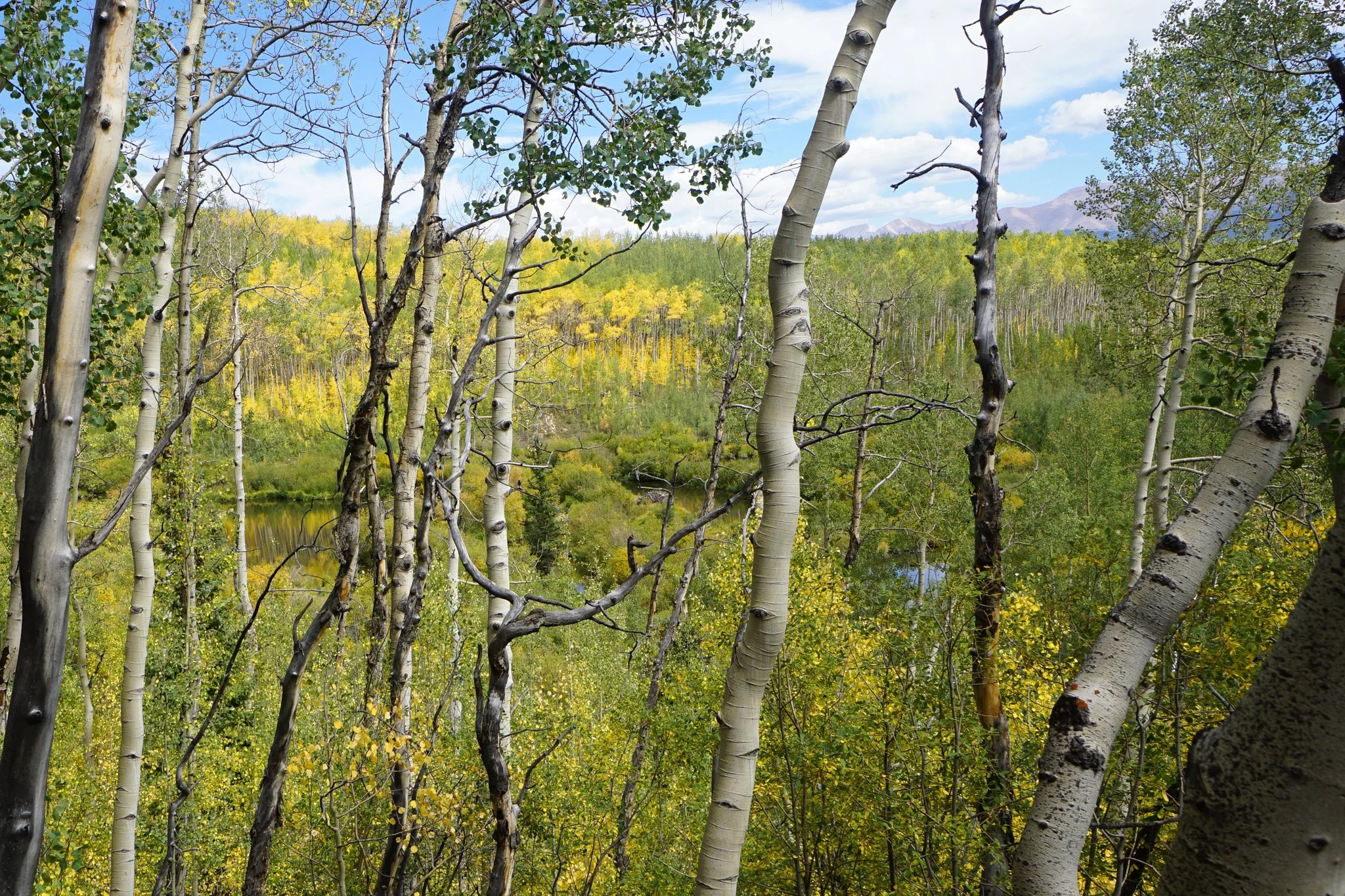
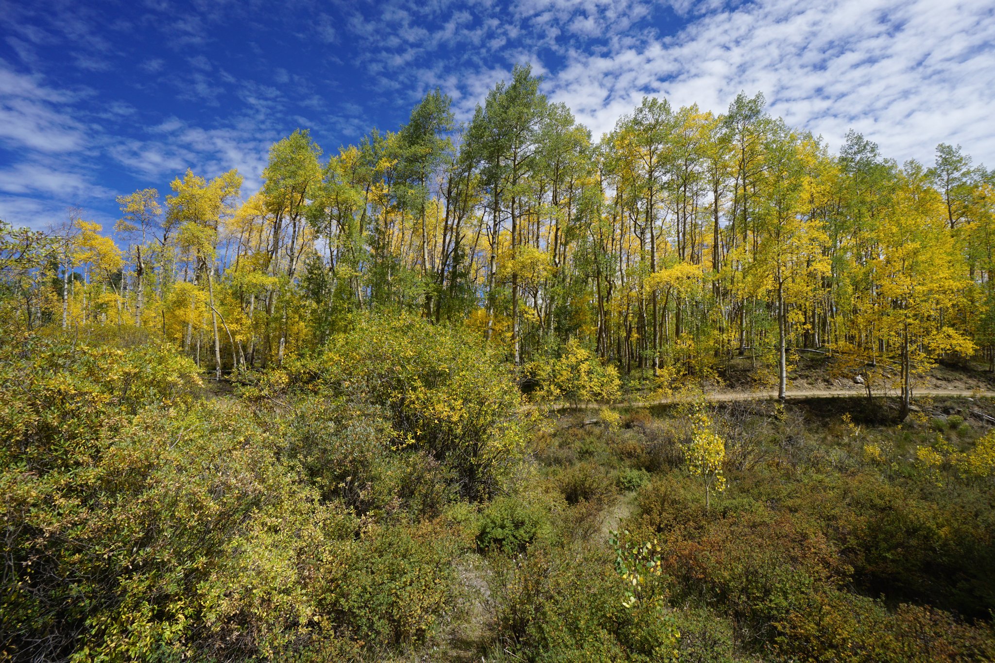
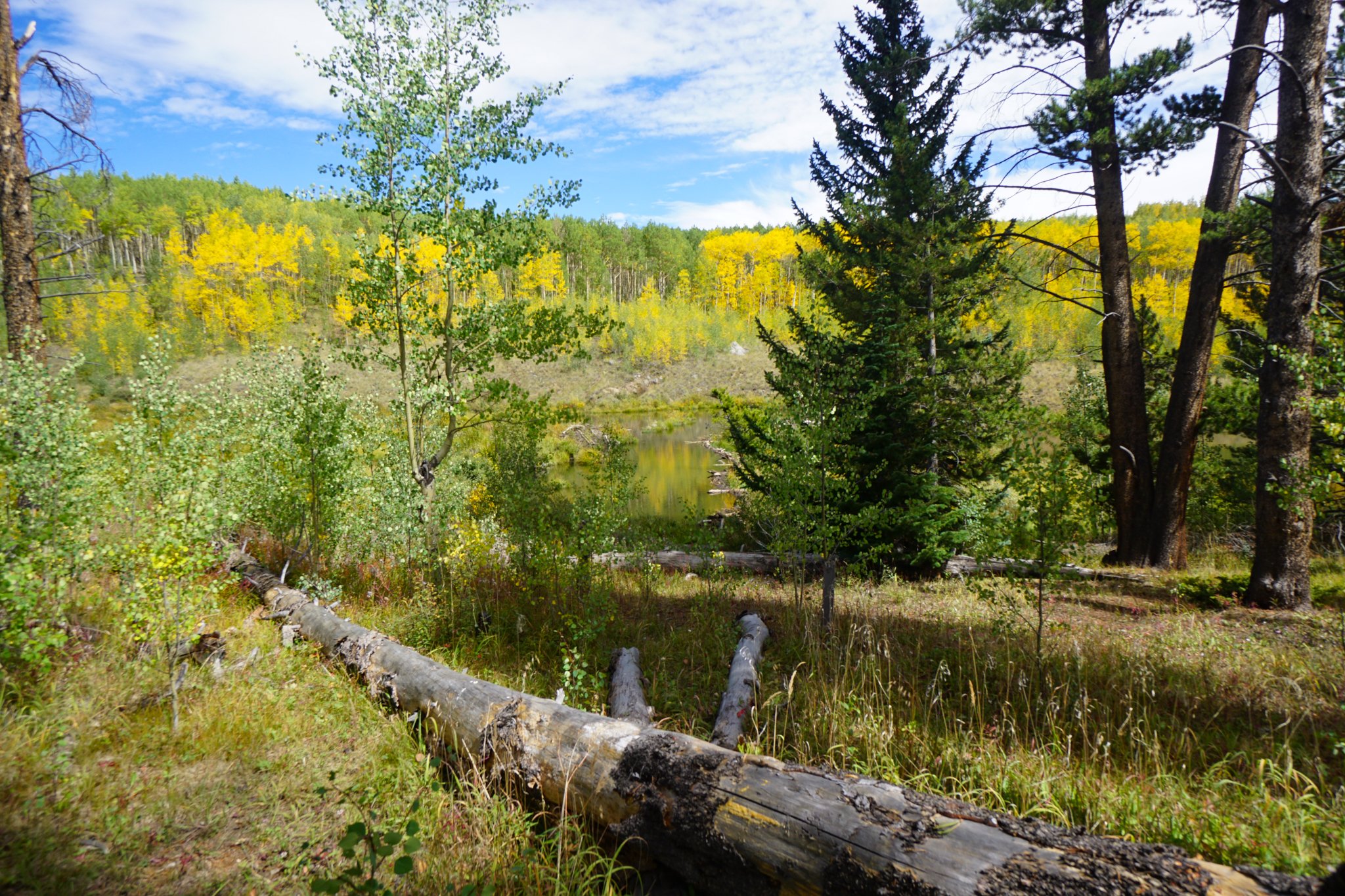
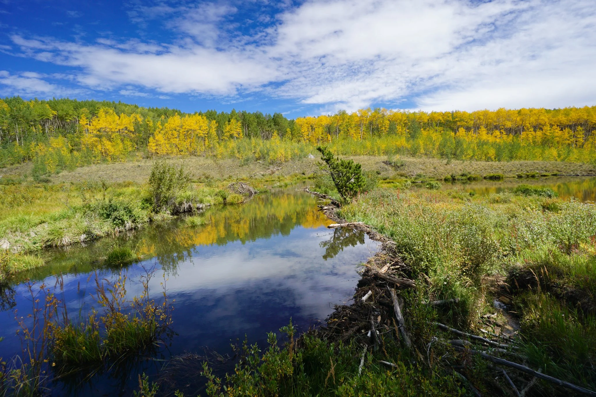
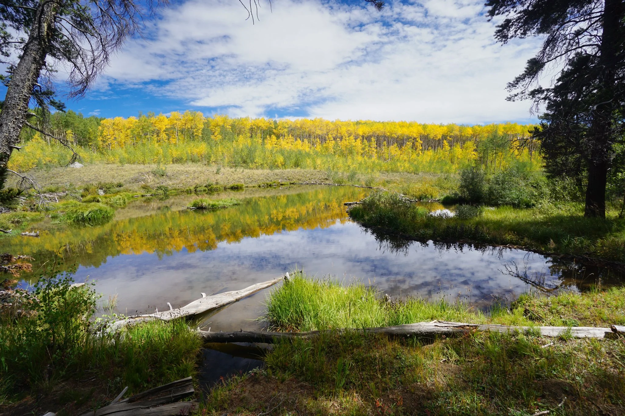
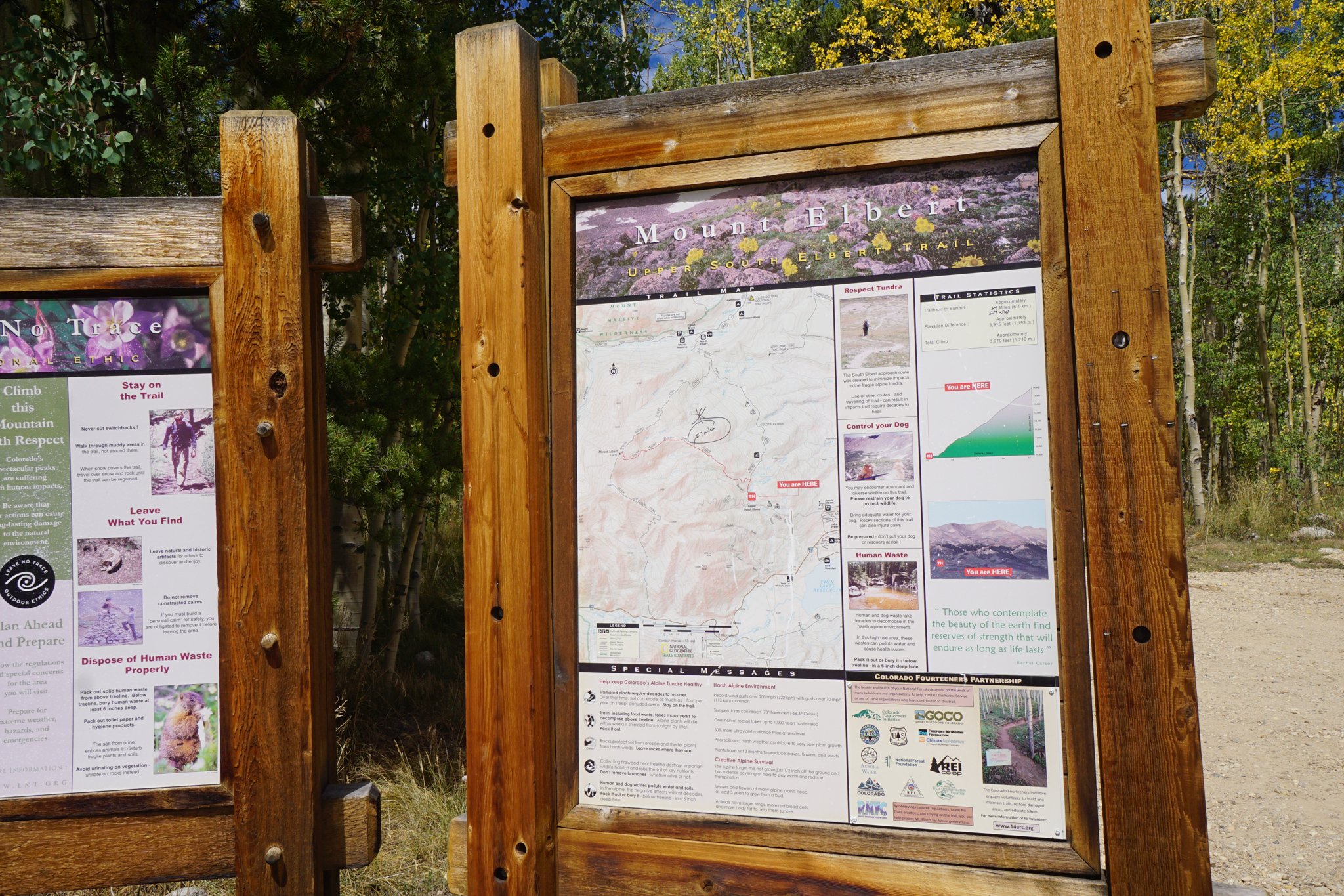
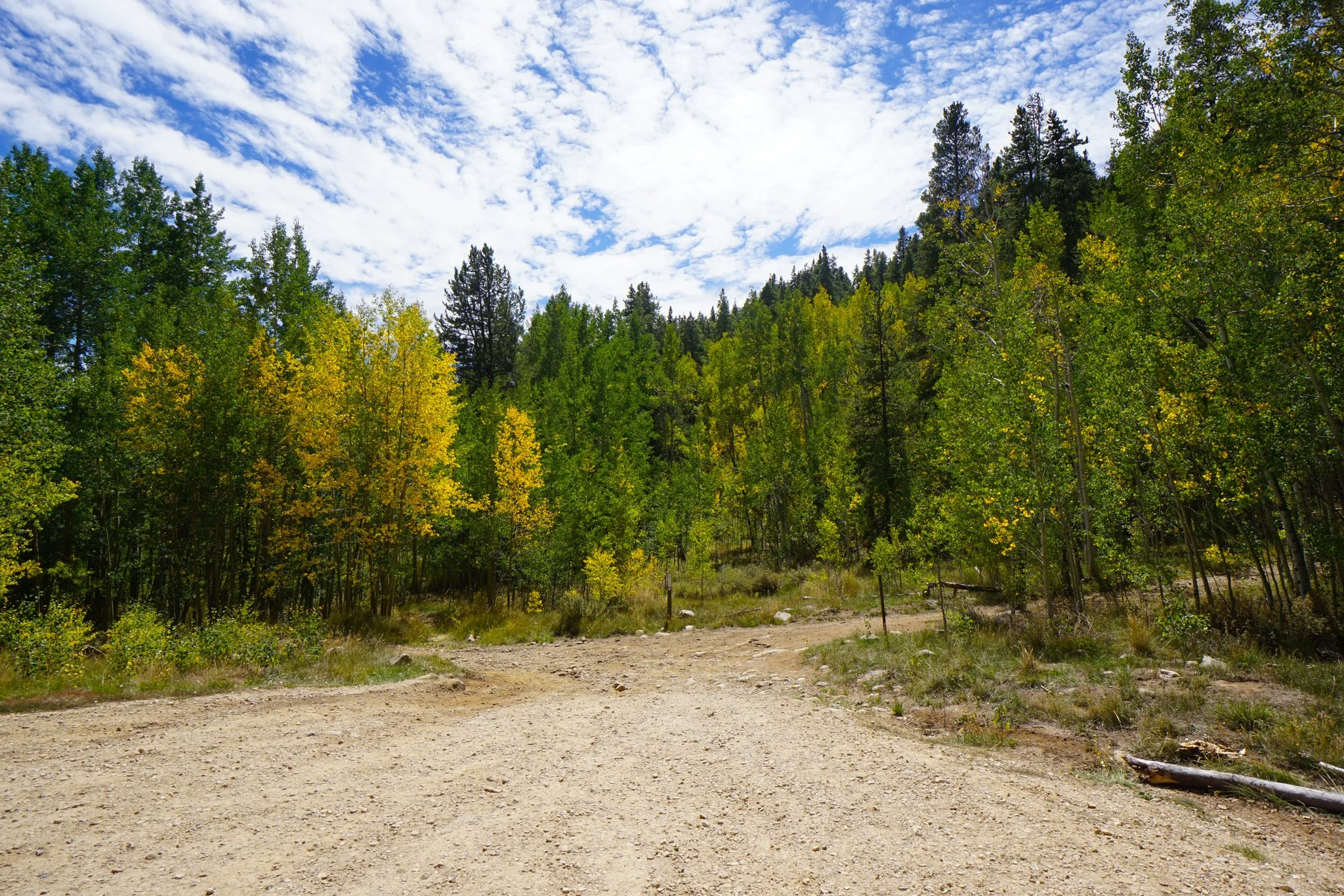
The next section of trail follows a series of incredible beaver dams and ponds in between the CO Trail and the dirt road on the far side. The CO Trail and the road meet about two miles from the trailhead. Keep an eye out for a social trail or turn right on the dirt road at the junction. There is an easy to find pond east of the dirt road, down a closed turnoff which seems to be used as a backcountry camp site. The pond is easy to find and incredibly scenic. In fall the aspens surround the pond and reflect in the still pond waters, the perfect spot to take a little rest before heading back down. Just beyond the junction of the CO Trail and the road is the Upper South Elbert Trailhead. If you are climbing Mt. Elbert, continue and good luck, if not, this is the turnaround point of this hike. The hike back down is wonderful; you get to revisit the fall colors and the views. When all is said and done, you’ll have hiked about 4.5 miles.
This is one of the best hikes for taking in views of Twin Lakes and the surrounding peaks. It’s relatively easy, easy to access, and in the fall, the colors will stun and amaze you. Take some time and enjoy this part of the Sawatch Range, year after year, it’s still incredible.