City Lights Ridge (via Burro Trail)
Golden Gate Canyon State Park
Date Hiked: June 6, 2024
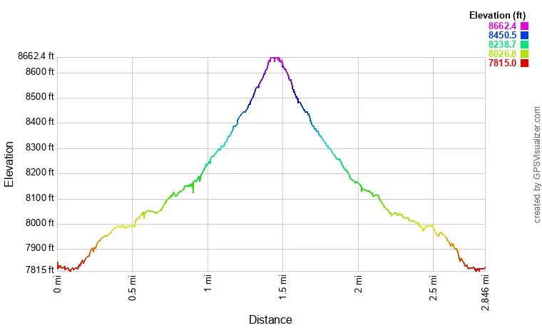
Distance: 2.6 mi (RT)
Elevation Gain: 815 ft
Elevation Min/Max: 7,822 to 8,648 ft
Trailhead Lat/Long: 39.84611, -105.37832
Managing Agency: Colorado Division of Parks & Wildlife
Fee: Yes
HIKE DESCRIPTION:
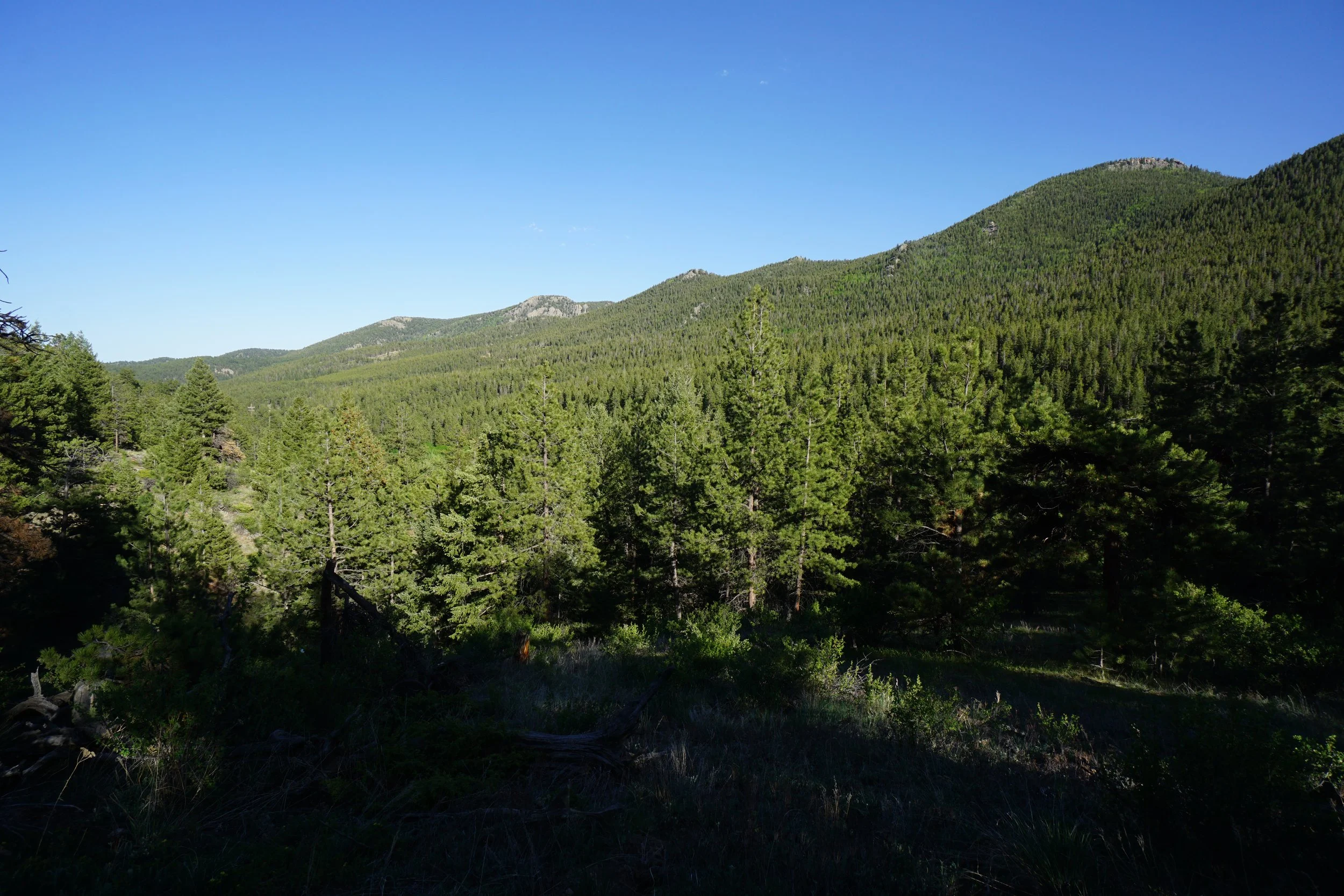
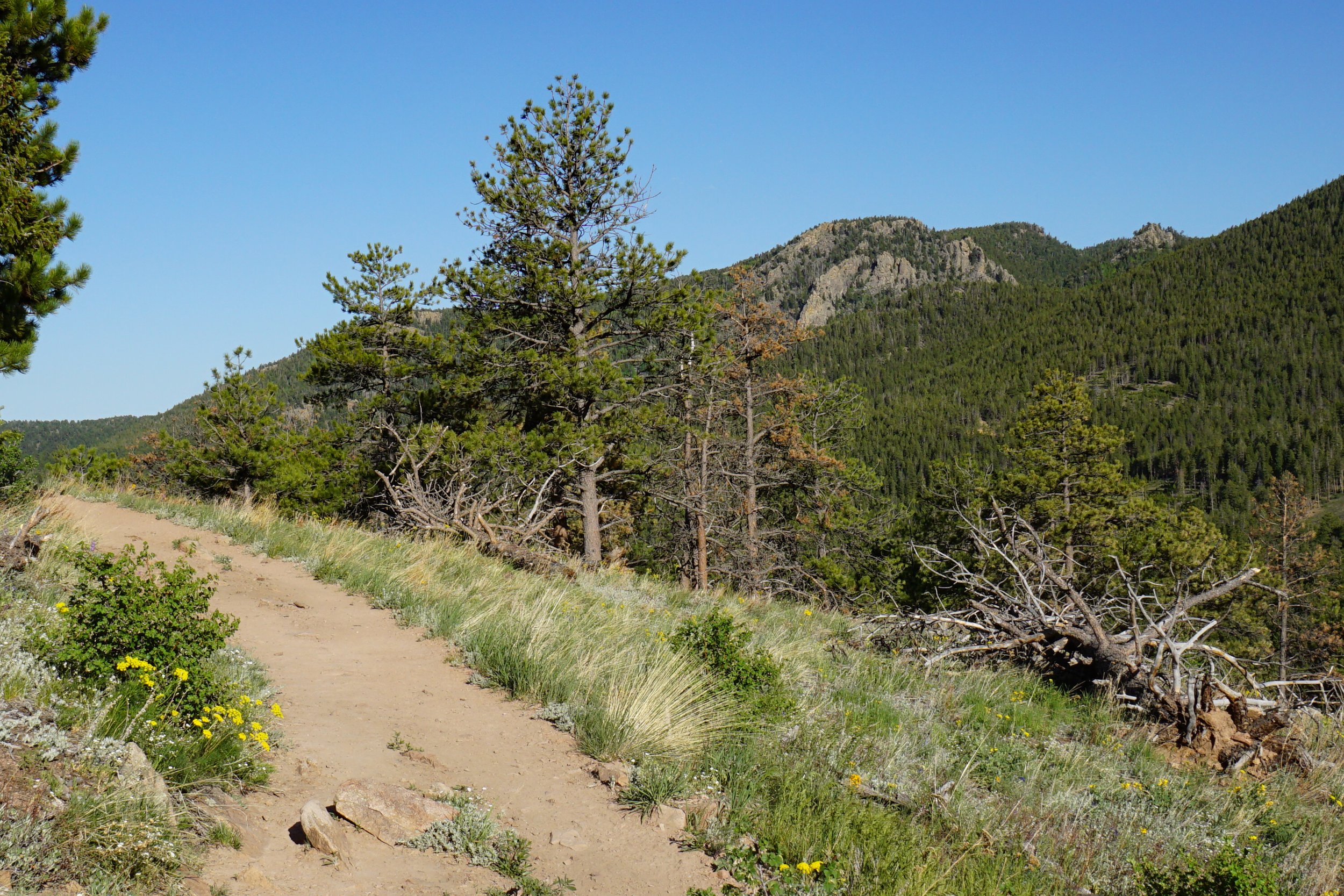
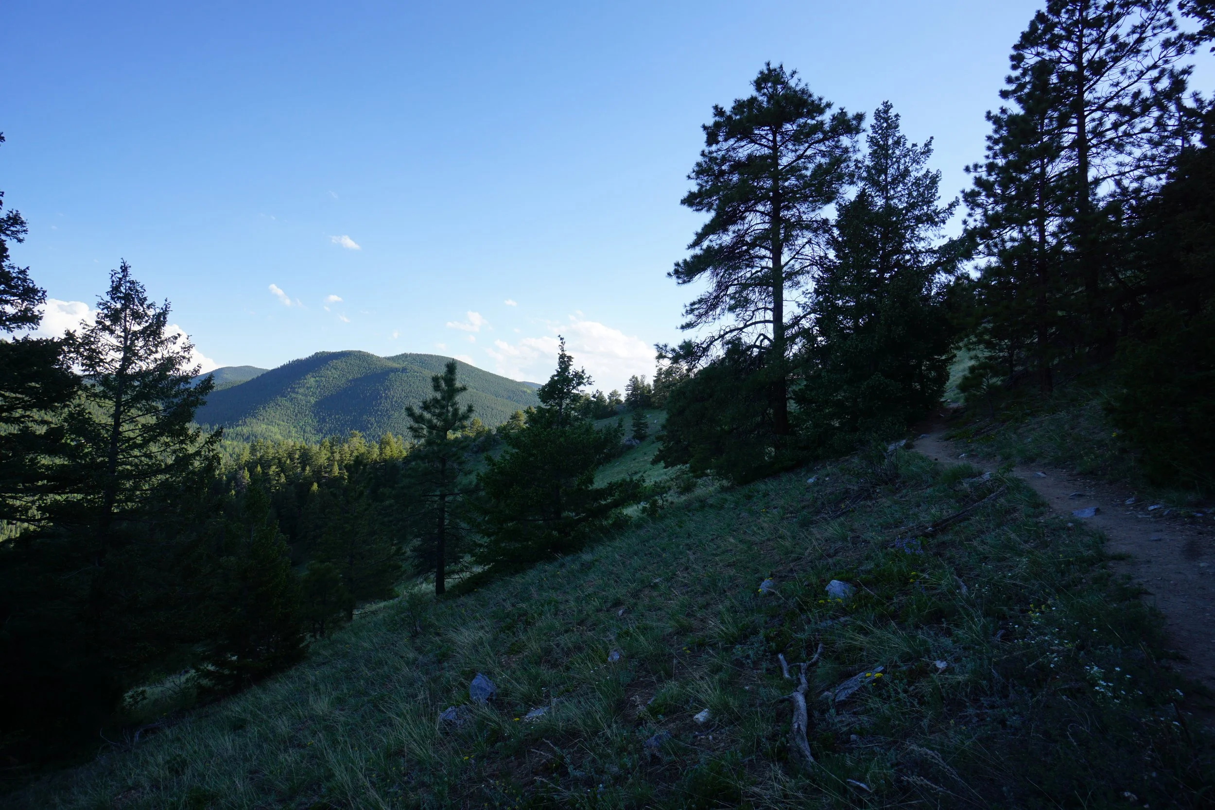
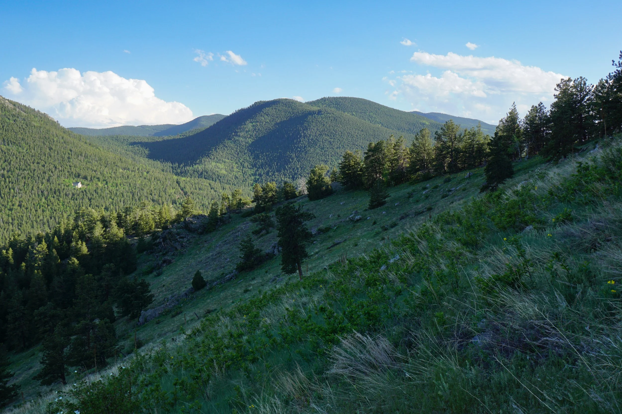
There are plenty of hikes in Golden Gate Canyon State Park, in a all shapes and sizes. If you are looking for a quick but still satisfying hike, then check out the City Lights Ridge Trail. The trail is a spur off of the popular Burro & Mountain Lion Trails. From start to finish, you gain more than 800 feet of elevation over about a mile and a half. The hike is steep in some sections but not overly difficult. The payoff for the steep parts of the trail is a wonderful view of the rolling hills of Golden Gate Canyon State Park.
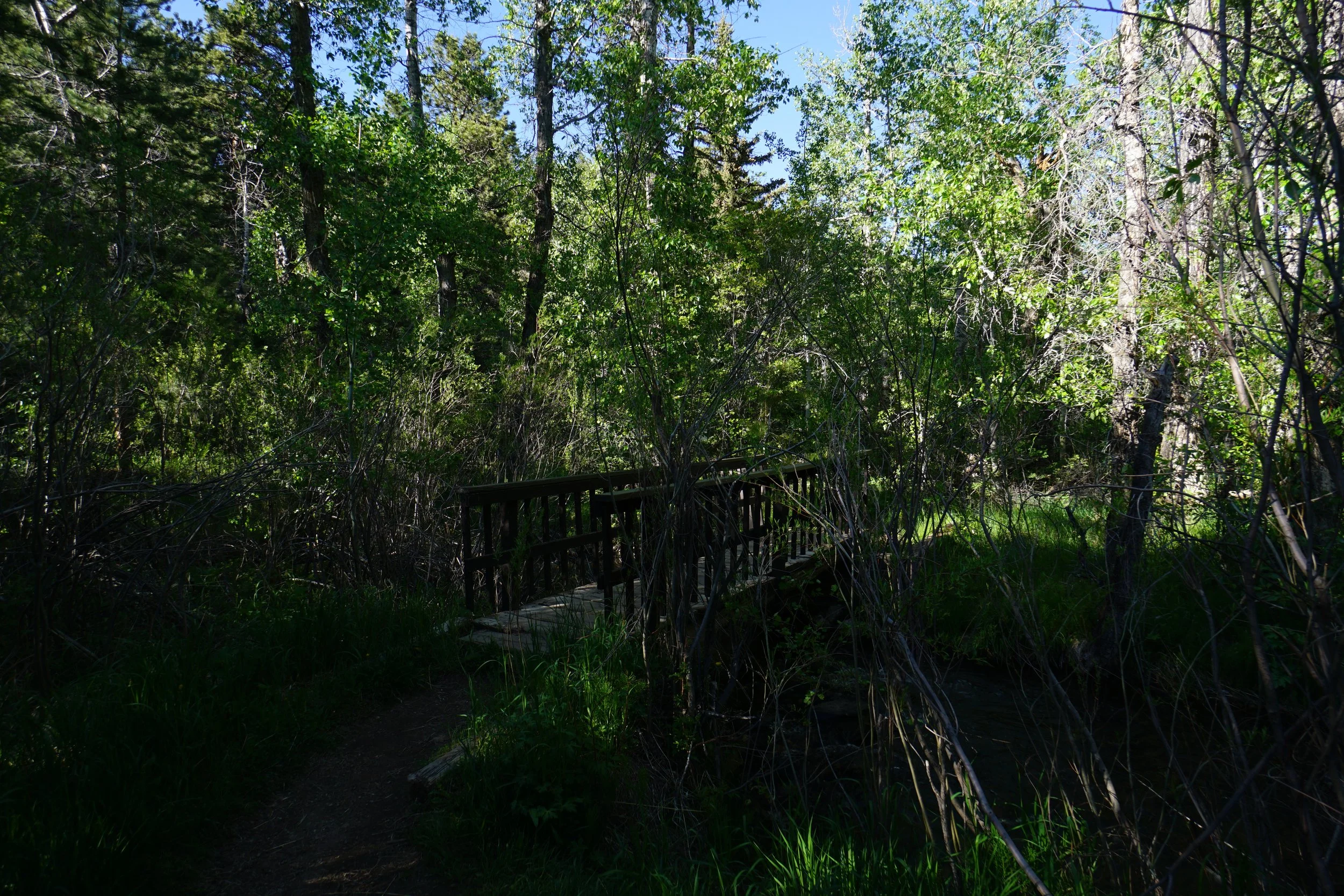
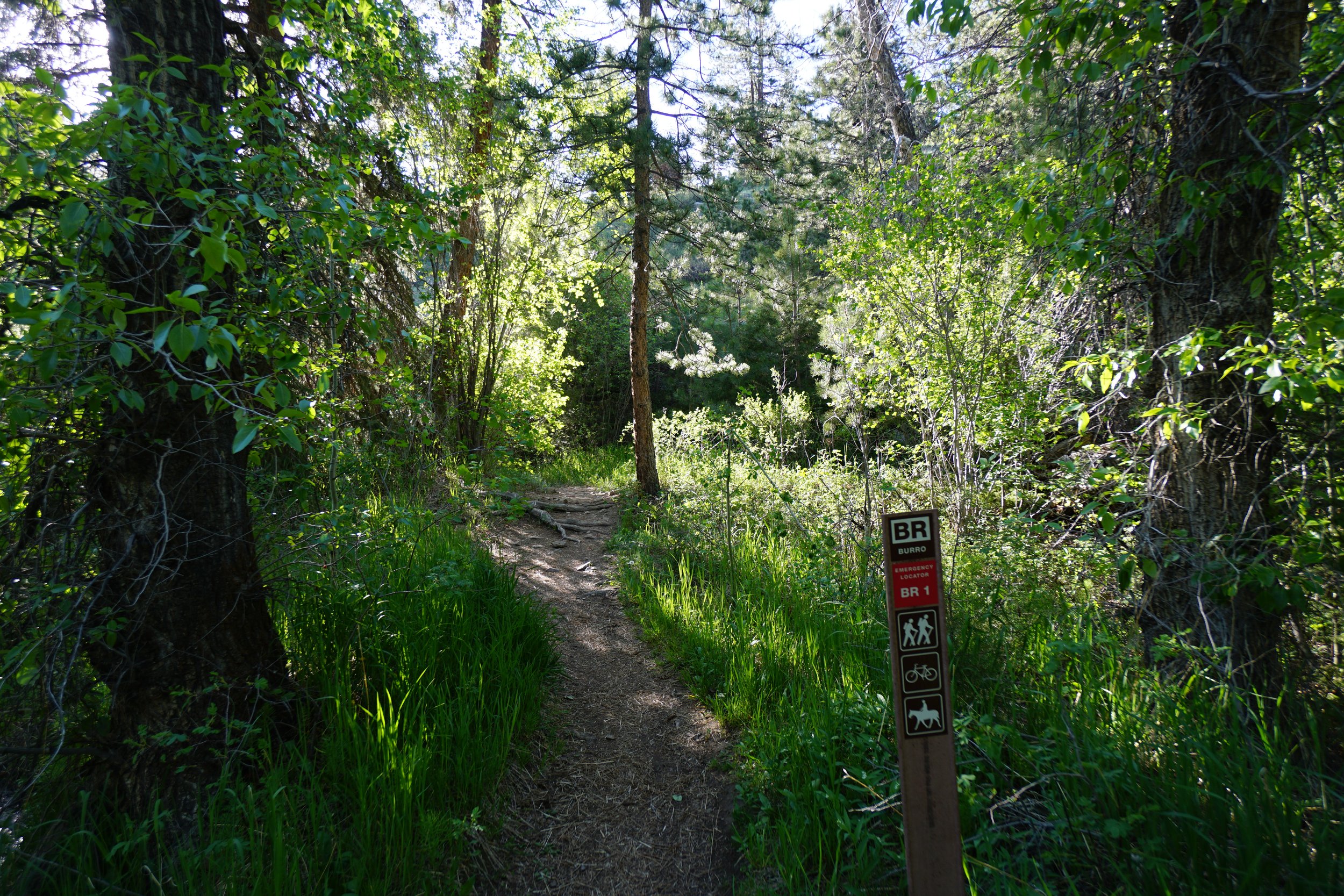
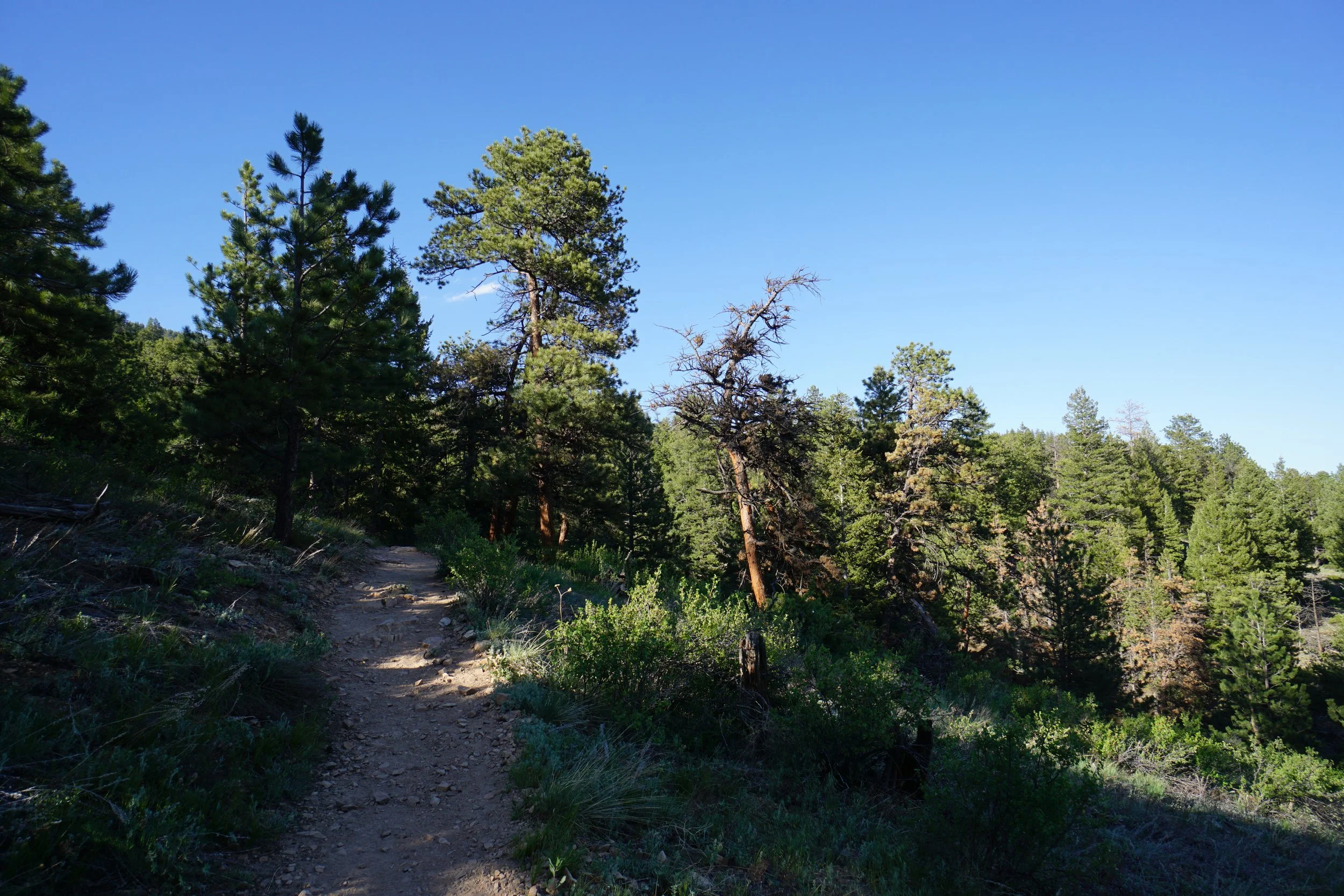
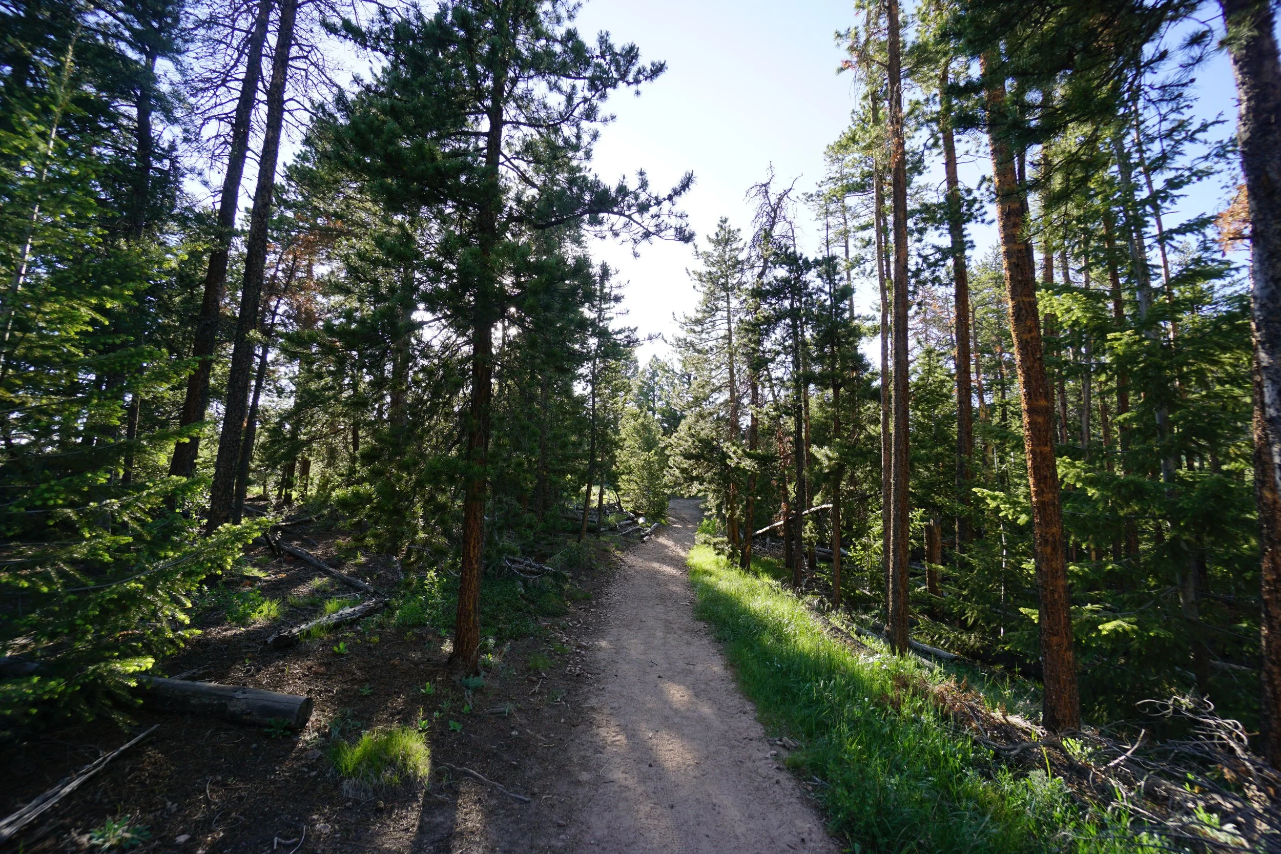
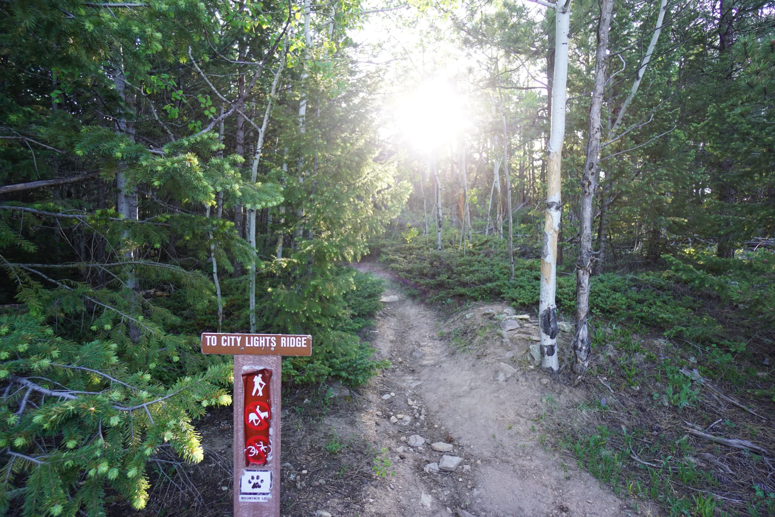
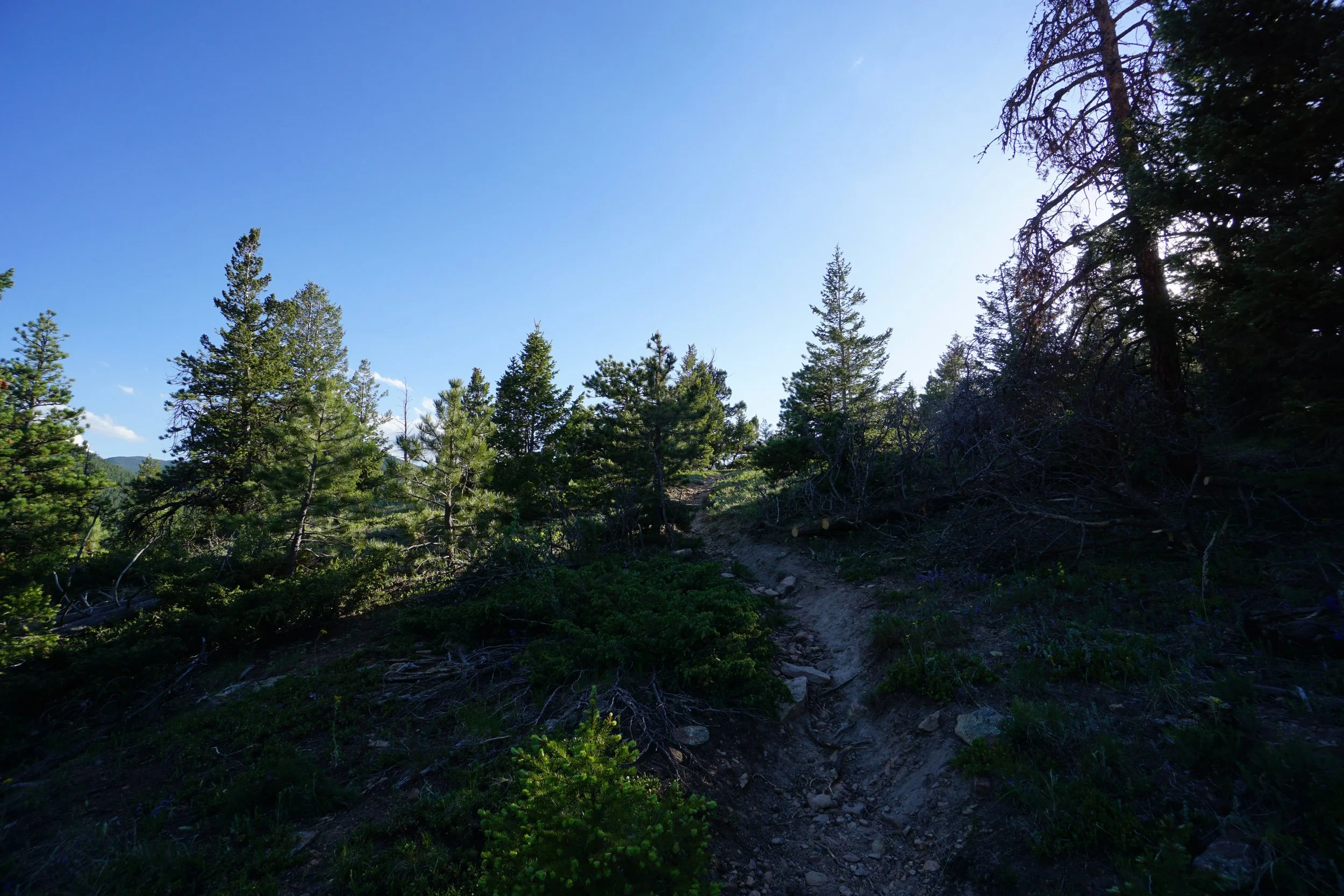
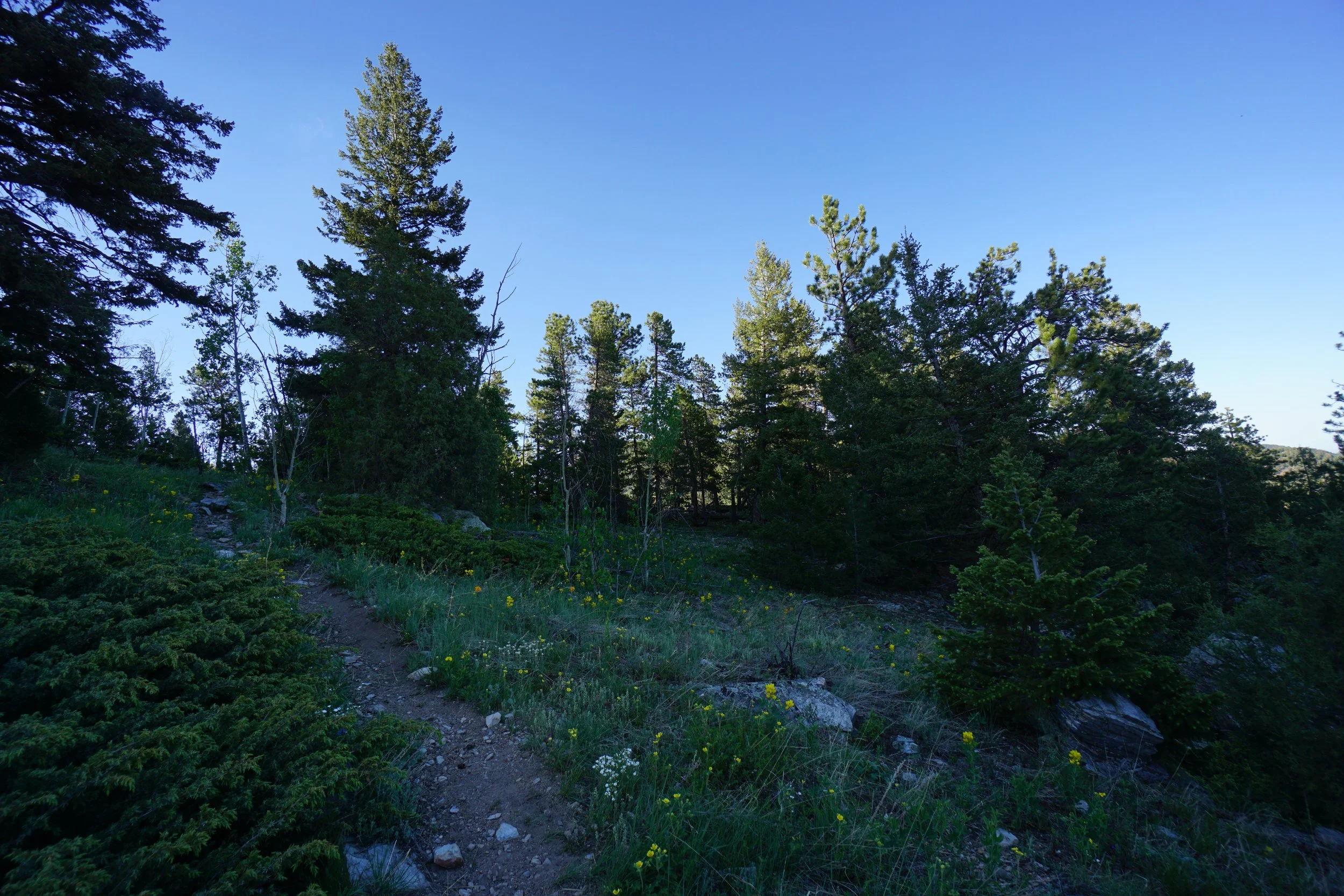
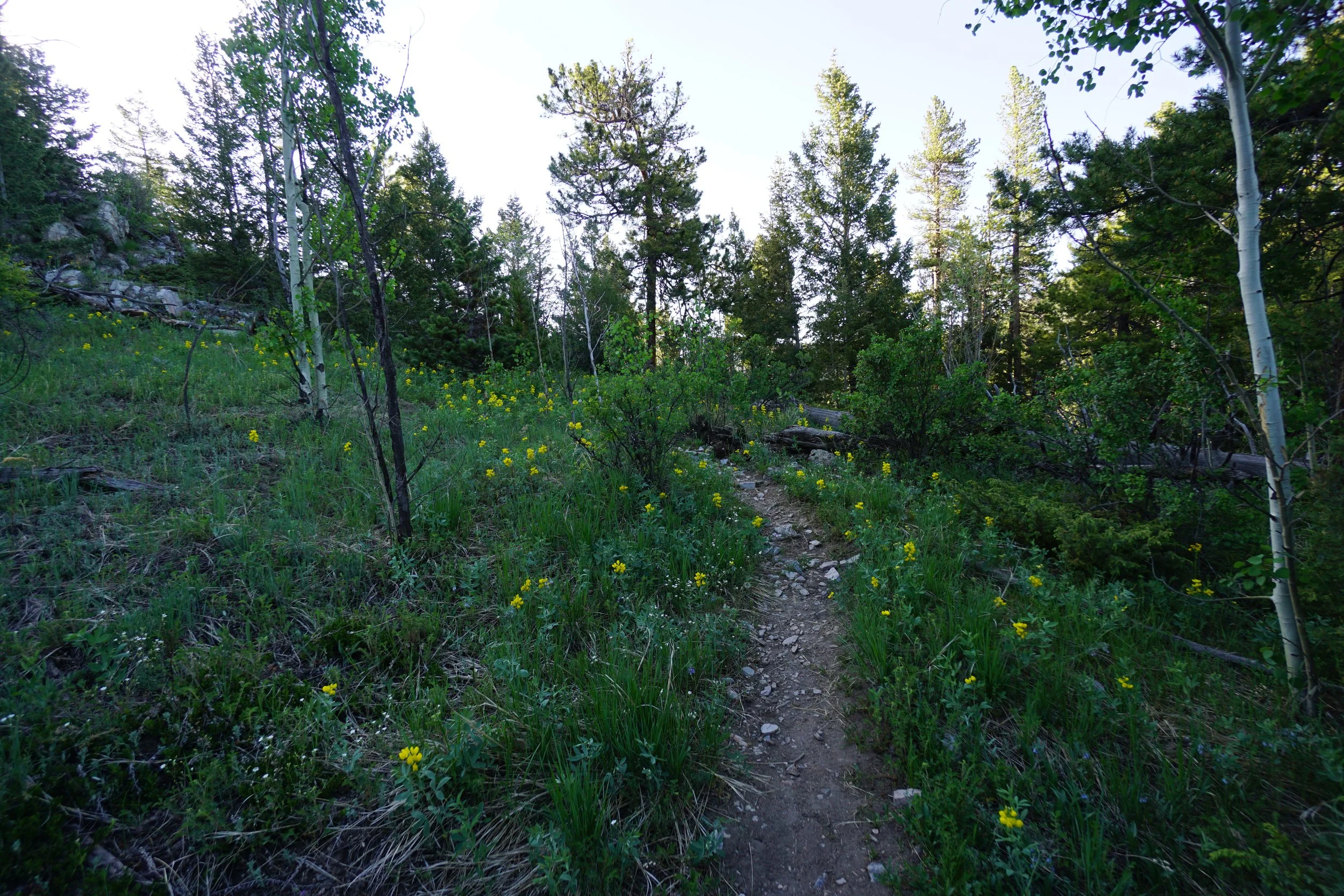
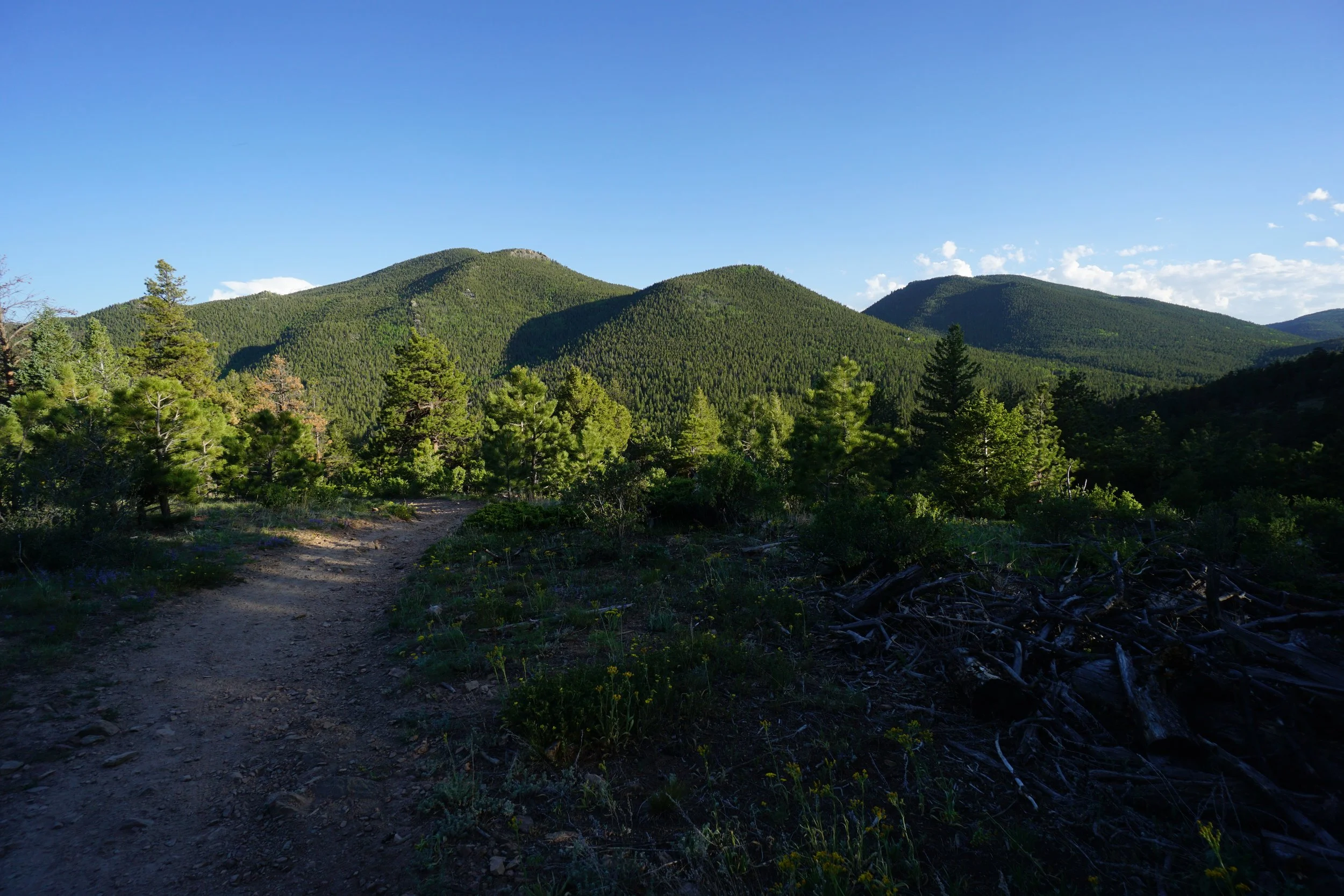
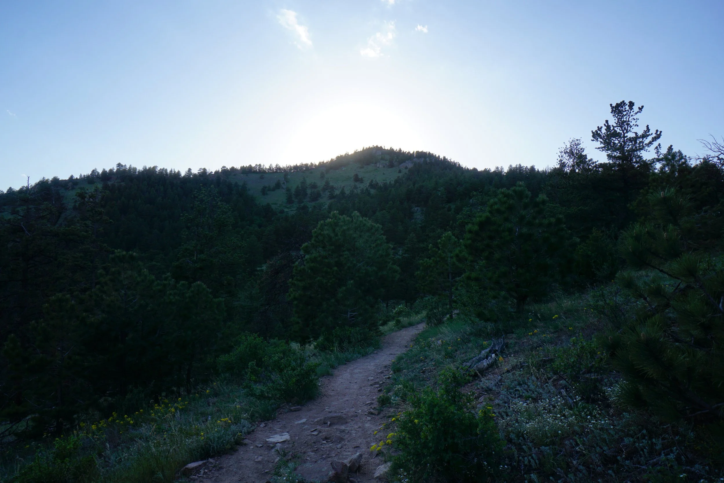
Start from the Bridge Creek Trailhead and Picnic Area by crossing…wait for it…the bridge that crosses the creek. Follow the trail as it switchbacks through dense foliage and aspen groves gaining elevation quickly. As you get a bit higher the views open up and the pine forest takes over. At the first trail junction, turn left on the Mountain Lion Trail heading north. At the second trail junction (a few minutes further) stay straight on the Mountain Lion Trail. A few minutes later you should see the trail sign for the City Lights Ridge on your left.
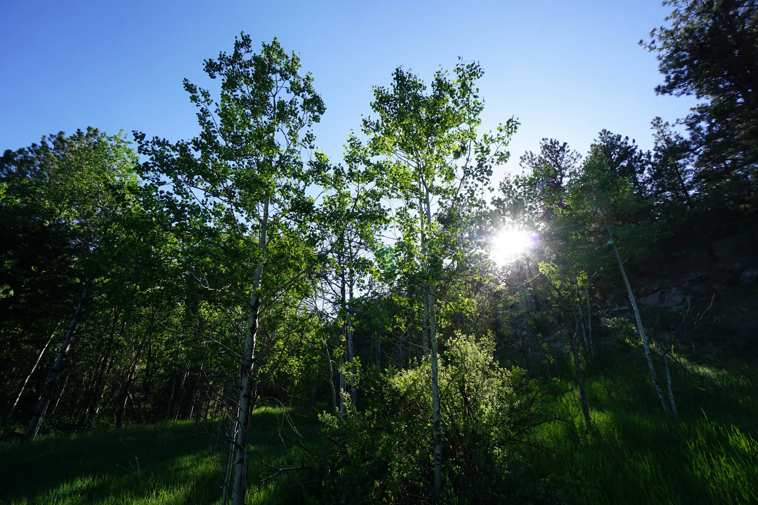
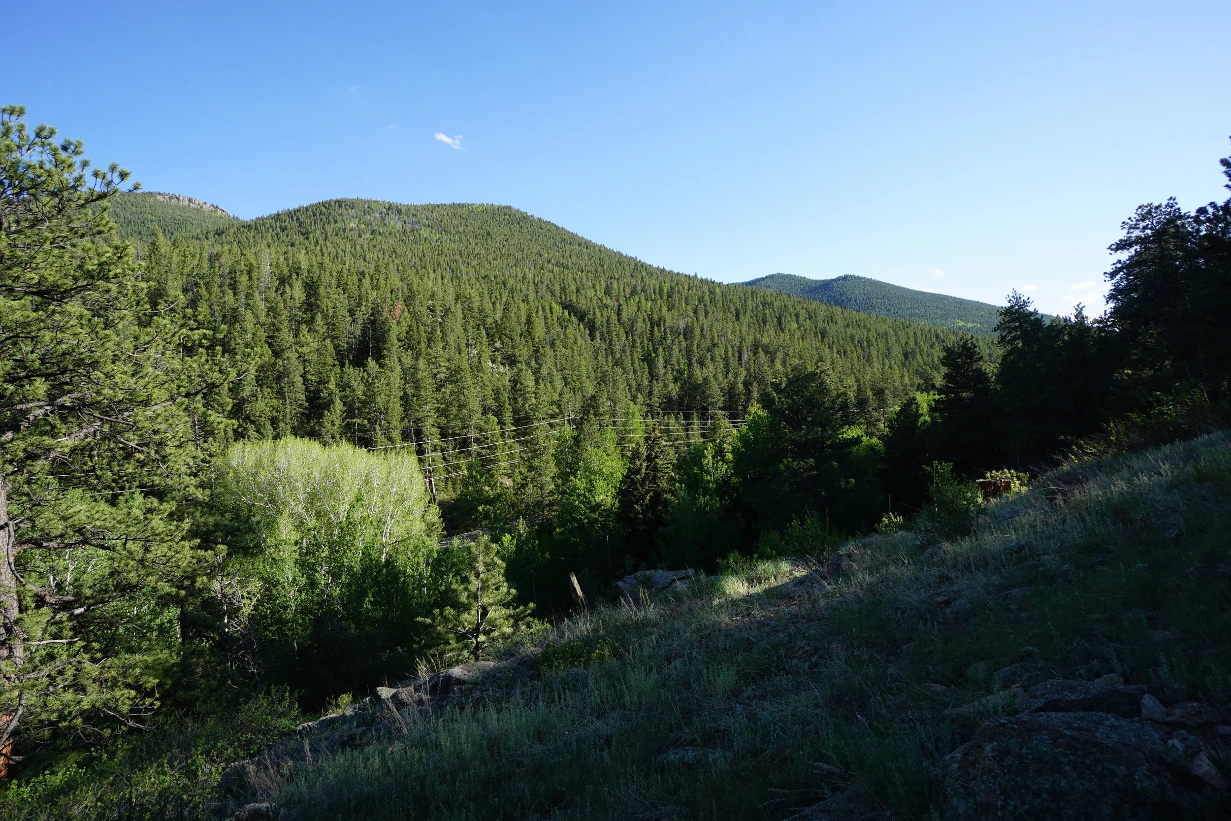
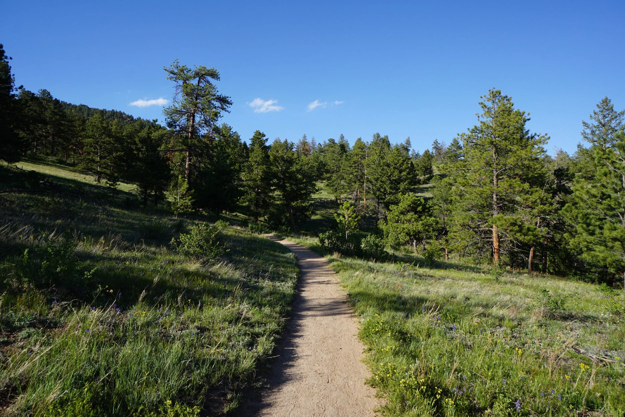
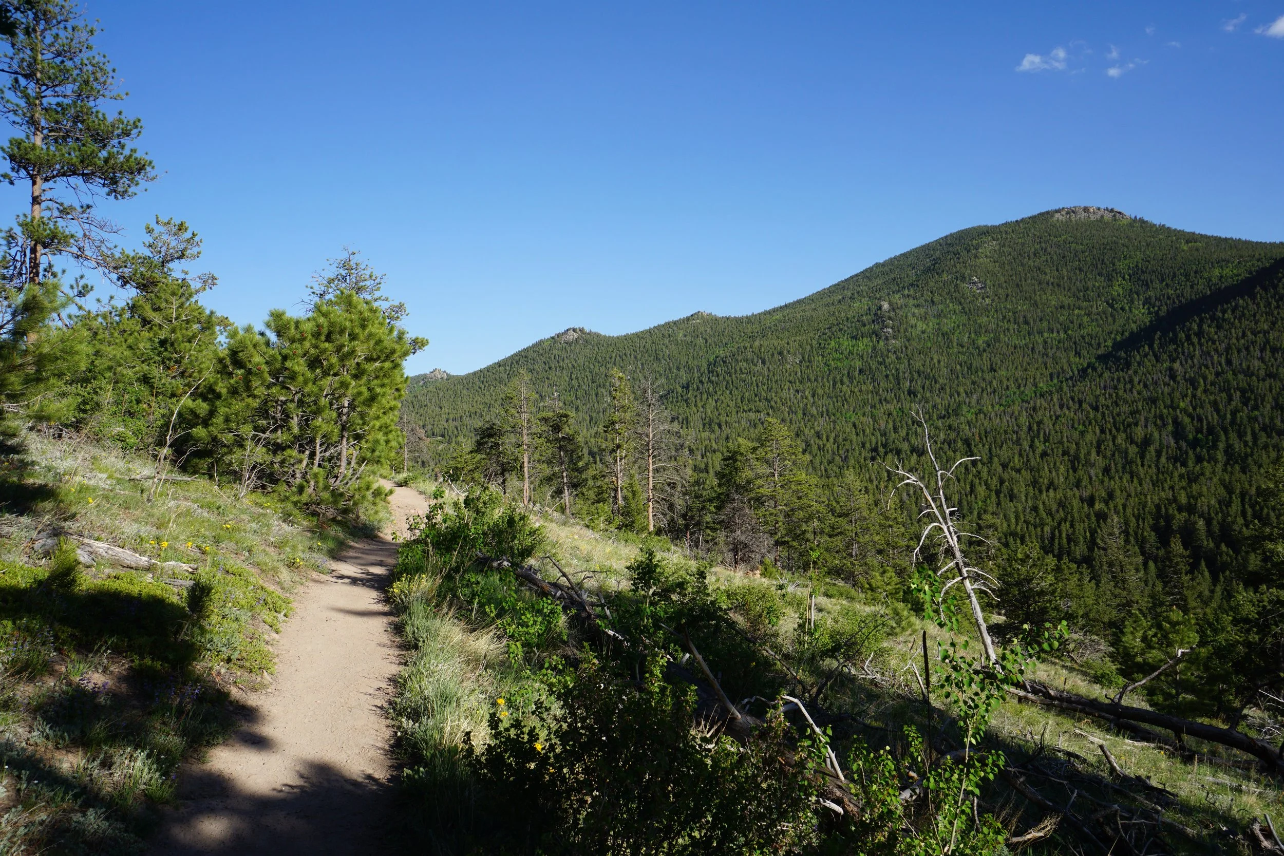
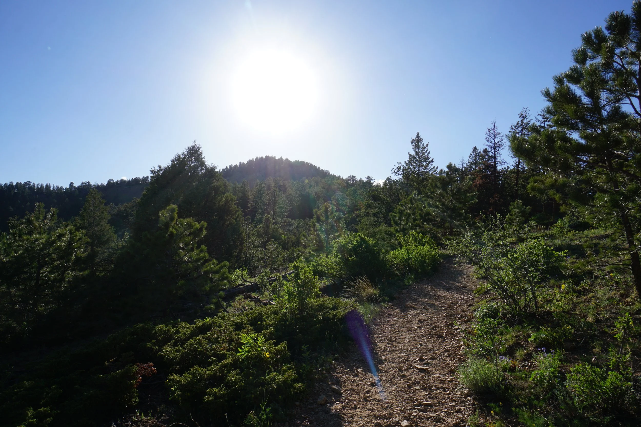
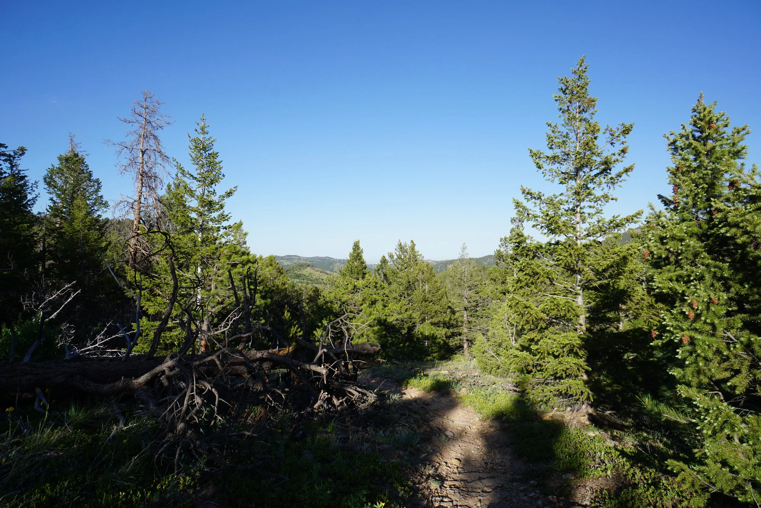
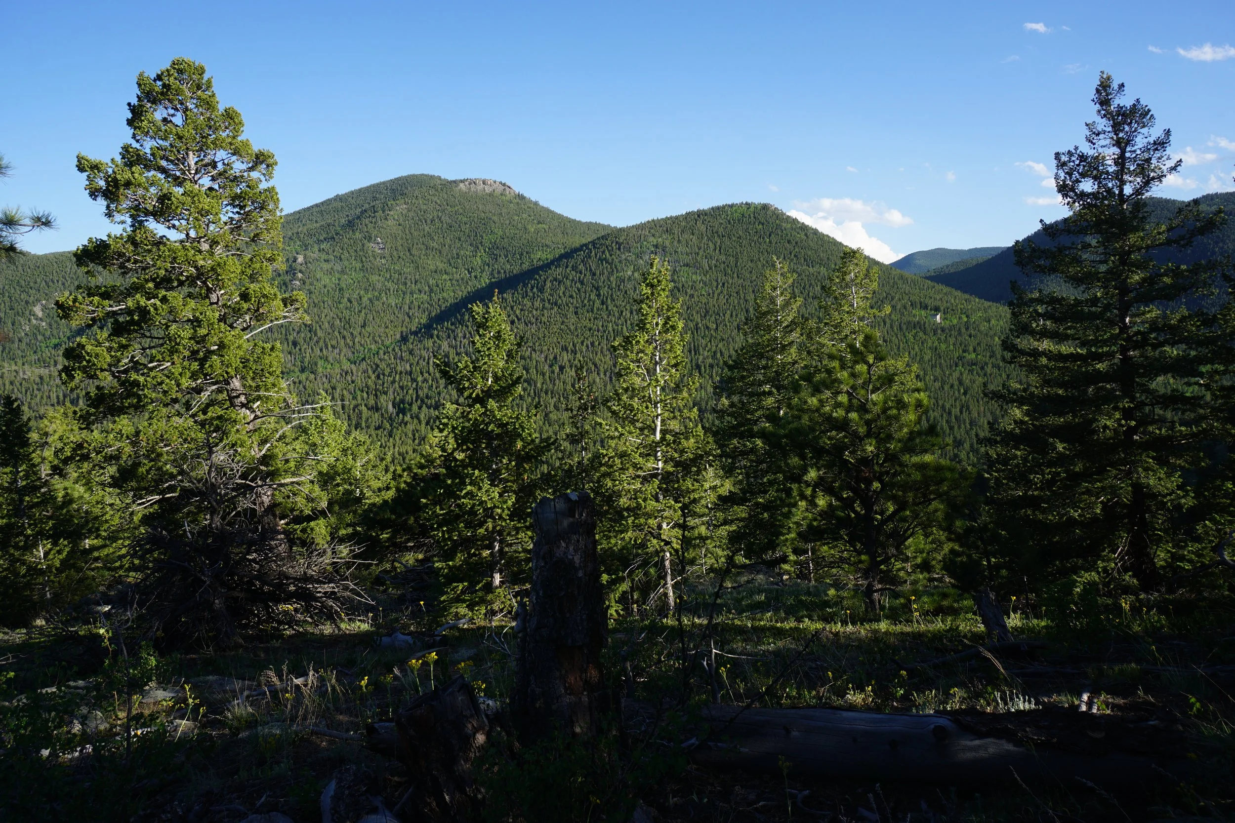
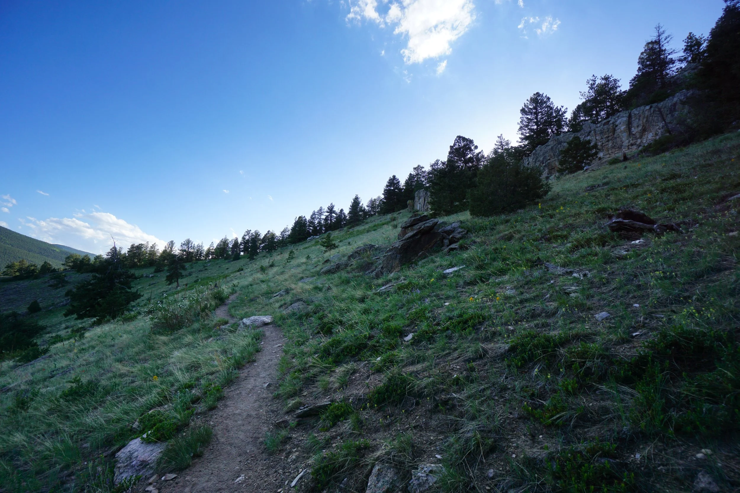
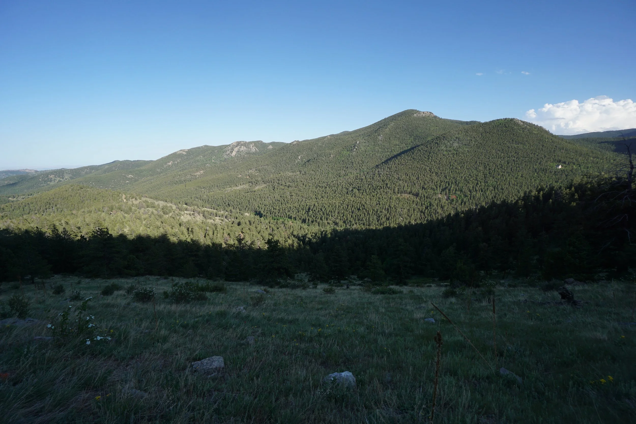
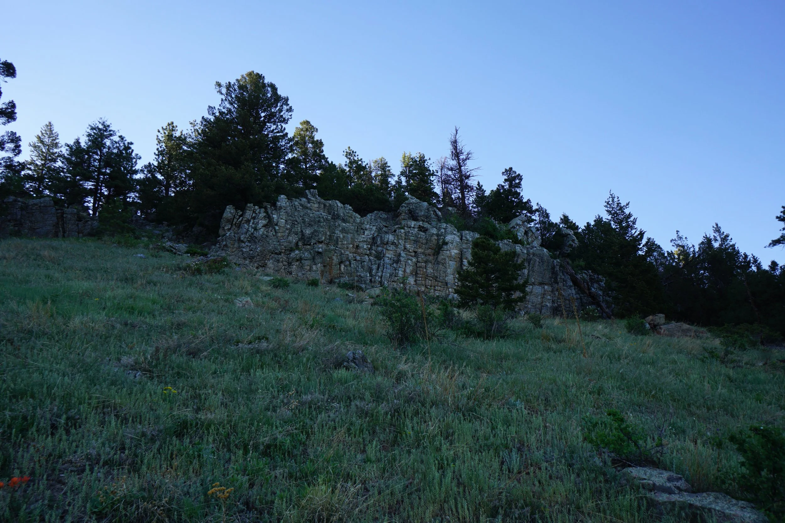
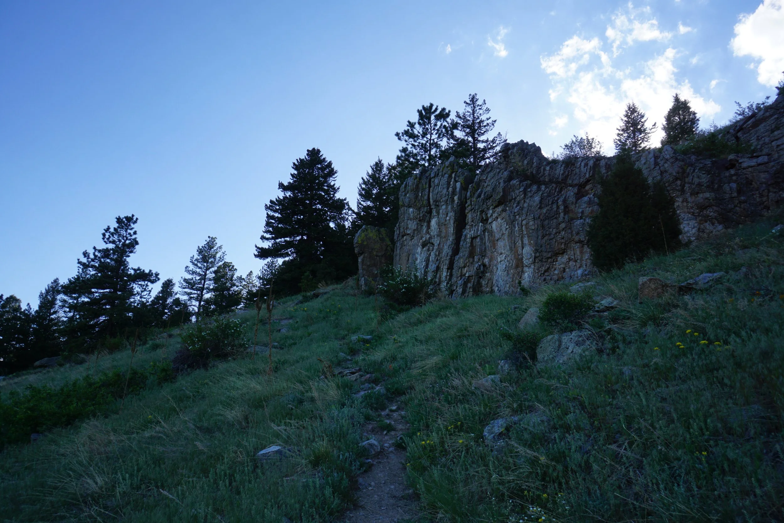
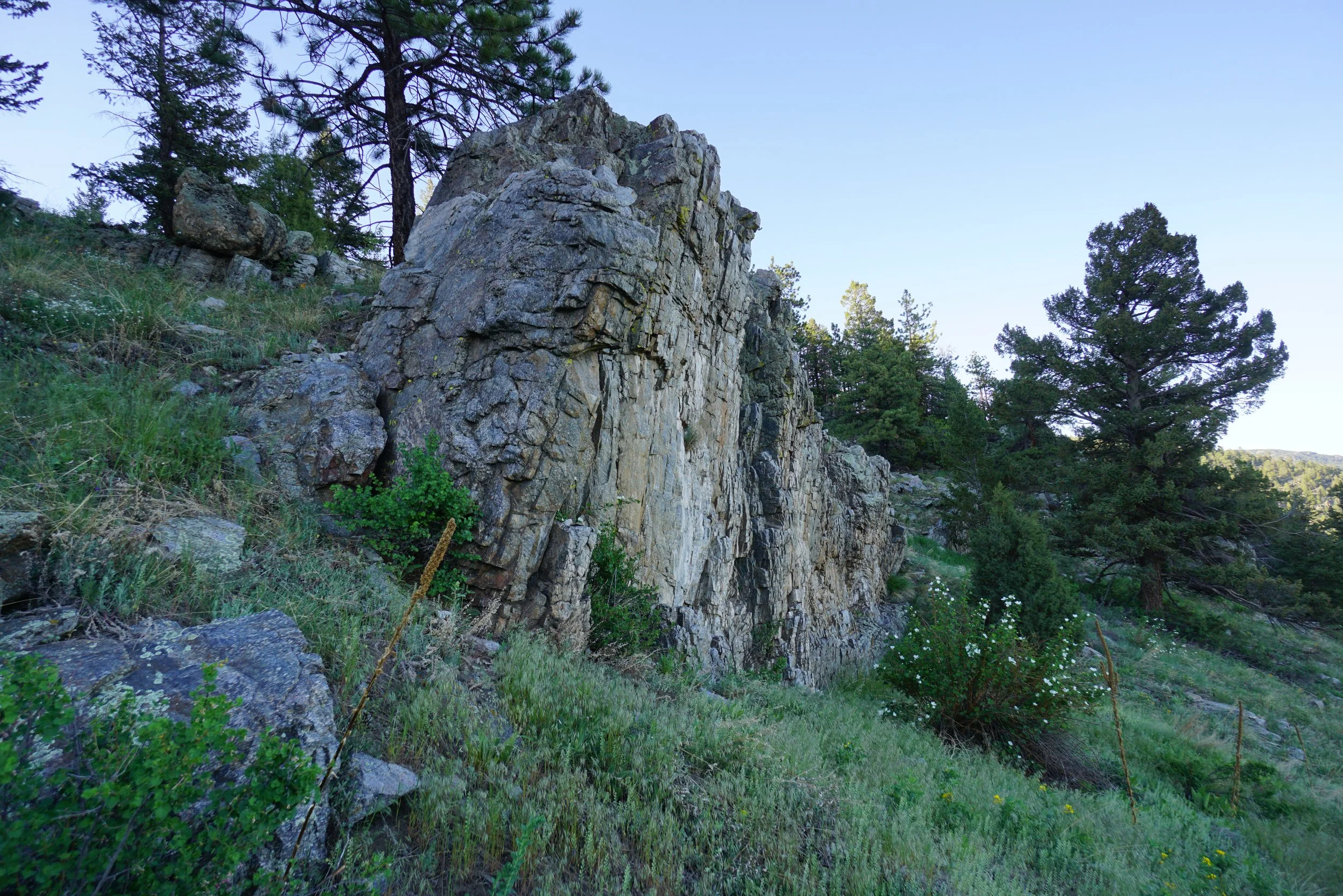
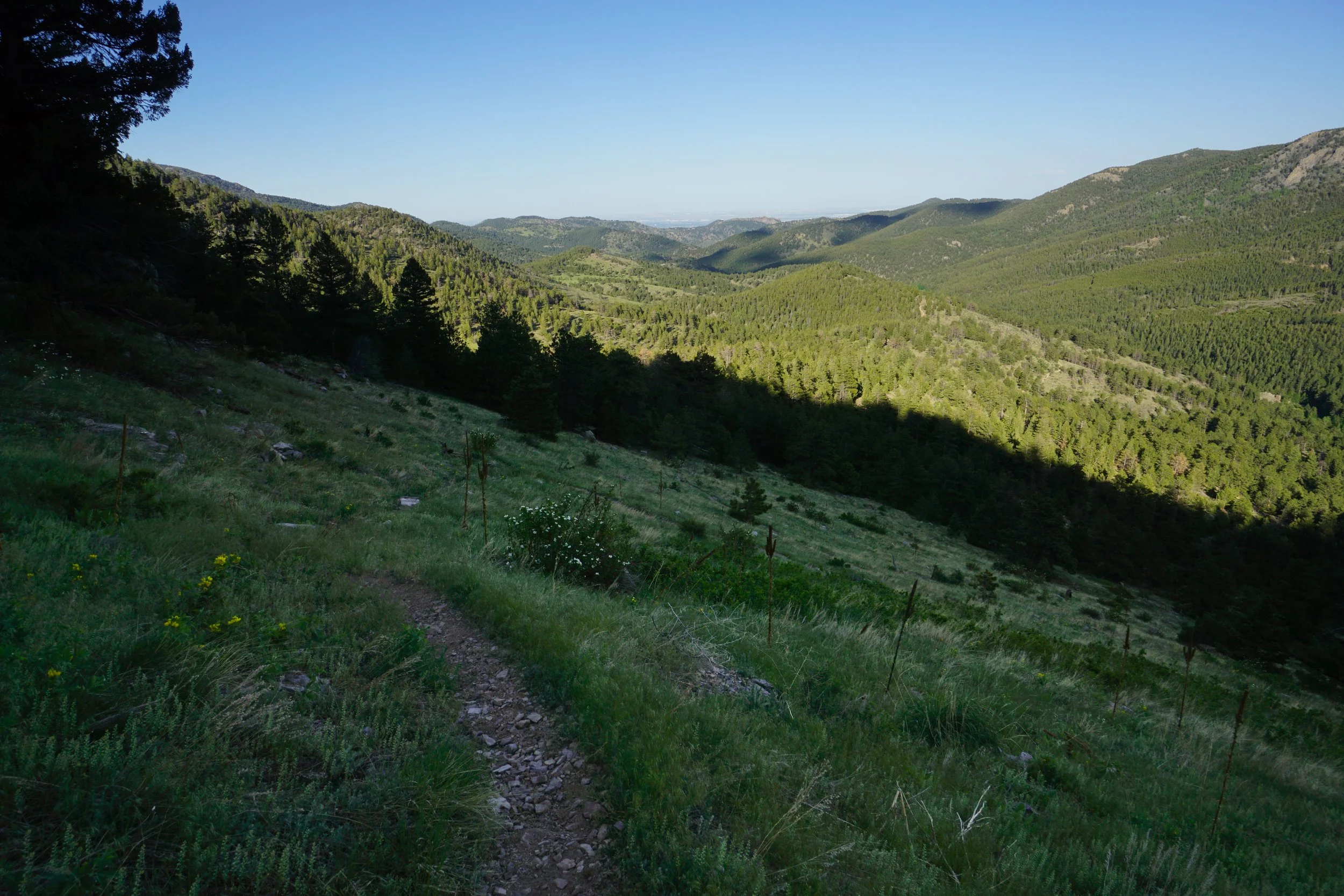
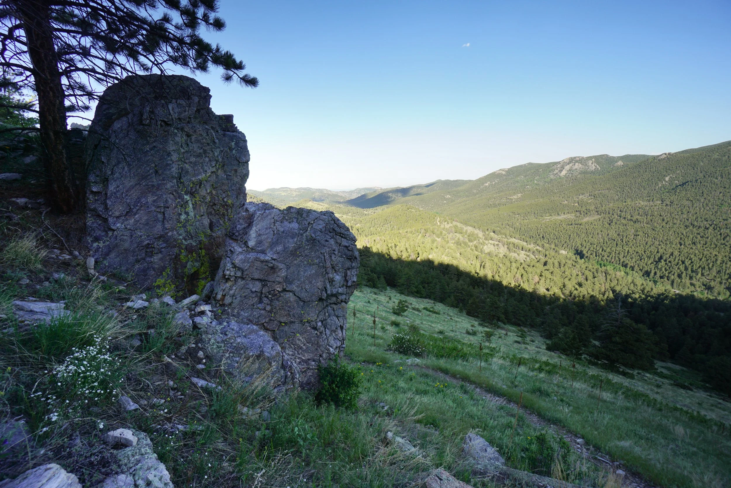
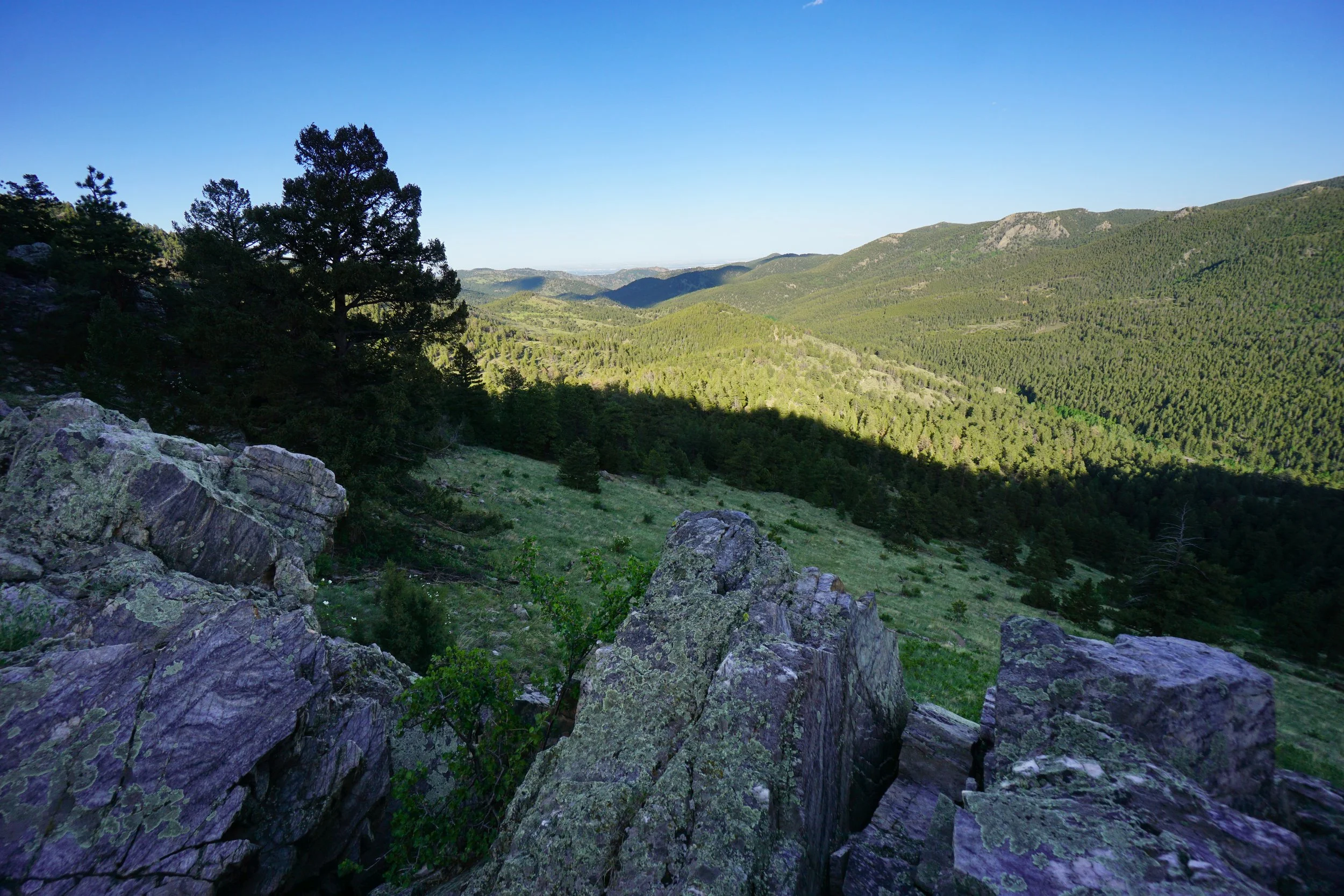
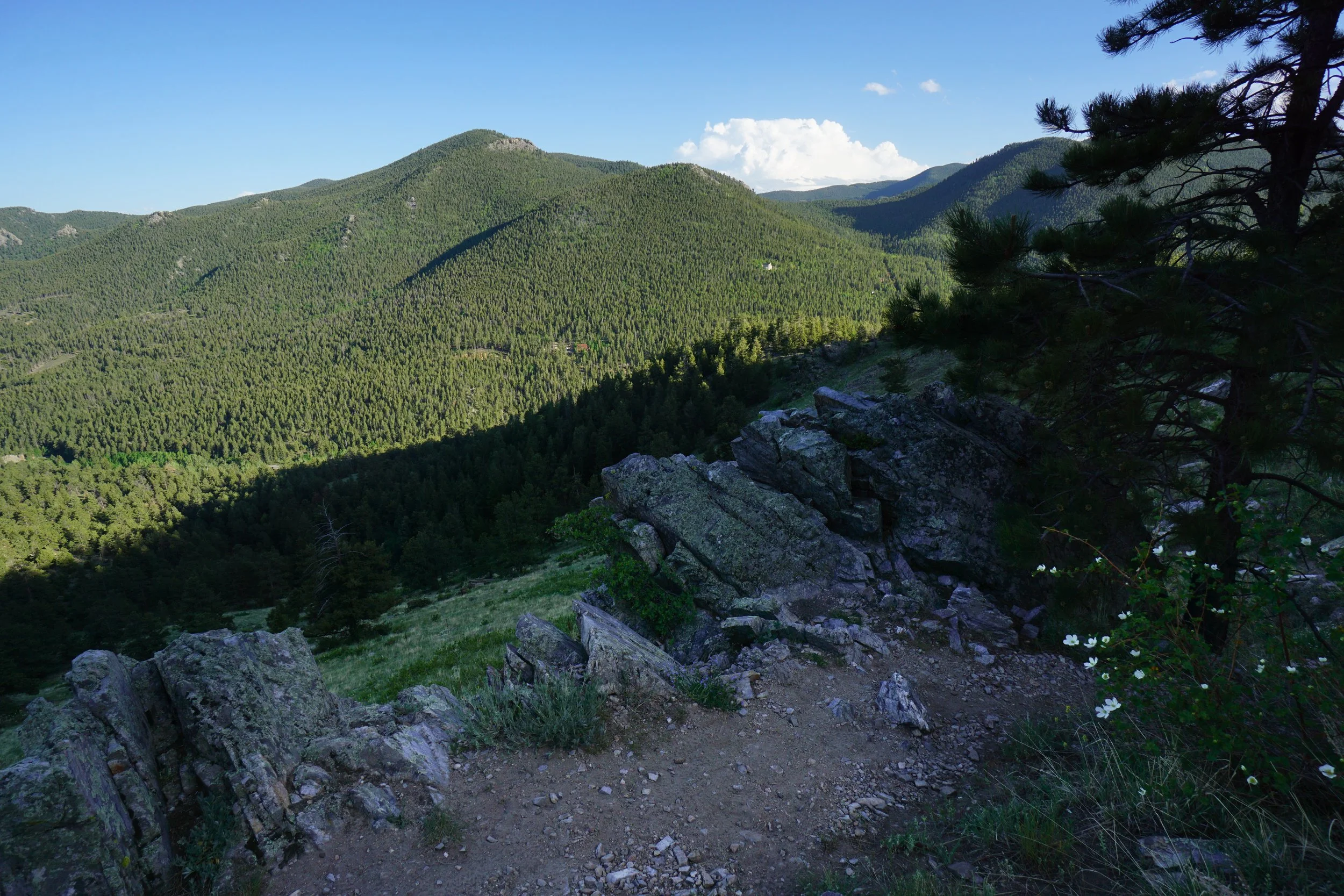
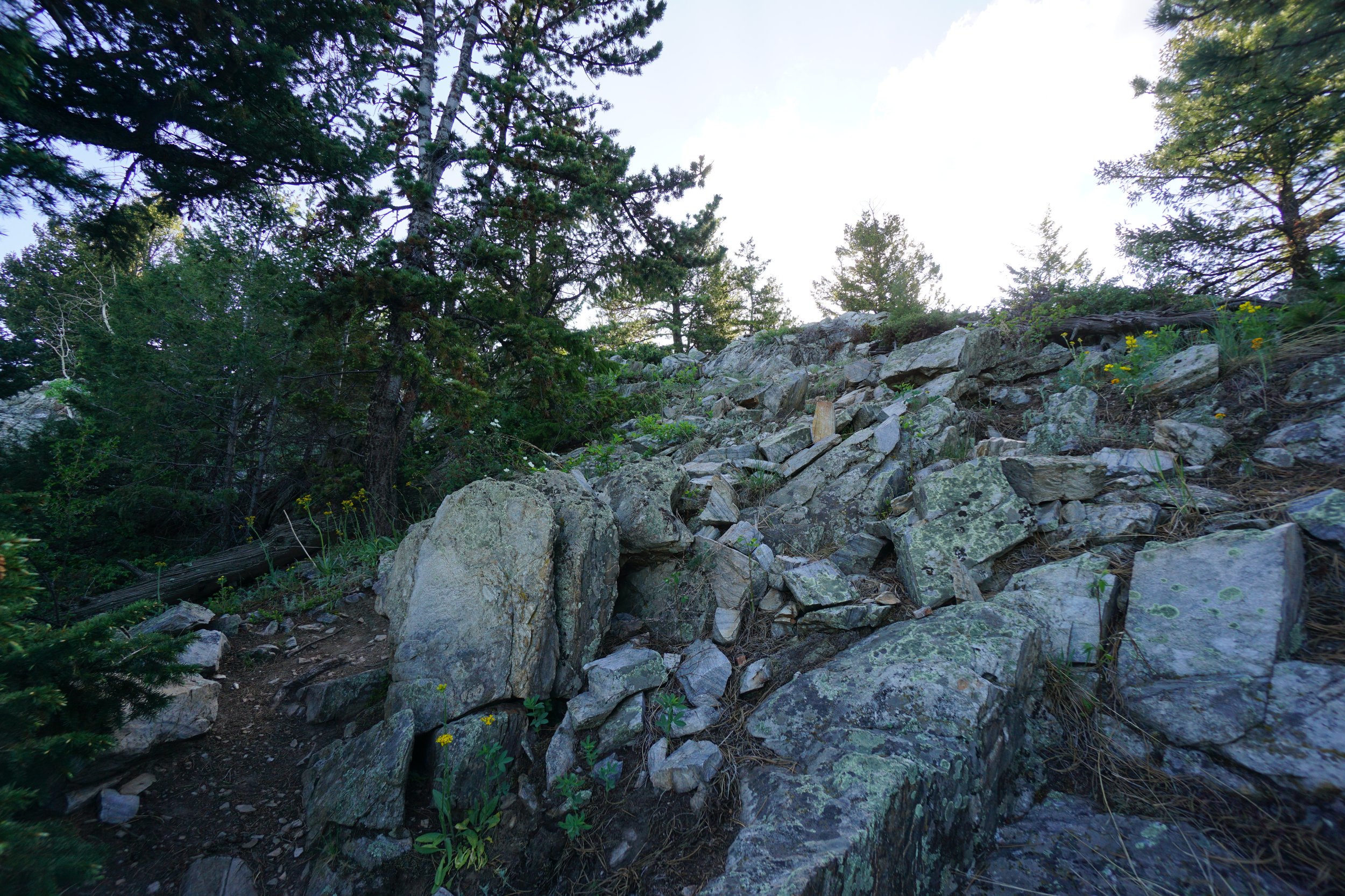
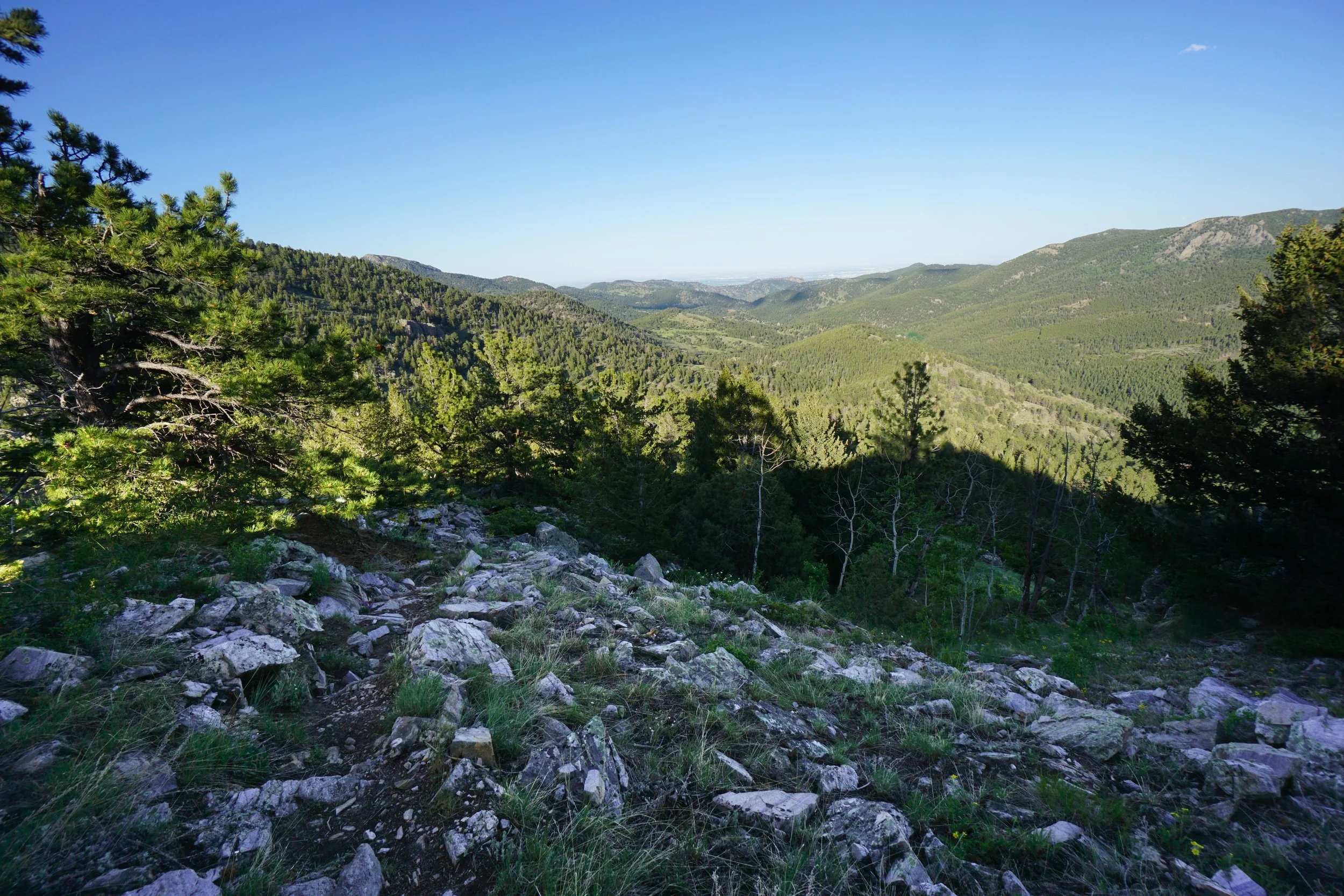
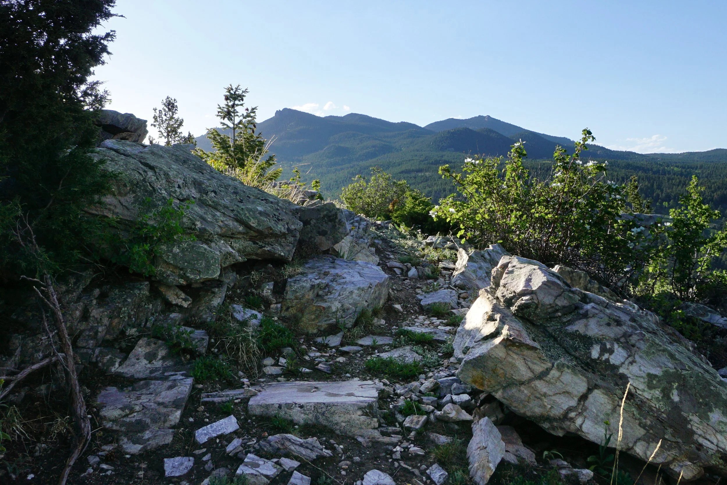
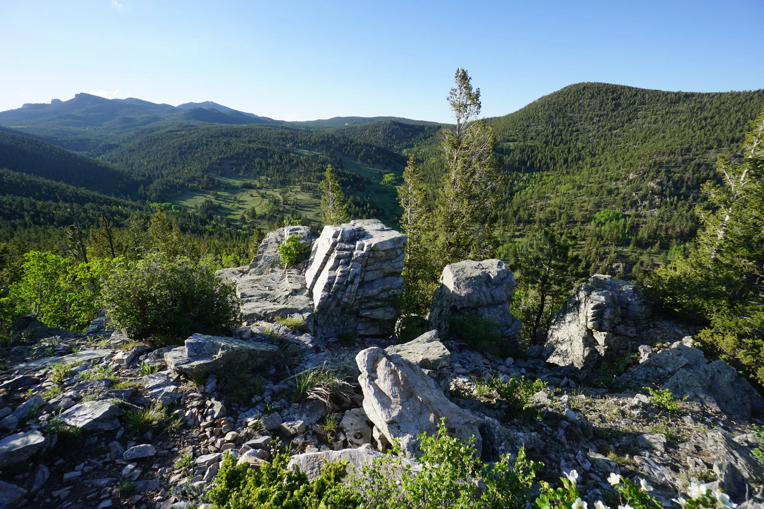
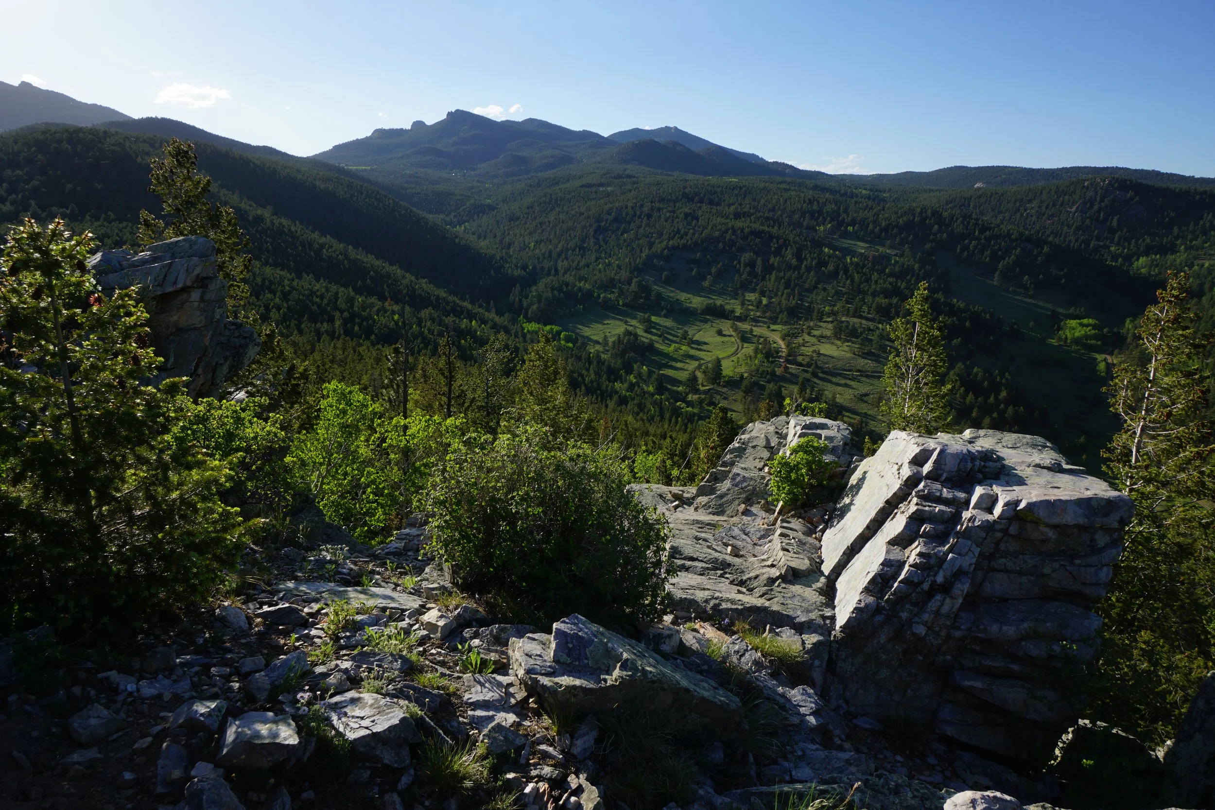
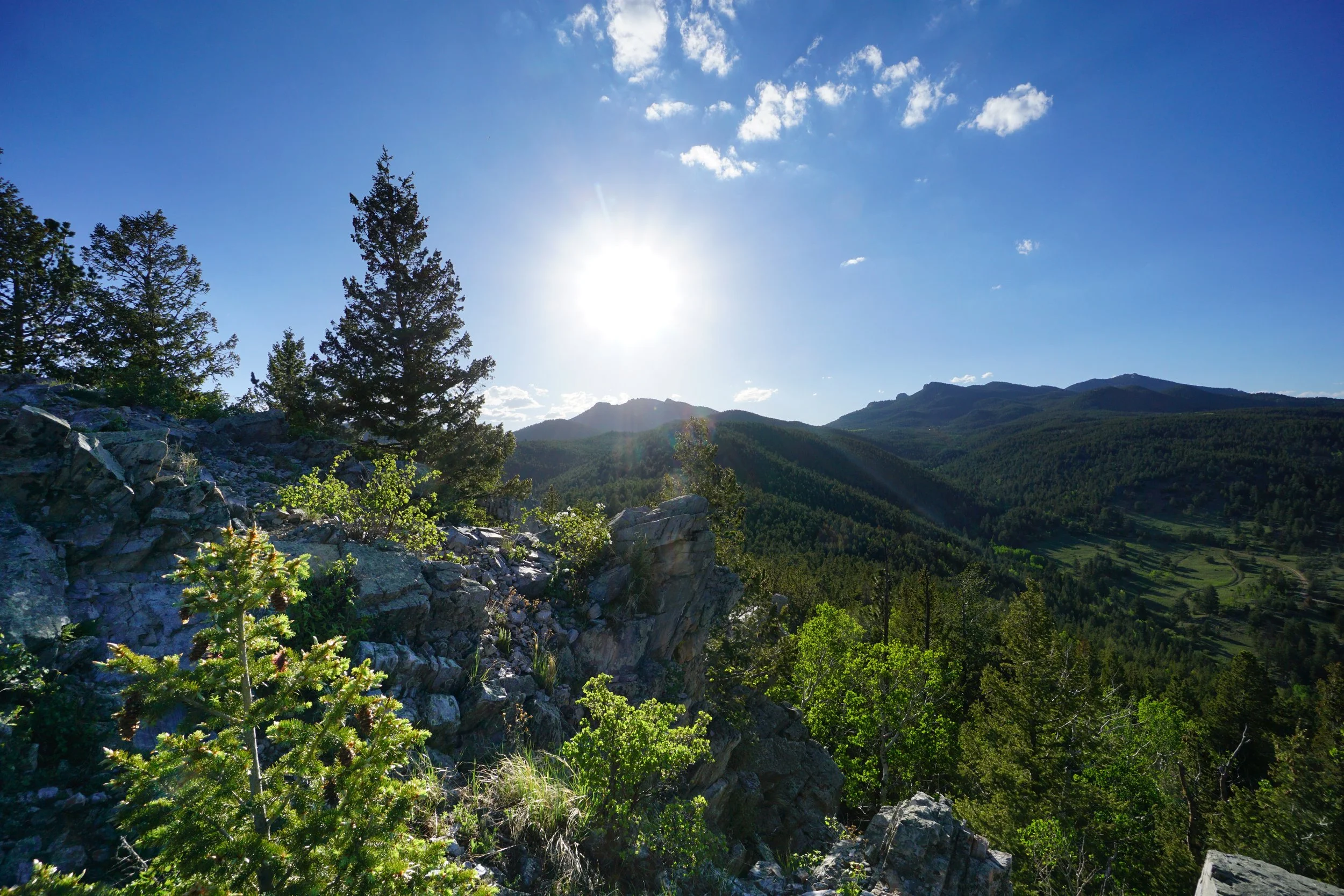
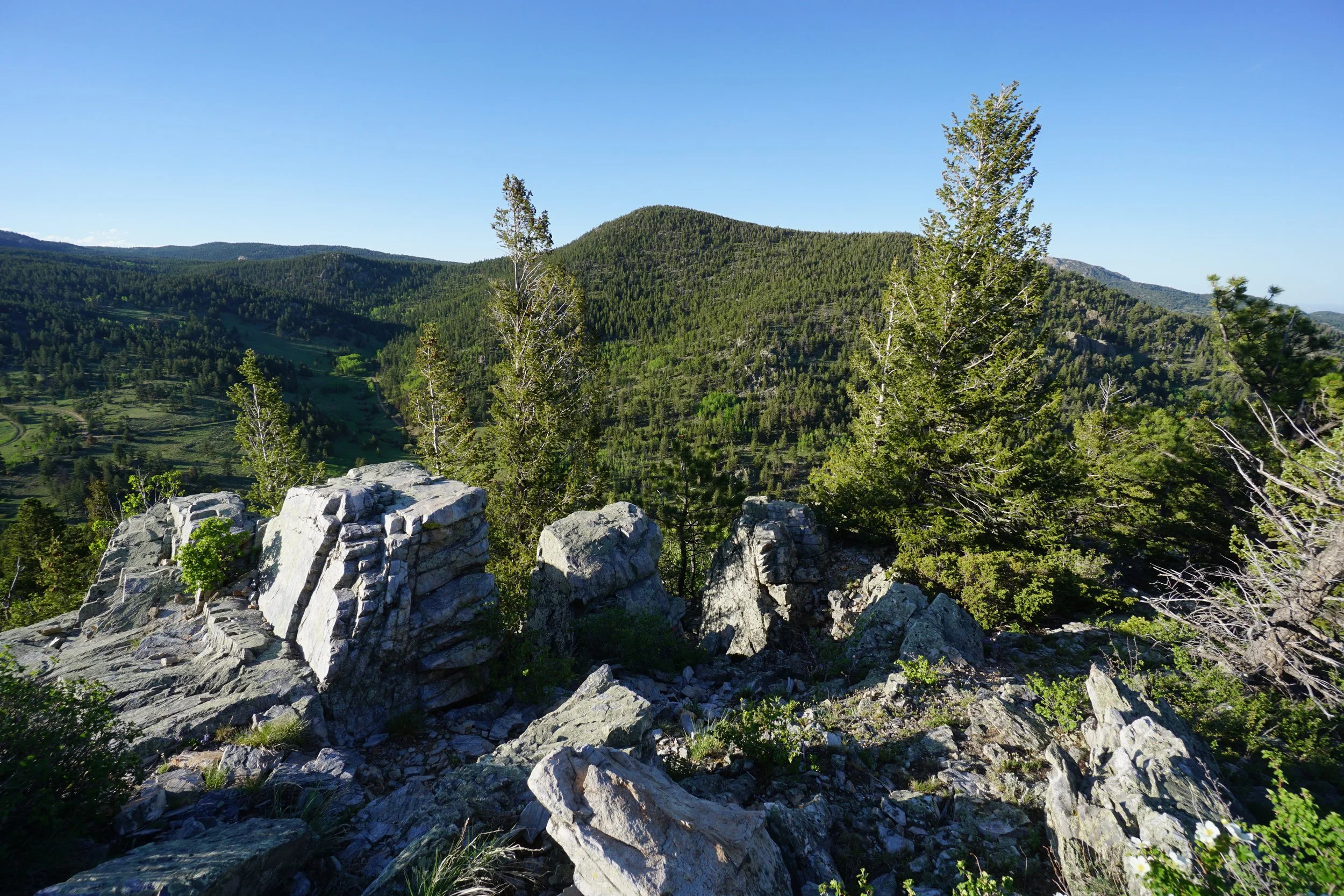
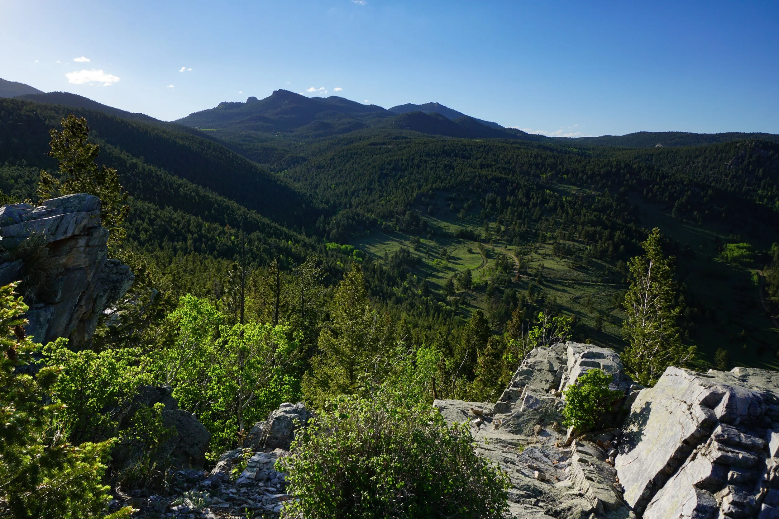
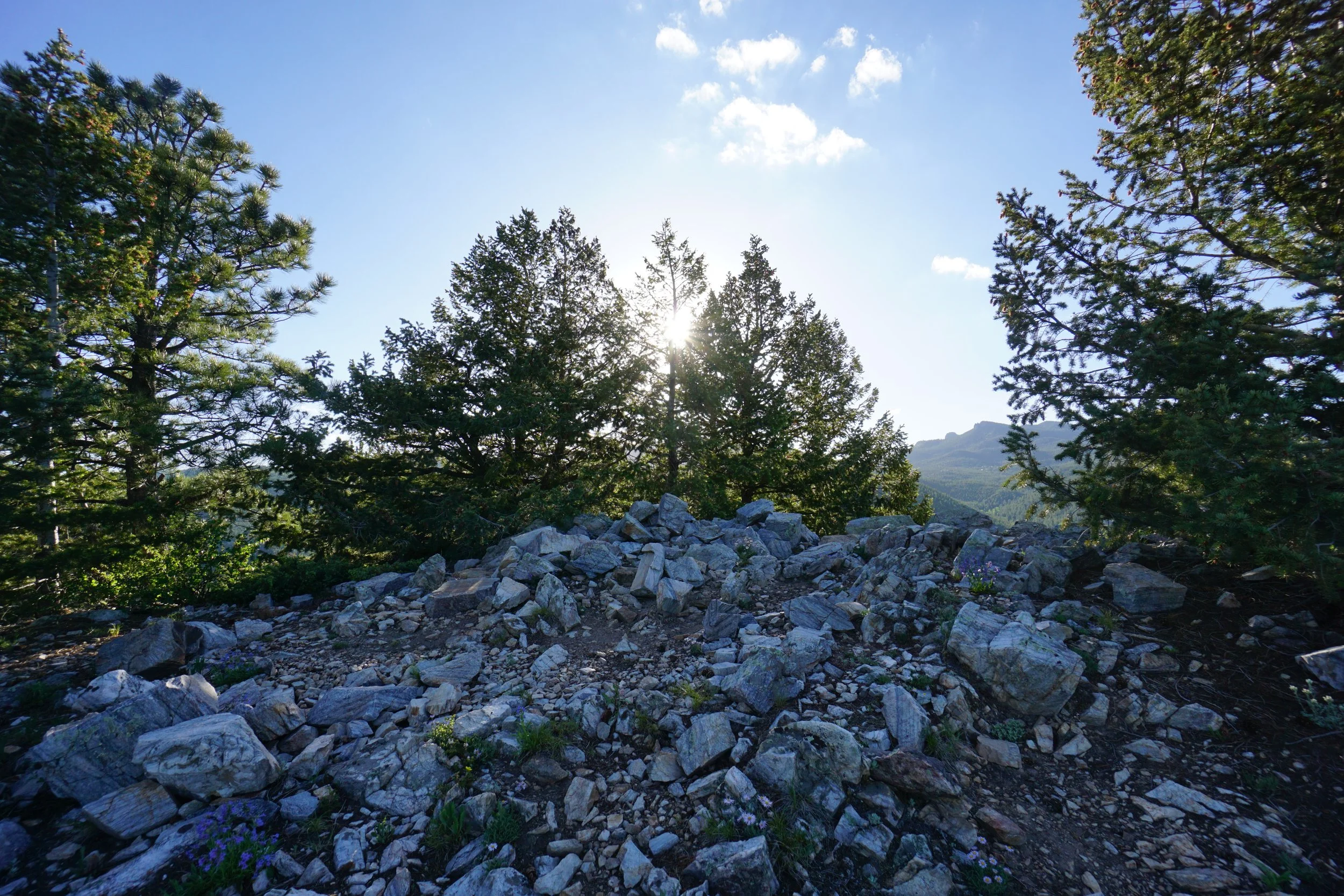
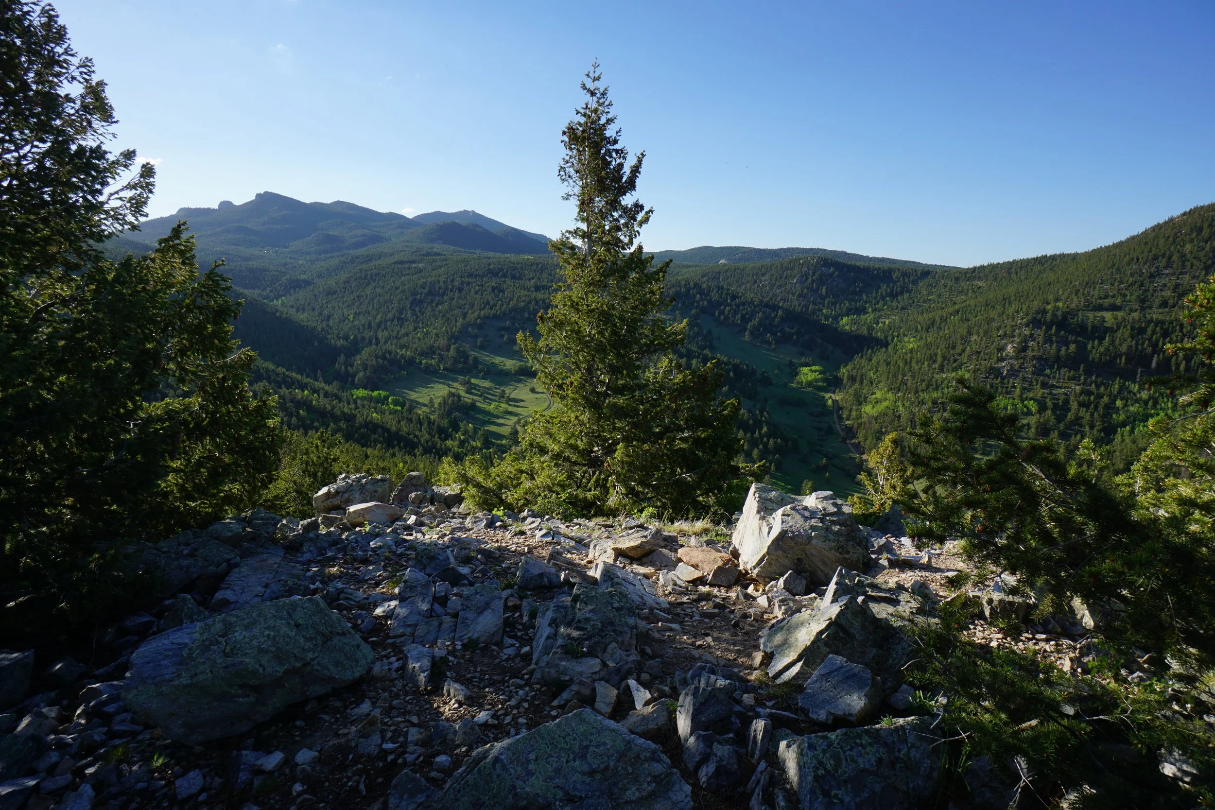
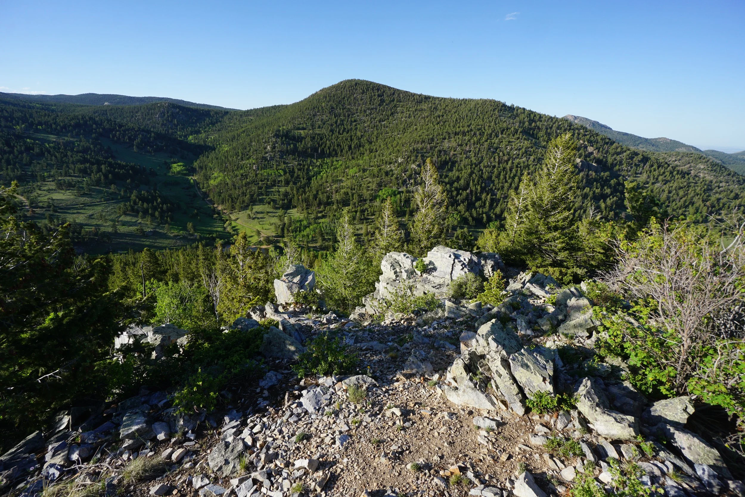
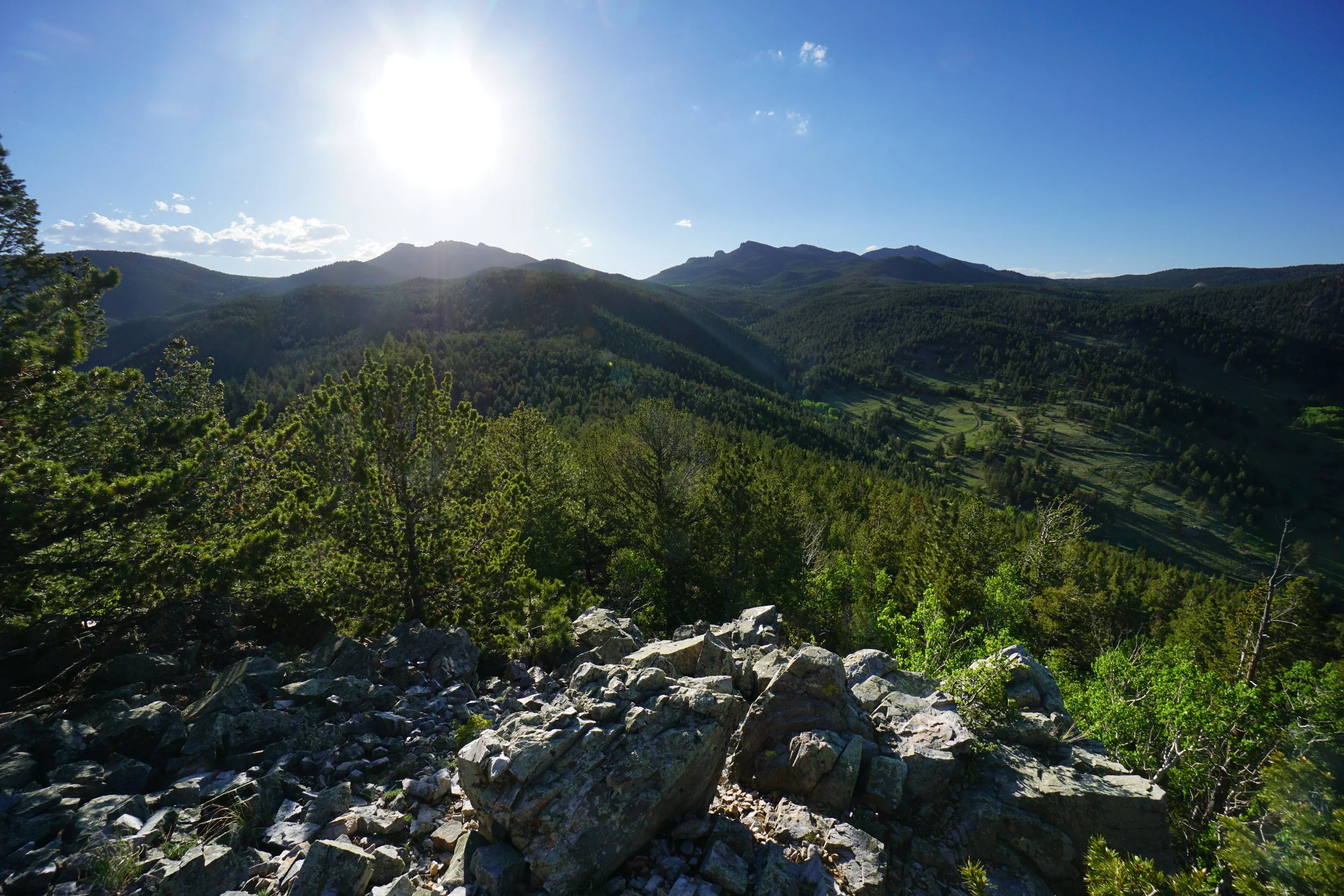
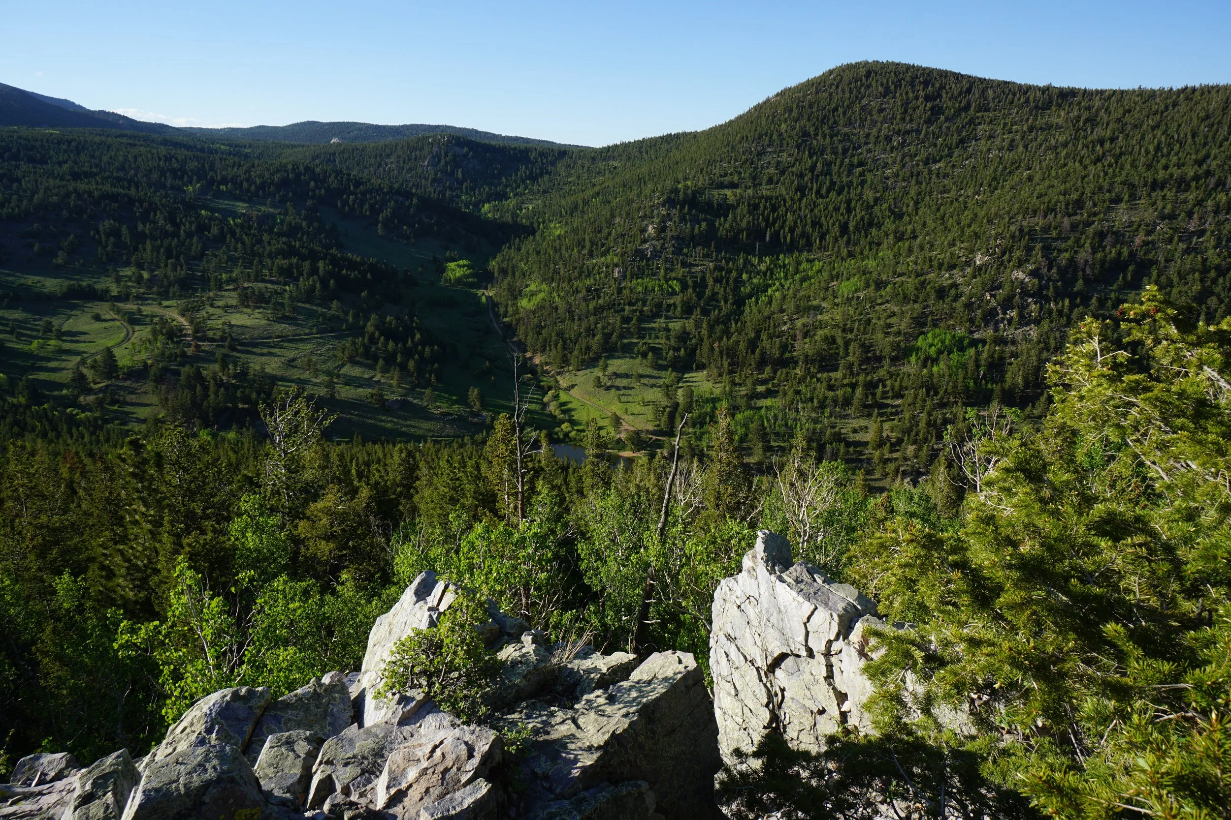
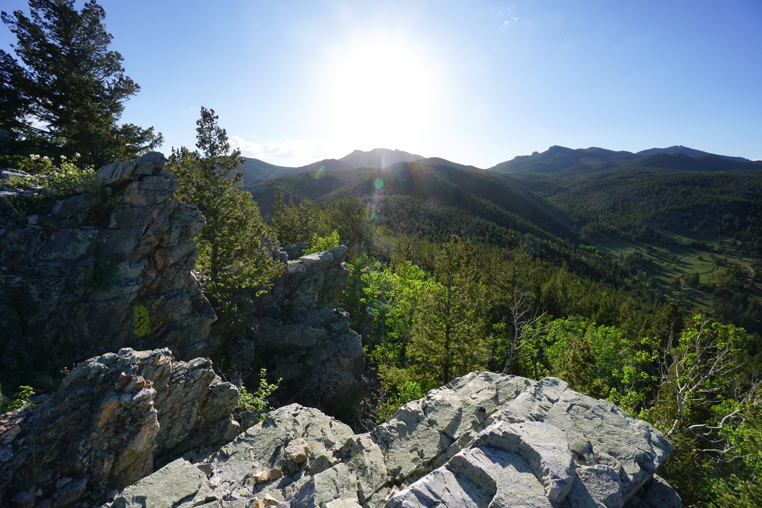
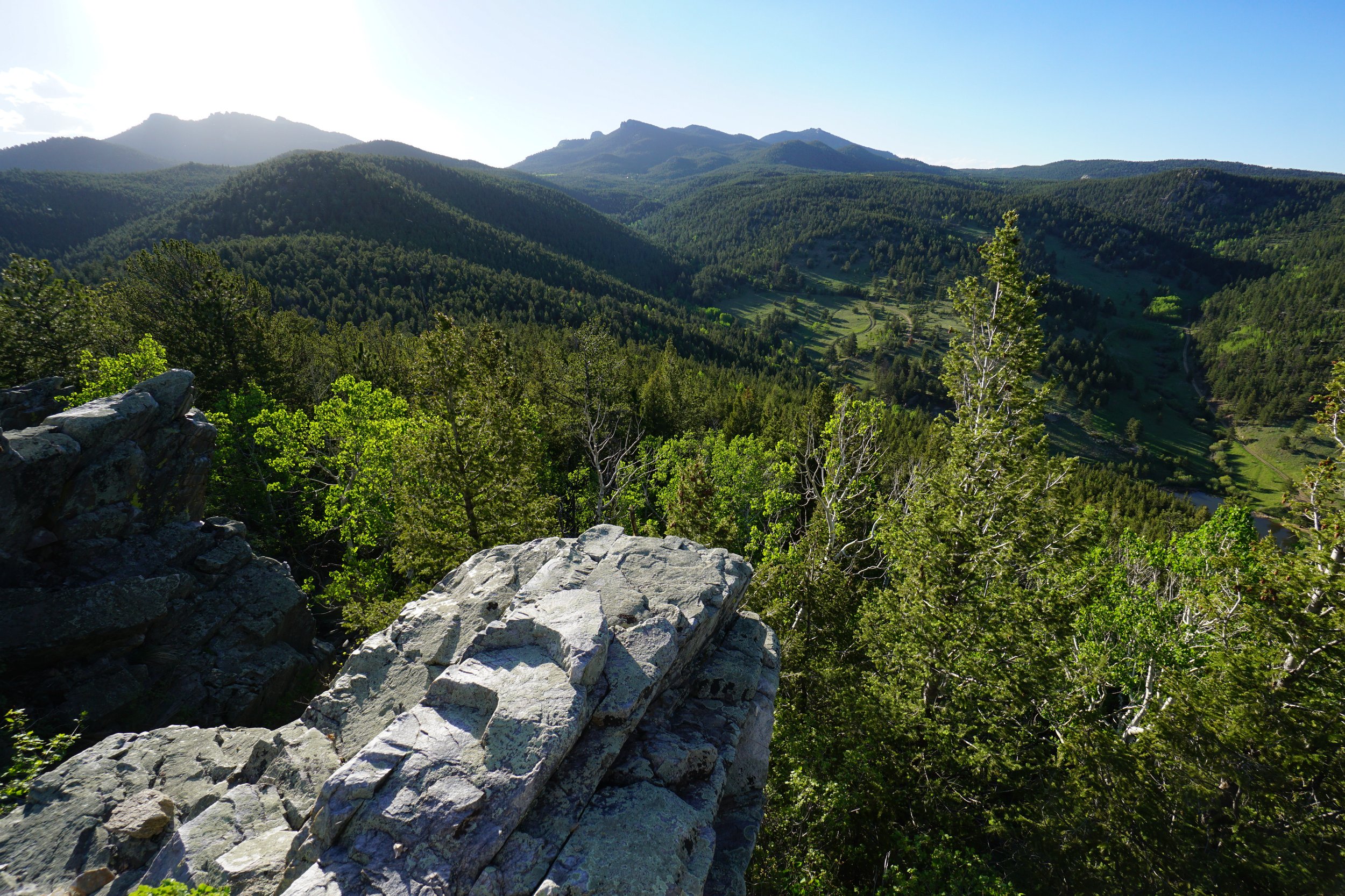
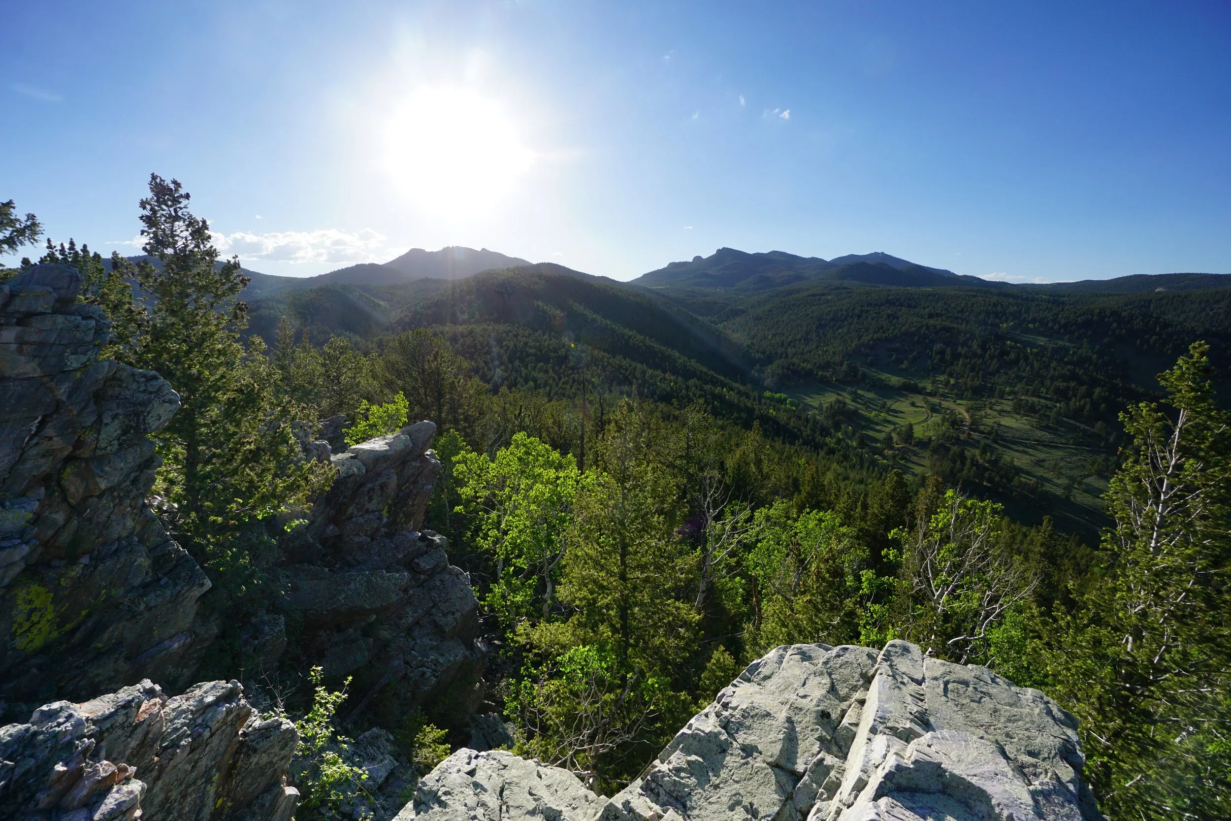
The City Lights Ridge Trail starts off steeply climbing through thick vegetation. Soon you cross an open meadow slope with great views and climb up through interesting rock formations until you arrive on the ridge. The short segment of trail along the ridge is very rock but you shouldn’t need to use your hands for balance. Climb the rock and you’ll soon arrive at the rocky summit. The views from the summit are enormous but so are the dropoffs, be careful. The views are not quite 360 degrees since the view to the west is blocked by trees but you get a good look at the Tallman Ranch below, Windy Peak to the North, and the jagged ridge-line of Tremont Mountain, Thorodin Mountain, and Starr Peak to the northwest.
The return hike follows the same route so just retrace your steps. A quick hike to a beautiful overlook in a serene part of the park, what more can you want.