Chuck’s Loop
Gateway Mesa Open Space
Date Hiked: April 20, 2013
Distance: 1.8 mi (RT)
Elevation Gain: 162ft
Elevation Min/Max: 6,494 to 6,563 ft
Trailhead Lat/Long: 39.388030º N;
Managing Agency: Town of Castle Rock Parks & Recreation
Fee: None
Directions: From Denver, head south on I-25 to Castle Rock. Take the Founders Parkway exit (184) and head east for 4.4 miles to Hwy 86. Make a left on 86 and in 2 miles turn right onto the driveway for the parking area and trailhead.
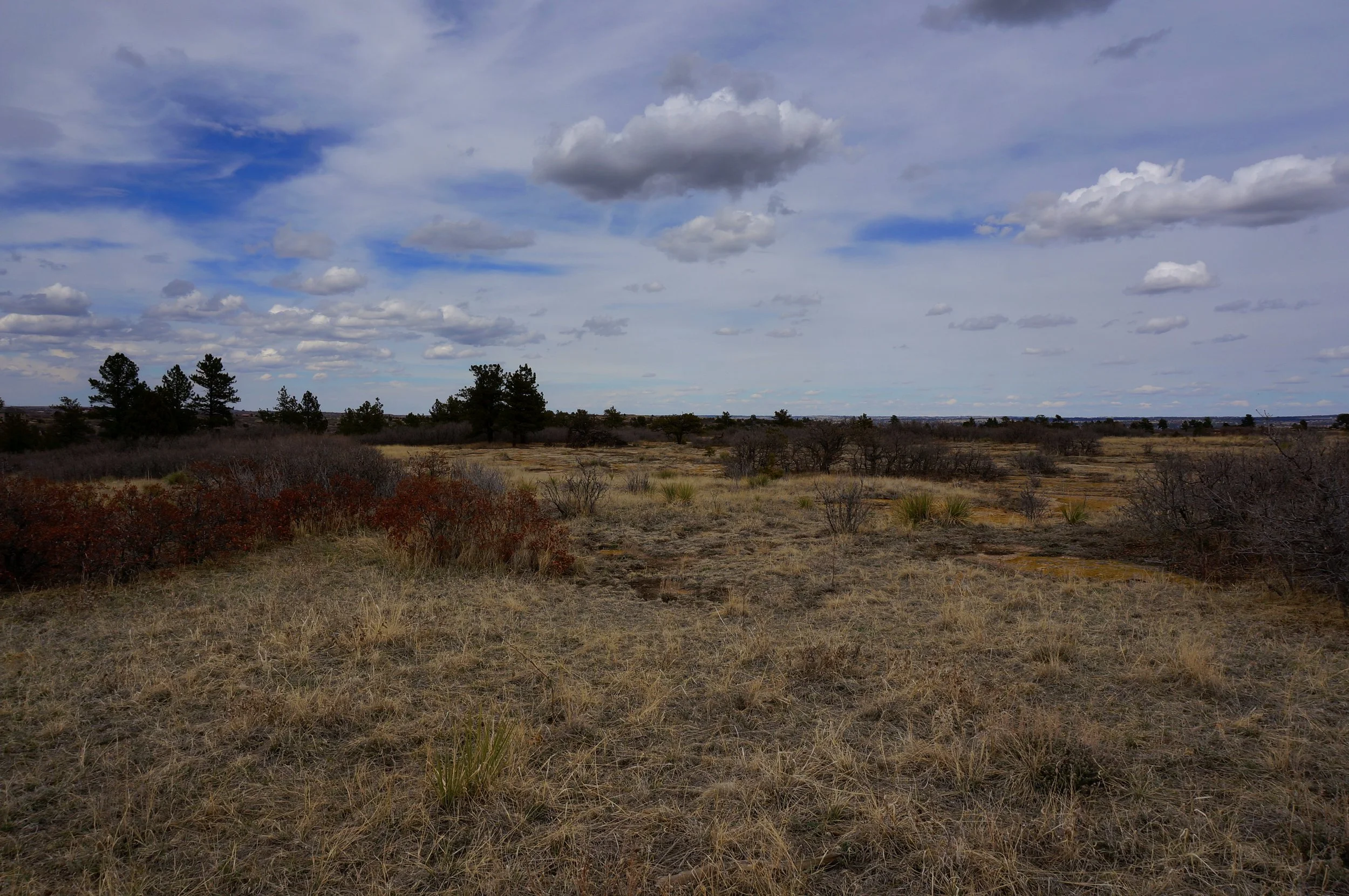
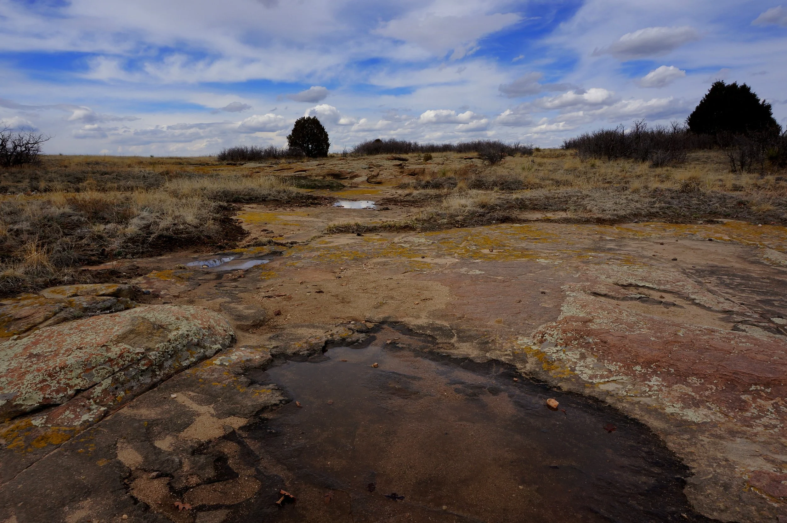
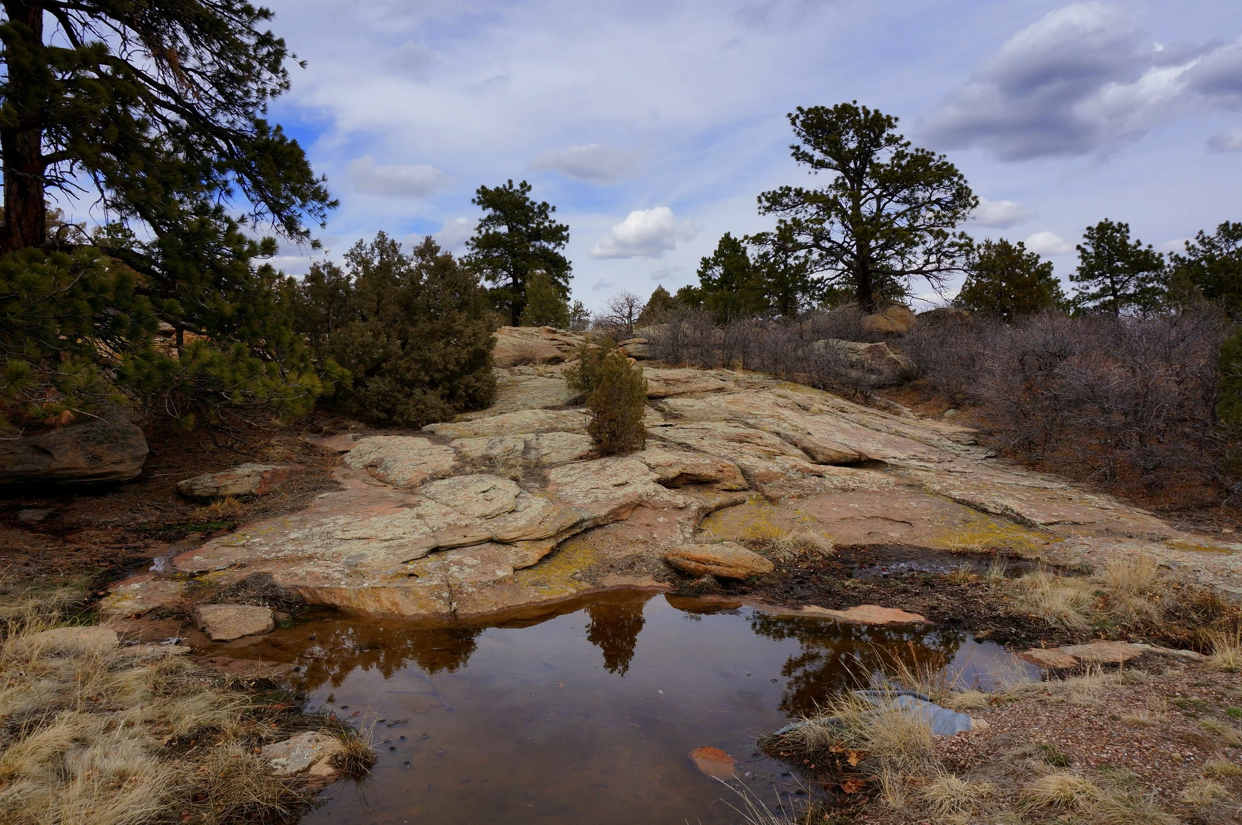
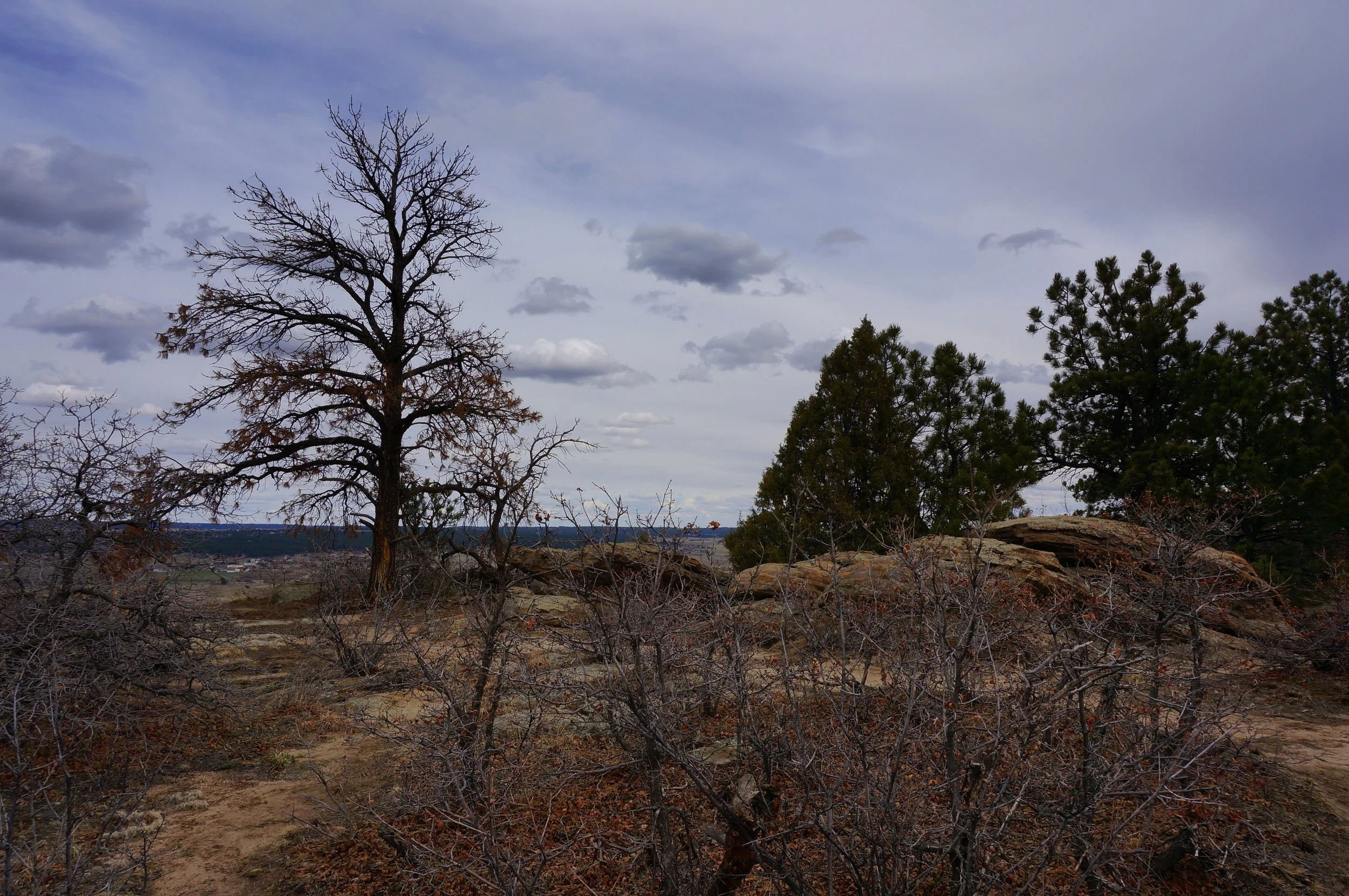
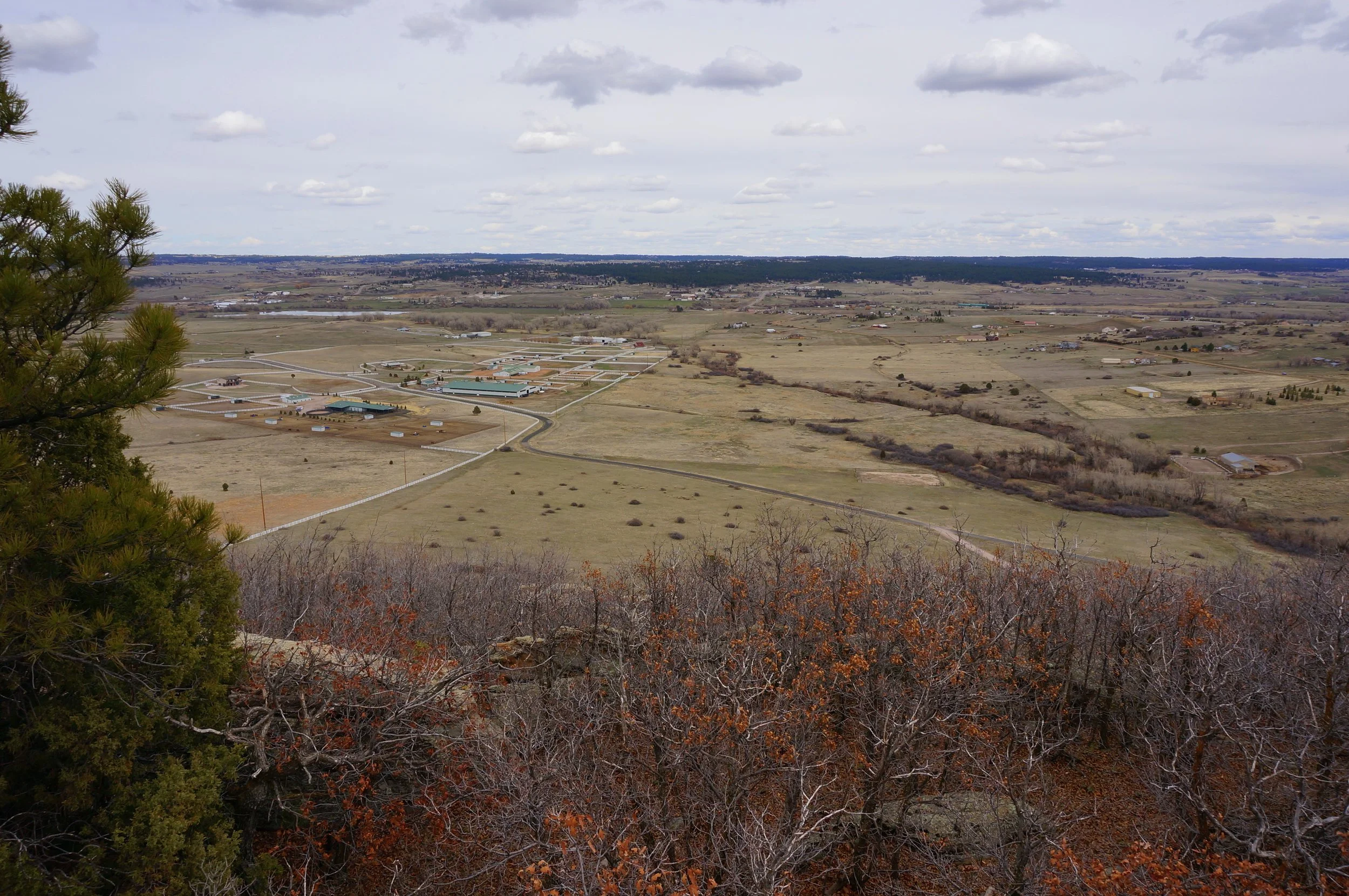
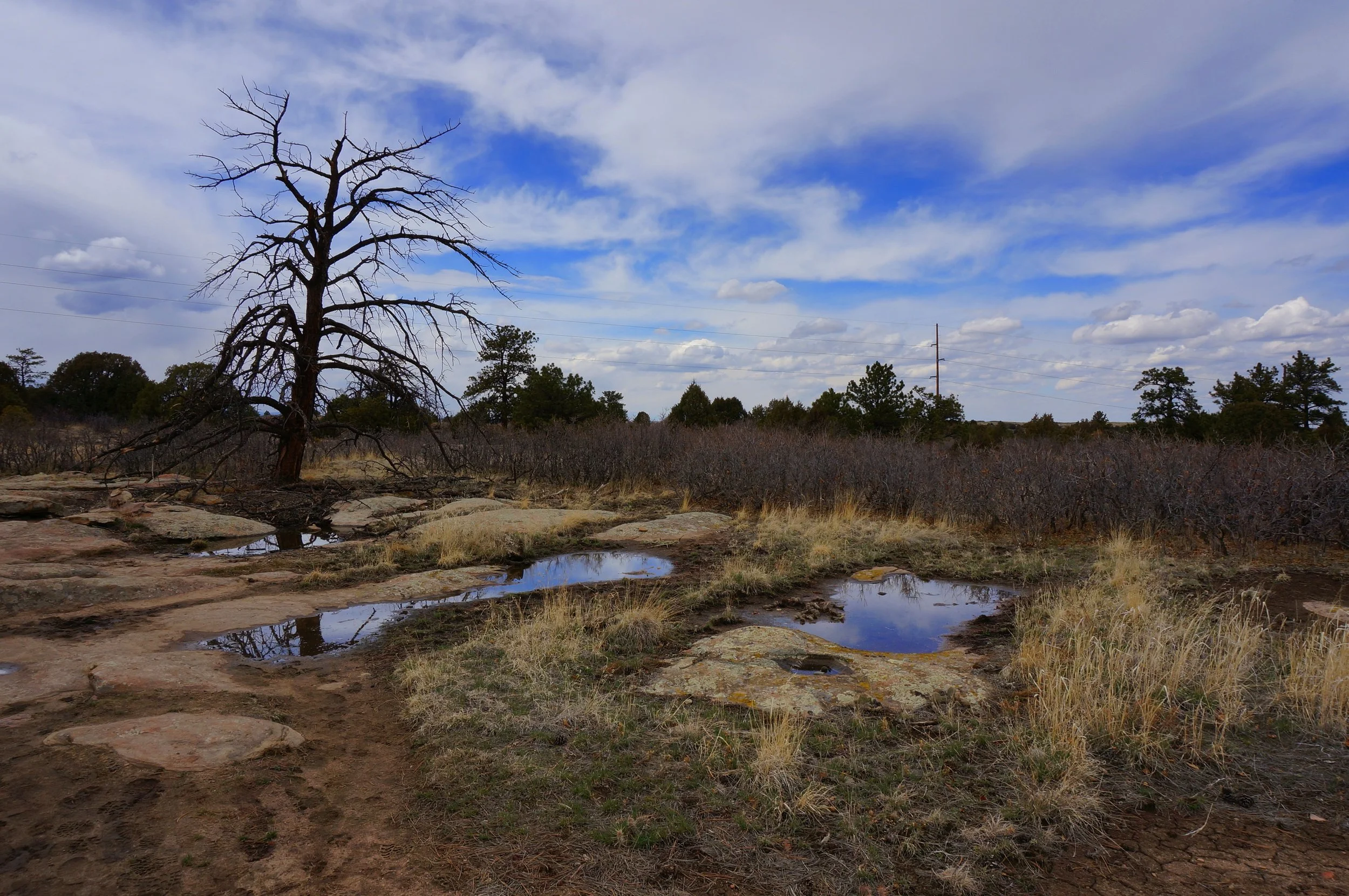
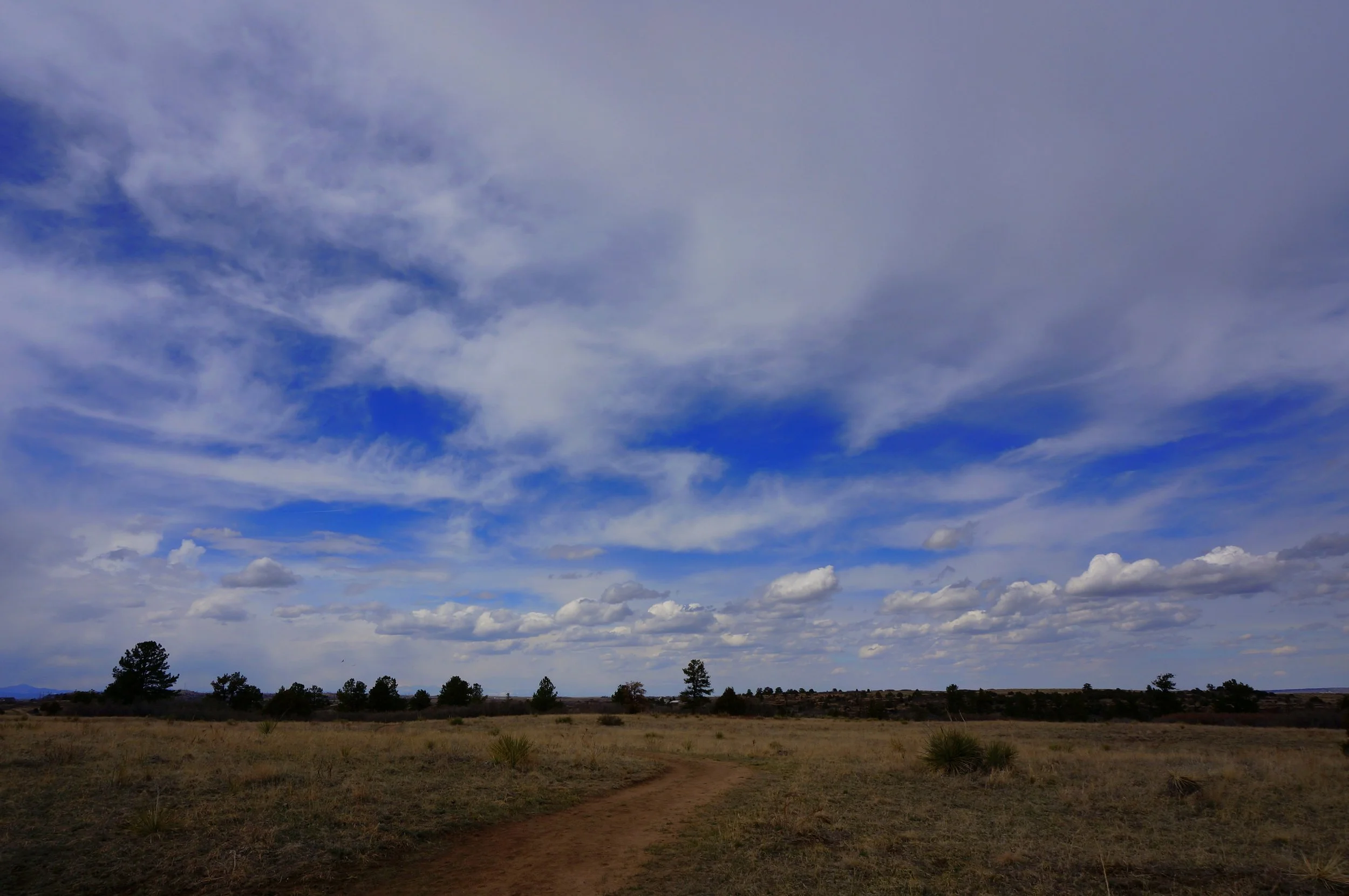
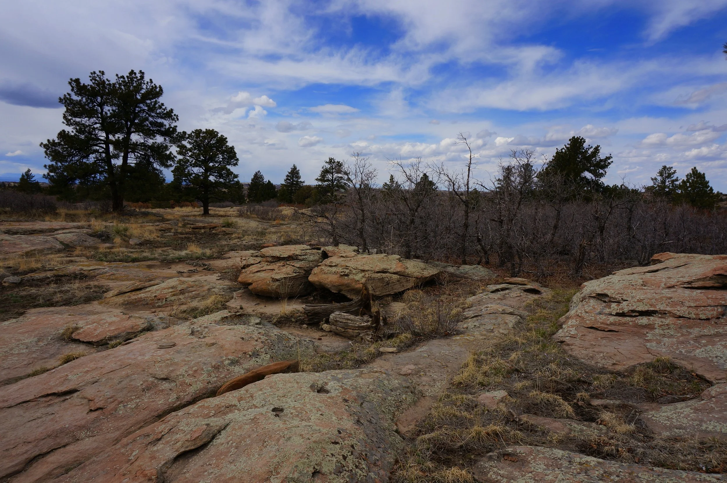
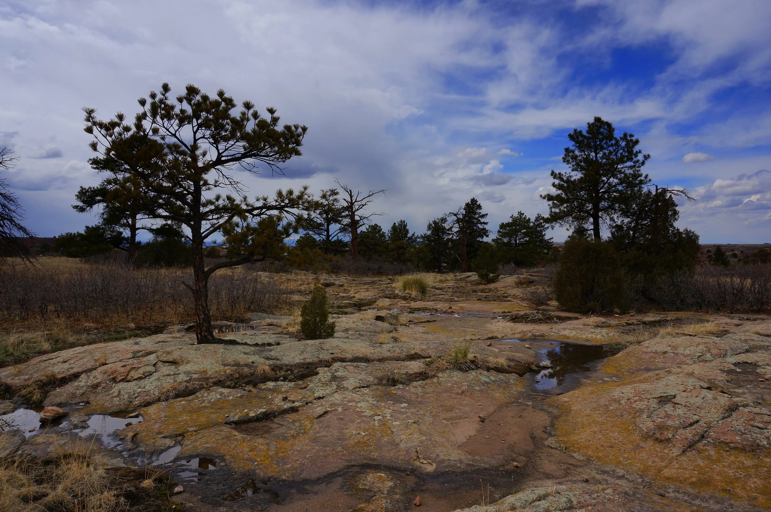
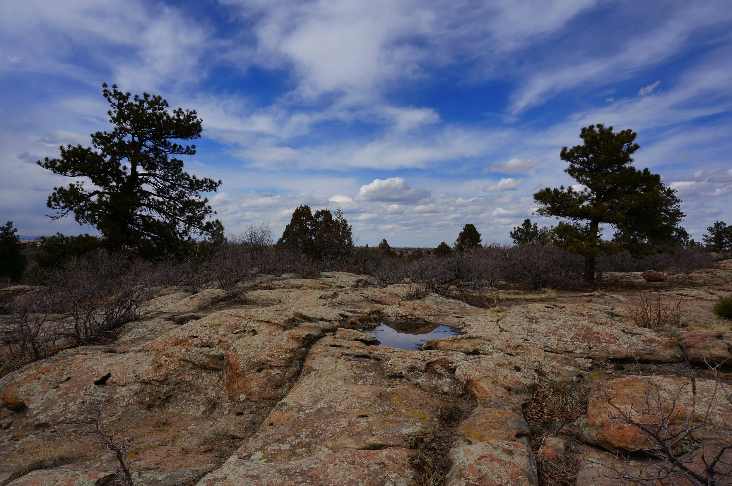
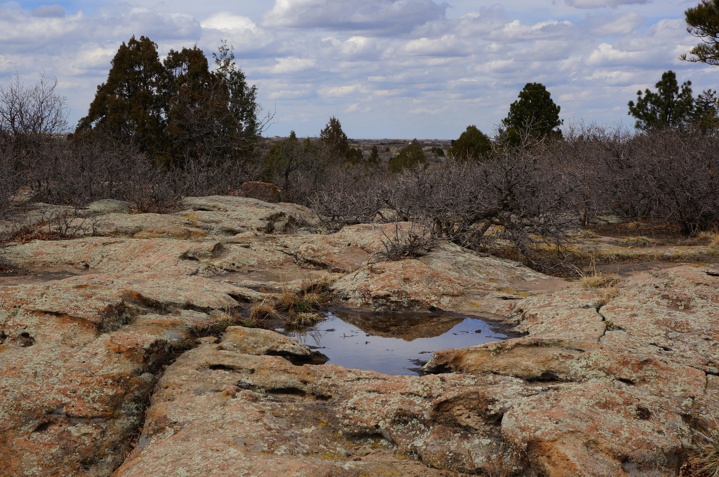
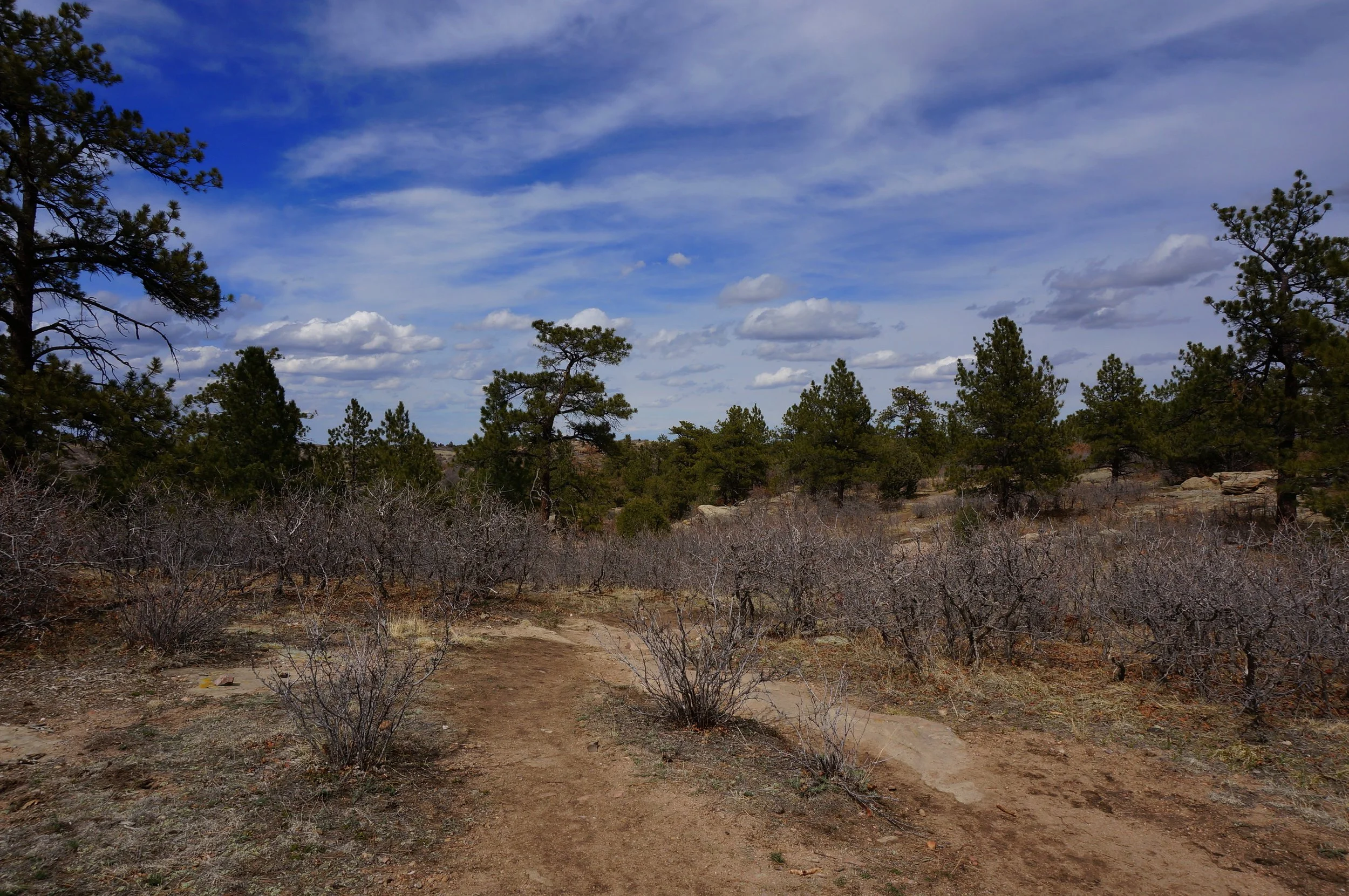
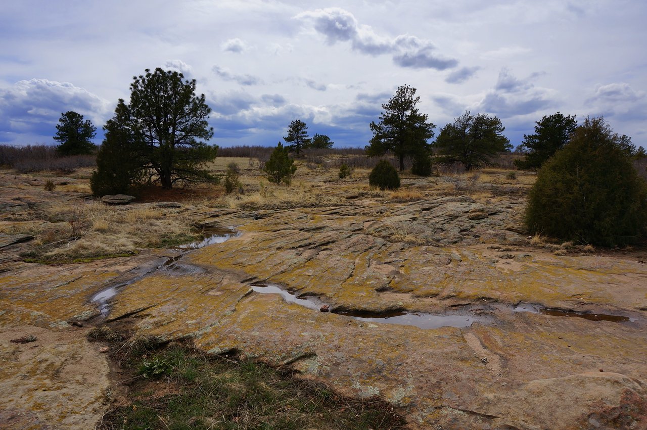
Hike Description: This is a short, easy, even trail that has some really cool landscape features. It is great for kids or a relaxing stroll. You'll get good views of the front range and the valley east of Castle Rock. For a longer hike you can take the Mitchell Creek Canyon trail out and back for an extra 5 miles or so. The loop itself is a little less than 2 miles but a very pleasant hike nonetheless.