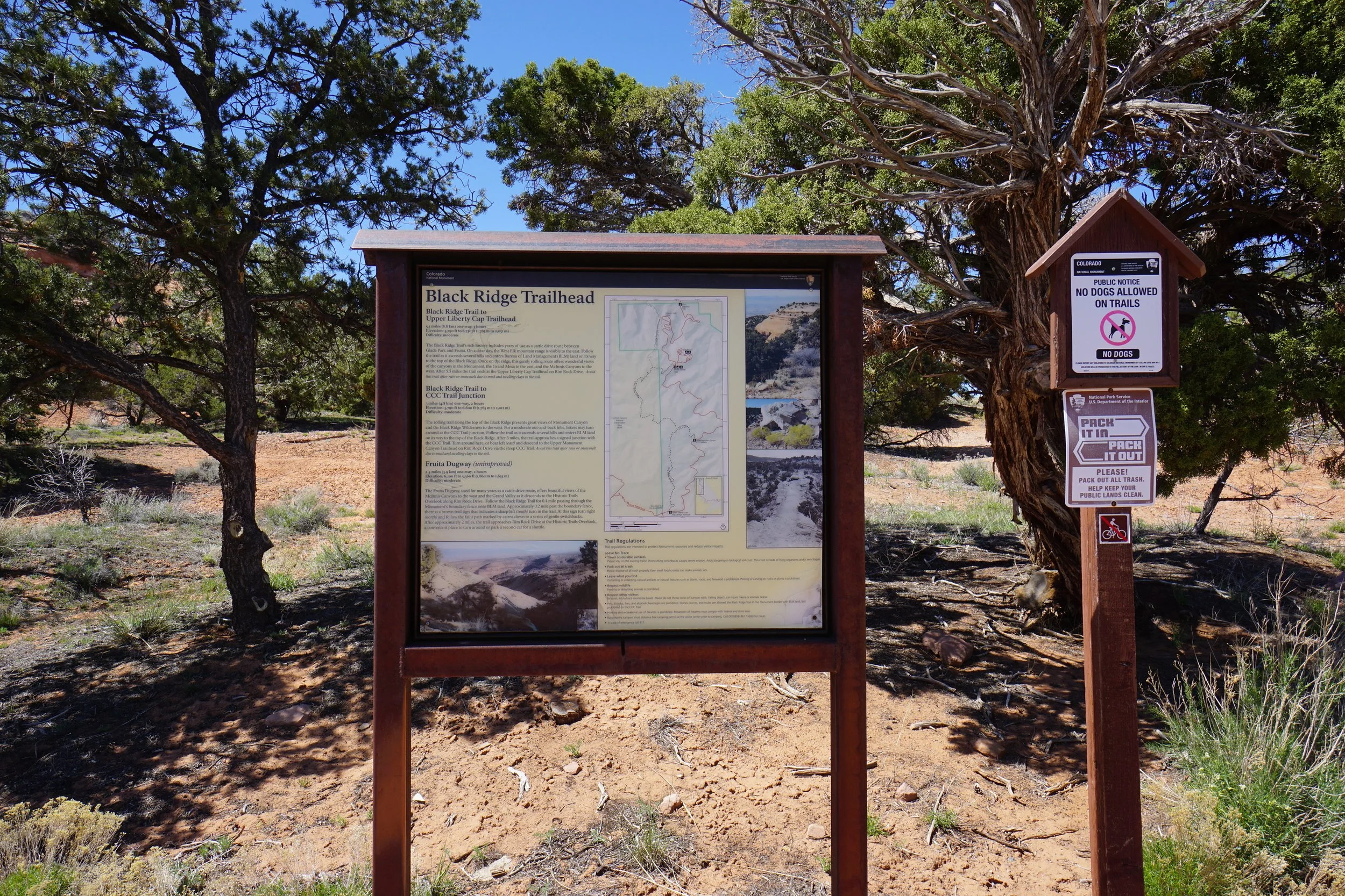
Black Ridge Trail
Colorado National Monument & McInnis Canyons National Conservation Area
Date Hiked: April 29, 2023
Distance: 7.4 mi (RT)
Elevation Gain: 760 ft
Elevation Min/Max: 5,794 to 6,533 ft
Trailhead Lat/Long: 39.10098, -108.73445
Managing Agency: National Park Service & BLM
Fee: Yes

HIKE DESCRIPTION:
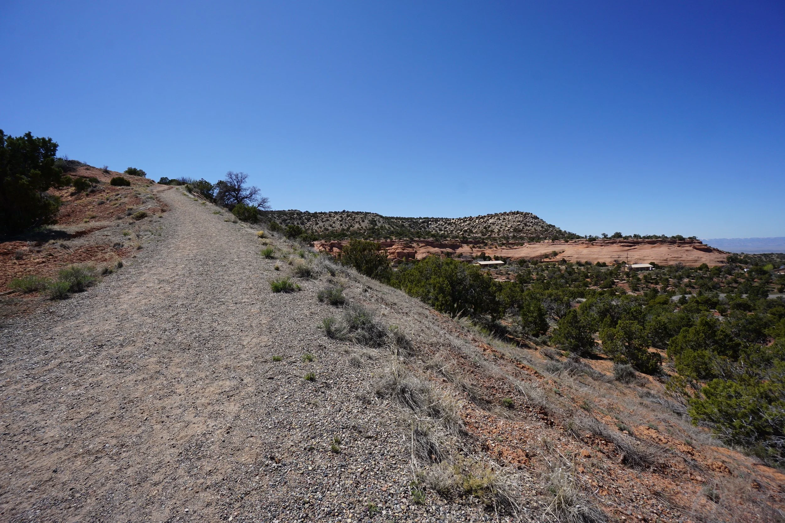
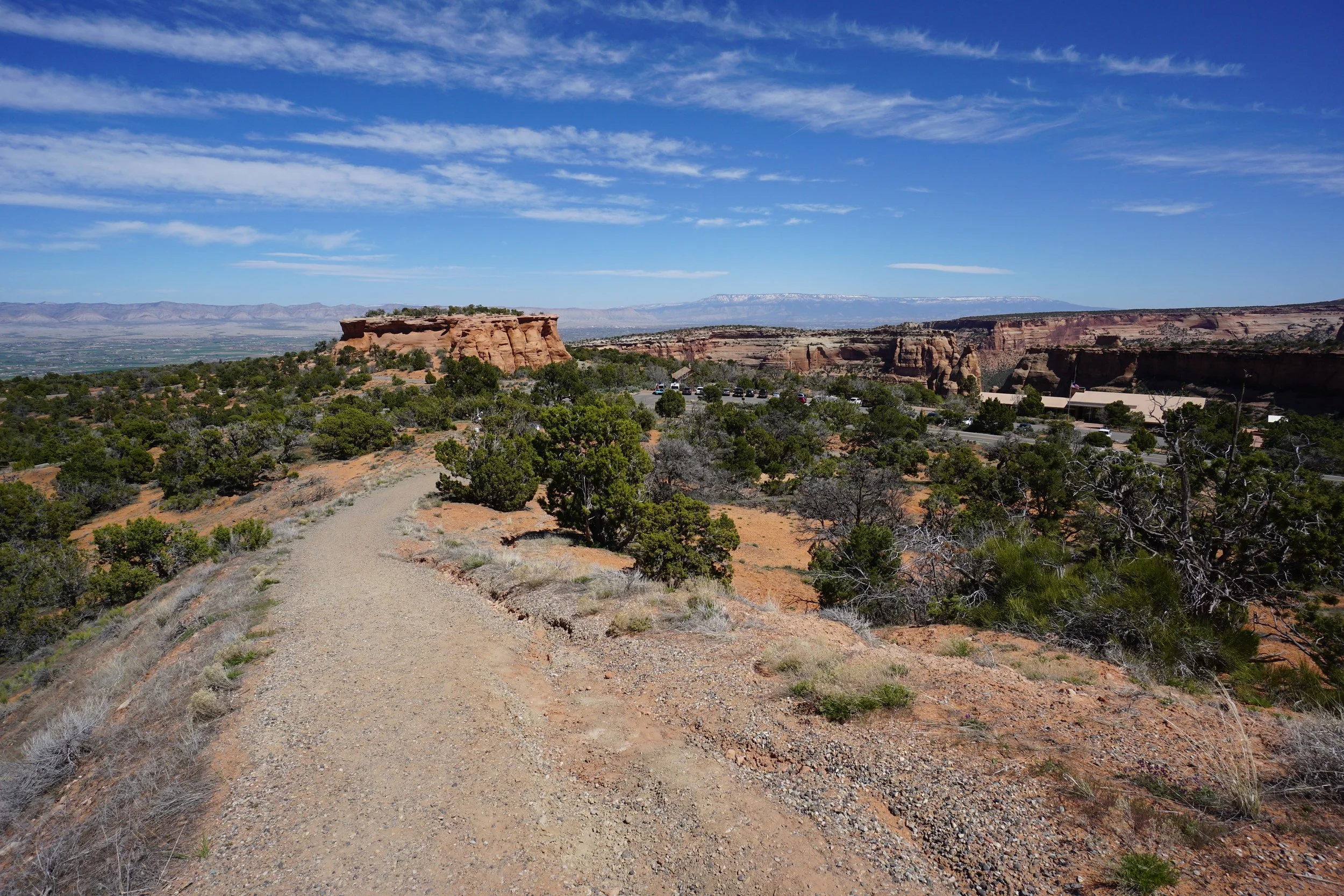
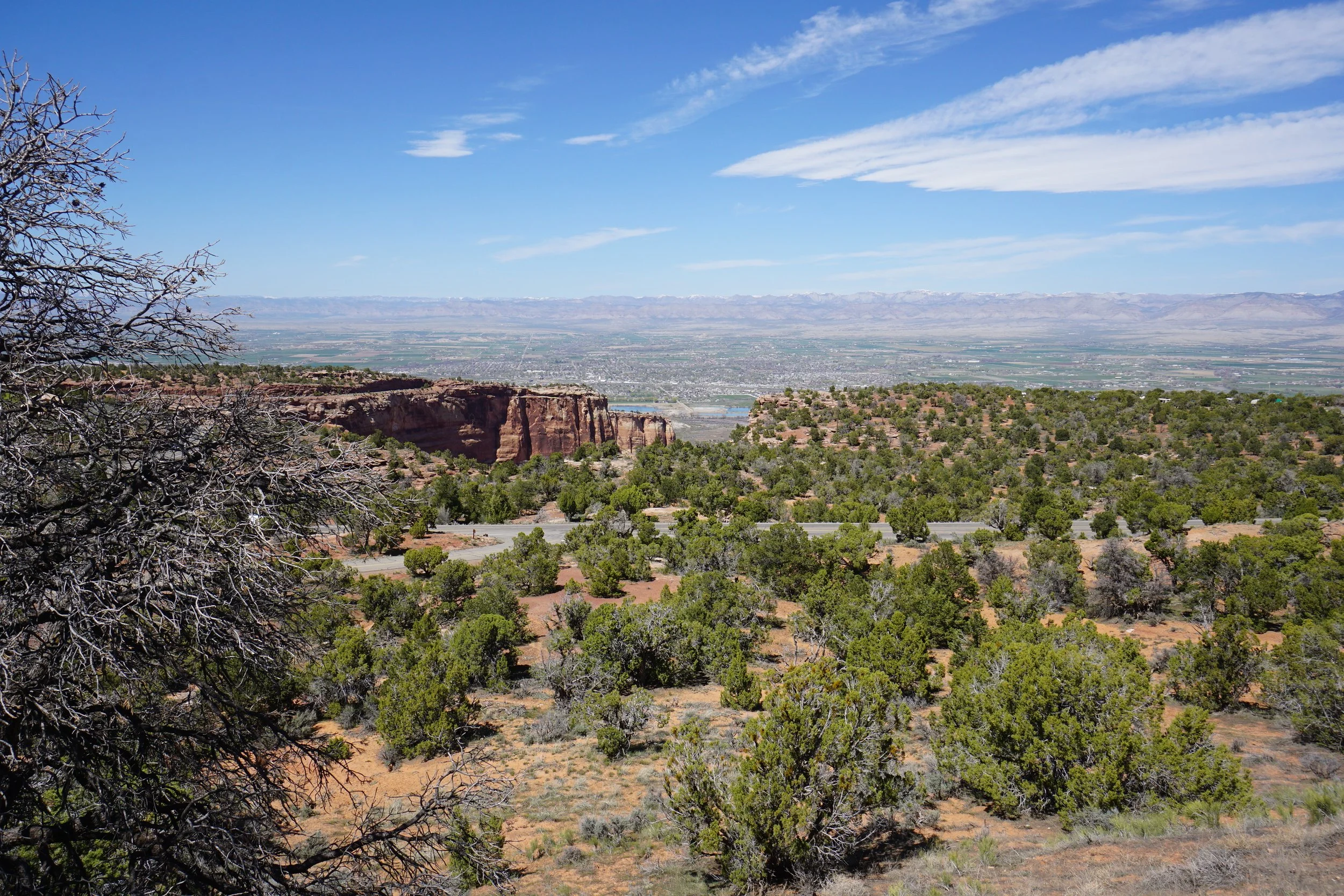
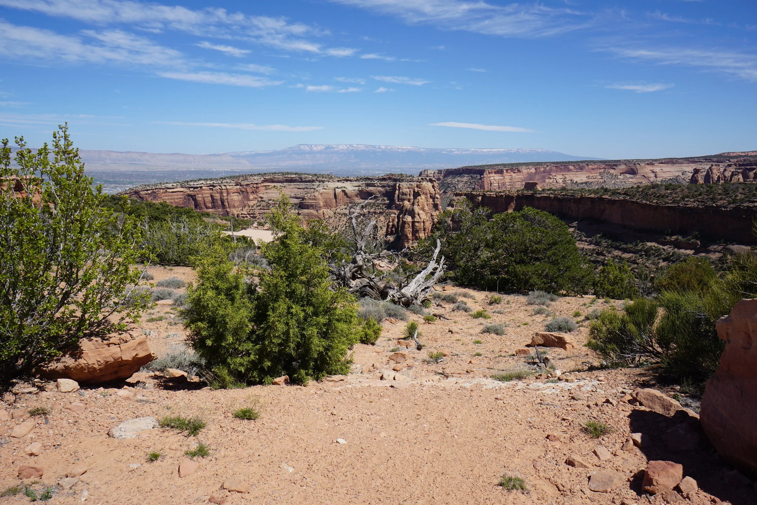
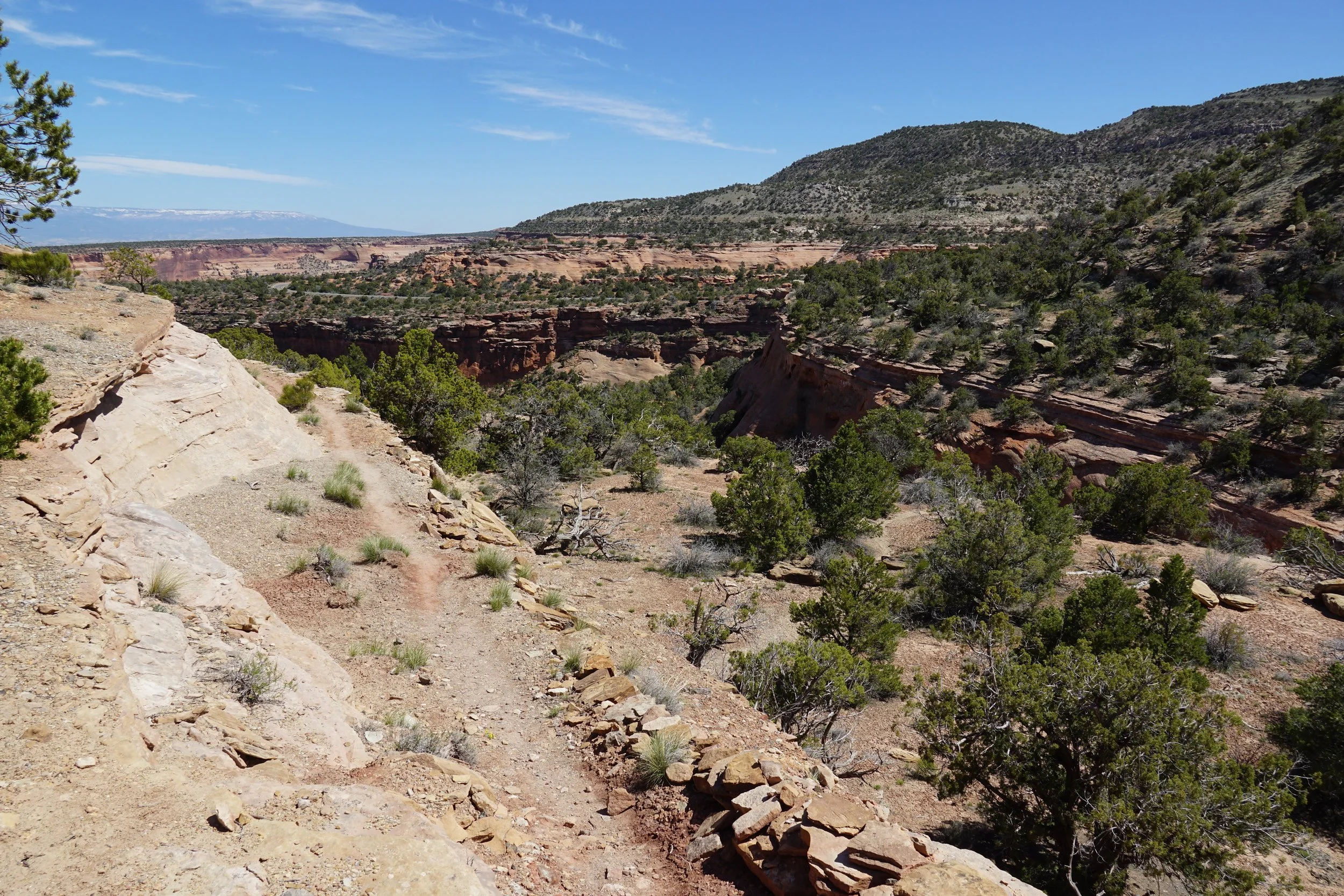
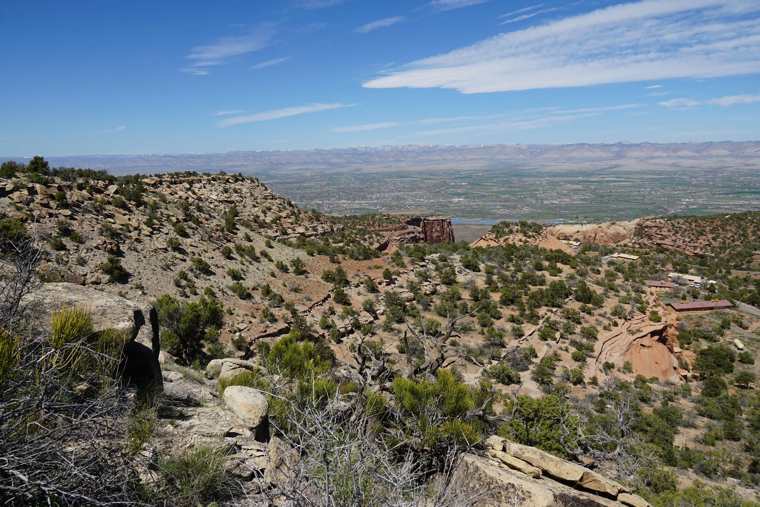
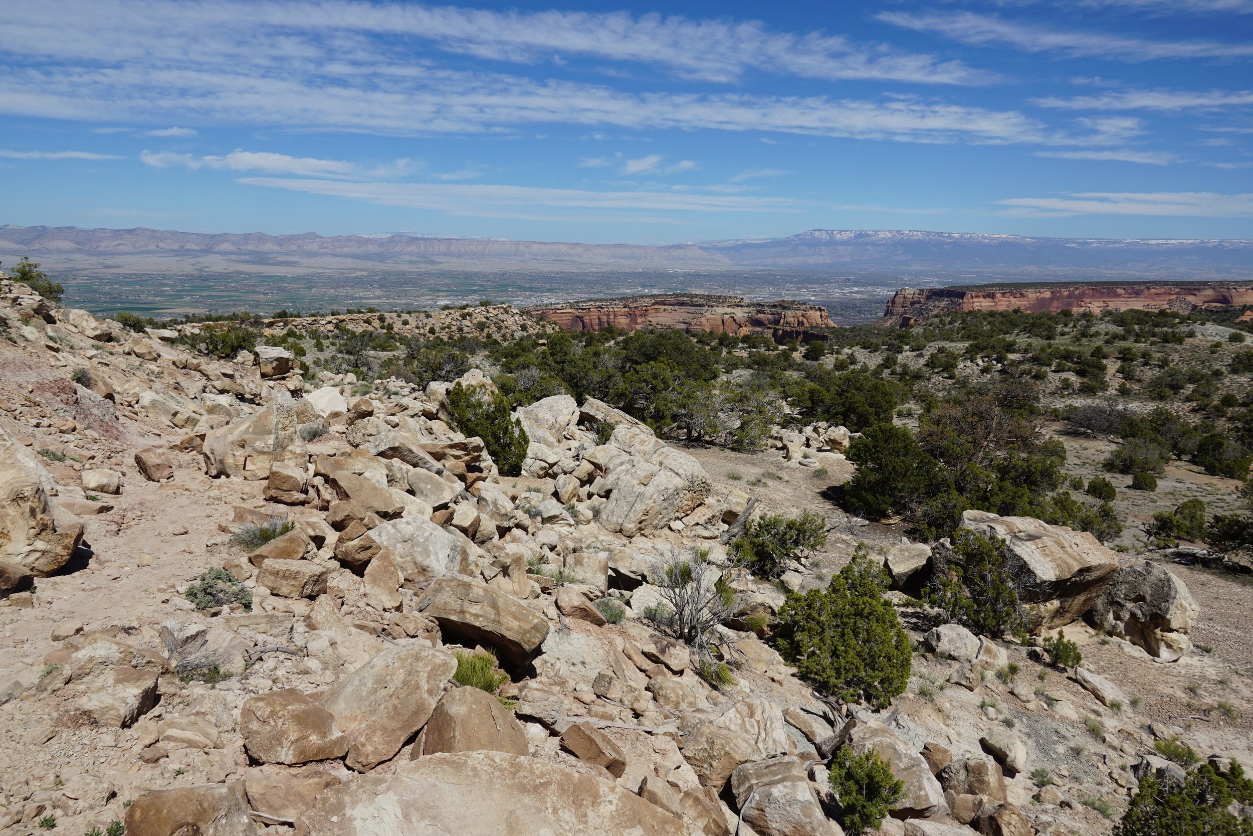
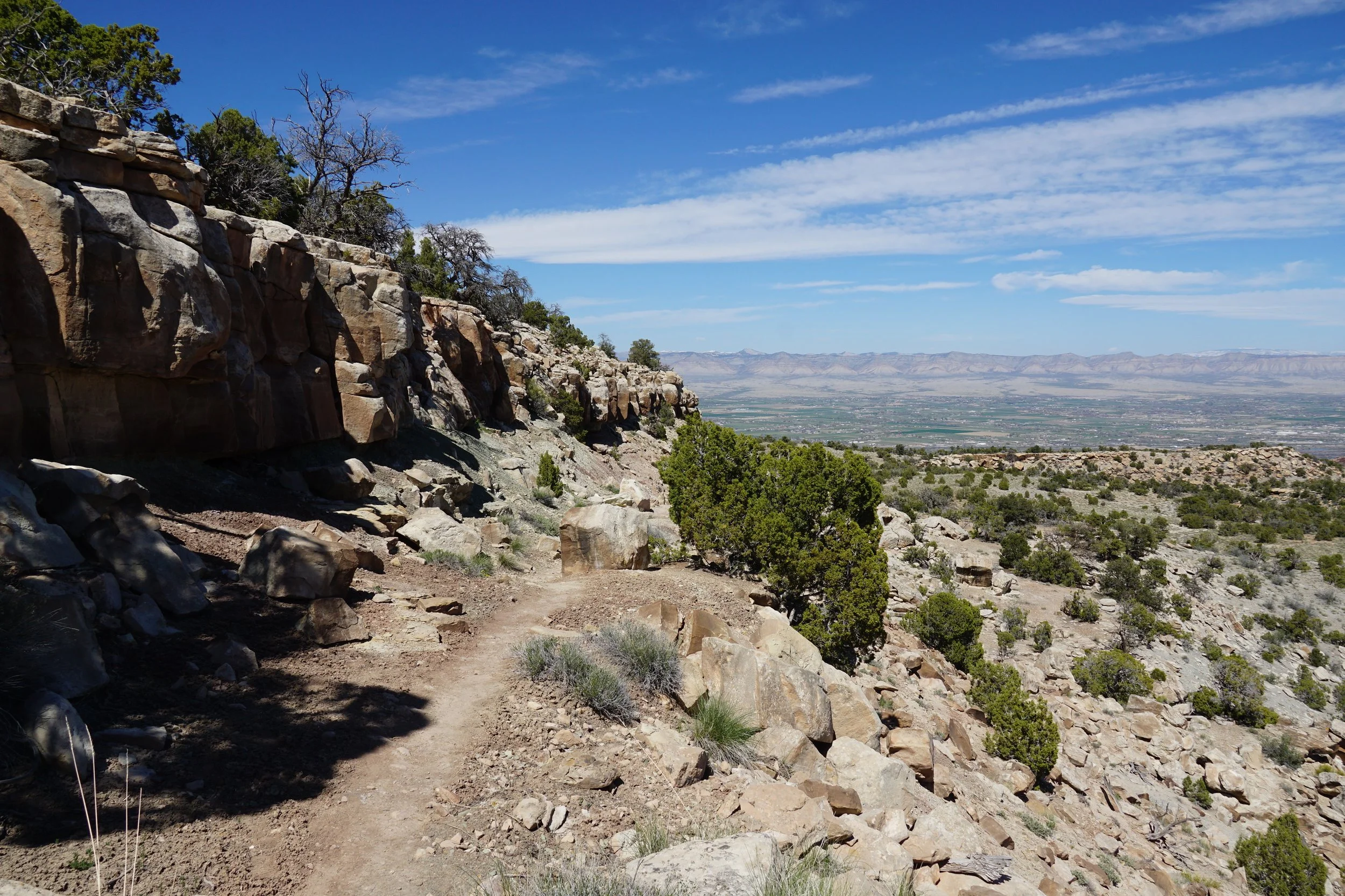
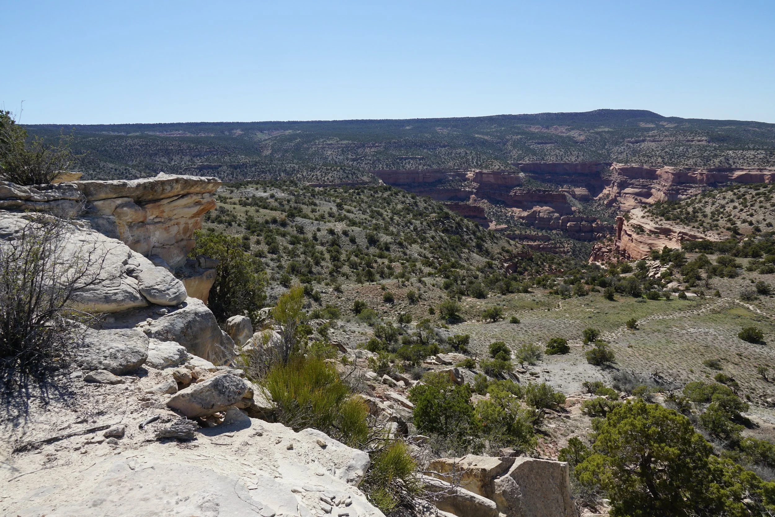
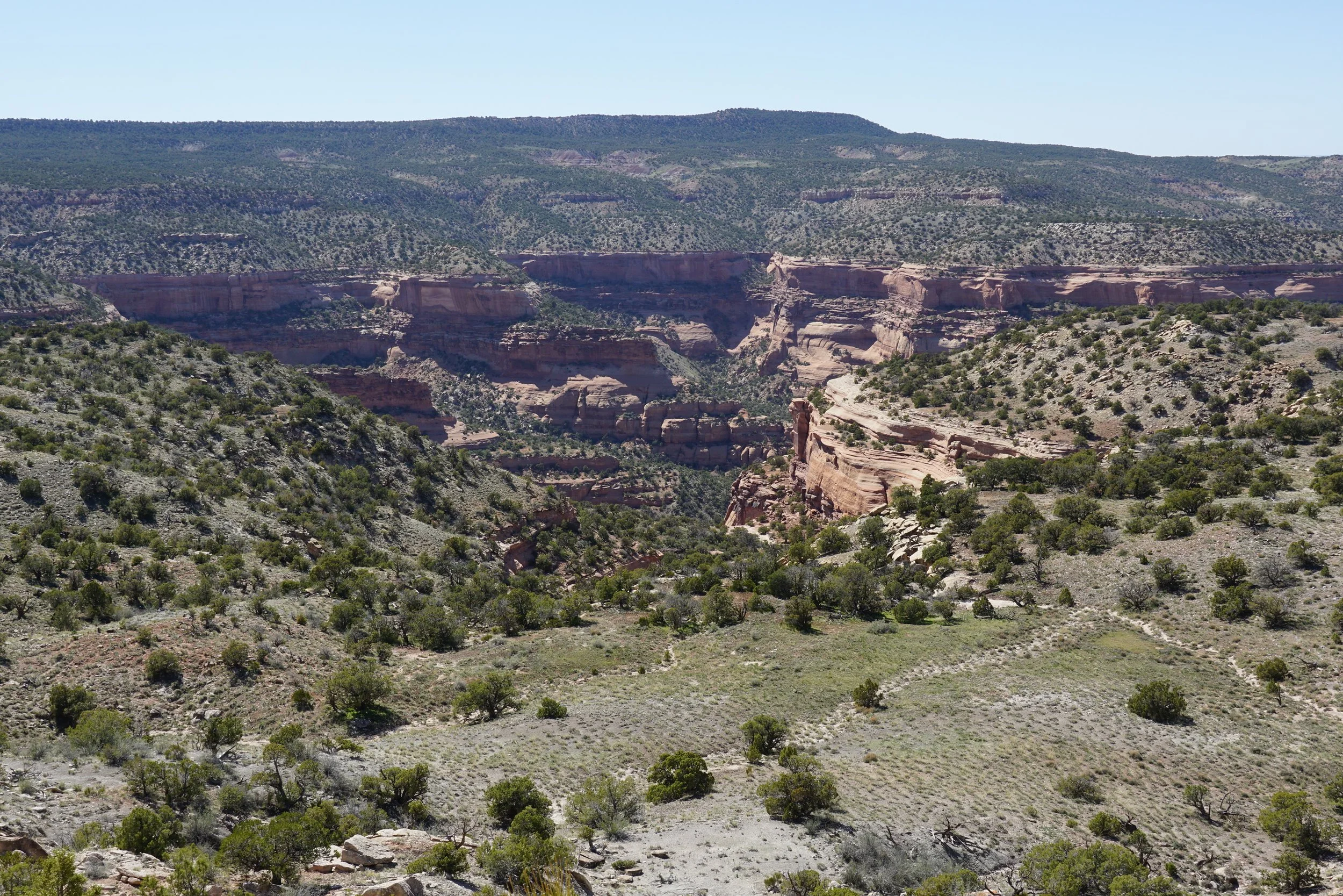
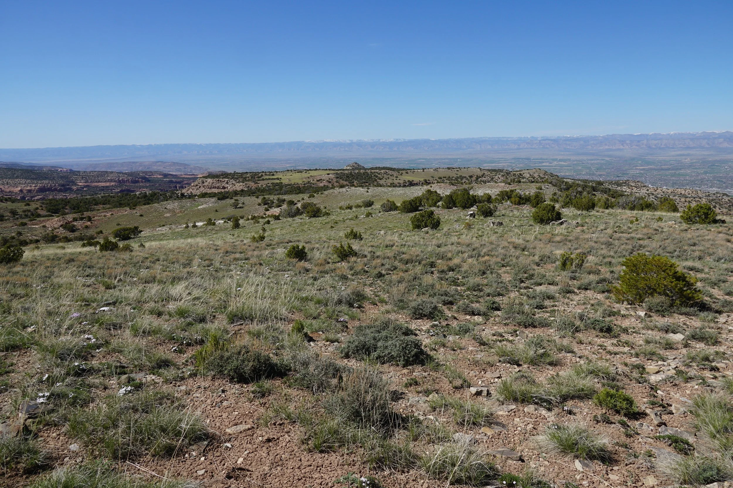
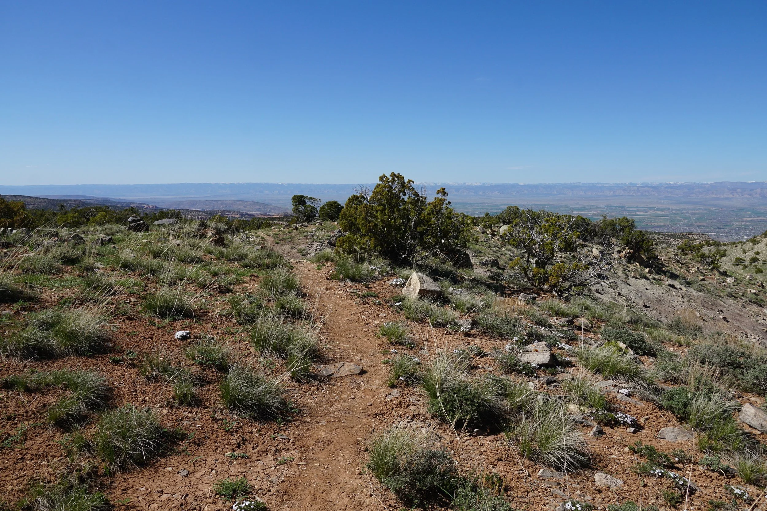
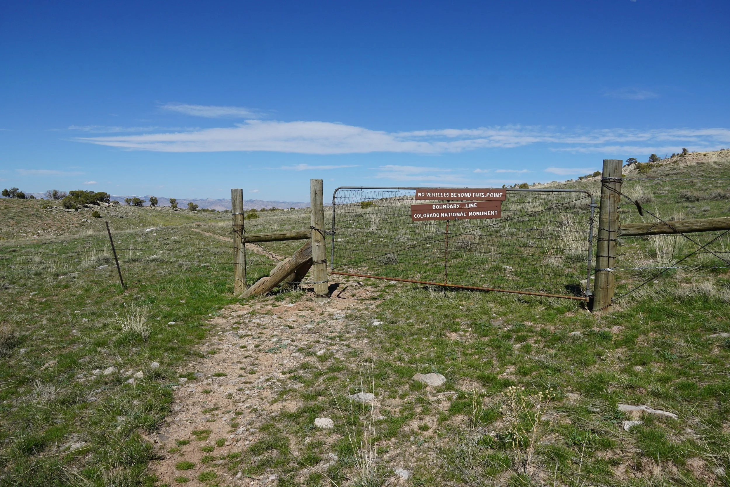
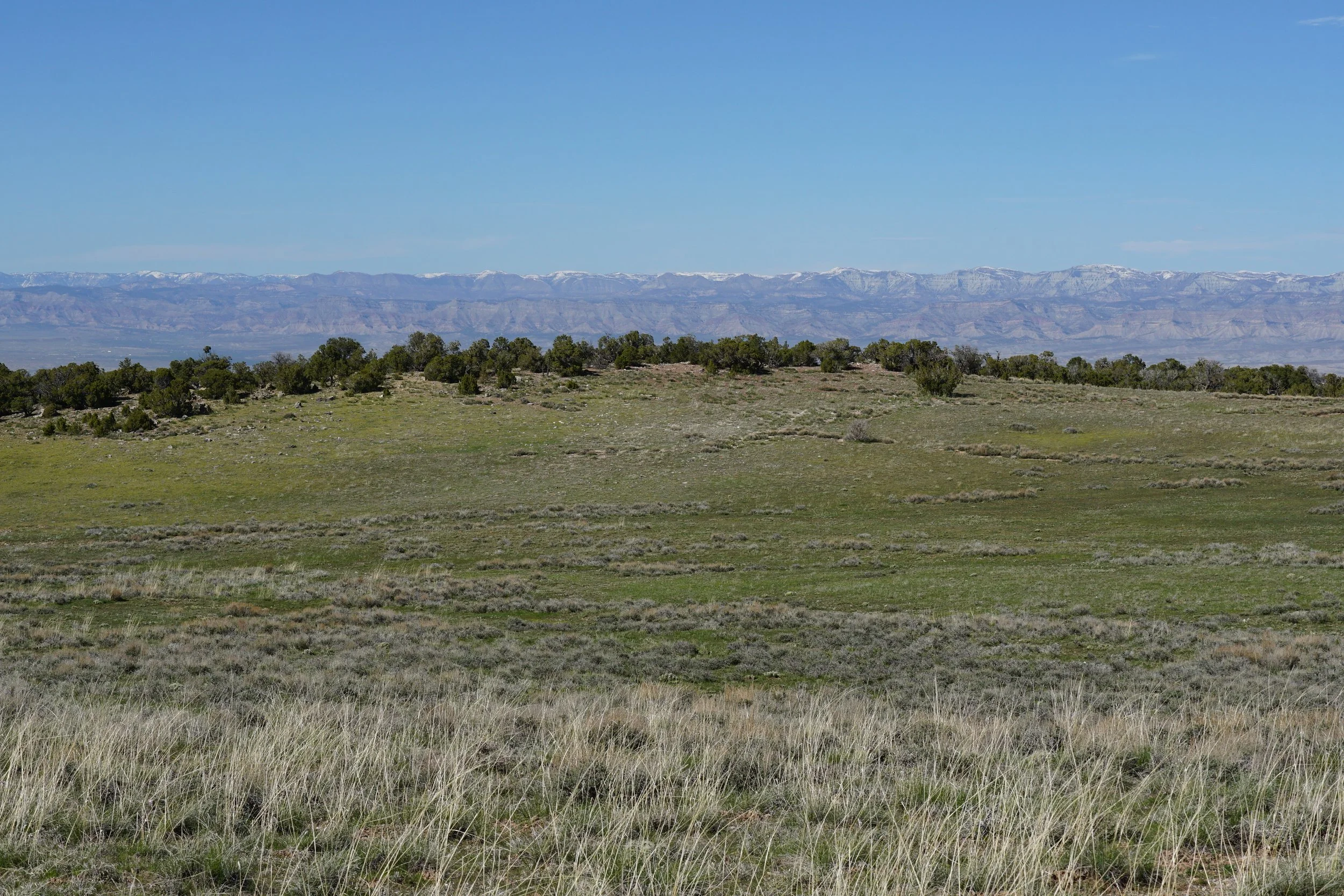
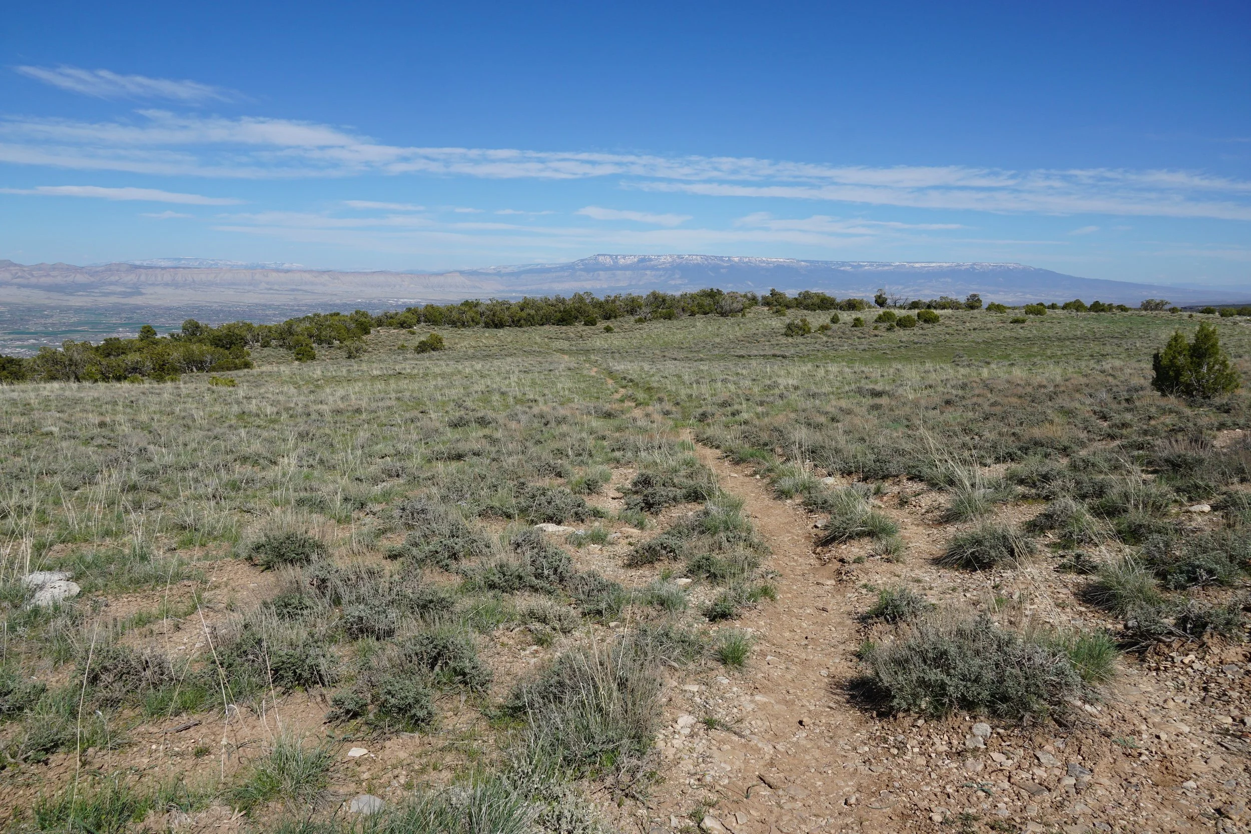
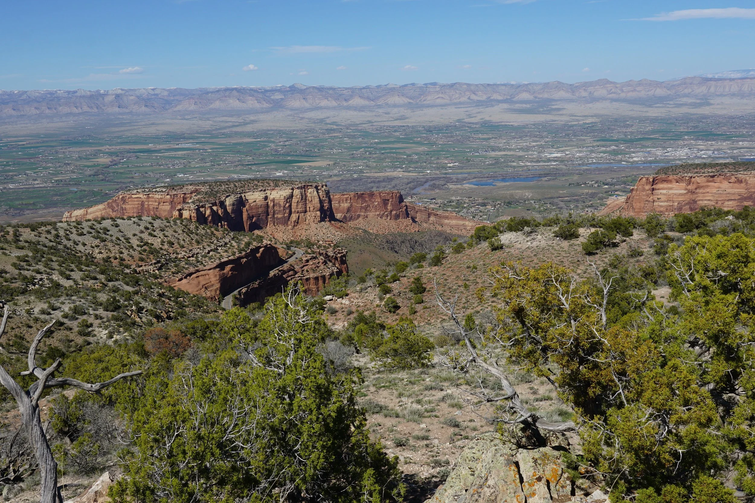
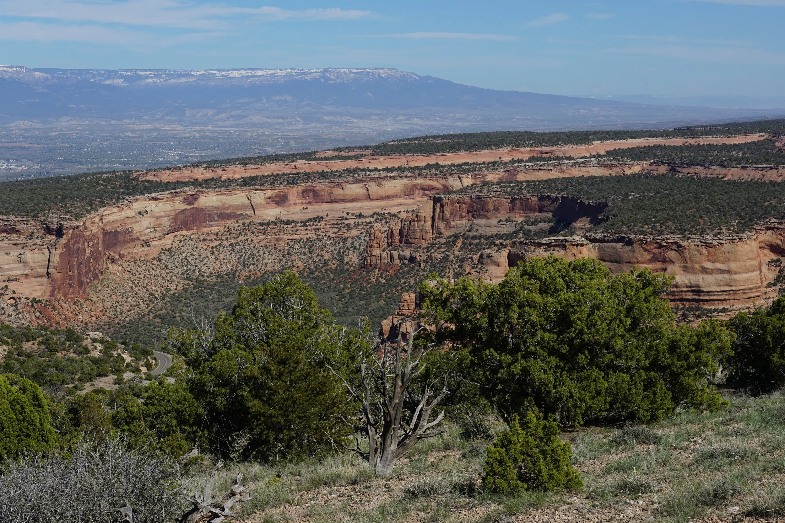
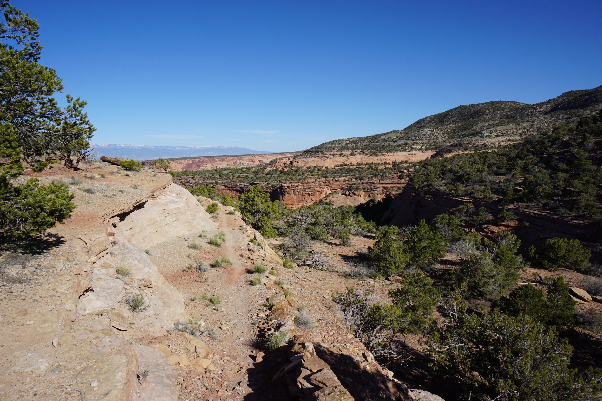
The Black Ridge Trail is a long trail that begins and ends in Colorado National Monument. The trail climbs up to Black Ridge and crosses into the McInnis Canyon National Conservation Area, managed by the Bureau of Land Management. After it travels across the high plains of Black Ridge, the trail re-enters Colorado National Monument and descends down to Rim Rock Drive. The hike provides wonderful views of the Black Ridge area and great views down to the red rock cliffs of Colorado National Monument.
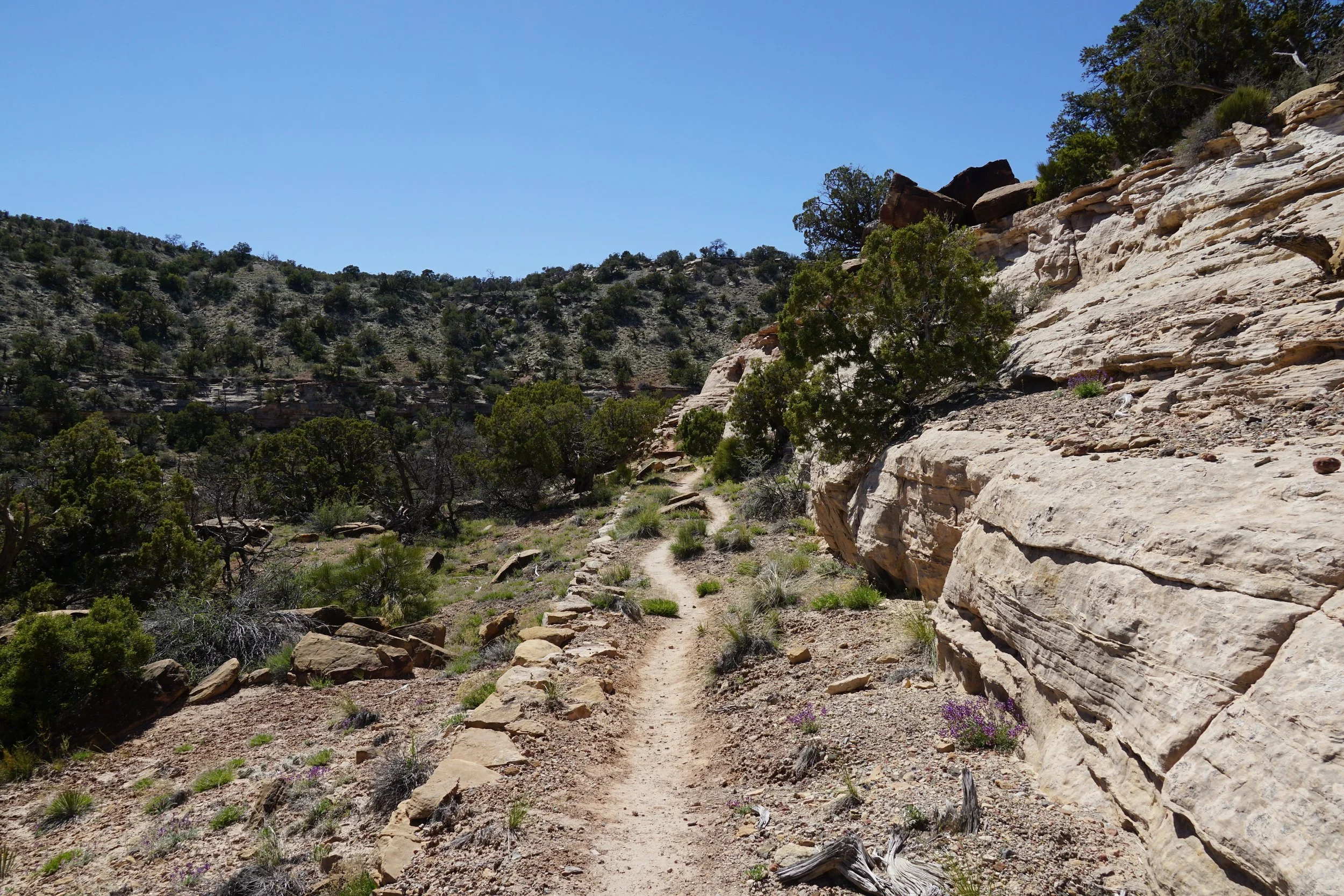
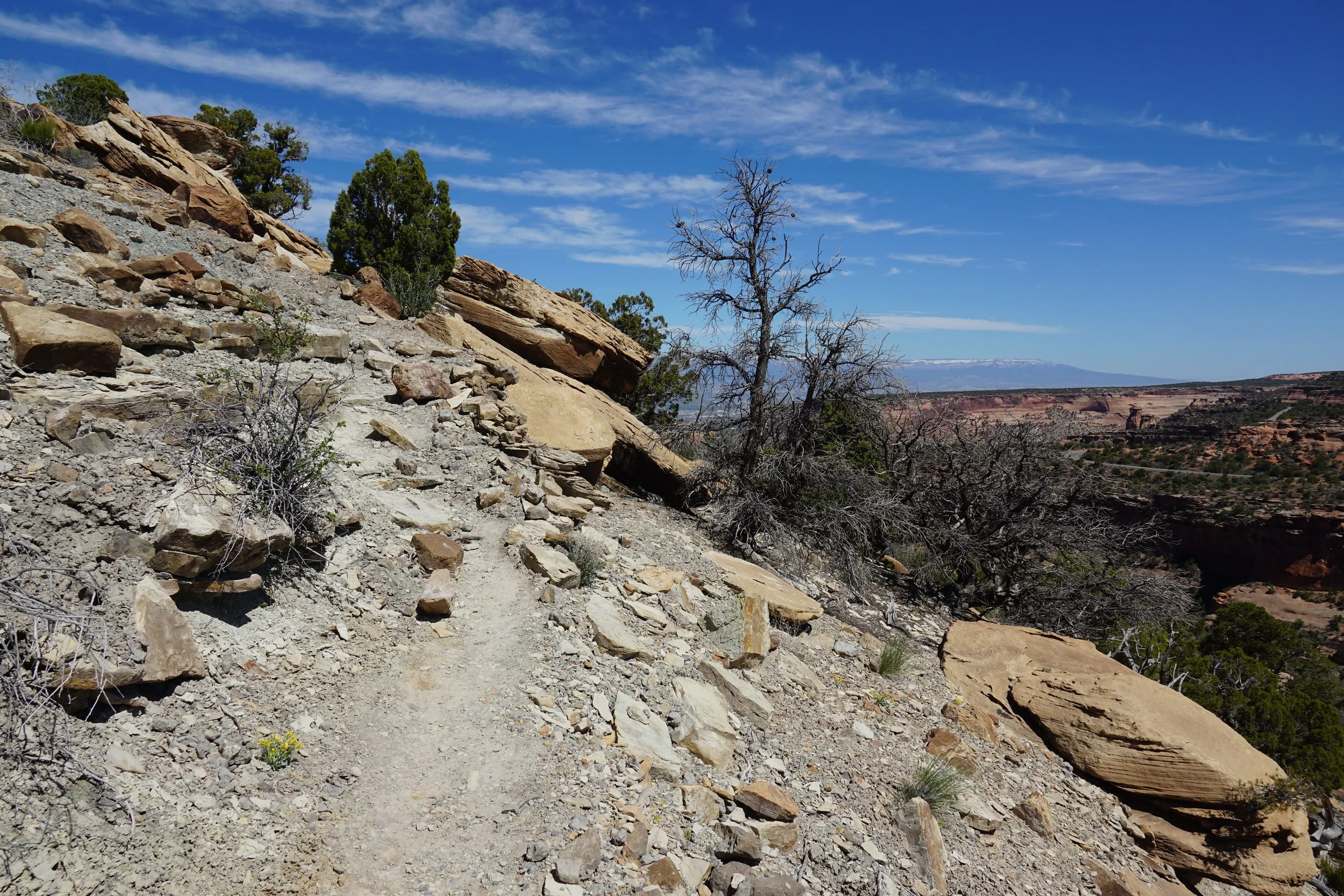
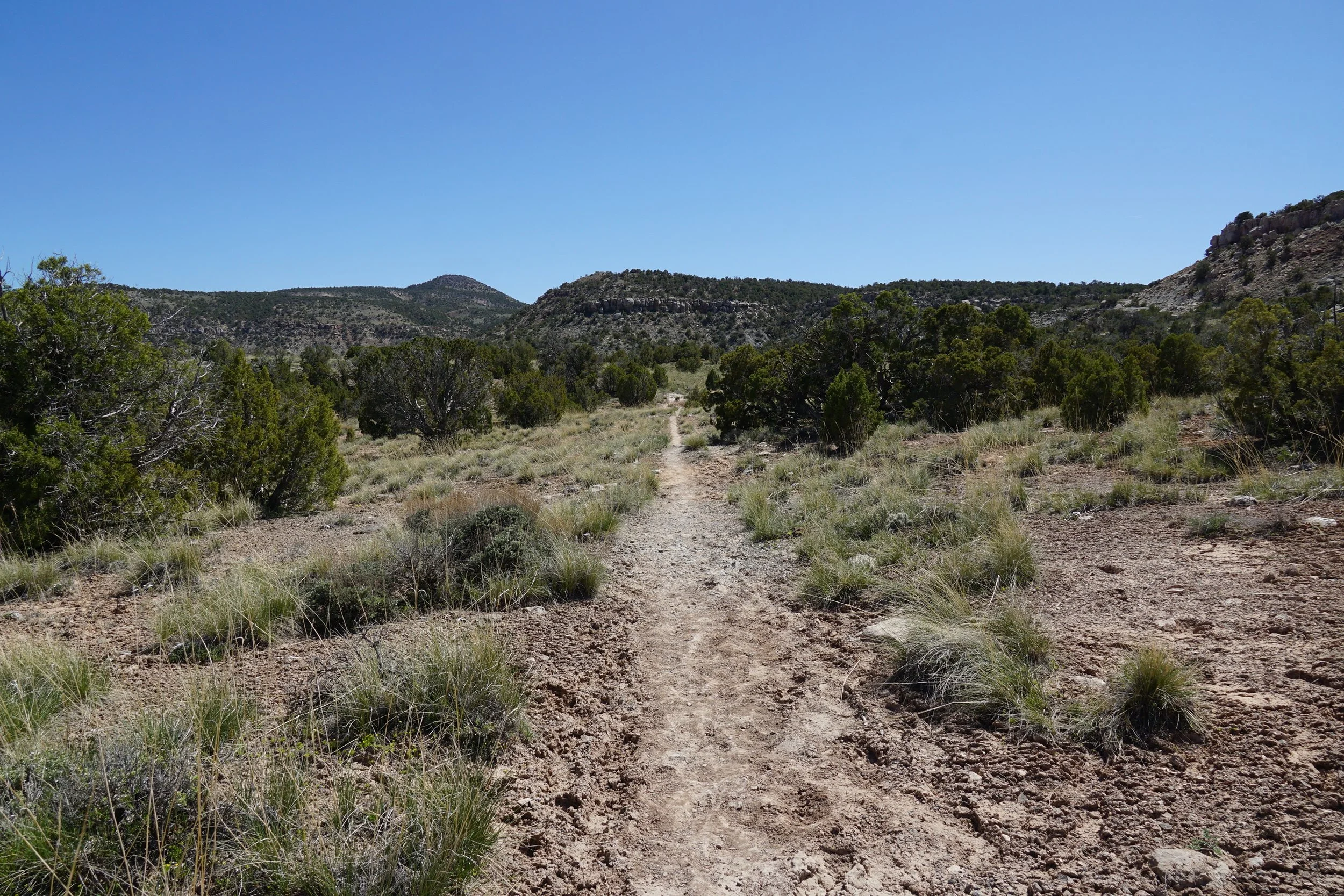
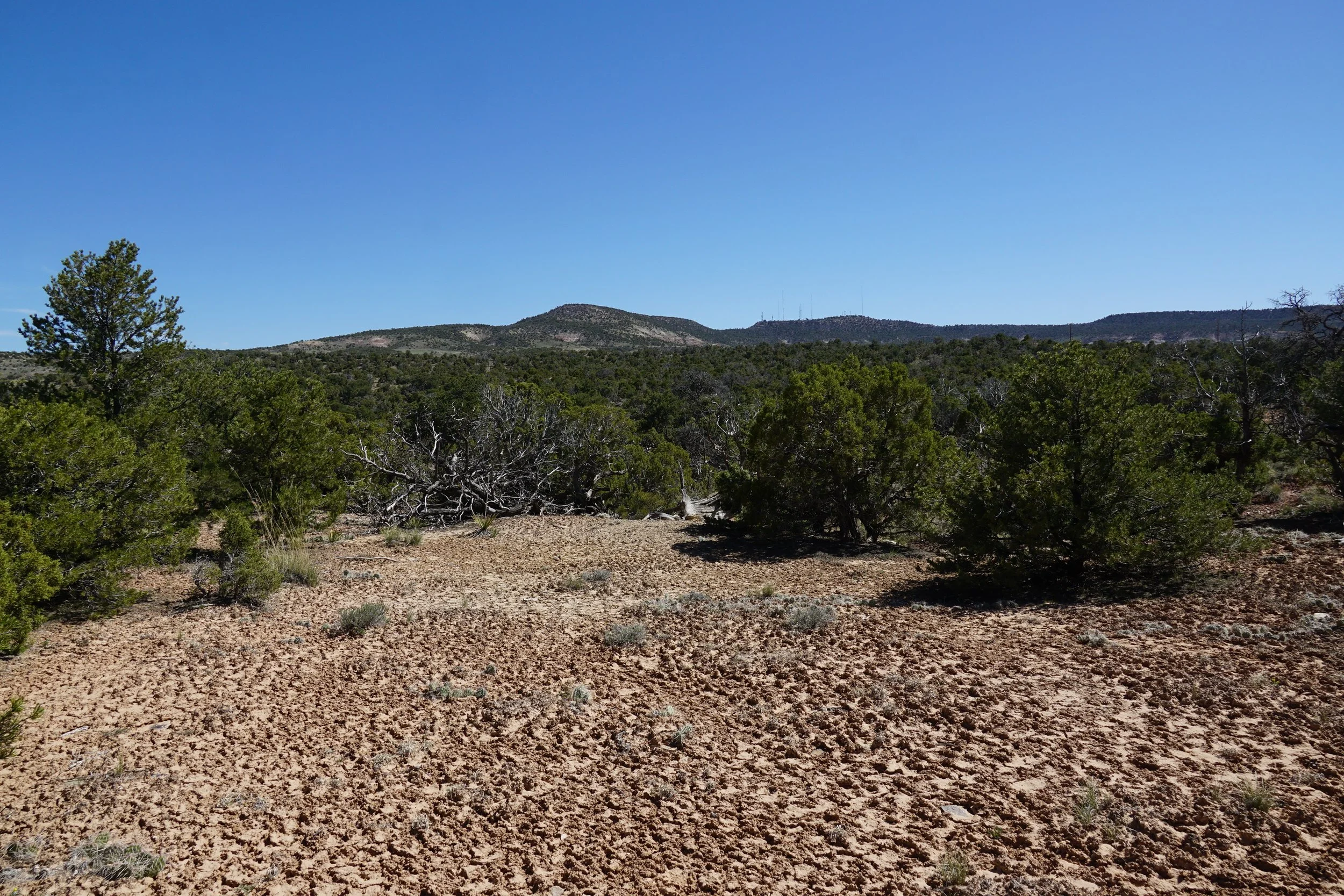
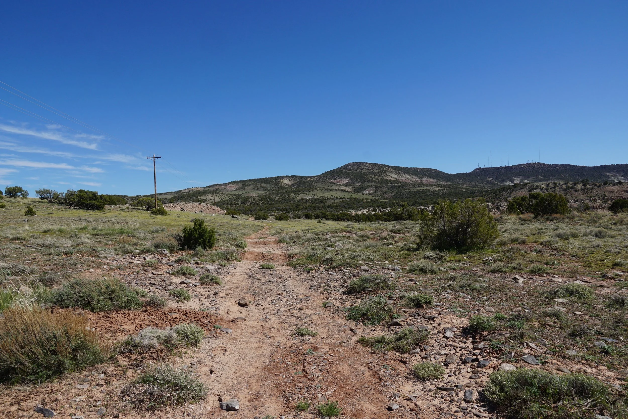
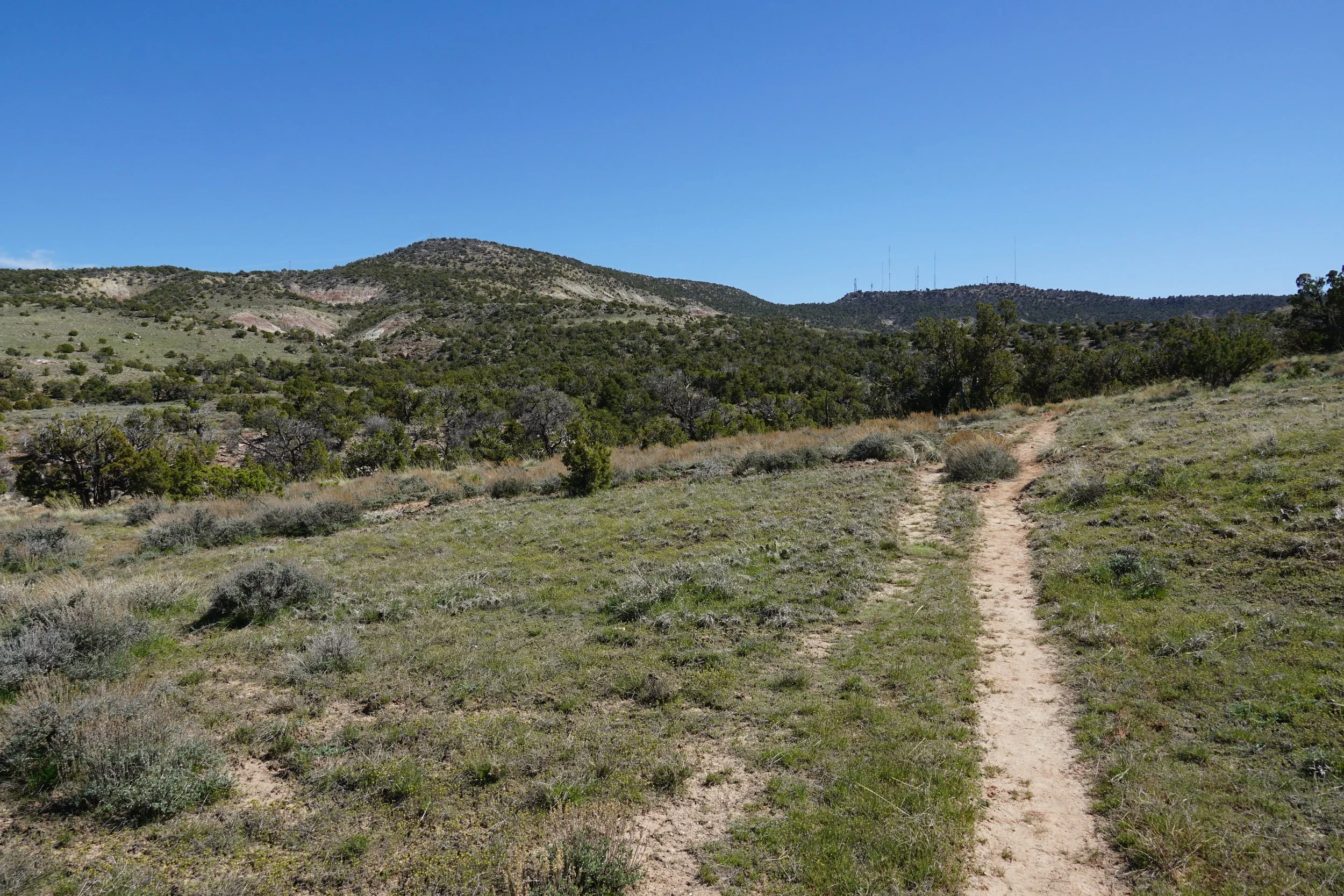
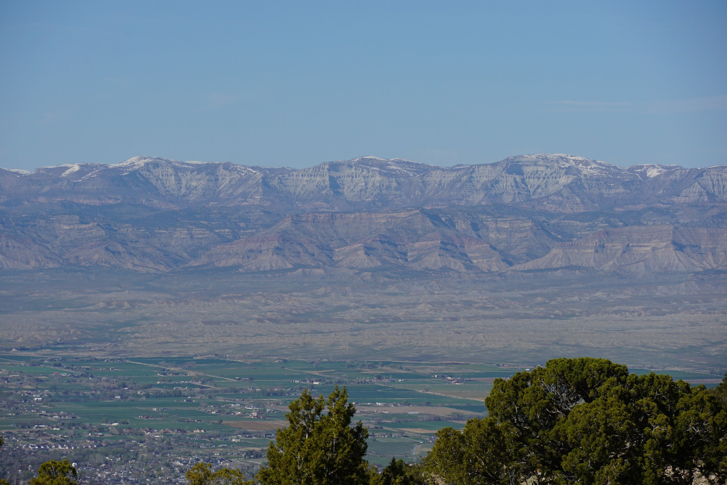
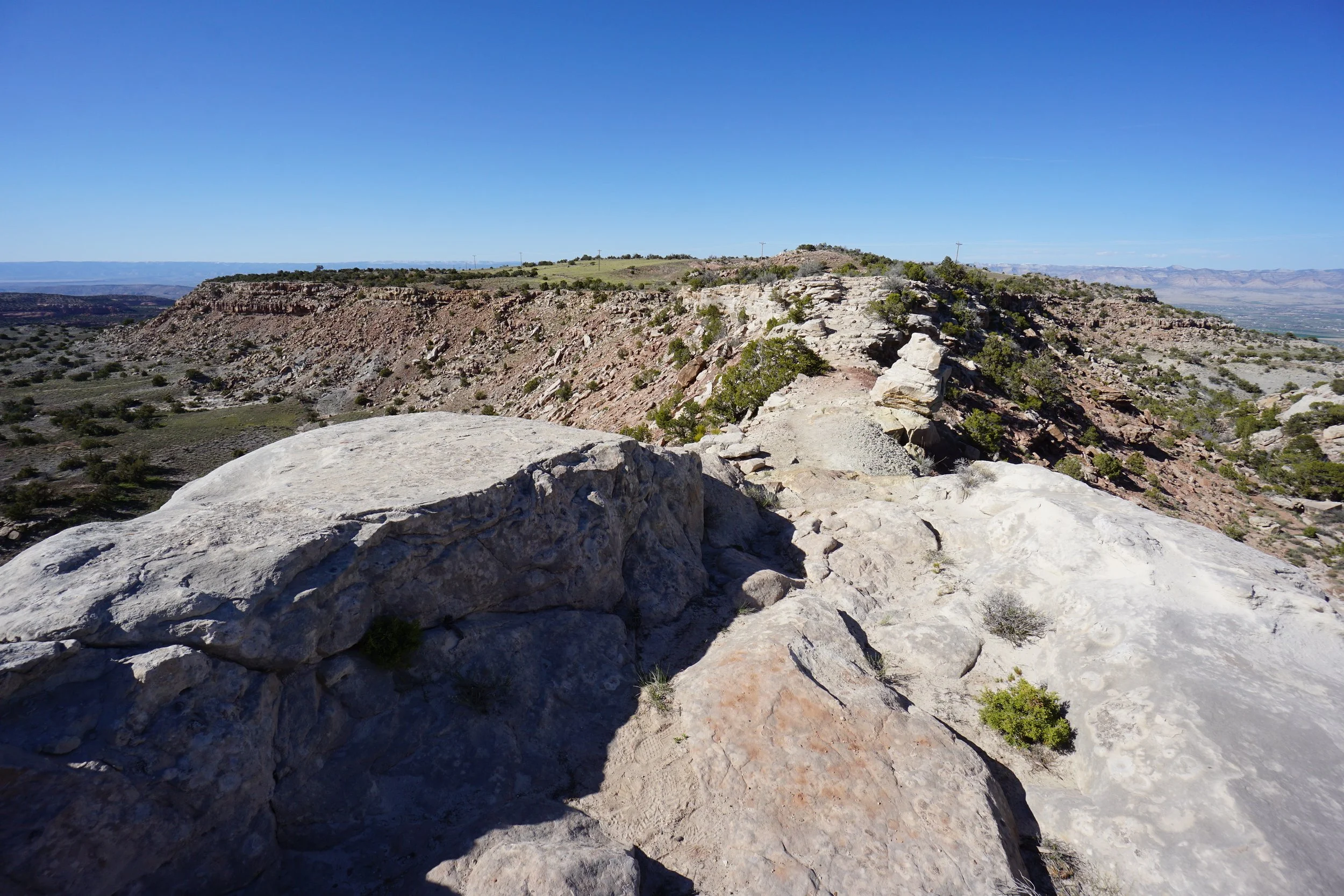
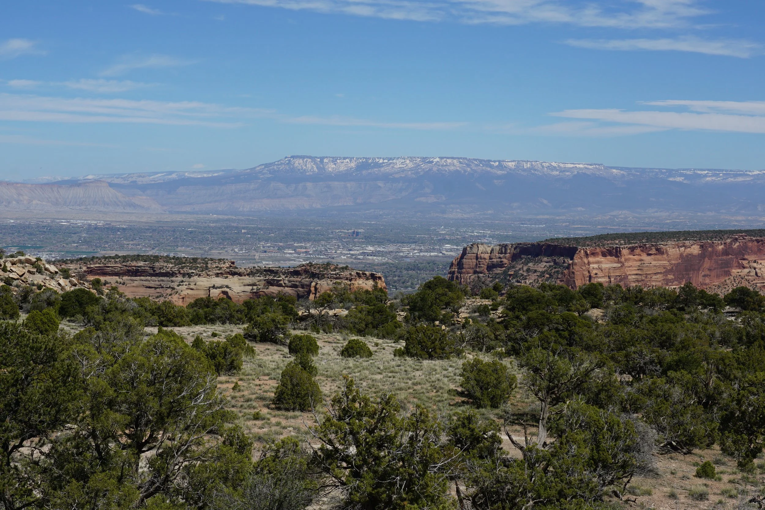
The first portion of the trail climbs steadily up the canyon slopes. The views on this portion of the hike are centered around the Colorado National Monument visitor center and surrounding area. Beyond the park, the views of the grand valley stretching out to the Book Cliffs and Grand Mesa get better and better. Once up upon the ridge, the area shifts to a desert scrub brush landscape. The radio/cell towers on the summit of Black Ridge are visible as you cross the open, flat area.
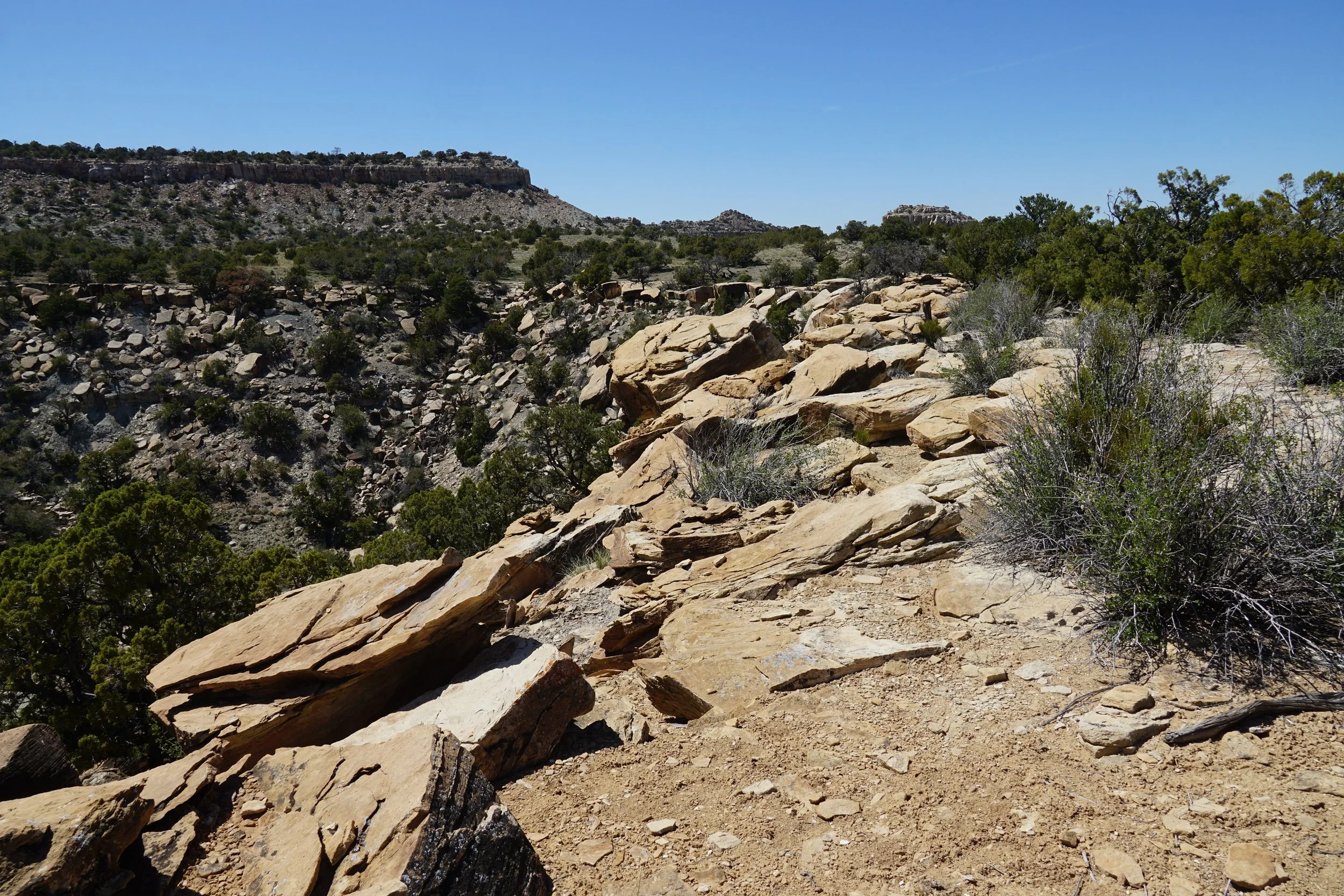
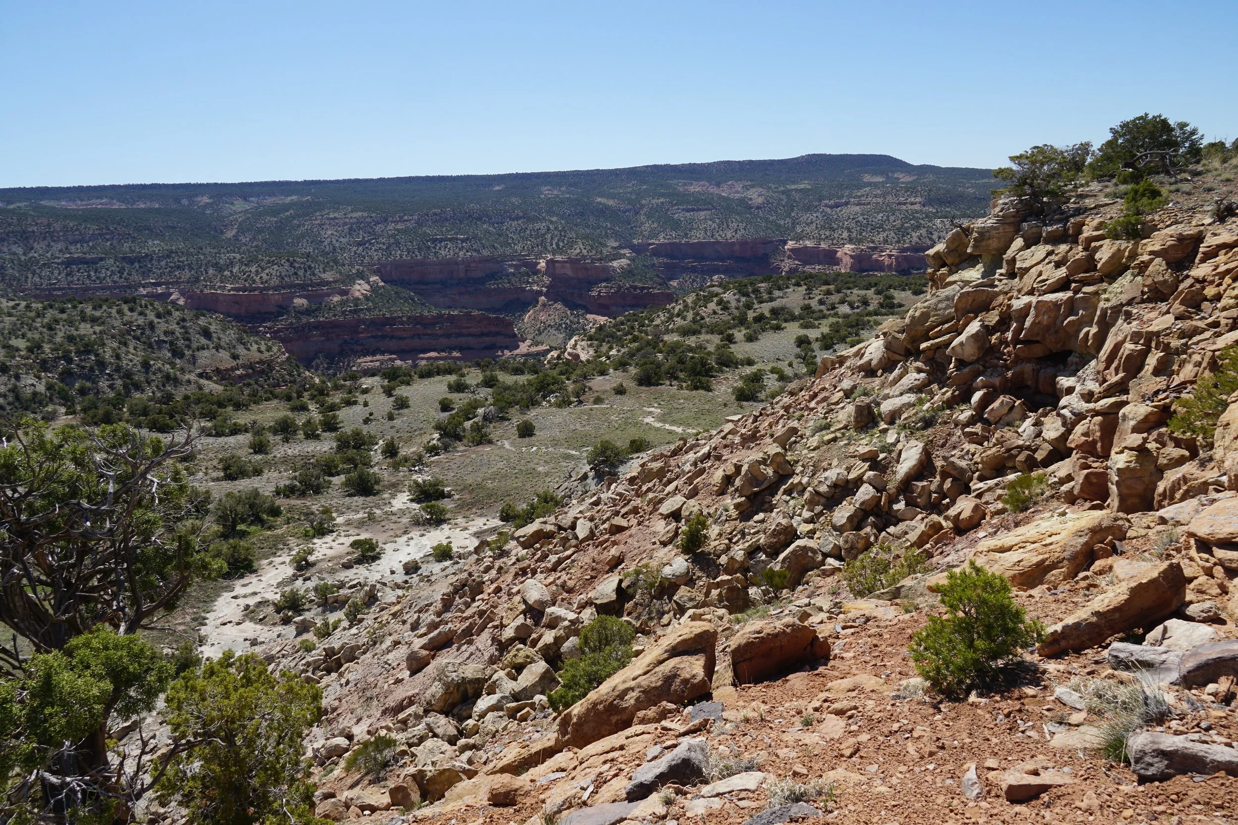
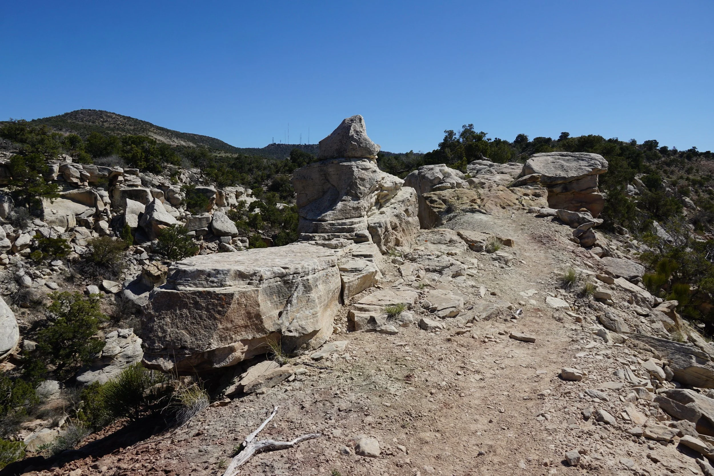
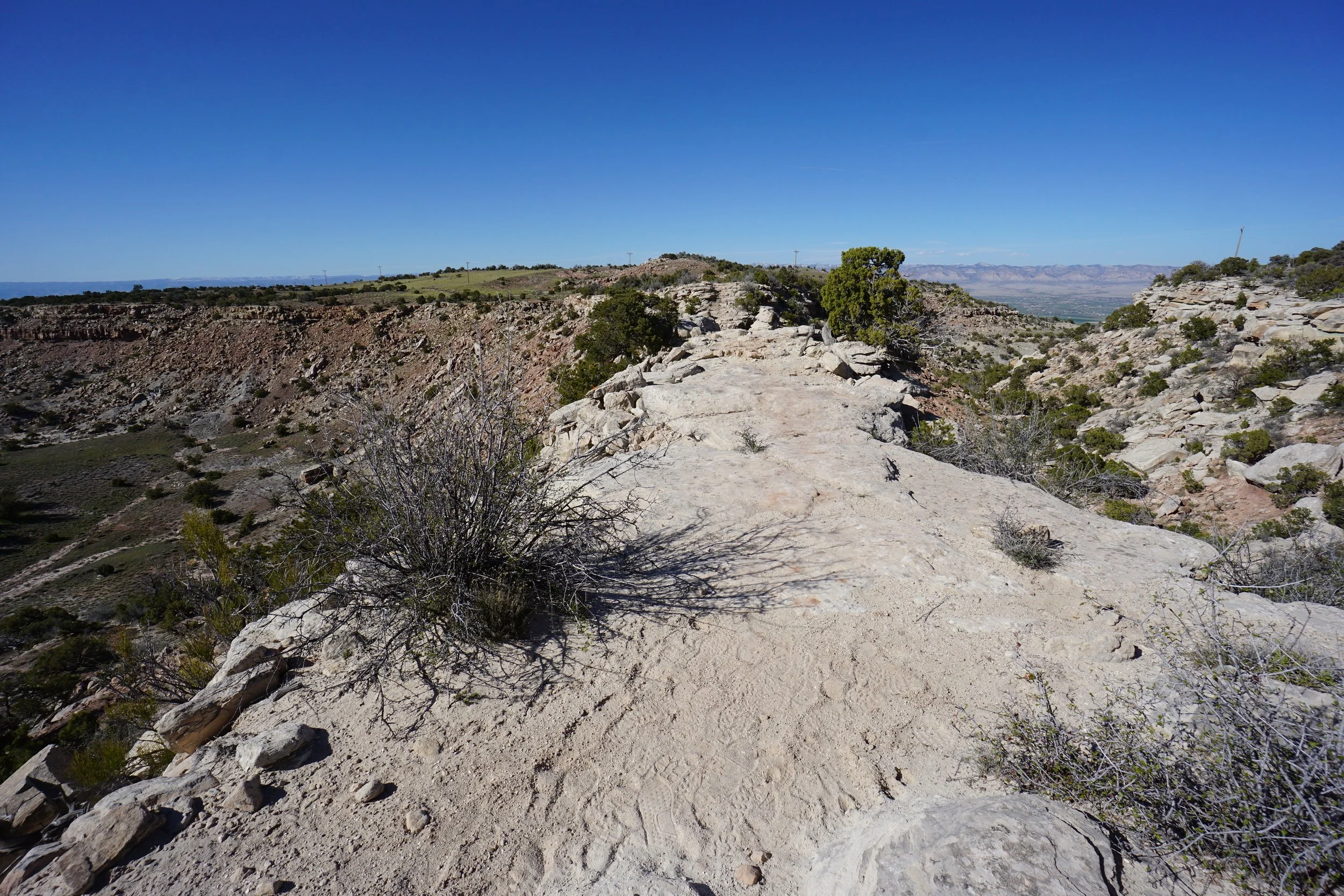
Before long, you reach the most exciting part of this trail, a rocky, narrow crossing with terrific views of the surrounding canyons. After this short narrow crossing, your journey across the scrub land continues. After 3 miles, you re-enter Colorado National Monument and at 3.5 miles you reach the junction with the CCC Trail. The Black Ridge continues to the south and the CCC trail descends down to Rim Rock Drive. This is a good spot to turn around and return to the trailhead.
All in all, this is a great way to get a birds eye view of Colorado National Monument while following a gentle and easy trail.