Bison Peak 12,392 ft
Lost Creek Wilderness, Pike National Forest
Date Hiked: June 29, 2024
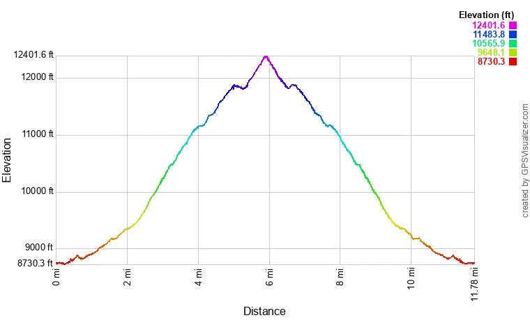
Distance: 11.6 mi (RT)
Elevation Gain: 3,650 ft
Elevation Min/Max: 8,744 to 12,372 ft
Trailhead Lat/Long: 39.19804, -105.55365
Managing Agency: U.S. Forest Service
Fee: None
DIRECTIONS:
From Hwy 285 in Jefferson, take County Road 77 south Towards the Taryall Reservoir. You stay on 77 for 20 miles from the turn off in Jefferson, this a beautiful drive on an easy paved road. The trailhead has room for 10 or so cars so get there early!
HIKE DESCRIPTION:
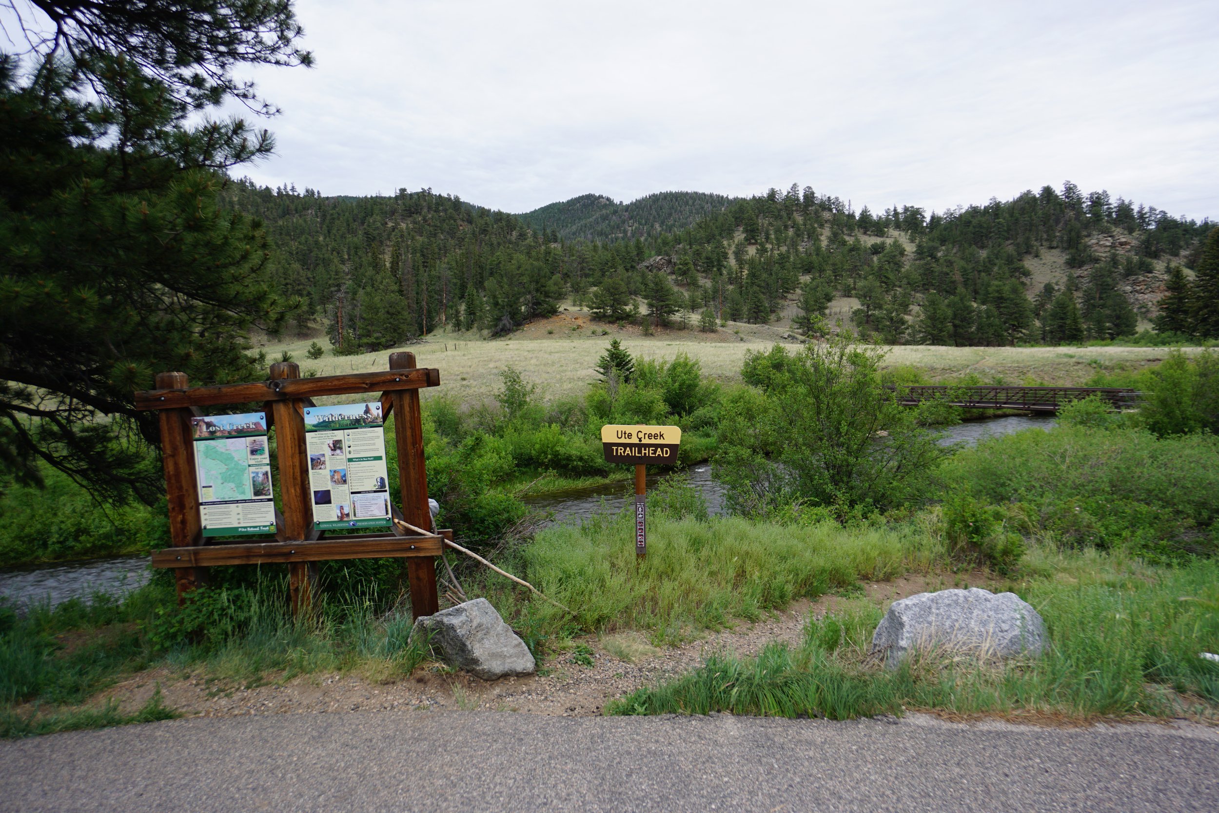
Bison Peak is one of those classic Front Range summit hikes that everyone who enjoys hiking should do at least once. That being said, this is not an easy hike…it’s not technical, it’s just steep and long. The Ute Creek Trail is the main route to the summit, but you can cut off about 1,000 feet of elevation gain by starting at the Lost Park Trailhead. Since I’ve never been to the Lost Park Trailhead, I can’t vouch for it’s accessibility. The Ute Creek Trail is a beautiful trail, it’s just really steep…
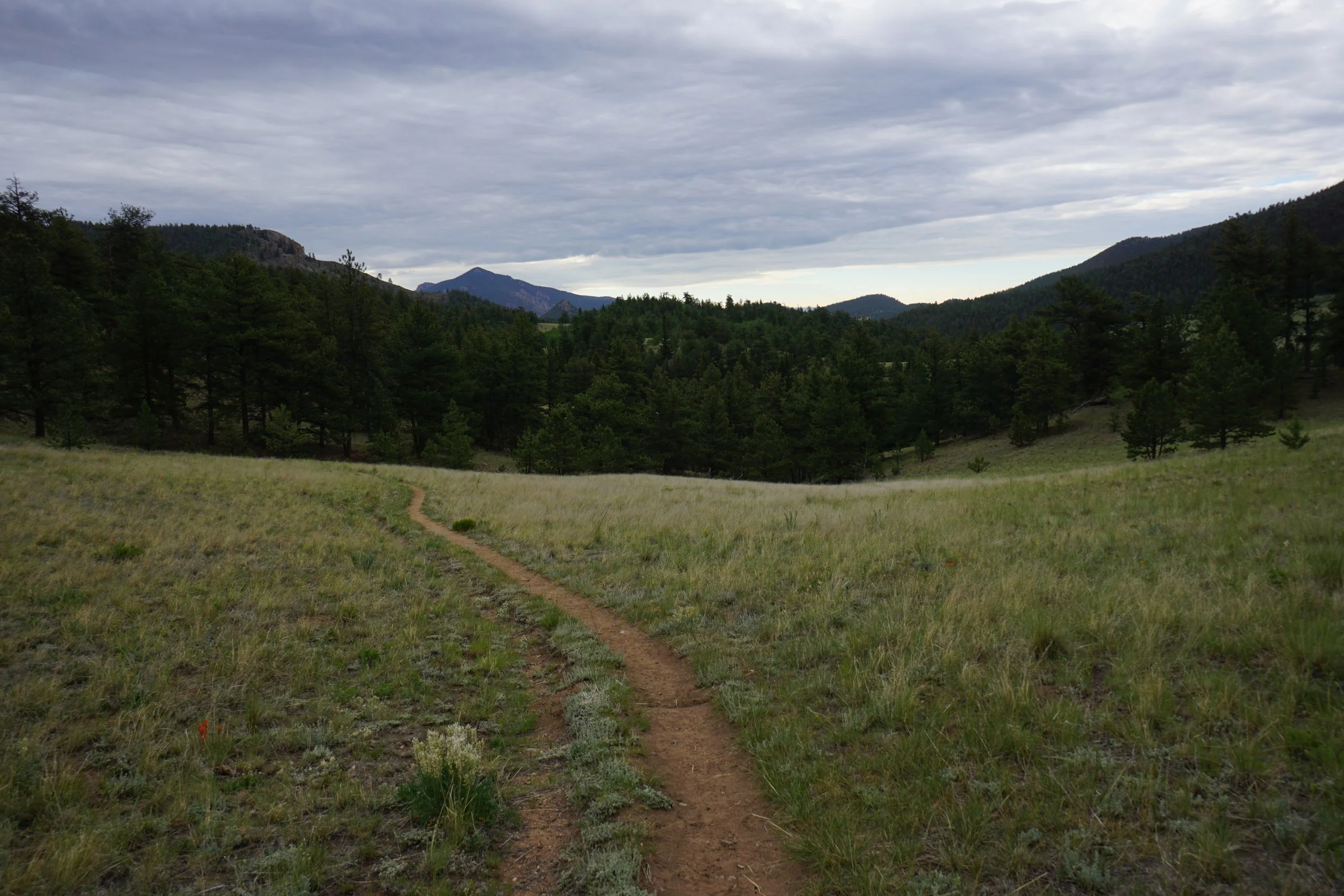
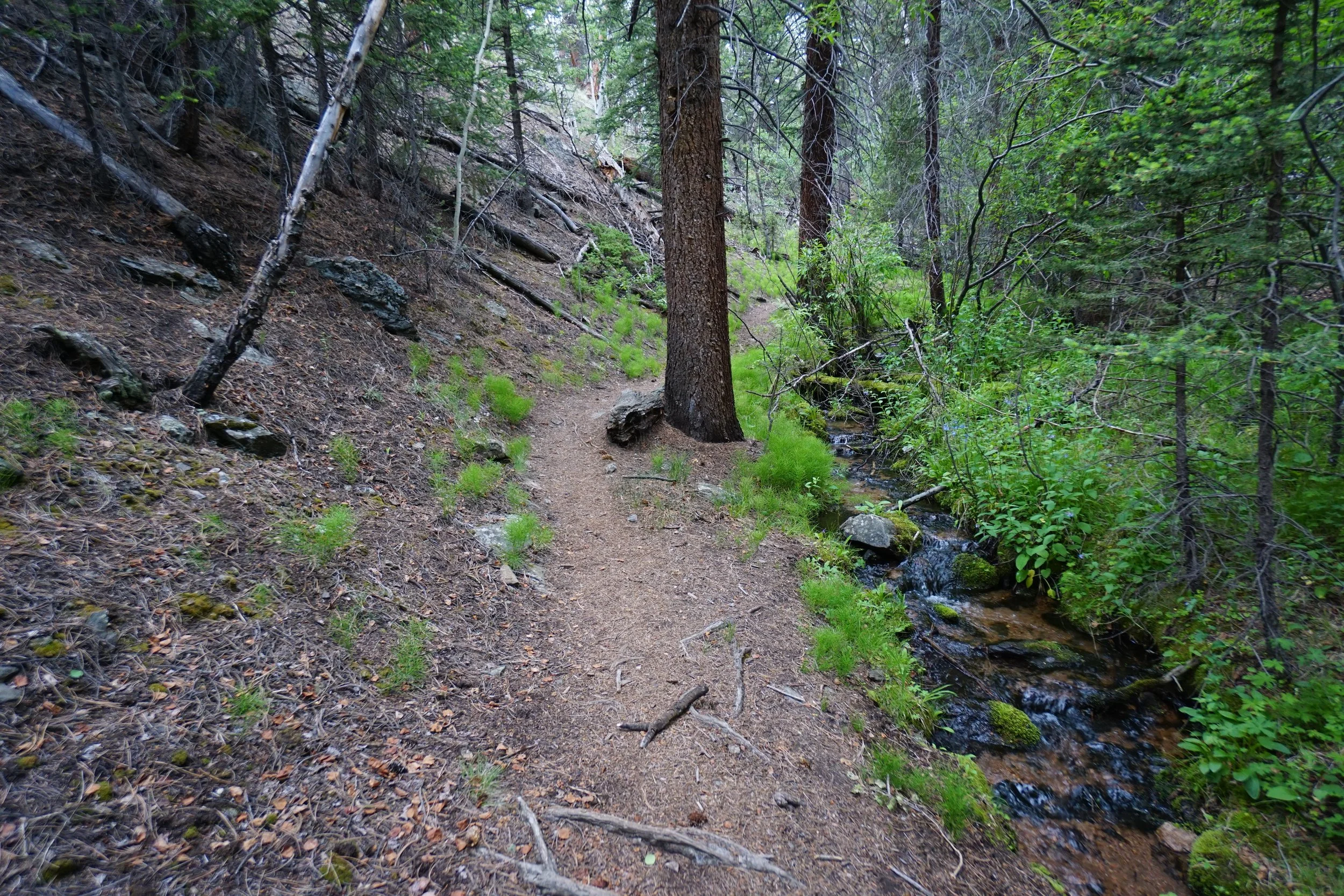
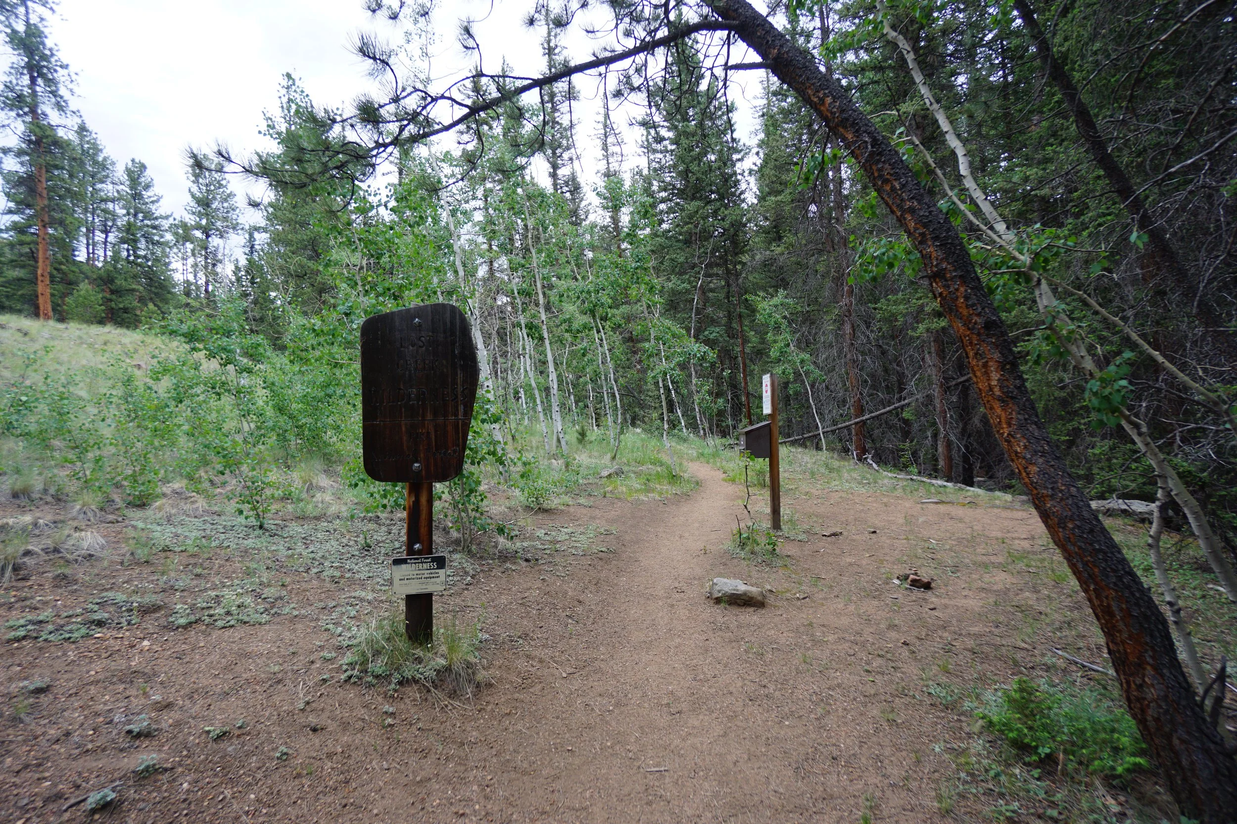
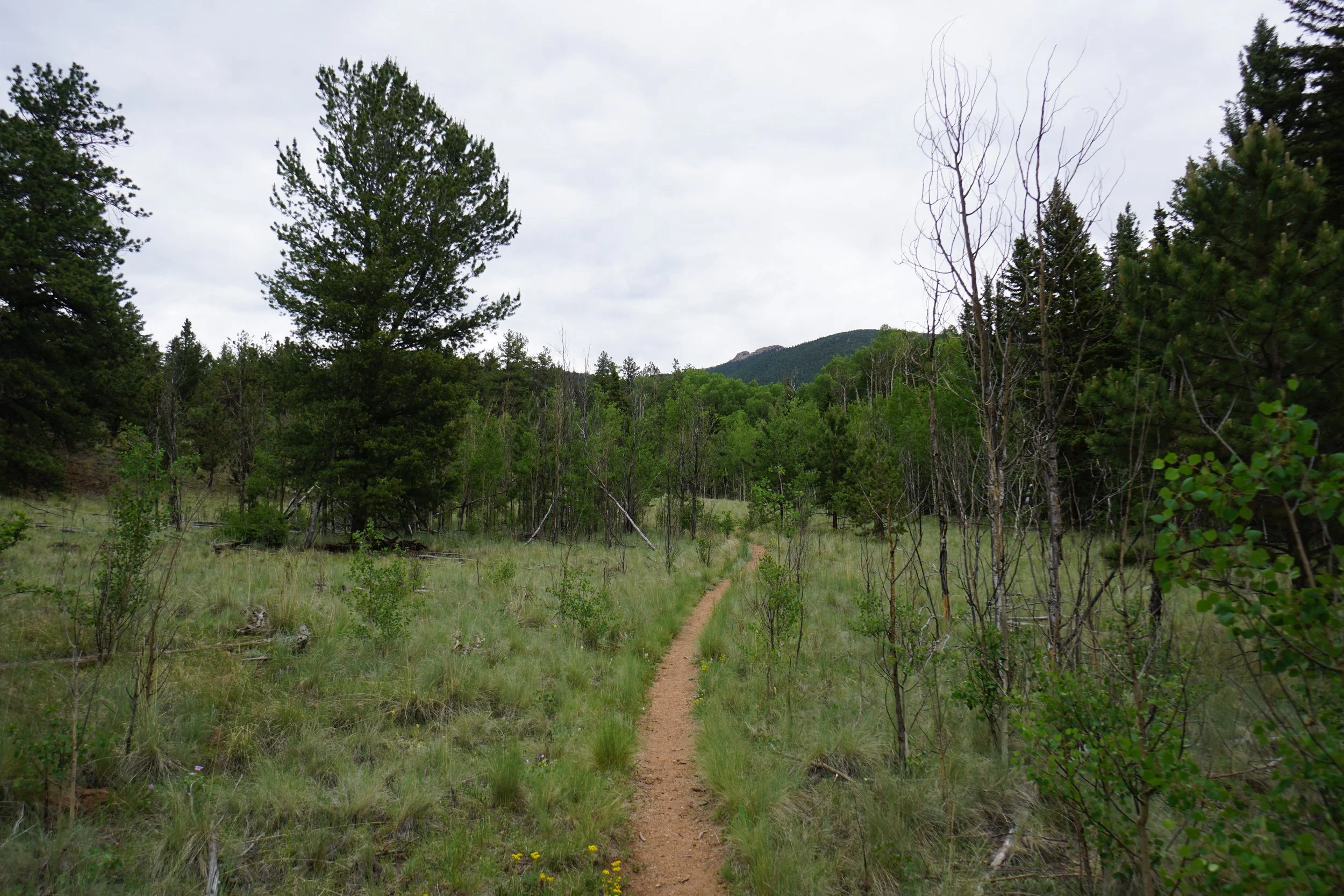
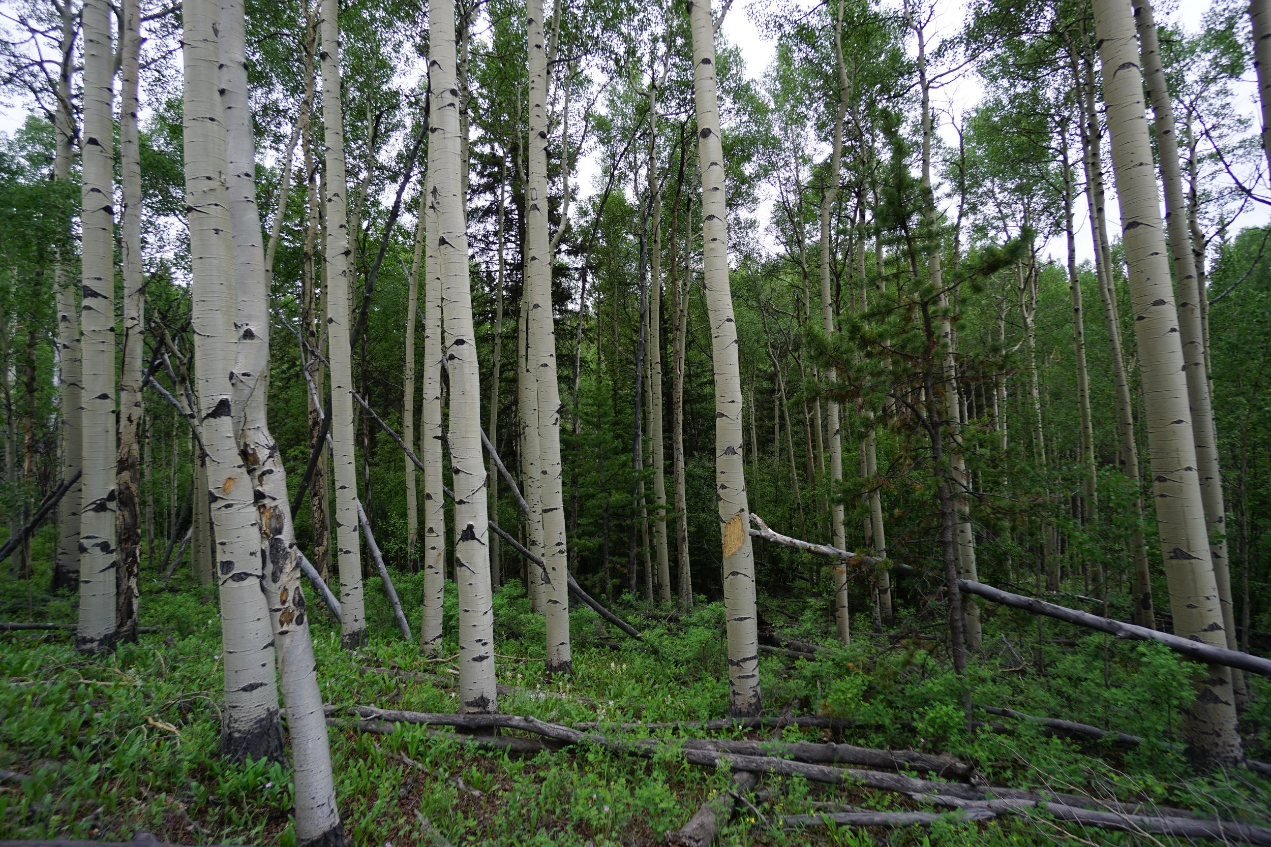
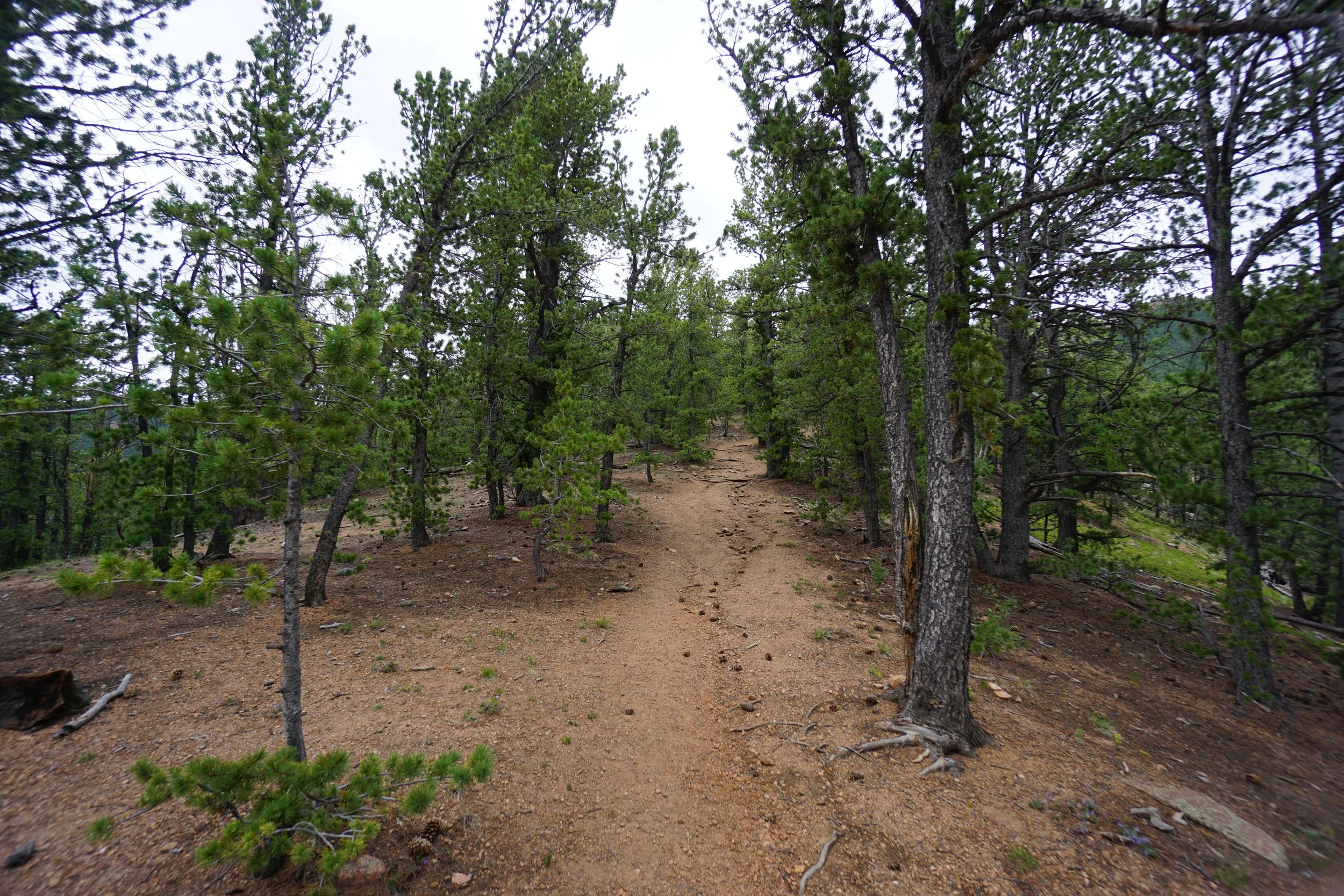
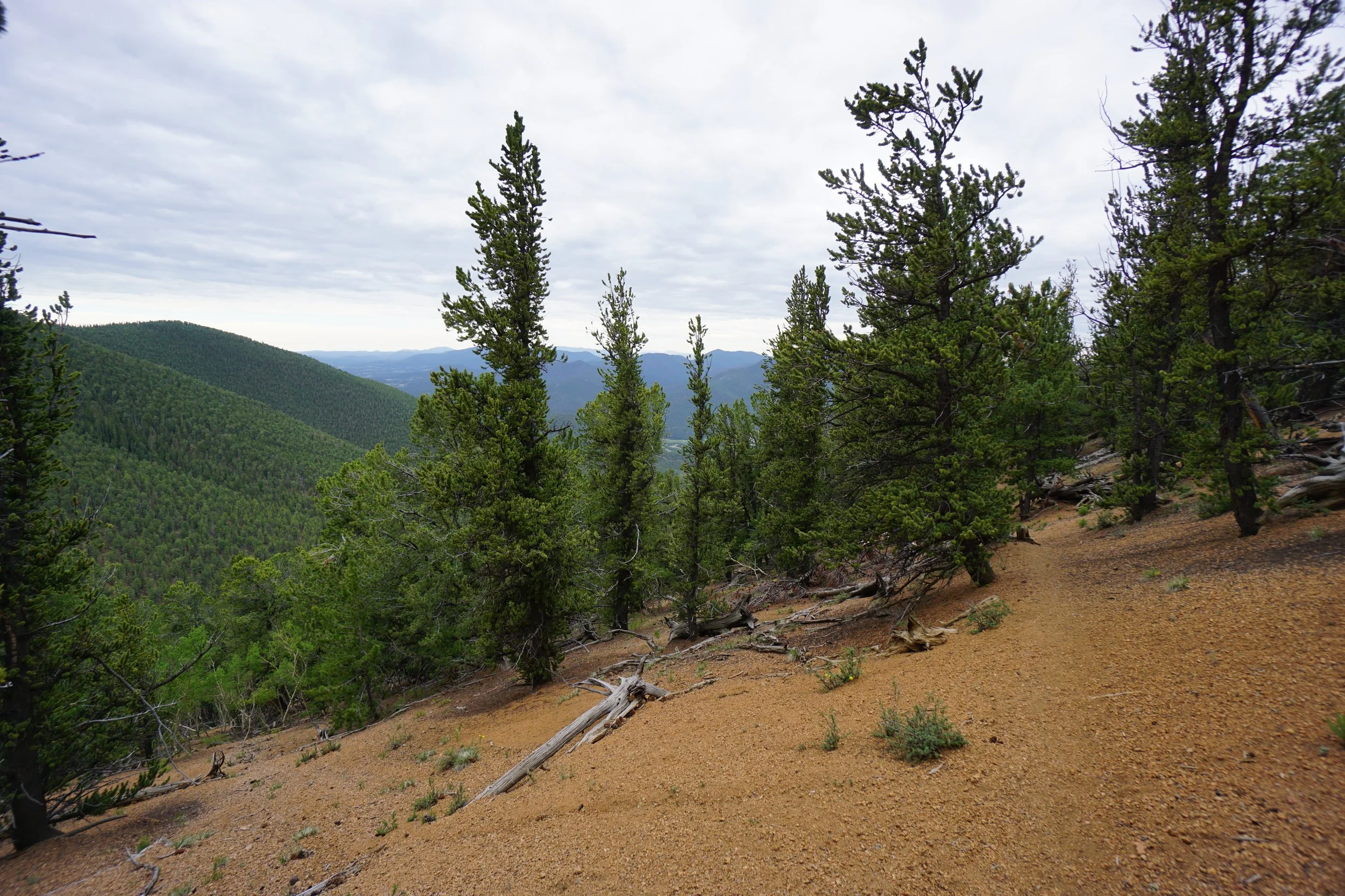
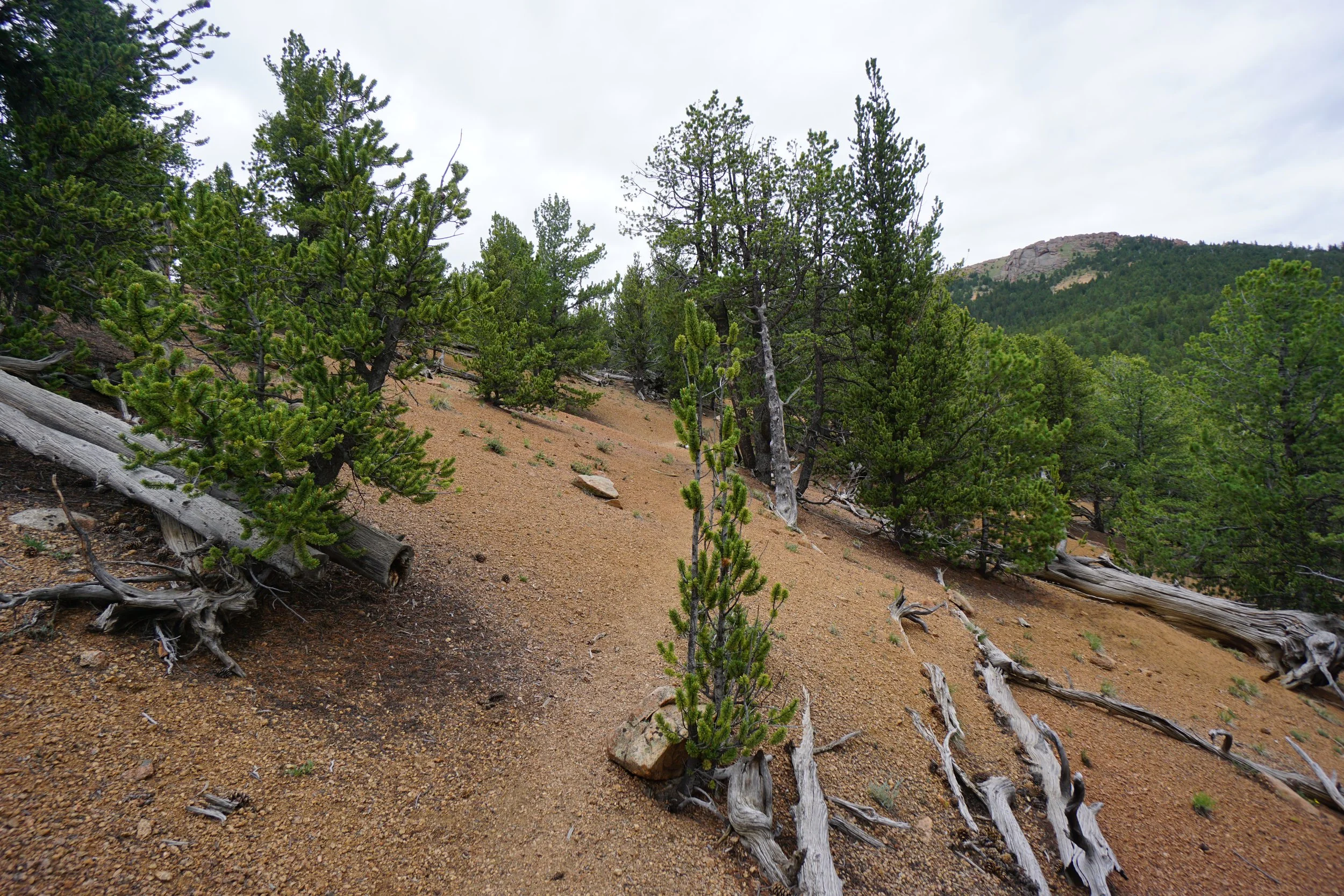
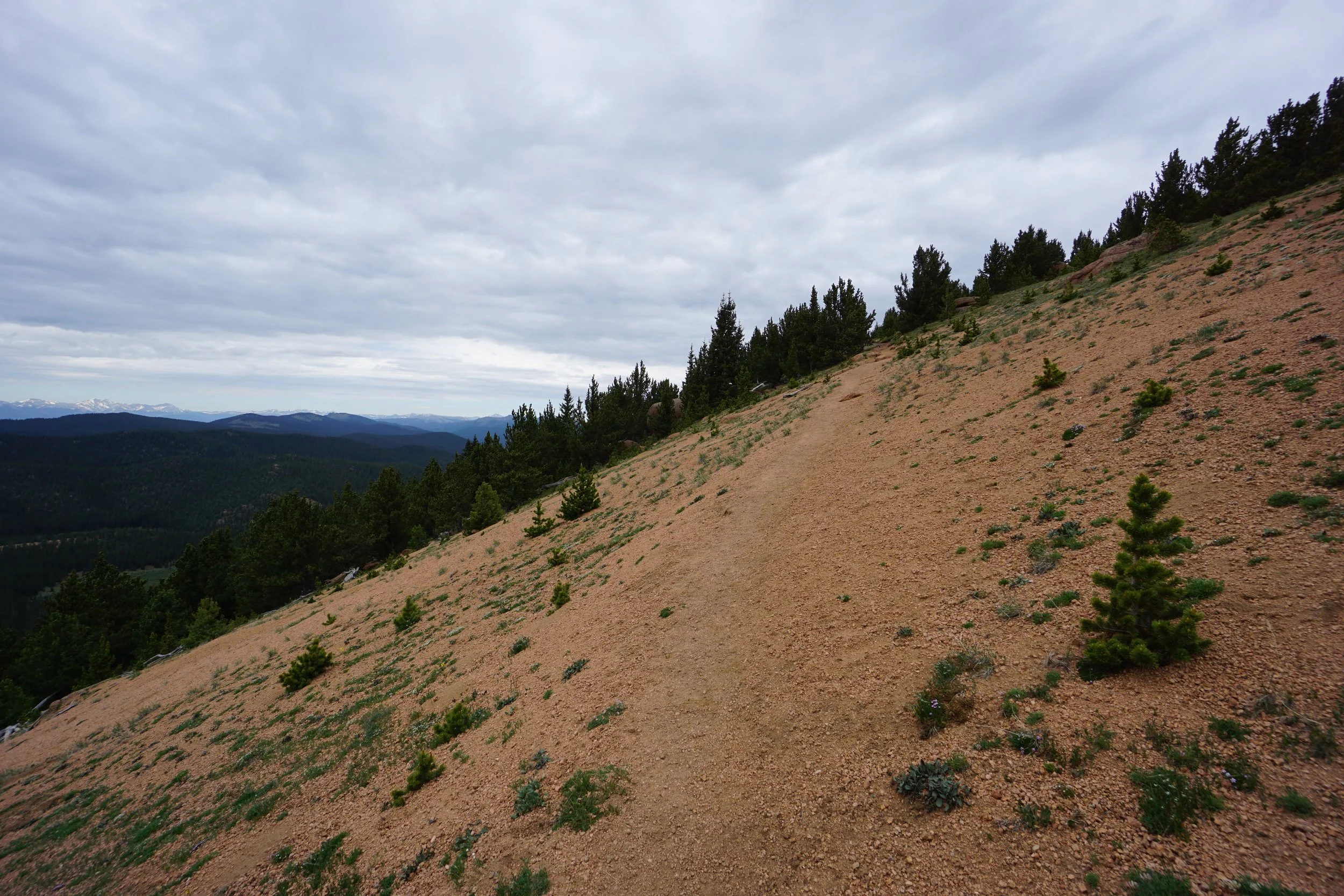
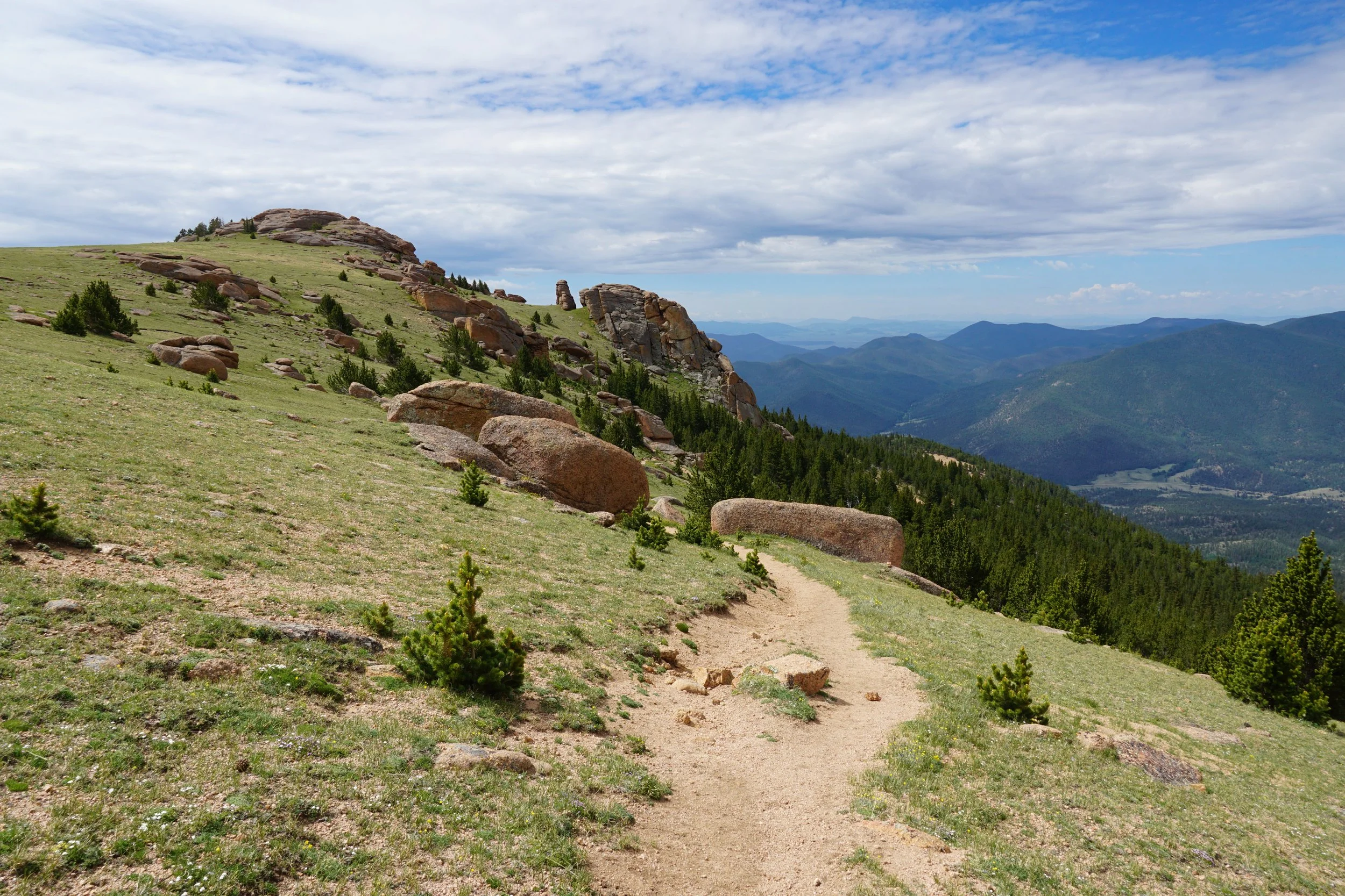
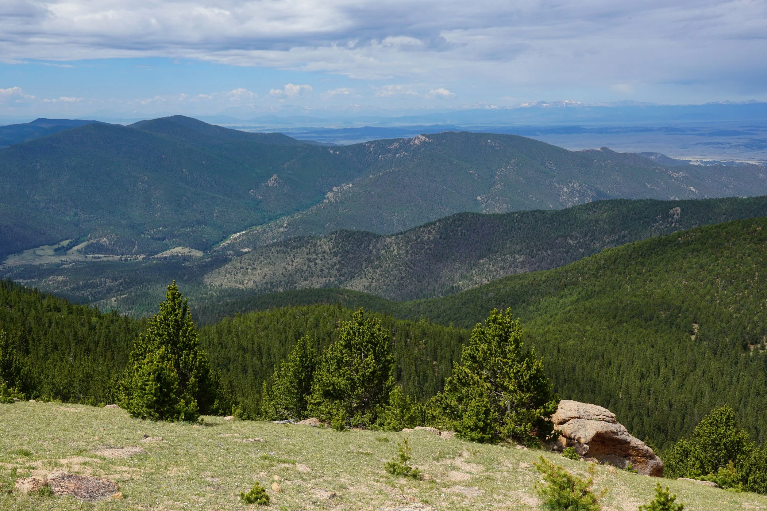
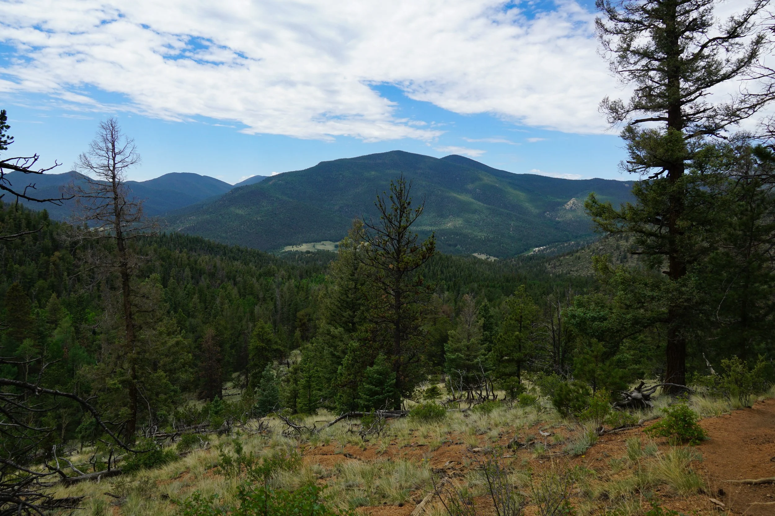
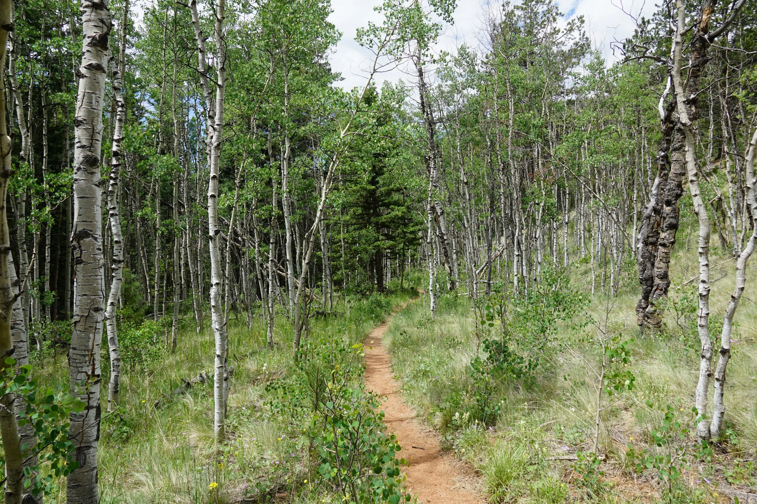
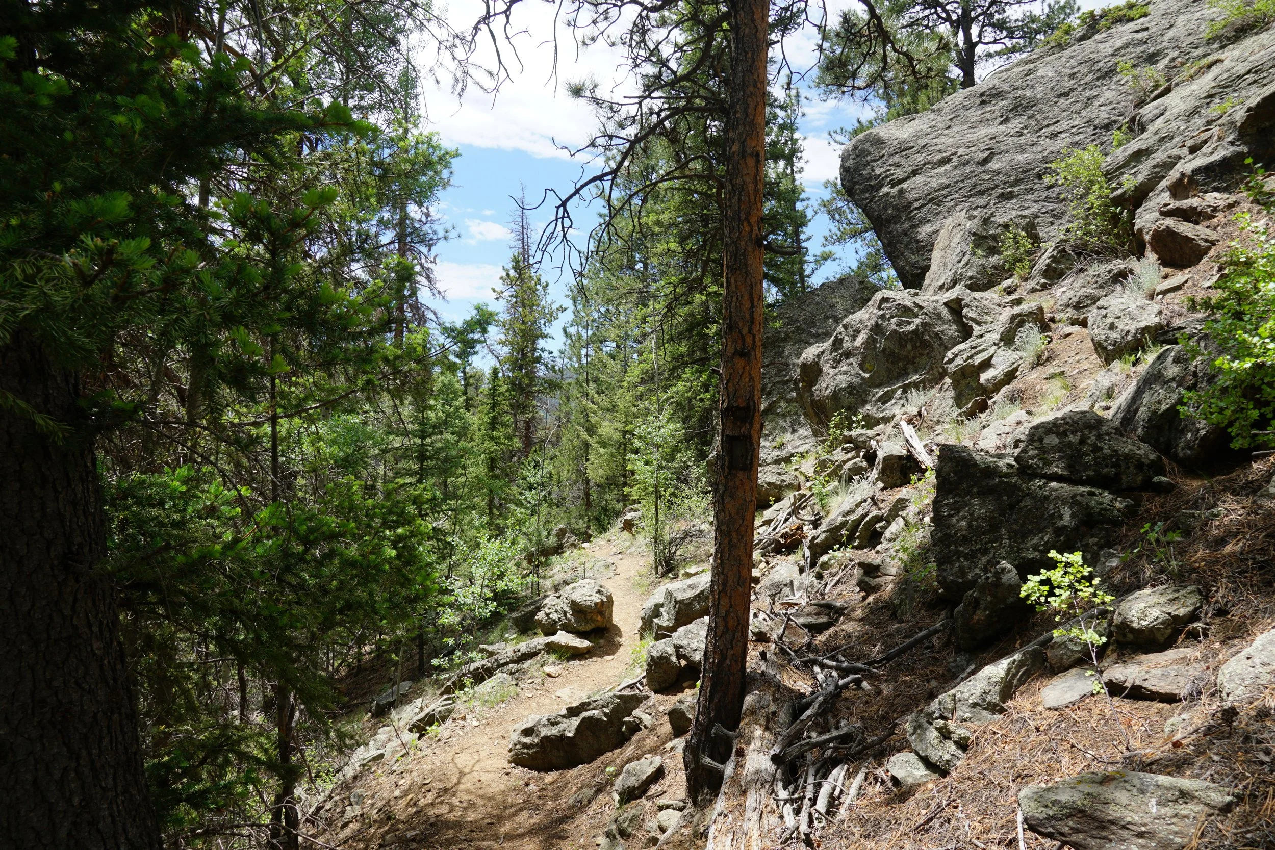
The trail starts off mellow, crossing Tarryall Creek and hiking over rolling hills and the edge of the forest for 3/4ths of a mile before turning north and entering the pine and aspen forest. Another 1/4 mile and you enter the Lost Creek Wilderness. For about half a mile, you follow Ute Creek through sparse aspen groves, then the trail gets noticeably steeper. This steepness doesn’t really go away until the summit so just find a good pace and stick with it. As you gain elevation the westerly views get better and better. After about 2 miles of steep incline you’ll reach the junction with the Brookside-McCurdy Trail.
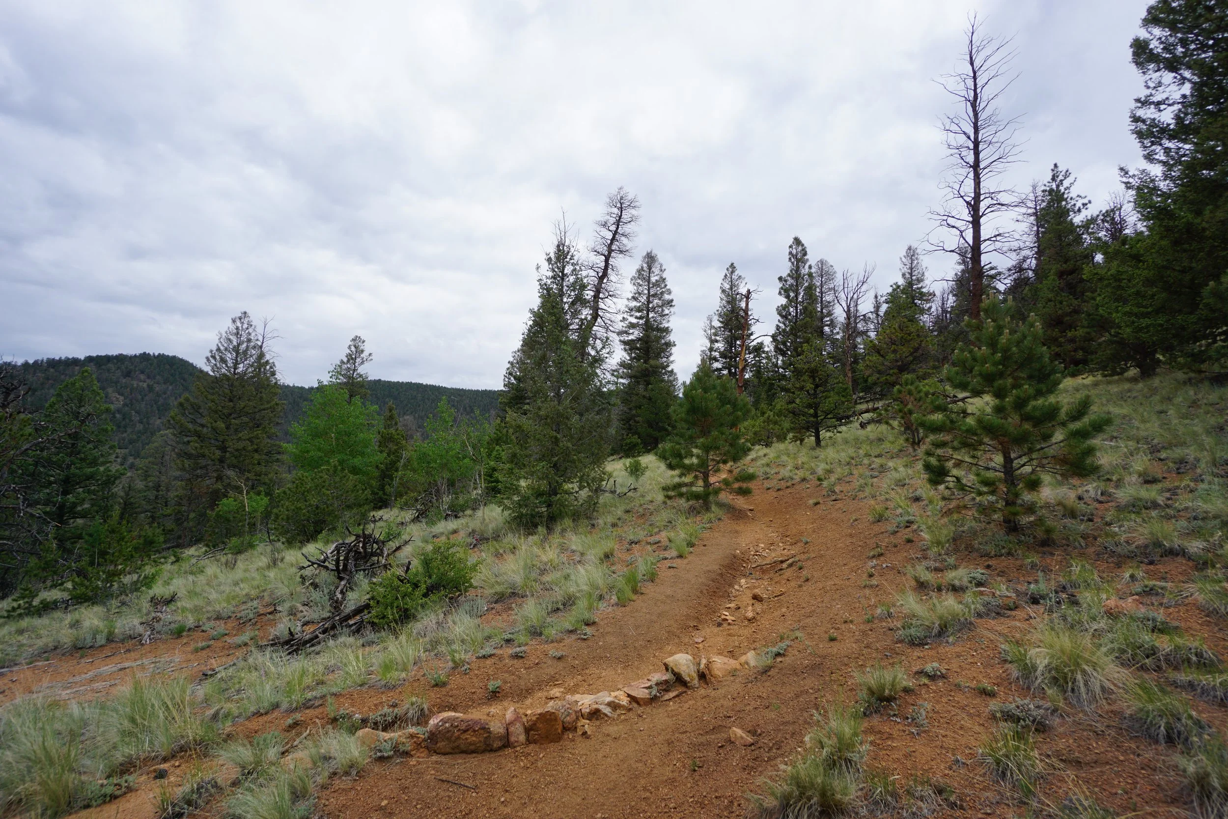
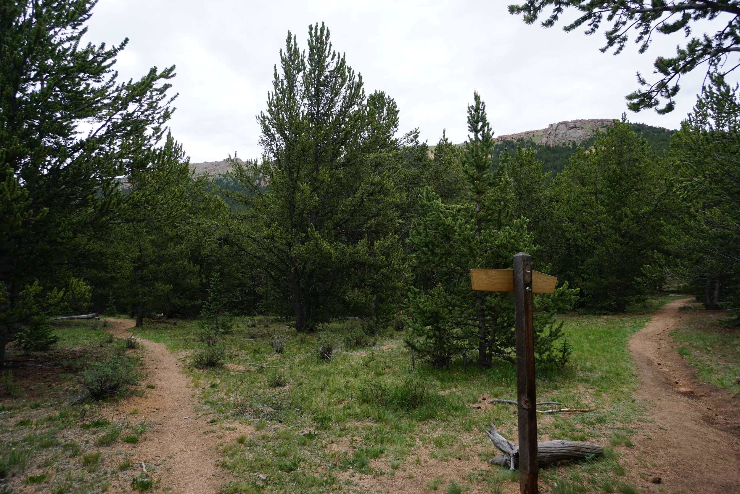
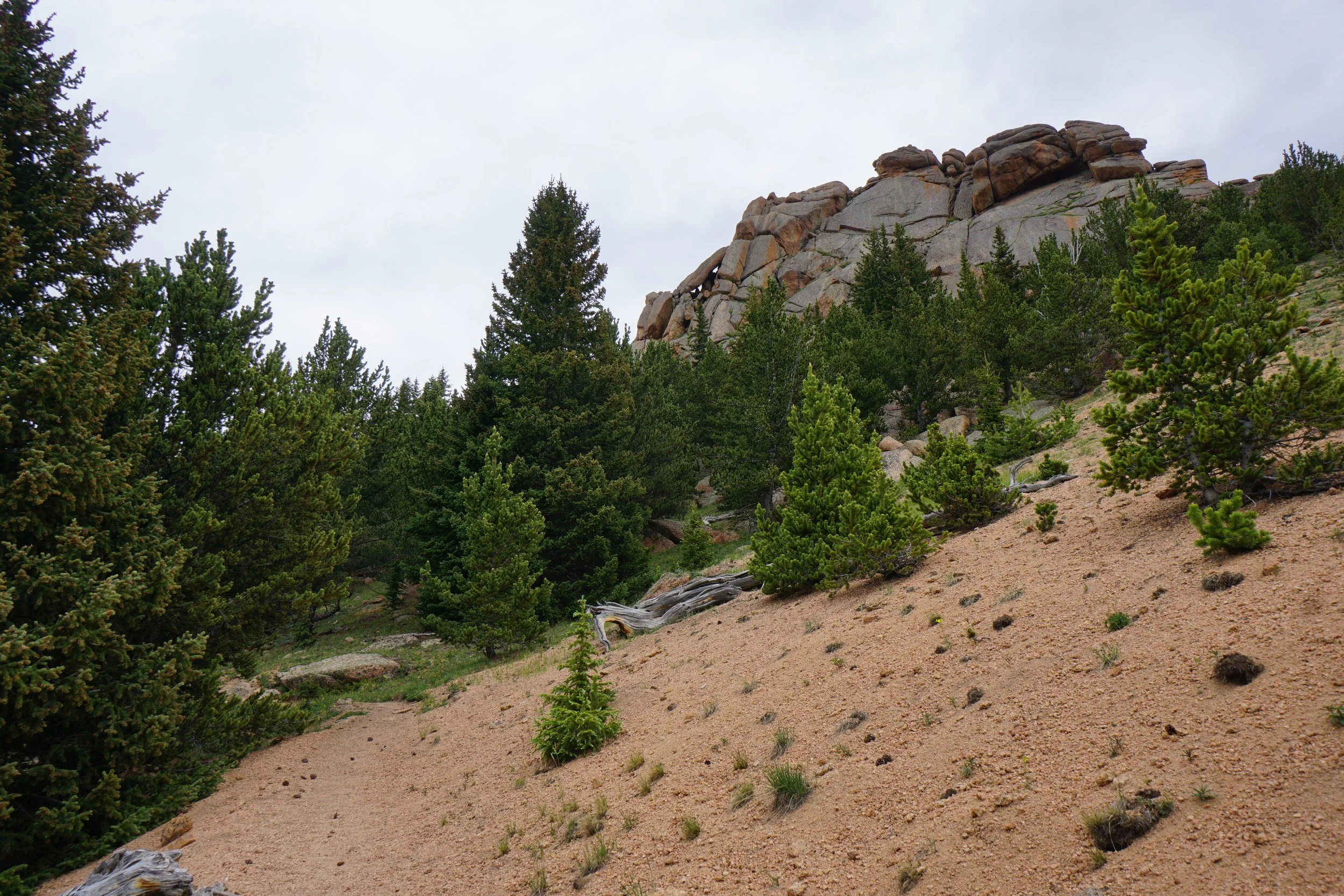
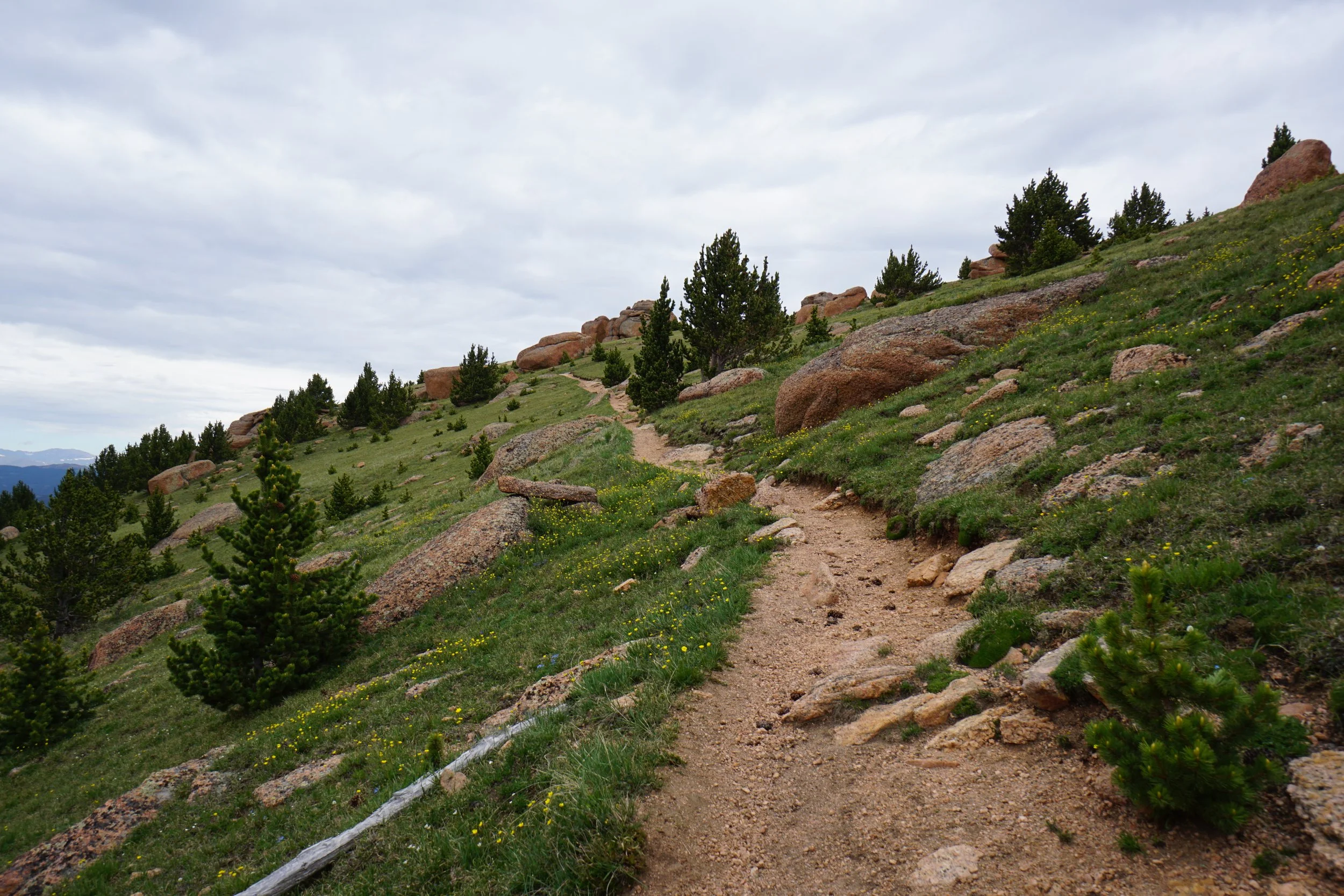
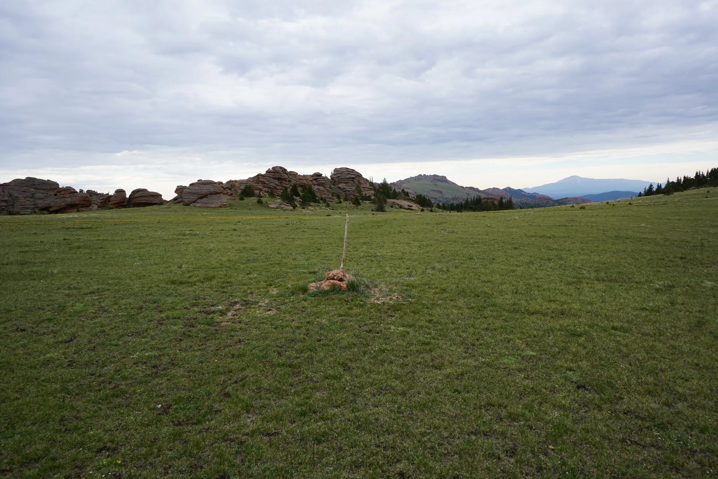
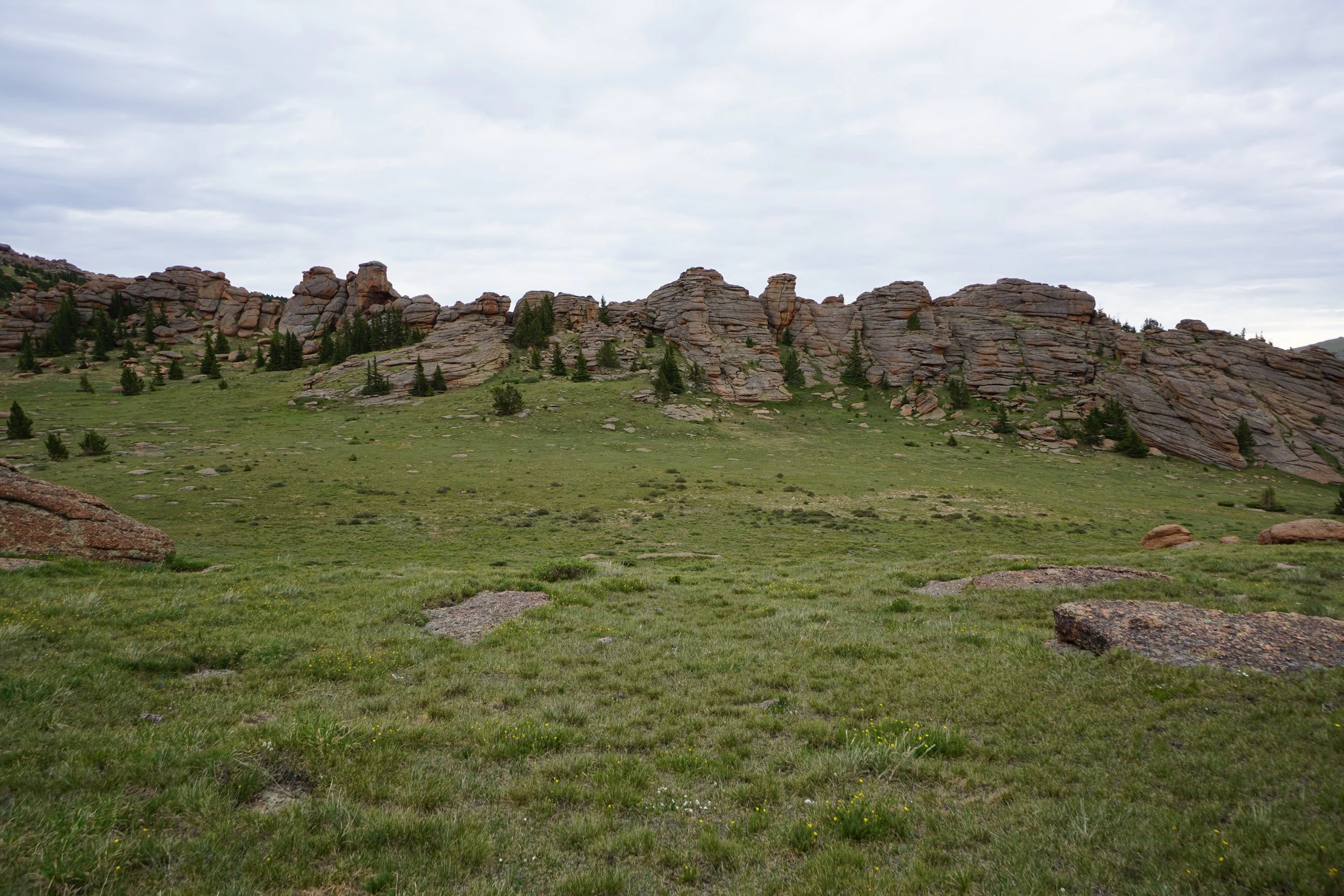
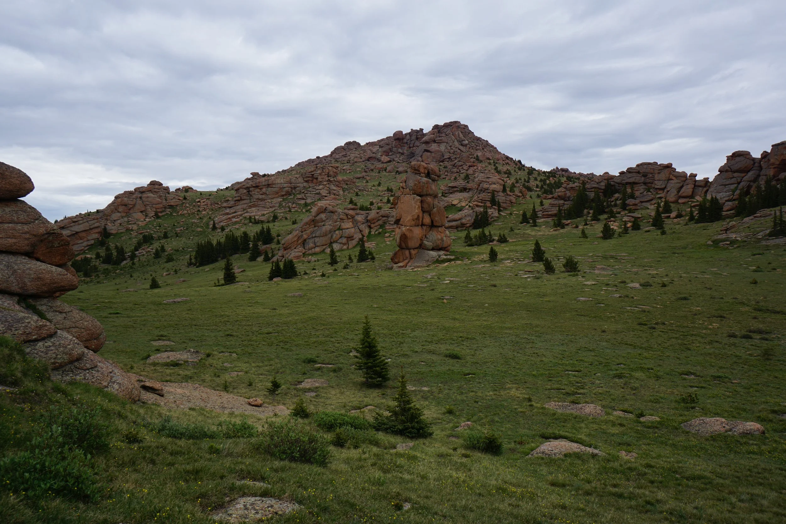
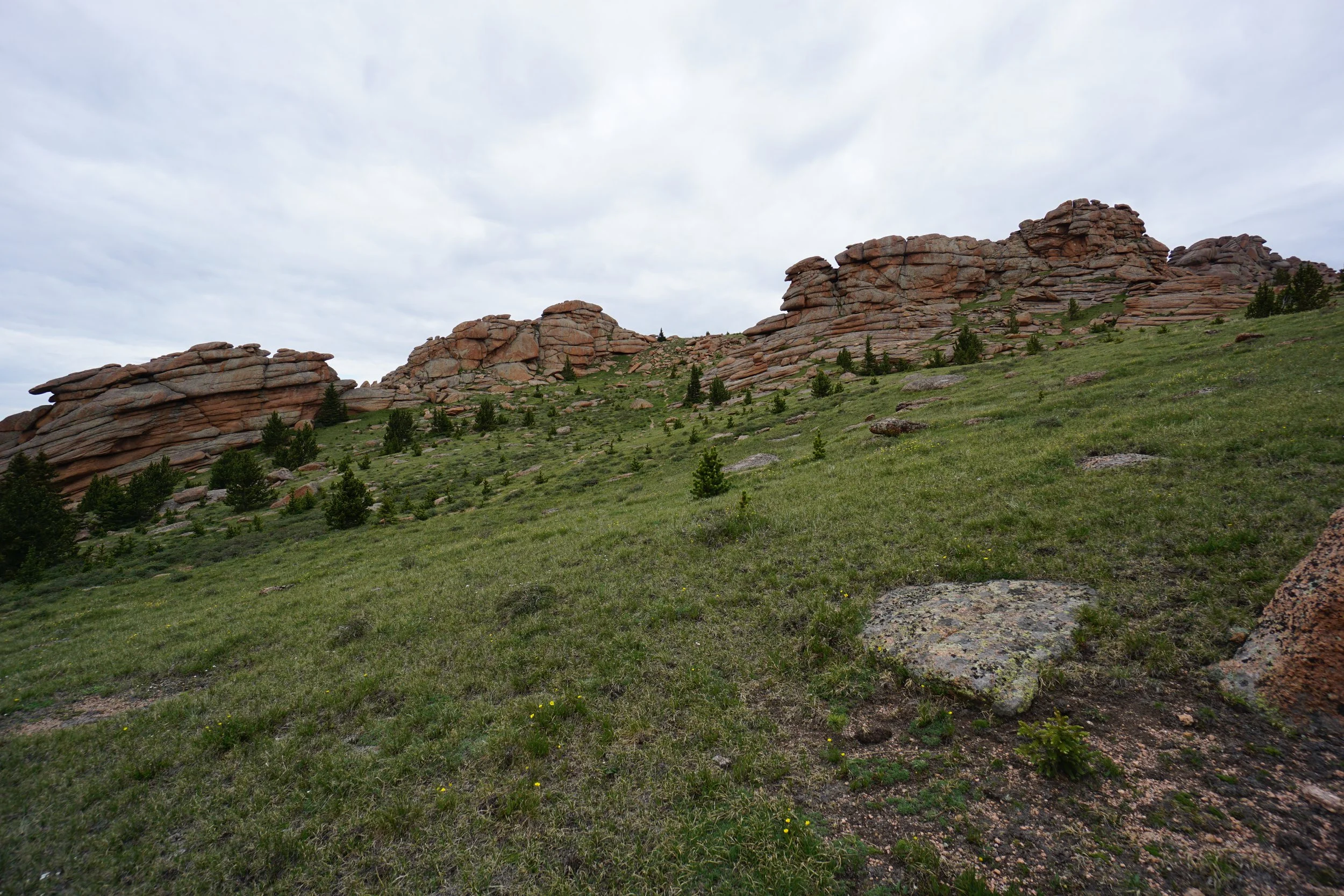
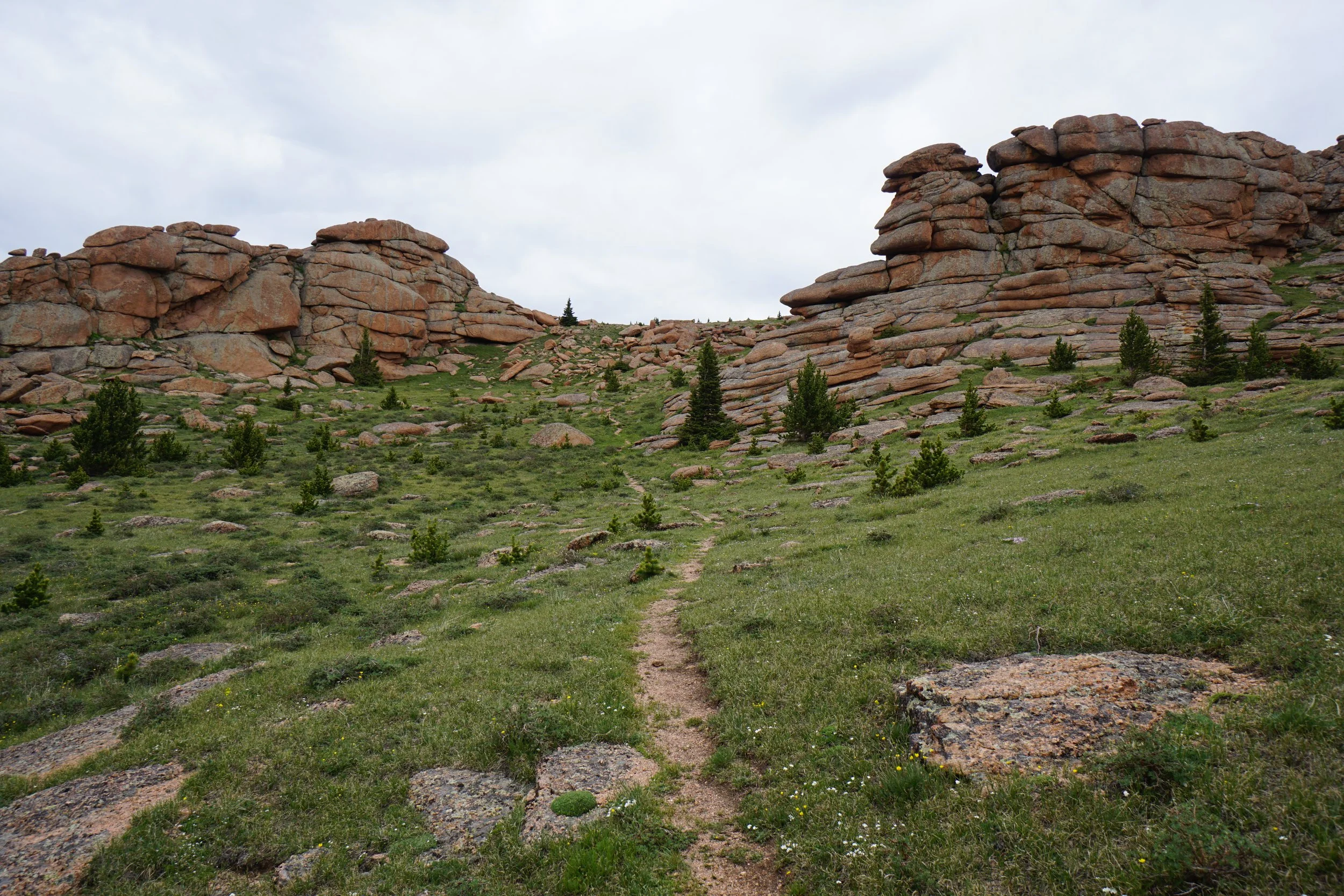
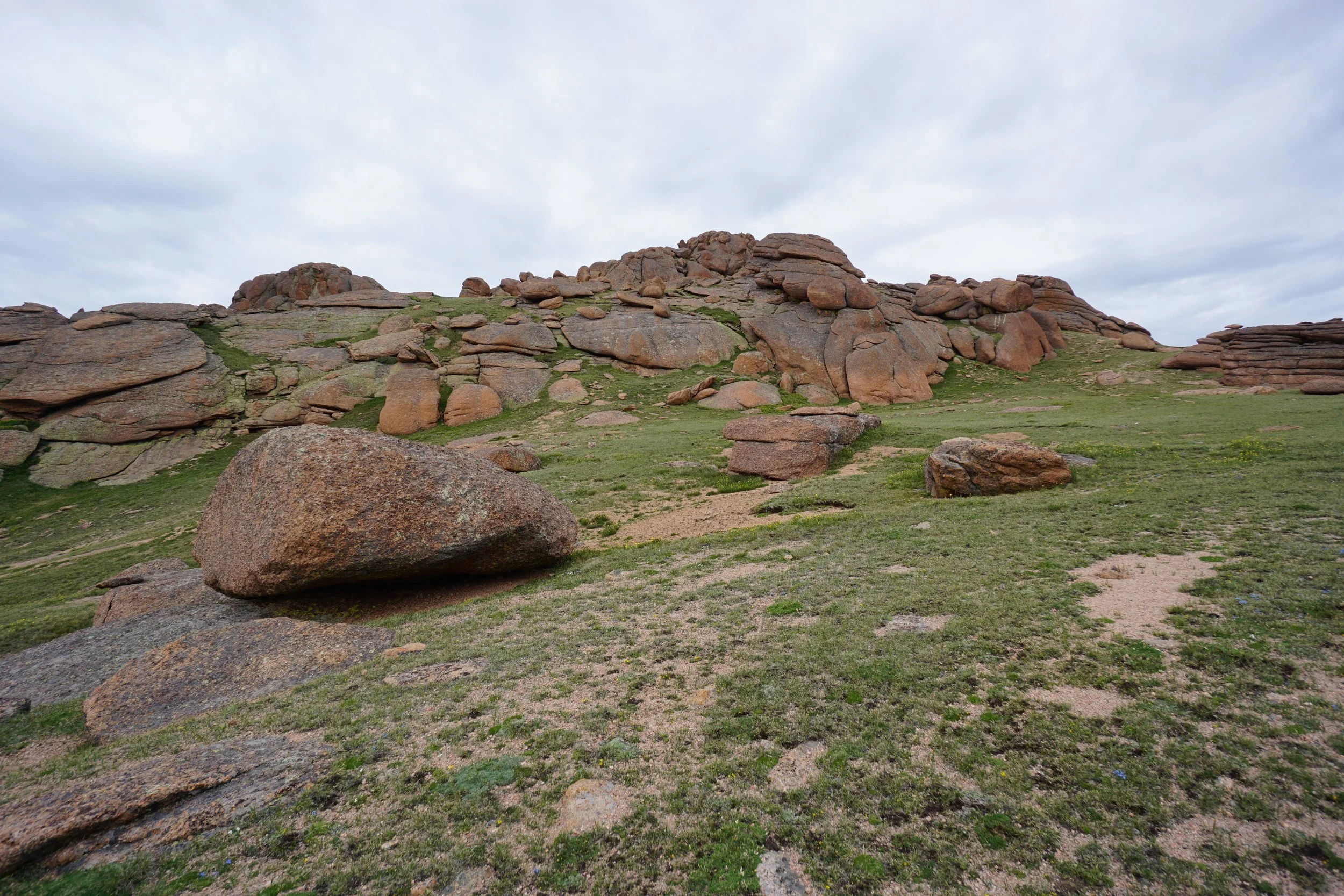
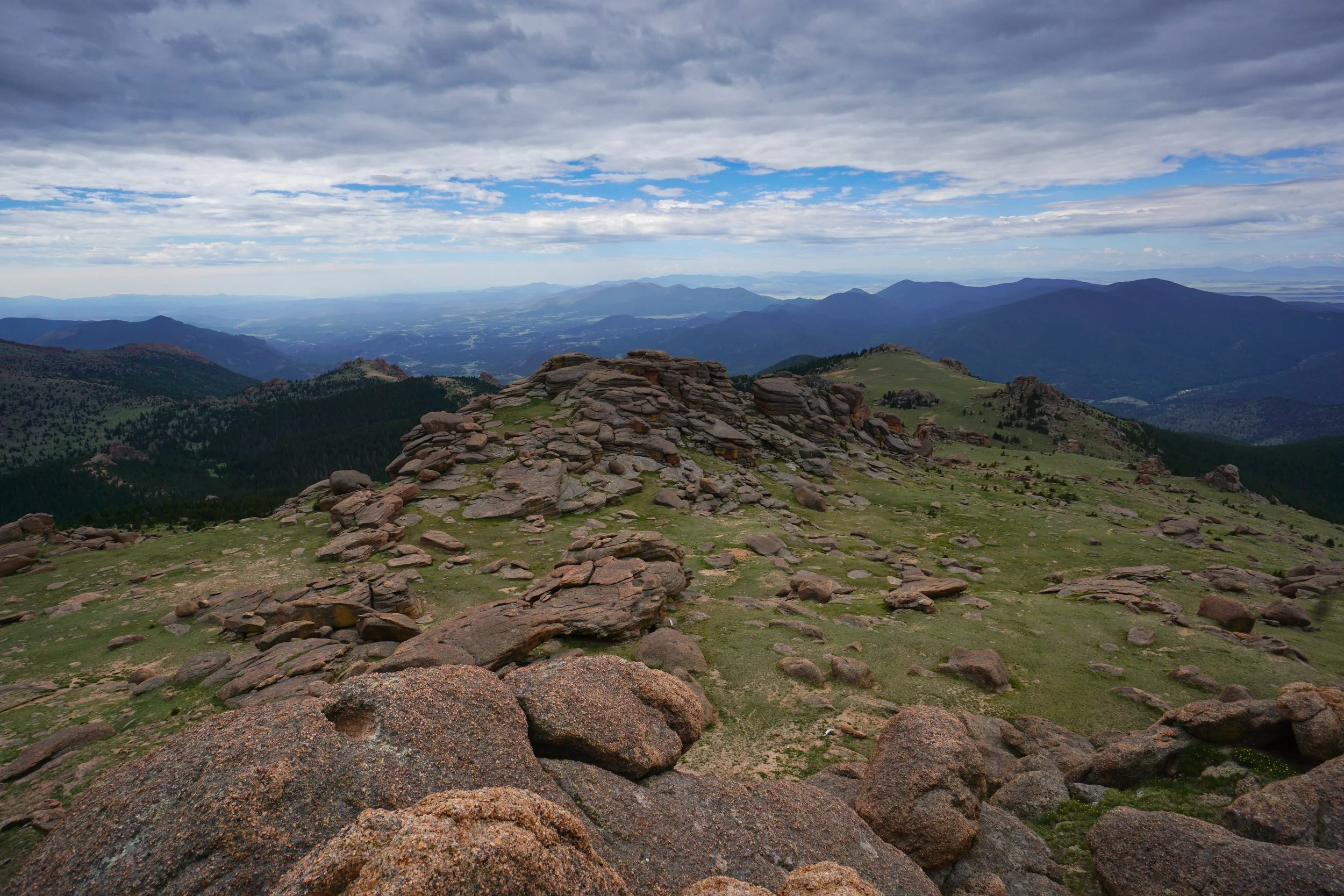
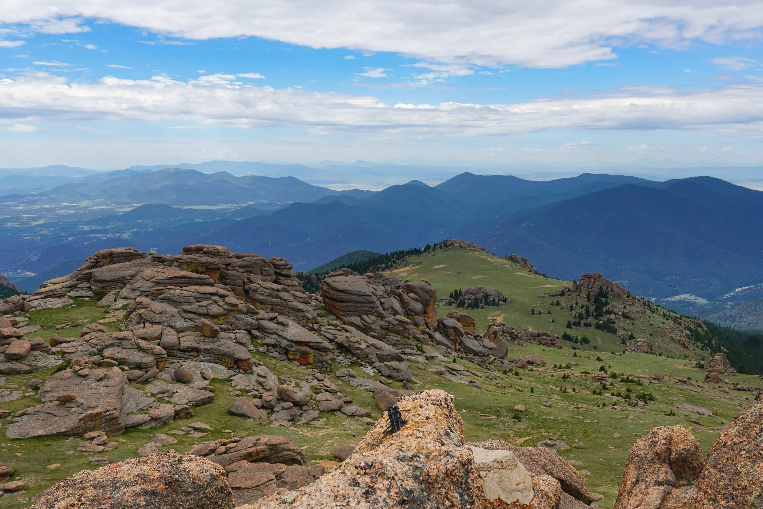
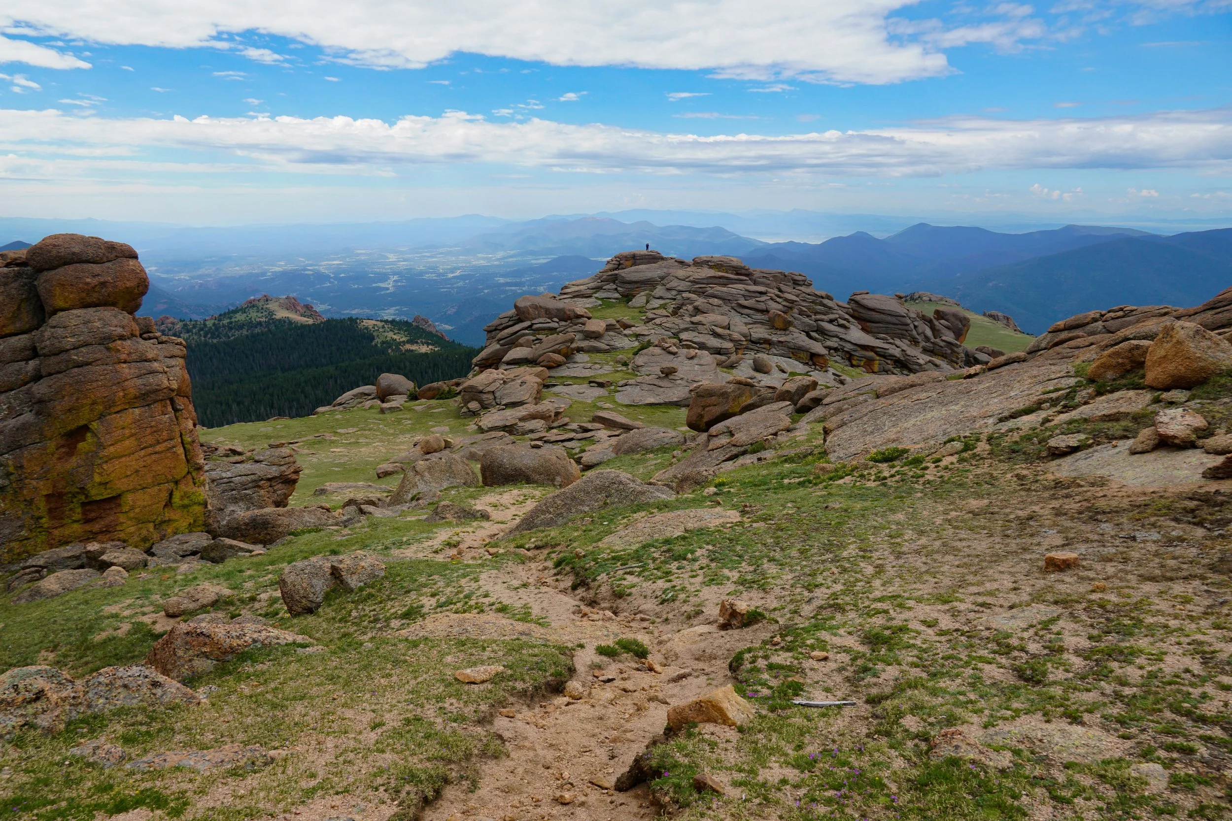
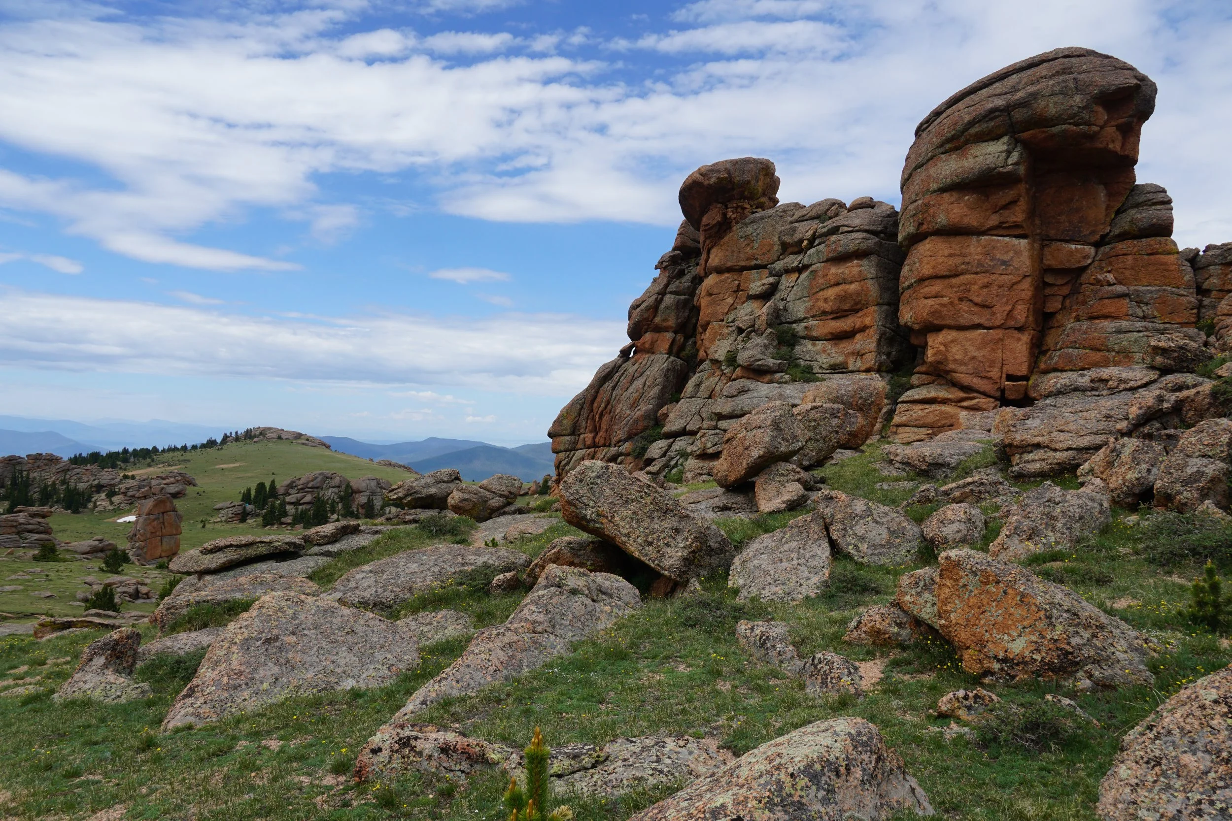
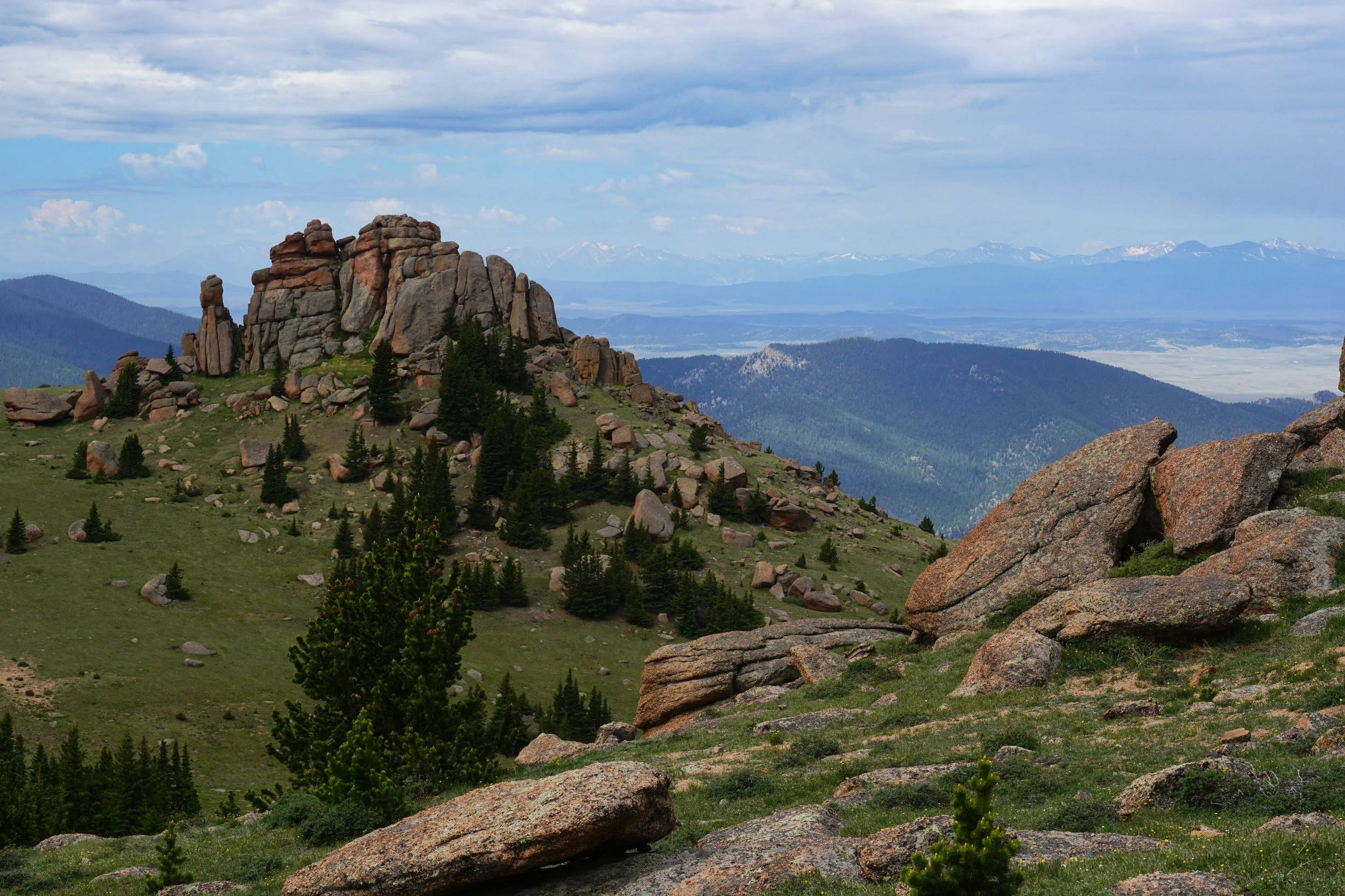
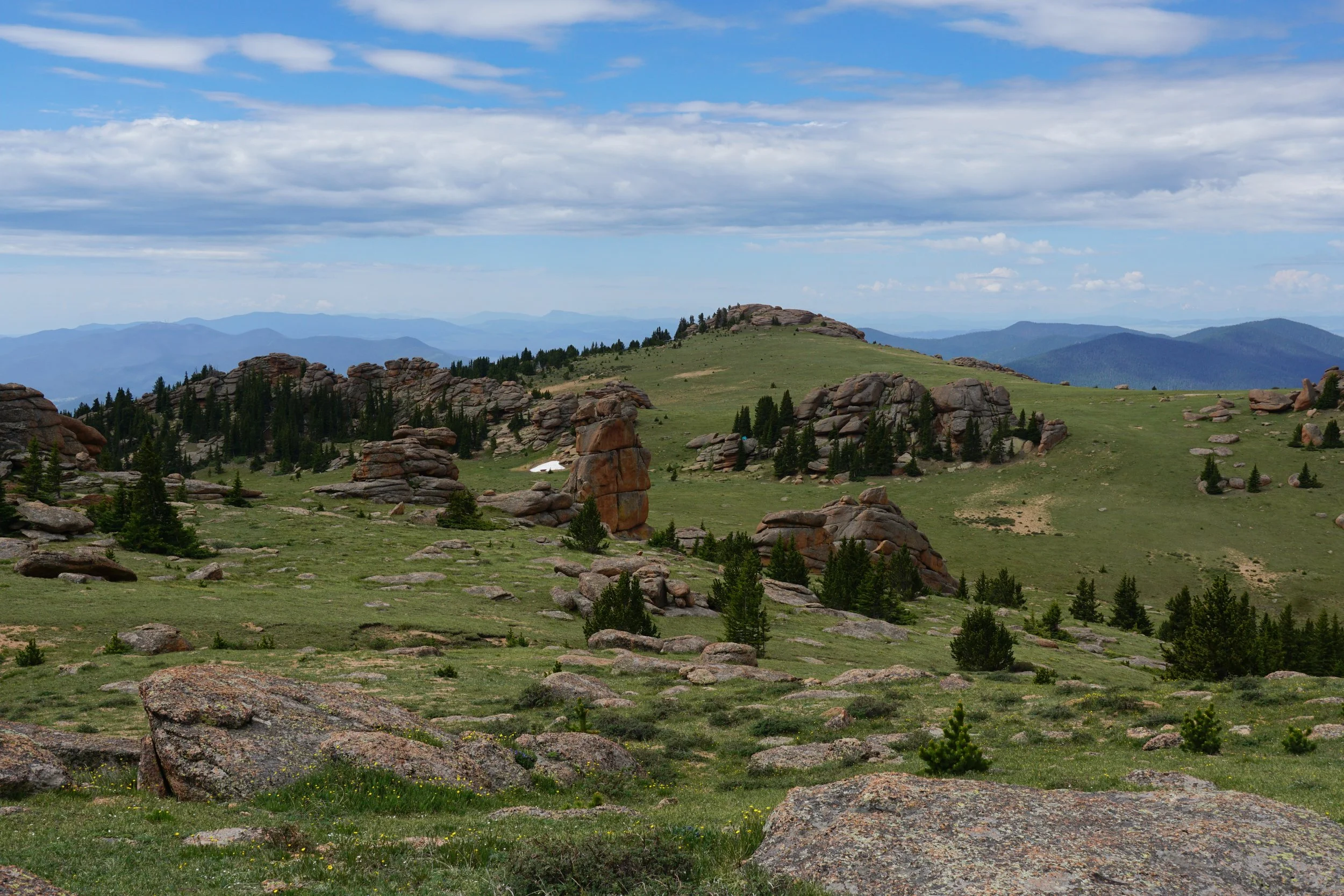
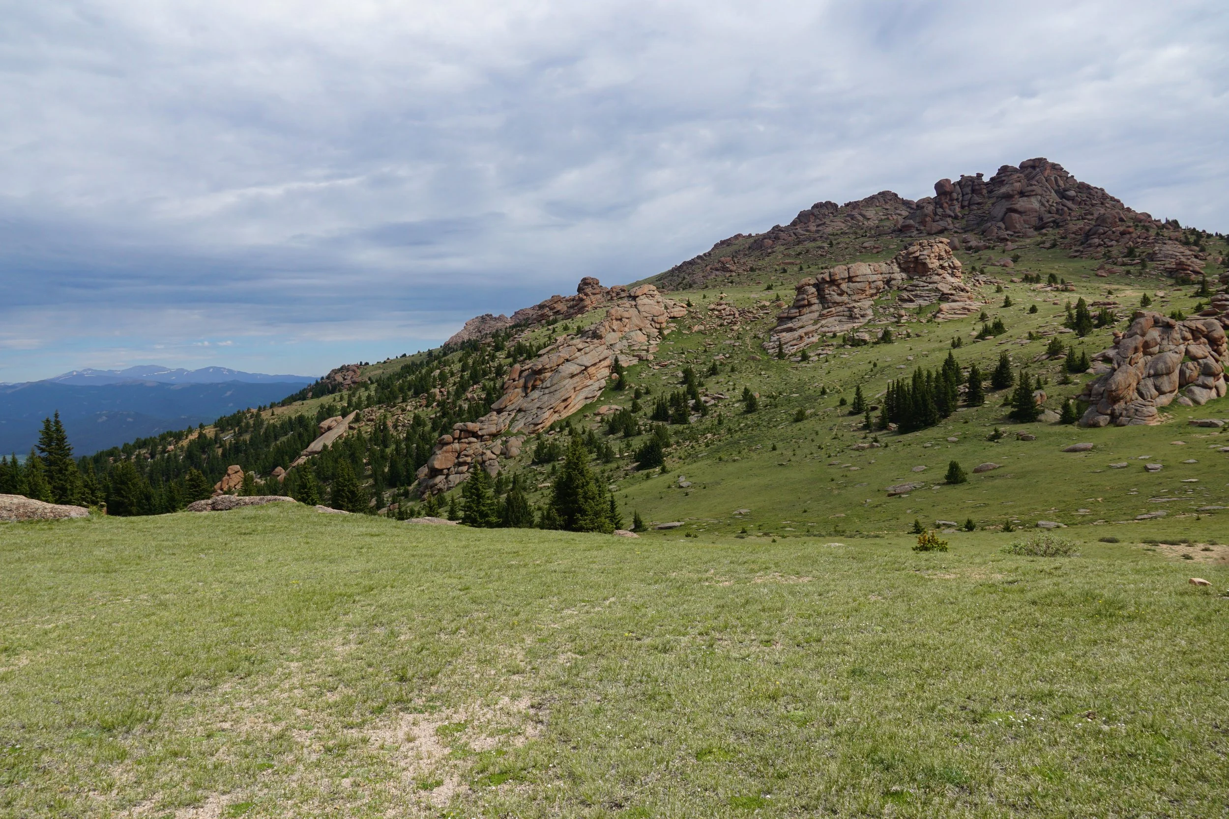
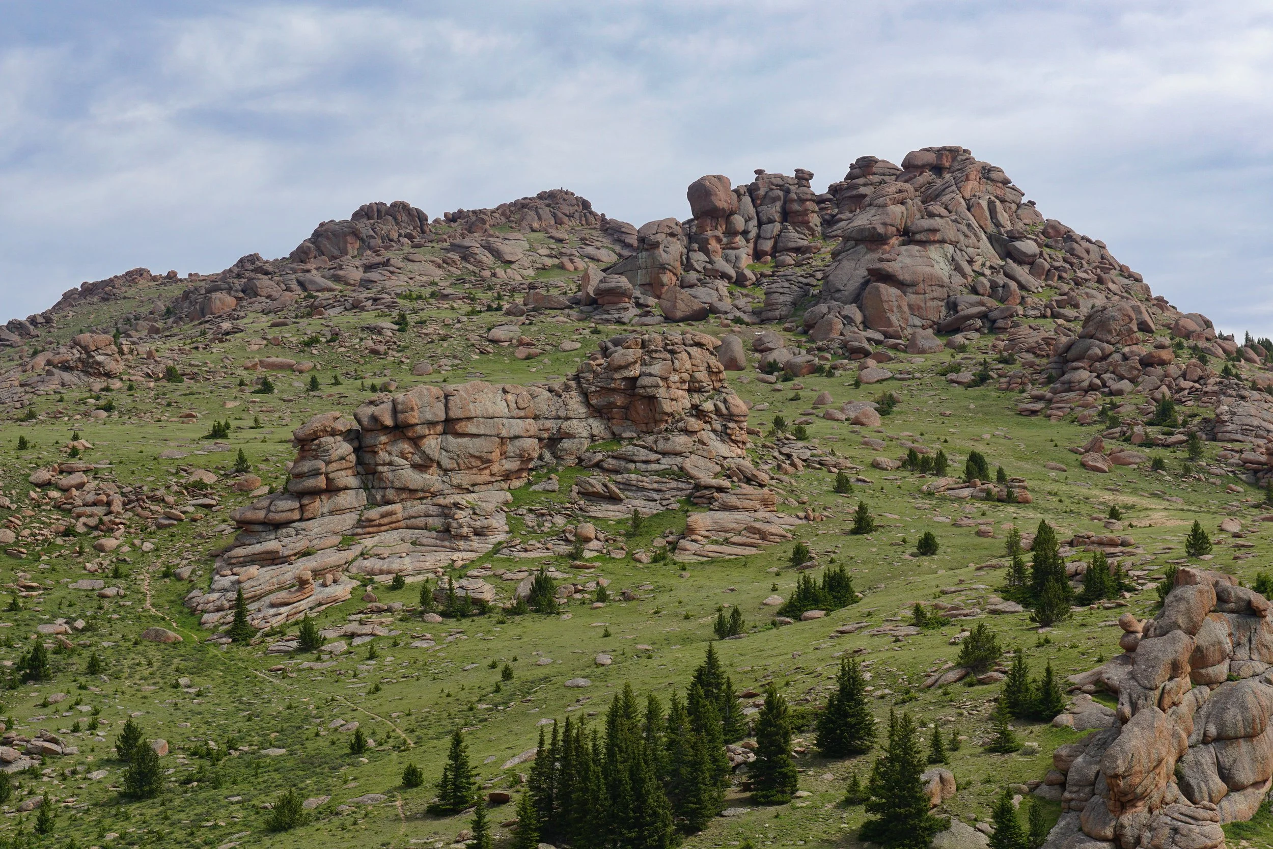
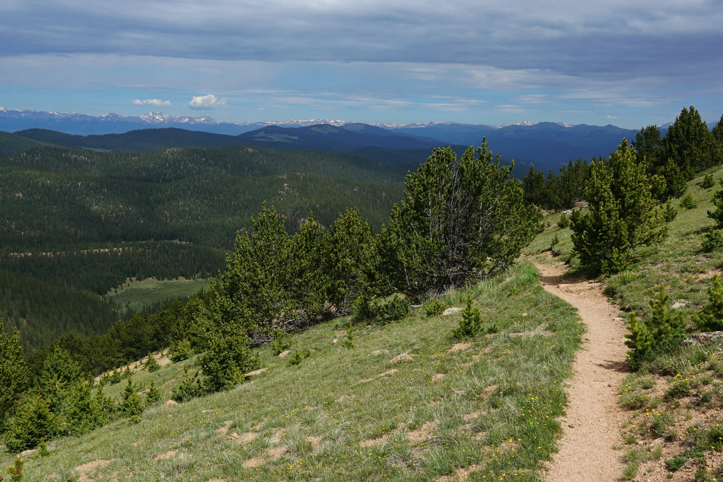
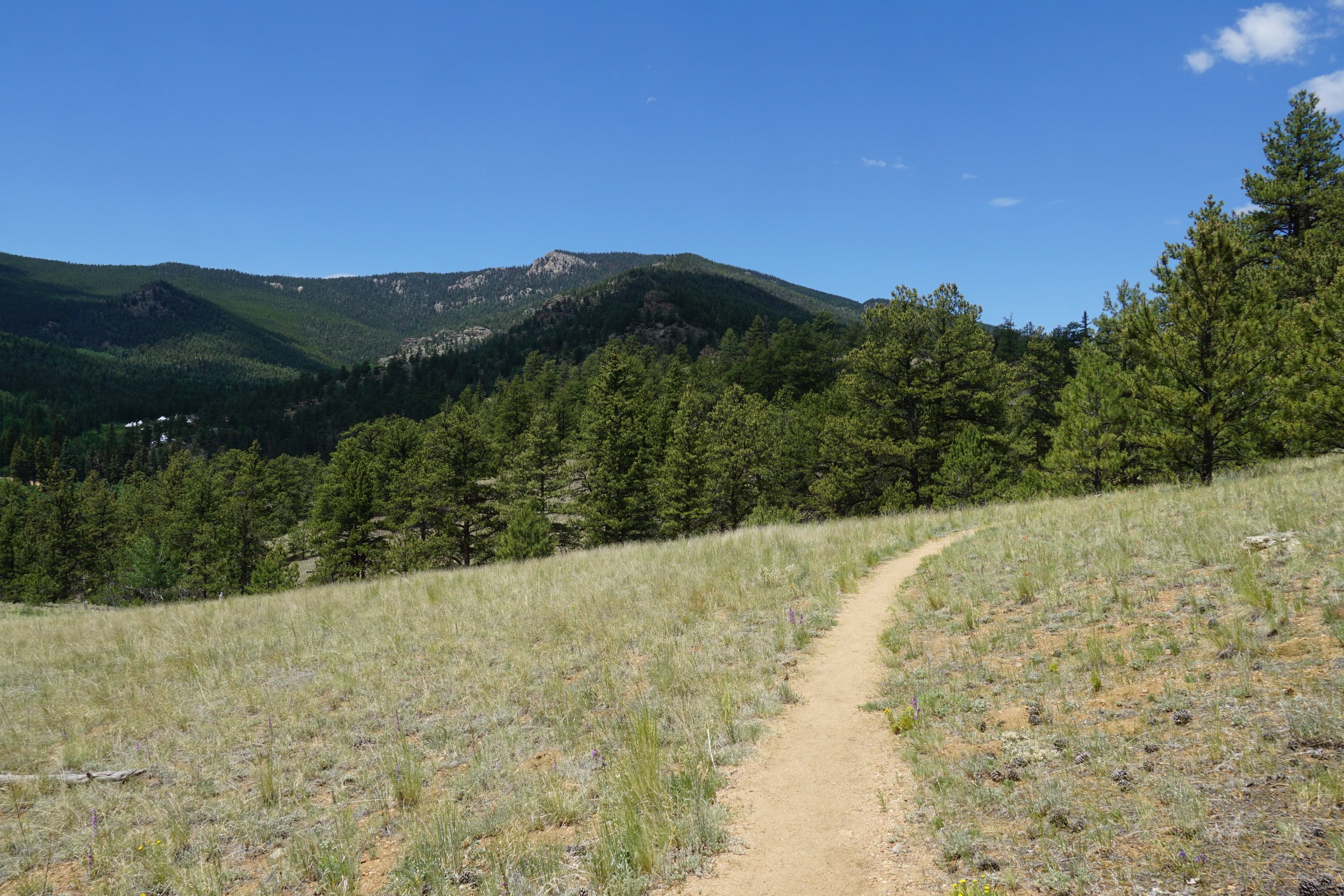
Turn right on Brookside-McCurdy and switchback your way up the slopes until you break through treeline, this is where all the effort really starts to pay off. The views are incredible as are the rock formations as you gain the ridge and find yourself at a broad, somewhat flat, grassy saddle. To the left is Bison Peak.
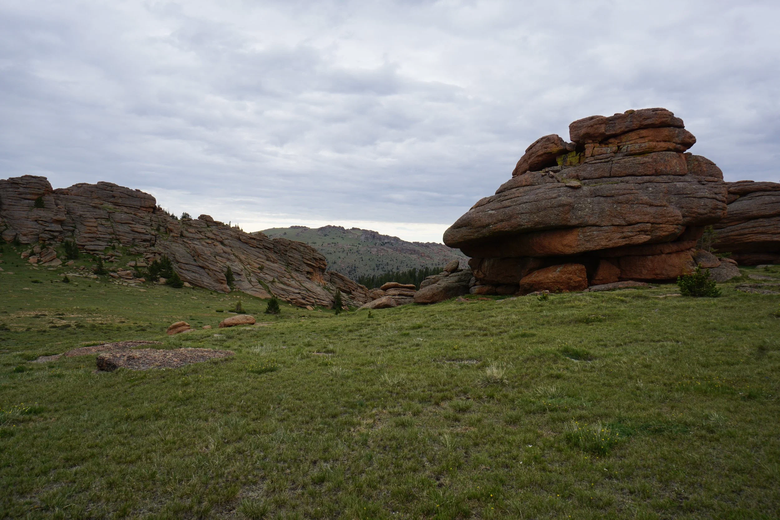
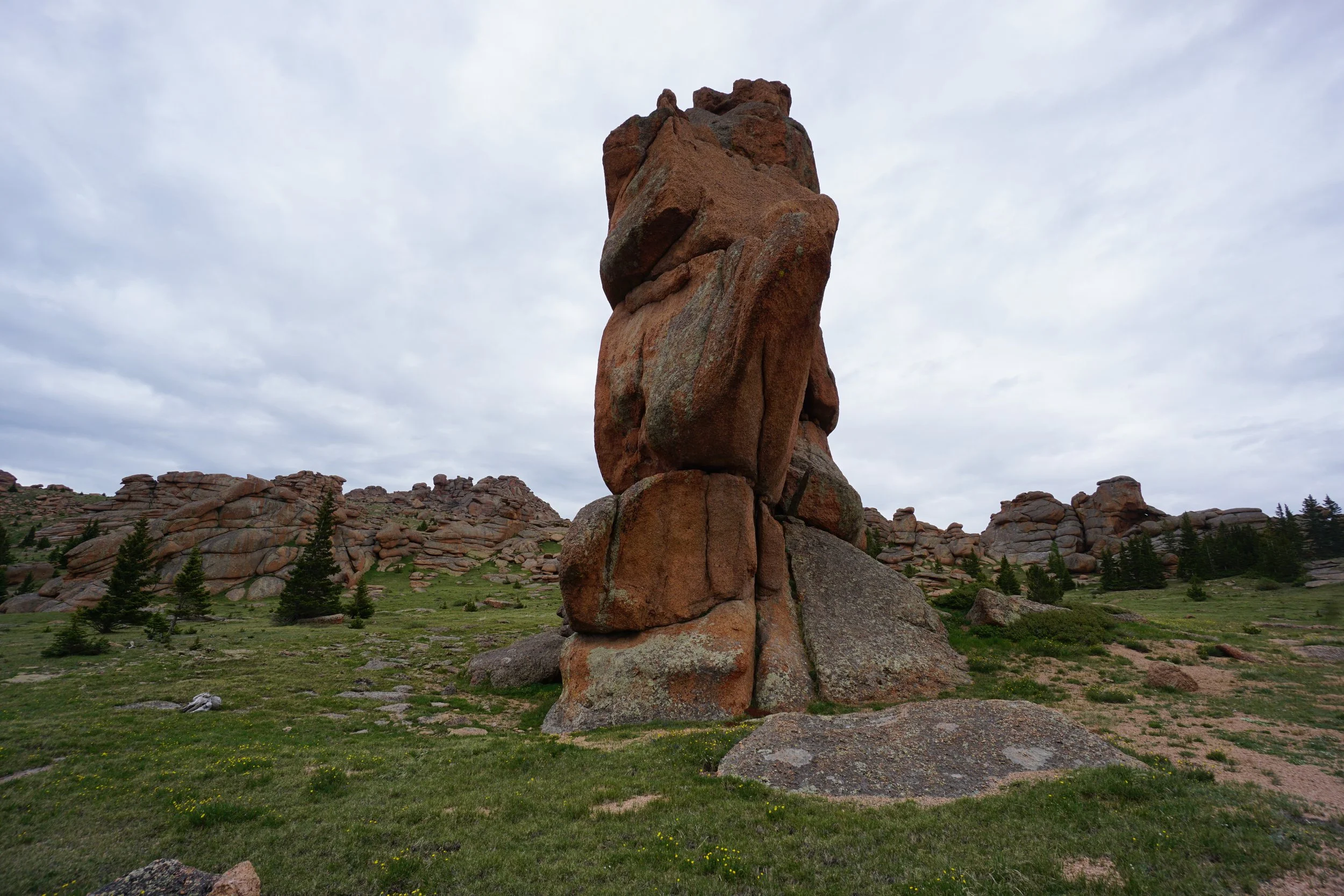
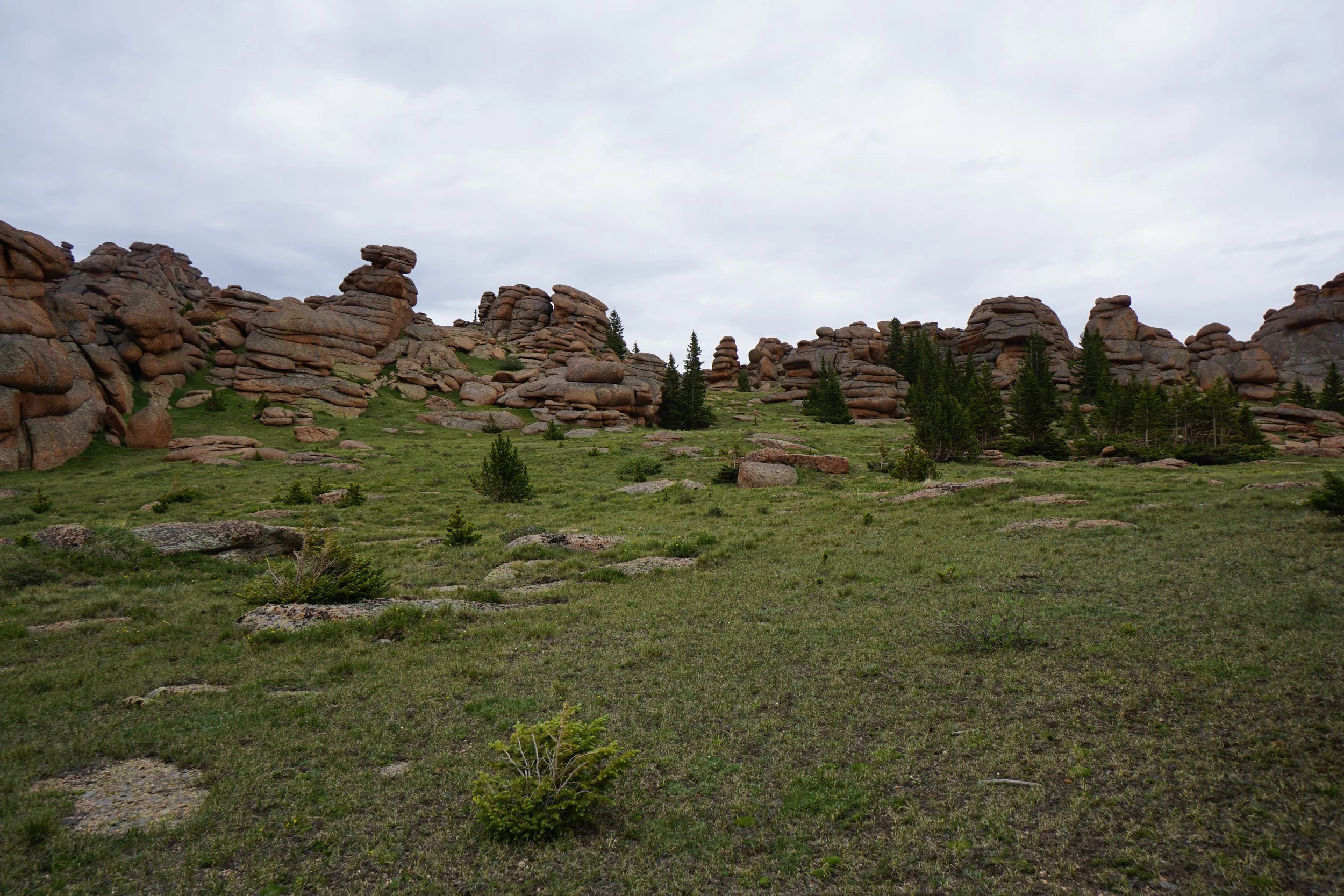
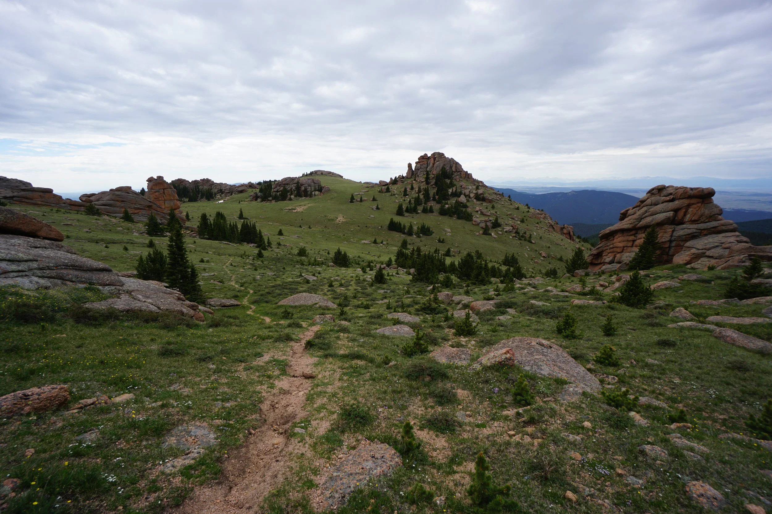
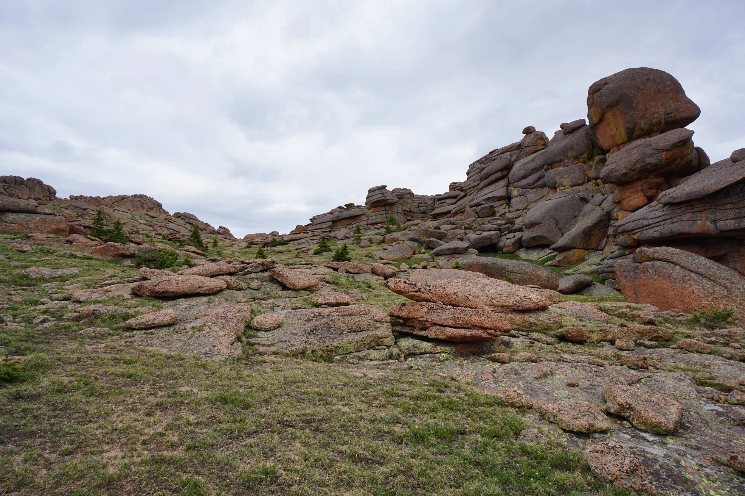
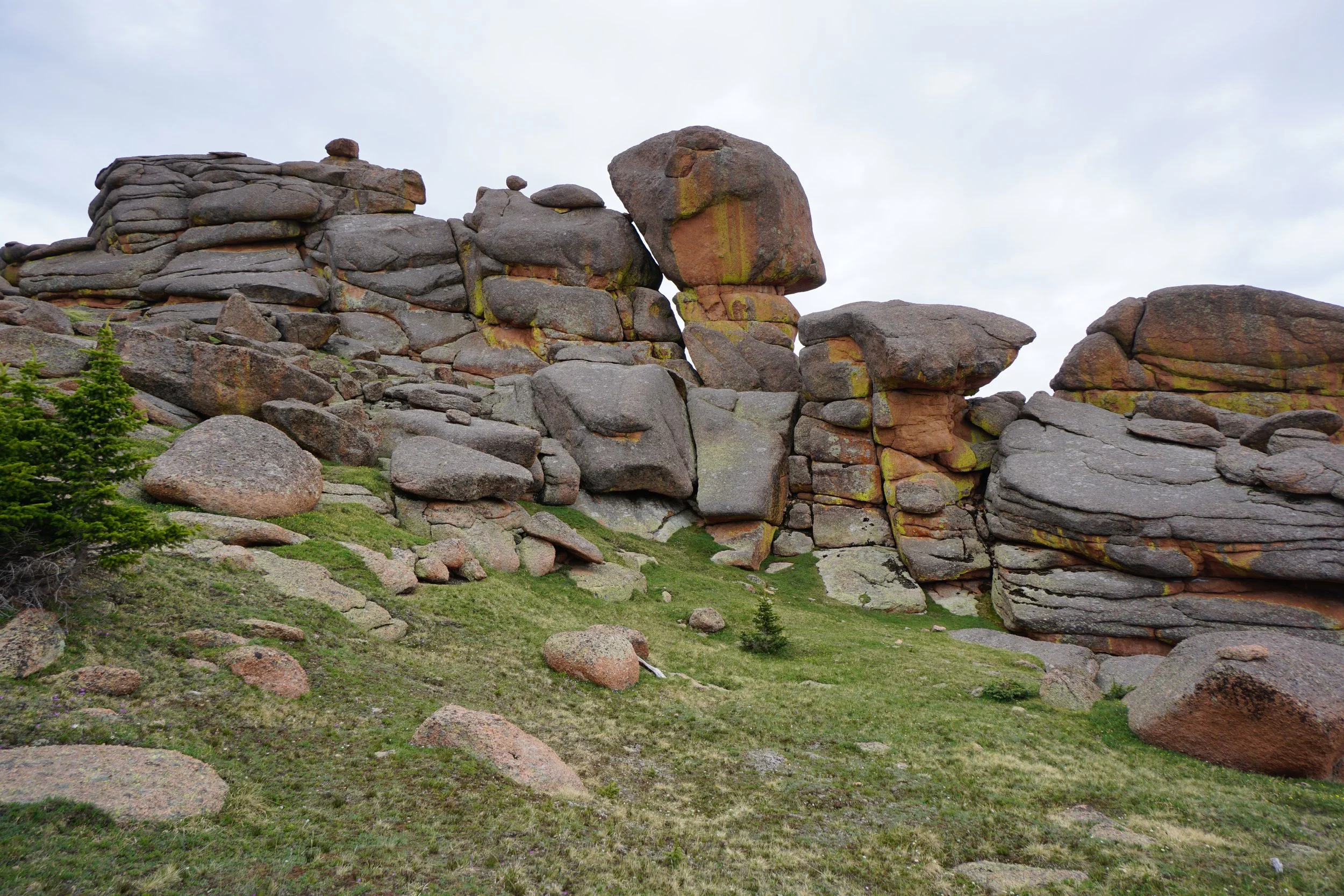
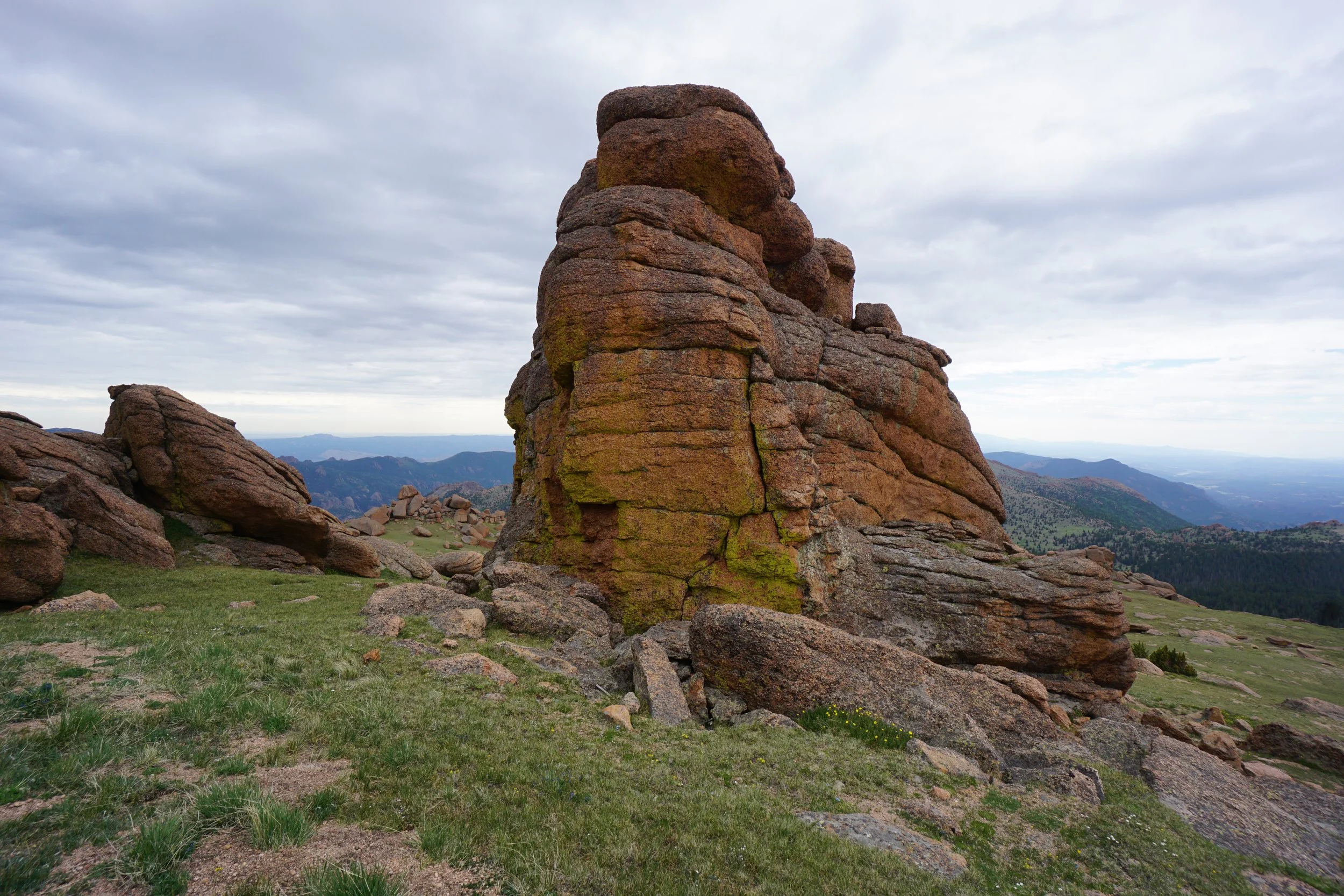
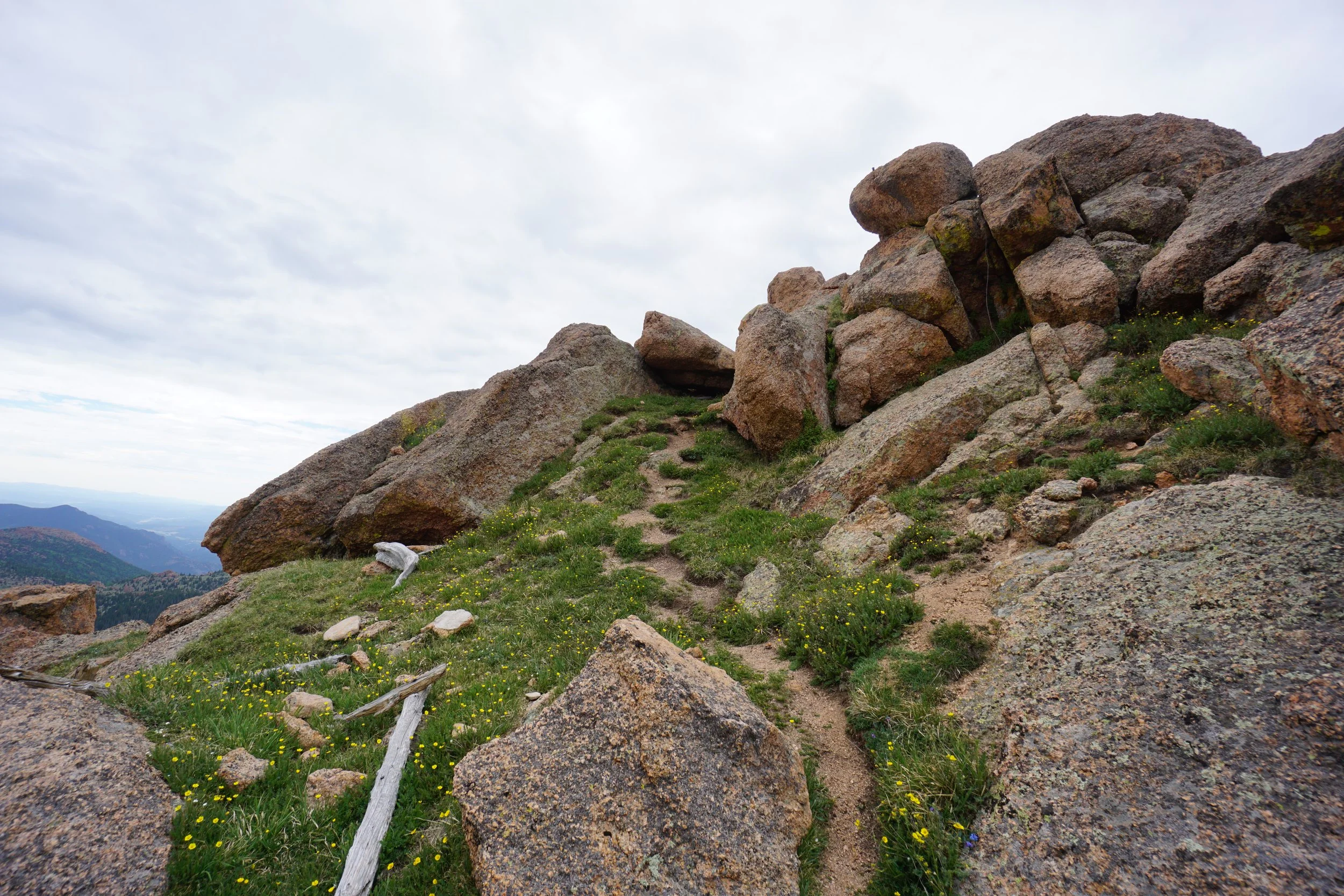
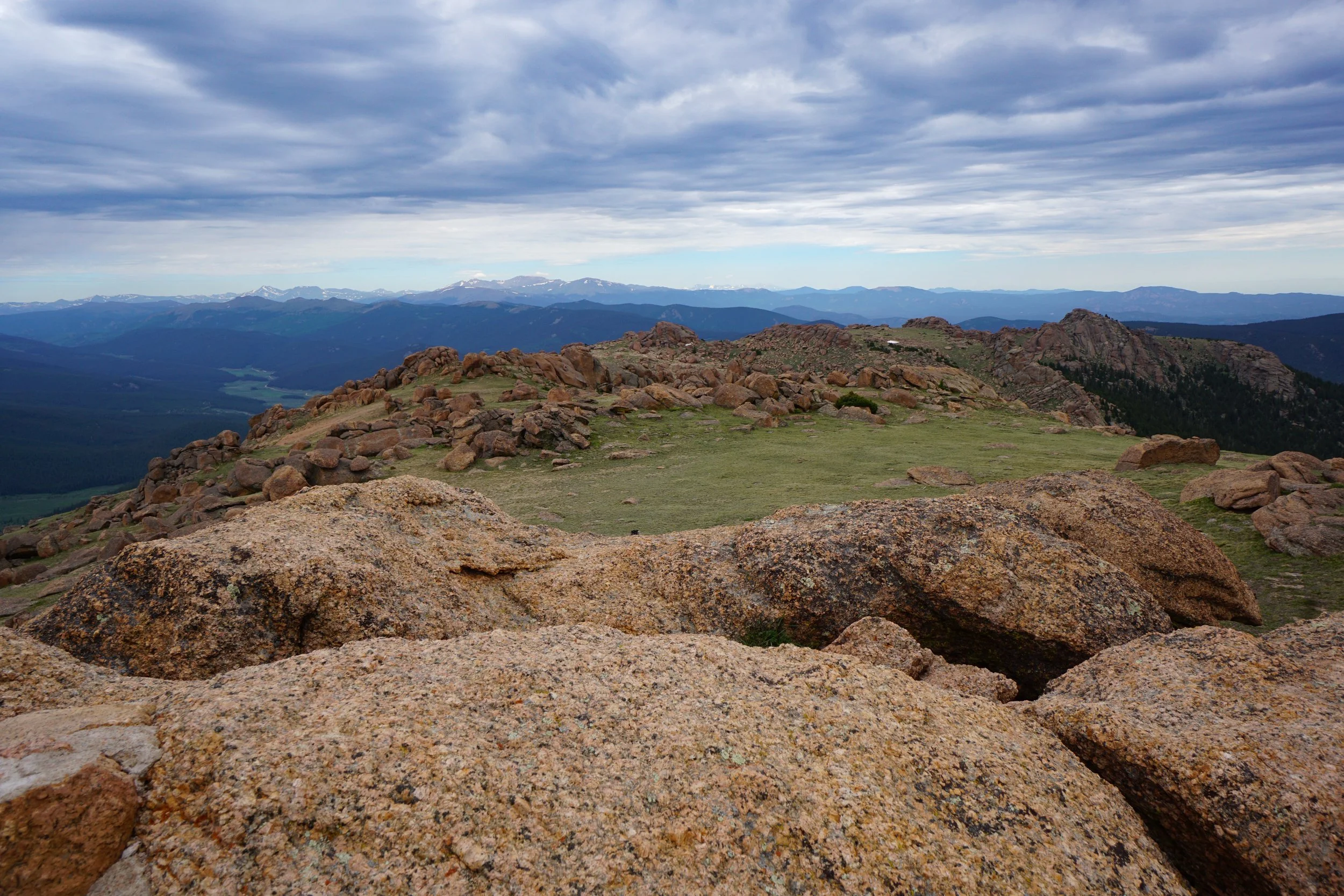
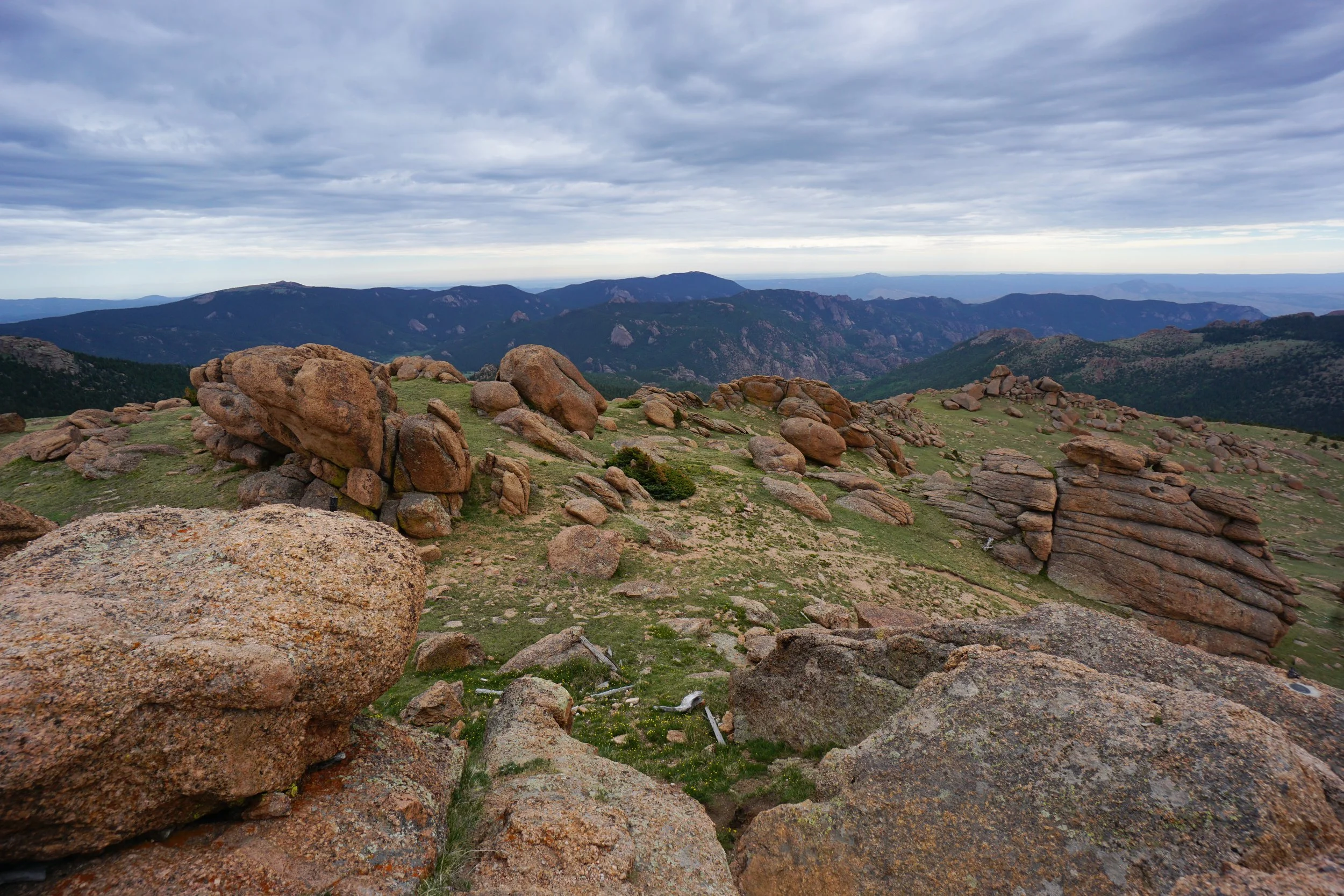
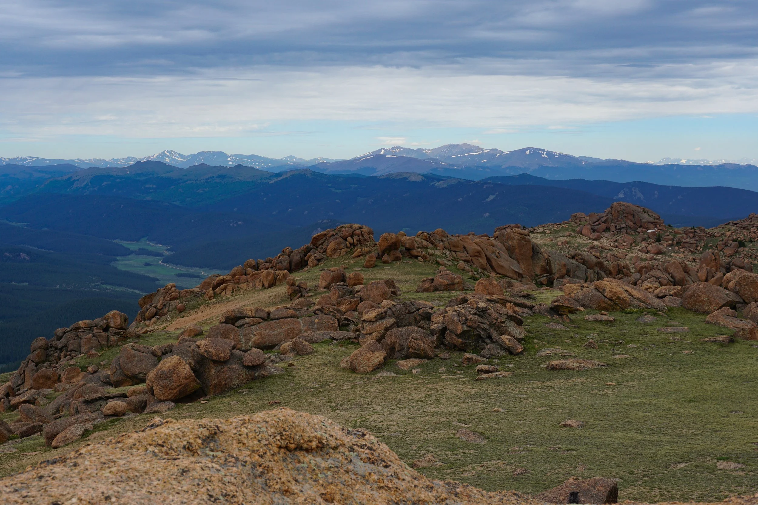
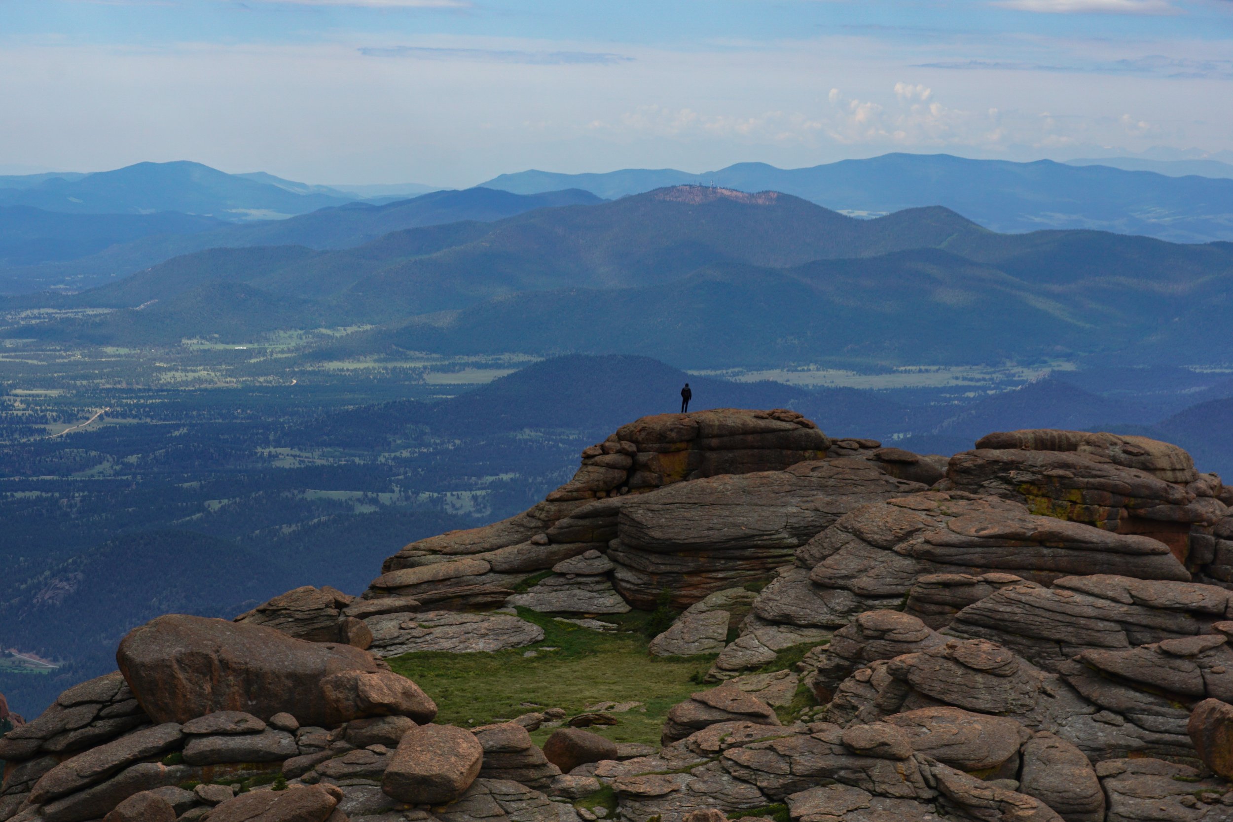
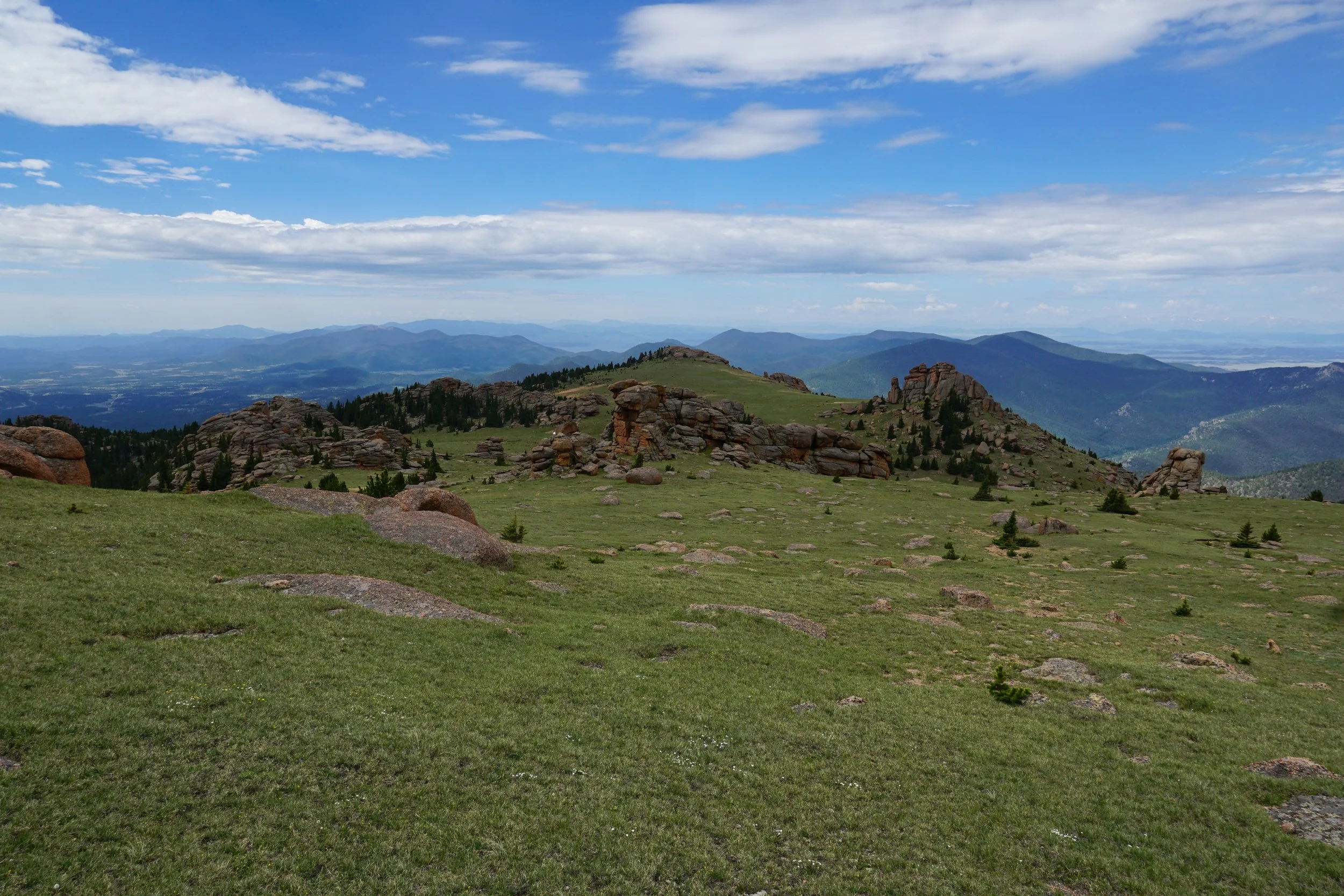
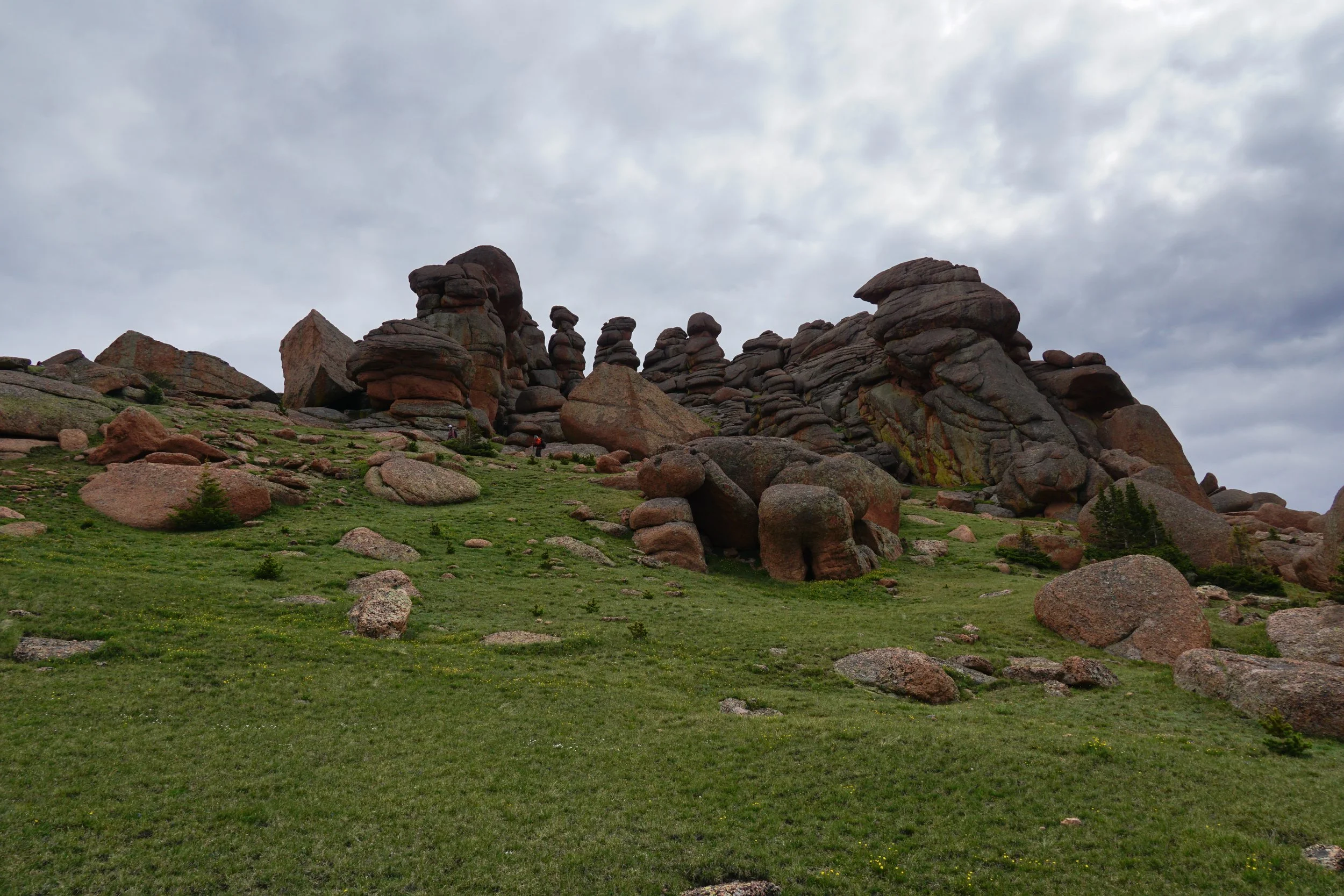
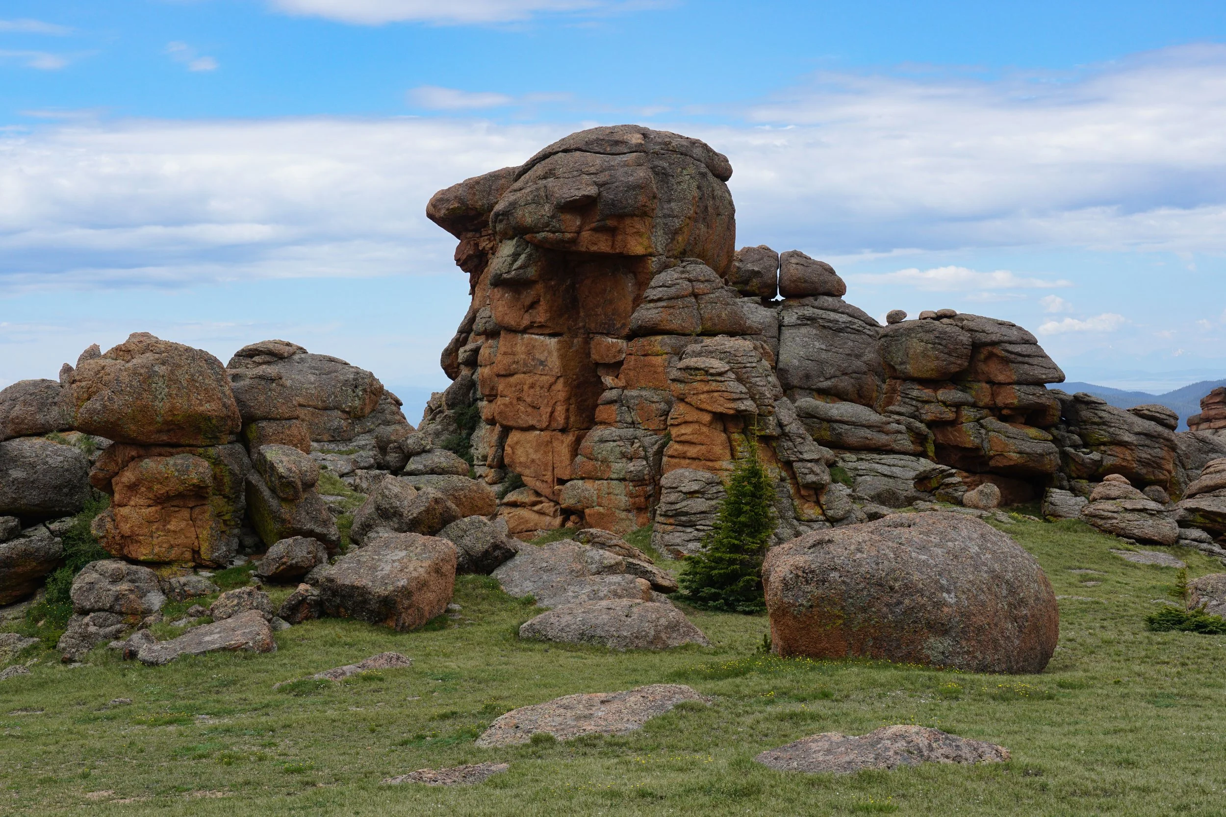
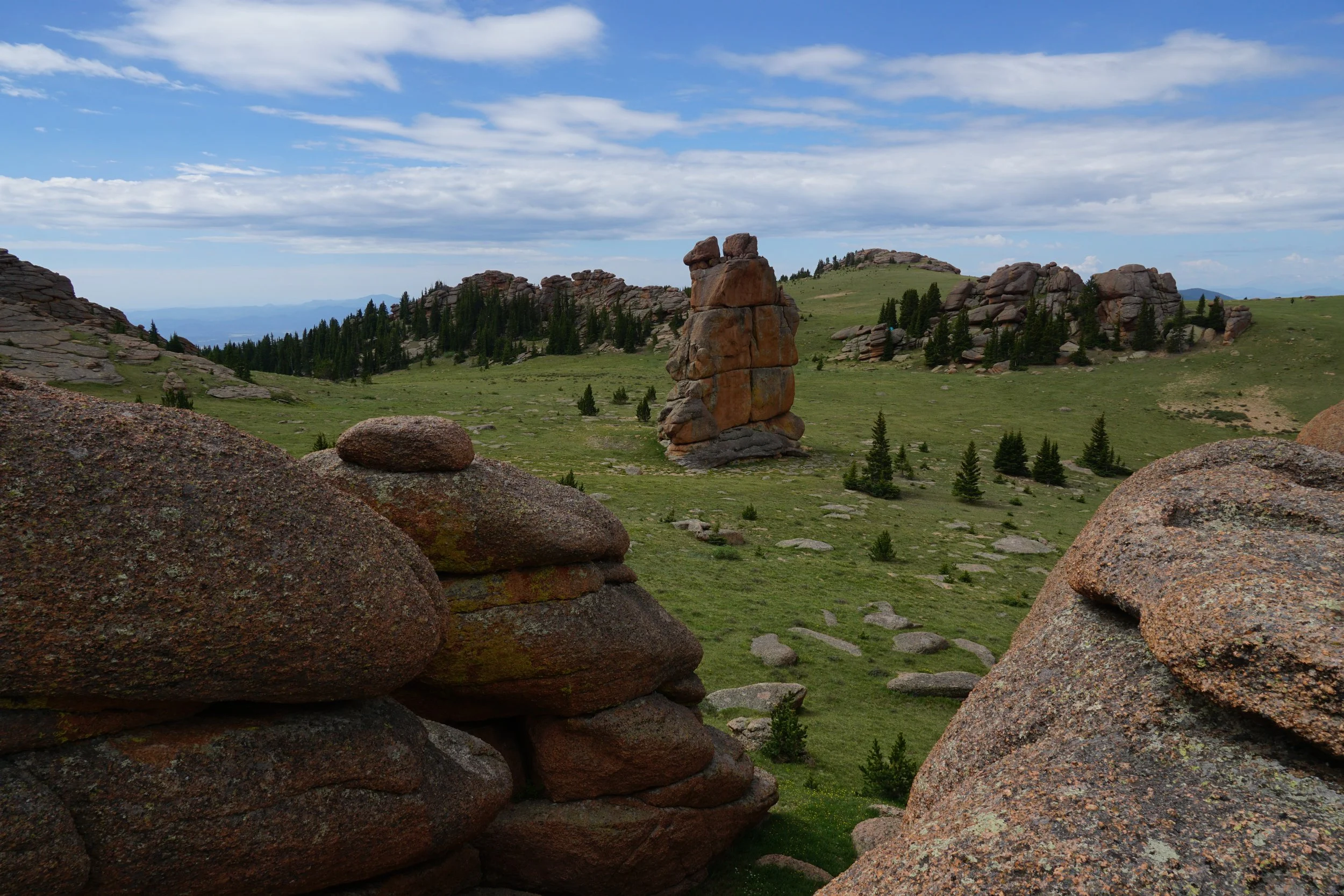
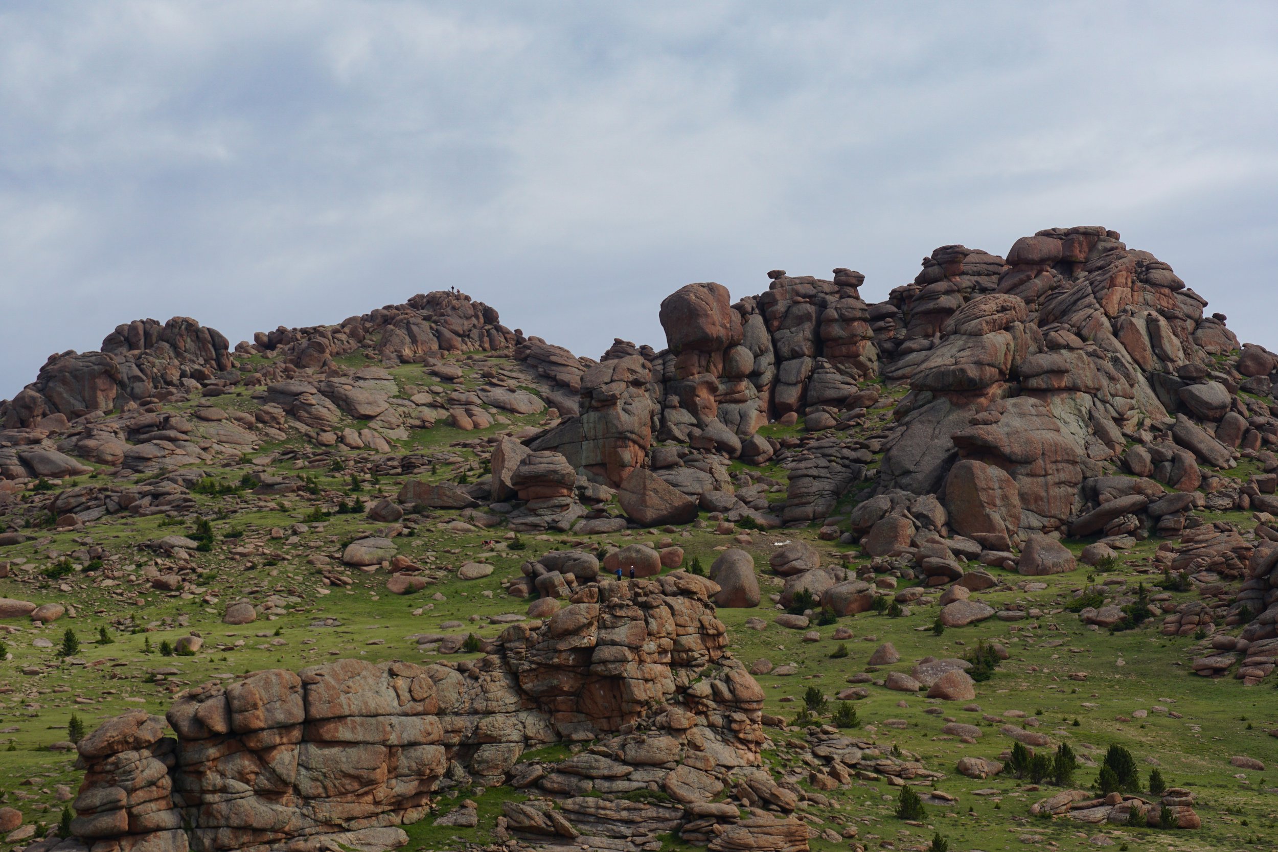
This is one of the most unique summits that you are likely to find in Colorado. From the saddle up to the summit you travel across the tundra among towering rock formations. You can choose your route to the top though there are some social trails that take you there if you can find them. The cover photo about shows one such trail. My advice is descend to the tower rock, you’ll know it when you see it. Then head to the left and try to pick up the trail on the other side of a grove of pine trees. The trail will take you up the slope to summit area. One thing to keep in mind is that the summit is not the rocky point that you see once you descend from the saddle. In fact, the summit is up hill and to the left of the rocky point. Many hikers head for the false summit and do rock climbing/scrambling to get to that point. While that is a worthy destination, the actual summit is actually easier to get to. Again. stay to the left of the prominent rock formation and you’ll enter the gully between the two rock formations. Climb up to the highest point on the left, that is the summit. Once you are there, these tips will, hopefully, make sense…
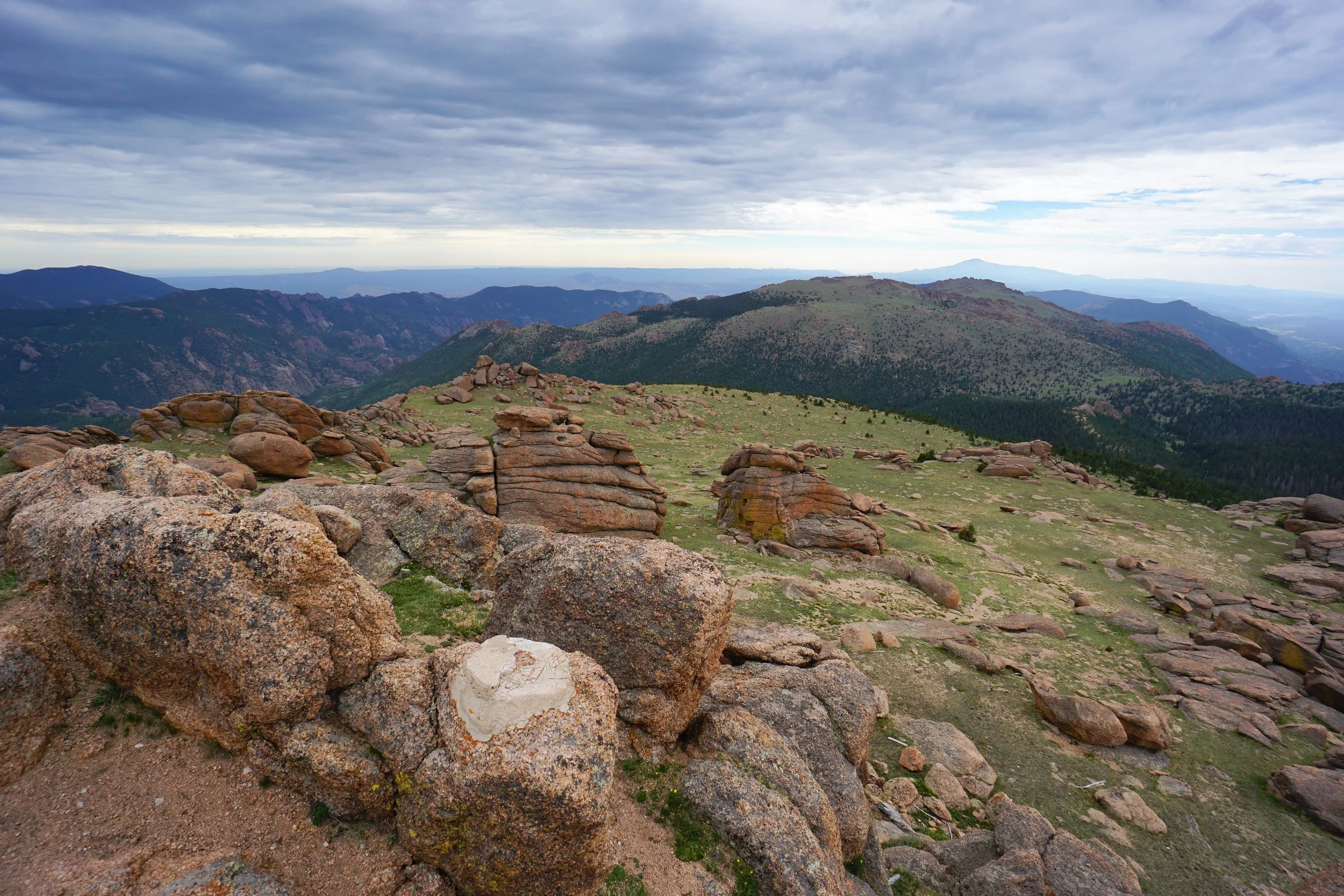
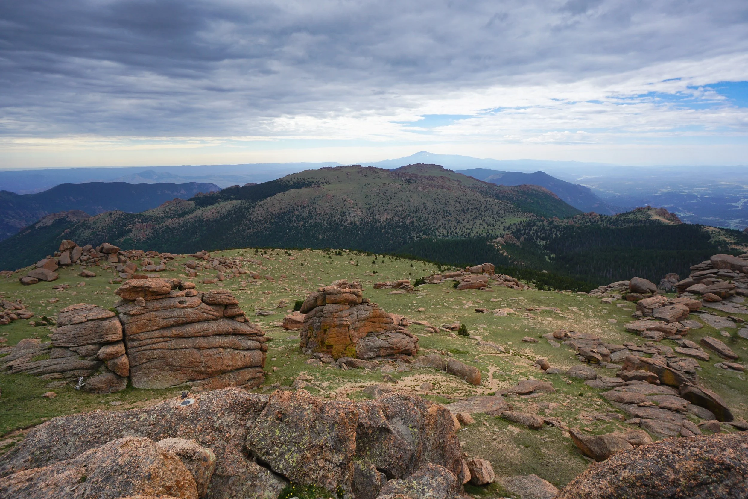
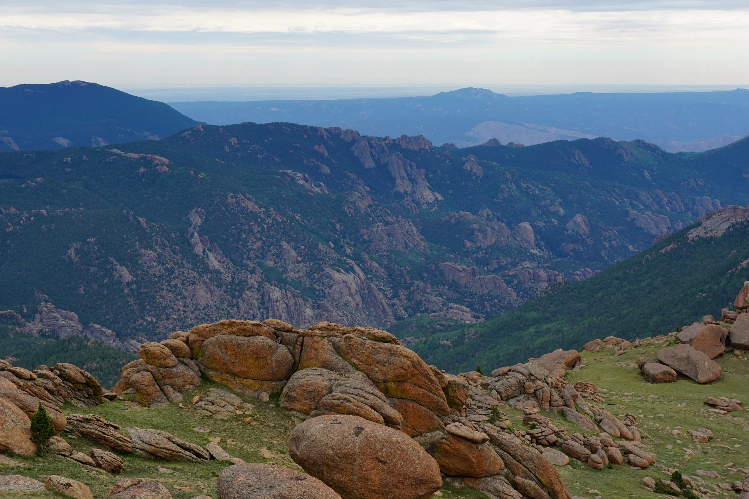
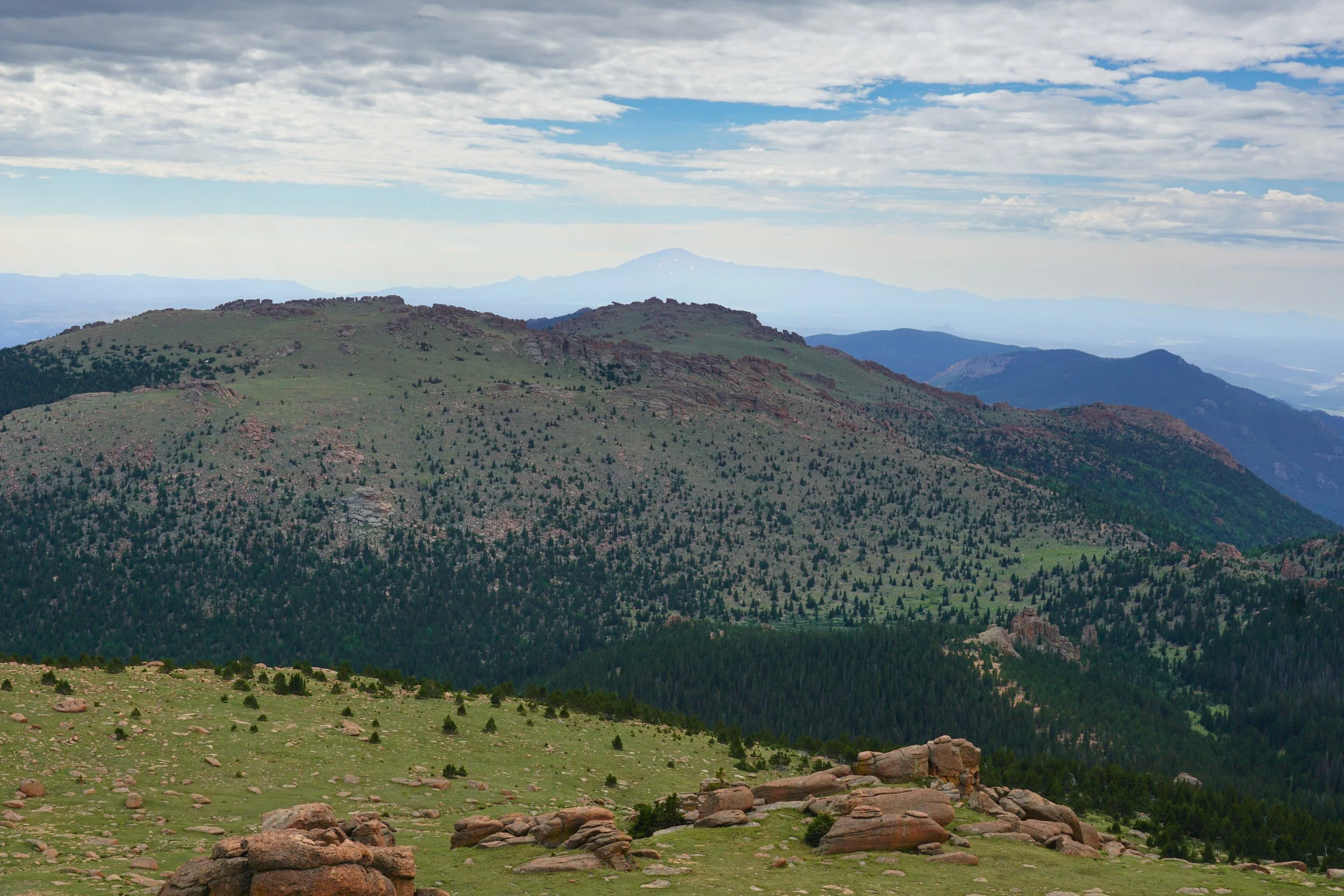
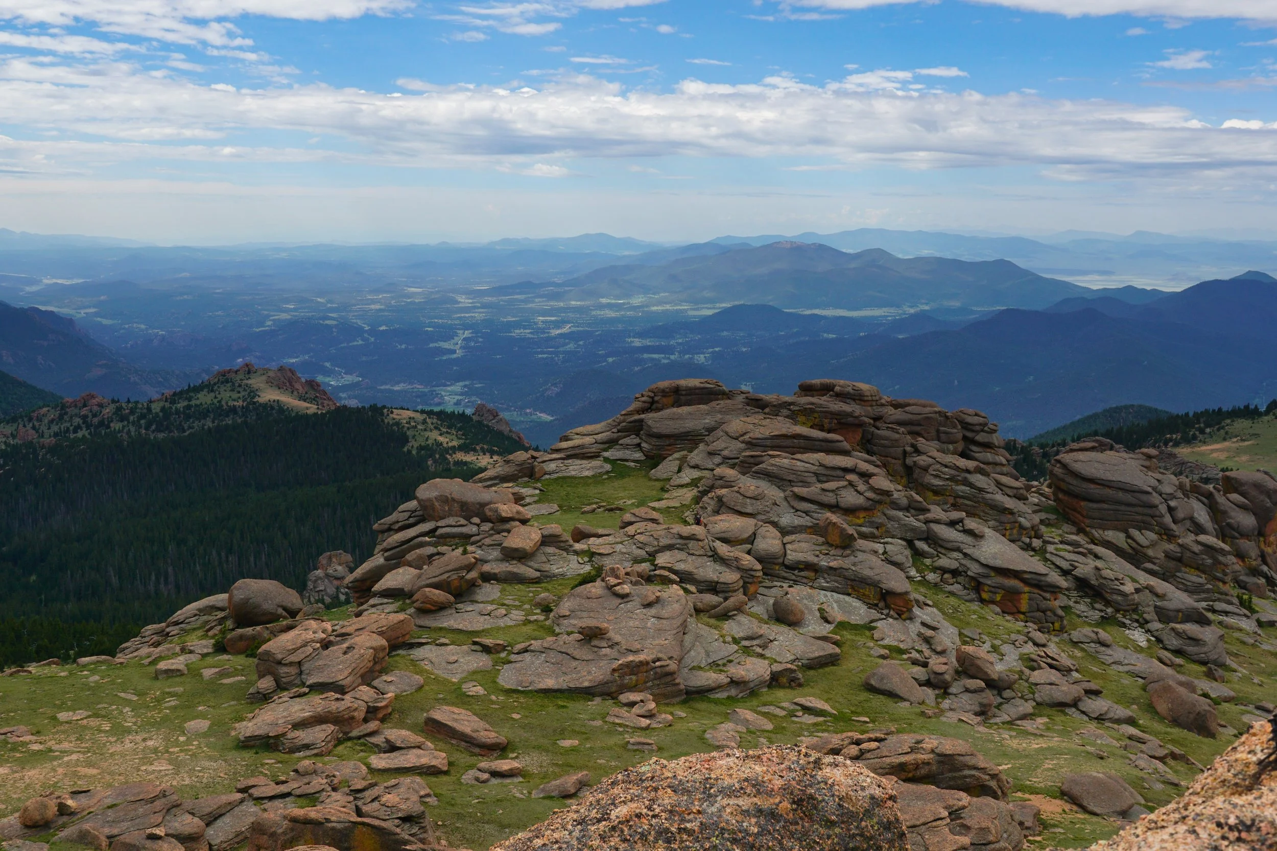
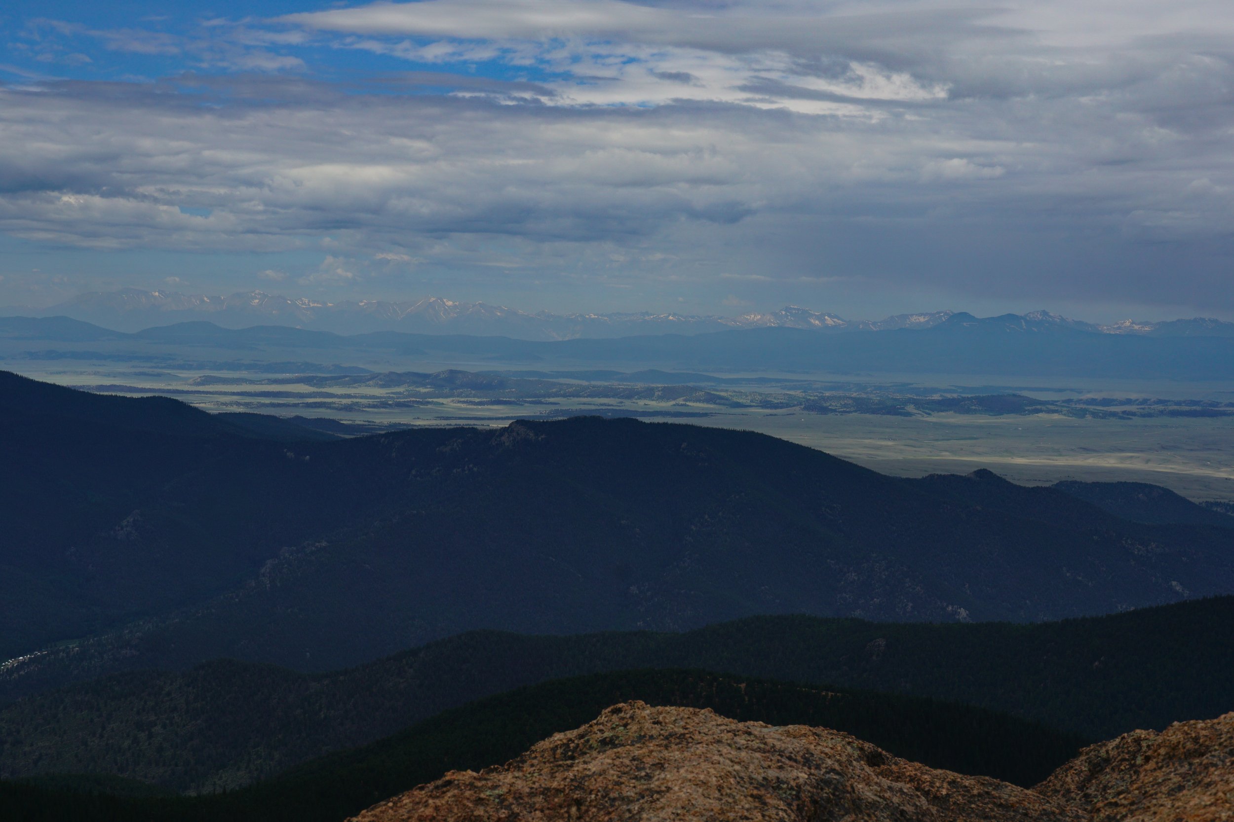
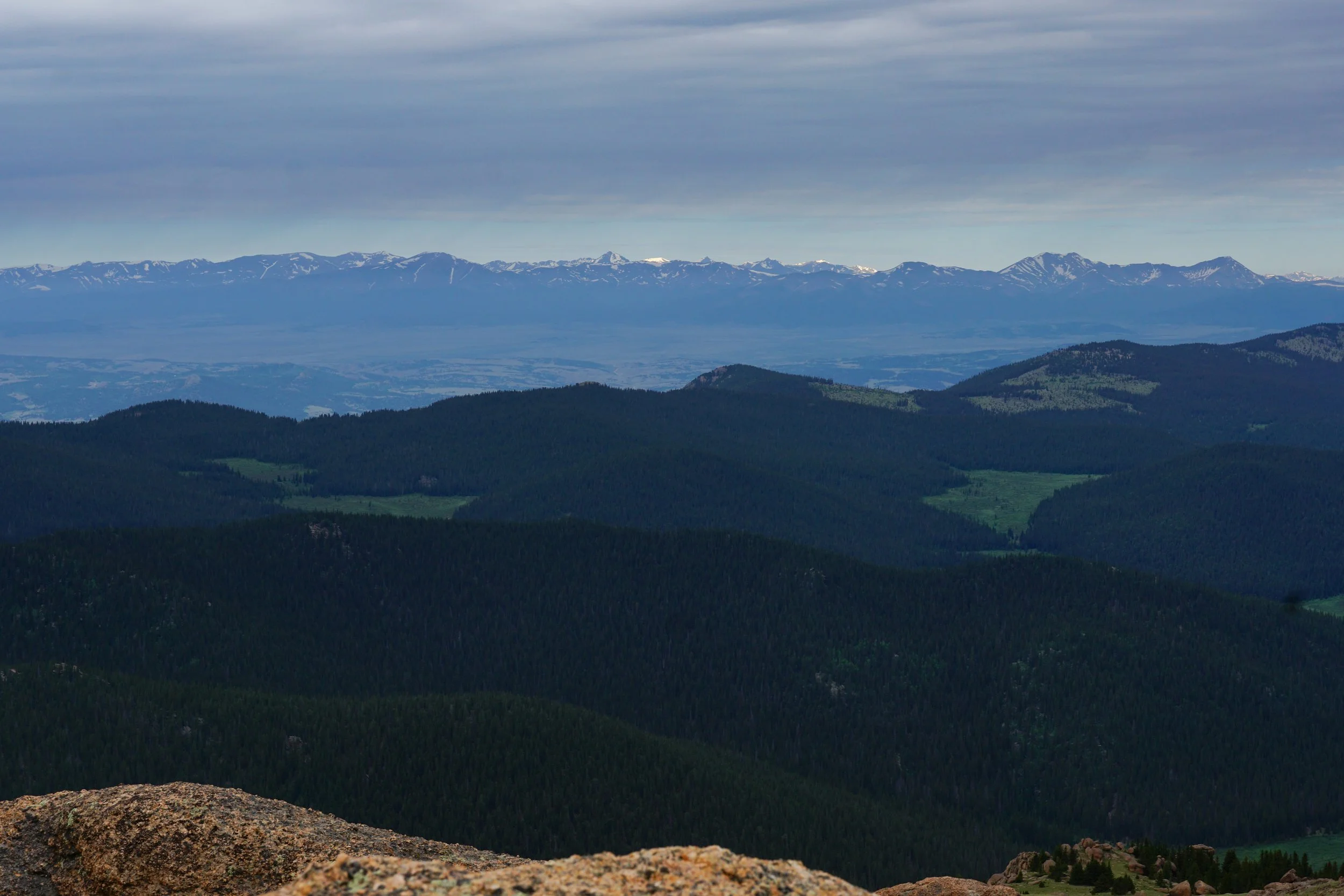
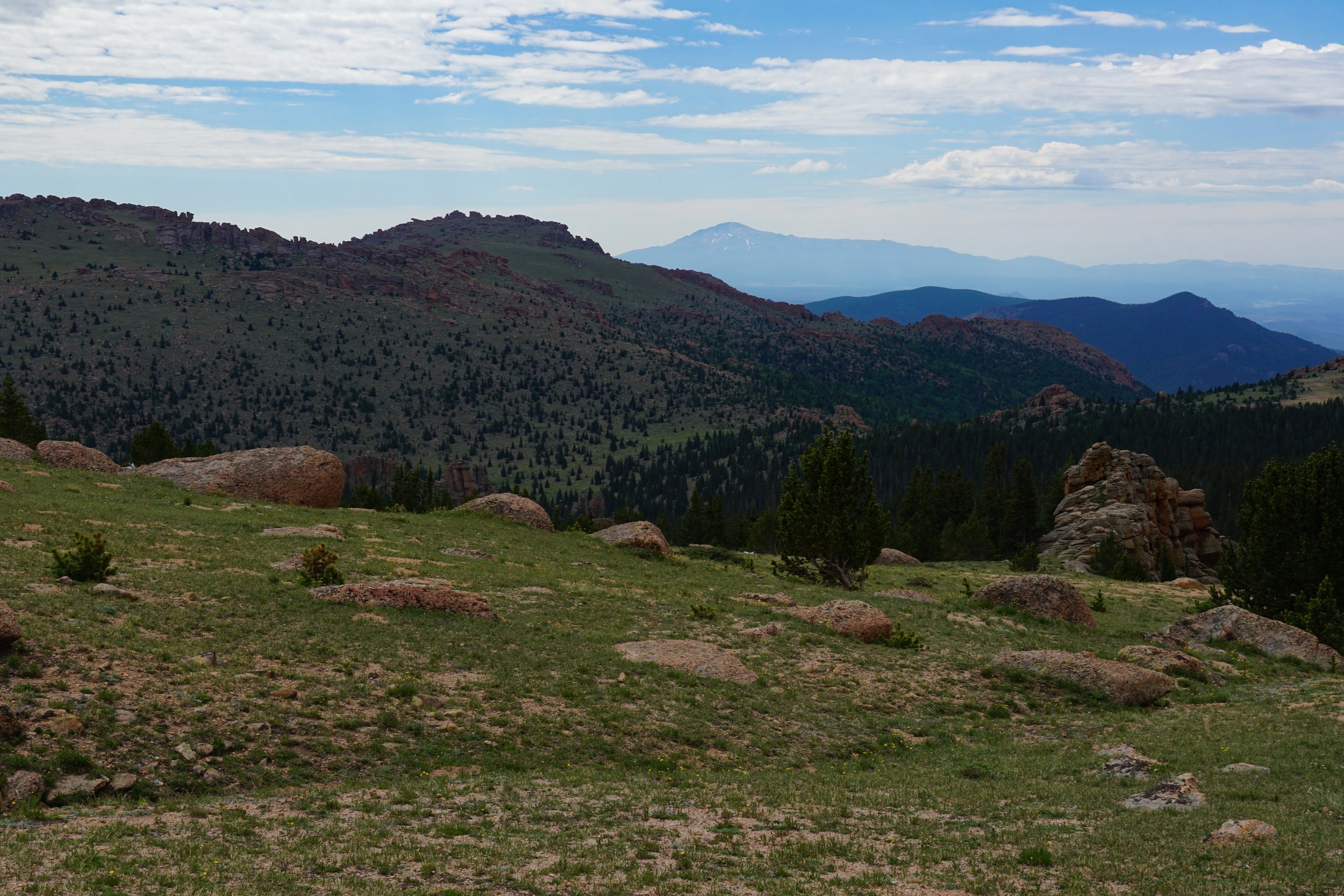
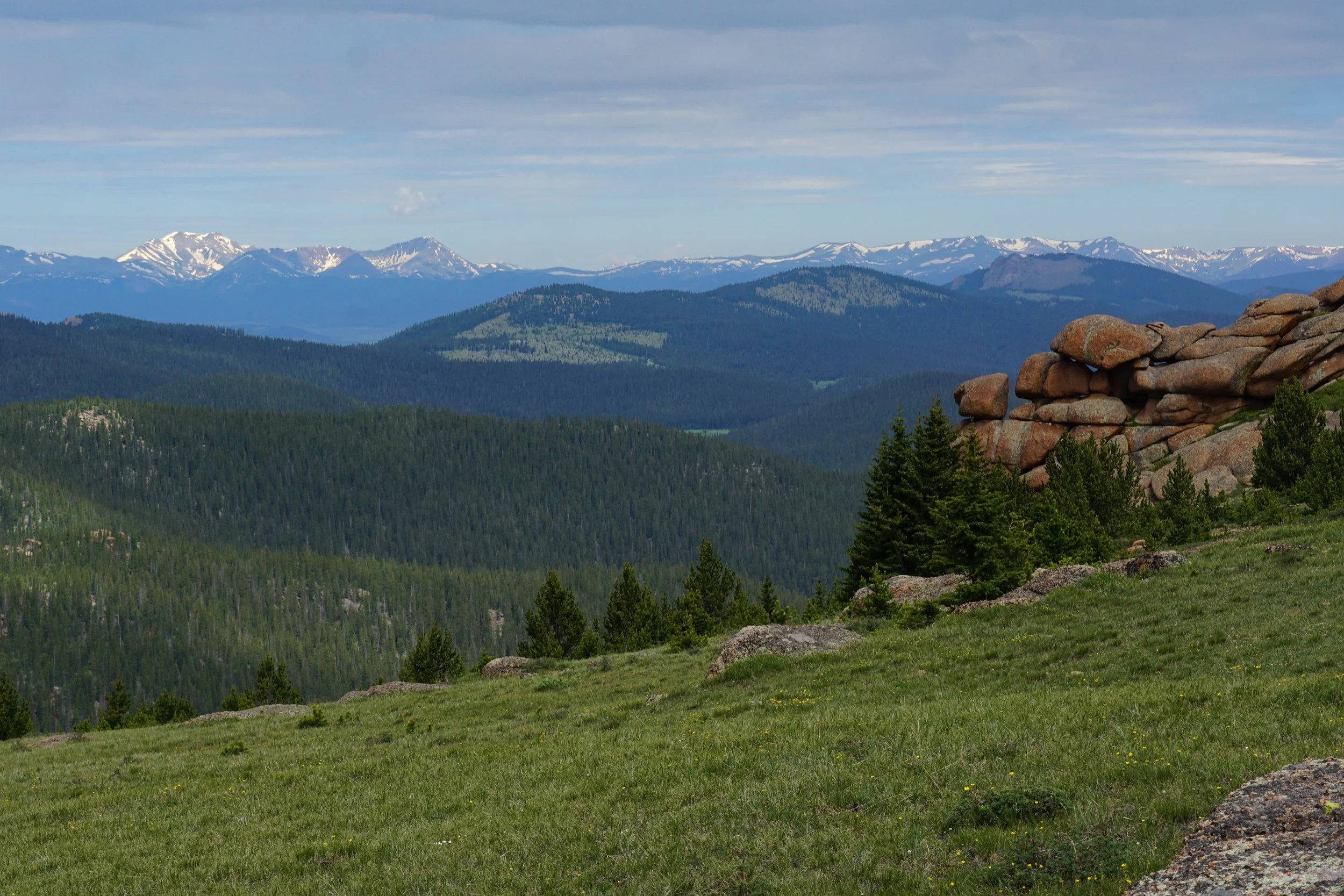
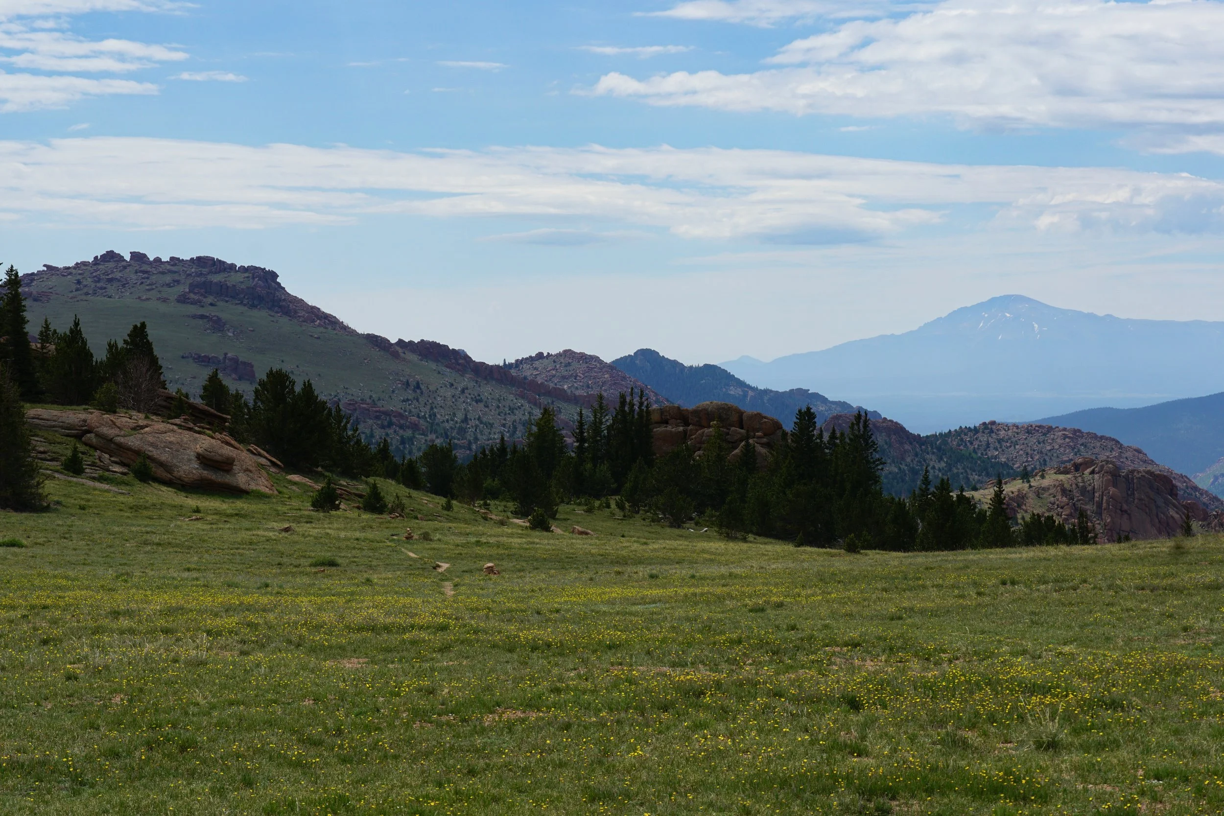
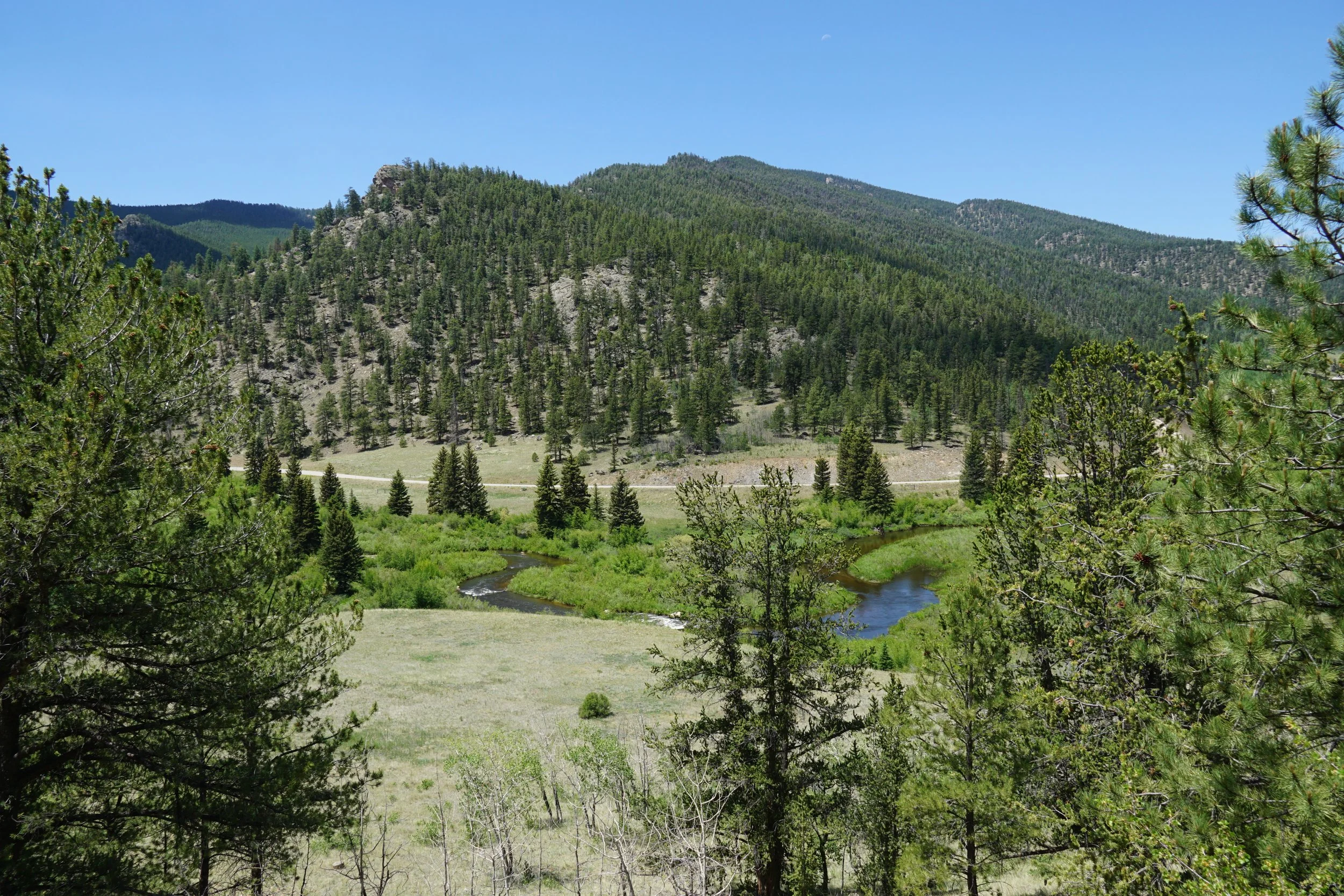
From the summit, the view is incredible! On a clear day you can see the northern front range peaks, the Sawatch Range across South Park, and down to Pike’s Peak. You also get a great view of McCurdy Mountain, the second tallest peak in the Lost Creek Wilderness. When you are done losing your mind over the view, it is time to descend. I suggest taking a different route back so you can explore more of the crazy rock formations. Just keep your bearings and remember how to ascend back up to the saddle and find the trail again, it shouldn’t be too confusing. The hike back down is long and downhill, hopefully you have saved some energy…and some cartilage in your knees.
This hike is tough, but amazing. Absolutely a must do in the Front Range, not quite a 14er but it has the same feel. Plan for a long hike, start early and take your time on the way up. Slow and steady wins this race. All the pain dissolves above treeline and use your memories of the summit area to ease the pain when it returns on the descent.