Lower Big Bluestem > S. Boulder Creek Loop
Boulder Mountain Park
Date Hiked: April 4, 2024
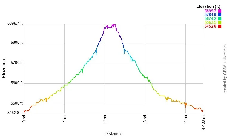
Distance: 4.4 mi (RT)
Elevation Gain: 400 ft
Elevation Min/Max: 5,473 to 5,882 ft
Trailhead Lat/Long: 39.96033, -105.23647
Managing Agency: City of Boulder Open Space & Mountain Parks
Fee: Yes
DIRECTIONS:
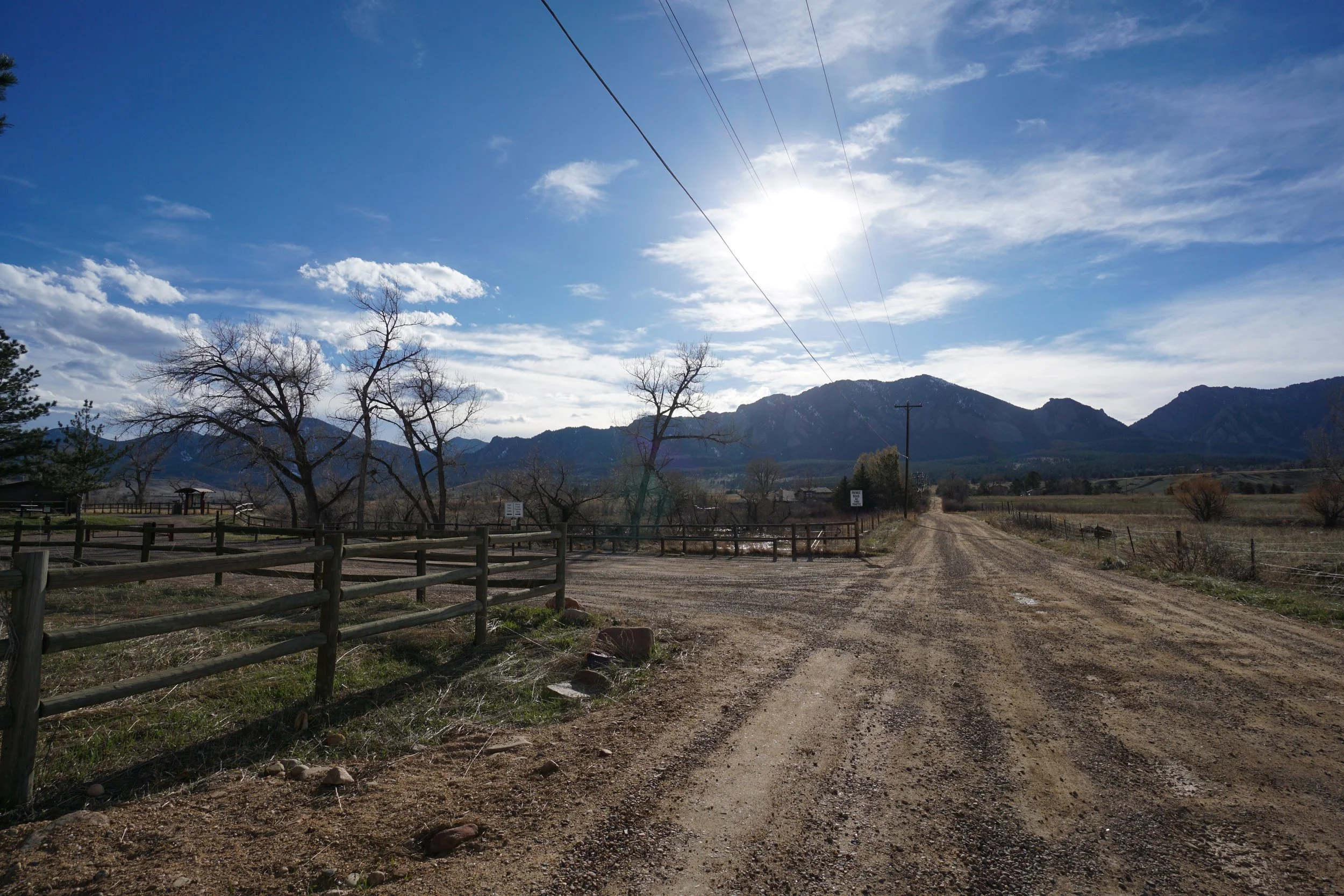
This hike begins and ends at the South Boulder Creek West Trailhead which is located just west of Hwy 93, south of Boulder in between Marshall Mesa and Greenbriar Blvd.
HIKE DESCRIPTION:
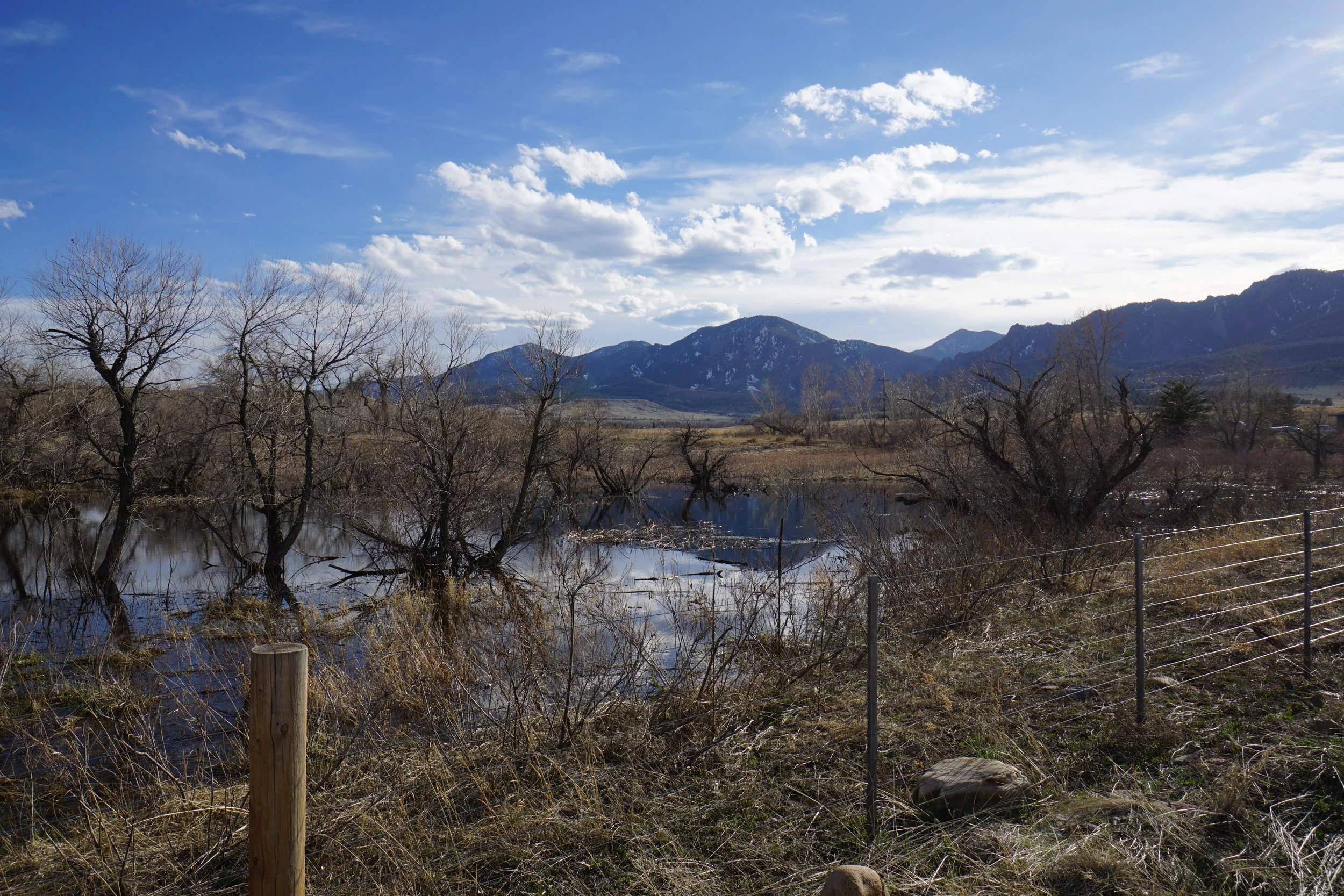
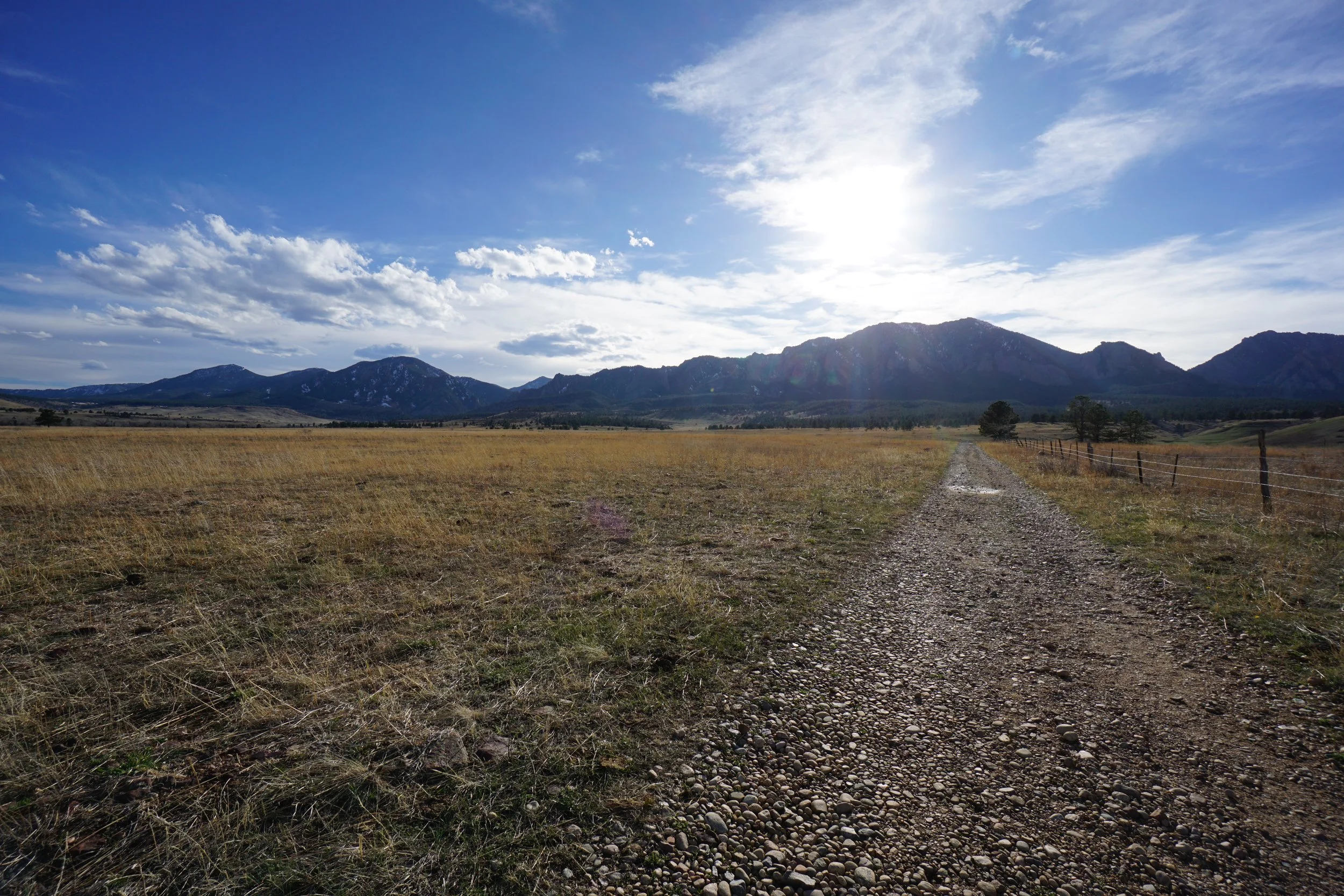
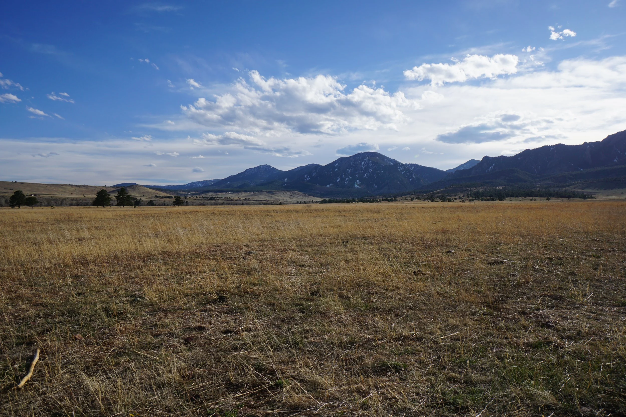
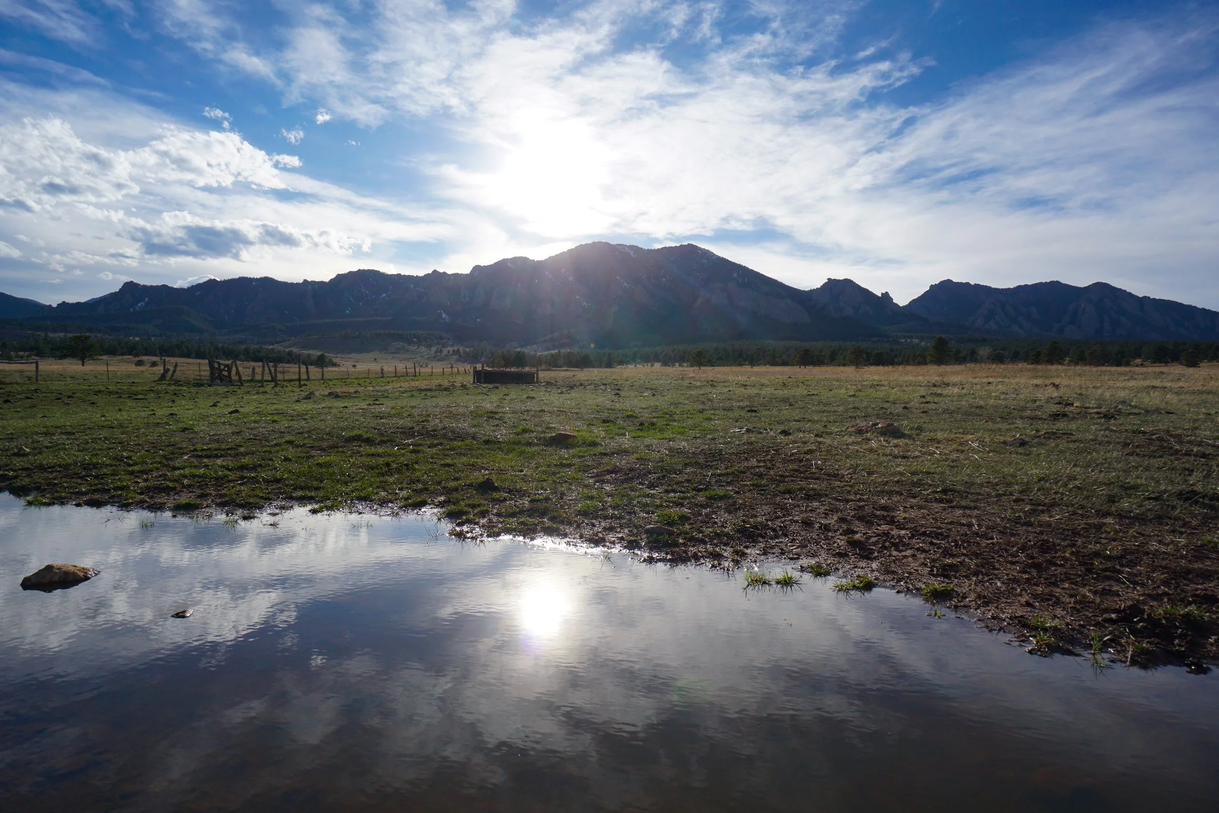
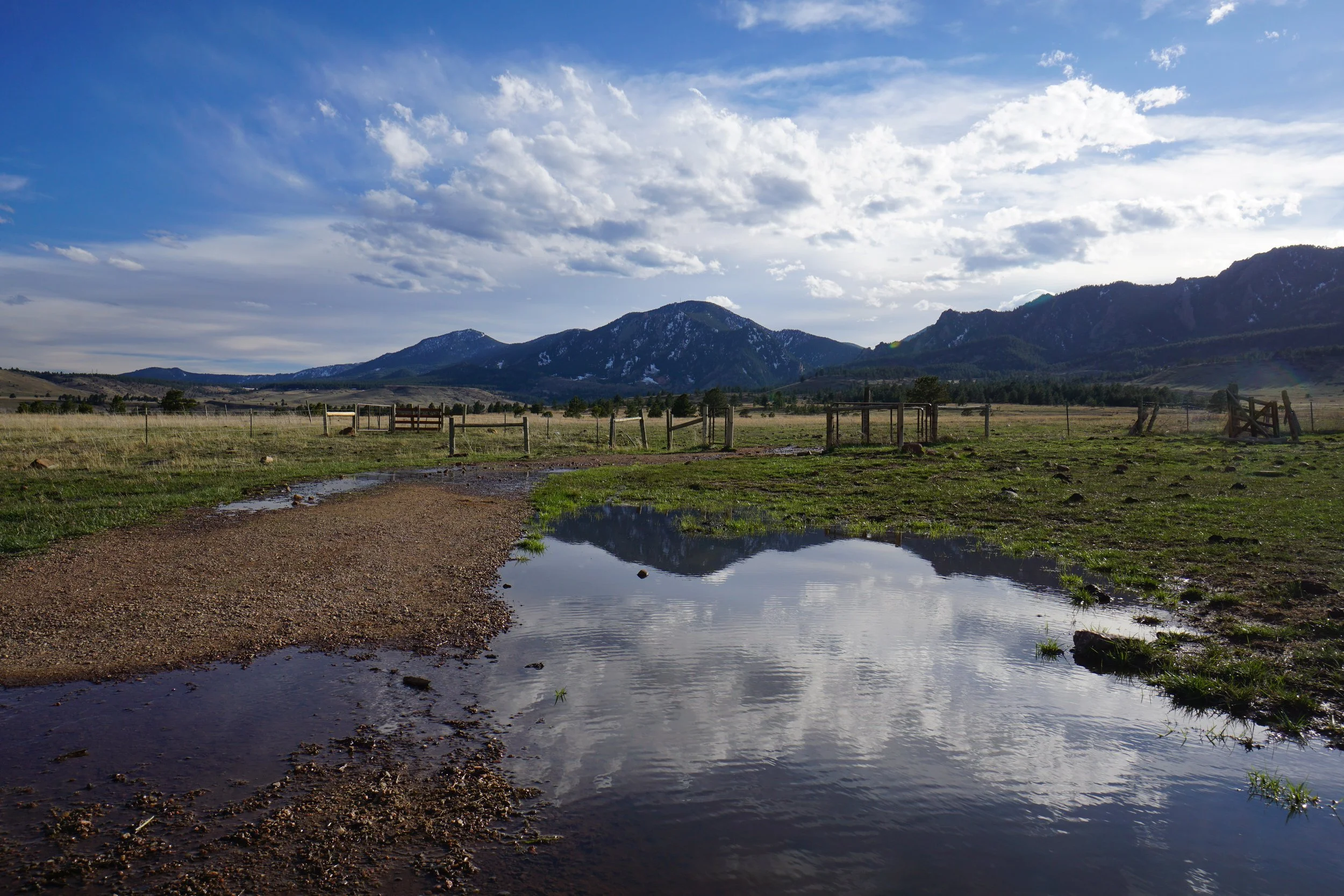
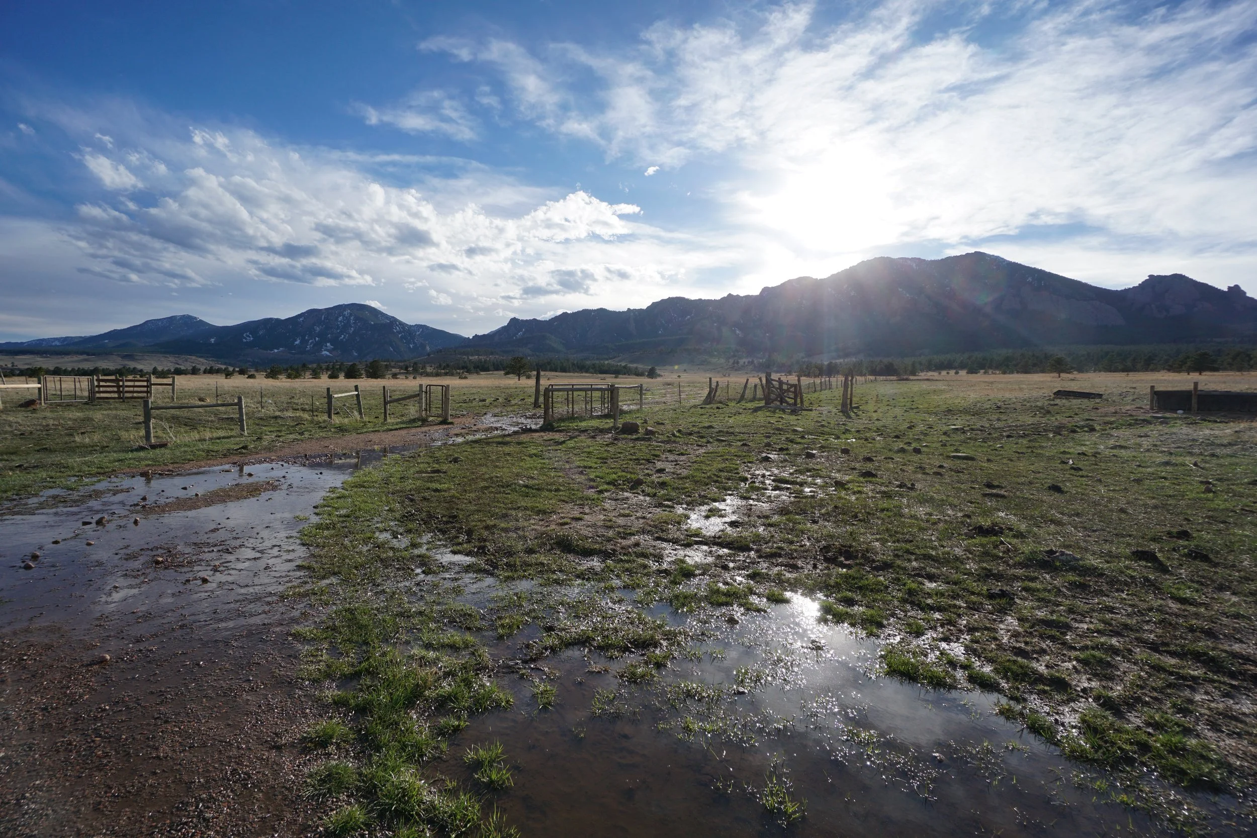
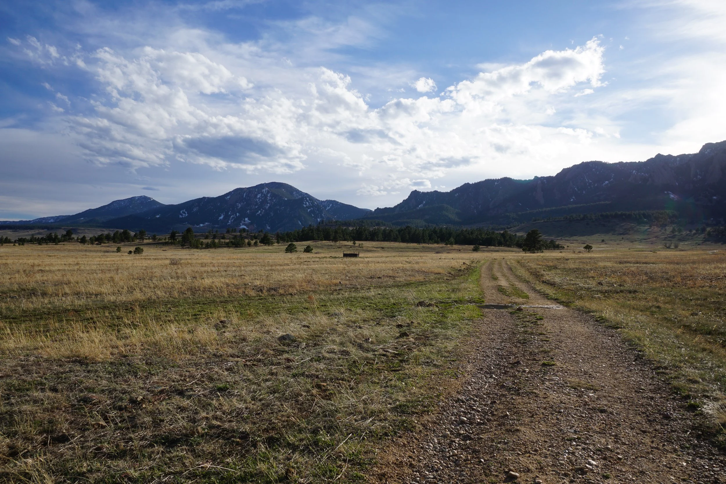
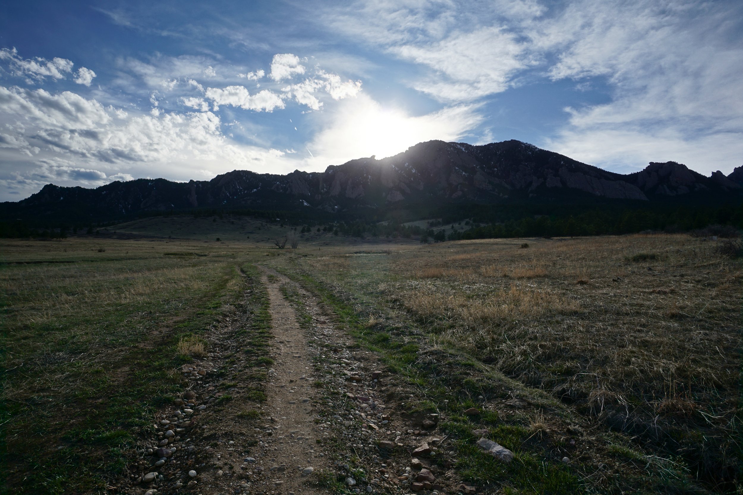
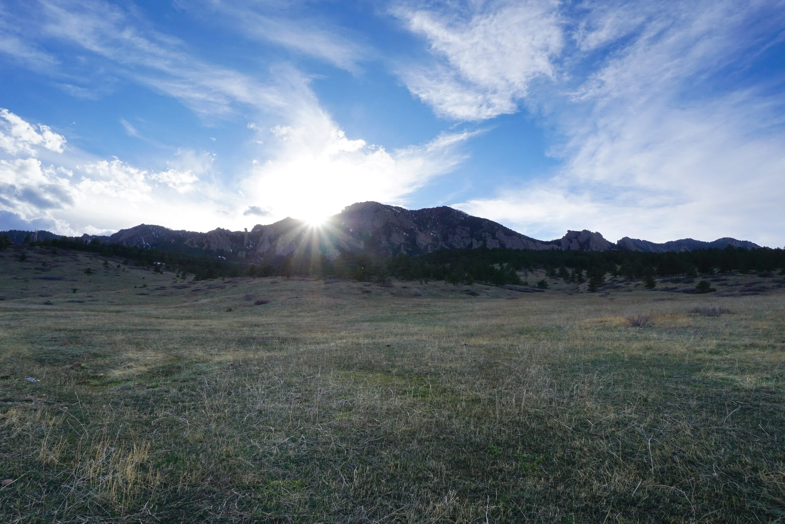
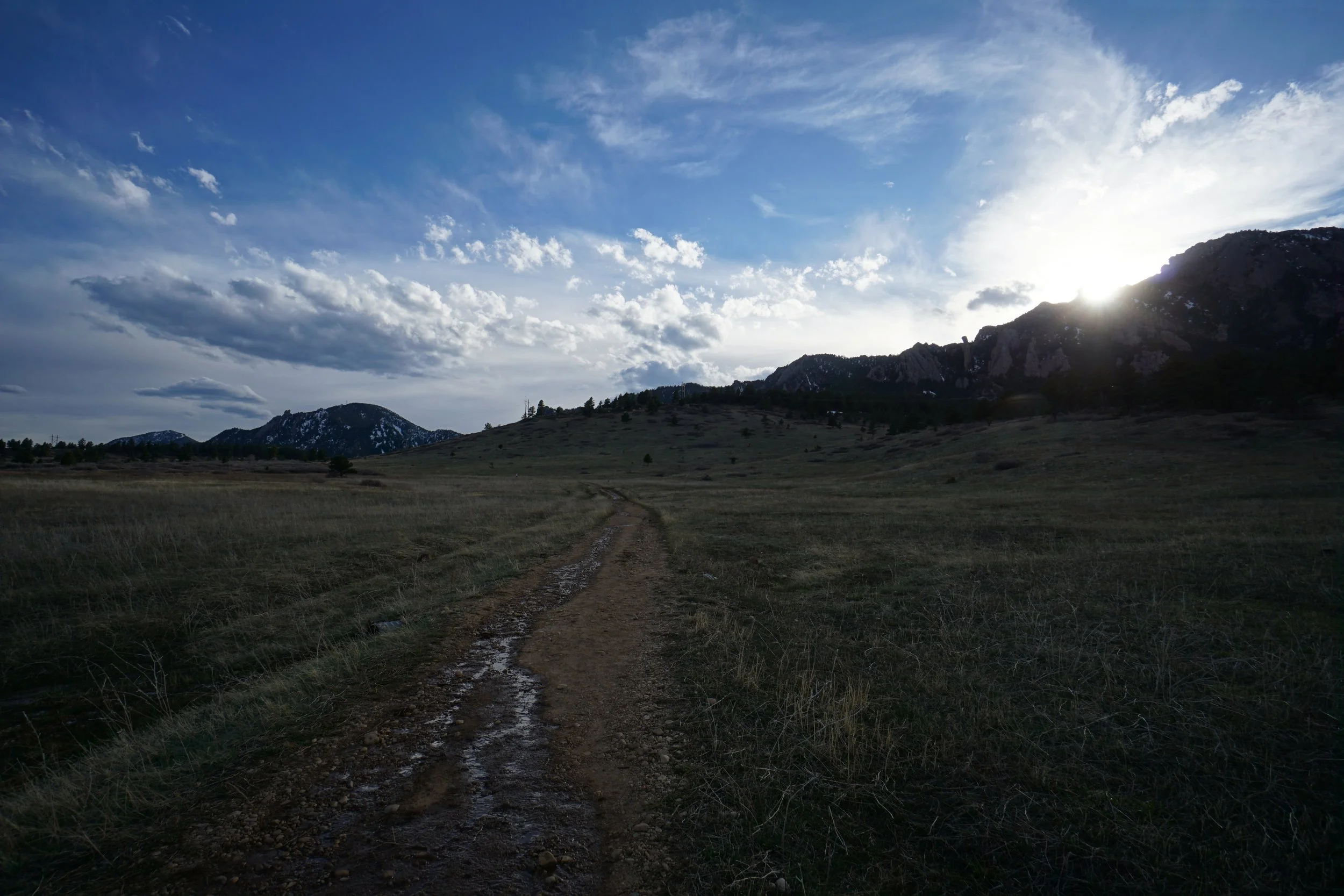
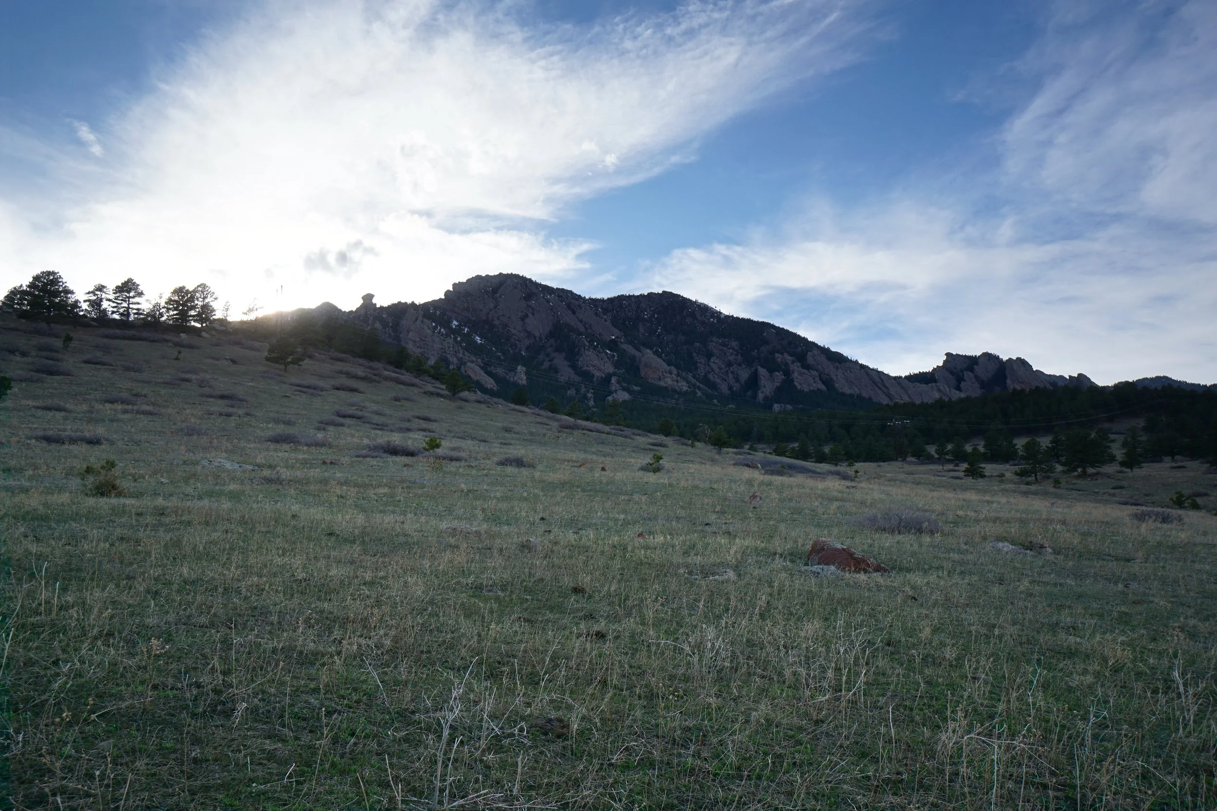
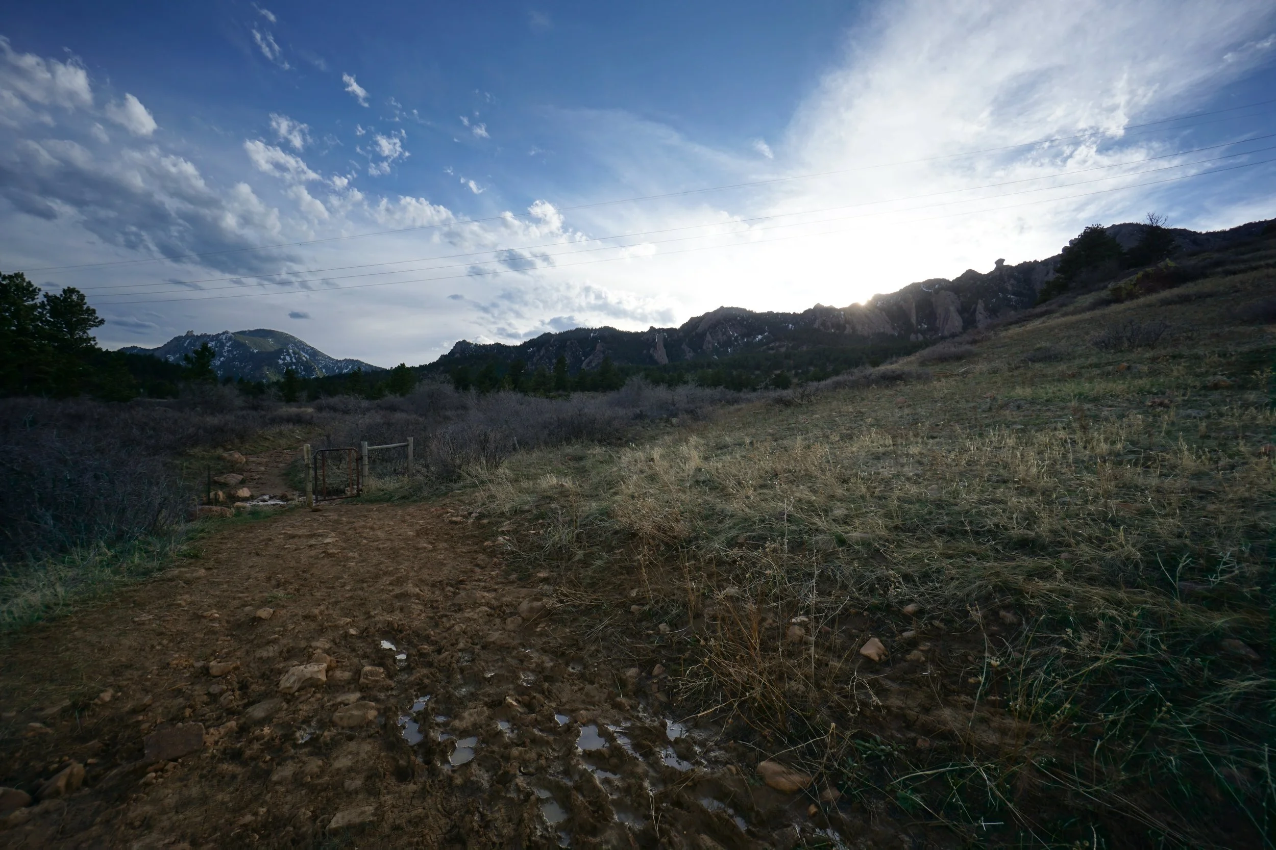
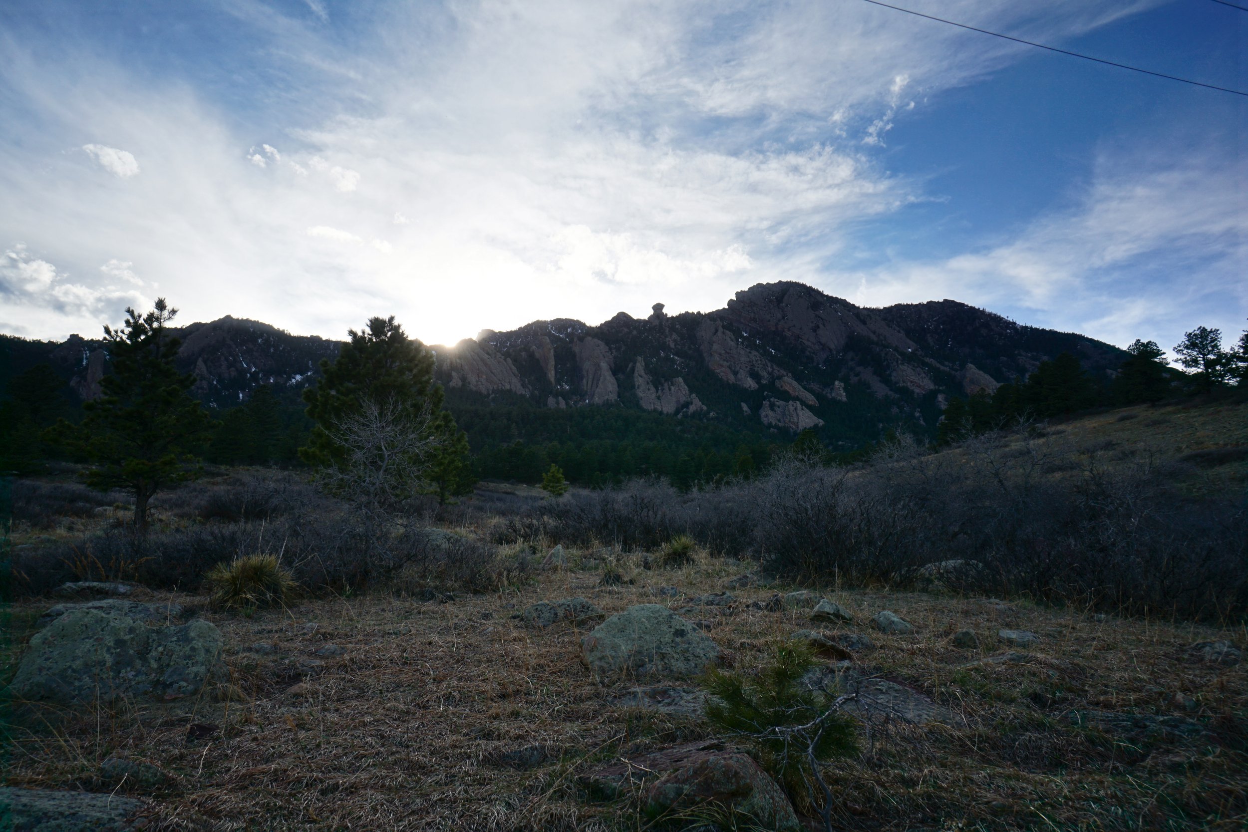
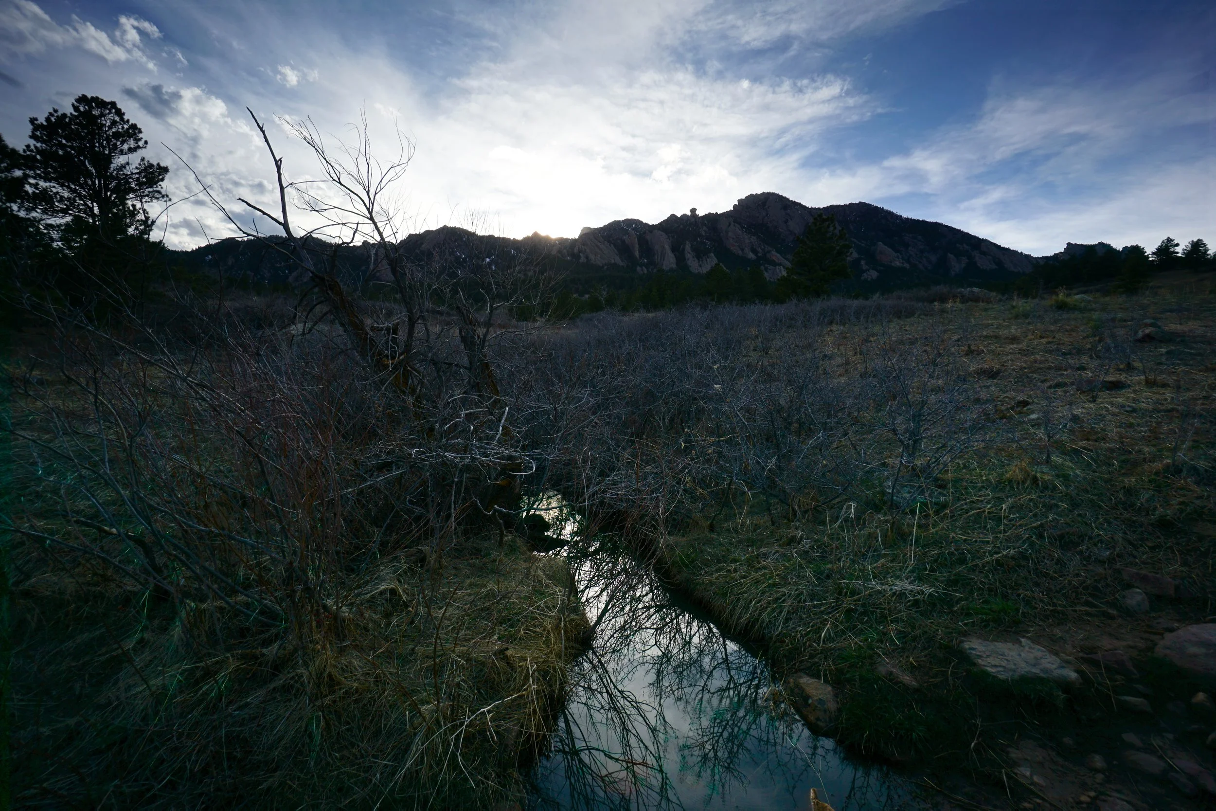
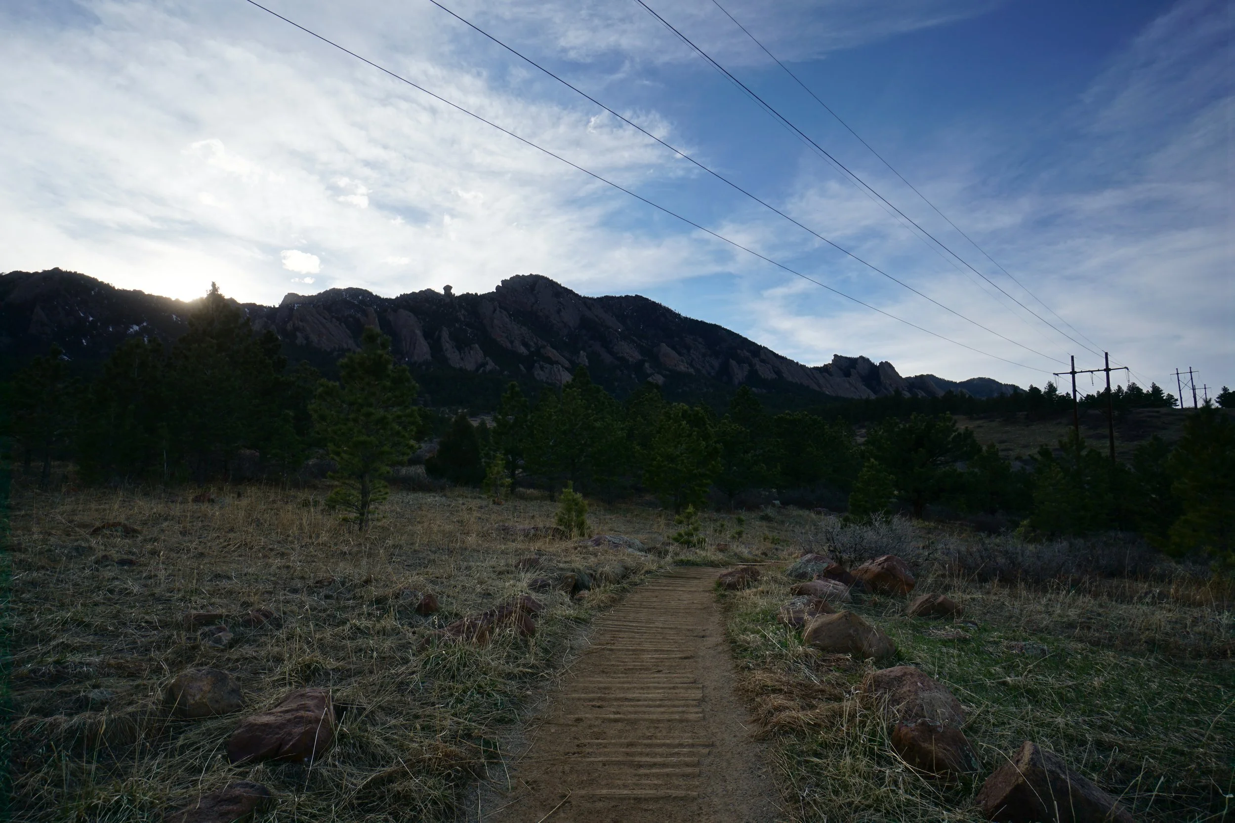
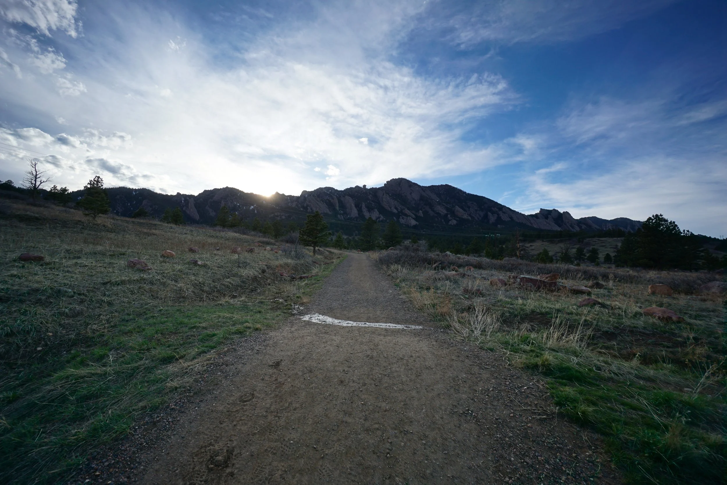
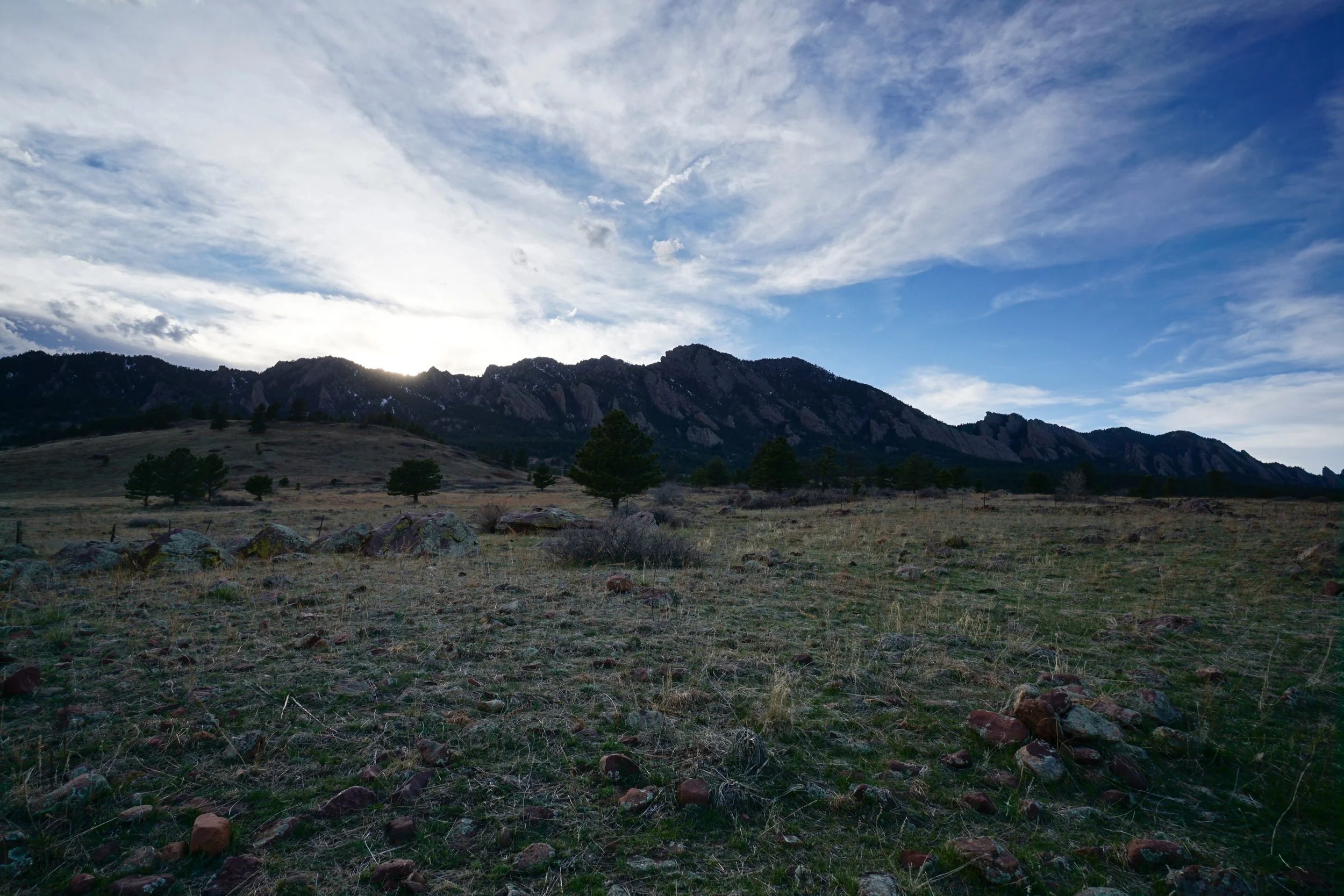
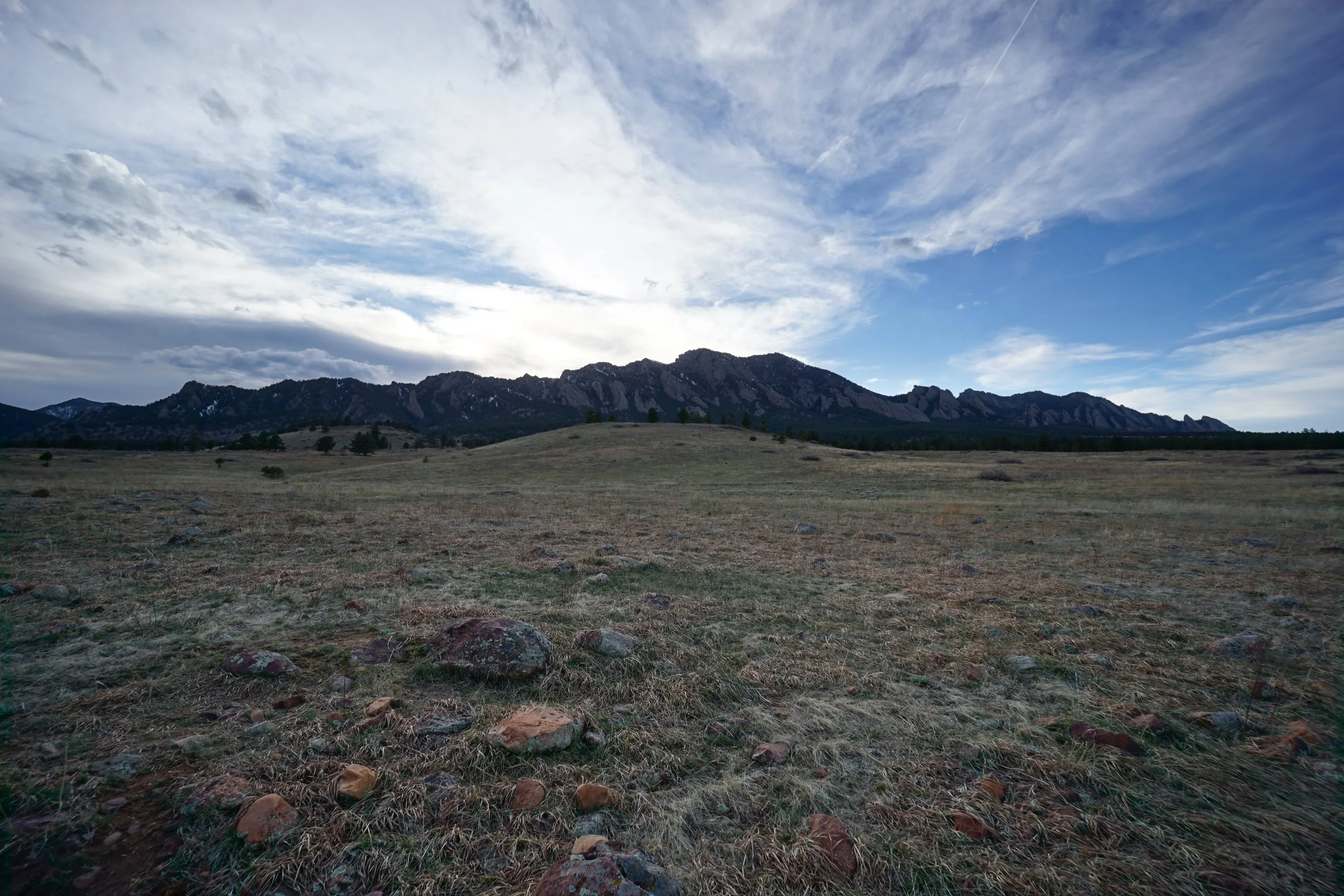
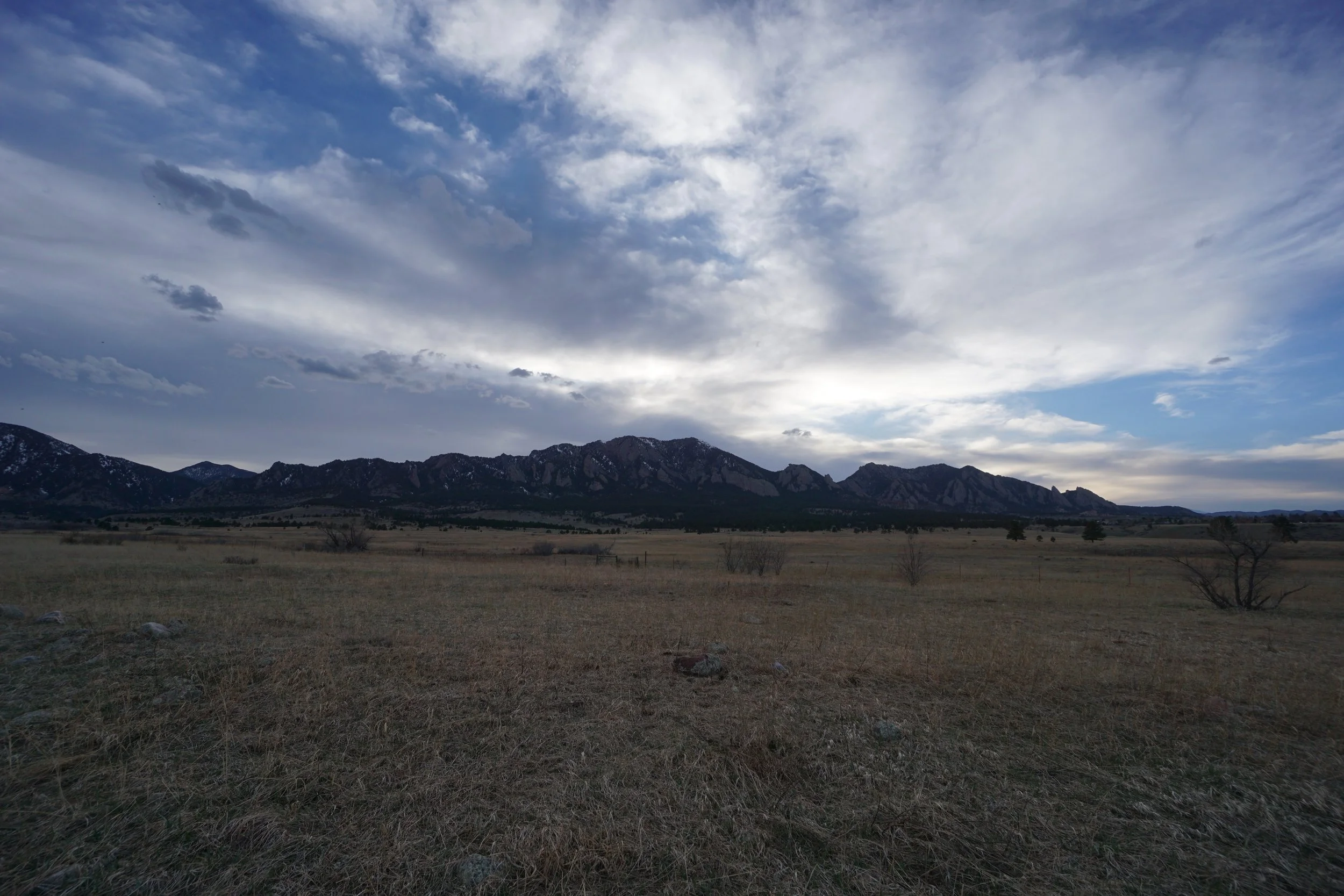
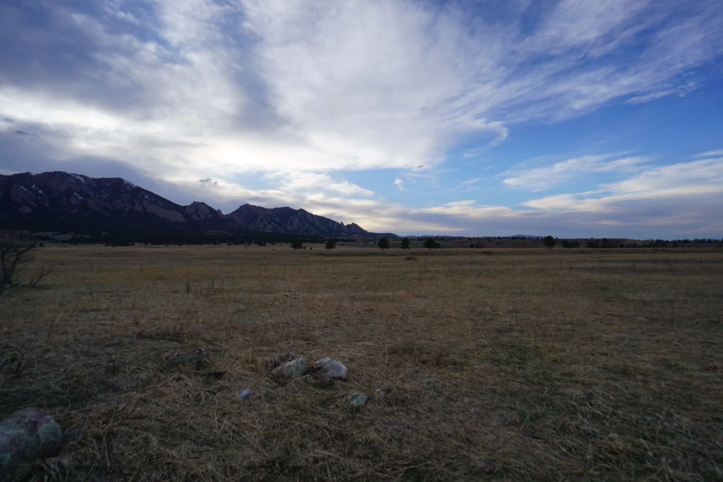
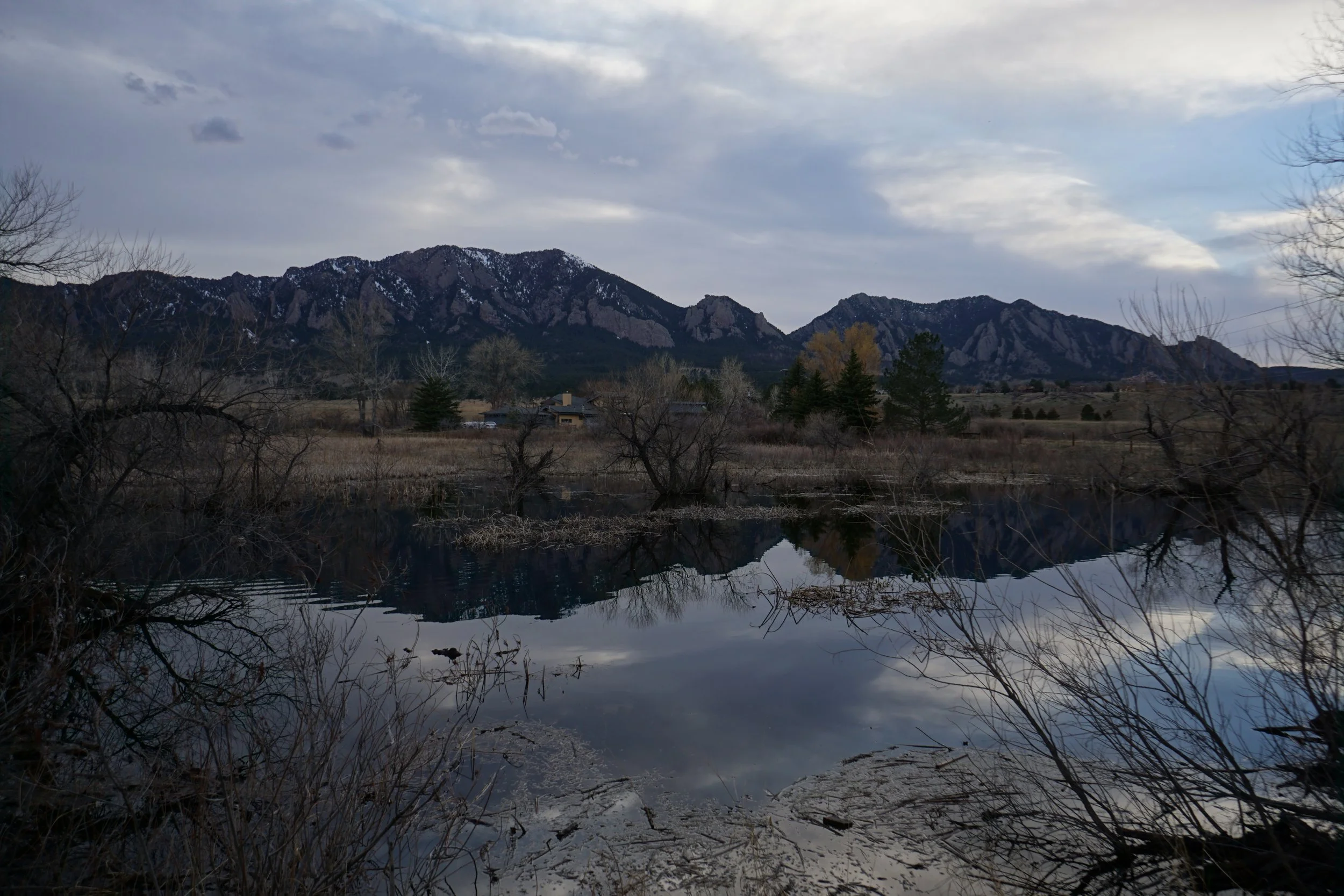
There are miles and miles of trails near the City of Boulder in the high plains area leading up to the Boulder Foothills. The trails in this area are longer and more mellow than the thigh burners in the foothills themselves…Royal Arch, I’m looking at you…. These trail are also good for the shoulder seasons when conditions higher up are icy or muddy and provide some the best views of the Boulder Foothills. The Lower Big Bluestem and South Boulder Creek Trails are a great example of this area.
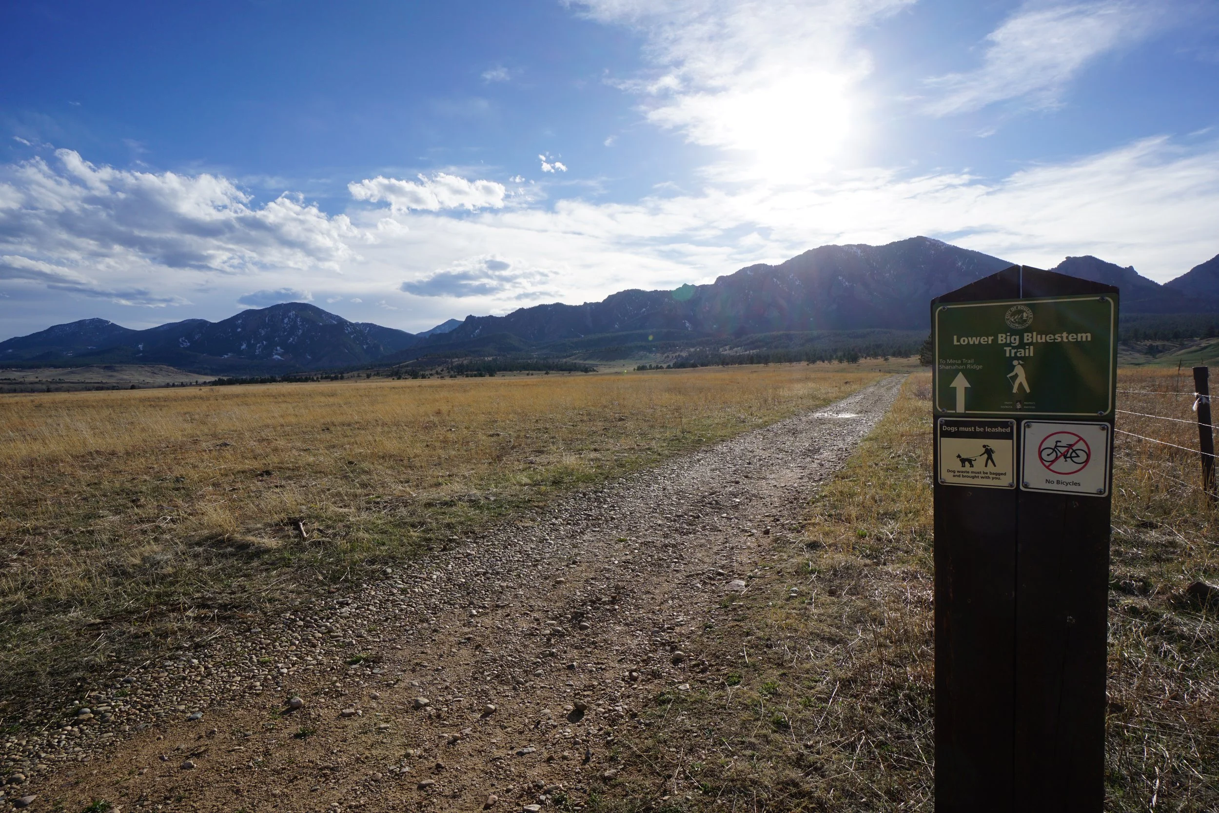
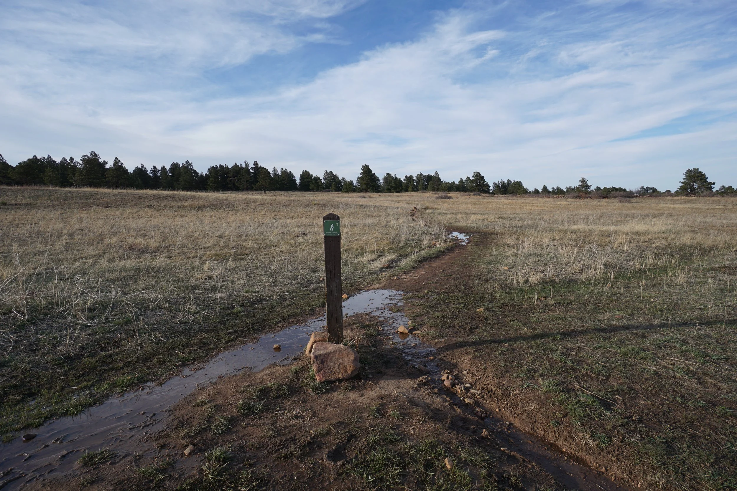
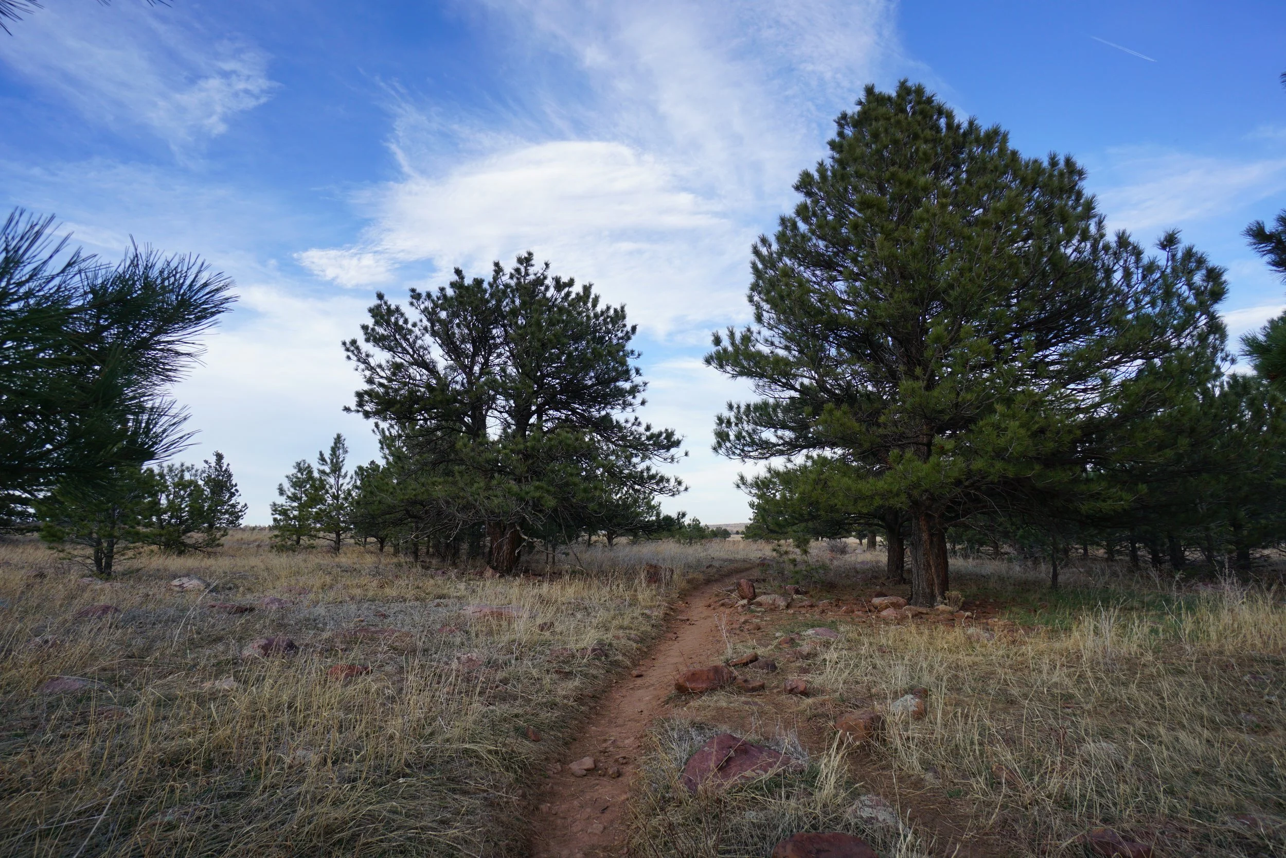
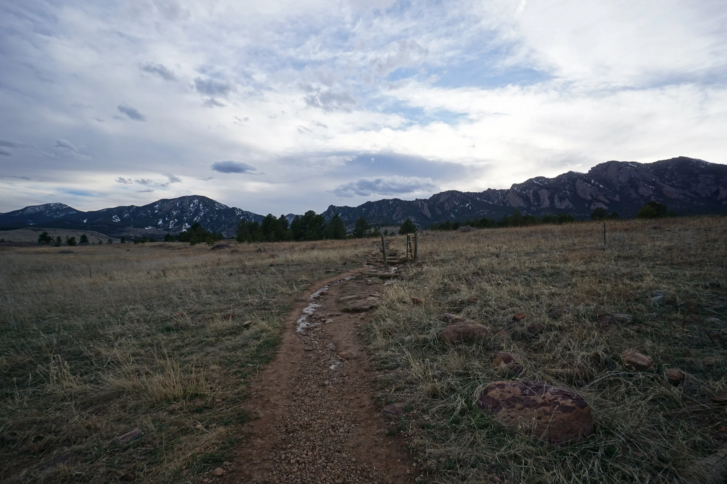
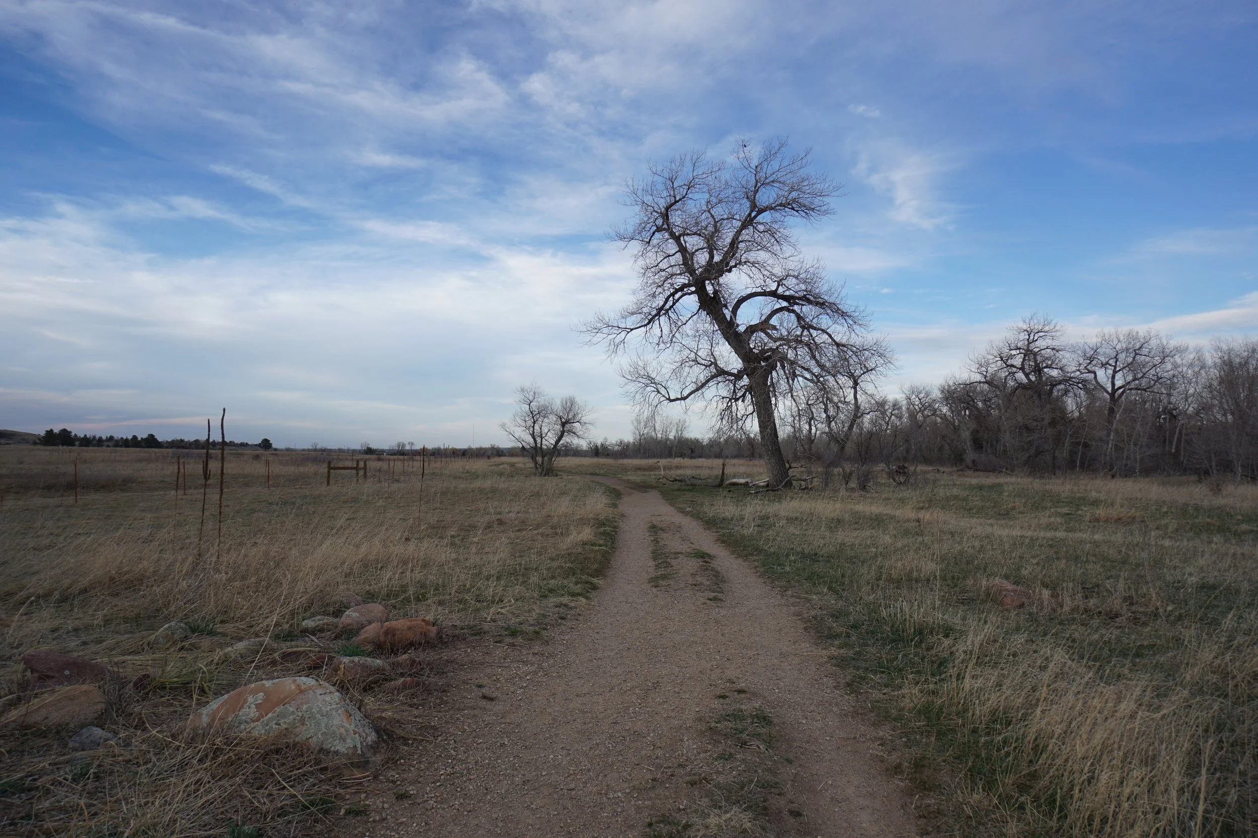
The hike starts at the South Boulder Creek West Trailhead and I choose to hike counter-clockwise by starting with the Lower Big Bluestem Trail. To get to the Lower Big Bluestem Trail, hike down Thomas Lane for about 1/4 mile to the Lower Big Bluestem Trailhead, there is no parking at this trailhead. The LBB Trail climbs to west gently along a wide dirt path with great views of the Boulder Foothills to the north and south. Ignore the junction with the Upper Big Bluestem Trail and stay on course until you reach the Mesa Trail. The trail gets a bit steeper in this section, but not very. You are only on the Mesa Trail for a few minutes before you turn onto the South Boulder Creek West Trail. Ramble on back to the trailhead on the South Boulder Creek West Trail for about 2 miles of an easy downhill hike. The views are constant and wonderful.