Beaver Ponds Nature Trail
Cherry Creek State Park
Date Hiked: January 26, 2019
Distance: 1 mi (RT)
Elevation Gain: Minimal
Elevation: 5,590 ft
Trailhead Lat/Long: 39º 37' 25"; 104º 49' 50" W
Managing Agency: CO Division of Parks & Wildlife
Fee: Yes
Directions:
The quickest way to the 12 Mile North Trailhead, is to enter the park on the east side off of South Parker Road (CO 83) just south of I-225. Enter the park and follow Cherry Creek Park Road to East Lake View Road, turn right (south) and follow East Lake View Road to the turnoff for 12 Mile North.
Hike Description:
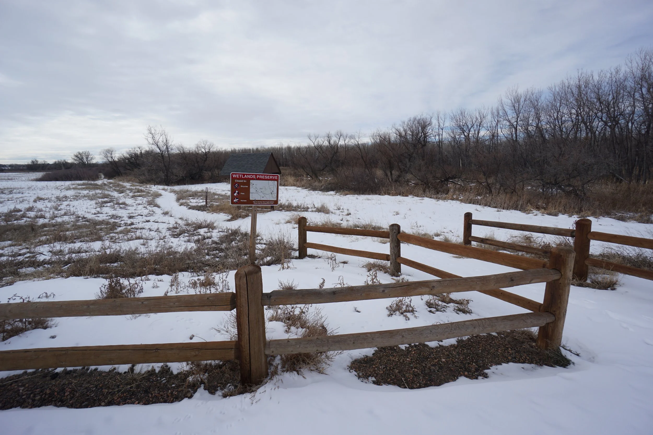
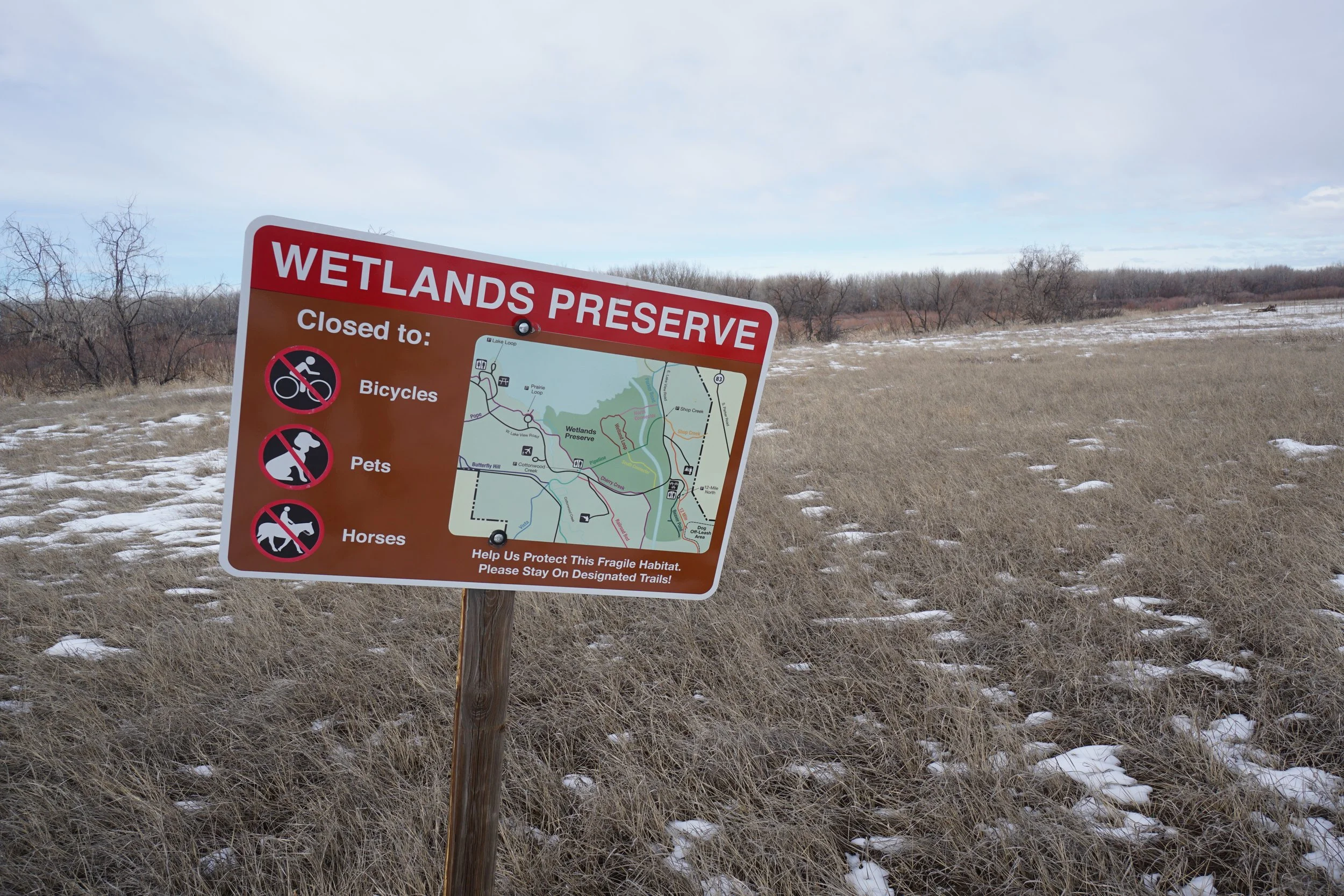
Cherry Creek State Park is a bit of a mixed bag for hikers. A lot of the trails are through developed areas and not all that scenic. However, there are some areas of the park that are truly beautiful and make for great easy hiking. The Wetlands Preserve area is probably the best hiking area, the Beaver Pond area is another good option.
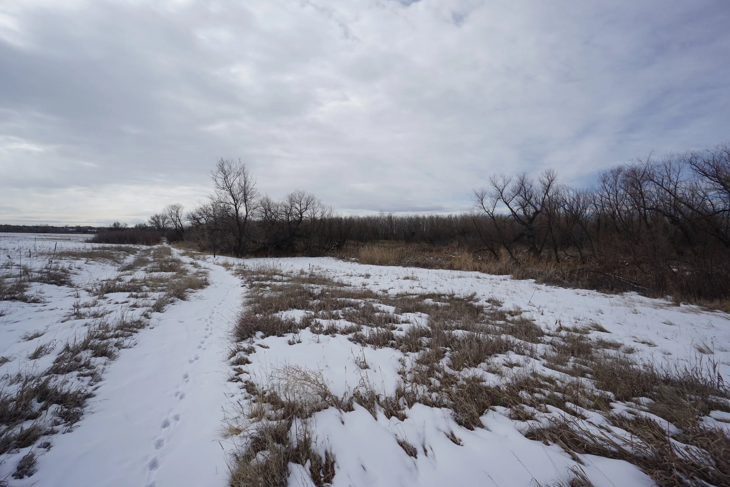
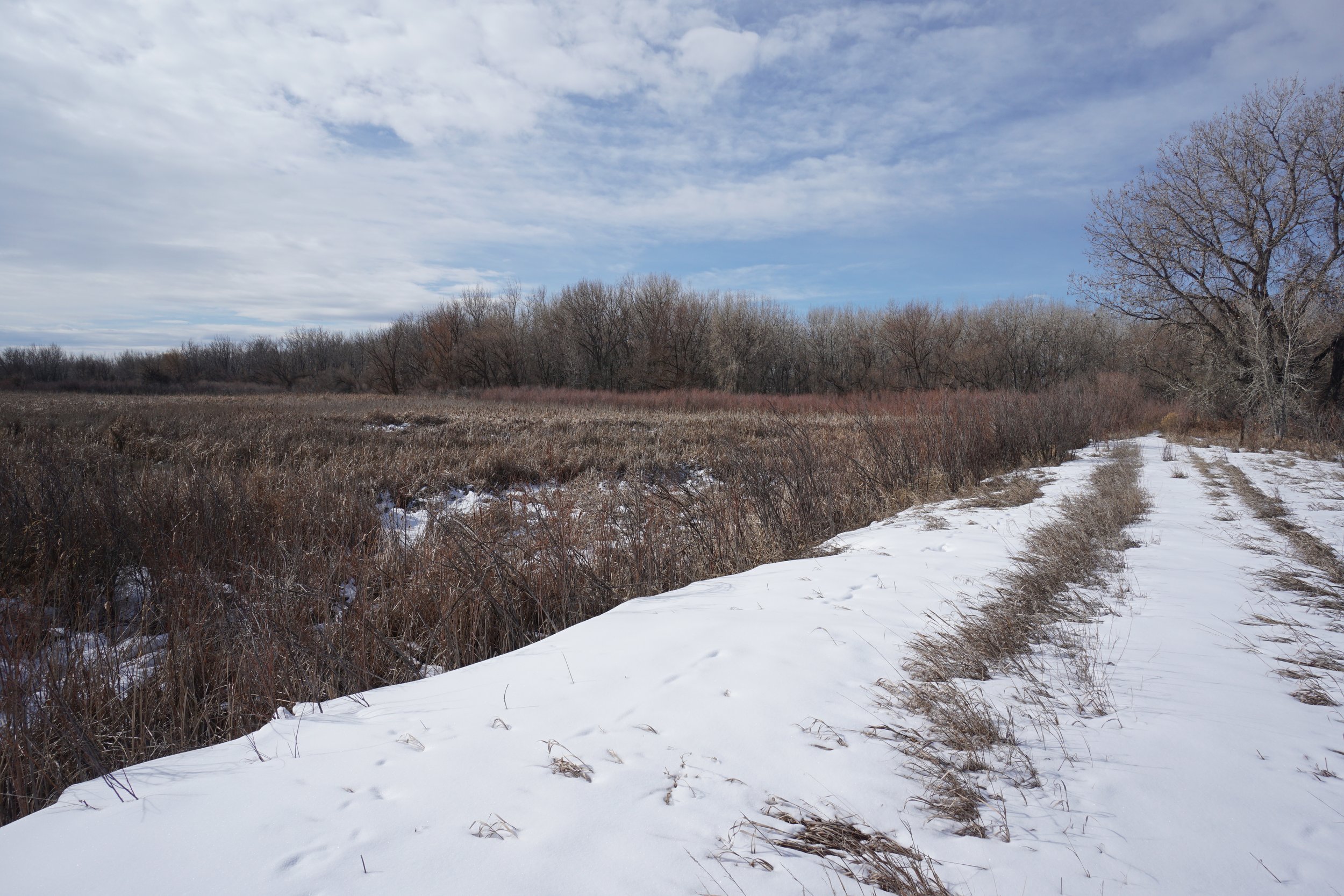
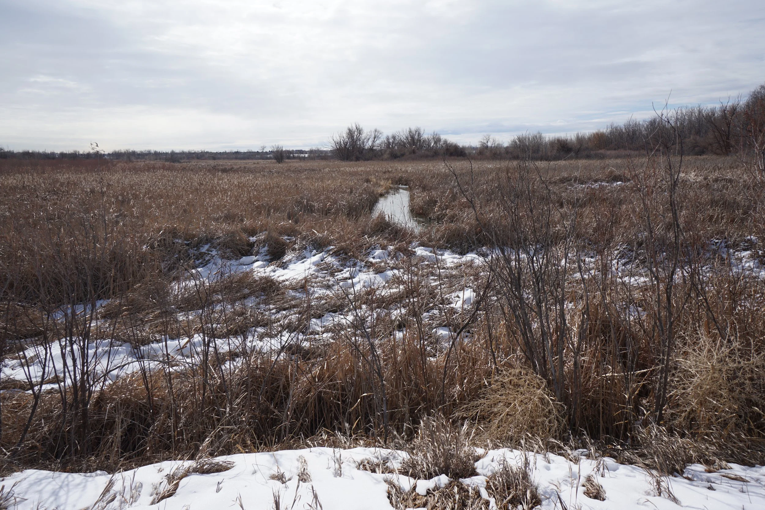
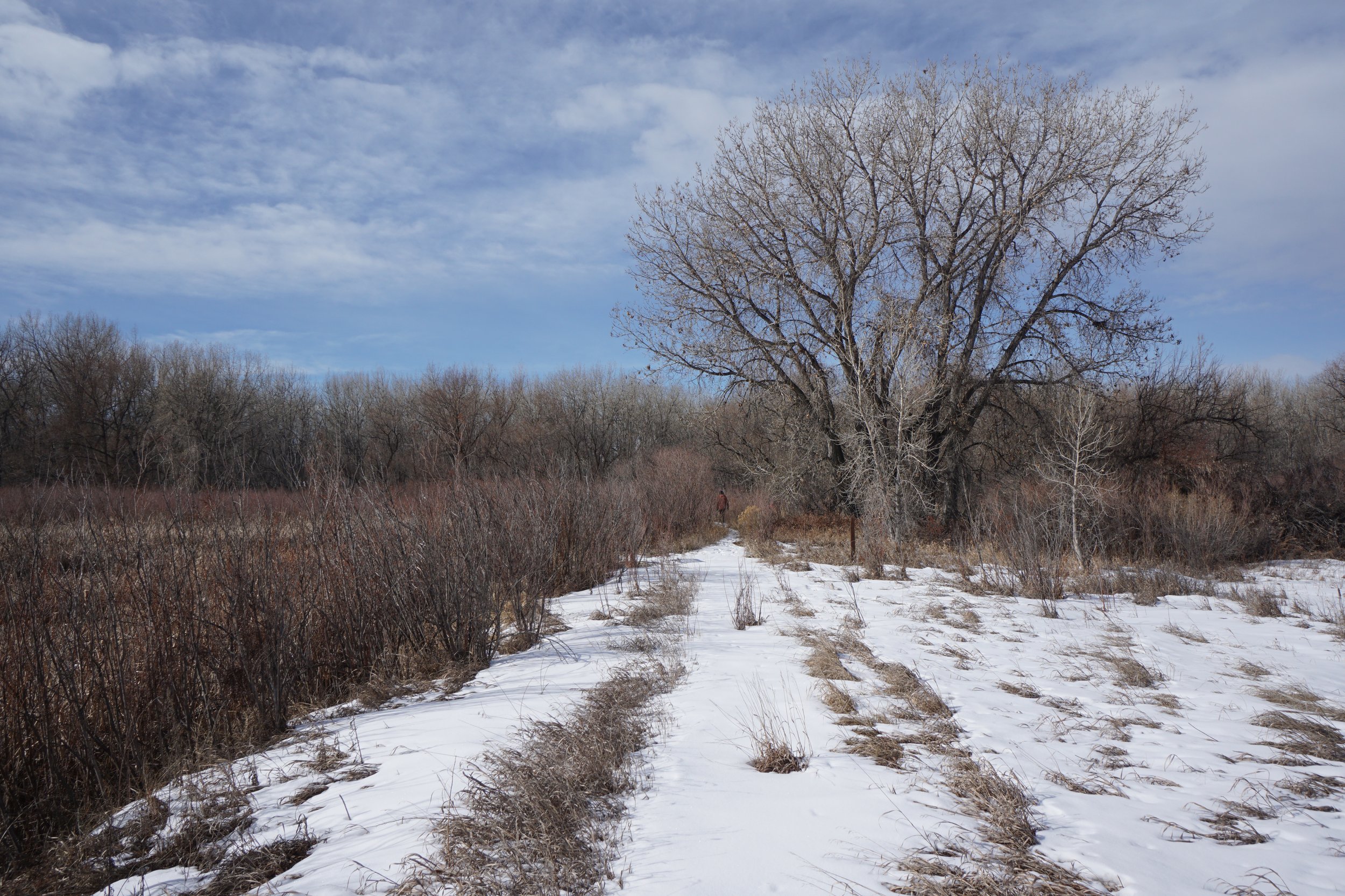
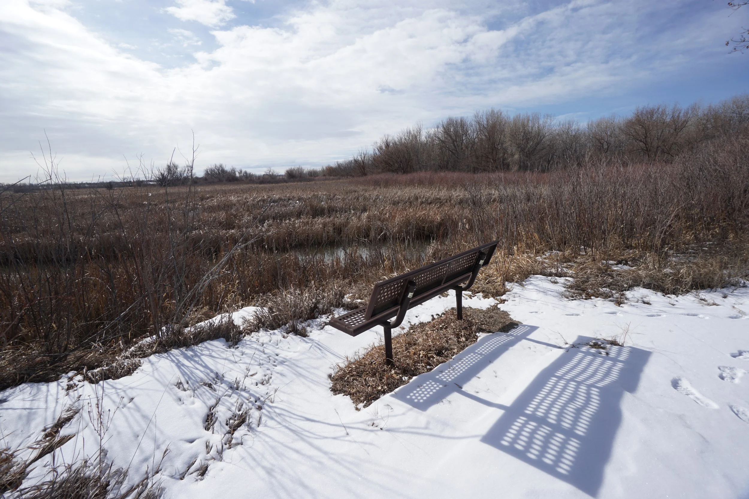
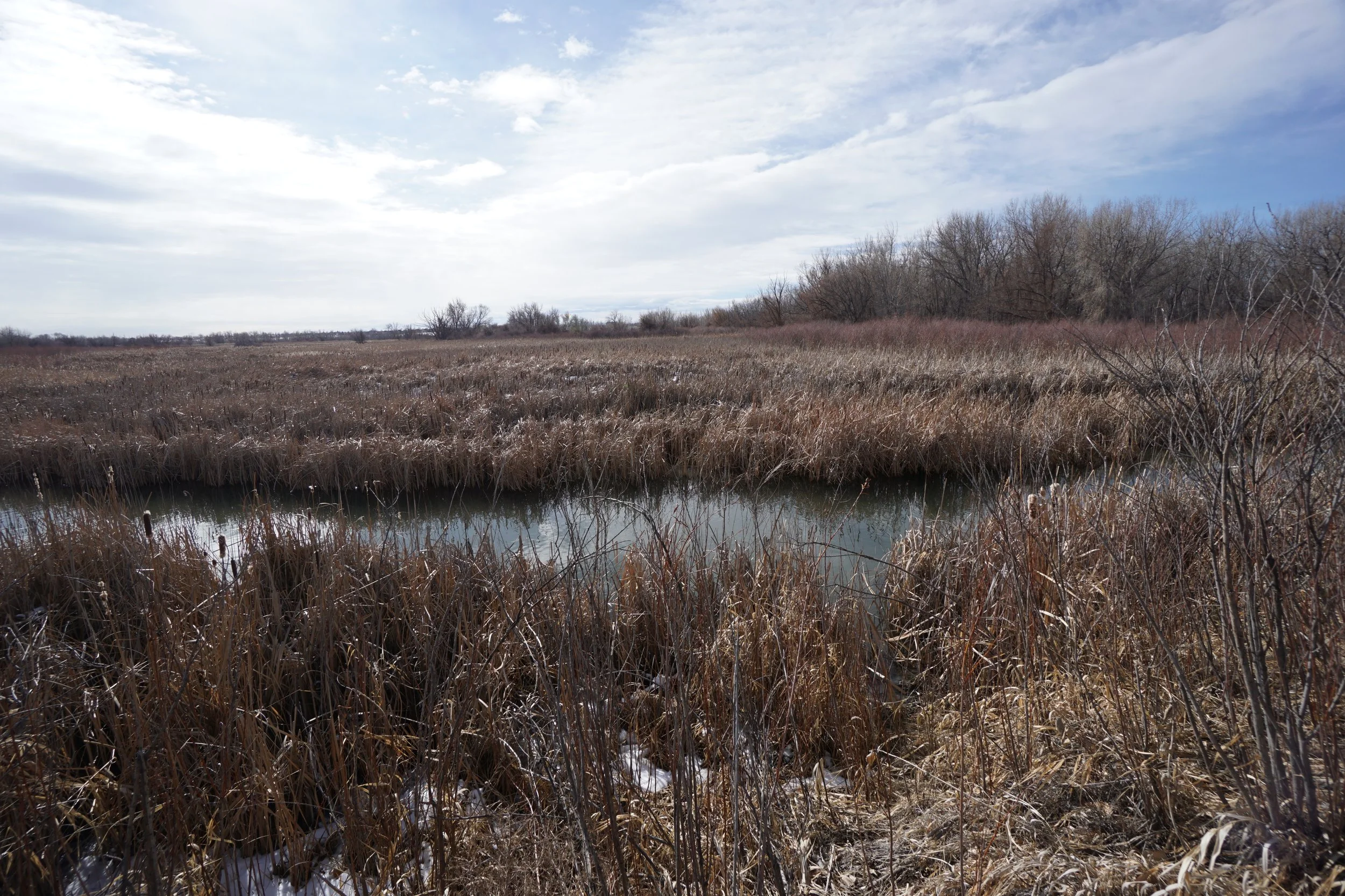
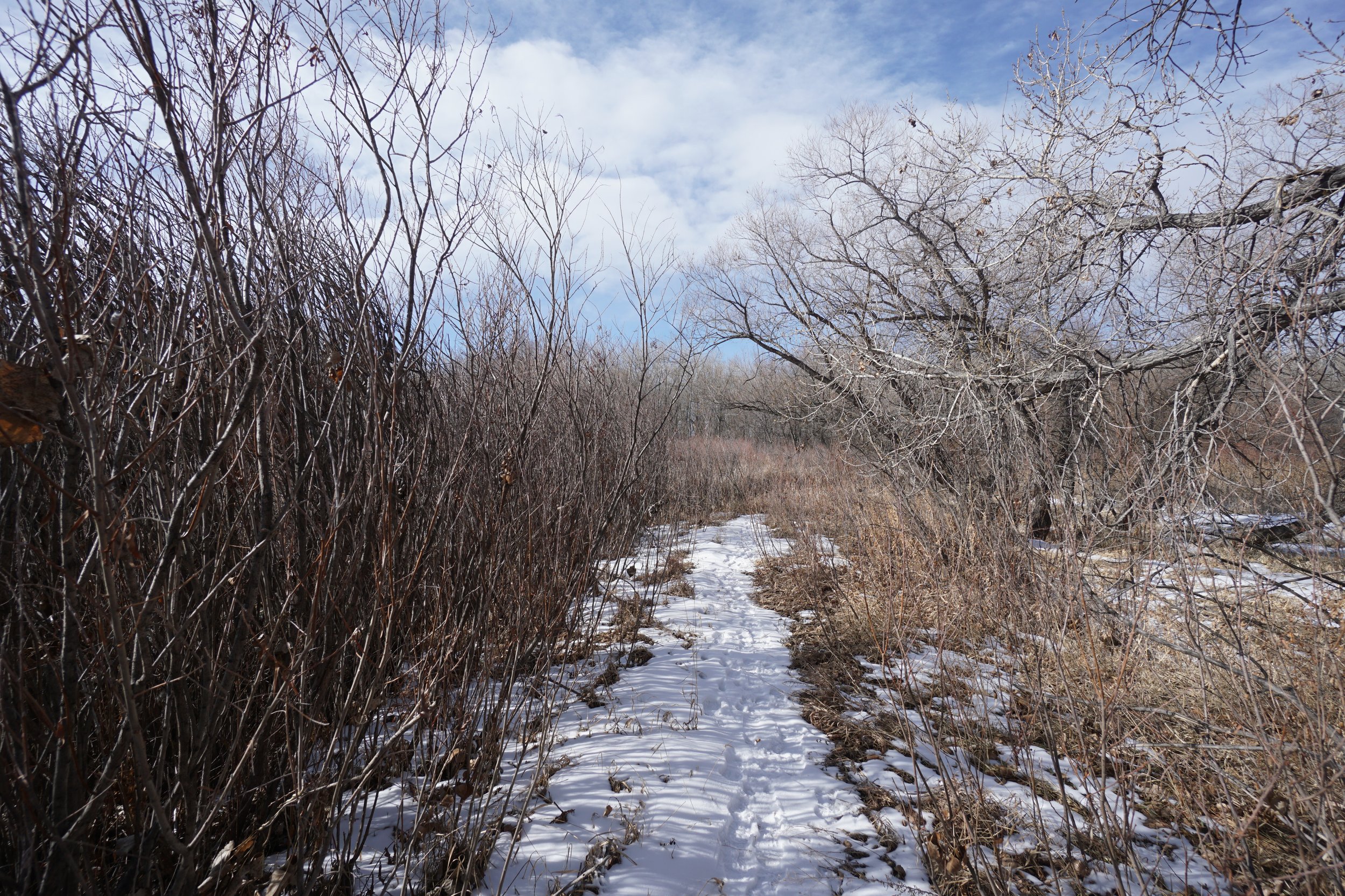
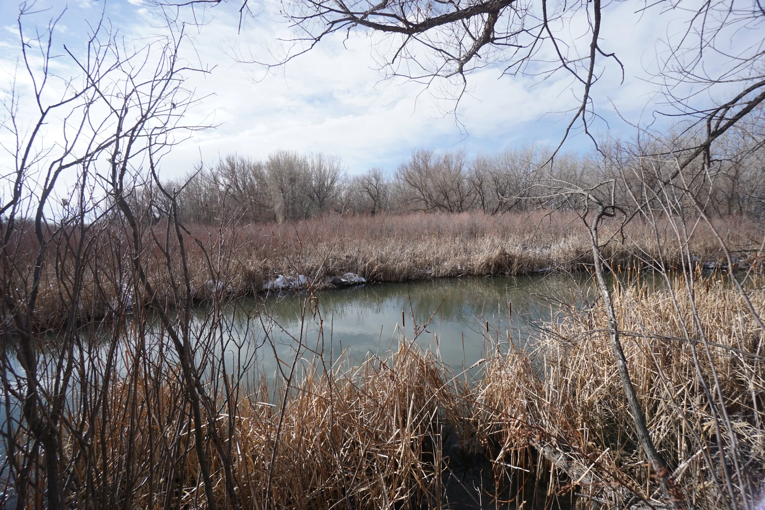
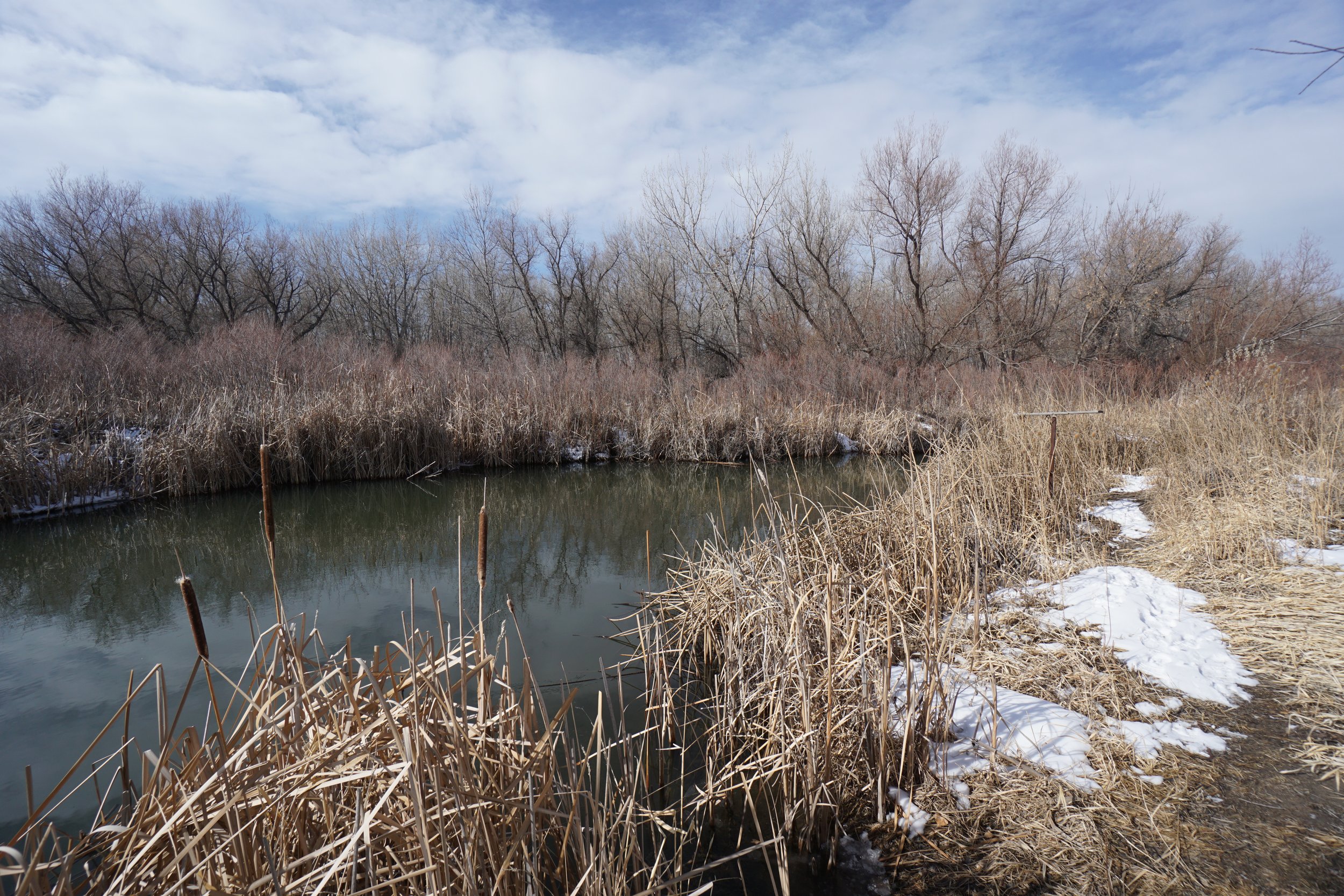
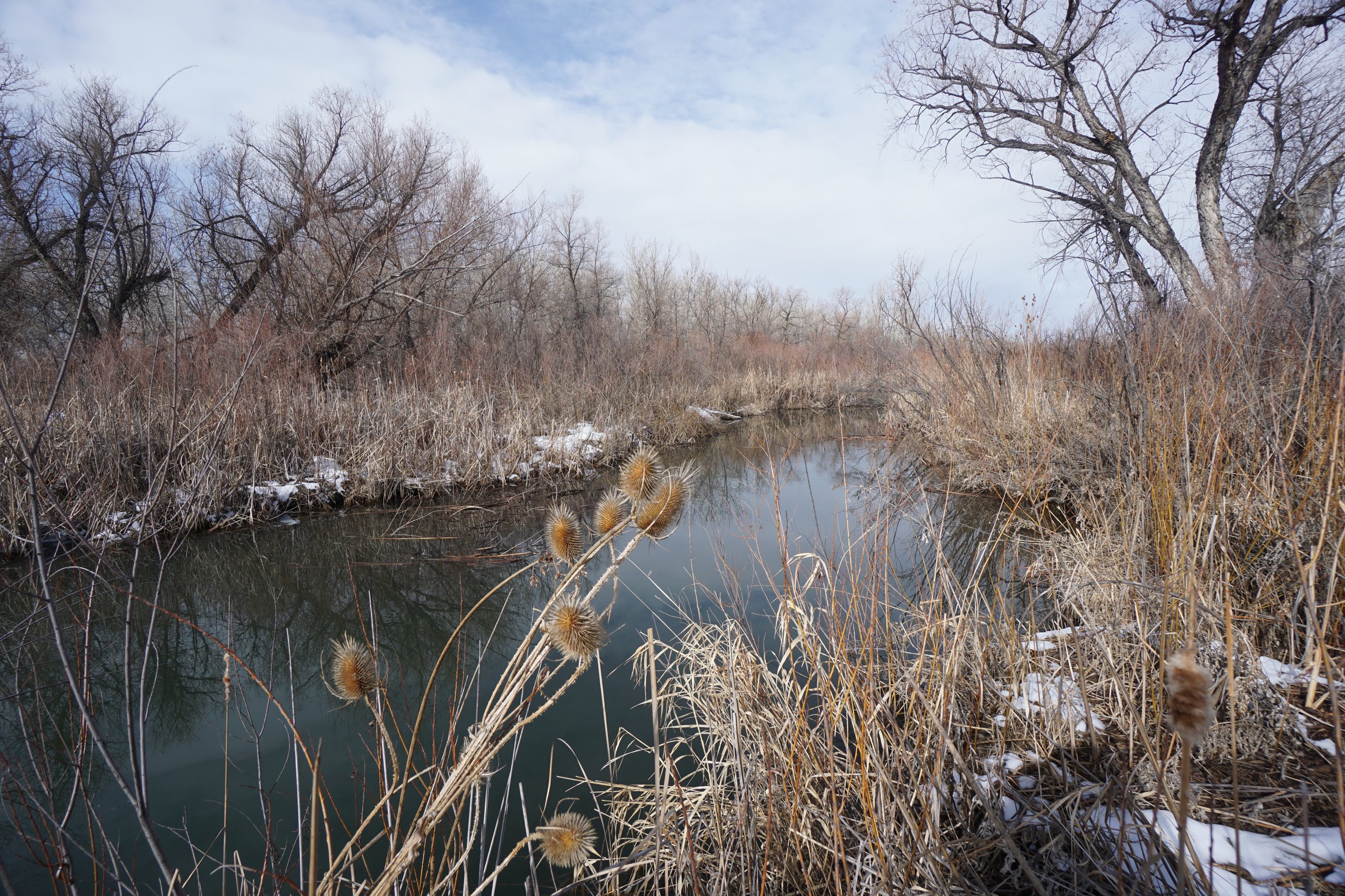
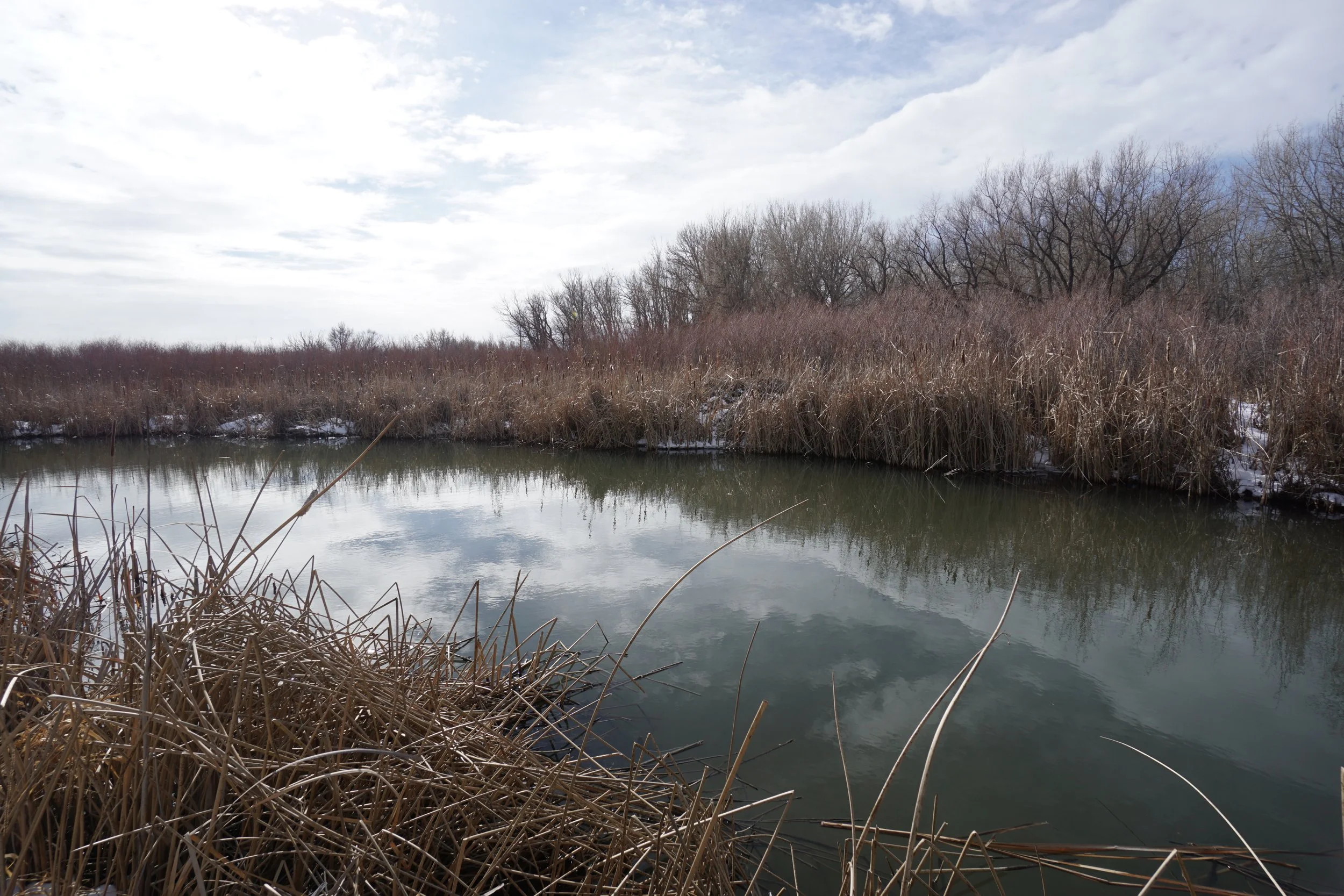
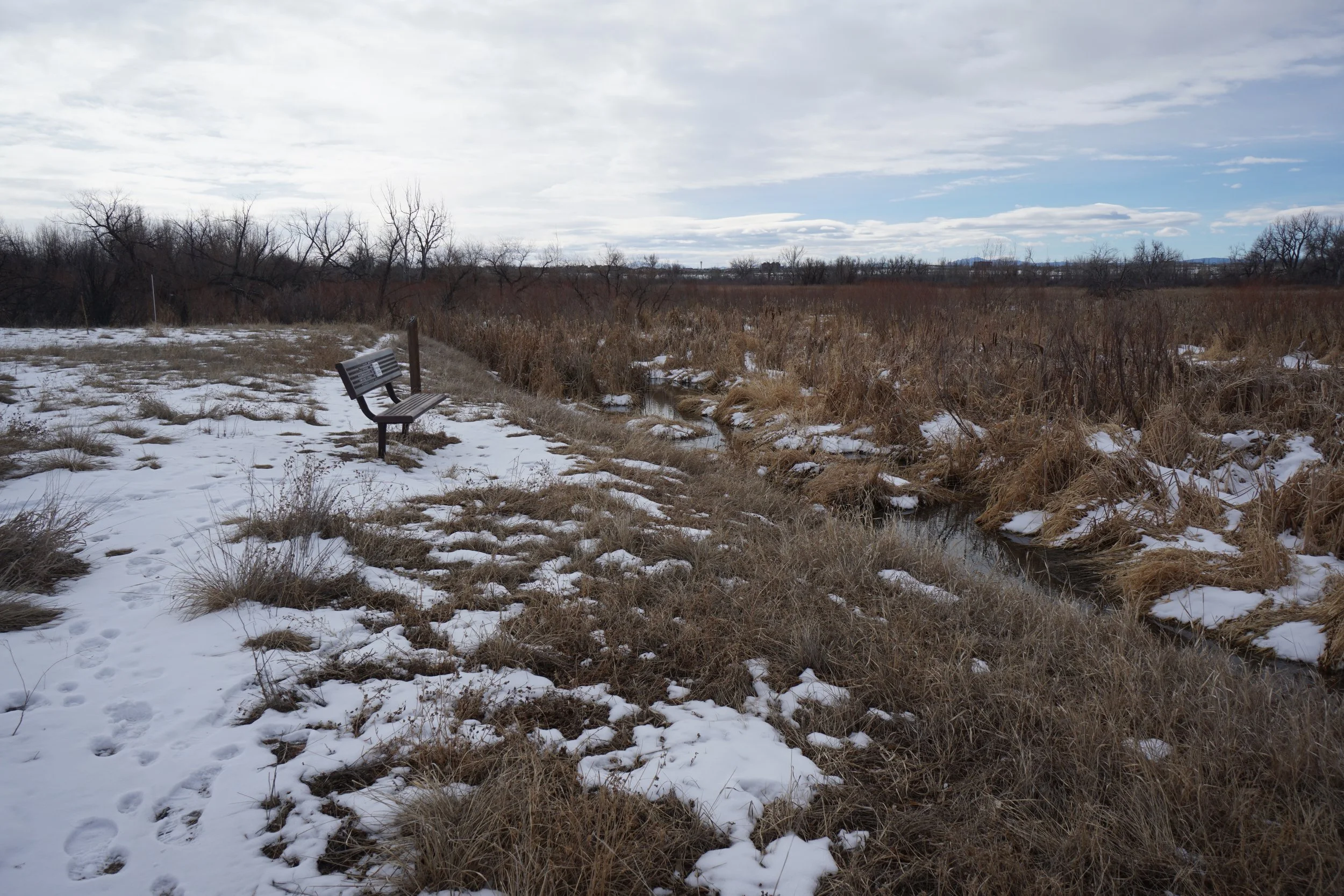
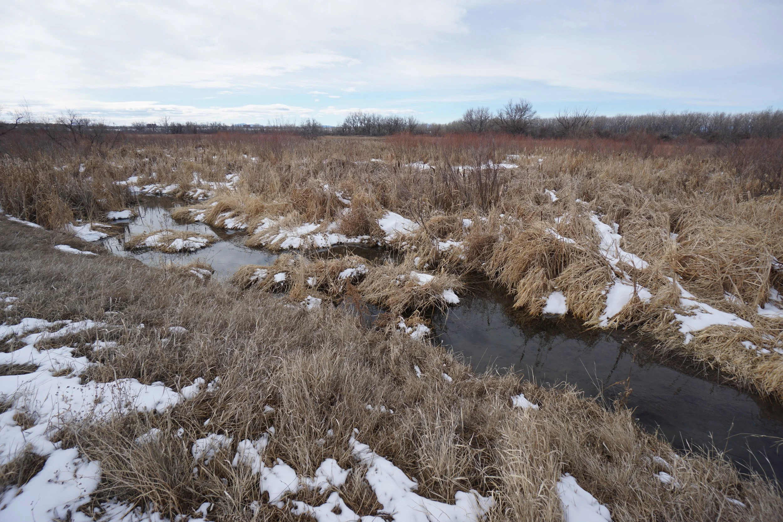
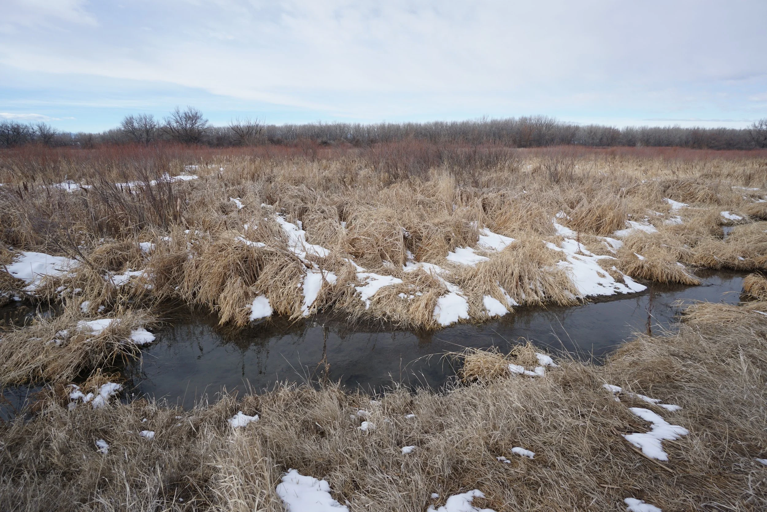
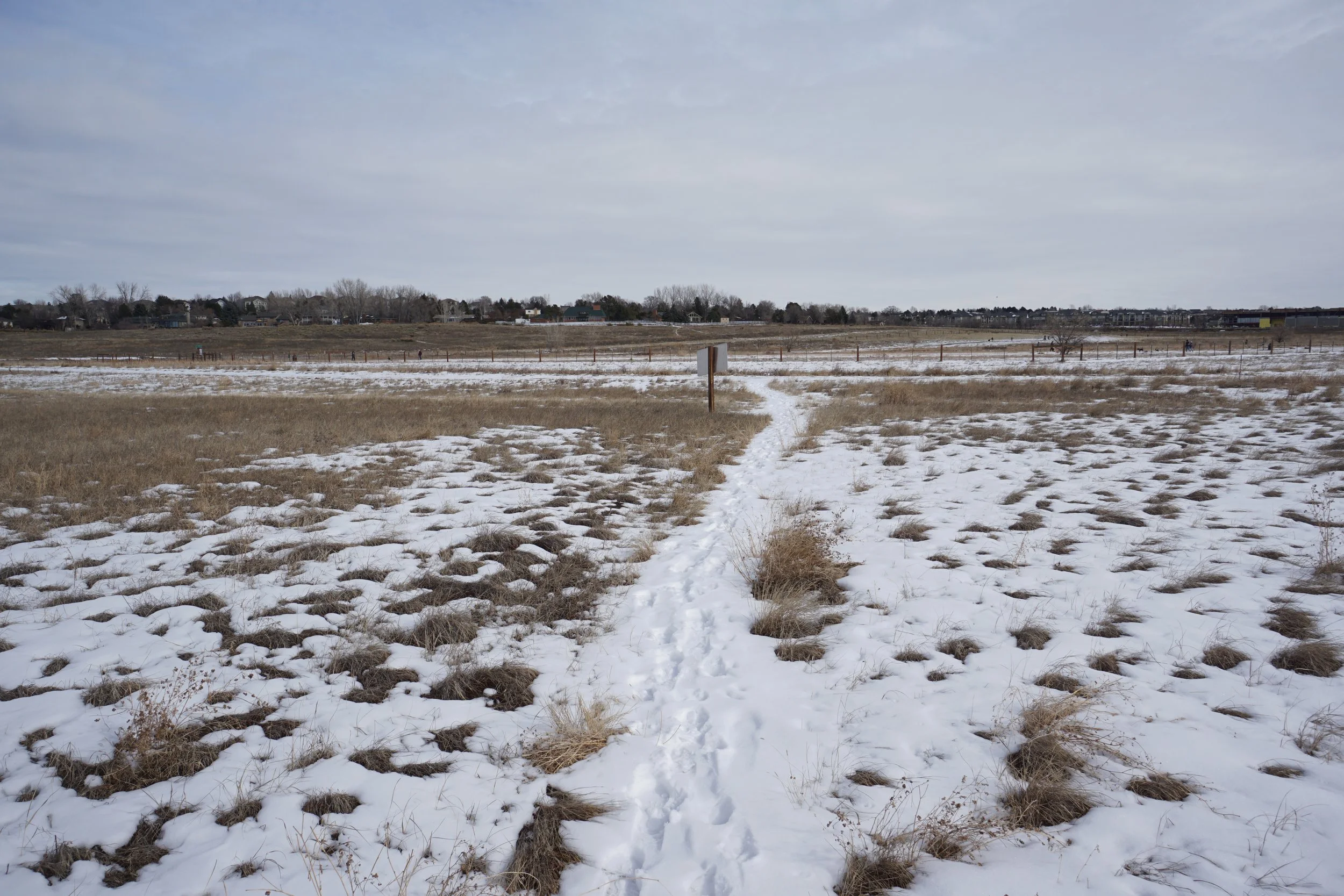
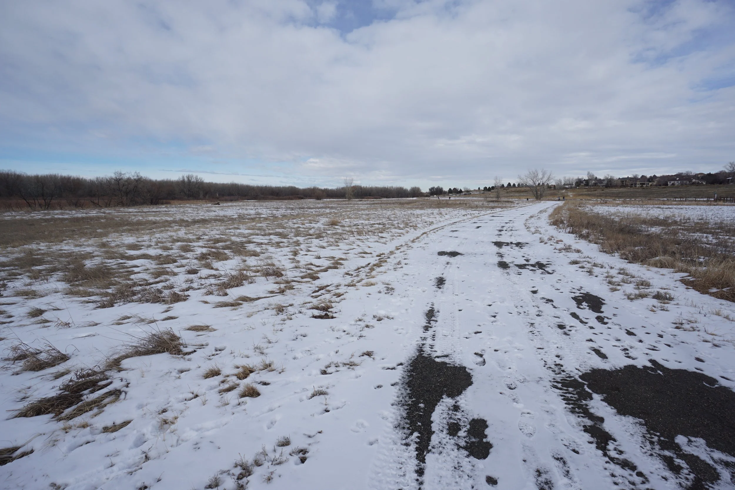
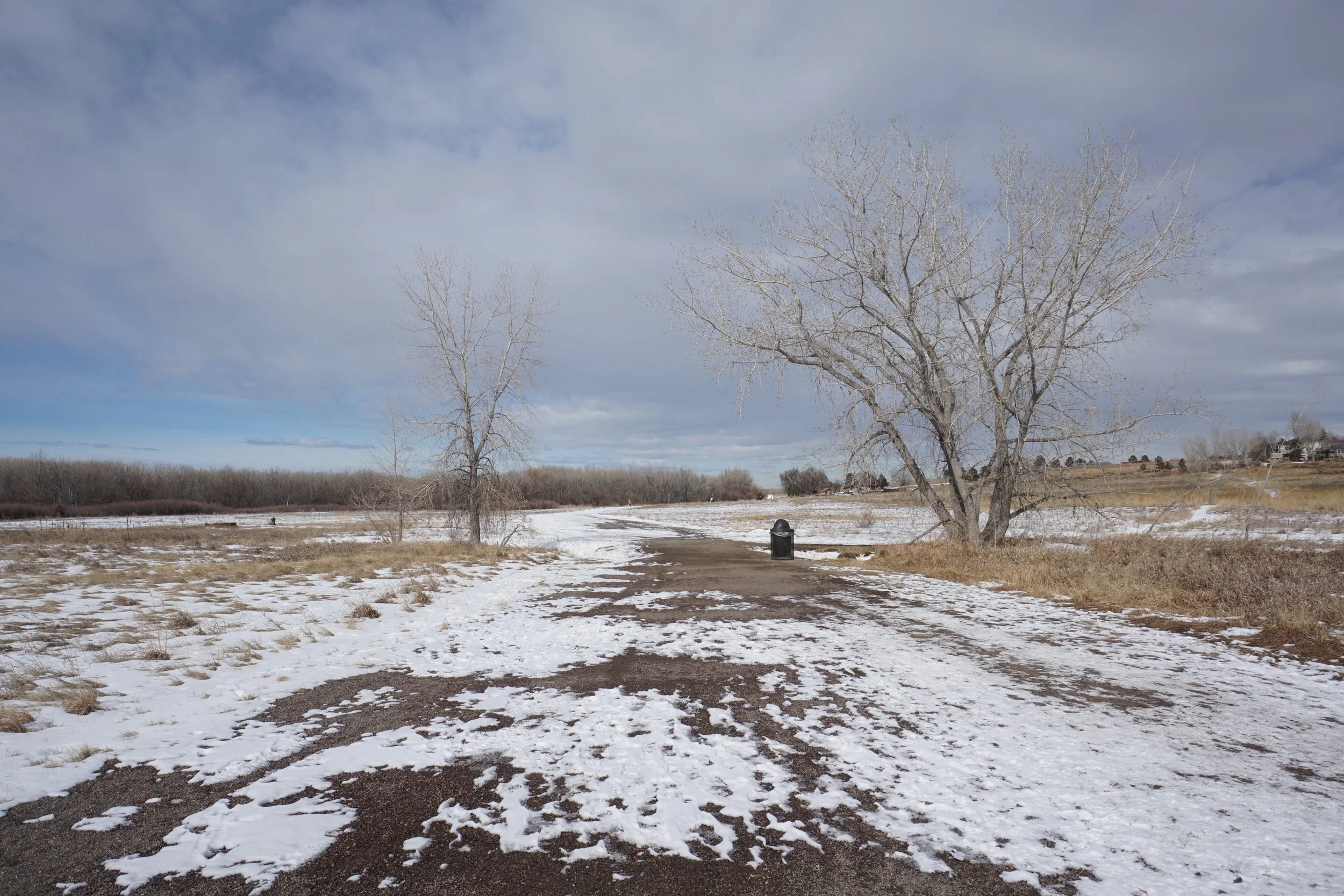
The trail to the Beaver Ponds is short and easy but leads to a peaceful natural area with abundant wildlife amidst the riparian habitat. You start the hike from the 12 Mile North Trailhead where there are two choices, the 12 Mile Trail and the Beaver Ponds Trail, obviously, you want the Beaver Ponds Trail. The trail is only half a mile long and when you get to the end, you can explore a bit on social trails, but this is pretty much the end of the line.
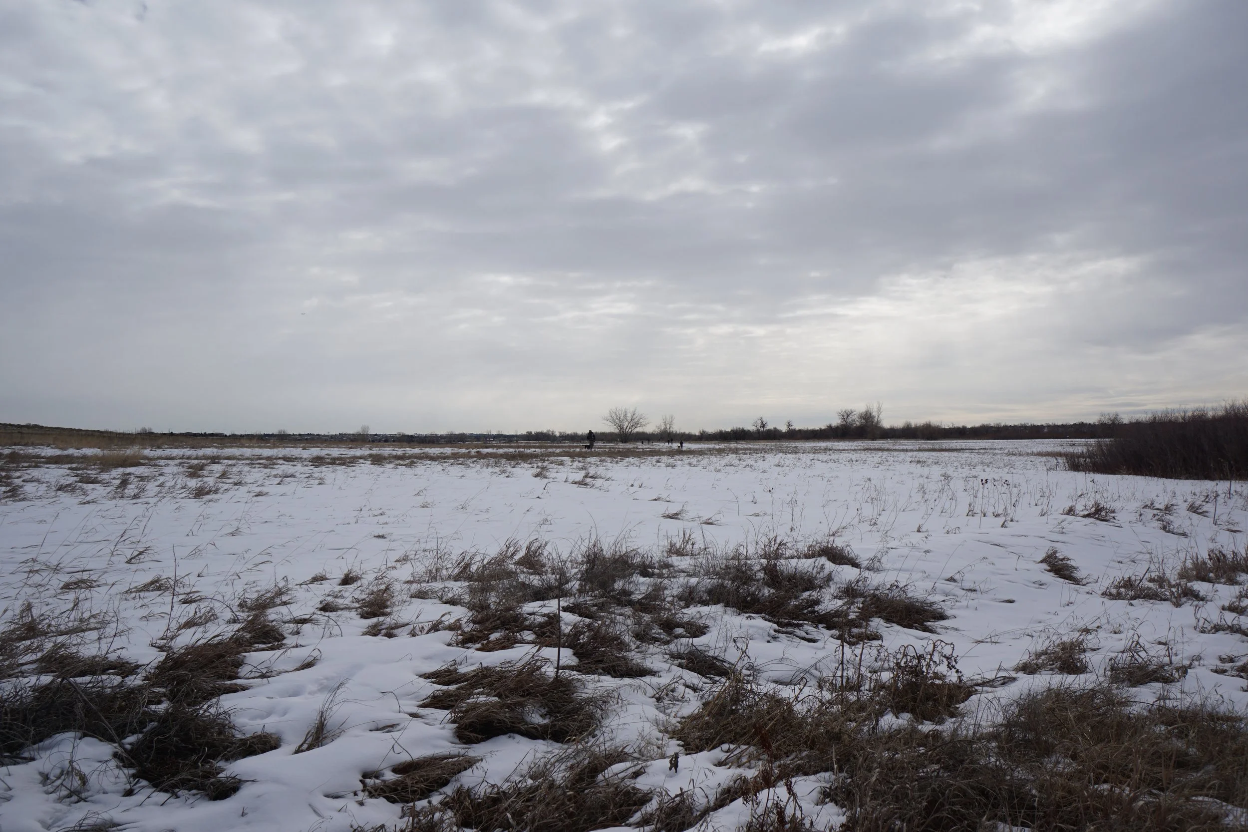
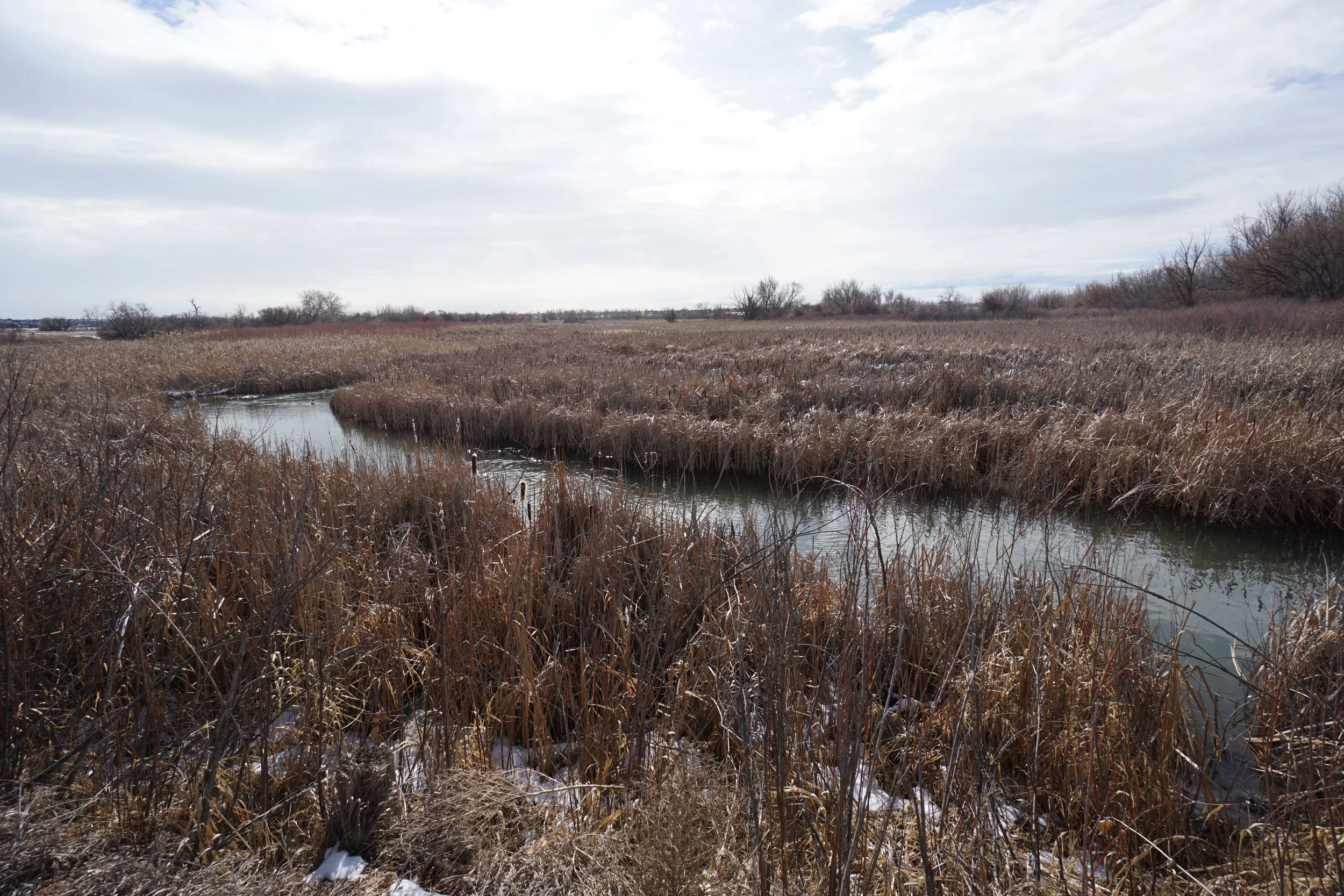
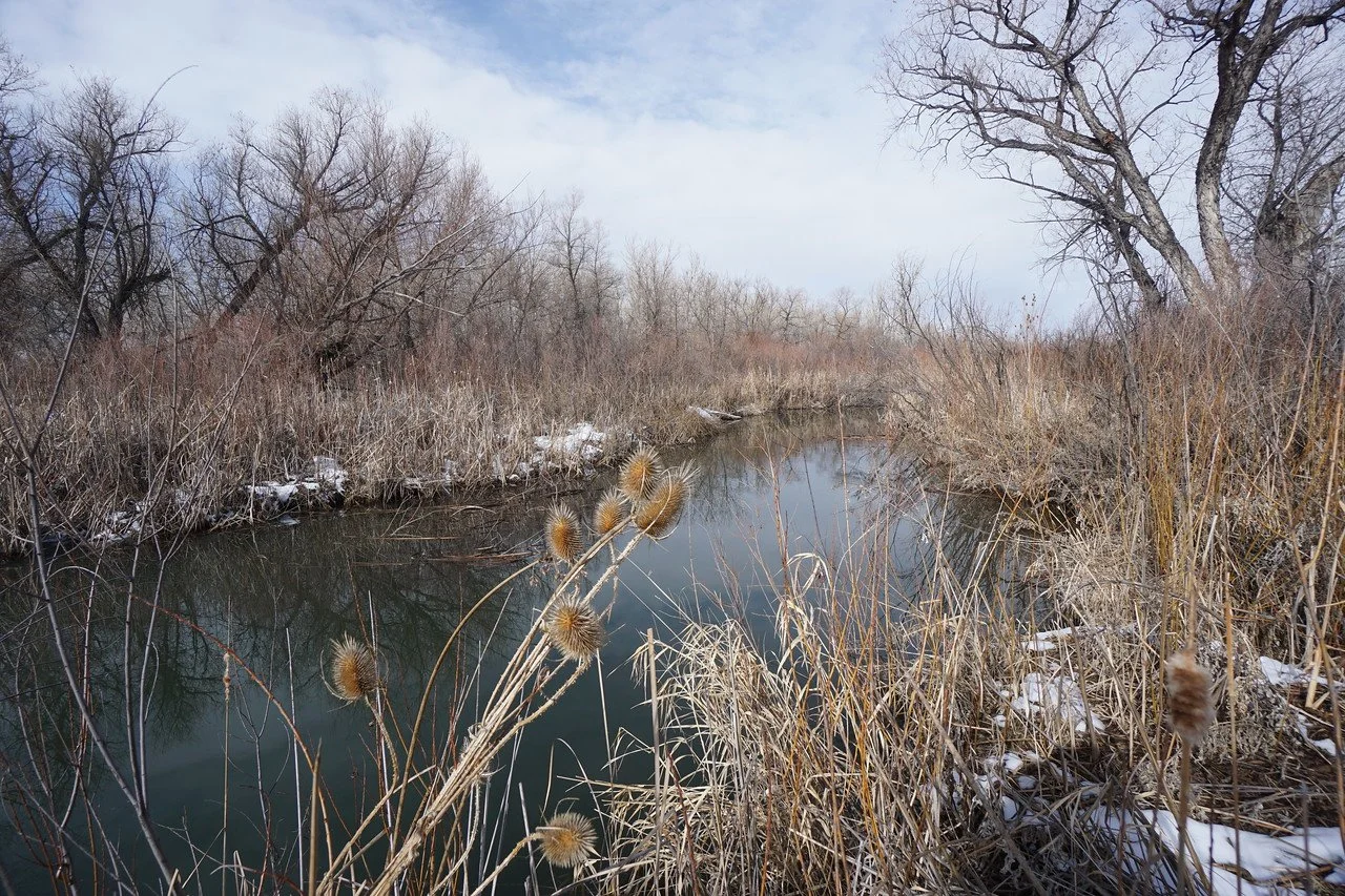
Cherry Creek, in this area, is a much smaller waterway surrounded by wetlands. The view across the open wetlands is very pretty and certainly worth a visit. This is a good add-on hike or an easy outing with the family, but if you really want a nice hike in Cherry Creek State Park, go for the Wetlands Preserve area instead.