Beaver Brook Reservoir - Lower Trailhead
Beaver Brook Watershed Open Space
Date Hiked: September 21, 2012
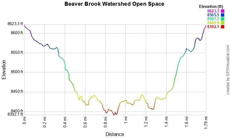
Distance: 1.8 mi (RT)
Elevation Gain: 300ft
Elevation Min/Max: 8,392 to 8,623ft
Trailhead Lat/Long:
Managing Agency: Clear Creek County Open Space
Fee: None
Directions: From Evergreen, take Squaw Pass Road towards Mt. Evans. Make a right on Old Squaw Pass Road and park in the small parking area near the gate and trailhead.
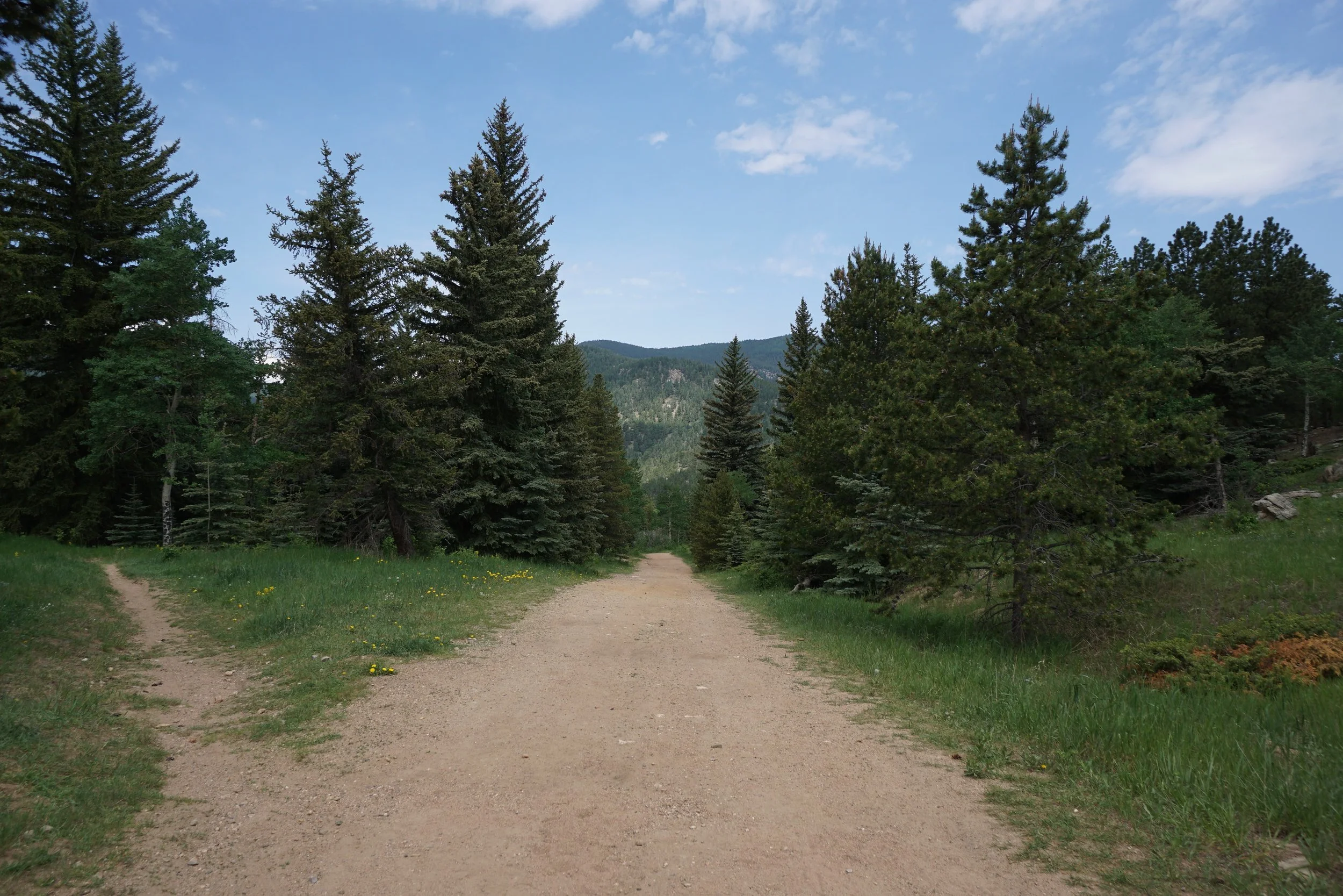
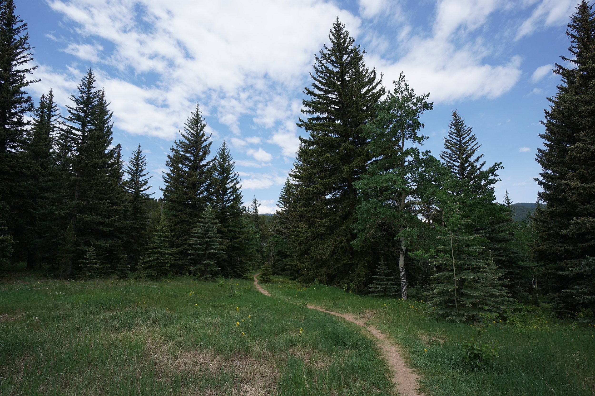
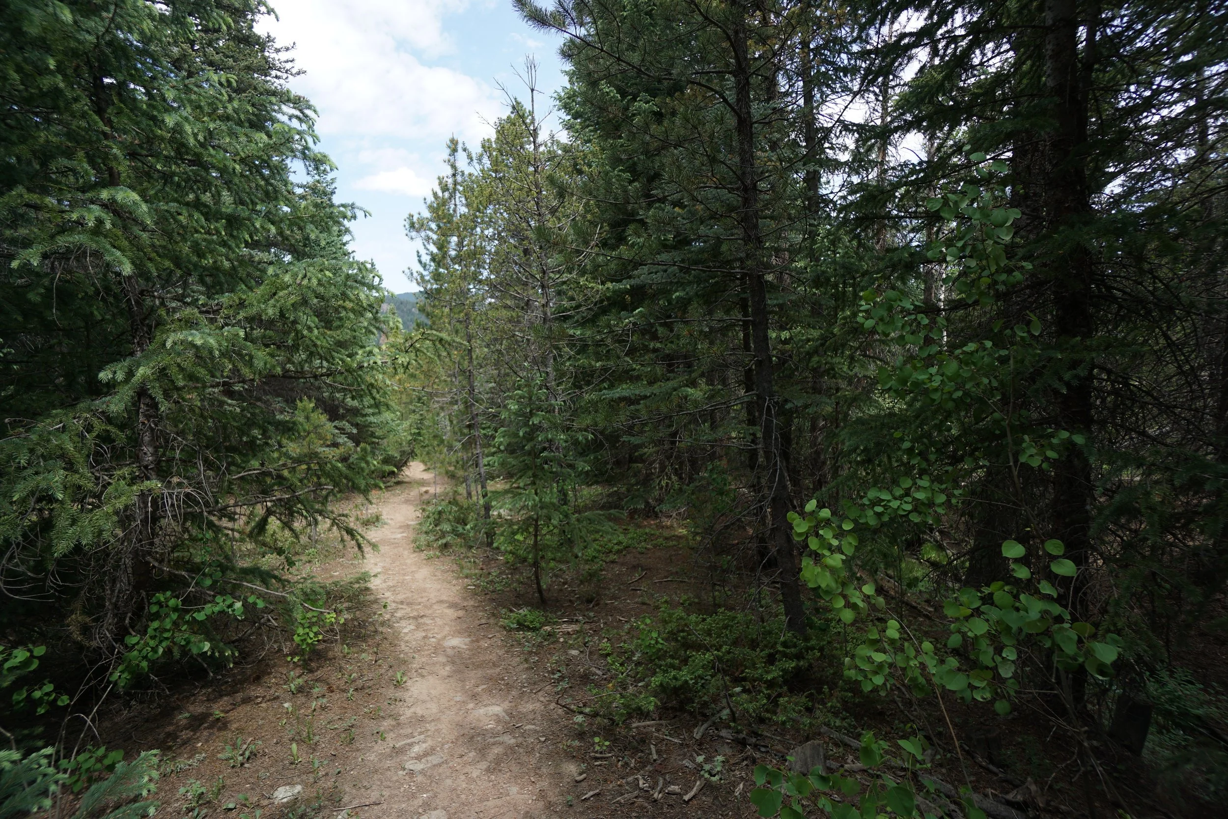
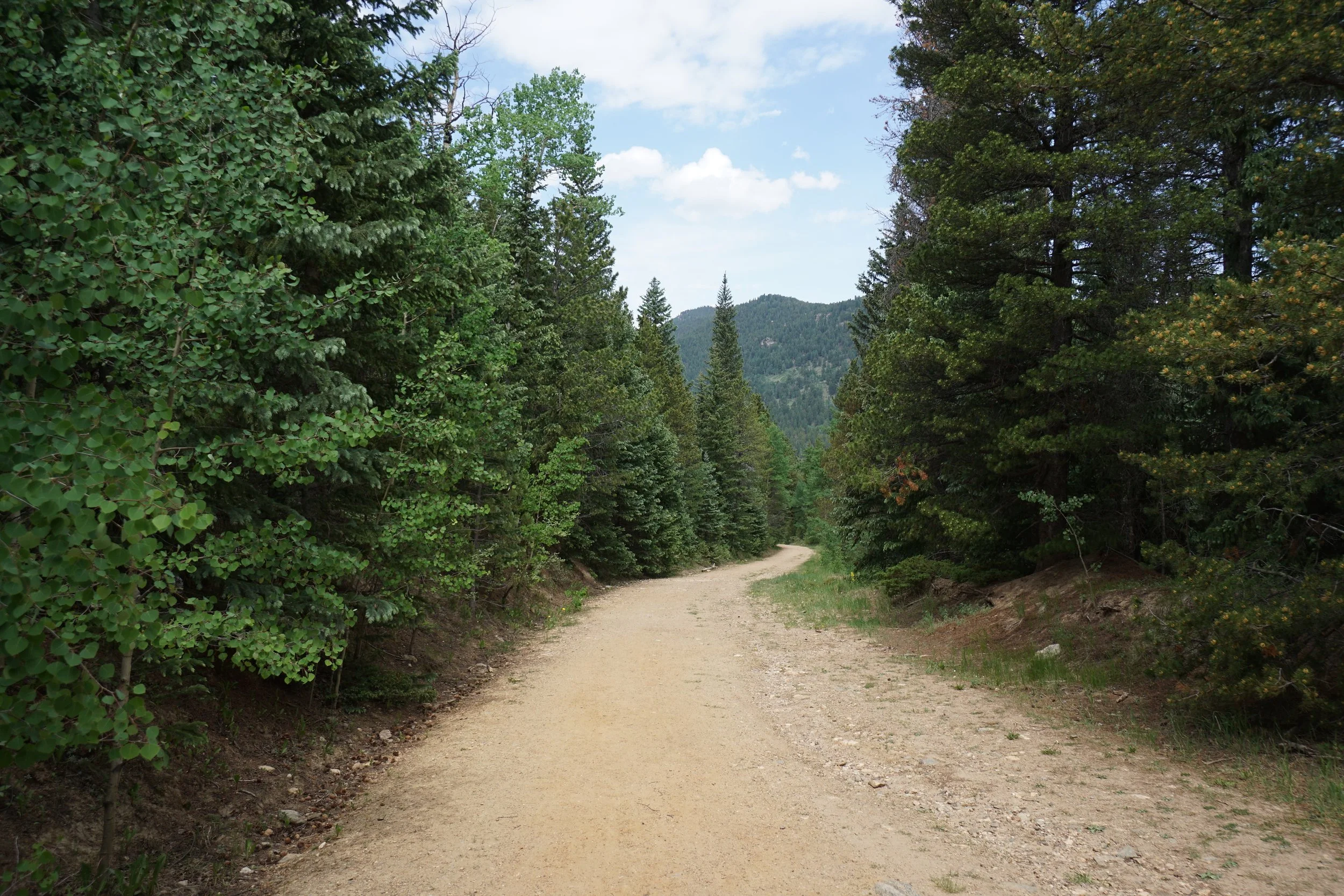
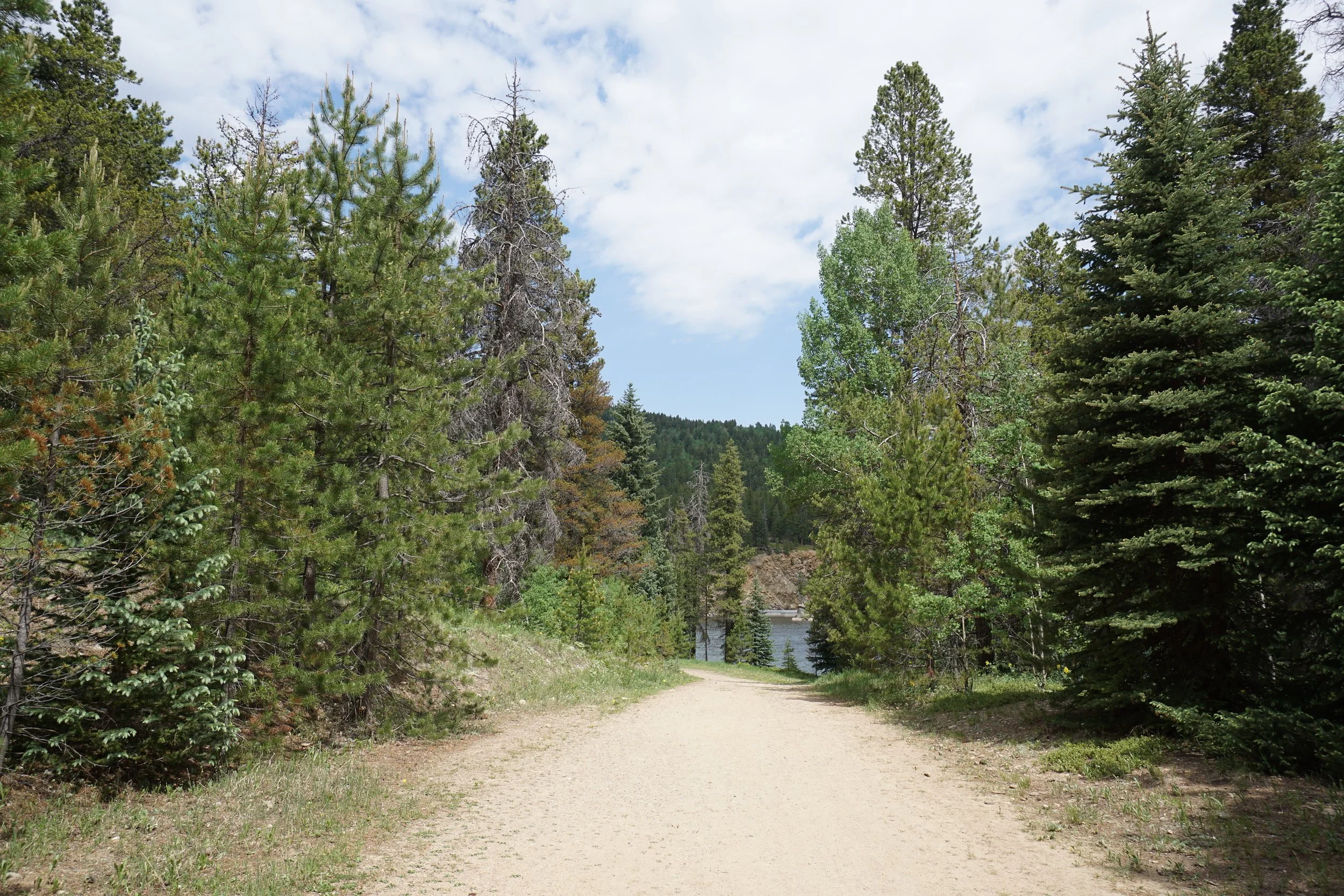
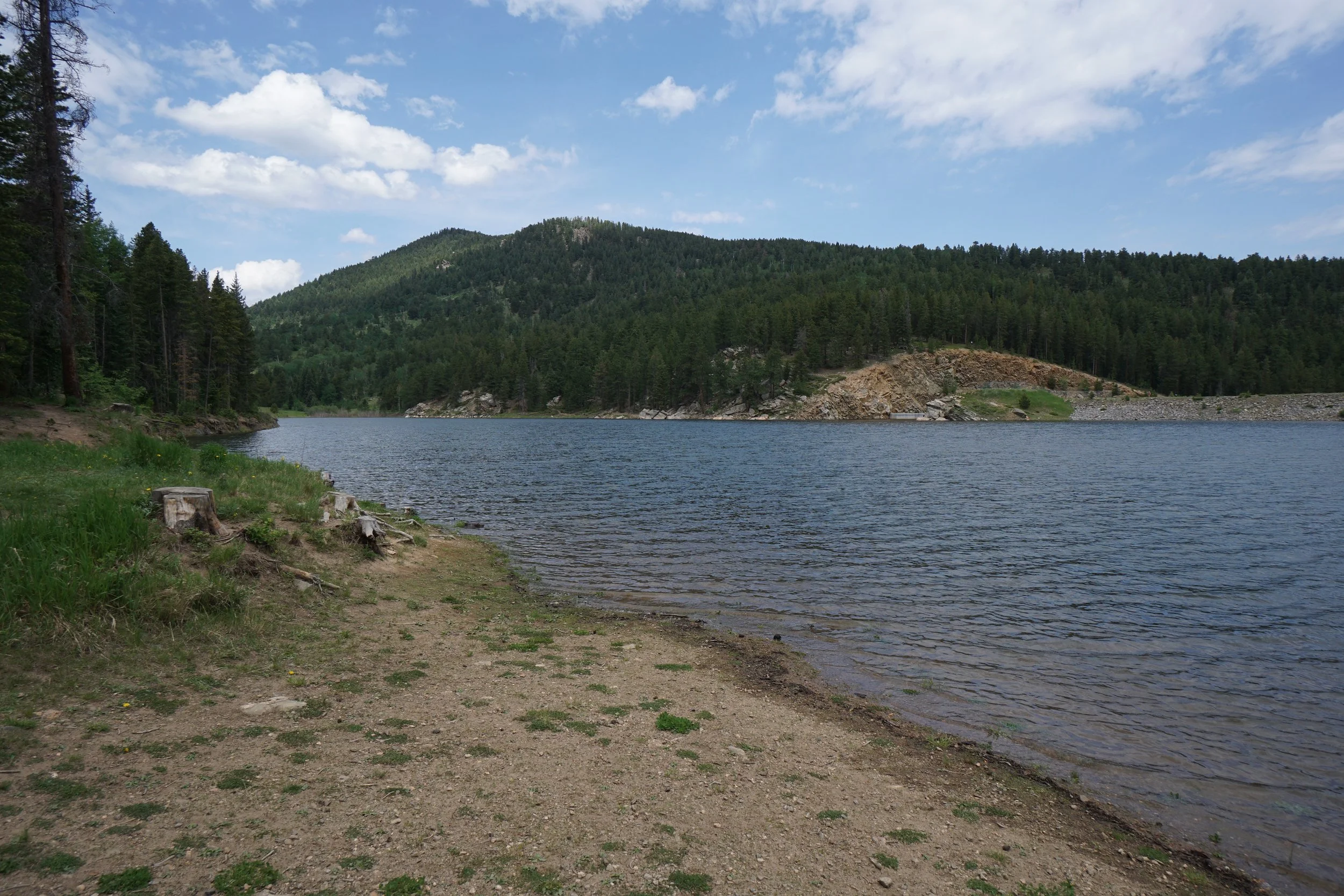
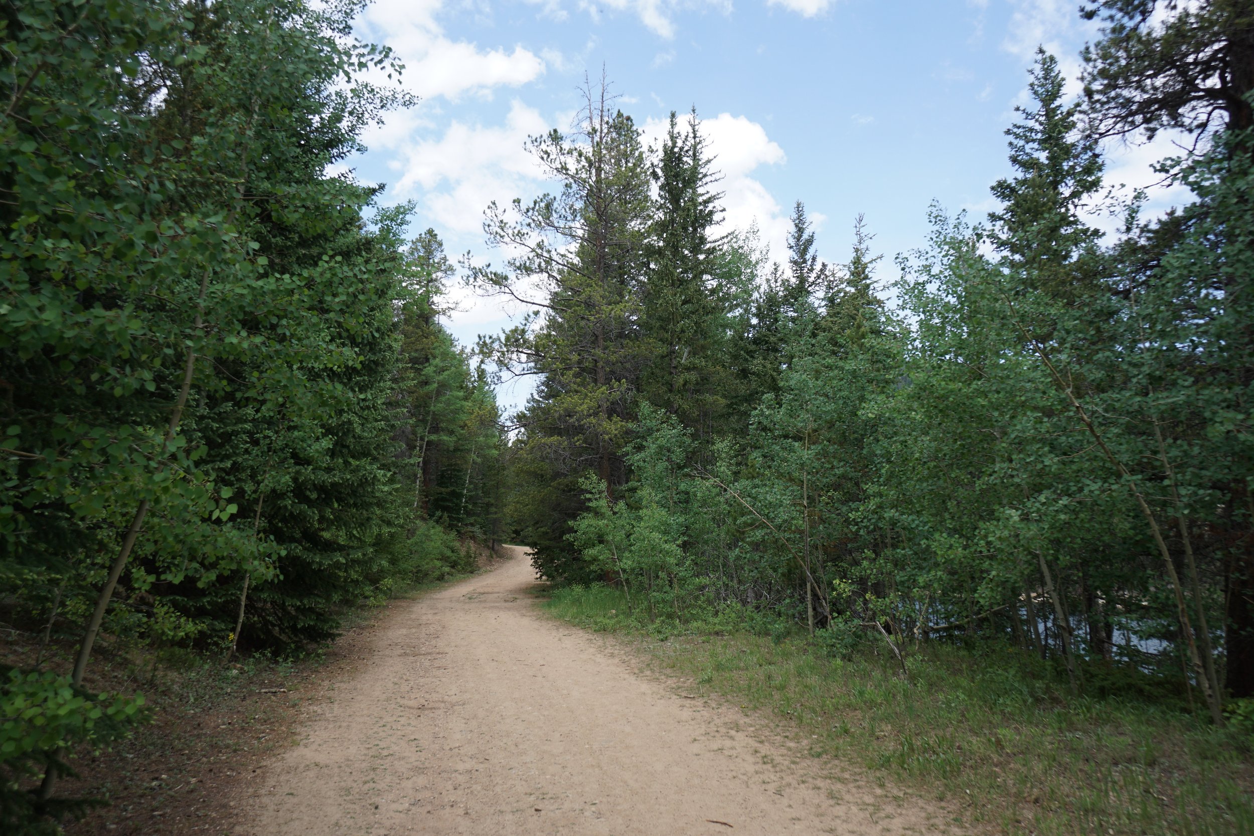
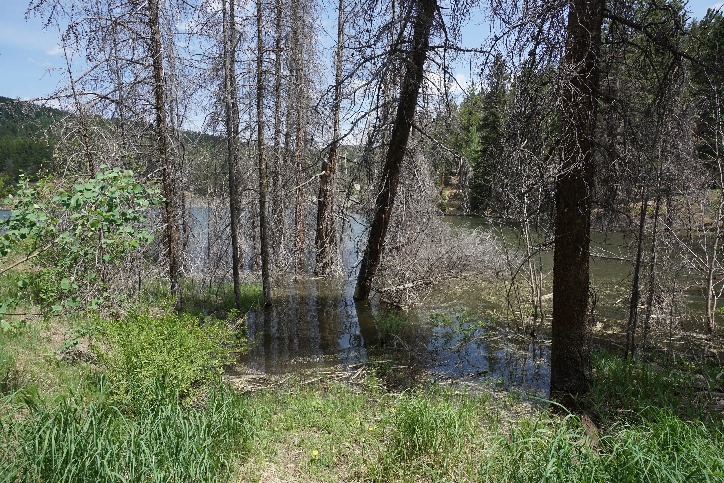
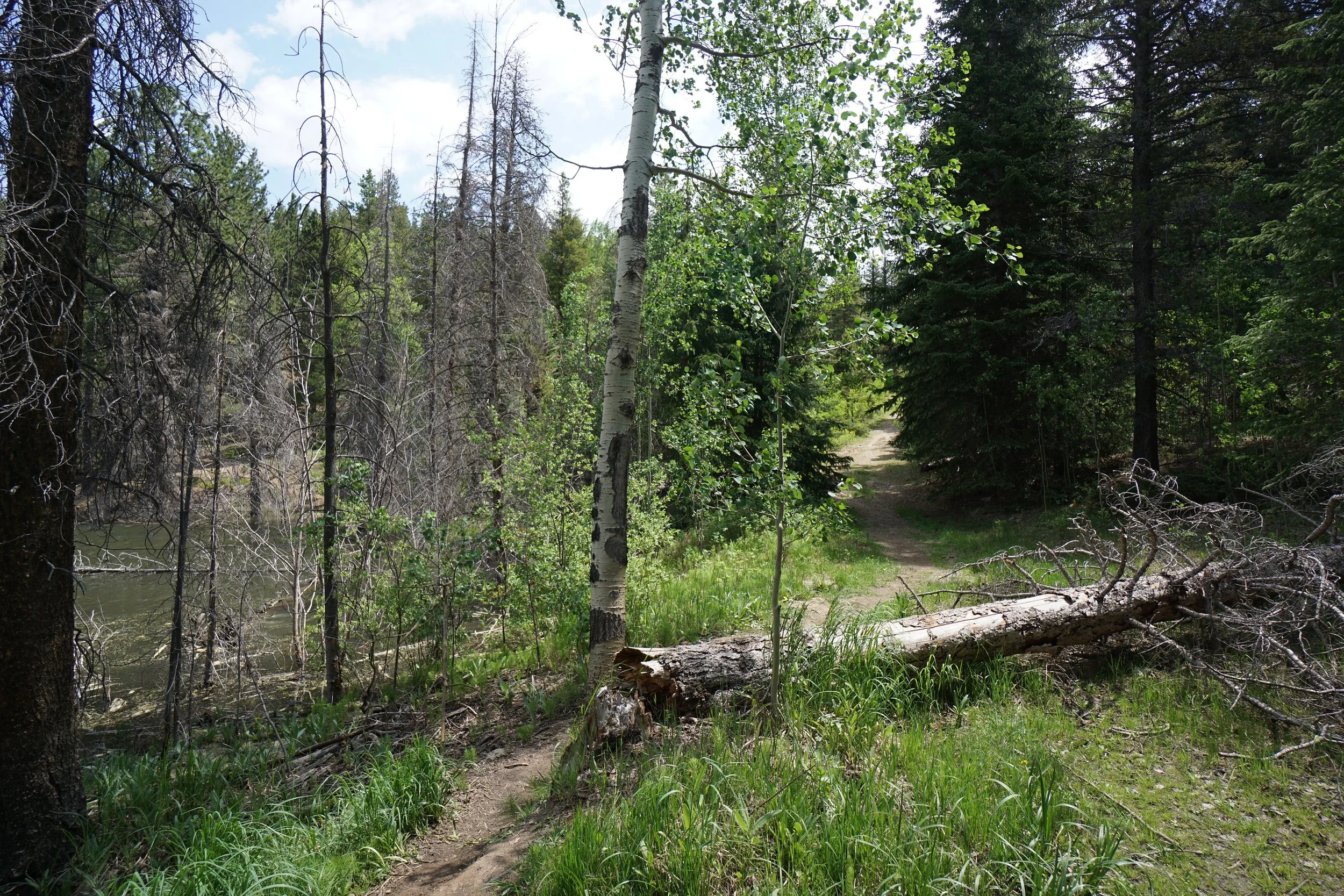
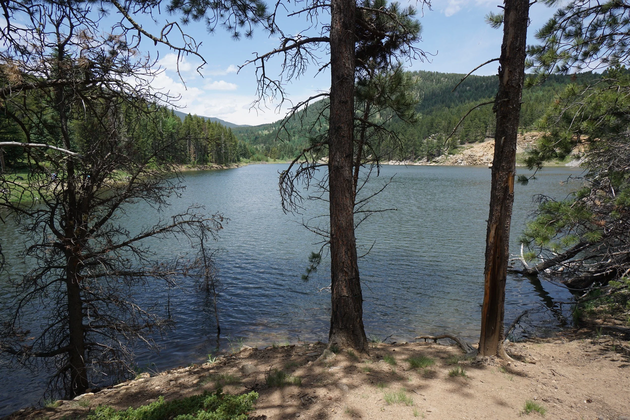
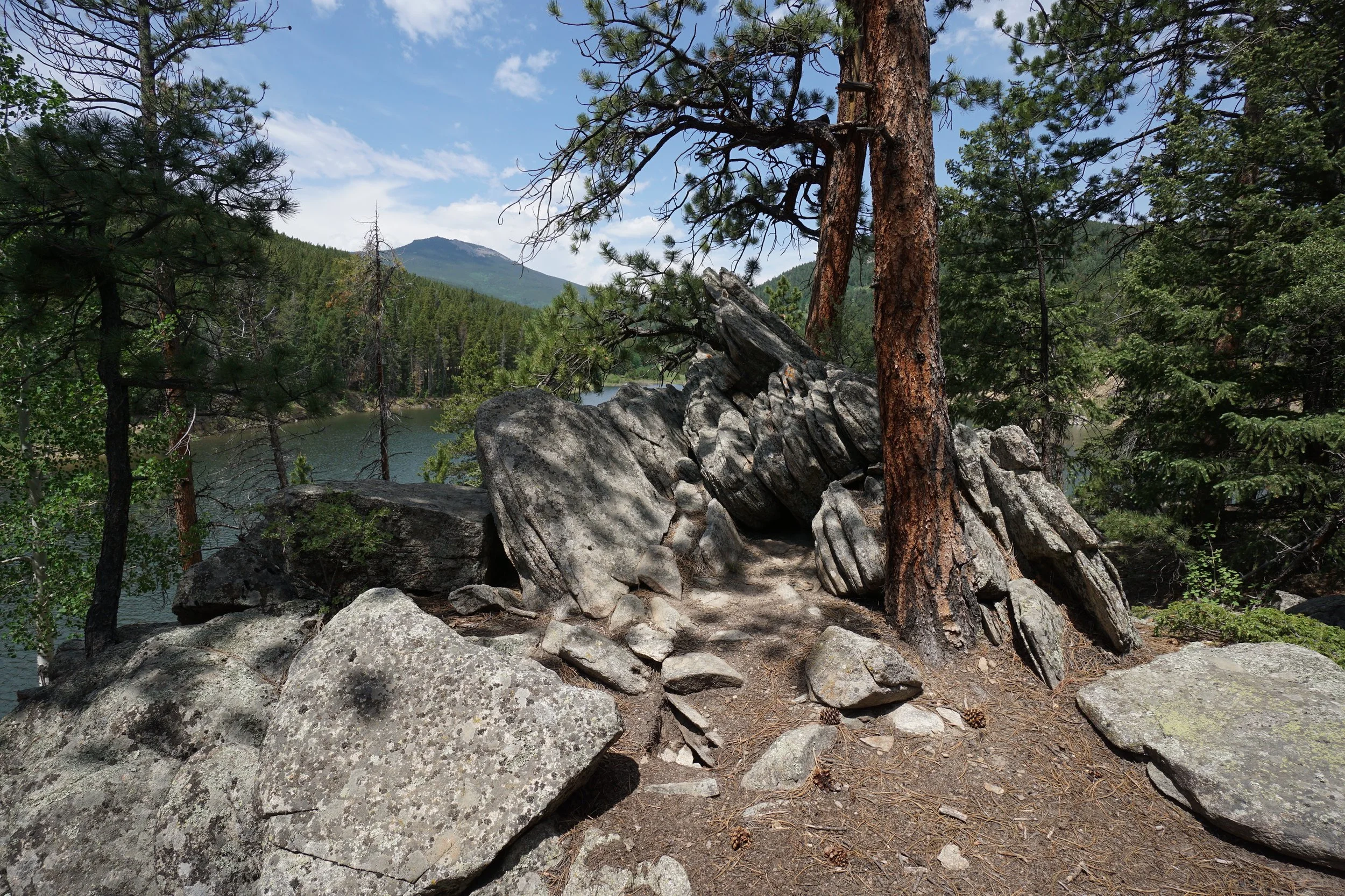
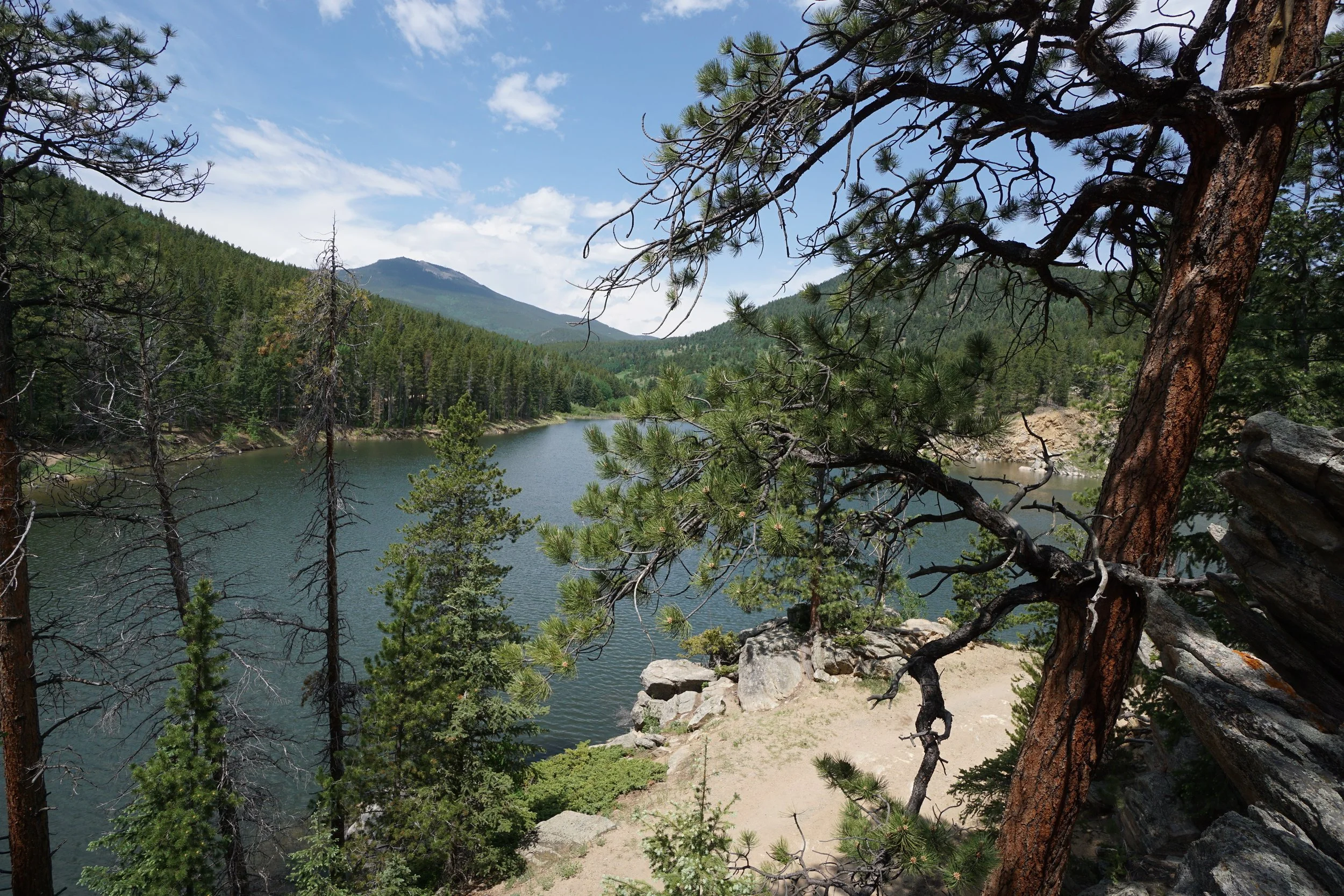
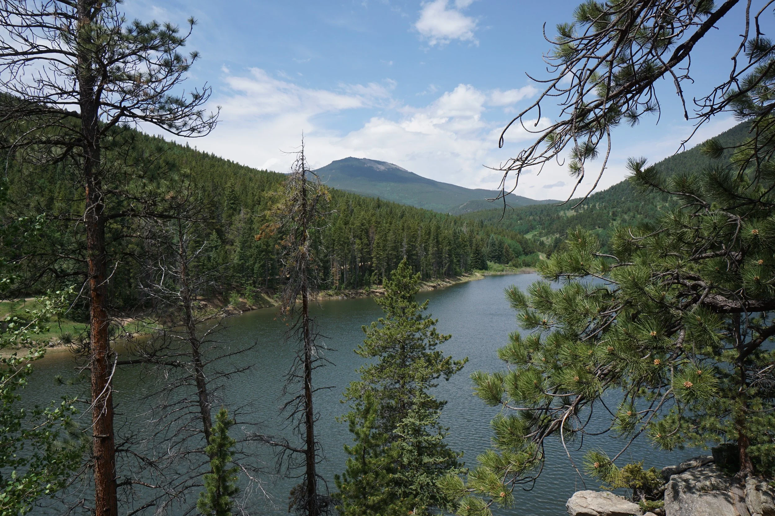
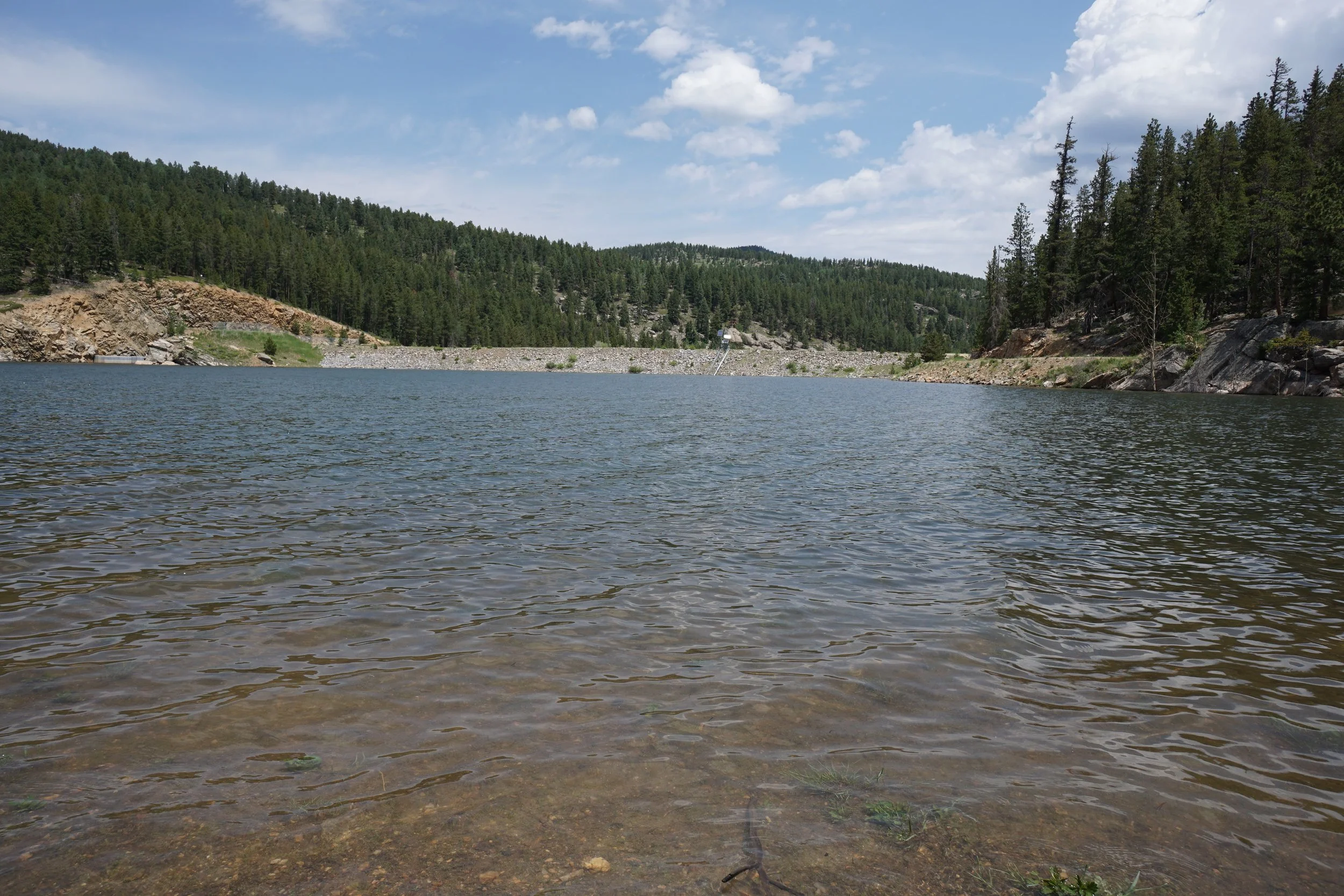
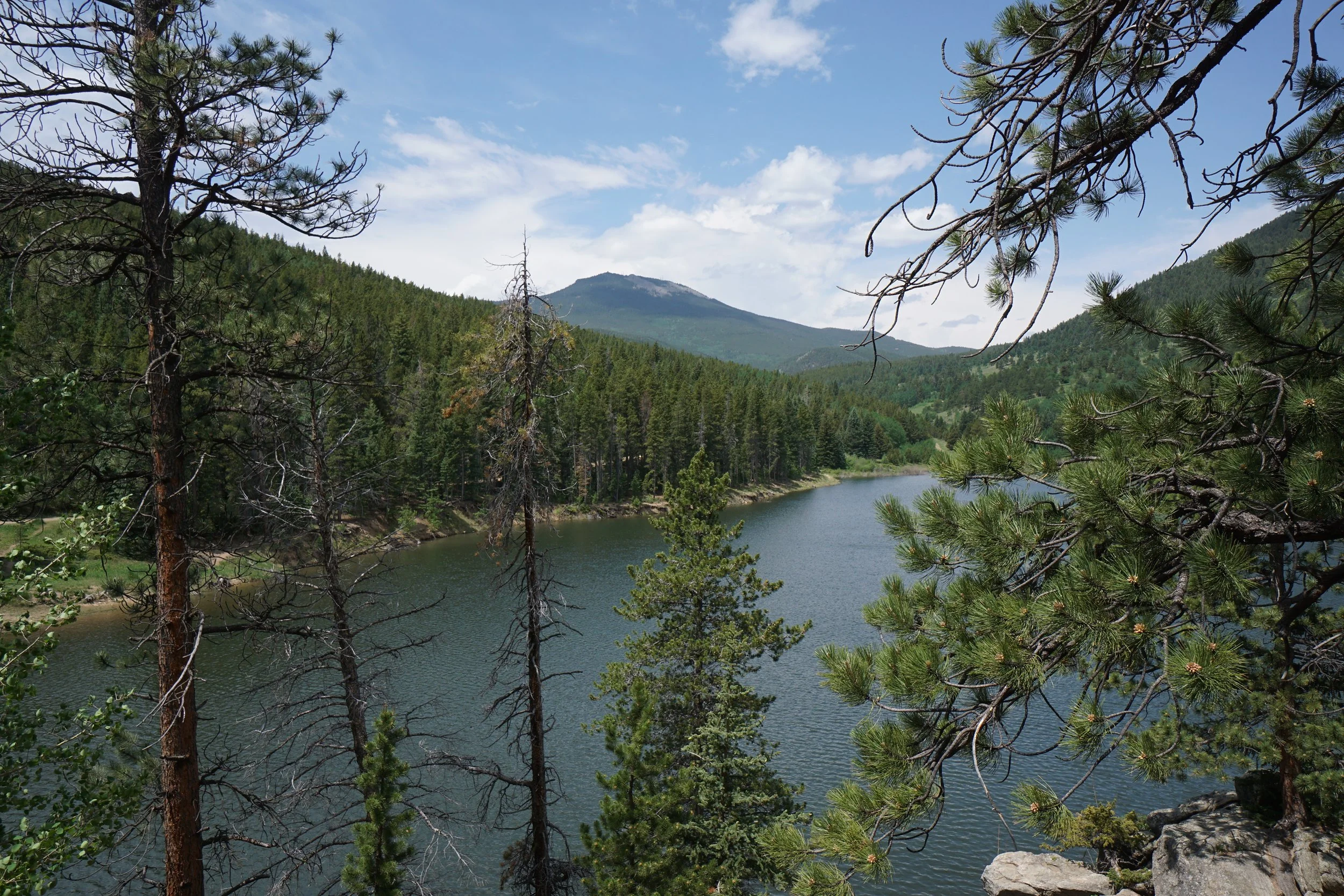
This park provides a peaceful walk through forests dotted with aspens (good for fall colors) down to a scenic reservoir. From the entry gate follow the wide trail downhill across the clearing and into the aspen and evergreen forest. Before too long you reach the reservoir and the trail seemingly ends at a gated road. However, if you search along the south shore you'll find the faint trail that skirts the shoreline and leads to the inlet with Beaver Brook.
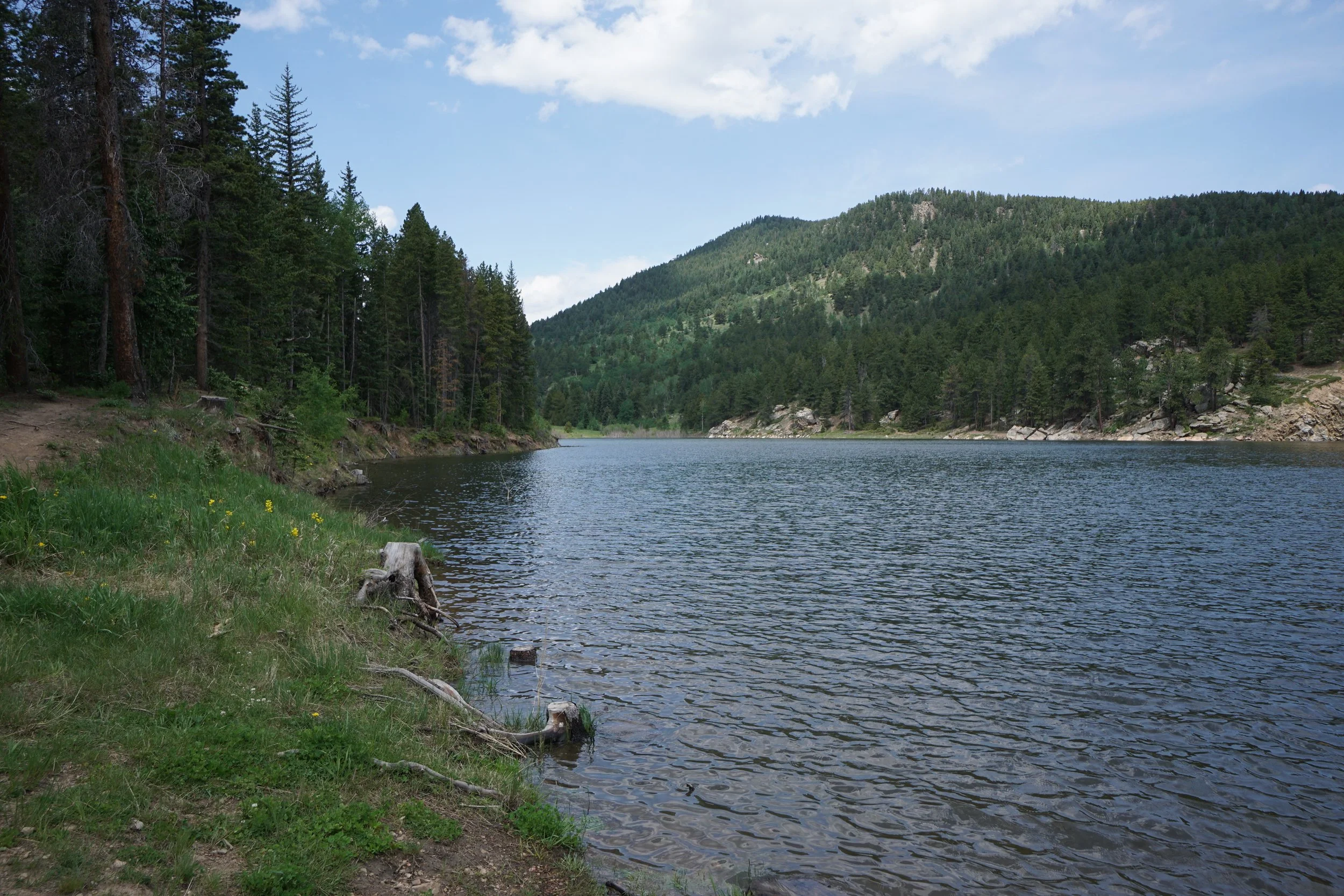
This is a scenic spot with seasonal wetlands and a good view of the remaining reservoir. Retrace you steps back to the trailhead for the return.