
UTAH HIKES
Areas Still to be Explored:
Amphitheater Loop (BLM)
Cedar Breaks National Monument (NPS)
Coral Pink Sand Dunes State Park (Utah)
Dead Horse Point State Park (Utah)
Dixie National Forest (USFS)
Escalante Petrified Forest State Park (Utah)
Fishlake National Forest (USFS)
Grand Staircase-Escalante National Monument (BLM)
Green River State Park (Utah)
Gobblin Valley State Park (Utah)
Goosenecks State Park (Utah)
Kodachrome Basin State Park (Utah)
Manti La Sal National Forest (USFS)
Rainbow Bridge National Monument (NPS)
Sand Hollow State Park (Utah)
Snow Canyon State Park (Utah)
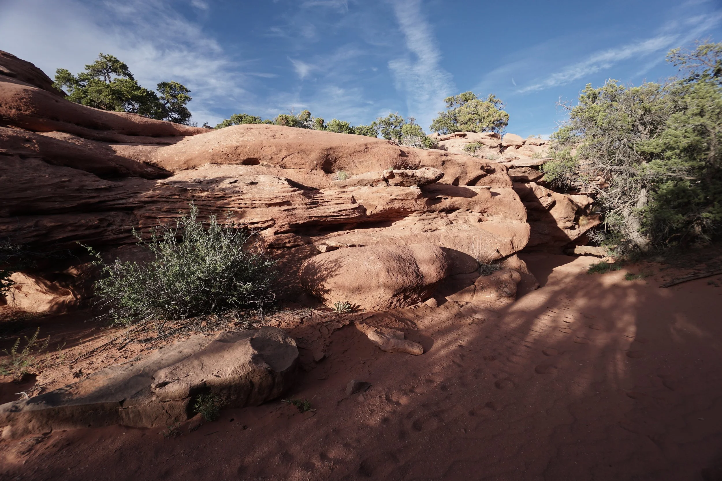
ARCHES NATIONAL PARK
-
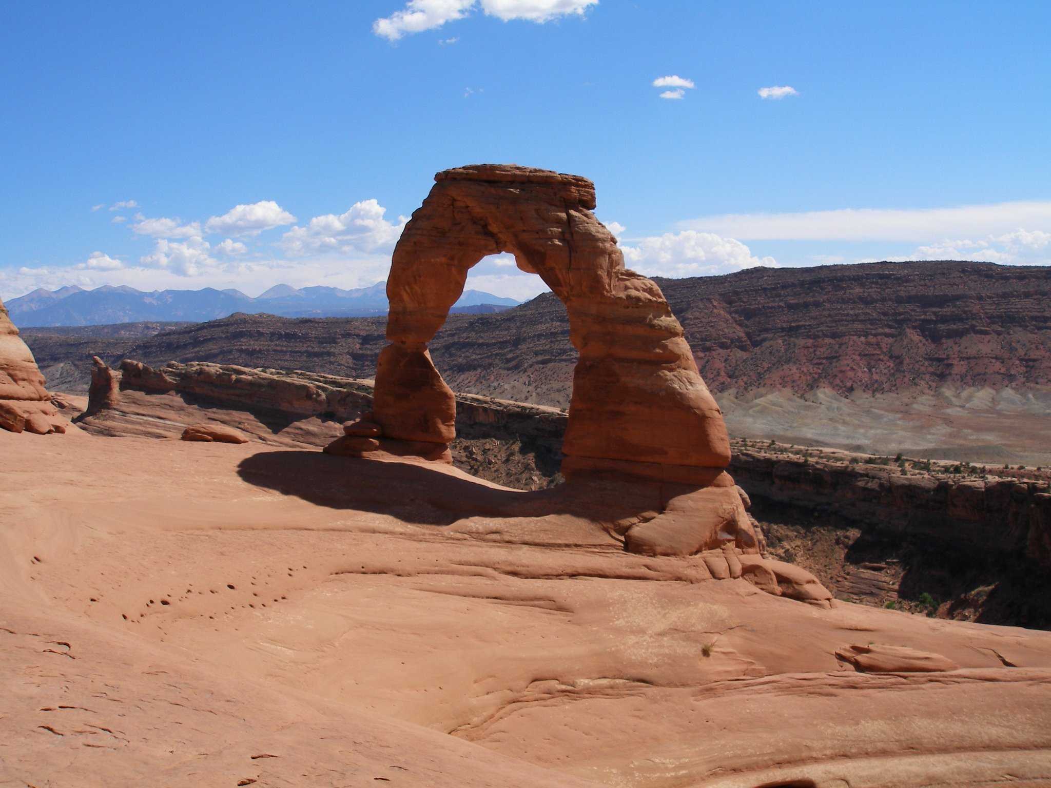
Delicate Arch
mi (RT); ft elevation gain
-
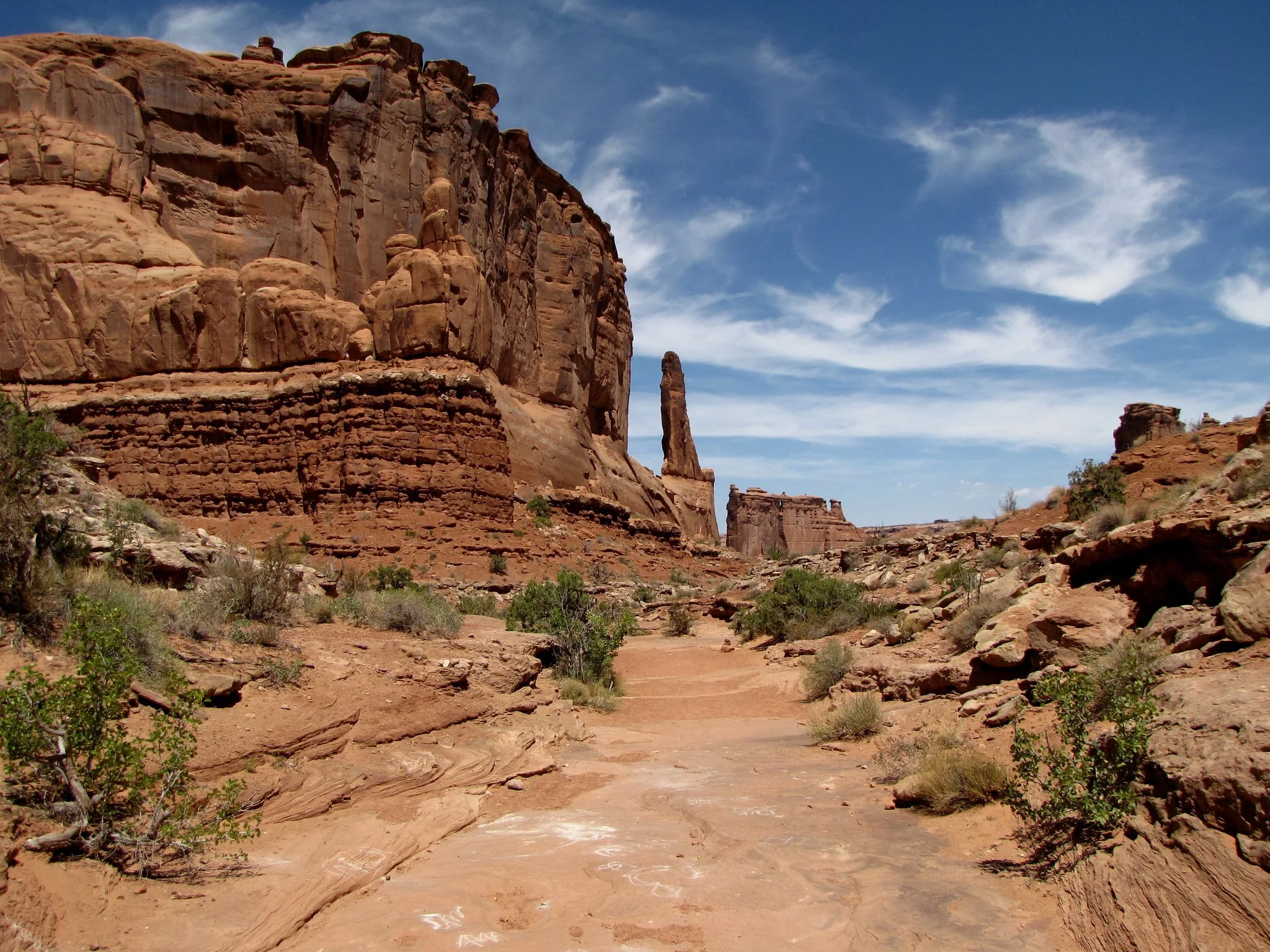
Park Avenue Trail
mi (RT); ft elevation gain
-
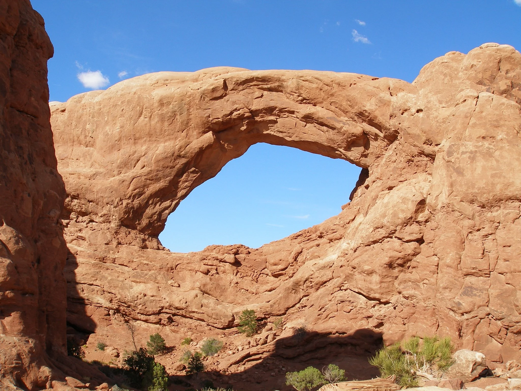
The Windows Loop
mi (RT); ft elevation gain
-
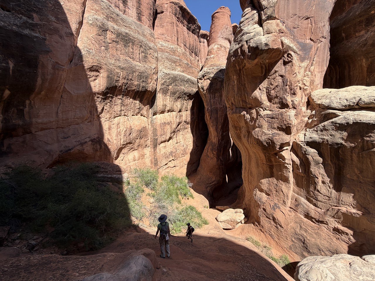
Fiery Furnace Loop
Distance: 3 mi (RT); Elevation Gain: 620 ft
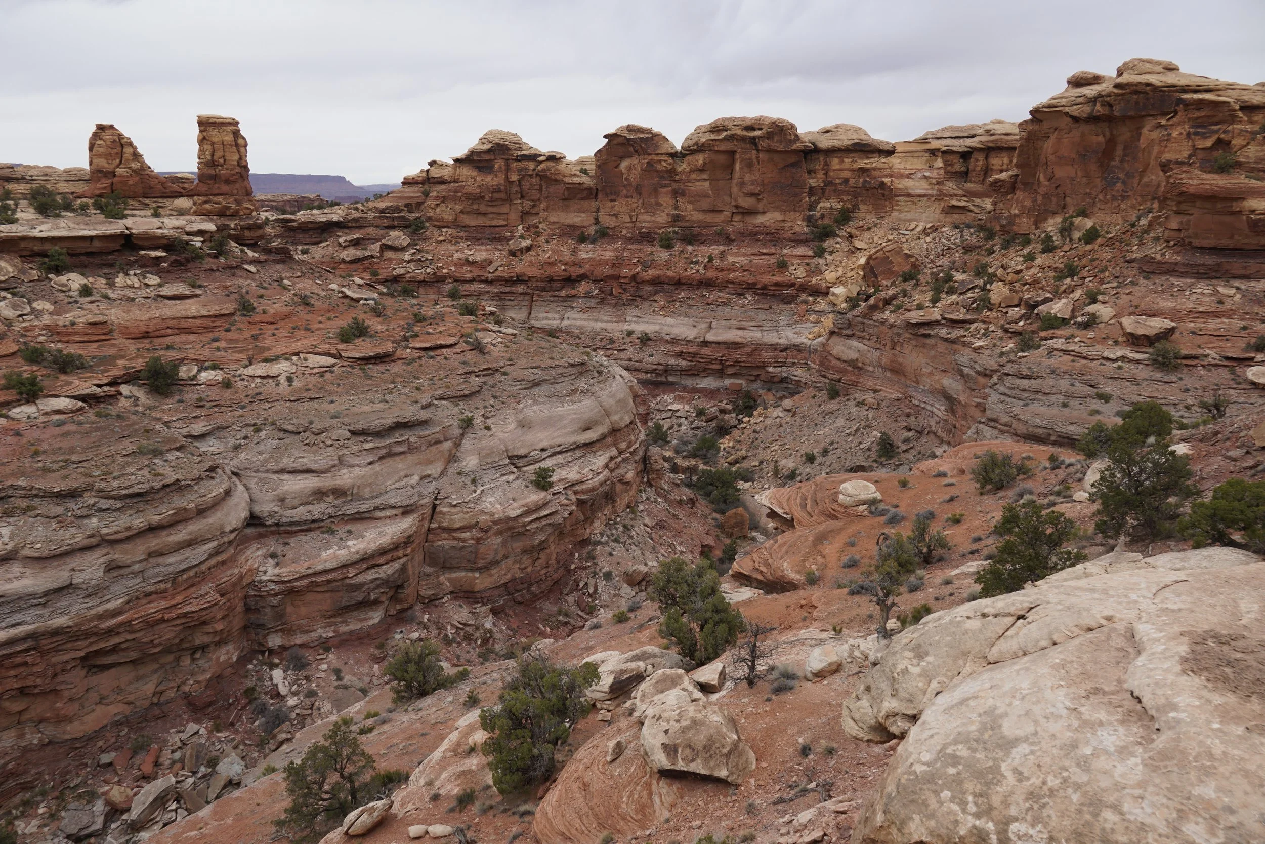
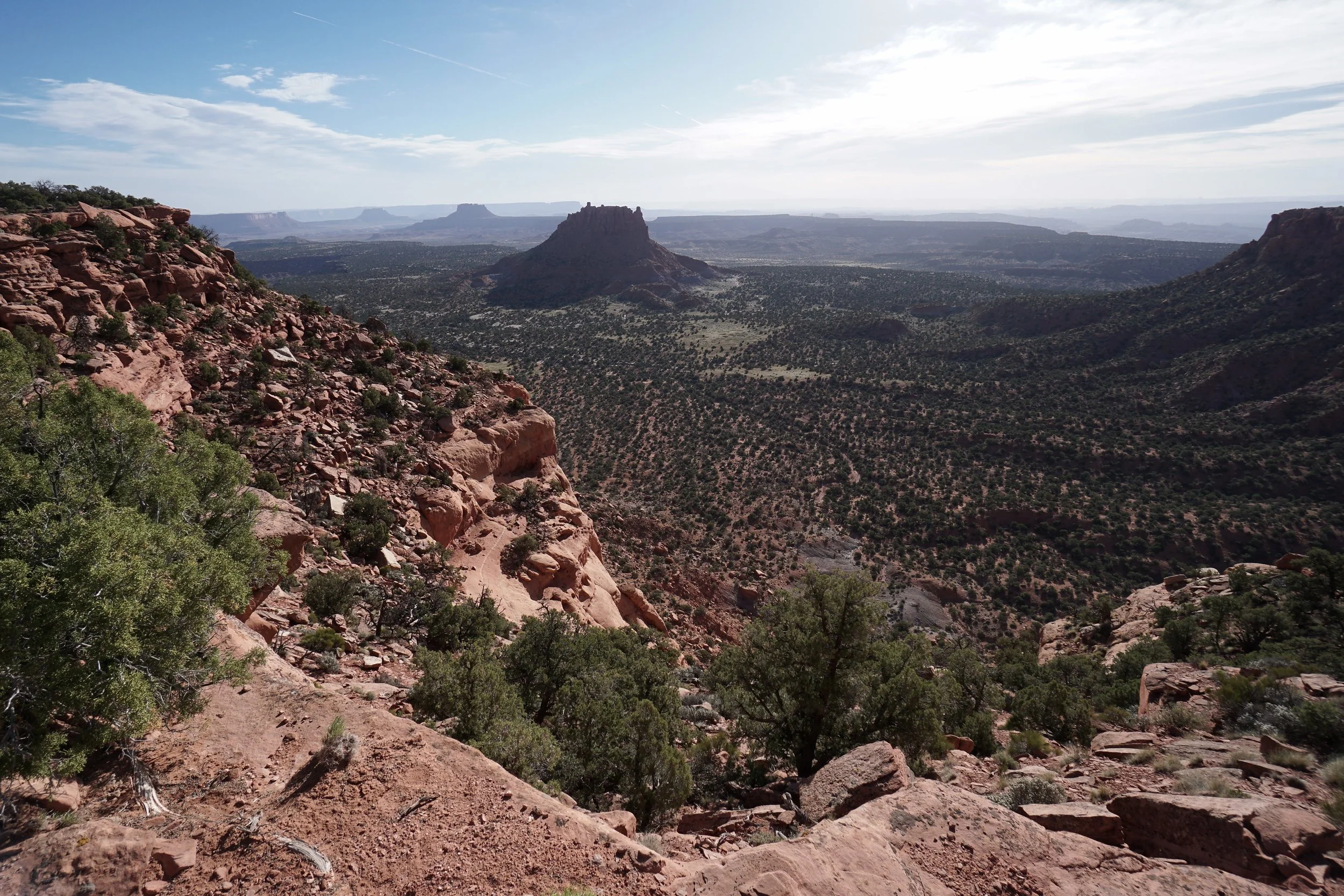
BEARS EARS NATIONAL MONUMENT (BLM)
-
Lockhart Basin Road Scenic Backway
mi (RT); ft elevation gain
-
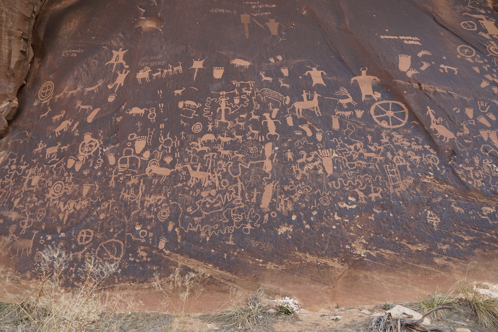
Newspaper Rock Petroglyph Site
mi (RT); ft elevation gain
BRYCE CANYON NATIONAL PARK
-
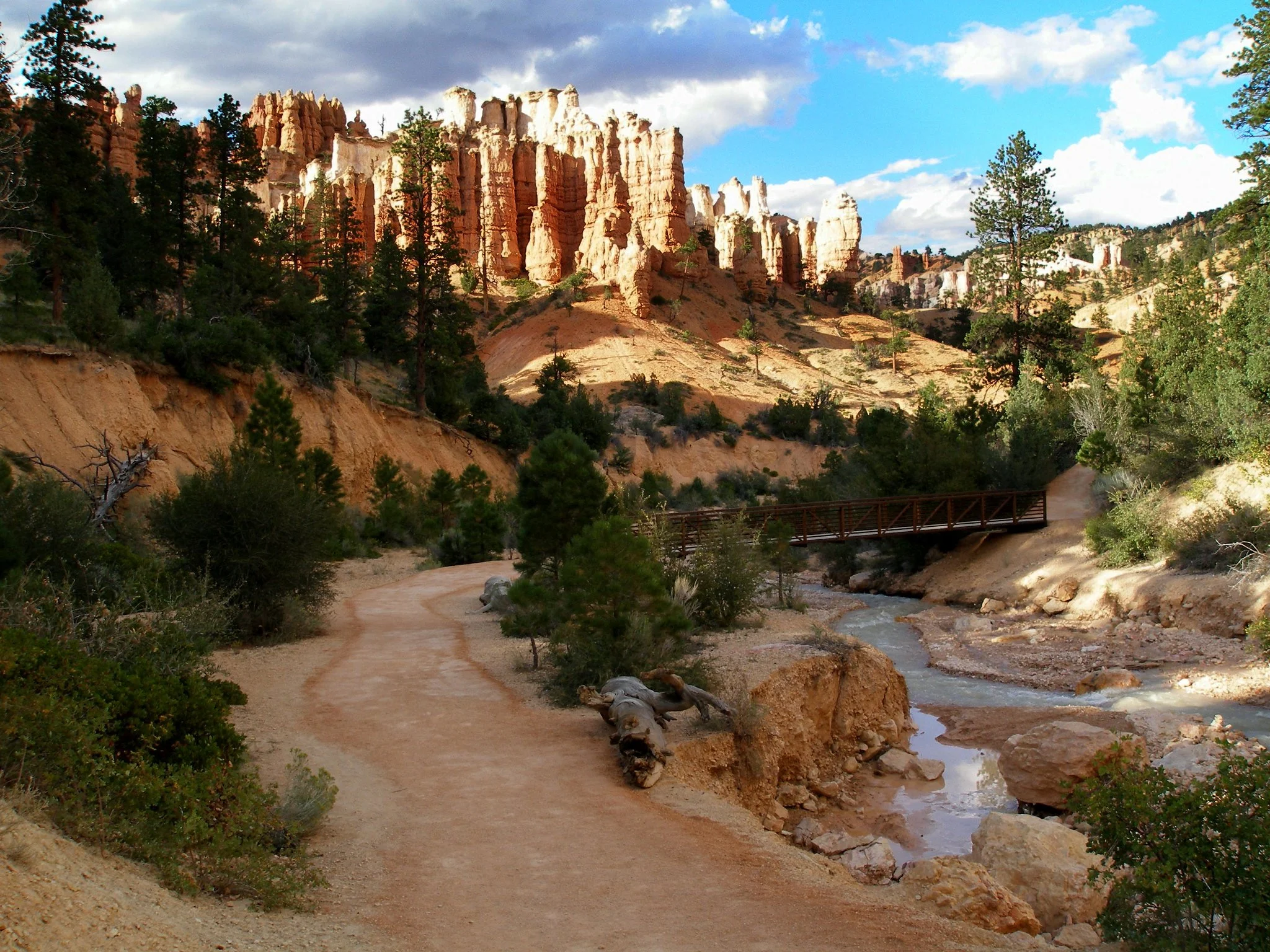
Mossy Cave Trail - Water Canyon
mi (RT); ft elevation gain
-
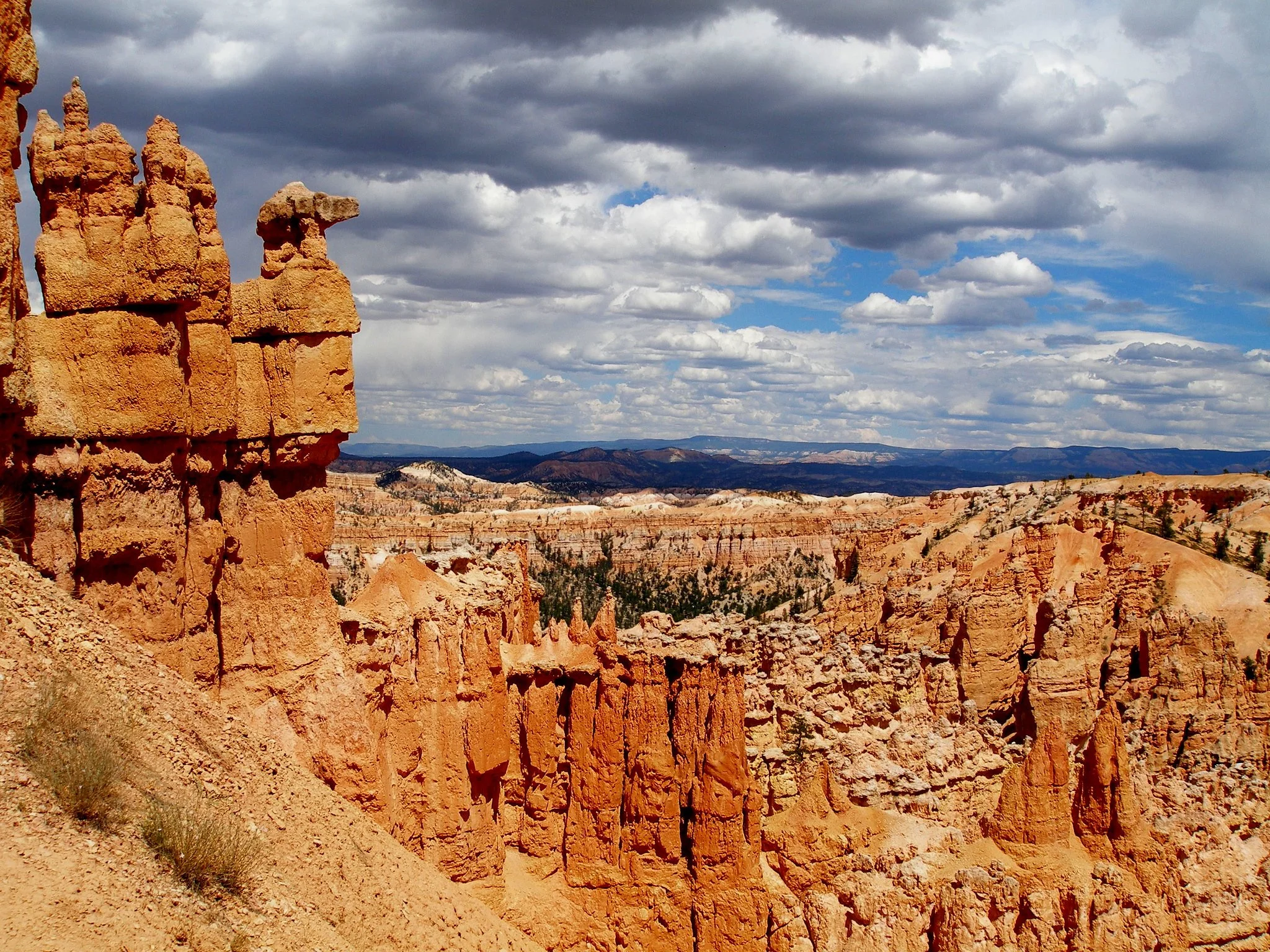
Peekaboo Loop
mi (RT); ft elevation gain
CANYONLANDS NATIONAL PARK
-
Big Spring Canyon Overlook, Needles District
Distance: 0.5 mi (RT); Elevation Gain: 100 ft
-
Cave Spring Trail, Needles District
Distance: 1.5 mi (RT); Elevation Gain: 200 ft
-
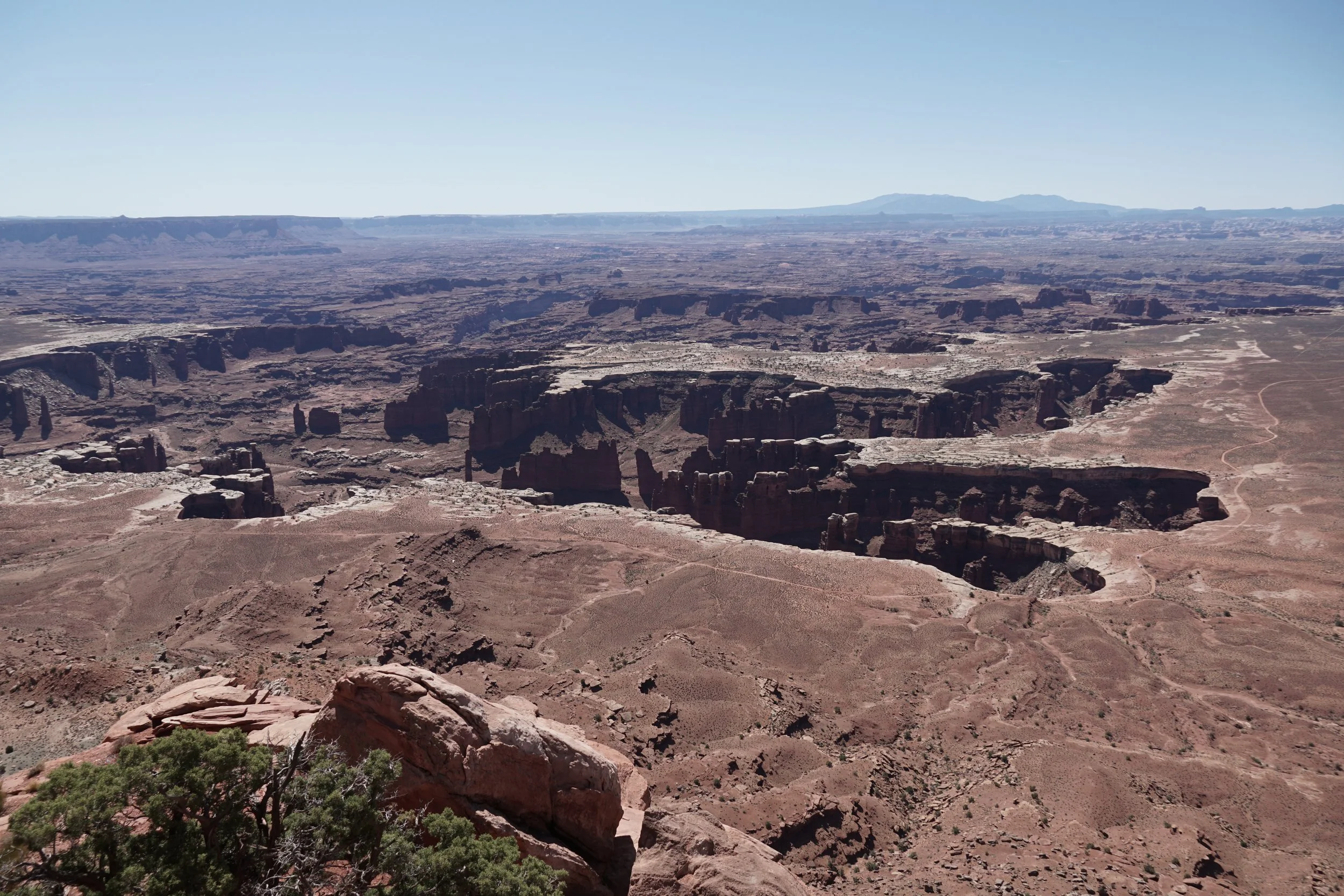
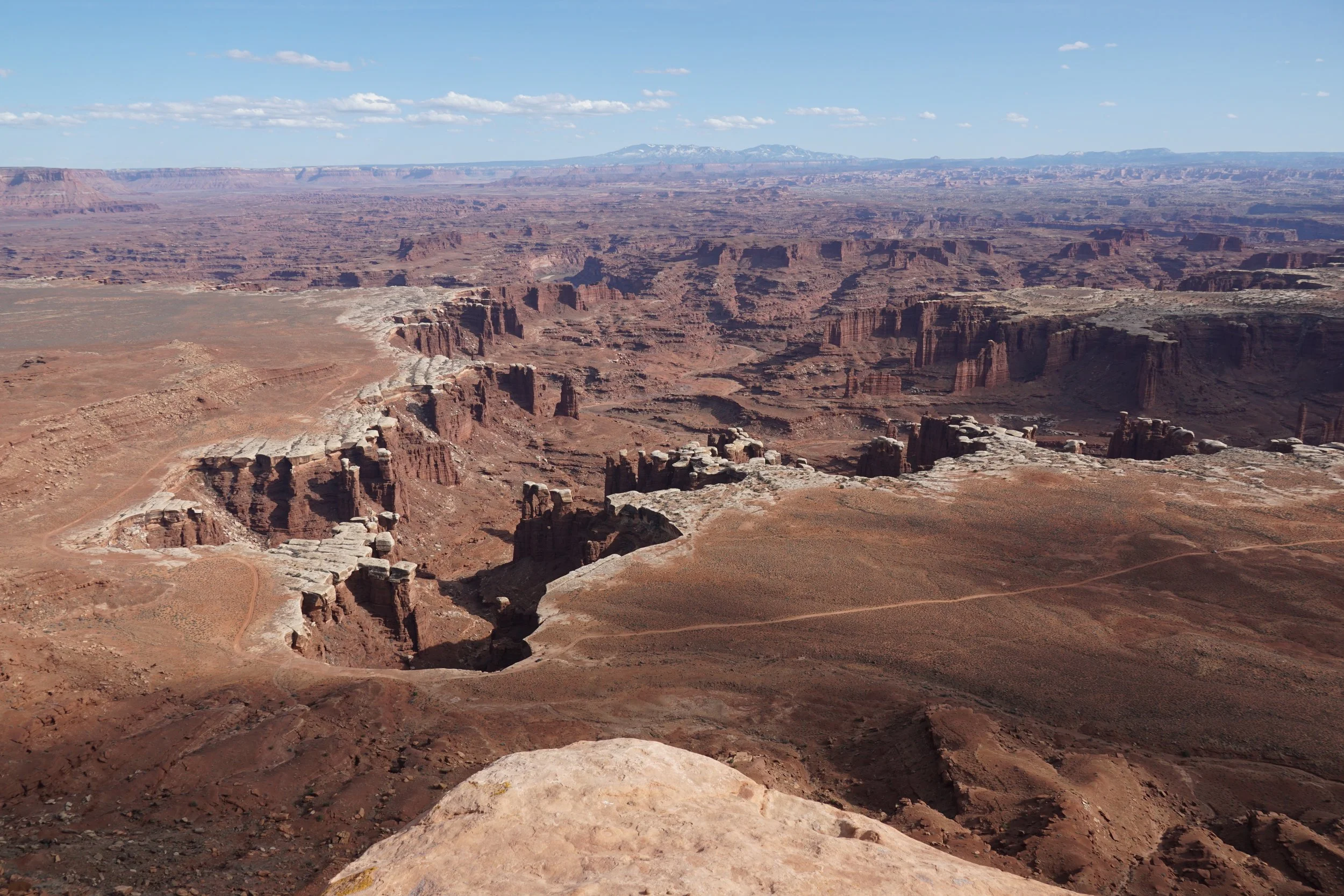
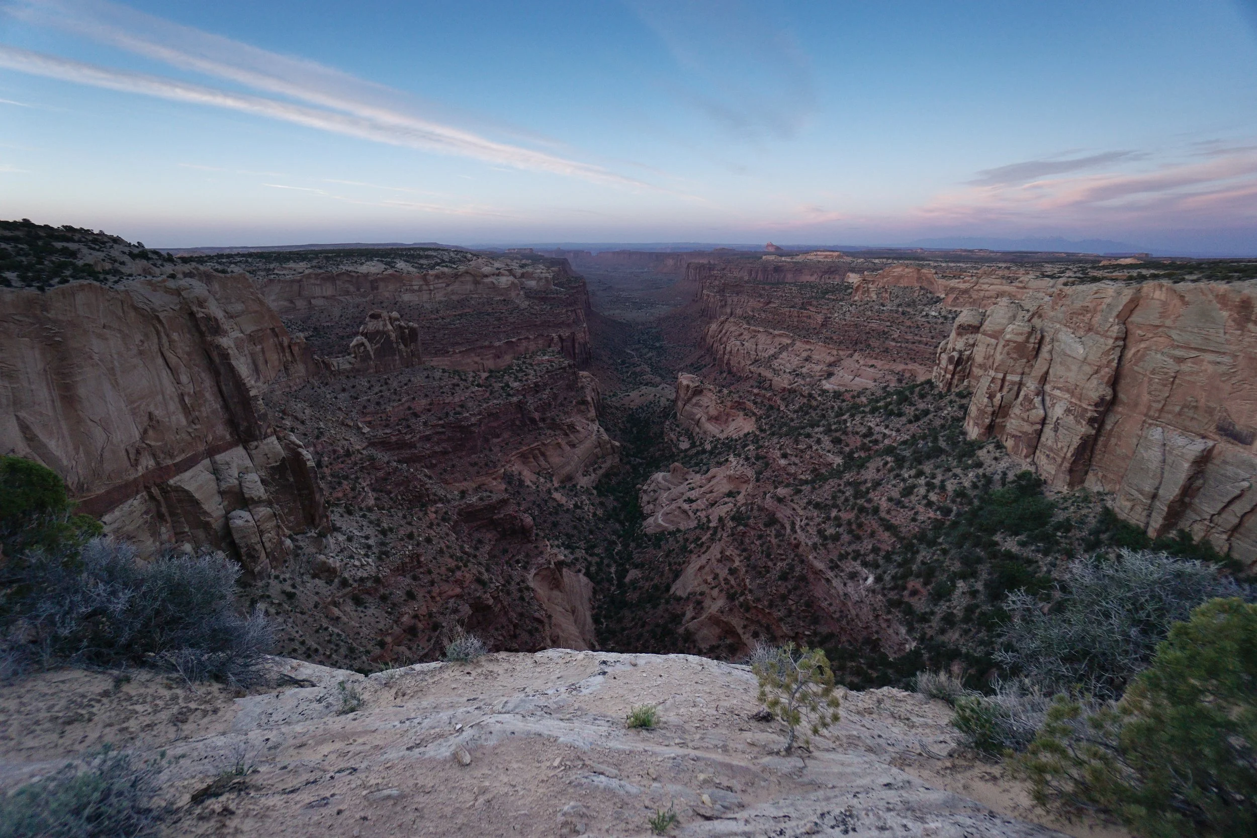
Grand View Point, Island in the Sky District
Distance: 0.2 mi (RT); Elevation Gain: Minimal
-
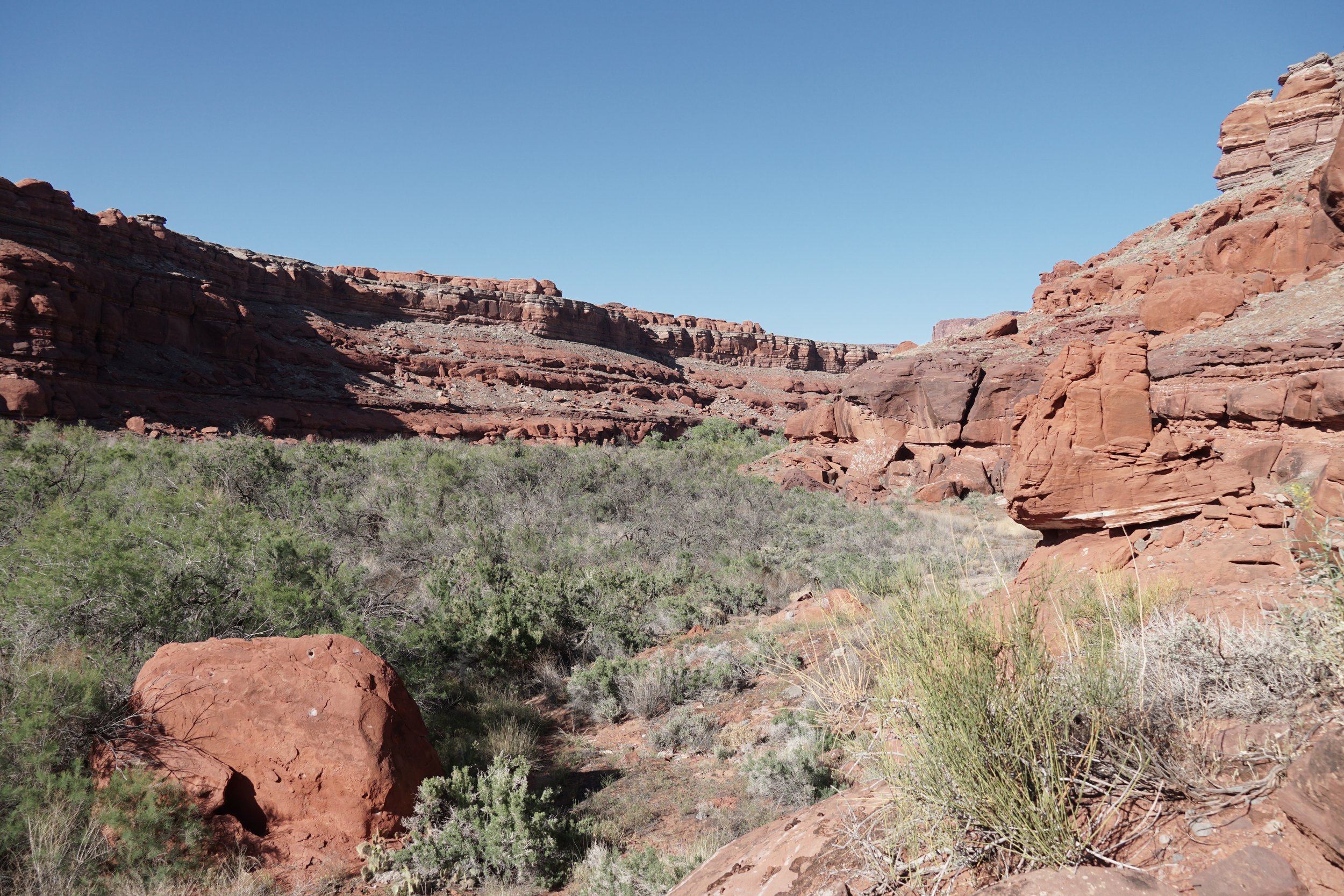
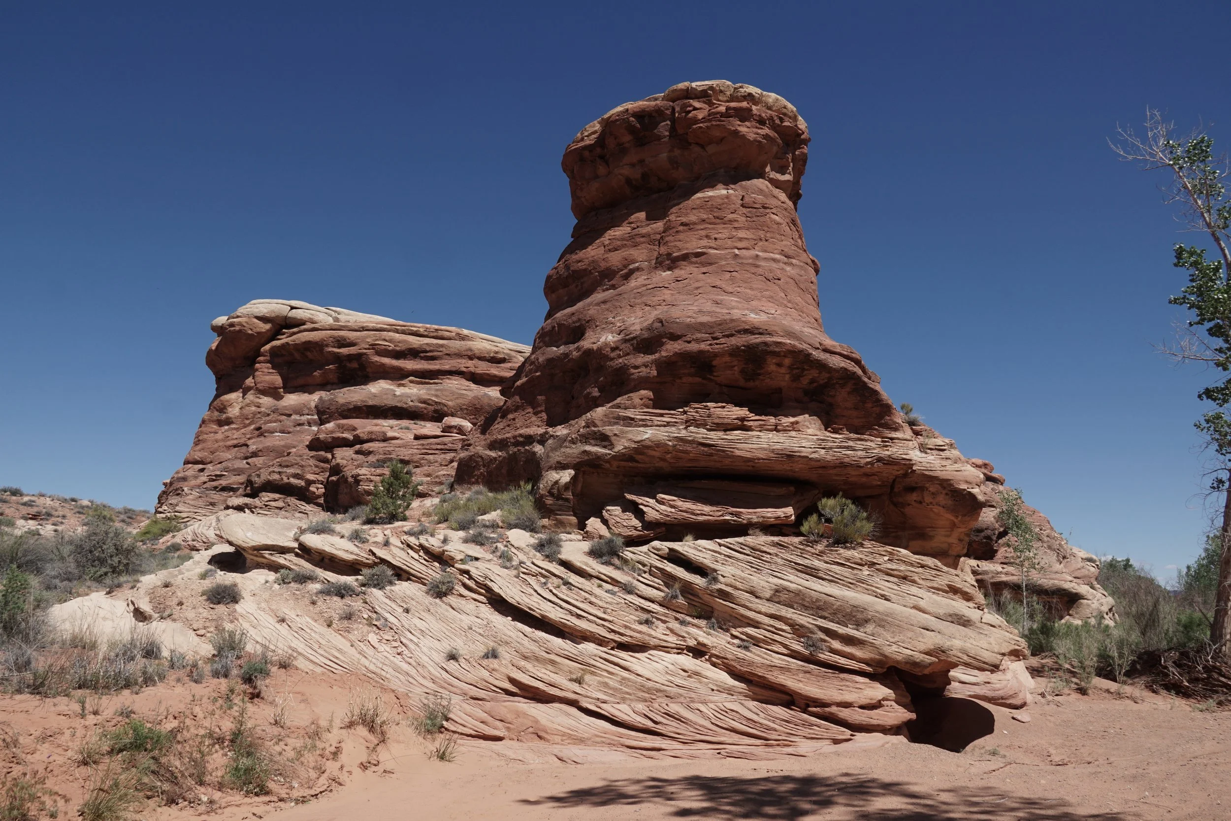
Lockhart Canyon, Needles District
Distance: 1 mi (RT); Elevation Gain: Minimal
-
Salt Creek Trail, Needles District
Distance: 2 mi (RT); Elevation Gain: 200 ft
-
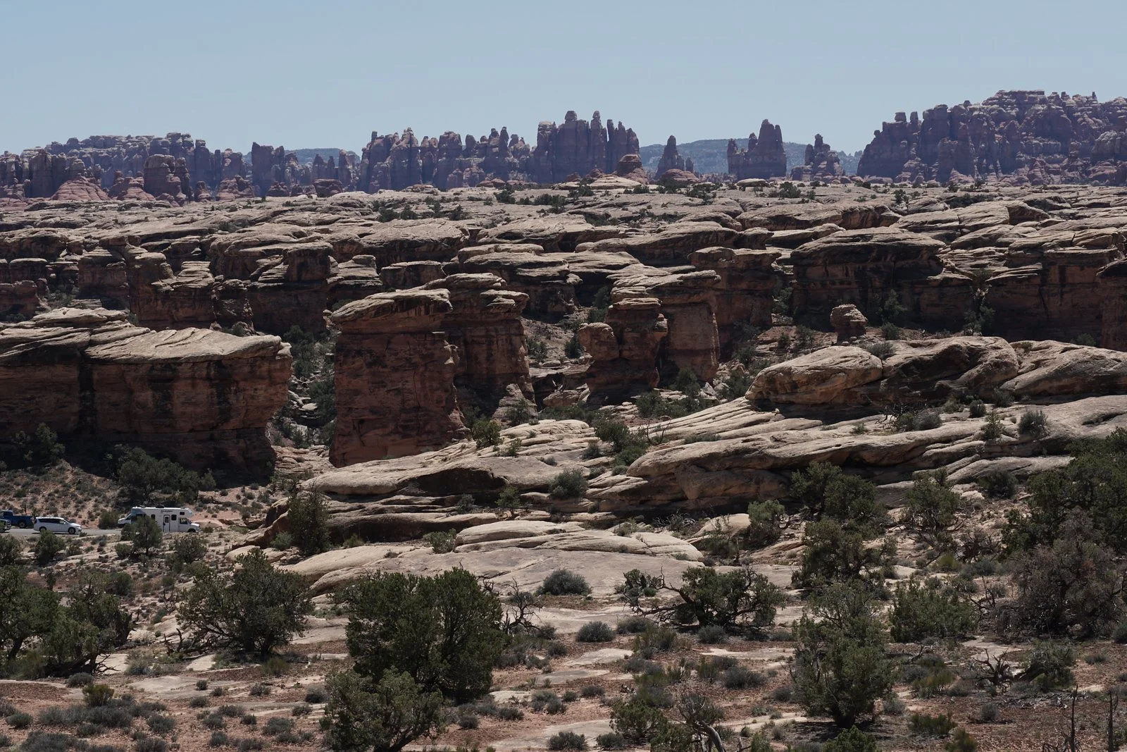
Slickrock Trail, Needles District
Distance: 2.4 mi (RT); Elevation Gain: 300 ft
-
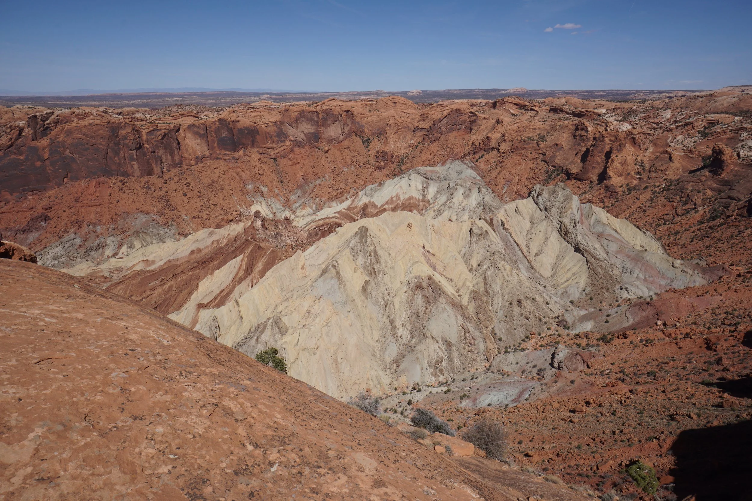
Upheaval Dome Overlook, Island in the Sky District
Distance 2.4 mi (RT); 800 ft elevation gain
-
White Rim Overlook, Island in the Sky District
2 mi (RT); 300 ft elevation gain
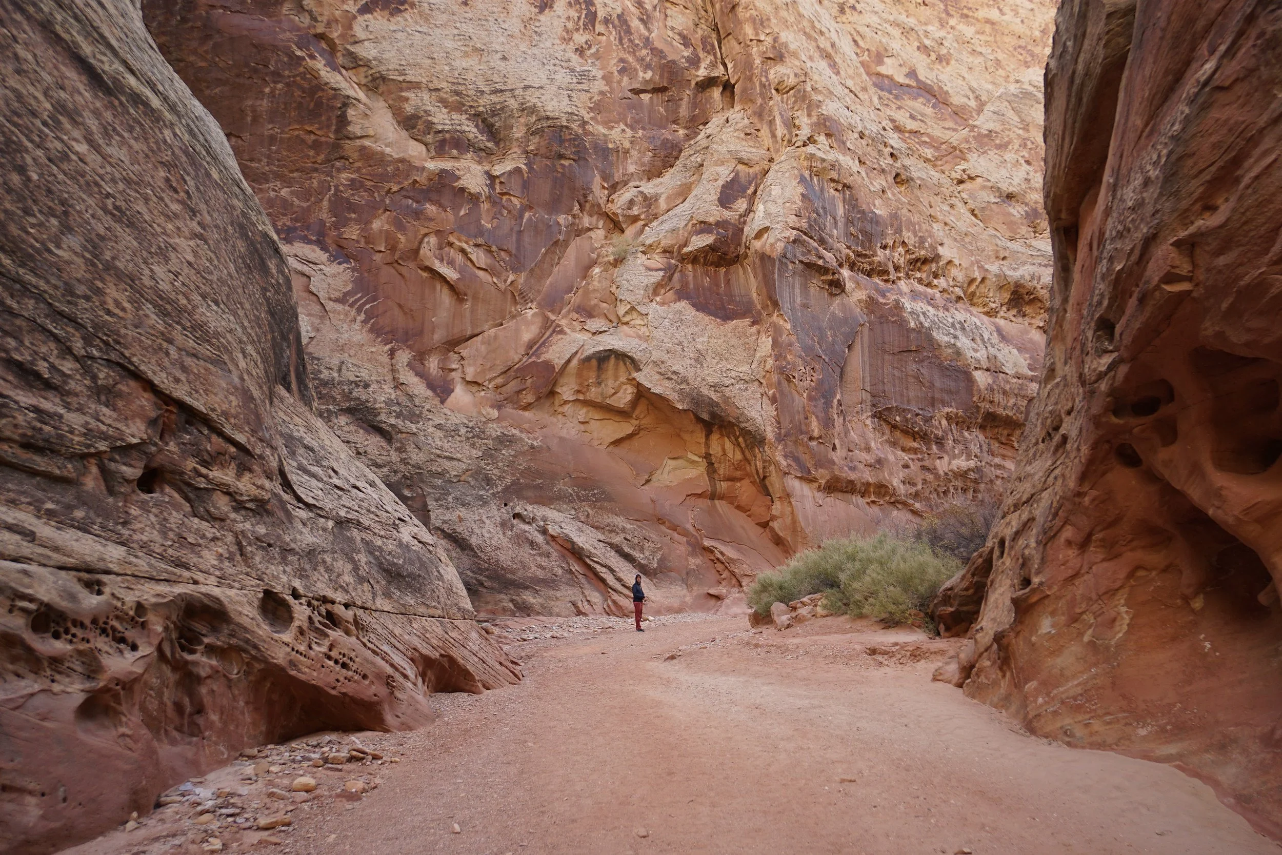
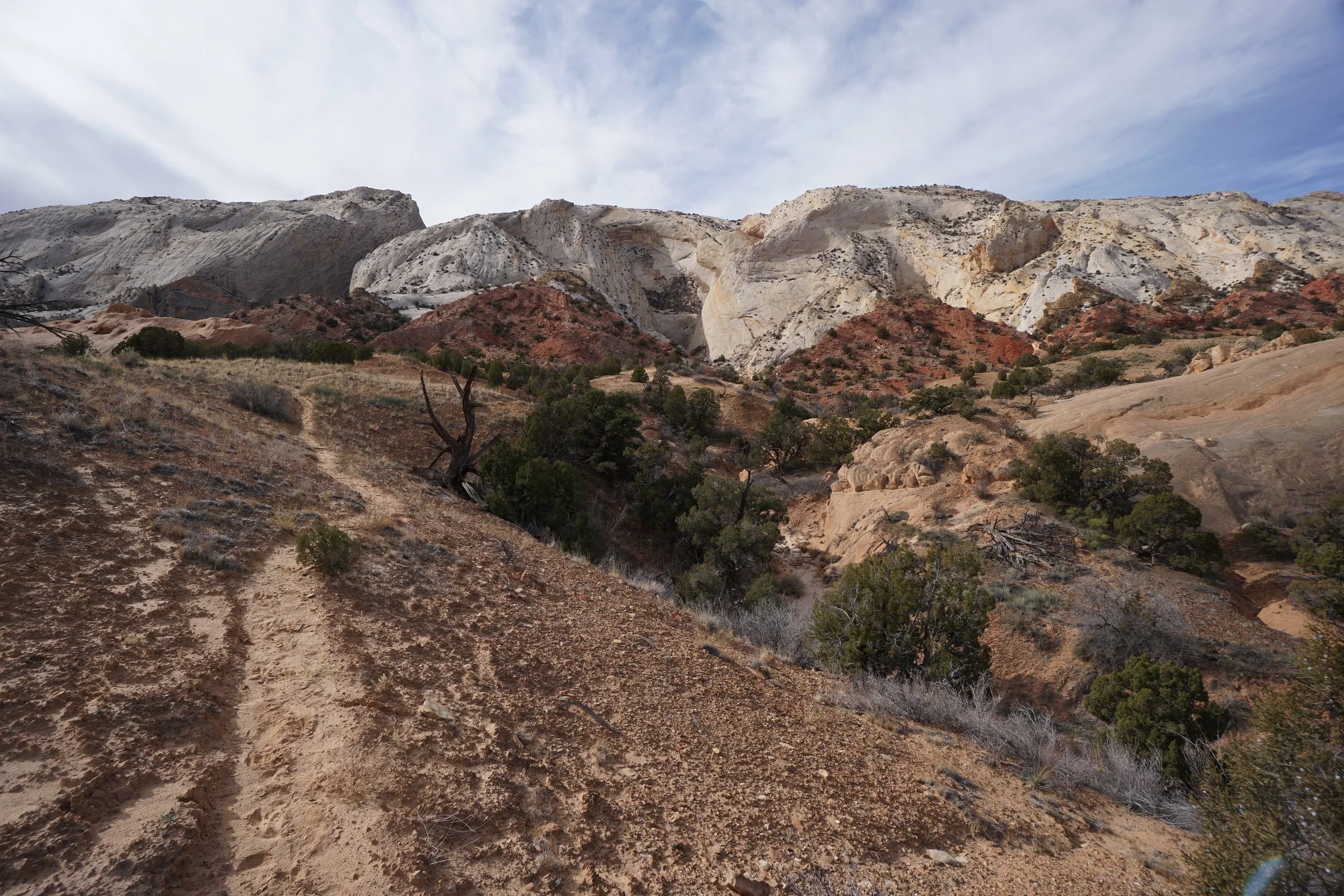
CAPITOL REEF NATIONAL PARK
-

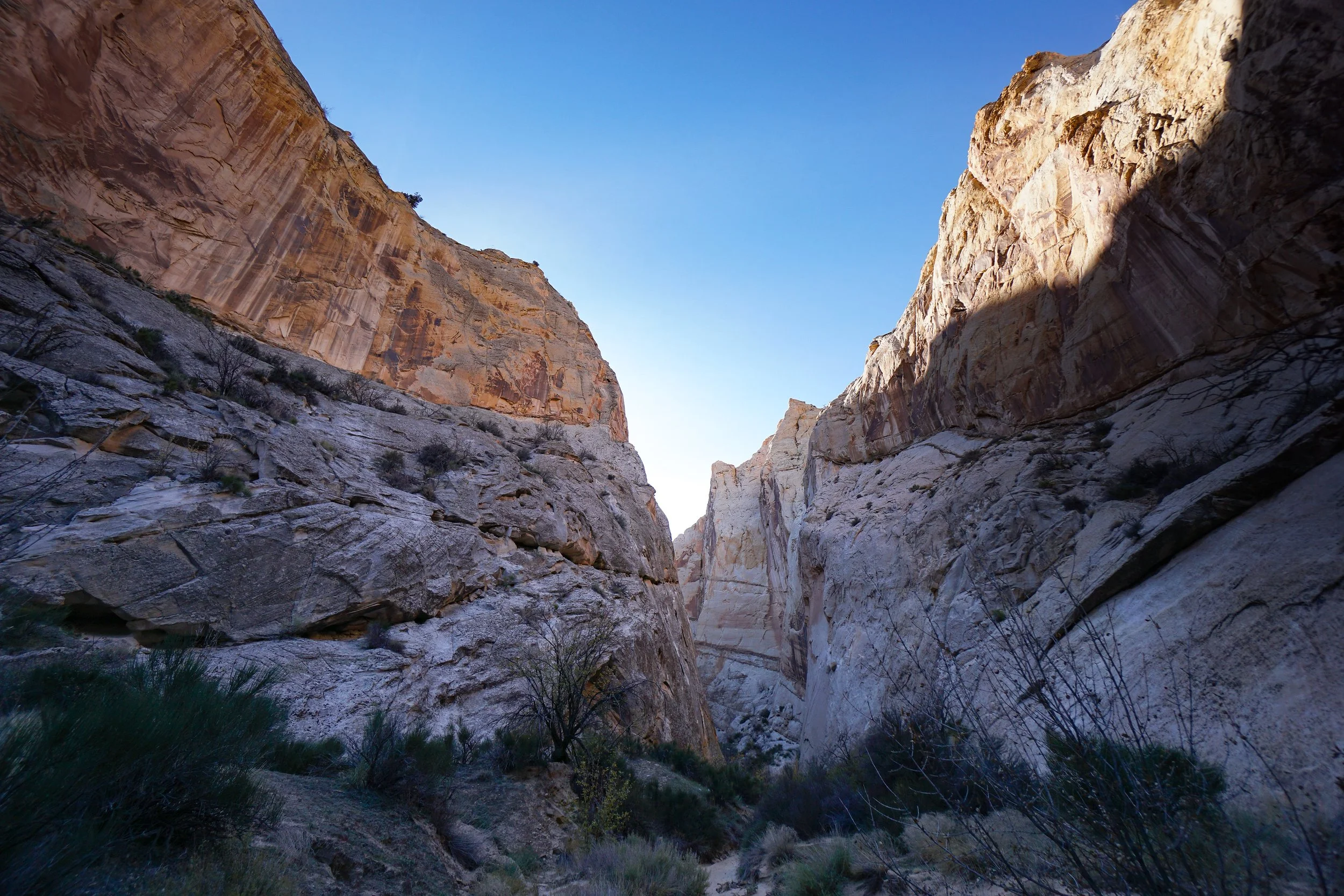
Grand Wash
mi (RT); ft elevation gain
-
Headquarters Canyon
mi (RT); ft elevation gain
-
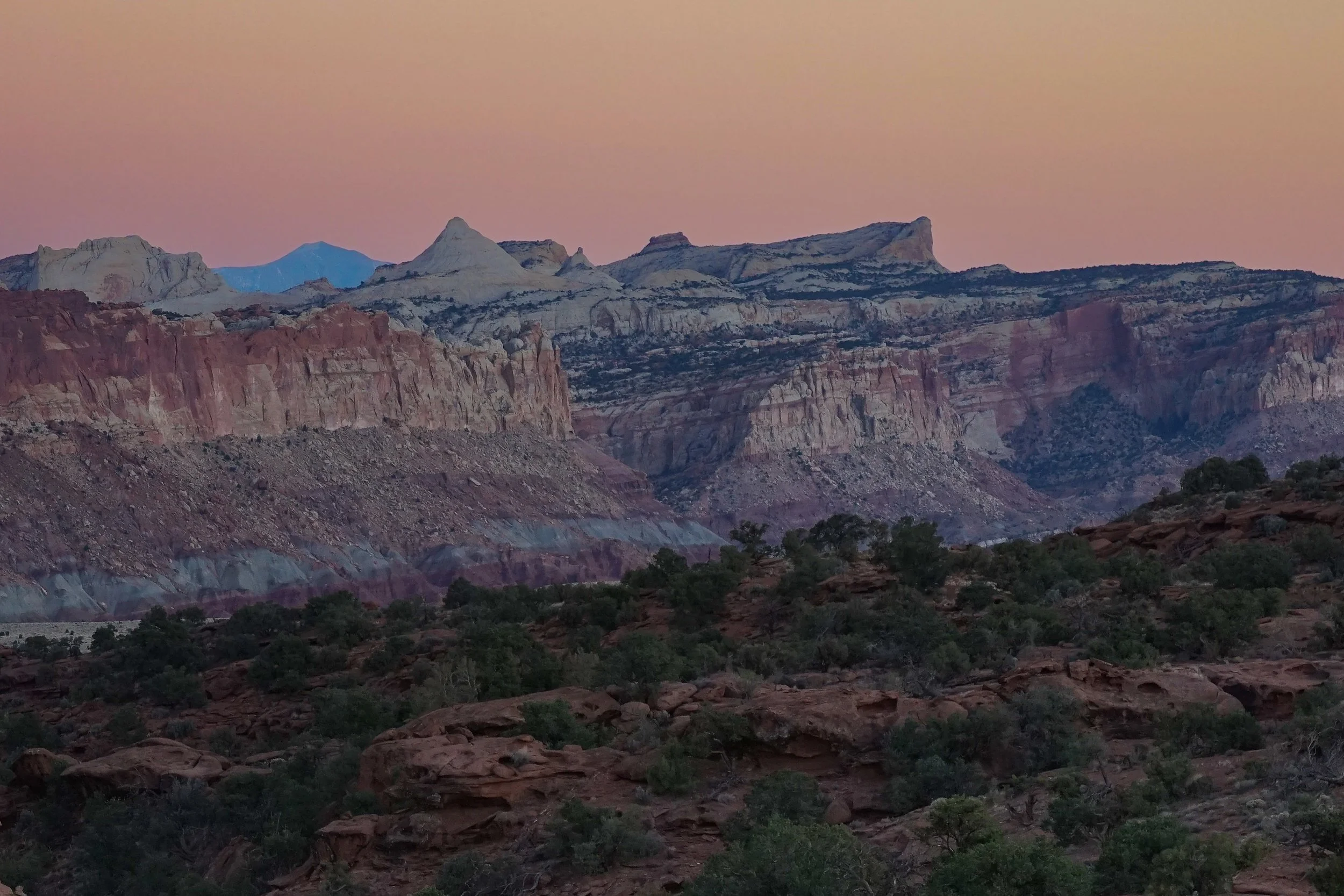
Panorama Point
mi (RT); ft elevation gain
-
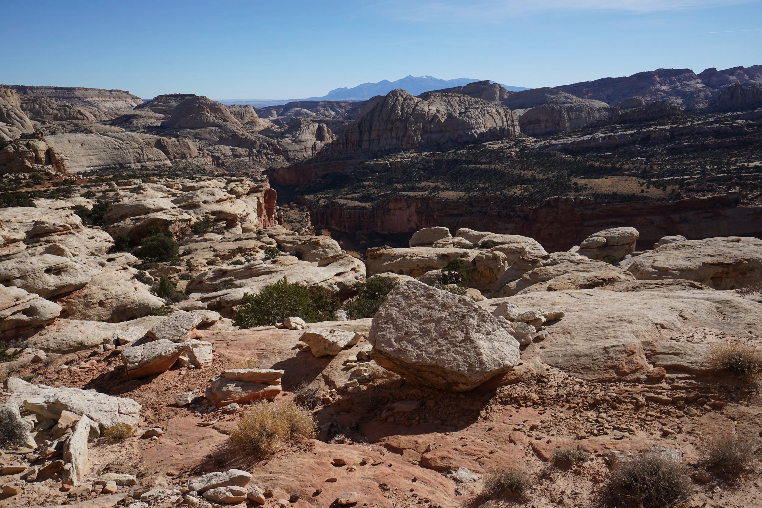
Rim Overlook Trail
mi (RT); ft elevation gain
-
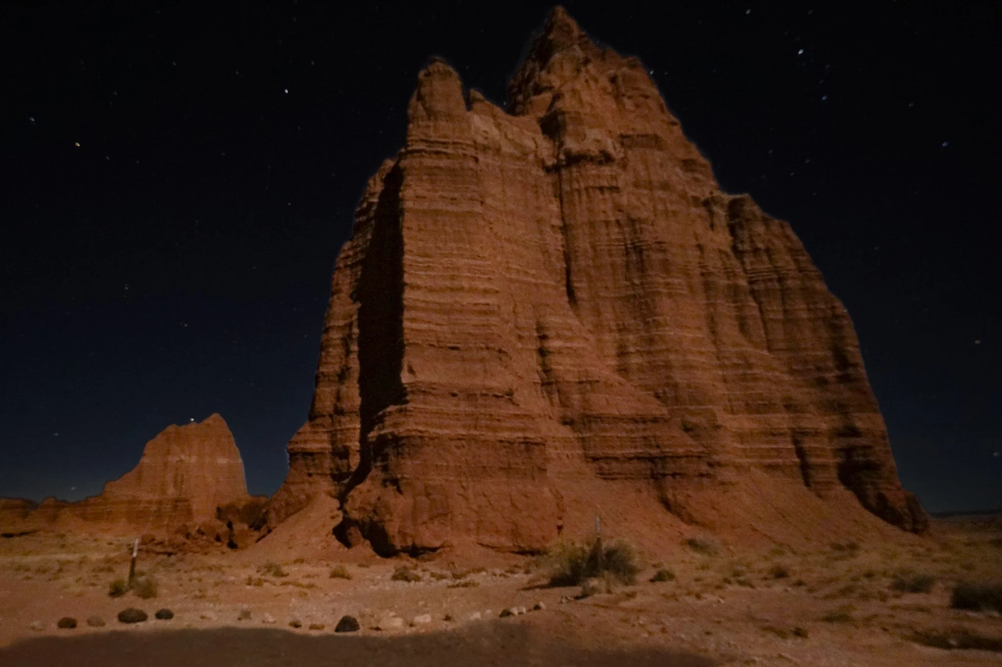
Temple of the Moon & Sun
mi (RT); ft elevation gain
-
Unknown Canyon Trail
mi (RT); ft elevation gain
GLEN CANYON NATIONAL RECREATION AREA
-
Bagpipe Butte Overlook
mi (RT); minimal elevation gain
-
Flint Seep
mi (RT); ft elevation gain
-
Millard Canyon Overlook
mi (RT); ft elevation gain
NATURAL BRIDGES NATIONAL MONUMENT
-
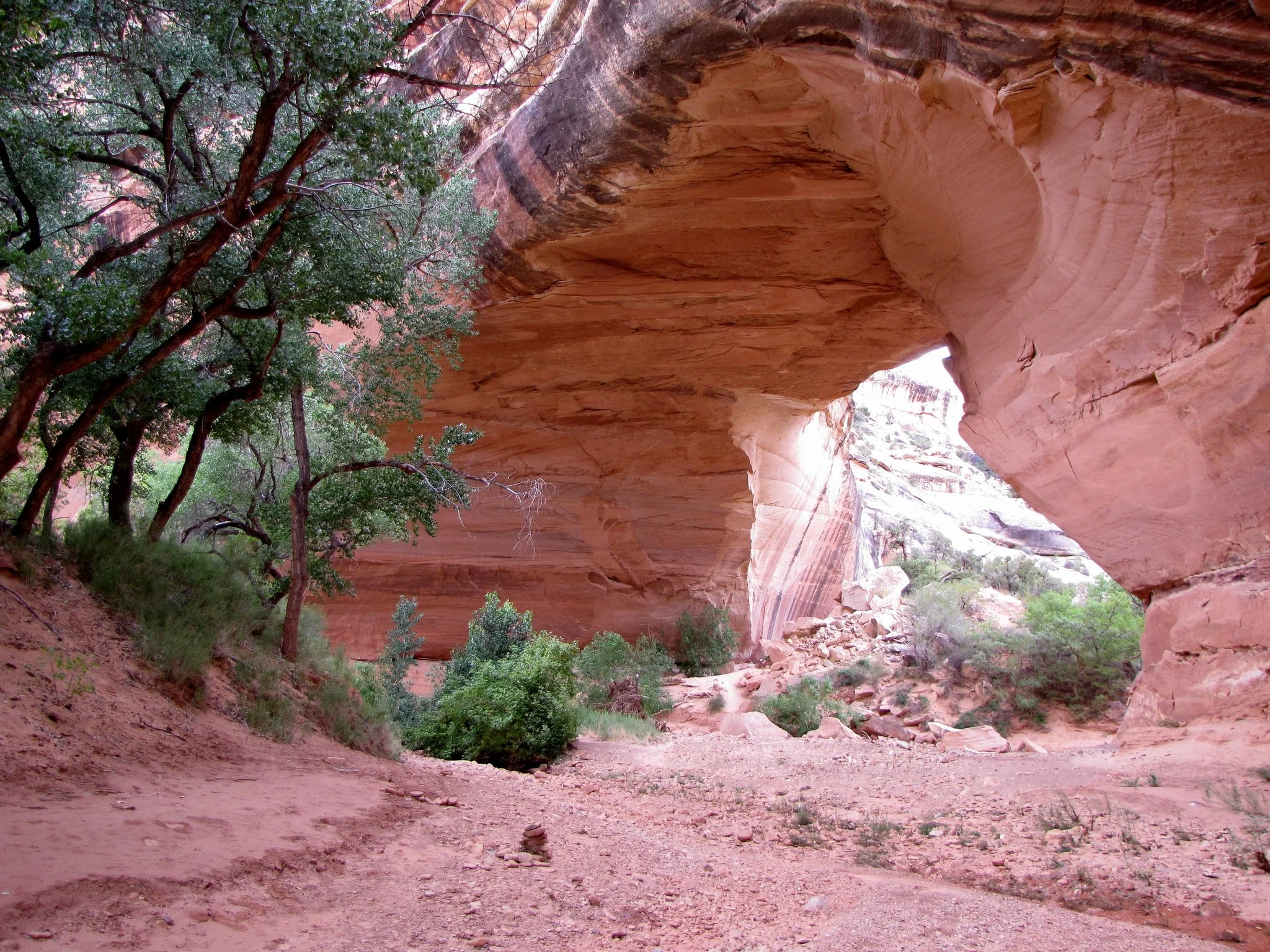
Kachina Bridge
mi (RT); ft elevation gain
-
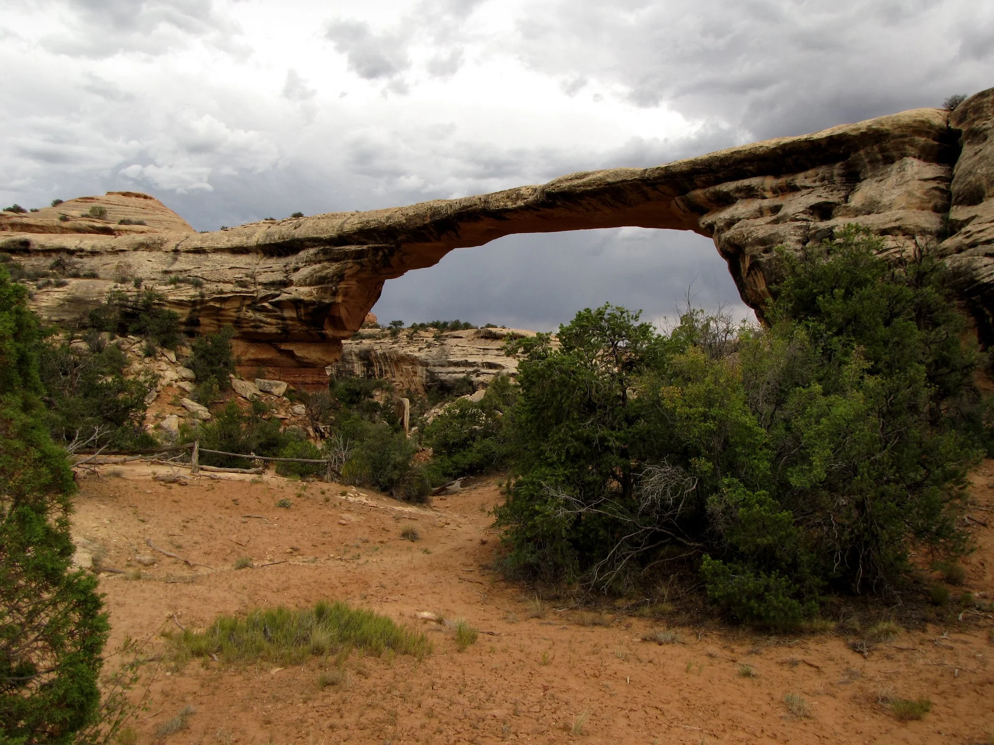
Owachomo Bridge
mi (RT); ft elevation gain
-
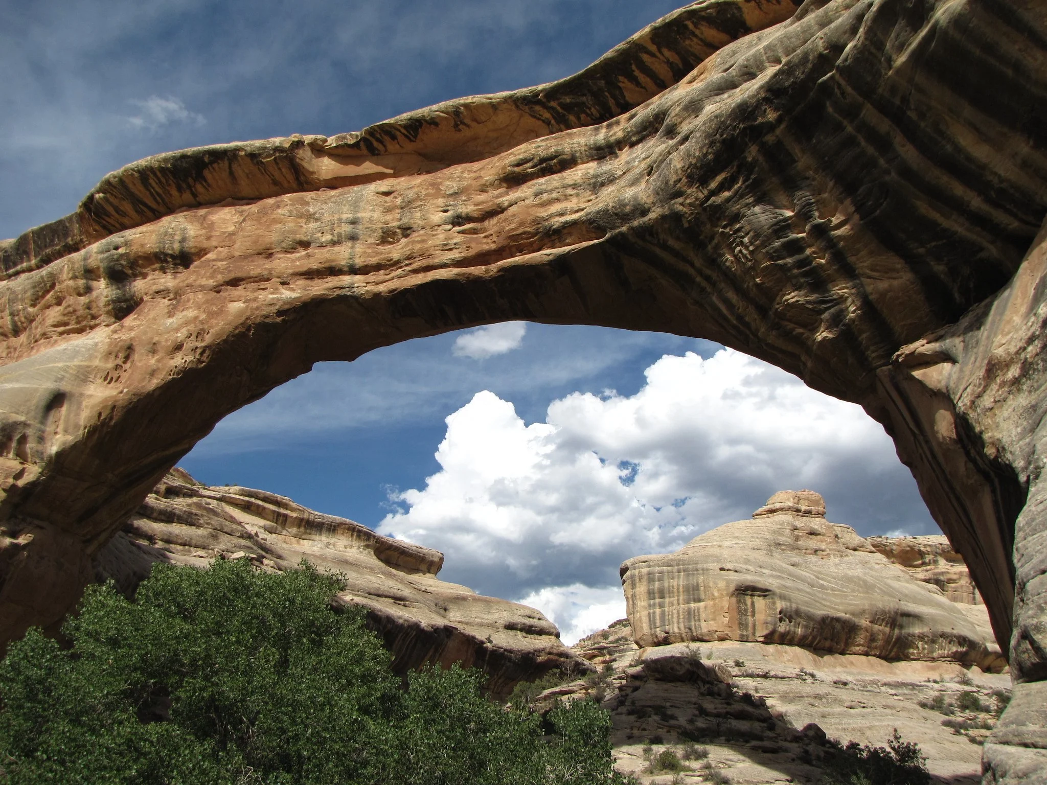
Sipapu Bridge
mi (RT); ft elevation gain
ZION NATIONAL PARK
-
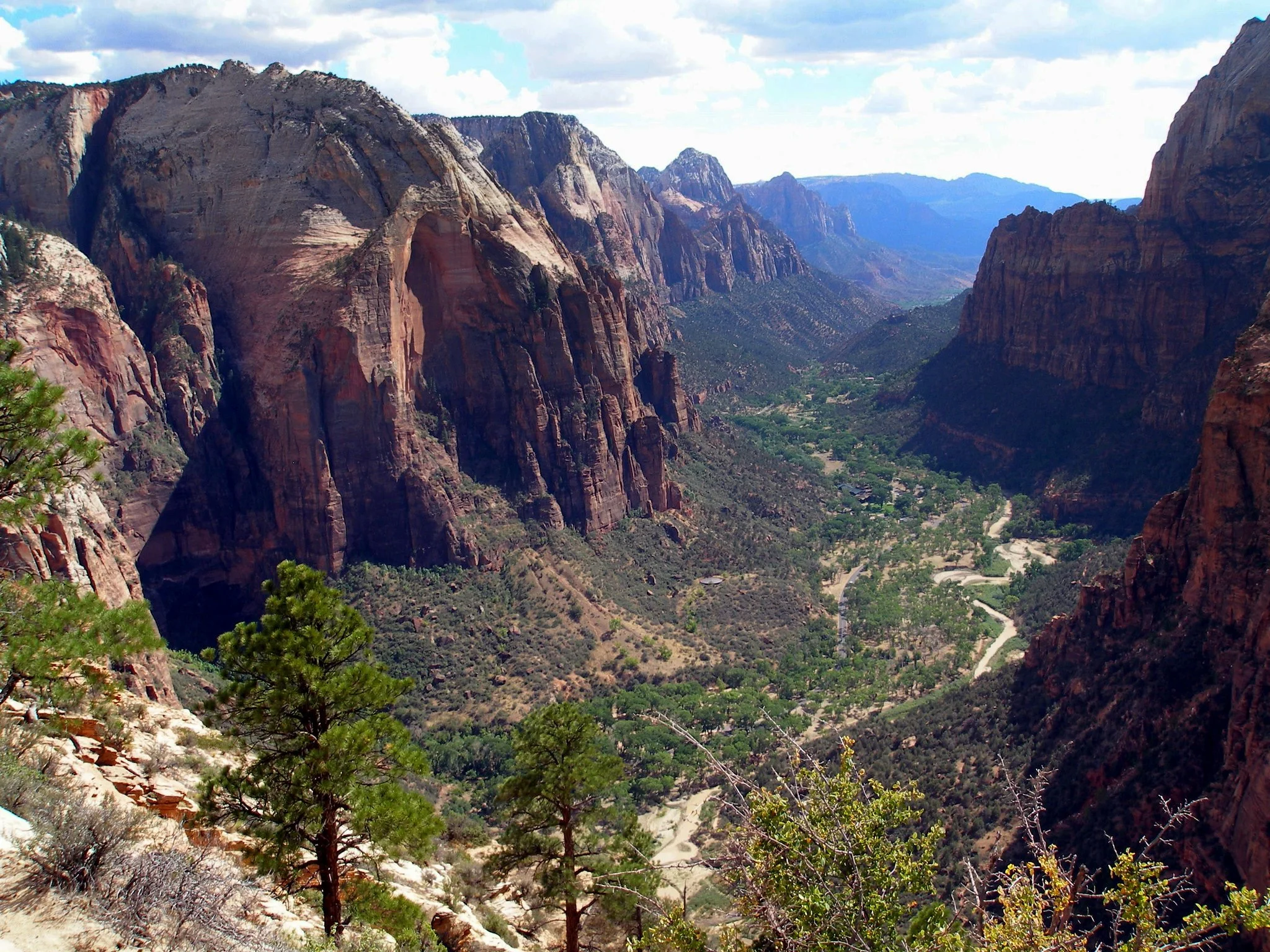
Angel's Landing
mi (RT); ft elevation gain
-
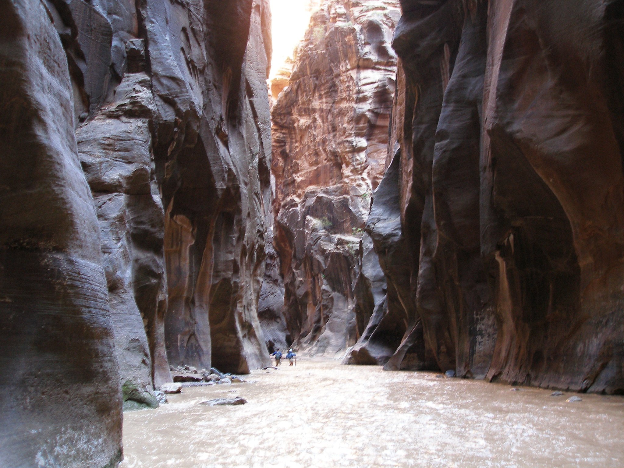
The Narrows
mi (RT); ft elevation gain
Other Hikes in Southern Utah
-
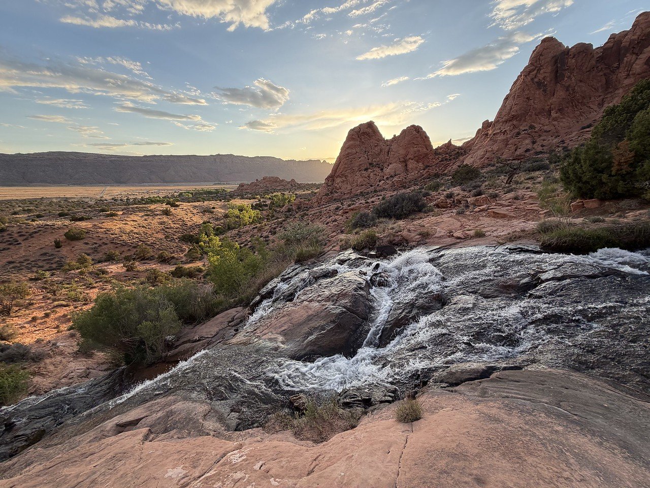
Faux Falls, Kens Lake Recreation Area, BLM Public Lands
Distance: 2.4 mi (RT); Elevation Gain: 200 ft
-
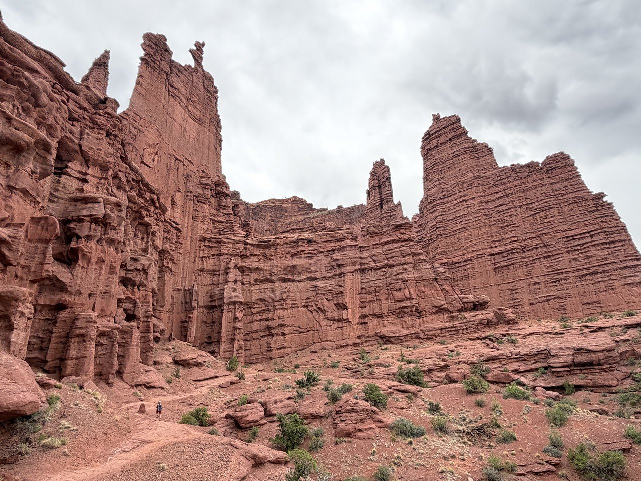
Fishers Tower Trail, Fishers Tower Recreation Site, BLM Public Lands
Distance: 1.3 mi (RT); Elevation Gain: 300 ft
-
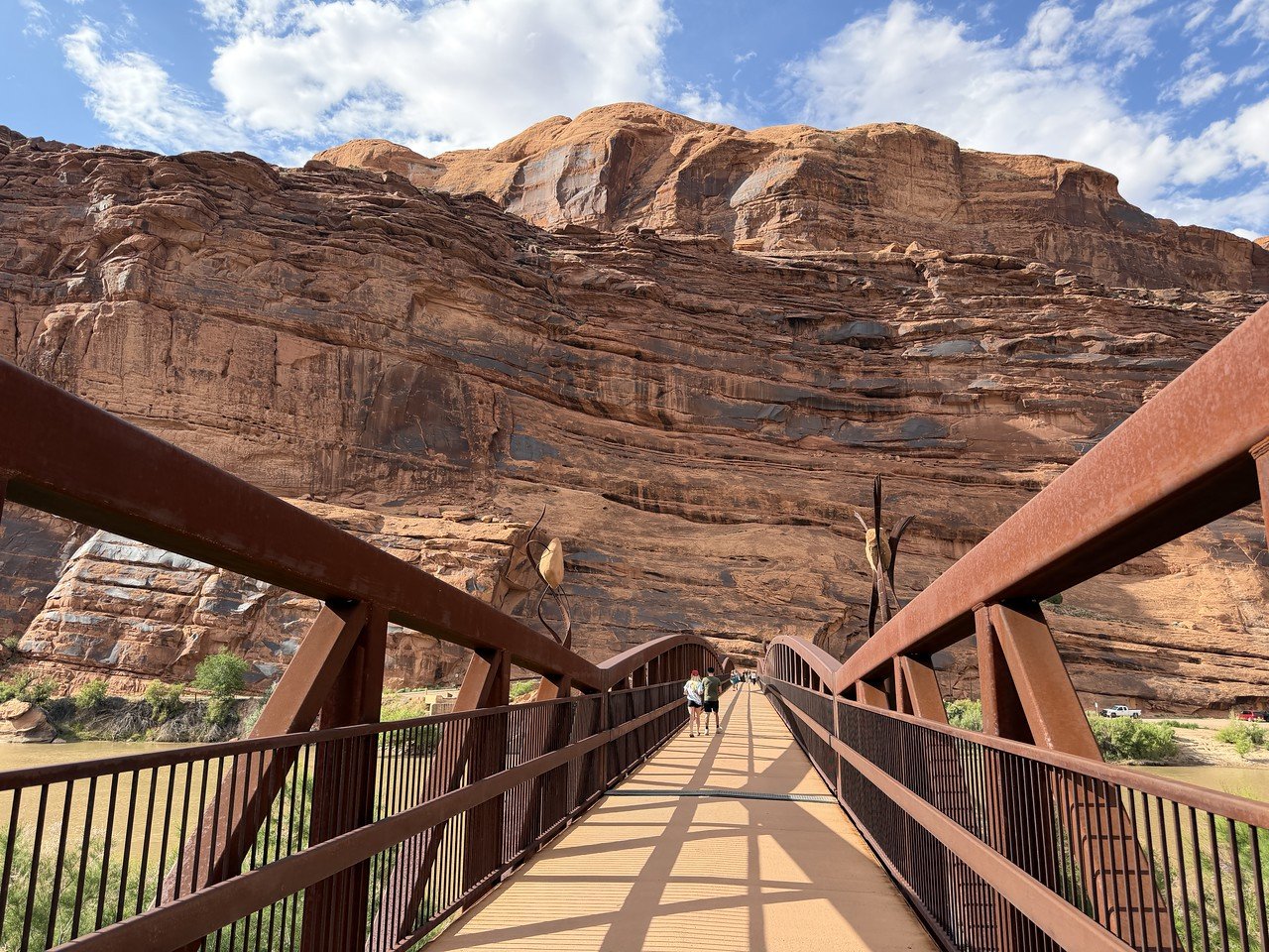
Lions Park, City of Moab
Distance: 0.5 ,mi (RT); Elevation Gain: Minimal
-
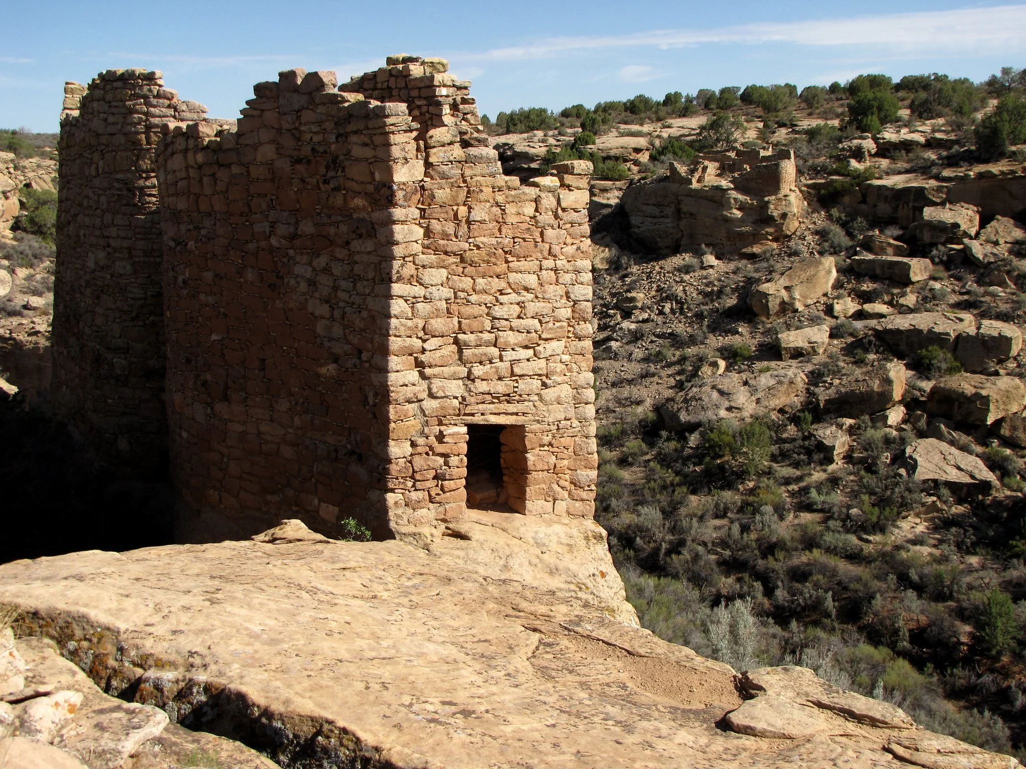
Square Tower Loop, Hovenweep National Monument
mi (RT); ft elevation gain
-
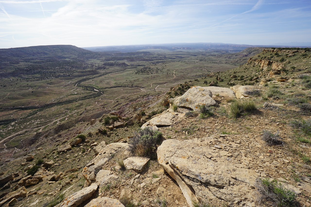
Utah Rims Overlook Trail, BLM Public Lands
Distance: 2 mi (RT); Elevation Gain: Minimal